Trails near Kuala Lumpur
17 hikes starting within 15 km, nearest first.
Nearest first
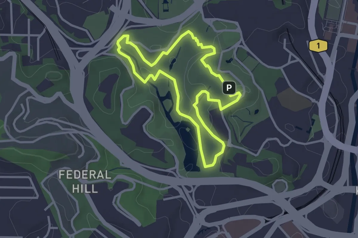
Easy · Trail
Perdana Botanical Garden: Scenic walking loop via major features
3.8 km · ↑ 66 m · 1 h 6 min · 1 km away
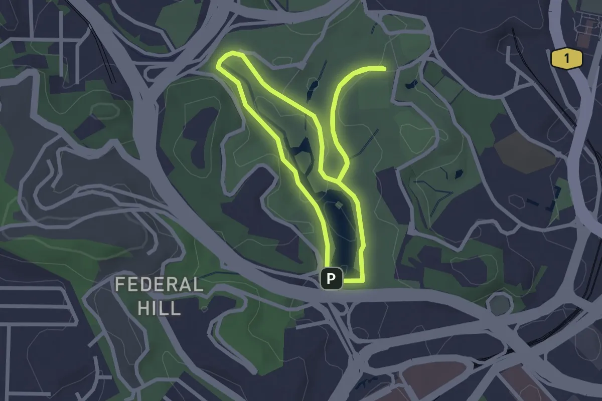
Easy · Trail
Perdana Botanical Garden: Main walking loop
3.3 km · ↑ 64 m · 59 min · 2 km away
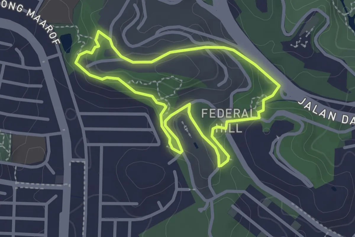
Easy · Trail
UCF Federal Hill Full Loop
3.1 km · ↑ 92 m · 58 min · 2 km away
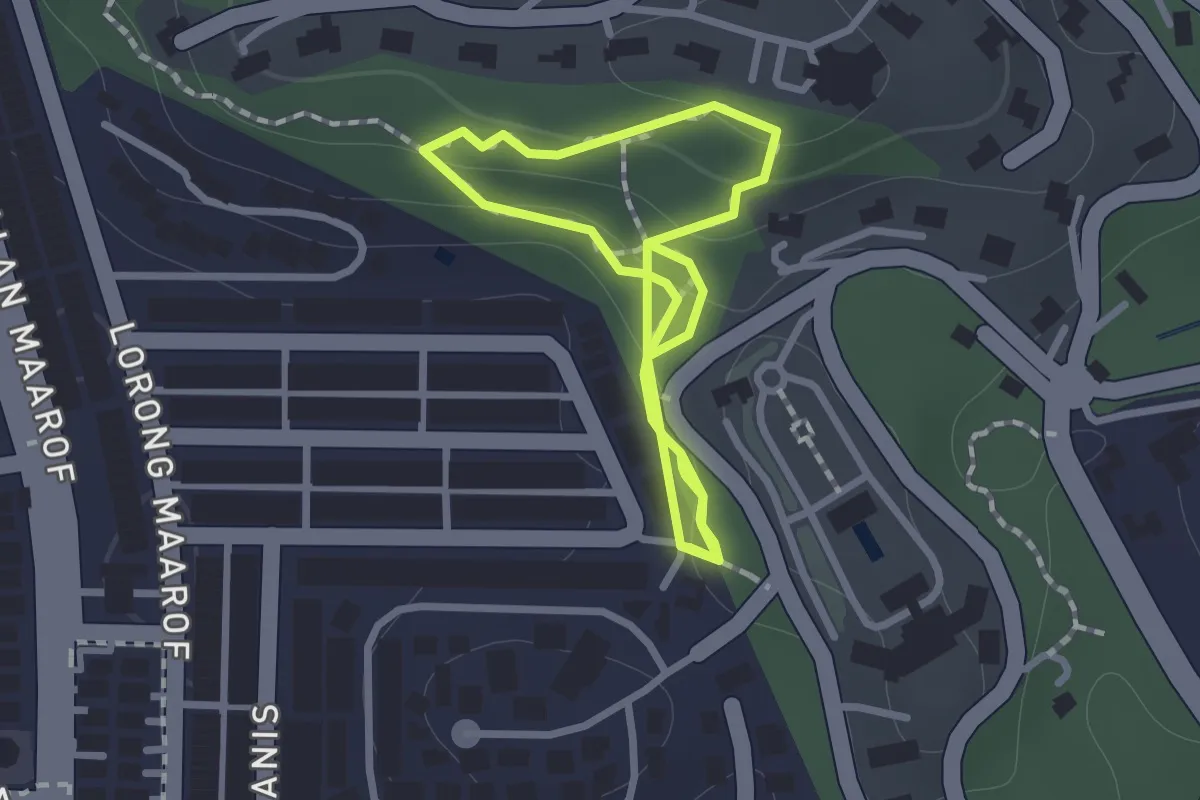
Easy · Trail
UCF Pulai Loop via Free Tree Society
1.4 km · ↑ 58 m · 28 min · 3 km away
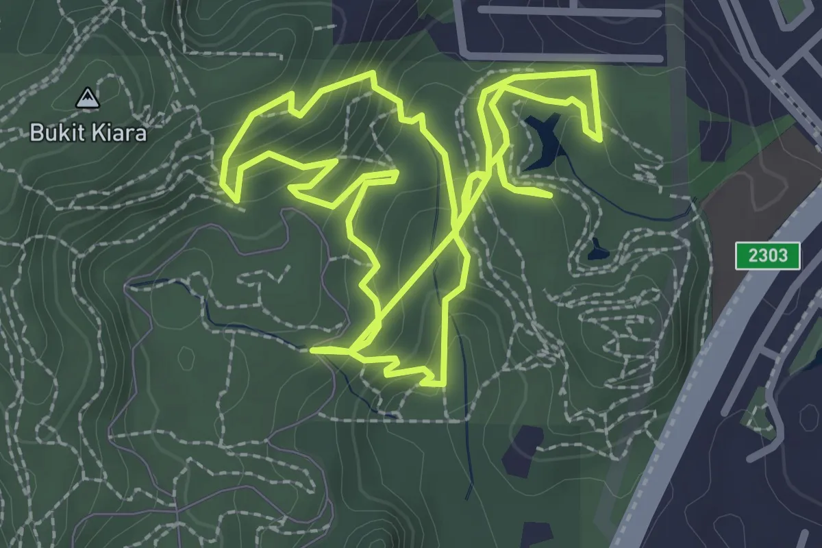
Easy · Trail
Kiara Hills Trail D (Red)
4.1 km · ↑ 213 m · 1 h 30 min · 6 km away
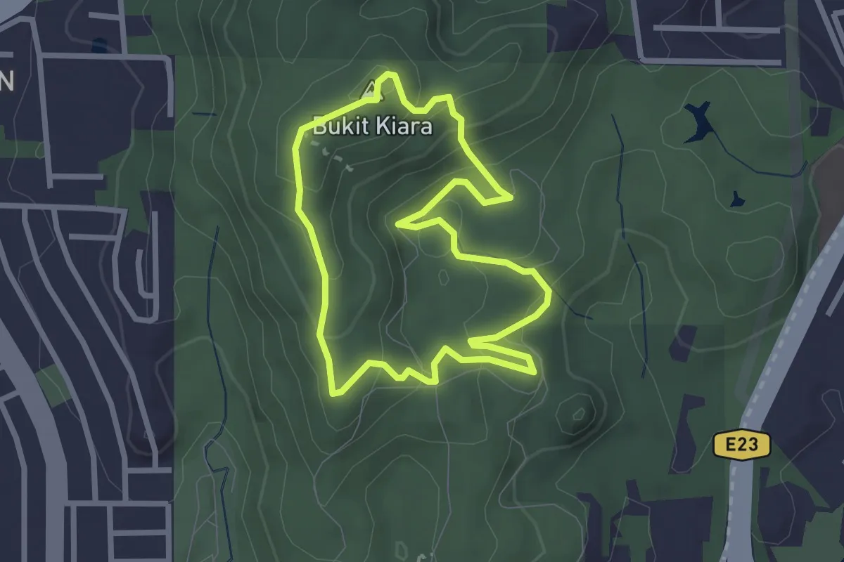
Easy · Summit
Kiara Hills Trail C (Yellow)
3.2 km · ↑ 170 m · 1 h 11 min · 6 km away
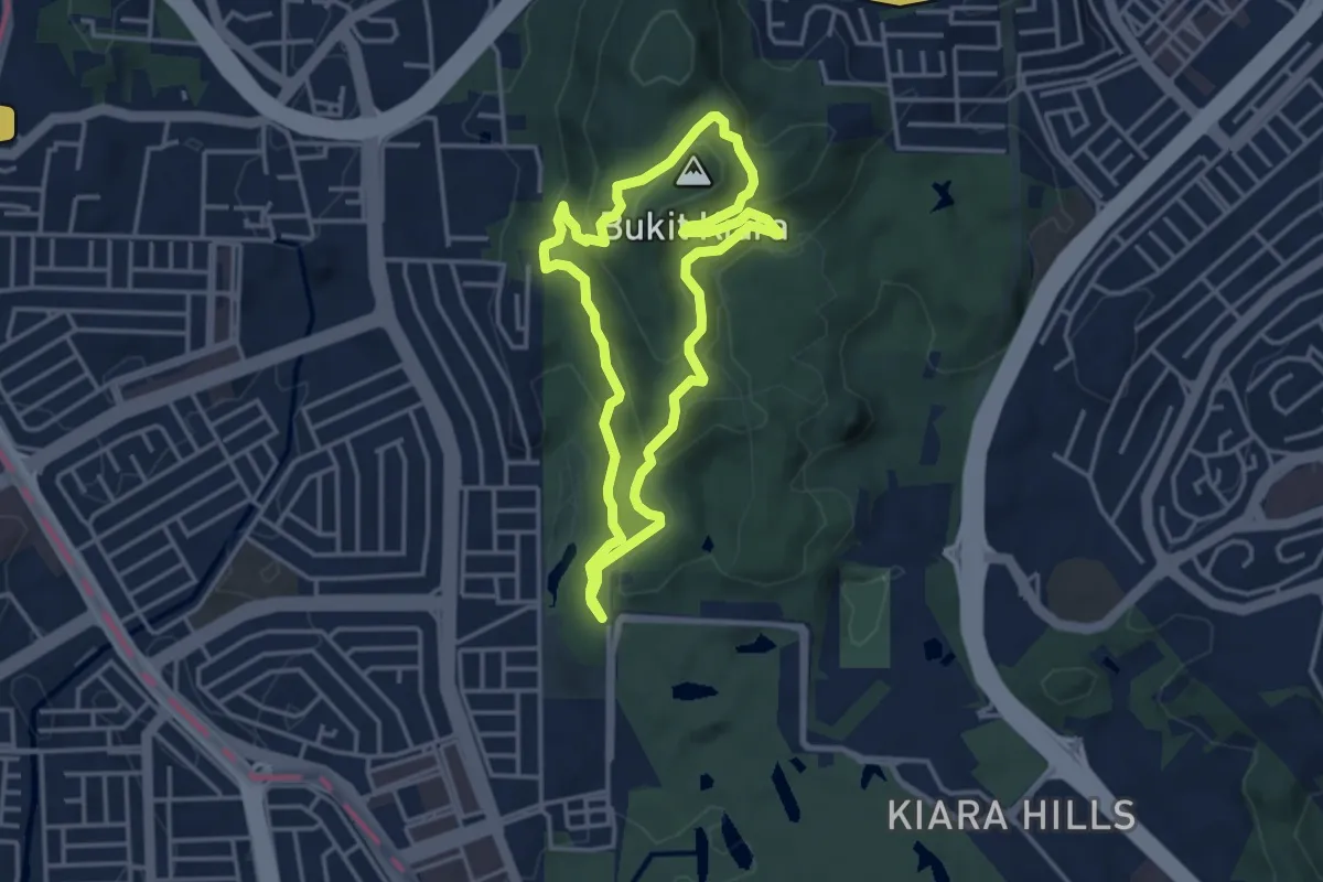
Easy · Summit
Kiara Hills Trail B (Blue)
5.0 km · ↑ 287 m · 1 h 52 min · 7 km away
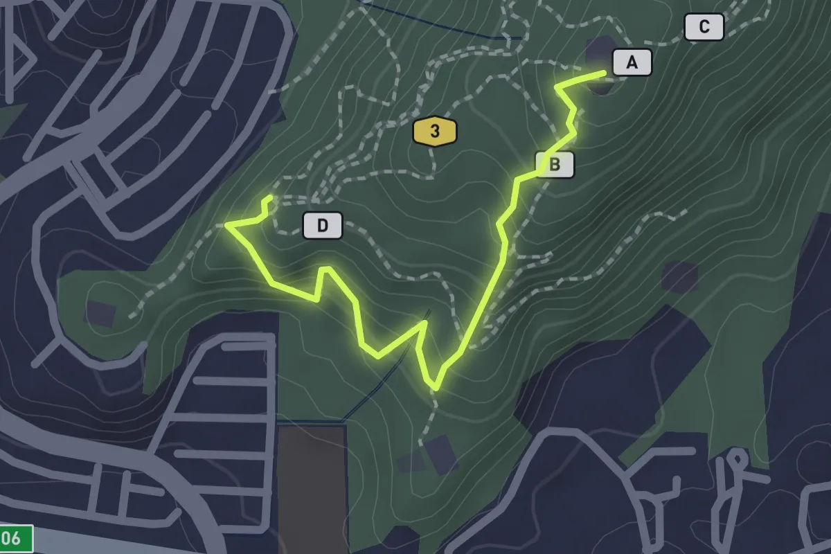
Easy · Summit
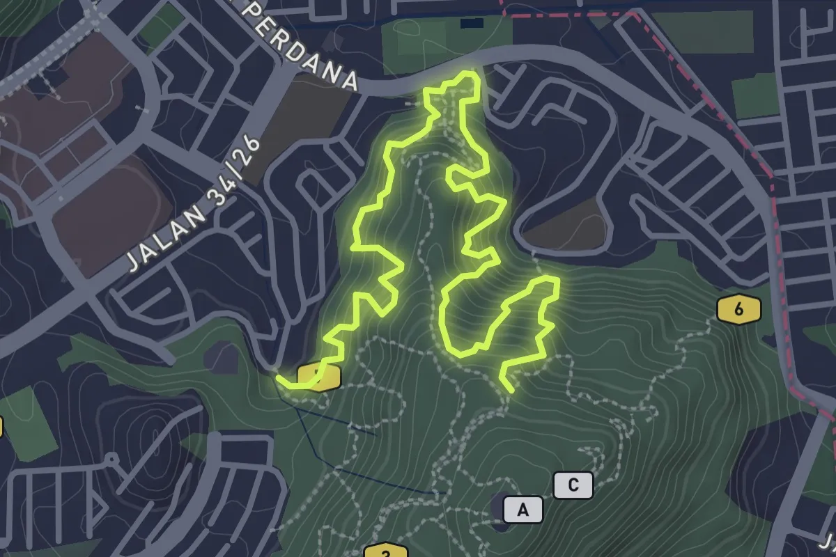
KL See See Trail
2.7 km · ↑ 261 m · 1 h 12 min · 7 km away
Demanding · Trail
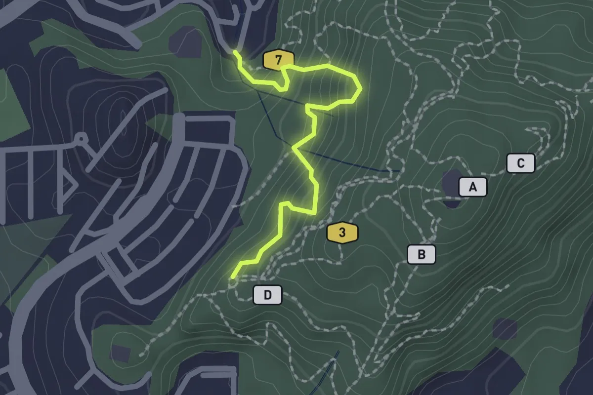
Mini Tahan Route
6.4 km · ↑ 871 m · 3 h 24 min · 7 km away
Easy · Trail
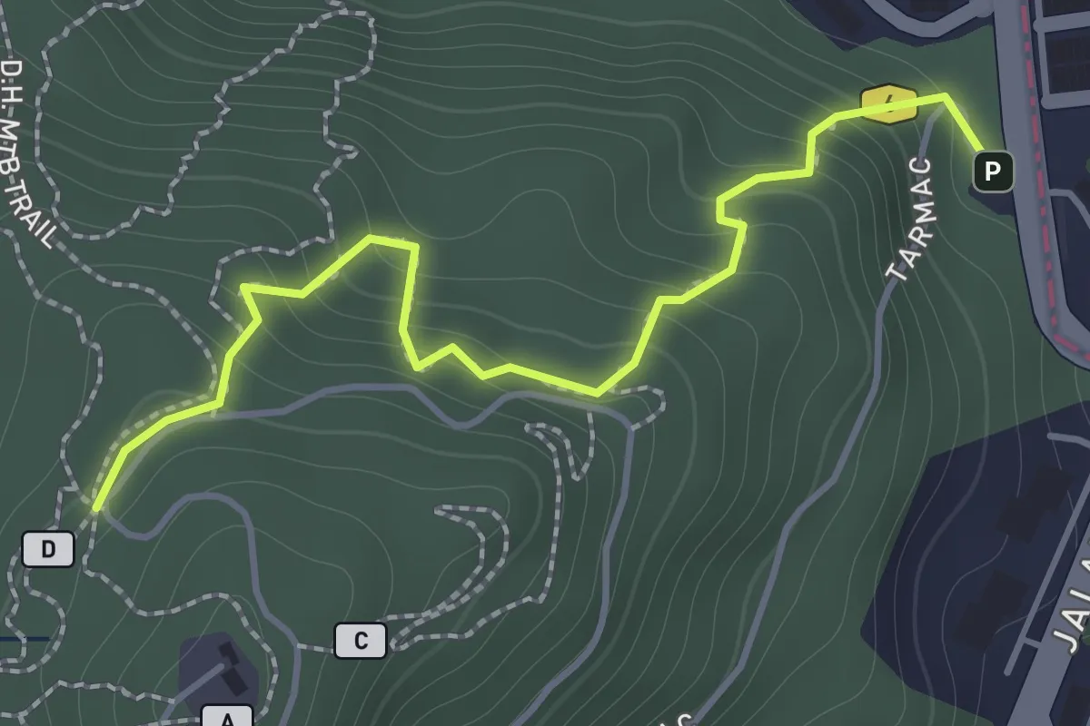
Kazumi Otai Trail
2.4 km · ↑ 317 m · 1 h 15 min · 7 km away
Easy · Trail
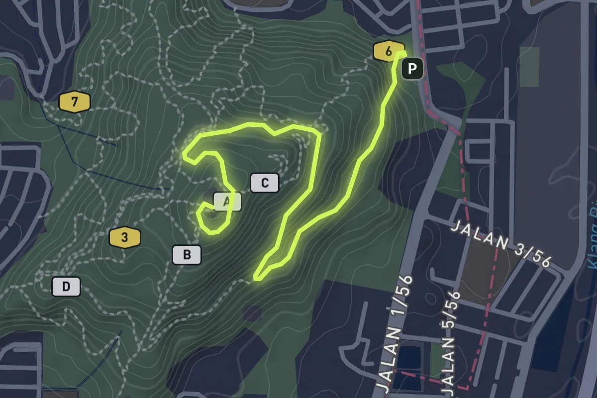
Kelapa-X Trail
2.3 km · ↑ 249 m · 1 h 5 min · 8 km away
Easy · Summit
Bukit Dinding - Main Route
4.9 km · ↑ 283 m · 1 h 46 min · 8 km away
Demanding · Summit
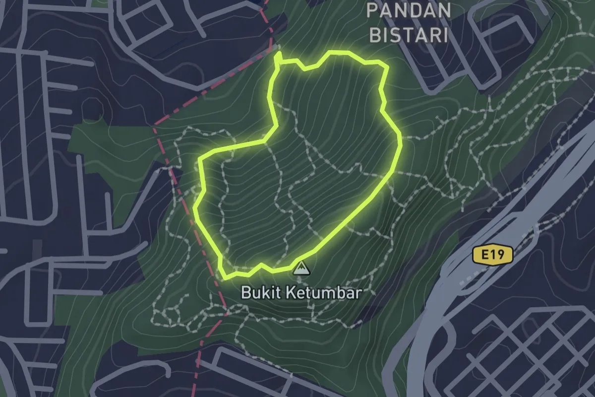
Bukit Ketumbar Roundtrip
1.9 km · ↑ 208 m · 56 min · 9 km away
Easy · Trail
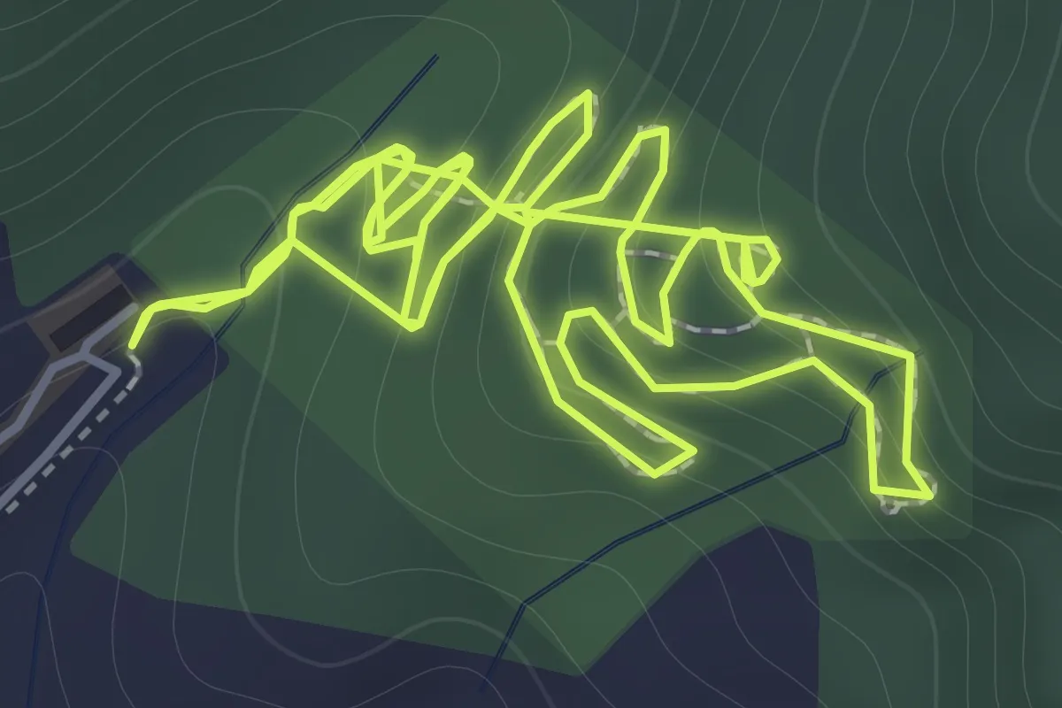
KL East Park Loop
2.7 km · ↑ 233 m · 1 h 7 min · 9 km away
Medium · Trail
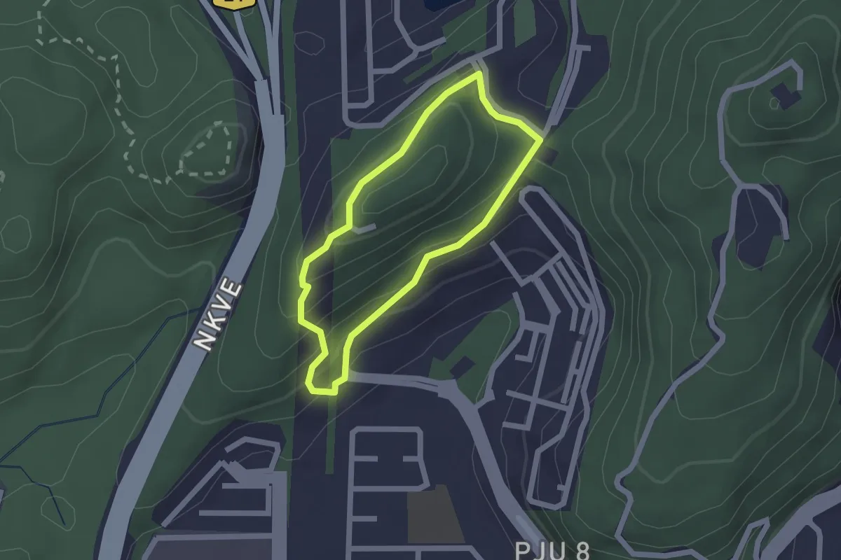
Bukit Lanjan West Main Hiking Loop
2.2 km · ↑ 153 m · 52 min · 10 km away
Medium · Trail
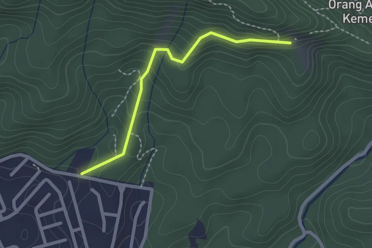
Kebun Che Mah
2.5 km · ↑ 123 m · 52 min · 11 km away
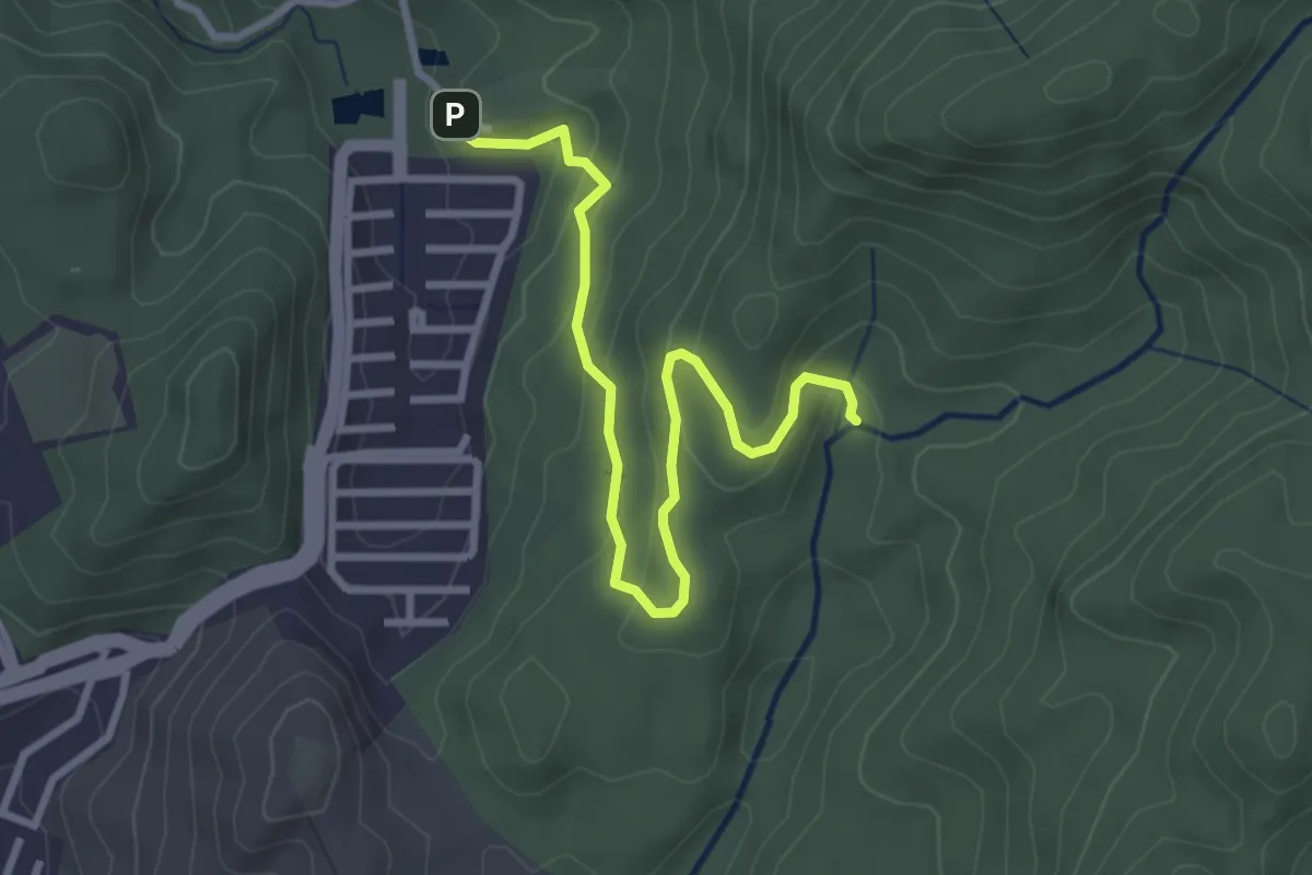
Demanding · Trail
Air Terjun Sofea Jane ATV Track
4.7 km · ↑ 213 m · 1 h 35 min · 13 km away