Trails in Montenegro
129 hiking trails, each with its route, climb, walking time and grade.
All trails, page 2 of 3
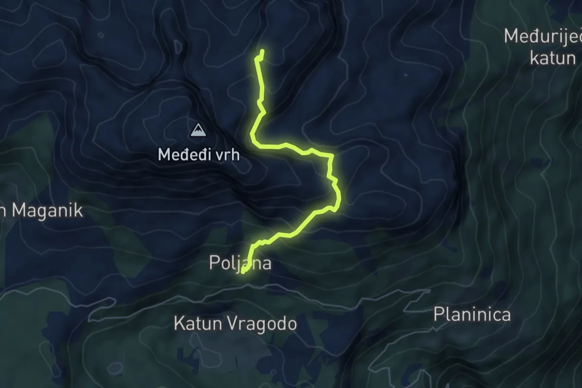
Expert · Trail
Maganik Trail (suggested trail, no trailmarks, no clear path)
5.2 km · ↑ 507 m · 2 h 20 min
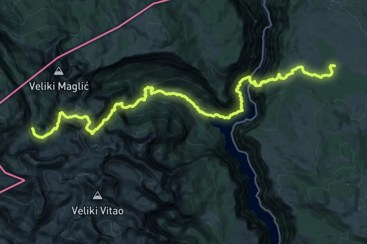
Demanding · Trail
Maglić do Pivske planine preko kanjona Pive
22.8 km · ↑ 2071 m · 10 h 18 min
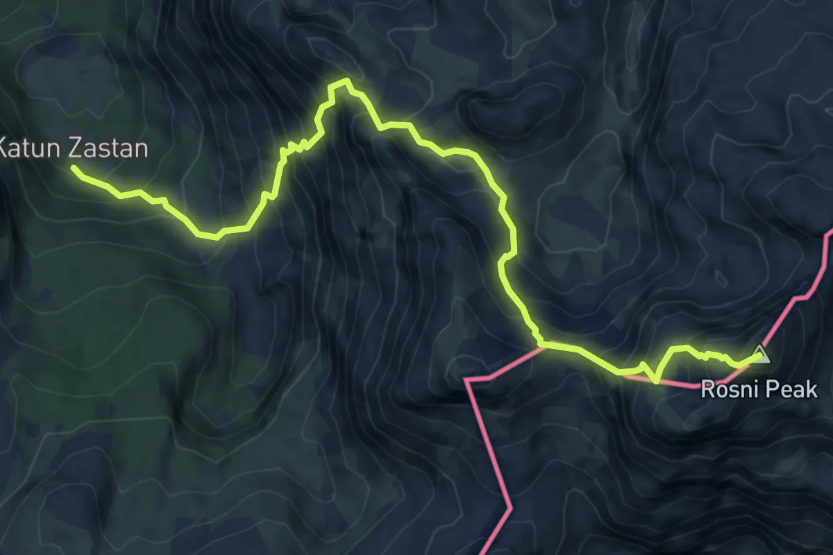
Demanding · Summit
Maja Rosit
8.7 km · ↑ 1197 m · 4 h 39 min
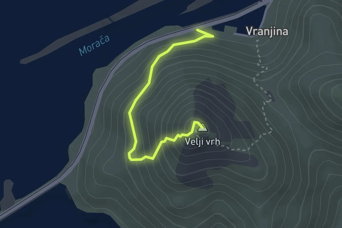
Demanding · Summit
Mala Venecia - Velji vrh
2.8 km · ↑ 296 m · 1 h 18 min
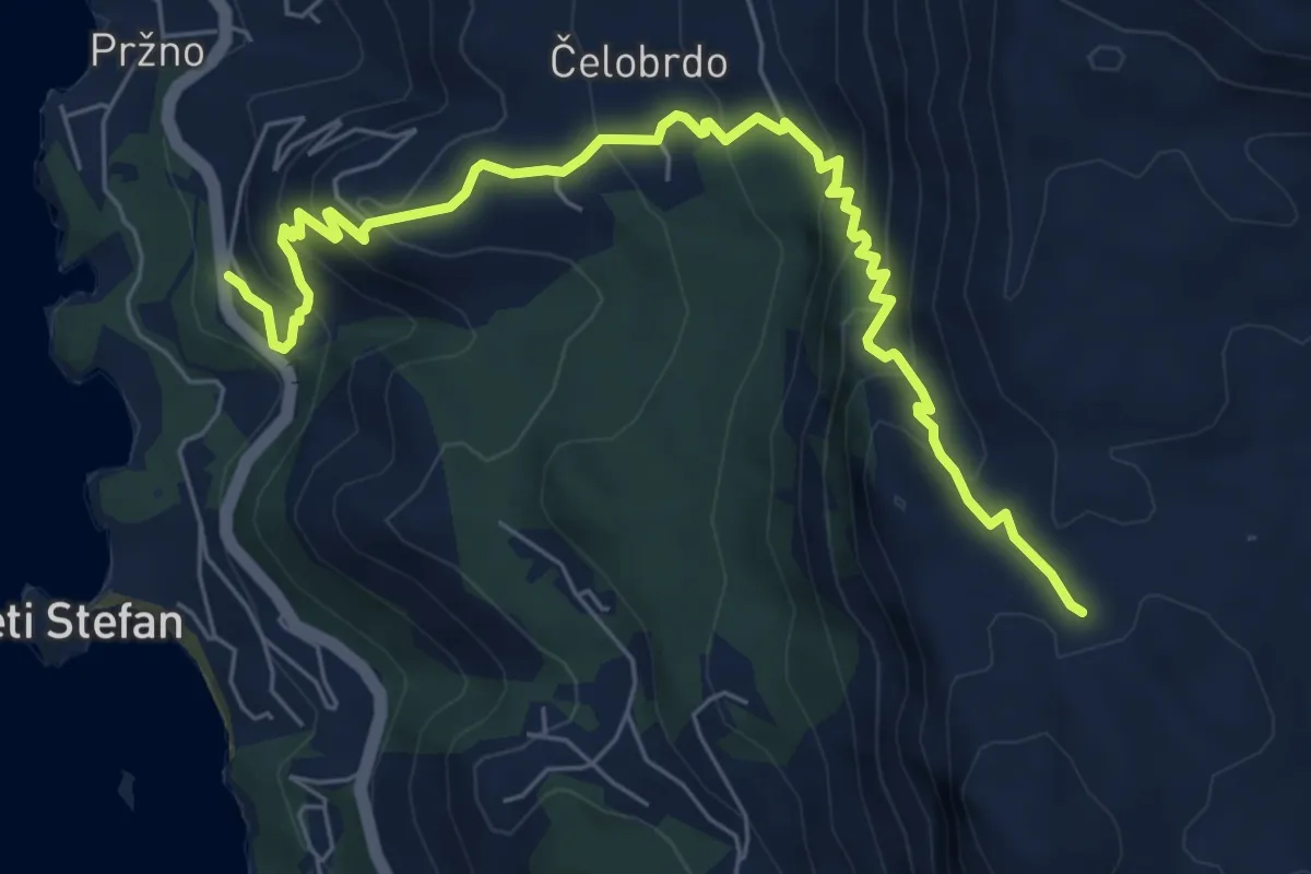
Medium · Trail
Manastir Praskvica – Čelobrdo – Ograđenica (PPT)
8.1 km · ↑ 587 m · 3 h 11 min
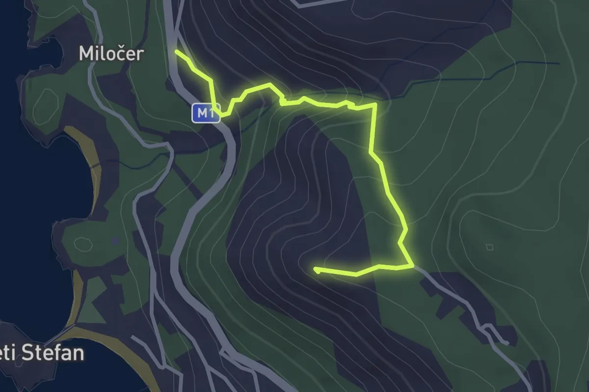
Easy · Trail
Manastir Praskvica - crkva Svetog Save
3.0 km · ↑ 214 m · 1 h 11 min
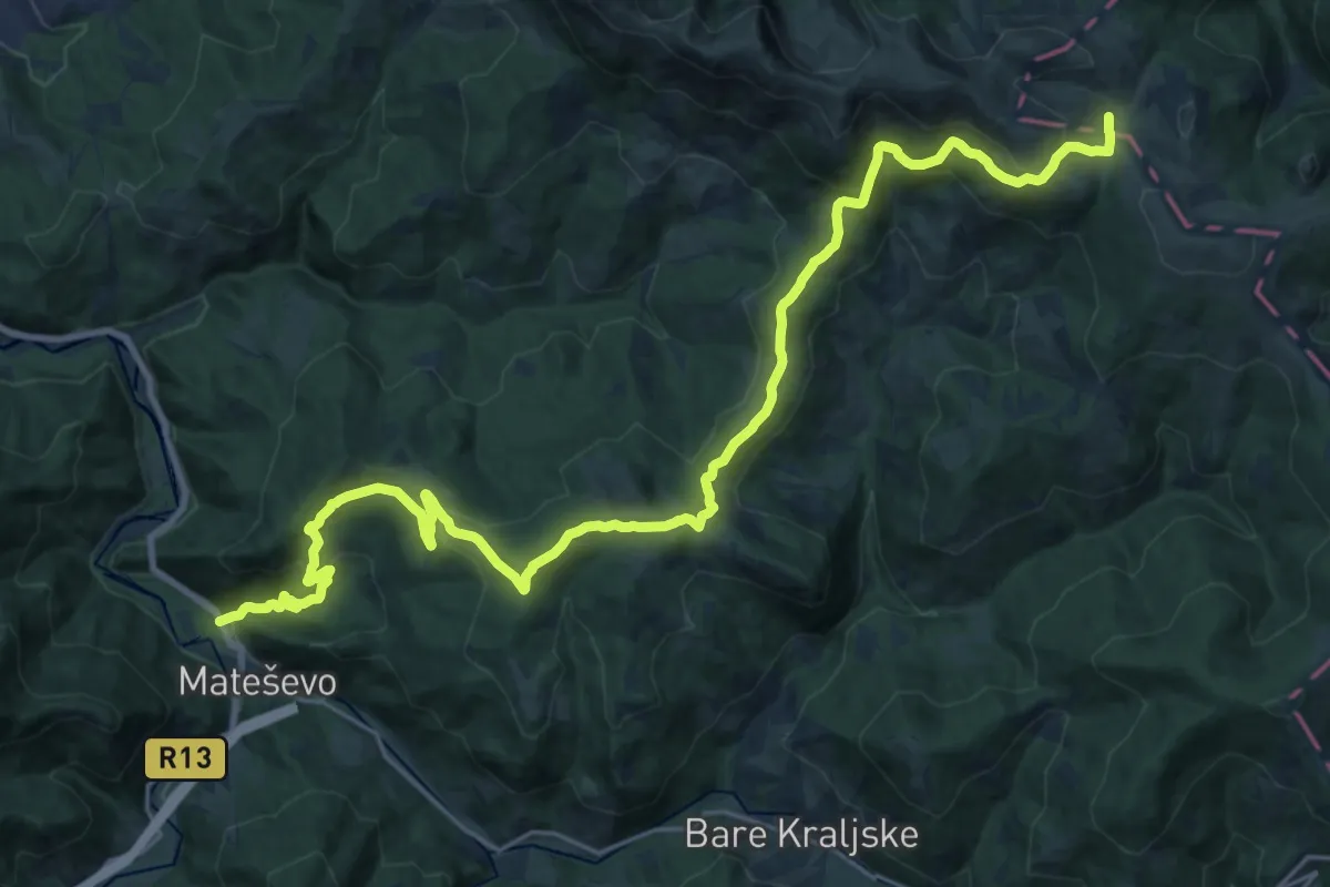
Demanding · Cabin
Mateševo - Ključ - Krivi Do
15.2 km · ↑ 1002 m · 5 h 36 min
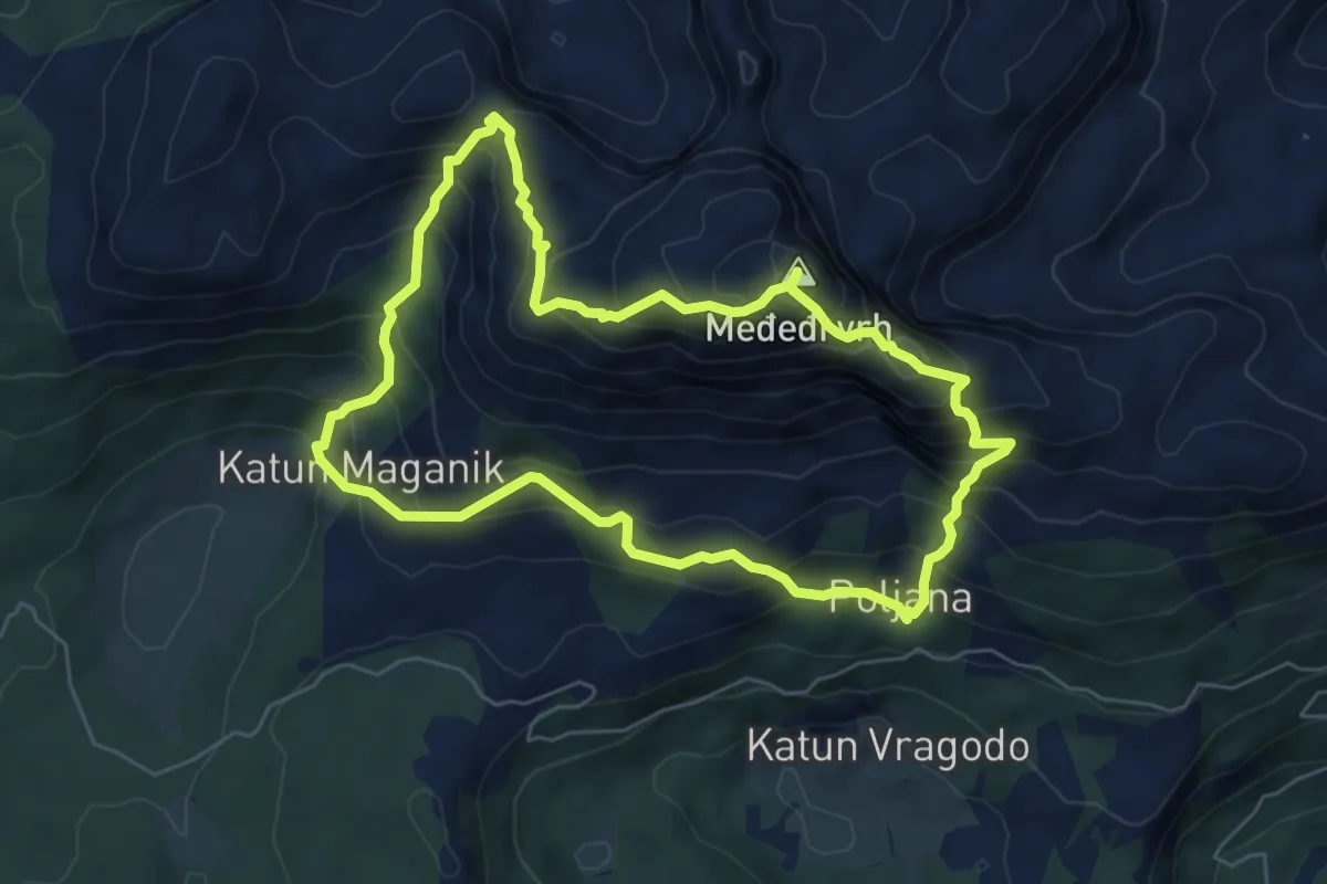
Medium · Summit
Međeđi Vrh Trail (suggested trail, no trailmarks)
6.3 km · ↑ 682 m · 3 h 3 min
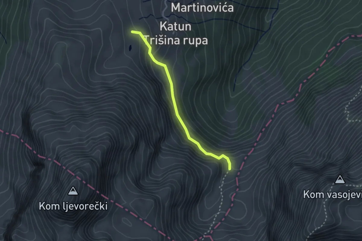
Easy · Trail
Međukomlje - Ljevorečki Kom (354)
2.8 km · ↑ 184 m · 1 h 3 min
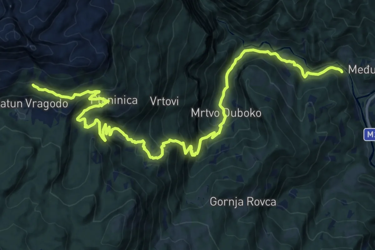
Expert · Trail
Međuriječje – Poljana Trail (suggested trail, no trailmarks)
12.9 km · ↑ 171 m · 4 h 16 min
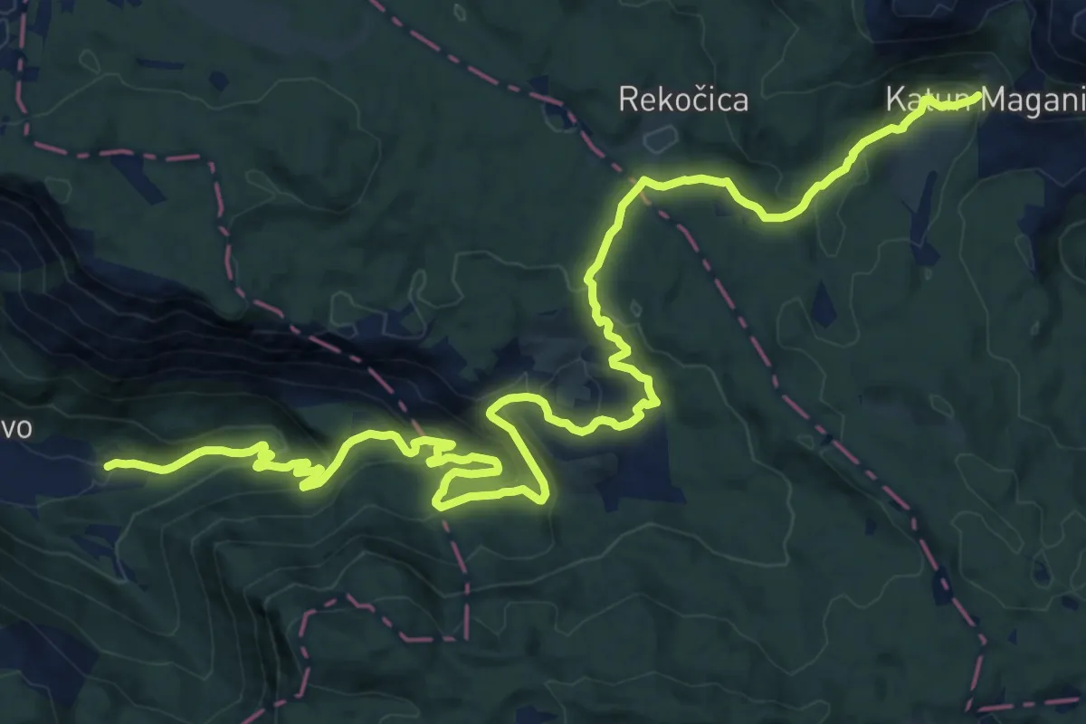
Expert · Trail
Morakovo – Katun Maganik (suggested trail, no trailmarks)
12.7 km · ↑ 838 m · 4 h 38 min
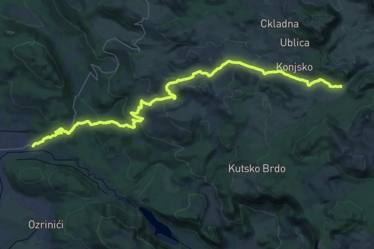
Demanding · Trail
Nikšić – Torine Campsite (suggested trail, no trailmarks)
20.6 km · ↑ 889 m · 6 h 41 min
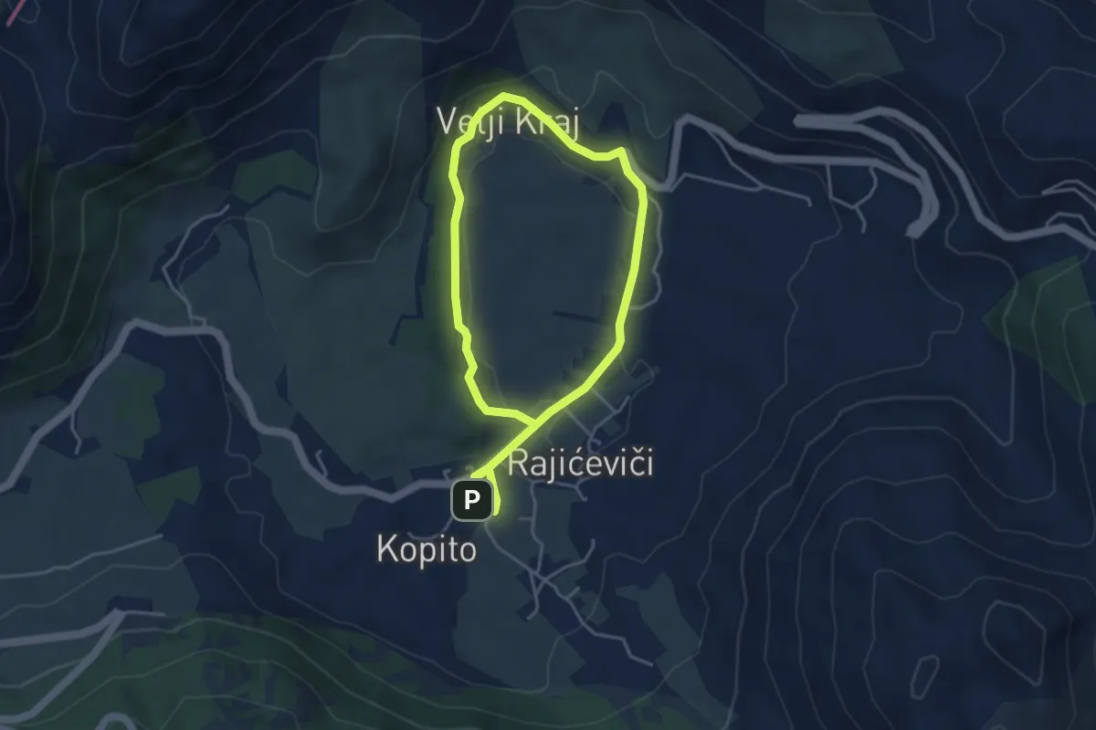
Easy · Trail
Njeguši ham trail / Staza njeguške pršute
6.9 km · ↑ 111 m · 1 h 52 min
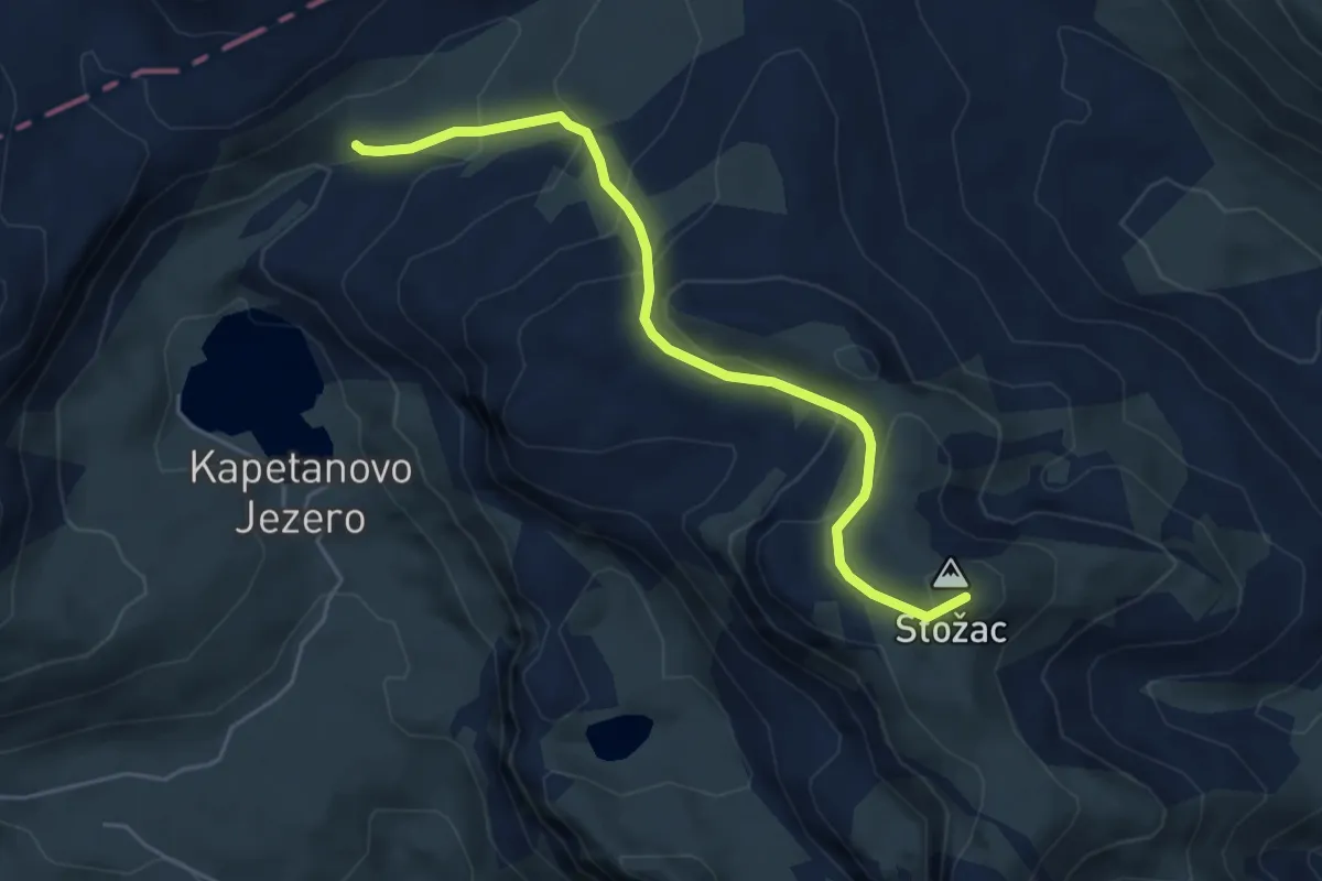
Expert · Summit
Orlovac Loop Trail (suggested trail, no trailmarks, no clear path)
5.3 km · ↑ 354 m · 2 h 1 min
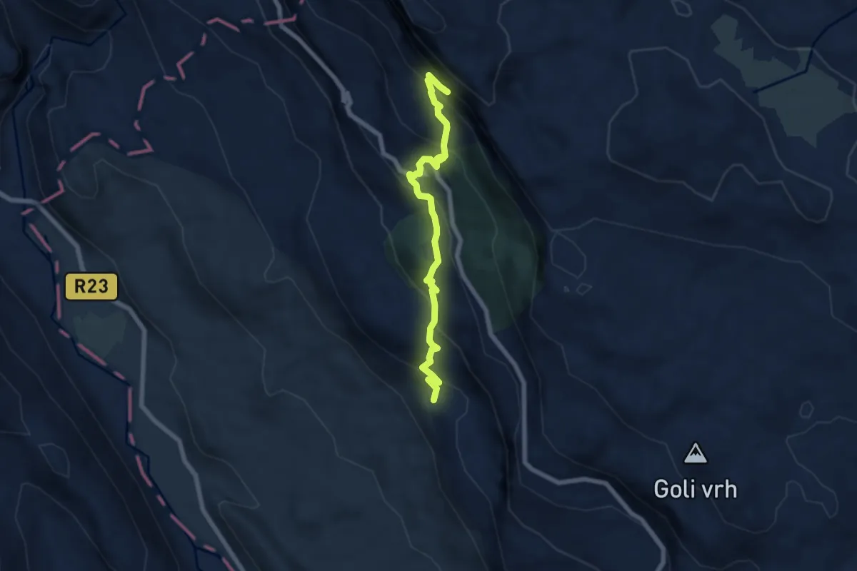
Medium · Trail
Ostrog: railway station <-> monastery
6.4 km · ↑ 499 m · 2 h 35 min
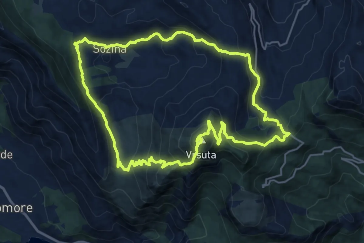
Demanding · Summit
Partisan staza
14.0 km · ↑ 900 m · 5 h 27 min
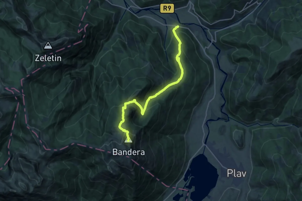
Demanding · Summit
Pepiće - Visitor
17.4 km · ↑ 1360 m · 7 h 4 min
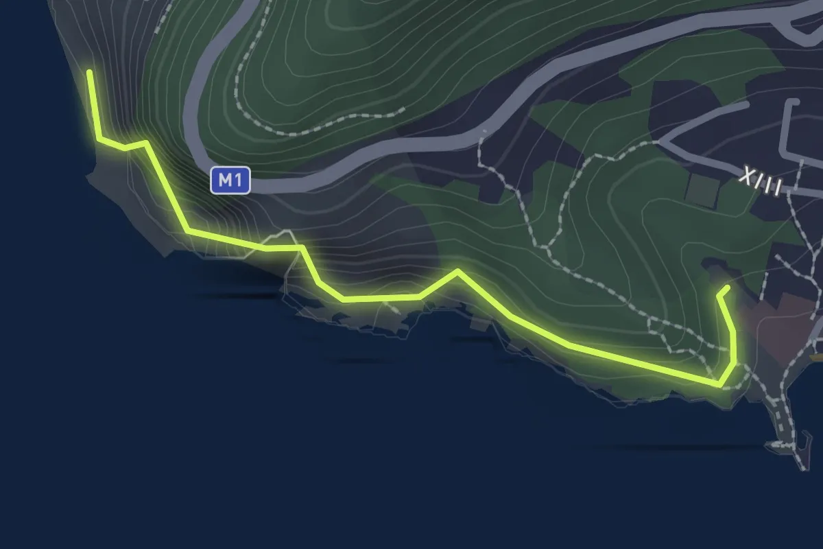
Easy · Trail
Petrovac - Perazića Do
2.4 km · ↑ 134 m · 51 min
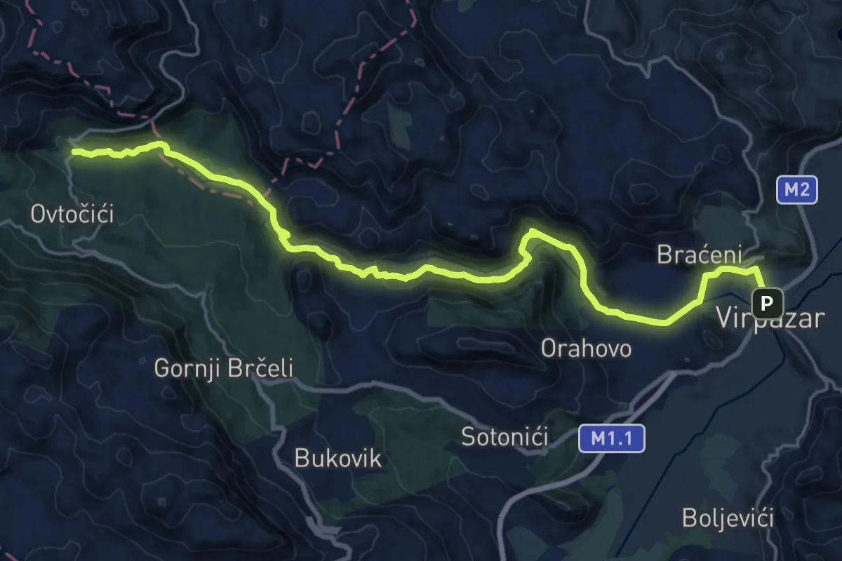
Demanding · Trail
Podgor - Virpazar
22.7 km · ↑ 493 m · 6 h 26 min
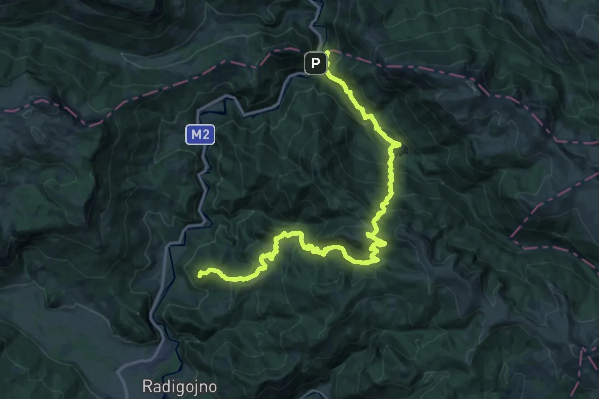
Demanding · Summit
Radigojna - Goleš - Biogradsko jezero - Kraljevo kolo
33.0 km · ↑ 1843 m · 11 h 48 min
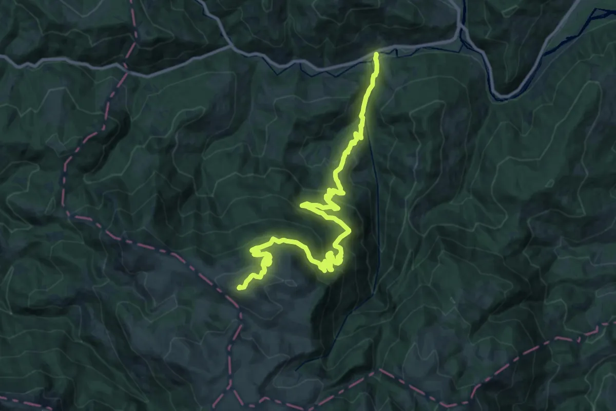
Demanding · Summit
Ravna Rijeka - Šiško jezero
29.7 km · ↑ 1545 m · 10 h 22 min
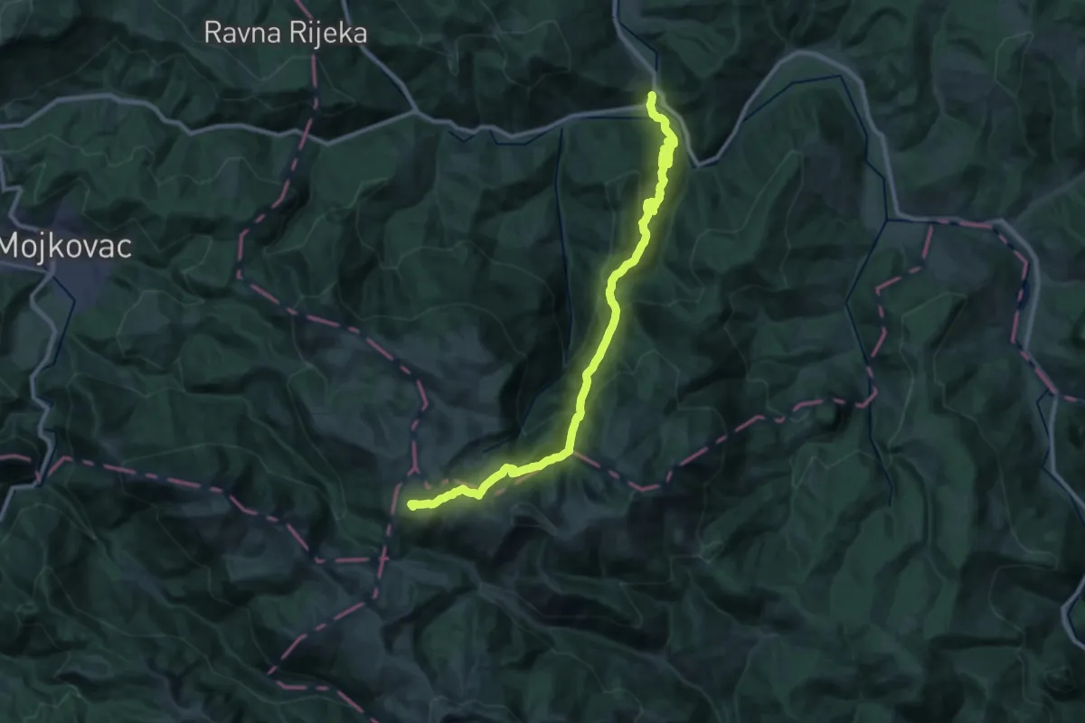
Demanding · Summit
Ribarevine - Šiško jezero
30.1 km · ↑ 1627 m · 10 h 37 min
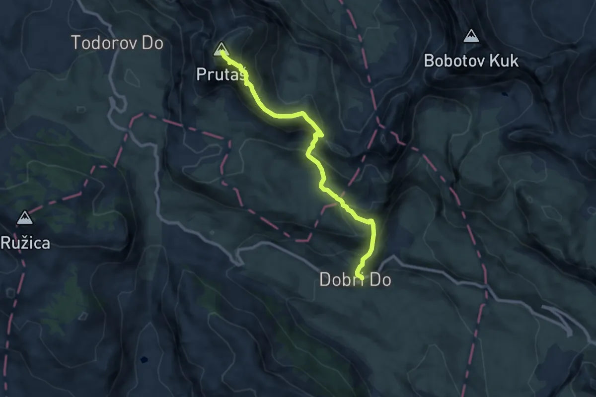
Medium · Summit
Šarban - Prutaš
7.7 km · ↑ 656 m · 3 h 14 min
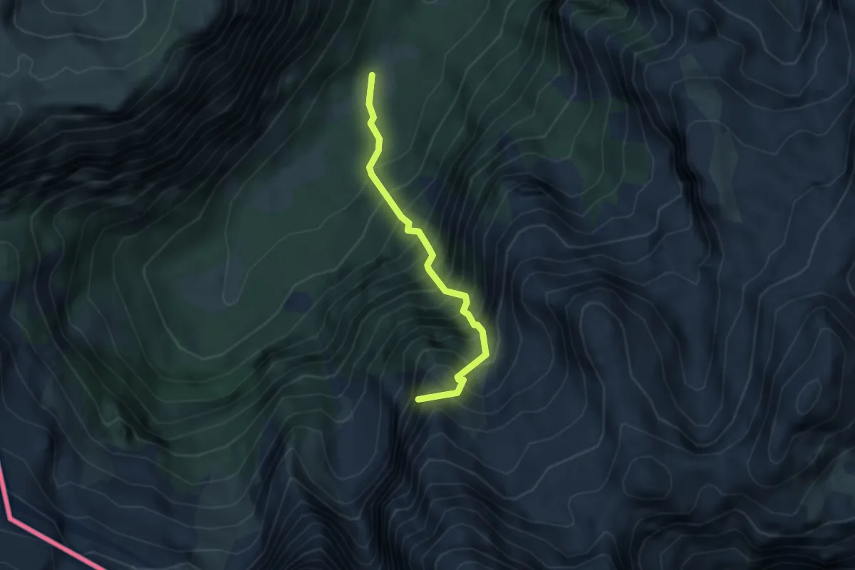
Medium · Summit
Šekijeva staza
3.3 km · ↑ 739 m · 2 h 23 min
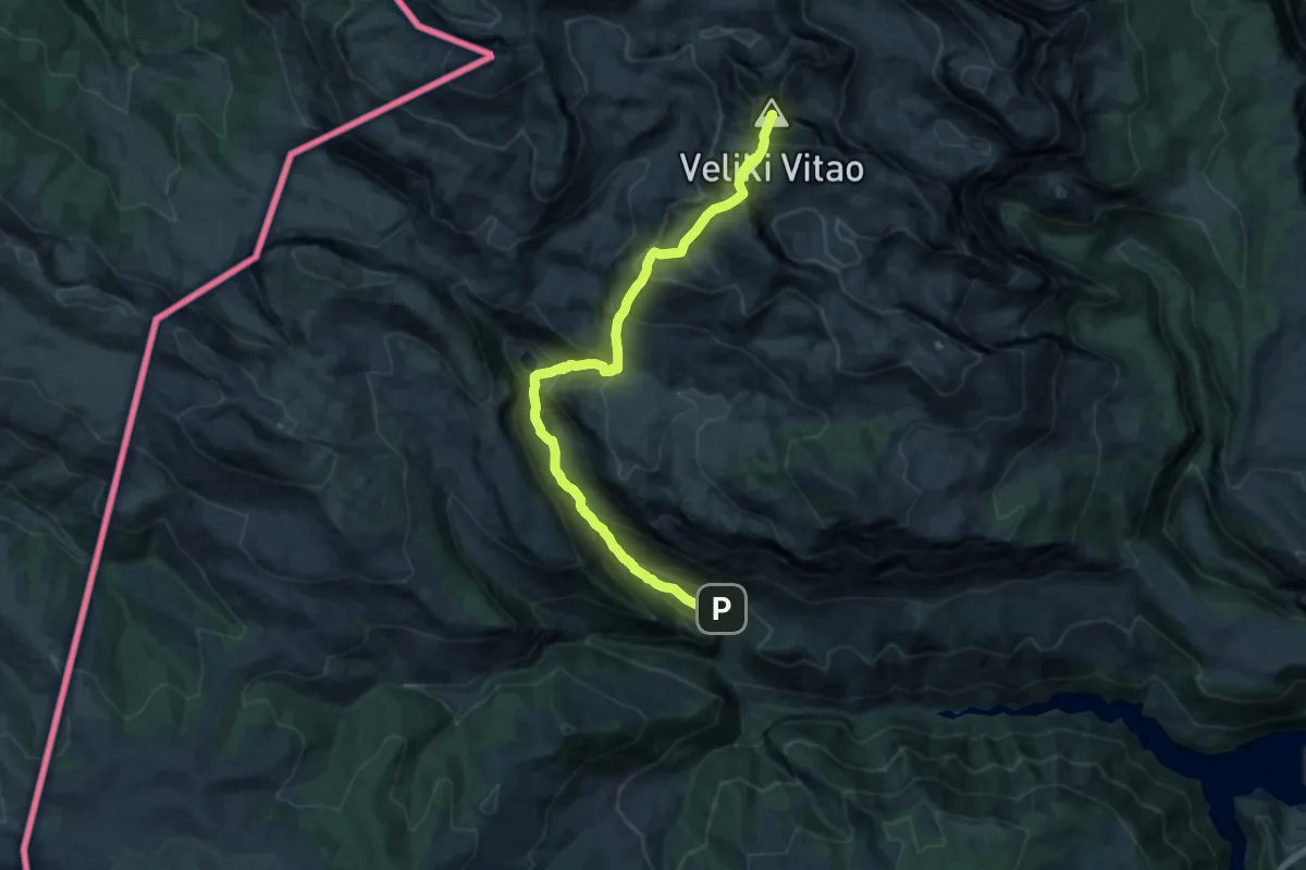
Demanding · Summit
Stabna - Stabanska jezera - Veliki Vitao
18.1 km · ↑ 1680 m · 7 h 55 min
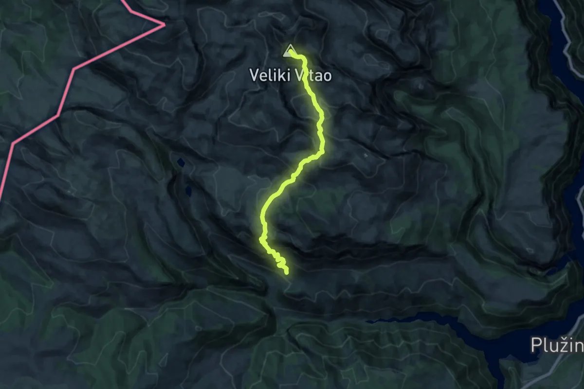
Demanding · Summit
Stabna - Stabanski katun - Veliki Vitao
16.5 km · ↑ 1590 m · 7 h 21 min
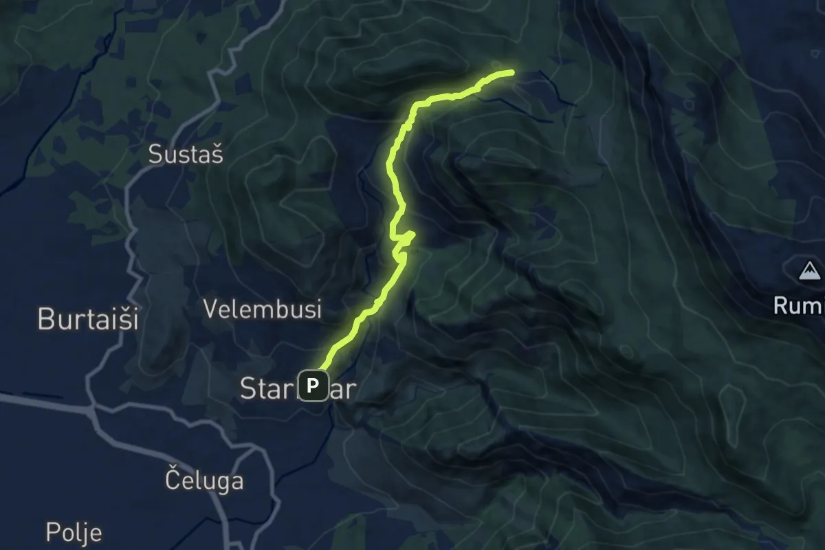
Medium · Trail
Stari bar - Baltina
8.8 km · ↑ 648 m · 3 h 29 min
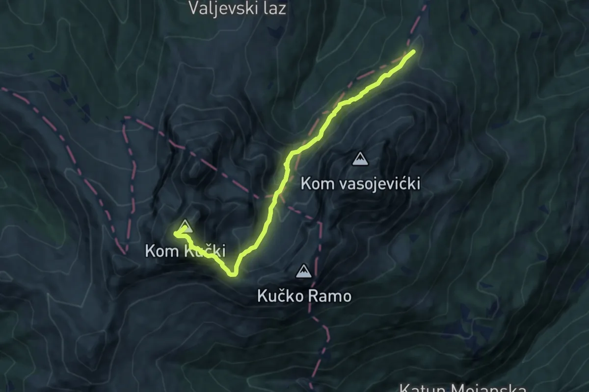
Expert · Summit
Štavna - Kučki Kom
9.8 km · ↑ 824 m · 4 h 5 min
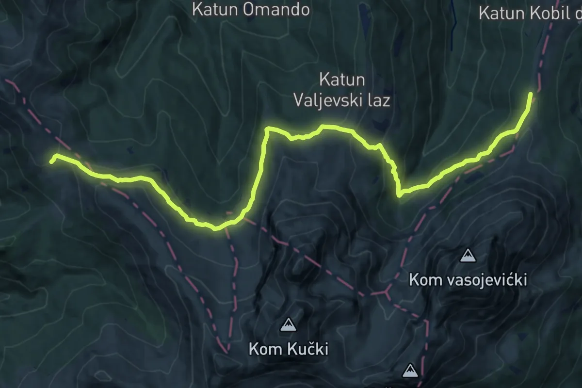
Medium · Trail
Štavna - Pajkov Vir
16.2 km · ↑ 696 m · 5 h 20 min
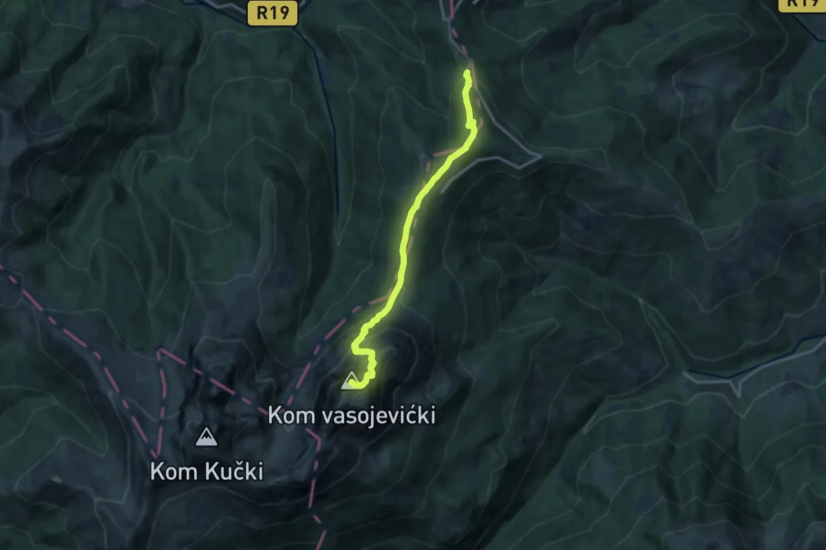
Expert · Summit
Štavna - Vaspjevićki Kom
12.1 km · ↑ 949 m · 4 h 54 min
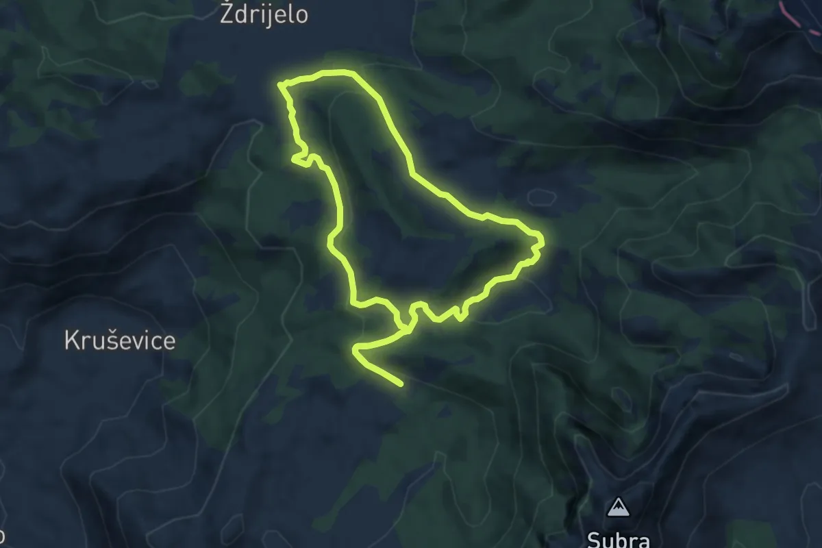
Medium · Trail
Staza zdravlja
8.2 km · ↑ 221 m · 2 h 32 min
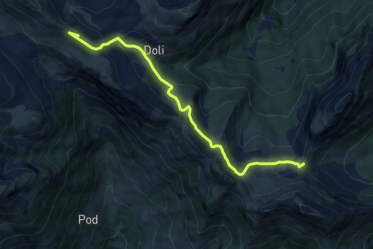
Expert · Summit
Stožac Ridge Trail (suggested trail, no trailmarks)
10.6 km · ↑ 748 m · 4 h 7 min
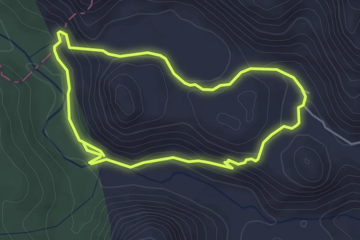
Easy · Trail
Šuplja stijena - Opačac
3.7 km · ↑ 153 m · 1 h 15 min
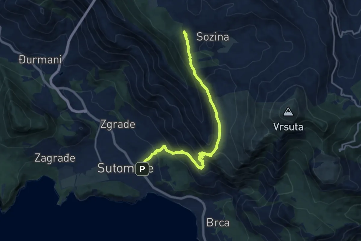
Medium · Trail
Sutomore - Popov Do (PPT)
11.6 km · ↑ 722 m · 4 h 18 min
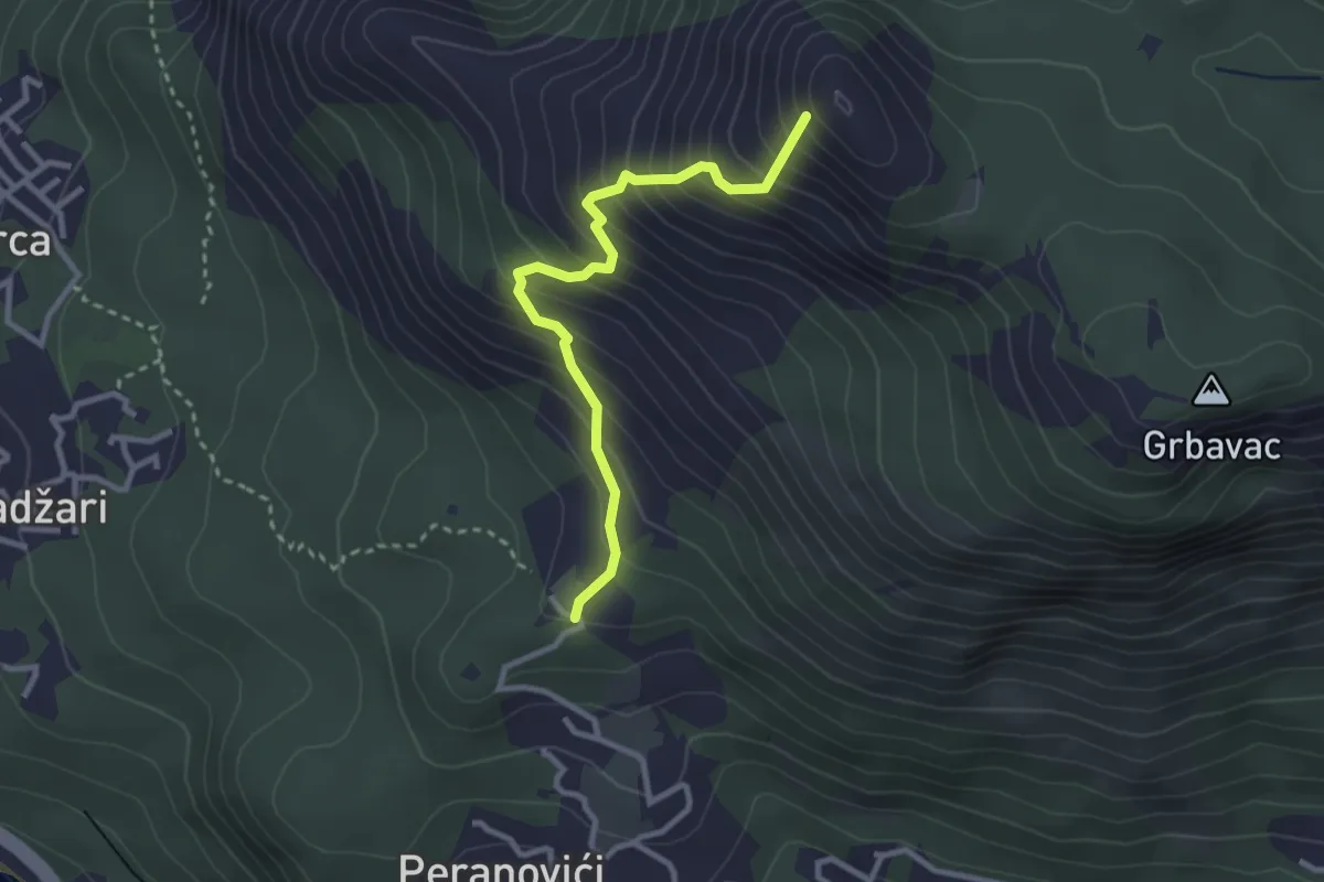
Medium · Summit
Sutorman - Mogila
3.1 km · ↑ 404 m · 1 h 36 min
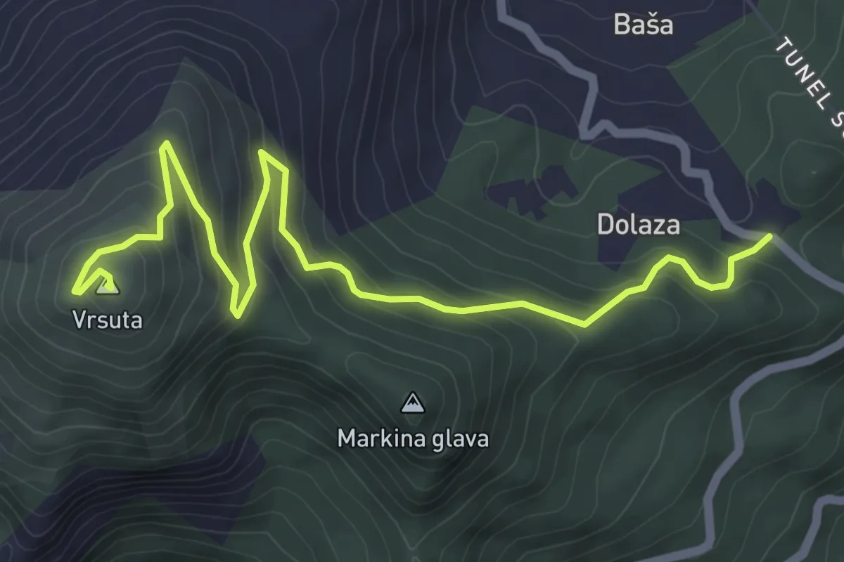
Medium · Summit
Sutorman - m. Vrsuta
6.3 km · ↑ 415 m · 2 h 23 min
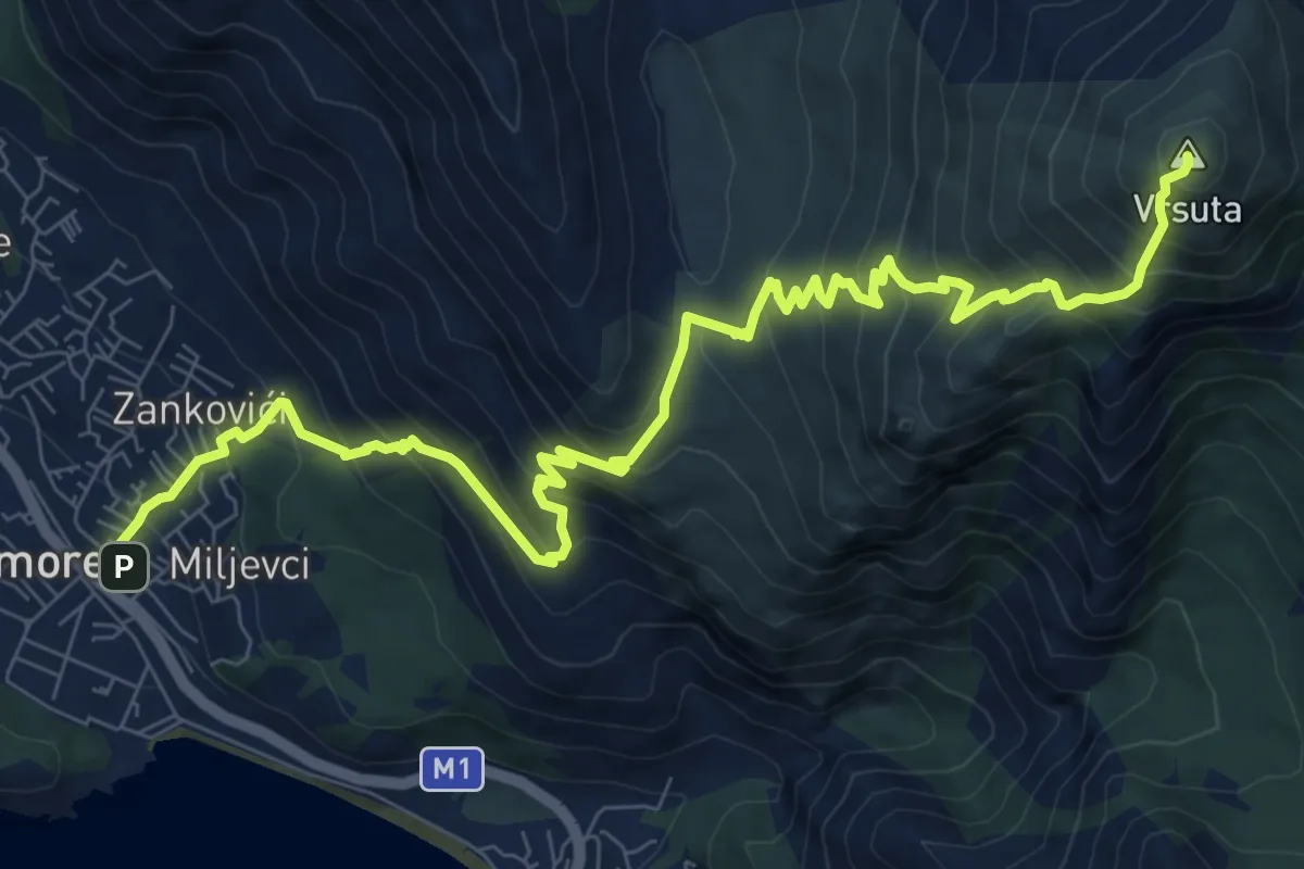
Demanding · Summit
Sutorman - Sutomore
12.1 km · ↑ 1160 m · 5 h 23 min
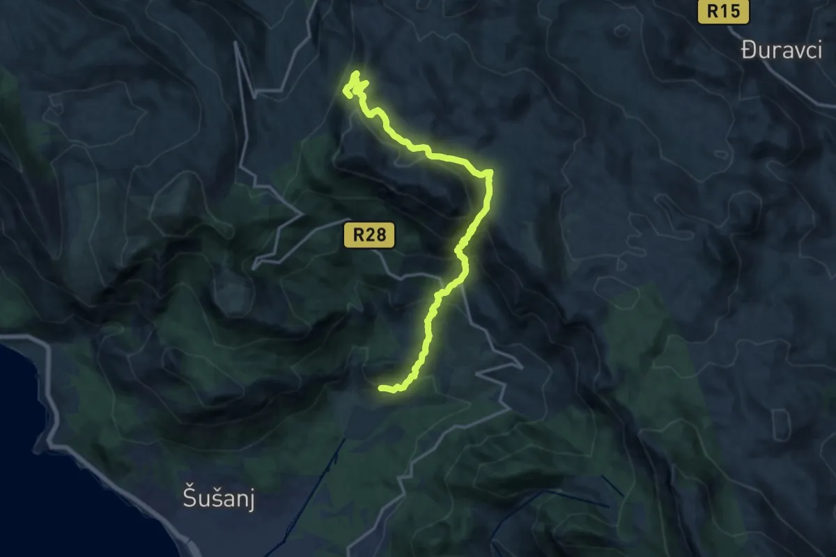
Demanding · Summit
Sutorman - Zupci
16.0 km · ↑ 1188 m · 6 h 22 min
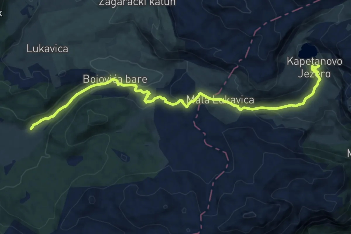
Medium · Trail
Torine Campsite – Kapetanovo Jezero (suggested trail, no trailmarks)
15.9 km · ↑ 334 m · 4 h 28 min
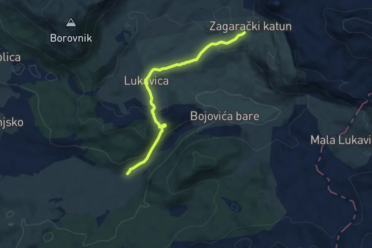
Medium · Trail
Torine Campsite – Zagradački Katun (suggested trail, no trailmarks)
8.2 km · ↑ 285 m · 2 h 33 min
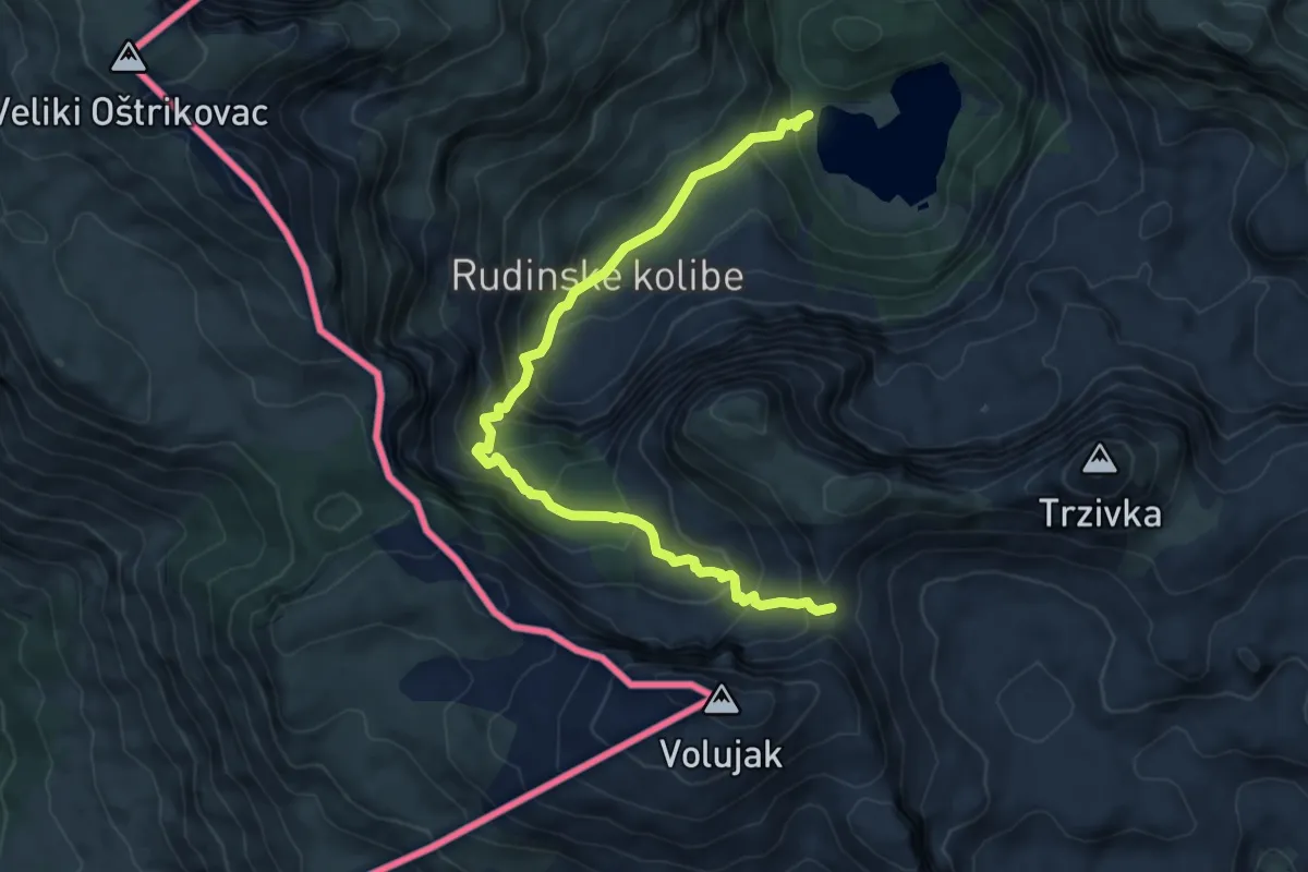
Demanding · Trail
Trnovačko jezero - Bojanska vrata
7.9 km · ↑ 646 m · 3 h 17 min
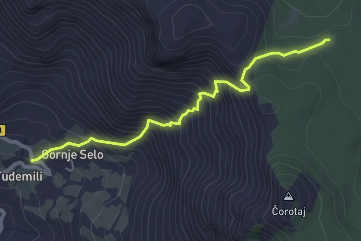
Medium · Trail
Tuđemili - PPT
4.4 km · ↑ 546 m · 2 h 14 min
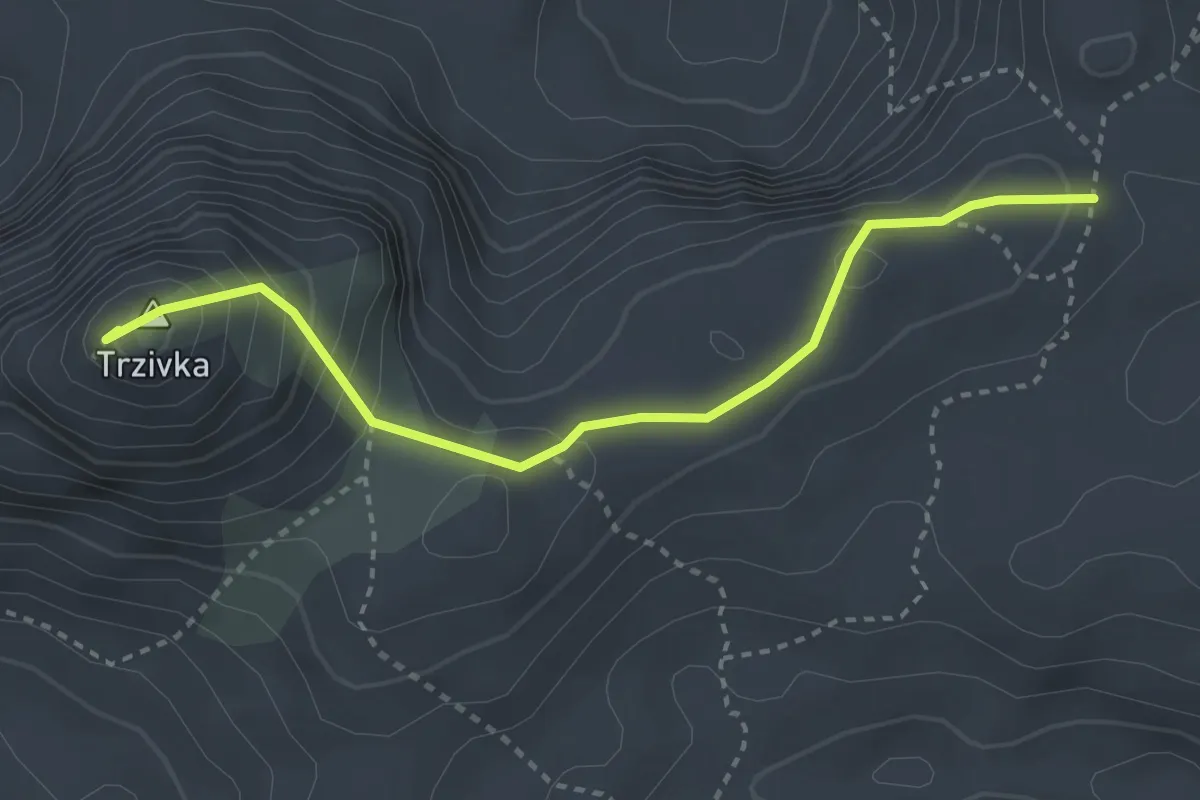
Medium · Summit
Uspon na Trzivku
3.4 km · ↑ 231 m · 1 h 18 min
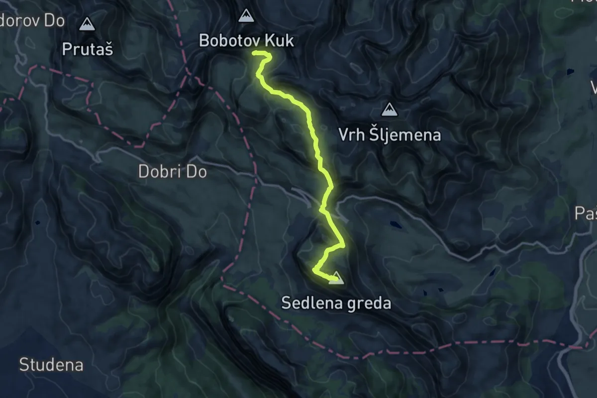
Demanding · Summit
Velika Previja - Bolj
11.3 km · ↑ 800 m · 4 h 25 min
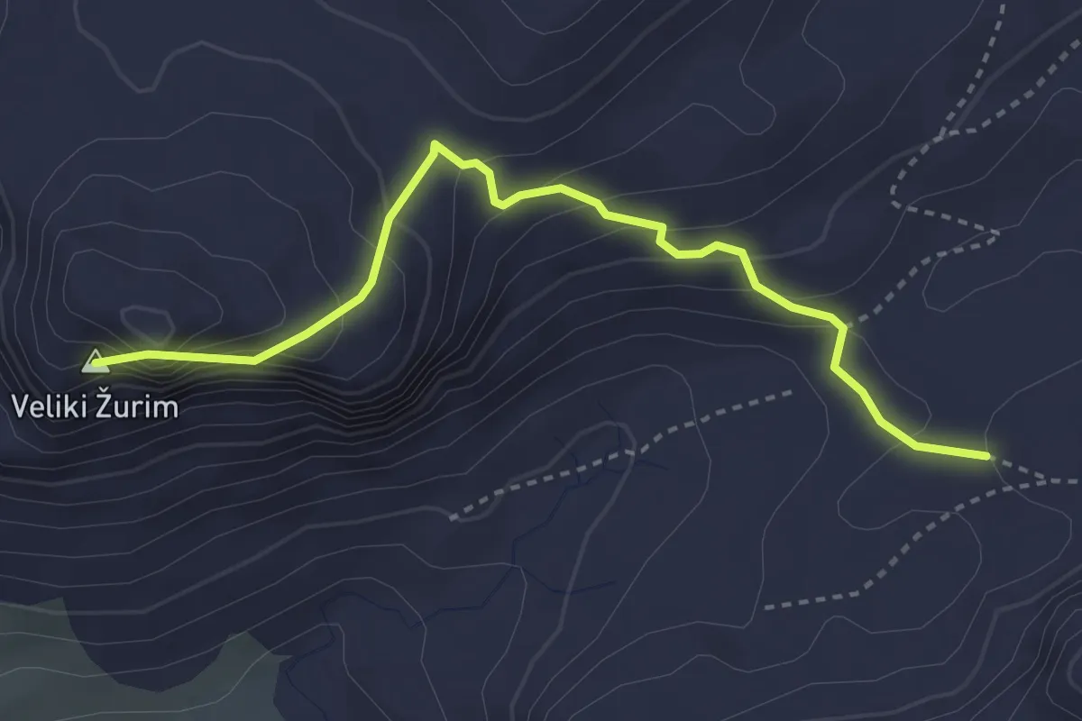
Demanding · Summit
Veliki Žurim
3.7 km · ↑ 291 m · 1 h 30 min
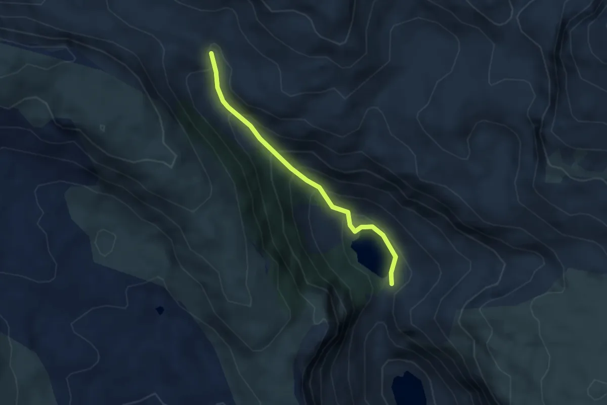
Medium · Trail
Veliko Stabansko jezero - Ljubota
3.3 km · ↑ 266 m · 1 h 22 min
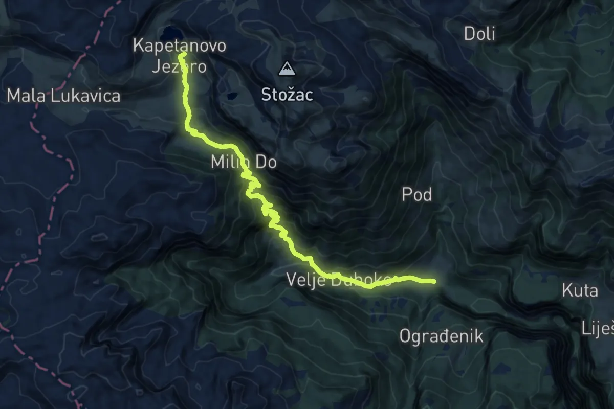
Demanding · Trail
Velje Duboko – Kapetanovo Jezero (suggested trail, no trailmarks)
16.8 km · ↑ 1007 m · 6 h 9 min
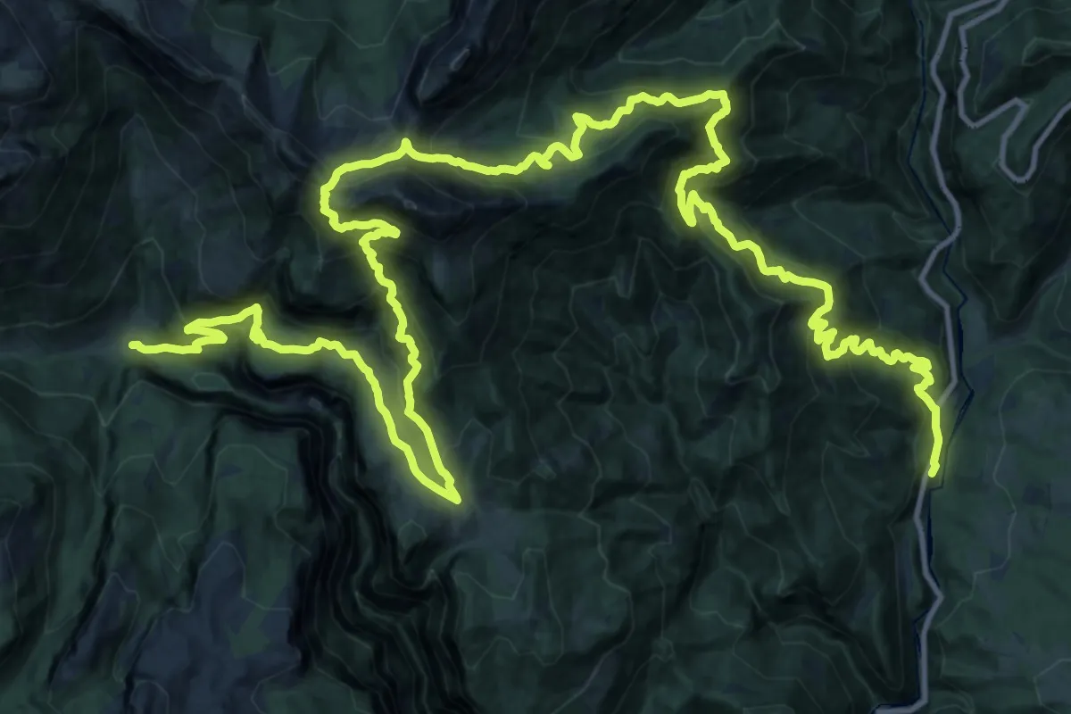
Demanding · Trail
Velje Duboko – Manastir Morača (suggested trail, no trailmarks)
26.6 km · ↑ 1976 m · 10 h 40 min