Trails in Montenegro
129 hiking trails, each with its route, climb, walking time and grade.
All trails, page 3 of 3
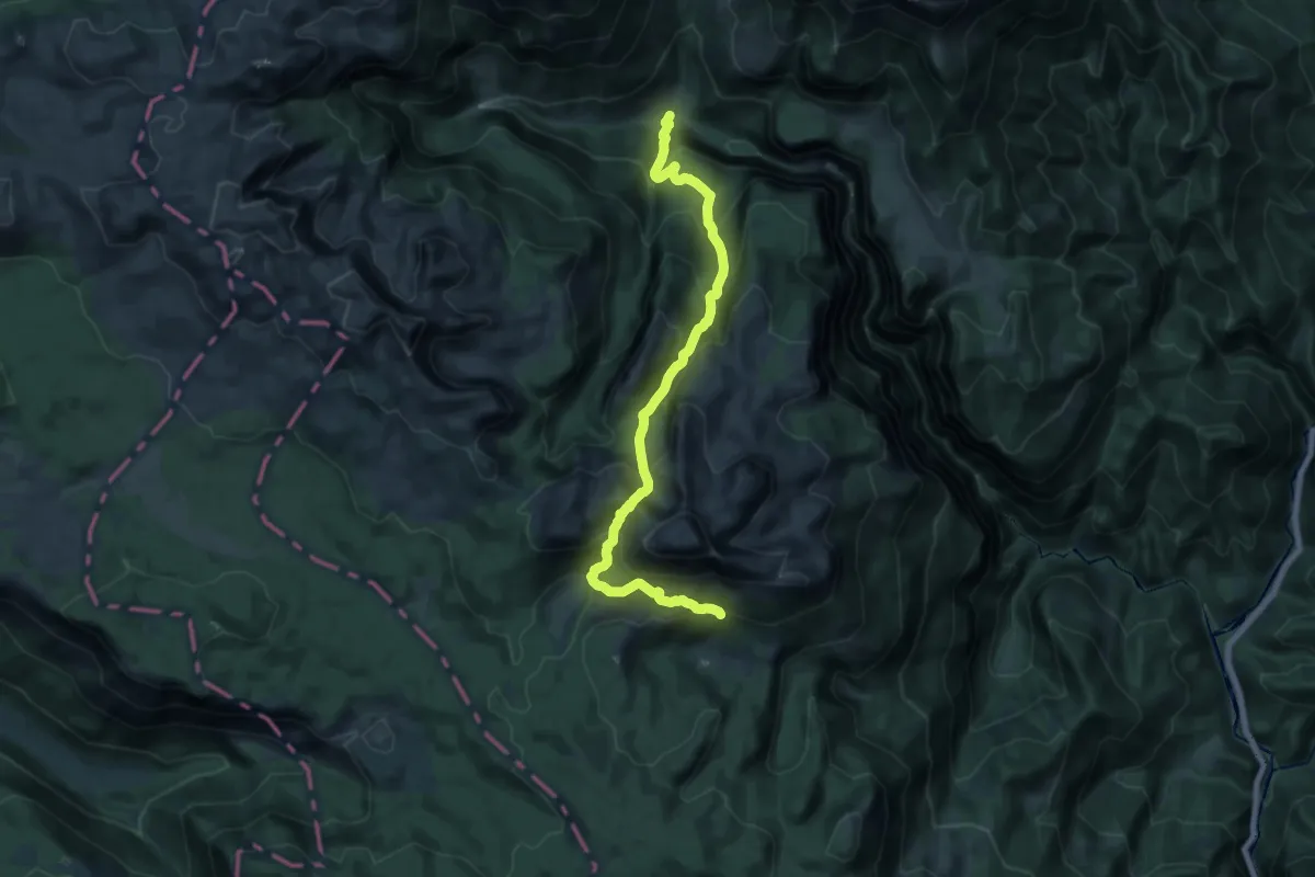
Expert · Trail
Velje Duboko – Poljana (suggested trail, no trailmarks, no clear path)
9.7 km · ↑ 558 m · 4 h 2 min
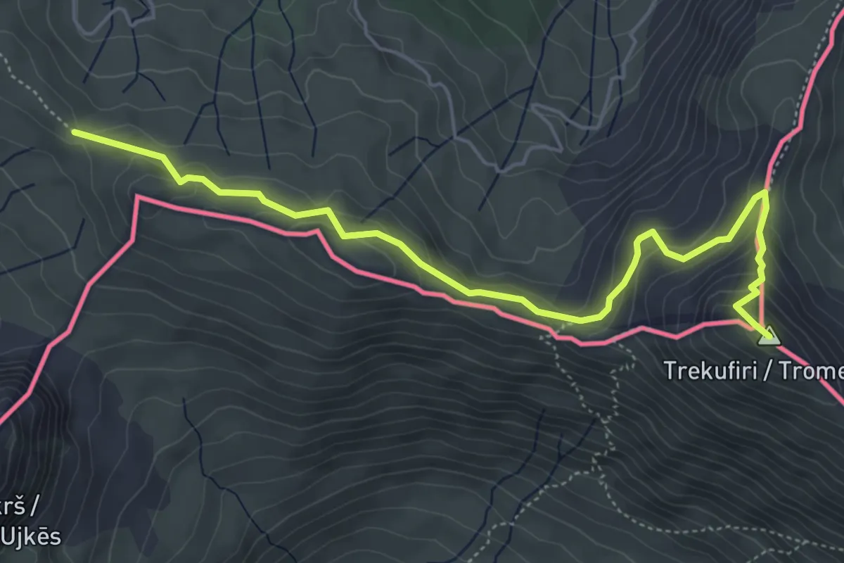
Medium · Summit
Via Dinarica
6.1 km · ↑ 310 m · 2 h 7 min
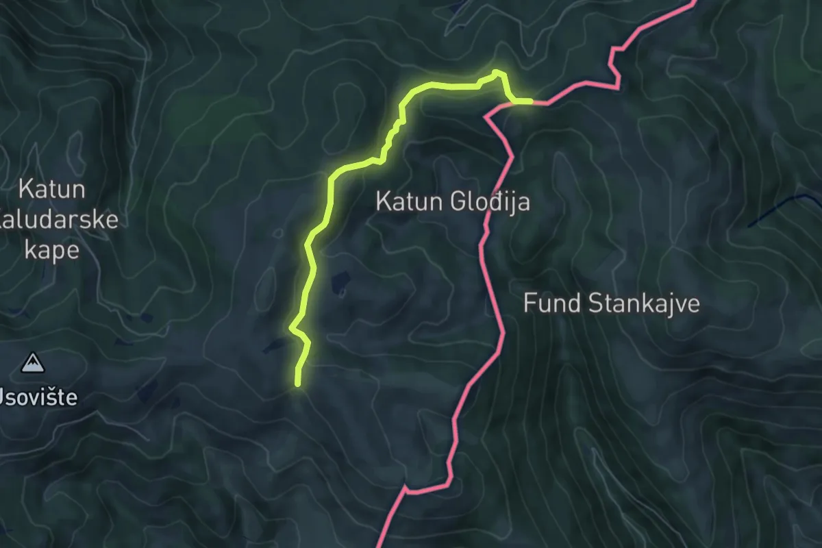
Easy · Trail
Via Dinarica Kosovo
6.0 km · ↑ 256 m · 1 h 59 min
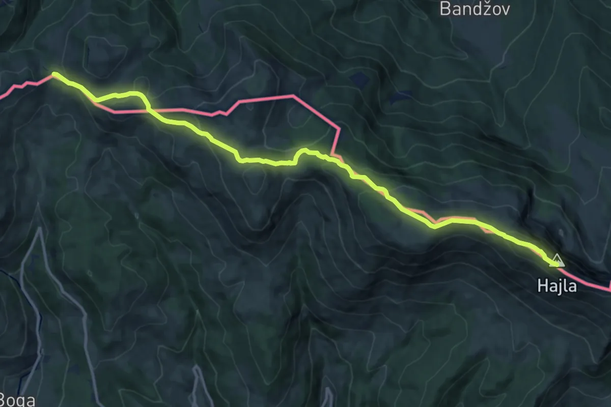
Demanding · Summit
Via Dinarica Kosovo - Stage 4
15.0 km · ↑ 842 m · 5 h 23 min
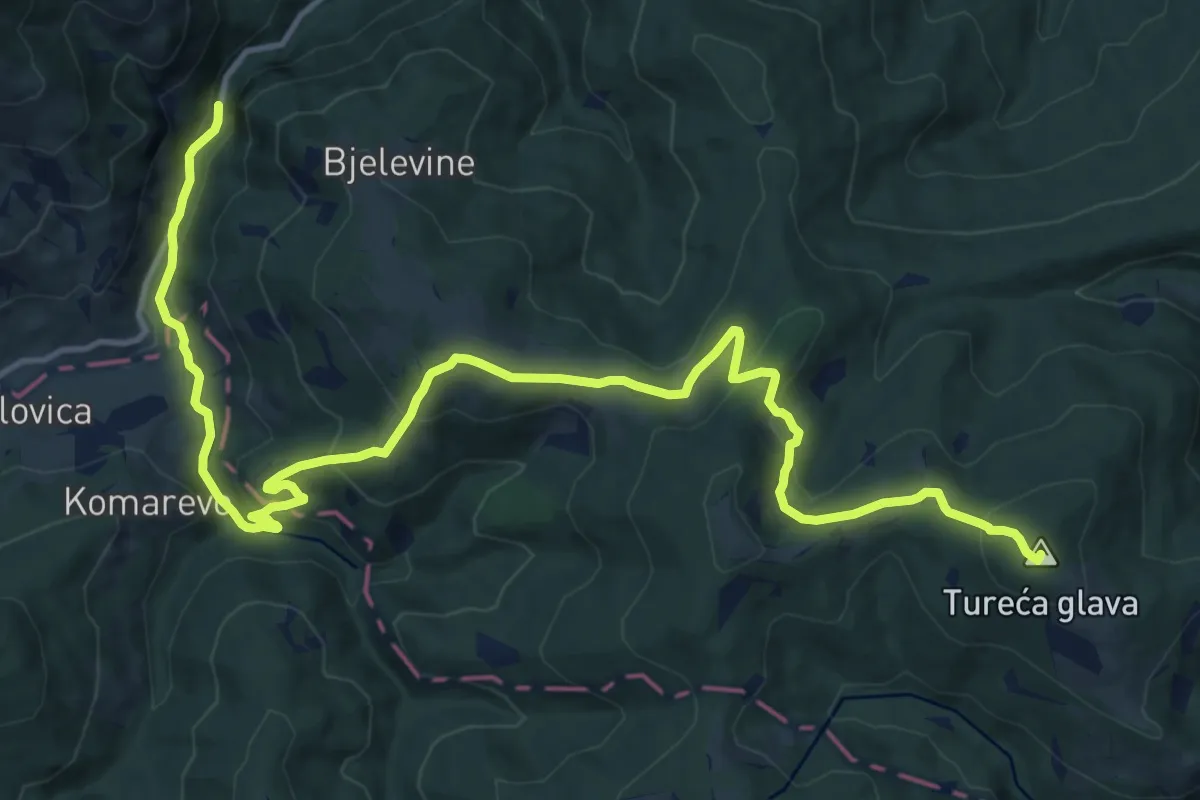
Demanding · Summit
Vinicka - Jelovica
18.7 km · ↑ 772 m · 6 h 6 min
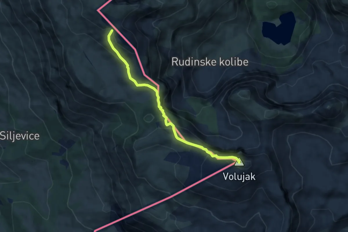
Medium · Summit
Volujak - Studenac
7.3 km · ↑ 506 m · 2 h 49 min
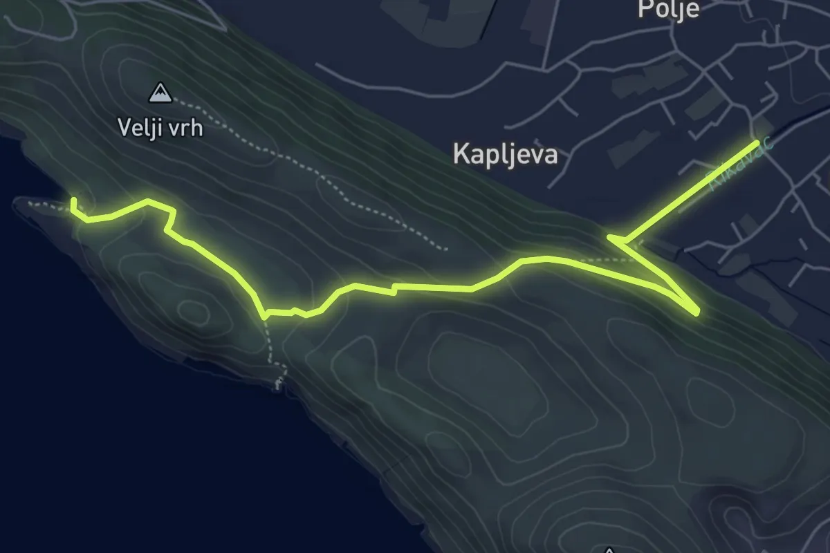
Medium · Trail
Volujica-Crvena Stijena-Uvala Bigovica
6.9 km · ↑ 262 m · 2 h 12 min
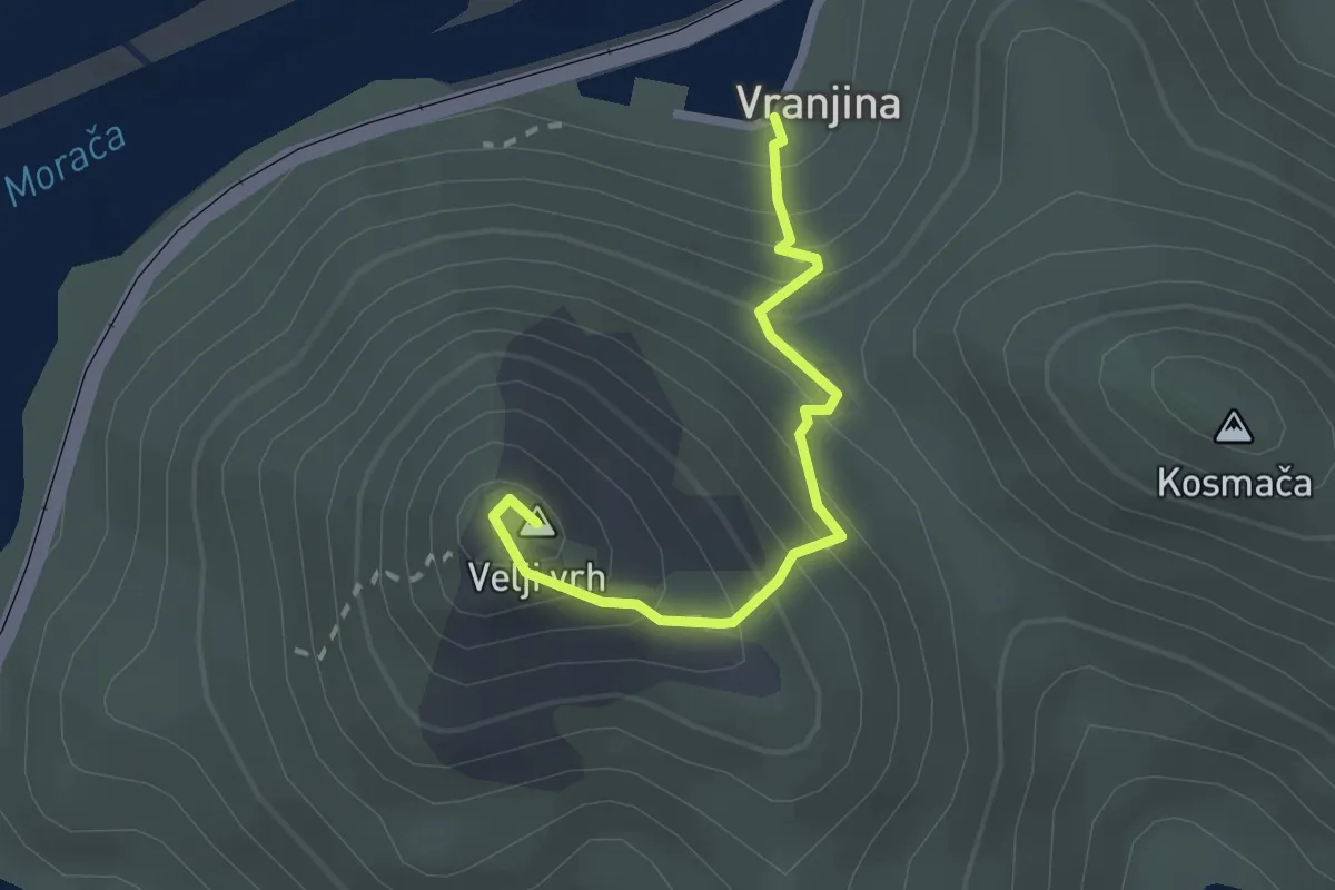
Demanding · Summit
Vranjina - Velji vrh
2.3 km · ↑ 260 m · 1 h 6 min
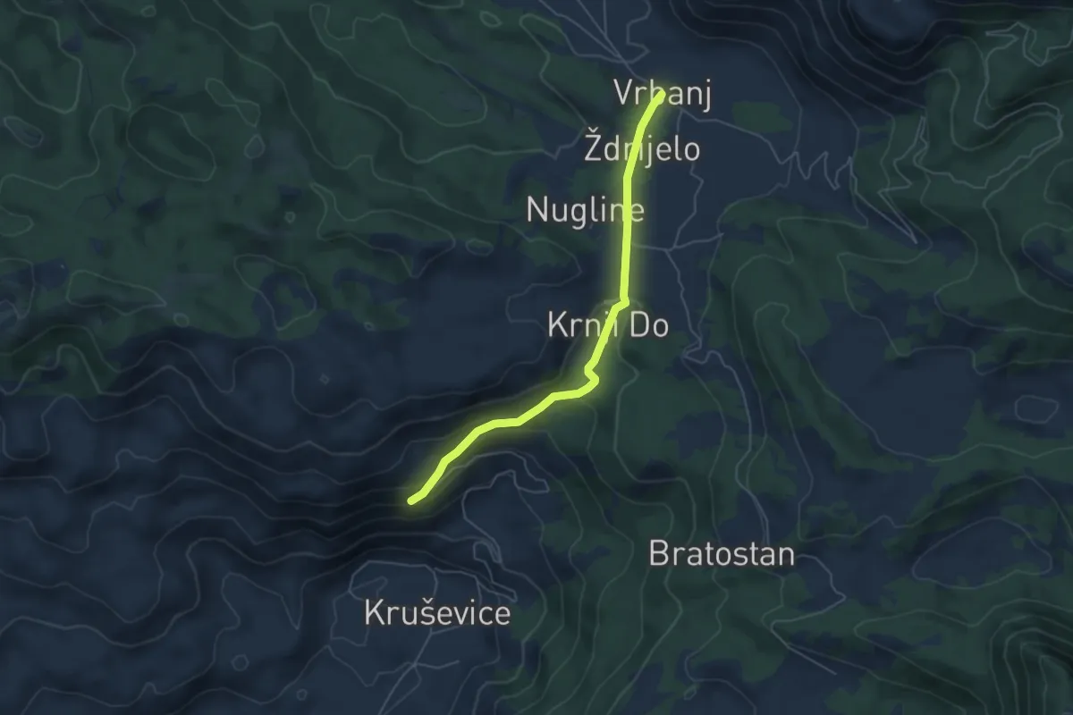
Easy · Trail
Vrbanj - Sitnica
5.4 km · ↑ 141 m · 1 h 34 min
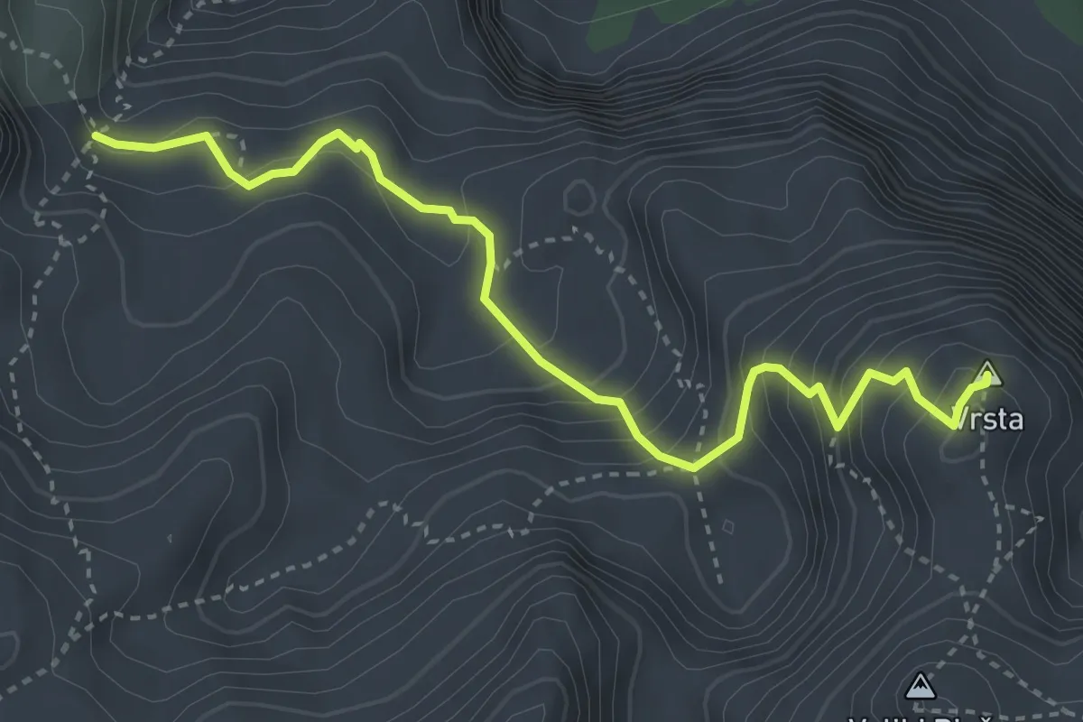
Demanding · Summit
Vrsta
4.1 km · ↑ 476 m · 2 h
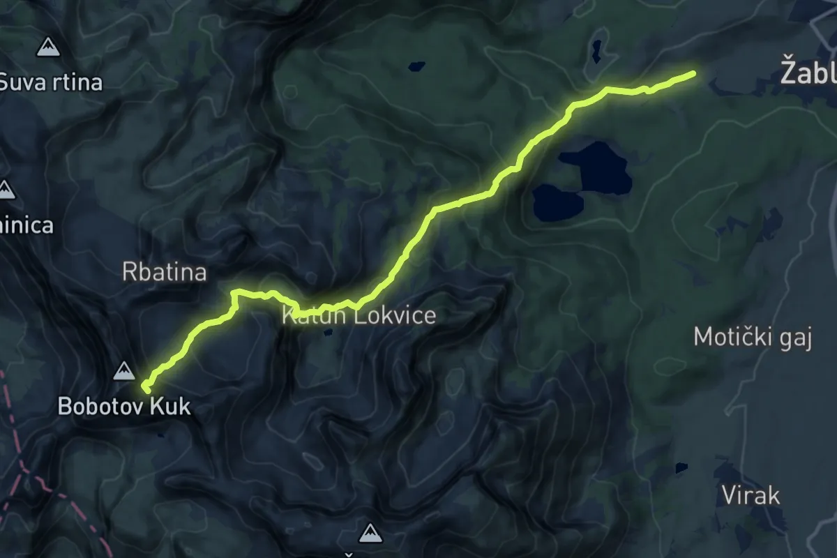
Demanding · Summit
Žabljak - Šarban (via Bobotov kuk)
14.8 km · ↑ 1136 m · 5 h 57 min
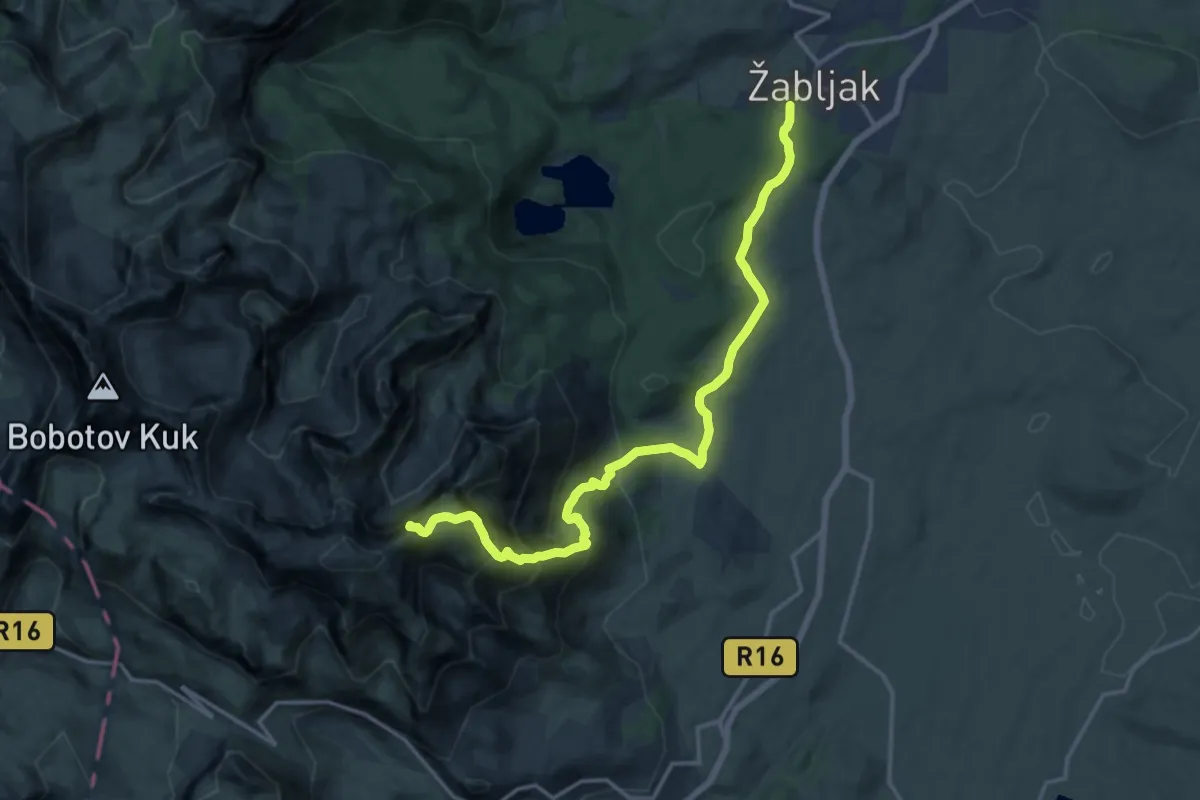
Demanding · Summit
Žabljak - Šljeme
16.9 km · ↑ 1116 m · 6 h 25 min
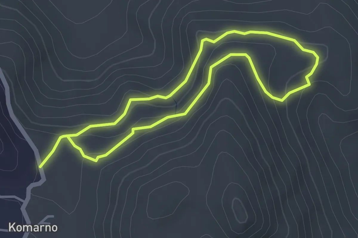
Easy · Trail
Zaboj
3.1 km · ↑ 122 m · 1 h 3 min
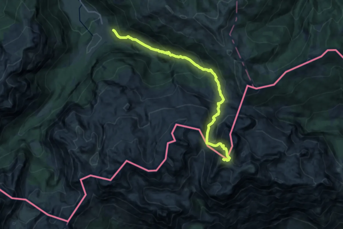
Expert · Summit
Zla Kolata
17.2 km · ↑ 1421 m · 7 h 9 min
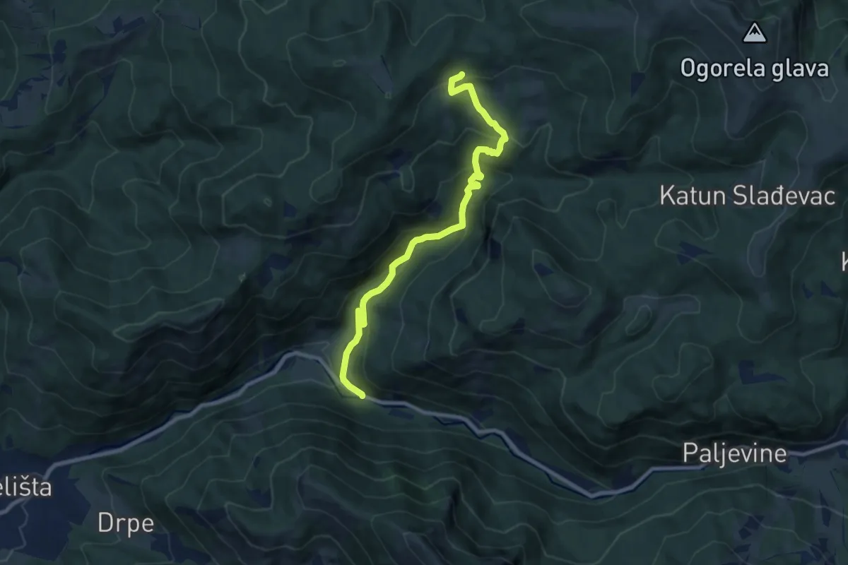
Medium · Trail
330
9.2 km · ↑ 528 m · 3 h 20 min
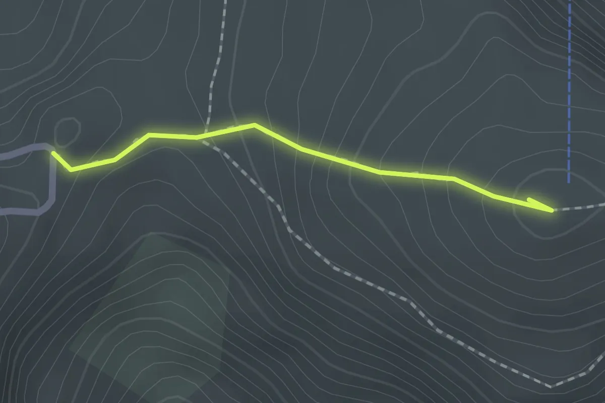
Easy · Summit
344
1.5 km · ↑ 109 m · 35 min
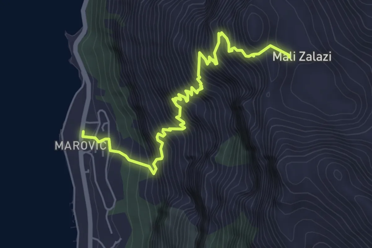
Demanding · Trail
747
6.3 km · ↑ 851 m · 3 h 20 min
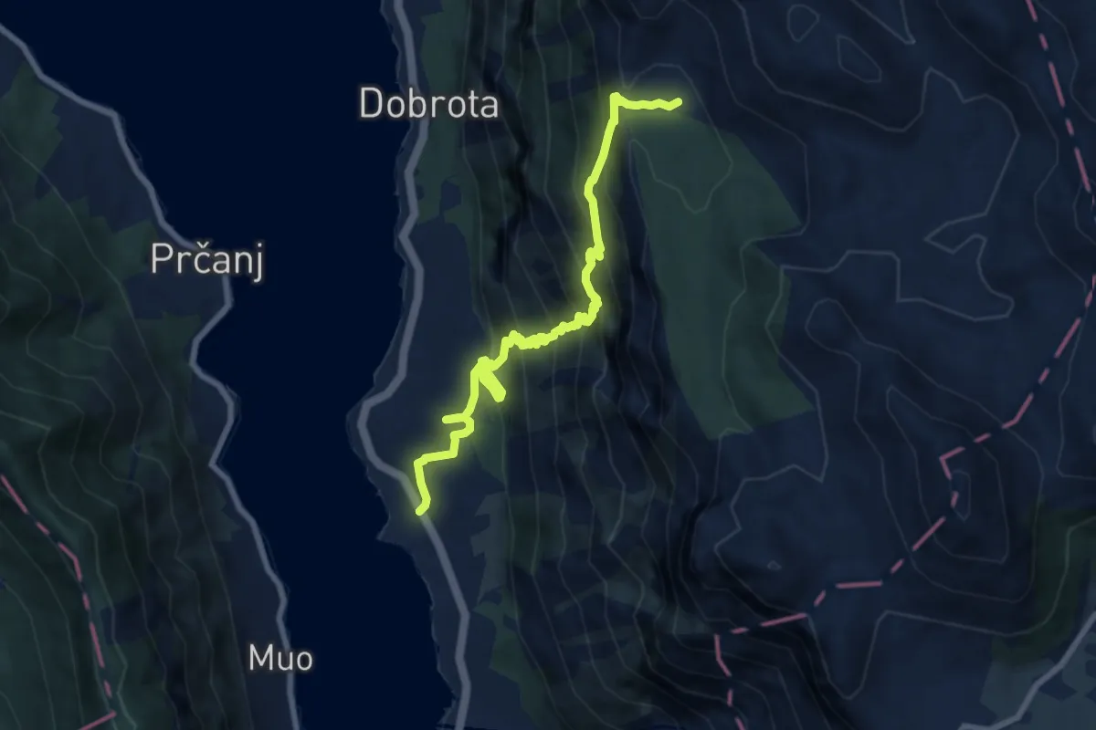
Demanding · Trail
748
9.1 km · ↑ 880 m · 4 h 3 min
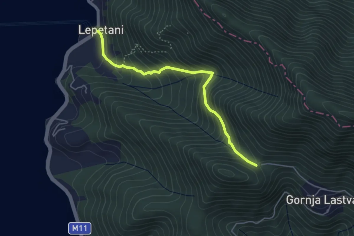
Medium · Trail
757
4.1 km · ↑ 403 m · 1 h 50 min
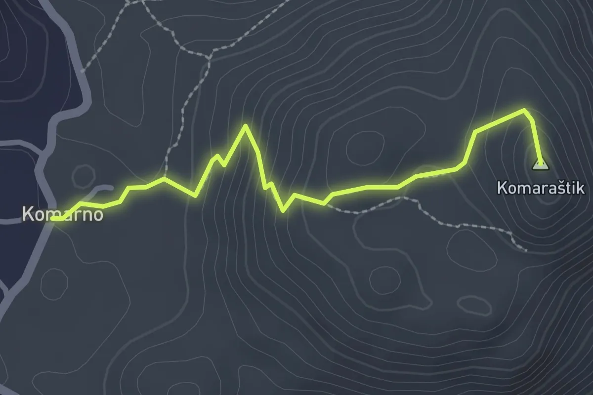
Easy · Summit
790T Komarno - Komaraštik
2.6 km · ↑ 149 m · 57 min
Demanding · Trail
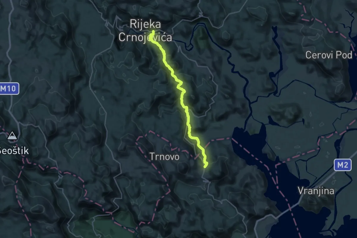
792B Komarno - Rijeka Crnoevića
20.1 km · ↑ 1060 m · 7 h 2 min
Easy · Trail
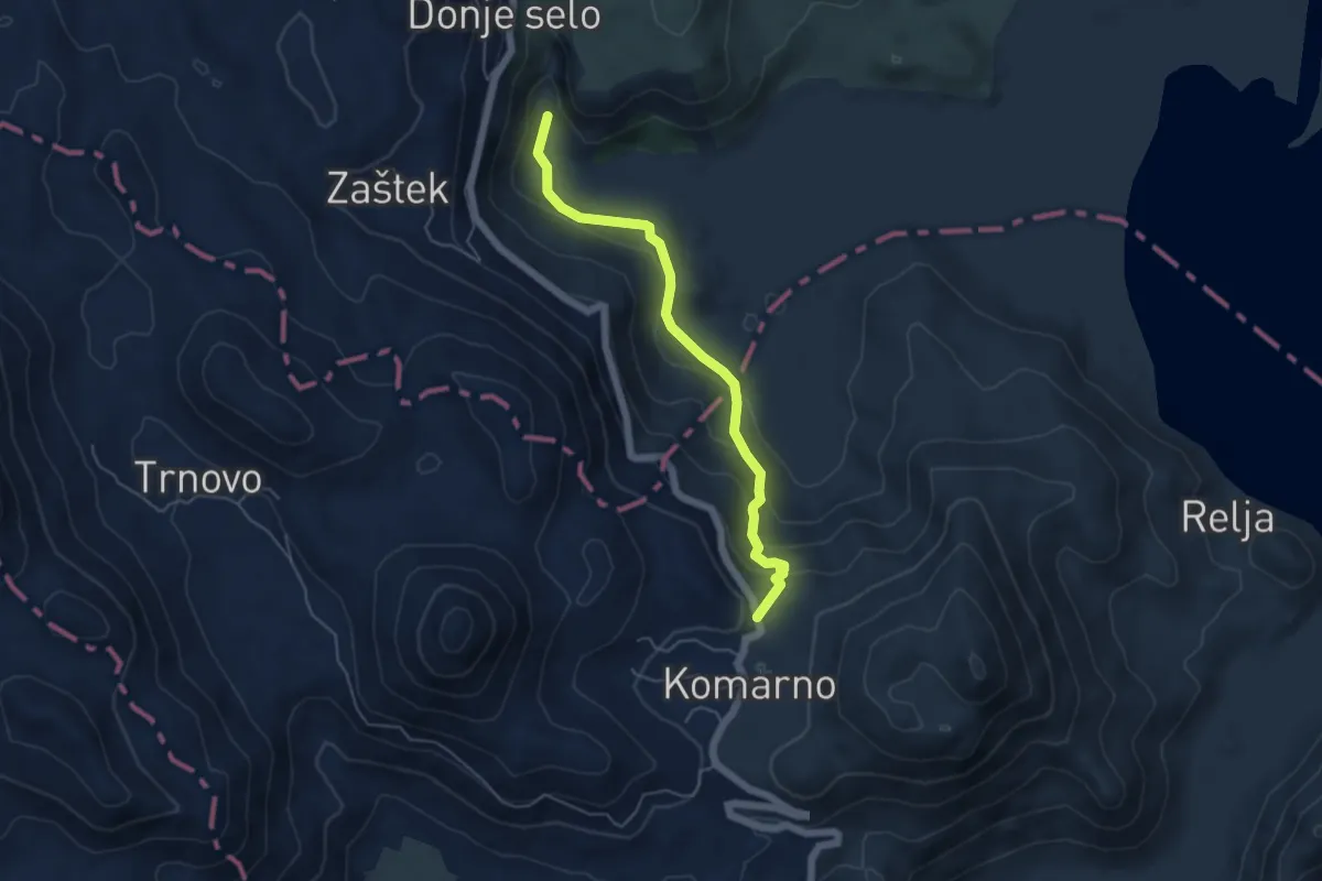
792D Komarno - Poseljani
5.3 km · ↑ 291 m · 1 h 53 min
Demanding · Trail
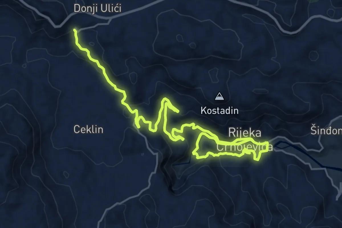
792E
24.1 km · ↑ 936 m · 7 h 43 min
Demanding · Trail
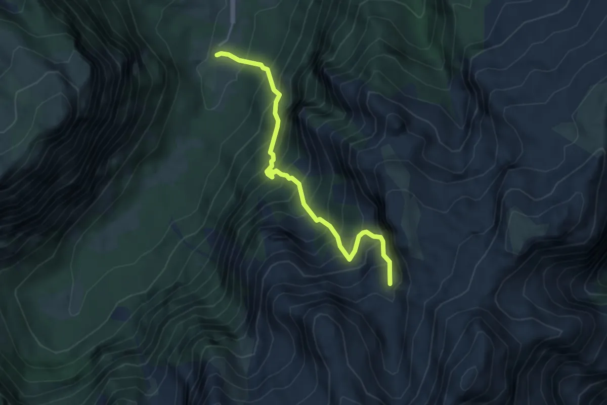
Grebaje – Karanfili
4.5 km · ↑ 742 m · 2 h 40 min
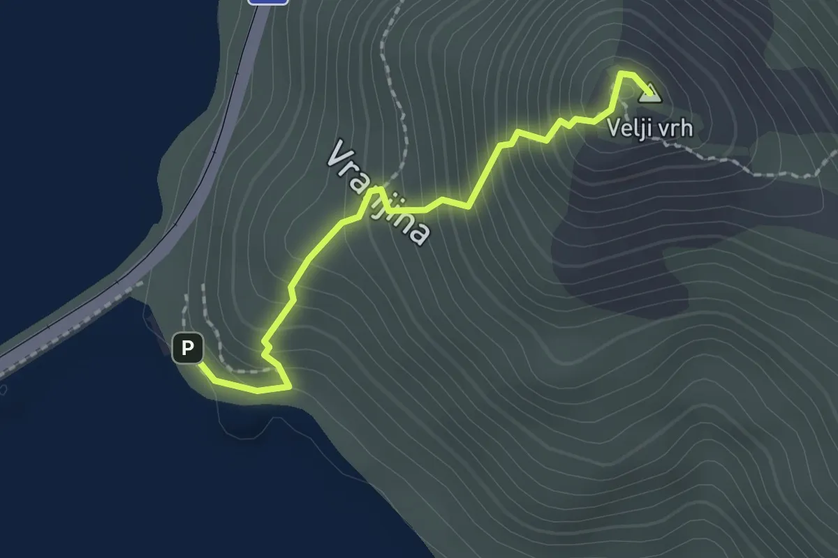
Demanding · Summit
Jezero – Velji vrh
2.0 km · ↑ 258 m · 1 h 2 min
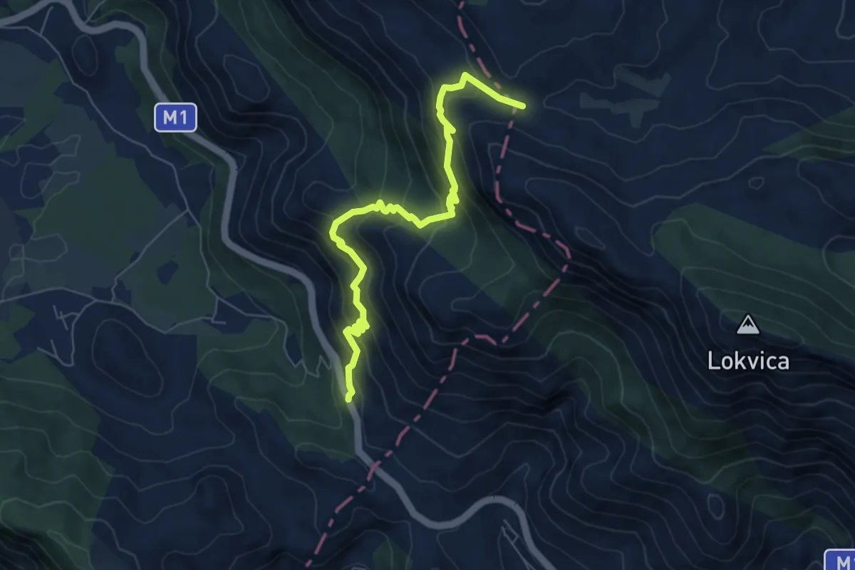
Medium · Cabin
Presjeka – M-1 Road
7.3 km · ↑ 630 m · 3 h 5 min
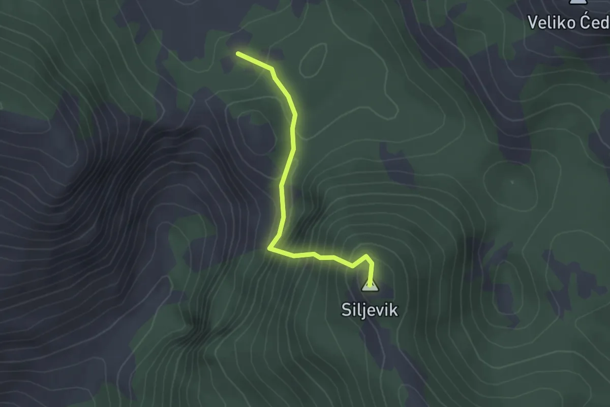
Easy · Summit
Za Vratlom – Siljevik
2.2 km · ↑ 311 m · 1 h 11 min
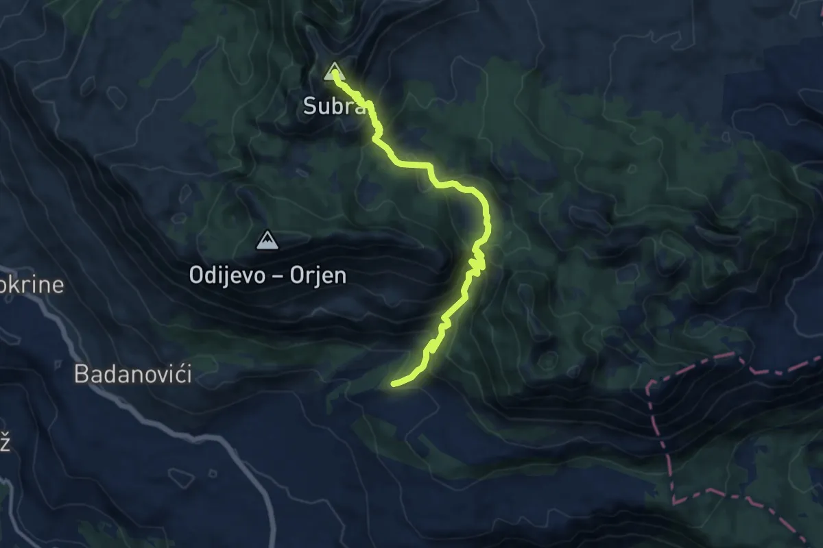
Demanding · Summit
motel Borići – Orjen sedlo
12.0 km · ↑ 965 m · 4 h 55 min
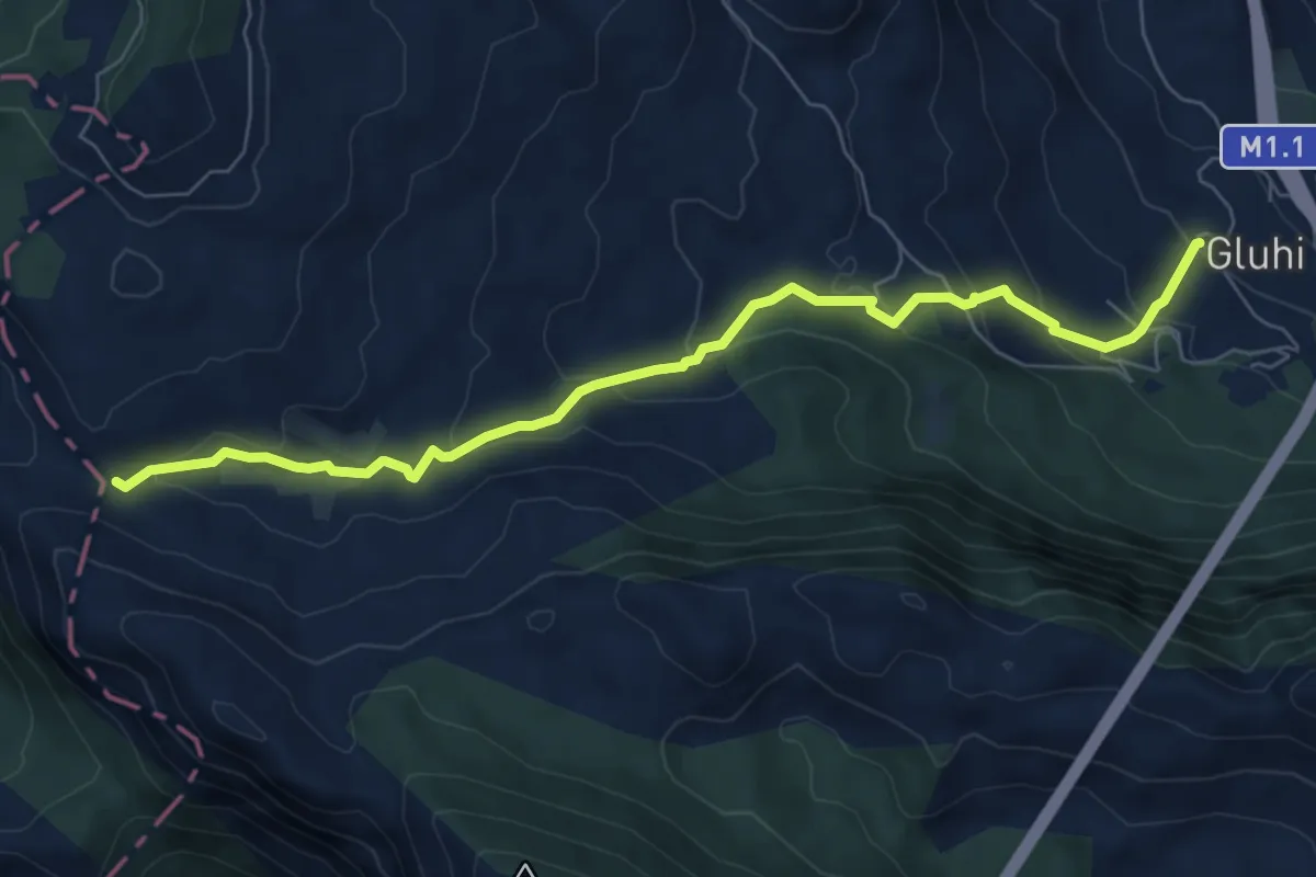
Medium · Cabin
Gluhi Do – Presjeka
7.9 km · ↑ 416 m · 2 h 46 min
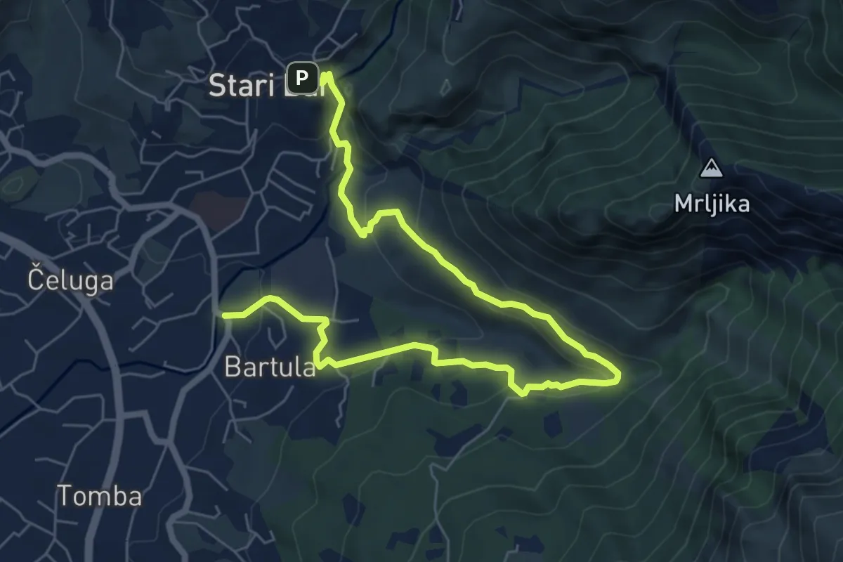
Medium · Trail
Stari Bar – Bartula
9.0 km · ↑ 354 m · 2 h 53 min
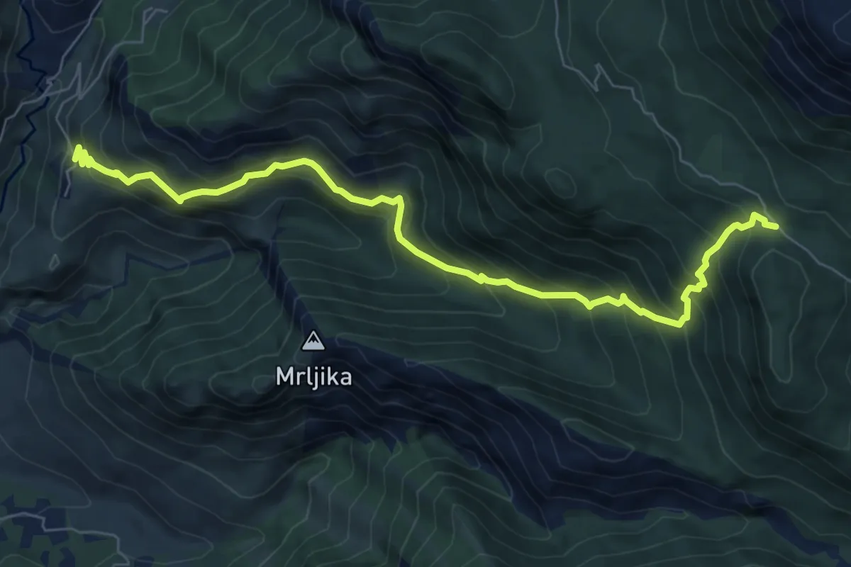
Demanding · Trail
Stari Bar – Rumija
8.4 km · ↑ 861 m · 3 h 51 min
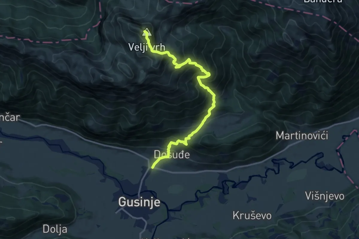
Demanding · Summit
Gusinje – Velji vrh
12.8 km · ↑ 1234 m · 5 h 42 min
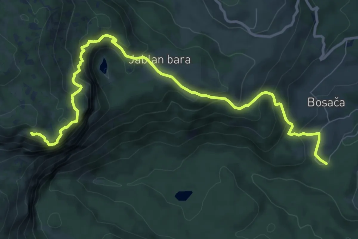
Demanding · Summit
Bosača – Crvena Greda
10.0 km · ↑ 815 m · 4 h 8 min