Trails in Netherlands
5,039 hiking trails, each with its route, climb, walking time and grade.
All trails, page 52 of 105
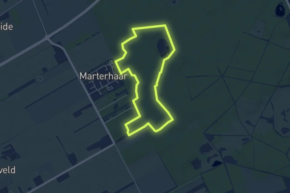
Easy · Trail
Rondwandeling oranje
4.0 km · ↑ 13 m · 1 h 1 min
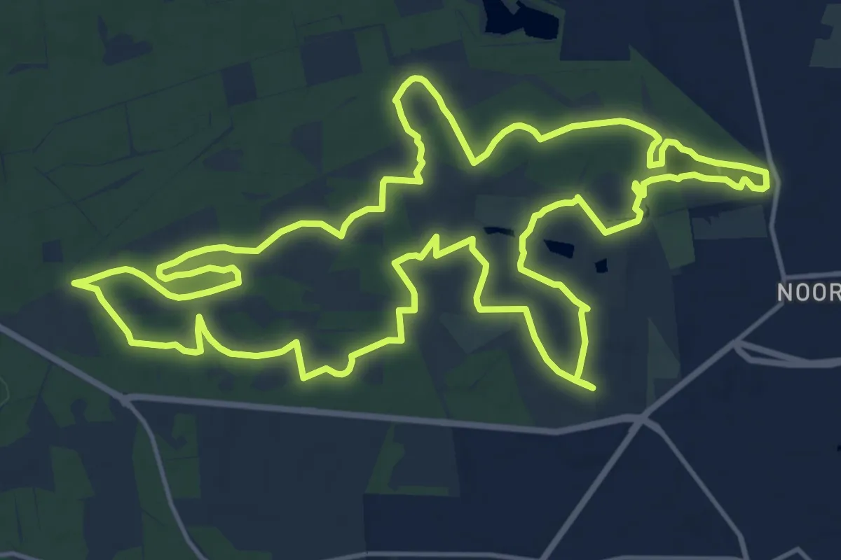
Medium · Trail
Rondwandeling Paleis het Loo
15.6 km · ↑ 96 m · 4 h 6 min
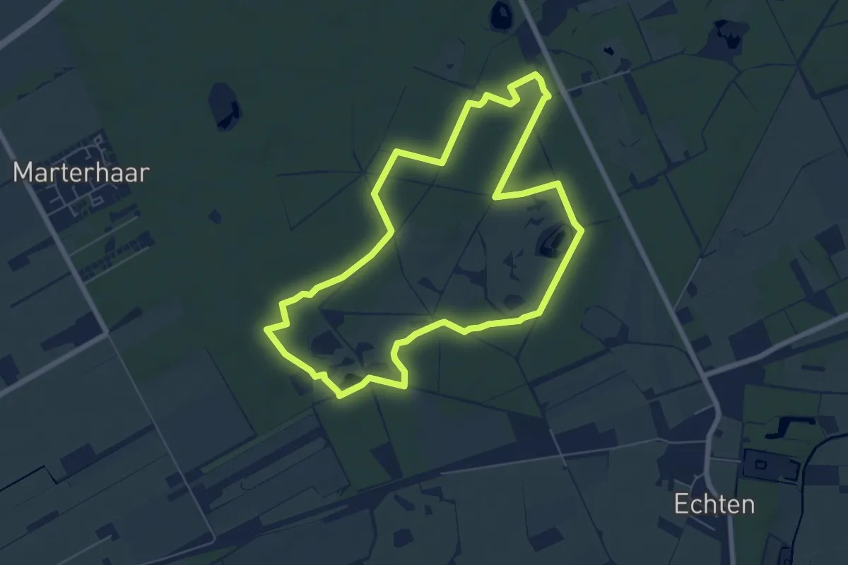
Easy · Trail
Rondwandeling rood
5.7 km · ↑ 21 m · 1 h 28 min
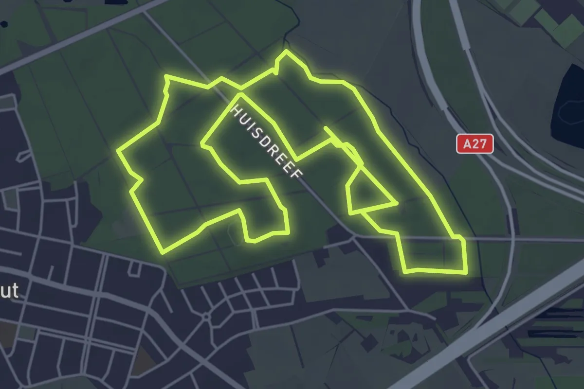
Medium · Trail
Rondwandeling (Rood)
10.7 km · ↑ 8 m · 2 h 32 min
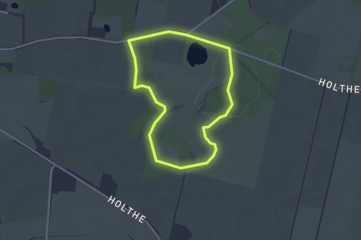
Easy · Trail
Rondwandeling Scharreveld
2.0 km · ↑ 4 m · 31 min
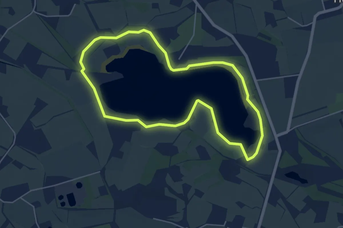
Easy · Trail
Rondwandeling 't Hilgelo
3.8 km · ↑ 0 m · 58 min
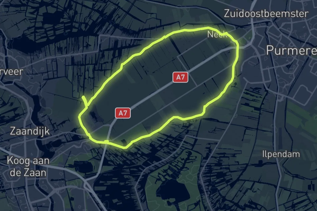
Medium · Trail
Rondwandeling Wijde Wormer
17.8 km · ↑ 0 m · 4 h 27 min
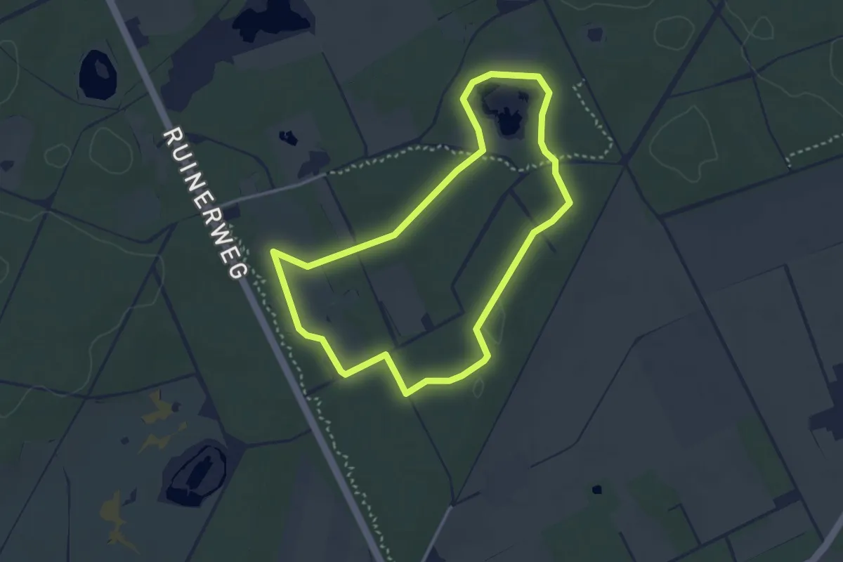
Easy · Trail
Rondwandeling wit
2.8 km · ↑ 0 m · 42 min
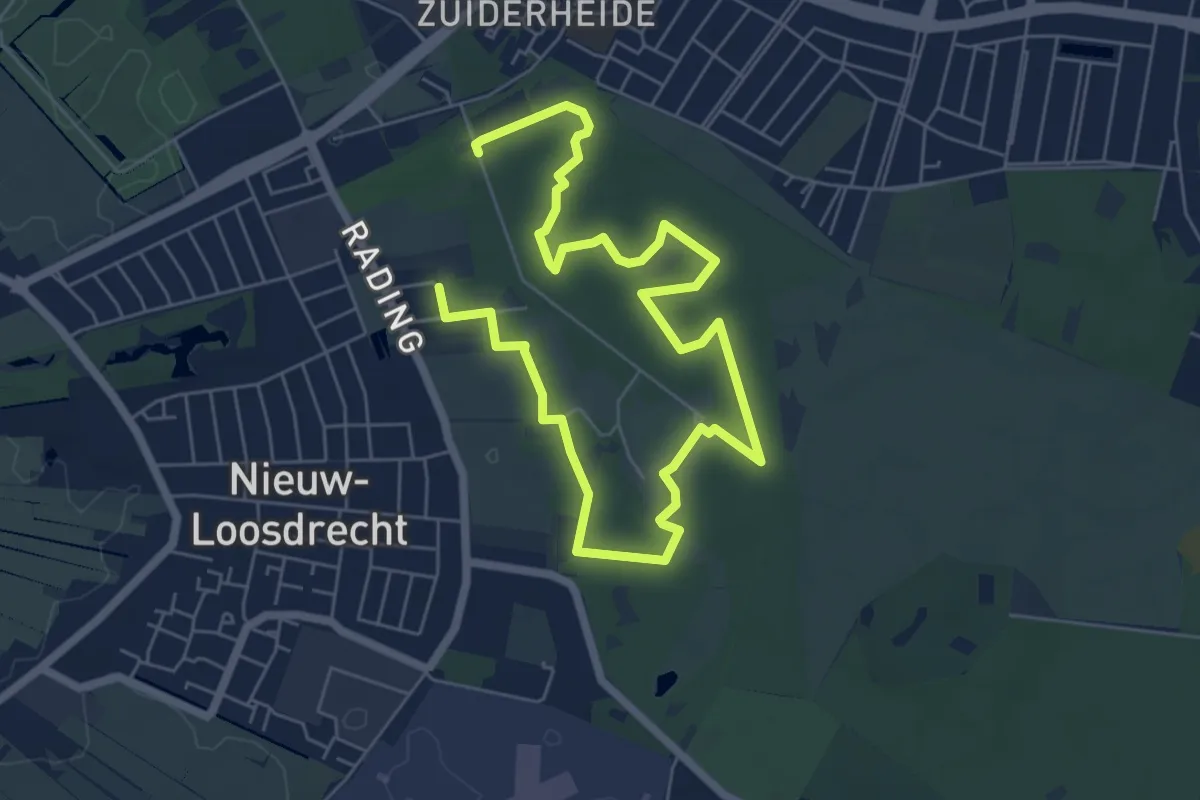
Easy · Trail
Rondwandeling Zonnestraal
4.3 km · ↑ 5 m · 1 h 4 min
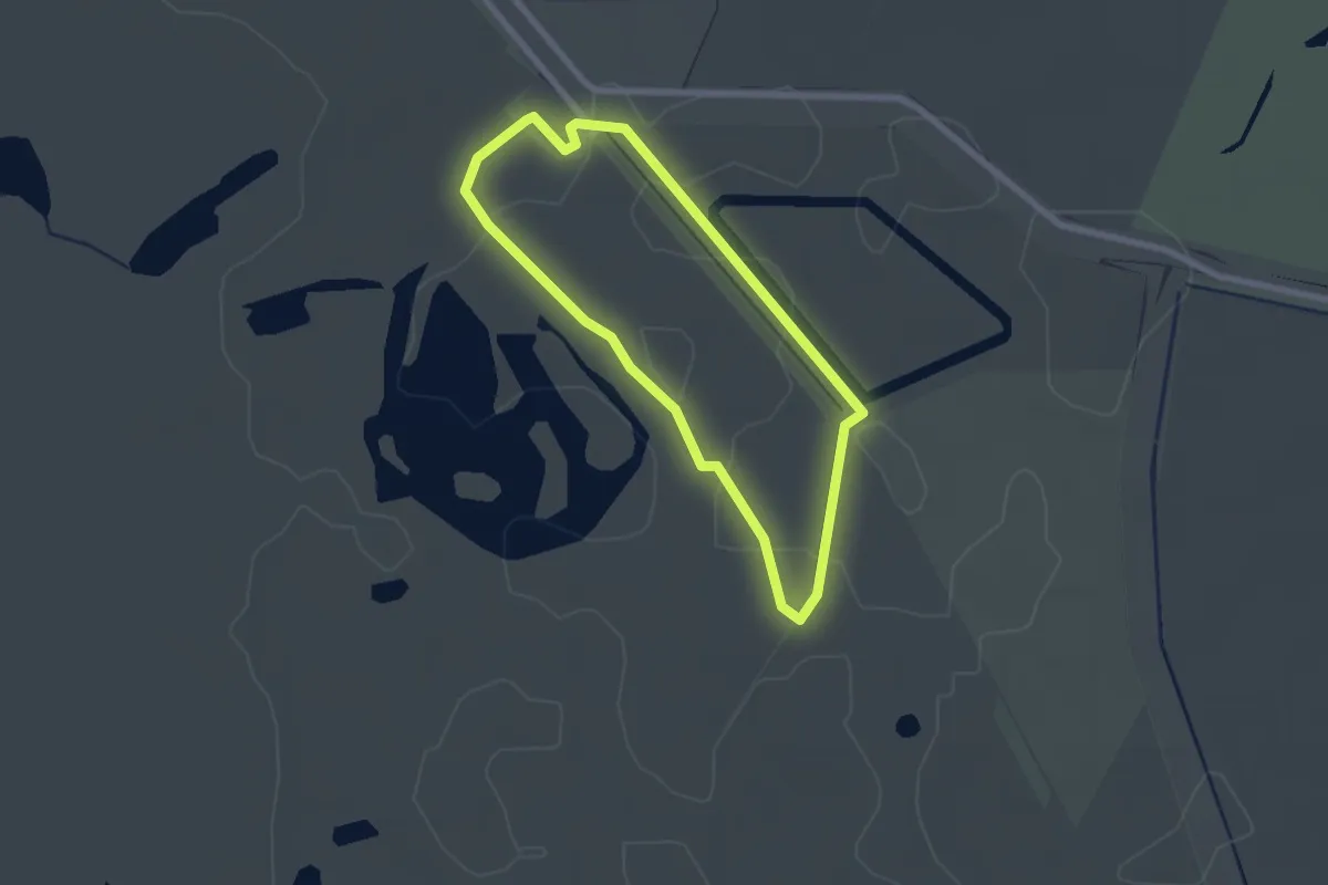
Easy · Trail
Rood
1.8 km · ↑ 0 m · 28 min
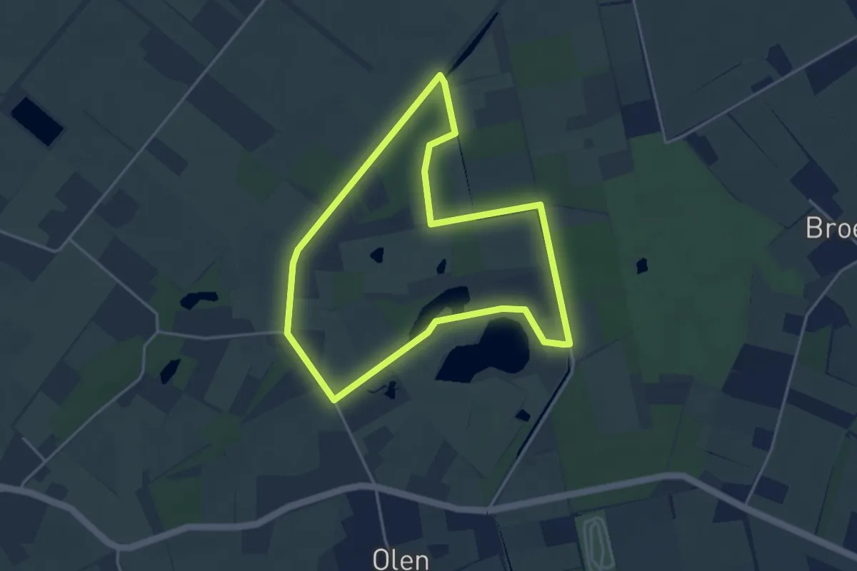
Easy · Trail
Rood
3.4 km · ↑ 4 m · 52 min
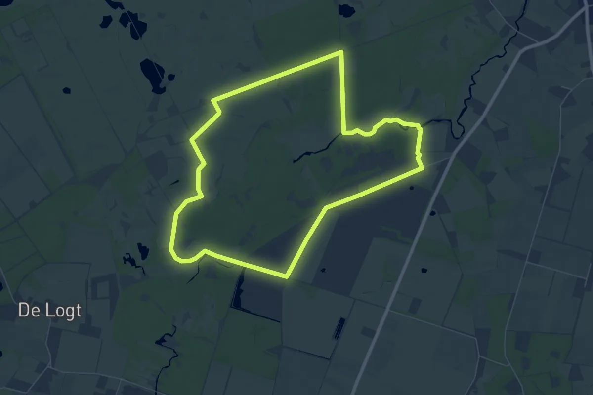
Easy · Trail
Rood
6.4 km · ↑ 8 m · 1 h 38 min
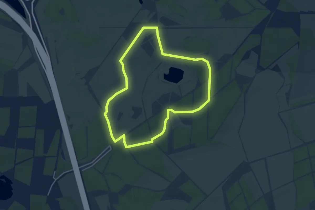
Easy · Trail
Rood
3.0 km · ↑ 9 m · 46 min
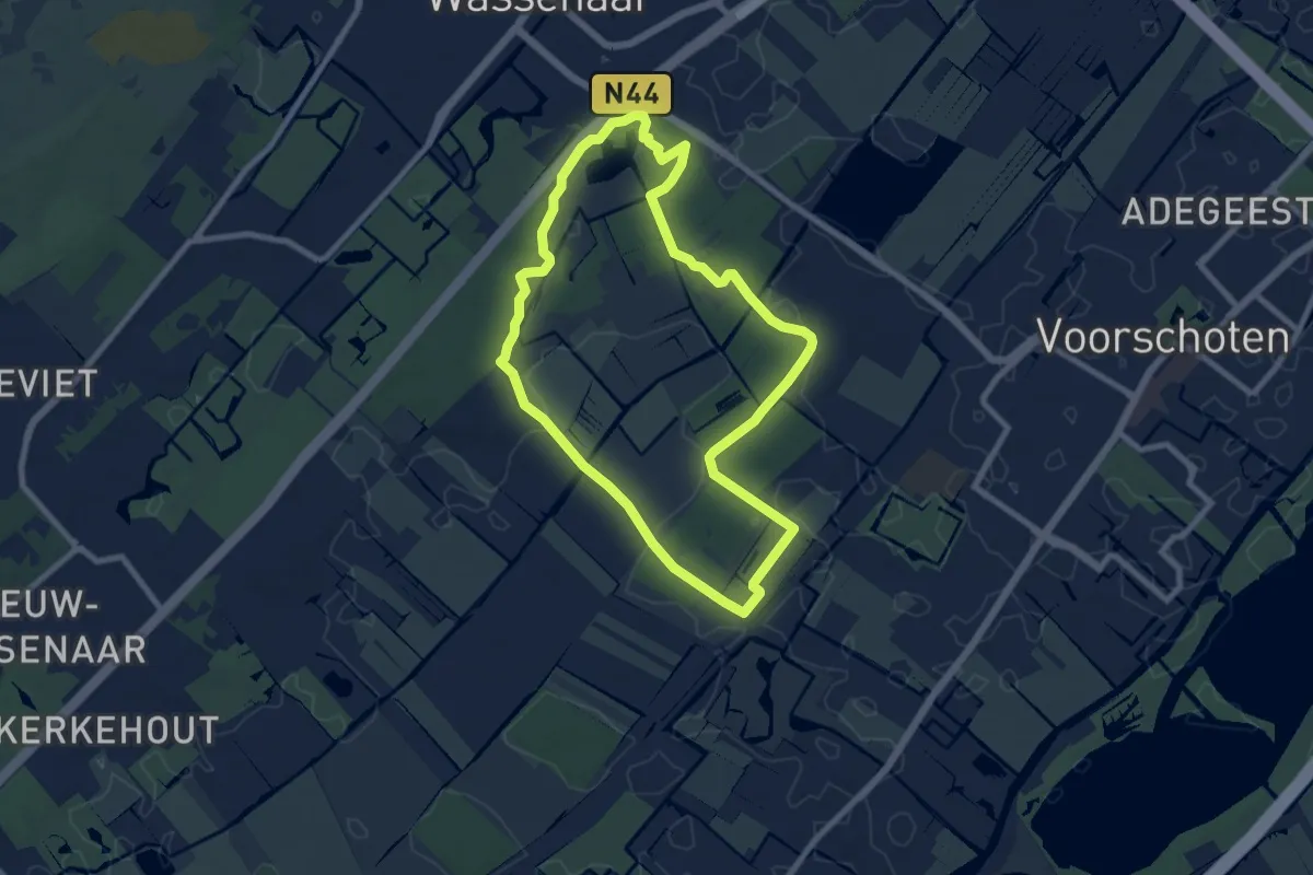
Easy · Trail
Rood
7.3 km · ↑ 21 m · 1 h 52 min
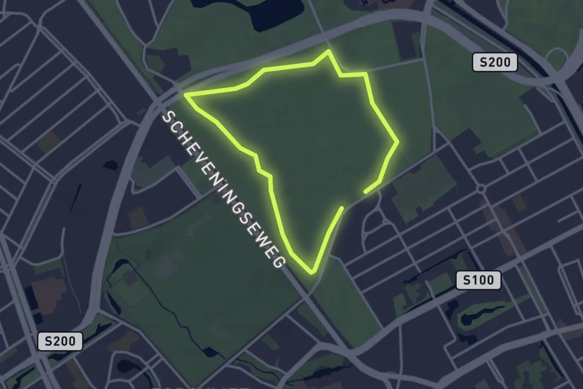
Easy · Trail
Rood
2.3 km · ↑ 0 m · 34 min
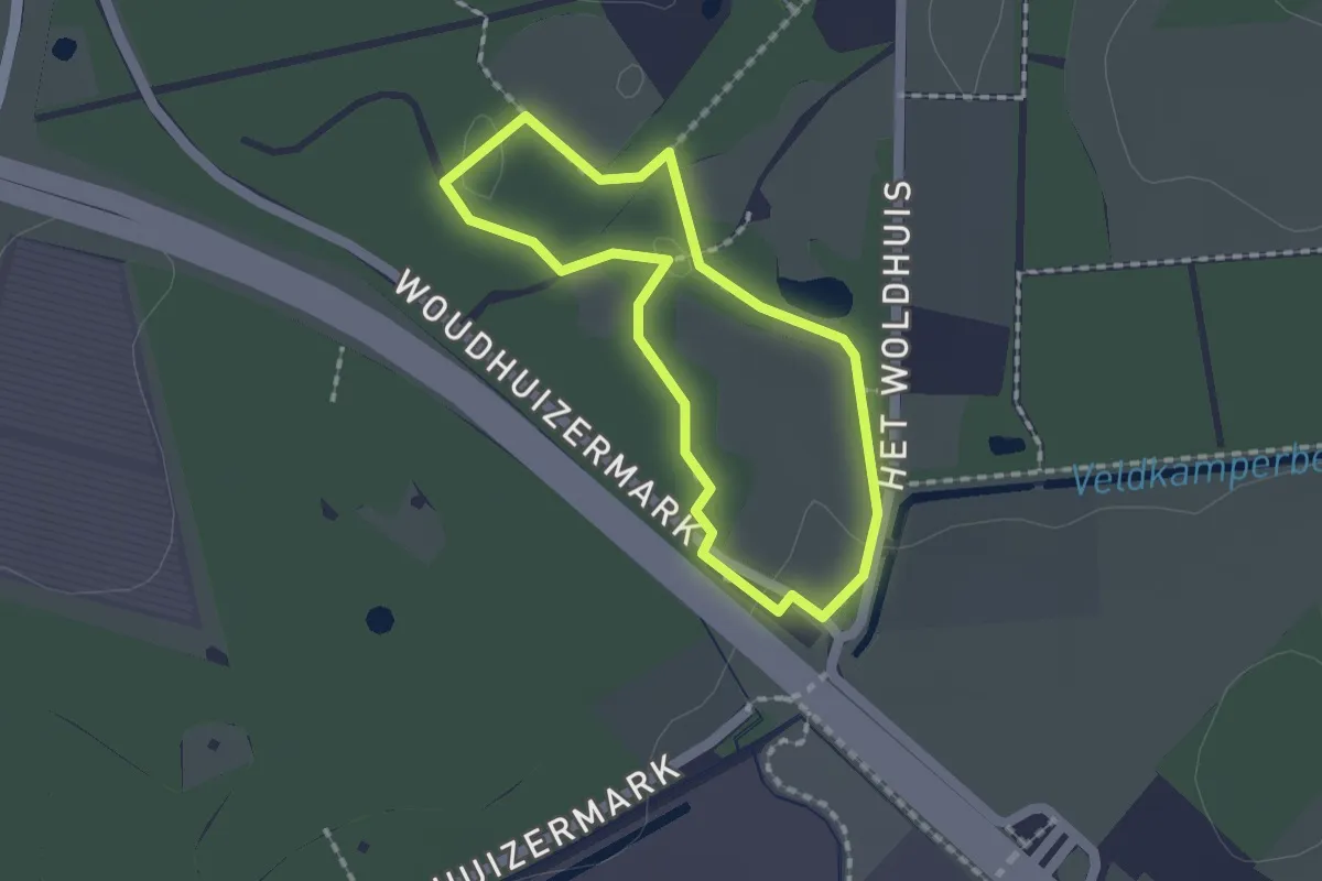
Easy · Trail
Rood
1.3 km · ↑ 4 m · 20 min
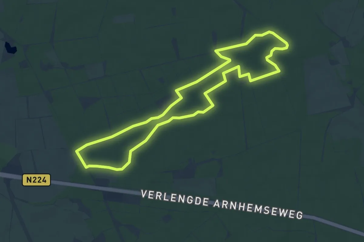
Easy · Trail
Rood-witte wandelroute
5.1 km · ↑ 14 m · 1 h 19 min
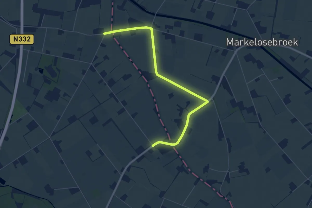
Easy · Trail
Roowinkel route
3.1 km · ↑ 0 m · 46 min
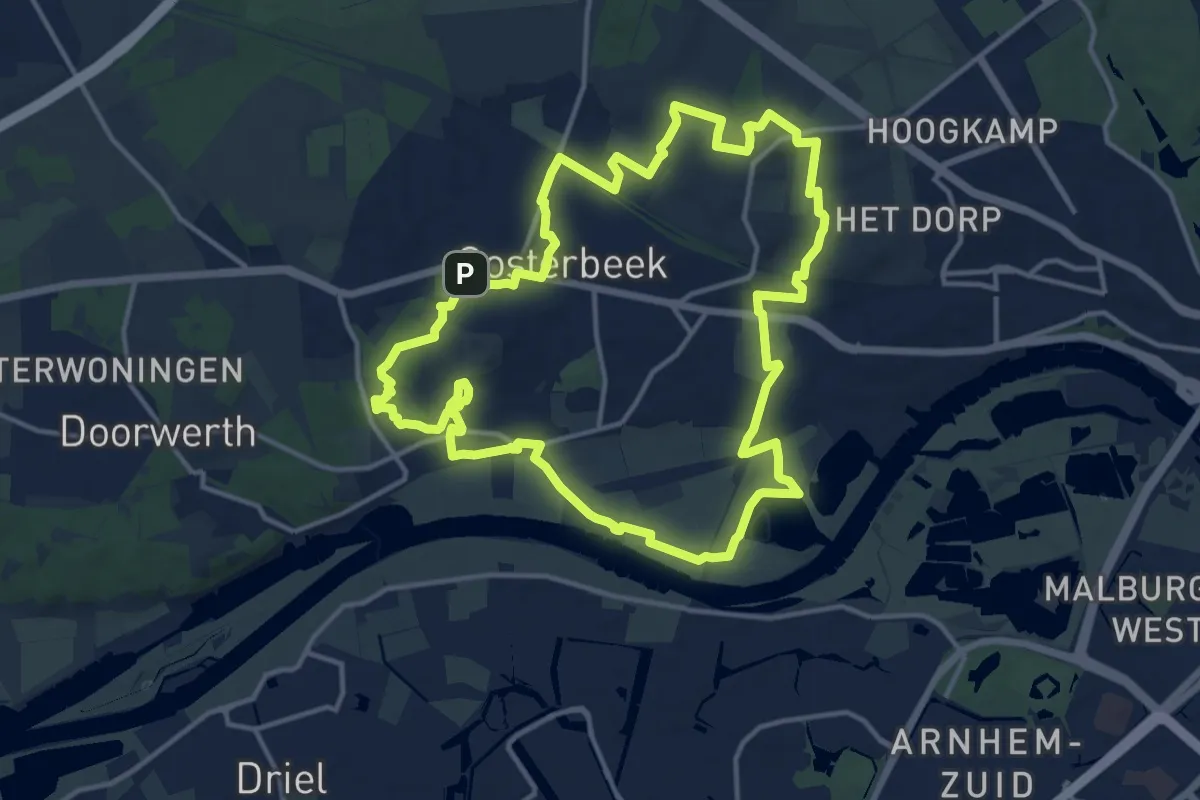
Medium · Summit
Rosandepad
13.4 km · ↑ 106 m · 3 h 35 min
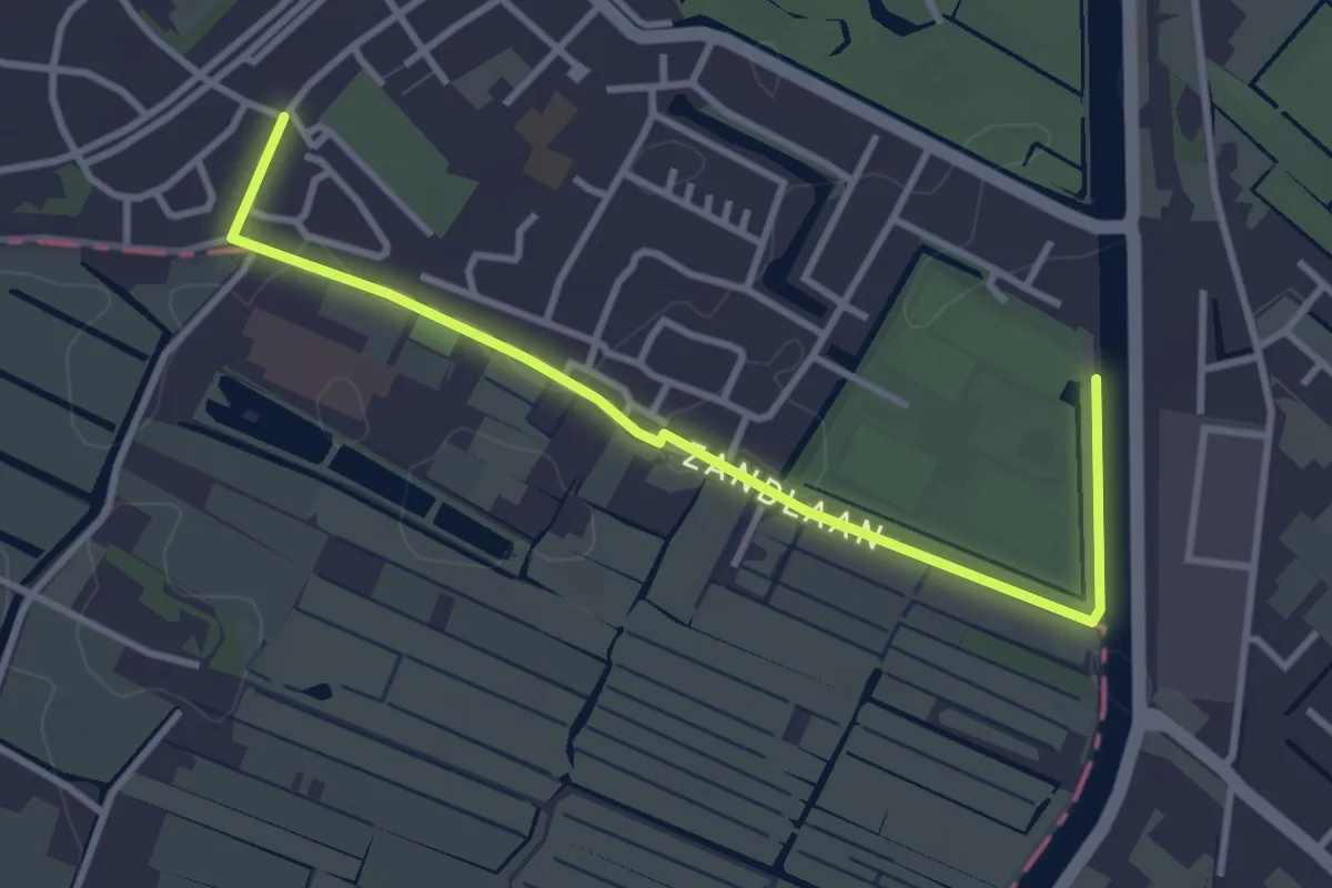
Easy · Trail
Rottegatroute
1.6 km · ↑ 4 m · 25 min
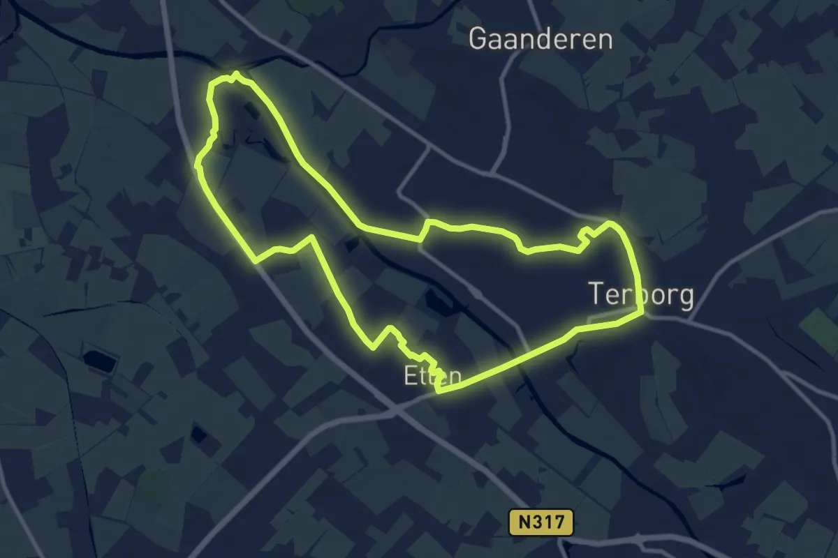
Medium · Trail
Route de Pol
9.5 km · ↑ 4 m · 2 h 23 min
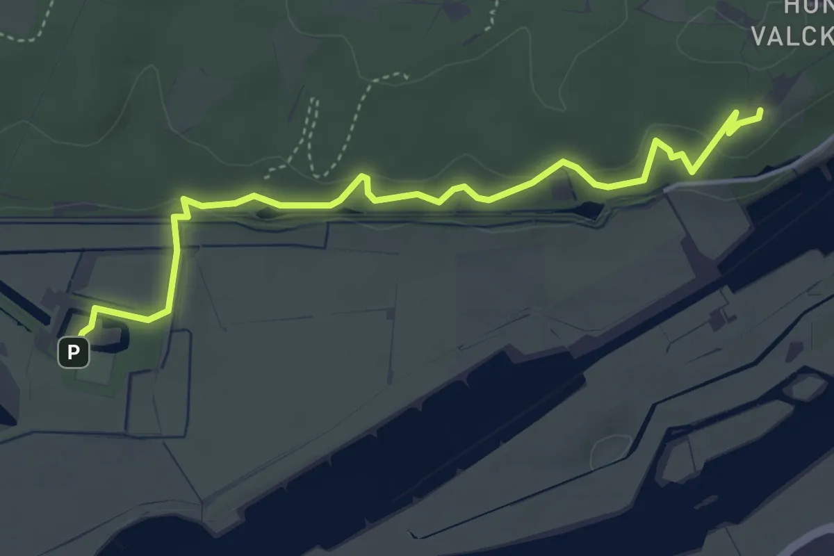
Easy · Trail
Route Duno
4.2 km · ↑ 105 m · 1 h 13 min
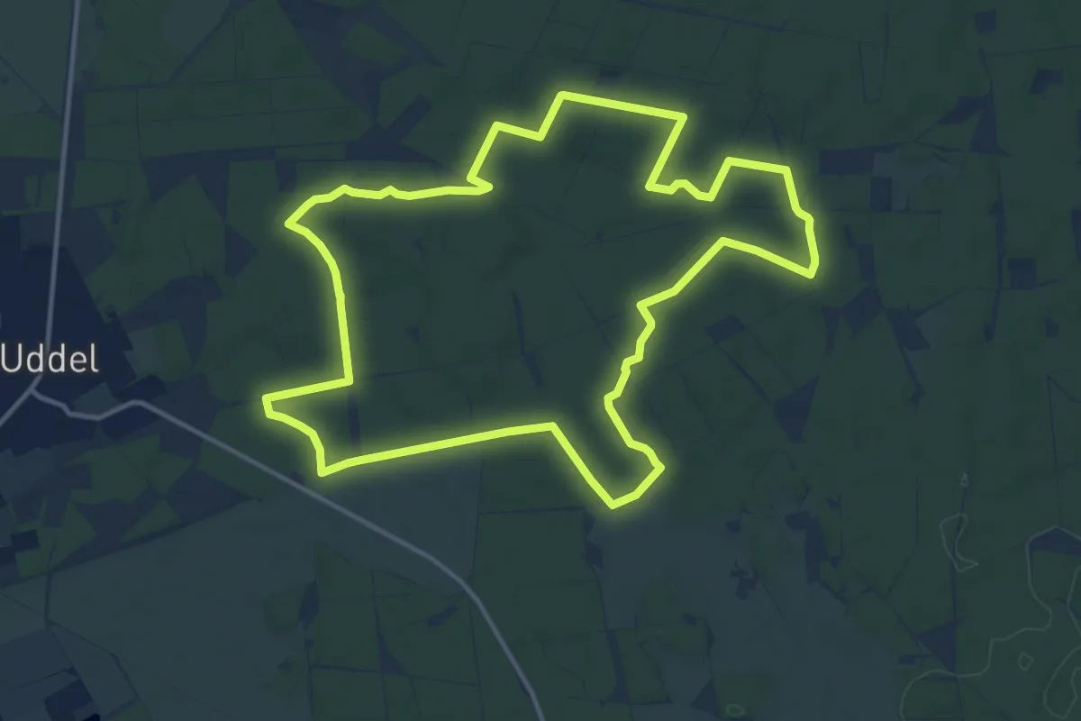
Medium · Trail
Route Rond de Hoge Duvel, 25 dec - 15 sept (hele route)
12.5 km · ↑ 72 m · 3 h 18 min
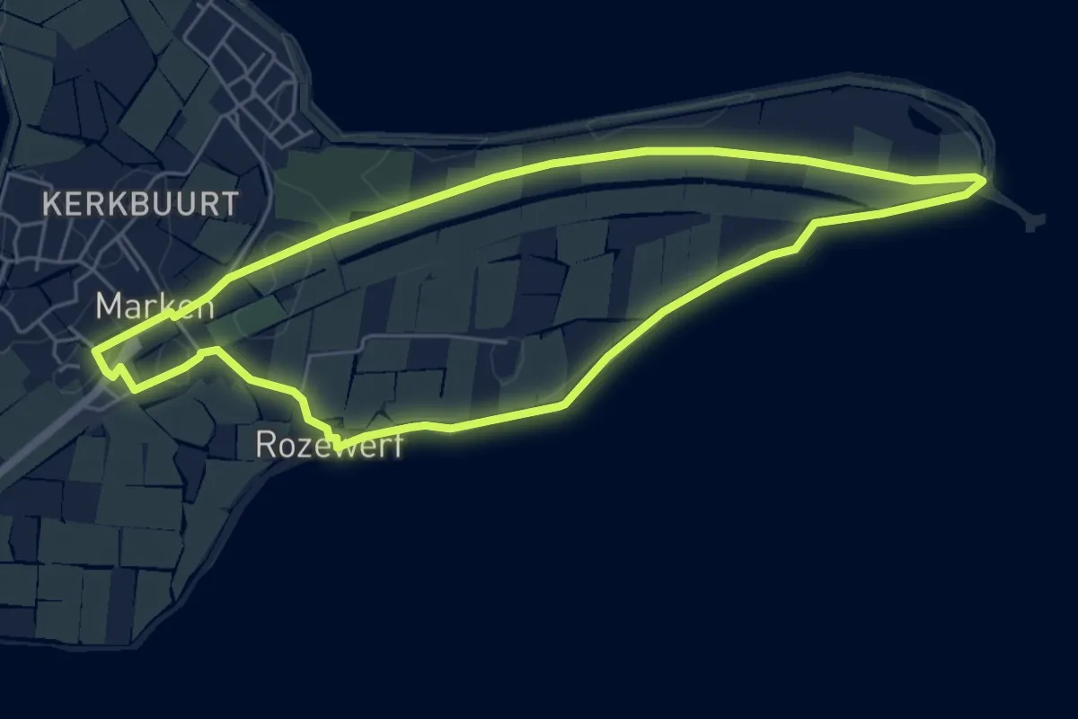
Easy · Trail
Rozewerfroute
4.9 km · ↑ 0 m · 1 h 14 min
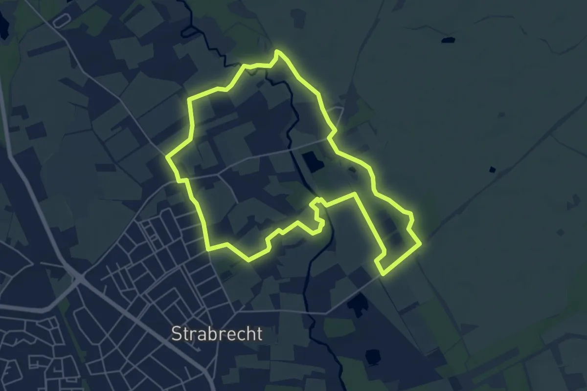
Easy · Trail
Rulse Laarzenpad
5.1 km · ↑ 5 m · 1 h 18 min
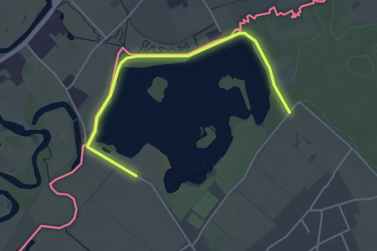
Easy · Trail
Rundweg A9 Effelder Waldsee
1.7 km · ↑ 0 m · 26 min
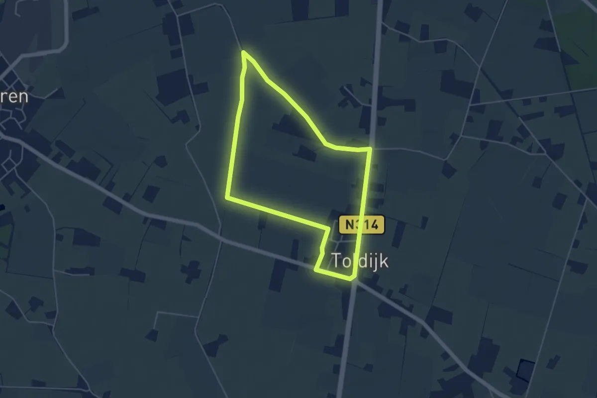
Easy · Trail
Russerdijkroute
4.0 km · ↑ 0 m · 59 min
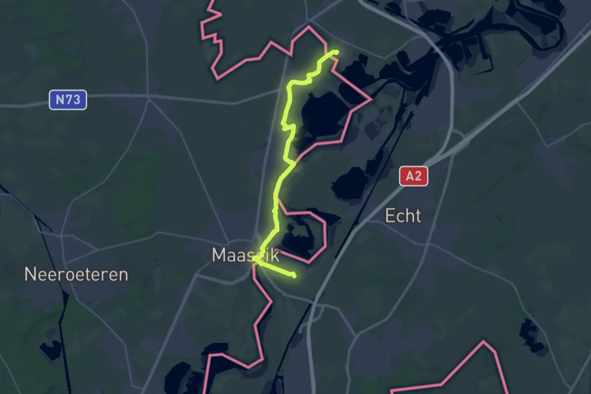
Demanding · Trail
RVN 5 - Pe 2 - 08 - Roosteren-Thorn
23.8 km · ↑ 25 m · 5 h 40 min
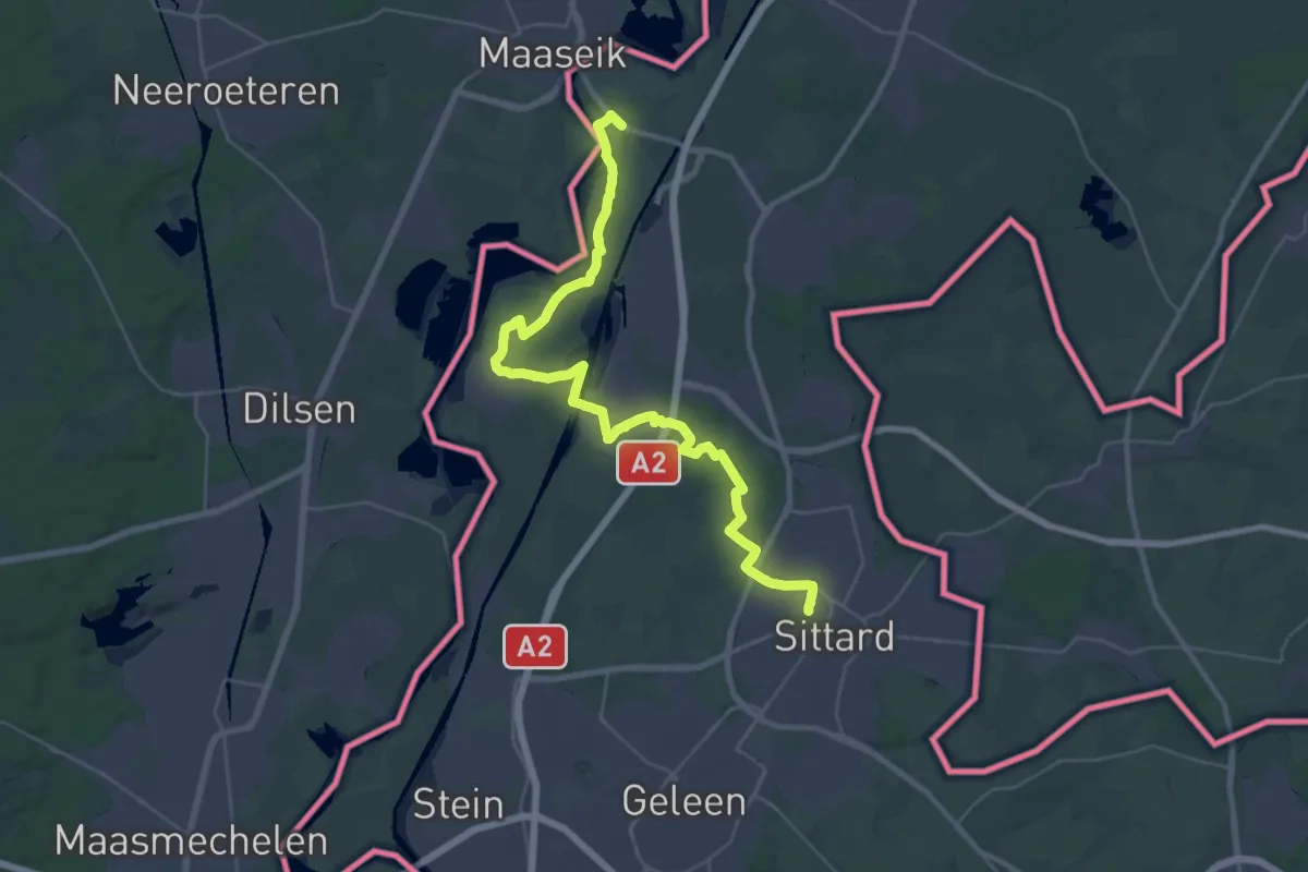
Medium · Trail
RVN 5 - Pe 2 - 09 Sittard station-Roosteren
18.0 km · ↑ 5 m · 4 h 31 min
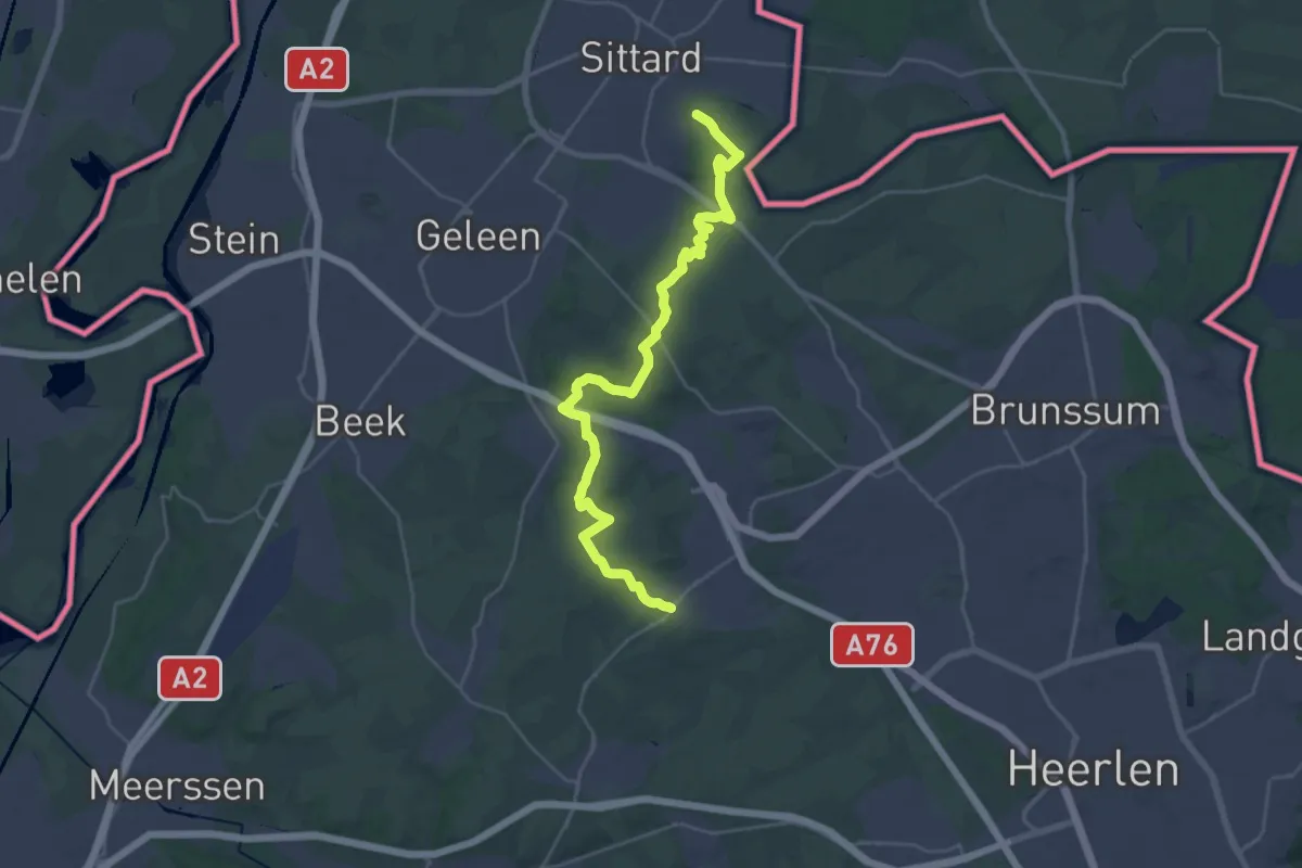
Demanding · Summit
RVN 5 - Pe 2 - 10 - Nuth-Sittard station
29.2 km · ↑ 291 m · 7 h 31 min
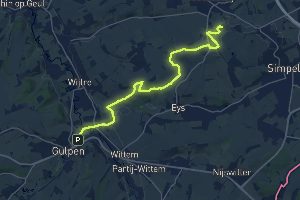
Medium · Summit
RVN 5 - Pe 2 - 11 Gulpen-Nuth
16.6 km · ↑ 213 m · 4 h 23 min
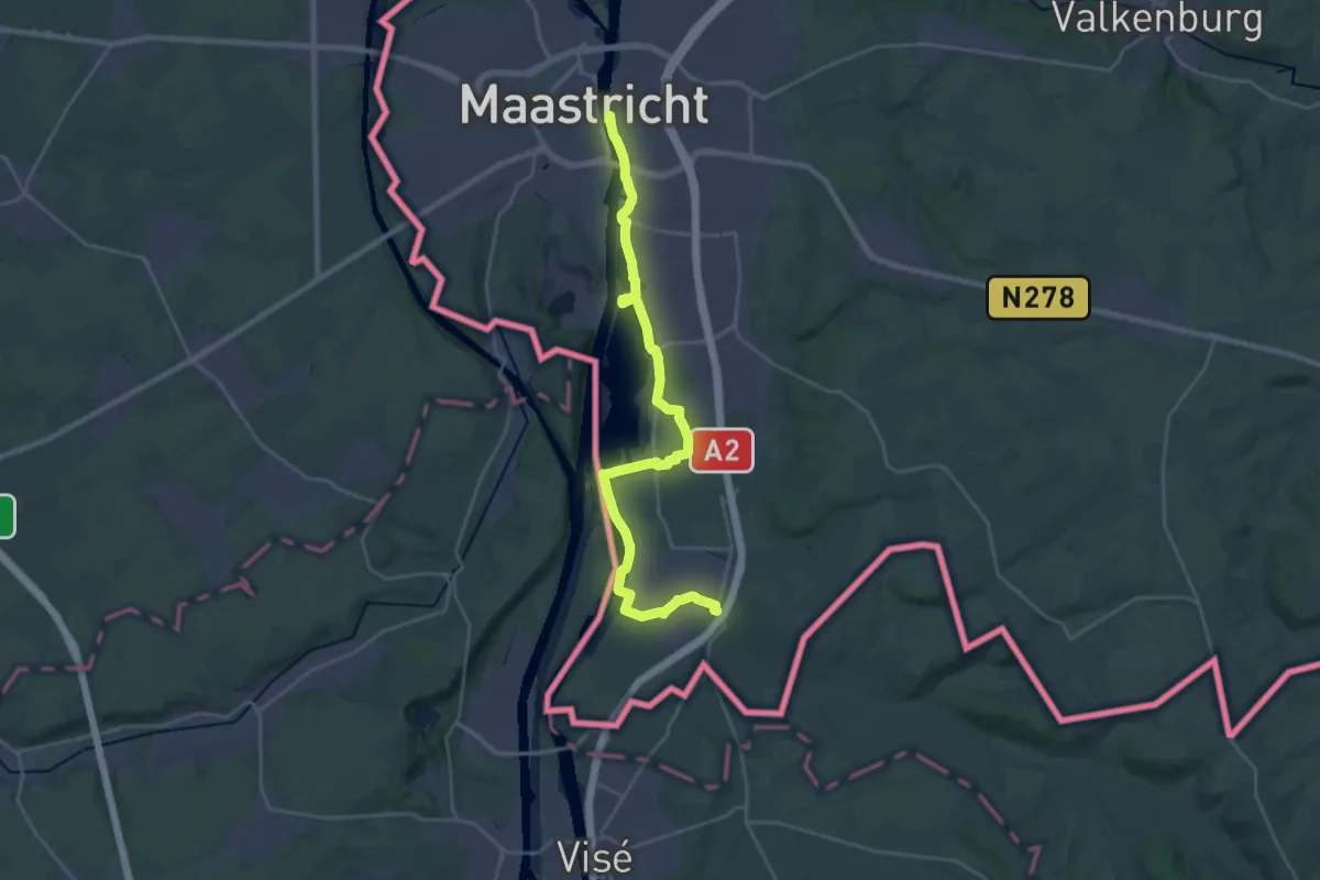
Demanding · Trail
RvN Krijtlandpad - 01 - Maastricht-Mariadorp
26.3 km · ↑ 21 m · 6 h 15 min
Demanding · Trail
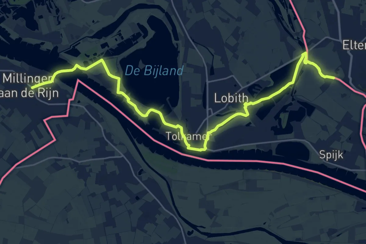
RvN Pieterpad deel 2 - 16 - variant voor Ronde van Nederland
22.5 km · ↑ 29 m · 5 h 23 min
Demanding · Trail
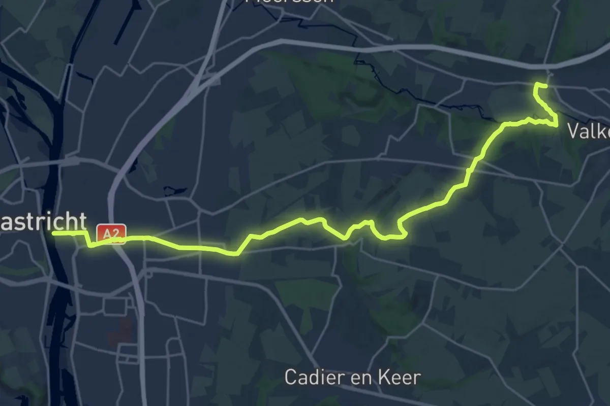
RvN Pieterpad deel 2 - 26 - Variant voor Ronde van Nederland
23.1 km · ↑ 201 m · 5 h 54 min
Easy · Trail
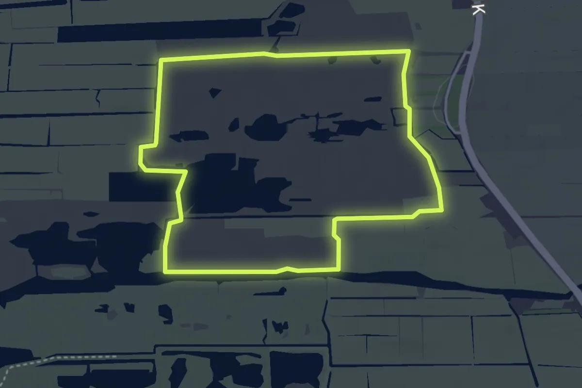
Rypstjerksterpolder Blauw
3.2 km · ↑ 0 m · 48 min
Easy · Trail
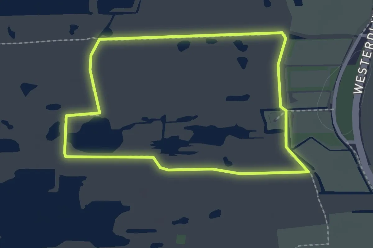
Rypstjerksterpolder Wit
1.7 km · ↑ 0 m · 26 min
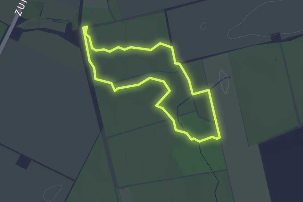
Easy · Trail
SabeltandTijgerspoor
1.9 km · ↑ 0 m · 29 min
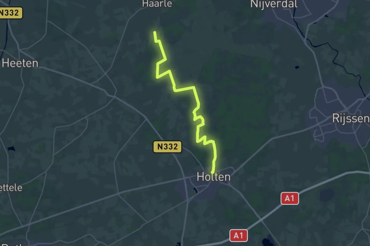
Demanding · Trail
Sallandse Zandloper - aanlooproute Holten
23.4 km · ↑ 111 m · 5 h 45 min
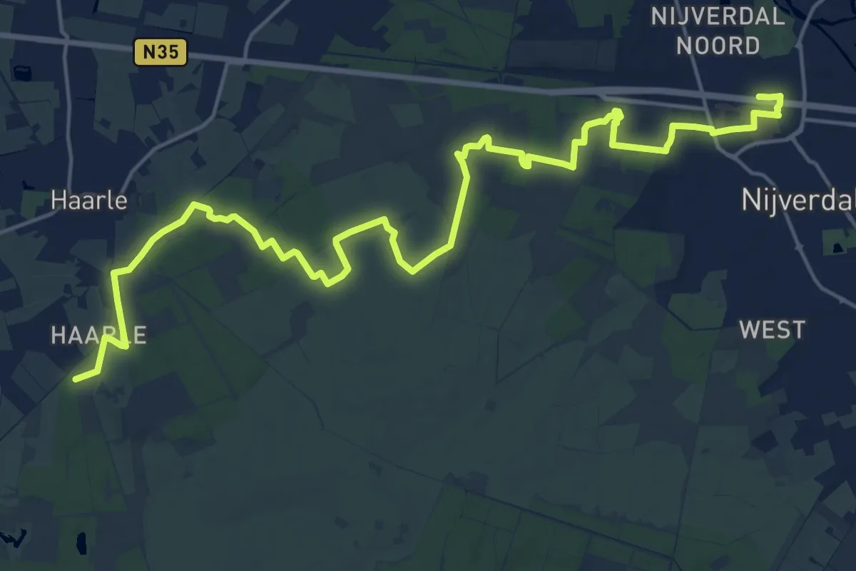
Demanding · Trail
Sallandse Zandloper - aanlooproute Nijverdal
21.1 km · ↑ 141 m · 5 h 18 min
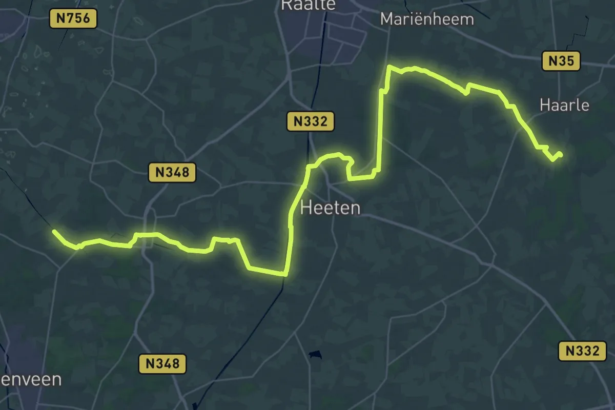
Demanding · Trail
Sallandse Zandloper - hoofdroute
24.3 km · ↑ 47 m · 6 h 10 min
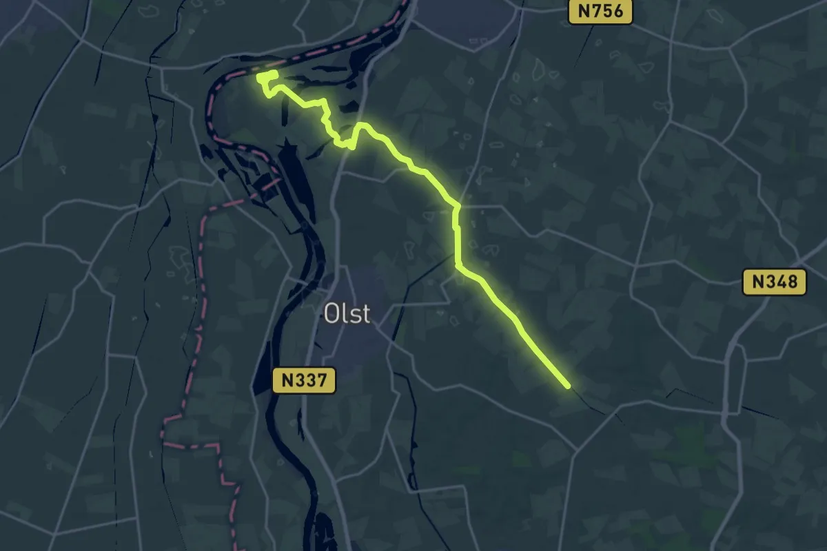
Demanding · Trail
Sallandse Zandloper - route Fortmond
19.0 km · ↑ 4 m · 4 h 30 min
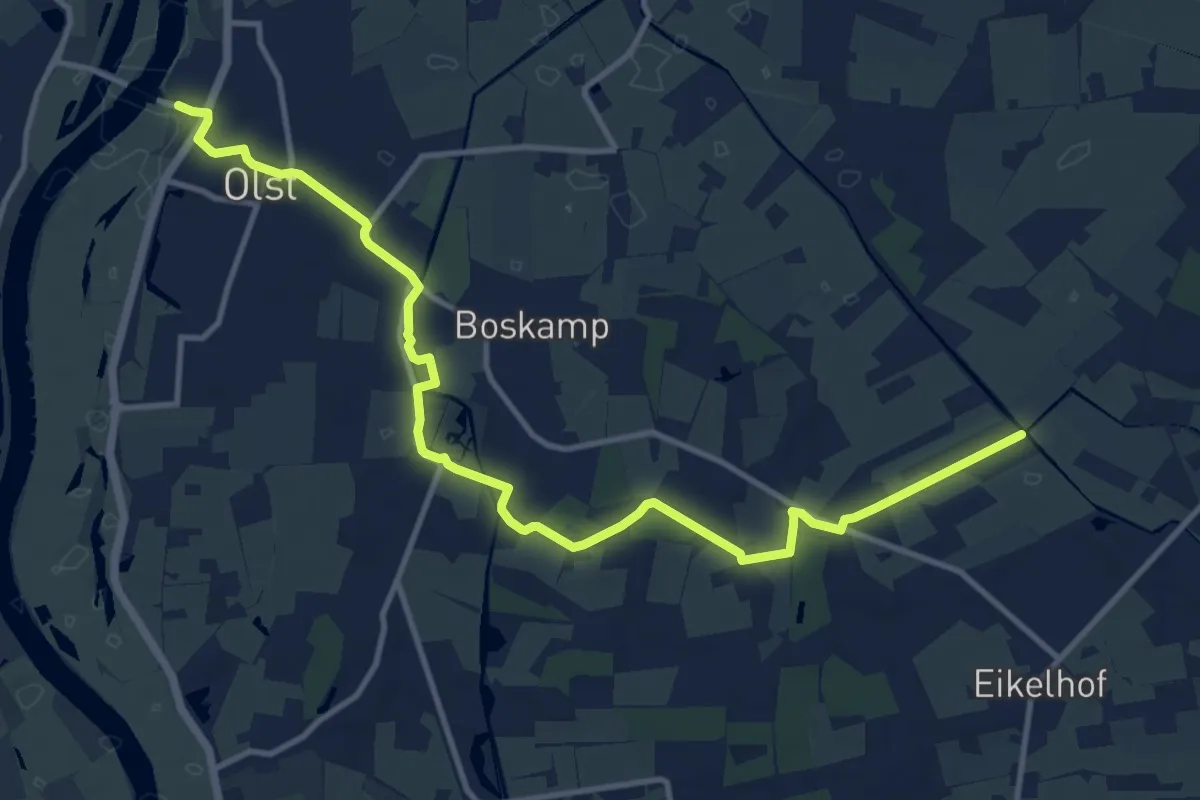
Medium · Trail
Sallandse Zandloper - route Olst
12.5 km · ↑ 8 m · 2 h 58 min
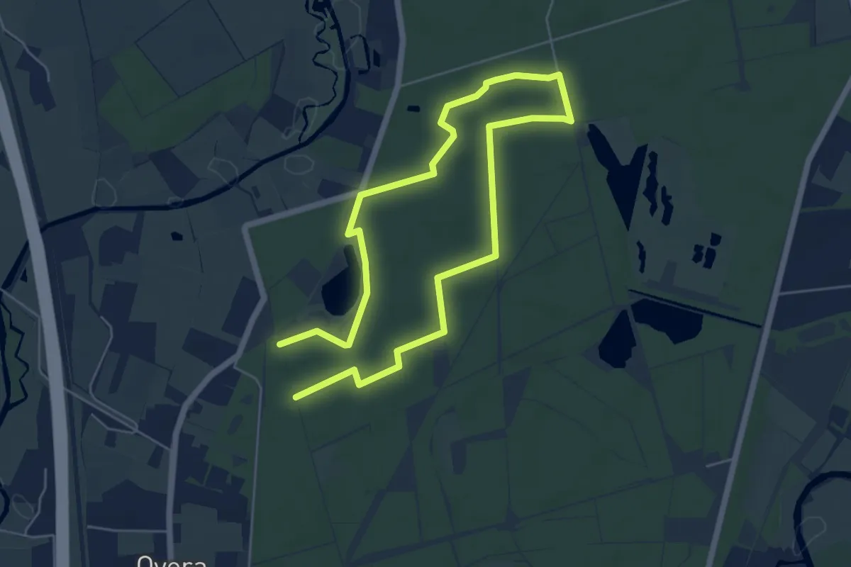
Medium · Trail
SBB Rondwandeling (blauw)
8.2 km · ↑ 26 m · 2 h
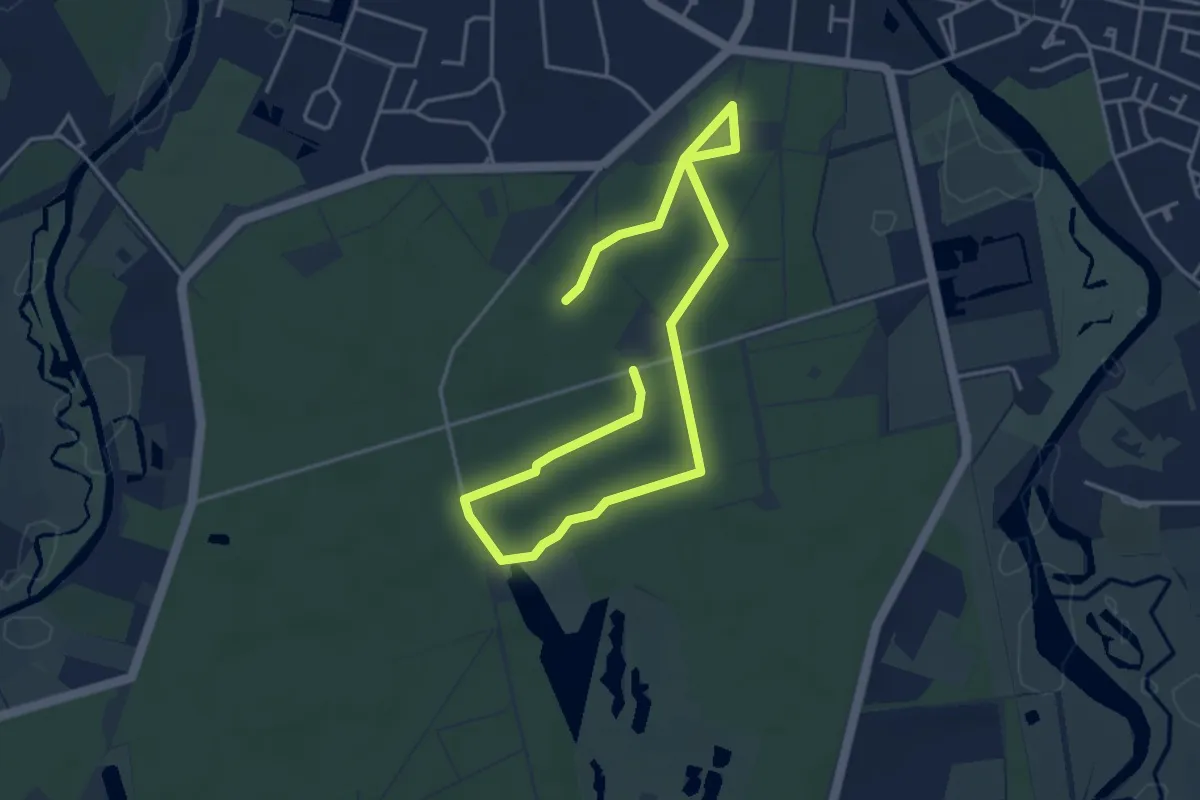
Easy · Trail
SBB Rondwandeling (geel)
5.6 km · ↑ 0 m · 1 h 20 min
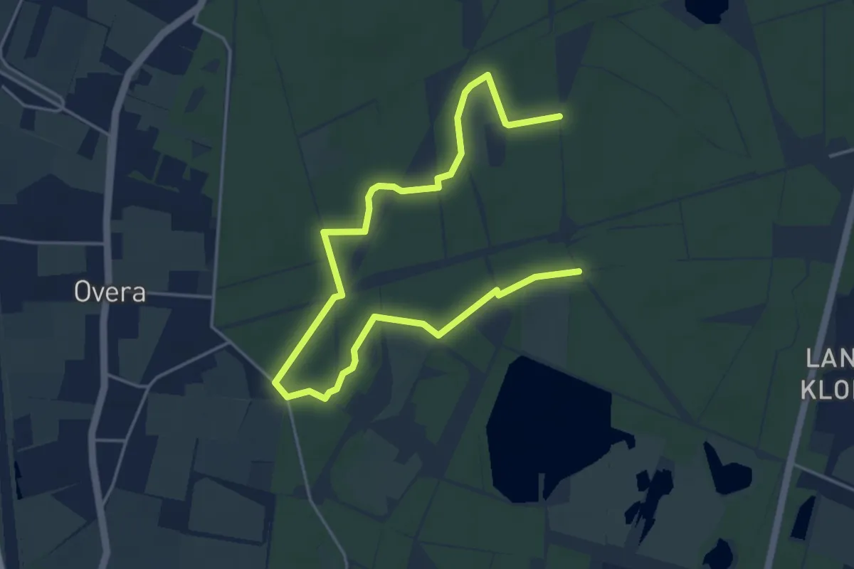
Easy · Trail
SBB Rondwandeling (rood)
5.4 km · ↑ 0 m · 1 h 17 min
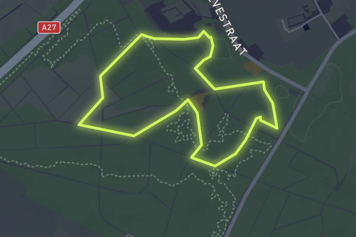
Easy · Trail
SBB Rondwandeling Rood
3.3 km · ↑ 4 m · 50 min
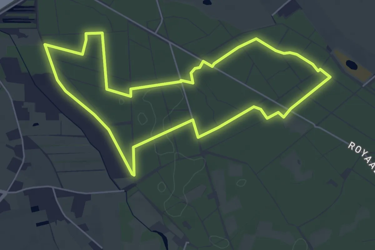
Easy · Trail
SBB Rondwandeling (wit)
4.9 km · ↑ 5 m · 1 h 14 min
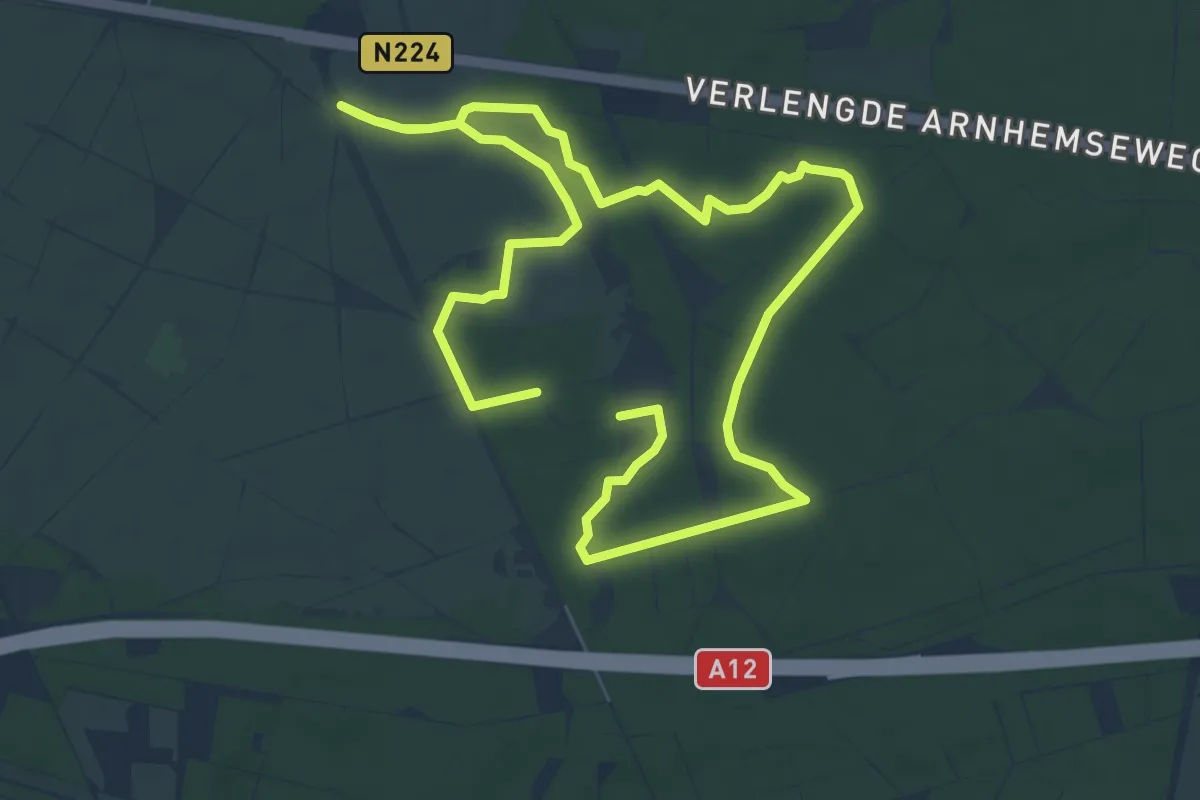
Easy · Trail
schaapkooiroute
6.0 km · ↑ 4 m · 1 h 31 min