Trails in Netherlands
5,039 hiking trails, each with its route, climb, walking time and grade.
All trails, page 53 of 105
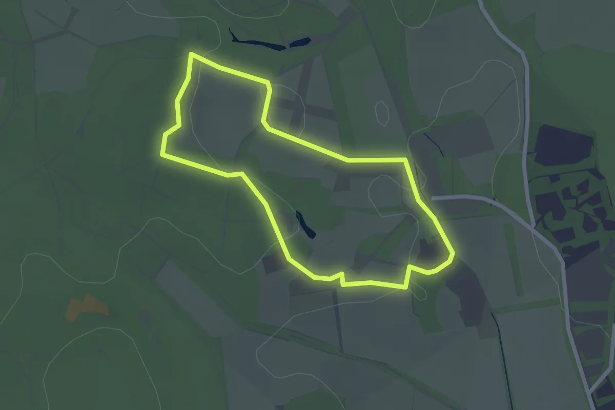
Easy · Trail
Schaapskooi Veluwezoom
1.9 km · ↑ 25 m · 32 min
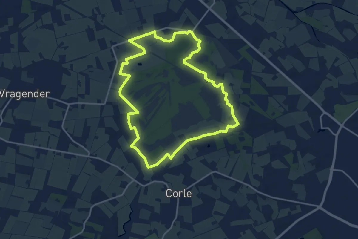
Medium · Trail
Schaddenpad, Rondje Korenburgerveen
10.6 km · ↑ 4 m · 2 h 39 min
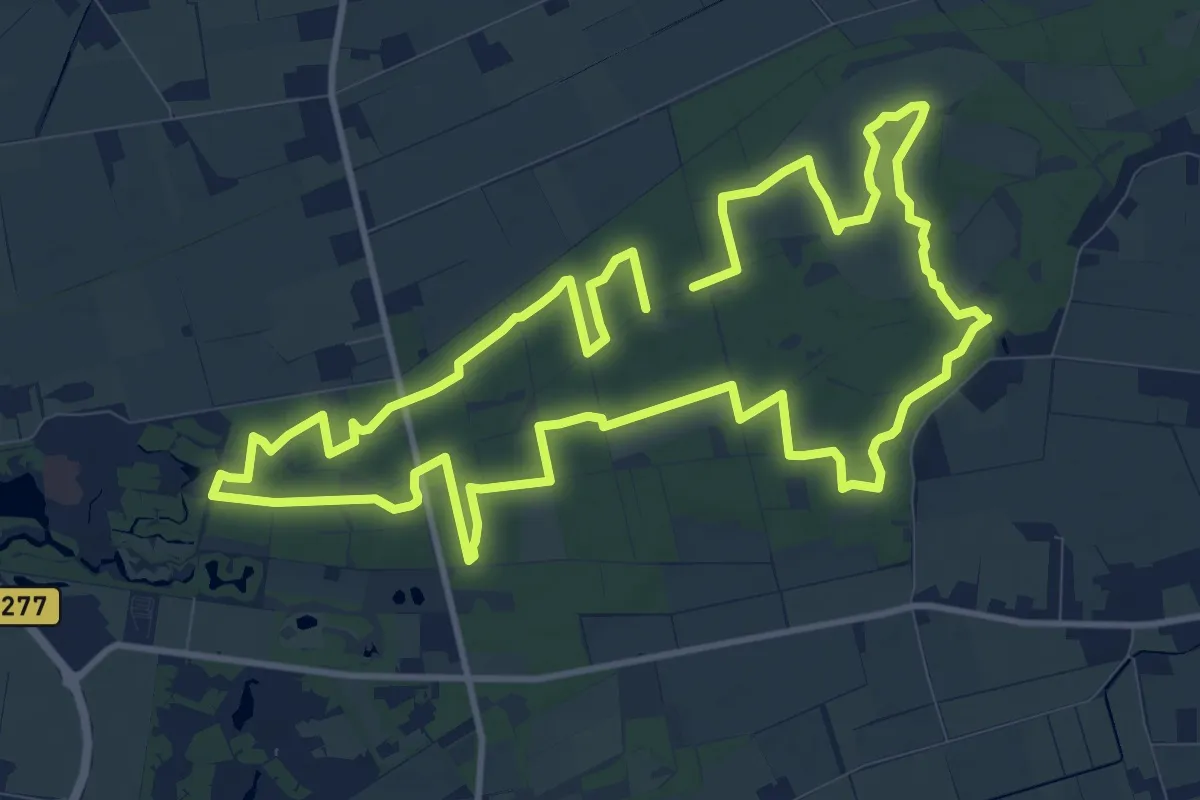
Medium · Trail
Schadijkse Bossen Route
11.2 km · ↑ 9 m · 2 h 49 min
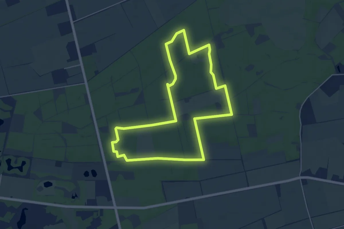
Easy · Trail
Schadijkse Bossen witte paaltjes
4.7 km · ↑ 8 m · 1 h 12 min
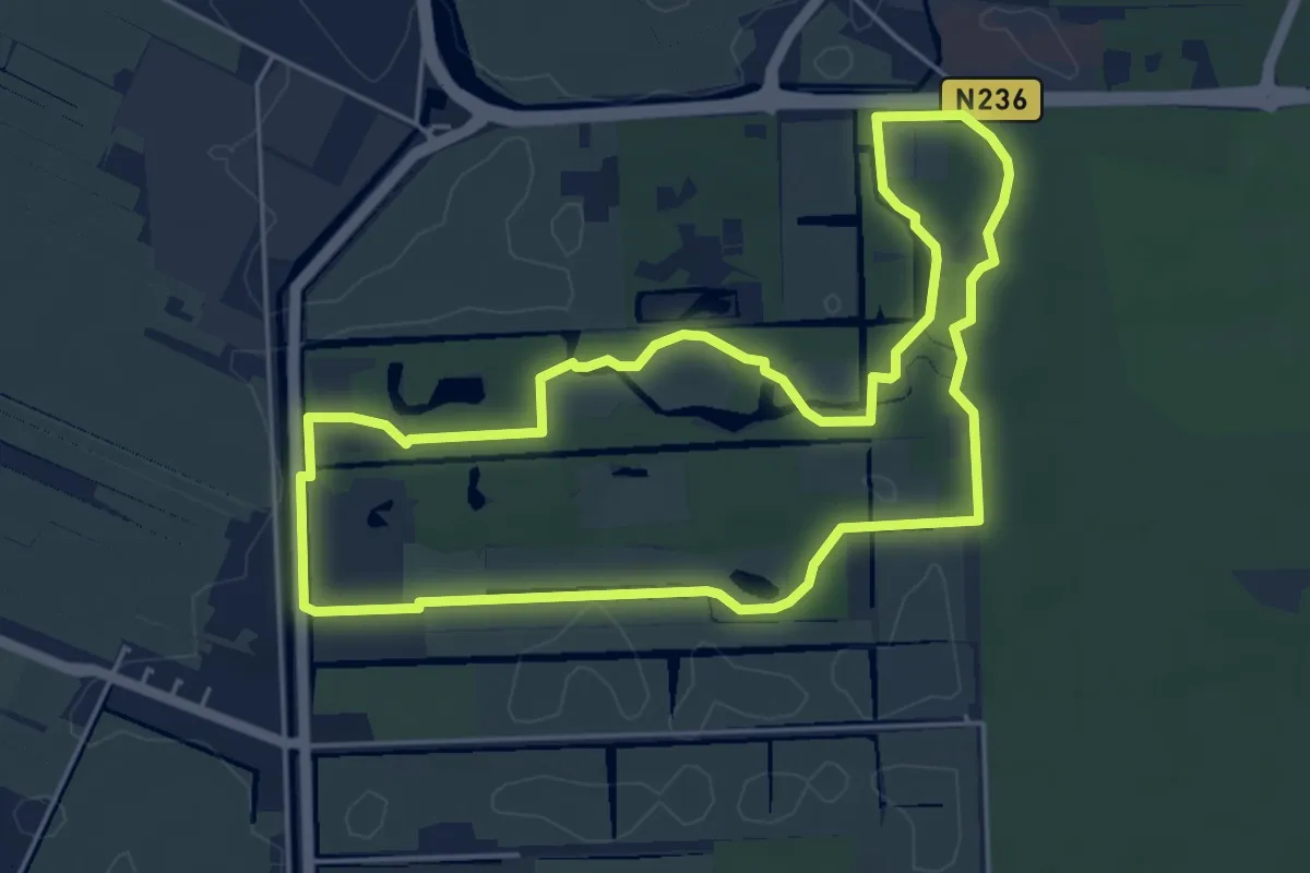
Easy · Trail
Schaep & Burghroute
4.8 km · ↑ 17 m · 1 h 14 min
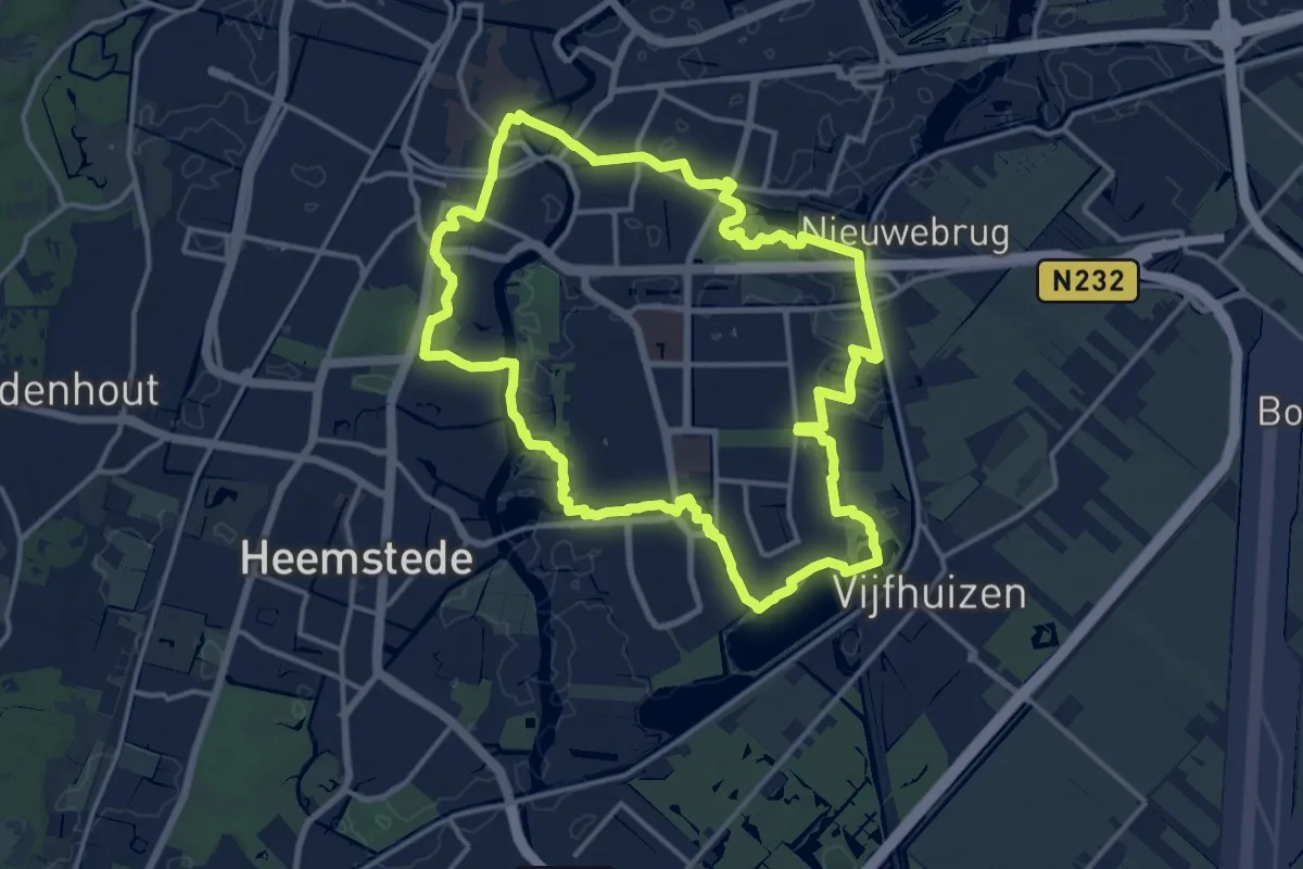
Medium · Trail
Schalkwijkronde
13.4 km · ↑ 17 m · 3 h 24 min
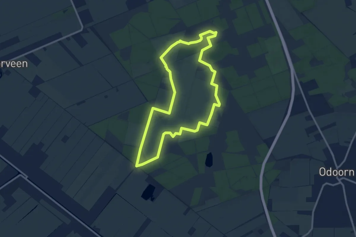
Easy · Trail
Schapenparkroute
7.2 km · ↑ 17 m · 1 h 50 min
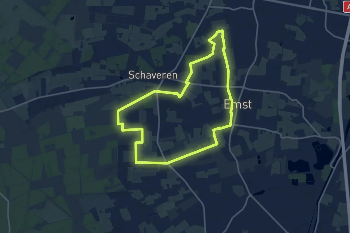
Medium · Trail
Schaverensepad
9.3 km · ↑ 26 m · 2 h 23 min
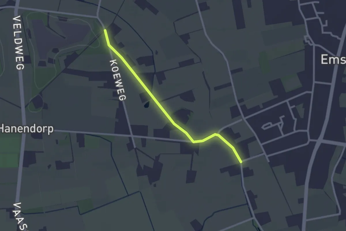
Easy · Trail
Schaverensepad routeverkorter
2.1 km · ↑ 4 m · 30 min
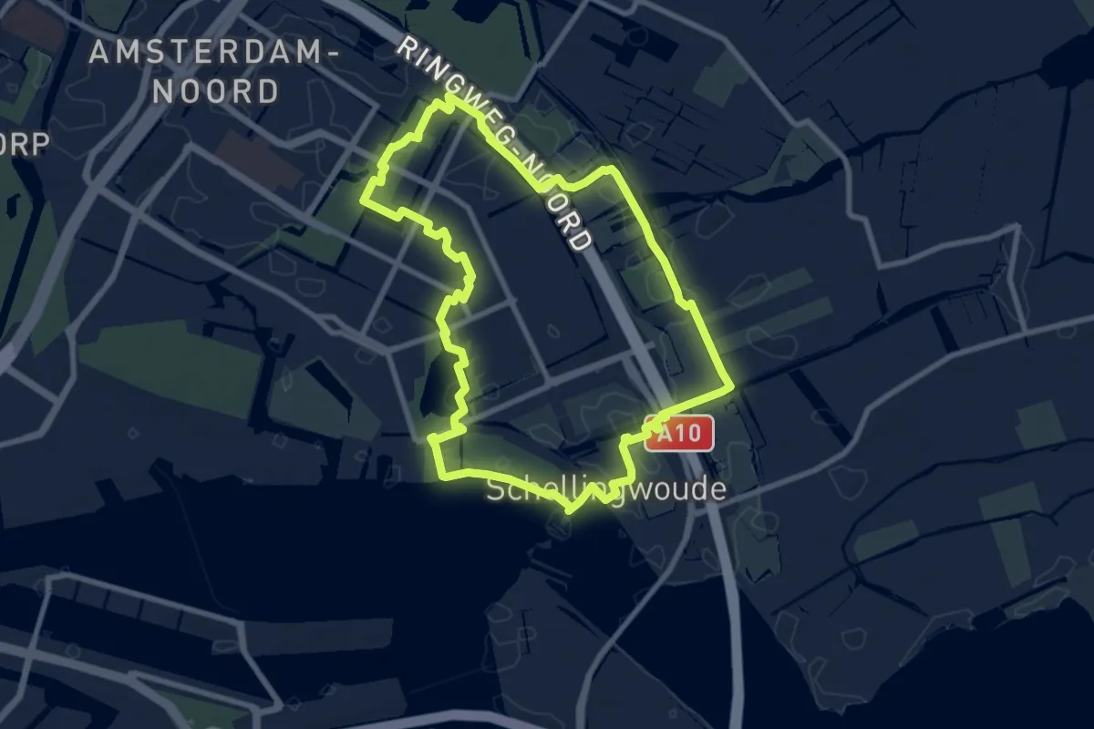
Easy · Trail
Schellingwouderoute
7.7 km · ↑ 0 m · 1 h 56 min
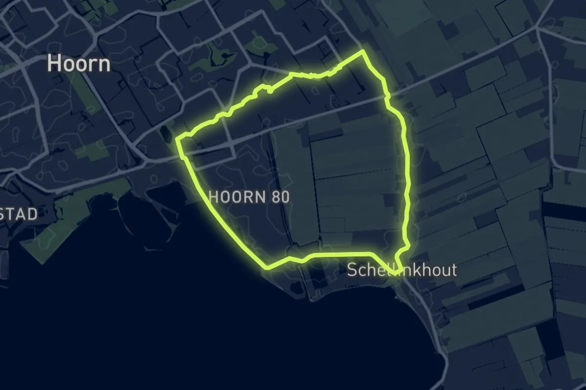
Easy · Trail
Schellinkhoutroute
8.0 km · ↑ 0 m · 2 h
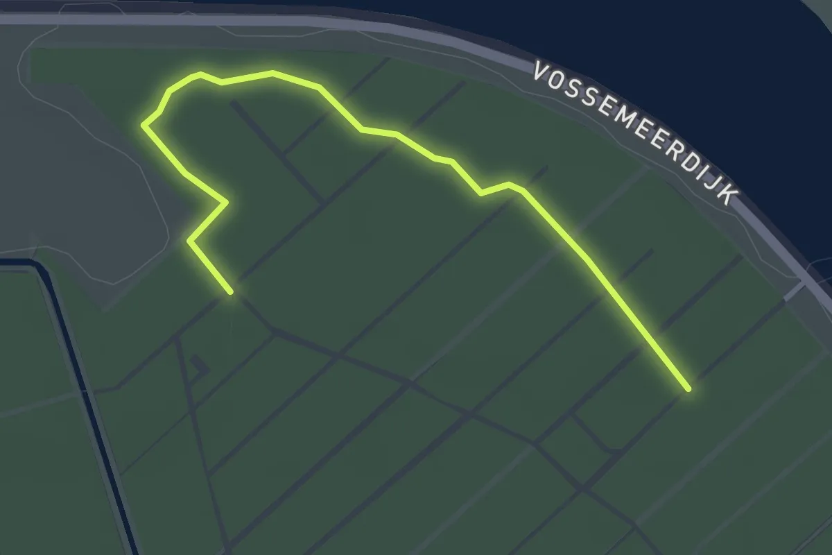
Easy · Trail
Scheperroute
1.5 km · ↑ 4 m · 22 min
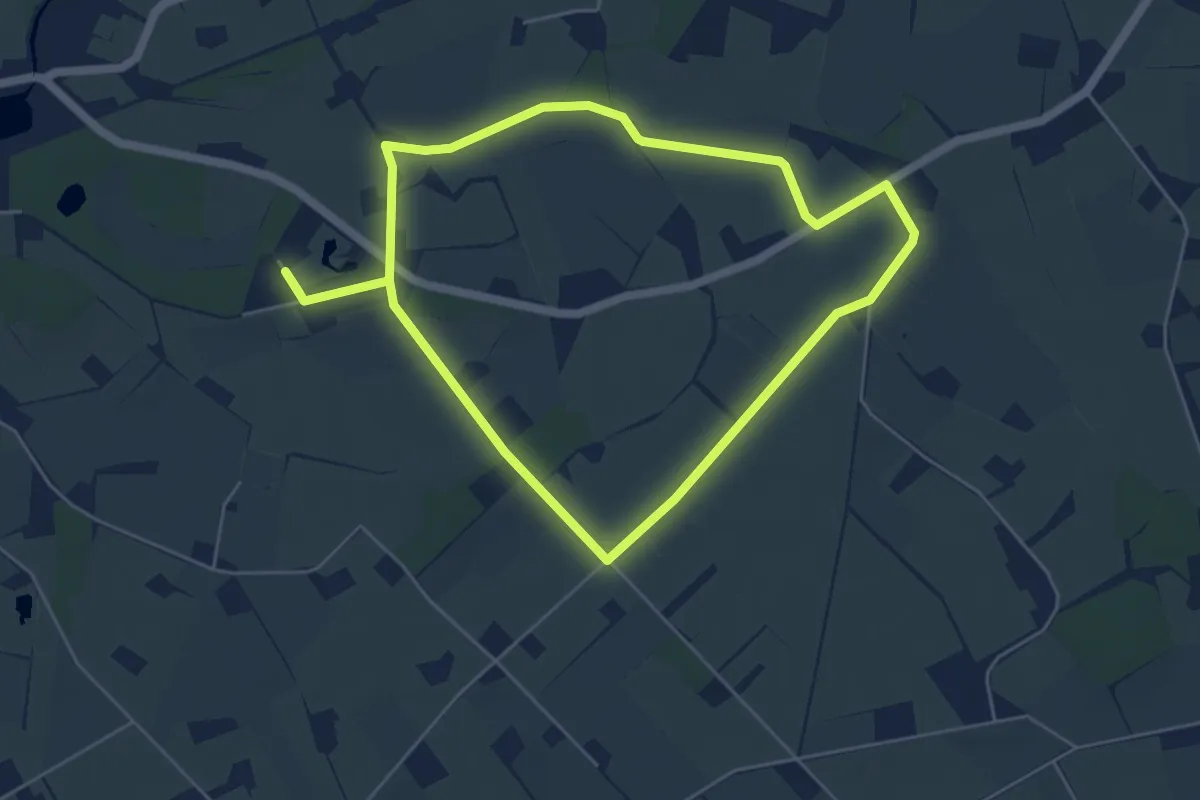
Easy · Trail
Schepersveldroute
5.0 km · ↑ 4 m · 1 h 15 min
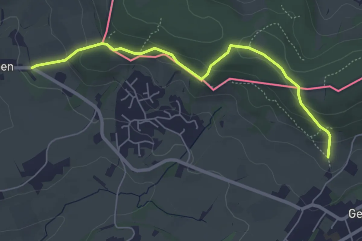
Easy · Trail
Schimperbosch
2.3 km · ↑ 110 m · 47 min
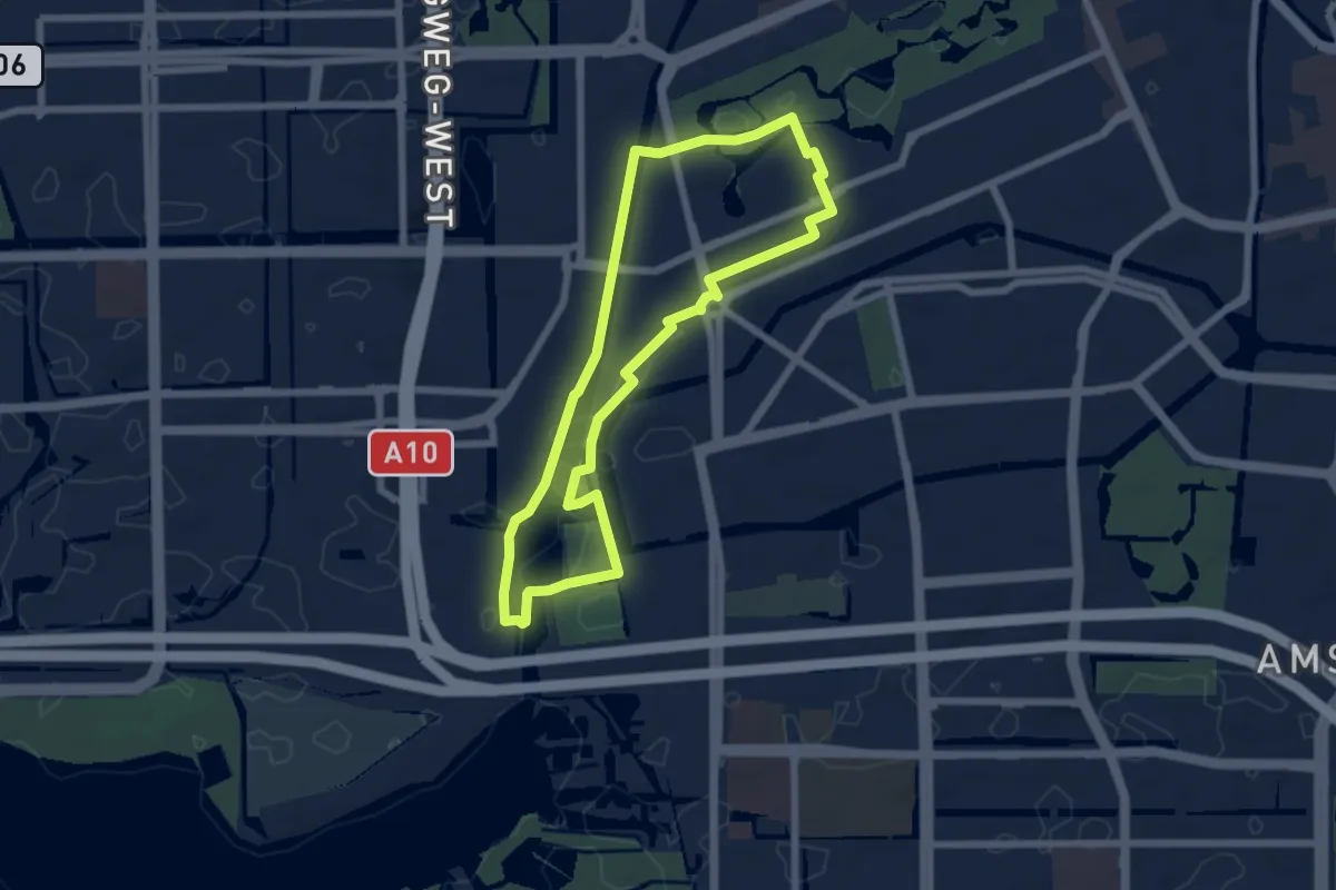
Easy · Trail
Schinkelpad
5.5 km · ↑ 8 m · 1 h 23 min
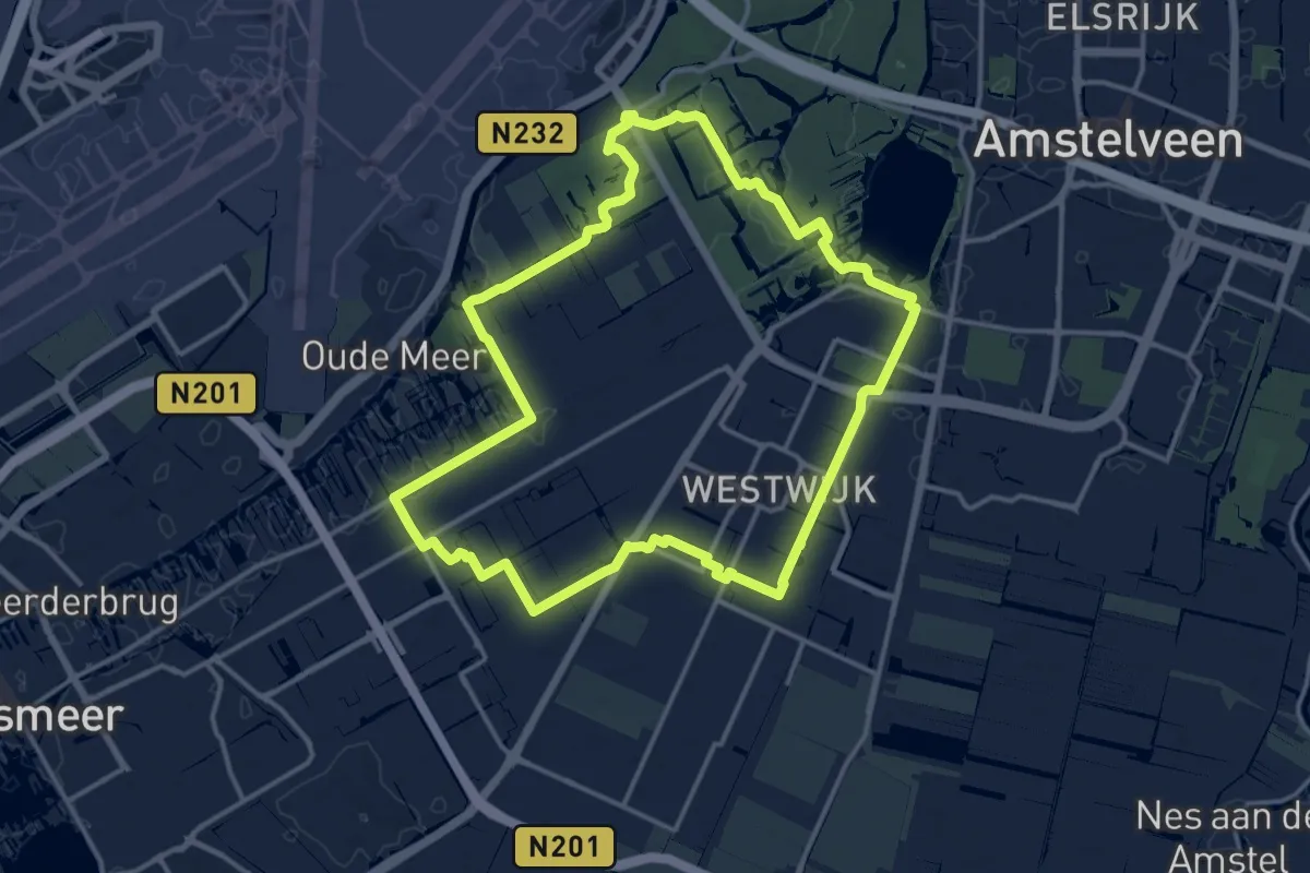
Medium · Trail
Schinkelpolderroute
13.3 km · ↑ 17 m · 3 h 22 min
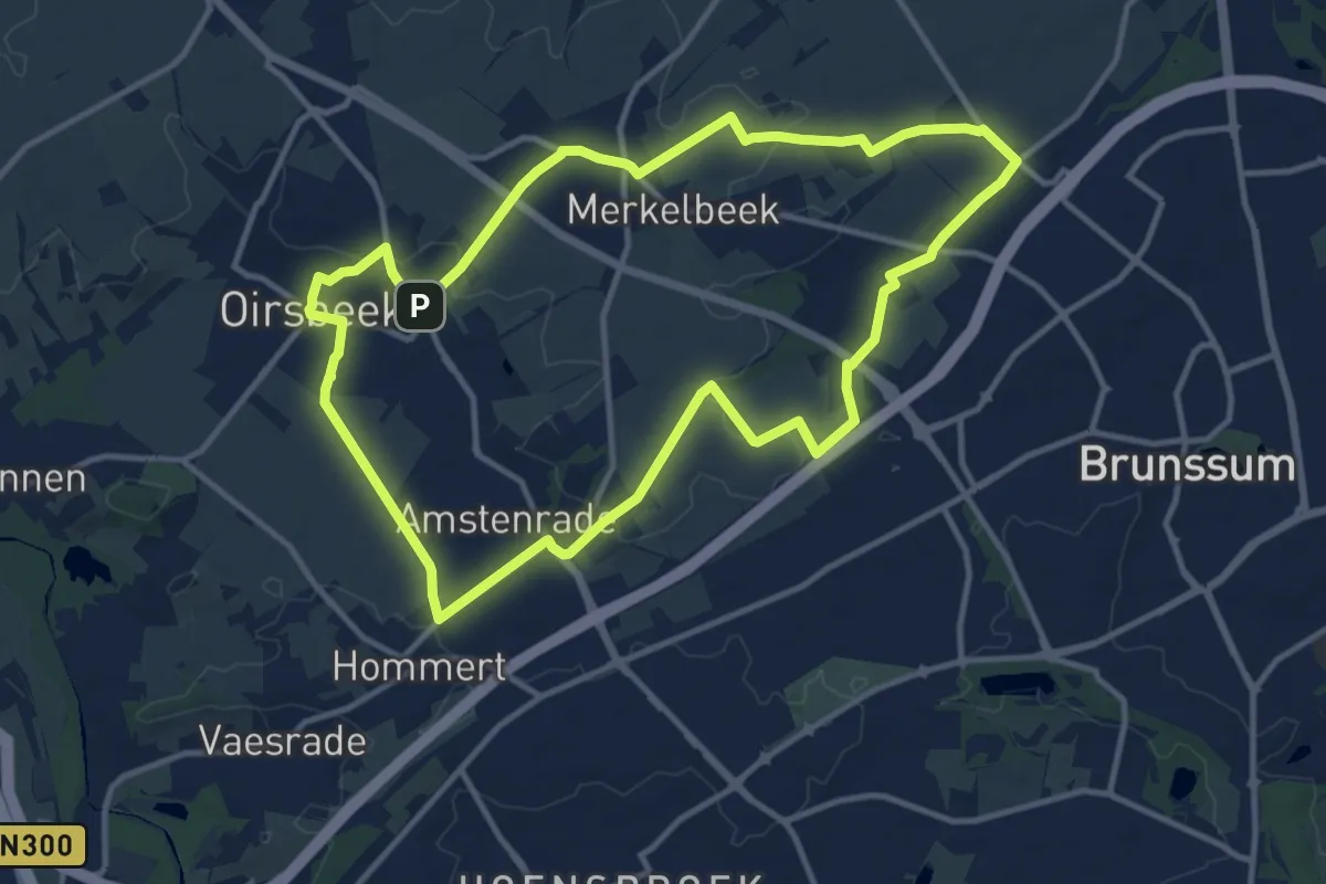
Medium · Trail
Schinnen SC02 Graaf Lambert route
11.1 km · ↑ 75 m · 2 h 56 min
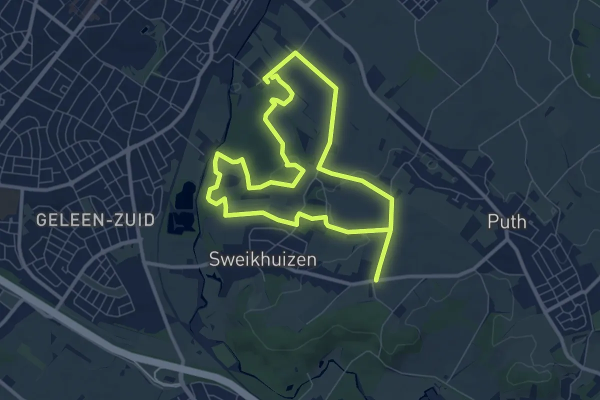
Easy · Trail
Schinnen SC06 Danikerberg route
6.5 km · ↑ 94 m · 1 h 50 min
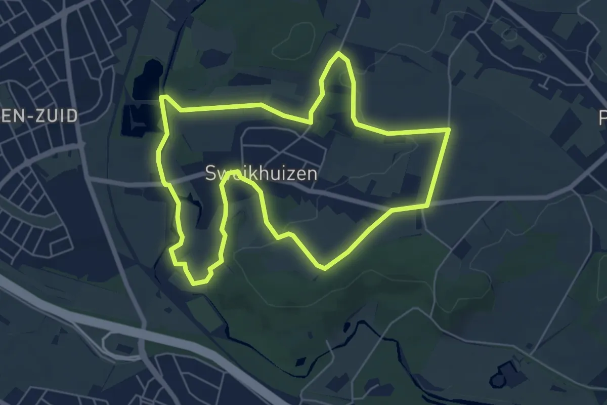
Easy · Trail
Schinnen SC07 Réngeloateroute
5.2 km · ↑ 74 m · 1 h 28 min
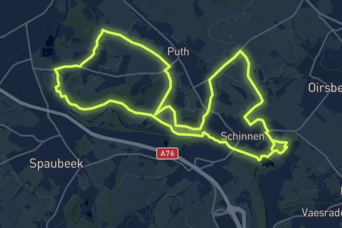
Medium · Trail
Schinnen SC08 Panoramaroute
14.2 km · ↑ 179 m · 3 h 56 min
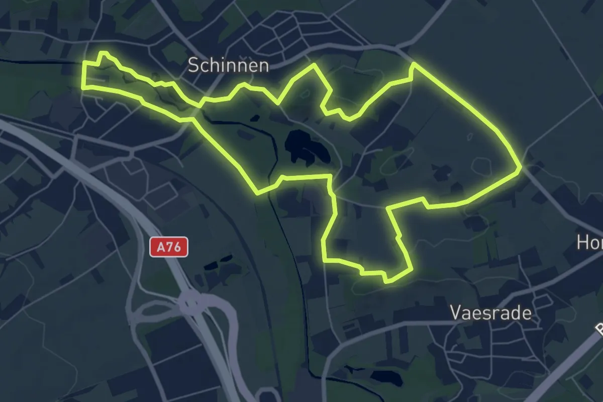
Easy · Trail
Schinnen SC09 Beekdalroute
7.2 km · ↑ 68 m · 1 h 56 min
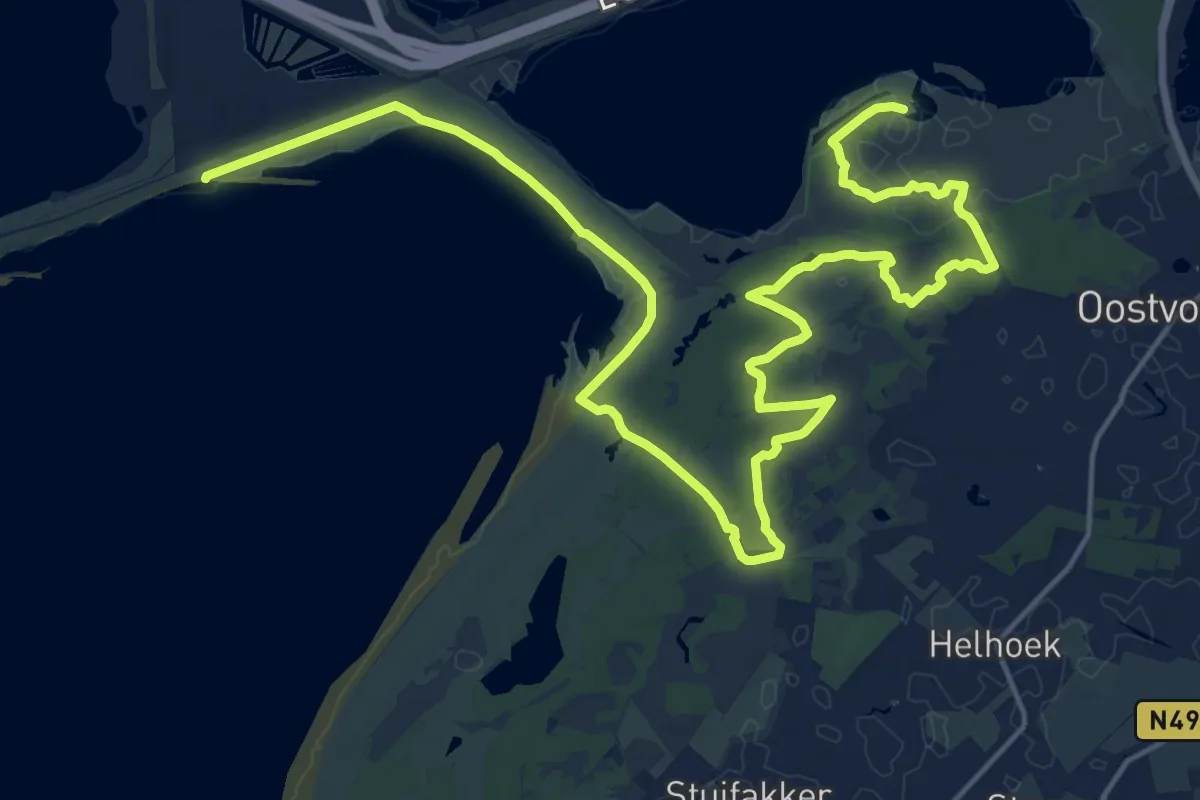
Demanding · Trail
Scholeksterroute
24.6 km · ↑ 18 m · 5 h 51 min
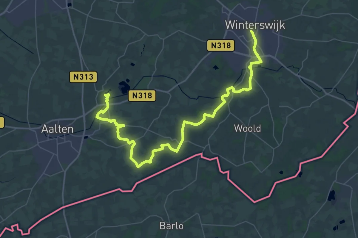
Demanding · Trail
Scholtenpad - 01
19.4 km · ↑ 35 m · 4 h 56 min
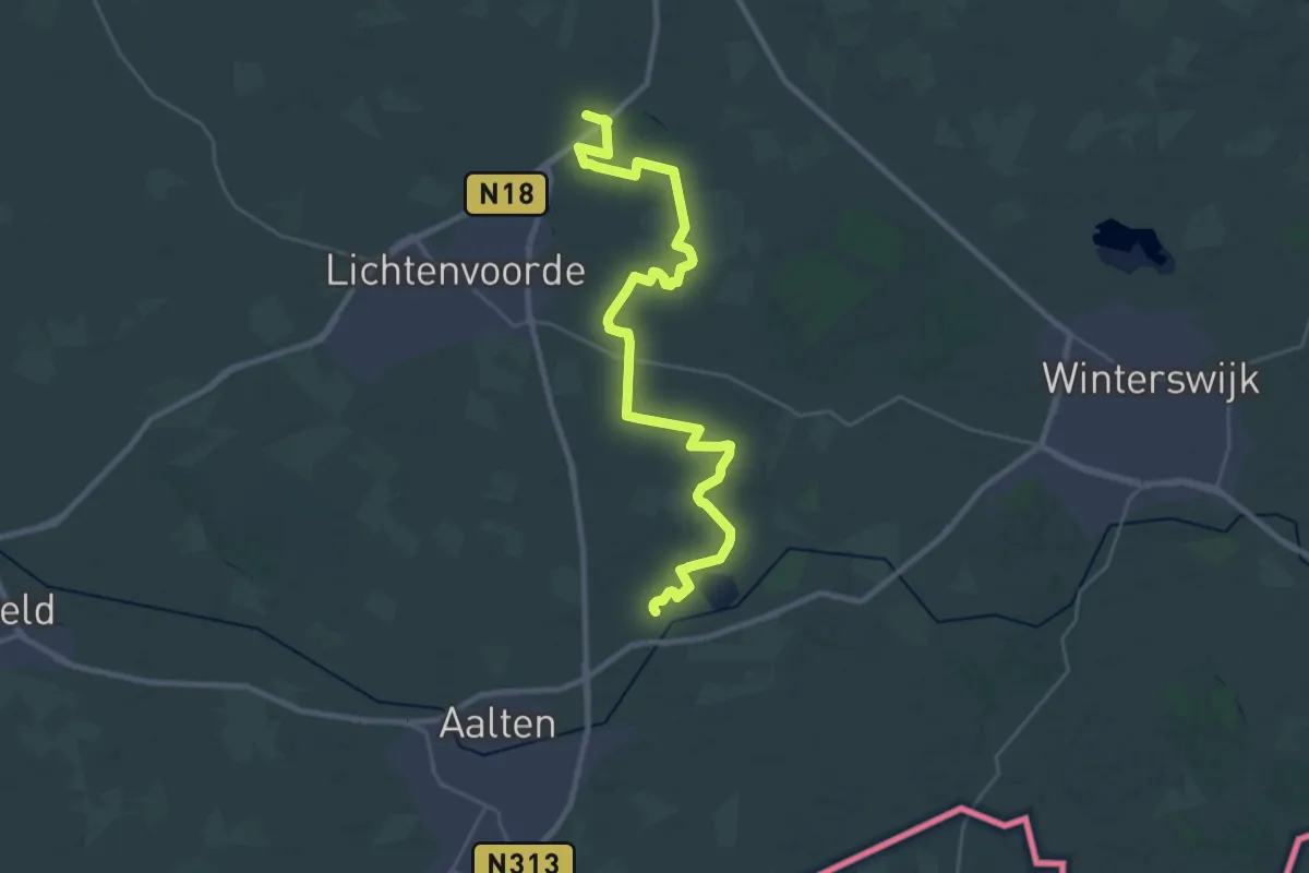
Demanding · Trail
Scholtenpad - 02
28.4 km · ↑ 77 m · 6 h 52 min
Demanding · Trail
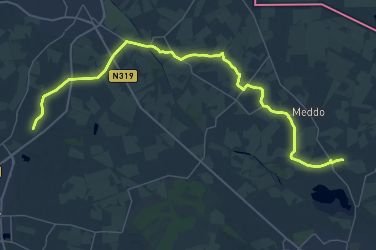
Scholtenpad - 03
25.1 km · ↑ 30 m · 6 h
Demanding · Trail
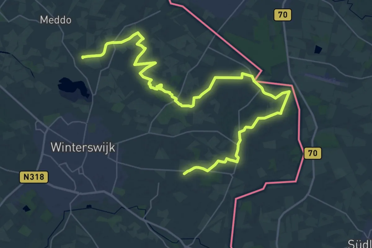
Scholtenpad - 04
18.3 km · ↑ 26 m · 4 h 37 min
Easy · Trail
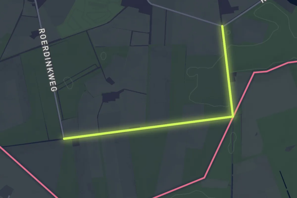
Scholtenpad - 05
3.3 km · ↑ 18 m · 49 min
Medium · Trail
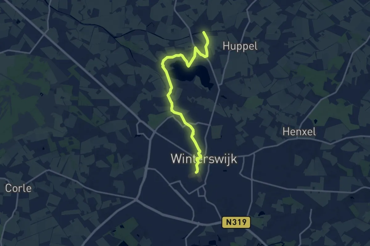
Scholtenpad - 06 - Noordroute
11.2 km · ↑ 12 m · 2 h 40 min
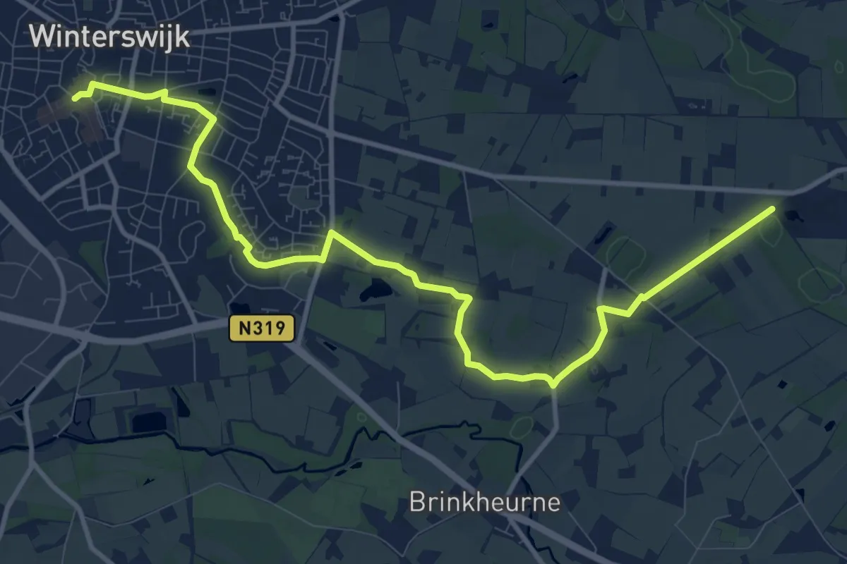
Medium · Trail
Scholtenpad - 07 - Oostroute
11.2 km · ↑ 13 m · 2 h 41 min
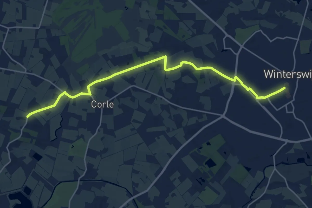
Medium · Trail
Scholtenpad - 08 - Westroute
15.3 km · ↑ 34 m · 3 h 41 min
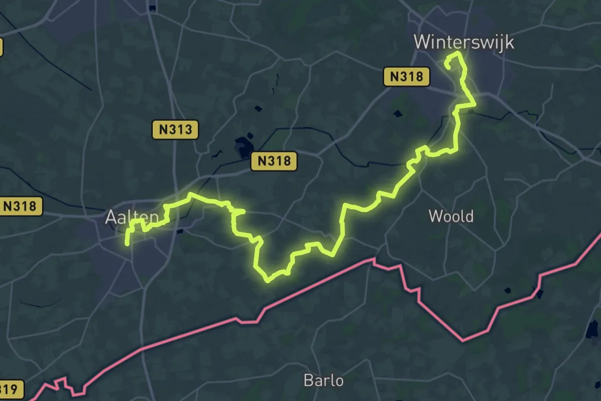
Demanding · Trail
Scholtenpad - Lijnwandeling Bekendelle
22.1 km · ↑ 50 m · 5 h 39 min
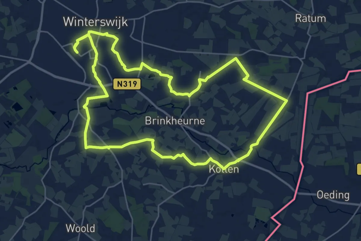
Demanding · Trail
Scholtenpad - Rondwandeling Brinkheurne
19.3 km · ↑ 39 m · 4 h 55 min
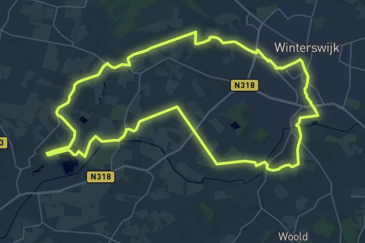
Demanding · Trail
Scholtenpad - Rondwandeling Corle
22.8 km · ↑ 53 m · 5 h 49 min
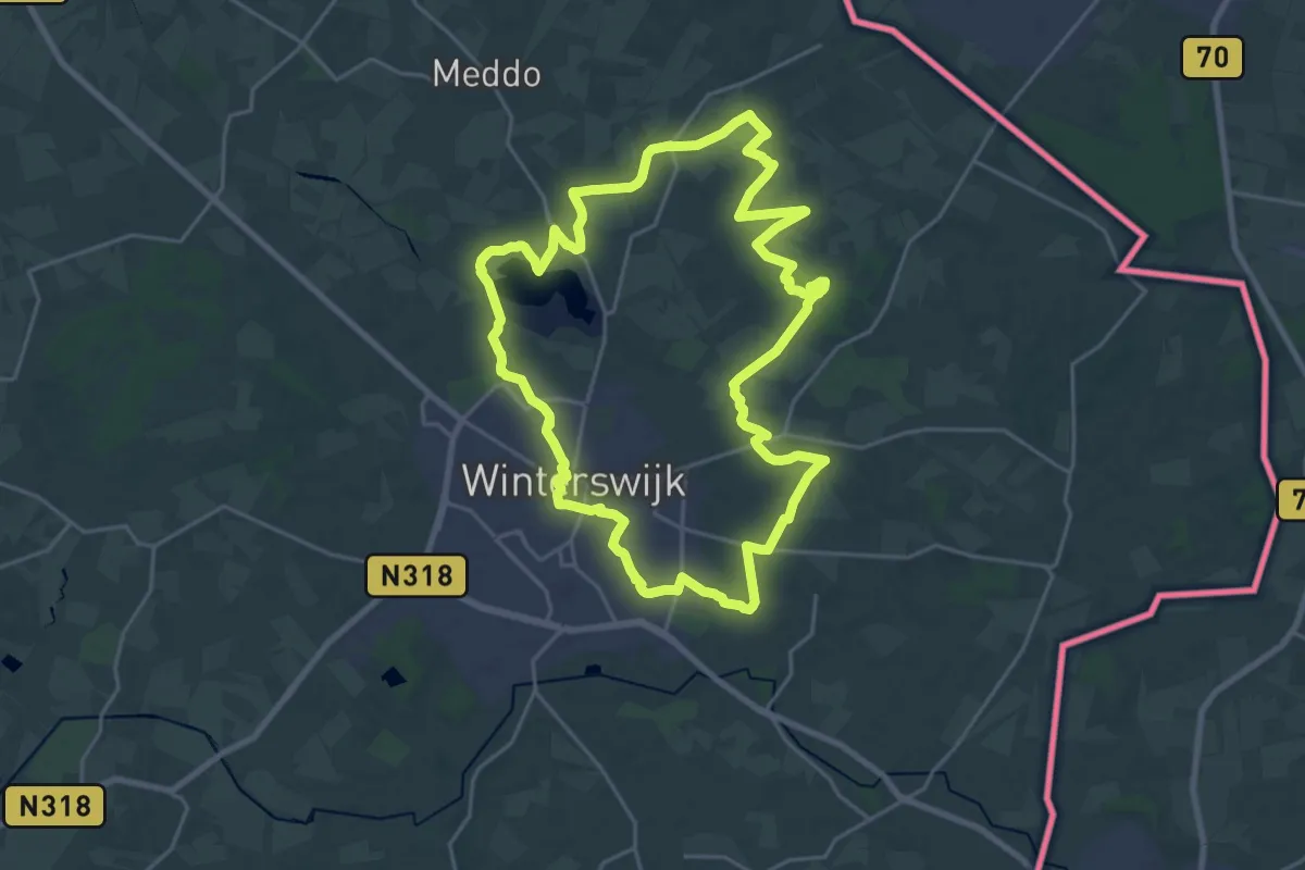
Demanding · Trail
Scholtenpad - Rondwandeling Huppel
20.5 km · ↑ 29 m · 5 h 11 min
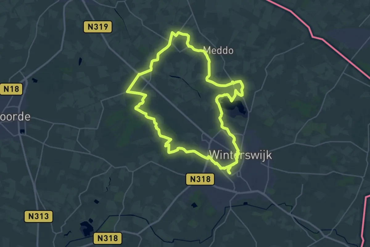
Demanding · Trail
Scholtenpad - Rondwandeling Meddo
23.1 km · ↑ 22 m · 5 h 49 min
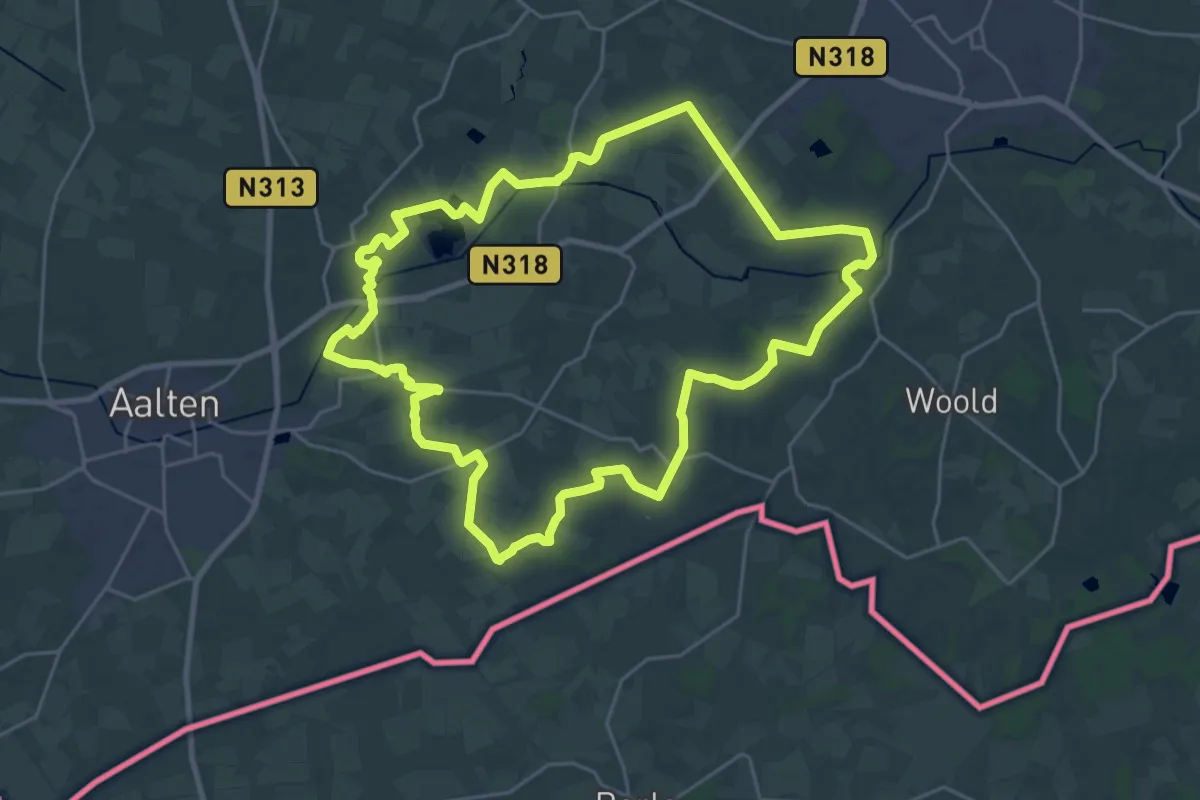
Demanding · Trail
Scholtenpad - Rondwandeling Miste
23.1 km · ↑ 51 m · 5 h 53 min
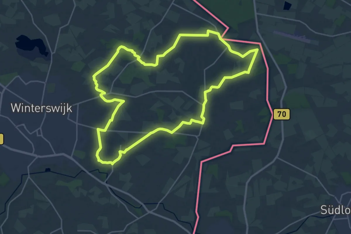
Demanding · Trail
Scholtenpad - Rondwandeling Ratum
19.3 km · ↑ 42 m · 4 h 56 min
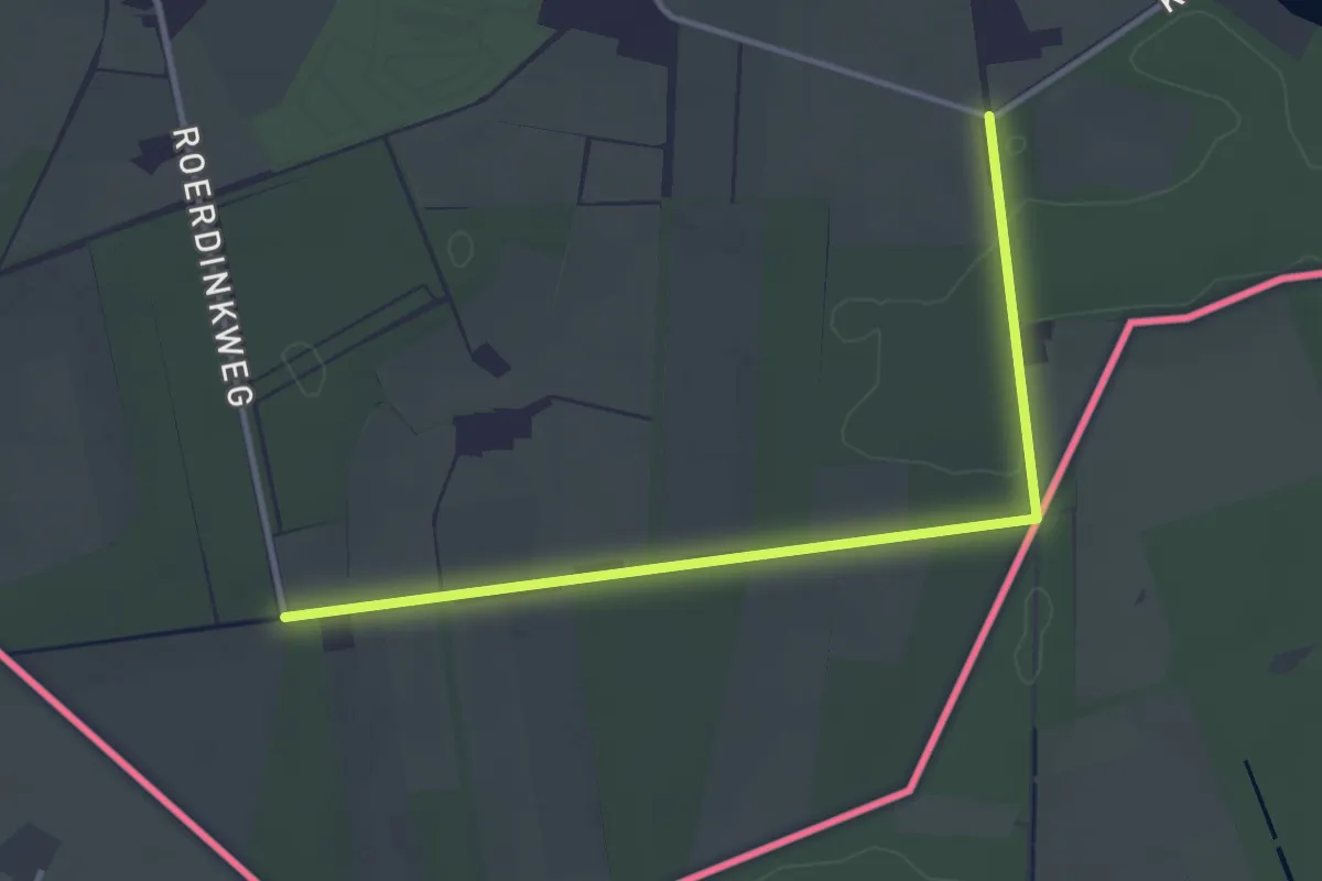
Easy · Trail
Scholtenpad - Rondwandeling Woold
1.6 km · ↑ 9 m · 26 min
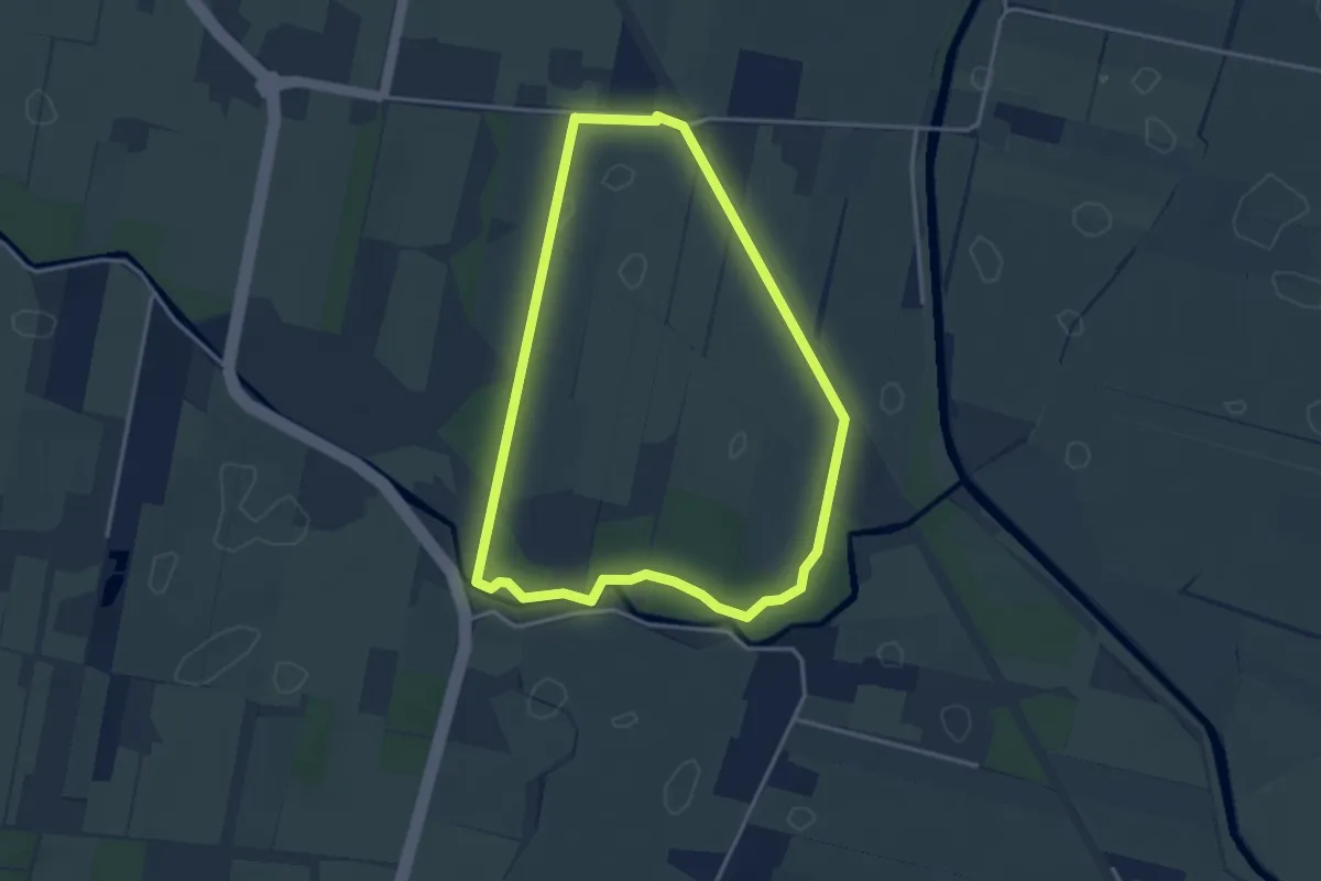
Easy · Trail
Schutpad
3.1 km · ↑ 4 m · 47 min
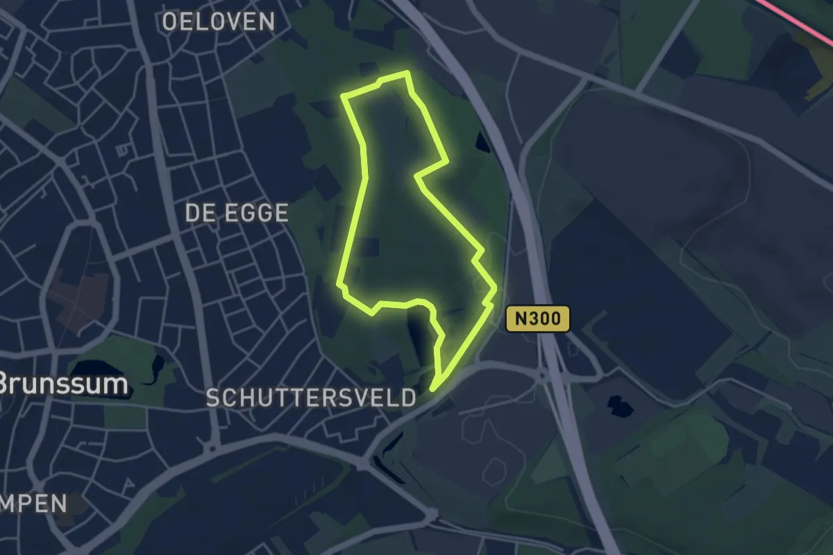
Easy · Summit
Schutterspark bronnen route
3.2 km · ↑ 33 m · 52 min
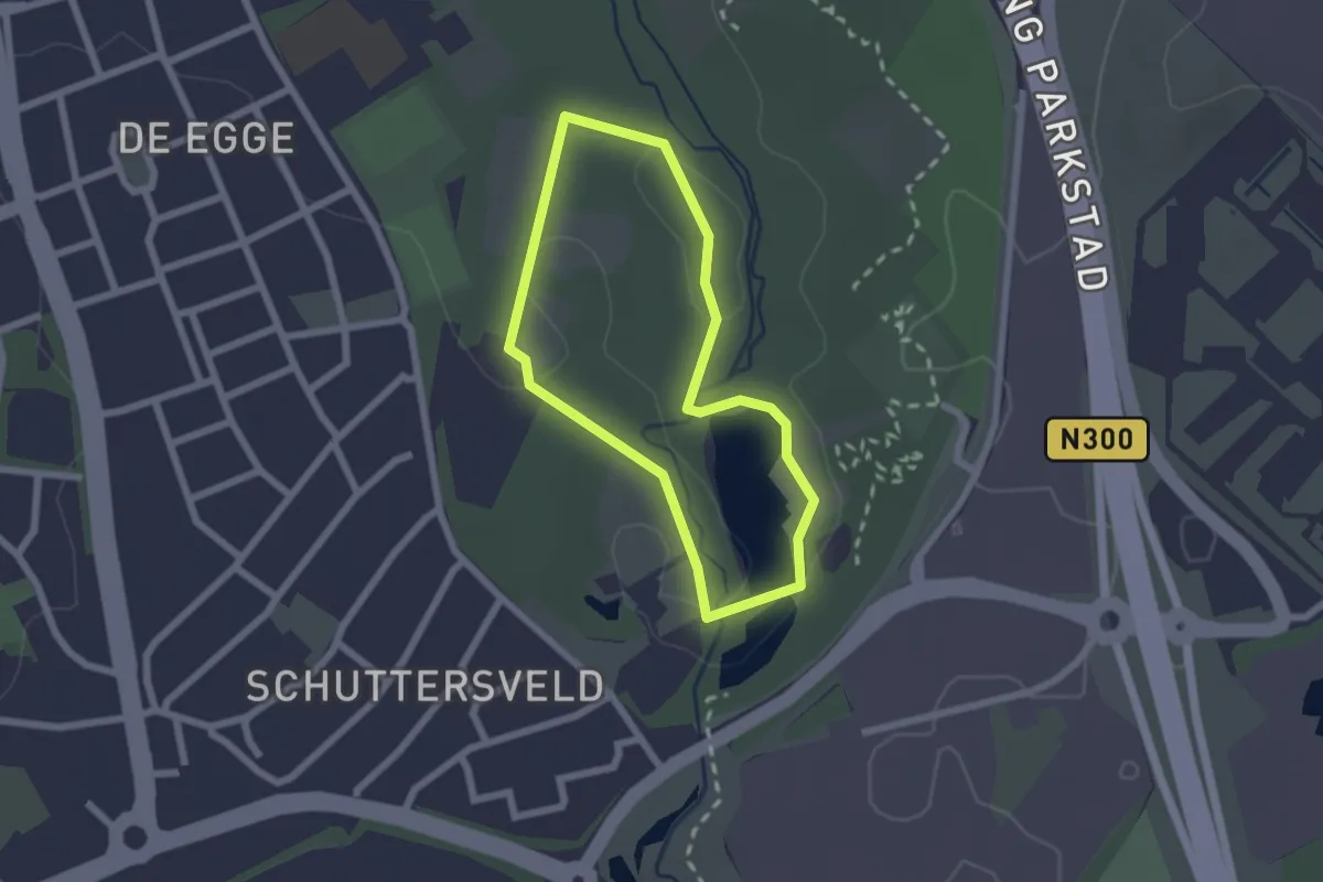
Easy · Summit
Schutterspark Minder valide route
1.7 km · ↑ 4 m · 26 min
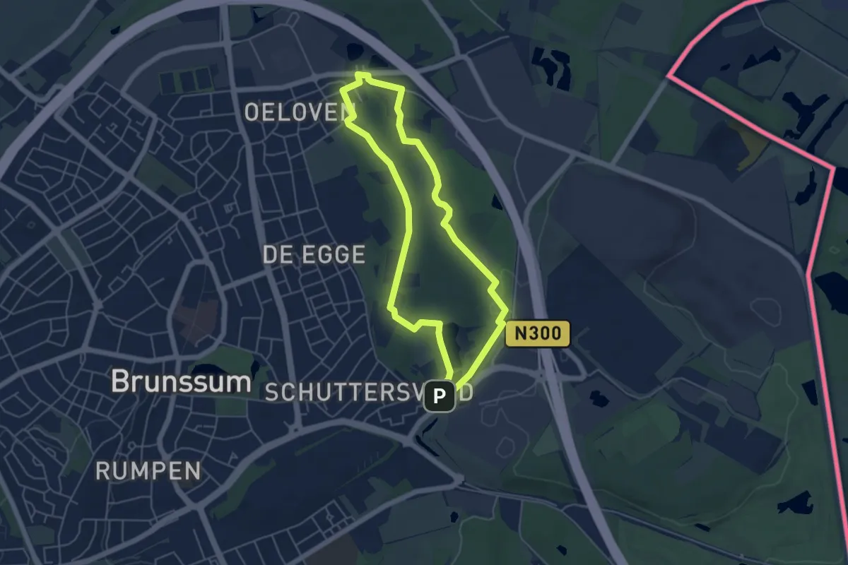
Easy · Summit
Schutterspark vijver route
4.3 km · ↑ 27 m · 1 h 8 min
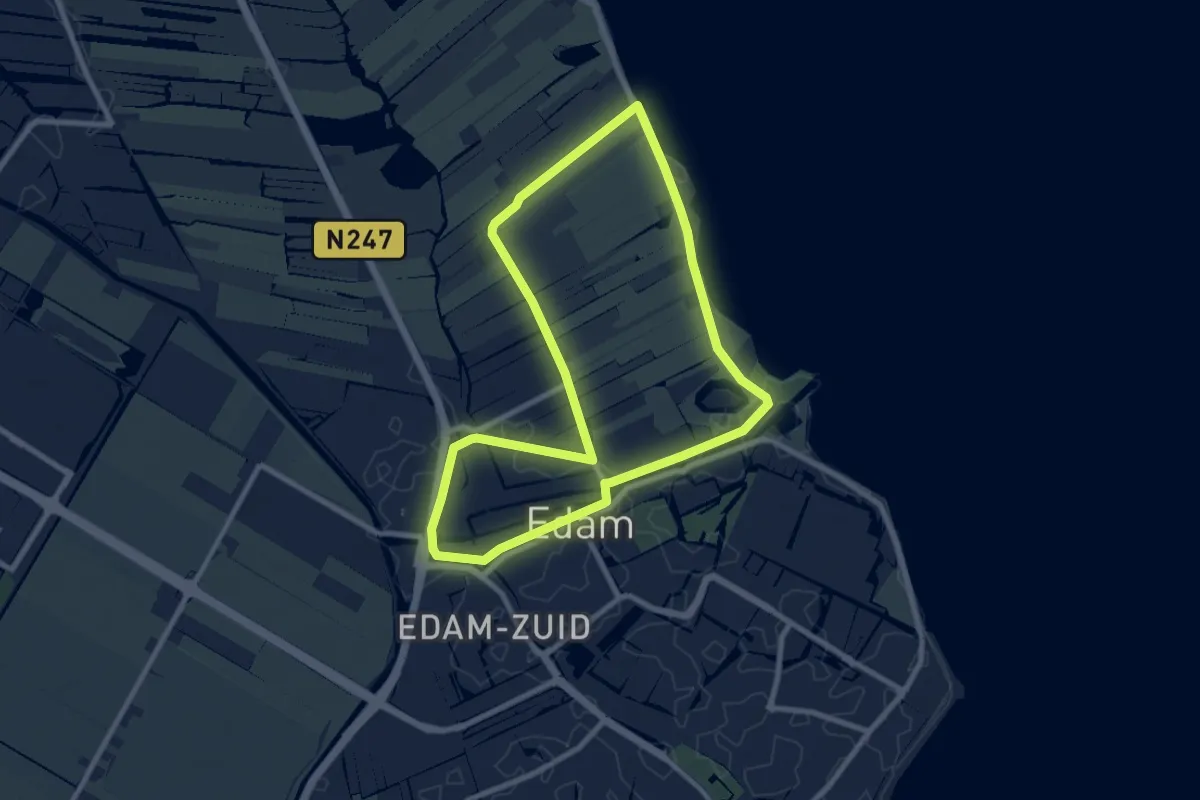
Easy · Trail
Seedijckroute
7.6 km · ↑ 4 m · 1 h 55 min
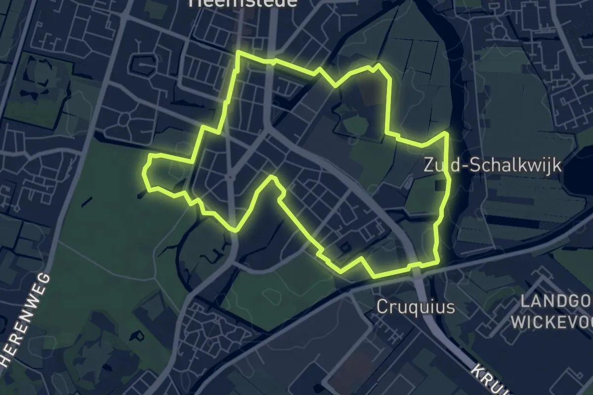
Easy · Trail
Seminaristenroute
6.4 km · ↑ 13 m · 1 h 38 min
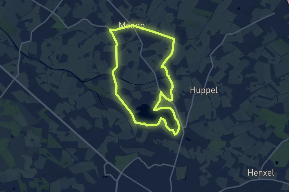
Medium · Trail
Sevink molen - Rondom het Hilgelo
9.4 km · ↑ 9 m · 2 h 22 min
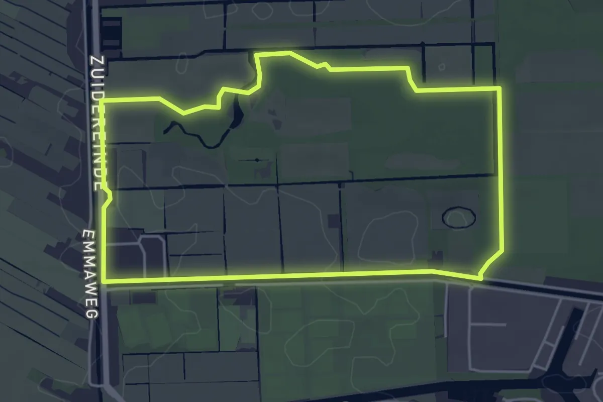
Easy · Trail
's-Gravelandse Vaartroute
4.1 km · ↑ 13 m · 1 h 4 min
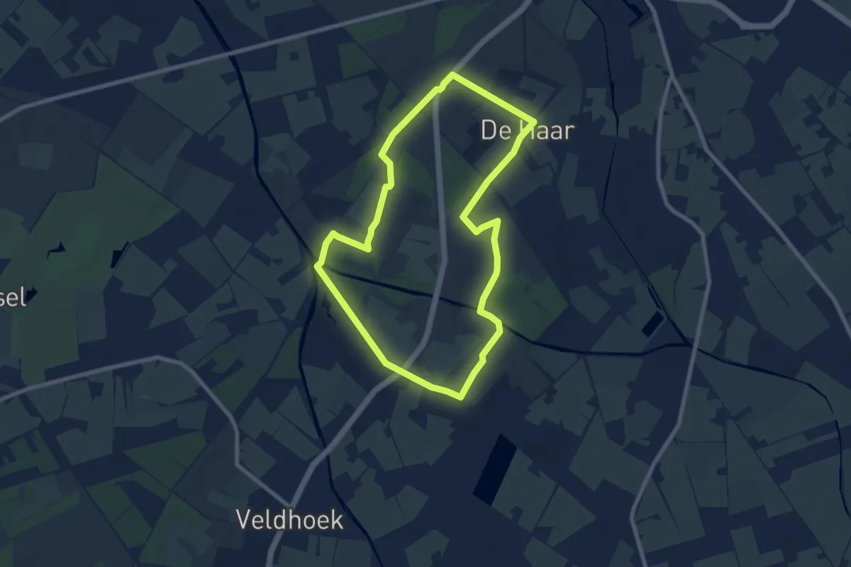
Easy · Trail
Sikkelerroute
6.6 km · ↑ 30 m · 1 h 42 min
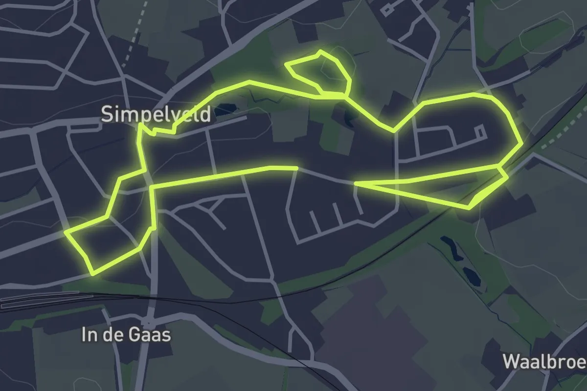
Easy · Trail
Simpelveld: Clara Fey-pad
3.8 km · ↑ 34 m · 1 h 2 min