Trails in Netherlands
5,039 hiking trails, each with its route, climb, walking time and grade.
All trails, page 54 of 105
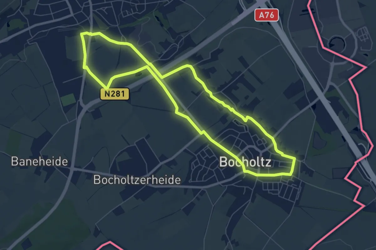
Easy · Trail
Simpelveld: Jacobsroute
6.7 km · ↑ 36 m · 1 h 45 min
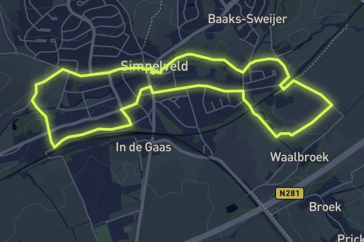
Easy · Trail
Simpelveld: Remigiuspad
5.3 km · ↑ 47 m · 1 h 25 min
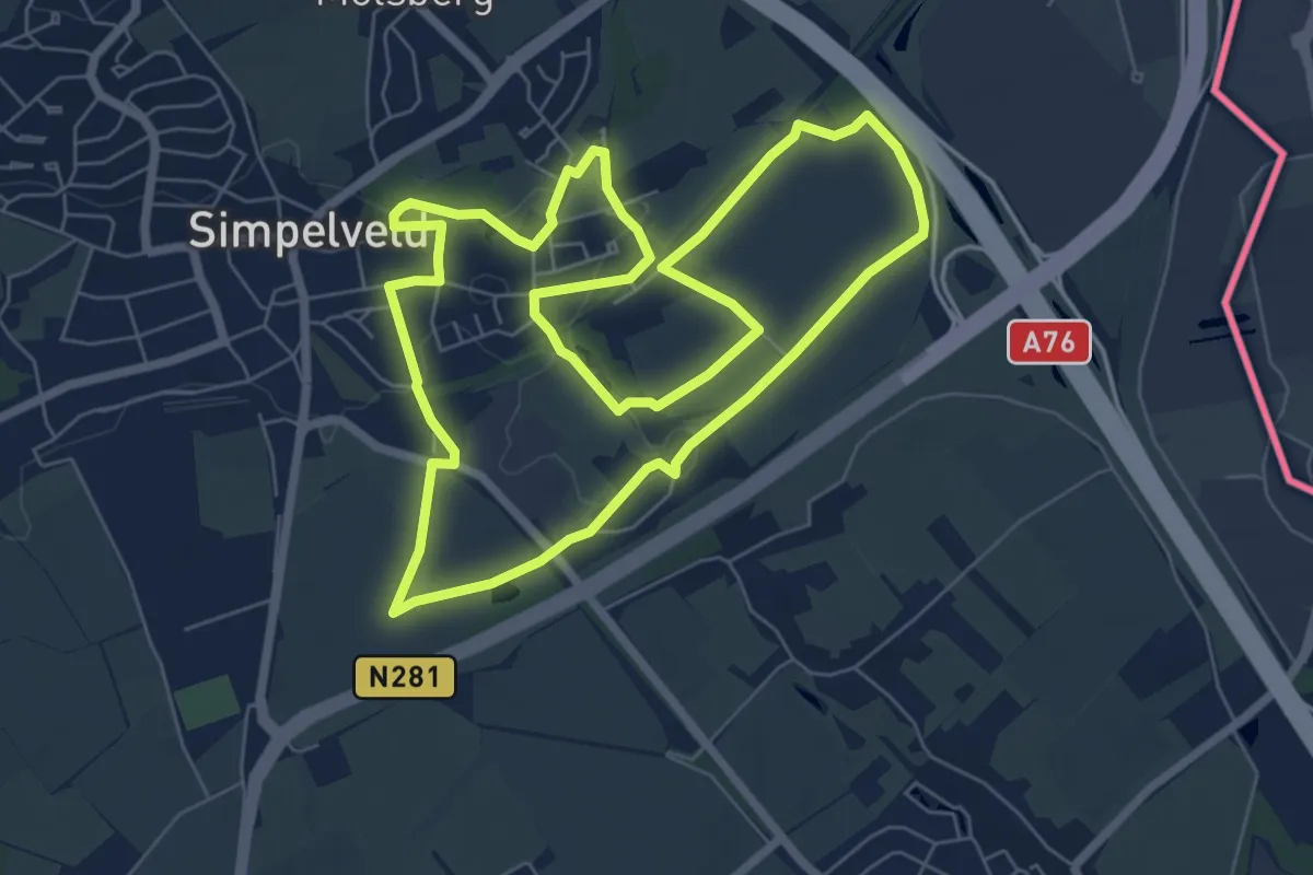
Easy · Trail
Simpelveld Si1
6.7 km · ↑ 58 m · 1 h 48 min
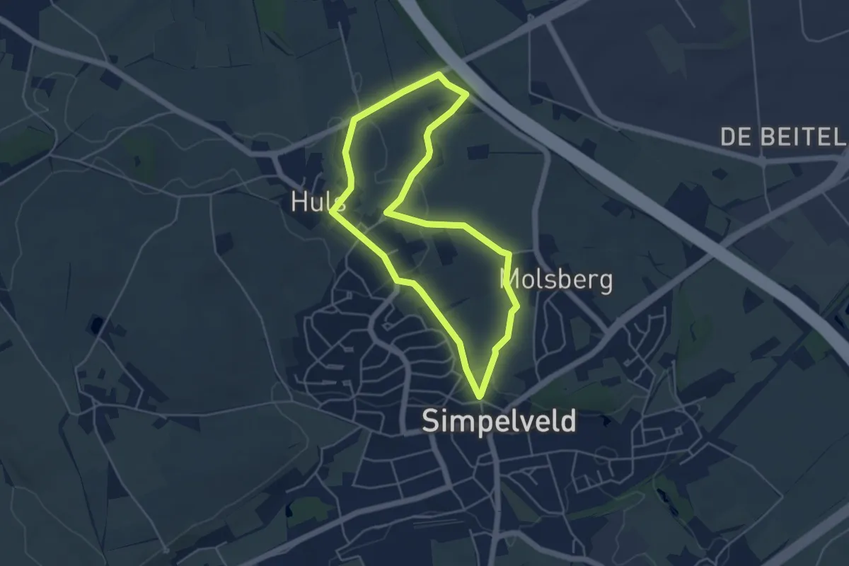
Easy · Trail
Simpelveld Si2 Huls
4.0 km · ↑ 80 m · 1 h 10 min
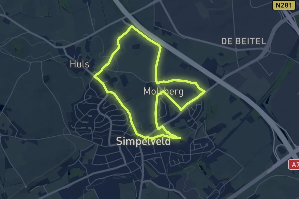
Easy · Trail
Simpelveld Si3 Molsberg
5.4 km · ↑ 73 m · 1 h 30 min
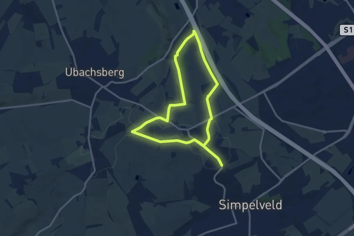
Easy · Trail
Simpelveld Si4 plateau Huls
6.9 km · ↑ 80 m · 1 h 54 min
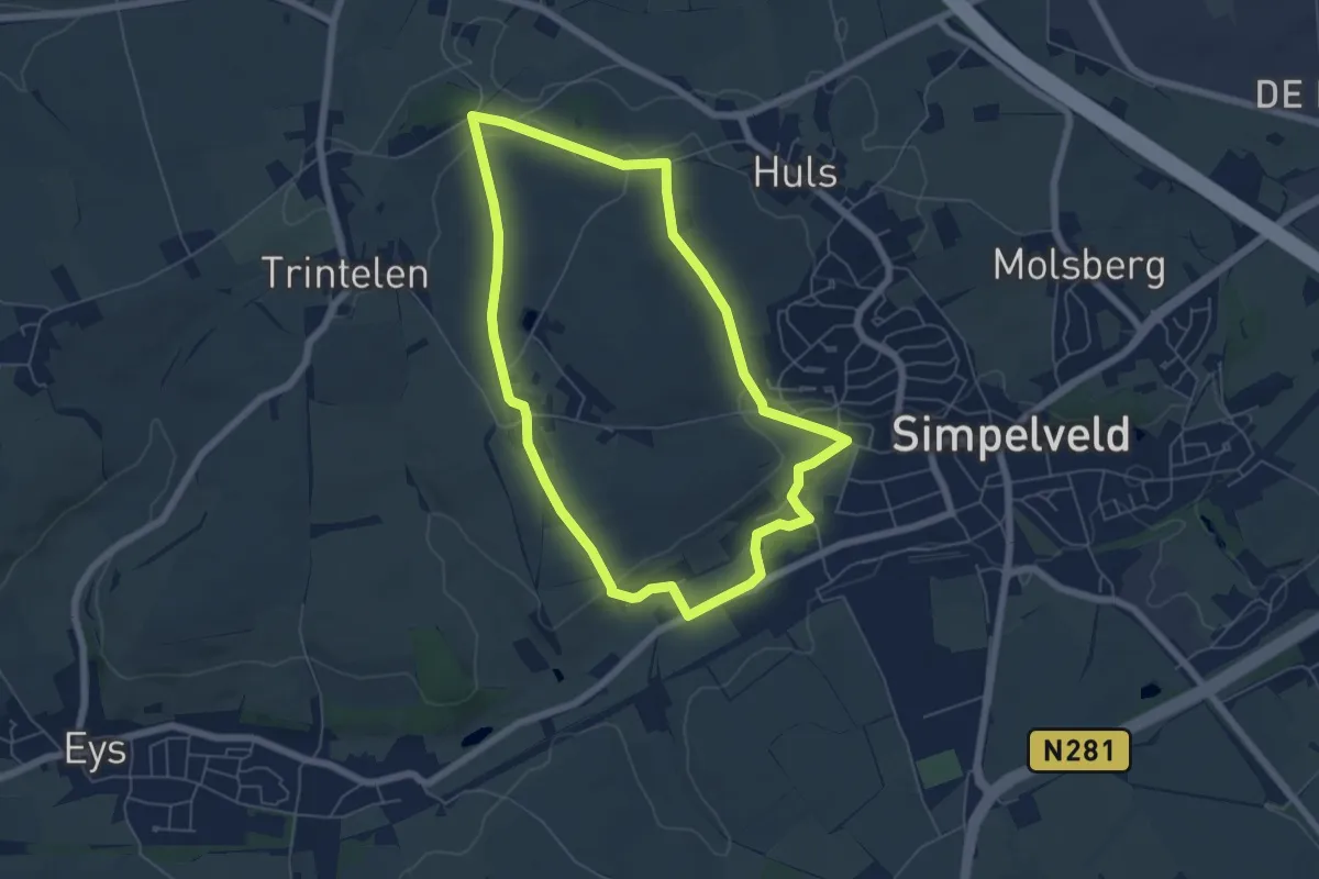
Easy · Summit
Simpelveld Si5 Huls
5.4 km · ↑ 75 m · 1 h 30 min
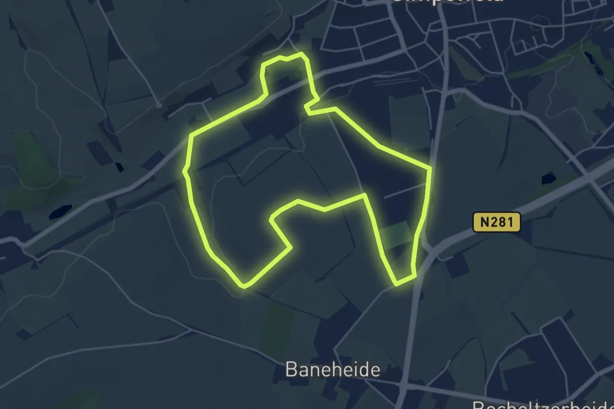
Easy · Trail
Simpelveld Si6 Miljoenenlijn route
4.8 km · ↑ 38 m · 1 h 17 min
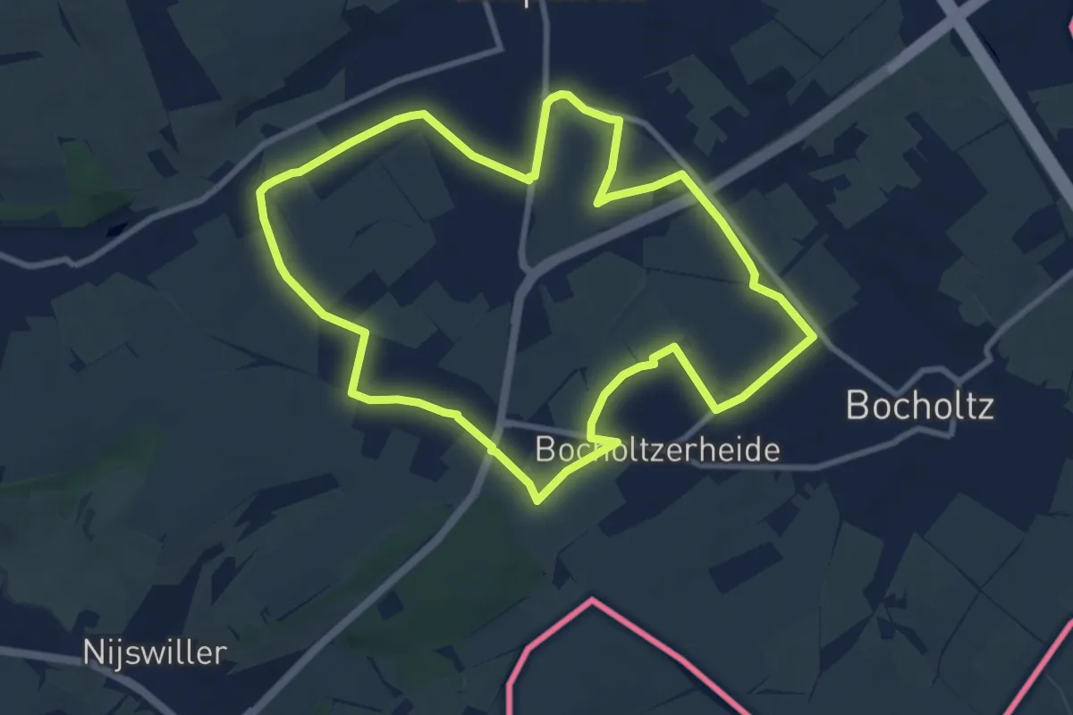
Medium · Trail
Simpelveld Si7 Miljoenenlijn route
8.2 km · ↑ 56 m · 2 h 10 min
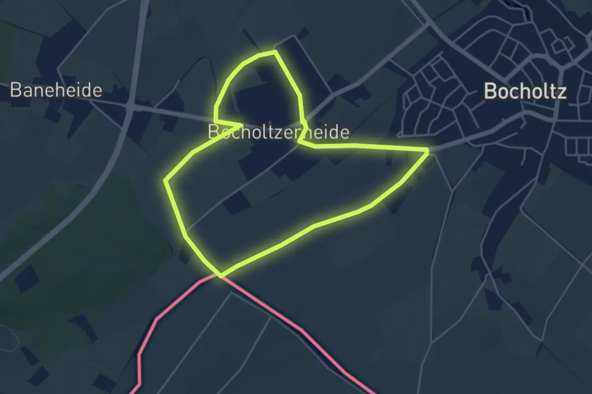
Easy · Trail
Simpelveld Si8 Bocholtzerheide
3.9 km · ↑ 13 m · 1 h
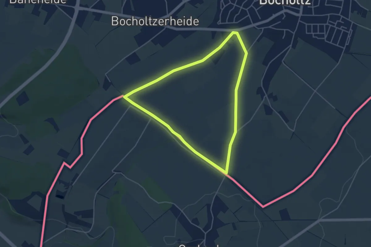
Easy · Trail
Simpelveld Si9 Bocholtz
3.7 km · ↑ 18 m · 58 min
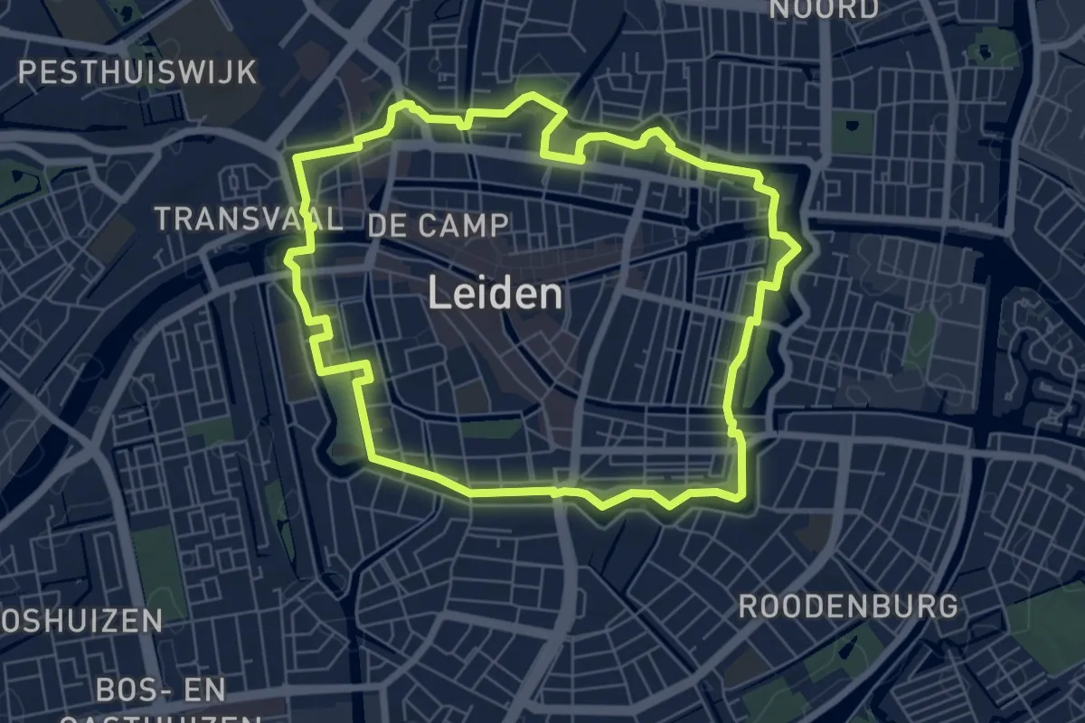
Easy · Trail
Singelpark
6.0 km · ↑ 0 m · 1 h 30 min
Medium · Trail
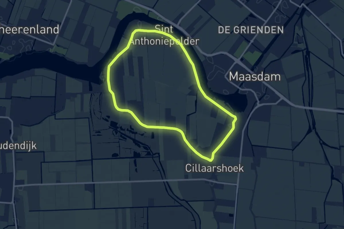
Sint Anthoniepolderroute
8.2 km · ↑ 0 m · 2 h 3 min
Medium · Trail
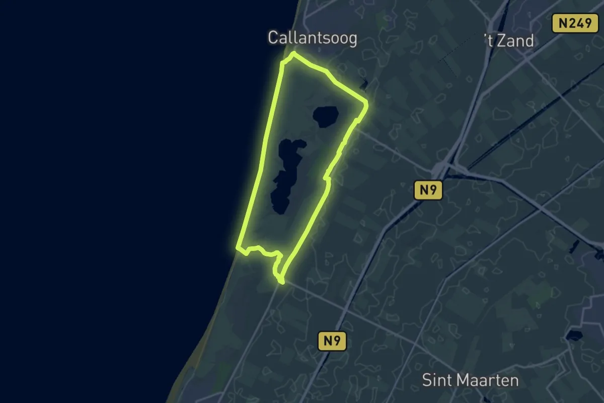
Sint Maarten groen 11.9 km
12.0 km · ↑ 8 m · 3 h 1 min
Easy · Trail
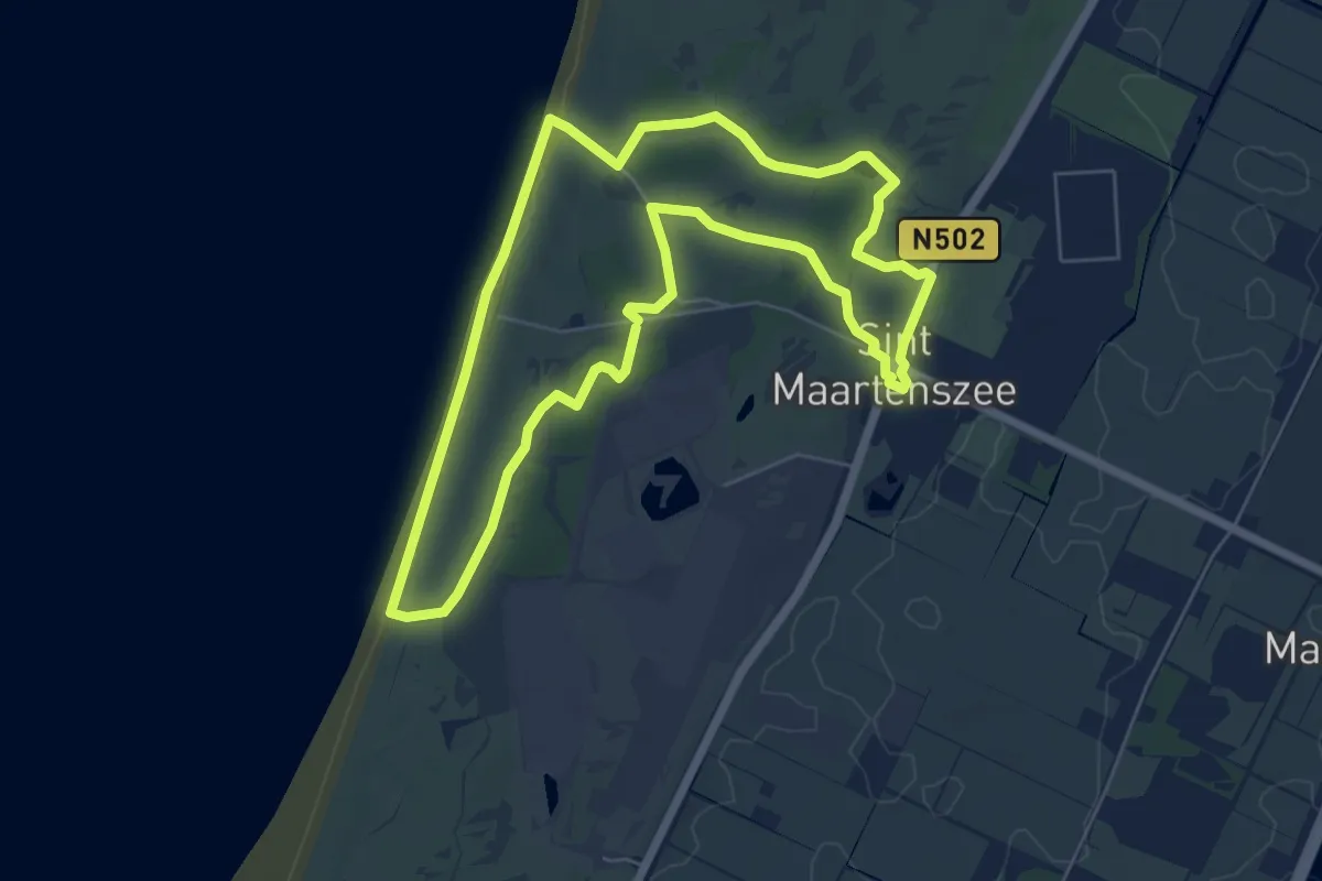
Sint Maartenszee oranje 5,7 km
5.6 km · ↑ 9 m · 1 h 24 min
Easy · Trail
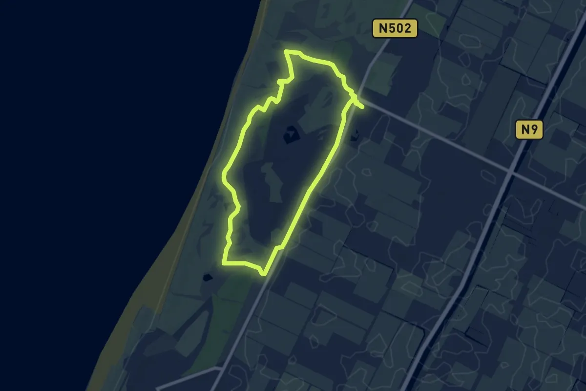
Sint Maartenszee paars 5,5 km
5.6 km · ↑ 4 m · 1 h 25 min
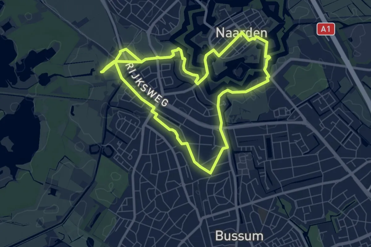
Easy · Trail
Sint-Vitusroute
6.8 km · ↑ 4 m · 1 h 42 min
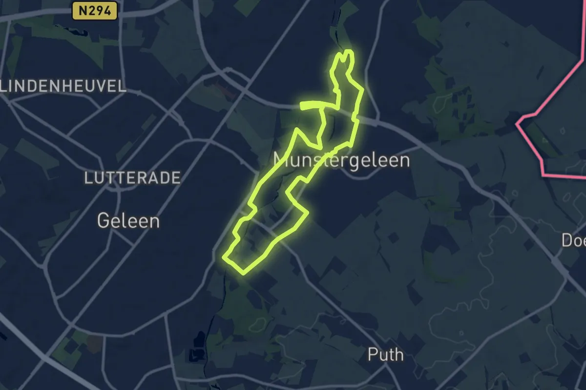
Medium · Trail
Sittard-Geleen SG1 Van stadspark naar stadspark
8.6 km · ↑ 13 m · 2 h 10 min
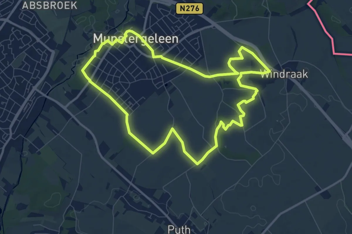
Medium · Trail
Sittard-Geleen SG2 Heemtuinroute
8.1 km · ↑ 79 m · 2 h 12 min
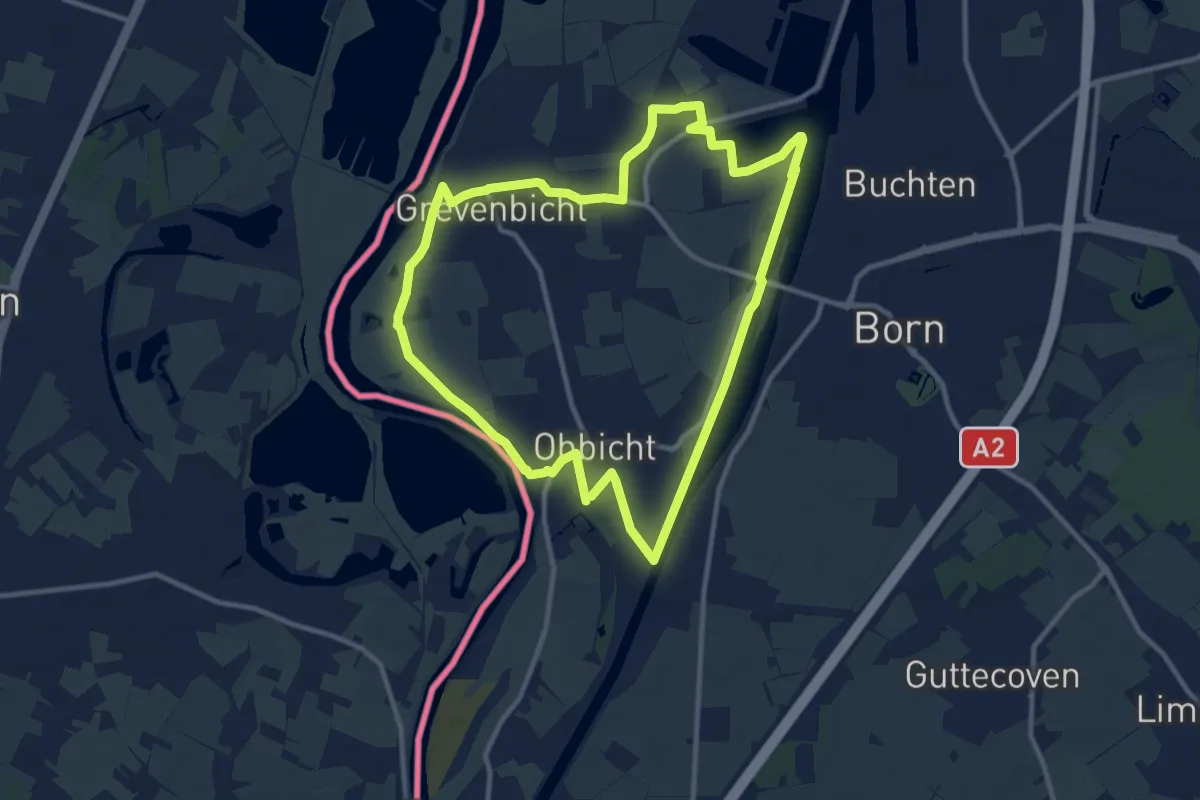
Medium · Trail
Sittard-Geleen SG4 Grevenbicht langs Obbicht
10.2 km · ↑ 13 m · 2 h 34 min
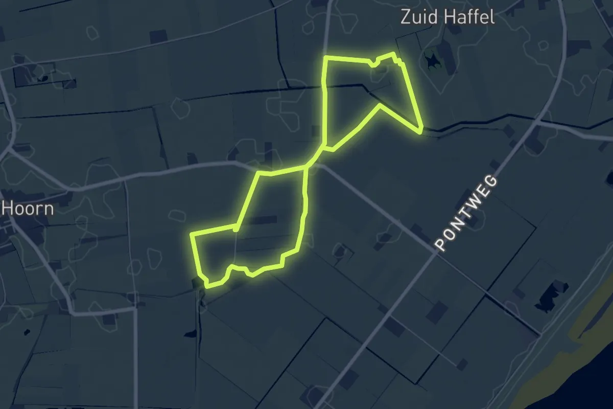
Easy · Trail
Skéép en Lantscap
5.4 km · ↑ 0 m · 1 h 21 min
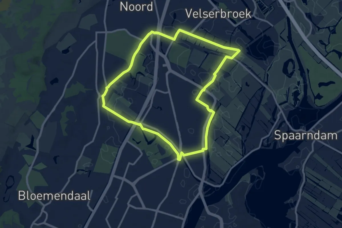
Easy · Trail
Slaperdijkroute
7.7 km · ↑ 14 m · 1 h 57 min
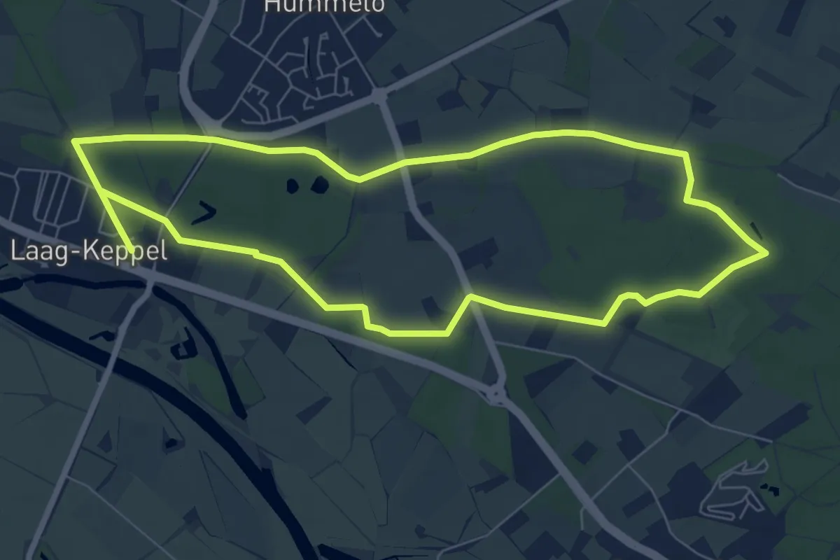
Easy · Trail
Sliekroute
6.6 km · ↑ 19 m · 1 h 42 min
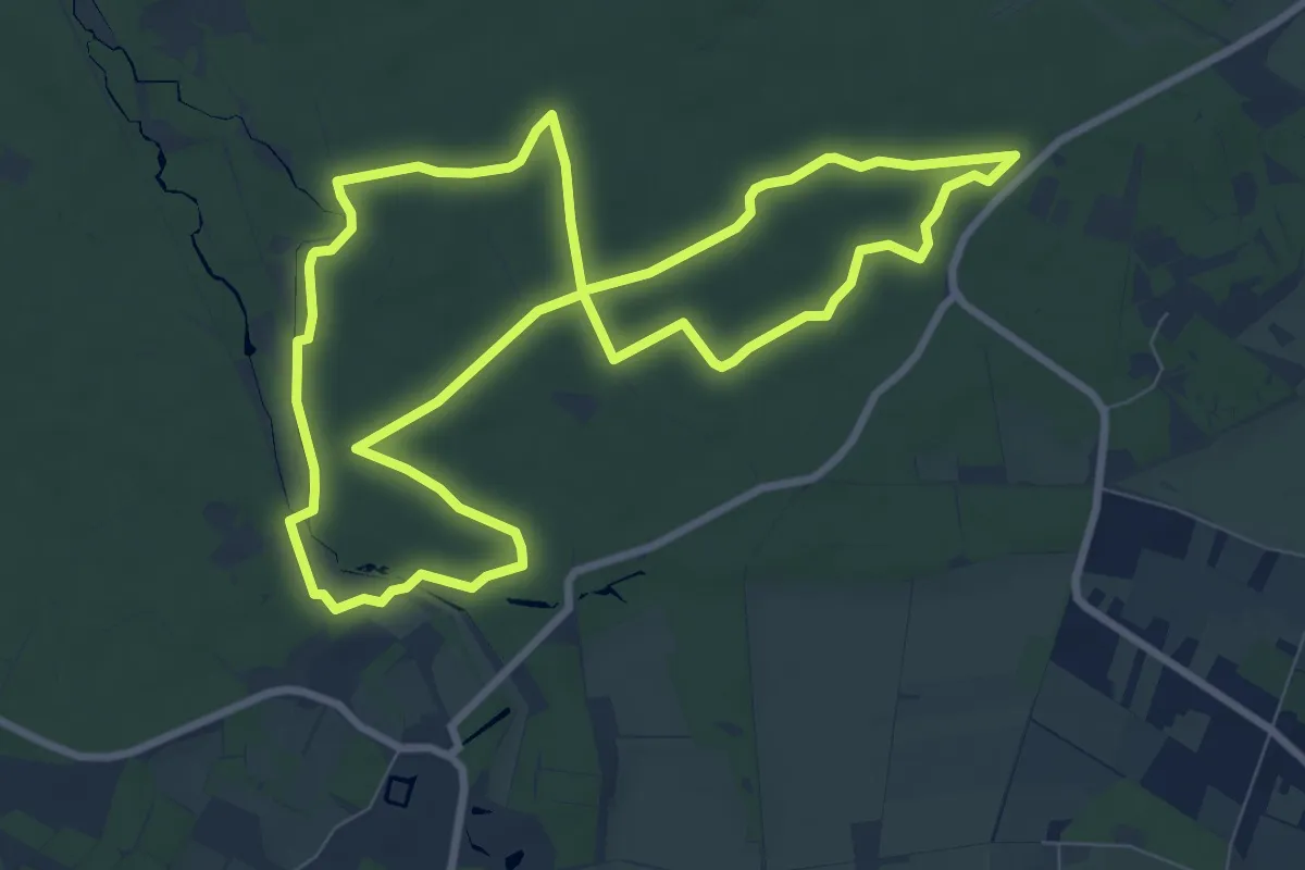
Medium · Trail
Slijpsteenroute
8.1 km · ↑ 26 m · 2 h 5 min
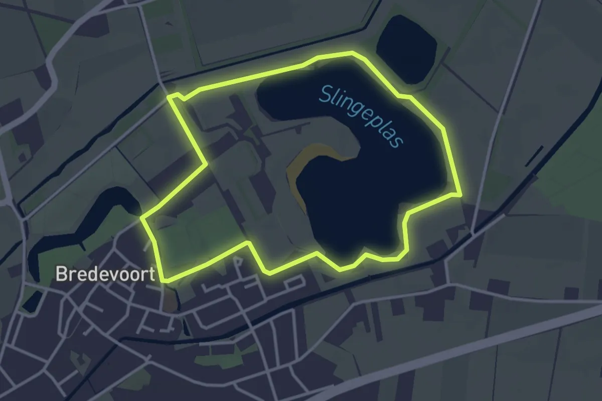
Easy · Trail
Slingeplasroute
3.0 km · ↑ 0 m · 45 min
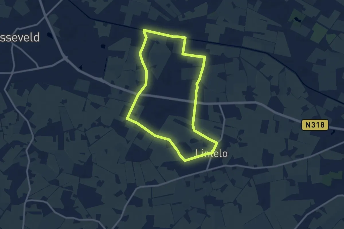
Easy · Trail
Slingeroute
6.8 km · ↑ 4 m · 1 h 43 min
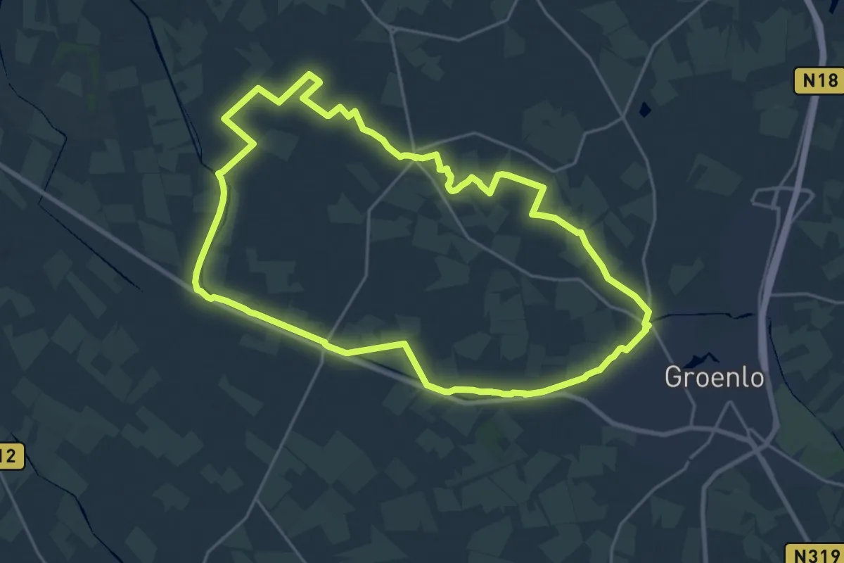
Medium · Trail
Slingeroute
17.6 km · ↑ 4 m · 4 h 24 min
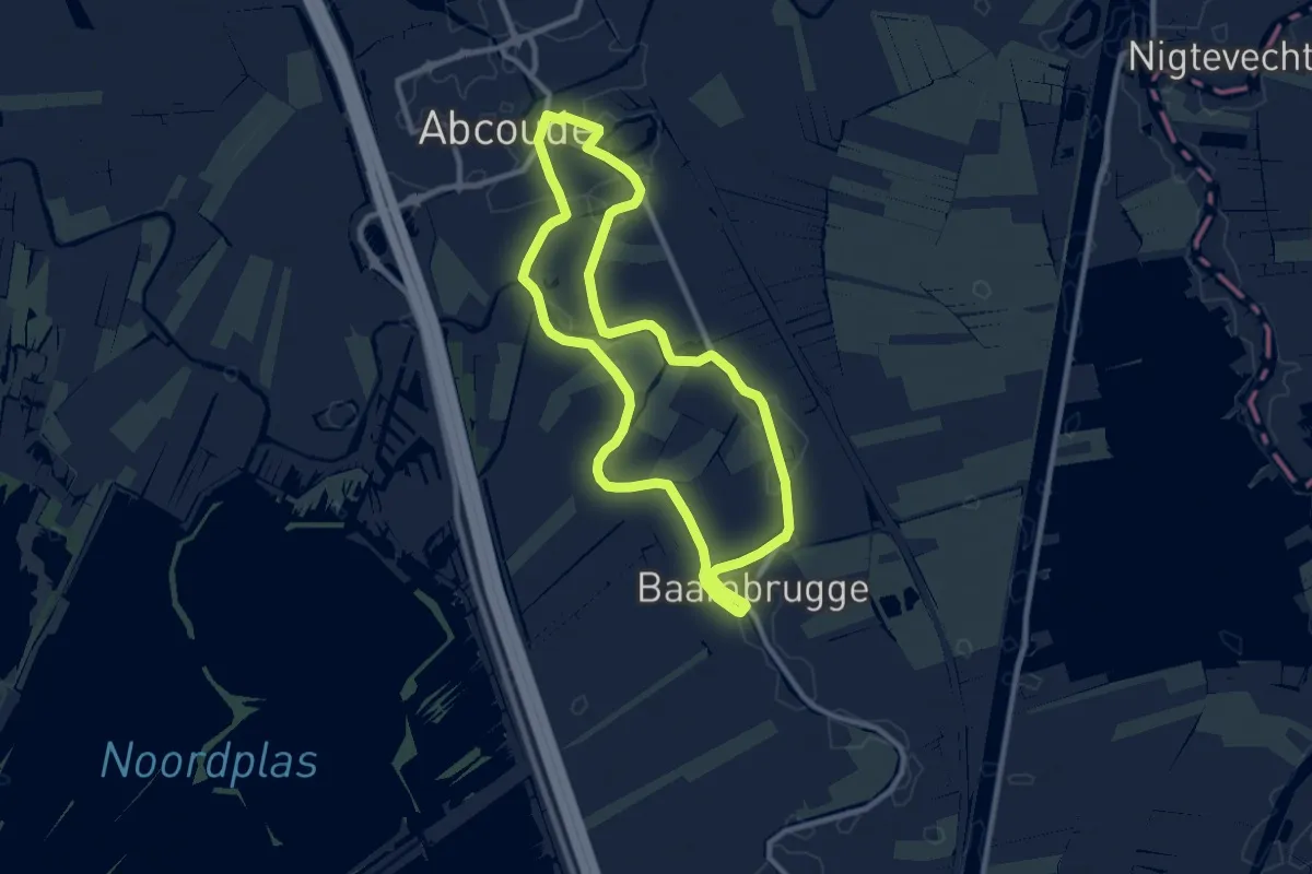
Medium · Trail
Slot Abcouderoute
8.1 km · ↑ 4 m · 2 h 2 min
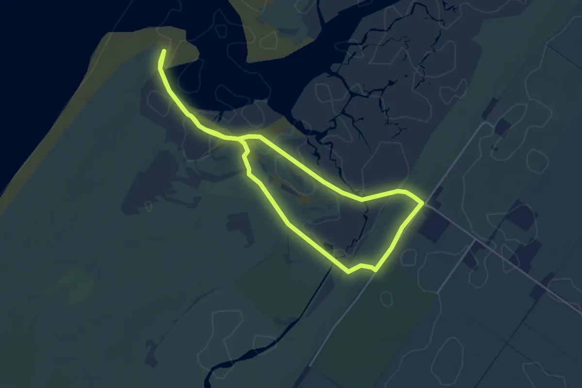
Easy · Trail
Slufterpad
3.6 km · ↑ 8 m · 55 min
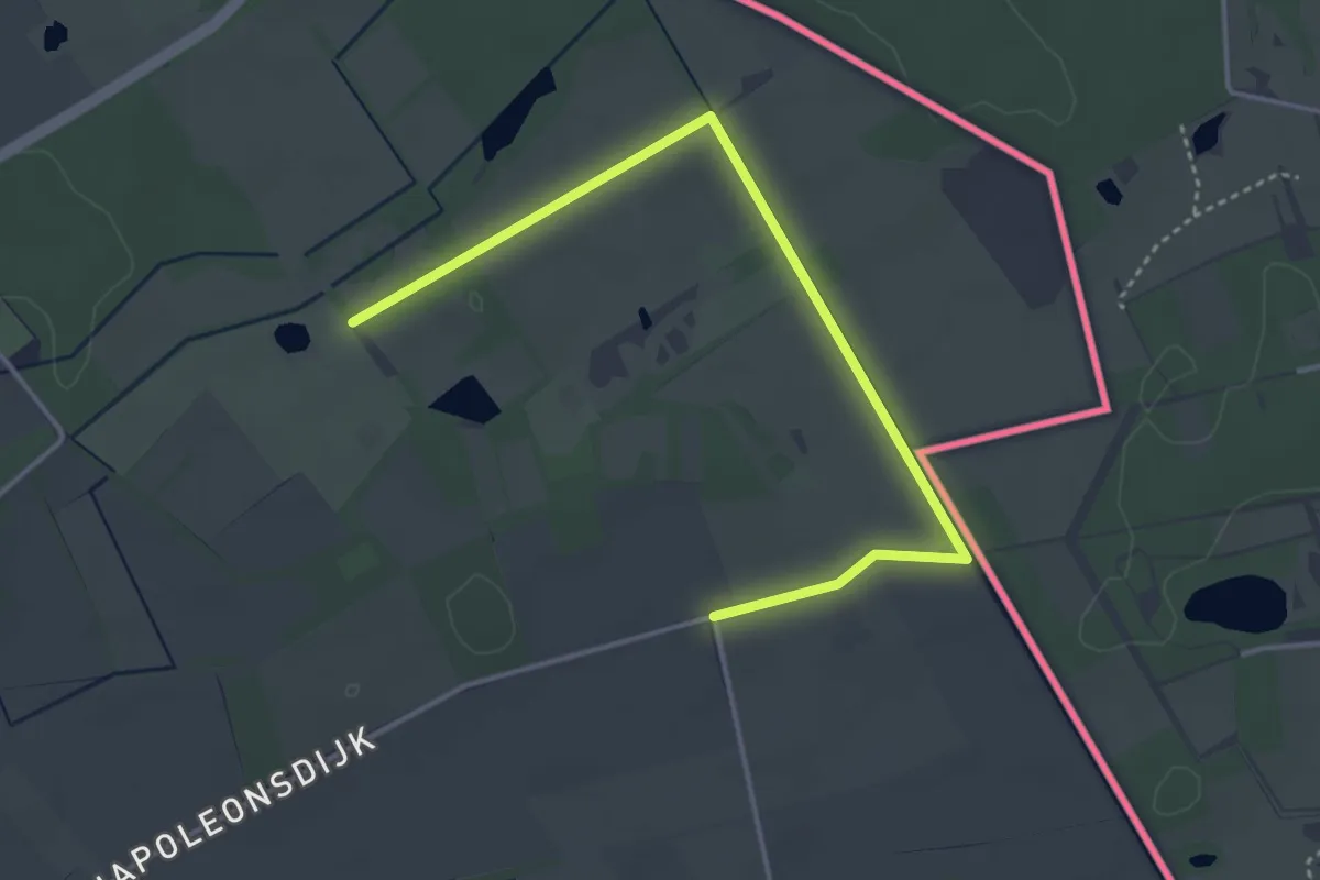
Easy · Trail
Smeetshof Bruin kruis
3.8 km · ↑ 0 m · 54 min
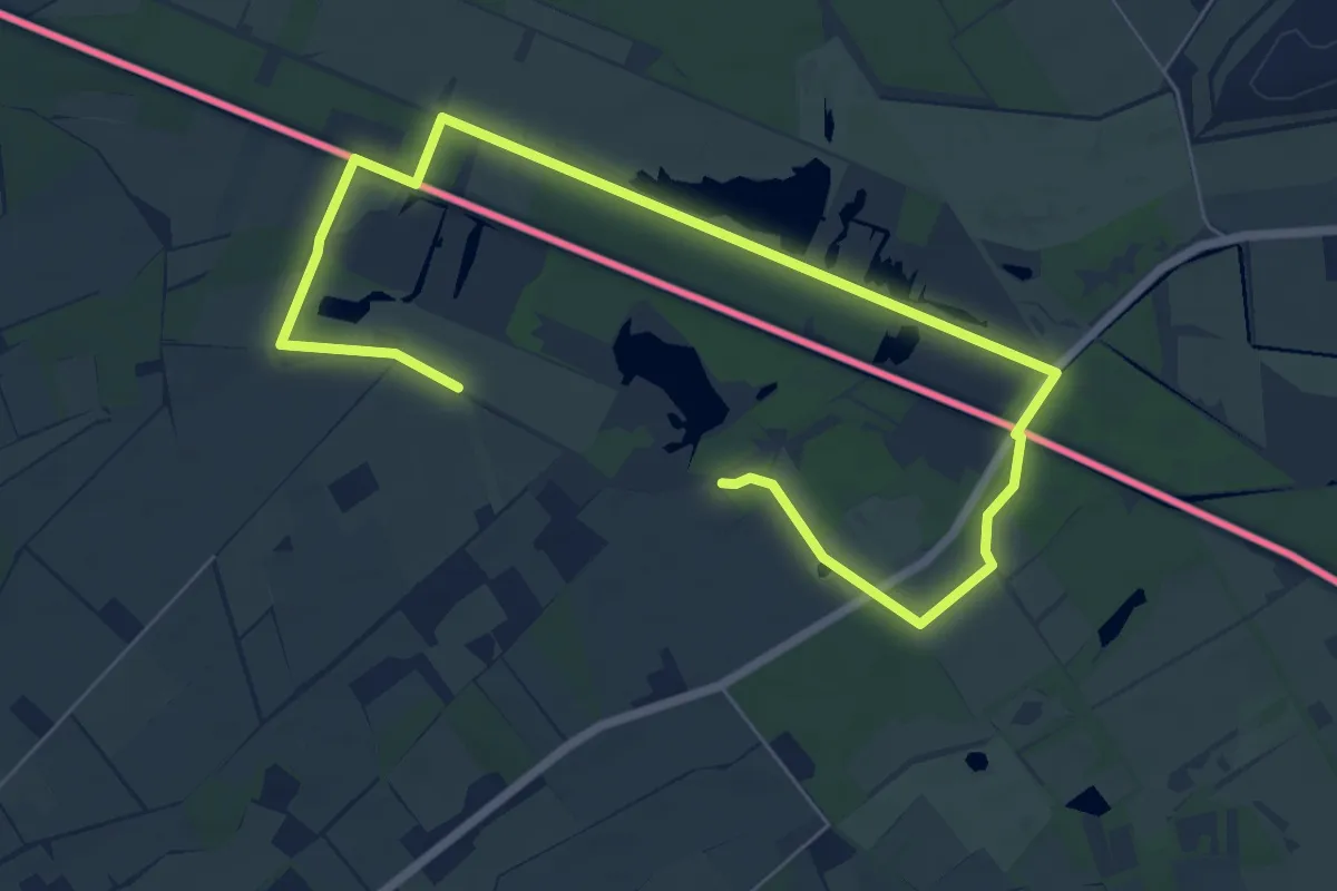
Medium · Trail
Smeetshof Gele zeshoek
8.8 km · ↑ 26 m · 2 h 9 min
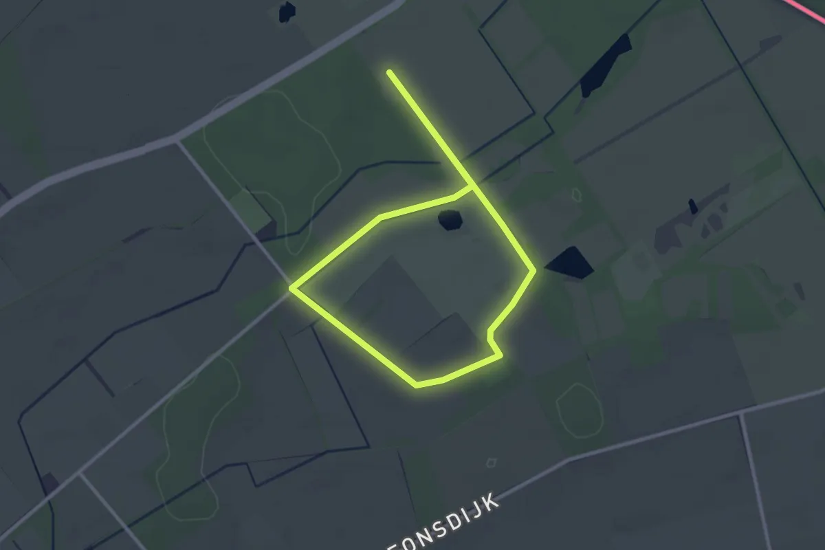
Easy · Trail
Smeetshof Groene rechthoek
2.2 km · ↑ 0 m · 33 min
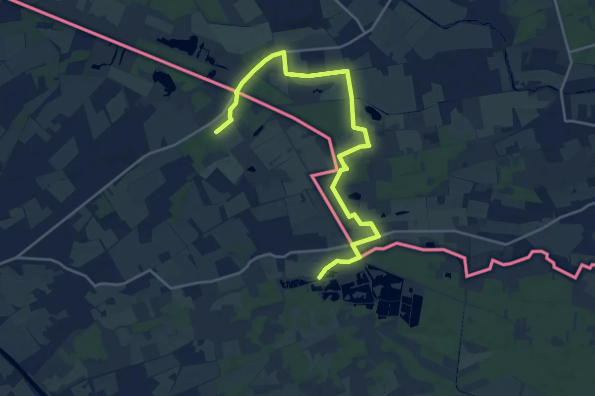
Medium · Trail
Smeetshof Oranje bol
12.5 km · ↑ 13 m · 2 h 59 min
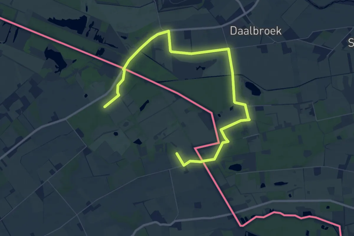
Medium · Trail
Smeetshof Rode driehoek
9.7 km · ↑ 9 m · 2 h 19 min
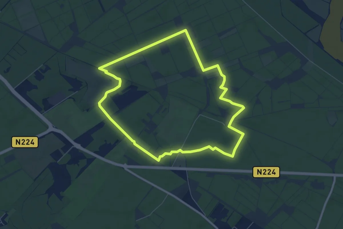
Easy · Trail
Smidsput
6.2 km · ↑ 21 m · 1 h 36 min
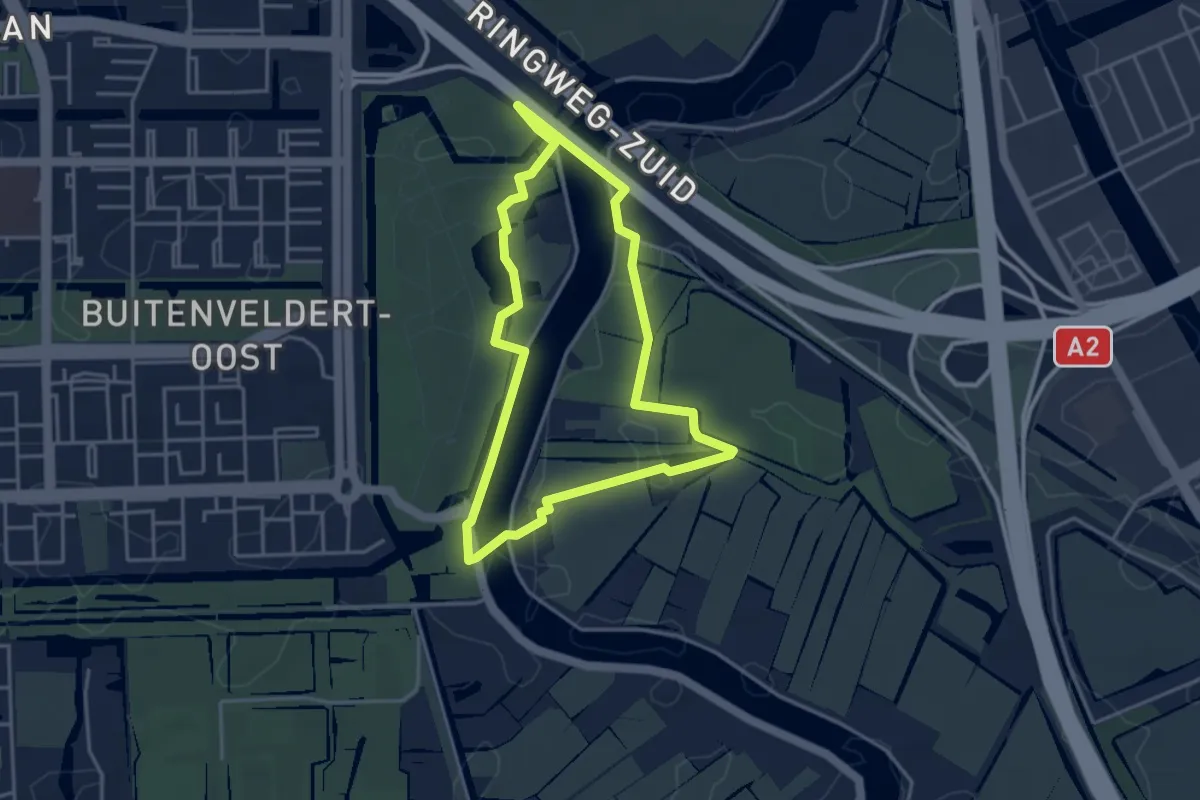
Easy · Trail
Smientroute
3.3 km · ↑ 8 m · 50 min
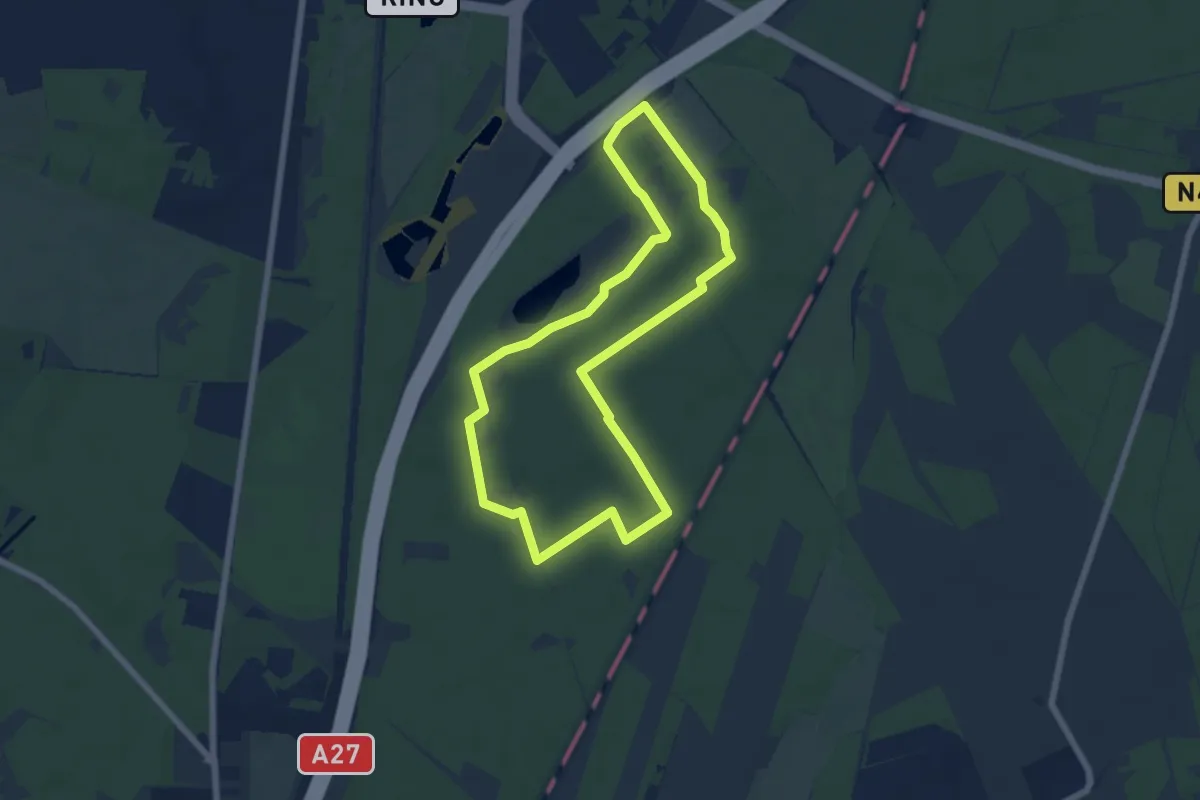
Easy · Trail
Smithuyserbosroute
5.4 km · ↑ 9 m · 1 h 22 min
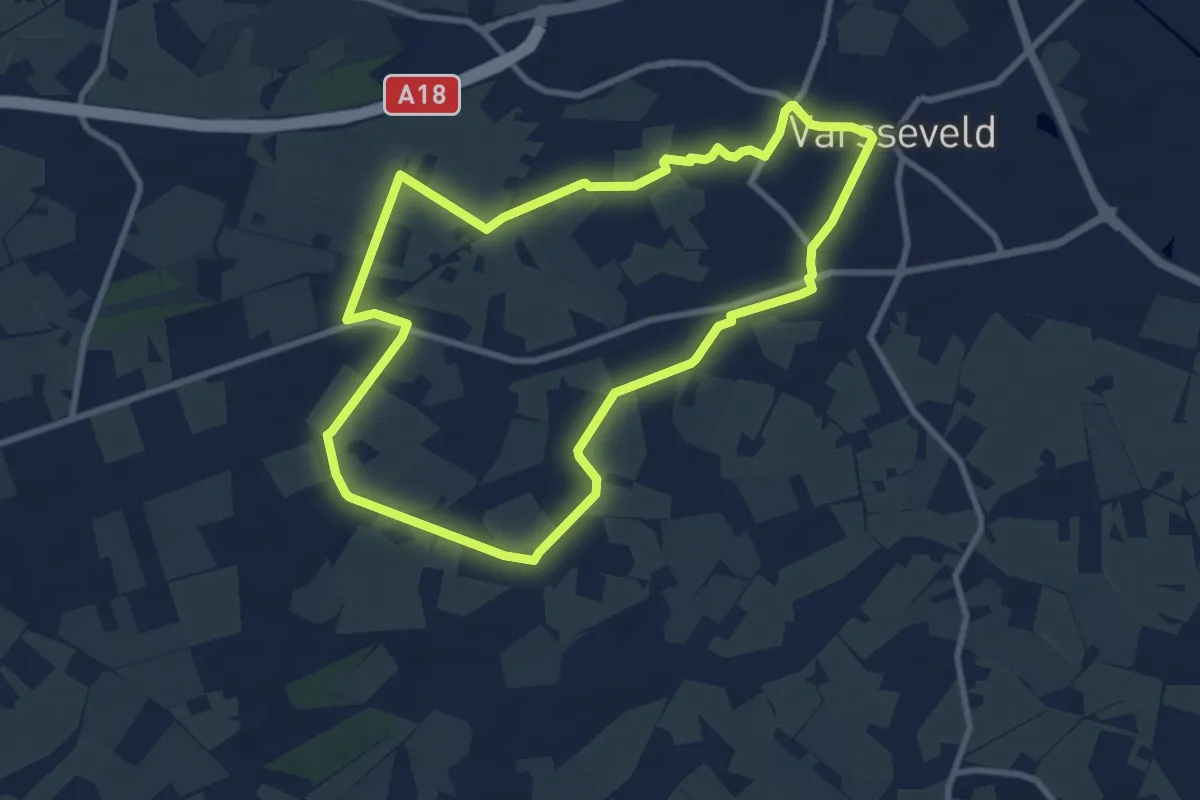
Medium · Trail
Smoddehoek route
8.1 km · ↑ 0 m · 2 h 1 min
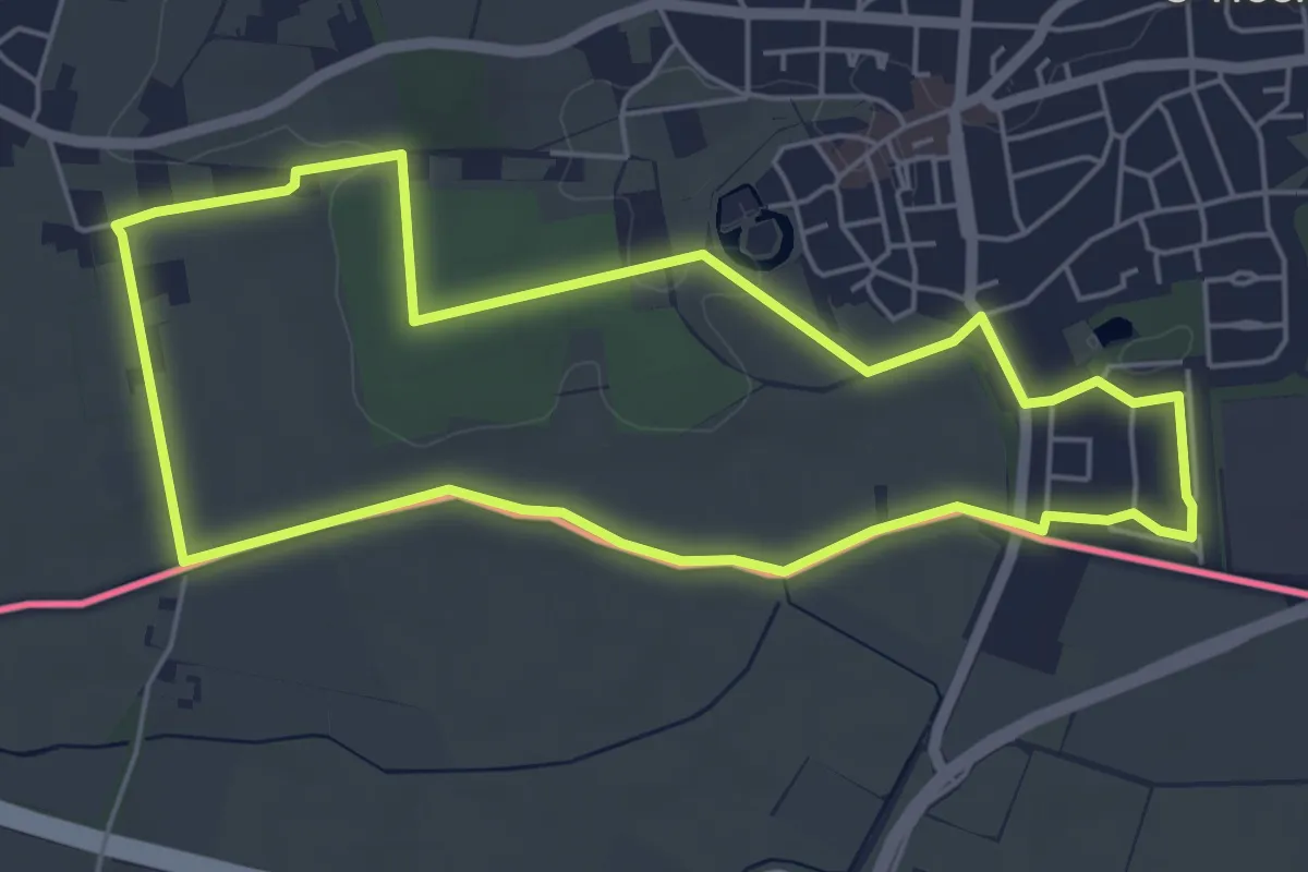
Easy · Trail
Smokkelpad
4.9 km · ↑ 13 m · 1 h 16 min
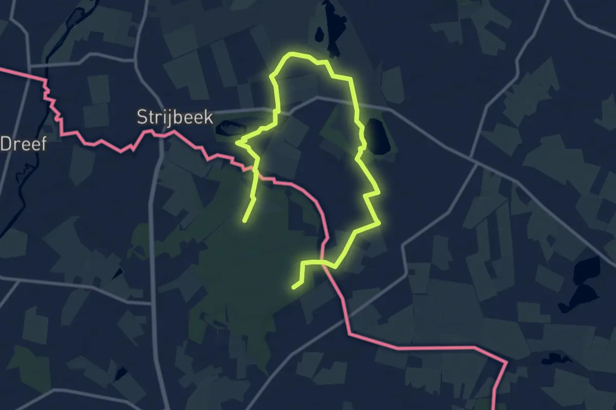
Medium · Trail
Smokkelroute
10.9 km · ↑ 13 m · 2 h 35 min
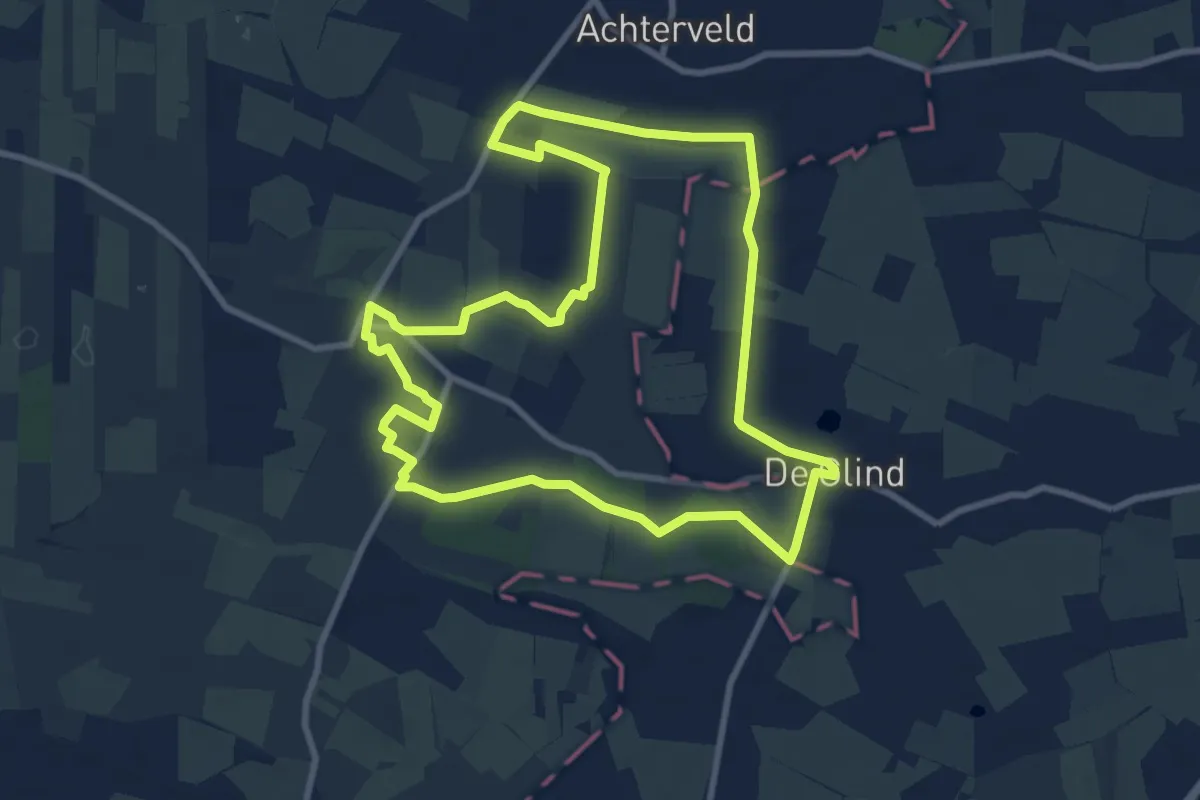
Medium · Trail
Snorrenhoefpad
8.3 km · ↑ 4 m · 2 h 5 min
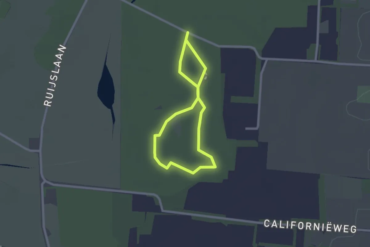
Easy · Trail
Sommeltjespad
1.4 km · ↑ 0 m · 22 min
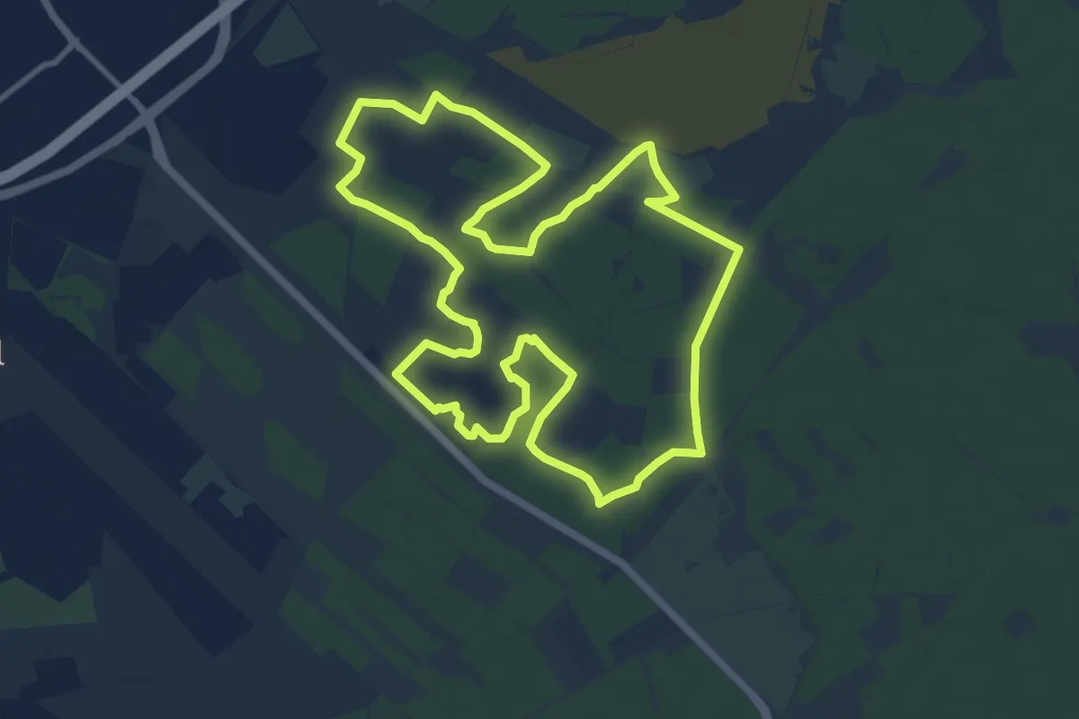
Medium · Summit
Sonnevanckpad
9.7 km · ↑ 12 m · 2 h 27 min
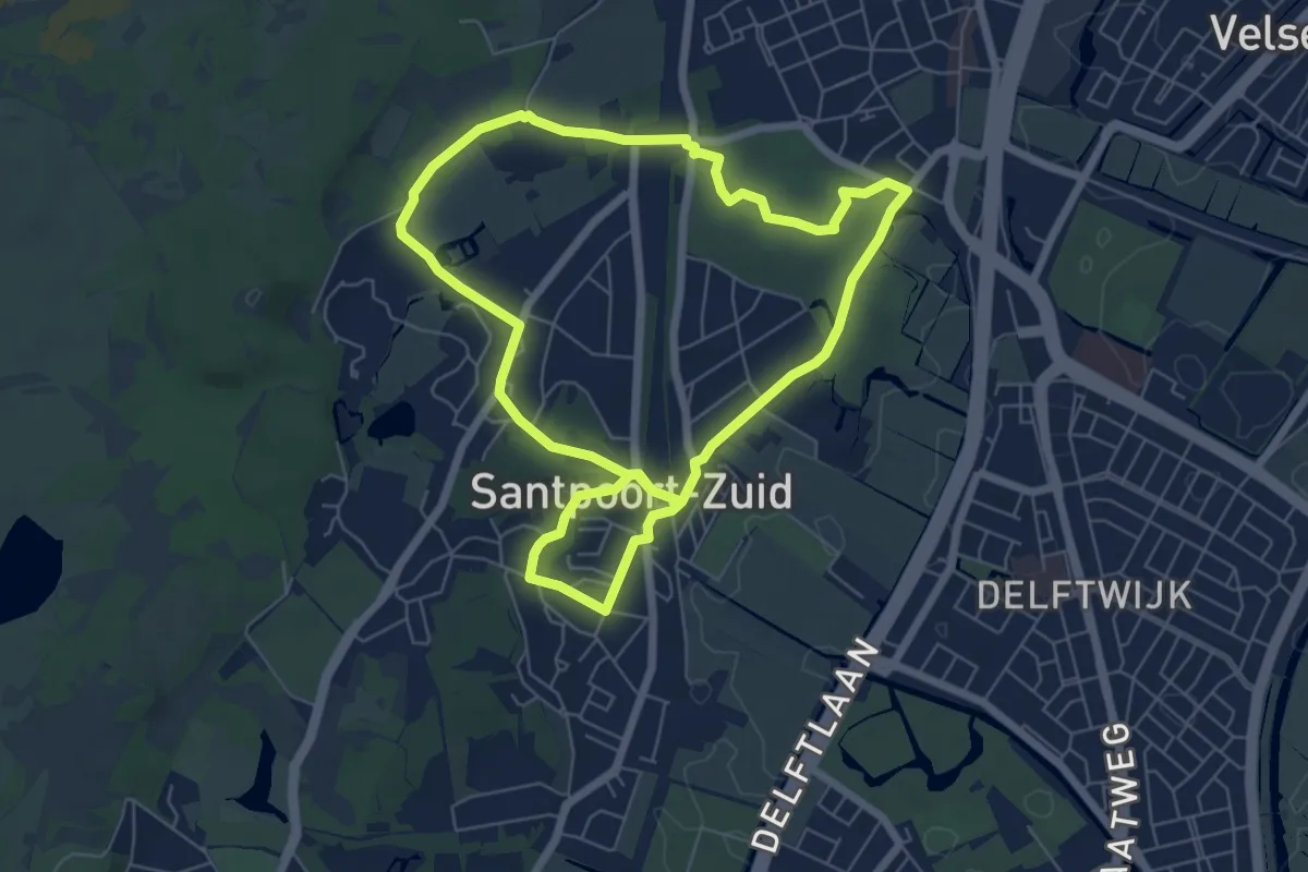
Easy · Trail
Spaarnbergroute
5.6 km · ↑ 13 m · 1 h 26 min
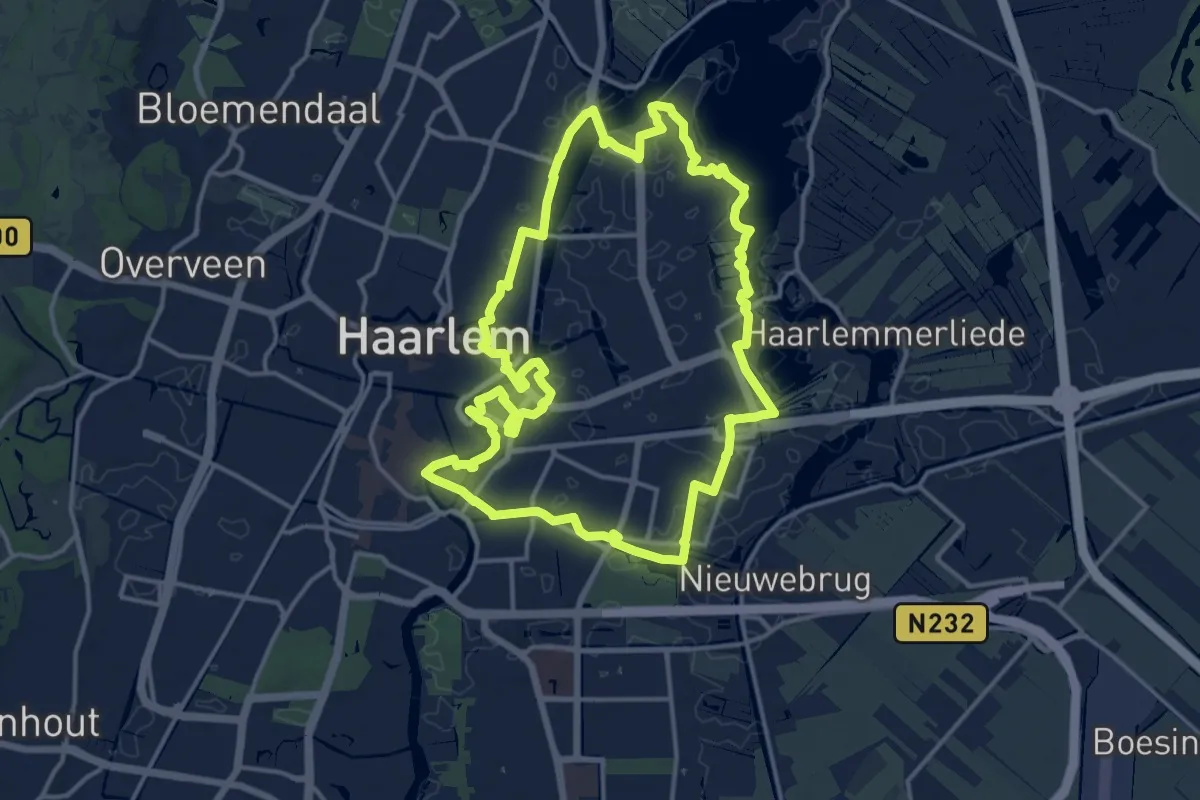
Medium · Trail
Spaarneroute
14.0 km · ↑ 13 m · 3 h 32 min
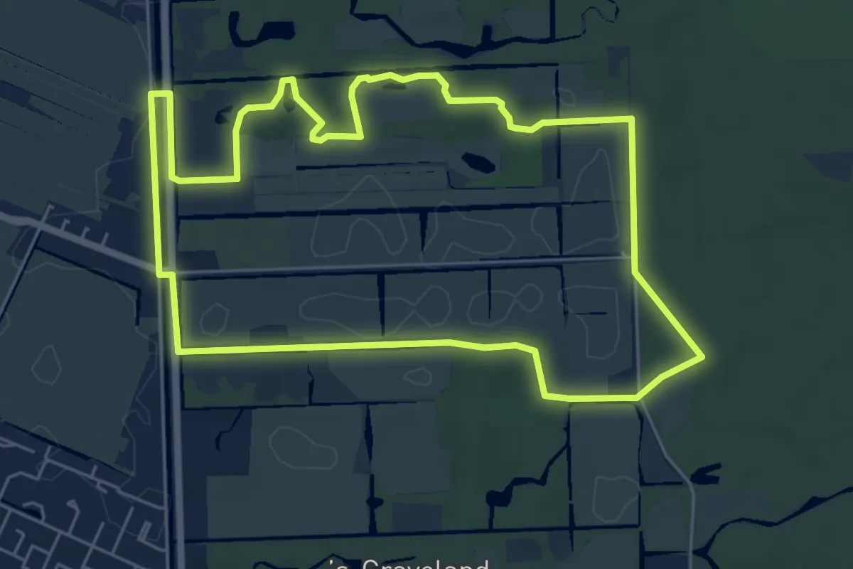
Easy · Trail
Spandersroute
5.3 km · ↑ 13 m · 1 h 21 min
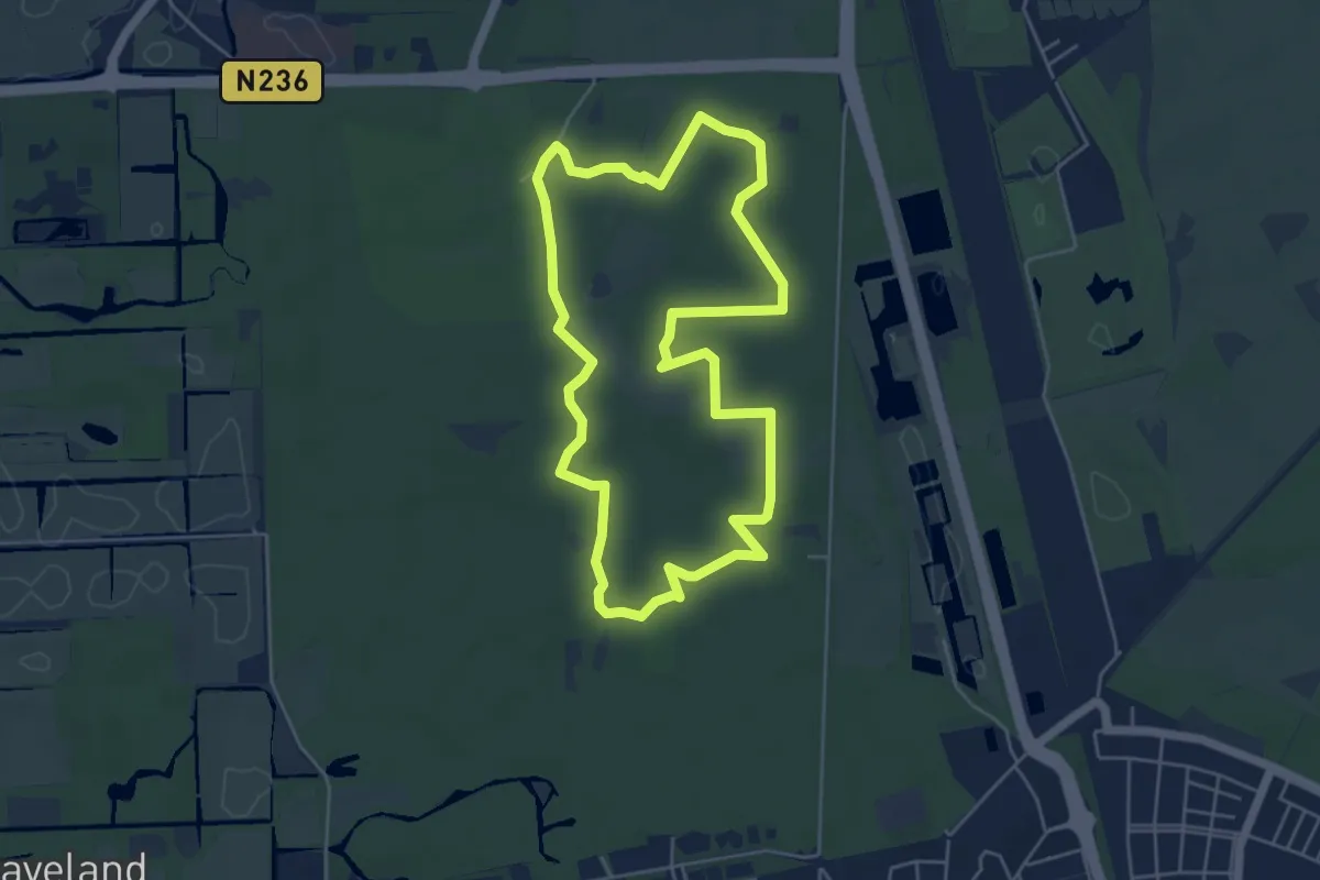
Easy · Trail
Spanderswoud en Kamphoeve
4.6 km · ↑ 8 m · 1 h 10 min
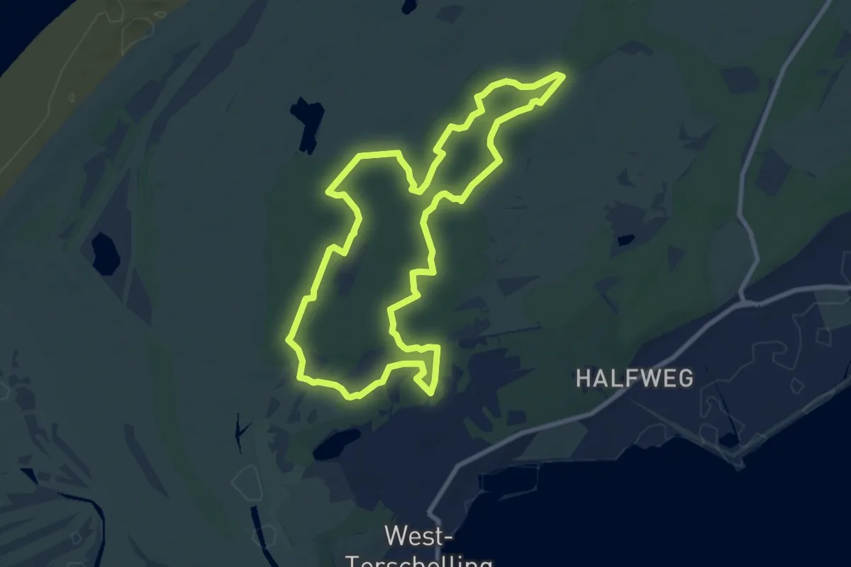
Easy · Trail
Sparrenlaan en Groene Pollen
7.2 km · ↑ 17 m · 1 h 51 min