Trails in Netherlands
5,039 hiking trails, each with its route, climb, walking time and grade.
All trails, page 55 of 105
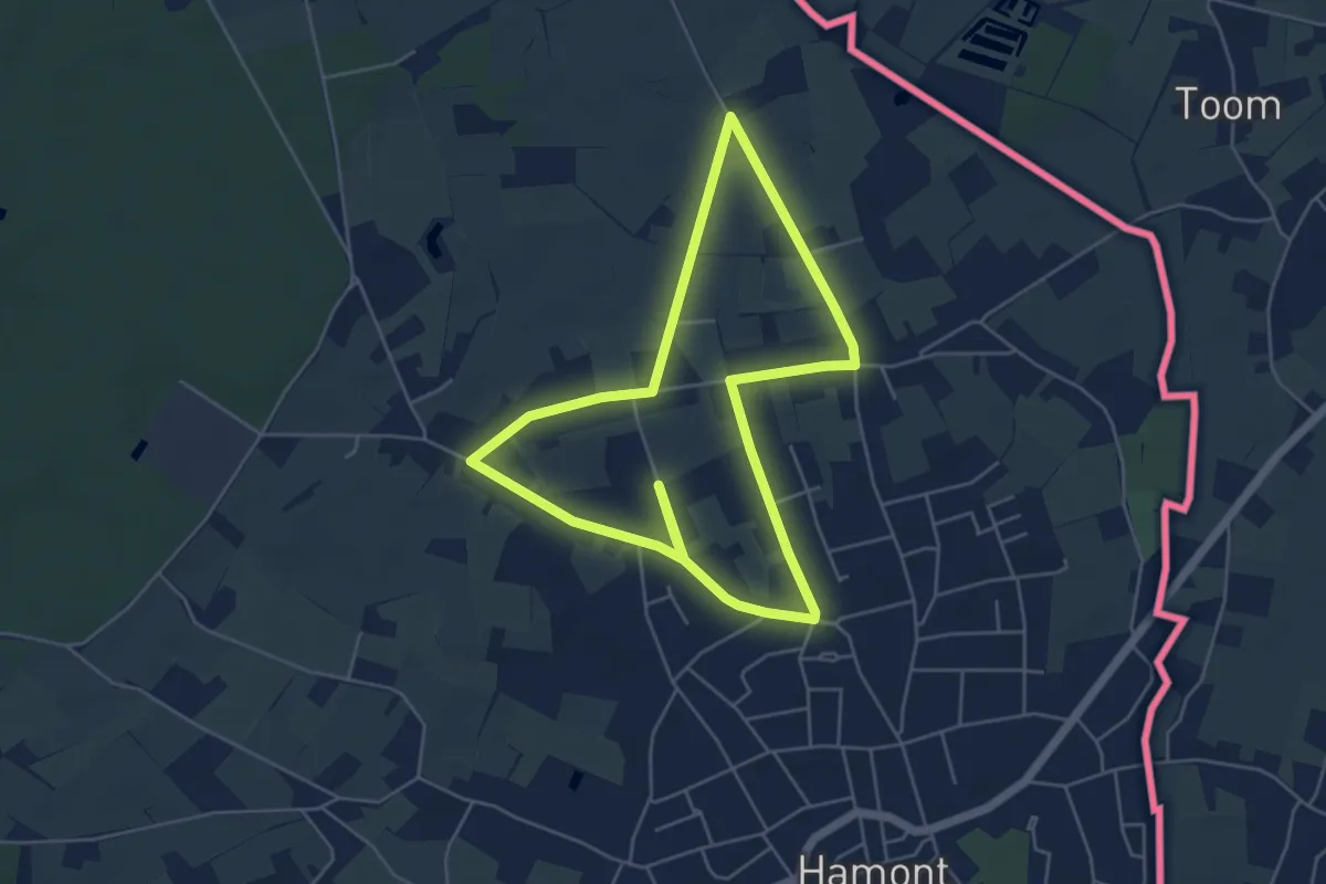
Easy · Trail
Spencer
4.6 km · ↑ 0 m · 1 h 8 min
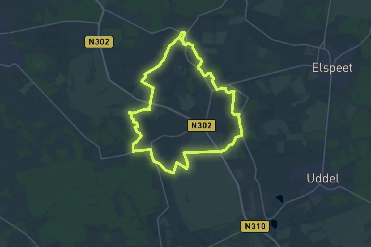
Medium · Trail
Speuldepad
15.9 km · ↑ 64 m · 4 h 7 min
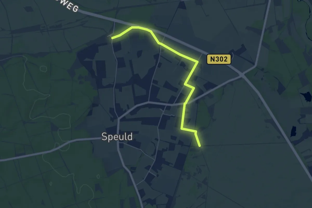
Easy · Trail
Speuldepad routeverkorter
2.6 km · ↑ 4 m · 40 min
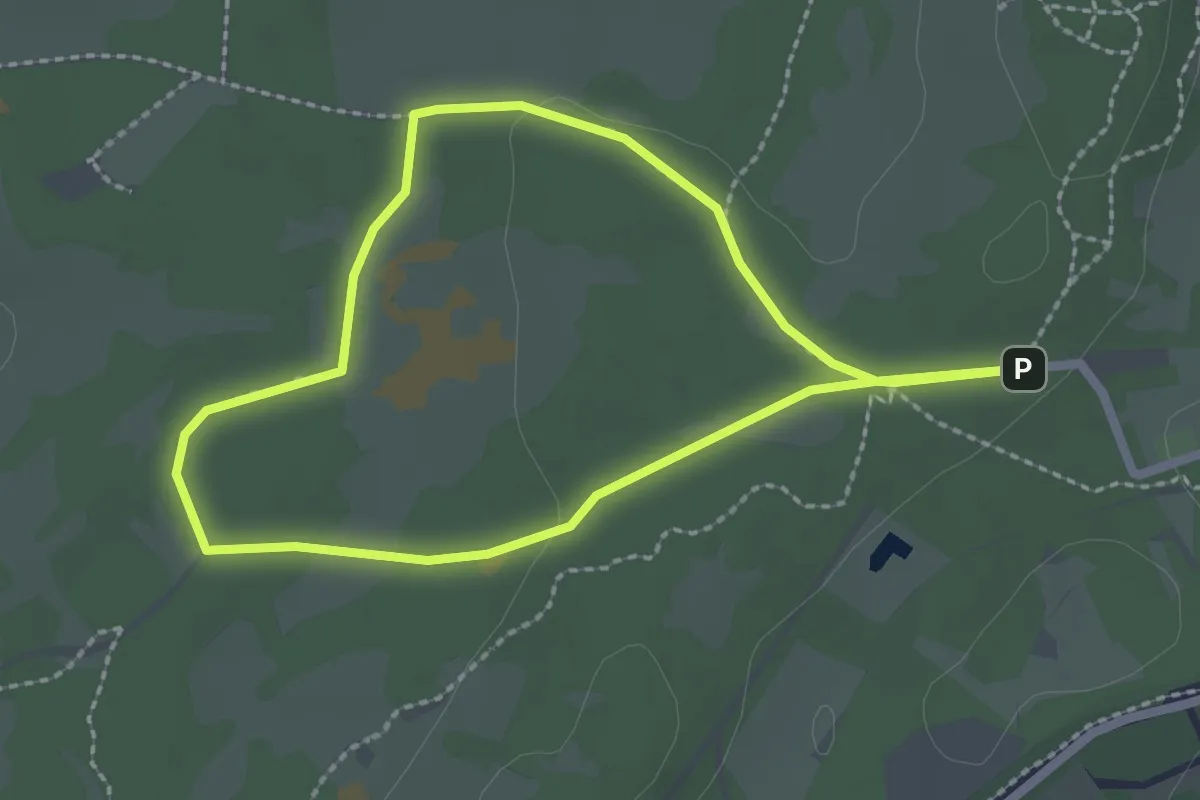
Easy · Trail
Speuren in de Duinen
1.9 km · ↑ 9 m · 29 min
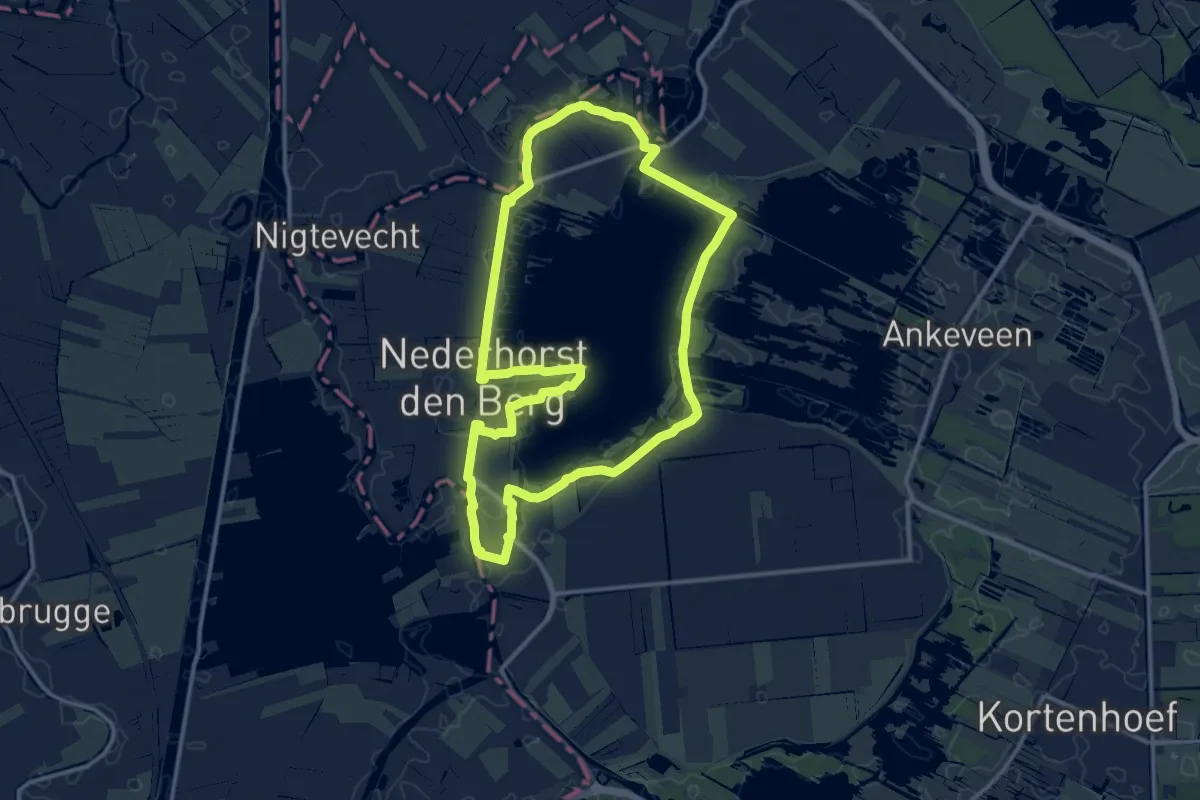
Medium · Trail
Spiegelplasroute
11.5 km · ↑ 0 m · 2 h 53 min
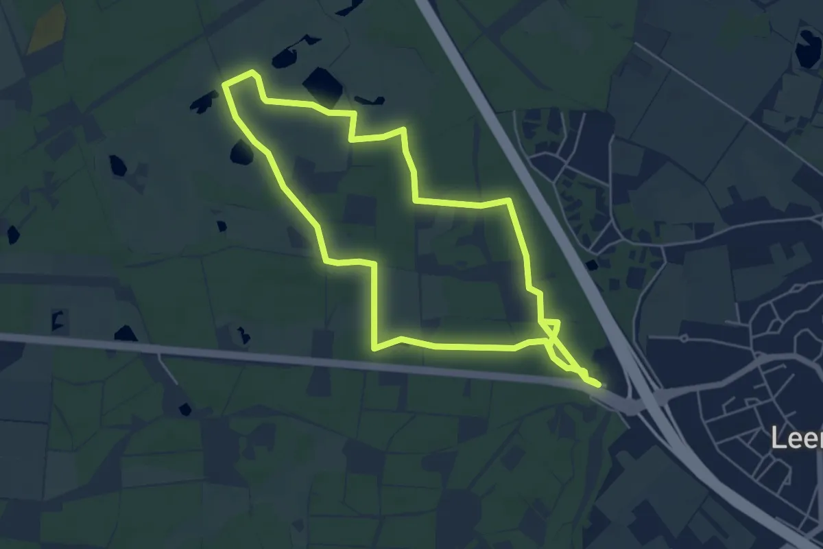
Easy · Trail
Spinsterbergwandeling
5.0 km · ↑ 13 m · 1 h 16 min
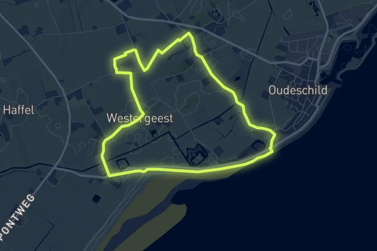
Easy · Summit
Sporen van de Reede
7.0 km · ↑ 17 m · 1 h 46 min
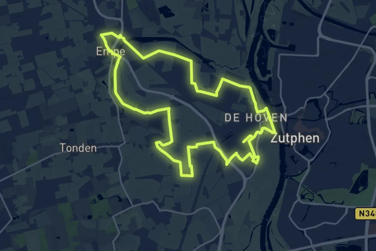
Medium · Trail
Sprabanenpad
14.7 km · ↑ 0 m · 3 h 40 min
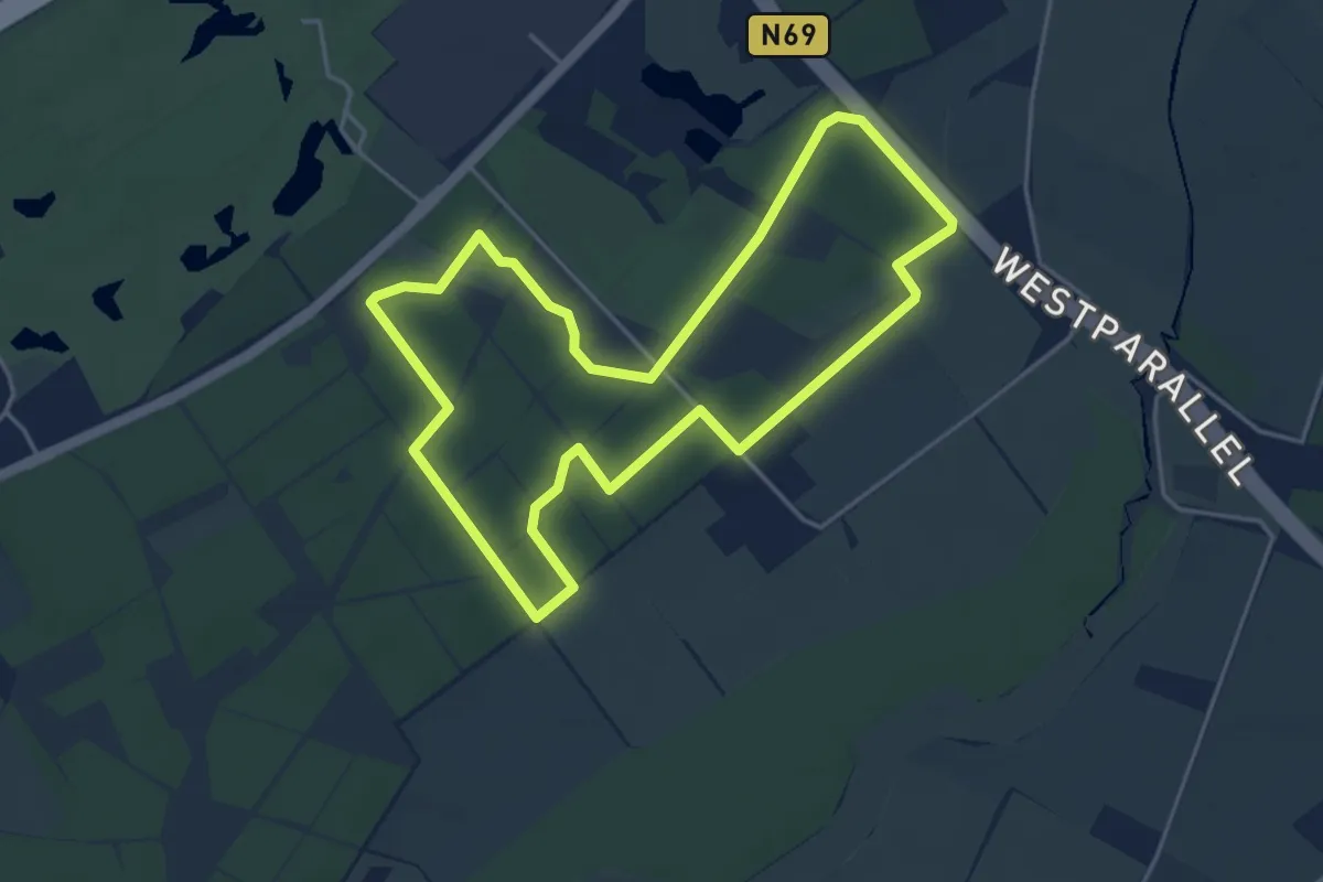
Easy · Trail
Sprankelsche Bossen
4.0 km · ↑ 13 m · 1 h 1 min
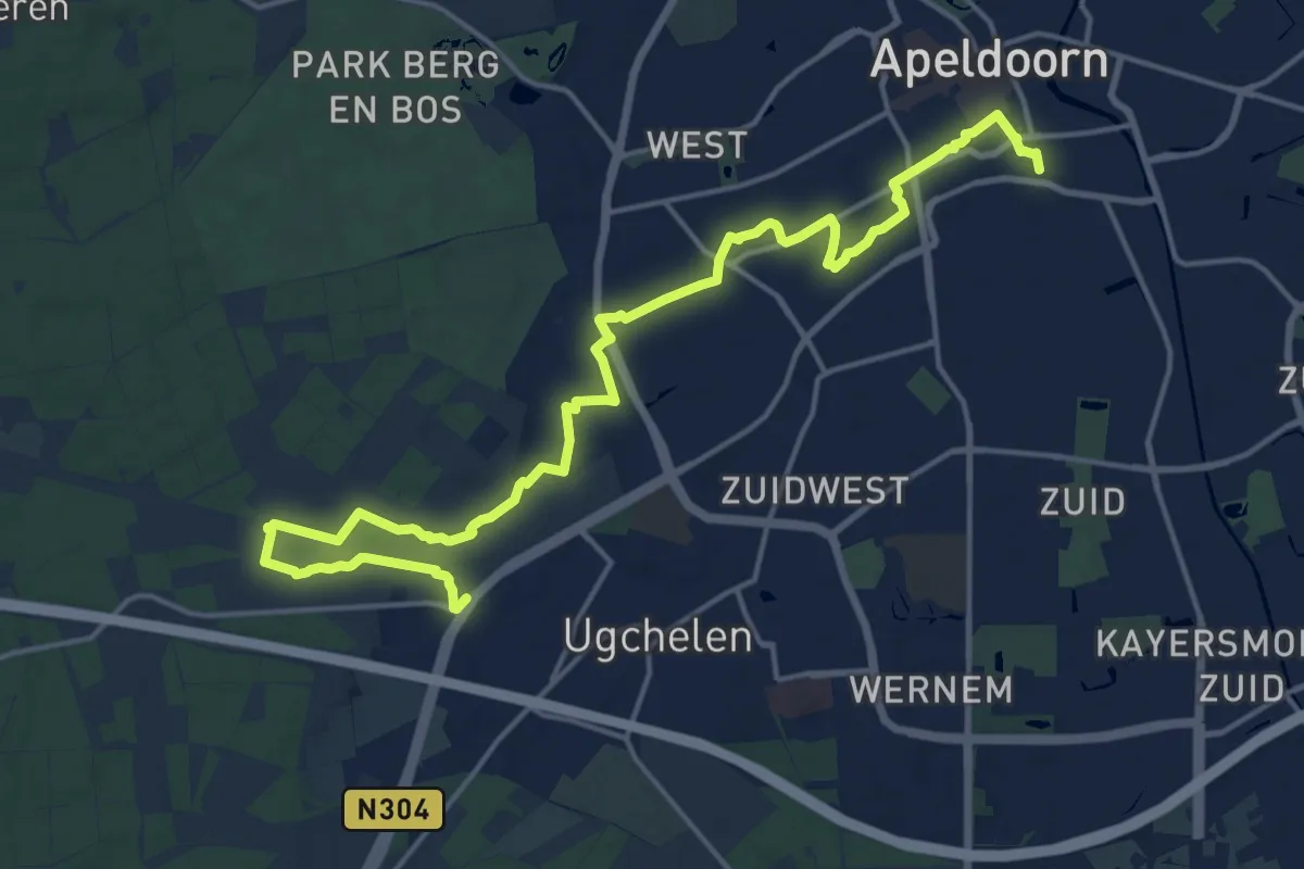
Demanding · Trail
Sprengenroute-Orderbos
18.7 km · ↑ 38 m · 4 h 30 min
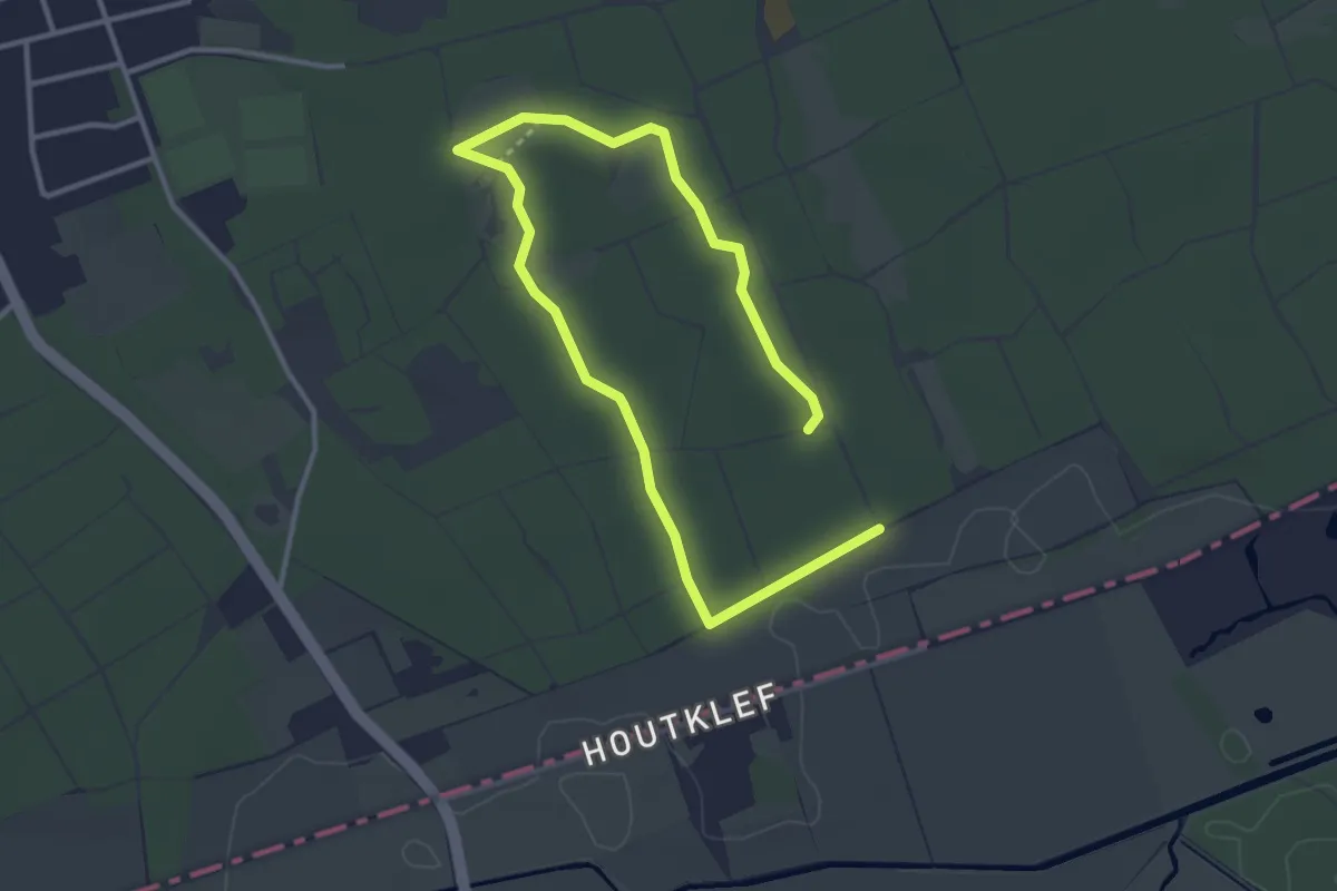
Easy · Trail
Spurktroute
4.4 km · ↑ 8 m · 1 h 4 min
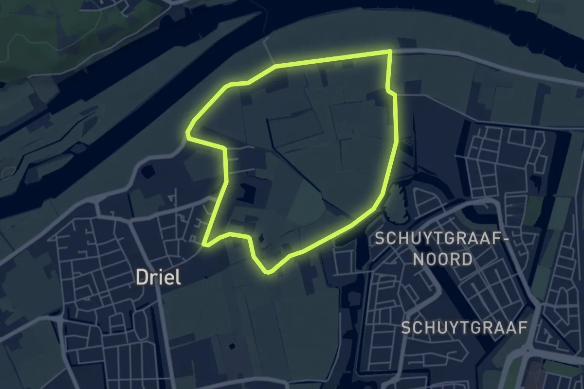
Easy · Trail
Stad en land
4.3 km · ↑ 0 m · 1 h 4 min
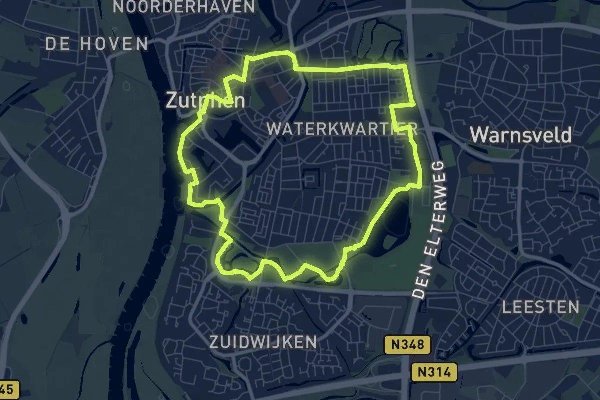
Easy · Trail
Stadsrandwandeling Zutphen
7.0 km · ↑ 9 m · 1 h 46 min
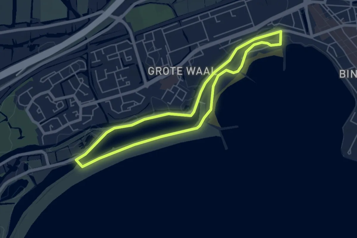
Easy · Trail
Stadsstrandroute
4.1 km · ↑ 0 m · 1 h 1 min
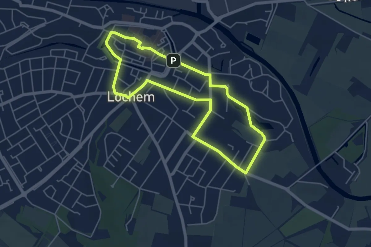
Easy · Trail
Stadswandeling Lochem
3.5 km · ↑ 0 m · 53 min
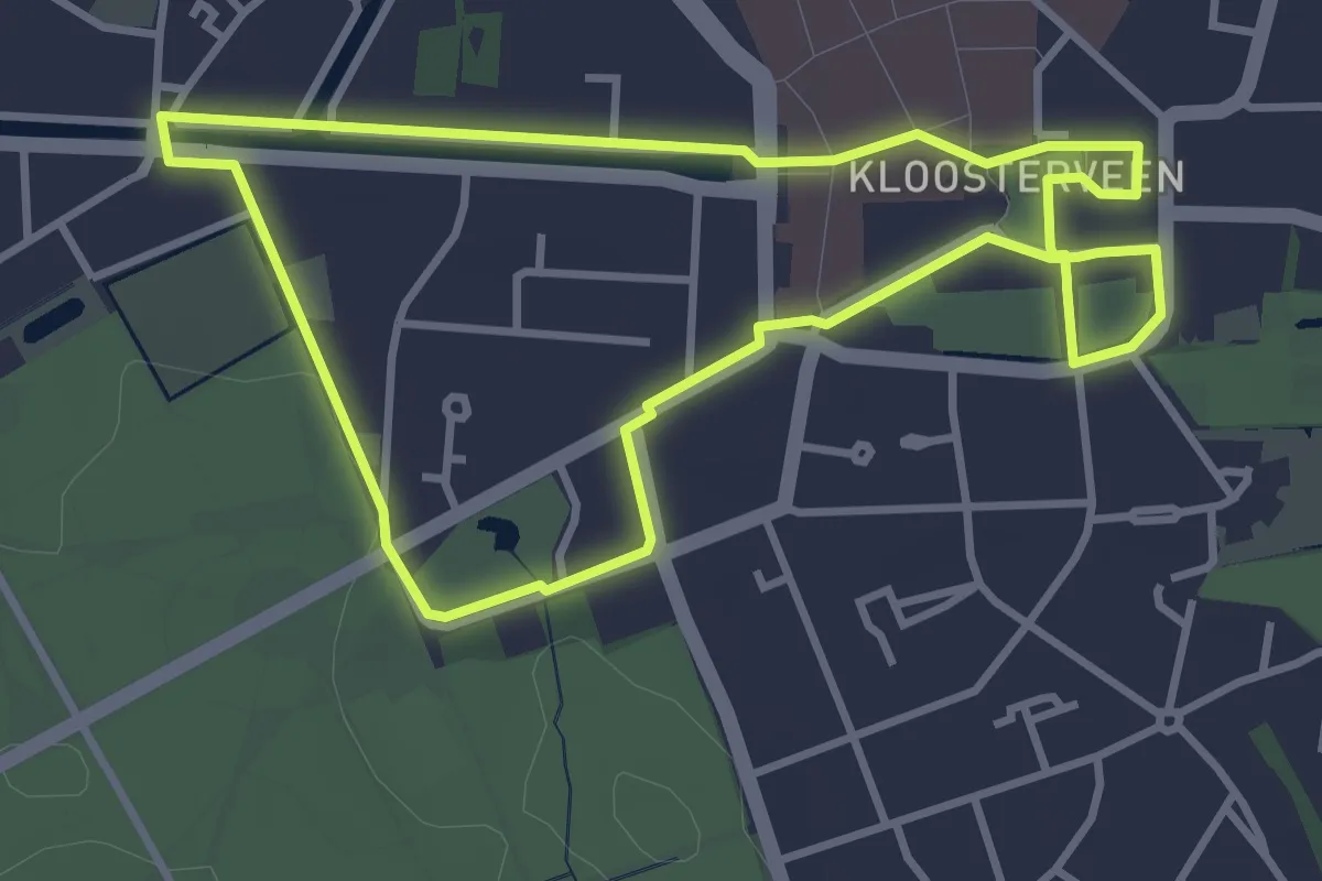
Easy · Trail
Stadswandeling Stad der Paleizen
3.1 km · ↑ 5 m · 47 min
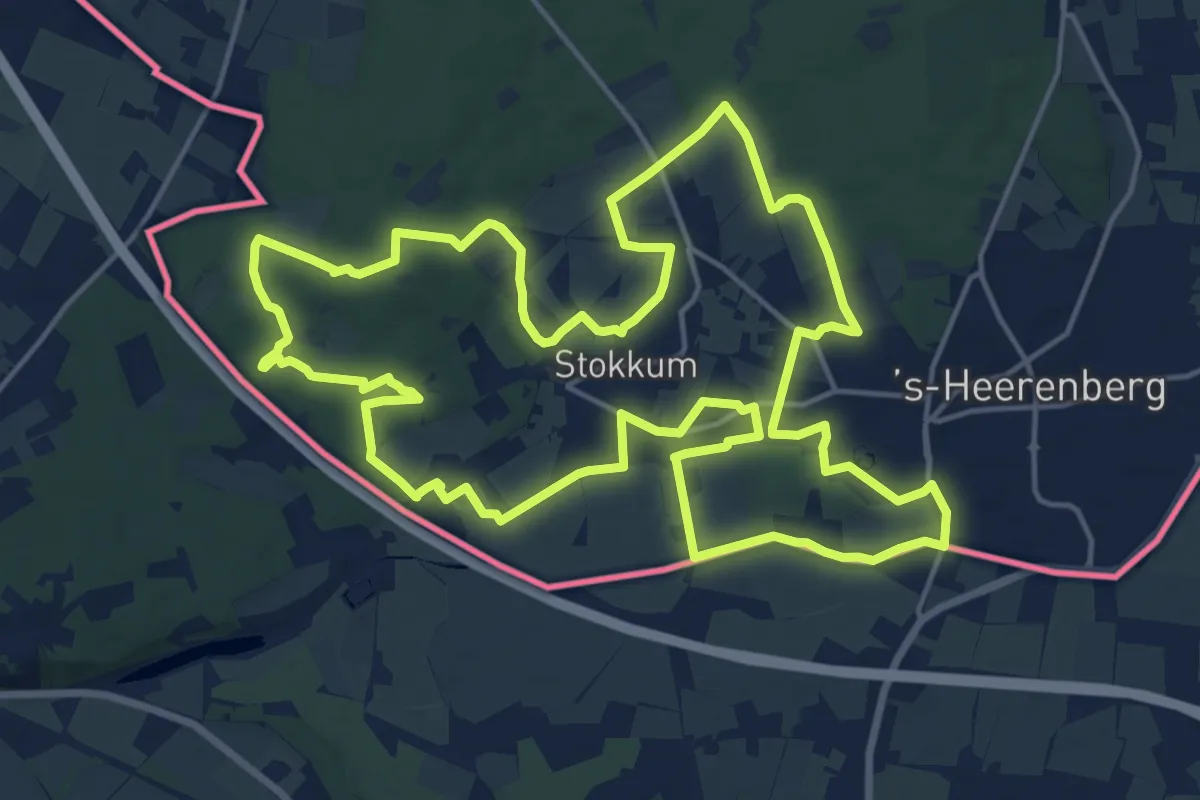
Medium · Summit
Staickheimerpad
17.6 km · ↑ 114 m · 4 h 38 min
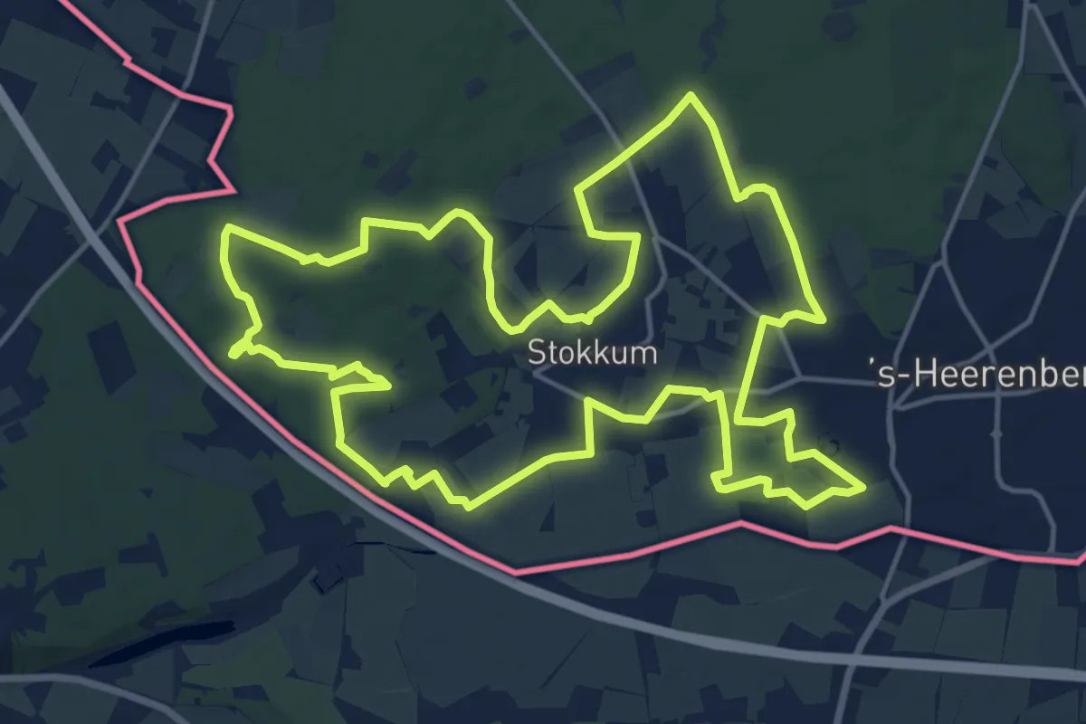
Medium · Summit
Staickheimerpad Tijdelijke Omleiding 2026
15.8 km · ↑ 123 m · 4 h 13 min
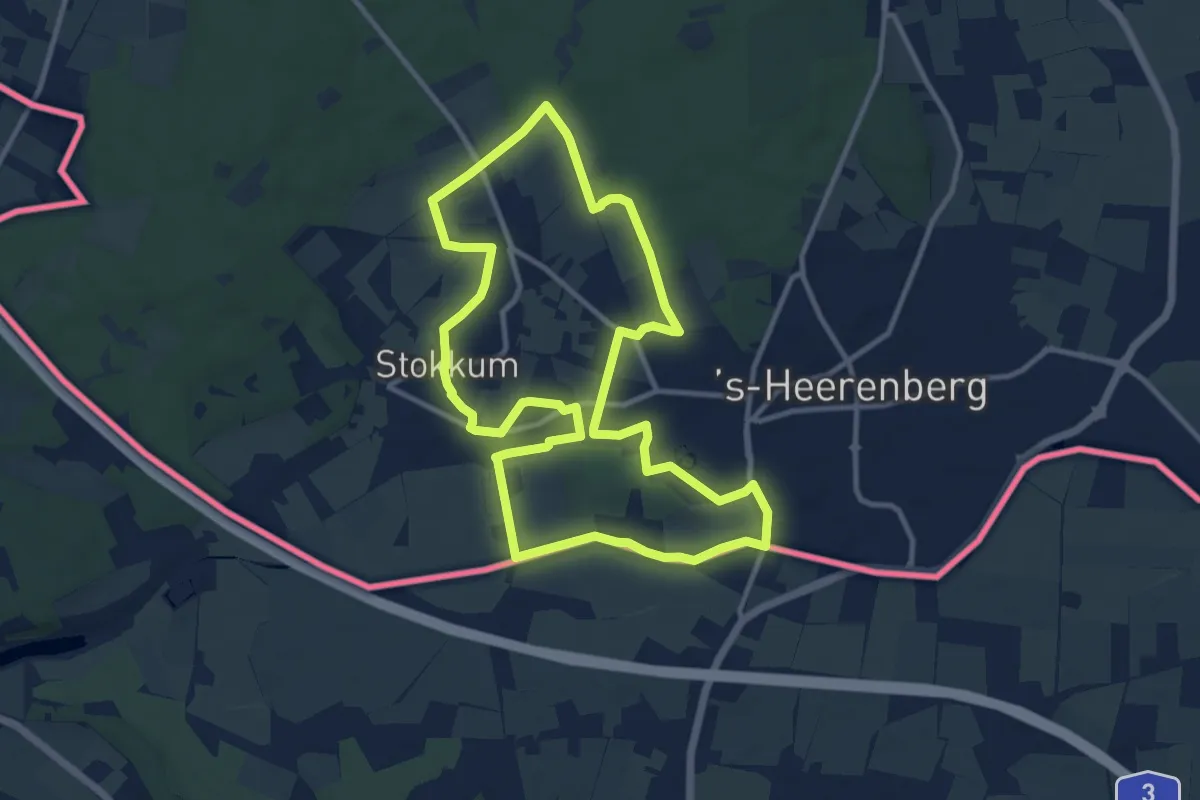
Medium · Trail
Staickheimerpad Verkort Oost
10.3 km · ↑ 36 m · 2 h 40 min
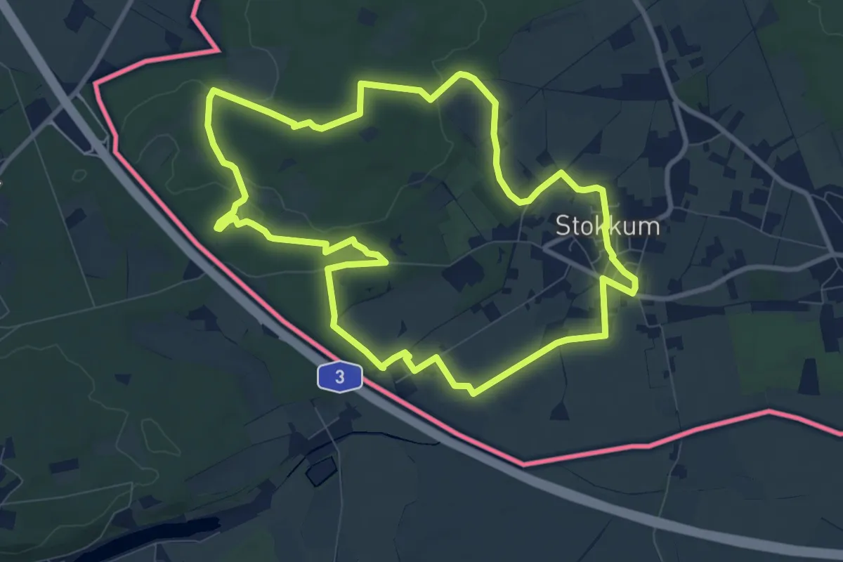
Medium · Summit
Staickheimerpad Verkort West
8.5 km · ↑ 79 m · 2 h 17 min
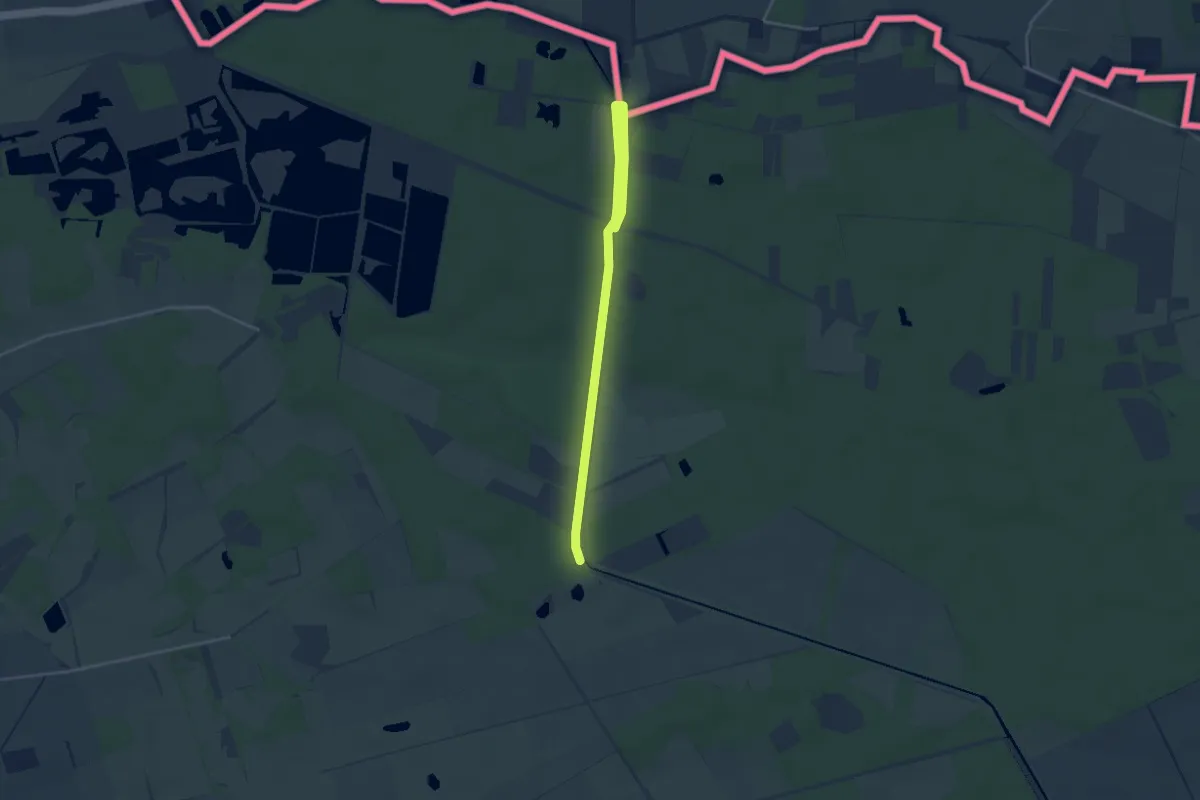
Easy · Trail
Stamprooierbroek Oranje bol
3.6 km · ↑ 0 m · 51 min
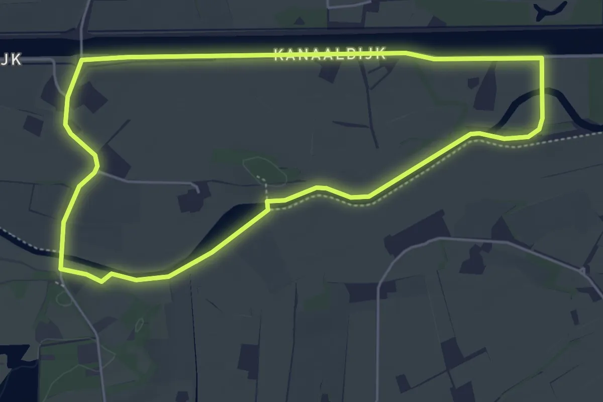
Easy · Trail
Staring Route
4.6 km · ↑ 0 m · 1 h 9 min
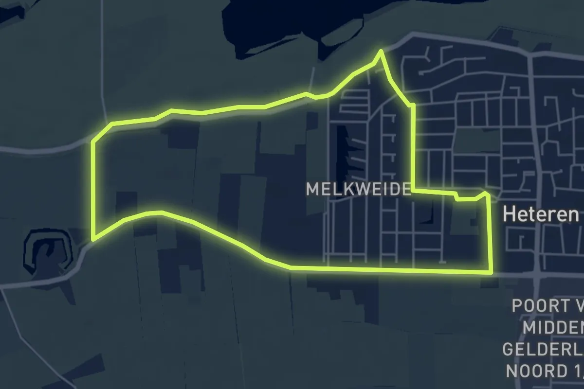
Easy · Trail
Steengoed
4.6 km · ↑ 0 m · 1 h 9 min
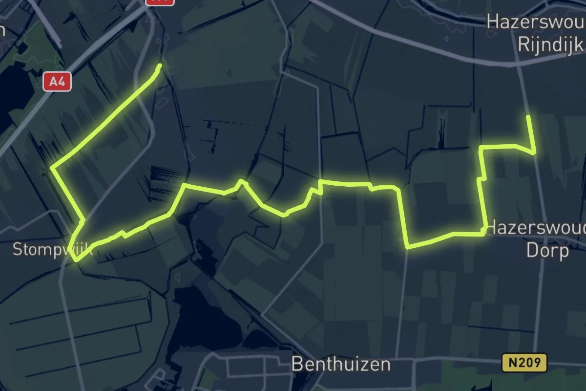
Demanding · Trail
Steilrandroute
32.8 km · ↑ 4 m · 7 h 45 min
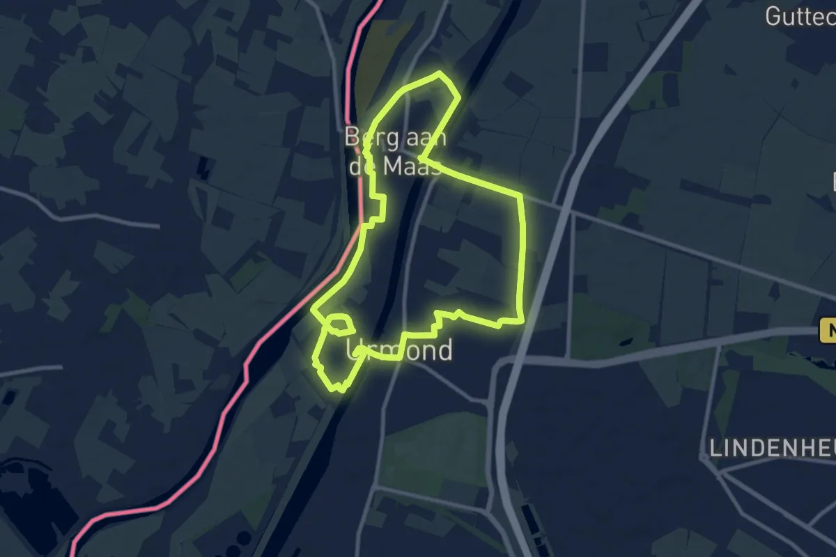
Medium · Trail
Stein ST01 Cultuurroute
8.6 km · ↑ 29 m · 2 h 12 min
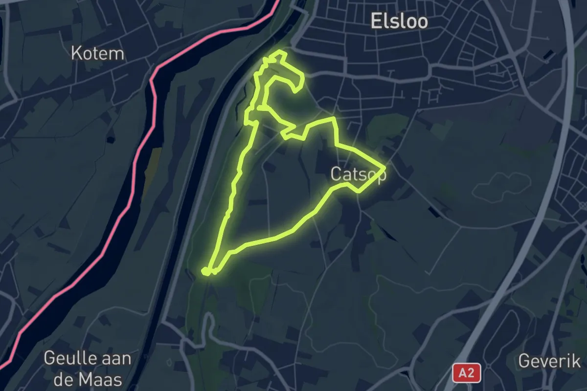
Easy · Trail
Stein ST02 Gedichtenroute
6.0 km · ↑ 67 m · 1 h 39 min
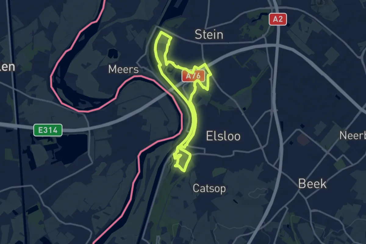
Medium · Trail
Stein ST03 historisch Stein Elsloo
8.9 km · ↑ 49 m · 2 h 20 min
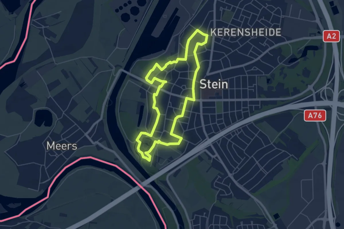
Easy · Trail
Stein ST05 Spirituele route
5.1 km · ↑ 23 m · 1 h 19 min
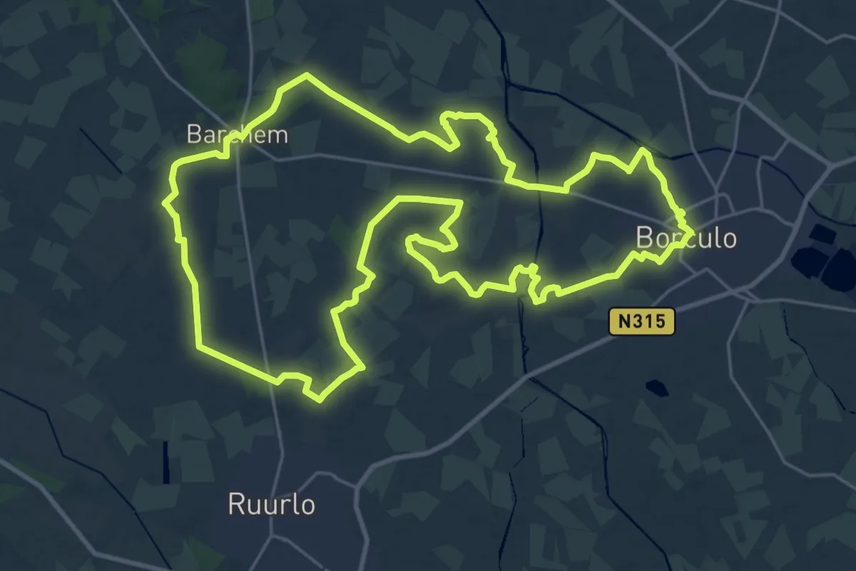
Demanding · Trail
Stelkampsveld Borculo
22.9 km · ↑ 25 m · 5 h 47 min
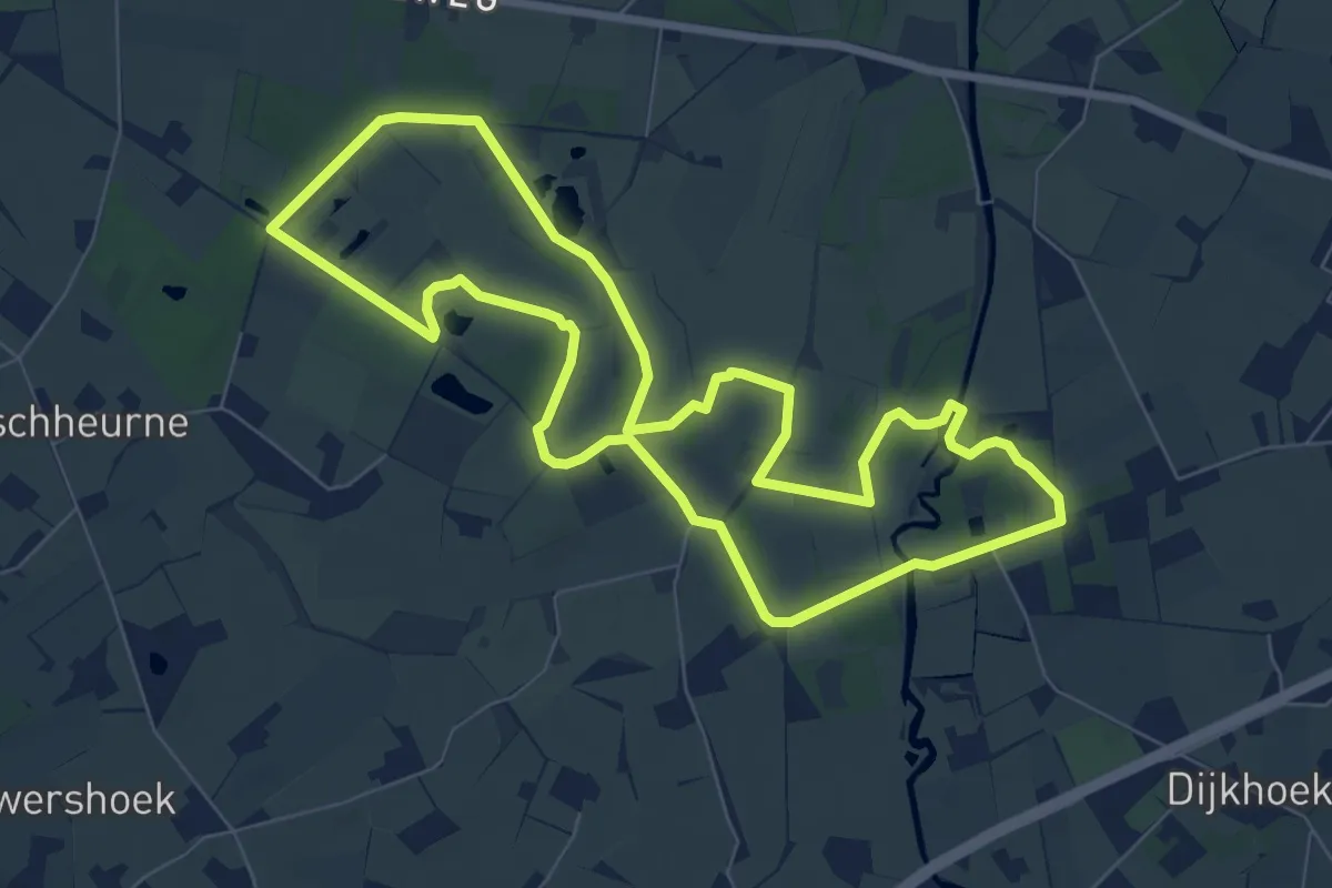
Easy · Trail
Stelkampsveld route
7.0 km · ↑ 8 m · 1 h 46 min
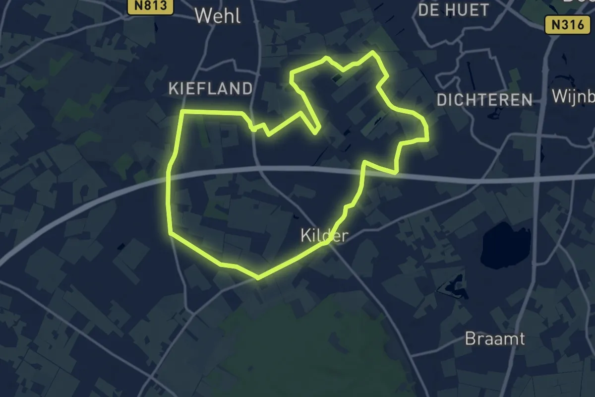
Medium · Trail
Stille Waldroute
12.4 km · ↑ 8 m · 3 h 7 min
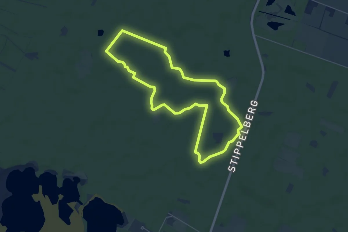
Easy · Trail
Stippelberg rode route
4.8 km · ↑ 4 m · 1 h 13 min
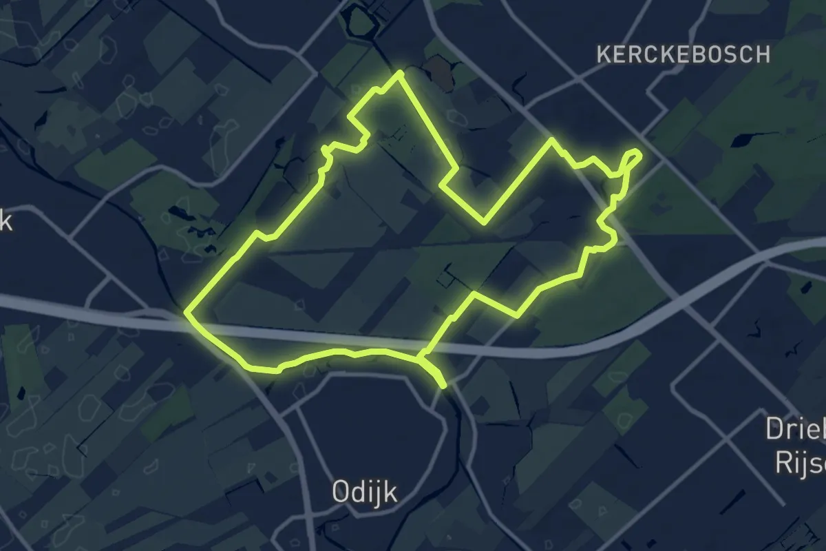
Medium · Trail
Stoetwegenpad
10.7 km · ↑ 18 m · 2 h 42 min
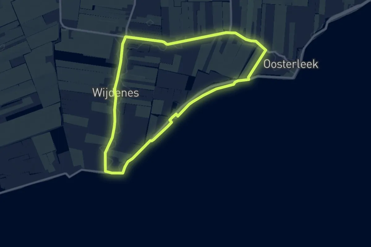
Easy · Trail
Stofmolenroute
7.9 km · ↑ 0 m · 1 h 58 min
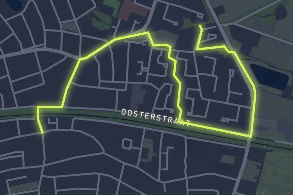
Easy · Trail
Stokhorstpad
4.6 km · ↑ 4 m · 1 h 5 min
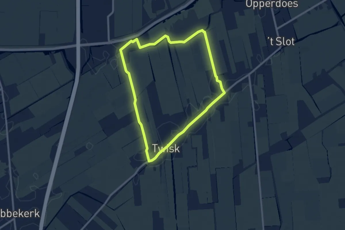
Easy · Trail
Stolpboerderijroute
5.5 km · ↑ 4 m · 1 h 23 min
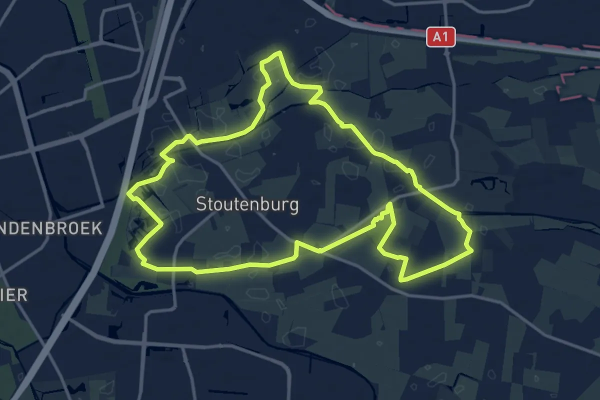
Medium · Trail
Stoutenburgerpad
10.1 km · ↑ 13 m · 2 h 33 min
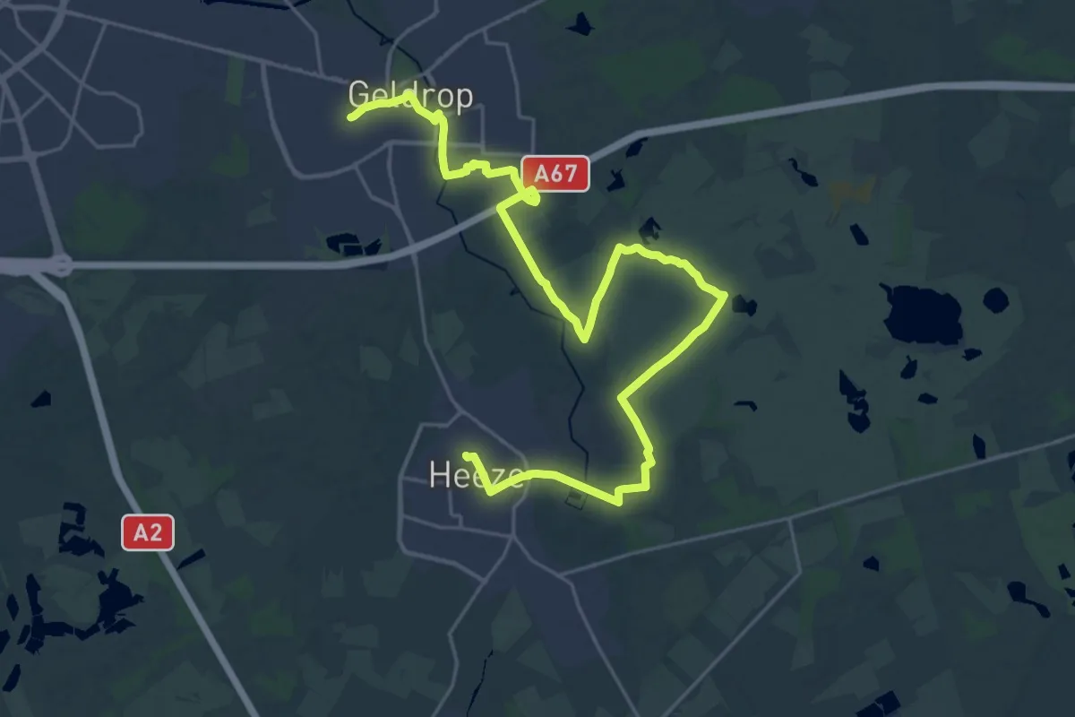
Demanding · Trail
Strabrechtse Heide
27.9 km · ↑ 46 m · 6 h 42 min
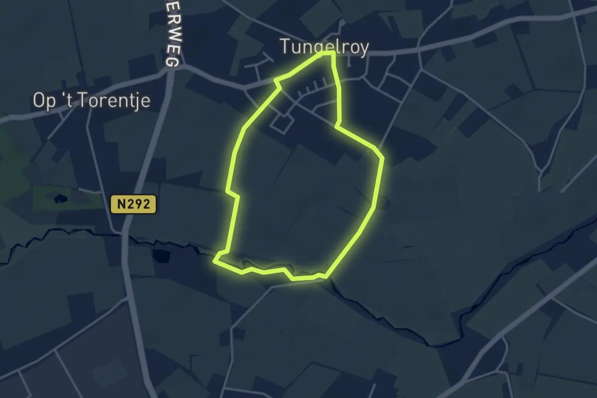
Easy · Trail
Stramproy - Tungelroy - blauw
2.7 km · ↑ 0 m · 40 min
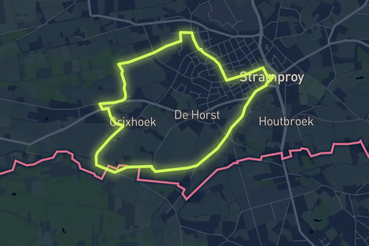
Easy · Trail
Stramproy - Tungelroy - blauw
6.7 km · ↑ 0 m · 1 h 41 min
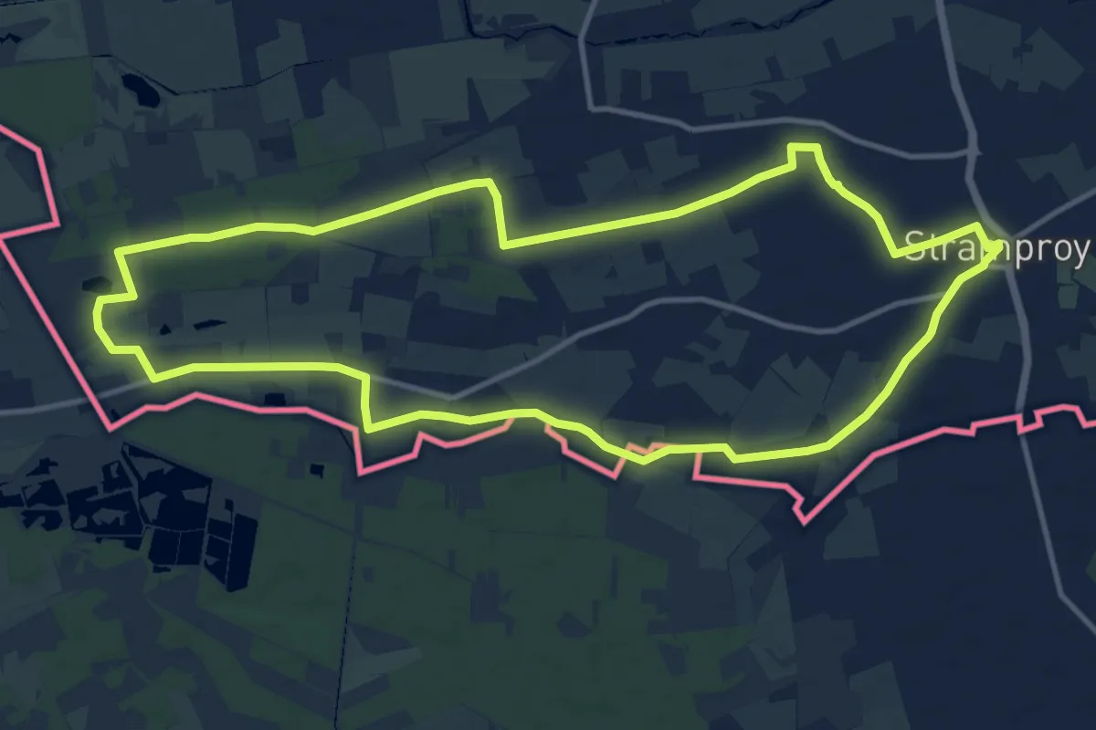
Medium · Trail
Stramproy - Tungelroy - geel
11.7 km · ↑ 13 m · 2 h 57 min
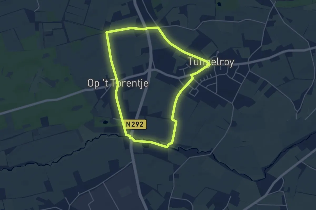
Easy · Trail
Stramproy - Tungelroy - groen
3.8 km · ↑ 0 m · 57 min
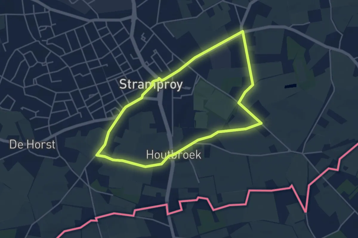
Easy · Trail
Stramproy - Tungelroy - groen
3.6 km · ↑ 0 m · 53 min
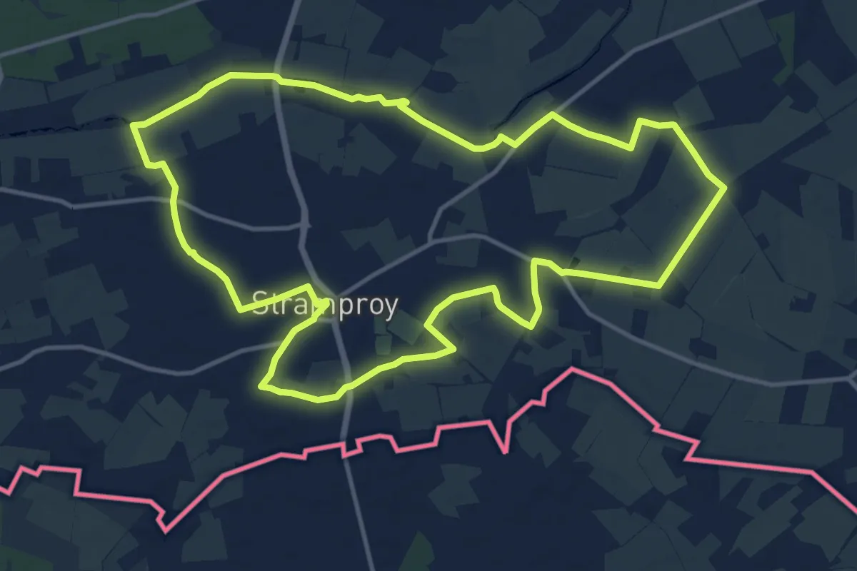
Medium · Trail
Stramproy - Tungelroy - oranje
11.6 km · ↑ 4 m · 2 h 54 min
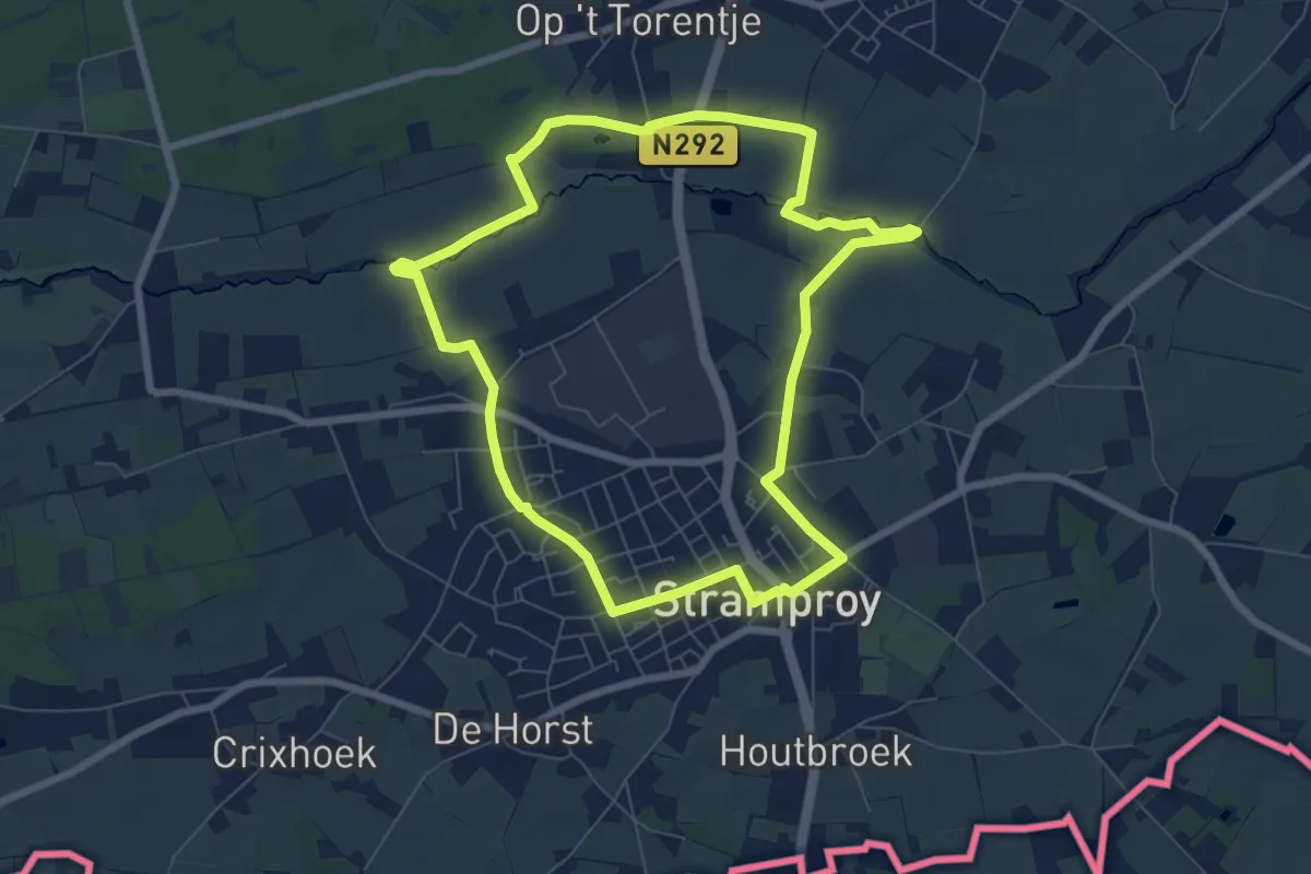
Easy · Trail
Stramproy - Tungelroy - paars
6.6 km · ↑ 12 m · 1 h 40 min
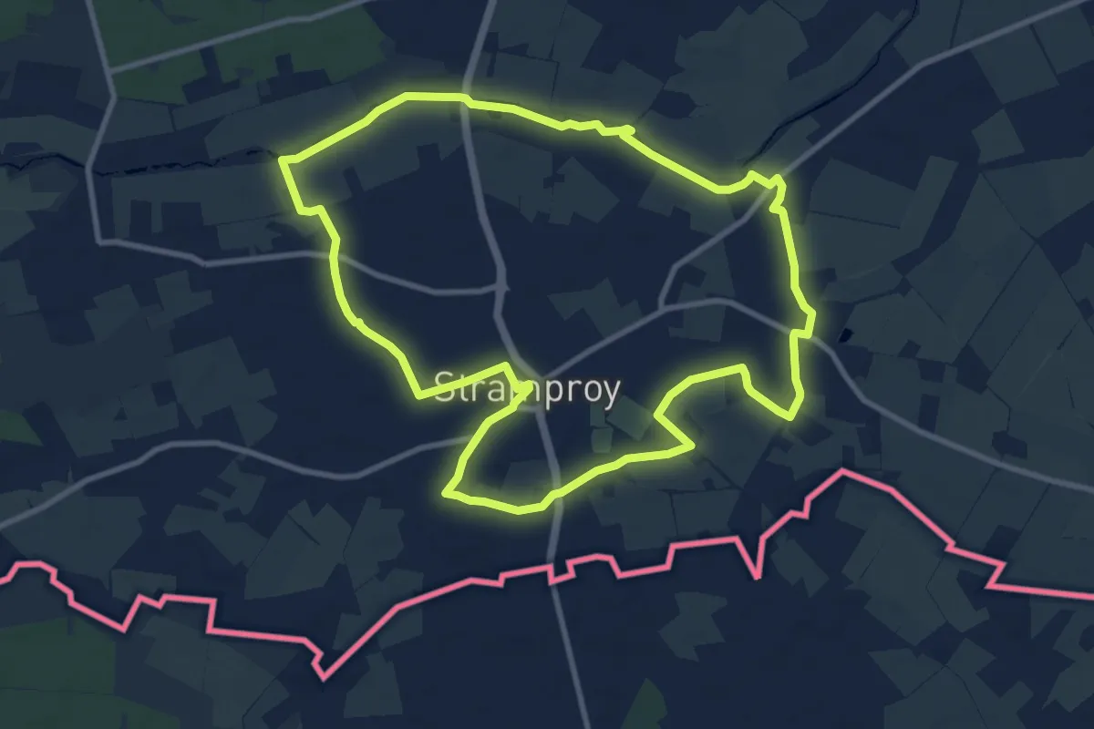
Medium · Trail
Stramproy - Tungelroy - rood
9.3 km · ↑ 4 m · 2 h 20 min
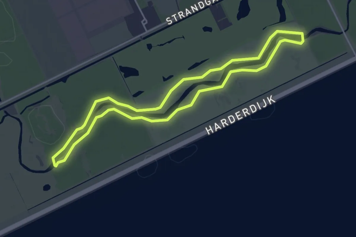
Easy · Trail
Strandgaperbeek wandeling
3.6 km · ↑ 0 m · 54 min
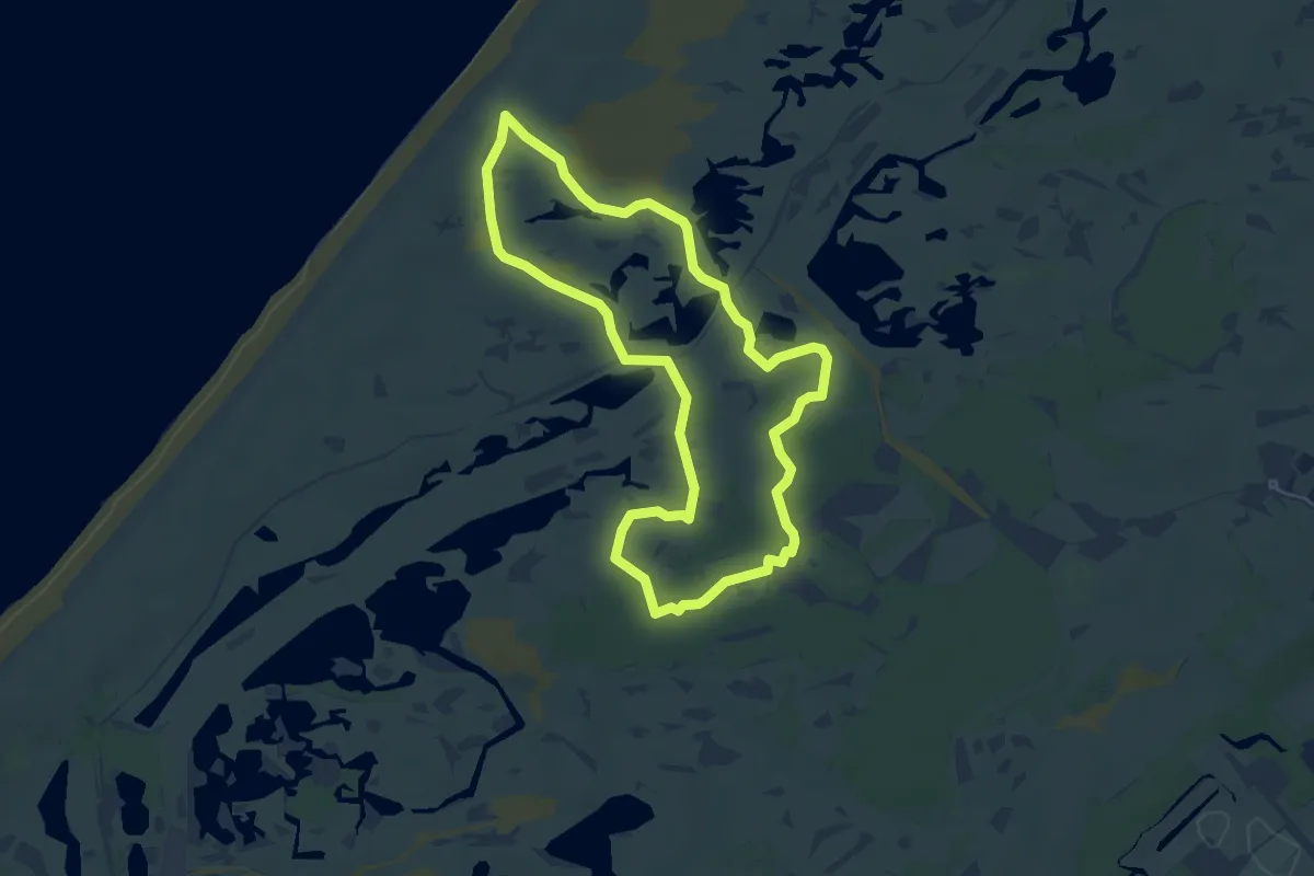
Easy · Trail
Strandroute
4.5 km · ↑ 4 m · 1 h 8 min