Trails in Netherlands
5,039 hiking trails, each with its route, climb, walking time and grade.
All trails, page 56 of 105
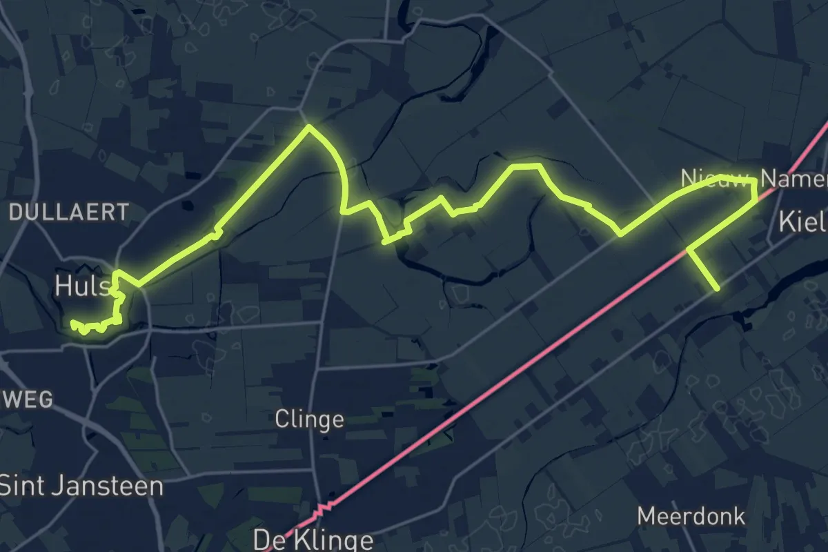
Demanding · Trail
Streek-GR Waas- en Reynaertland
26.9 km · ↑ 17 m · 6 h 24 min
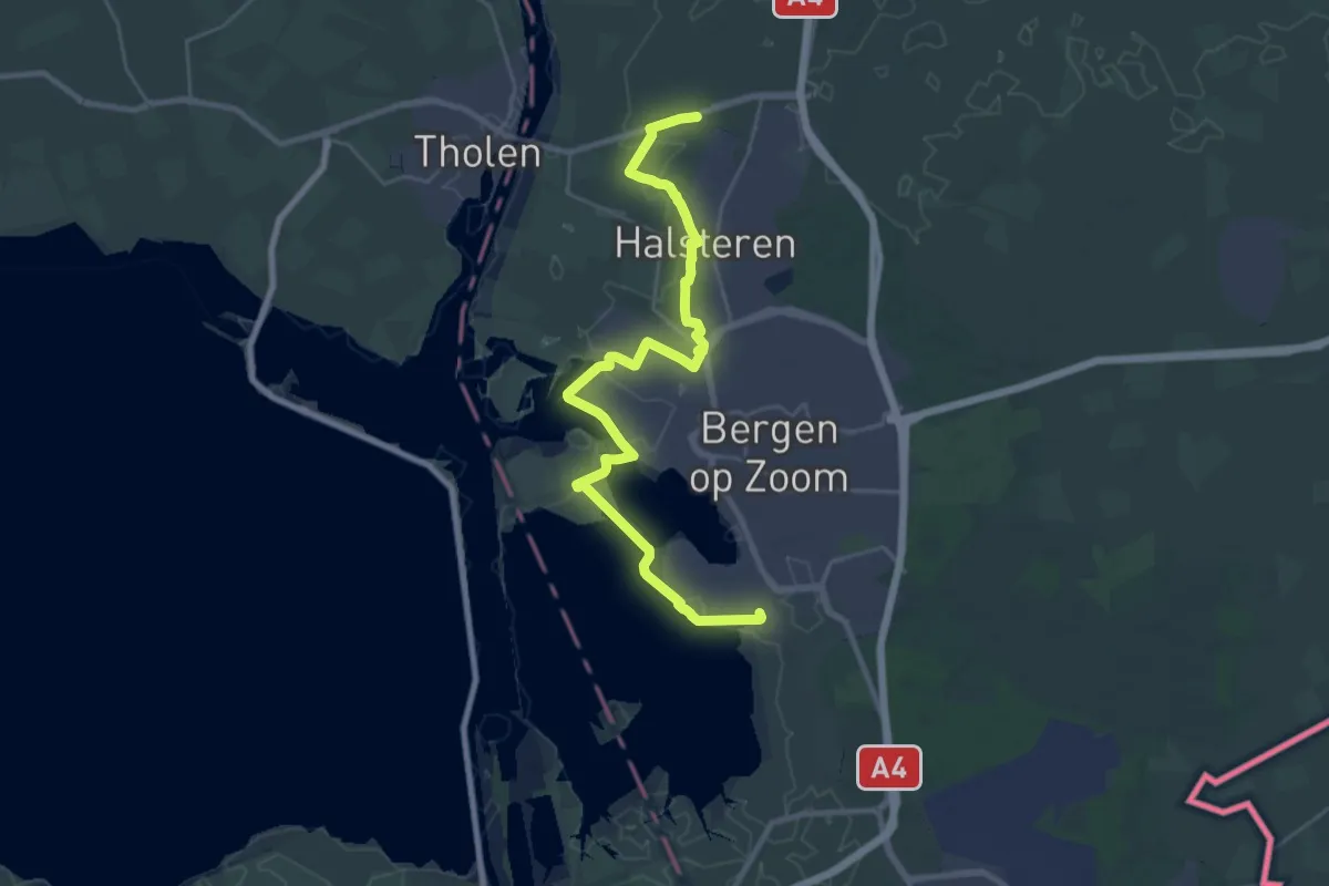
Demanding · Trail
Streekpad De Brabantse Wal - 1
29.4 km · ↑ 33 m · 7 h 1 min
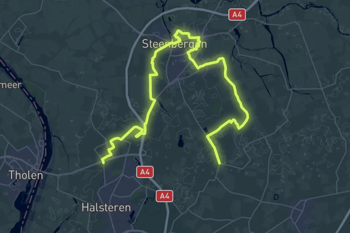
Demanding · Trail
Streekpad De Brabantse Wal - 2
20.6 km · ↑ 21 m · 5 h 12 min
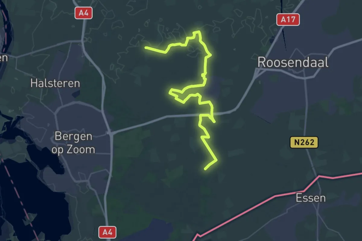
Demanding · Trail
Streekpad De Brabantse Wal - 3
18.2 km · ↑ 21 m · 4 h 35 min
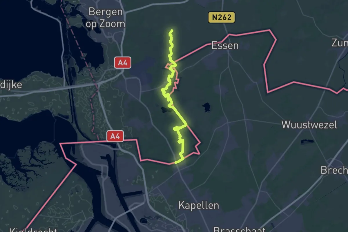
Demanding · Trail
Streekpad De Brabantse Wal - 4
22.3 km · ↑ 61 m · 5 h 43 min
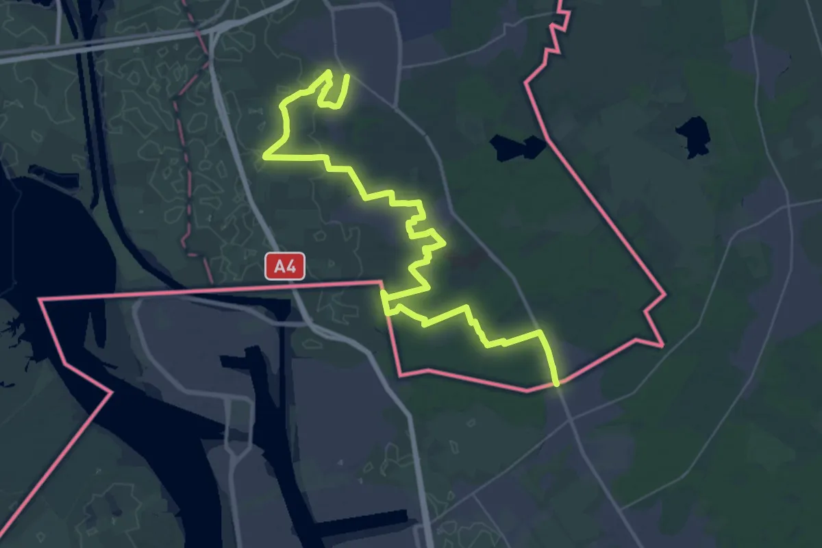
Demanding · Trail
Streekpad De Brabantse Wal - 5
21.1 km · ↑ 65 m · 5 h 24 min
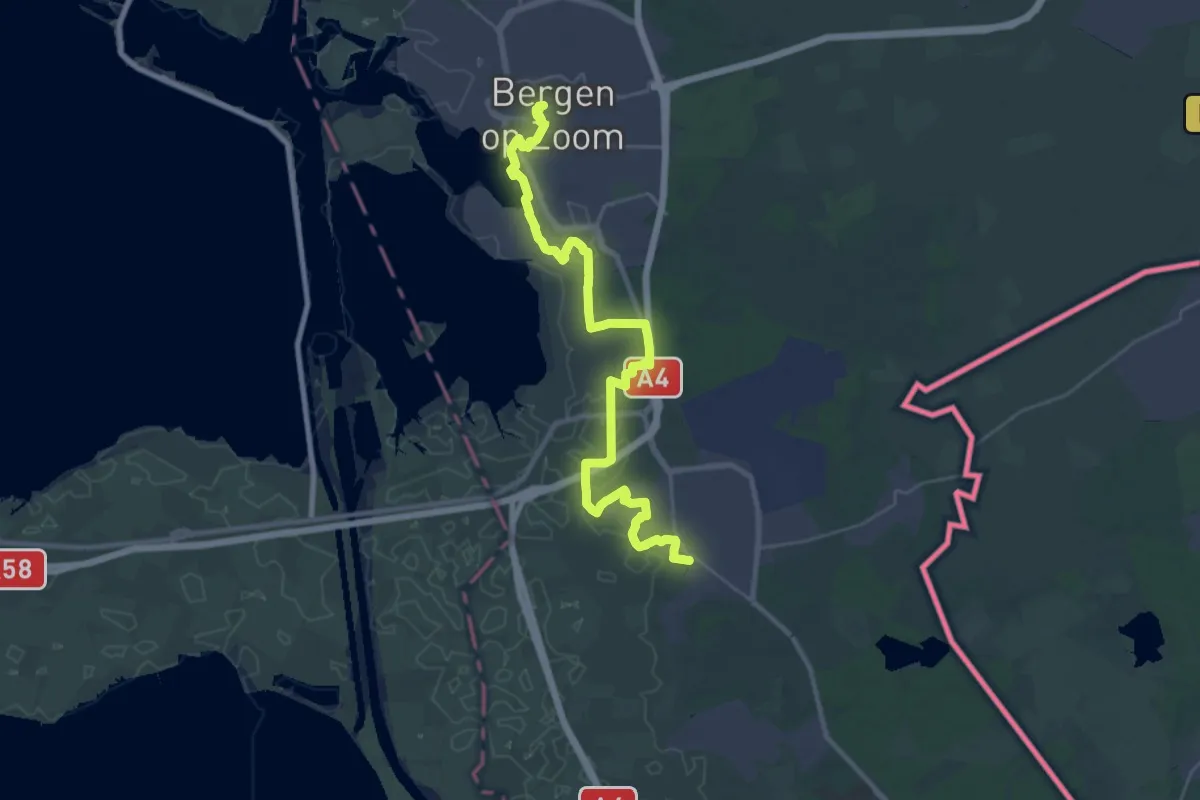
Demanding · Trail
Streekpad De Brabantse Wal - 6
31.7 km · ↑ 113 m · 7 h 44 min
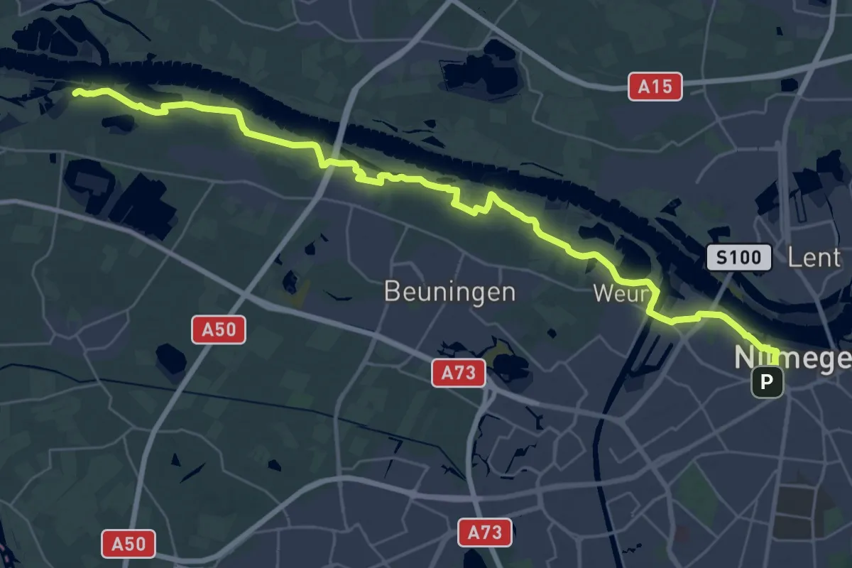
Medium · Trail
Streekpad Rijk van Nijmegen - 01
17.7 km · ↑ 17 m · 4 h 29 min
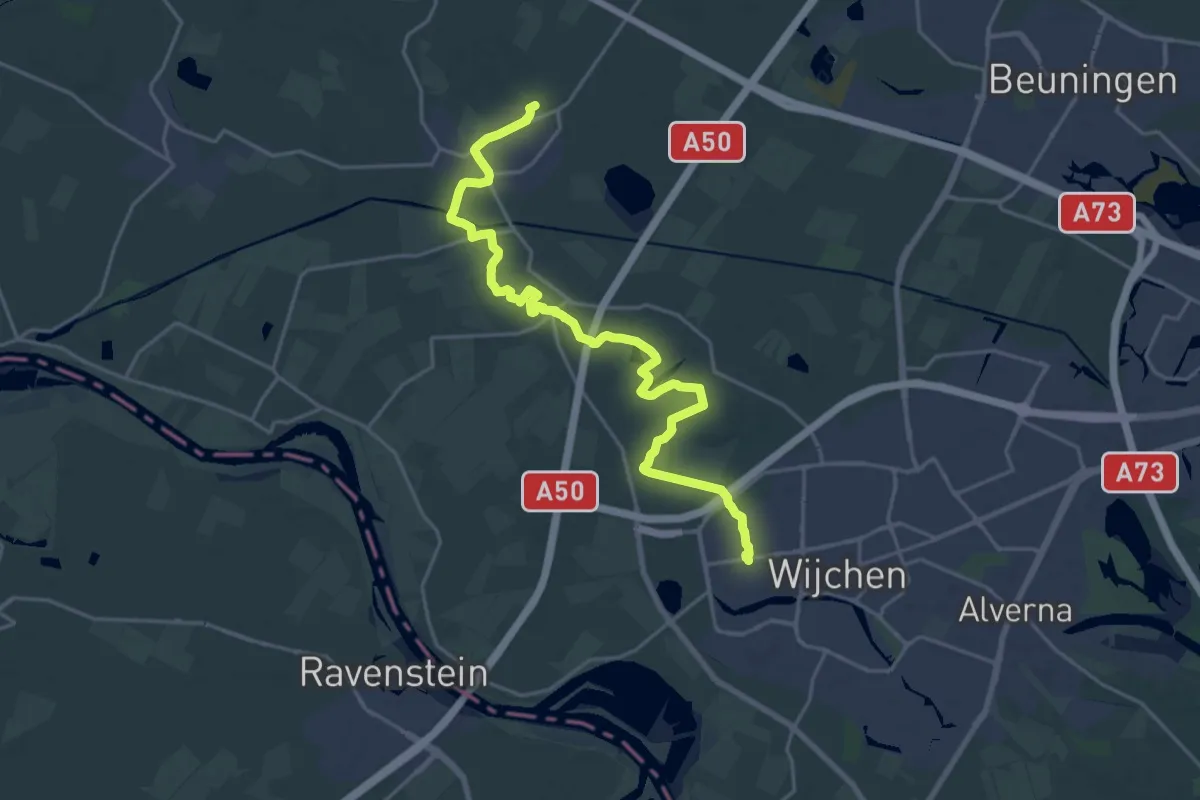
Demanding · Summit
Streekpad Rijk van Nijmegen - 02
21.3 km · ↑ 47 m · 5 h 8 min
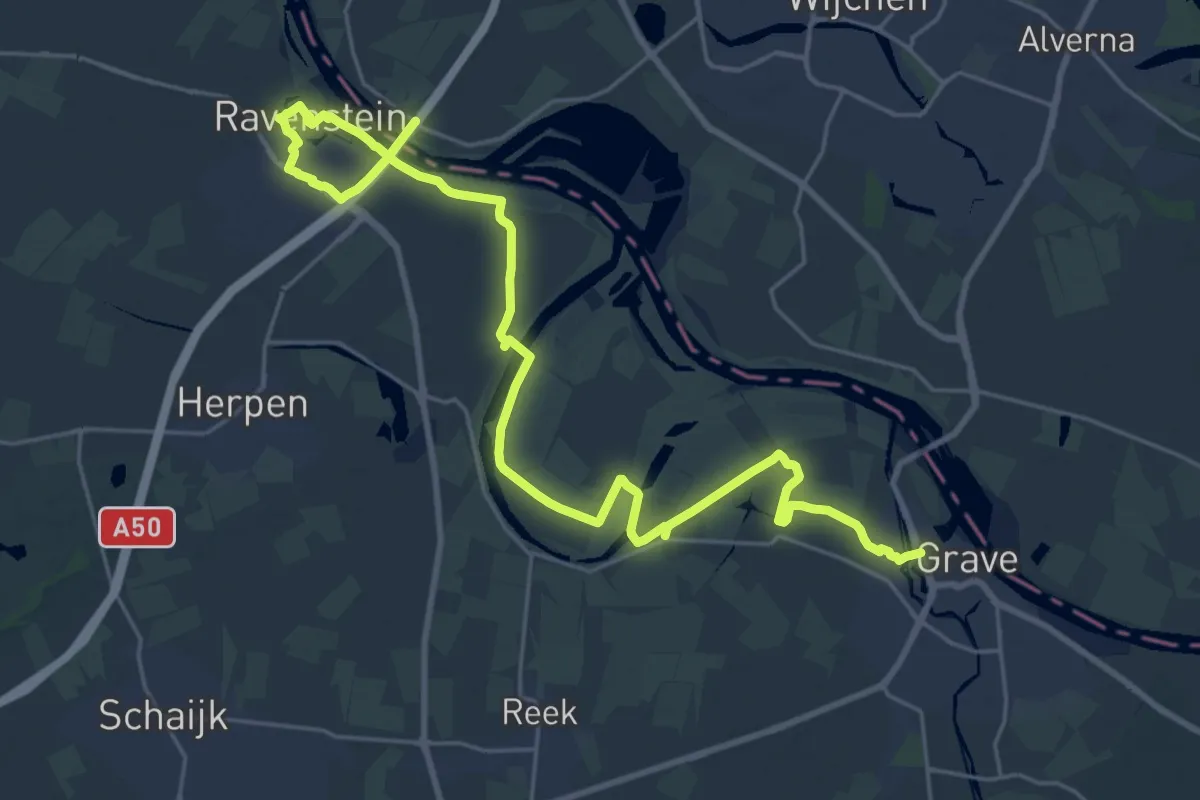
Demanding · Trail
Streekpad Rijk van Nijmegen - 03
28.2 km · ↑ 21 m · 6 h 42 min
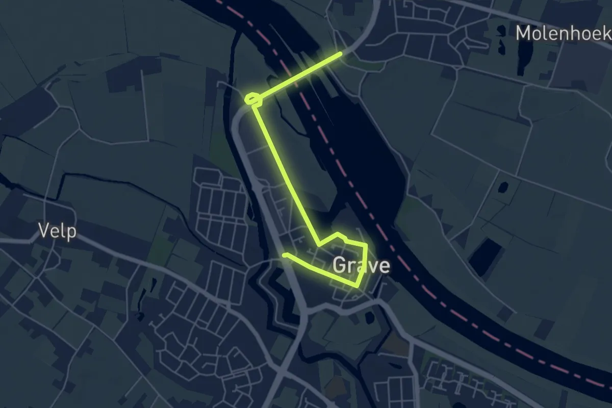
Easy · Trail
Streekpad Rijk van Nijmegen - 04
5.2 km · ↑ 8 m · 1 h 14 min
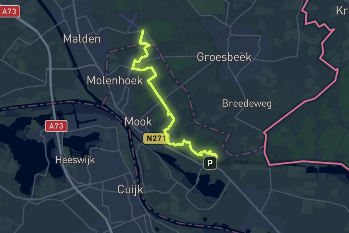
Demanding · Trail
Streekpad Rijk van Nijmegen - 05
19.3 km · ↑ 231 m · 5 h 3 min
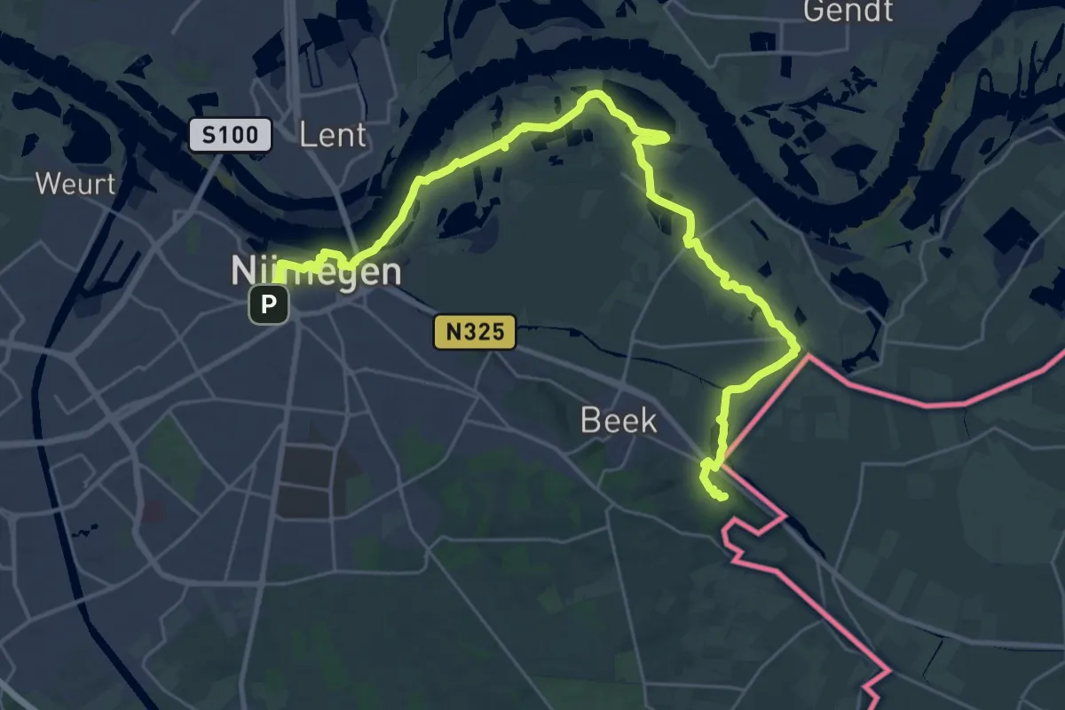
Demanding · Summit
Streekpad Rijk van Nijmegen - 07
31.6 km · ↑ 130 m · 7 h 45 min
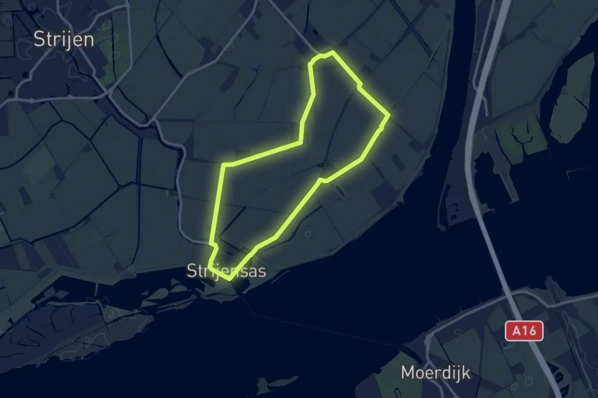
Medium · Trail
Strijensas-route
8.7 km · ↑ 0 m · 2 h 10 min
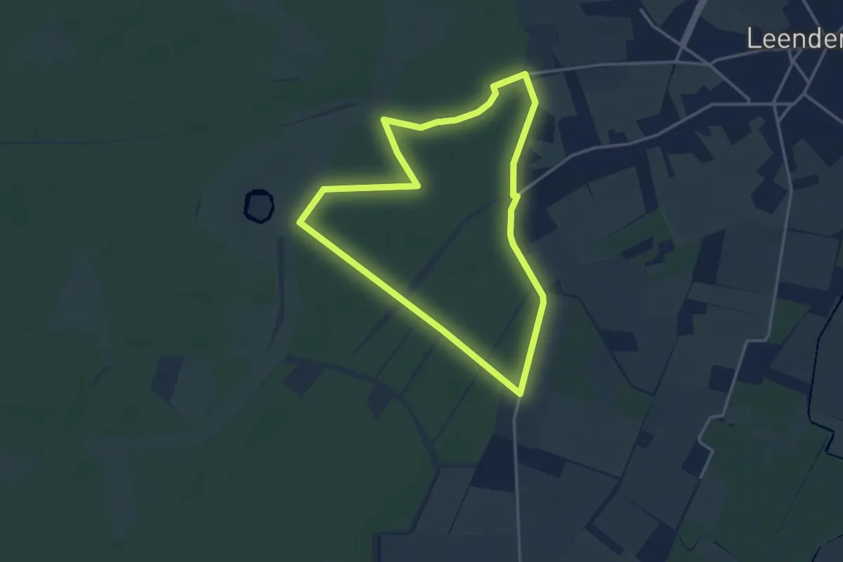
Easy · Trail
Strijperroute
3.0 km · ↑ 4 m · 46 min
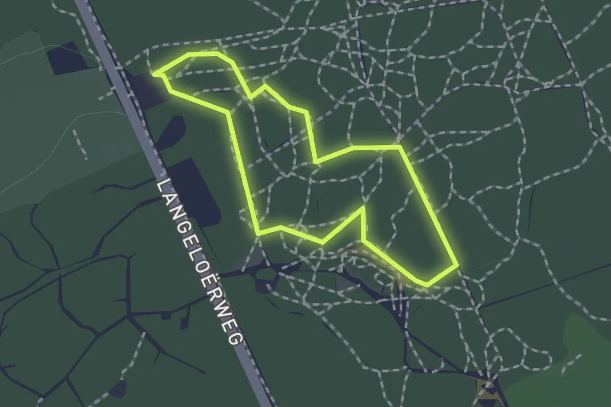
Easy · Trail
Struin & Duin belevingspad
1.2 km · ↑ 0 m · 18 min
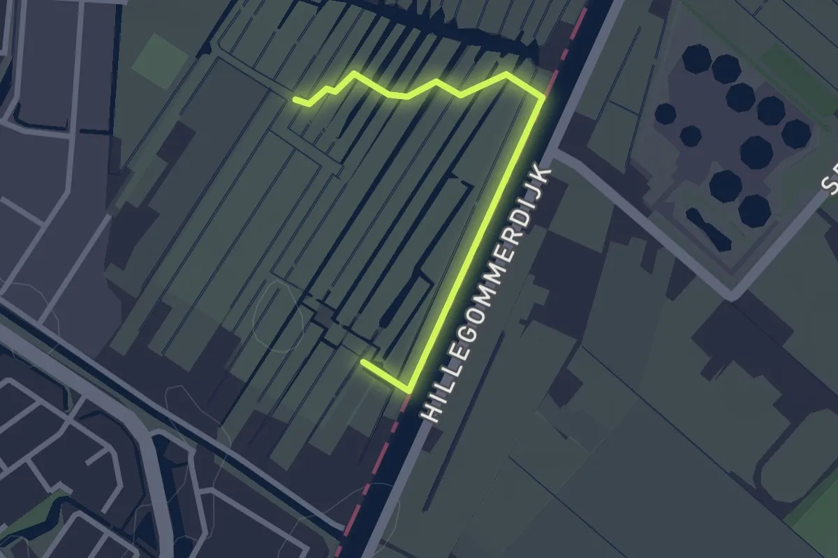
Easy · Trail
Struinpad Vosse- en Weerlanerpolder
2.0 km · ↑ 0 m · 29 min
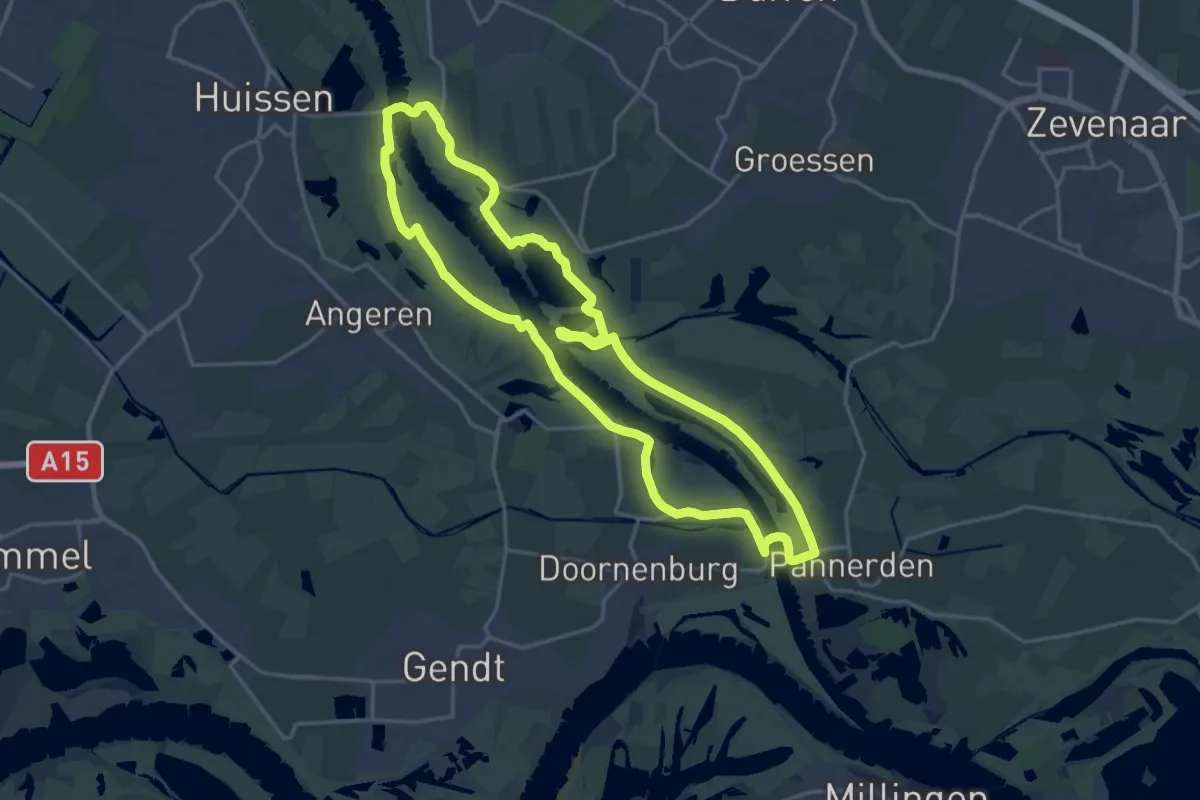
Medium · Trail
Struinroute Pannerdensch kanaal
17.9 km · ↑ 12 m · 4 h 30 min
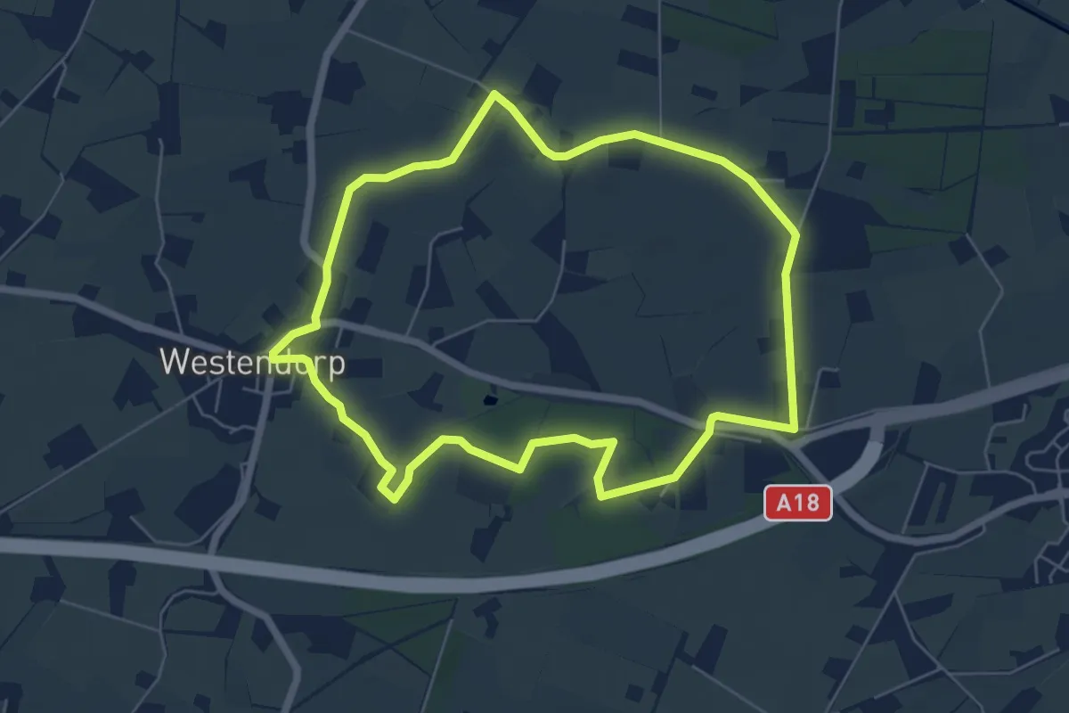
Easy · Trail
Stubbelder route
5.3 km · ↑ 9 m · 1 h 21 min
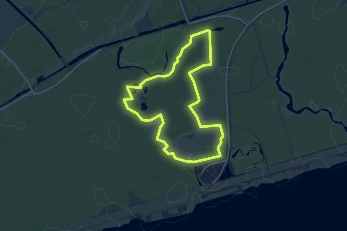
Easy · Trail
Stuifketelroute
3.4 km · ↑ 0 m · 52 min
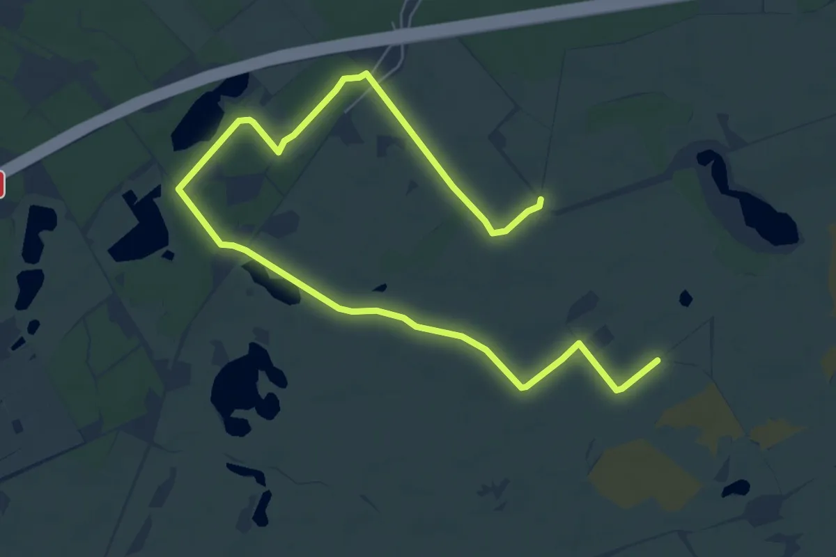
Easy · Trail
Stuifzandroute
4.0 km · ↑ 4 m · 1 h 1 min
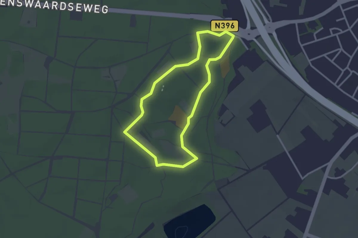
Easy · Trail
Stuifzandroute
2.2 km · ↑ 4 m · 34 min
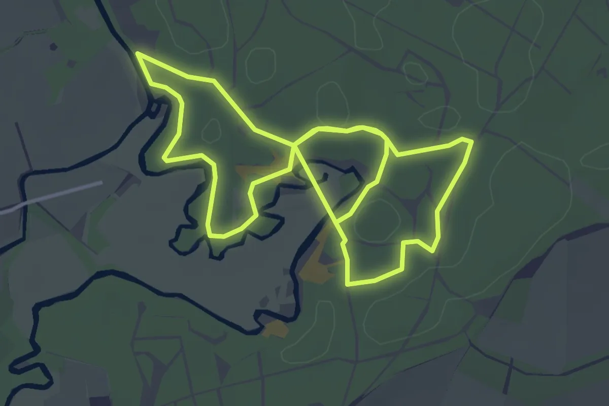
Easy · Trail
Stuifzandroute
3.3 km · ↑ 8 m · 51 min
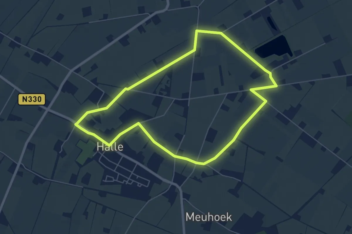
Easy · Trail
Stuivezand route
5.1 km · ↑ 0 m · 1 h 16 min
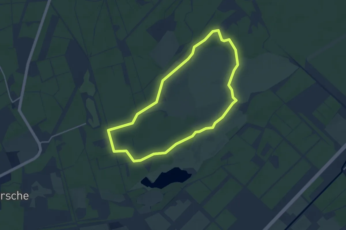
Easy · Trail
Stulpwandeling
3.0 km · ↑ 9 m · 46 min
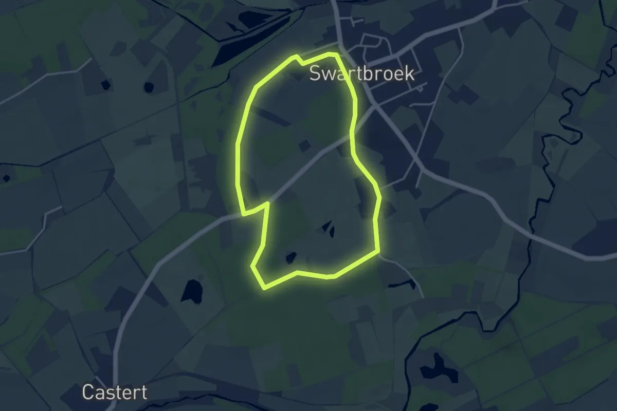
Easy · Trail
Swartbroek - De Pelen - blauw
3.2 km · ↑ 8 m · 50 min
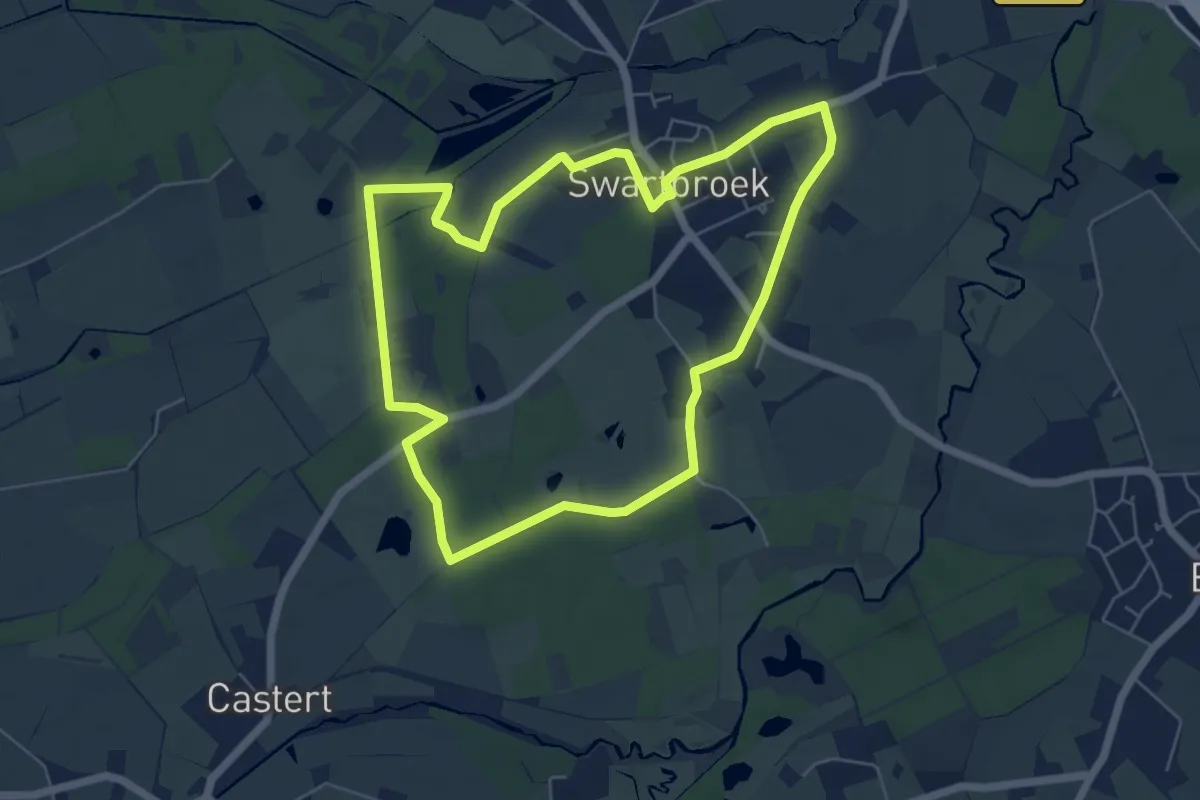
Easy · Trail
Swartbroek - De Pelen - groen
5.3 km · ↑ 13 m · 1 h 21 min
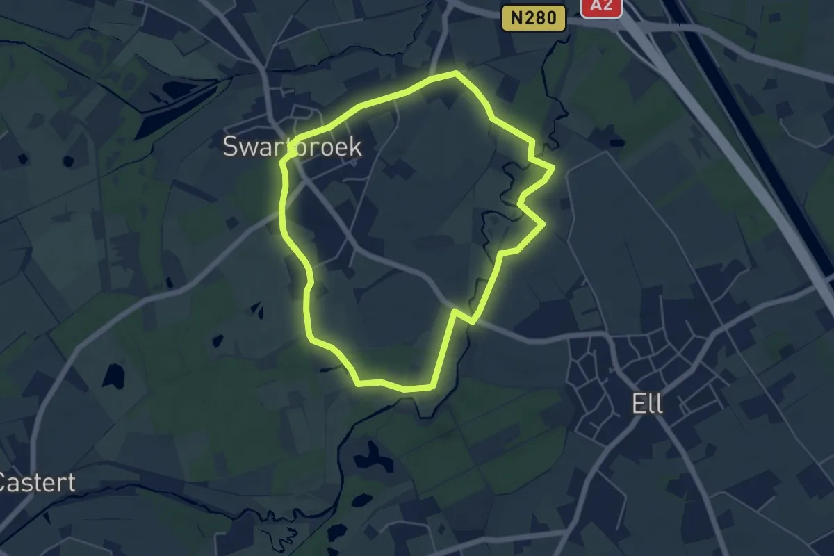
Easy · Trail
Swartbroek - De Pelen - oranje
4.5 km · ↑ 9 m · 1 h 9 min
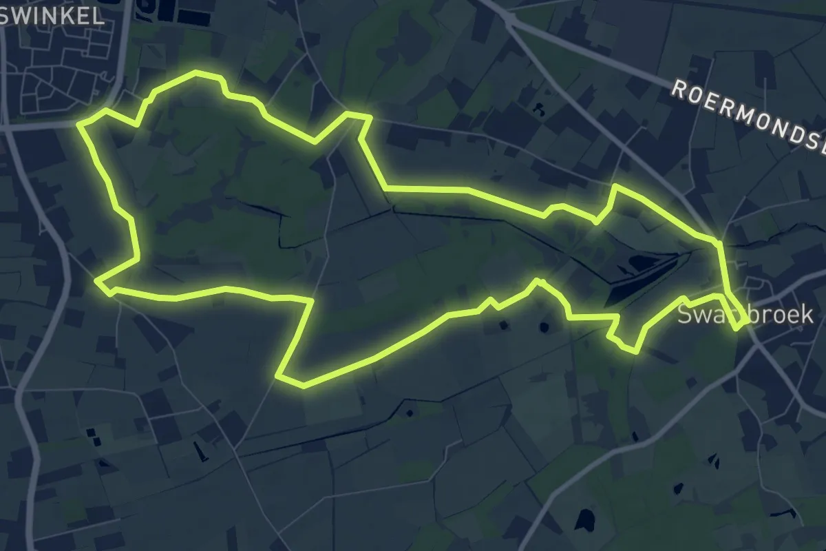
Medium · Trail
Swartbroek - De Pelen - paars
10.3 km · ↑ 0 m · 2 h 35 min
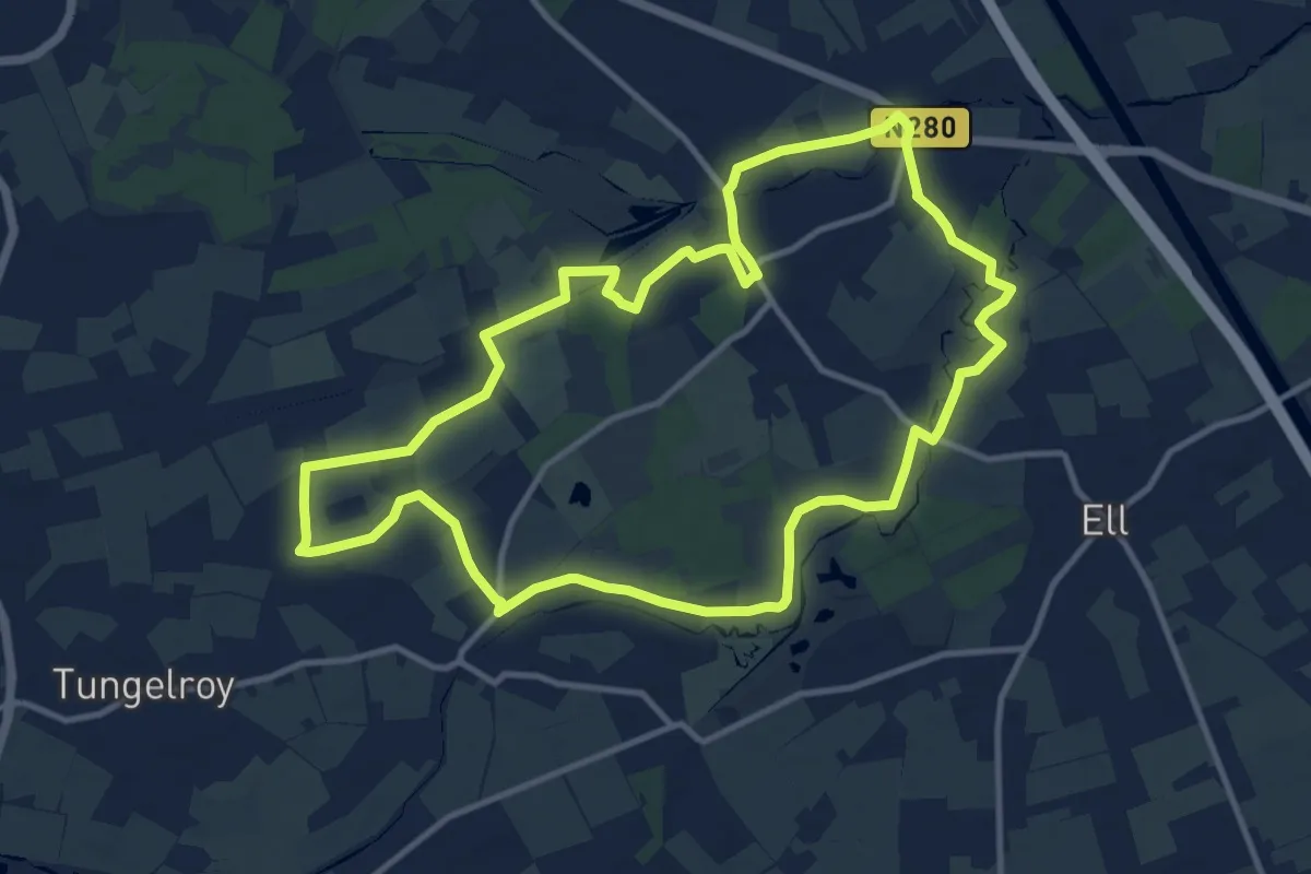
Medium · Trail
Swartbroek - De Pelen - rood
11.0 km · ↑ 8 m · 2 h 46 min
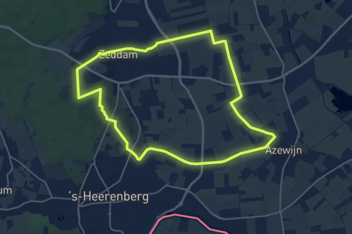
Medium · Summit
Sydeheimroute
11.5 km · ↑ 53 m · 3 h
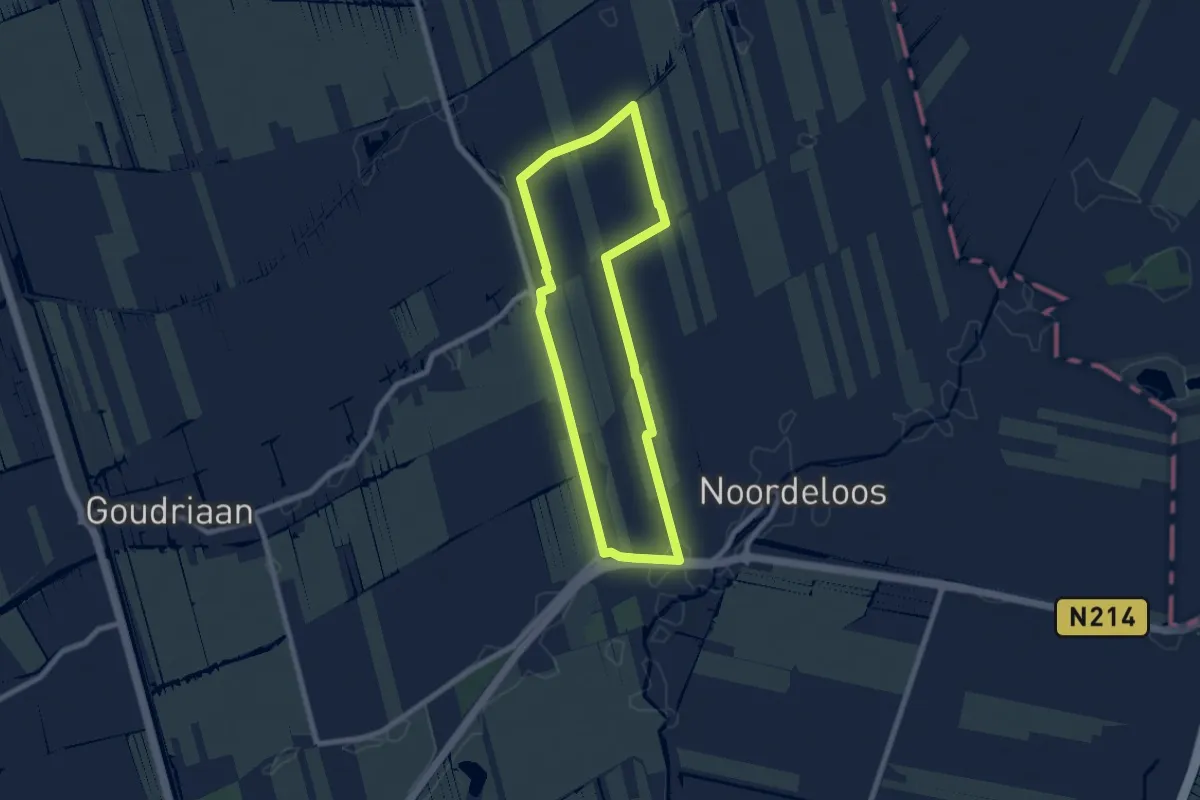
Easy · Trail
Symbiose
6.2 km · ↑ 0 m · 1 h 33 min
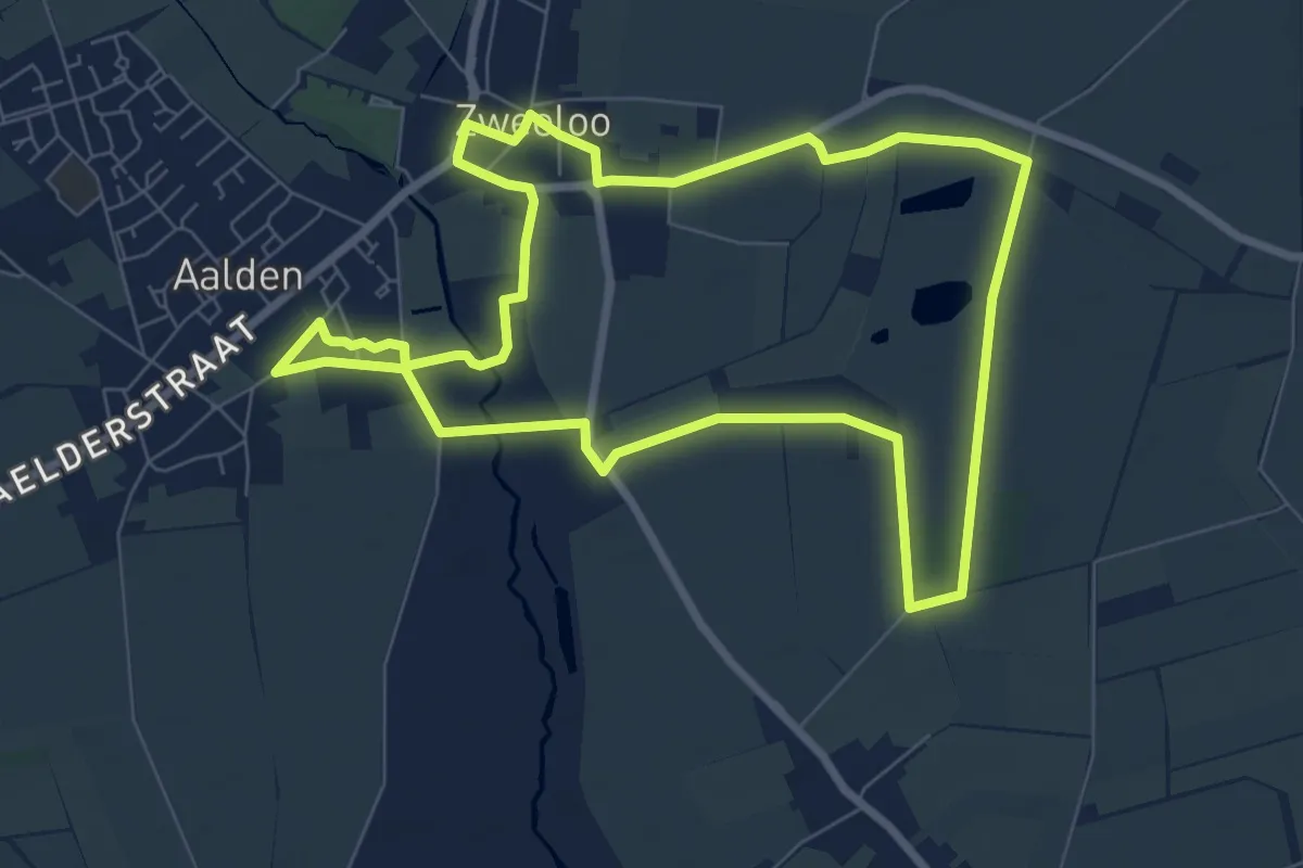
Easy · Trail
Symfonie van kleur- Van Gogh wandelroutes
6.9 km · ↑ 8 m · 1 h 44 min
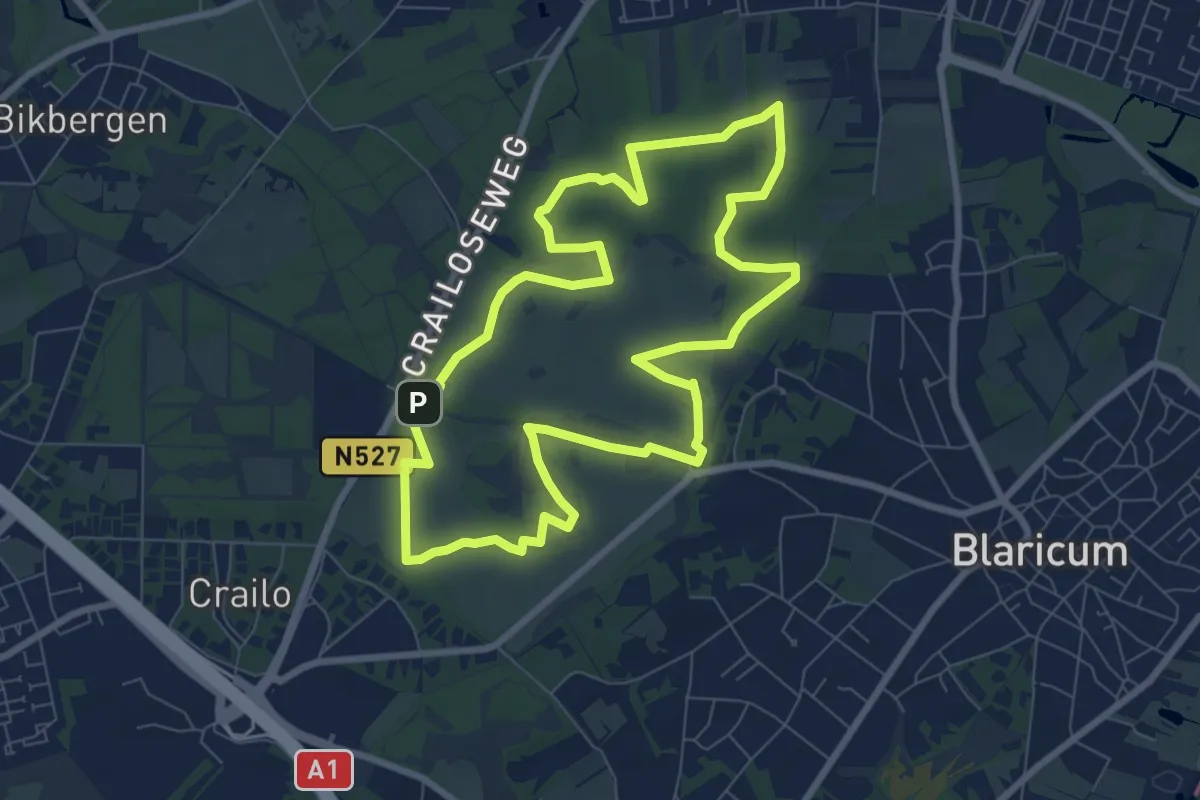
Easy · Summit
Tafelbergheide
7.2 km · ↑ 26 m · 1 h 52 min
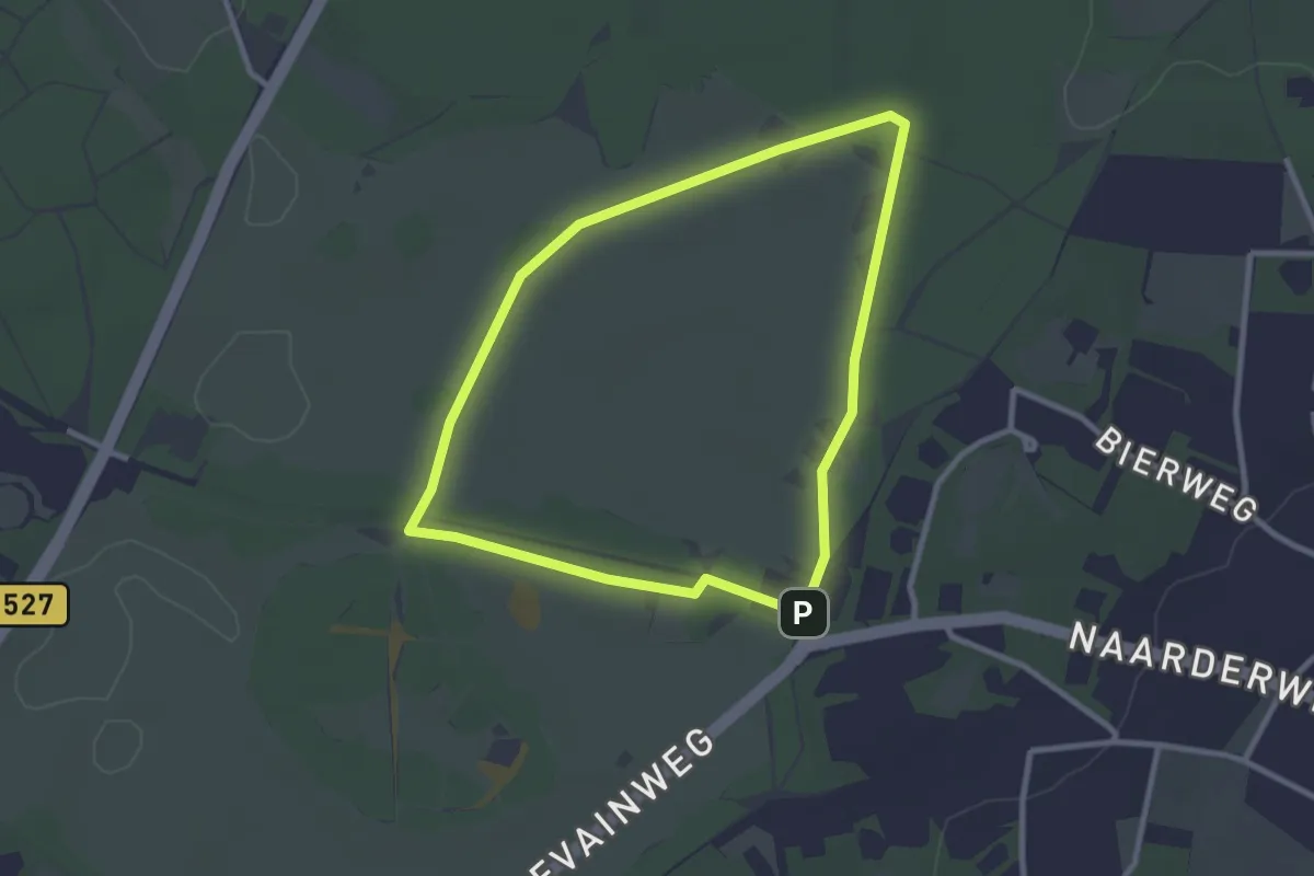
Easy · Summit
Tafelbergheideroute
2.4 km · ↑ 4 m · 36 min
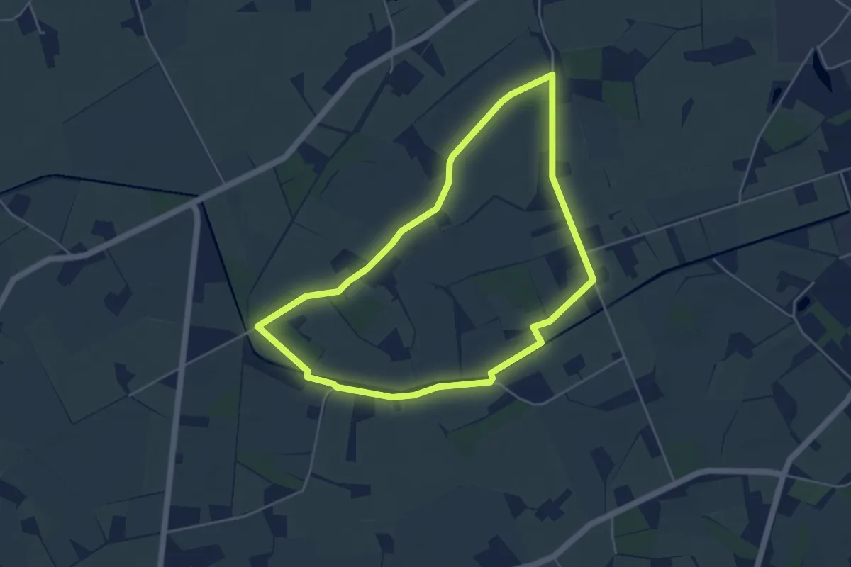
Easy · Trail
Tammelpad
4.0 km · ↑ 4 m · 1 h 1 min
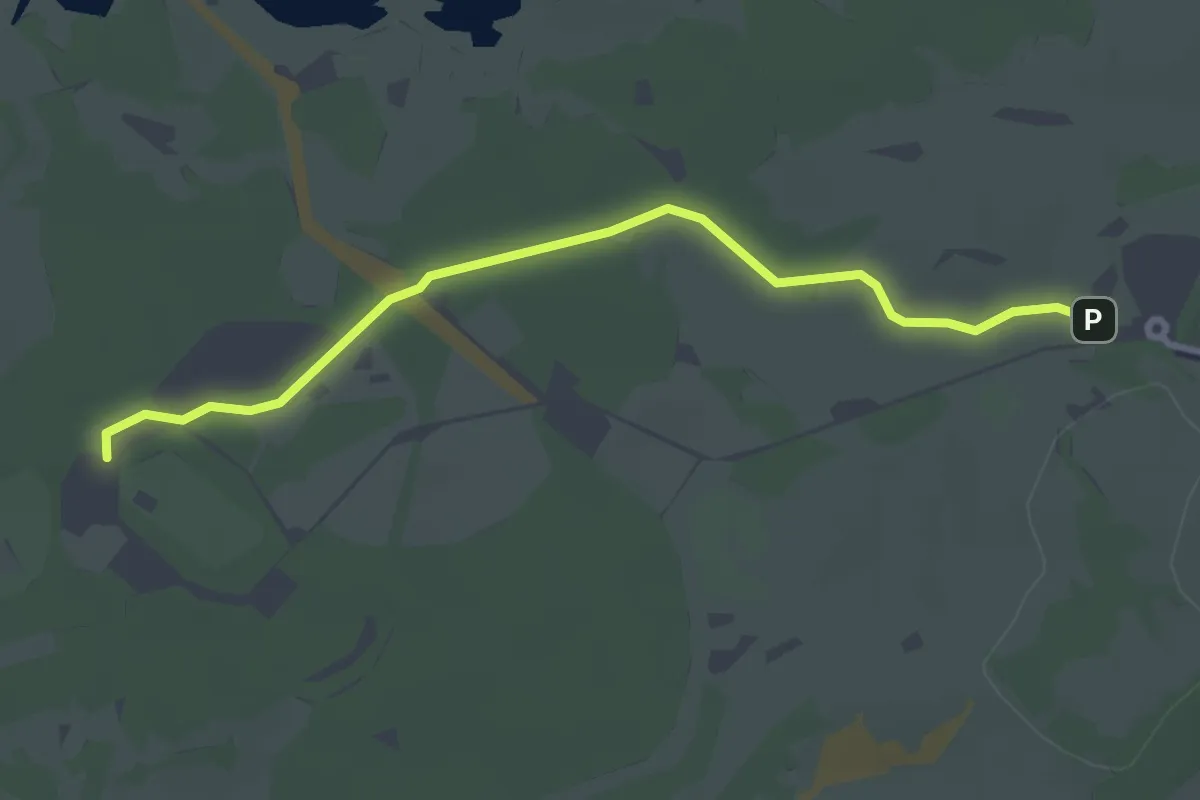
Easy · Trail
Tapuit-Kievitsduin
2.9 km · ↑ 4 m · 42 min
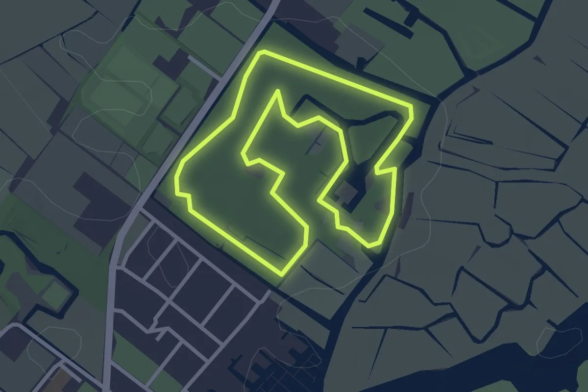
Easy · Trail
Taxusroute
2.5 km · ↑ 9 m · 38 min
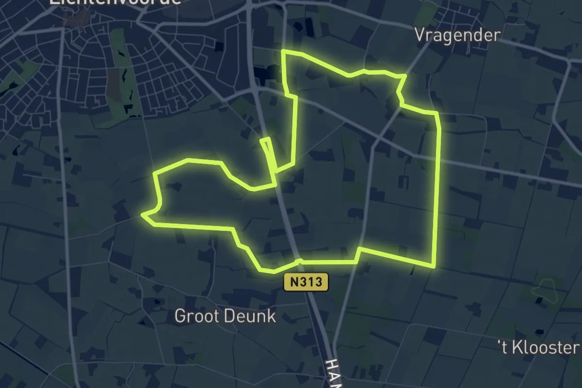
Medium · Trail
't Bultepad
8.8 km · ↑ 17 m · 2 h 14 min
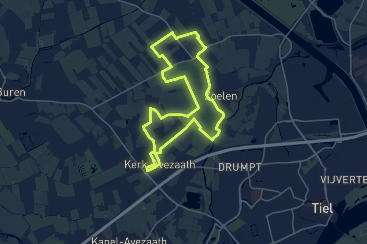
Medium · Trail
Teisterbantpad
12.5 km · ↑ 18 m · 3 h 9 min
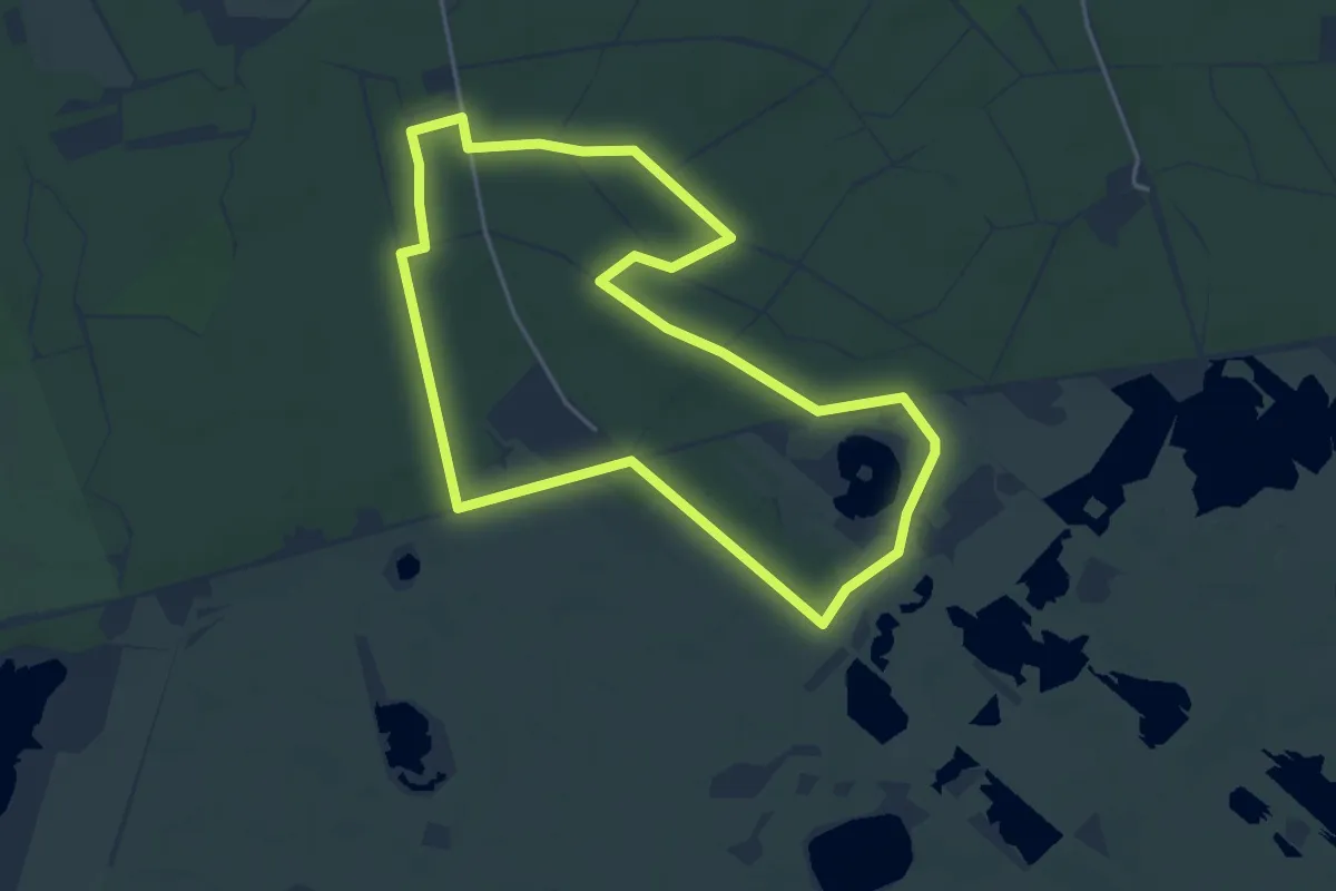
Easy · Trail
Telescoopwandeling
4.0 km · ↑ 17 m · 1 h 2 min
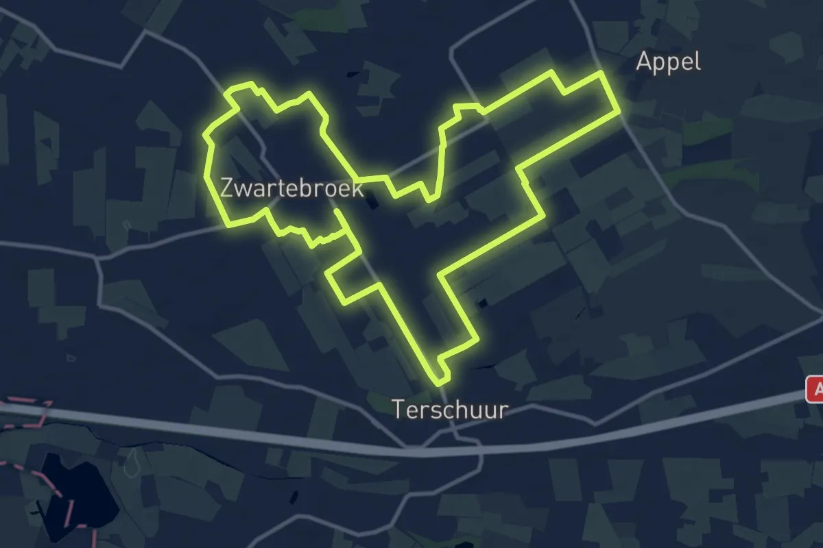
Medium · Trail
Terbroeksepad
11.4 km · ↑ 4 m · 2 h 51 min
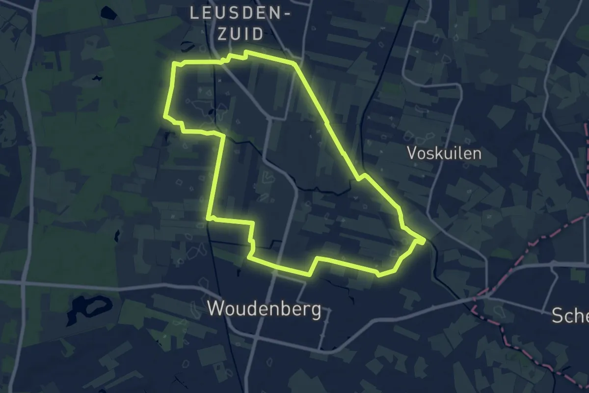
Medium · Trail
Termatenpad
13.1 km · ↑ 17 m · 3 h 18 min
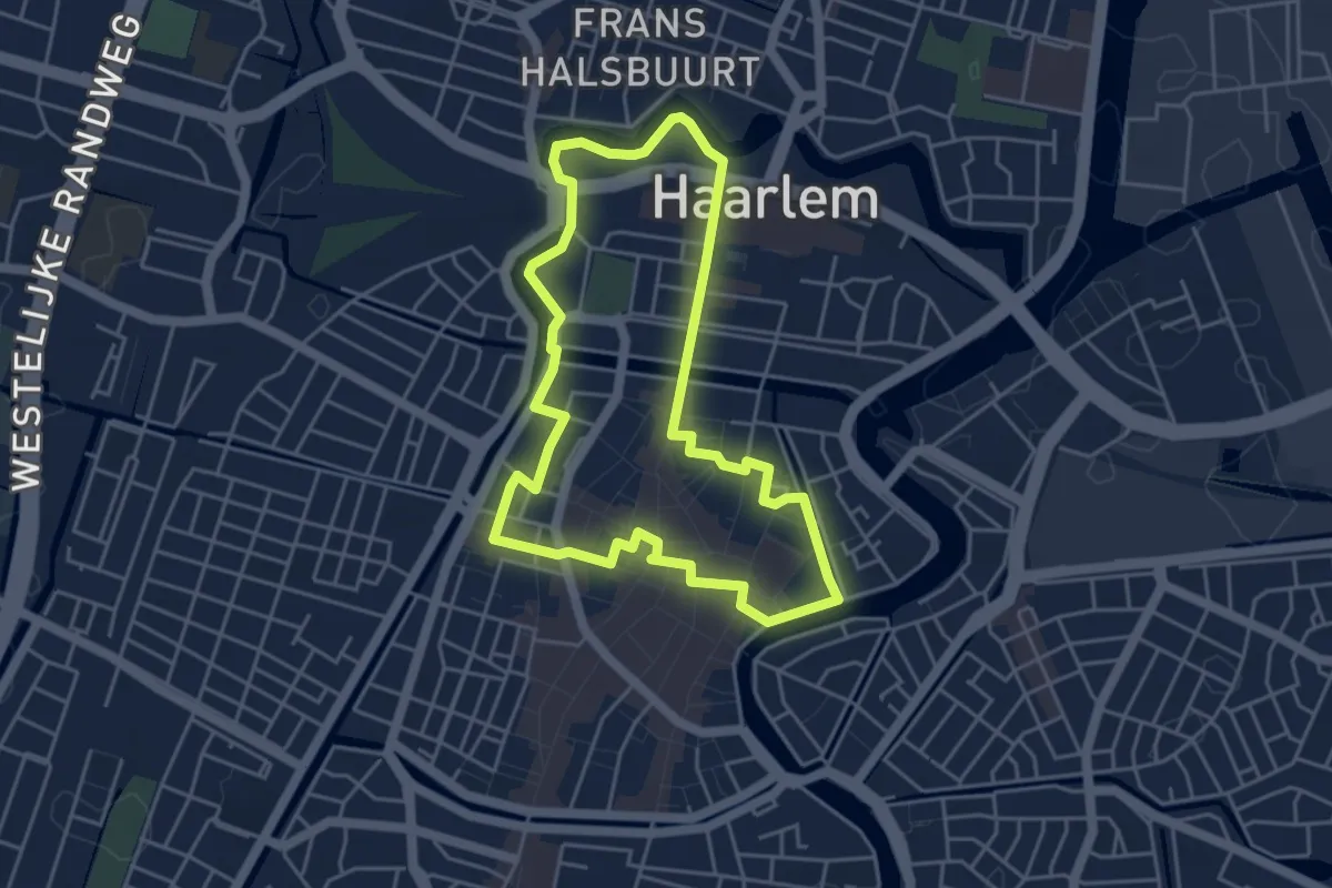
Easy · Trail
Teylers Ommetje
3.9 km · ↑ 0 m · 59 min
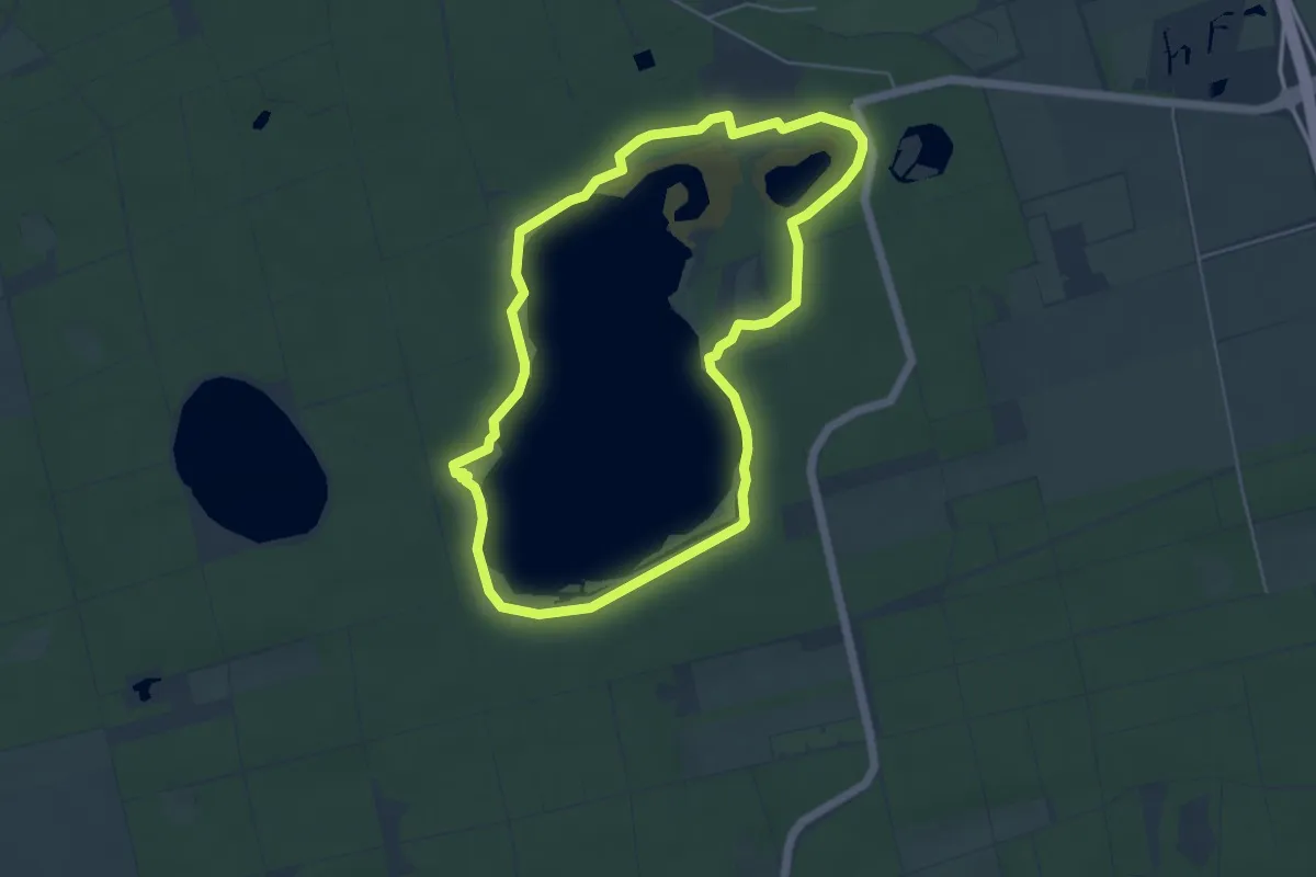
Easy · Summit
't Gasselterveldroute
4.4 km · ↑ 13 m · 1 h 7 min
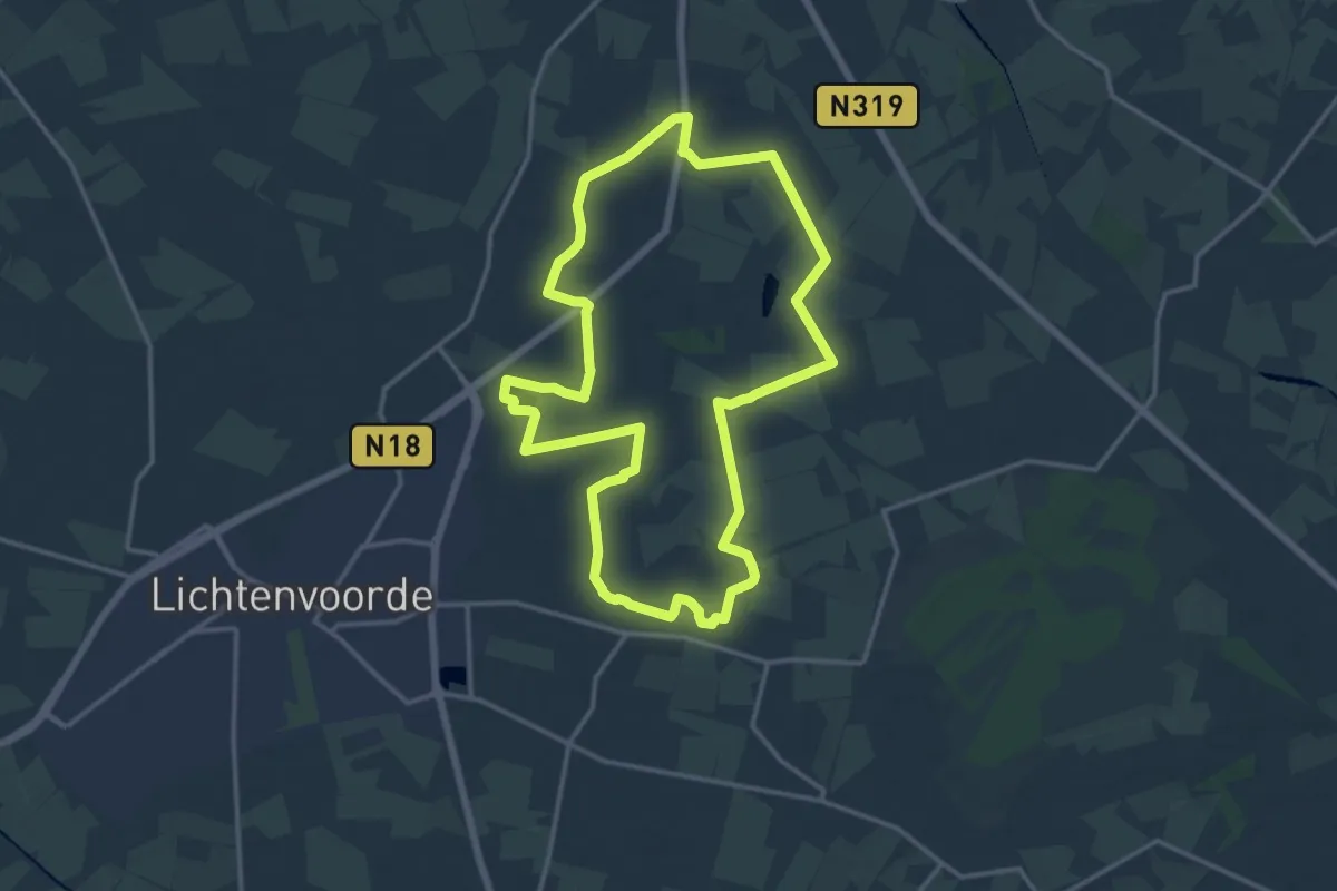
Medium · Trail
't Griezeveldpad
13.7 km · ↑ 26 m · 3 h 28 min
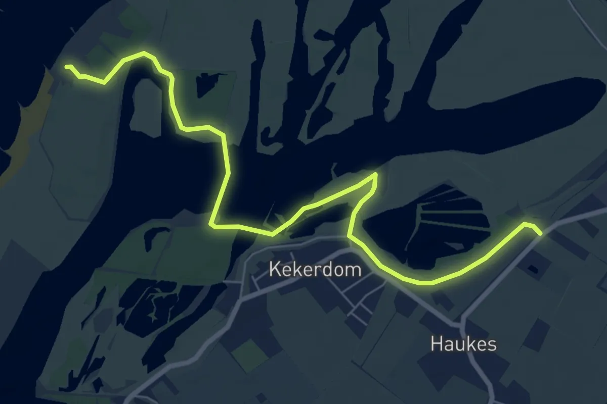
Easy · Trail
Theetuin
6.9 km · ↑ 0 m · 1 h 38 min
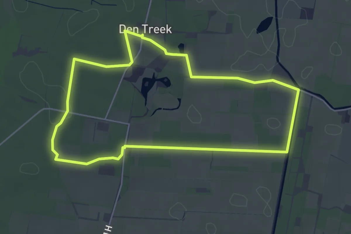
Easy · Trail
Themawandeling Akkersesteeg
4.0 km · ↑ 14 m · 1 h 2 min