Trails in Netherlands
5,039 hiking trails, each with its route, climb, walking time and grade.
All trails, page 57 of 105
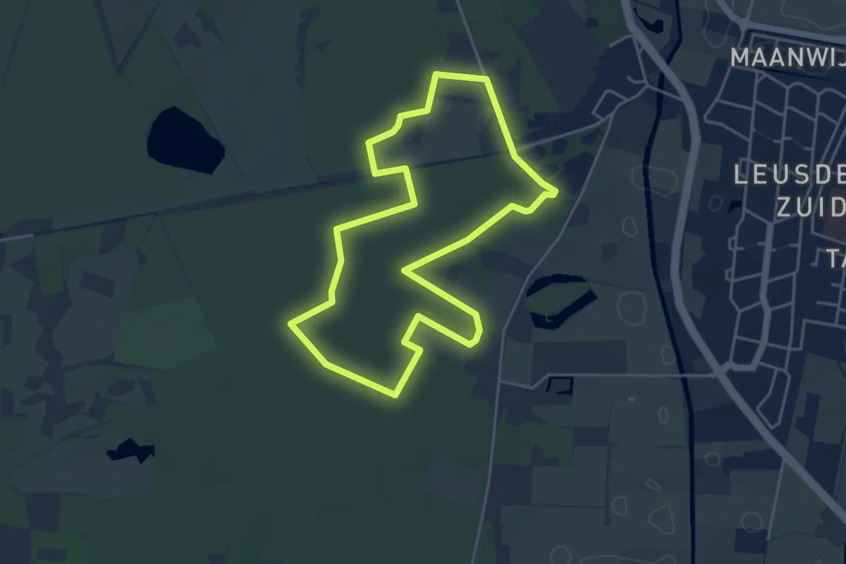
Easy · Trail
Themawandeling De Troet
3.8 km · ↑ 8 m · 57 min
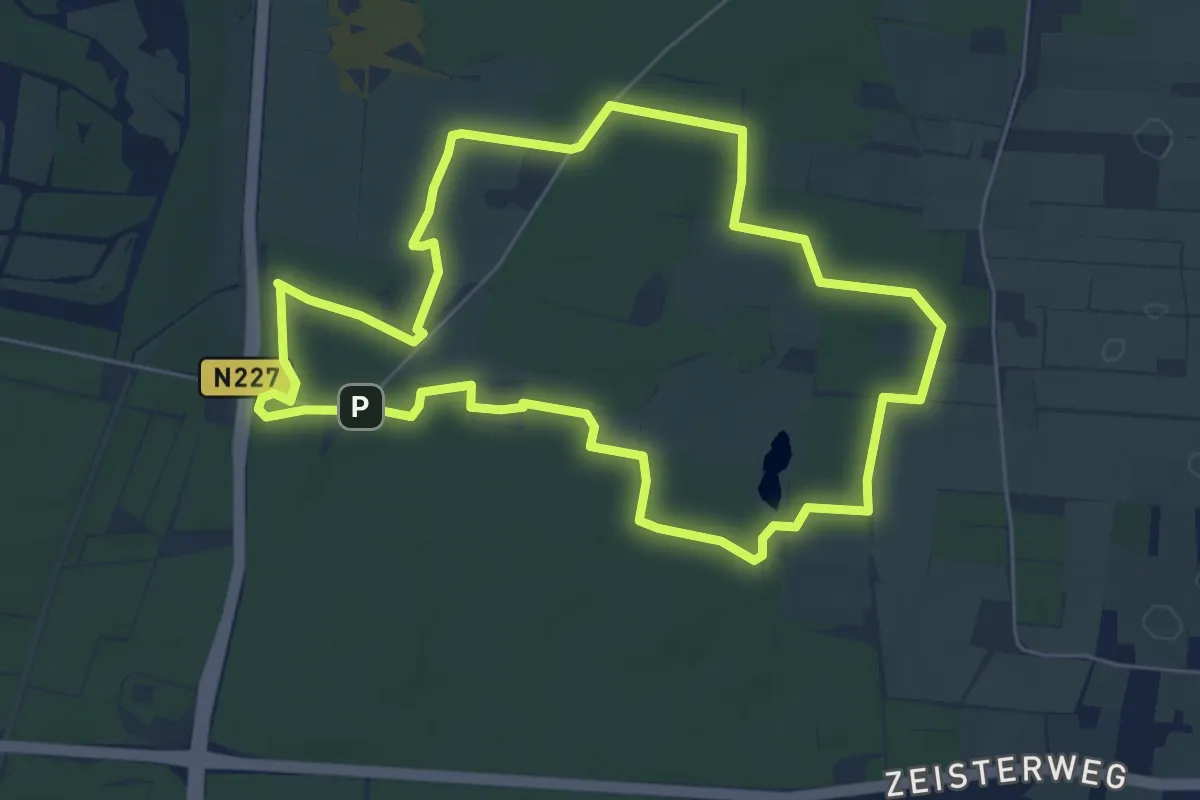
Easy · Summit
Themawandeling vanaf de Doornseweg
5.6 km · ↑ 4 m · 1 h 24 min
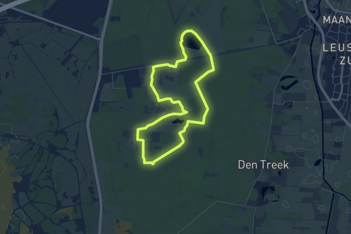
Easy · Trail
Themawandeling Waterlooweg
5.4 km · ↑ 13 m · 1 h 23 min
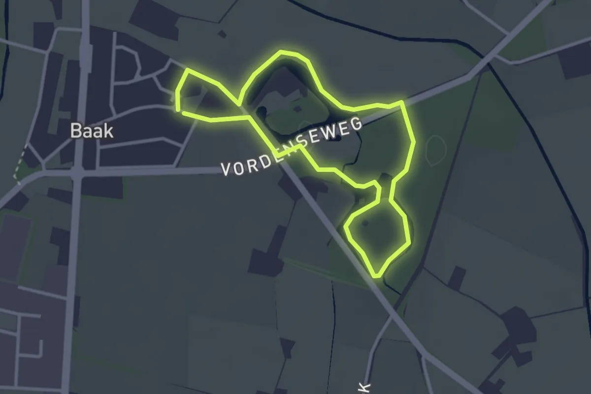
Easy · Trail
't Hertenpad
2.4 km · ↑ 5 m · 36 min
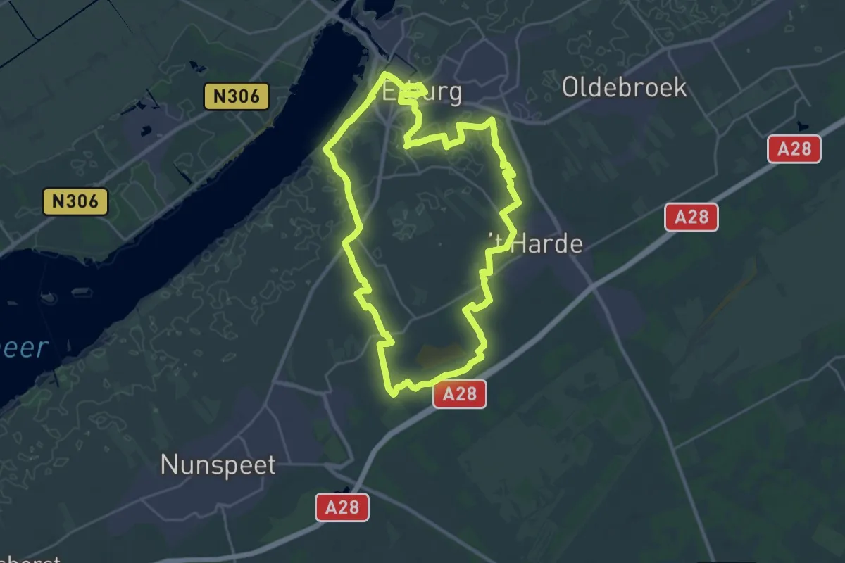
Demanding · Trail
Thornspiccerpad
22.0 km · ↑ 25 m · 5 h 33 min
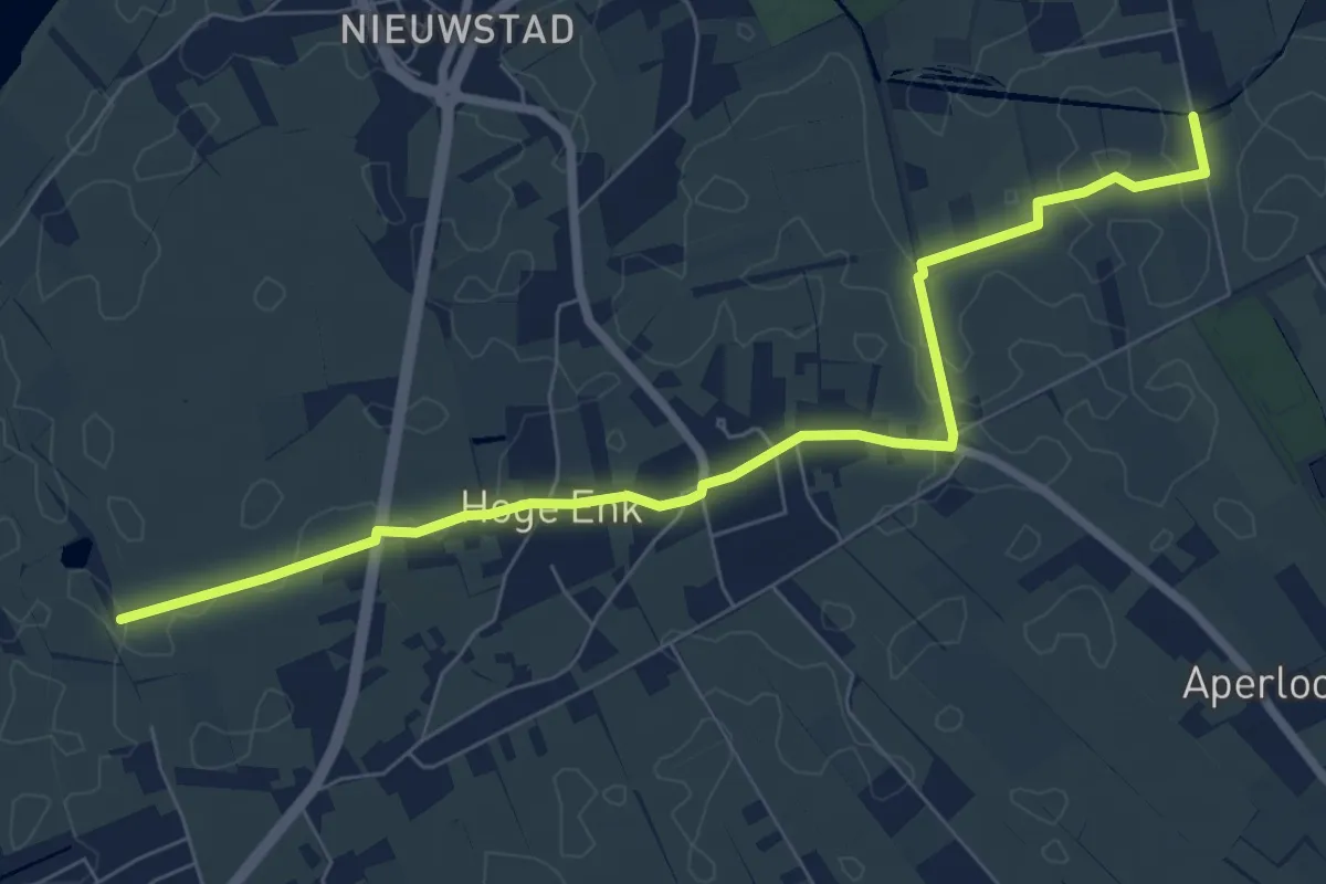
Easy · Trail
Thornspiccerpad routeverkorter
3.5 km · ↑ 0 m · 53 min
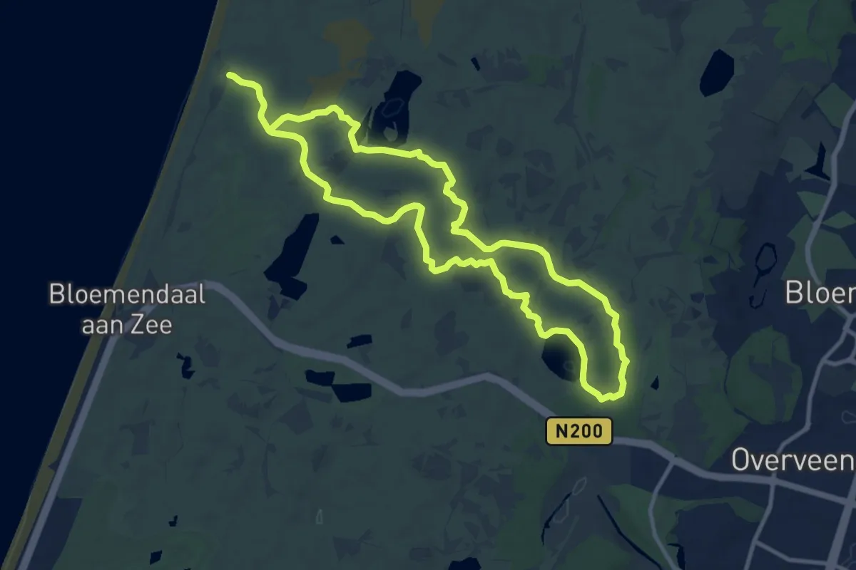
Medium · Summit
Tien Bergenroute
9.2 km · ↑ 27 m · 2 h 21 min
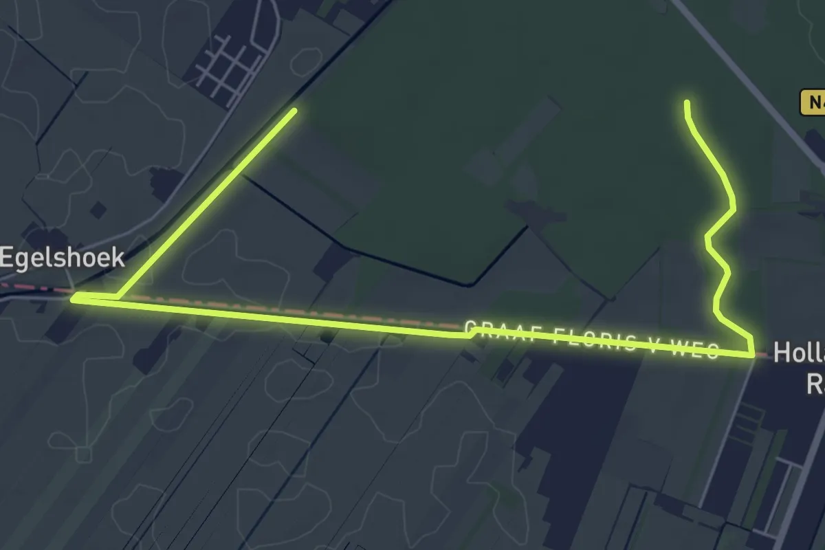
Easy · Trail
Tienhovense Kanaalroute
3.5 km · ↑ 13 m · 54 min
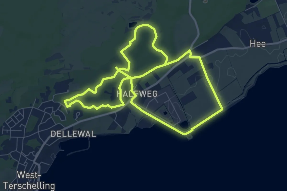
Medium · Trail
Tiger en Van Hunenplak
13.5 km · ↑ 97 m · 3 h 24 min
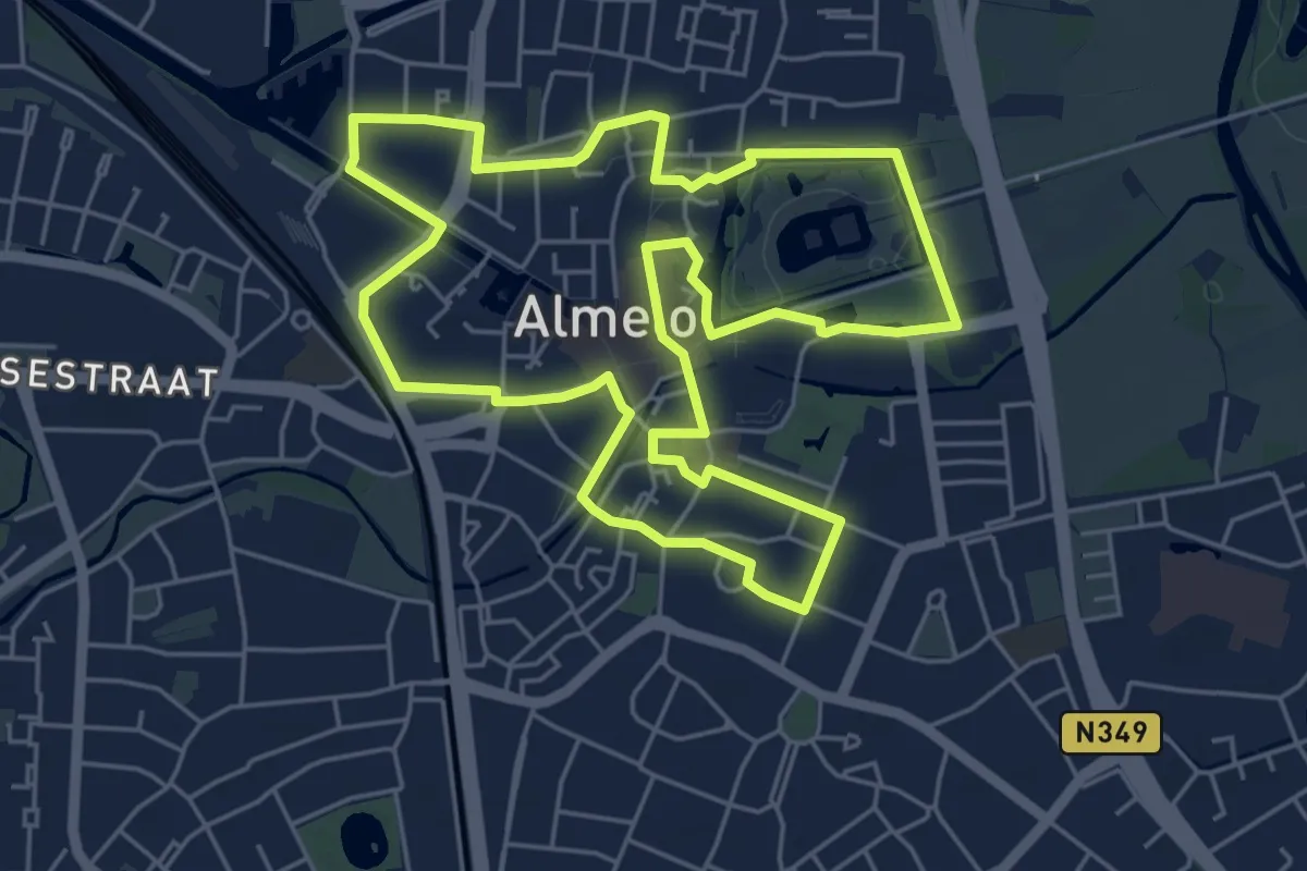
Easy · Trail
tijdelijk
5.2 km · ↑ 4 m · 1 h 18 min
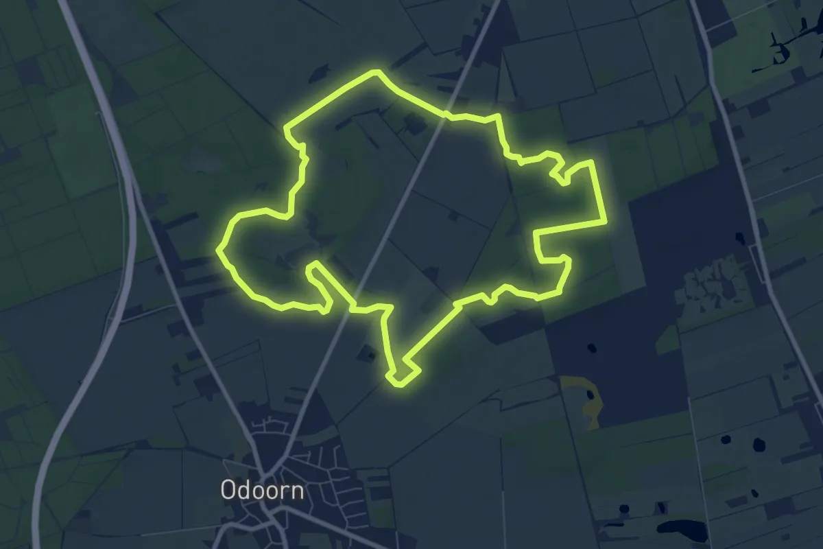
Medium · Summit
Tijdreisroute Leewal
8.0 km · ↑ 17 m · 2 h 3 min
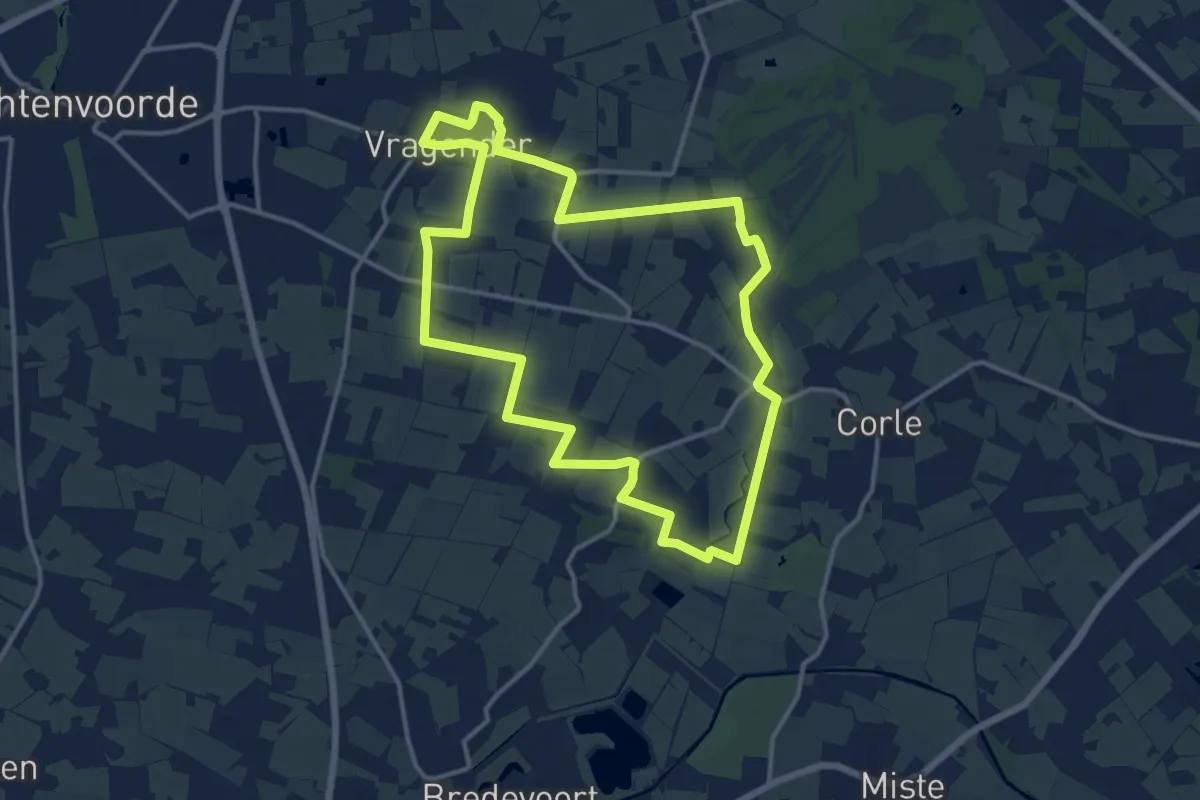
Medium · Trail
't Kloosterpad
12.4 km · ↑ 26 m · 3 h 9 min
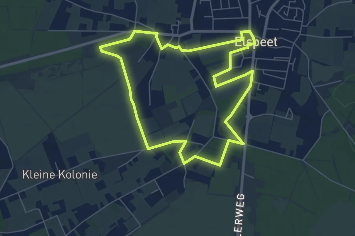
Easy · Trail
't Kuierpaodje
5.0 km · ↑ 8 m · 1 h 16 min
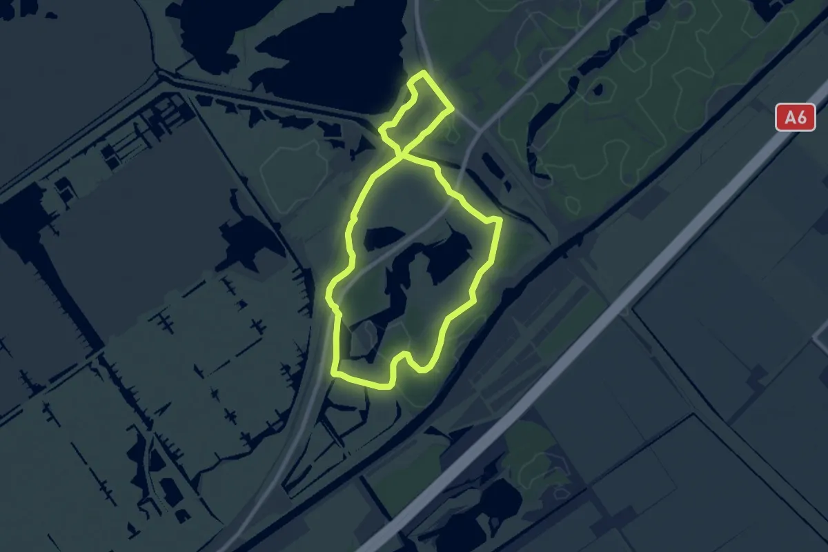
Easy · Trail
't Langepad
6.3 km · ↑ 8 m · 1 h 35 min
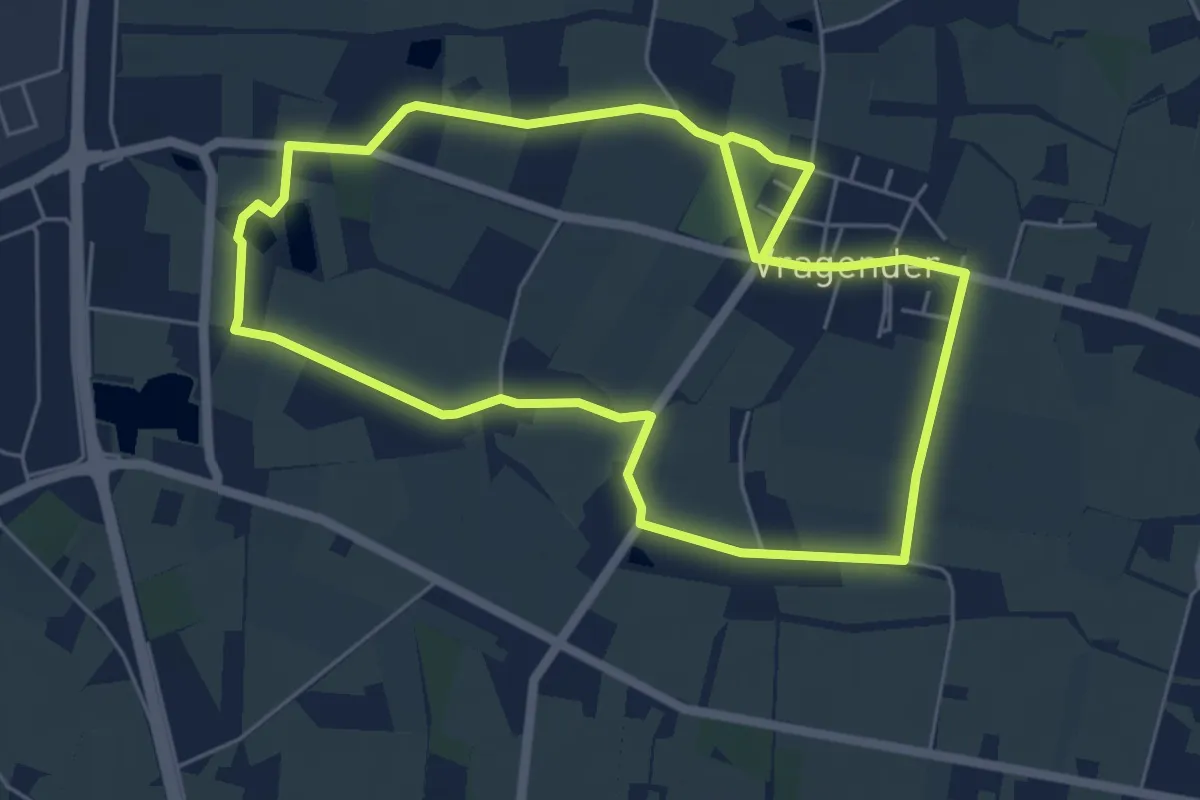
Easy · Trail
't Meekenpad
5.1 km · ↑ 4 m · 1 h 17 min
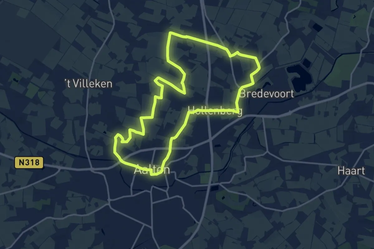
Medium · Trail
't Olde Baotenroute
13.0 km · ↑ 29 m · 3 h 18 min
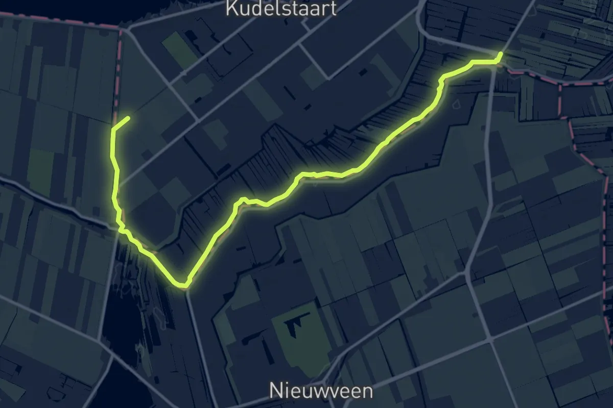
Easy · Trail
Tolhuissluisspad
7.1 km · ↑ 4 m · 1 h 47 min
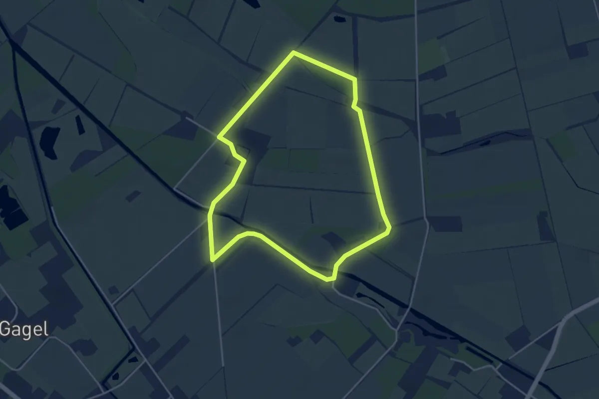
Easy · Trail
Tongelaar blauw
3.5 km · ↑ 0 m · 53 min
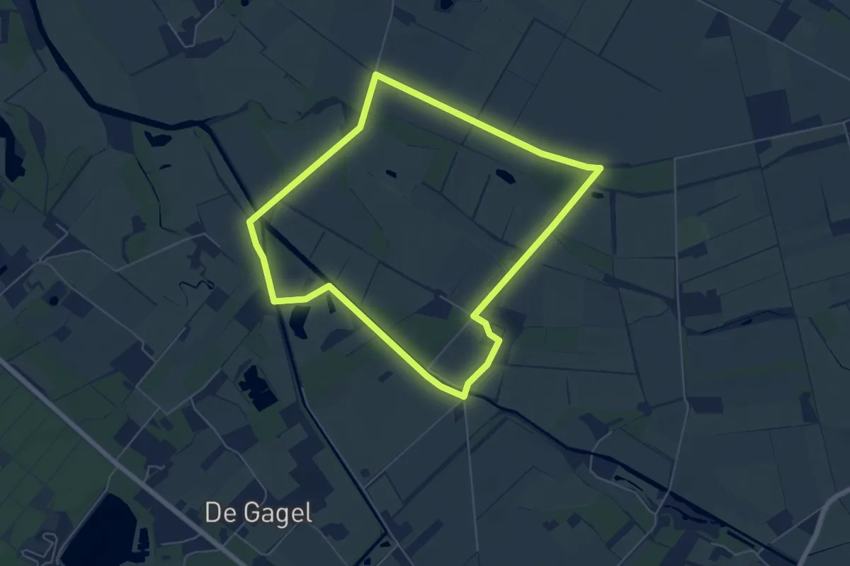
Easy · Trail
Tongelaar Rood
5.2 km · ↑ 13 m · 1 h 19 min
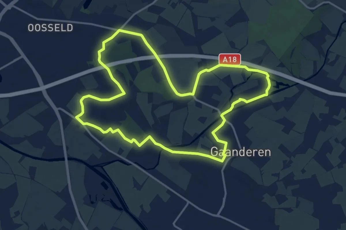
Medium · Trail
't Onland - de Wrange
9.7 km · ↑ 22 m · 2 h 28 min
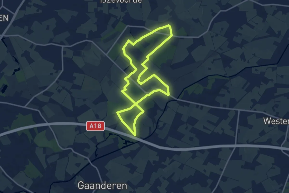
Medium · Trail
't Onland - Slangenburg
8.7 km · ↑ 36 m · 2 h 15 min
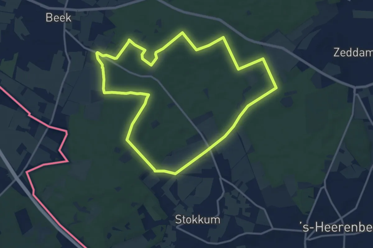
Medium · Summit
Toppenroute | Etappe Beek
9.7 km · ↑ 113 m · 2 h 40 min
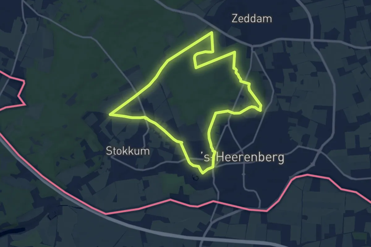
Medium · Summit
Toppenroute | Etappe 's-Heerenberg-Noord
10.7 km · ↑ 73 m · 2 h 50 min
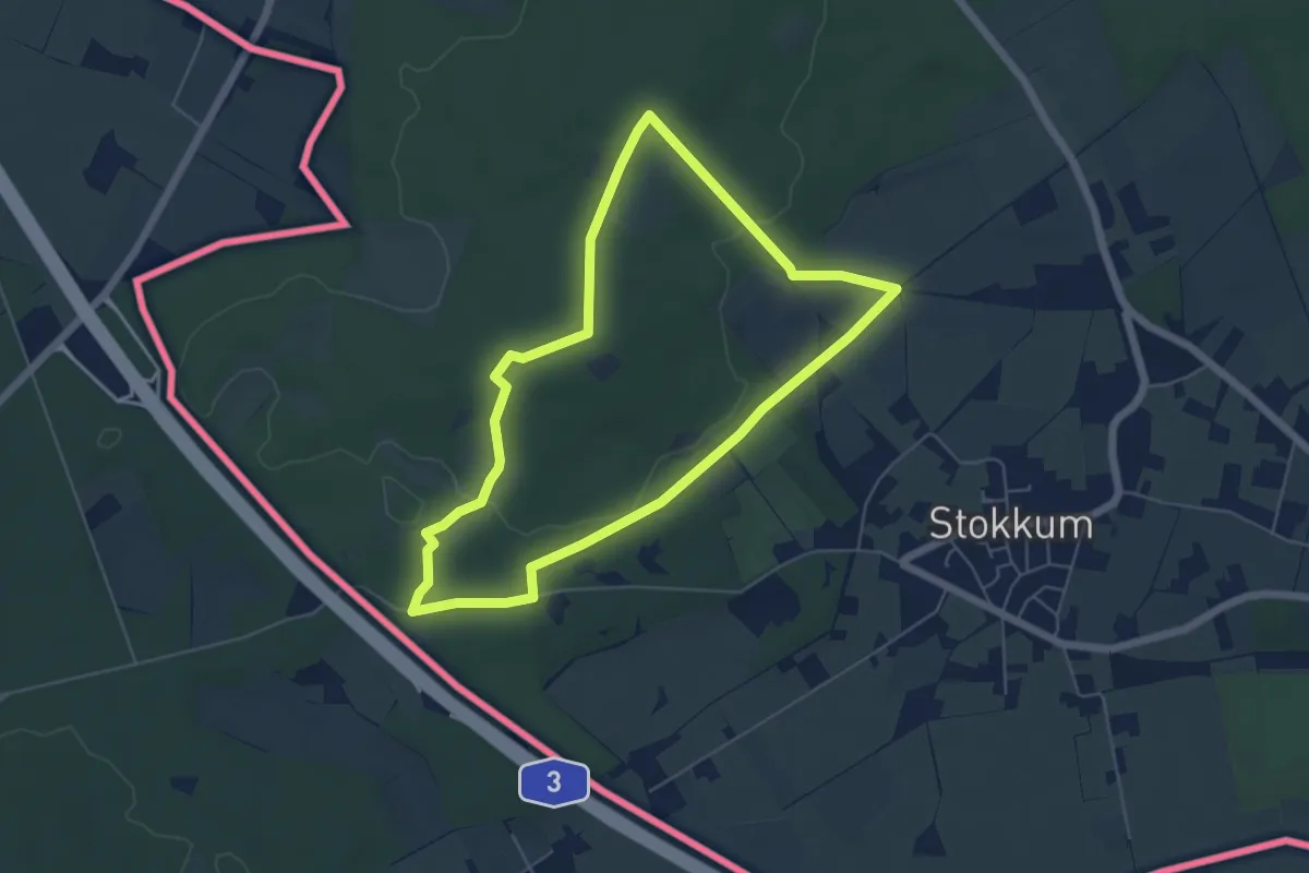
Easy · Summit
Toppenroute | Etappe 's Heerenberg Zuid
4.9 km · ↑ 76 m · 1 h 23 min
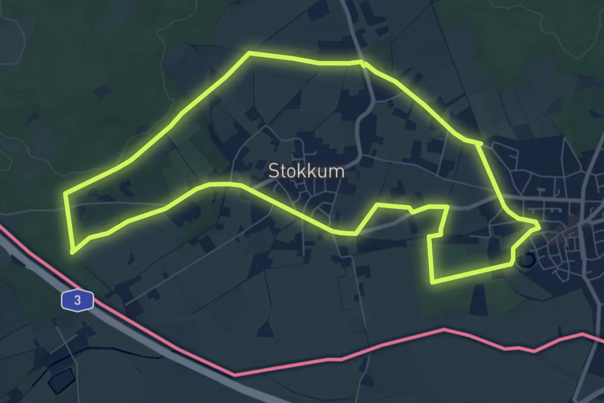
Medium · Trail
Toppenroute | Etappe Stokkum
8.1 km · ↑ 41 m · 2 h 7 min
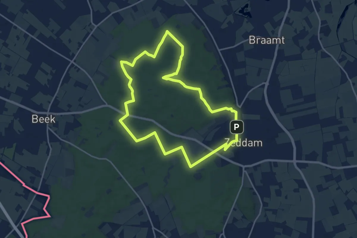
Medium · Summit
Toppenroute | Etappe Zeddam
11.8 km · ↑ 150 m · 3 h 16 min
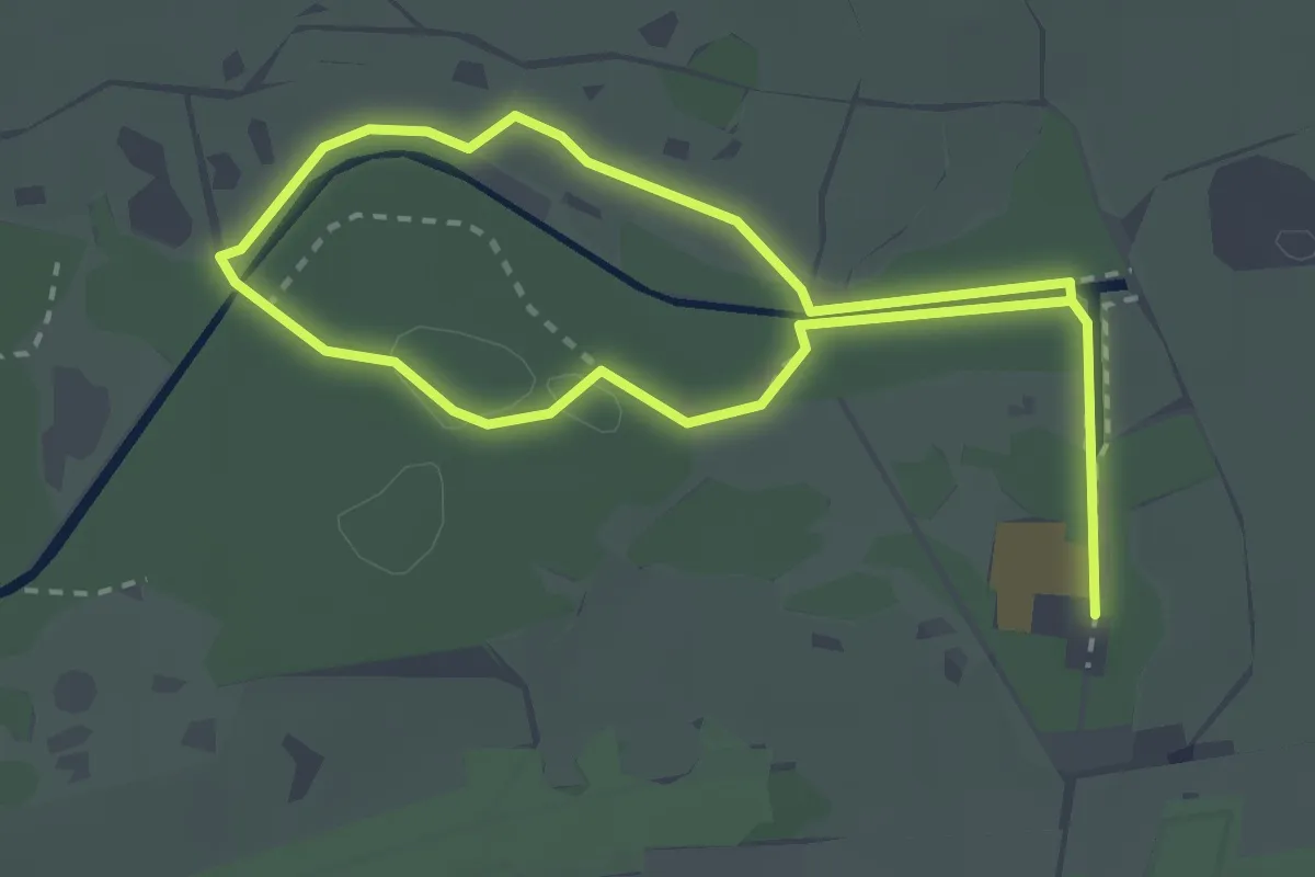
Easy · Trail
Torenroute
2.1 km · ↑ 10 m · 33 min
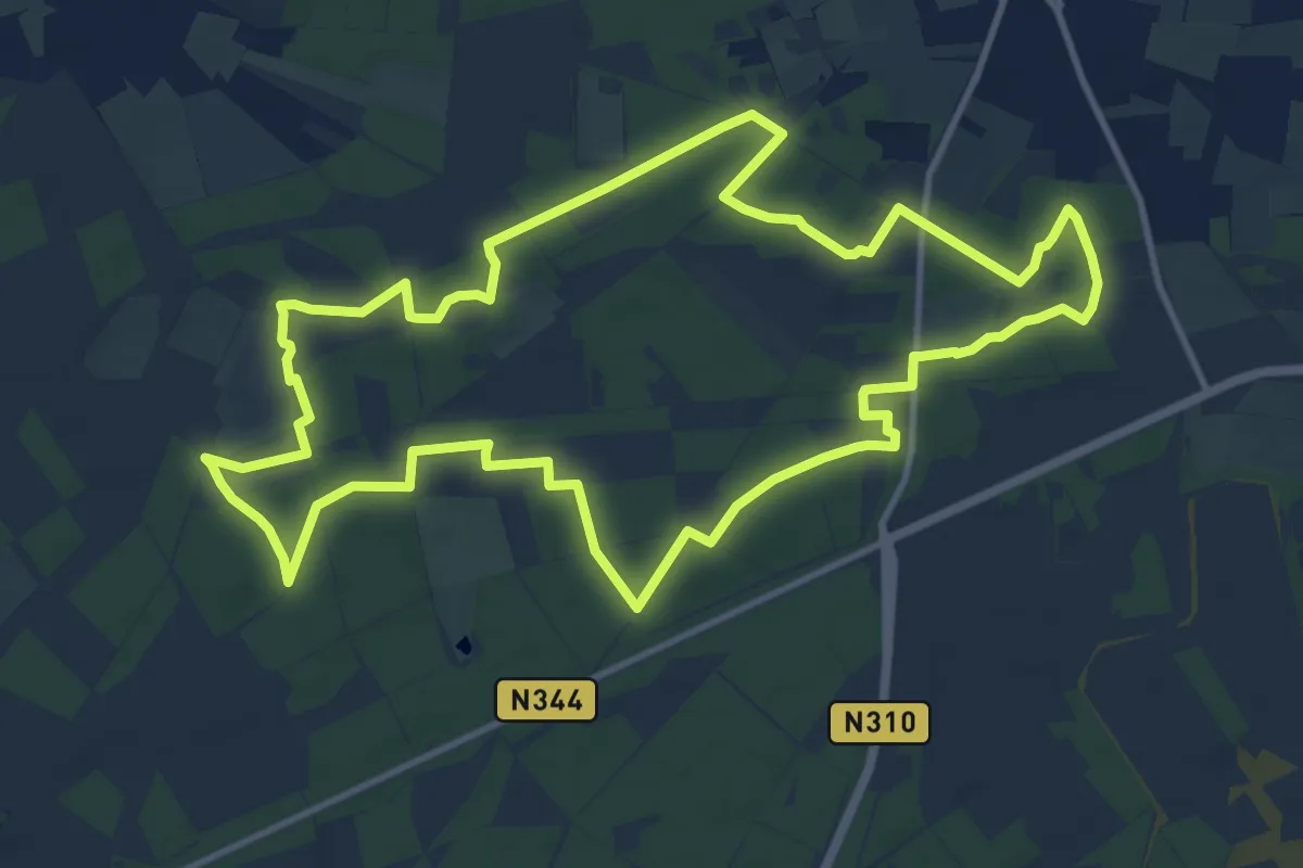
Medium · Trail
't Pad van Zus
11.4 km · ↑ 49 m · 2 h 58 min
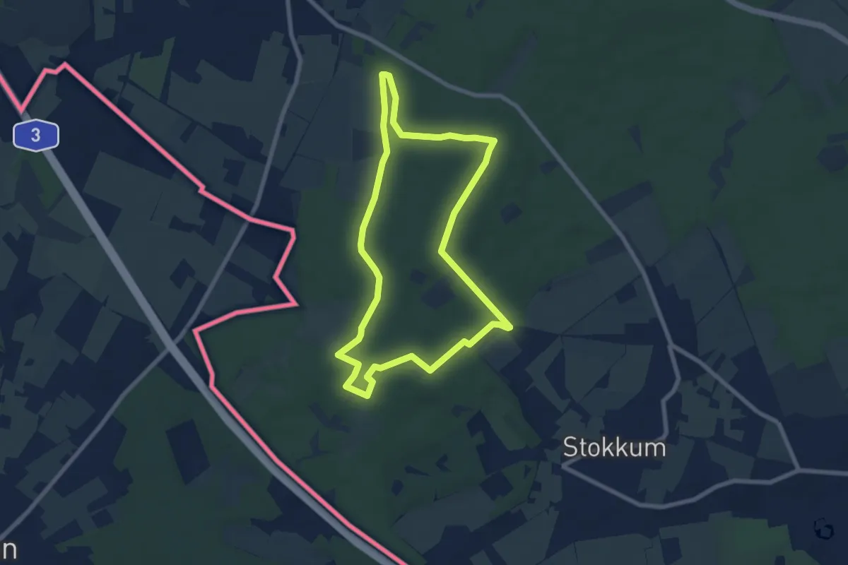
Easy · Summit
't Peeske route
6.2 km · ↑ 91 m · 1 h 45 min
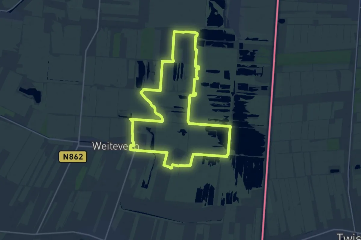
Medium · Trail
Trage Tocht Weiteveen
15.8 km · ↑ 4 m · 3 h 58 min
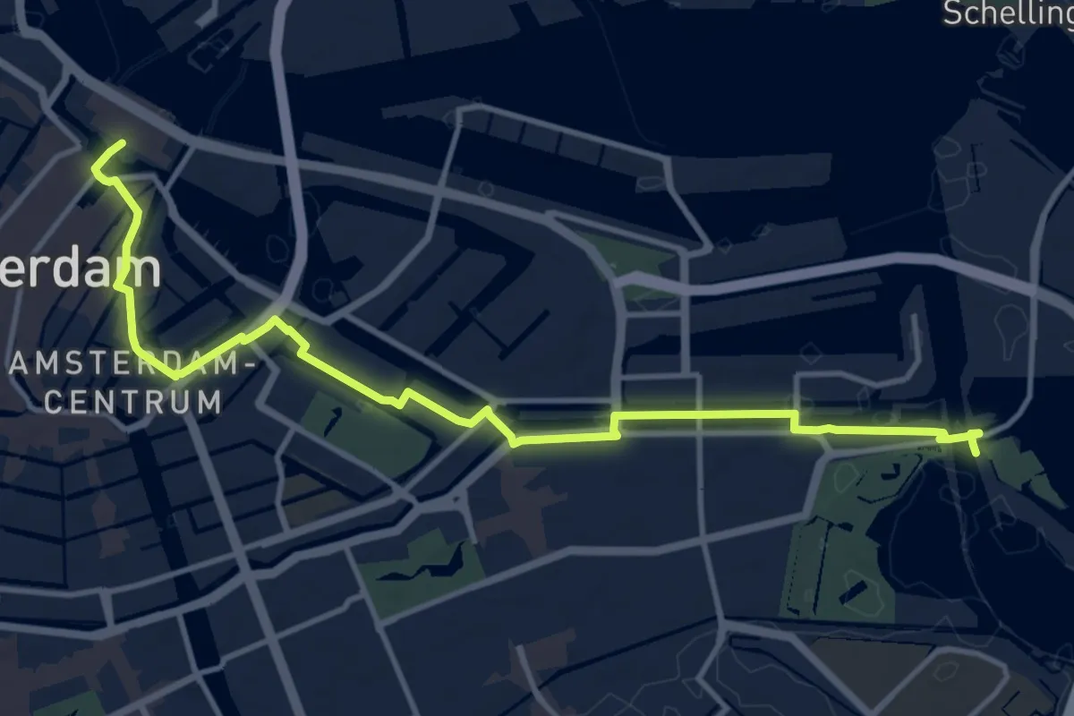
Medium · Trail
Traject 1 - Amsterdam CS-Zeeburg
12.0 km · ↑ 4 m · 2 h 50 min
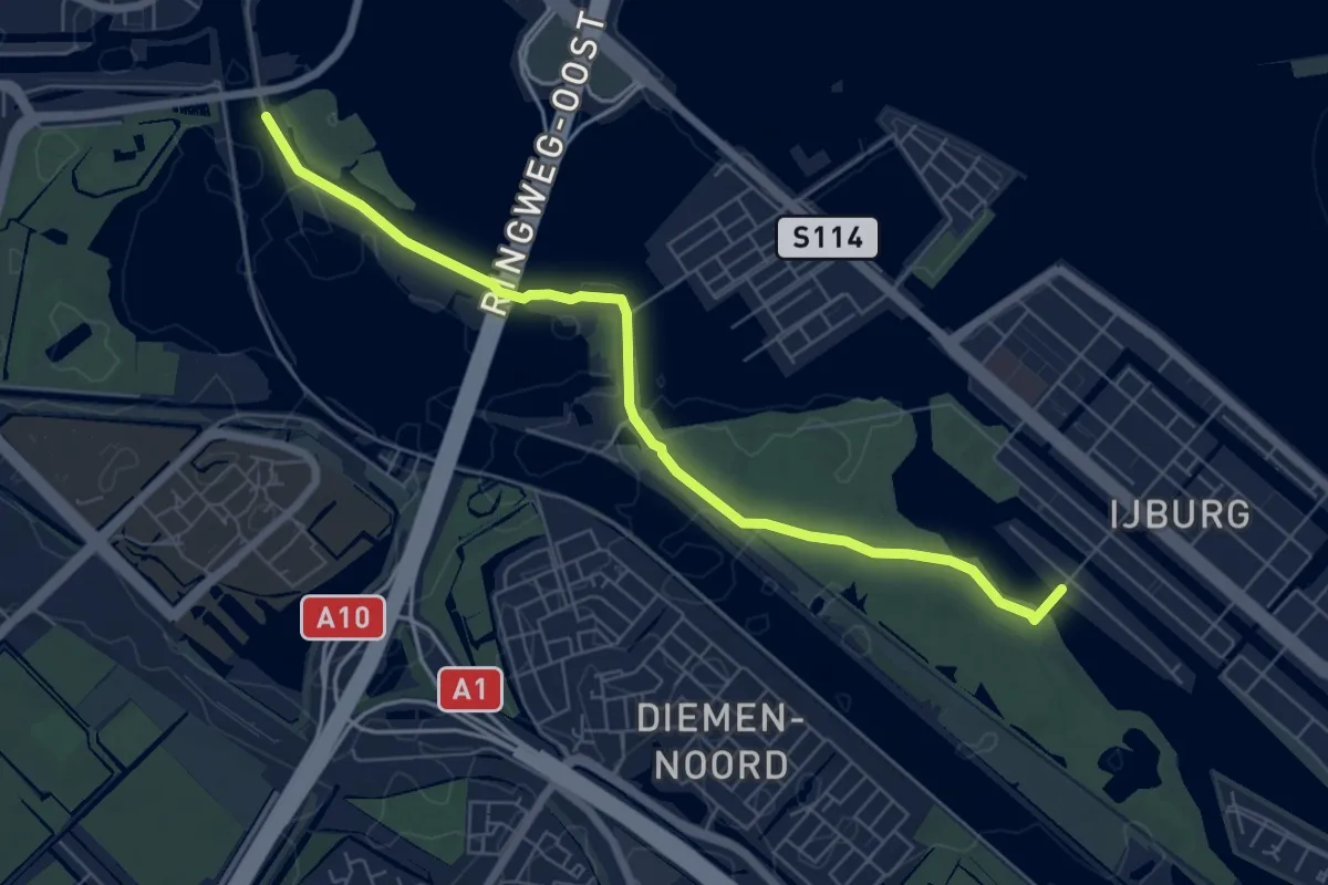
Easy · Trail
Traject 2 - Zeeburg-IJburg
6.1 km · ↑ 14 m · 1 h 28 min
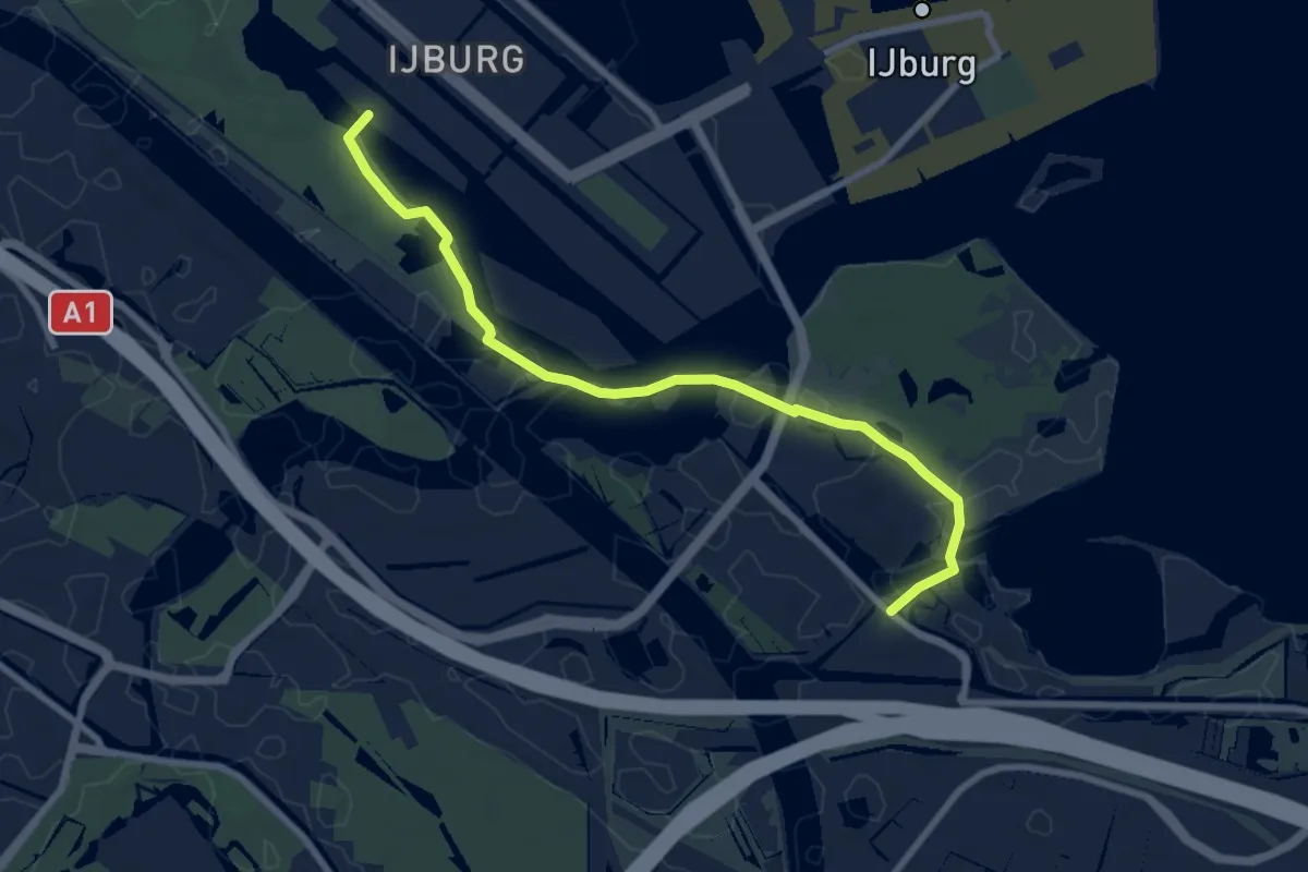
Easy · Trail
Traject 3 - IJburg-Maxis
7.5 km · ↑ 17 m · 1 h 49 min
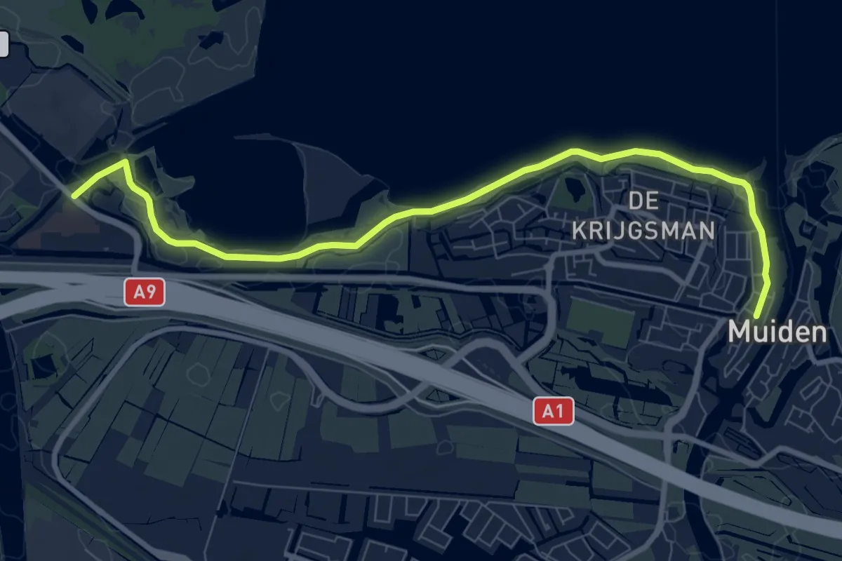
Medium · Trail
Traject 4 - Maxis-Muiden
8.3 km · ↑ 0 m · 1 h 58 min
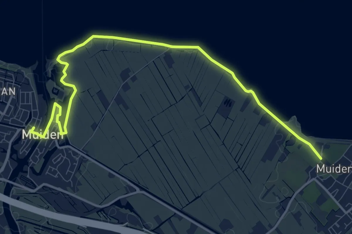
Medium · Trail
Traject 5 - Muiden-Muiderberg
10.9 km · ↑ 12 m · 2 h 36 min
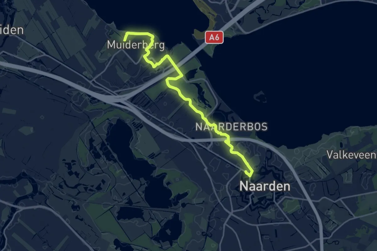
Medium · Trail
Traject 6 - Muiderberg-Naarden
14.3 km · ↑ 12 m · 3 h 23 min
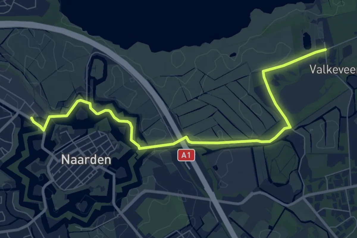
Easy · Trail
Traject 7 - Naarden-Oud Valkenveen
7.7 km · ↑ 17 m · 1 h 51 min
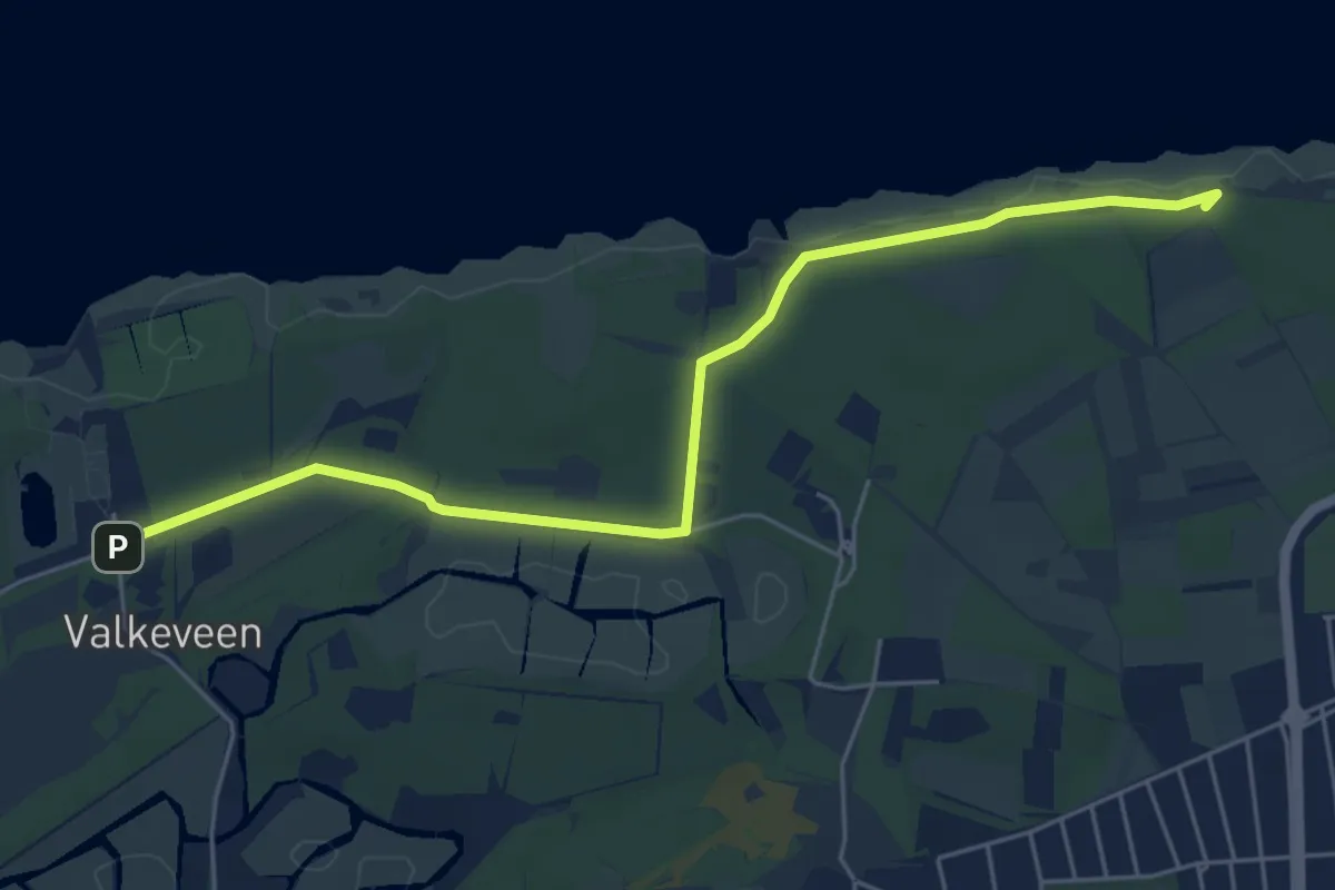
Easy · Summit
Traject 8 - Oud Valkenveen-Huizen
5.3 km · ↑ 13 m · 1 h 17 min
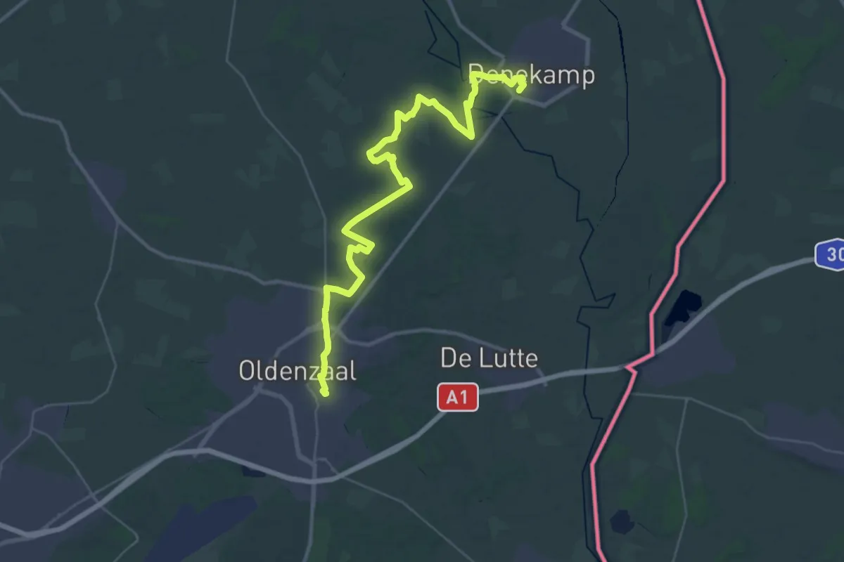
Medium · Trail
Trambaan
16.8 km · ↑ 58 m · 4 h 20 min
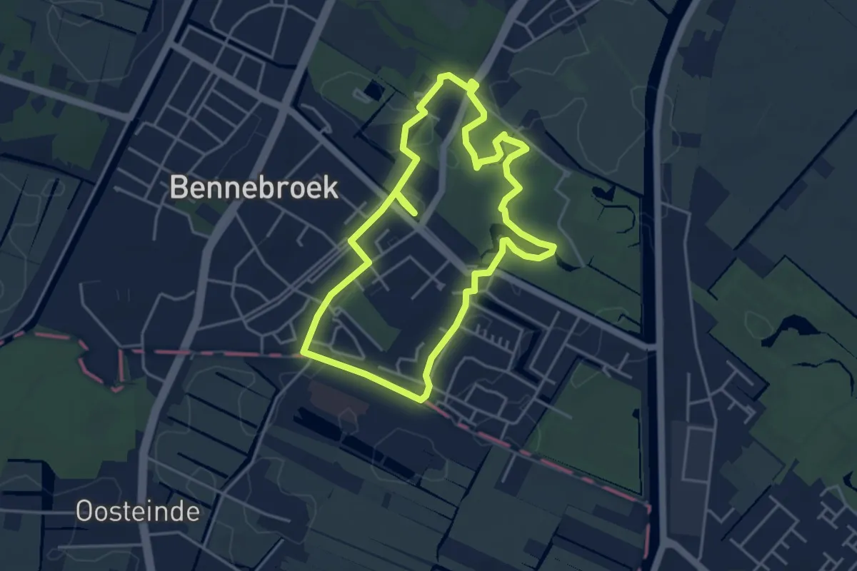
Easy · Trail
Trambaanroute
3.6 km · ↑ 5 m · 55 min
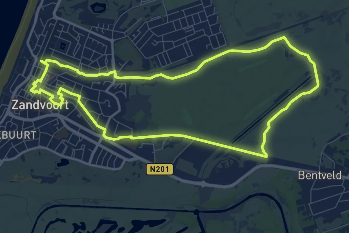
Easy · Trail
Trambaanroute
7.7 km · ↑ 8 m · 1 h 56 min
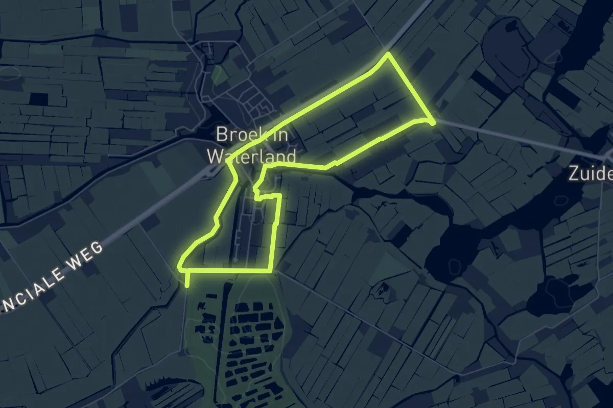
Easy · Trail
Trambaanroute
5.8 km · ↑ 4 m · 1 h 28 min
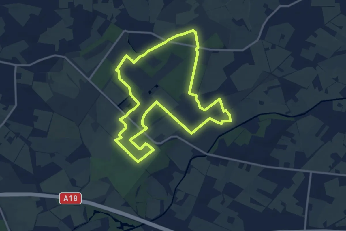
Easy · Trail
Trapeziumwandeling
7.7 km · ↑ 40 m · 2 h
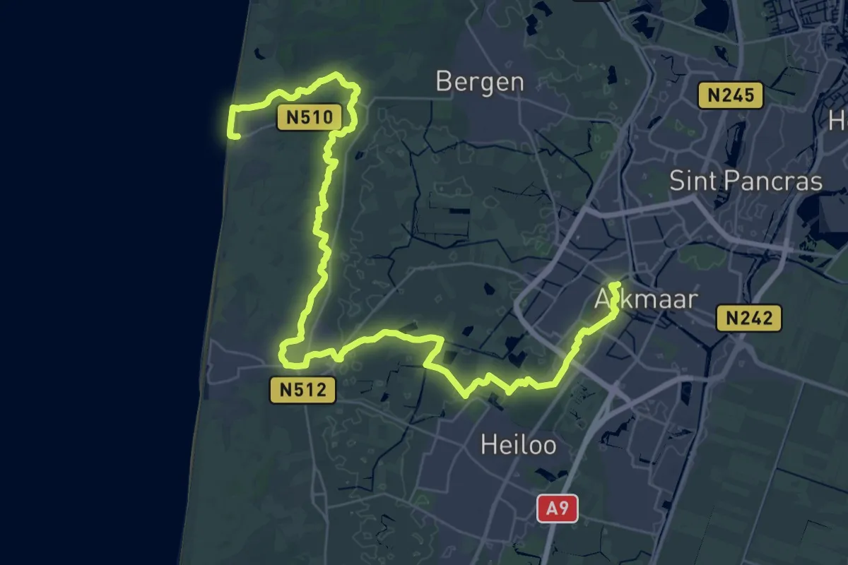
Demanding · Trail
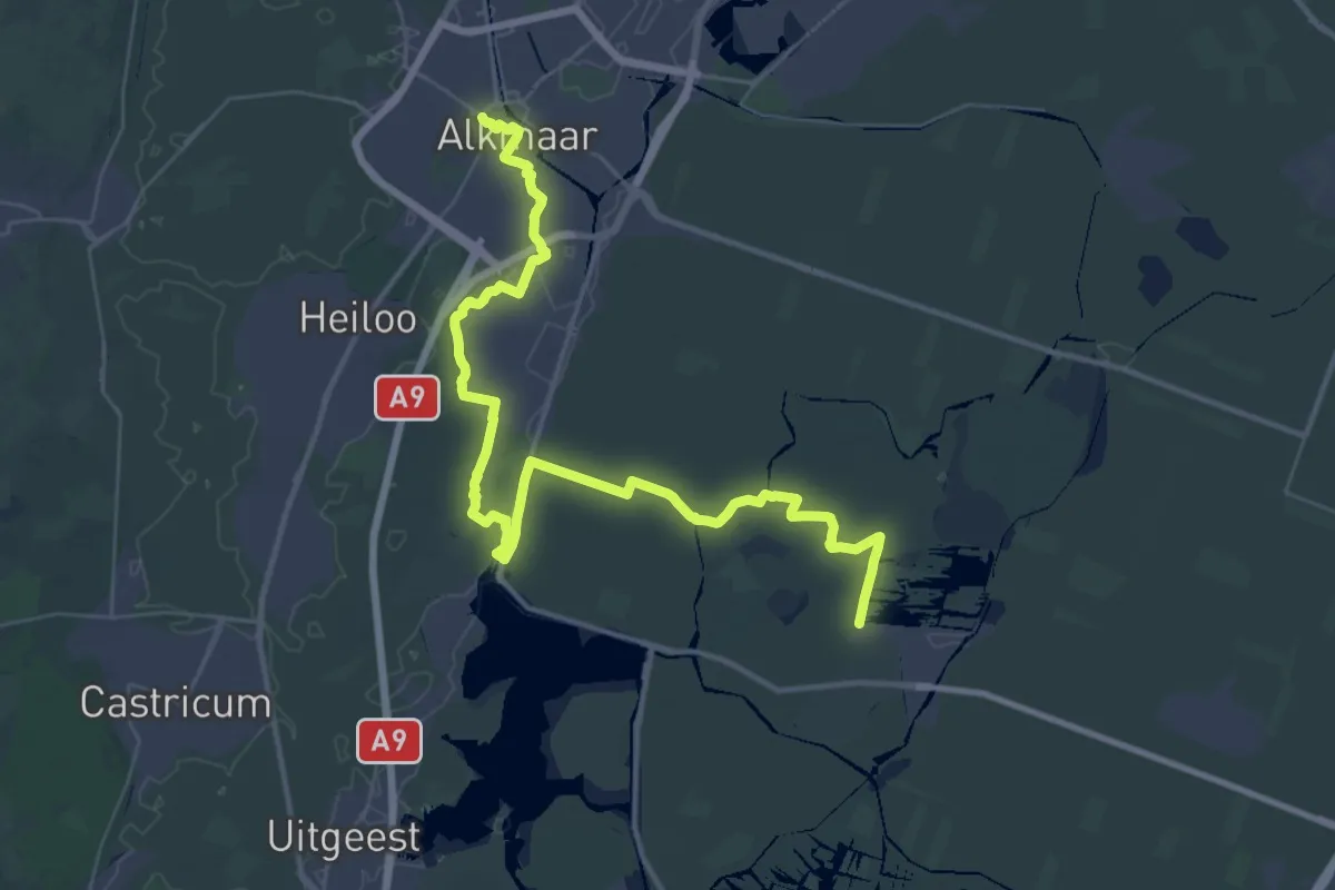
Trekvogelpad - 01
21.5 km · ↑ 57 m · 5 h 30 min
Demanding · Trail
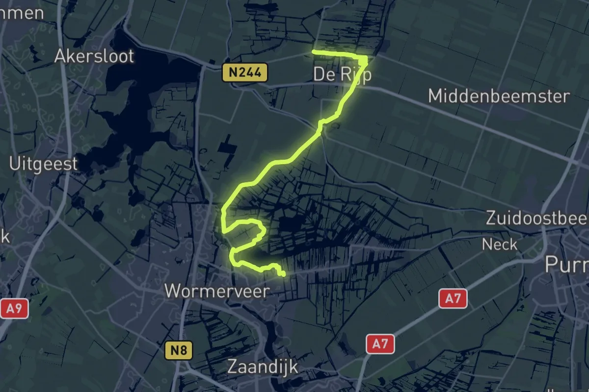
Trekvogelpad - 02
21.1 km · ↑ 8 m · 5 h 17 min
Demanding · Trail
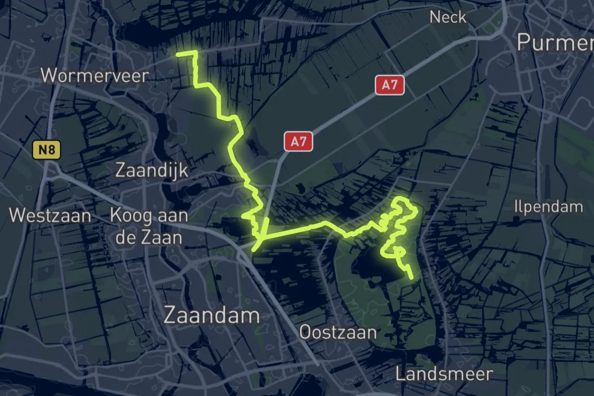
Trekvogelpad - 03
29.5 km · ↑ 8 m · 6 h 59 min
Demanding · Trail
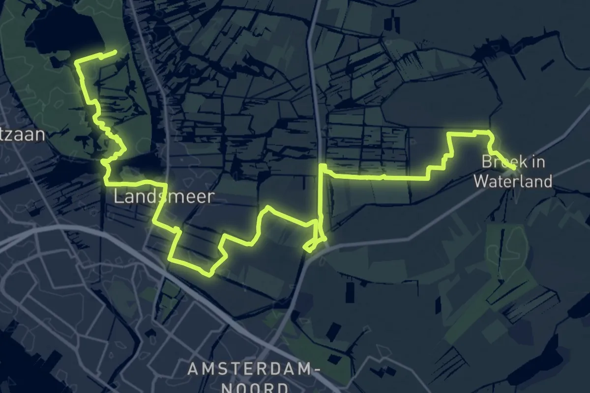
Trekvogelpad - 04
18.2 km · ↑ 0 m · 4 h 32 min
Demanding · Trail
Trekvogelpad - 05
33.3 km · ↑ 0 m · 7 h 52 min