Trails in Netherlands
5,039 hiking trails, each with its route, climb, walking time and grade.
All trails, page 64 of 105
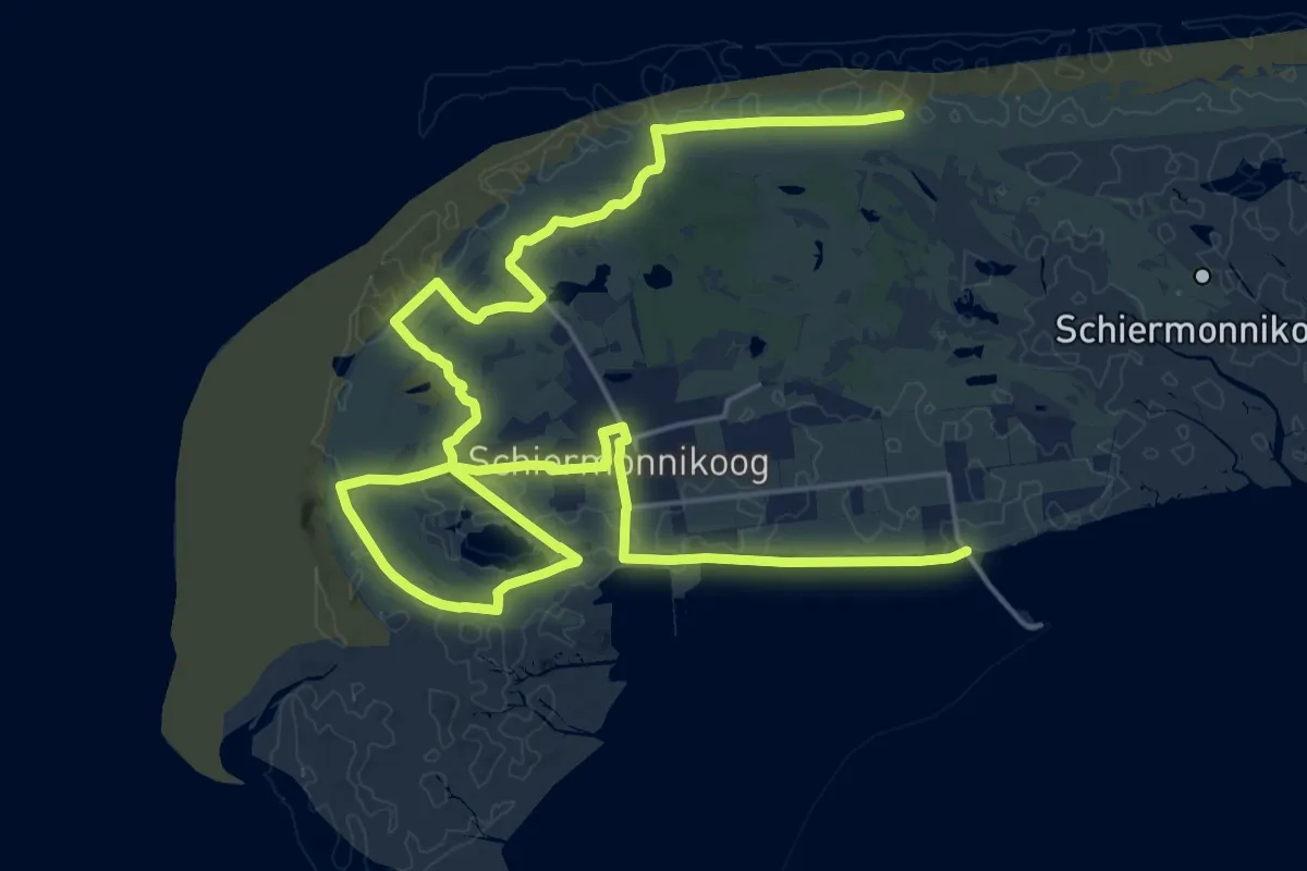
Demanding · Trail
WaddenWandelen - Schiermonnikoog - 01
29.1 km · ↑ 29 m · 6 h 56 min
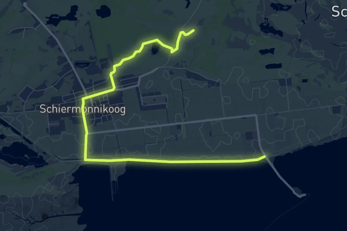
Medium · Summit
WaddenWandelen - Schiermonnikoog - 02
10.3 km · ↑ 4 m · 2 h 26 min
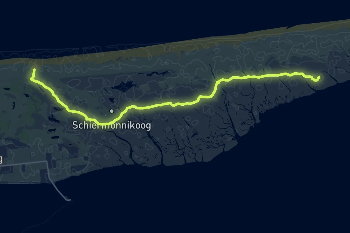
Demanding · Summit
WaddenWandelen - Schiermonnikoog - 03
18.1 km · ↑ 0 m · 4 h 16 min
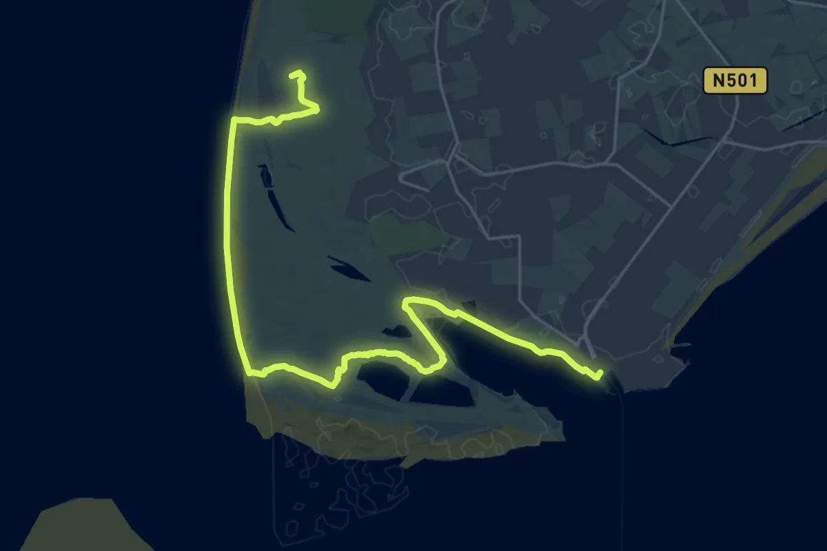
Demanding · Summit
WaddenWandelen - Texel - 01
23.7 km · ↑ 17 m · 5 h 38 min
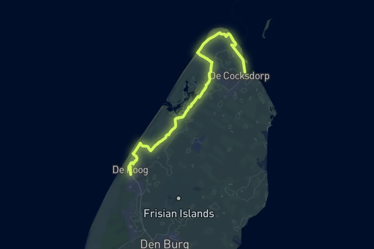
Demanding · Trail
WaddenWandelen - Texel - 02
19.1 km · ↑ 26 m · 4 h 50 min
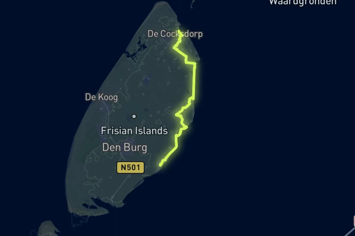
Demanding · Trail
WaddenWandelen - Texel - 03
19.4 km · ↑ 8 m · 4 h 52 min
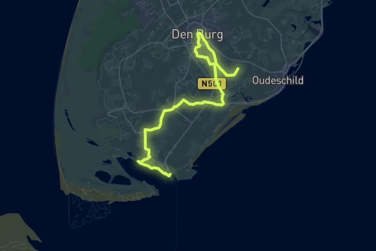
Demanding · Summit
WaddenWandelen - Texel - 04
27.8 km · ↑ 25 m · 6 h 37 min
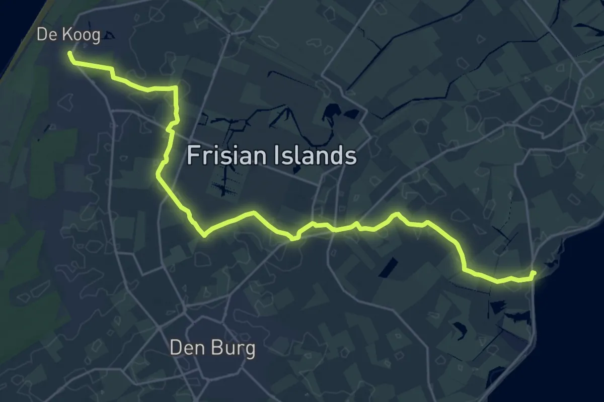
Demanding · Trail
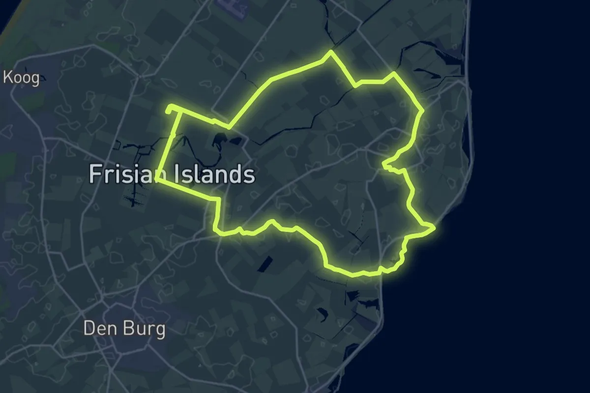
WaddenWandelen - Texel - 05 - Variant dwarsover
22.3 km · ↑ 12 m · 5 h 17 min
Demanding · Trail
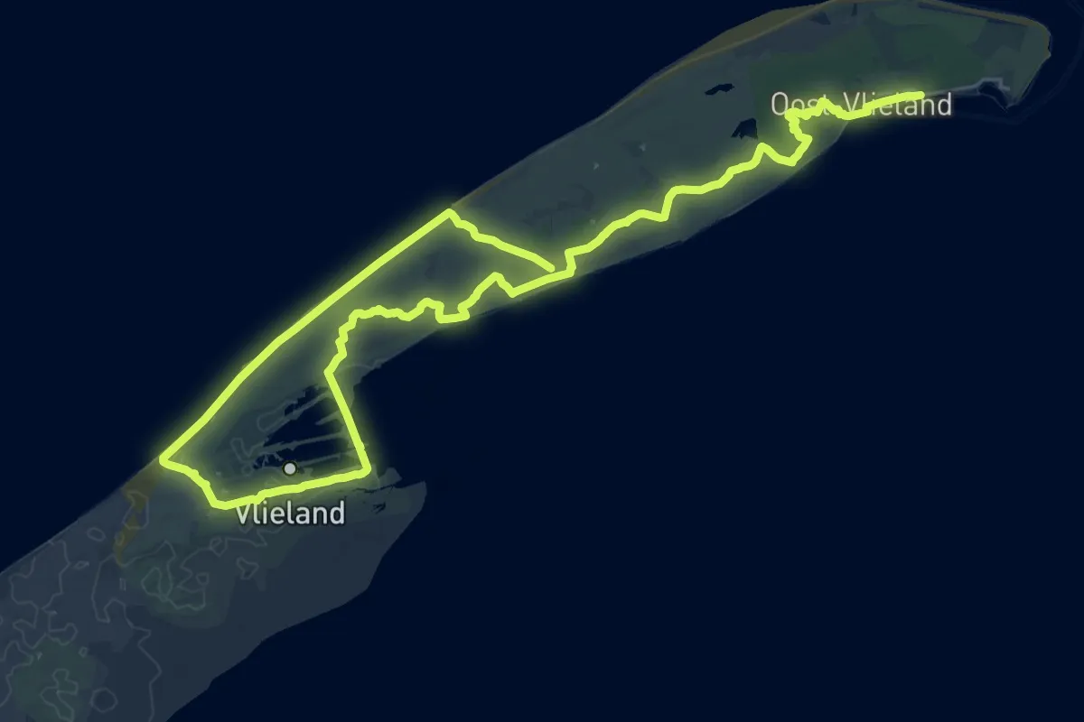
WaddenWandelen - Texel - 07
19.3 km · ↑ 4 m · 4 h 50 min
Demanding · Summit
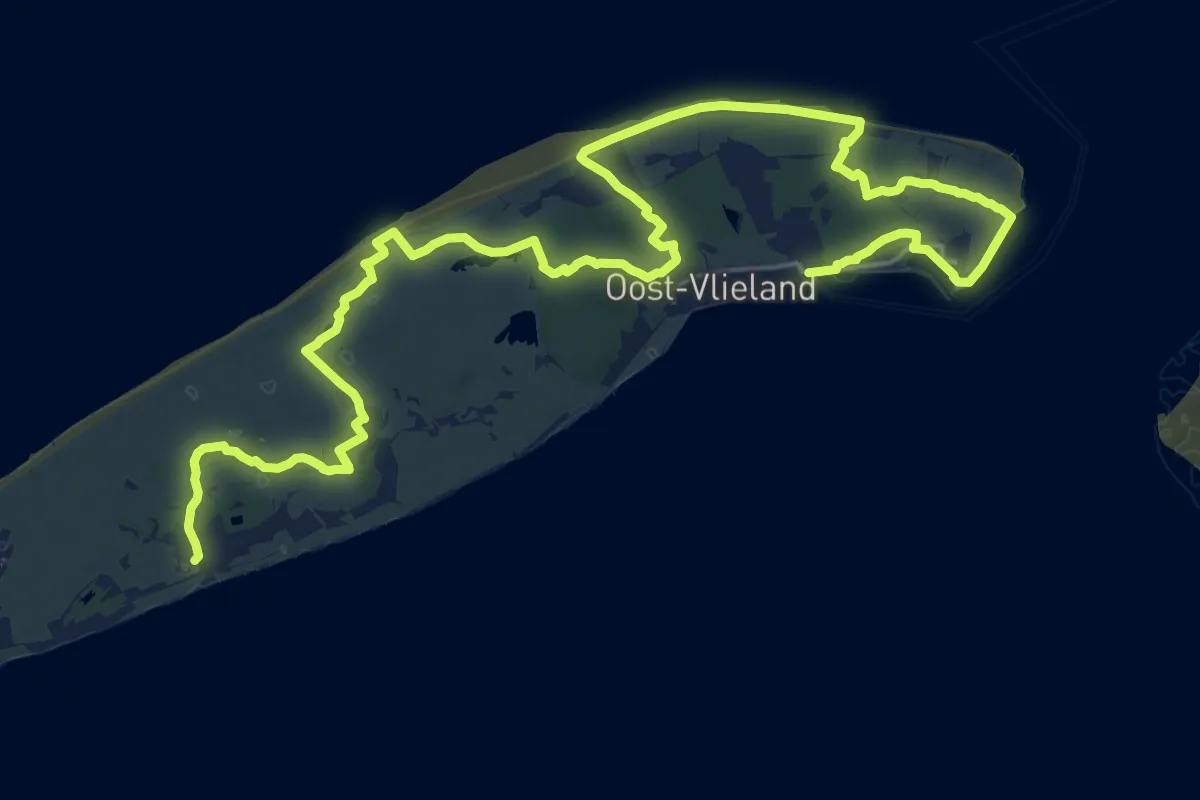
Waddenwandelen - Vlieland - 01 - Veerhaven-Pad van Twintig
21.0 km · ↑ 46 m · 5 h 21 min
Medium · Summit
Waddenwandelen - Vlieland - 02
14.6 km · ↑ 37 m · 3 h 43 min
Medium · Trail
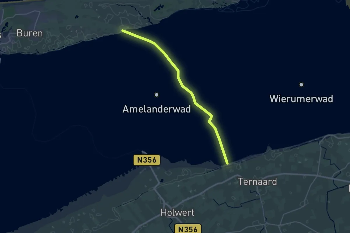
Wadlooproute Holwerd - Ameland (Kooiduinen)
17.7 km · ↑ 0 m · 4 h 11 min
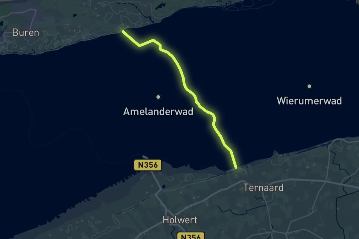
Demanding · Trail
Wadlooproute Holwerd - Ameland (Kooiduinen)
18.4 km · ↑ 0 m · 4 h 21 min
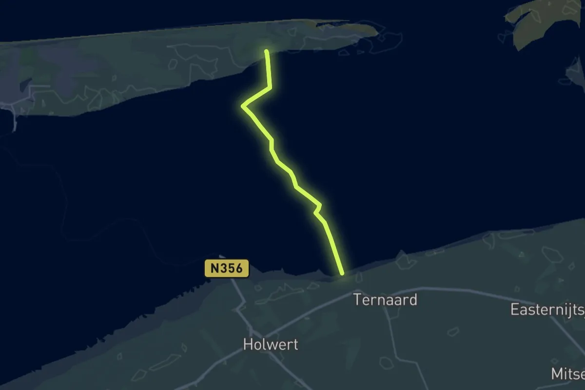
Demanding · Summit
Wadlooproute Holwerd - Ameland (Oerd Blinkert)
18.6 km · ↑ 10 m · 4 h 24 min
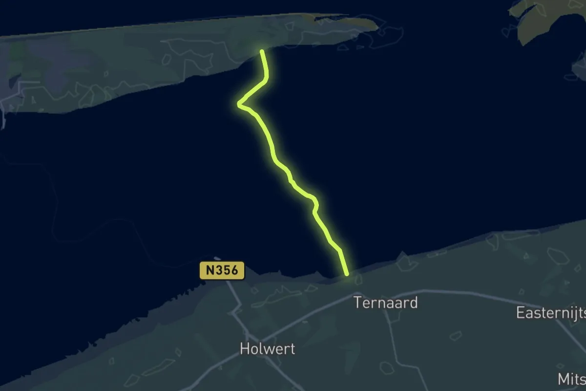
Demanding · Trail
Wadlooproute Holwerd - Ameland (Oerd Blinkert)
18.2 km · ↑ 0 m · 4 h 18 min
Easy · Trail
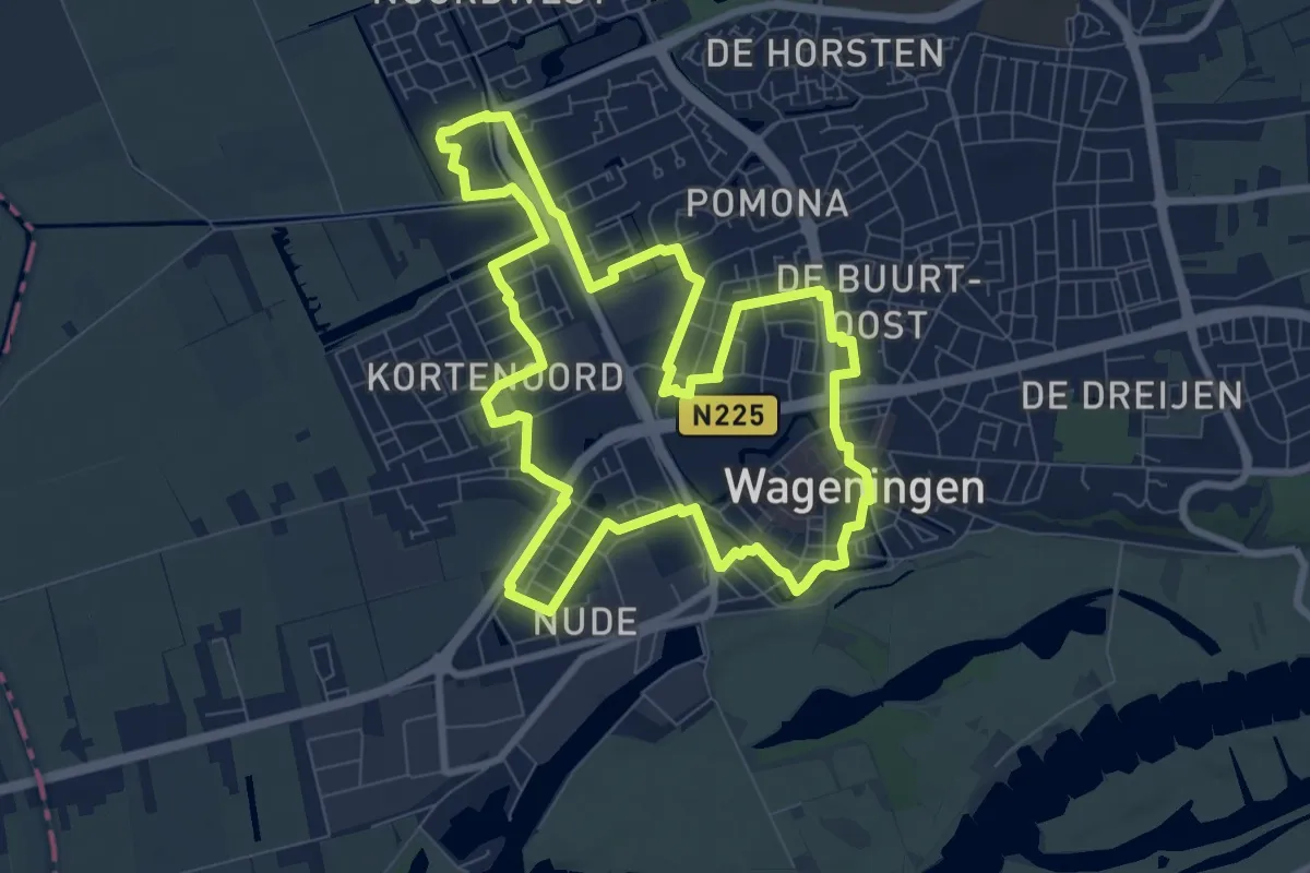
Wageningen On The Move - blauwe route
7.8 km · ↑ 4 m · 1 h 57 min
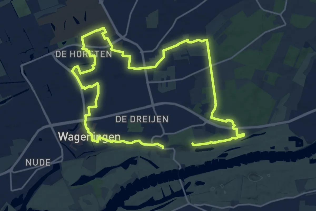
Medium · Summit
Wageningen On The Move - groene route
11.2 km · ↑ 63 m · 2 h 55 min
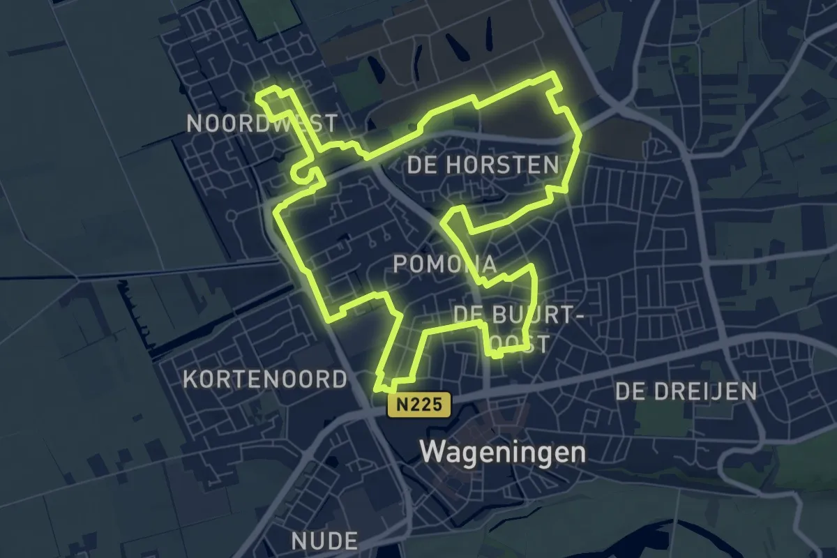
Medium · Trail
Wageningen On The Move - rode route
8.5 km · ↑ 4 m · 2 h 8 min
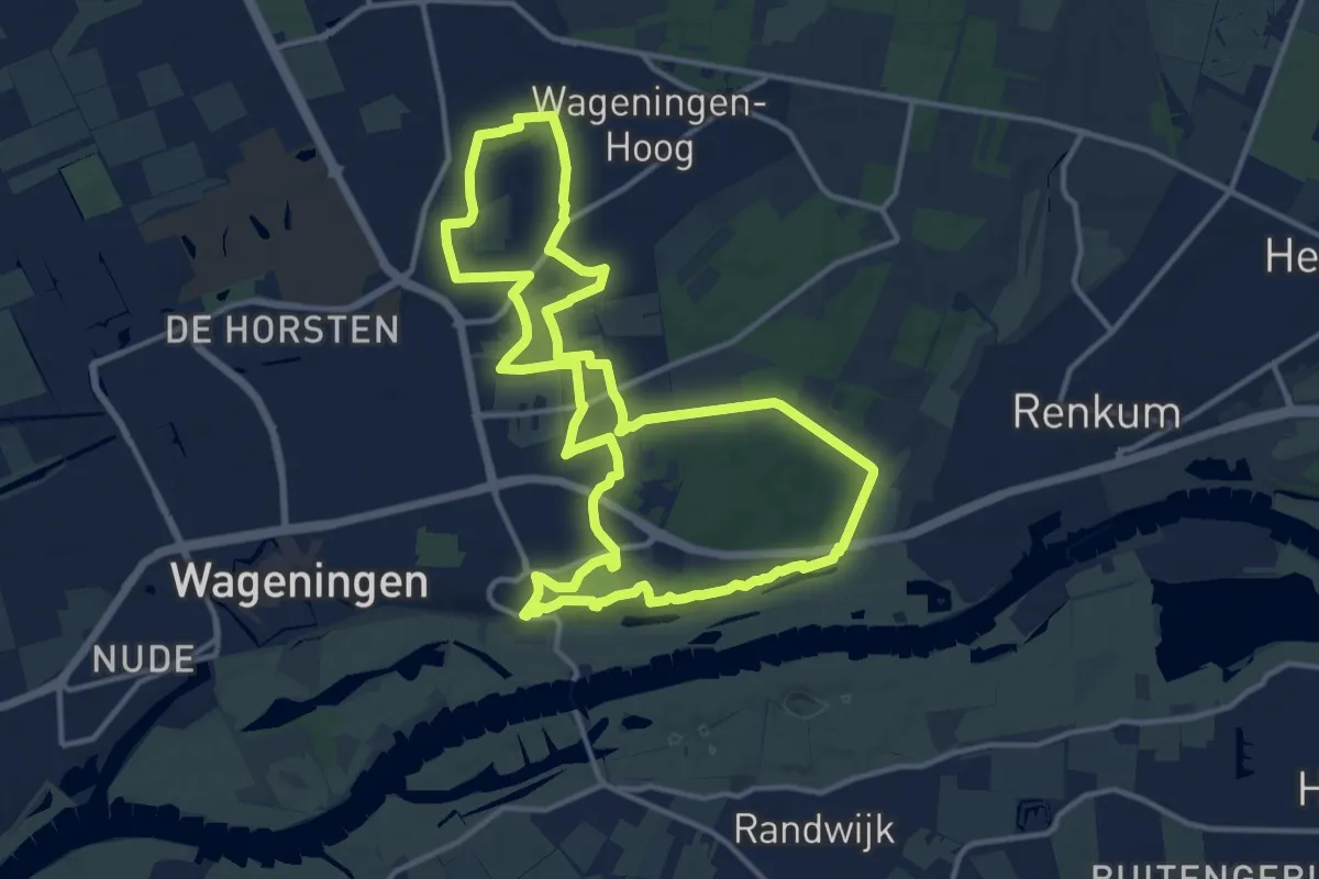
Medium · Summit
Wageningse Engpad
12.5 km · ↑ 100 m · 3 h 20 min
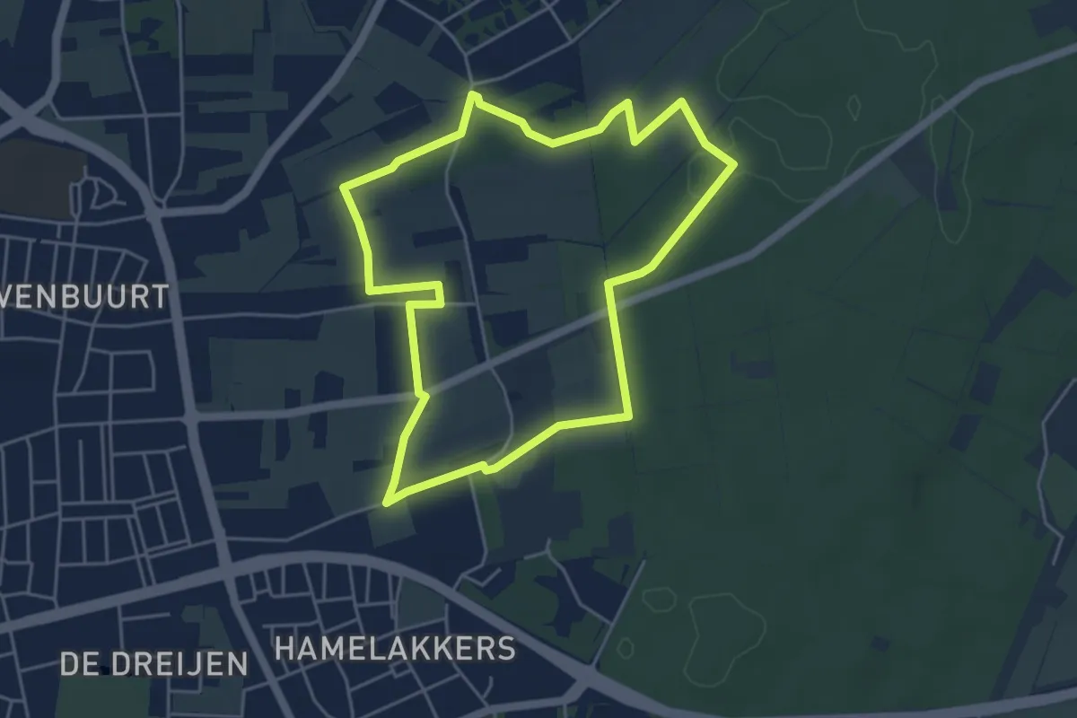
Easy · Trail
Wageningse Engpad KIDS
4.1 km · ↑ 33 m · 1 h 6 min
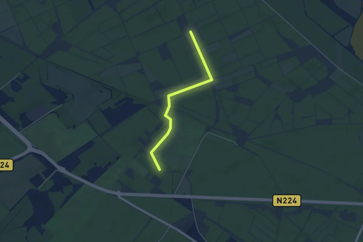
Easy · Trail
Wallenburg
3.7 km · ↑ 4 m · 53 min
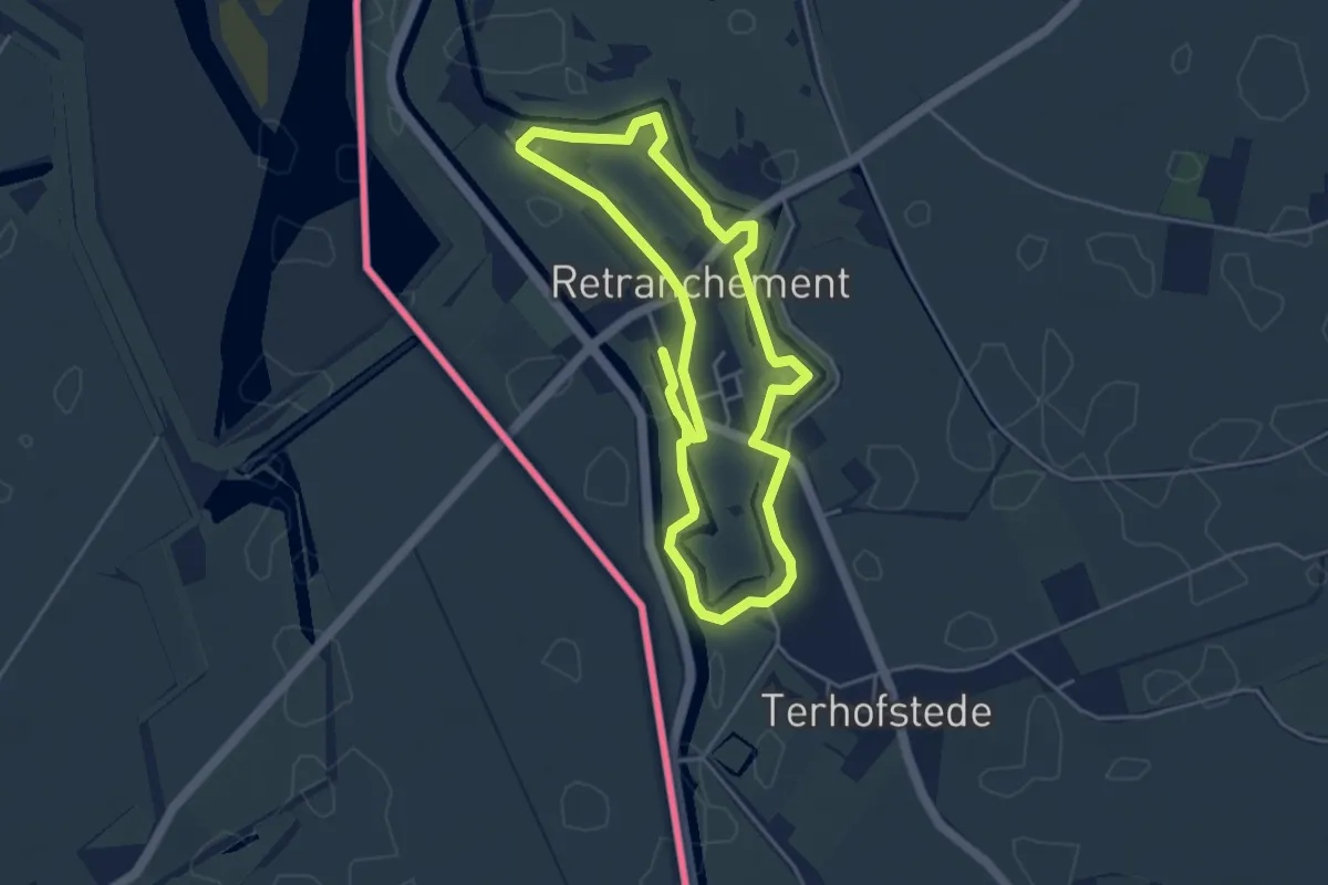
Easy · Trail
Wallenroute
4.0 km · ↑ 0 m · 1 h
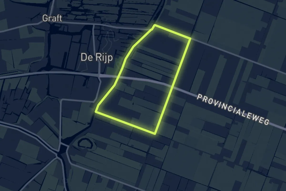
Easy · Trail
Walvisroute
5.7 km · ↑ 4 m · 1 h 25 min
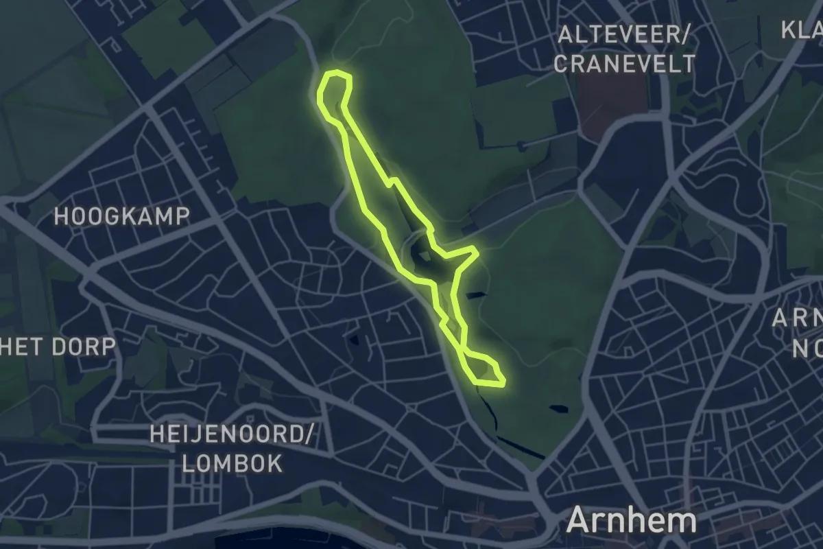
Easy · Summit
Wandelen door park Zypendaal en Sonsbeek
3.6 km · ↑ 36 m · 59 min
Easy · Trail
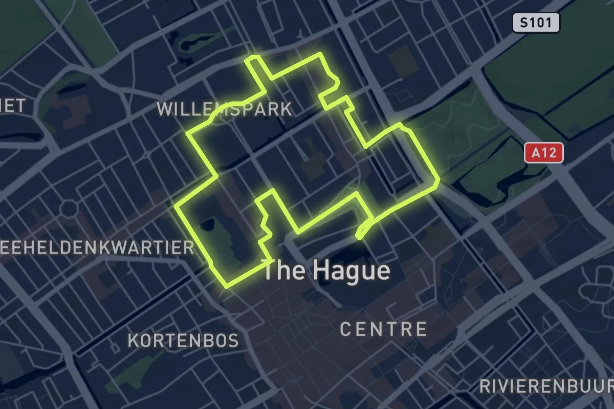
Wandelen langs Haagse levende monumenten
4.9 km · ↑ 4 m · 1 h 14 min
Easy · Trail
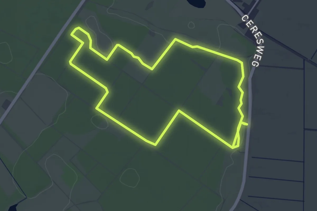
Wandeling rood
7.9 km · ↑ 9 m · 1 h 54 min
Easy · Trail
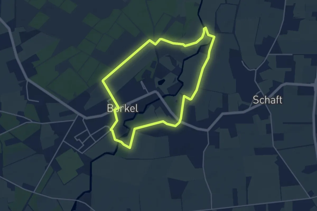
Wandelommetje in Borkel en op de Schaft
3.4 km · ↑ 5 m · 51 min
Easy · Trail
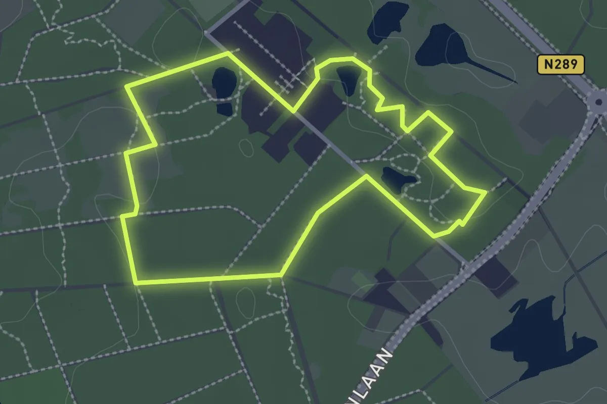
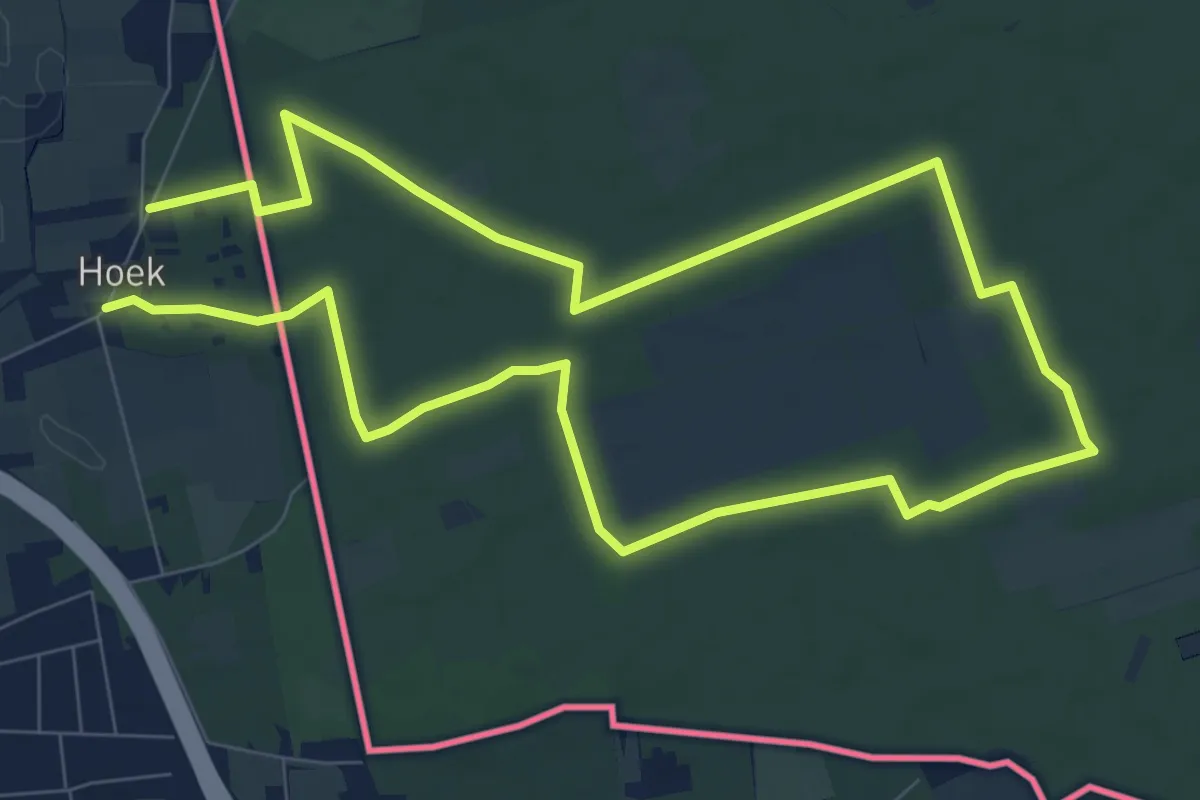
Wandelpad Abdij
2.4 km · ↑ 8 m · 37 min
Easy · Trail
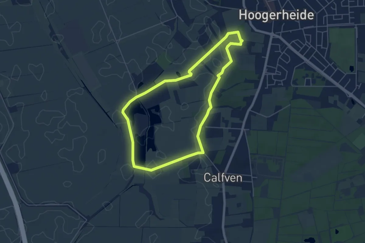
Wandelpad Eekhoorn
7.5 km · ↑ 12 m · 1 h 54 min
Easy · Trail
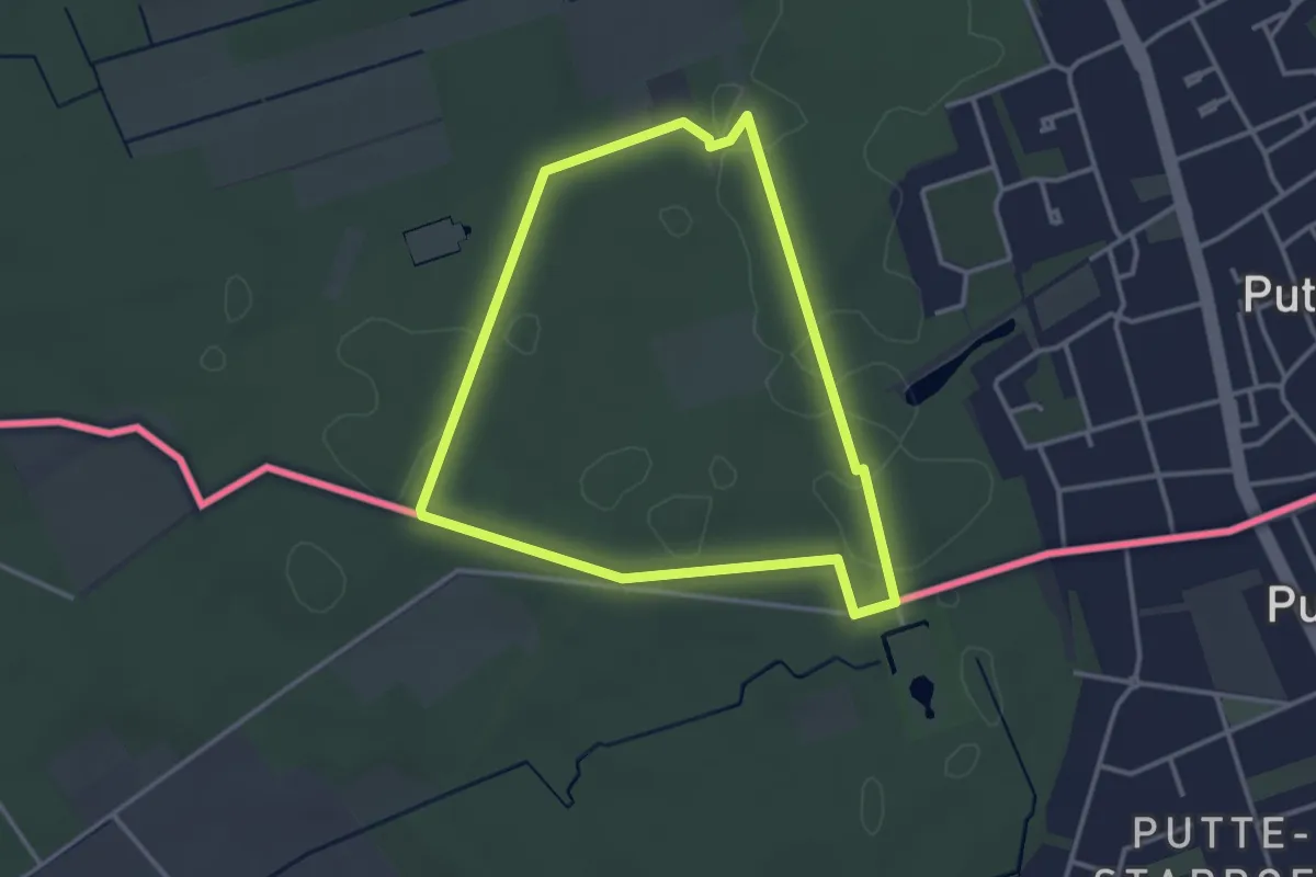
Wandelpad Fazant
4.5 km · ↑ 19 m · 1 h 10 min
Easy · Trail
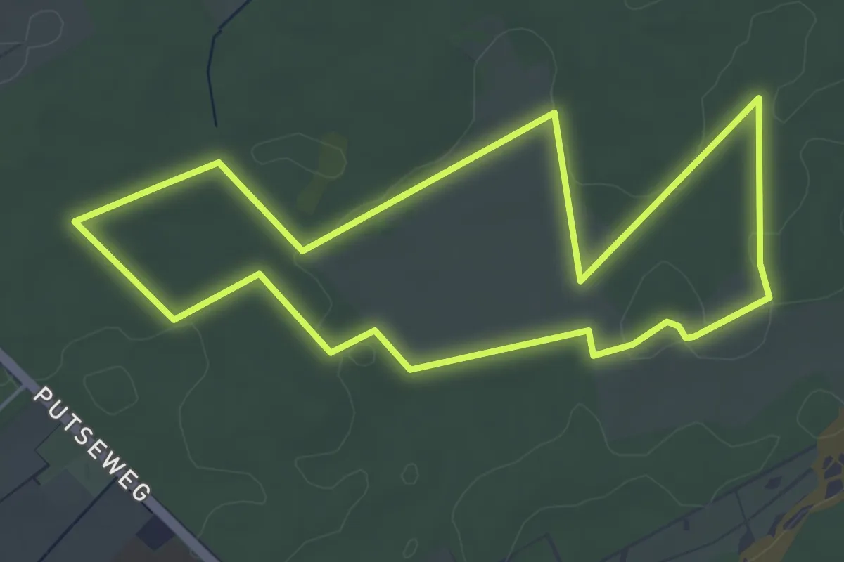
Wandelpad Gloriëtte
2.9 km · ↑ 4 m · 44 min
Easy · Trail
Wandelpad Haas
4.7 km · ↑ 8 m · 1 h 12 min
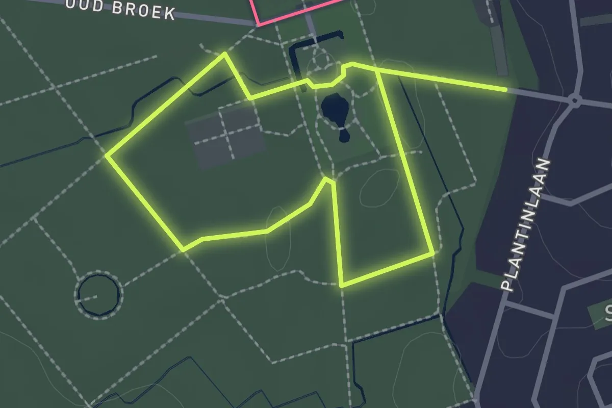
Easy · Trail
Wandelpad Kasteel
1.8 km · ↑ 0 m · 27 min
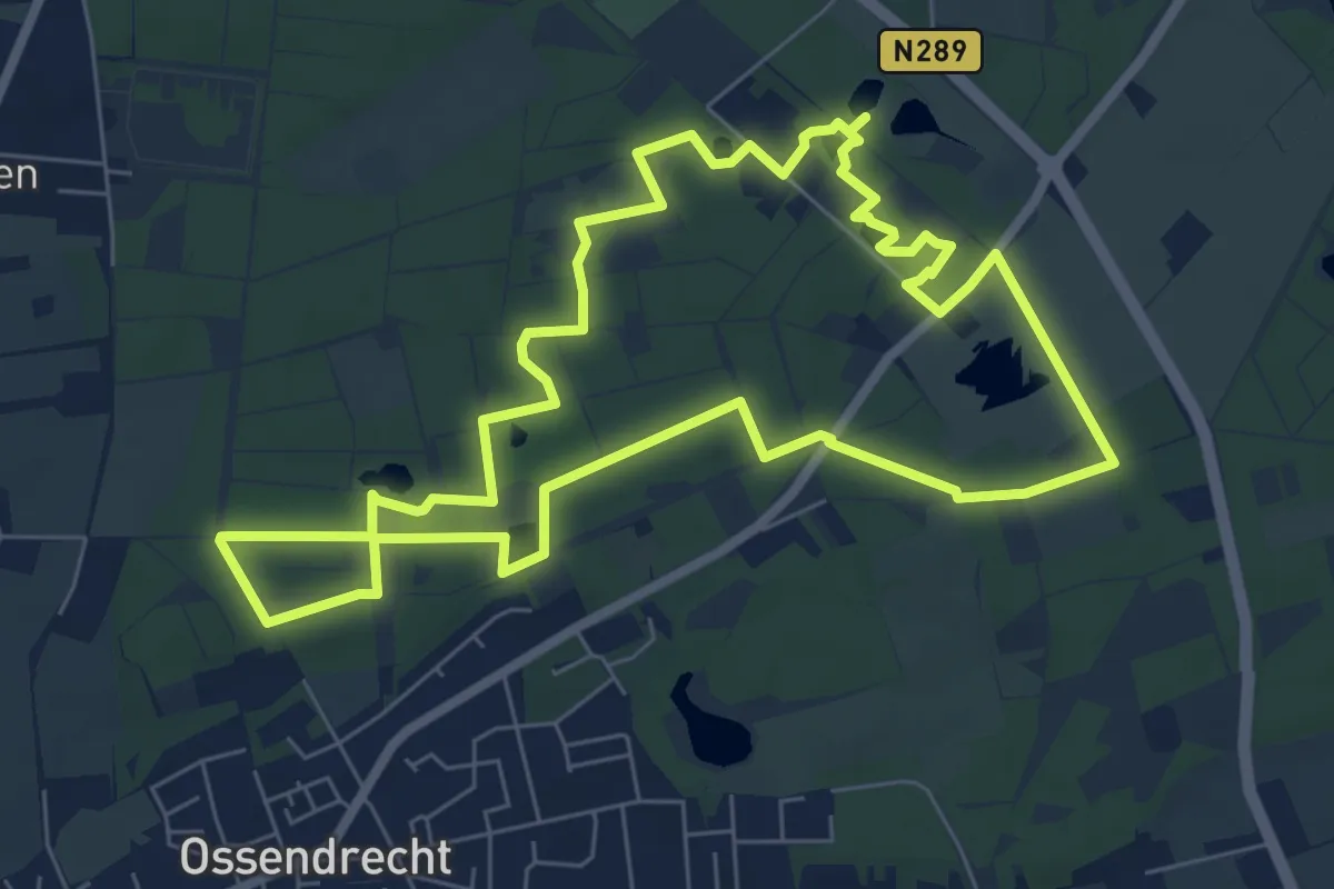
Easy · Trail
Wandelpad Kikker
6.7 km · ↑ 18 m · 1 h 43 min
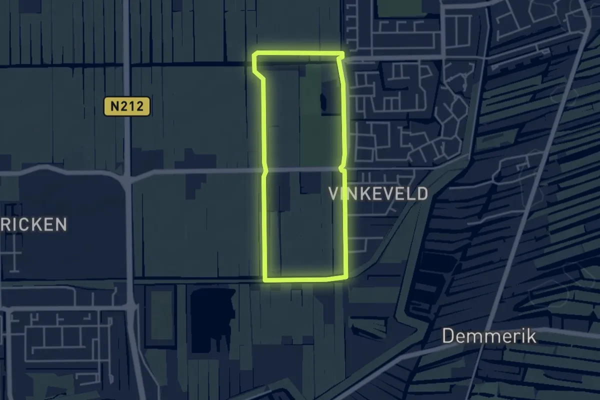
Easy · Trail
Wandelpad Marickenland
3.0 km · ↑ 0 m · 45 min
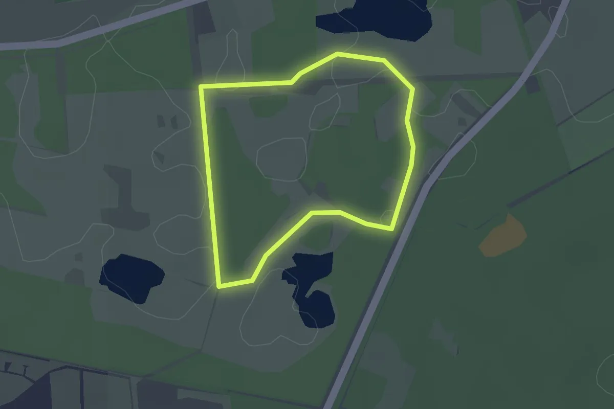
Easy · Trail
Wandelpad Muis
1.7 km · ↑ 0 m · 26 min
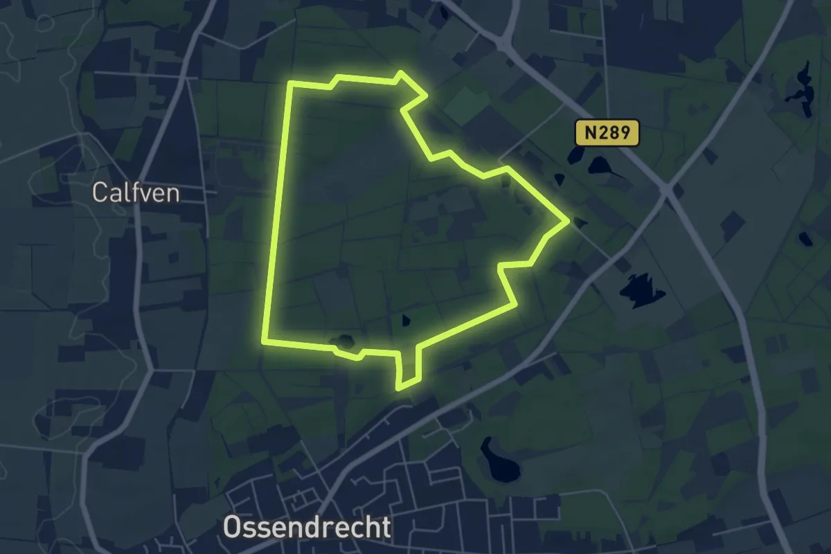
Easy · Trail
Wandelpad Pauw
5.0 km · ↑ 13 m · 1 h 16 min
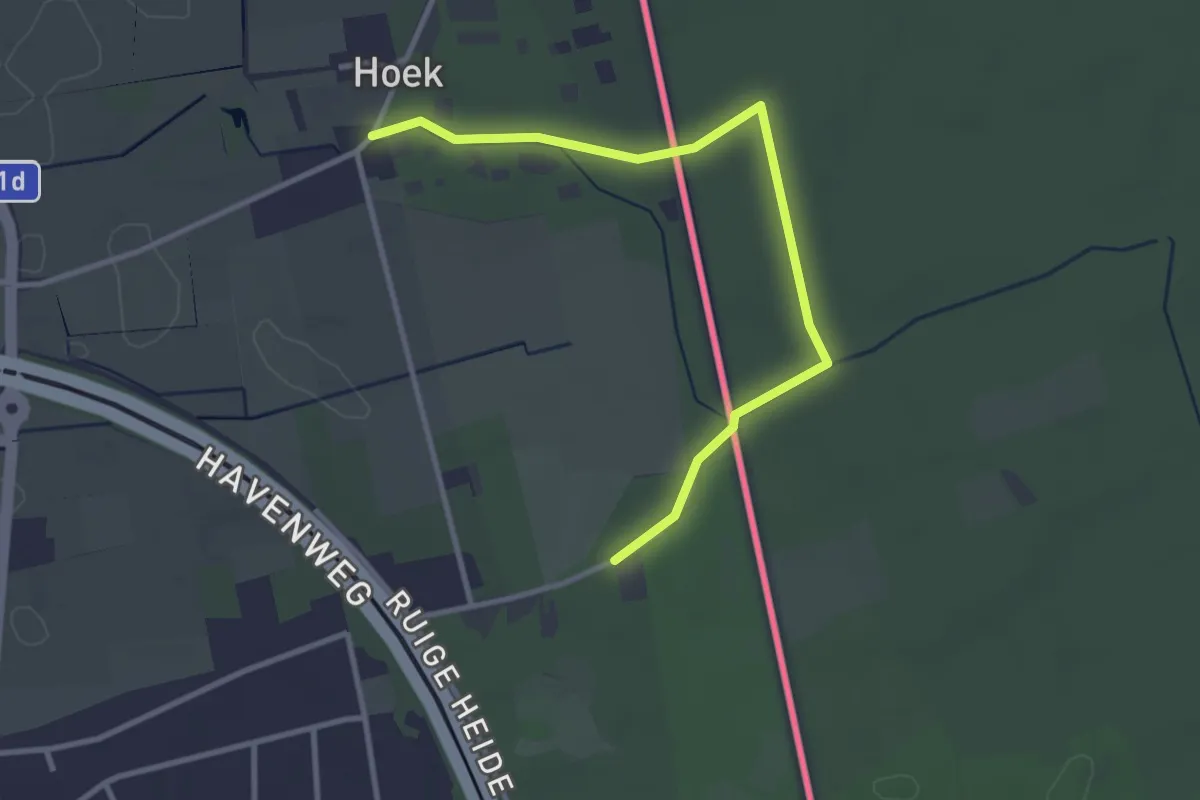
Easy · Trail
Wandelpad Specht
1.5 km · ↑ 8 m · 24 min
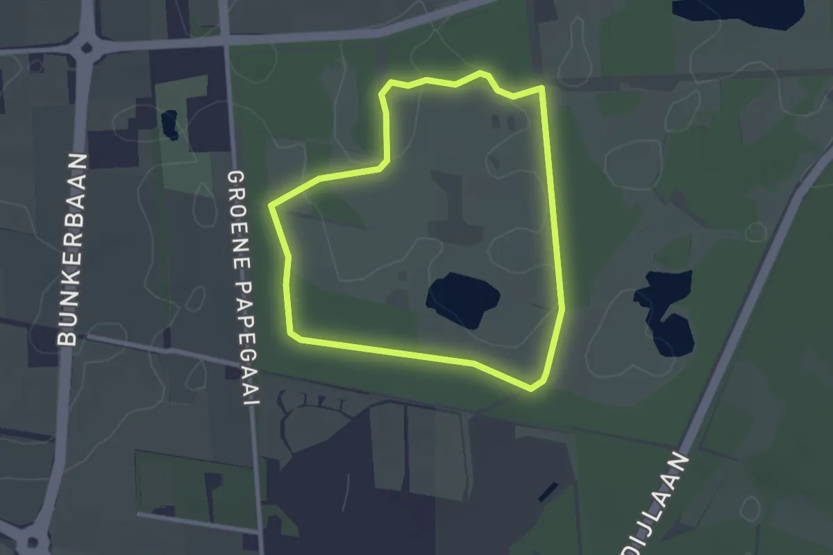
Easy · Trail
Wandelpad Uil
2.1 km · ↑ 4 m · 32 min
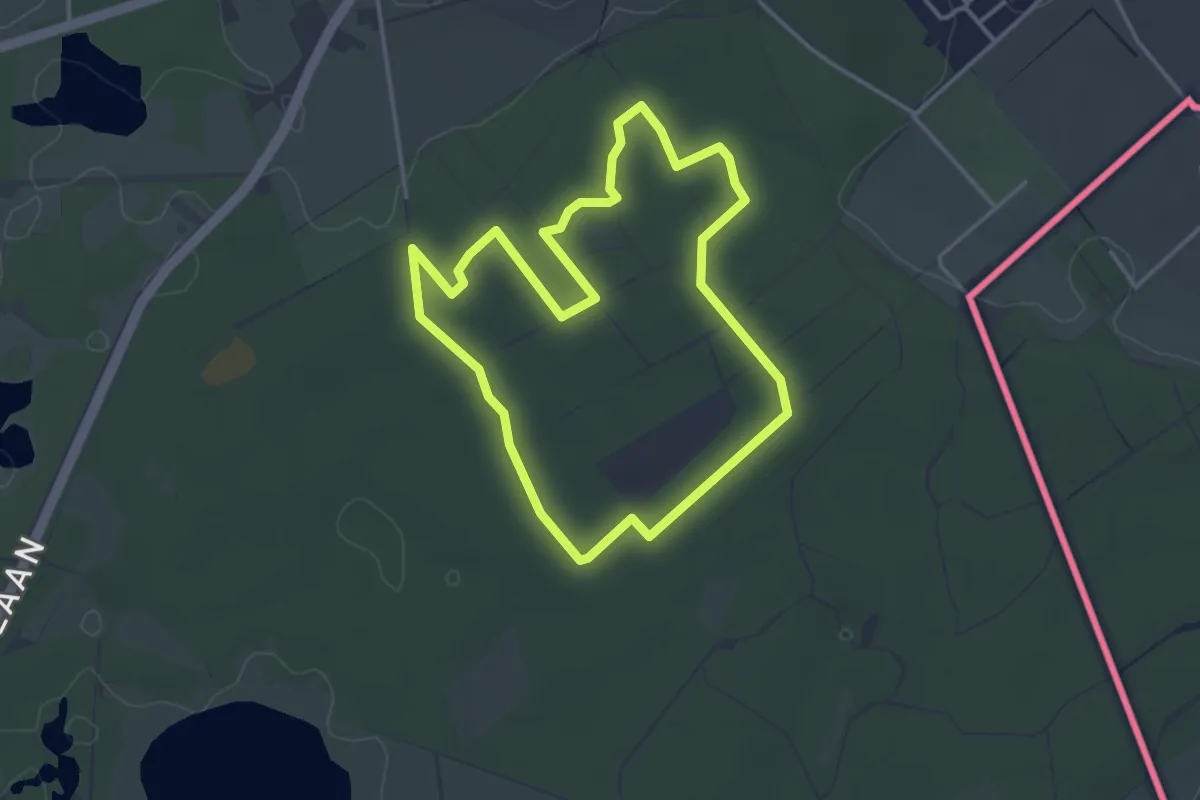
Easy · Trail
Wandelpad Vos
3.2 km · ↑ 4 m · 48 min
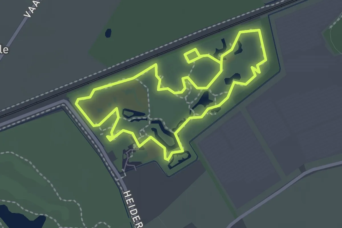
Easy · Trail
Wandelroute
2.0 km · ↑ 0 m · 30 min
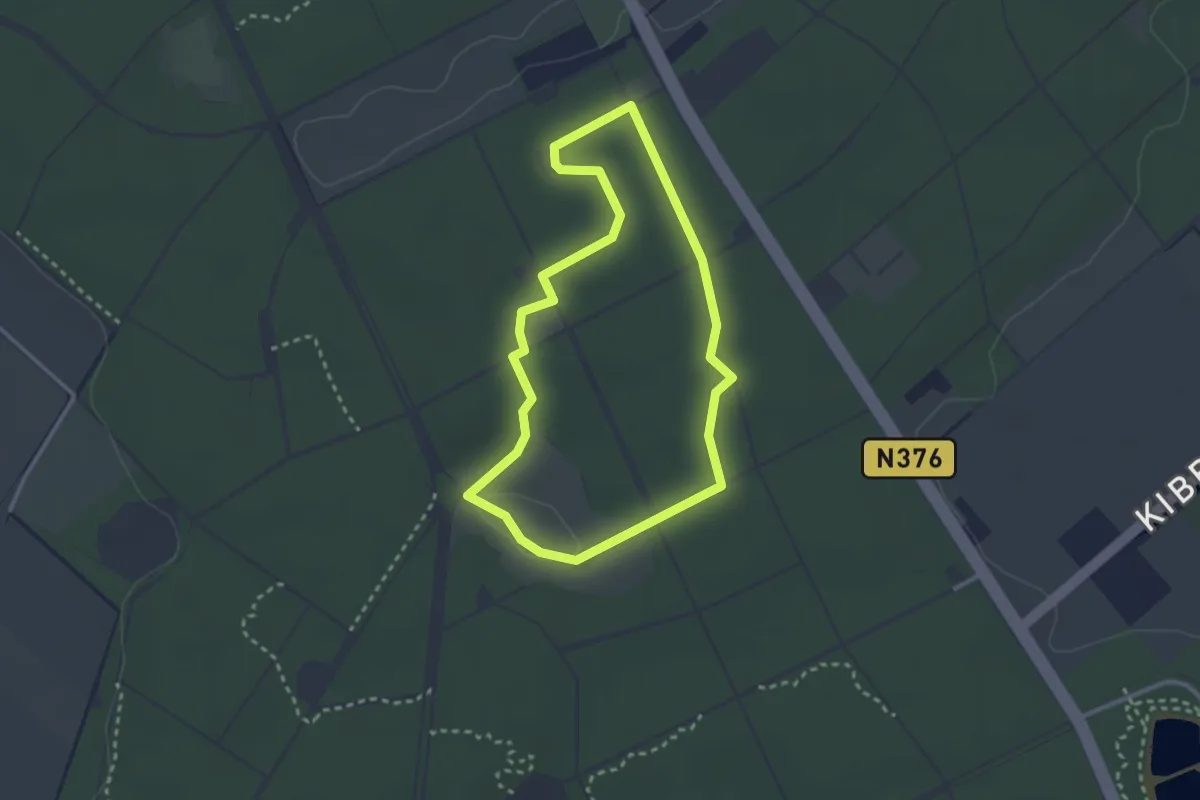
Easy · Trail
Wandelroute Archeologie
2.3 km · ↑ 9 m · 36 min
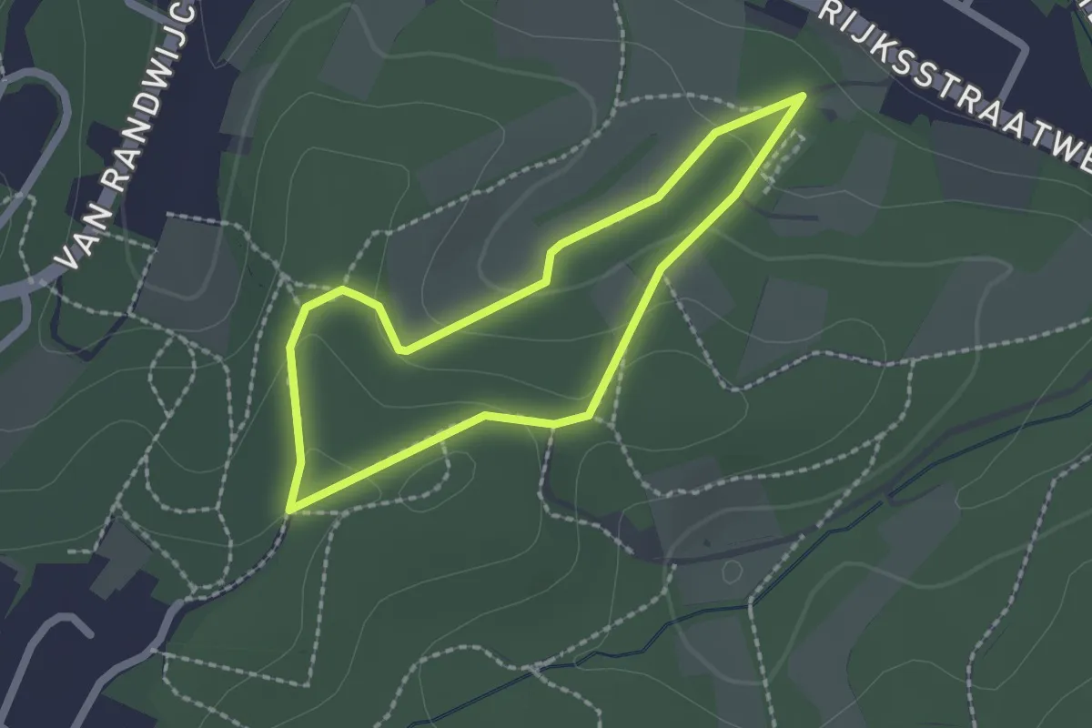
Easy · Trail
Wandelroute Beek
1.5 km · ↑ 60 m · 31 min
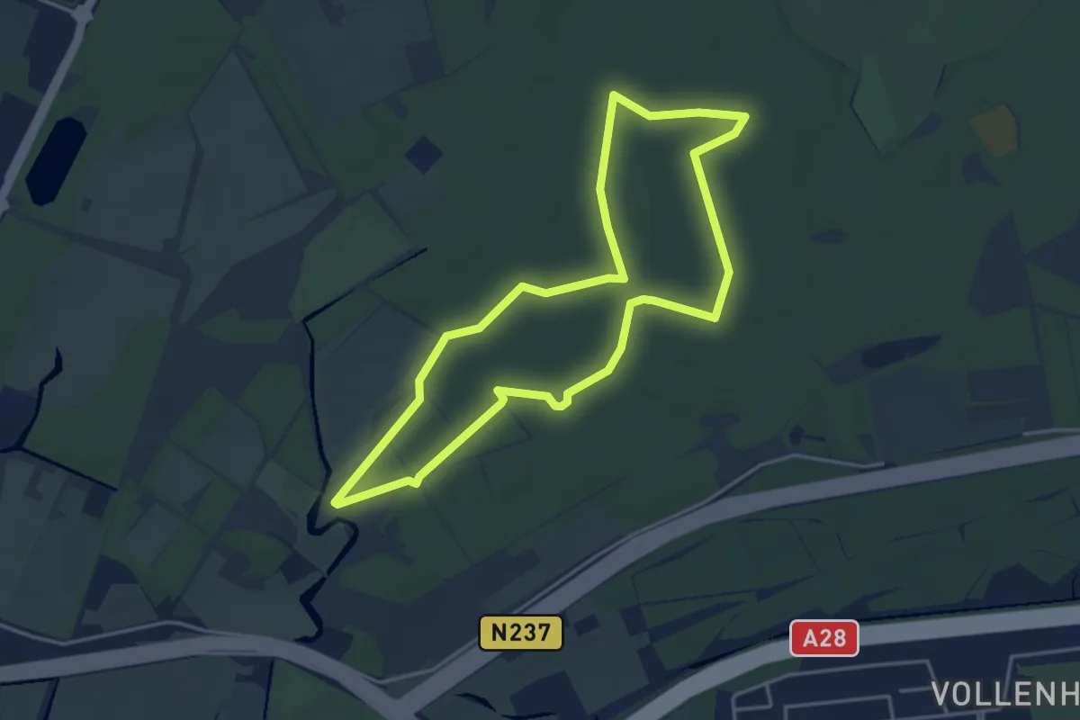
Easy · Summit
Wandelroute Beerschoten
3.6 km · ↑ 8 m · 55 min
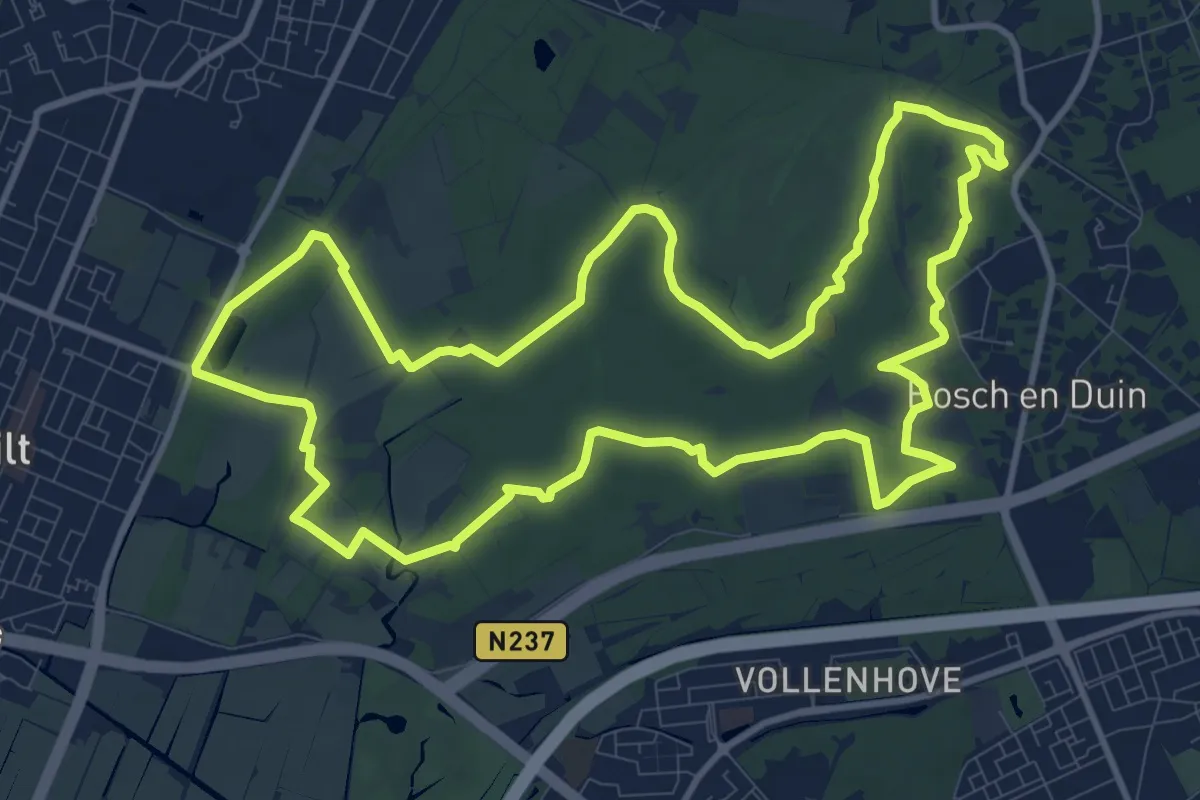
Medium · Summit
Wandelroute Beerschoten, Houdringe en Panbos
11.4 km · ↑ 13 m · 2 h 52 min
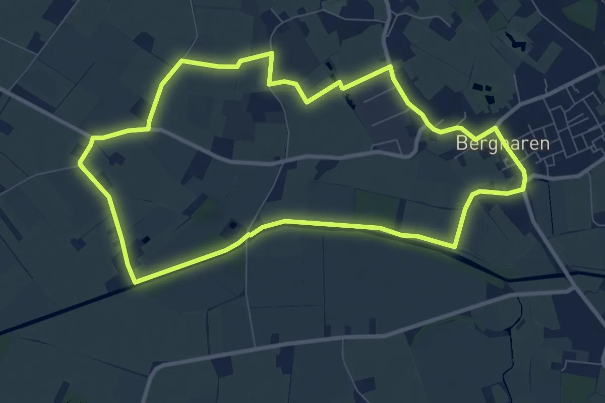
Easy · Trail
Wandelroute Bergharen, door agrarisch gebied
7.2 km · ↑ 4 m · 1 h 48 min
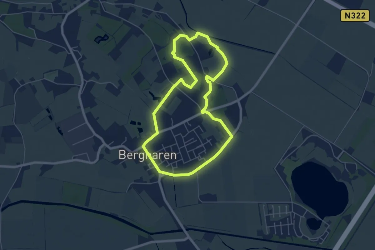
Easy · Summit
wandelroute Bergharen, door de natuur
4.7 km · ↑ 13 m · 1 h 13 min
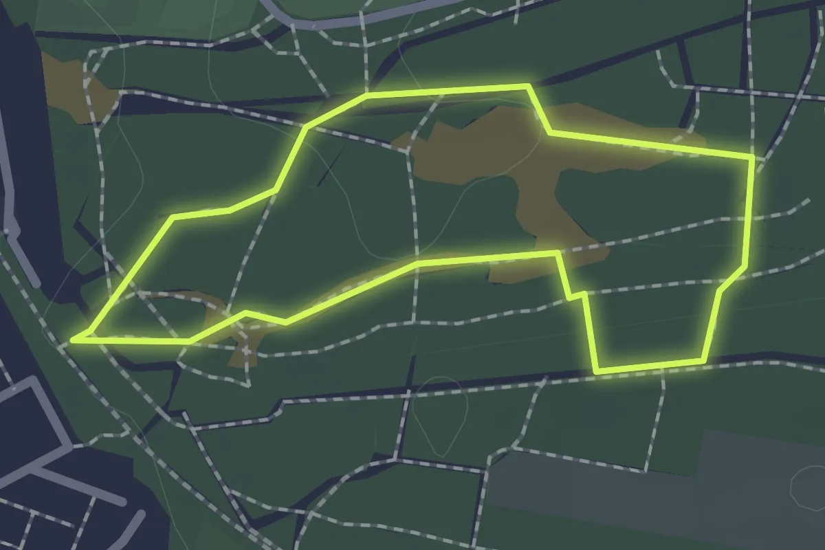
Easy · Trail
Wandelroute Biltse Duinen
1.5 km · ↑ 4 m · 22 min