Trails in Netherlands
5,039 hiking trails, each with its route, climb, walking time and grade.
All trails, page 65 of 105
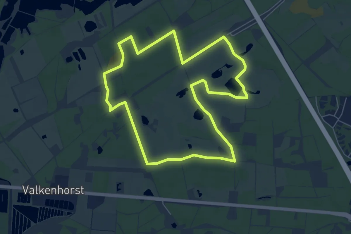
Easy · Trail
Wandelroute blauw
5.6 km · ↑ 13 m · 1 h 26 min
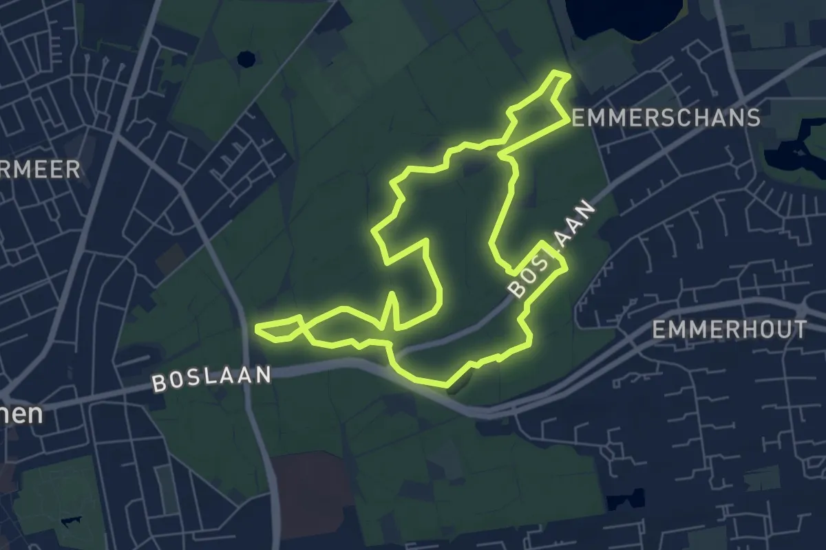
Easy · Summit
Wandelroute Boom tot bos Emmerdennen
6.1 km · ↑ 4 m · 1 h 31 min
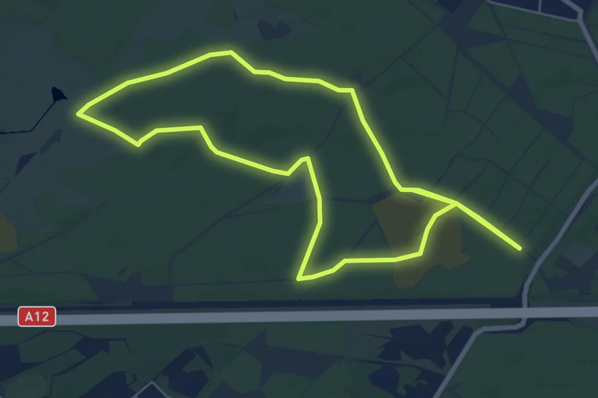
Medium · Trail
Wandelroute Bornia
10.5 km · ↑ 8 m · 2 h 30 min
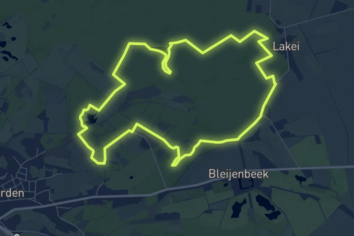
Medium · Trail
Wandelroute Broederbos
8.2 km · ↑ 17 m · 2 h 5 min
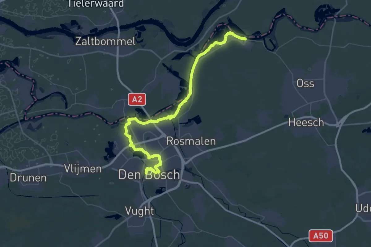
Demanding · Trail
Wandelroute Canadese Bevrijders etappe 10: 's-Hertogenbosch-Lith
29.9 km · ↑ 13 m · 7 h 30 min
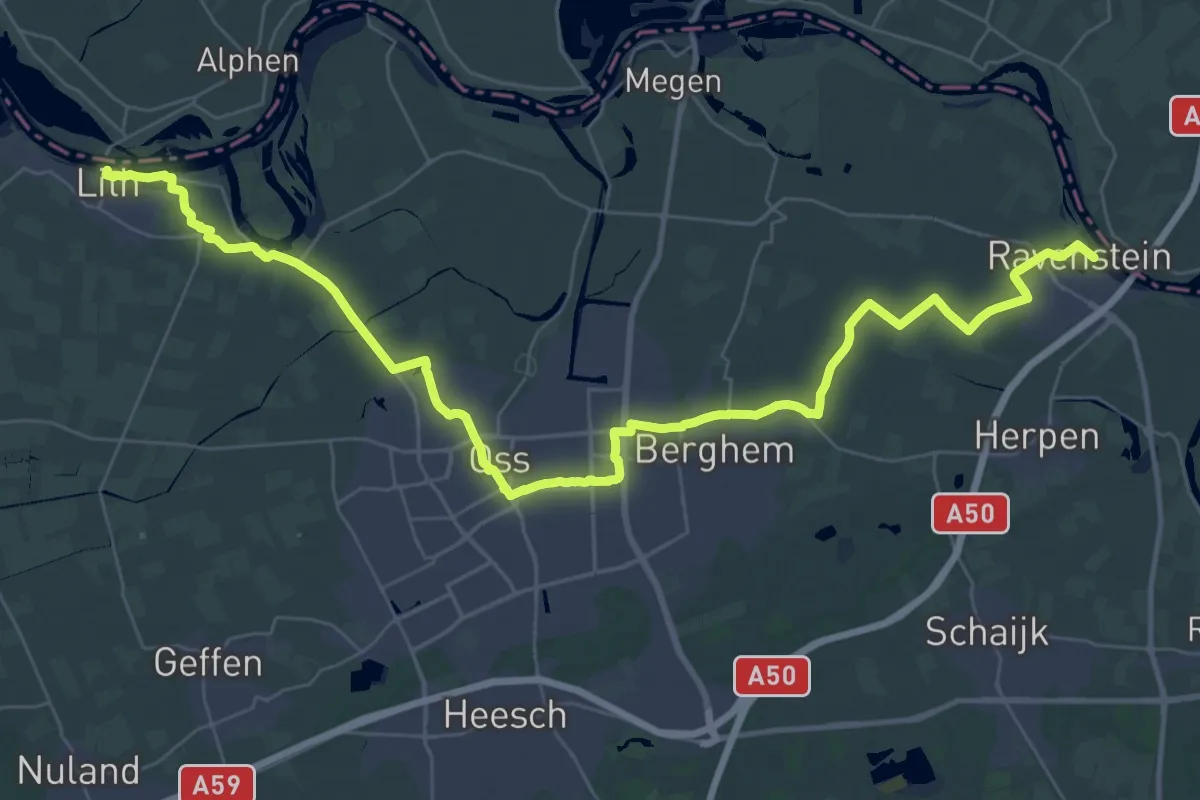
Demanding · Trail
Wandelroute Canadese Bevrijders etappe 11: Lith-Ravenstein
21.7 km · ↑ 4 m · 5 h 26 min
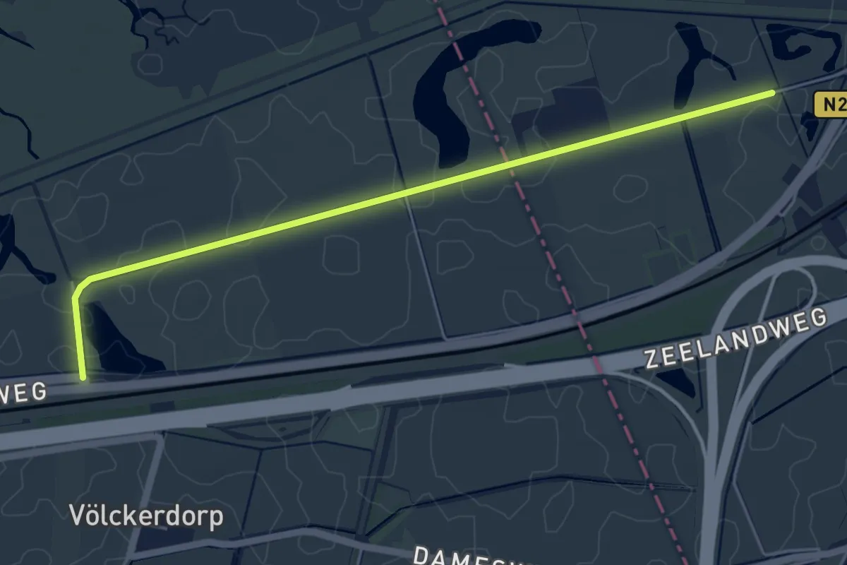
Easy · Trail
Wandelroute Canadese Bevrijders etappe 1: Woensdrecht-Bergen op Zoom
4.6 km · ↑ 0 m · 1 h 5 min
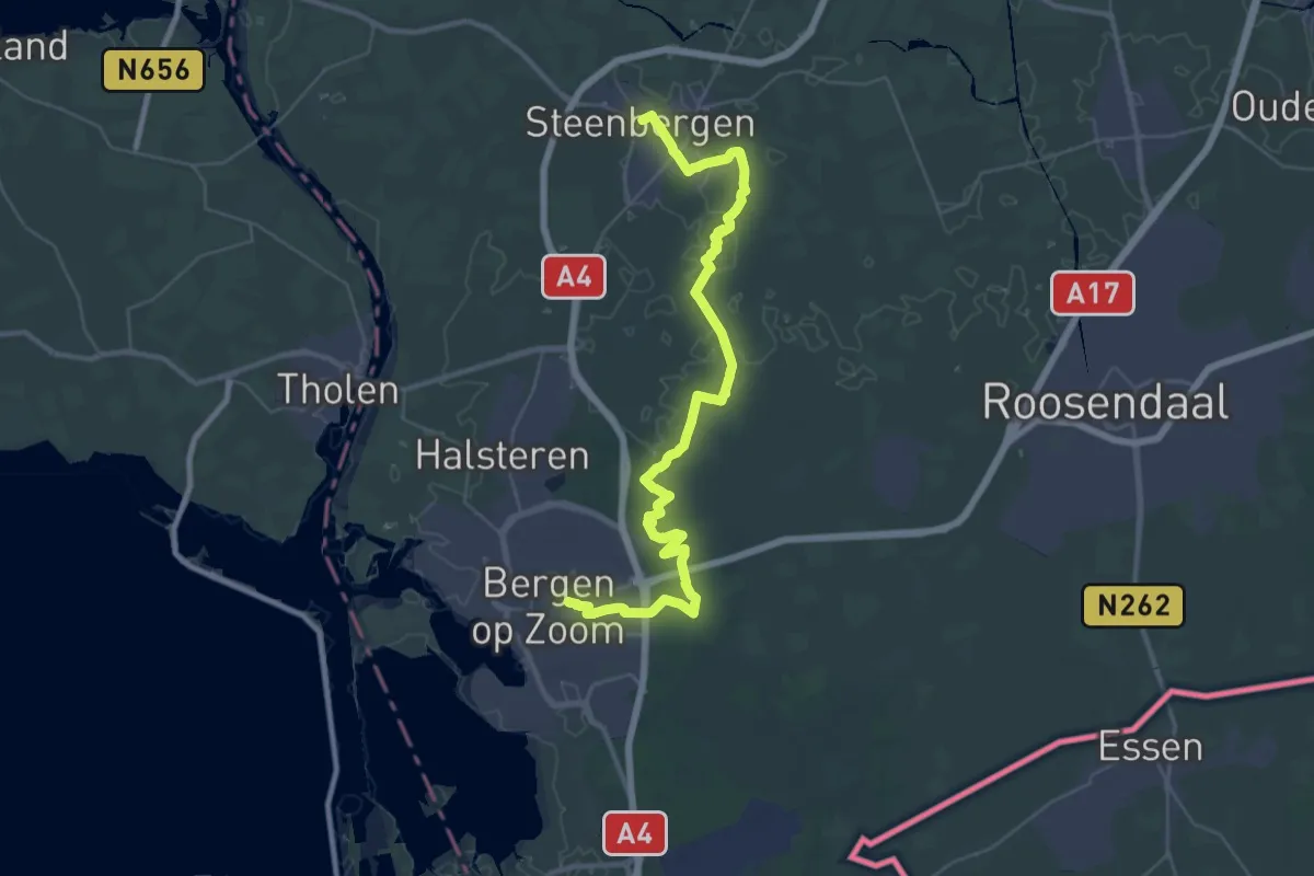
Demanding · Trail
Wandelroute Canadese Bevrijders etappe 2: Bergen op Zoom-Steenbergen
20.1 km · ↑ 26 m · 5 h 4 min
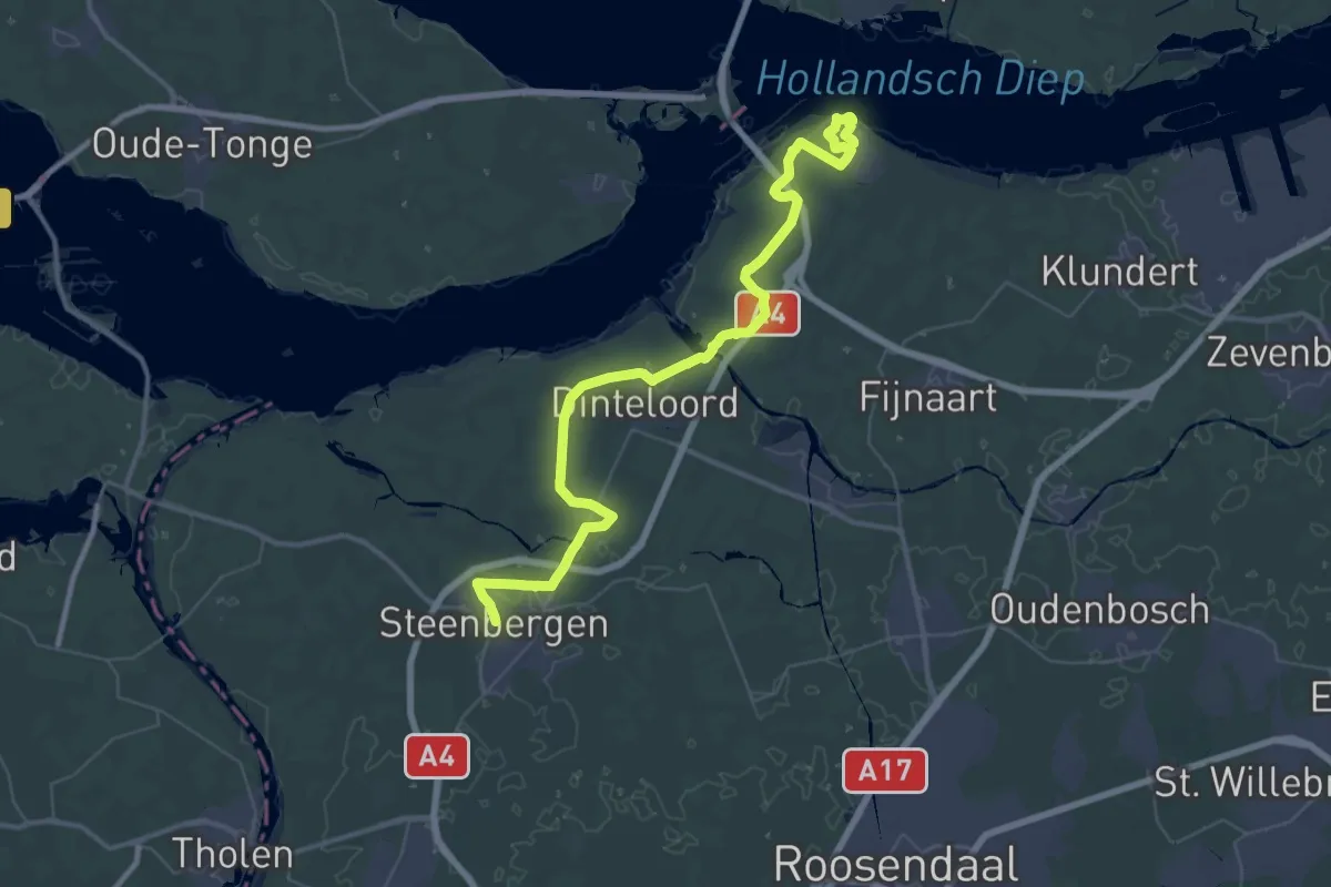
Demanding · Trail
Wandelroute Canadese Bevrijders etappe 3: Steenbergen-Willemstad
24.3 km · ↑ 4 m · 6 h 6 min
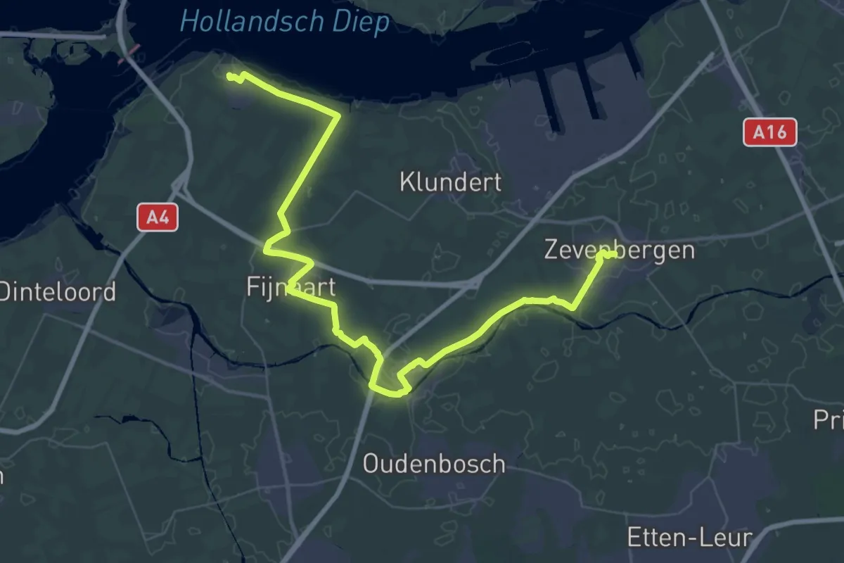
Demanding · Summit
Wandelroute Canadese Bevrijders etappe 4: Willemstad-Zevenbergen
51.5 km · ↑ 12 m · 12 h 12 min
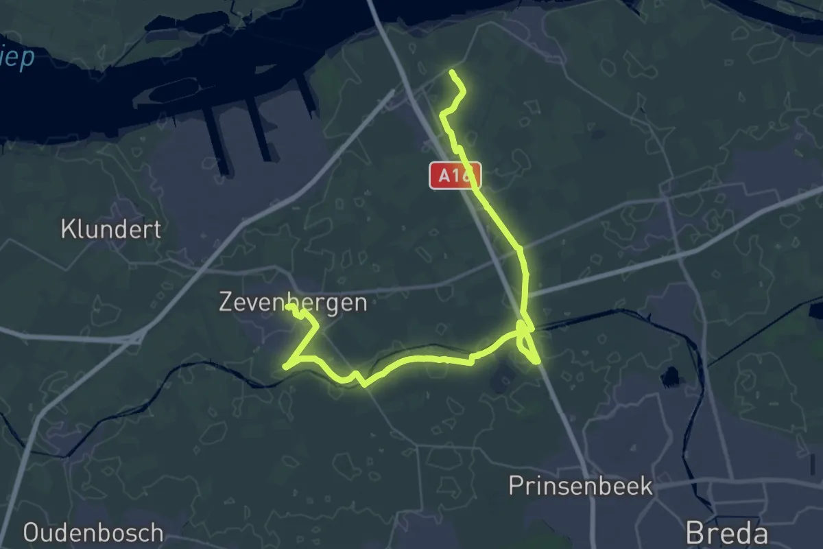
Demanding · Summit
Wandelroute Canadese Bevrijders etappe 5: Zevenbergen-Lage Zwaluwe
42.3 km · ↑ 20 m · 10 h 2 min
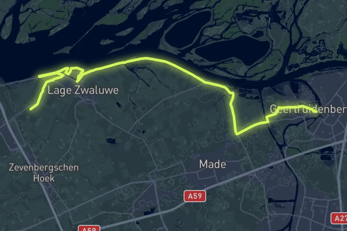
Demanding · Trail
Wandelroute Canadese Bevrijders etappe 6: Lage Zwaluwe-Geertruidenberg
21.6 km · ↑ 0 m · 5 h 24 min
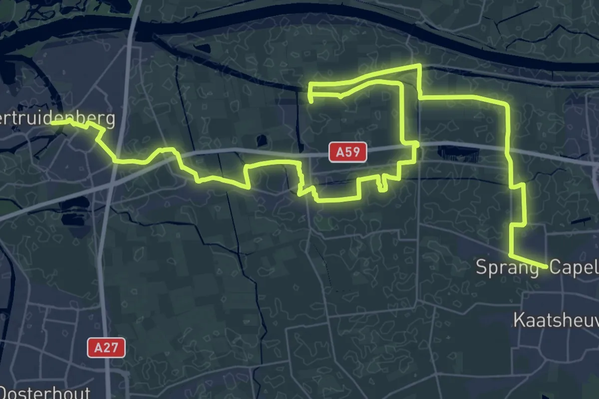
Demanding · Trail
Wandelroute Canadese Bevrijders etappe 7: Geertruidenberg-Sprang-Capelle
27.5 km · ↑ 0 m · 6 h 53 min
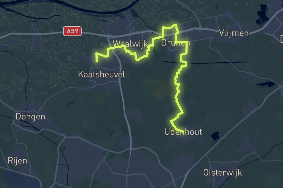
Demanding · Trail
Wandelroute Canadese Bevrijders etappe 8: Sprang-Capelle-Udenhout
28.1 km · ↑ 29 m · 7 h 5 min
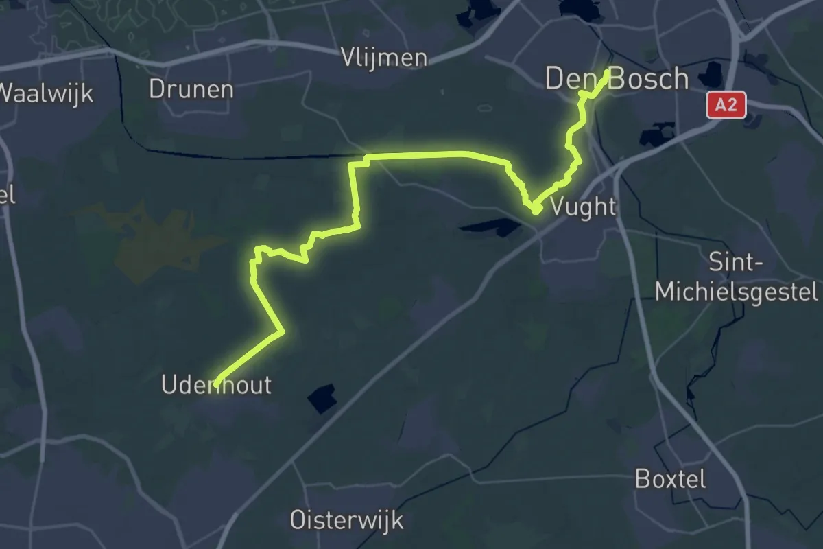
Demanding · Trail
Wandelroute Canadese Bevrijders etappe 9: Udenhout-'s-Hertogenbosch
22.7 km · ↑ 21 m · 5 h 44 min
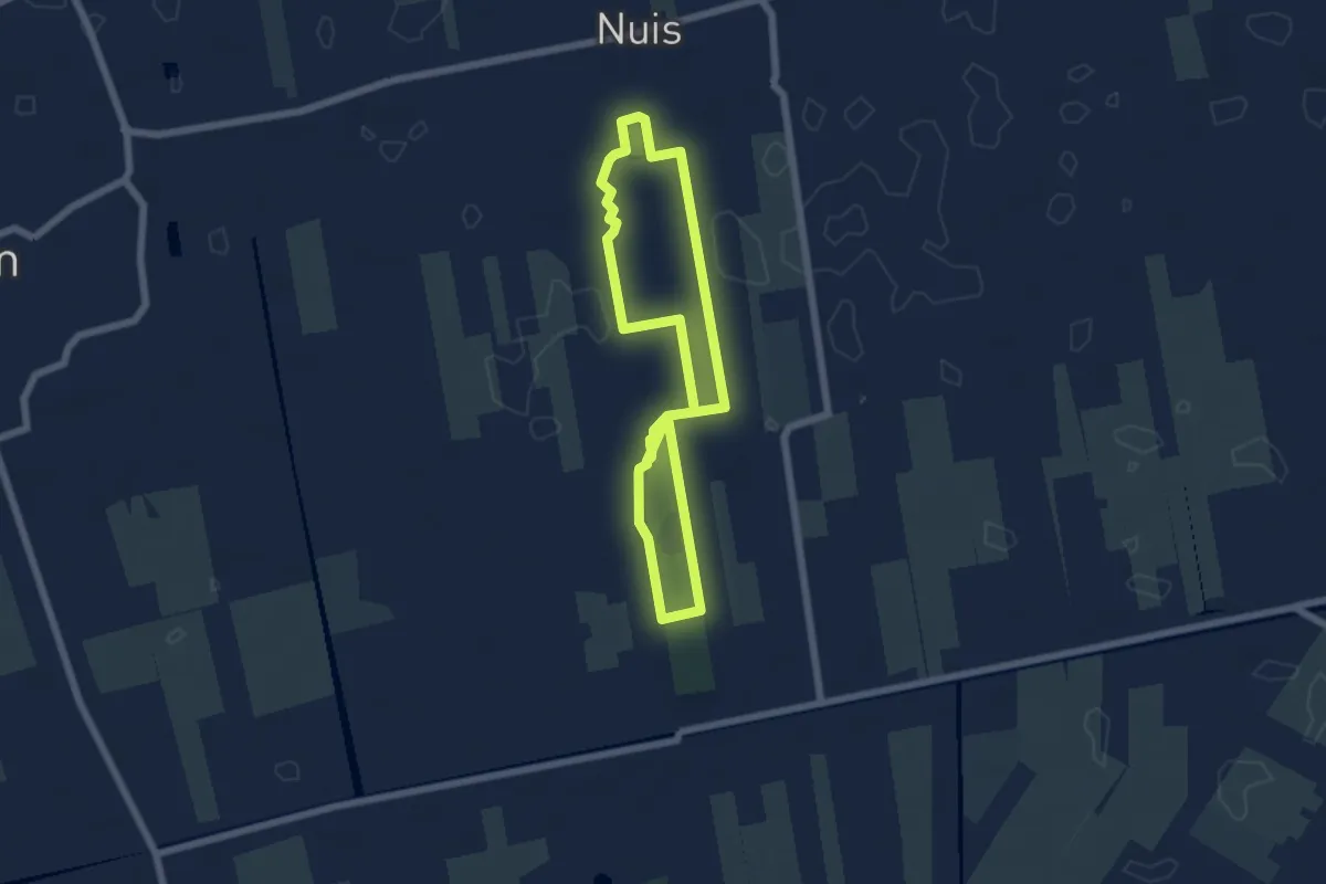
Easy · Trail
Wandelroute Coendersborg
4.7 km · ↑ 18 m · 1 h 12 min
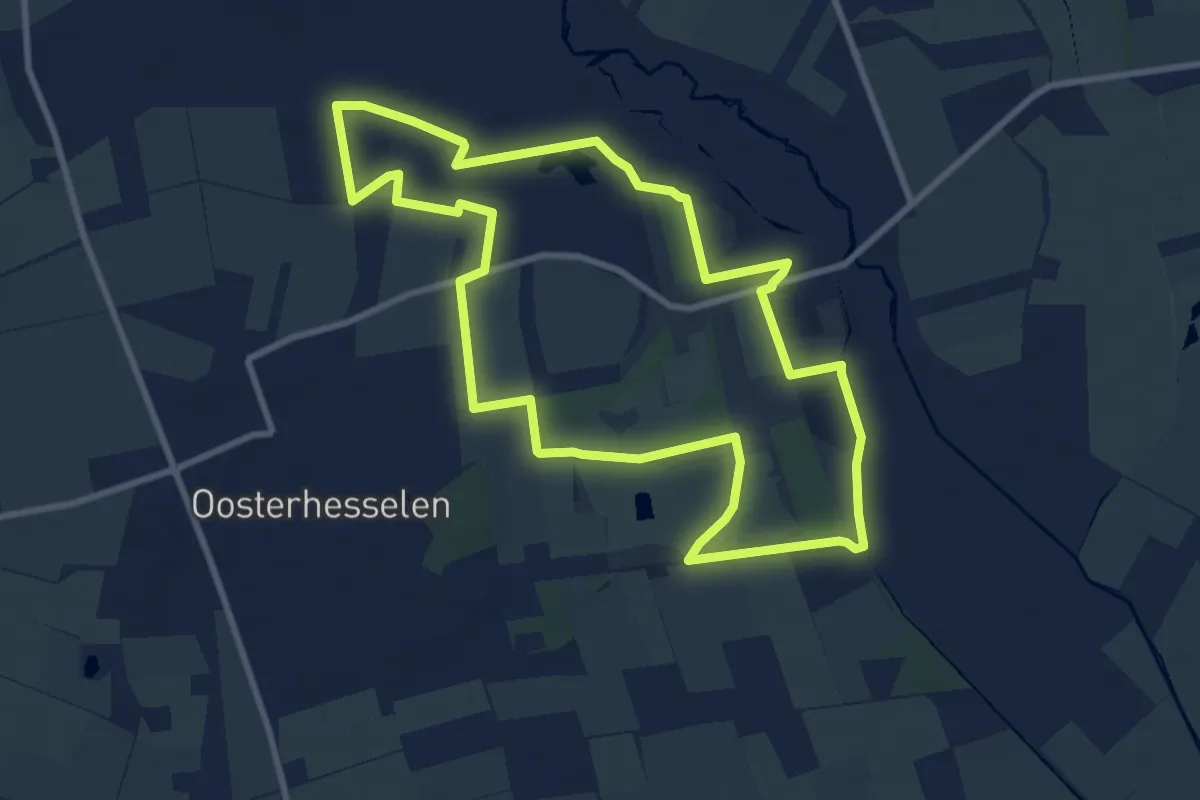
Medium · Trail
Wandelroute De Klencke
8.2 km · ↑ 17 m · 2 h 5 min
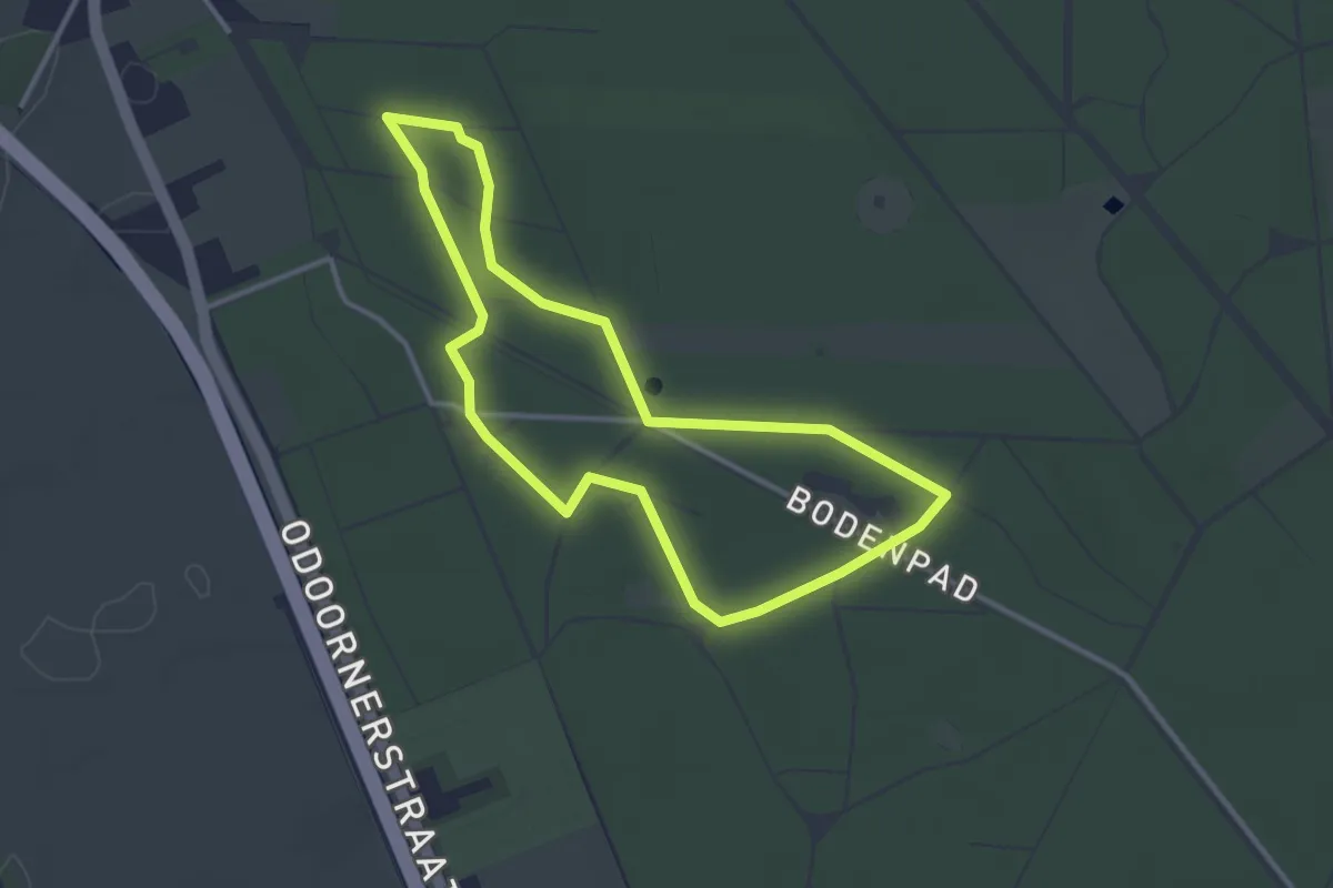
Easy · Trail
Wandelroute Dennenbos
2.7 km · ↑ 4 m · 42 min
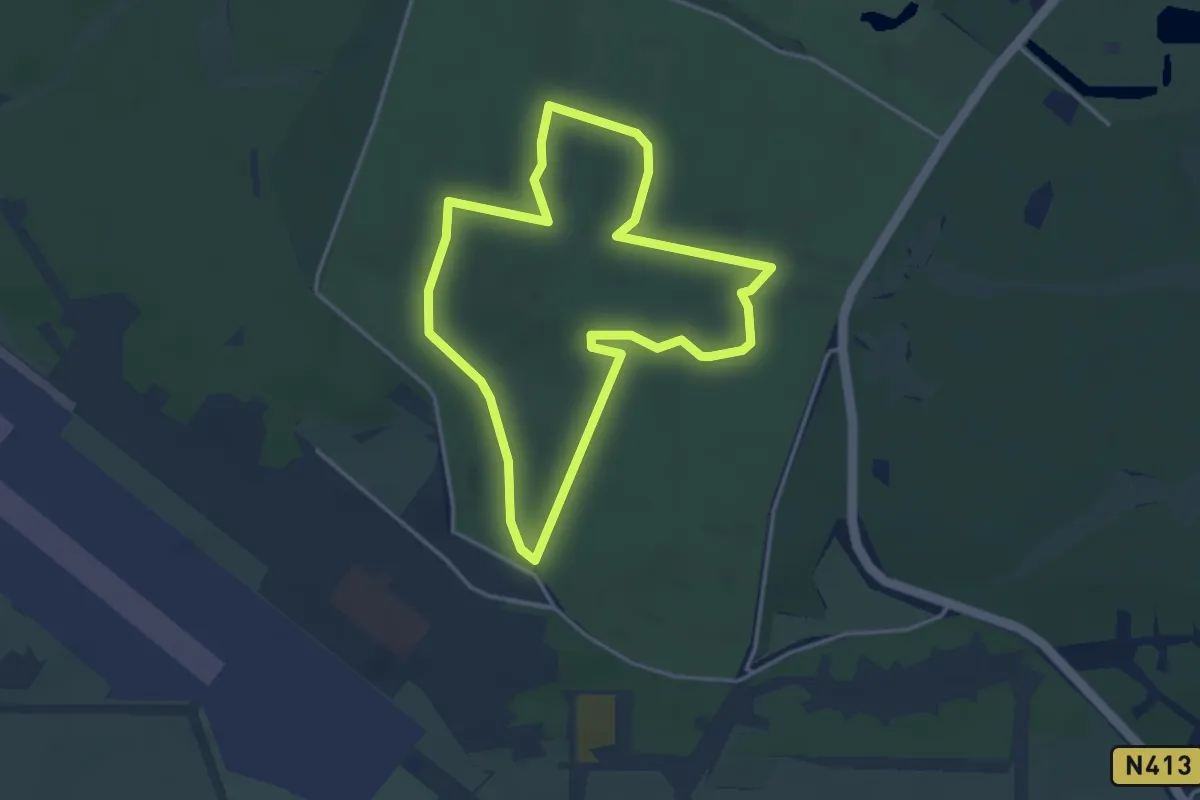
Easy · Trail
Wandelroute De Paltz
3.2 km · ↑ 29 m · 52 min
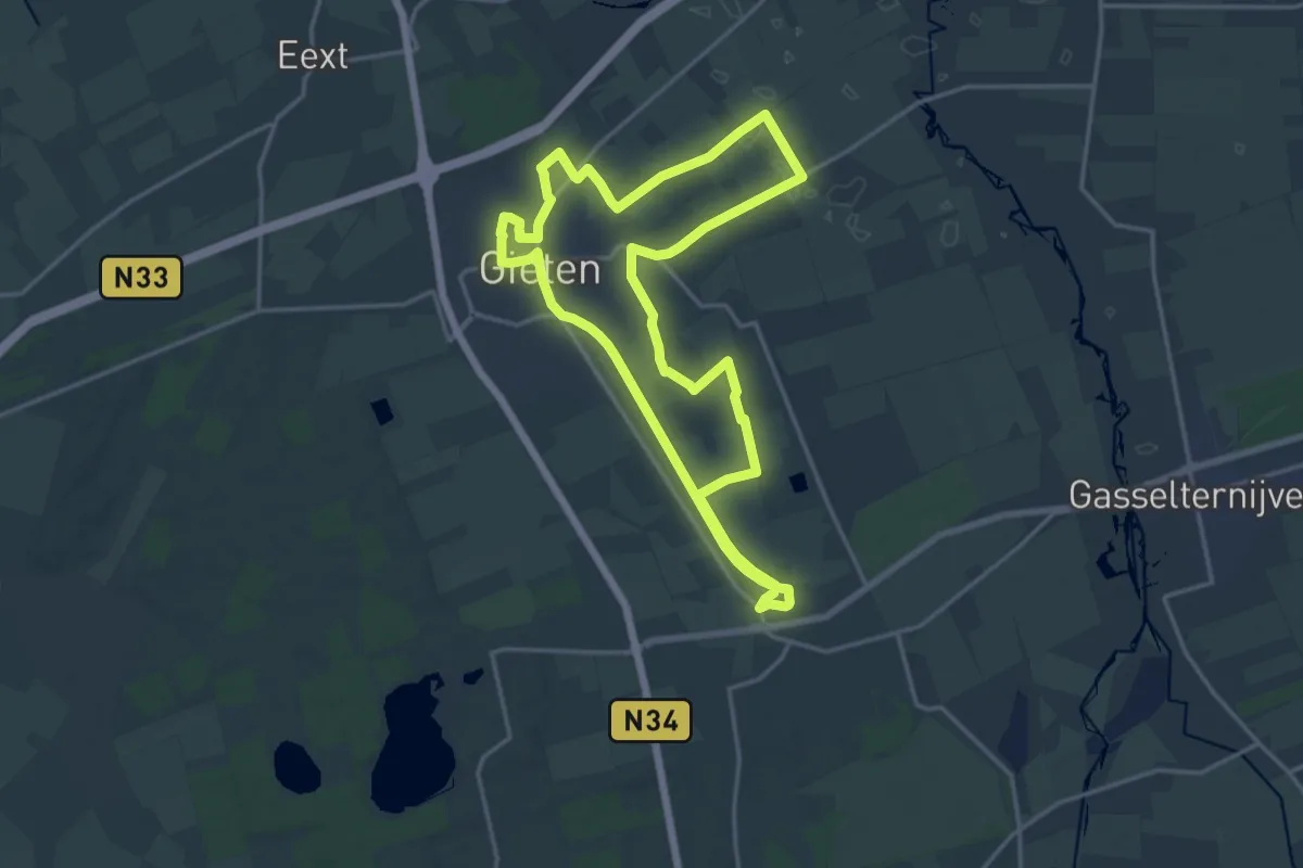
Medium · Trail
Wandelroute Dorp en Veld
15.1 km · ↑ 33 m · 3 h 51 min
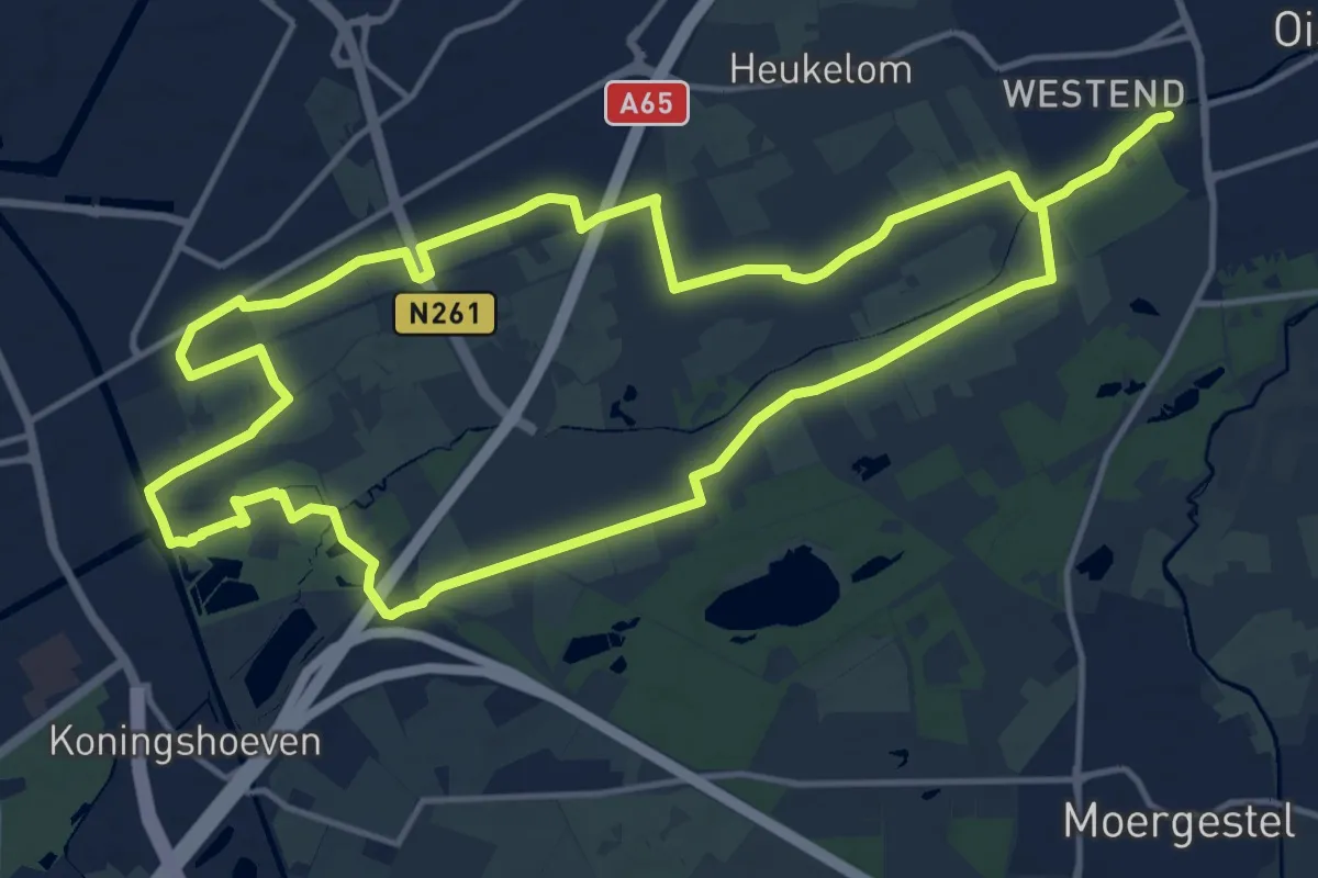
Demanding · Trail
Wandelroute Duurzaamheidsvallei
27.4 km · ↑ 17 m · 6 h 30 min
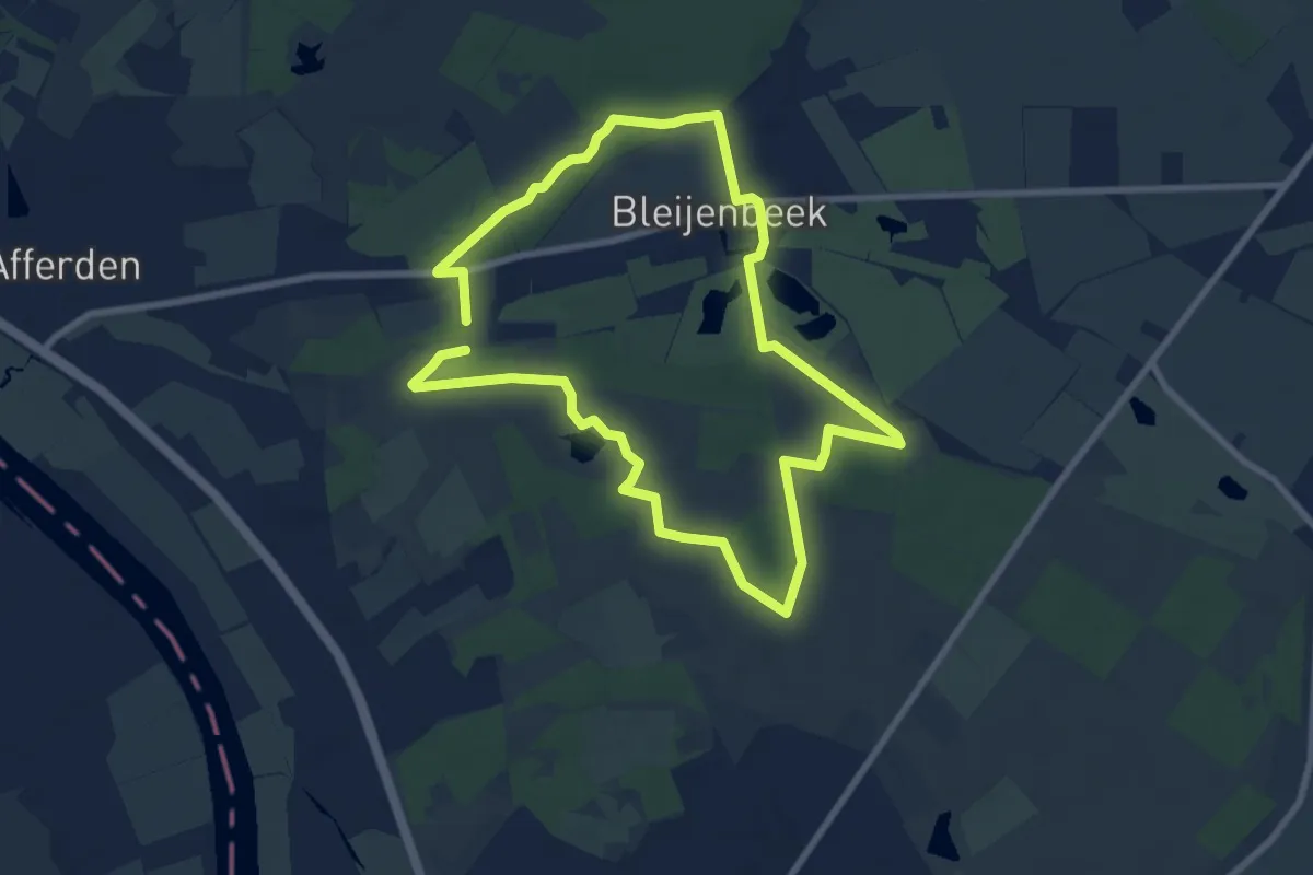
Easy · Trail
Wandelroute Duvelskuul
7.0 km · ↑ 17 m · 1 h 47 min
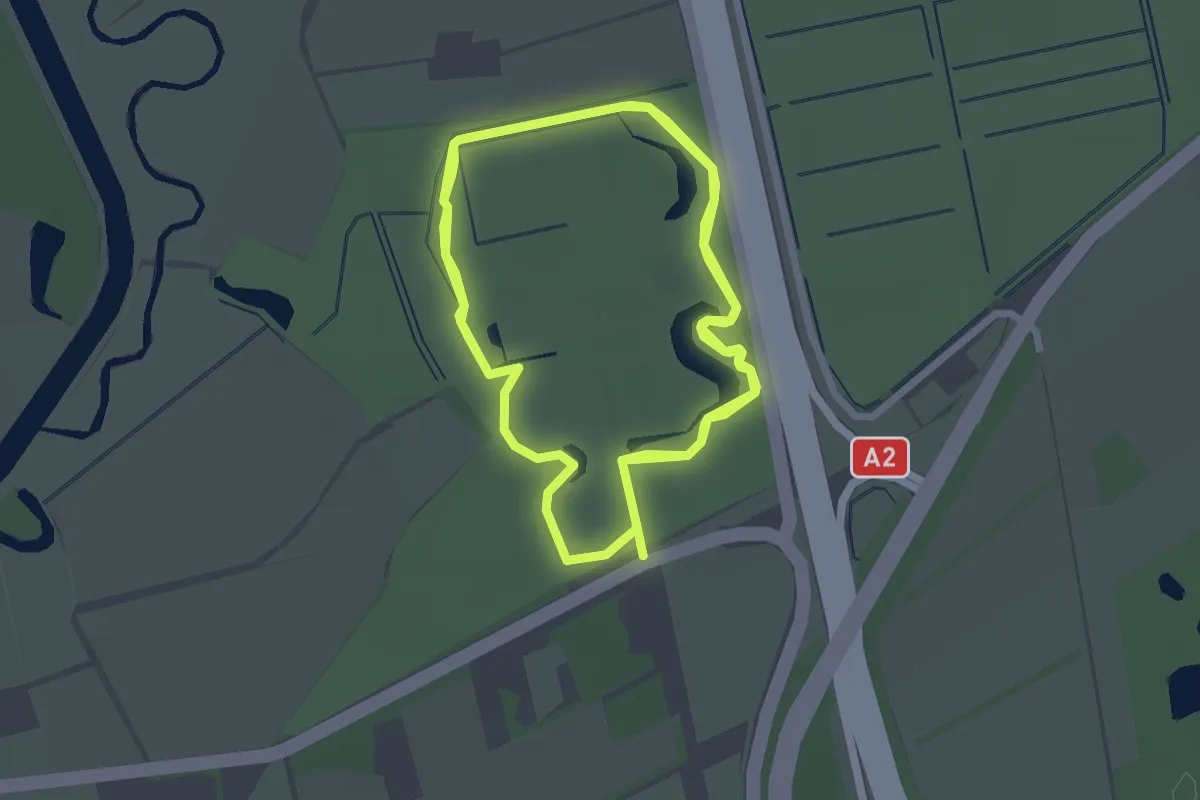
Easy · Trail
Wandelroute Eikenhorst Rood
5.8 km · ↑ 13 m · 1 h 24 min
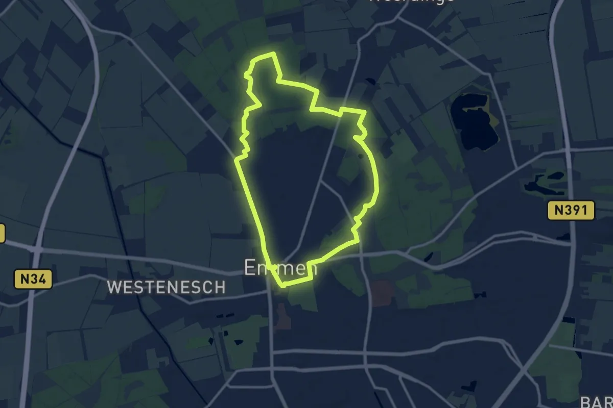
Medium · Trail
Wandelroute Emmerdennen
9.1 km · ↑ 25 m · 2 h 20 min
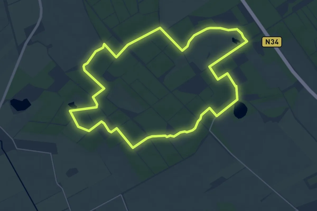
Easy · Trail
Wandelroute Evertsbos
5.1 km · ↑ 22 m · 1 h 20 min
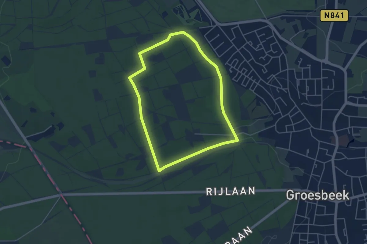
Easy · Trail
Wandelroute Filosofen
3.5 km · ↑ 35 m · 57 min
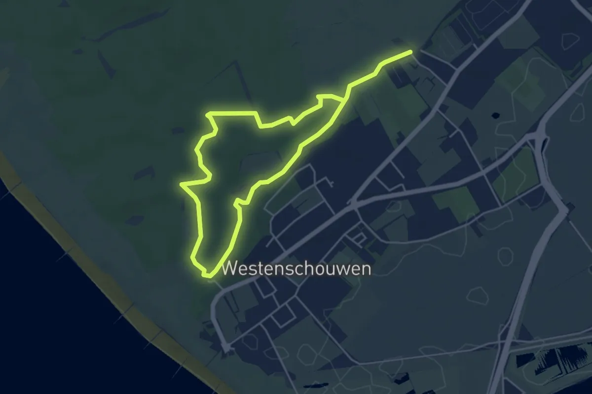
Easy · Trail
Wandelroute Foxdal
6.9 km · ↑ 25 m · 1 h 41 min
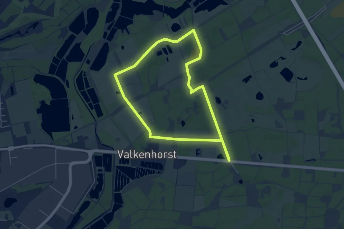
Easy · Trail
Wandelroute groen
4.8 km · ↑ 17 m · 1 h 15 min
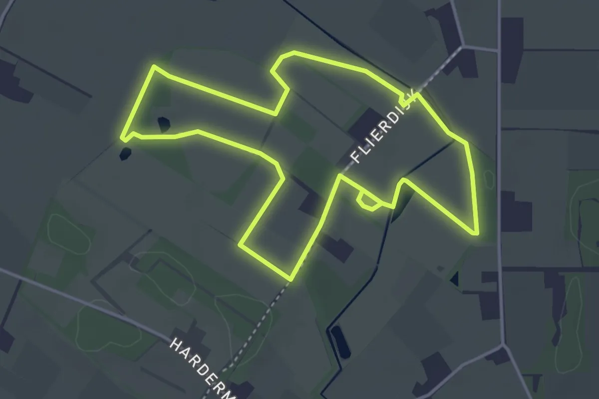
Easy · Trail
Wandelroute Hagenbeek, Laarzenpad
3.4 km · ↑ 0 m · 51 min
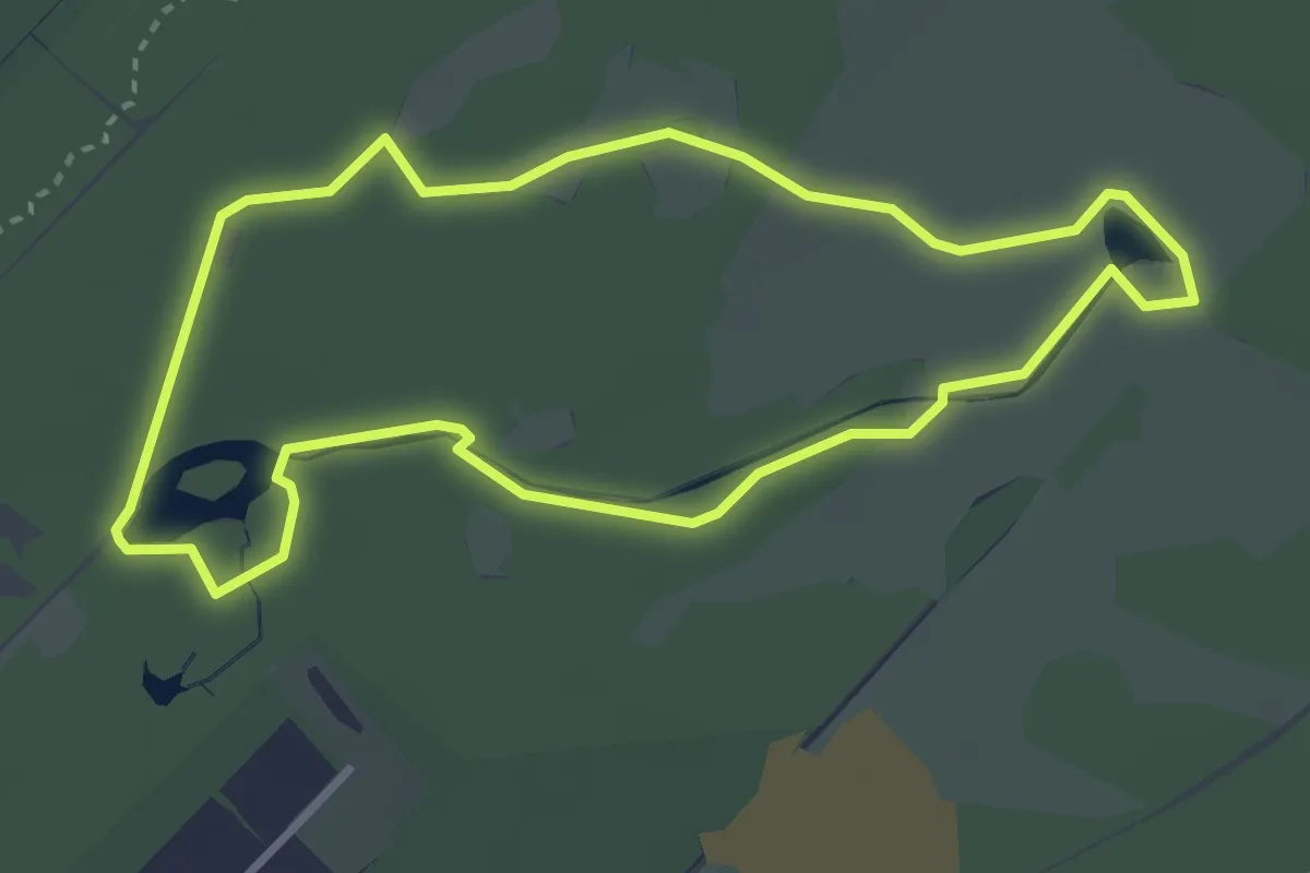
Easy · Trail
Wandelroute Heidestein
2.9 km · ↑ 4 m · 44 min
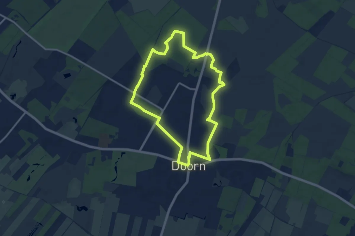
Easy · Trail
Wandelroute Helenaheuvel
6.9 km · ↑ 45 m · 1 h 50 min
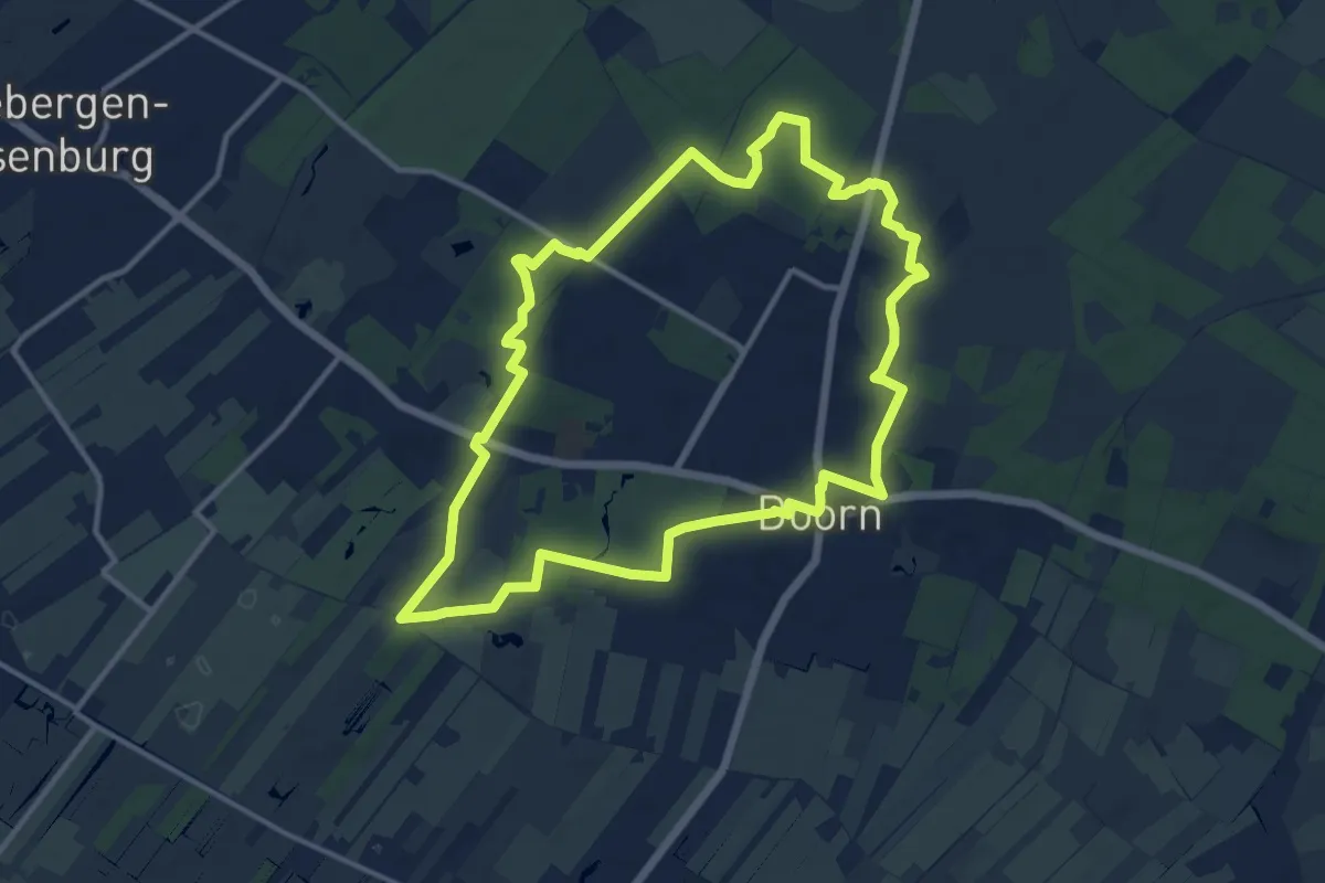
Medium · Trail
Wandelroute Hoog Moersbergen
11.0 km · ↑ 59 m · 2 h 53 min
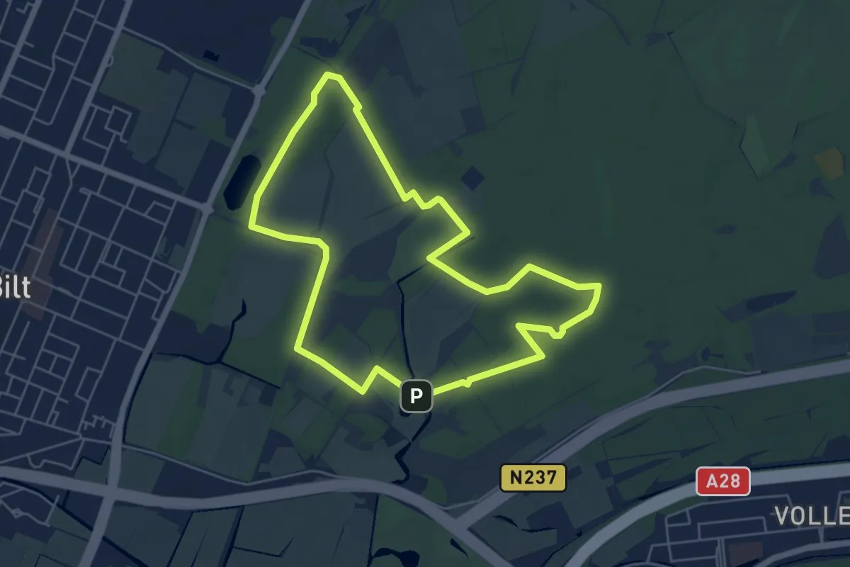
Easy · Summit
Wandelroute Houdringe
4.9 km · ↑ 17 m · 1 h 16 min
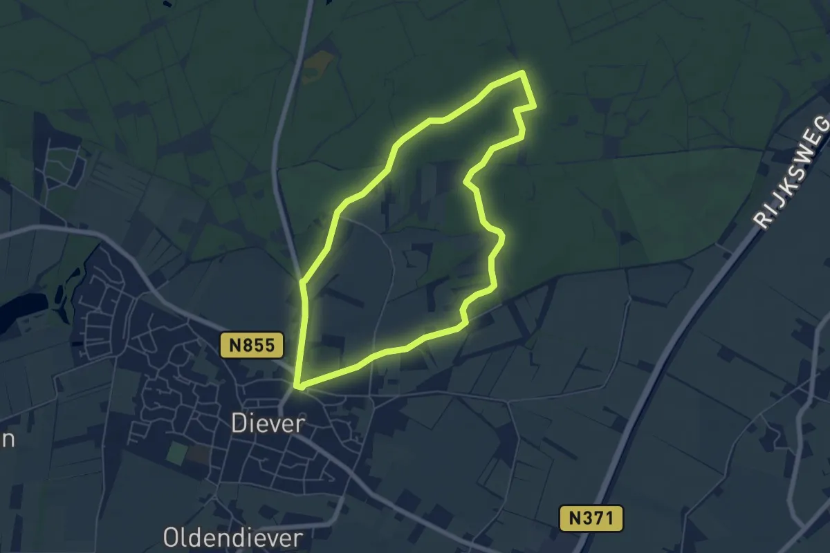
Easy · Trail
Wandelroute Hunebed
5.0 km · ↑ 12 m · 1 h 16 min
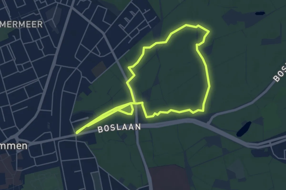
Easy · Trail
Wandelroute Hunebedden Emmerdennen
4.3 km · ↑ 9 m · 1 h 5 min
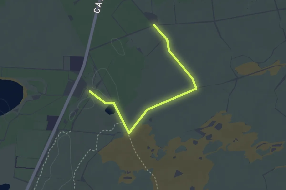
Easy · Trail
Wandelroute Kale Duinen
2.7 km · ↑ 13 m · 40 min
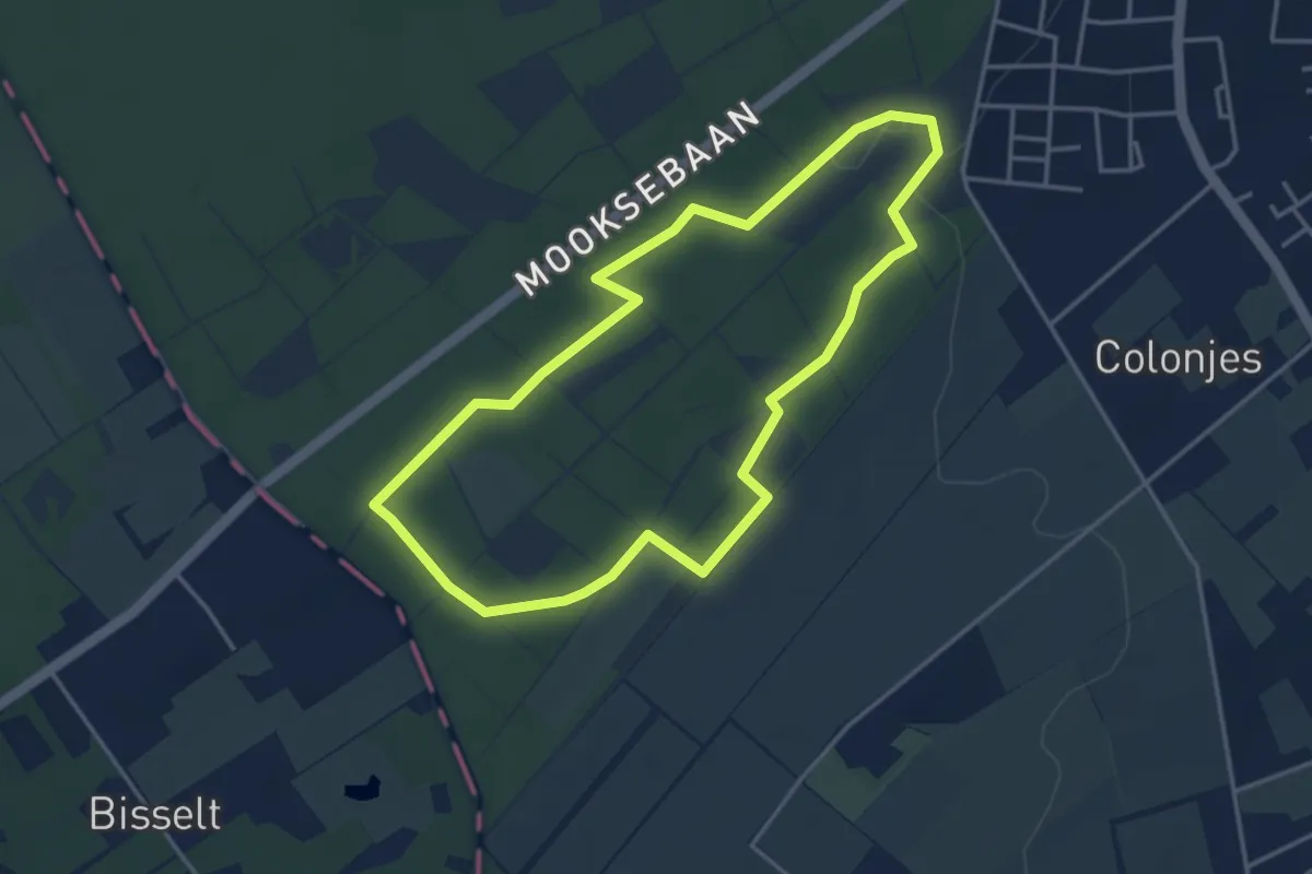
Easy · Trail
Wandelroute Keizerskop
3.4 km · ↑ 30 m · 55 min
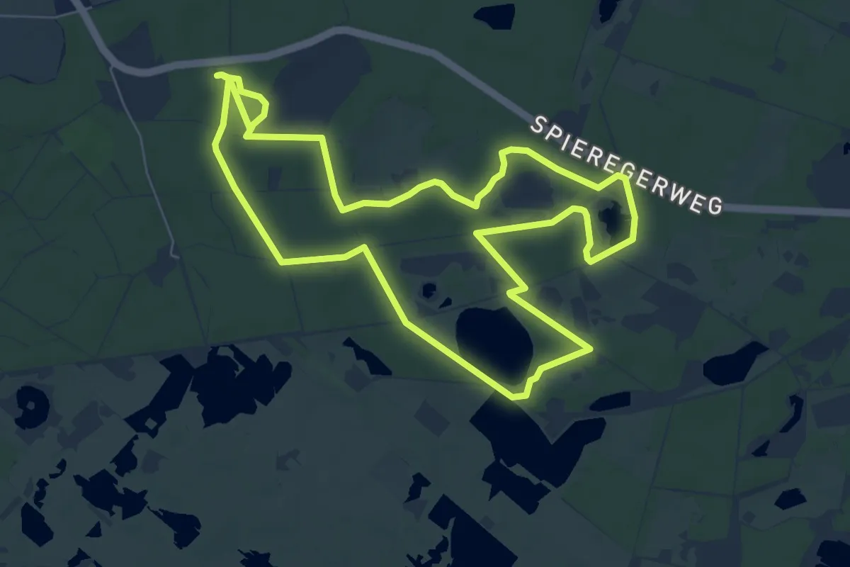
Easy · Trail
Wandelroute Koelevaartsveen
6.7 km · ↑ 9 m · 1 h 41 min
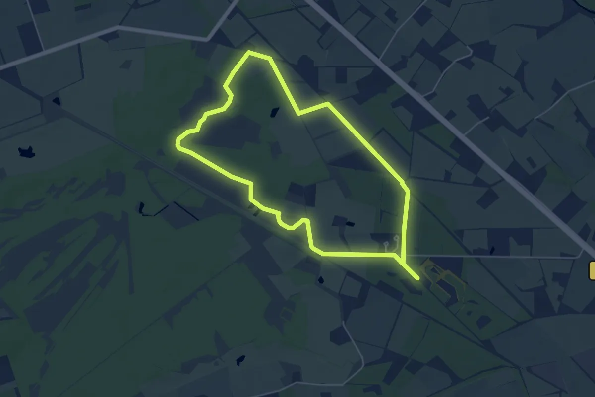
Easy · Trail
Wandelroute Korenburgerveen
4.6 km · ↑ 0 m · 1 h 9 min
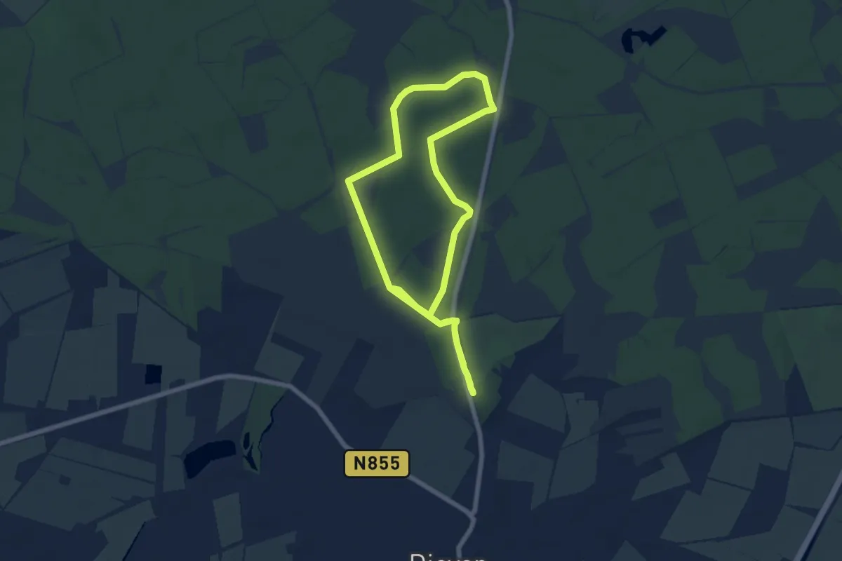
Easy · Trail
Wandelroute Kraaiheide
5.2 km · ↑ 4 m · 1 h 18 min
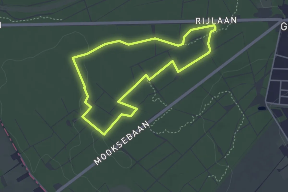
Easy · Trail
Wandelroute Krombeukenlaan
3.0 km · ↑ 9 m · 46 min
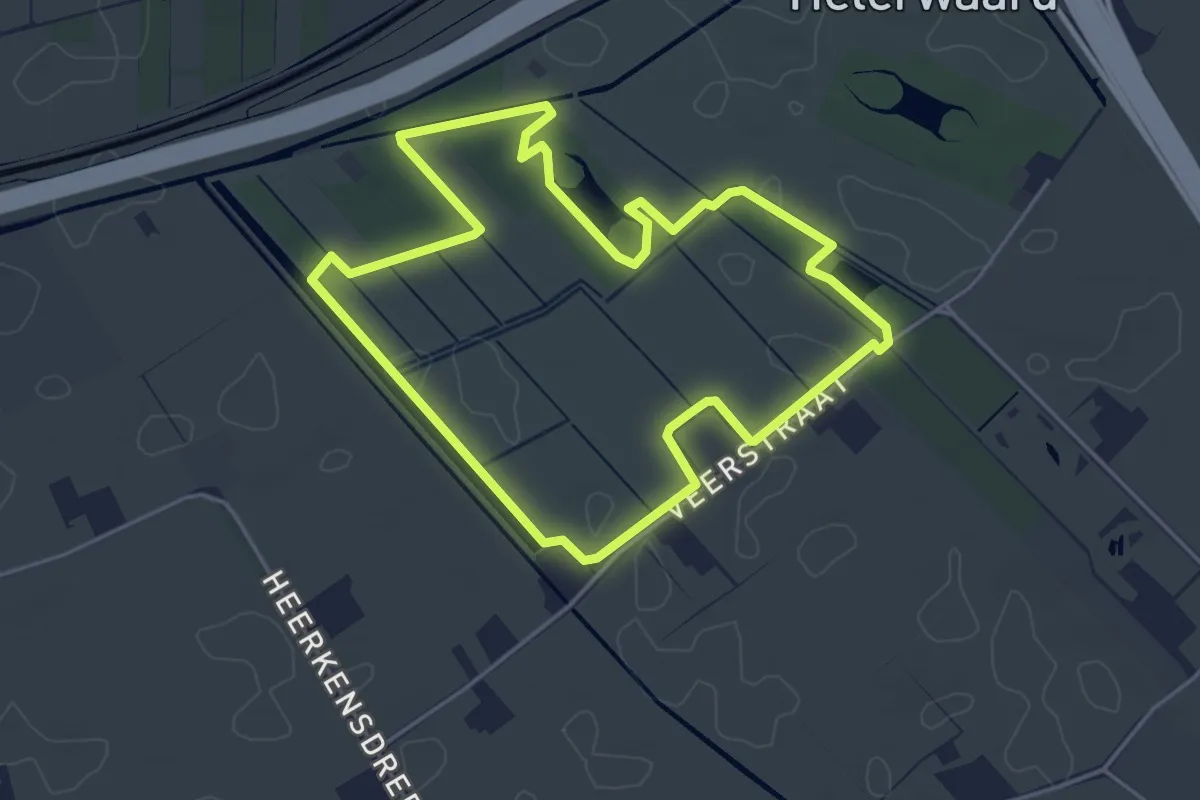
Easy · Trail
Wandelroute Laarzenpad 't Broek
3.9 km · ↑ 0 m · 59 min
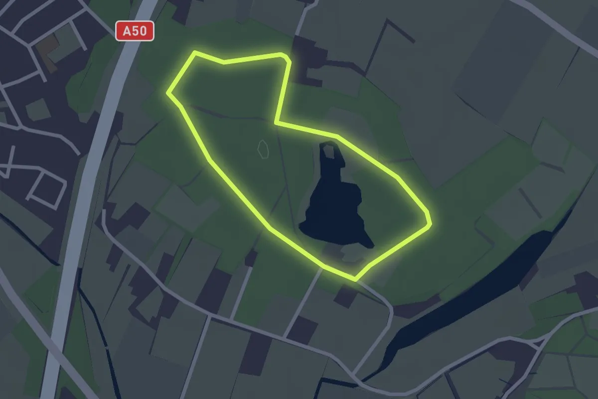
Easy · Trail
Wandelroute landgoed Hernen, Gele route
1.8 km · ↑ 4 m · 28 min
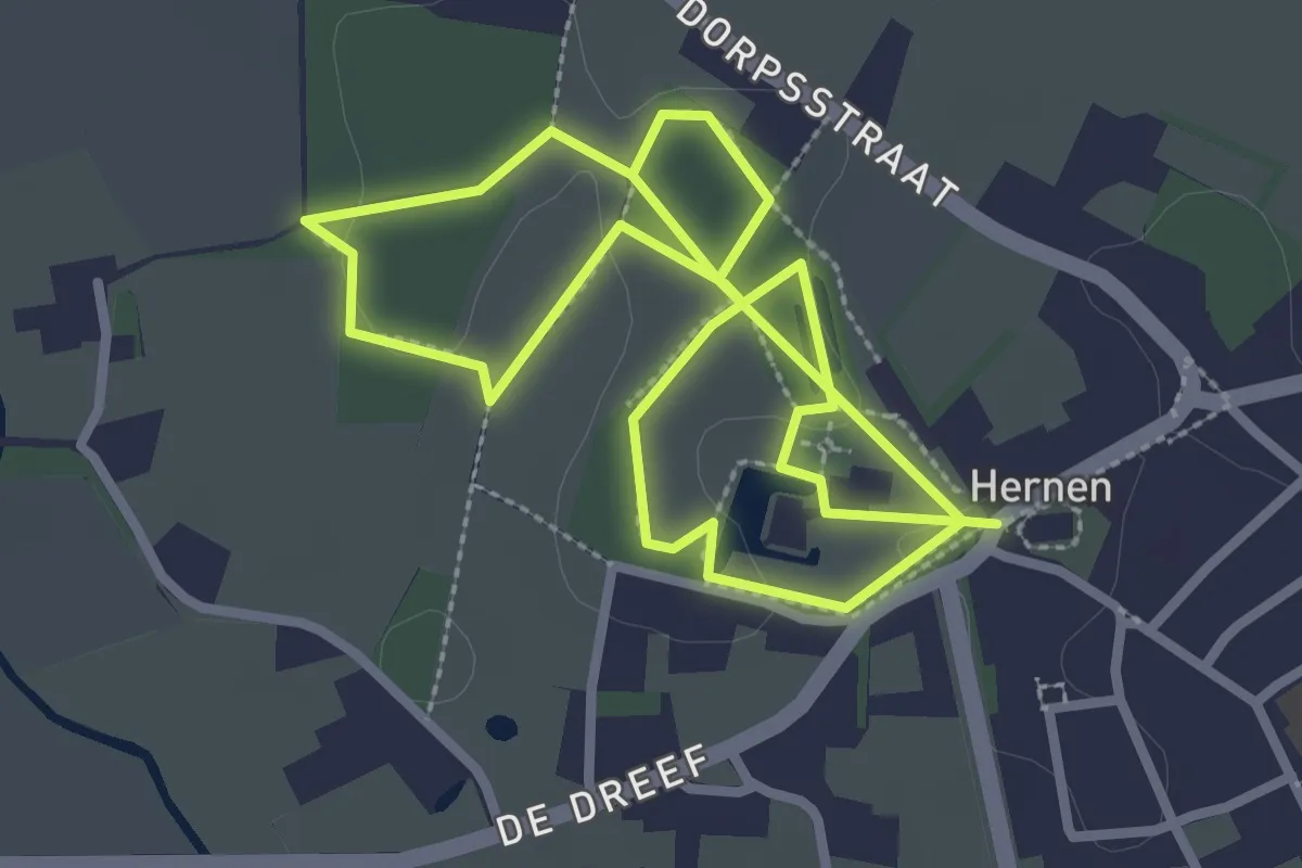
Easy · Trail
Wandelroute landgoed Hernen, Rode route
2.5 km · ↑ 0 m · 38 min
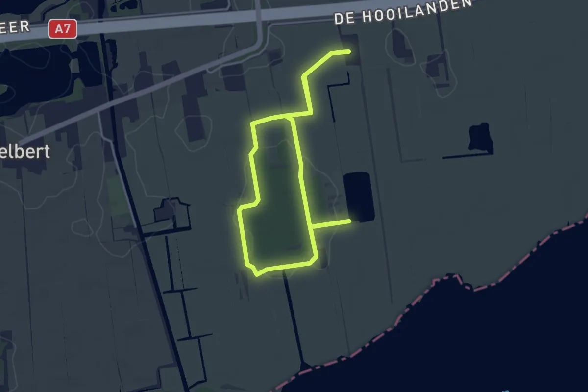
Easy · Trail
Wandelroute Lettelberterpetten
2.9 km · ↑ 4 m · 44 min
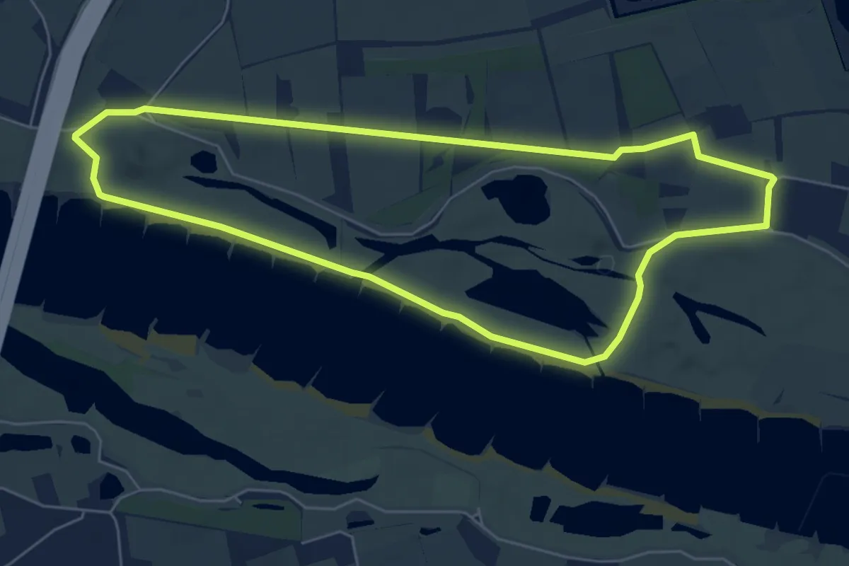
Easy · Trail
Wandelroute Loenense Buitenpolder
5.4 km · ↑ 9 m · 1 h 23 min
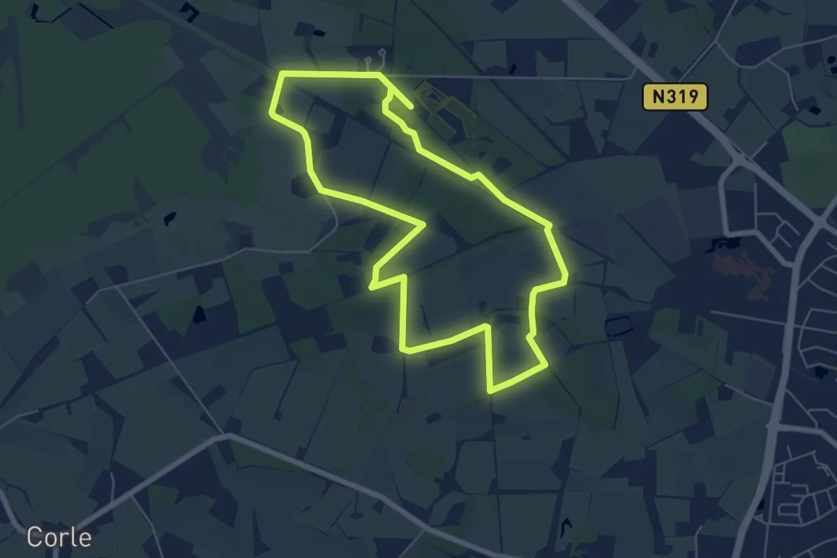
Easy · Trail
Wandelroute Mentink Bos
5.3 km · ↑ 4 m · 1 h 20 min
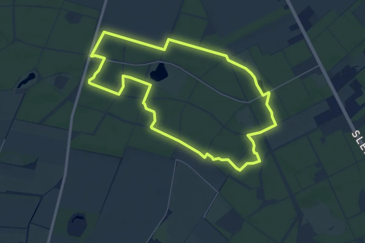
Easy · Trail
Wandelroute Mieren
5.1 km · ↑ 15 m · 1 h 18 min