Trails in Netherlands
5,039 hiking trails, each with its route, climb, walking time and grade.
All trails, page 66 of 105
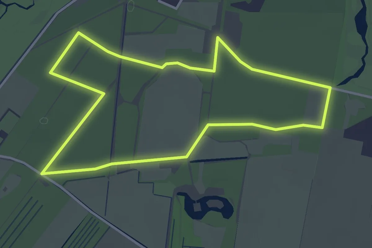
Easy · Trail
Wandelroute Moersbergen Geel
3.0 km · ↑ 4 m · 46 min
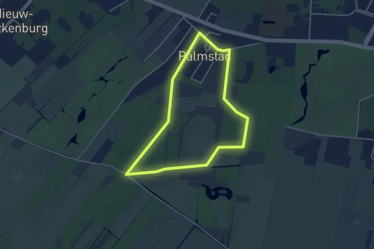
Easy · Trail
Wandelroute Moersbergen Rood
2.8 km · ↑ 9 m · 43 min
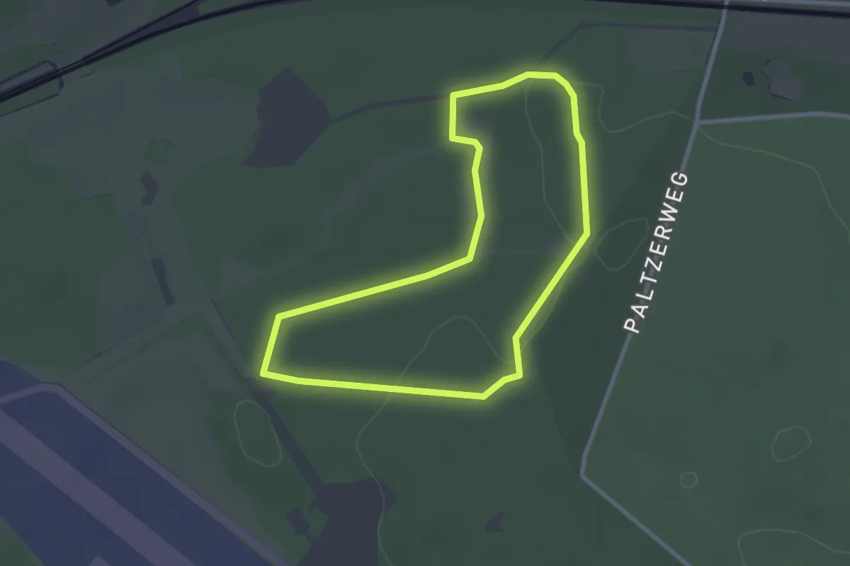
Easy · Trail
Wandelroute Munitiepark
2.3 km · ↑ 5 m · 35 min
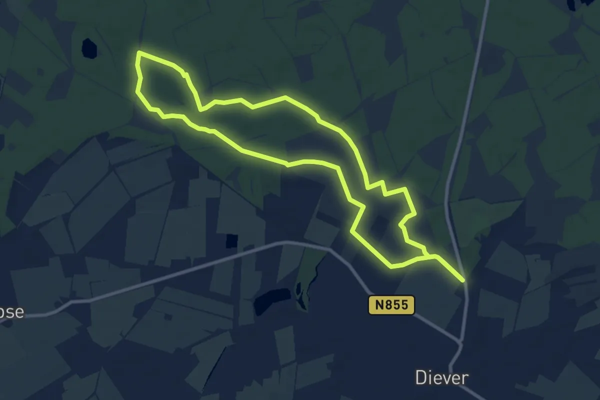
Easy · Trail
Wandelroute Nationaal Park Drents-Friese Wold, Diever
7.5 km · ↑ 9 m · 1 h 54 min
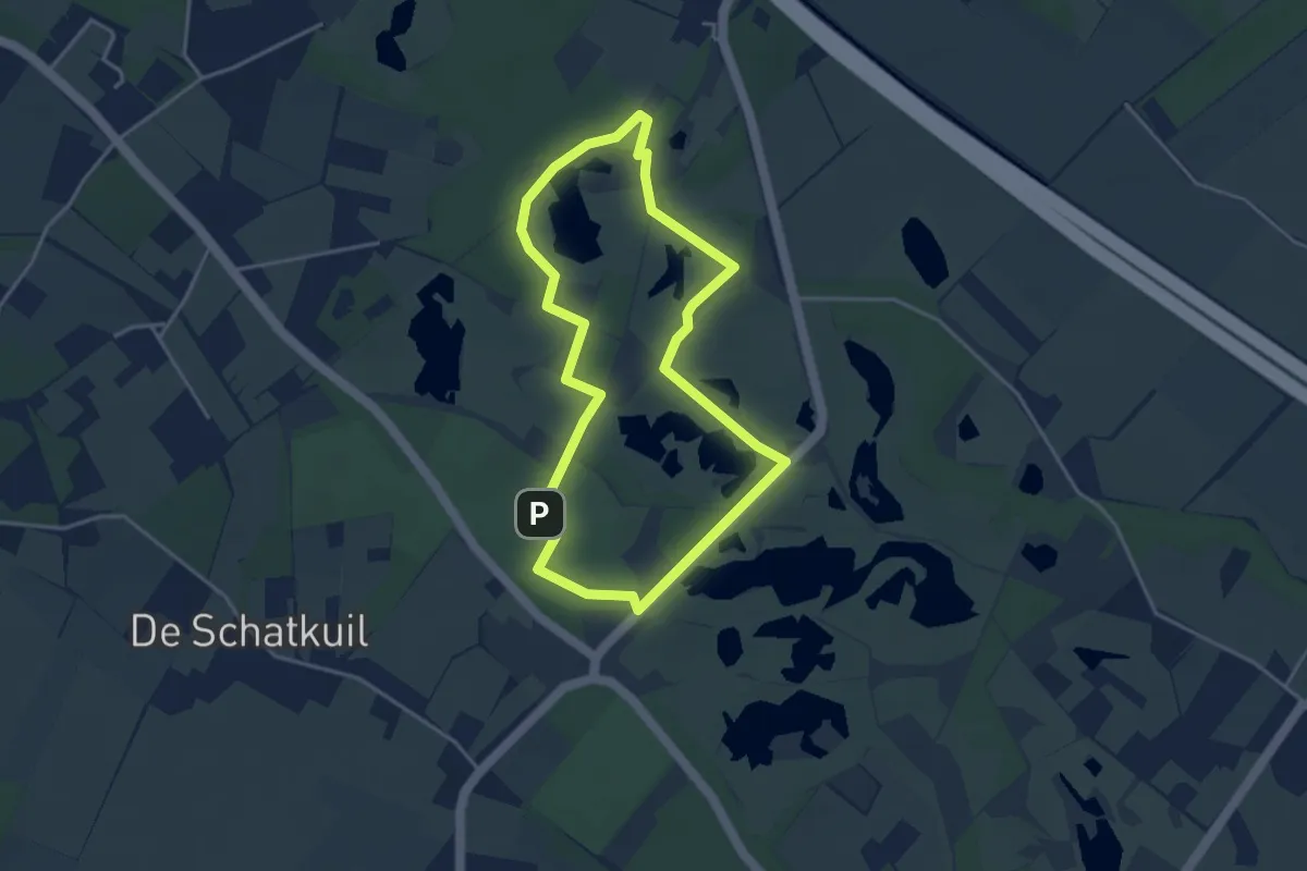
Easy · Summit
Wandelroute Natuurbeleefpad
3.3 km · ↑ 13 m · 51 min
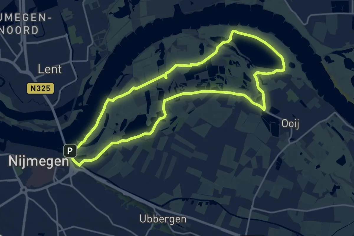
Medium · Summit
Wandelroute Ooijpolder
12.5 km · ↑ 18 m · 3 h 10 min
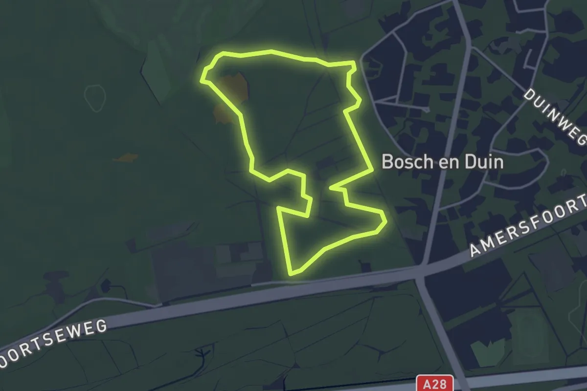
Easy · Trail
Wandelroute Panbos
3.1 km · ↑ 0 m · 47 min
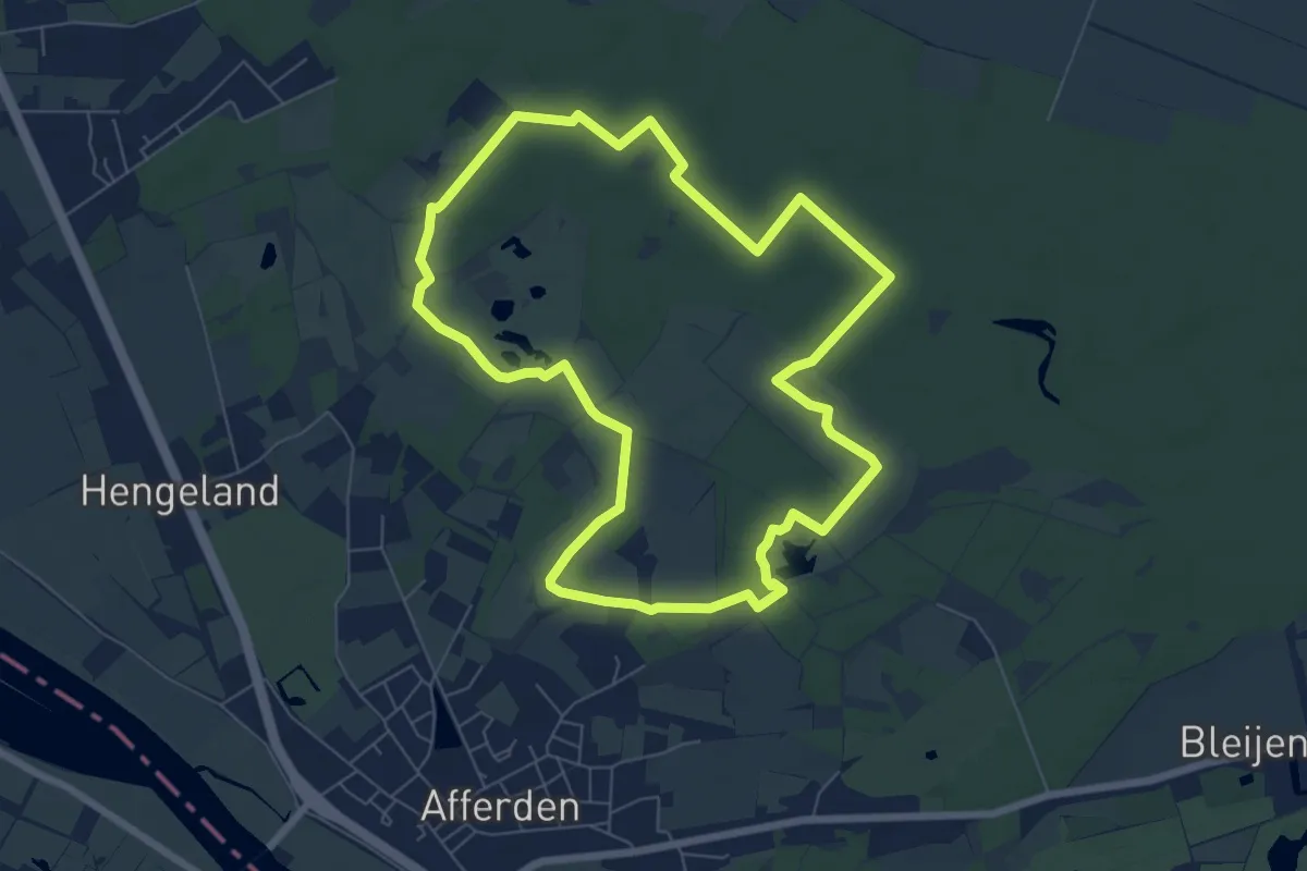
Easy · Trail
Wandelroute Rivierduinen
6.5 km · ↑ 13 m · 1 h 39 min
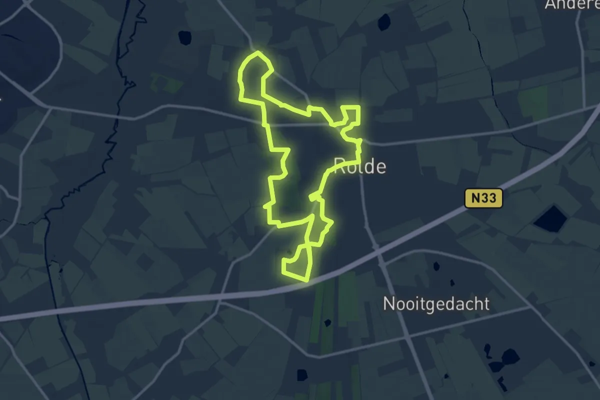
Medium · Trail
Wandelroute Rolder Es
9.7 km · ↑ 26 m · 2 h 29 min
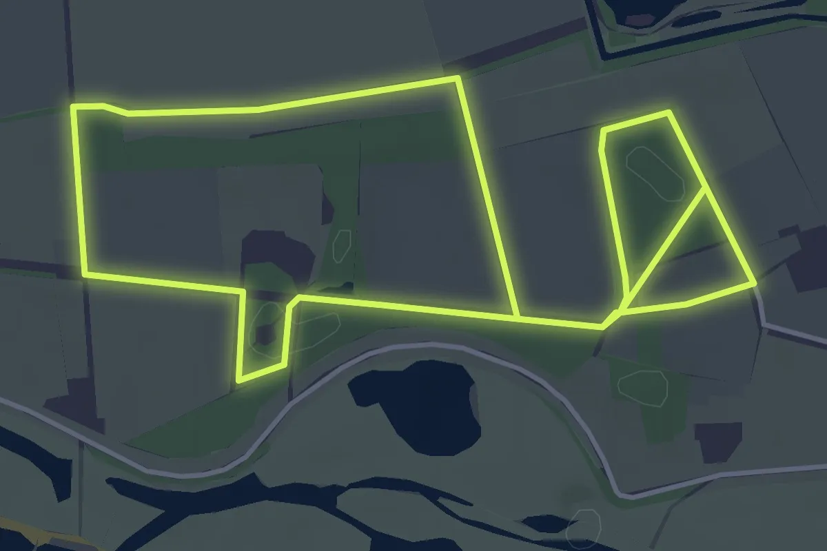
Medium · Trail
Wandelroute Rondje Landgoed Loenen
8.2 km · ↑ 17 m · 1 h 58 min
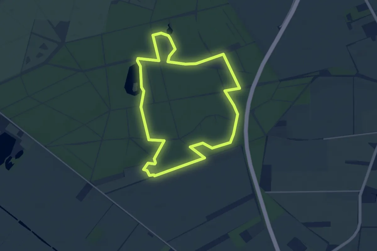
Easy · Trail
Wandelroute Schoonmeer
4.0 km · ↑ 14 m · 1 h 1 min
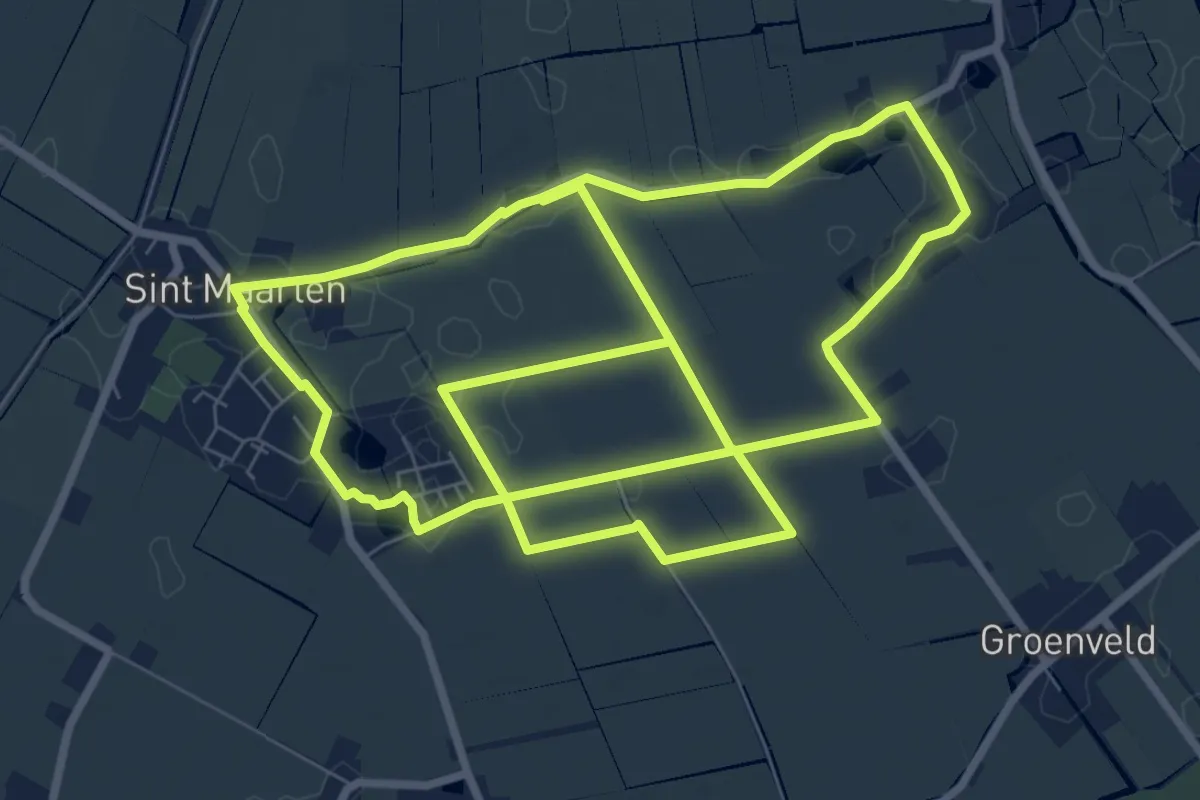
Medium · Trail
wandelroute Sint-Maarten - Valkkoog
16.5 km · ↑ 0 m · 3 h 54 min
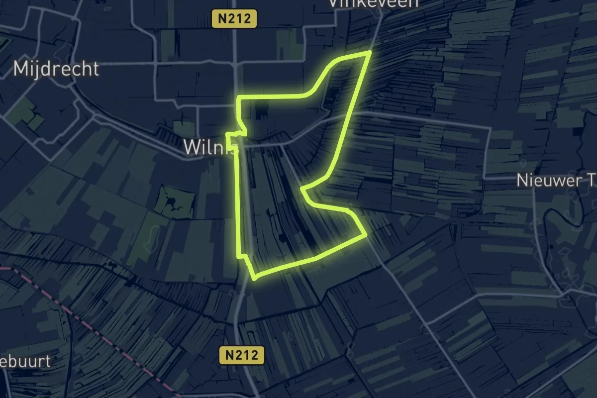
Medium · Trail
Wandelroute spoordijk Wilnis-Vinkeveen
11.0 km · ↑ 4 m · 2 h 46 min
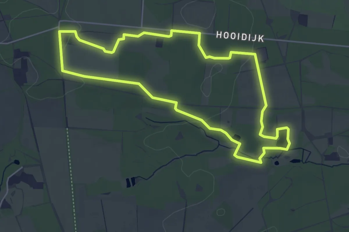
Easy · Summit
Wandelroute Springendal Bronnenroute
4.4 km · ↑ 31 m · 1 h 10 min
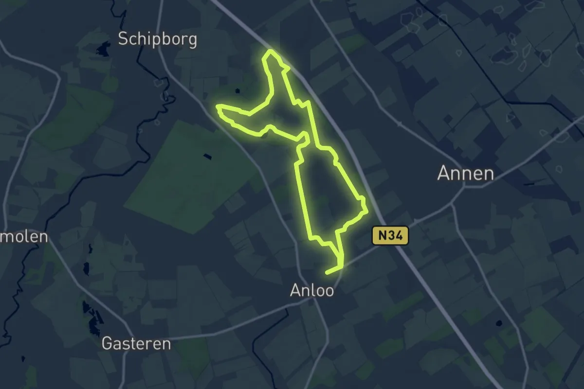
Medium · Trail
Wandelroute Strubben Kniphorstbosch
9.1 km · ↑ 13 m · 2 h 18 min
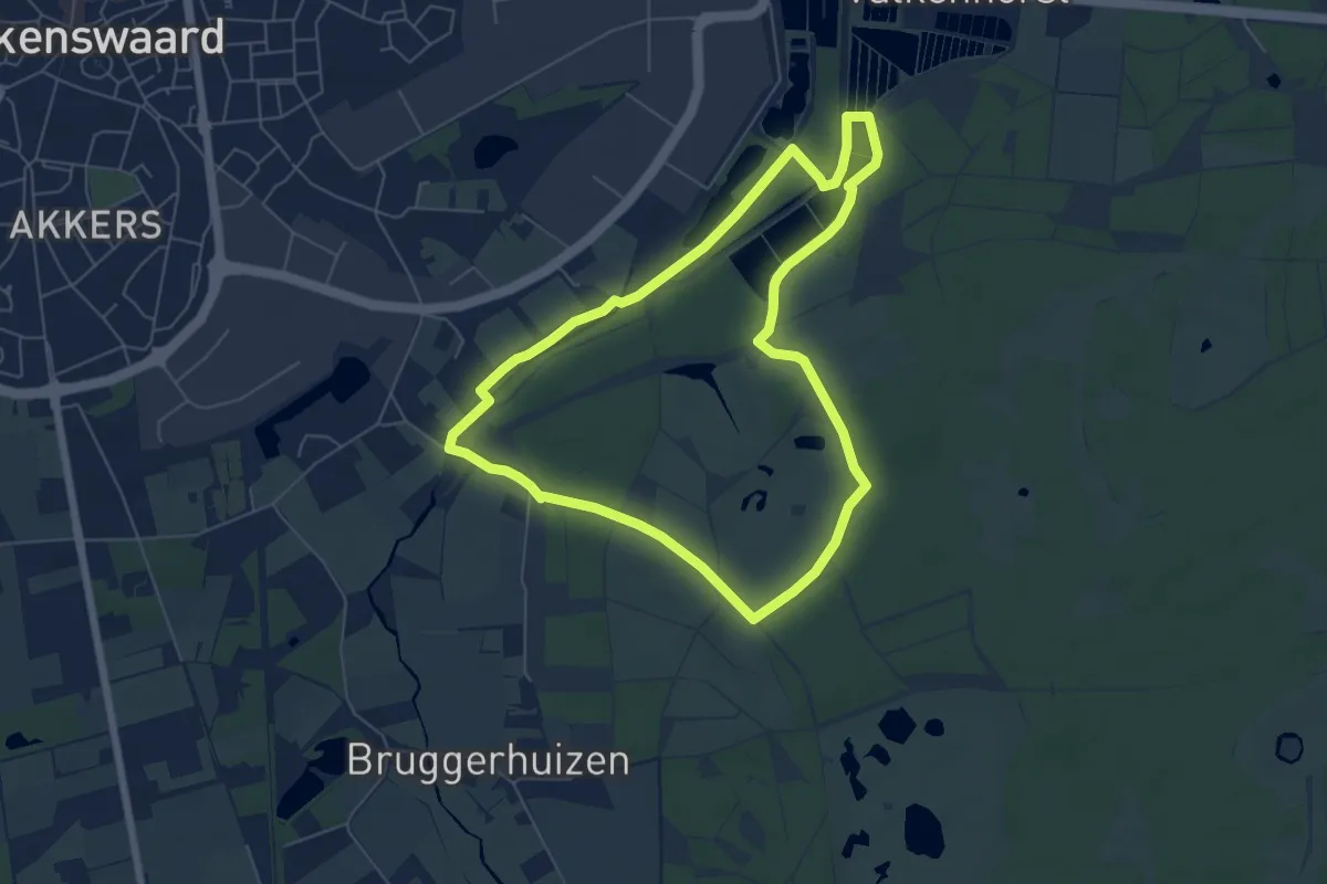
Easy · Trail
Wandelroute Tongelreep
5.5 km · ↑ 13 m · 1 h 24 min
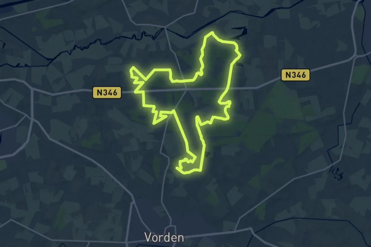
Medium · Trail
Wandelroute Velhorst
17.0 km · ↑ 35 m · 4 h 20 min
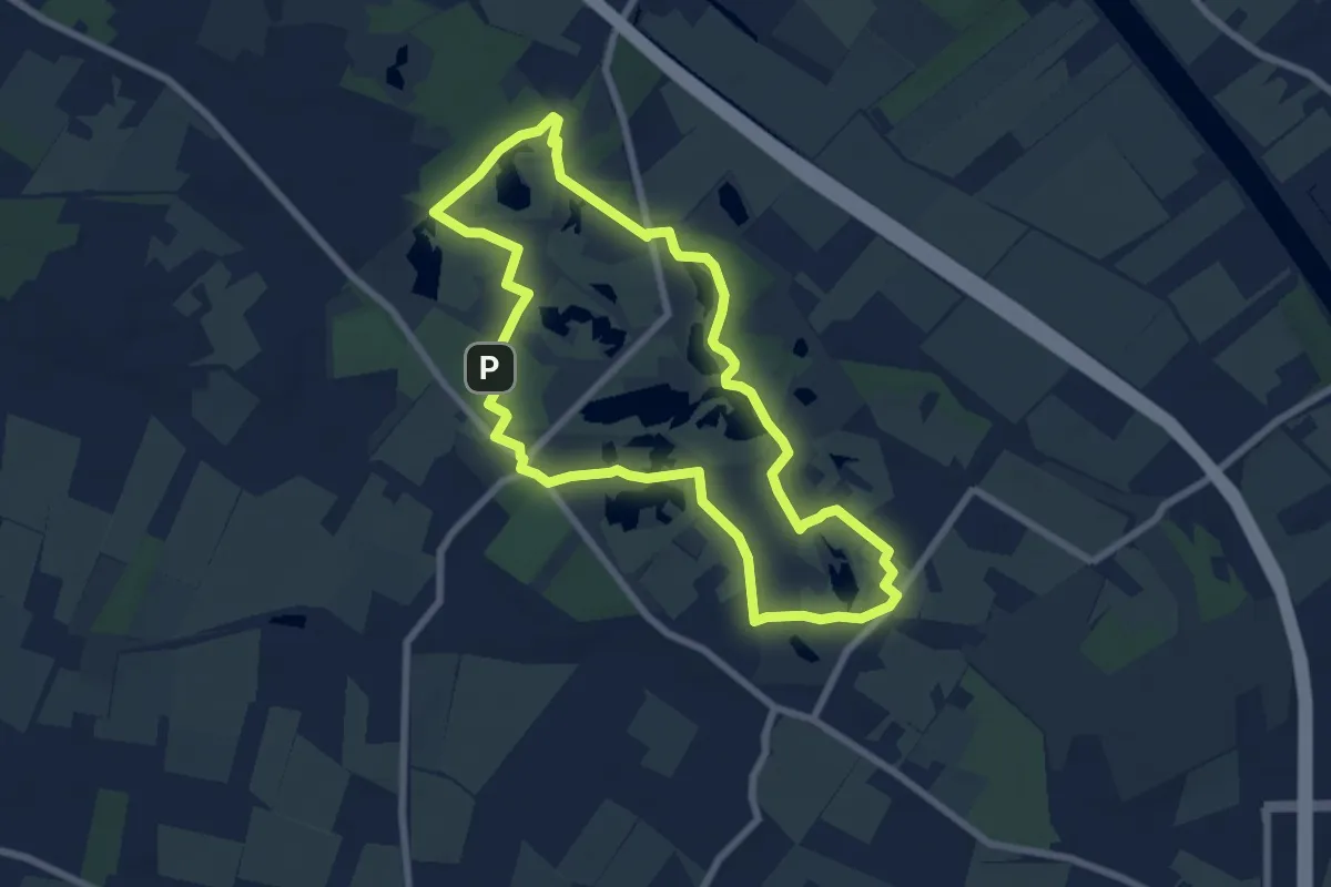
Easy · Summit
Wandelroute Vennen
6.5 km · ↑ 13 m · 1 h 39 min
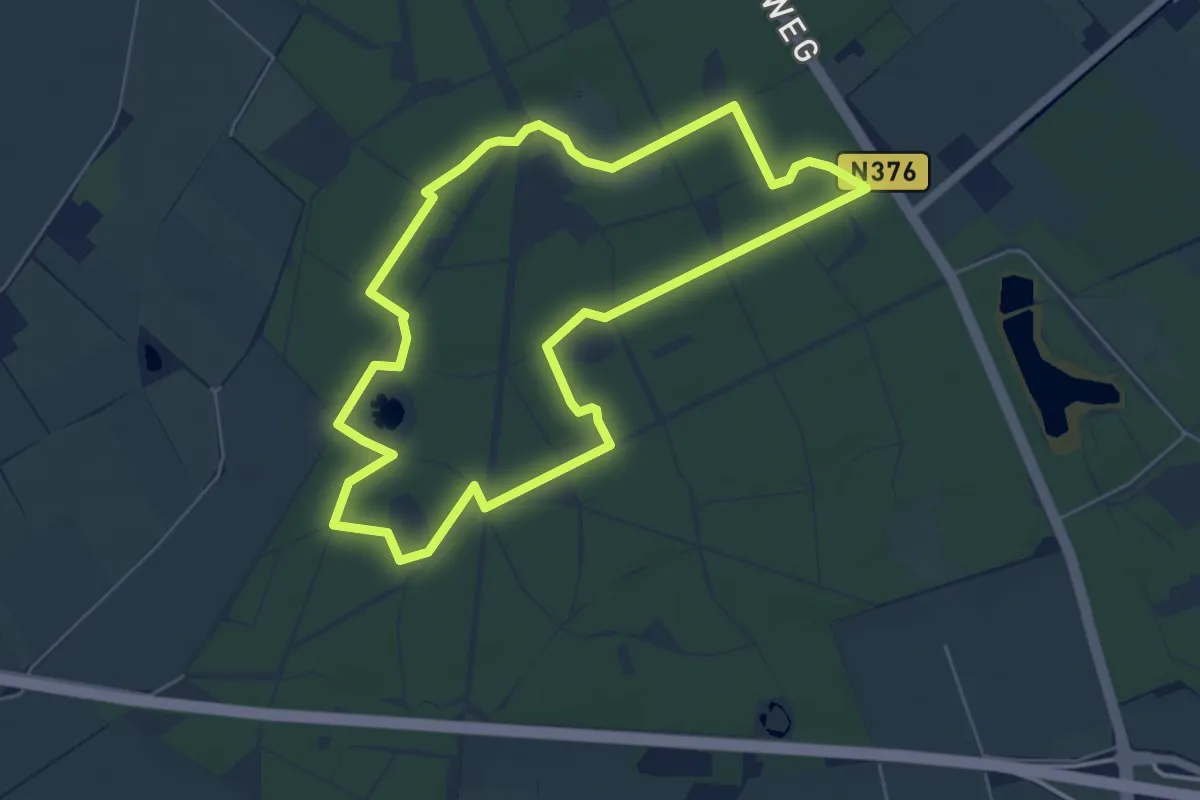
Easy · Trail
Wandelroute Vosseven
5.1 km · ↑ 18 m · 1 h 18 min
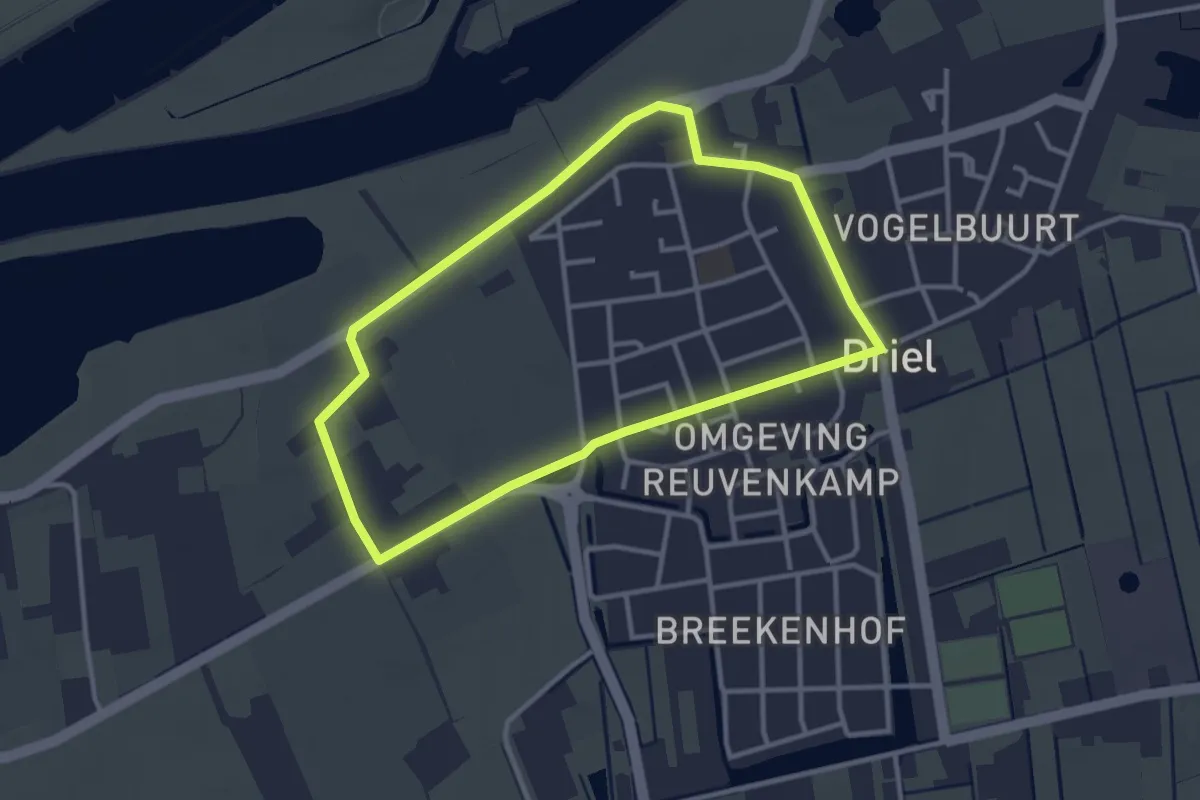
Easy · Trail
Wandelroute vrijheid
2.7 km · ↑ 0 m · 41 min
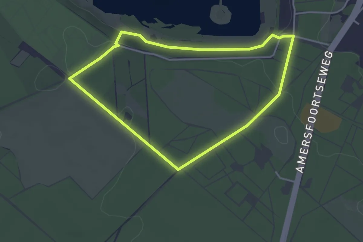
Easy · Trail
Wandelroute Zanderij Maarn
2.9 km · ↑ 29 m · 47 min
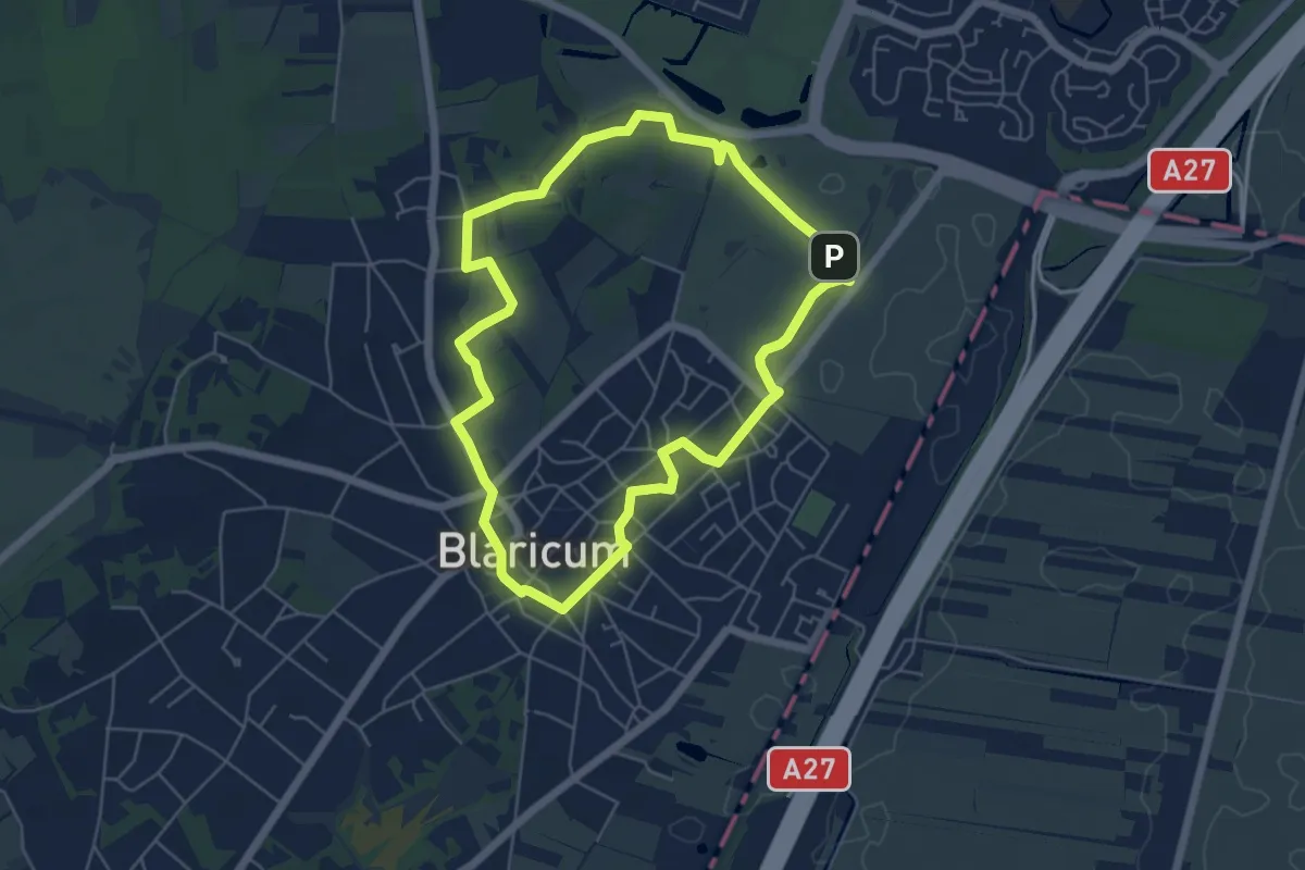
Easy · Summit
Warandebergenroute
4.7 km · ↑ 17 m · 1 h 13 min
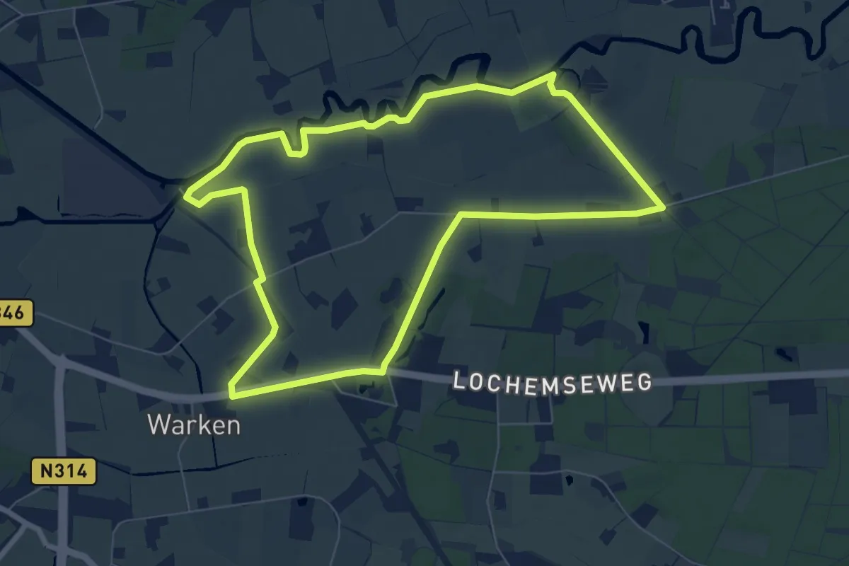
Easy · Trail
Warkense Molenroute
6.6 km · ↑ 5 m · 1 h 39 min
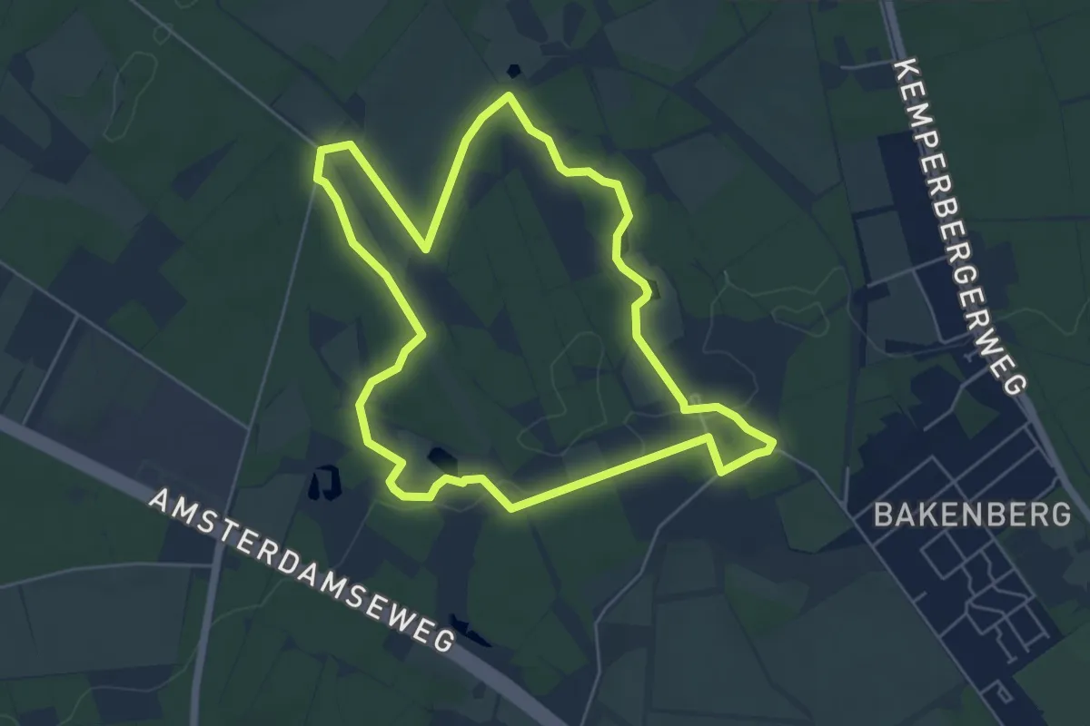
Easy · Trail
Warnsborn
5.0 km · ↑ 46 m · 1 h 21 min
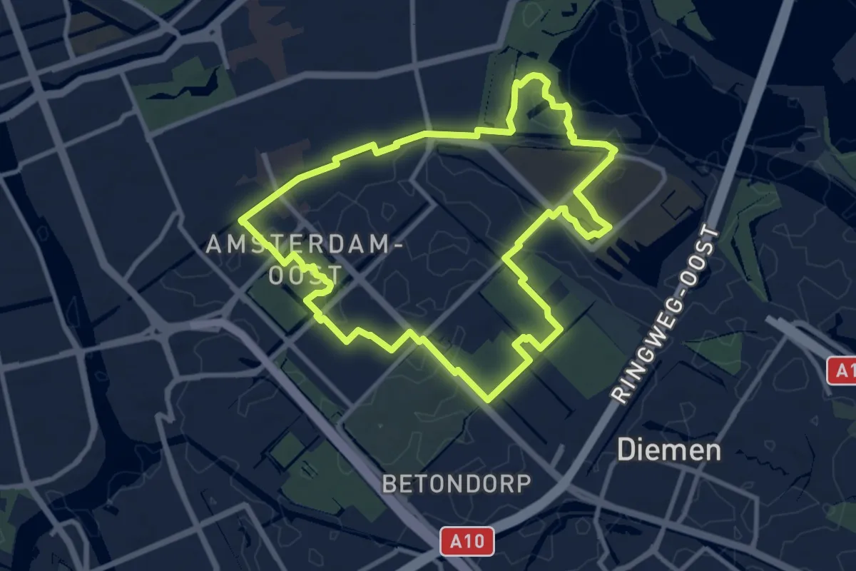
Medium · Trail
Watergraafsmeerroute
8.2 km · ↑ 16 m · 2 h 5 min
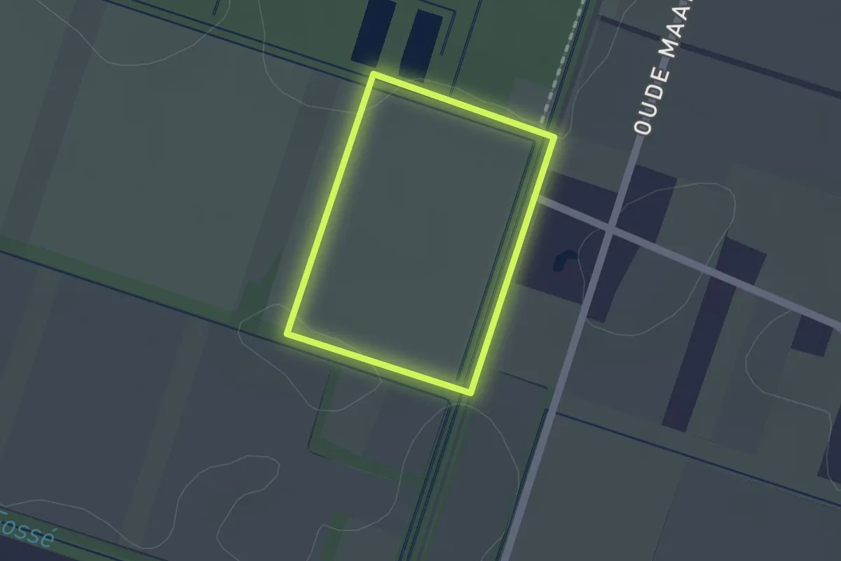
Easy · Trail
Watering Oranje driehoek
1.0 km · ↑ 0 m · 15 min
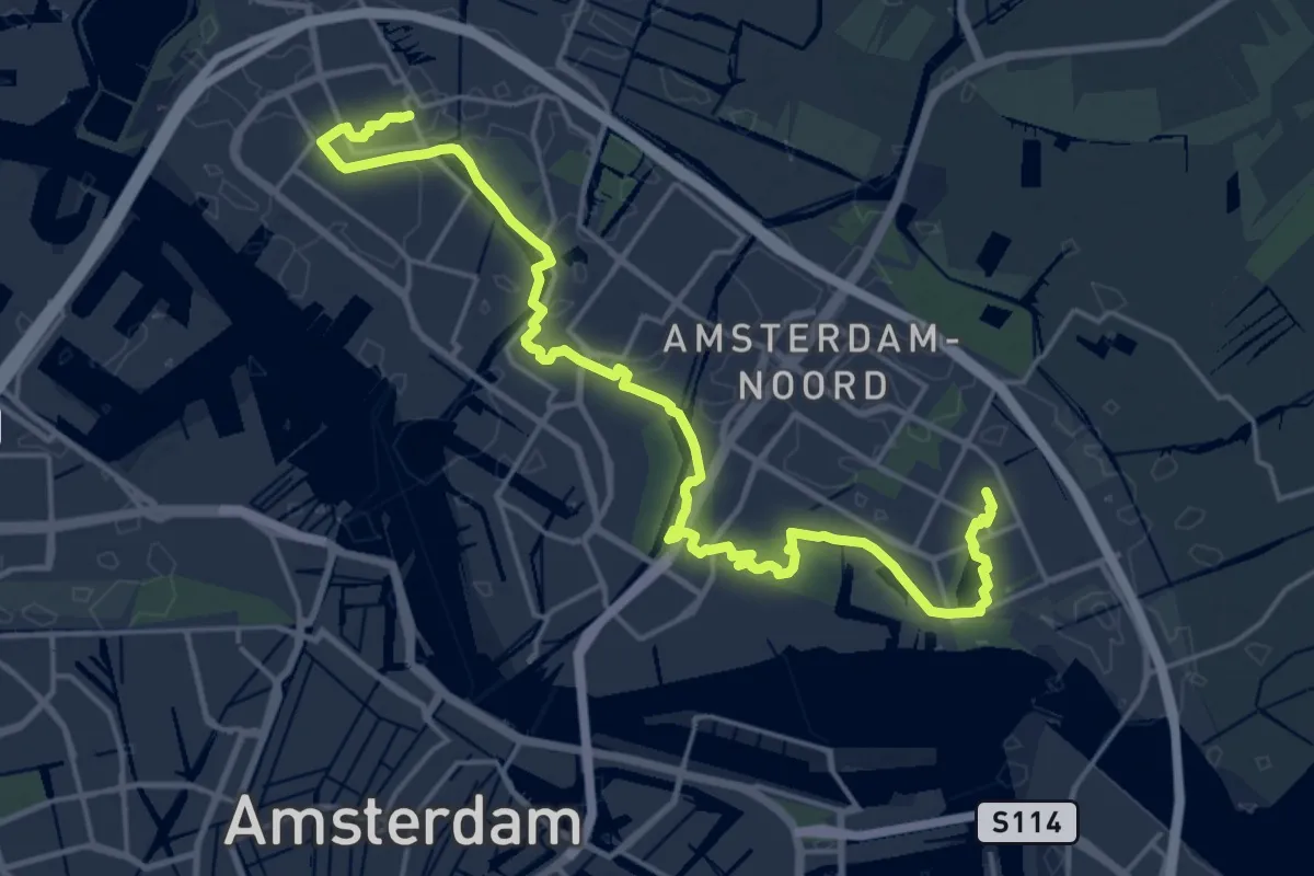
Demanding · Trail
Waterlandse Zeedijkroute
21.4 km · ↑ 25 m · 5 h 6 min
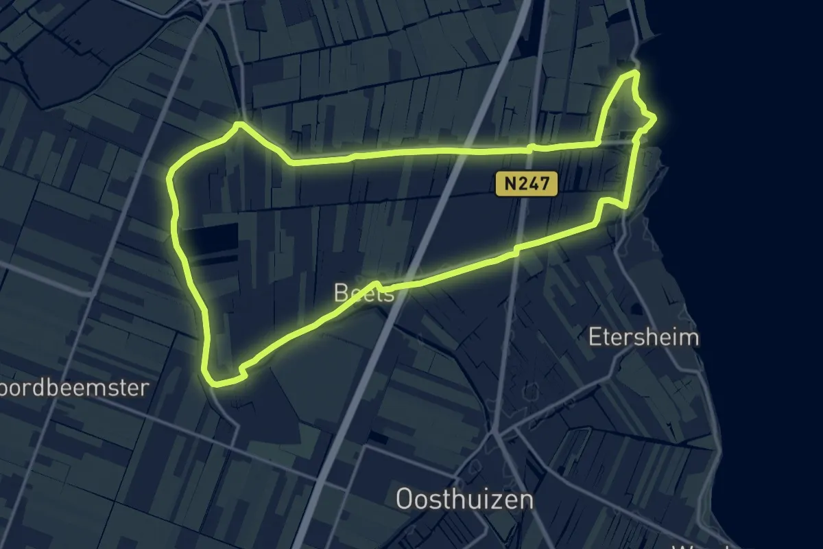
Medium · Trail
Waterlingroute
14.5 km · ↑ 0 m · 3 h 38 min
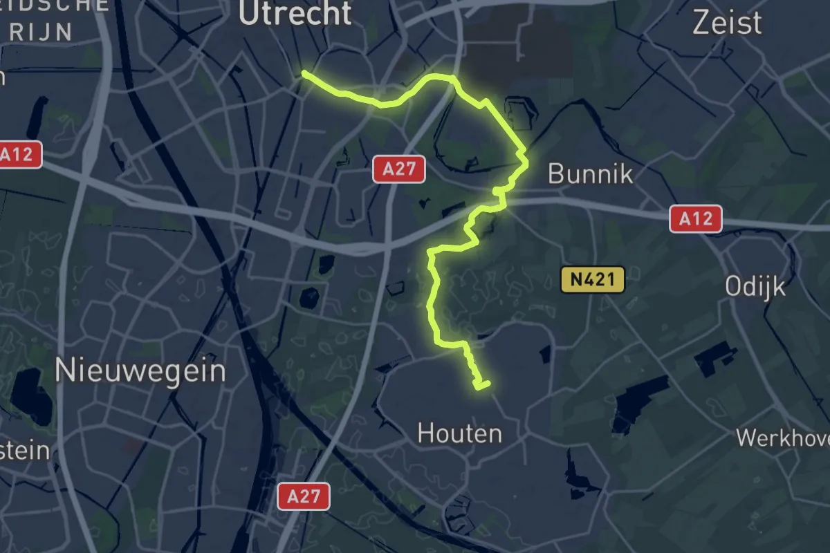
Demanding · Trail
Waterlinie - Houtense Vlakte
22.5 km · ↑ 9 m · 5 h 21 min
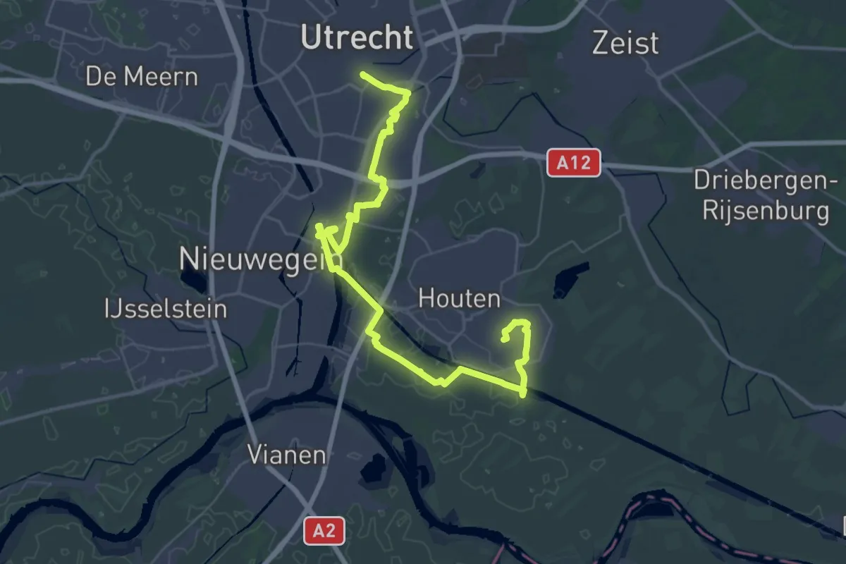
Demanding · Trail
Waterlinie - Lunetten / Schalkwijkse Wetering
21.9 km · ↑ 8 m · 5 h 30 min
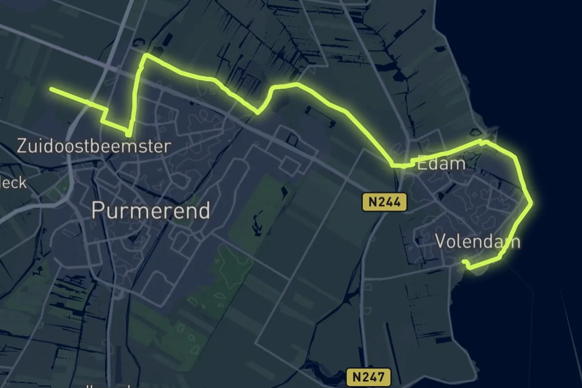
Medium · Trail
Waterliniepad - 01
17.5 km · ↑ 12 m · 4 h 24 min
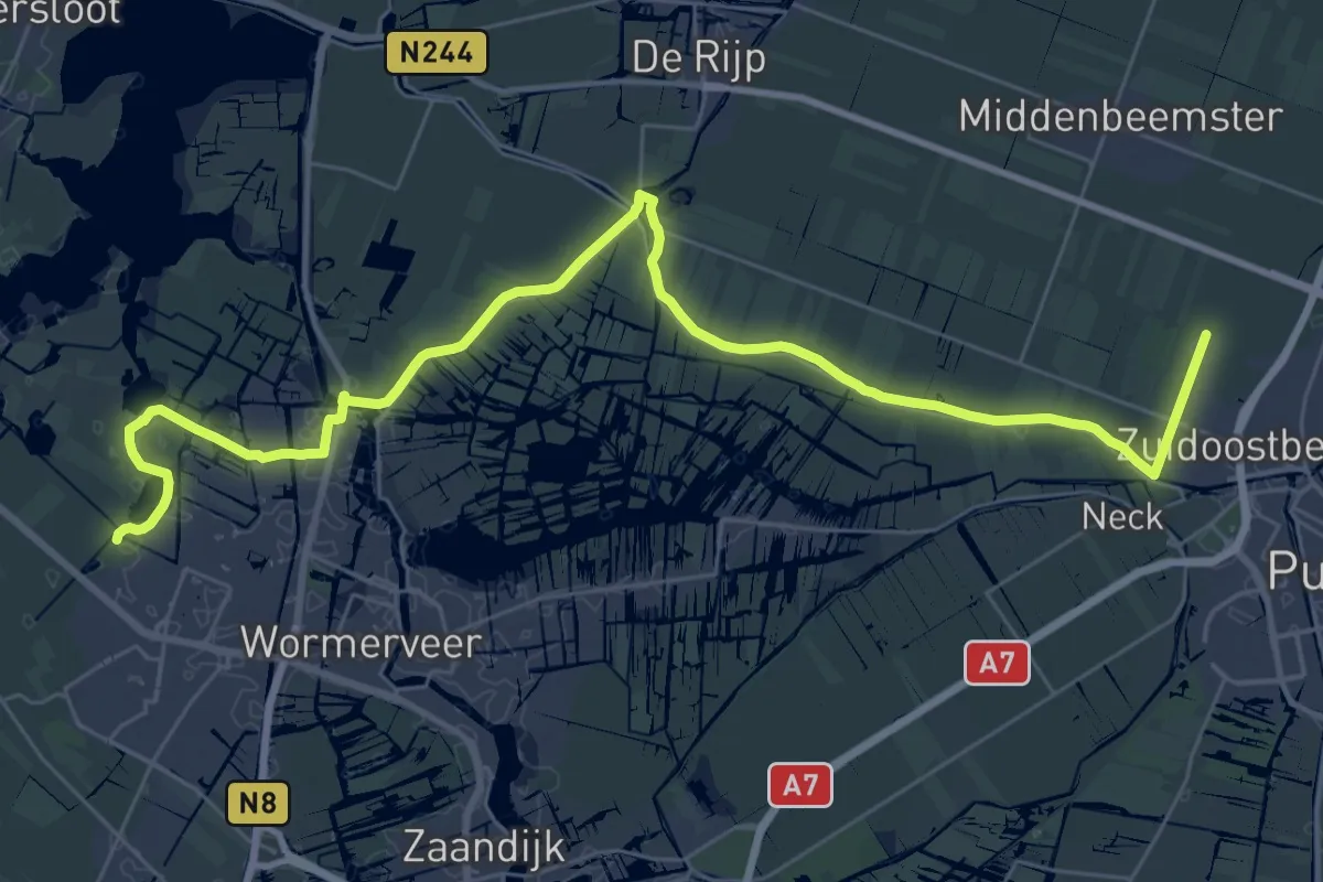
Demanding · Trail
Waterliniepad - 02
18.8 km · ↑ 0 m · 4 h 42 min
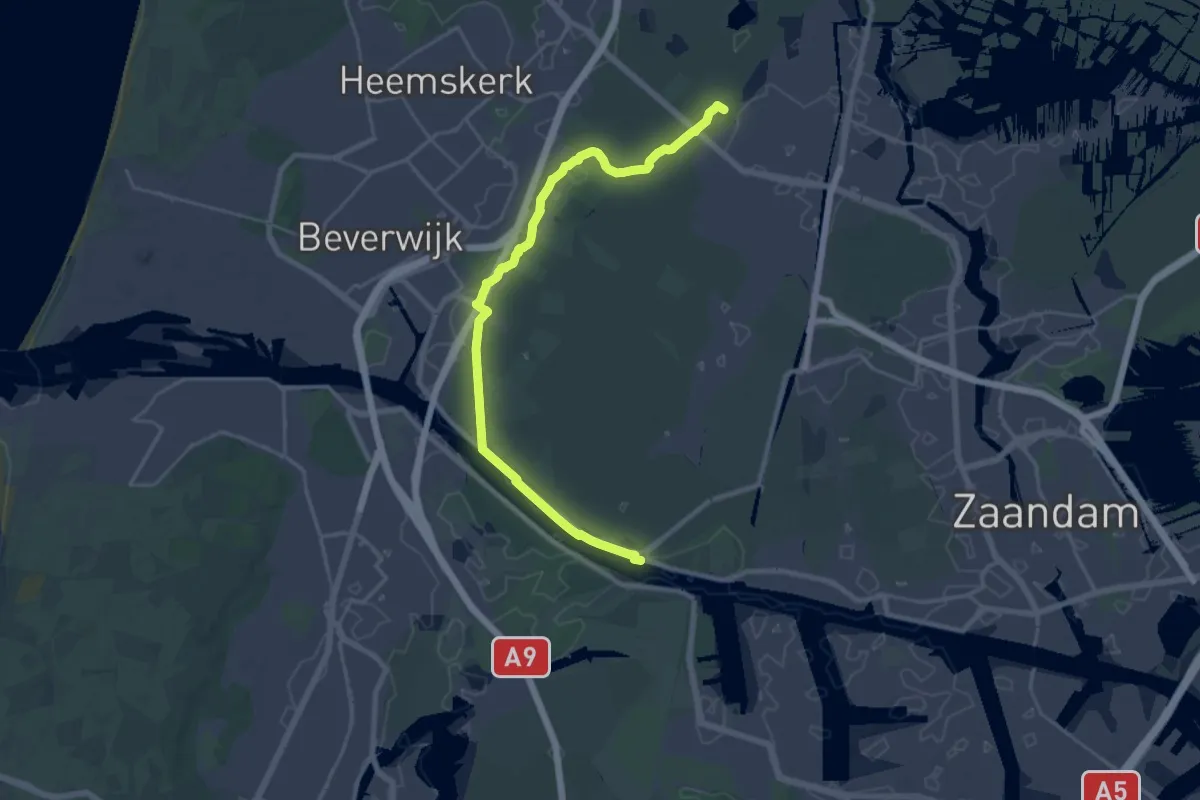
Demanding · Trail
Waterliniepad - 03
26.0 km · ↑ 4 m · 6 h 8 min
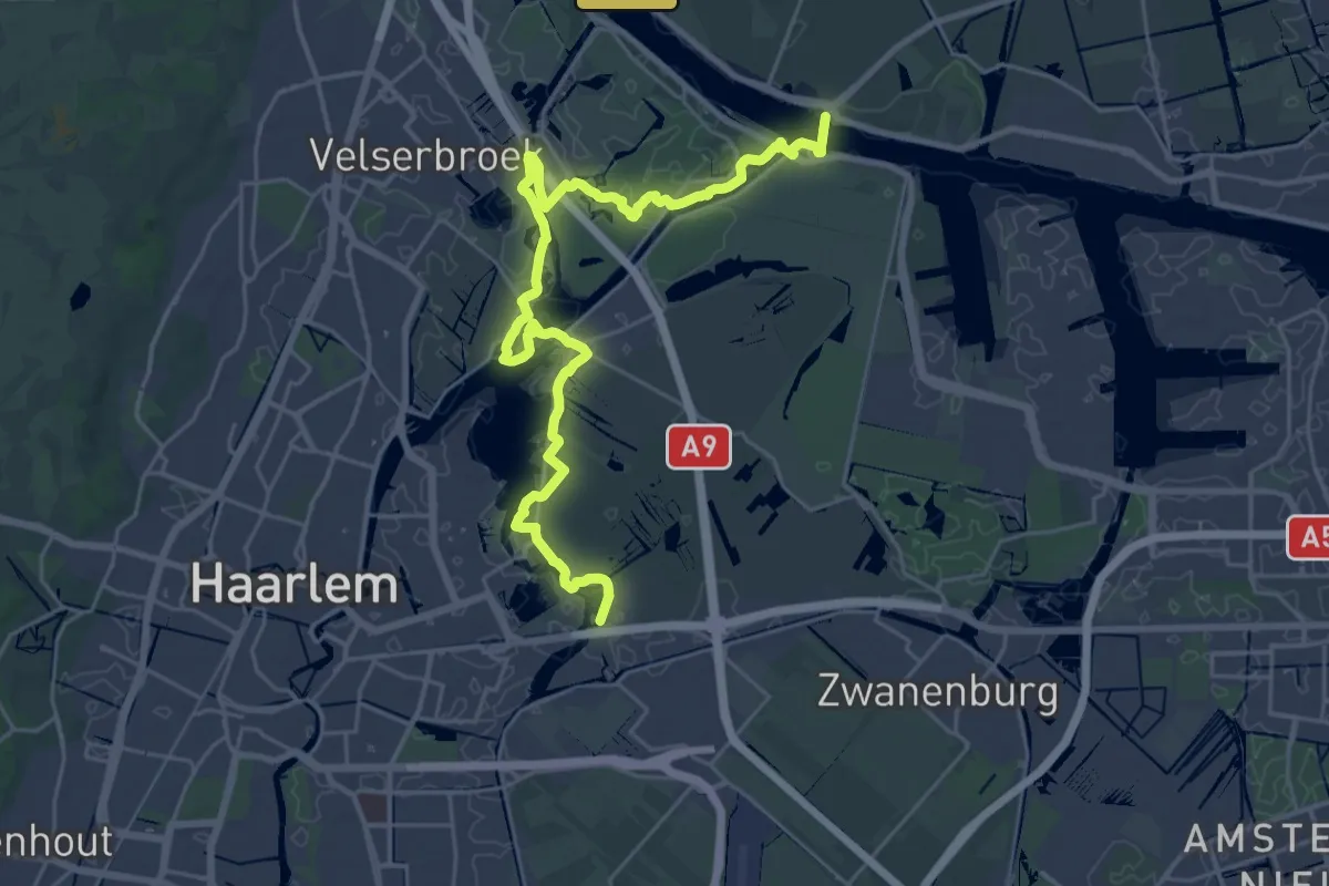
Demanding · Trail
Waterliniepad - 04
27.5 km · ↑ 0 m · 6 h 30 min
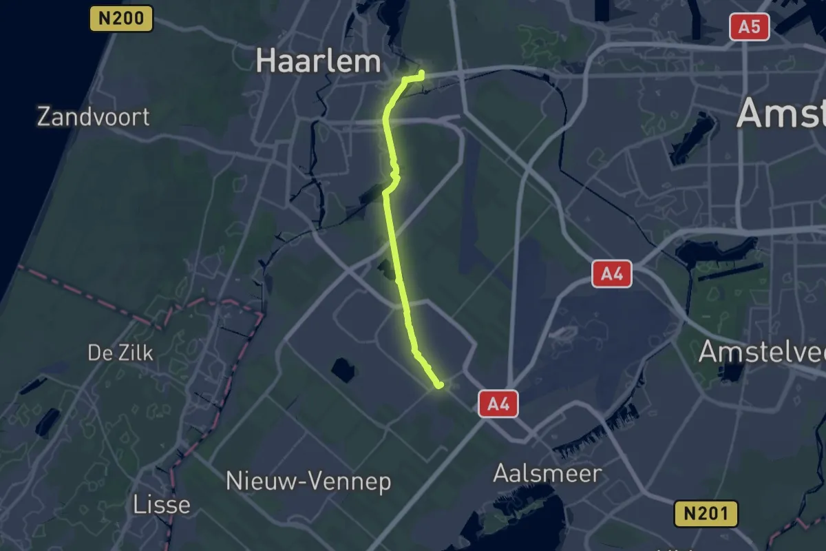
Demanding · Trail
Waterliniepad - 05
23.9 km · ↑ 13 m · 5 h 41 min
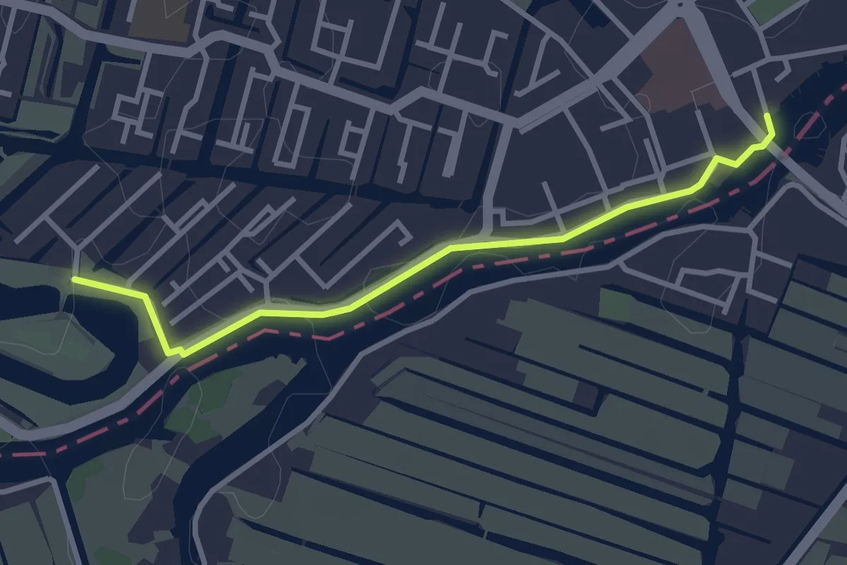
Easy · Trail
Waterliniepad - 06
2.6 km · ↑ 0 m · 37 min
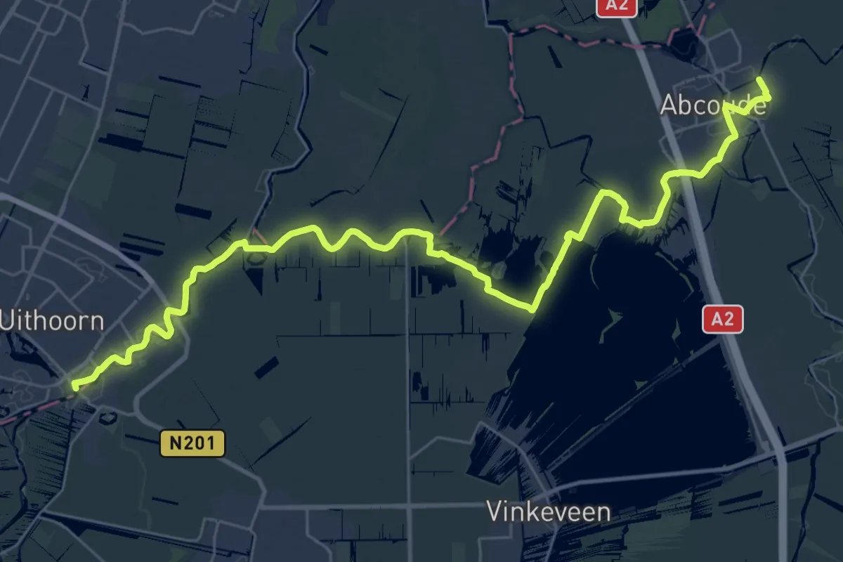
Medium · Trail
Waterliniepad - 07
17.0 km · ↑ 4 m · 4 h 15 min
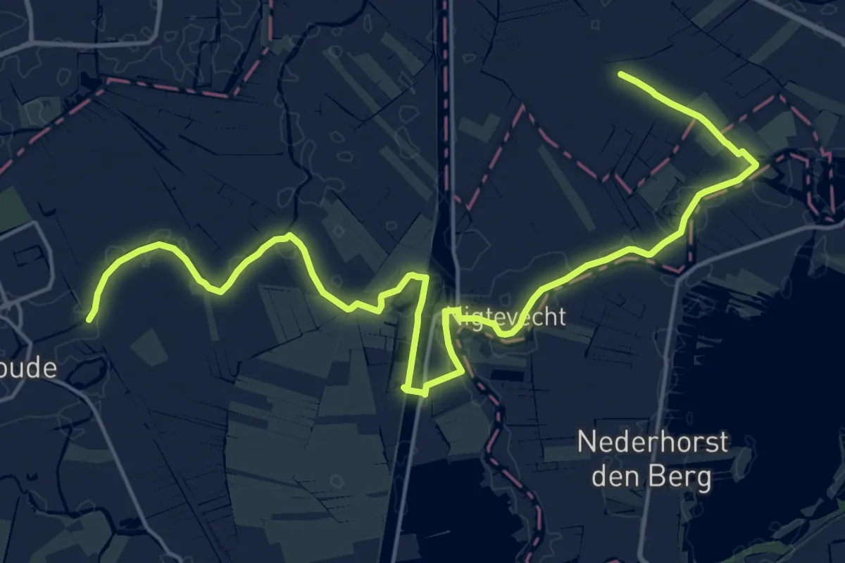
Demanding · Trail
Waterliniepad - 08
20.1 km · ↑ 0 m · 4 h 45 min
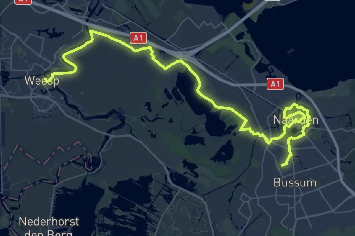
Demanding · Trail
Waterliniepad - 09
18.1 km · ↑ 4 m · 4 h 33 min
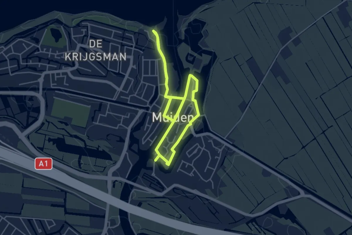
Easy · Trail
Waterliniepad 09a
7.8 km · ↑ 0 m · 1 h 50 min
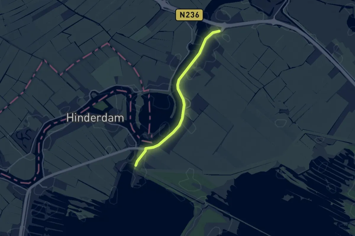
Easy · Trail
Waterliniepad - 10
3.4 km · ↑ 0 m · 49 min
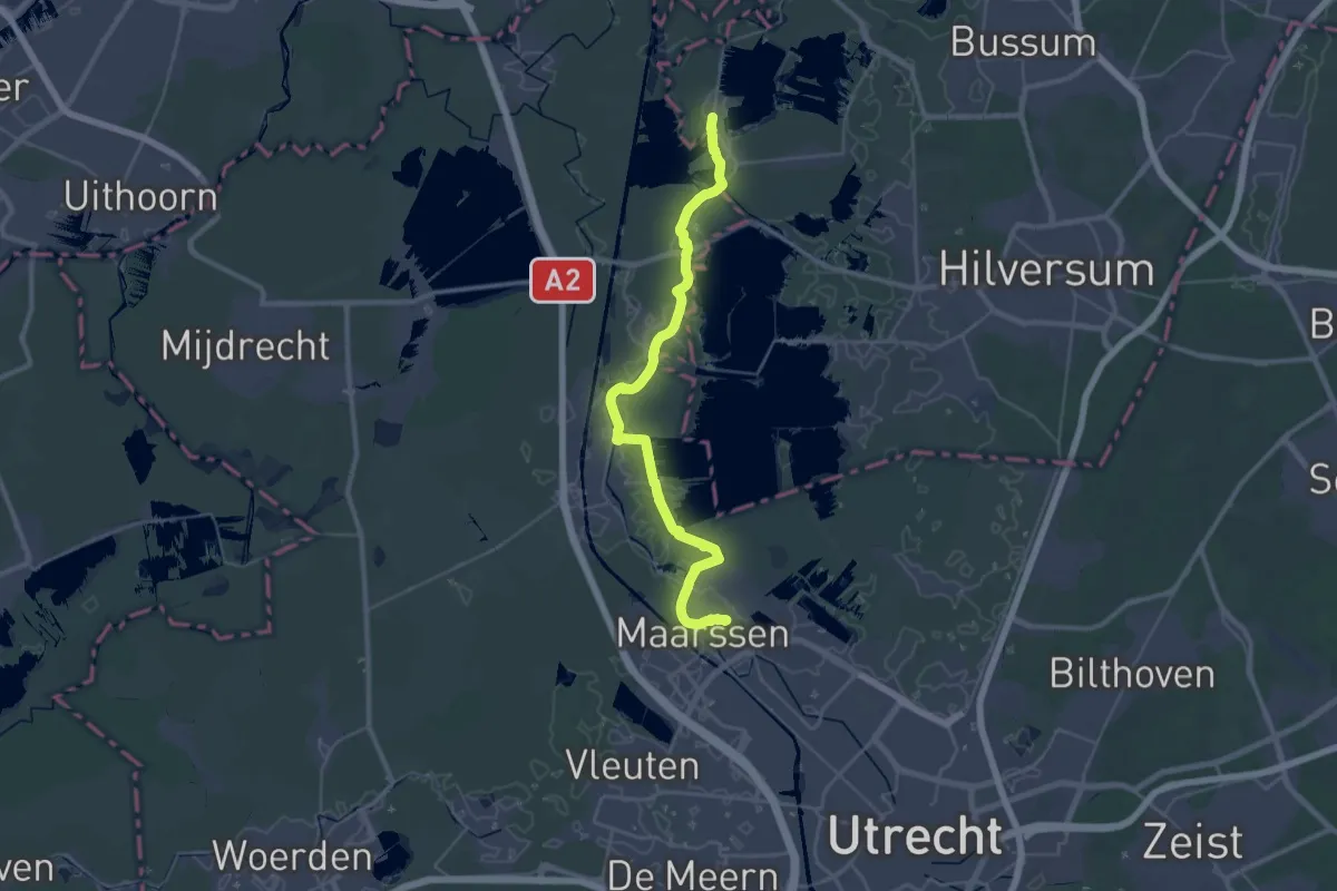
Demanding · Trail
Waterliniepad - 11
18.7 km · ↑ 16 m · 4 h 43 min
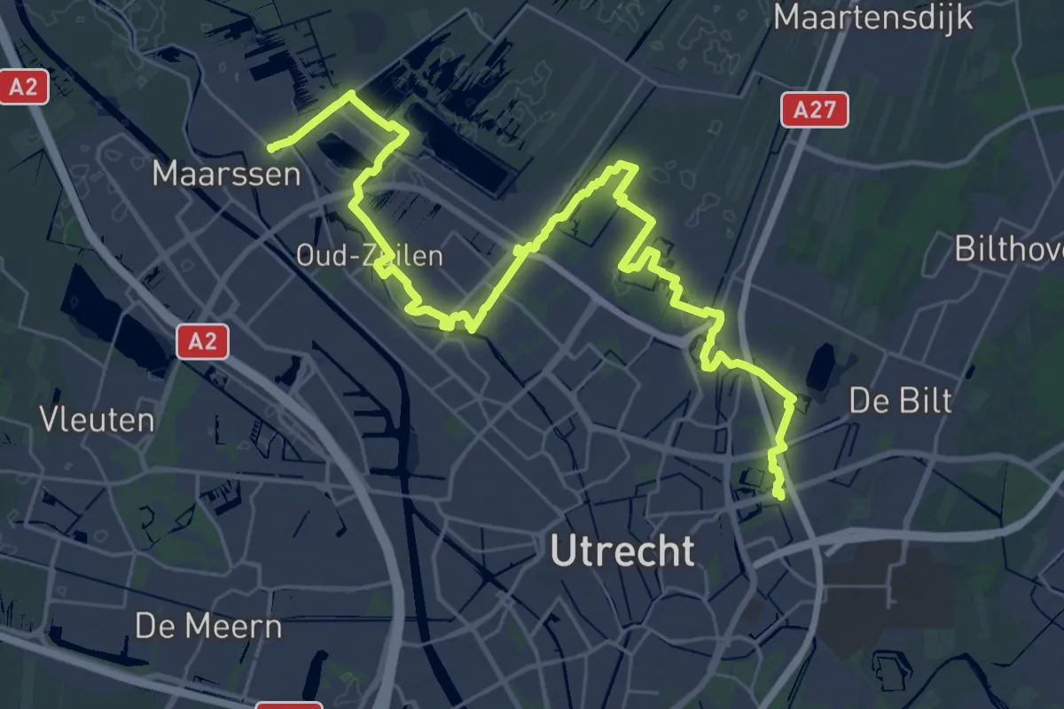
Demanding · Trail
Waterliniepad - 12
19.8 km · ↑ 21 m · 5 h
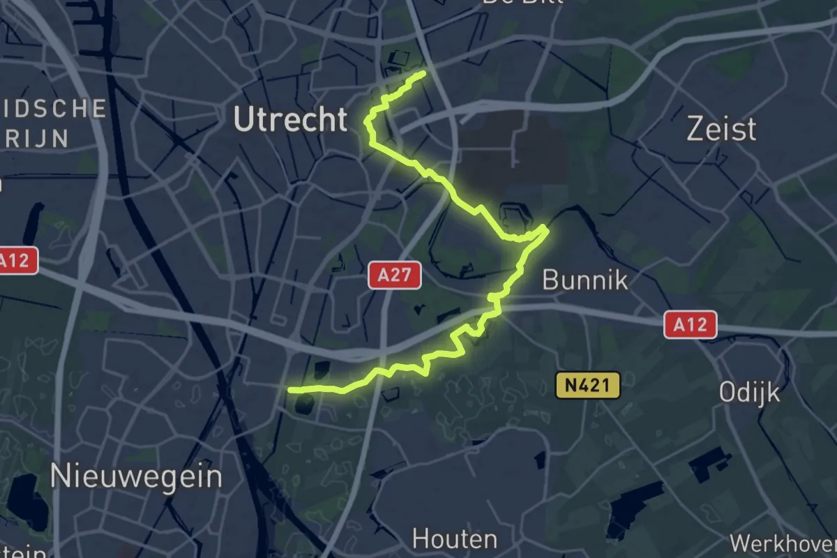
Demanding · Trail
Waterliniepad - 13
25.4 km · ↑ 34 m · 6 h 4 min
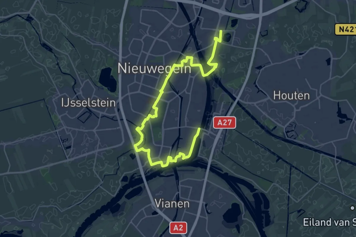
Demanding · Trail
Waterliniepad - 14
28.4 km · ↑ 9 m · 6 h 44 min
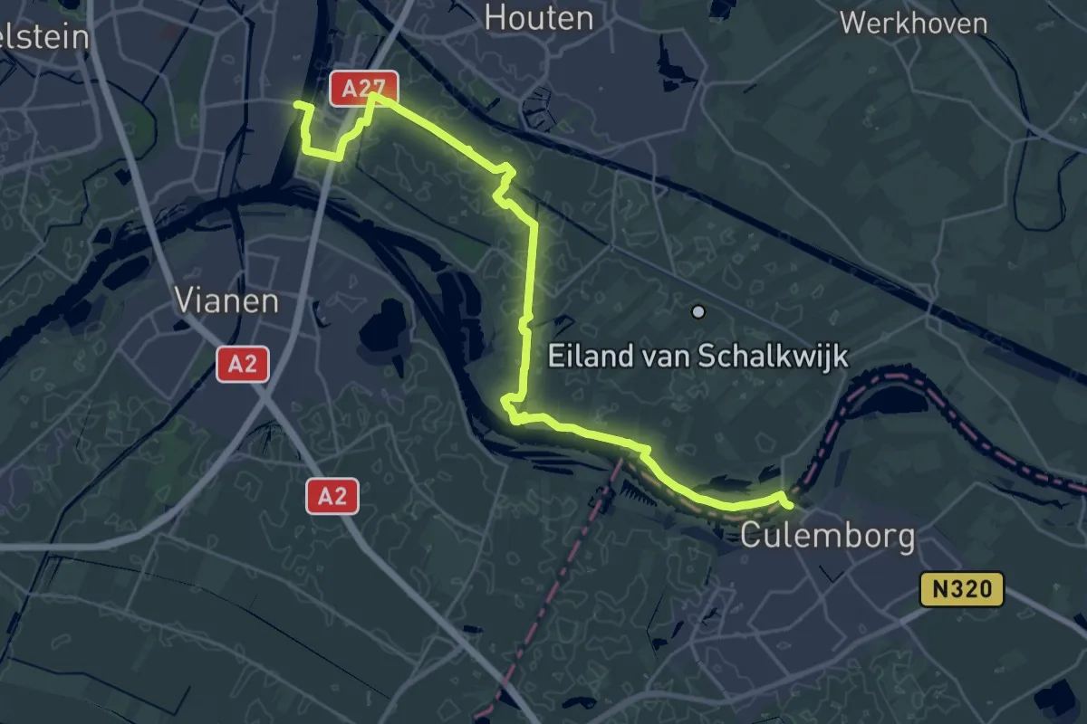
Demanding · Trail
Waterliniepad - 15
29.1 km · ↑ 8 m · 6 h 54 min
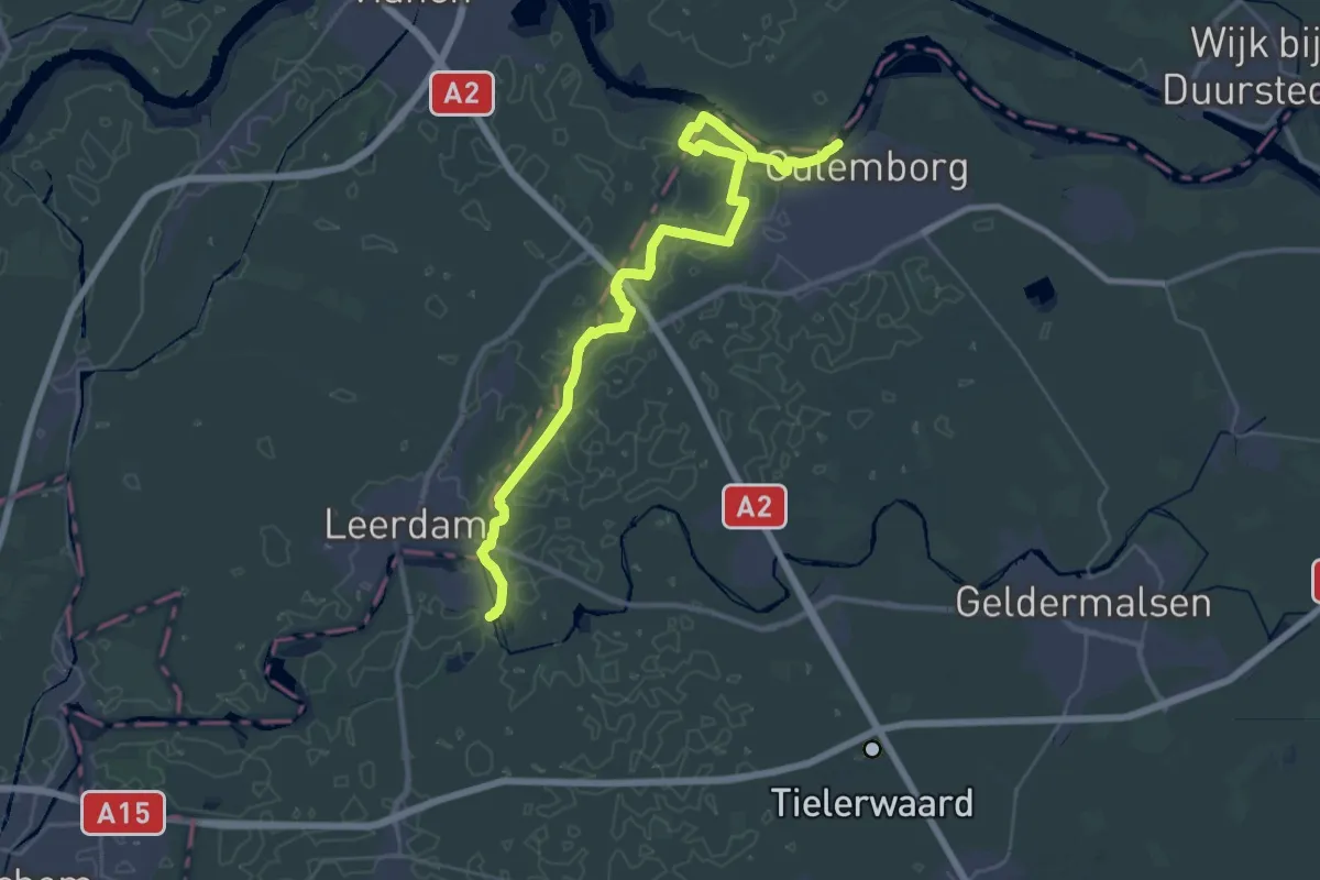
Demanding · Trail
Waterliniepad - 16
19.2 km · ↑ 0 m · 4 h 48 min
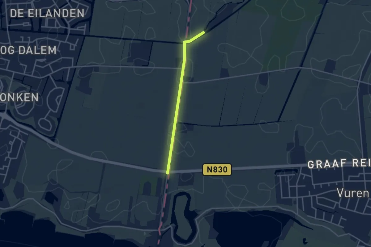
Easy · Trail
Waterliniepad - 17
2.3 km · ↑ 0 m · 32 min