Trails near Auckland
22 hikes starting within 15 km, nearest first.
Nearest first
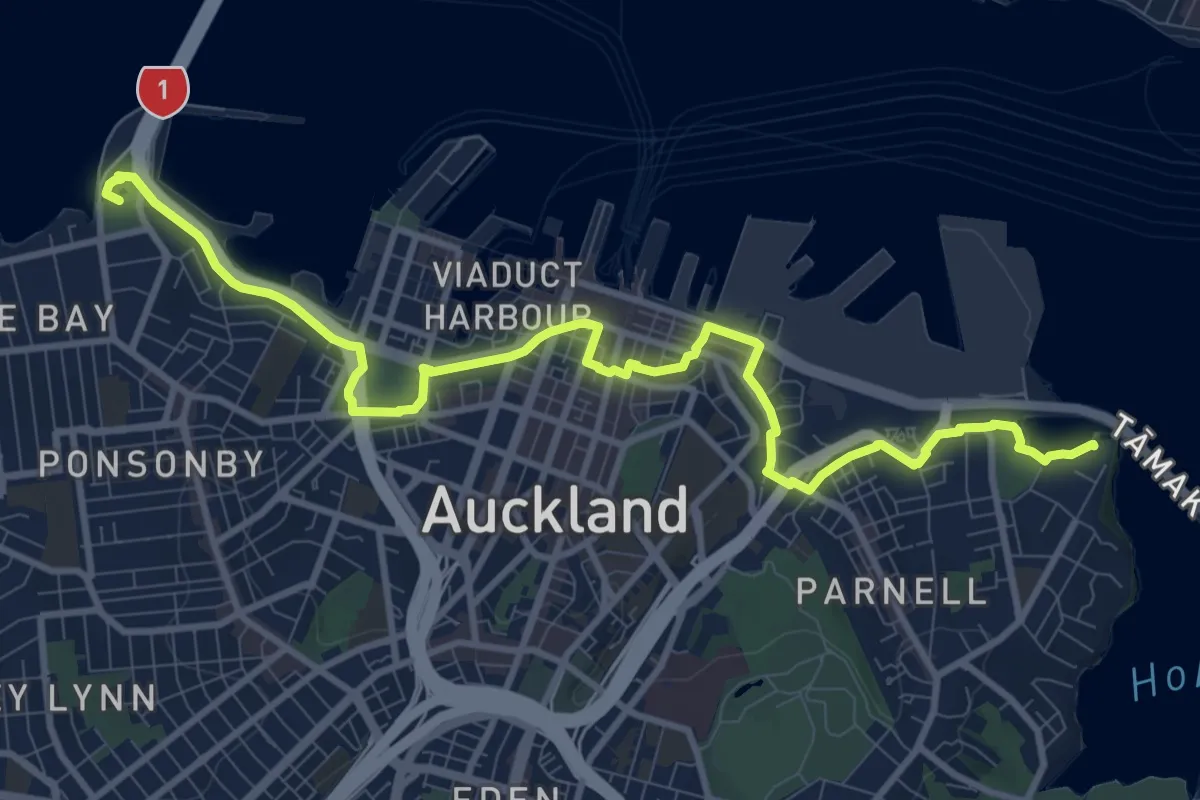
Medium · Trail
Foreshore Heritage Walk
14.1 km · ↑ 142 m · 3 h 39 min · 2 km away
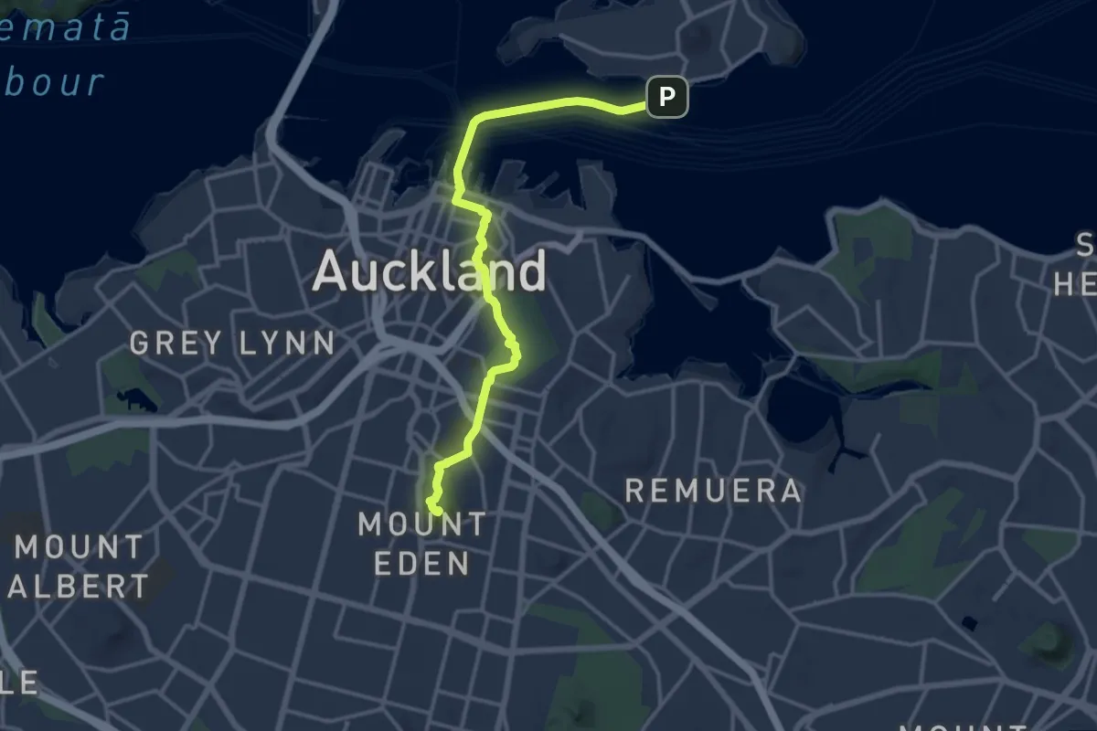
Medium · Summit
Te Araroa - 02 Auckland - j Devonport to Onehunga
17.0 km · ↑ 221 m · 4 h 30 min · 4 km away
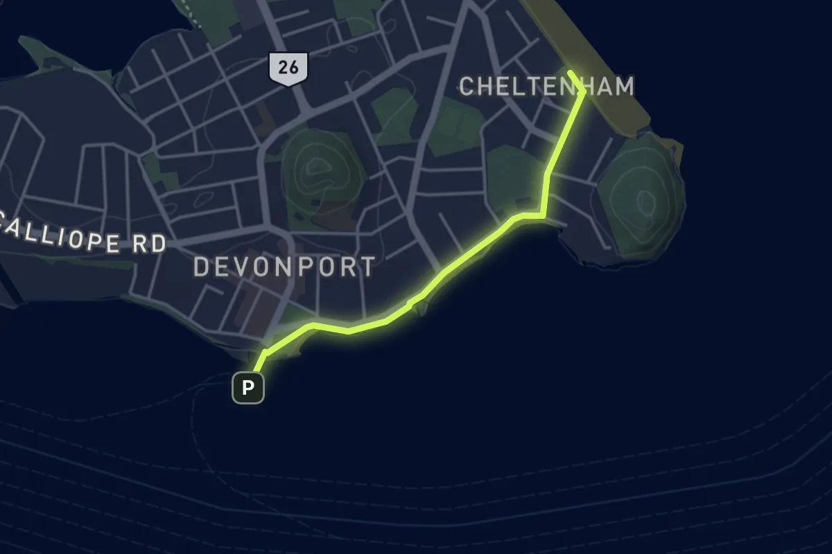
Easy · Trail
North Shore City Coastal Walk
3.8 km · ↑ 15 m · 55 min · 4 km away
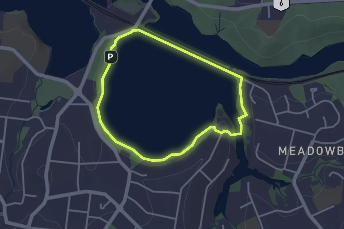
Easy · Trail
Ōrākei Basin Path
3.0 km · ↑ 170 m · 1 h 6 min · 4 km away
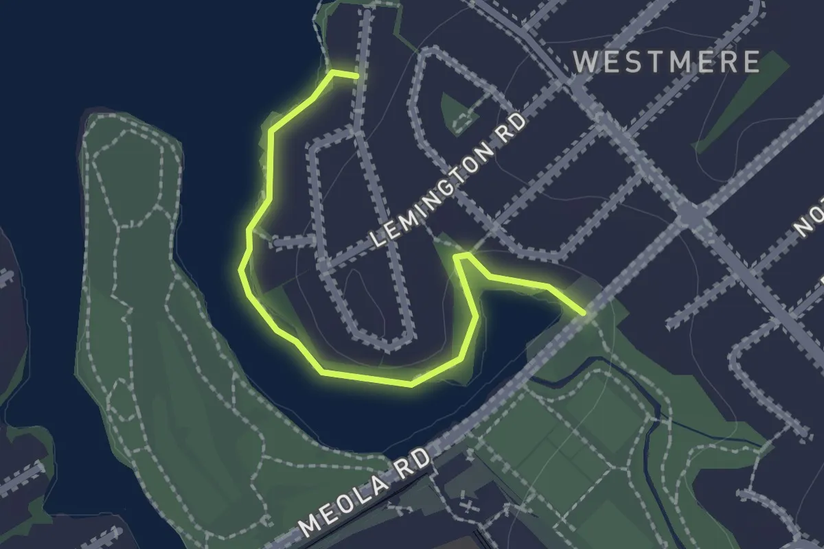
Easy · Trail
Westmere Coastal Walkway
2.4 km · ↑ 22 m · 37 min · 4 km away
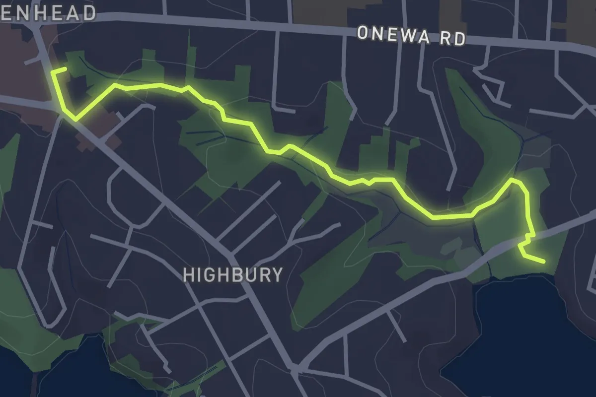
Easy · Trail
Le Roys Bush Path
4.0 km · ↑ 67 m · 1 h 5 min · 6 km away
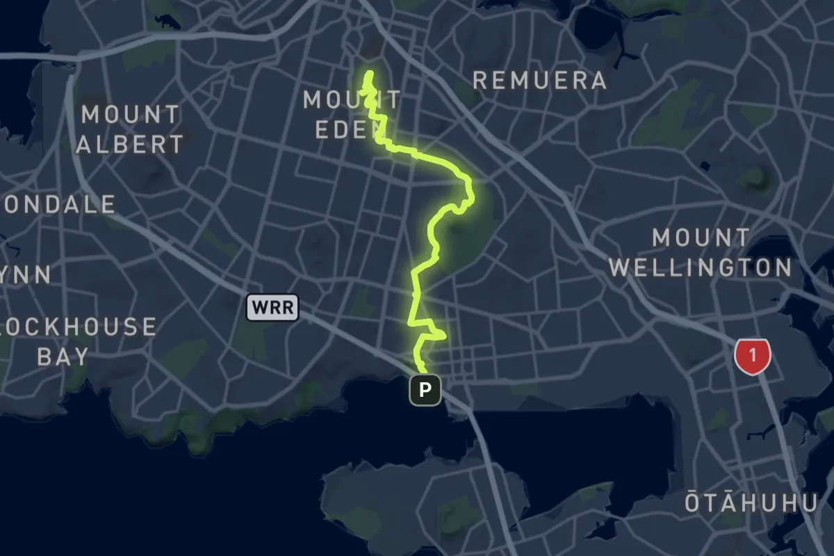
Demanding · Summit
Coast to Coast Walkway (Manukau to Waitematā)
20.8 km · ↑ 315 m · 5 h 36 min · 9 km away
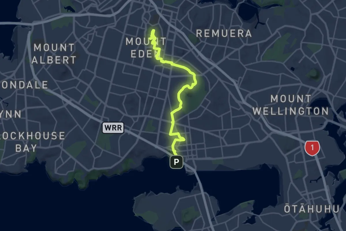
Demanding · Summit
Coast to Coast Walkway (Waitematā to Manukau)
20.8 km · ↑ 315 m · 5 h 36 min · 9 km away
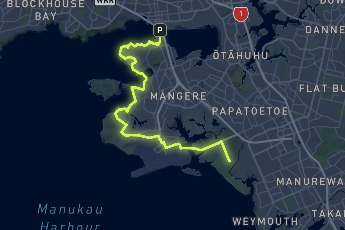
Demanding · Trail
Te Araroa - 02 Auckland - k Onehunga to Puhinui
23.1 km · ↑ 73 m · 5 h 55 min · 9 km away
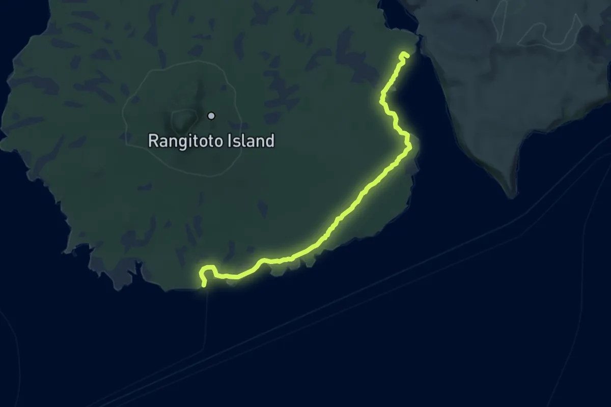
Medium · Cabin
Rangitoto Coastal Walk
12.1 km · ↑ 63 m · 3 h · 10 km away
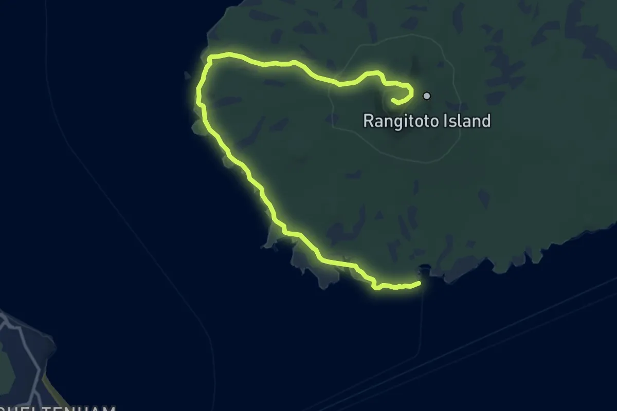
Medium · Summit
Rangitoto Lighthouse to Summit Walk
16.4 km · ↑ 271 m · 4 h 27 min · 10 km away
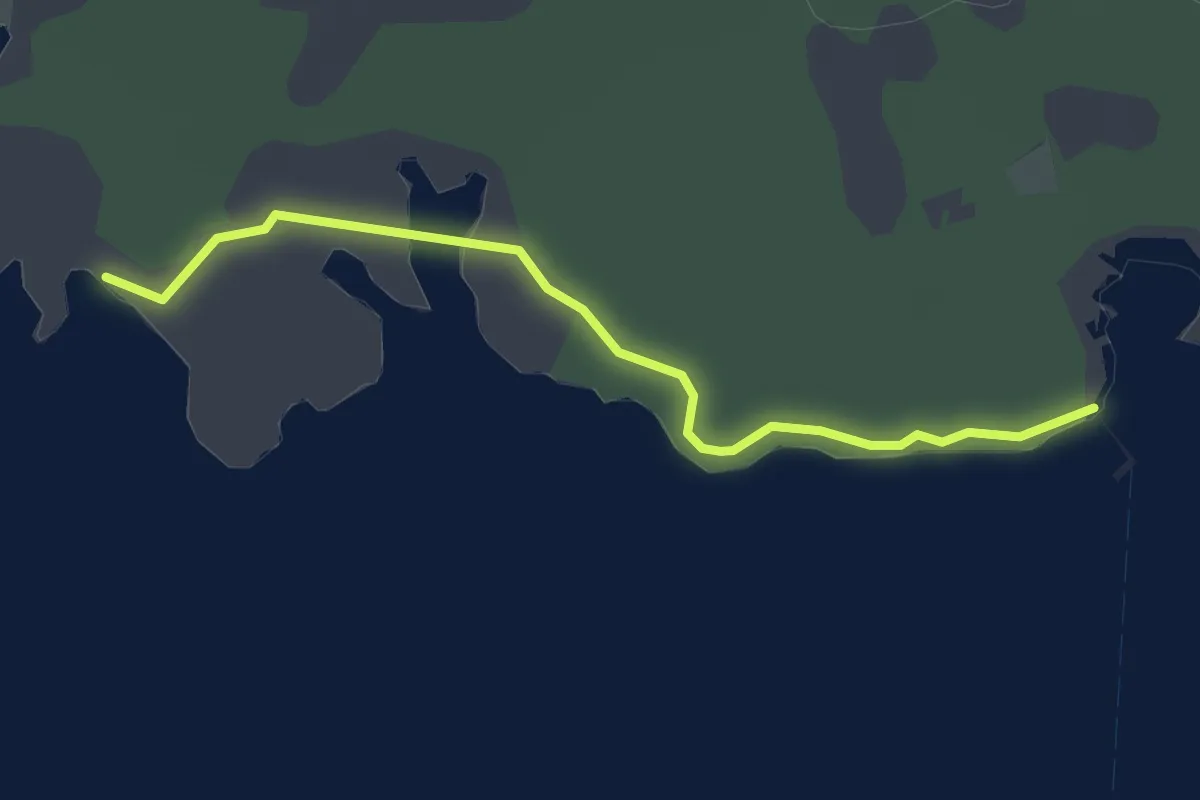
Easy · Trail
Flax Point Walk
3.4 km · ↑ 13 m · 50 min · 10 km away
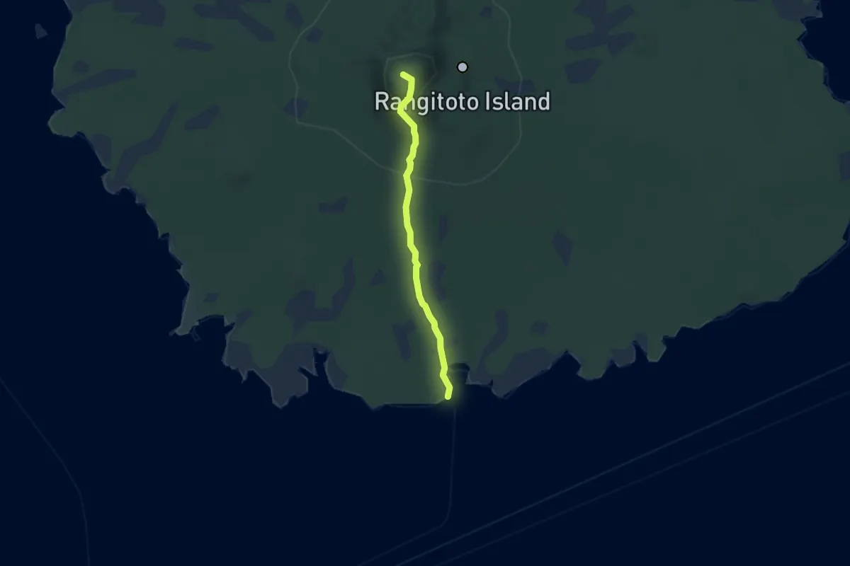
Easy · Summit
Rangitoto Summit Walk
5.3 km · ↑ 238 m · 1 h 45 min · 10 km away
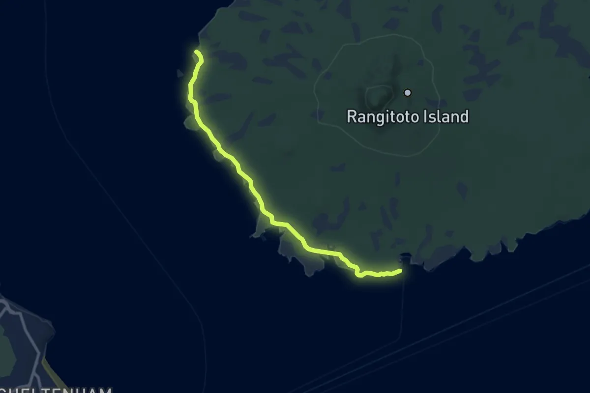
Medium · Trail
Rangitoto Lighthouse Walk
10.0 km · ↑ 40 m · 2 h 27 min · 10 km away
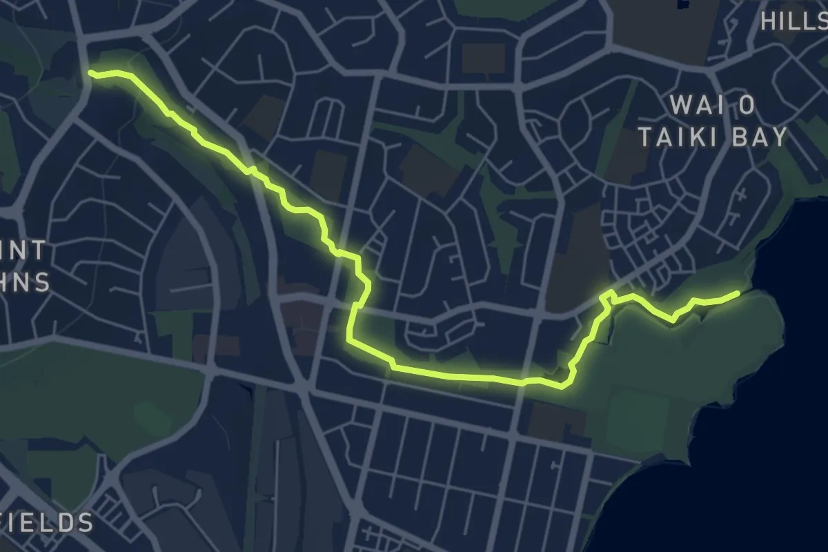
Easy · Trail
Point England Walkway
7.8 km · ↑ 84 m · 2 h 1 min · 10 km away
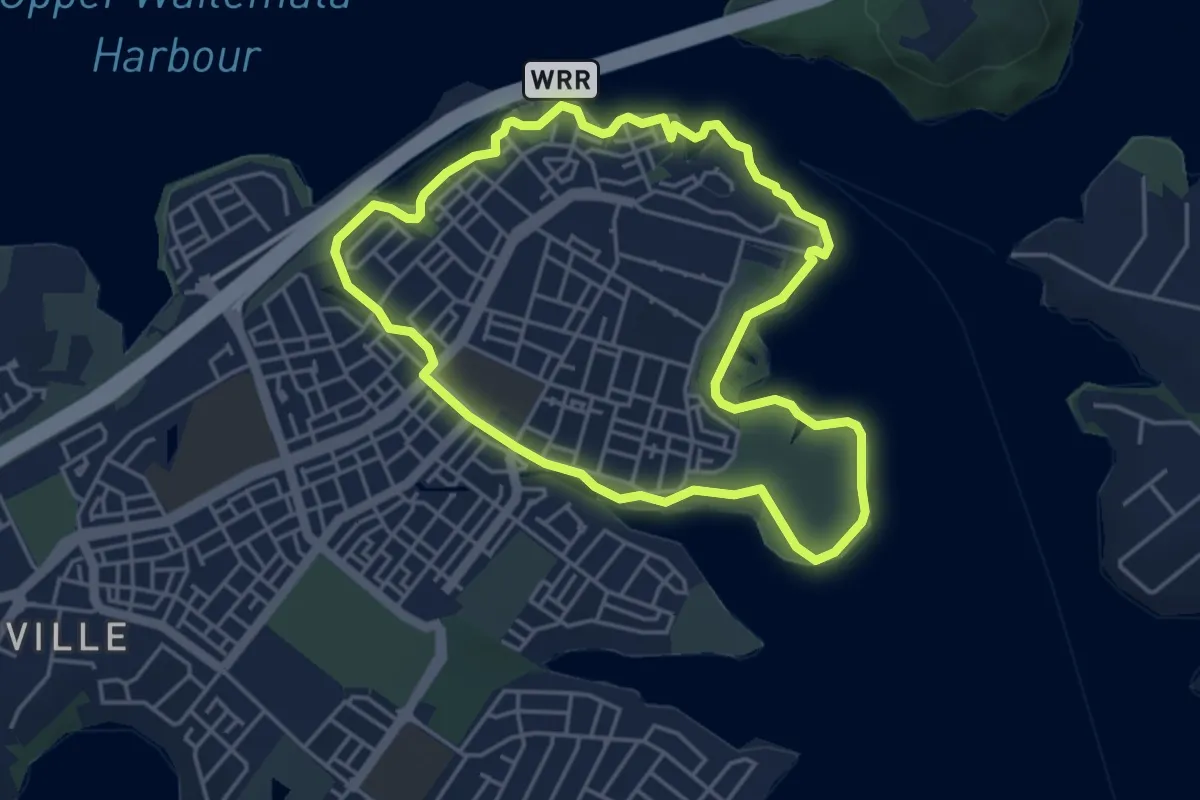
Easy · Trail
Te Ara Manawa Hobsonville Coastal Walkway
5.1 km · ↑ 74 m · 1 h 26 min · 11 km away
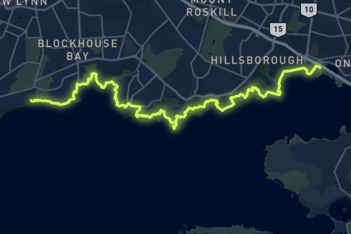
Medium · Trail
Manukau Coastal Walkway
13.2 km · ↑ 505 m · 4 h 25 min · 11 km away
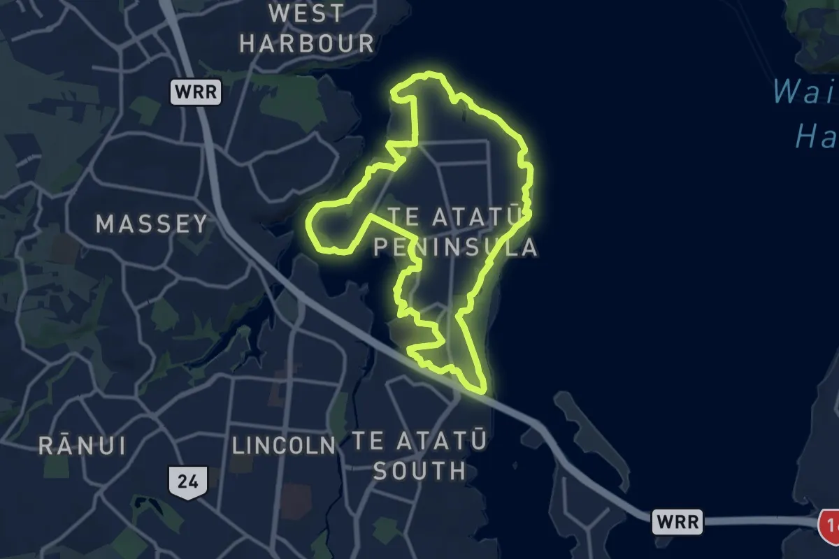
Medium · Trail
Te Atatū Walkway
14.1 km · ↑ 142 m · 3 h 50 min · 11 km away
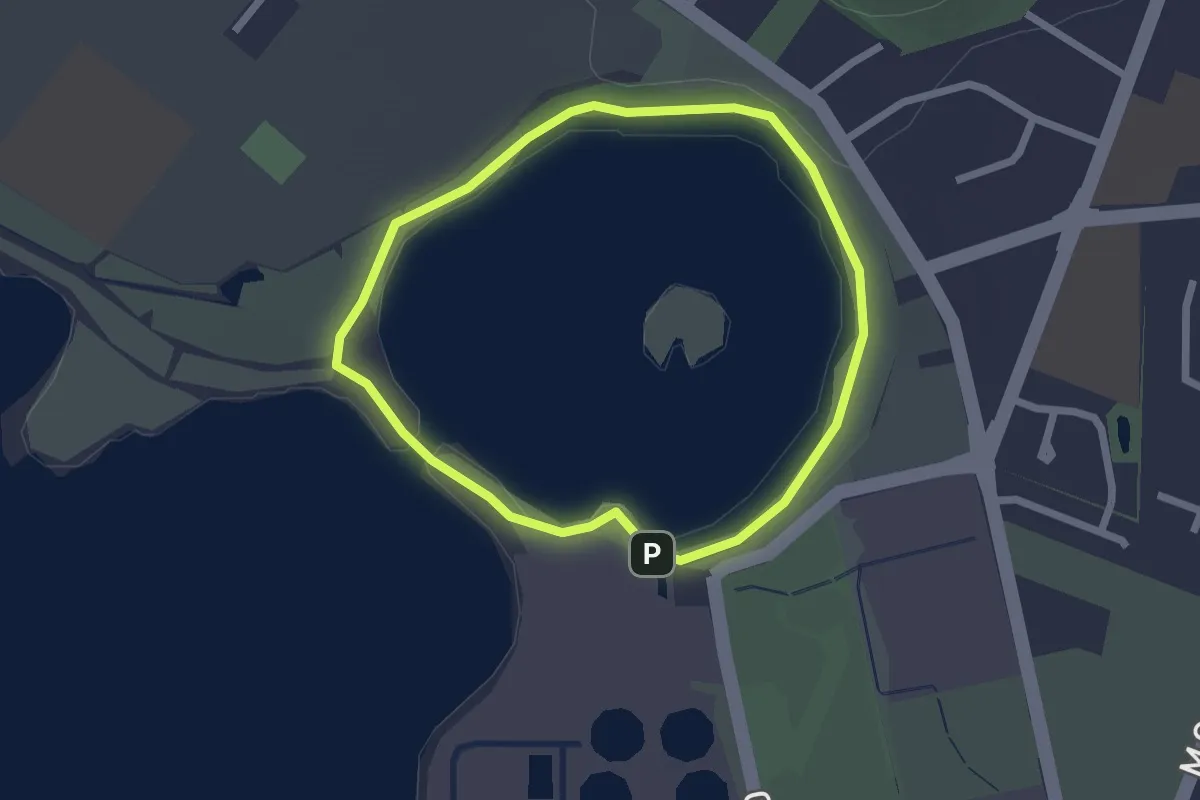
Easy · Trail
Māngere Lagoon Path
2.2 km · ↑ 27 m · 37 min · 12 km away
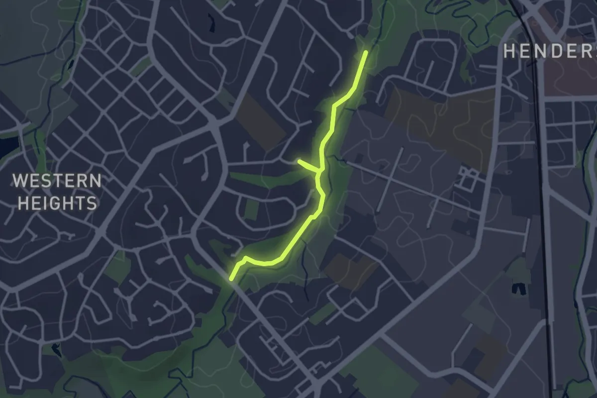
Easy · Trail
Ōpanuku Walkway
3.1 km · ↑ 9 m · 46 min · 14 km away
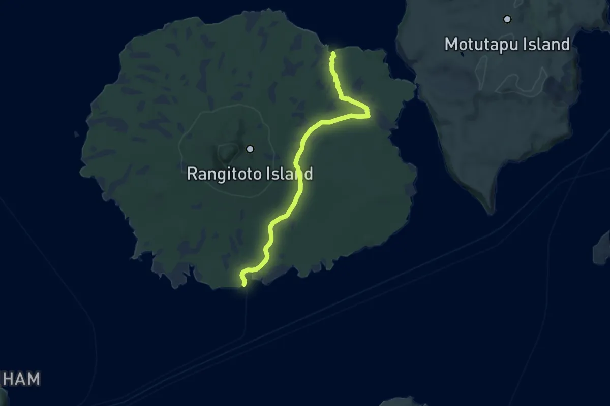
Medium · Trail
Wreck Bay Walk
12.3 km · ↑ 141 m · 3 h 12 min · 14 km away
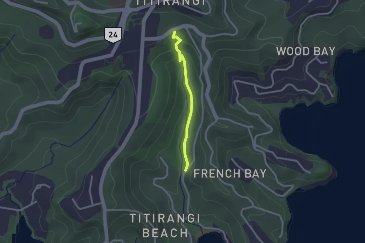
Easy · Trail
Zig Zag Track
2.1 km · ↑ 86 m · 41 min · 14 km away