Trails near Snells Beach
23 hikes starting within 15 km, nearest first.
Nearest first
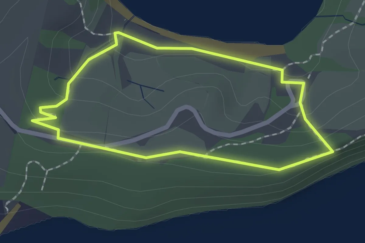
Easy · Trail
Scandretts Bay Loop
1.7 km · ↑ 32 m · 30 min · 5 km away
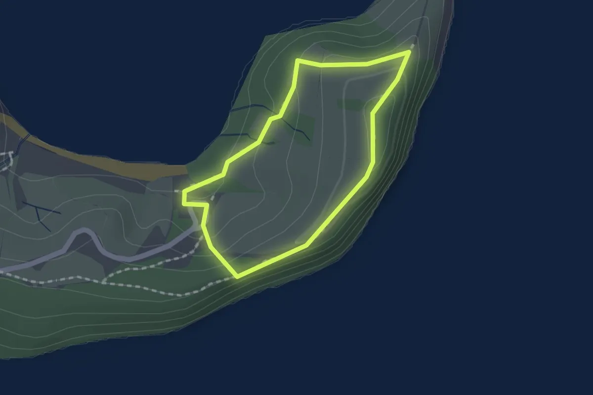
Easy · Trail
Mullet Point Loop
1.5 km · ↑ 63 m · 31 min · 5 km away
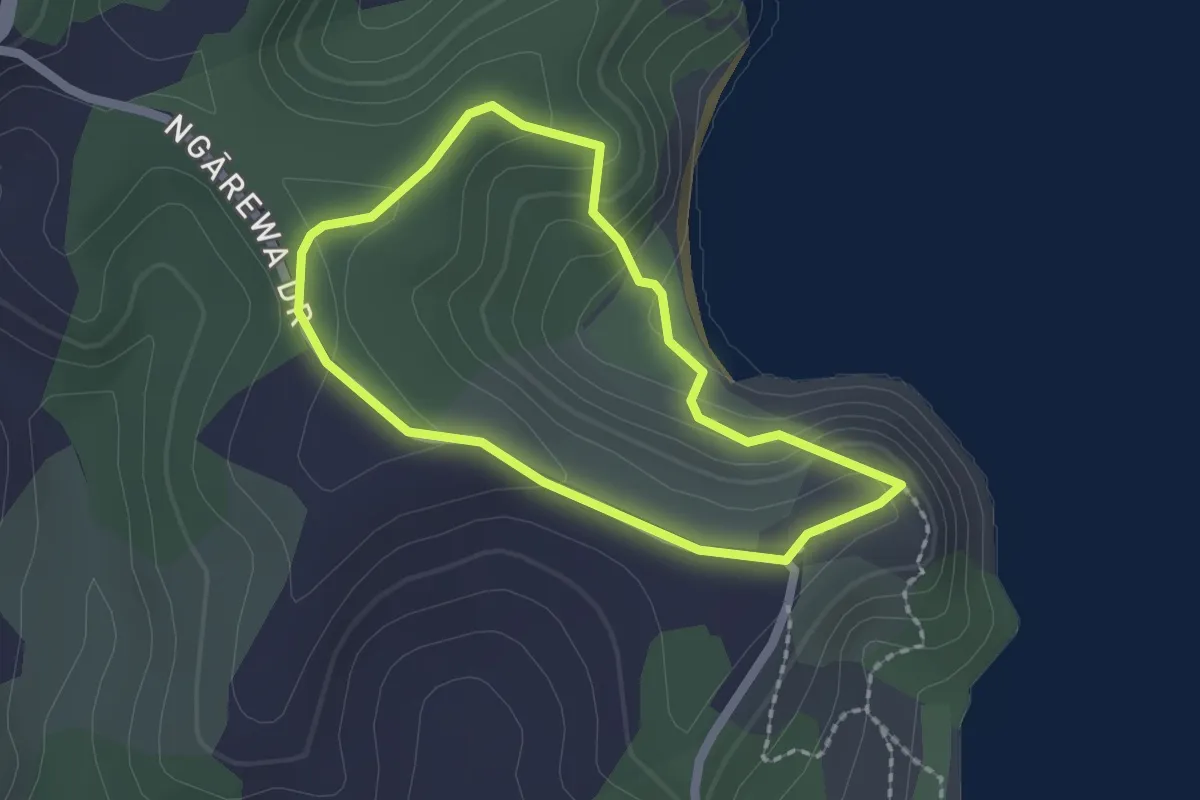
Easy · Trail
Mita Bay Loop Track
2.0 km · ↑ 89 m · 41 min · 9 km away
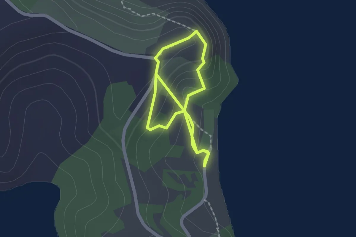
Easy · Trail
Tungutu Loop Track
3.3 km · ↑ 169 m · 1 h 9 min · 10 km away
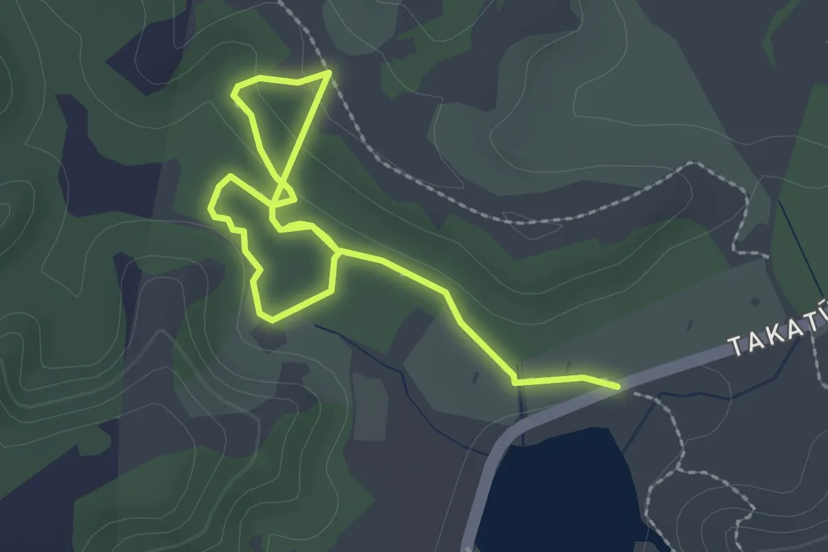
Easy · Trail
Mangatāwhiri Track
3.7 km · ↑ 47 m · 59 min · 10 km away
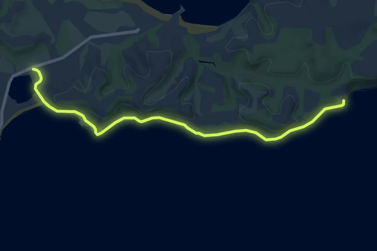
Easy · Trail
Māori Bay Coast Walk
7.0 km · ↑ 118 m · 1 h 55 min · 10 km away
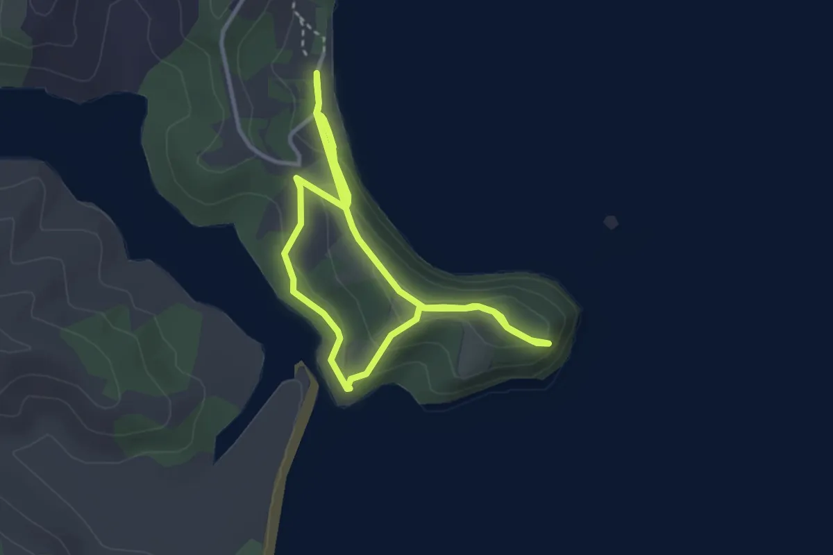
Easy · Trail
Cudlip Point Loop Track
6.9 km · ↑ 317 m · 2 h 19 min · 10 km away
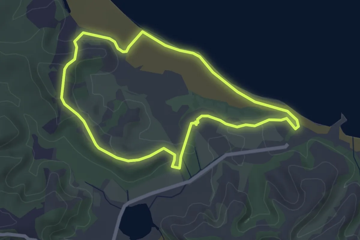
Easy · Trail
West End Track
4.8 km · ↑ 59 m · 1 h 20 min · 11 km away
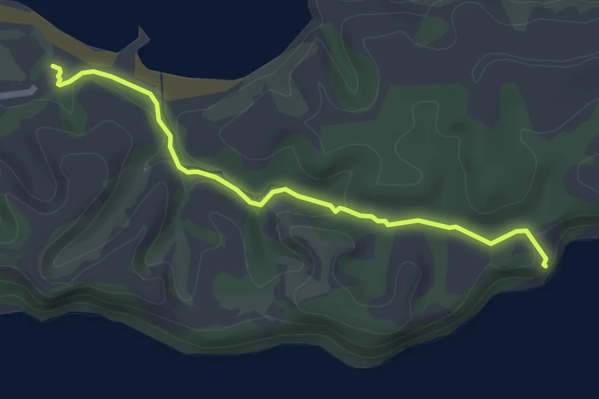
Easy · Trail
Fishermans Track
4.7 km · ↑ 57 m · 1 h 13 min · 11 km away
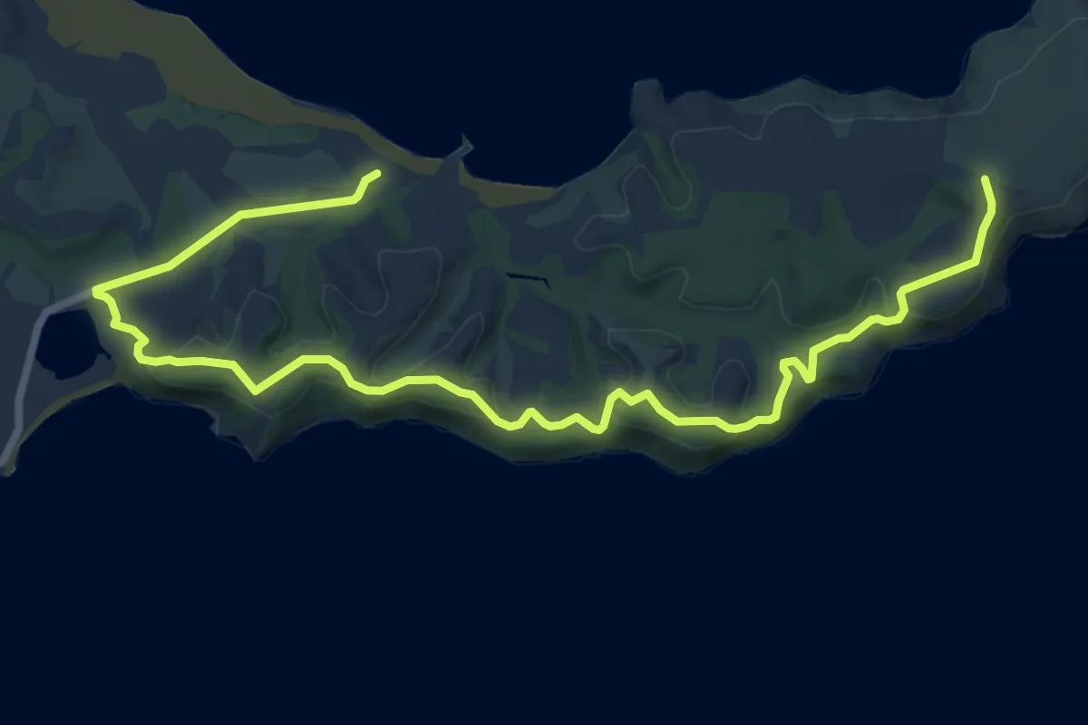
Medium · Trail
South Coast Track
11.7 km · ↑ 227 m · 3 h 15 min · 11 km away
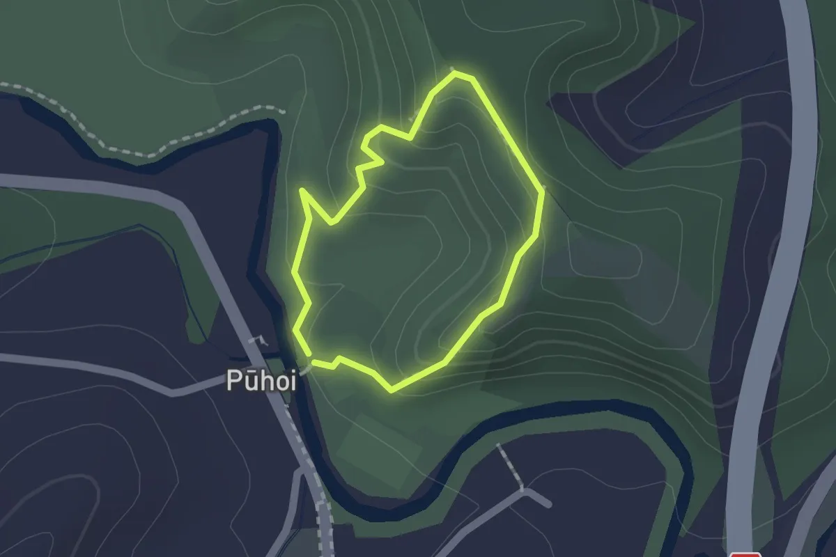
Easy · Trail
Pūhoi Lookout Track
1.3 km · ↑ 81 m · 31 min · 12 km away
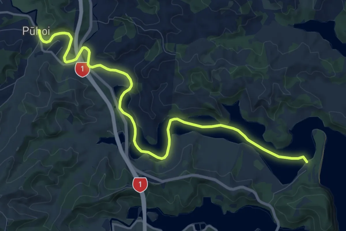
Medium · Trail
Te Araroa alternative route
15.2 km · ↑ 275 m · 4 h 11 min · 12 km away
Easy · Trail
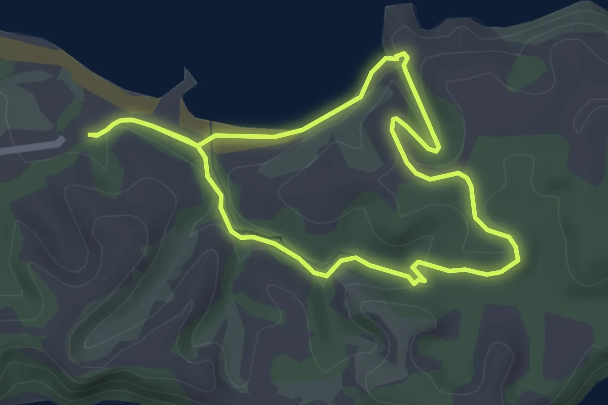
Ecology Trail
4.1 km · ↑ 77 m · 1 h 12 min · 12 km away
Medium · Trail
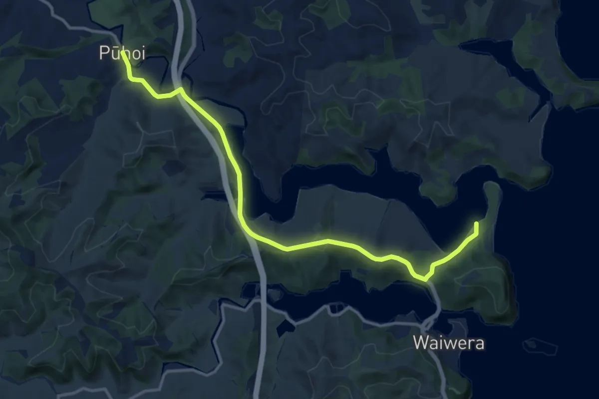
Te Araroa - 02 Auckland - e Puhoi to Wenderholm Kayak
13.3 km · ↑ 303 m · 3 h 47 min · 12 km away
Easy · Summit
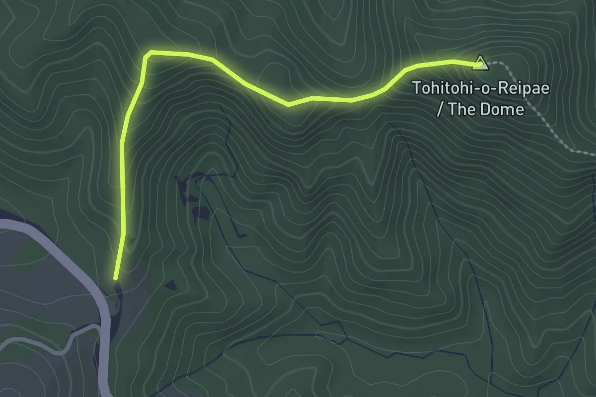
Dome Hill Walkway
3.0 km · ↑ 255 m · 1 h 16 min · 12 km away
Demanding · Summit
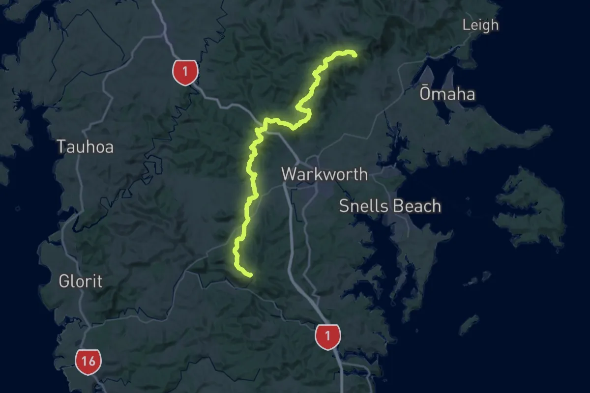
Te Araroa - 02 Auckland - c Govan Wilson Road to Puhoi Valley
62.2 km · ↑ 2359 m · 19 h 47 min · 12 km away
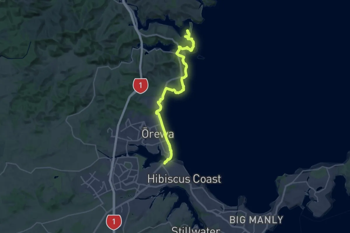
Demanding · Summit
Te Araroa - 02 Auckland - f Wenderholm Kayak to Stillwater
25.8 km · ↑ 645 m · 7 h 30 min · 12 km away
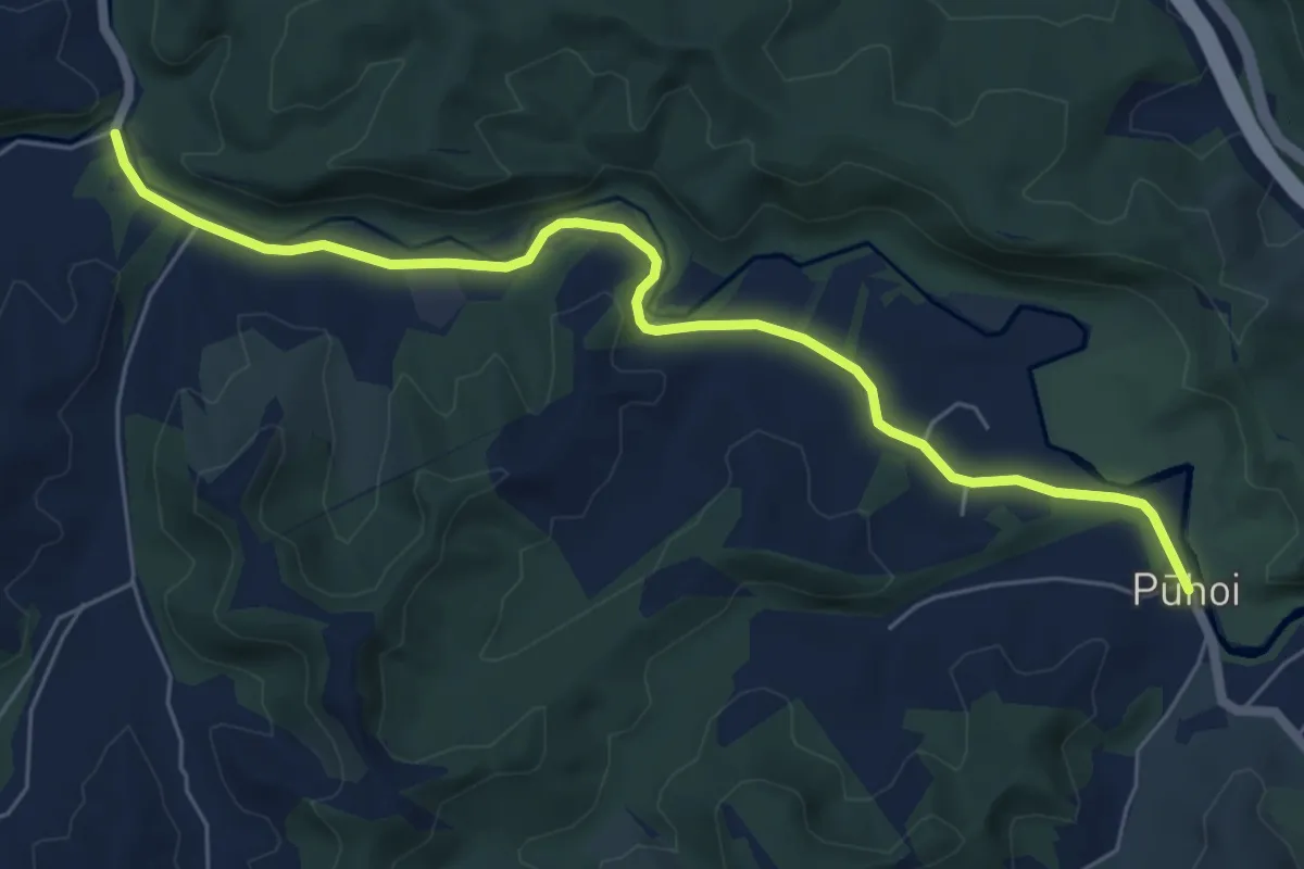
Easy · Trail
Te Araroa - 02 Auckland - d Puhoi Valley to Puhoi
7.7 km · ↑ 81 m · 1 h 59 min · 12 km away
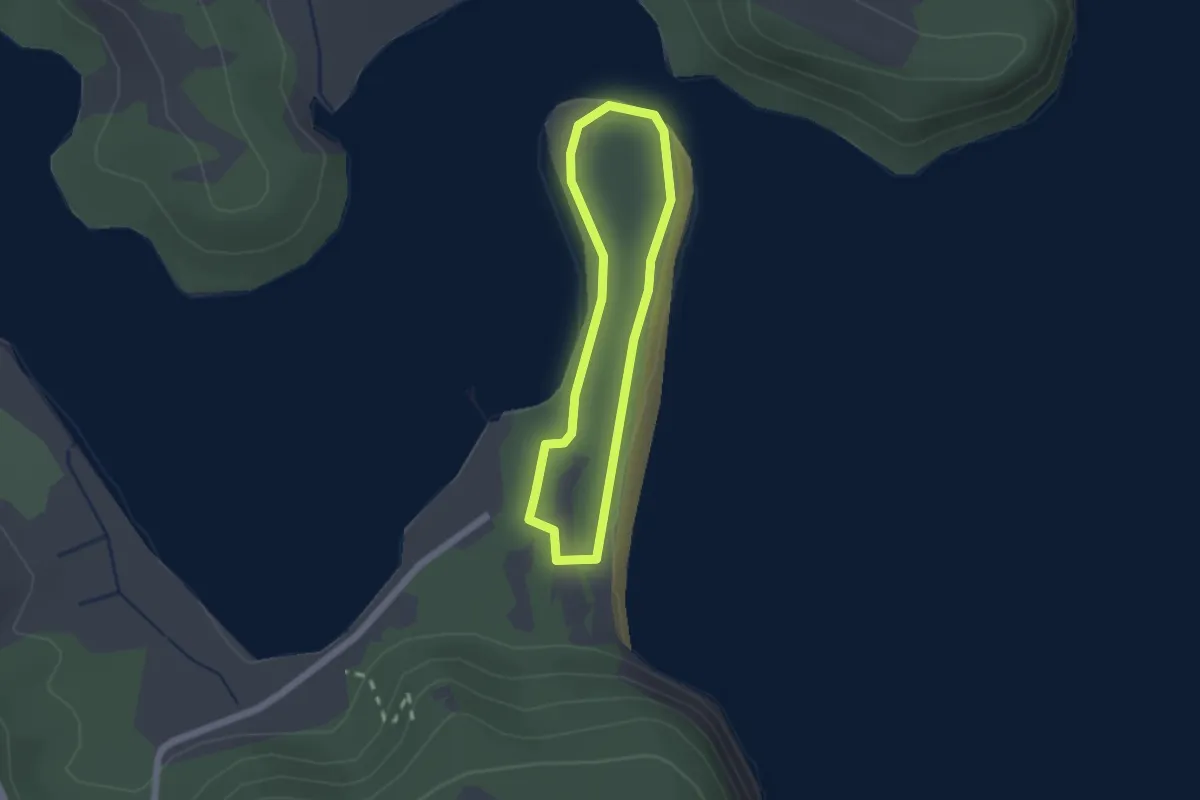
Easy · Trail
Te Akeake Walkway
1.7 km · ↑ 29 m · 30 min · 12 km away
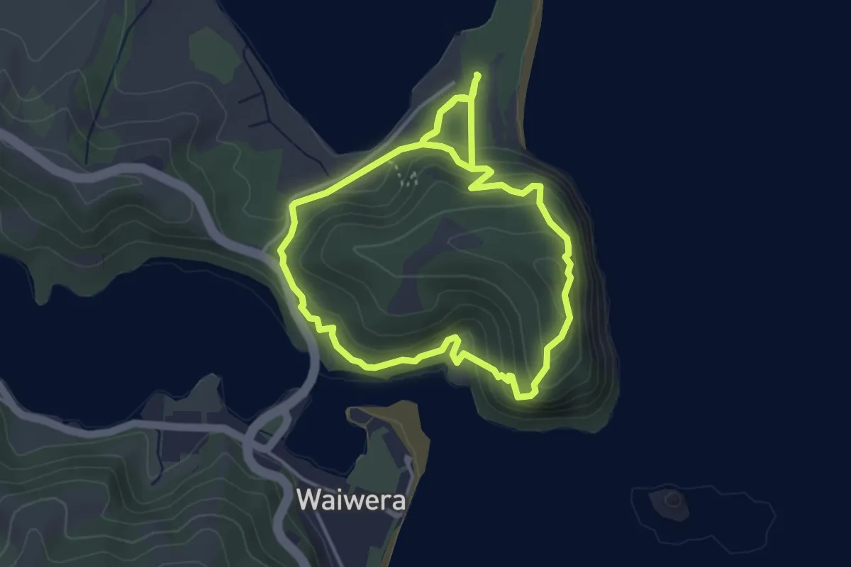
Easy · Trail
Perimeter Track
4.2 km · ↑ 232 m · 1 h 33 min · 13 km away
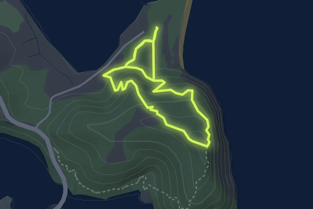
Easy · Trail
Maungatauhoro Te Hikoi Track
3.0 km · ↑ 197 m · 1 h 9 min · 13 km away
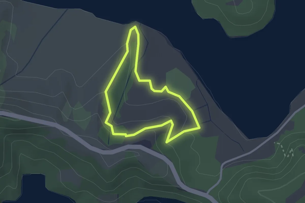
Easy · Trail
Vin's Track
2.3 km · ↑ 59 m · 42 min · 13 km away
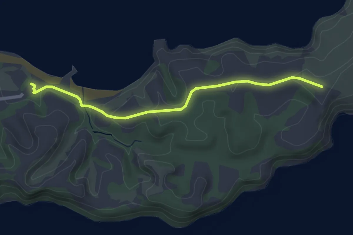
Easy · Trail
North Coast Track
5.1 km · ↑ 76 m · 1 h 22 min · 13 km away