Trails near Wellington
42 hikes starting within 15 km, nearest first.
Nearest first
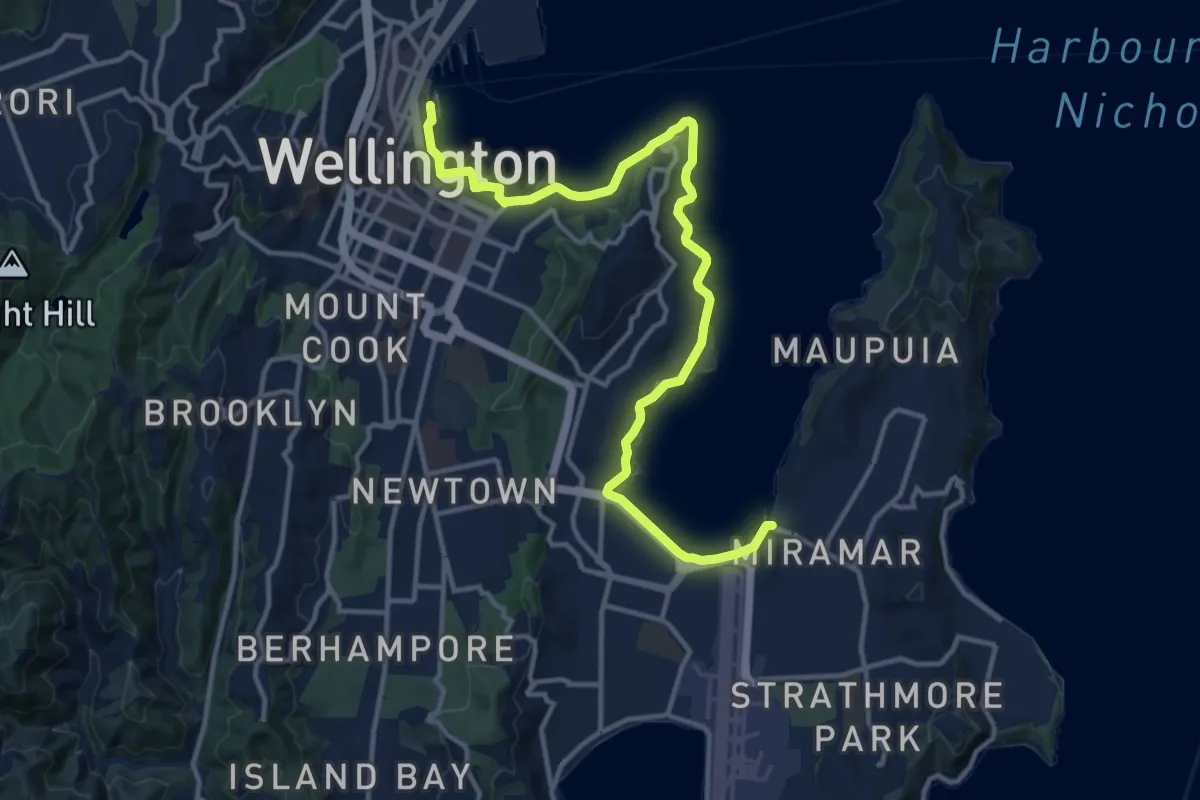
Medium · Trail
Te Aranui o Pōneke / Great Harbour Way - Miramar to Queens Wharf
16.3 km · ↑ 154 m · 4 h 12 min · under 1 km away
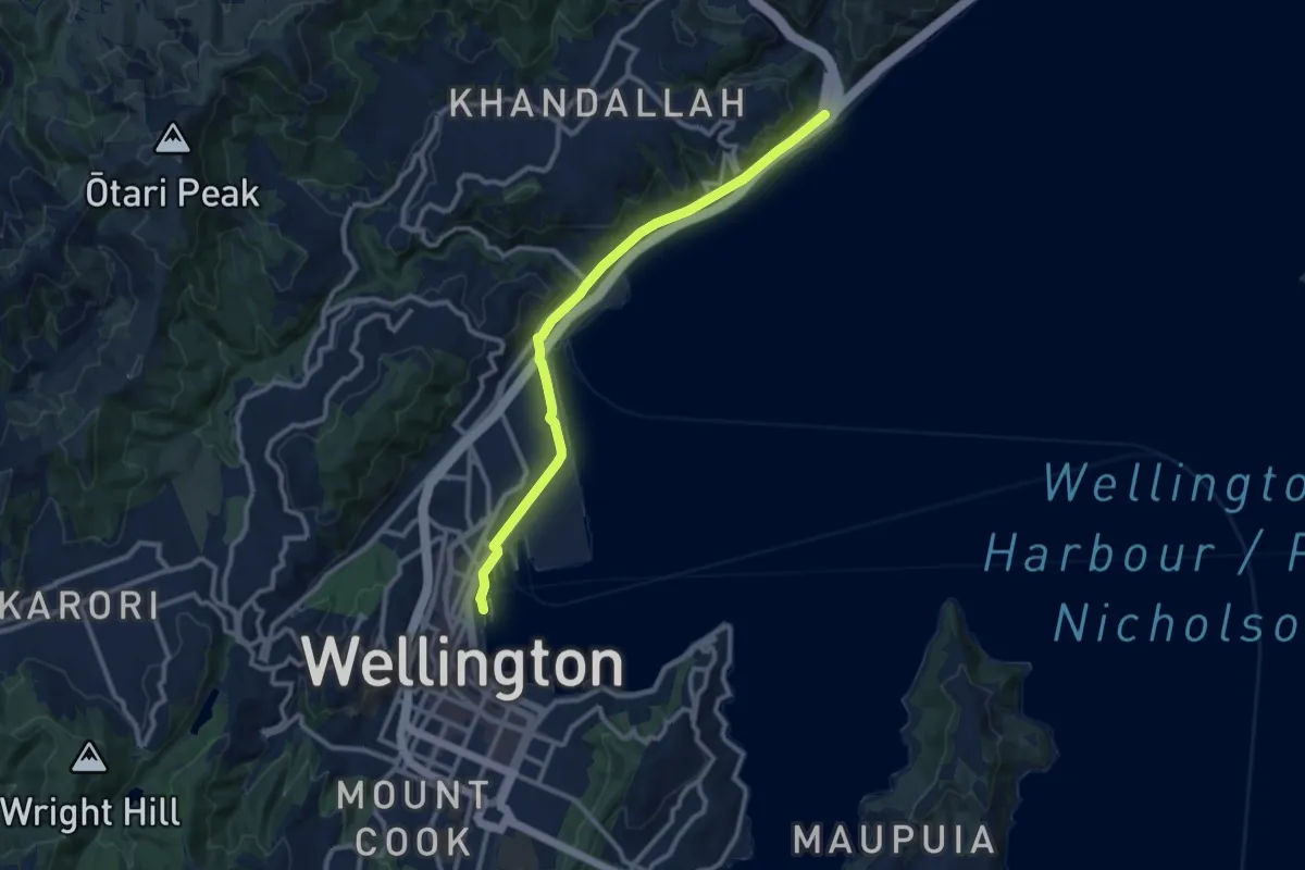
Medium · Trail
Te Aranui o Pōneke / Great Harbour Way - Queens Wharf to Ngauranga
11.3 km · ↑ 54 m · 2 h 47 min · under 1 km away
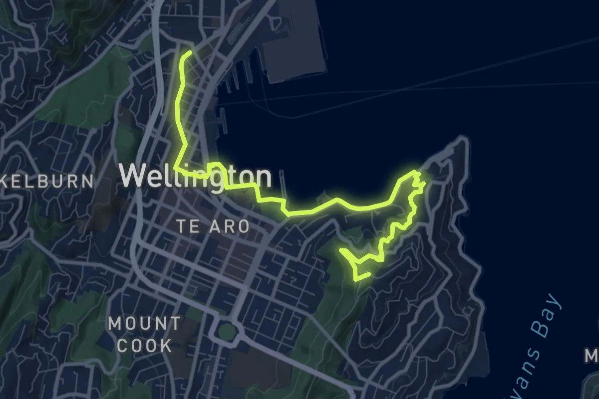
Medium · Summit
Te Araroa - 05 Wellington - f Lambton Quay, Wellington to Shorland Park, Island Bay
11.4 km · ↑ 384 m · 3 h 31 min · 1 km away
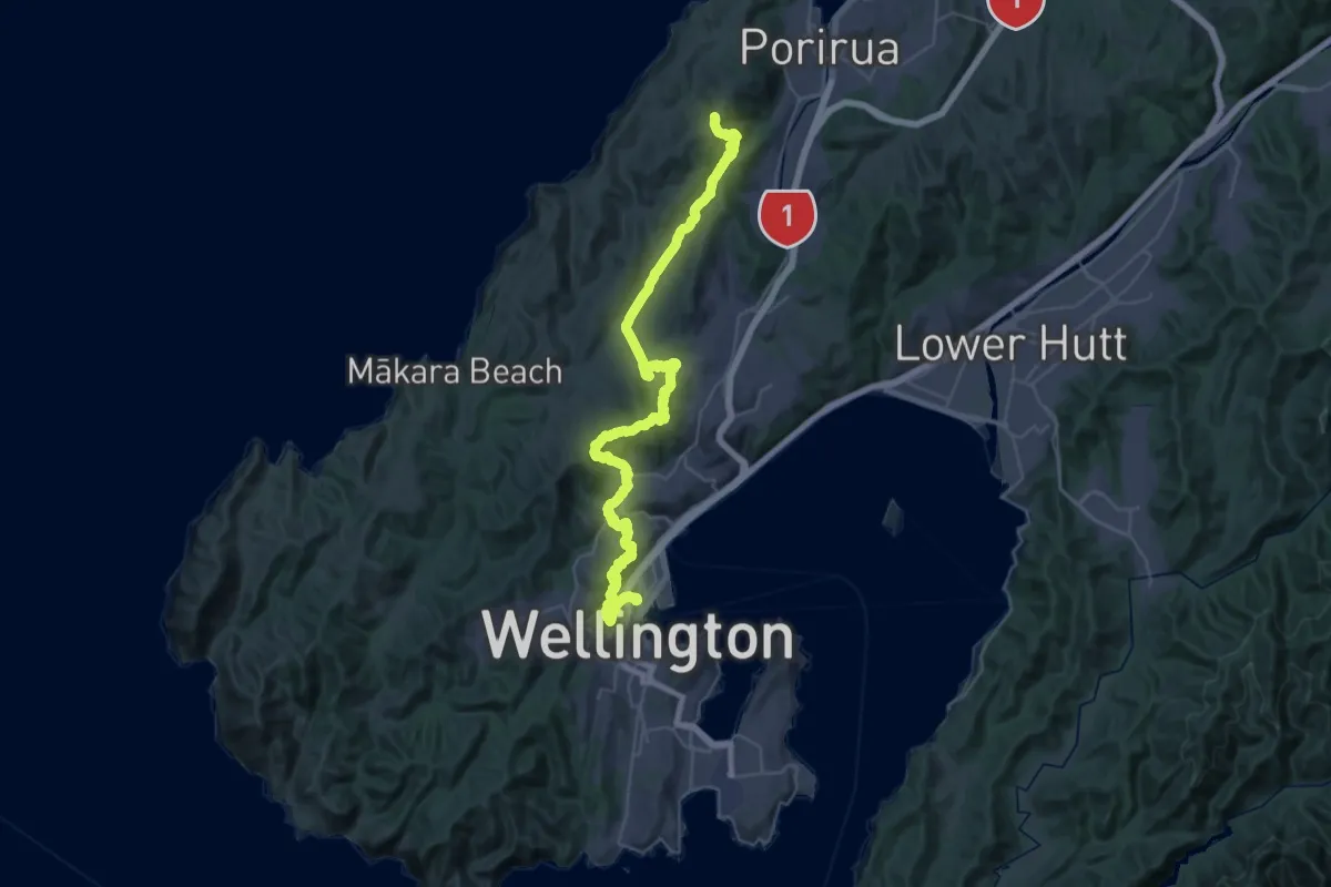
Demanding · Summit
Te Araroa - 05 Wellington - e Elsdon Camp, Porirua to Lambton Quay, Wellington
53.3 km · ↑ 2189 m · 17 h 19 min · 1 km away
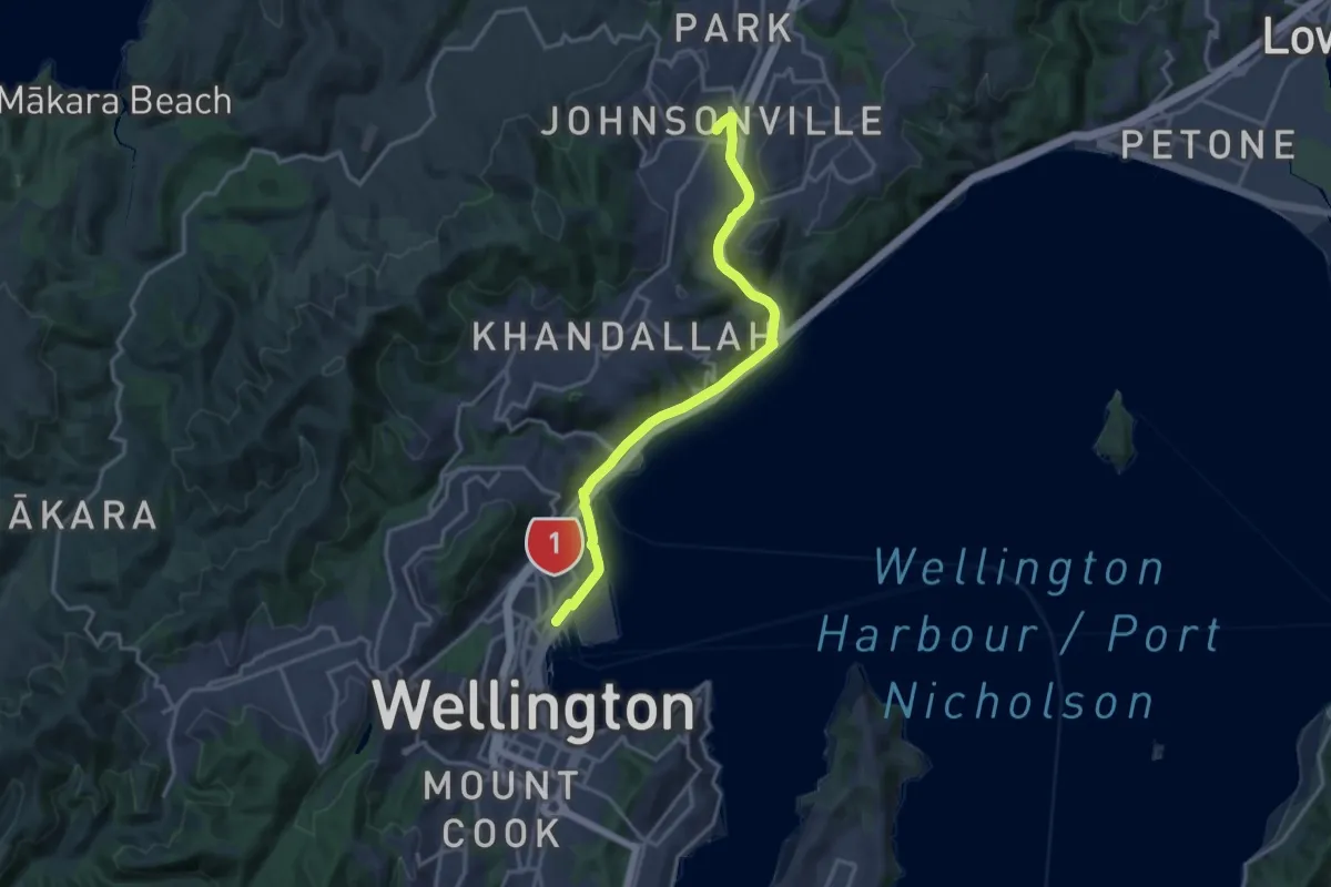
Medium · Trail
Hutt Road shared path - Wellington to Johnsonville
17.4 km · ↑ 184 m · 4 h 30 min · 1 km away
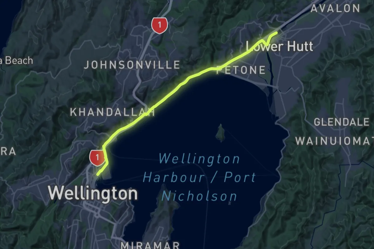
Demanding · Trail
Te Ara Tupua
29.0 km · ↑ 118 m · 7 h 6 min · 1 km away
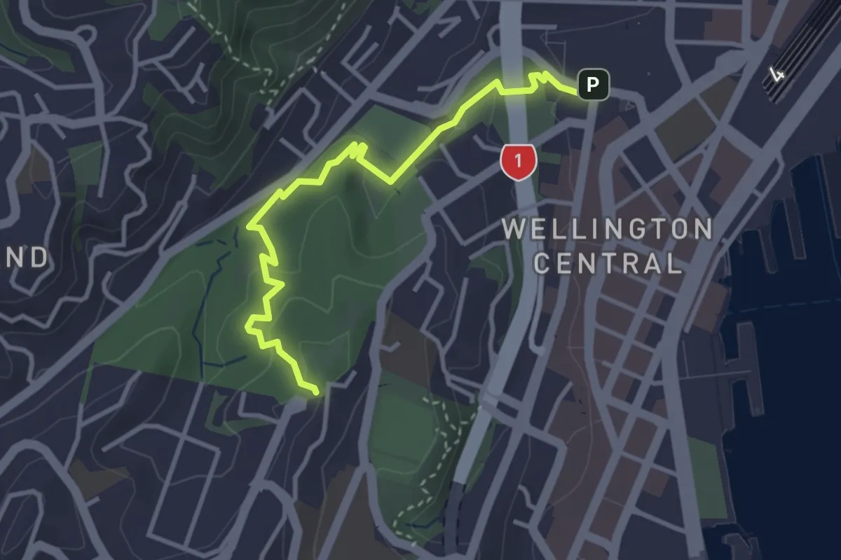
Easy · Trail
Downhill Walk
3.8 km · ↑ 115 m · 1 h 9 min · 1 km away
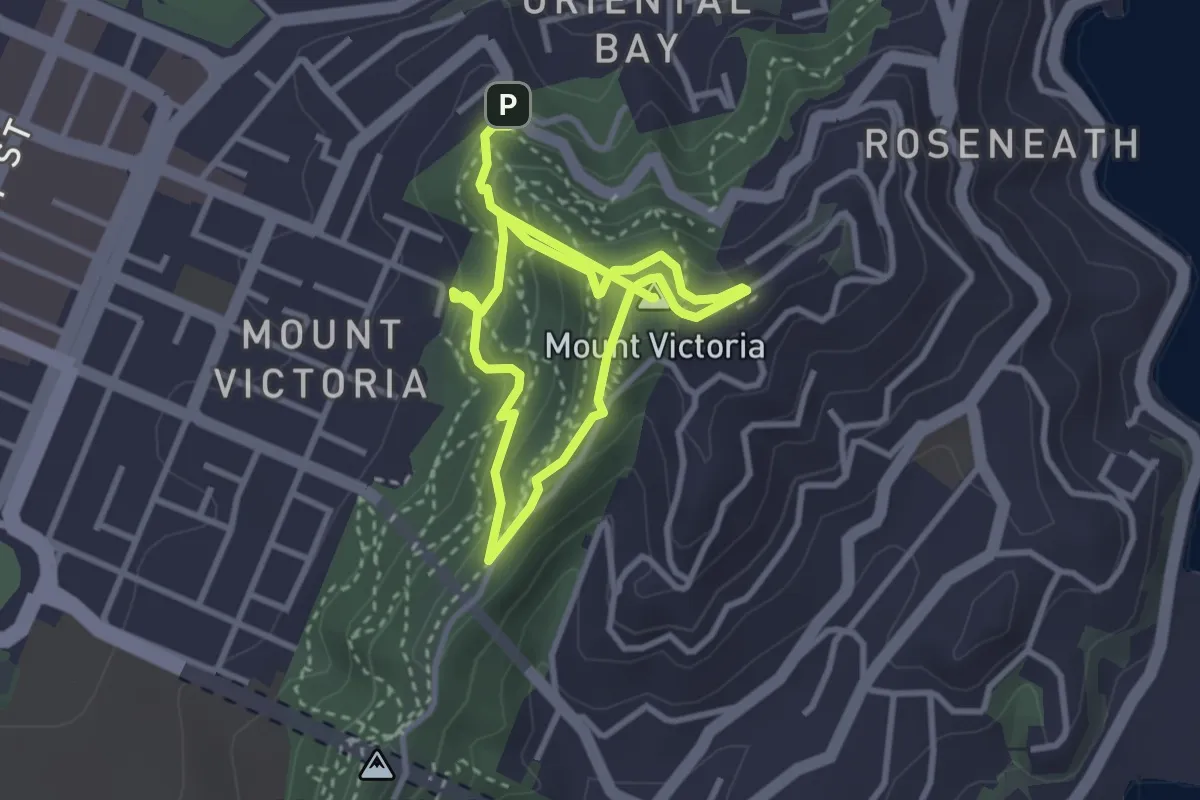
Medium · Summit
Lookout Walkway
5.5 km · ↑ 362 m · 2 h 5 min · 1 km away
Medium · Trail
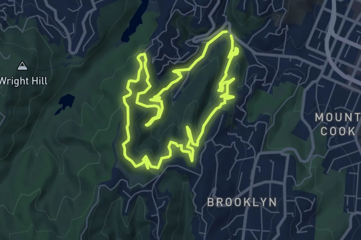
Waimapihi Reserve Loop Walk
7.1 km · ↑ 356 m · 2 h 32 min · 1 km away
Medium · Summit
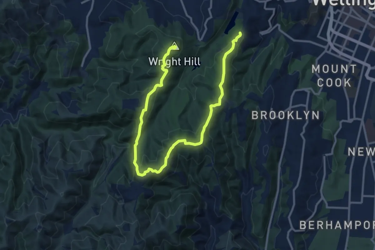
Fenceline
12.6 km · ↑ 545 m · 4 h 10 min · 2 km away
Easy · Trail
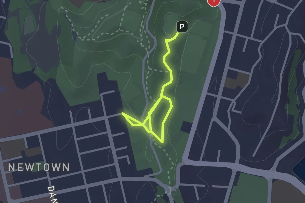
Newtown to Hataitai Walkway
2.9 km · ↑ 87 m · 53 min · 2 km away
Easy · Summit
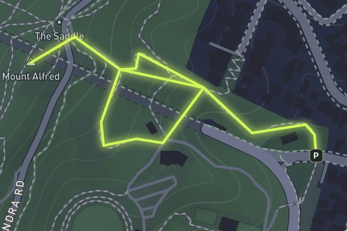
Hataitai to City Walkway
1.8 km · ↑ 146 m · 44 min · 2 km away
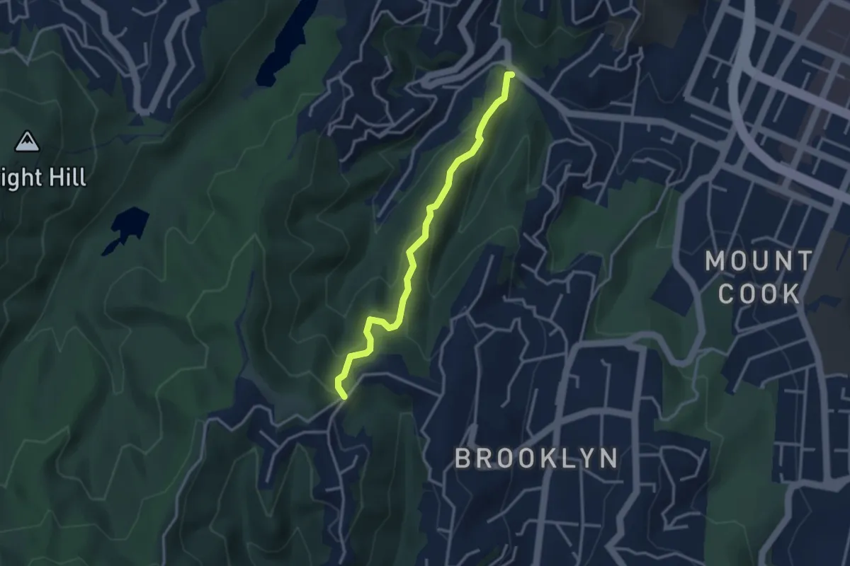
Easy · Trail
Aro St to Ashton Fitchett Dr
3.1 km · ↑ 244 m · 1 h 16 min · 3 km away
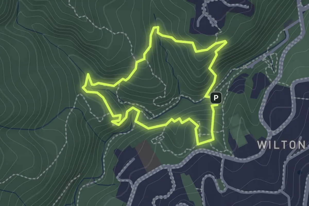
Medium · Trail
Otari-Wilton's Bush circular circuit
2.3 km · ↑ 165 m · 55 min · 3 km away
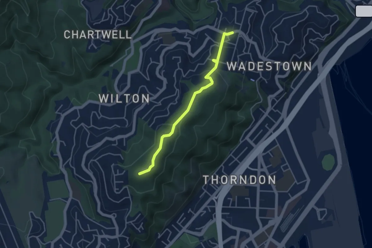
Easy · Summit
Te Ahumairangi ridgeline track
3.8 km · ↑ 182 m · 1 h 18 min · 3 km away
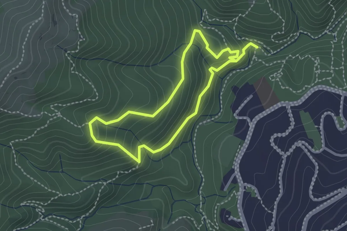
Easy · Trail
OWB - Blue Route
2.1 km · ↑ 156 m · 52 min · 3 km away
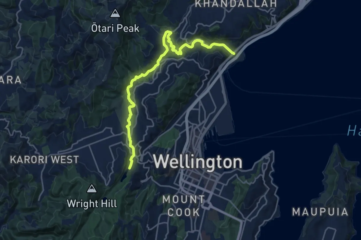
Medium · Trail
Sanctuary to Sea
17.2 km · ↑ 289 m · 4 h 41 min · 3 km away
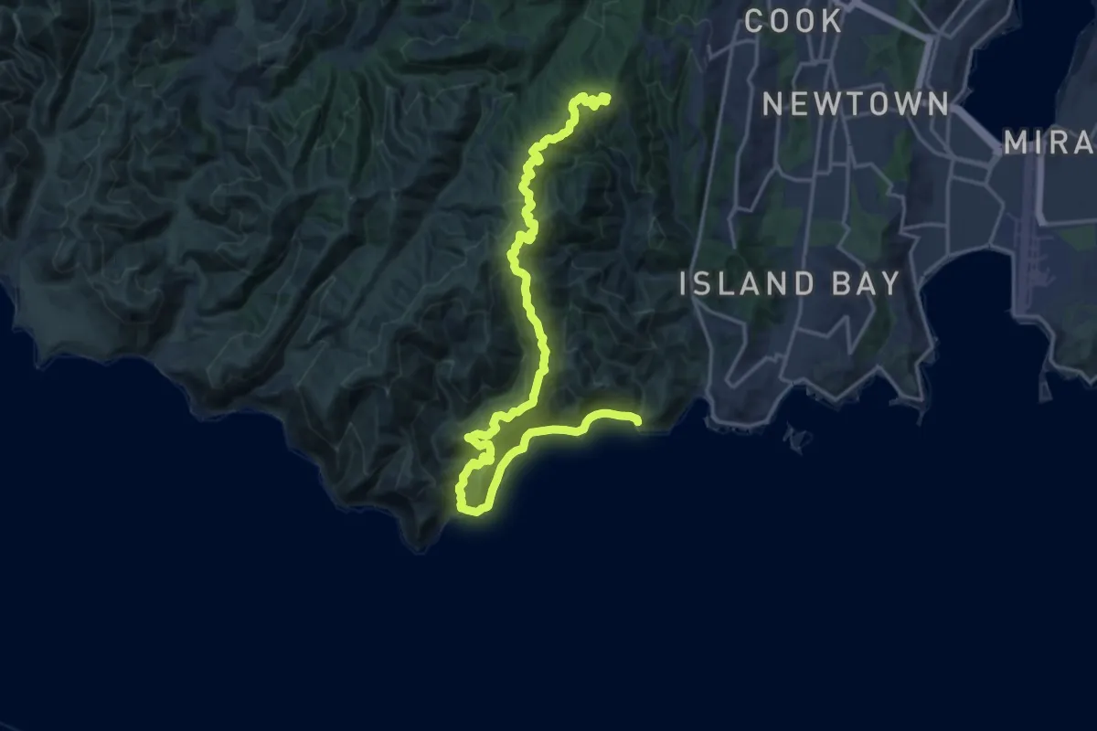
Demanding · Trail
Wind turbine to Red Rocks
23.1 km · ↑ 940 m · 7 h 29 min · 4 km away
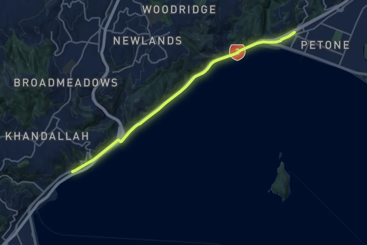
Medium · Trail
Hutt Road shared path - Wellington to Petone
14.4 km · ↑ 91 m · 3 h 35 min · 4 km away
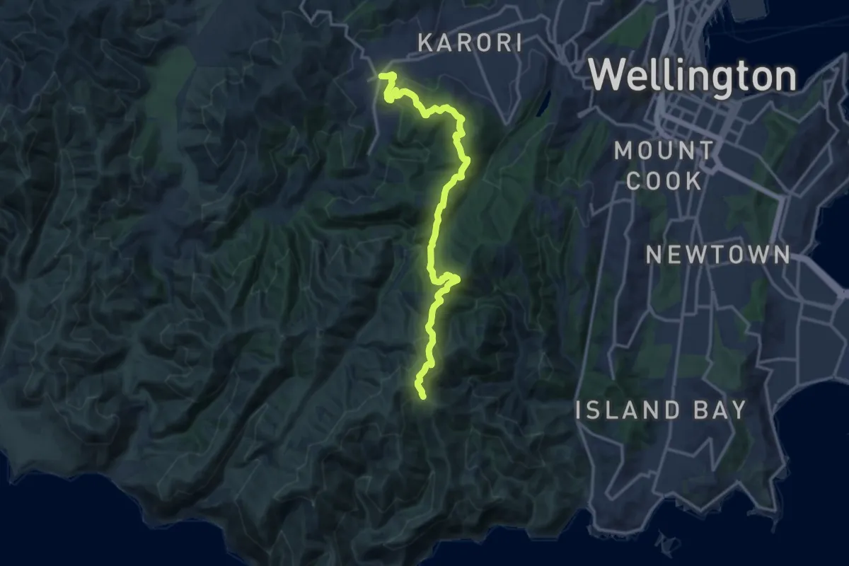
Medium · Trail
link to - Wind Turbine to Red Rocks
14.9 km · ↑ 660 m · 4 h 57 min · 4 km away
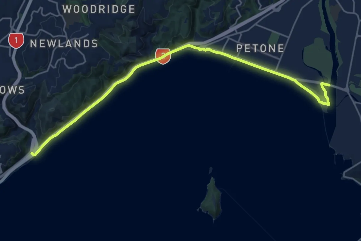
Demanding · Trail
Te Aranui o Pōneke / Great Harbour Way - Ngauranga to Seaview
18.4 km · ↑ 72 m · 4 h 31 min · 5 km away
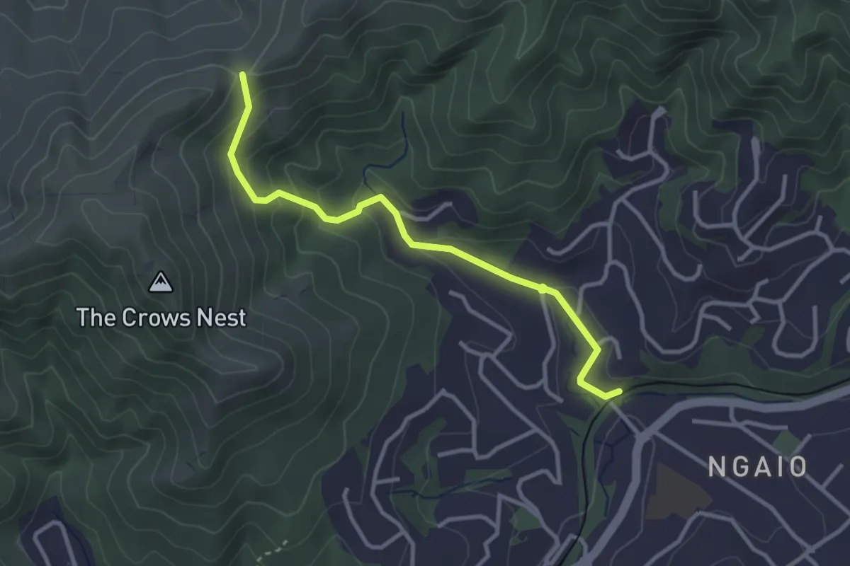
Easy · Trail
Skyline Walkway - access link
3.4 km · ↑ 188 m · 1 h 12 min · 6 km away
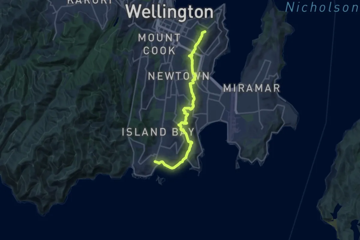
Medium · Summit
Southern Walkway
17.5 km · ↑ 619 m · 5 h 29 min · 6 km away
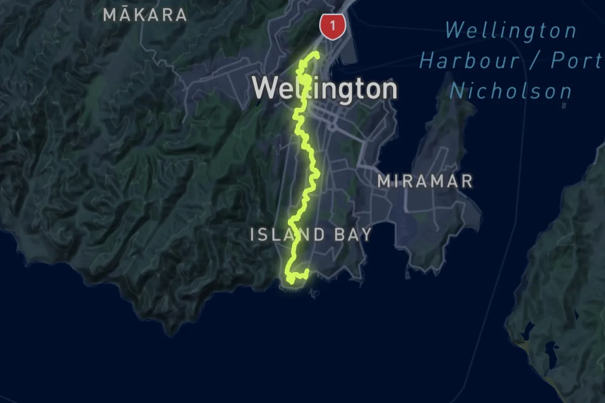
Medium · Trail
City to Sea Walkway
14.0 km · ↑ 609 m · 4 h 49 min · 6 km away
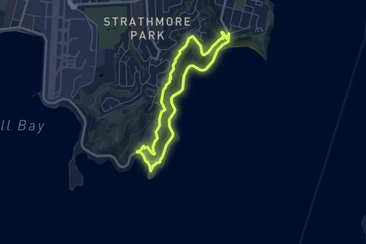
Easy · Trail
Eastern Walkway
5.5 km · ↑ 169 m · 1 h 44 min · 6 km away
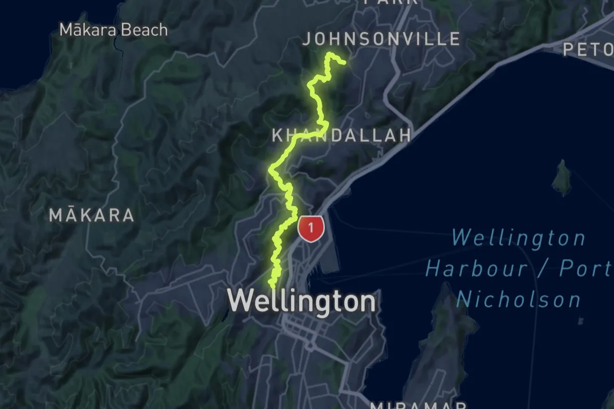
Medium · Trail
Northern Walkway
12.4 km · ↑ 655 m · 4 h 34 min · 7 km away
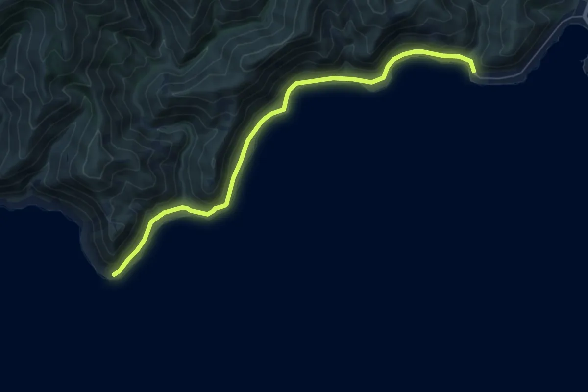
Easy · Trail
Red Rocks
7.5 km · ↑ 74 m · 1 h 56 min · 7 km away
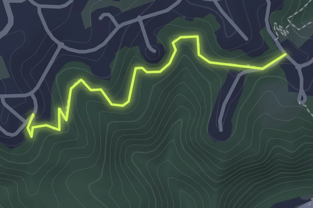
Easy · Trail
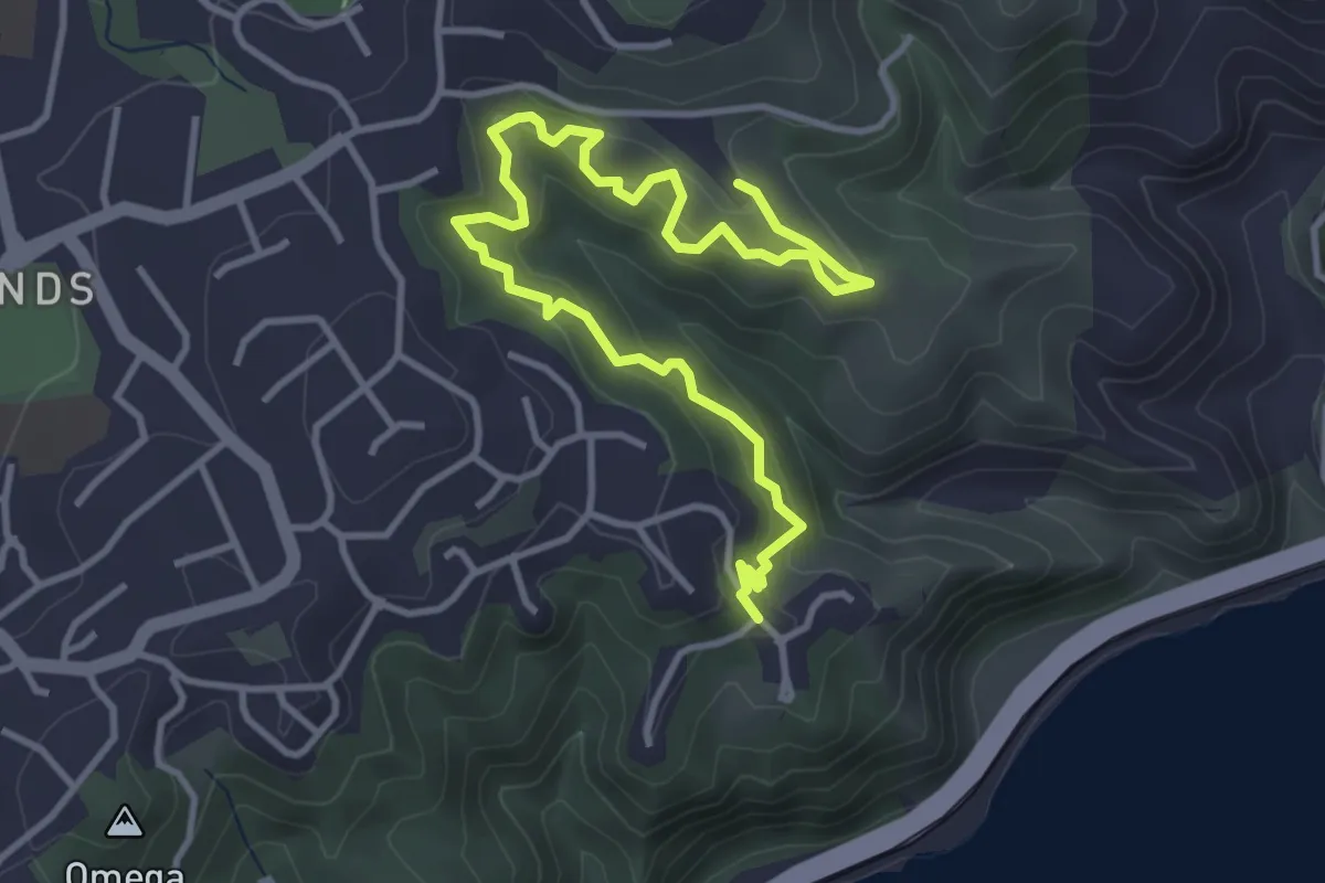
Te Ara Paparangi ki te Tonga
2.3 km · ↑ 124 m · 48 min · 8 km away
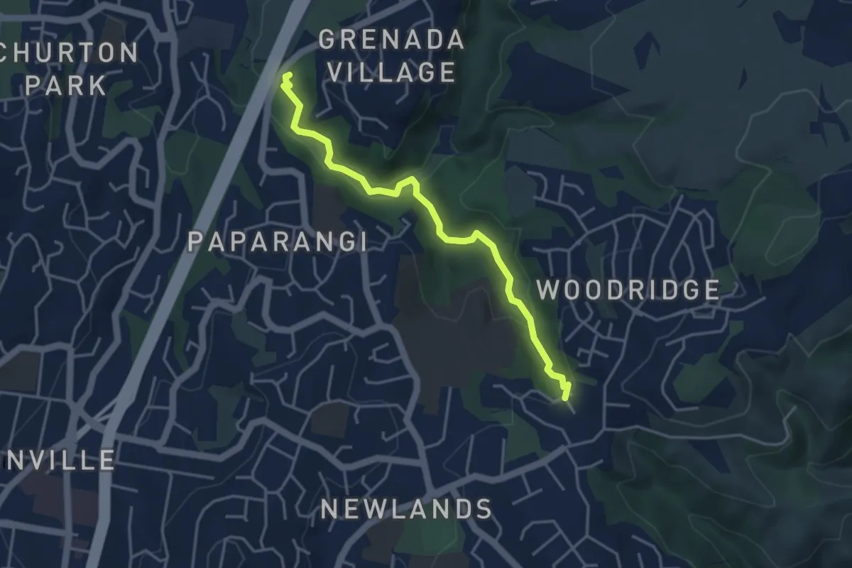
Medium · Trail
Te Ara Paparangi
5.3 km · ↑ 349 m · 2 h · 8 km away
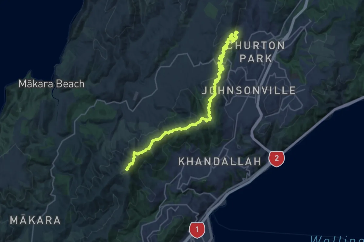
Easy · Trail
Lawson's Track
4.1 km · ↑ 134 m · 1 h 16 min · 9 km away
Demanding · Summit
Skyline Walkway
23.7 km · ↑ 1025 m · 7 h 48 min · 10 km away
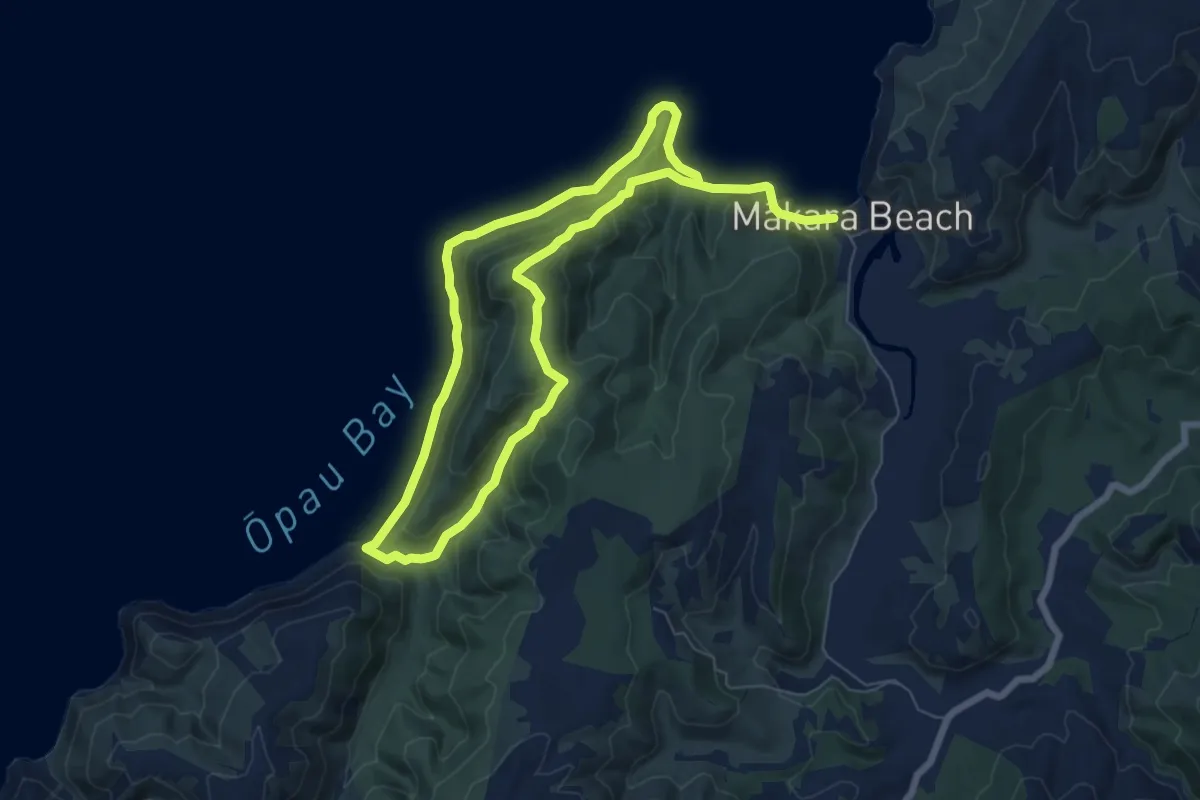
Demanding · Trail
Mākara Walkway
13.3 km · ↑ 558 m · 4 h 21 min · 10 km away
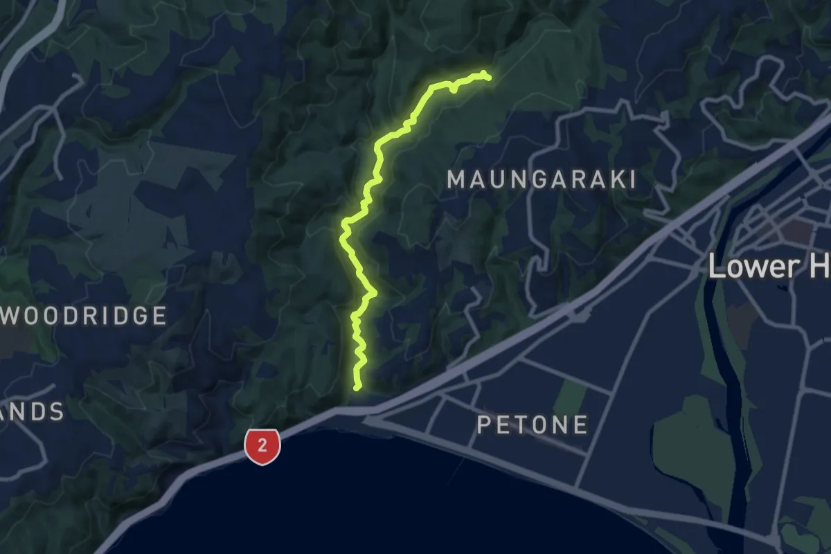
Medium · Trail
Korokoro Valley Walk
8.2 km · ↑ 162 m · 2 h 18 min · 10 km away
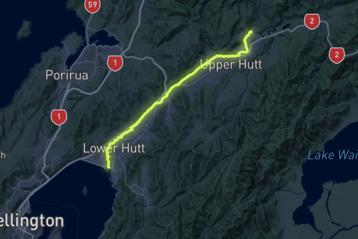
Demanding · Trail
Hutt River Trail west
28.3 km · ↑ 115 m · 7 h 17 min · 12 km away
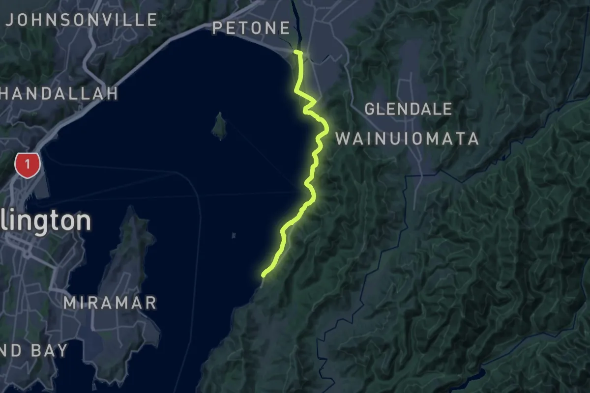
Demanding · Trail
Te Aranui o Pōneke / Great Harbour Way - Seaview to Eastborne
21.8 km · ↑ 203 m · 5 h 36 min · 12 km away
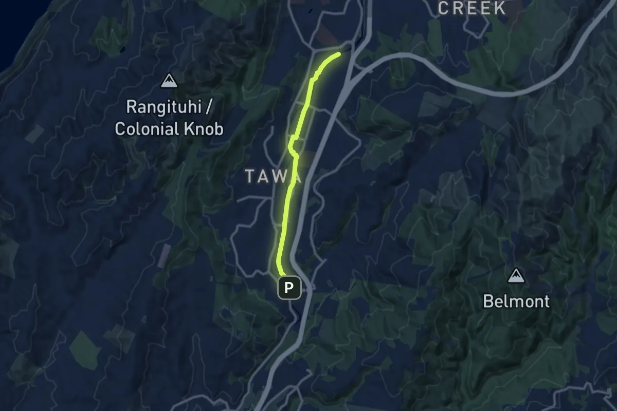
Medium · Trail
Ara Tawa
9.1 km · ↑ 30 m · 2 h 13 min · 12 km away
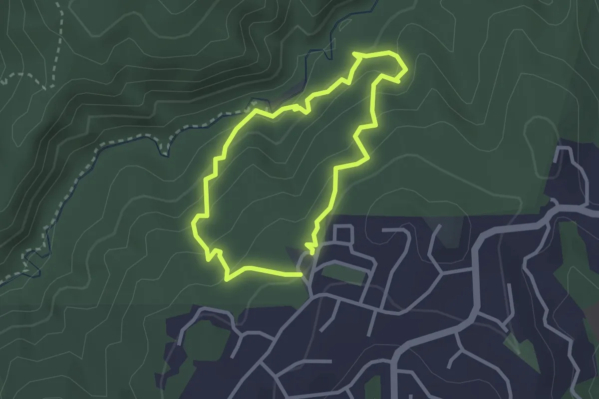
Easy · Trail
Korokoro Dam Loop Track
2.3 km · ↑ 152 m · 55 min · 13 km away
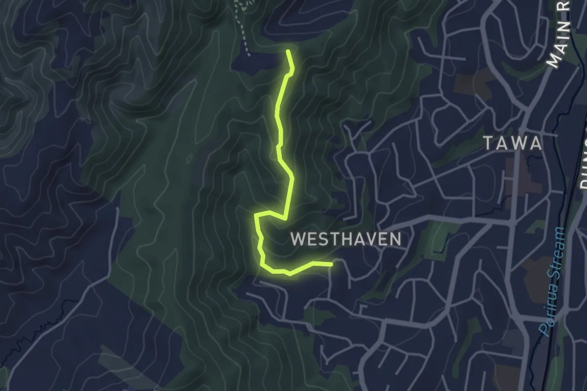
Easy · Trail
Te Ngahere-O-Tawa Track
3.1 km · ↑ 169 m · 1 h 6 min · 13 km away
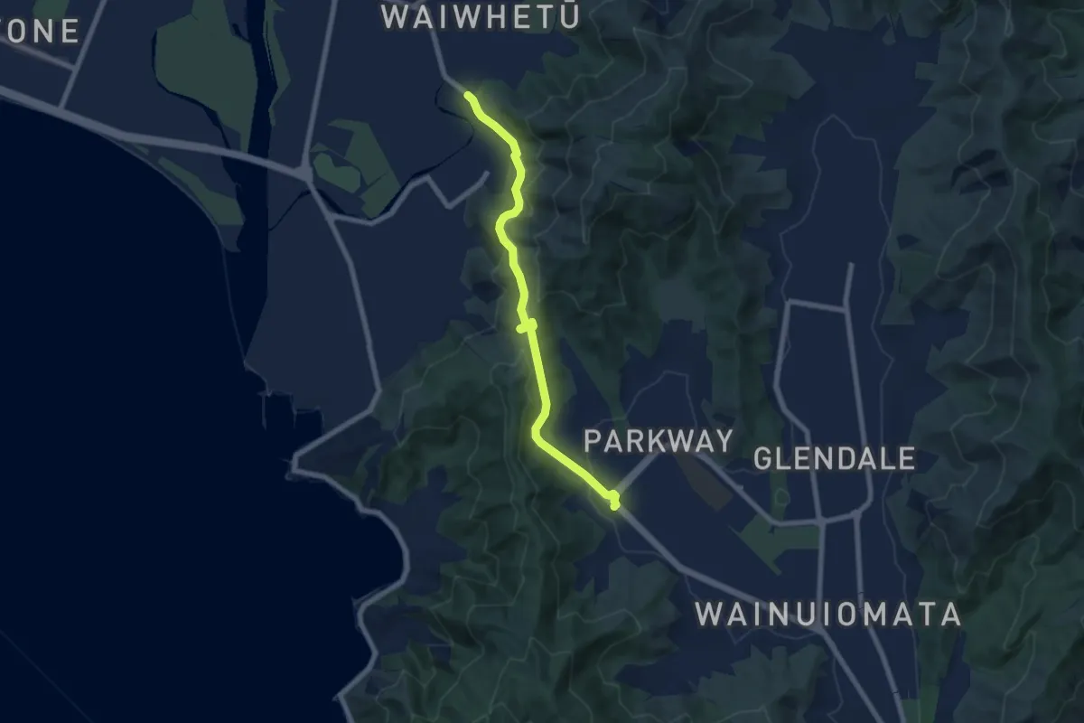
Easy · Trail
Wainuiomata Hill Shared Path
7.4 km · ↑ 279 m · 2 h 22 min · 14 km away
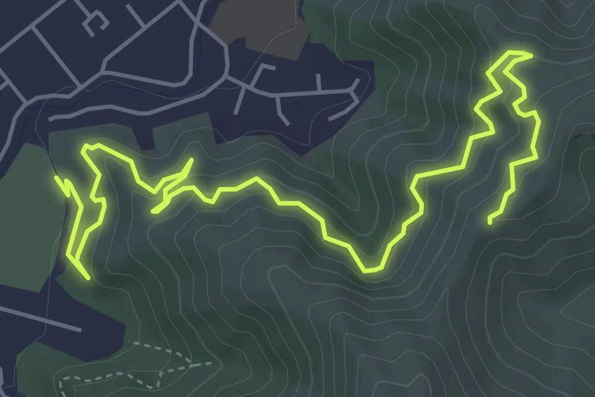
Medium · Trail
Te Whiti Riser
7.0 km · ↑ 439 m · 2 h 36 min · 14 km away
Medium · Trail
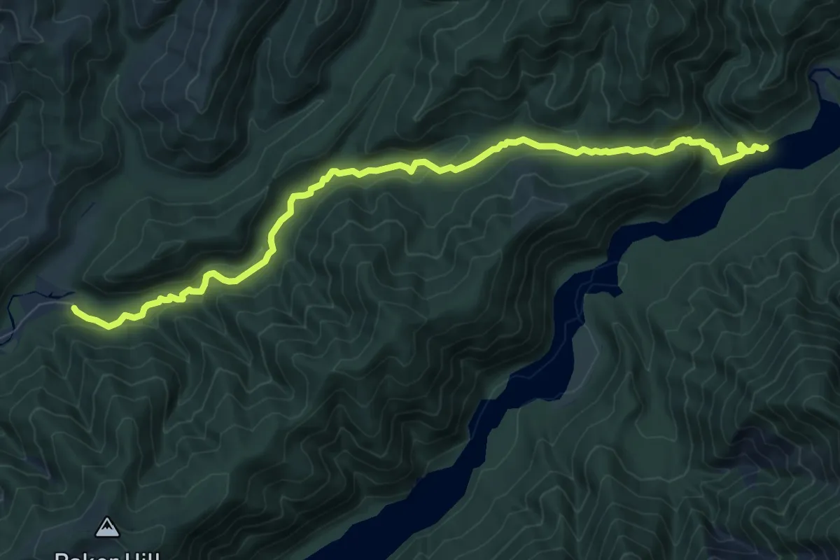
Ōrongorongo Track
9.9 km · ↑ 390 m · 3 h 11 min · 14 km away
Medium · Summit
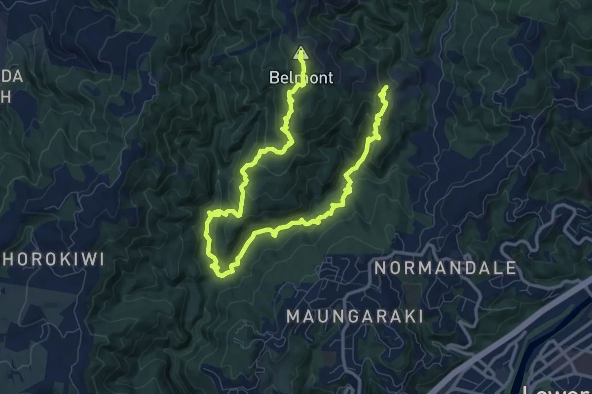
Belmont Trig Loop
13.7 km · ↑ 770 m · 4 h 54 min · 14 km away