Trails in New Zealand
519 hiking trails, each with its route, climb, walking time and grade.
All trails, page 8 of 11
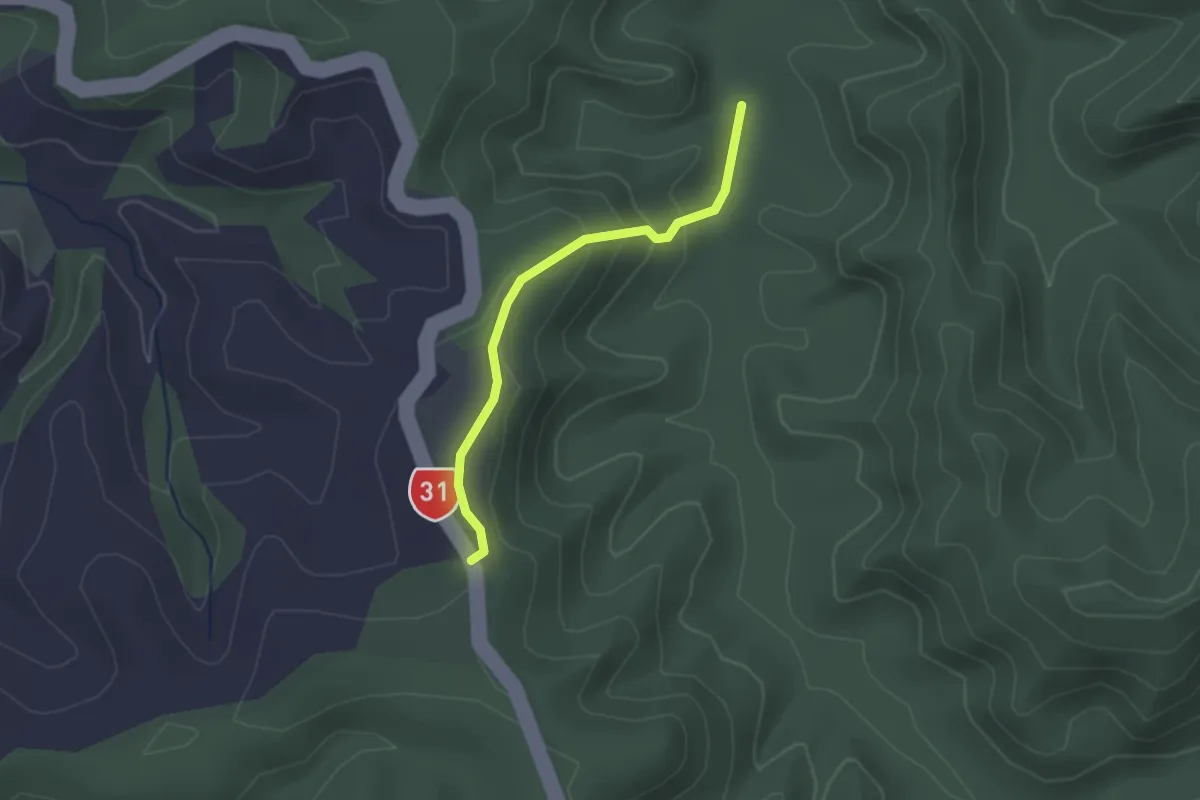
Easy · Trail
Sheep Track
2.1 km · ↑ 118 m · 45 min
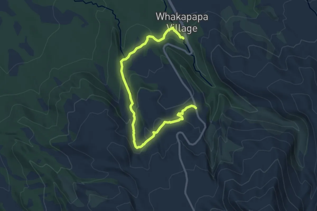
Medium · Trail
Silica Rapids Walk
9.2 km · ↑ 275 m · 2 h 46 min
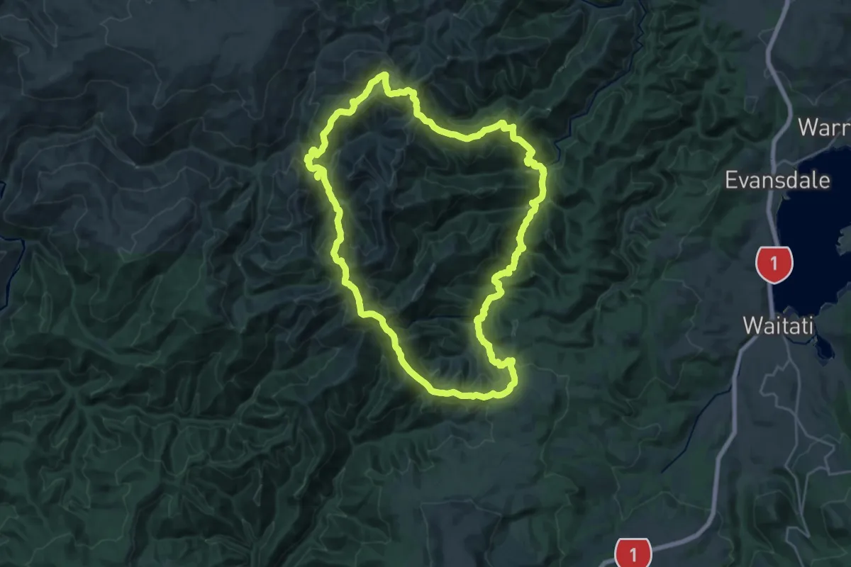
Demanding · Summit
Silverpeaks Circuit Track
24.7 km · ↑ 1501 m · 9 h 26 min
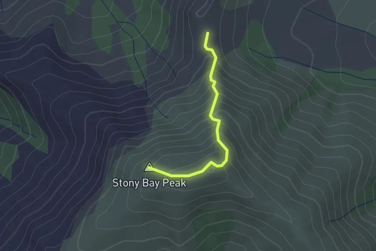
Easy · Summit
Skyline Circuit
1.9 km · ↑ 236 m · 57 min
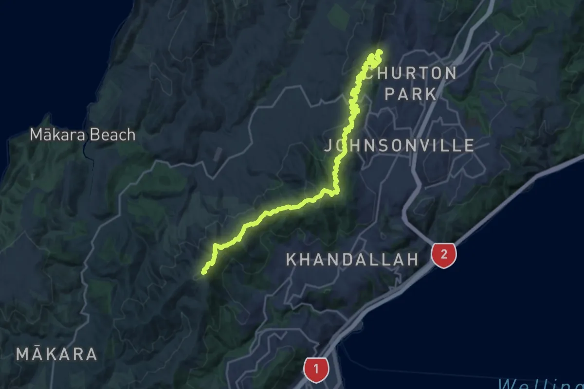
Demanding · Summit
Skyline Walkway
23.7 km · ↑ 1025 m · 7 h 48 min
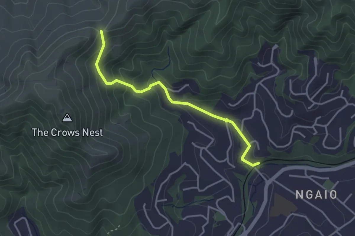
Easy · Trail
Skyline Walkway - access link
3.4 km · ↑ 188 m · 1 h 12 min
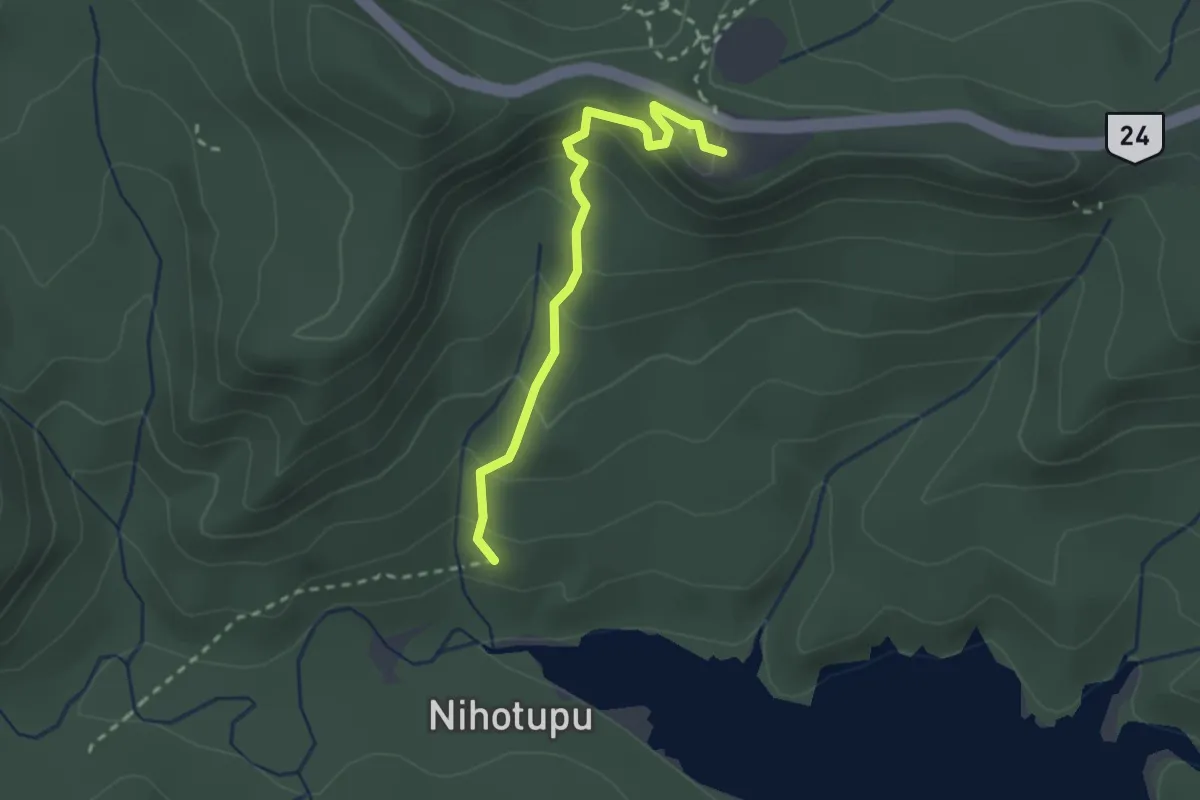
Easy · Trail
Slip Track
2.7 km · ↑ 187 m · 1 h 3 min
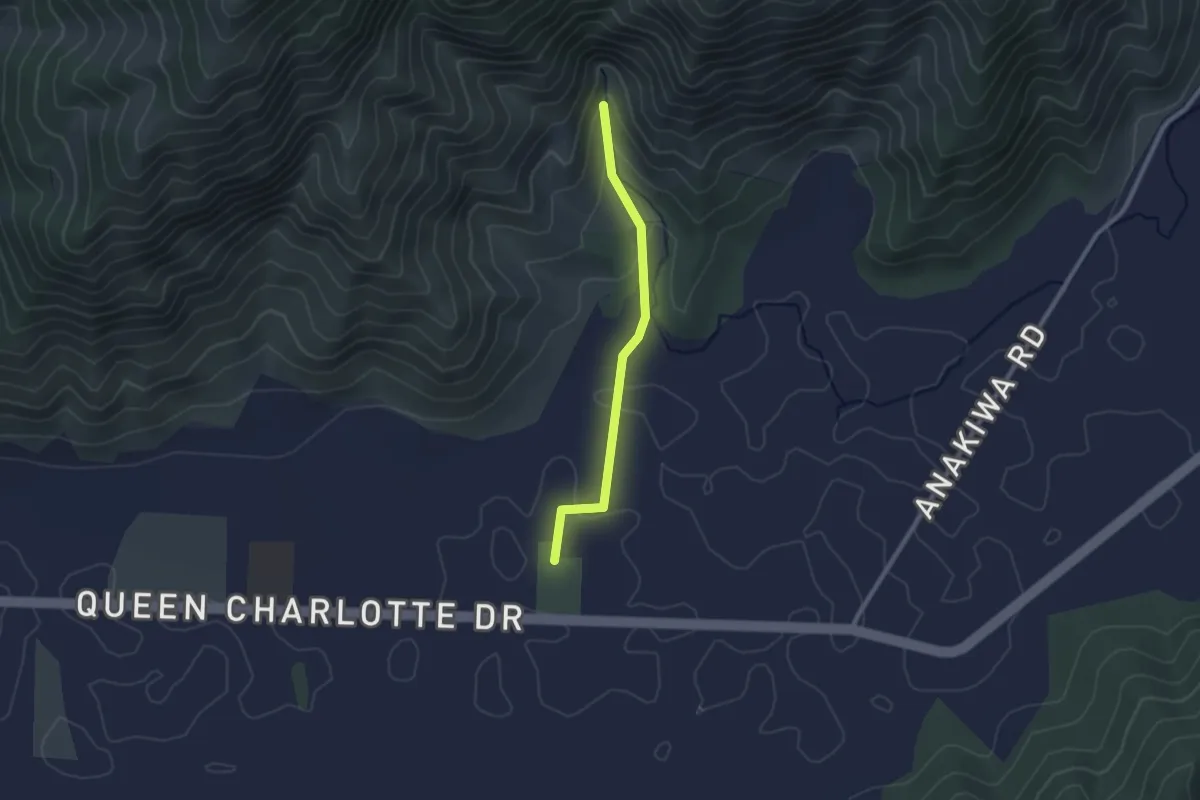
Easy · Trail
Smiths Farm Farm + Bush Walk
2.3 km · ↑ 61 m · 41 min
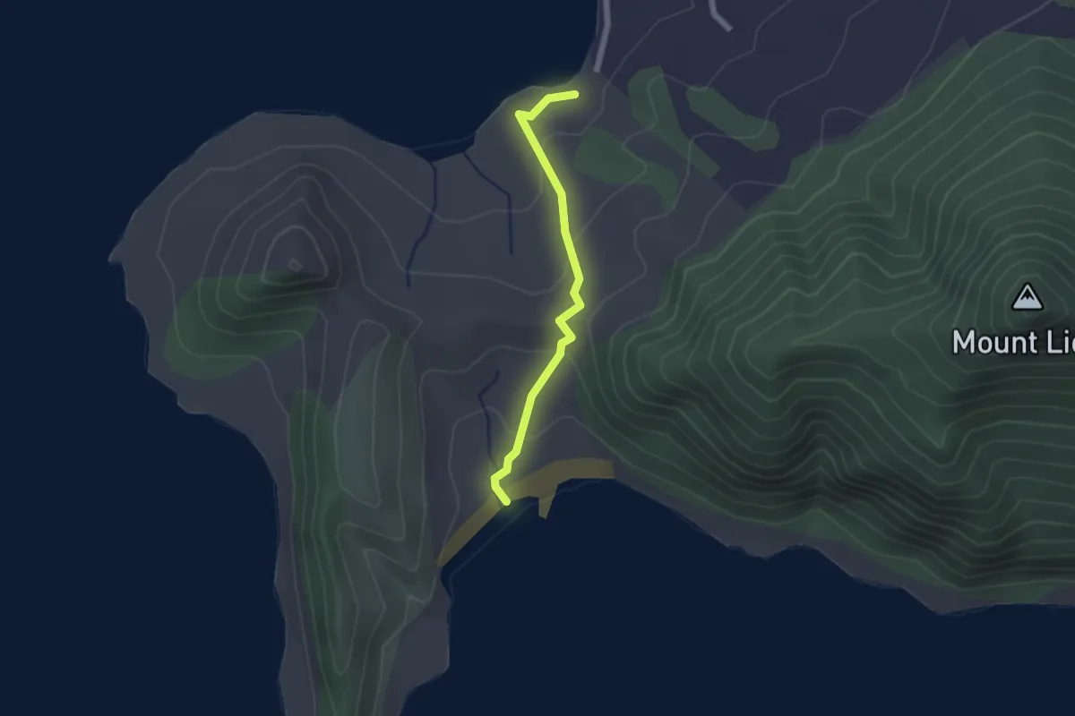
Easy · Trail
Smugglers Bay Track
2.0 km · ↑ 95 m · 41 min
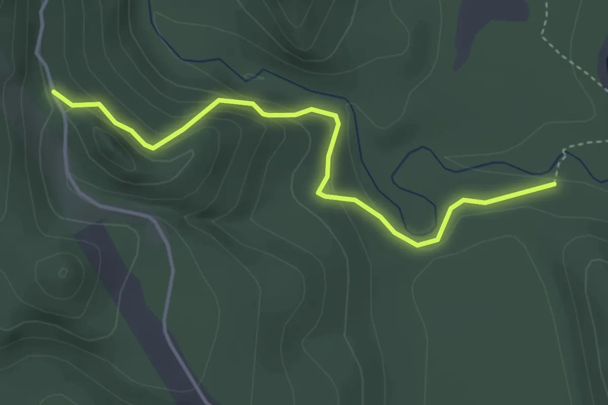
Easy · Trail
South Borland Track to Borland Road Gate
3.8 km · ↑ 214 m · 1 h 22 min
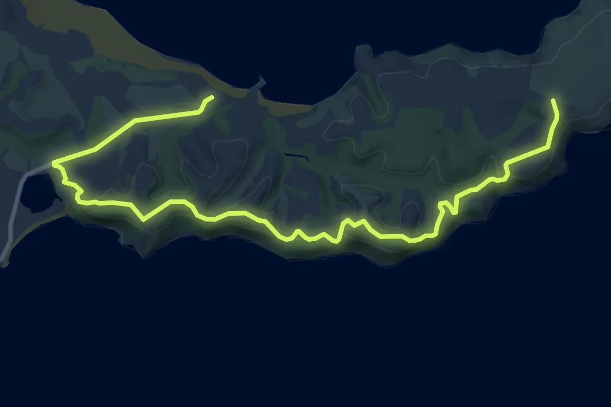
Medium · Trail
South Coast Track
11.7 km · ↑ 227 m · 3 h 15 min
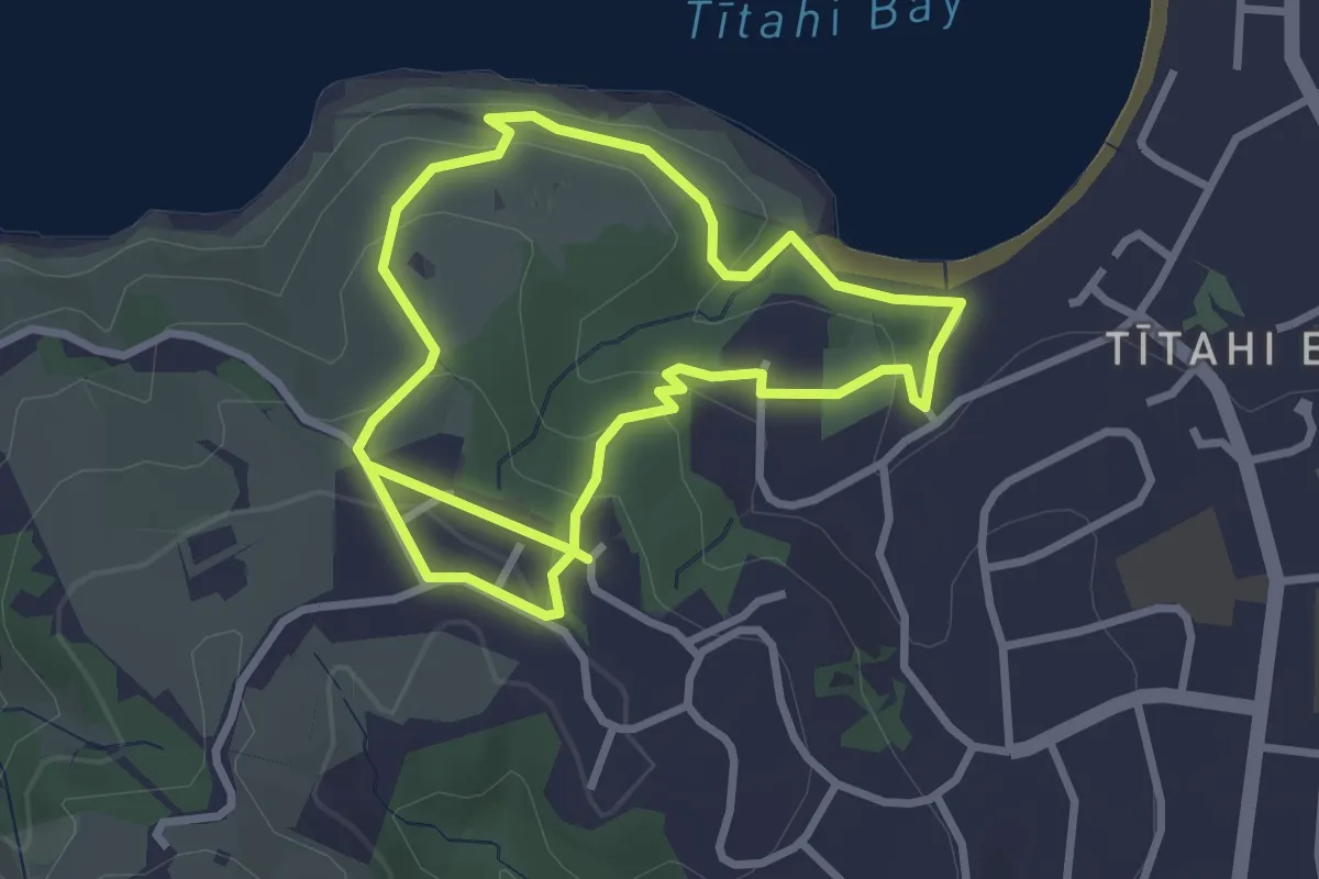
Easy · Trail
Southern Clifftop Walkway
6.0 km · ↑ 193 m · 1 h 50 min
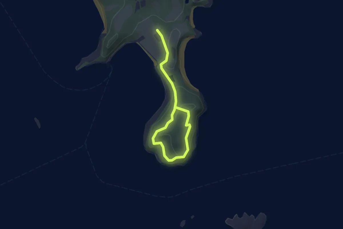
Easy · Trail
Southern Loop
3.8 km · ↑ 95 m · 1 h 5 min
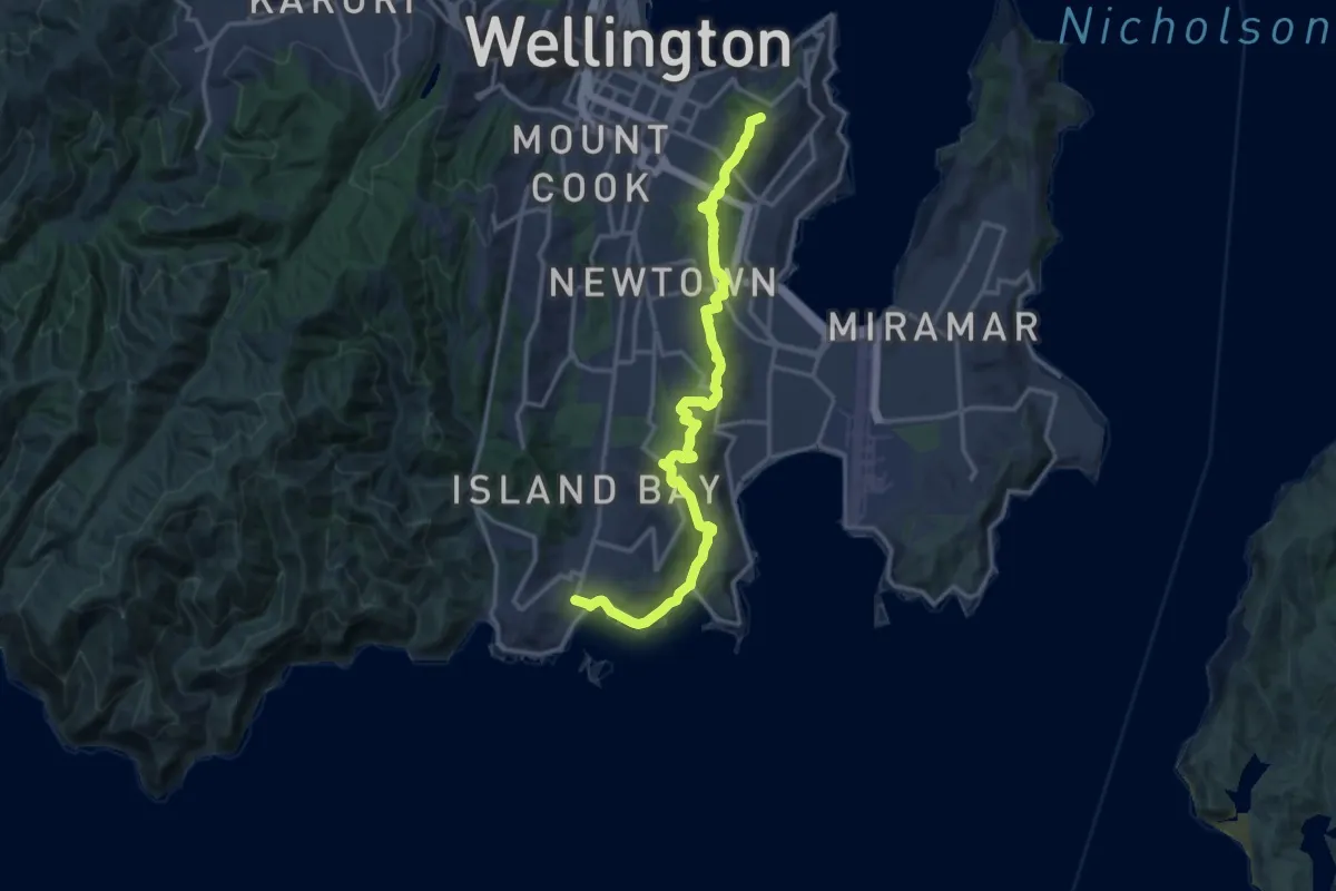
Medium · Summit
Southern Walkway
17.5 km · ↑ 619 m · 5 h 29 min
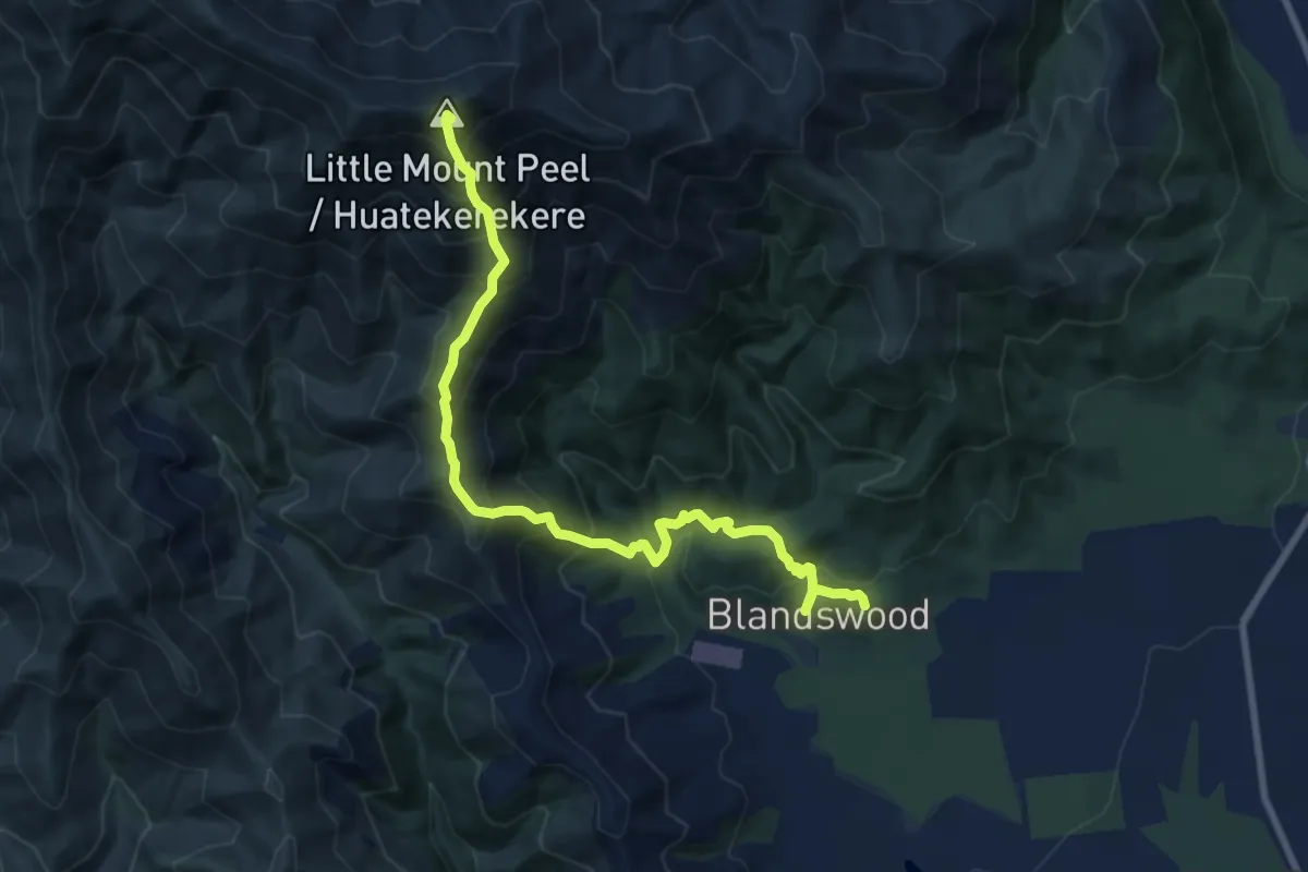
Demanding · Summit
South Ridge Track
9.3 km · ↑ 1107 m · 4 h 35 min
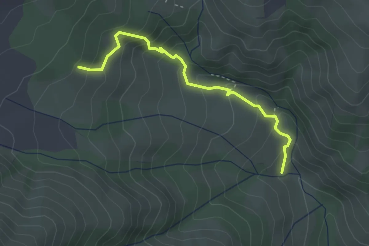
Easy · Trail
South Track
3.3 km · ↑ 294 m · 1 h 25 min
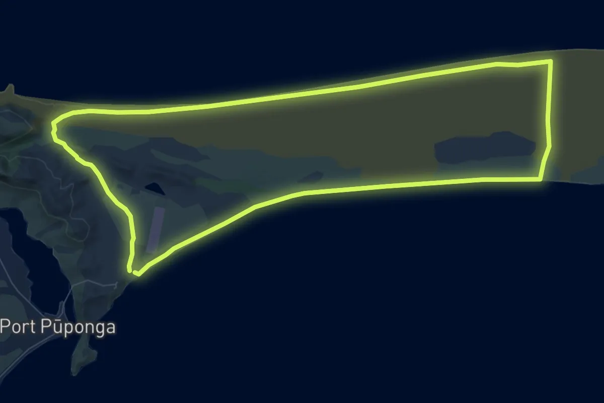
Medium · Trail
Spit Walk
11.1 km · ↑ 85 m · 2 h 57 min
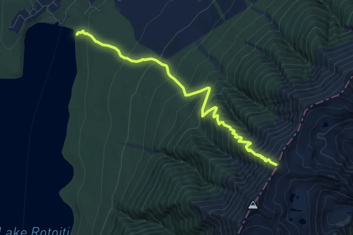
Demanding · Trail
St Arnaud Range Track
10.1 km · ↑ 1070 m · 4 h 42 min
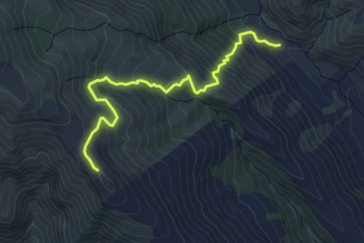
Medium · Trail
Stones Track
6.0 km · ↑ 484 m · 2 h 29 min
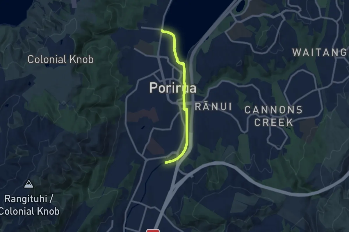
Easy · Trail
Streamside Park Pathways
6.7 km · ↑ 18 m · 1 h 37 min
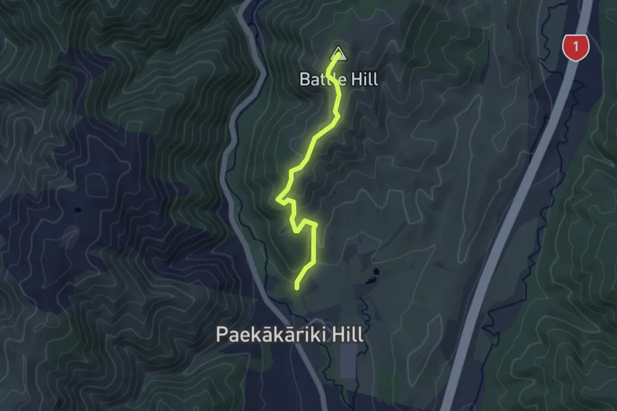
Easy · Summit
Summit Loop
3.0 km · ↑ 189 m · 1 h 7 min
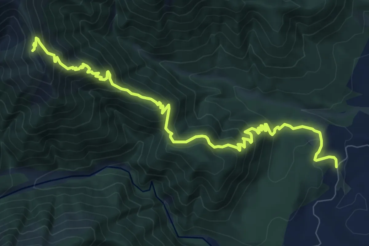
Demanding · Cabin
Sunrise Track
11.1 km · ↑ 818 m · 4 h 23 min
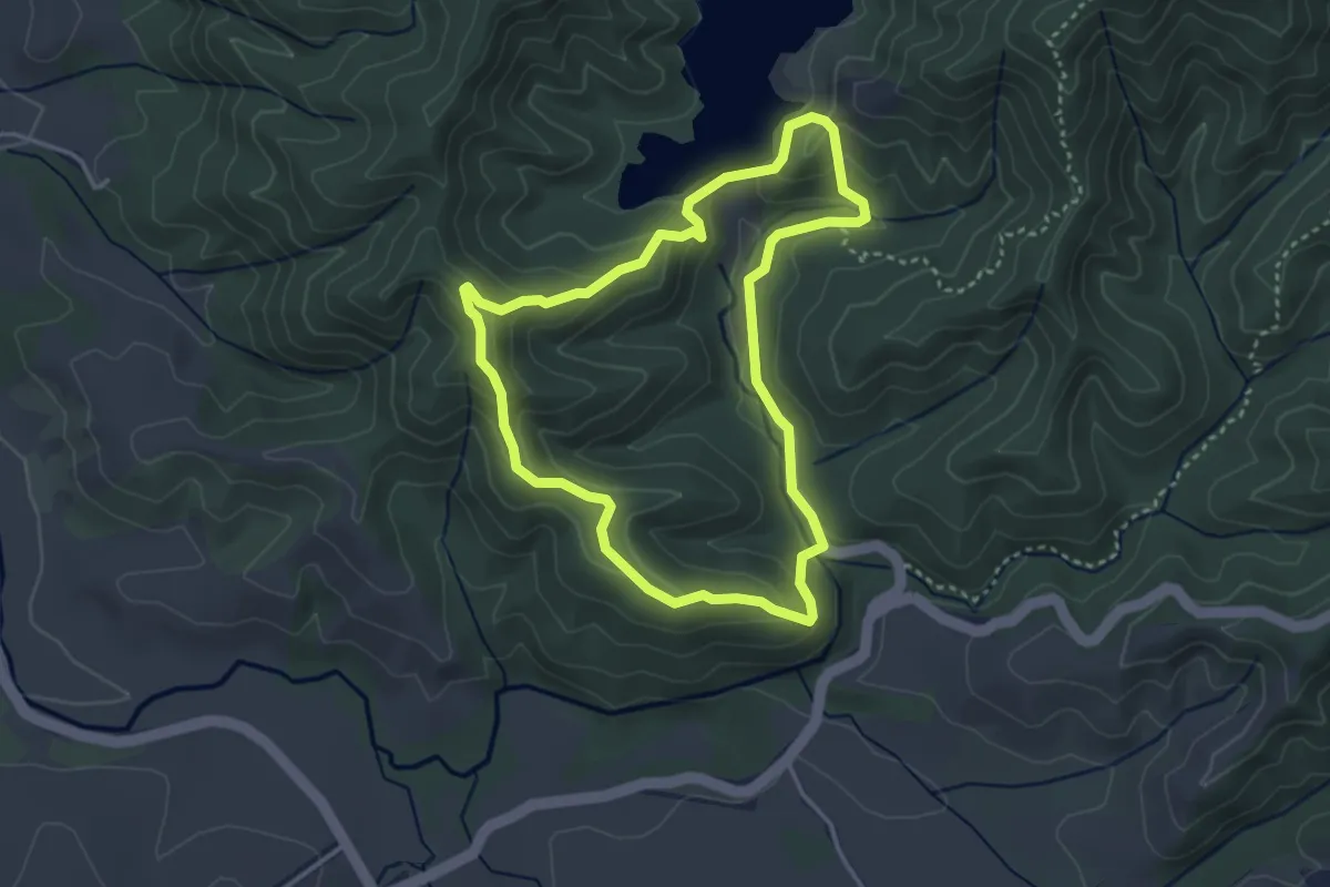
Easy · Trail
Suspension Bridge Loop
3.8 km · ↑ 179 m · 1 h 20 min
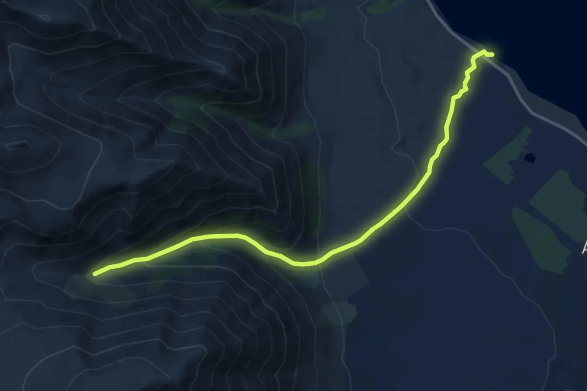
Medium · Trail
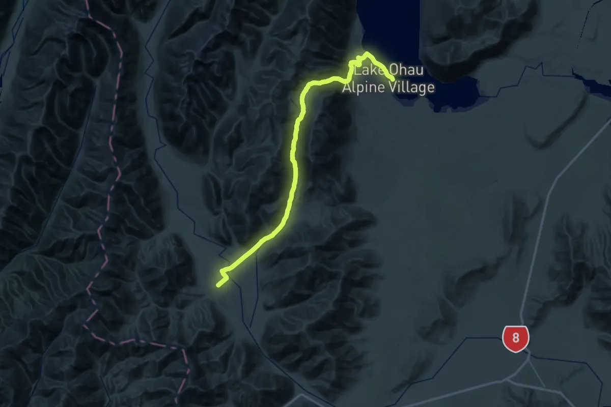
TA08g Ahuriri Track
10.7 km · ↑ 561 m · 3 h 45 min
Demanding · Trail
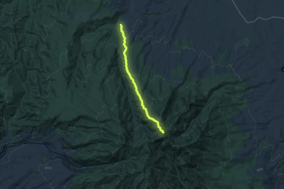
TA08g East Ahuriri Track
30.0 km · ↑ 824 m · 9 h 24 min
Demanding · Trail
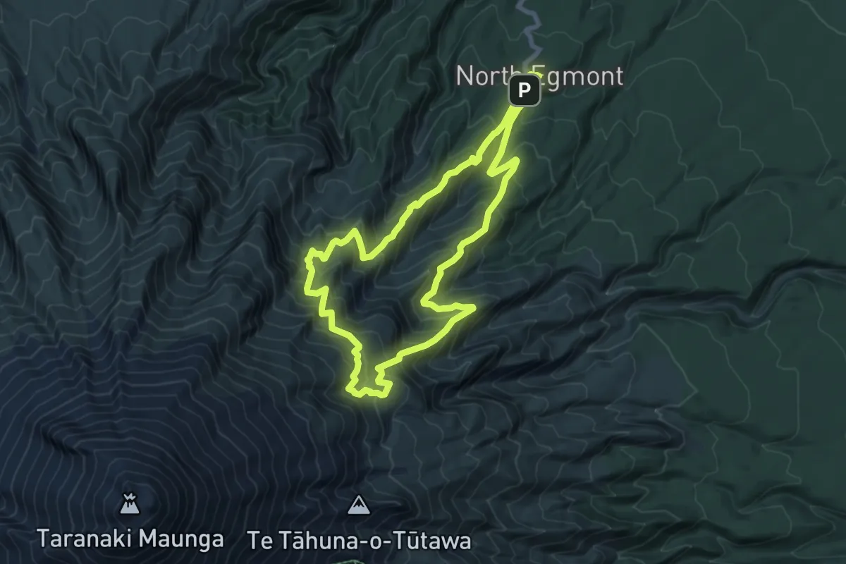
Tahuanui Track
13.6 km · ↑ 832 m · 5 h 1 min
Medium · Cabin
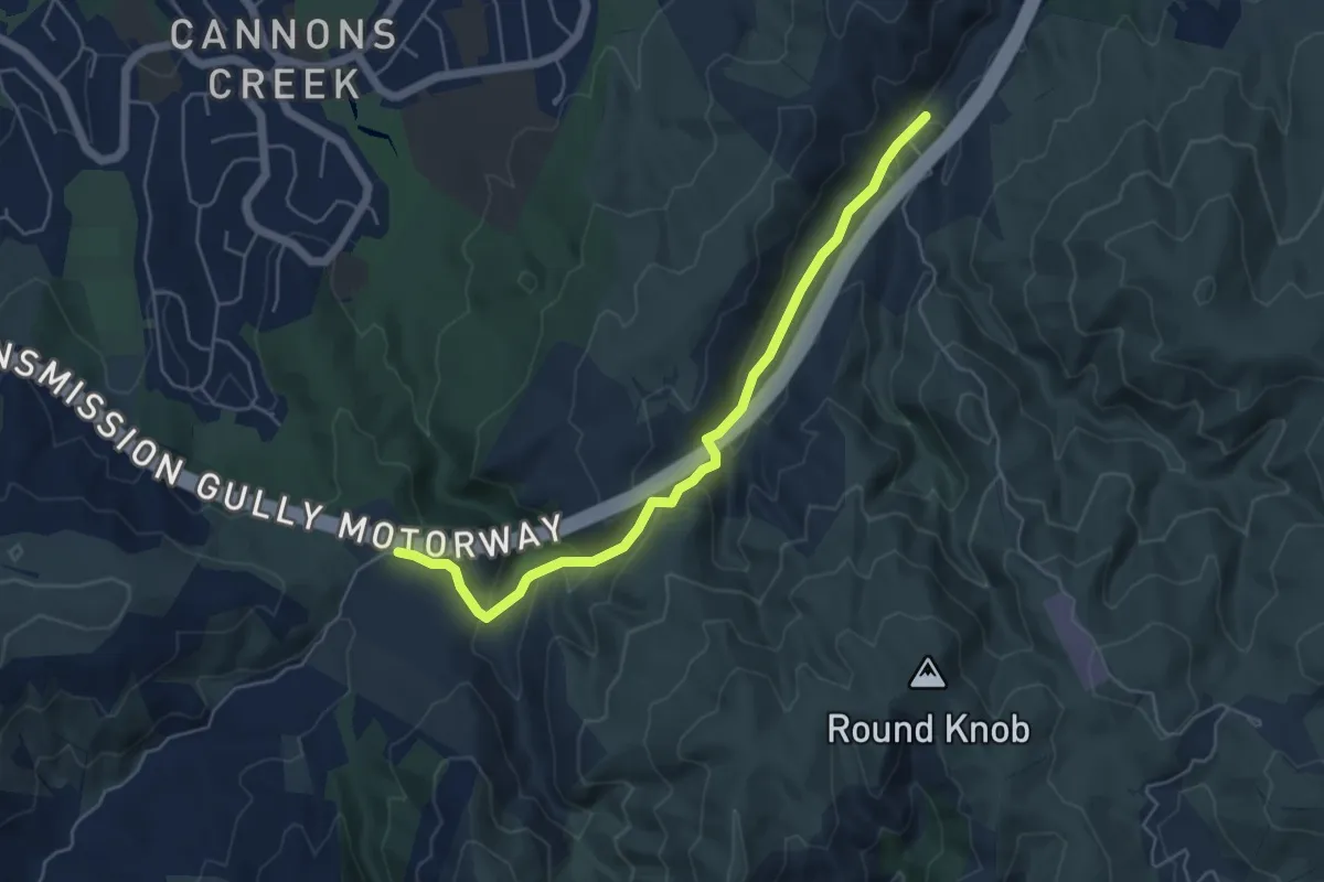
Tahurangi Translator Tower Round Trip
7.9 km · ↑ 649 m · 3 h 24 min
Easy · Trail
Takapu Road Trail
5.7 km · ↑ 233 m · 1 h 51 min
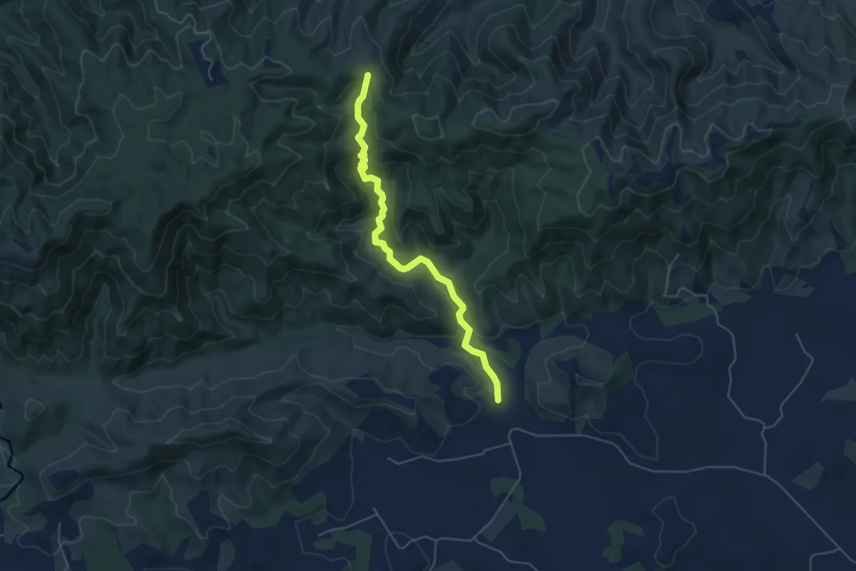
Easy · Trail
Tanekaha Falls Track
5.7 km · ↑ 214 m · 1 h 49 min
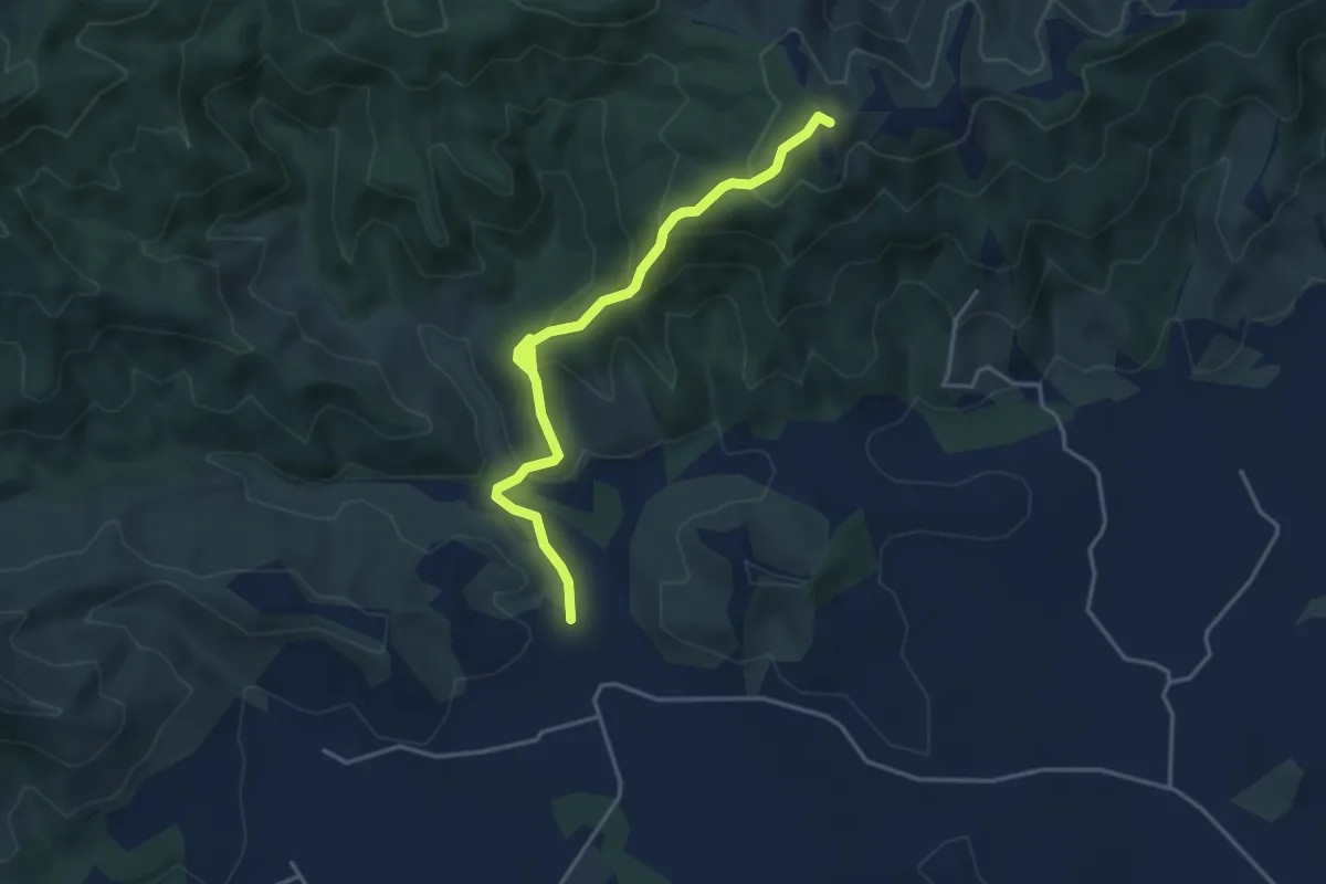
Easy · Trail
Tanekaha Forest Track
4.7 km · ↑ 273 m · 1 h 42 min
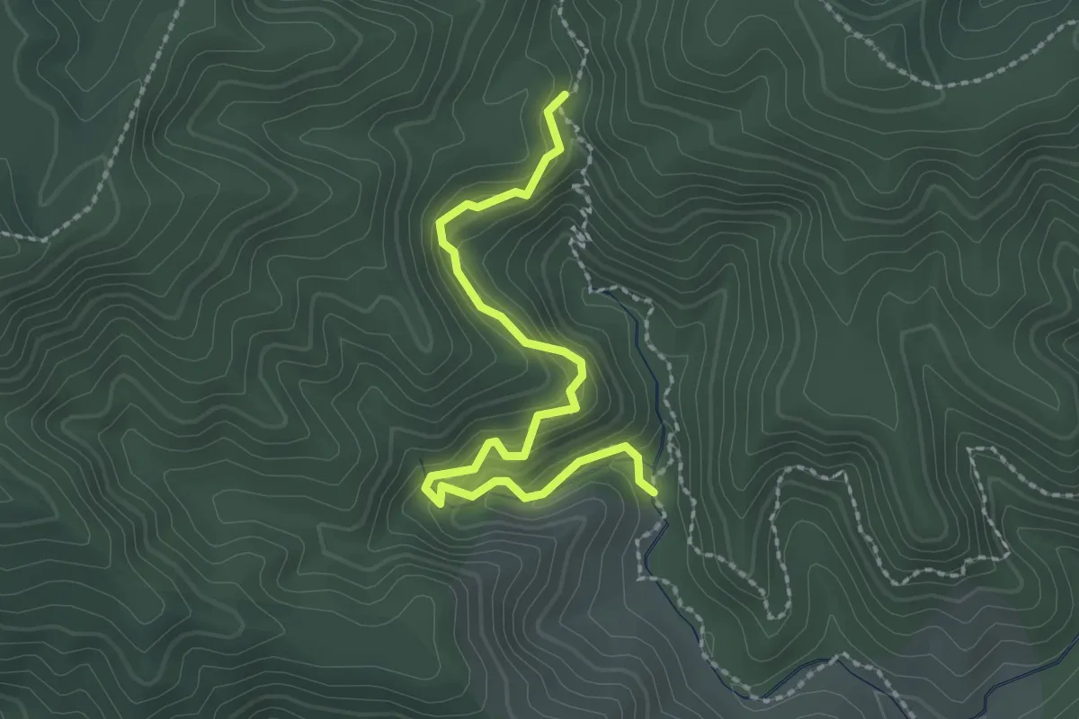
Easy · Trail
Tanekaha Pūriri Track
2.8 km · ↑ 188 m · 1 h 4 min
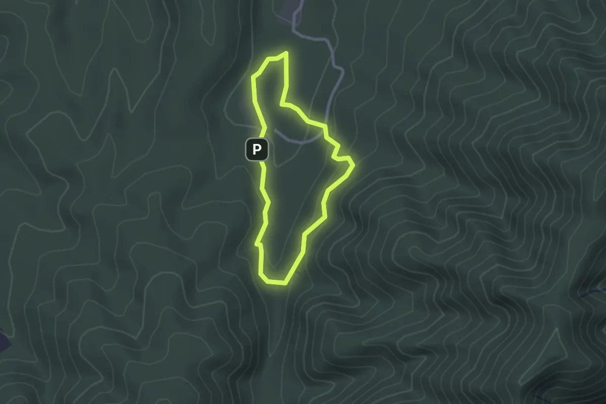
Easy · Trail
Tane's Track
2.1 km · ↑ 74 m · 42 min
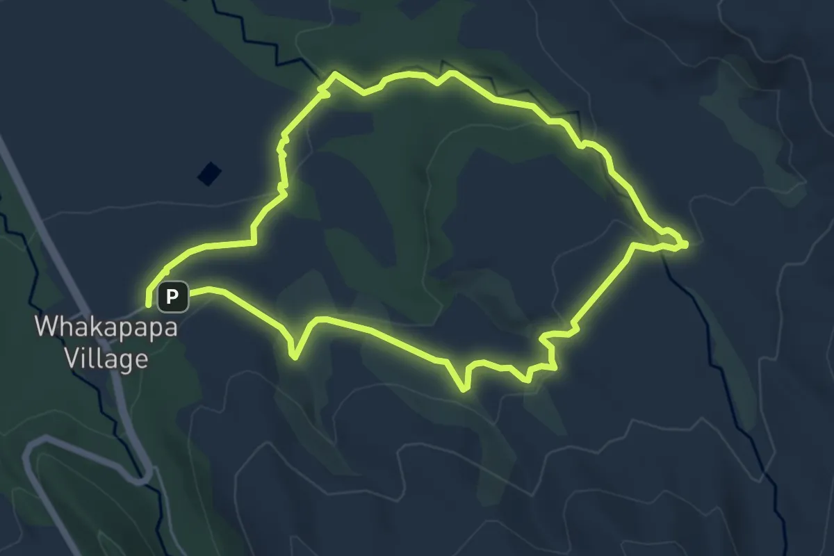
Easy · Trail
Taranaki Falls Walk
5.9 km · ↑ 121 m · 1 h 44 min
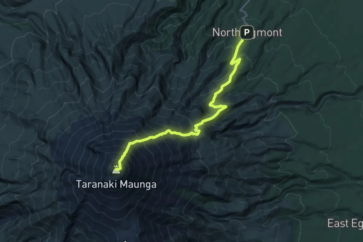
Expert · Summit
Taranaki Maunga Summit Climb
11.8 km · ↑ 1618 m · 6 h 18 min
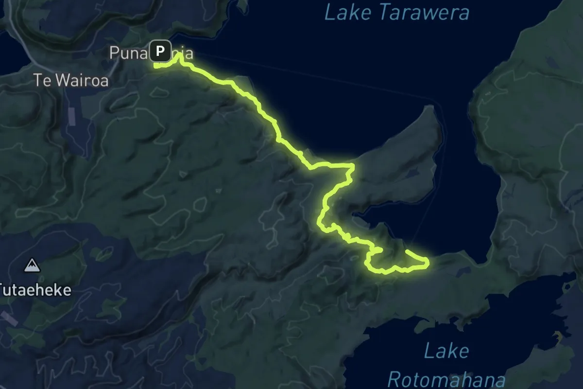
Demanding · Trail
Tarawera Trail
23.9 km · ↑ 869 m · 7 h 31 min
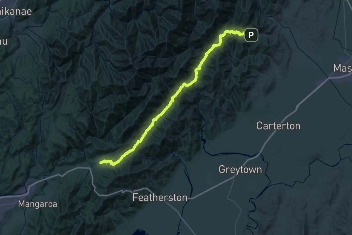
Demanding · Trail
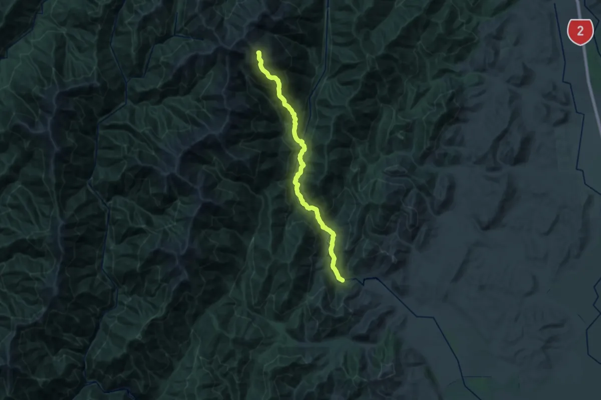
TAR - Holdsworth to Kaitoke Track
37.9 km · ↑ 1643 m · 13 h 4 min
Demanding · Summit
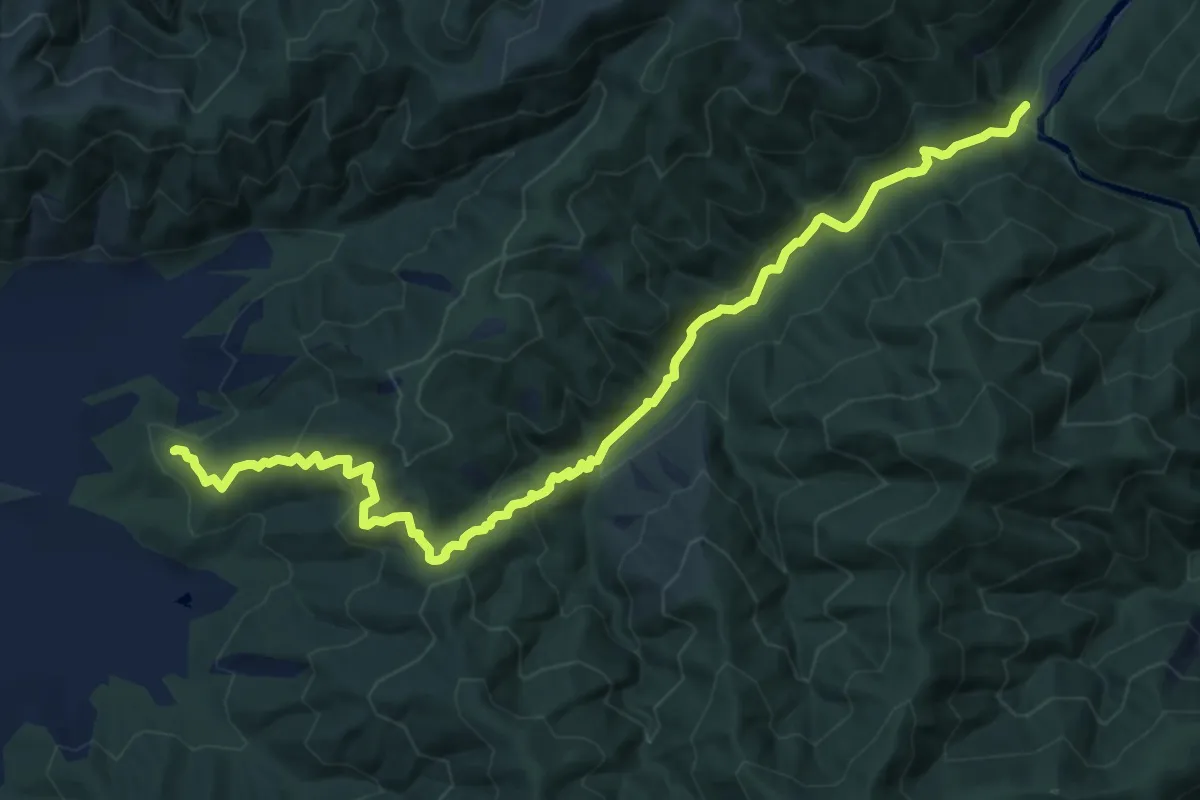
TAR - northern crossing
23.8 km · ↑ 1757 m · 9 h 26 min
Medium · Cabin
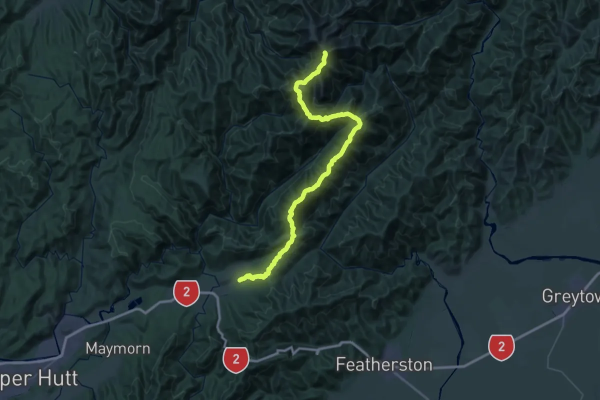
TAR - Smith Creek
12.8 km · ↑ 603 m · 4 h 19 min
Demanding · Summit
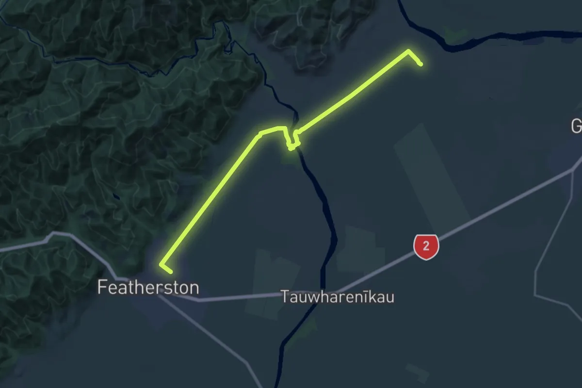
TAR - southern crossing
46.3 km · ↑ 2938 m · 17 h 18 min
Demanding · Trail
Tauwharenīkau Trail
20.5 km · ↑ 64 m · 4 h 59 min
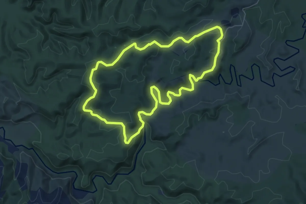
Medium · Trail
Tawarau Falls Loop
6.6 km · ↑ 203 m · 2 h 5 min
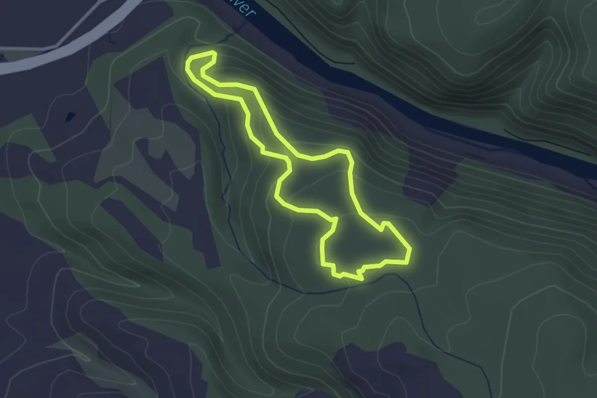
Easy · Trail
Tawa Track
2.8 km · ↑ 134 m · 59 min
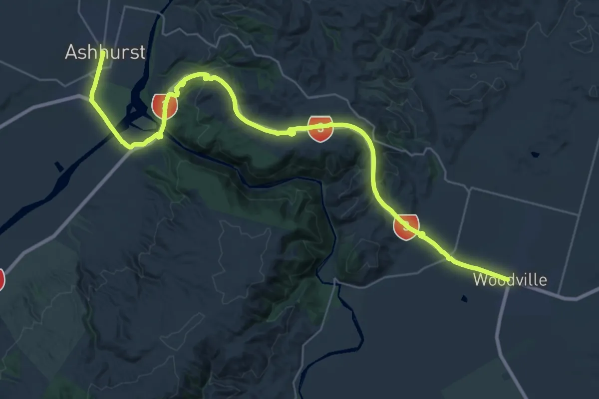
Medium · Trail
Te Ahu a Turanga
16.2 km · ↑ 479 m · 5 h 6 min
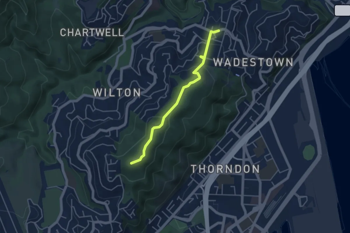
Easy · Summit
Te Ahumairangi ridgeline track
3.8 km · ↑ 182 m · 1 h 18 min
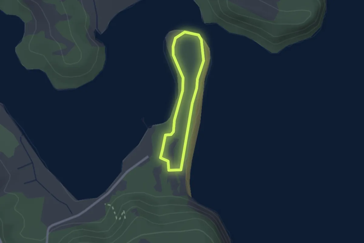
Easy · Trail
Te Akeake Walkway
1.7 km · ↑ 29 m · 30 min
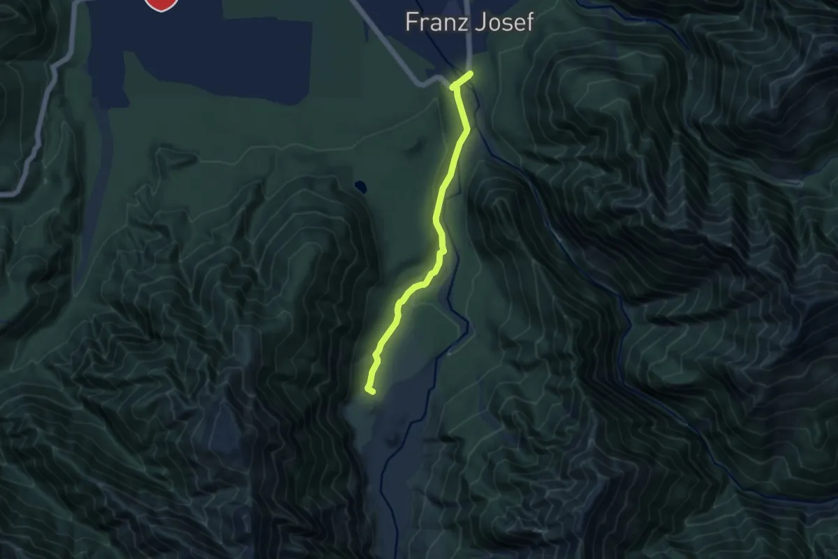
Medium · Trail
Te Ara A Waiau
8.4 km · ↑ 80 m · 2 h 10 min
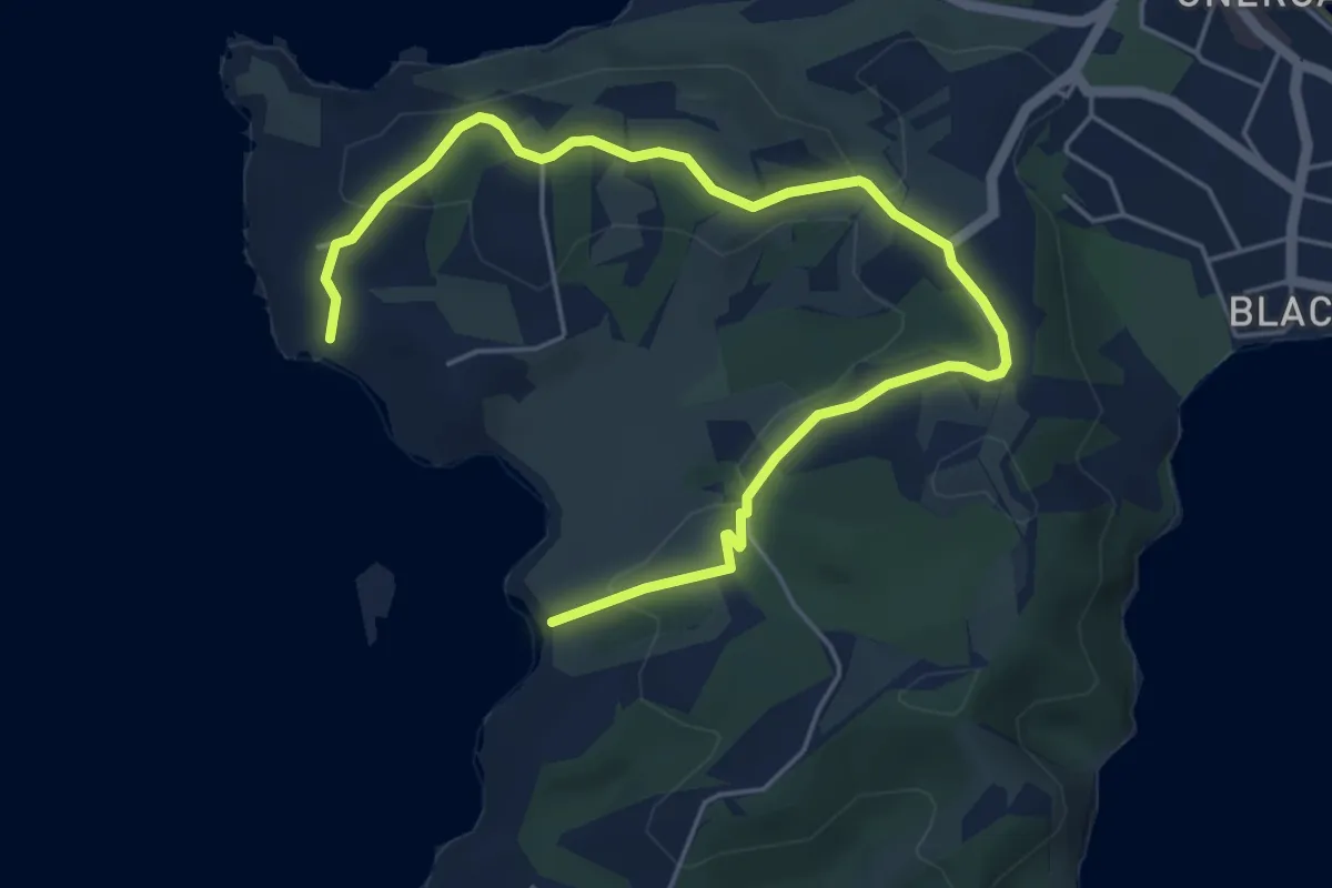
Easy · Trail
Te Ara Hura (alternative)
7.7 km · ↑ 197 m · 2 h 15 min
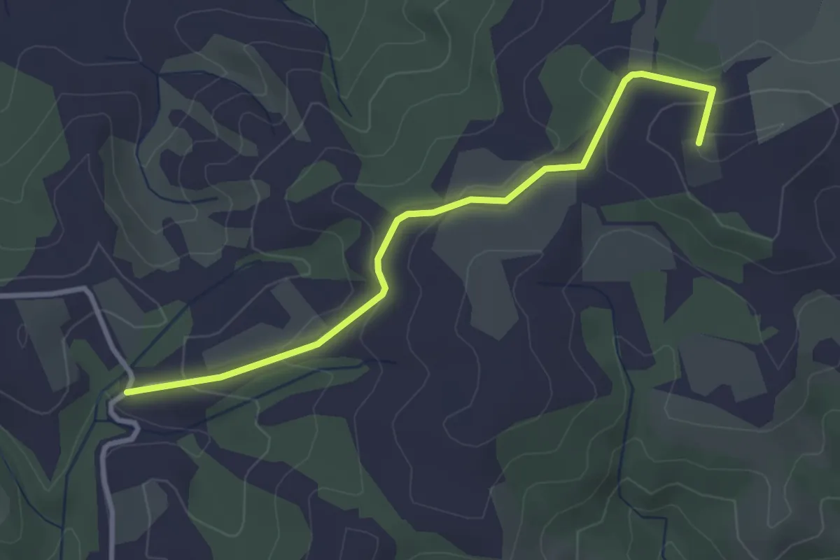
Easy · Summit
Te Ara Hura - Stony Batter extn
3.7 km · ↑ 135 m · 1 h 9 min