Trails in New Zealand
519 hiking trails, each with its route, climb, walking time and grade.
All trails, page 7 of 11
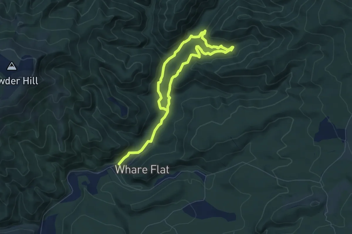
Medium · Trail
Powder Creek Circuit
10.6 km · ↑ 356 m · 3 h 17 min
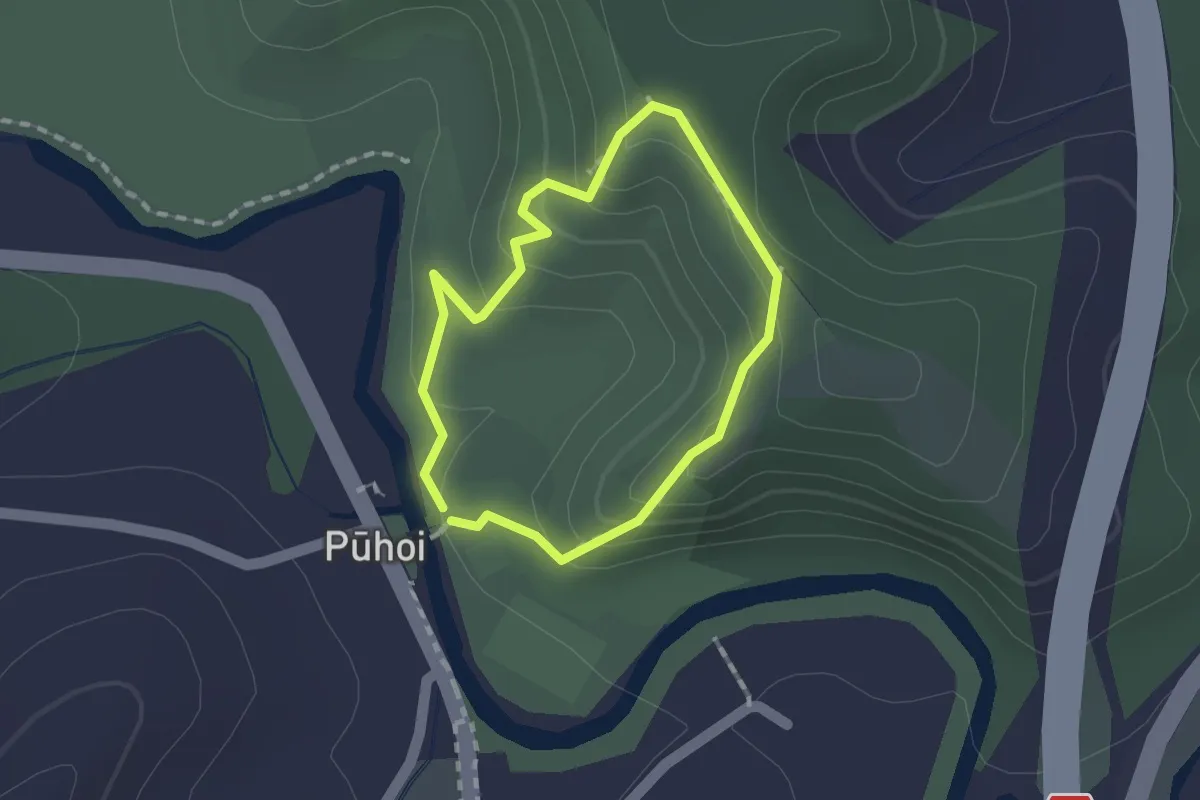
Easy · Trail
Pūhoi Lookout Track
1.3 km · ↑ 81 m · 31 min
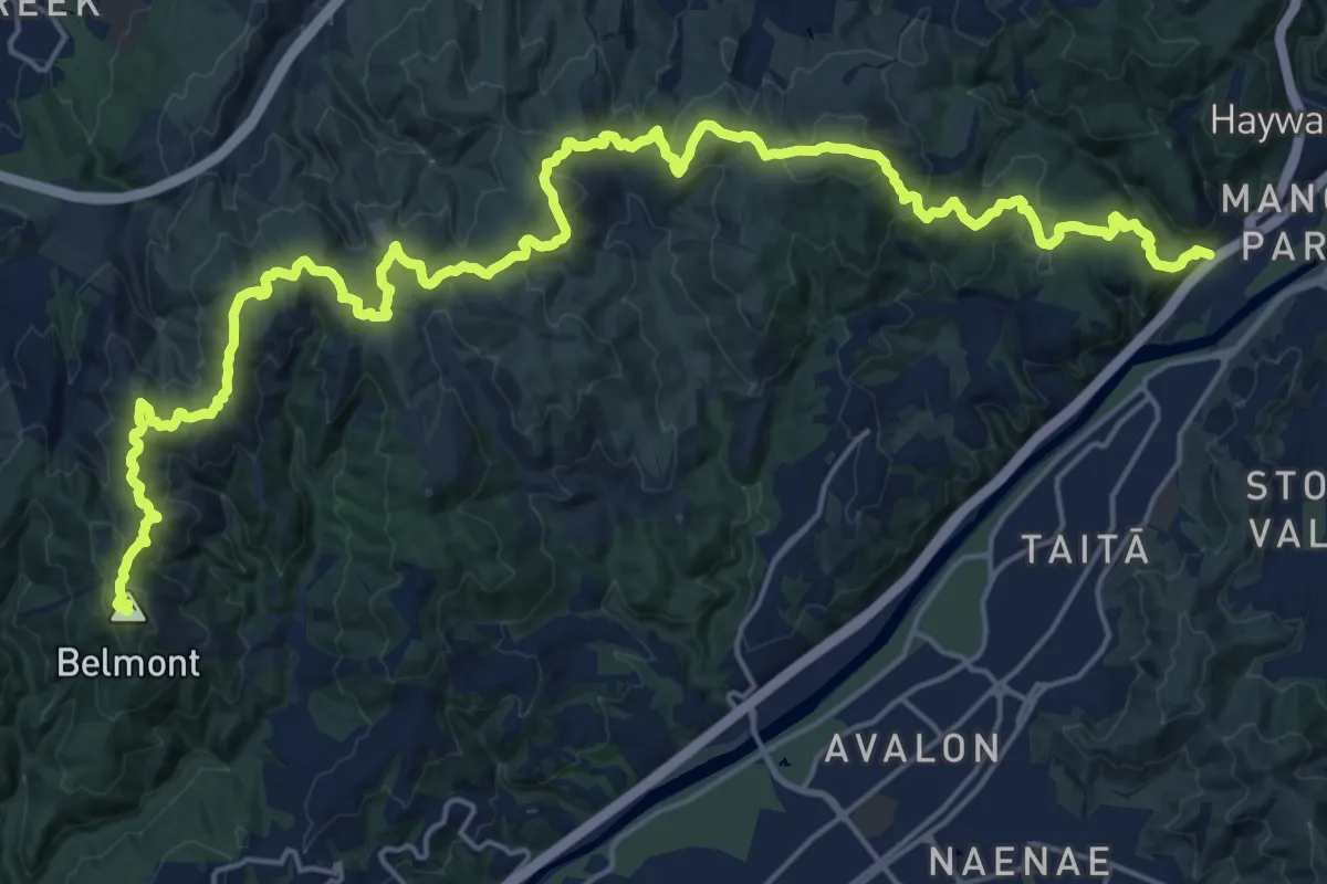
Demanding · Summit
Puke Ariki
31.3 km · ↑ 1290 m · 10 h 11 min
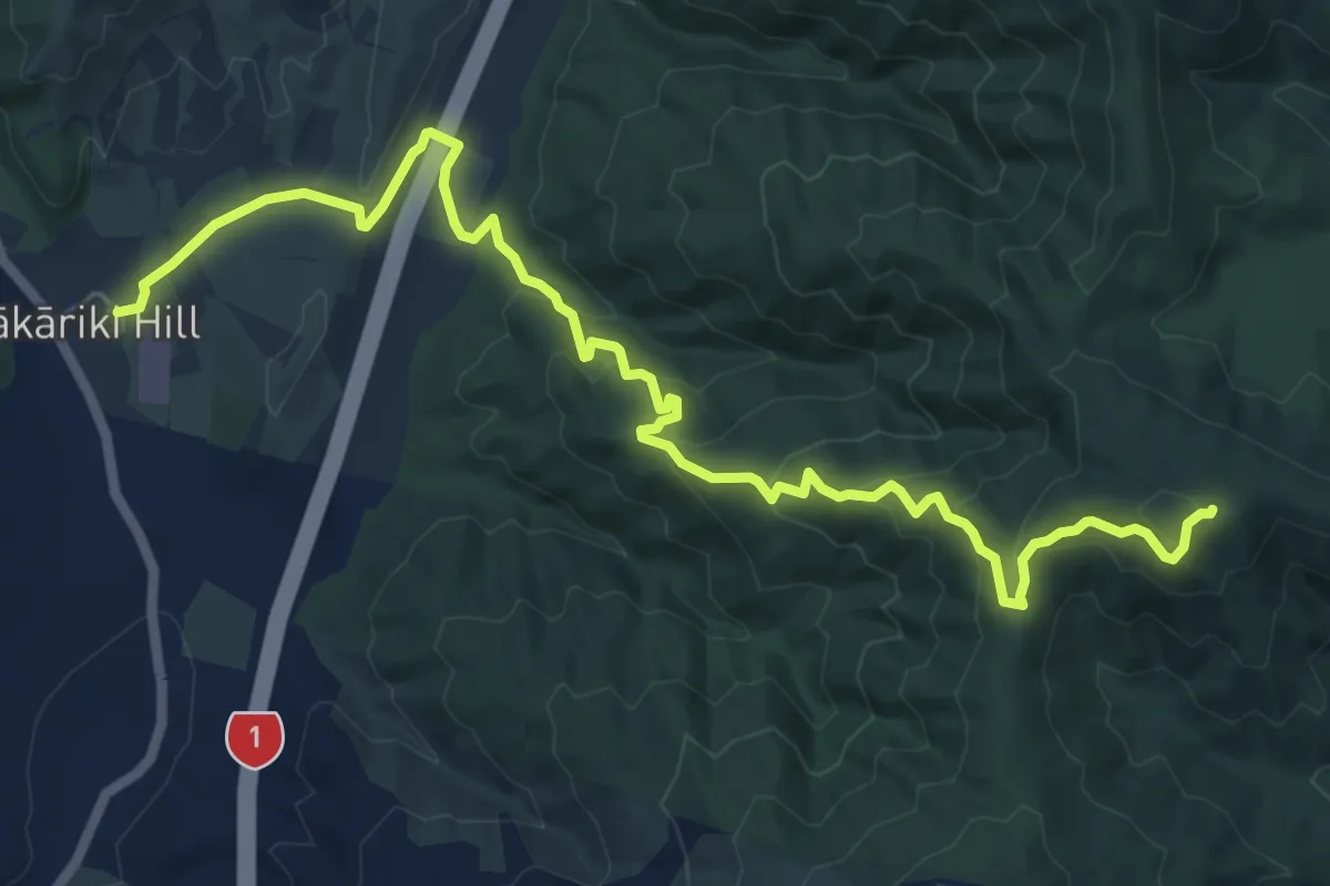
Medium · Trail
Puketiro Loop - Down
9.1 km · ↑ 481 m · 3 h 11 min
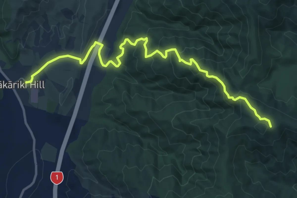
Medium · Trail
Puketiro Loop - Up
9.2 km · ↑ 457 m · 3 h 9 min
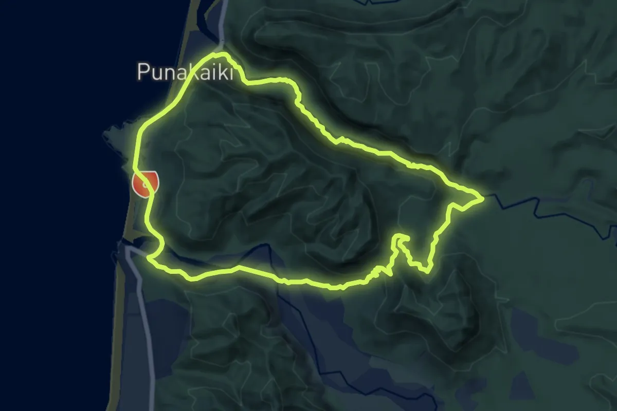
Medium · Trail
Punakaiki - Pororari River Loop
10.8 km · ↑ 254 m · 3 h 14 min
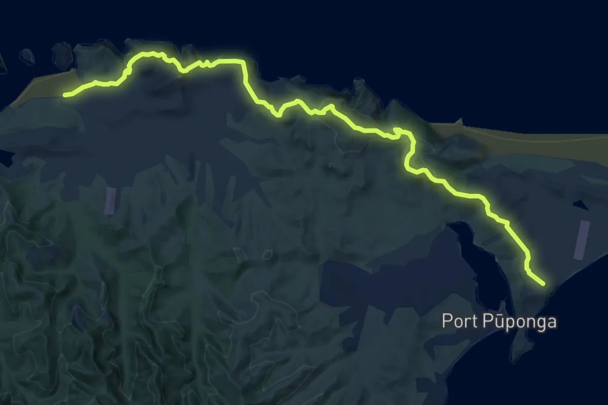
Demanding · Trail
Puponga Hilltop Walk
15.0 km · ↑ 826 m · 5 h 20 min
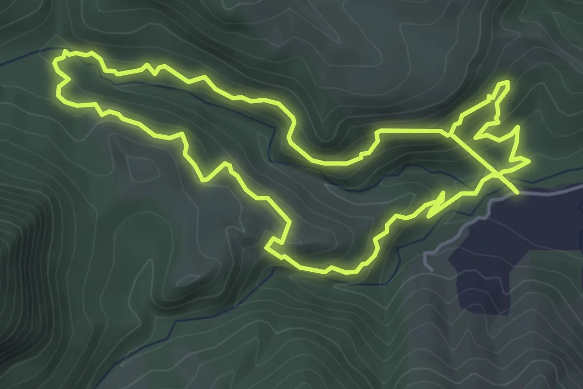
Medium · Trail
Pupū Hydro Walkway
5.5 km · ↑ 355 m · 2 h 7 min
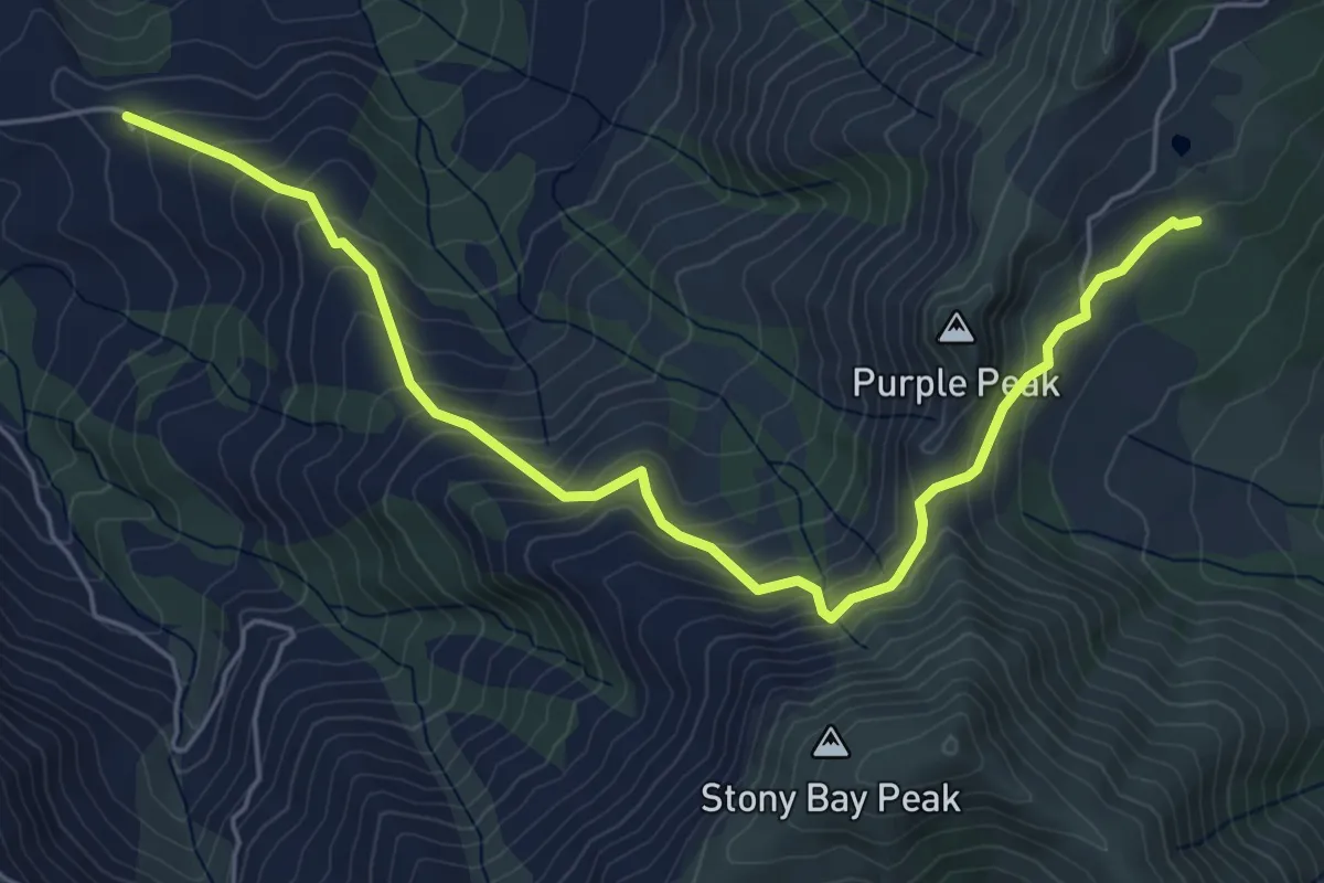
Medium · Trail
Purple Peak Track
6.5 km · ↑ 460 m · 2 h 31 min
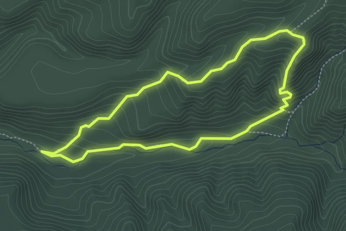
Easy · Trail
Putangirua Pinnacles
2.7 km · ↑ 185 m · 1 h 5 min
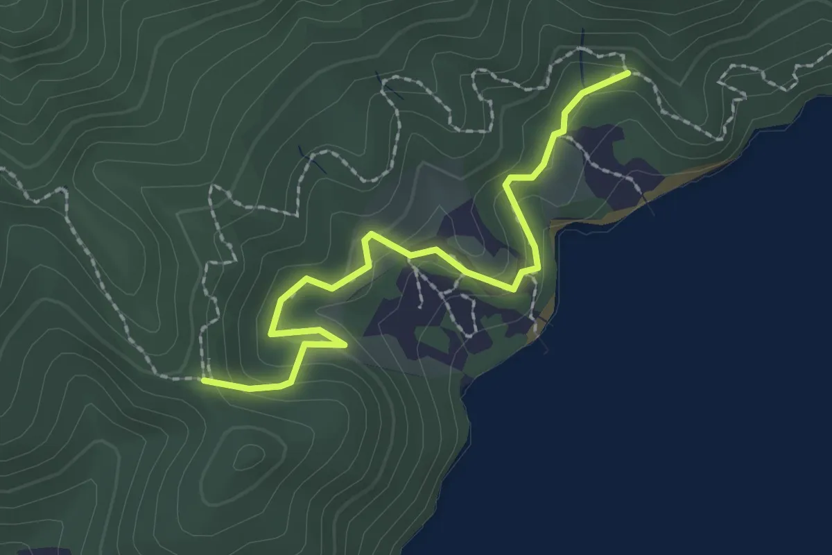
Easy · Trail
Queen Charlotte Track Private
2.4 km · ↑ 127 m · 50 min
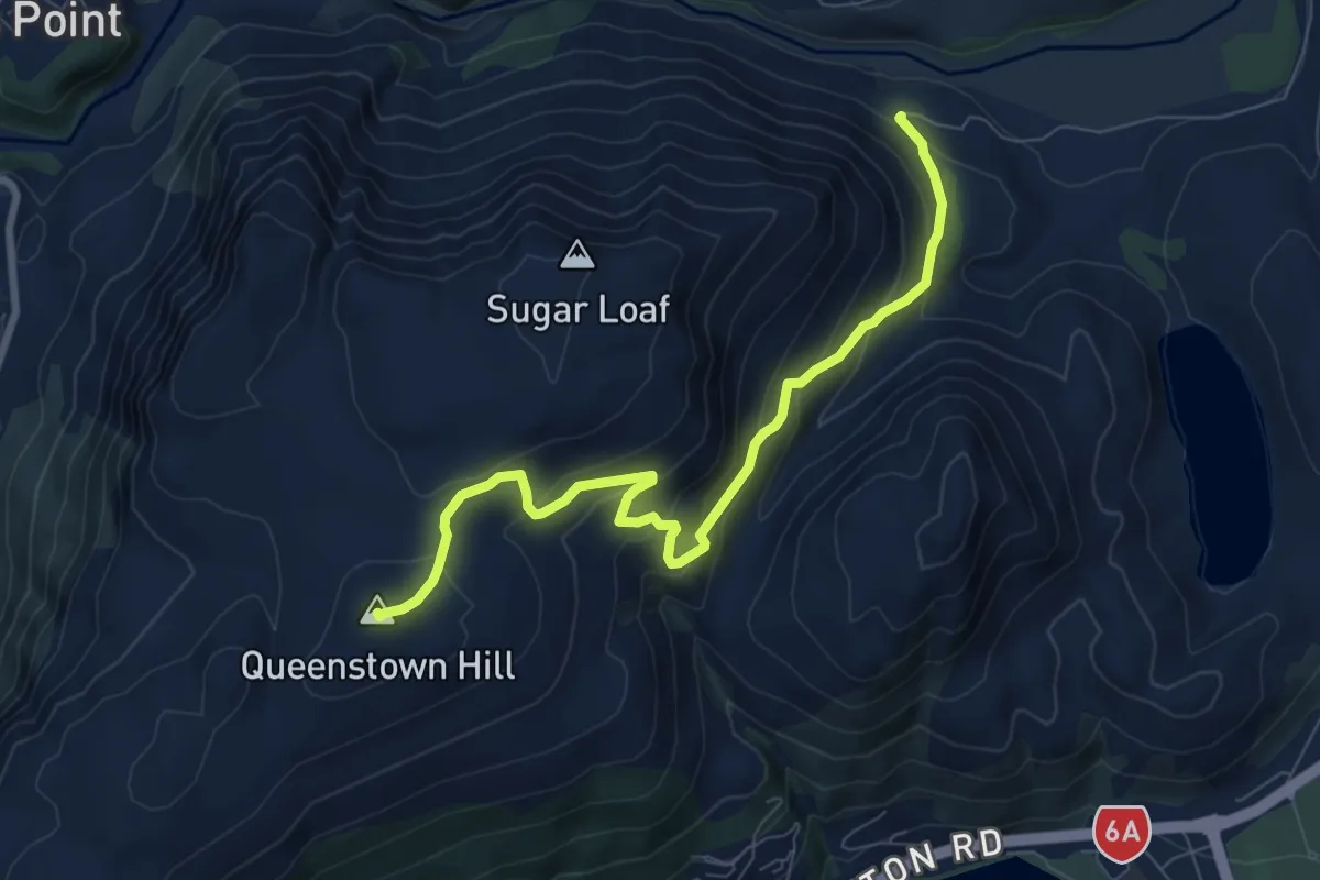
Medium · Summit
Queenstown Hill
8.5 km · ↑ 519 m · 3 h 8 min
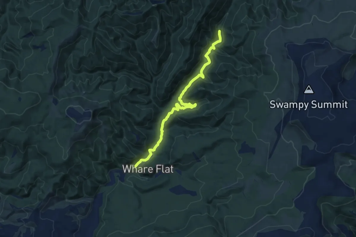
Medium · Trail
Racemans Track
12.7 km · ↑ 346 m · 3 h 45 min
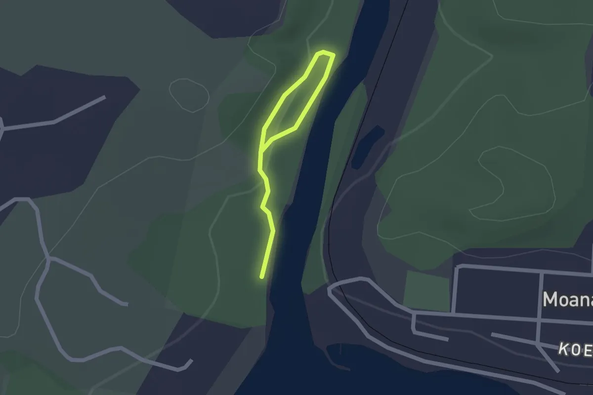
Easy · Trail
Rakaitane walk
2.0 km · ↑ 4 m · 29 min
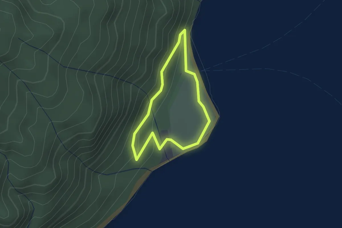
Easy · Trail
Rangatira Loop
1.6 km · ↑ 62 m · 33 min
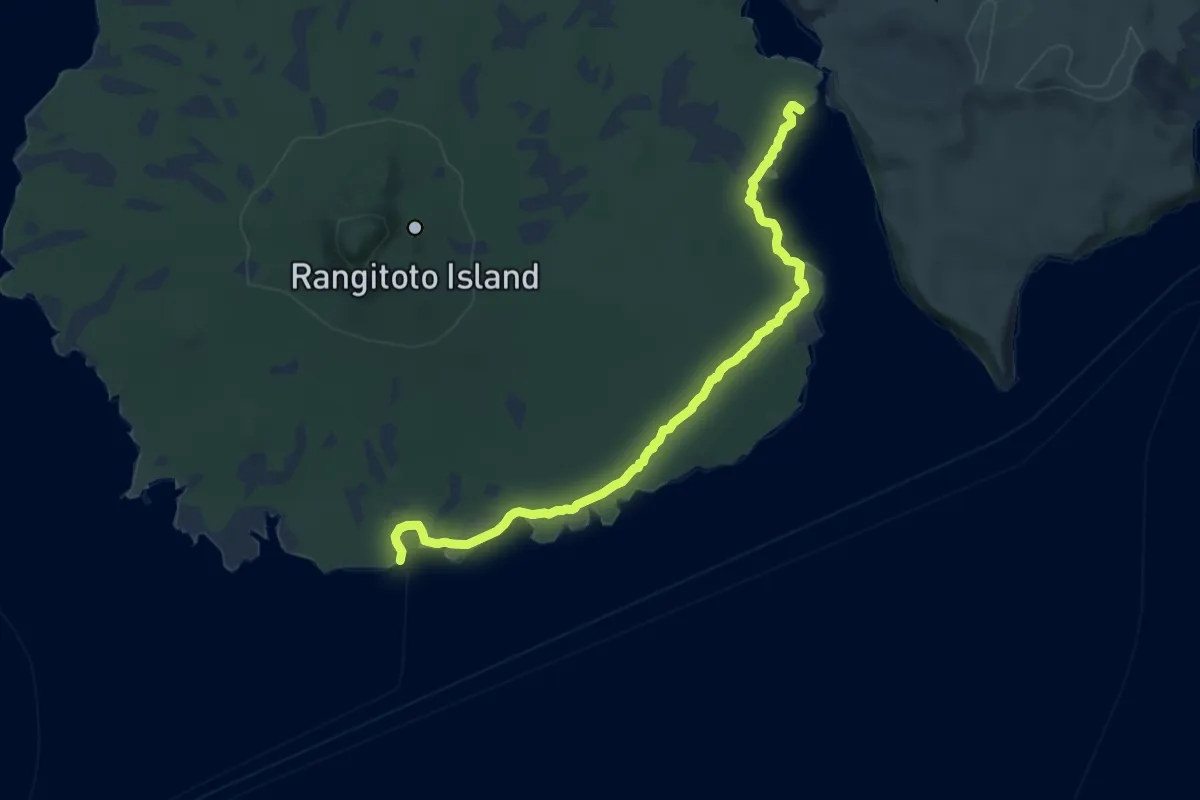
Medium · Cabin
Rangitoto Coastal Walk
12.1 km · ↑ 63 m · 3 h
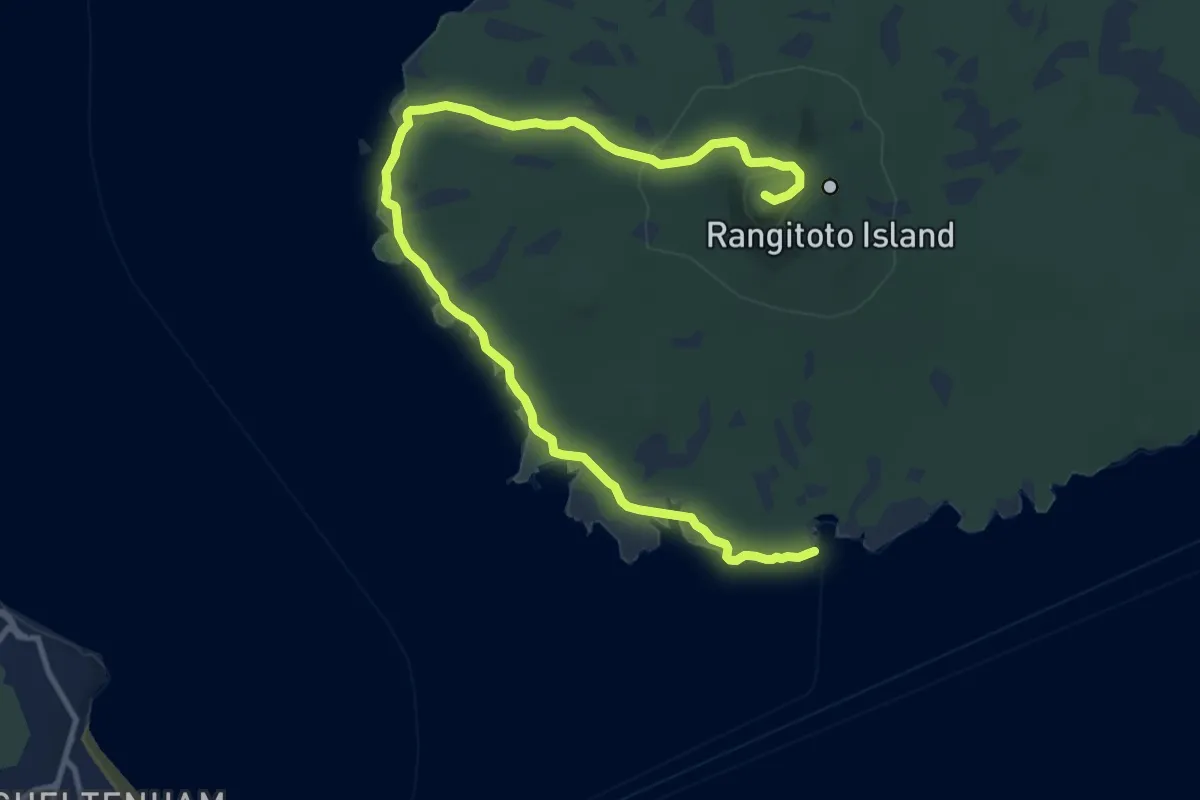
Medium · Summit
Rangitoto Lighthouse to Summit Walk
16.4 km · ↑ 271 m · 4 h 27 min
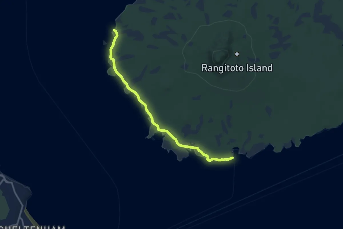
Medium · Trail
Rangitoto Lighthouse Walk
10.0 km · ↑ 40 m · 2 h 27 min
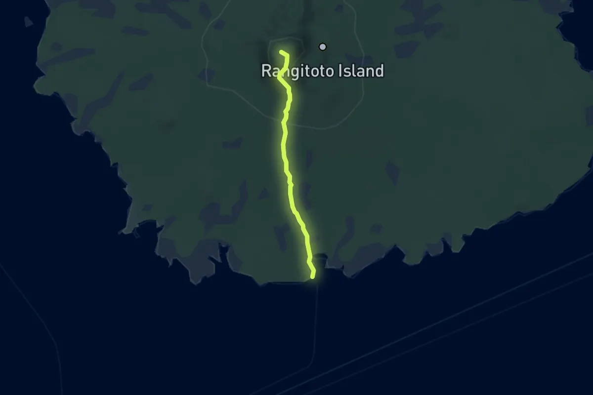
Easy · Summit
Rangitoto Summit Walk
5.3 km · ↑ 238 m · 1 h 45 min
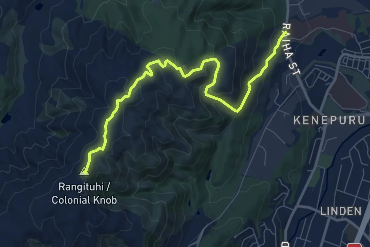
Medium · Summit
Rangituhi Walk
8.4 km · ↑ 401 m · 2 h 51 min
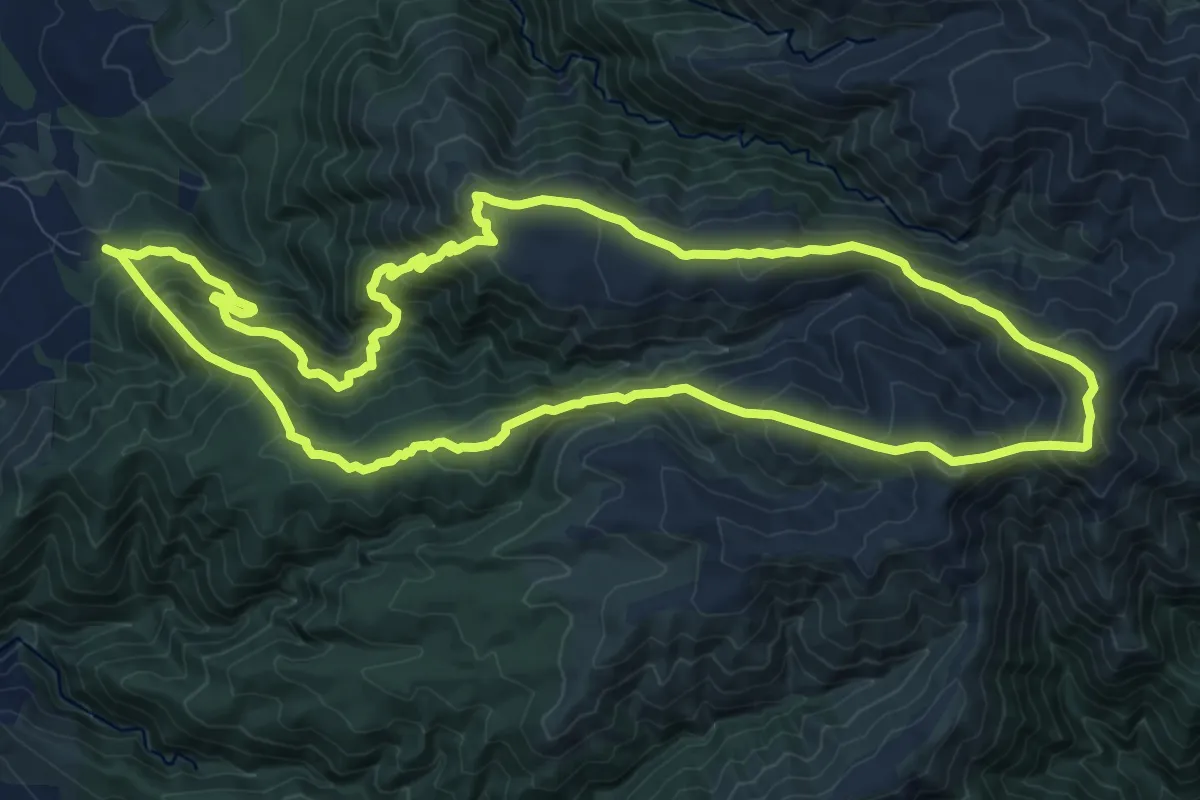
Demanding · Summit
Rangiwahia Hut - Deadmans Track
12.7 km · ↑ 944 m · 5 h 13 min
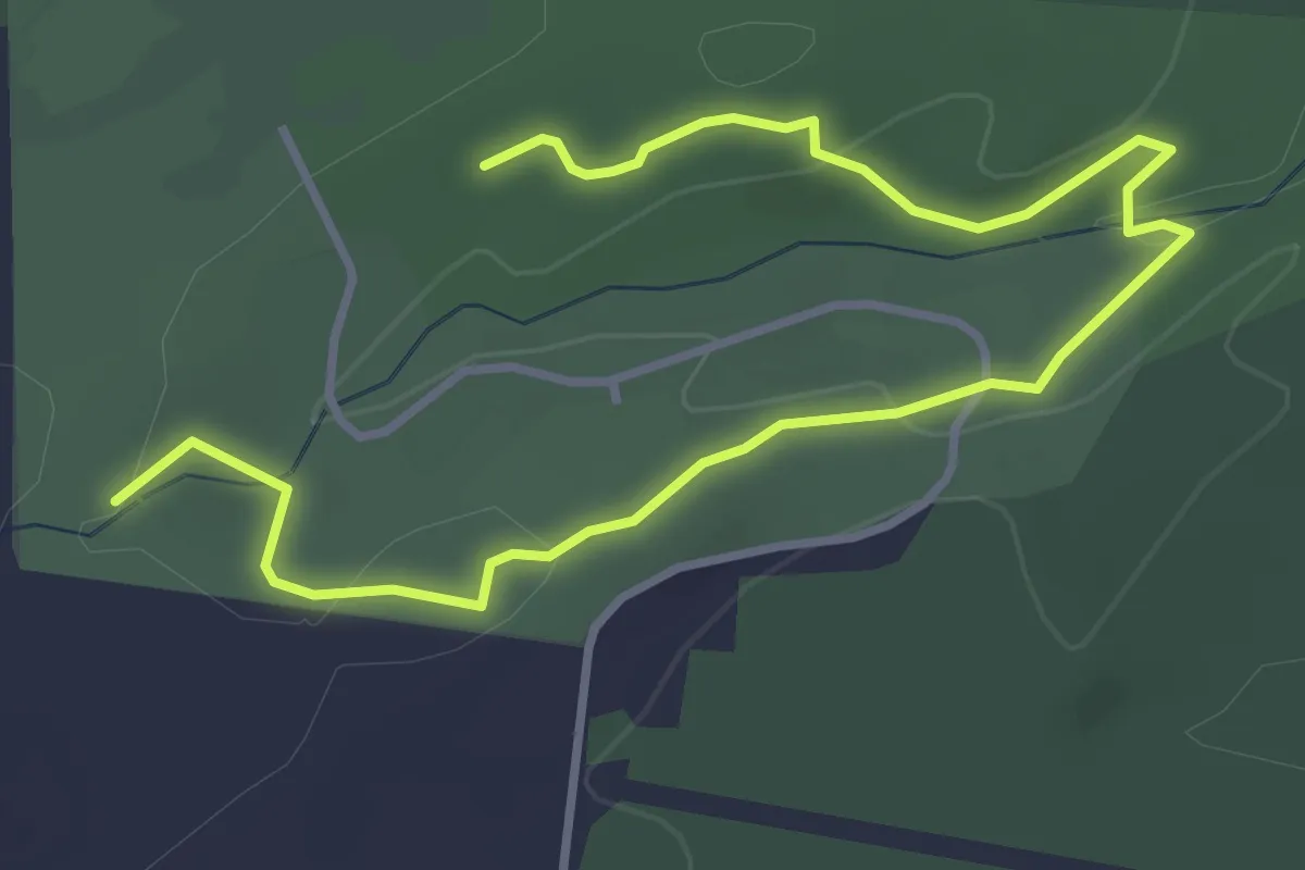
Easy · Trail
Red
5.6 km · ↑ 132 m · 1 h 36 min
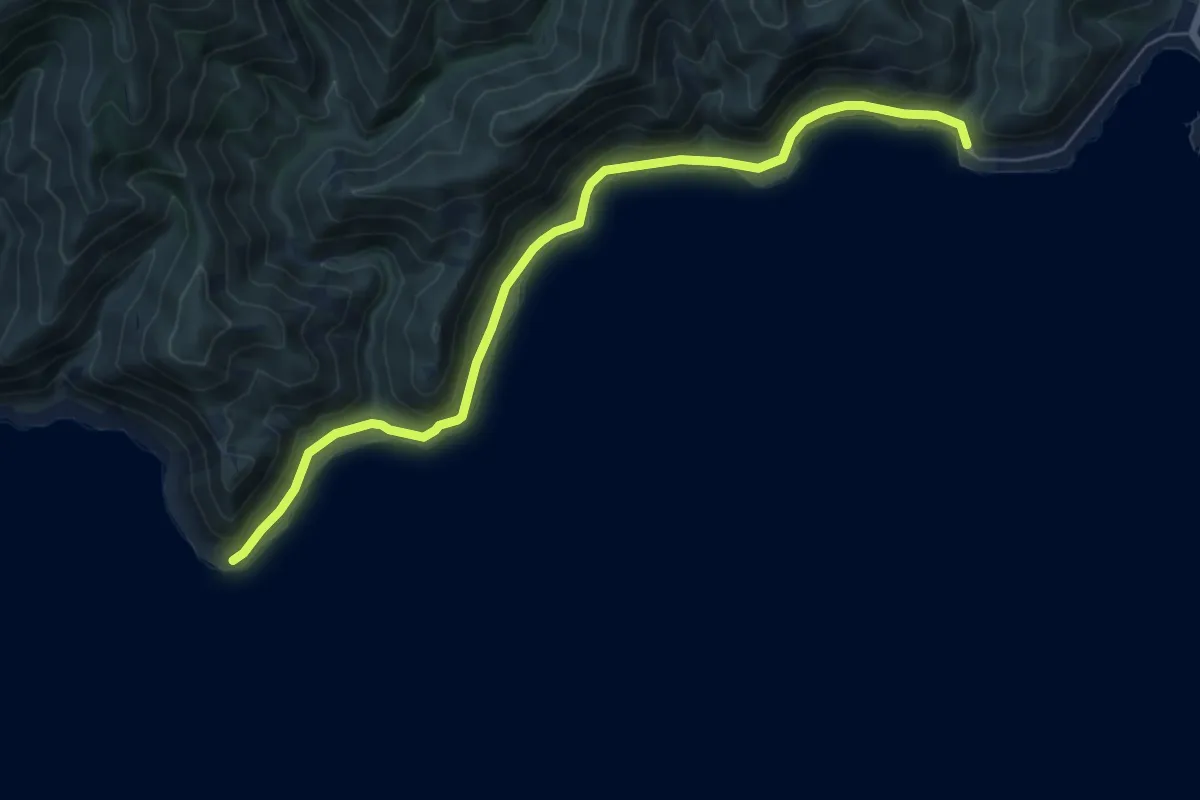
Easy · Trail
Red Rocks
7.5 km · ↑ 74 m · 1 h 56 min
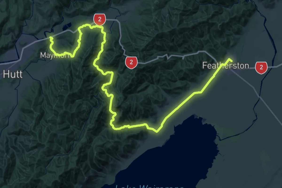
Demanding · Trail
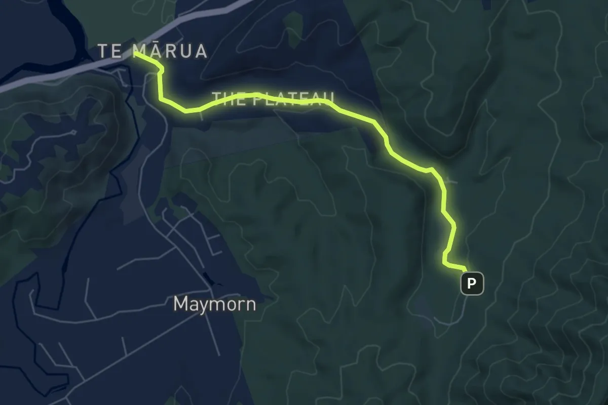
Remutaka Rail Trail
37.5 km · ↑ 690 m · 10 h 54 min
Easy · Trail
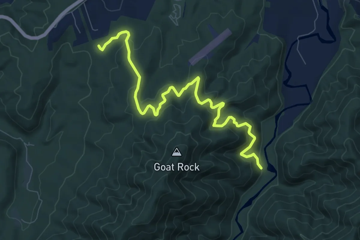
Remutaka Rail Trail - alternative access
6.6 km · ↑ 146 m · 1 h 53 min
Medium · Trail
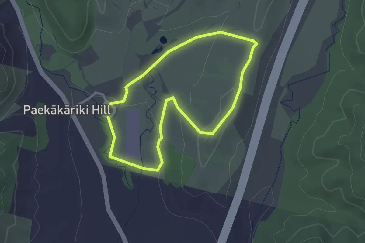
Remutaka Rail Trail - deviation
10.1 km · ↑ 445 m · 3 h 21 min
Easy · Trail
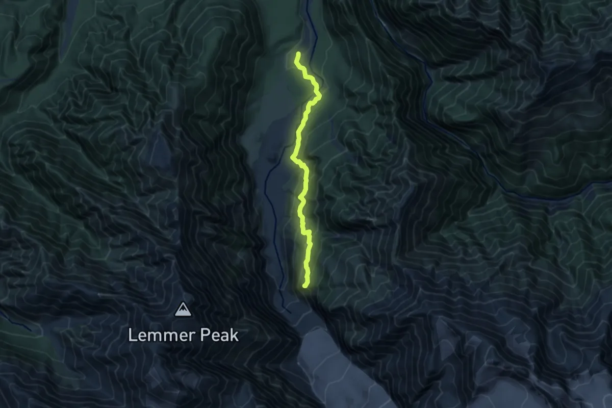
Restoration Trail
2.1 km · ↑ 45 m · 38 min
Medium · Trail
Roberts Point
9.0 km · ↑ 586 m · 3 h 24 min
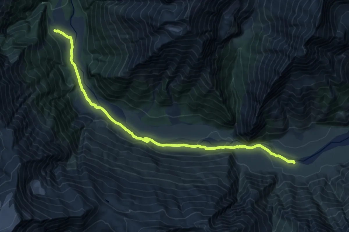
Demanding · Cabin
Rob Roy Glacier Lookout
18.2 km · ↑ 195 m · 4 h 43 min
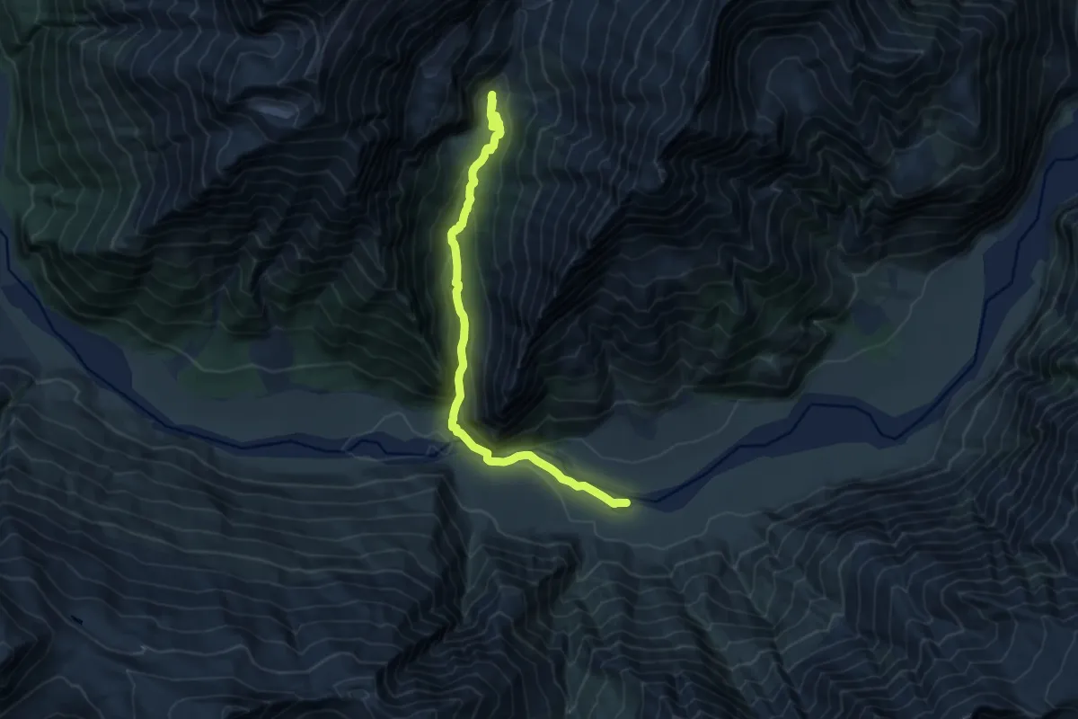
Medium · Trail
Rob Roy Track
11.9 km · ↑ 482 m · 3 h 51 min
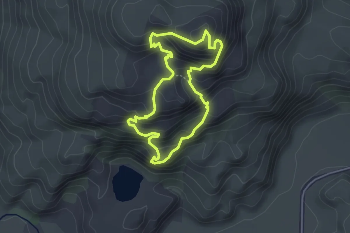
Medium · Summit
Rocky Hill
3.3 km · ↑ 345 m · 1 h 35 min
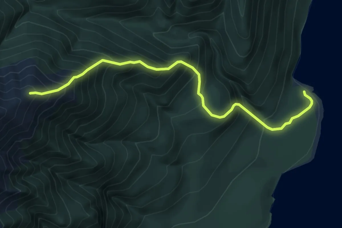
Demanding · Cabin
Rodger Inlet Bushline Route
7.2 km · ↑ 915 m · 3 h 42 min
Easy · Trail
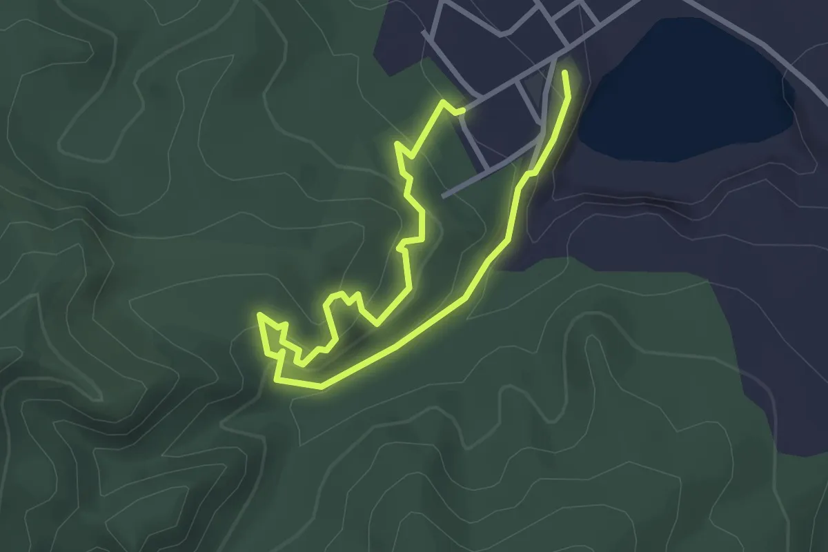
Ross Water Race Walkway
4.3 km · ↑ 247 m · 1 h 33 min
Medium · Cabin
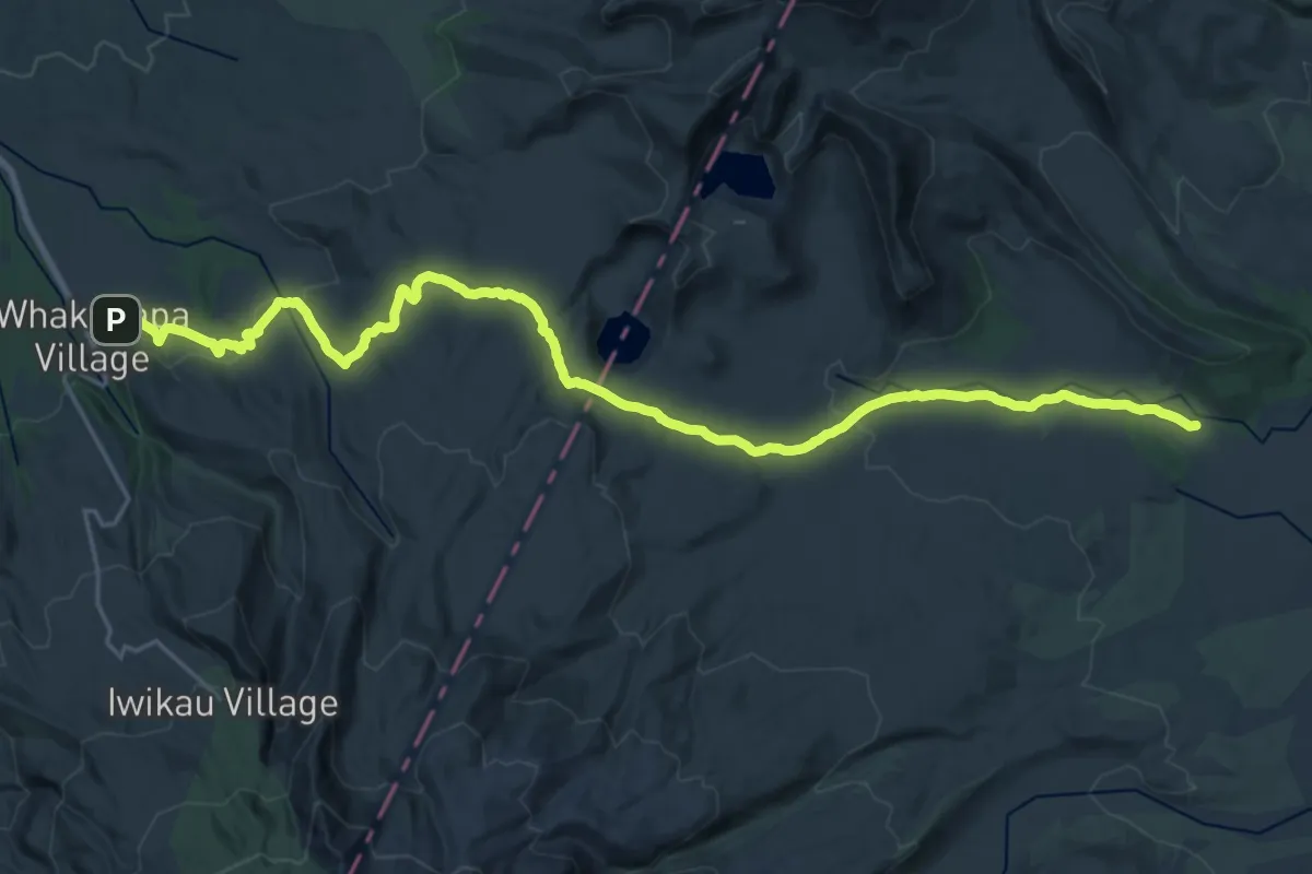
Round the Mountain - 01 Whakapapa Village to Waihohonu Hut
14.9 km · ↑ 310 m · 4 h 26 min
Demanding · Cabin
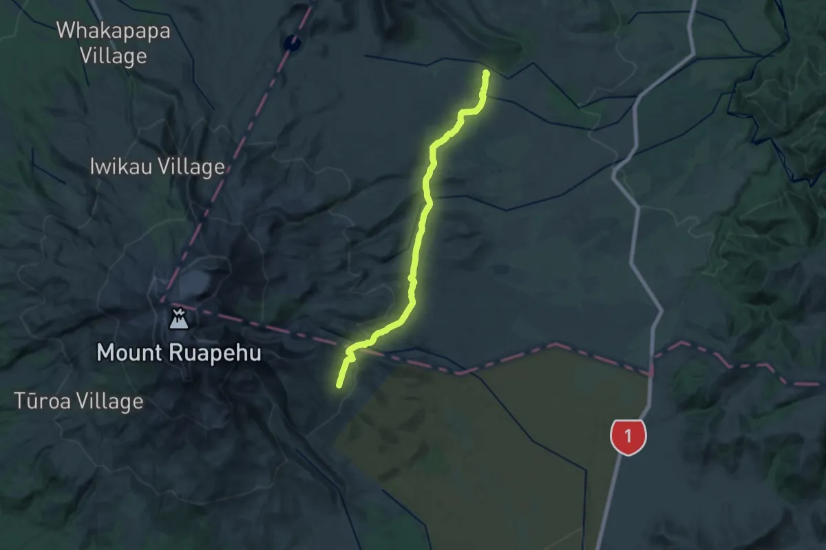
Round the Mountain - 02 Waihohono Hut to Rangipo Hut
25.8 km · ↑ 831 m · 7 h 54 min
Demanding · Cabin
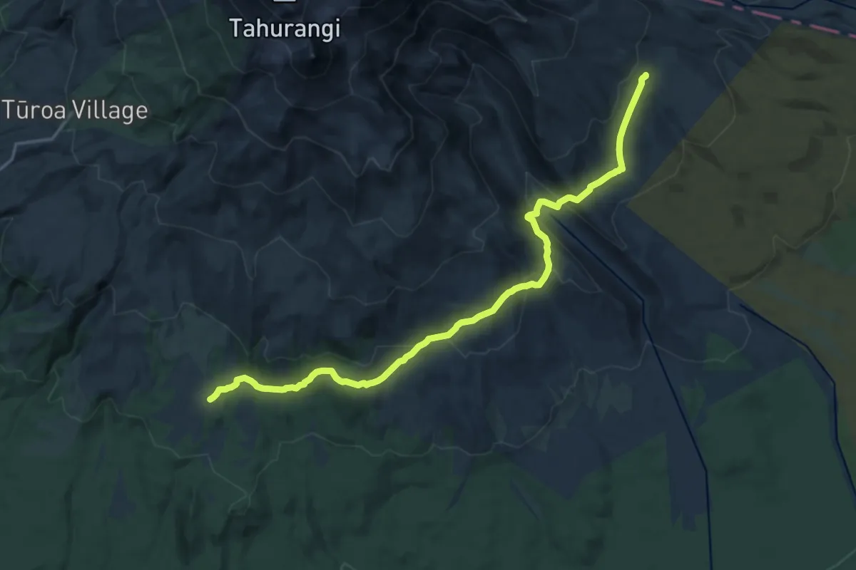
Round the Mountain - 03 Rangipo Hut to Mangaehuehu
20.4 km · ↑ 943 m · 6 h 51 min
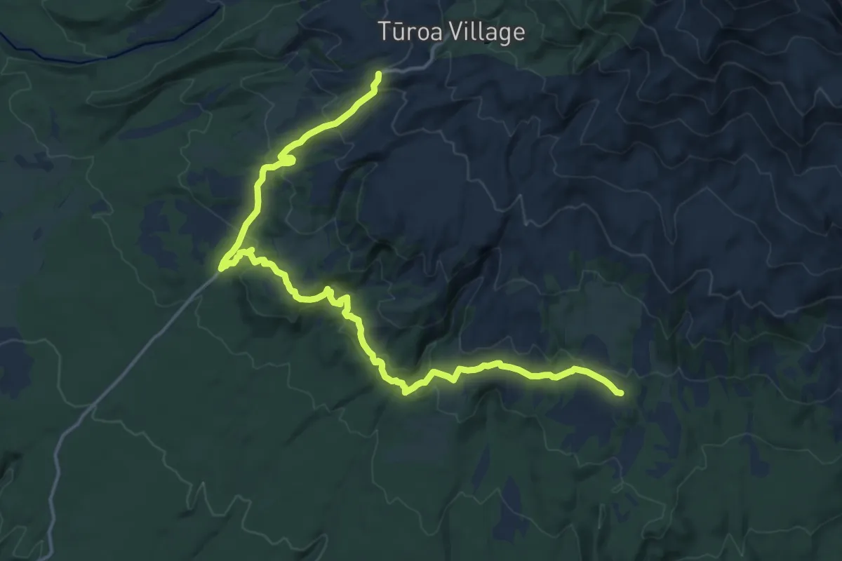
Demanding · Cabin
Round the Mountain - 04 Mangaehuehu Hut to Ohakune Mountain Road
20.5 km · ↑ 984 m · 6 h 58 min
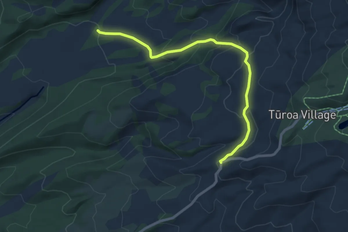
Medium · Cabin
Round the Mountain - 05 Ohakune Mountain Road to Mangaturuturu Hut
6.2 km · ↑ 379 m · 2 h 17 min
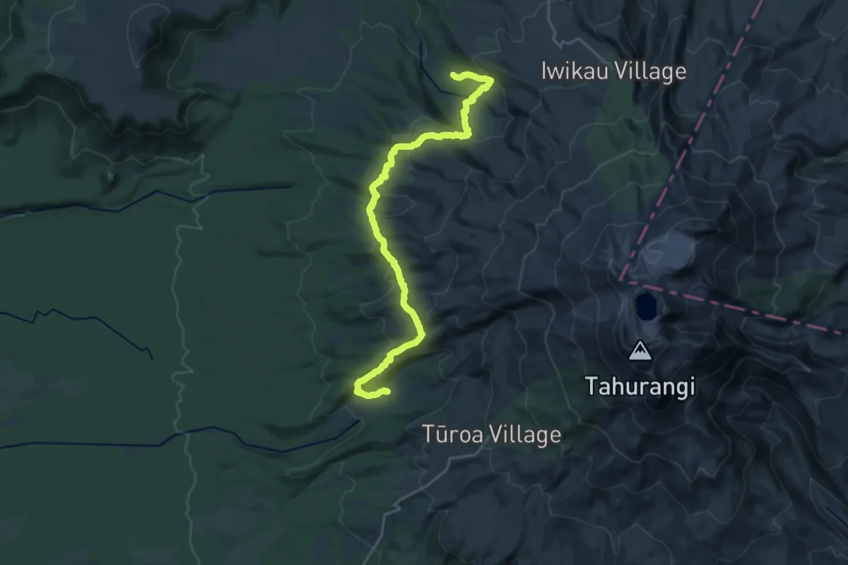
Medium · Cabin
Round the Mountain - 06 Mangaturuturu Hut to Whakapapaiti Hut
11.7 km · ↑ 674 m · 4 h 23 min
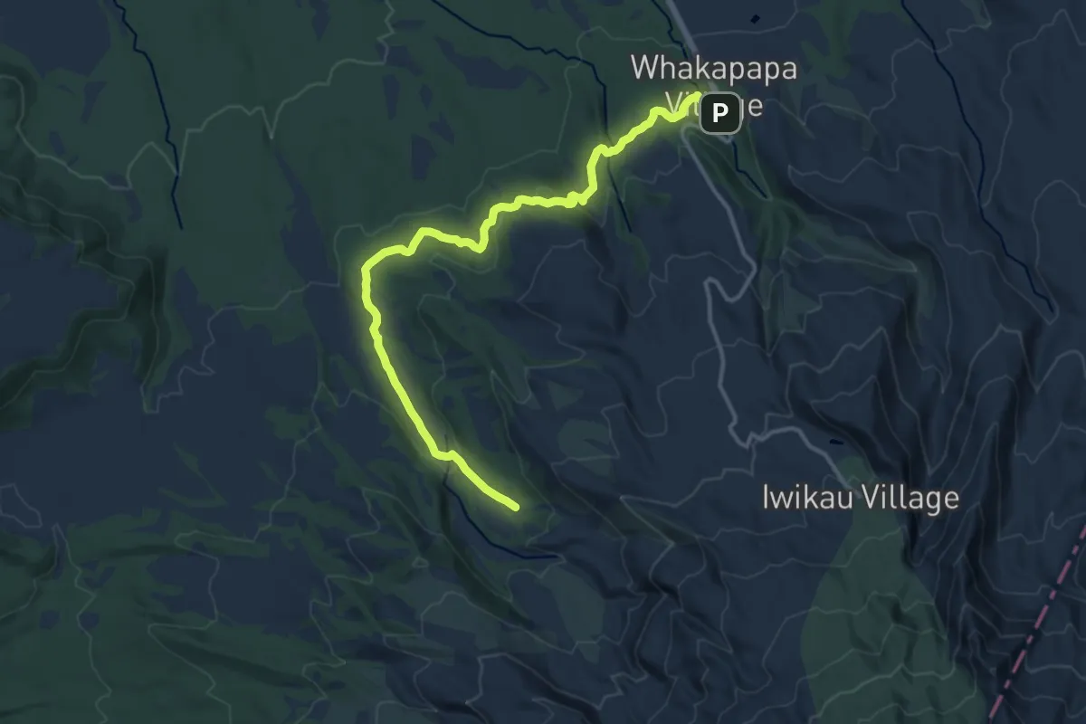
Medium · Cabin
Round the Mountain - 07 Whakapapaiti Hut to Whakapapa Village
15.9 km · ↑ 483 m · 4 h 48 min
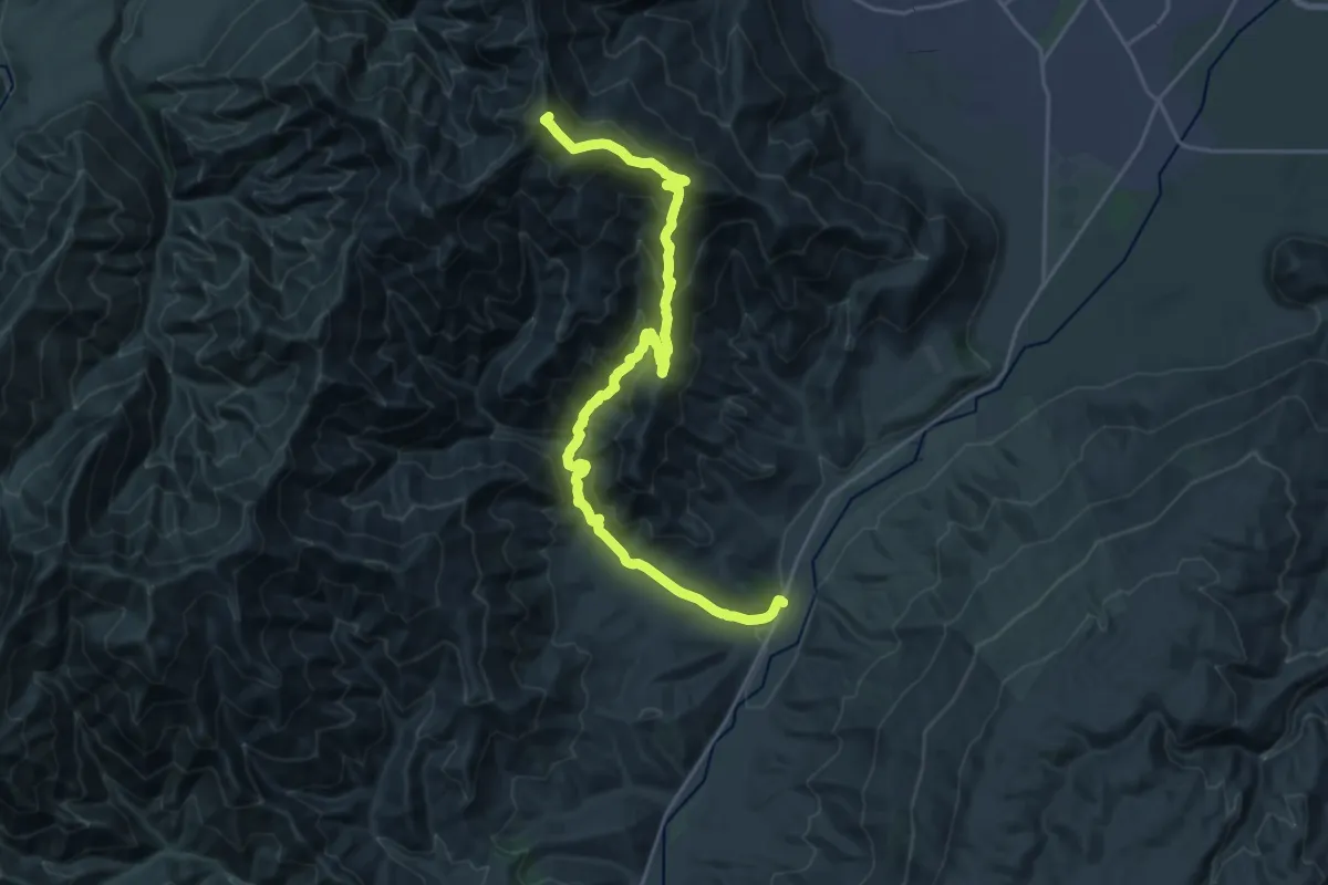
Demanding · Summit
Roys Peak & Mount Alpha
25.6 km · ↑ 1516 m · 9 h 19 min
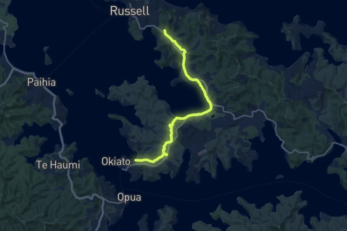
Medium · Trail
Russell to Okiato
13.7 km · ↑ 341 m · 3 h 58 min
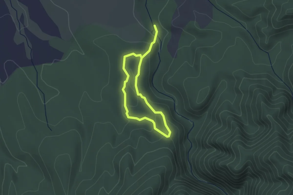
Easy · Trail
Sanctuary Loop Walk
4.5 km · ↑ 145 m · 1 h 22 min
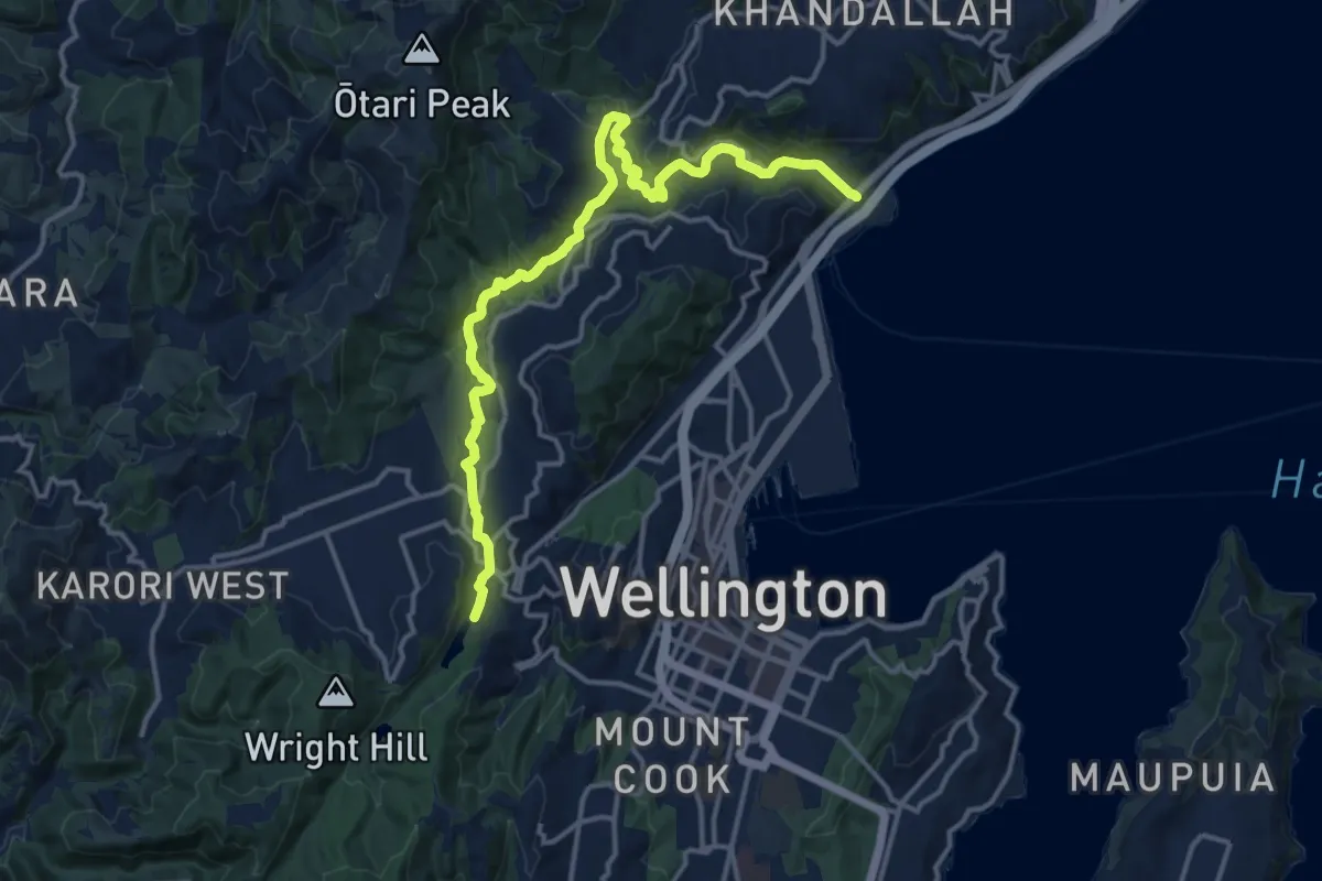
Medium · Trail
Sanctuary to Sea
17.2 km · ↑ 289 m · 4 h 41 min
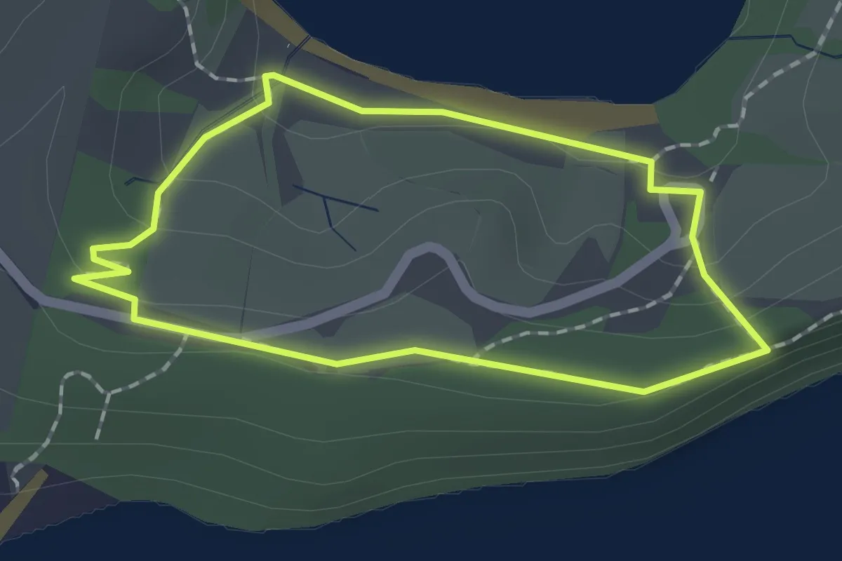
Easy · Trail
Scandretts Bay Loop
1.7 km · ↑ 32 m · 30 min
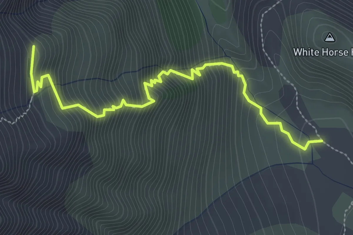
Medium · Trail
Sealy Tarns Track
3.4 km · ↑ 524 m · 1 h 57 min
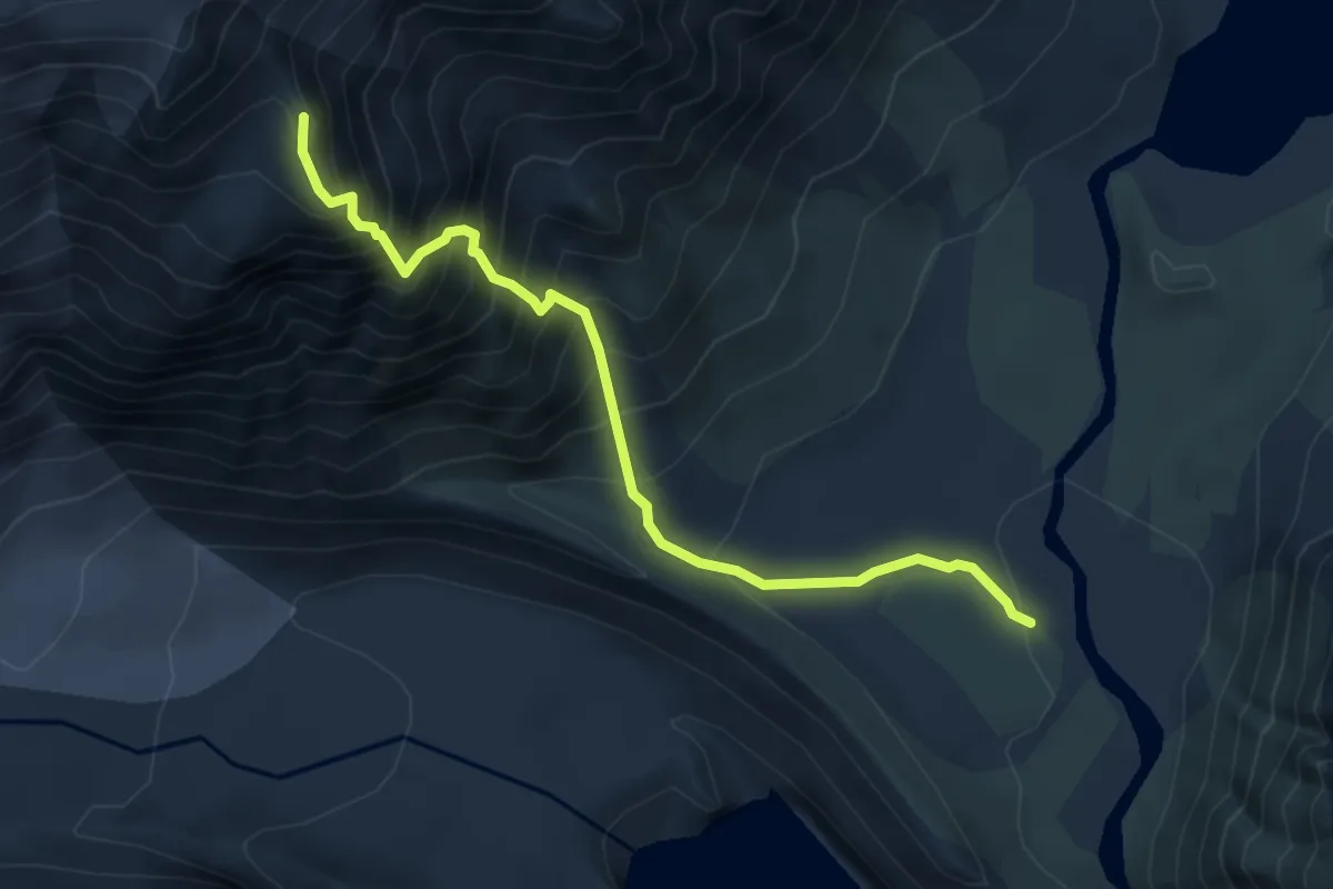
Expert · Cabin
Sefton Bivouac Track
5.2 km · ↑ 808 m · 2 h 59 min
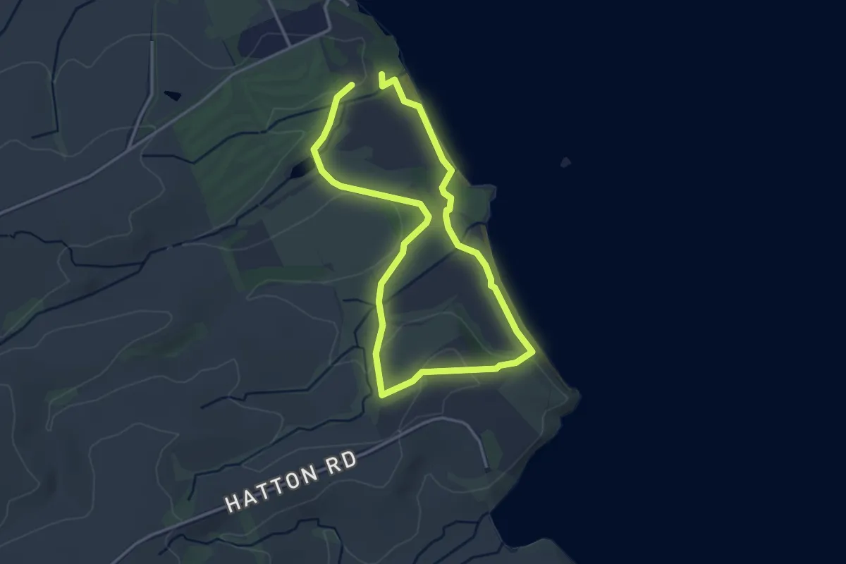
Easy · Trail
Settlers Valley Walk
3.4 km · ↑ 37 m · 55 min