Trails in New Zealand
519 hiking trails, each with its route, climb, walking time and grade.
All trails, page 6 of 11
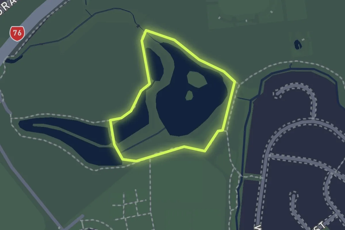
Easy · Trail
Ngā Puna Wai Loop Walk
1.3 km · ↑ 0 m · 19 min
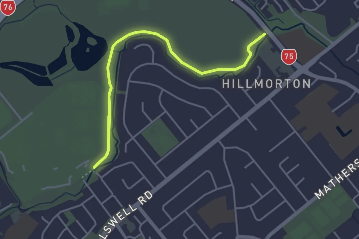
Easy · Trail
Ngā Puna Wai Walk
4.7 km · ↑ 0 m · 1 h 7 min
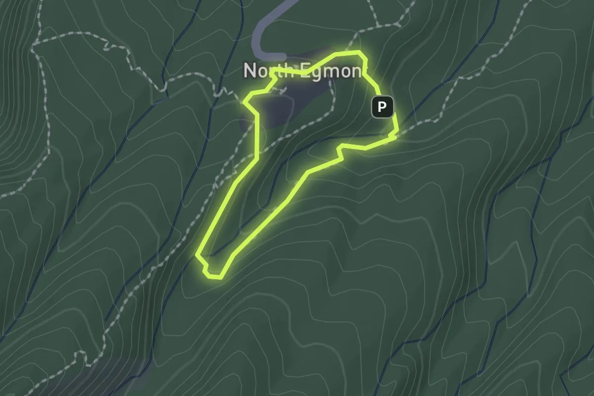
Easy · Trail
Ngatoro Loop Track
1.4 km · ↑ 69 m · 30 min
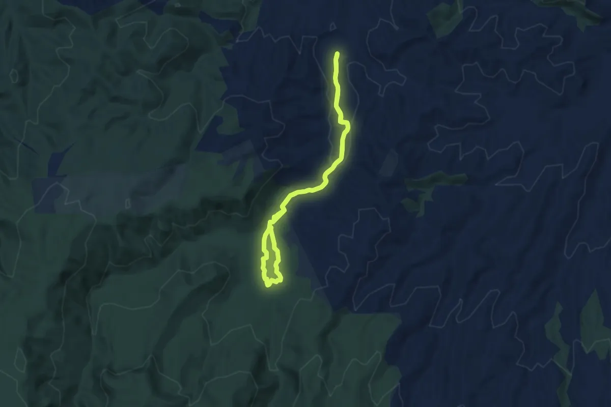
Medium · Trail
Nikau Walk
13.4 km · ↑ 147 m · 3 h 29 min
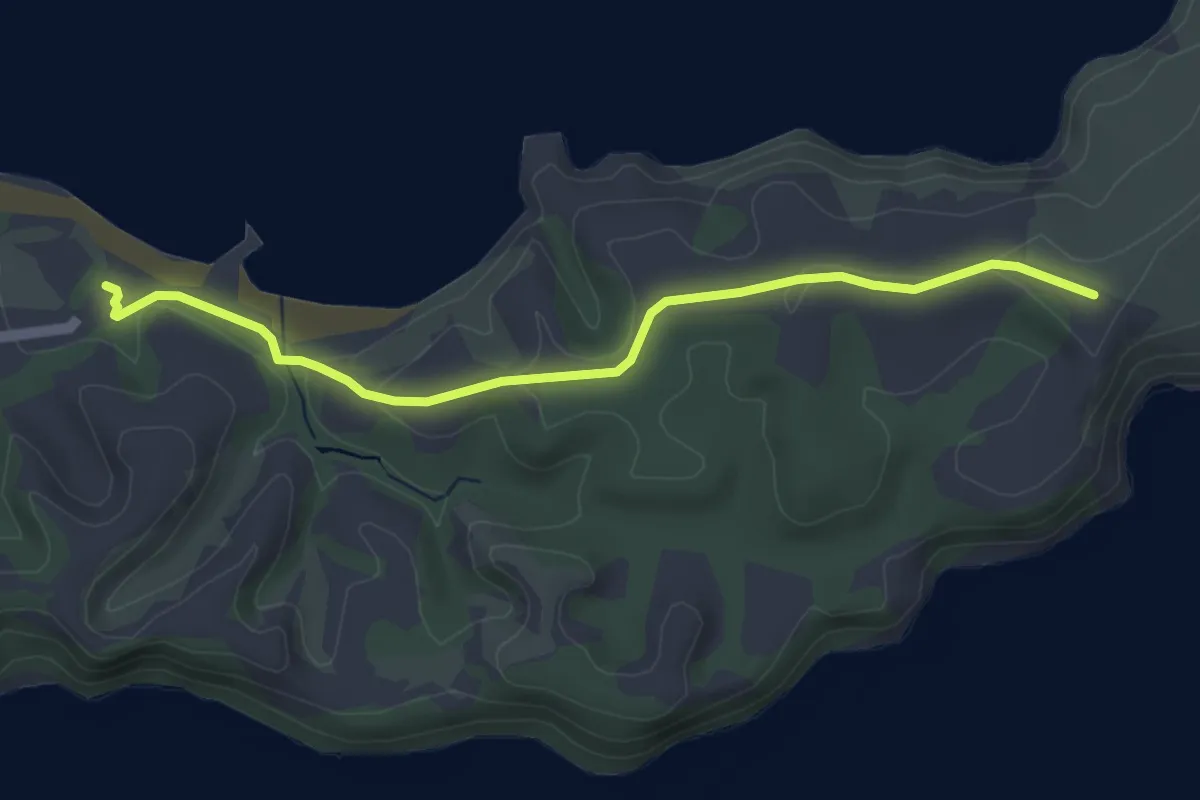
Easy · Trail
North Coast Track
5.1 km · ↑ 76 m · 1 h 22 min
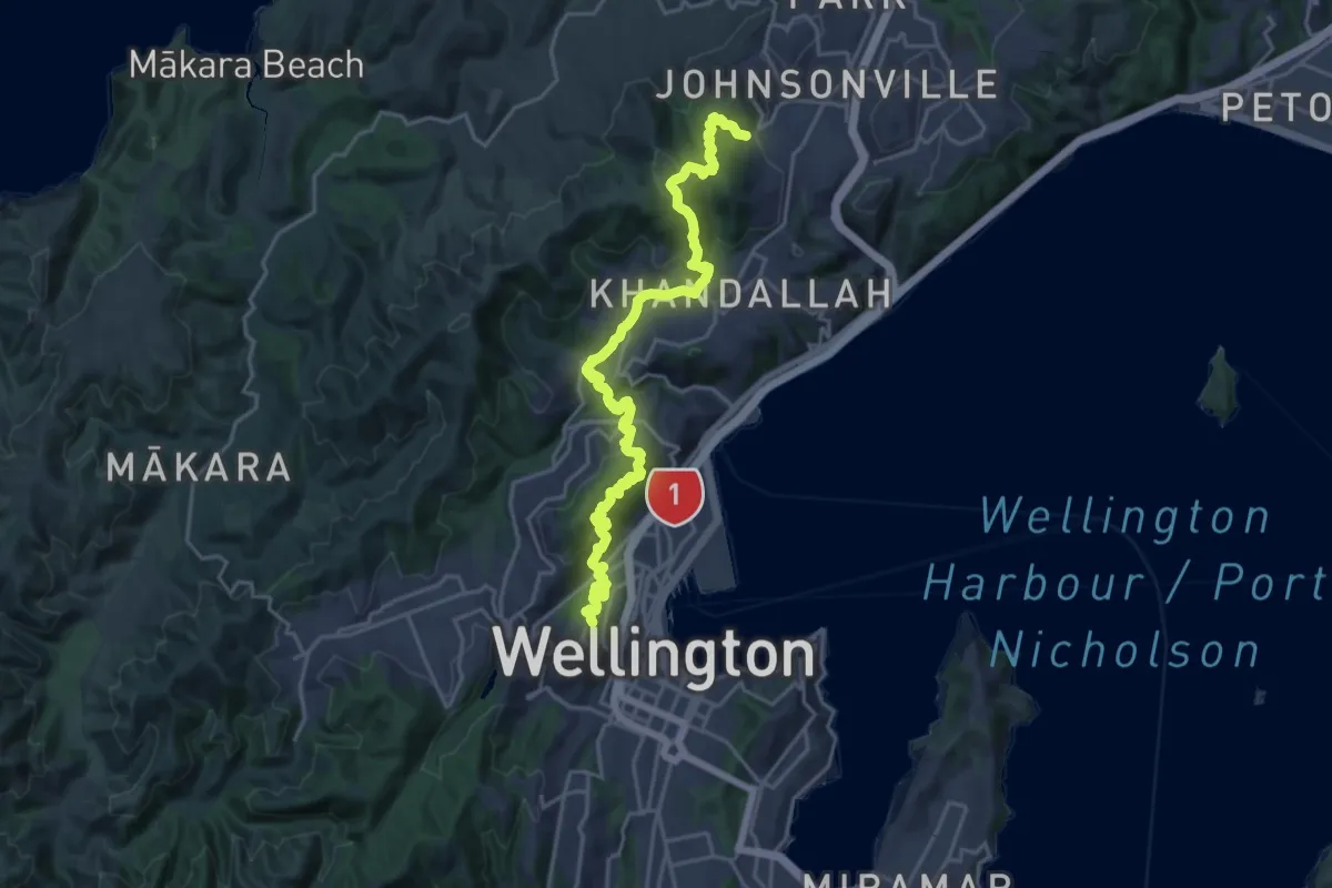
Medium · Trail
Northern Walkway
12.4 km · ↑ 655 m · 4 h 34 min
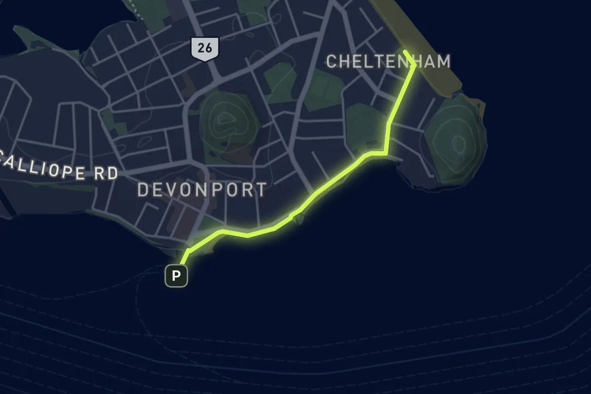
Easy · Trail
North Shore City Coastal Walk
3.8 km · ↑ 15 m · 55 min
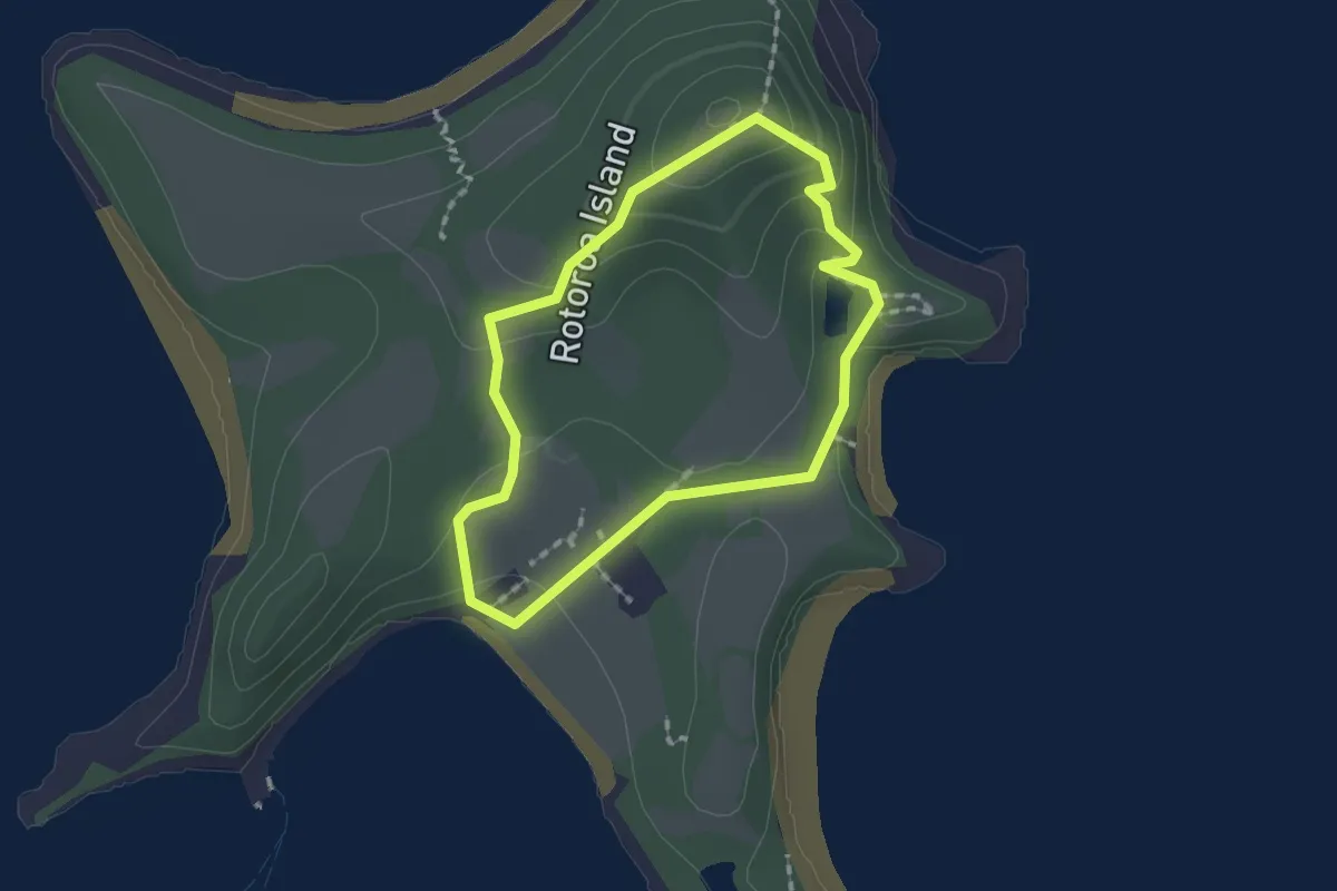
Easy · Trail
North Tower Loop Track
1.7 km · ↑ 72 m · 34 min
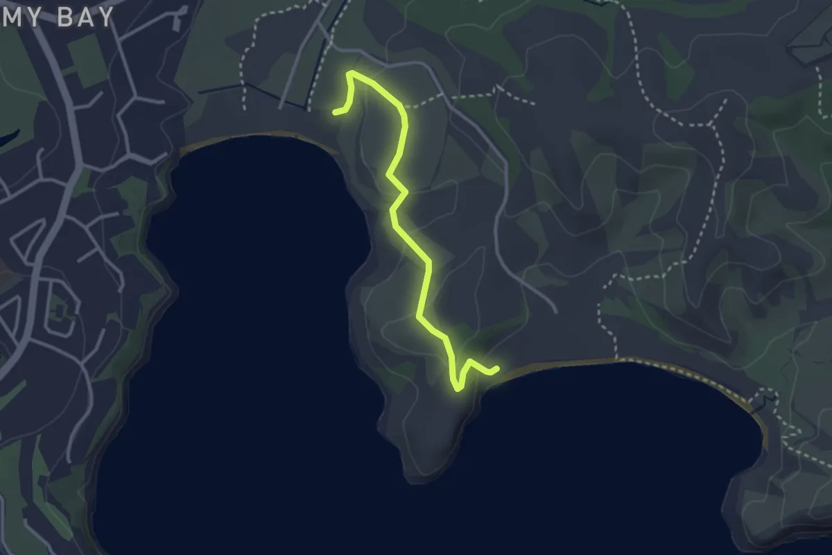
Easy · Trail
Ōkoromai Track
3.4 km · ↑ 98 m · 1 h
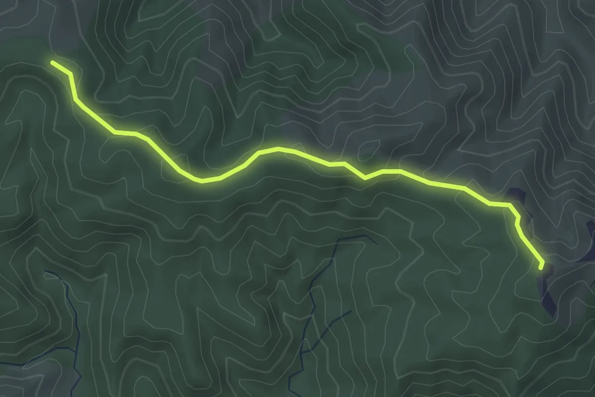
Easy · Trail
Old Brynderwyn Walkway
3.7 km · ↑ 213 m · 1 h 21 min
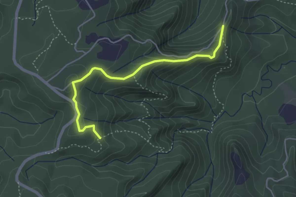
Easy · Trail
Old Coach Road
4.3 km · ↑ 246 m · 1 h 33 min
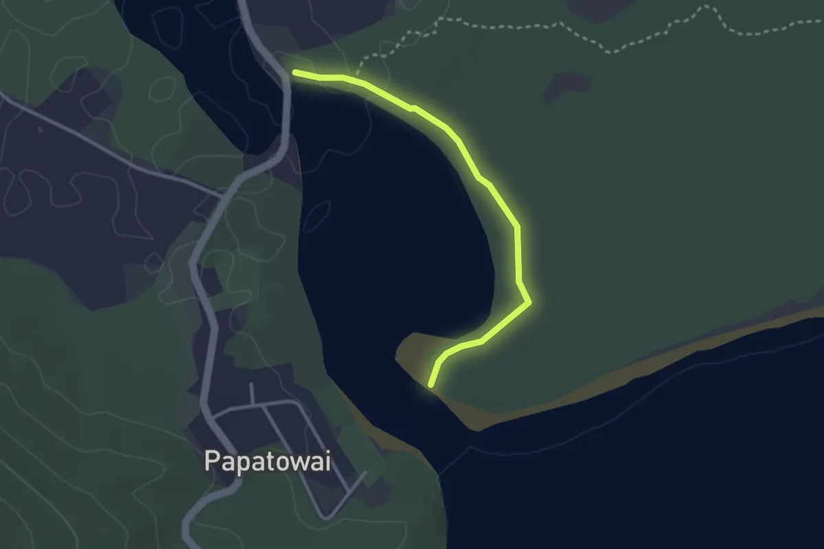
Easy · Trail
Old Coach Road Track
2.8 km · ↑ 8 m · 40 min
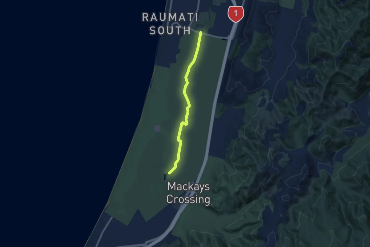
Easy · Trail
Old Farm Track
7.3 km · ↑ 17 m · 1 h 45 min
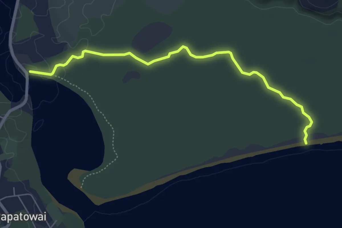
Medium · Trail
Old Possumer's Track
5.5 km · ↑ 17 m · 1 h 20 min
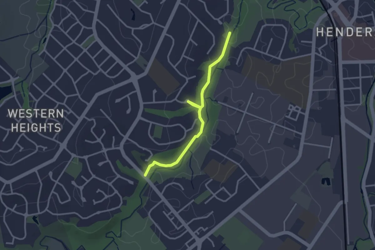
Easy · Trail
Ōpanuku Walkway
3.1 km · ↑ 9 m · 46 min
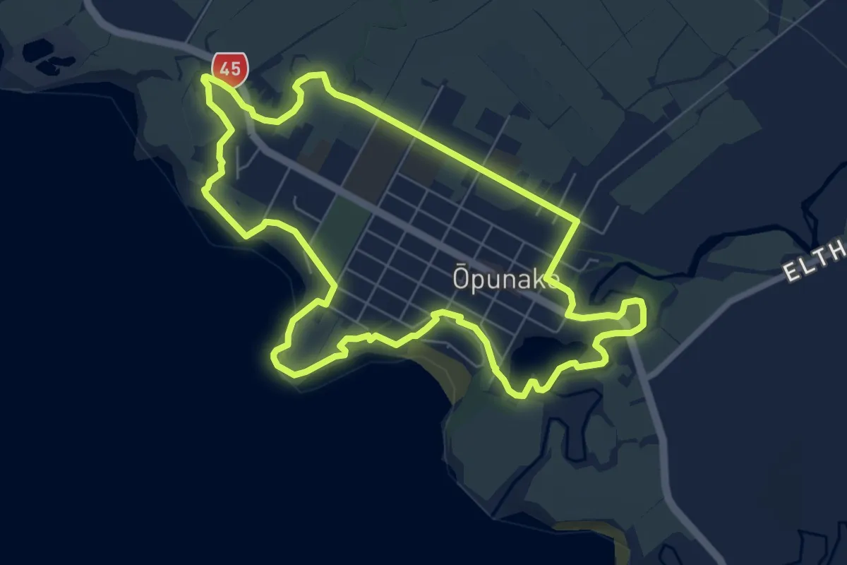
Medium · Trail
Ōpunakē Loop Pathway
8.0 km · ↑ 46 m · 2 h 7 min
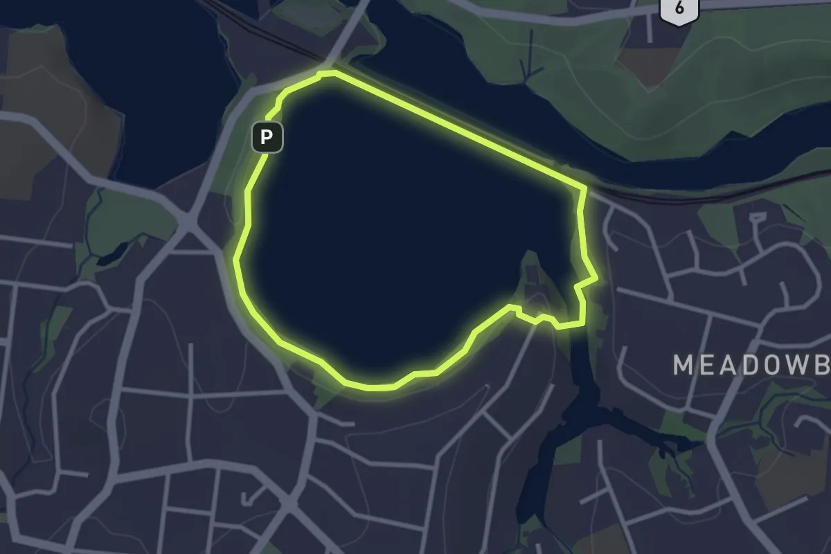
Easy · Trail
Ōrākei Basin Path
3.0 km · ↑ 170 m · 1 h 6 min
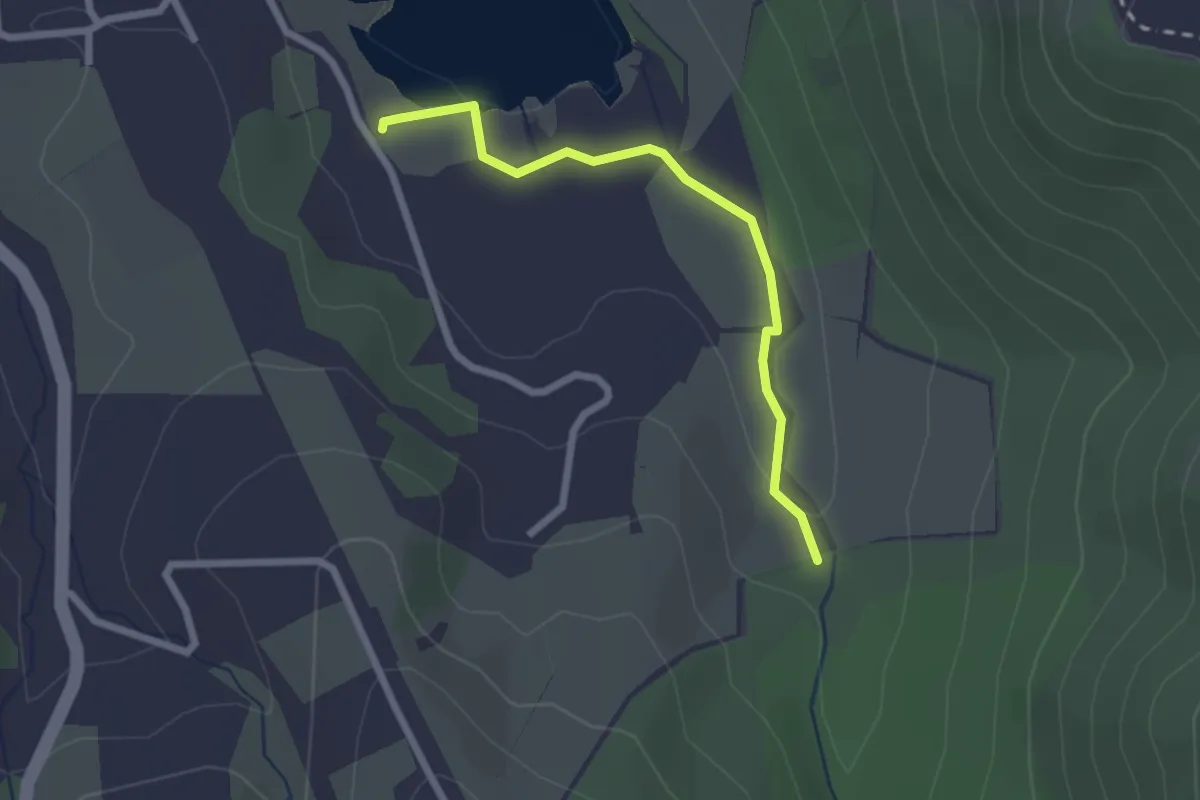
Easy · Trail
Ōrokonui Creek Walking Track
2.3 km · ↑ 30 m · 36 min
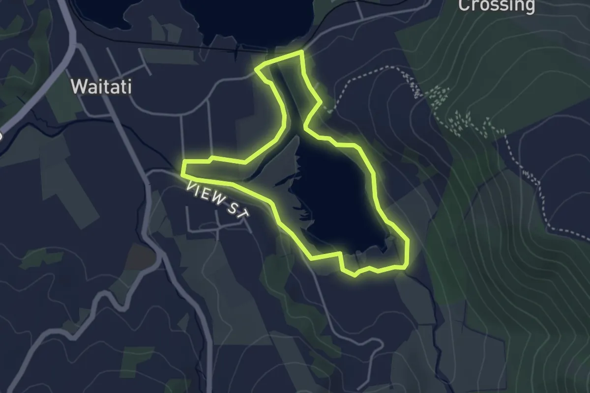
Easy · Trail
Ōrokonui Lagoon Walk
3.5 km · ↑ 57 m · 59 min
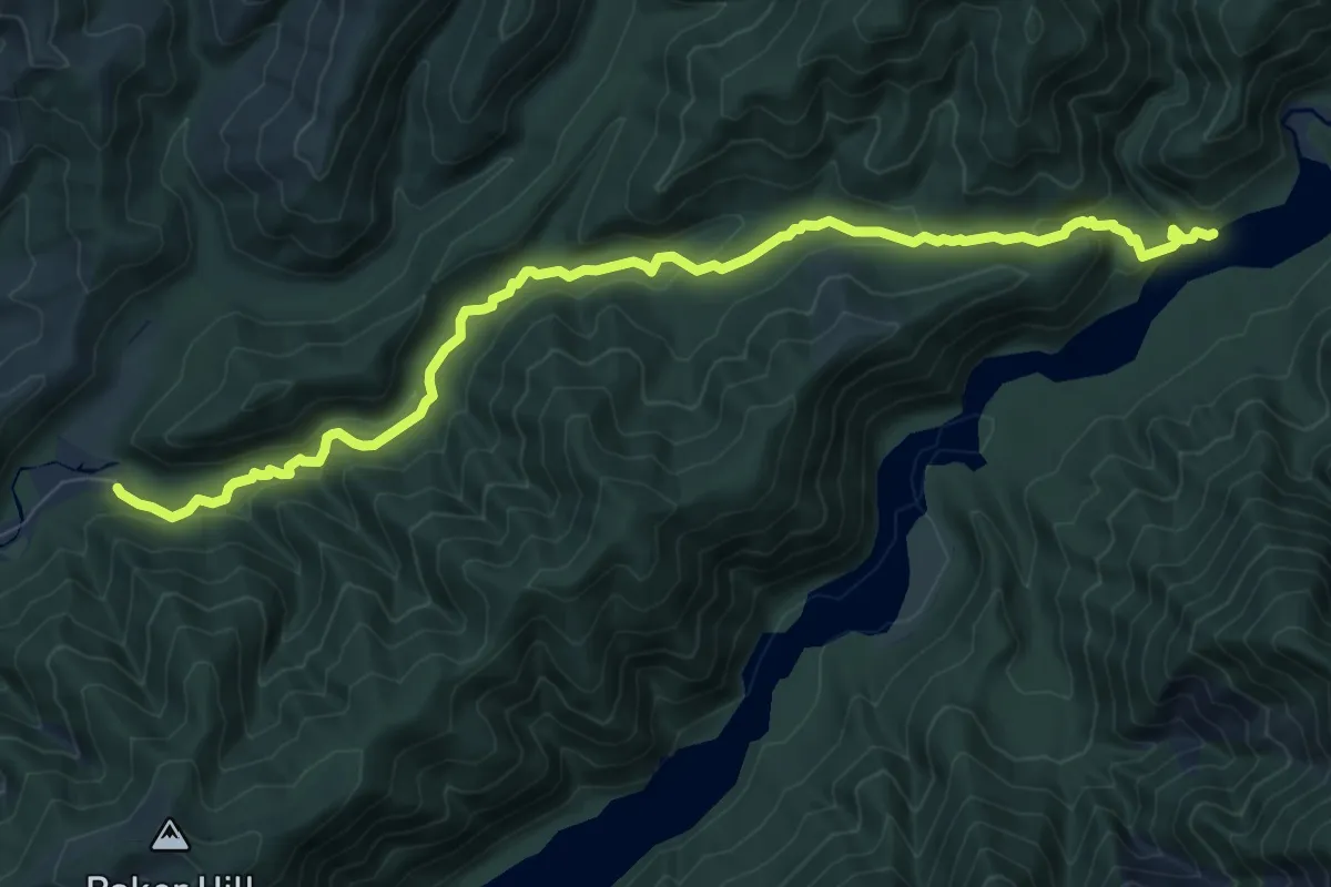
Medium · Trail
Ōrongorongo Track
9.9 km · ↑ 390 m · 3 h 11 min
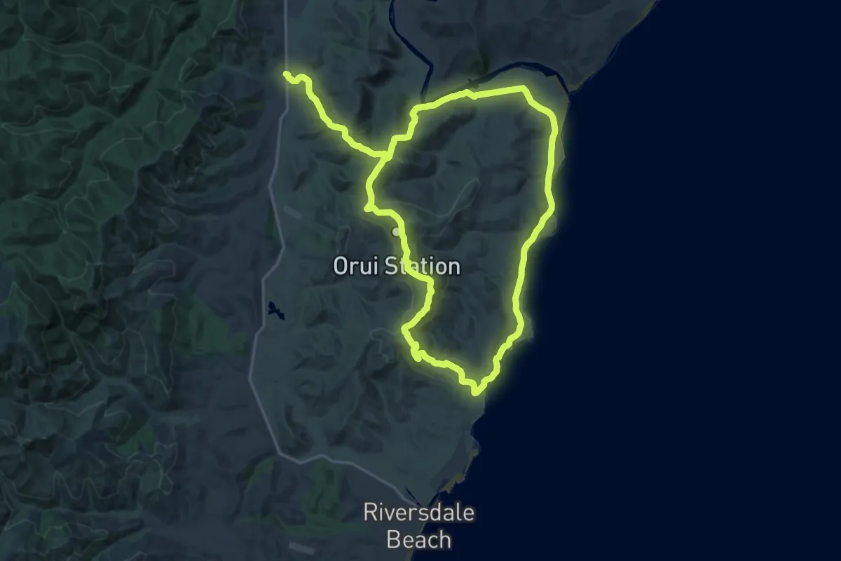
Demanding · Trail
Orui Coastal Walk
19.7 km · ↑ 460 m · 6 h 1 min
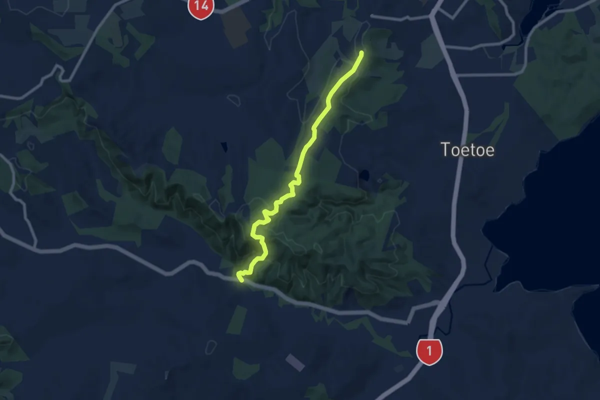
Medium · Trail
Otaika Valley Walkway
8.9 km · ↑ 432 m · 3 h 2 min
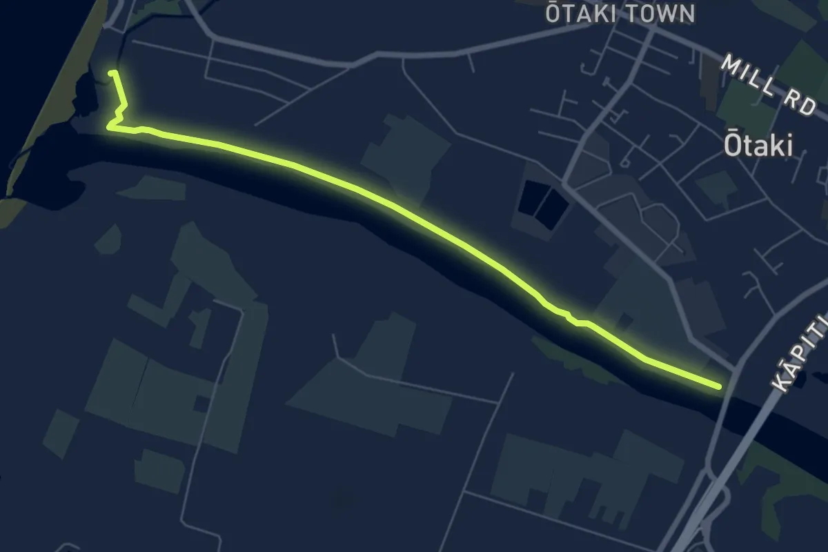
Easy · Trail
Ōtaki River Trail
7.7 km · ↑ 12 m · 1 h 51 min
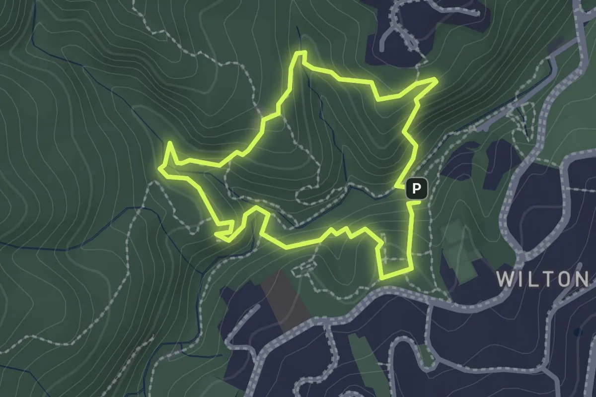
Medium · Trail
Otari-Wilton's Bush circular circuit
2.3 km · ↑ 165 m · 55 min
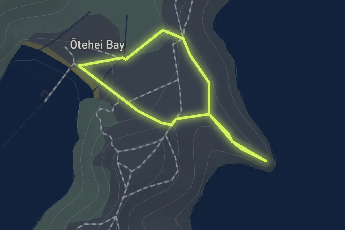
Easy · Trail
Otehei Bay Loop
1.2 km · ↑ 37 m · 23 min
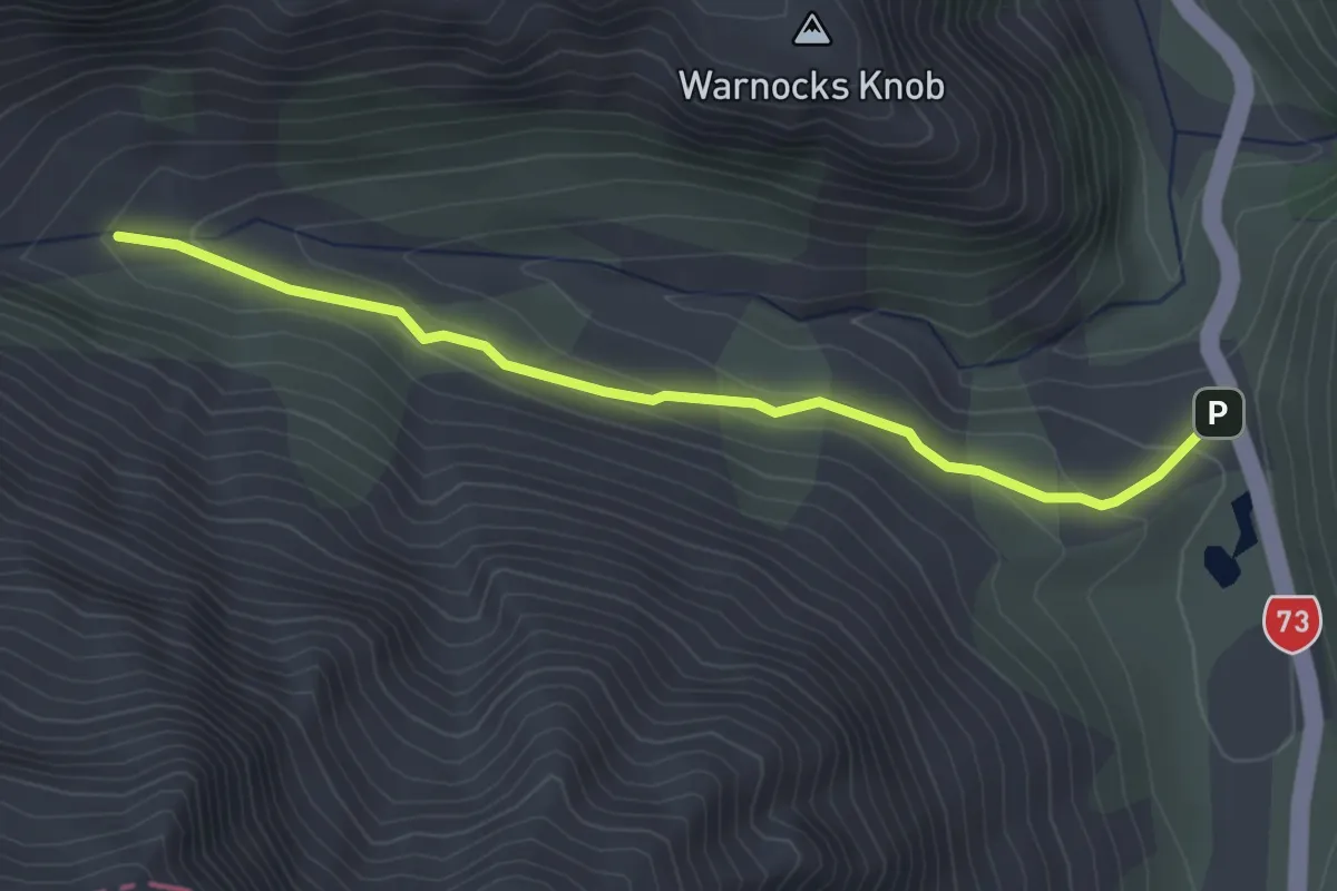
Easy · Trail
Ōtira Valley Track
3.5 km · ↑ 138 m · 1 h 7 min
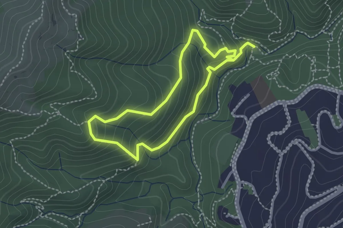
Easy · Trail
OWB - Blue Route
2.1 km · ↑ 156 m · 52 min
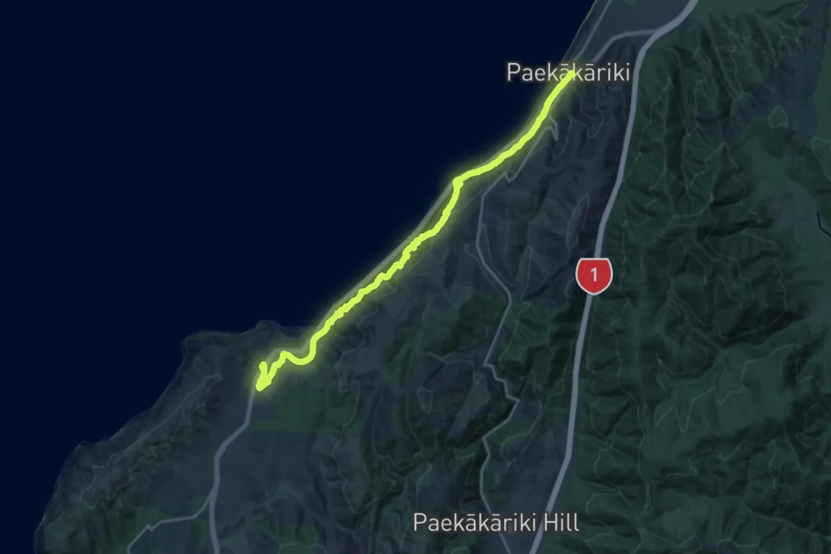
Demanding · Trail
Paekakariki Escarpment
20.1 km · ↑ 949 m · 6 h 49 min
Easy · Trail
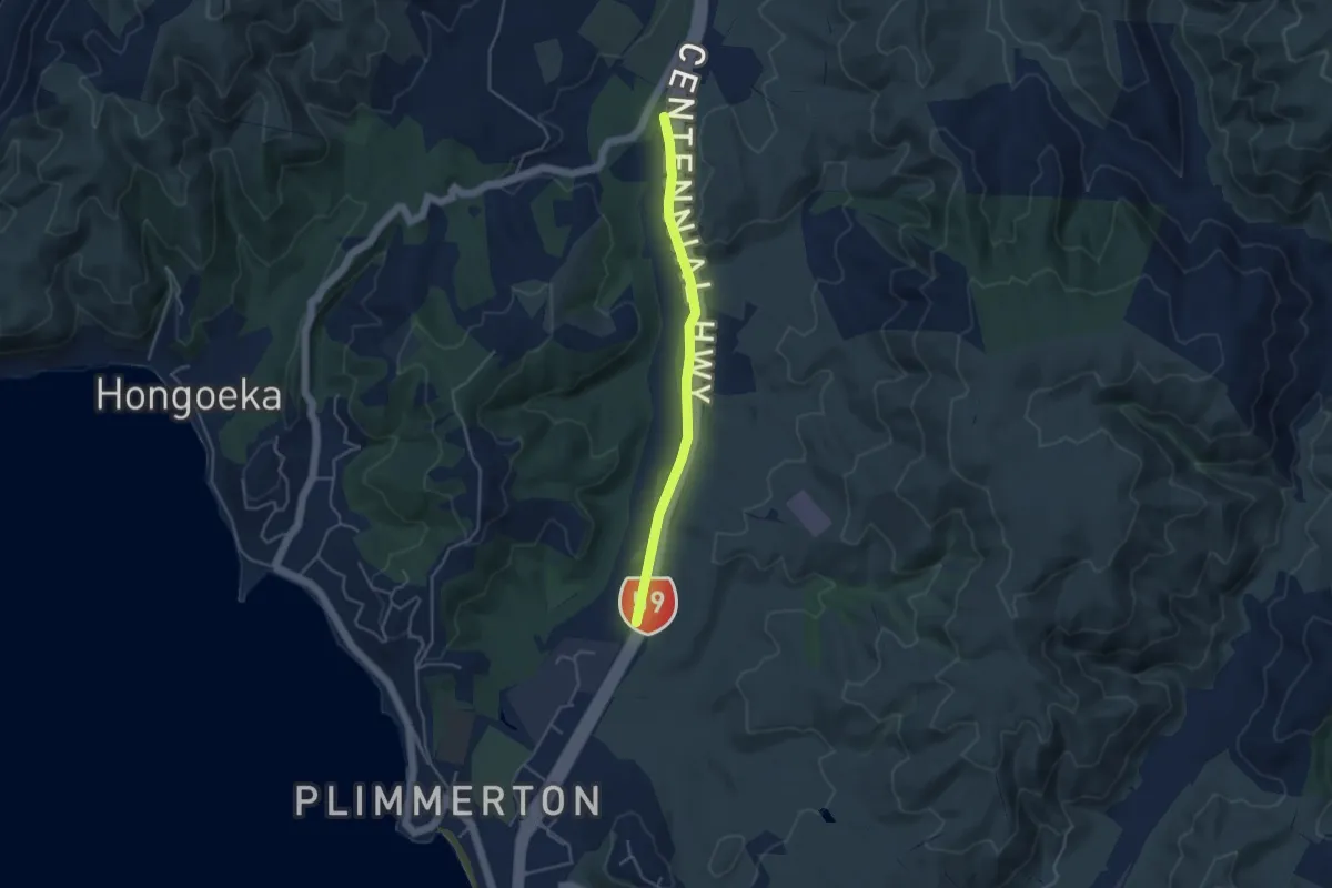
Parkrun Ara Harakeke
4.2 km · ↑ 16 m · 1 h 1 min
Easy · Trail
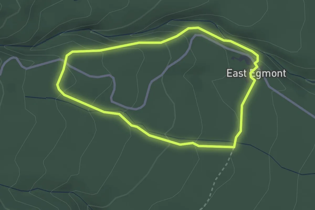
Pātea Track
2.6 km · ↑ 126 m · 55 min
Demanding · Trail
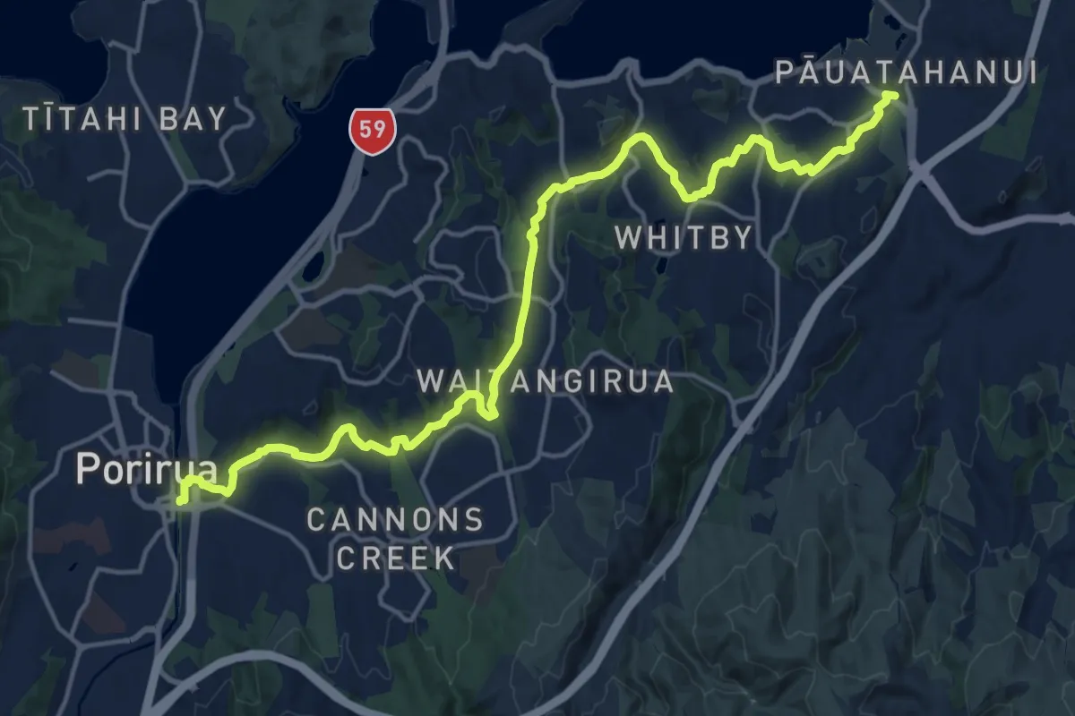
Pauatahanui Harbour circuit - a) Porirua to Pauatahanui
20.7 km · ↑ 182 m · 5 h 18 min
Medium · Trail
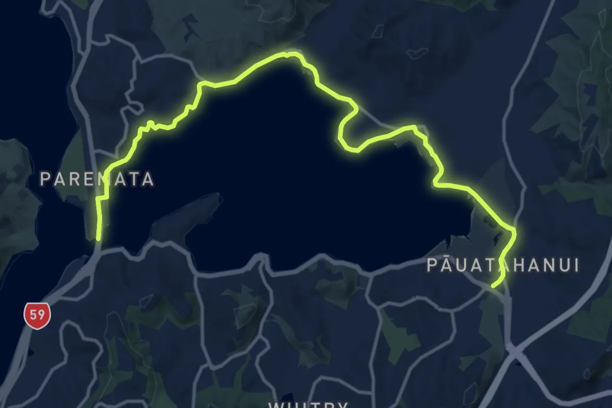
Pauatahanui Harbour circuit - b) Pauatahanui to Paremata Bridge
15.1 km · ↑ 127 m · 3 h 51 min
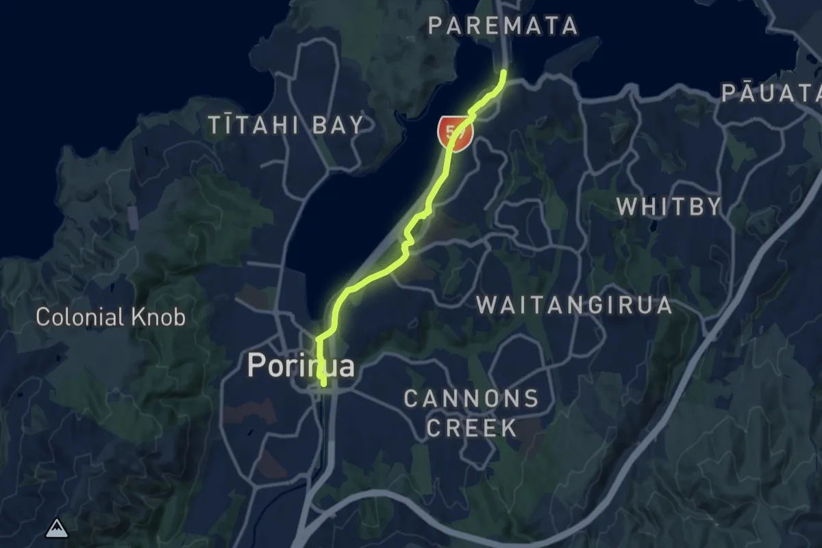
Medium · Trail
Pauatahanui Harbour circuit - c) Paremata Bridge to Porirua Station
10.3 km · ↑ 109 m · 2 h 39 min
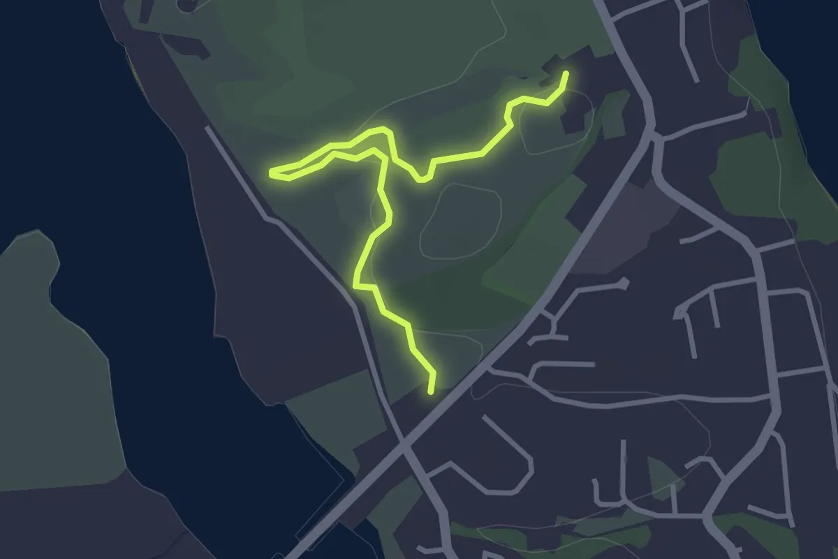
Easy · Trail
Paul's Track
3.6 km · ↑ 47 m · 58 min
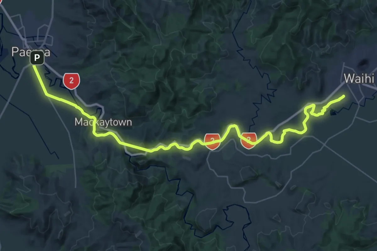
Demanding · Trail
PaWa Paeroa to Waihi Rail Trail (Hiking)
21.2 km · ↑ 271 m · 5 h 51 min
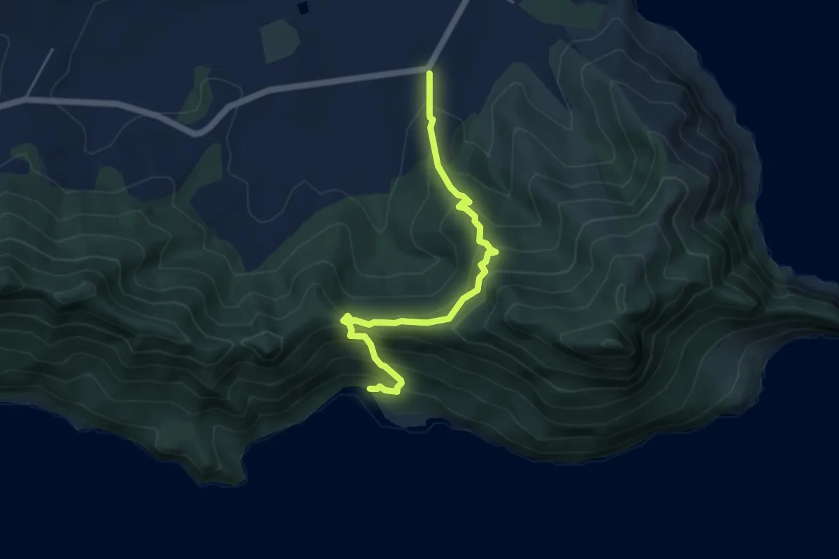
Medium · Cabin
Peach Cove Track
5.5 km · ↑ 456 m · 2 h 17 min
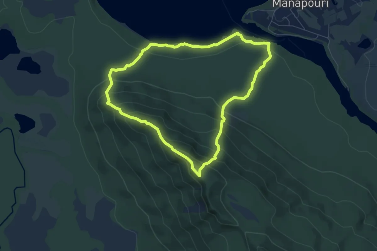
Medium · Trail
Pearl Harbour Circle Track
6.9 km · ↑ 386 m · 2 h 33 min
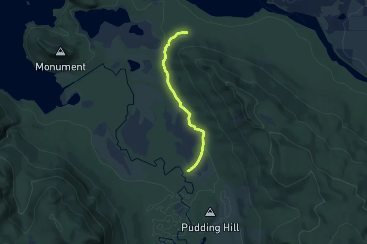
Medium · Cabin
Pearl Harbour to Back Valley Hut Track
7.8 km · ↑ 52 m · 1 h 57 min
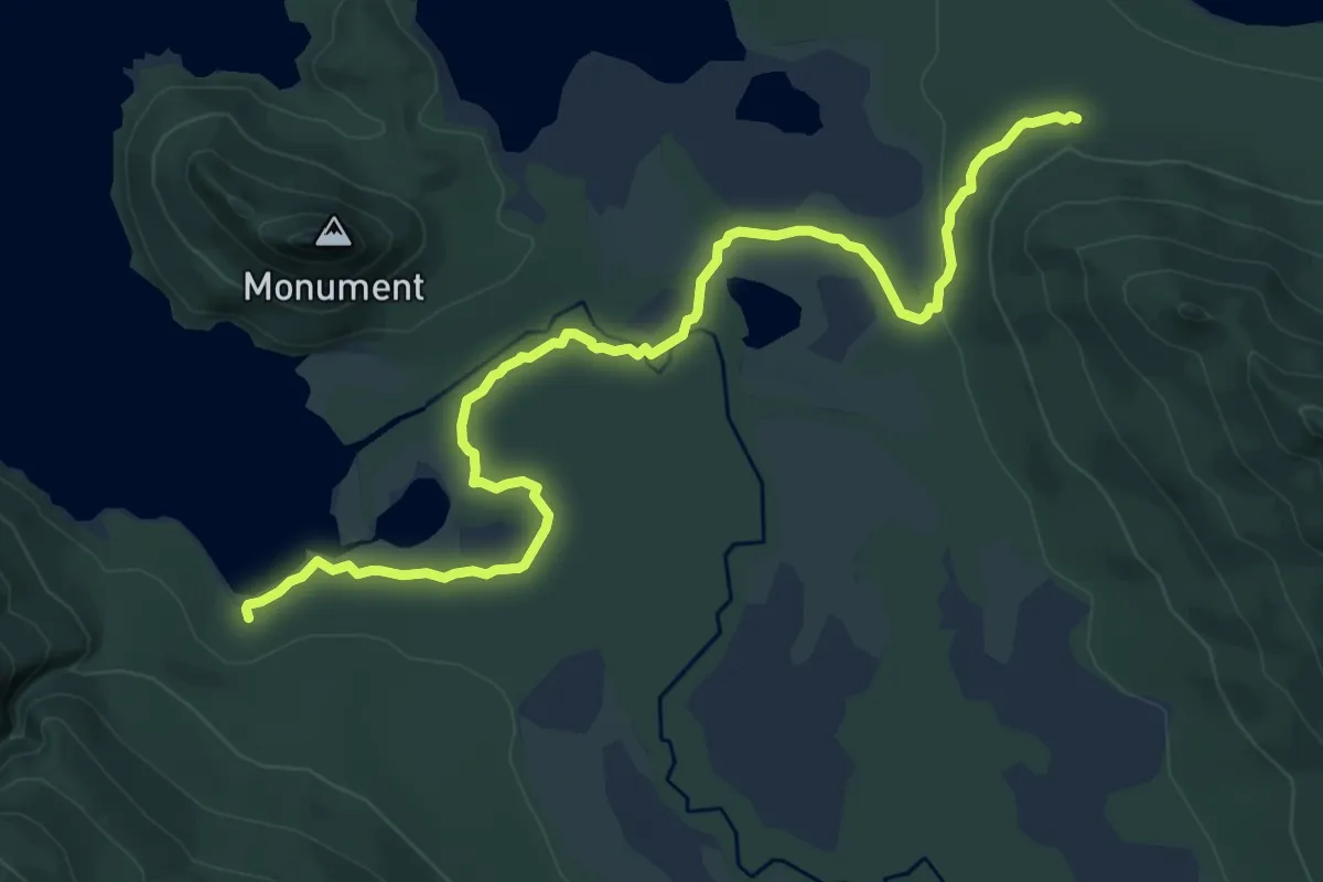
Medium · Cabin
Pearl Harbour to Hope Arm Track
11.0 km · ↑ 74 m · 2 h 45 min
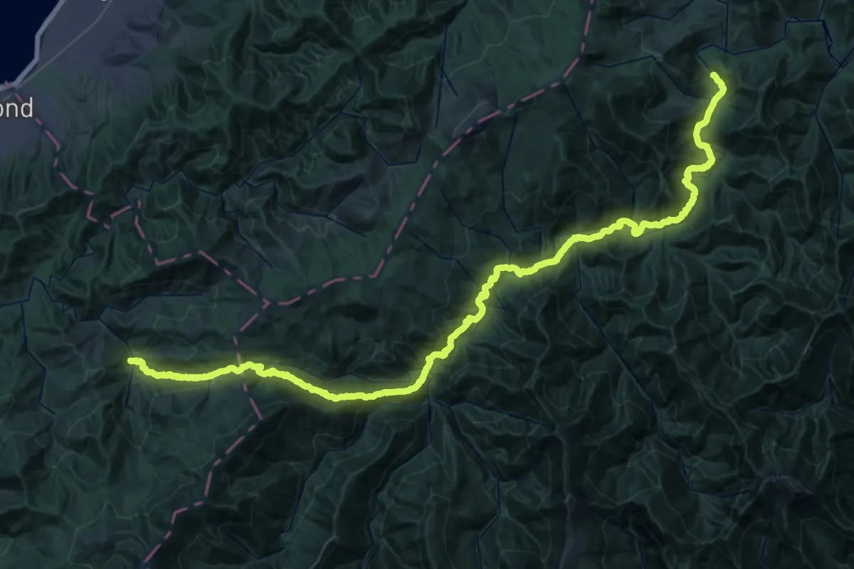
Demanding · Trail
Pelorus Track
29.9 km · ↑ 1948 m · 11 h 39 min
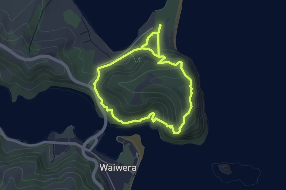
Easy · Trail
Perimeter Track
4.2 km · ↑ 232 m · 1 h 33 min
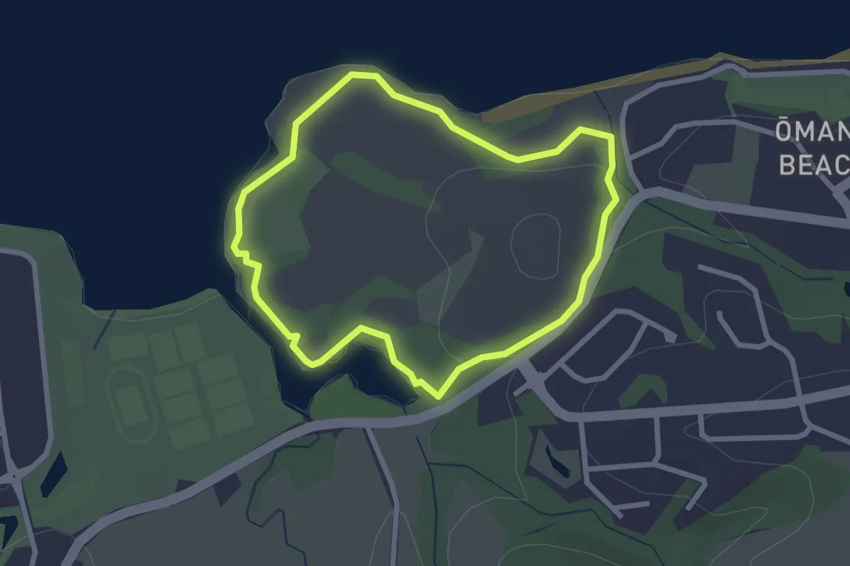
Easy · Trail
Perimeter Walk
2.6 km · ↑ 60 m · 46 min
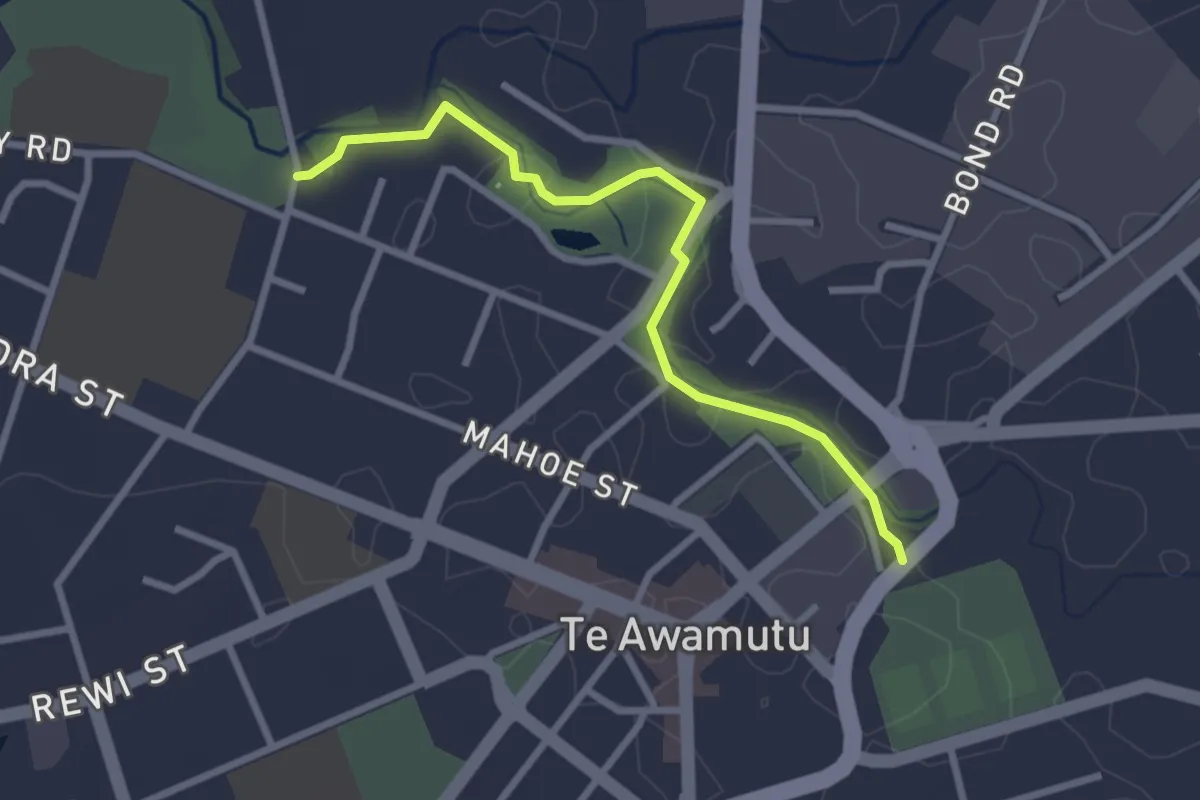
Easy · Trail
Pioneer Walk
3.2 km · ↑ 0 m · 45 min
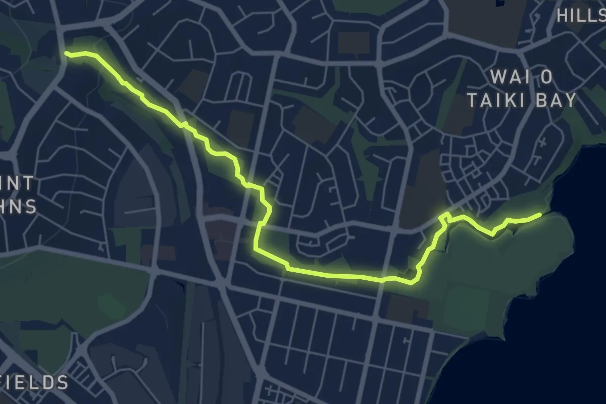
Easy · Trail
Point England Walkway
7.8 km · ↑ 84 m · 2 h 1 min
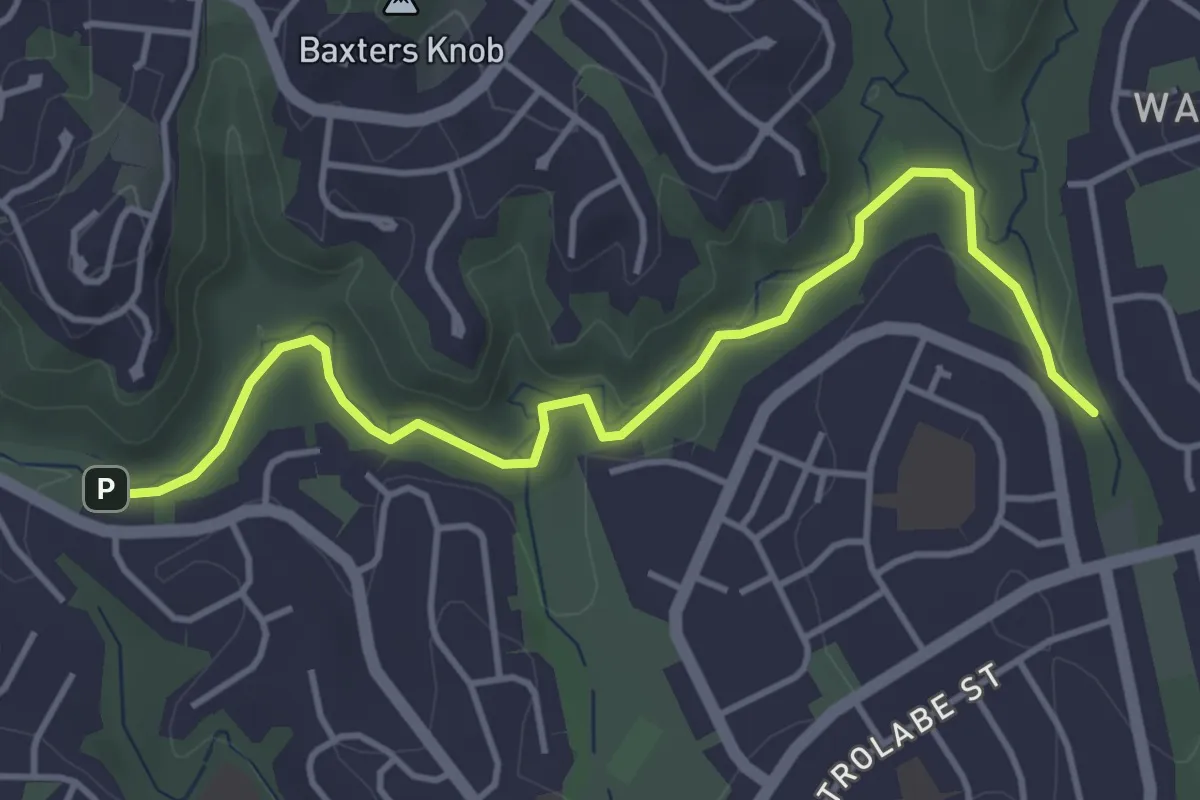
Easy · Trail
Porirua parkrun
5.0 km · ↑ 37 m · 1 h 15 min
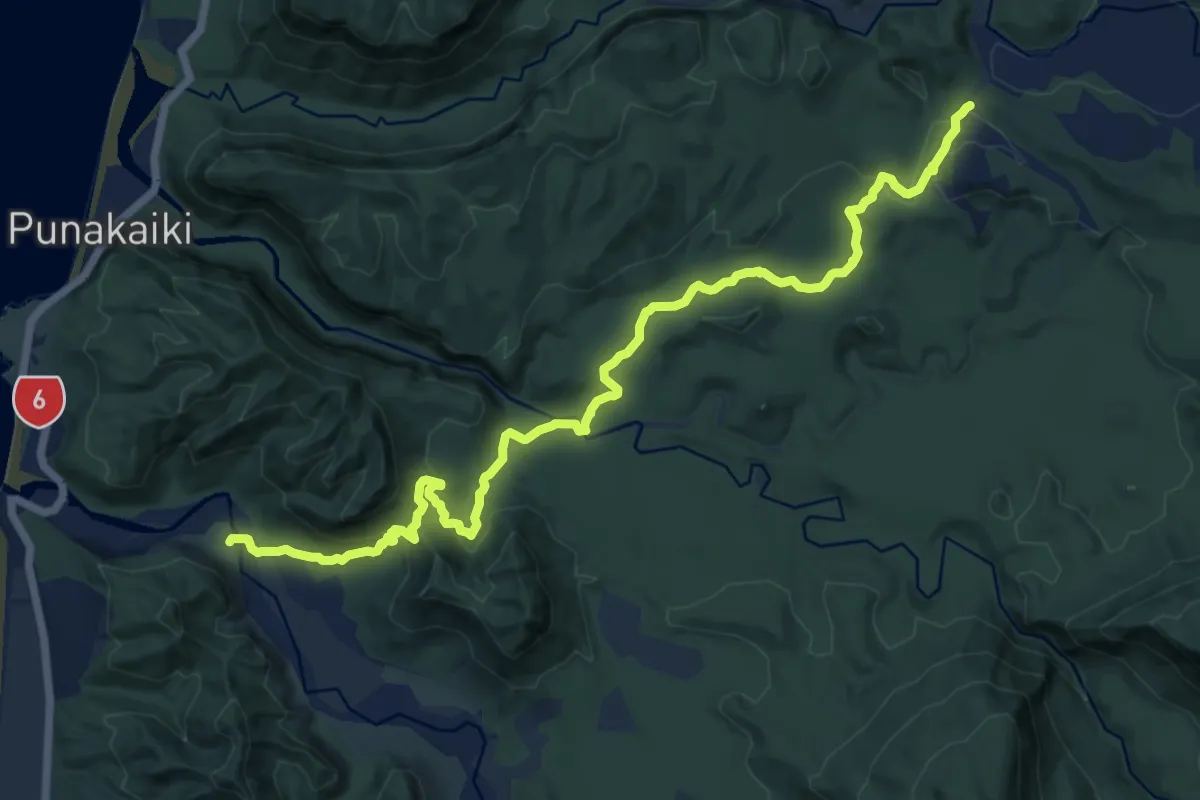
Medium · Trail
Pororari River Track
16.2 km · ↑ 407 m · 4 h 43 min
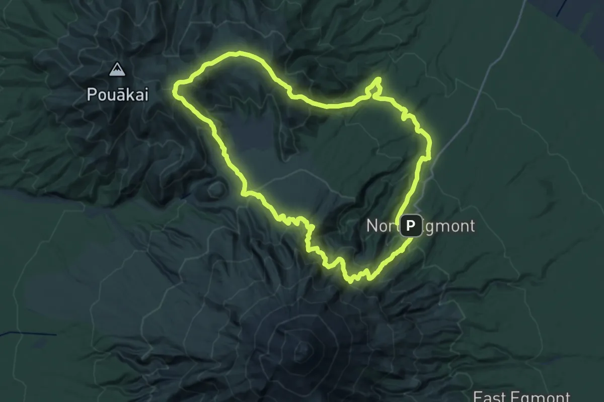
Demanding · Summit
Pouākai Circuit
22.6 km · ↑ 1510 m · 8 h 55 min
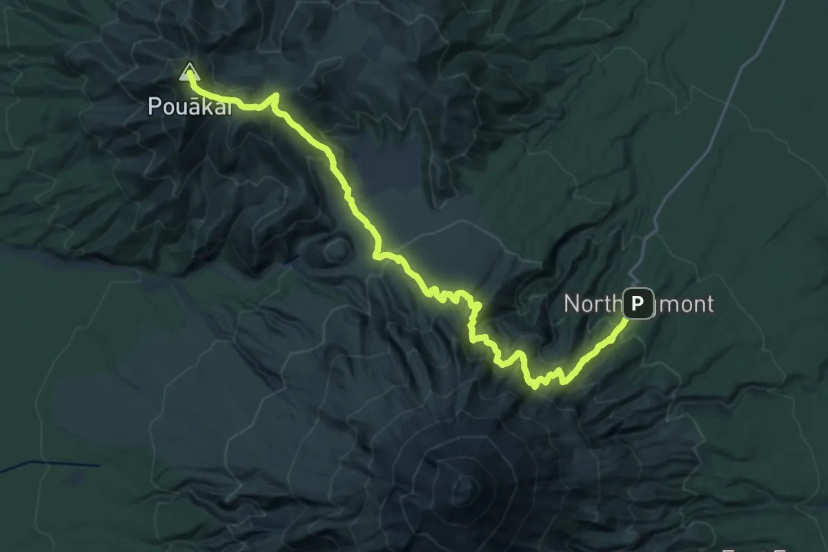
Demanding · Summit
Pouākai Crossing
25.2 km · ↑ 1718 m · 9 h 40 min