Trails in New Zealand
519 hiking trails, each with its route, climb, walking time and grade.
All trails, page 5 of 11
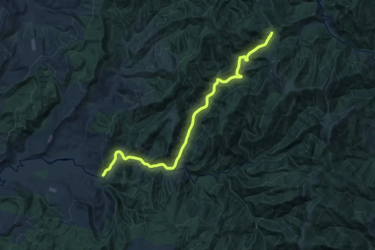
Demanding · Trail
Mangatoa Track
20.2 km · ↑ 726 m · 6 h 21 min
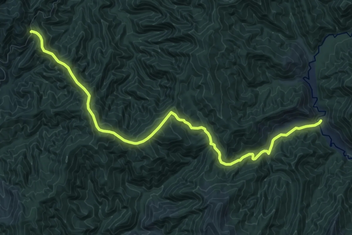
Demanding · Cabin
Mangatoa Track
14.4 km · ↑ 933 m · 5 h 25 min
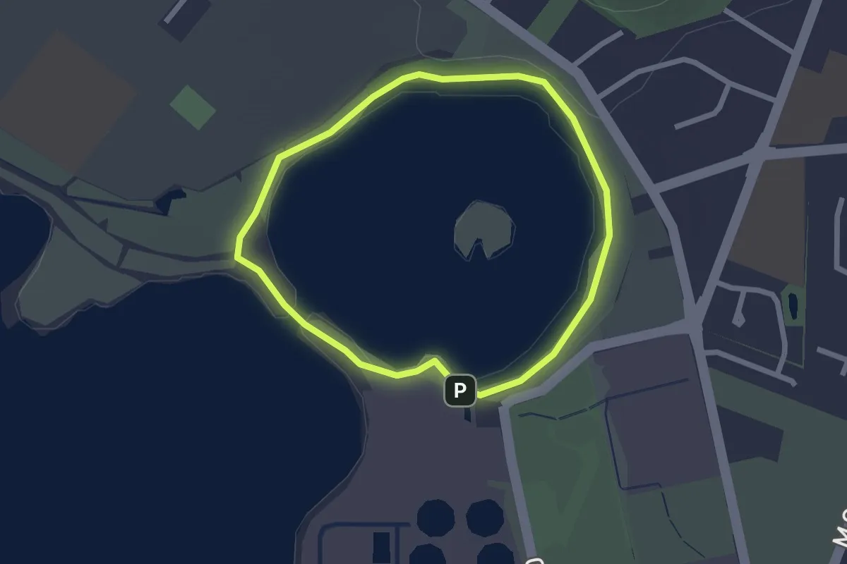
Easy · Trail
Māngere Lagoon Path
2.2 km · ↑ 27 m · 37 min
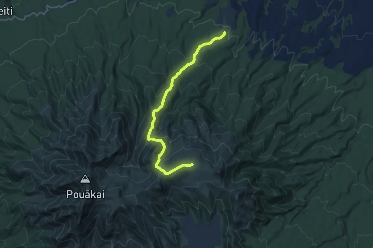
Medium · Trail
Mangorei Track to Pouākai Tarns
12.2 km · ↑ 779 m · 4 h 34 min
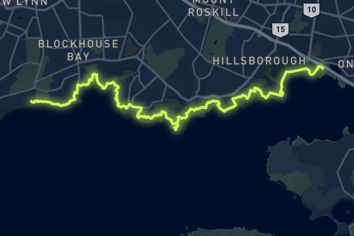
Medium · Trail
Manukau Coastal Walkway
13.2 km · ↑ 505 m · 4 h 25 min
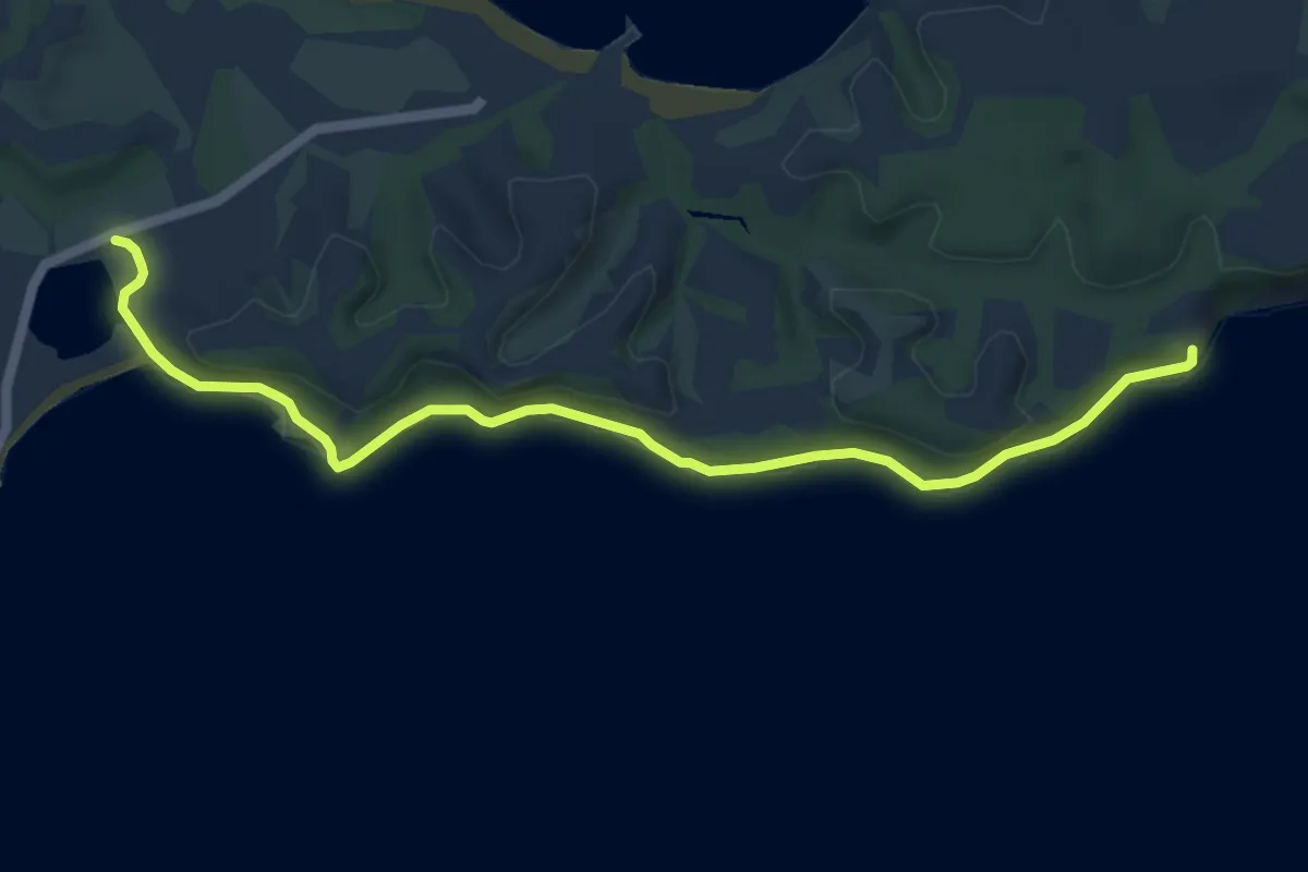
Easy · Trail
Māori Bay Coast Walk
7.0 km · ↑ 118 m · 1 h 55 min
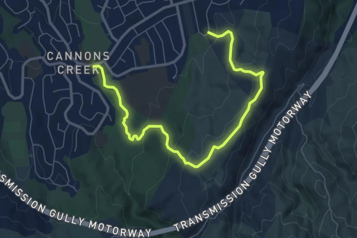
Medium · Trail
Māra Roa Trail
8.1 km · ↑ 298 m · 2 h 33 min
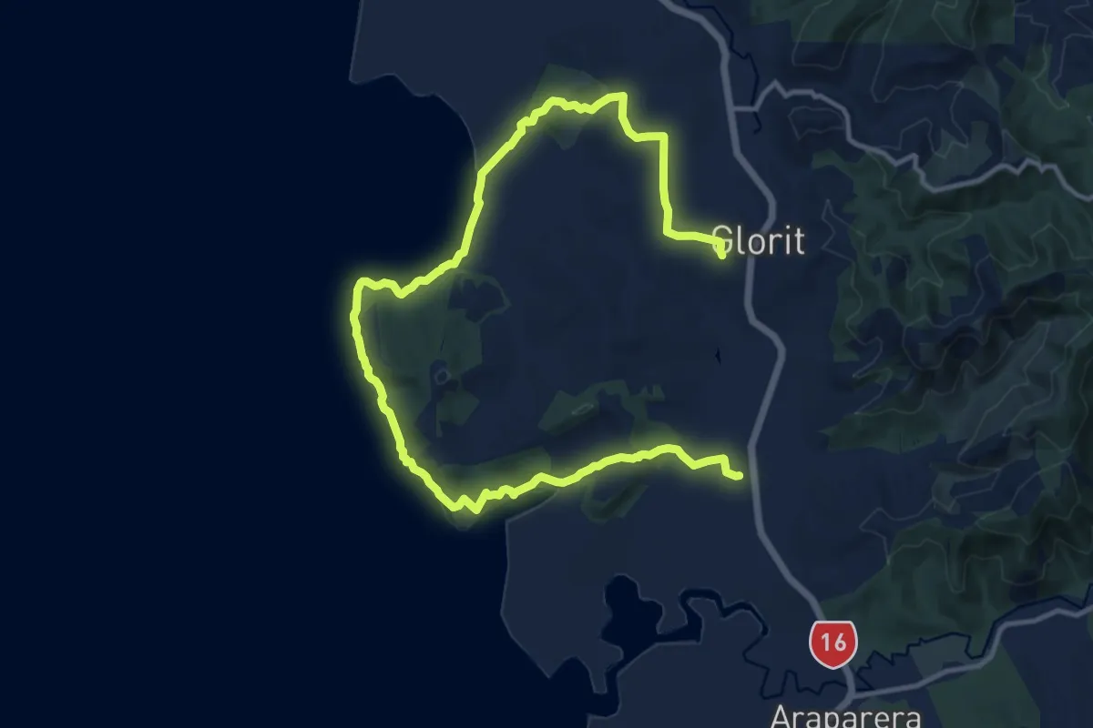
Demanding · Trail
Mataia Day 1 Track
20.4 km · ↑ 496 m · 5 h 54 min
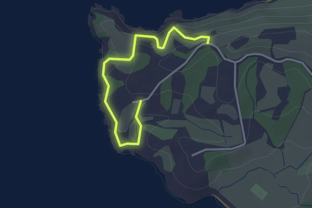
Easy · Trail
Matiatia Te Miro Coastal Walkway
3.3 km · ↑ 155 m · 1 h 7 min
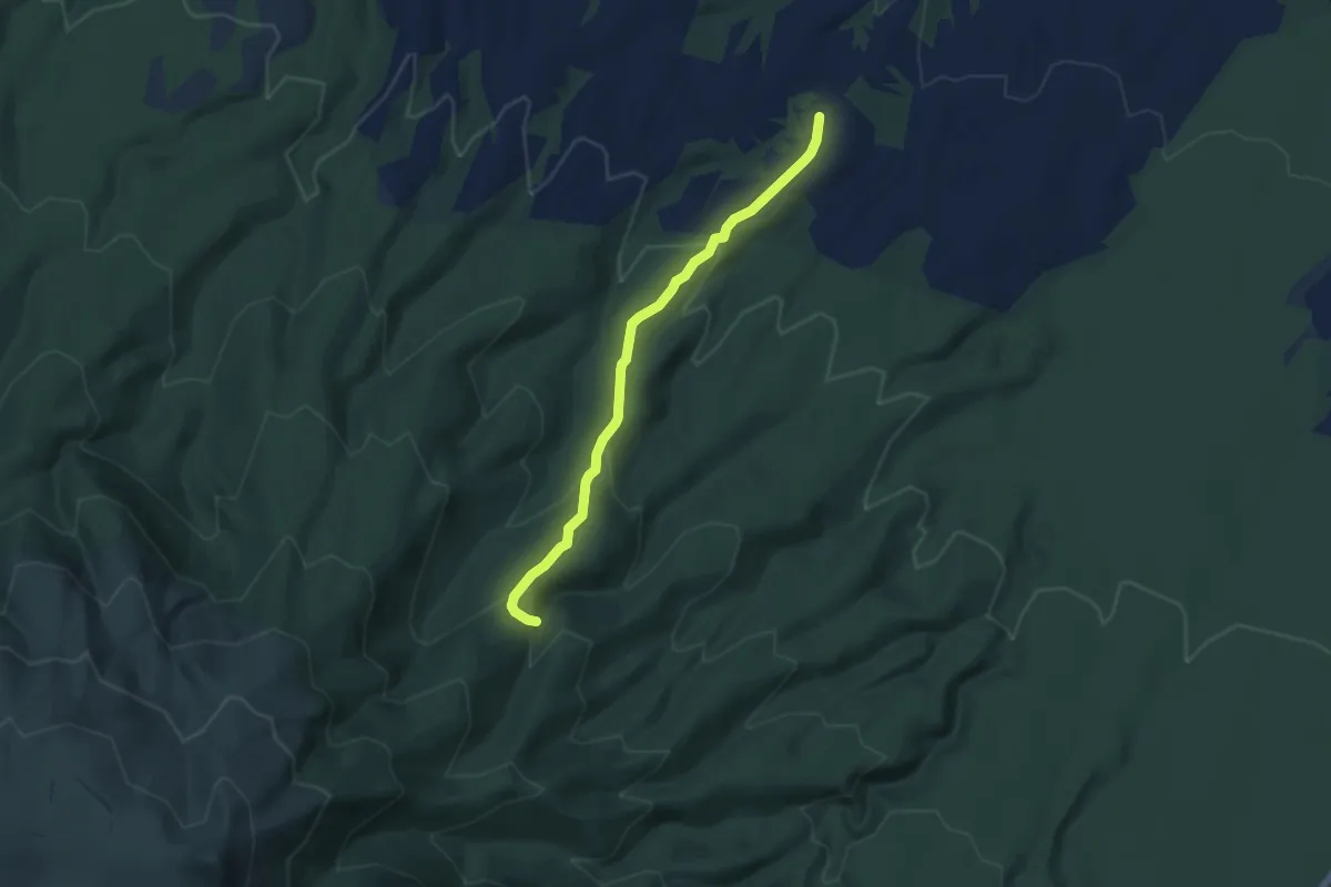
Medium · Trail
Maude Track to Mangakotukutuku Falls
6.0 km · ↑ 321 m · 2 h 6 min
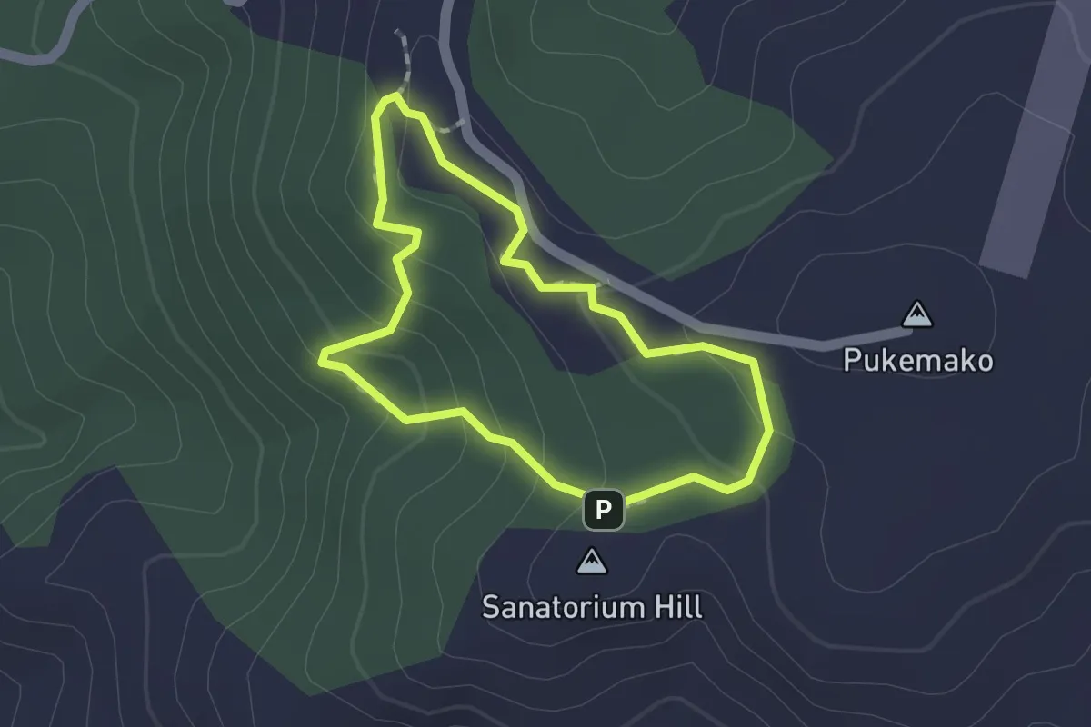
Easy · Summit
Maungakawa Scenic Reserve Loop Track
1.5 km · ↑ 75 m · 32 min
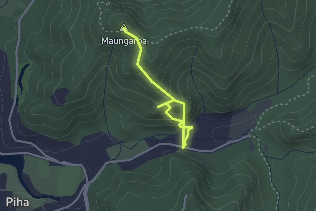
Easy · Summit
Maungaroa Lookout Track
2.7 km · ↑ 294 m · 1 h 17 min
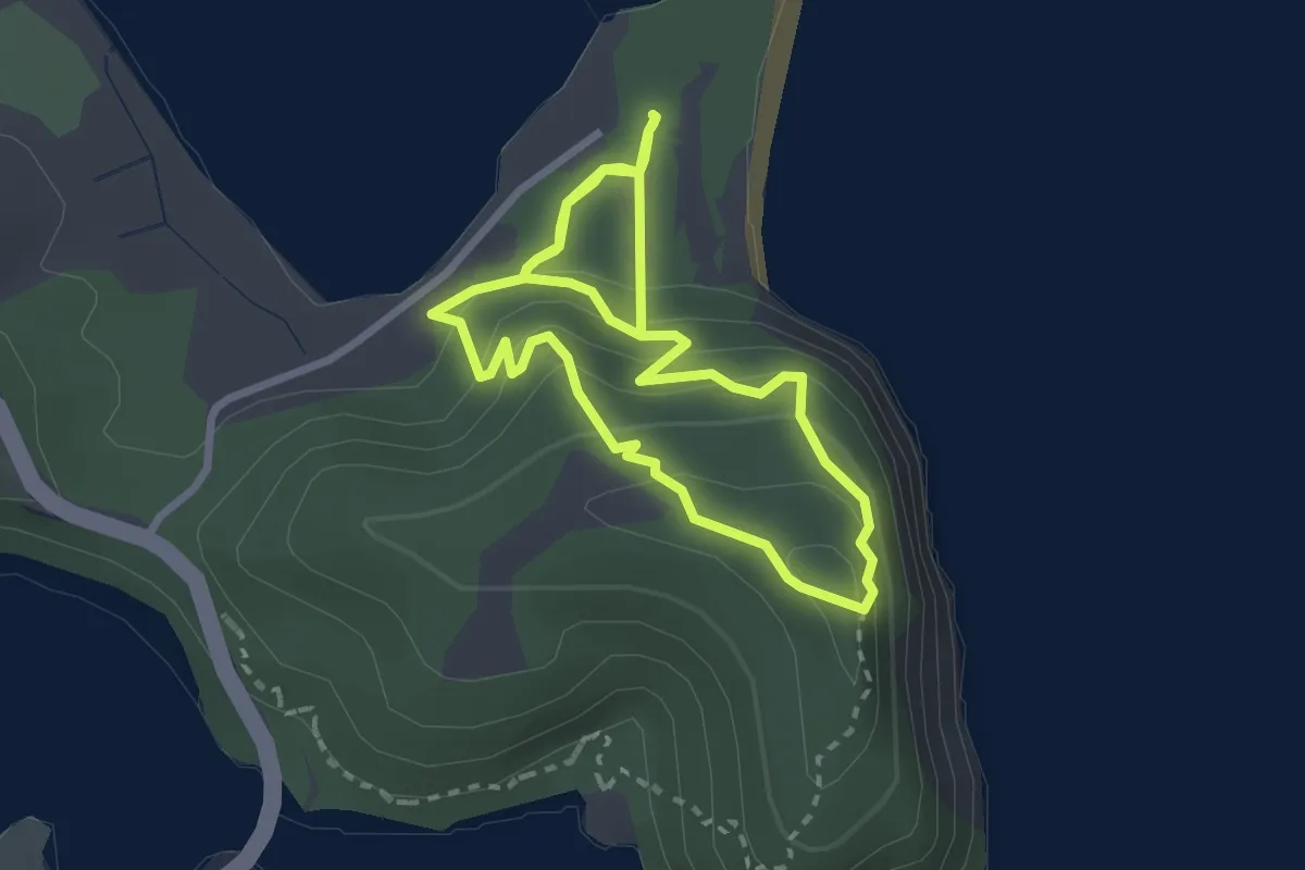
Easy · Trail
Maungatauhoro Te Hikoi Track
3.0 km · ↑ 197 m · 1 h 9 min
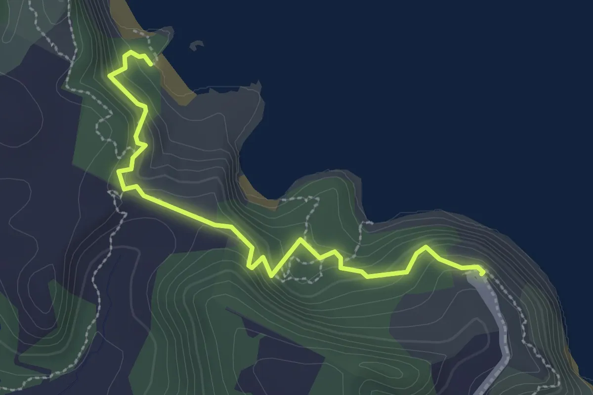
Easy · Trail
Mautohe Cathedral Cove Track
3.3 km · ↑ 212 m · 1 h 15 min
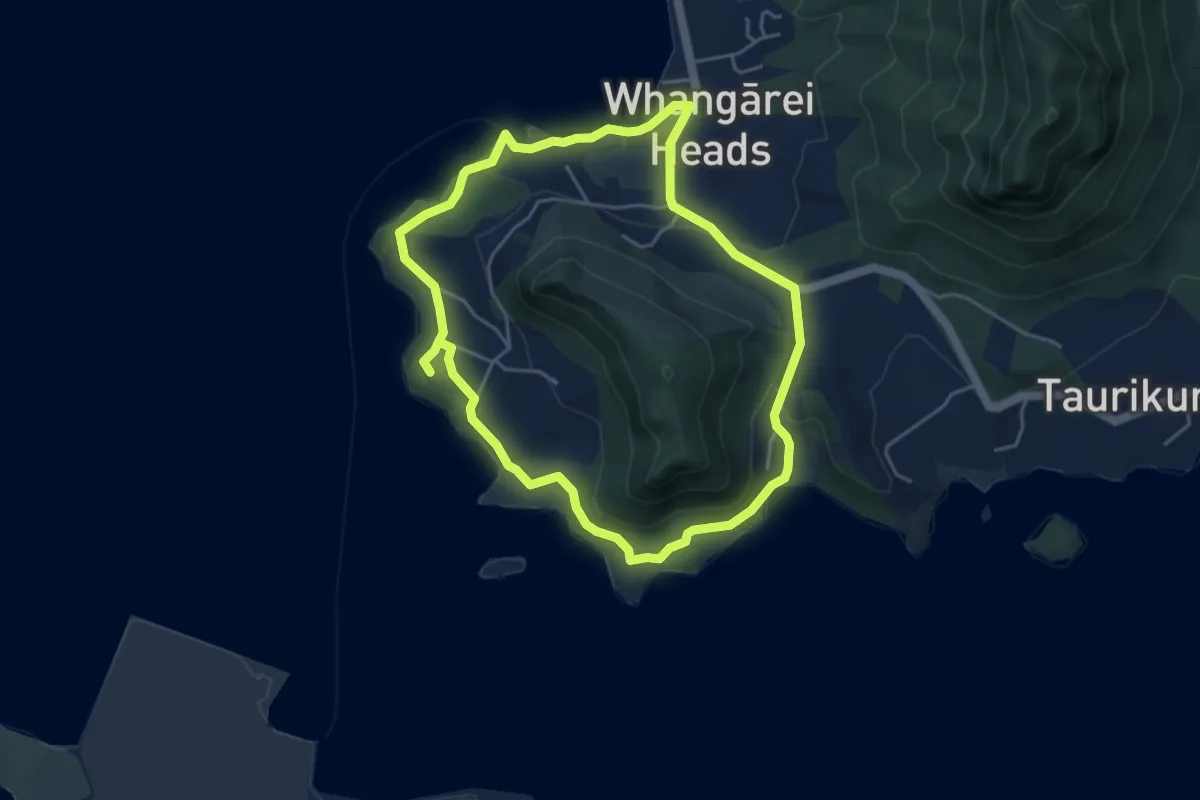
Easy · Trail
McLeod Bay to Little Munro Bay
5.1 km · ↑ 146 m · 1 h 36 min
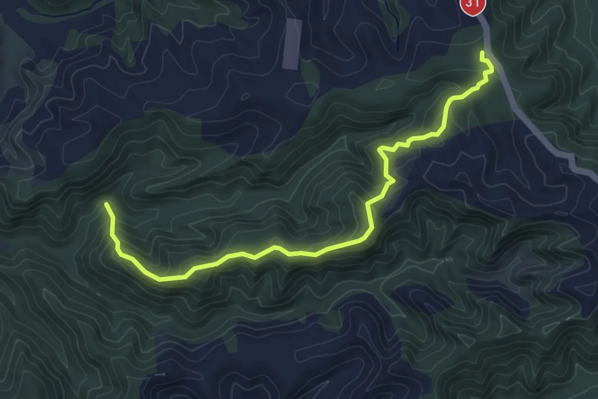
Easy · Trail
Medium Gorge Route
6.0 km · ↑ 302 m · 2 h 5 min
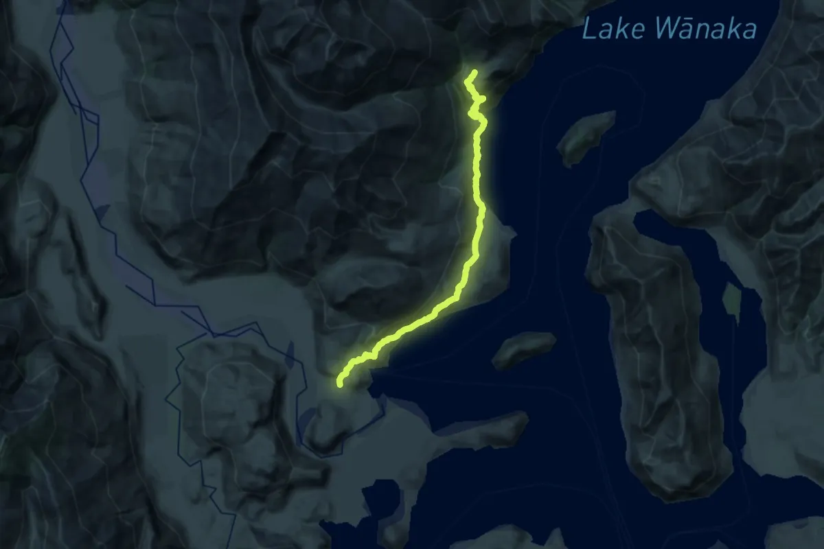
Demanding · Trail
Minaret Burn Track
25.6 km · ↑ 883 m · 7 h 57 min
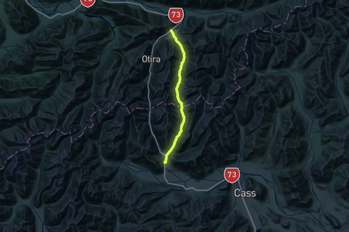
Demanding · Trail
Mingha Track
25.7 km · ↑ 531 m · 7 h 46 min
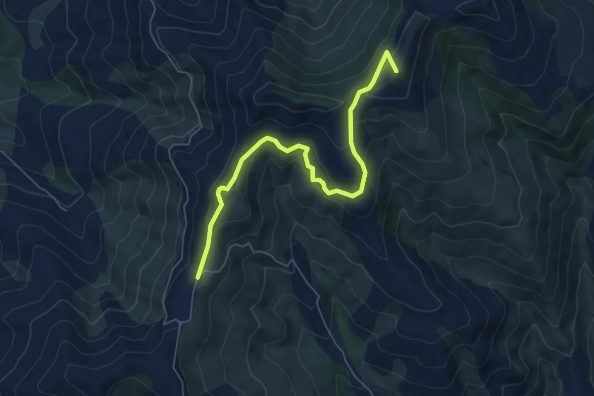
Medium · Summit
Misty Peaks Reserve Track
6.1 km · ↑ 365 m · 2 h 14 min
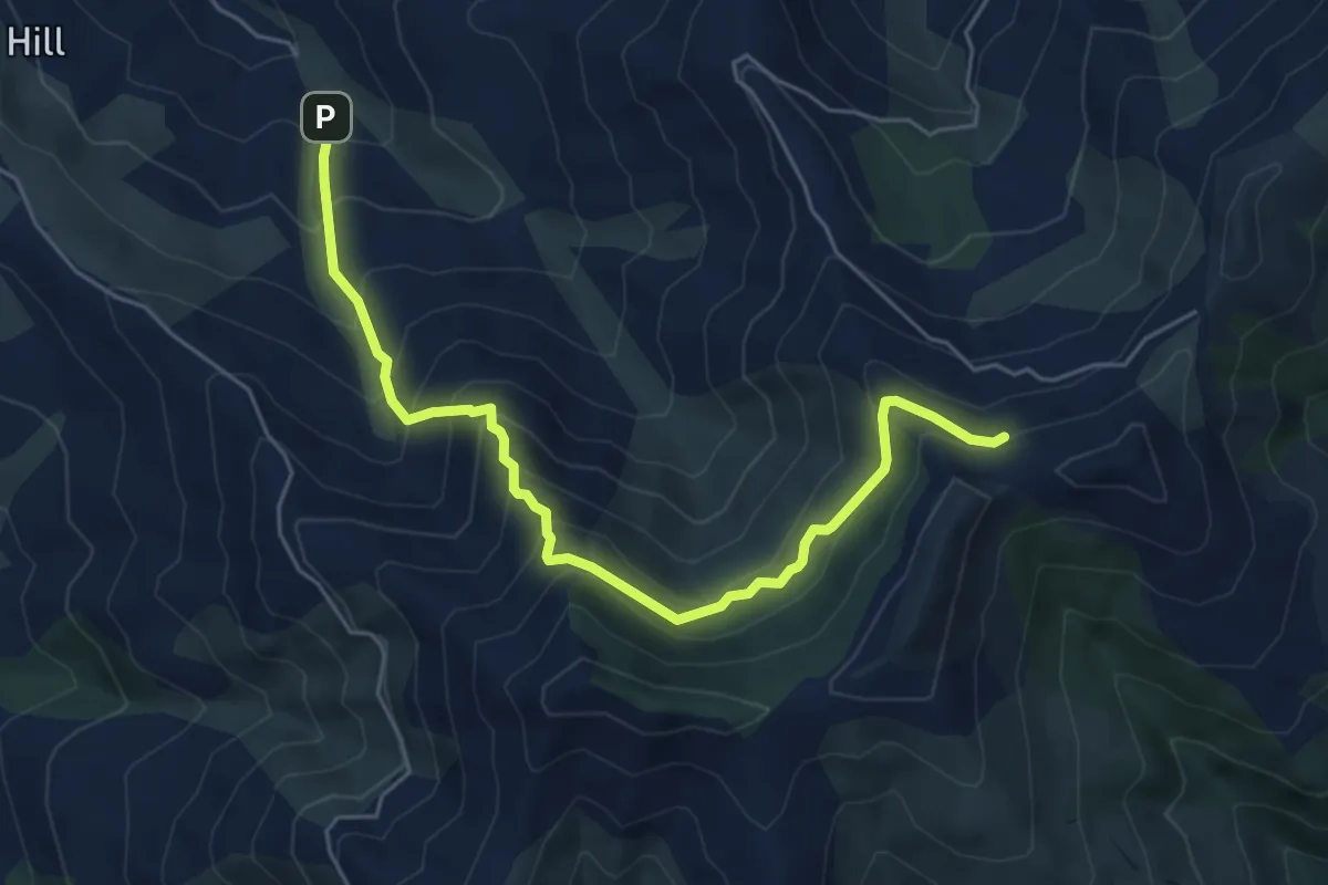
Medium · Trail
Misty Peaks Track
6.1 km · ↑ 596 m · 2 h 43 min
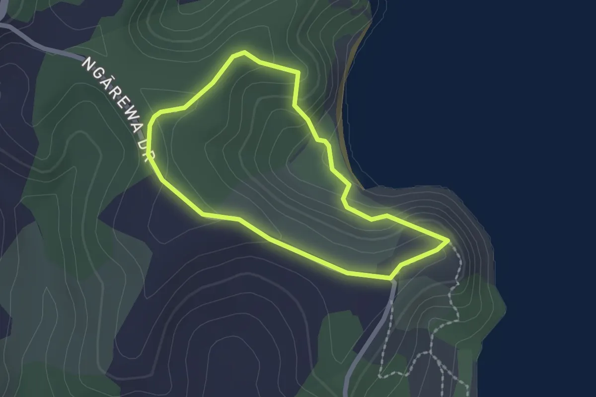
Easy · Trail
Mita Bay Loop Track
2.0 km · ↑ 89 m · 41 min
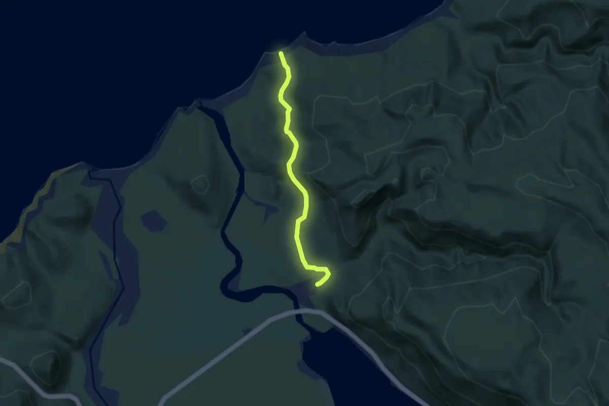
Easy · Trail
Monro Beach Track
5.1 km · ↑ 92 m · 1 h 24 min
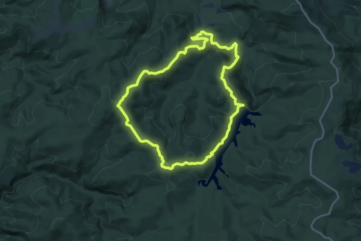
Medium · Trail
Montana Heritage Trail
8.8 km · ↑ 401 m · 3 h 4 min
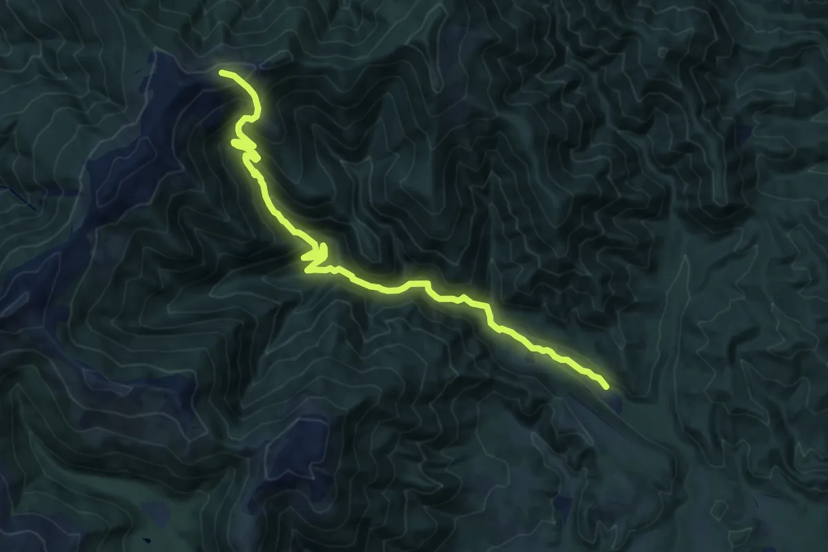
Demanding · Trail
Moonlight Track
15.8 km · ↑ 1064 m · 6 h 2 min
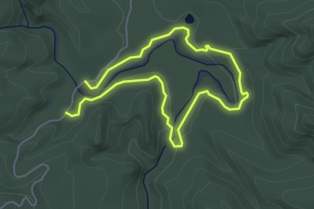
Easy · Trail
Moria Gate and Mirror Tarn Loop
3.5 km · ↑ 39 m · 58 min
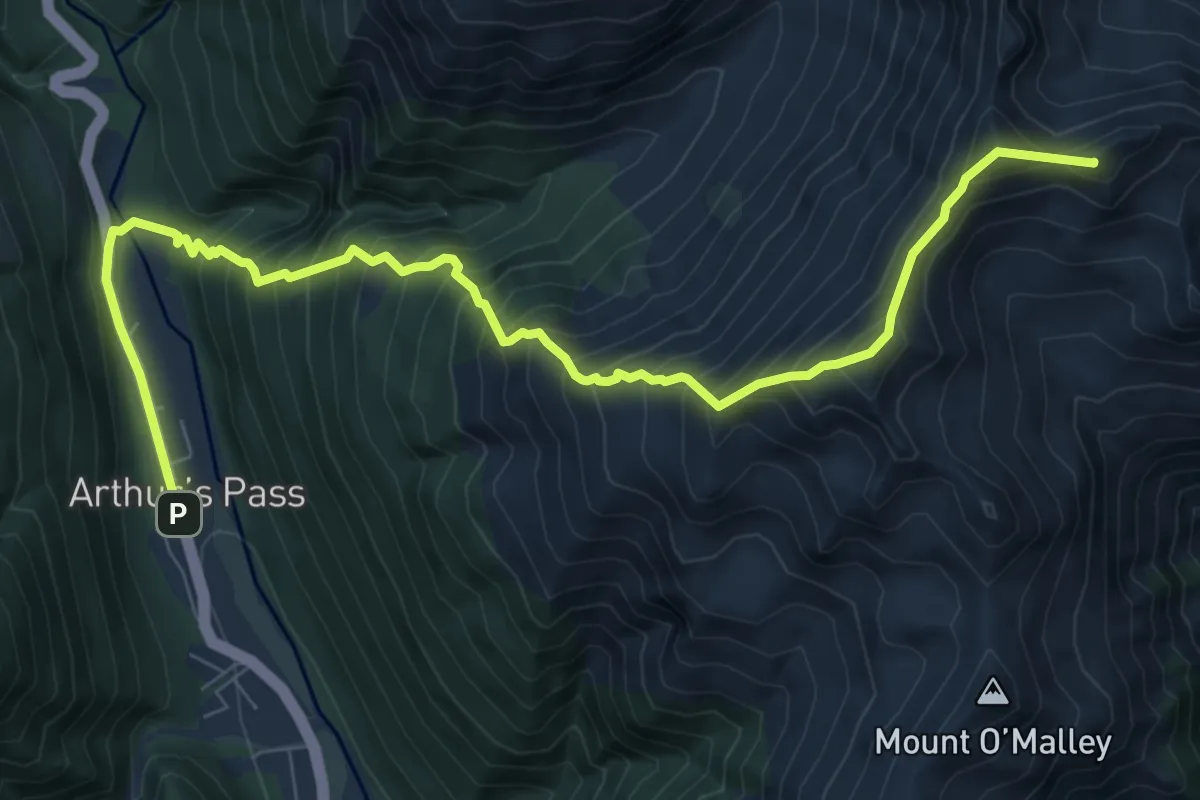
Expert · Summit
Mount Aicken
10.3 km · ↑ 1302 m · 5 h 15 min
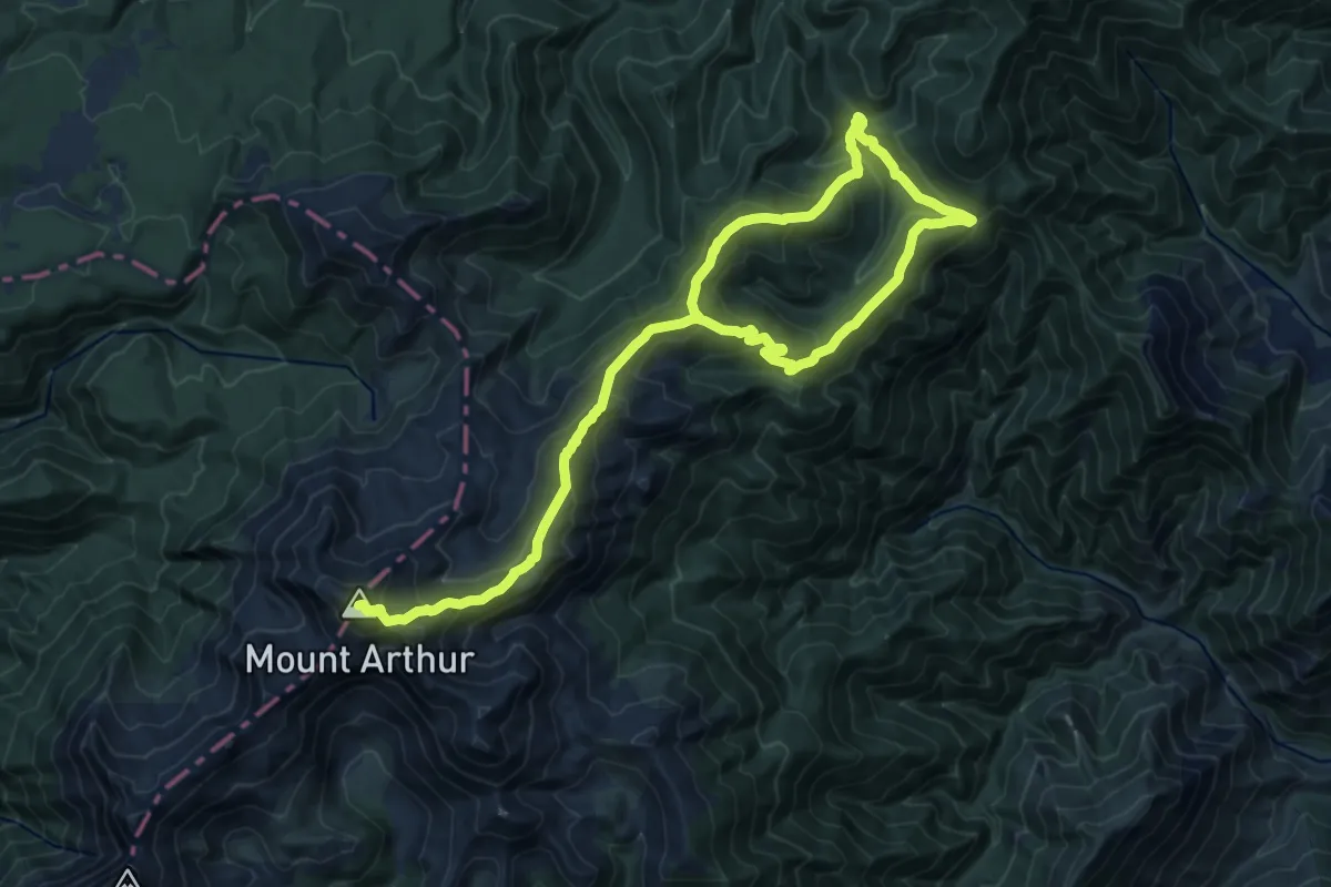
Demanding · Summit
Mount Arthur
23.8 km · ↑ 1460 m · 8 h 46 min
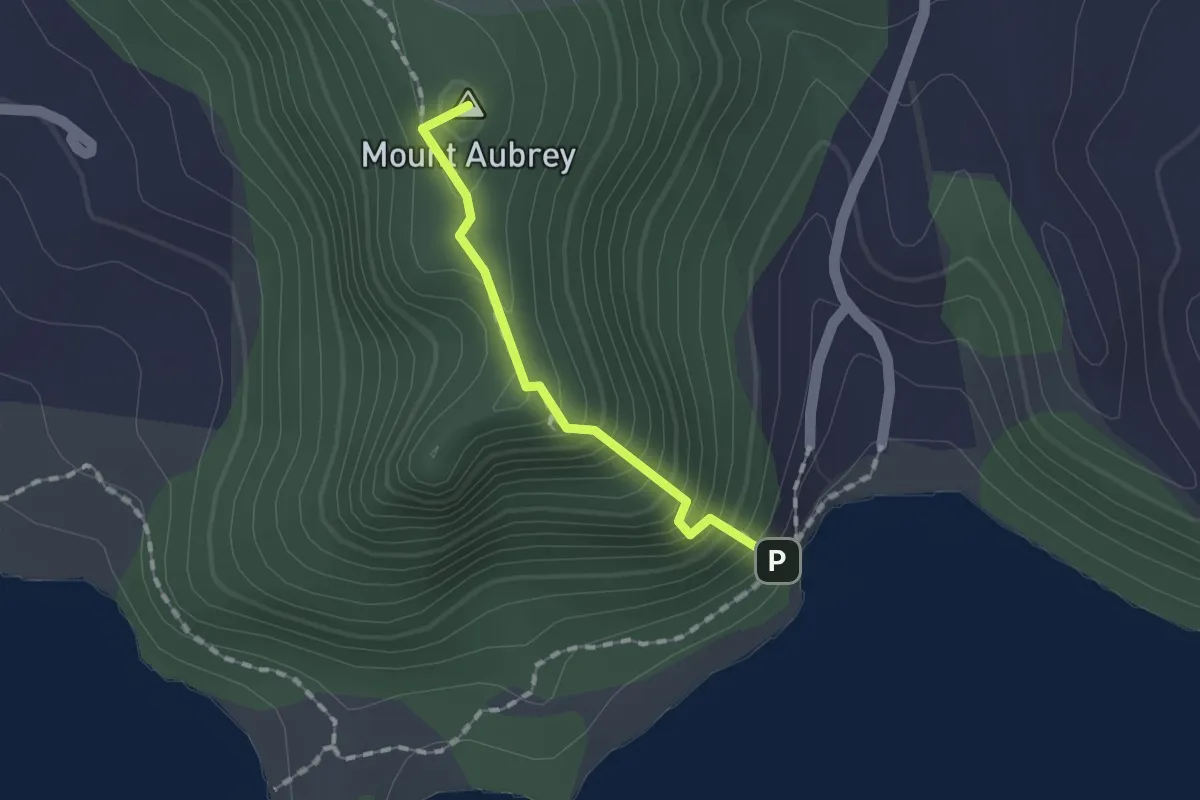
Easy · Summit
Mount Aubrey Track
1.4 km · ↑ 192 m · 45 min
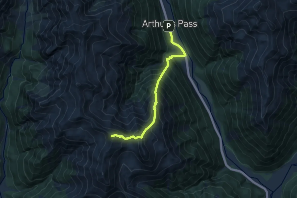
Expert · Summit
Mount Bealey
9.0 km · ↑ 1239 m · 4 h 48 min
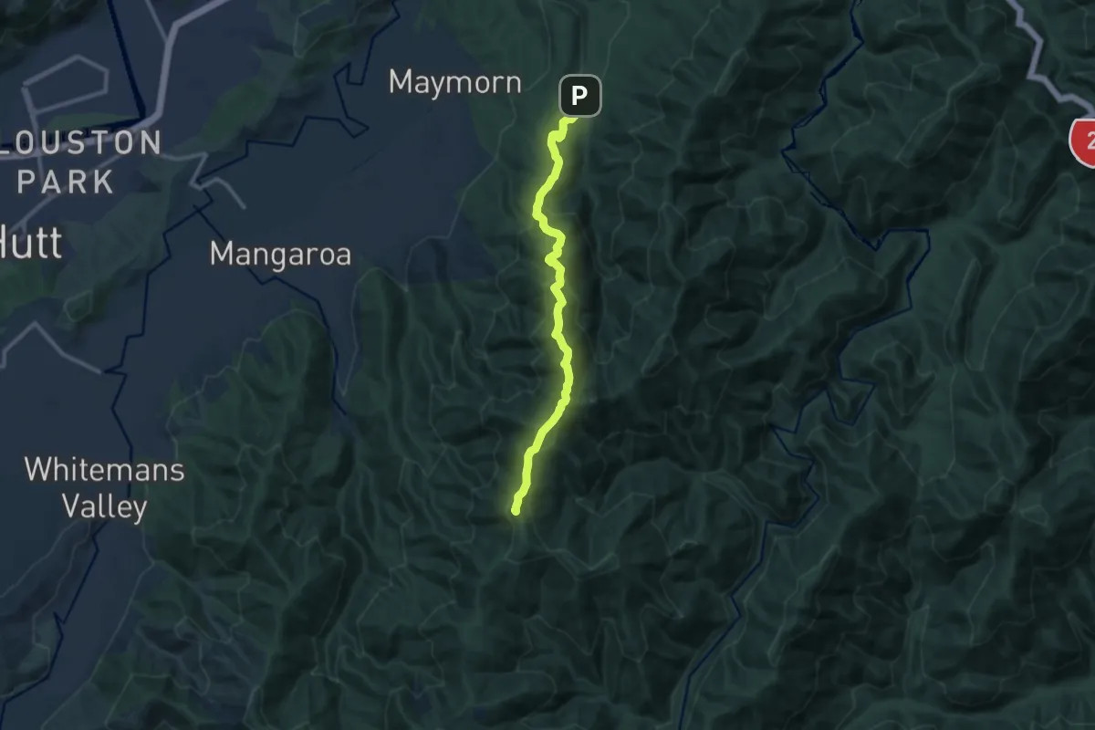
Medium · Summit
Mount Climie Track
11.1 km · ↑ 697 m · 4 h 8 min
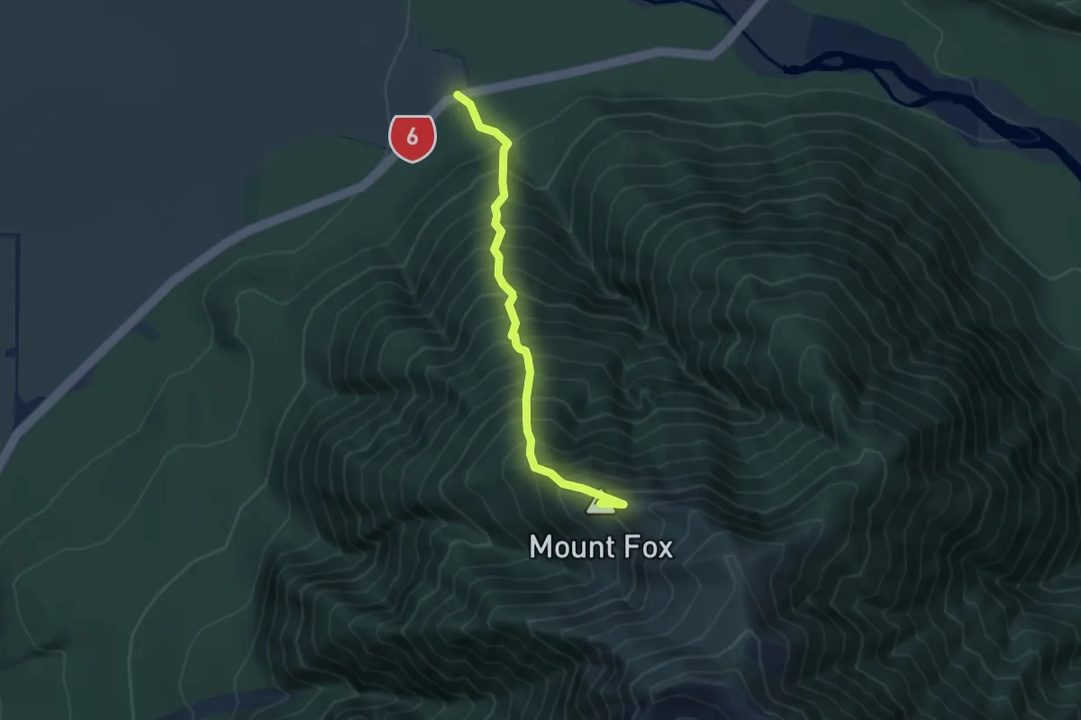
Demanding · Summit
Mount Fox
4.5 km · ↑ 884 m · 2 h 59 min
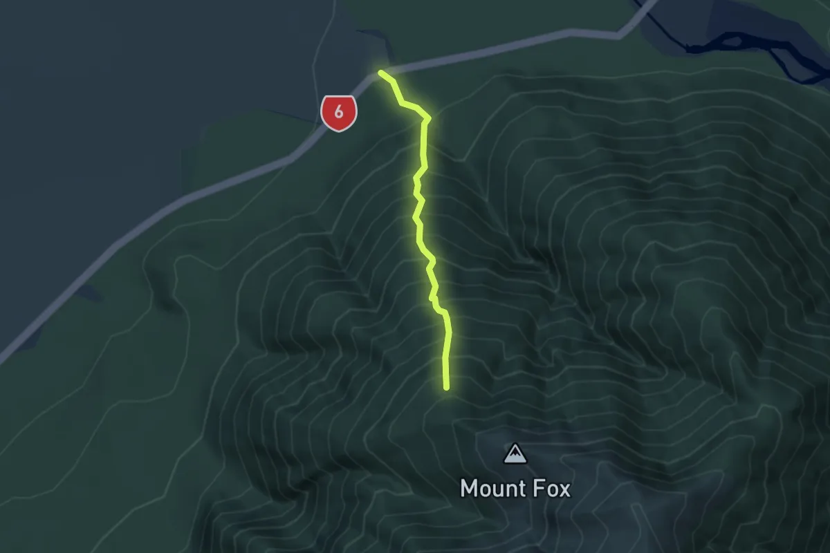
Medium · Trail
Mount Fox Track
3.2 km · ↑ 666 m · 2 h 12 min
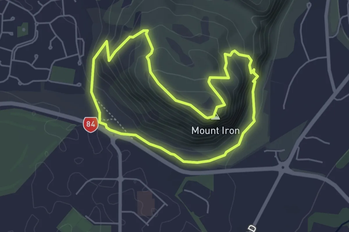
Easy · Summit
Mount Iron Loop
4.5 km · ↑ 241 m · 1 h 39 min
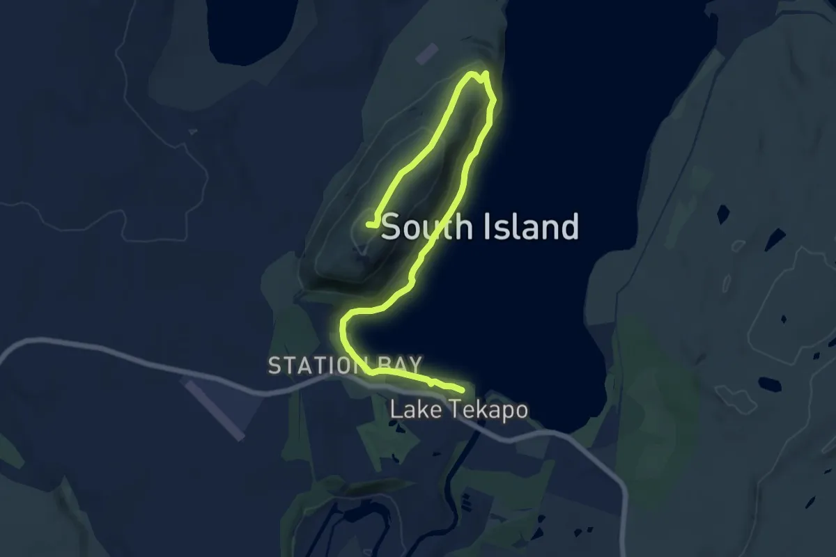
Medium · Summit
Mount John Summit Circuit Track
15.5 km · ↑ 392 m · 4 h 31 min
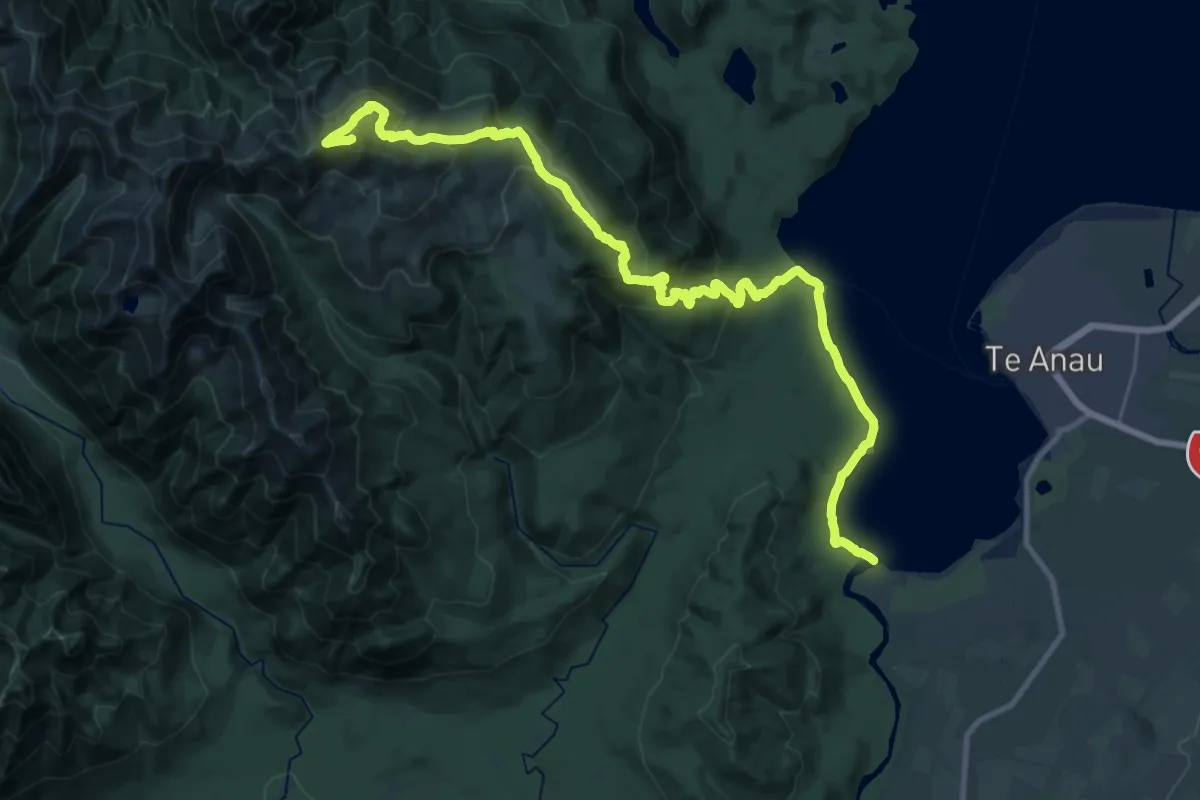
Expert · Summit
Mount Luxmore
33.1 km · ↑ 1328 m · 10 h 42 min
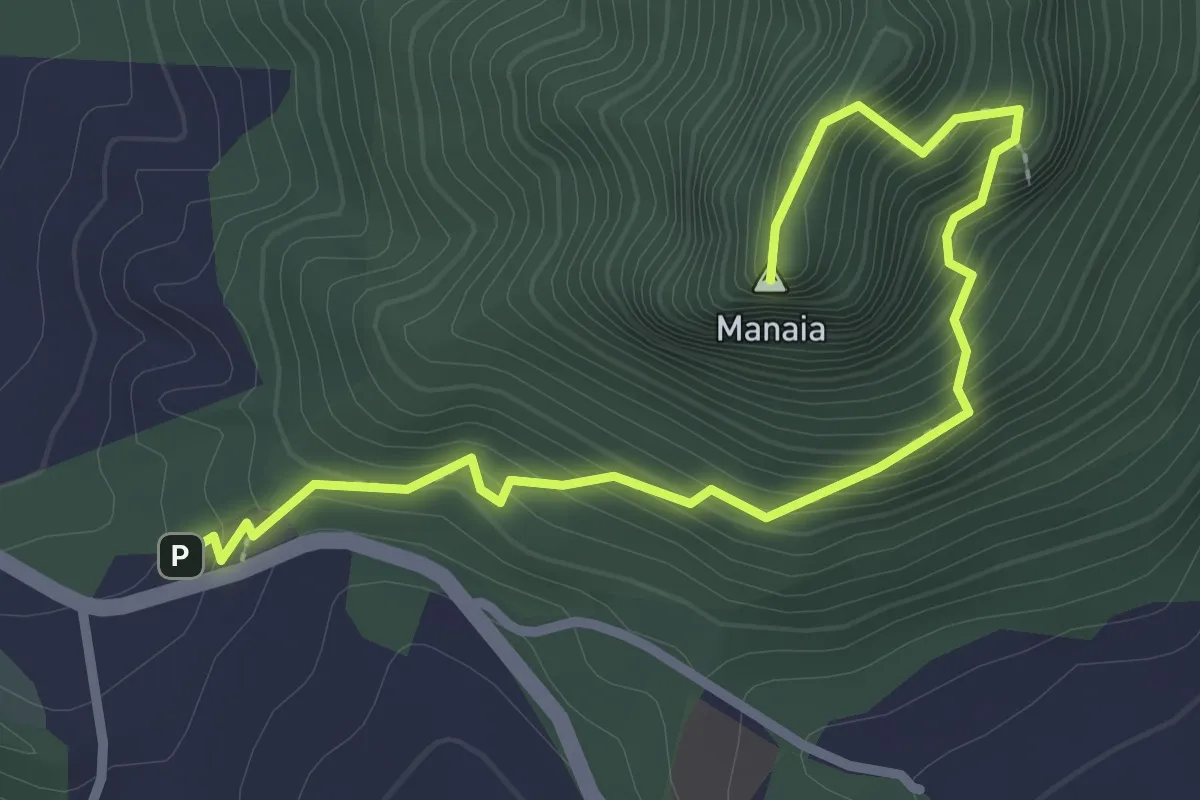
Medium · Summit
Mount Manaia Track
3.7 km · ↑ 379 m · 1 h 42 min
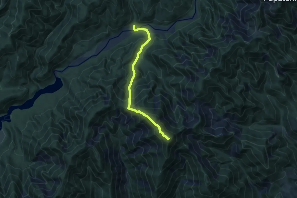
Demanding · Summit
Mount Matthews Track
7.9 km · ↑ 855 m · 3 h 43 min
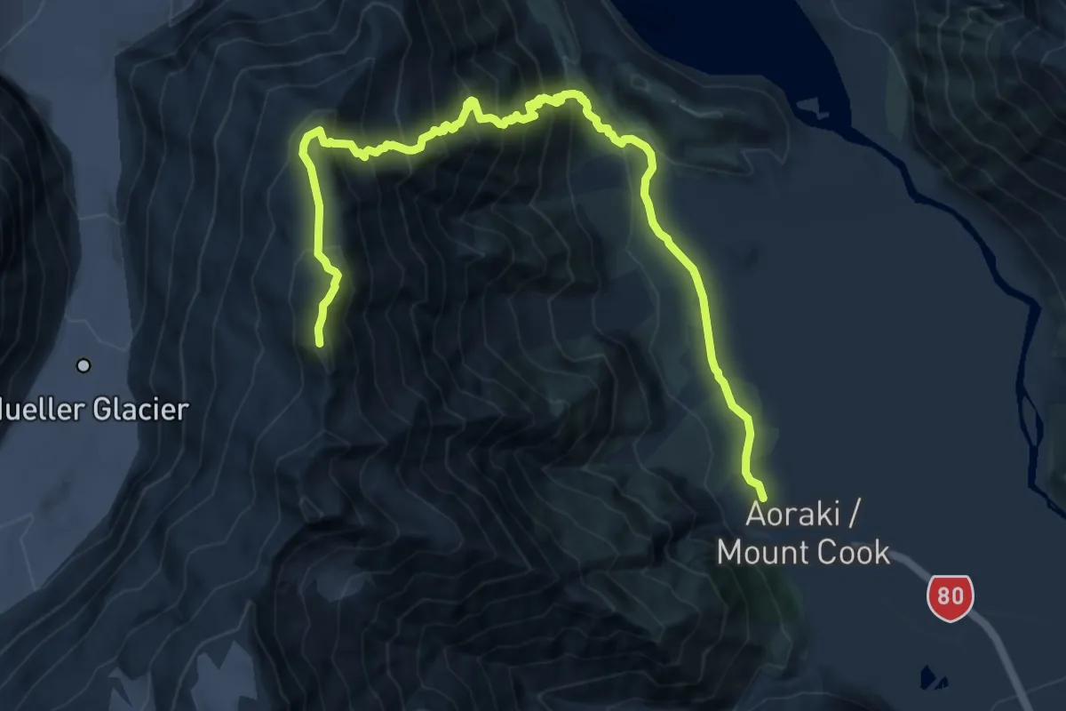
Expert · Summit
Mount Ollivier
12.6 km · ↑ 1223 m · 5 h 37 min
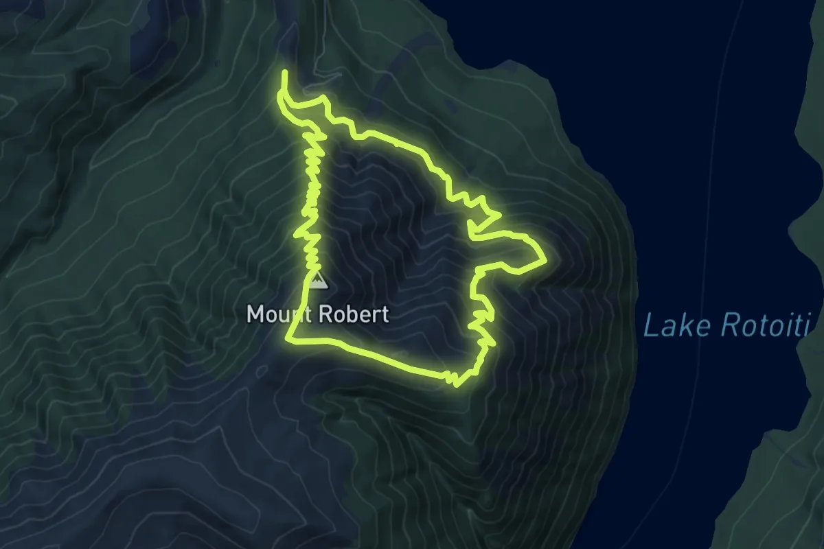
Medium · Summit
Mount Robert Circuit
8.9 km · ↑ 690 m · 3 h 43 min
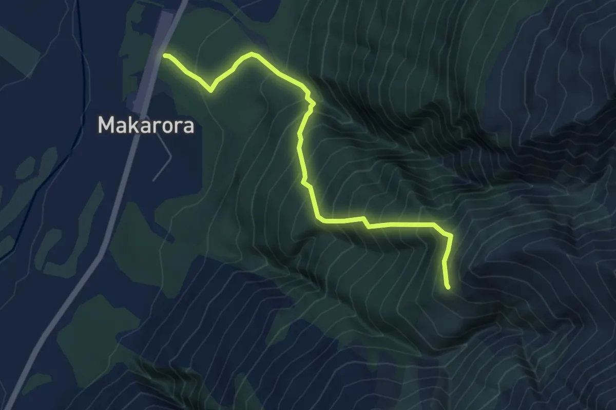
Demanding · Trail
Mount Shrimpton
6.6 km · ↑ 817 m · 3 h 20 min
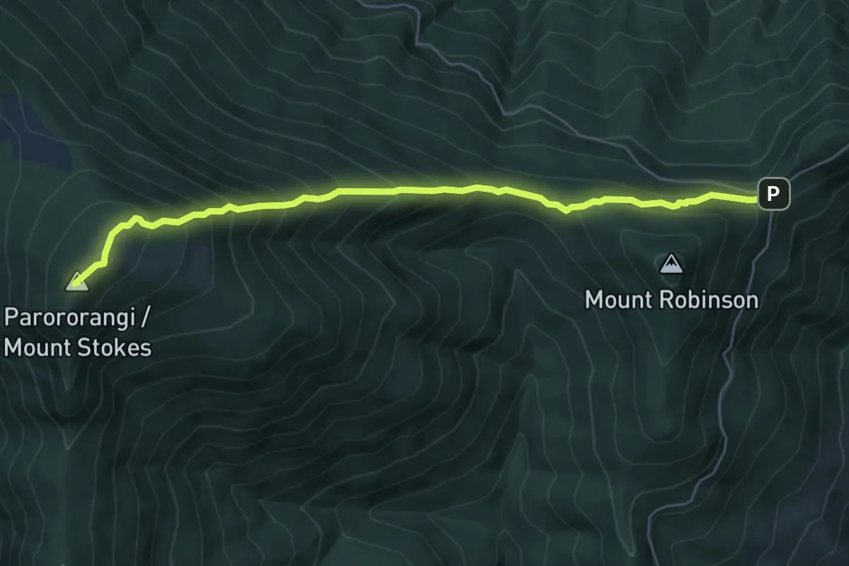
Medium · Summit
Mount Stokes
6.7 km · ↑ 693 m · 3 h 5 min
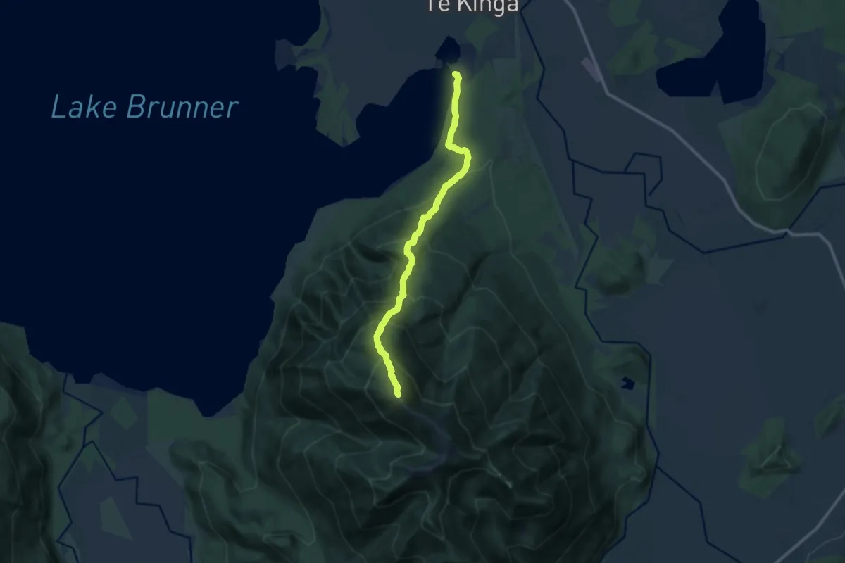
Demanding · Trail
Mount Te Kinga Track/Ara O Te Kinga
10.9 km · ↑ 1133 m · 5 h 2 min
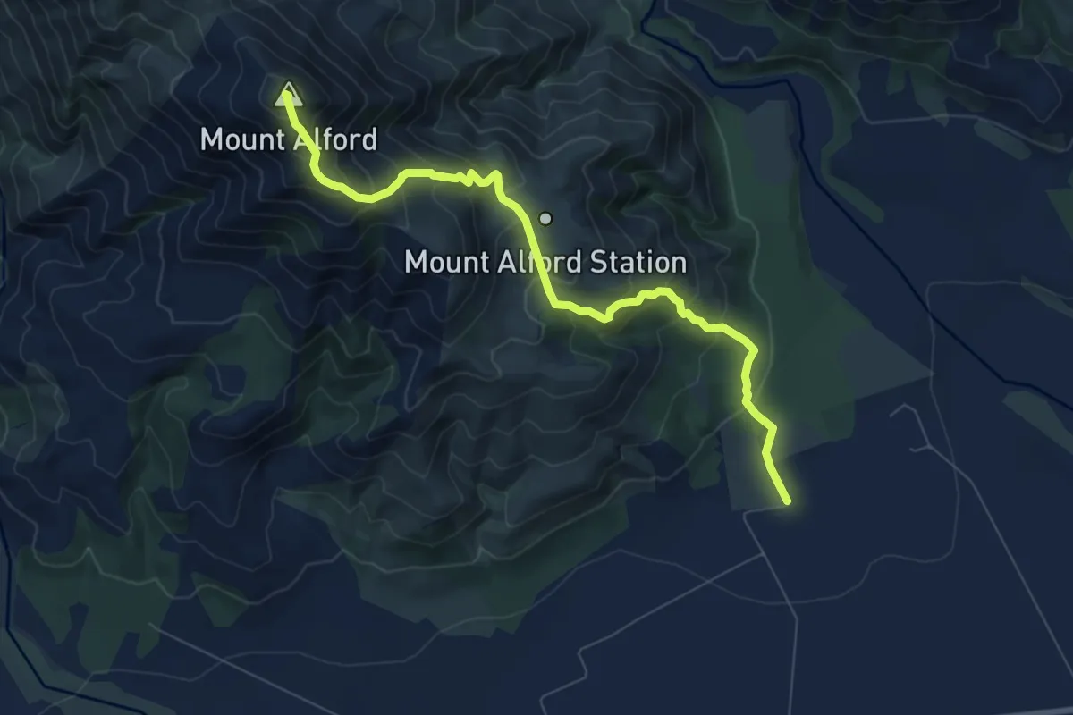
Medium · Summit
Mt Alford Track
8.5 km · ↑ 715 m · 3 h 33 min
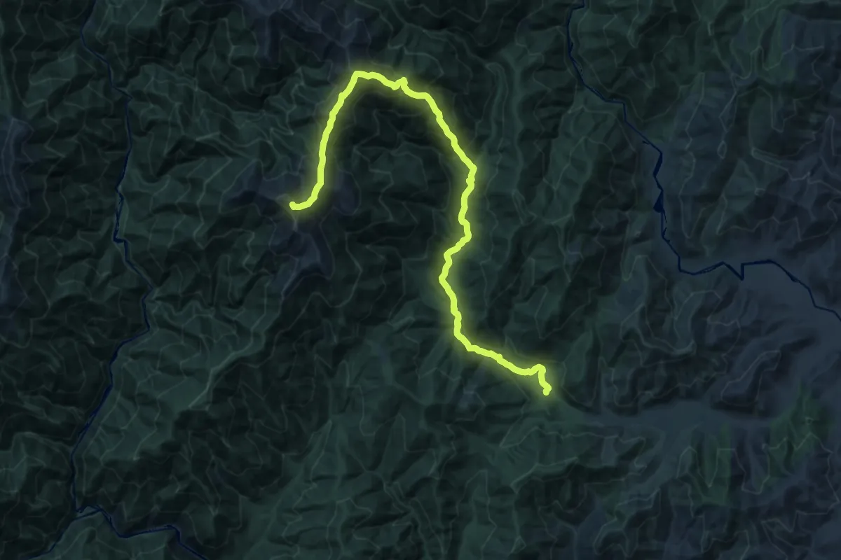
Demanding · Summit
Mt Holdsworth - Jumbo Circuit
23.2 km · ↑ 1712 m · 9 h 11 min
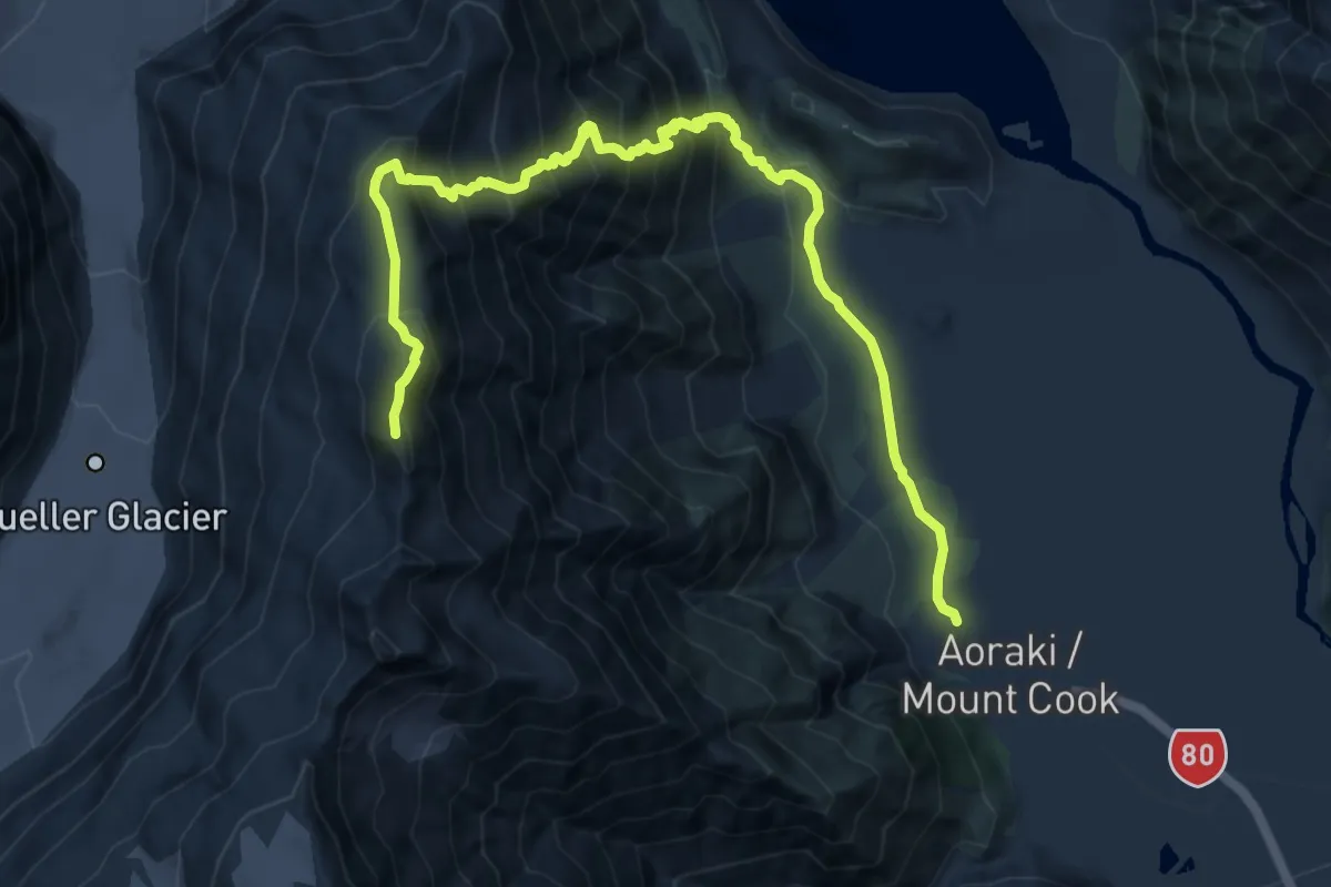
Expert · Summit
Mueller Hut
12.5 km · ↑ 1205 m · 5 h 34 min
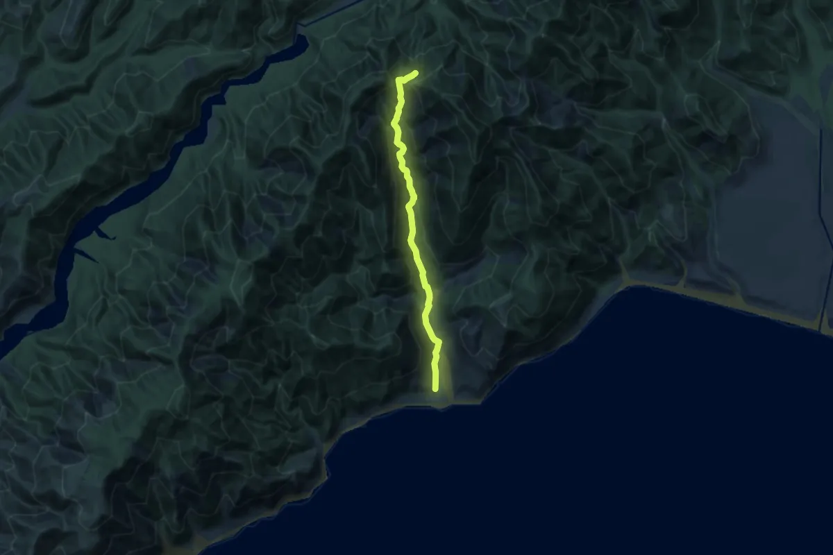
Medium · Trail
Mukamuka Valley
11.1 km · ↑ 577 m · 3 h 52 min
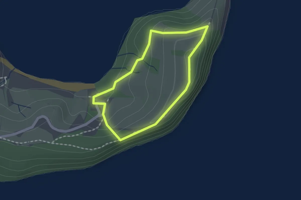
Easy · Trail
Mullet Point Loop
1.5 km · ↑ 63 m · 31 min
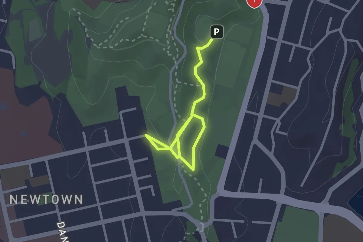
Easy · Trail
Newtown to Hataitai Walkway
2.9 km · ↑ 87 m · 53 min