Trails in New Zealand
519 hiking trails, each with its route, climb, walking time and grade.
All trails, page 4 of 11
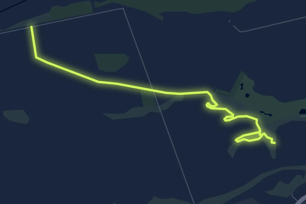
Medium · Trail
Isaac Farm Track
10.0 km · ↑ 8 m · 2 h 22 min
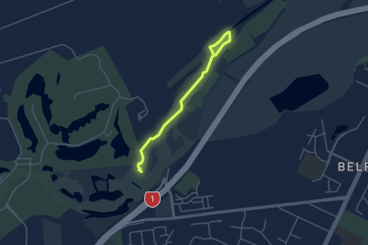
Easy · Trail
Island River Track
3.5 km · ↑ 0 m · 50 min
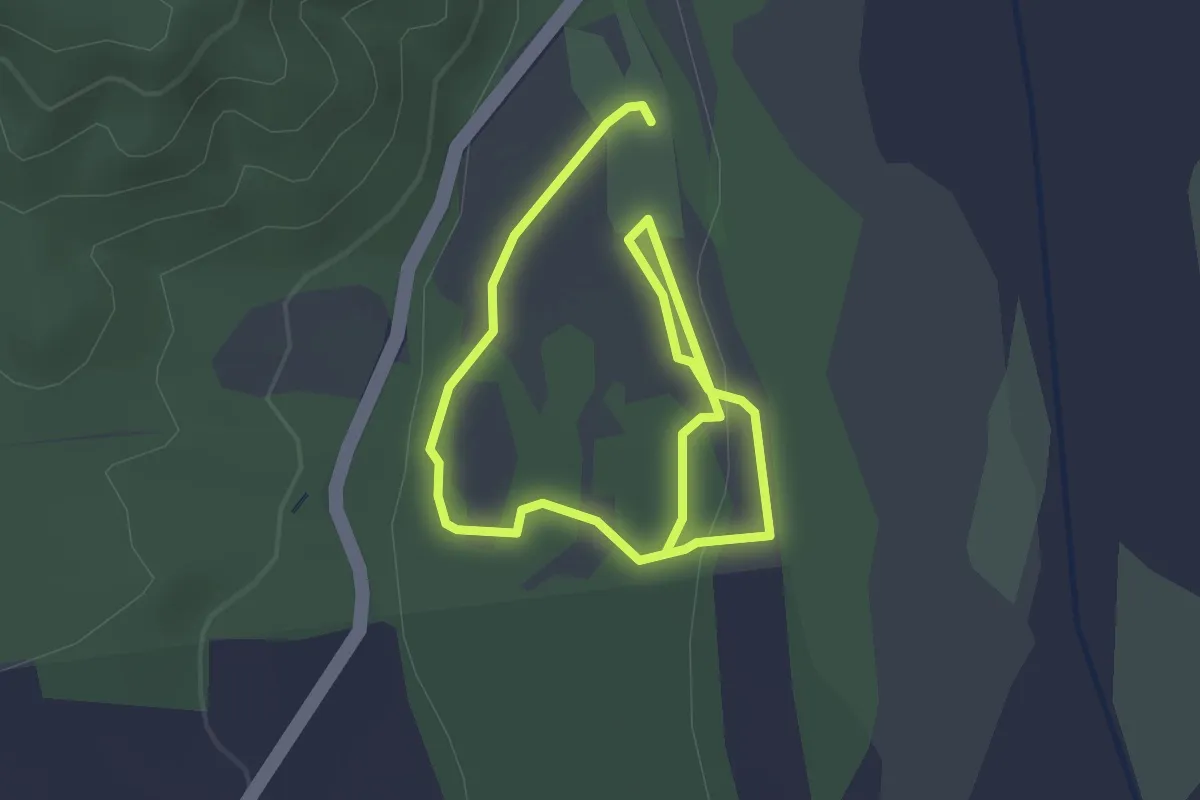
Easy · Trail
Kahikatea Track
4.3 km · ↑ 36 m · 1 h 5 min
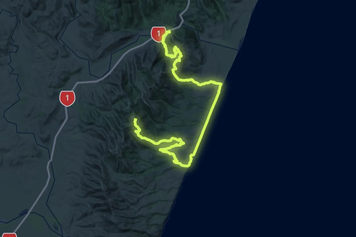
Demanding · Summit
Kaikoura Coast Track
57.4 km · ↑ 2373 m · 18 h 42 min
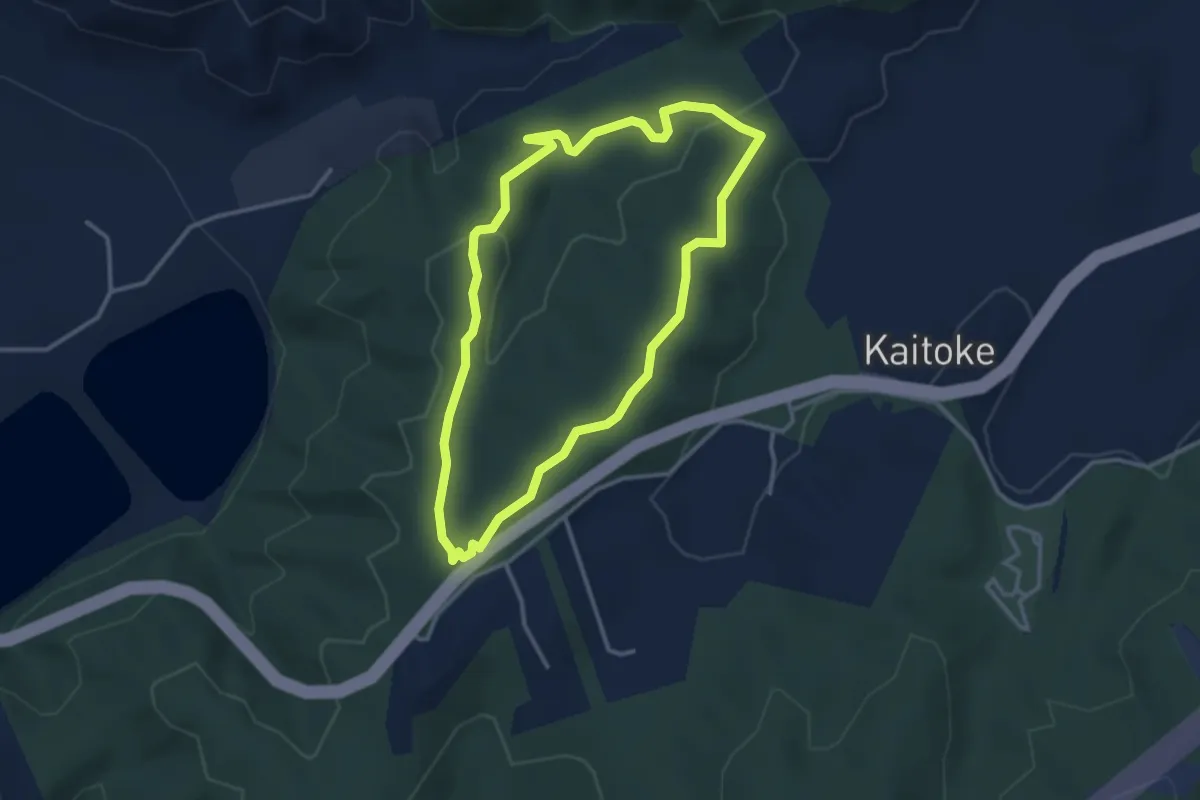
Easy · Summit
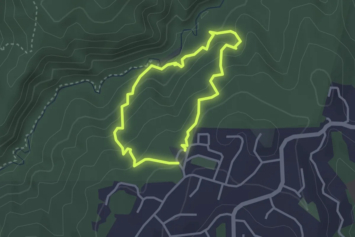
Kaitoke Loop Trail
3.4 km · ↑ 81 m · 1 h 1 min
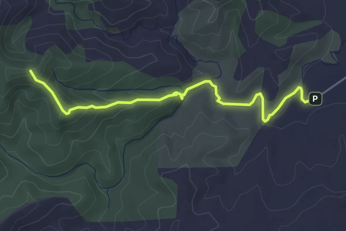
Easy · Trail
Karakariki Track
4.8 km · ↑ 176 m · 1 h 30 min
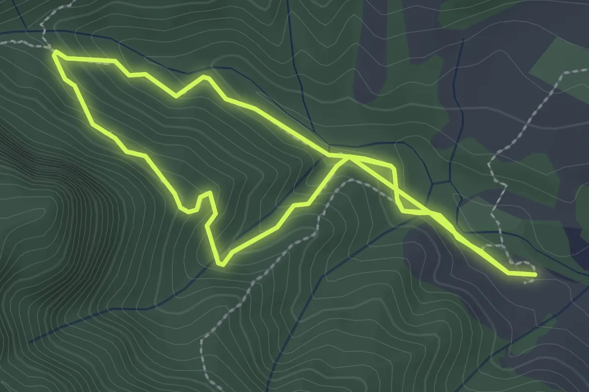
Easy · Trail
Karamatura Loop Walk
3.0 km · ↑ 160 m · 1 h 5 min
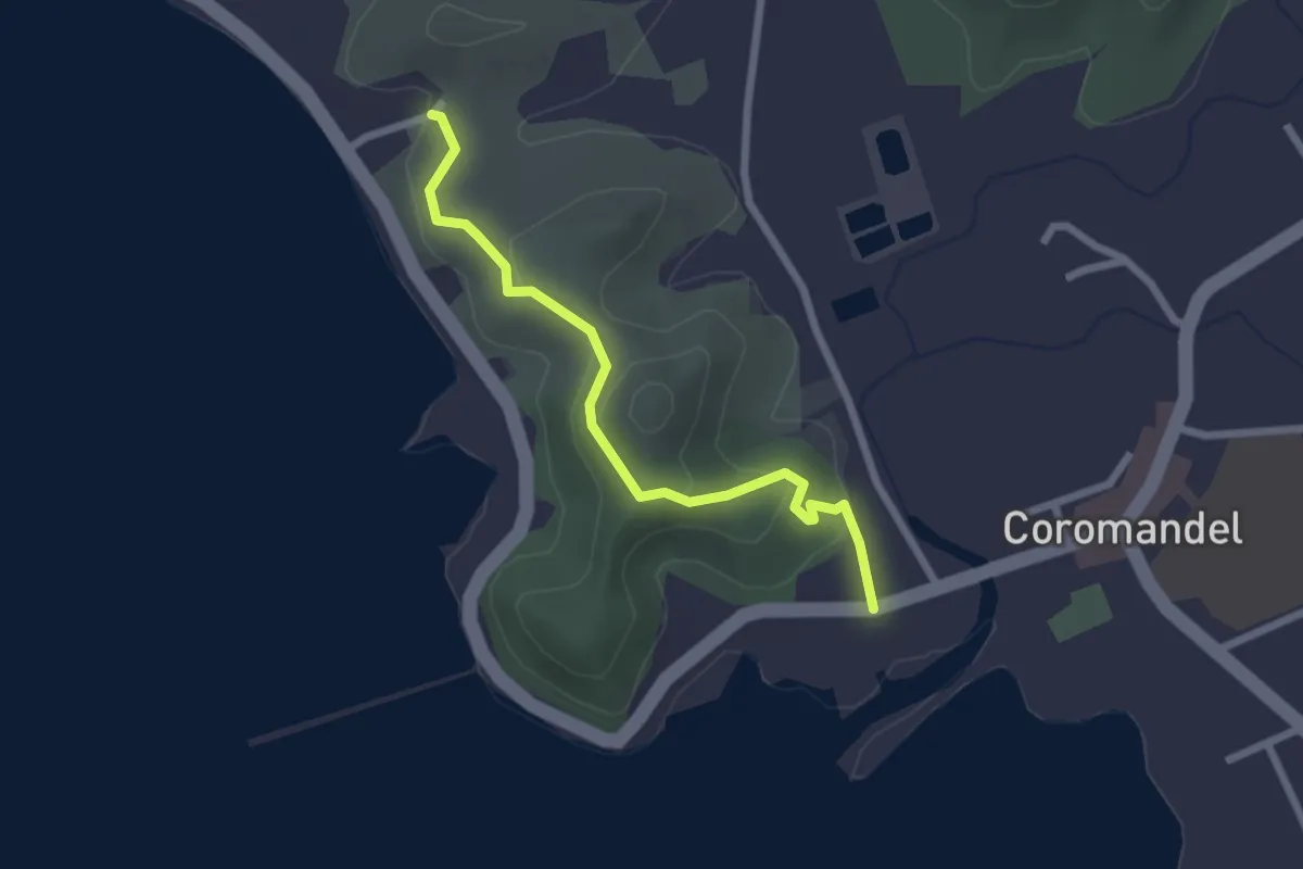
Easy · Trail
Kauri Block Walk
2.7 km · ↑ 87 m · 49 min
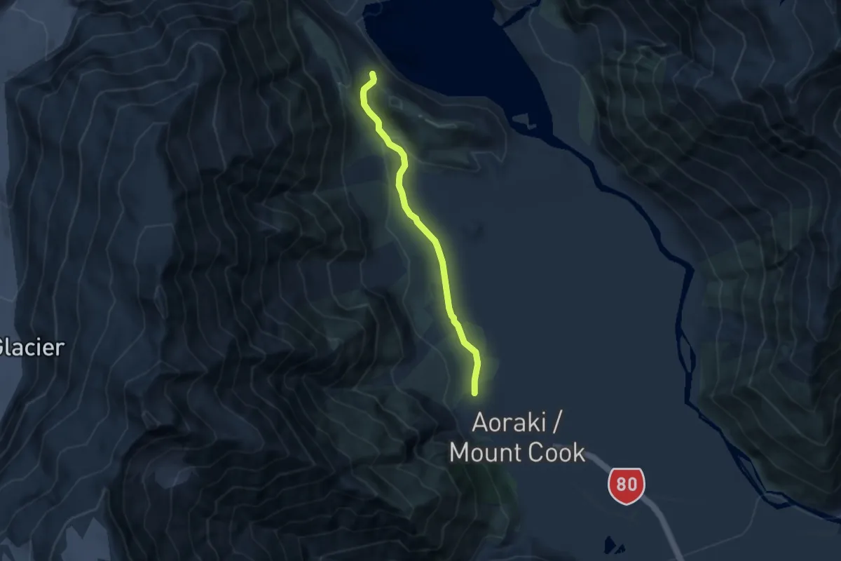
Easy · Trail
Kea Point Track
5.4 km · ↑ 113 m · 1 h 32 min
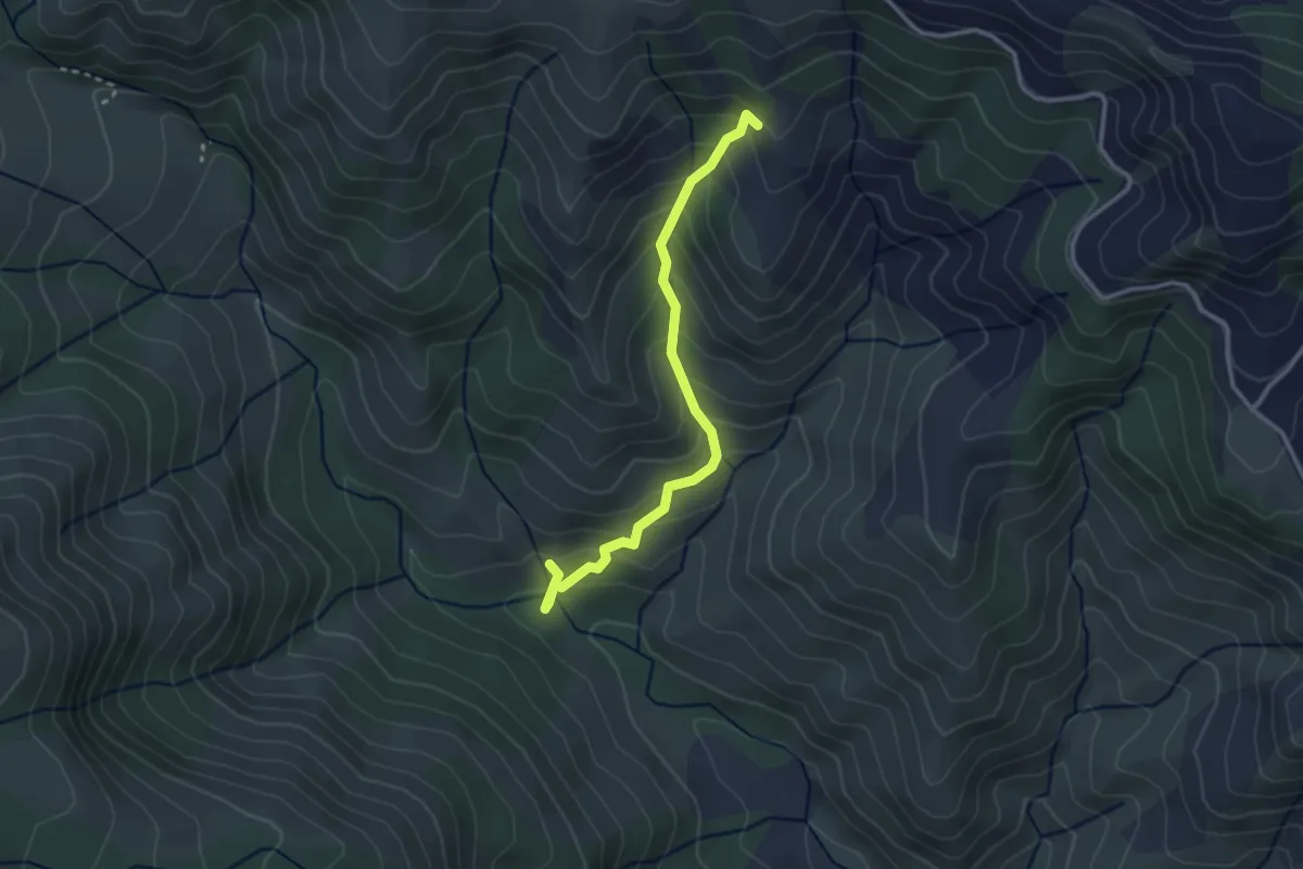
Easy · Trail
Kereru Track
3.0 km · ↑ 271 m · 1 h 18 min
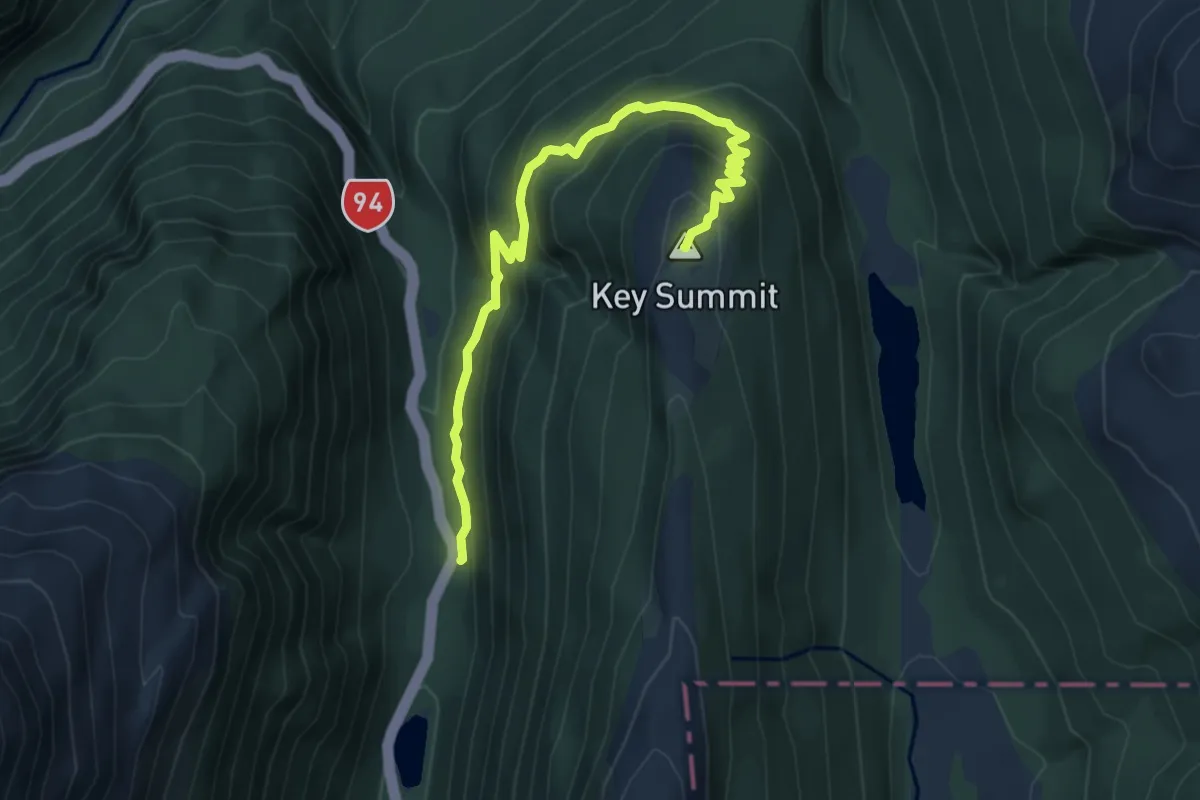
Medium · Summit
Key Summit
6.7 km · ↑ 449 m · 2 h 34 min
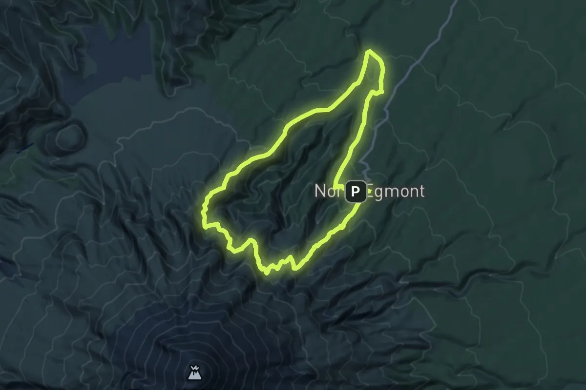
Demanding · Cabin
Kokowai Track Round Trip
12.2 km · ↑ 914 m · 5 h 2 min
Easy · Trail
Korokoro Dam Loop Track
2.3 km · ↑ 152 m · 55 min
Medium · Trail
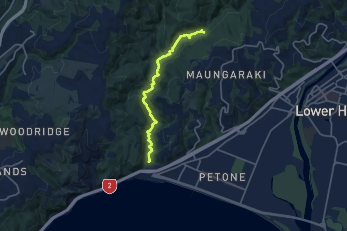
Korokoro Valley Walk
8.2 km · ↑ 162 m · 2 h 18 min
Easy · Trail
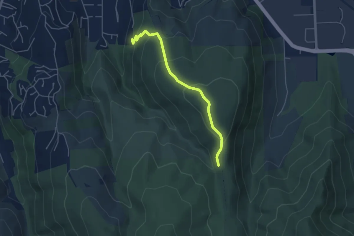
Kowhai Walking Track
4.2 km · ↑ 234 m · 1 h 30 min
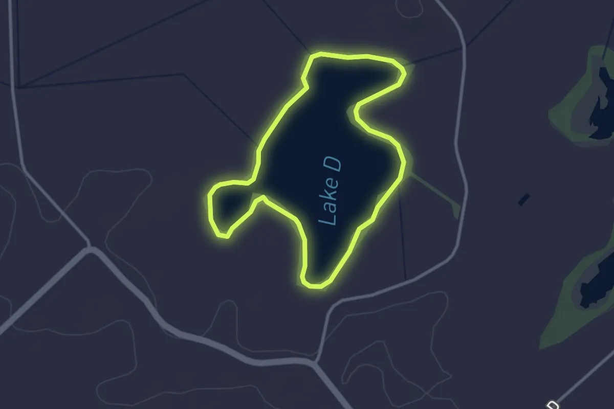
Easy · Trail
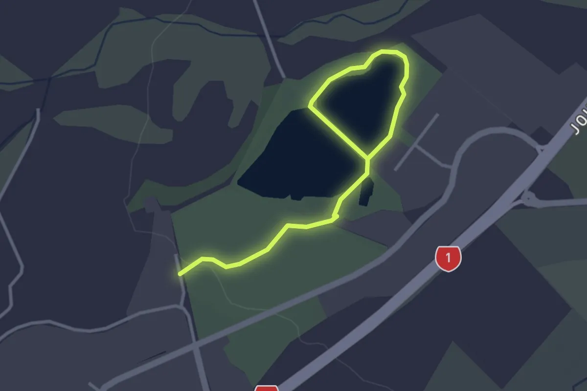
Lake Circuit Walk
1.9 km · ↑ 0 m · 28 min
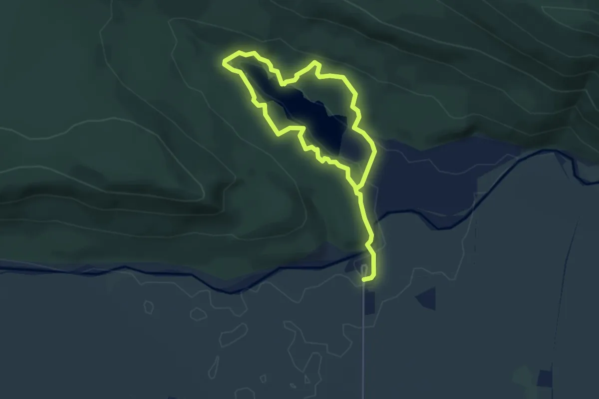
Easy · Trail
Lake Kainui Loop
3.1 km · ↑ 0 m · 46 min
Easy · Trail
Lake Matheson Walk
3.5 km · ↑ 93 m · 1 h 4 min
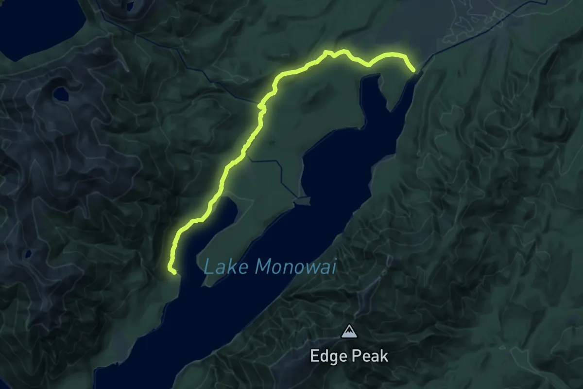
Demanding · Cabin
Lake Monowai Car Park to Rodger Inlet
21.2 km · ↑ 306 m · 5 h 40 min
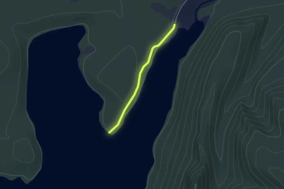
Easy · Trail
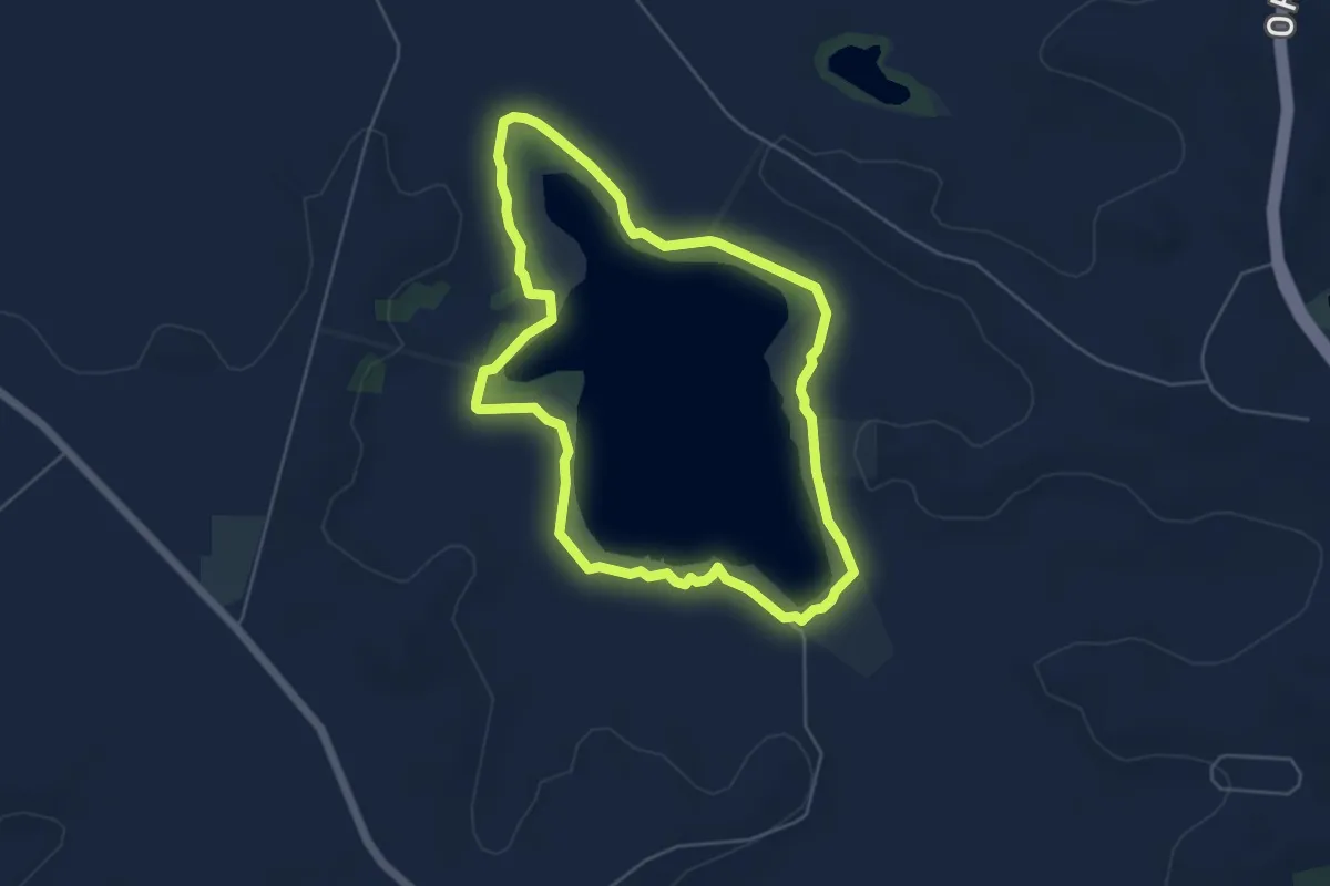
Lake Monowai Peninsula Lookout
2.4 km · ↑ 19 m · 36 min
Easy · Trail
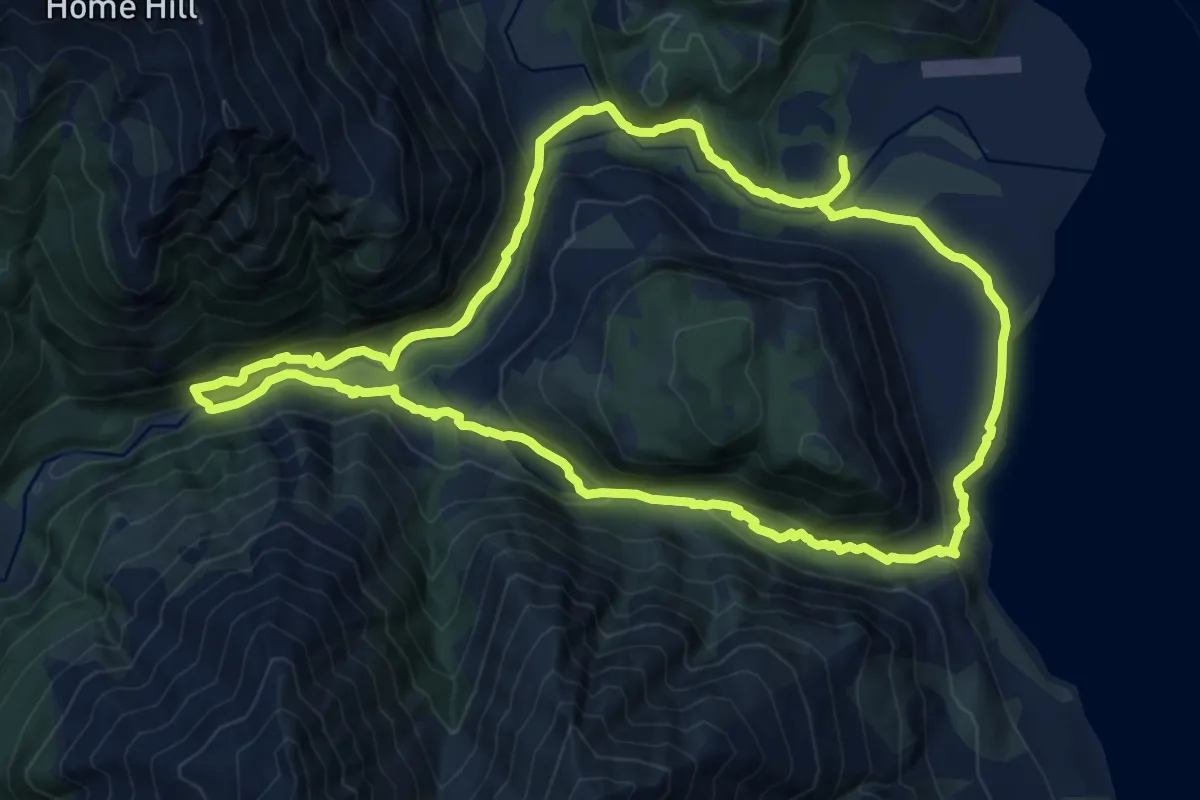
Lake Ngāroto Walkway
5.8 km · ↑ 0 m · 1 h 27 min
Medium · Trail
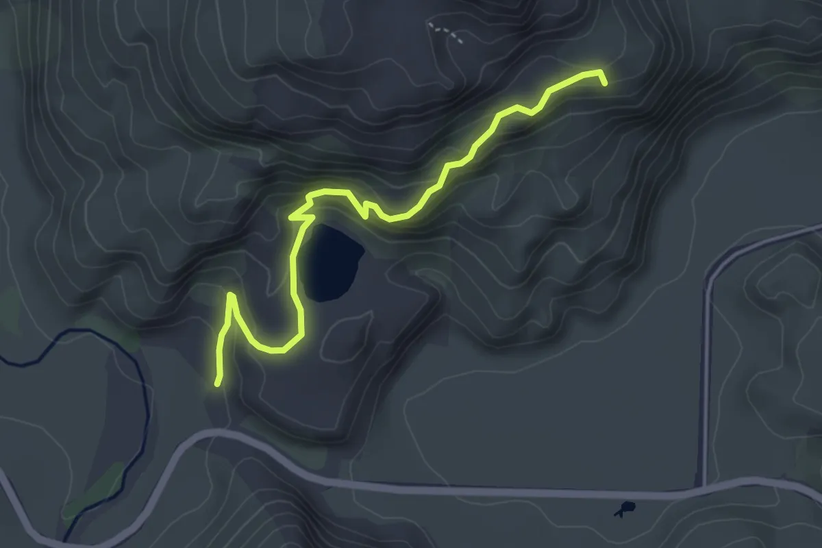
Lake Rere Track
14.2 km · ↑ 452 m · 4 h 32 min
Easy · Trail
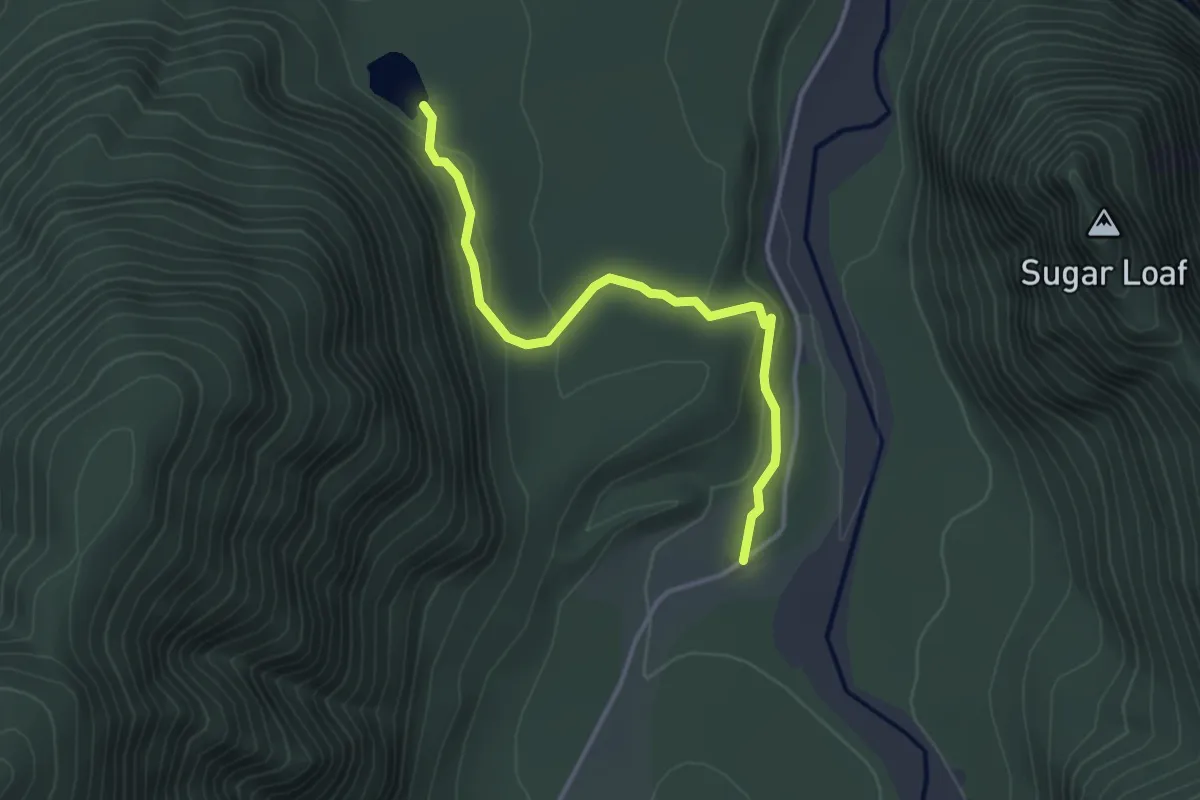
Lake Wānaka Lookout
4.4 km · ↑ 298 m · 1 h 42 min
Easy · Trail
Lake Wombat Track
3.6 km · ↑ 95 m · 1 h 4 min
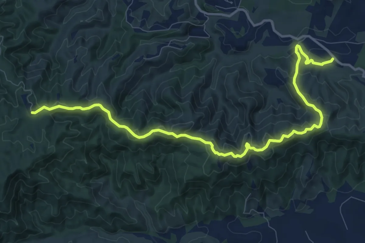
Medium · Trail
Langsview Track
13.3 km · ↑ 569 m · 4 h 22 min
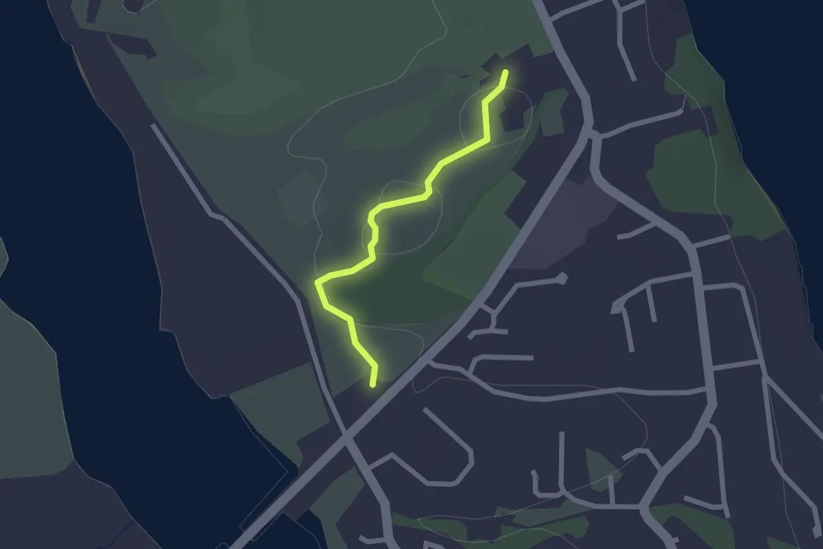
Easy · Trail
Last of the Summer Wine
2.1 km · ↑ 25 m · 33 min
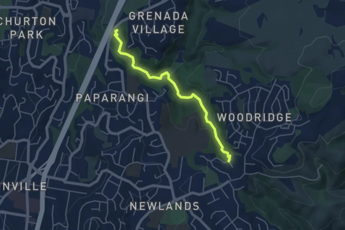
Easy · Trail
Lawson's Track
4.1 km · ↑ 134 m · 1 h 16 min
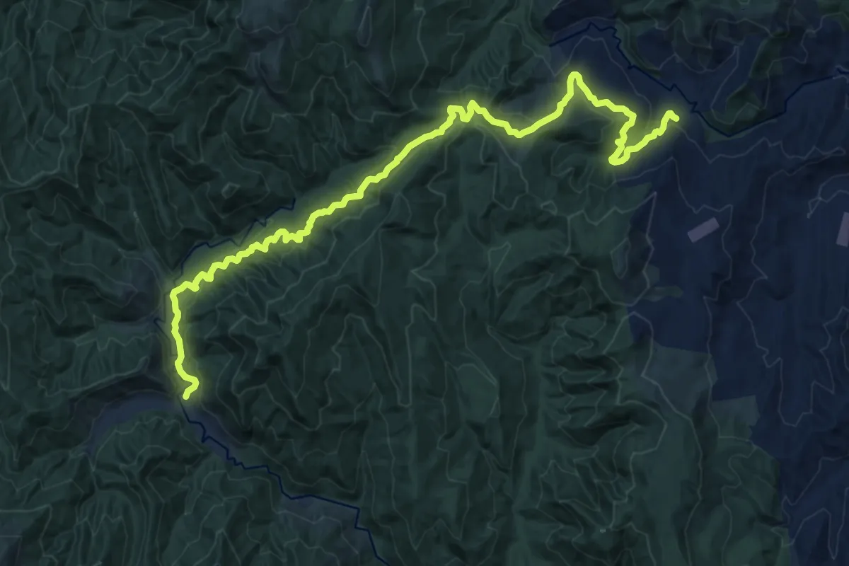
Demanding · Cabin
Leitch's Track
18.3 km · ↑ 748 m · 5 h 57 min
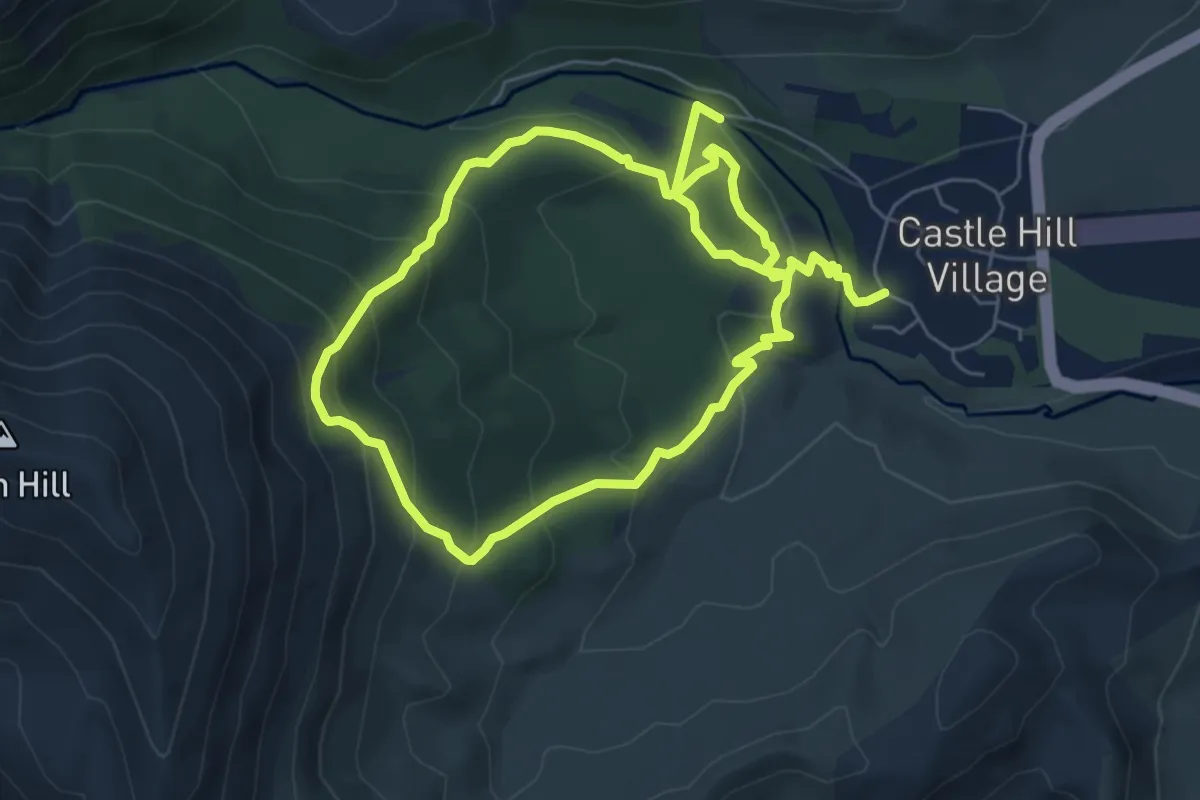
Medium · Trail
Leith Hill Loop
11.8 km · ↑ 731 m · 4 h 22 min
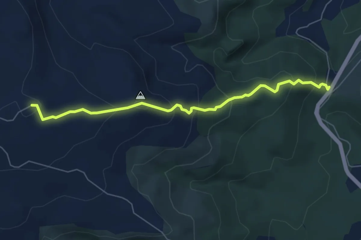
Medium · Trail
Leith Saddle Track
5.6 km · ↑ 343 m · 2 h 3 min
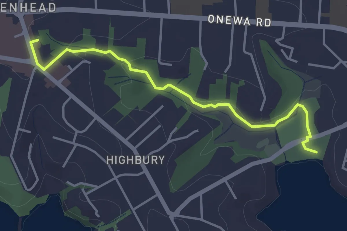
Easy · Trail
Le Roys Bush Path
4.0 km · ↑ 67 m · 1 h 5 min
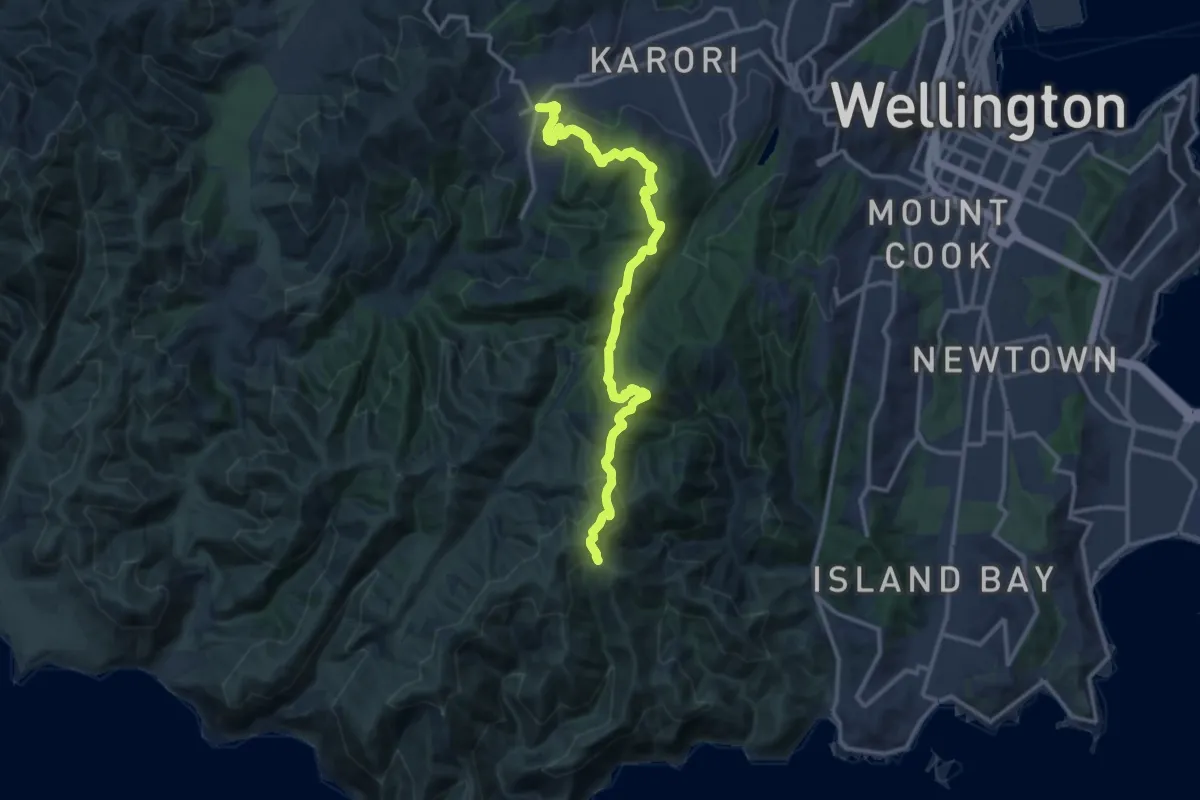
Medium · Trail
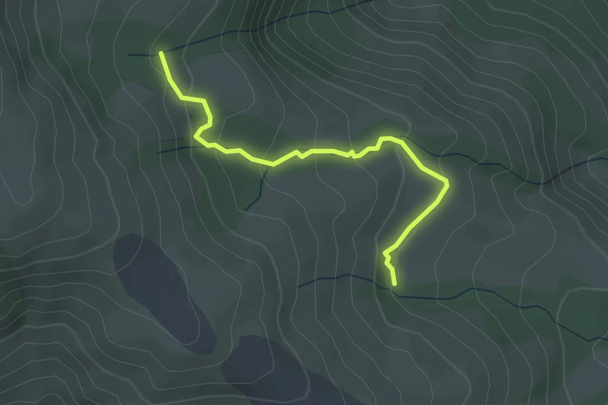
link to - Wind Turbine to Red Rocks
14.9 km · ↑ 660 m · 4 h 57 min
Easy · Trail
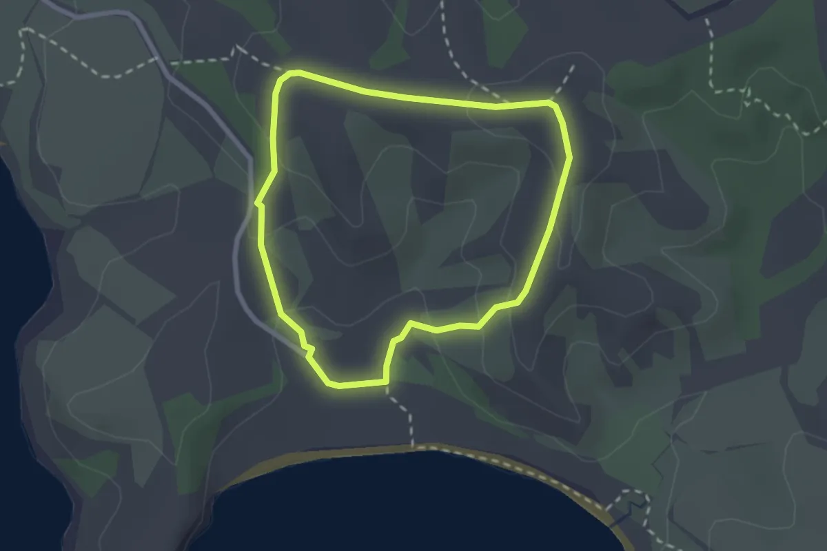
Lisburn Track
3.0 km · ↑ 163 m · 1 h 4 min
Easy · Trail
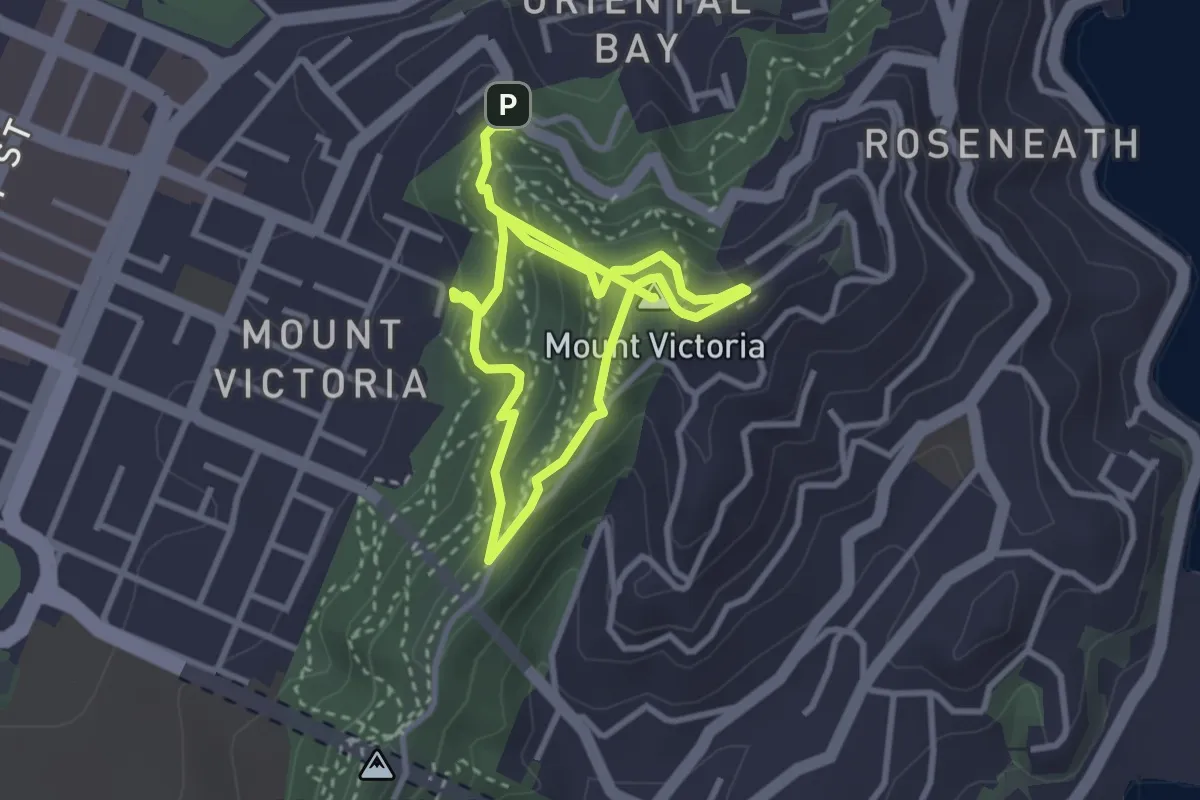
Lookout Track
2.5 km · ↑ 84 m · 48 min
Medium · Summit
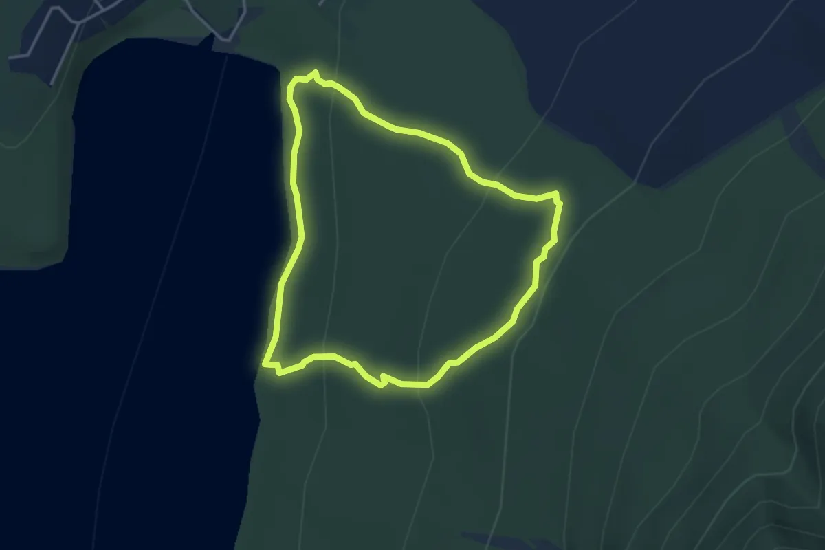
Lookout Walkway
5.5 km · ↑ 362 m · 2 h 5 min
Easy · Trail
Loop Track
3.8 km · ↑ 127 m · 1 h 14 min
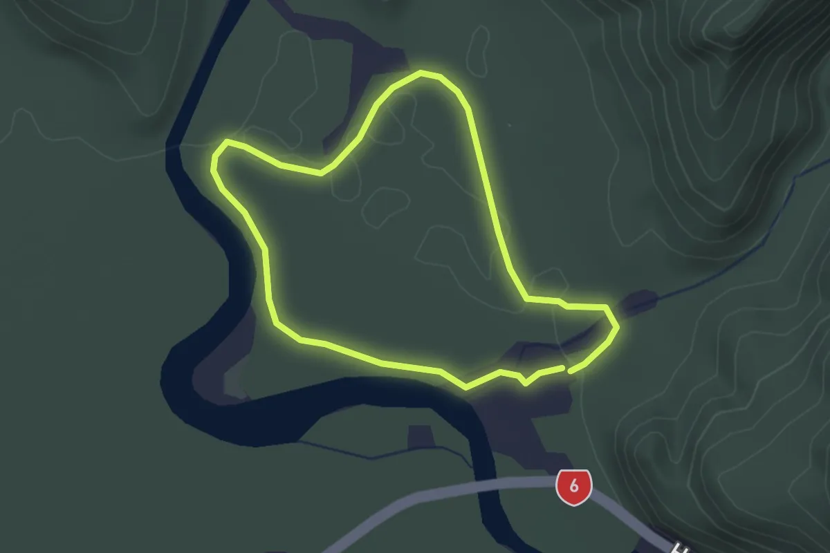
Easy · Trail
Lower Moearki River Walk
2.6 km · ↑ 18 m · 41 min
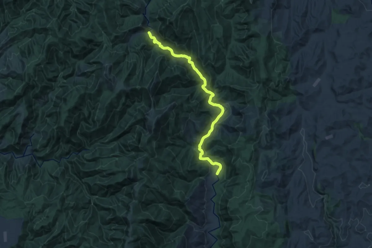
Demanding · Cabin
Mahoenui Track
18.5 km · ↑ 344 m · 5 h 7 min
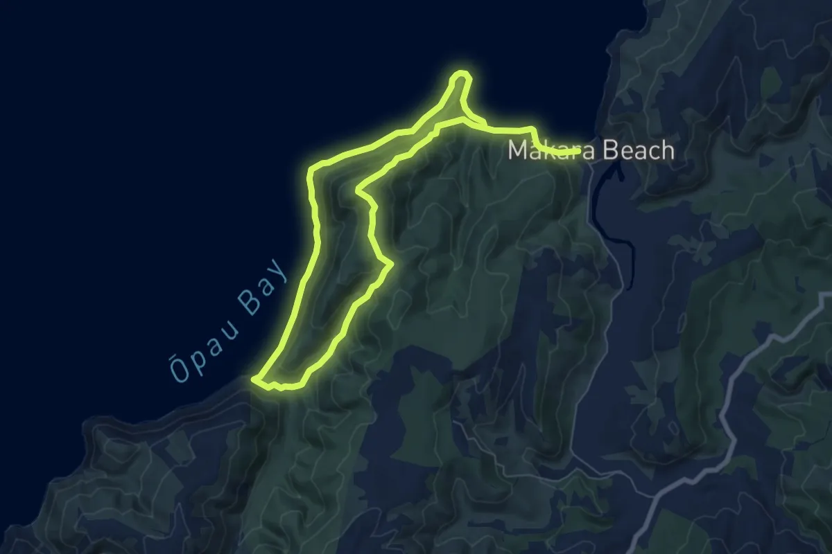
Demanding · Trail
Mākara Walkway
13.3 km · ↑ 558 m · 4 h 21 min
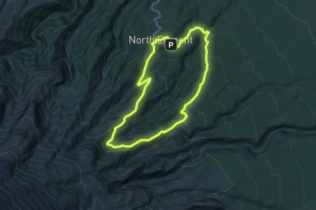
Medium · Trail
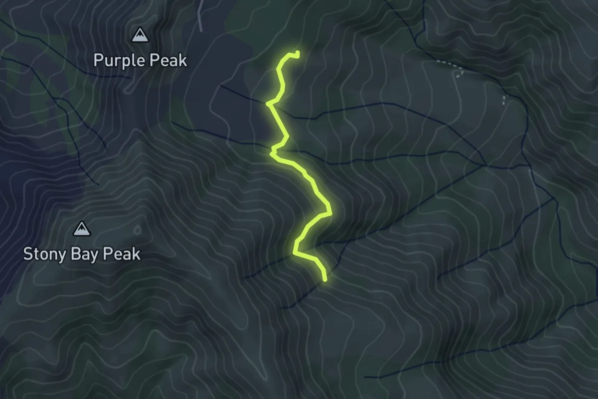
Maketawa Hut Circuit
6.1 km · ↑ 438 m · 2 h 28 min
Easy · Trail
Manatu Track
2.9 km · ↑ 117 m · 56 min
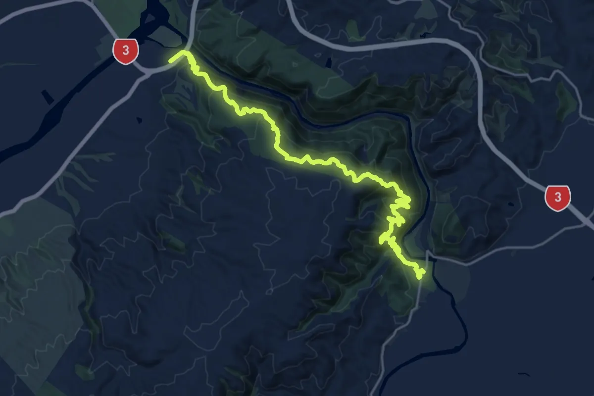
Demanding · Trail
Manawatū Gorge Track
20.6 km · ↑ 1134 m · 7 h 19 min
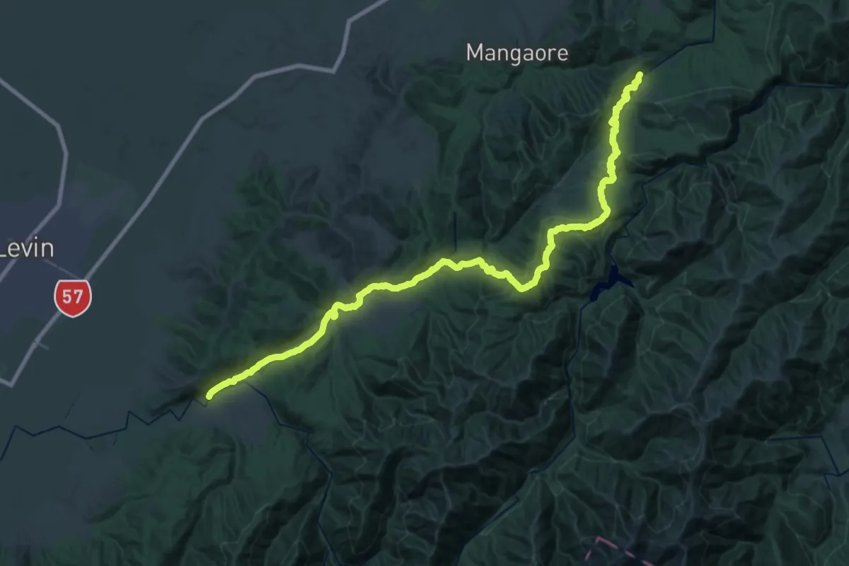
Demanding · Trail
Mangahao - Manahika Track
20.5 km · ↑ 598 m · 6 h 32 min
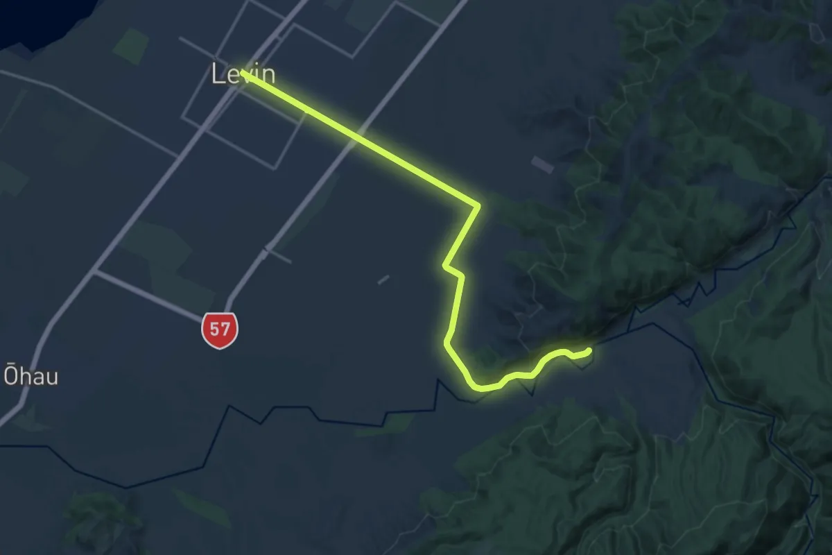
Medium · Trail
Mangahao - Manahika Track extension
18.0 km · ↑ 108 m · 4 h 29 min
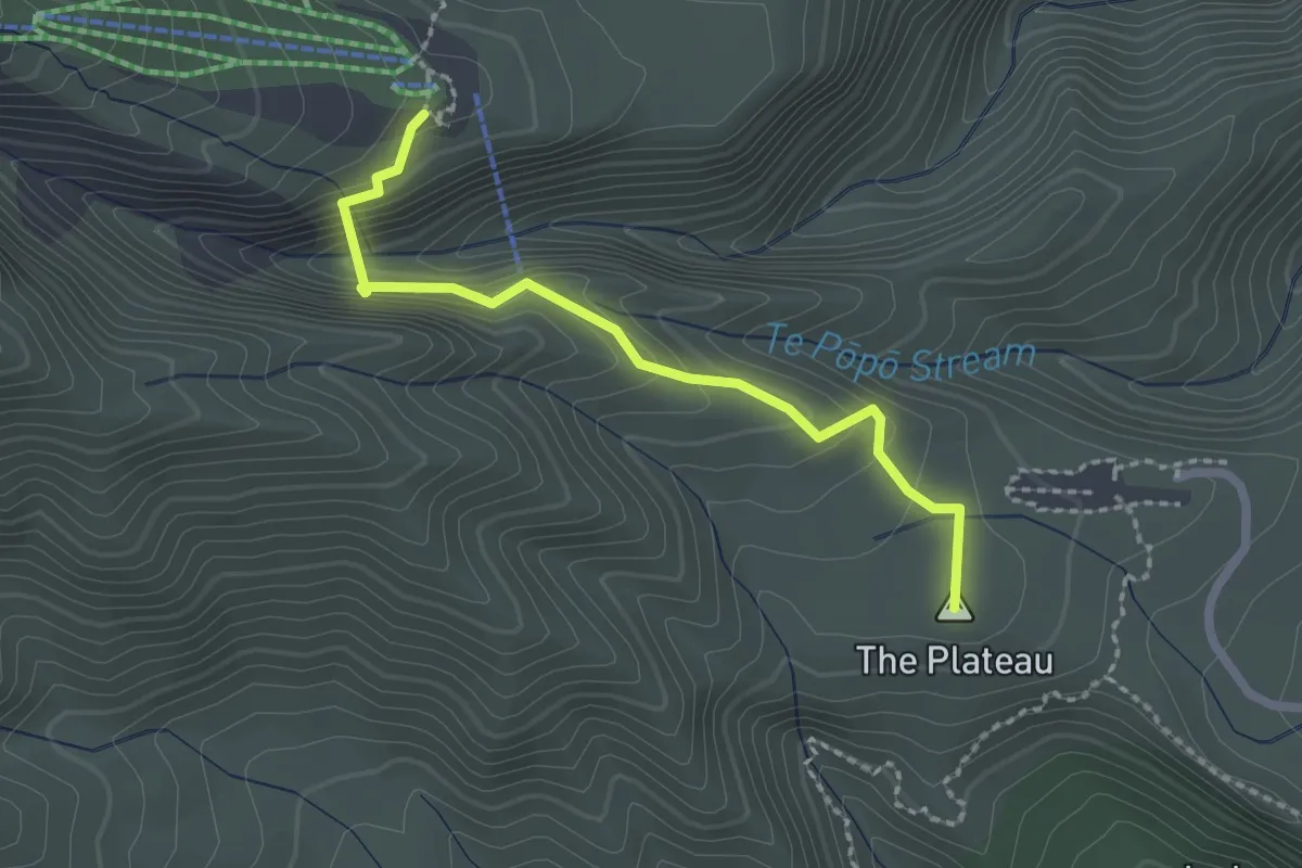
Medium · Summit
Manganui Gorge Track
2.4 km · ↑ 191 m · 59 min
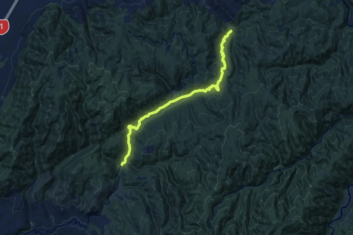
Medium · Trail
Mangaone Walkway
14.5 km · ↑ 530 m · 4 h 34 min
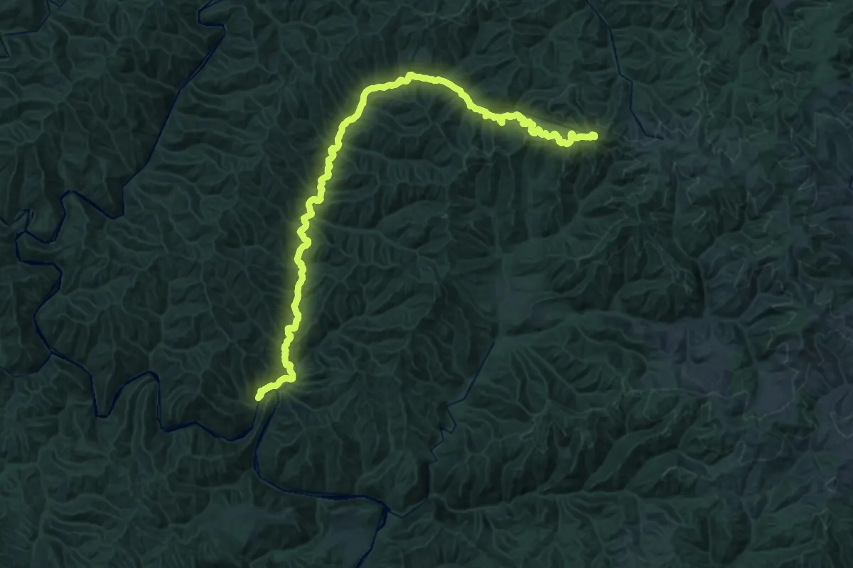
Demanding · Summit
Mangapurua Track
45.6 km · ↑ 1950 m · 14 h 59 min
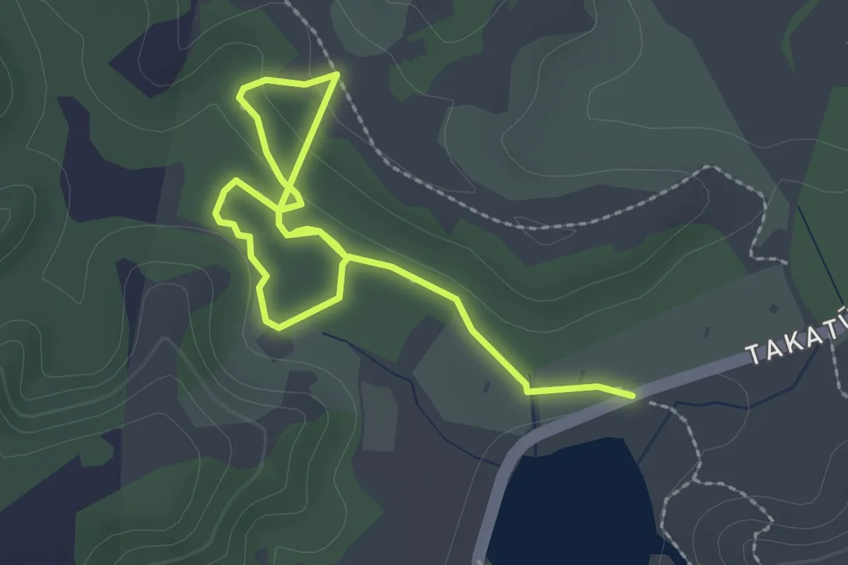
Easy · Trail
Mangatāwhiri Track
3.7 km · ↑ 47 m · 59 min