Trails in New Zealand
519 hiking trails, each with its route, climb, walking time and grade.
All trails, page 3 of 11
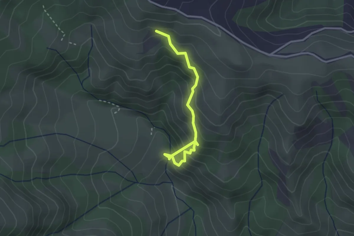
Easy · Trail
East Track
2.7 km · ↑ 320 m · 1 h 20 min
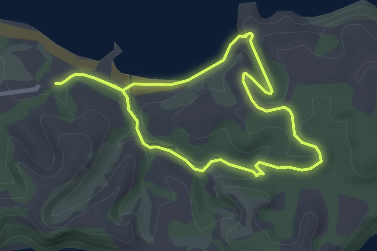
Easy · Trail
Ecology Trail
4.1 km · ↑ 77 m · 1 h 12 min
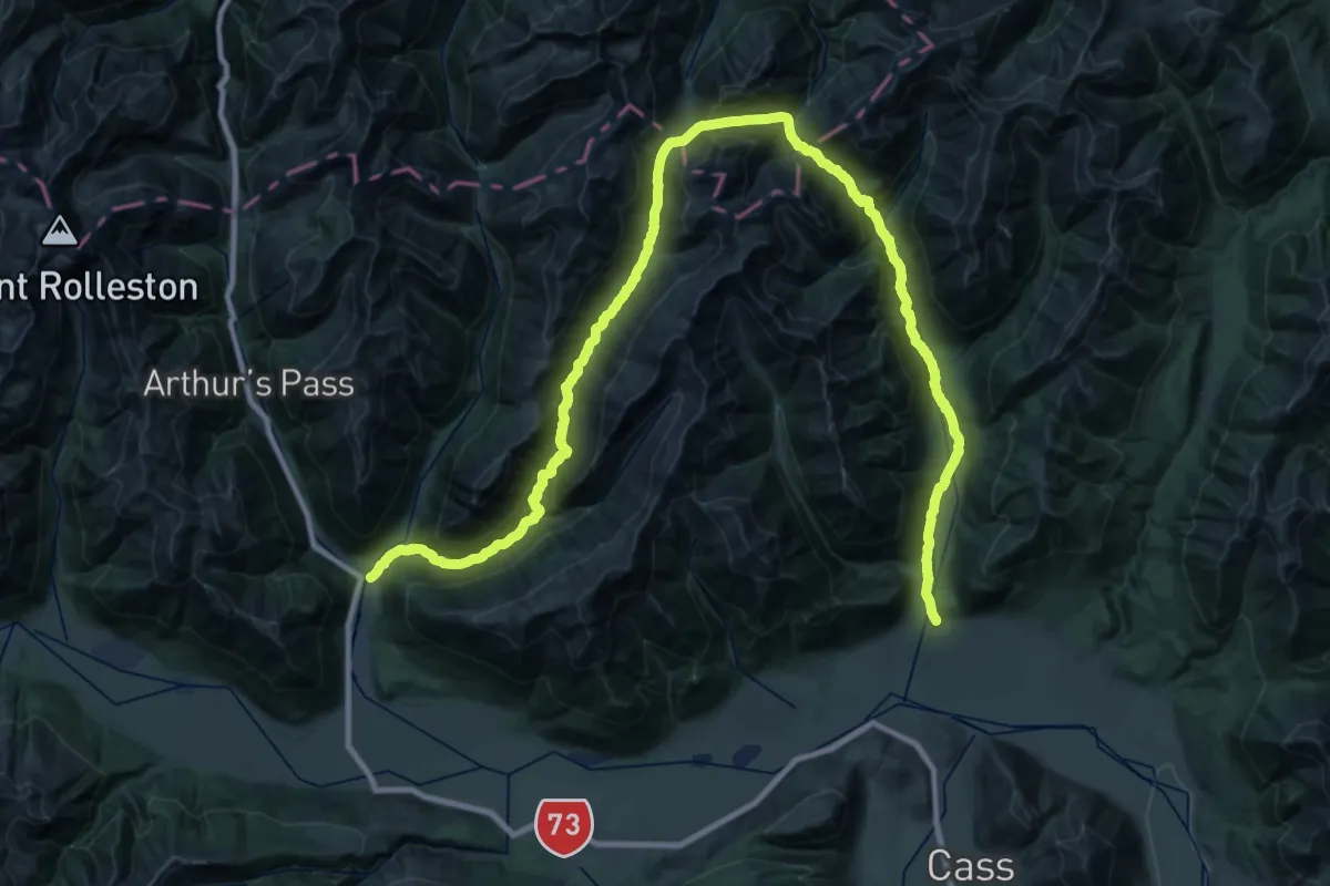
Demanding · Trail
Edwards - Hawdon Route
30.4 km · ↑ 1174 m · 10 h 5 min
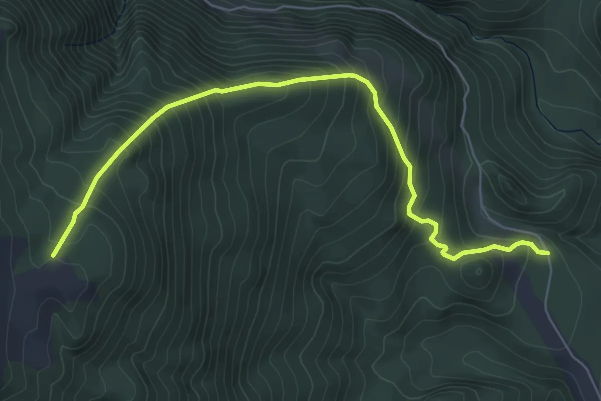
Medium · Trail
Eldrig Peak Route
6.2 km · ↑ 554 m · 2 h 39 min
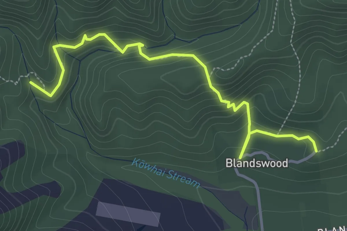
Easy · Trail
Emily Falls Track
3.6 km · ↑ 230 m · 1 h 20 min
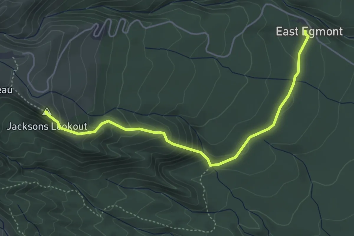
Medium · Summit
Enchanted Track
5.1 km · ↑ 320 m · 1 h 54 min
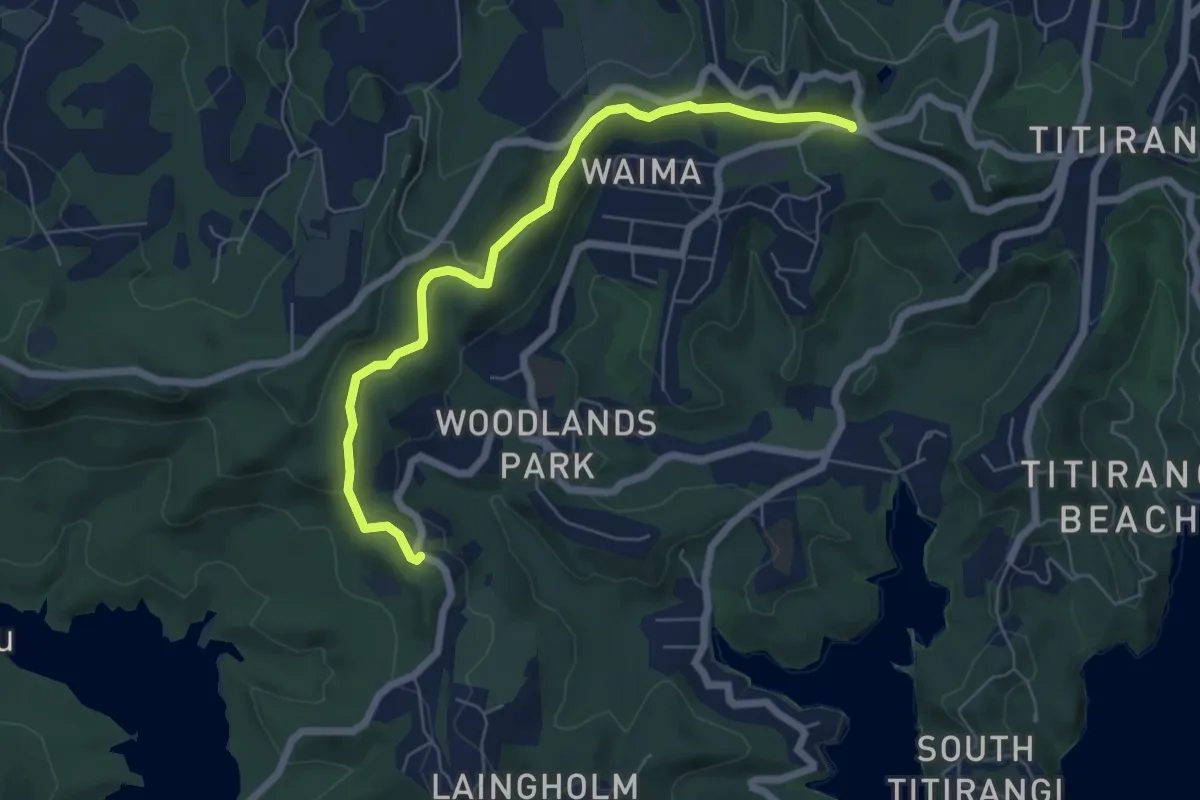
Easy · Trail
Exhibition Drive
7.4 km · ↑ 163 m · 2 h 7 min
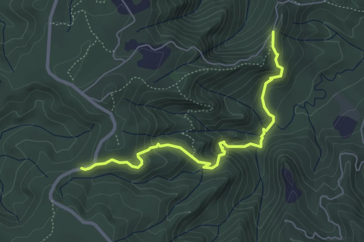
Medium · Trail
Fairy Falls Track
5.9 km · ↑ 363 m · 2 h 10 min
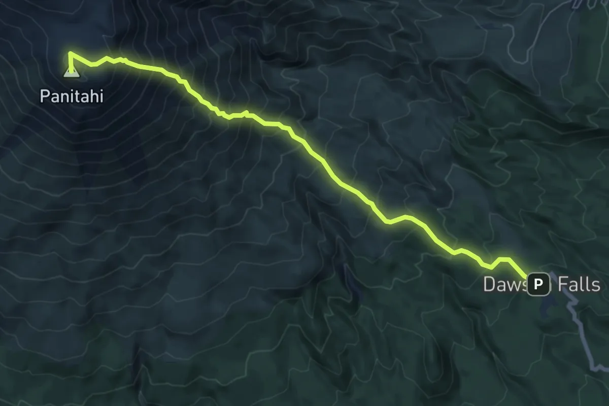
Demanding · Summit
Fanthams Peak / Panitahi and Syme Hut Track
8.2 km · ↑ 1055 m · 4 h 13 min
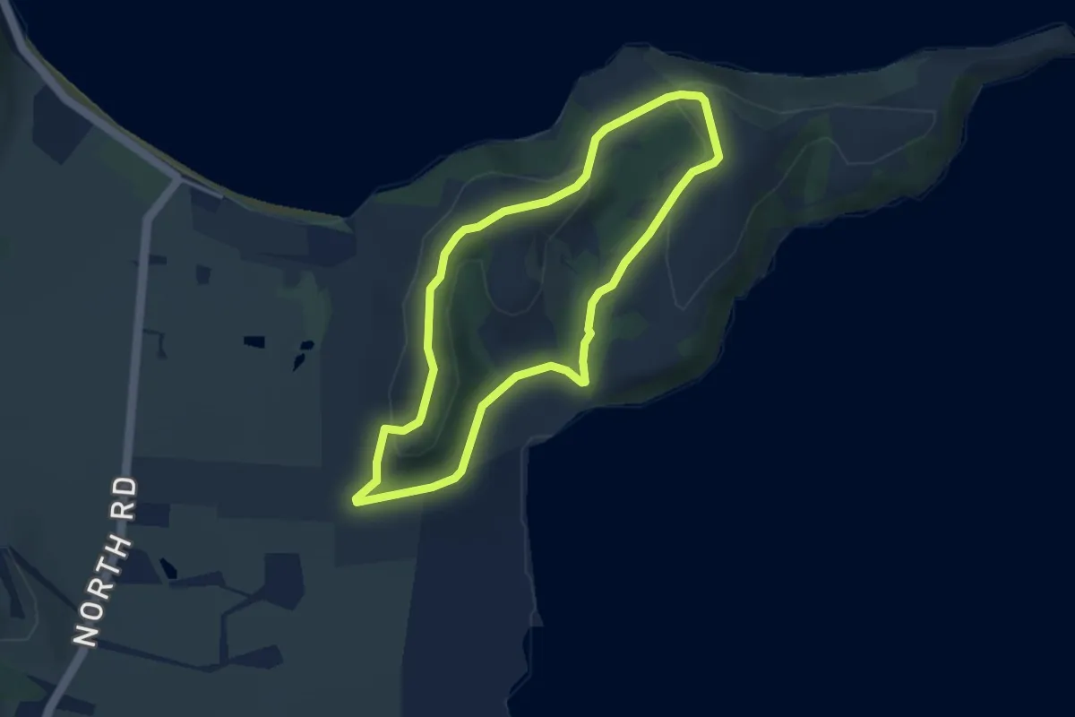
Easy · Trail
Farm Loop
3.7 km · ↑ 95 m · 1 h 8 min
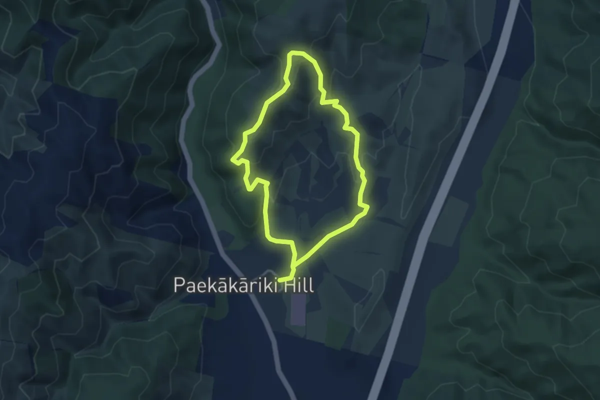
Easy · Summit
Farm Loop
3.2 km · ↑ 147 m · 1 h 7 min
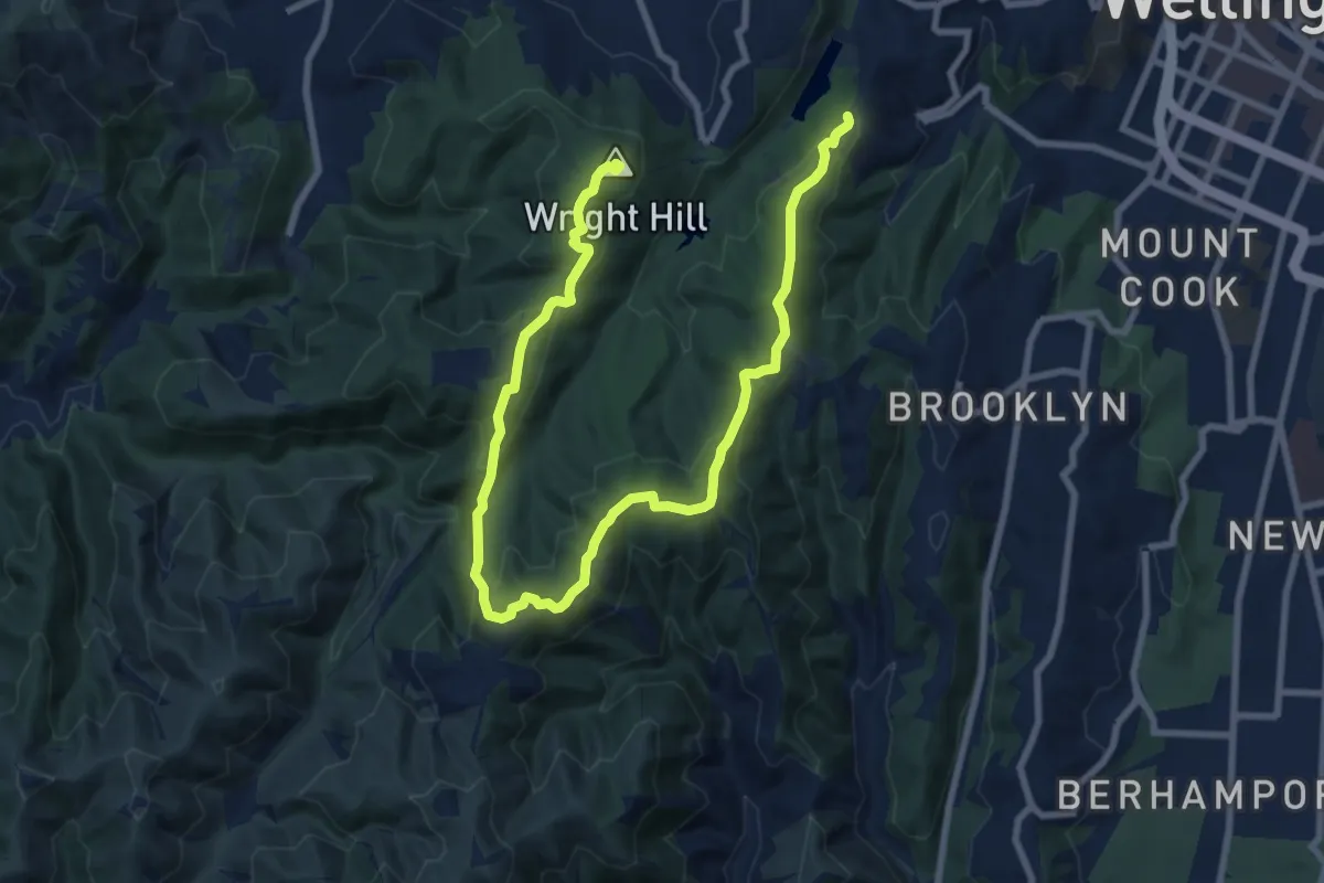
Medium · Summit
Fenceline
12.6 km · ↑ 545 m · 4 h 10 min
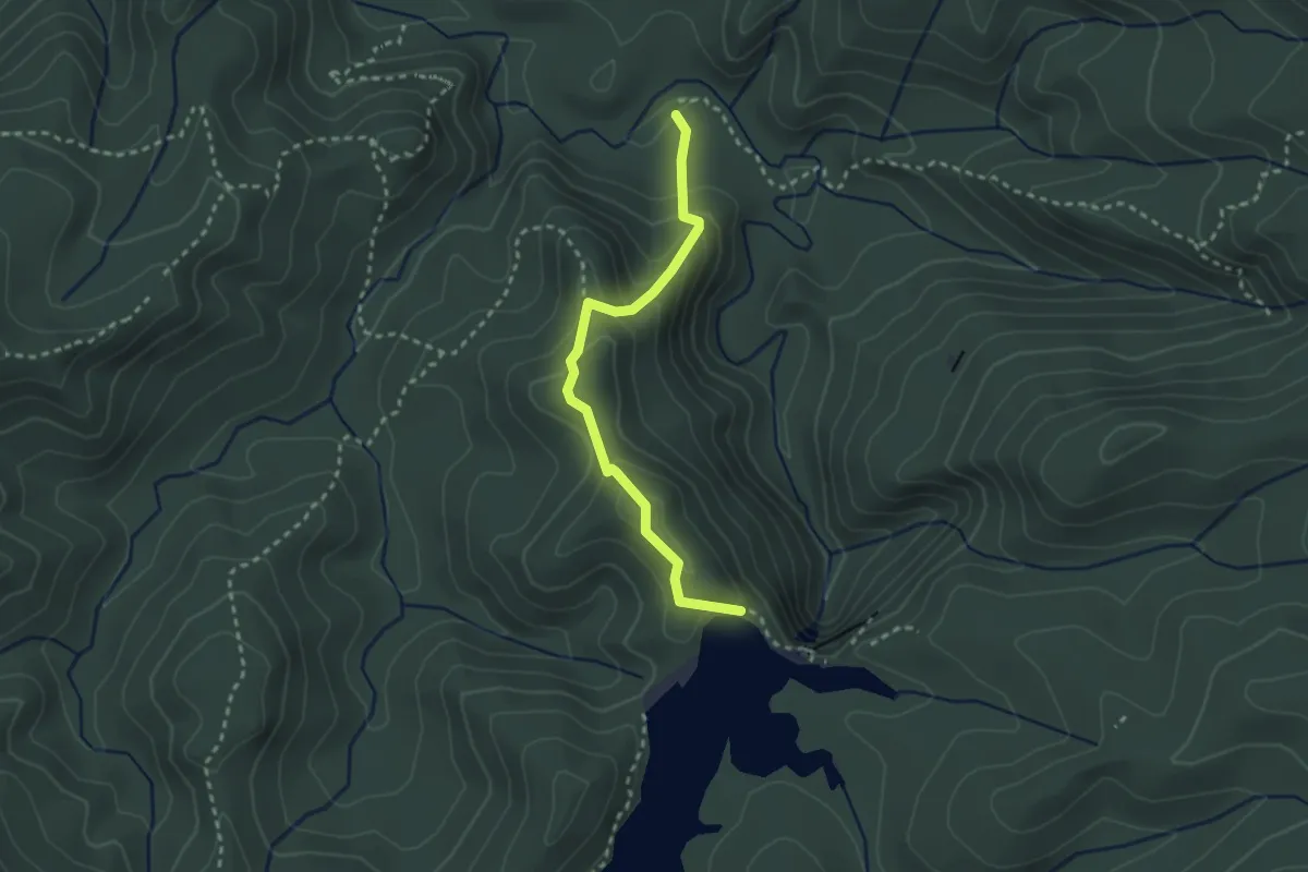
Easy · Trail
Fenceline Track
3.0 km · ↑ 224 m · 1 h 12 min
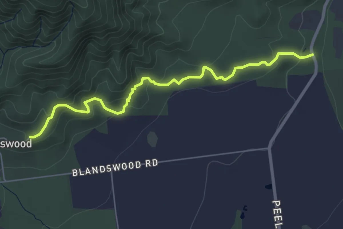
Easy · Trail
Fern Walk
5.4 km · ↑ 212 m · 1 h 45 min
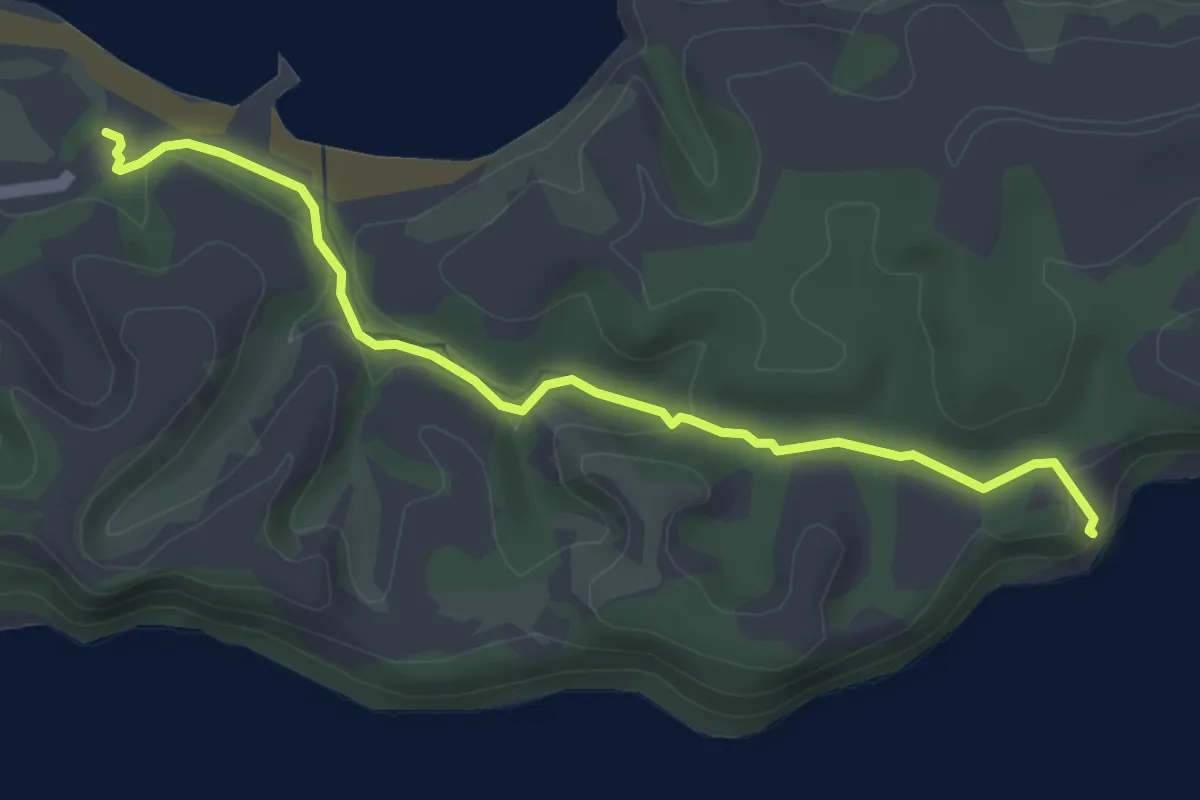
Easy · Trail
Fishermans Track
4.7 km · ↑ 57 m · 1 h 13 min
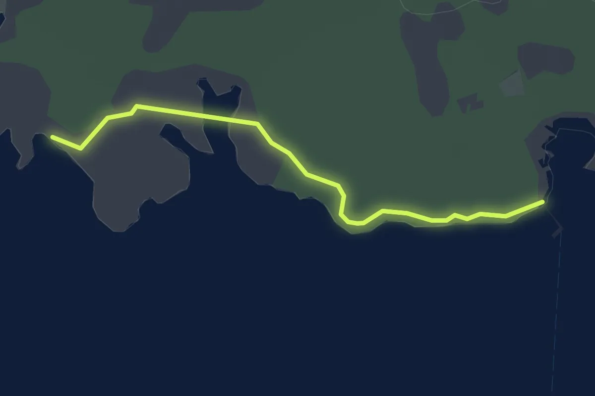
Easy · Trail
Flax Point Walk
3.4 km · ↑ 13 m · 50 min
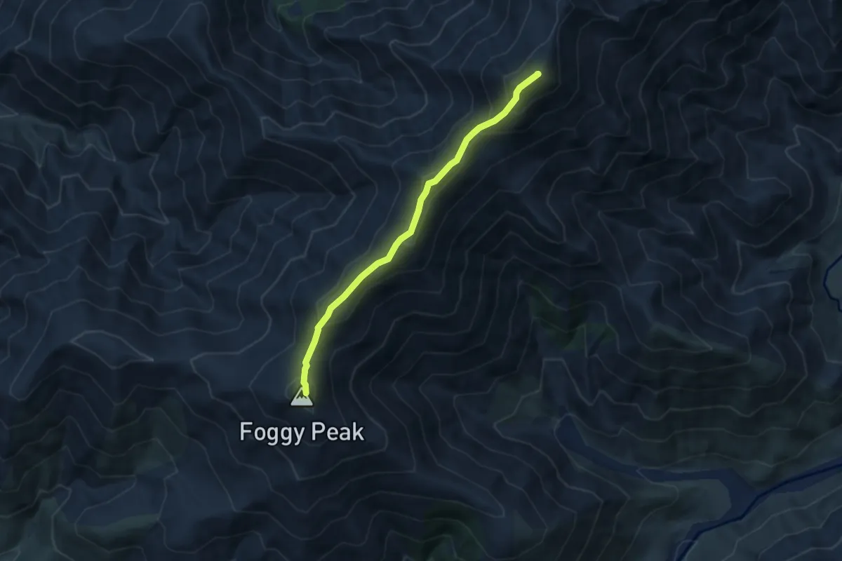
Medium · Summit
Foggy Peak - Castle Hill Peak Traverse
6.2 km · ↑ 469 m · 2 h 29 min
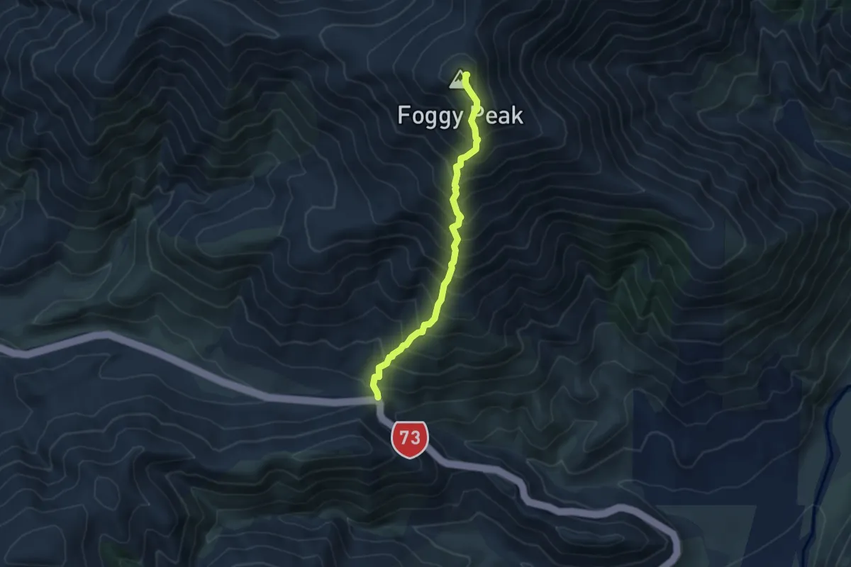
Medium · Summit
Foggy Peak Route
4.7 km · ↑ 783 m · 2 h 49 min
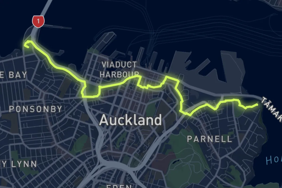
Medium · Trail
Foreshore Heritage Walk
14.1 km · ↑ 142 m · 3 h 39 min
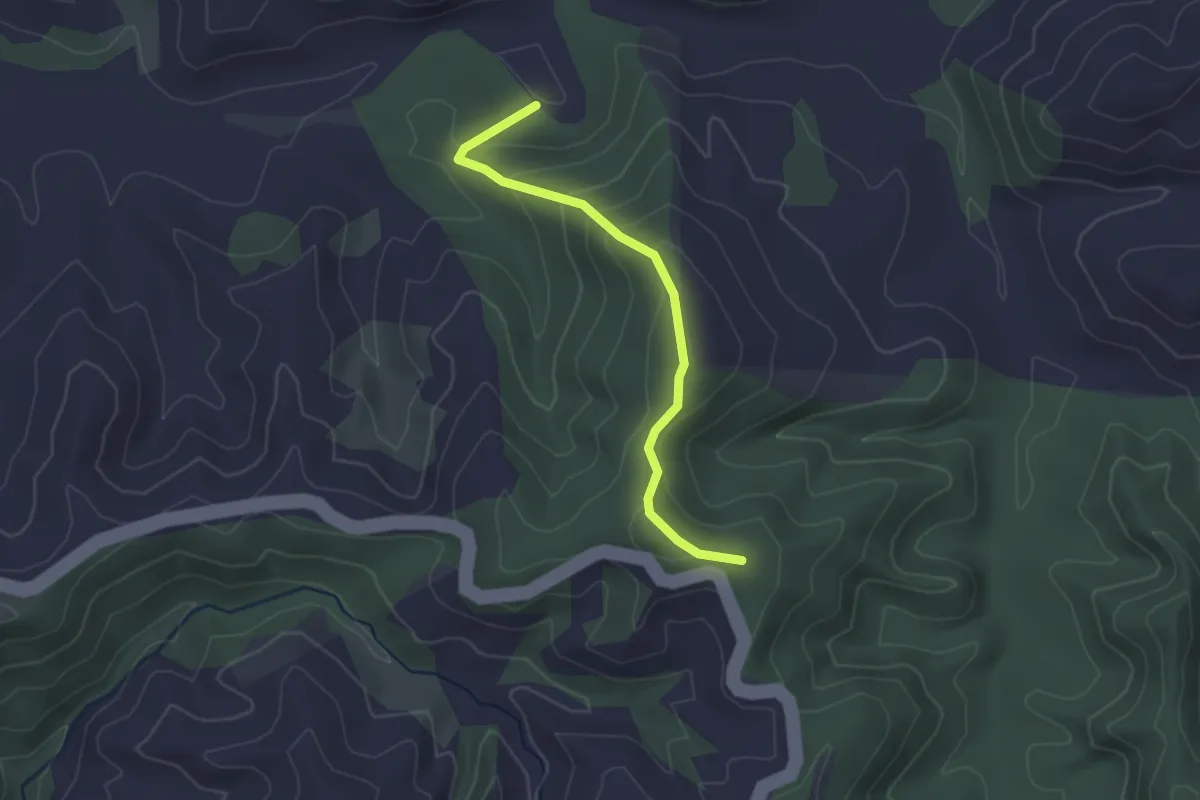
Easy · Trail
Fort Route
2.8 km · ↑ 181 m · 1 h 4 min
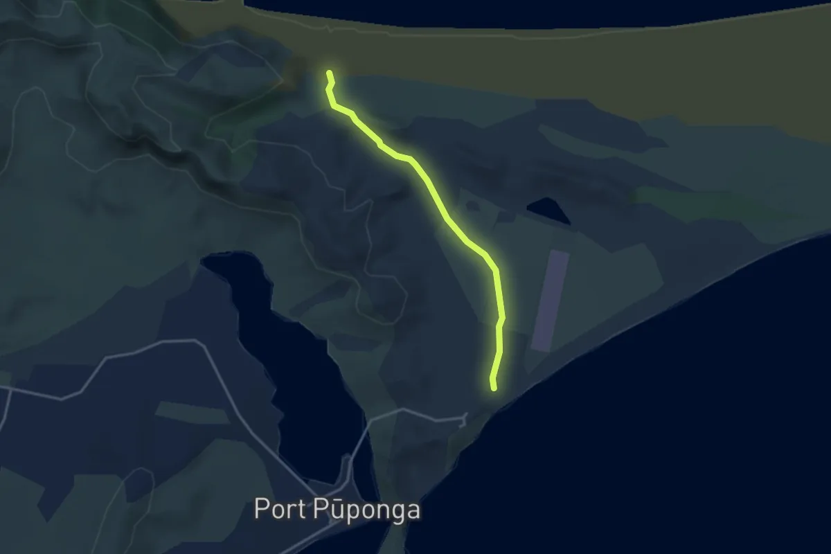
Easy · Trail
Fossil Point Track
3.3 km · ↑ 47 m · 52 min
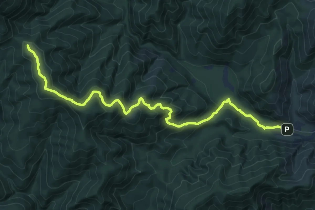
Medium · Trail
Gentle Annie
11.4 km · ↑ 557 m · 3 h 54 min
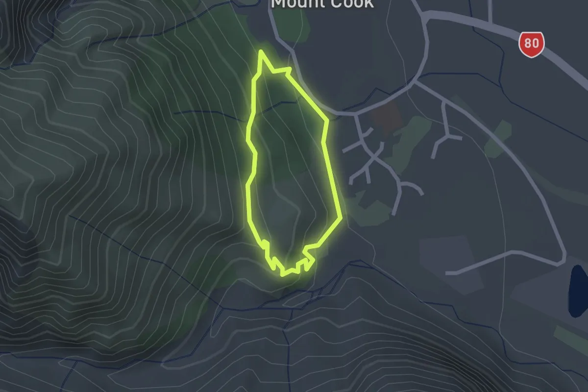
Easy · Trail
Gouvernors Bush Walk
1.6 km · ↑ 114 m · 38 min
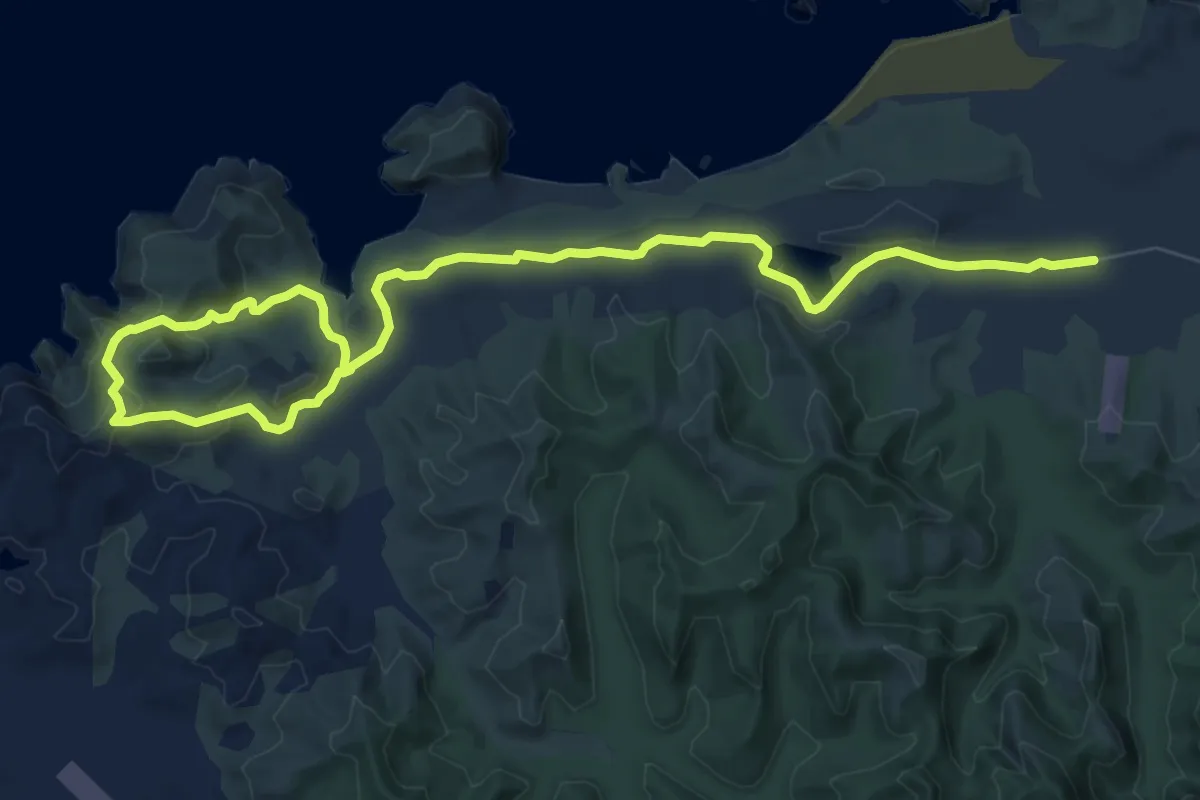
Medium · Trail
Greenhills Track
12.1 km · ↑ 270 m · 3 h 26 min
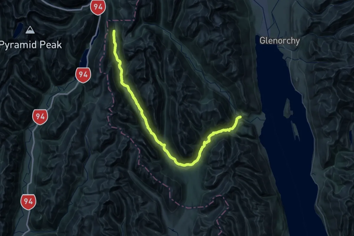
Demanding · Trail
Greenstone Track
30.7 km · ↑ 625 m · 9 h 11 min
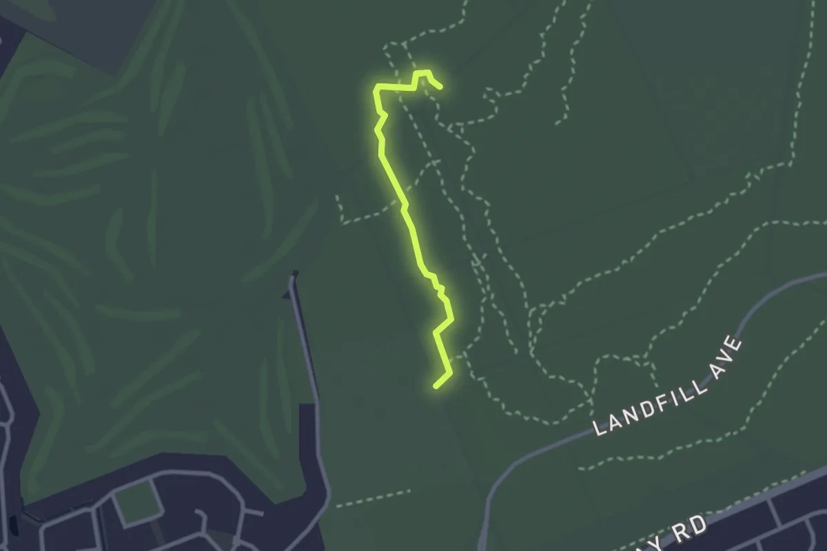
Easy · Trail
Green Track (Walking)
2.1 km · ↑ 0 m · 30 min
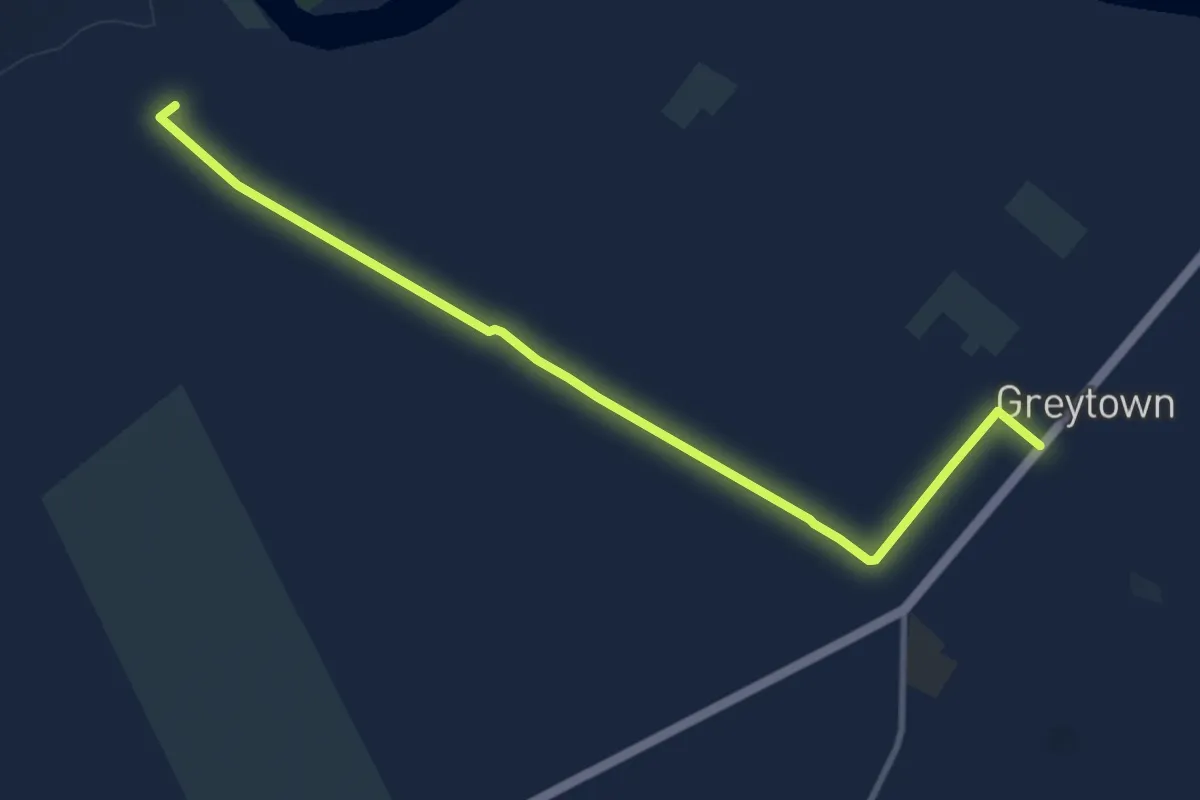
Medium · Trail
Greytown - Woodside shared trail
11.6 km · ↑ 37 m · 2 h 49 min
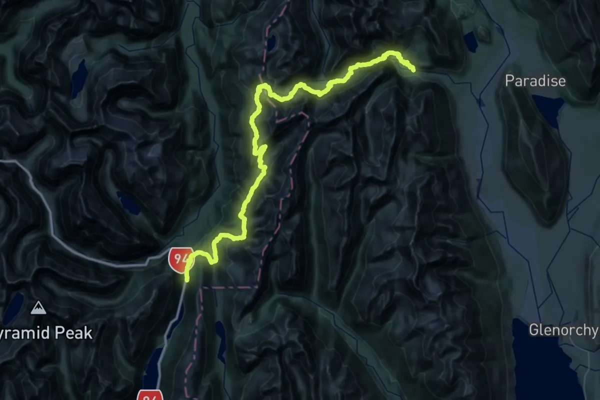
Demanding · Trail
GW - 06 Routeburn Track
30.9 km · ↑ 1573 m · 11 h 7 min
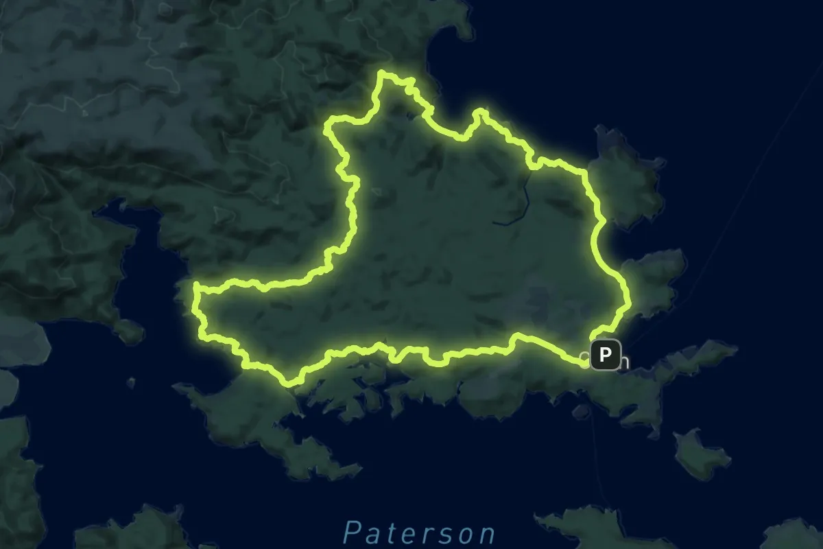
Demanding · Trail
GW - 09 Rakiura Track
34.0 km · ↑ 1000 m · 10 h 40 min
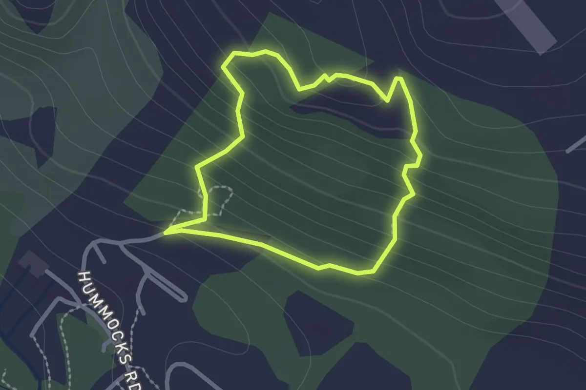
Easy · Trail
Hart Arboretum Yellow Loop
2.0 km · ↑ 132 m · 48 min
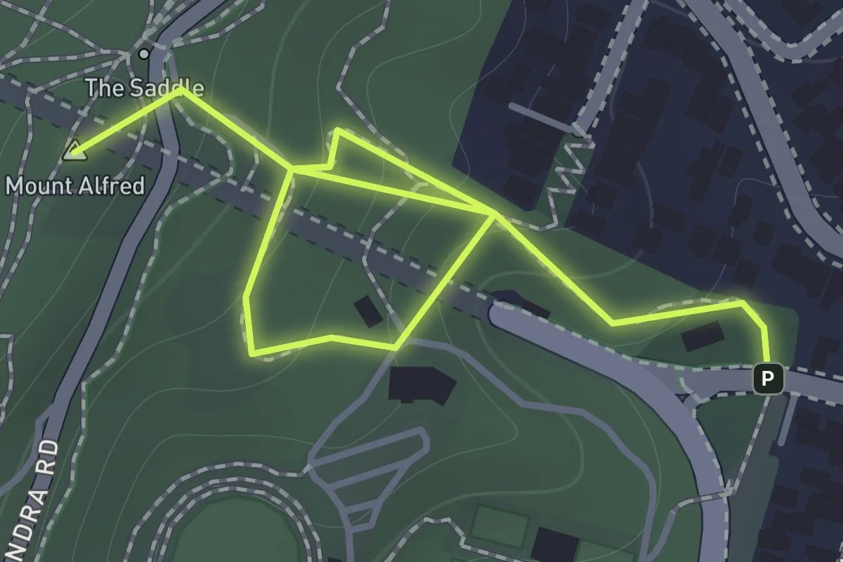
Easy · Summit
Hataitai to City Walkway
1.8 km · ↑ 146 m · 44 min
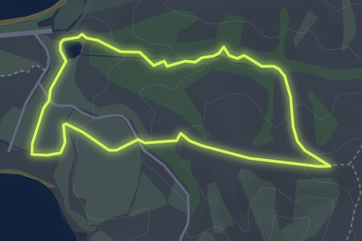
Easy · Trail
Heritage Trail
3.6 km · ↑ 87 m · 1 h 5 min
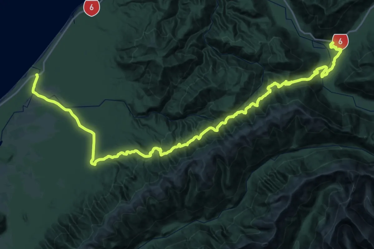
Demanding · Trail
Historic Haast to Paringa Cattle Track
33.9 km · ↑ 1291 m · 11 h 19 min
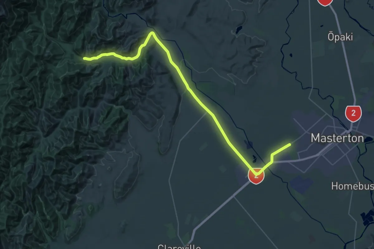
Demanding · Trail
Holdsworth - Kaitoke extension
18.6 km · ↑ 203 m · 5 h
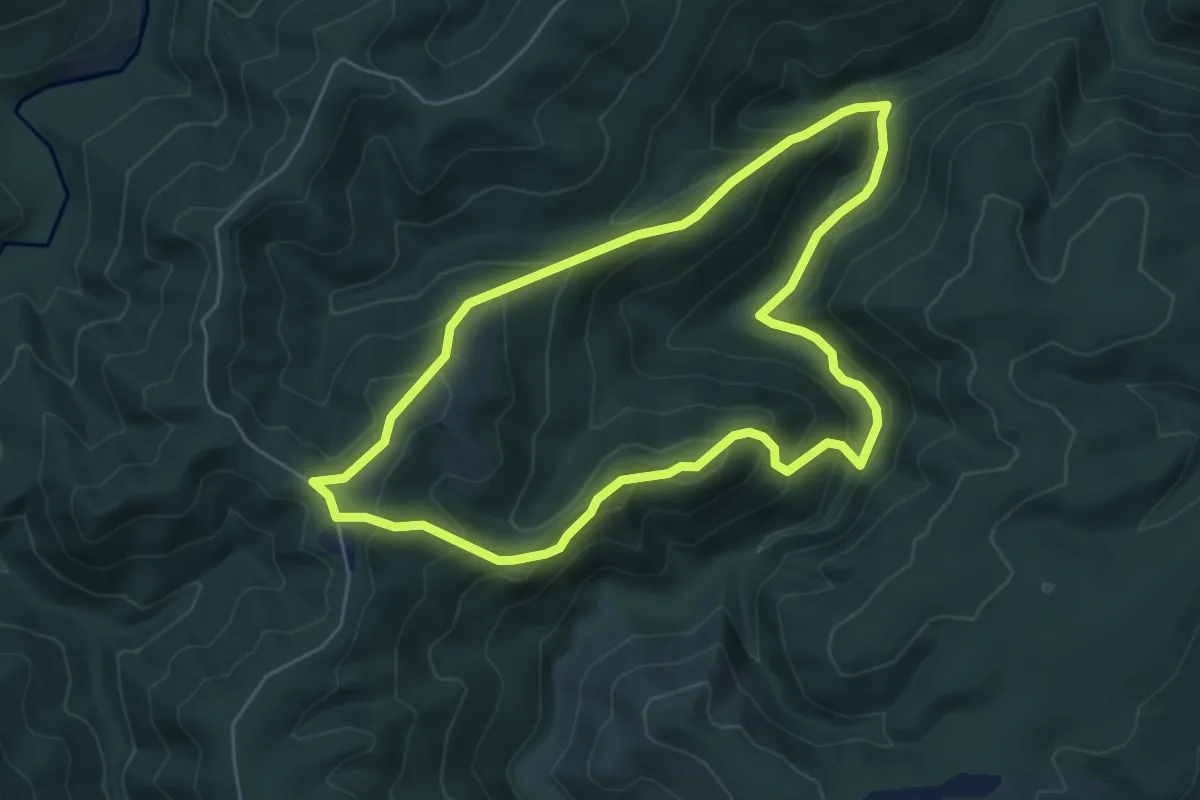
Medium · Trail
Honeycomb Track and Rongomai Track Loop
5.3 km · ↑ 406 m · 2 h 13 min
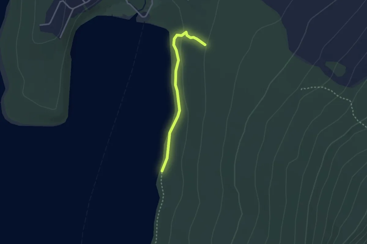
Easy · Trail
Honeydew Track
2.7 km · ↑ 45 m · 44 min
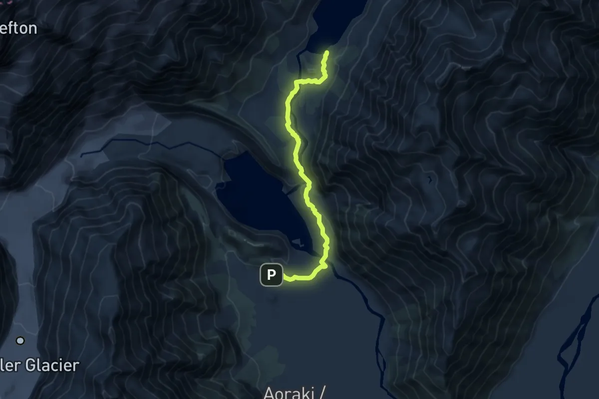
Easy · Trail
Hooker Valley Track
4.9 km · ↑ 149 m · 1 h 30 min
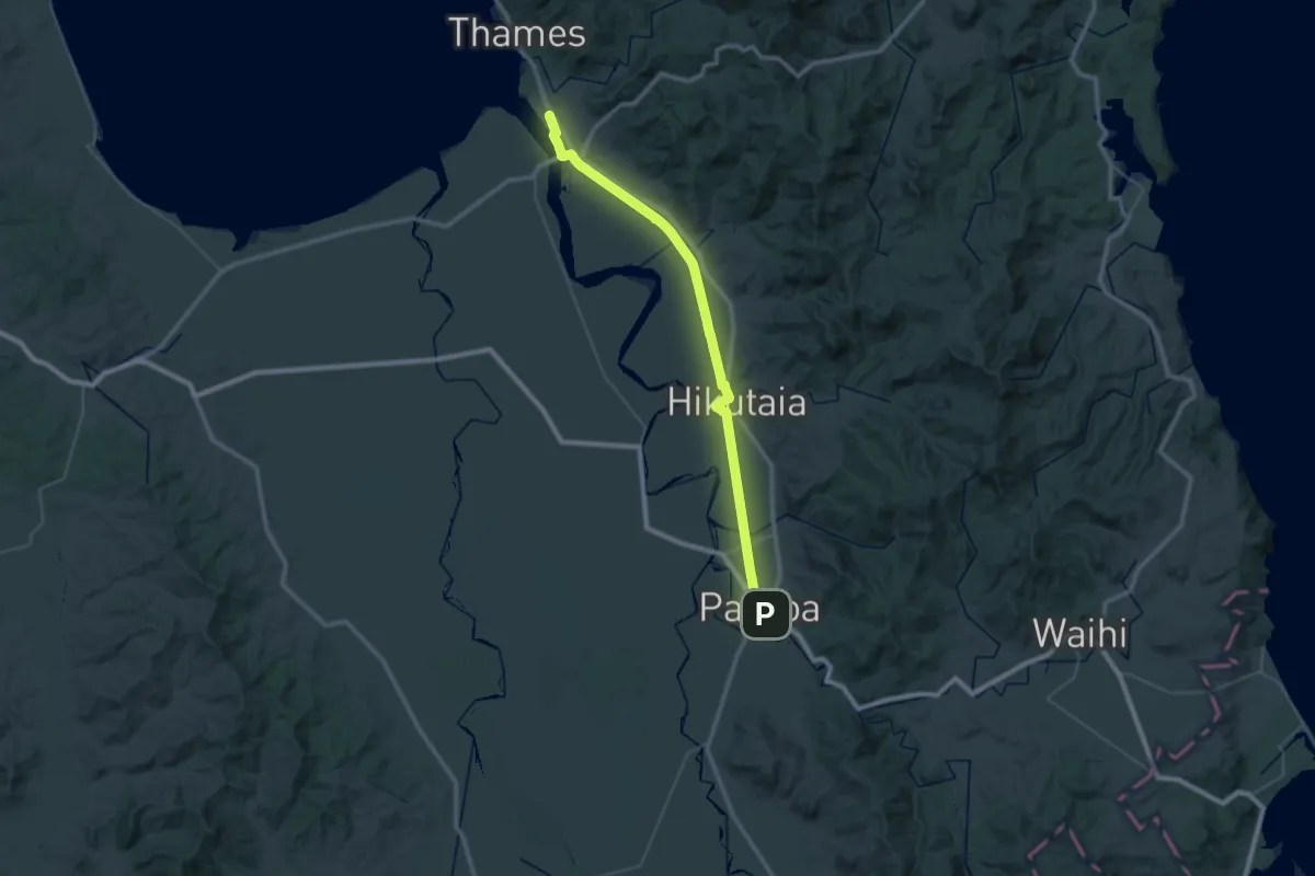
Demanding · Trail
HRT-b Thames to Paeroa Trail (Hiking)
29.4 km · ↑ 28 m · 7 h 25 min
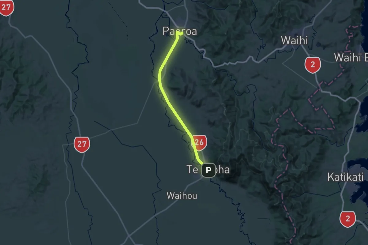
Demanding · Trail
HRT-d Paeroa to Te Aroha (Hiking)
22.0 km · ↑ 20 m · 5 h 33 min
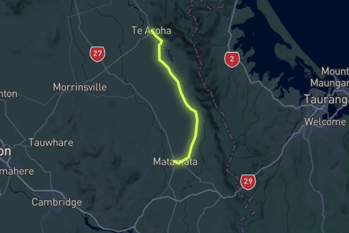
Demanding · Trail
HRT-e Te Aroha to Matamata (Hiking)
36.9 km · ↑ 18 m · 9 h 17 min
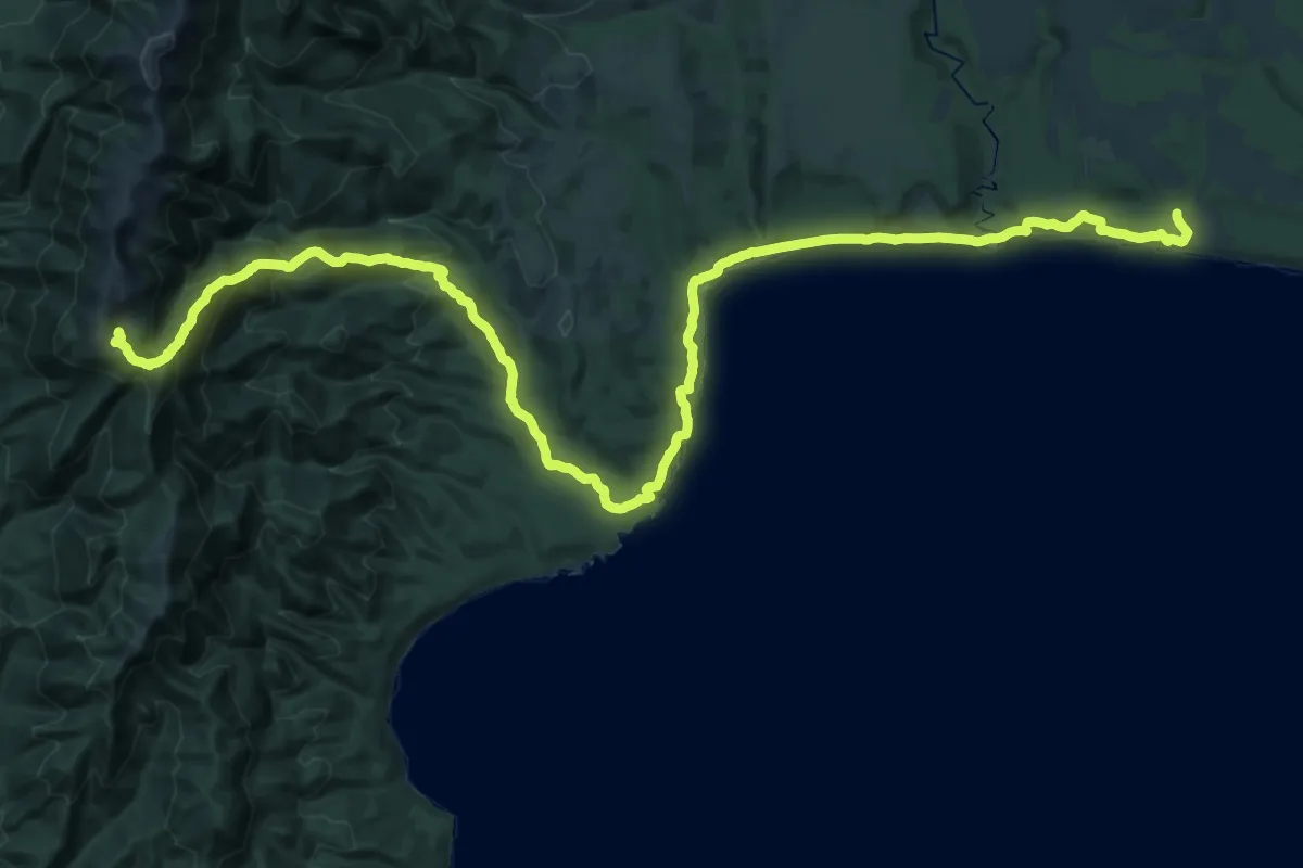
Demanding · Cabin
Hump Ridge Trail - 01 car park to Okaka Lodge
19.2 km · ↑ 1047 m · 6 h 39 min
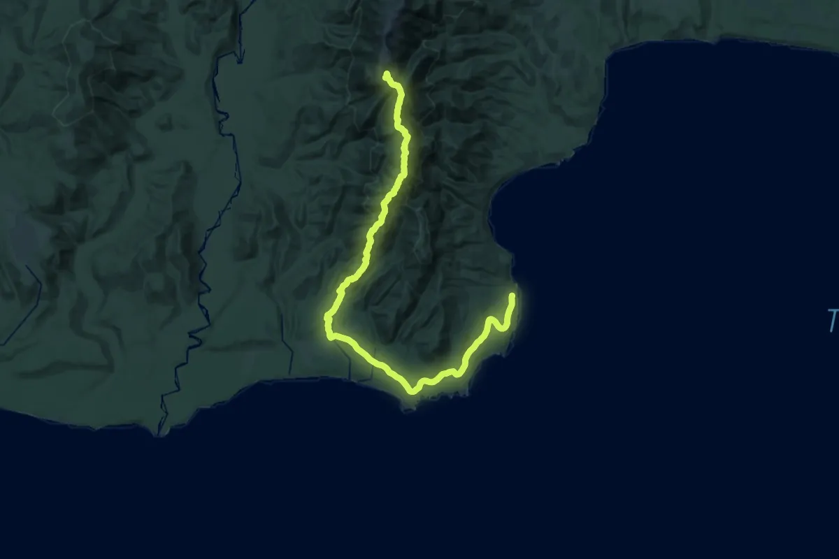
Demanding · Cabin
Hump Ridge Trail - 02 Okaka Lodge to Port Craig
19.1 km · ↑ 282 m · 5 h 49 min
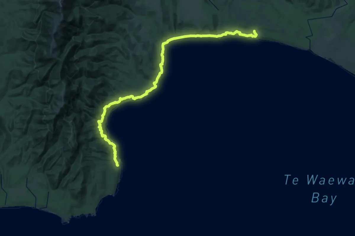
Demanding · Cabin
Hump Ridge Trail - 03 Port Craig to car park
19.1 km · ↑ 328 m · 5 h 29 min
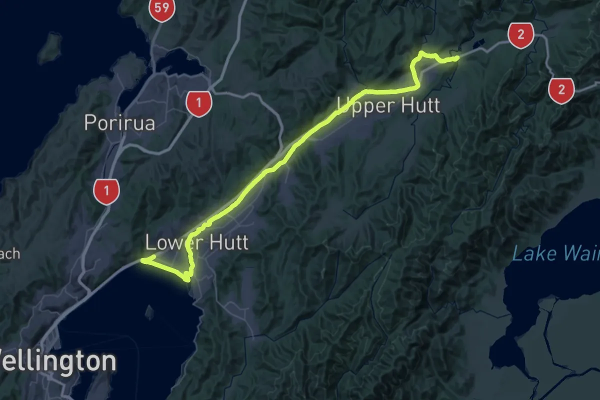
Demanding · Trail
Hutt River Trail
35.2 km · ↑ 9 m · 8 h 52 min
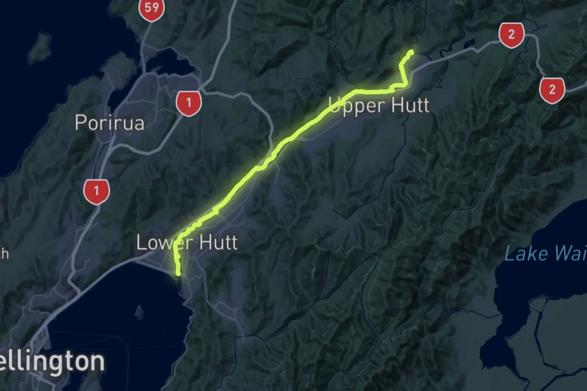
Demanding · Trail
Hutt River Trail west
28.3 km · ↑ 115 m · 7 h 17 min
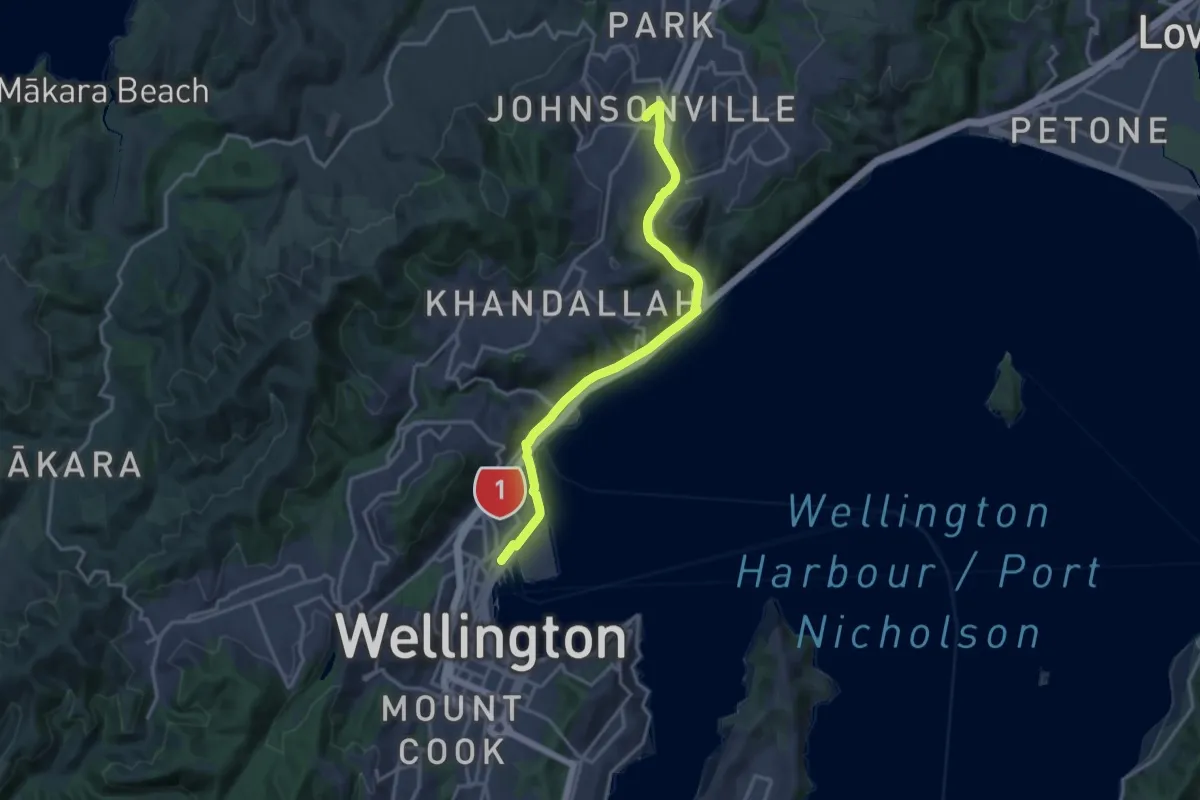
Medium · Trail
Hutt Road shared path - Wellington to Johnsonville
17.4 km · ↑ 184 m · 4 h 30 min
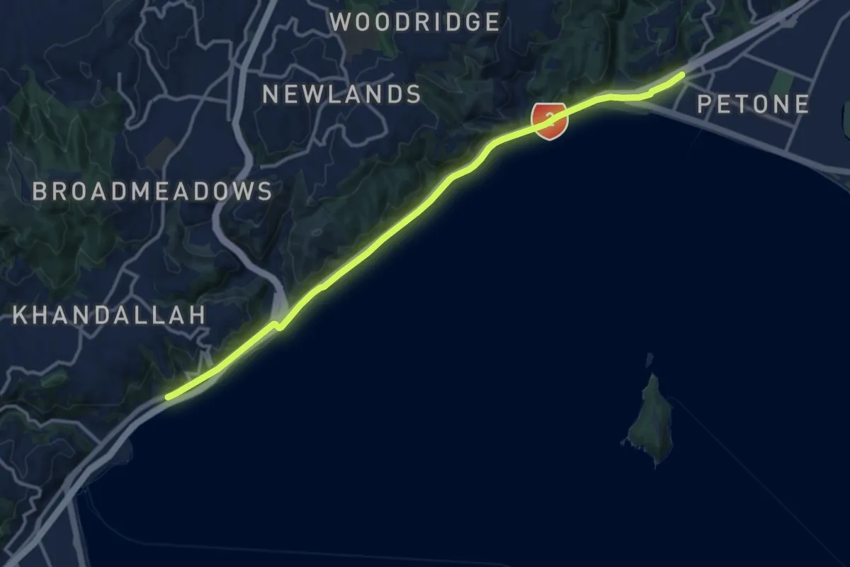
Medium · Trail
Hutt Road shared path - Wellington to Petone
14.4 km · ↑ 91 m · 3 h 35 min
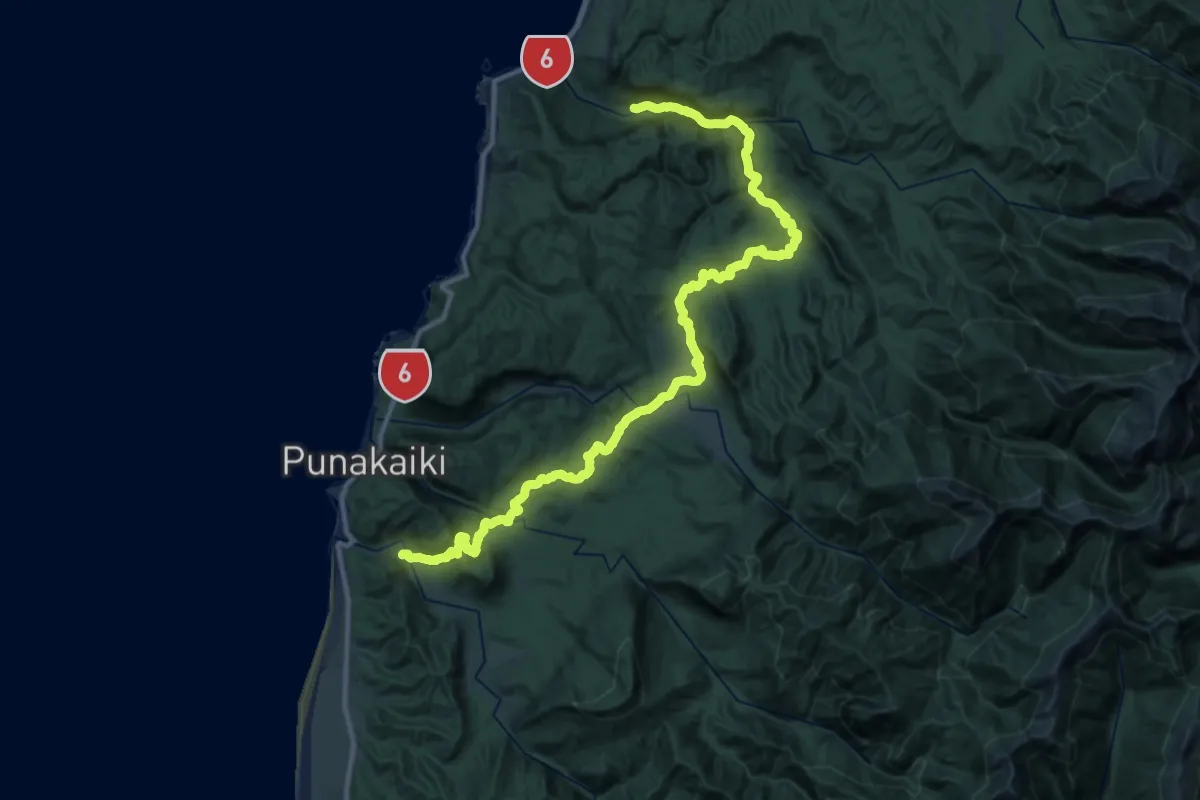
Demanding · Trail
Inland Pack Track
21.8 km · ↑ 547 m · 6 h 38 min