Trails in New Zealand
519 hiking trails, each with its route, climb, walking time and grade.
All trails, page 2 of 11
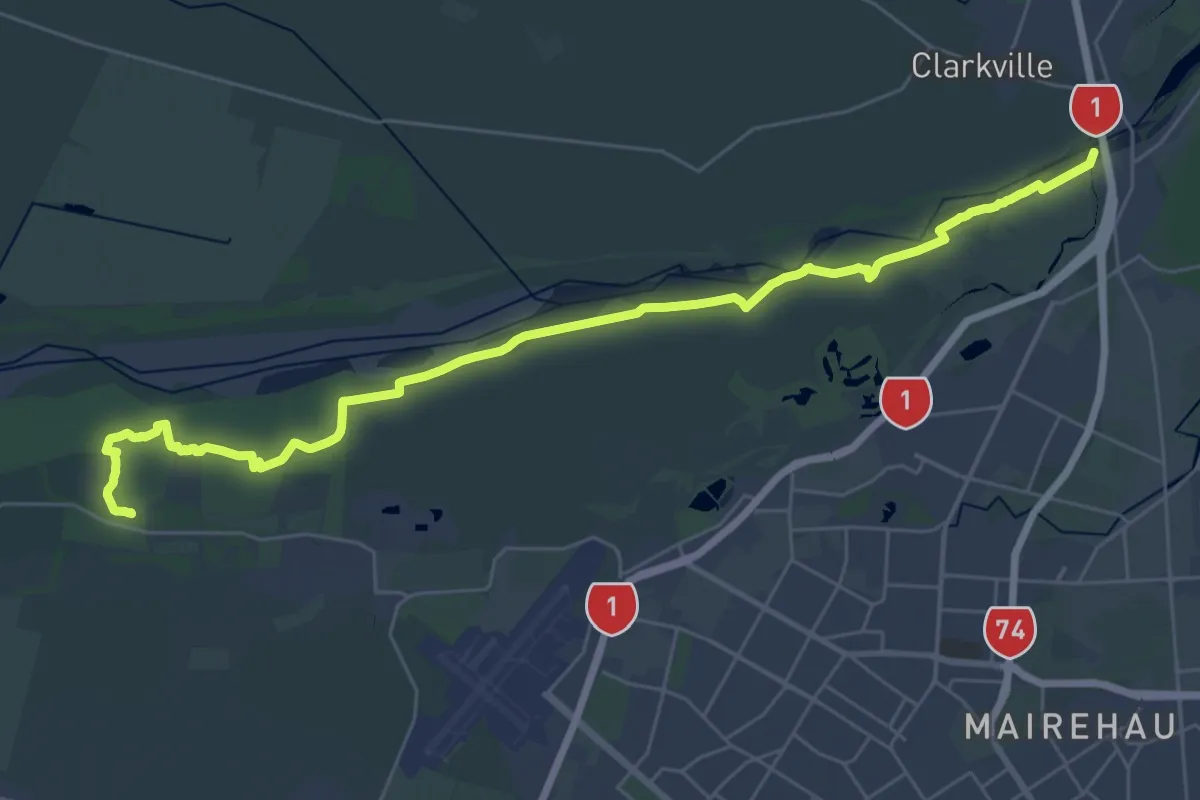
Demanding · Trail
C360e Waimakariri Braids
19.4 km · ↑ 4 m · 4 h 53 min
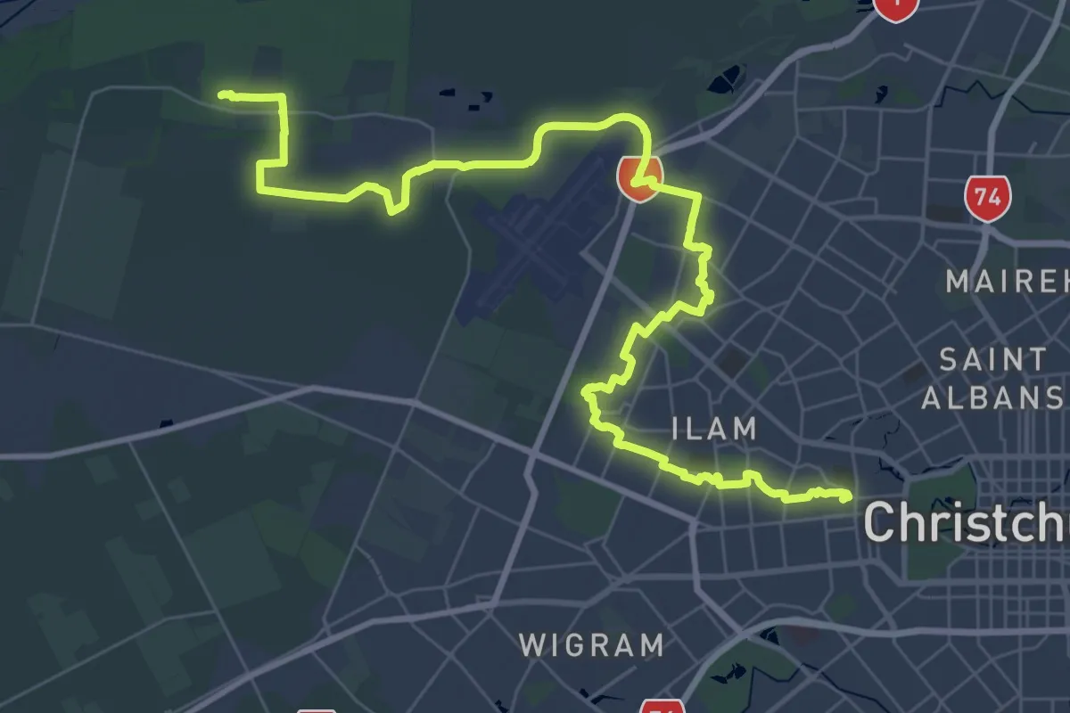
Demanding · Trail
C360f Avonhead Gardens
25.9 km · ↑ 4 m · 6 h 31 min
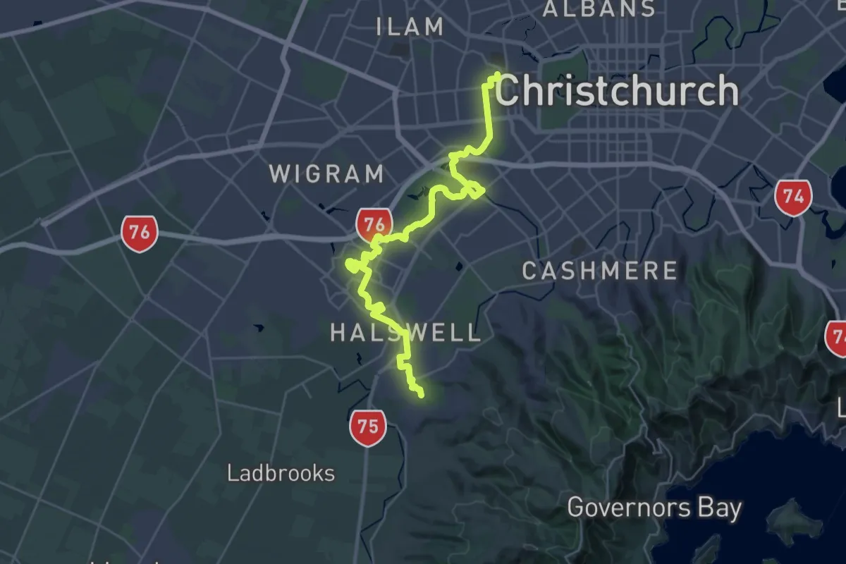
Demanding · Trail
C360g Opawaho Divide
32.2 km · ↑ 29 m · 7 h 40 min
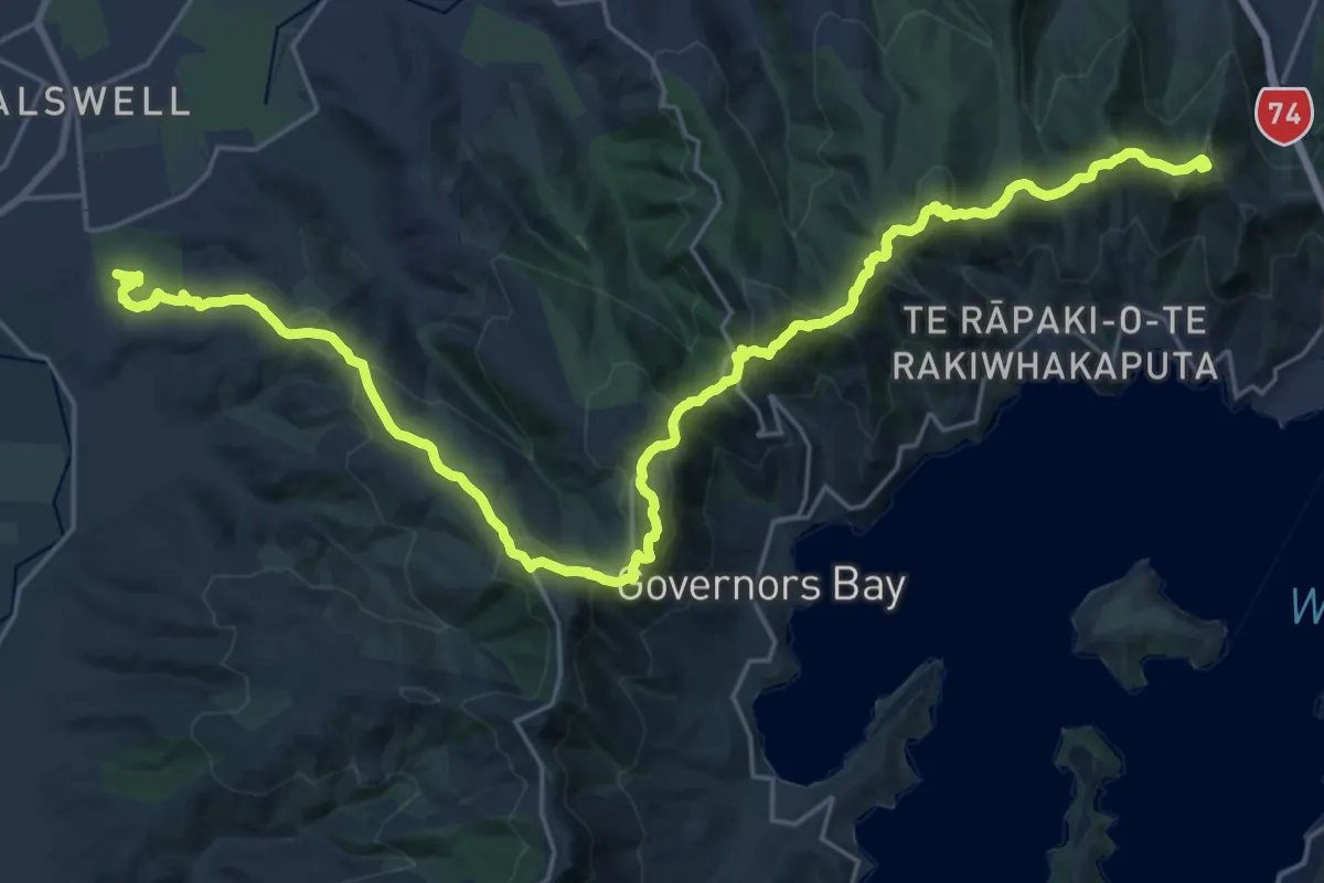
Demanding · Summit
C360h Sugarloaf Hills
31.3 km · ↑ 1354 m · 10 h 19 min
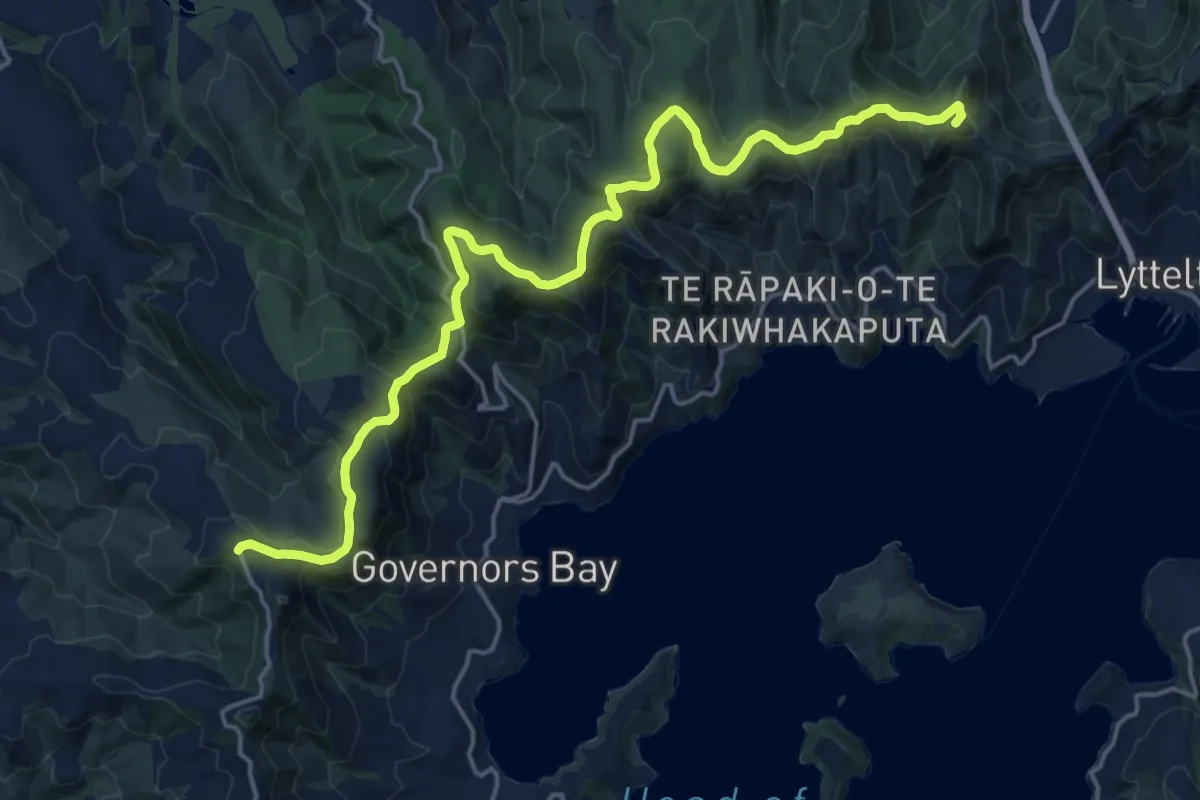
Demanding · Summit
C360 Trail - alternative - Summit Road
21.8 km · ↑ 618 m · 6 h 29 min
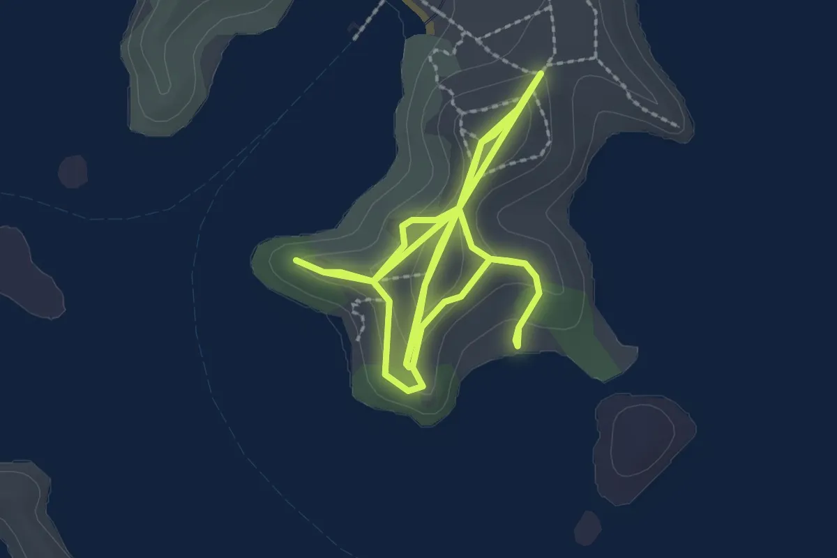
Easy · Trail
Cable Bay Loop
3.1 km · ↑ 129 m · 1 h 4 min
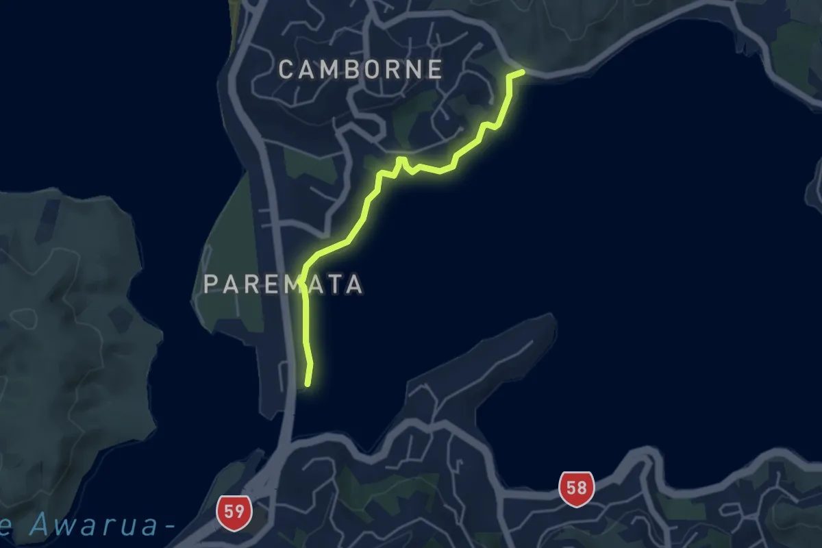
Easy · Trail
Camborne Walkway
4.2 km · ↑ 60 m · 1 h 8 min
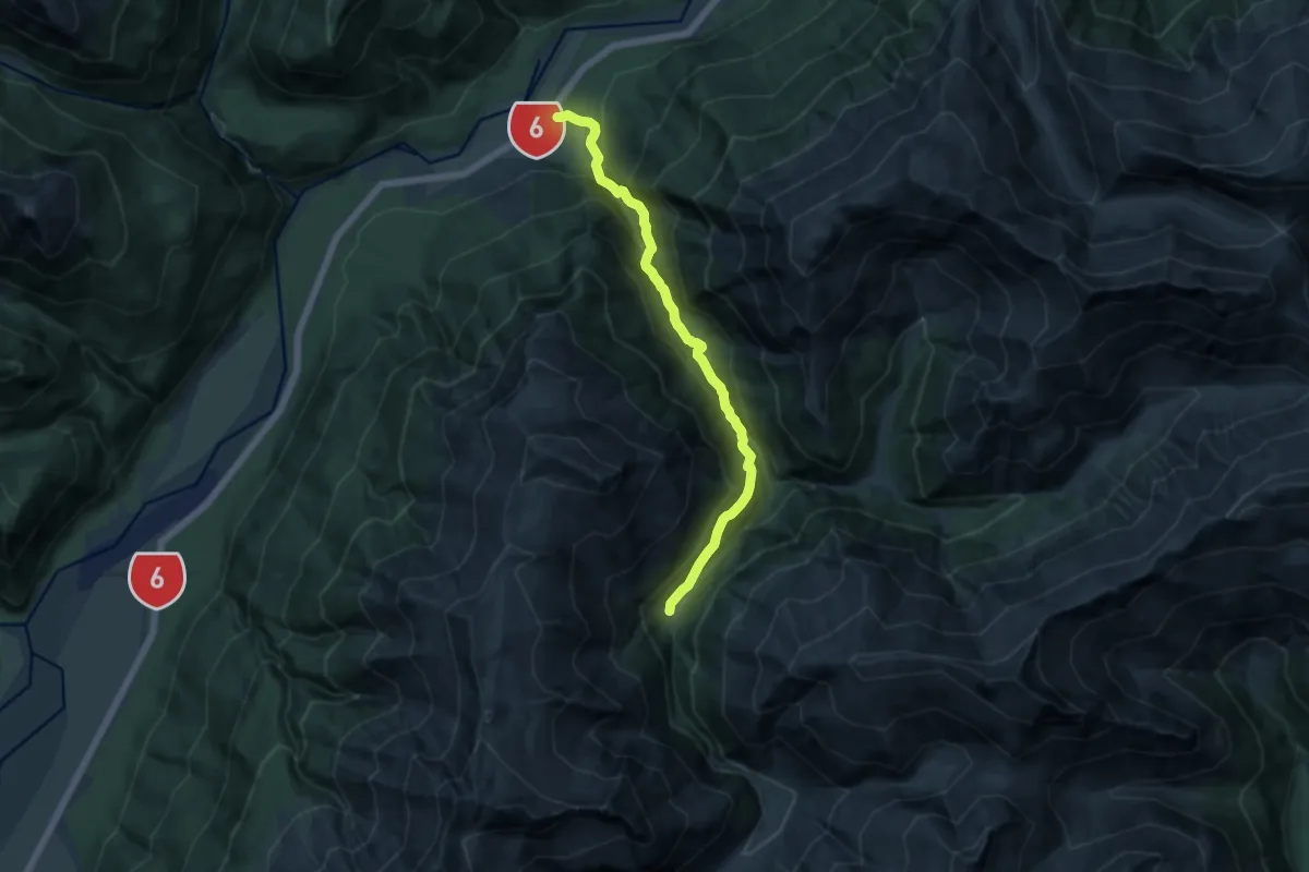
Demanding · Cabin
Cameron Hut
12.4 km · ↑ 825 m · 4 h 42 min
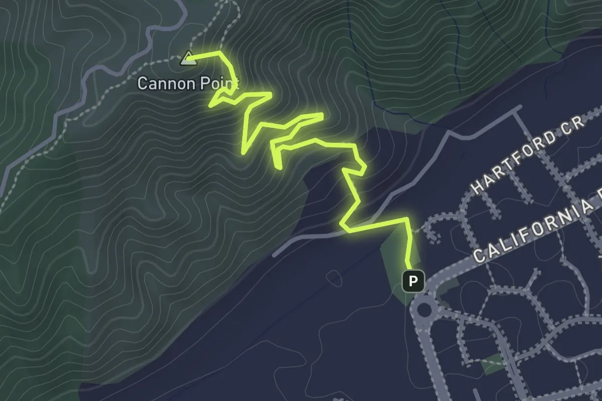
Easy · Summit
Cannon Point Walkway
3.7 km · ↑ 319 m · 1 h 33 min
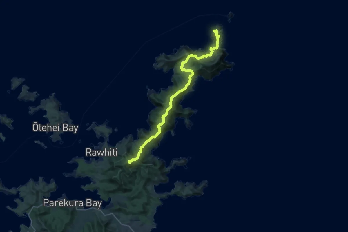
Demanding · Summit
Cape Brett Track
25.1 km · ↑ 1698 m · 9 h 36 min
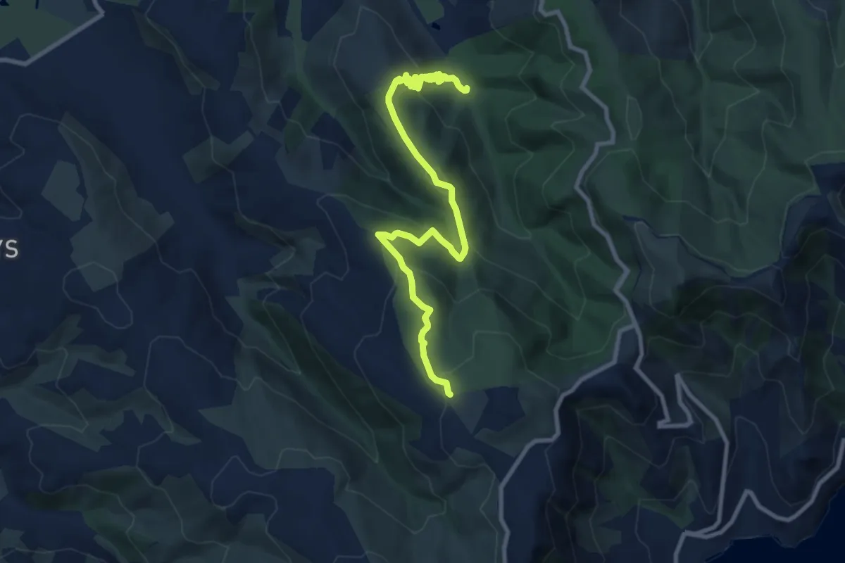
Medium · Trail
CAP Hiking trail
9.7 km · ↑ 448 m · 3 h 16 min
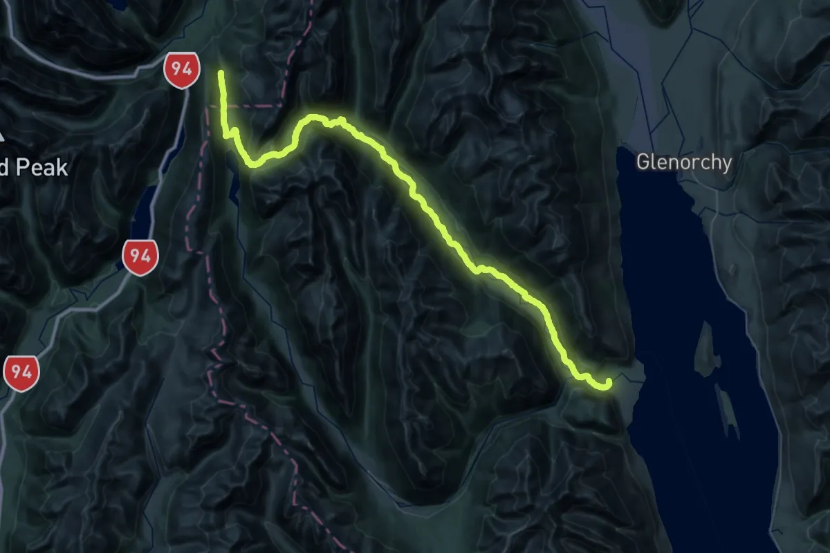
Demanding · Trail
Caples Track
29.0 km · ↑ 916 m · 9 h 4 min
Easy · Trail
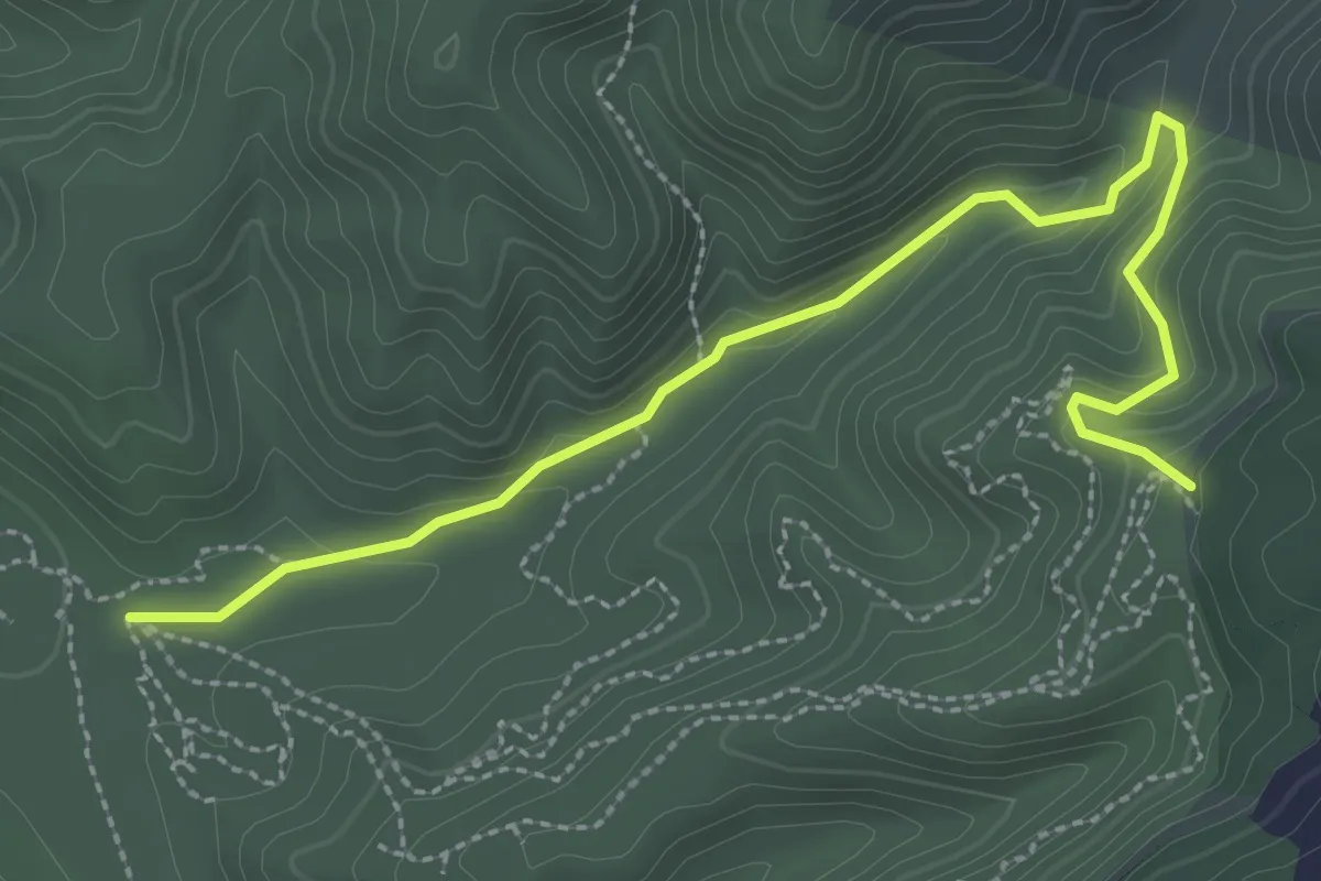
Carex Valley Track
3.4 km · ↑ 164 m · 1 h 9 min
Demanding · Trail
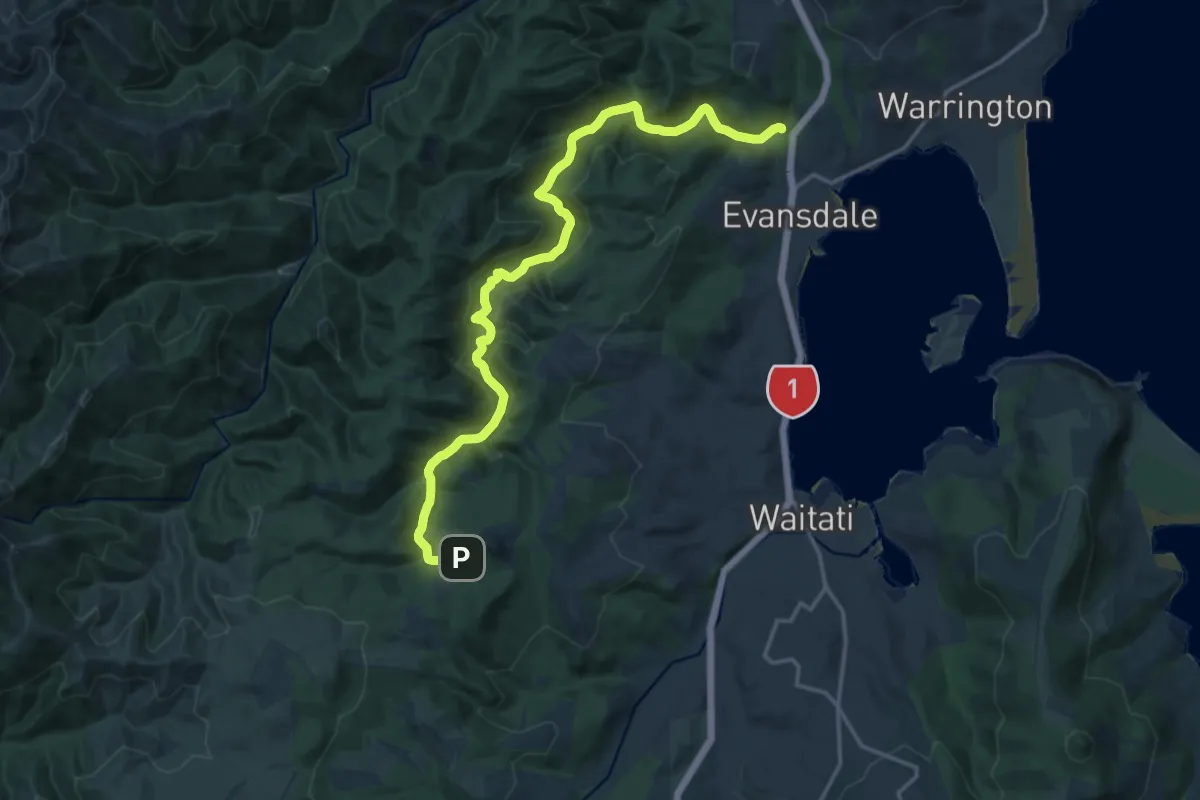
Careys Creek Track
18.9 km · ↑ 699 m · 5 h 58 min
Medium · Cabin
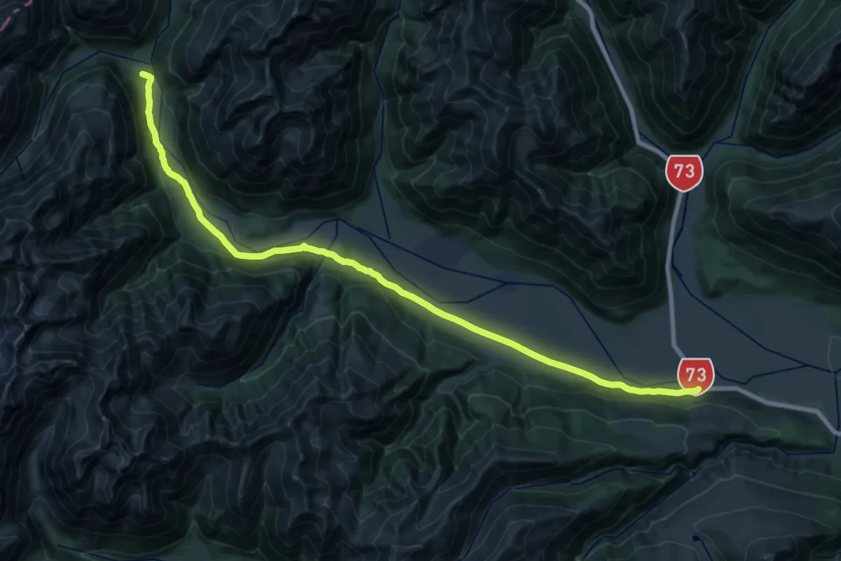
Carrington Hut Route
15.6 km · ↑ 340 m · 4 h 33 min
Easy · Trail
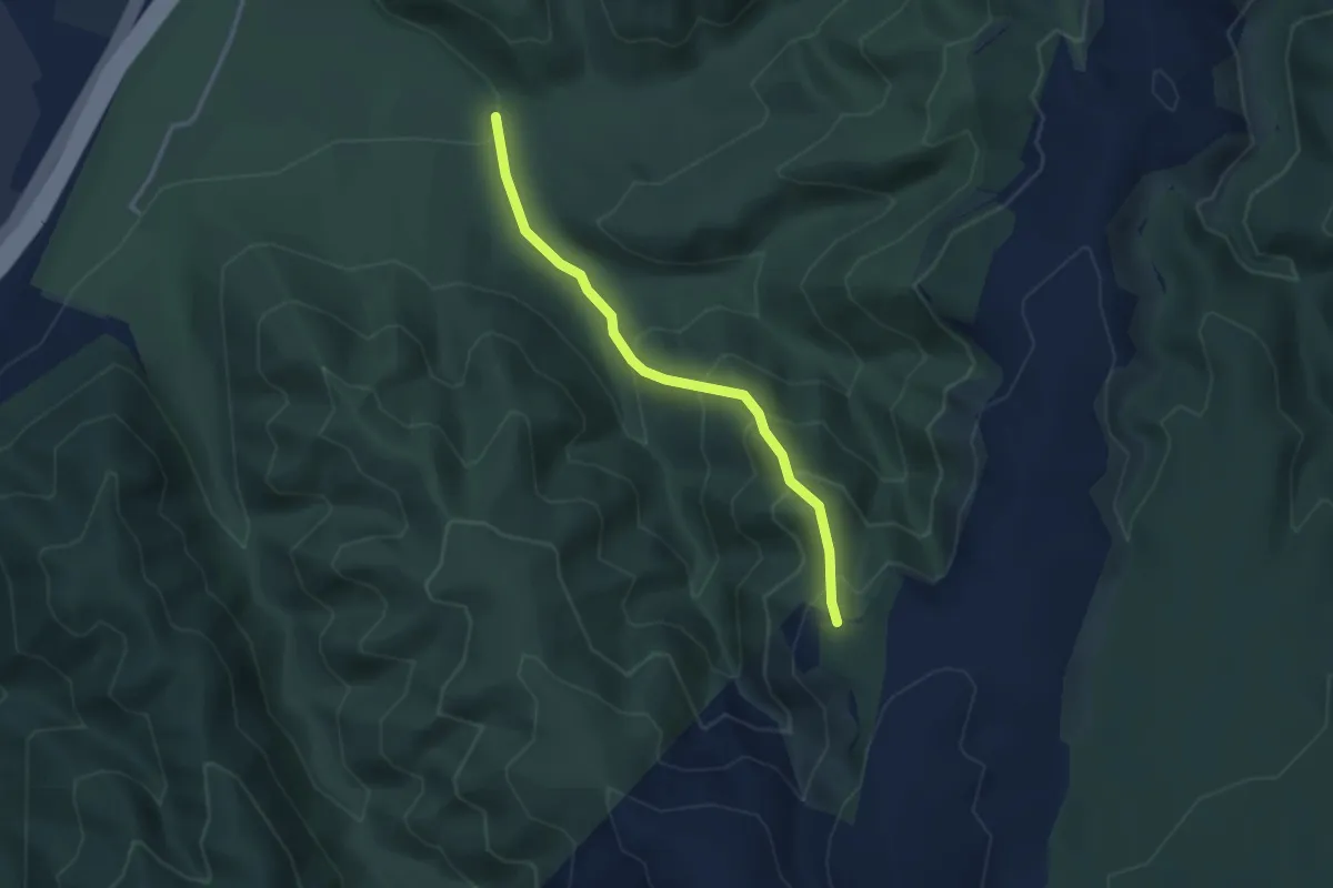
Catchment View Track
3.0 km · ↑ 277 m · 1 h 18 min
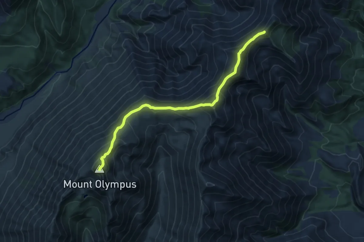
Demanding · Summit
Cheeseman-Olympus Traverse
12.1 km · ↑ 936 m · 4 h 53 min
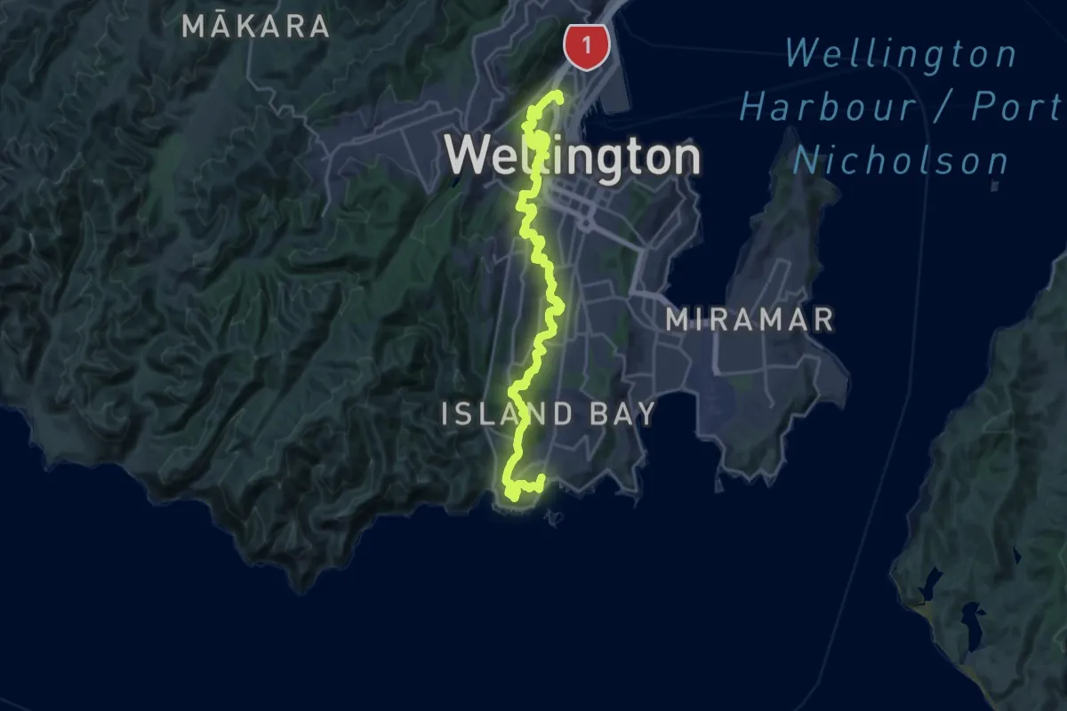
Medium · Trail
City to Sea Walkway
14.0 km · ↑ 609 m · 4 h 49 min
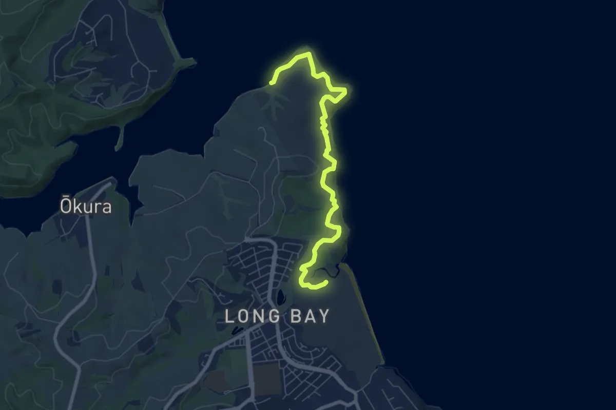
Medium · Trail
Coastal Track
8.4 km · ↑ 214 m · 2 h 26 min
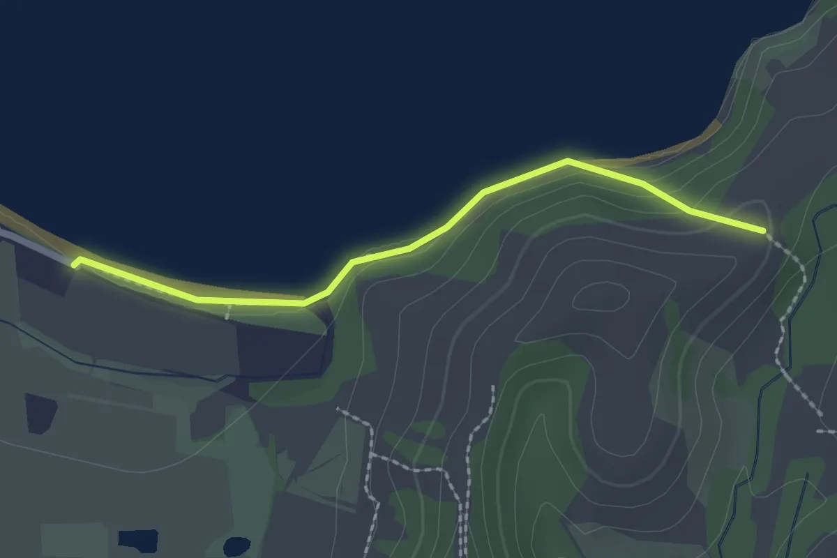
Easy · Trail
Coastal Walk
2.4 km · ↑ 50 m · 40 min
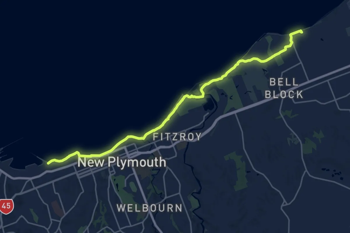
Demanding · Trail
Coastal Walkway
22.2 km · ↑ 207 m · 5 h 41 min
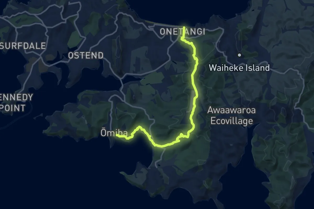
Medium · Trail
Coast to Coast
14.9 km · ↑ 373 m · 4 h 19 min
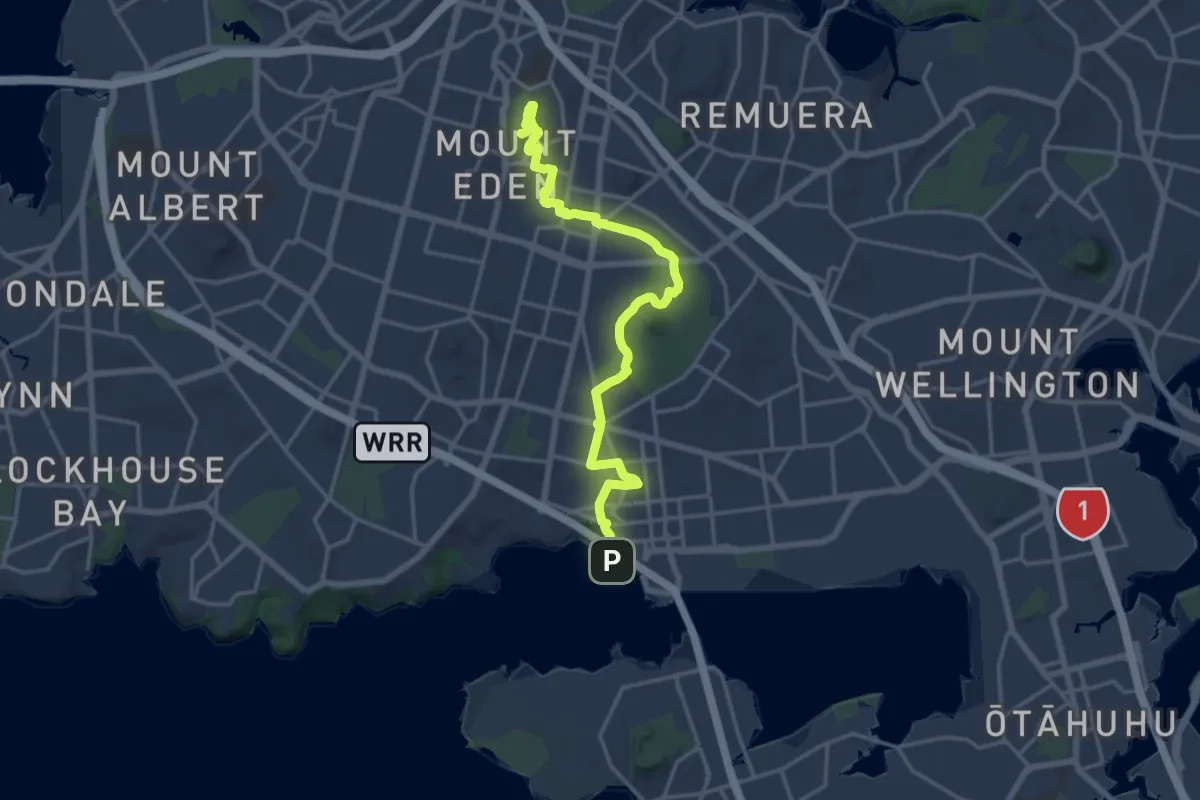
Demanding · Summit
Coast to Coast Walkway (Manukau to Waitematā)
20.8 km · ↑ 315 m · 5 h 36 min
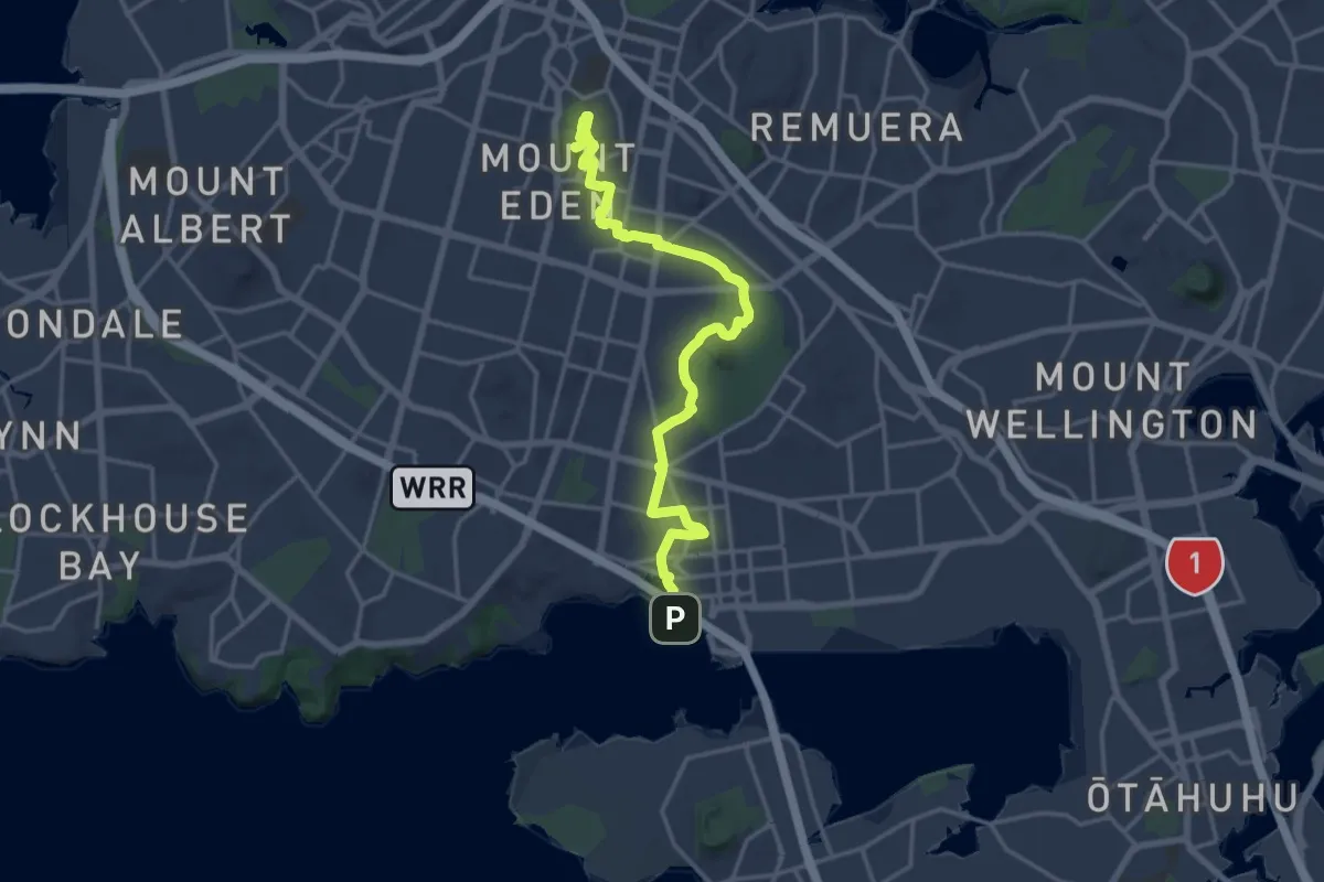
Demanding · Summit
Coast to Coast Walkway (Waitematā to Manukau)
20.8 km · ↑ 315 m · 5 h 36 min
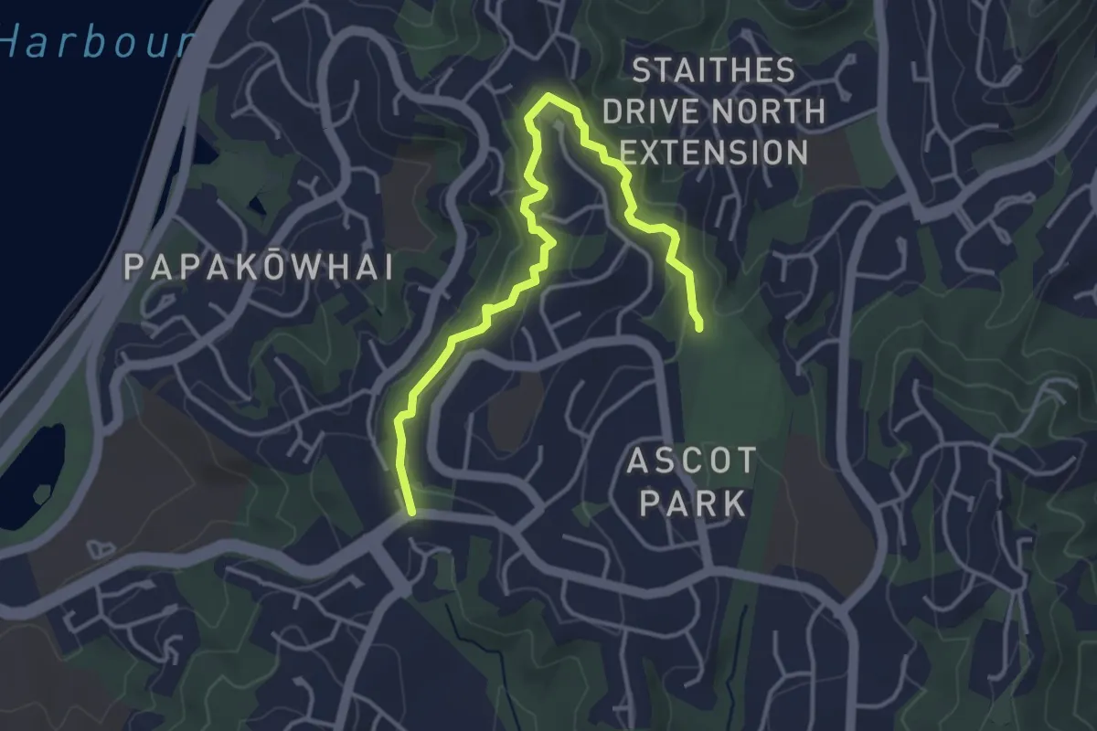
Easy · Trail
Conclusion Walkway
4.4 km · ↑ 174 m · 1 h 25 min
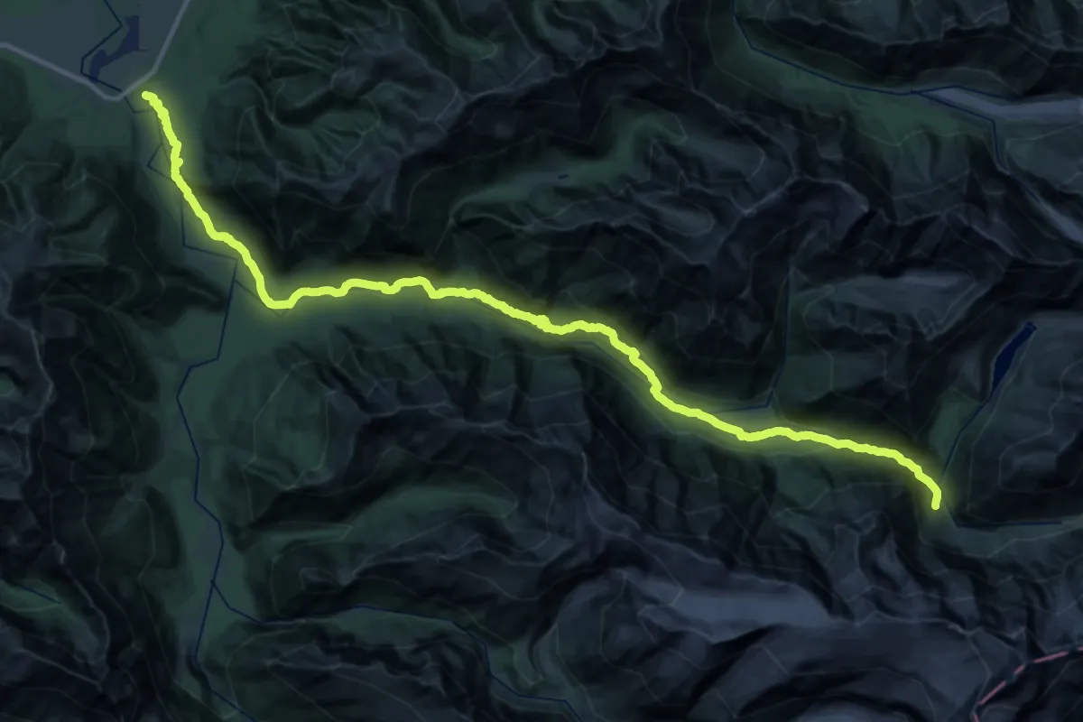
Demanding · Cabin
Copland Track
23.5 km · ↑ 1021 m · 7 h 44 min
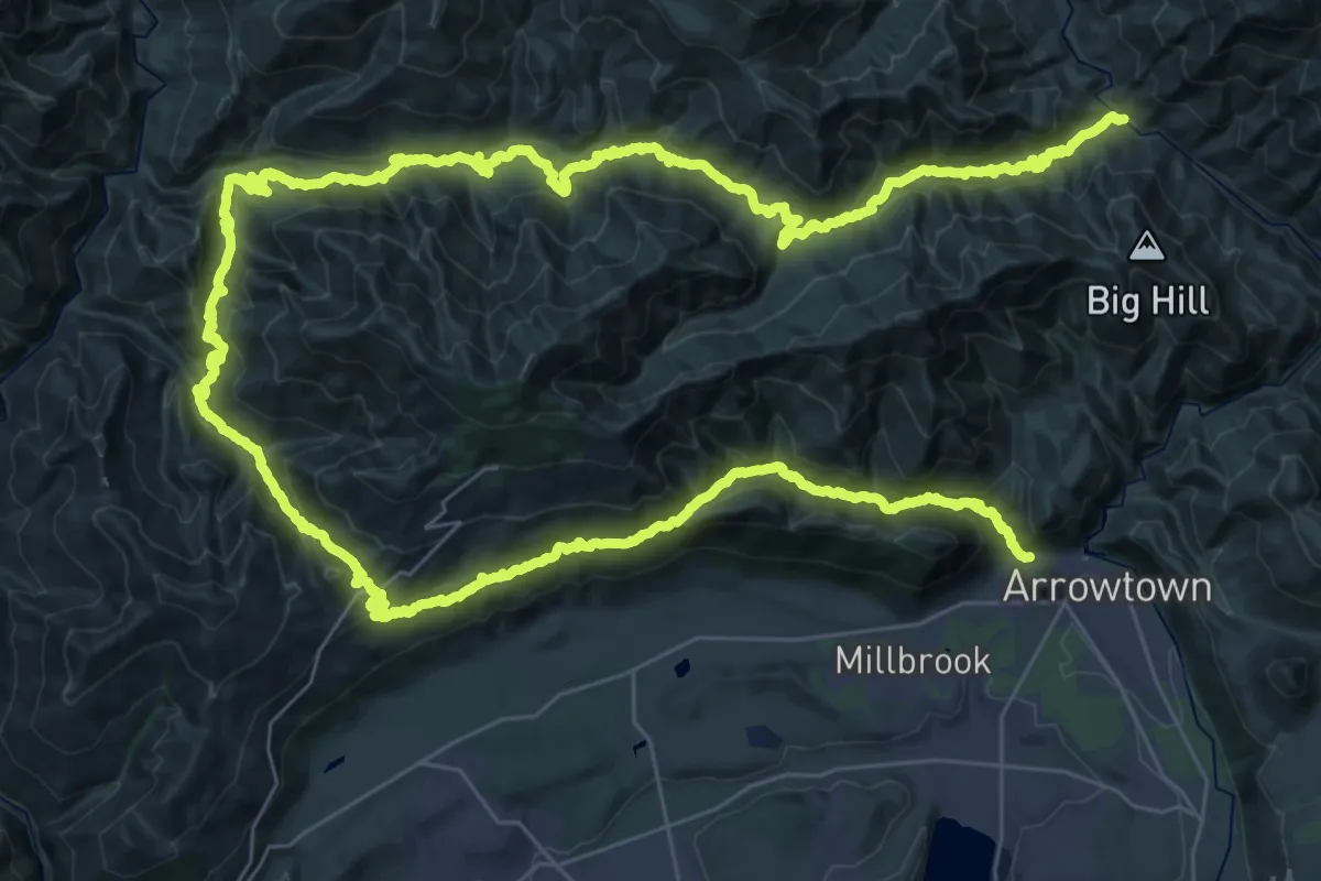
Demanding · Trail
Coronet Loop
38.2 km · ↑ 1513 m · 12 h 57 min
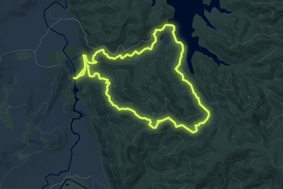
Medium · Trail
Cossey-Massey Loop
7.8 km · ↑ 409 m · 2 h 51 min
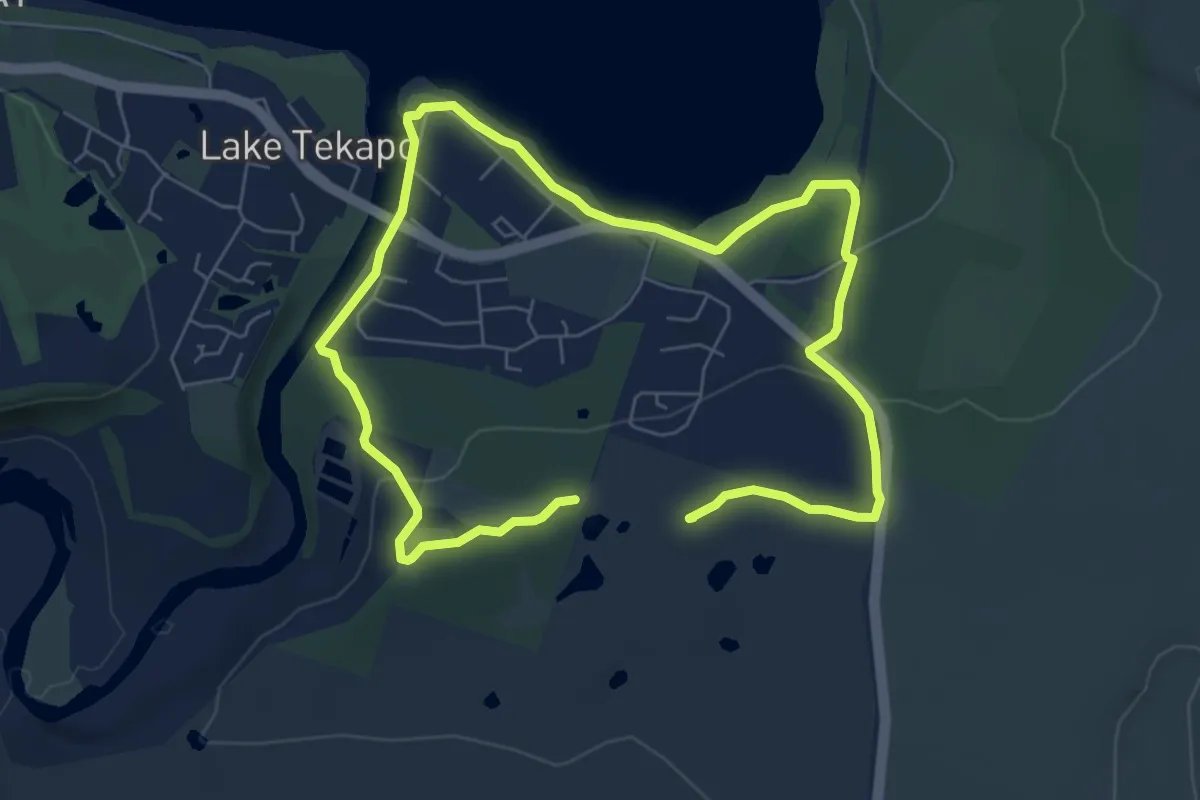
Medium · Summit
Cowans Hill
11.8 km · ↑ 155 m · 3 h 7 min
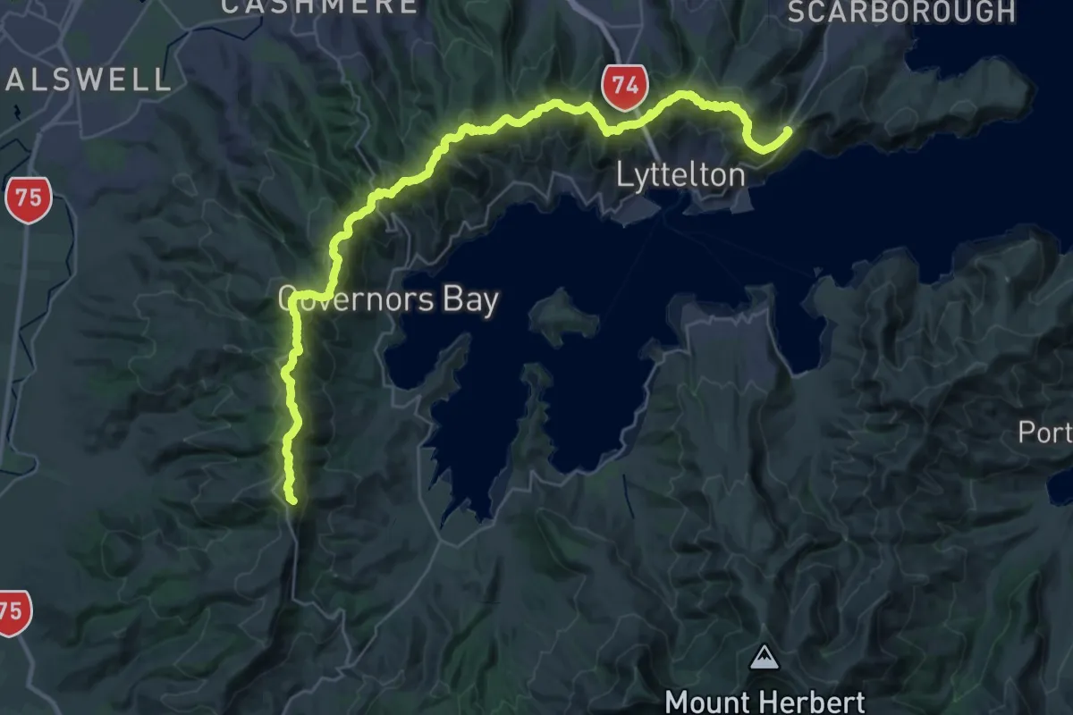
Demanding · Summit
Crater Rim Walkway
39.2 km · ↑ 2063 m · 13 h 44 min
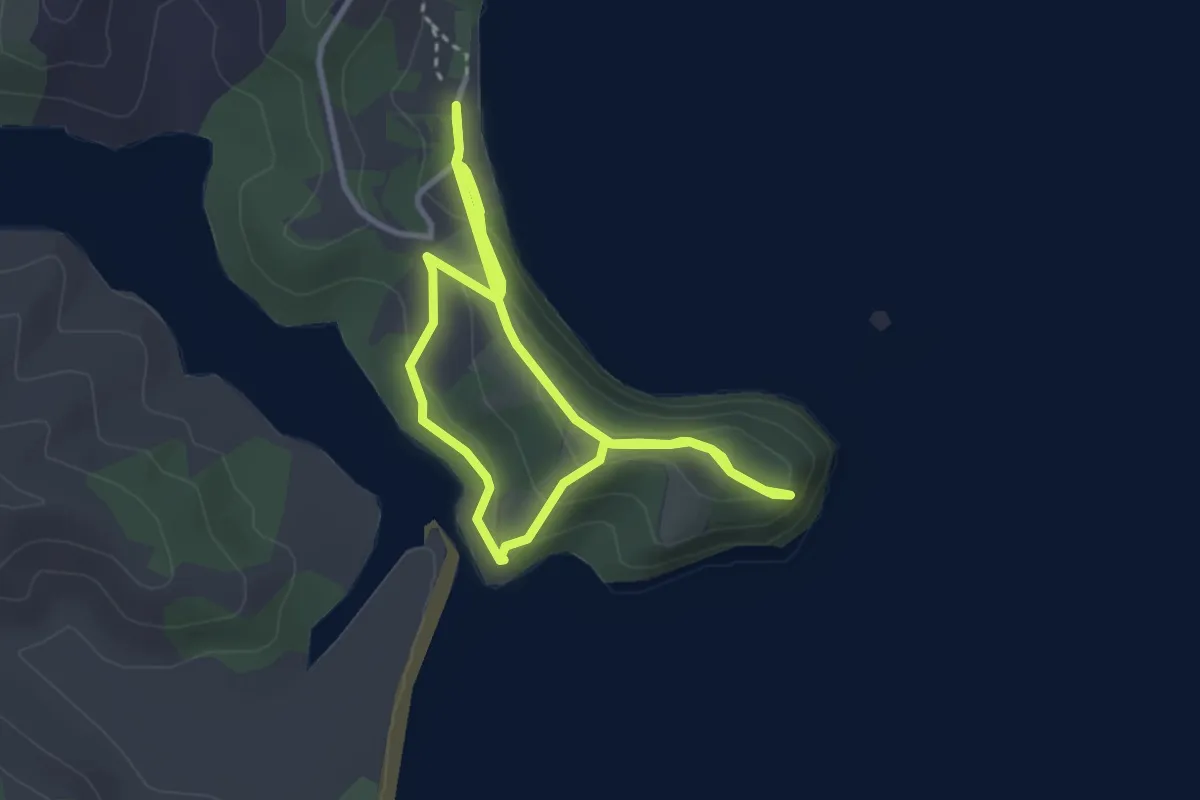
Easy · Trail
Cudlip Point Loop Track
6.9 km · ↑ 317 m · 2 h 19 min
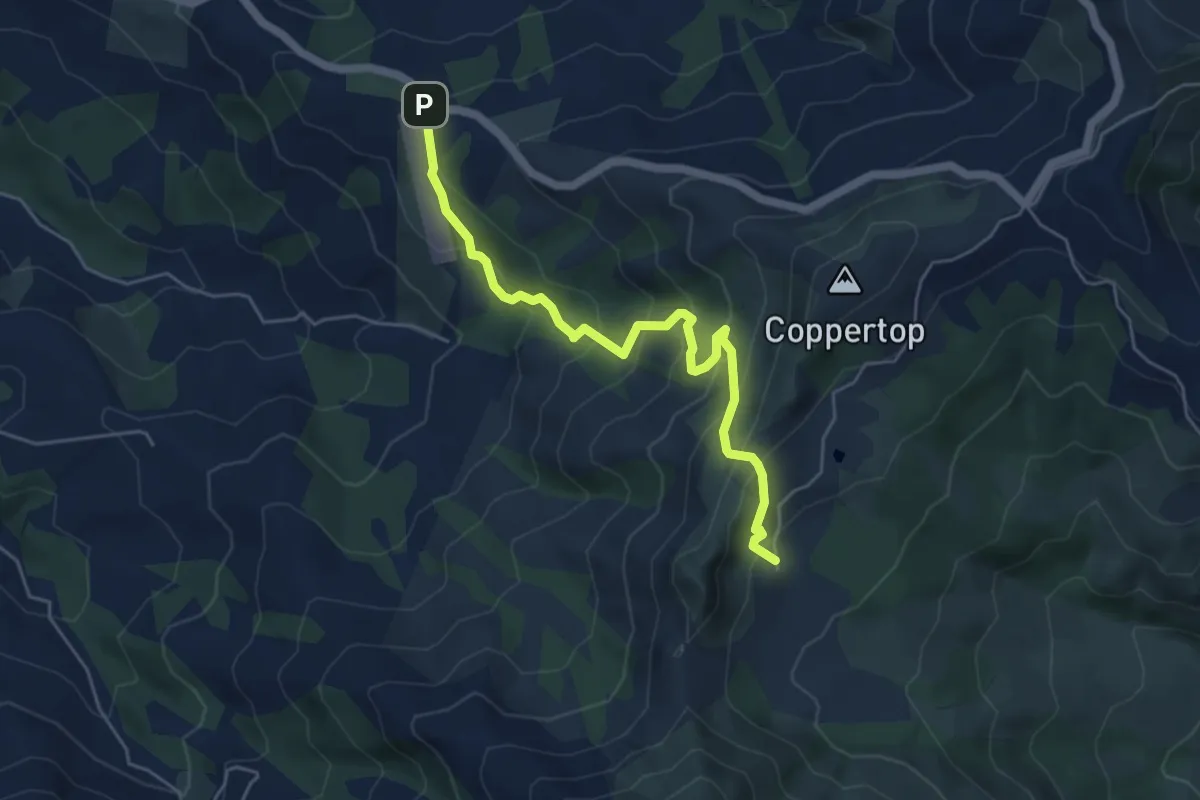
Medium · Trail
Curry Track
5.5 km · ↑ 447 m · 2 h 16 min
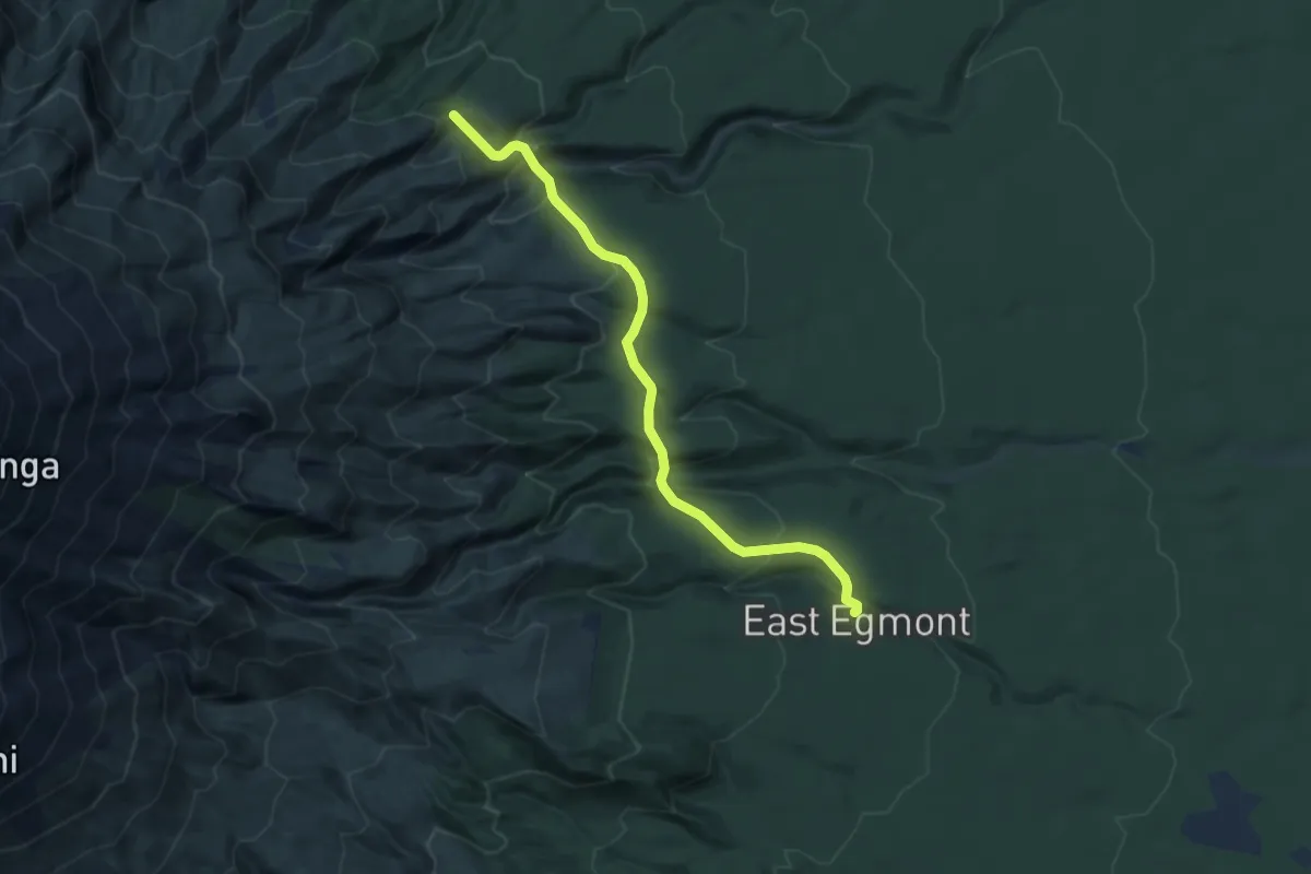
Medium · Cabin
Curtis Falls Track
8.2 km · ↑ 600 m · 3 h 14 min
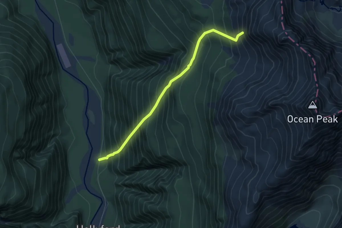
Demanding · Trail
Deadmans Track
6.5 km · ↑ 1036 m · 3 h 47 min
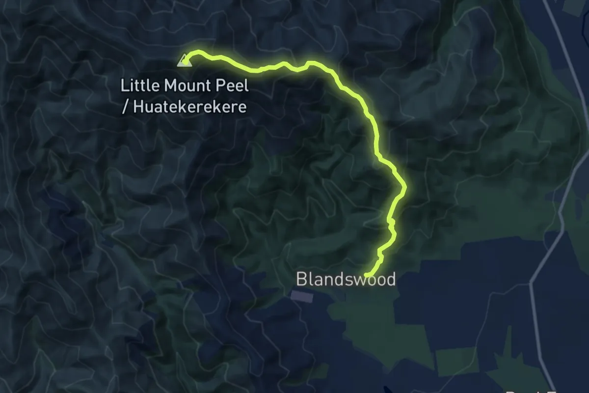
Demanding · Summit
Deep Spur Track
8.9 km · ↑ 916 m · 4 h 5 min
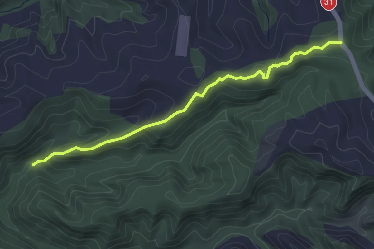
Easy · Trail
Deversons Route
4.5 km · ↑ 183 m · 1 h 27 min
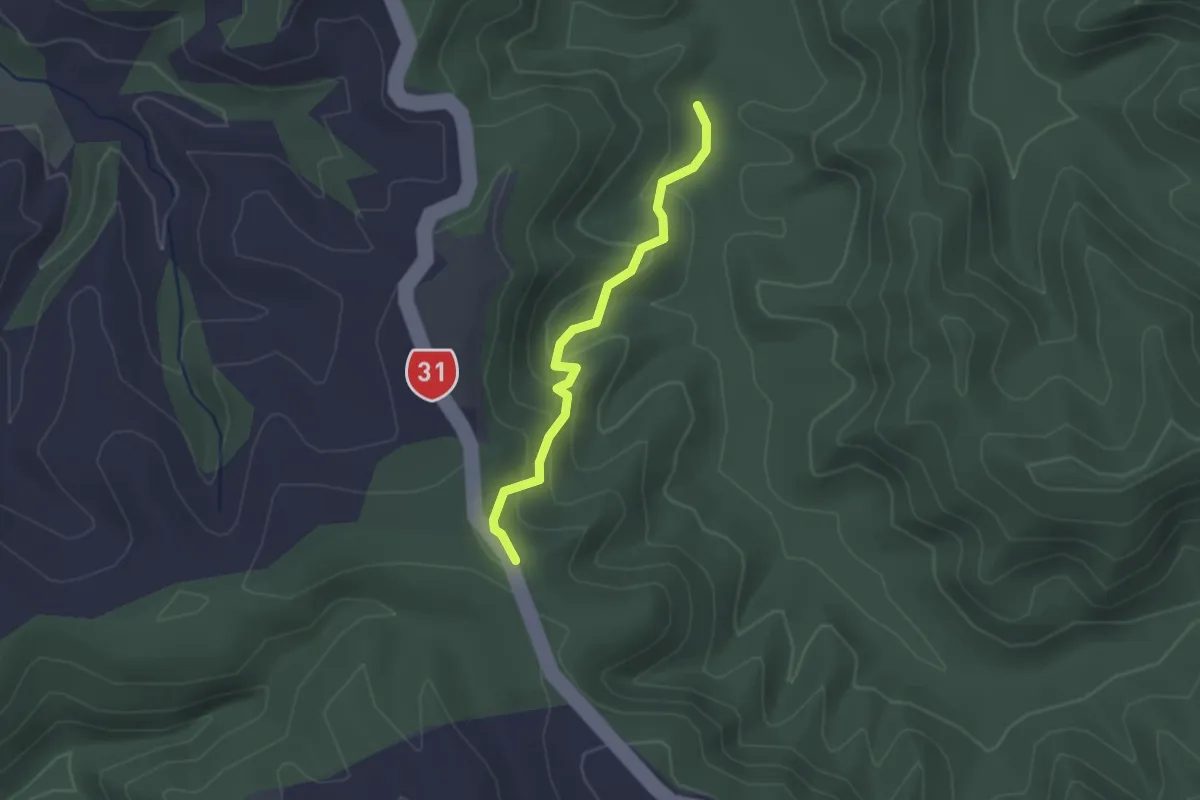
Easy · Trail
Devlins Route
2.1 km · ↑ 134 m · 47 min
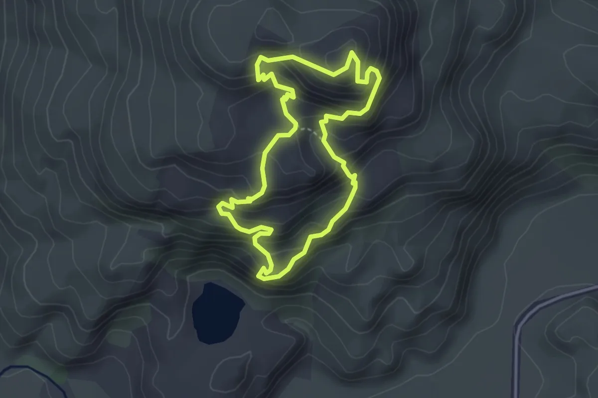
Medium · Summit
Diamond Lake Track
3.3 km · ↑ 345 m · 1 h 35 min
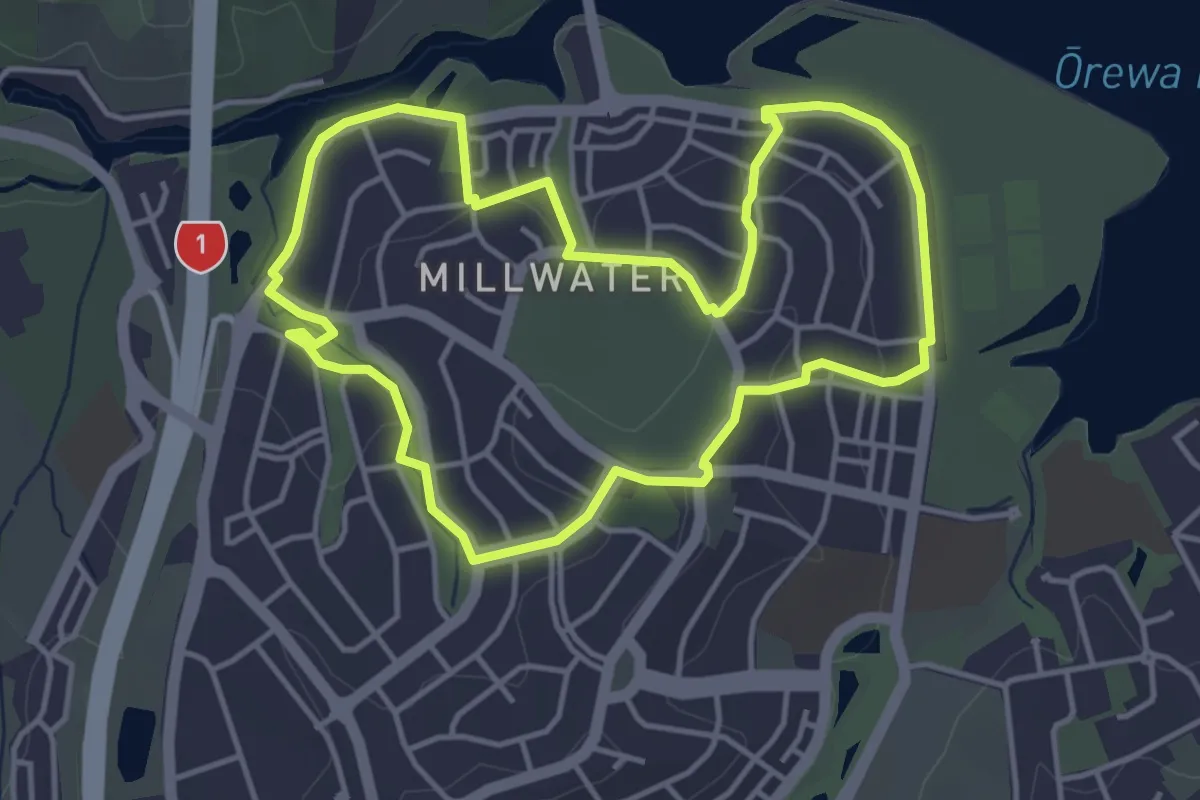
Easy · Trail
Discover Millwater Walk
4.9 km · ↑ 112 m · 1 h 28 min
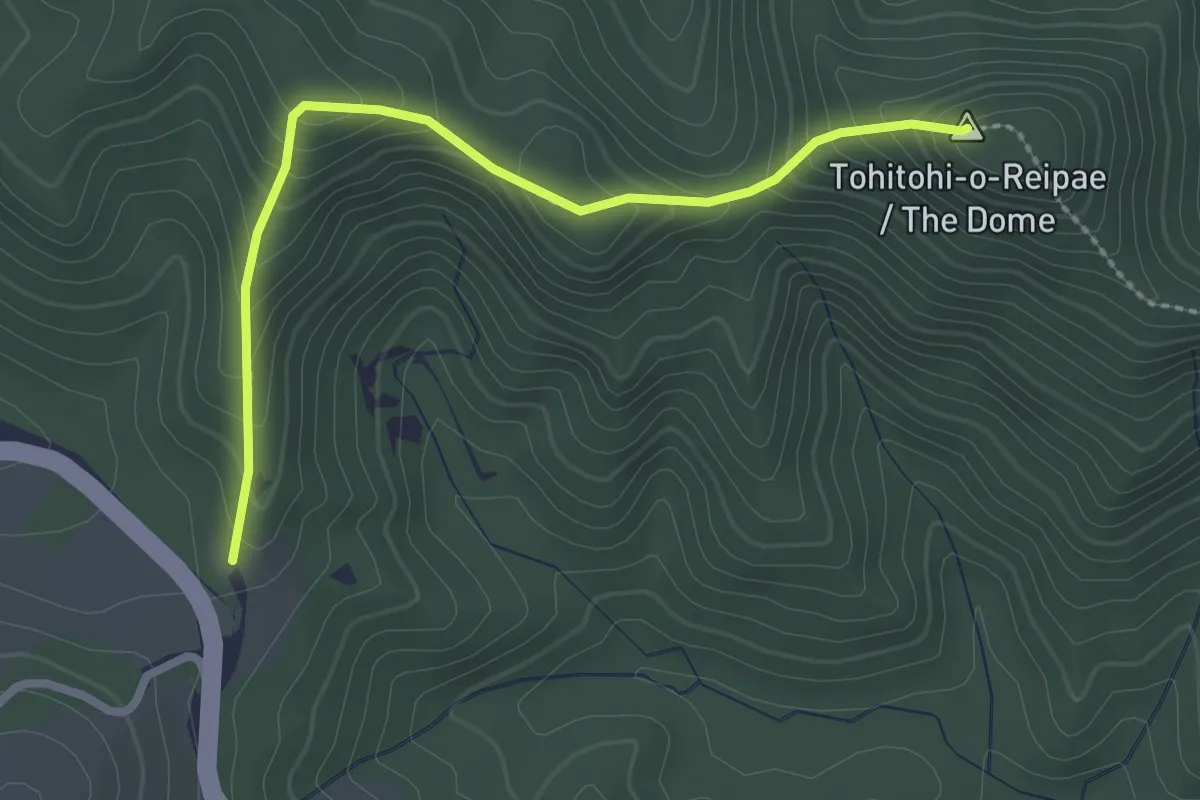
Easy · Summit
Dome Hill Walkway
3.0 km · ↑ 255 m · 1 h 16 min
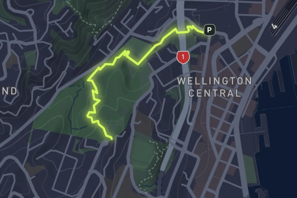
Easy · Trail
Downhill Walk
3.8 km · ↑ 115 m · 1 h 9 min
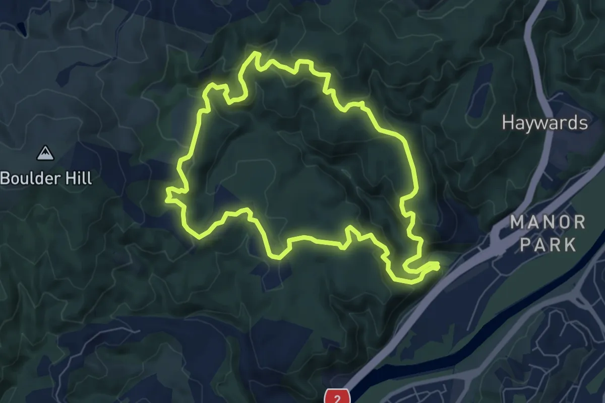
Medium · Trail
Dry Creek Loop Track
7.9 km · ↑ 368 m · 2 h 46 min
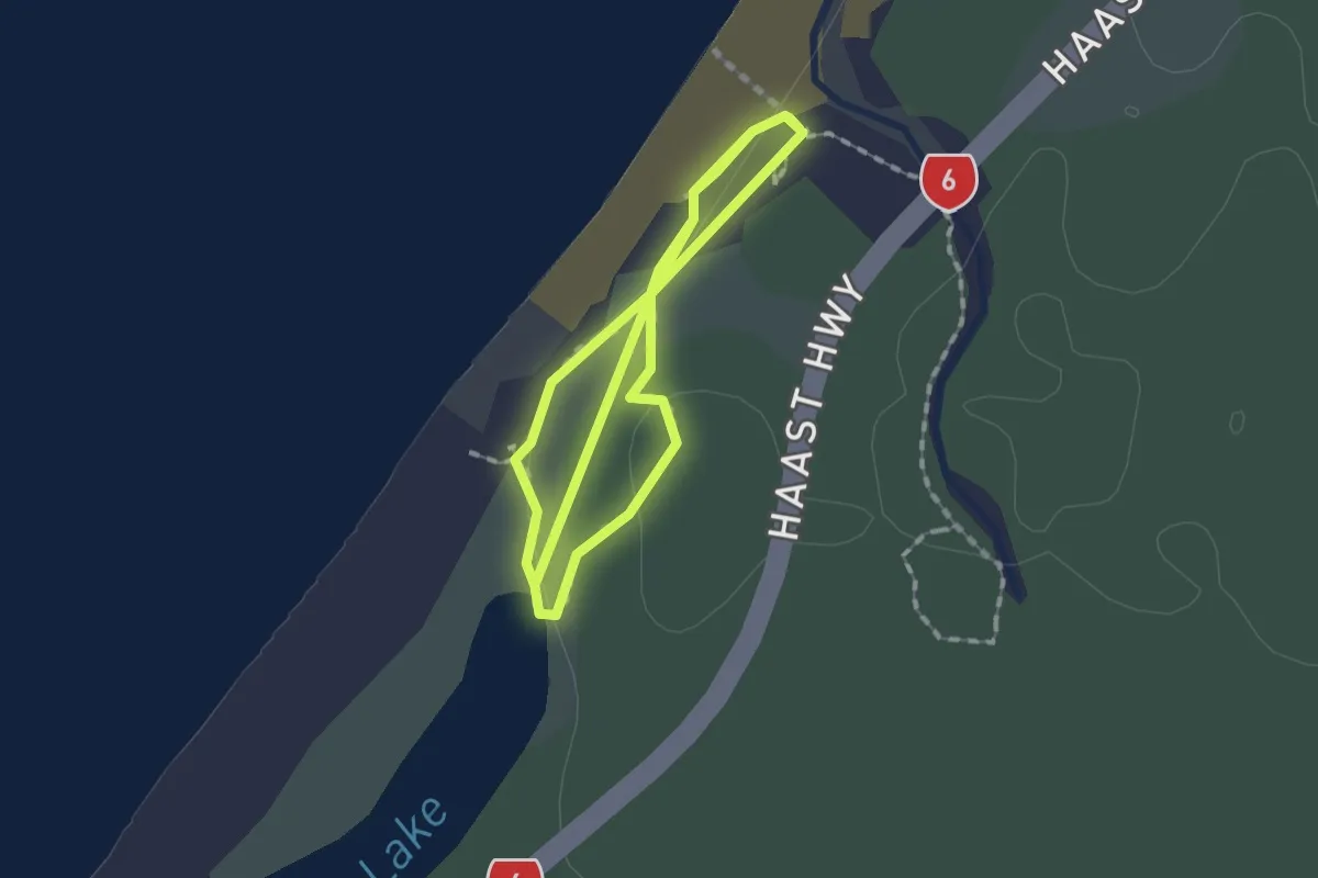
Easy · Trail
Dune Lake Walk
1.6 km · ↑ 21 m · 26 min
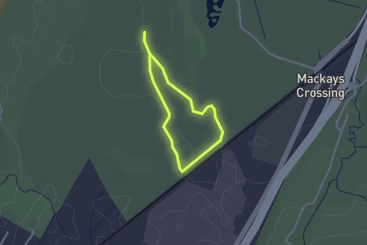
Easy · Trail
Dune Swamp Loop
1.7 km · ↑ 0 m · 25 min
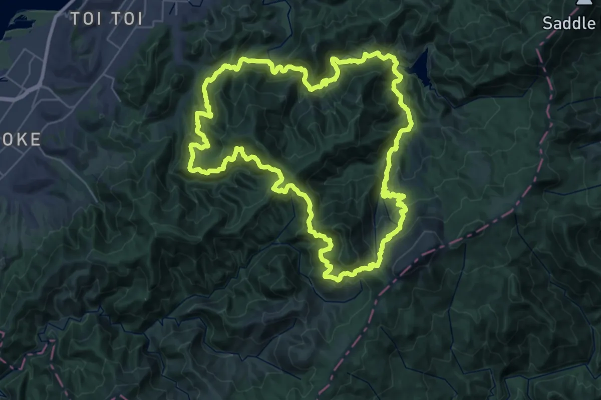
Demanding · Trail
Dun Mountain Trail - walking
32.4 km · ↑ 1545 m · 11 h 27 min
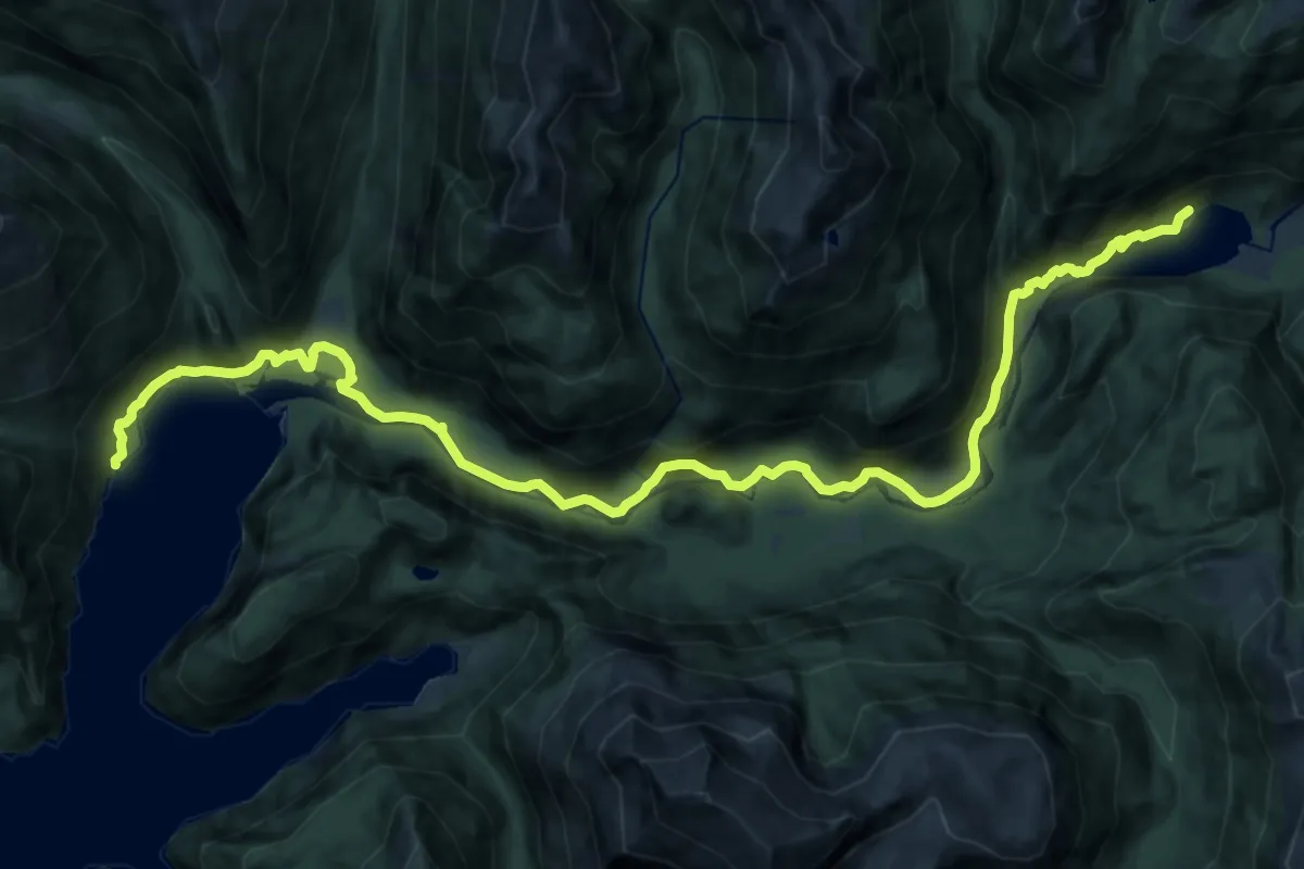
Demanding · Cabin
Dusky Track - Supper Cove Hut variation
25.9 km · ↑ 674 m · 7 h 35 min
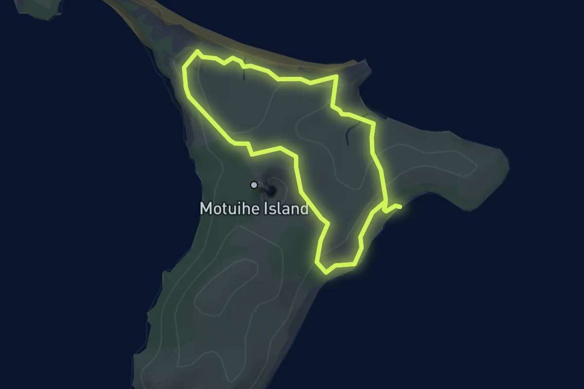
Easy · Trail
Eastern Beaches Track
3.6 km · ↑ 51 m · 1 h 1 min
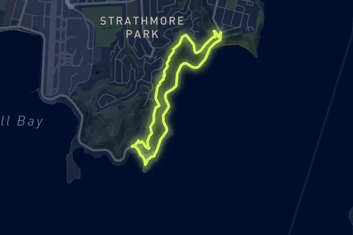
Easy · Trail
Eastern Walkway
5.5 km · ↑ 169 m · 1 h 44 min