Trails in Norway
7,452 hiking trails, each with its route, climb, walking time and grade.
All trails, page 100 of 156
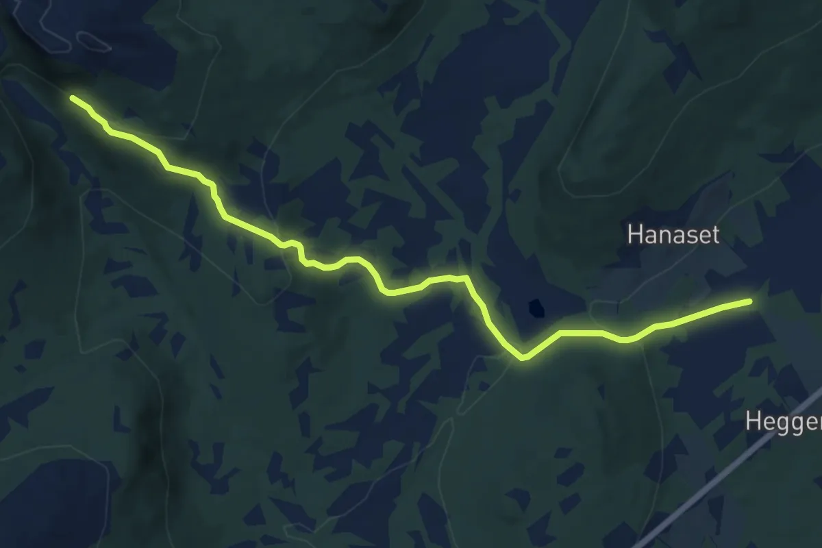
Easy · Trail
Stortolla, Osmarka, Gjemnes
7.6 km · ↑ 236 m · 2 h 18 min
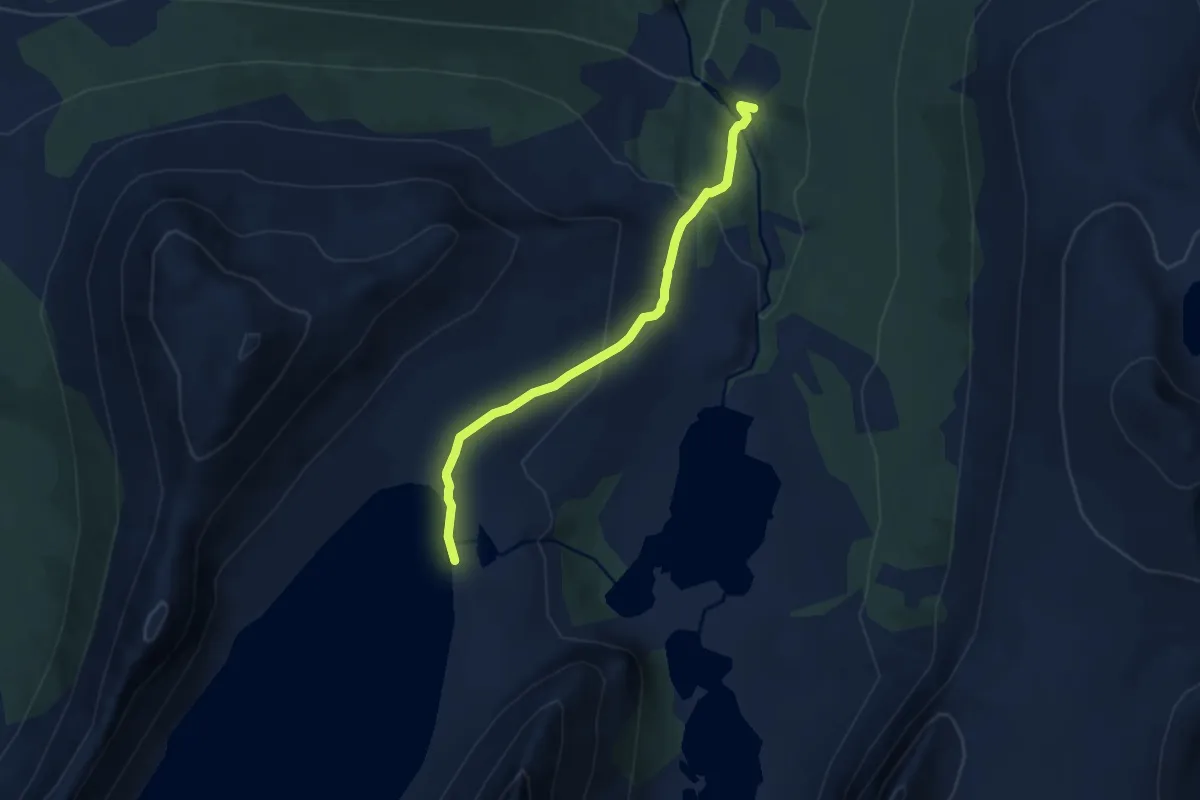
Easy · Trail
Stortrollvatnet
5.0 km · ↑ 231 m · 1 h 41 min
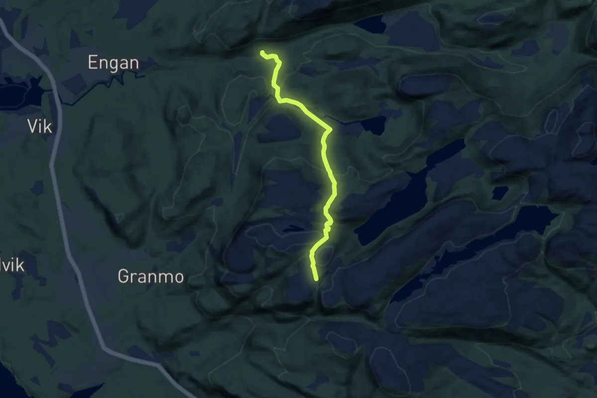
Easy · Trail
Stortuva
4.1 km · ↑ 241 m · 1 h 29 min
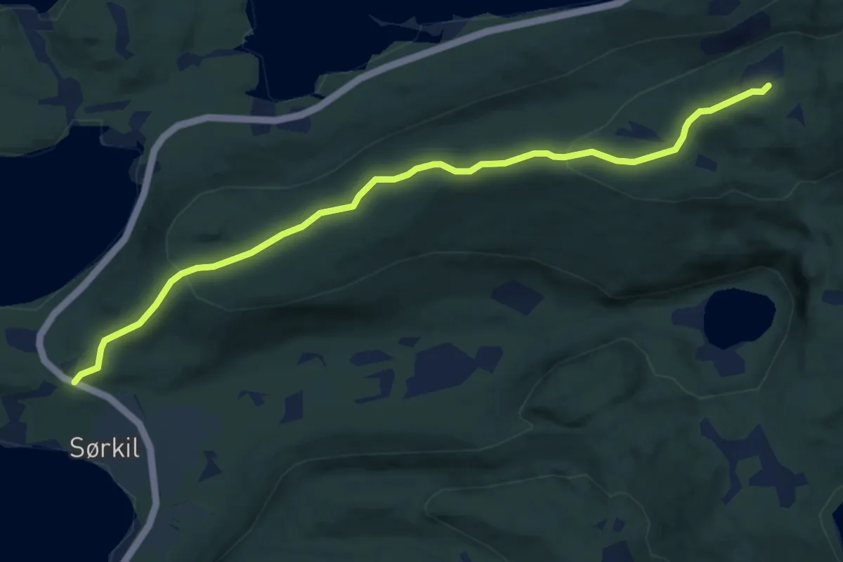
Medium · Trail
Storvakollen
5.7 km · ↑ 229 m · 1 h 50 min
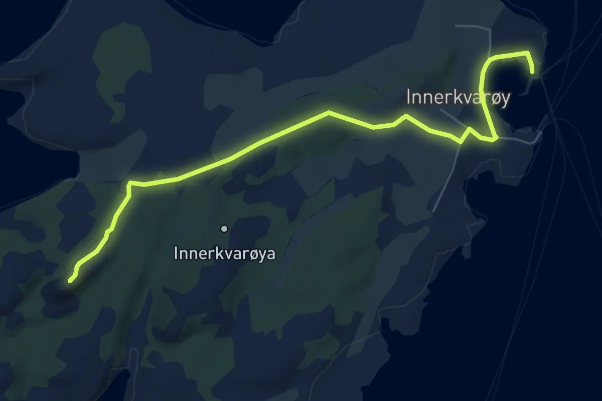
Easy · Trail
Storvallihalsen
4.0 km · ↑ 52 m · 1 h 3 min
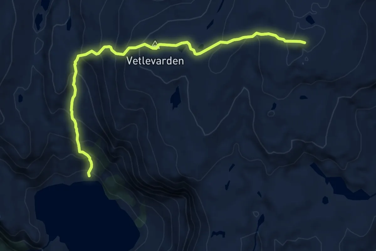
Medium · Trail
Storvarden
6.4 km · ↑ 579 m · 2 h 46 min
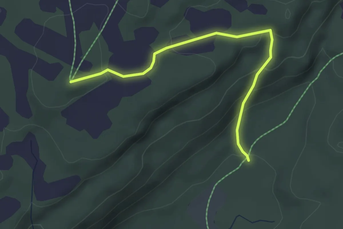
Easy · Trail
Storvarden - Brennkleiva
2.5 km · ↑ 127 m · 52 min
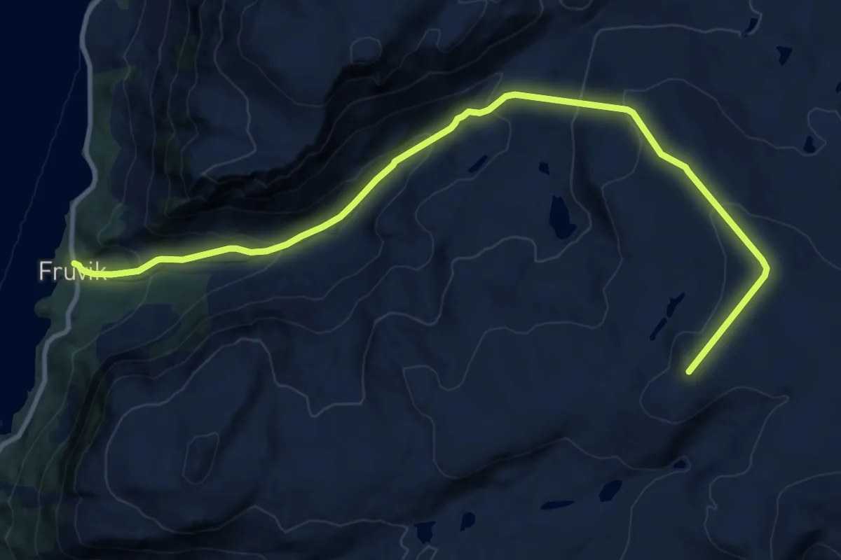
Medium · Trail
Storvarden / Fasttalrássa
11.3 km · ↑ 798 m · 4 h 24 min
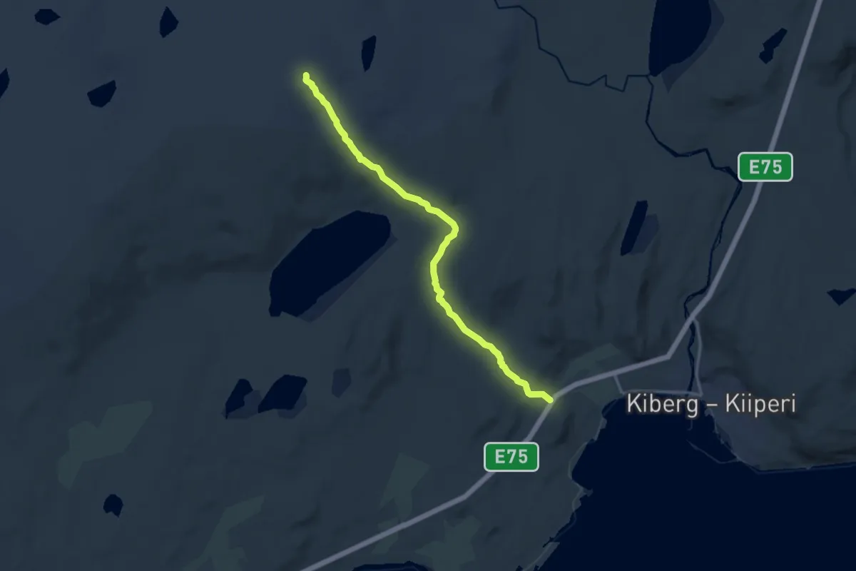
Medium · Trail
Storvarden Kiberg
7.1 km · ↑ 139 m · 1 h 58 min
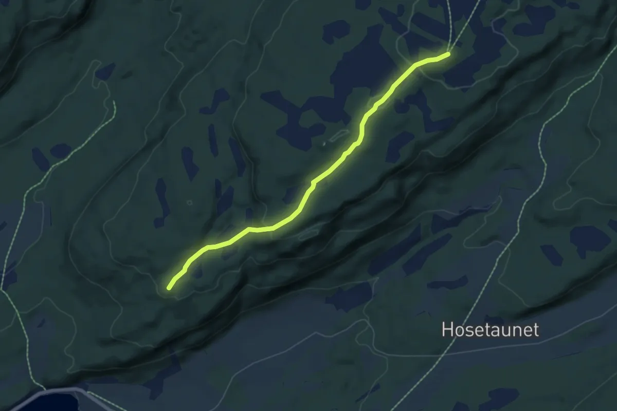
Easy · Trail
Storvarden - Sørfjellmyra
4.0 km · ↑ 127 m · 1 h 14 min
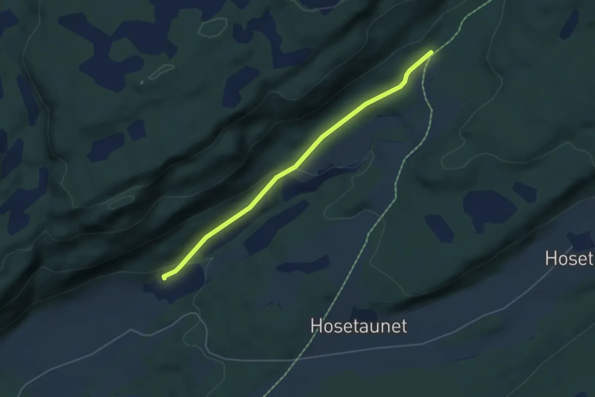
Easy · Trail
Storvarden til Brennkleiva
2.8 km · ↑ 91 m · 52 min
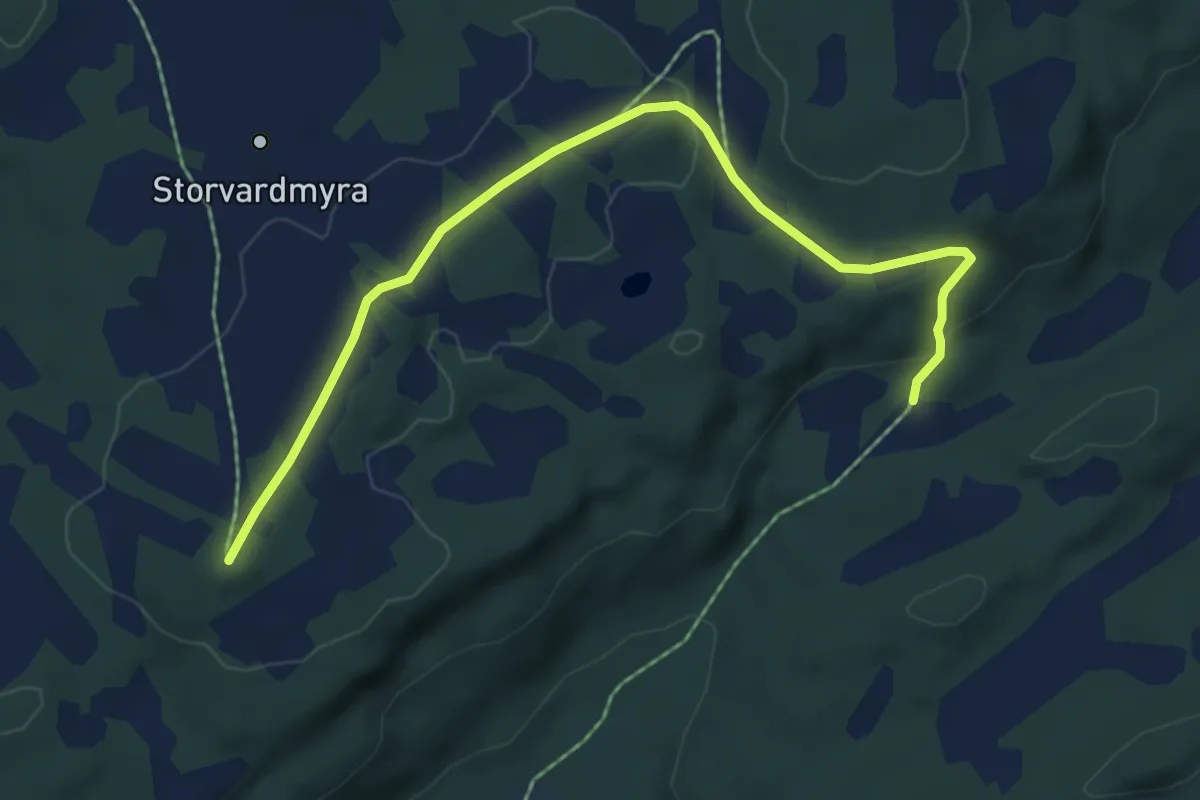
Easy · Trail
Storvarden til Postmyra
4.0 km · ↑ 77 m · 1 h 6 min
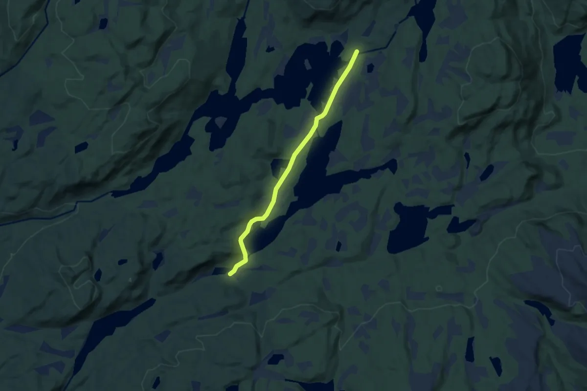
Easy · Trail
Storvassetra - Repetjønn
4.5 km · ↑ 42 m · 1 h 9 min
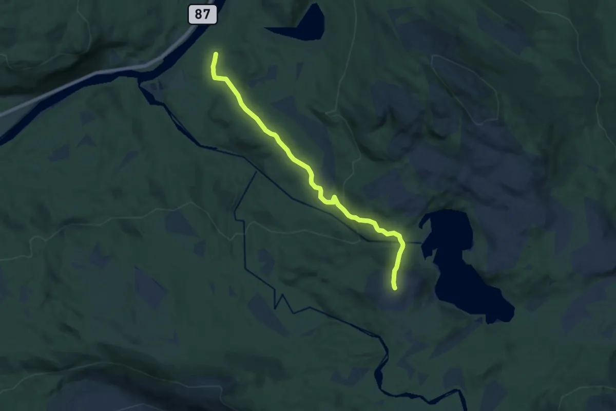
Easy · Trail
Storvasshøgda
6.8 km · ↑ 238 m · 2 h 7 min
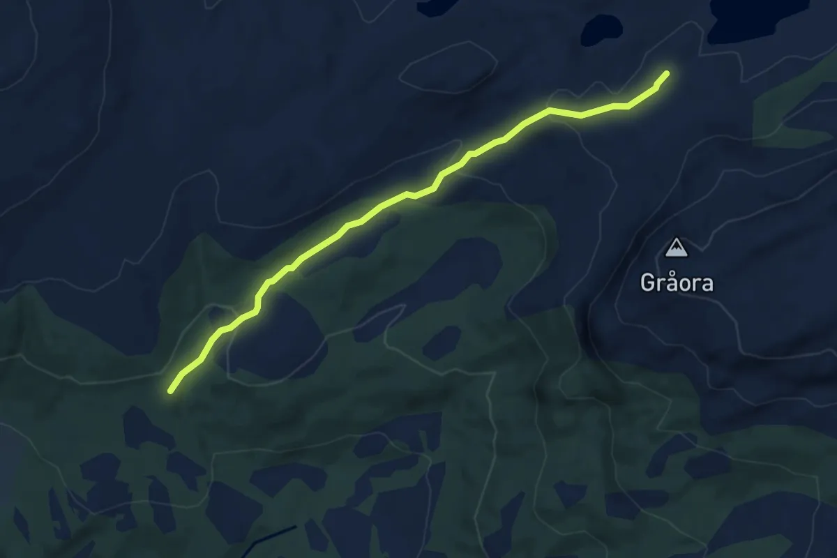
Easy · Trail
Storvatnet - Litlslættet
3.8 km · ↑ 121 m · 1 h 10 min
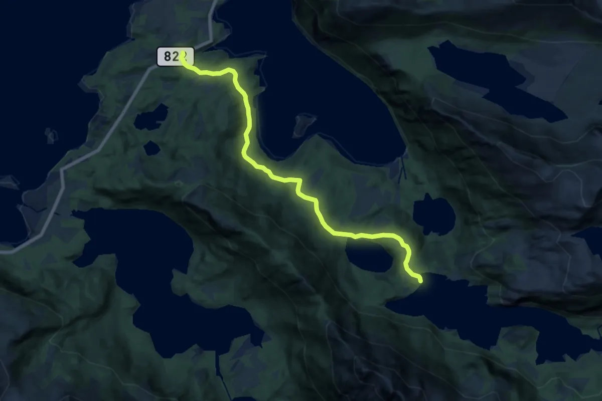
Medium · Trail
Storvatnet ved Djupfjorden
8.2 km · ↑ 179 m · 2 h 20 min
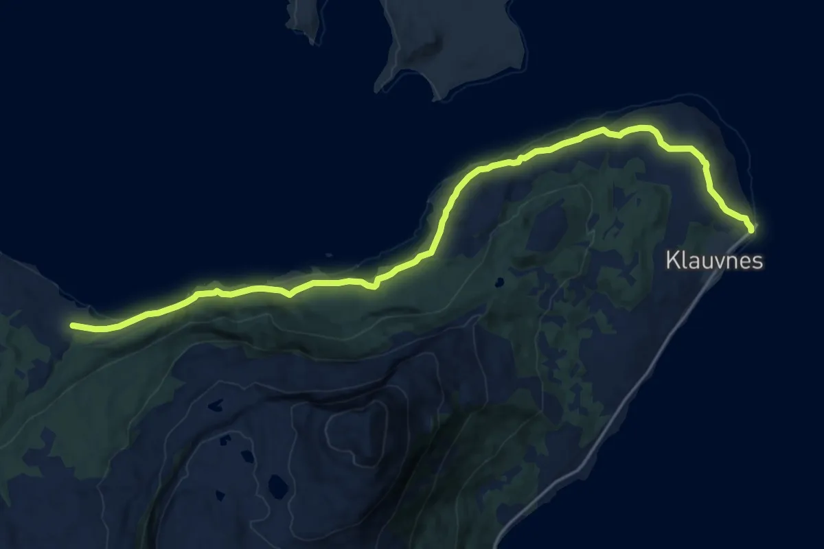
Medium · Trail
Storvika Kågen
10.5 km · ↑ 210 m · 2 h 56 min
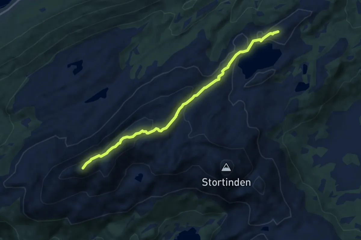
Demanding · Trail
Storviktinden
5.6 km · ↑ 331 m · 2 h 3 min
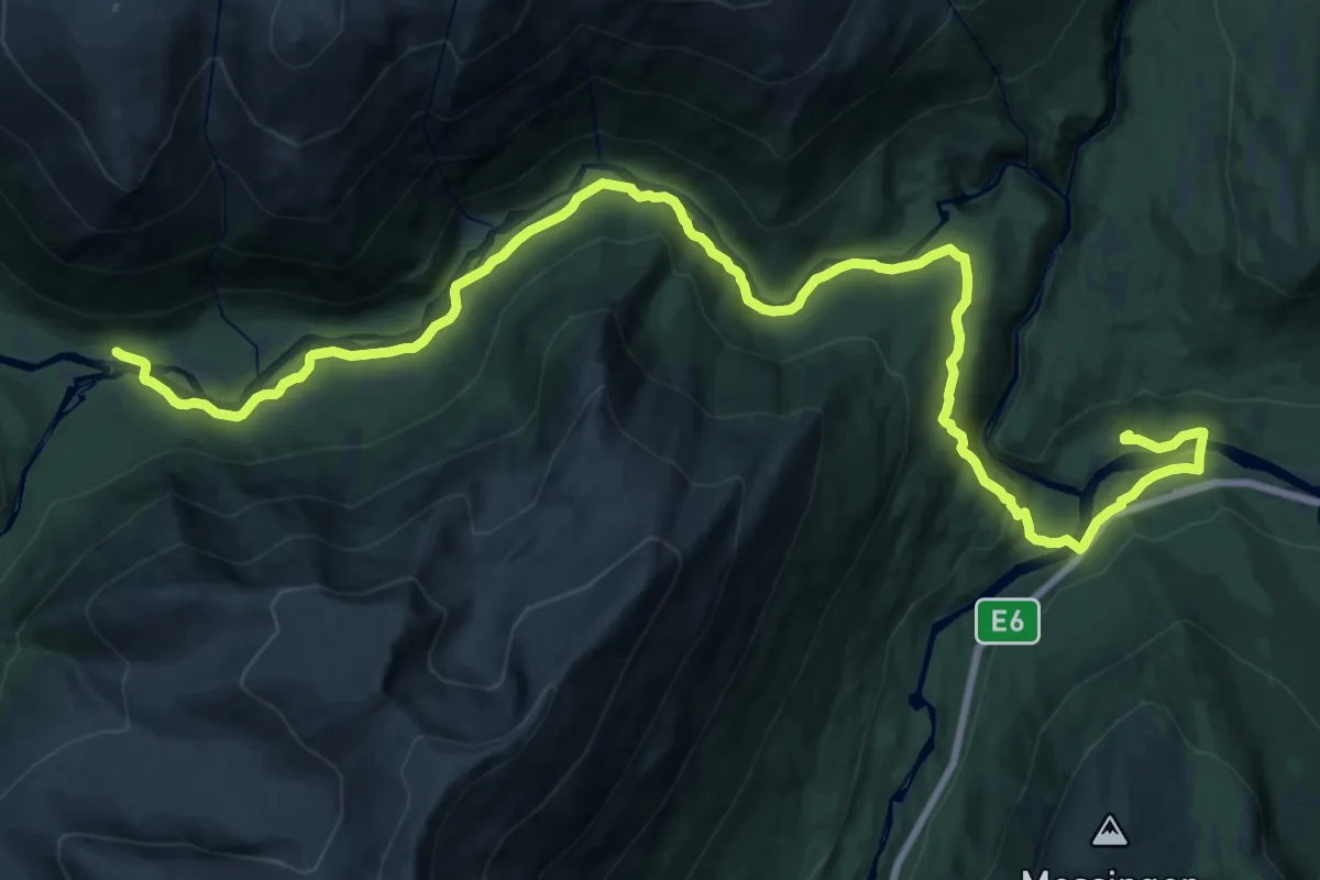
Demanding · Trail
Storvoll til Nordre Stormdalen
21.8 km · ↑ 323 m · 5 h 51 min
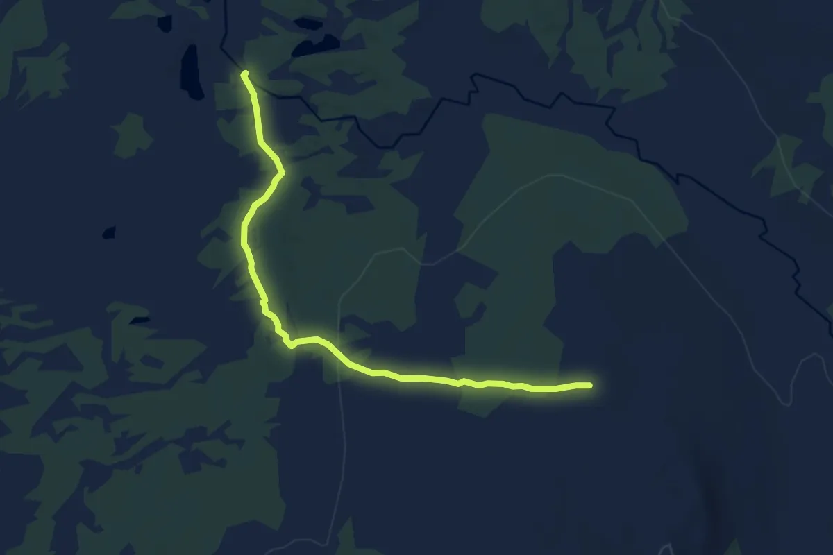
Easy · Trail
Støta nord-Lillerøa, nedre sti
6.0 km · ↑ 74 m · 1 h 34 min
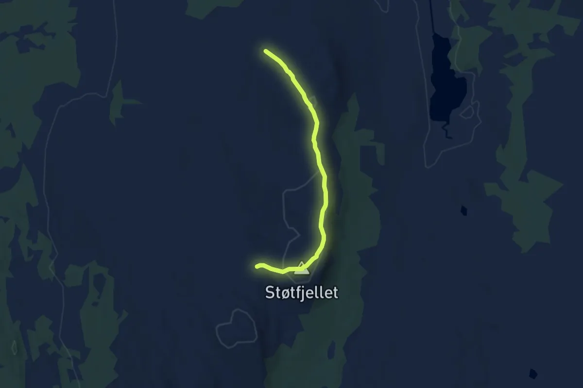
Easy · Trail
Støta, Trysil
4.6 km · ↑ 115 m · 1 h 21 min
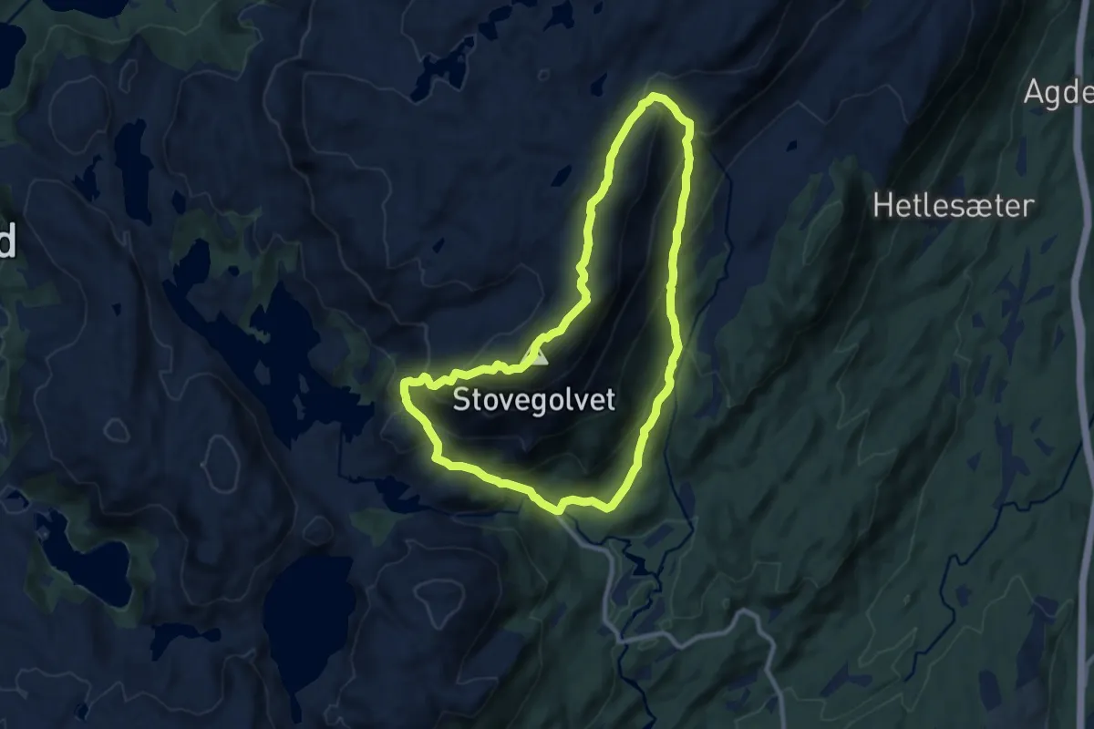
Demanding · Trail
Stovegolvet
13.5 km · ↑ 1013 m · 5 h 22 min
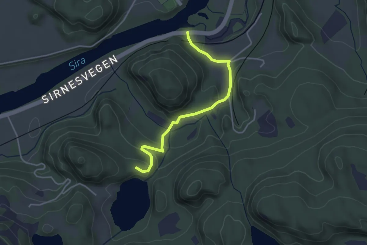
Easy · Trail
Støvlåsen
2.5 km · ↑ 78 m · 45 min
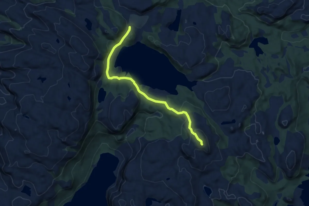
Easy · Trail
Støybingsvarden
4.8 km · ↑ 153 m · 1 h 29 min
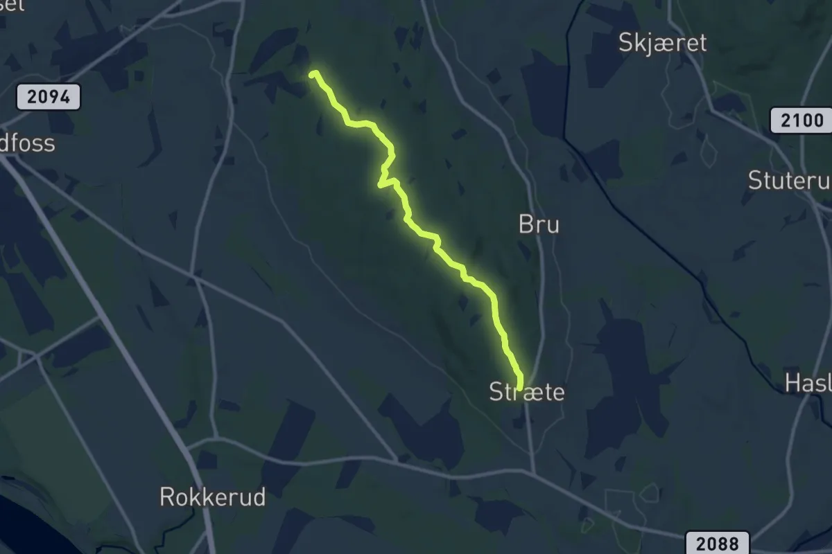
Easy · Trail
Strætås stien
6.3 km · ↑ 86 m · 1 h 41 min
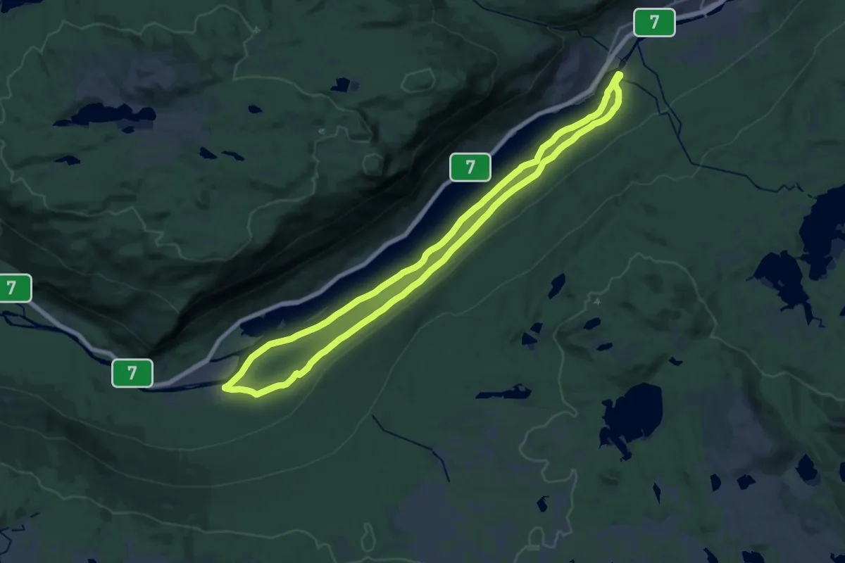
Medium · Trail
Strandafjorden på langs
16.0 km · ↑ 118 m · 4 h 16 min
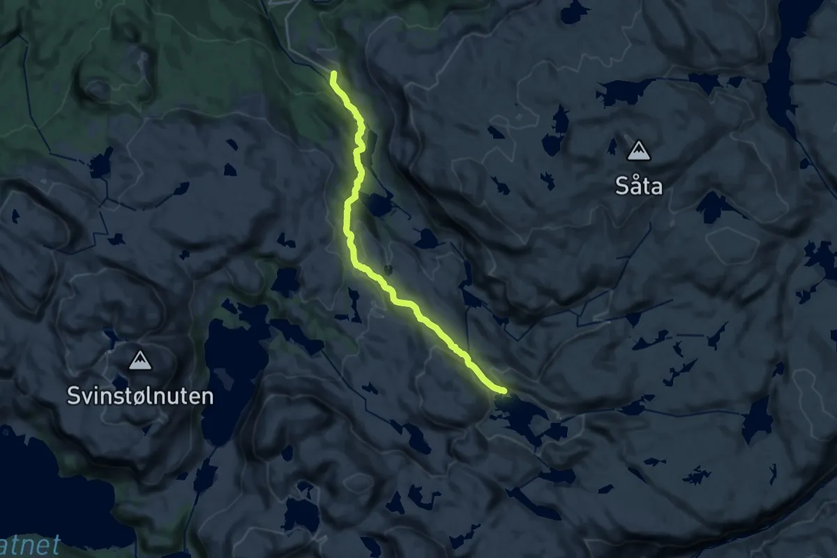
Medium · Trail
Stranddalen-Kjetilstadlia
13.3 km · ↑ 429 m · 4 h 5 min
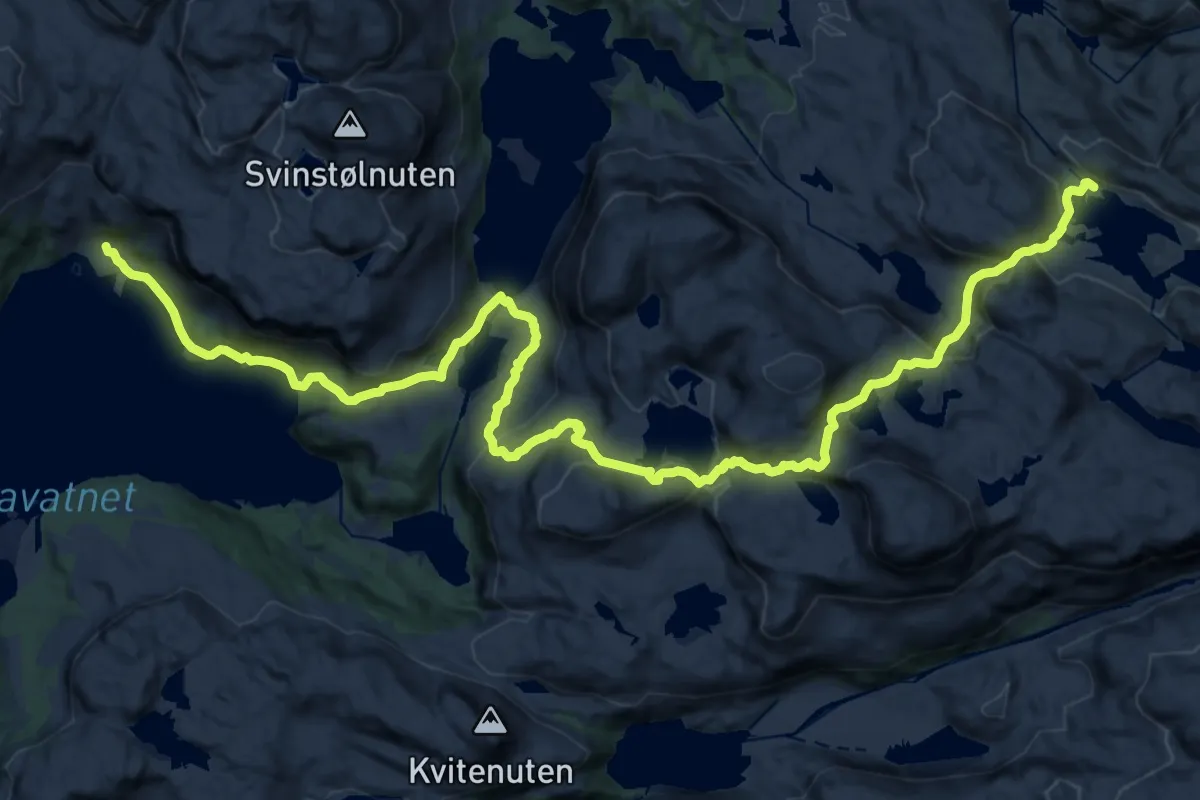
Medium · Cabin
Stranddalen-Osane
12.3 km · ↑ 751 m · 4 h 31 min
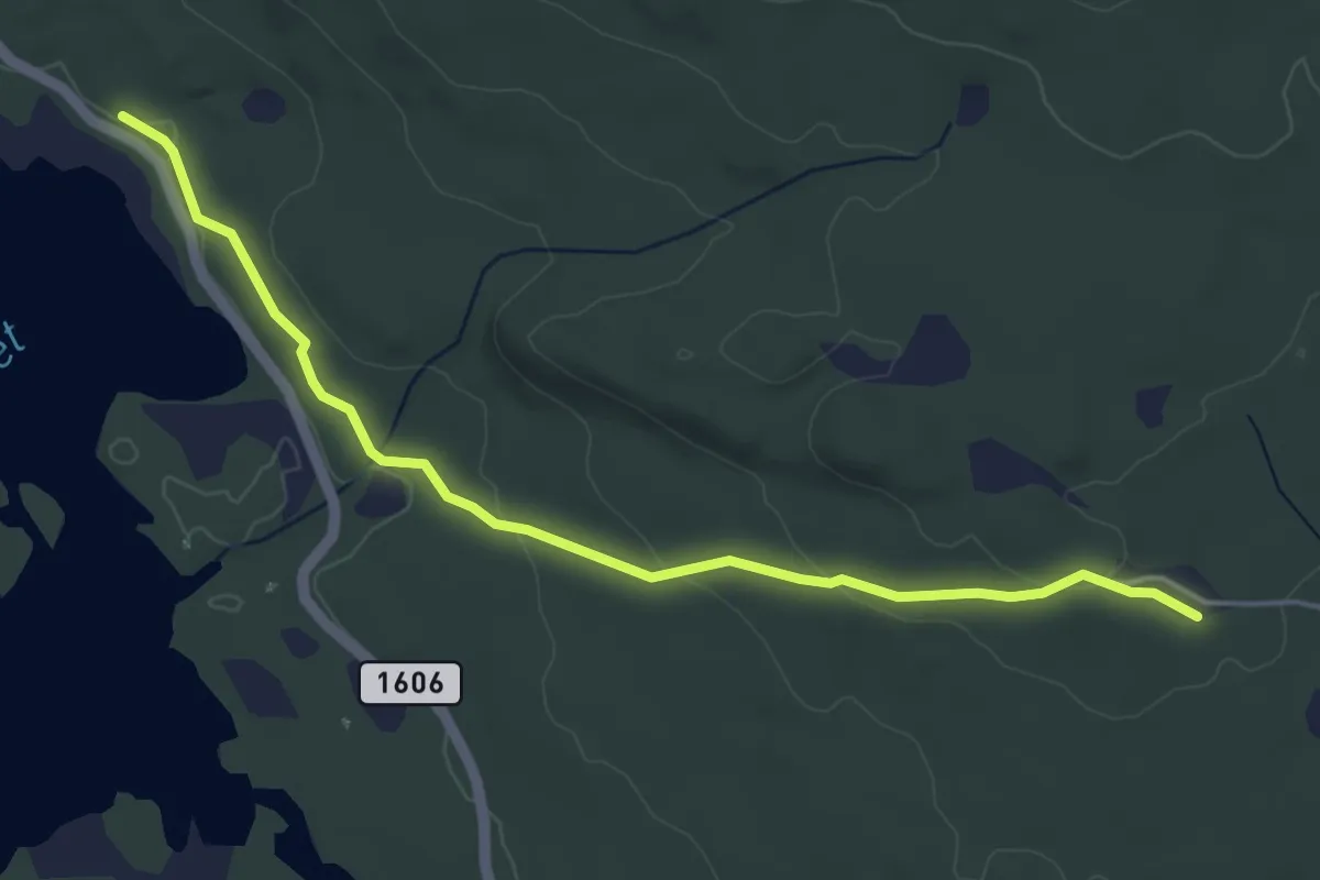
Easy · Trail
Stråtjern Asakskogen
3.6 km · ↑ 98 m · 1 h 4 min
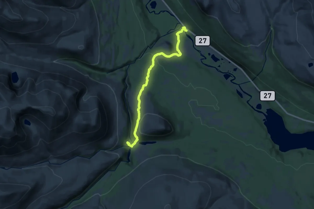
Medium · Cabin
Straumbu-Bjørnhollia
13.1 km · ↑ 376 m · 3 h 55 min
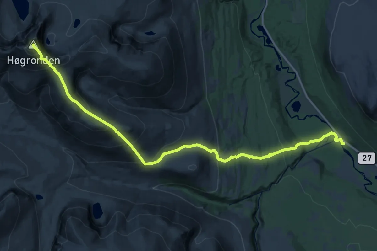
Expert · Summit
Straumbu-Dørålseter
21.0 km · ↑ 1430 m · 8 h 4 min
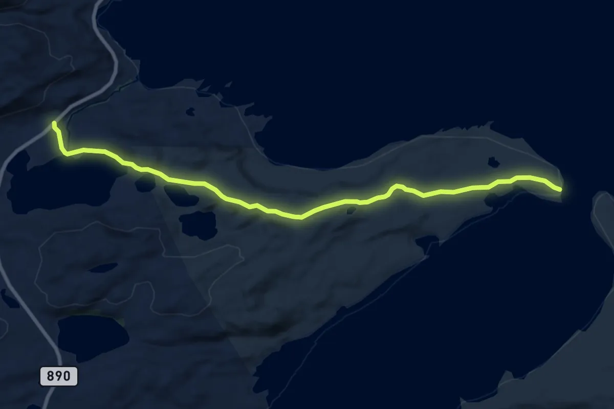
Medium · Trail
Straumen
8.2 km · ↑ 86 m · 2 h 7 min
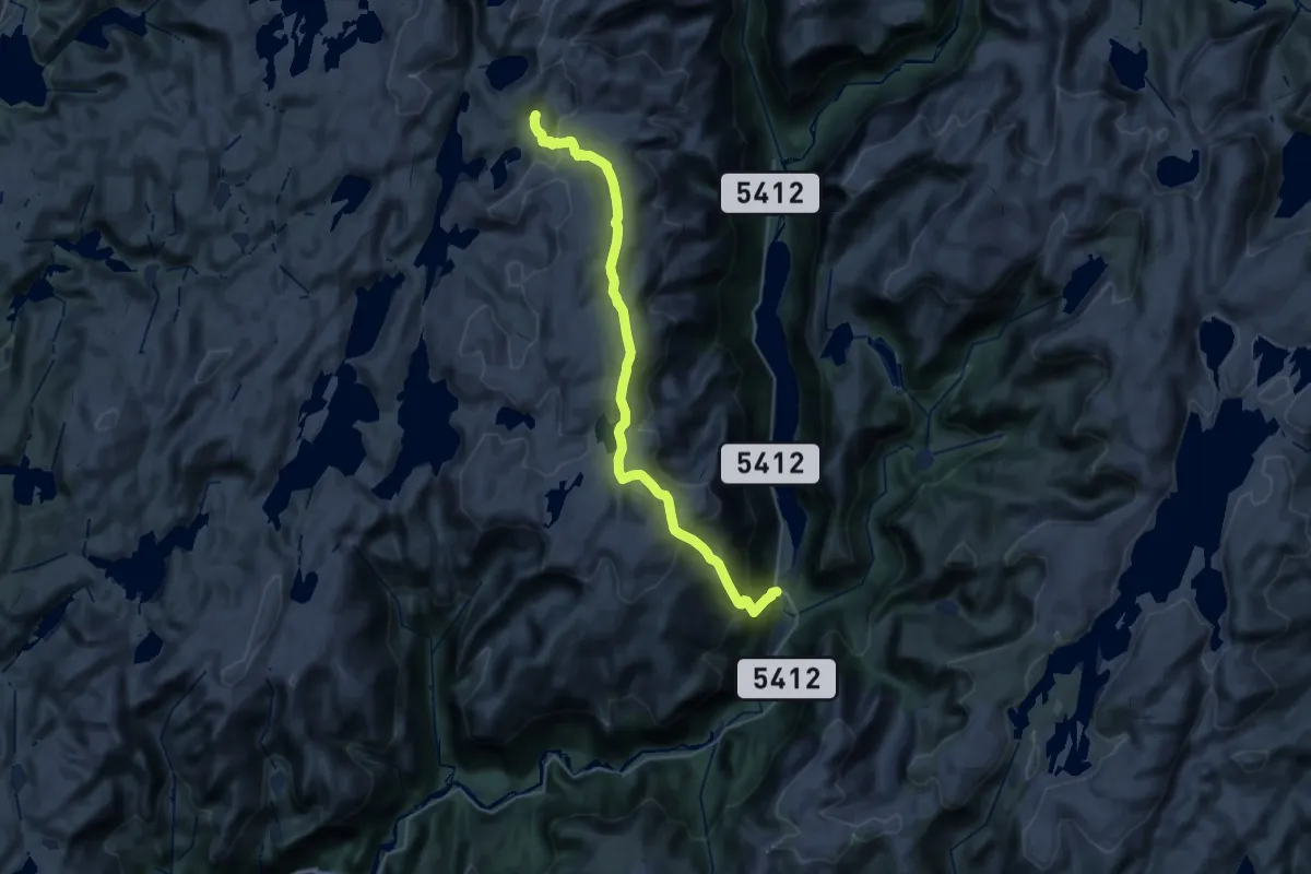
Demanding · Cabin
Straume-Vardadalsbu
12.9 km · ↑ 1271 m · 5 h 36 min
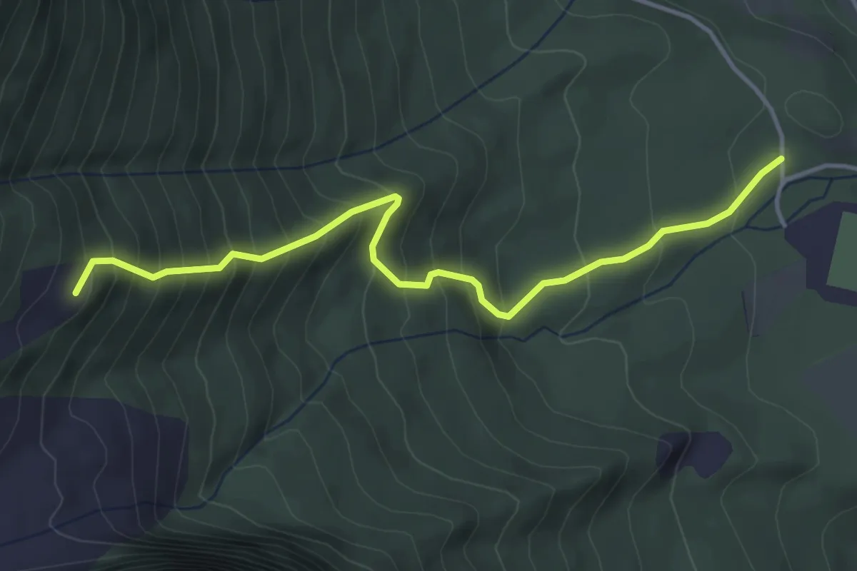
Medium · Trail
Straumsheimsætra
2.8 km · ↑ 388 m · 1 h 30 min
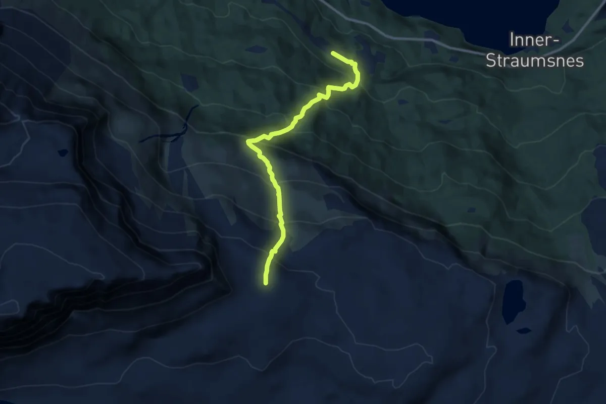
Medium · Trail
Straumsnesfjellet
5.5 km · ↑ 683 m · 2 h 46 min
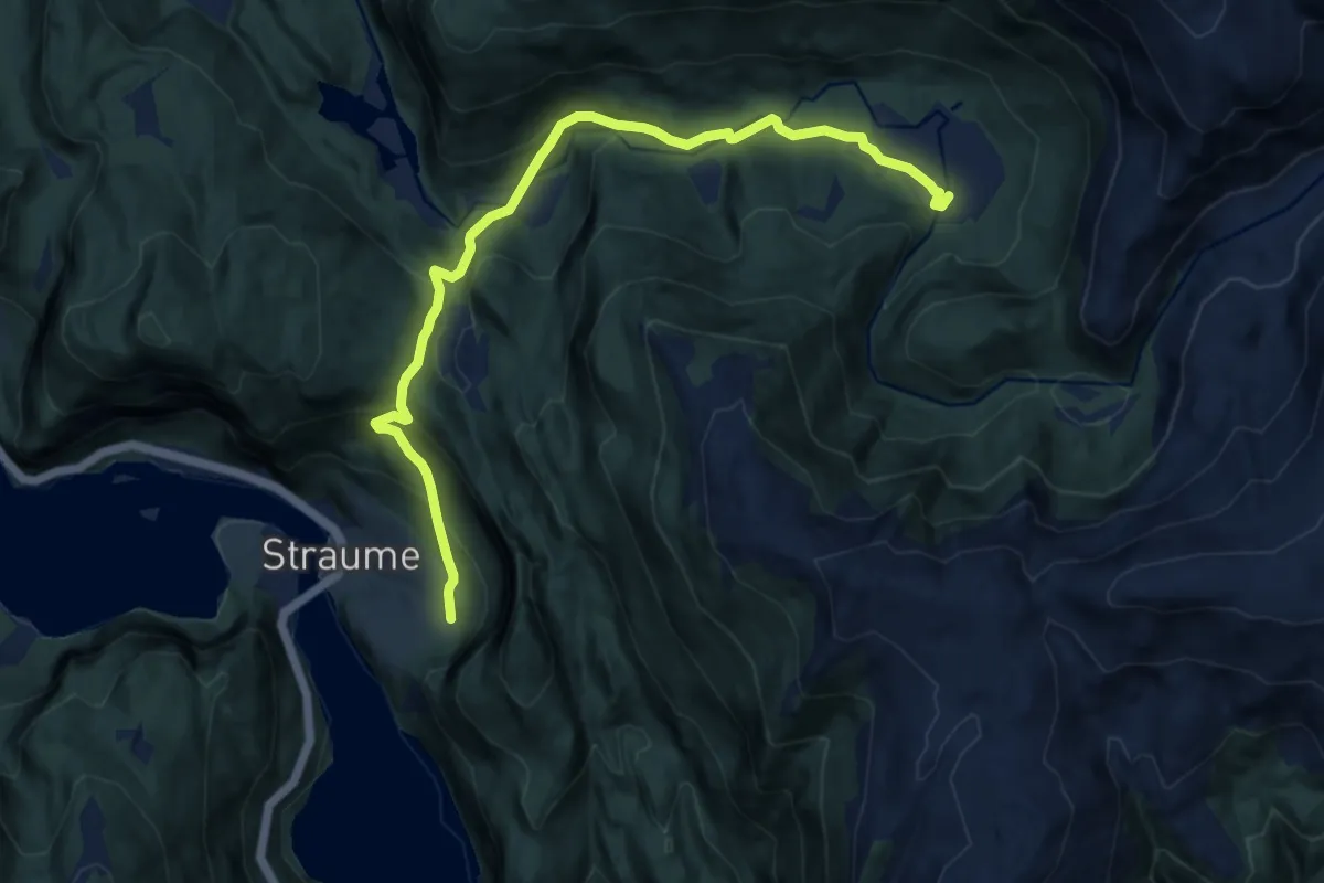
Medium · Trail
Straumsstølen
7.5 km · ↑ 346 m · 2 h 31 min
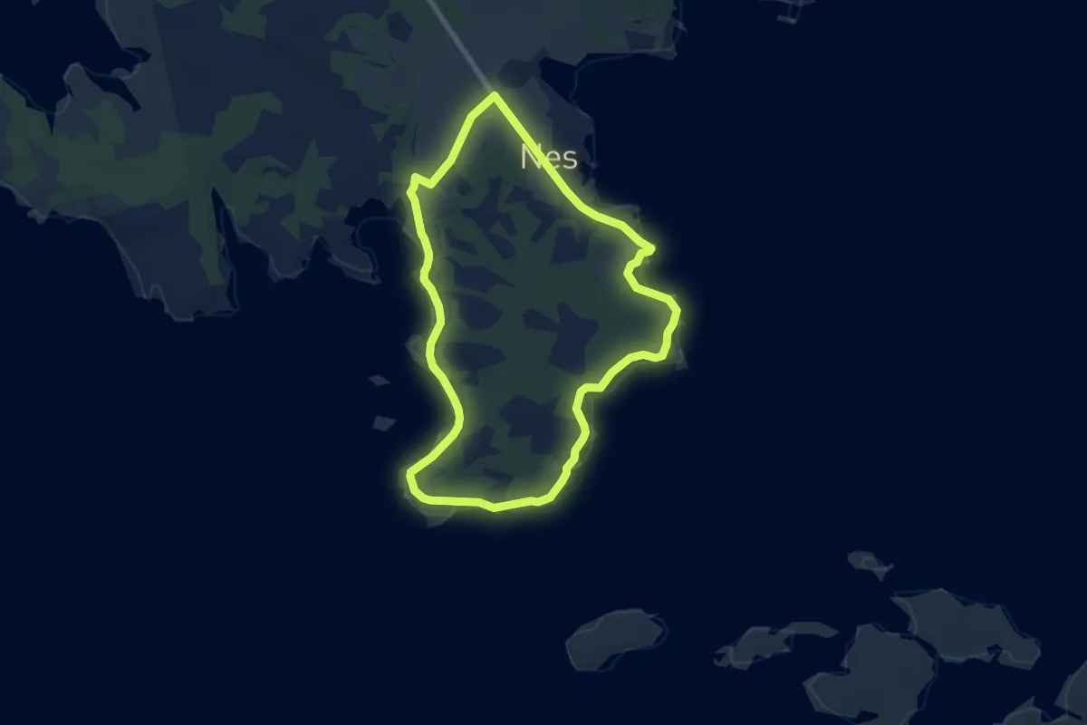
Medium · Trail
Straumstien
7.7 km · ↑ 17 m · 1 h 52 min
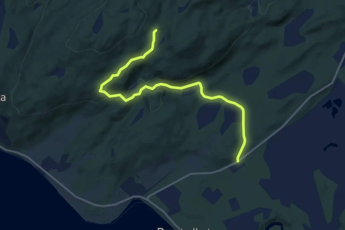
Easy · Trail
Stridsfjellet
5.1 km · ↑ 153 m · 1 h 32 min
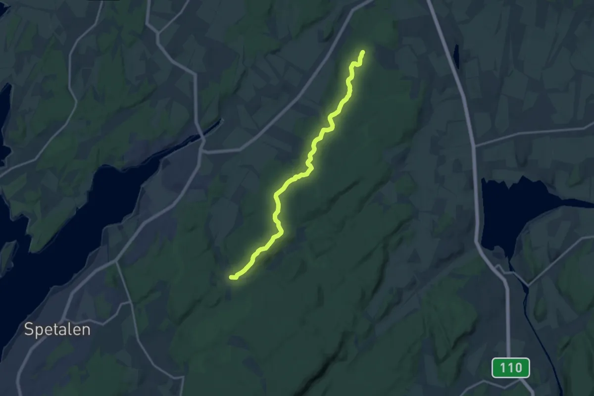
Medium · Trail
Strømnesåsen - Jerndalen
9.8 km · ↑ 130 m · 2 h 36 min
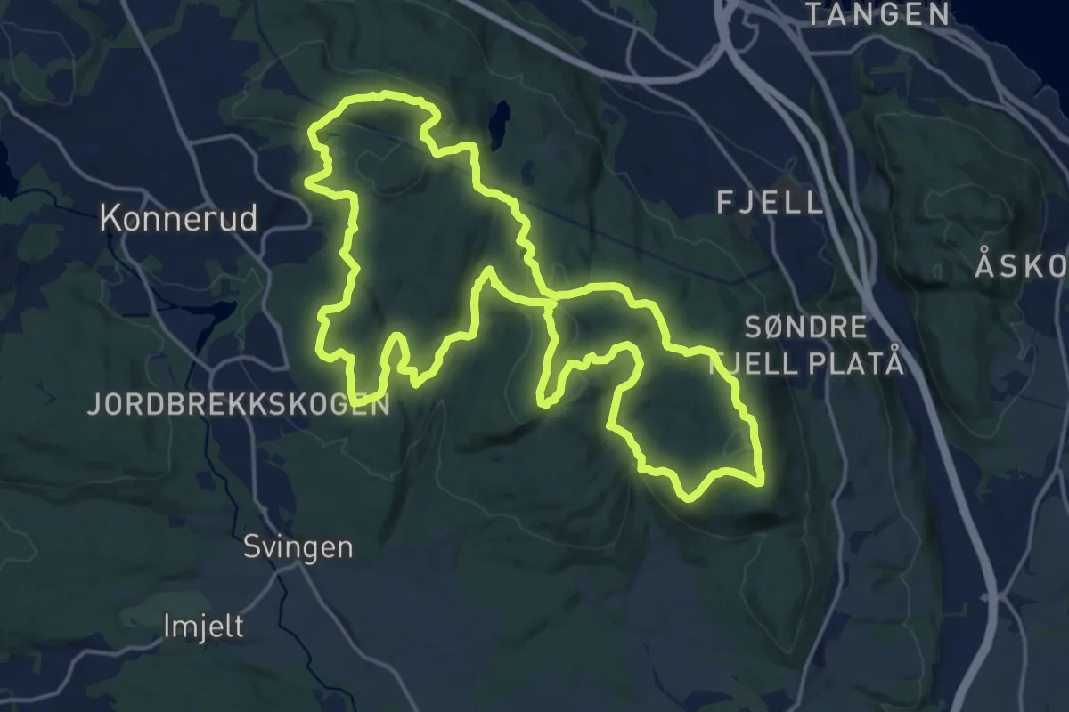
Easy · Summit
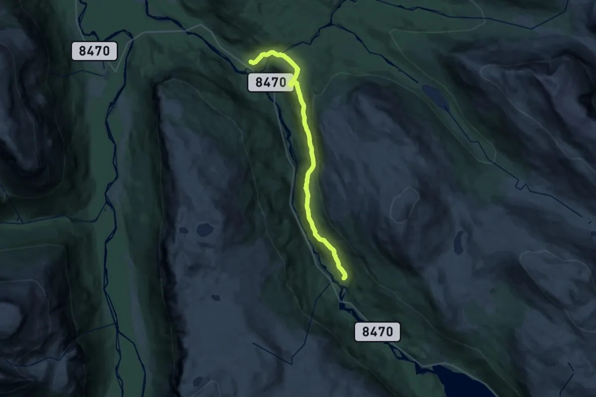
Strømsøåsrunden
14.6 km · ↑ 379 m · 4 h 29 min
Medium · Trail
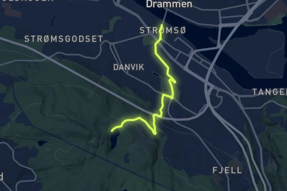
Strømsørstien
15.0 km · ↑ 538 m · 4 h 42 min
Easy · Trail
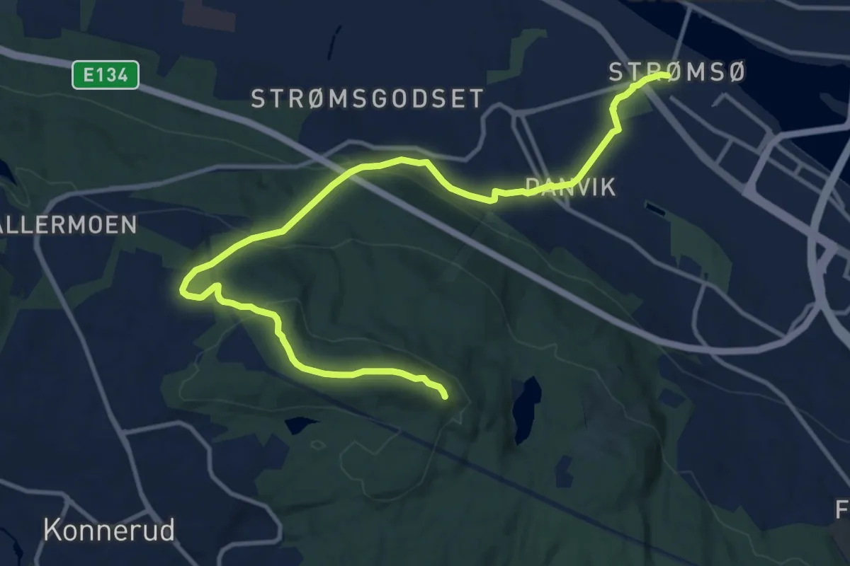
Strømsø torg - Blektjern
6.9 km · ↑ 231 m · 2 h 8 min
Medium · Trail
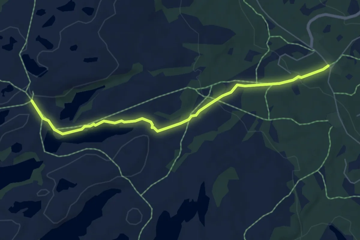
Strømsø torg - Haukåsutsikten, via Gamlebakken
10.1 km · ↑ 367 m · 3 h 11 min
Easy · Trail
Strutåsen
4.3 km · ↑ 112 m · 1 h 15 min
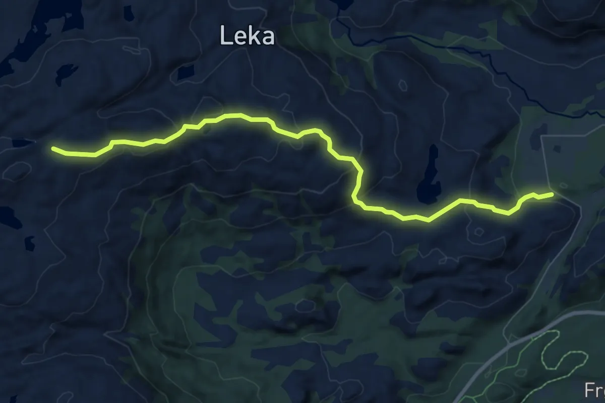
Medium · Trail
Struten - Vattinden
5.3 km · ↑ 278 m · 1 h 51 min
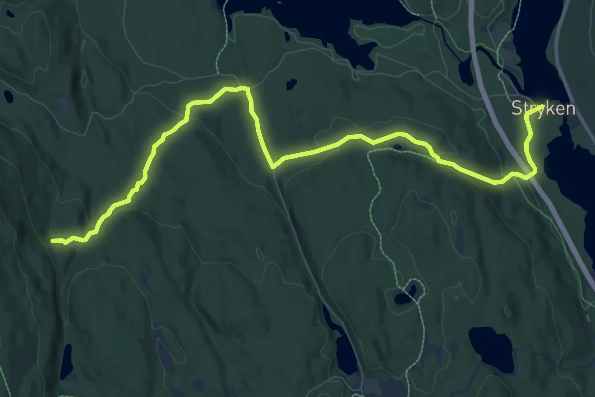
Medium · Trail
Stryken - Handkleputthytta
8.0 km · ↑ 230 m · 2 h 23 min
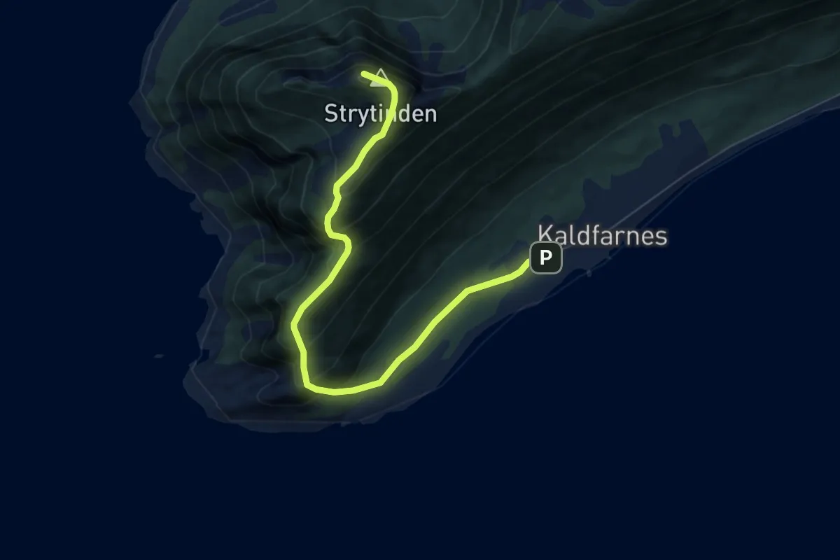
Medium · Trail
Strytinden
4.0 km · ↑ 379 m · 1 h 47 min
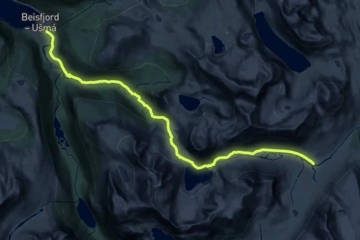
Expert · Cabin
Stubblidalen (Beisfjord) - Hunddalshytta
16.9 km · ↑ 1040 m · 6 h 8 min