Trails in Norway
7,452 hiking trails, each with its route, climb, walking time and grade.
All trails, page 101 of 156
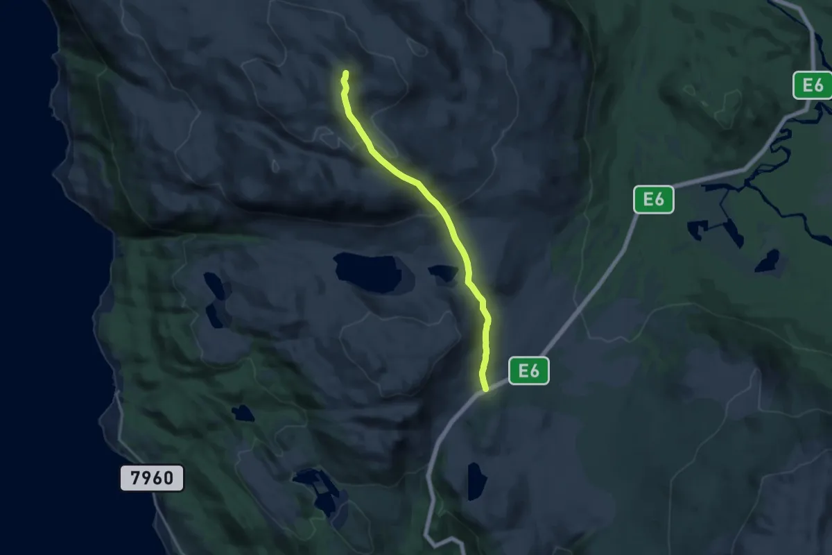
Medium · Trail
Stuora Riidevárri
7.5 km · ↑ 444 m · 2 h 44 min
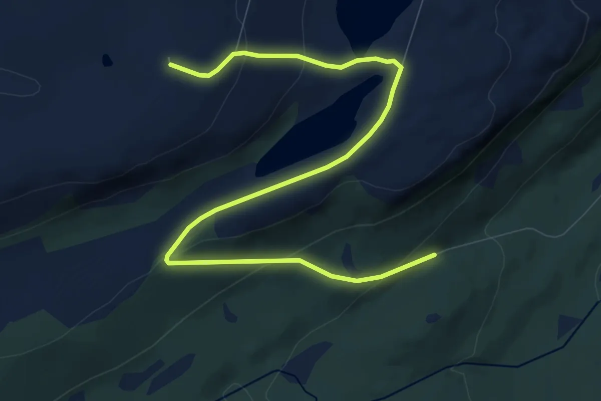
Easy · Trail
Stuorra Jeahkir
5.9 km · ↑ 270 m · 1 h 59 min
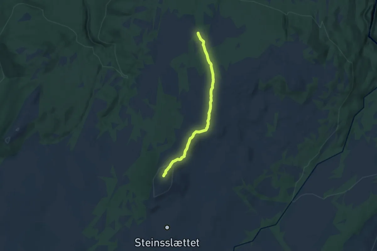
Easy · Trail
Stuskinsvola
6.6 km · ↑ 201 m · 2 h
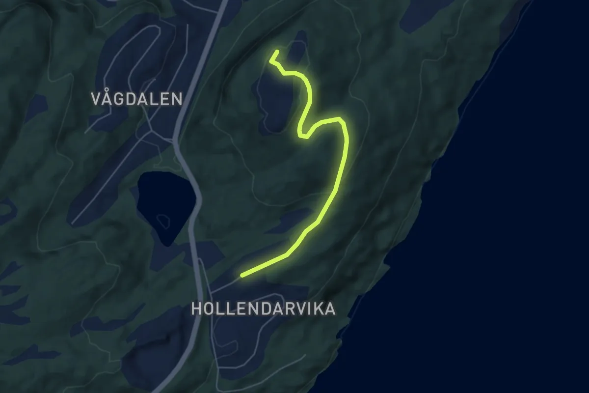
Easy · Trail
Stussnesfjellet
2.4 km · ↑ 98 m · 47 min
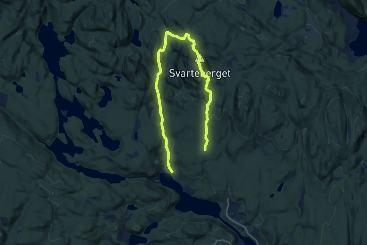
Medium · Trail
Stussrød ? Orholtdalen - Svarteberget
11.4 km · ↑ 575 m · 3 h 57 min
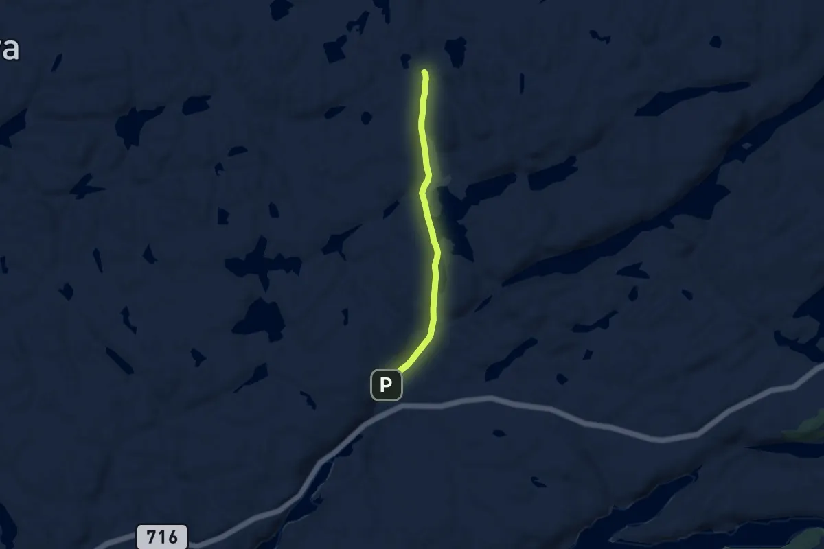
Easy · Trail
Stutvassdalen
4.0 km · ↑ 29 m · 1 h 1 min
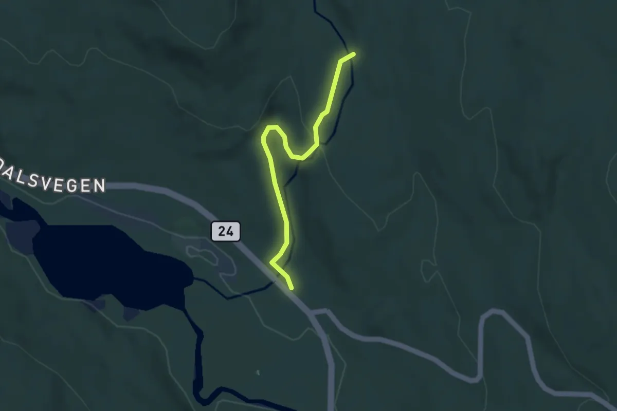
Medium · Trail
Stygghølet-Renndammen
2.3 km · ↑ 58 m · 40 min
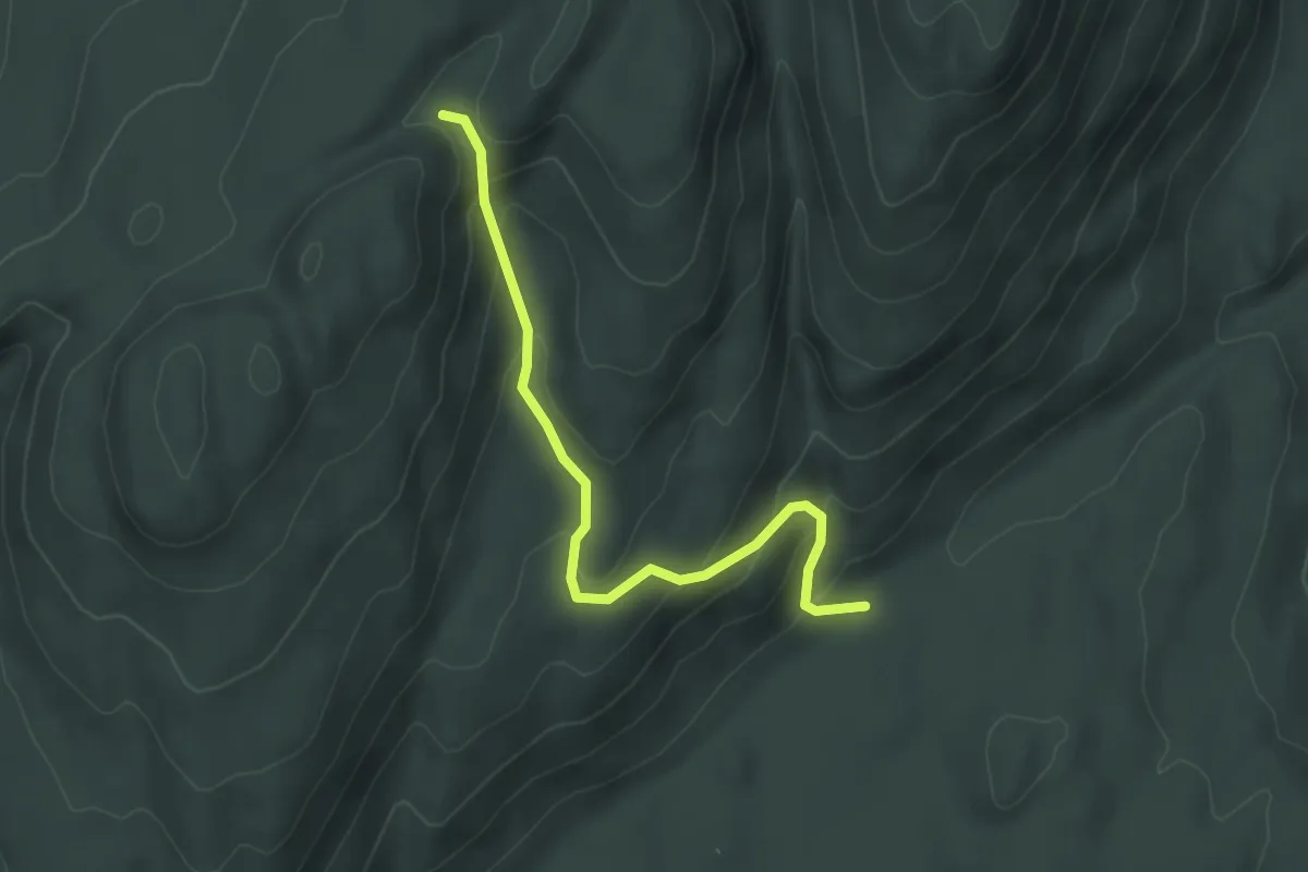
Medium · Trail
Styttberget
2.3 km · ↑ 168 m · 54 min
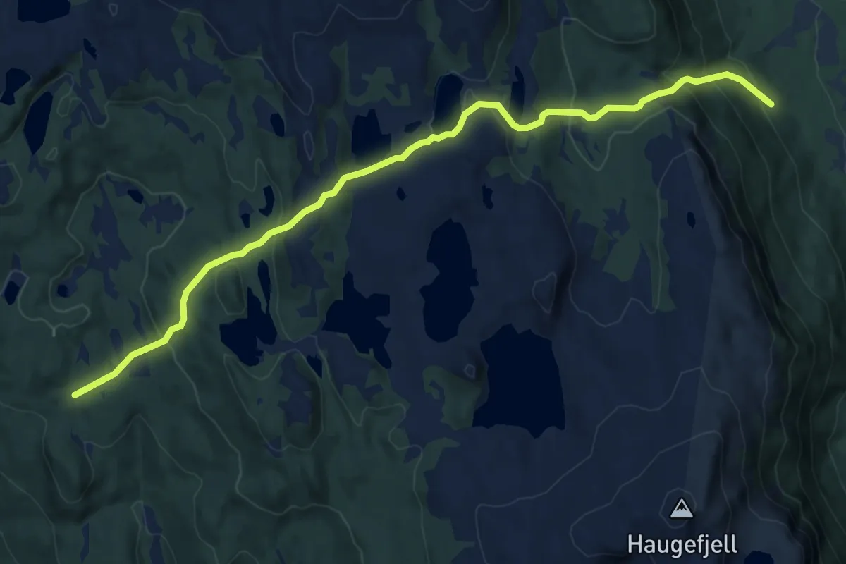
Medium · Trail
Sudvegen
6.4 km · ↑ 365 m · 2 h 18 min
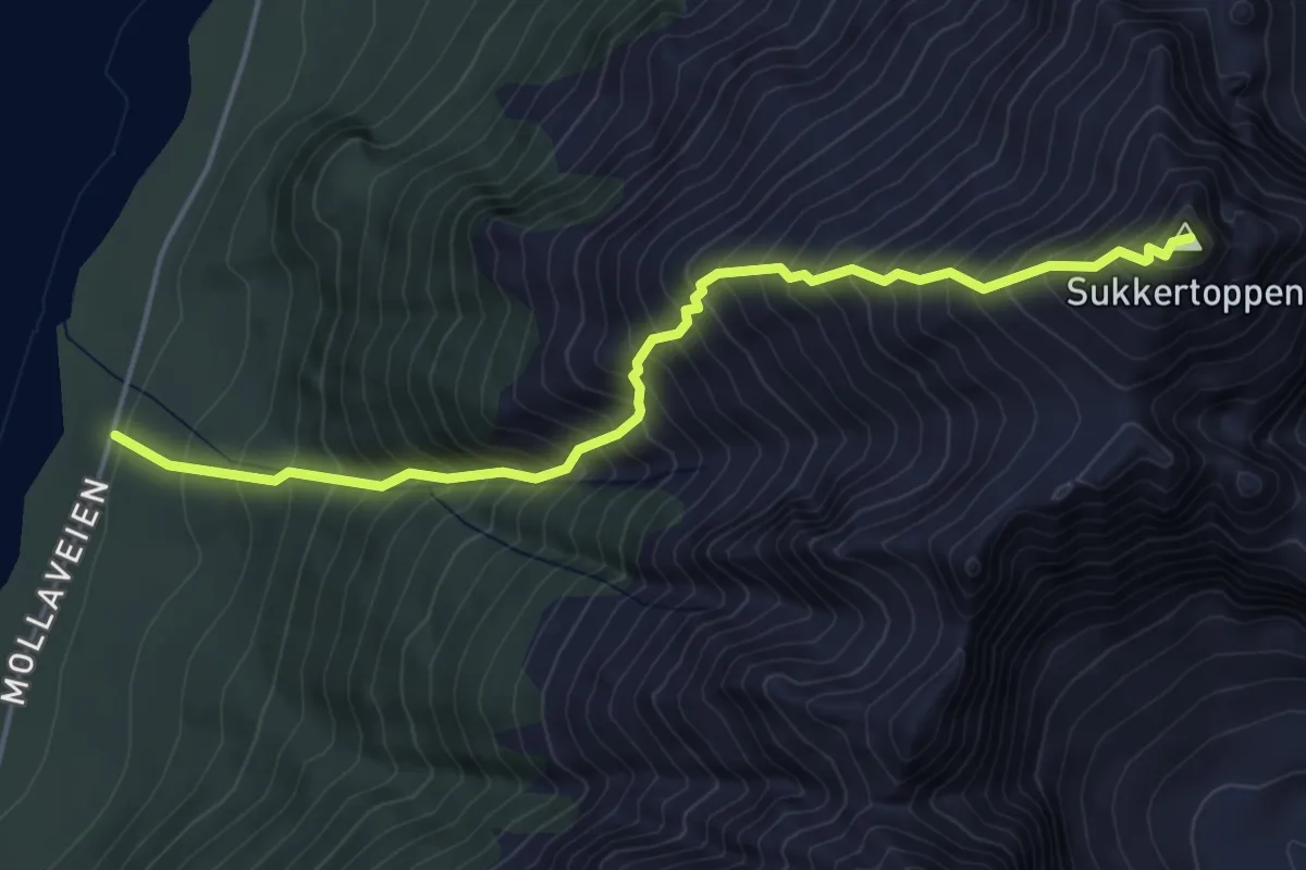
Medium · Trail
Sukkertoppen
2.6 km · ↑ 656 m · 2 h 2 min
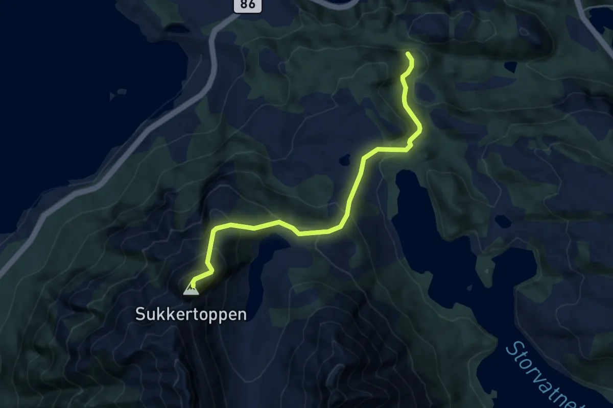
Easy · Trail
Sukkertoppen
2.8 km · ↑ 306 m · 1 h 19 min
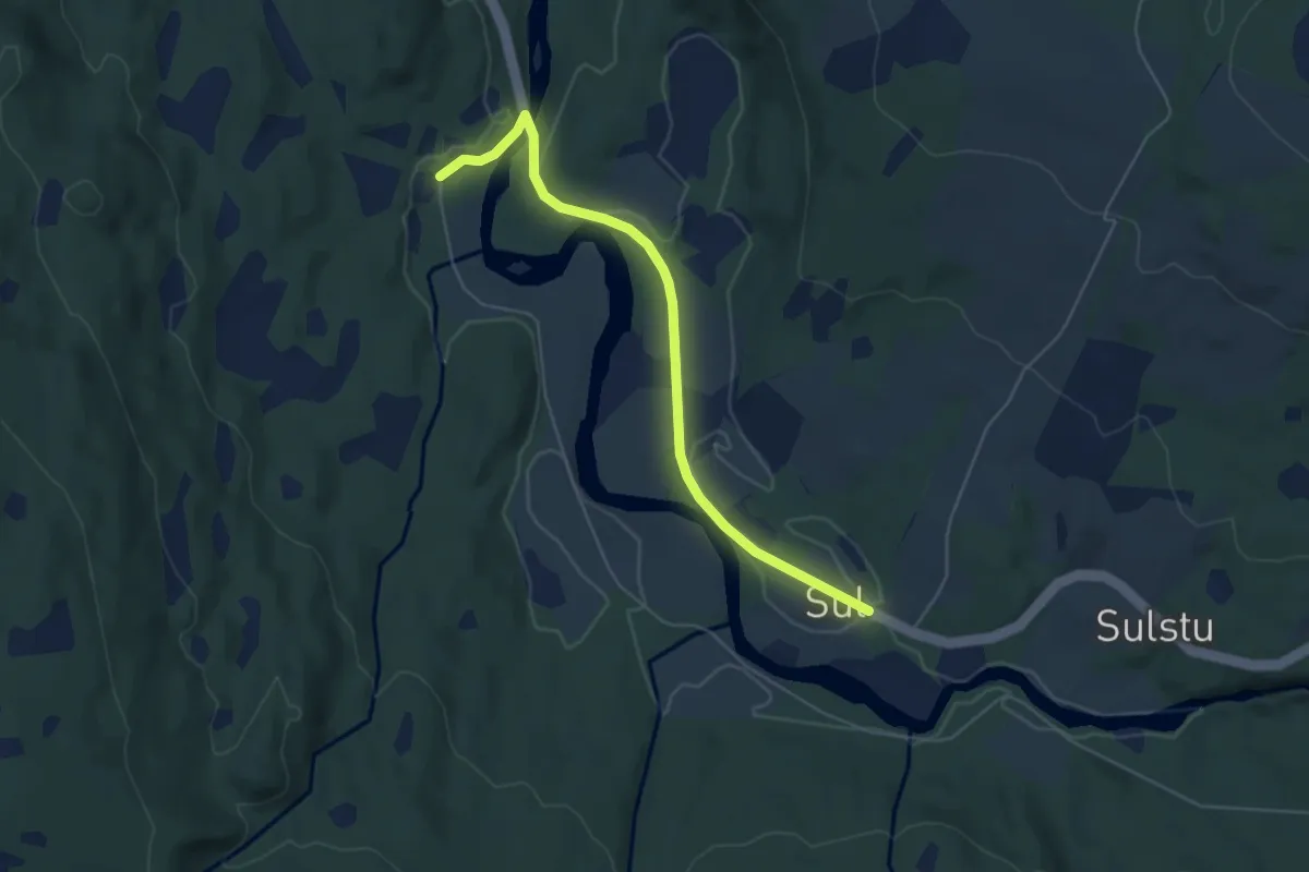
Easy · Trail
Sul
3.4 km · ↑ 22 m · 51 min
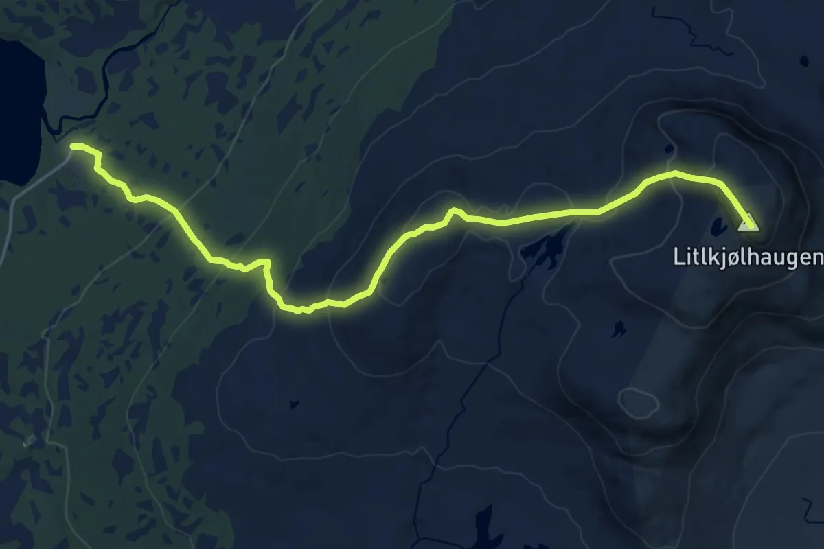
Demanding · Trail
Sulåmo Turiststasjon-Litjlkjølhaugen
13.6 km · ↑ 835 m · 5 h 1 min
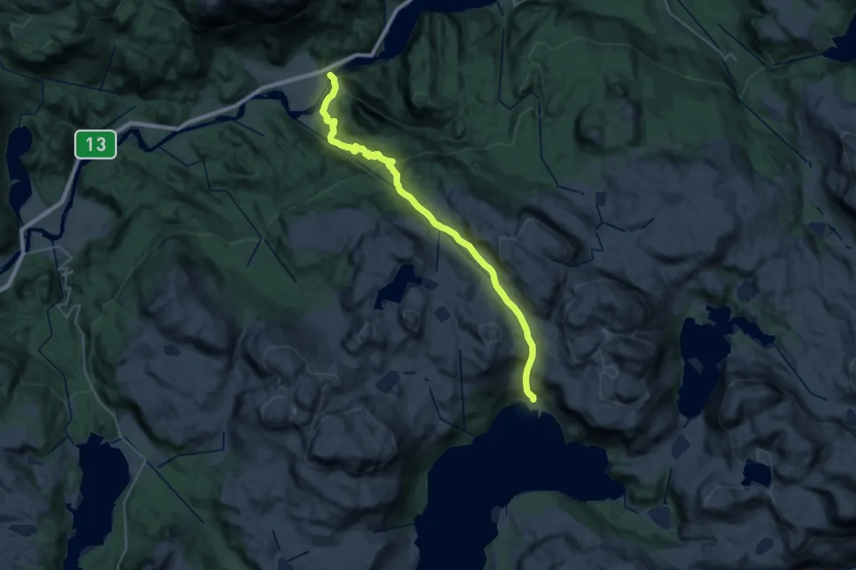
Demanding · Cabin
Suldalsosen - Sandsa
18.1 km · ↑ 1160 m · 6 h 47 min
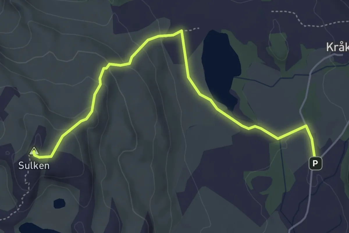
Easy · Summit
Sulken
3.9 km · ↑ 152 m · 1 h 15 min
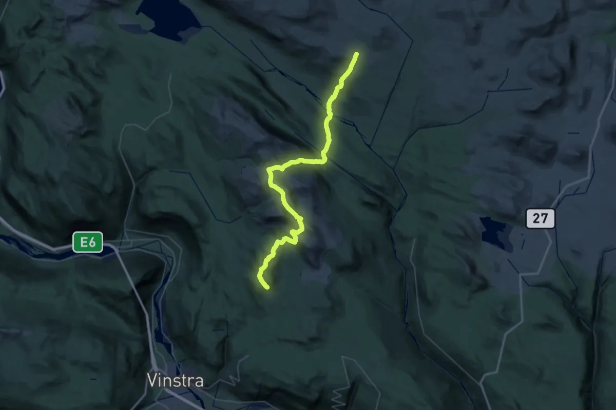
Demanding · Trail
Sulseter-Eldåkampen
19.7 km · ↑ 813 m · 6 h 38 min
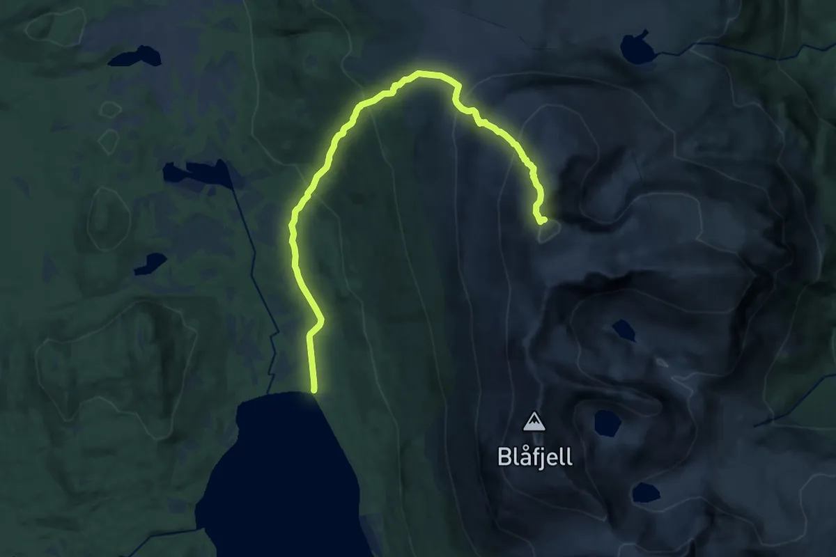
Demanding · Trail
Sultind
10.1 km · ↑ 897 m · 4 h 20 min
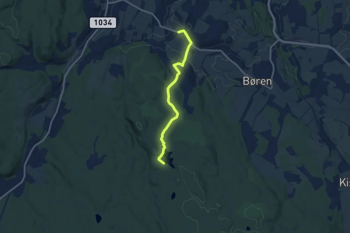
Easy · Trail
Sundbyveien til Gravtjern
4.9 km · ↑ 99 m · 1 h 22 min
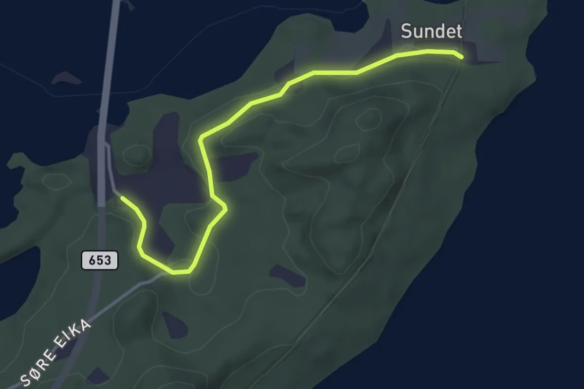
Easy · Trail
Sundet
2.4 km · ↑ 30 m · 37 min
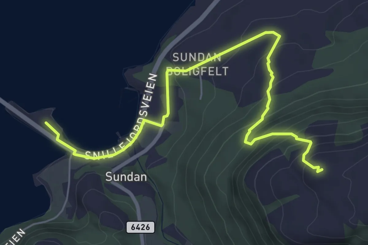
Medium · Trail
Sundfjellet
4.3 km · ↑ 251 m · 1 h 33 min
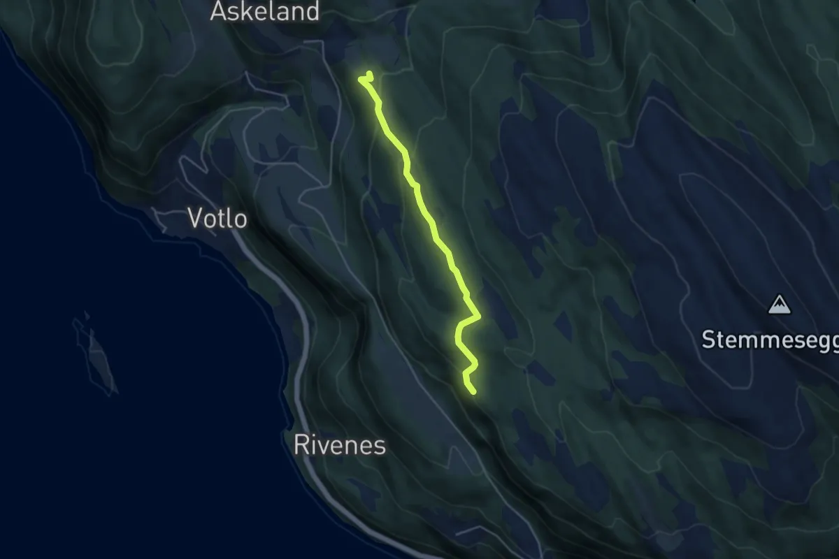
Easy · Trail
Sundland -ŋŋ Askeland
2.8 km · ↑ 146 m · 59 min
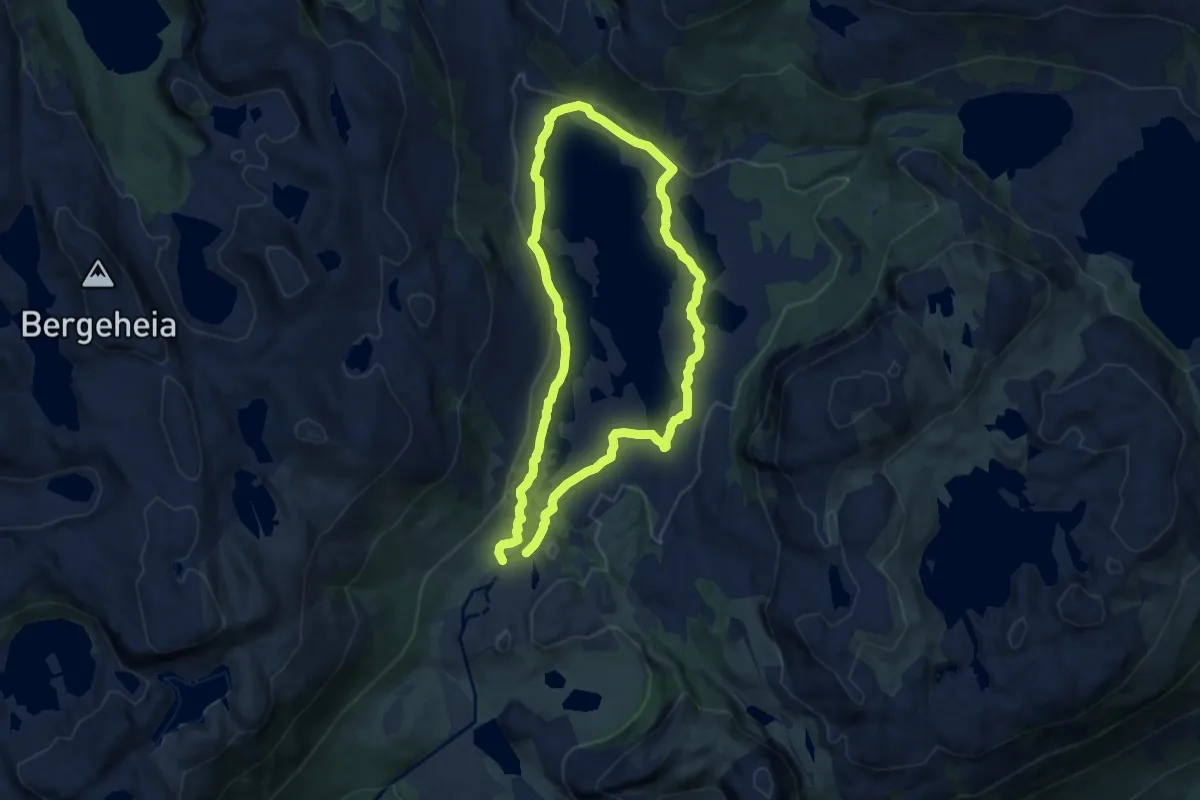
Medium · Cabin
Sundmorkvatnet
10.8 km · ↑ 111 m · 2 h 47 min
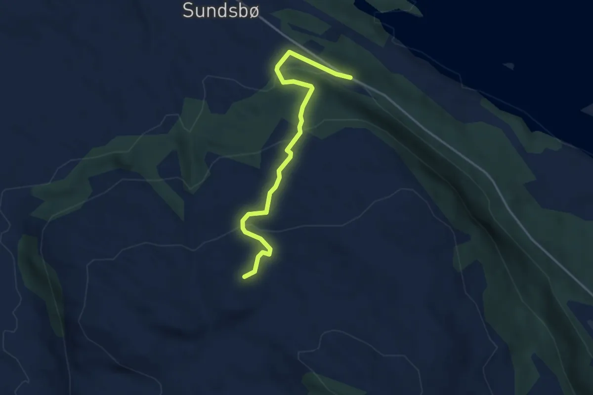
Easy · Trail
Sundsbø-Steinfjellet
2.5 km · ↑ 146 m · 54 min
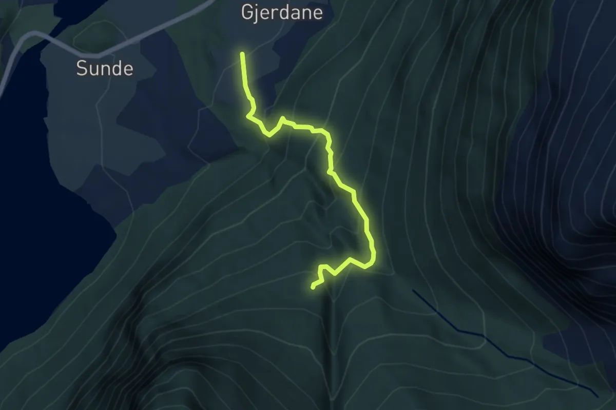
Medium · Trail
Sundssetra
3.0 km · ↑ 344 m · 1 h 27 min
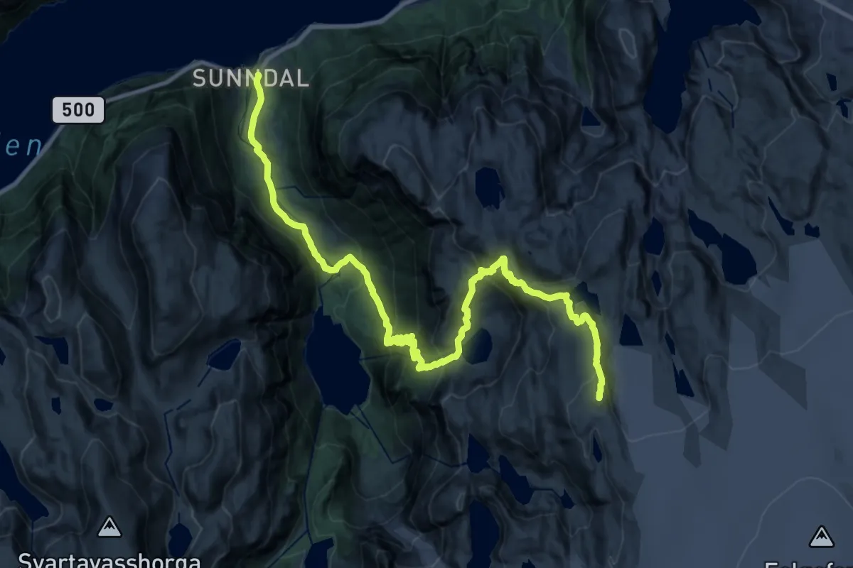
Demanding · Summit
Sunndal-Breidablikk-Fonnabu
21.1 km · ↑ 1446 m · 8 h 7 min
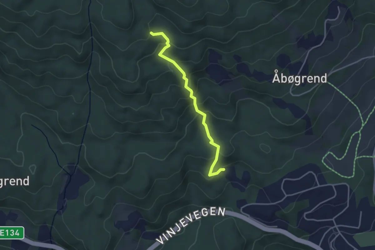
Easy · Trail
Surgrav - Brekke
2.1 km · ↑ 158 m · 51 min
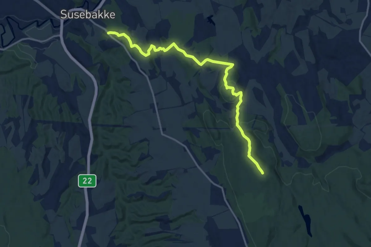
Easy · Trail
Susebakke - Einarbu
8.5 km · ↑ 217 m · 2 h 29 min
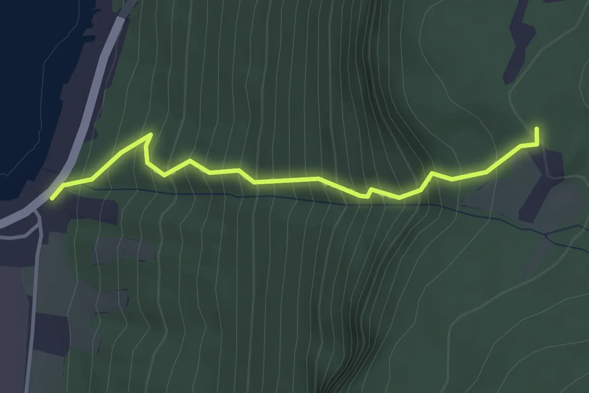
Medium · Trail
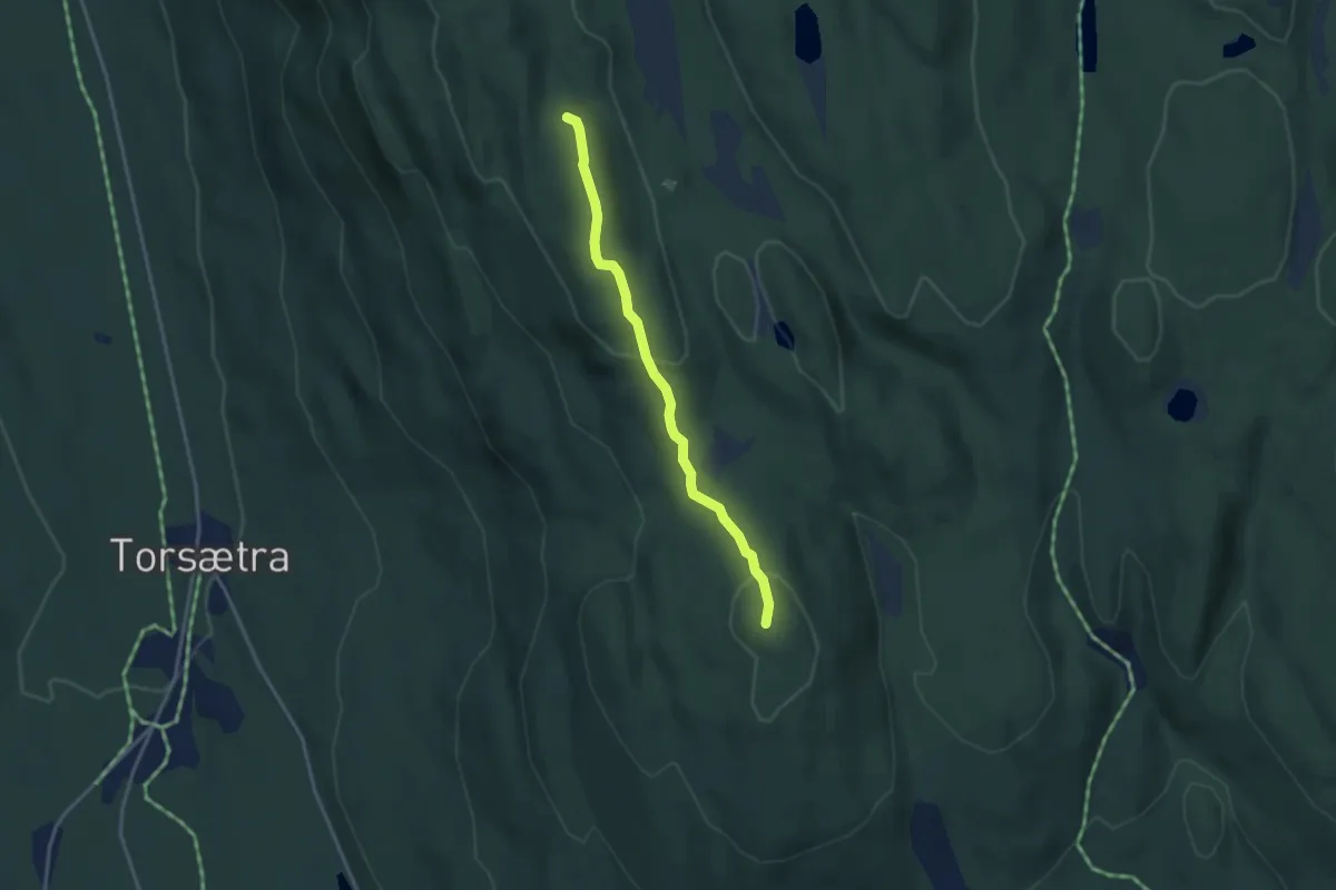
Sutastigen
2.2 km · ↑ 494 m · 1 h 36 min
Medium · Trail
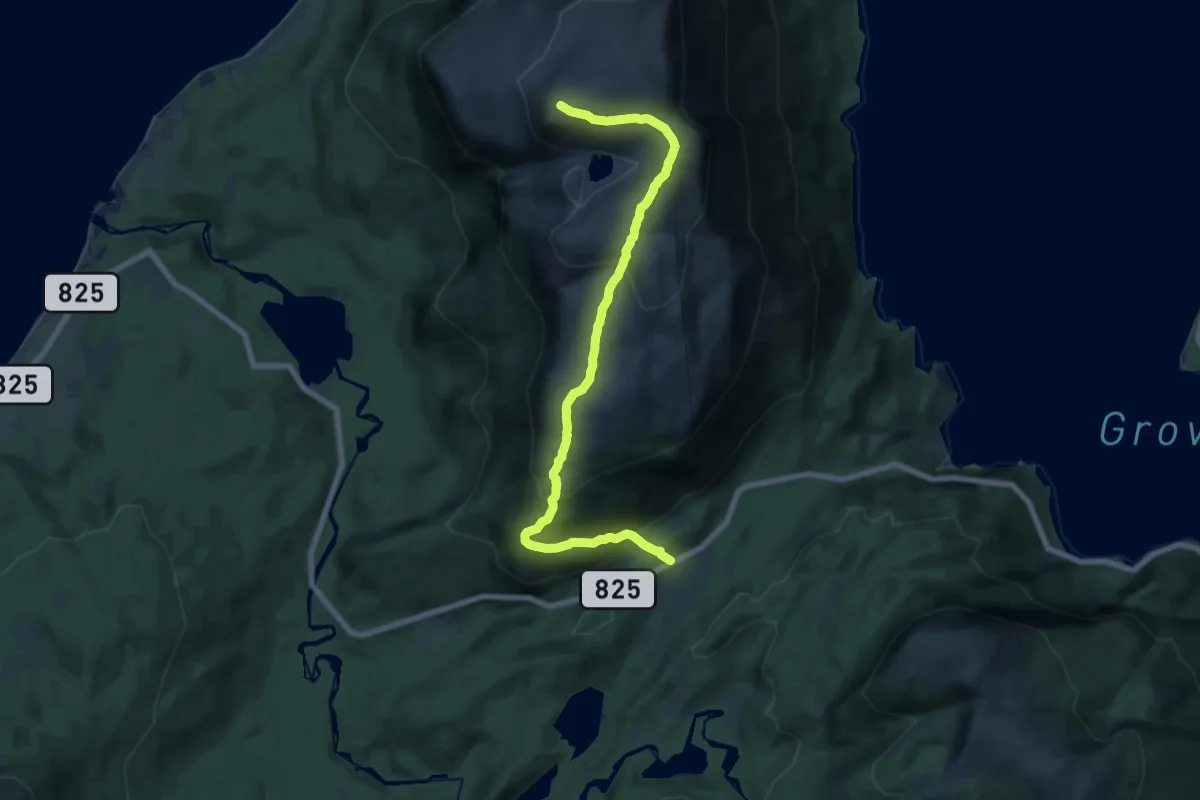
Sutterlikollen
2.2 km · ↑ 91 m · 43 min
Demanding · Trail
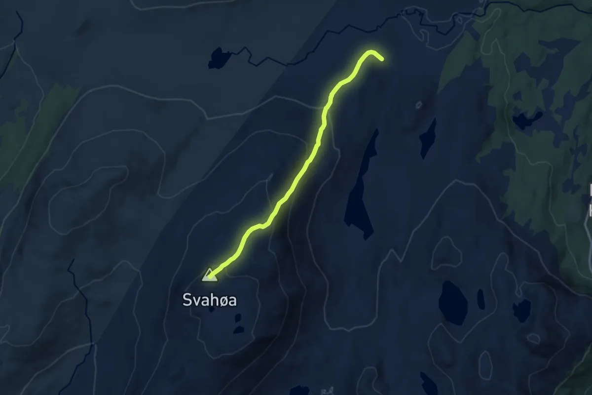
Svælen
9.8 km · ↑ 656 m · 3 h 44 min
Medium · Trail
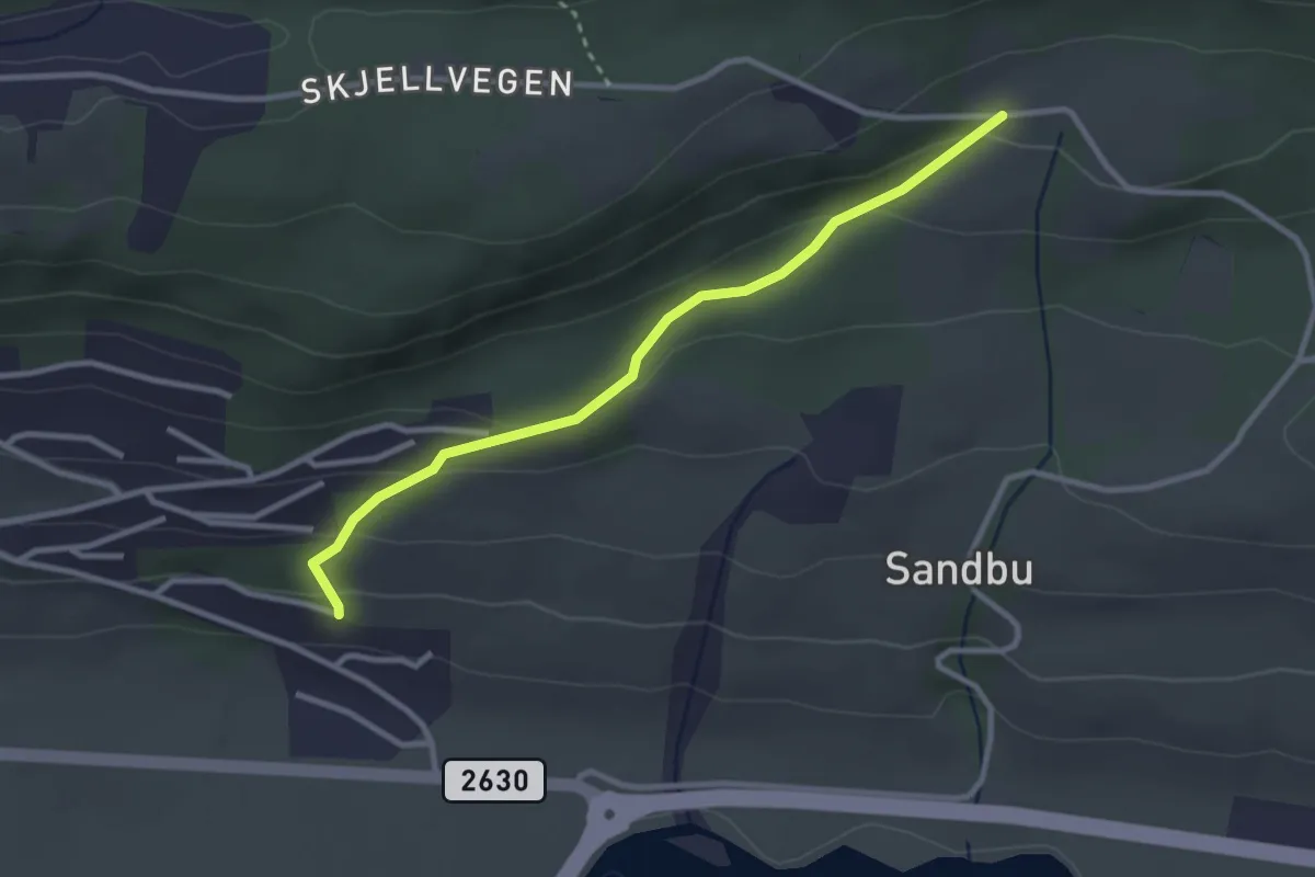
Svahøa 1347 moh.
6.5 km · ↑ 413 m · 2 h 26 min
Easy · Trail
Svaholen - Skjellvegen
2.0 km · ↑ 115 m · 44 min
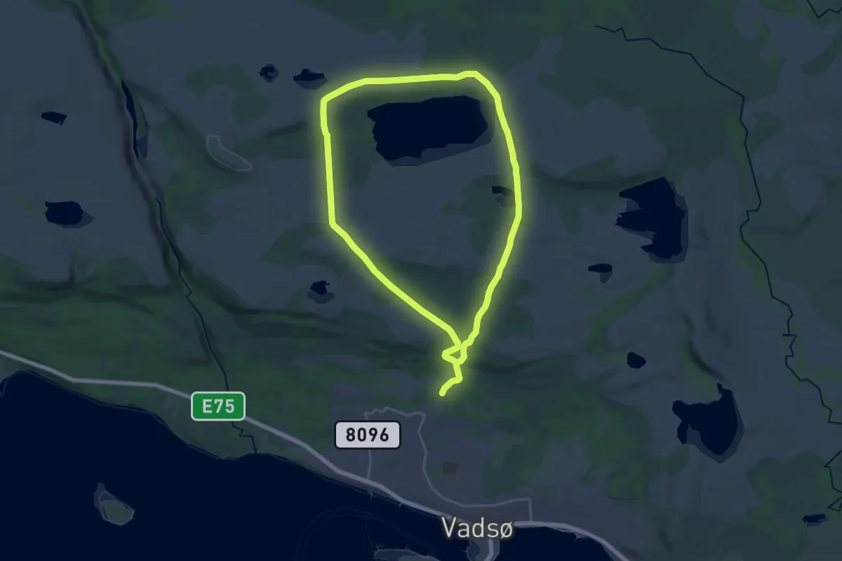
Demanding · Trail
Svanerunden
20.4 km · ↑ 262 m · 5 h 24 min
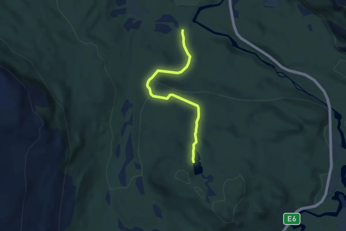
Easy · Trail
Svanevannet
3.5 km · ↑ 154 m · 1 h 10 min
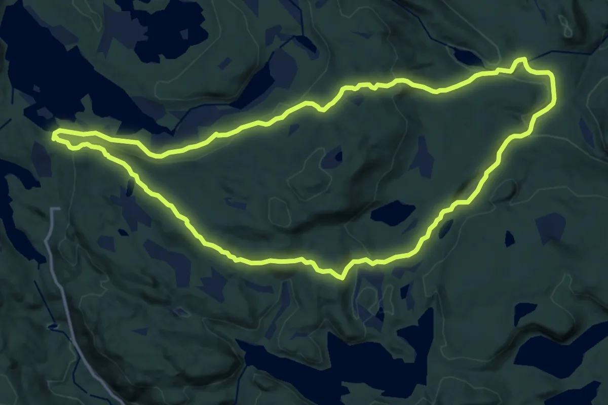
Medium · Trail
Svanstul - Horta - Grantjern - Svanstul
19.0 km · ↑ 598 m · 5 h 47 min
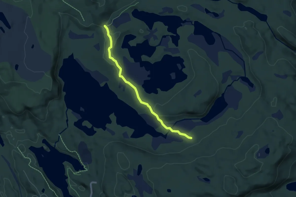
Easy · Trail
Svanstulvatn - Holmevatn
4.0 km · ↑ 37 m · 1 h 1 min
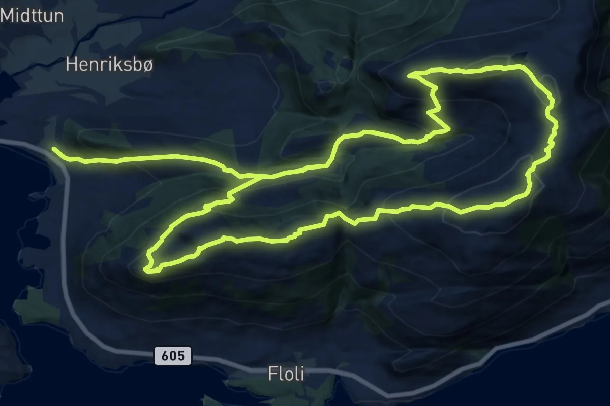
Medium · Trail
Svarberg-Flolidfjell
8.8 km · ↑ 643 m · 3 h 32 min
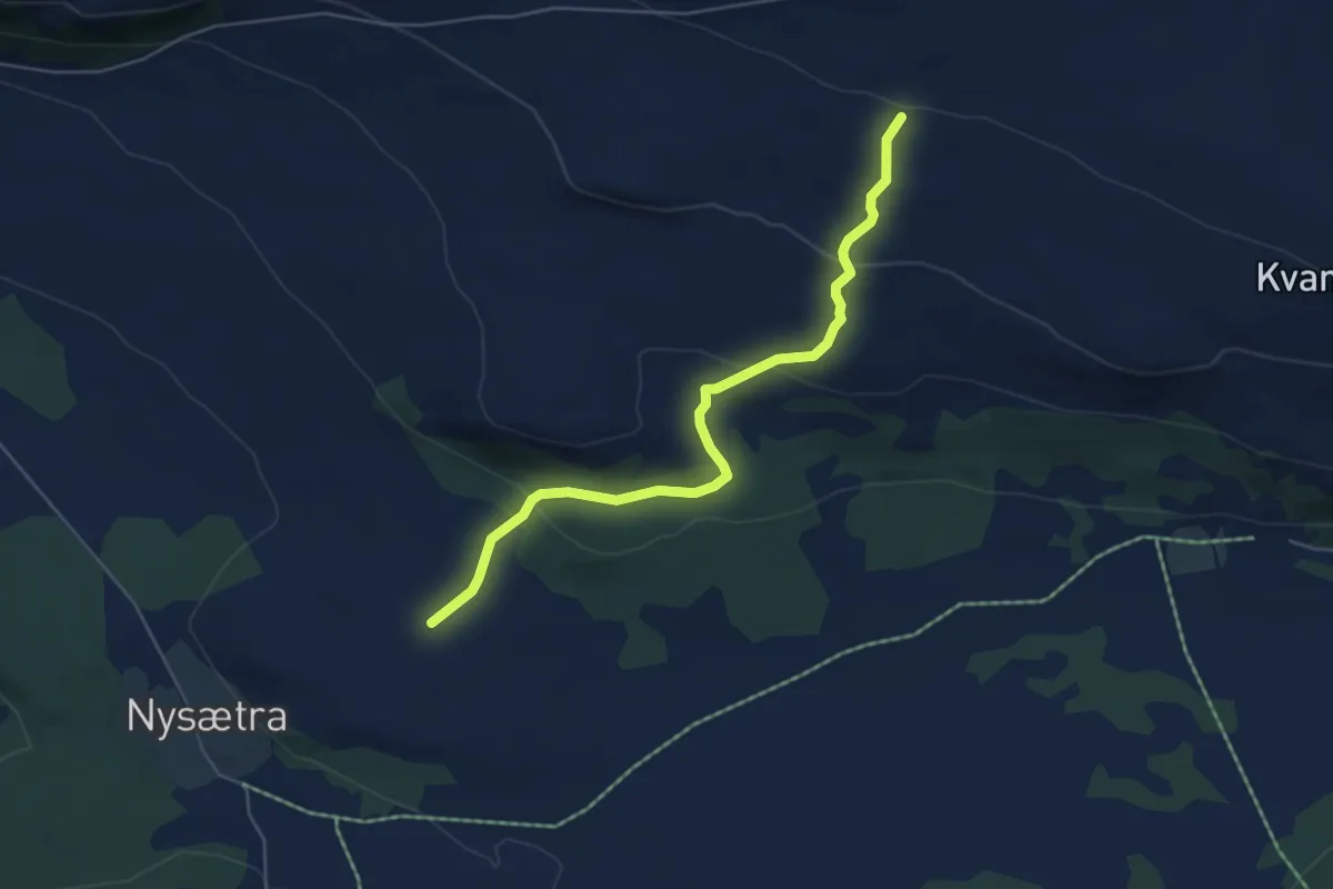
Easy · Trail
Svartåsen-Kvannberget
3.7 km · ↑ 169 m · 1 h 14 min
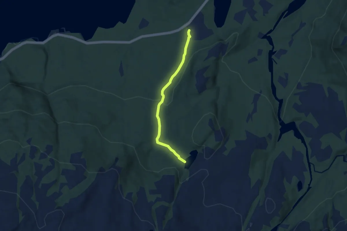
Easy · Trail
Svartåstjønna
3.3 km · ↑ 129 m · 1 h 4 min
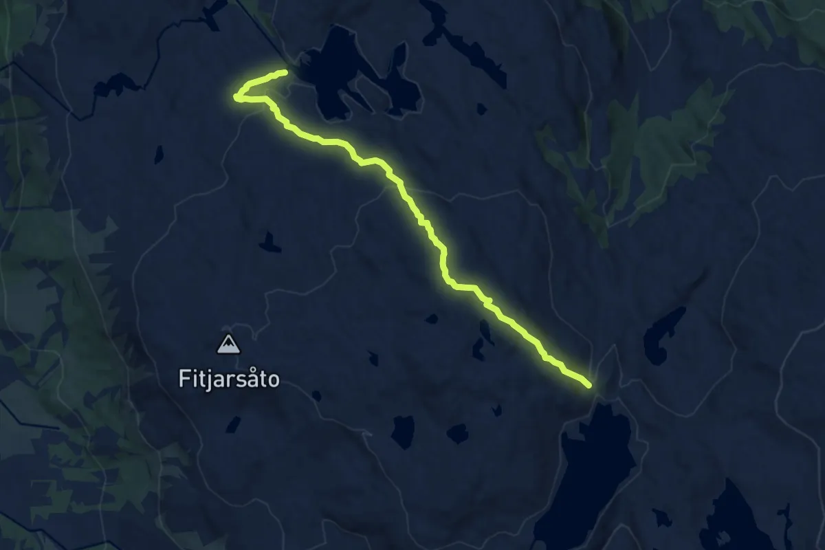
Easy · Trail
Svartavatnet - Kyrkjevatnet
6.8 km · ↑ 303 m · 2 h 16 min
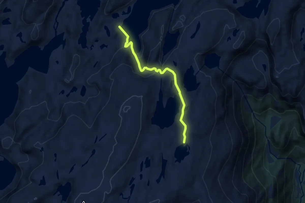
Medium · Cabin
Svartavatnet-Skavlabu
6.3 km · ↑ 301 m · 2 h 8 min
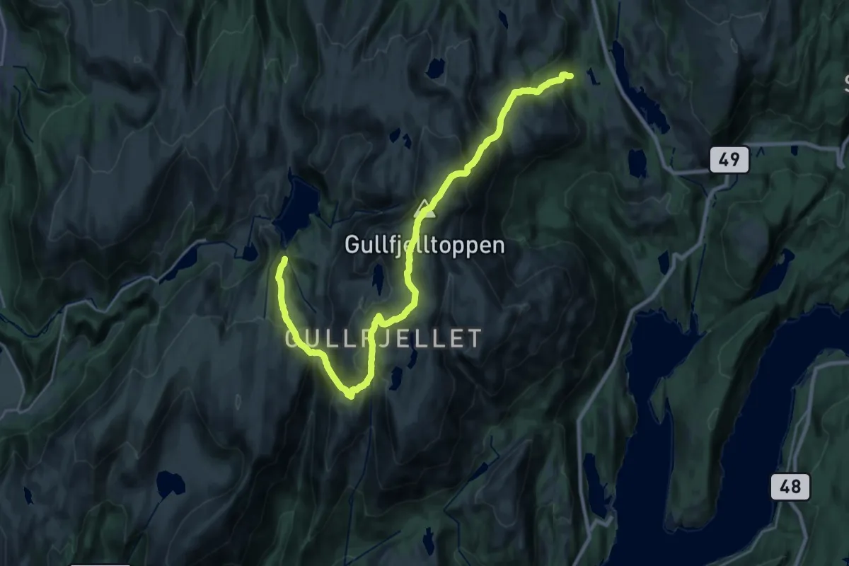
Demanding · Trail
Svartavatnet til Gulfjellstoppen
18.9 km · ↑ 1457 m · 7 h 38 min
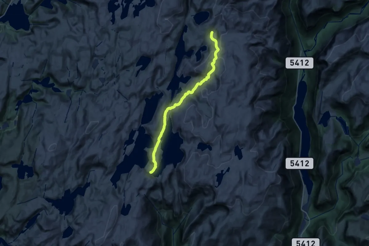
Demanding · Cabin
Svartavatnet-Vardadalsbu
18.5 km · ↑ 858 m · 6 h 14 min
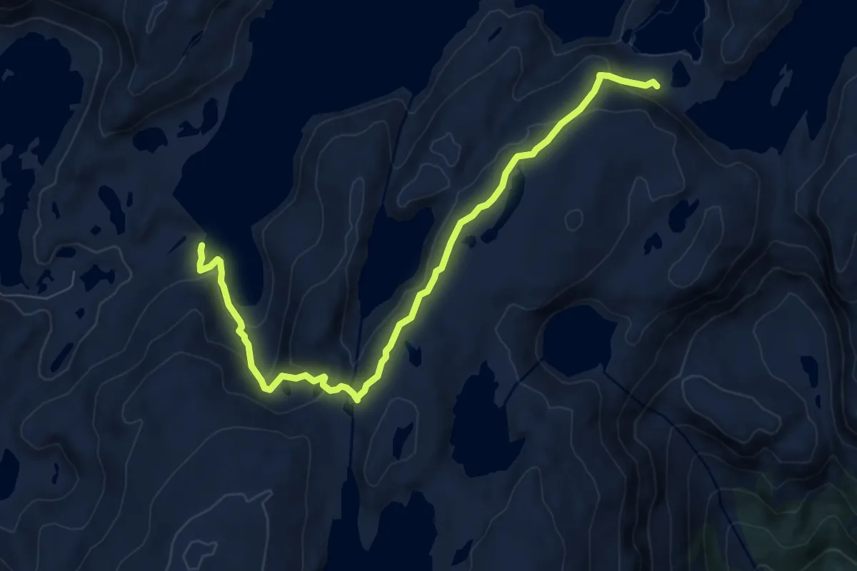
Easy · Trail
Svartavatnet-Vardadalsbu
6.4 km · ↑ 295 m · 2 h 9 min
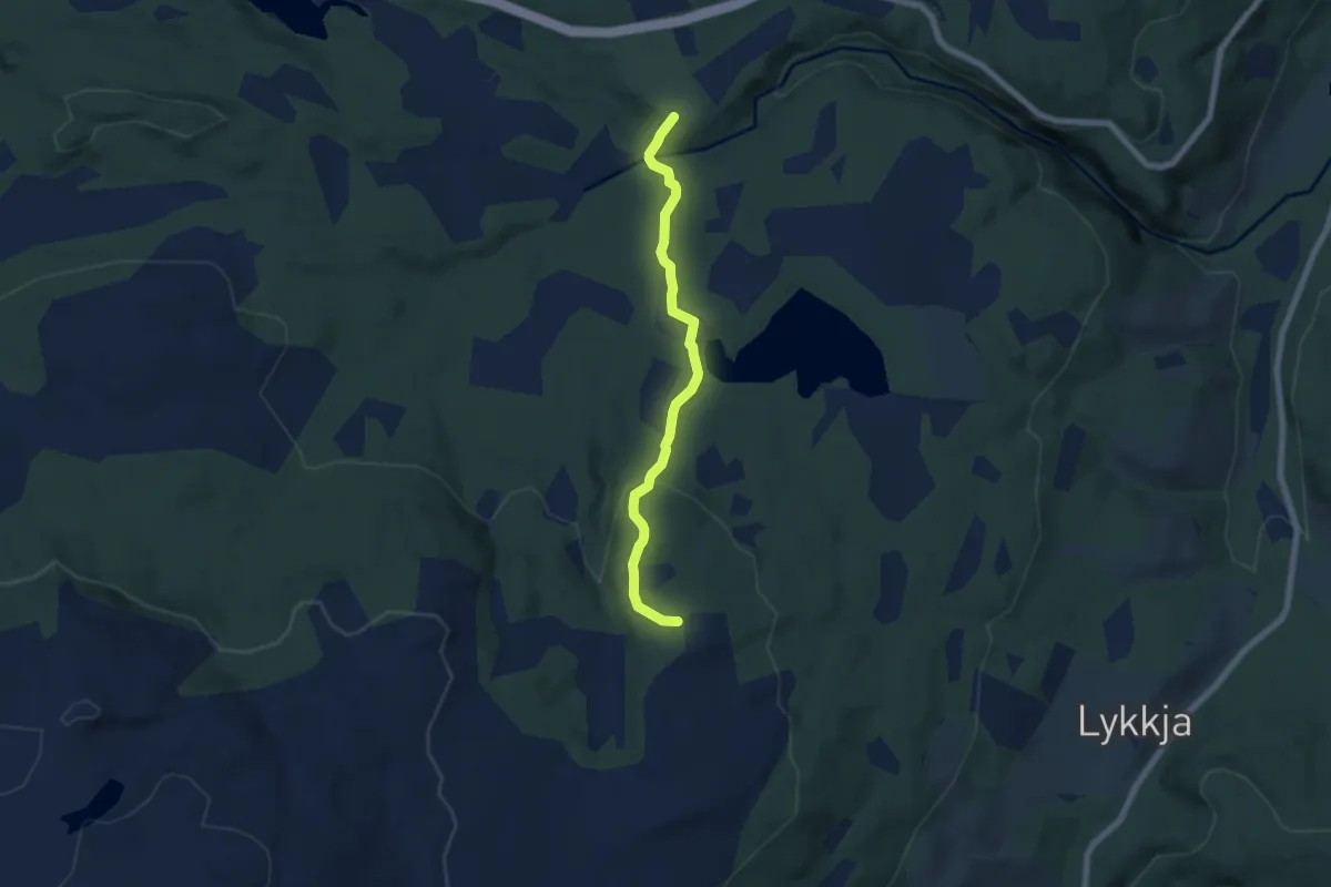
Easy · Trail
Svartbekkdalstien
4.0 km · ↑ 158 m · 1 h 17 min
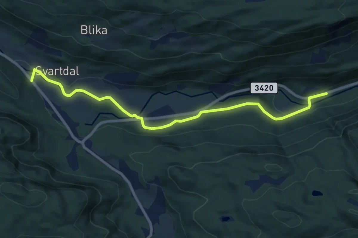
Medium · Trail
Svartdal
4.7 km · ↑ 88 m · 1 h 19 min
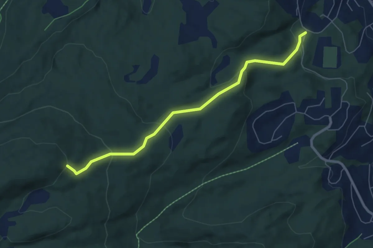
Medium · Trail
Svartdalen - Musvatnet
3.2 km · ↑ 202 m · 1 h 12 min
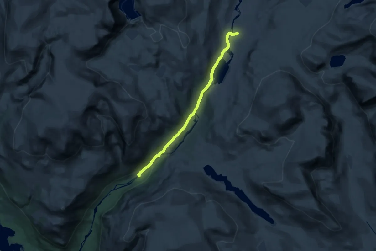
Medium · Trail
Svartdalen-Tunga
16.1 km · ↑ 320 m · 4 h 30 min