Trails in Norway
7,452 hiking trails, each with its route, climb, walking time and grade.
All trails, page 103 of 156
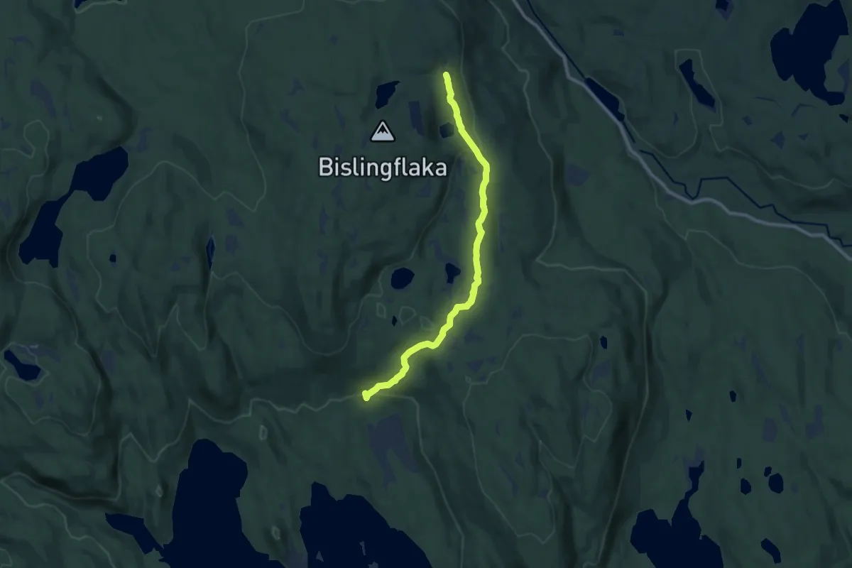
Easy · Trail
Syljusæter - Bislingsætra
6.4 km · ↑ 179 m · 1 h 54 min
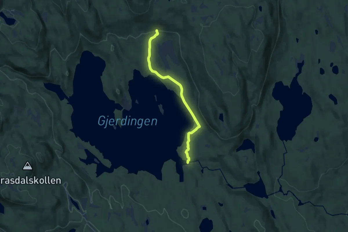
Easy · Trail
Syljusæter - Gjerdingsdammen
6.0 km · ↑ 83 m · 1 h 36 min
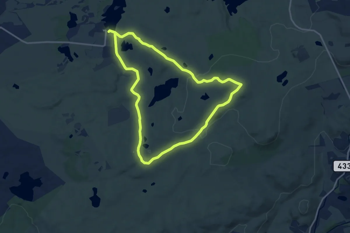
Easy · Summit
Synesvarden
7.3 km · ↑ 148 m · 2 h 9 min
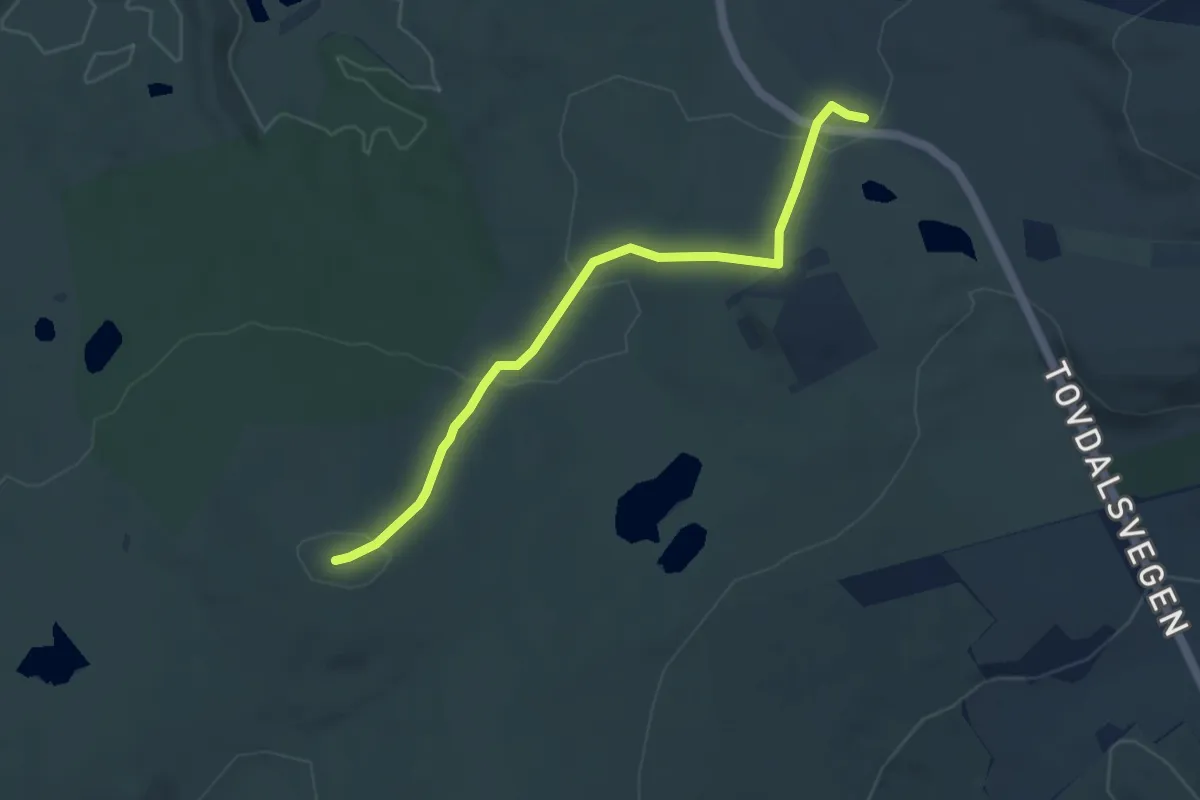
Easy · Trail
Synesvarden
3.4 km · ↑ 129 m · 1 h 5 min
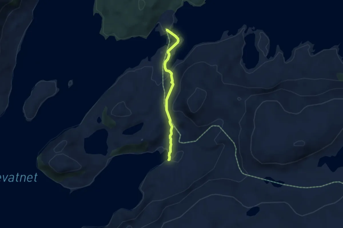
Medium · Trail
Synken - Eiesteinskvia
2.4 km · ↑ 70 m · 43 min
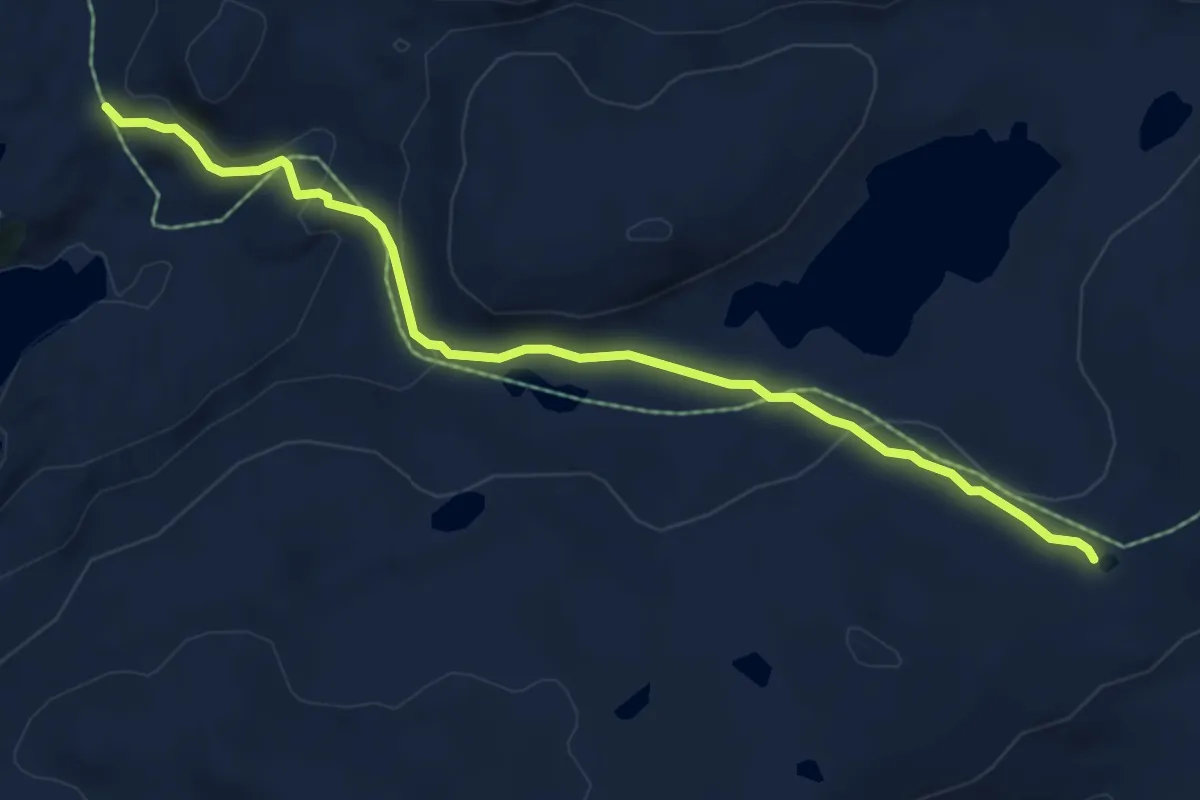
Demanding · Trail
Synken - Skålebotnfjellet - Langefjellet
4.7 km · ↑ 144 m · 1 h 25 min
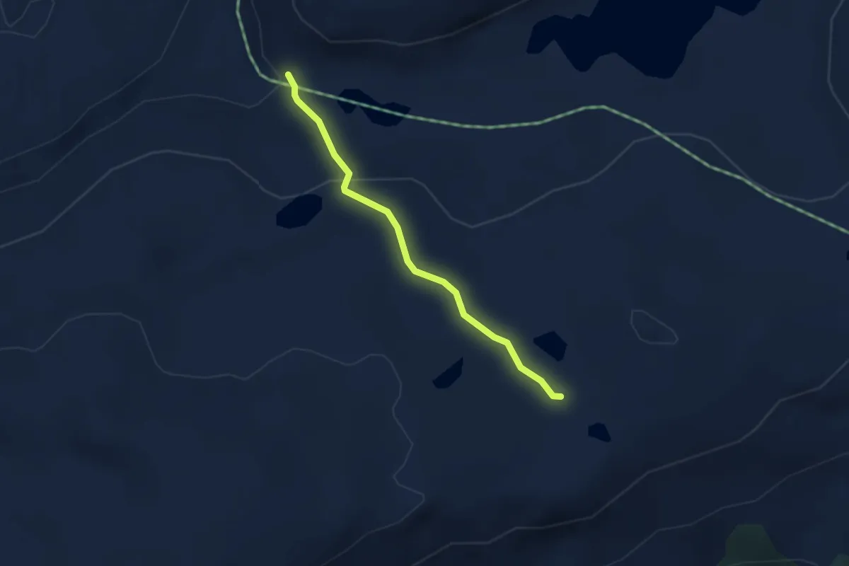
Demanding · Trail
Synken - Skålebotnsfjellet
2.1 km · ↑ 76 m · 39 min
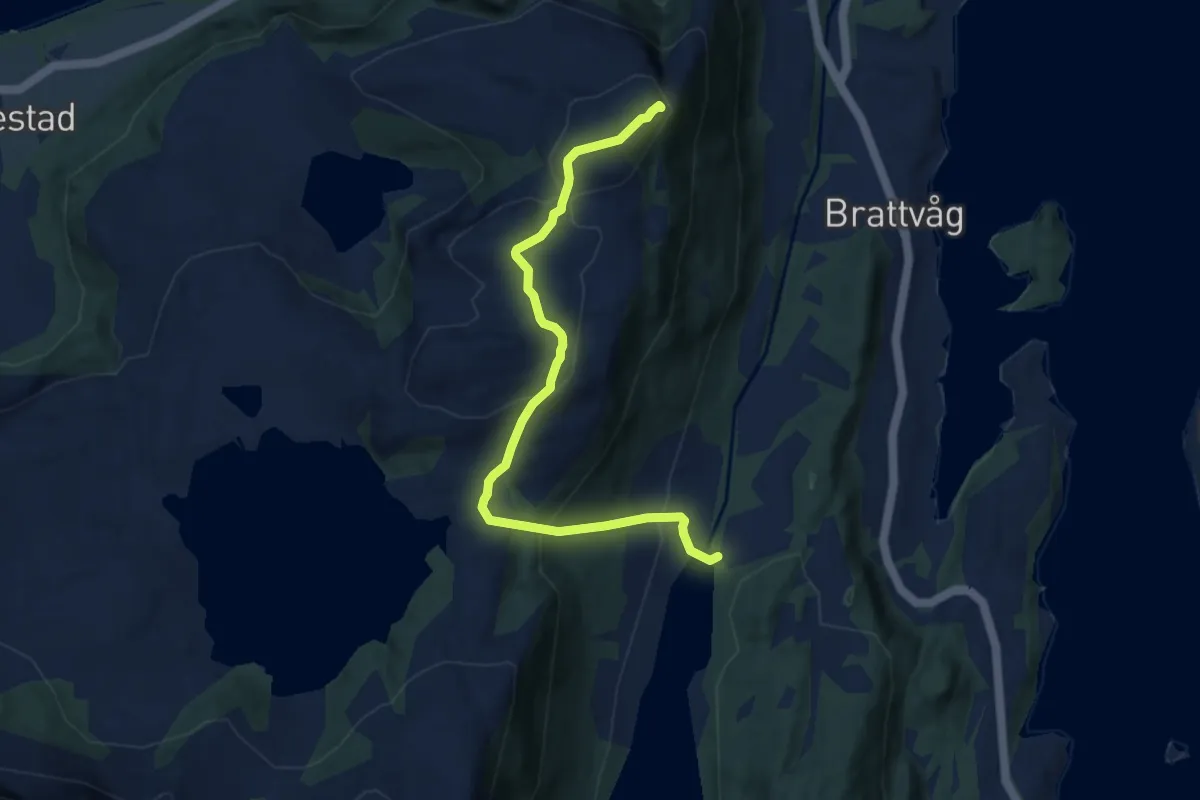
Medium · Trail
Synnalandshornet over Heimste Synnalandsheia
5.3 km · ↑ 311 m · 1 h 56 min
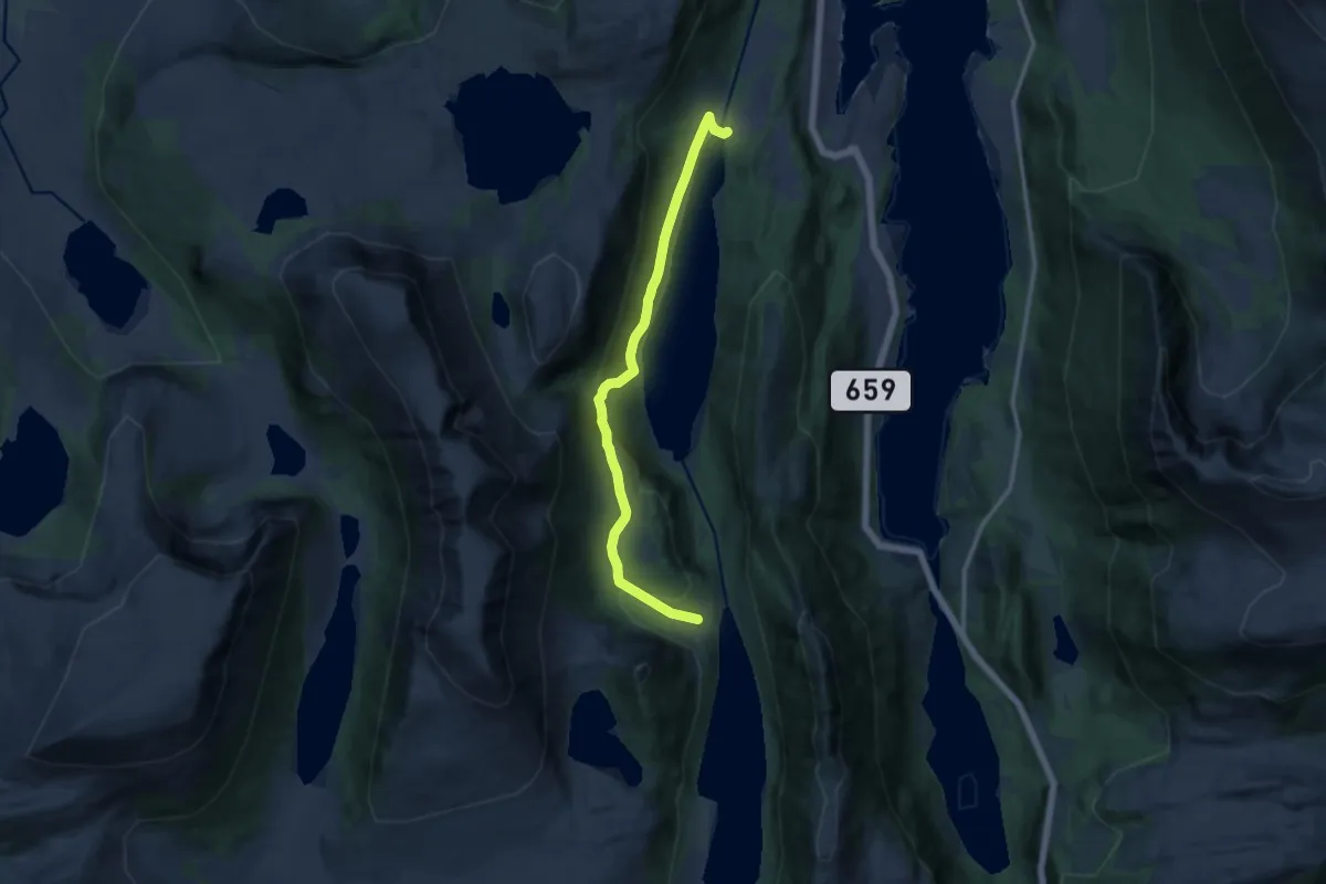
Medium · Trail
Synnalandsv.-Igletjønna-Gjerset
8.1 km · ↑ 249 m · 2 h 28 min
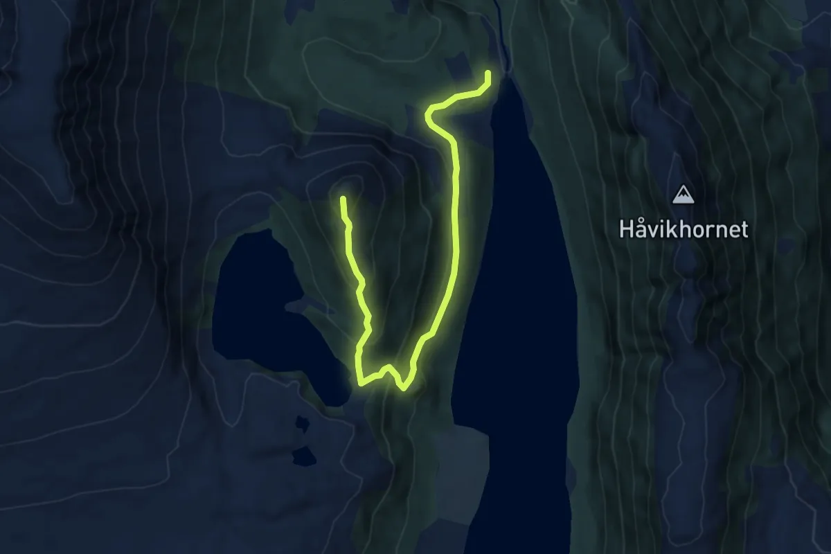
Medium · Trail
Synnalandsv.-Tinden
4.5 km · ↑ 273 m · 1 h 39 min
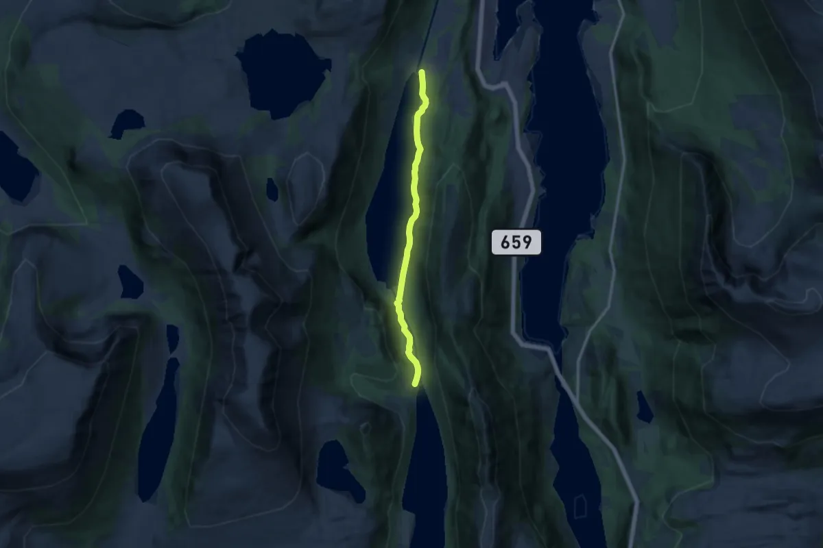
Medium · Trail
Synnalandsv.-Tinden
6.5 km · ↑ 114 m · 1 h 47 min
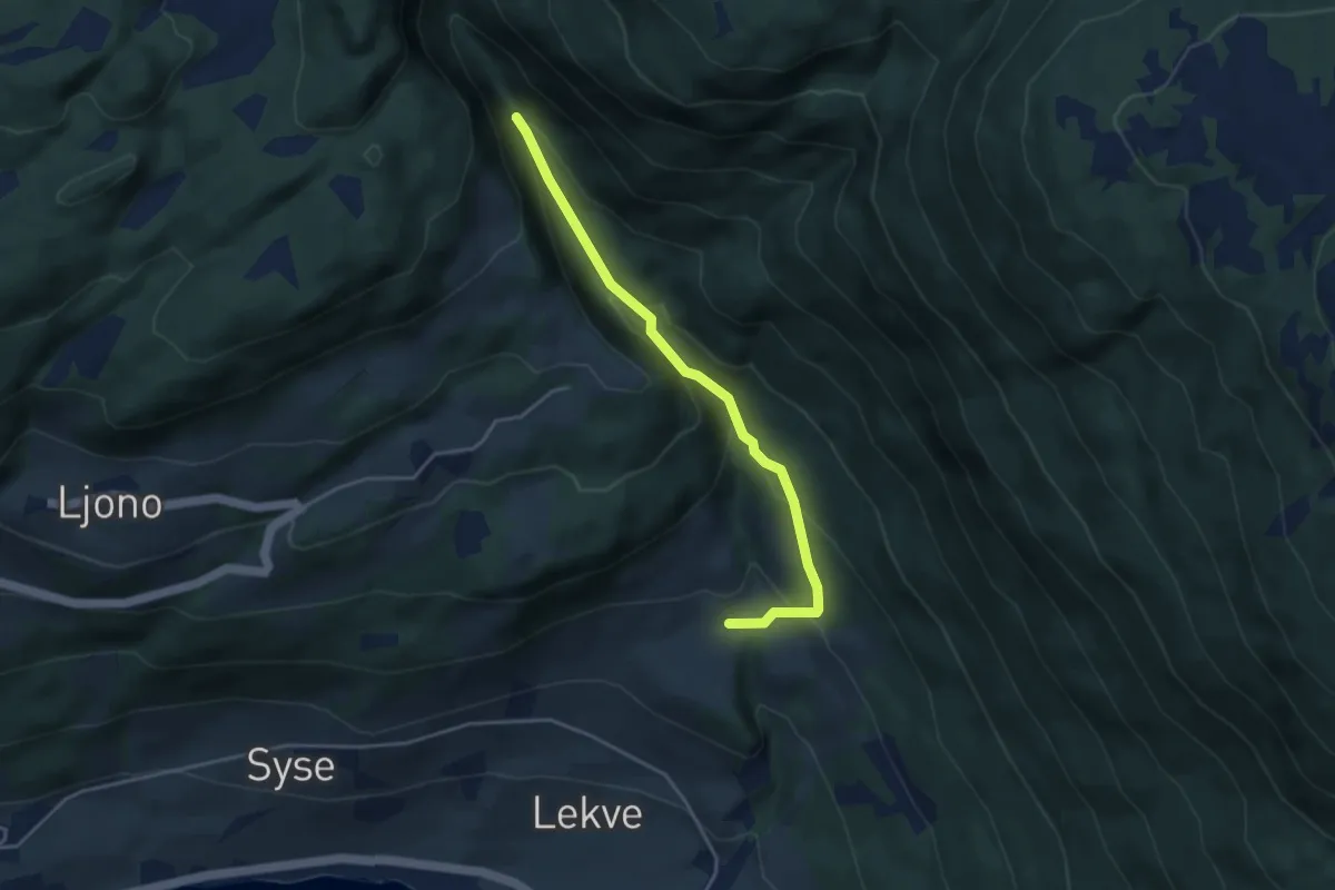
Medium · Trail
Sysegili
2.8 km · ↑ 186 m · 1 h 4 min
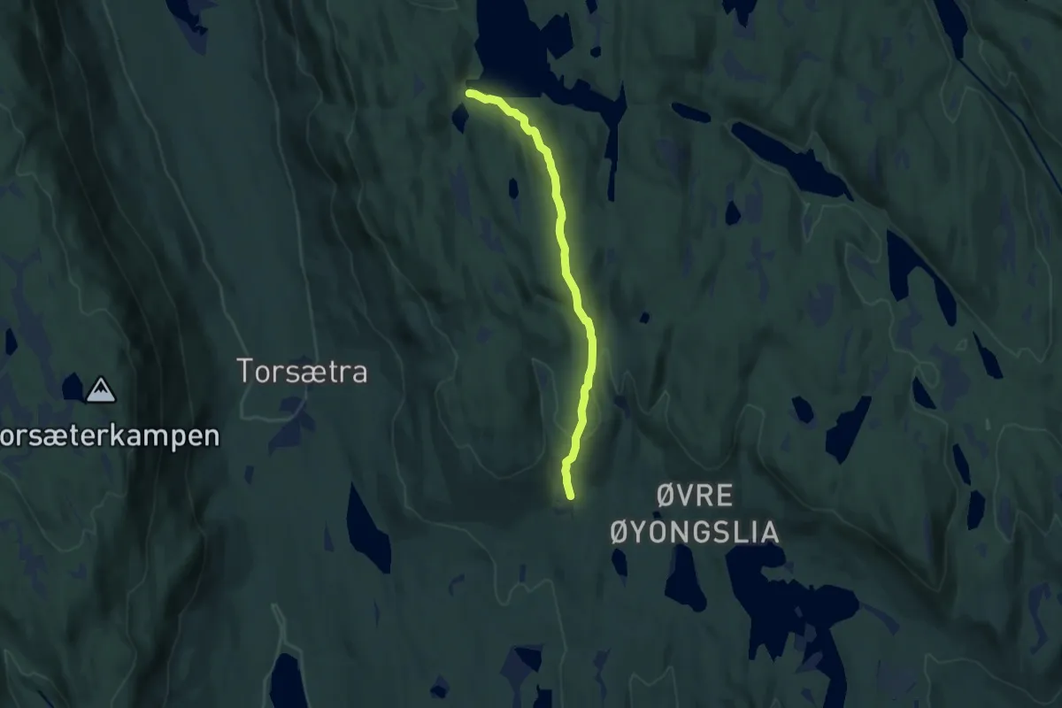
Medium · Trail
Syttlisætra - Fisklausen
5.2 km · ↑ 207 m · 1 h 40 min
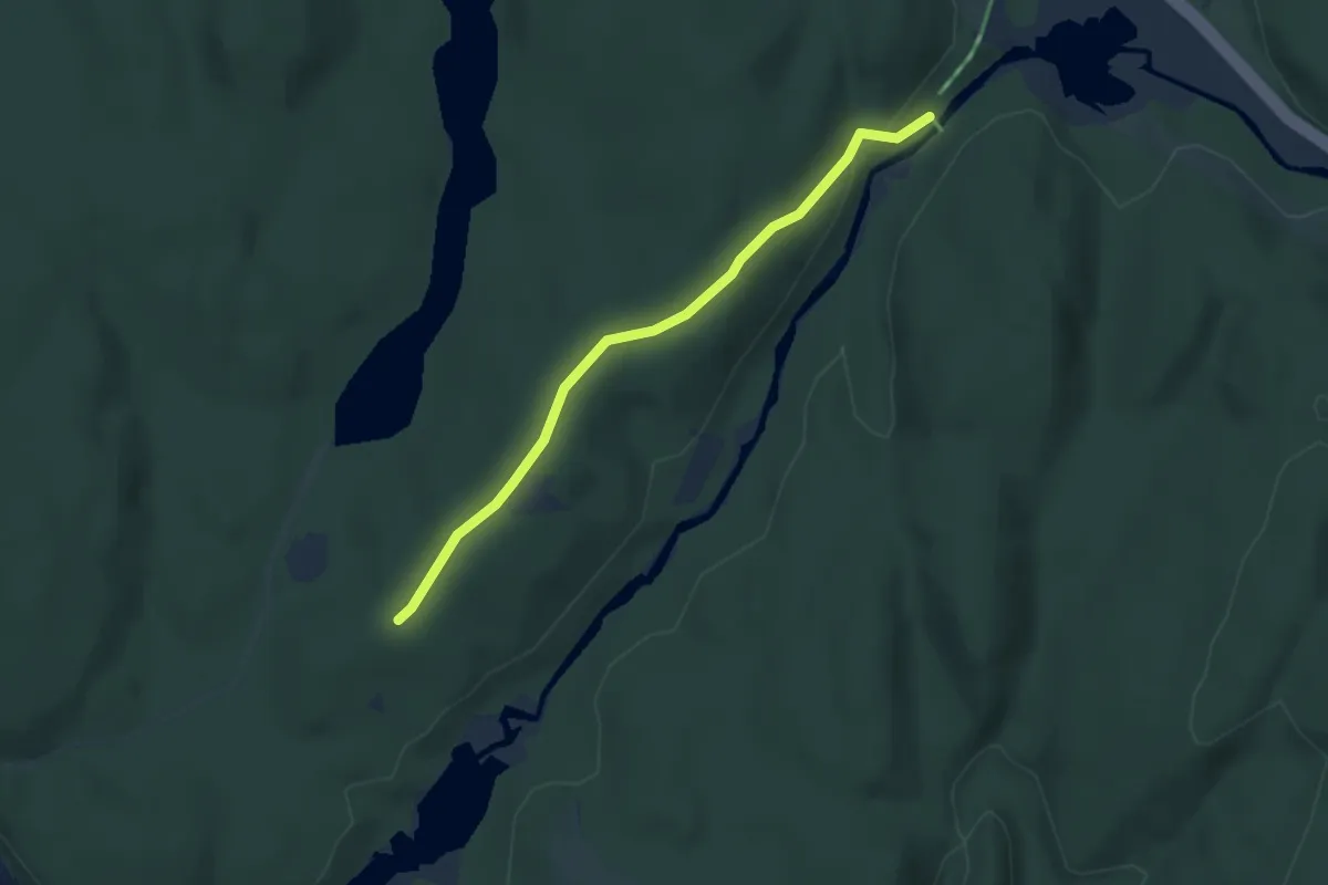
Easy · Trail
Syverudtjern-Krokhol
2.3 km · ↑ 45 m · 38 min
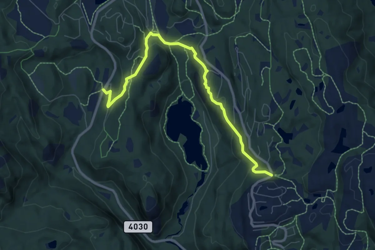
Medium · Trail
Takhomholet- Skardheia
5.6 km · ↑ 188 m · 1 h 44 min
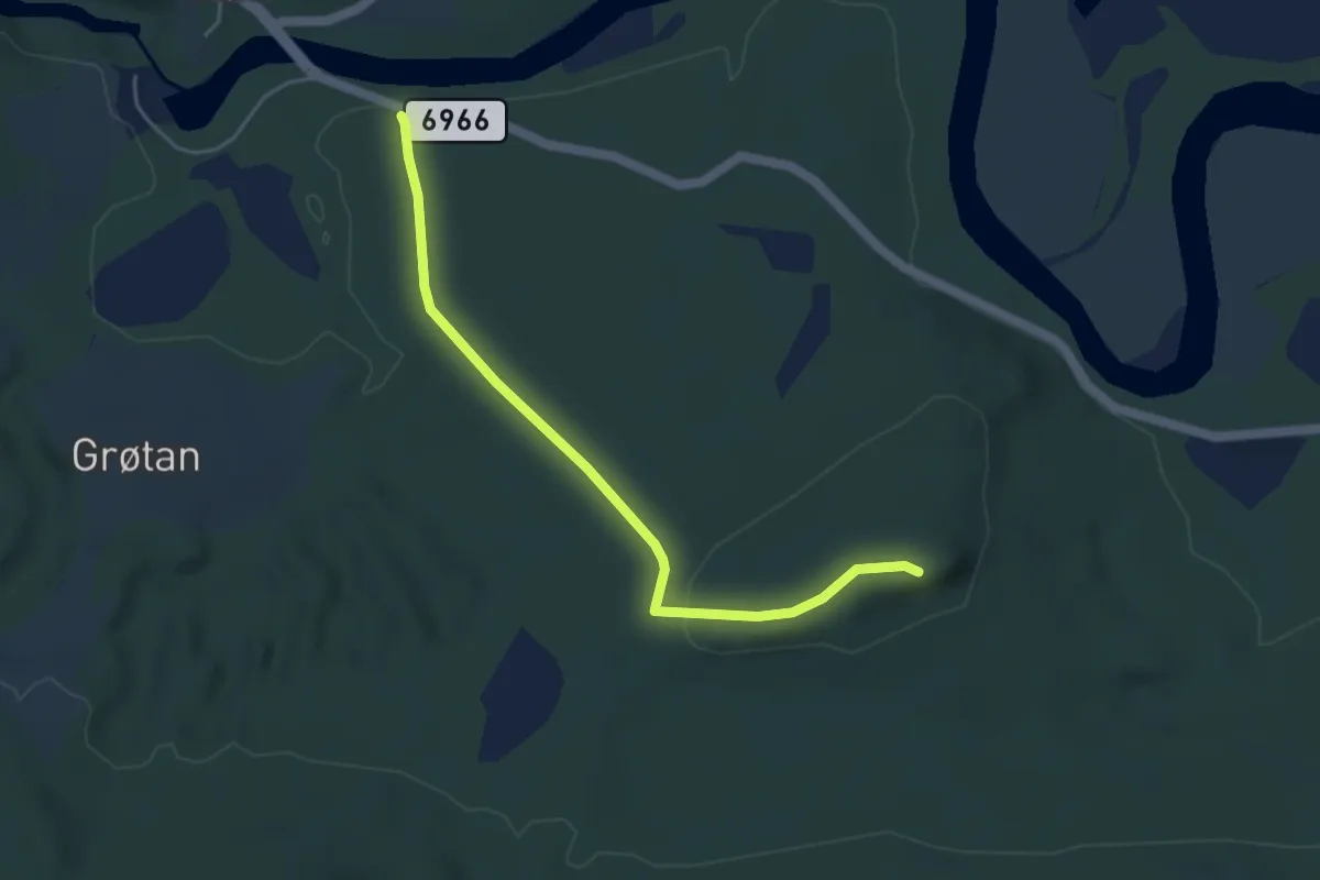
Easy · Trail
Talsengberget
2.9 km · ↑ 68 m · 50 min
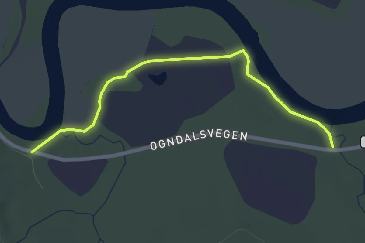
Easy · Trail
Talsenget
2.7 km · ↑ 9 m · 39 min
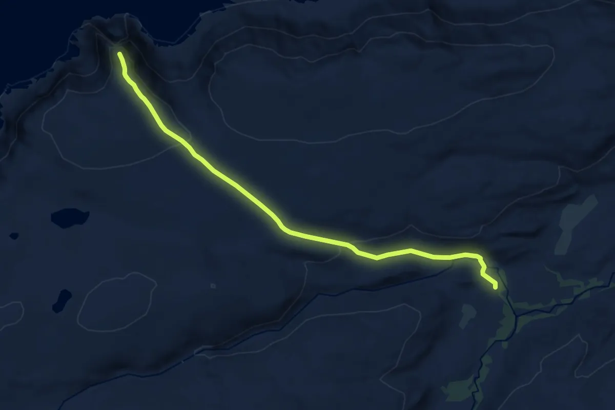
Easy · Trail
Tanahorn - Hoartnavárri
7.2 km · ↑ 205 m · 2 h 9 min
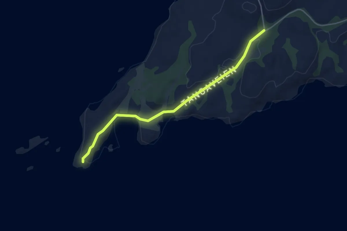
Easy · Trail
Tangan
2.3 km · ↑ 27 m · 35 min
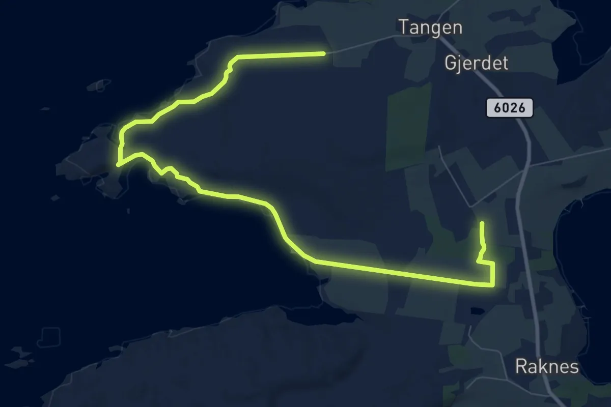
Easy · Trail
Tangen - Ålesundsneset - Raknes skule
7.5 km · ↑ 40 m · 1 h 51 min
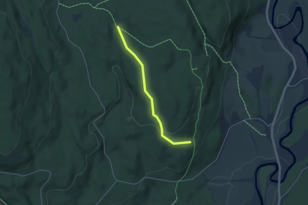
Easy · Trail
Tangenåsen
2.3 km · ↑ 60 m · 40 min
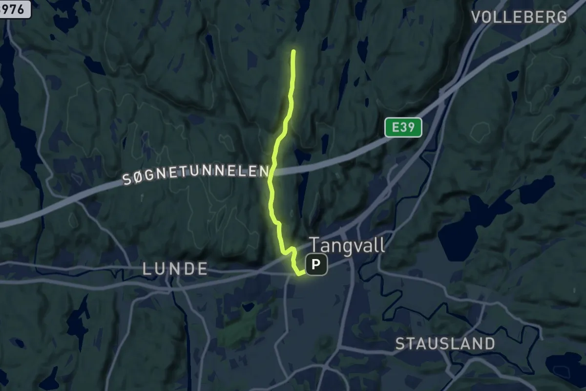
Easy · Trail
Tangvall-Kloppetjønna
6.2 km · ↑ 157 m · 1 h 49 min
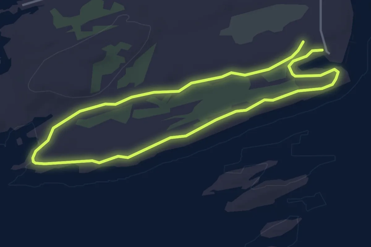
Easy · Trail
Tangvika-Båtvika
4.8 km · ↑ 26 m · 1 h 11 min
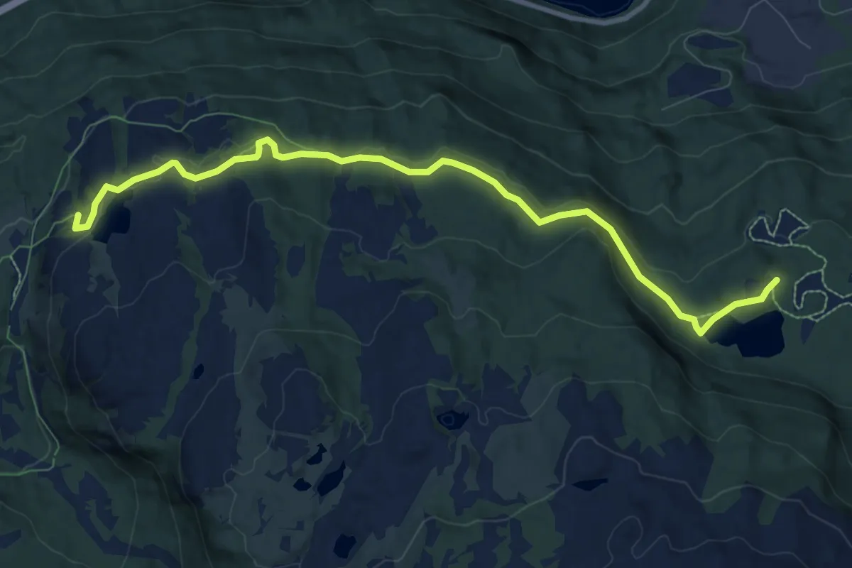
Easy · Trail
Taraldsvik - Funnhytta
5.4 km · ↑ 68 m · 1 h 25 min
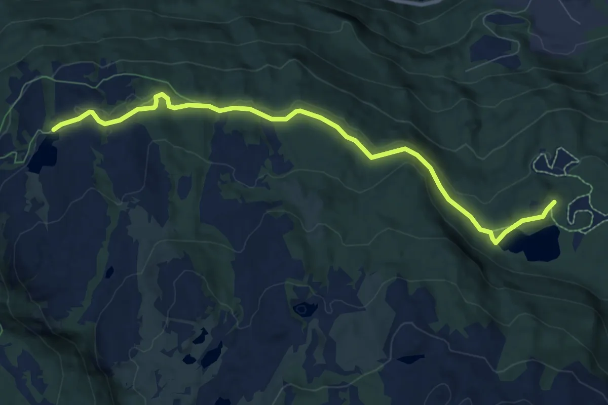
Demanding · Trail
Taraldsvik - Funnhytta,Tøttadalen
4.8 km · ↑ 54 m · 1 h 15 min
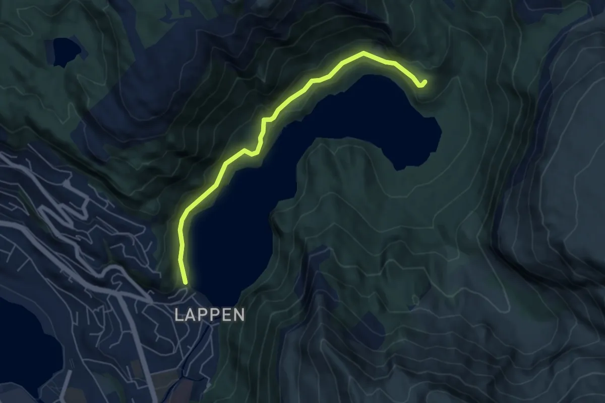
Easy · Trail
Tarlebøveien
4.0 km · ↑ 93 m · 1 h 9 min
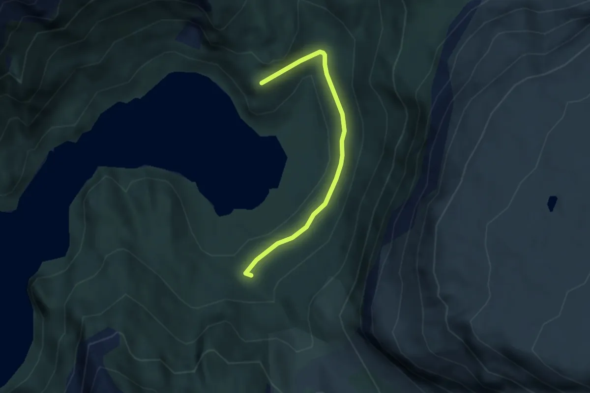
Easy · Trail
Tarlebøveien
2.3 km · ↑ 16 m · 34 min
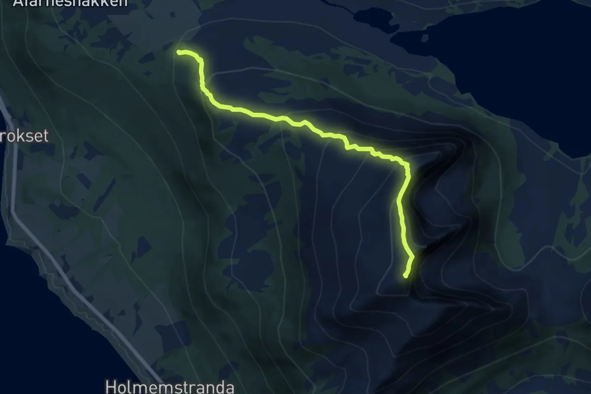
Medium · Trail
Tarløysa
7.6 km · ↑ 654 m · 3 h 12 min
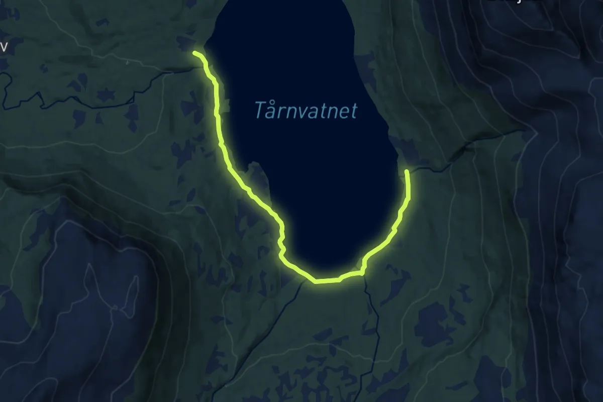
Easy · Trail
Tårnevatnet
8.0 km · ↑ 40 m · 1 h 58 min
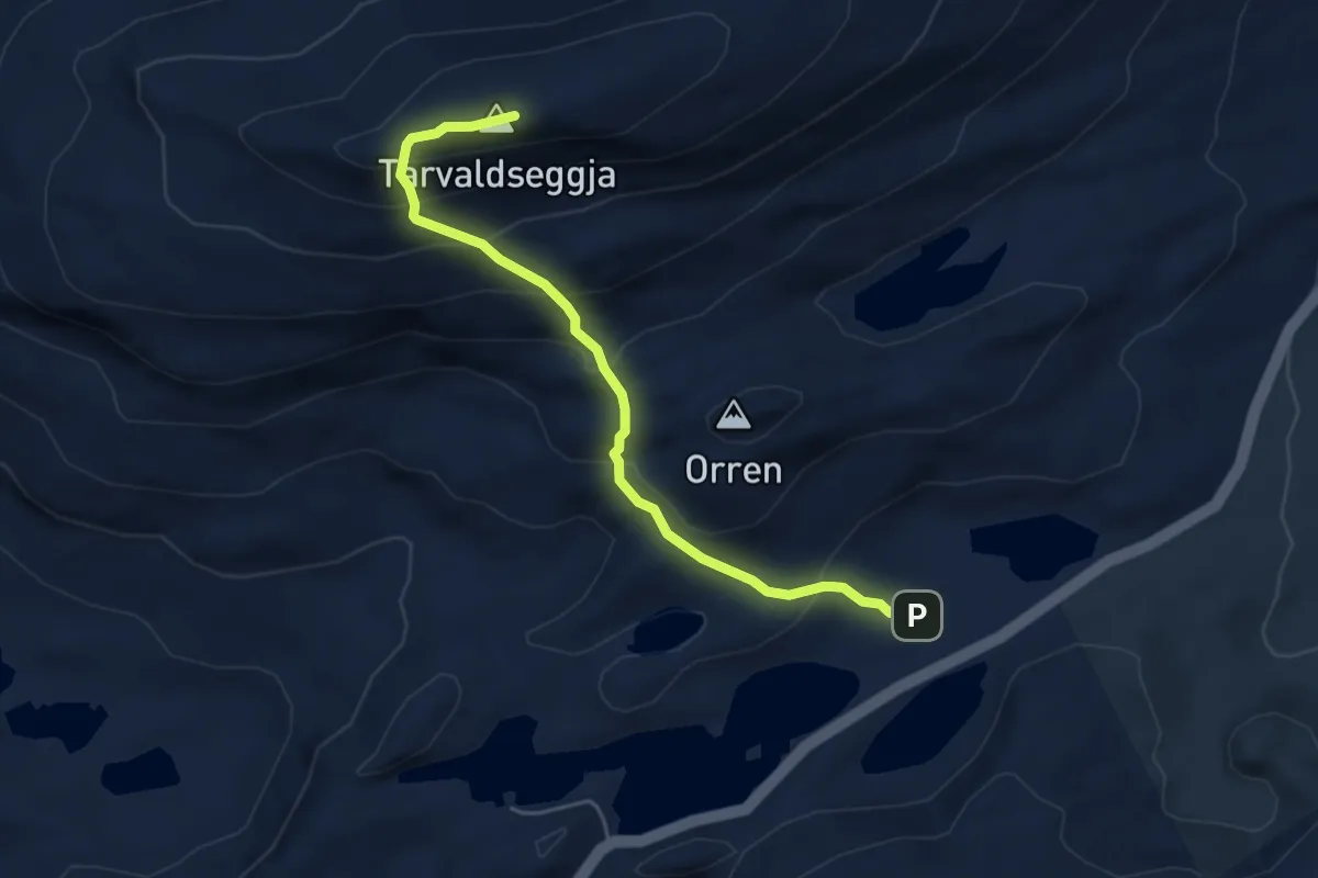
Medium · Trail
Tarvaldsegga
3.5 km · ↑ 354 m · 1 h 35 min
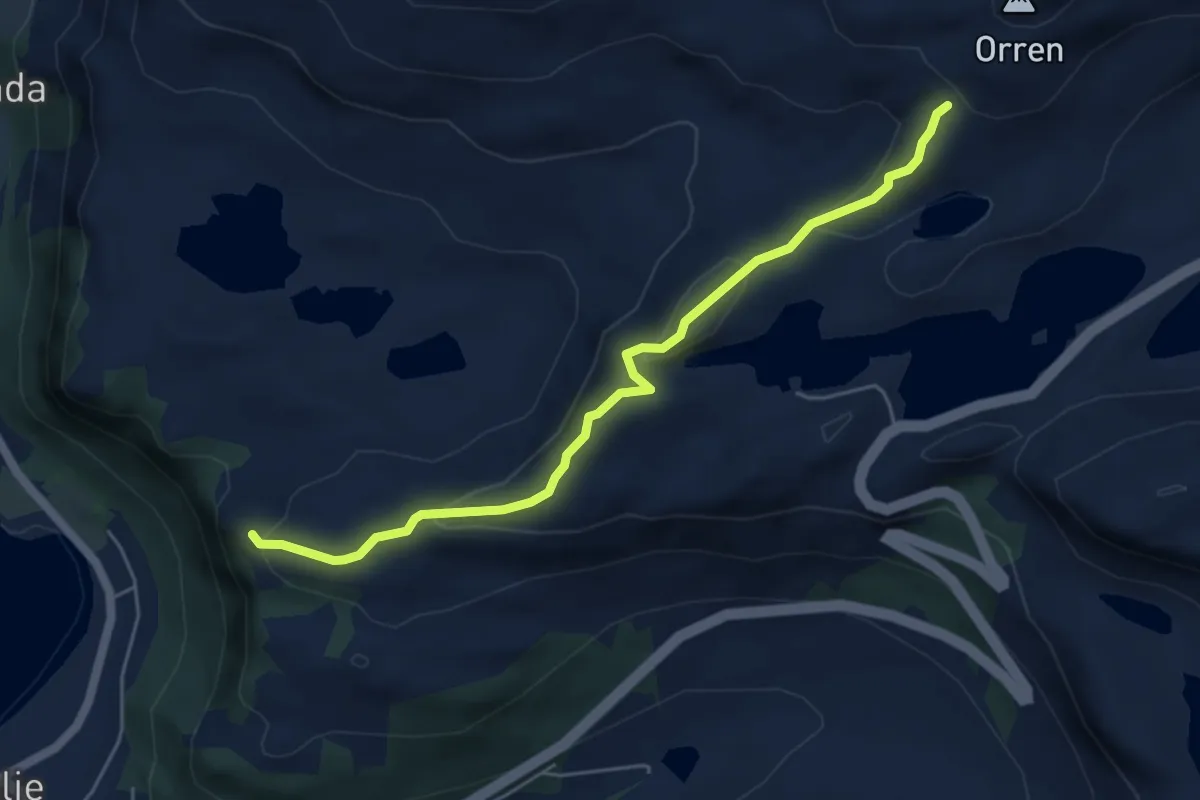
Demanding · Trail
Tarvaldseggja fra selje sentrum
3.6 km · ↑ 179 m · 1 h 15 min
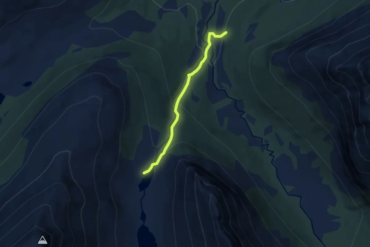
Easy · Trail
Taskedalshytta
3.8 km · ↑ 246 m · 1 h 26 min
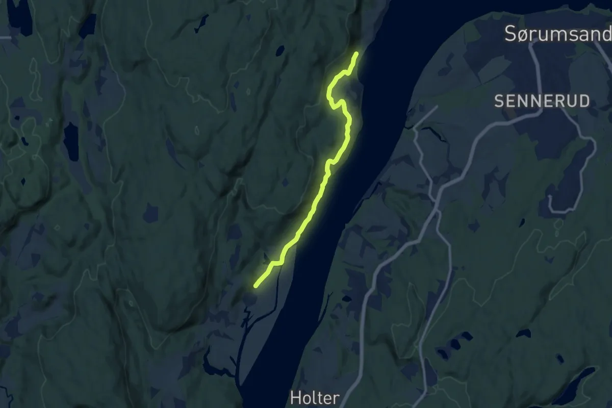
Easy · Trail
Taterstigen
7.0 km · ↑ 155 m · 2 h
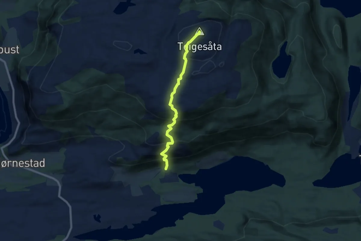
Medium · Summit
Teigesåta
3.8 km · ↑ 403 m · 1 h 46 min
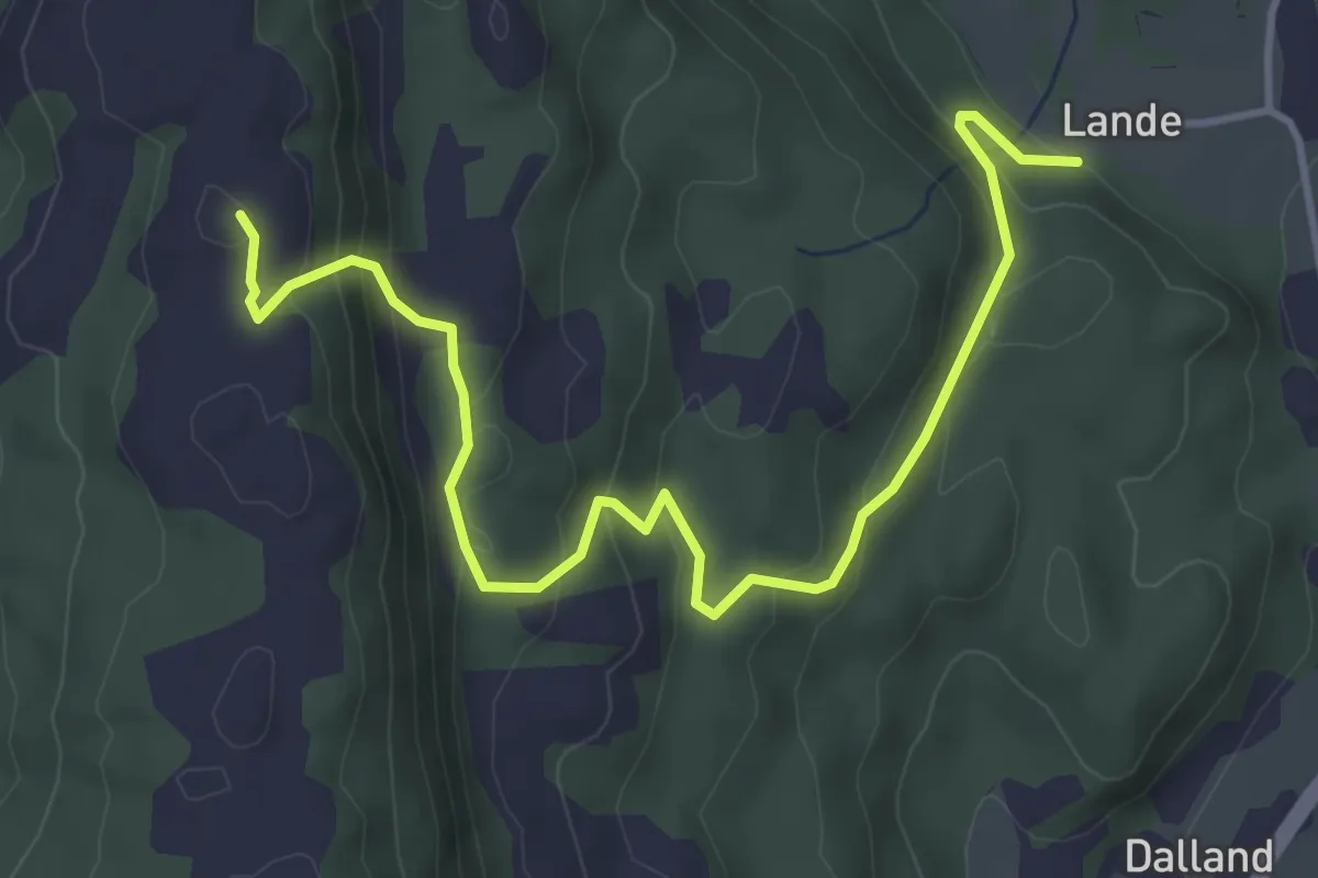
Medium · Trail
Teiglandsnuten
3.4 km · ↑ 253 m · 1 h 22 min
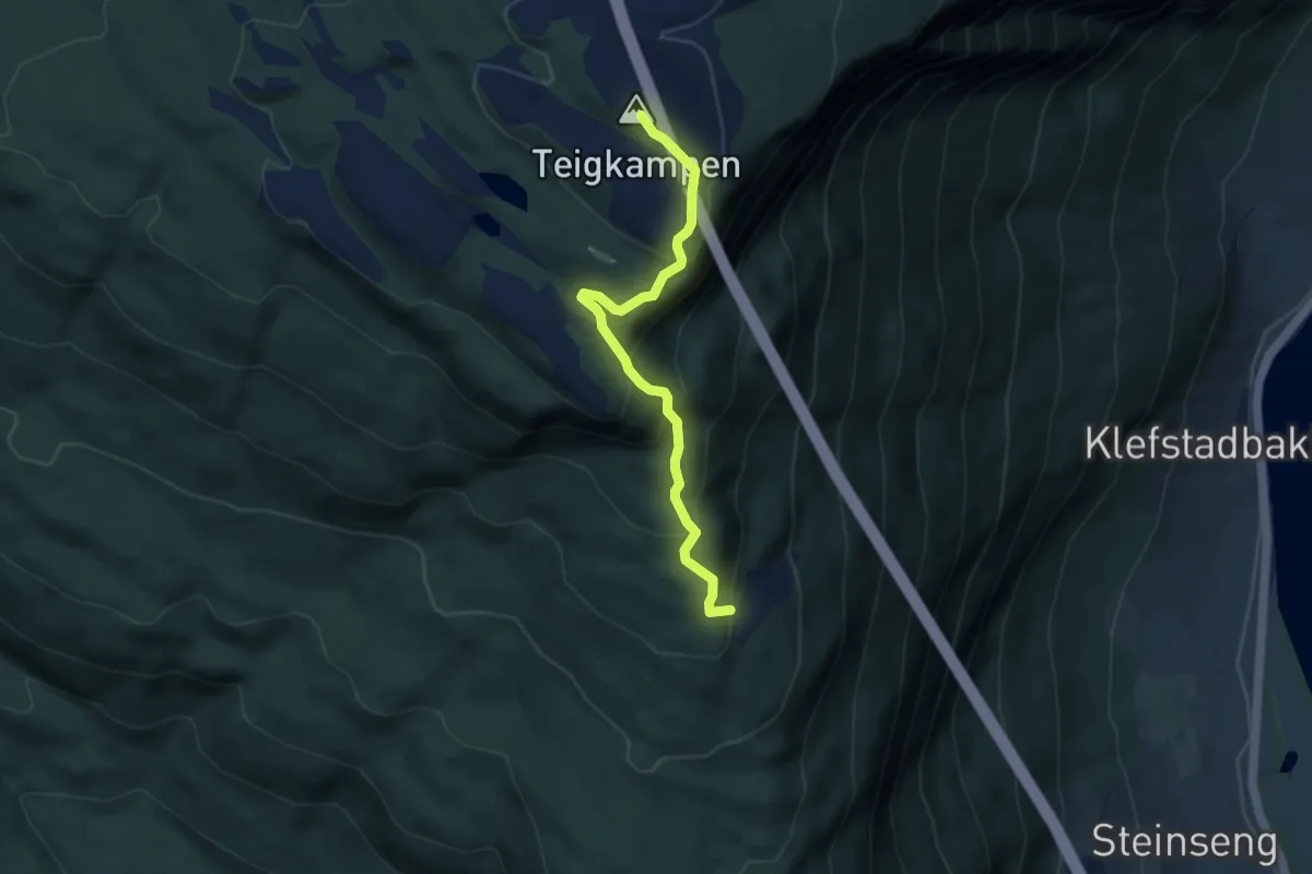
Easy · Trail
Teigsætra-Teigkampen
2.8 km · ↑ 232 m · 1 h 10 min
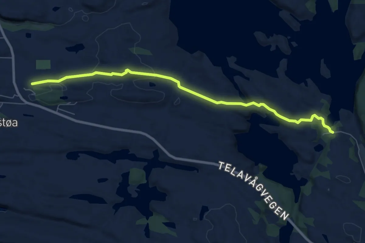
Medium · Trail
Telavåg-Spilda
5.1 km · ↑ 151 m · 1 h 32 min
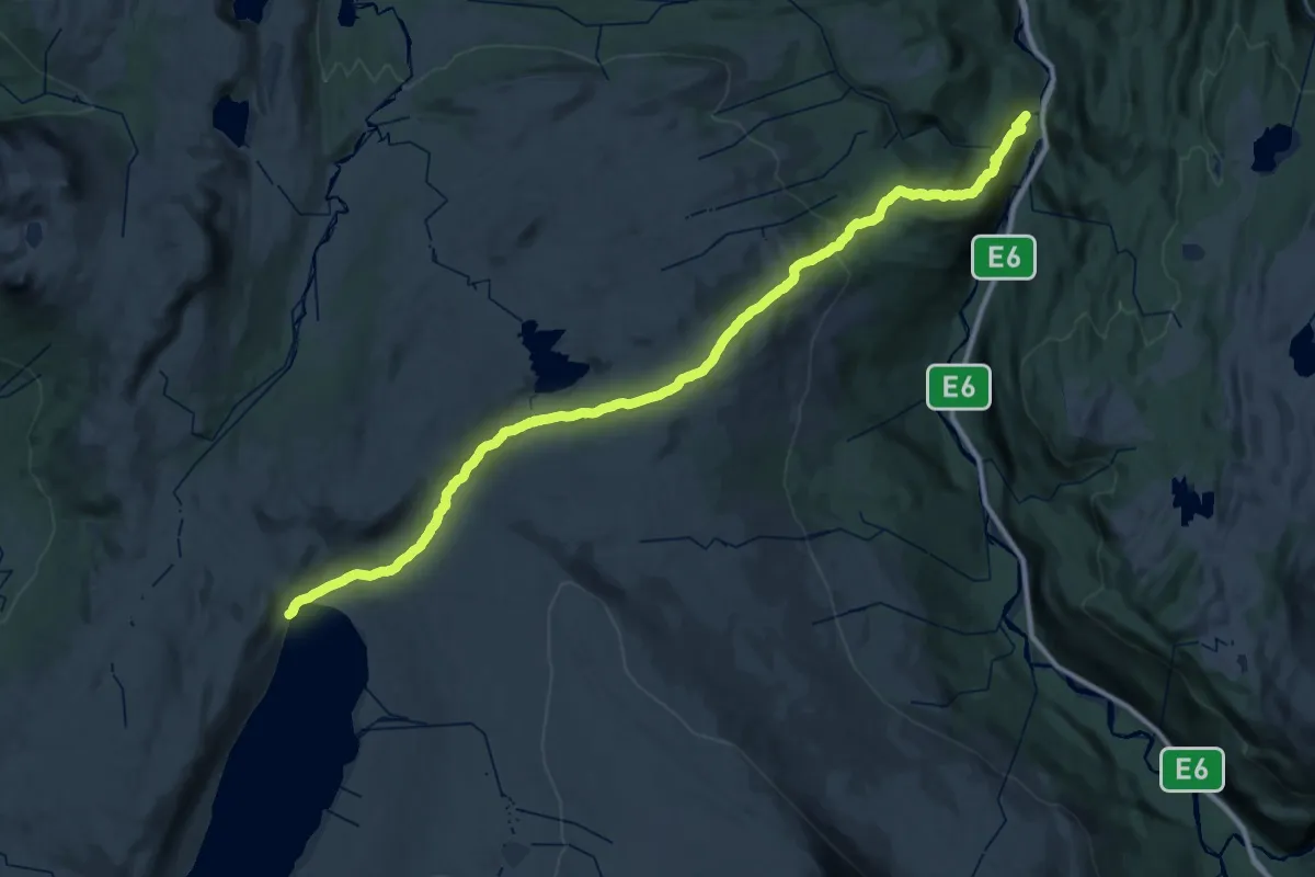
Demanding · Trail
Telegrafruta Bjellåvasstua-Russånes
15.9 km · ↑ 244 m · 4 h 50 min
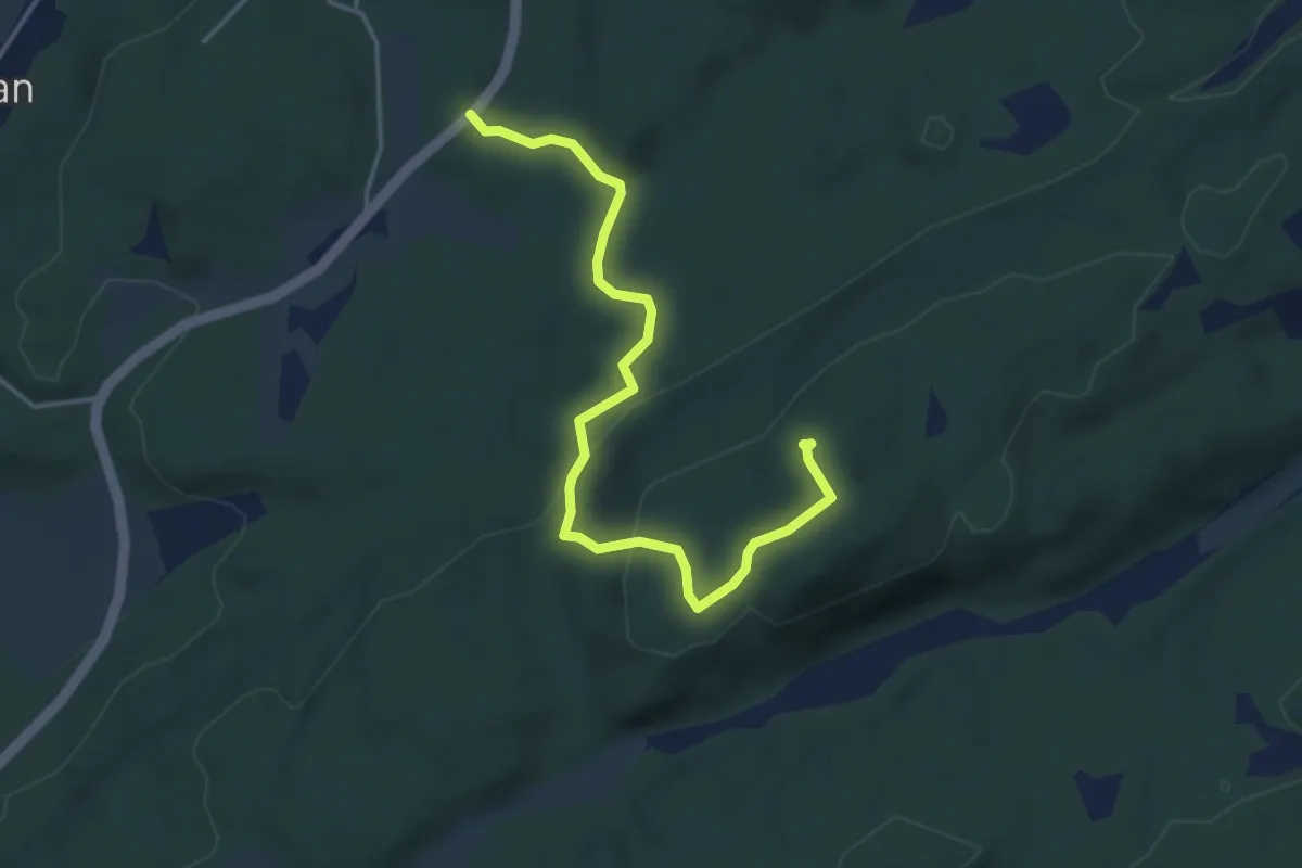
Demanding · Trail
Tempelbratte
2.8 km · ↑ 114 m · 54 min
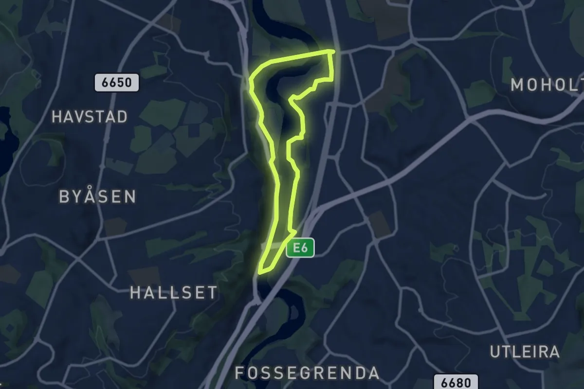
Easy · Trail
Temperunden
5.0 km · ↑ 56 m · 1 h 23 min
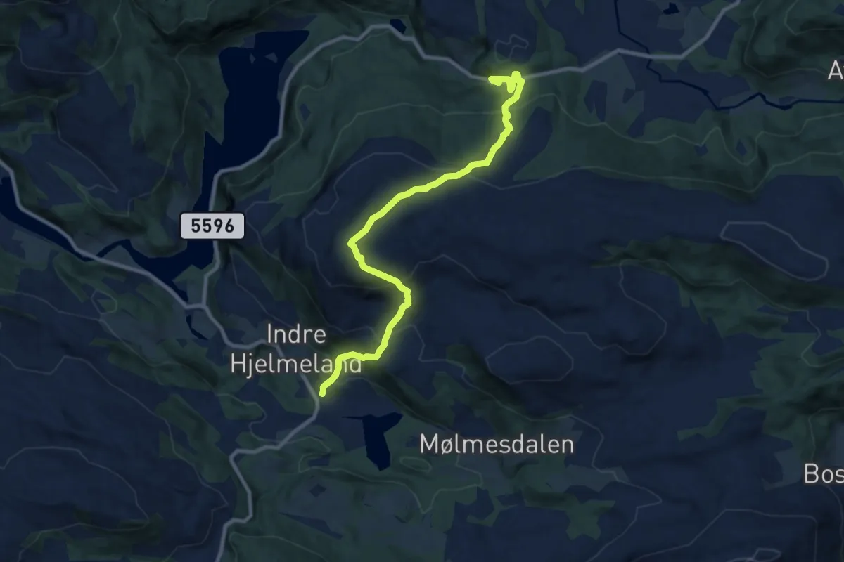
Medium · Trail
Templane
6.9 km · ↑ 513 m · 2 h 45 min
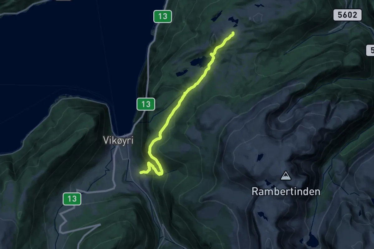
Medium · Trail
Tenål-Kallbakk
17.5 km · ↑ 720 m · 5 h 41 min
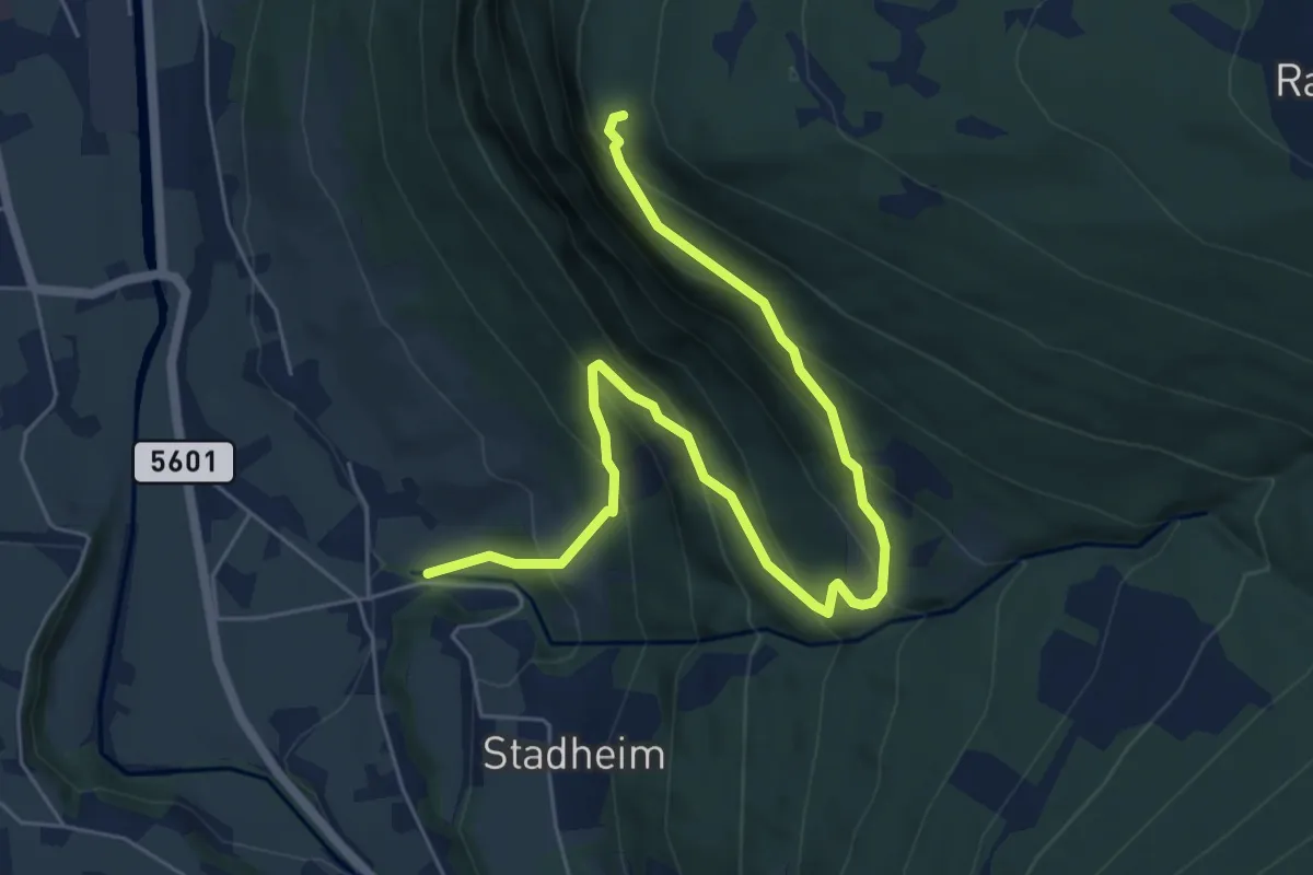
Medium · Trail
Tenål-Varpet
5.1 km · ↑ 471 m · 2 h 13 min
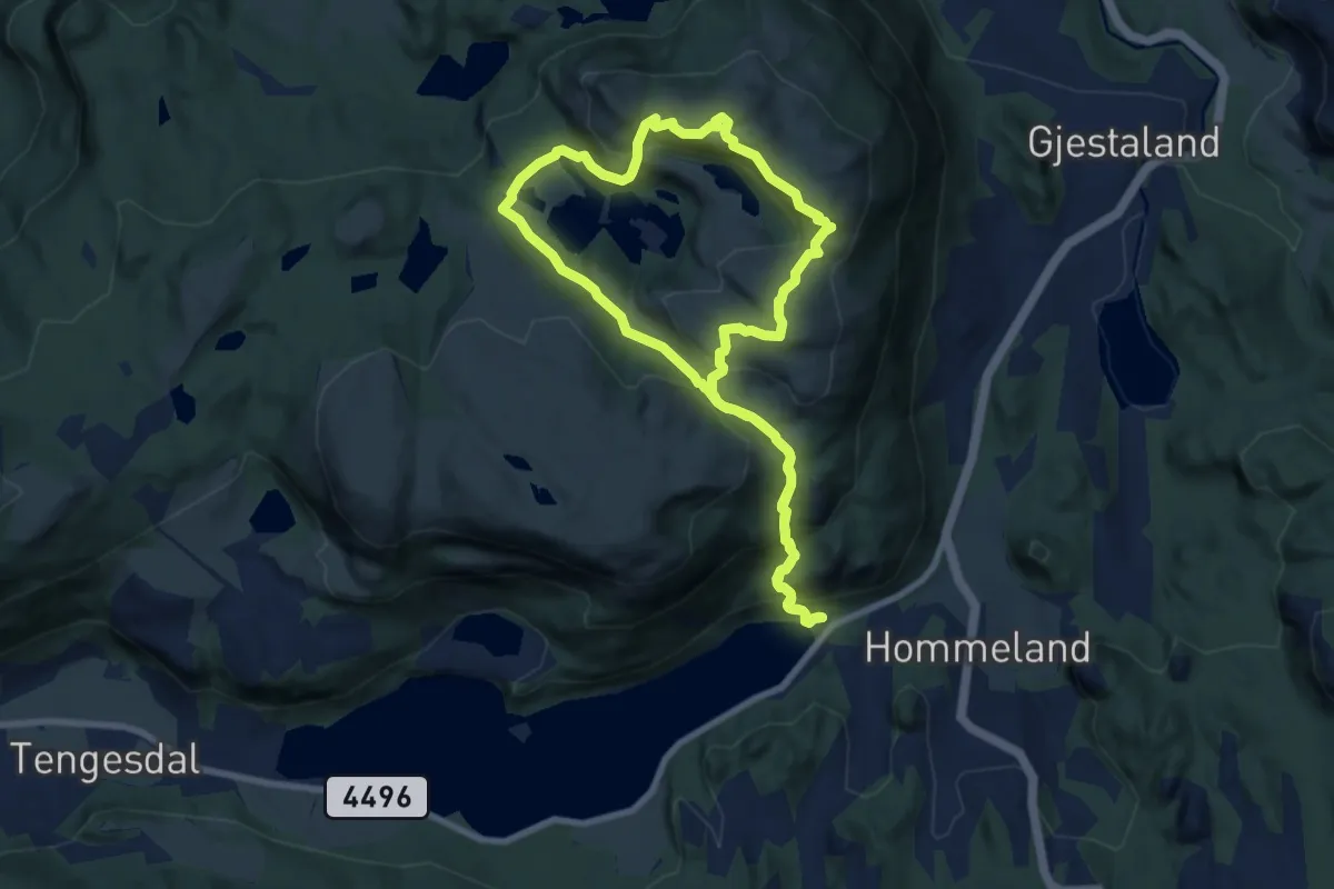
Medium · Summit
Tengesdalsvatnet-Nonsknuten rundtur
6.1 km · ↑ 415 m · 2 h 25 min
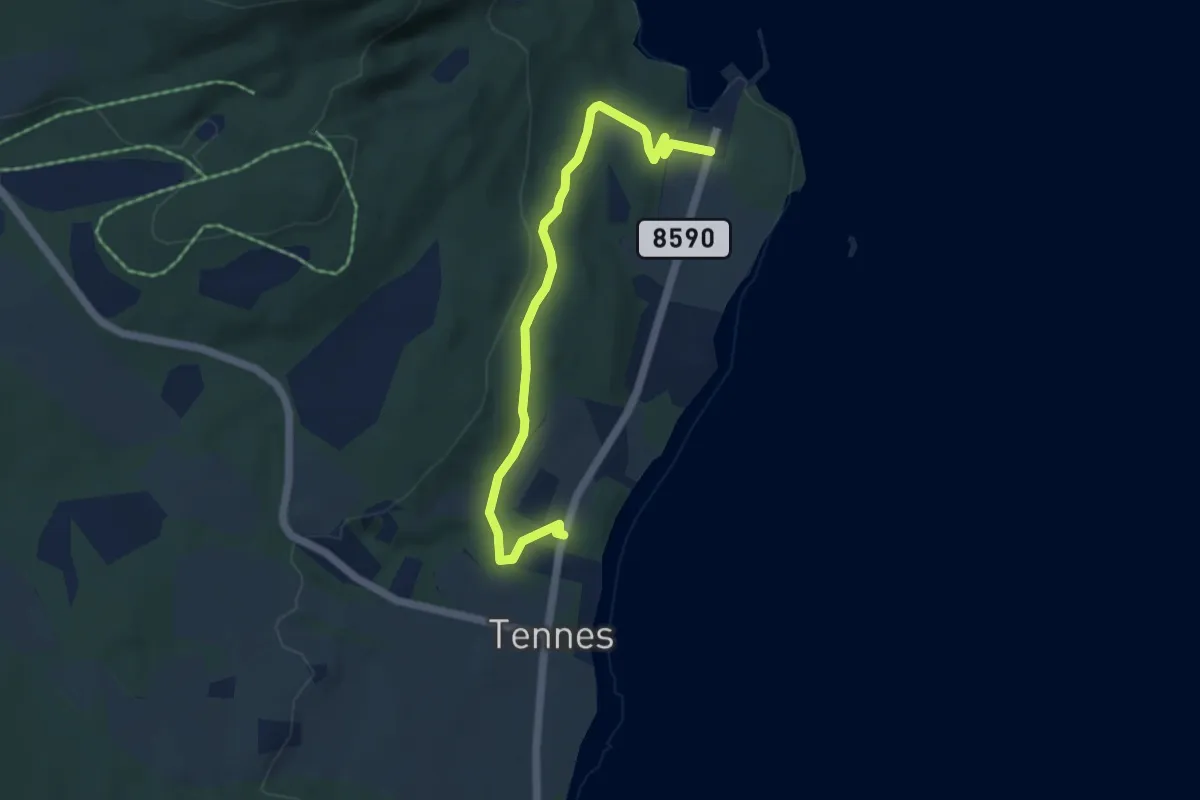
Easy · Trail
Tennes helleristningsfelt
2.7 km · ↑ 70 m · 47 min
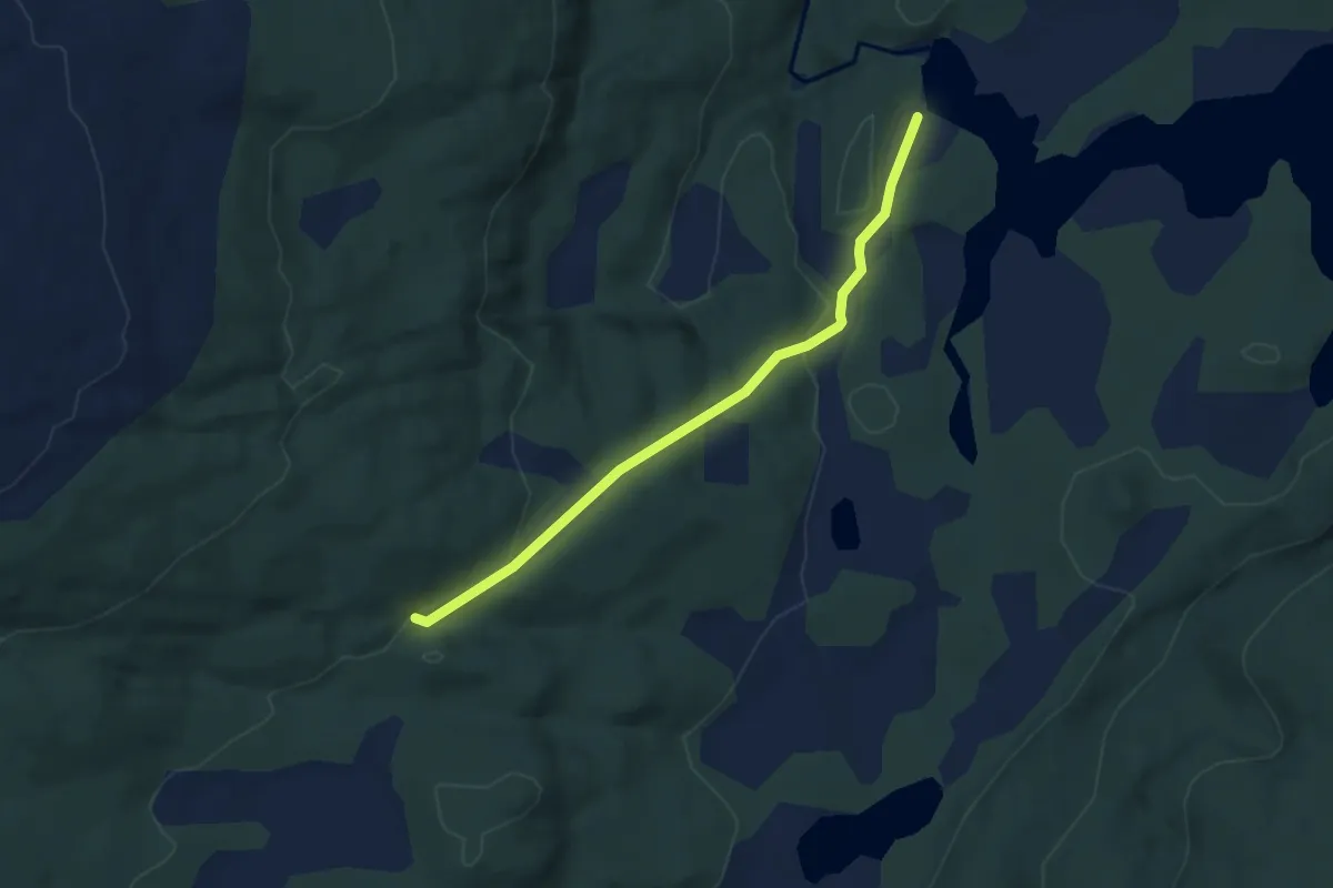
Medium · Trail
Tennevika - Furumarka
2.1 km · ↑ 59 m · 37 min
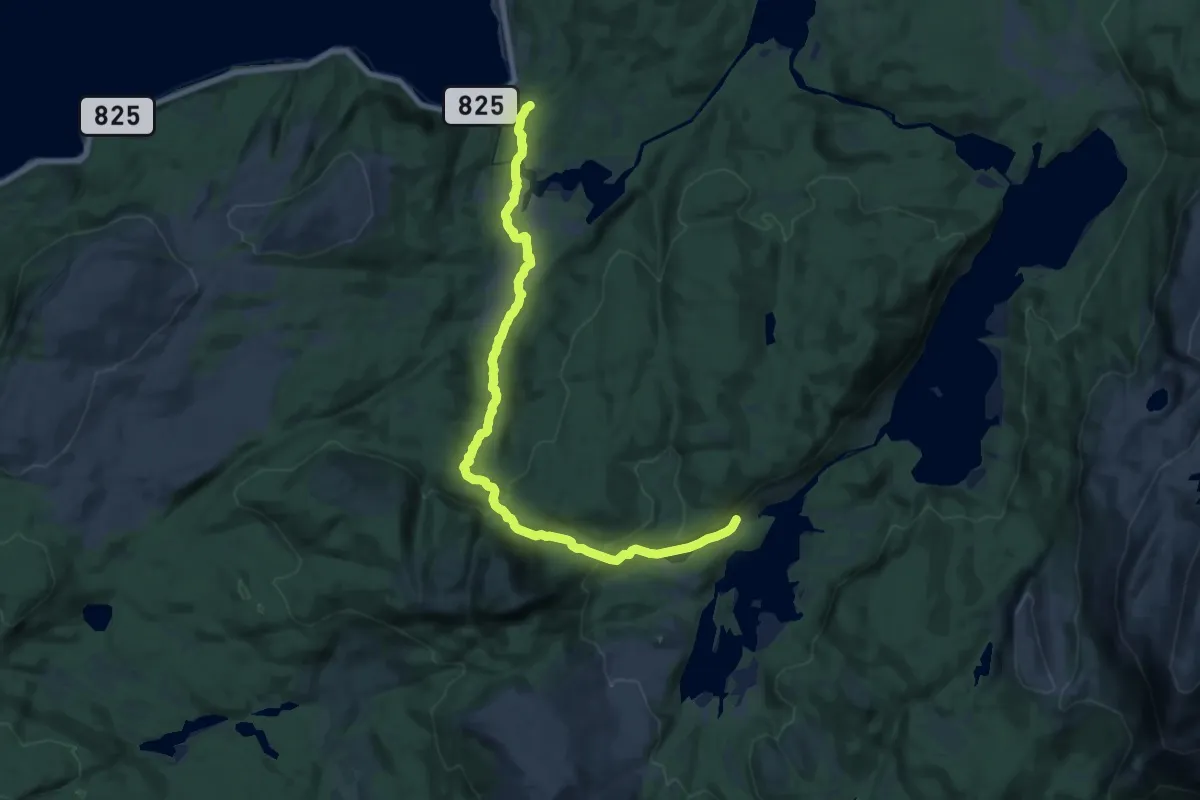
Medium · Trail
Tennevika - Øyvatn
11.5 km · ↑ 336 m · 3 h 27 min
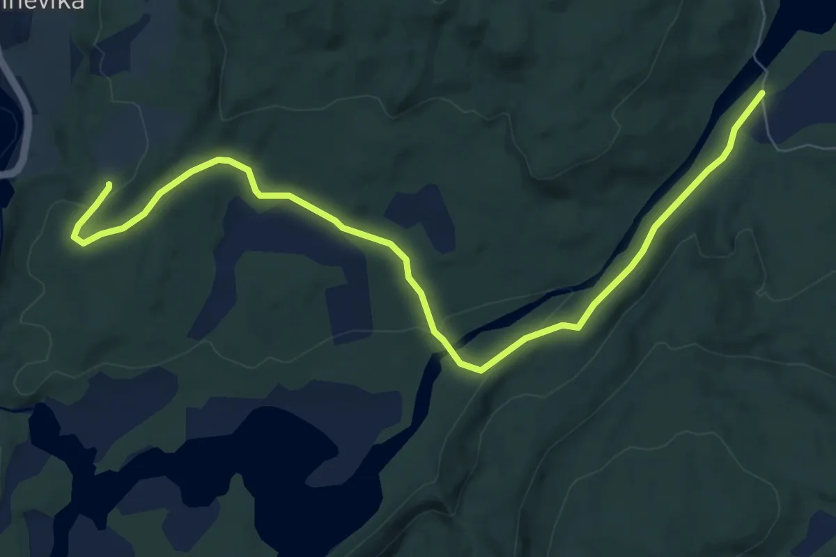
Medium · Trail
Tennevika - Sandvatnet
4.8 km · ↑ 110 m · 1 h 22 min