Trails in Norway
7,452 hiking trails, each with its route, climb, walking time and grade.
All trails, page 104 of 156
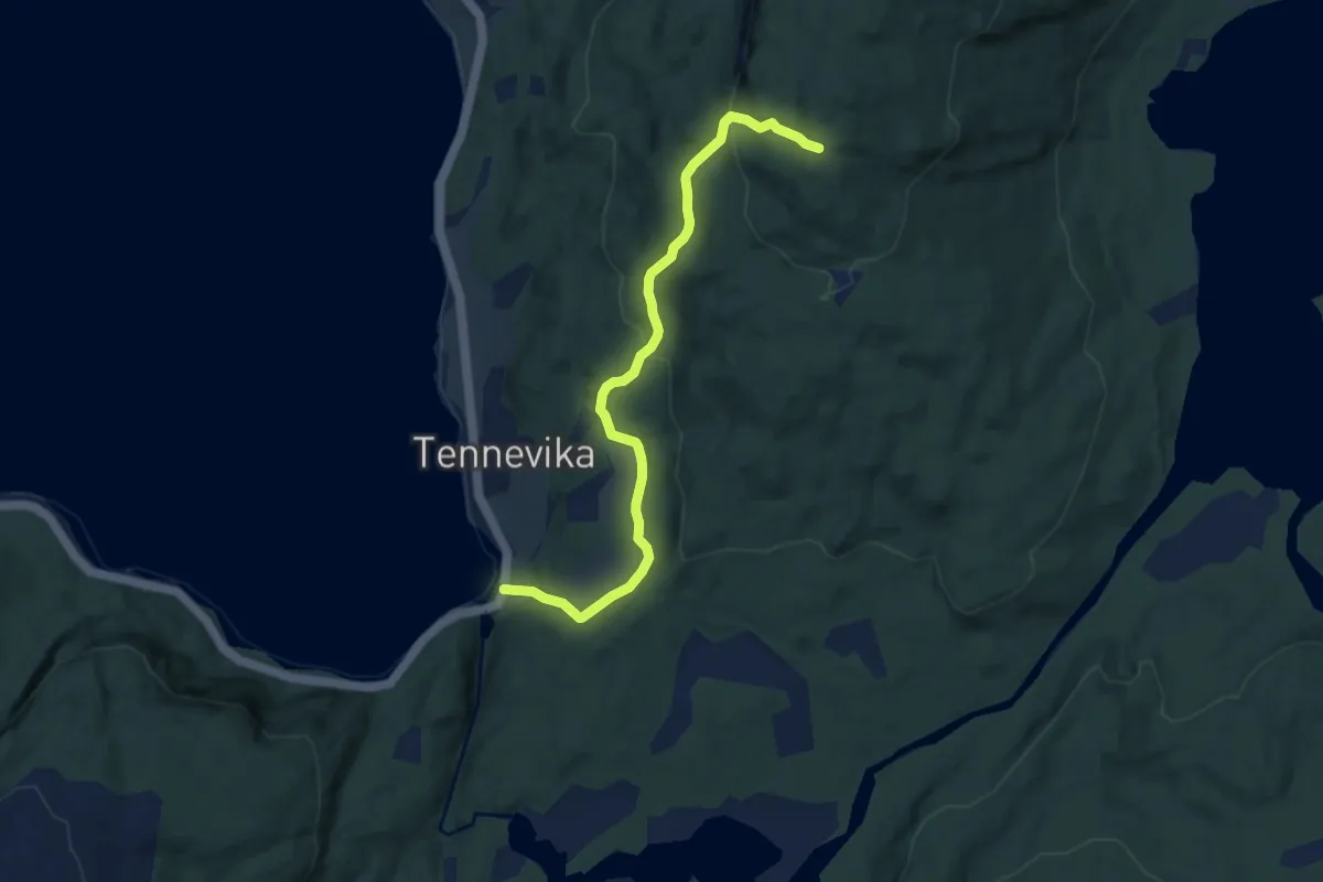
Easy · Trail
Tennevika - Skavaksla (Blåmerket)
4.3 km · ↑ 243 m · 1 h 32 min
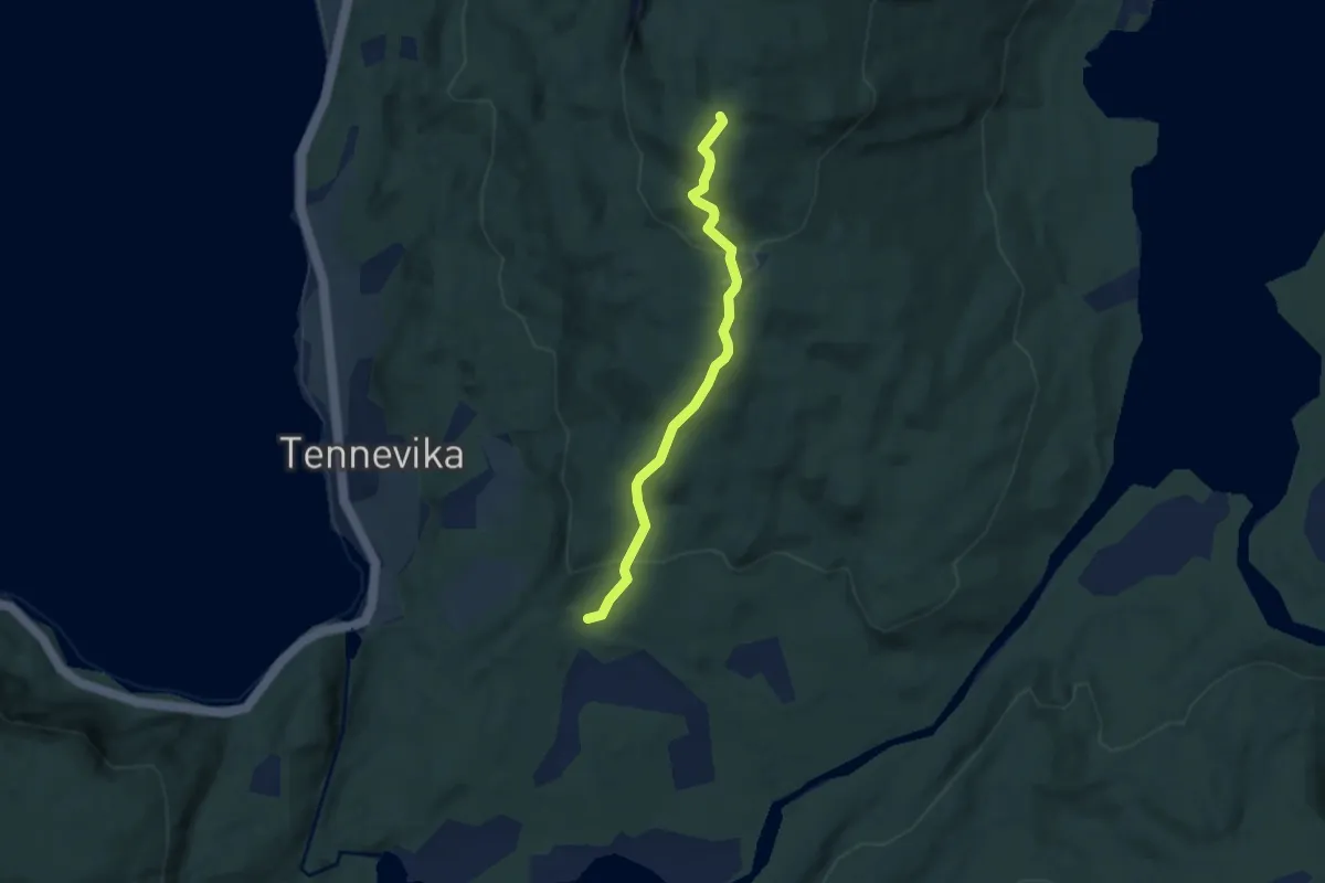
Medium · Trail
Tennevika - Skavaksla (Rødmerket)
2.9 km · ↑ 173 m · 1 h 4 min
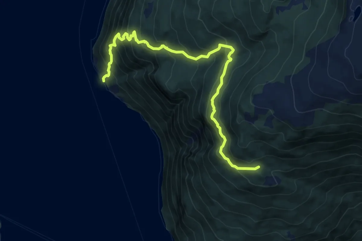
Demanding · Trail
Tenningane - Eitorn
6.8 km · ↑ 646 m · 3 h
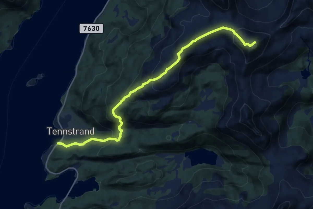
Medium · Trail
Tennstrand-Kariknausan-Blåtinden
8.3 km · ↑ 602 m · 3 h 16 min
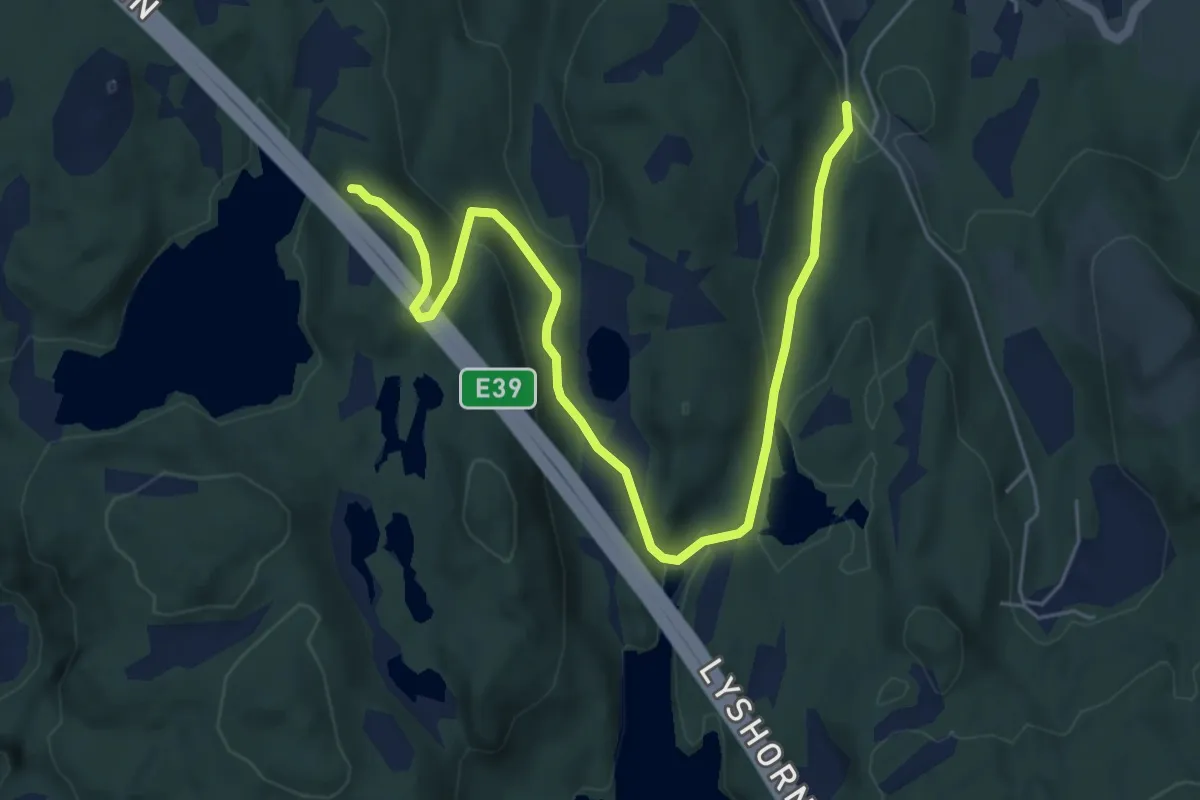
Easy · Trail
Tereleitet
4.8 km · ↑ 152 m · 1 h 28 min
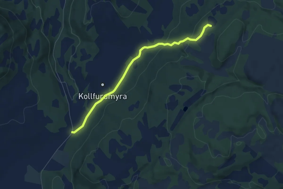
Easy · Trail
Tessemsetran
4.0 km · ↑ 105 m · 1 h 10 min
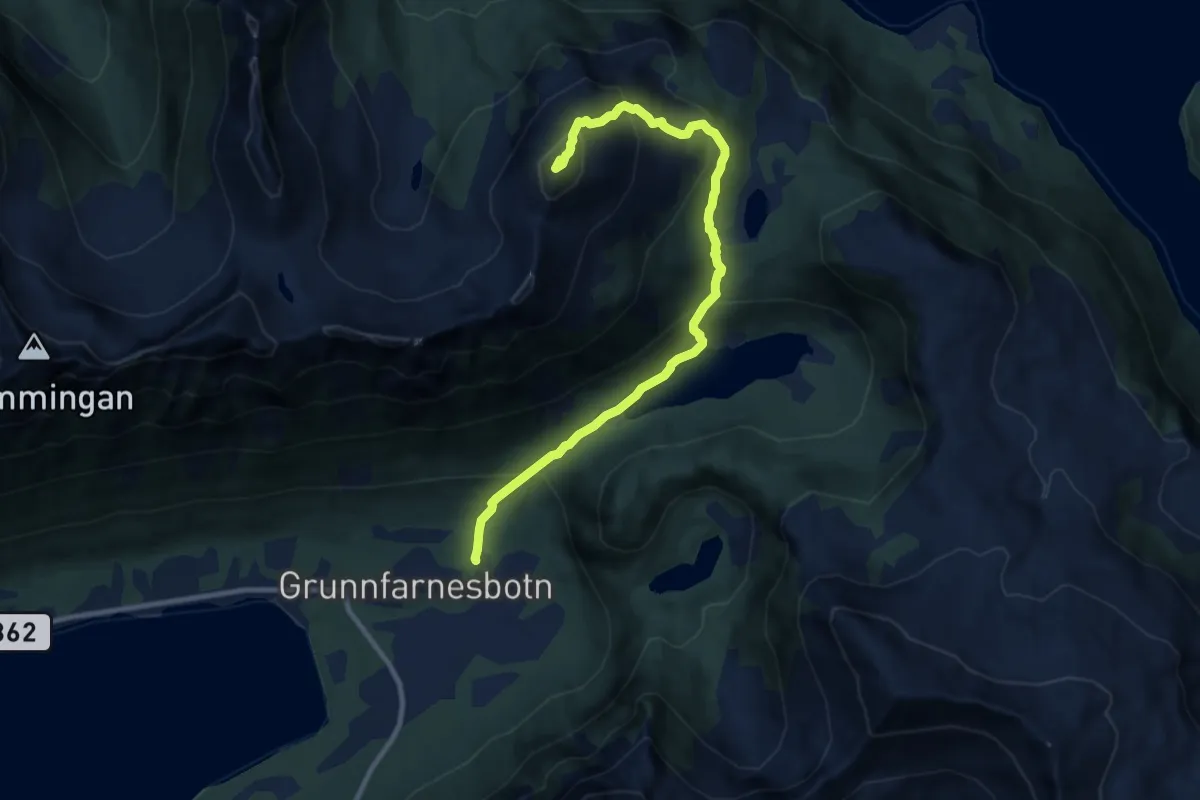
Medium · Trail
Tetinden
5.5 km · ↑ 489 m · 2 h 21 min
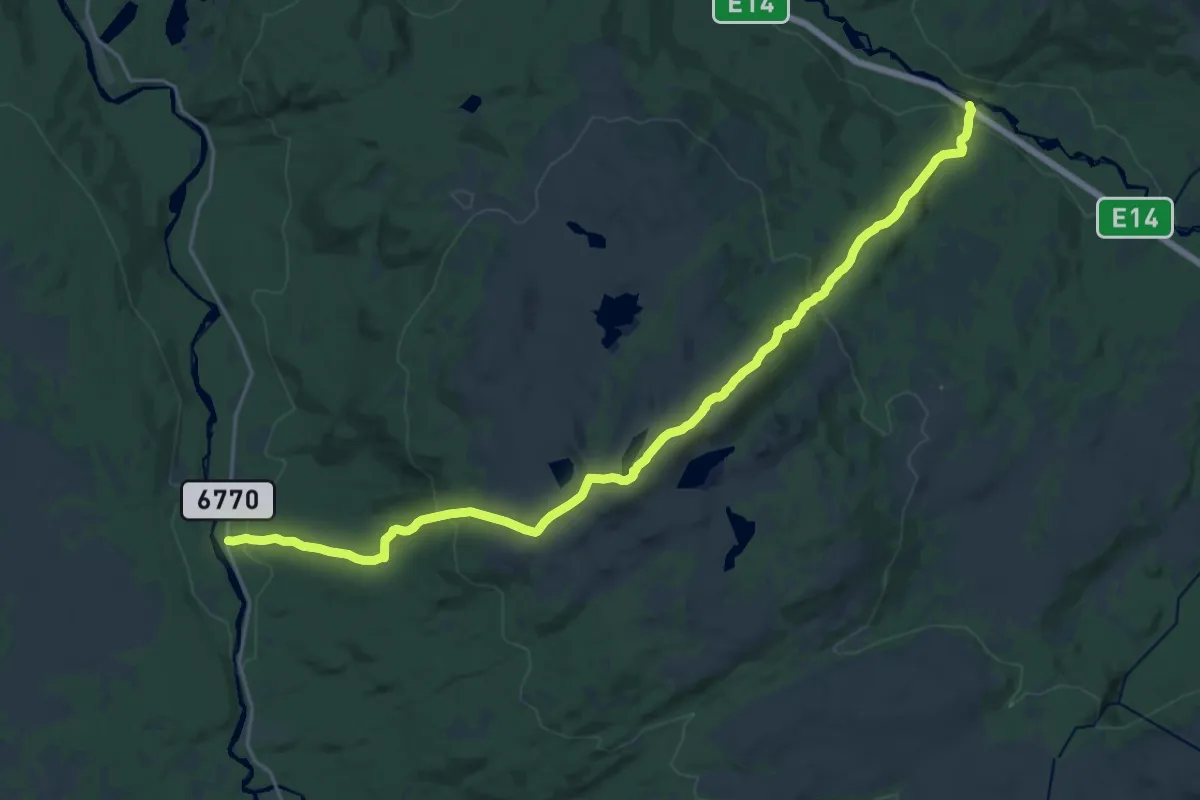
Medium · Trail
Teveldalen-Dalådalen
16.0 km · ↑ 737 m · 5 h 23 min
Demanding · Cabin
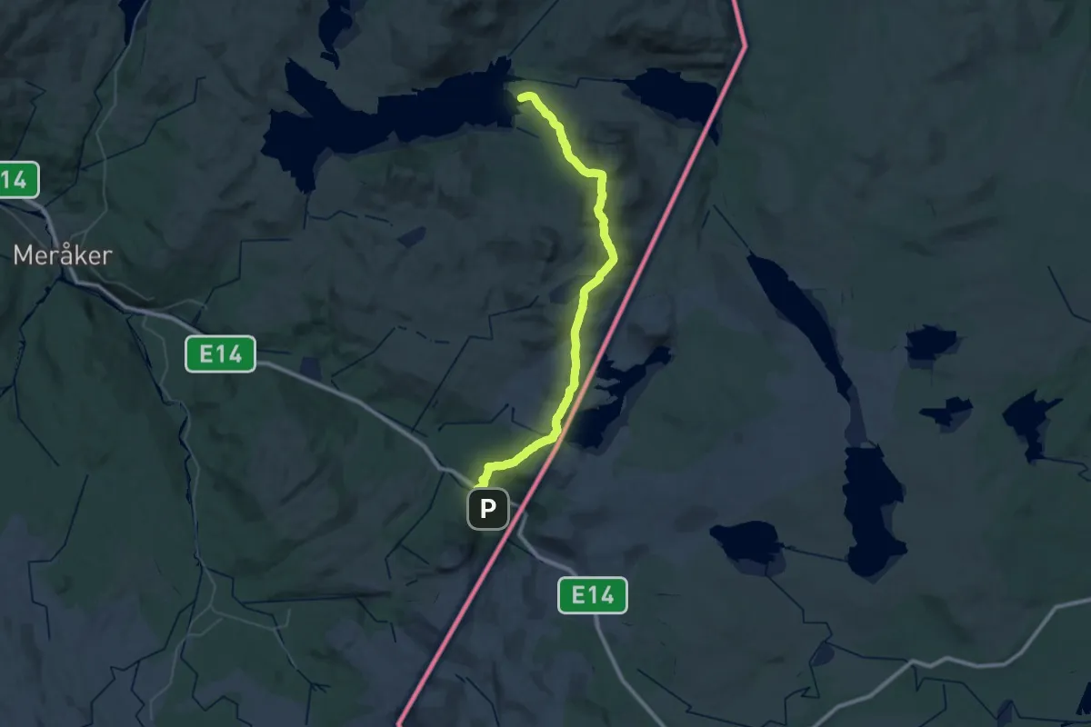
Teveltunet-Angeltjønnhytta
18.9 km · ↑ 869 m · 6 h 33 min
Easy · Trail
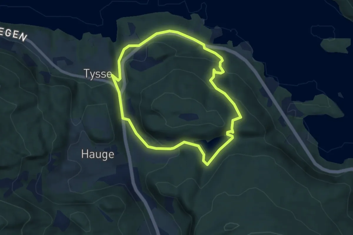
The philosophers stroll
3.1 km · ↑ 133 m · 1 h 4 min
Easy · Trail
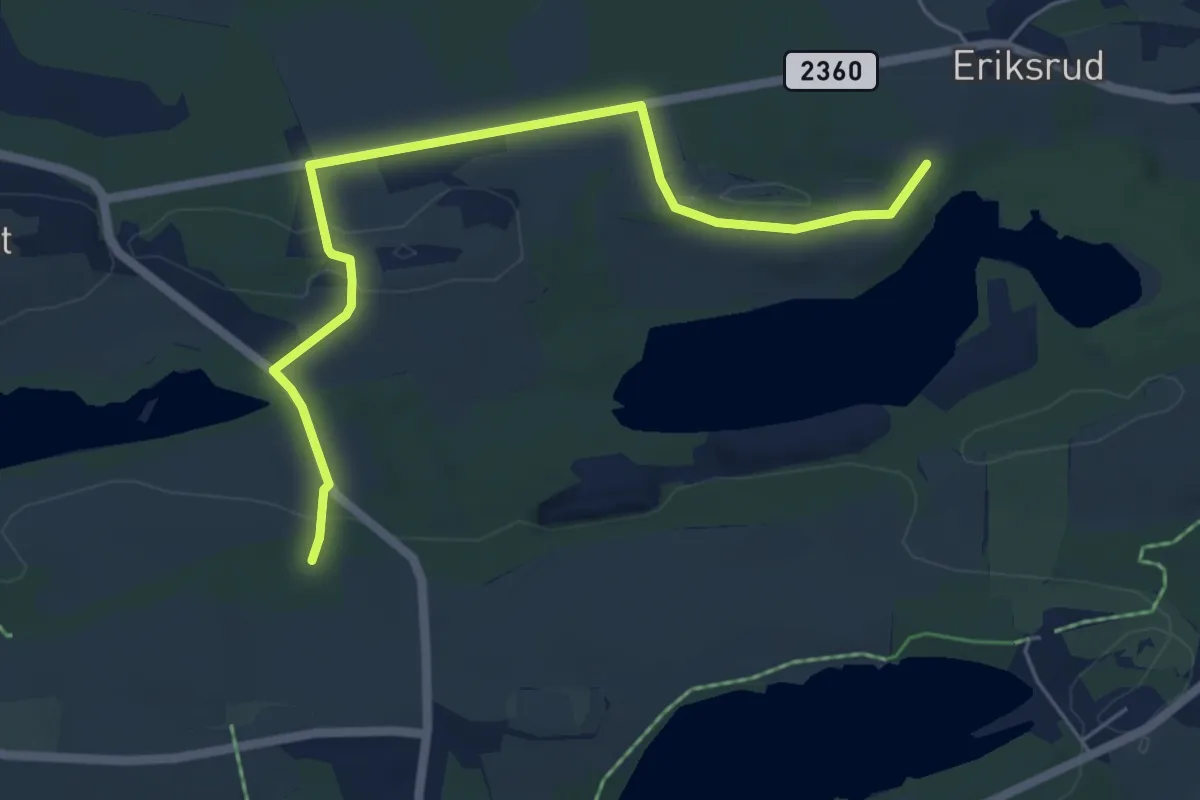
Thorsrud
4.4 km · ↑ 72 m · 1 h 12 min
Medium · Summit
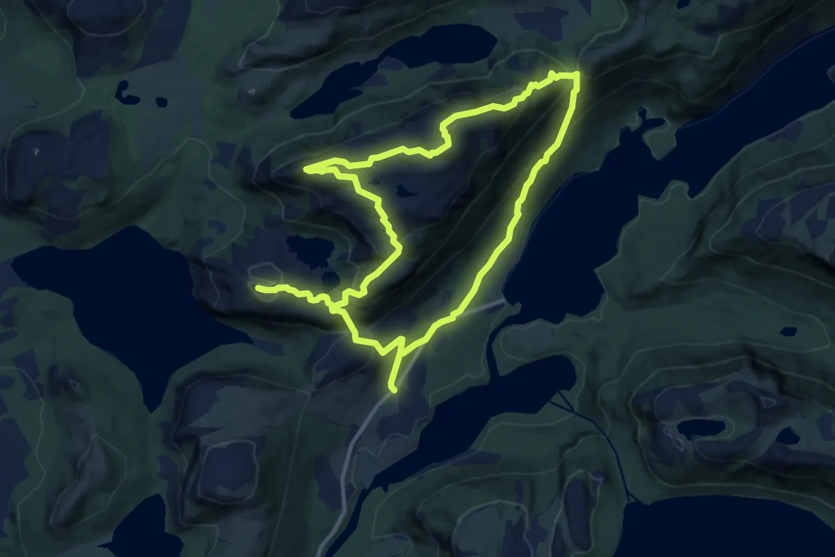
Tibergfjellet
8.0 km · ↑ 499 m · 3 h 3 min
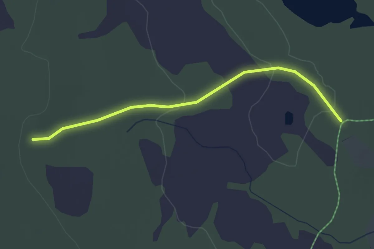
Easy · Trail
Tilførsel fra Sørjoten
2.4 km · ↑ 18 m · 37 min
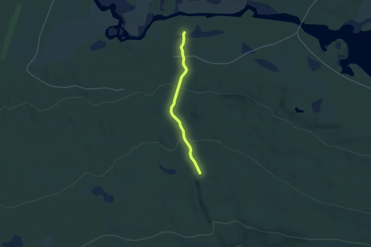
Medium · Trail
Tilførsel Kampen /Rauberget
2.1 km · ↑ 109 m · 44 min
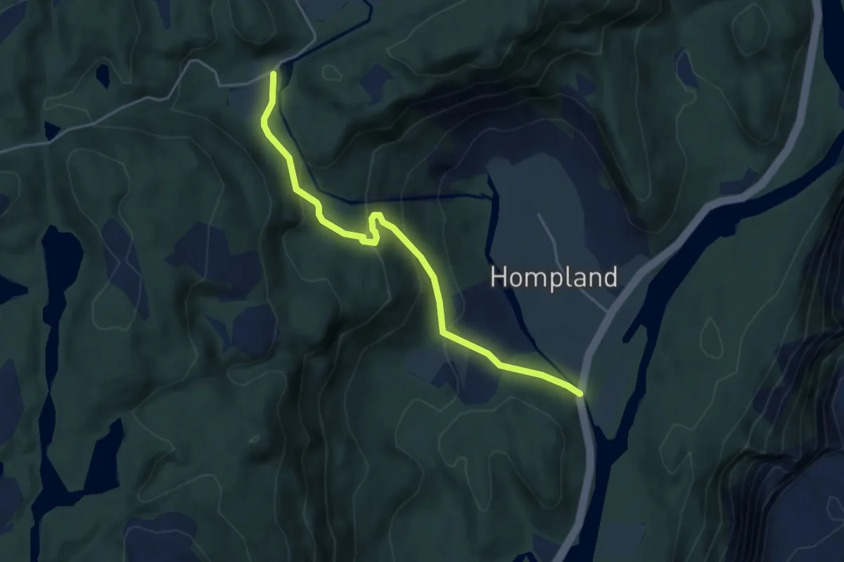
Easy · Trail
Tilførselsti til Hågheller, Steindalsknuten, og Falkekollen
3.3 km · ↑ 196 m · 1 h 13 min
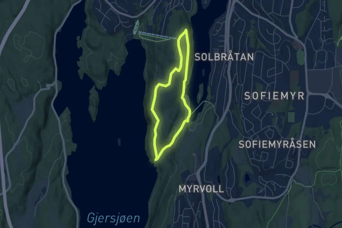
Easy · Summit
Til fots i Oppegård 10, Kantoråsen
3.3 km · ↑ 100 m · 1 h 2 min
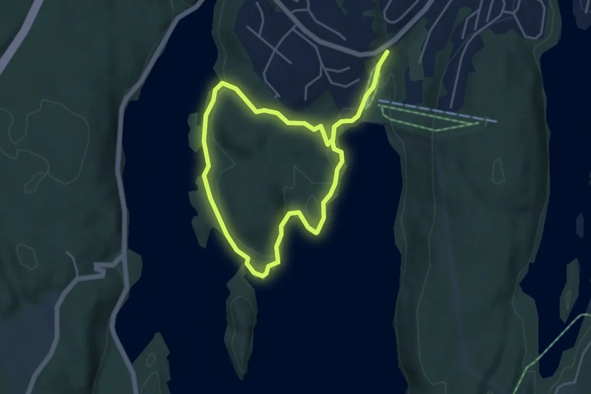
Easy · Trail
Til fots i Oppegård 11, Ingierodden
2.4 km · ↑ 55 m · 43 min
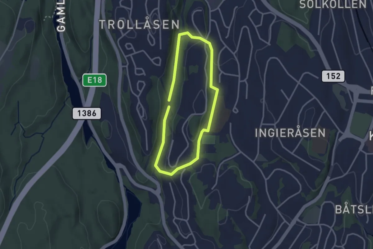
Easy · Trail
Til fots i Oppegård 12, Trolldalen
1.6 km · ↑ 20 m · 27 min
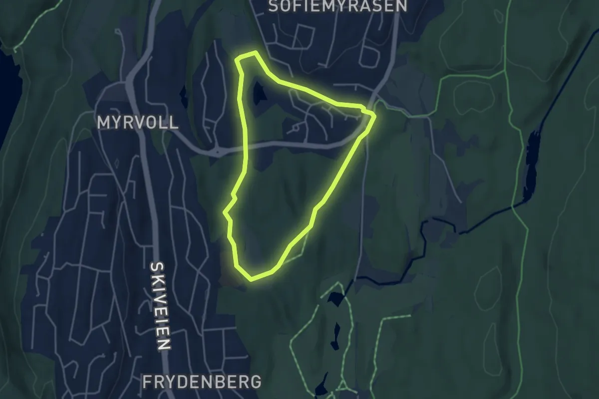
Easy · Trail
Til fots i Oppegård 13, Østli
2.5 km · ↑ 22 m · 41 min
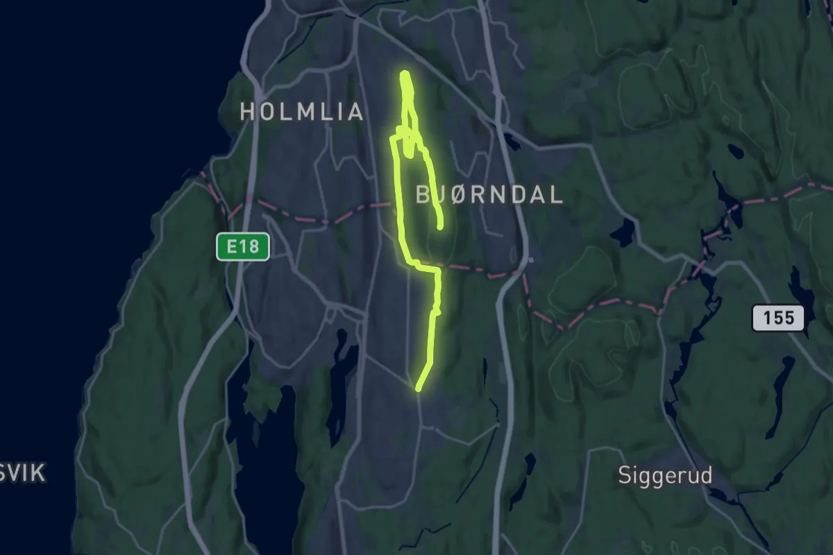
Medium · Summit
Til fots i Oppegård 1, Grønliåsen, Oldtidsveien, Kongeveien
16.9 km · ↑ 293 m · 4 h 38 min
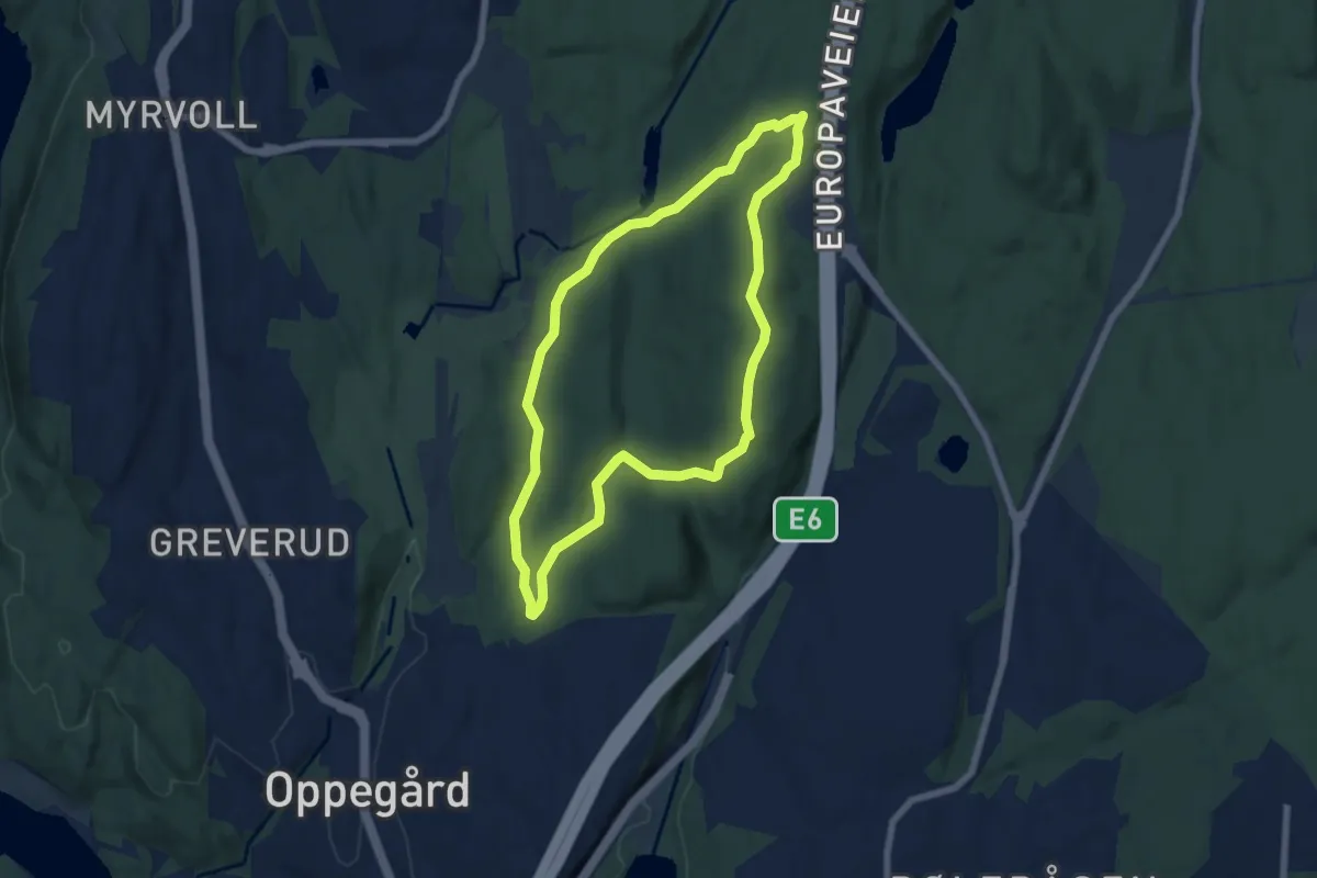
Easy · Summit
Til fots i Oppegård 2, Pinnåsen
4.6 km · ↑ 95 m · 1 h 22 min
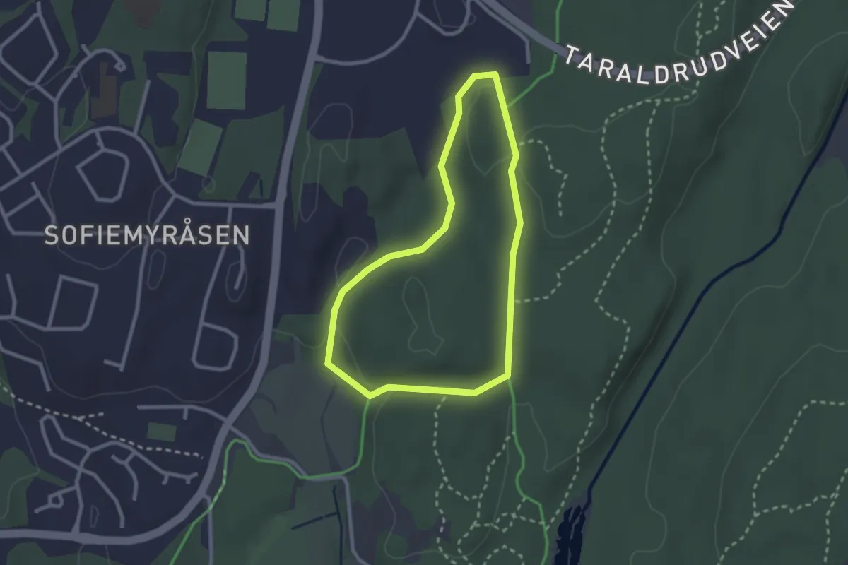
Easy · Trail
Til fots i Oppegård 3, Sønsterud
1.7 km · ↑ 26 m · 29 min
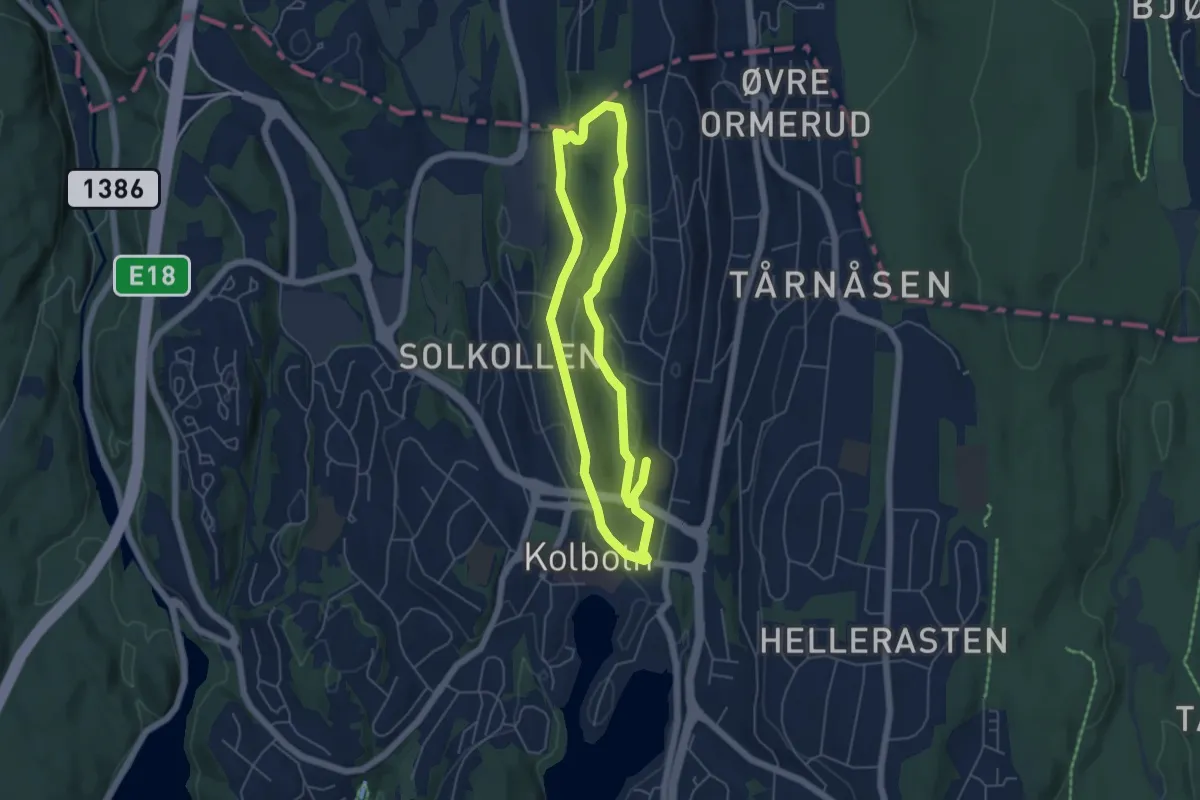
Easy · Trail
Til fots i Oppegård 4, Rikeåsen
3.5 km · ↑ 75 m · 1 h 3 min
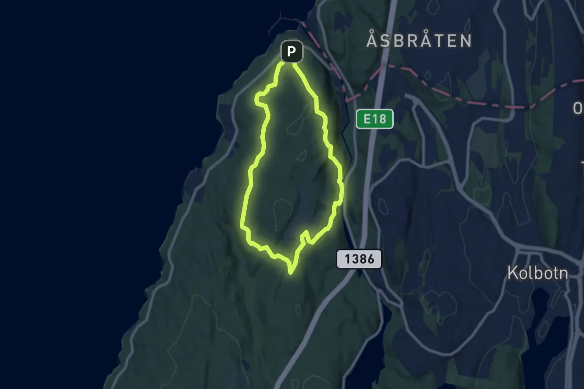
Easy · Summit
Til fots i Oppegård 5, Hvitebjørn natur- og kultursti
4.8 km · ↑ 130 m · 1 h 28 min
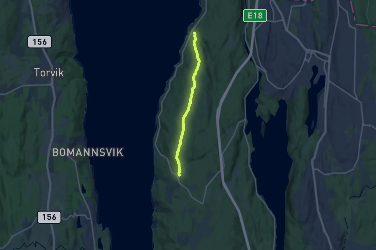
Easy · Trail
Til fots i Oppegård 6, Linjestien
7.1 km · ↑ 137 m · 1 h 58 min
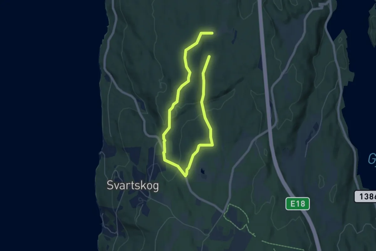
Medium · Trail
Til fots i Oppegård 7, Torbjørnrud
3.0 km · ↑ 63 m · 53 min
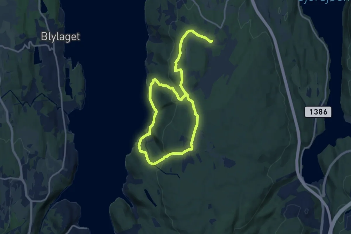
Medium · Trail
Til fots i Oppegård 8, Sjødalstrand
11.1 km · ↑ 341 m · 3 h 22 min
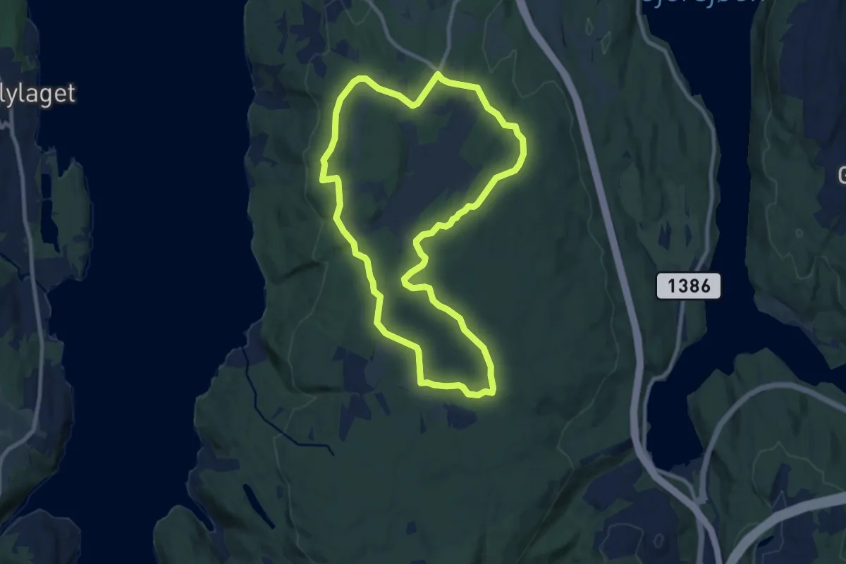
Easy · Trail
Til fots i Oppegård 9, Rødkilden (Svartskog LVO)
6.4 km · ↑ 71 m · 1 h 45 min
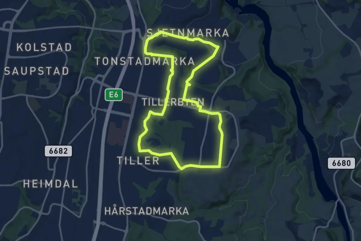
Easy · Trail
Tillerrunden
6.8 km · ↑ 78 m · 1 h 53 min
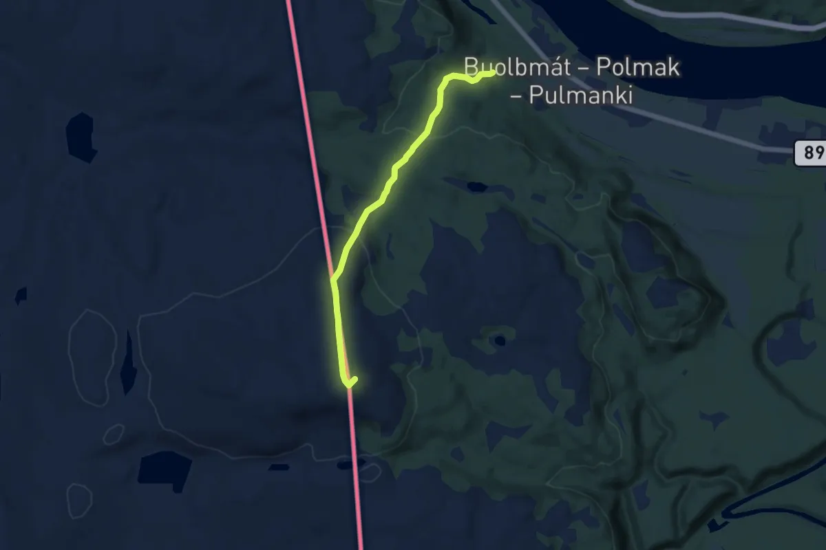
Easy · Trail
Til Riksgrensevarden på Buolbmátčohkka - Sprikfjellet
4.7 km · ↑ 238 m · 1 h 37 min
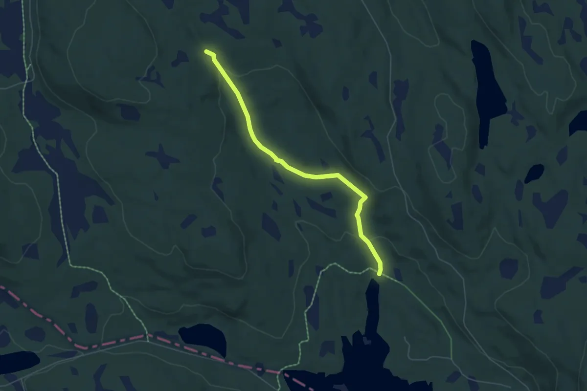
Easy · Trail
Til Svartungen rundt
3.8 km · ↑ 124 m · 1 h 10 min
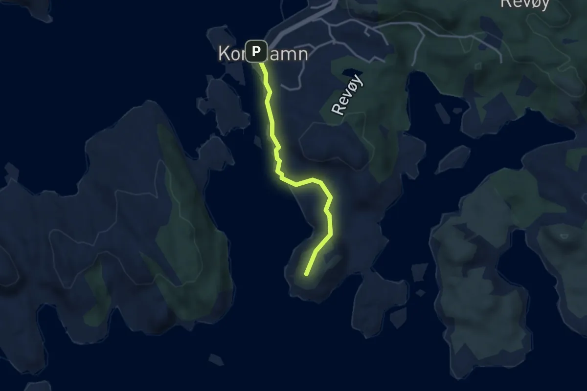
Easy · Trail
Til Ulvåsen
2.2 km · ↑ 46 m · 37 min
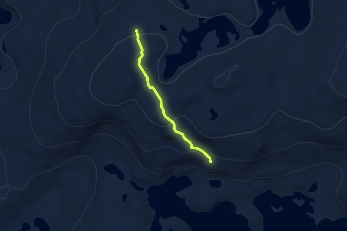
Demanding · Cabin
Timeglaset - Nansenbu
2.3 km · ↑ 92 m · 45 min
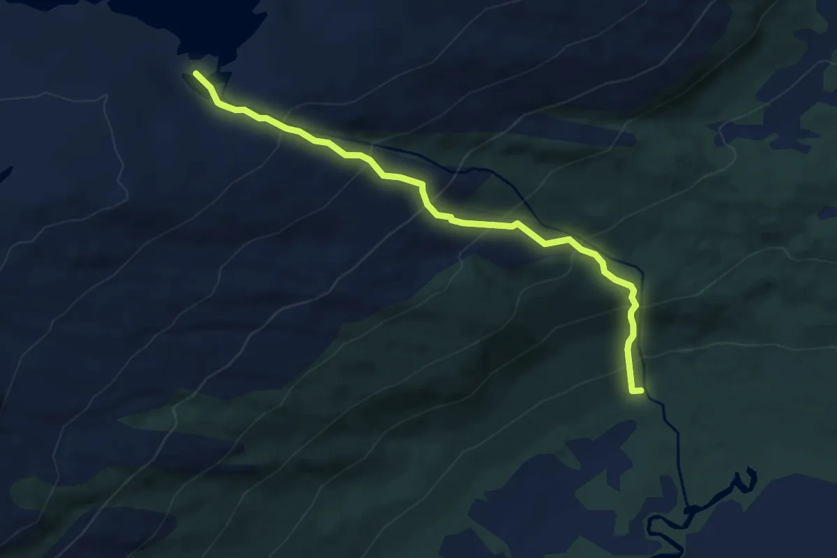
Medium · Trail
Tindvatnet
3.4 km · ↑ 323 m · 1 h 30 min
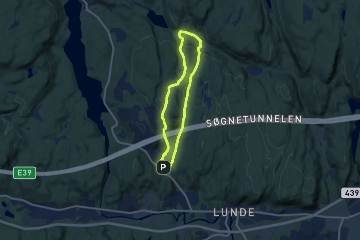
Easy · Trail
Tinntjønn-Hellerstjønn
7.8 km · ↑ 261 m · 2 h 24 min
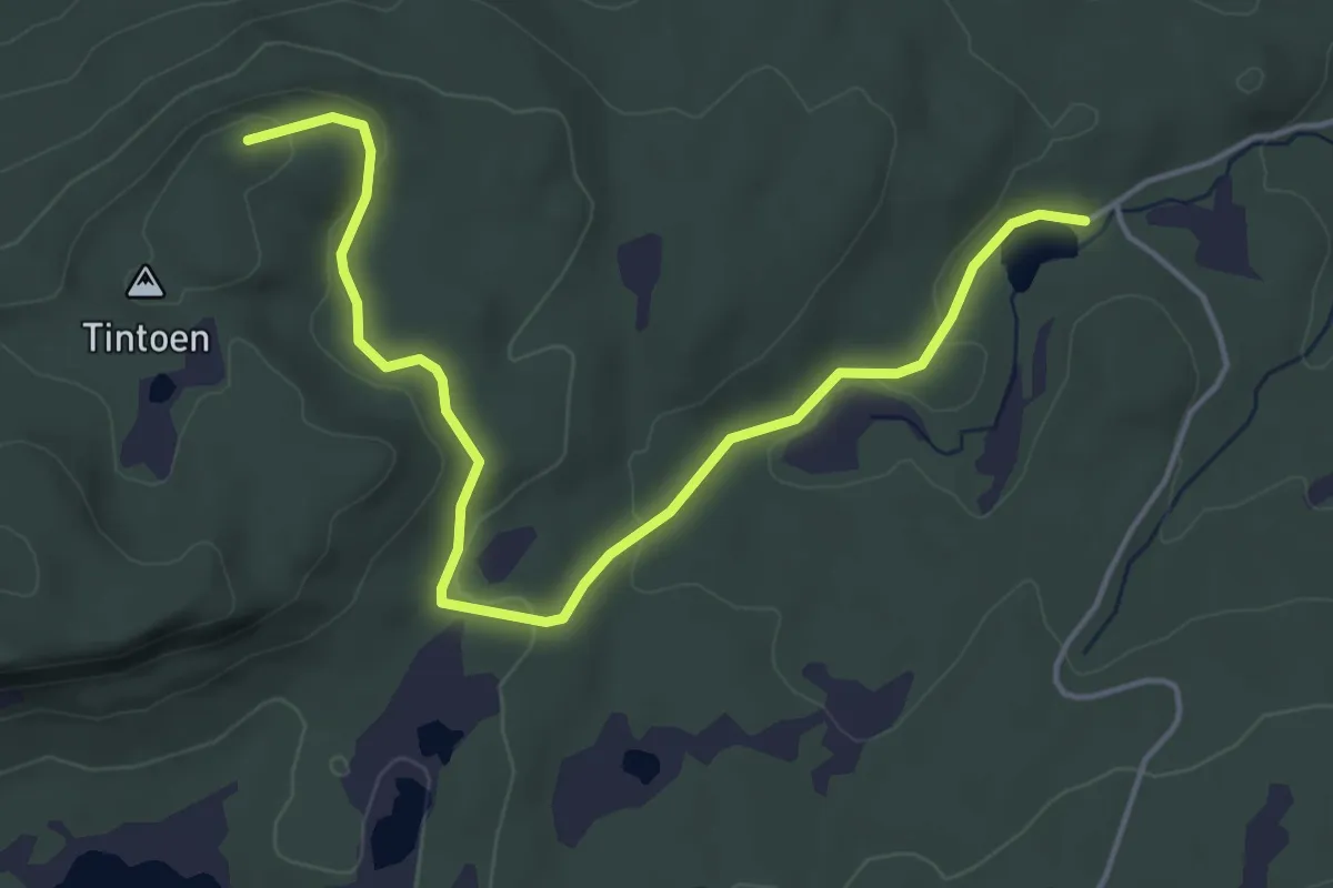
Easy · Trail
Tintoen
3.6 km · ↑ 89 m · 1 h 3 min
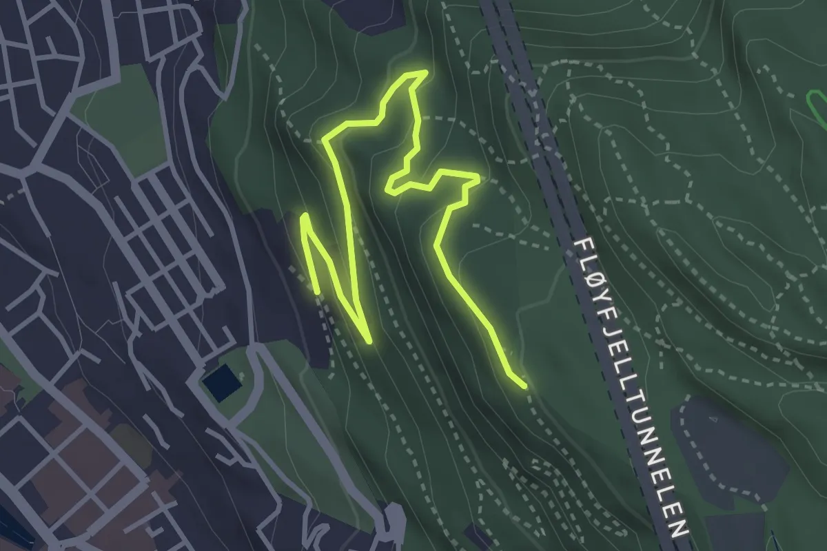
Easy · Trail
Tippetue
3.0 km · ↑ 168 m · 1 h 4 min
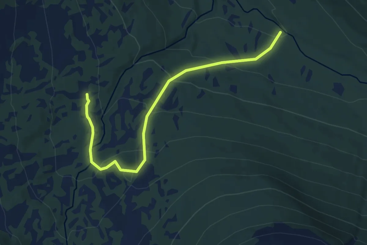
Medium · Trail
Tipphaugen, Yttermittetsetra - Dale
5.4 km · ↑ 334 m · 2 h
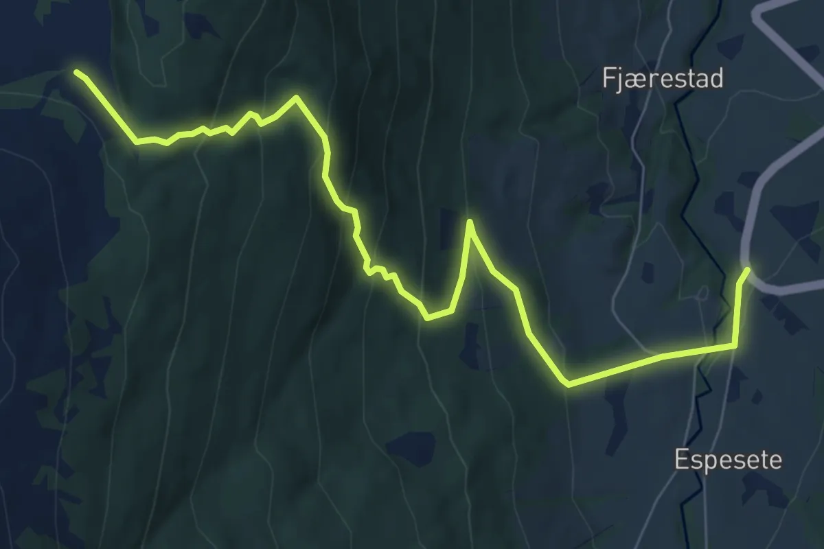
Medium · Trail
Tistel-Fjærestadhovden
6.1 km · ↑ 437 m · 2 h 24 min
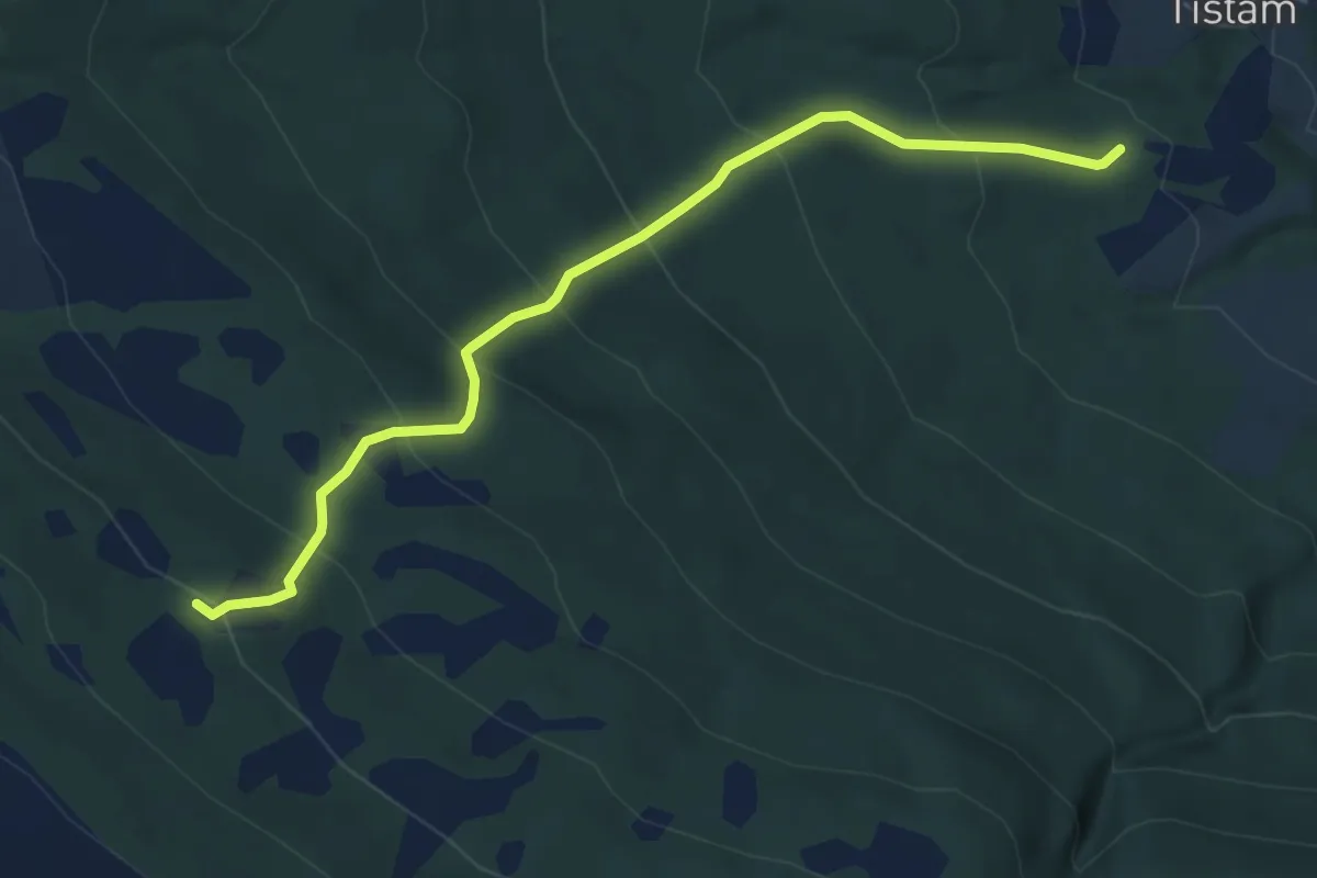
Easy · Trail
Tisthammarstøylen
4.0 km · ↑ 393 m · 1 h 48 min
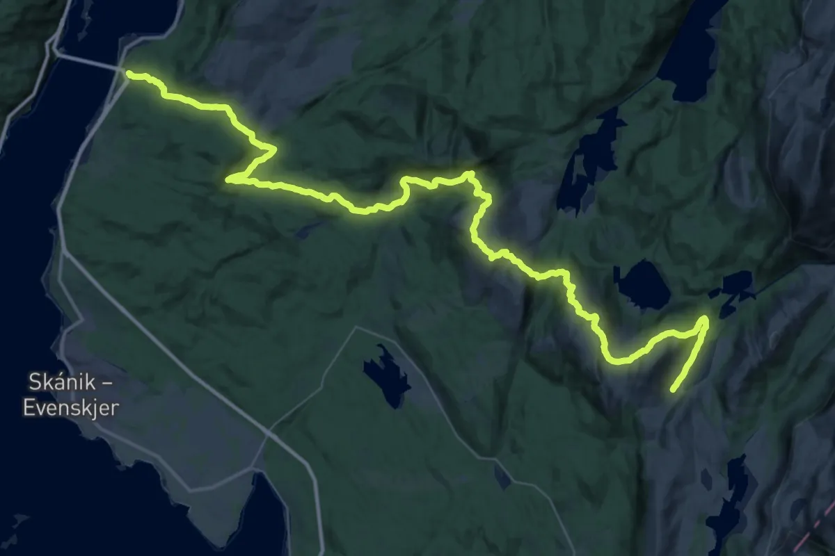
Expert · Trail
Tjeldsundbrua - Geitvatnet
16.0 km · ↑ 527 m · 5 h 17 min
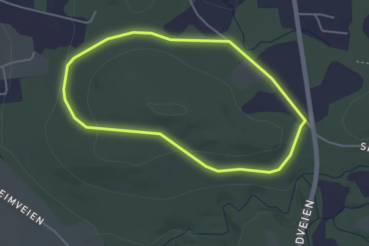
Easy · Trail
Tjellbærskogen
3.5 km · ↑ 69 m · 59 min
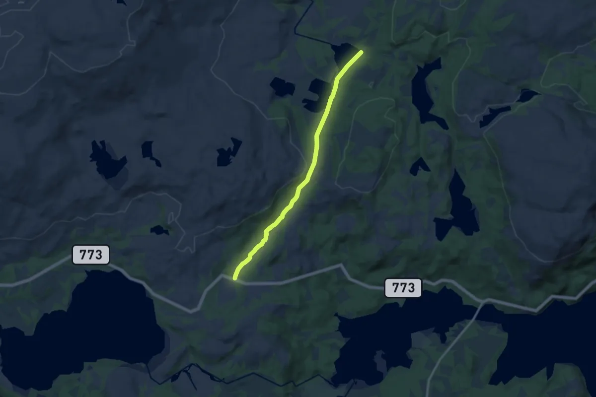
Easy · Trail
Tjerma
6.8 km · ↑ 96 m · 1 h 48 min
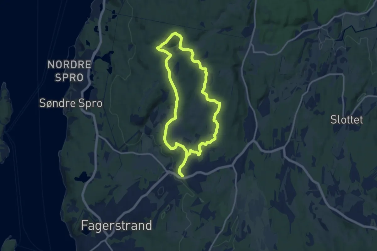
Medium · Trail
Tjernsbråtanrunden
12.7 km · ↑ 132 m · 3 h 17 min
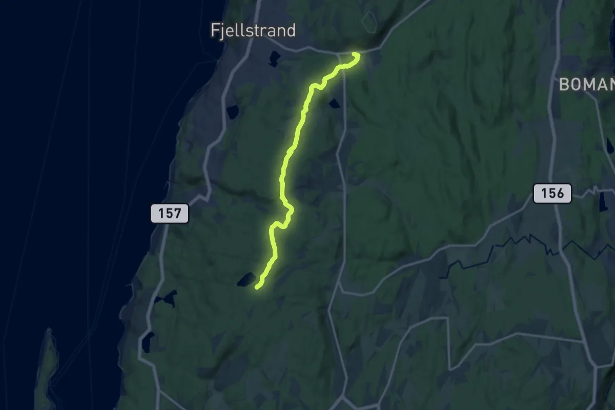
Medium · Trail
Tjernsbråten - Fjell
8.6 km · ↑ 126 m · 2 h 19 min
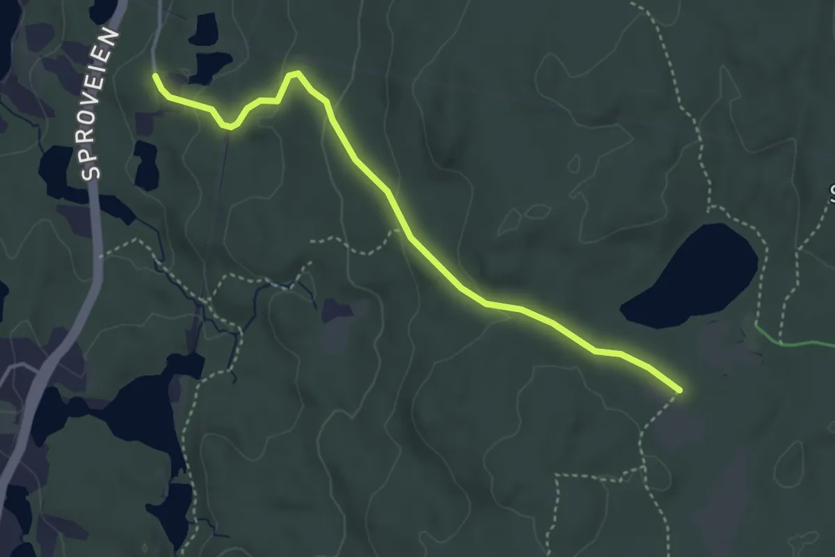
Easy · Trail
Tjernsbråten - Grenborgen
2.8 km · ↑ 97 m · 52 min
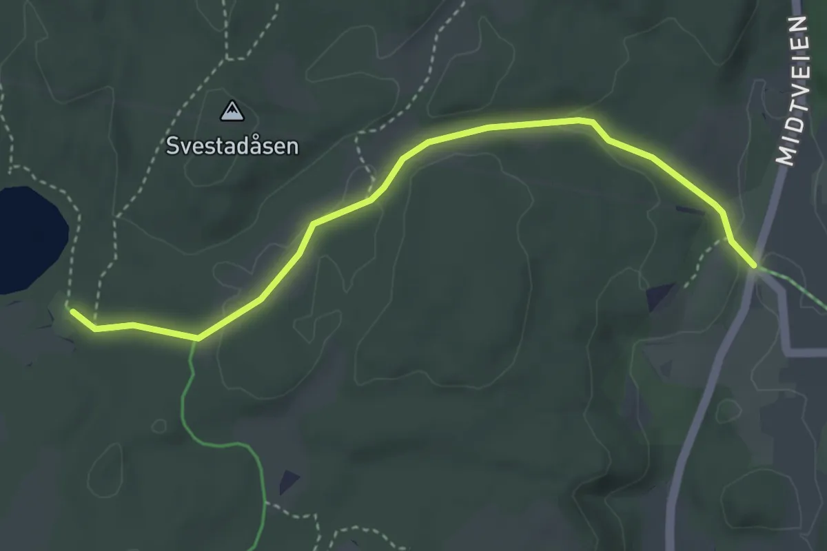
Easy · Trail
Tjernsbråten - Hasle sommerrute
2.8 km · ↑ 43 m · 45 min
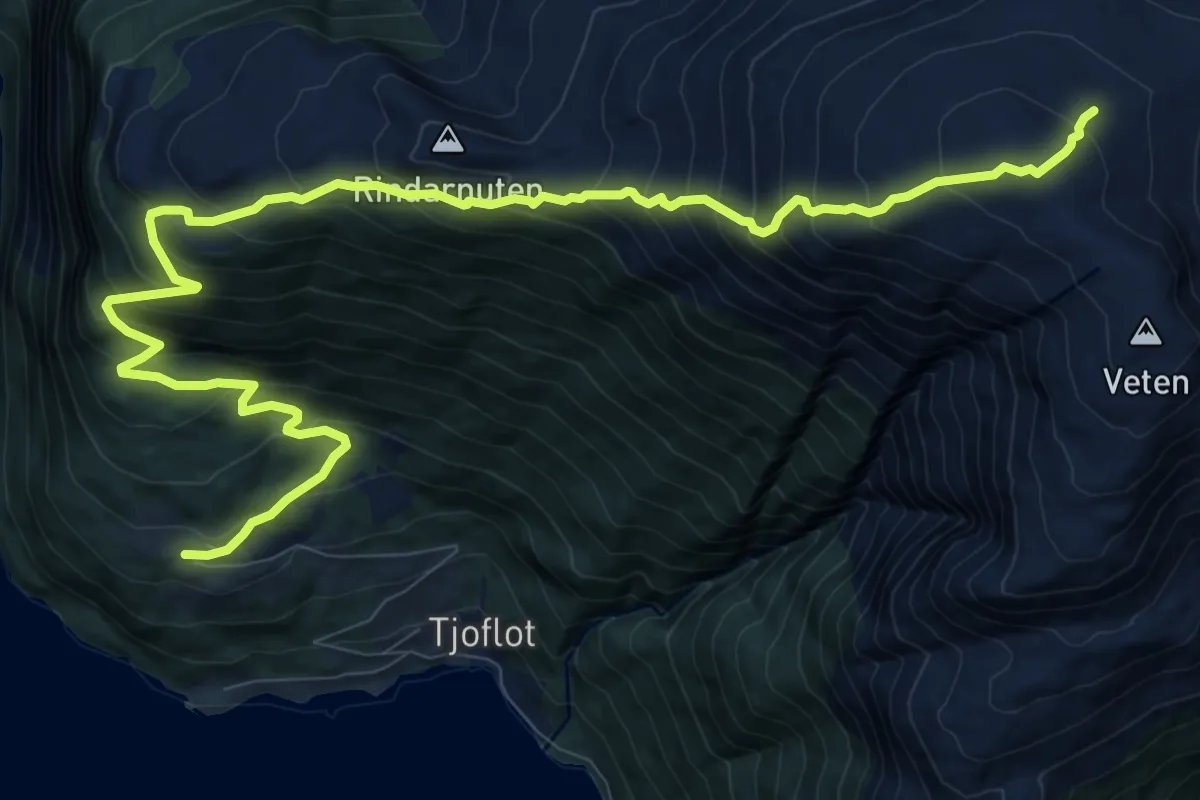
Demanding · Trail
Tjoflot - Oksen
10.3 km · ↑ 1105 m · 4 h 50 min