Trails in Norway
7,452 hiking trails, each with its route, climb, walking time and grade.
All trails, page 105 of 156
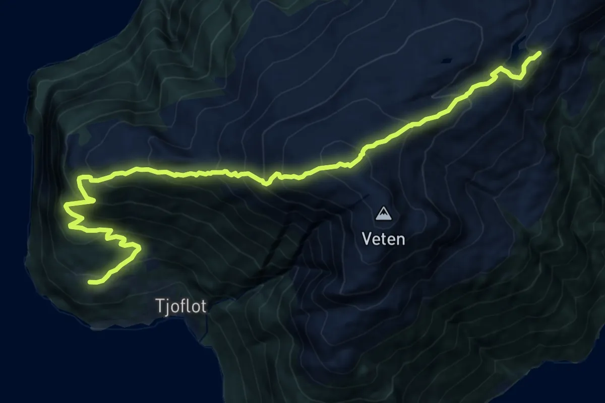
Demanding · Trail
Tjoflot - Oksen - Bjørndalen - Røynstrand
14.3 km · ↑ 1410 m · 6 h 26 min
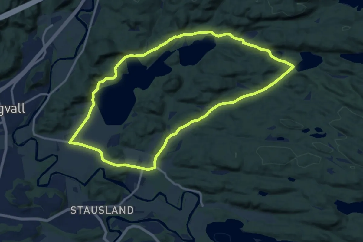
Medium · Trail
Tjomsevannet
12.8 km · ↑ 122 m · 3 h 17 min
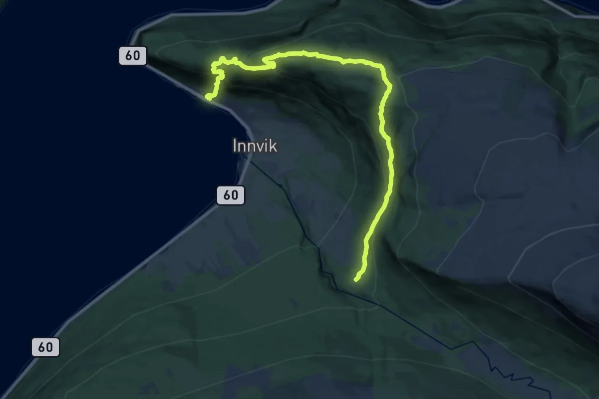
Demanding · Trail
Tjønnane - Viking Camping - Drageset
14.8 km · ↑ 828 m · 5 h 17 min
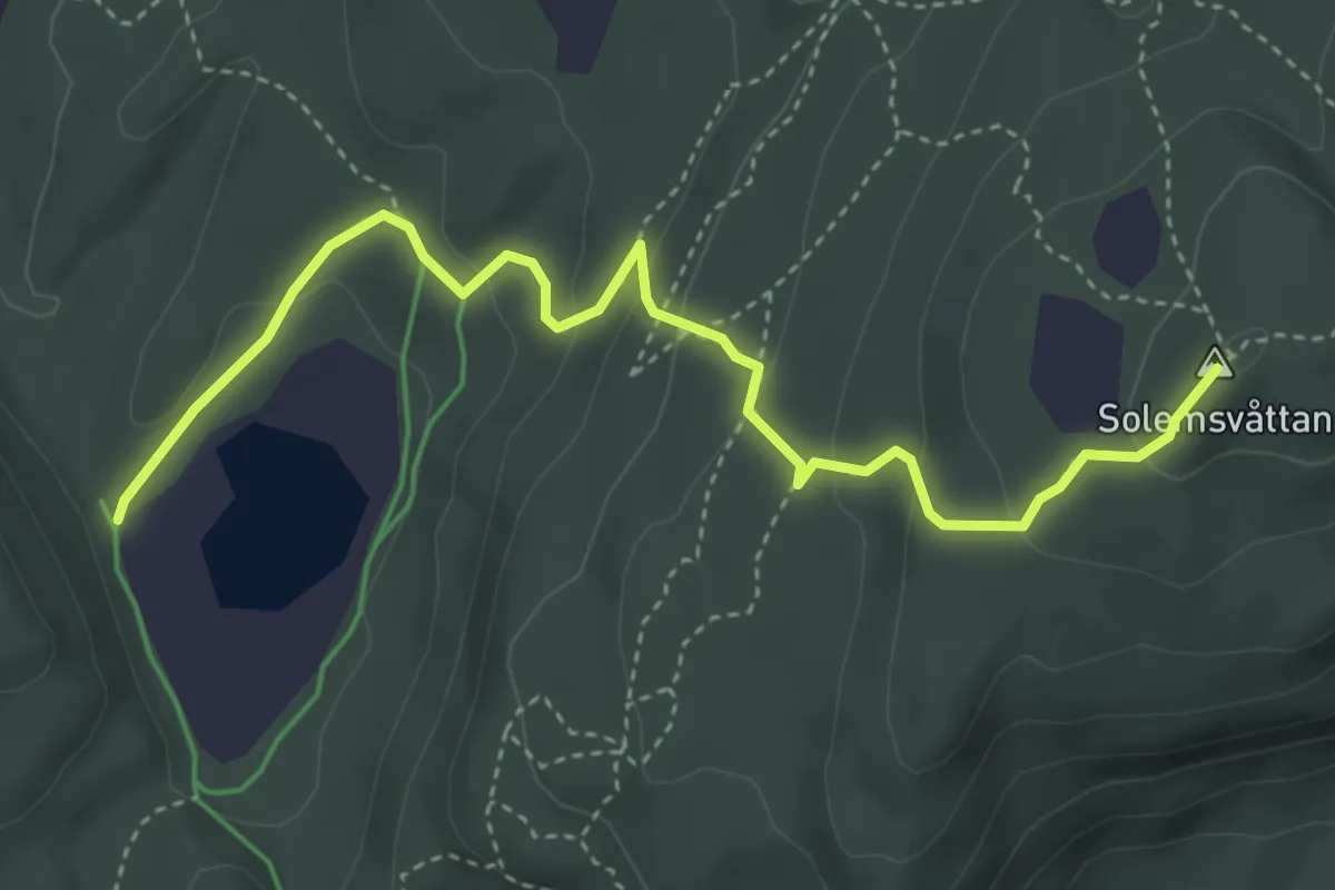
Medium · Trail
Tjønnstuggu-Solemvåttan
2.9 km · ↑ 200 m · 1 h 7 min
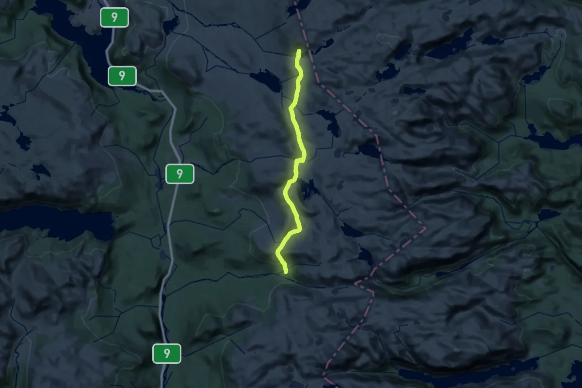
Demanding · Cabin
Tjørnbrotbu - Berdalsbu
24.2 km · ↑ 630 m · 7 h 5 min
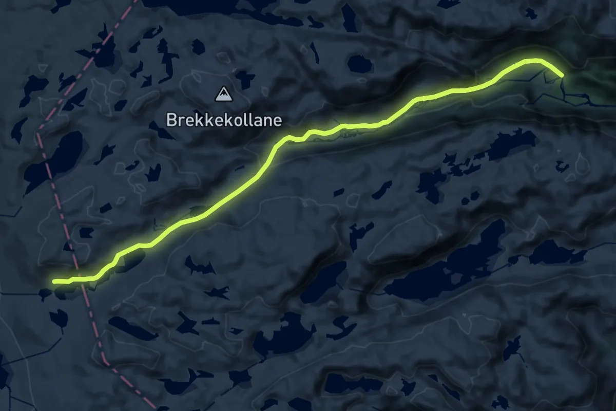
Demanding · Cabin
Tjørnbrotbu - Byrtedalen
21.4 km · ↑ 495 m · 6 h 8 min
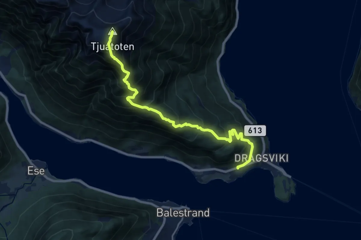
Demanding · Summit
Tjuatoten
9.3 km · ↑ 1062 m · 4 h 29 min
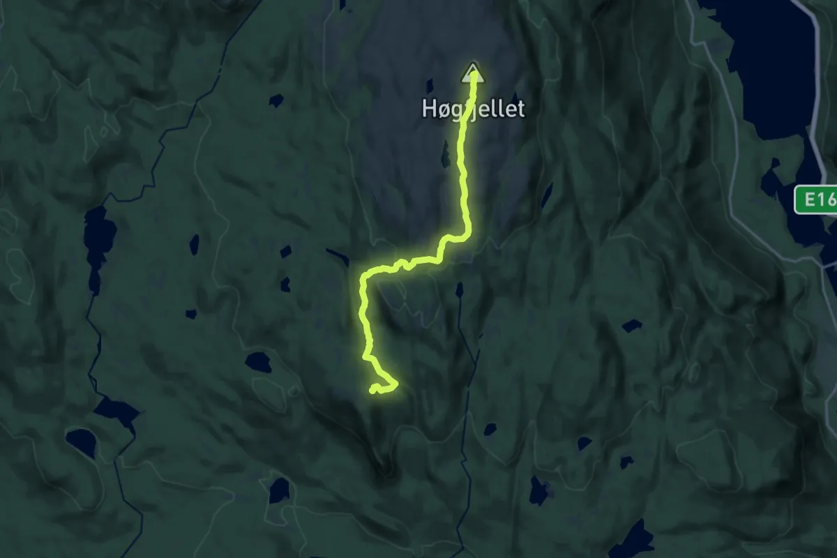
Medium · Summit
Tjuenborgkoia - Vikerkoia
12.2 km · ↑ 519 m · 4 h
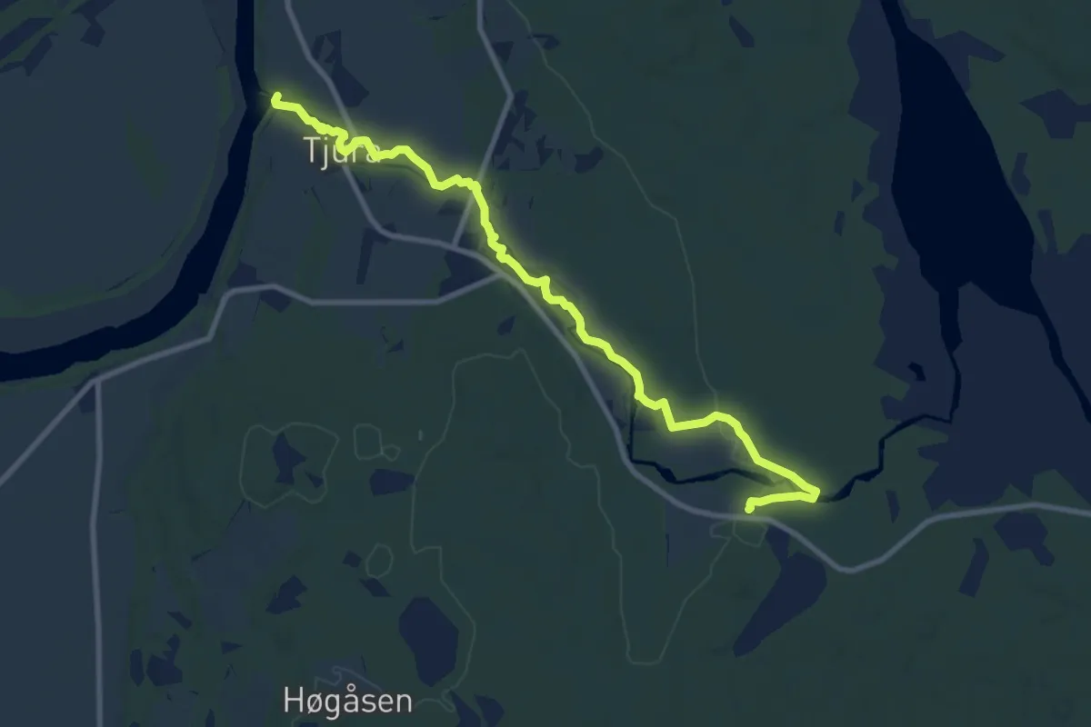
Easy · Trail
Tjurastien
7.3 km · ↑ 48 m · 1 h 50 min
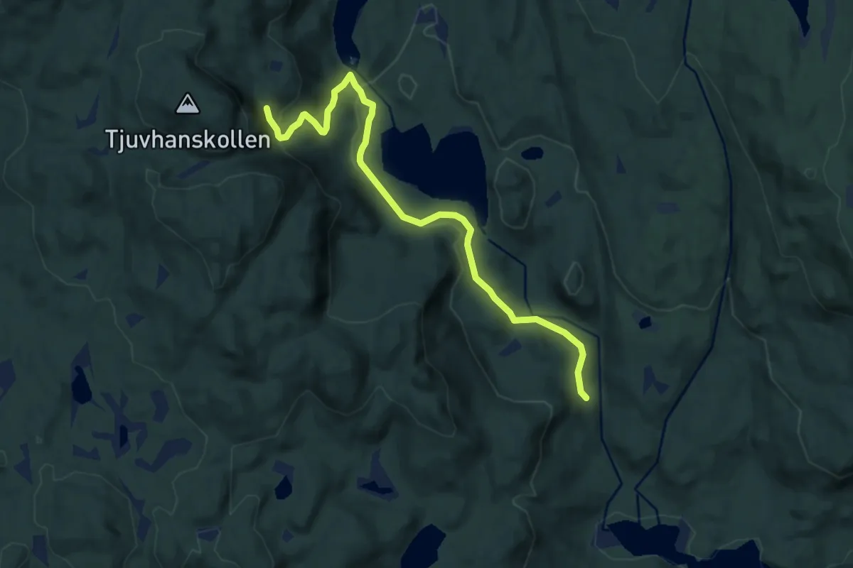
Easy · Trail
Tjuvhanshola
5.8 km · ↑ 216 m · 1 h 50 min
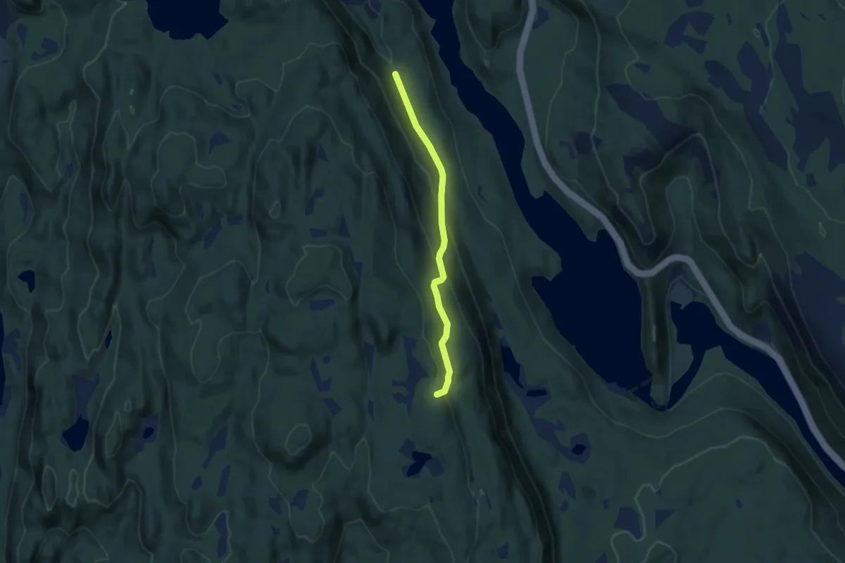
Easy · Trail
Tjuvhelleren
3.0 km · ↑ 148 m · 1 h 1 min
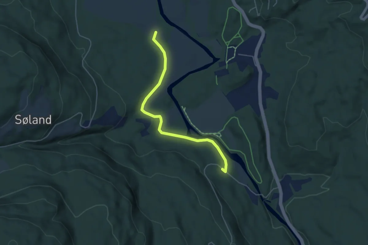
Easy · Trail
Tjyrujellen - Vik
3.1 km · ↑ 29 m · 48 min
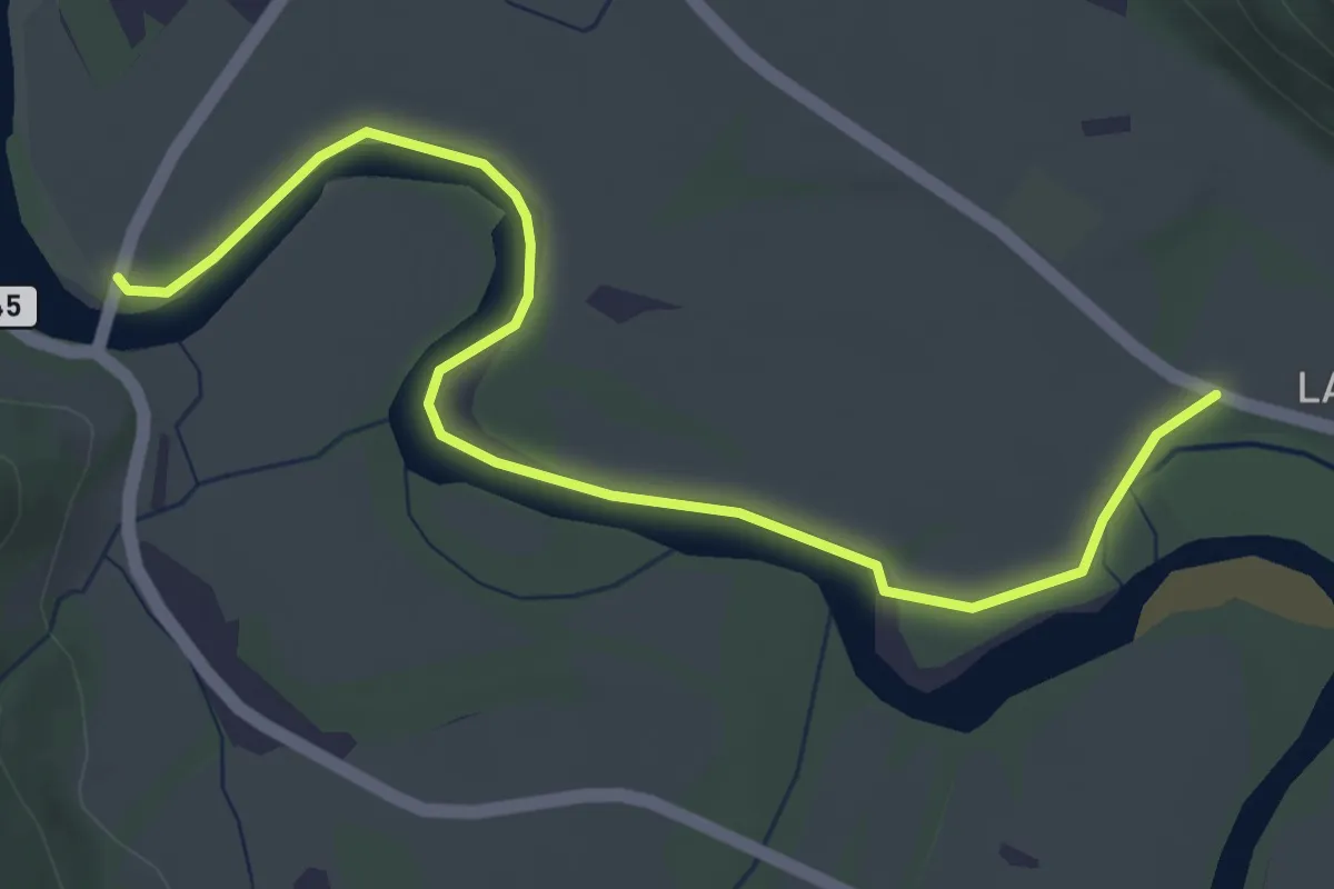
Easy · Trail
Toåa Tursti
3.3 km · ↑ 4 m · 47 min
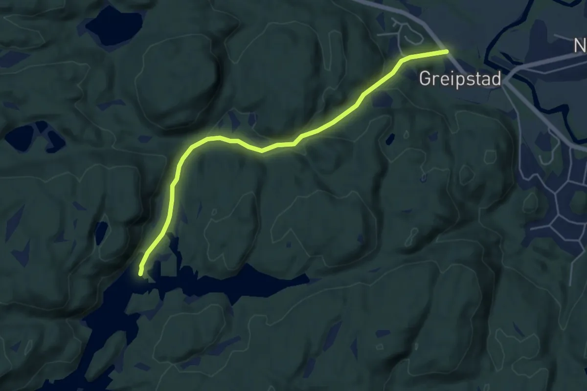
Easy · Trail
Tobbevann
3.8 km · ↑ 138 m · 1 h 12 min
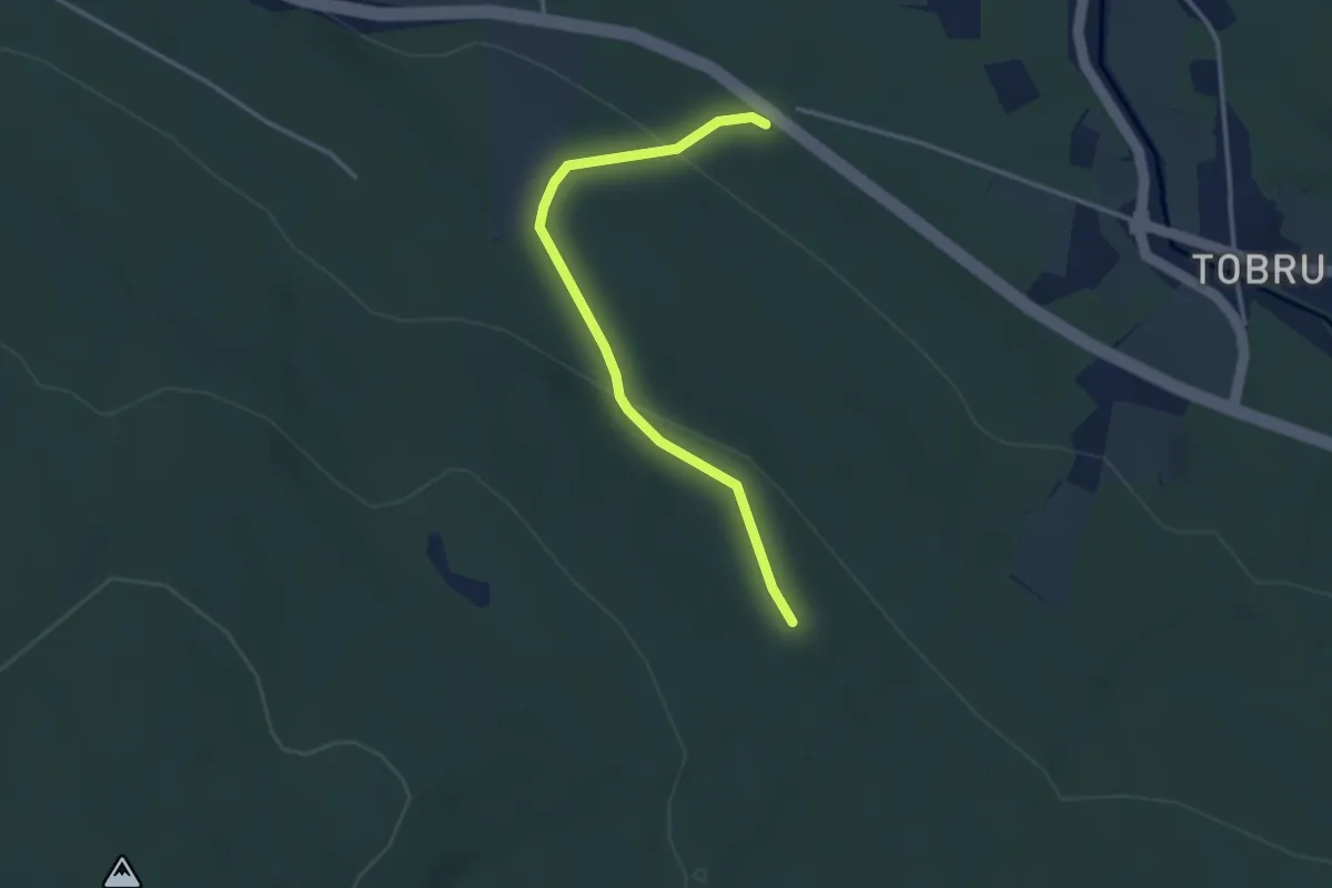
Easy · Trail
Tobru - Presthaugen
2.4 km · ↑ 84 m · 44 min
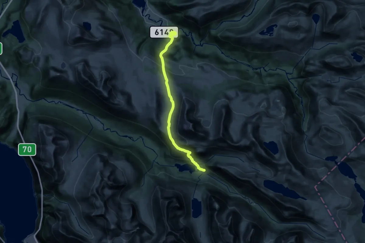
Demanding · Cabin
Todalen-Snekkardalen-Innerdalen
11.8 km · ↑ 432 m · 4 h 4 min
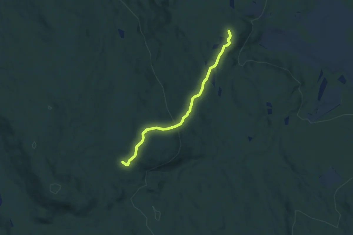
Medium · Trail
Tolhaugen - Øvre Dalslia
4.3 km · ↑ 138 m · 1 h 19 min
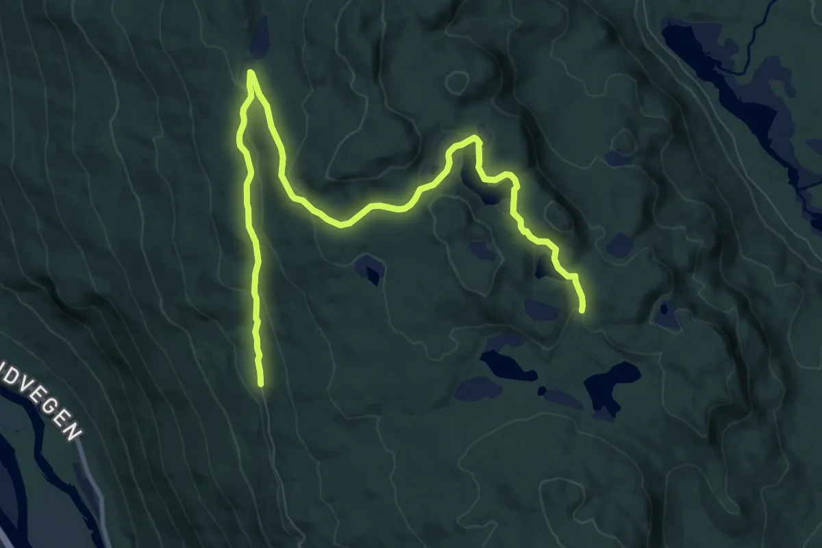
Medium · Trail
Tollefgardtjern
8.3 km · ↑ 232 m · 2 h 27 min
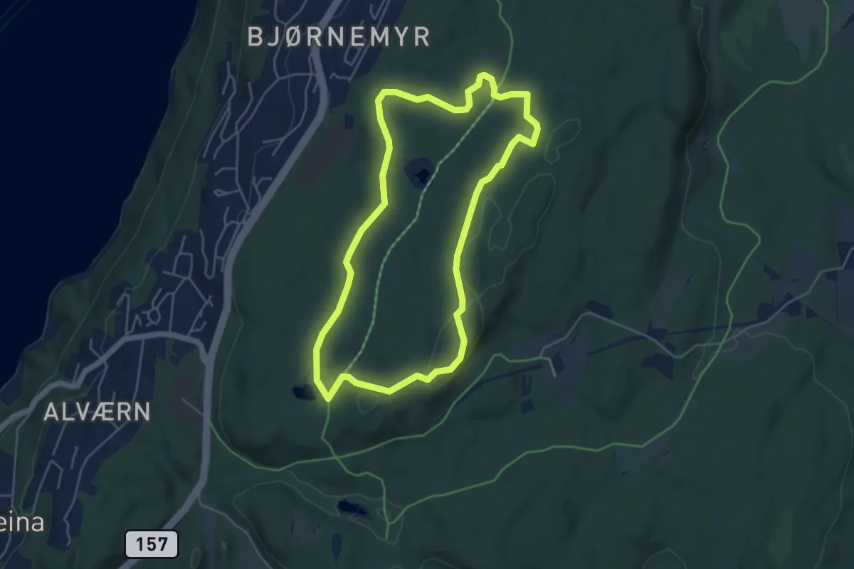
Easy · Summit
Tomåsanrunden
3.4 km · ↑ 27 m · 54 min
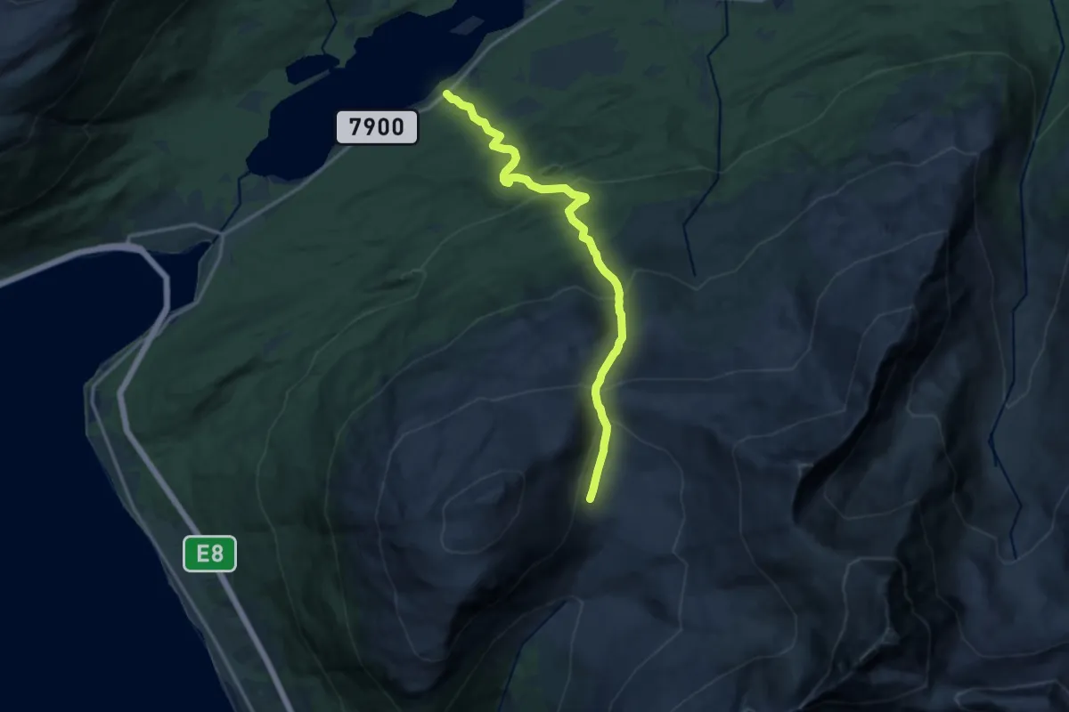
Medium · Trail
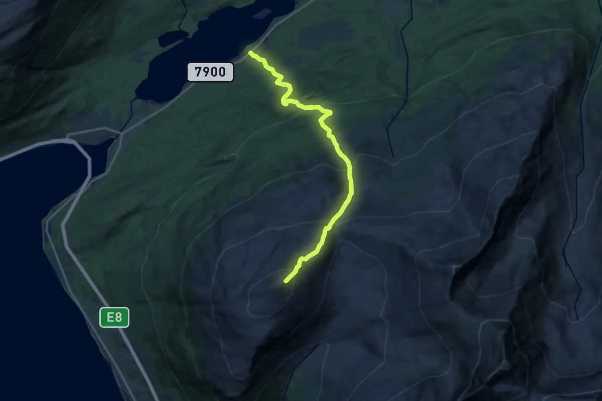
Tomasjordskardet - Laksvatn
7.2 km · ↑ 636 m · 3 h 4 min
Demanding · Trail
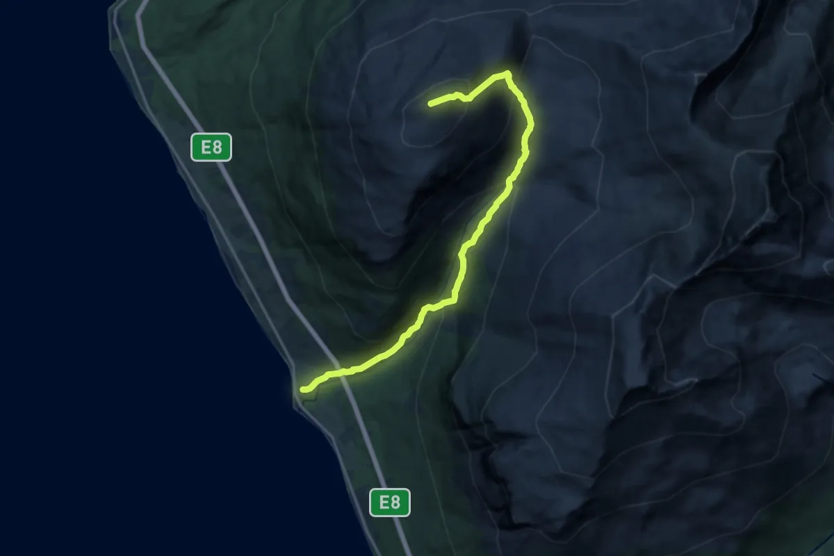
Tomasjordtinden - Laksvatn
7.5 km · ↑ 836 m · 3 h 35 min
Demanding · Trail
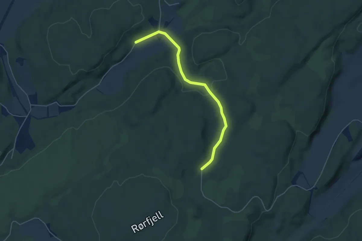
Tomasjord - Tomasjordtinden
8.2 km · ↑ 855 m · 3 h 47 min
Easy · Trail
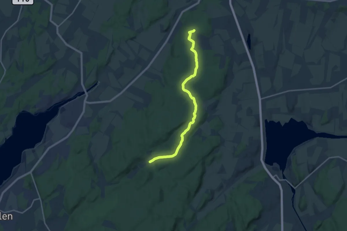
Tombdalen - Rørfjell
3.2 km · ↑ 46 m · 52 min
Medium · Trail
Tombdalen - Strømnesåsen
9.0 km · ↑ 76 m · 2 h 17 min
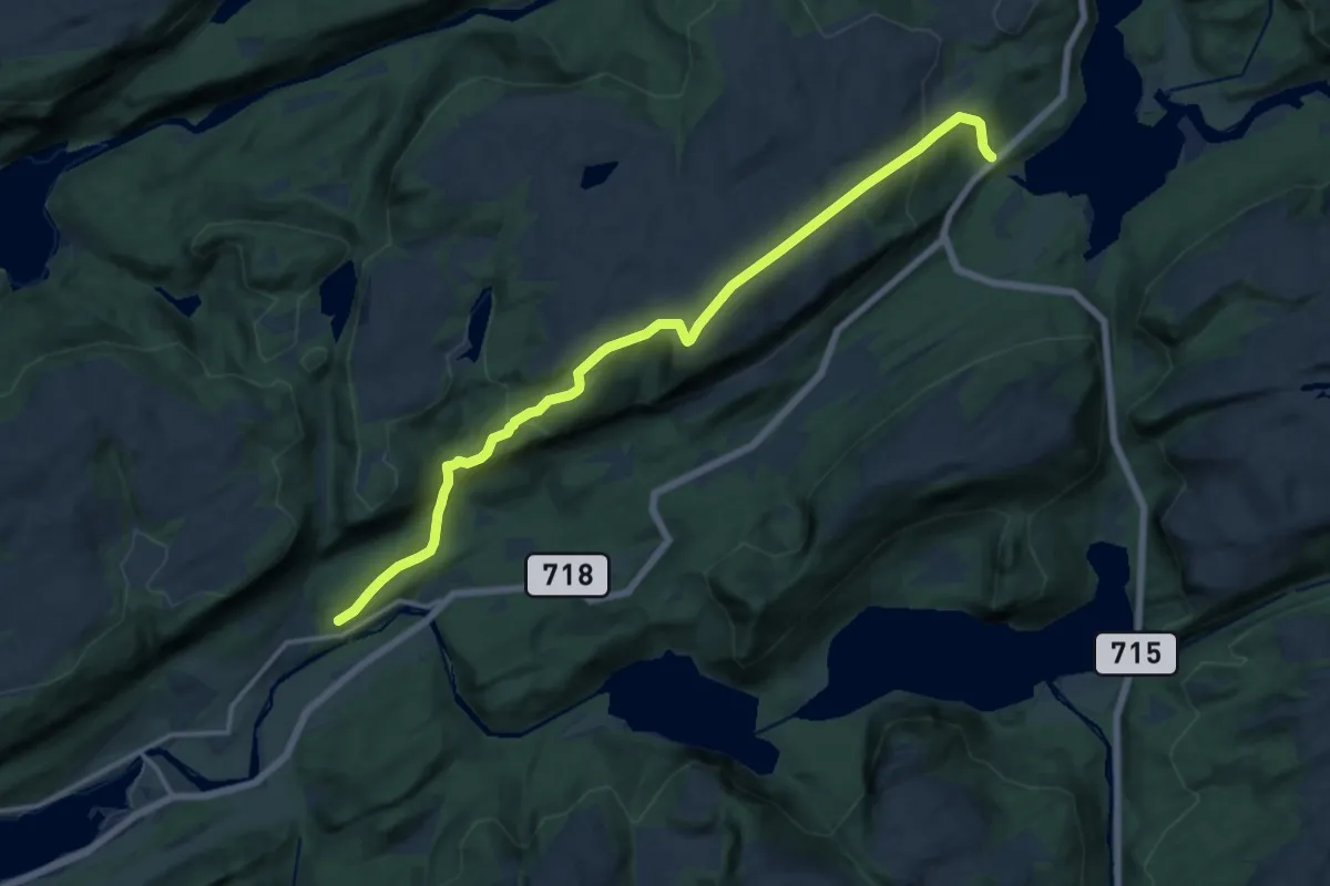
Medium · Trail
Tømmerbakken - Lauvlikammen - Lakshaugan
10.2 km · ↑ 511 m · 3 h 31 min
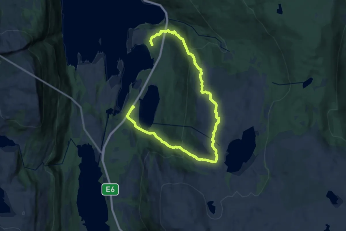
Medium · Trail
Tømmerneset Tennvannet turløype
12.7 km · ↑ 693 m · 4 h 30 min
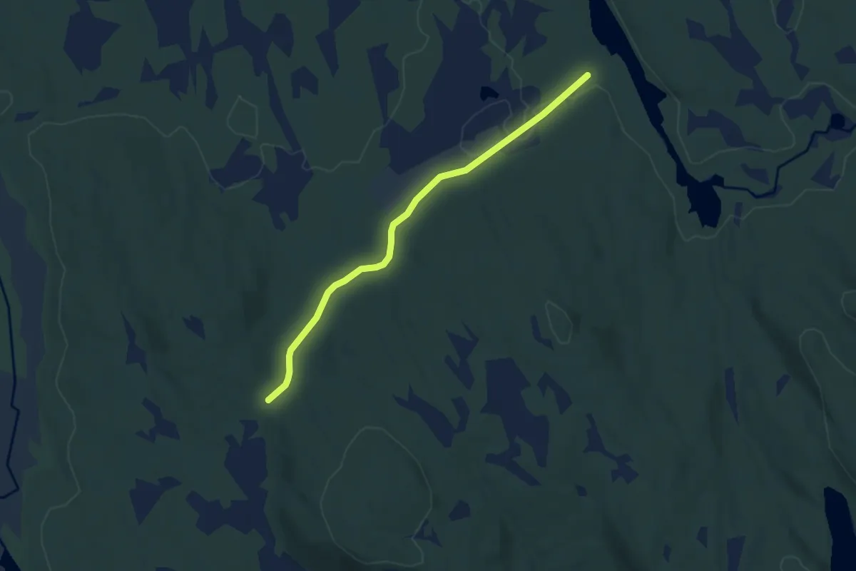
Easy · Trail
Tømmertorget-Storbrenna veg
4.6 km · ↑ 51 m · 1 h 11 min
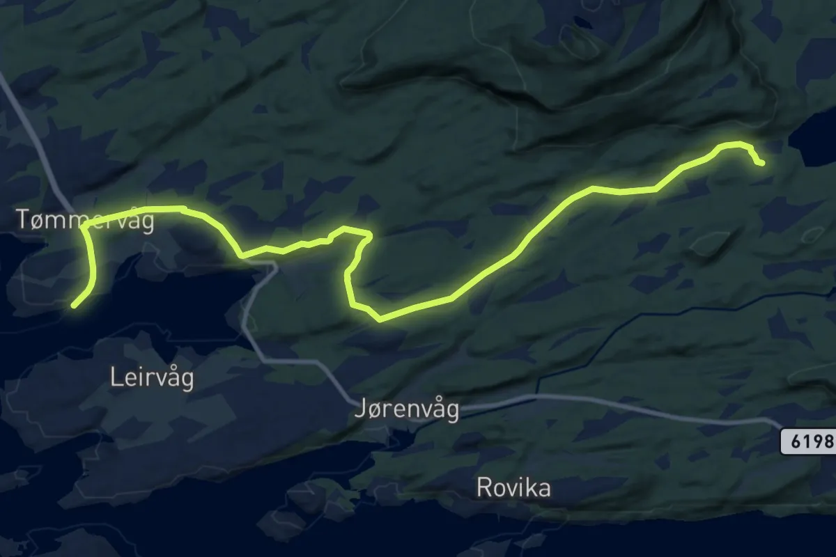
Medium · Trail
Tømmervåg fergeleie - Trollstua
9.3 km · ↑ 112 m · 2 h 26 min
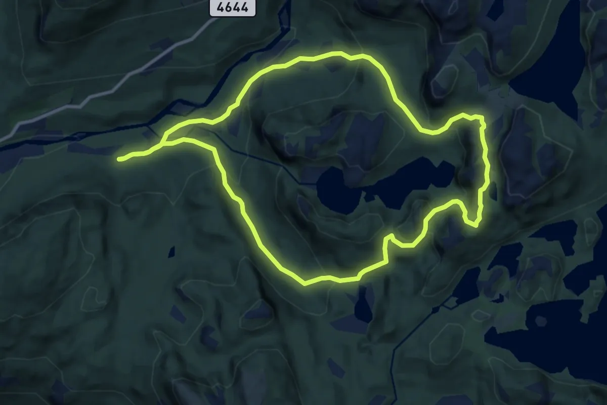
Medium · Trail
Tømmervatnet rundt
7.1 km · ↑ 370 m · 2 h 35 min
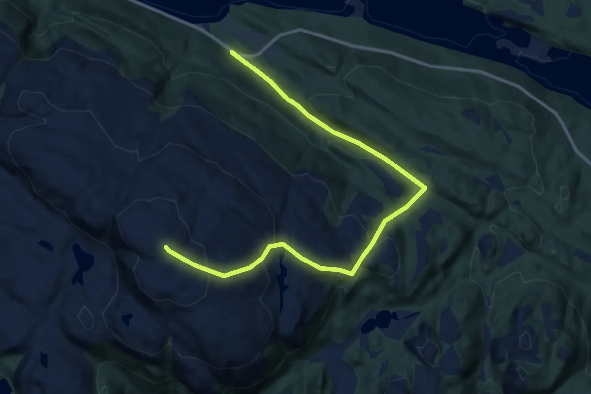
Medium · Trail
Tømmervikfjellets topp
6.3 km · ↑ 424 m · 2 h 24 min
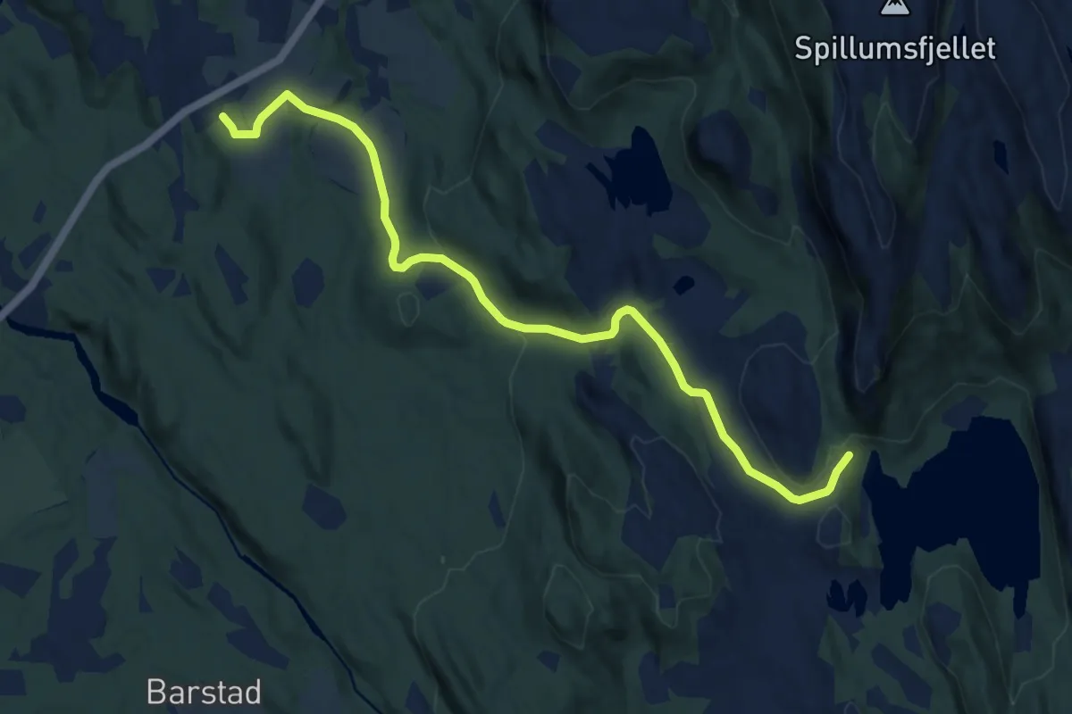
Easy · Trail
Tomramoen-Spillumsvatnet
6.7 km · ↑ 180 m · 1 h 58 min
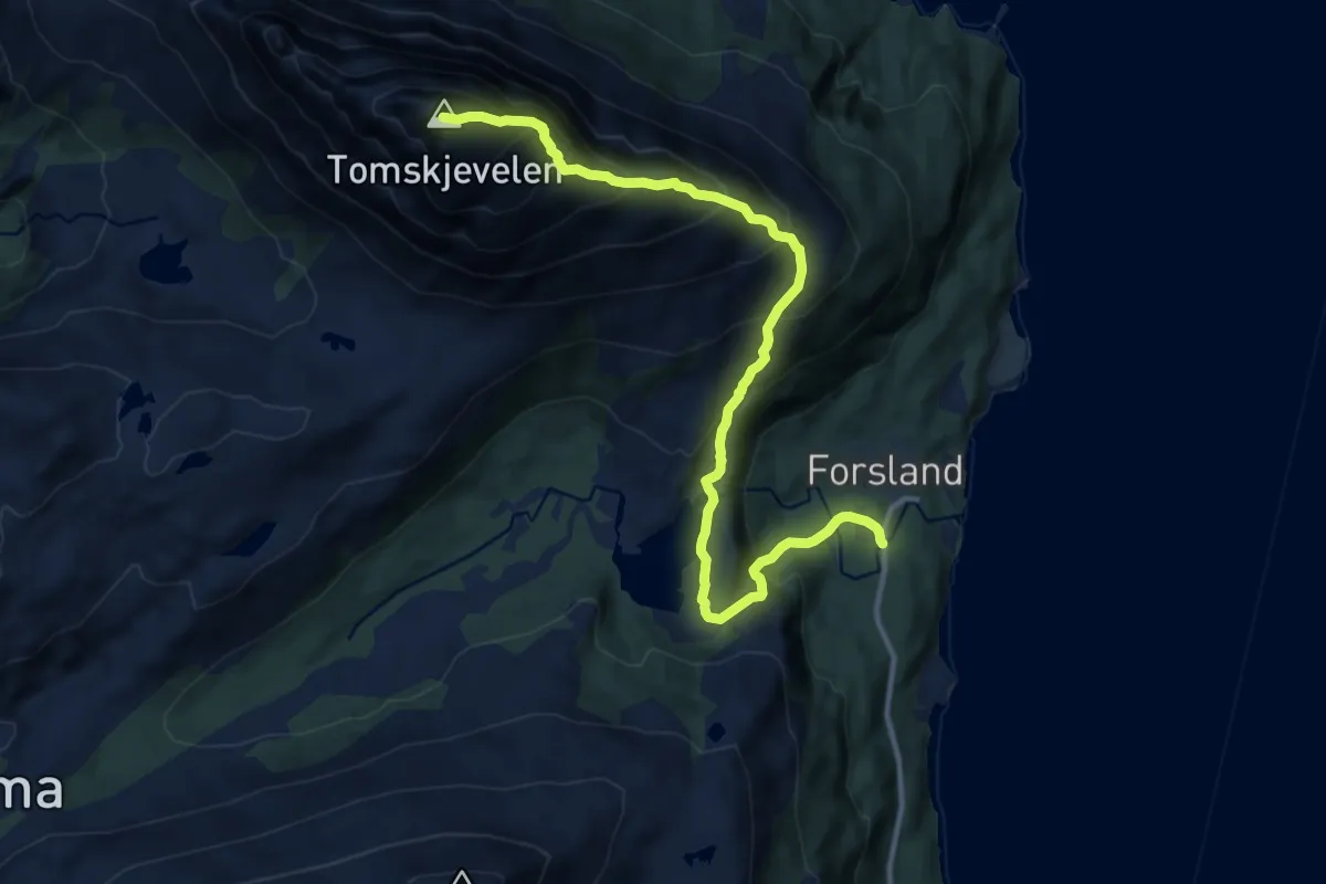
Demanding · Trail
Tomskjevelen
7.8 km · ↑ 885 m · 3 h 45 min
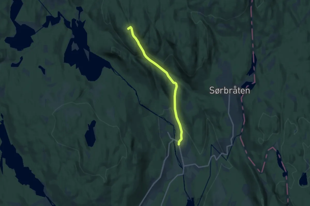
Medium · Summit
Tømtekleivene
7.0 km · ↑ 327 m · 2 h 21 min
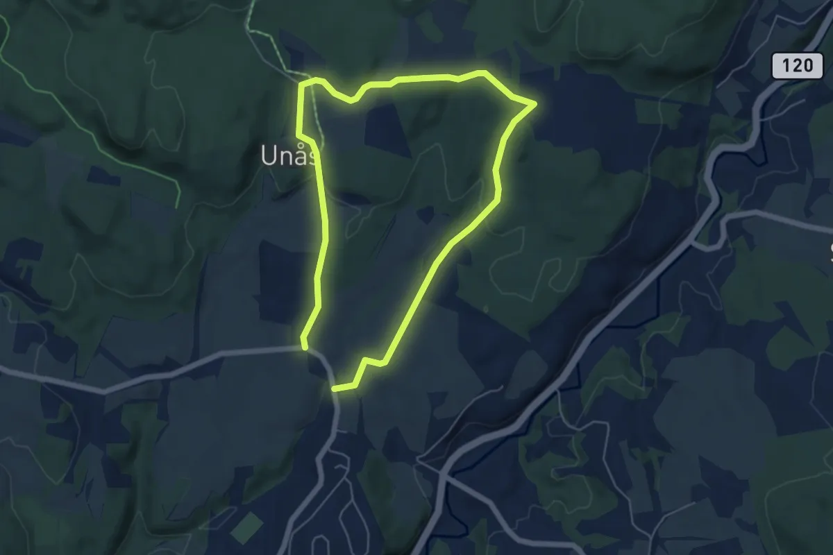
Easy · Trail
Tomter folkesti
3.4 km · ↑ 57 m · 58 min
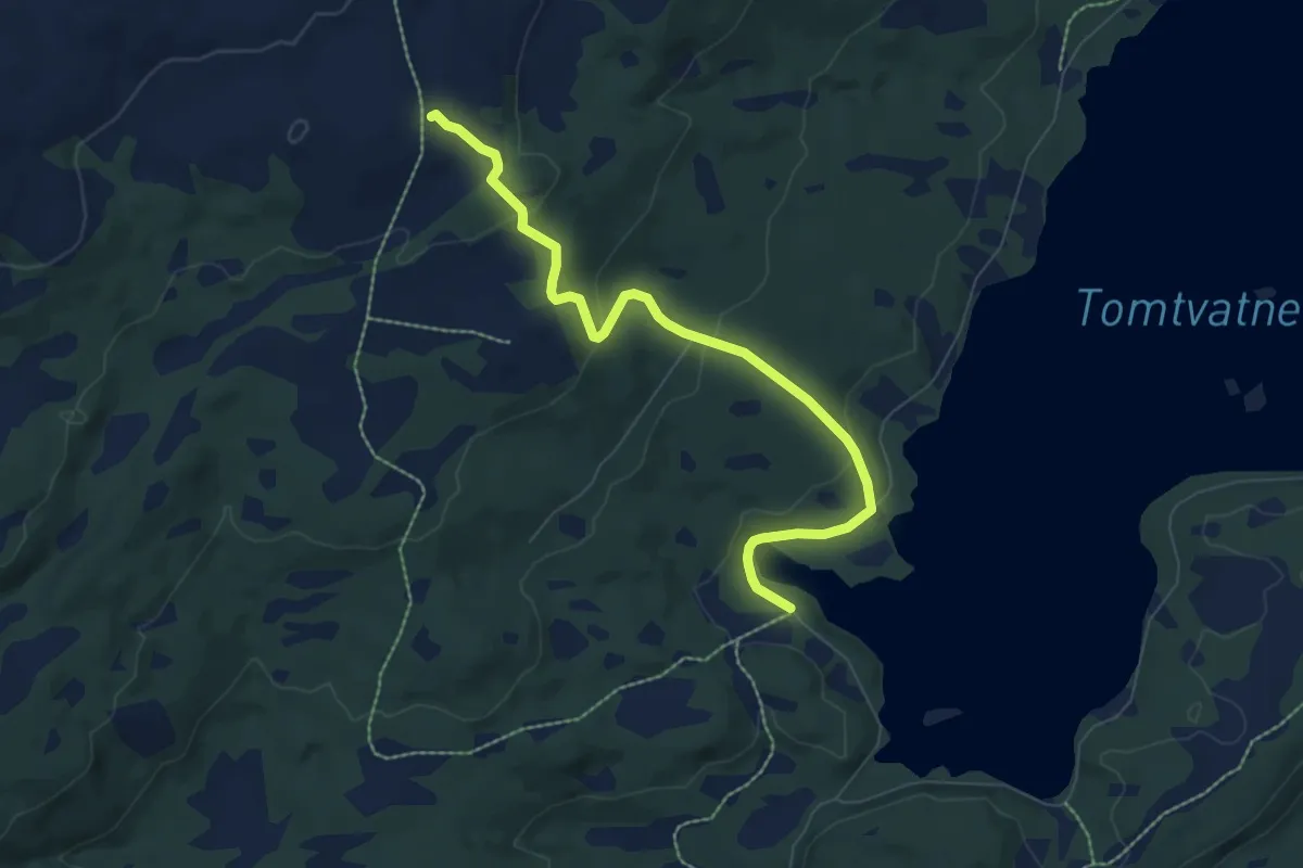
Easy · Trail
Tomtvasslia
4.9 km · ↑ 201 m · 1 h 35 min
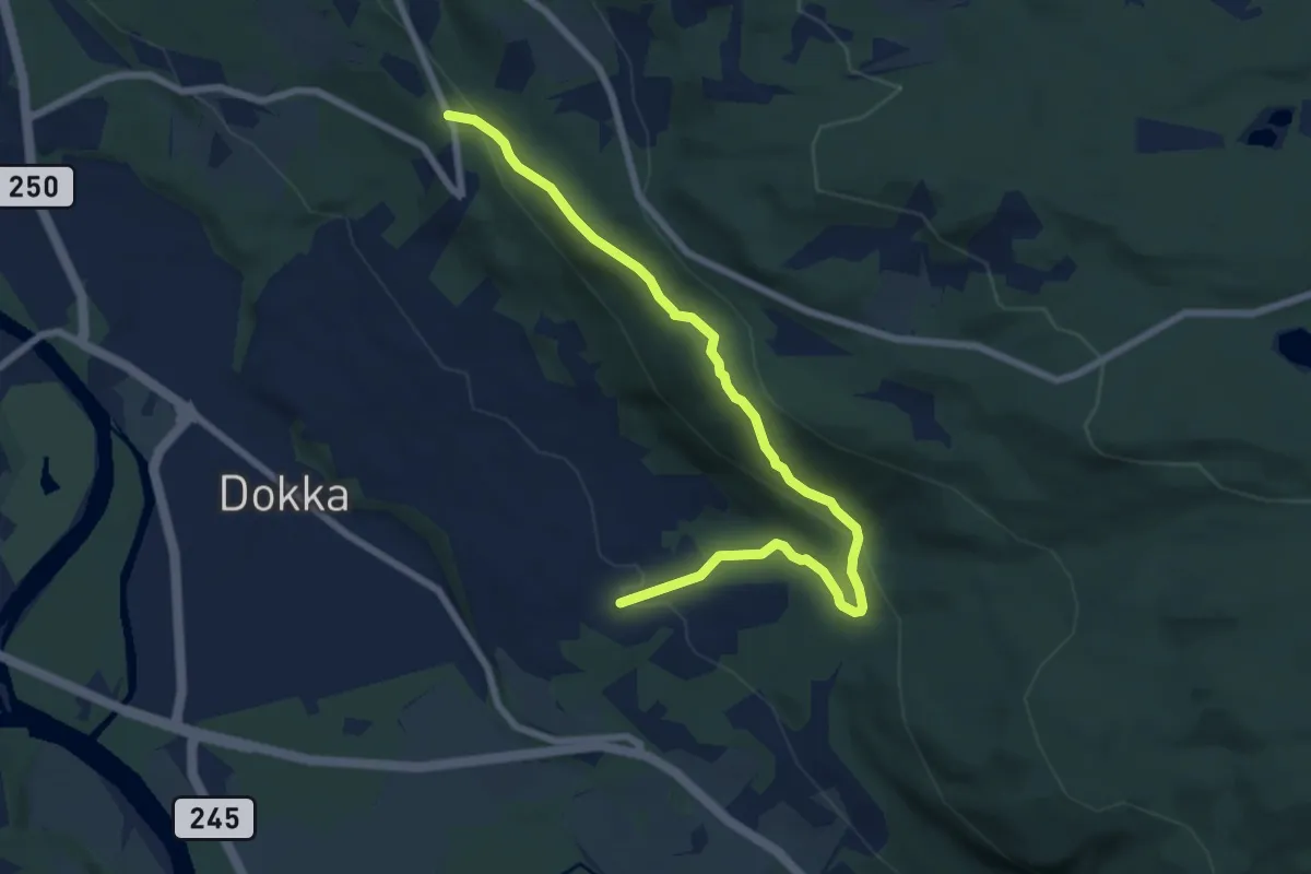
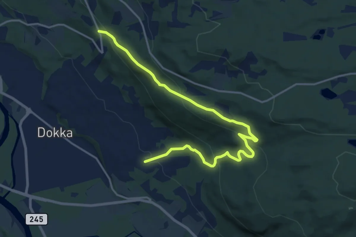
Medium · Trail
Tonlia ? Bergehagen, kort løype
5.7 km · ↑ 283 m · 1 h 57 min
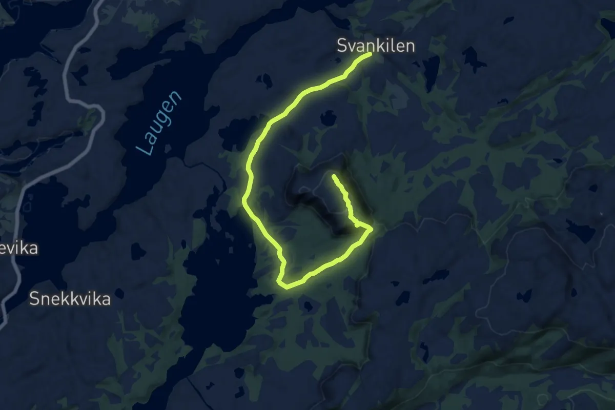
Medium · Trail
Tonlia ? Bergehagen, lang løype
8.3 km · ↑ 372 m · 2 h 47 min
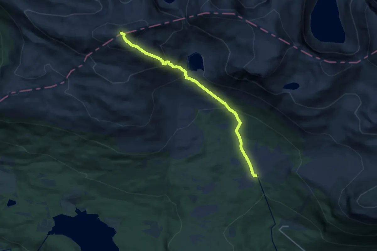
Medium · Trail
Tonningen
9.8 km · ↑ 287 m · 2 h 57 min
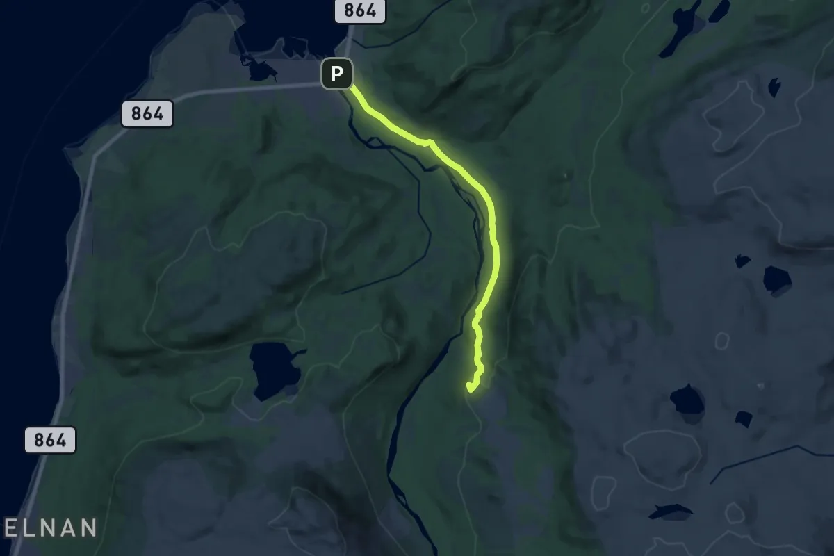
Demanding · Trail
Tonningsætra- Gulkoppen
9.4 km · ↑ 863 m · 4 h 5 min
Medium · Summit
Tønsvika-Blåkollkoia
8.8 km · ↑ 211 m · 2 h 32 min
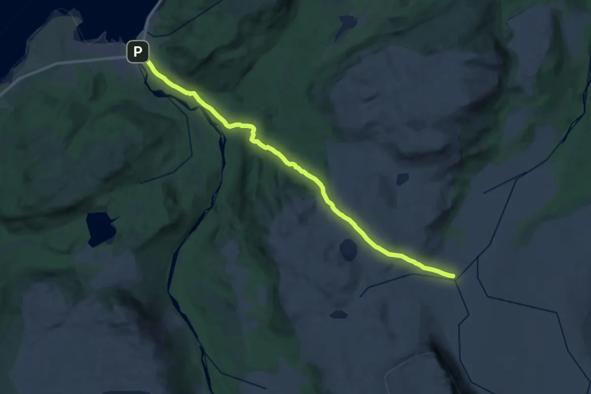
Medium · Cabin
Tønsvik-Nonsbu
14.9 km · ↑ 475 m · 4 h 32 min
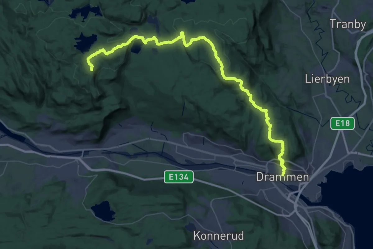
Demanding · Summit
Topp7Turen
37.6 km · ↑ 1173 m · 11 h 25 min
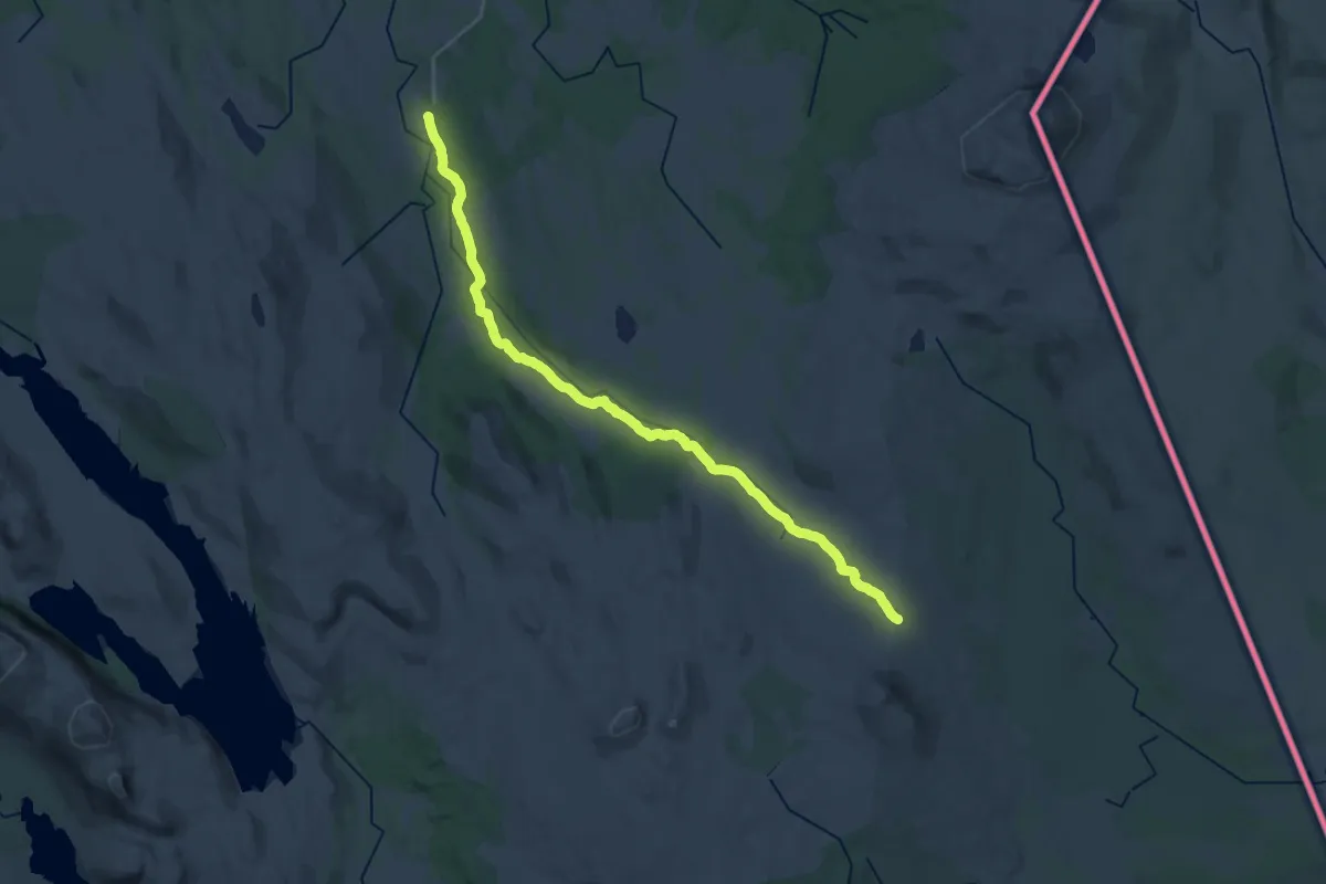
Demanding · Trail
Topptur Blåhåmmårkleppenrunde 25 km.
22.3 km · ↑ 308 m · 5 h 56 min
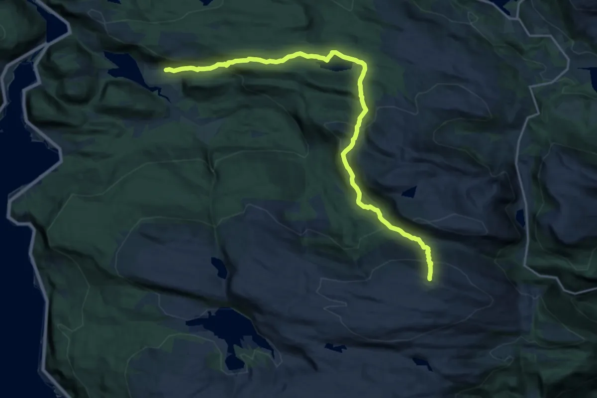
Demanding · Trail
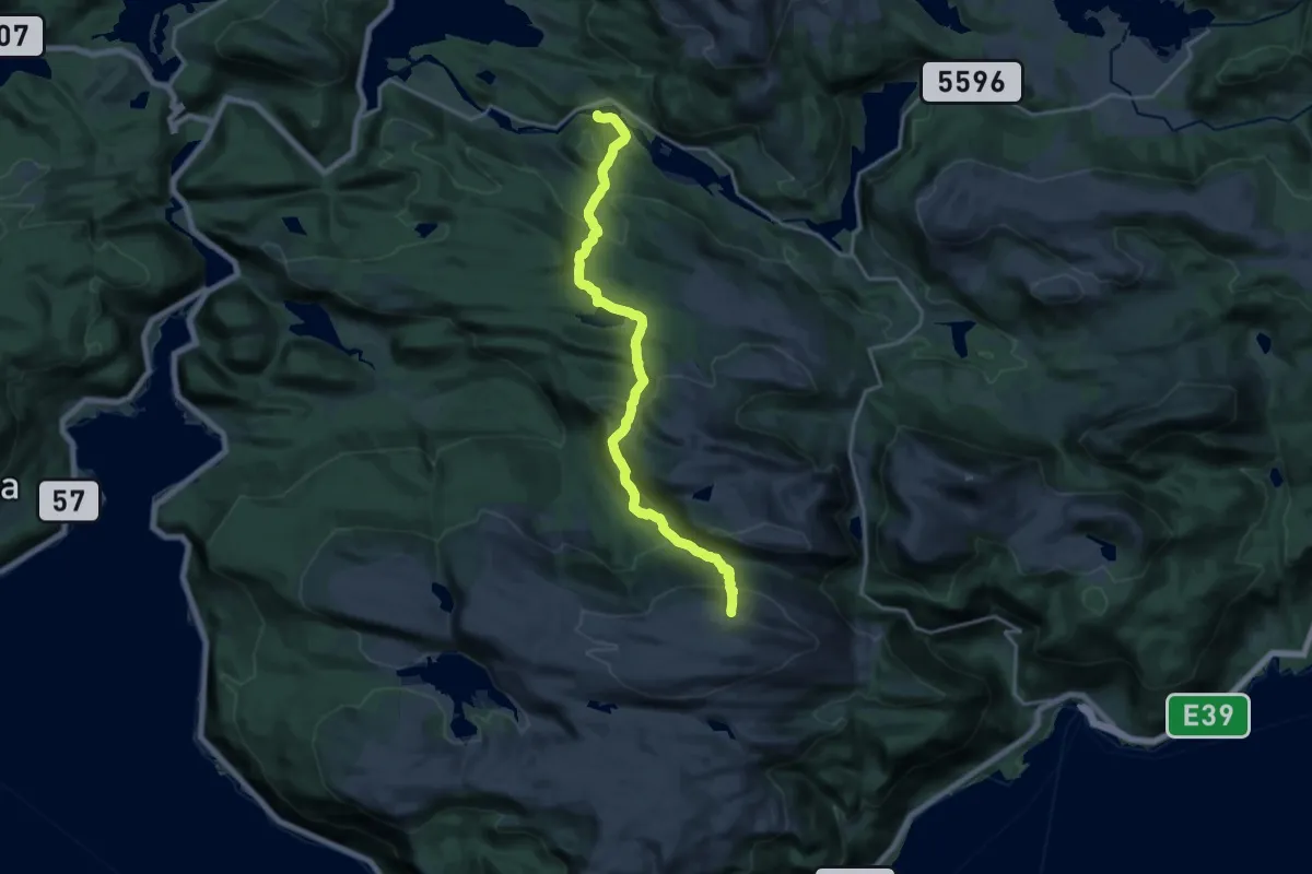
Topptur frå Handalen til Laviksåta
13.1 km · ↑ 877 m · 5 h
Demanding · Trail
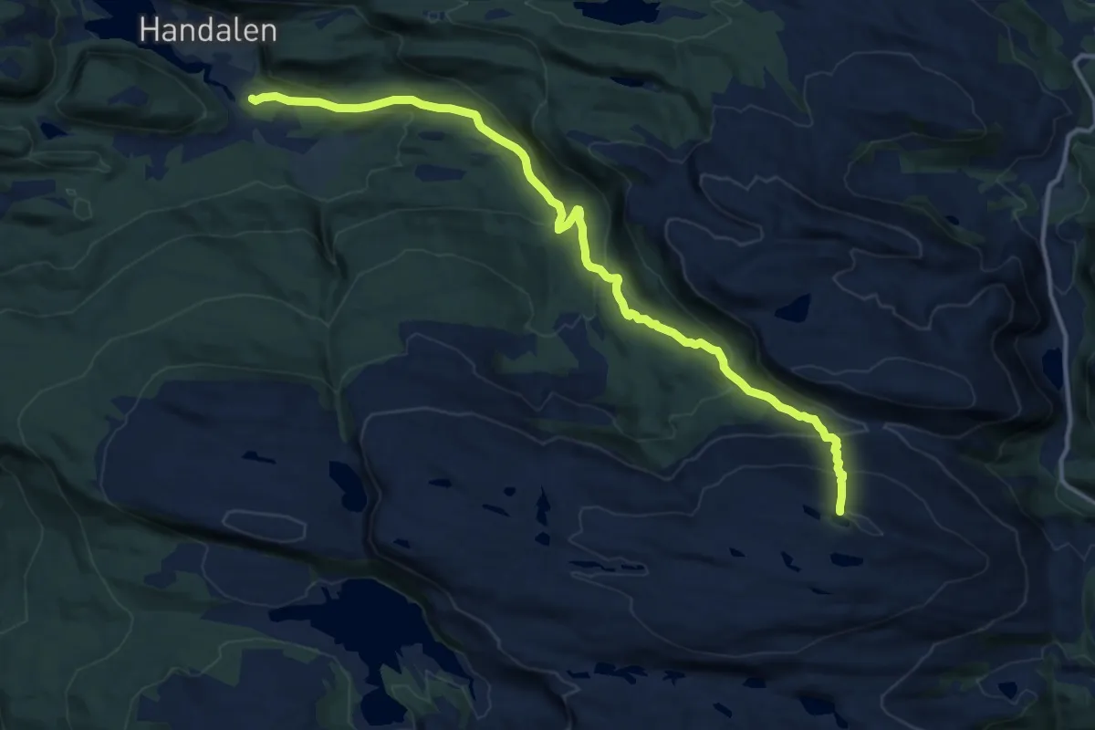
Topptur frå Kletten til Laviksåta
13.0 km · ↑ 807 m · 4 h 49 min
Medium · Trail
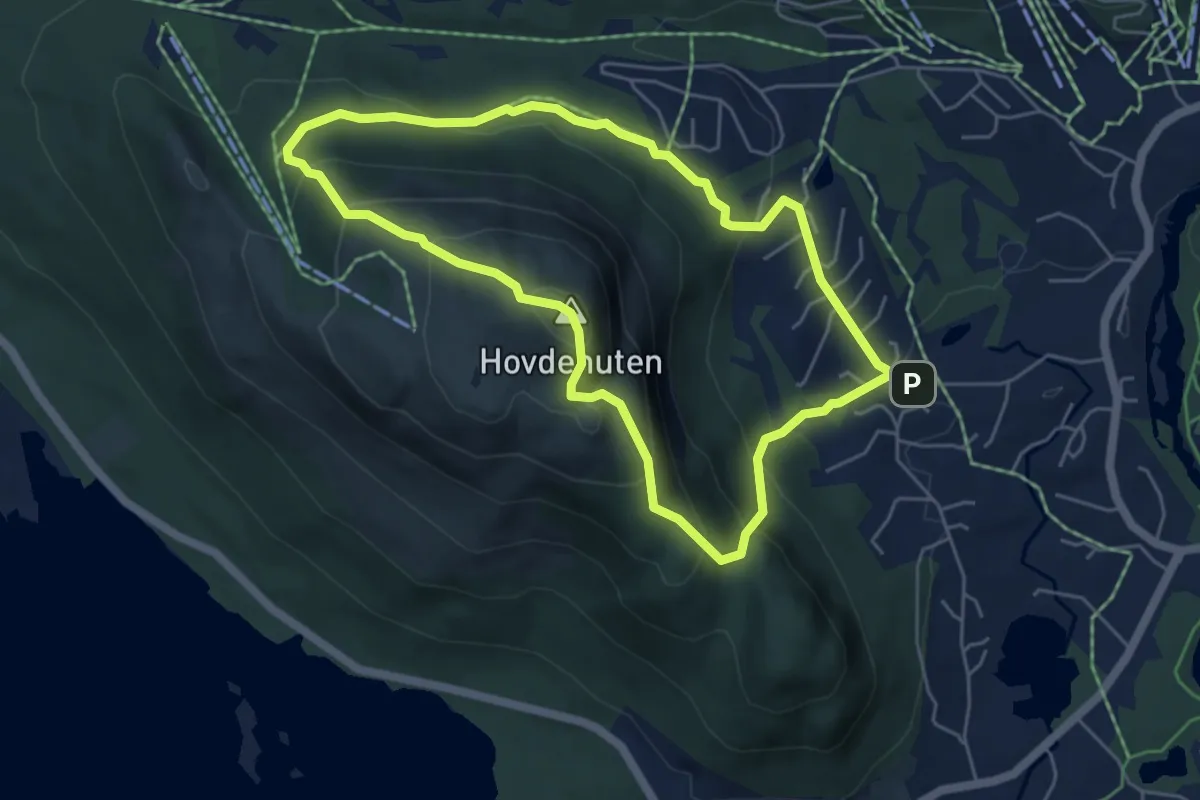
Topptur frå Lona til Laviksåta
10.1 km · ↑ 630 m · 3 h 45 min
Medium · Summit
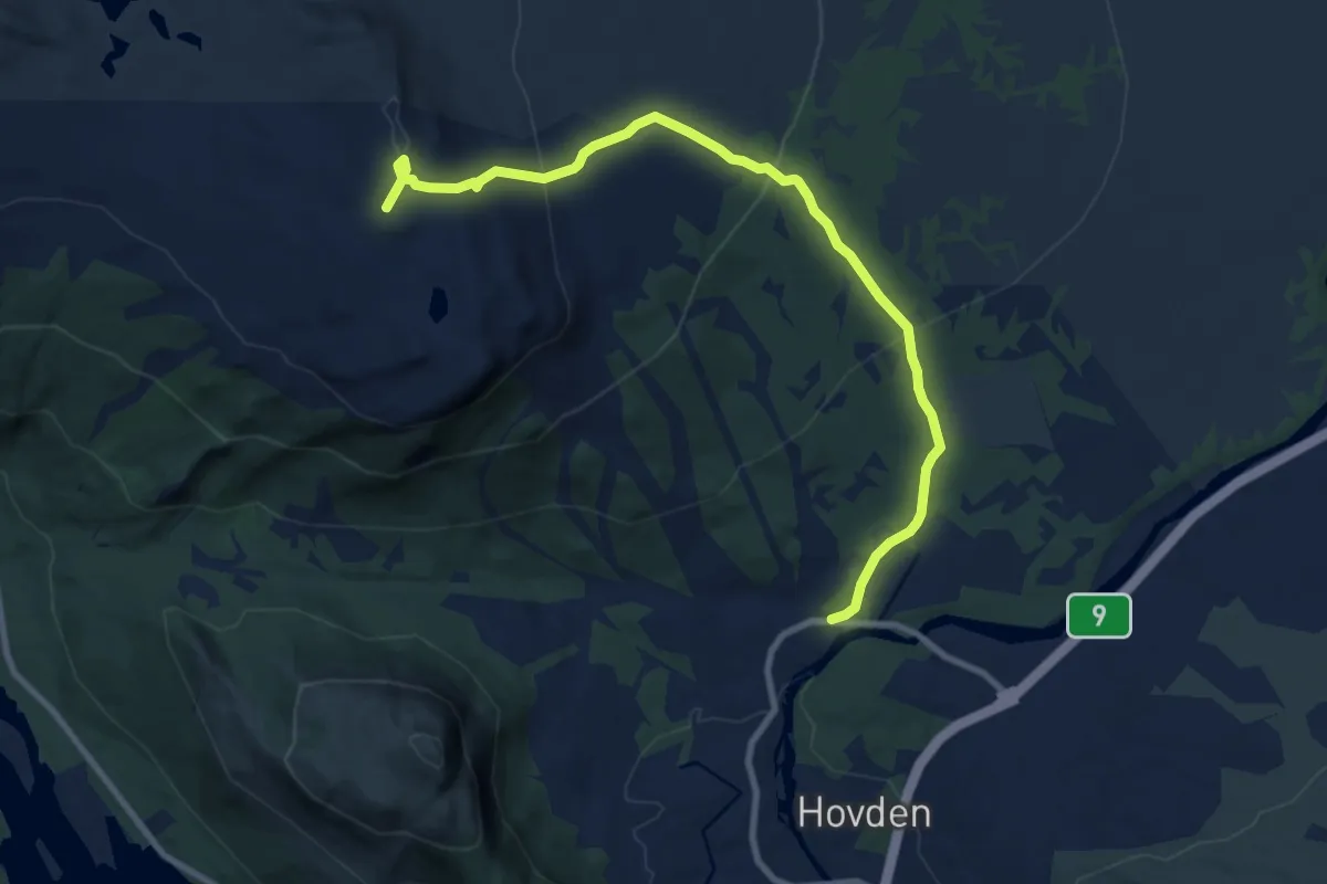
Topptur Hovdenuten
3.8 km · ↑ 311 m · 1 h 37 min
Medium · Trail
Topptur Nos
7.5 km · ↑ 397 m · 2 h 37 min