Trails in Norway
7,452 hiking trails, each with its route, climb, walking time and grade.
All trails, page 106 of 156
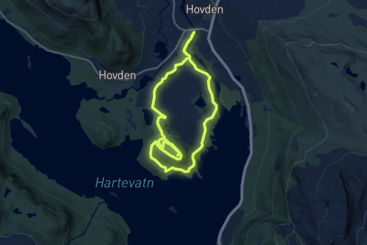
Easy · Trail
Topptur Otrosåsen
6.1 km · ↑ 151 m · 1 h 50 min
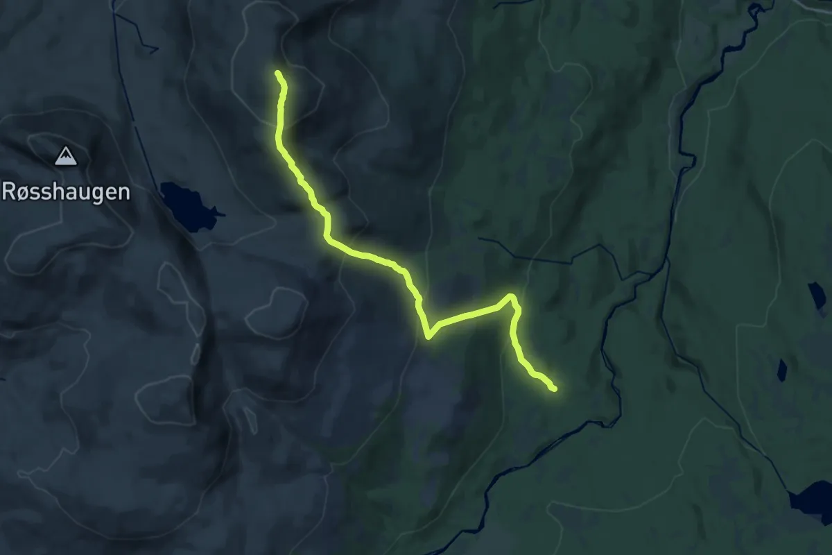
Medium · Trail
Toppturrute Mannibekken-Fonnfjellet 1100 moh.
14.1 km · ↑ 744 m · 4 h 57 min
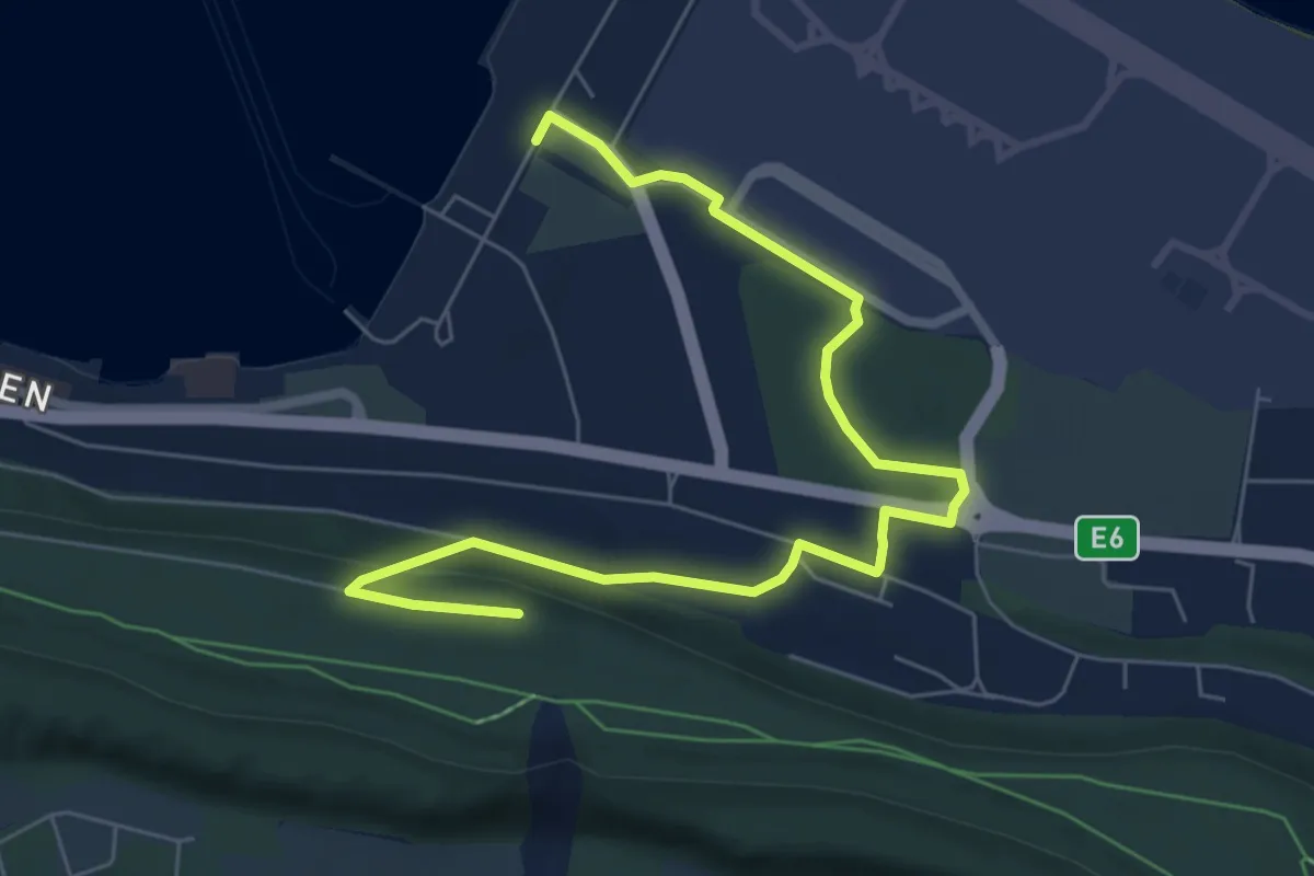
Easy · Trail
Topptur Sandfallet
4.0 km · ↑ 59 m · 1 h 5 min
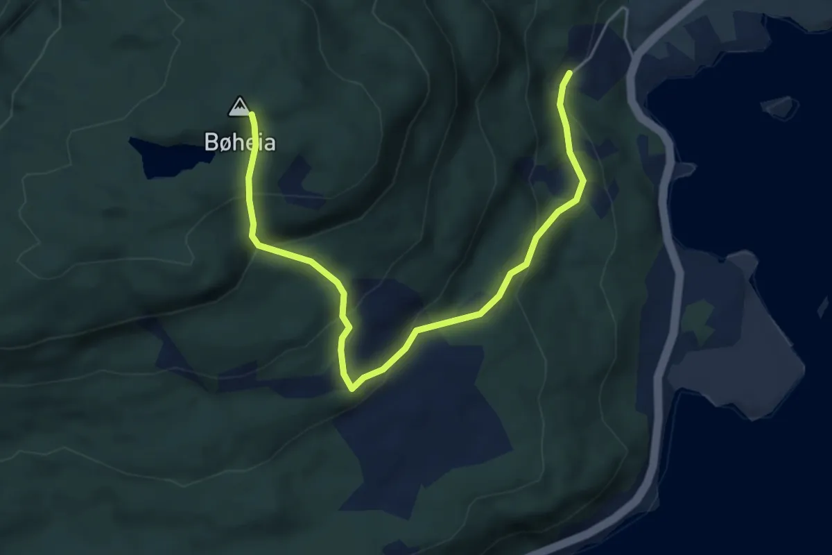
Easy · Trail
Topptur til Bøheia
3.9 km · ↑ 281 m · 1 h 31 min
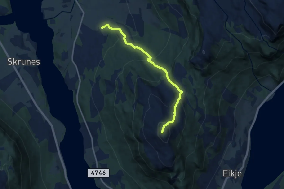
Medium · Trail
Topptur til Hovda via Grånuten
5.5 km · ↑ 479 m · 2 h 20 min
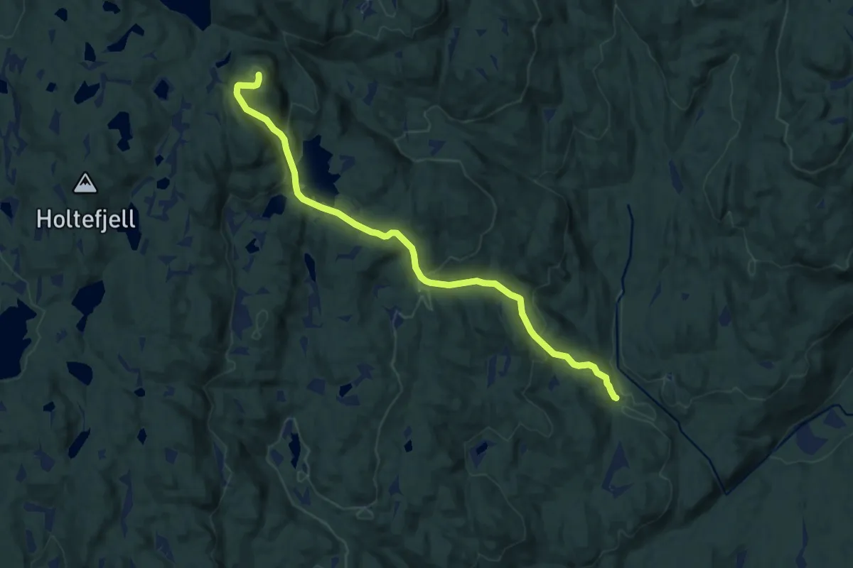
Medium · Trail
Topptur til Myrehogget
7.1 km · ↑ 407 m · 2 h 33 min
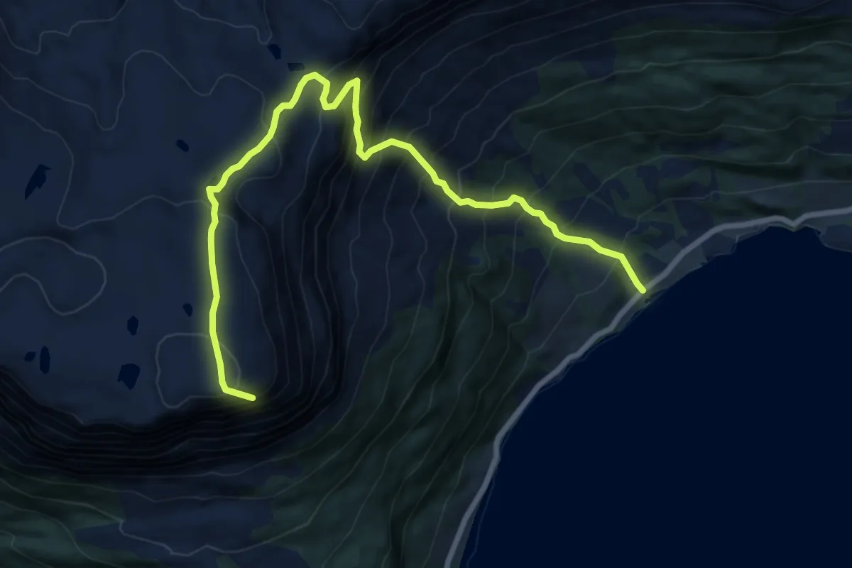
Demanding · Trail
Topptur til Risnesnipa
6.2 km · ↑ 813 m · 3 h 14 min
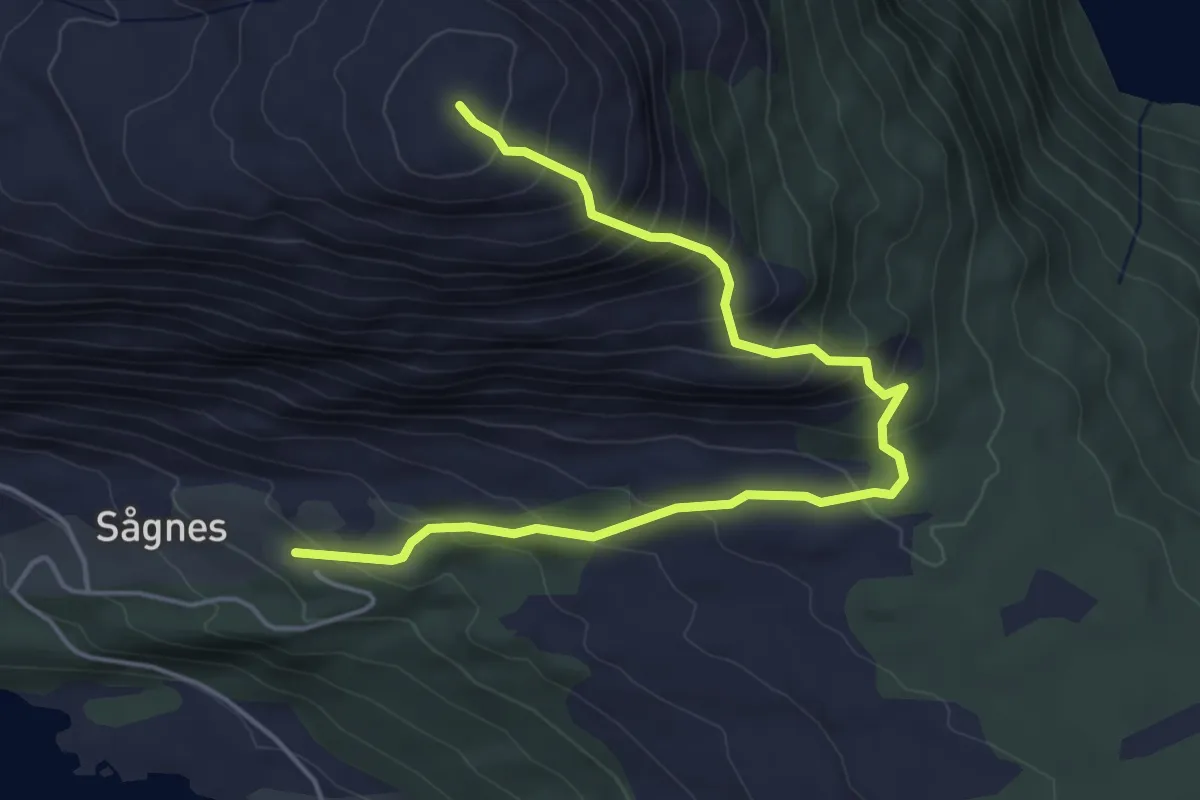
Medium · Trail
Topptur til Sågneskollen
3.9 km · ↑ 395 m · 1 h 46 min
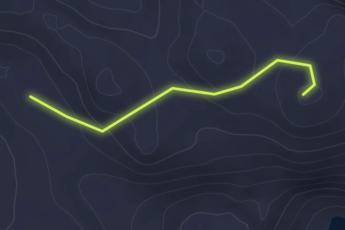
Medium · Trail
Topptur til Steinheia
2.6 km · ↑ 87 m · 48 min
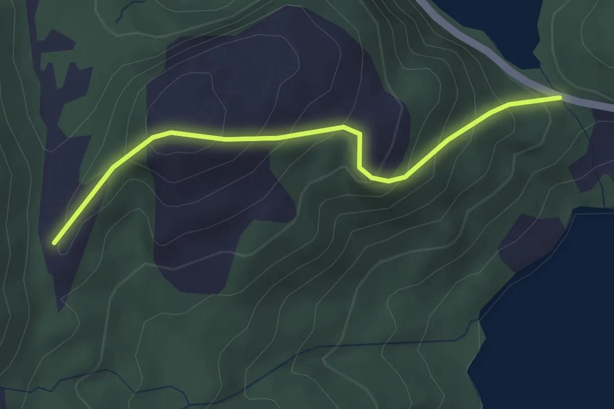
Easy · Trail
Topptur til Storevarden (f16)
2.0 km · ↑ 234 m · 59 min
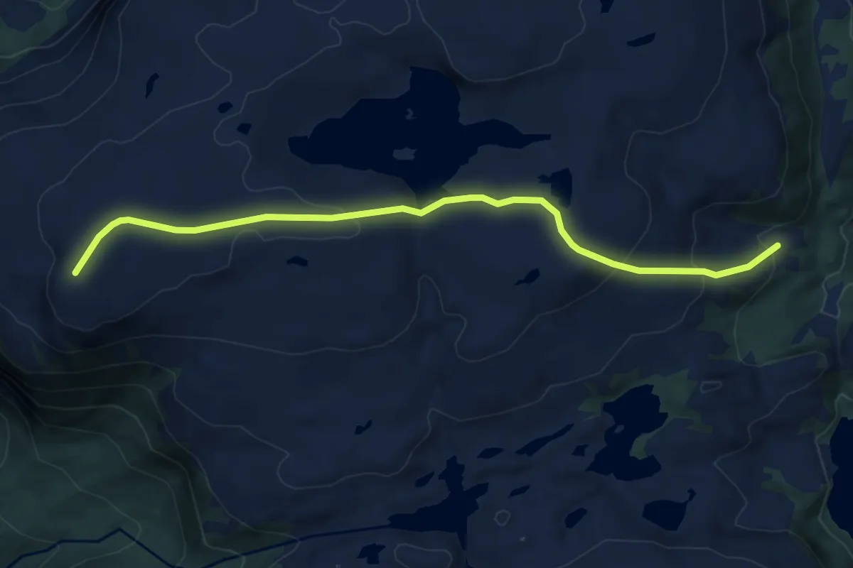
Easy · Trail
Topptur til Storevarden (f16)
4.9 km · ↑ 211 m · 1 h 37 min
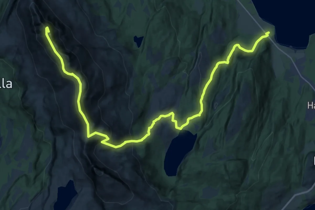
Demanding · Trail
Topptur til Stortinden i Drangen
16.9 km · ↑ 1127 m · 6 h 26 min
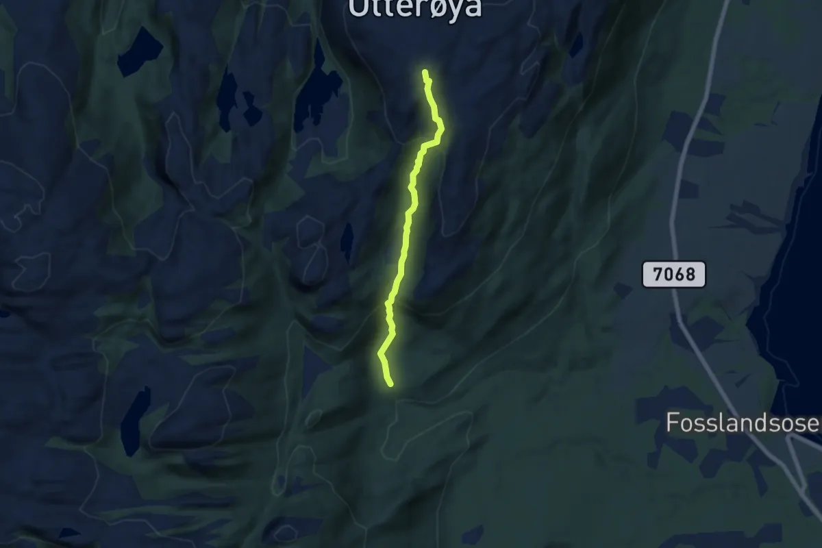
Easy · Trail
Topptur til Stuvfjellet
3.1 km · ↑ 249 m · 1 h 16 min
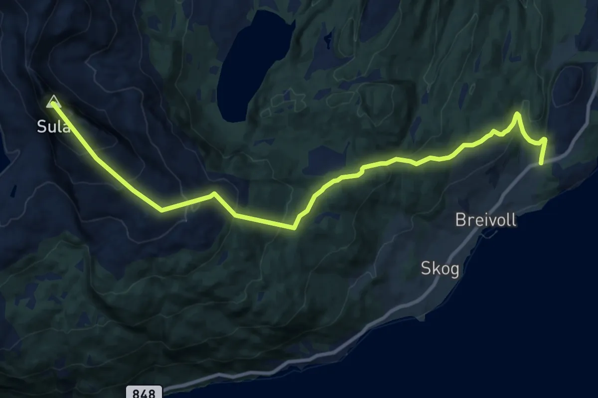
Medium · Trail
Topptur til Sula
10.7 km · ↑ 780 m · 4 h 13 min
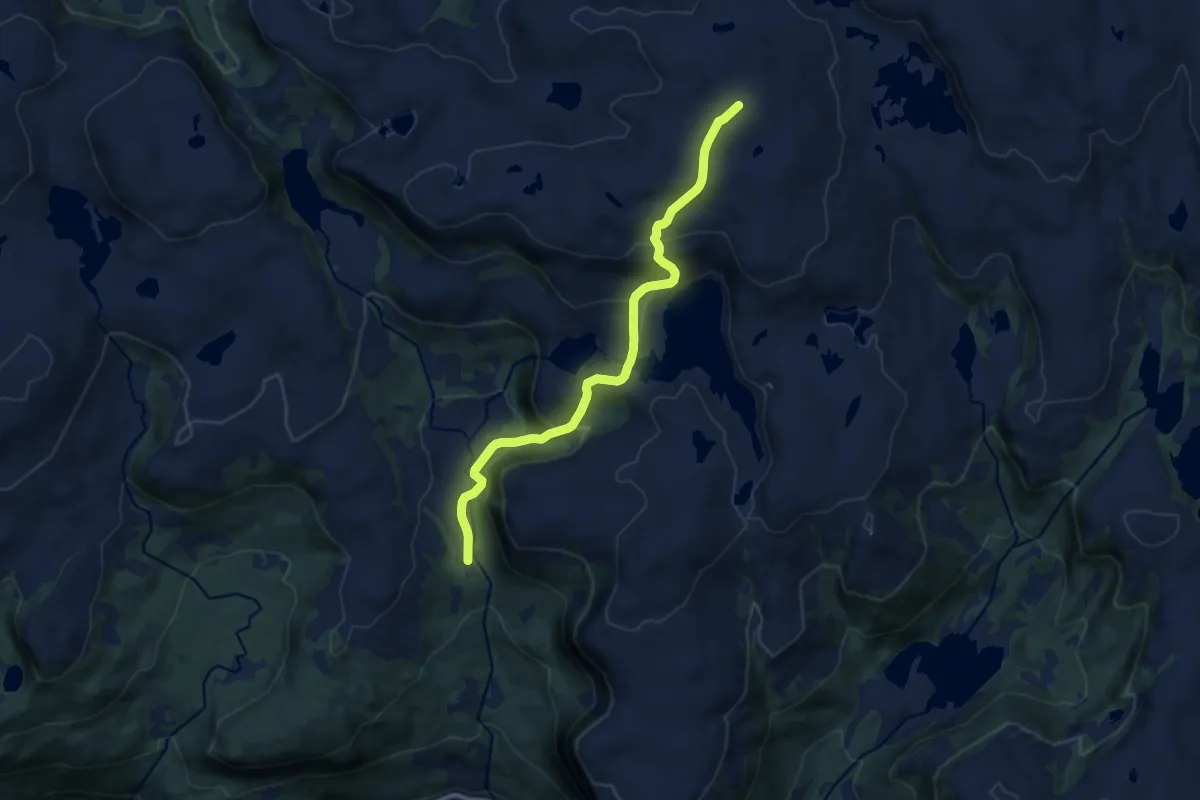
Medium · Trail
Topptur til Taket (f14b)
7.3 km · ↑ 459 m · 2 h 43 min
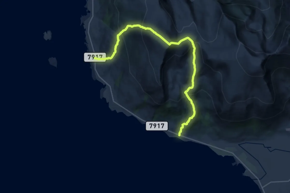
Demanding · Trail
Torbeinsund-Torstinden-Dalan
10.3 km · ↑ 1069 m · 4 h 44 min
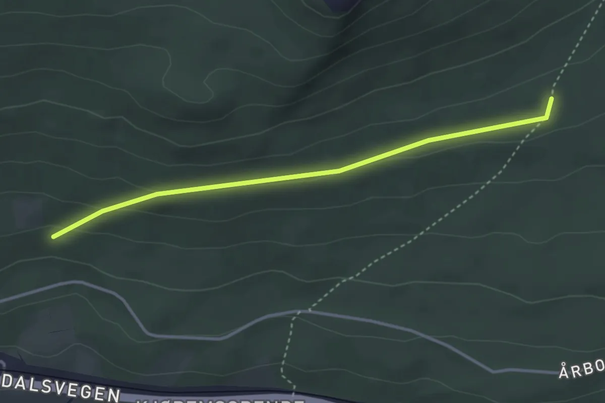
Easy · Trail
Torevegen
2.3 km · ↑ 58 m · 41 min
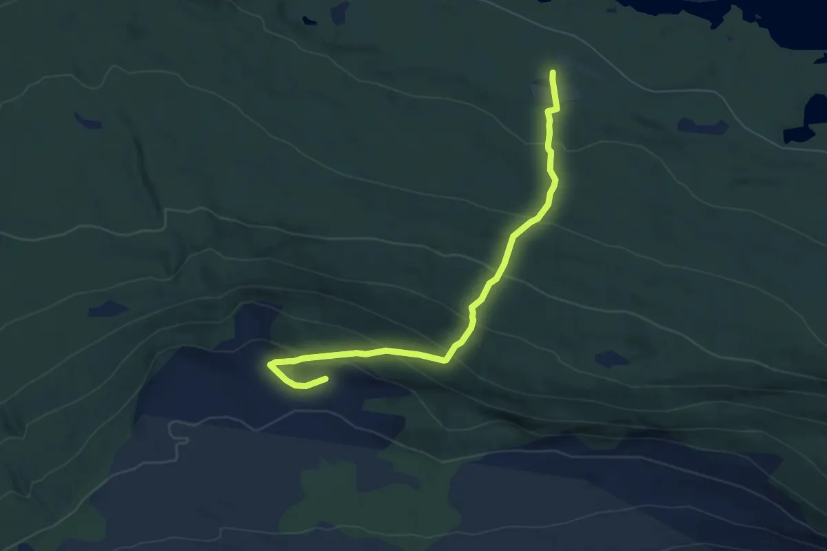
Easy · Trail
Torevegen
4.7 km · ↑ 375 m · 1 h 55 min
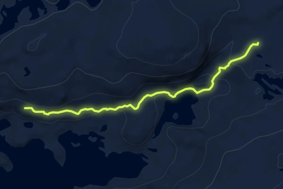
Easy · Trail
Torfinnsdalen
5.1 km · ↑ 186 m · 1 h 37 min
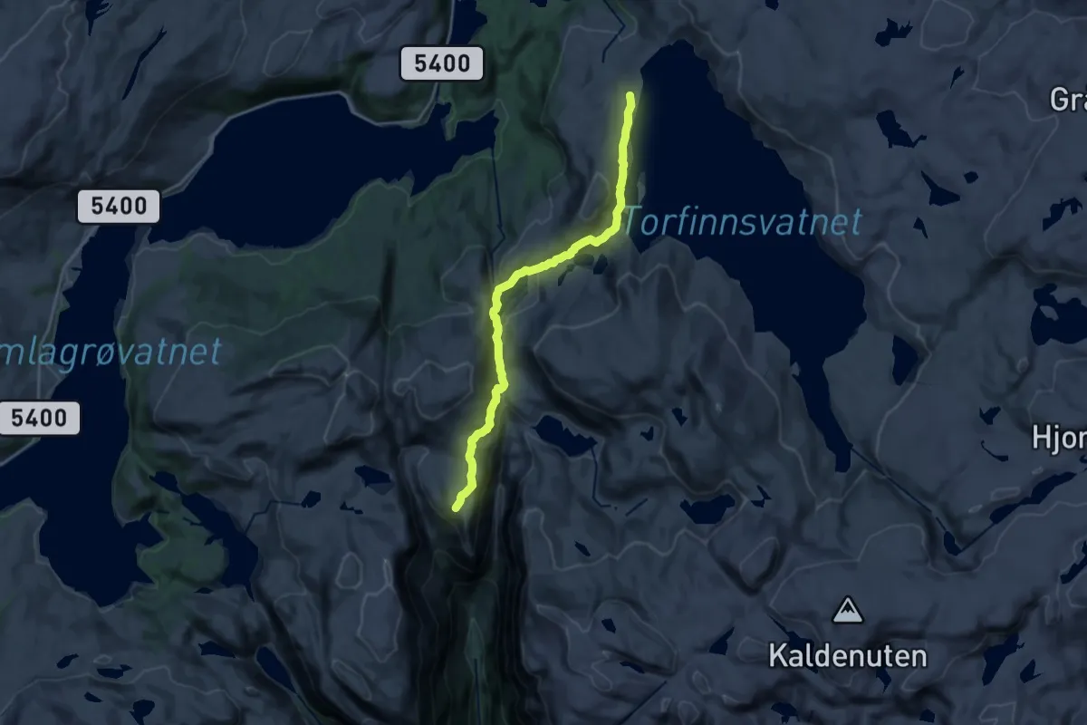
Medium · Cabin
Torfinnsheim-kiellandbu
13.6 km · ↑ 466 m · 4 h 13 min
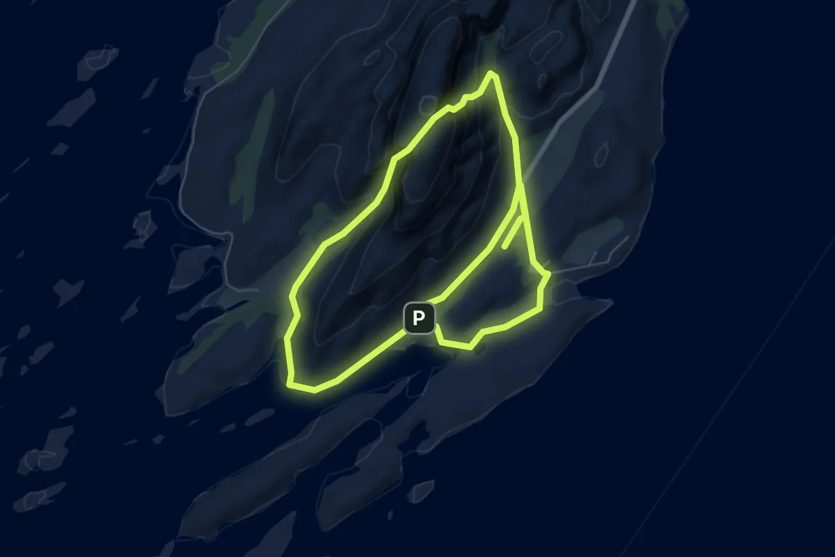
Medium · Summit
Torghattan-stig
3.9 km · ↑ 240 m · 1 h 29 min
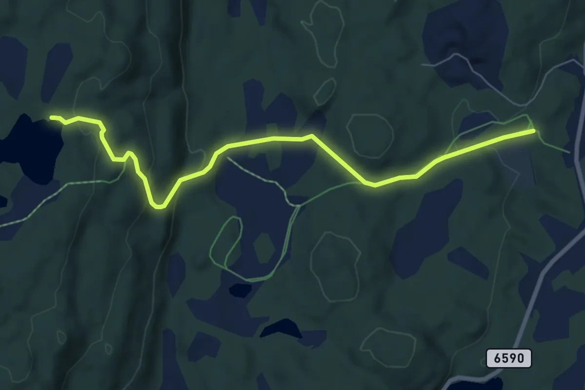
Easy · Trail
Torkeltjønna
4.5 km · ↑ 188 m · 1 h 28 min
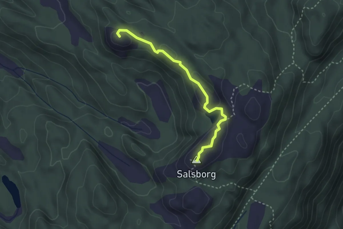
Medium · Trail
Tornessåta - Salsborg
2.0 km · ↑ 81 m · 39 min
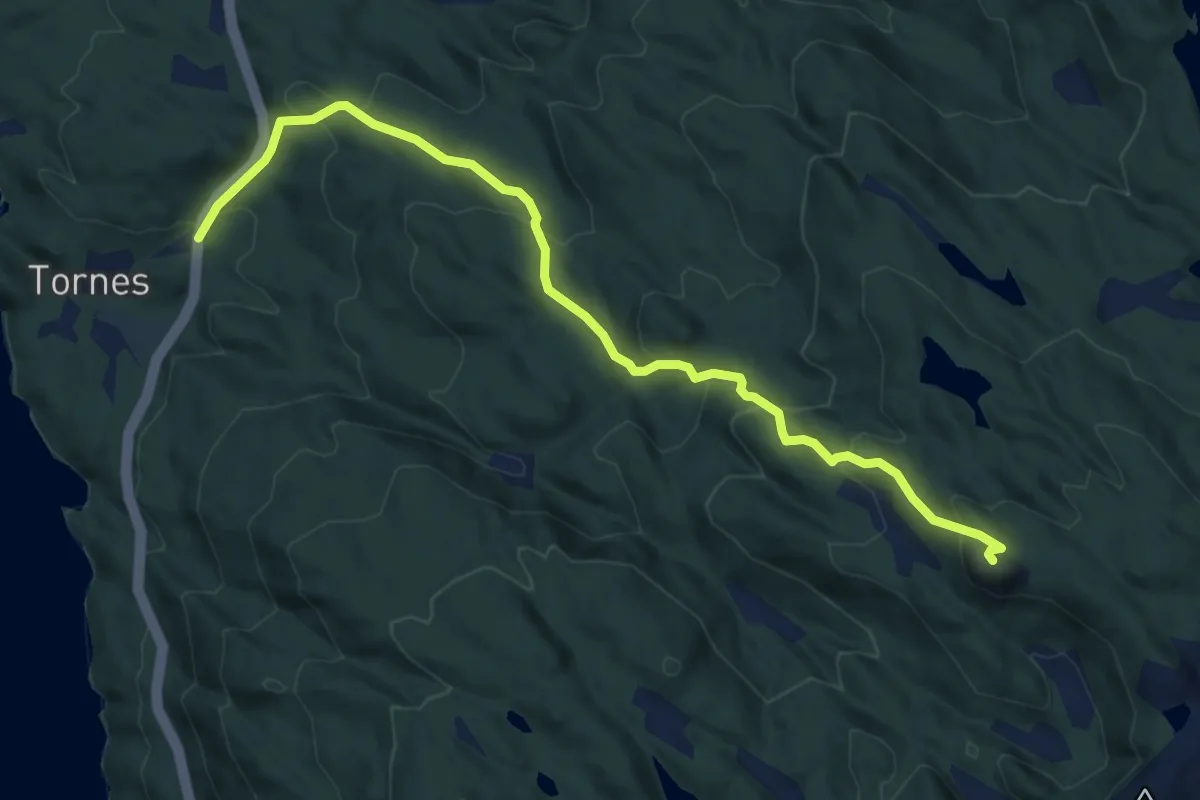
Medium · Trail
Tornes - Tornessåta
4.9 km · ↑ 356 m · 1 h 56 min
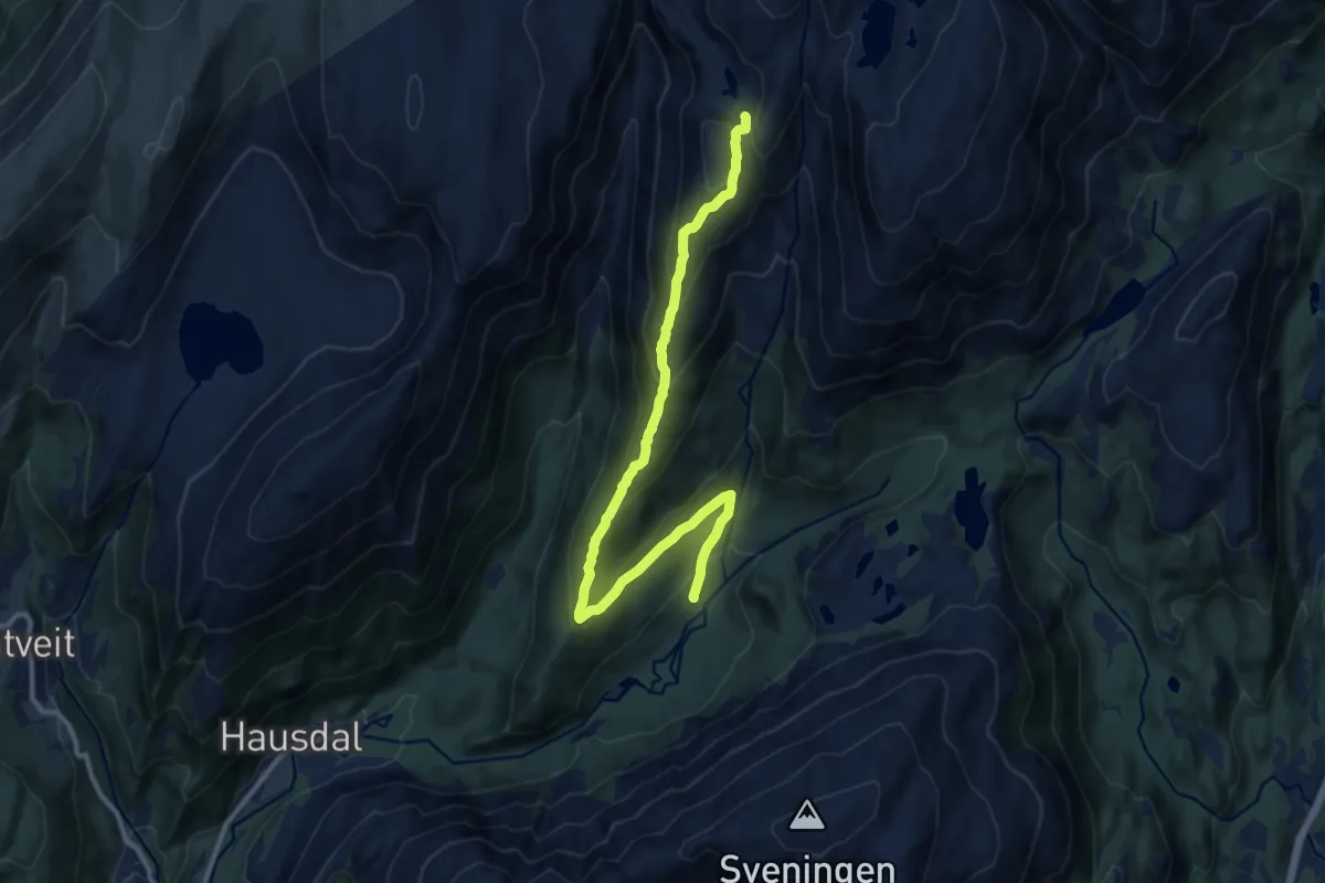
Easy · Trail
Toro
8.9 km · ↑ 542 m · 3 h 16 min
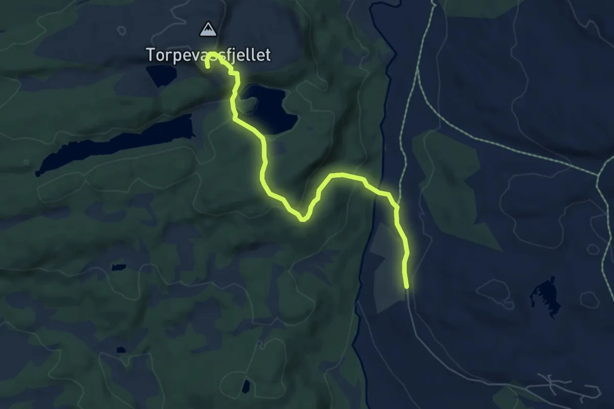
Medium · Trail
Torpevassfjellet
4.3 km · ↑ 156 m · 1 h 22 min
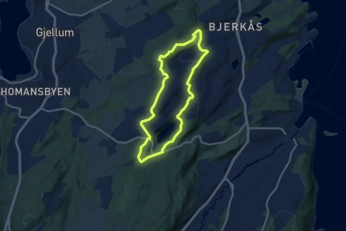
Medium · Trail
Torp-Høymyr
8.5 km · ↑ 352 m · 2 h 47 min
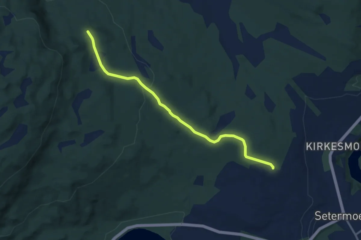
Easy · Trail
Tørrfurua
4.2 km · ↑ 115 m · 1 h 14 min
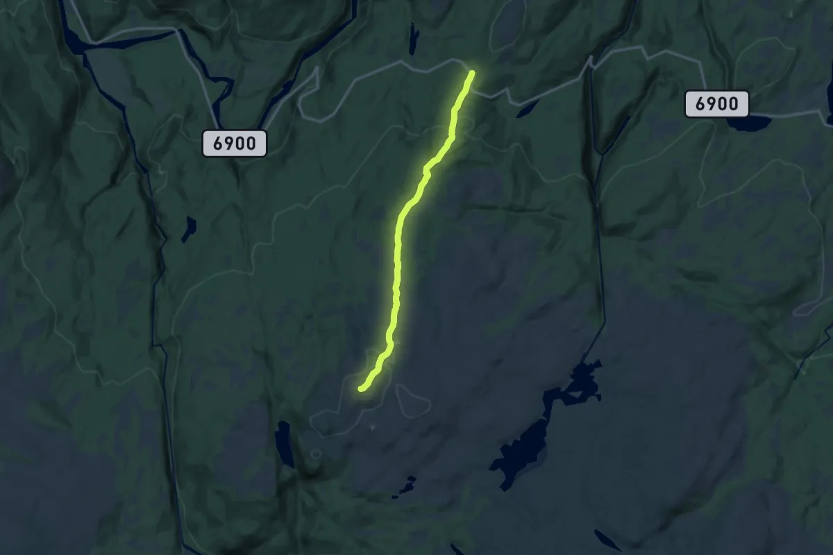
Easy · Trail
Tørrgranvola
7.8 km · ↑ 274 m · 2 h 26 min
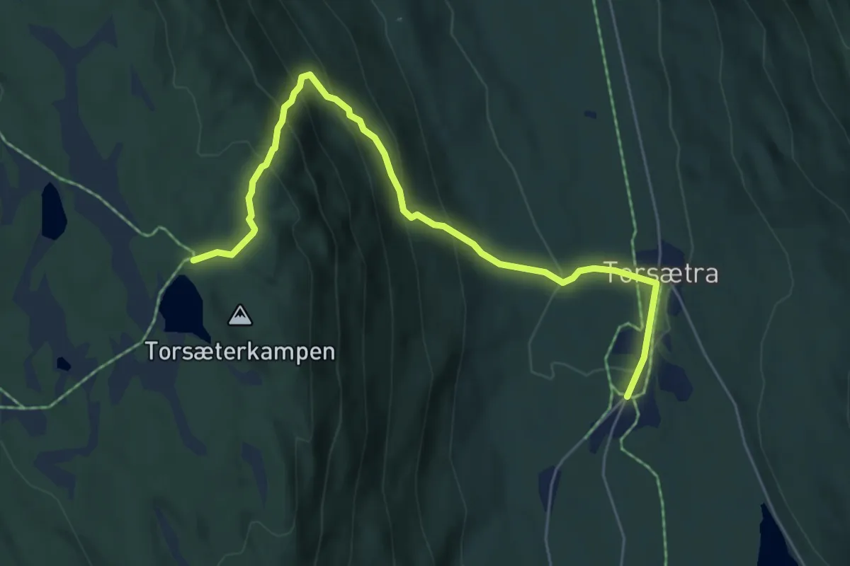
Medium · Trail
Torsætra - Rausteinshytta
4.3 km · ↑ 368 m · 1 h 49 min
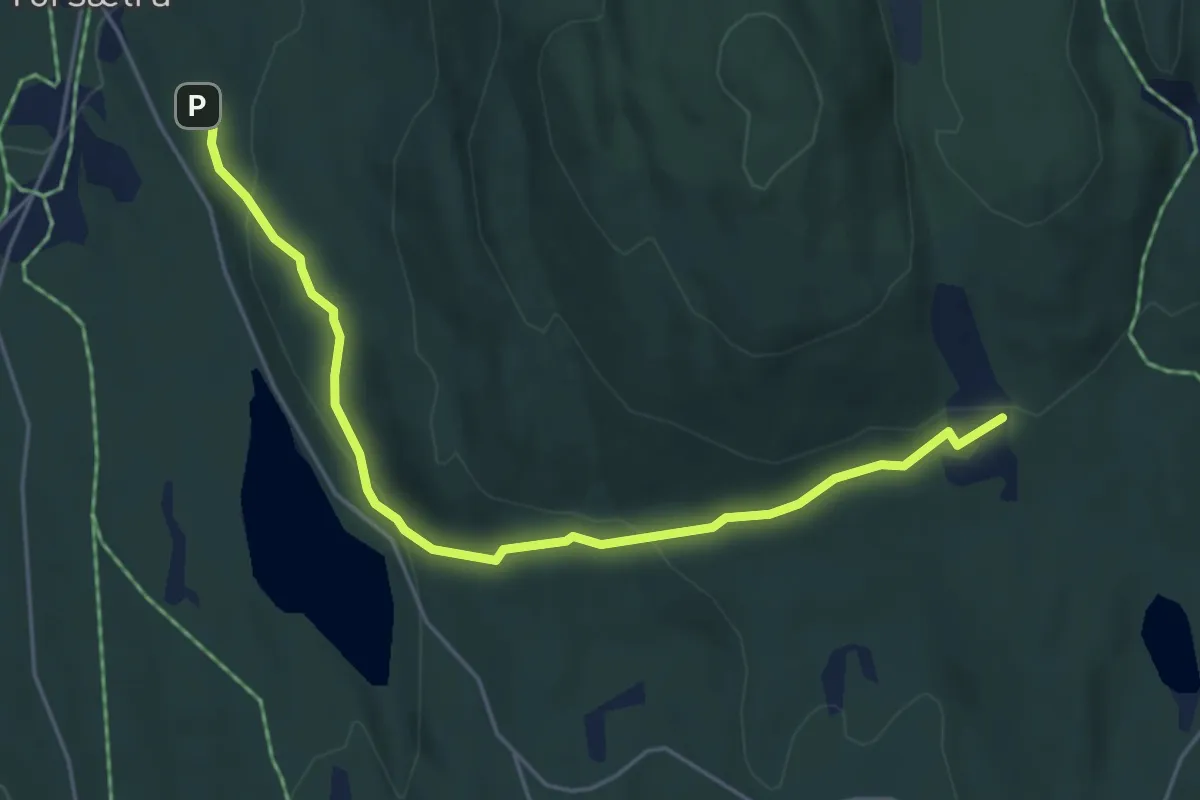
Medium · Trail
Torsætra - Syttlisætra
3.7 km · ↑ 148 m · 1 h 12 min
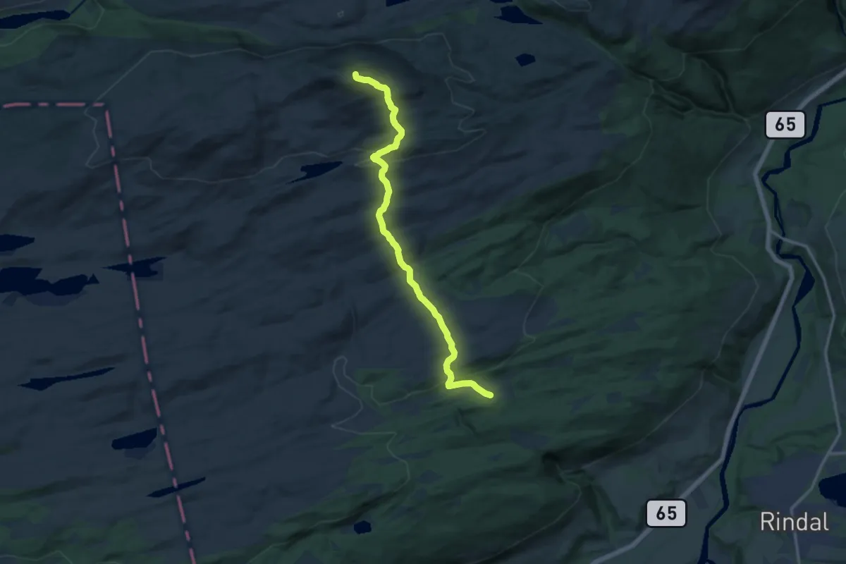
Medium · Trail
Tørsåsen - Skåkleiva
8.4 km · ↑ 414 m · 2 h 53 min
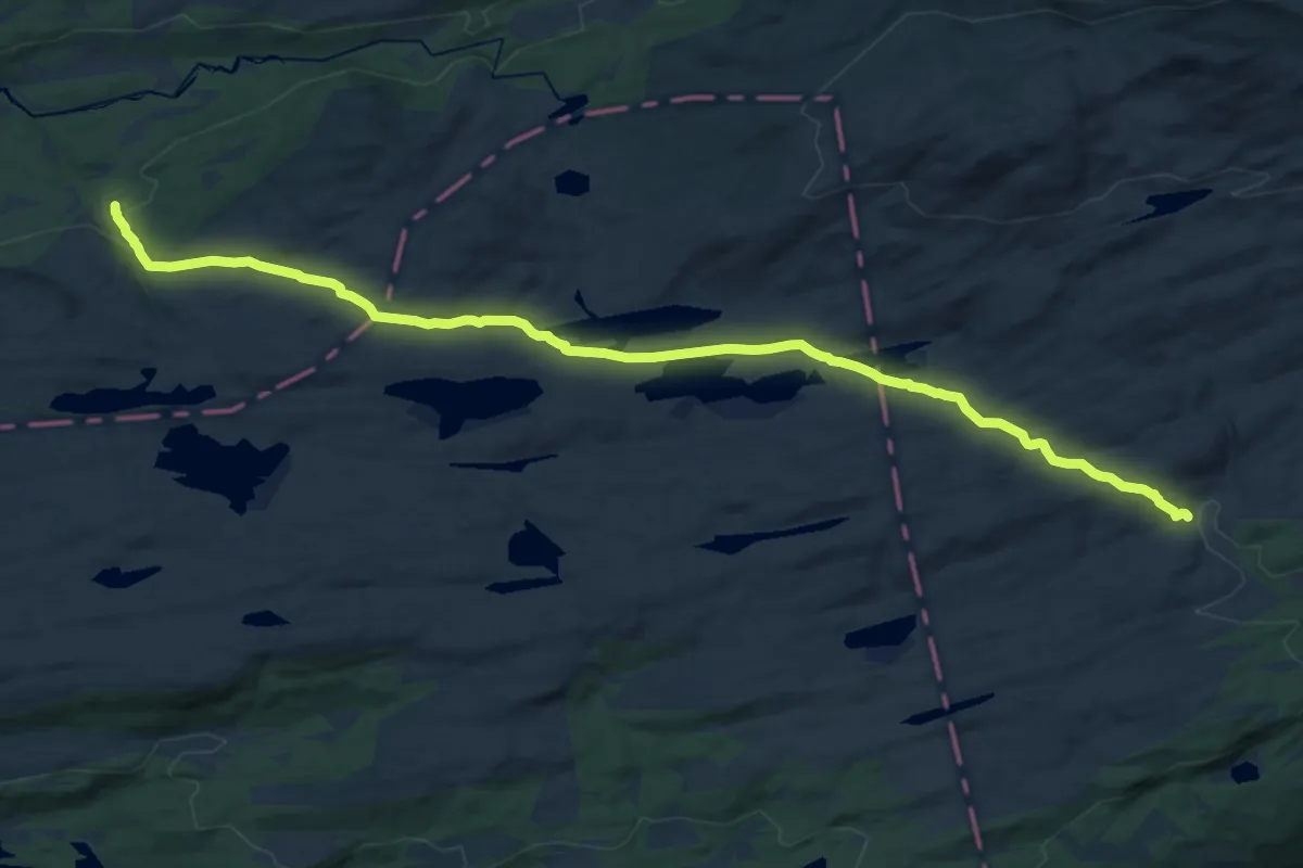
Demanding · Trail
Tørsetsetra
14.2 km · ↑ 272 m · 3 h 57 min
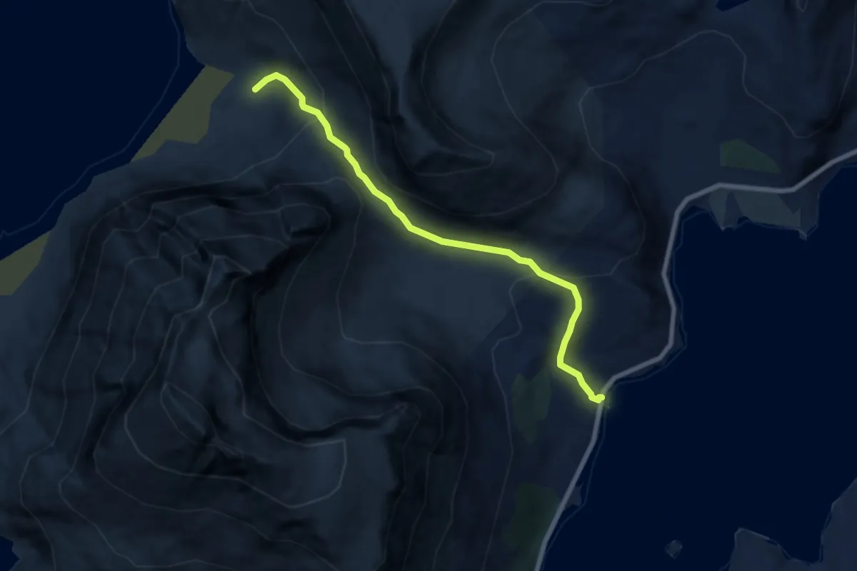
Medium · Trail
Torsfjorden - Kvalvika
3.7 km · ↑ 336 m · 1 h 36 min
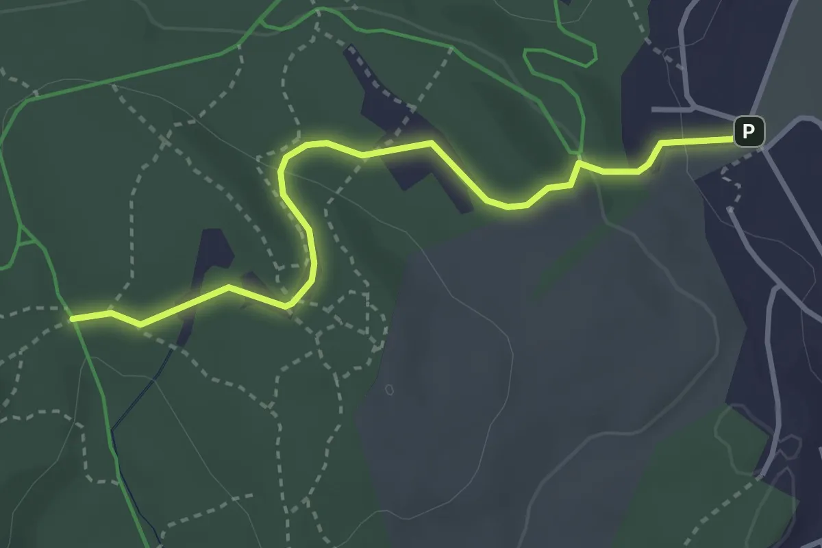
Demanding · Trail
Torshaugløypa
2.2 km · ↑ 65 m · 39 min
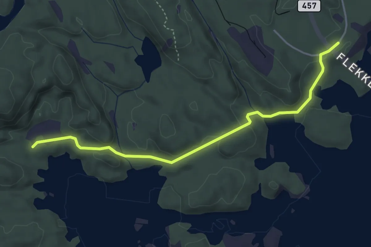
Easy · Trail
Torsteinsnes
3.3 km · ↑ 65 m · 55 min
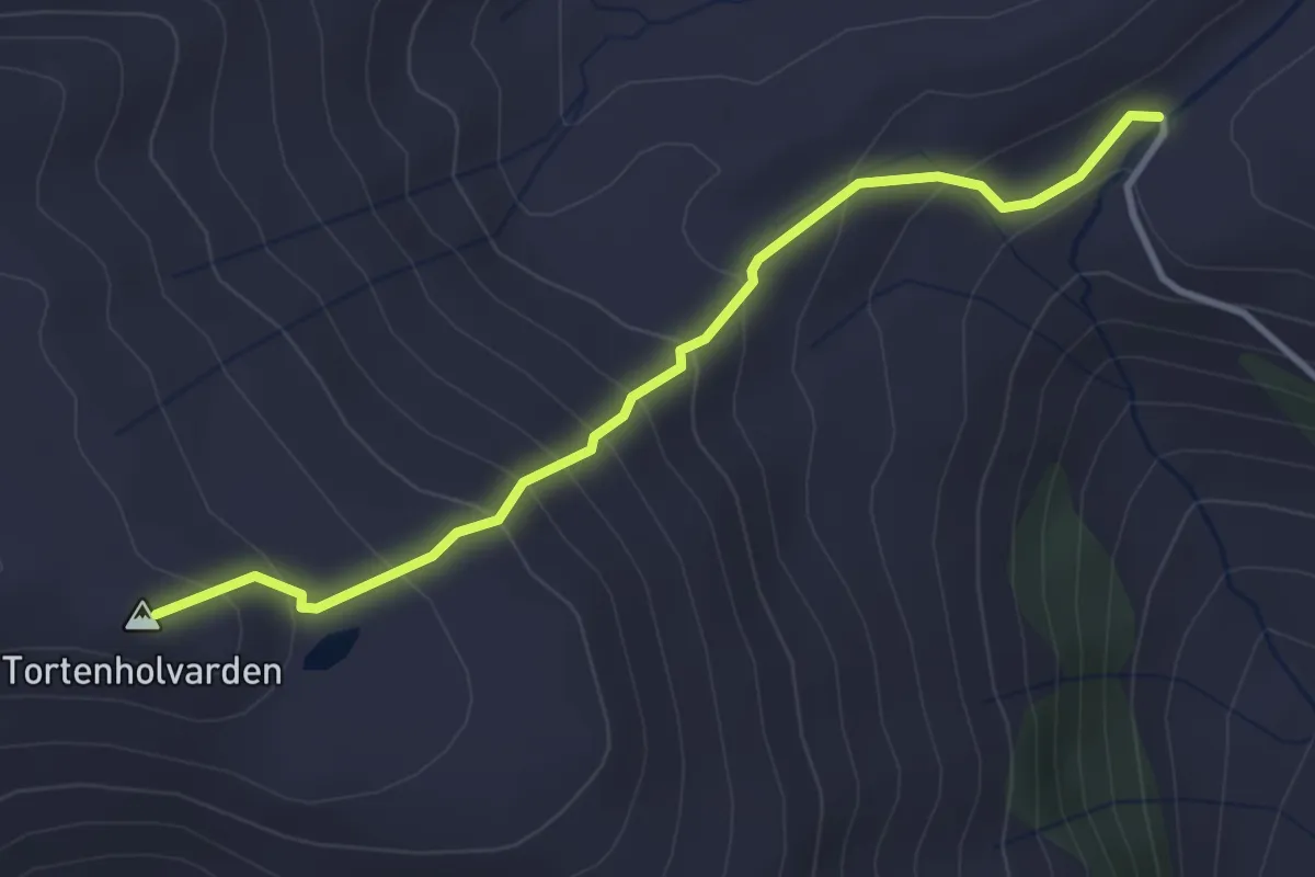
Demanding · Trail
Tortenholvarden
2.4 km · ↑ 246 m · 1 h 6 min
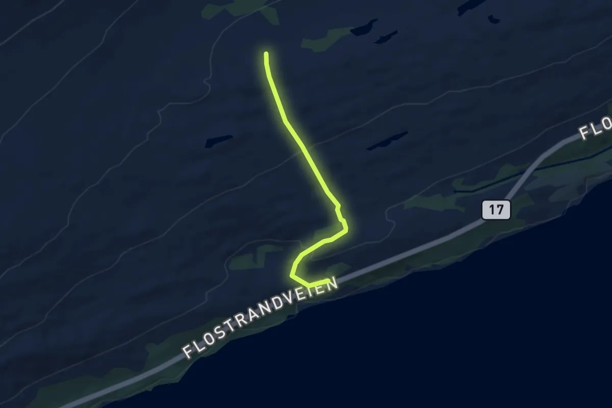
Easy · Trail
Tortenvika til Tortenkøta
2.6 km · ↑ 124 m · 53 min
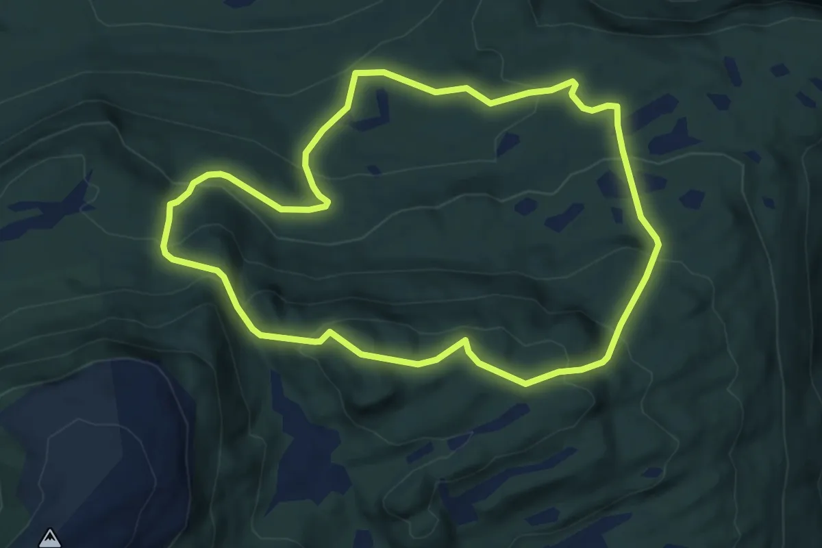
Medium · Trail
Tortlihøgda
7.9 km · ↑ 535 m · 3 h 1 min
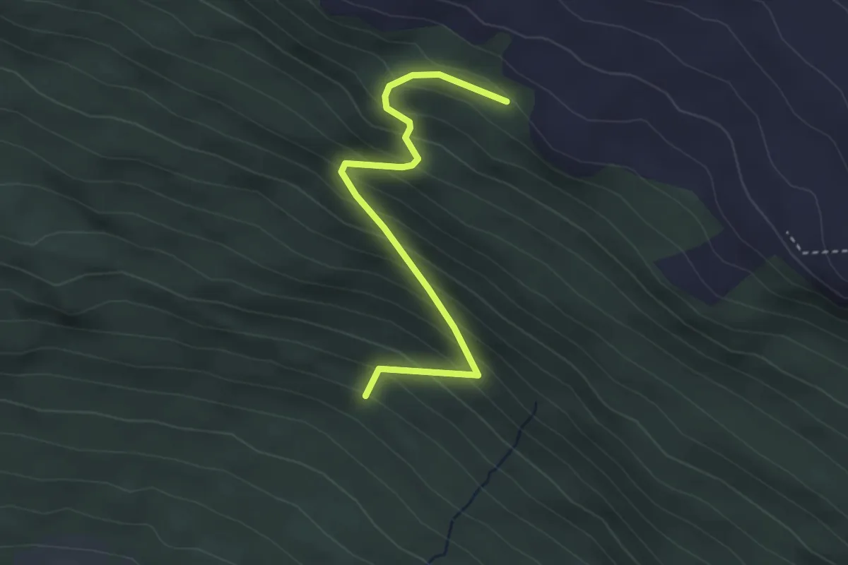
Demanding · Trail
Torvaldvegen
2.3 km · ↑ 297 m · 1 h 12 min
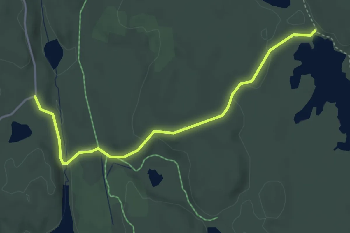
Easy · Trail
Torvet - Basdal nord
2.8 km · ↑ 41 m · 45 min
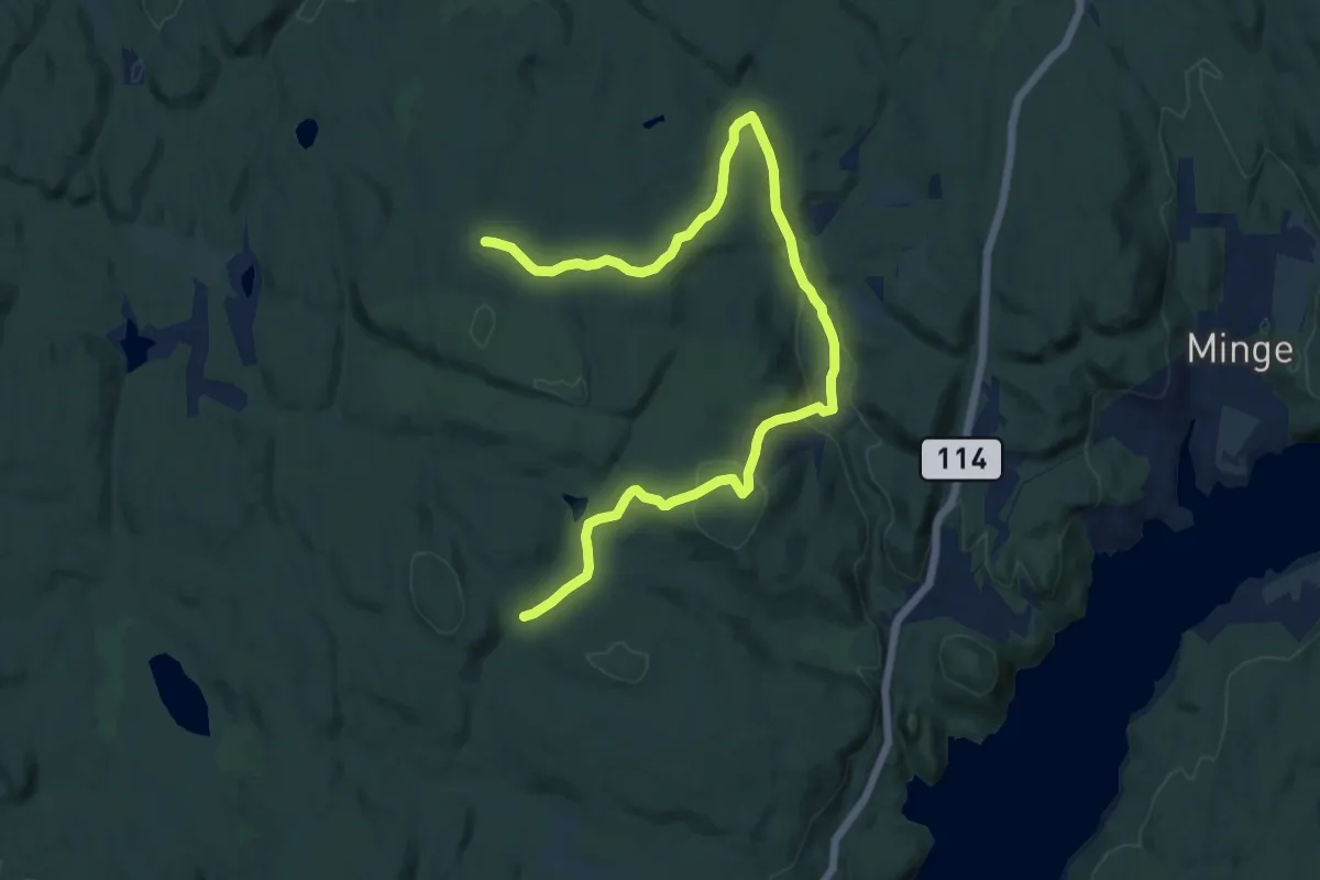
Medium · Trail
Torvet - Skisenteret - Grasmyr
11.7 km · ↑ 280 m · 3 h 23 min
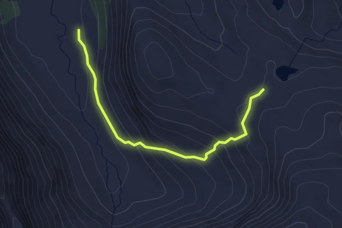
Medium · Trail
Torvhusa til Håkonshallen via Austadalen
3.0 km · ↑ 195 m · 1 h 8 min
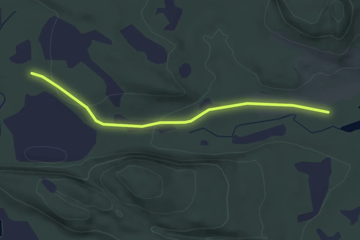
Easy · Trail
Torvhuset-Kjesbuvatnet
2.6 km · ↑ 38 m · 42 min
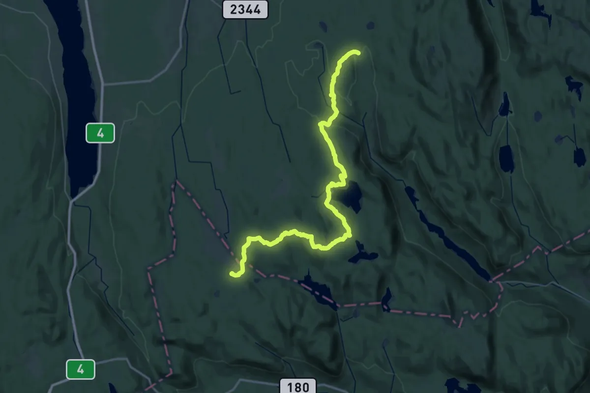
Medium · Cabin
Totenåsstien
17.8 km · ↑ 383 m · 5 h 20 min
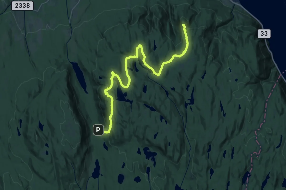
Demanding · Summit
Totenåsstien
29.0 km · ↑ 1042 m · 9 h 6 min
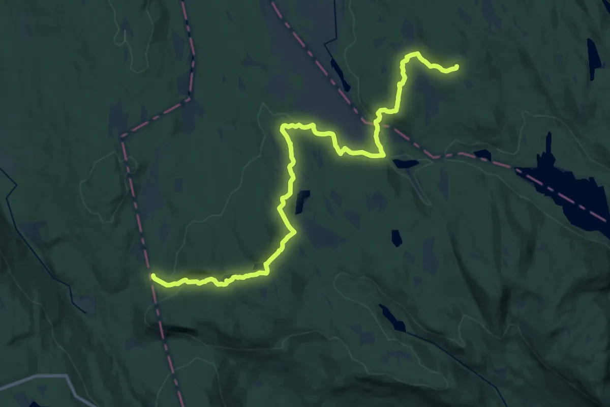
Demanding · Trail
Totenåsstien
19.0 km · ↑ 453 m · 5 h 28 min
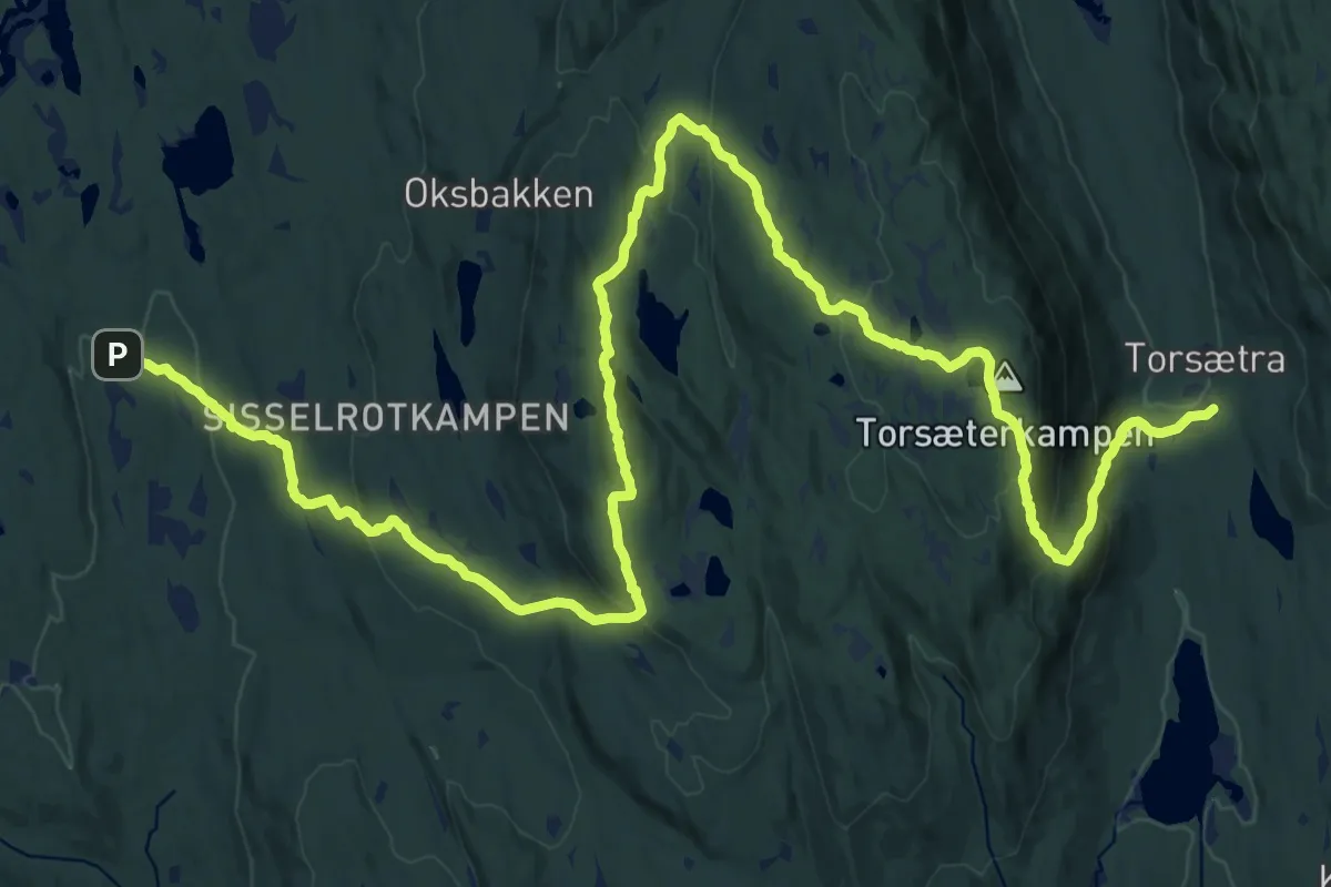
Demanding · Cabin
Totenåsstien
24.3 km · ↑ 985 m · 7 h 52 min