Trails in Norway
7,452 hiking trails, each with its route, climb, walking time and grade.
All trails, page 112 of 156
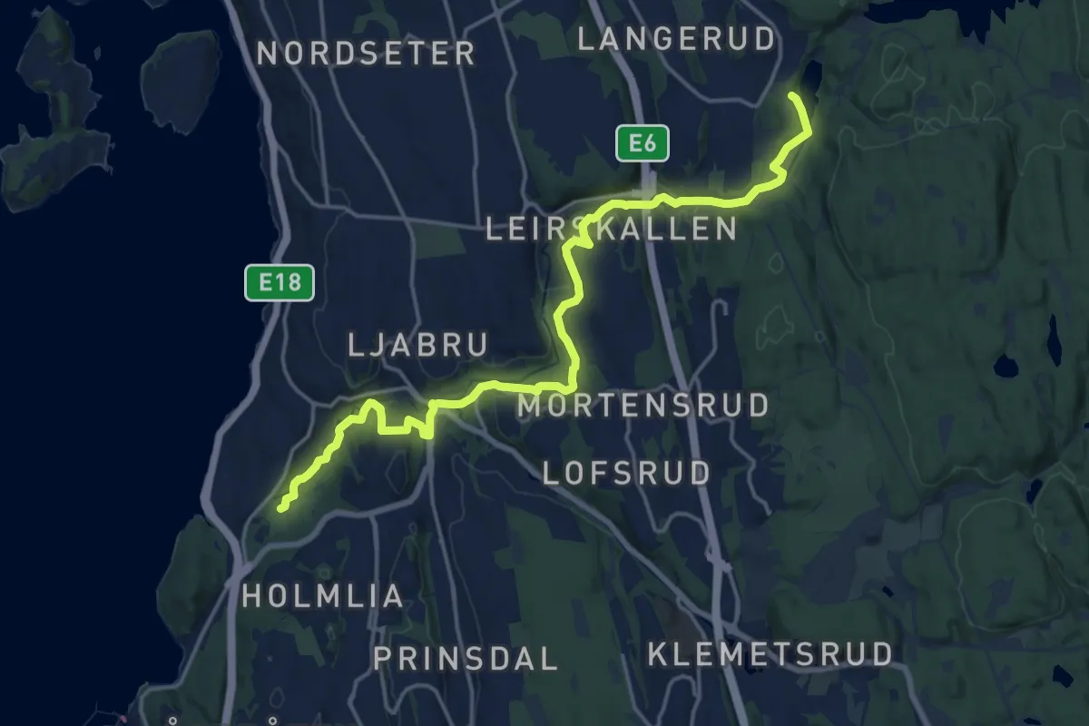
Medium · Trail
Turvei E9
13.7 km · ↑ 225 m · 3 h 44 min
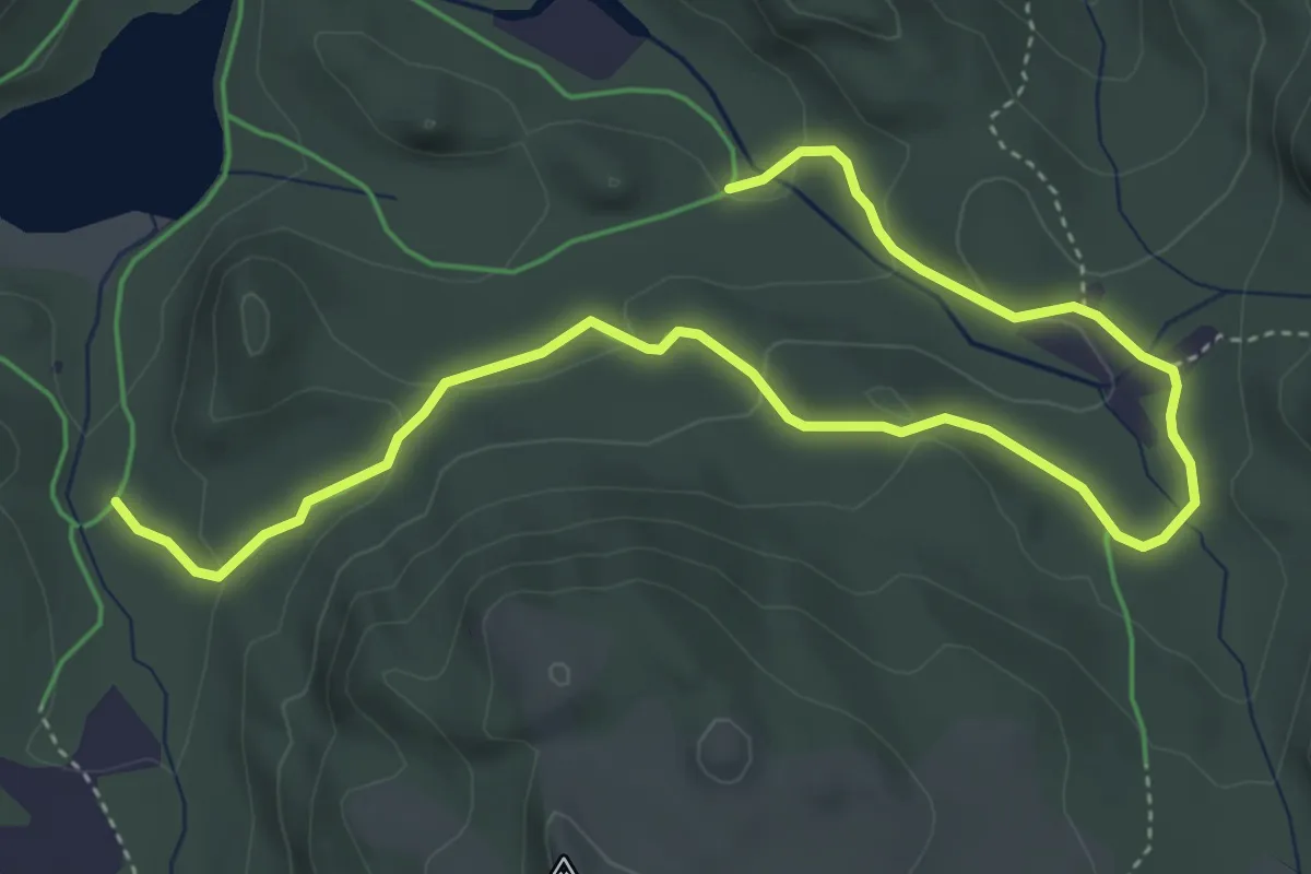
Easy · Trail
Turveier i Brekko
4.3 km · ↑ 137 m · 1 h 19 min
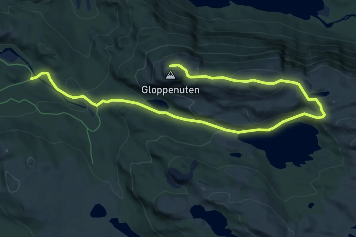
Easy · Trail
Turveier i Brekko - Gloppenuten
7.3 km · ↑ 301 m · 2 h 23 min
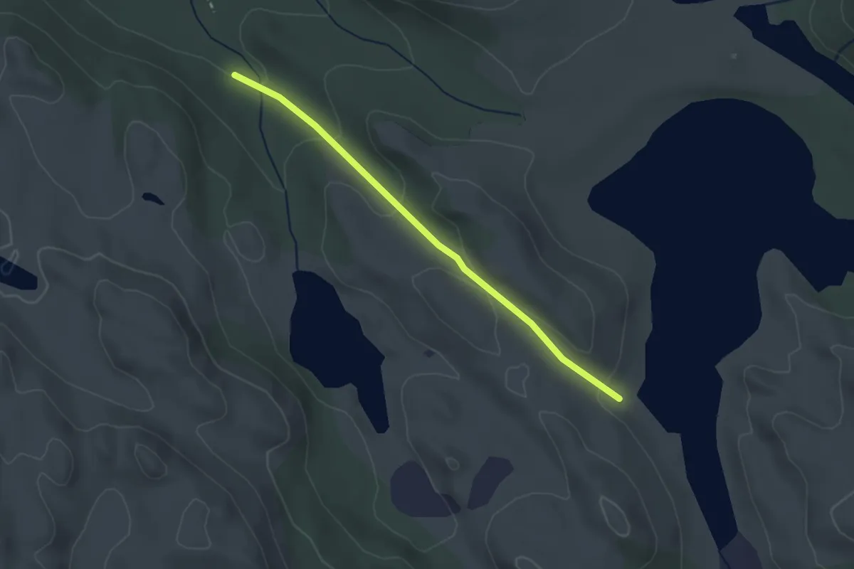
Easy · Trail
Turveier i Brekko - Merket Tursti
2.1 km · ↑ 96 m · 42 min
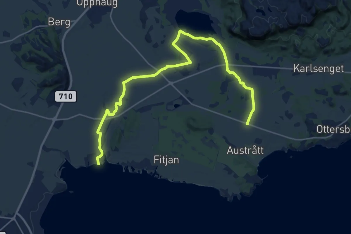
Easy · Trail
Turveier i herregårdslandskapet
12.9 km · ↑ 17 m · 3 h 5 min
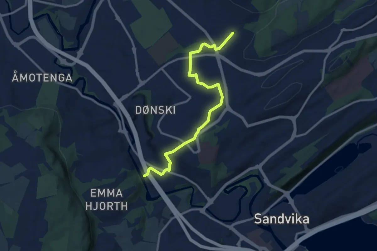
Easy · Trail
Turvei F1: Hamang-Heggelia
5.7 km · ↑ 121 m · 1 h 37 min
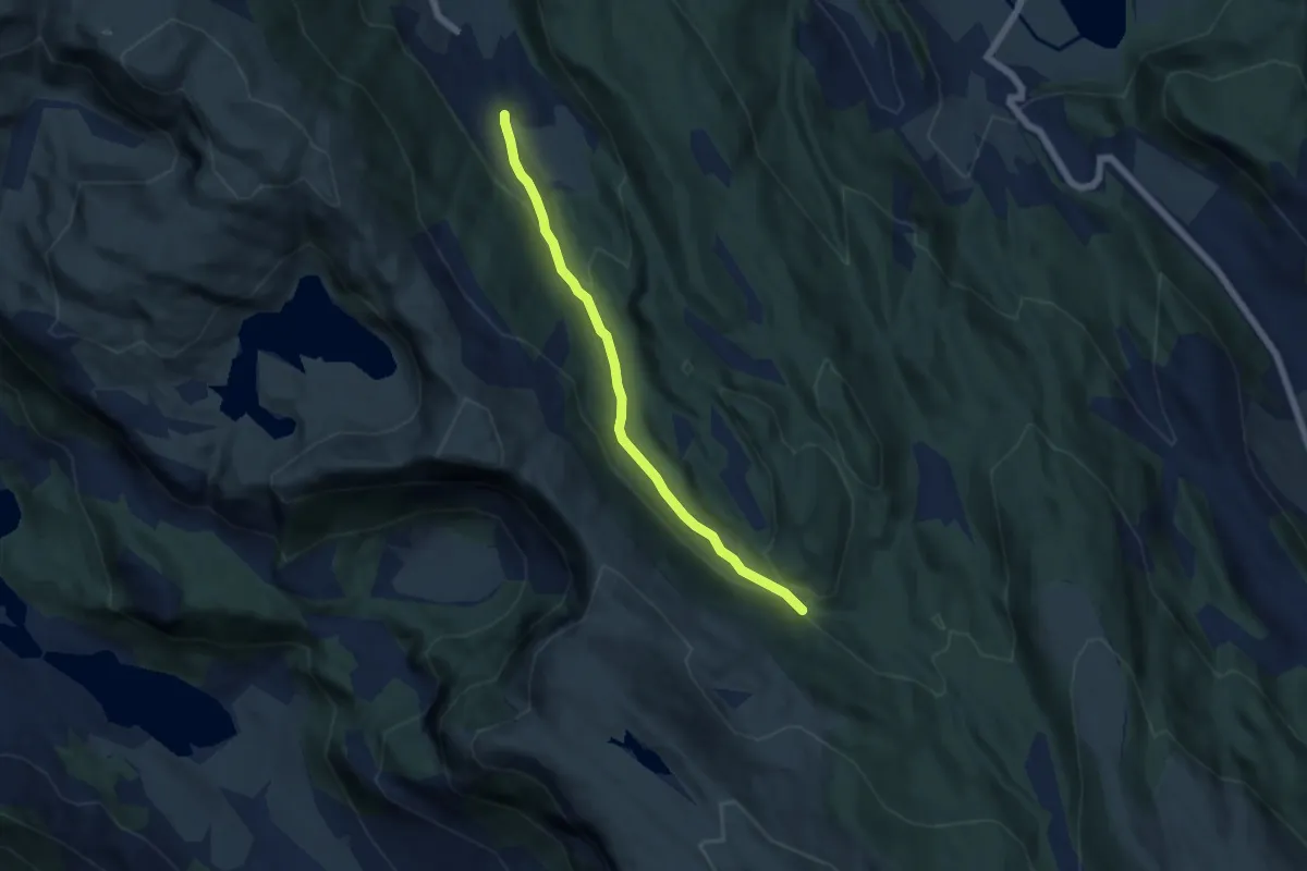
Easy · Trail
Turvei fra Hjortland
3.8 km · ↑ 129 m · 1 h 11 min
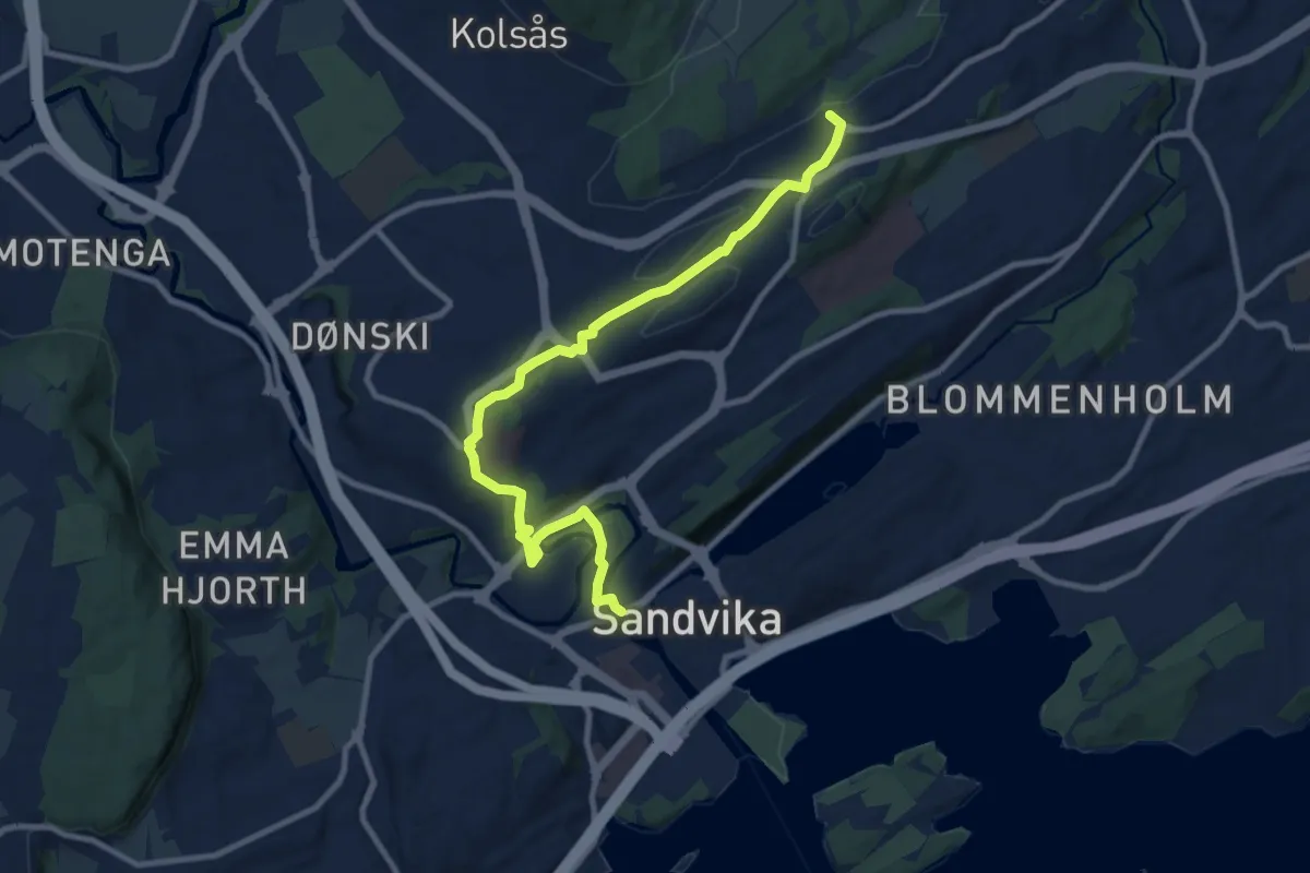
Easy · Trail
Turvei G1: Sandvika-Valler
7.7 km · ↑ 116 m · 2 h 4 min
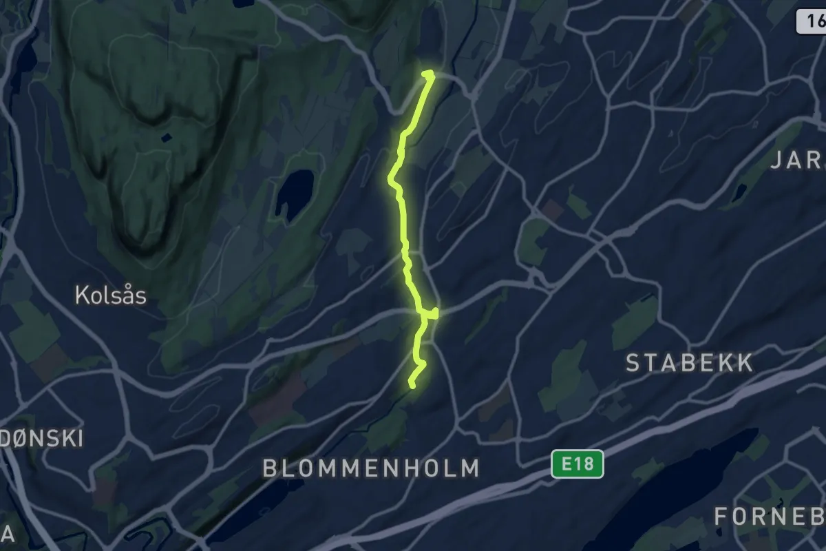
Easy · Trail
Turvei H1: Høvikodden-Øverland
6.9 km · ↑ 120 m · 1 h 53 min
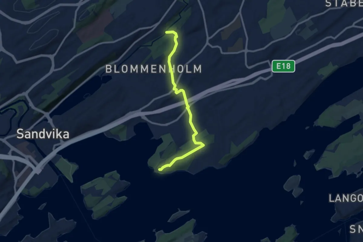
Easy · Trail
Turvei H1 (uskiltet del)
5.6 km · ↑ 96 m · 1 h 31 min
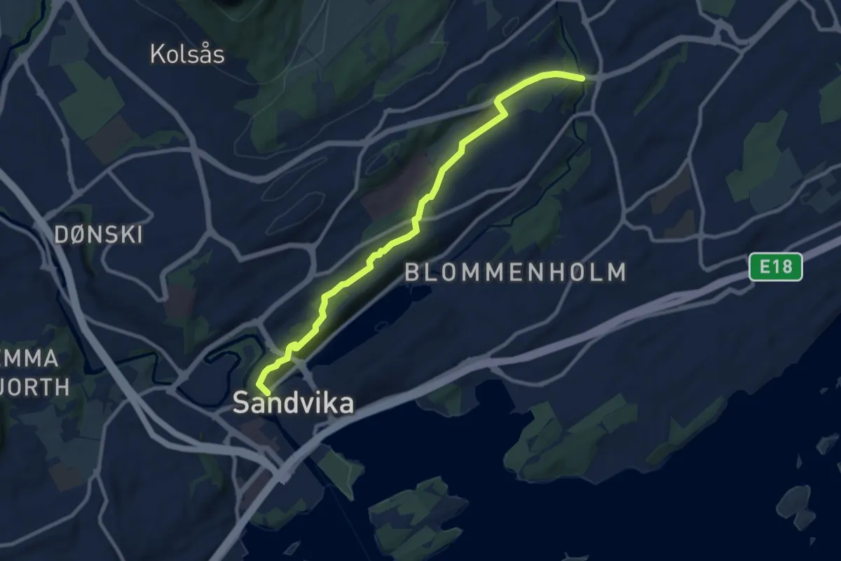
Easy · Trail
Turvei H2: Sandvika-Haslum
7.2 km · ↑ 131 m · 1 h 59 min
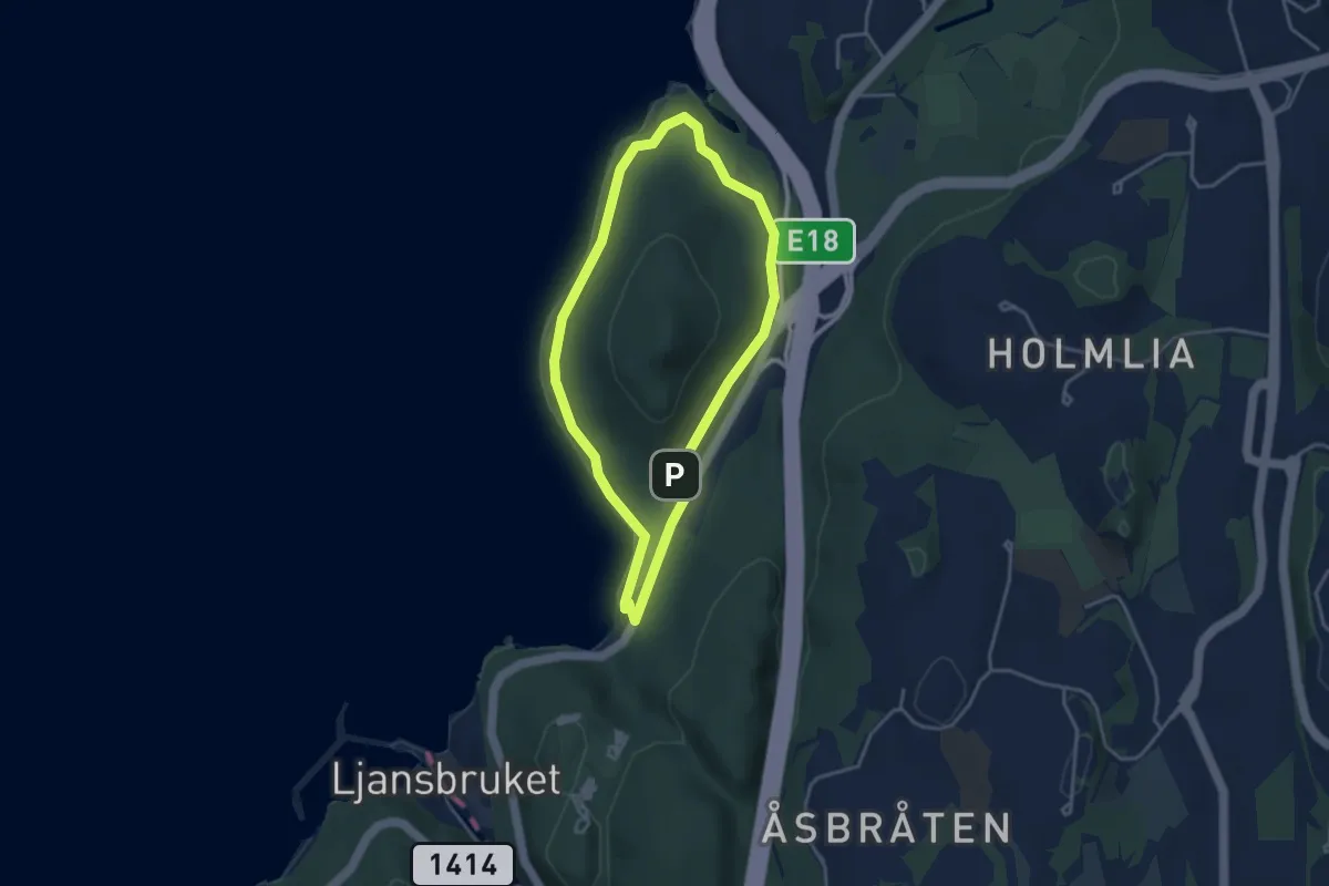
Easy · Trail
Turvei Hvervenbukta
2.5 km · ↑ 13 m · 39 min
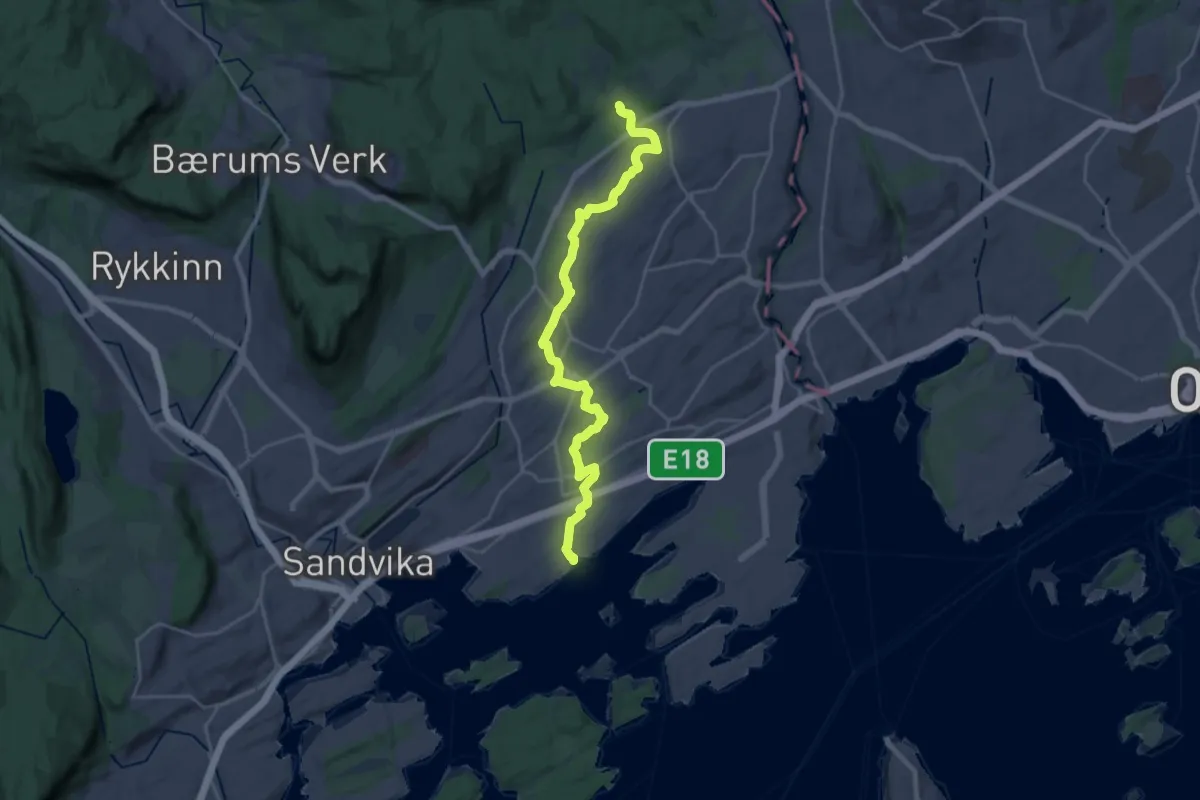
Demanding · Trail
Turvei I1: Plathebukta-Nordli (Ankerveien)
18.7 km · ↑ 256 m · 4 h 59 min
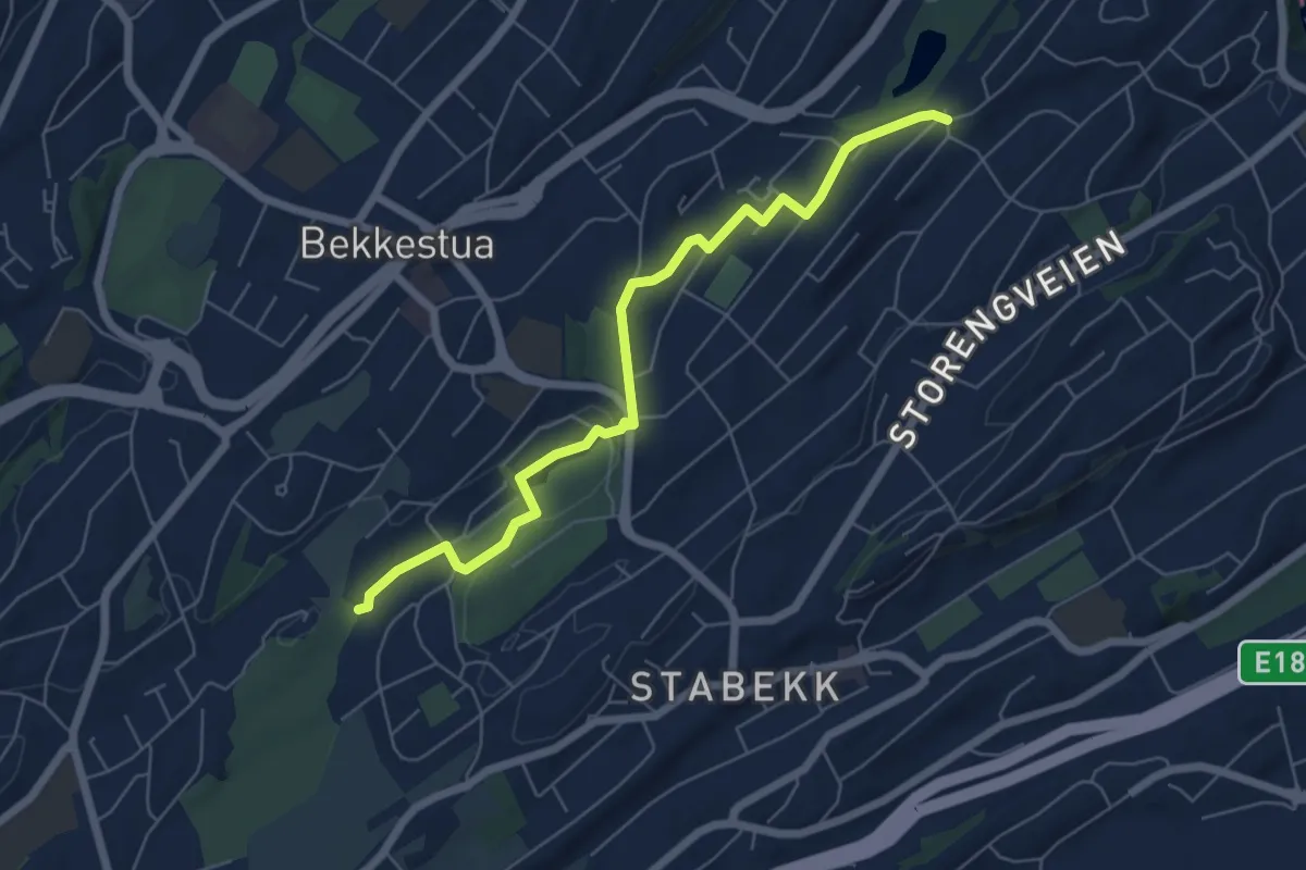
Easy · Trail
Turvei I2 (ikke skiltet)
4.6 km · ↑ 56 m · 1 h 13 min
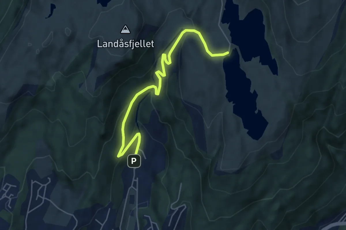
Easy · Trail
Turvei Indre Sædalen
3.7 km · ↑ 210 m · 1 h 20 min
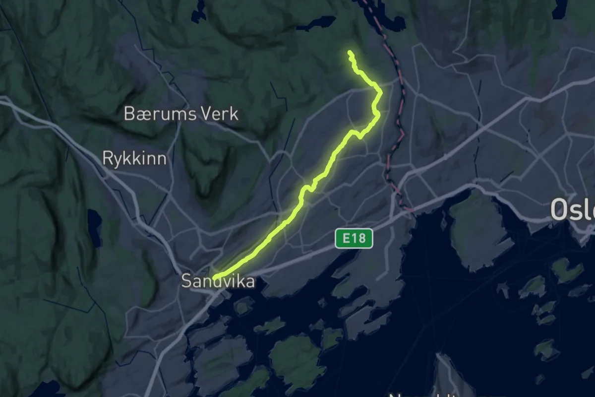
Demanding · Trail
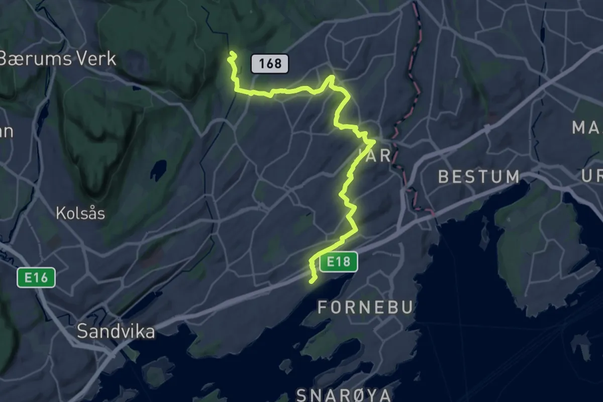
Turvei J1: Sandvika-Eiksmarka (Ankerveien)
22.9 km · ↑ 224 m · 5 h 53 min
Demanding · Trail
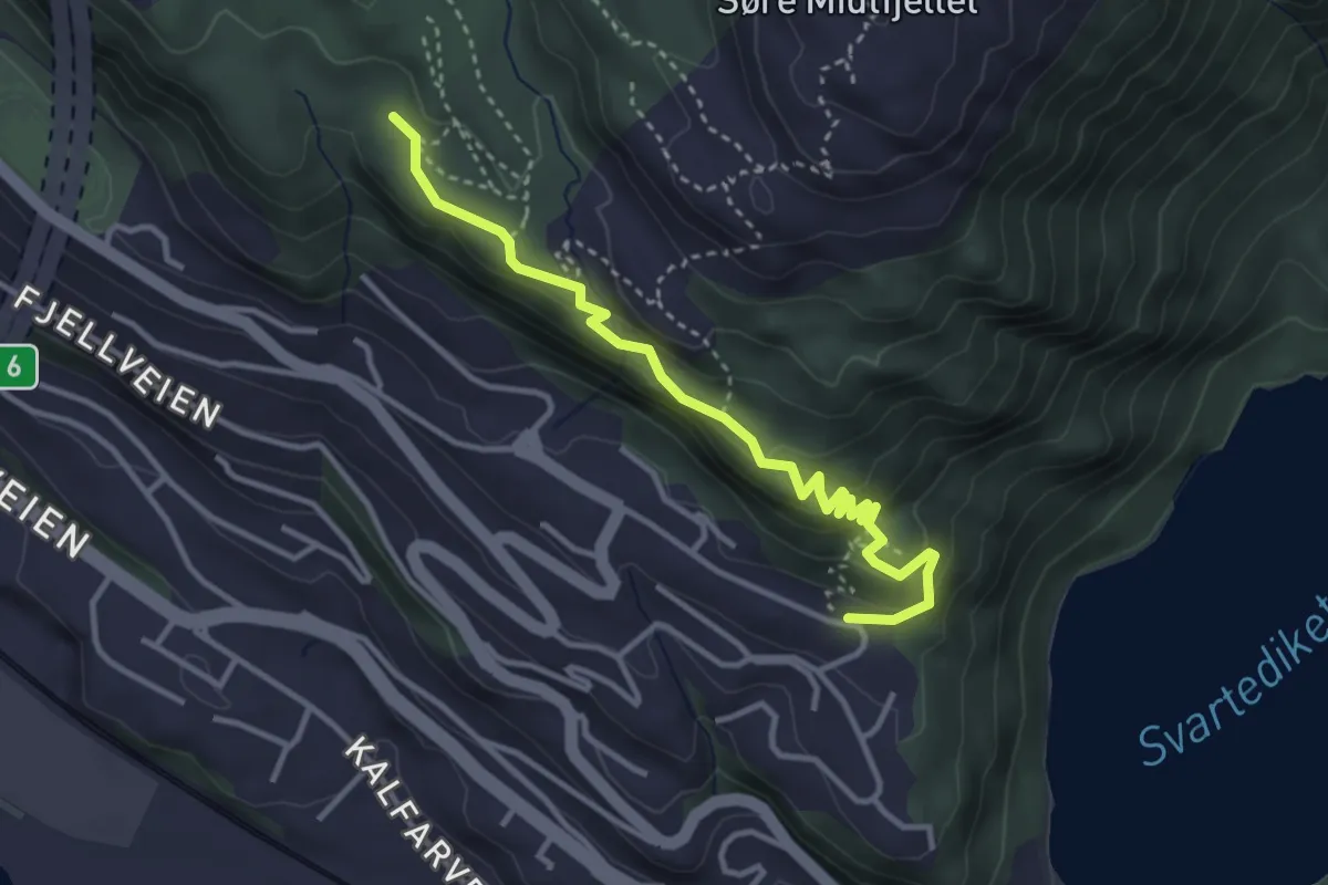
Turvei K1: Strand-Haug (Ankerveien)
19.5 km · ↑ 248 m · 5 h 8 min
Easy · Trail
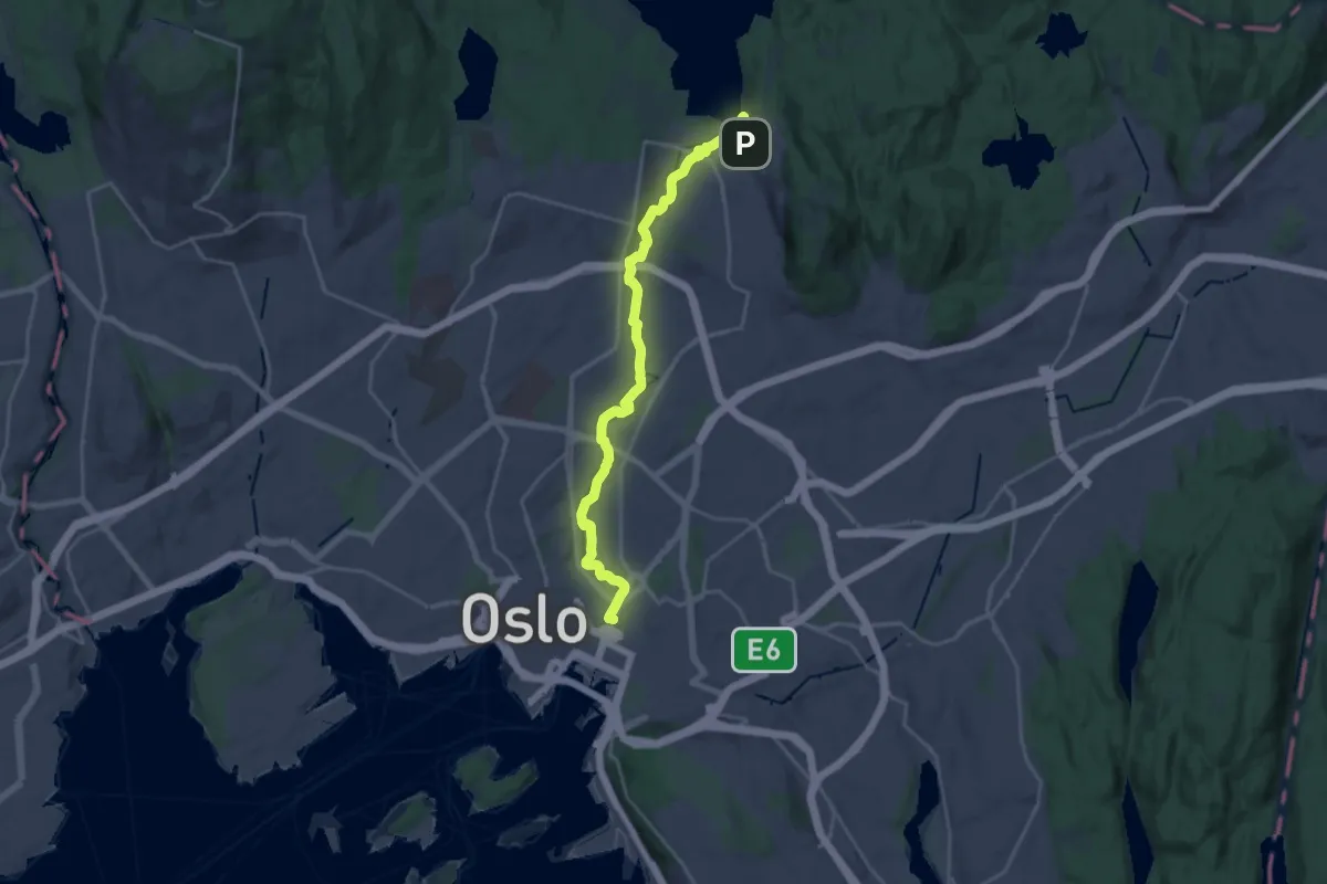
Turvei Knatten
2.6 km · ↑ 137 m · 54 min
Easy · Trail
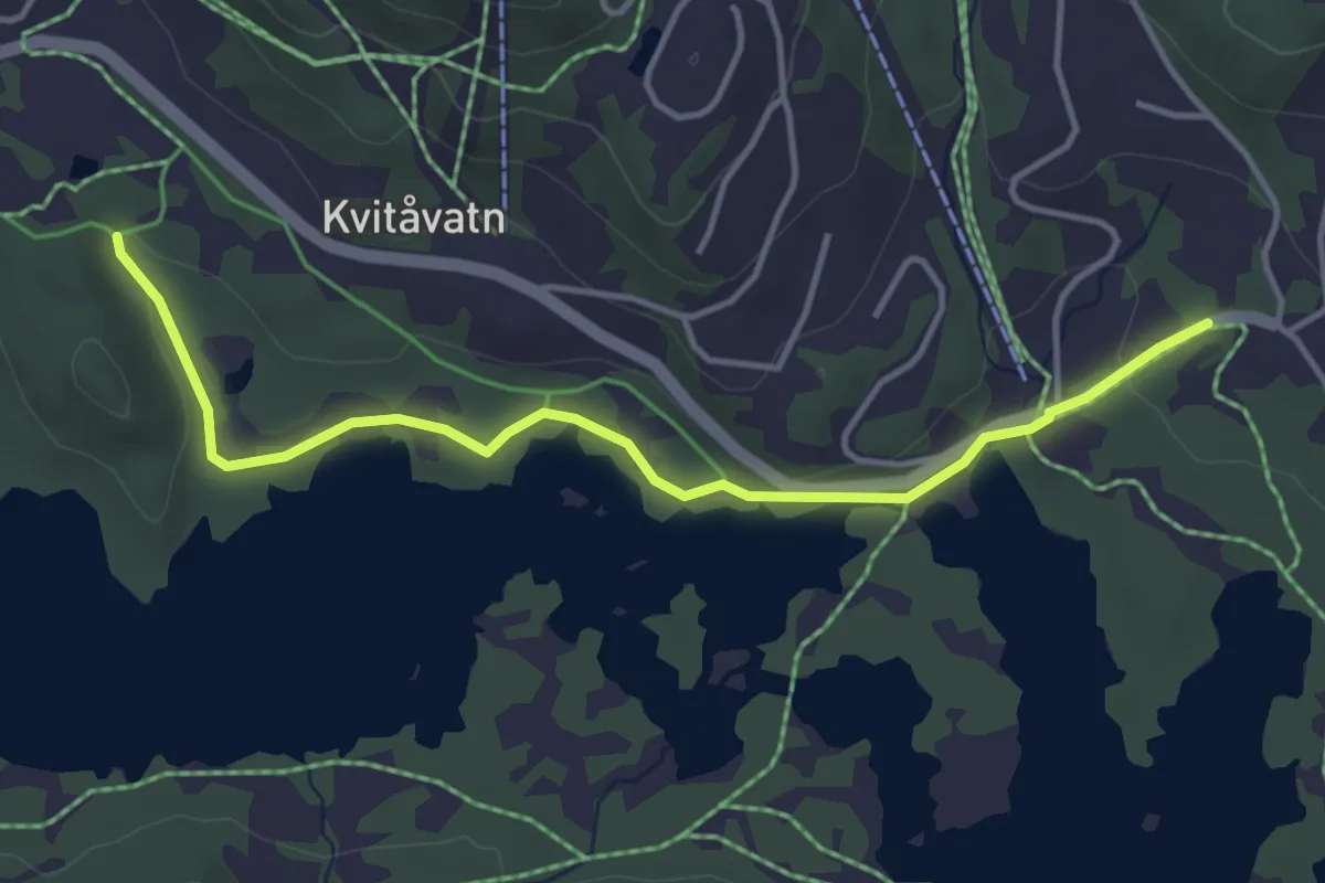
Turvei langs Akerselva
17.9 km · ↑ 168 m · 4 h 35 min
Easy · Trail
Turvei lilla
3.0 km · ↑ 19 m · 46 min
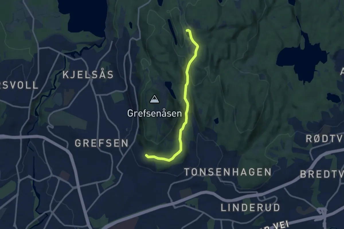
Easy · Trail
Turvei Linderudkollen
6.1 km · ↑ 101 m · 1 h 39 min
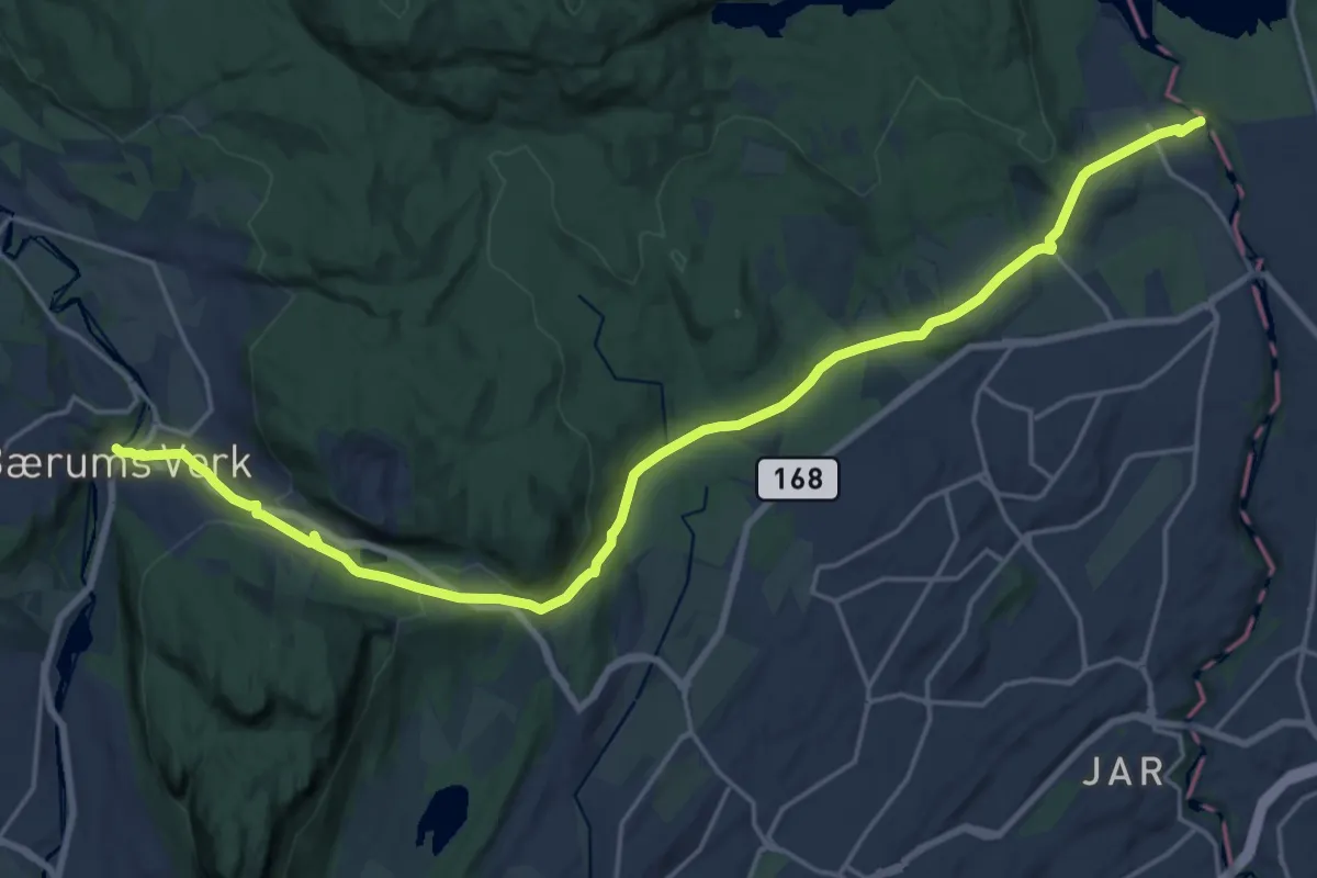
Medium · Trail
Turvei N1: Ankerveien
17.6 km · ↑ 377 m · 4 h 59 min
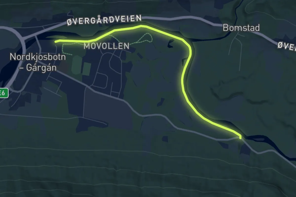
Easy · Trail
Turvei Nordkjoselva
4.7 km · ↑ 9 m · 1 h 7 min
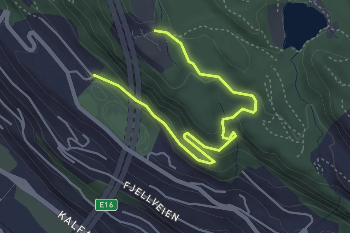
Easy · Trail
Turvei Skansemyren - Fløyen
3.0 km · ↑ 131 m · 59 min
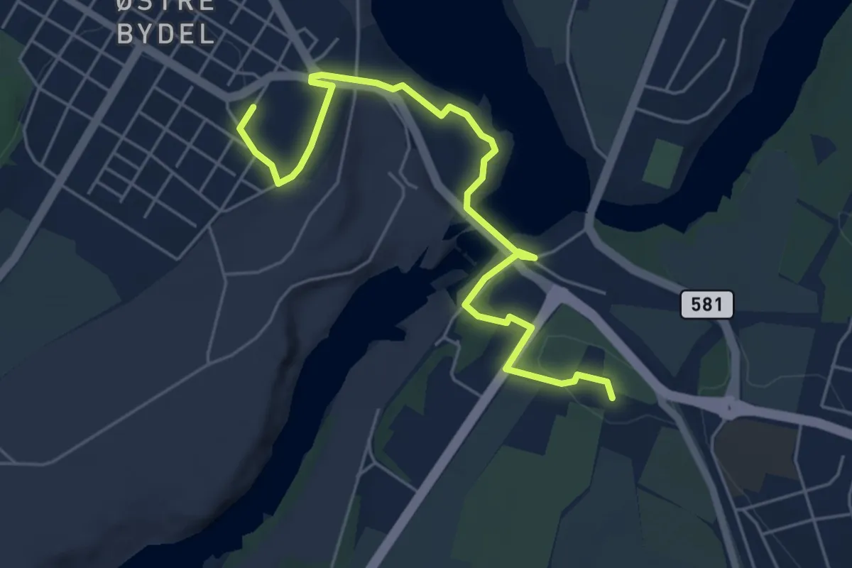
Easy · Trail
Tusenårstien
4.5 km · ↑ 67 m · 1 h 12 min
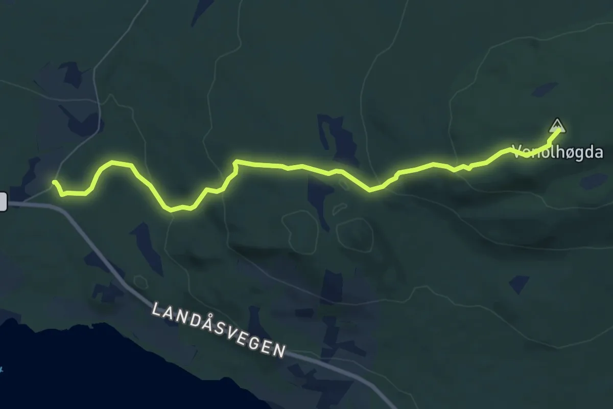
Easy · Trail
Tussestien - Landåsbygda
5.7 km · ↑ 220 m · 1 h 50 min
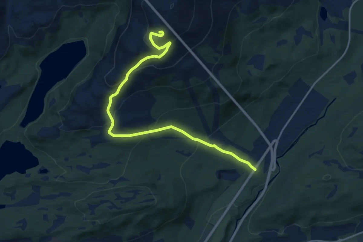
Medium · Trail
Tusten
8.2 km · ↑ 548 m · 3 h 8 min
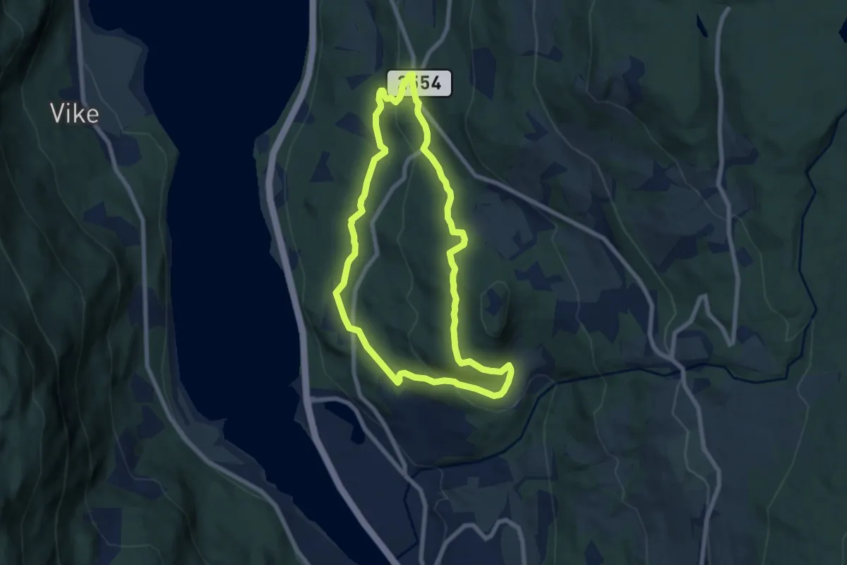
Medium · Trail
Tuterudrunden
9.1 km · ↑ 322 m · 2 h 51 min
Demanding · Cabin
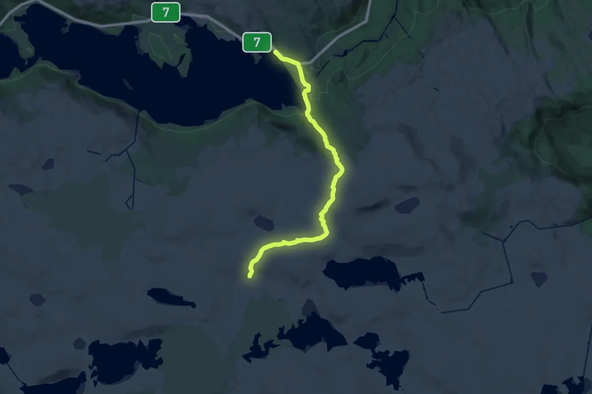
Tuva
18.3 km · ↑ 492 m · 5 h 23 min
Medium · Trail
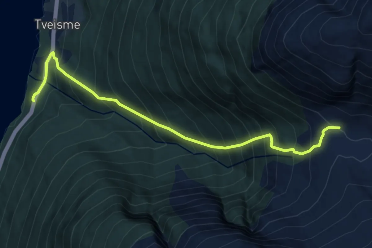
Tveisme-Tveismedalen
4.7 km · ↑ 721 m · 2 h 40 min
Medium · Cabin
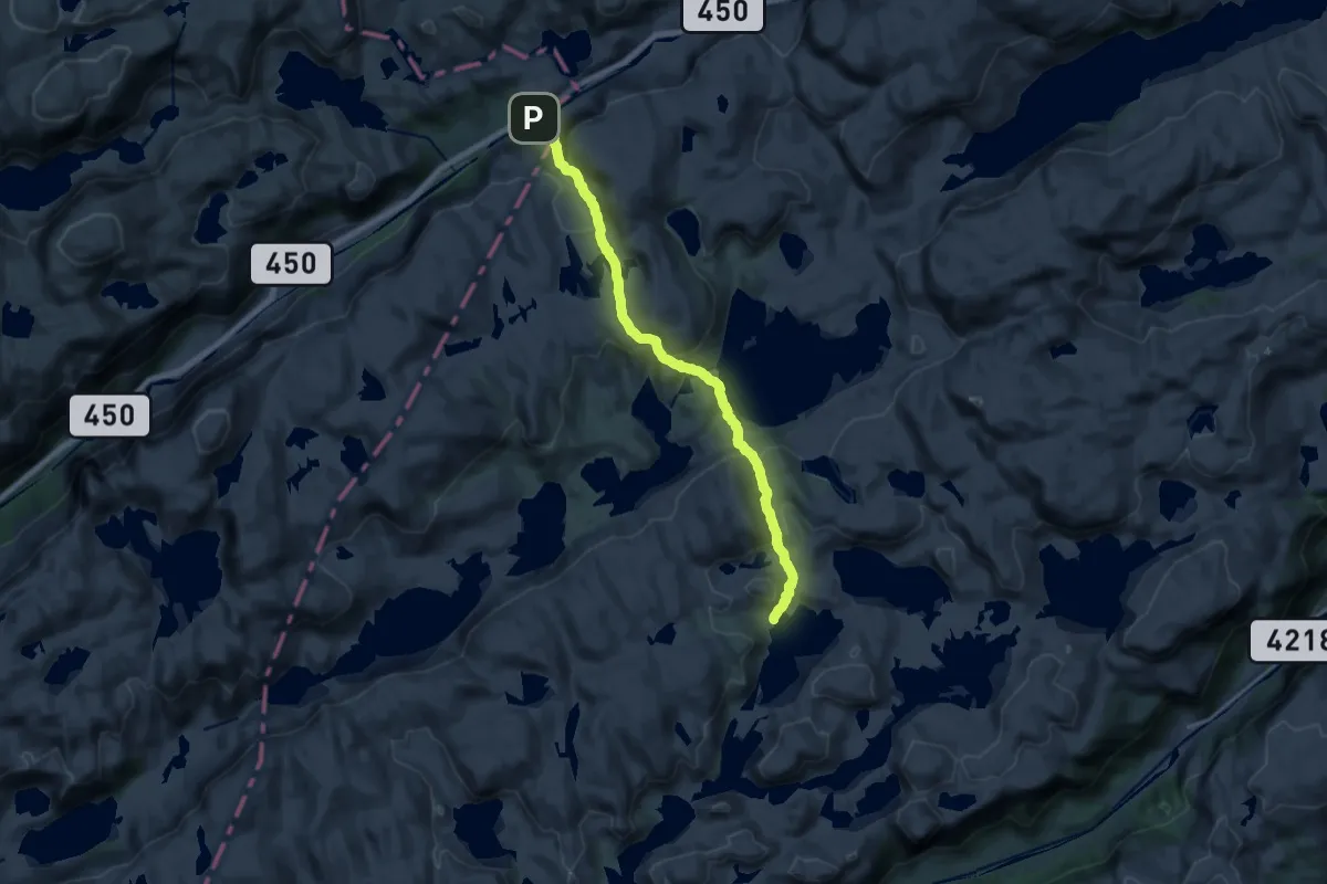
Tveitabrekka - Tomannsbu
13.0 km · ↑ 526 m · 4 h 13 min
Easy · Trail
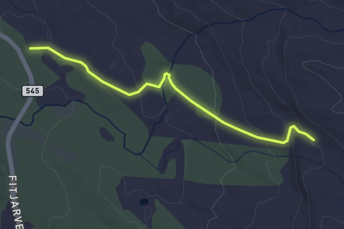
Tveitaslottet dagsturhytte
2.7 km · ↑ 94 m · 50 min
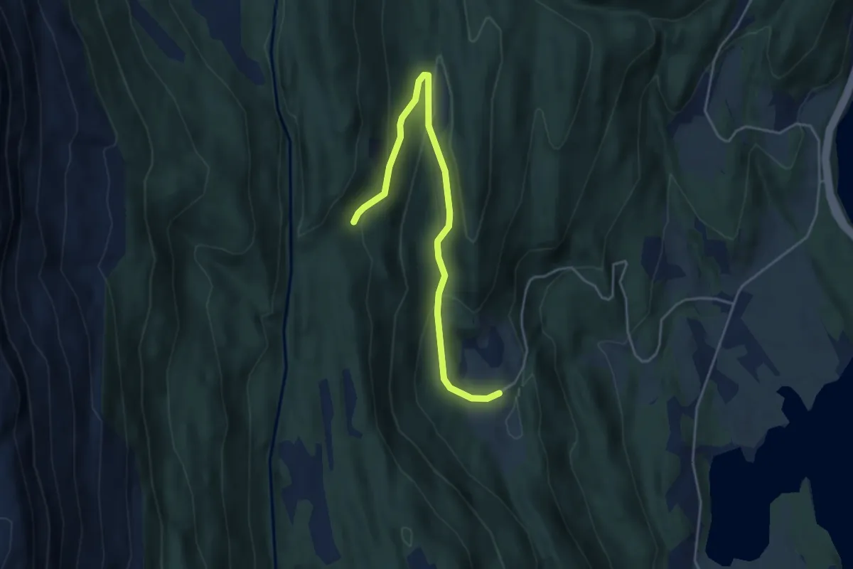
Easy · Trail
Tveiten - Perslemarki
3.2 km · ↑ 146 m · 1 h 4 min
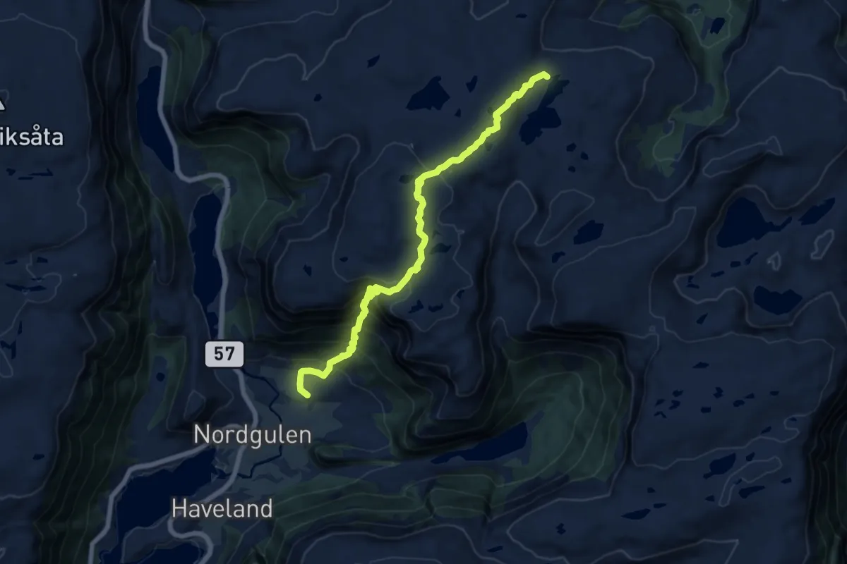
Medium · Trail
Tveiteskaret-Langevatnet
9.3 km · ↑ 674 m · 3 h 39 min
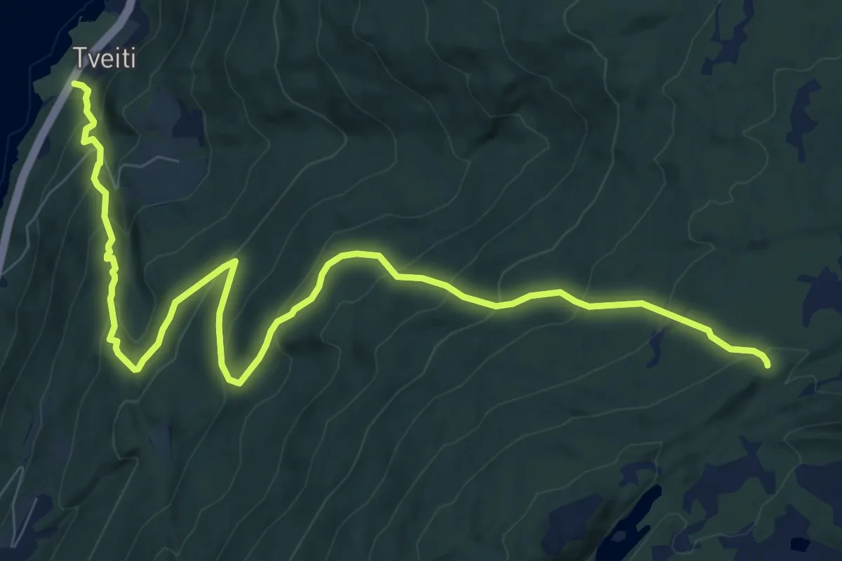
Medium · Trail
Tveit - Kallbakkvegen
7.9 km · ↑ 660 m · 3 h 17 min
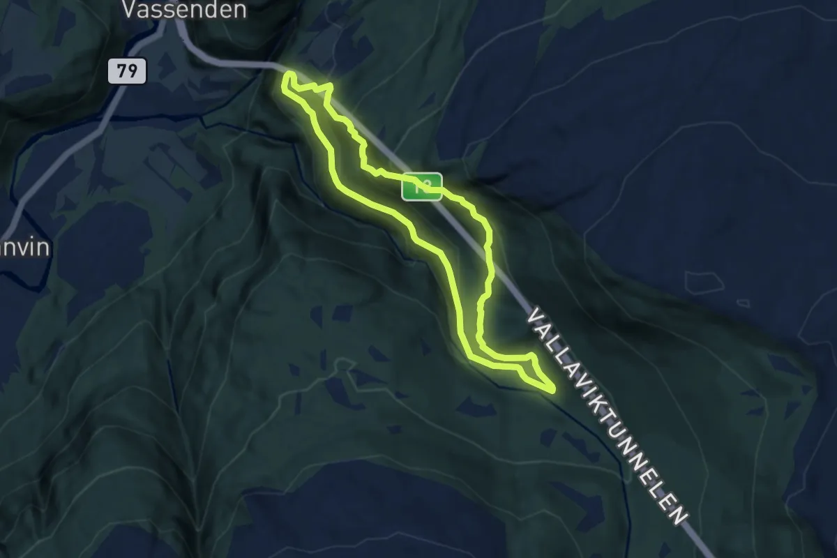
Easy · Trail
Tveito - Seljeskor - Stokksel
9.4 km · ↑ 633 m · 3 h 36 min
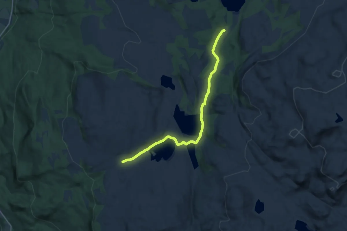
Easy · Trail
Tverdalssetrin-Gorsetsetrin
8.7 km · ↑ 57 m · 2 h 11 min
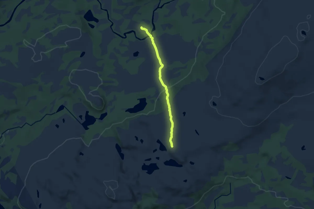
Demanding · Trail
Tverråholman
4.9 km · ↑ 110 m · 1 h 23 min
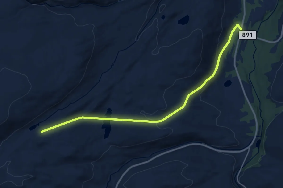
Medium · Trail
Tverrbekken
7.9 km · ↑ 260 m · 2 h 26 min
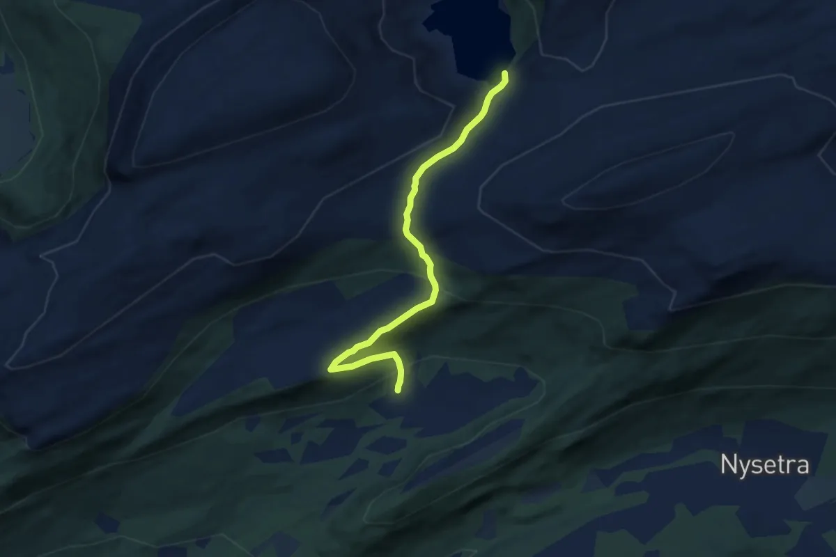
Easy · Cabin
Tverrbotnsetra-Rovangen
4.3 km · ↑ 243 m · 1 h 33 min
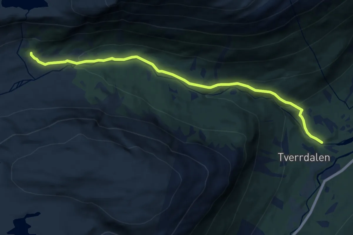
Easy · Trail
Tverrdalen
7.4 km · ↑ 318 m · 2 h 26 min
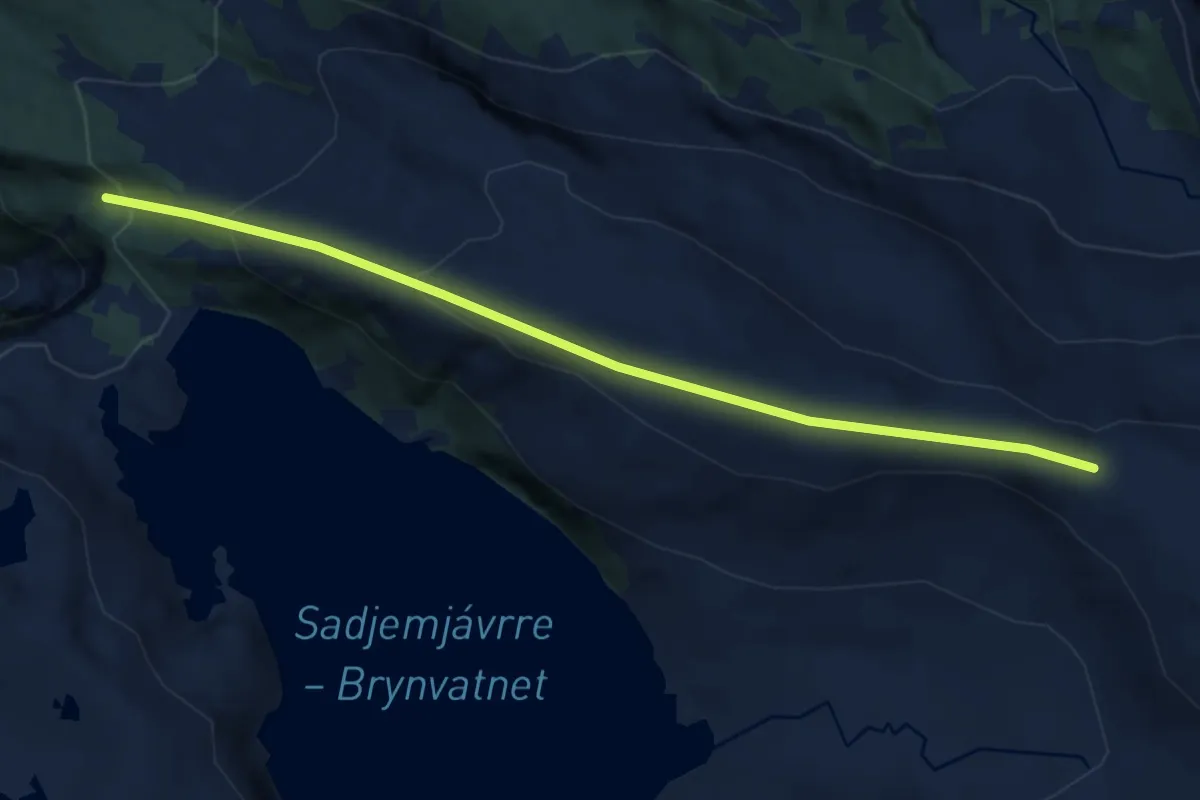
Easy · Trail
Tverrelvhalsen
5.5 km · ↑ 313 m · 1 h 58 min
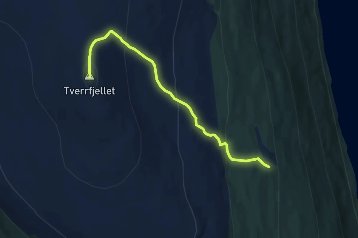
Medium · Trail
Tverrfjellet
6.3 km · ↑ 386 m · 2 h 19 min
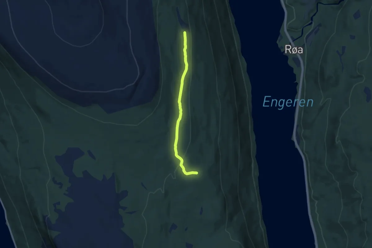
Easy · Trail
Tverrfjellsetra-Brunnsdalen
5.4 km · ↑ 63 m · 1 h 25 min
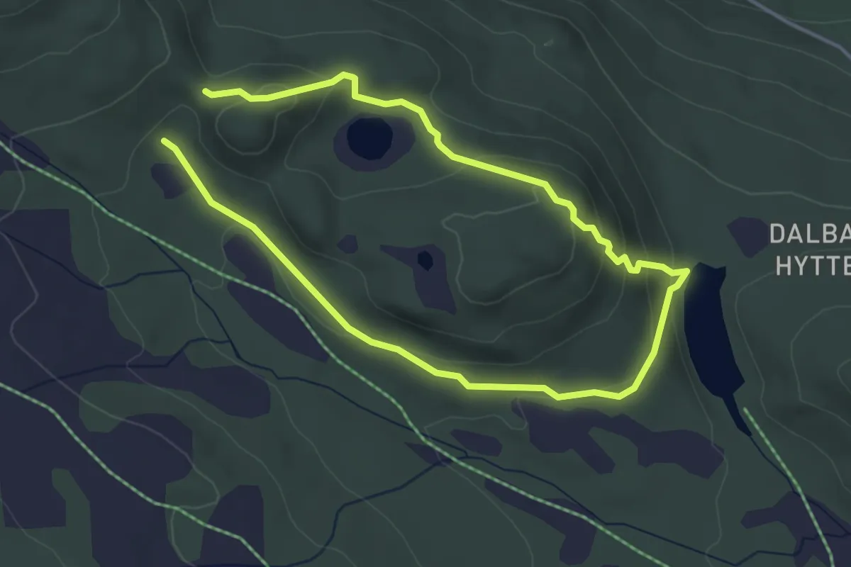
Easy · Trail
Tverrlitjønnrunde
4.8 km · ↑ 210 m · 1 h 35 min
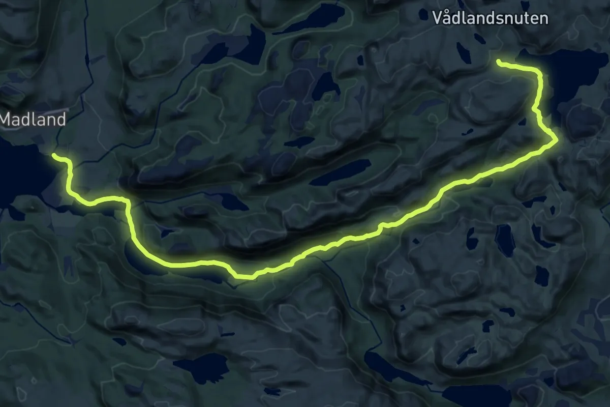
Medium · Trail
Tverromdalen
16.5 km · ↑ 513 m · 5 h
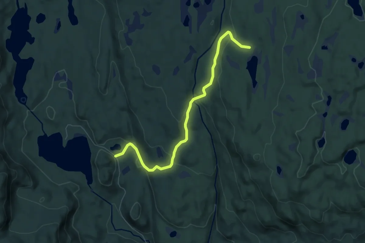
Easy · Trail
Tverrvassætra
4.6 km · ↑ 182 m · 1 h 29 min
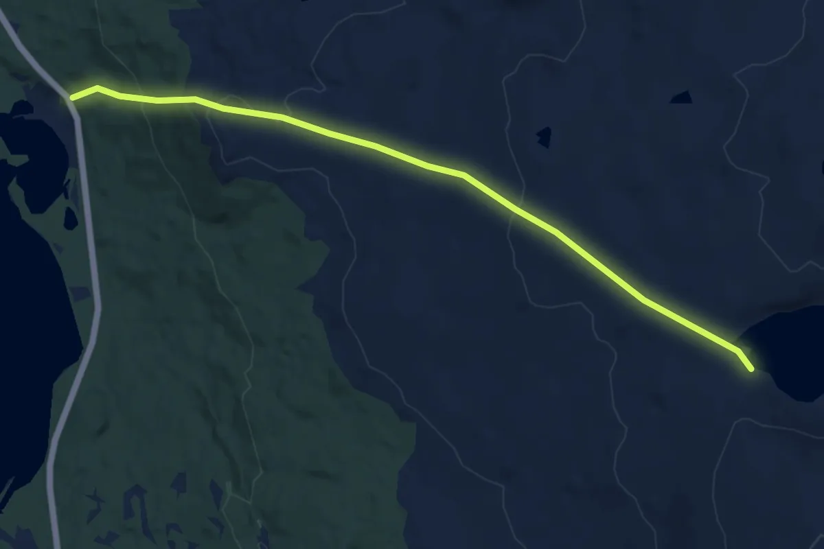
Medium · Trail
Tverrvatnet til Lappfjelltjønna
6.8 km · ↑ 357 m · 2 h 22 min