Trails in Norway
7,452 hiking trails, each with its route, climb, walking time and grade.
All trails, page 113 of 156
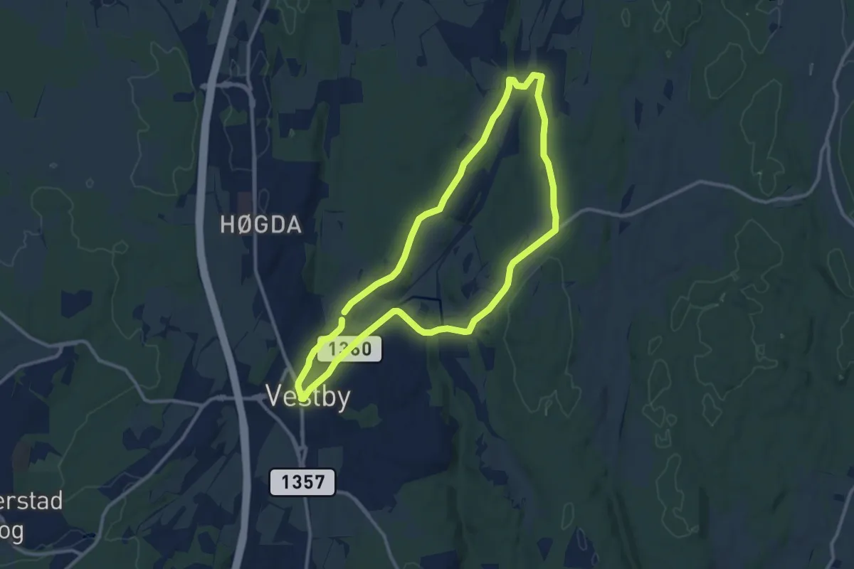
Easy · Trail
Tveterrunden
7.5 km · ↑ 68 m · 2 h 1 min
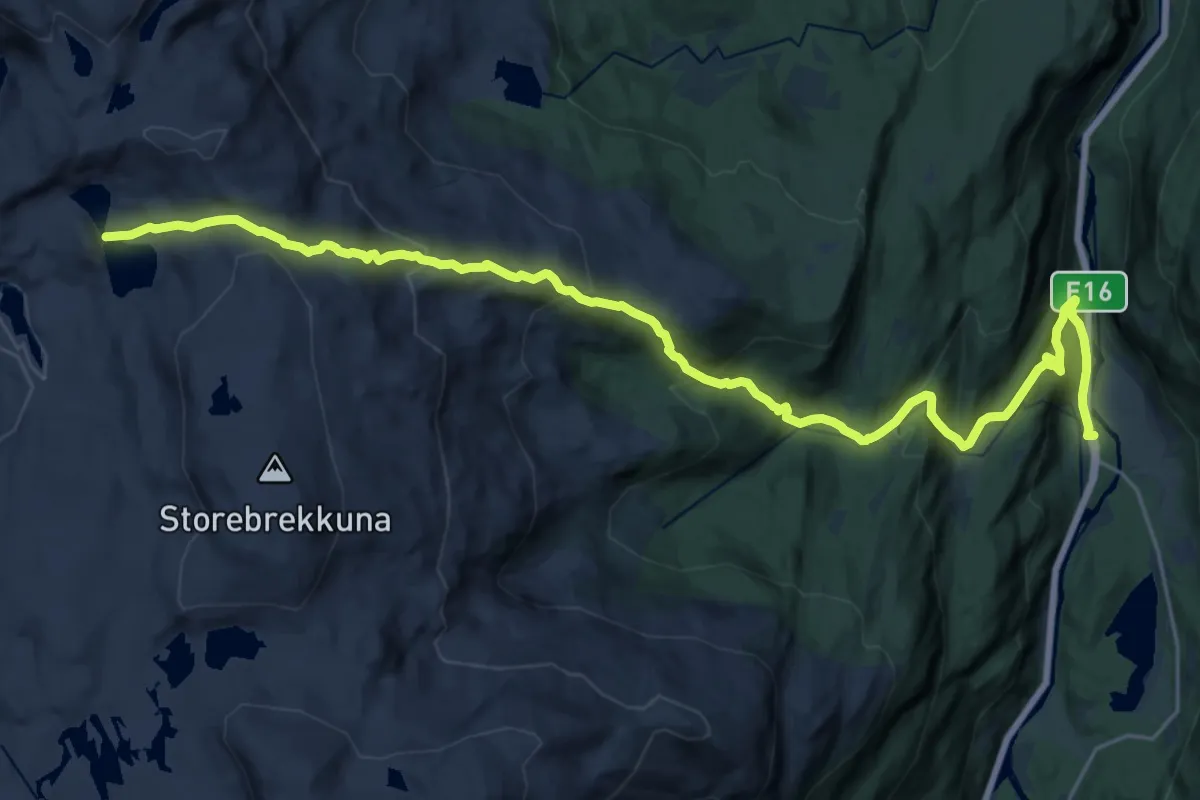
Demanding · Cabin
Tvinno-Tvinnestølen
19.8 km · ↑ 1195 m · 7 h 16 min
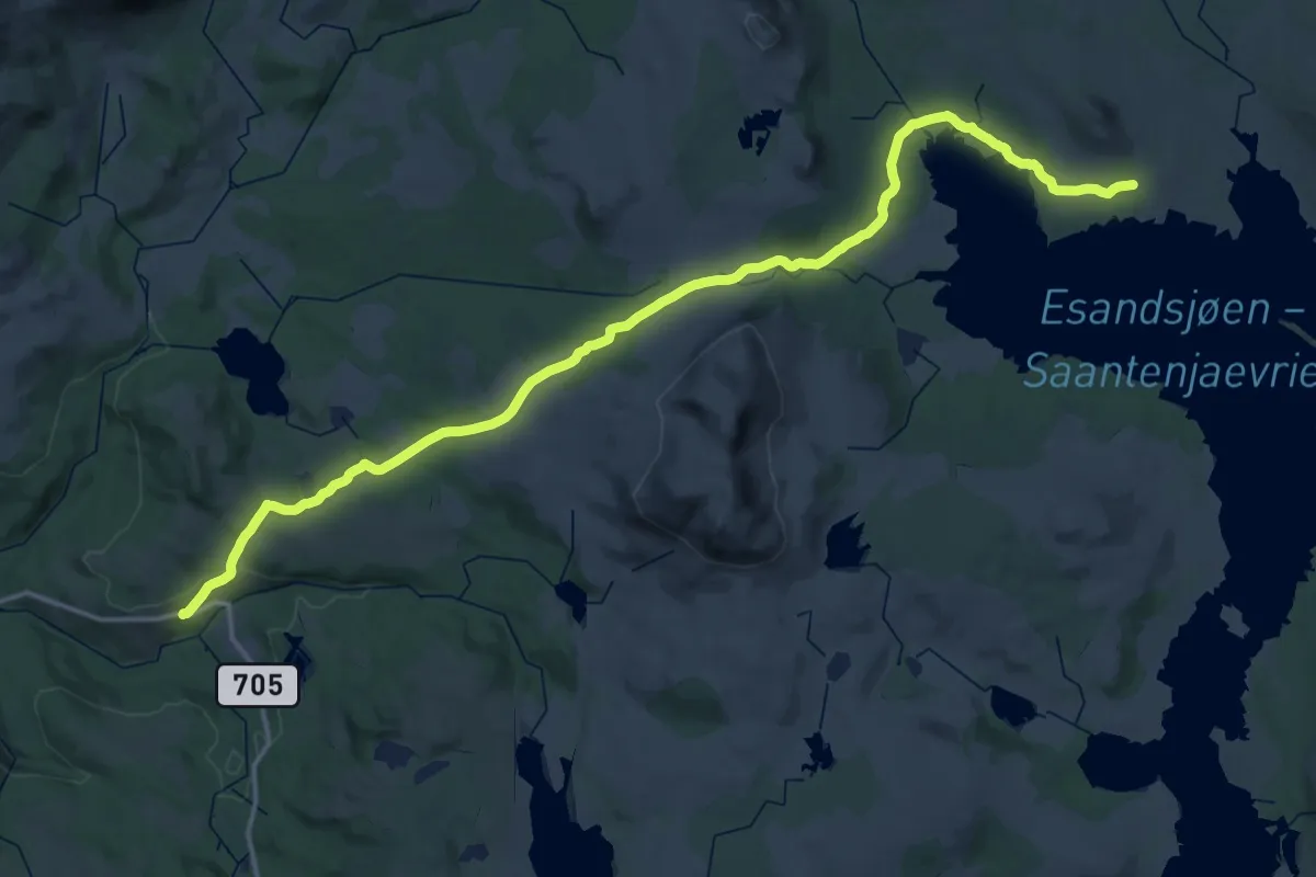
Demanding · Cabin
Tydal sentrum-Storerikvollen
21.2 km · ↑ 503 m · 6 h 15 min
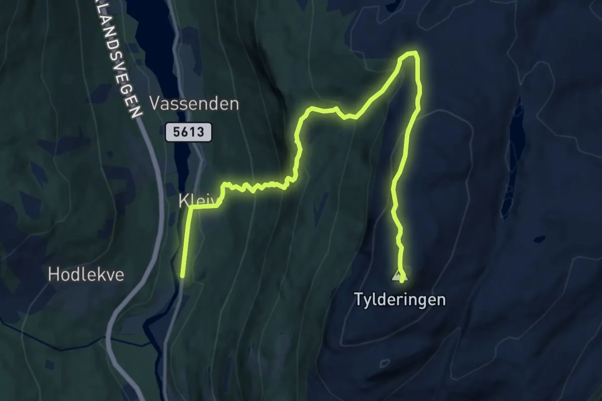
Demanding · Trail
Tylderingen via Stepin
9.0 km · ↑ 763 m · 3 h 46 min
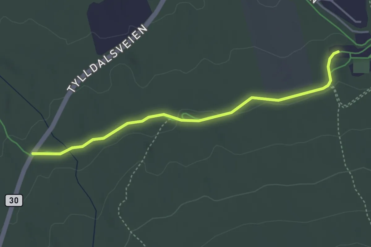
Easy · Trail
Tylldalsveien til Skistadioen
2.6 km · ↑ 27 m · 40 min
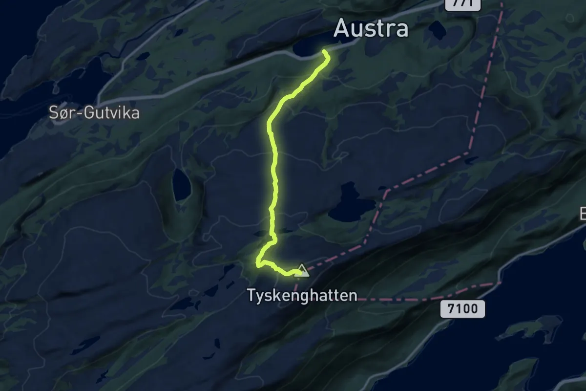
Medium · Trail
Tyskenghatten
6.2 km · ↑ 490 m · 2 h 32 min
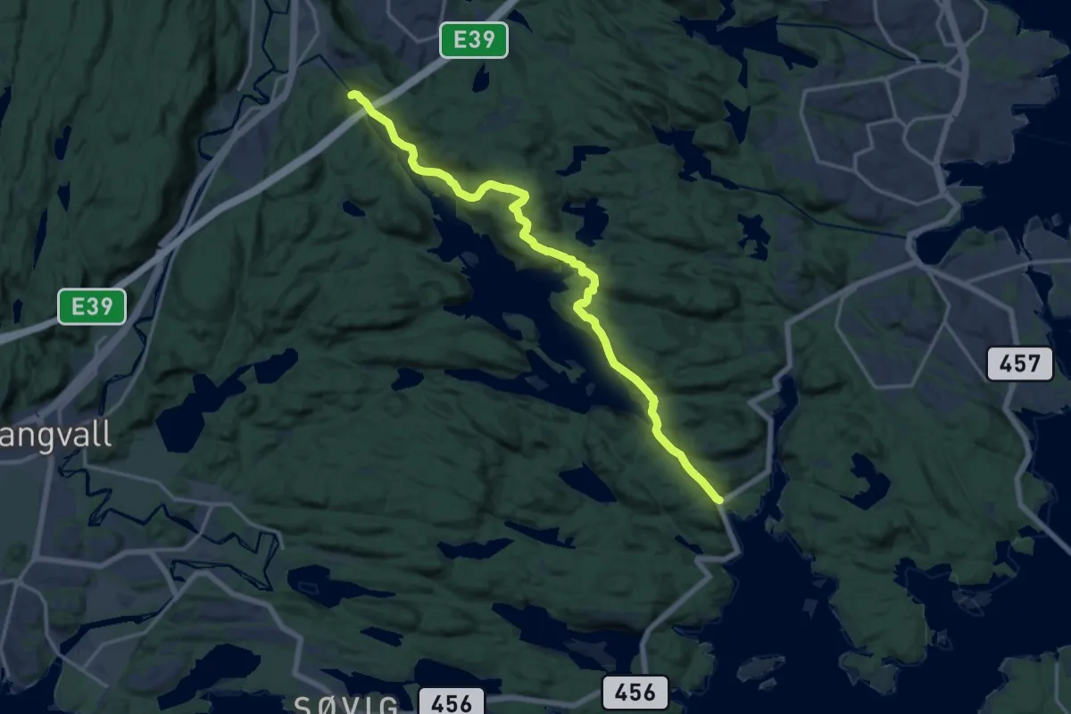
Medium · Trail
Tyskerstien
12.7 km · ↑ 568 m · 4 h 14 min
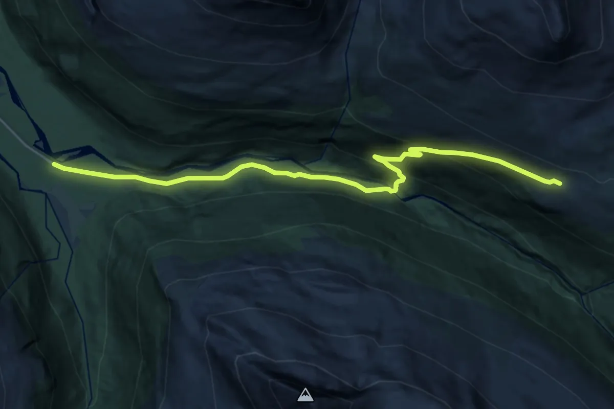
Demanding · Trail
Tyskerveg
11.7 km · ↑ 505 m · 3 h 52 min
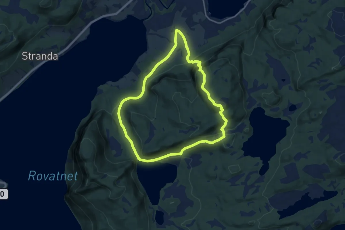
Medium · Trail
Tyskstien - Holstgardsetraveien
14.0 km · ↑ 731 m · 4 h 54 min
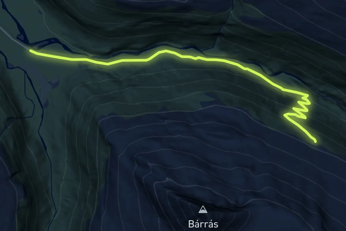
Medium · Trail
Tyskveg 2
11.5 km · ↑ 392 m · 3 h 34 min
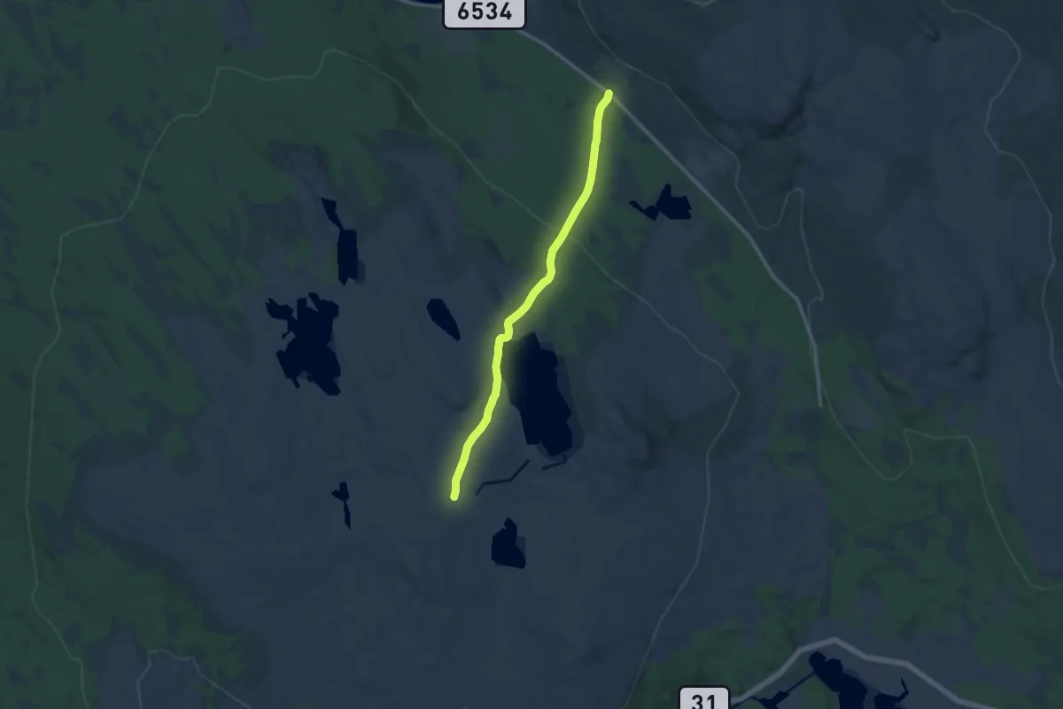
Easy · Trail
Tyskvollen - Storwartz
7.5 km · ↑ 121 m · 2 h 1 min
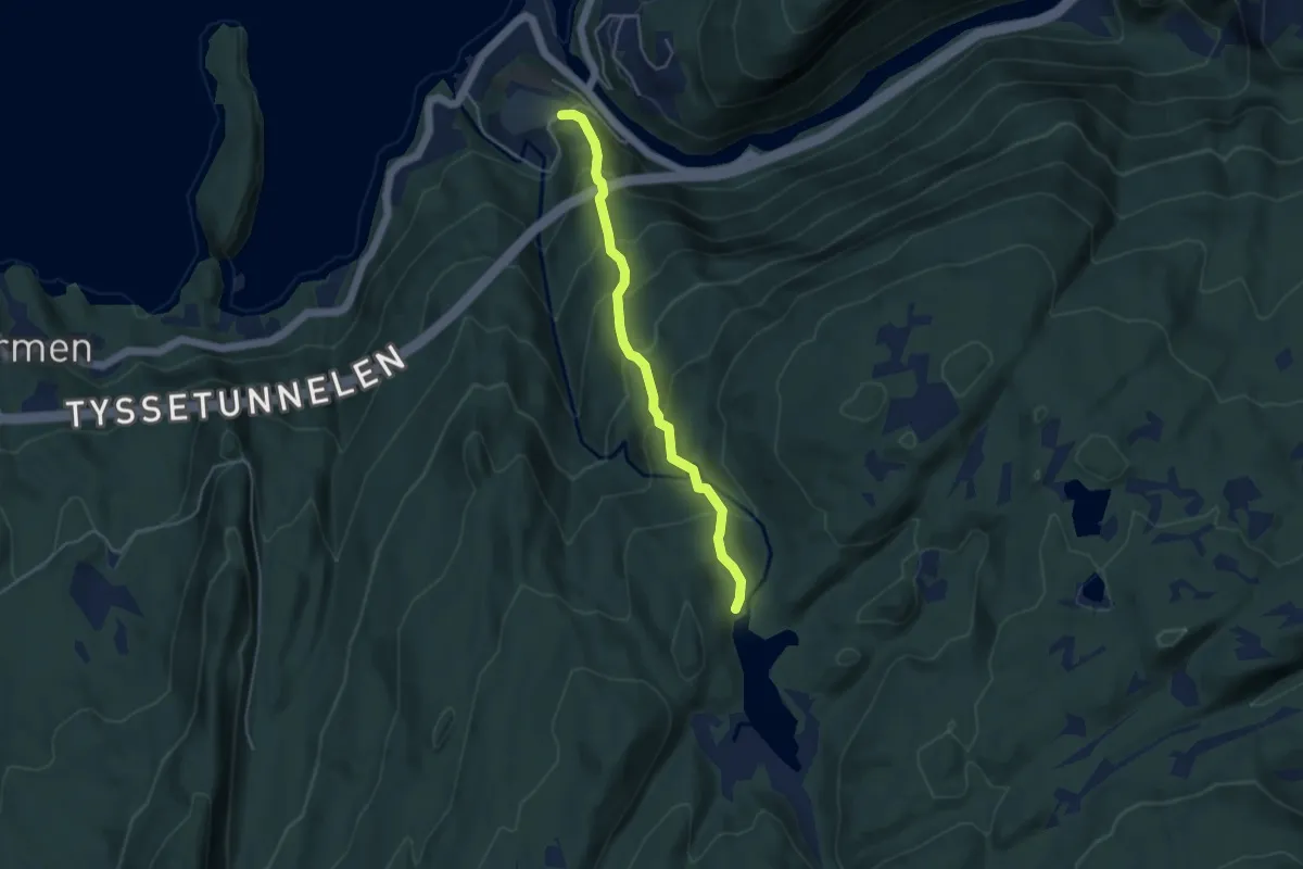
Demanding · Trail
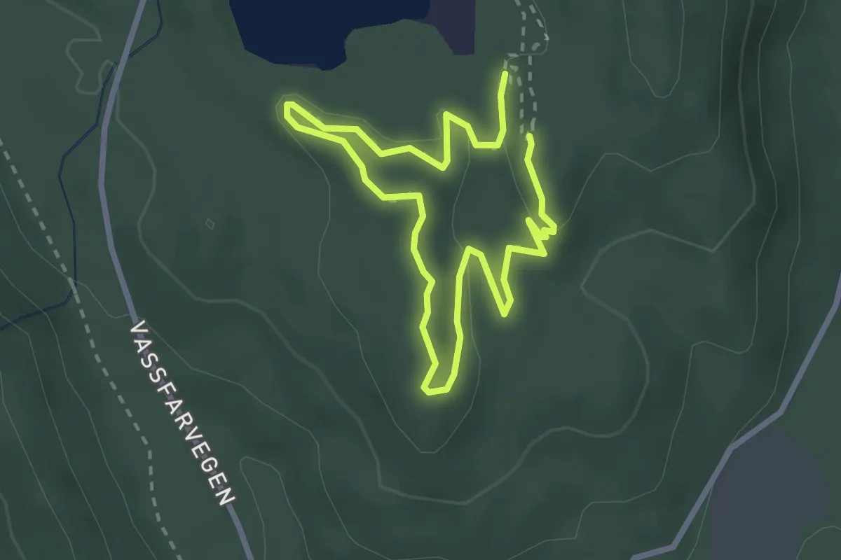
Tyssereinane - Smådalen
2.9 km · ↑ 316 m · 1 h 22 min
Easy · Trail
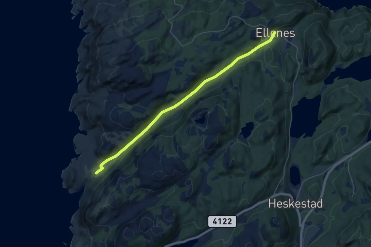
Tyttebærtrøkket
2.9 km · ↑ 39 m · 46 min
Easy · Trail
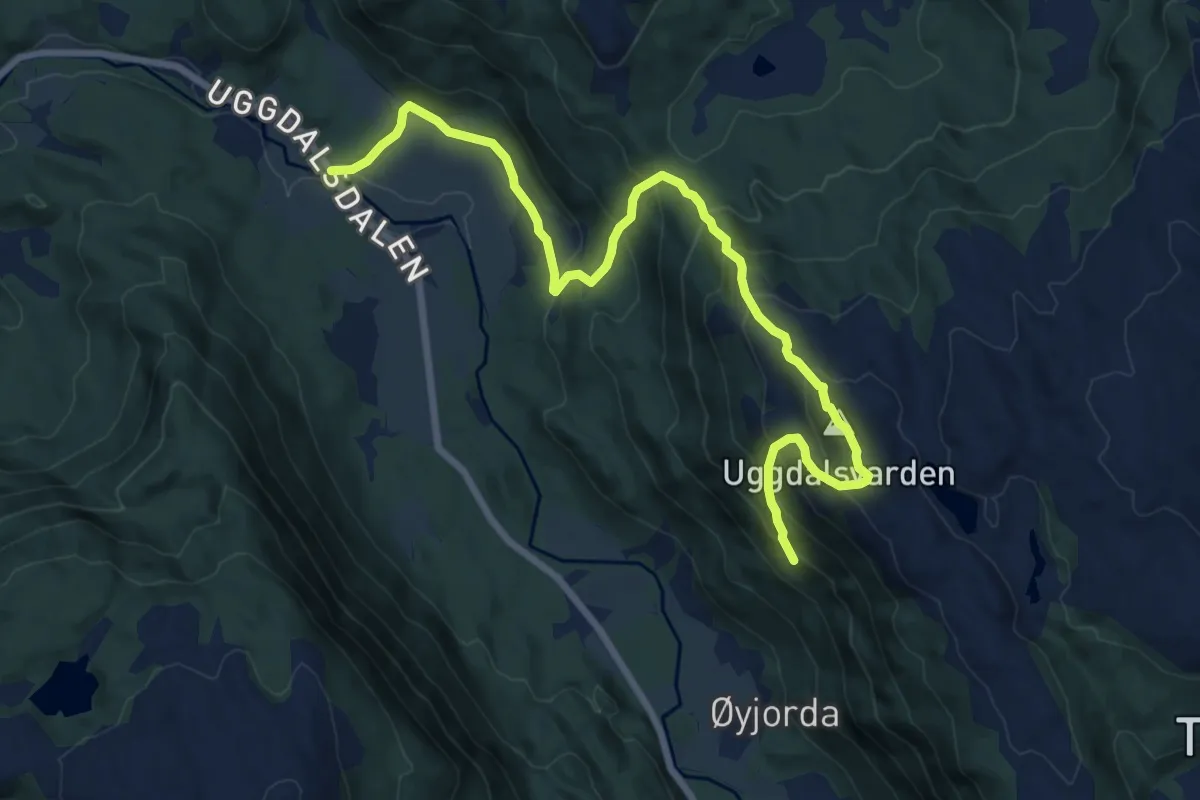
Uddalen
4.1 km · ↑ 100 m · 1 h 11 min
Medium · Trail
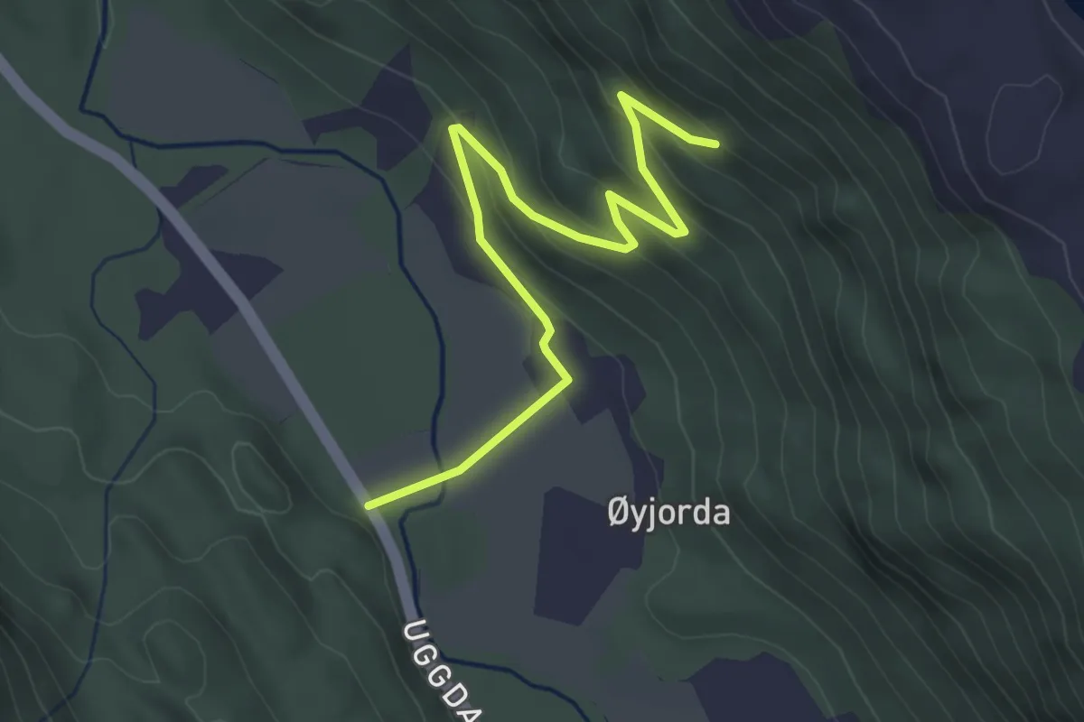
Uggdalsvarden
6.6 km · ↑ 577 m · 2 h 49 min
Medium · Trail
Uggdalsvarden
2.7 km · ↑ 171 m · 1 h
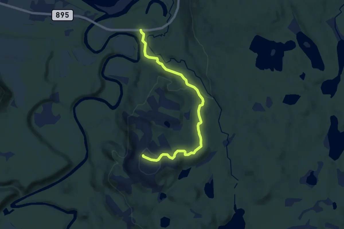
Easy · Trail
Uhcasearbbaš
5.0 km · ↑ 189 m · 1 h 36 min
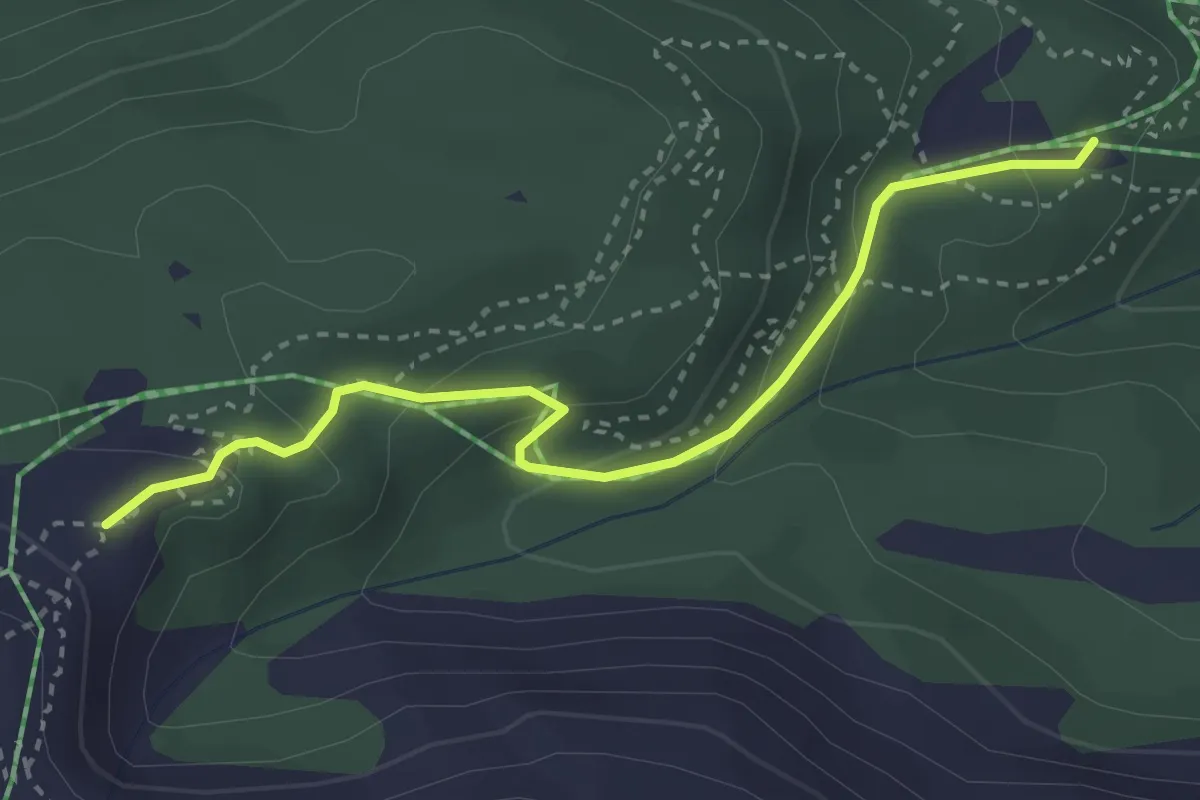
Easy · Trail
ukjent
2.3 km · ↑ 161 m · 54 min
Easy · Trail
ukjent
2.2 km · ↑ 168 m · 53 min
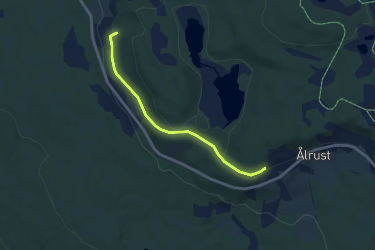
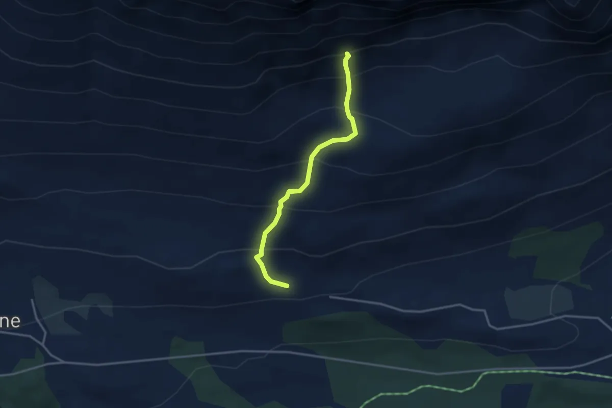
Easy · Trail
ukjent
2.6 km · ↑ 56 m · 44 min
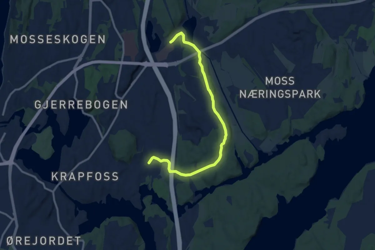
Easy · Trail
ukjent
2.0 km · ↑ 285 m · 1 h 6 min
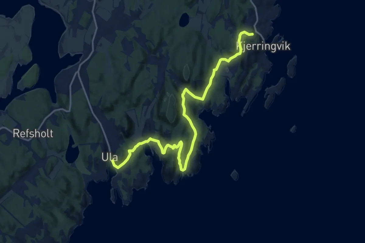
Easy · Trail
ukjent
6.1 km · ↑ 40 m · 1 h 32 min
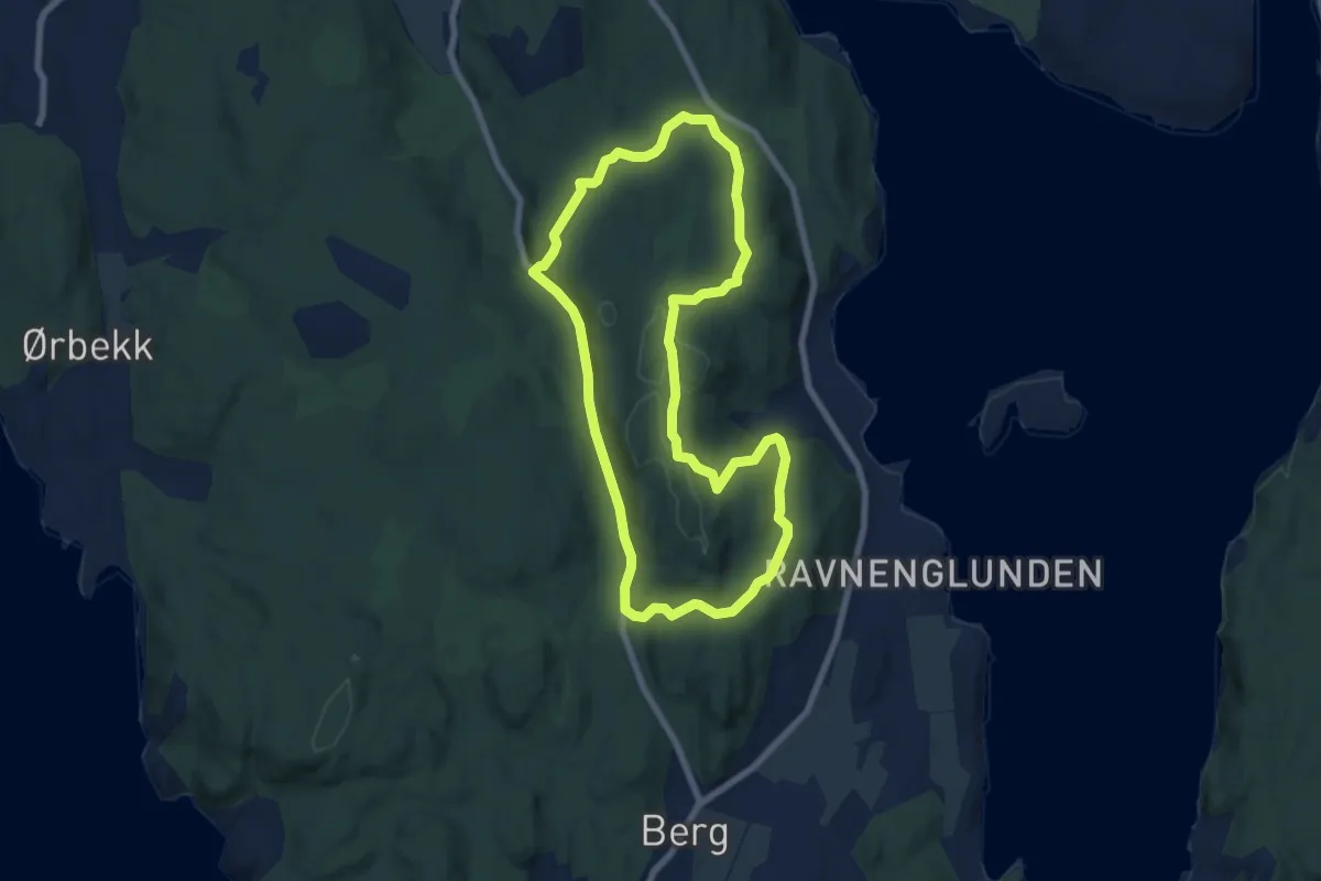
Medium · Trail
Ula - Kjerringvik
10.9 km · ↑ 248 m · 3 h 7 min
Easy · Trail
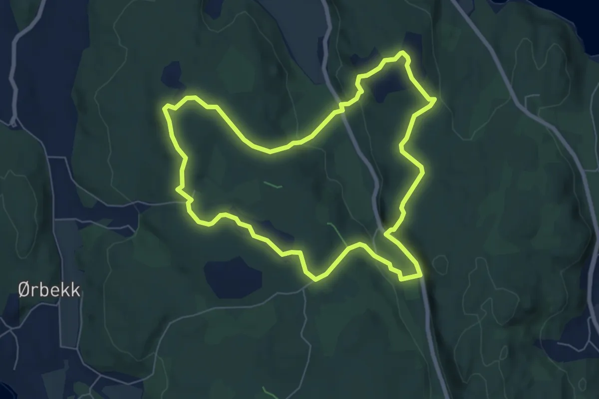
Ullerøy gult turforslag
5.4 km · ↑ 126 m · 1 h 37 min
Easy · Trail
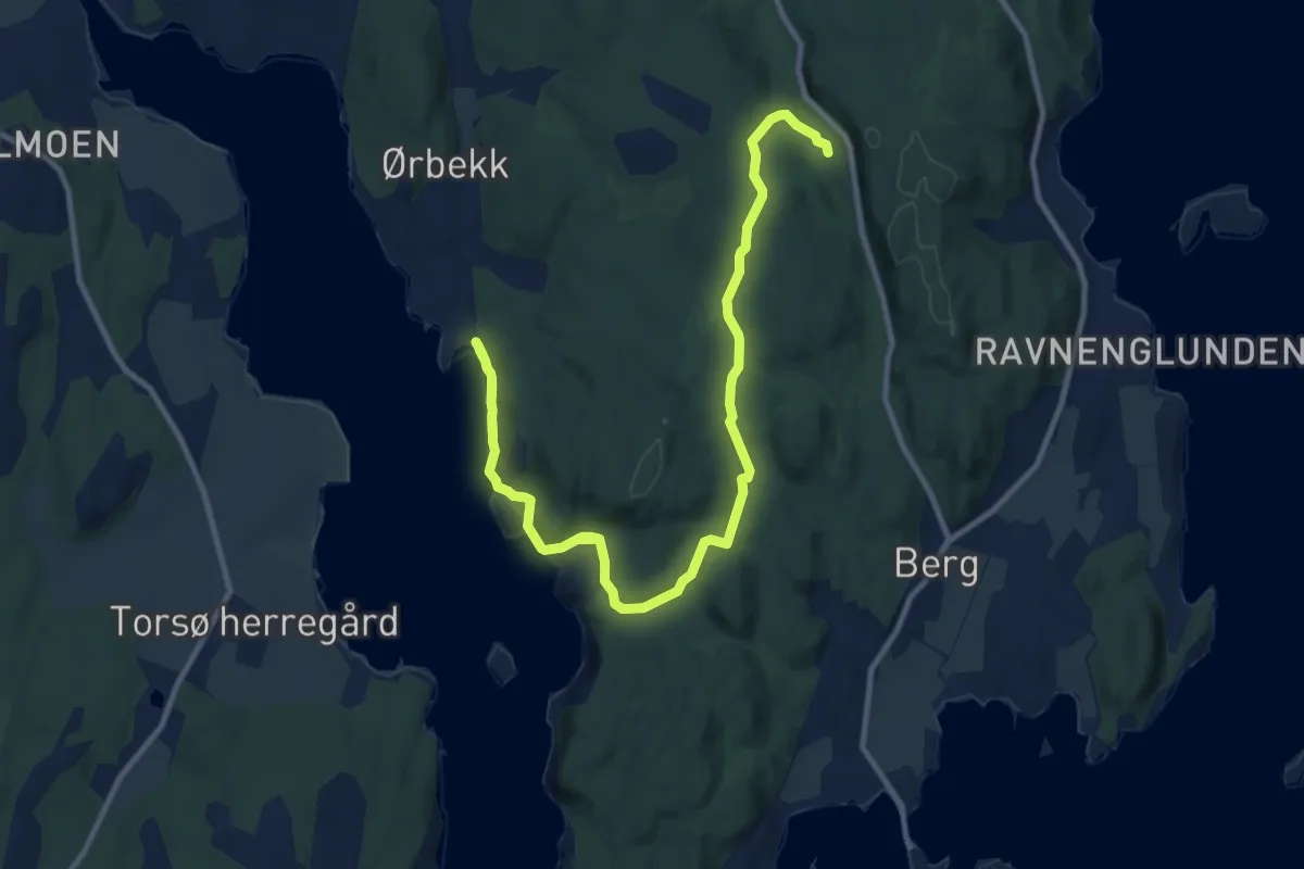
Ullerøy kulturminneløype
4.9 km · ↑ 143 m · 1 h 32 min
Medium · Trail
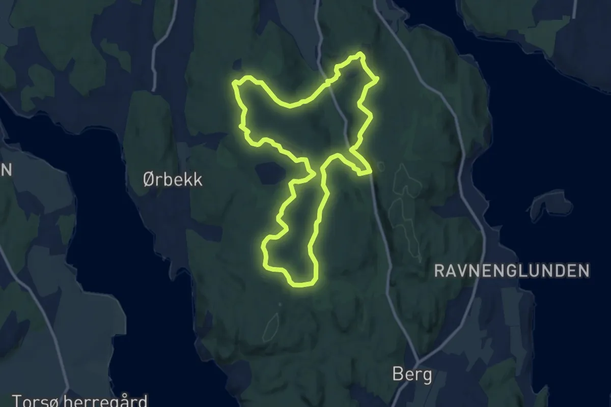
Ullerøy rødt turforslag
10.5 km · ↑ 185 m · 2 h 52 min
Easy · Trail
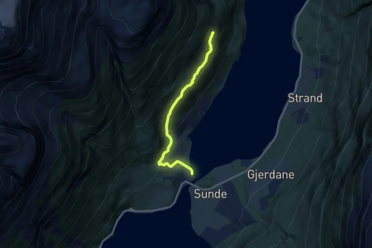
Ullerøy turløype
7.6 km · ↑ 171 m · 2 h 16 min
Easy · Trail
Ullsteinen
4.3 km · ↑ 284 m · 1 h 37 min
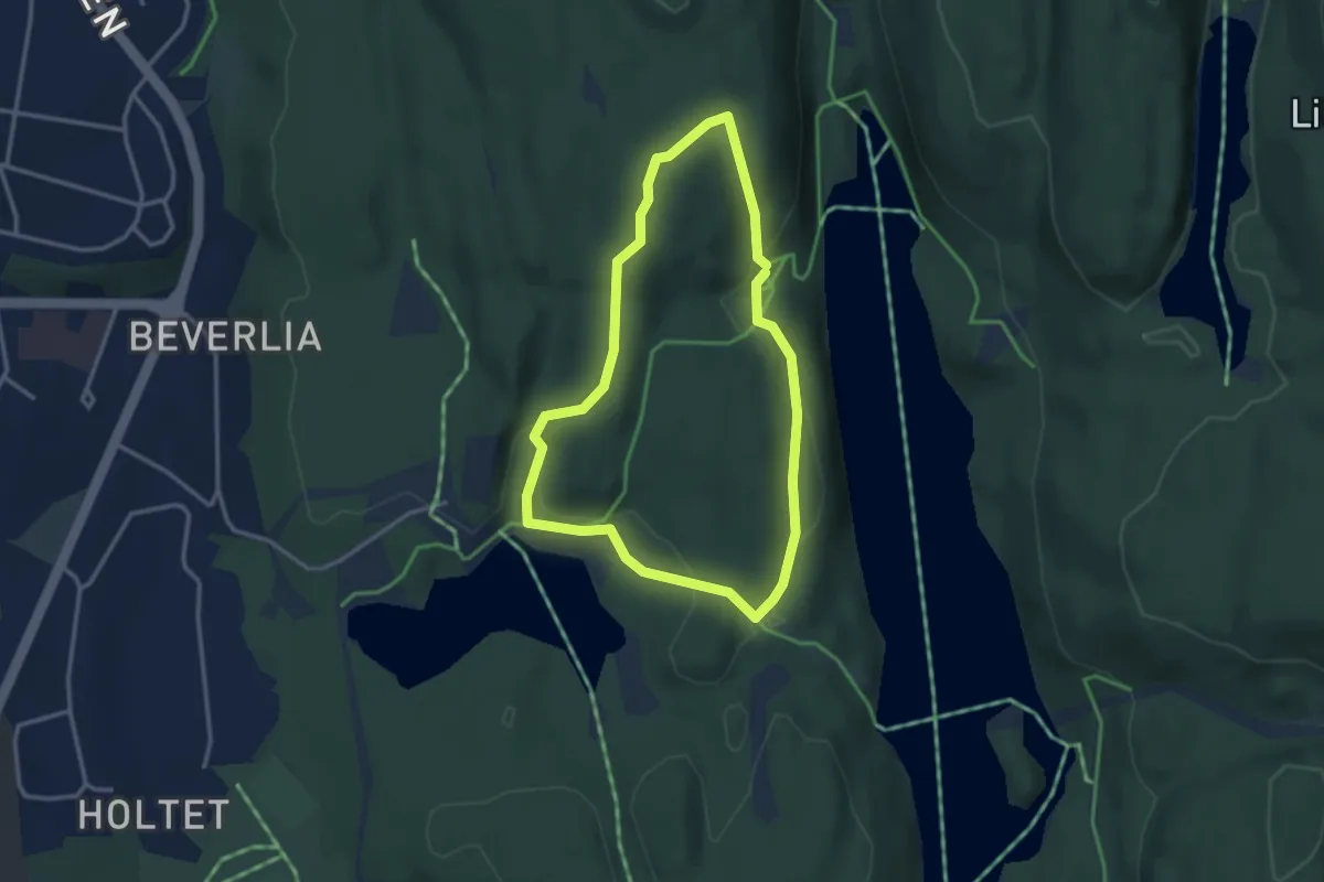
Easy · Trail
Ulsrudvann natursti
2.1 km · ↑ 52 m · 38 min
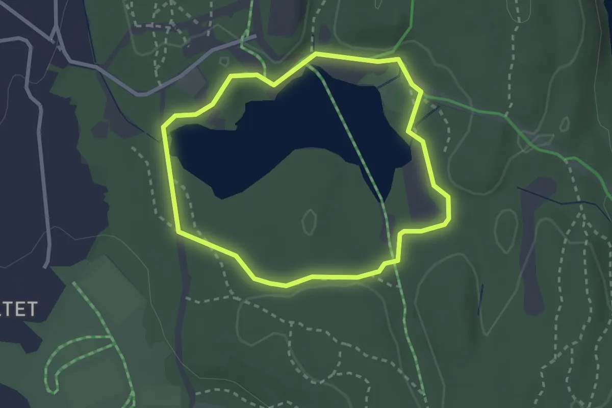
Easy · Trail
Ulsrudvann rundt
1.6 km · ↑ 16 m · 27 min
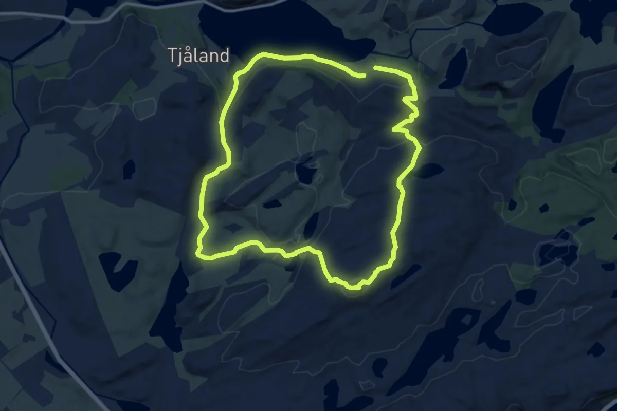
Easy · Summit
Ulvarudlå rundtur
7.0 km · ↑ 254 m · 2 h 18 min
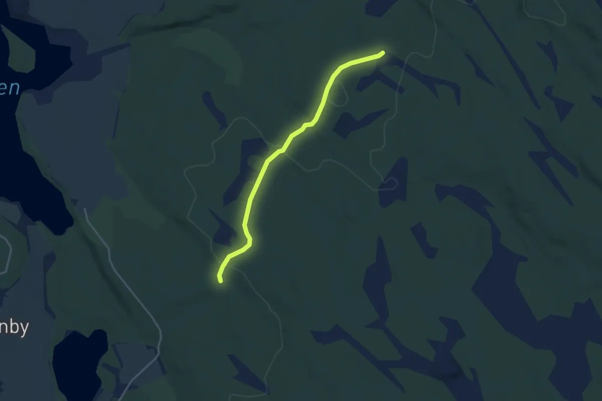
Easy · Trail
Ulveholtet
2.5 km · ↑ 33 m · 40 min
Easy · Trail
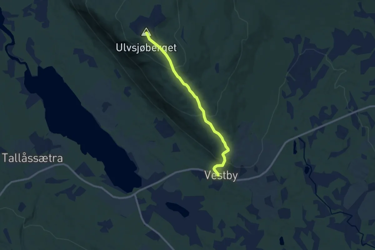
Ulvsjøberget, Trysil
4.7 km · ↑ 288 m · 1 h 44 min
Medium · Trail
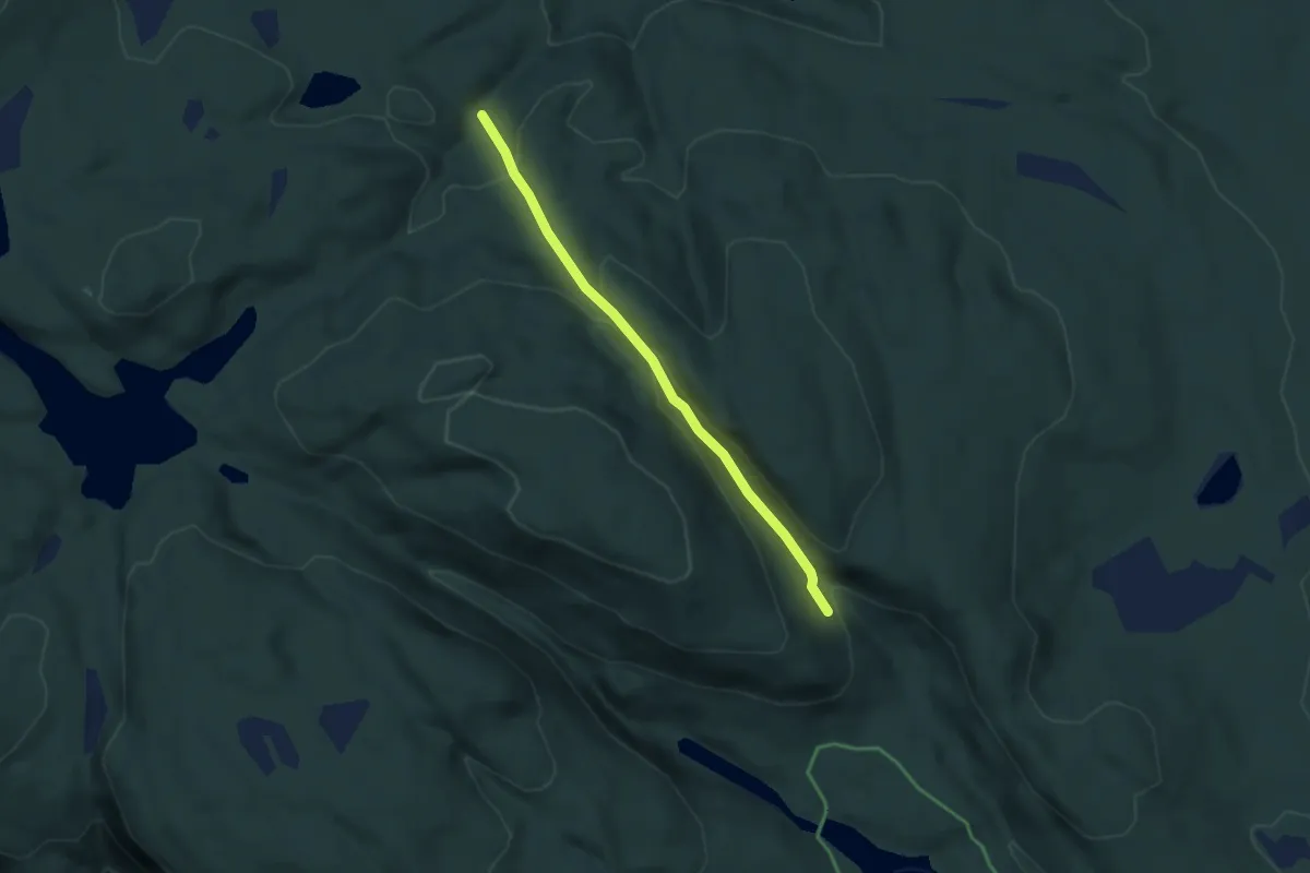
Ulvsvann - Åletjern
2.5 km · ↑ 128 m · 51 min
Demanding · Trail
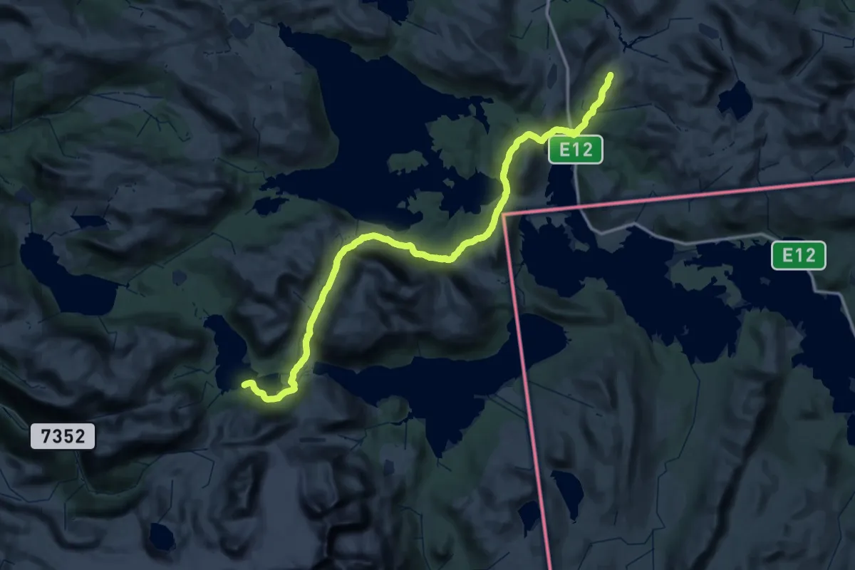
Umbukta om Grasfjellkoia til Kjennsvasshytta
28.5 km · ↑ 750 m · 8 h 39 min
Demanding · Trail
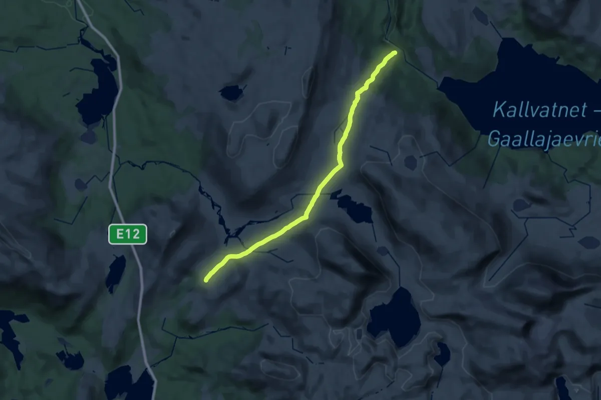
Umbukta - Plurdalen
18.8 km · ↑ 528 m · 5 h 35 min
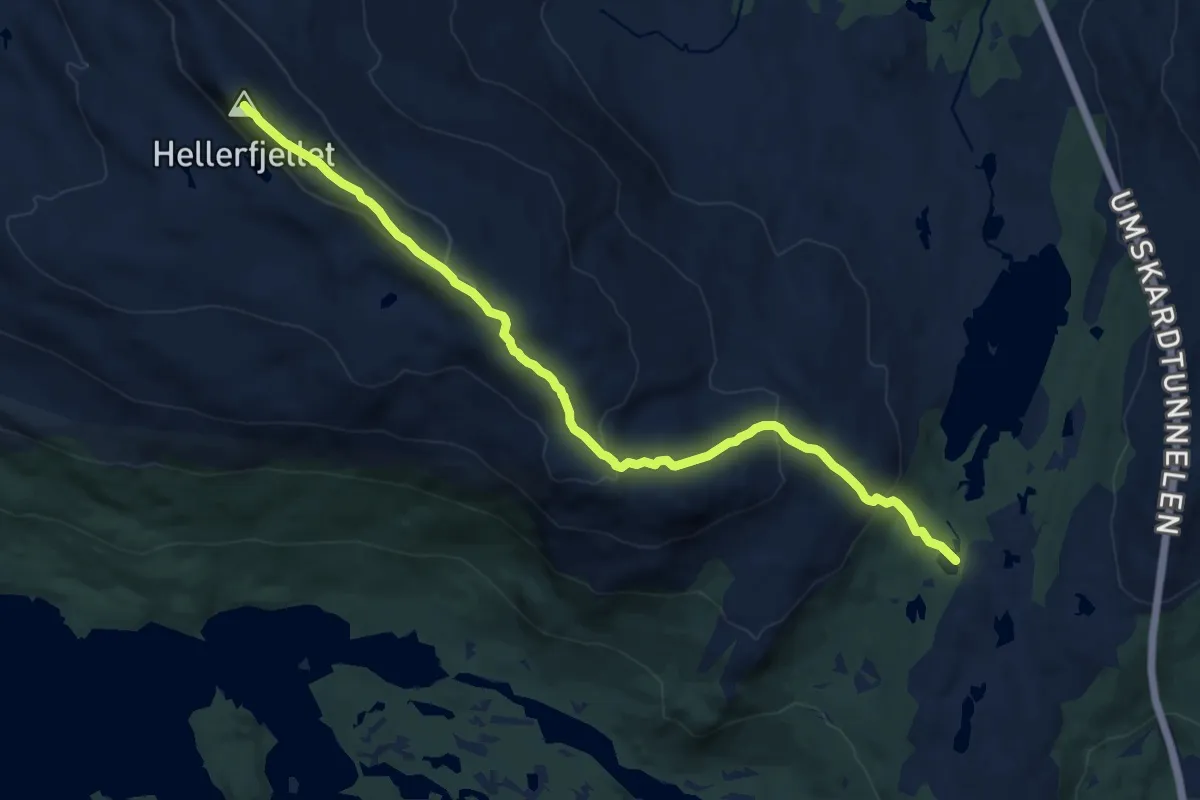
Medium · Trail
Umskardet til Hellerfjellet
8.6 km · ↑ 424 m · 2 h 57 min
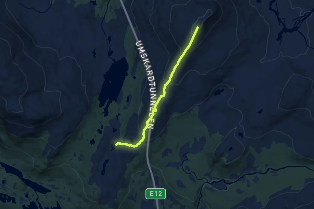
Medium · Trail
Umskardet til Kubben
6.3 km · ↑ 388 m · 2 h 20 min
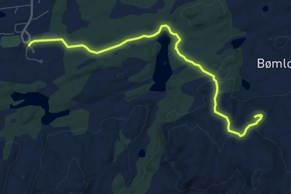
Easy · Trail
Undergjota - Olshaug
5.5 km · ↑ 112 m · 1 h 33 min
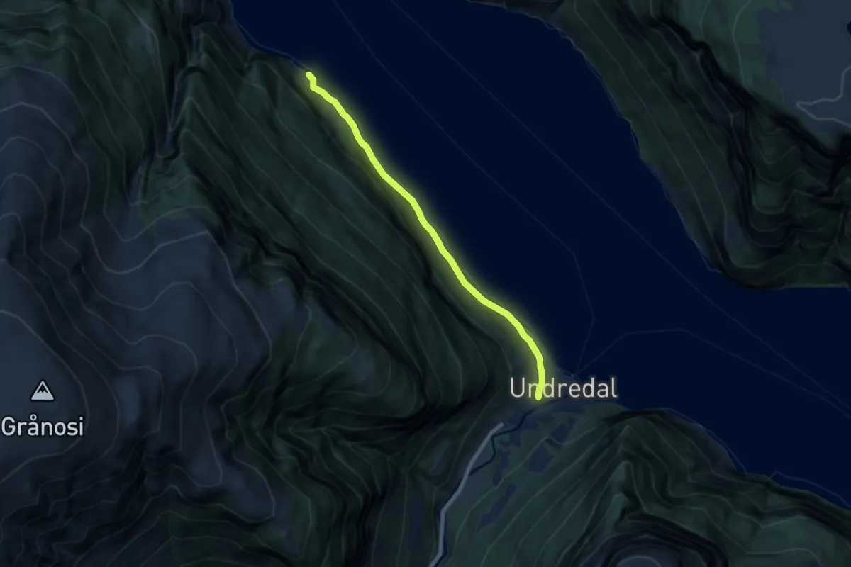
Easy · Trail
Undredal - Stokko
4.9 km · ↑ 66 m · 1 h 18 min
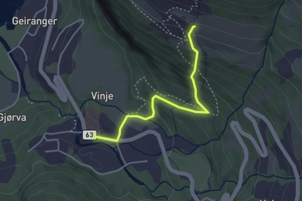
Easy · Trail
Union Hotel - Mørkja - Vesterås gard
2.1 km · ↑ 232 m · 59 min
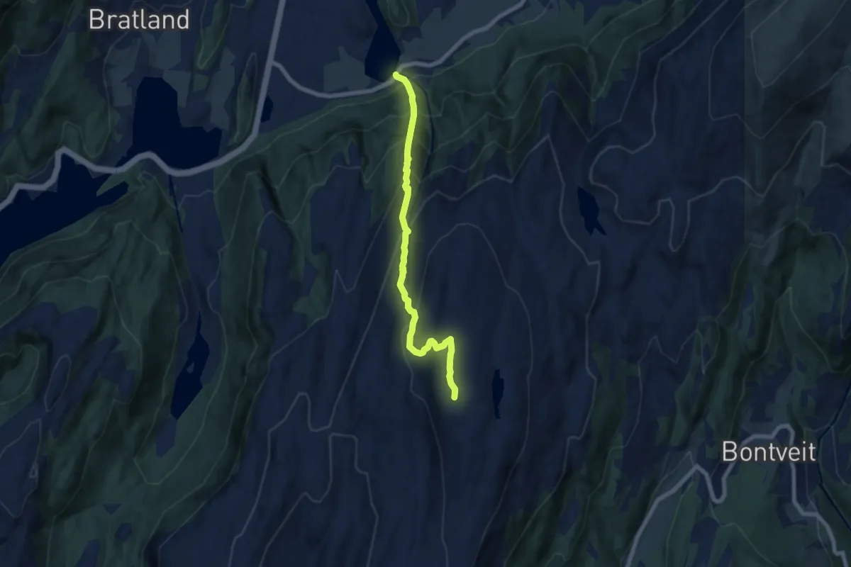
Demanding · Trail
Unneland-Lavrinden-Livarden
4.7 km · ↑ 609 m · 2 h 25 min
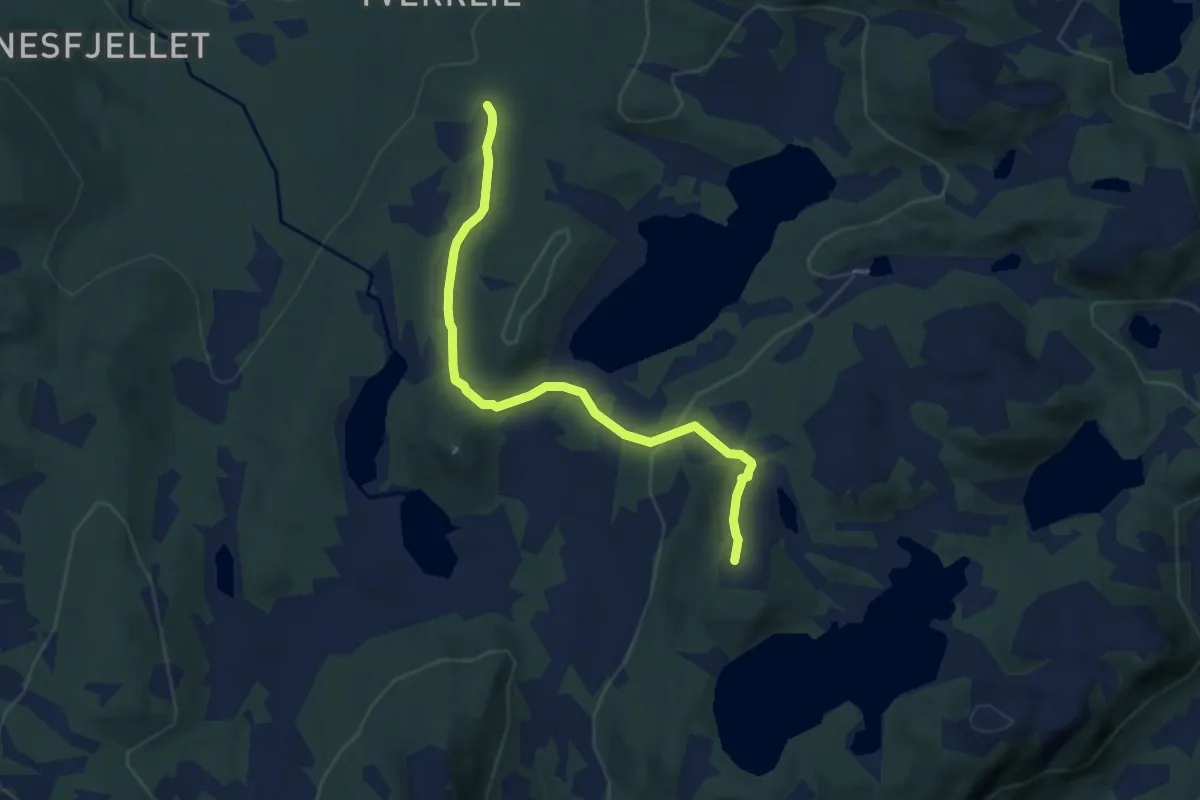
Easy · Trail
Unskattan
4.7 km · ↑ 211 m · 1 h 34 min
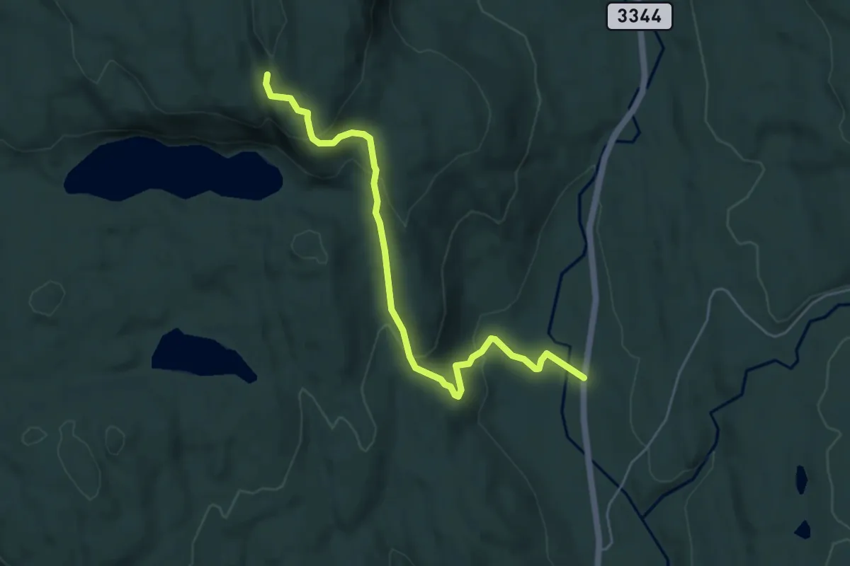
Easy · Trail
Uppigardsåsen
3.8 km · ↑ 200 m · 1 h 20 min
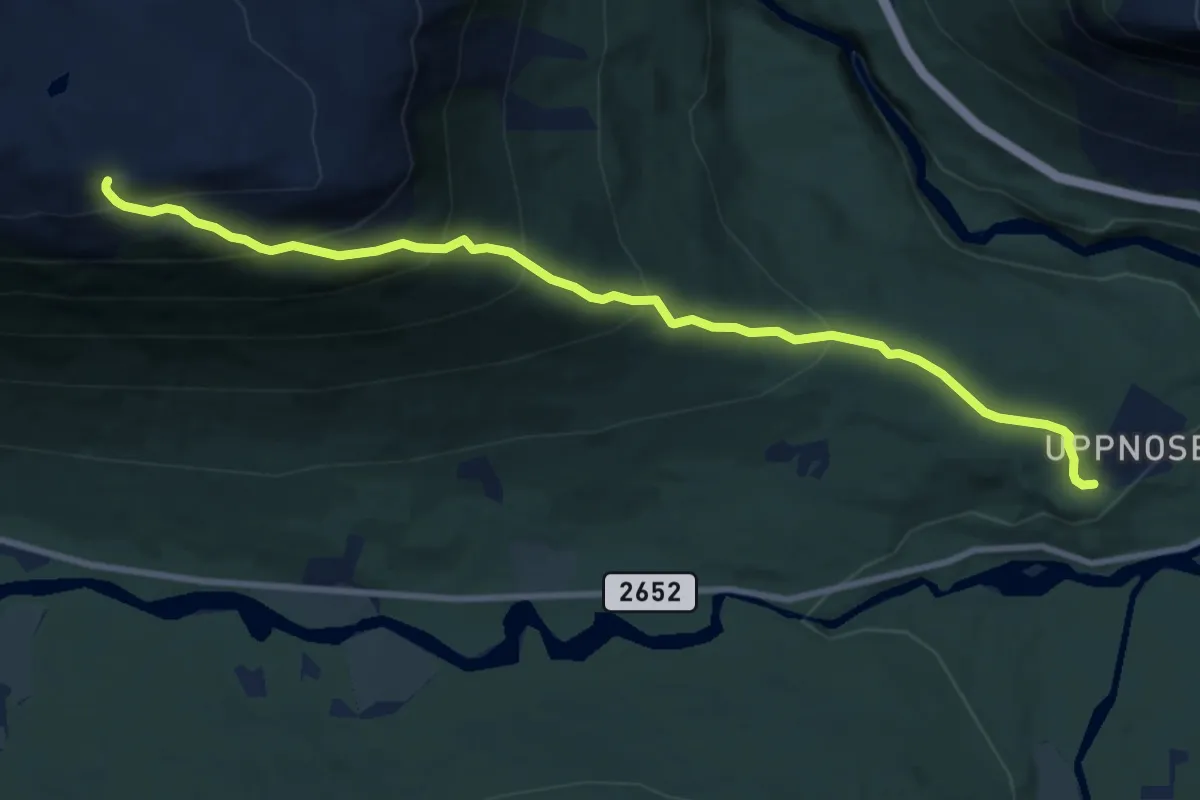
Demanding · Trail
Uppnose
6.8 km · ↑ 616 m · 2 h 57 min
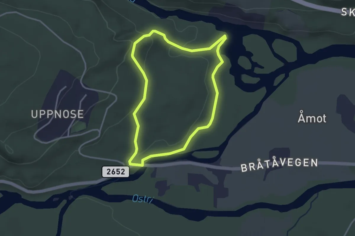
Medium · Trail
Uppnose elgfangstanlegg
3.8 km · ↑ 78 m · 1 h 5 min
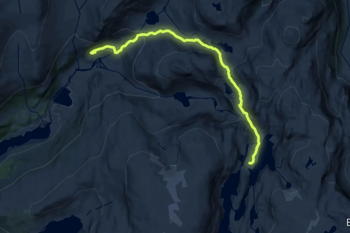
Medium · Cabin
Upsete - Kaldavasshytta
13.4 km · ↑ 552 m · 4 h 22 min
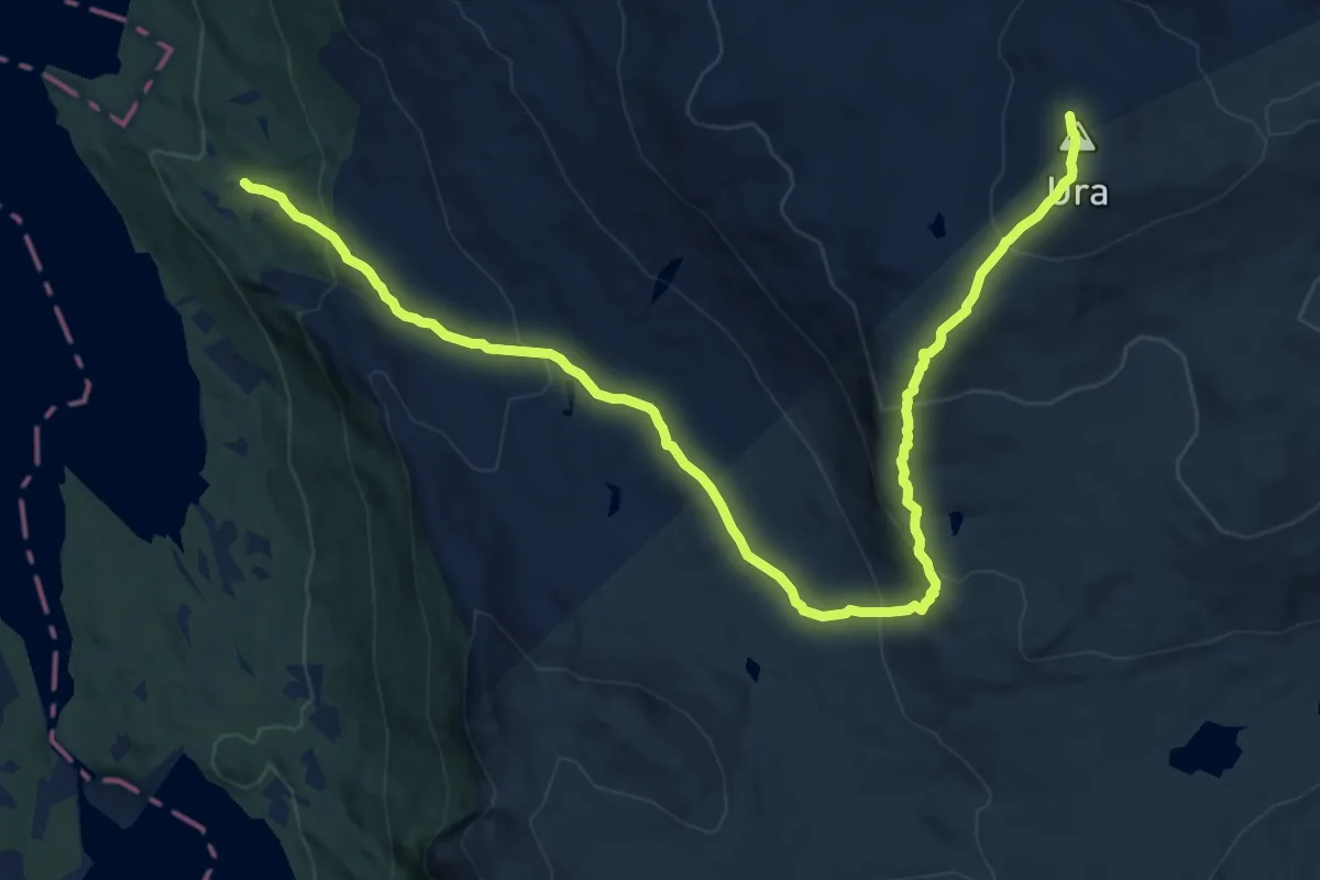
Medium · Trail
Ura
10.7 km · ↑ 660 m · 3 h 57 min