Trails in Norway
7,452 hiking trails, each with its route, climb, walking time and grade.
All trails, page 114 of 156
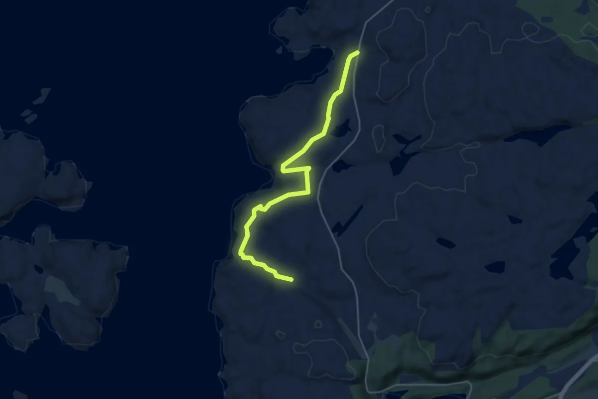
Easy · Trail
Urastølen - Risvik
3.3 km · ↑ 80 m · 57 min
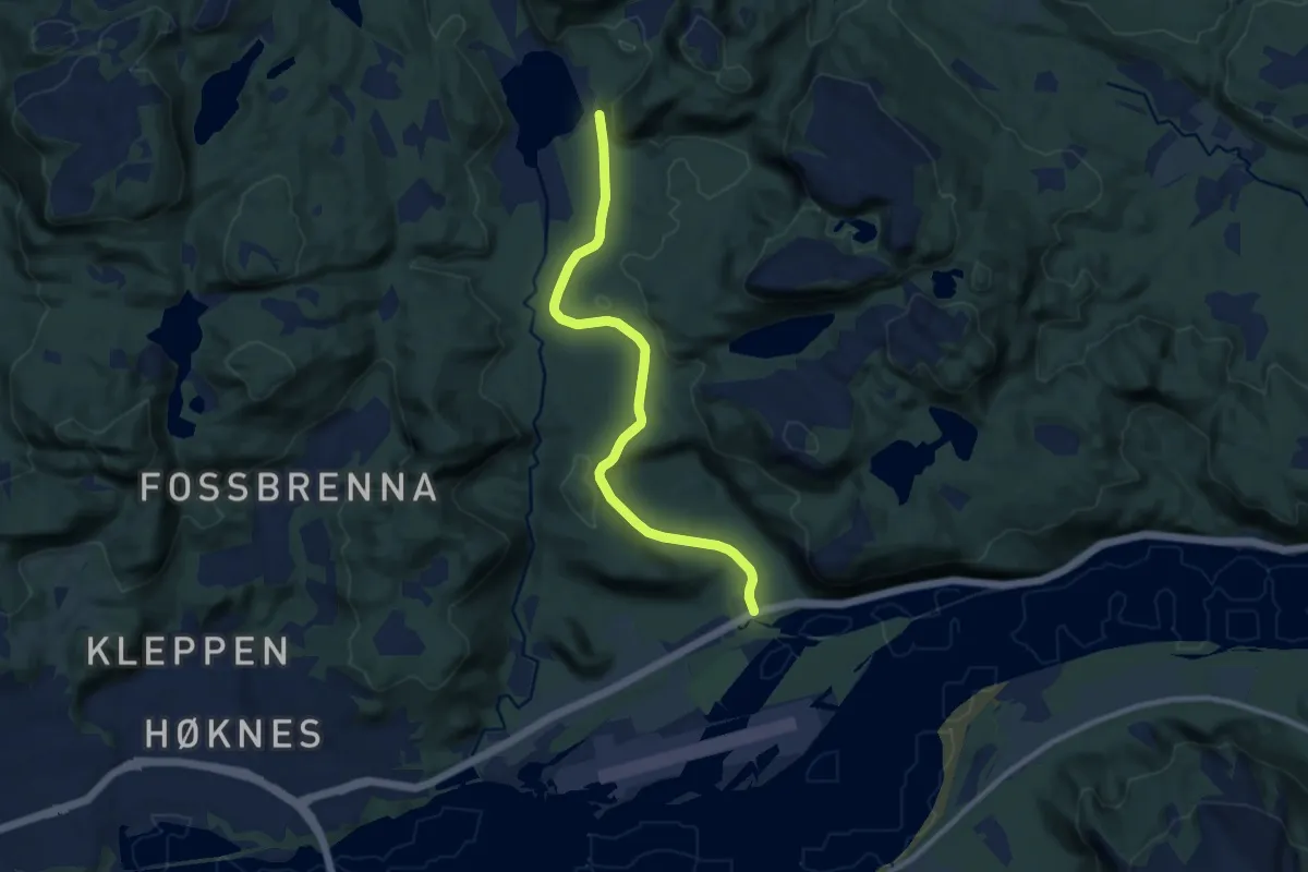
Easy · Trail
Urda-Høknesvatnet
6.1 km · ↑ 101 m · 1 h 39 min
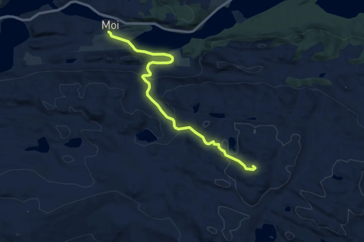
Medium · Trail
Urdalsnipa
7.8 km · ↑ 368 m · 2 h 38 min
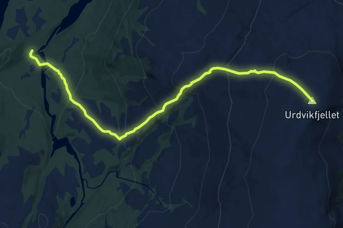
Medium · Trail
Urdvikfjellet
7.8 km · ↑ 627 m · 3 h 12 min
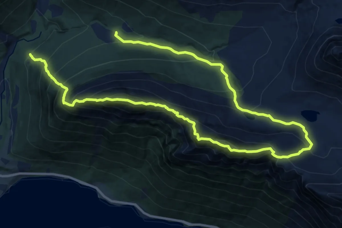
Demanding · Trail
Urkeegga
16.4 km · ↑ 1706 m · 7 h 34 min
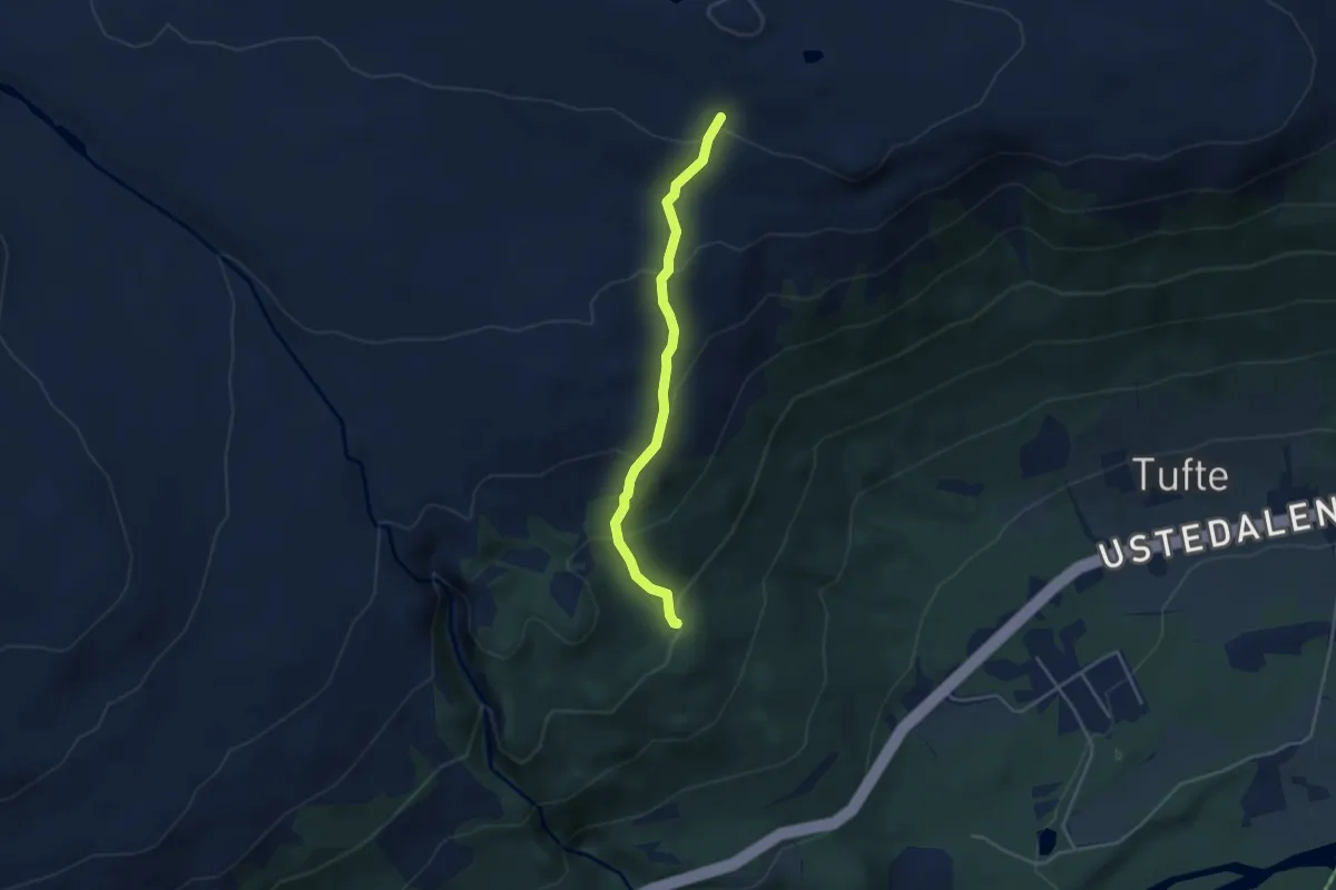
Easy · Trail
Urundberget - Tuftelia
2.6 km · ↑ 208 m · 1 h 4 min
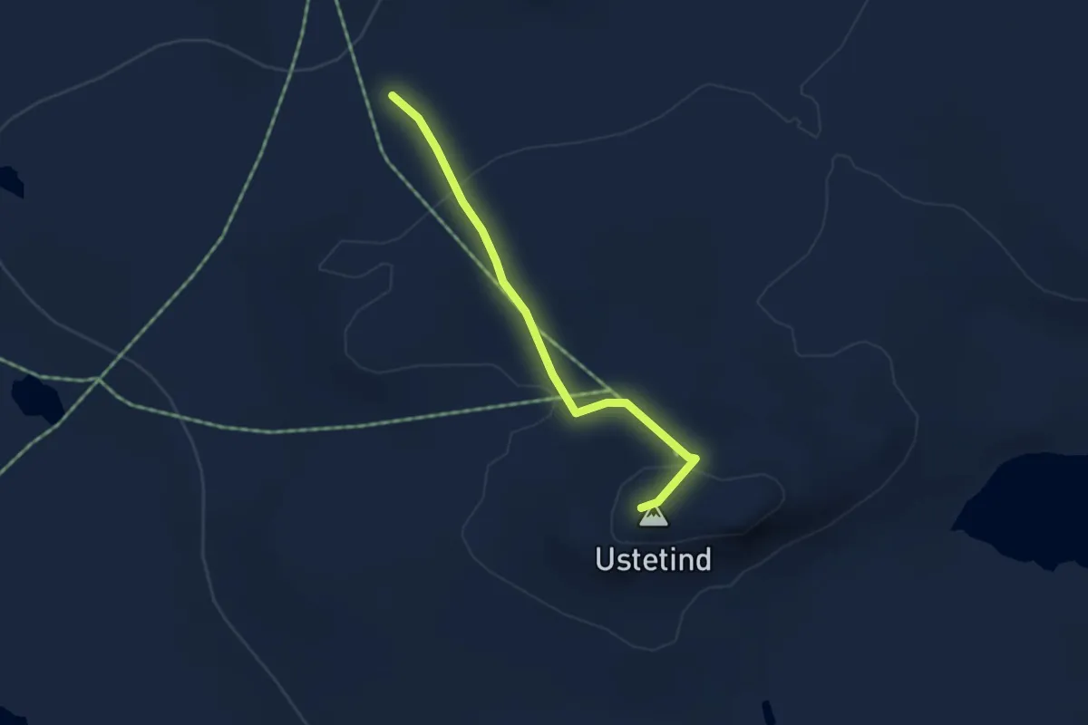
Easy · Trail
Ustetind
2.7 km · ↑ 123 m · 54 min
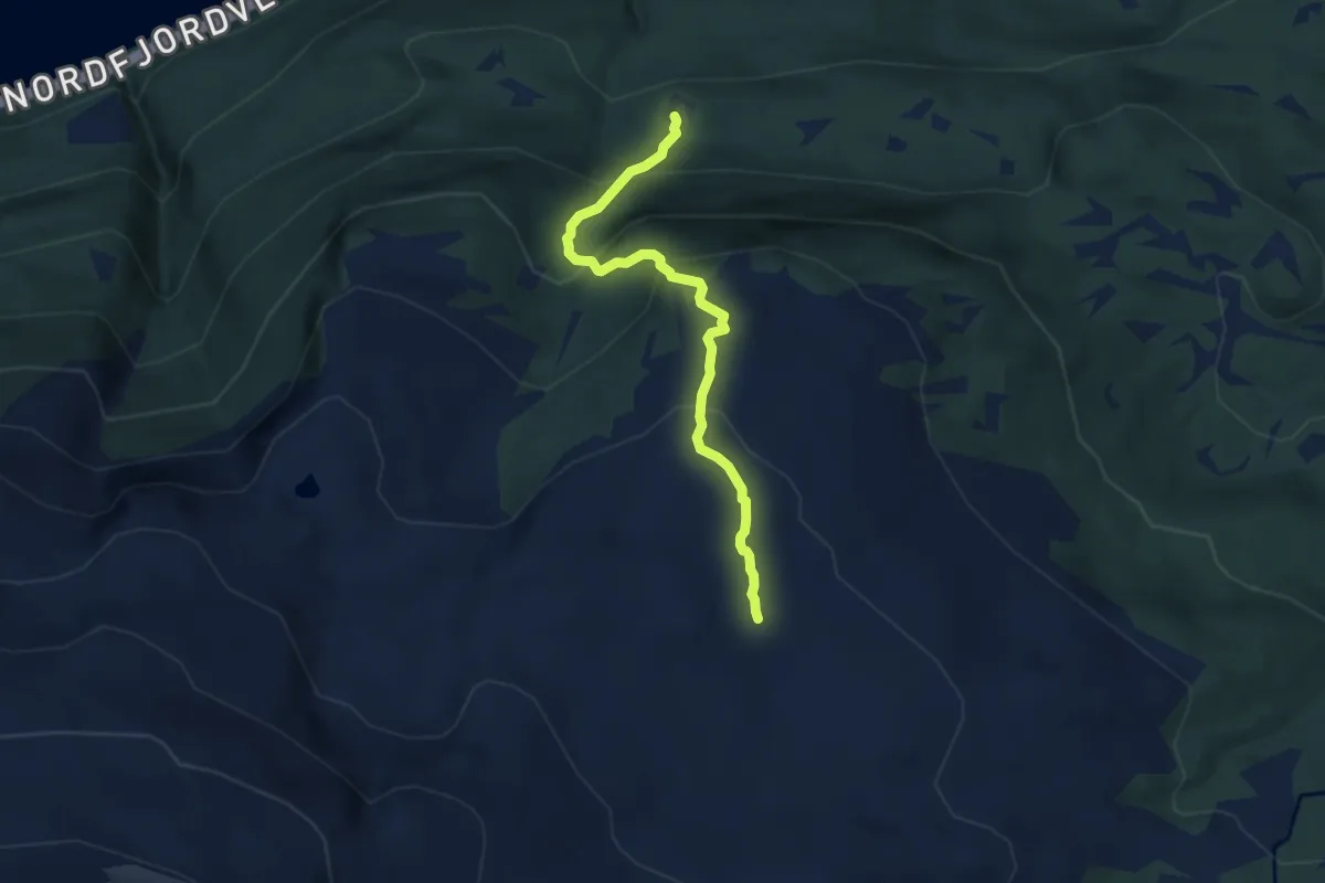
Medium · Trail
Utigardsætra-Sonja
4.1 km · ↑ 403 m · 1 h 51 min
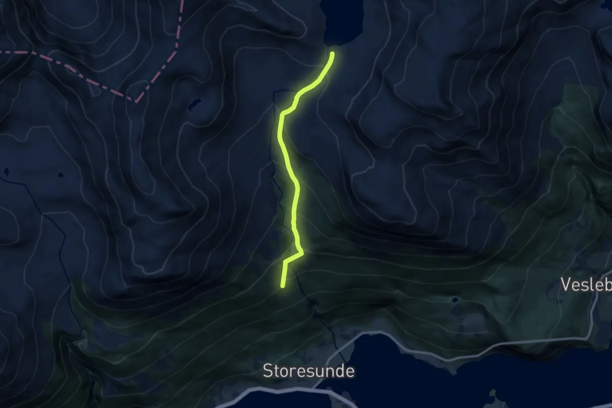
Medium · Trail
Utigardssætra- Skihellevatnet
6.0 km · ↑ 532 m · 2 h 35 min
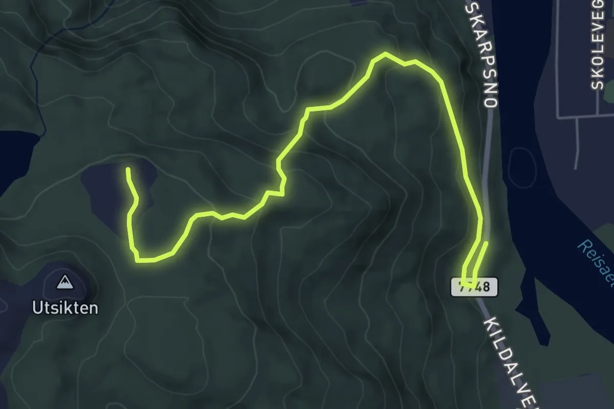
Easy · Trail
Ut i NORD-hytta på Storslett
3.3 km · ↑ 207 m · 1 h 14 min
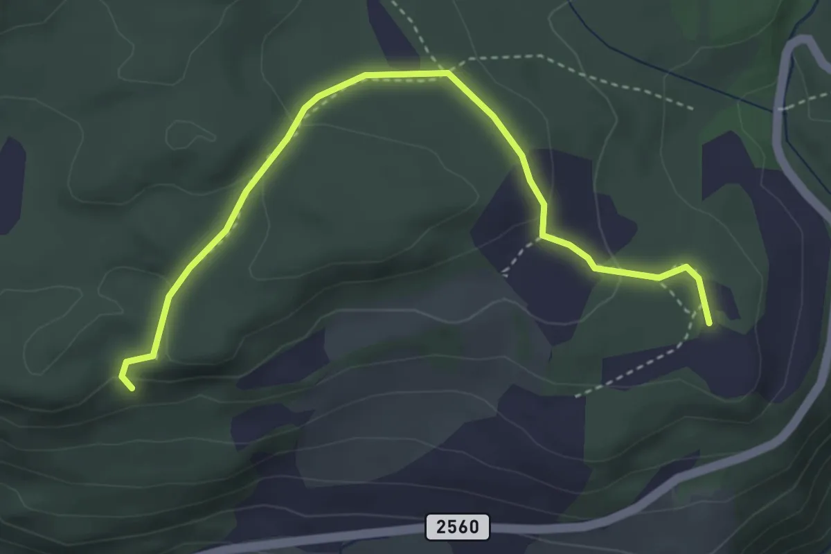
Easy · Trail
Utsikten
2.8 km · ↑ 106 m · 53 min
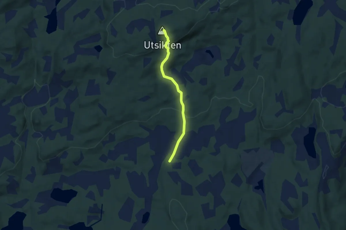
Easy · Trail
Utsikten
3.1 km · ↑ 162 m · 1 h 5 min
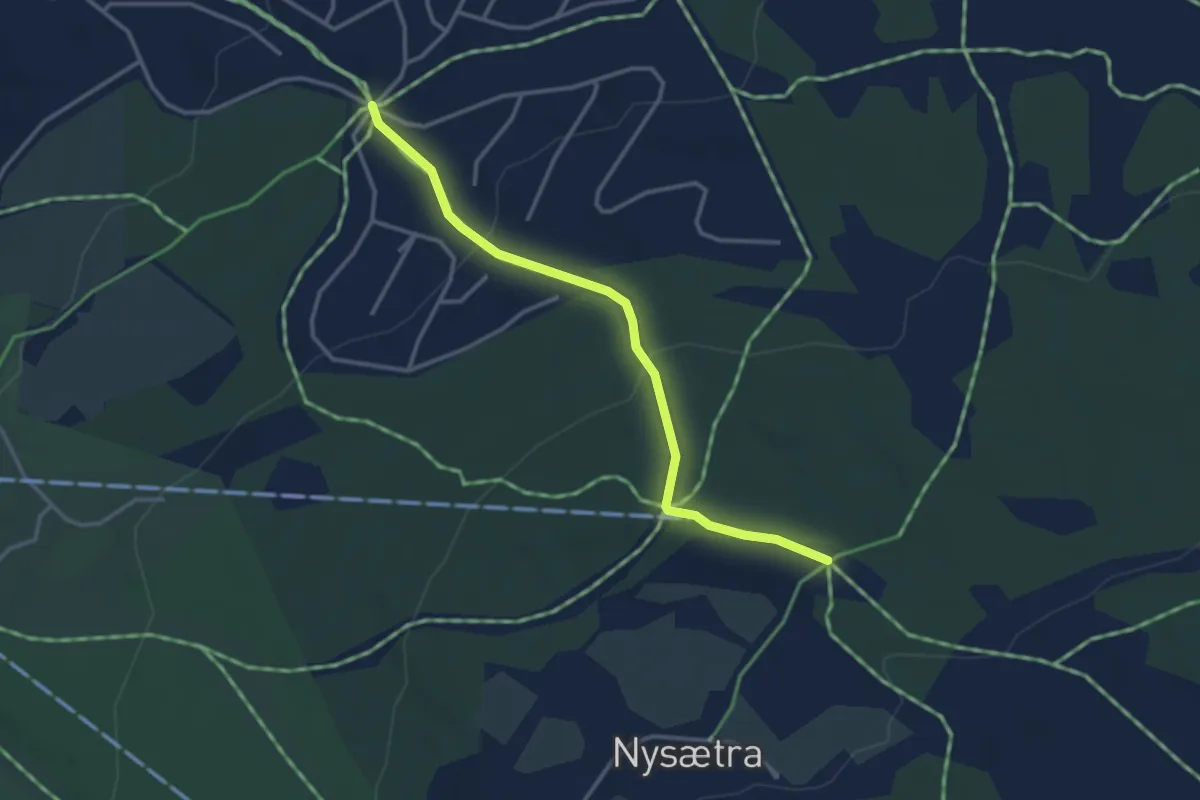
Easy · Trail
Utsikten - Buåsen
2.3 km · ↑ 117 m · 48 min
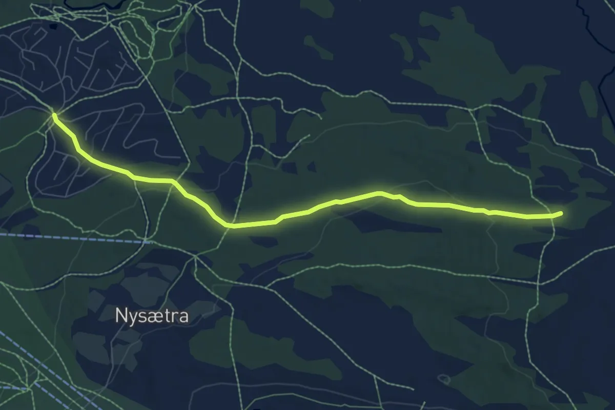
Easy · Trail
Utsikten - Hitråket
5.7 km · ↑ 164 m · 1 h 42 min
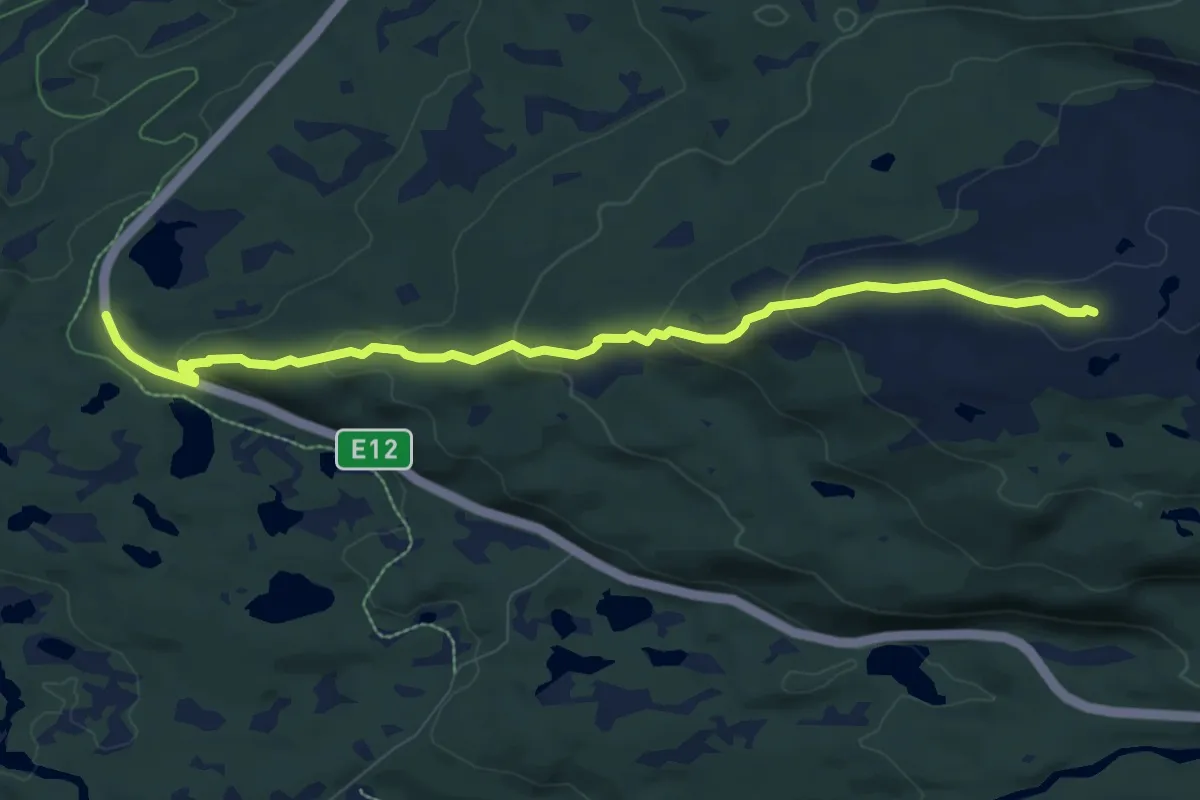
Easy · Trail
Utsikten til Reinfjellet
5.4 km · ↑ 289 m · 1 h 54 min
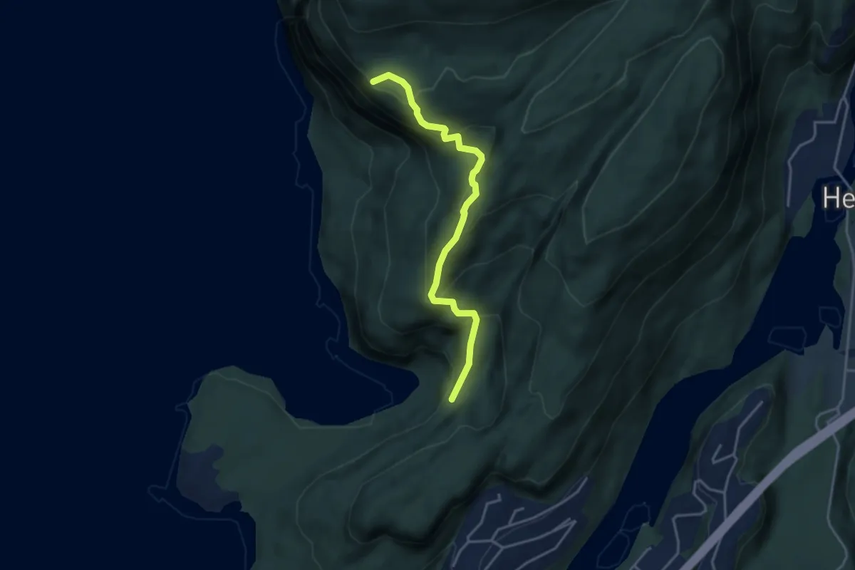
Easy · Trail
Utsikt ved Smørstakken
2.5 km · ↑ 256 m · 1 h 9 min
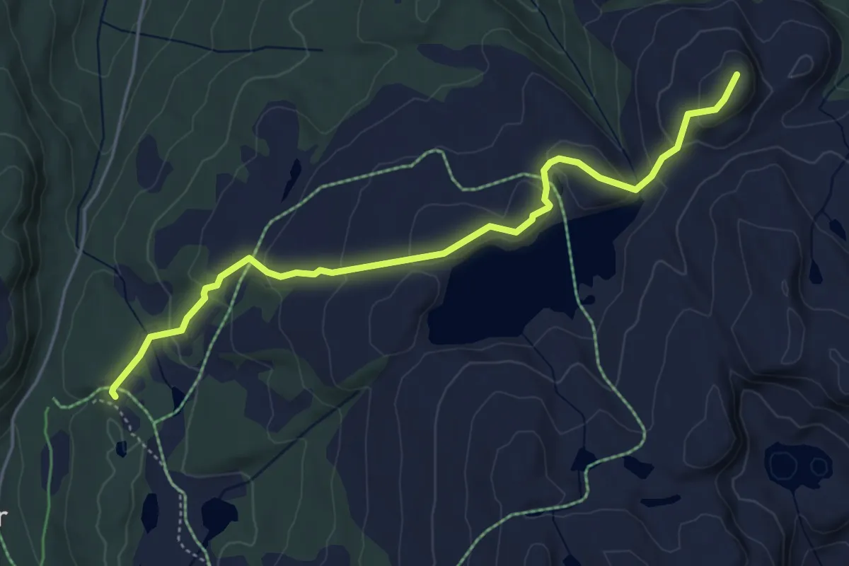
Easy · Trail
Utvollan - Skriufjellnatten
3.7 km · ↑ 162 m · 1 h 14 min
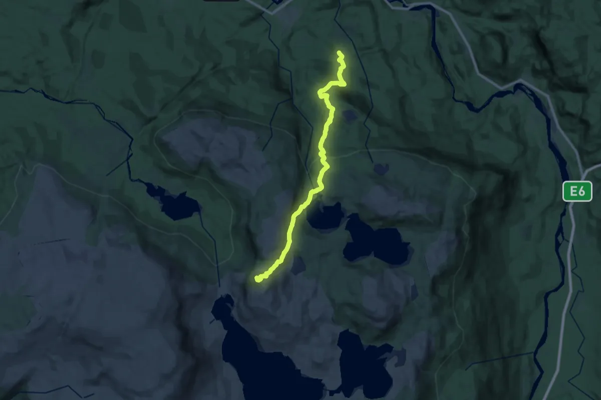
Demanding · Trail
Uvttag
13.6 km · ↑ 743 m · 4 h 49 min
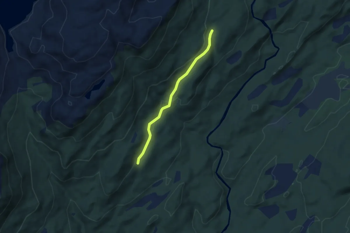
Easy · Trail
Vad-Fjellstova
2.4 km · ↑ 78 m · 44 min
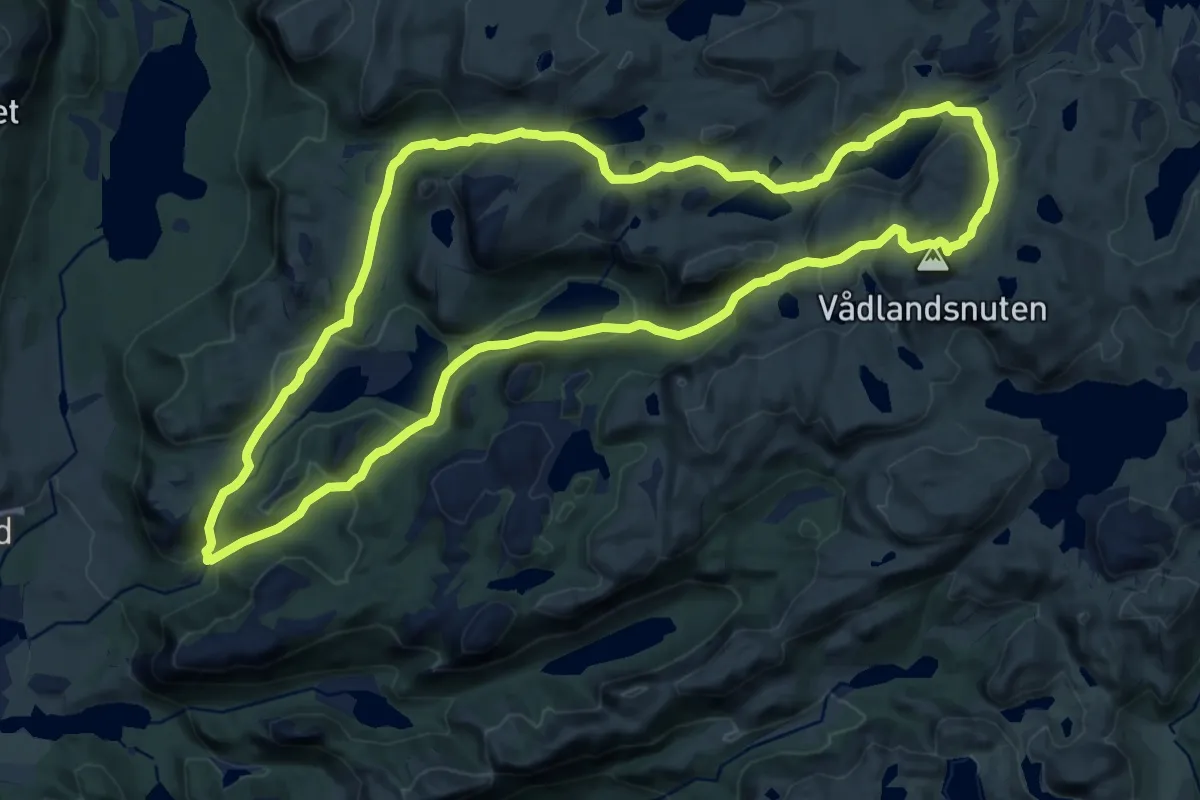
Medium · Summit
Vådlandsknuten
10.9 km · ↑ 455 m · 3 h 43 min
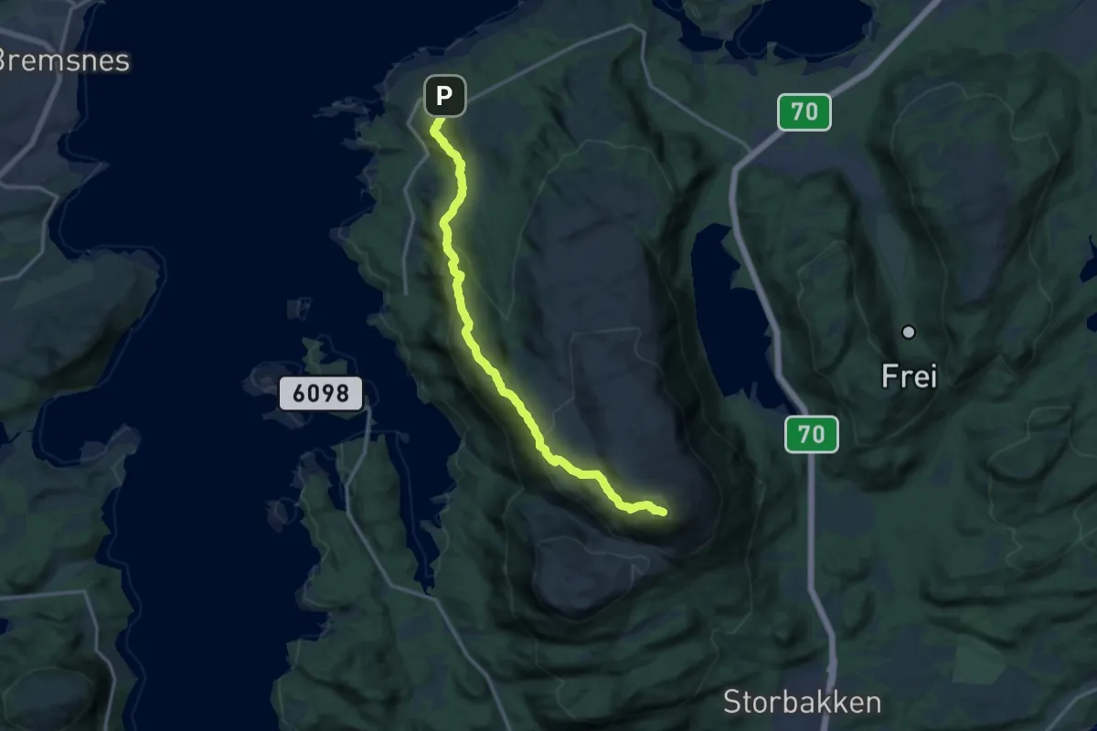
Demanding · Trail
Vadsteinvika-Freikollen
9.6 km · ↑ 604 m · 3 h 35 min
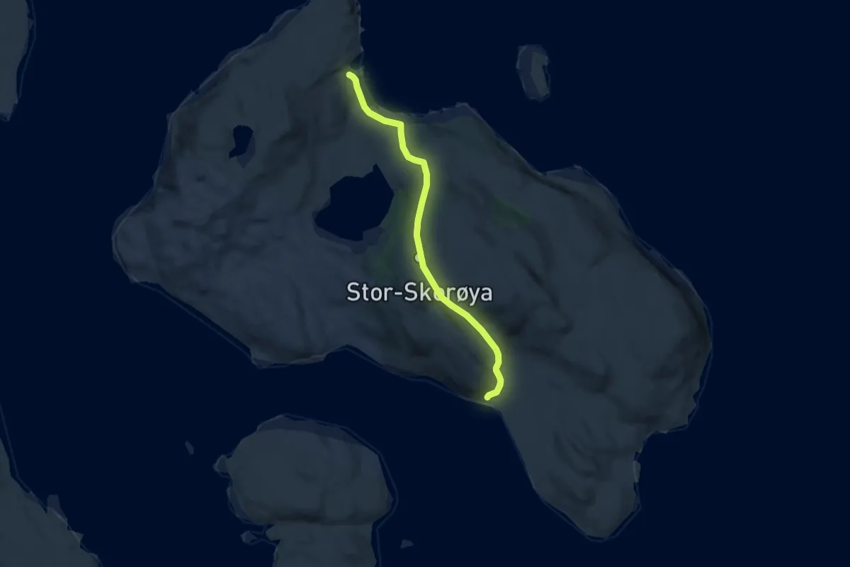
Easy · Trail
Været-Ravika
6.2 km · ↑ 246 m · 1 h 59 min
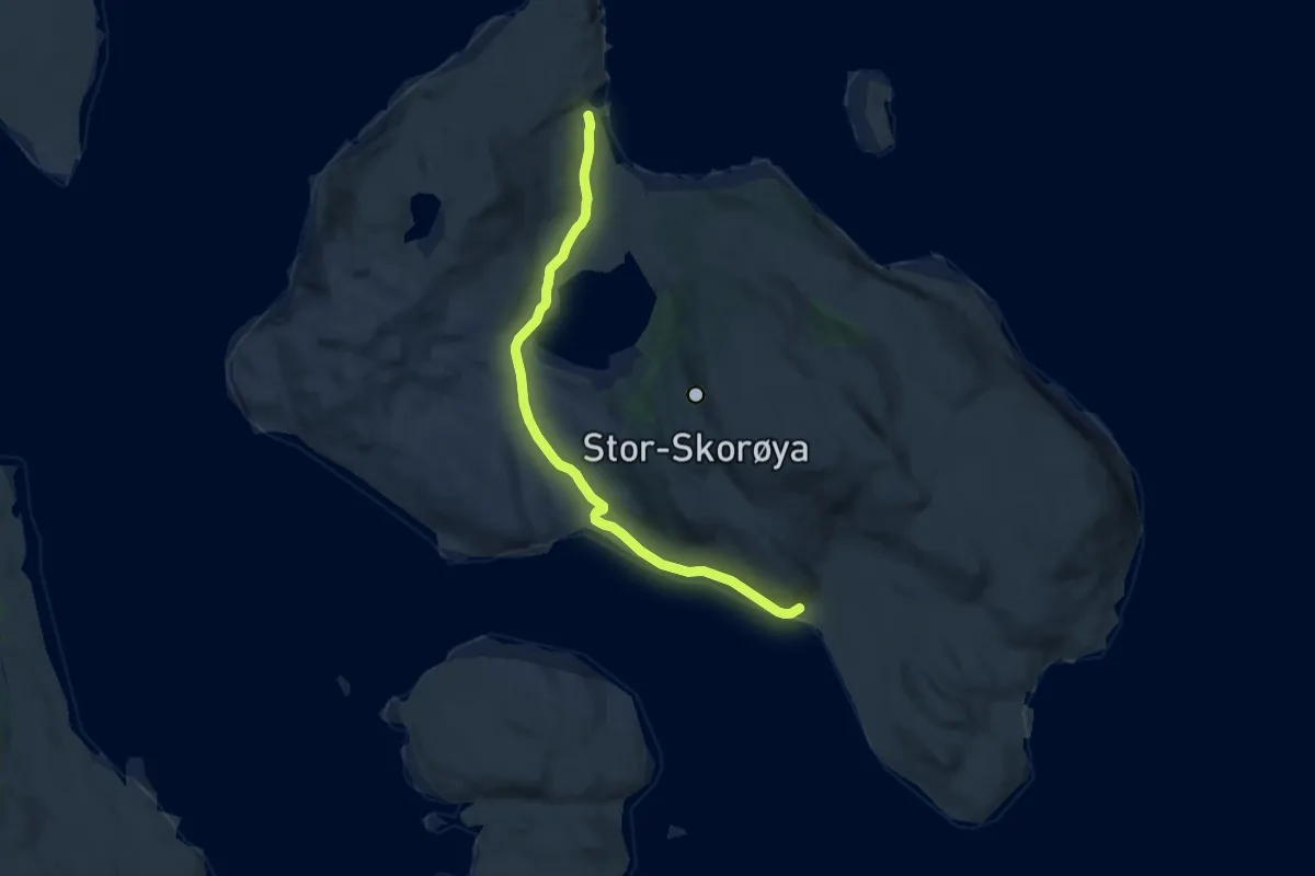
Easy · Trail
Været-Ravika via Reinvika
7.0 km · ↑ 116 m · 1 h 54 min
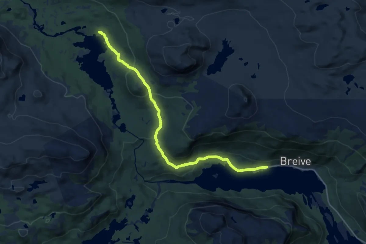
Medium · Trail
Væringsdalen
10.5 km · ↑ 380 m · 3 h 19 min
Medium · Trail
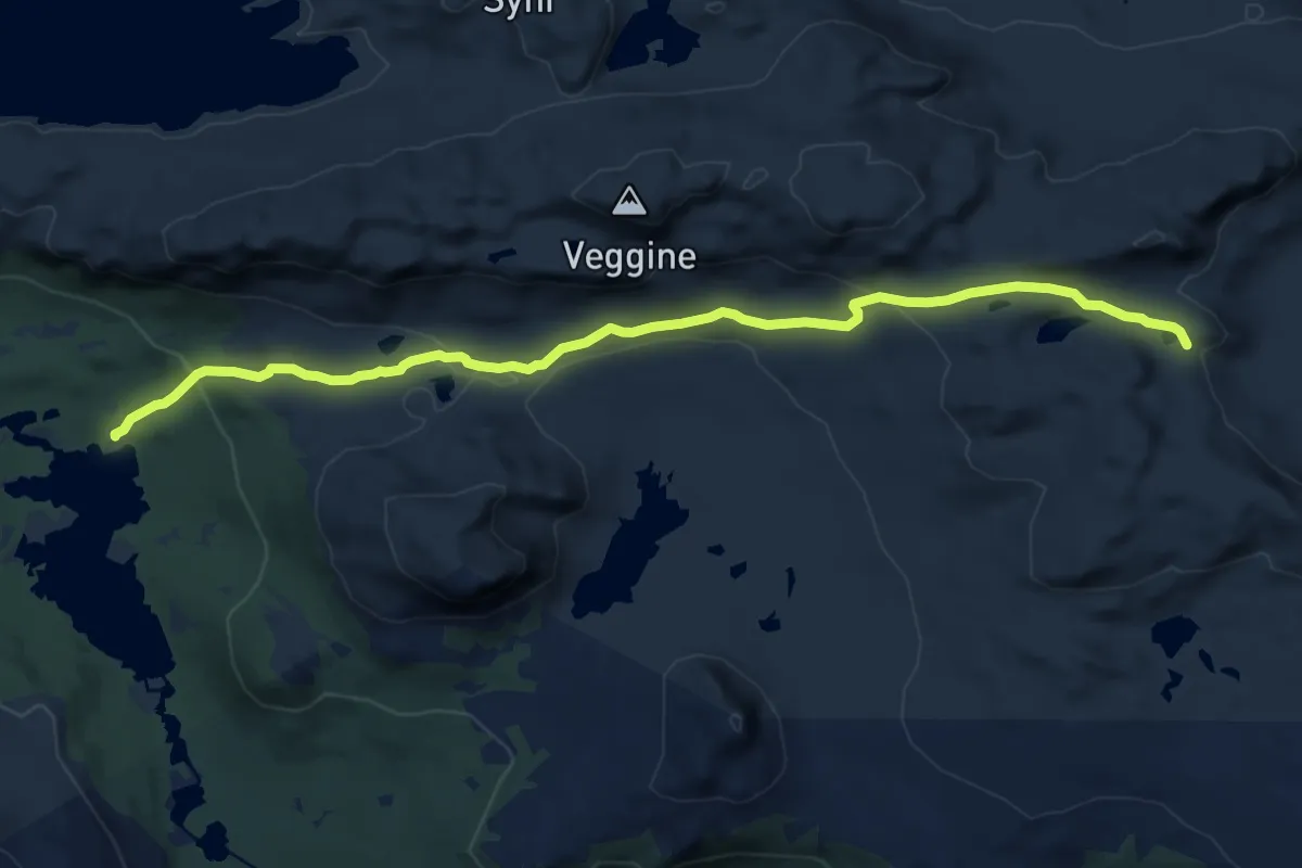
Væringsdalen - Krossloskaret
10.6 km · ↑ 346 m · 3 h 16 min
Medium · Pilgrim path
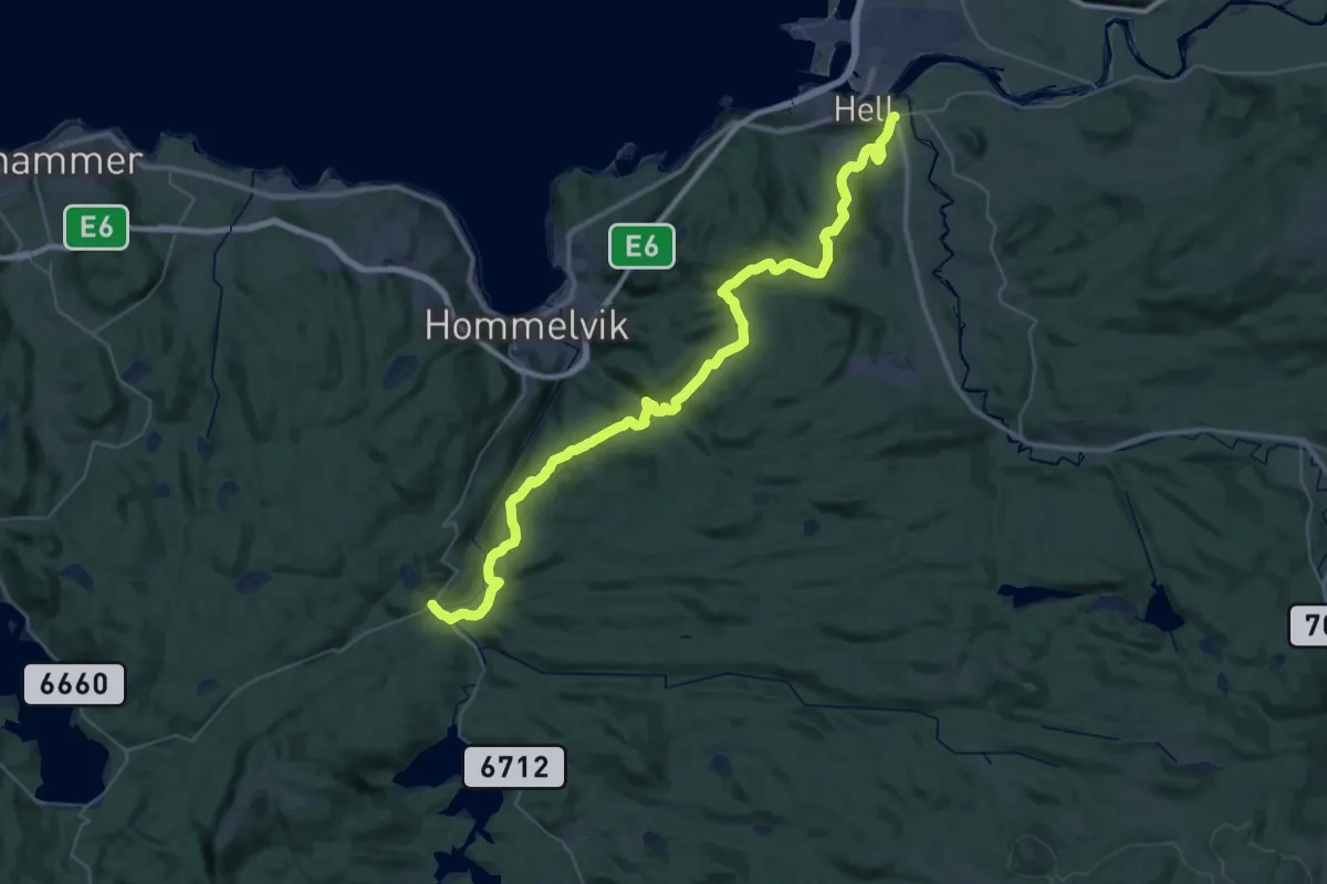
Værnes – Nyhus
16.7 km · ↑ 529 m · 5 h 14 min
Easy · Trail
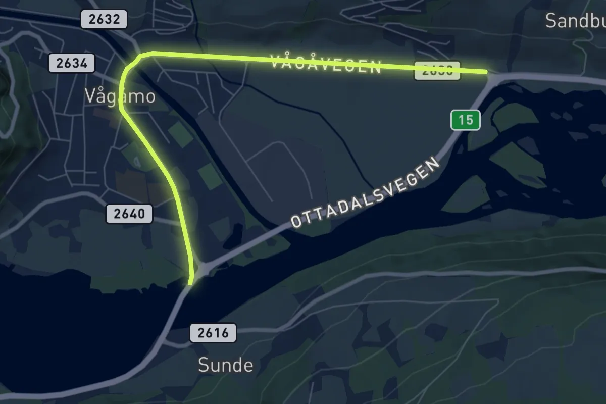
Vågåvegen, gangbane
5.5 km · ↑ 29 m · 1 h 21 min
Easy · Trail
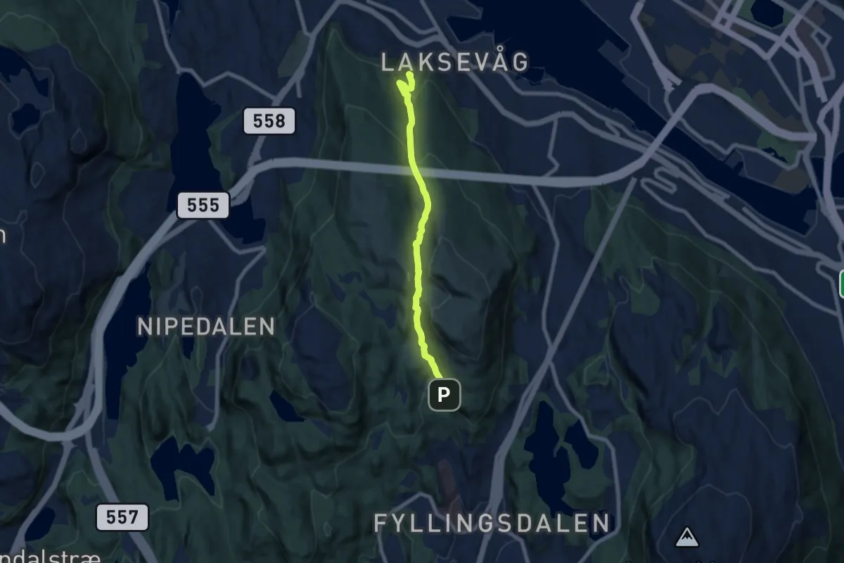
Vågedalen
4.6 km · ↑ 303 m · 1 h 44 min
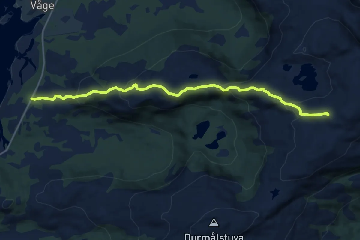
Demanding · Trail
Vågedalsvannene
7.4 km · ↑ 438 m · 2 h 42 min
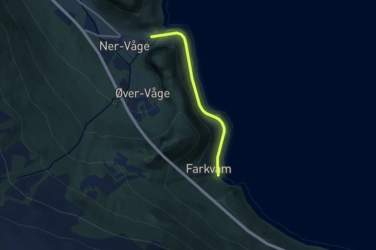
Easy · Trail
Våge - Farkvam
4.1 km · ↑ 26 m · 1 h 1 min
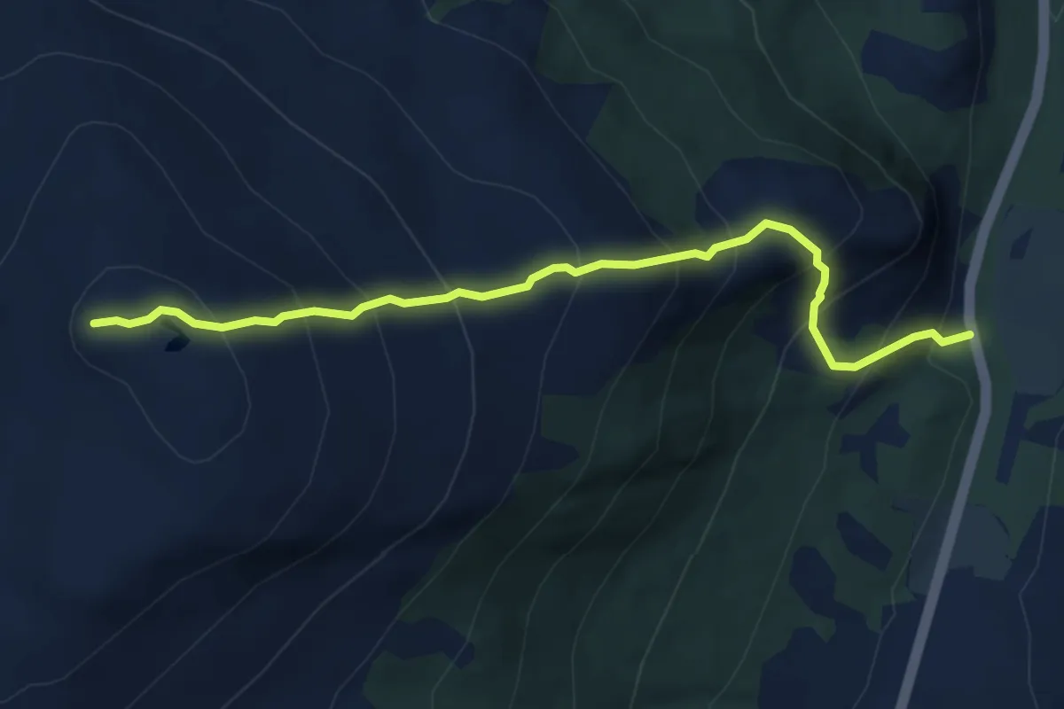
Medium · Trail
Vågeskardet - Ytrevågefjellet
4.0 km · ↑ 521 m · 2 h 4 min
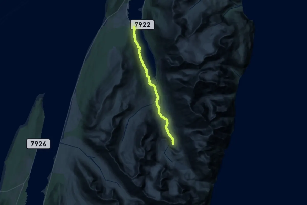
Demanding · Trail
Vaggas
20.3 km · ↑ 176 m · 5 h 11 min
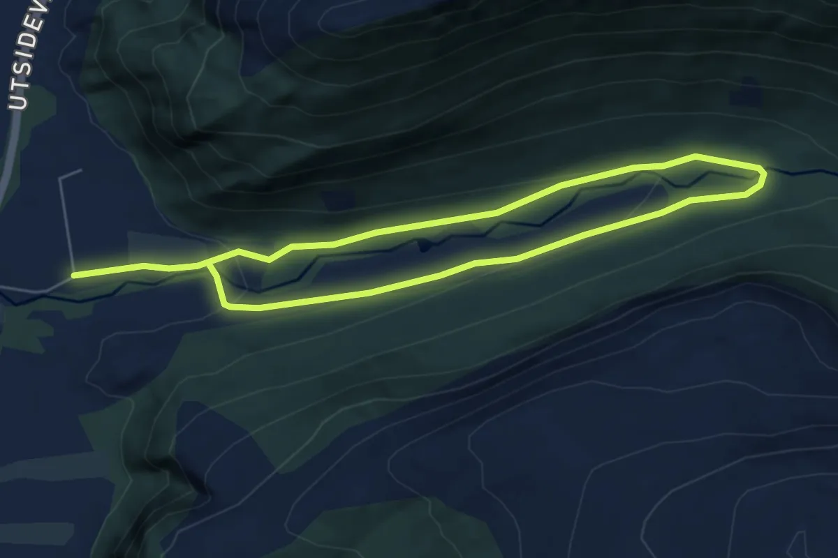
Easy · Trail
Vågsdalen
6.8 km · ↑ 159 m · 1 h 57 min
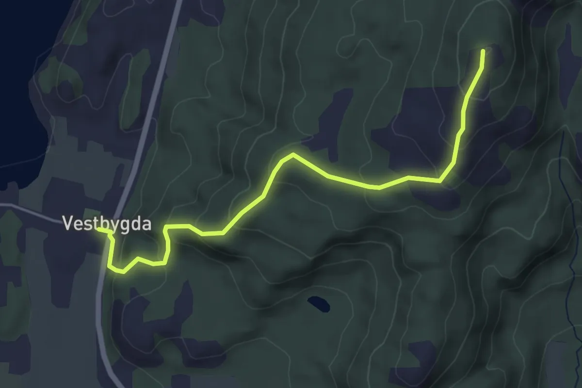
Easy · Trail
Vågstuva
2.6 km · ↑ 200 m · 1 h 3 min
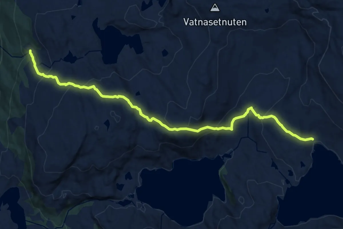
Medium · Trail
Våhaug-Tostøl
10.0 km · ↑ 596 m · 3 h 39 min
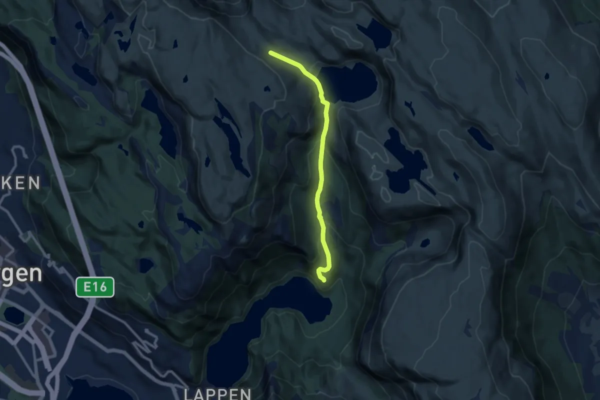
Medium · Trail
Våkendalen
5.5 km · ↑ 323 m · 2 h
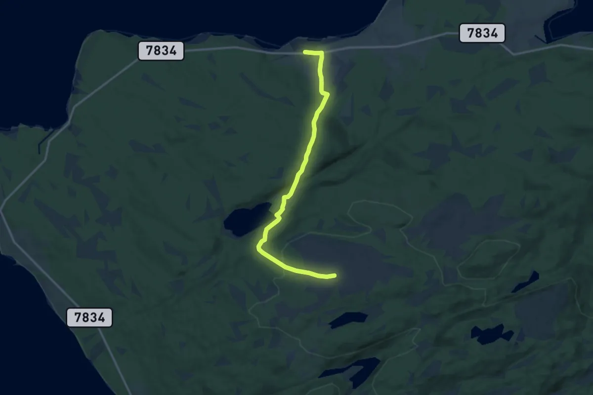
Easy · Trail
Vakkerheia - Kjerkevik
6.5 km · ↑ 256 m · 2 h 6 min
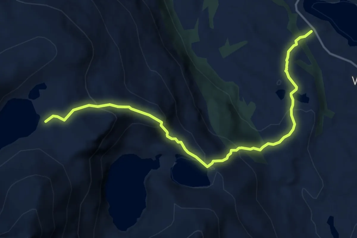
Medium · Trail
Valabotn-Svartvatnan-Flyvatnet
6.5 km · ↑ 561 m · 2 h 44 min
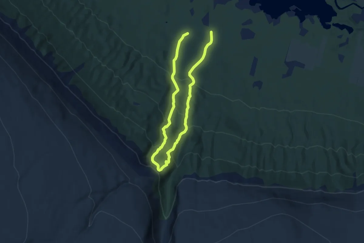
Medium · Trail
Vålåfossen
9.1 km · ↑ 707 m · 3 h 40 min
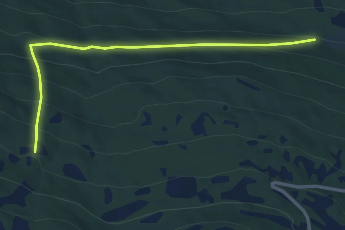
Easy · Trail
Valakerstøylen
4.9 km · ↑ 295 m · 1 h 47 min
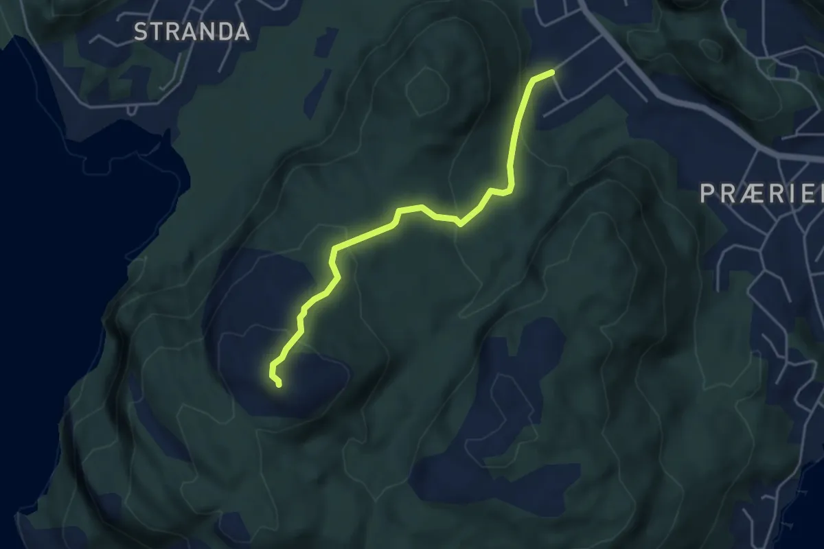
Demanding · Trail
Valan tursti
2.5 km · ↑ 198 m · 1 h 2 min
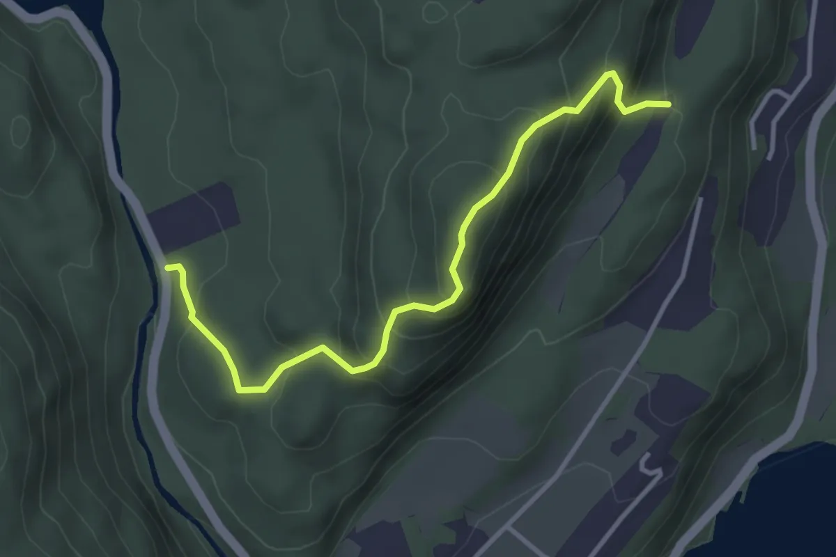
Medium · Trail
Valberg
2.5 km · ↑ 264 m · 1 h 10 min
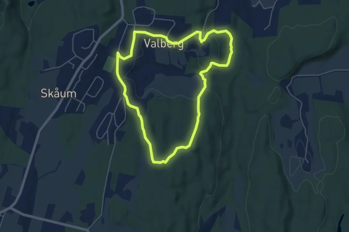
Medium · Trail
Valbergrunden
6.5 km · ↑ 178 m · 1 h 56 min
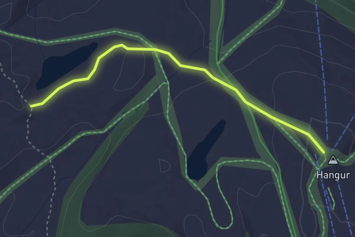
Medium · Trail
Valbergtjørni-Hangurstoppen
2.1 km · ↑ 78 m · 41 min
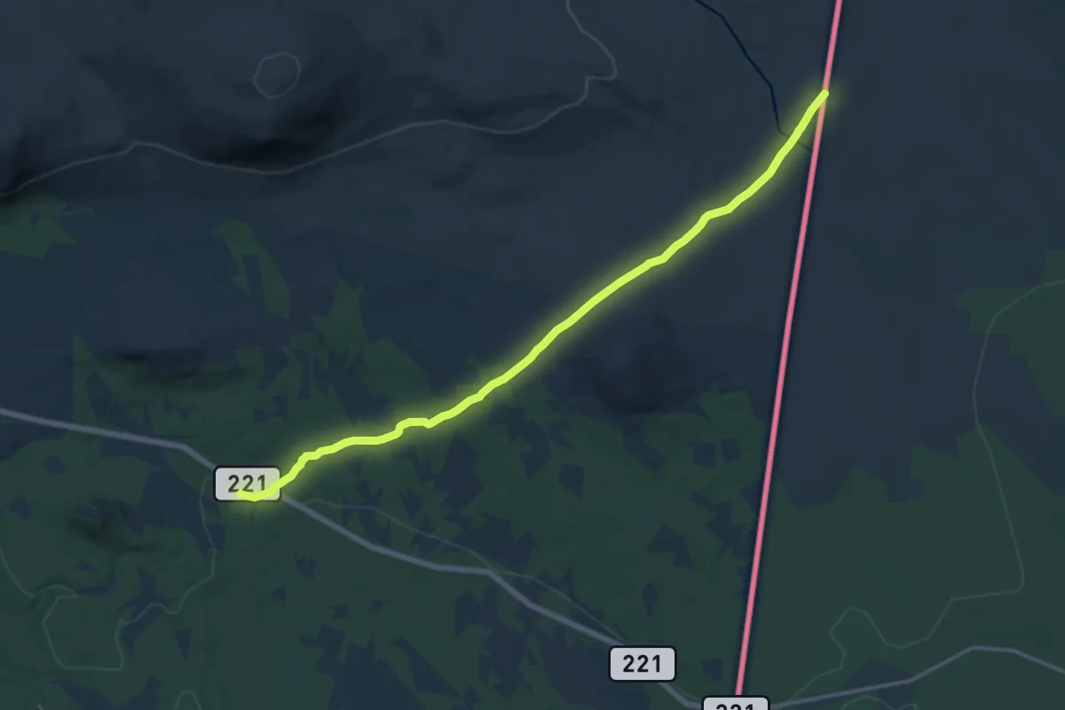
Medium · Trail
Valdalen gård - Grövelsjön Fjällstation
10.4 km · ↑ 282 m · 3 h 4 min
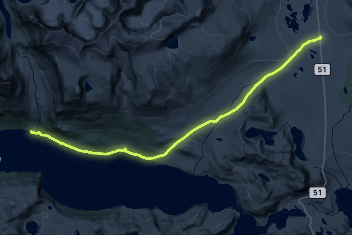
Demanding · Cabin
Valdresflya vandrerhjem - Torfinnsbu
27.6 km · ↑ 418 m · 7 h 25 min
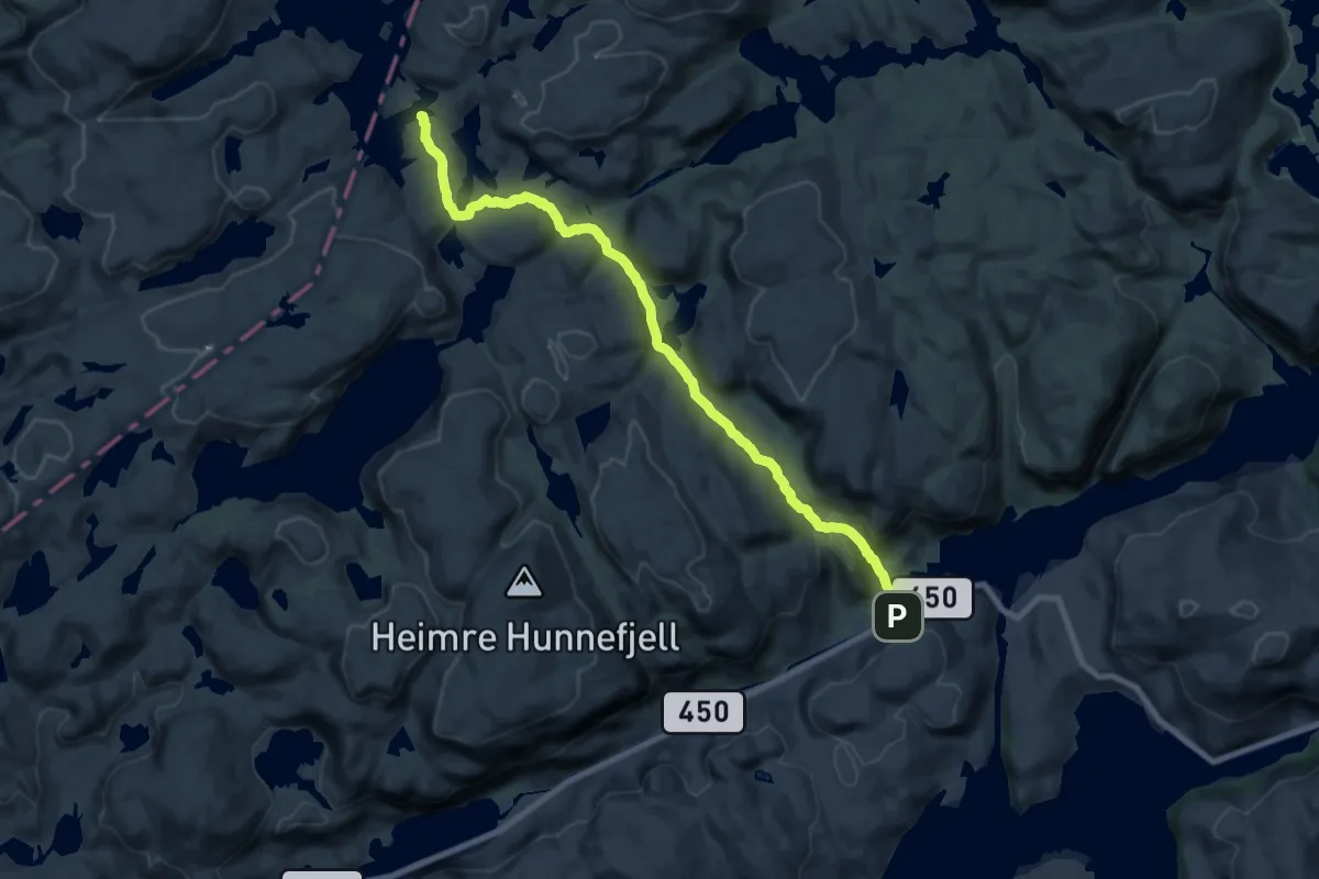
Medium · Cabin
Valevatn - Sandvassbu
15.4 km · ↑ 460 m · 4 h 38 min
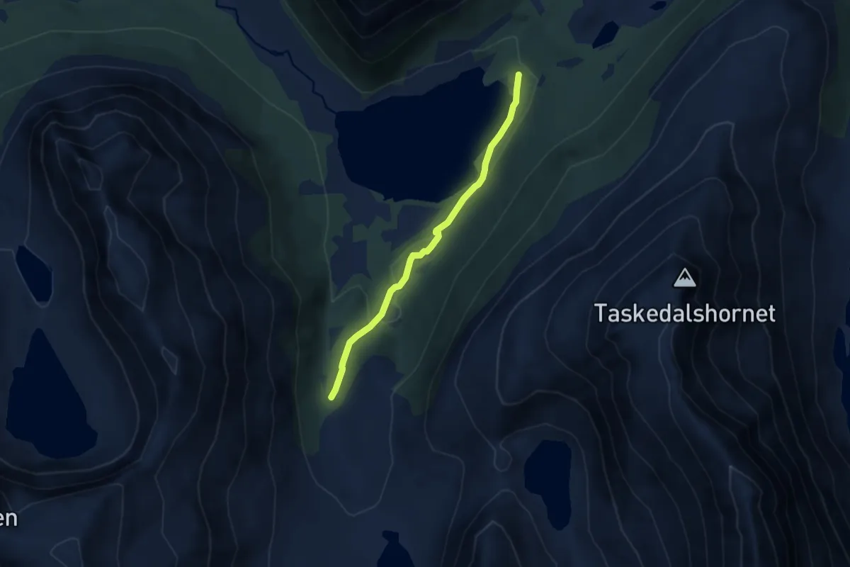
Easy · Trail
Valldalsetra via Storvatnet
4.7 km · ↑ 99 m · 1 h 20 min