Trails in Norway
7,452 hiking trails, each with its route, climb, walking time and grade.
All trails, page 119 of 156
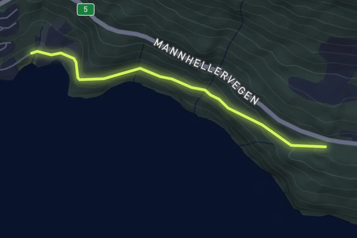
Easy · Trail
Vikane-Valeberg
3.2 km · ↑ 112 m · 59 min
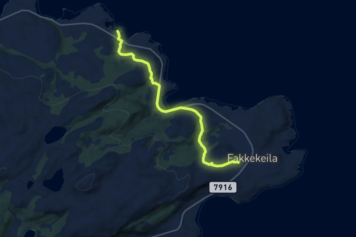
Easy · Trail
Vikan-Fakken
6.7 km · ↑ 210 m · 2 h 3 min
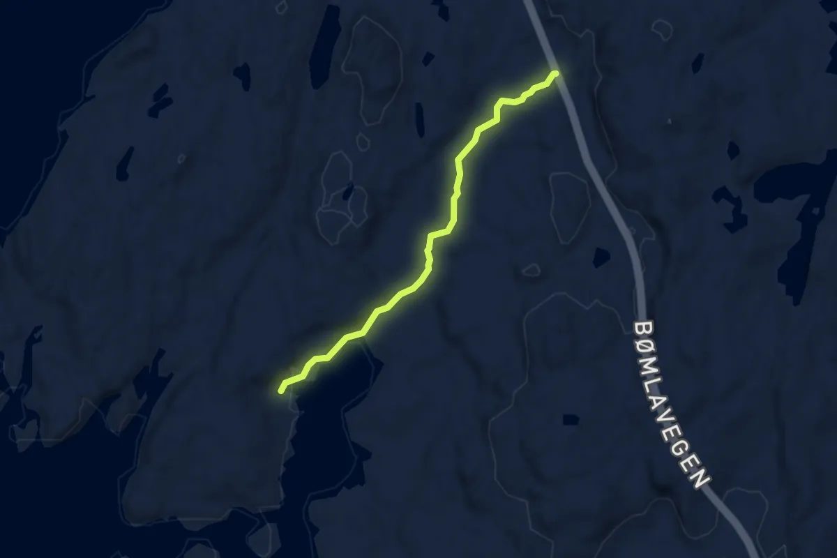
Easy · Trail
Vikasletta-Roaldsfjorden
2.9 km · ↑ 45 m · 46 min
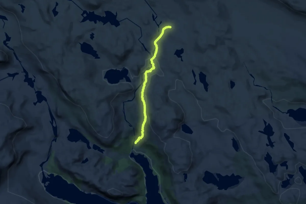
Medium · Trail
Vikastølen Bjørnebulægret
8.2 km · ↑ 263 m · 2 h 30 min
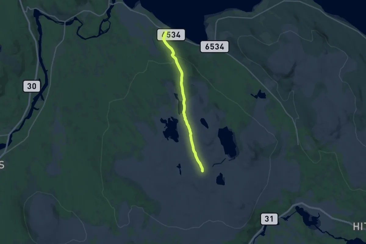
Easy · Trail
Vika - Storwartz
10.0 km · ↑ 195 m · 2 h 48 min
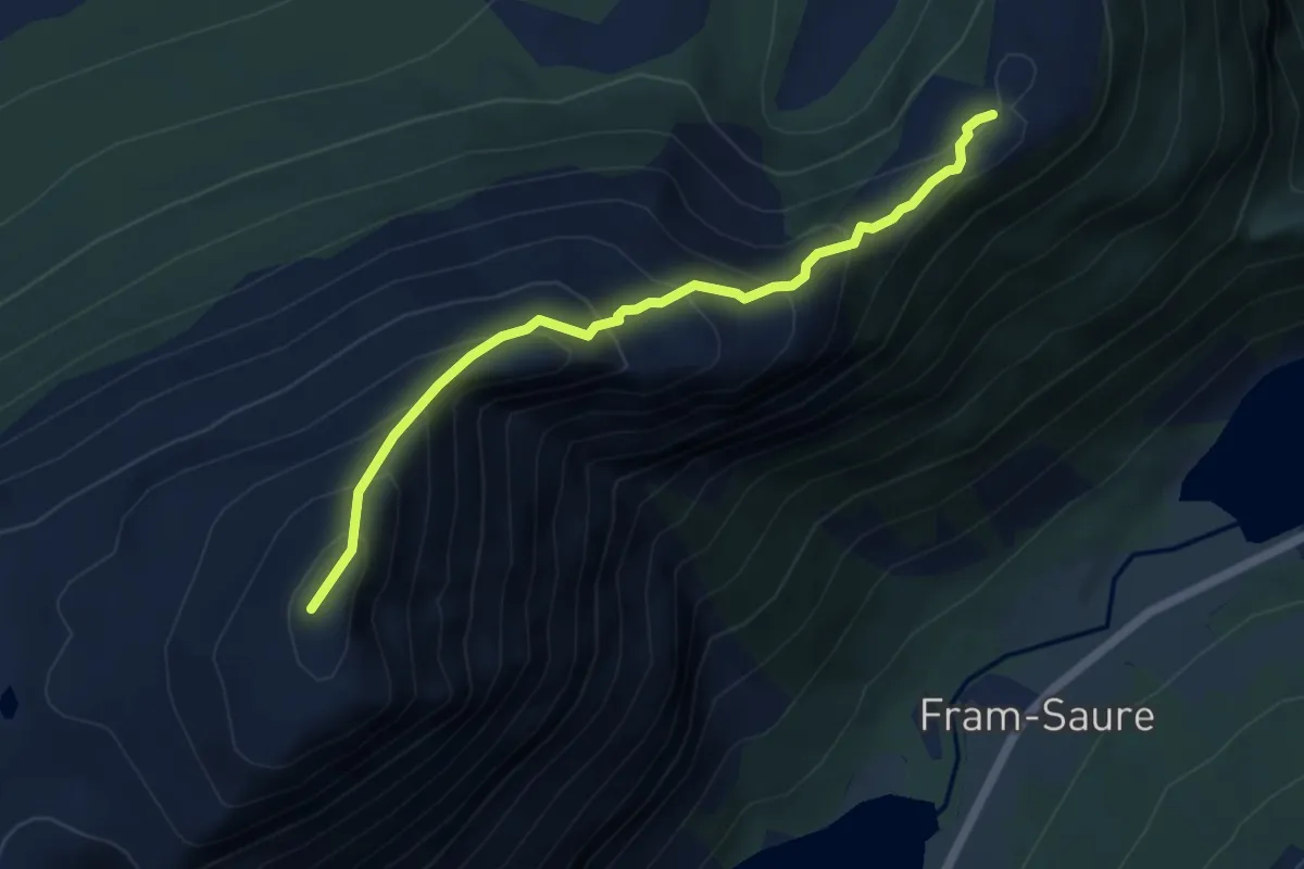
Medium · Trail
Vikefjellet - Oddekloven
3.6 km · ↑ 409 m · 1 h 44 min
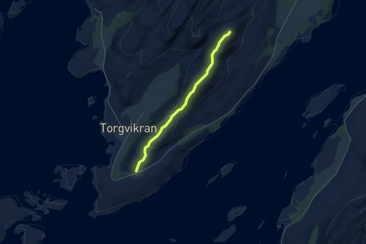
Easy · Trail
Vikerheia
2.5 km · ↑ 92 m · 47 min
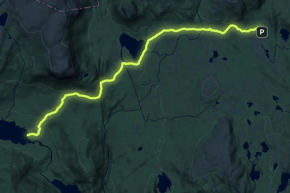
Demanding · Cabin
Vikerkoia - Buvasskoia
27.5 km · ↑ 686 m · 7 h 58 min
Easy · Cabin
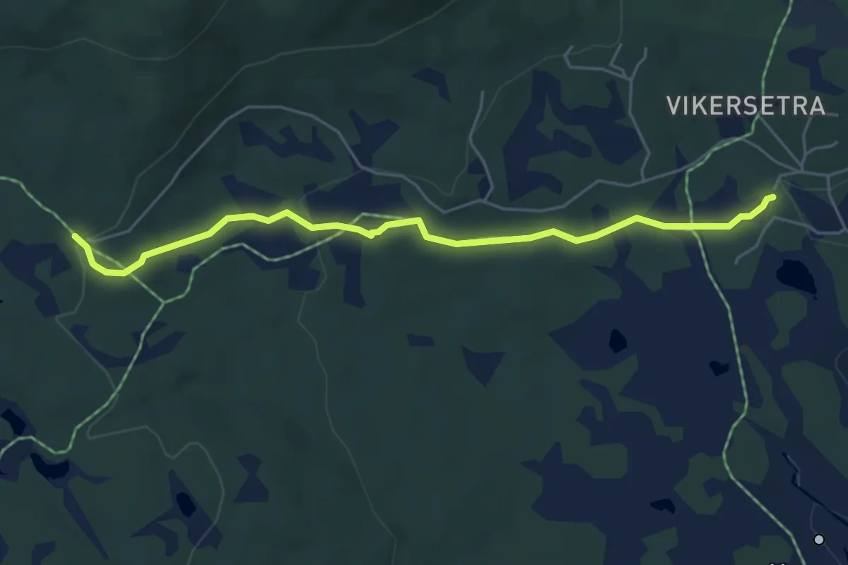
Vikerkoia - Buvasskoia
3.7 km · ↑ 99 m · 1 h 6 min
Demanding · Trail
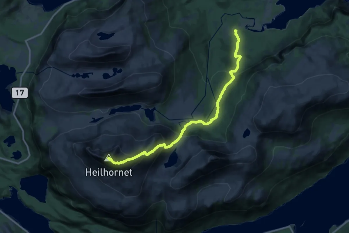
Vikestad - Heilhornet
13.6 km · ↑ 1077 m · 5 h 32 min
Medium · Trail
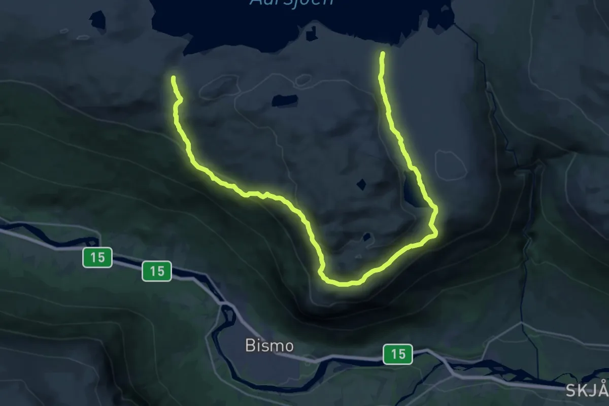
Vikhøi-Einingstjønne
21.8 km · ↑ 821 m · 6 h 55 min
Easy · Trail
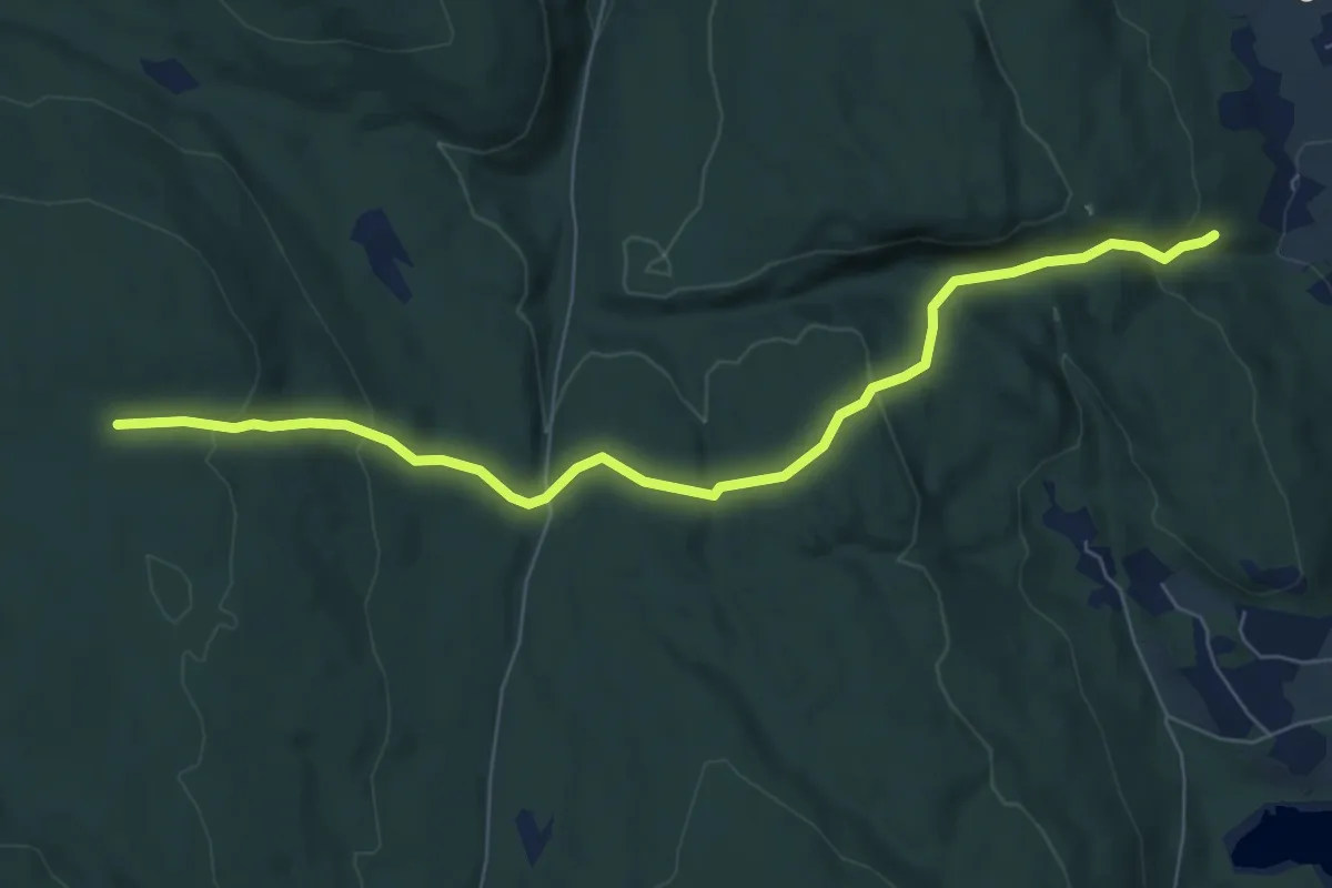
Vik-Sandvikvegen og runde om Gubbhaugen
5.3 km · ↑ 216 m · 1 h 43 min
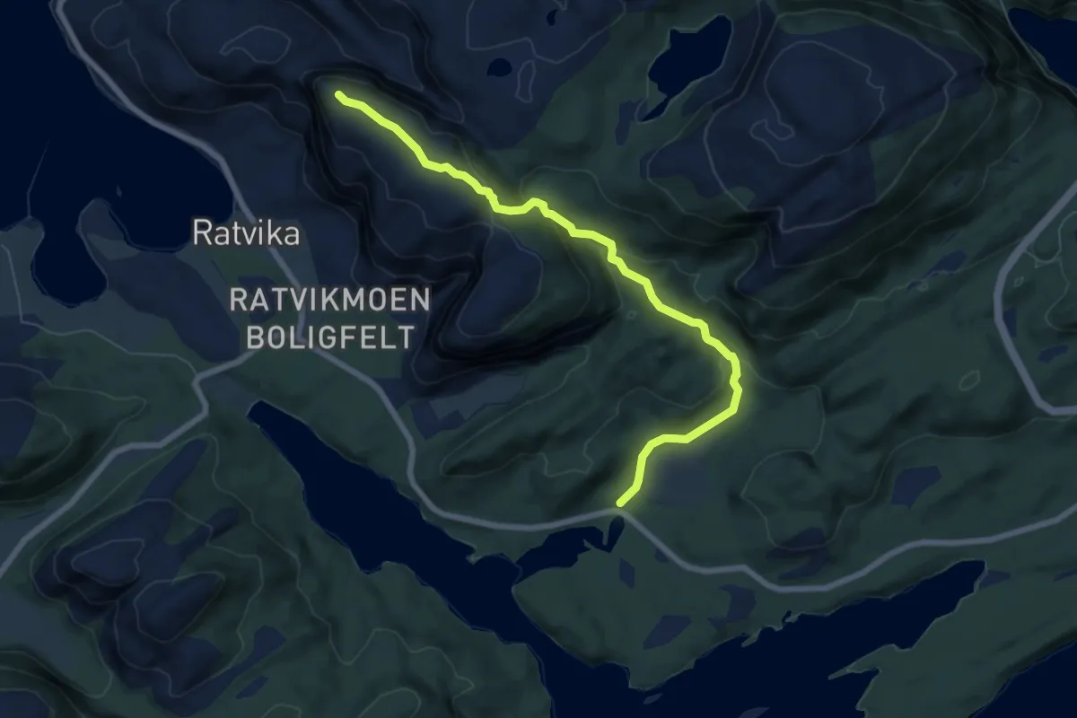
Medium · Trail
Vikstein
4.6 km · ↑ 317 m · 1 h 46 min
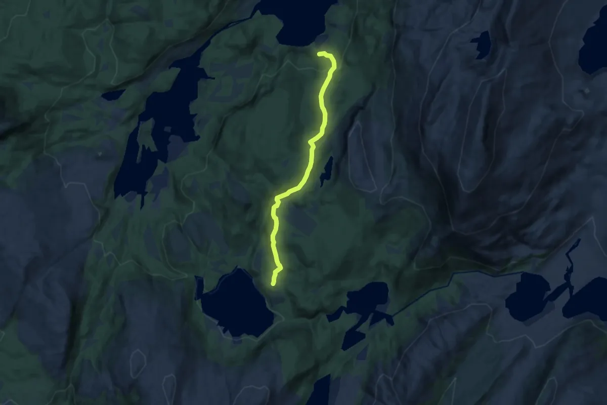
Medium · Trail
Vilgesvárre
6.0 km · ↑ 314 m · 2 h 6 min
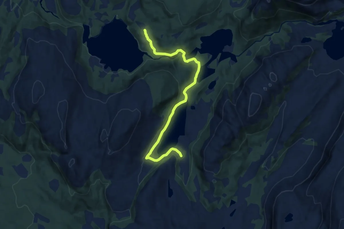
Medium · Trail
Vilgesvárri fra Geitvatnet/Gáicajávri
6.7 km · ↑ 132 m · 1 h 53 min
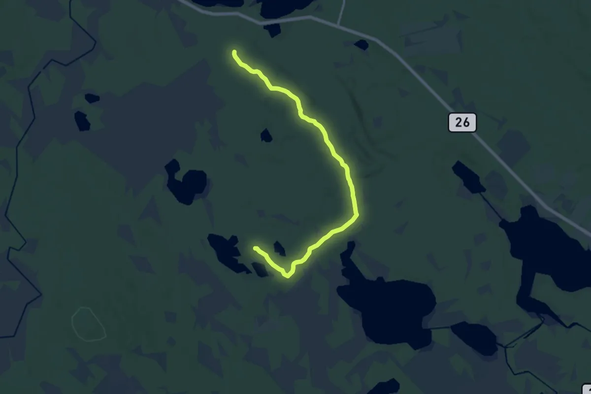
Easy · Trail
Villmarksgrenda - Lomtjønna via Gropa
9.4 km · ↑ 44 m · 2 h 19 min
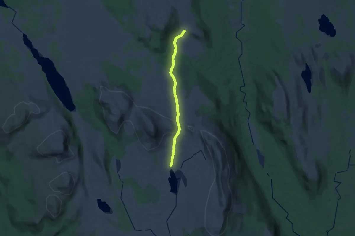
Medium · Trail
Villsjøen
13.1 km · ↑ 309 m · 3 h 45 min
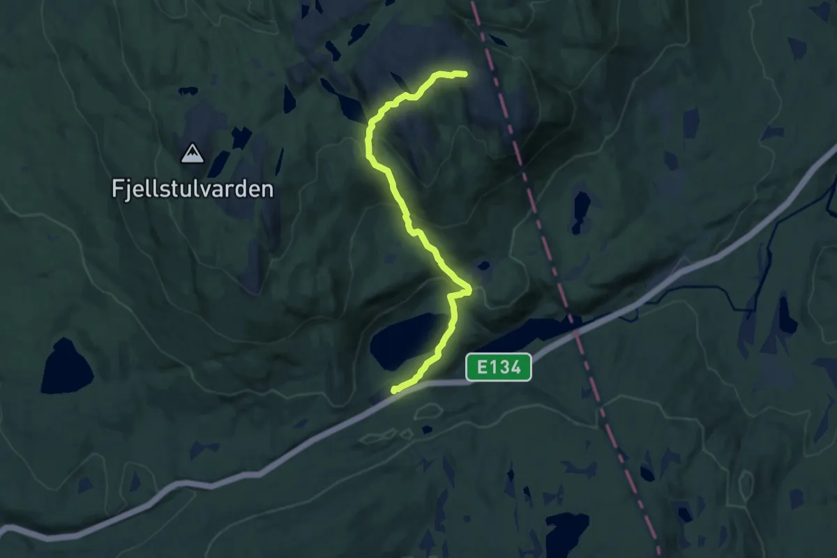
Medium · Trail
Vinbekkhorn
6.1 km · ↑ 332 m · 2 h 10 min
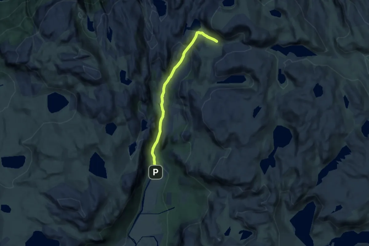
Medium · Cabin
Vinddalen-Skåpet
7.8 km · ↑ 297 m · 2 h 30 min
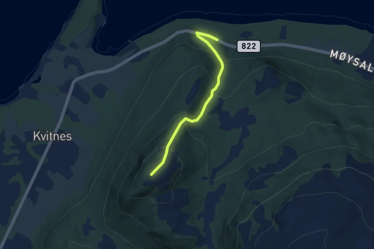
Easy · Trail
Vindelva-Kvitneskollen
2.5 km · ↑ 202 m · 1 h 2 min
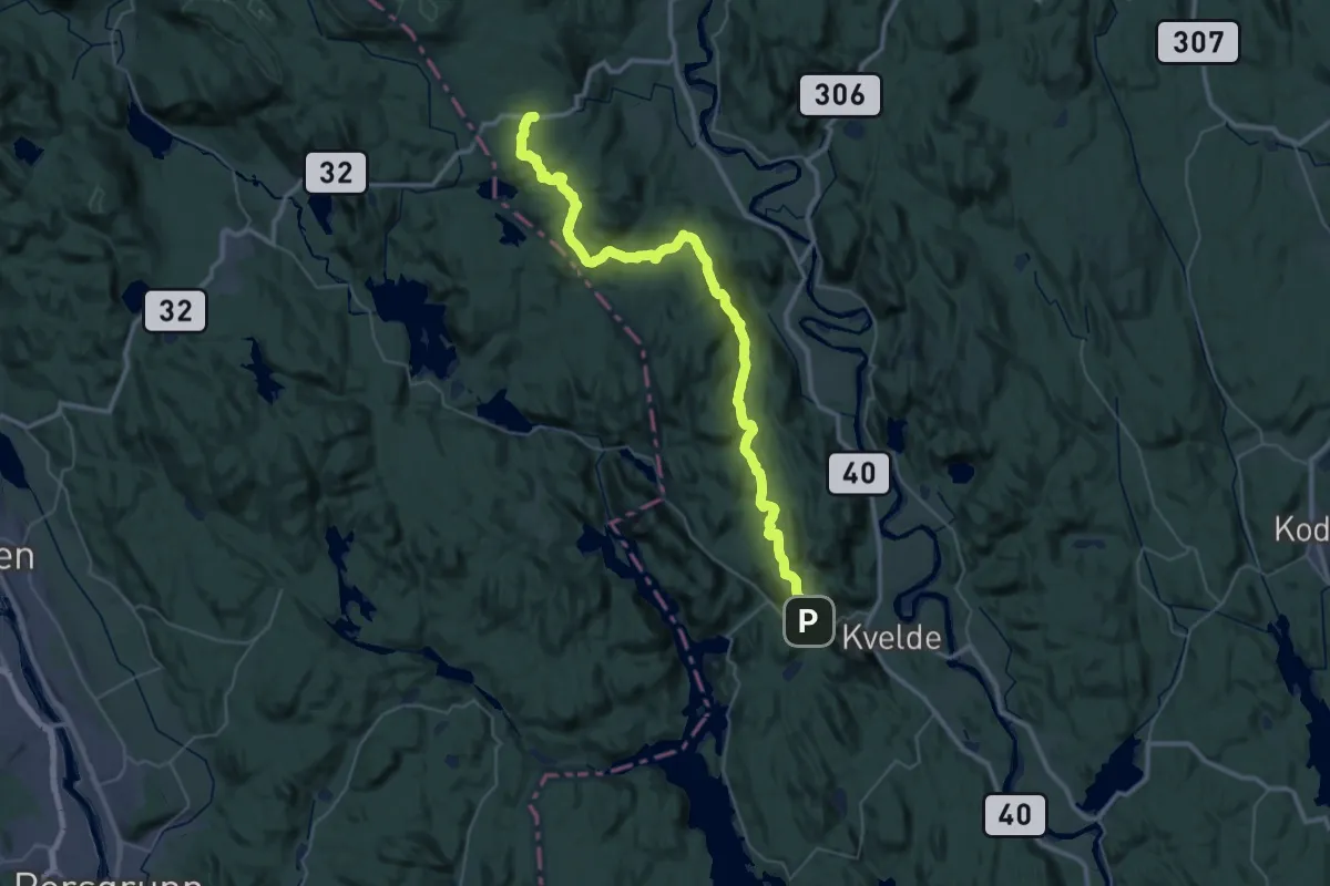
Medium · Trail
Vindfjellstien
18.4 km · ↑ 634 m · 5 h 53 min
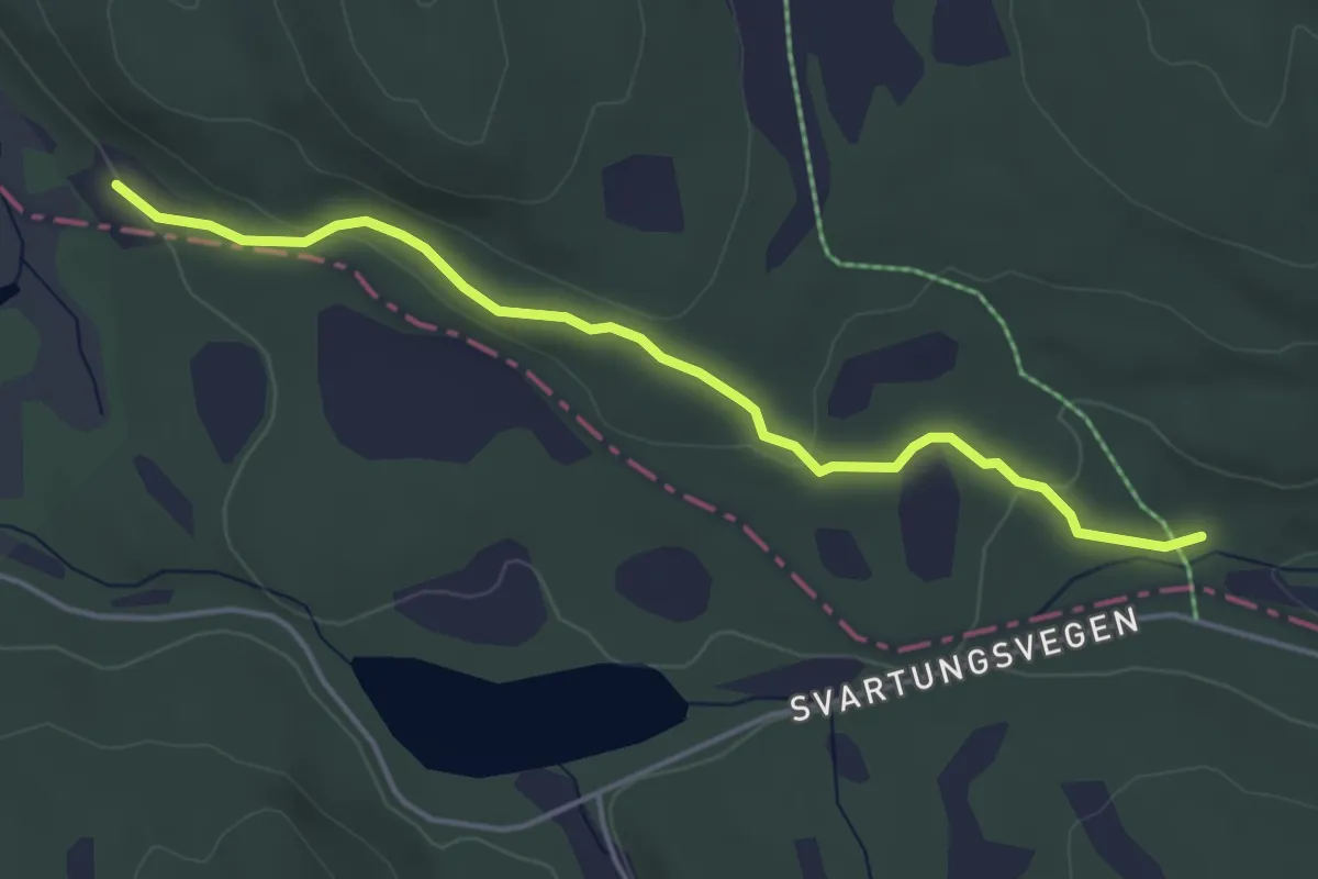
Easy · Trail
Vindflosætra - Hagltjernshytta
3.1 km · ↑ 81 m · 55 min
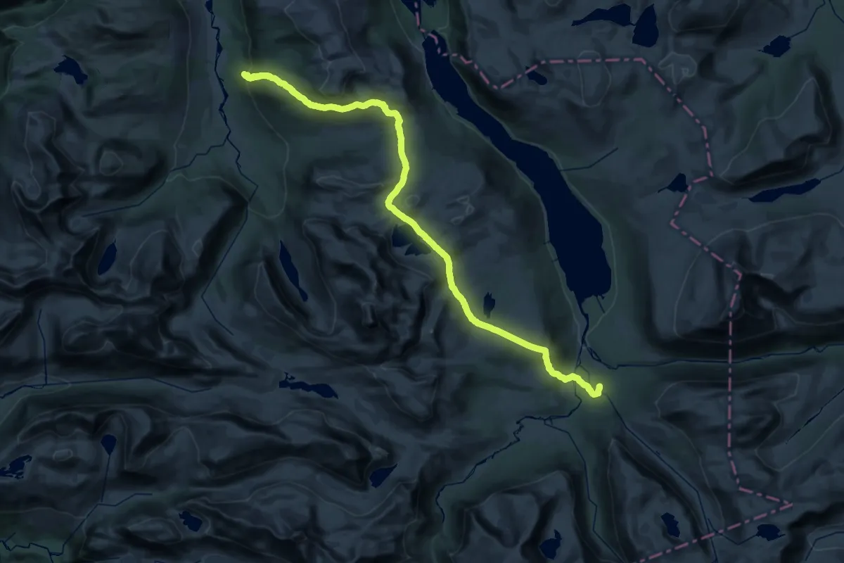
Demanding · Cabin
Vindøldalen-Vindølbu-Trollheimshytta
19.8 km · ↑ 777 m · 6 h 37 min
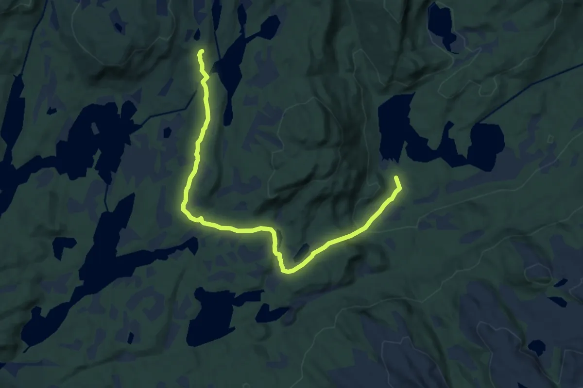
Easy · Trail
Vindolvatnet
6.8 km · ↑ 202 m · 2 h 3 min
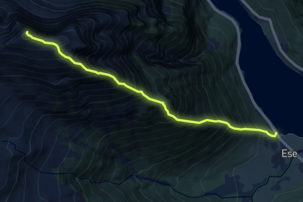
Expert · Trail
Vindreken
5.0 km · ↑ 1258 m · 3 h 55 min
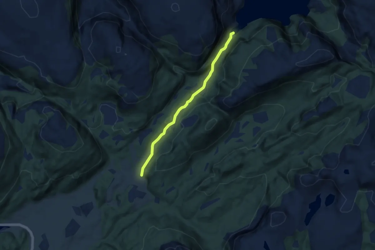
Easy · Trail
Vingan
4.1 km · ↑ 152 m · 1 h 18 min
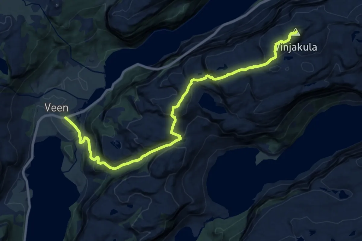
Demanding · Trail
Vinjakula
11.1 km · ↑ 779 m · 4 h 18 min
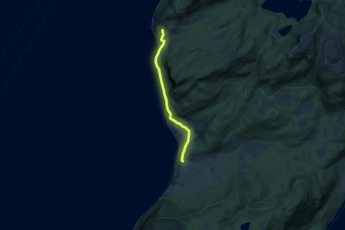
Easy · Trail
Vinje - Berg
4.9 km · ↑ 133 m · 1 h 27 min
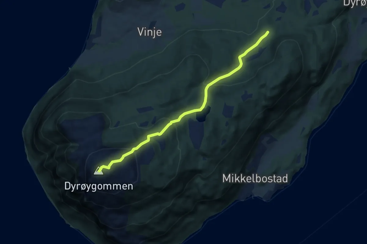
Medium · Trail
Vinjehøgda - Dyrøygomen
5.1 km · ↑ 363 m · 1 h 59 min
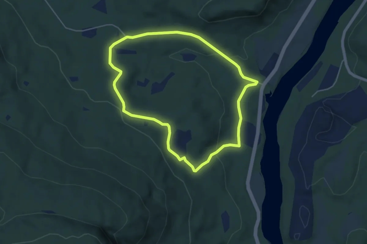
Easy · Trail
Vinorsvegen via Søre Hestemyr
5.8 km · ↑ 128 m · 1 h 38 min
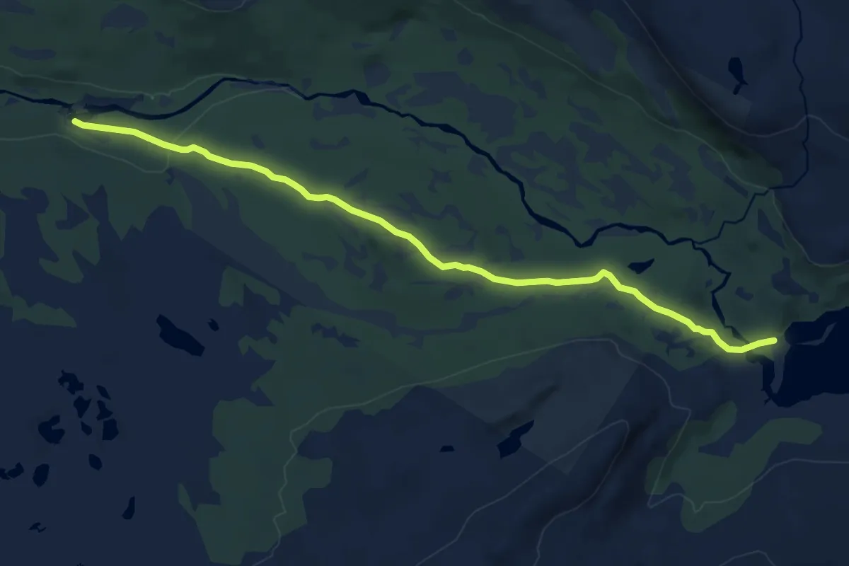
Medium · Cabin
Virvassdalen om Virvasshytta til Sverige
9.7 km · ↑ 148 m · 2 h 37 min
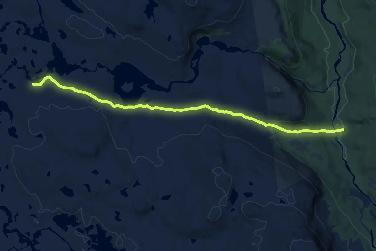
Medium · Trail
Virvassdalen til Blerekan
10.3 km · ↑ 229 m · 2 h 56 min
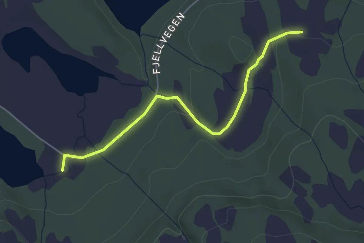
Easy · Trail
Visetengdalen
2.6 km · ↑ 44 m · 43 min
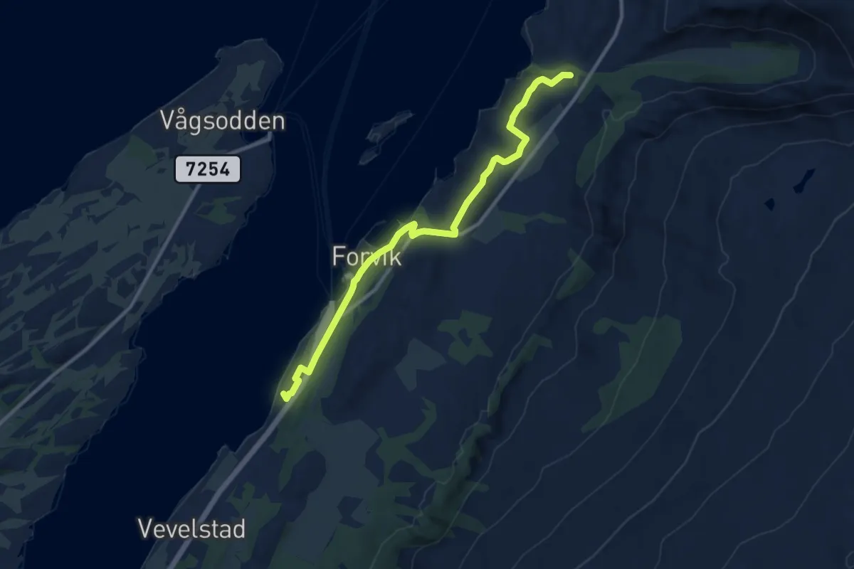
Easy · Trail
Vistnesstien
6.3 km · ↑ 101 m · 1 h 42 min
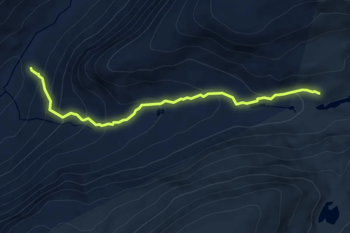
Medium · Cabin
Viva - Sprongdalshytta
5.9 km · ↑ 403 m · 2 h 15 min
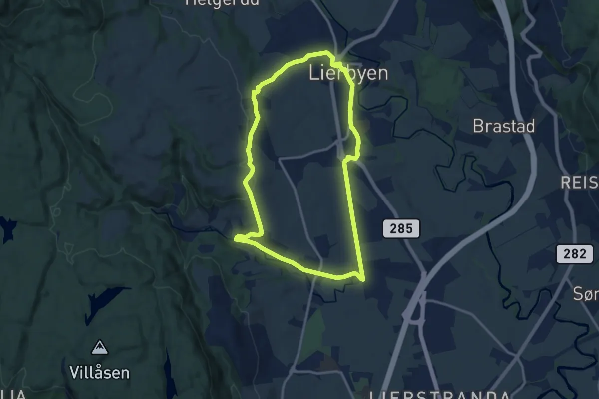
Easy · Trail
Vivelstadrunden
13.6 km · ↑ 196 m · 3 h 38 min
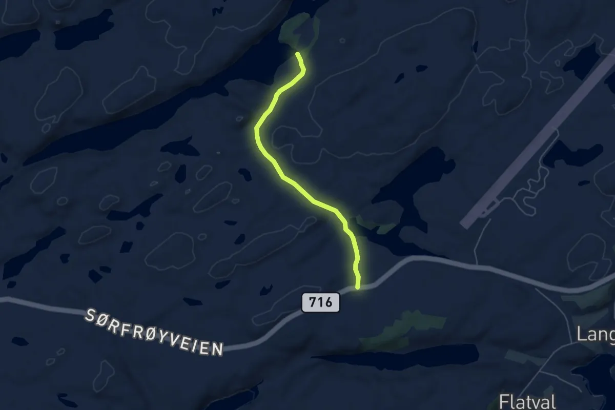
Easy · Trail
Vobsjøen
3.0 km · ↑ 31 m · 47 min
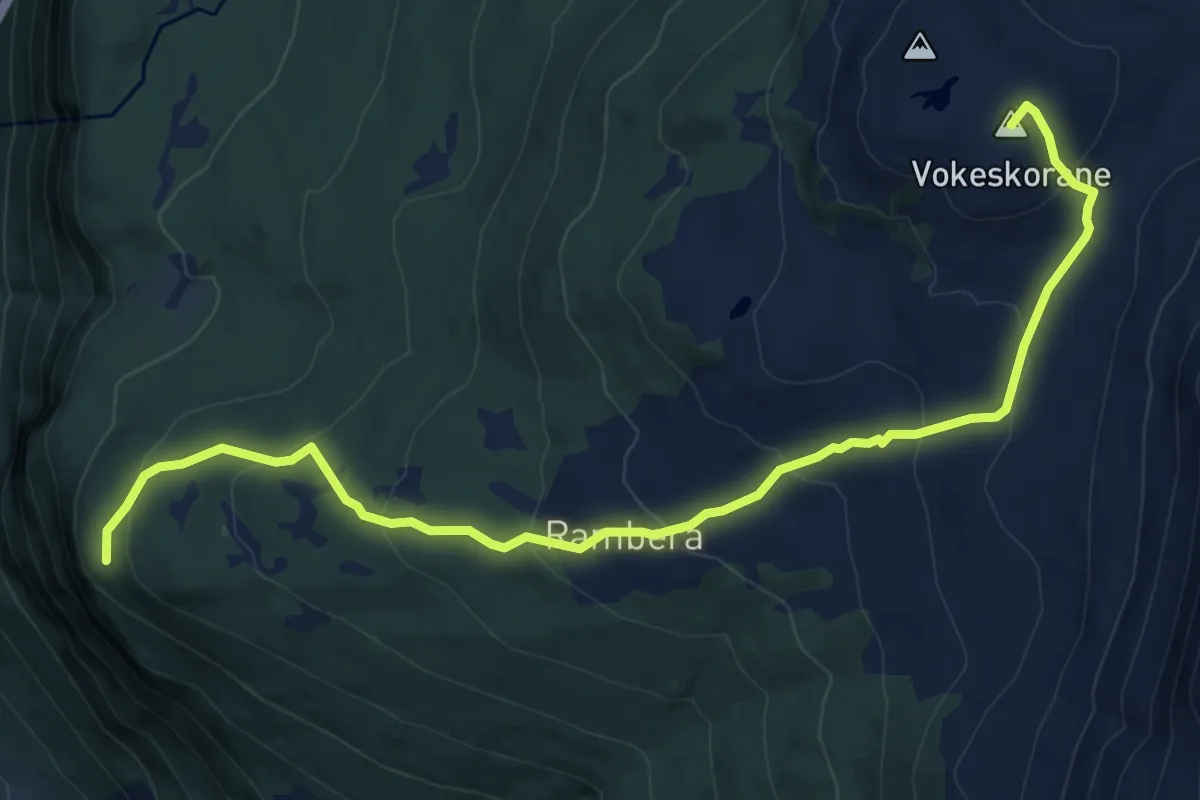
Medium · Summit
Vokeskorane
7.4 km · ↑ 457 m · 2 h 45 min
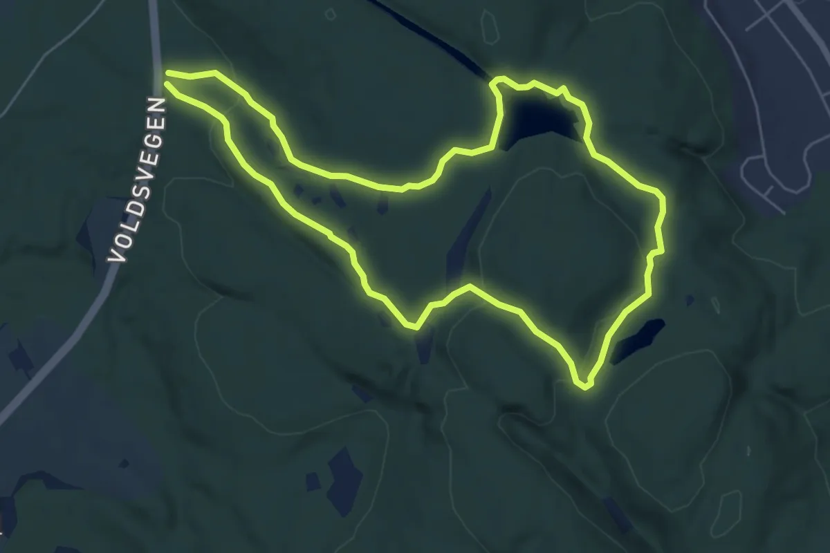
Easy · Trail
Voldsvegen - Hvitsteintjenn - Søretjenn
8.1 km · ↑ 158 m · 2 h 16 min
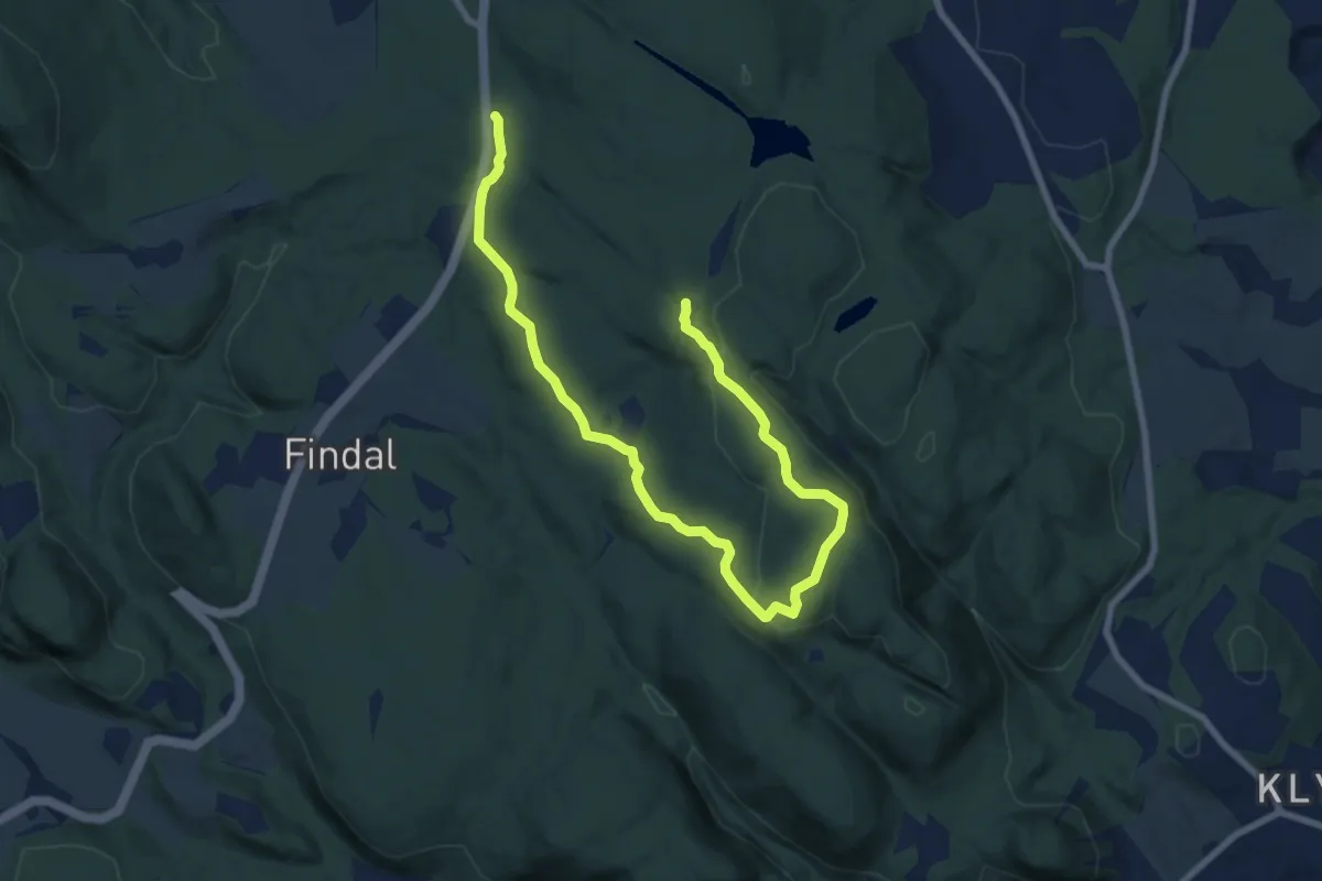
Easy · Trail
Voldsvegen - Piggen
7.7 km · ↑ 165 m · 2 h 11 min
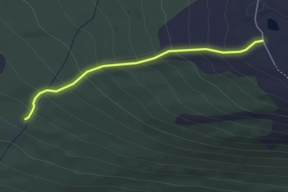
Easy · Trail
Voleranden
2.2 km · ↑ 235 m · 1 h 2 min
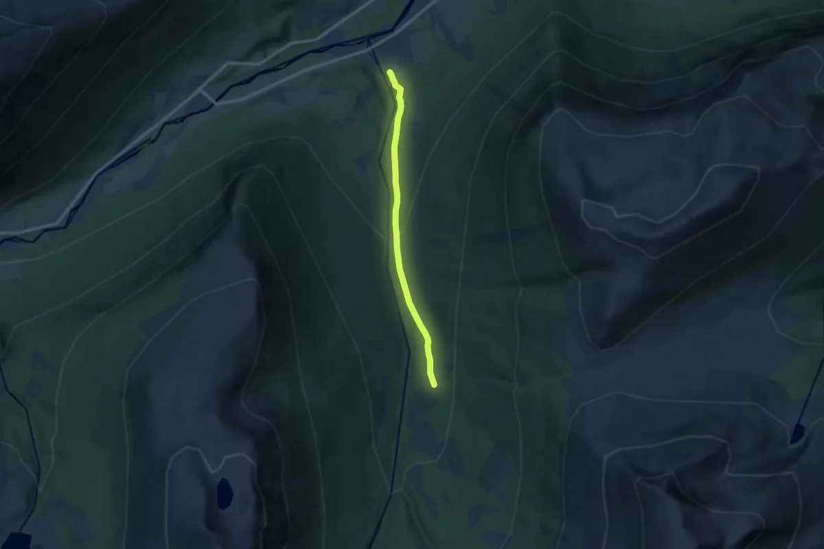
Easy · Trail
Volladalsvegen
6.1 km · ↑ 292 m · 2 h 4 min
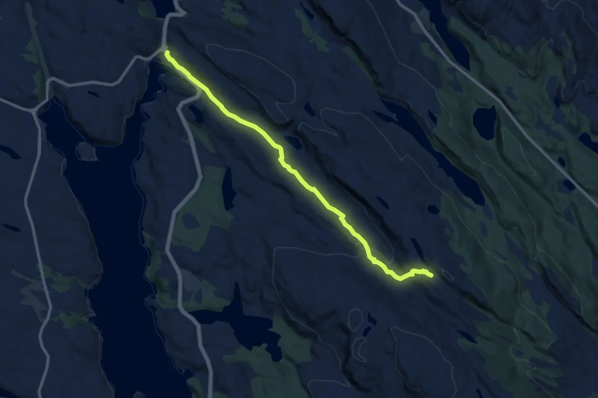
Easy · Trail
Vollane
6.5 km · ↑ 181 m · 1 h 56 min
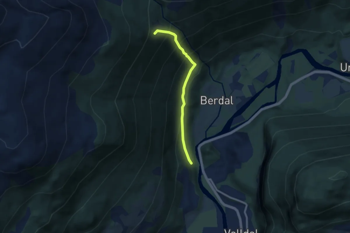
Medium · Trail
Vollane - Berdalssætra
3.5 km · ↑ 424 m · 1 h 45 min
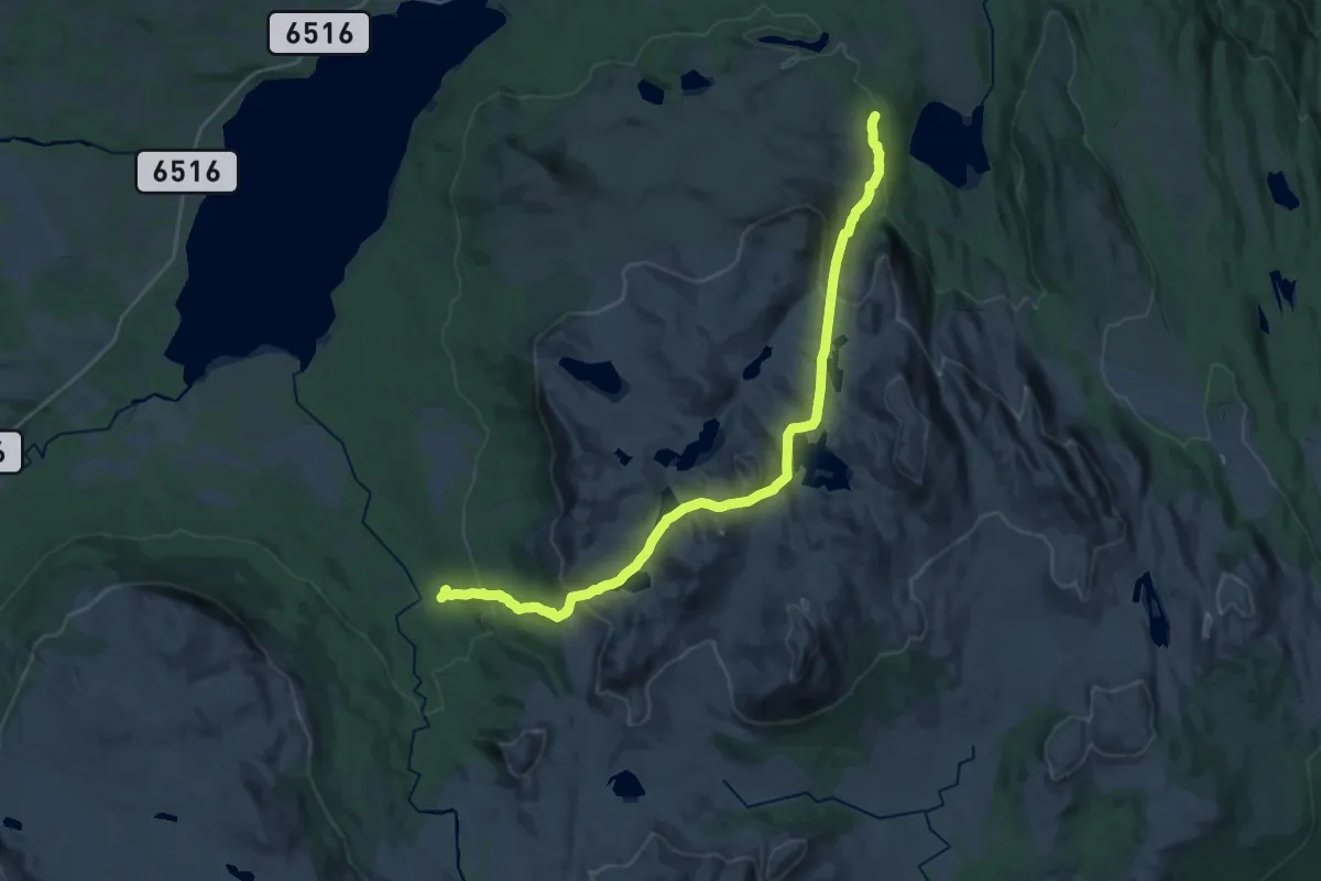
Demanding · Trail
Vollasætra-Ramssjøen
17.6 km · ↑ 882 m · 6 h 5 min
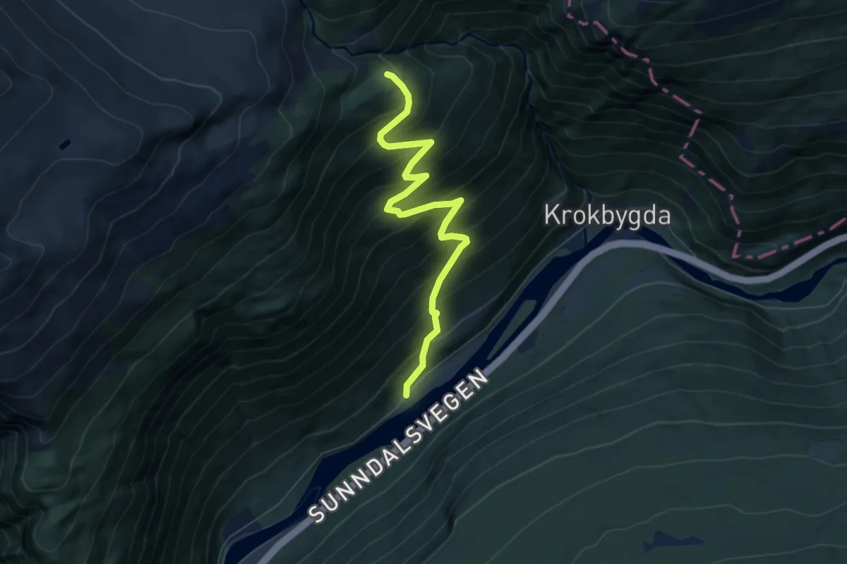
Medium · Cabin
Vollasetra
4.8 km · ↑ 554 m · 2 h 20 min
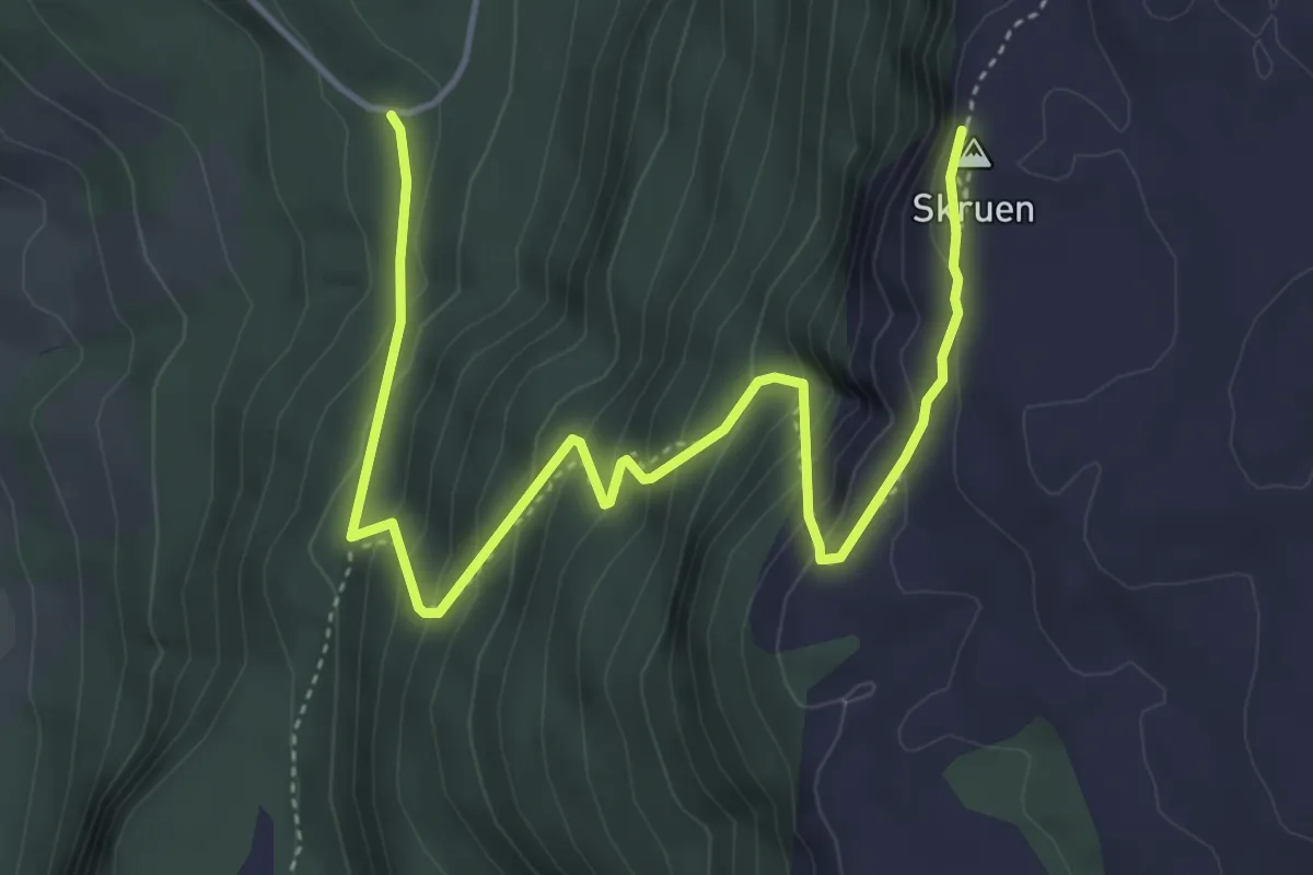
Medium · Trail
Vollen - Skruen
3.7 km · ↑ 373 m · 1 h 41 min
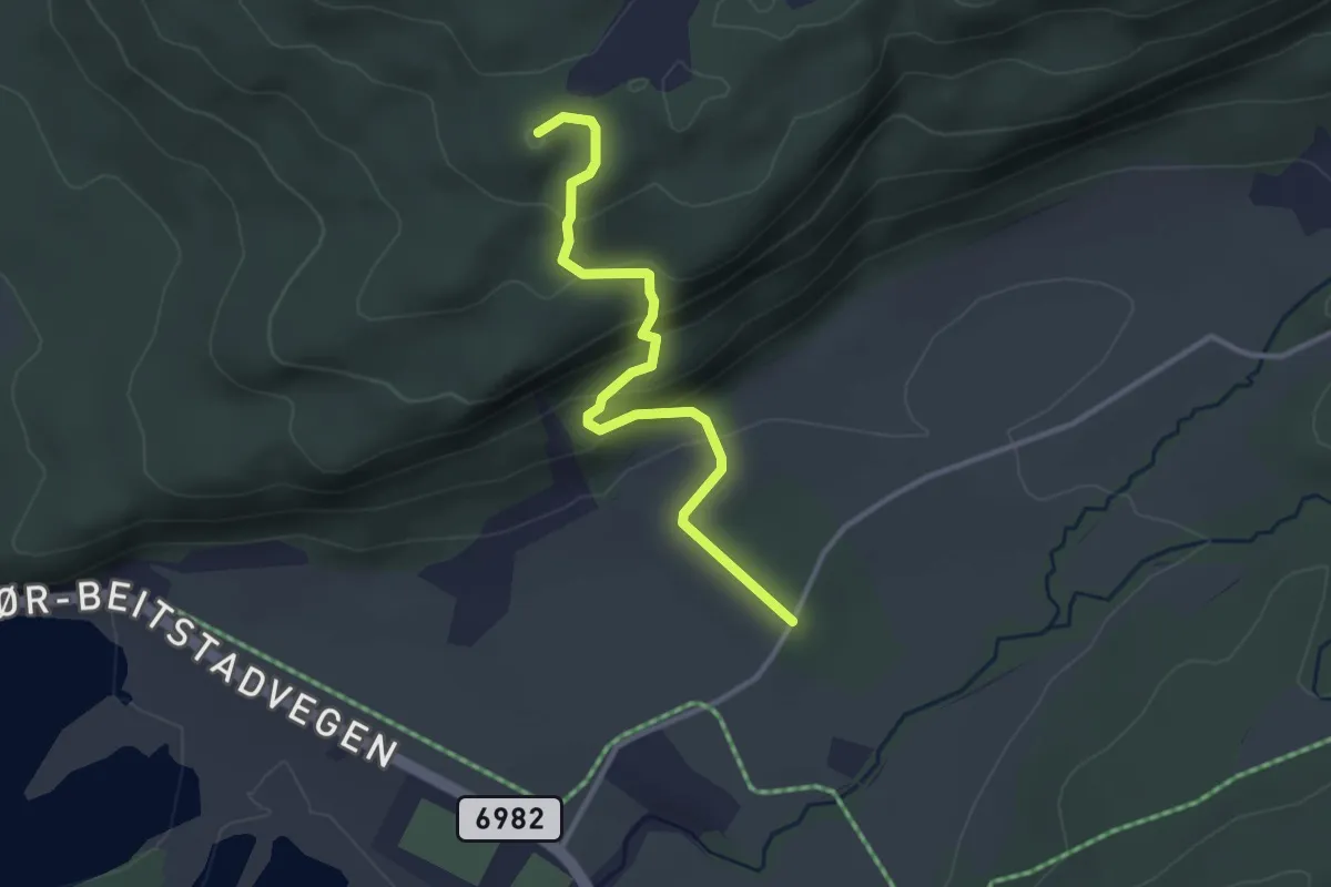
Easy · Trail
Vollen til Sørfjellmyra
2.0 km · ↑ 141 m · 47 min