Trails in Norway
7,452 hiking trails, each with its route, climb, walking time and grade.
All trails, page 120 of 156
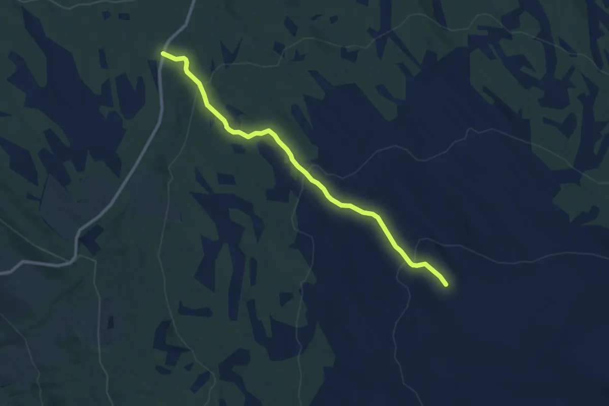
Medium · Trail
Vollfjellet
5.2 km · ↑ 283 m · 1 h 50 min
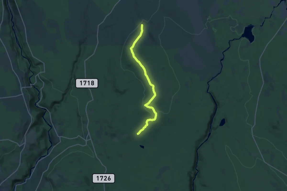
Medium · Trail
Vollkoia-Bokåsen
11.8 km · ↑ 175 m · 3 h 10 min
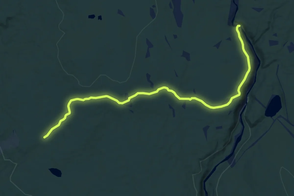
Medium · Trail
Vollkoia-Tørbustilen
9.6 km · ↑ 122 m · 2 h 32 min
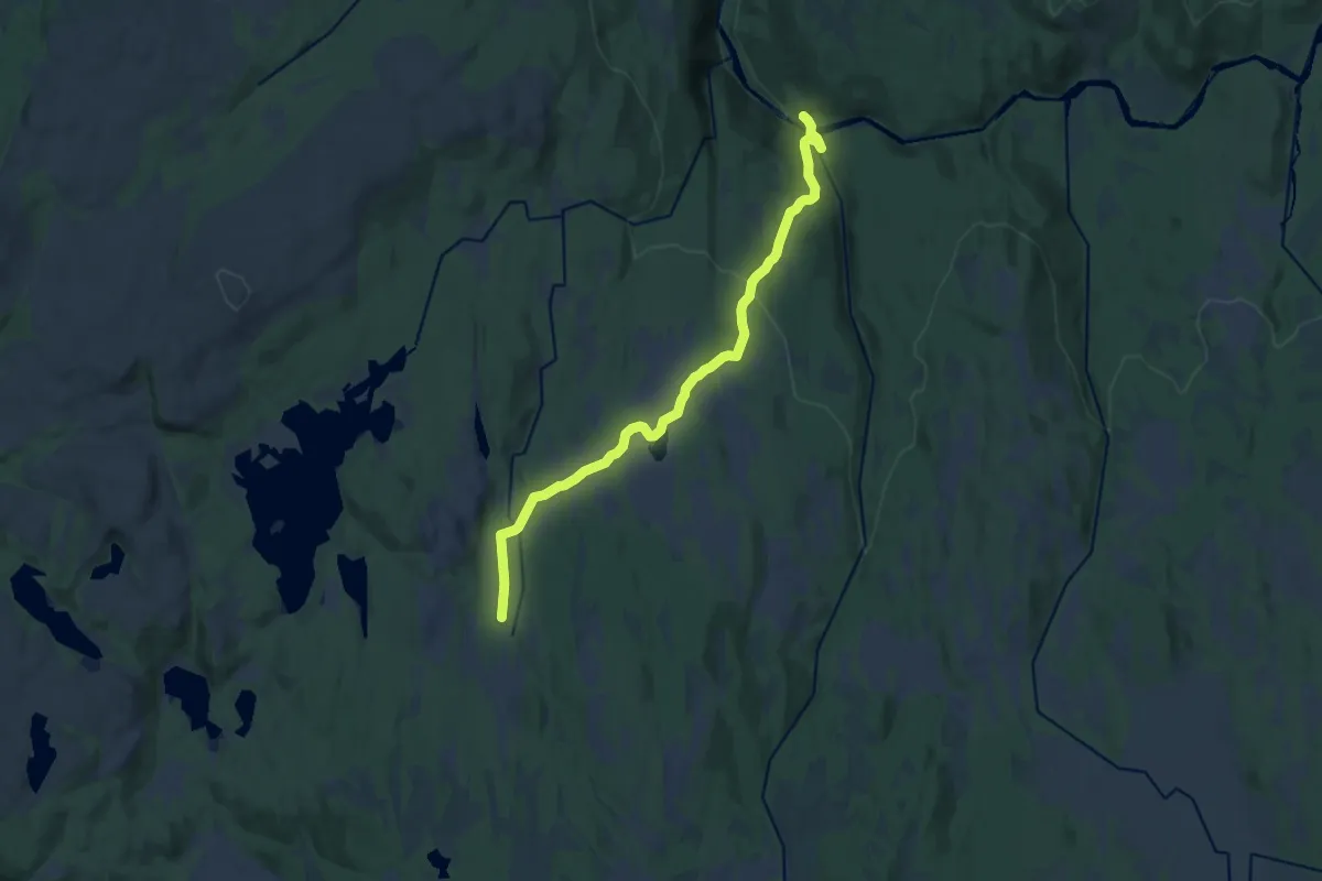
Medium · Cabin
Vollsetvollen
9.9 km · ↑ 311 m · 3 h 1 min
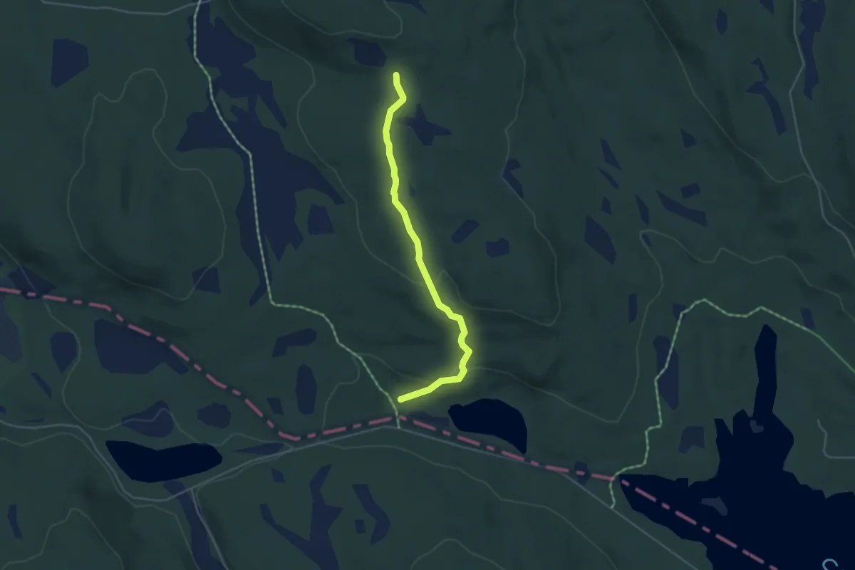
Easy · Trail
Vollum - Hagltjernshytta
3.0 km · ↑ 100 m · 55 min
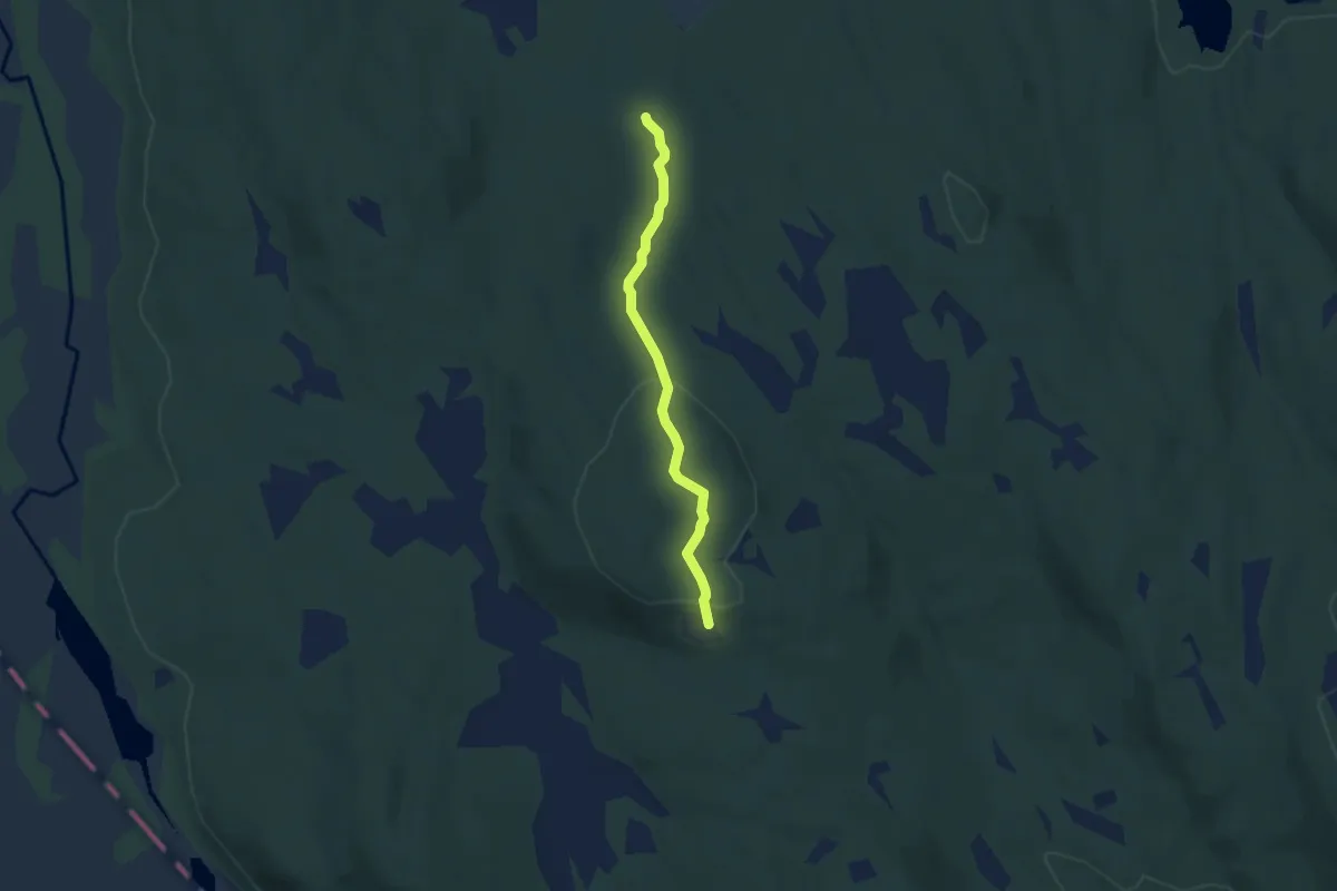
Easy · Trail
Vollum-Storbrenna
3.3 km · ↑ 128 m · 1 h 3 min
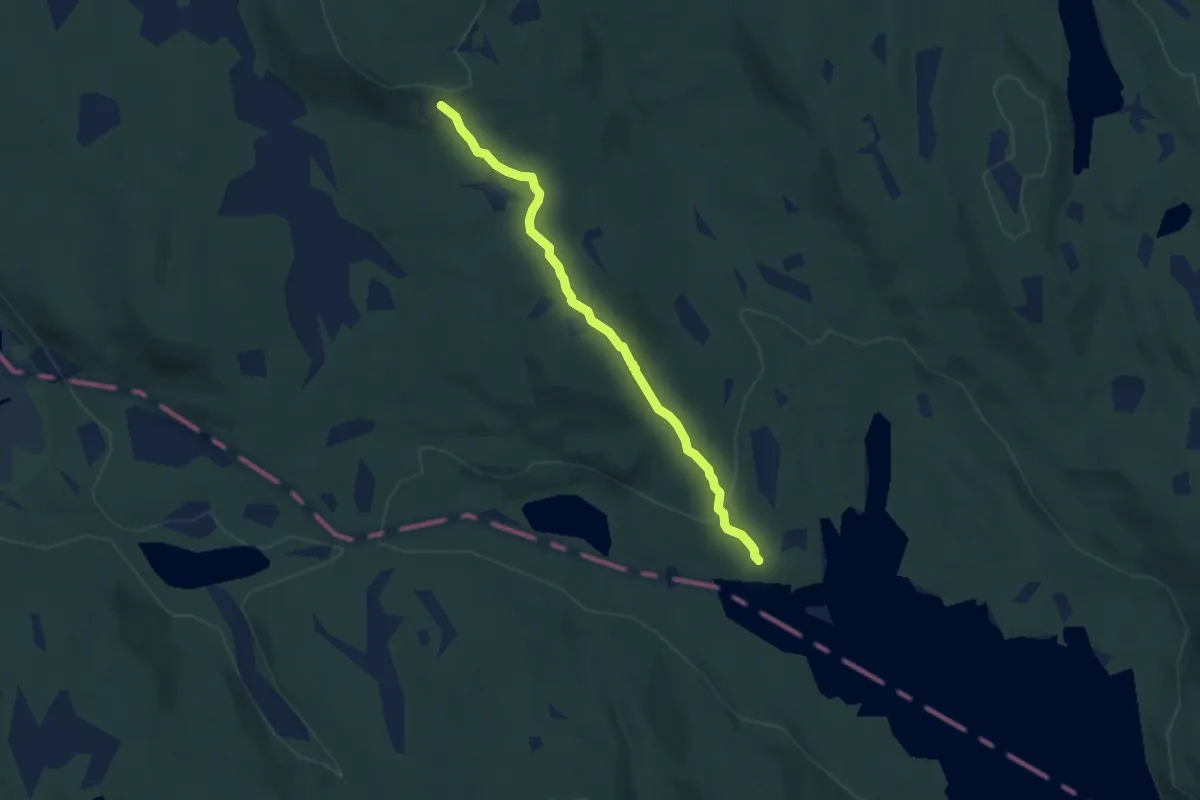
Easy · Trail
Vollum - Svartungen
3.9 km · ↑ 119 m · 1 h 11 min
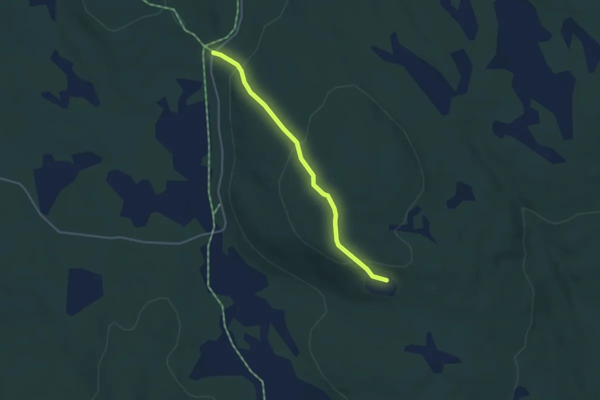
Easy · Trail
Vollum-Tømmertorget
2.2 km · ↑ 97 m · 44 min
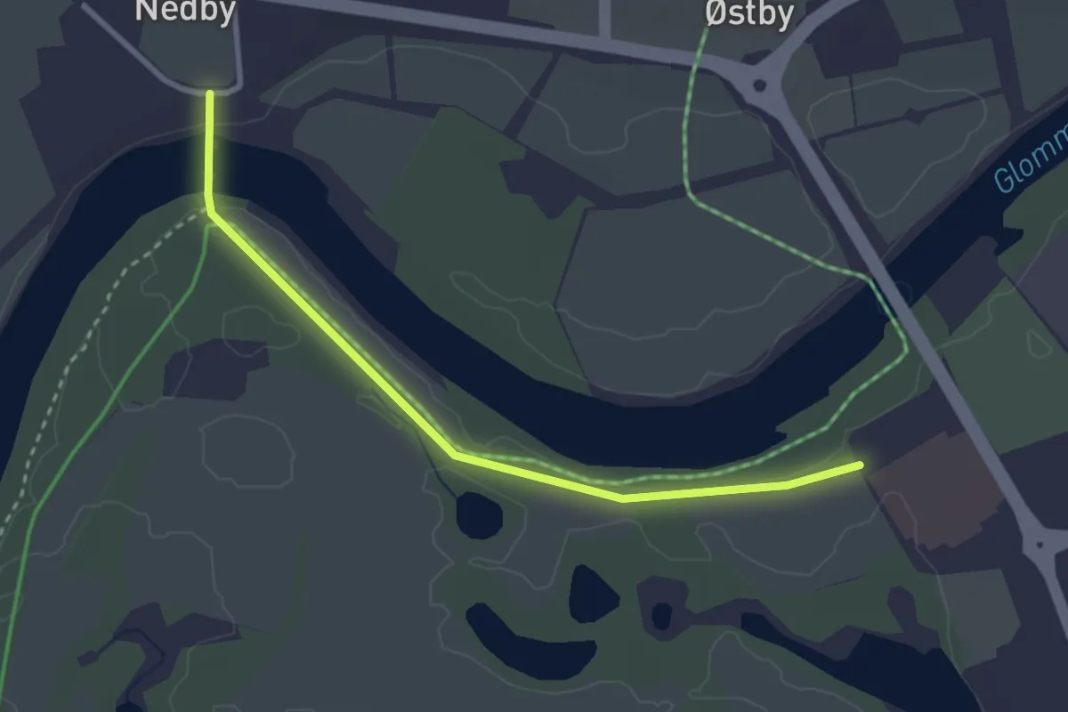
Easy · Trail
Vollveien
2.0 km · ↑ 0 m · 29 min
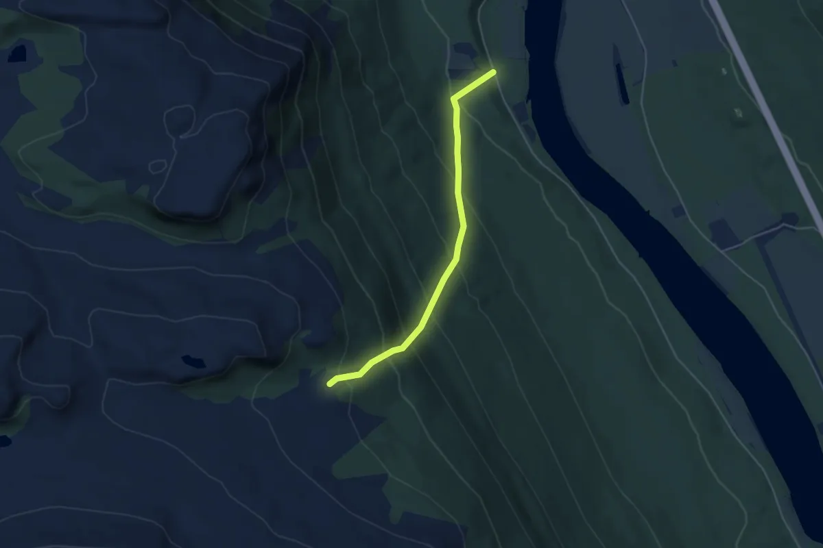
Demanding · Trail
Volsæterveien
2.9 km · ↑ 326 m · 1 h 23 min
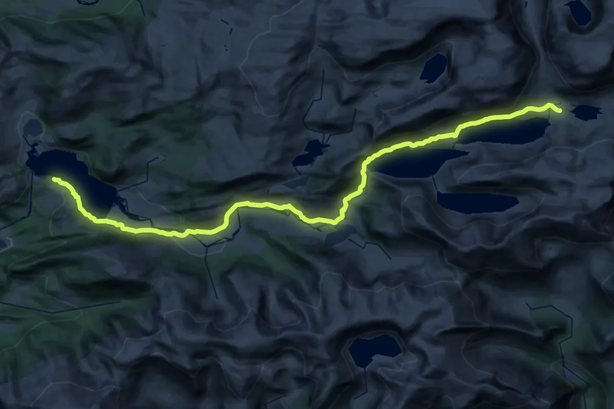
Medium · Trail
Vonavatnet - Longvasshytta
15.4 km · ↑ 610 m · 5 h
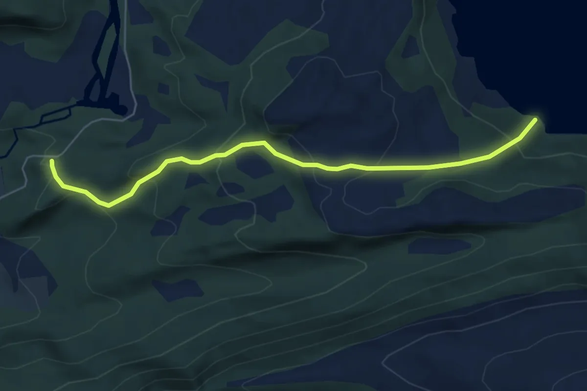
Easy · Trail
Vonavegen - Vonavatnet
3.9 km · ↑ 235 m · 1 h 26 min
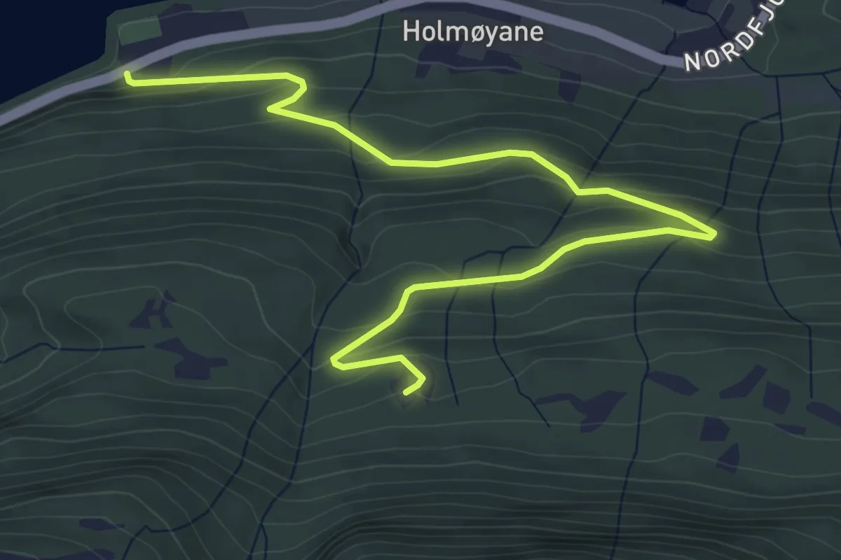
Easy · Trail
Vonlund-Utigardsætra
5.0 km · ↑ 269 m · 1 h 46 min
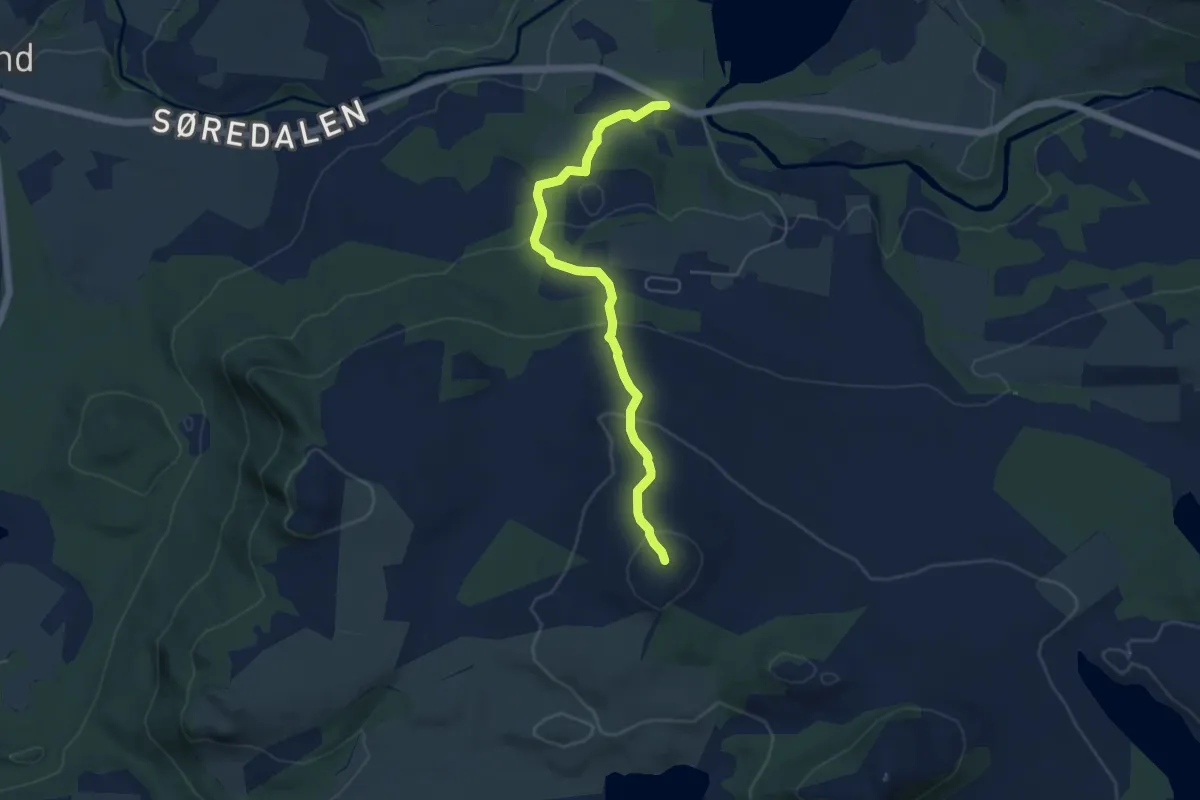
Medium · Trail
Voren
3.9 km · ↑ 217 m · 1 h 23 min
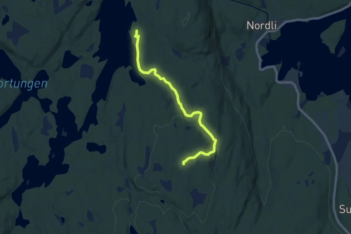
Easy · Trail
Vortungen til Haukenestårnet
6.3 km · ↑ 150 m · 1 h 48 min
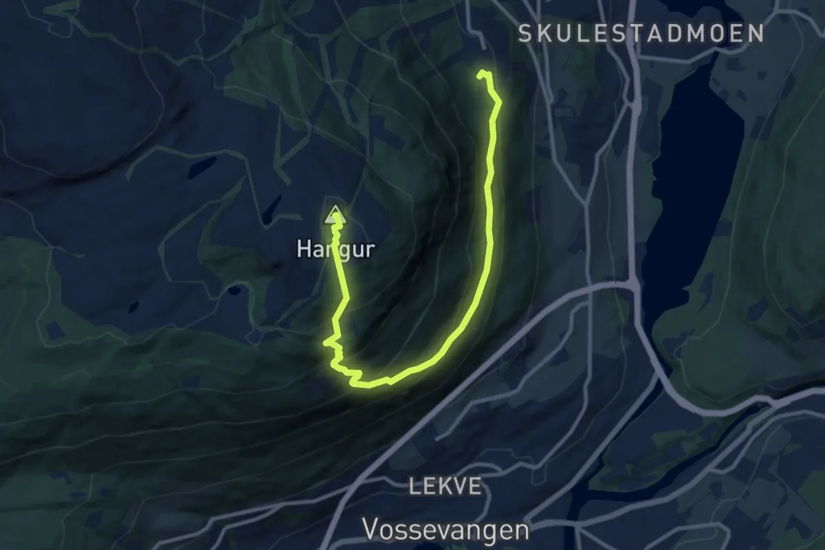
Medium · Summit
Voss Resort - Hiking path 11
7.8 km · ↑ 549 m · 3 h 1 min
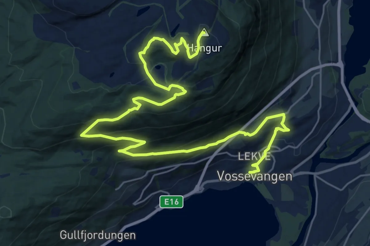
Demanding · Summit
Voss Resort - Hiking path 12
18.9 km · ↑ 763 m · 6 h 7 min
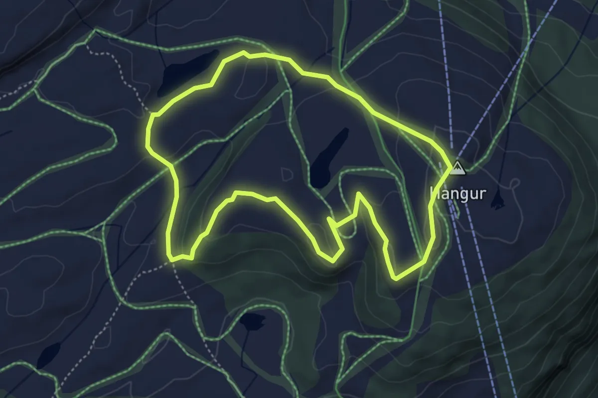
Easy · Summit
Voss Resort - Hiking path 2 - Grebbeløypa
3.3 km · ↑ 104 m · 1 h 3 min
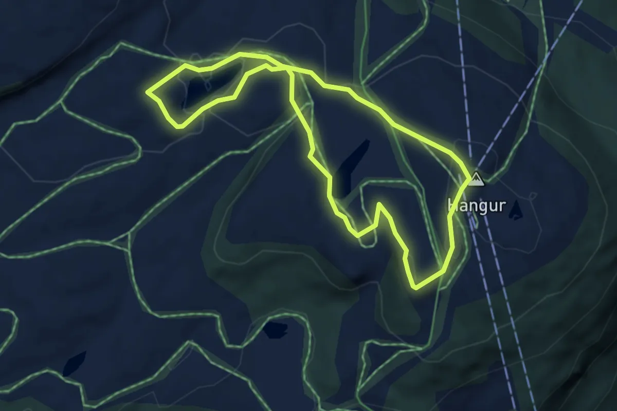
Easy · Summit
Voss Resort - Hiking path 3 - Røde Kors hytta
3.1 km · ↑ 75 m · 57 min
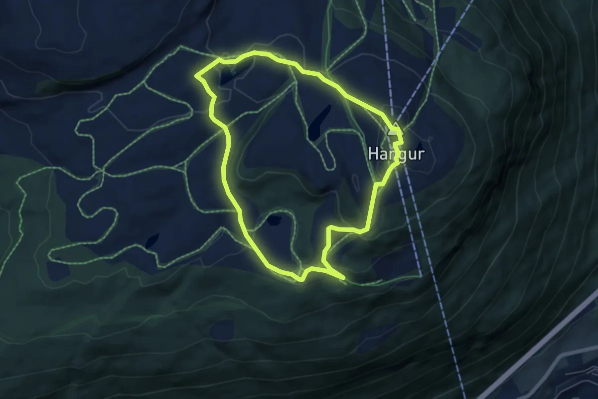
Easy · Summit
Voss Resort - Hiking path 4 - Skutsgardstjørni
3.8 km · ↑ 142 m · 1 h 16 min
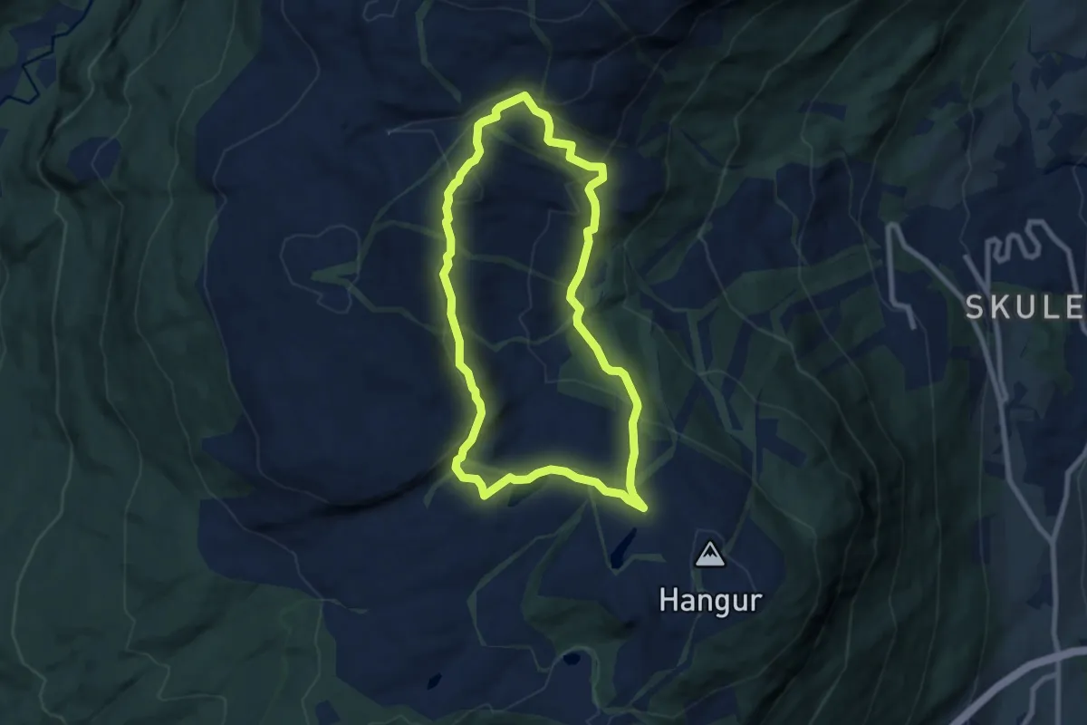
Easy · Trail
Voss Resort - Hiking path 5 - Lønahorgi
5.3 km · ↑ 198 m · 1 h 45 min
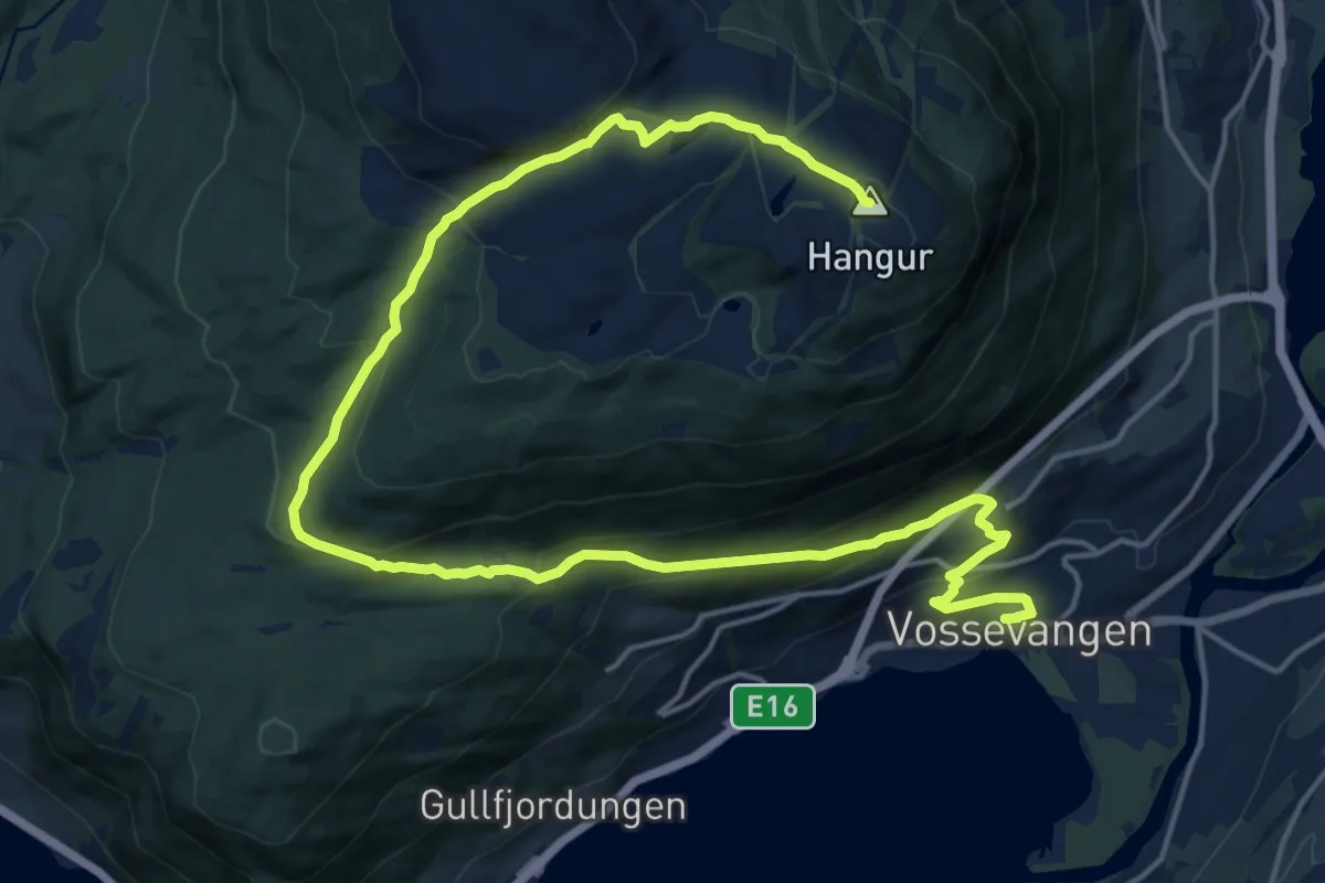
Demanding · Summit
Voss Resort - Hiking path 6
17.2 km · ↑ 802 m · 5 h 47 min
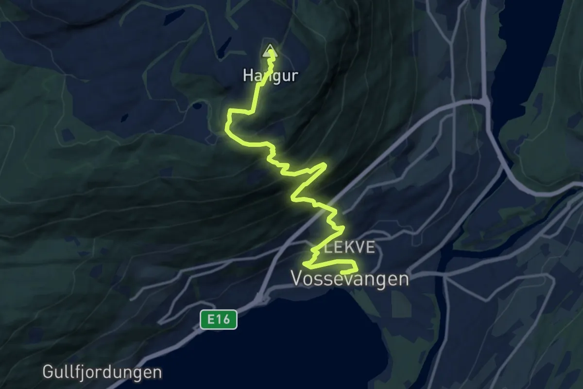
Medium · Summit
Voss Resort - Hiking path 7
8.9 km · ↑ 755 m · 3 h 44 min
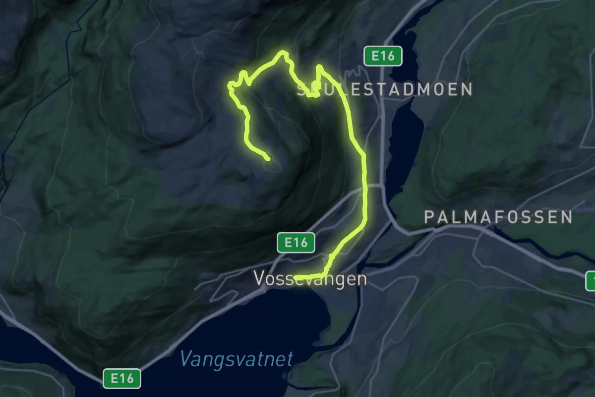
Medium · Summit
Voss Resort - Hiking path 8
17.9 km · ↑ 792 m · 5 h 56 min
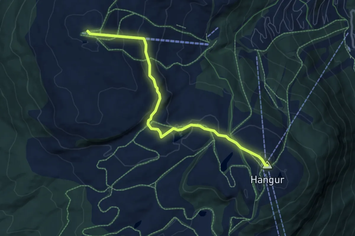
Easy · Summit
Voss Resort - Hiking path 9 - Slettafjelltoppen
5.6 km · ↑ 262 m · 1 h 54 min
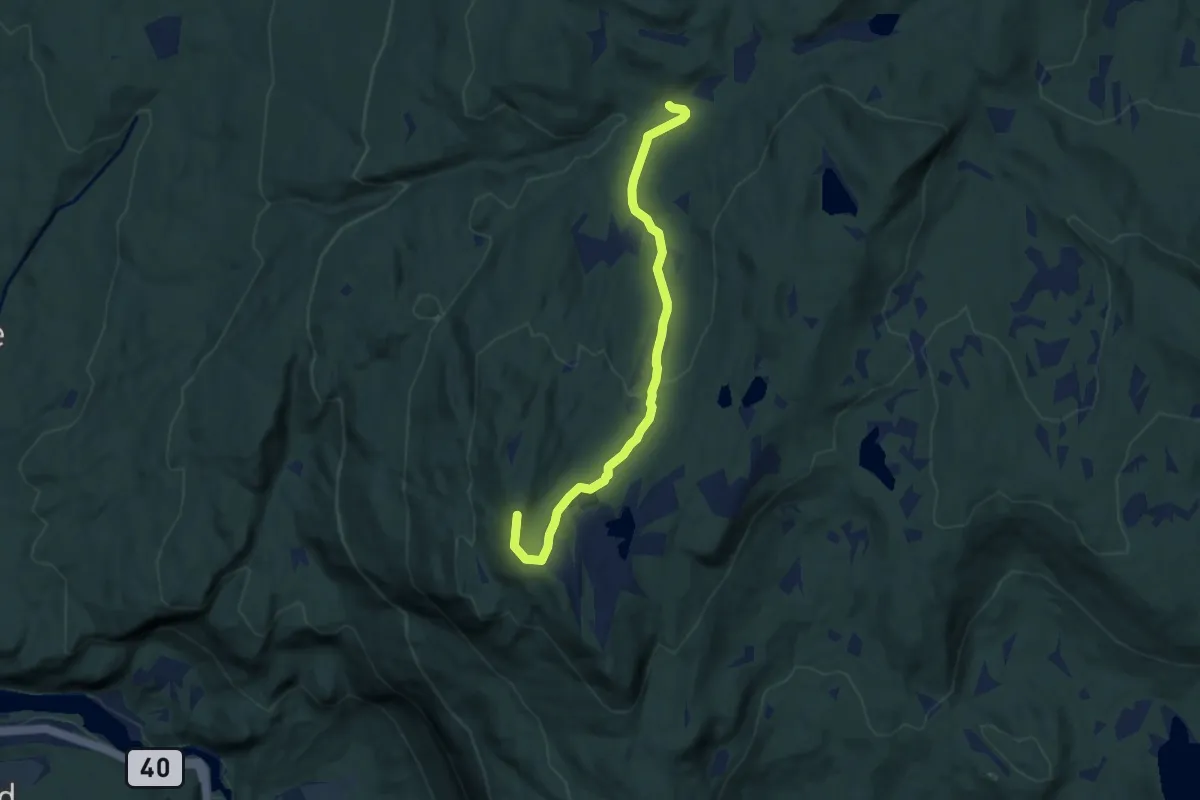
Easy · Trail
Vrågåvarden
5.1 km · ↑ 156 m · 1 h 32 min
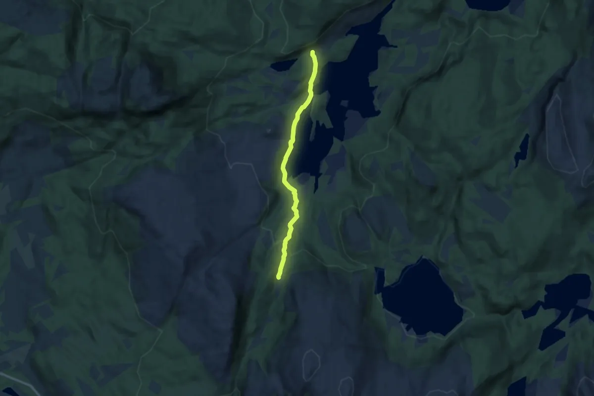
Medium · Trail
Vuopmegeahči Sáhttiidvuopmi Trøsemarka - Sandemark
4.8 km · ↑ 137 m · 1 h 26 min
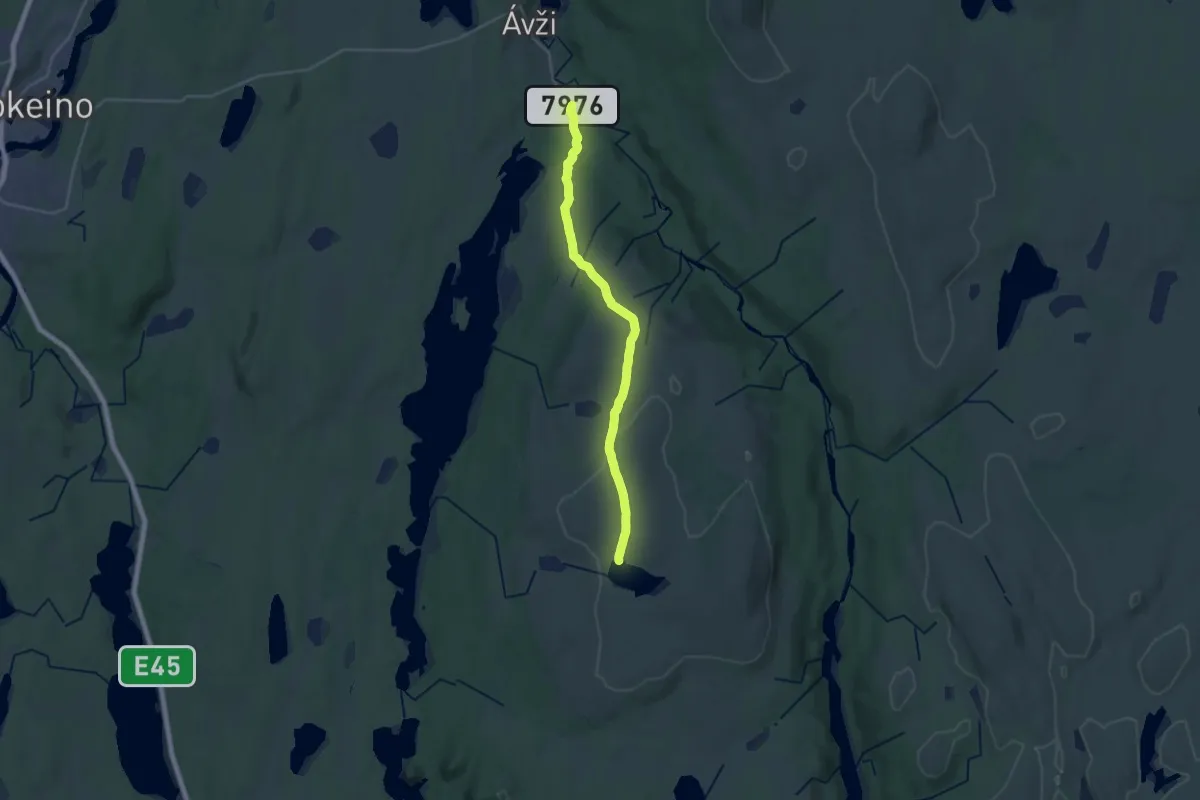
Medium · Trail
Vuorašvárri
14.3 km · ↑ 259 m · 3 h 56 min
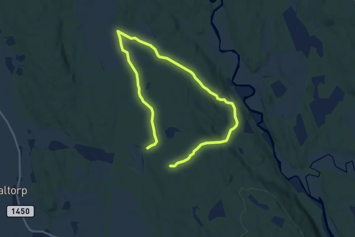
Medium · Trail
Wennemorunden = deler av Mila
8.8 km · ↑ 131 m · 2 h 22 min
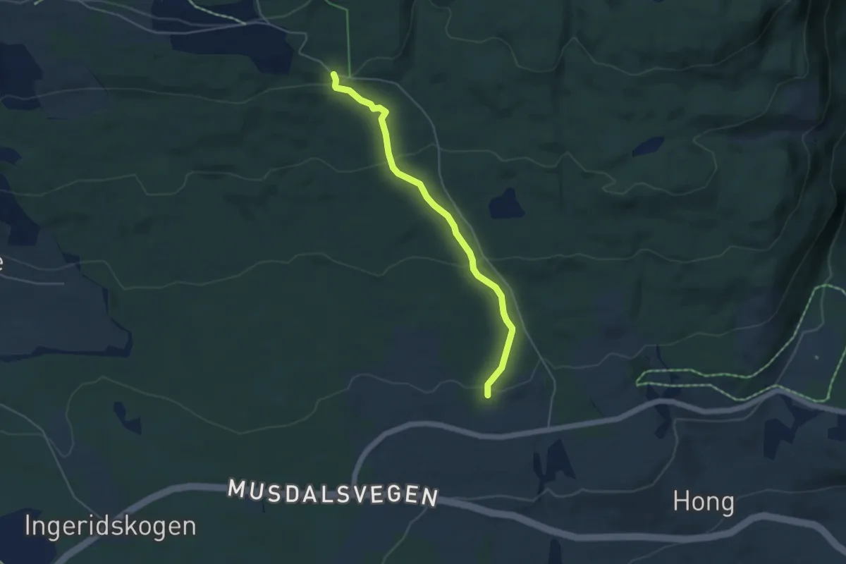
Medium · Trail
Wingestien
3.0 km · ↑ 156 m · 1 h 3 min
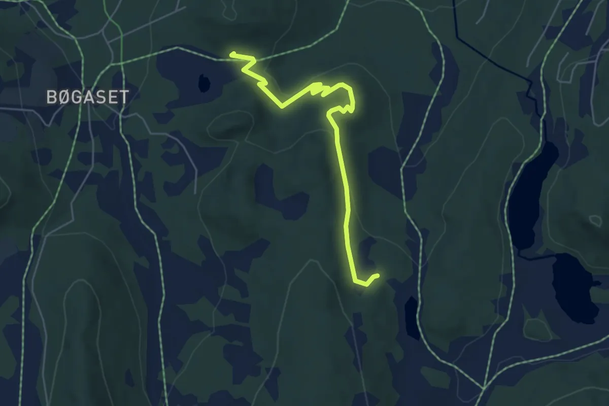
Easy · Trail
Woddy Woodpecker
3.7 km · ↑ 75 m · 1 h 2 min
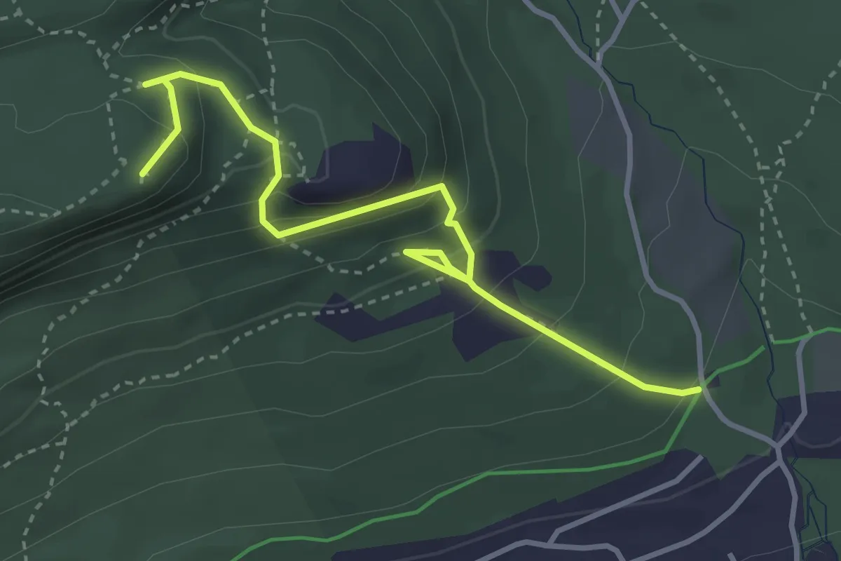
Medium · Trail
Yellow trail (Nedre EIker)
2.7 km · ↑ 282 m · 1 h 15 min
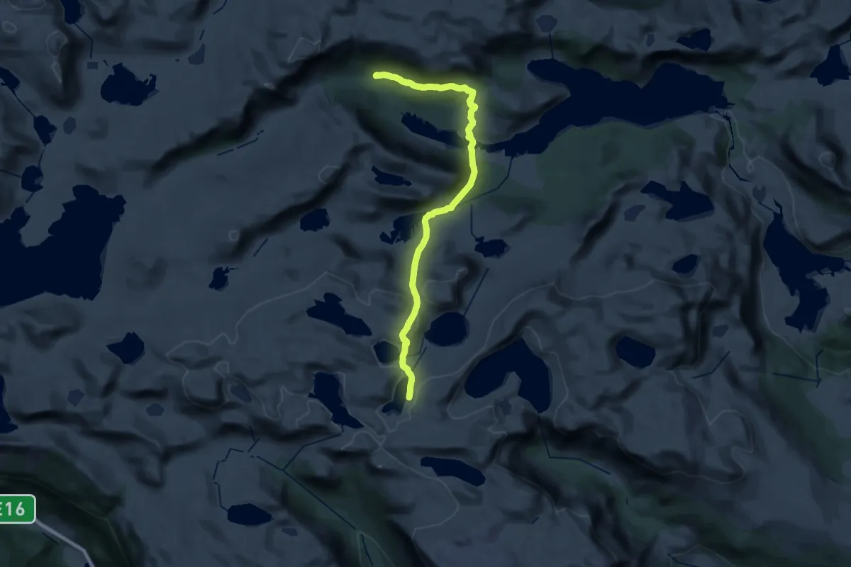
Demanding · Cabin
Yksendalsbu-Tomashelleren
23.5 km · ↑ 839 m · 7 h 22 min
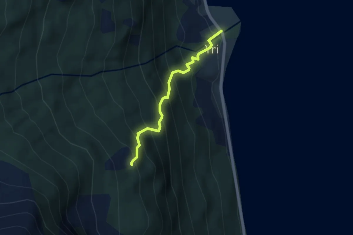
Medium · Trail
Yrisetra Innafor
2.2 km · ↑ 359 m · 1 h 17 min
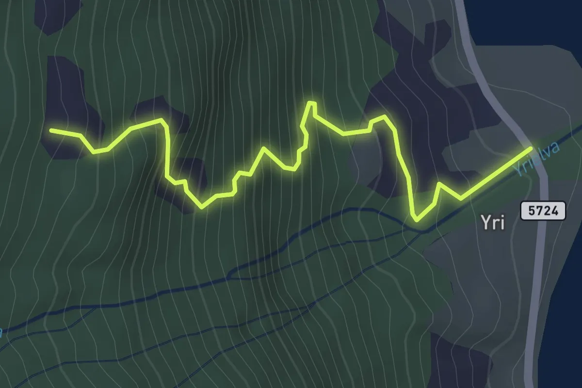
Medium · Trail
Yrisetra utafor
2.1 km · ↑ 328 m · 1 h 12 min
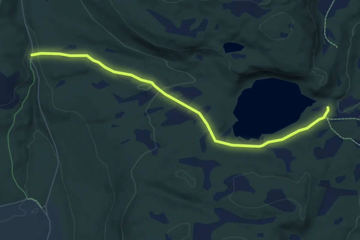
Easy · Trail
Yssedalen - Skihytta
4.5 km · ↑ 120 m · 1 h 19 min
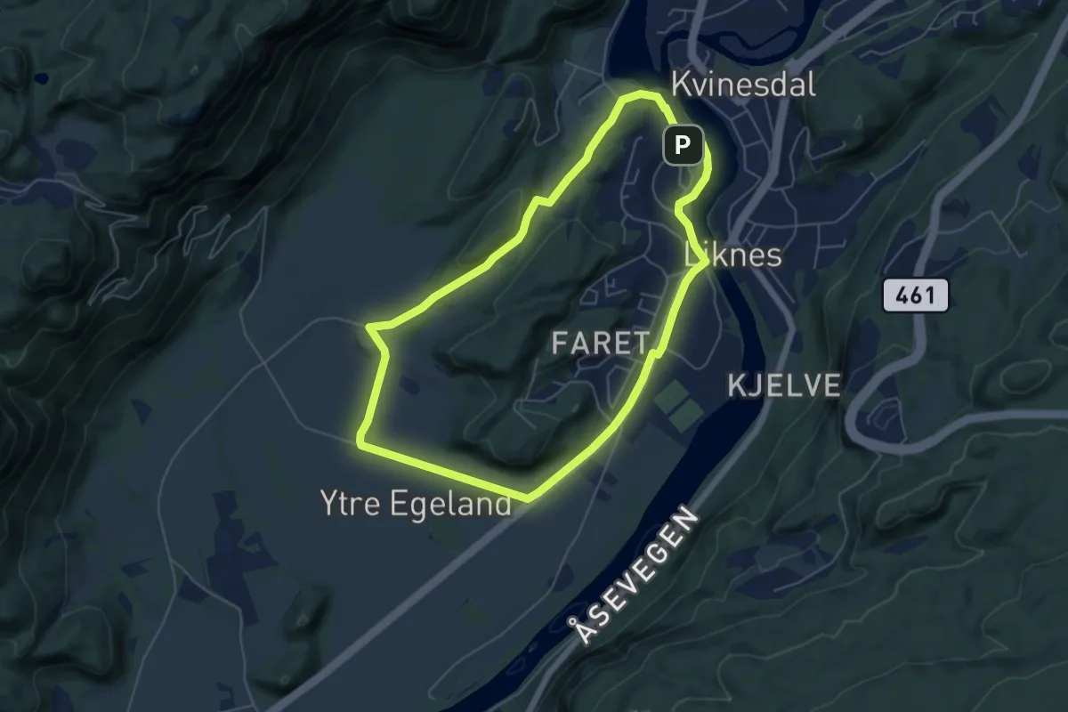
Easy · Trail
Ytre Egeland
8.2 km · ↑ 74 m · 2 h 6 min
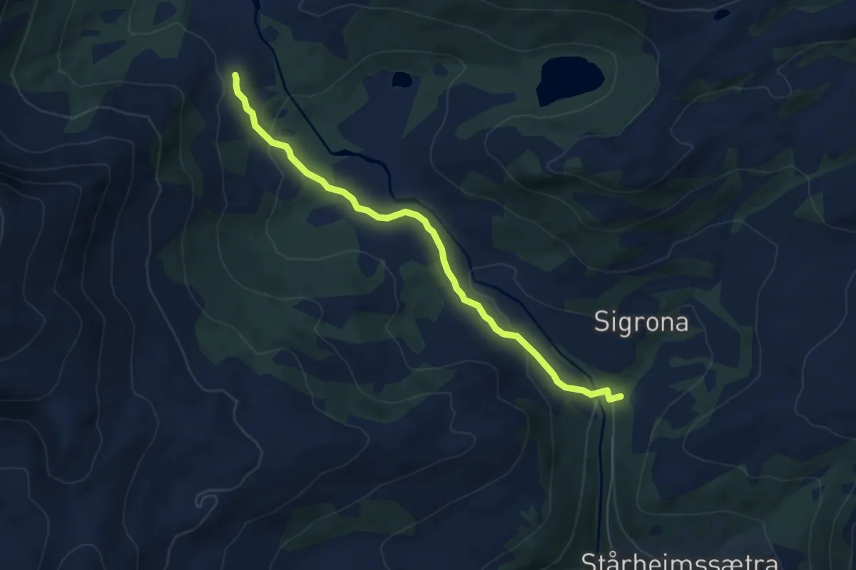
Easy · Trail
Ytre Fannstøylen
4.2 km · ↑ 149 m · 1 h 18 min
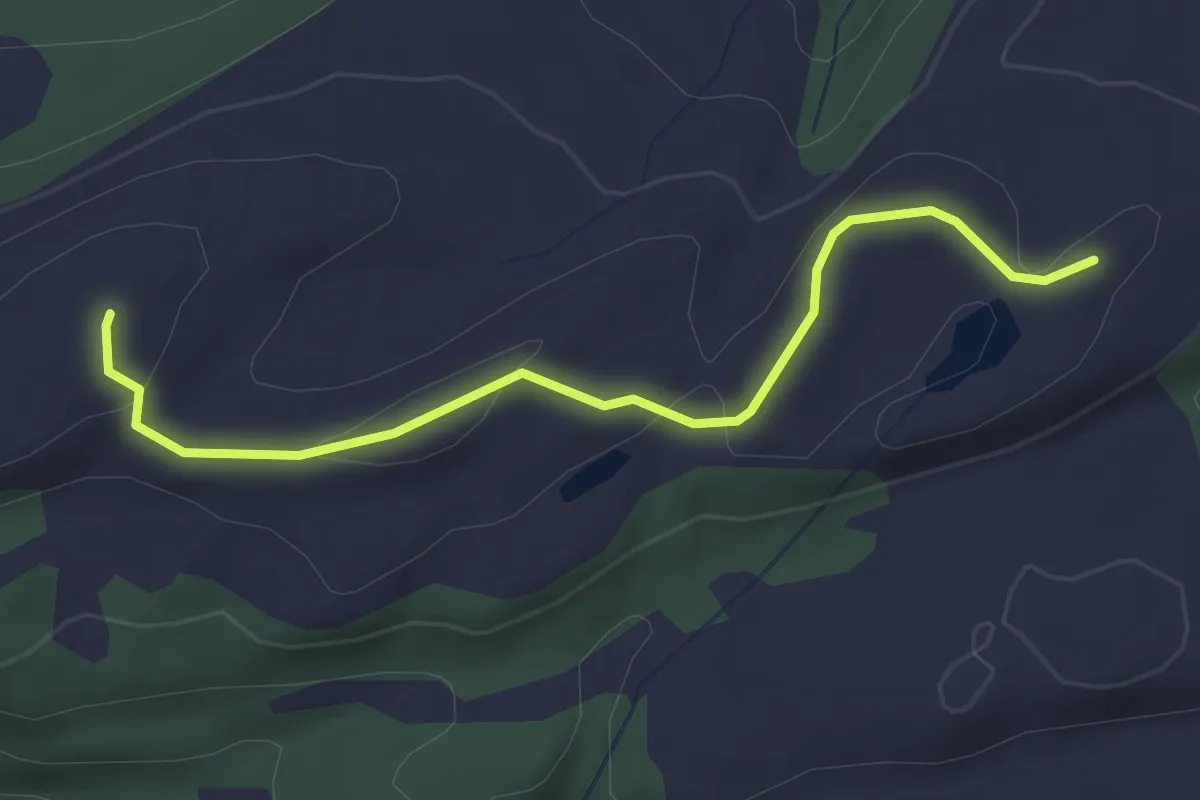
Easy · Trail
Ytre Hårfjellet
2.1 km · ↑ 68 m · 38 min
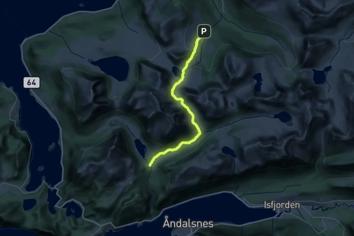
Demanding · Trail
Ytre Mittet - Skorgedalen
22.4 km · ↑ 803 m · 7 h 1 min
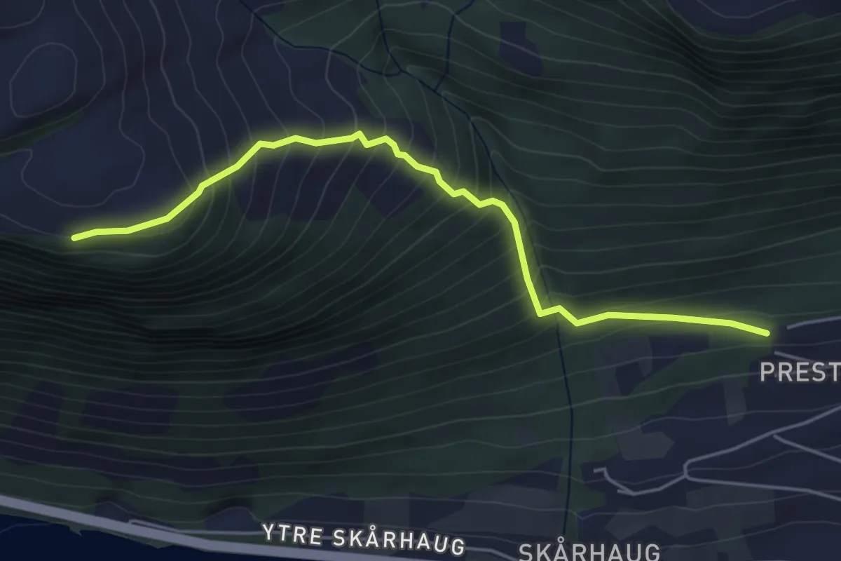
Medium · Trail
Ytre Skårhaugsætra
3.4 km · ↑ 408 m · 1 h 42 min
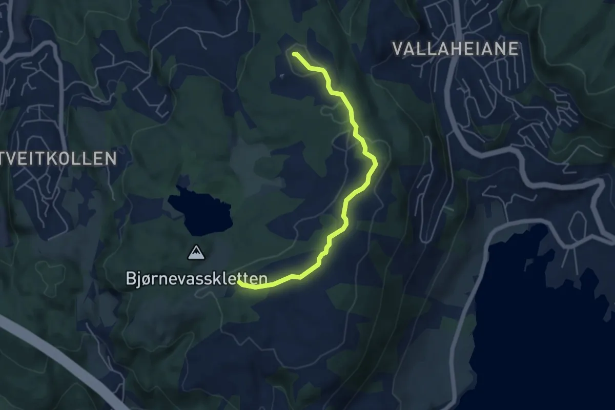
Easy · Trail
Ytre sti
3.4 km · ↑ 34 m · 52 min
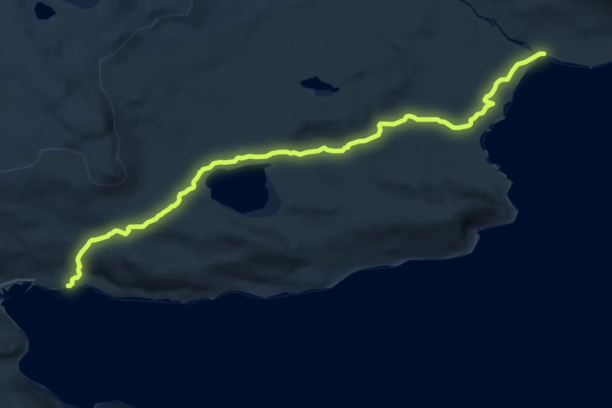
Medium · Trail
Ytre Syltefjord
12.8 km · ↑ 299 m · 3 h 40 min
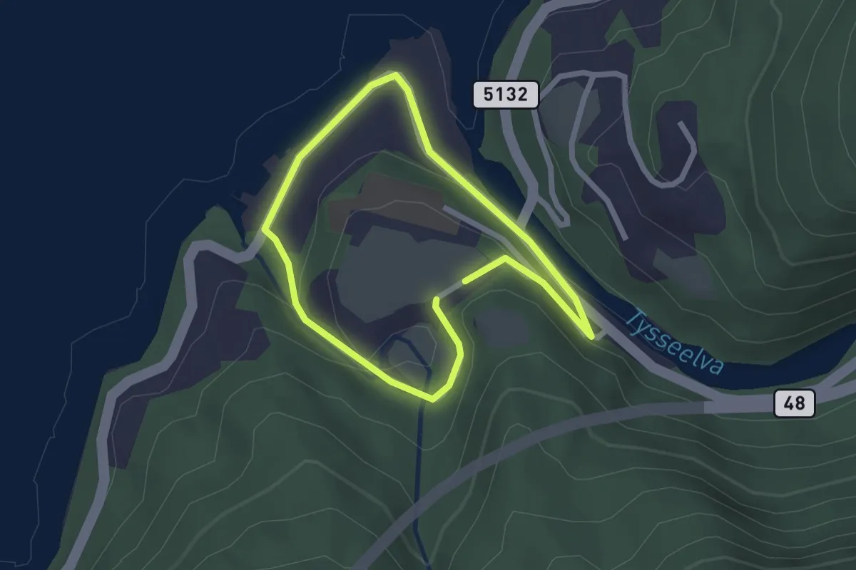
Easy · Trail
Ytre Tysse - Tyssereinane
2.6 km · ↑ 105 m · 50 min
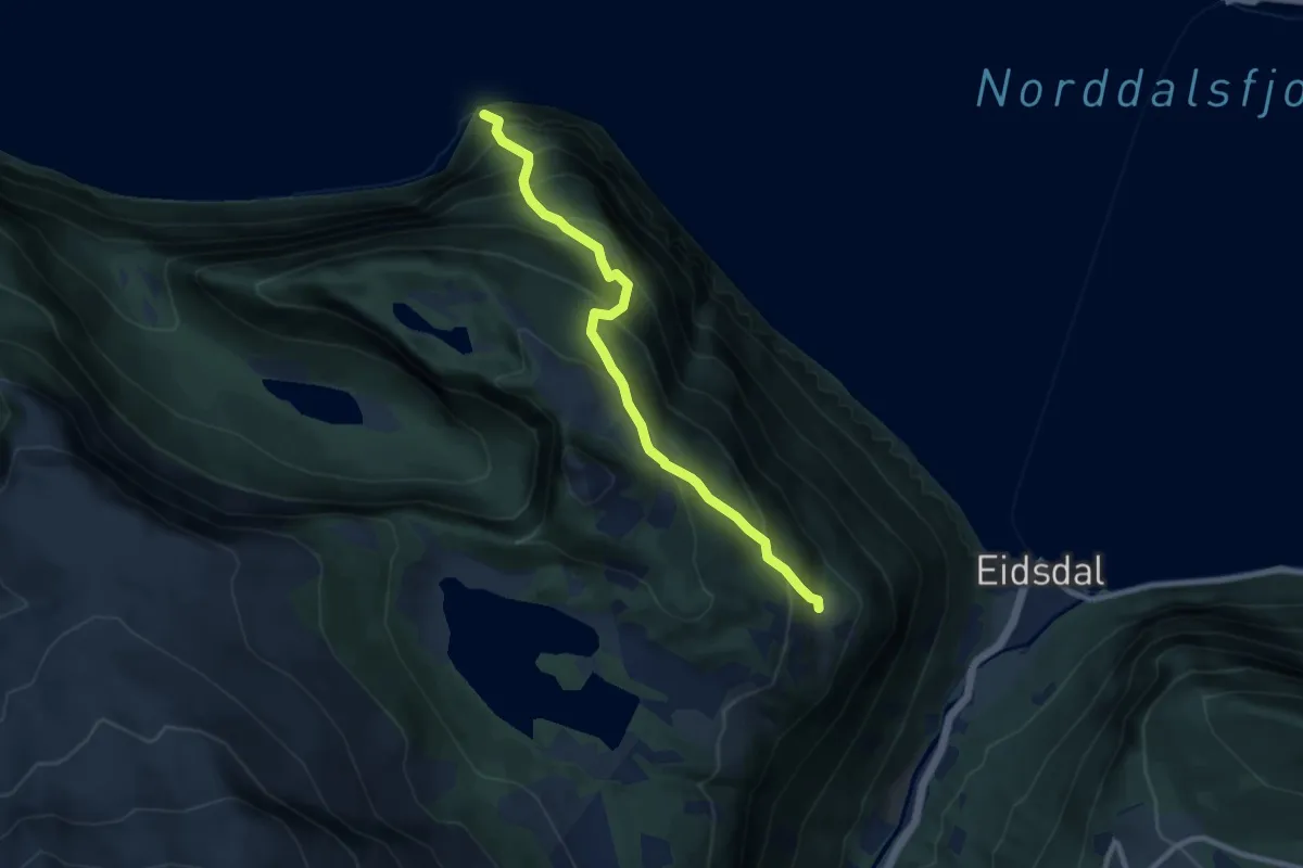
Medium · Trail
Ytste Kilsti - Ospahjellen
5.9 km · ↑ 792 m · 3 h 7 min
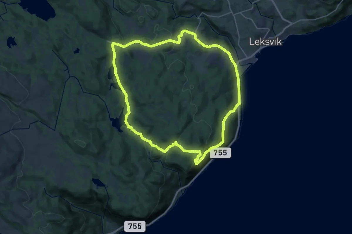
Demanding · Trail
Ytterbygda
26.4 km · ↑ 700 m · 7 h 45 min
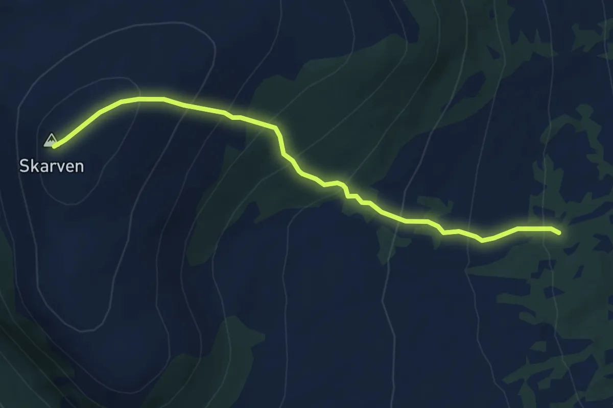
Medium · Trail
Yttermittetsetra - Skarven
4.6 km · ↑ 438 m · 2 h 2 min
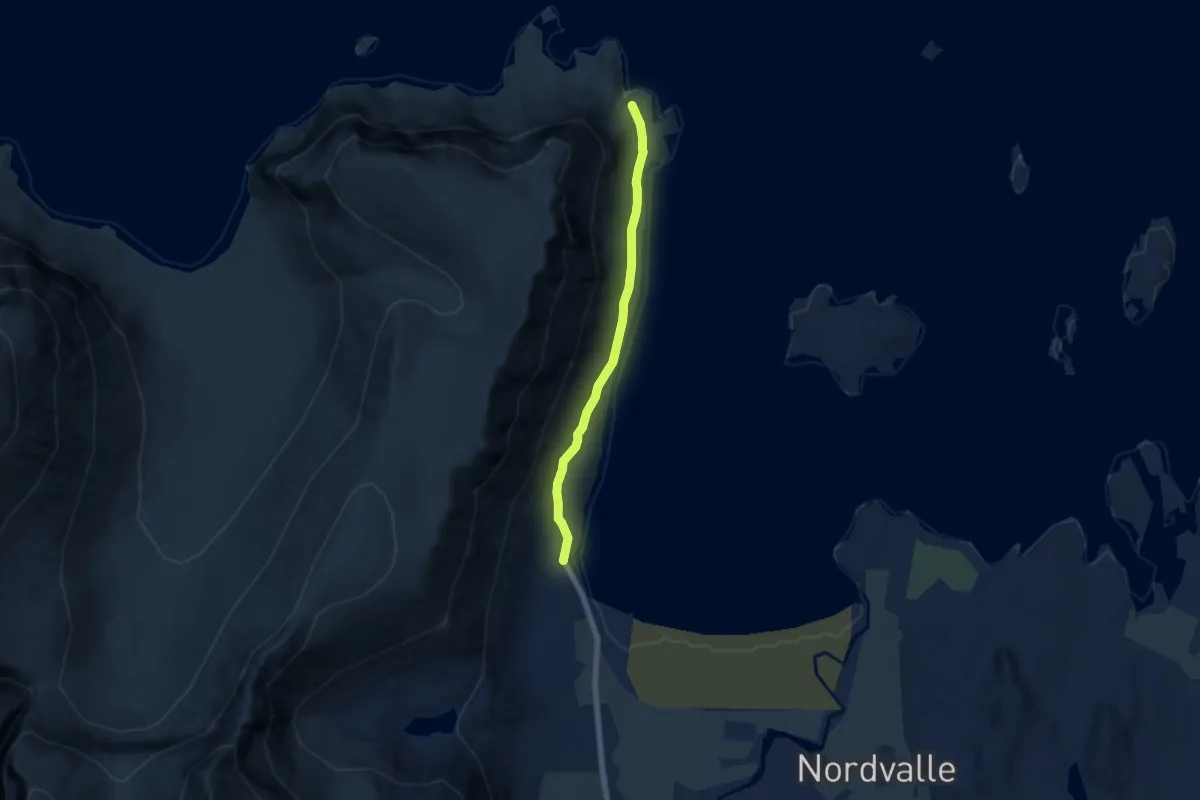
Easy · Trail
Yttersand - Mulstøa
3.1 km · ↑ 59 m · 51 min