Trails in Norway
7,452 hiking trails, each with its route, climb, walking time and grade.
All trails, page 122 of 156
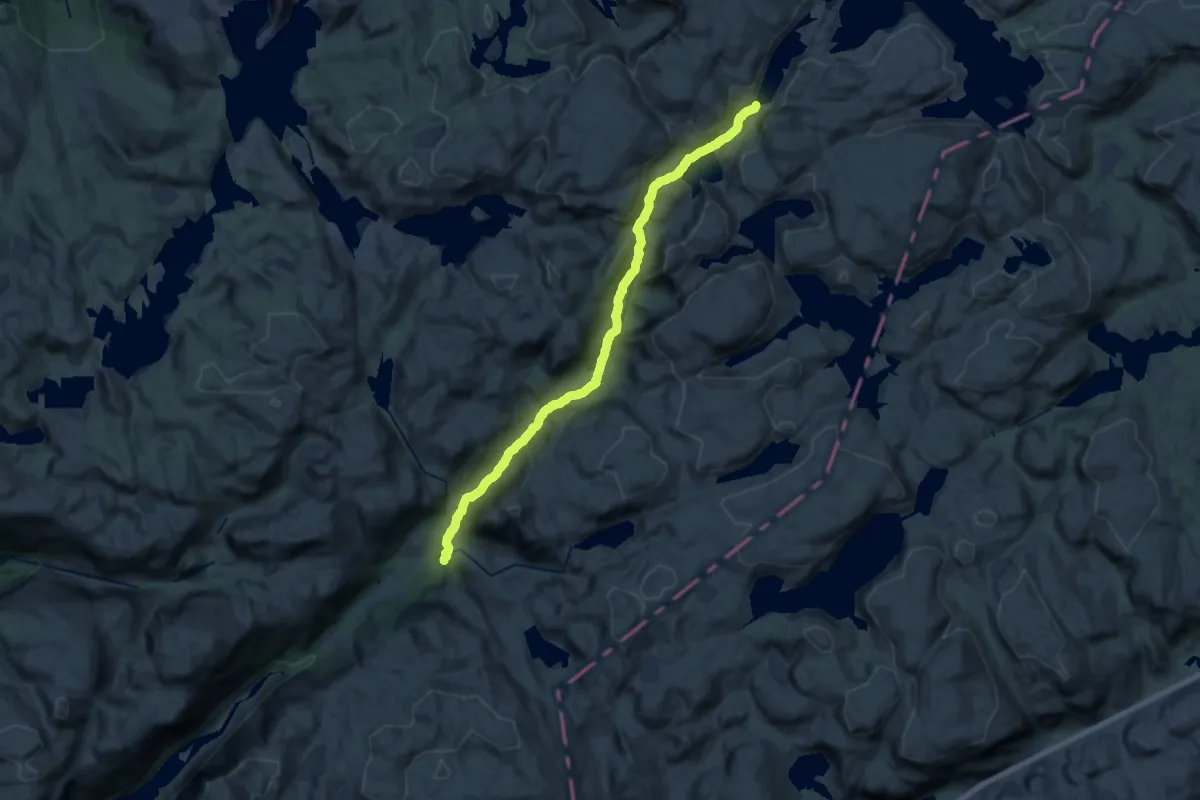
Demanding · Cabin
Blåfjellenden – Langavatn
19.1 km · ↑ 479 m · 5 h 33 min
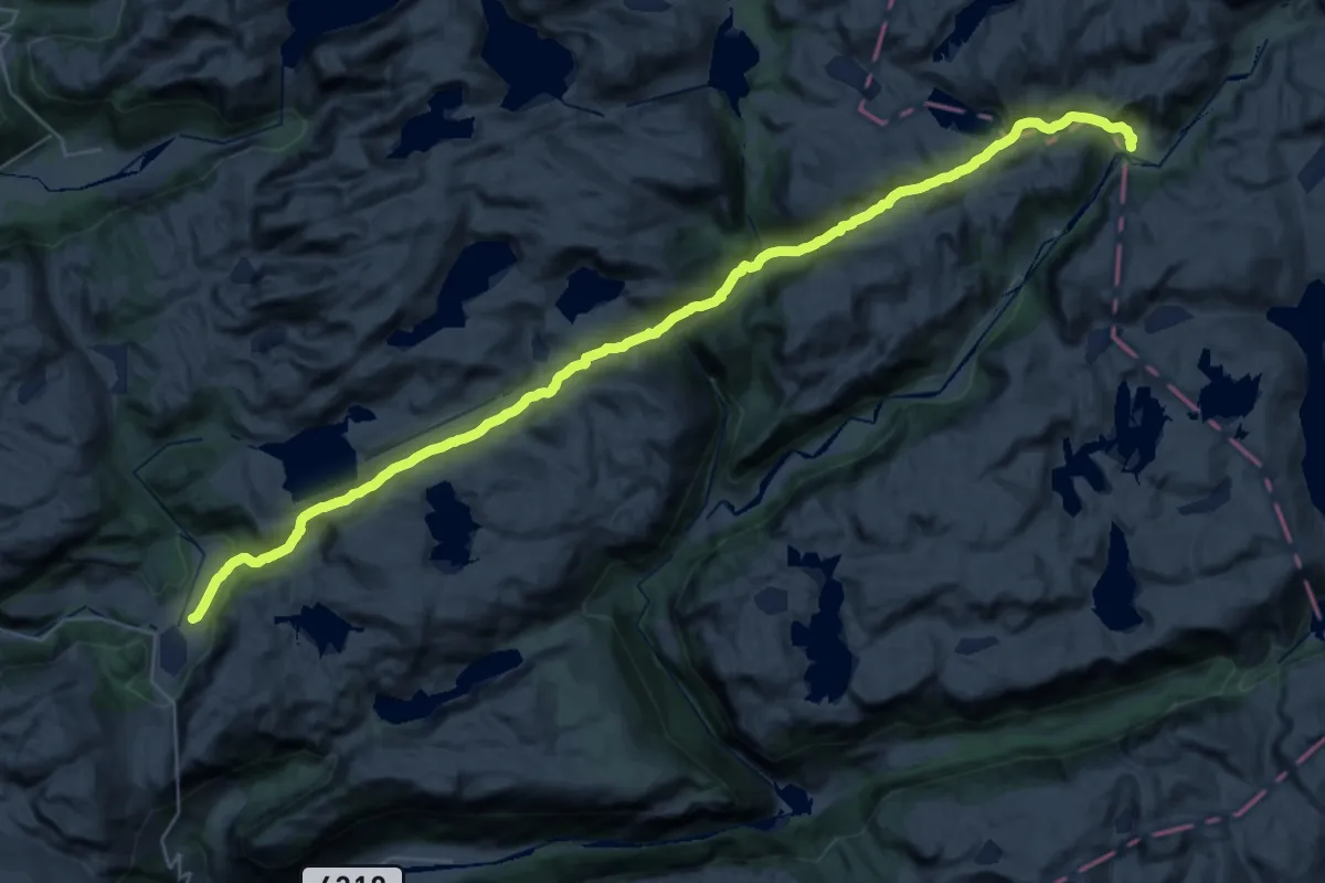
Medium · Trail
Støle – Stavtjørn / Eikemyra
14.8 km · ↑ 664 m · 5 h 5 min
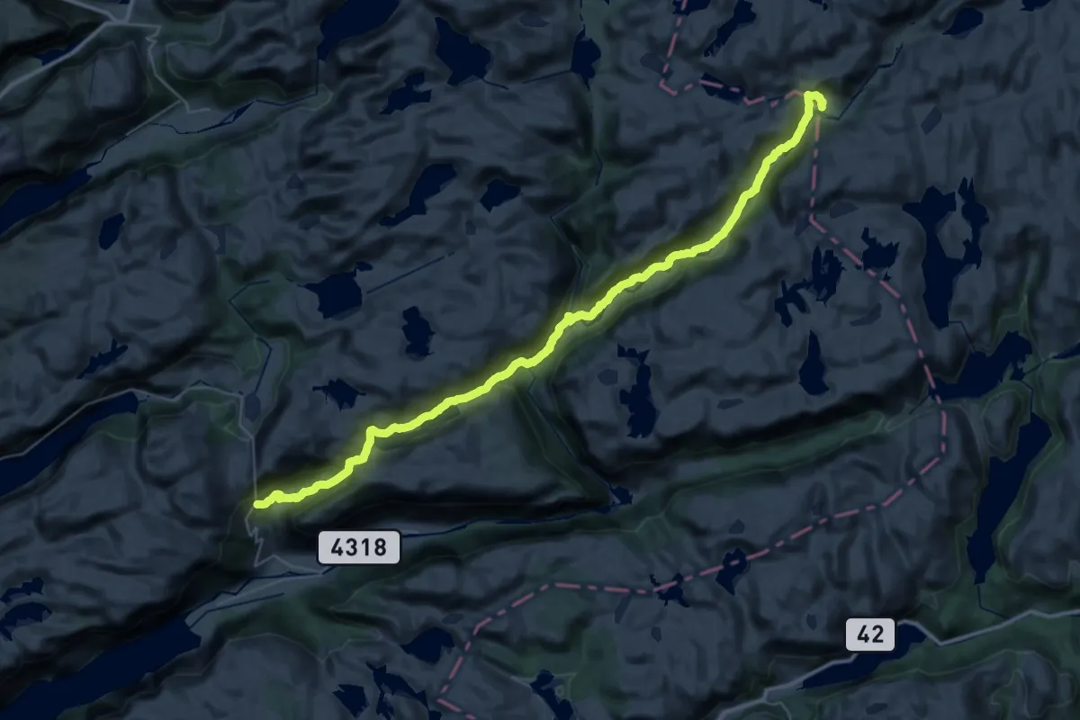
Medium · Trail
Støle – Ørsdalen
17.4 km · ↑ 566 m · 5 h 29 min
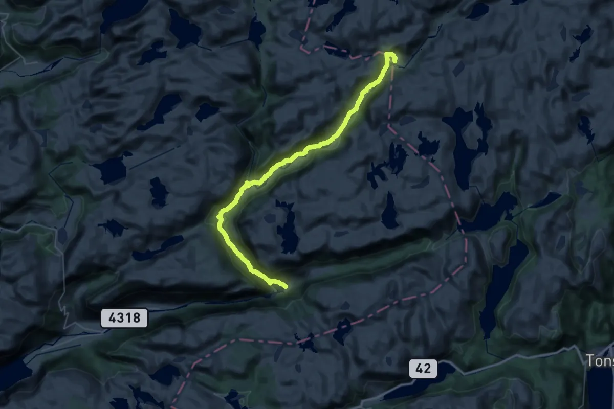
Expert · Trail
Støle – Bjordal
14.3 km · ↑ 496 m · 4 h 30 min
Demanding · Cabin
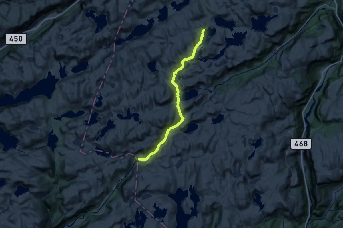
Støle – Tomannshytta
20.6 km · ↑ 531 m · 6 h 1 min
Medium · Trail
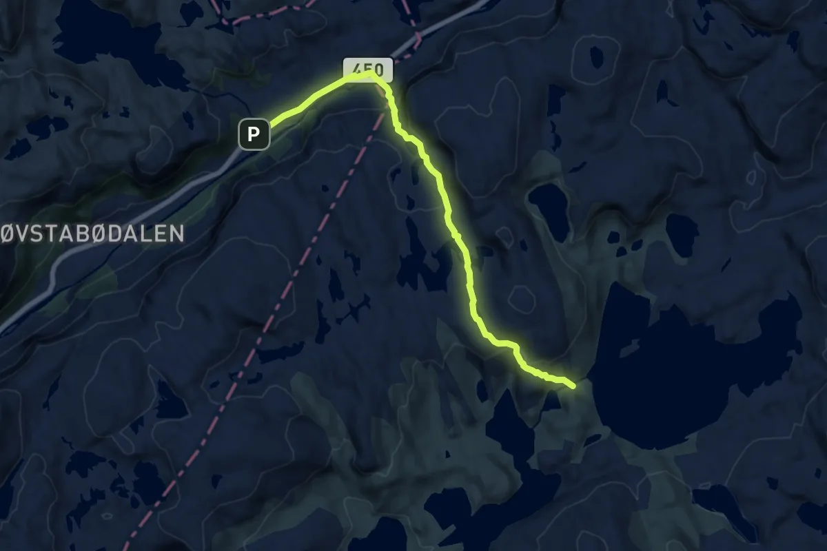
Hunnedalen – Tomannshytta
9.4 km · ↑ 368 m · 3 h 1 min
Medium · Cabin
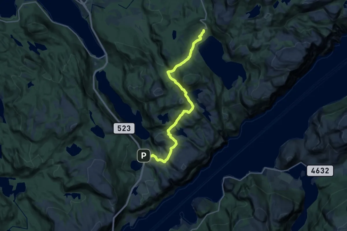
Botnevegen – Preikestolen fjellstue
11.7 km · ↑ 719 m · 4 h 19 min
Demanding · Cabin
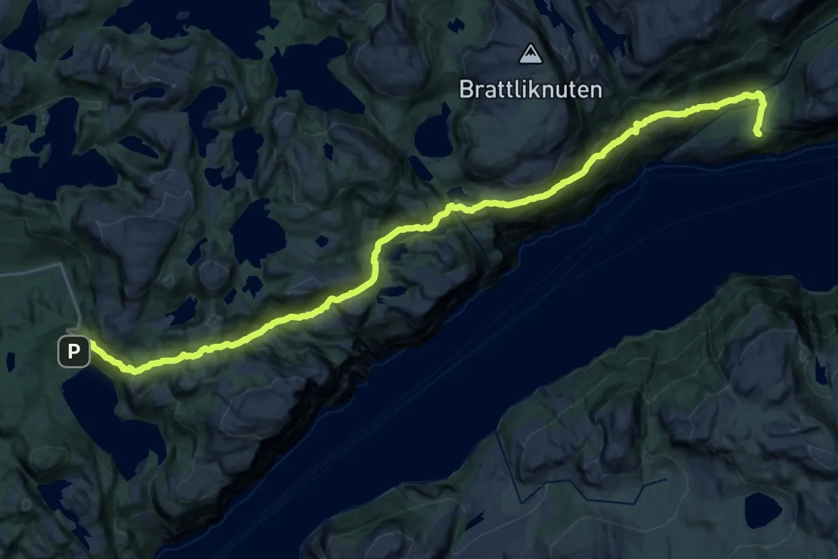
Preikestolen fjellstue – Bakken gård
11.4 km · ↑ 658 m · 4 h 19 min
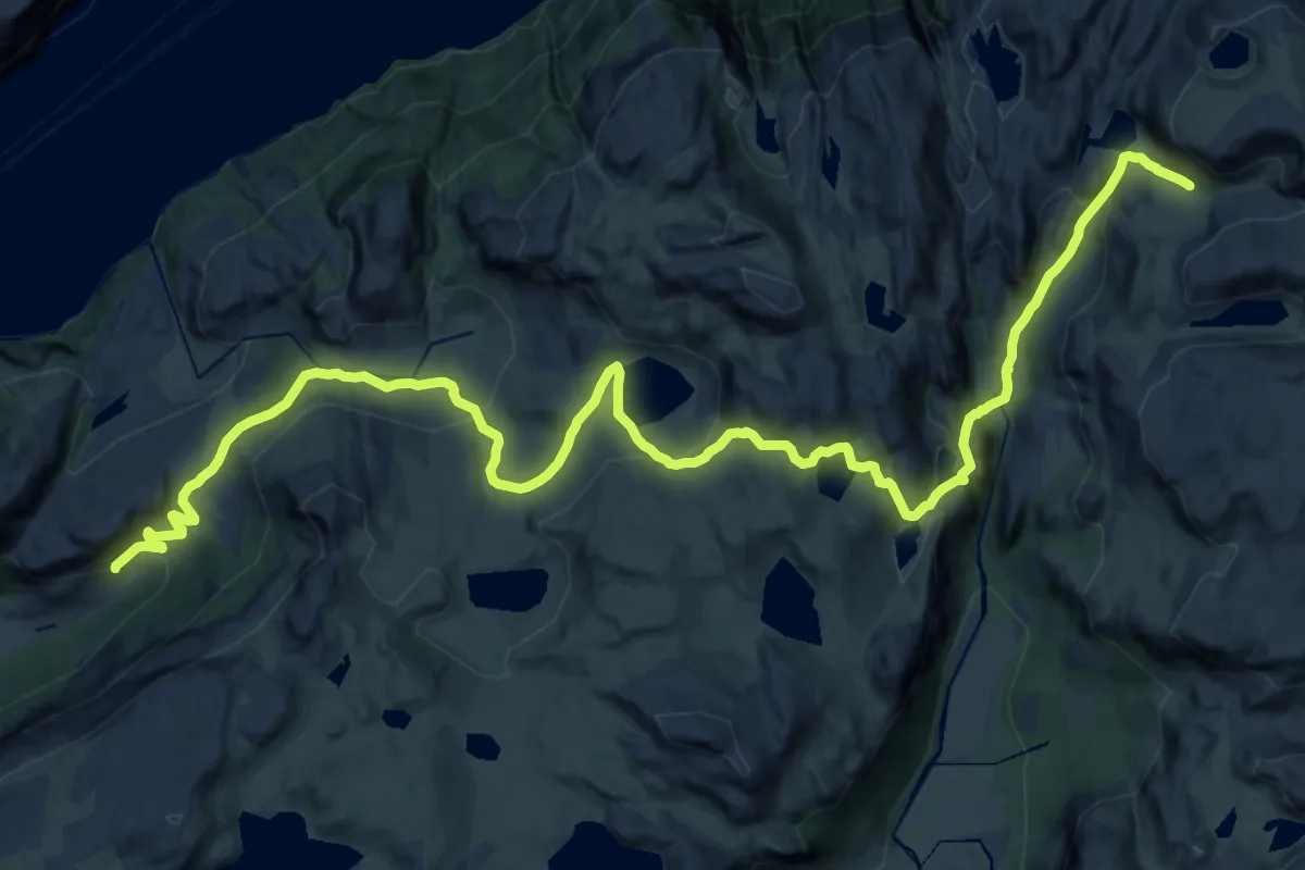
Demanding · Cabin
Skrøyla – Skåpet
24.0 km · ↑ 988 m · 7 h 48 min
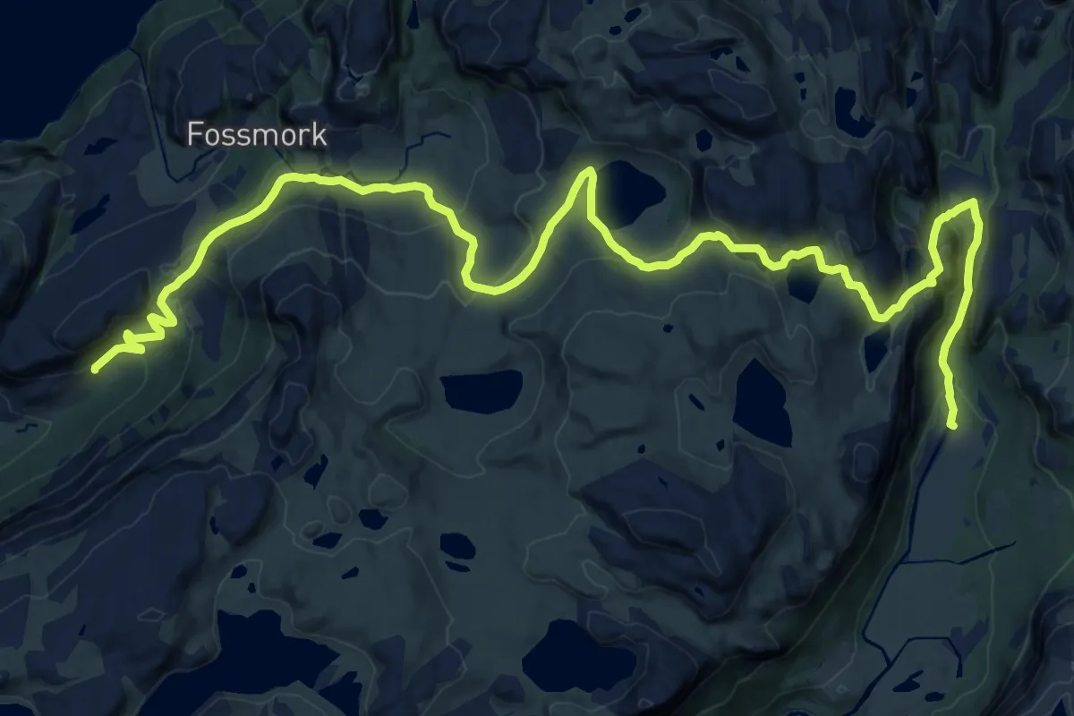
Demanding · Trail
Skrøyla – Vinddalen
22.4 km · ↑ 880 m · 7 h 12 min
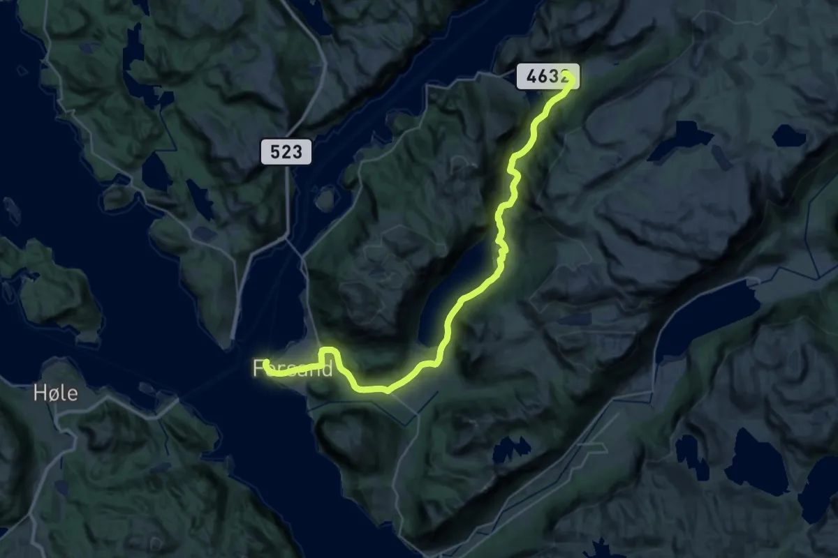
Demanding · Trail
Skrøyla – Landa / Forsand
25.9 km · ↑ 632 m · 7 h 29 min
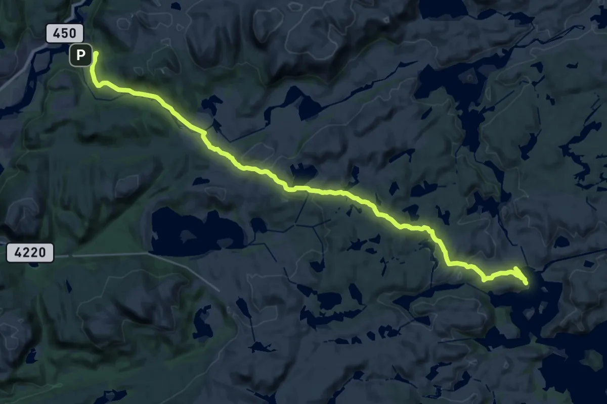
Demanding · Cabin
Høna – Kvinen
24.0 km · ↑ 557 m · 6 h 52 min
Demanding · Cabin
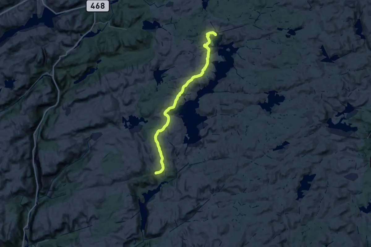
Salmeli – Kvinen
19.4 km · ↑ 901 m · 6 h 43 min
Easy · Trail
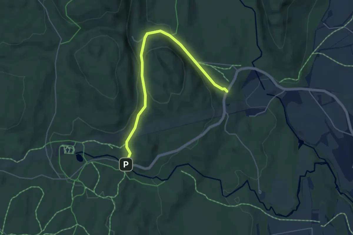
Franskleiv (Vestmarksetra) – Mikkelsbånn
3.4 km · ↑ 108 m · 1 h 2 min
Medium · Cabin
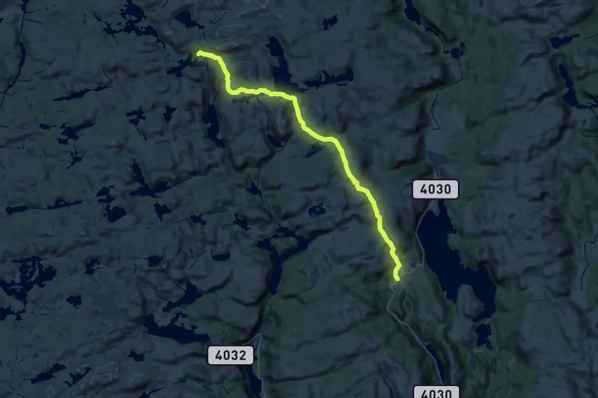
Borteli – Gaukhei
17.7 km · ↑ 655 m · 5 h 42 min
Demanding · Cabin
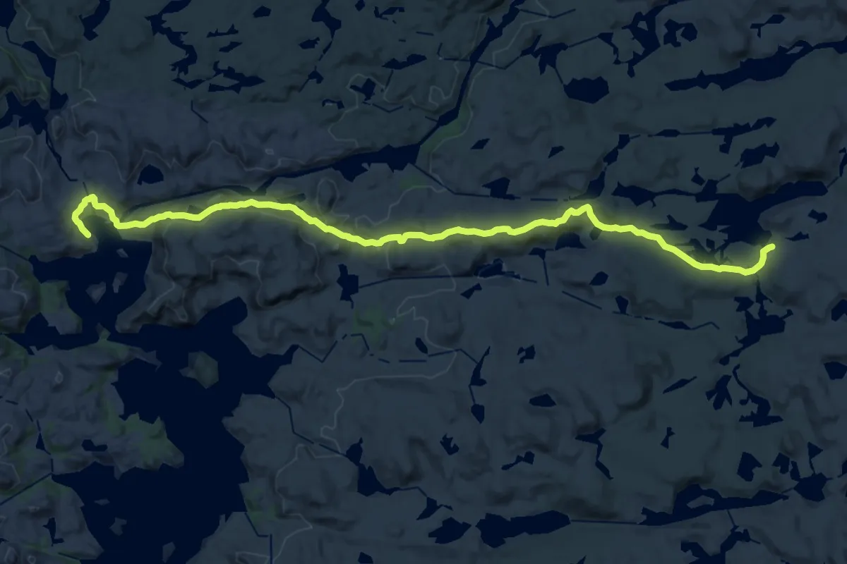
Josephsbu – Kvinen
20.0 km · ↑ 552 m · 5 h 55 min
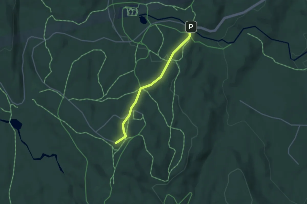
Easy · Trail
Franskleiv (Vestmarksetra) – Gupu
2.0 km · ↑ 71 m · 38 min
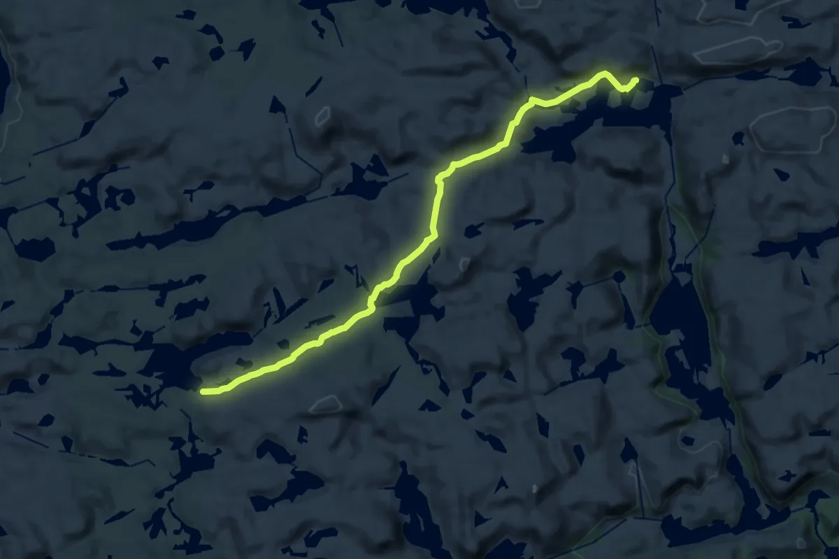
Medium · Cabin
Josephsbu – Gaukhei
16.4 km · ↑ 387 m · 4 h 43 min
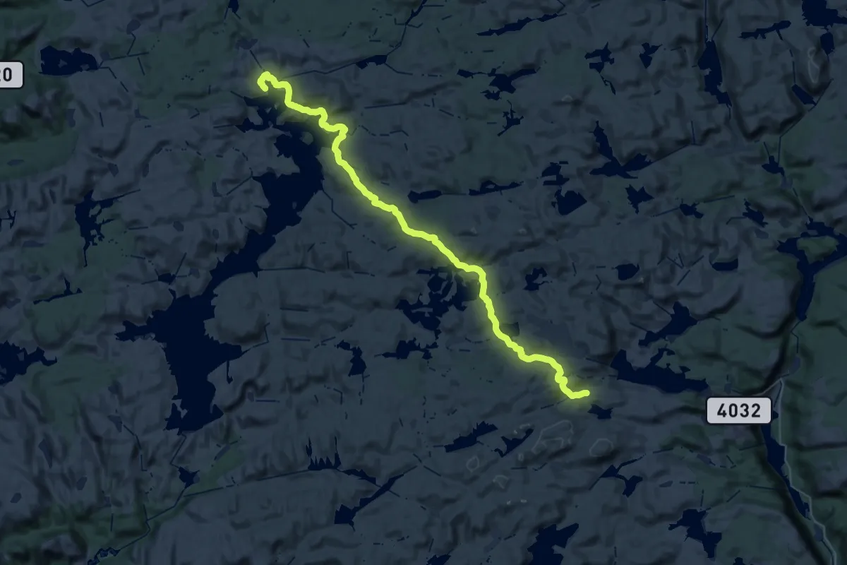
Demanding · Cabin
Lakkenstova – Kvinen
19.0 km · ↑ 506 m · 5 h 54 min
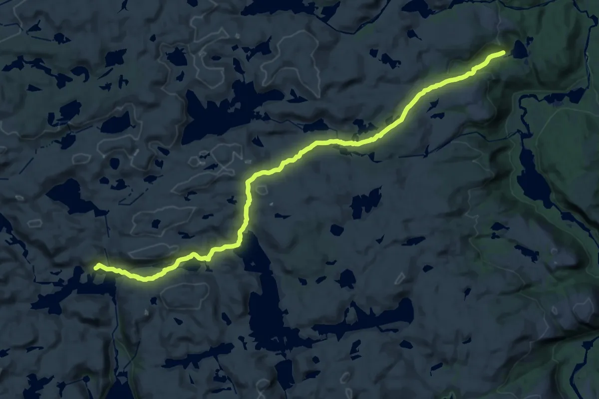
Demanding · Cabin
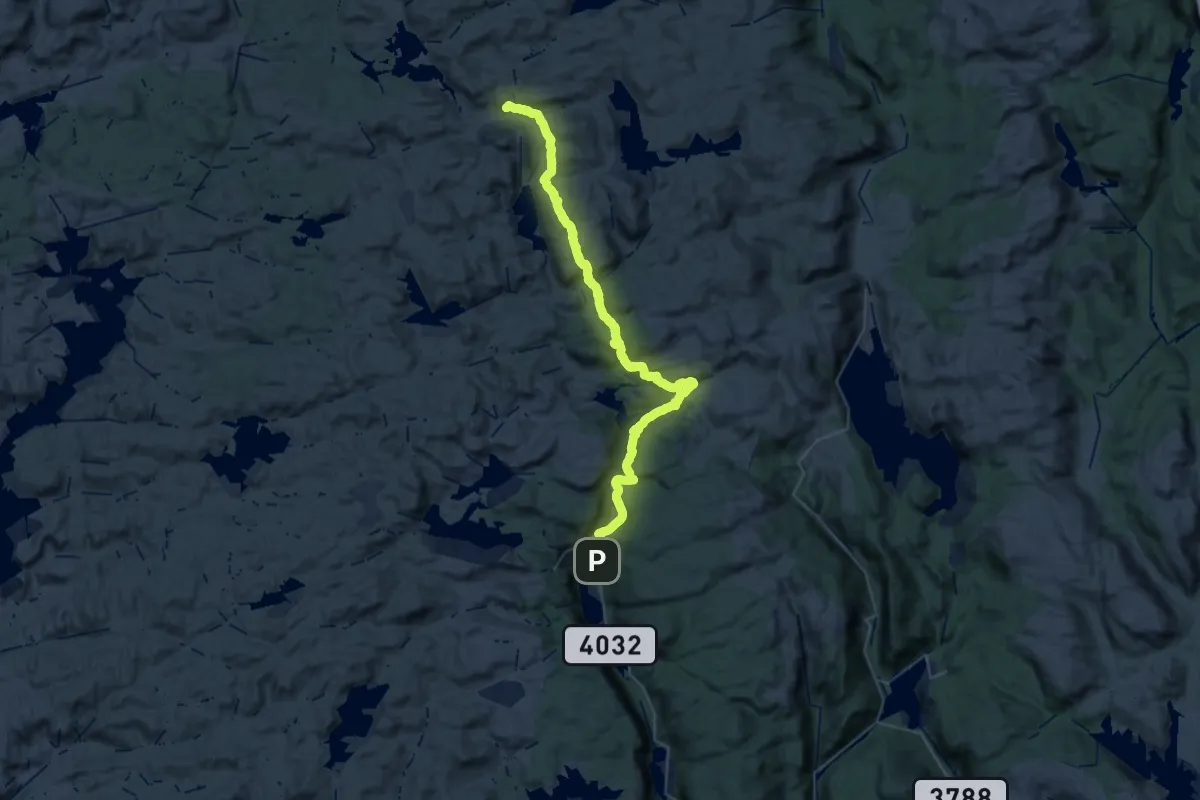
Gaukhei – Tjønndalen
25.5 km · ↑ 649 m · 7 h 26 min
Demanding · Cabin
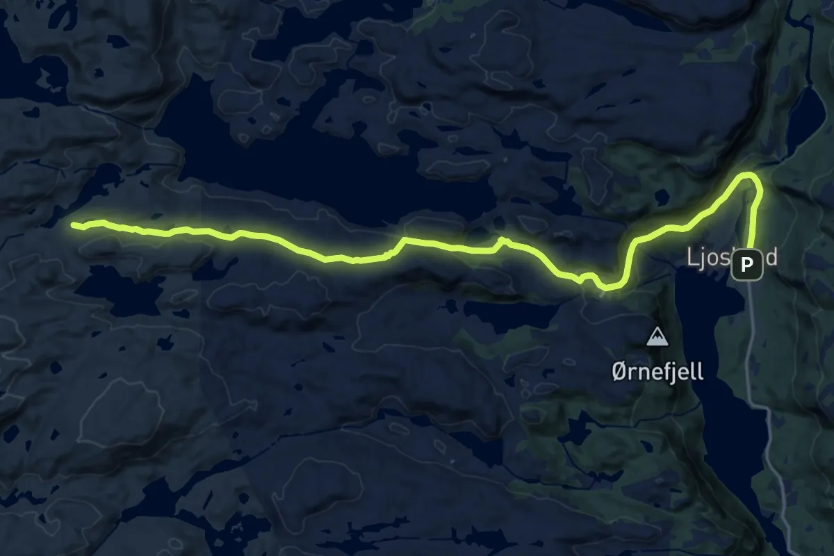
Ljosland – Gaukhei
21.7 km · ↑ 768 m · 6 h 55 min
Medium · Cabin
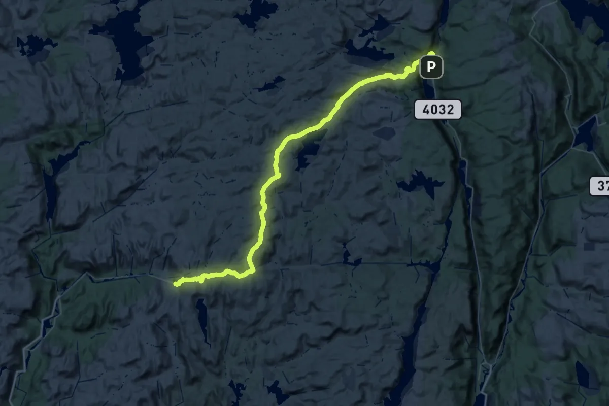
Ljosland – Lakkenstova
16.5 km · ↑ 473 m · 4 h 55 min
Demanding · Trail
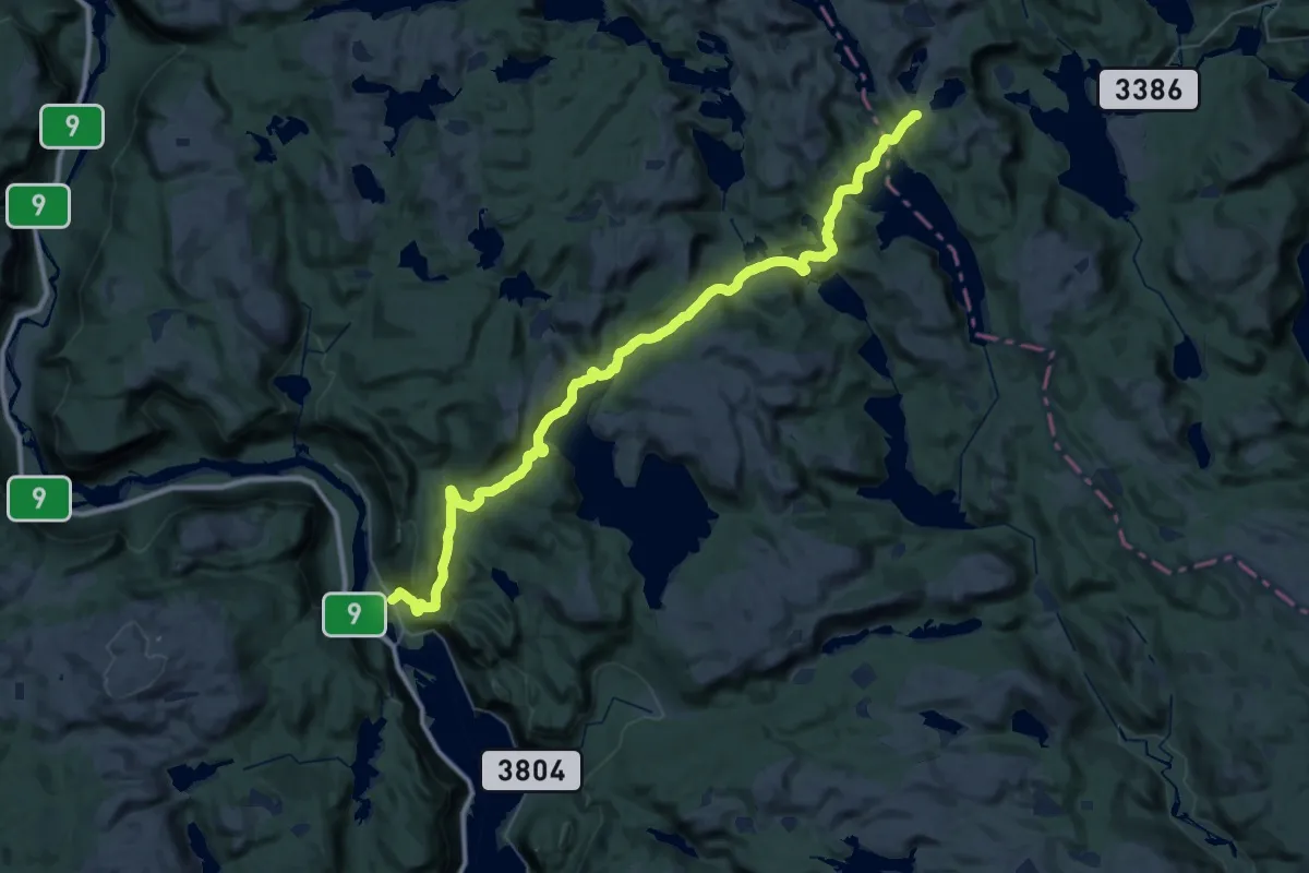
Ljosland – Knaben
28.5 km · ↑ 803 m · 8 h 49 min
Demanding · Trail
Kvipt – Hovatn (lake)
20.6 km · ↑ 974 m · 6 h 59 min
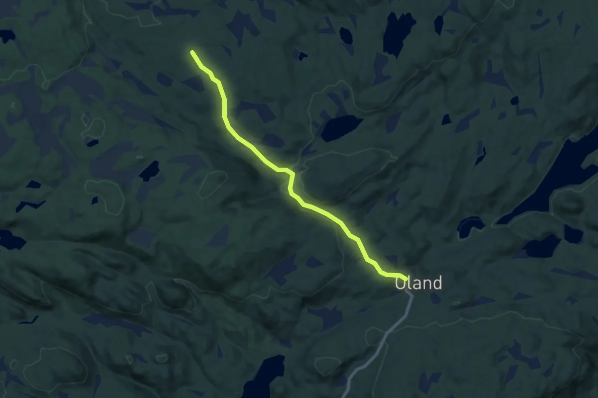
Easy · Cabin
Oland – Olandsbu
5.2 km · ↑ 129 m · 1 h 31 min
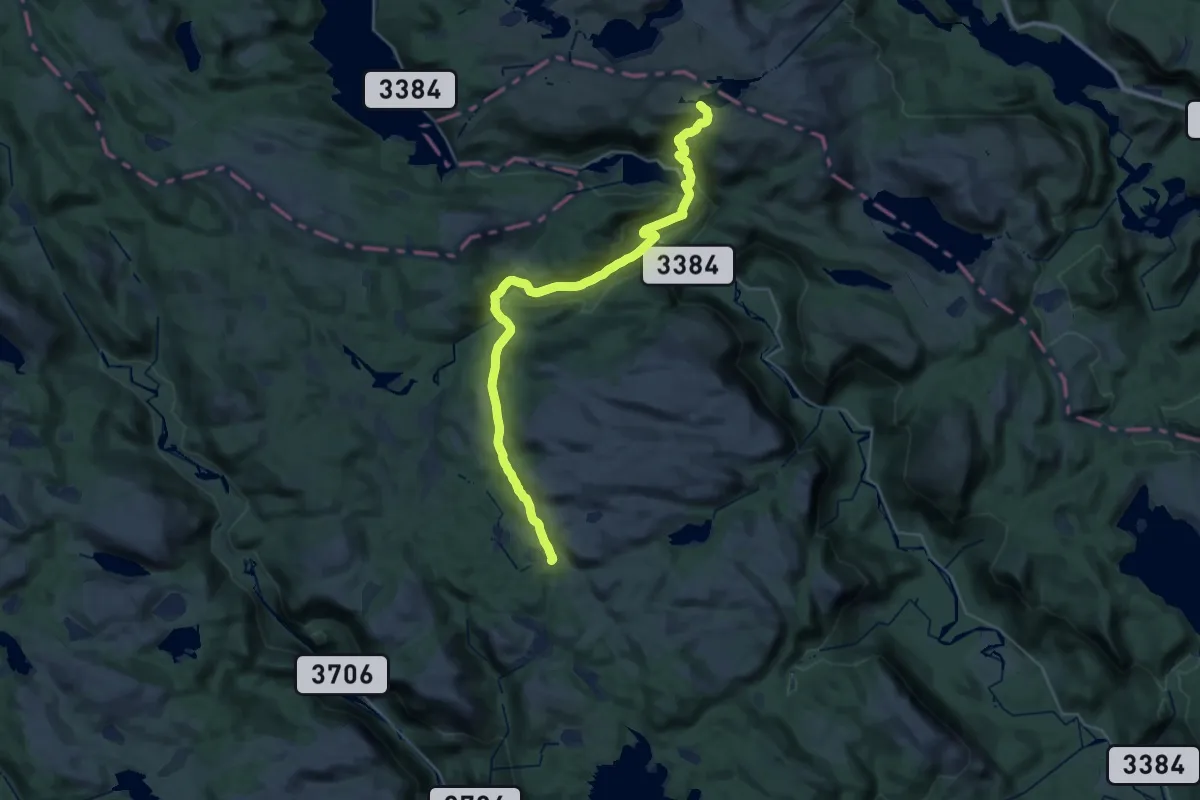
Medium · Cabin
Mjåvasshytta – Grunnetjørnsbu
14.1 km · ↑ 490 m · 4 h 38 min
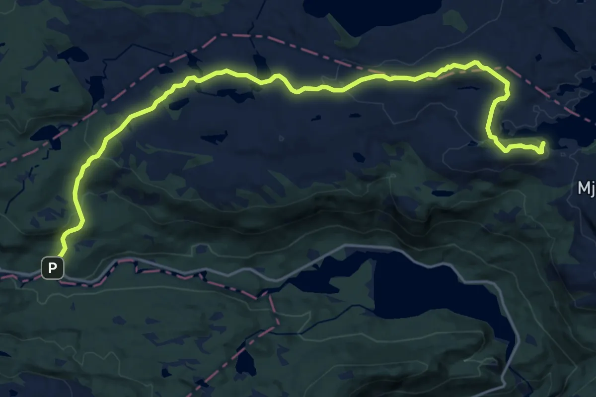
Medium · Cabin
Mjåvasshytta – Vindilhytta
13.8 km · ↑ 499 m · 4 h 20 min
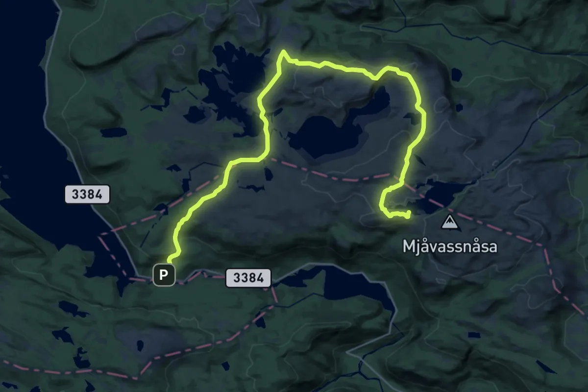
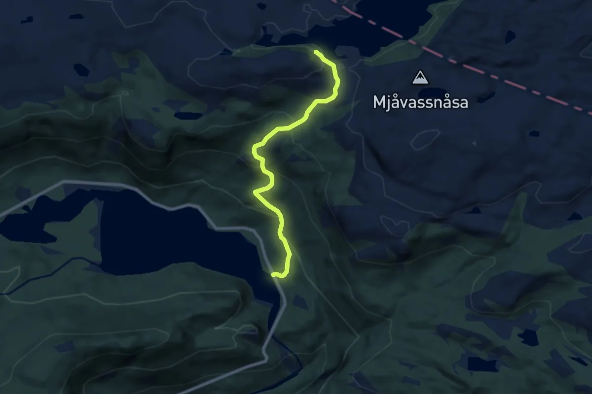
Demanding · Cabin
Mjåvasshytta – Vindilhytta
23.2 km · ↑ 817 m · 7 h 15 min
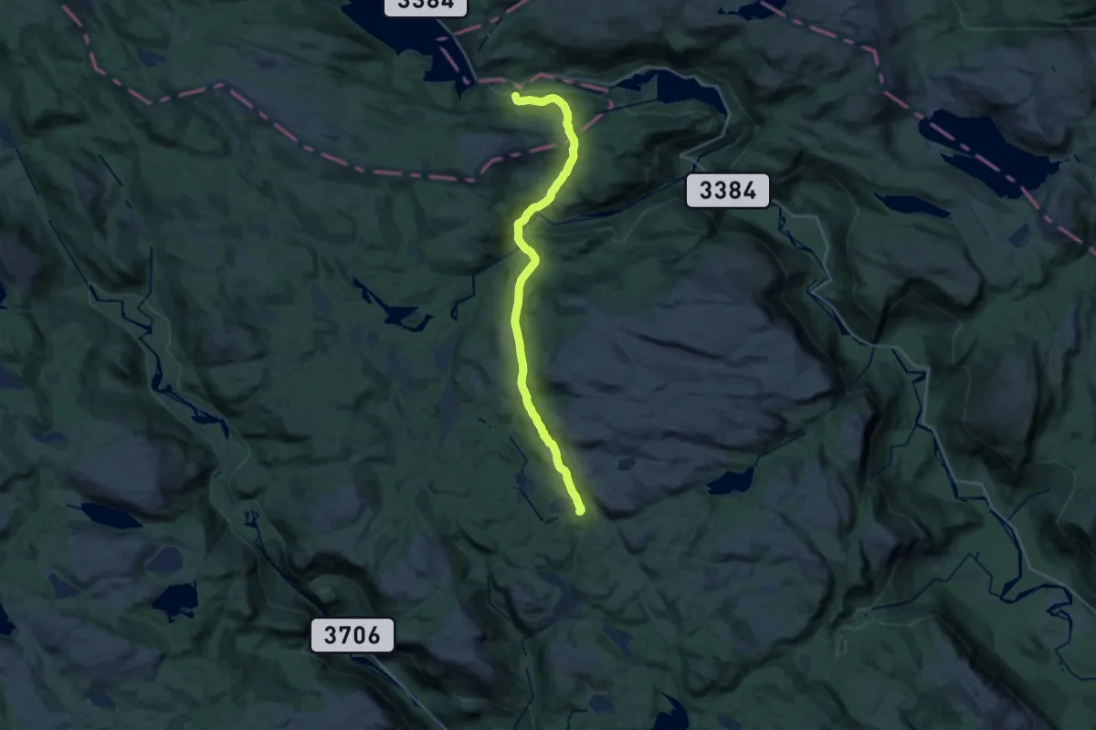
Medium · Cabin
Mjåvasshytta – Gjevdeli
4.8 km · ↑ 354 m · 1 h 54 min
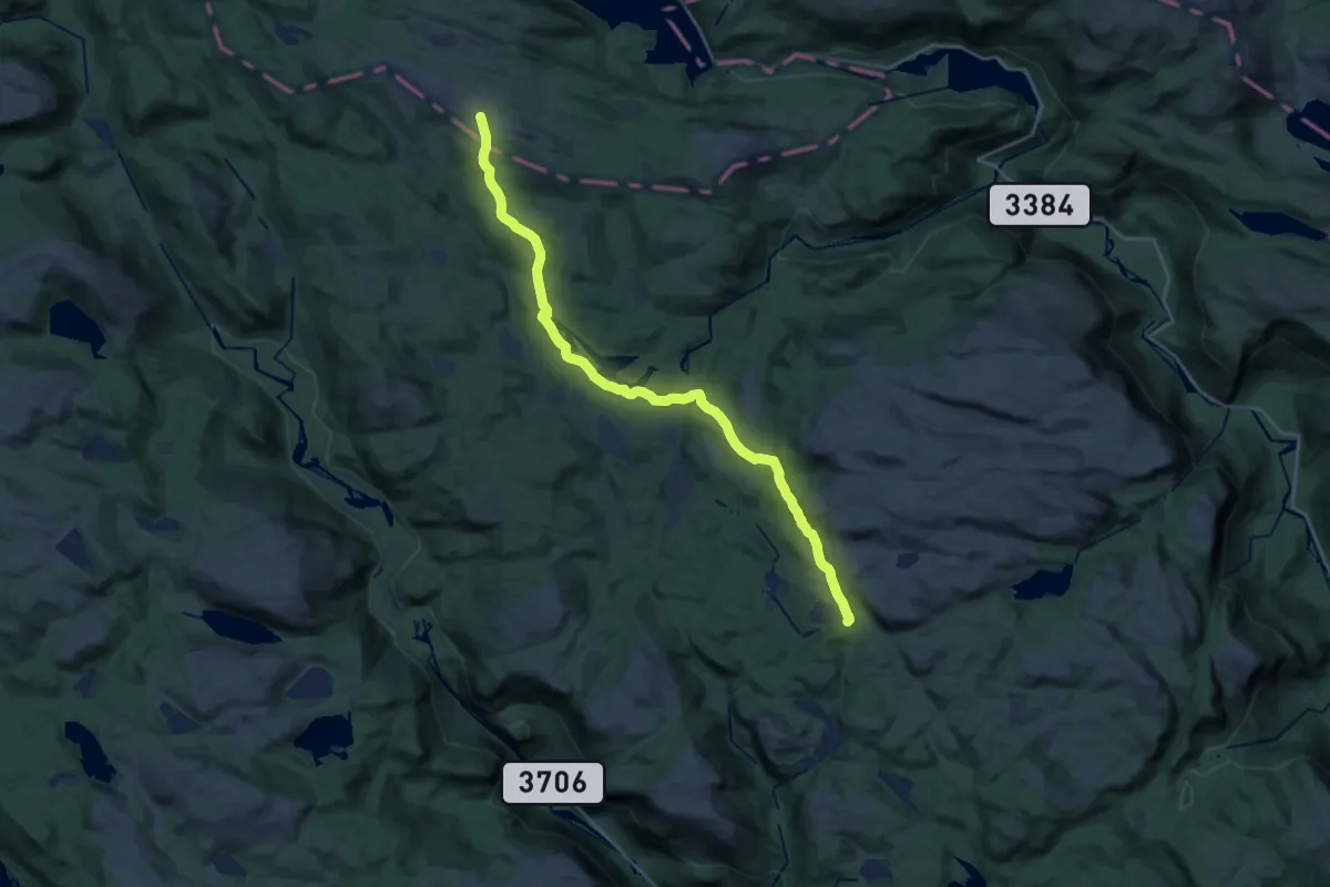
Demanding · Cabin
Vindilhytta – Grunnetjørnsbu
19.5 km · ↑ 632 m · 5 h 58 min
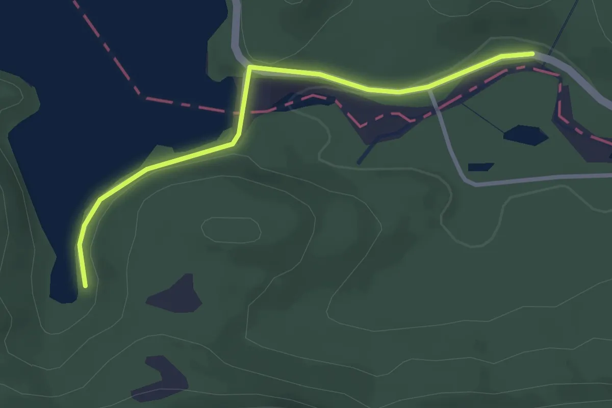
Demanding · Cabin
Granbustøyl – Grunnetjørnsbu
21.0 km · ↑ 639 m · 6 h 20 min
Easy · Trail
Granbustøyl – Vindilhytta
2.0 km · ↑ 36 m · 34 min
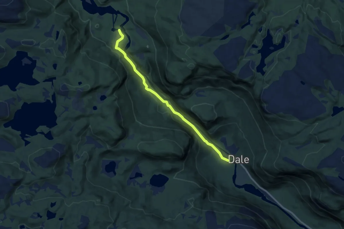
Easy · Trail
Dale – Granbustøyl
6.0 km · ↑ 182 m · 1 h 49 min
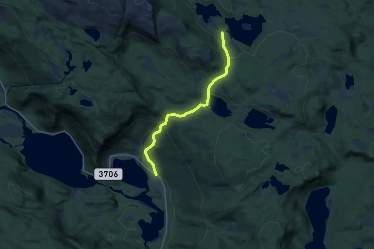
Medium · Cabin
Skarsvassbu – Øvre Ramse
8.8 km · ↑ 466 m · 3 h 5 min
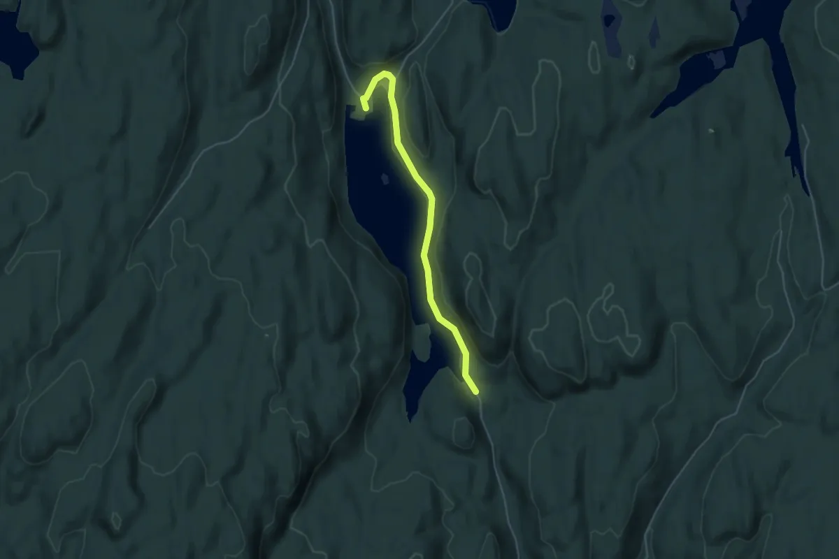
Easy · Cabin
Trollvannstua – Trollvann
3.1 km · ↑ 18 m · 46 min
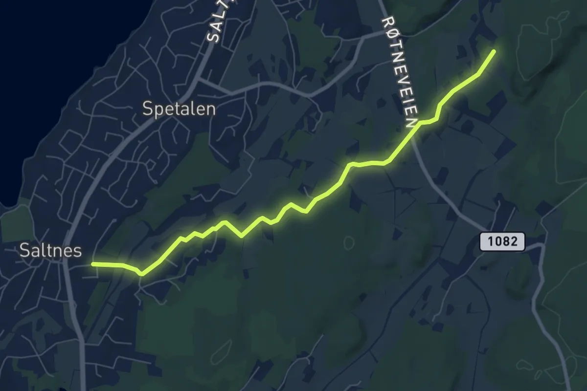
Easy · Trail
Saltholmen – Rørfjell
5.7 km · ↑ 62 m · 1 h 29 min
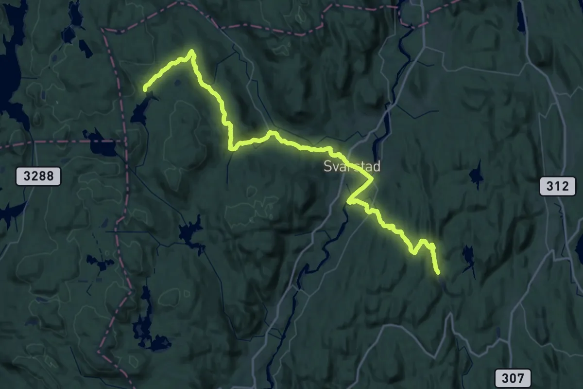
Demanding · Cabin
Trollvannstua – Presteseter
25.4 km · ↑ 678 m · 7 h 40 min
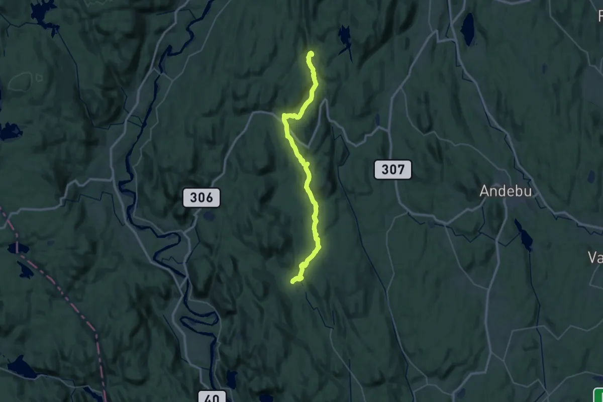
Demanding · Cabin
Trollvannstua – Heinsetra
25.9 km · ↑ 647 m · 7 h 31 min
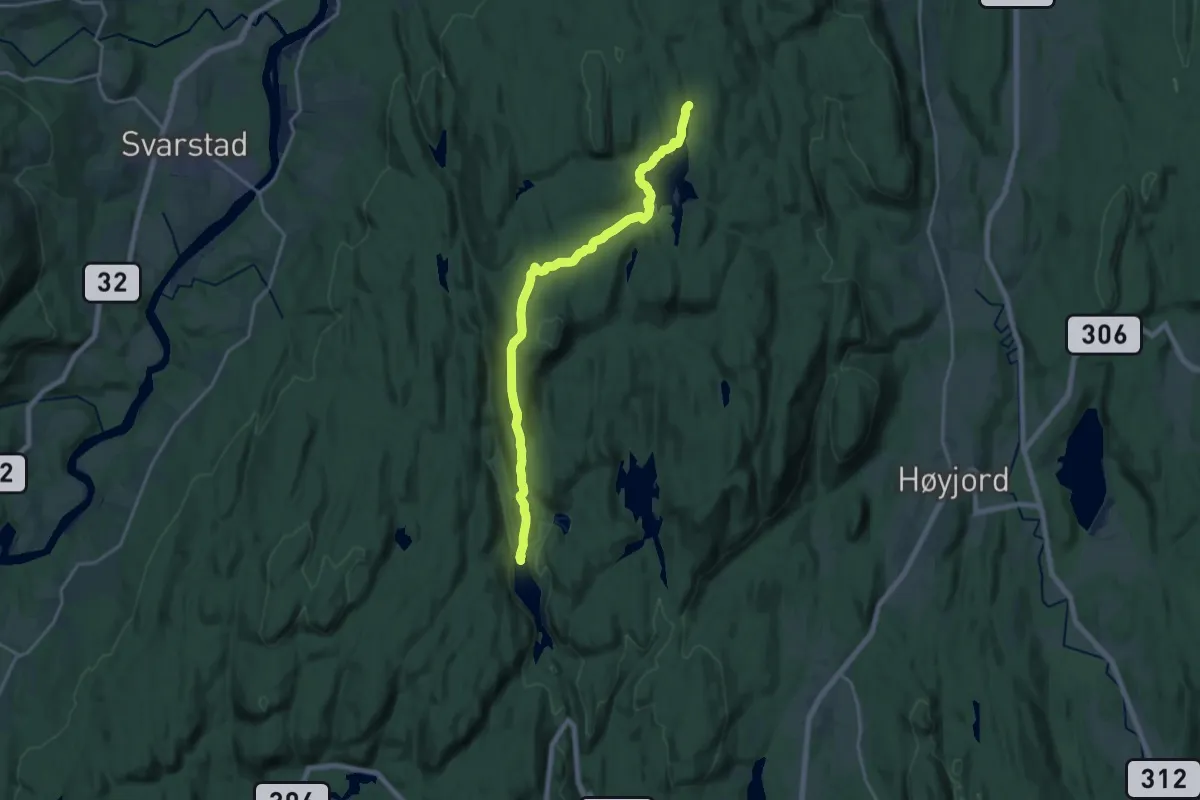
Medium · Cabin
Trollvannstua – Merkedammen
13.8 km · ↑ 294 m · 3 h 54 min
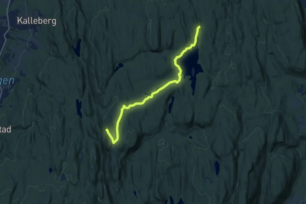
Medium · Cabin
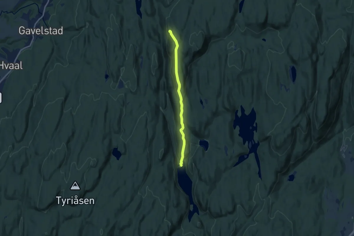
Merkedammen – Merkedammen
9.3 km · ↑ 134 m · 2 h 29 min
Easy · Cabin
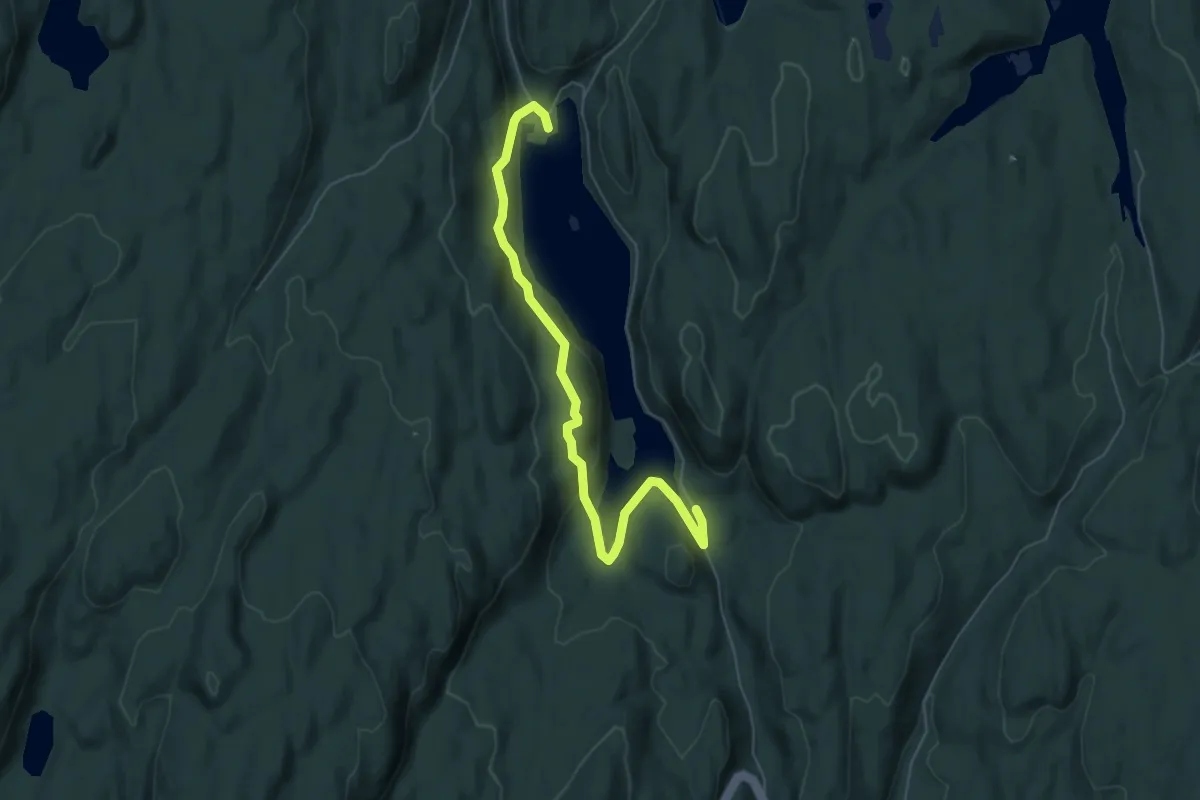
Trollvannstua – Merkedammen
6.1 km · ↑ 269 m · 2 h 1 min
Easy · Cabin
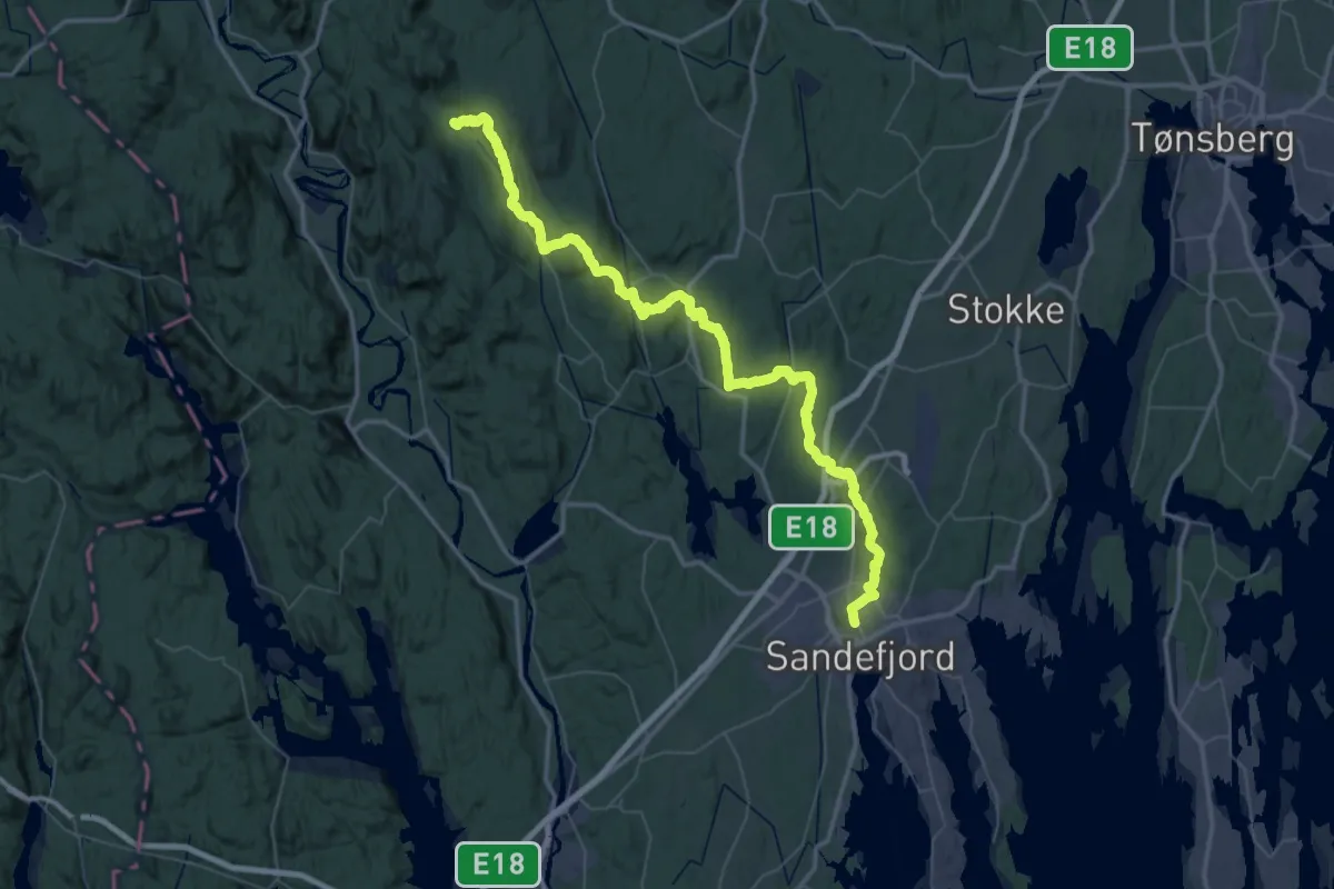
Trollvannstua – Trollvann
4.4 km · ↑ 155 m · 1 h 22 min
Demanding · Cabin
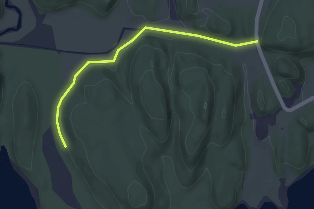
Sandefjord – Heisetra
28.2 km · ↑ 601 m · 8 h 20 min
Easy · Trail
Vaggestad – Matskapet gapahuk
2.9 km · ↑ 25 m · 44 min
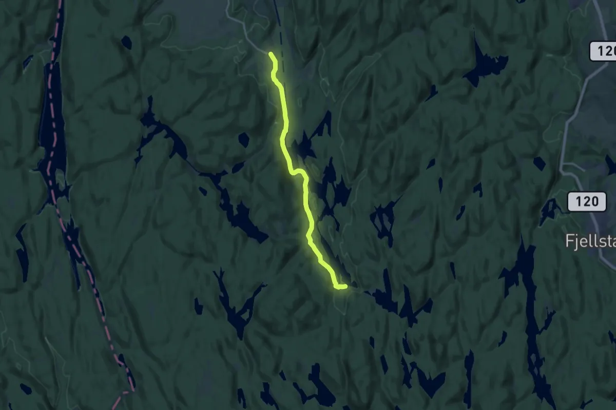
Medium · Cabin
Losby – Røyrivannskoia
10.6 km · ↑ 111 m · 2 h 44 min
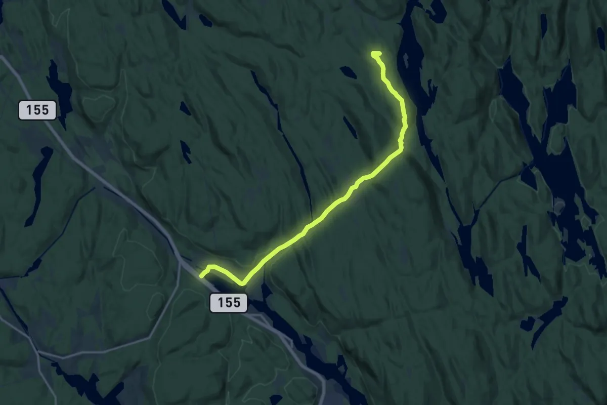
Medium · Trail
Fjell – Vangen
11.1 km · ↑ 220 m · 3 h 6 min
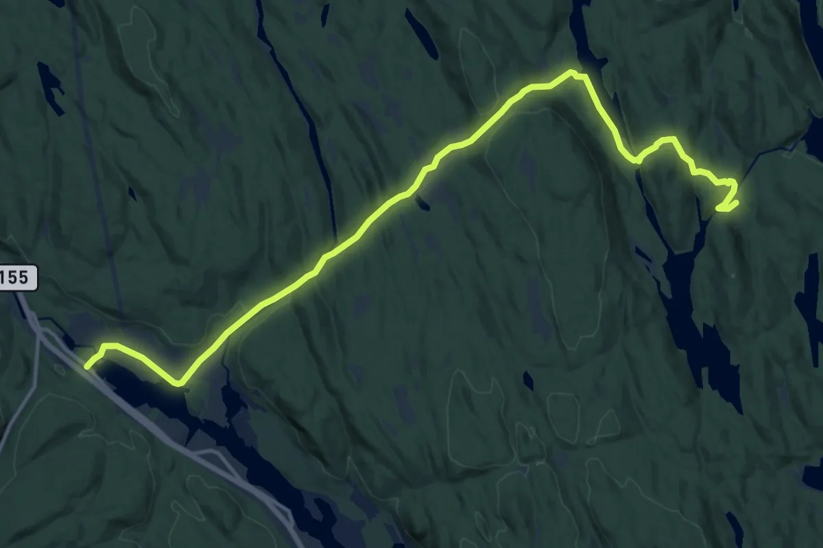
Medium · Cabin
Fjell – Øvresaga
12.2 km · ↑ 287 m · 3 h 30 min
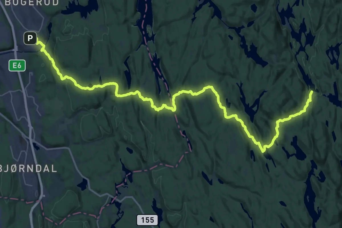
Medium · Cabin
Skullerud T – Røyrivannskoia
15.8 km · ↑ 356 m · 4 h 42 min