Trails in Norway
7,452 hiking trails, each with its route, climb, walking time and grade.
All trails, page 123 of 156
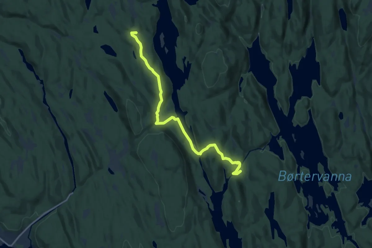
Easy · Cabin
Vangen – Øvresaga
8.0 km · ↑ 222 m · 2 h 22 min
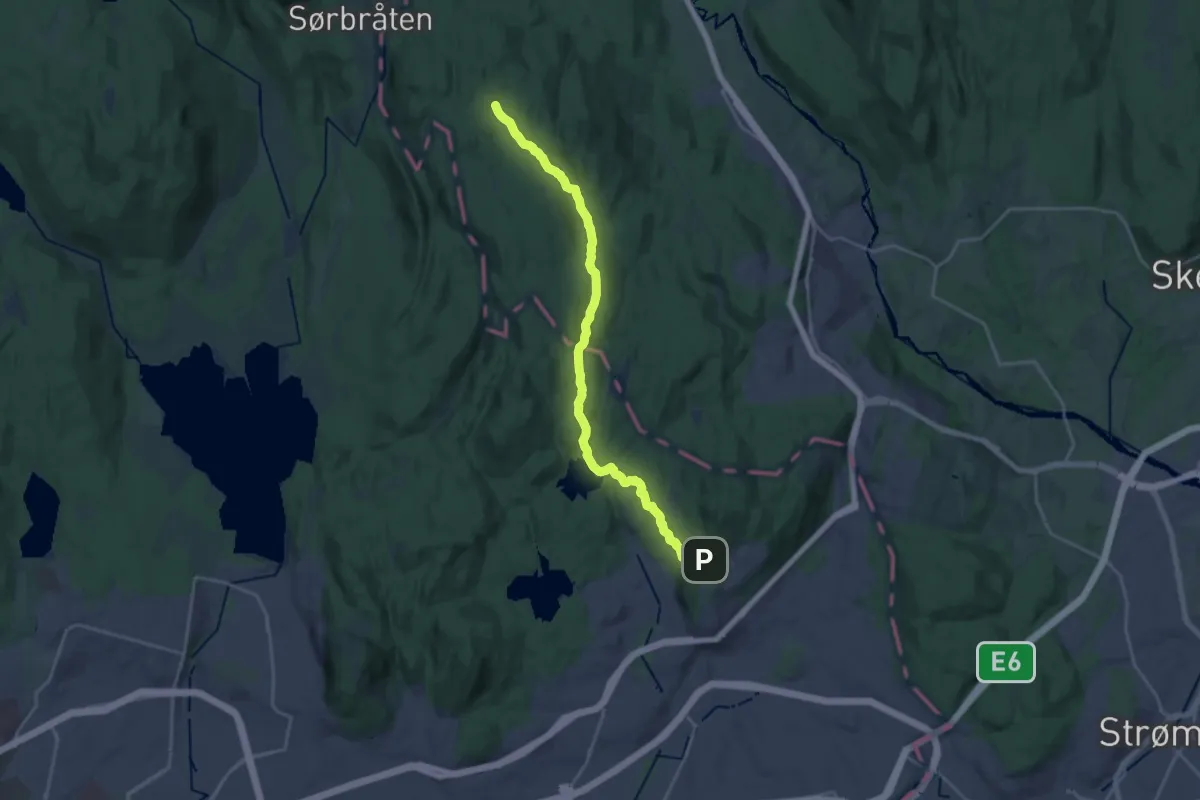
Medium · Cabin
Grorud – Sinober
16.4 km · ↑ 328 m · 4 h 35 min
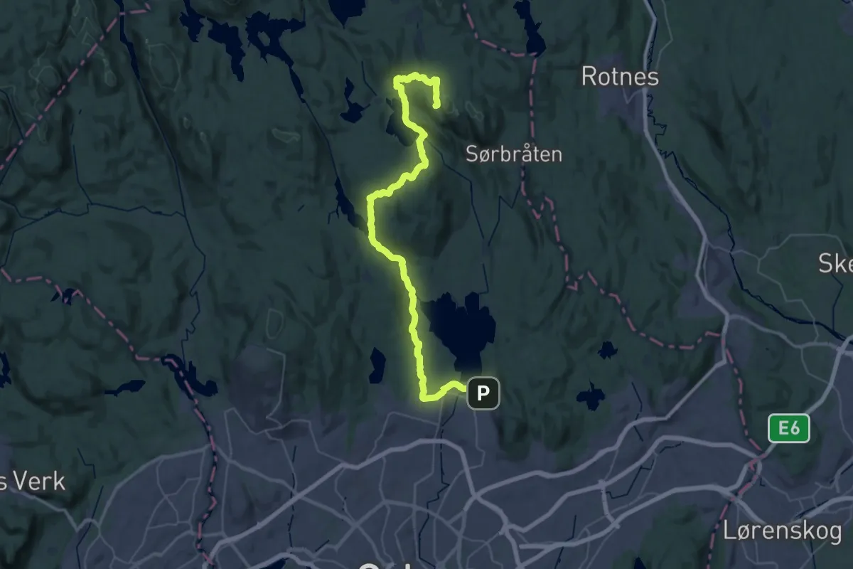
Demanding · Summit
Kjelsås – Tomtehytta
36.6 km · ↑ 855 m · 10 h 29 min
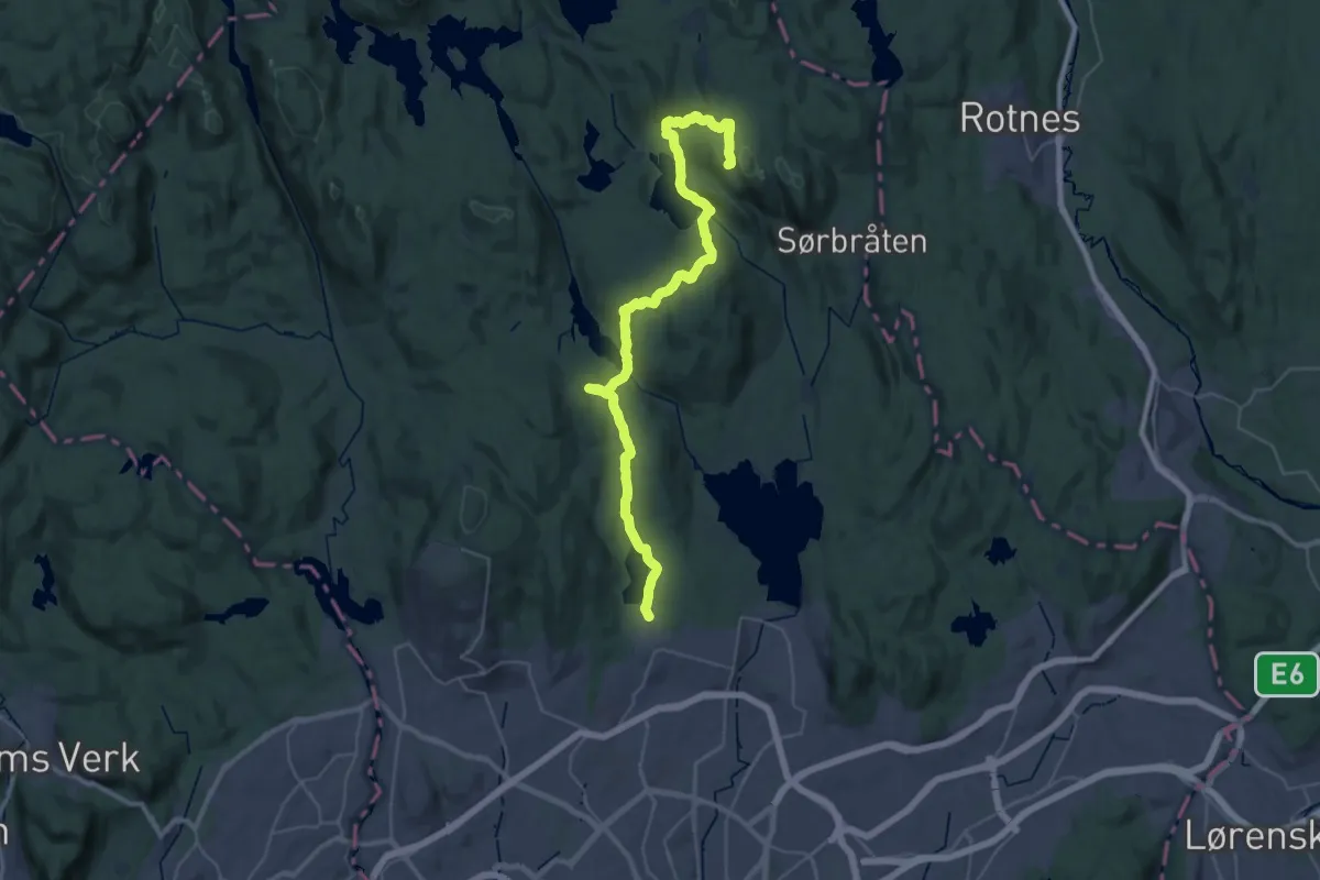
Demanding · Summit
Sognsvann – Tomtehytta
32.0 km · ↑ 810 m · 9 h 18 min
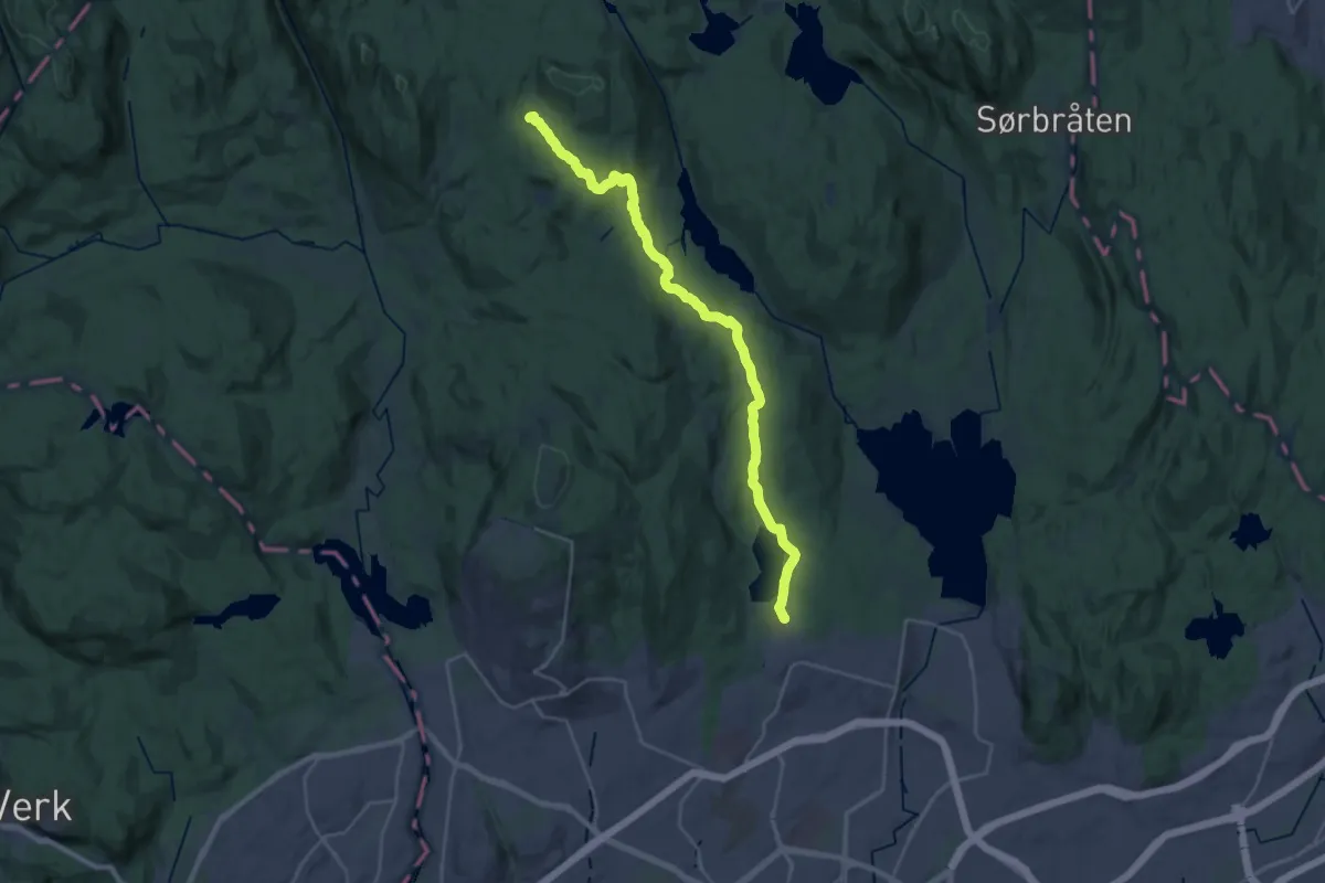
Demanding · Trail
Sognsvann – Kobberhaughytta
21.1 km · ↑ 409 m · 5 h 52 min
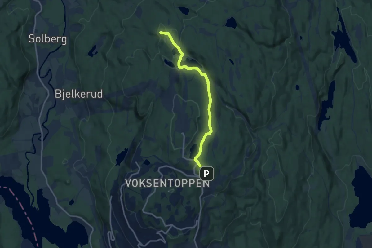
Easy · Summit
Frognerseteren – Kobberhaughytta
7.0 km · ↑ 149 m · 1 h 58 min
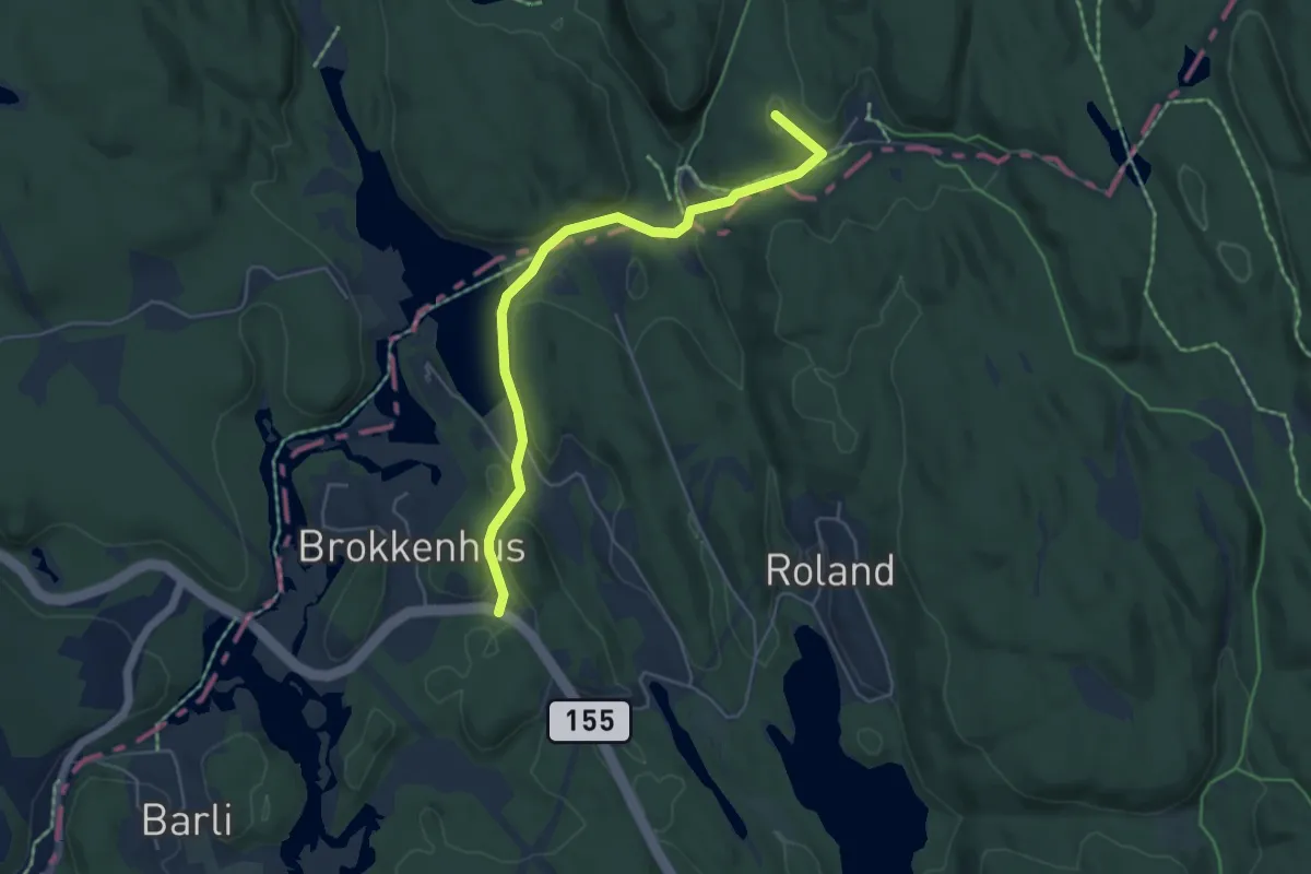
Easy · Summit
Brokkenhus – Sandbakken
3.7 km · ↑ 68 m · 1 h 1 min
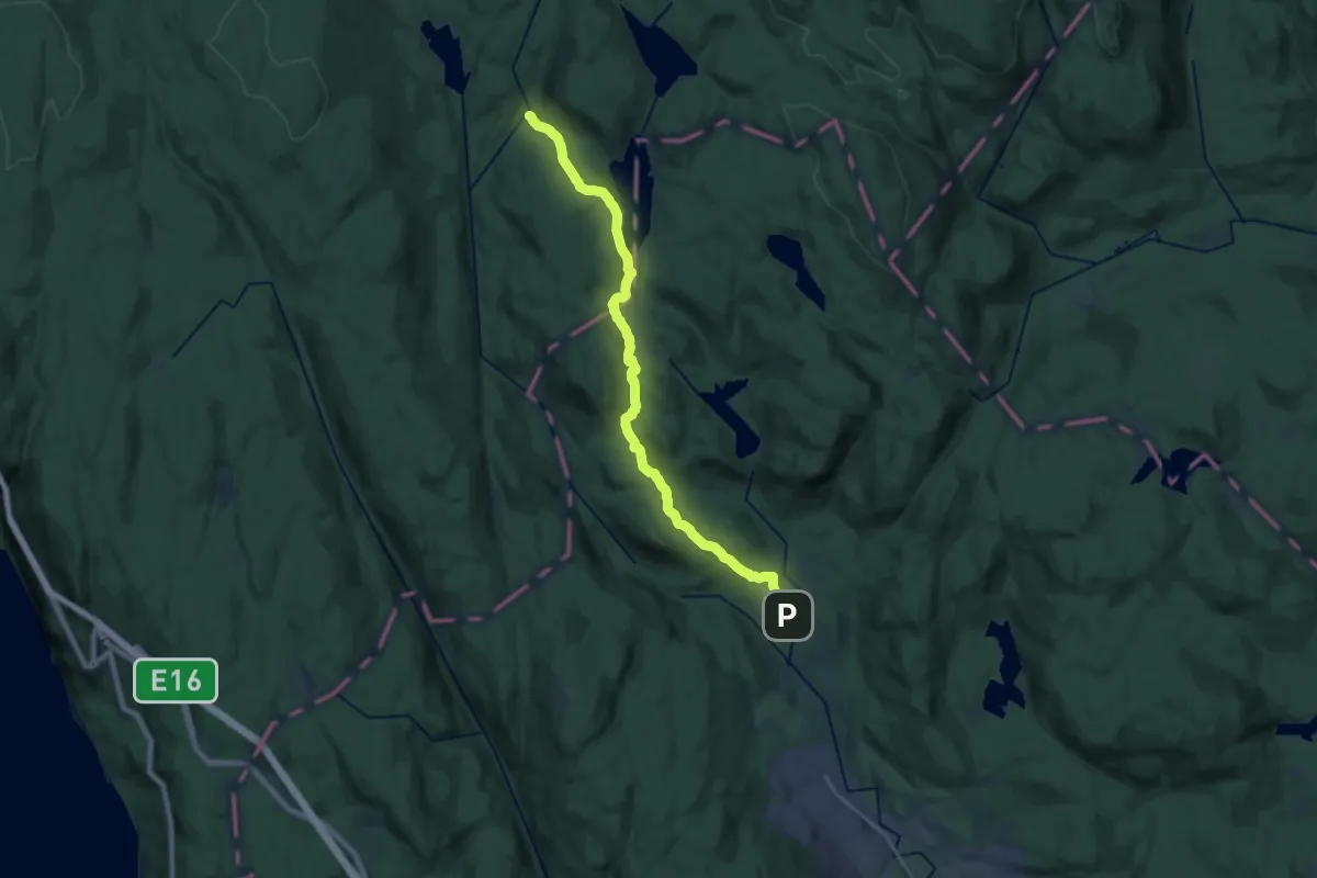
Medium · Cabin
By – Myrsetra
15.8 km · ↑ 395 m · 4 h 35 min
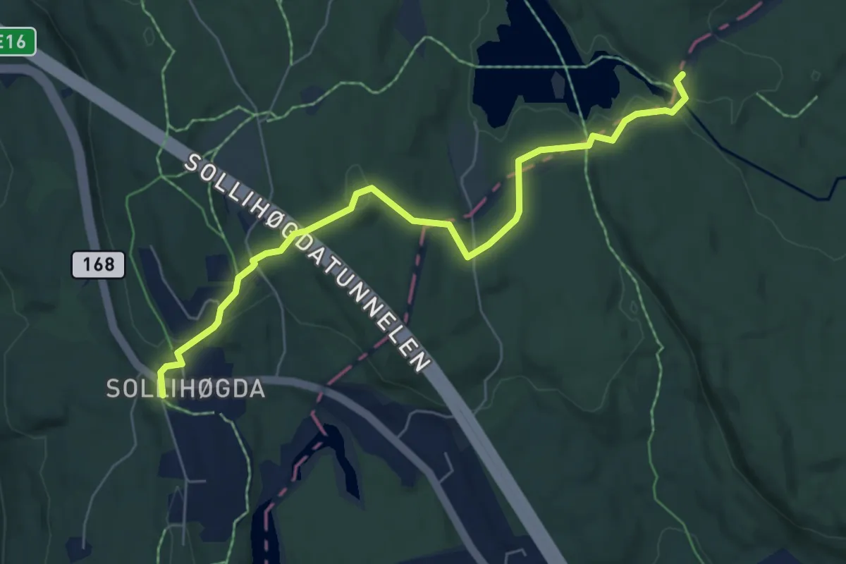
Easy · Cabin
Sollihøgda – Mustadkroken
4.7 km · ↑ 124 m · 1 h 22 min
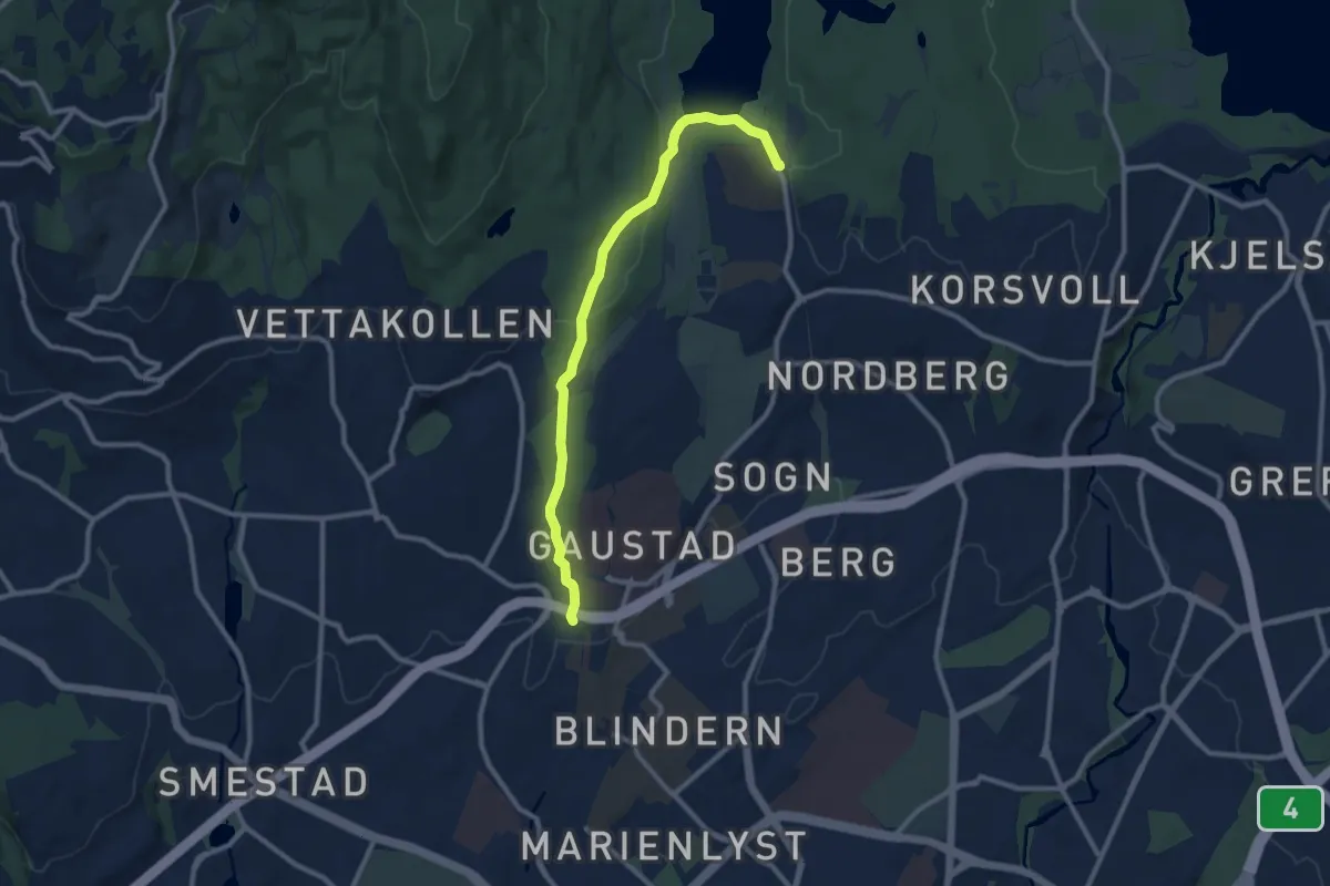
Easy · Trail
Sognsvann – Gaustad
7.3 km · ↑ 163 m · 2 h 4 min
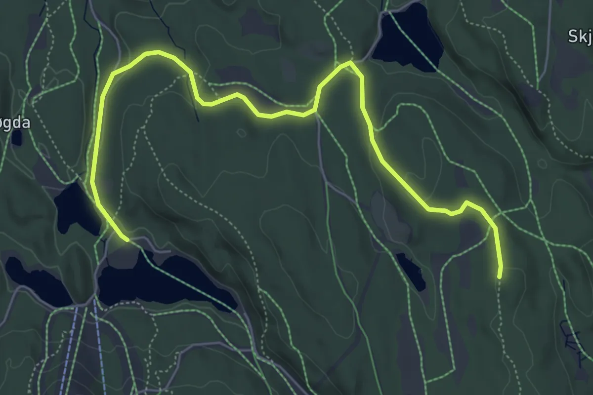
Easy · Trail
Tryvannstua – Skjennungstua
4.9 km · ↑ 81 m · 1 h 20 min
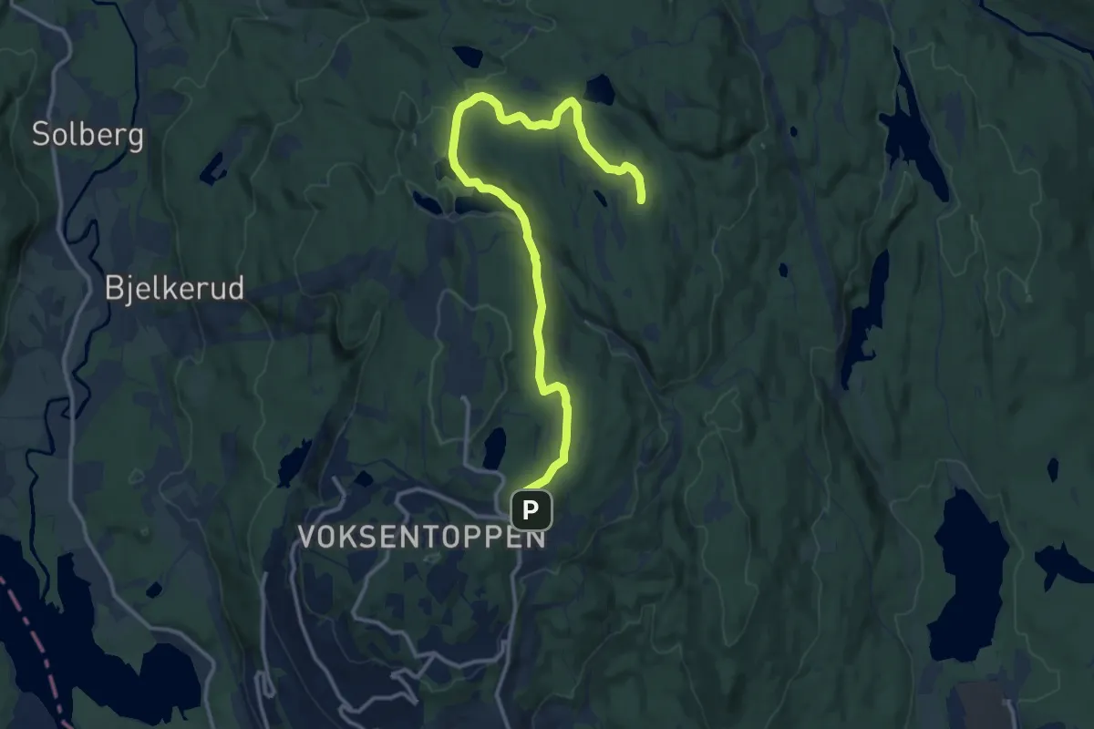
Medium · Trail
Frognerseteren – Skjennungstua
10.4 km · ↑ 191 m · 2 h 53 min
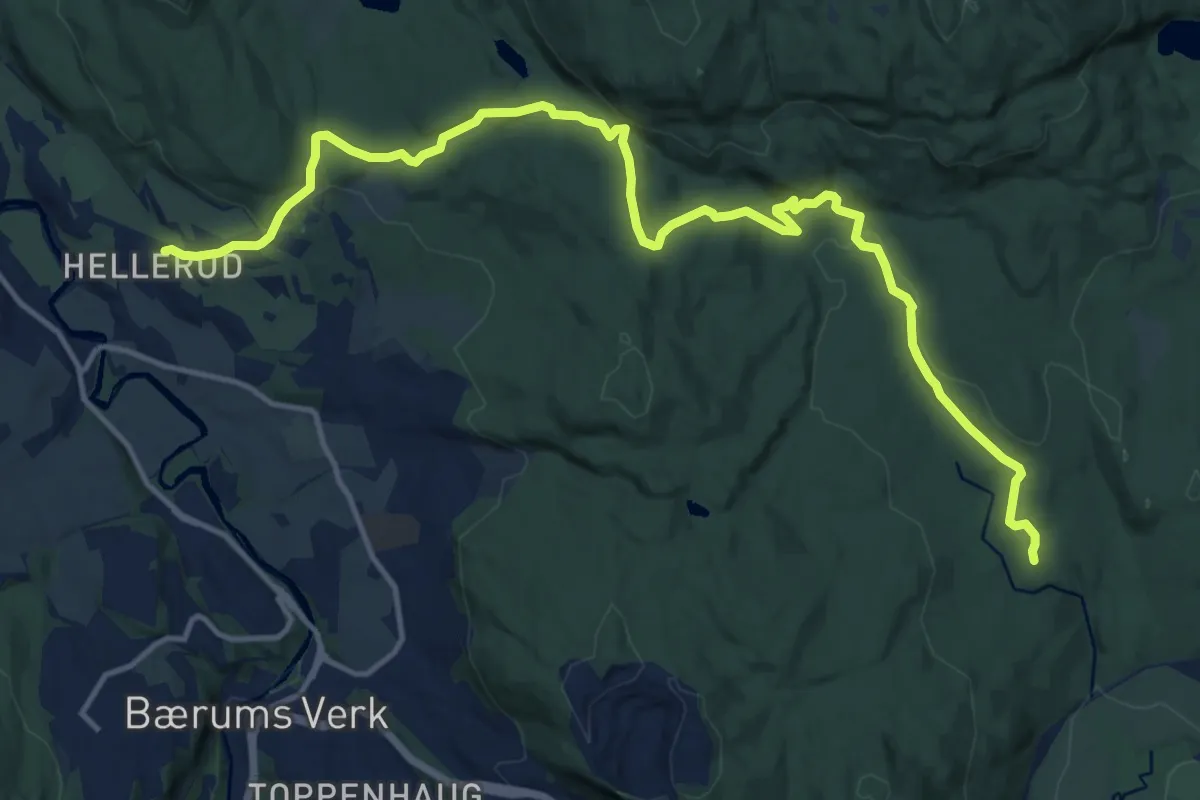
Medium · Cabin
Burud – Sæteren
12.3 km · ↑ 324 m · 3 h 37 min
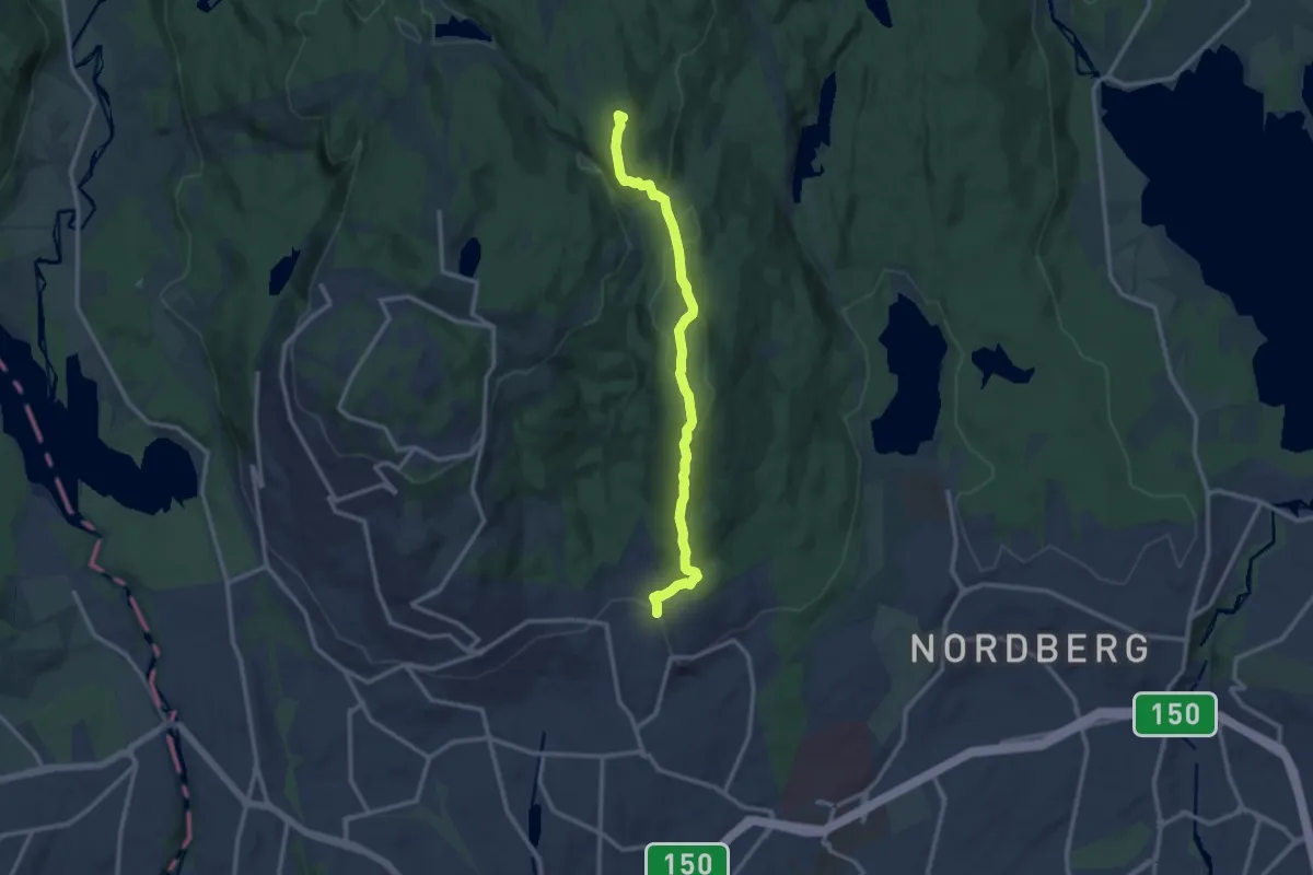
Medium · Summit
Skjennungstua – Vettakkollen stasjon
8.5 km · ↑ 338 m · 2 h 45 min
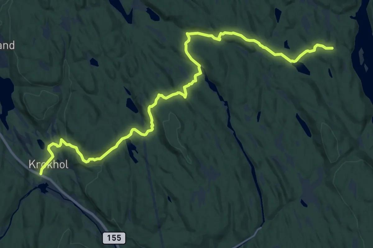
Medium · Trail
Krokhol – Vangen
14.0 km · ↑ 372 m · 4 h 7 min
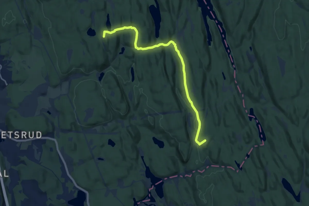
Medium · Summit
Østmarkskapellet – Sandbakken
8.4 km · ↑ 214 m · 2 h 27 min
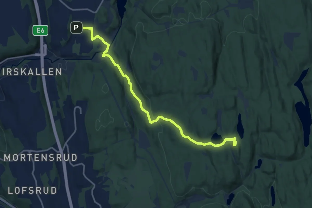
Easy · Cabin
Skullerud T – Østmarkskapellet
7.8 km · ↑ 165 m · 2 h 12 min
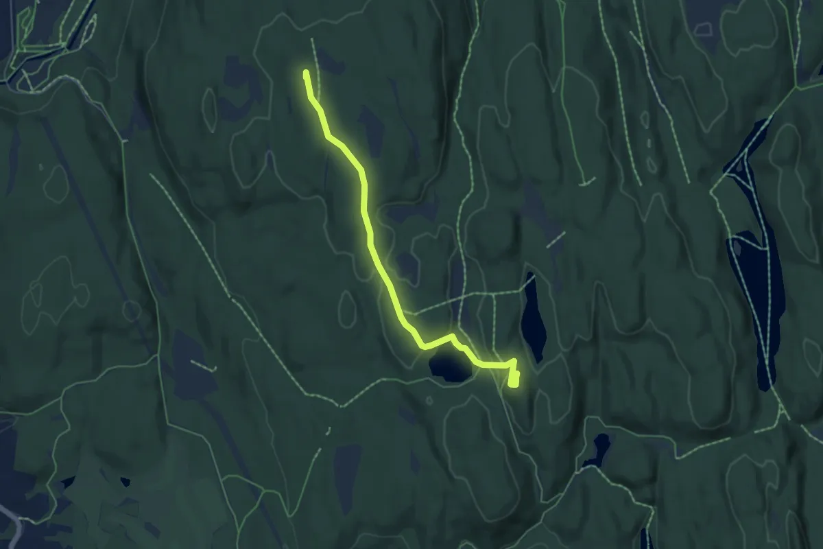
Easy · Summit
Rustadsaga – Østmarkskapellet
4.0 km · ↑ 60 m · 1 h 4 min
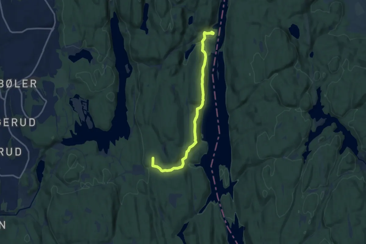
Easy · Summit
Rustadsaga – Mariholtet
7.3 km · ↑ 211 m · 2 h 11 min
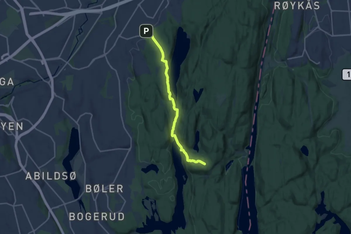
Medium · Summit
Haugerud – Mariholtet
8.7 km · ↑ 326 m · 2 h 46 min
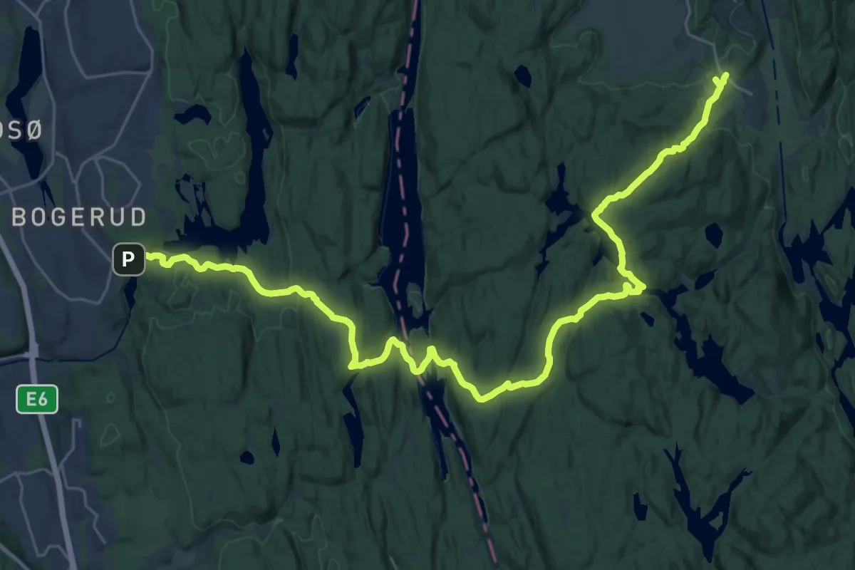
Demanding · Trail
Losby – Rustadsaga
25.5 km · ↑ 581 m · 7 h 17 min
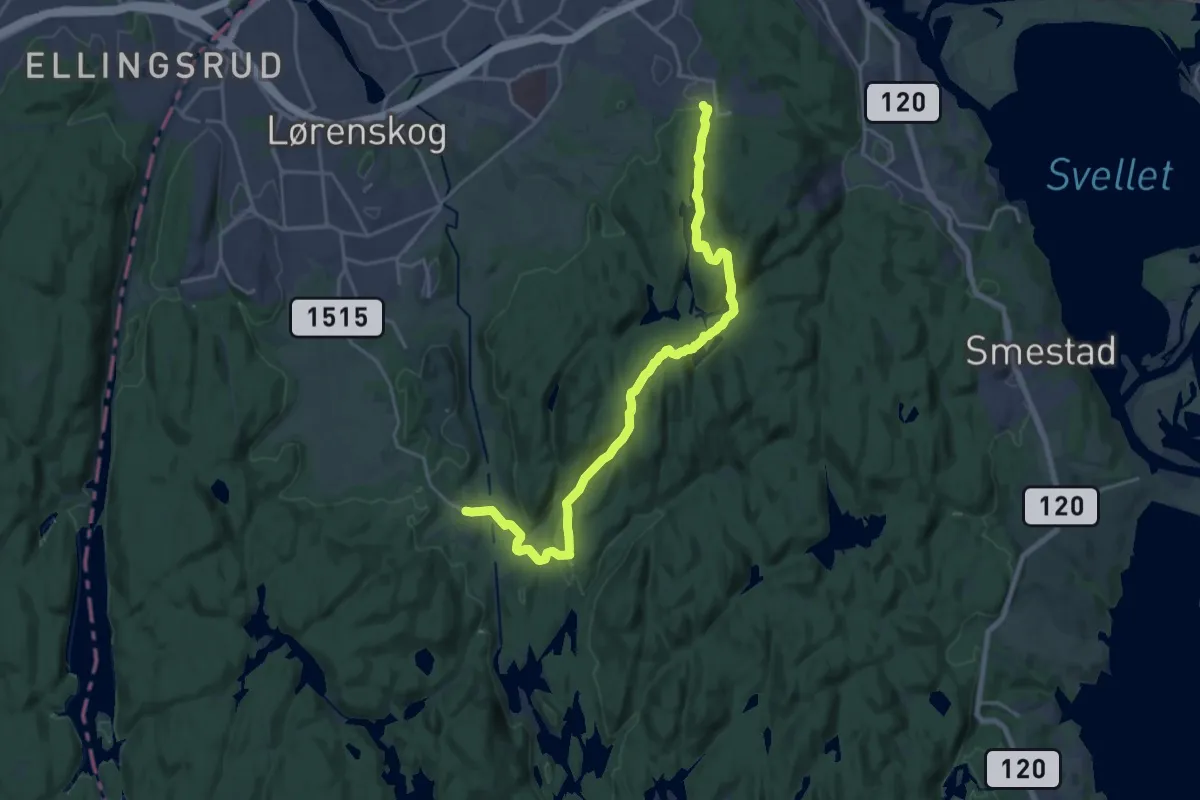
Medium · Trail
Losby – Kurland / Blystadlia
16.2 km · ↑ 476 m · 4 h 51 min
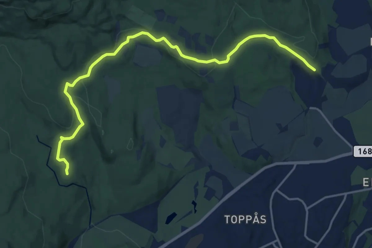
Medium · Cabin
Skytterkollen – Sæteren
9.2 km · ↑ 124 m · 2 h 27 min
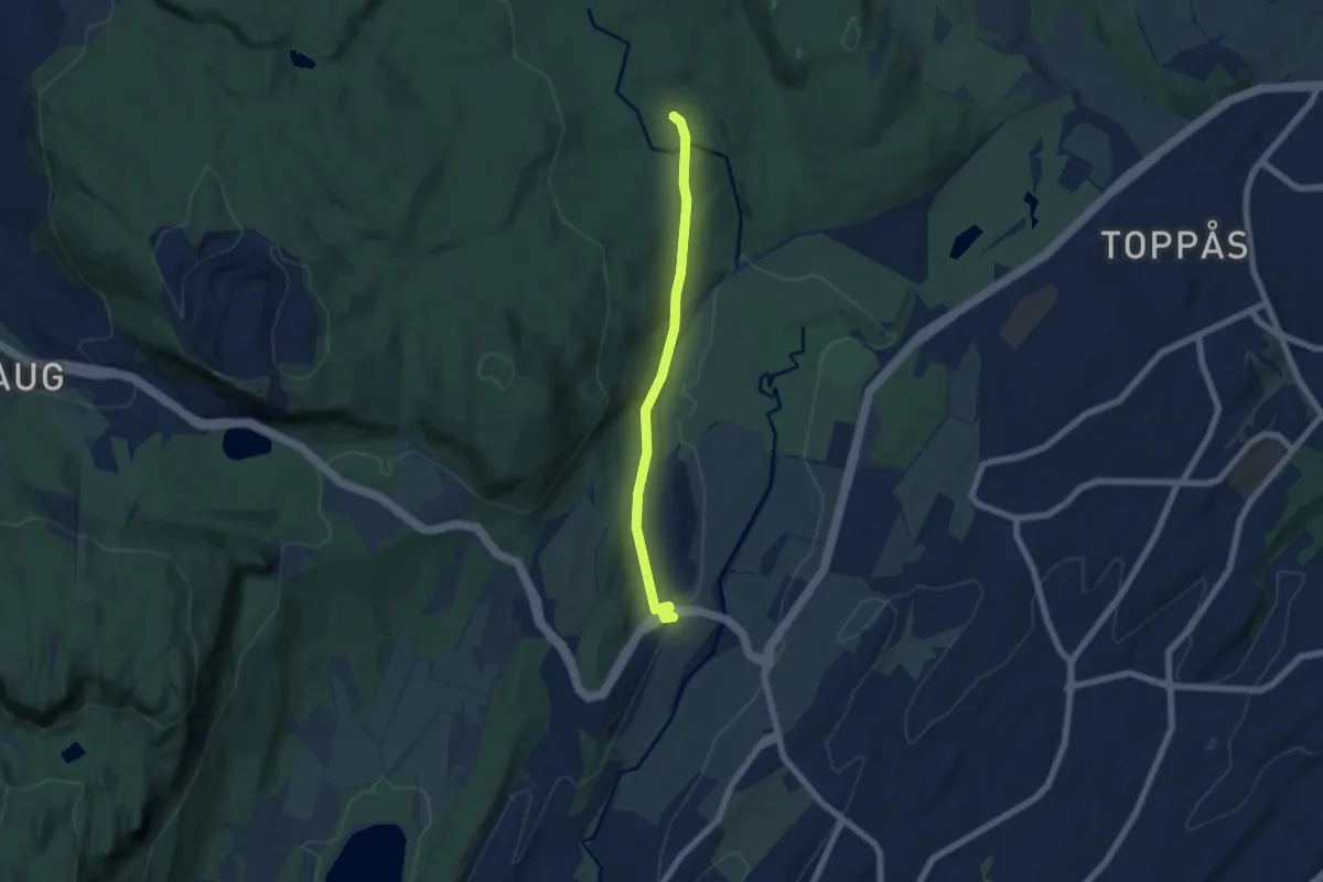
Easy · Cabin
Øverland – Sæteren
4.2 km · ↑ 87 m · 1 h 10 min
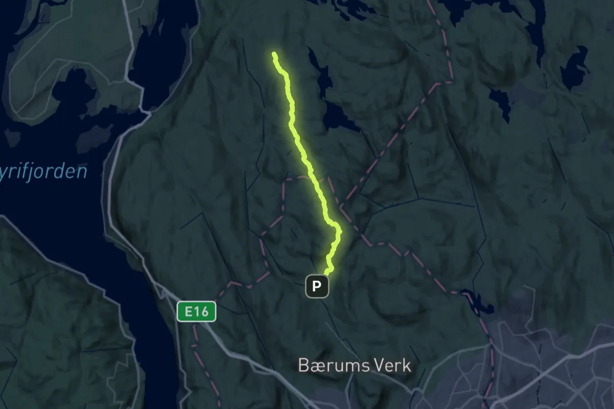
Medium · Cabin
Tobonn – Løvlia
14.9 km · ↑ 563 m · 4 h 45 min
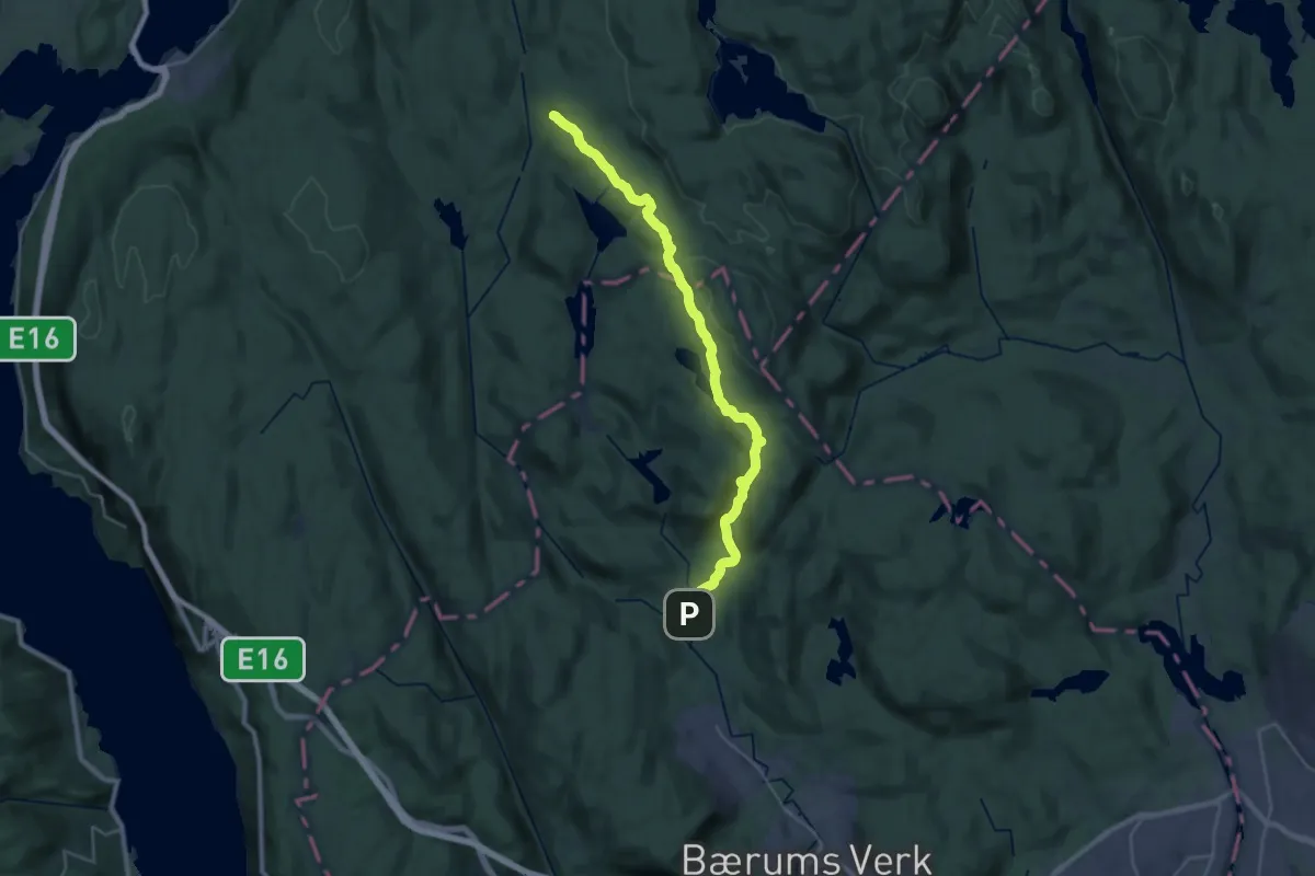
Demanding · Cabin
Tobonn – Presthytta
22.2 km · ↑ 661 m · 6 h 41 min
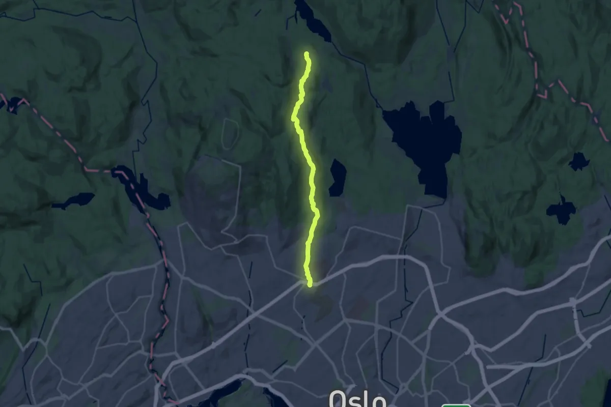
Medium · Trail
Ullevålseter – Gaustad
15.8 km · ↑ 324 m · 4 h 26 min
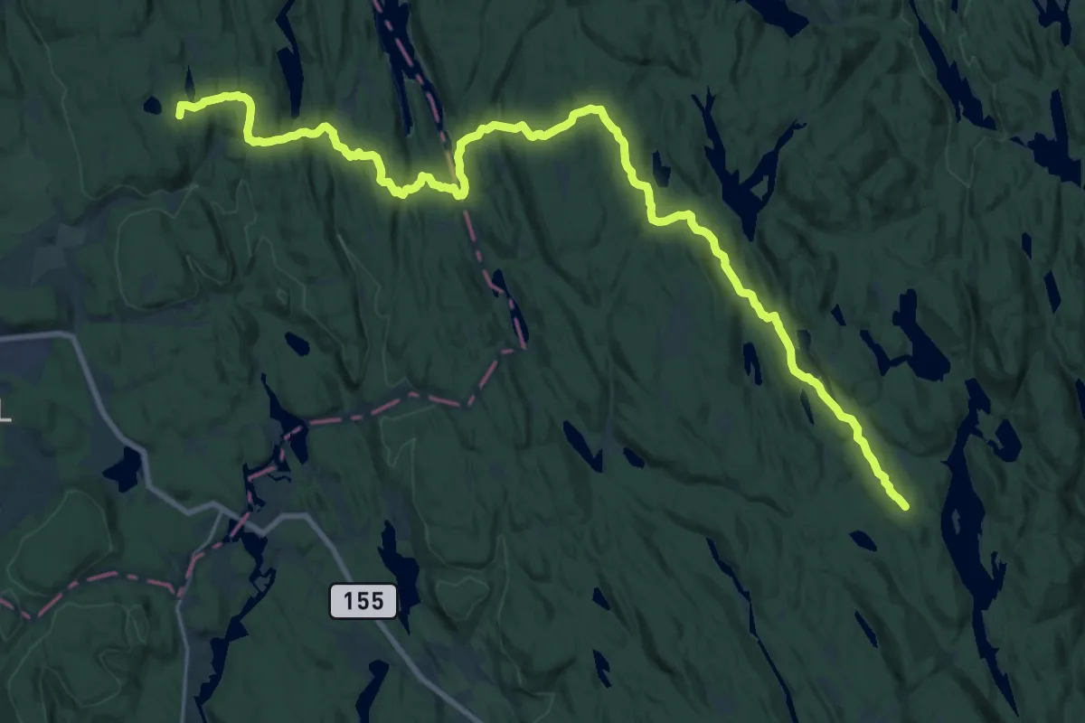
Demanding · Cabin
Østmarkskapellet – Vangen
22.0 km · ↑ 454 m · 6 h 10 min
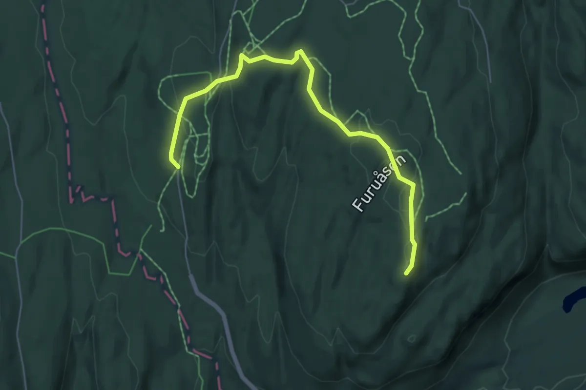
Easy · Cabin
Solli – Hovedhytta
4.1 km · ↑ 97 m · 1 h 10 min
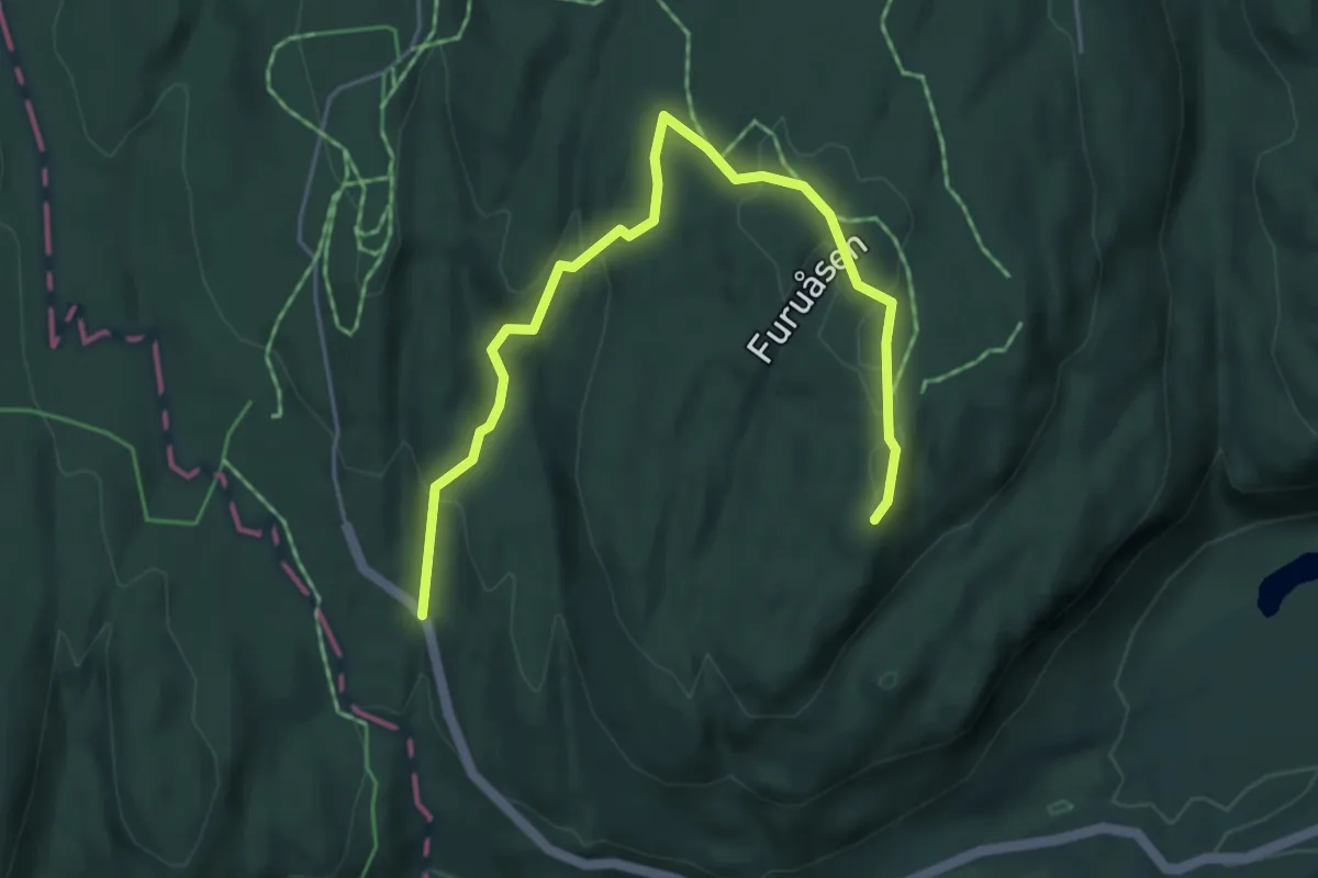
Easy · Cabin
Solli – Hovedhytta
3.9 km · ↑ 140 m · 1 h 13 min
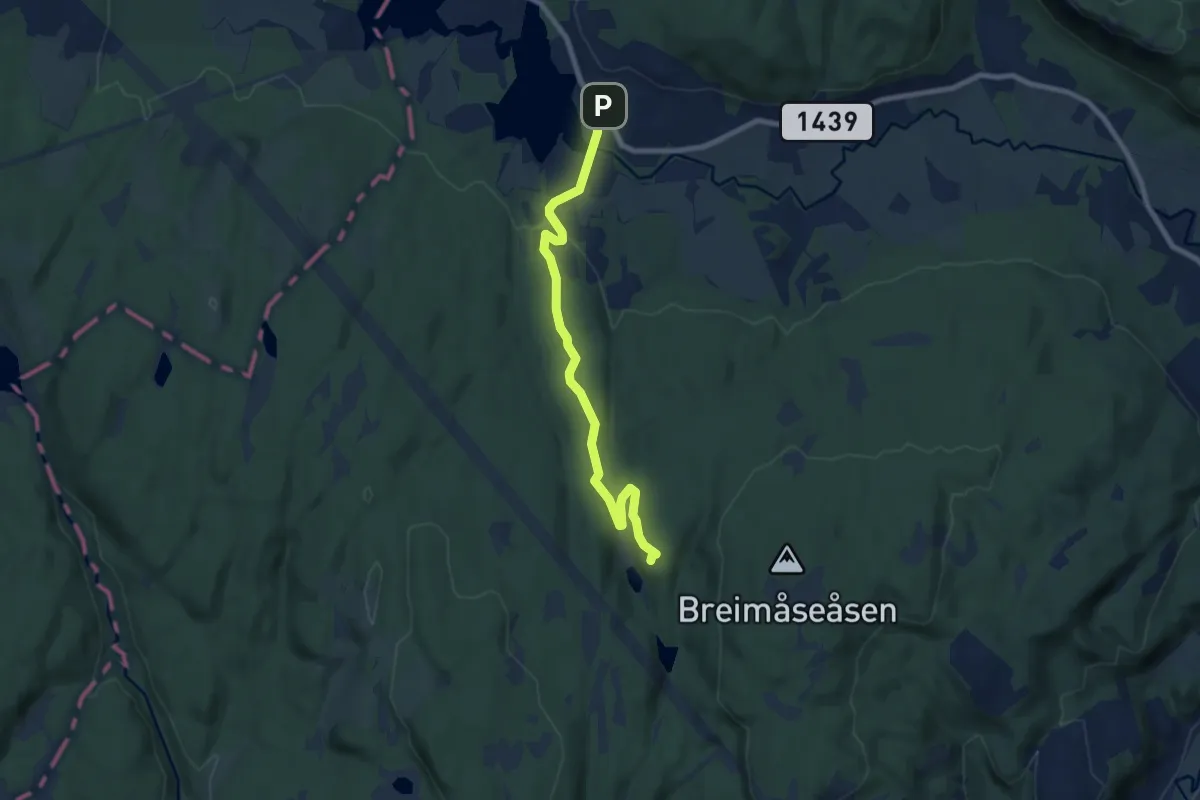
Easy · Cabin
Småvannsbu – Dikemark
6.0 km · ↑ 108 m · 1 h 38 min
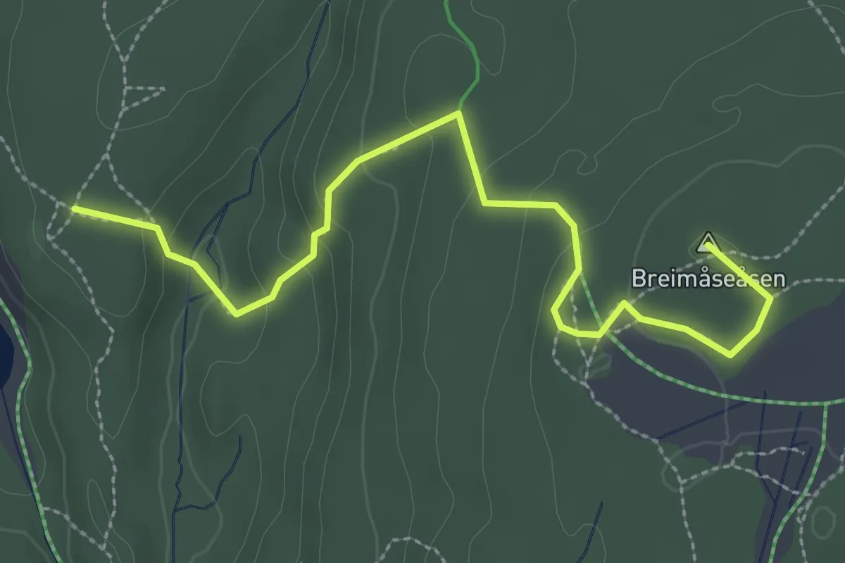
Easy · Summit
Småvannsbu – Heggedal
2.3 km · ↑ 127 m · 50 min
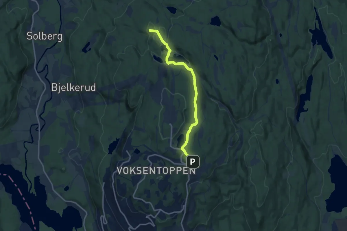
Easy · Summit
Frognerseteren – Studenterhytta
7.0 km · ↑ 149 m · 1 h 58 min
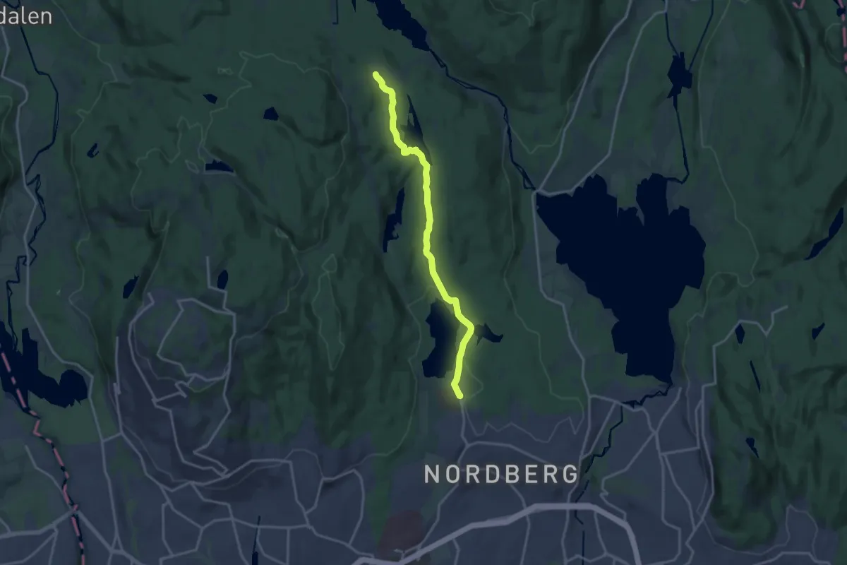
Medium · Trail
Sognsvann – Ullevålseter
10.9 km · ↑ 166 m · 2 h 56 min
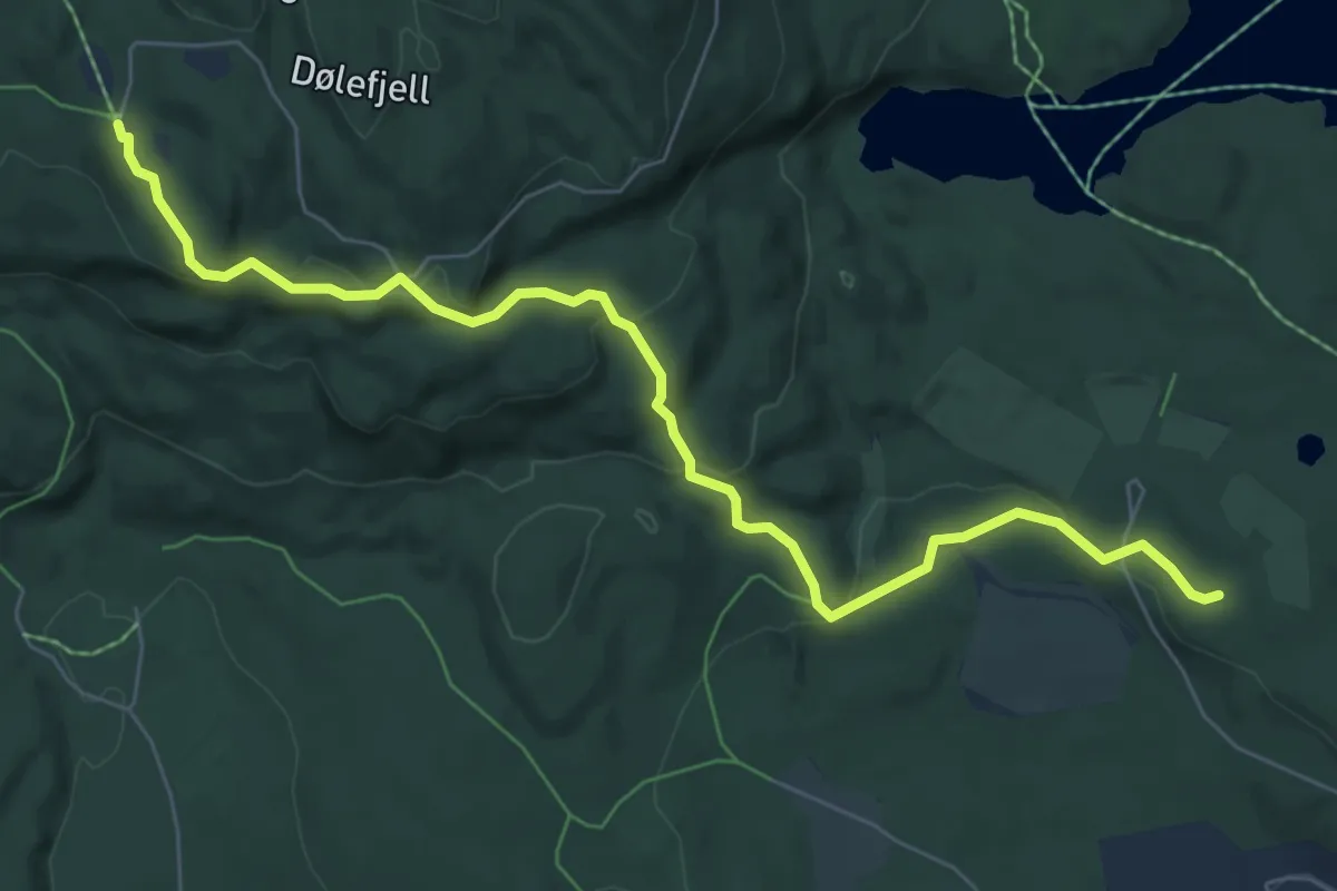
Easy · Trail
Skytterkollen – Brunkollen
5.5 km · ↑ 224 m · 1 h 47 min
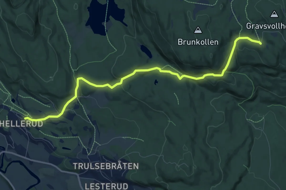
Easy · Trail
Burud – Brunkollen
7.4 km · ↑ 231 m · 2 h 15 min
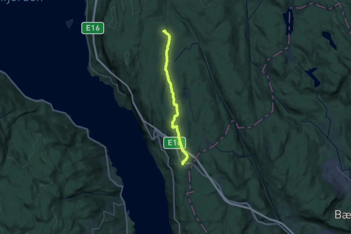
Medium · Trail
Sollihøgda – Sørsetra
14.8 km · ↑ 192 m · 3 h 54 min
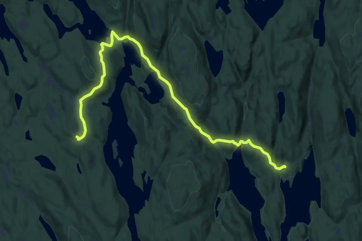
Medium · Cabin
Vangen – Bøvelstad
9.6 km · ↑ 376 m · 3 h 5 min
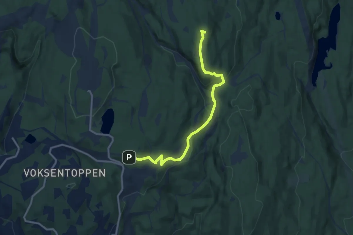
Easy · Summit
Frognerseteren – Skjennungstua
5.4 km · ↑ 176 m · 1 h 40 min
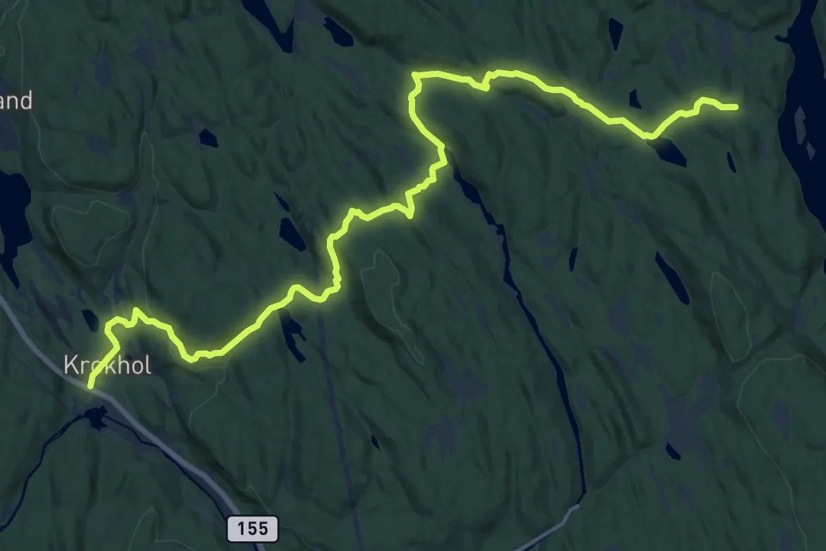
Medium · Trail
Krokhol – Vangen
14.0 km · ↑ 372 m · 4 h 7 min
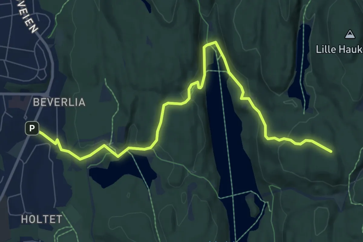
Easy · Summit
Ulsrud – Mariholtet
6.5 km · ↑ 237 m · 2 h 2 min
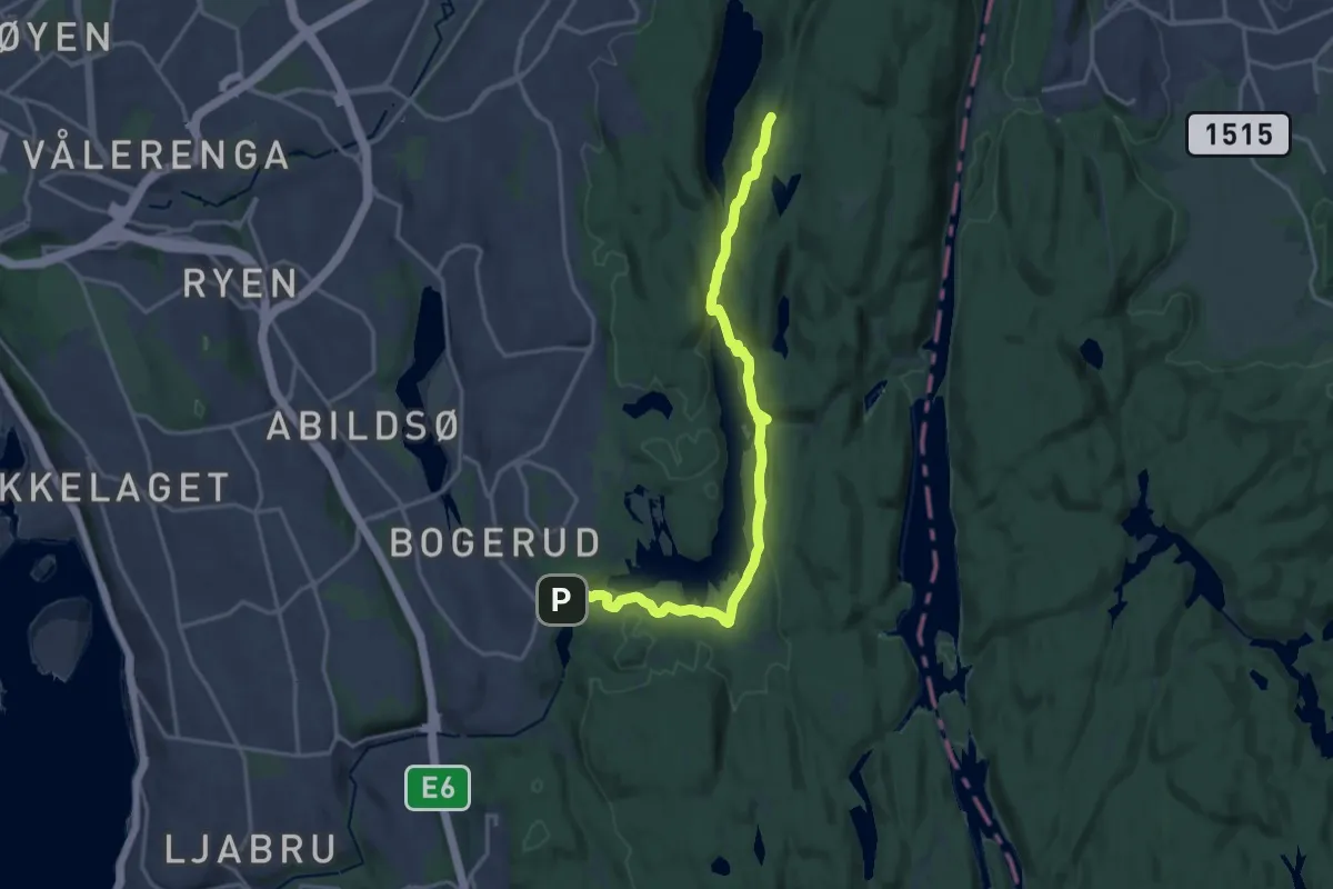
Medium · Summit
Lutvann – Rustadsaga
13.6 km · ↑ 325 m · 3 h 54 min
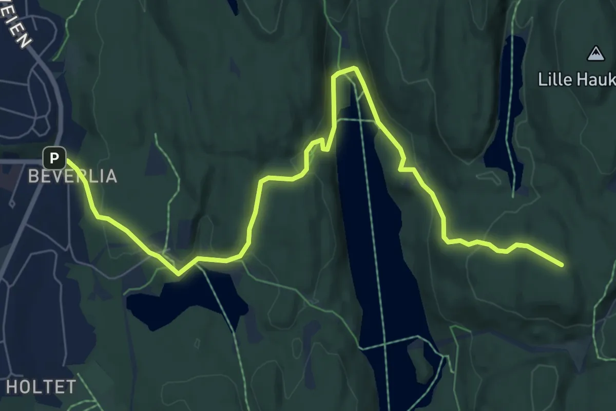
Easy · Summit
Oppsal – Mariholtet
6.3 km · ↑ 235 m · 2 h
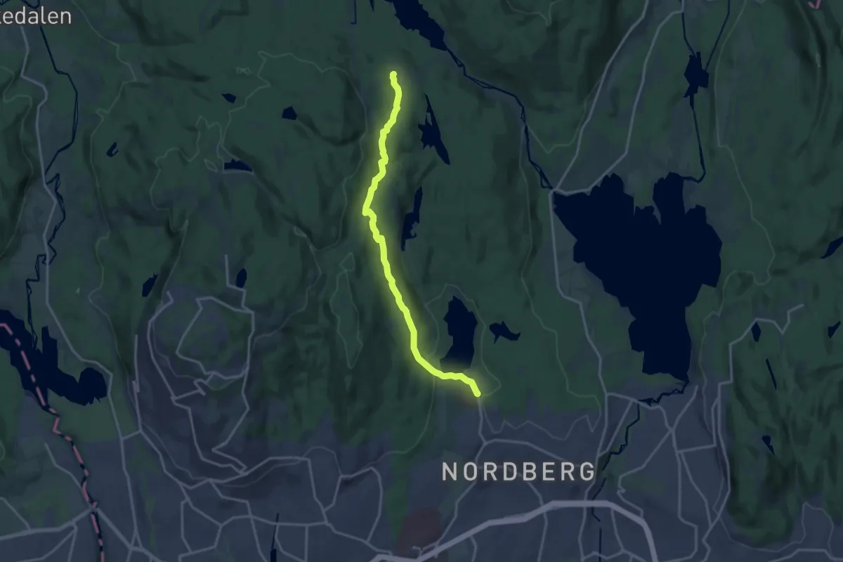
Medium · Trail
Sognsvann – Ullevålseter
11.6 km · ↑ 241 m · 3 h 15 min
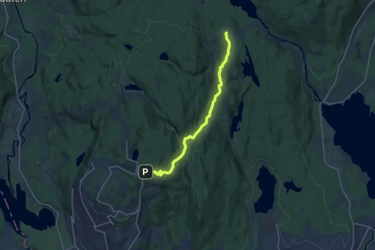
Medium · Trail
Frognerseteren – Ullevålseter
9.9 km · ↑ 236 m · 2 h 51 min
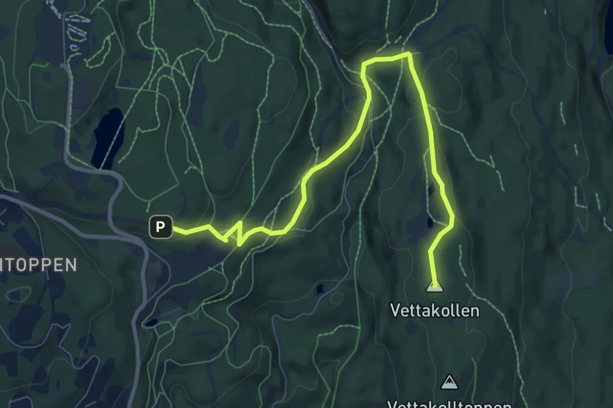
Easy · Summit
Frognerseteren – Vettakollen
6.2 km · ↑ 119 m · 1 h 43 min
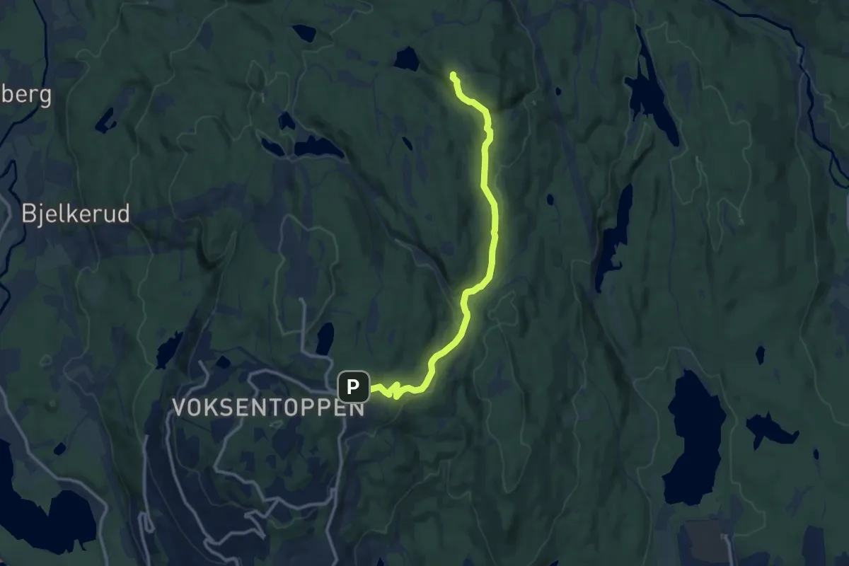
Easy · Trail
Frognerseteren – Skjennungstua
7.9 km · ↑ 186 m · 2 h 16 min
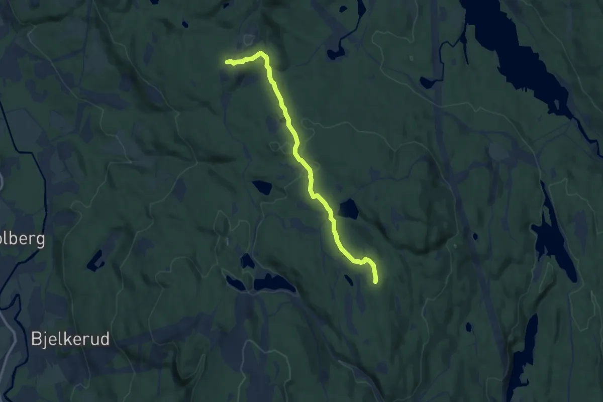
Easy · Trail
Skjennungstua – Nordmarkskapellet
6.6 km · ↑ 161 m · 1 h 54 min