Trails in Norway
7,452 hiking trails, each with its route, climb, walking time and grade.
All trails, page 124 of 156
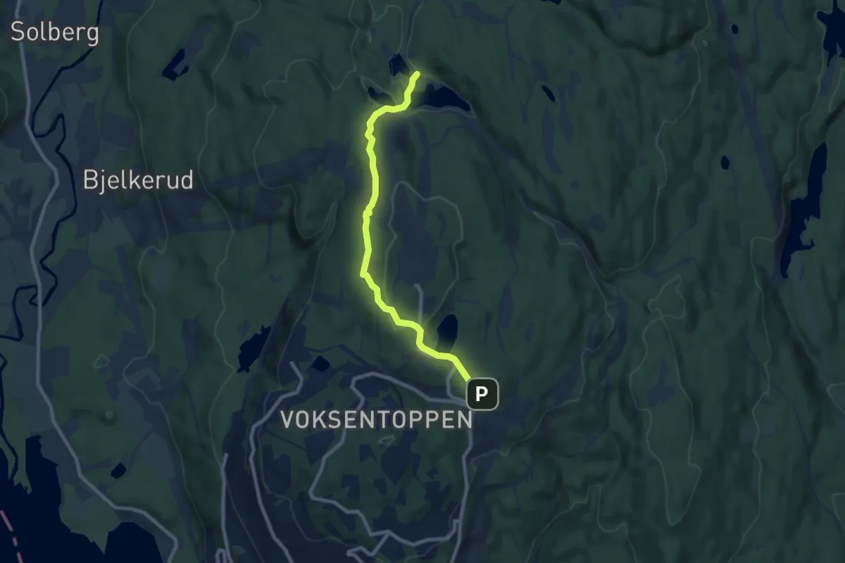
Easy · Trail
Frognerseteren – Tryvannstua
5.9 km · ↑ 152 m · 1 h 43 min
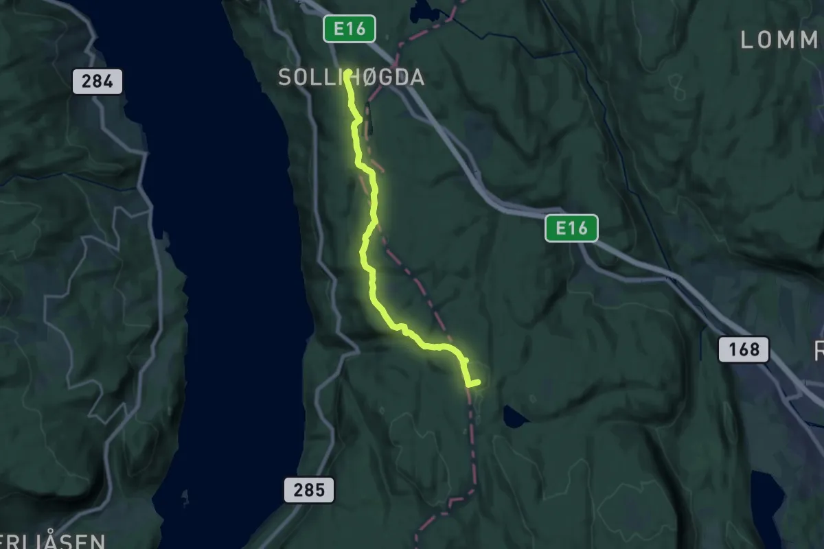
Medium · Summit
Sollihøgda – Mikkelsbånn
11.9 km · ↑ 236 m · 3 h 19 min
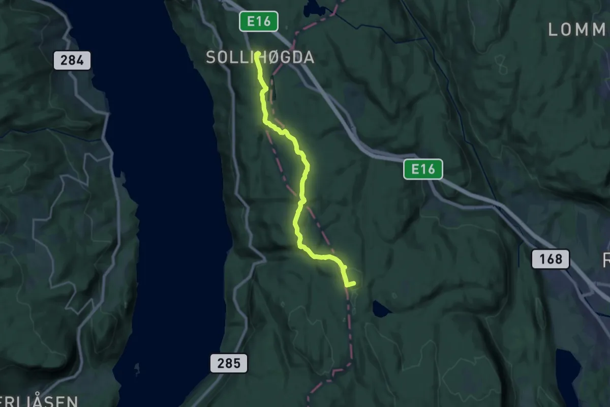
Medium · Summit
Sollihøgda – Mikkelsbånn
12.1 km · ↑ 199 m · 3 h 17 min
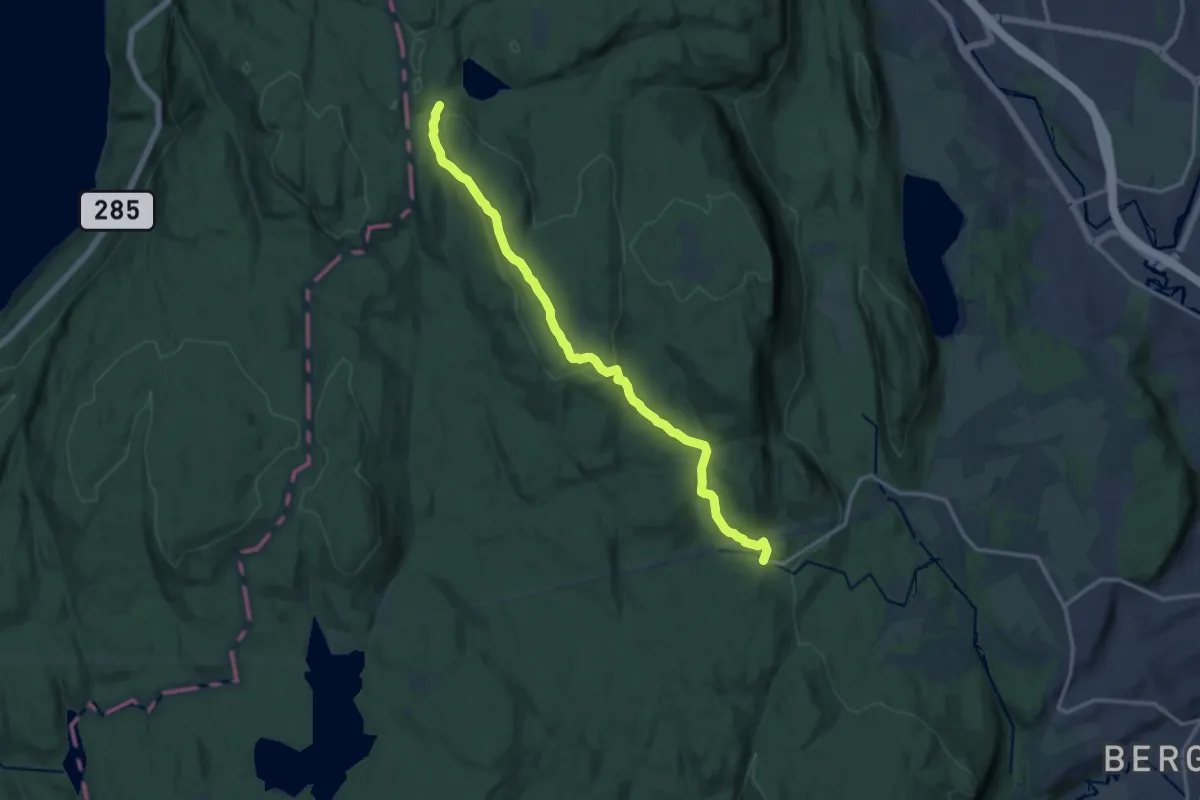
Medium · Trail
Franskleiv (Vestmarksetra) – Mikkelsbånn
10.3 km · ↑ 280 m · 3 h 2 min
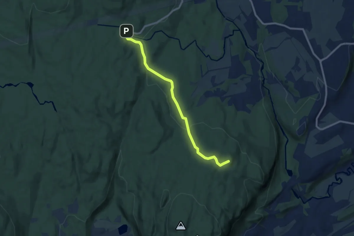
Medium · Summit
Franskleiv (Vestmarksetra) – Åstad
4.8 km · ↑ 127 m · 1 h 24 min
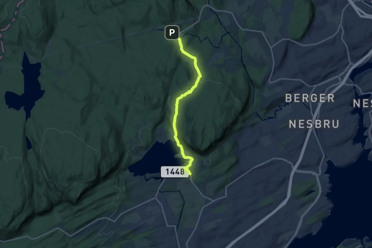
Medium · Trail
Franskleiv (Vestmarksetra) – Semsvann
8.9 km · ↑ 195 m · 2 h 32 min
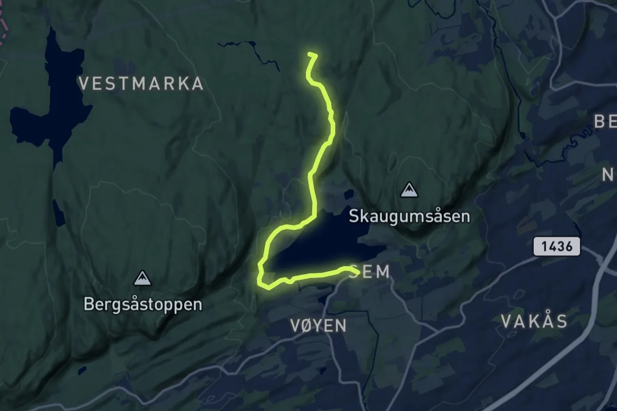
Medium · Trail
Franskleiv (Vestmarksetra) – Gupu
9.3 km · ↑ 224 m · 2 h 42 min
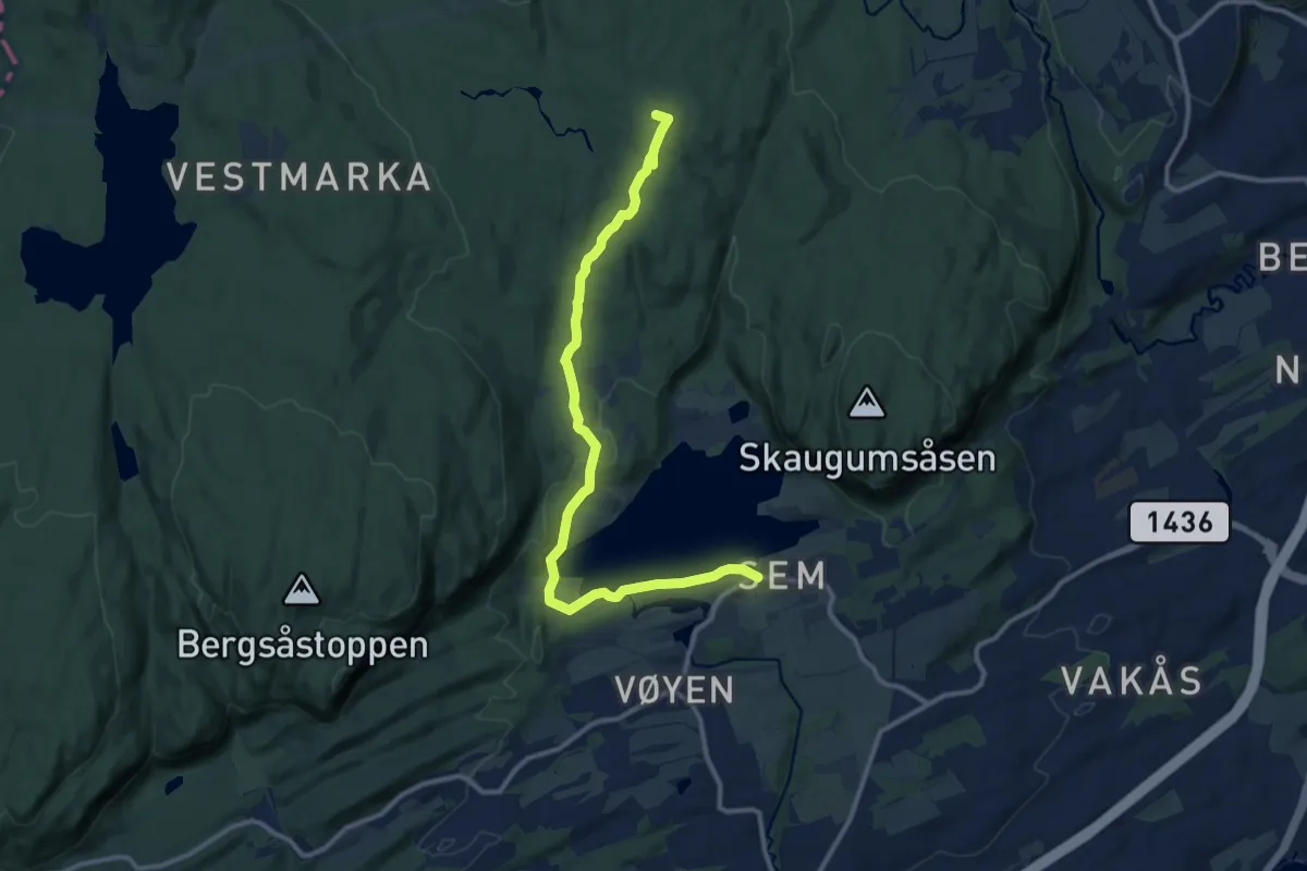
Medium · Trail
Franskleiv (Vestmarksetra) – Gupu
9.0 km · ↑ 163 m · 2 h 29 min
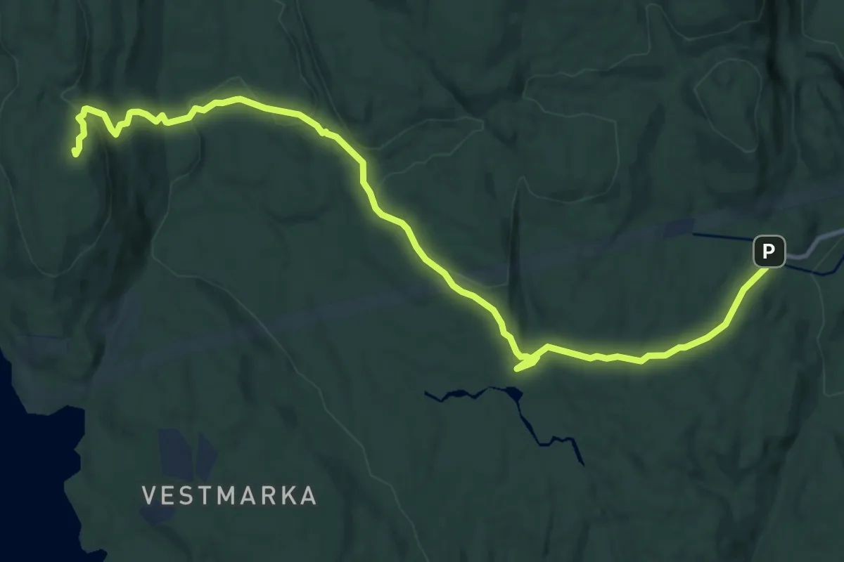
Medium · Summit
Franskleiv (Vestmarksetra) – Haveråsen
9.5 km · ↑ 272 m · 2 h 50 min
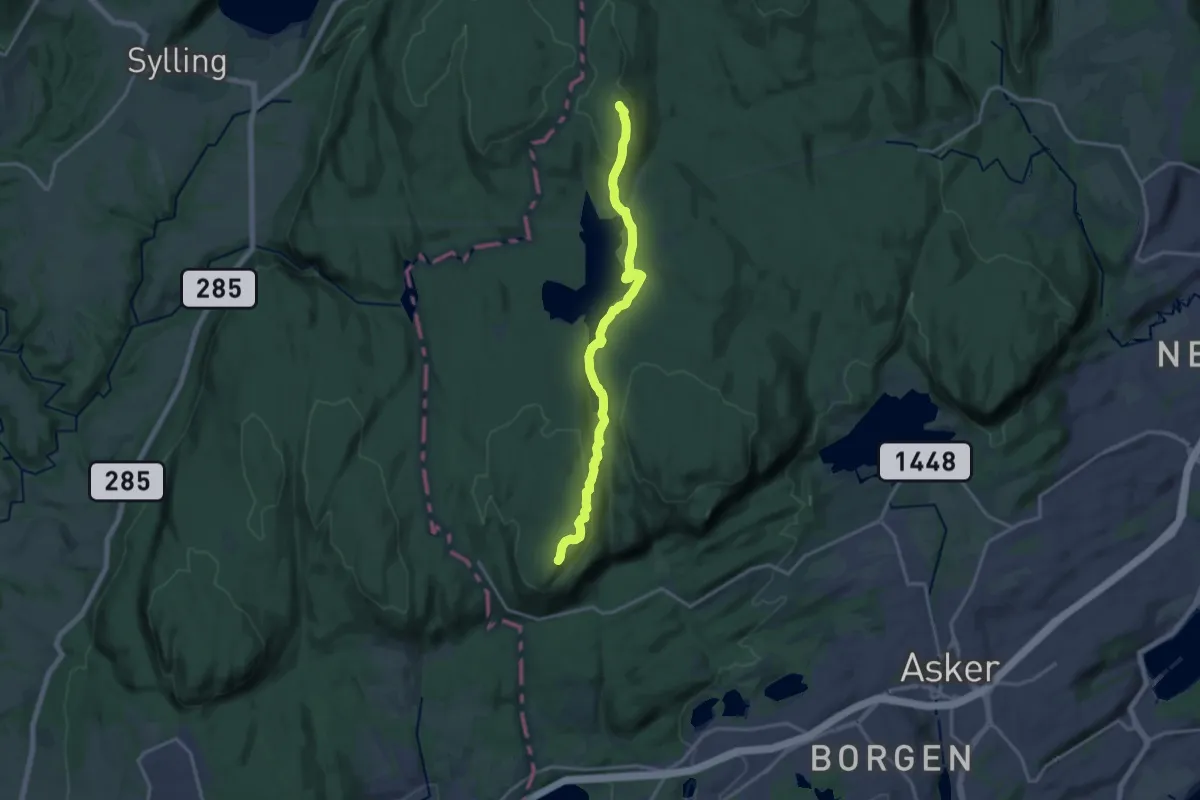
Medium · Summit
Hovedhytta – Haveråsen
11.8 km · ↑ 307 m · 3 h 27 min
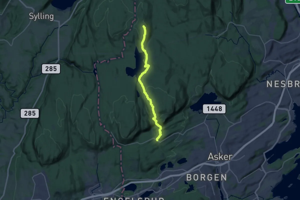
Medium · Summit
Steinset – Haveråsen
13.1 km · ↑ 505 m · 4 h 12 min
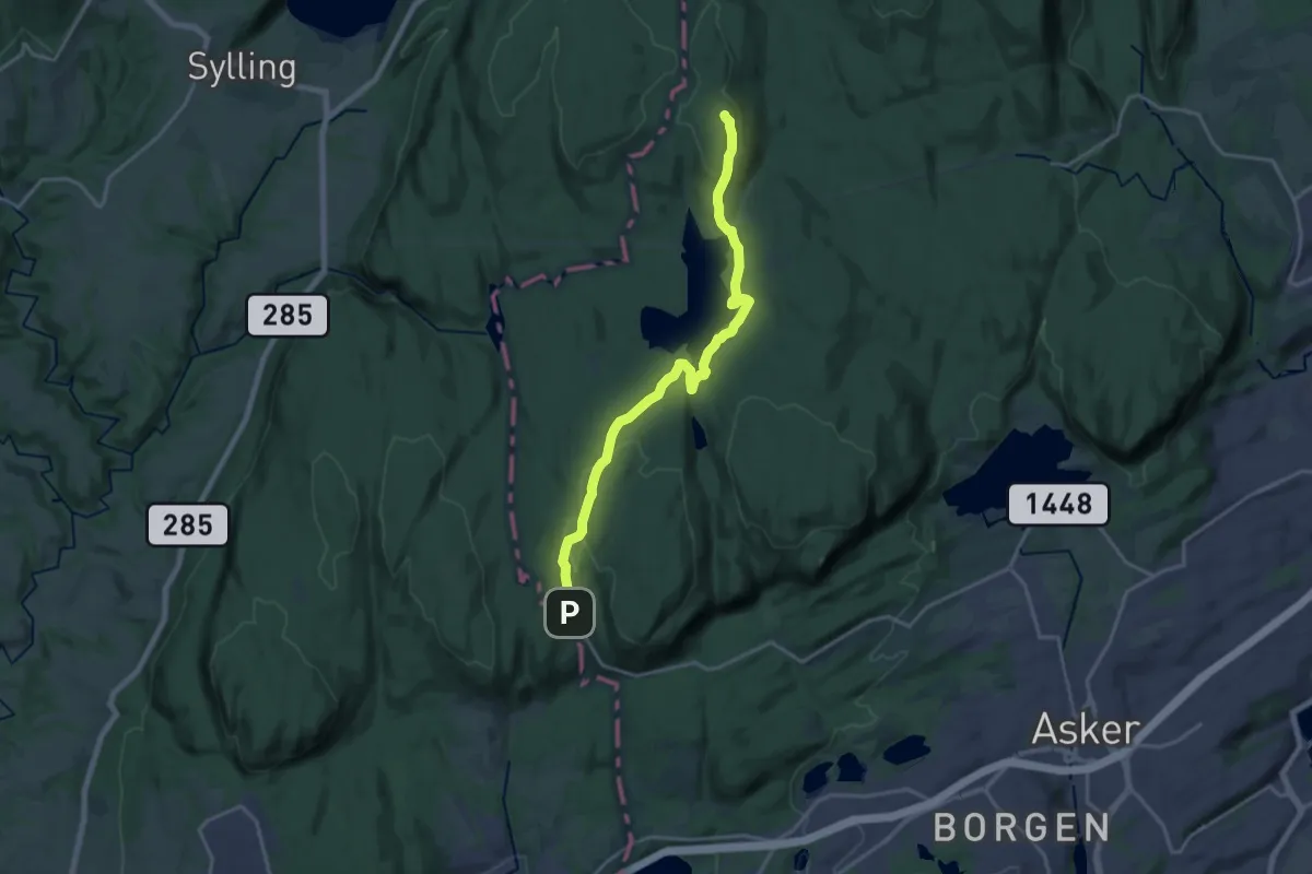
Medium · Summit
Solli – Haveråsen
13.3 km · ↑ 338 m · 3 h 52 min
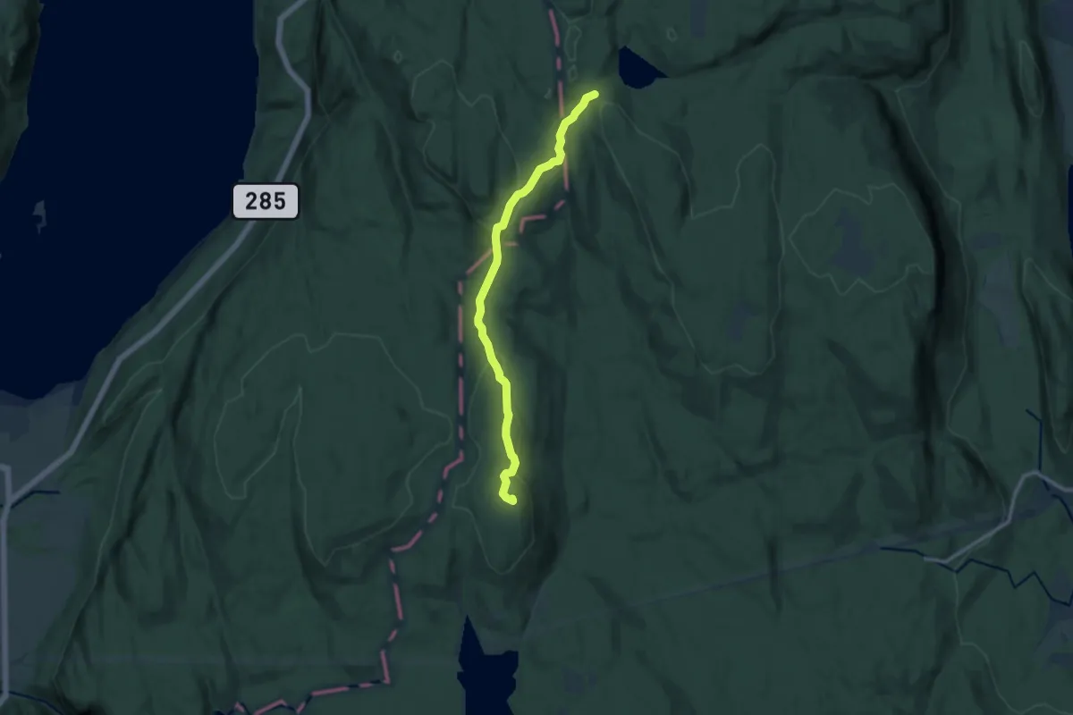
Easy · Summit
Mikkelsbånn – Haveråsen
7.6 km · ↑ 212 m · 2 h 15 min
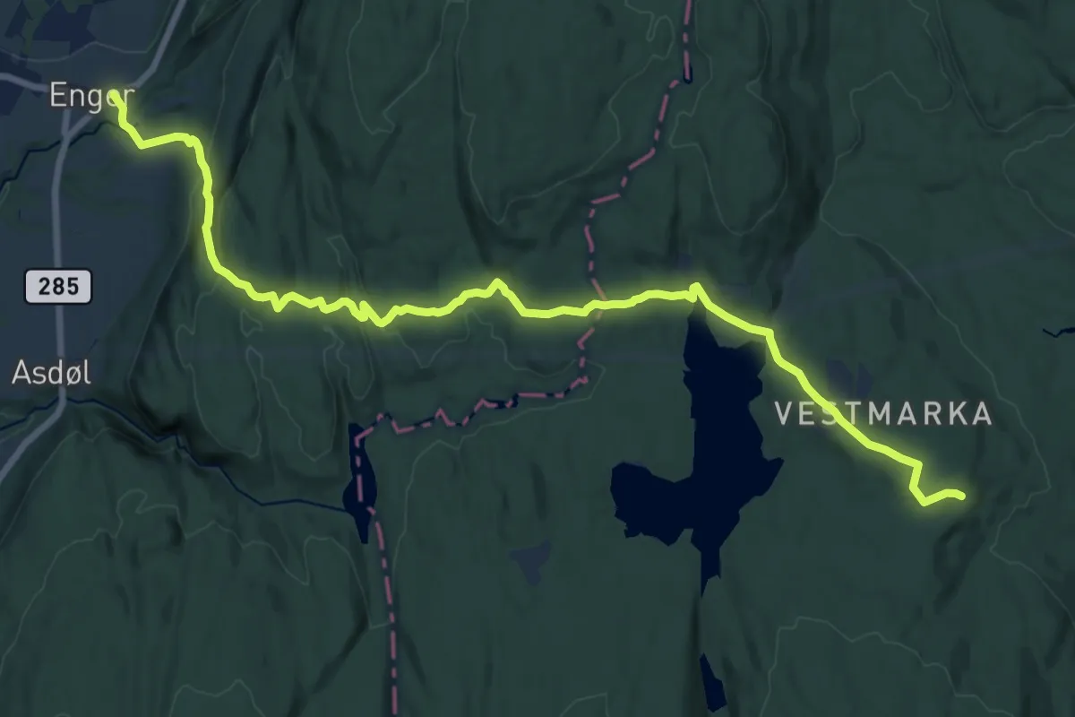
Medium · Cabin
Tveitersetra – Enger
14.1 km · ↑ 370 m · 4 h 7 min
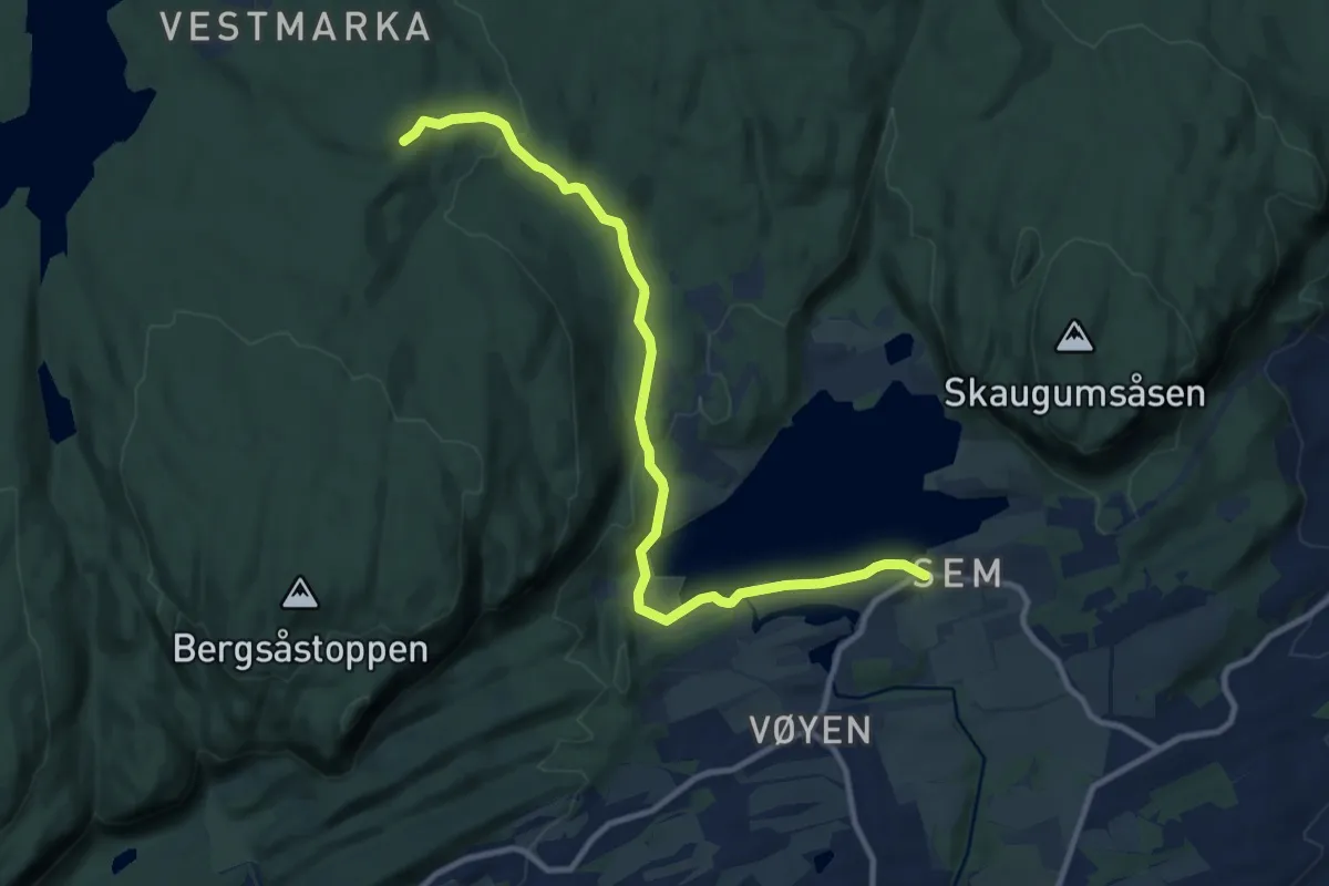
Medium · Cabin
Tveitersetra – Semsvann
8.1 km · ↑ 213 m · 2 h 23 min
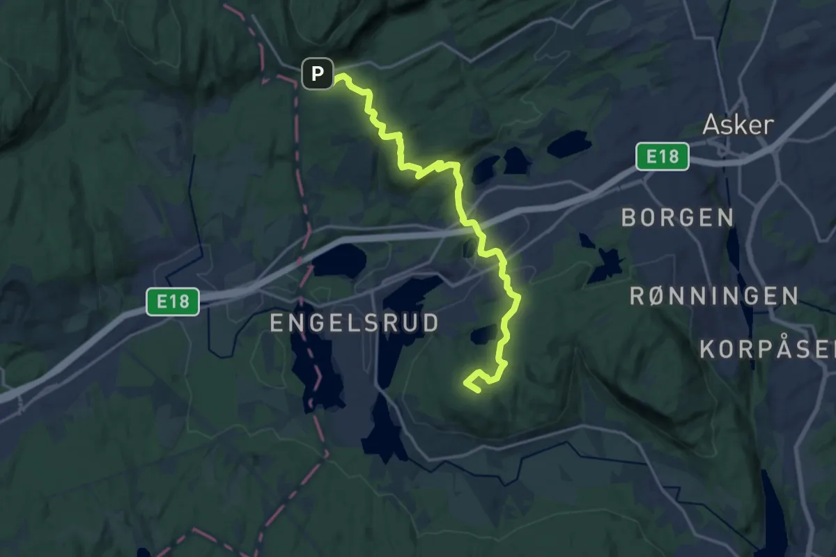
Medium · Summit
Bergsmarka – Dikemark
12.2 km · ↑ 373 m · 3 h 42 min
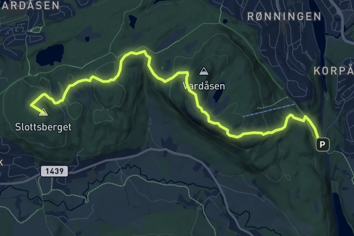
Medium · Summit
Gullhella – Dikemark
9.2 km · ↑ 443 m · 3 h 8 min
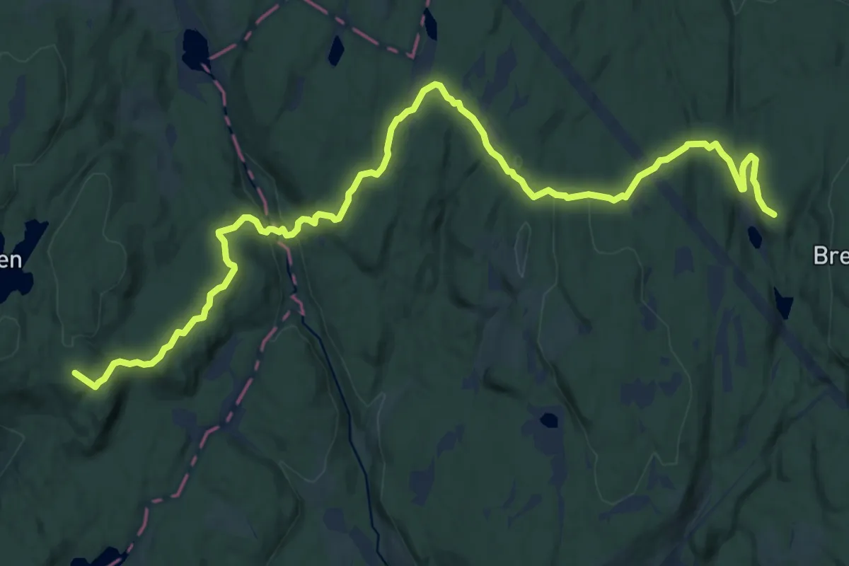
Medium · Summit
Småvannsbu – Lier
12.2 km · ↑ 411 m · 3 h 46 min
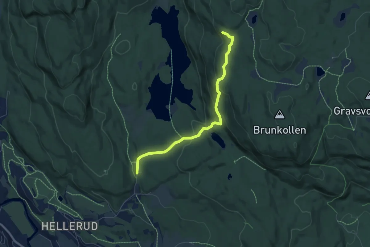
Easy · Trail
Burud P – Gapahuk Lions Club Bærums Verk
4.4 km · ↑ 171 m · 1 h 25 min
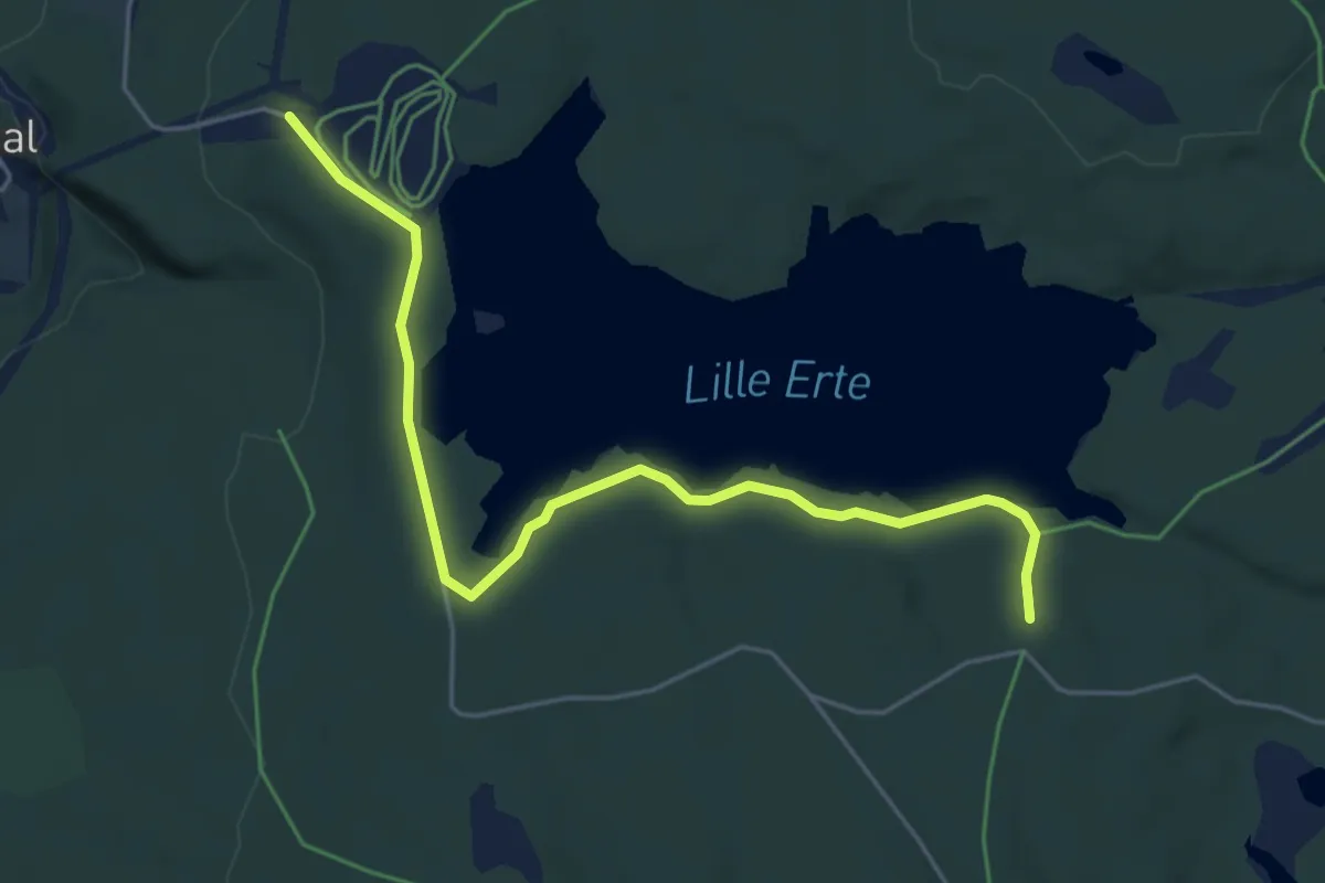
Easy · Trail
Ertebakken – Ertehytta
4.0 km · ↑ 28 m · 1 h 1 min
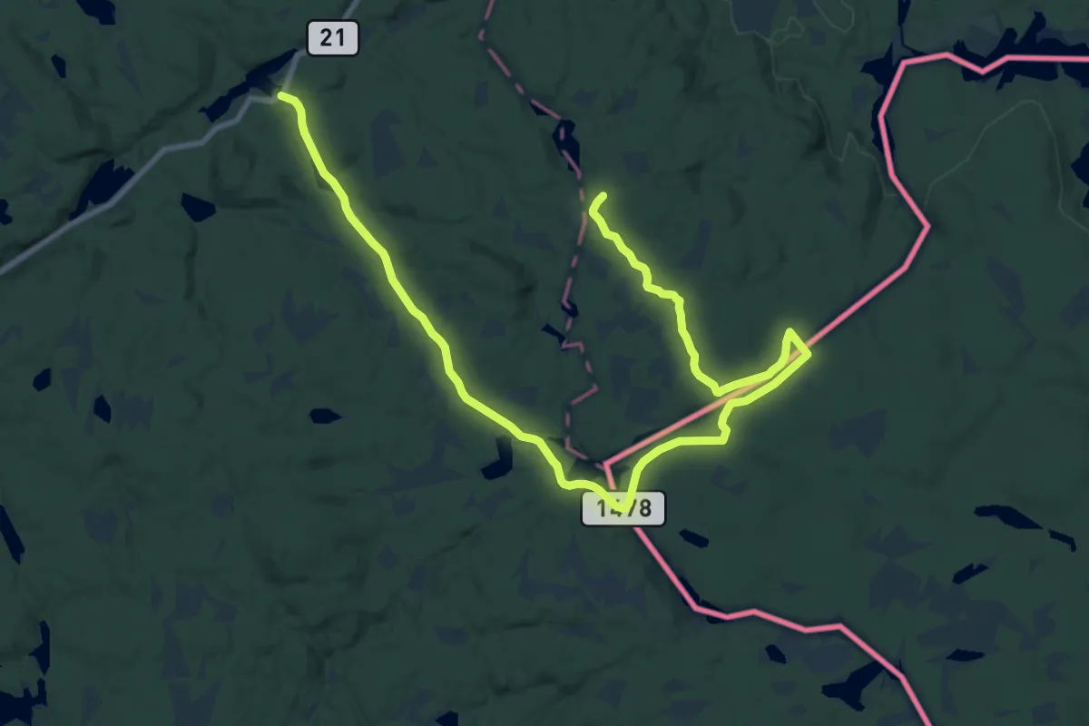
Demanding · Trail
Grenserøys 53 – Fisketjernmoen
20.9 km · ↑ 204 m · 5 h 22 min
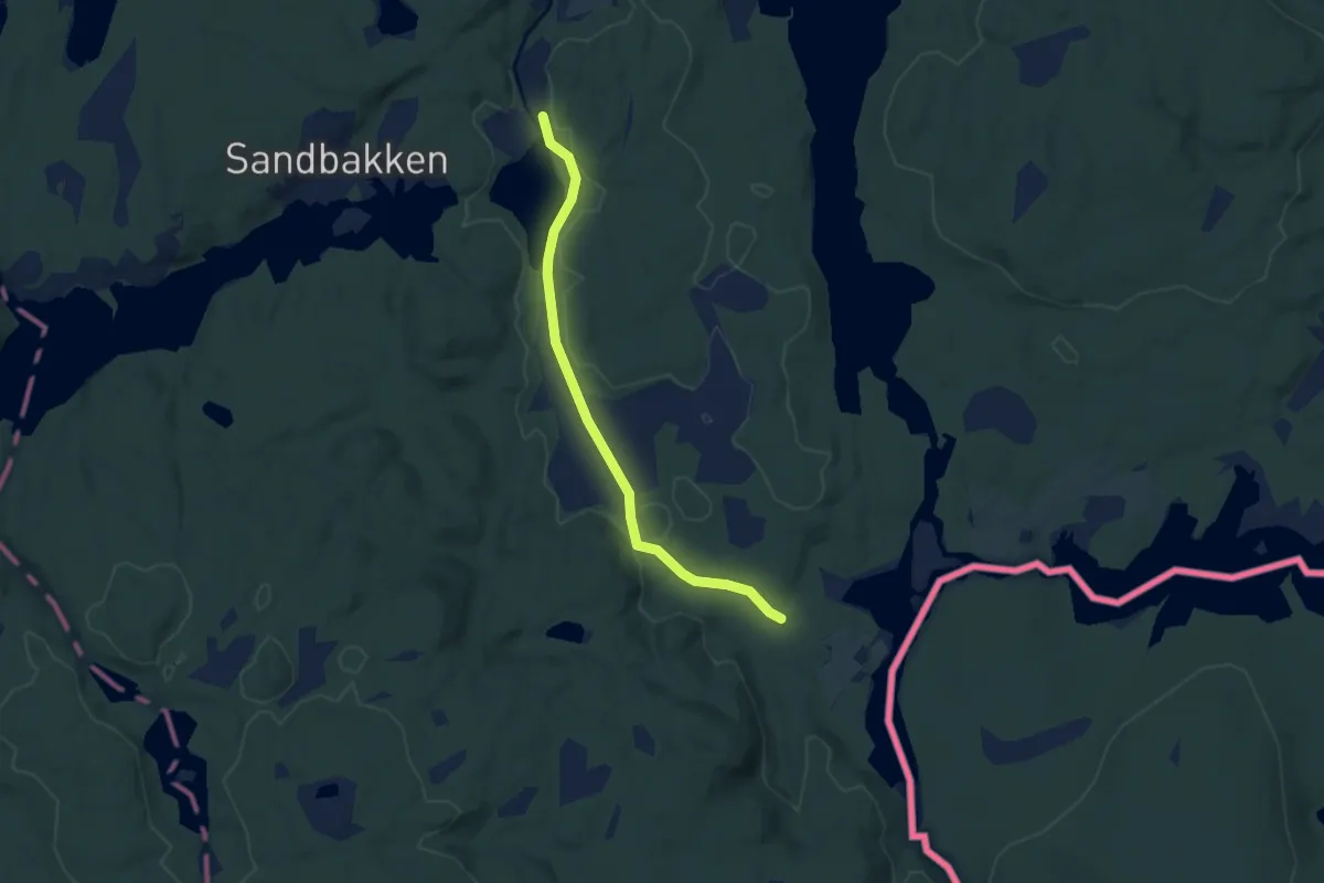
Easy · Trail
Skjølåbråtan – Fisketjernmoen
4.7 km · ↑ 14 m · 1 h 9 min
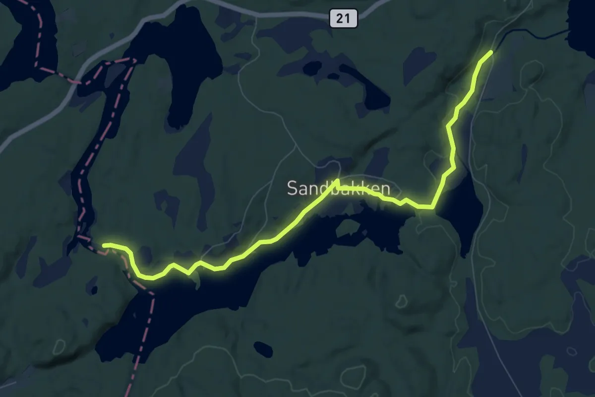
Easy · Trail
Tangen / Skjervangen – Mortsjølungen
6.9 km · ↑ 38 m · 1 h 42 min
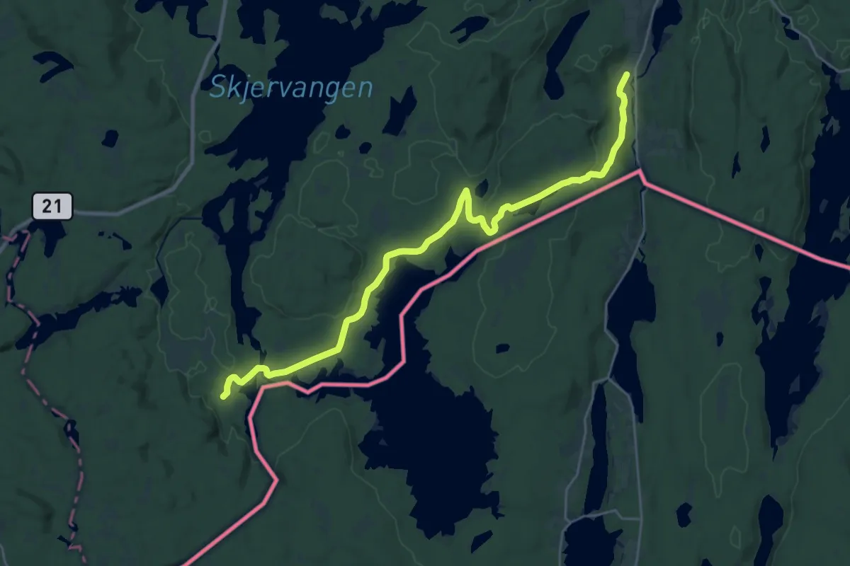
Demanding · Trail
Fisketjernmoen – Holmsjøen sørvest
20.1 km · ↑ 175 m · 5 h 7 min
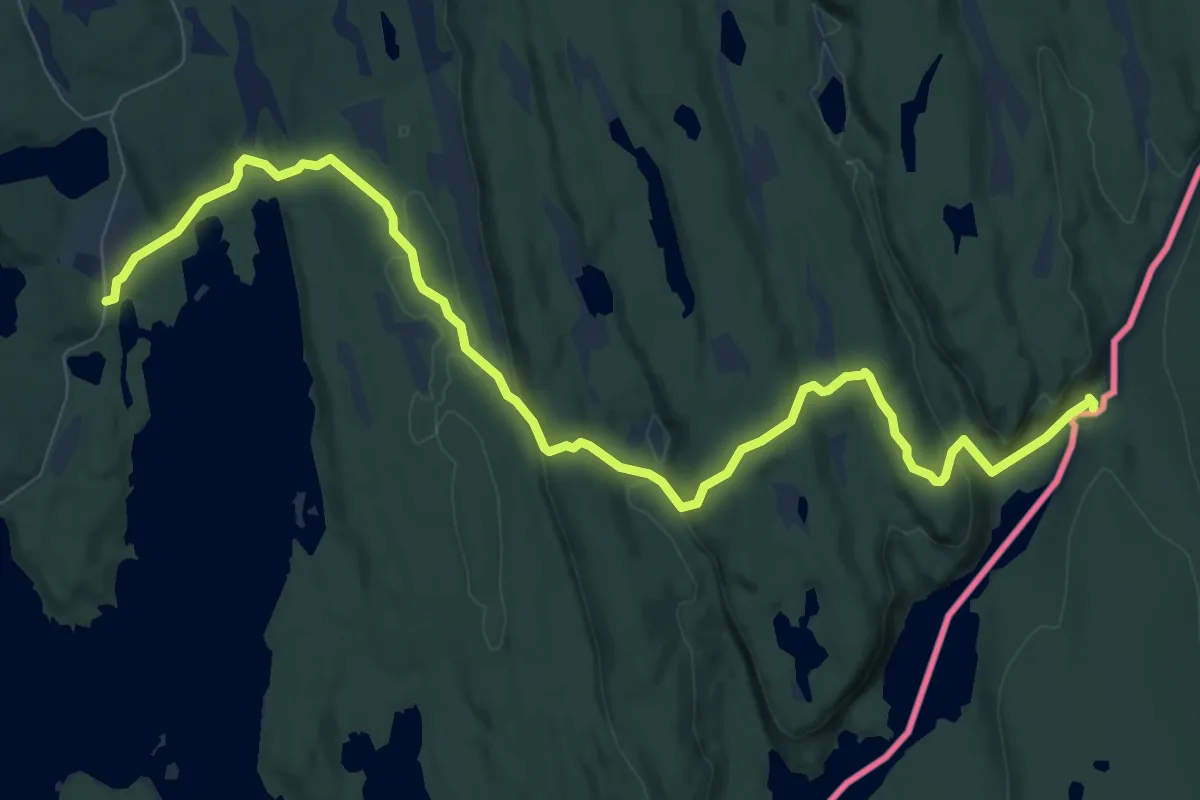
Easy · Cabin
Krusertjern – Budalsvika
8.0 km · ↑ 215 m · 2 h 21 min
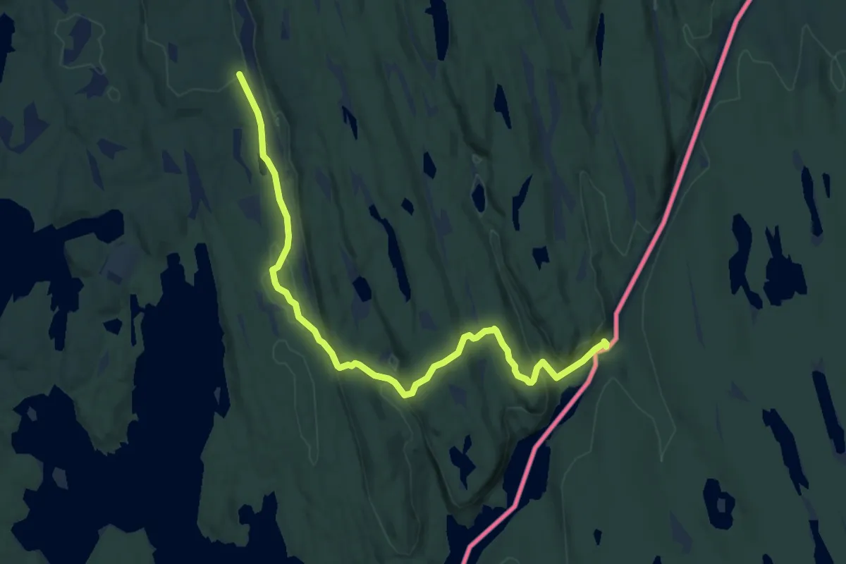
Easy · Cabin
Fjell bro – Budalsvika
8.0 km · ↑ 177 m · 2 h 16 min
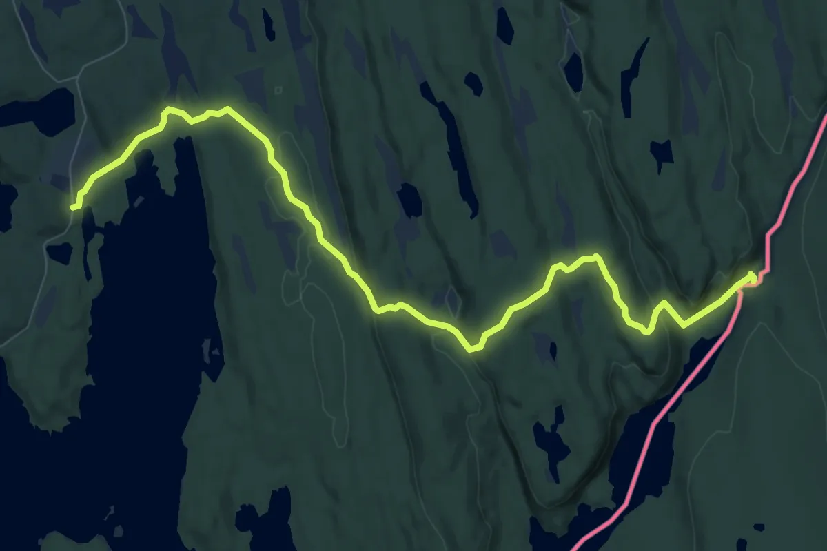
Easy · Cabin
Torgalsbøen – Budalsvika
8.0 km · ↑ 215 m · 2 h 21 min
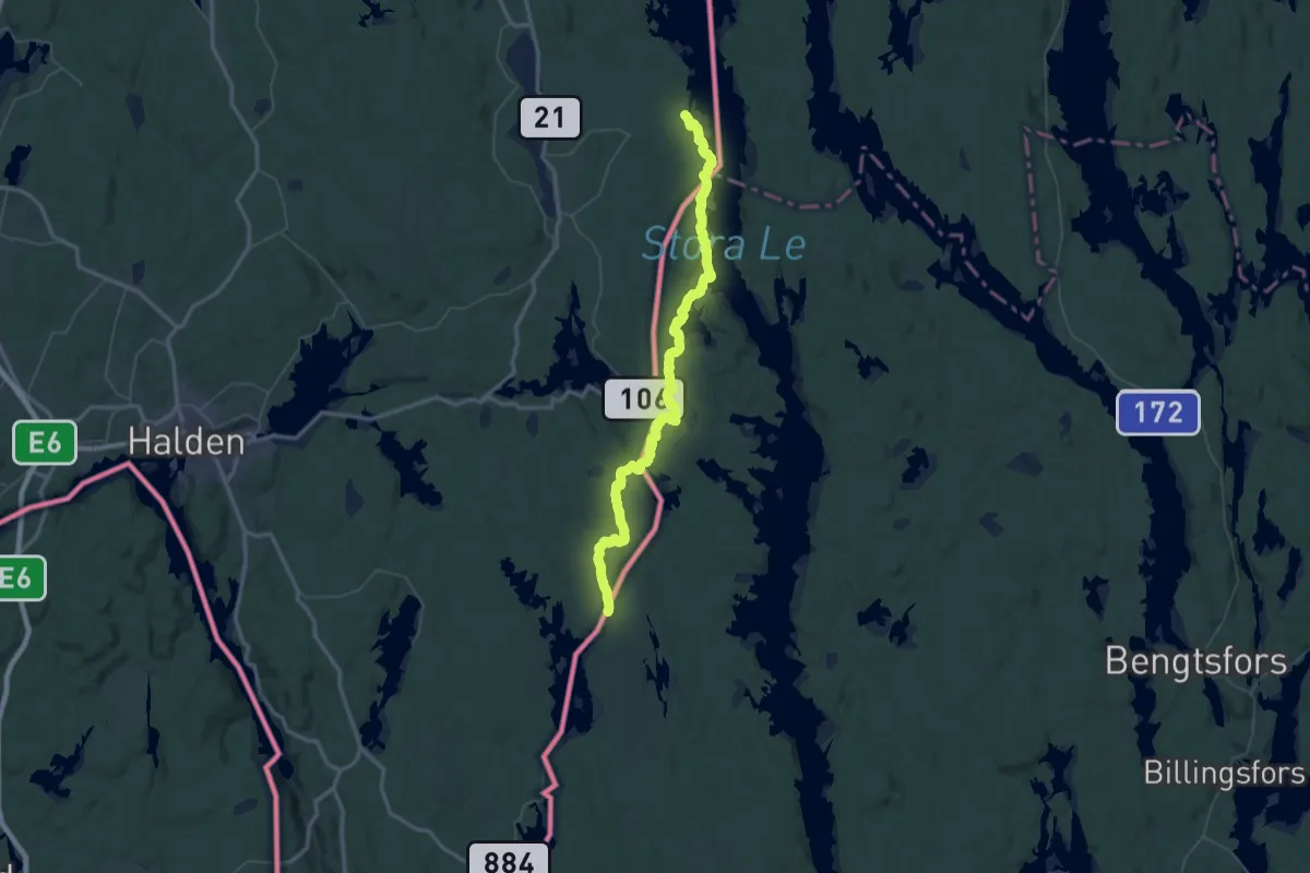
Demanding · Cabin
Otteid – Budalsvika
30.7 km · ↑ 487 m · 8 h 43 min
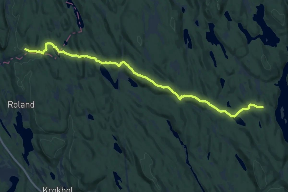
Medium · Trail
Sandbakken – Vangen
11.4 km · ↑ 333 m · 3 h 25 min
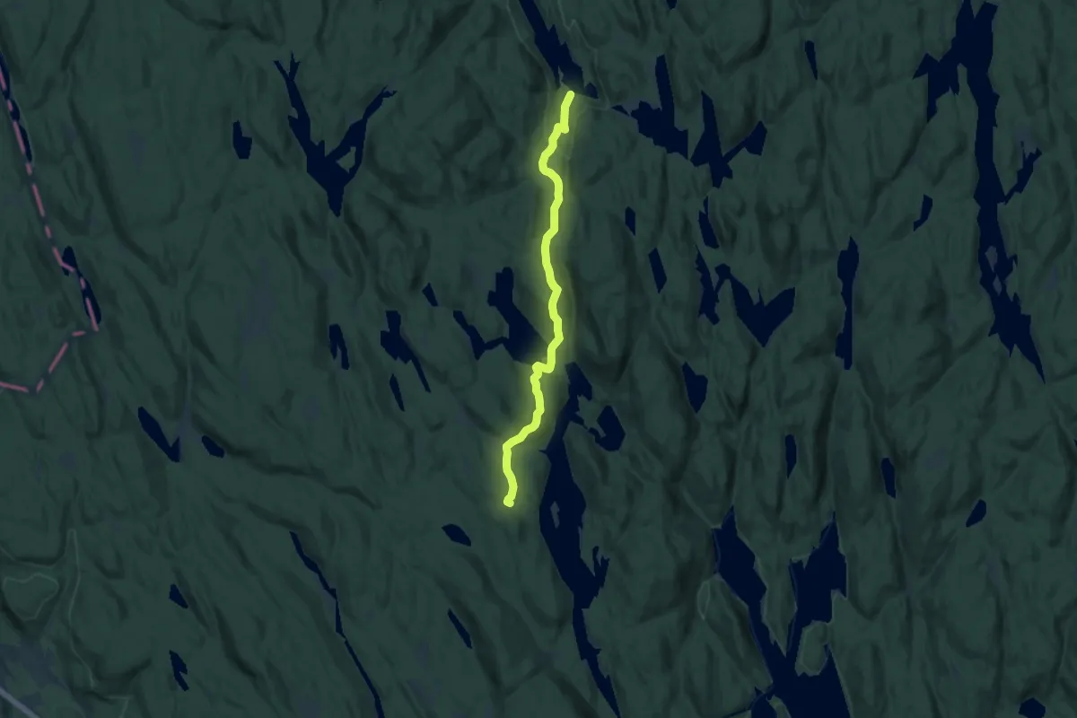
Medium · Cabin
Røyrivannskoia – Vangen
8.3 km · ↑ 282 m · 2 h 35 min
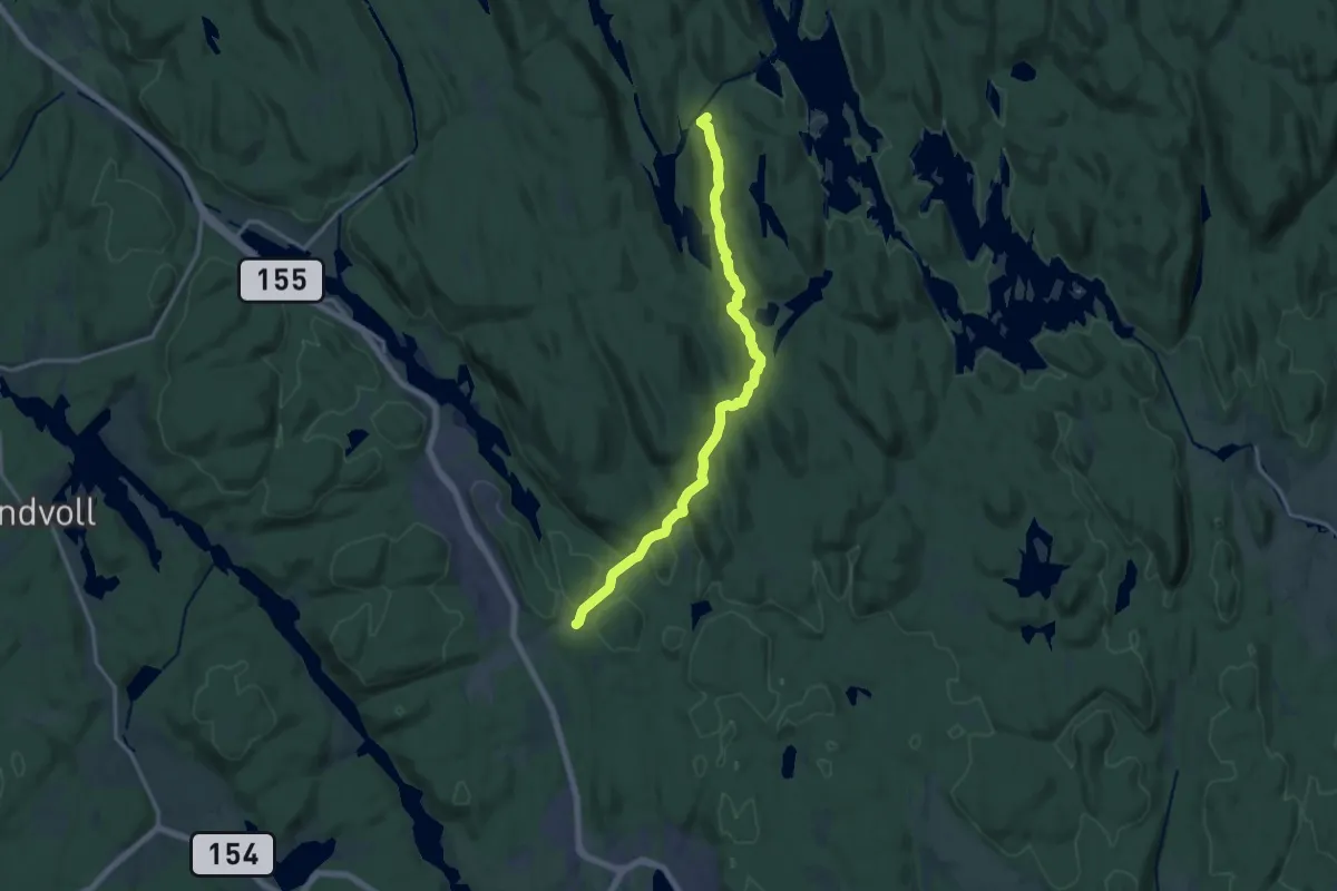
Medium · Cabin
Durud – Øvresaga
11.4 km · ↑ 239 m · 3 h 13 min
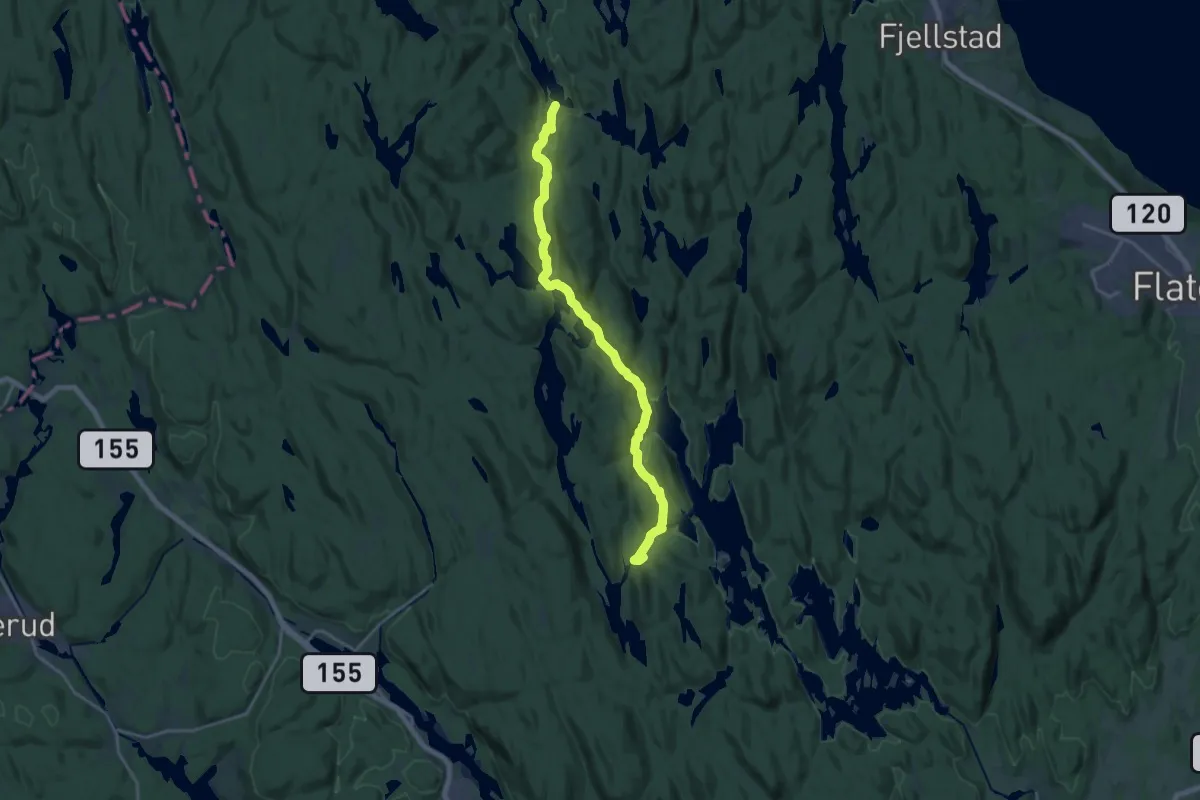
Medium · Cabin
Røyrivannskoia – Øvresaga
14.3 km · ↑ 479 m · 4 h 25 min
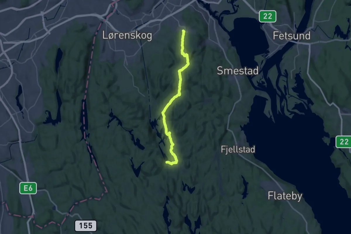
Demanding · Cabin
Røyrivannskoia – Kurland / Blystadlia
24.1 km · ↑ 593 m · 6 h 59 min
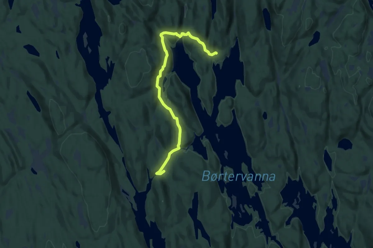
Easy · Cabin
Bøvelstad – Øvresaga
7.7 km · ↑ 270 m · 2 h 24 min
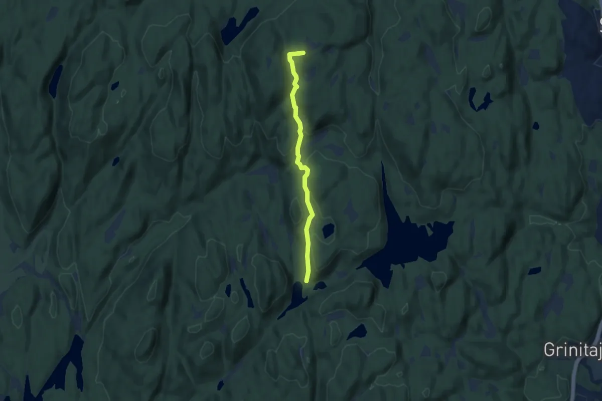
Easy · Summit
Sætertjernstua – Kurland / Blystadlia
4.8 km · ↑ 159 m · 1 h 28 min
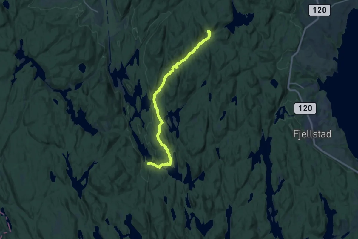
Medium · Cabin
Sætertjernstua – Røyrivannskoia
11.9 km · ↑ 179 m · 3 h 12 min
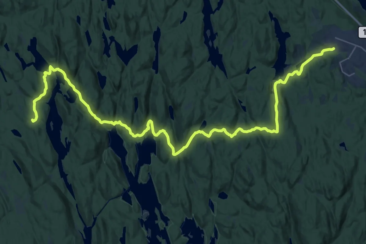
Demanding · Trail
Flateby – Vangen
25.8 km · ↑ 749 m · 7 h 42 min
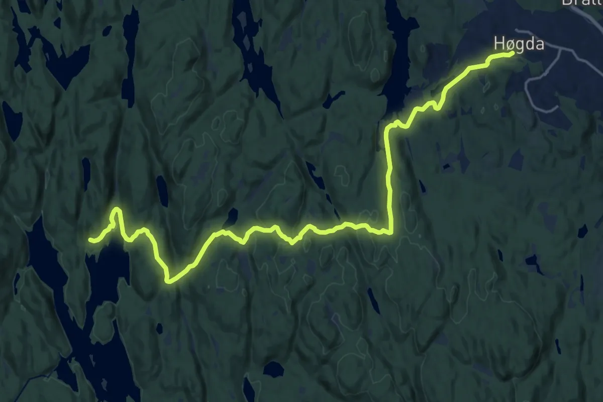
Medium · Cabin
Flateby – Bøvelstad
16.2 km · ↑ 411 m · 4 h 42 min
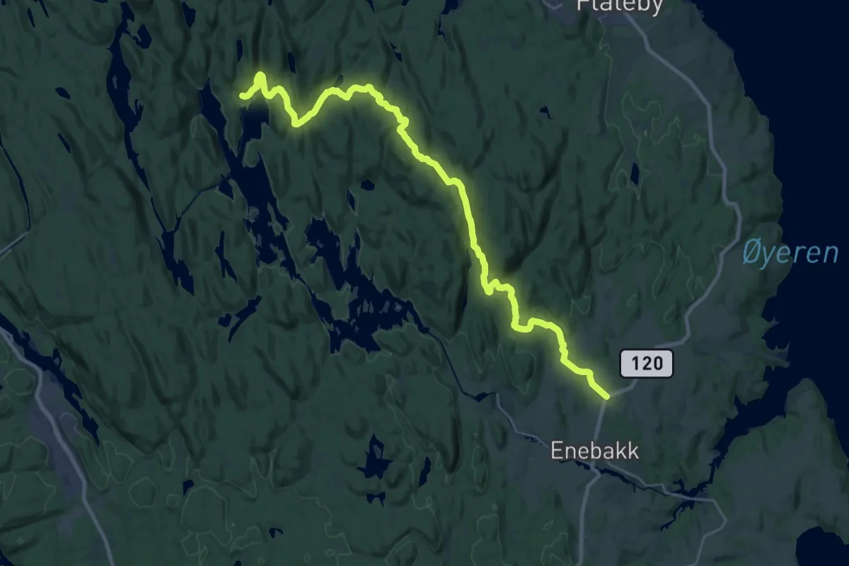
Demanding · Cabin
Tobøl – Bøvelstad
22.8 km · ↑ 486 m · 6 h 26 min
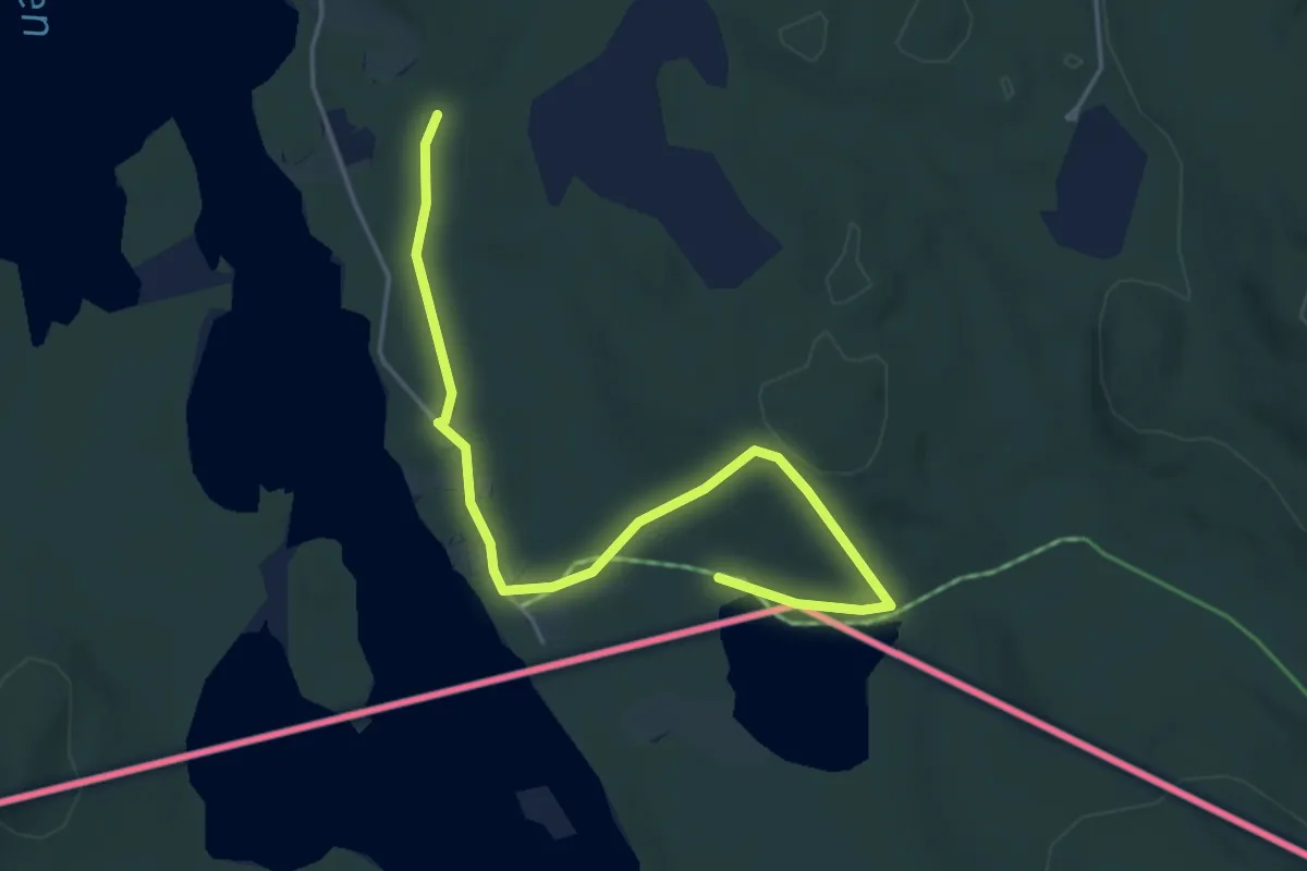
Easy · Trail
Holmsjøen sørvest – Holmsjøen nord
3.7 km · ↑ 68 m · 1 h 1 min
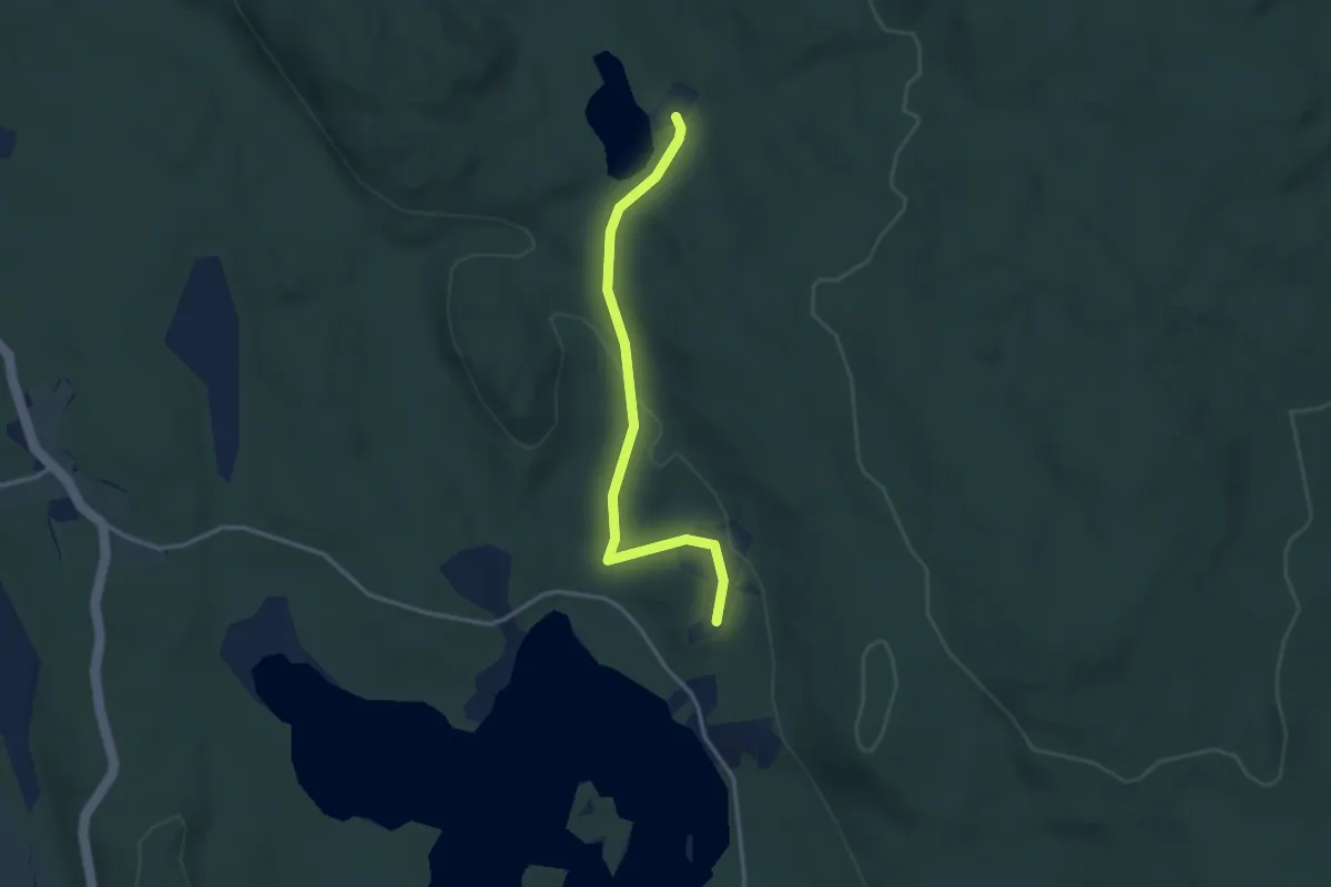
Easy · Trail
Holmsjøen nord – Vesle Holmsjøen
2.3 km · ↑ 43 m · 39 min
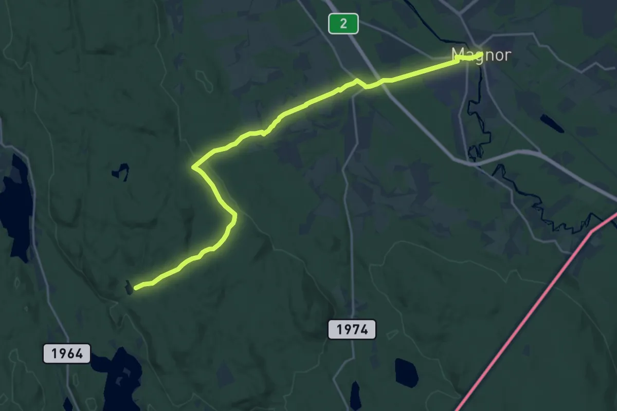
Medium · Trail
Stubberud (Magnor) – Vesle Holmsjøen
15.4 km · ↑ 249 m · 4 h 11 min
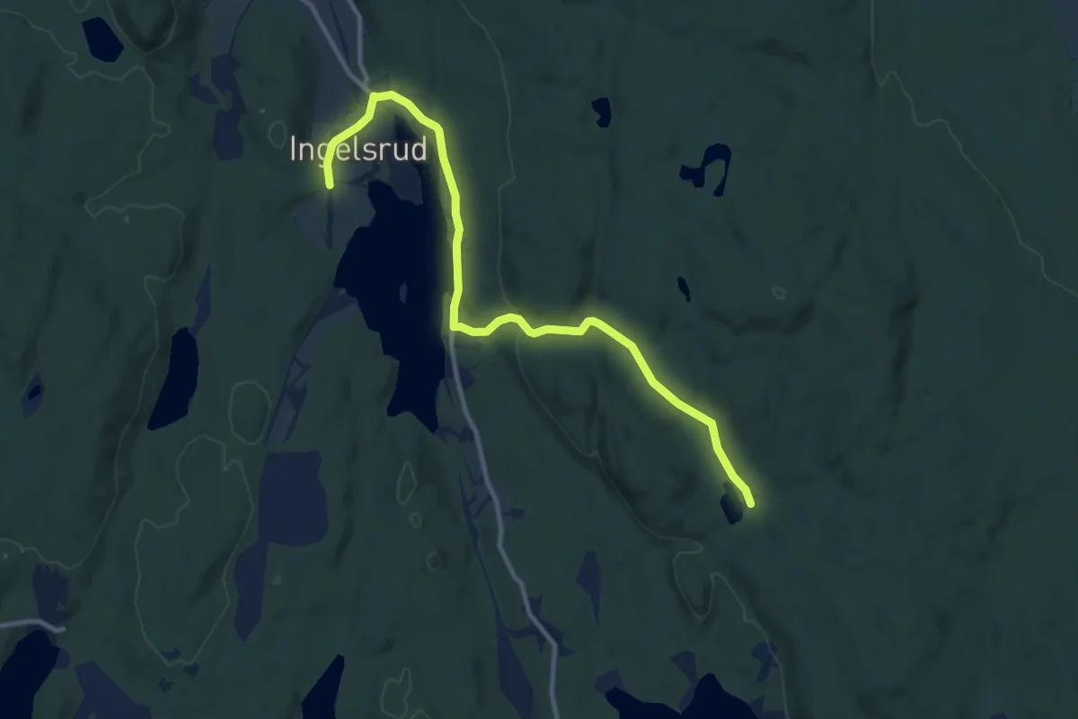
Medium · Trail
Ingelsrud – Vesle Holmsjøen
8.1 km · ↑ 126 m · 2 h 11 min
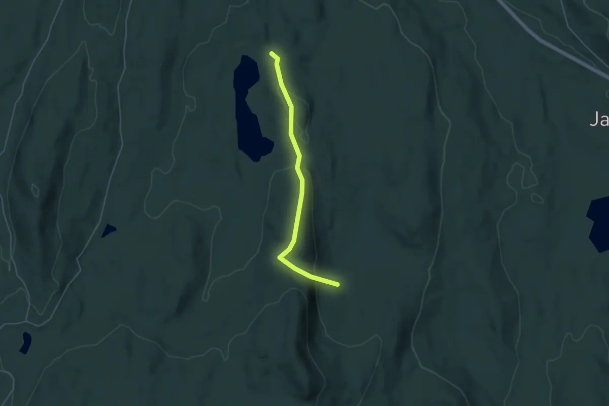
Easy · Trail
Nygårdstjernet – Nygårdsætra
3.0 km · ↑ 131 m · 59 min
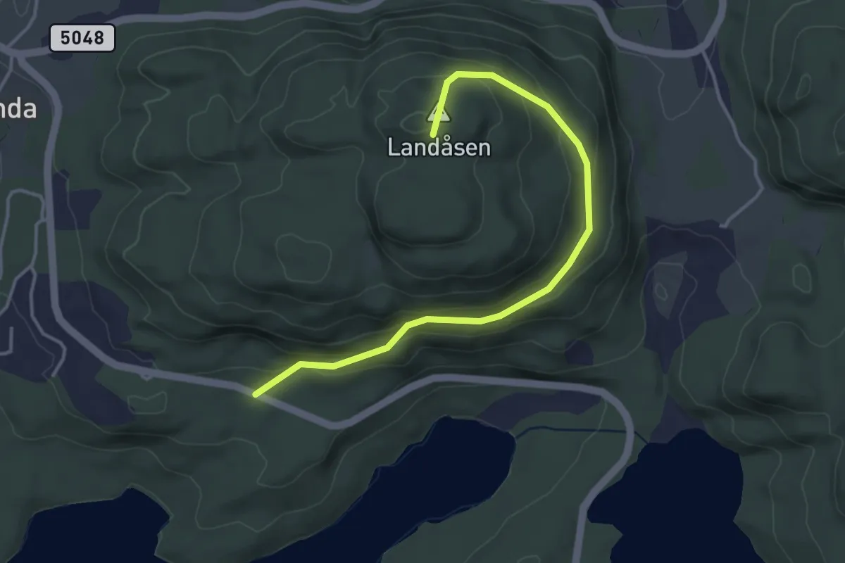
Easy · Summit
Strondavegen – Landåsen
3.0 km · ↑ 154 m · 1 h 3 min
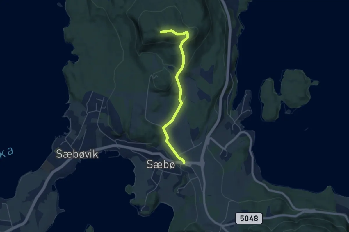
Medium · Summit
Tofte – Toftåsen
3.6 km · ↑ 138 m · 1 h 9 min
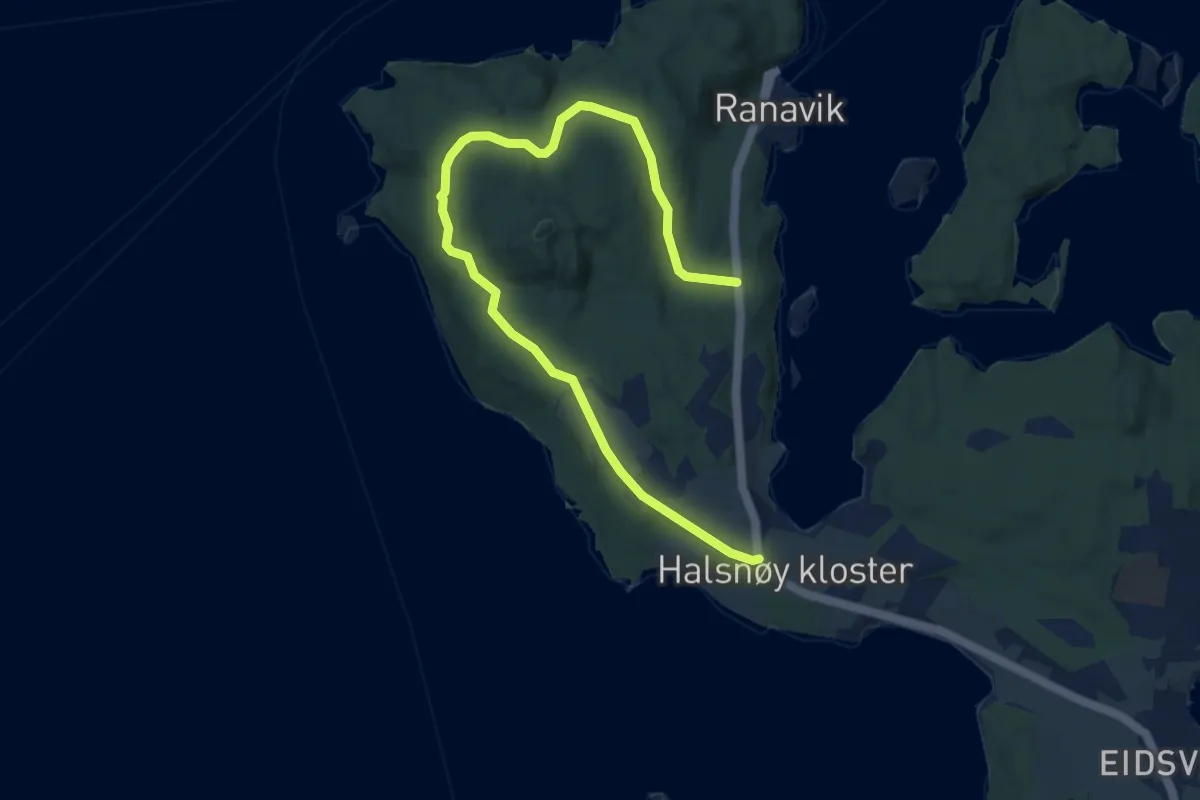
Easy · Trail
Haugane – Brattåsen
7.1 km · ↑ 75 m · 1 h 50 min
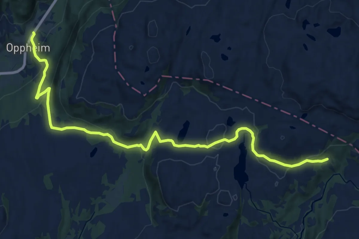
Medium · Cabin
Oppheim – Olalihytta
14.4 km · ↑ 458 m · 4 h 23 min