Trails in Norway
7,452 hiking trails, each with its route, climb, walking time and grade.
All trails, page 125 of 156
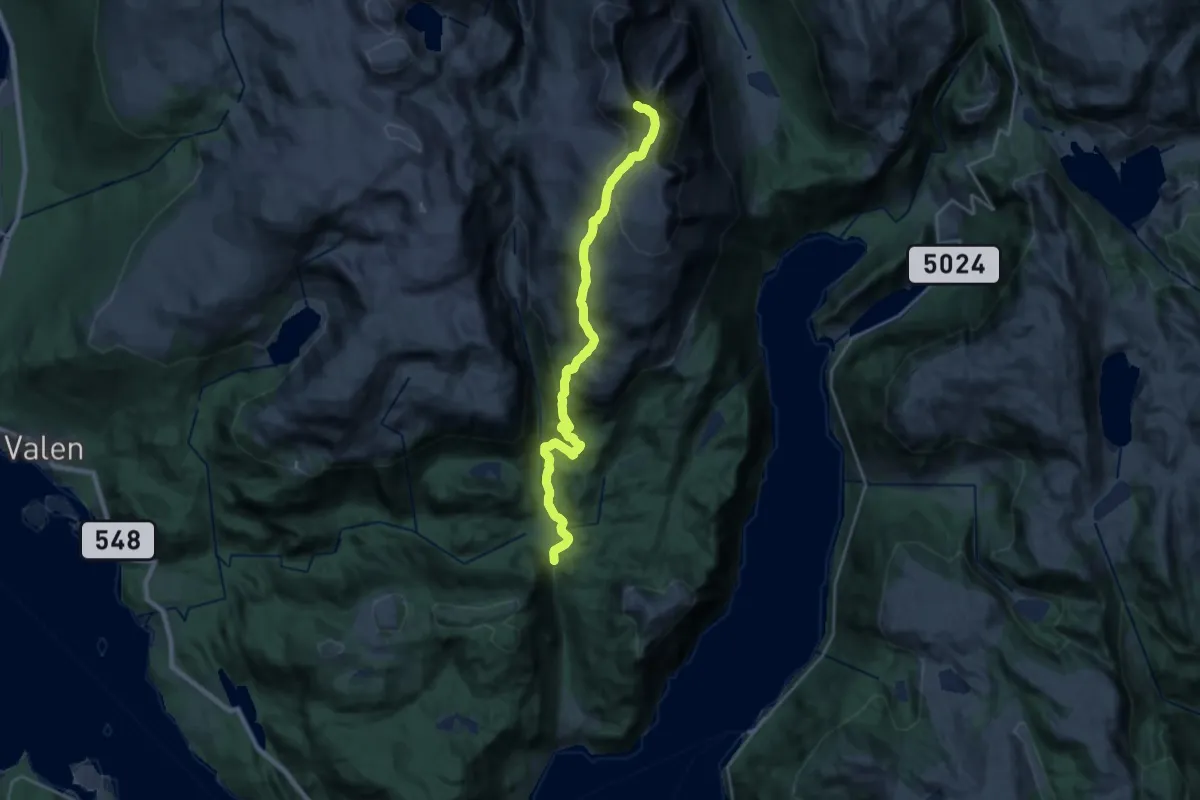
Demanding · Summit
Ternebu – Ulvanosa
17.2 km · ↑ 1046 m · 6 h 19 min
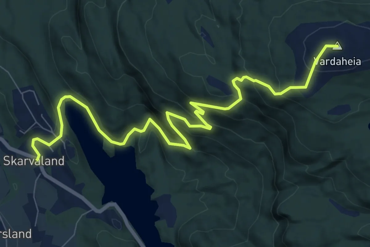
Medium · Summit
Skarveland skule – Vardaheia
7.2 km · ↑ 481 m · 2 h 44 min
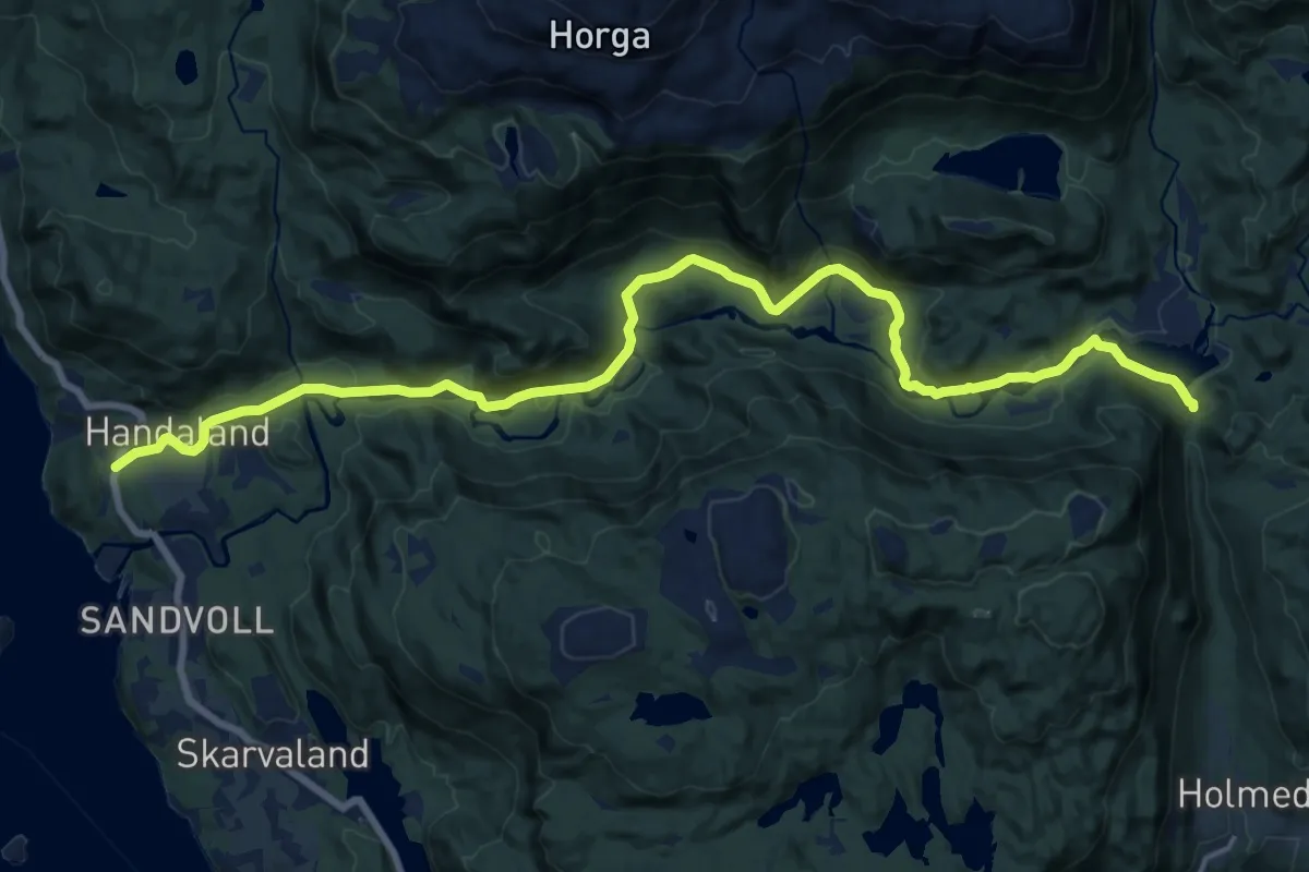
Medium · Trail
Gongstø – Ternebu
15.0 km · ↑ 267 m · 4 h 7 min
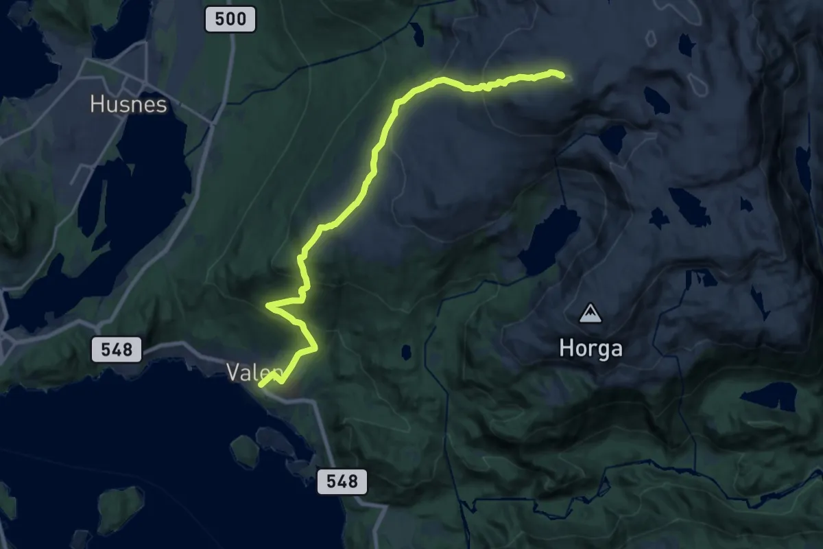
Demanding · Summit
Valen – Mjelkhaug
14.7 km · ↑ 1026 m · 5 h 41 min
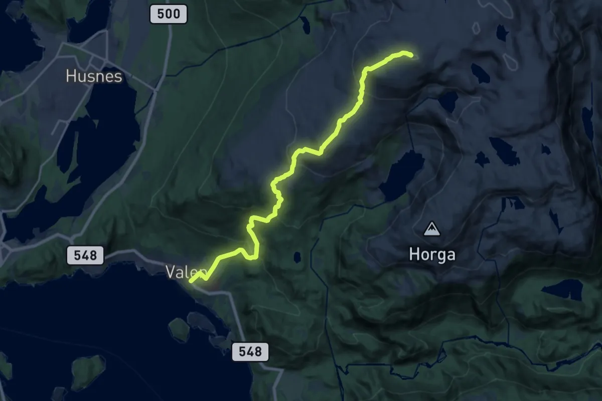
Demanding · Summit
Valen – Mjelkhaug
13.9 km · ↑ 988 m · 5 h 26 min
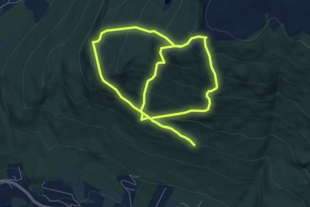
Demanding · Trail
Valen – Nordfjell
8.5 km · ↑ 795 m · 3 h 43 min
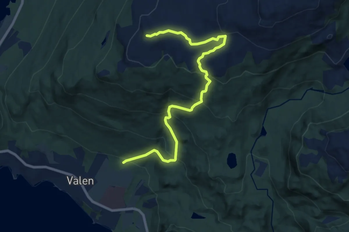
Demanding · Summit
Valen – Vardhaugselet
8.2 km · ↑ 569 m · 3 h 10 min
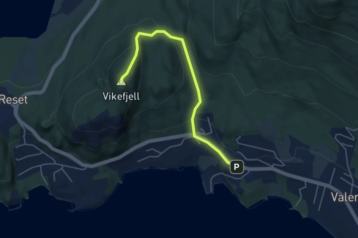
Easy · Summit
Valen – Vikefjell
3.0 km · ↑ 157 m · 1 h 2 min
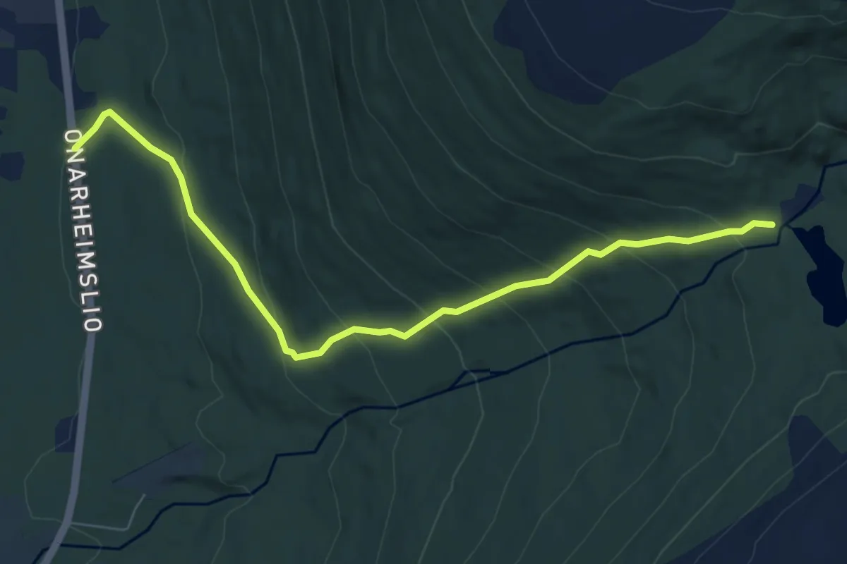
Medium · Trail
Husnes – Bremstølen
5.4 km · ↑ 403 m · 2 h 9 min
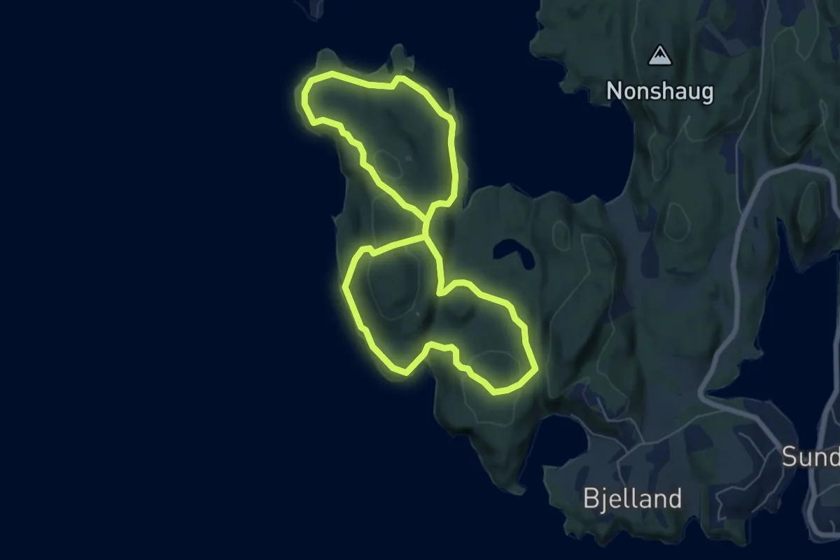
Easy · Trail
Bjelland – Bjellandsnes
4.4 km · ↑ 129 m · 1 h 23 min
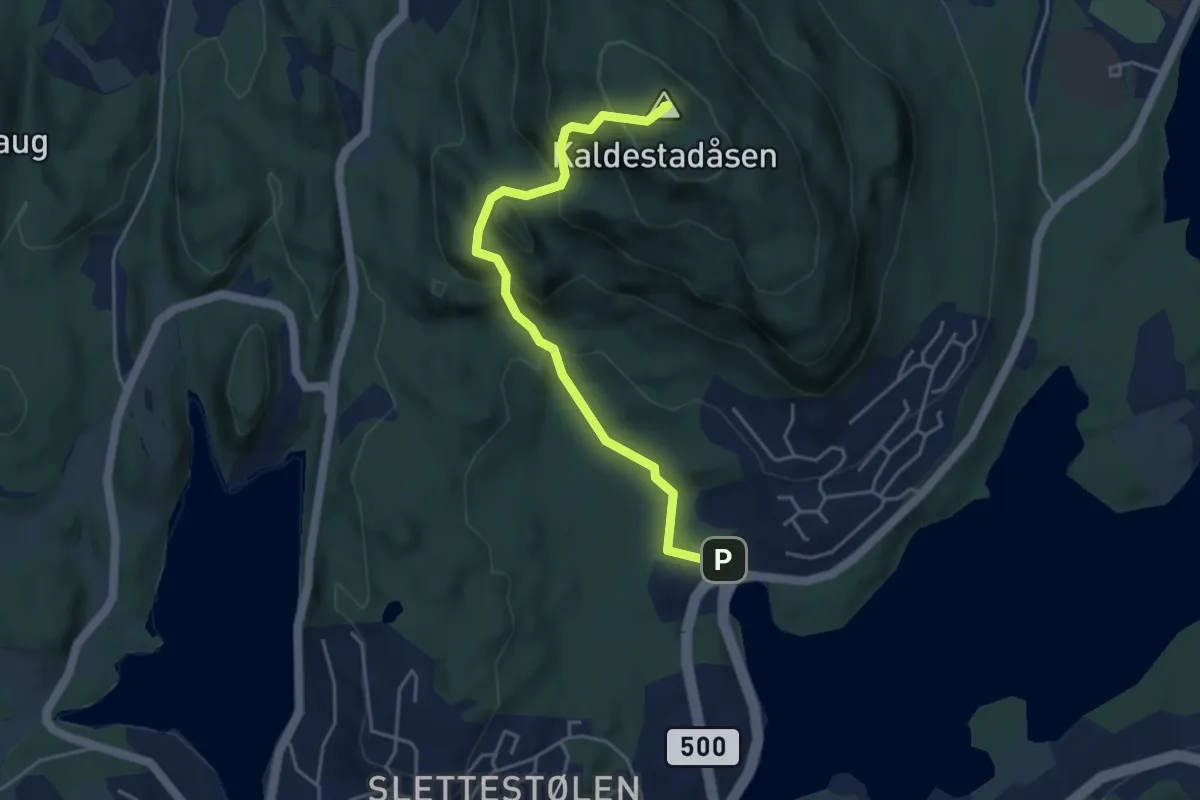
Easy · Summit
Sunde – Kaldestadåsen
3.2 km · ↑ 264 m · 1 h 20 min
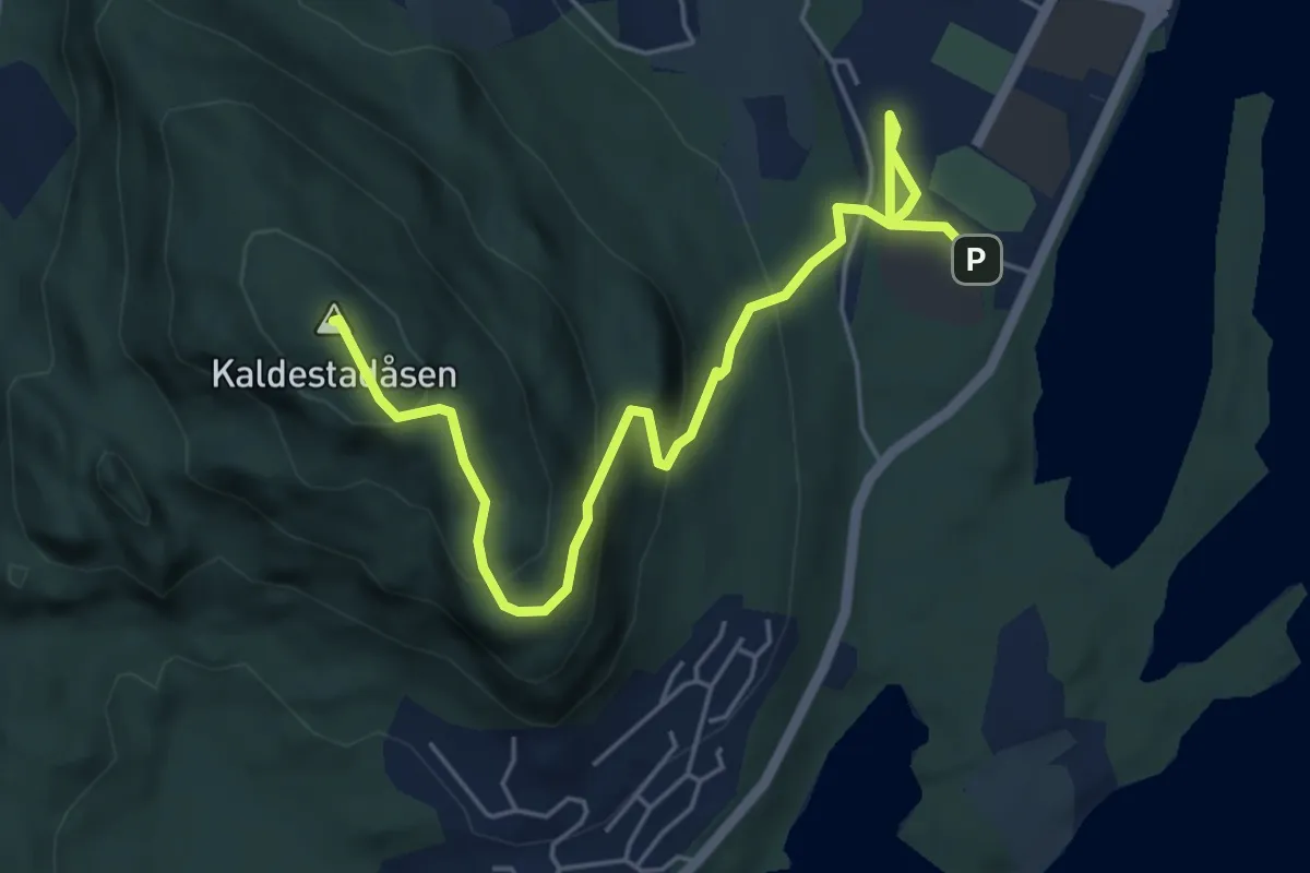
Medium · Summit
Husnes – Kaldestadåsen
4.4 km · ↑ 255 m · 1 h 36 min
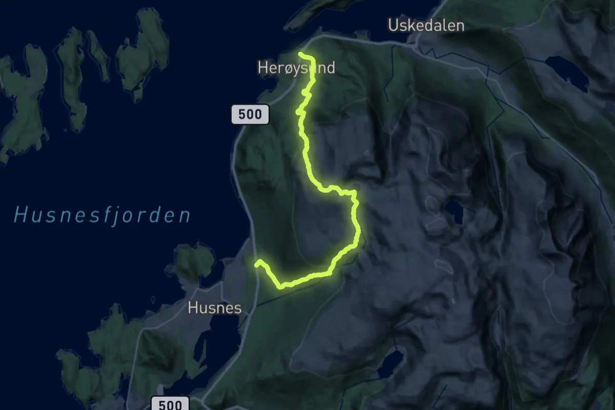
Demanding · Trail
Husnes – Bringedalsbygda
11.7 km · ↑ 833 m · 4 h 44 min
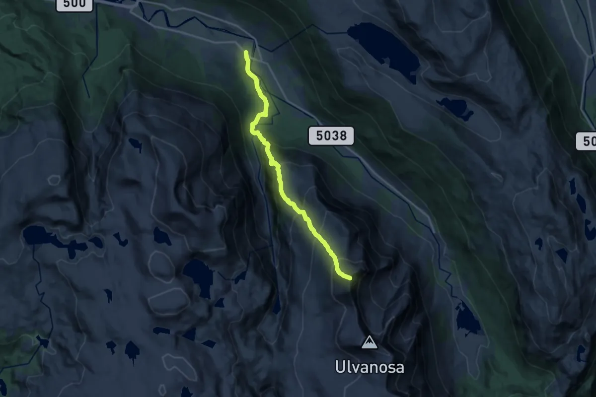
Demanding · Summit
Klammeren – Ulvanosa
10.4 km · ↑ 1168 m · 4 h 59 min
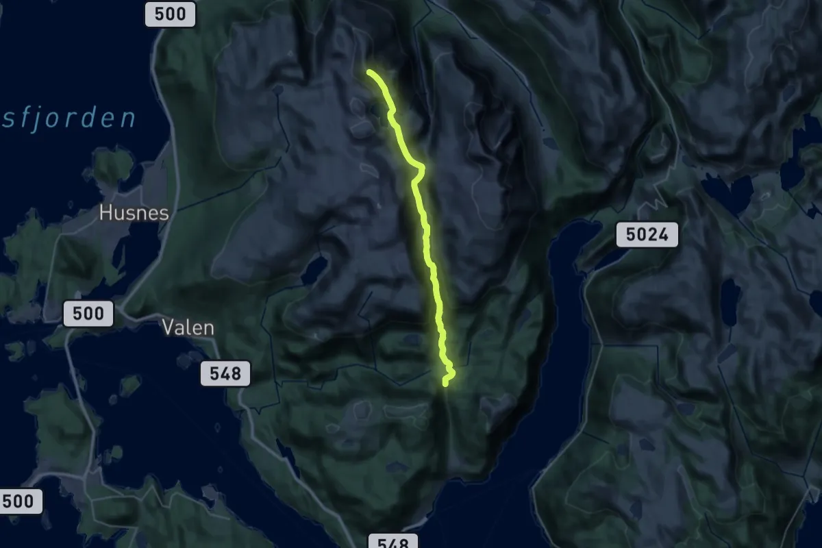
Demanding · Summit
Ternebu – Englafjell
20.0 km · ↑ 1185 m · 7 h 17 min
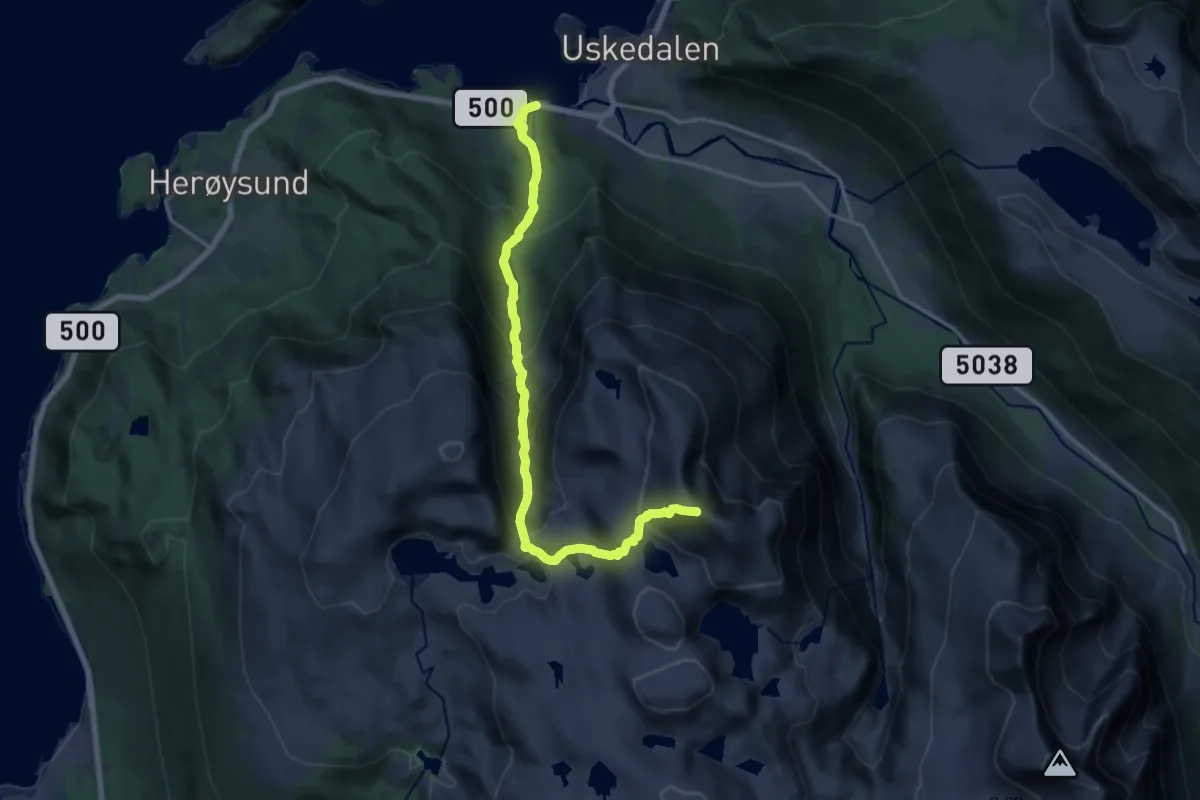
Demanding · Summit
Eik – Englafjell
12.8 km · ↑ 1204 m · 5 h 38 min
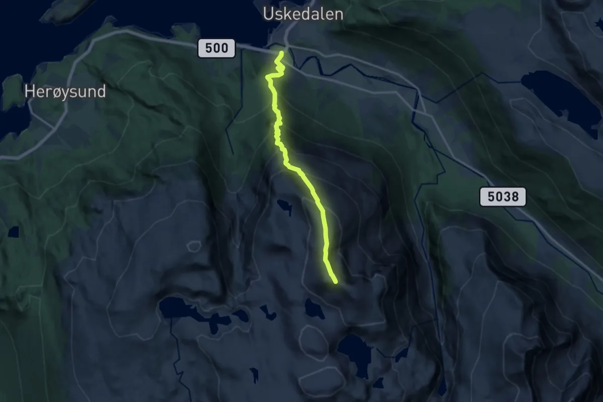
Demanding · Summit
Fet – Englafjell
9.2 km · ↑ 1197 m · 4 h 46 min
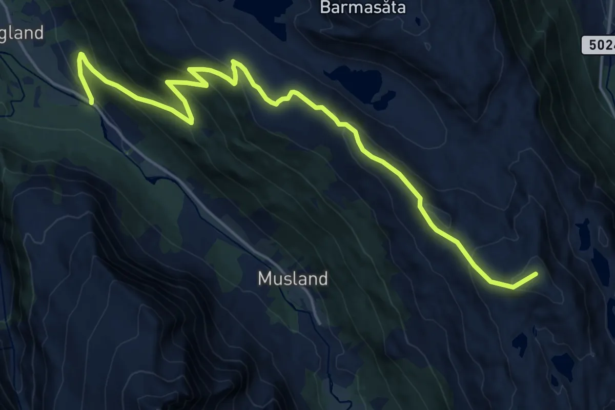
Demanding · Summit
Klammeren – Tverrfjellet
14.5 km · ↑ 869 m · 5 h 19 min
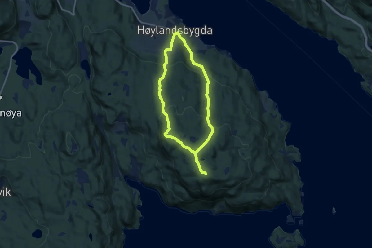
Medium · Summit
Berhaug – Ramnakulten
10.7 km · ↑ 537 m · 3 h 42 min
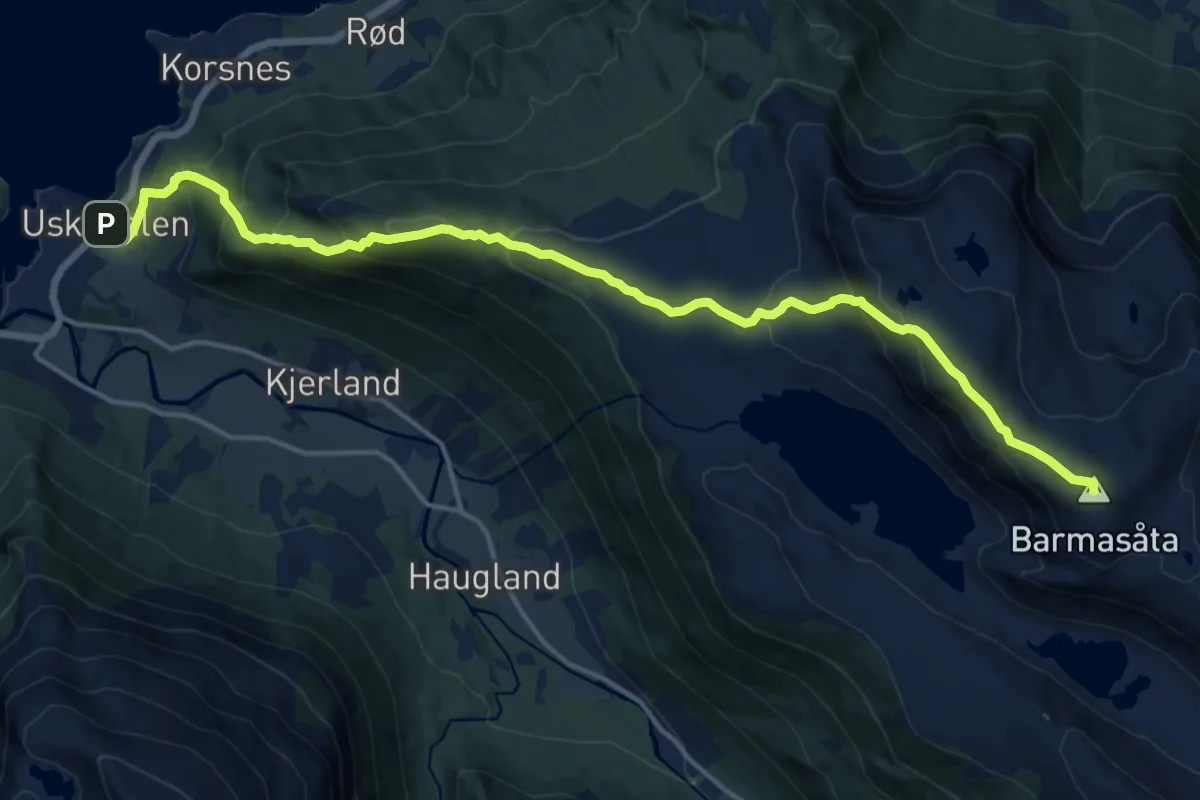
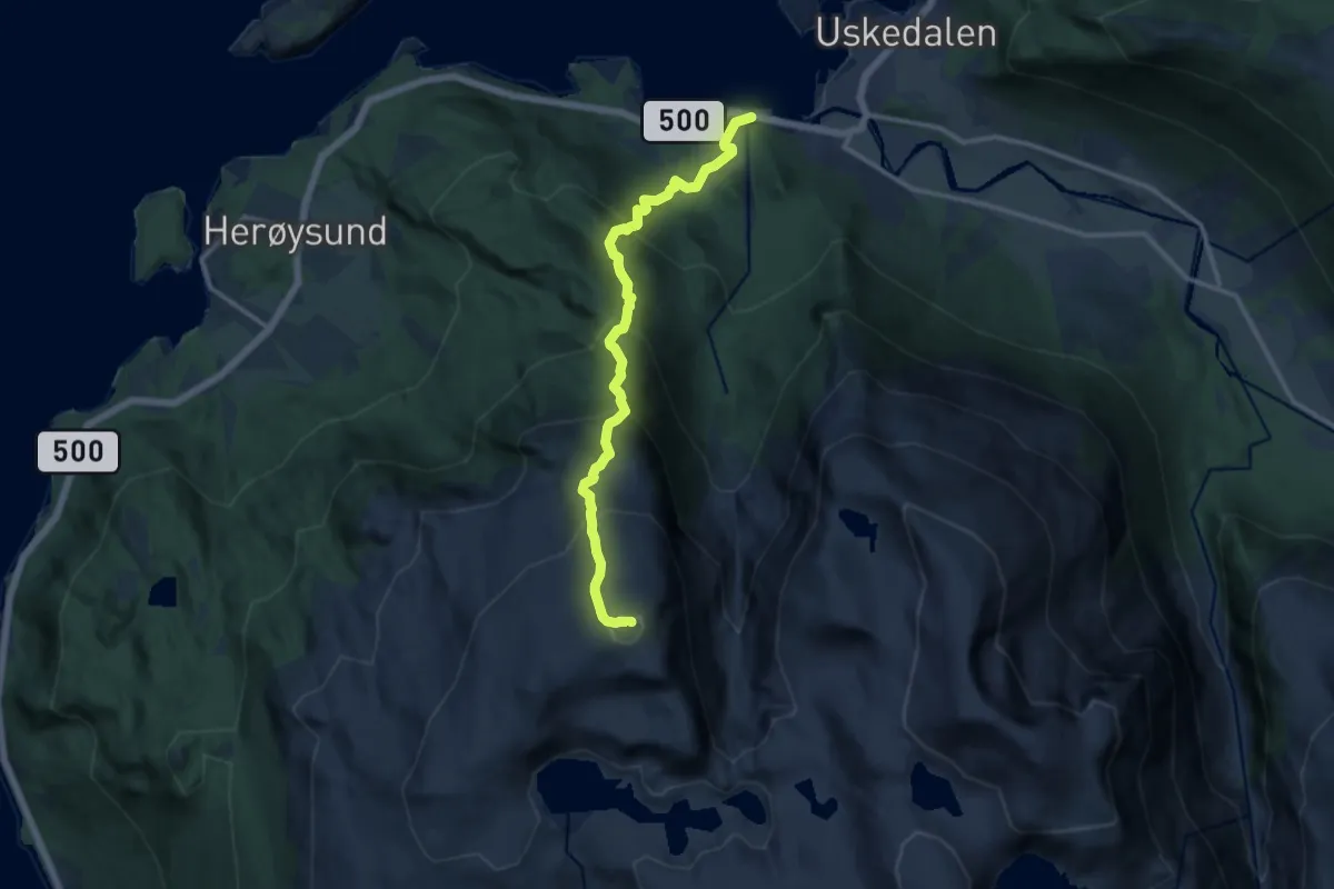
Demanding · Summit
Uskedalen – Solfjellet
13.2 km · ↑ 1005 m · 5 h 17 min
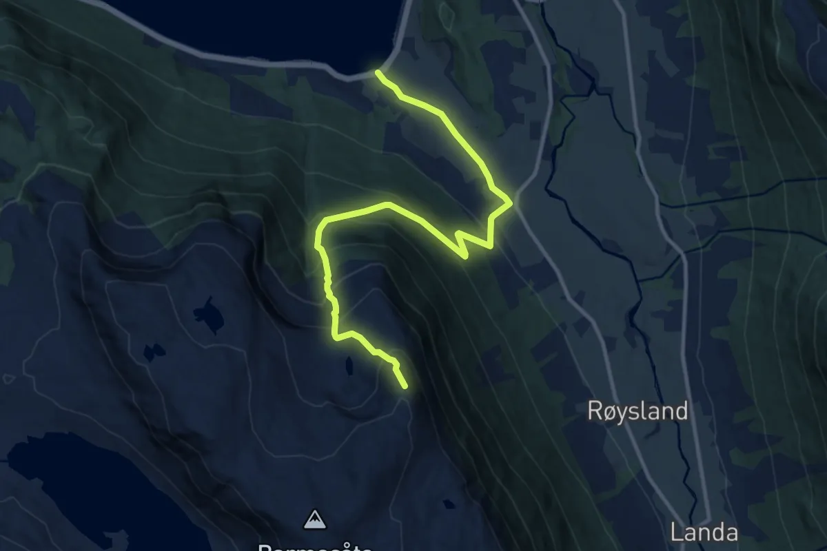
Demanding · Summit
Eik – Manen
8.7 km · ↑ 1011 m · 4 h 15 min
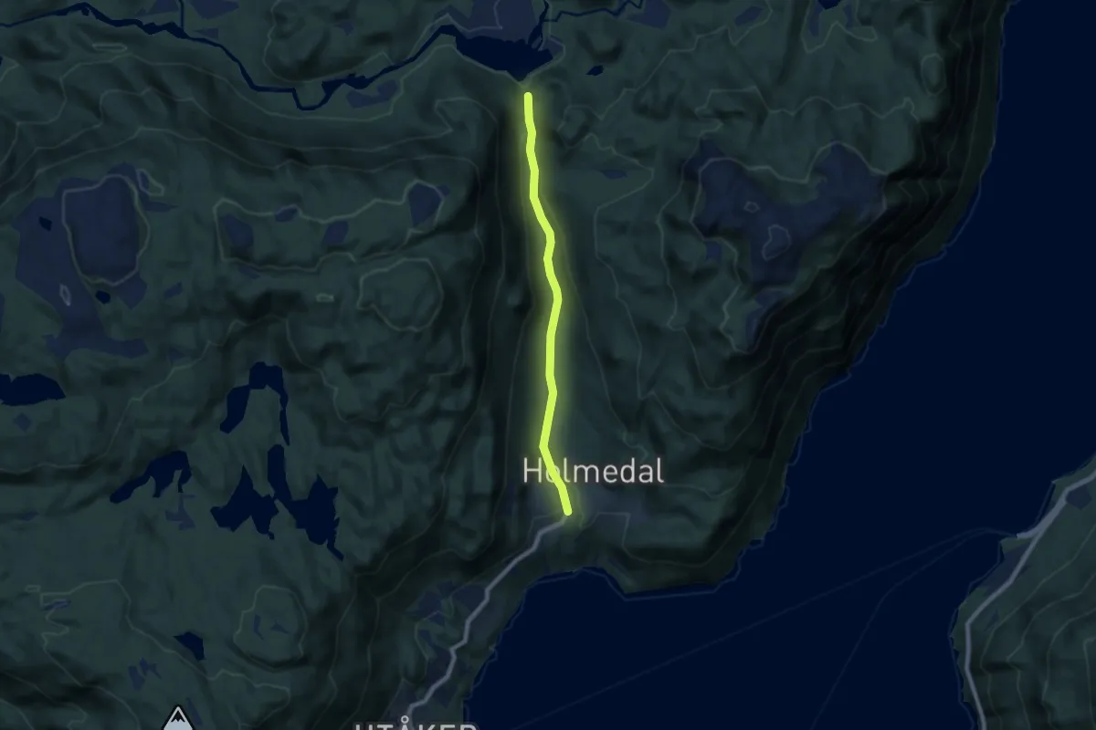
Medium · Trail
Sandvik – Nonshaug
8.6 km · ↑ 778 m · 3 h 42 min
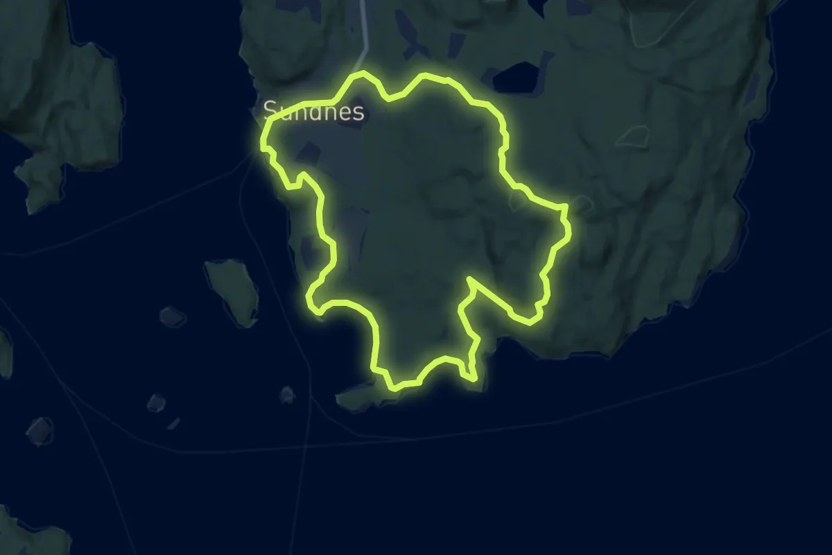
Easy · Trail
Ternebu – Holmedal
4.8 km · ↑ 123 m · 1 h 24 min
Easy · Trail
Sydnes – Trollåsen
6.0 km · ↑ 128 m · 1 h 47 min
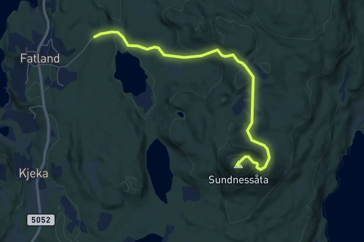
Easy · Summit
Fatland – Sydnessåta
4.5 km · ↑ 214 m · 1 h 31 min
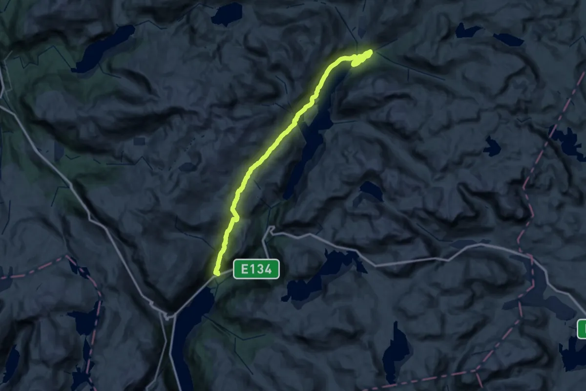
Expert · Trail
Røldal – Middalsbu
20.4 km · ↑ 585 m · 6 h 32 min
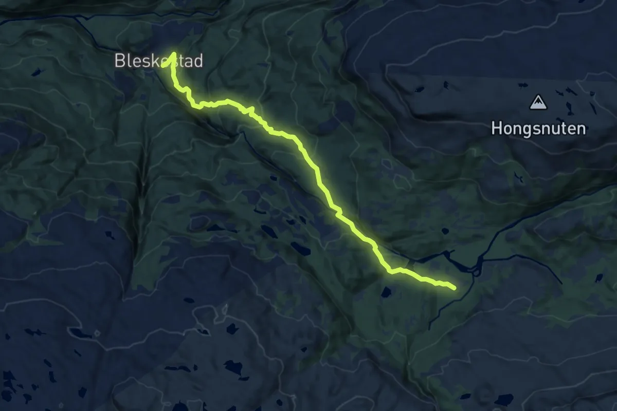
Medium · Cabin
Blekstadmoen – Blekstad
10.4 km · ↑ 510 m · 3 h 34 min
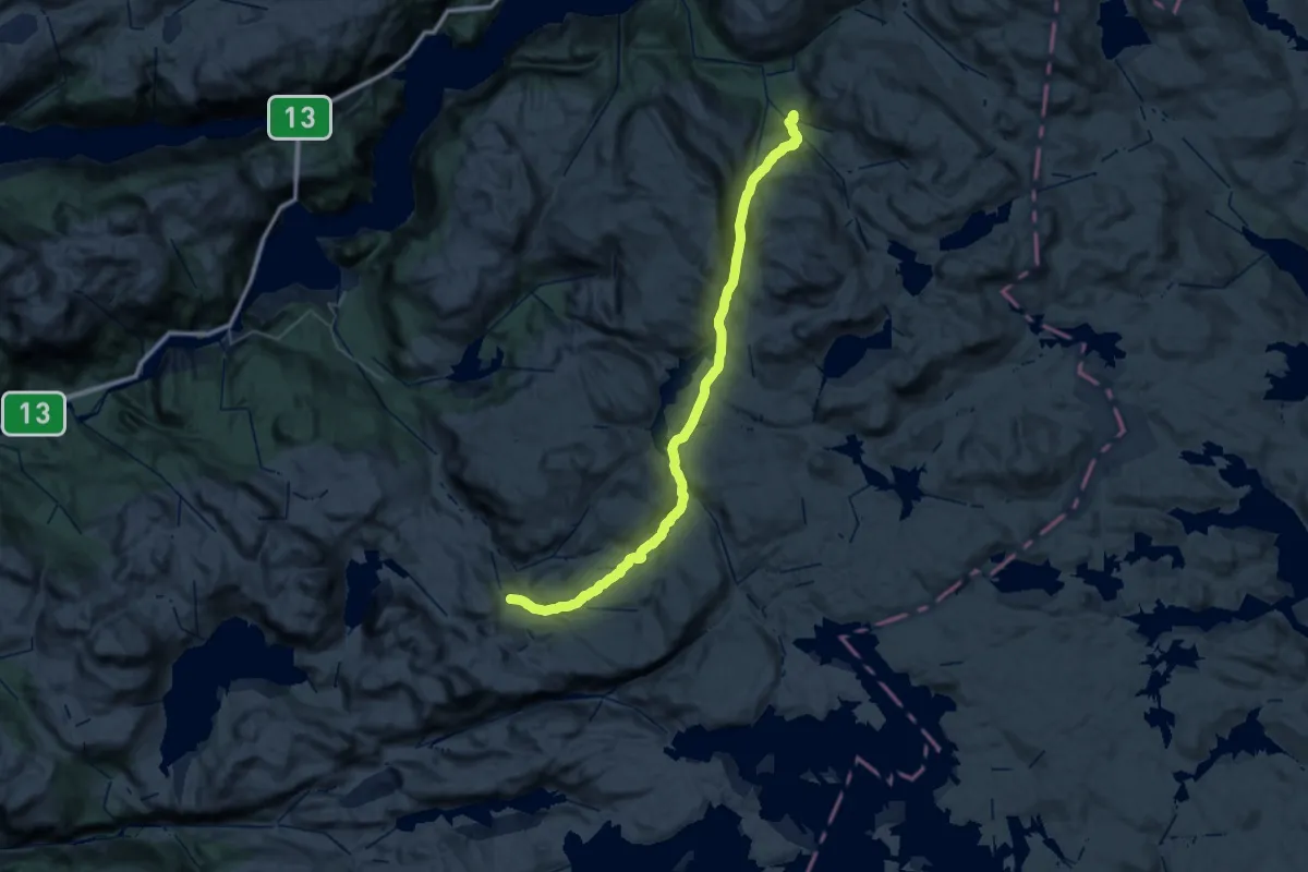
Demanding · Cabin
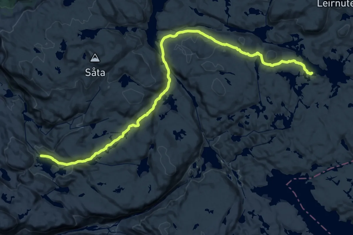
Stranddalshytta – Jonstølen
19.0 km · ↑ 820 m · 6 h 24 min
Medium · Cabin
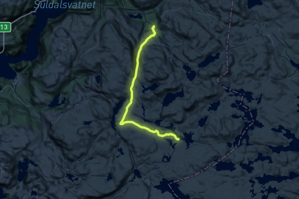
Krossvatn – Jonstølen
15.0 km · ↑ 350 m · 4 h 34 min
Medium · Cabin
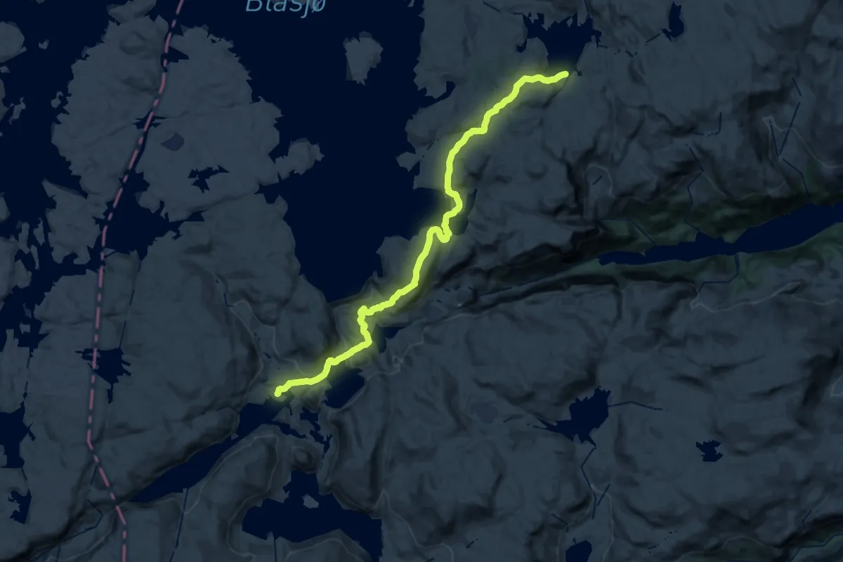
Jonstølen – Krossvatn
16.8 km · ↑ 780 m · 5 h 42 min
Medium · Cabin
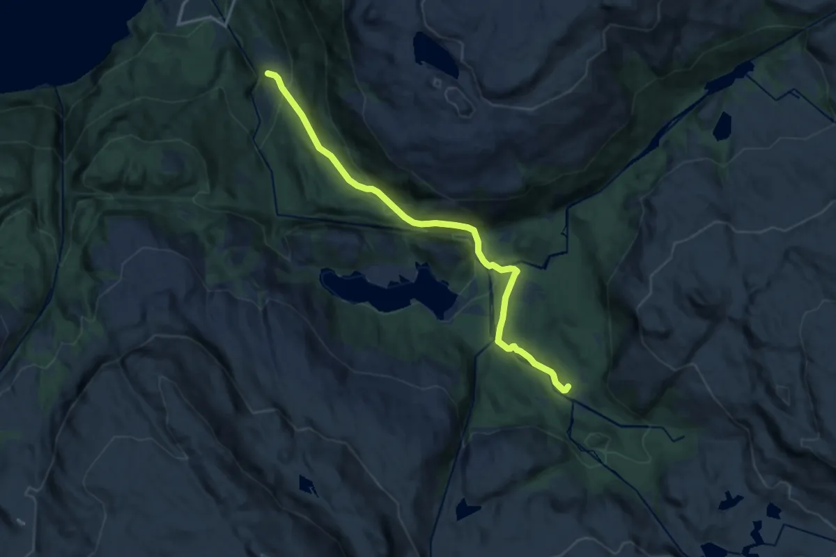
Storsteinen – Hovatn
14.0 km · ↑ 545 m · 4 h 36 min
Medium · Cabin
Vetrhus – Jonstølen
9.8 km · ↑ 531 m · 3 h 28 min
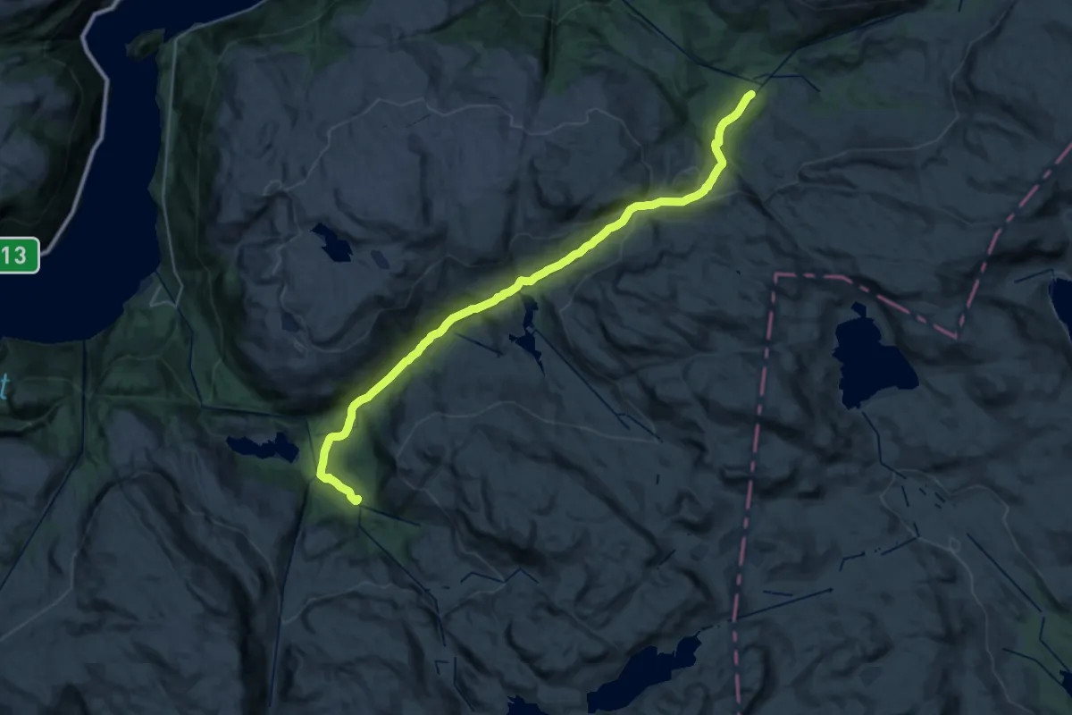
Demanding · Cabin
Blekstadmoen – Jonstølen
24.4 km · ↑ 858 m · 7 h 38 min
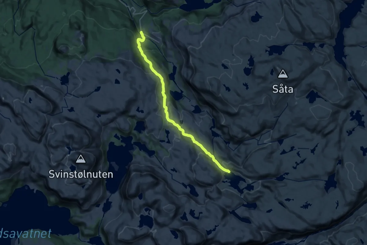
Medium · Cabin
Saurdal (Kvilldal) – Stranddalen
14.7 km · ↑ 596 m · 4 h 45 min
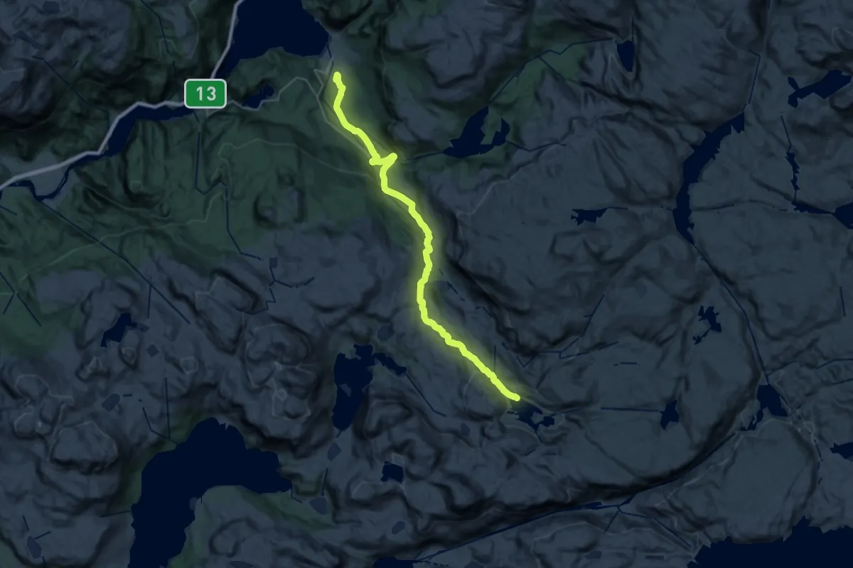
Demanding · Cabin
Kvilldal – Stranddalen
23.7 km · ↑ 956 m · 7 h 40 min
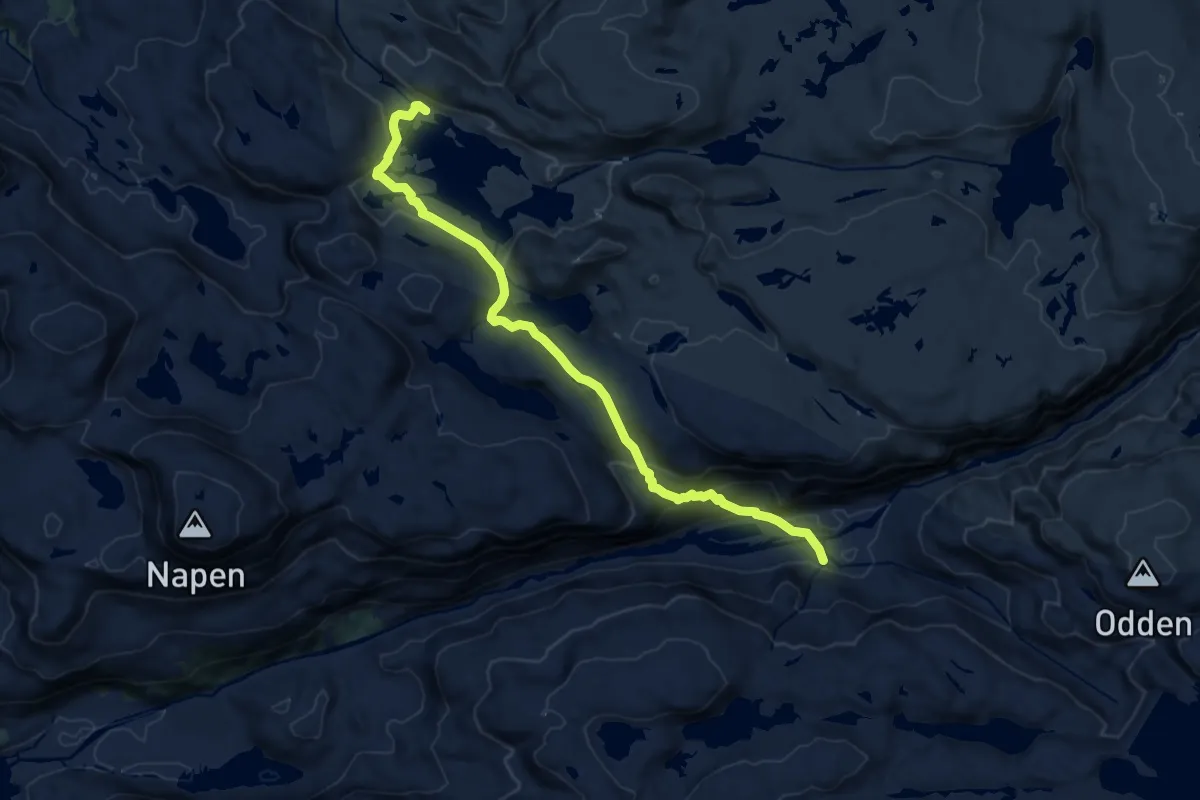
Medium · Cabin
Kvilldal – Stranddalen
10.1 km · ↑ 442 m · 3 h 20 min
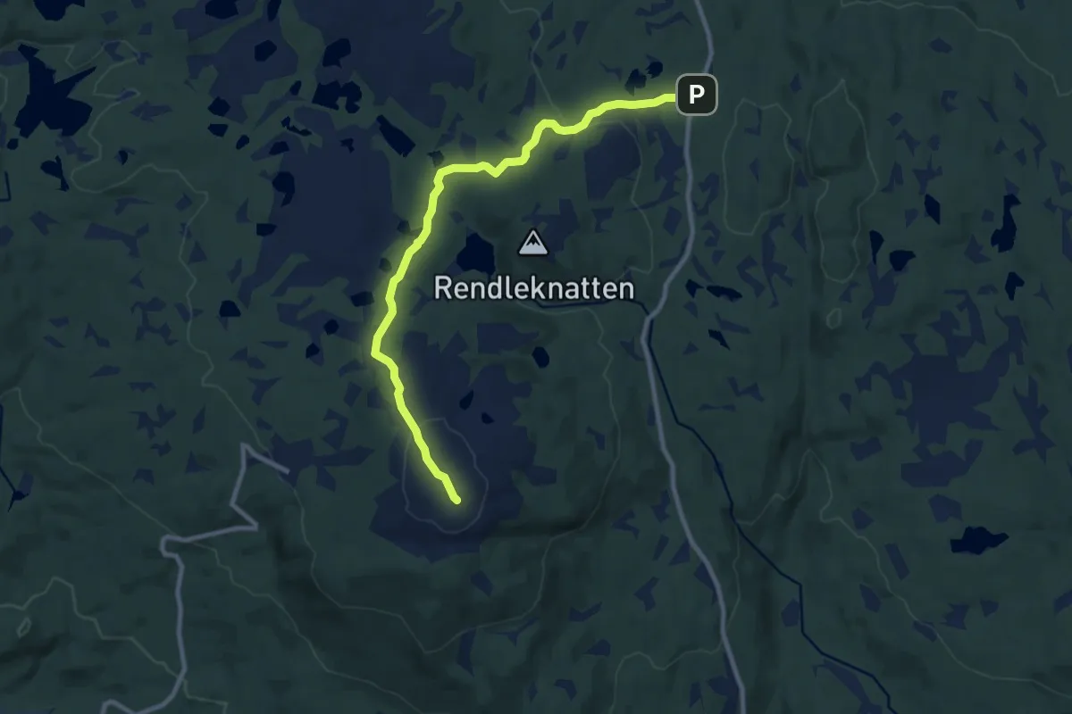
Easy · Trail
Blestølen – Liafanten
7.2 km · ↑ 166 m · 2 h 3 min
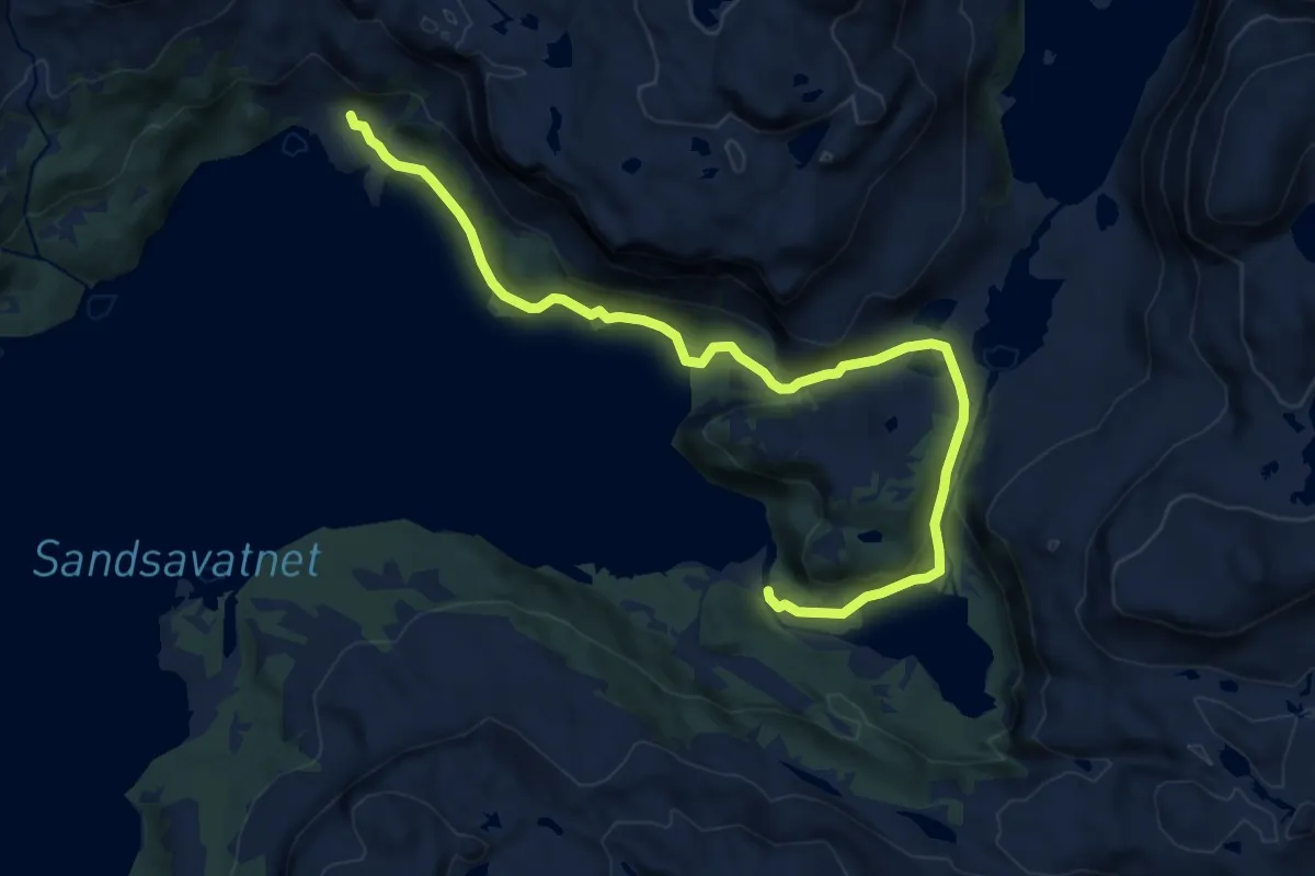
Medium · Cabin
Sandsa – Osane
10.1 km · ↑ 450 m · 3 h 22 min
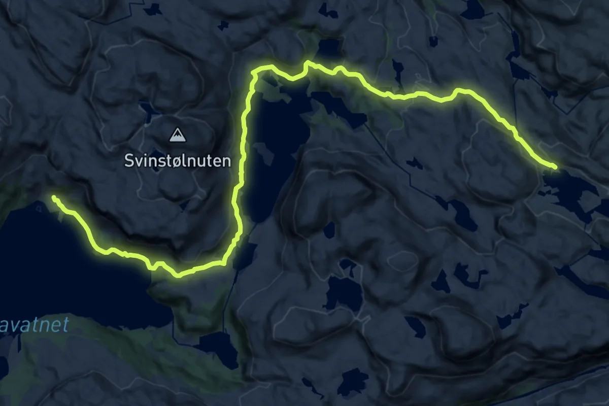
Demanding · Cabin
Sandsa – Stranddalen
23.9 km · ↑ 838 m · 7 h 28 min
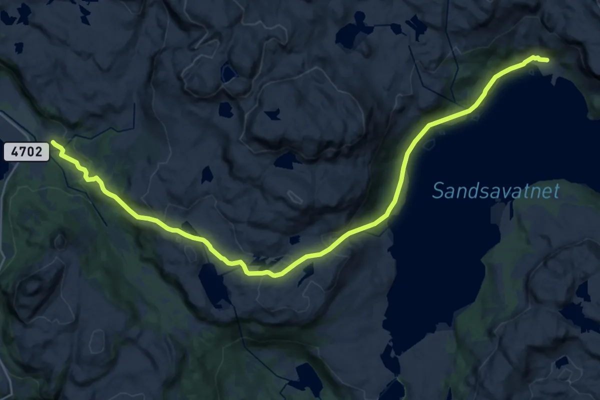
Demanding · Cabin
Gullingen – Stranddalen
19.4 km · ↑ 707 m · 6 h 7 min
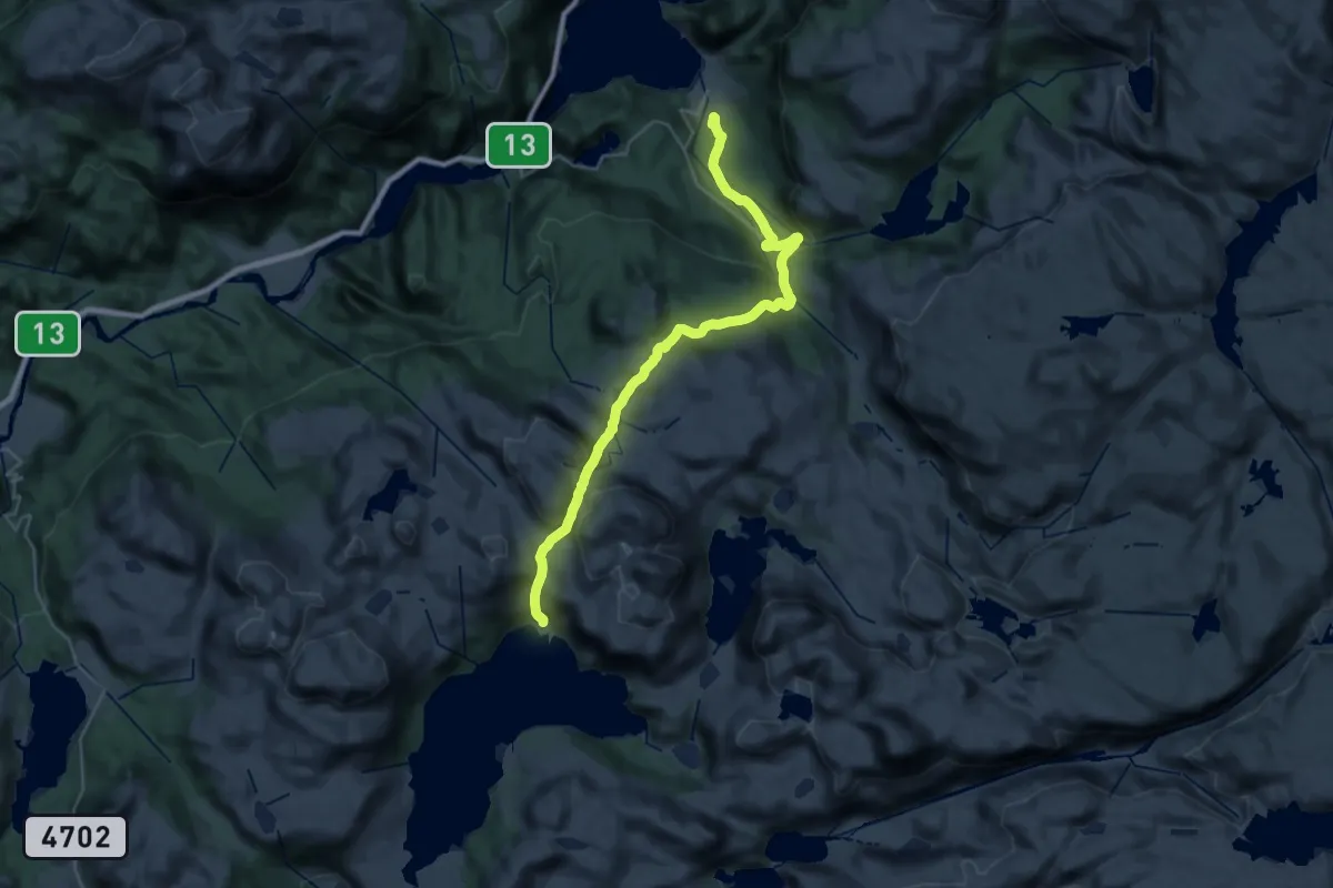
Demanding · Cabin
Kvilldal – Stranddalen
12.9 km · ↑ 992 m · 5 h 7 min
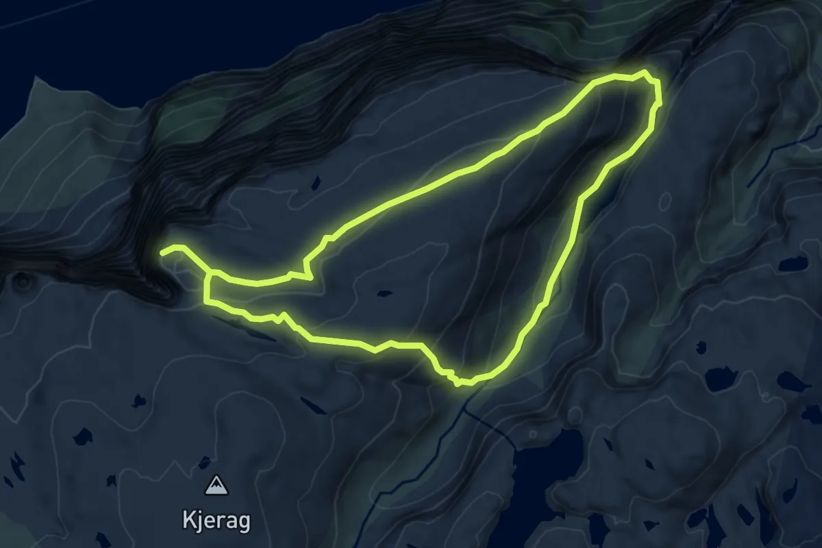
Demanding · Trail
Øygardsstølen – Kjerag
11.2 km · ↑ 957 m · 4 h 44 min
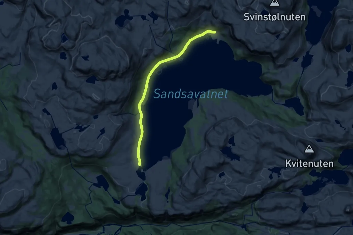
Medium · Cabin
Sandsaosen – Stranddalen
10.8 km · ↑ 243 m · 3 h 5 min
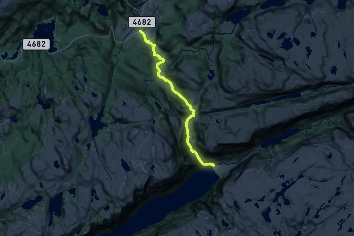
Medium · Cabin
Kleivaland – Trodla-Tysdal
17.0 km · ↑ 734 m · 5 h 37 min
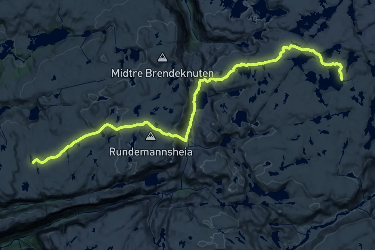
Medium · Cabin
Eidavatn – Melands Grønahei
17.2 km · ↑ 404 m · 5 h 18 min
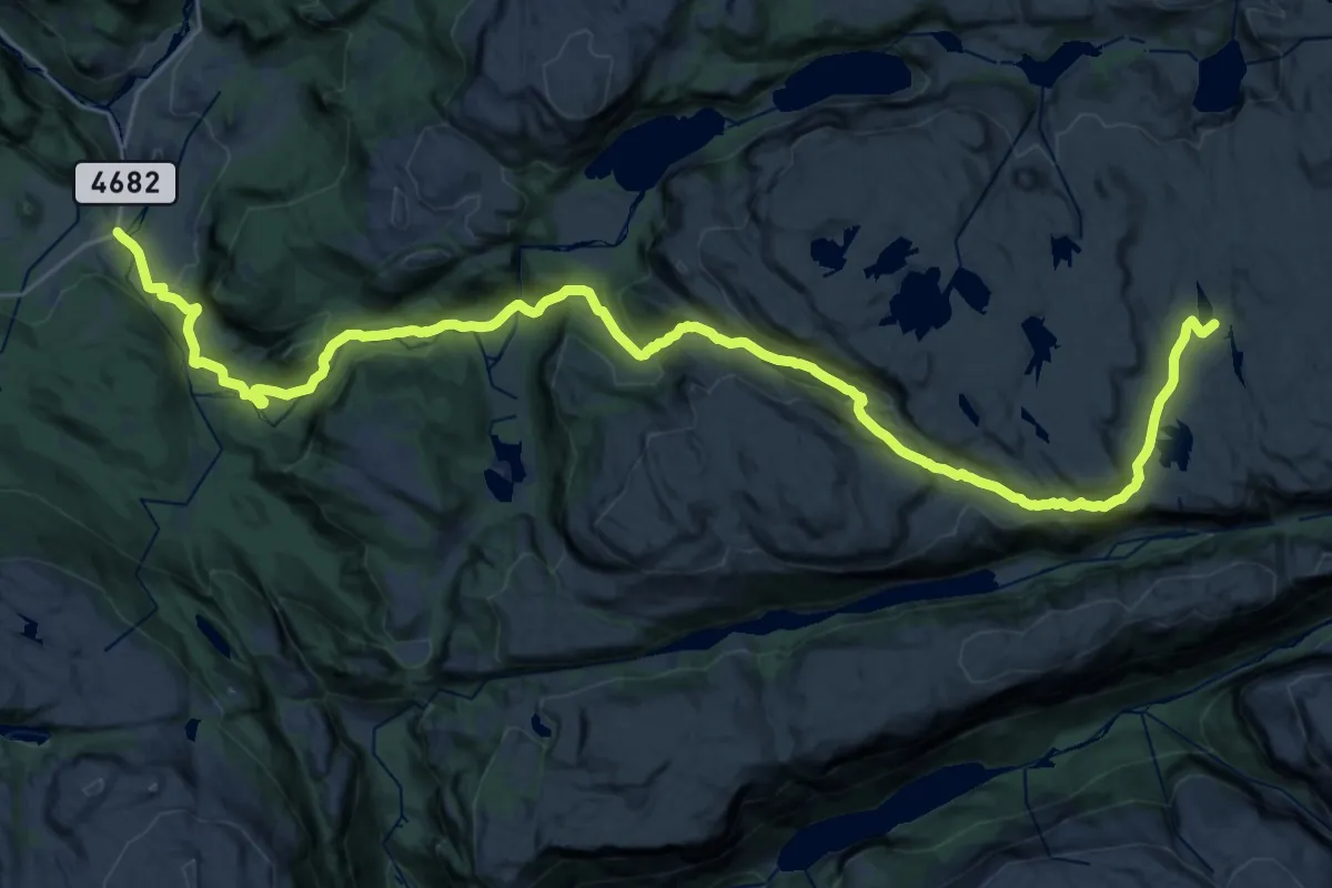
Demanding · Cabin
Kleivaland – Melands Grønahei
25.1 km · ↑ 856 m · 7 h 47 min
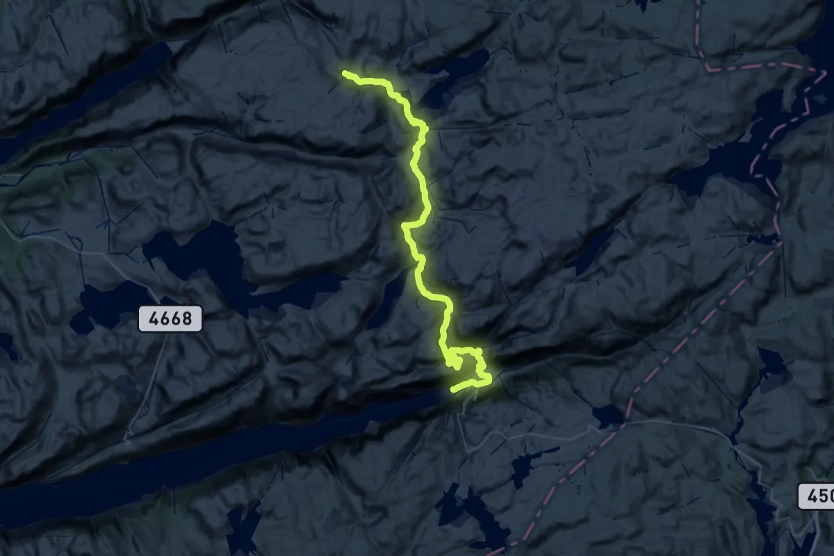
Demanding · Trail
Lysefjorden Turisthytte – Stakken
25.5 km · ↑ 1085 m · 8 h 21 min
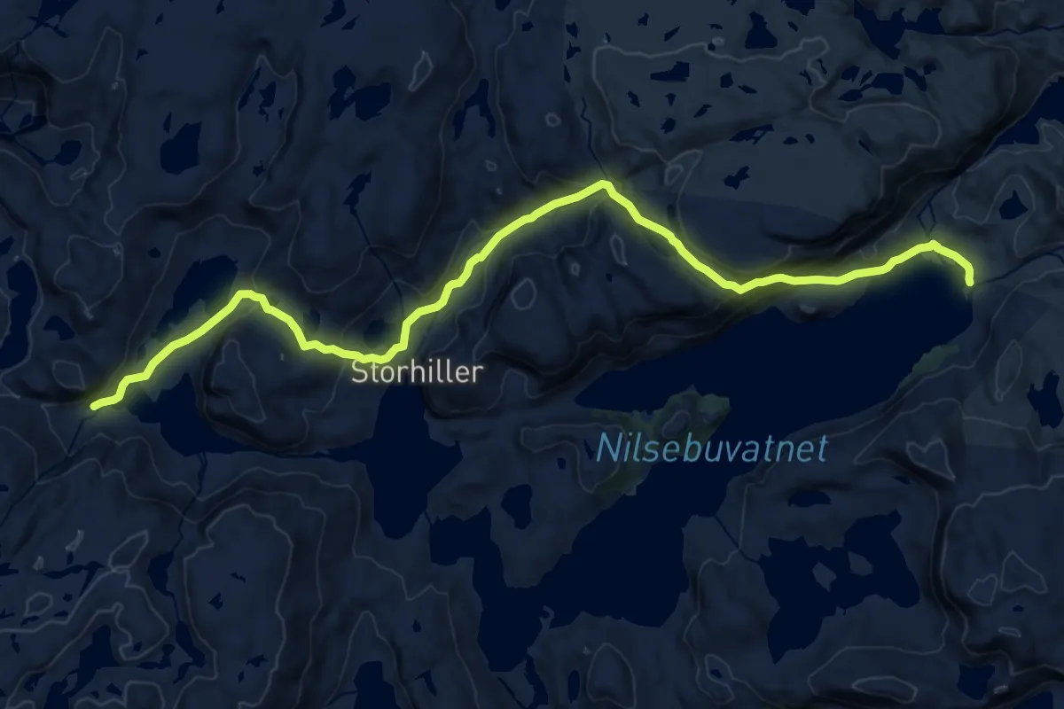
Medium · Cabin
Nilsebu – Stakken
16.3 km · ↑ 707 m · 5 h 23 min