Trails in Norway
7,452 hiking trails, each with its route, climb, walking time and grade.
All trails, page 126 of 156
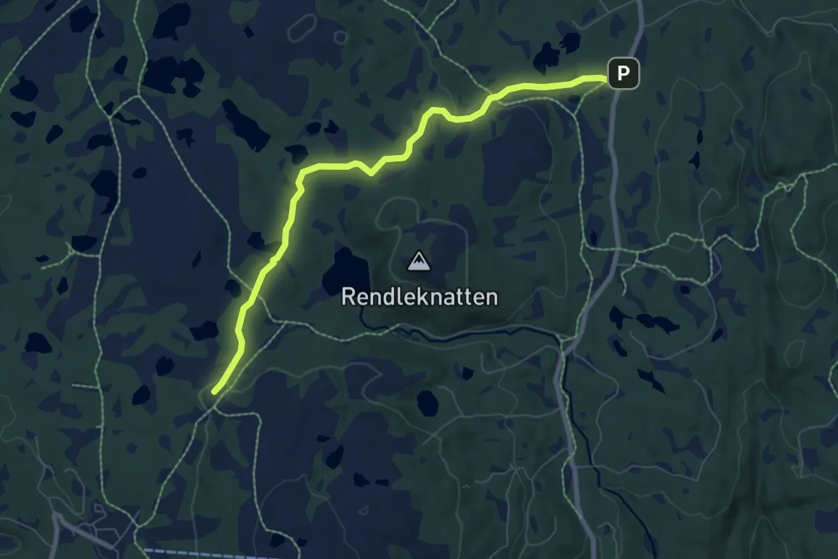
Easy · Trail
Blestølen – Ble sportskapell
5.3 km · ↑ 100 m · 1 h 28 min
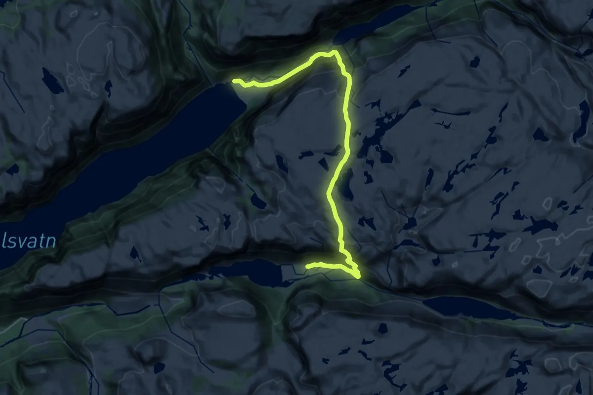
Demanding · Cabin
Trodla-Tysdal – Viglesdalen
17.7 km · ↑ 1429 m · 7 h 17 min
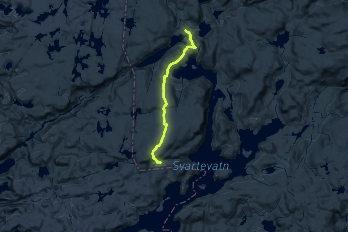
Medium · Cabin
Litle Aurådal – Storsteinen
13.5 km · ↑ 484 m · 4 h 24 min
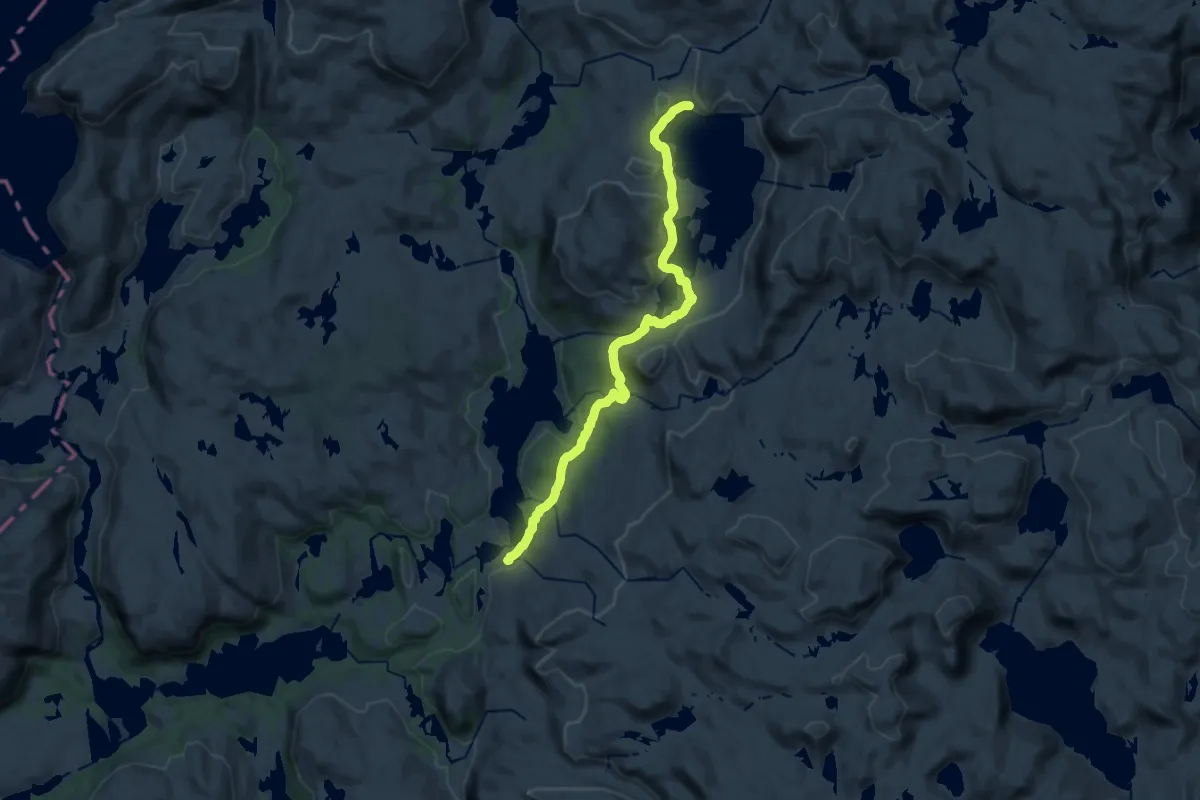
Medium · Cabin
Traumevatn – Heibergtunet Storevatn
13.9 km · ↑ 320 m · 3 h 59 min
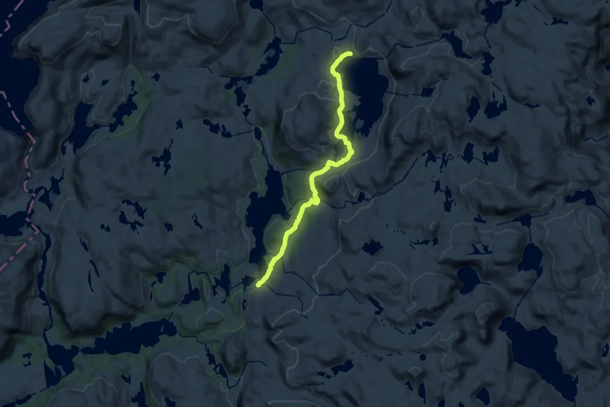
Medium · Cabin
Traumevatn – Heibergtunet Storevatn
13.9 km · ↑ 320 m · 3 h 59 min
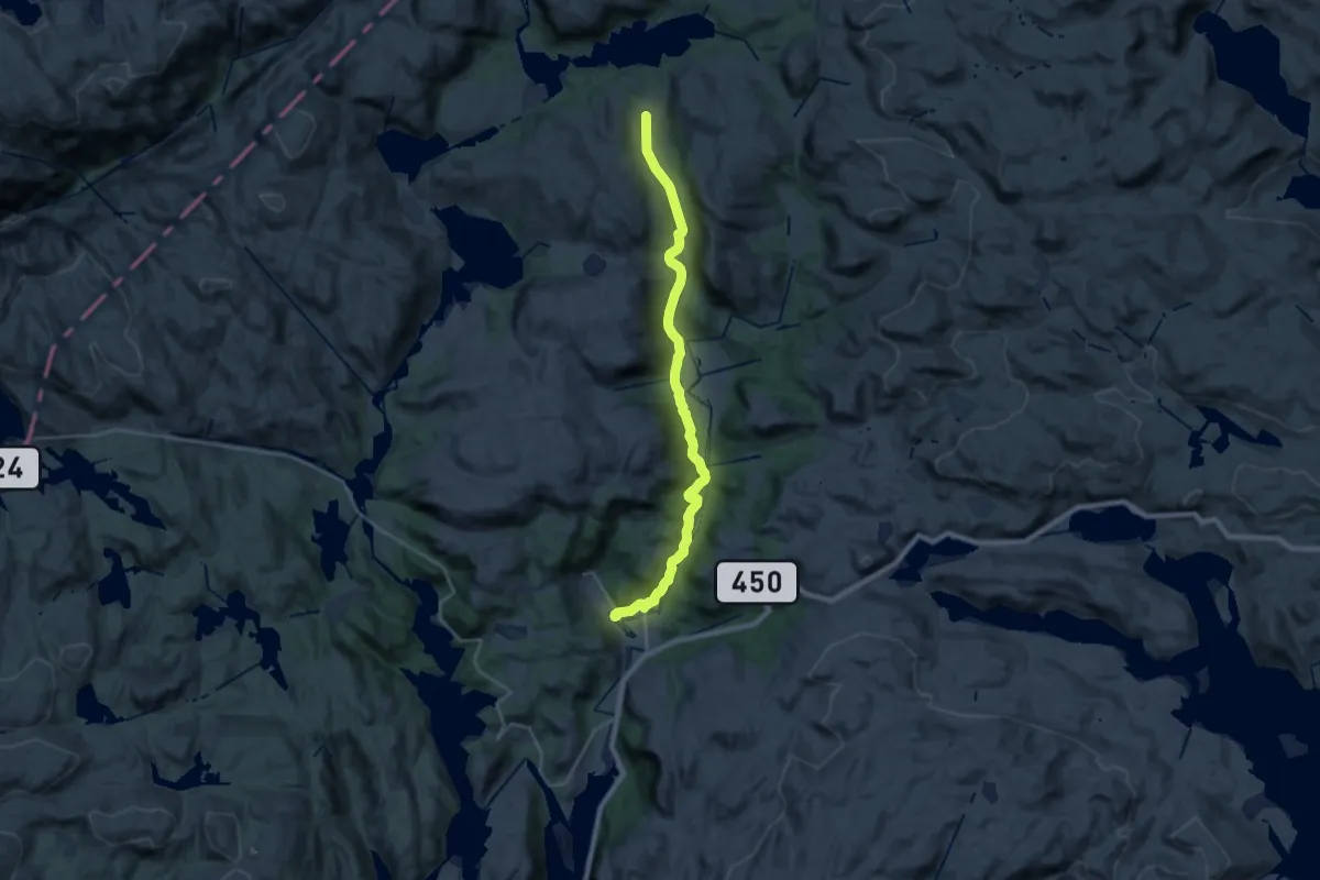
Medium · Cabin
Traumevatn – Ådneram
17.9 km · ↑ 329 m · 4 h 56 min
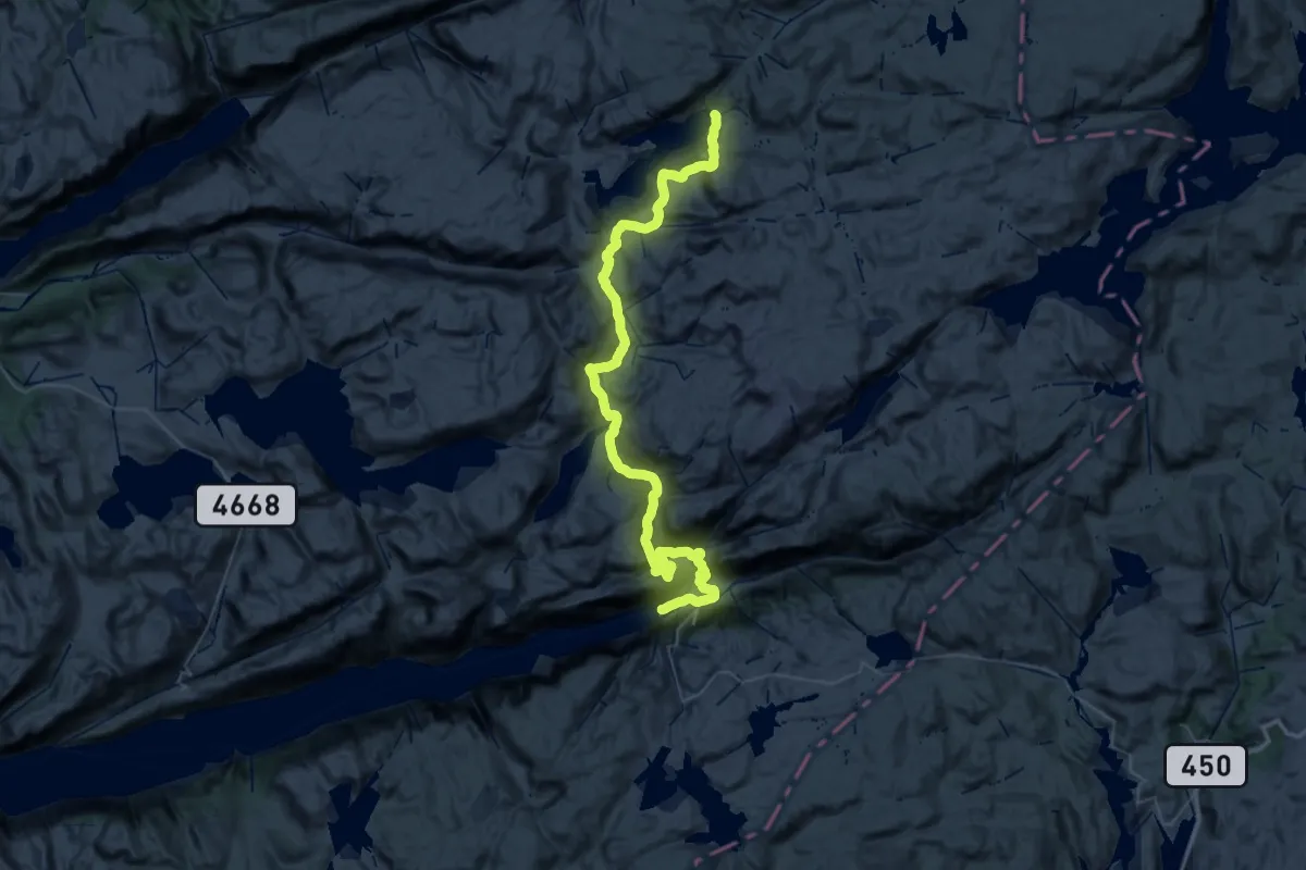
Demanding · Cabin
Lysefjorden Turisthytte – Nilsebu
26.3 km · ↑ 1244 m · 8 h 54 min
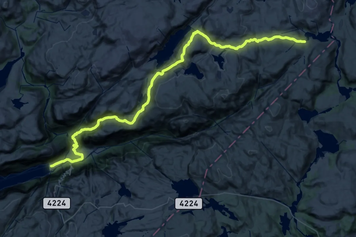
Demanding · Cabin
Lysefjorden Turisthytte – Grautheller
20.4 km · ↑ 1284 m · 7 h 30 min
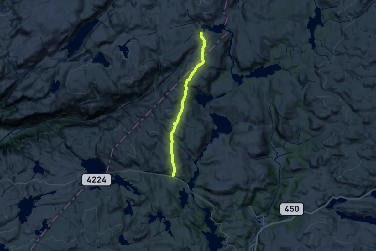
Demanding · Cabin
Ådneram – Grautheller
18.1 km · ↑ 741 m · 5 h 53 min
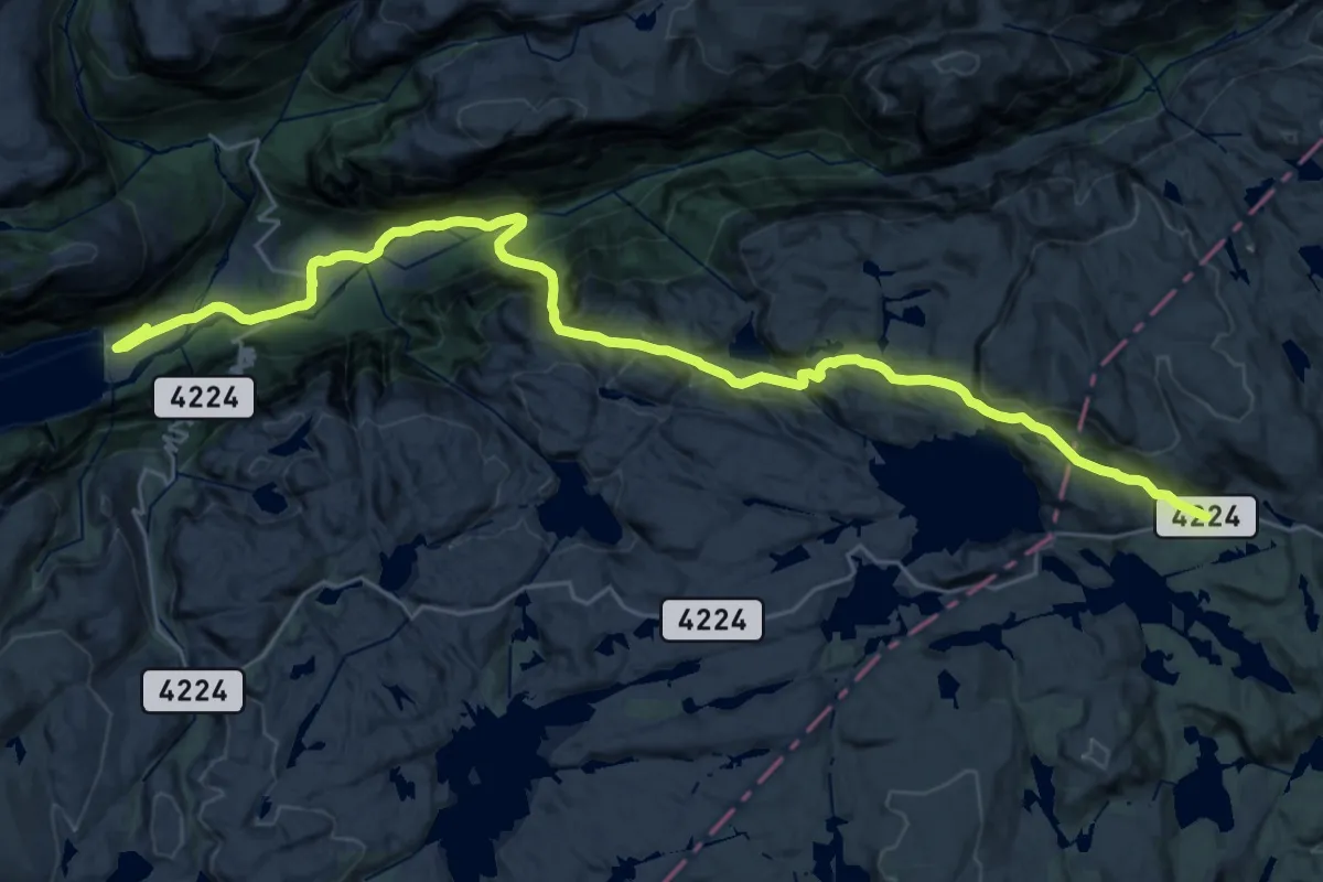
Medium · Trail
Børsteinen – Lysefjorden turisthytte
11.6 km · ↑ 180 m · 3 h 43 min
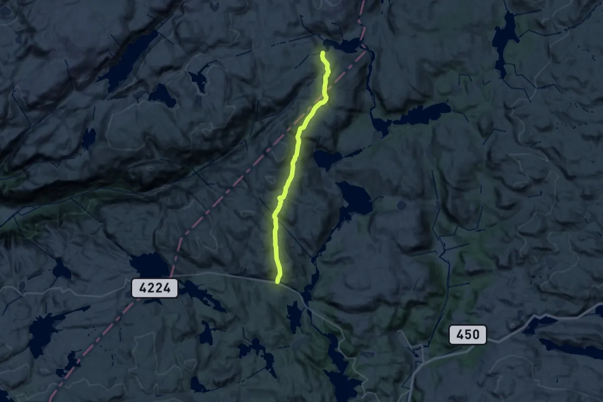
Demanding · Cabin
Børsteinen – Grautheller
18.1 km · ↑ 741 m · 5 h 53 min
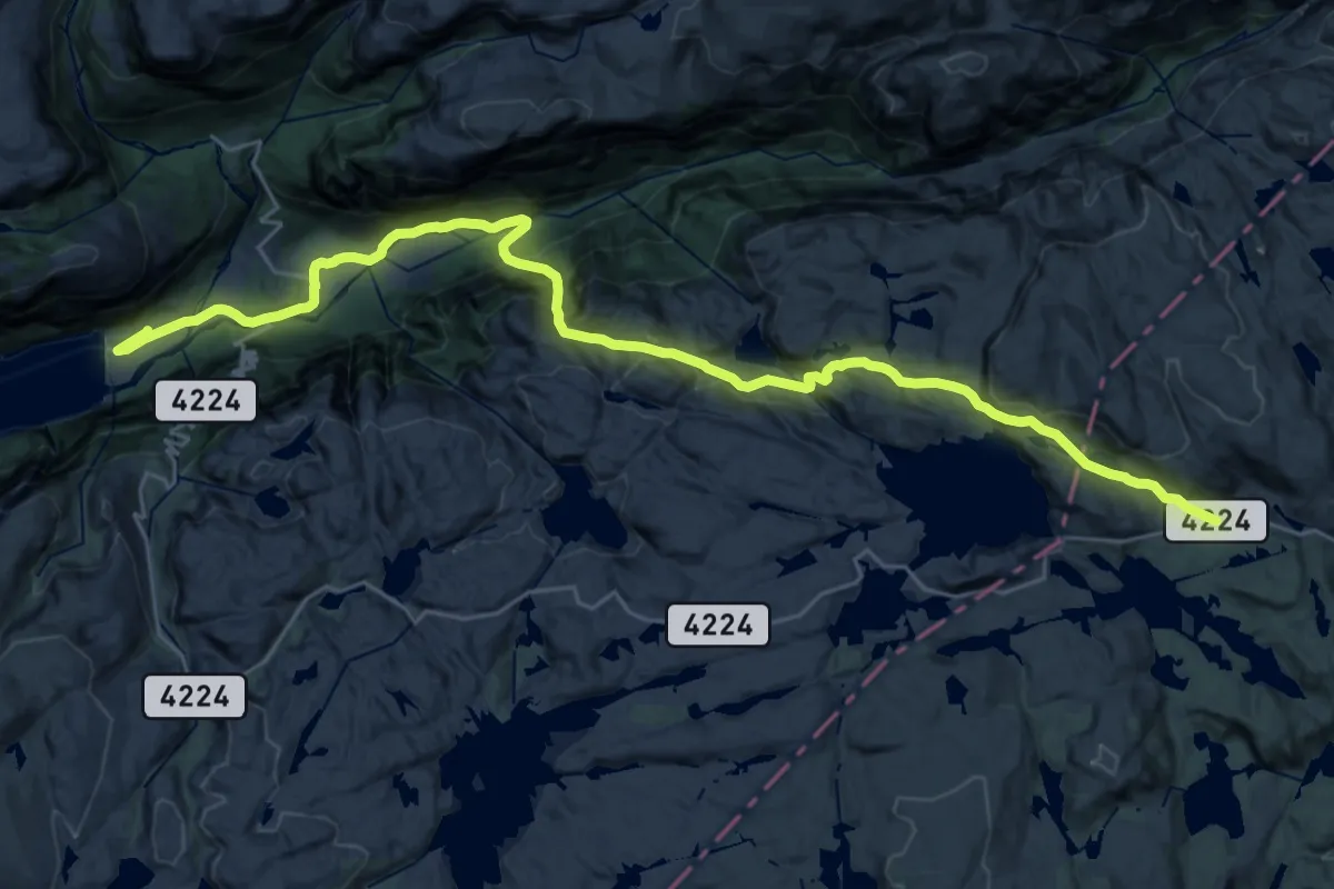
Medium · Trail
Ådneram – Lysefjorden turisthytte
11.6 km · ↑ 180 m · 3 h 43 min
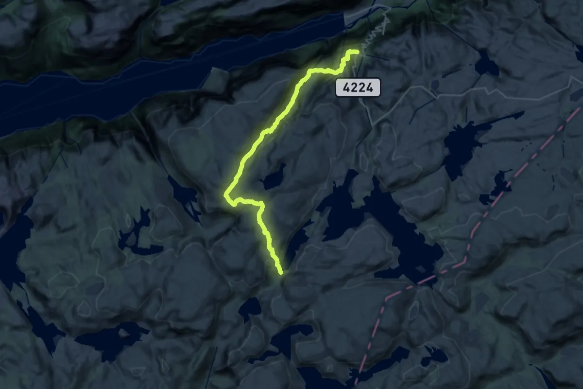
Demanding · Cabin
Øygardsstølen – Langavatn
19.6 km · ↑ 952 m · 6 h 41 min
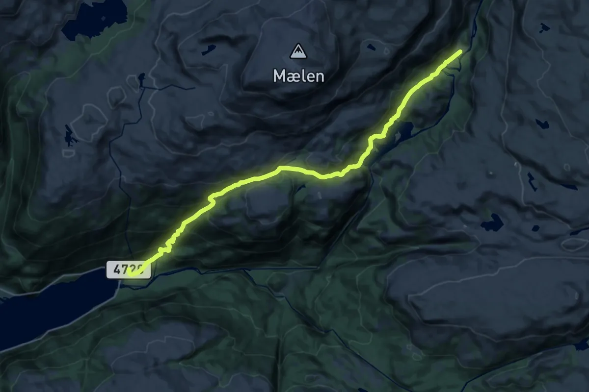
Demanding · Cabin
Kvanndalen – Roalkvam
20.2 km · ↑ 1099 m · 7 h 9 min
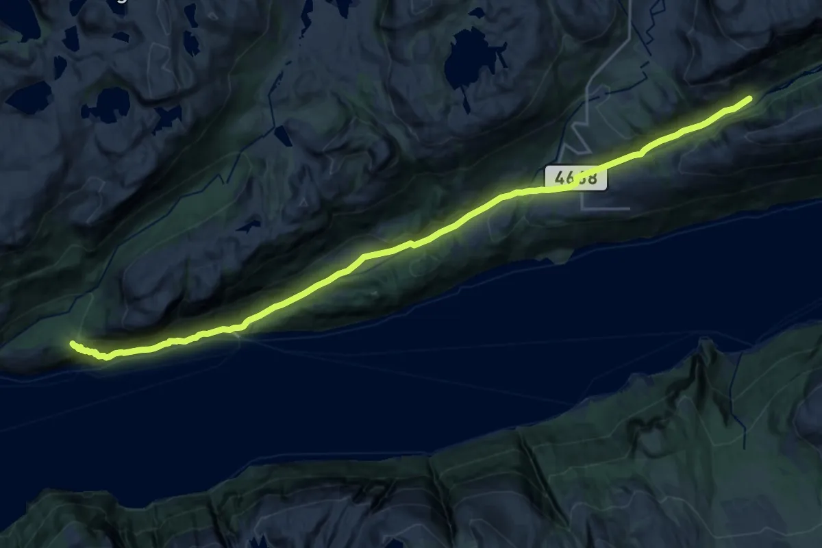
Demanding · Cabin
Songedalen fjellgård – Bakken gård
18.2 km · ↑ 594 m · 5 h 34 min
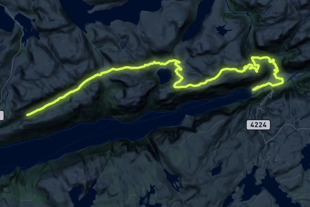
Demanding · Cabin
Songedalen fjellgård – Lysefjorden turisthytte / Sysebotn
24.3 km · ↑ 997 m · 8 h 3 min
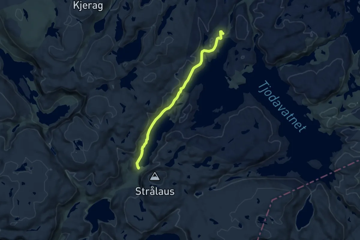
Medium · Cabin
Akslaråtjørna – Langavatn
7.7 km · ↑ 137 m · 2 h 8 min
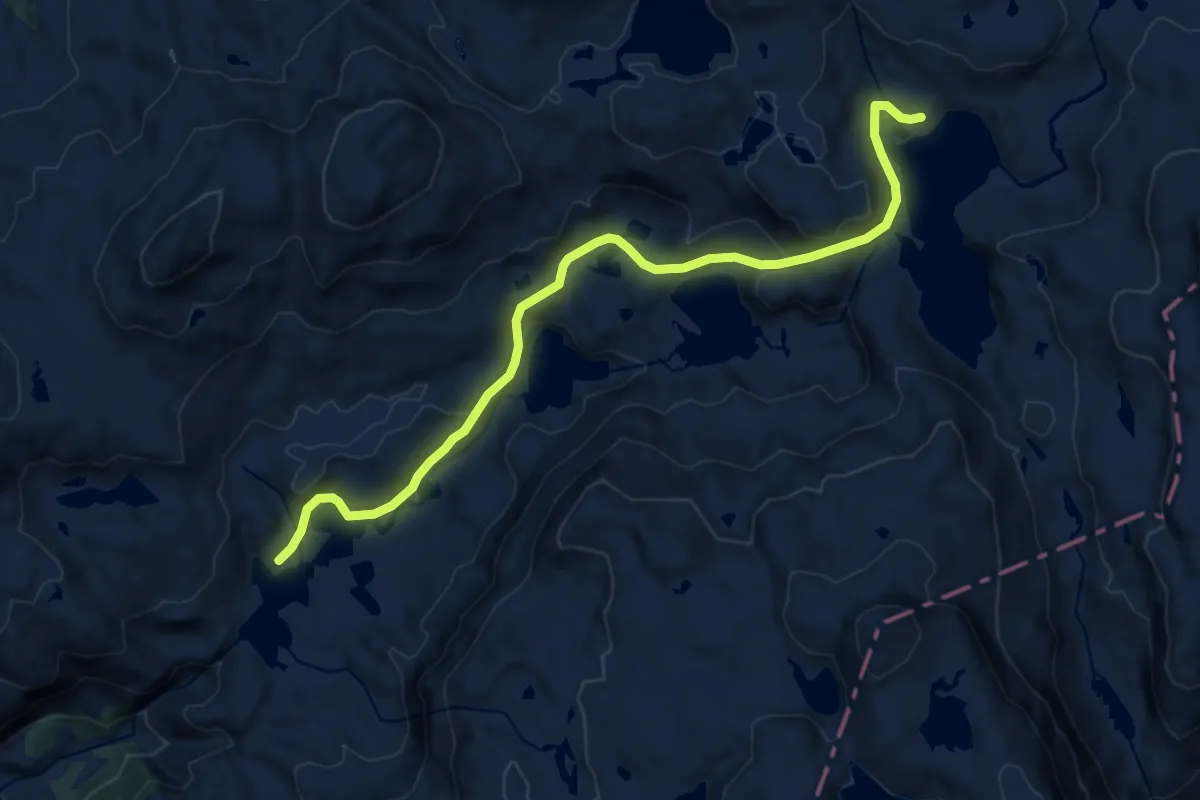
Medium · Cabin
Sandvasshytta – Blomstølen
10.1 km · ↑ 373 m · 3 h 12 min
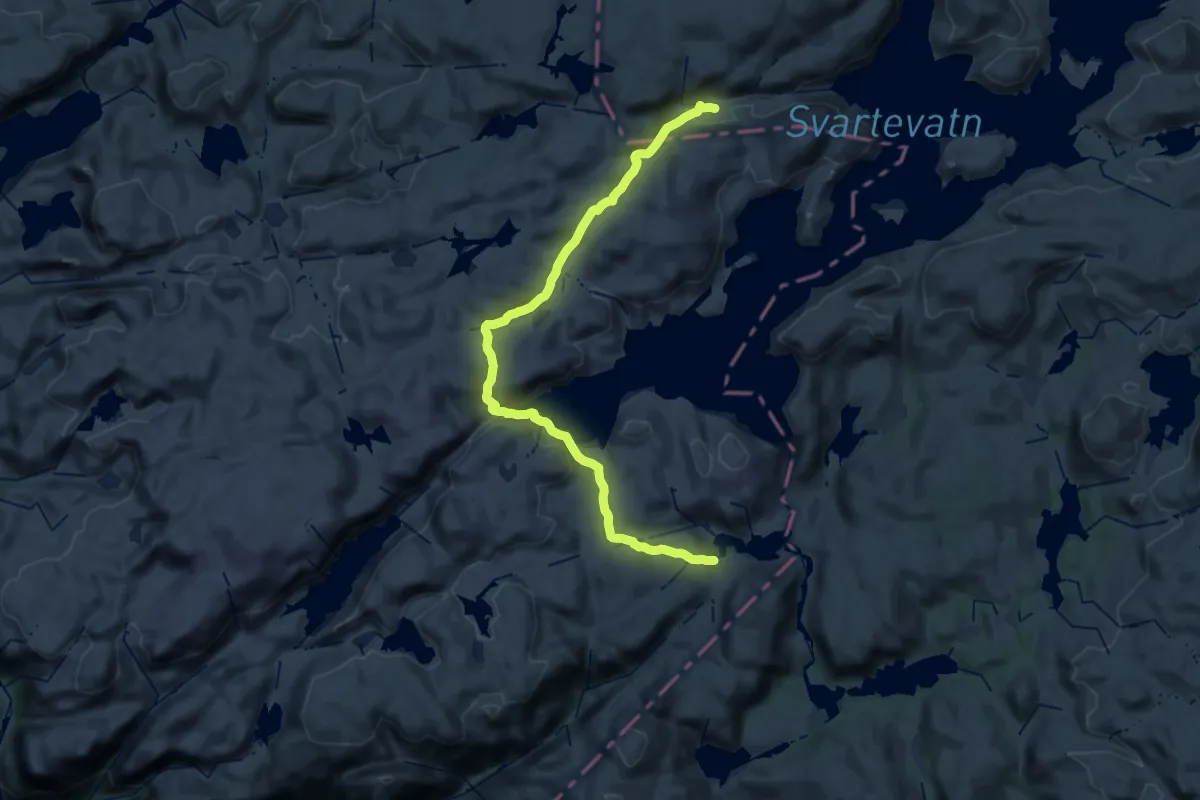
Medium · Cabin
Grautheller – Litle Aurådal
14.1 km · ↑ 564 m · 4 h 39 min
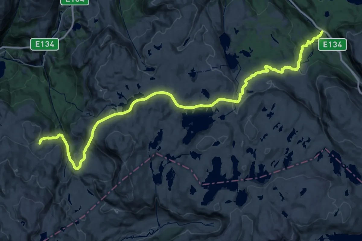
Medium · Cabin
Seljestad – Simlebu
16.7 km · ↑ 723 m · 5 h 41 min
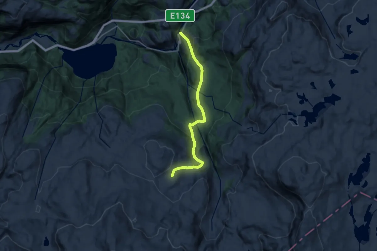
Medium · Cabin
Skrumme – Simlebu
9.4 km · ↑ 546 m · 3 h 25 min
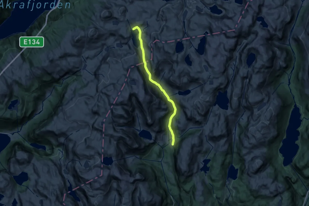
Demanding · Cabin
Sandvasshytta – Buer
18.3 km · ↑ 703 m · 5 h 51 min
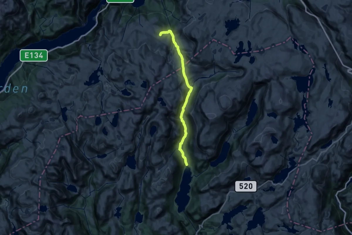
Medium · Cabin
Slettedalen – Simlebu
13.8 km · ↑ 599 m · 4 h 36 min
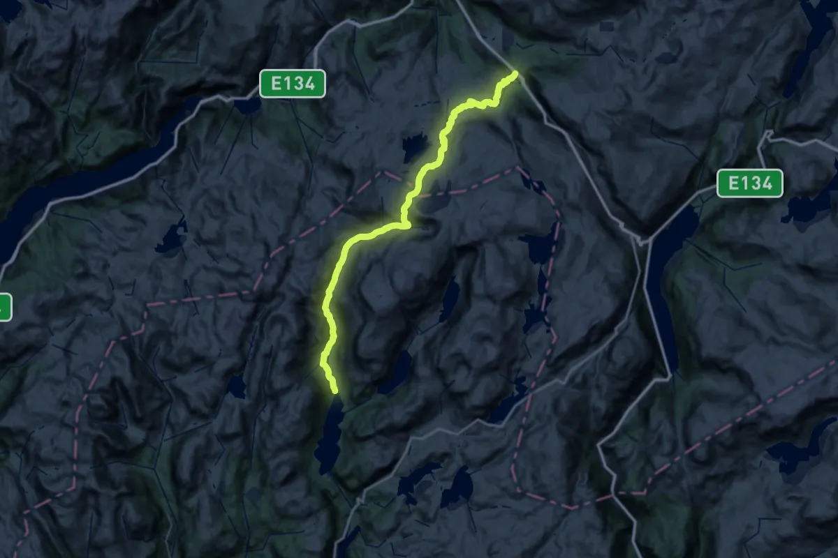
Demanding · Trail
Slettedalen – Seljestad
23.1 km · ↑ 767 m · 7 h 21 min
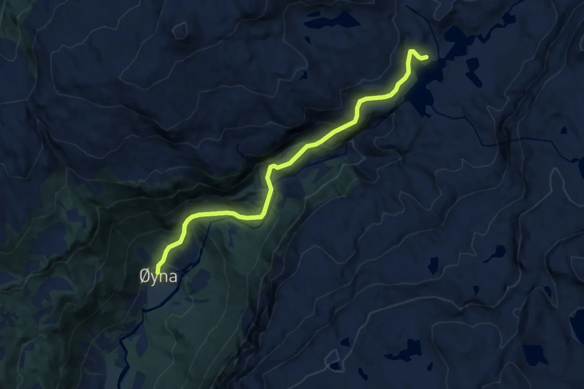
Medium · Cabin
Øyna – Blomstølen
7.6 km · ↑ 528 m · 2 h 56 min
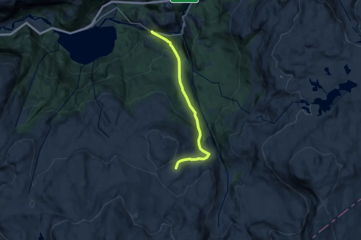
Medium · Cabin
Rullestad – Simlebu
8.4 km · ↑ 588 m · 3 h 16 min
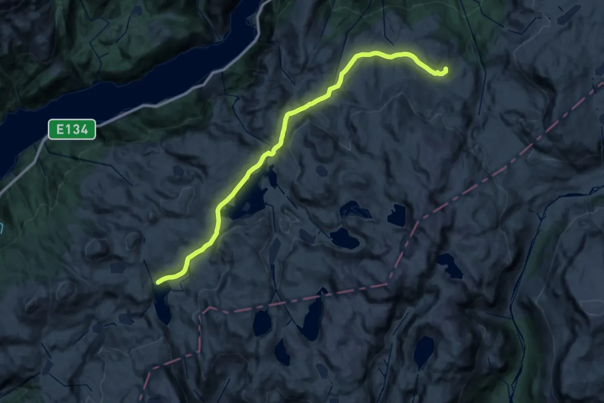
Demanding · Cabin
Sandvasshytta – Simlebu
25.0 km · ↑ 918 m · 7 h 54 min
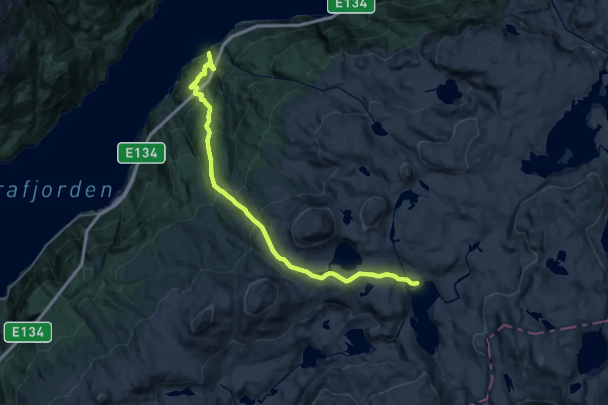
Demanding · Cabin
Sandvasshytta – Markhus
14.8 km · ↑ 1140 m · 5 h 58 min
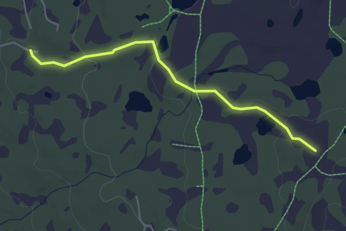
Easy · Trail
Ble Sportskapell – Fjellparken Hauk
2.9 km · ↑ 67 m · 50 min
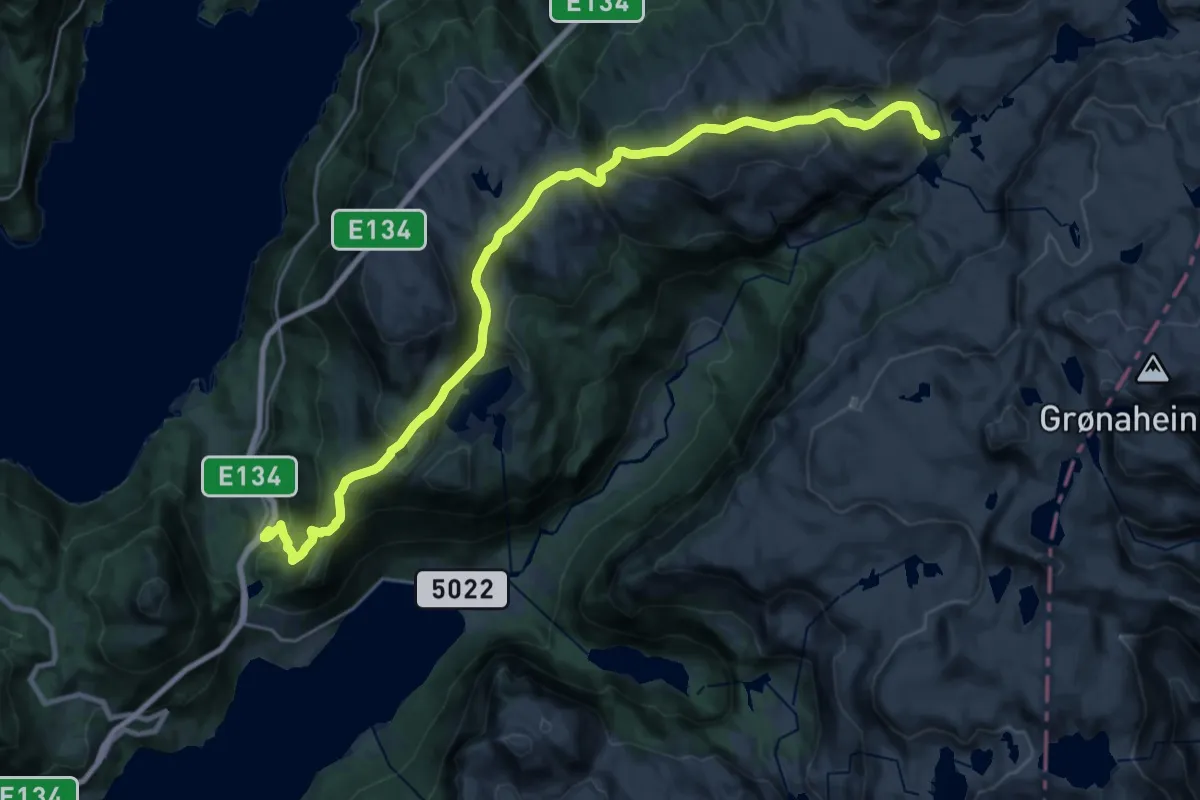
Demanding · Cabin
Tjelmeland – Blomstølen
10.7 km · ↑ 973 m · 4 h 32 min
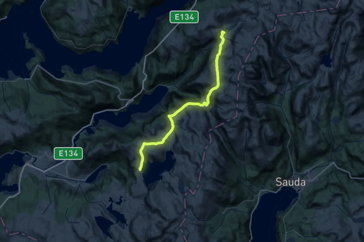
Demanding · Cabin
Løkjelsvatnhytta – Blomstølen
18.4 km · ↑ 1007 m · 6 h 47 min
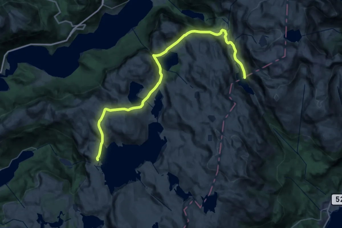
Medium · Cabin
Løkjelsvatnhytta – Storavassbu
13.3 km · ↑ 563 m · 4 h 34 min
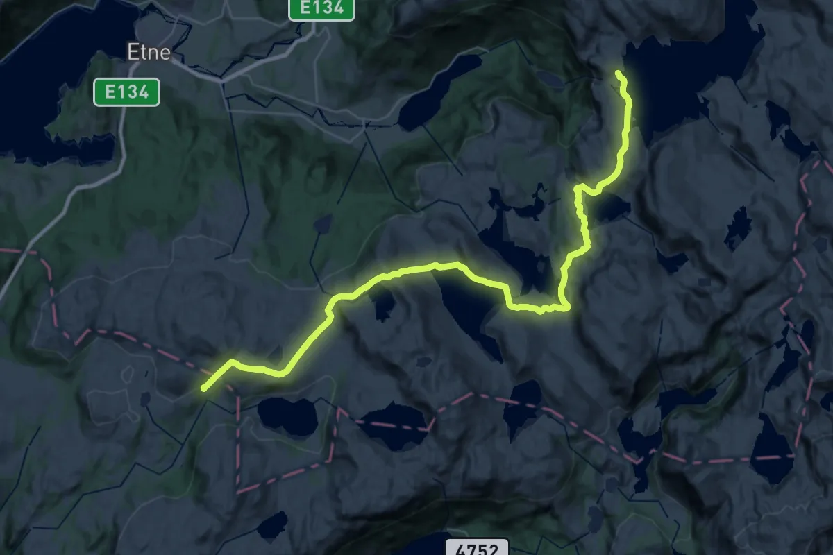
Medium · Cabin
Løkjelsvatnhytta – Olalihytta
16.5 km · ↑ 446 m · 5 h 10 min
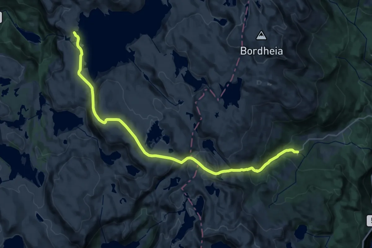
Demanding · Cabin
Løkjelsvatnhytta – Svandalen
21.9 km · ↑ 1111 m · 7 h 34 min
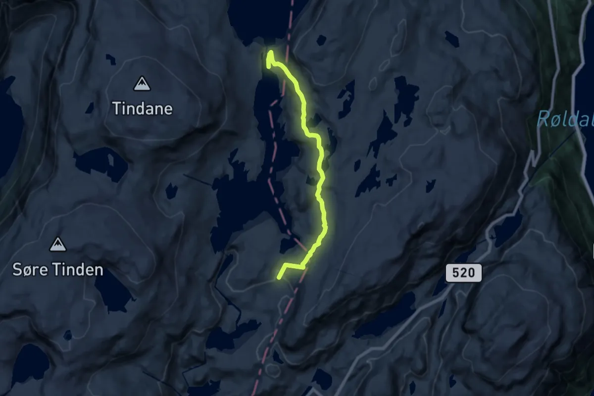
Medium · Cabin
Kroktjørna – Sandvatnbrakka
9.9 km · ↑ 354 m · 3 h 7 min
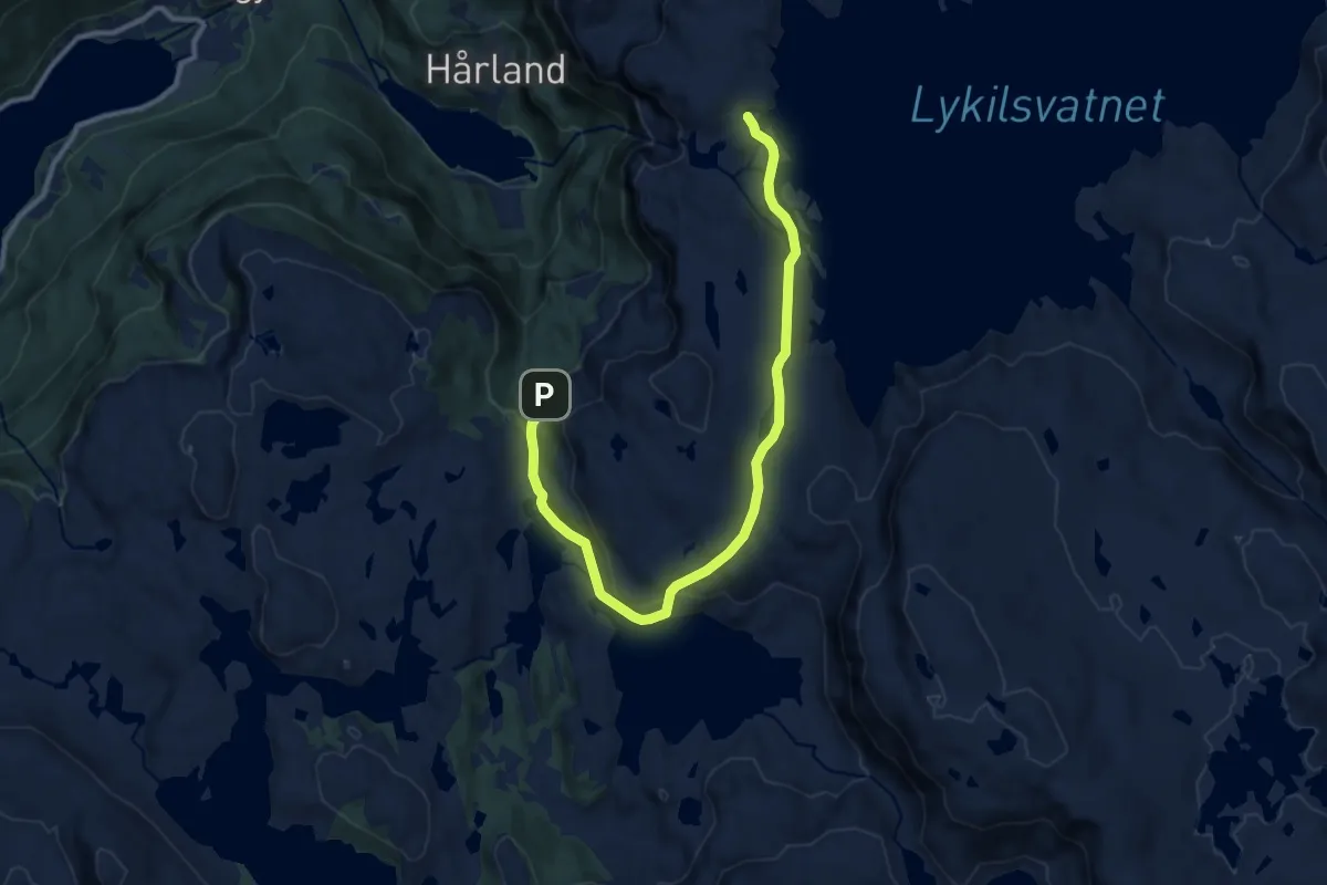
Medium · Cabin
Kritle – Løkjelsvatnhytta
8.9 km · ↑ 276 m · 2 h 42 min
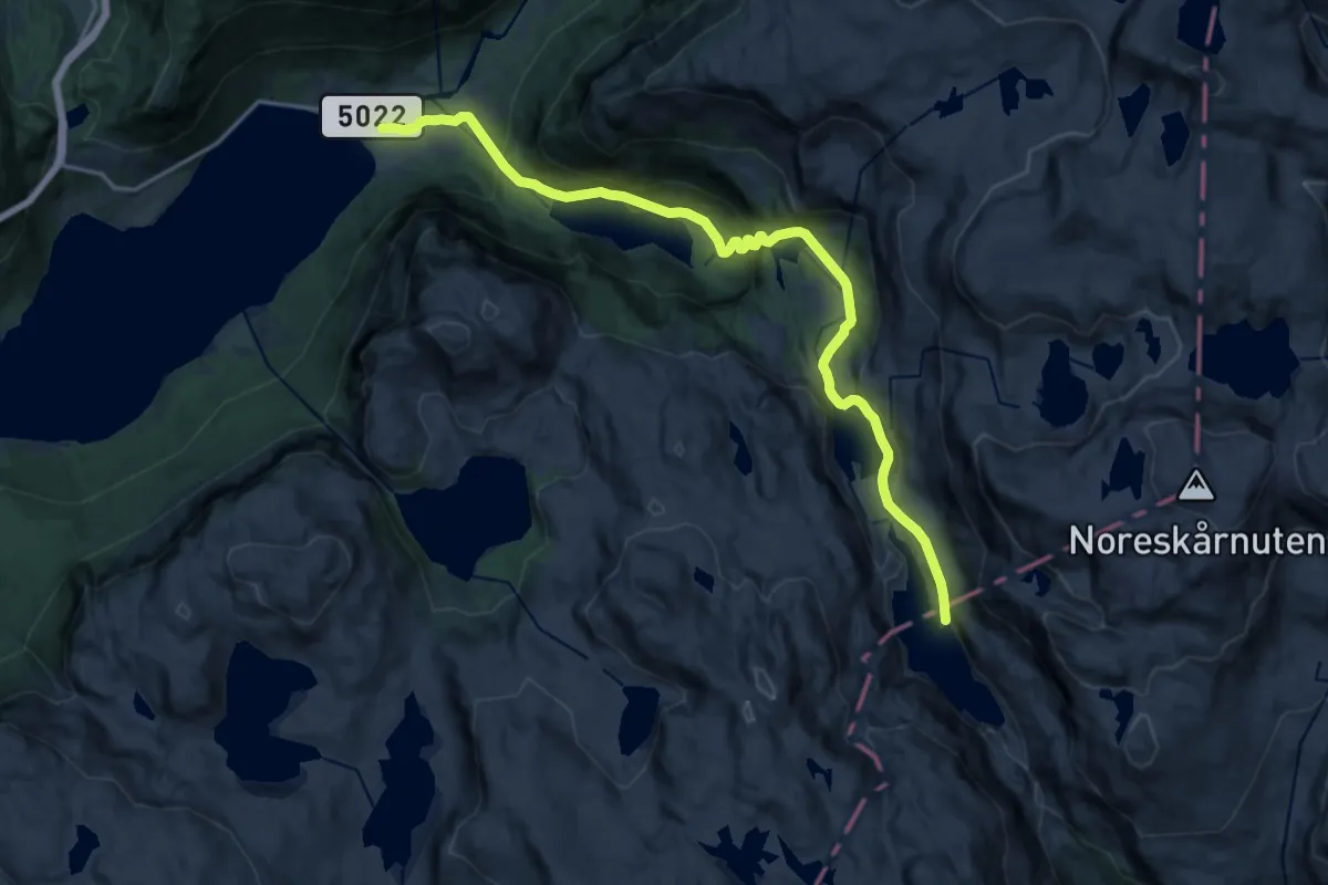
Medium · Cabin
Storavassbu – Frette
14.5 km · ↑ 779 m · 5 h 6 min
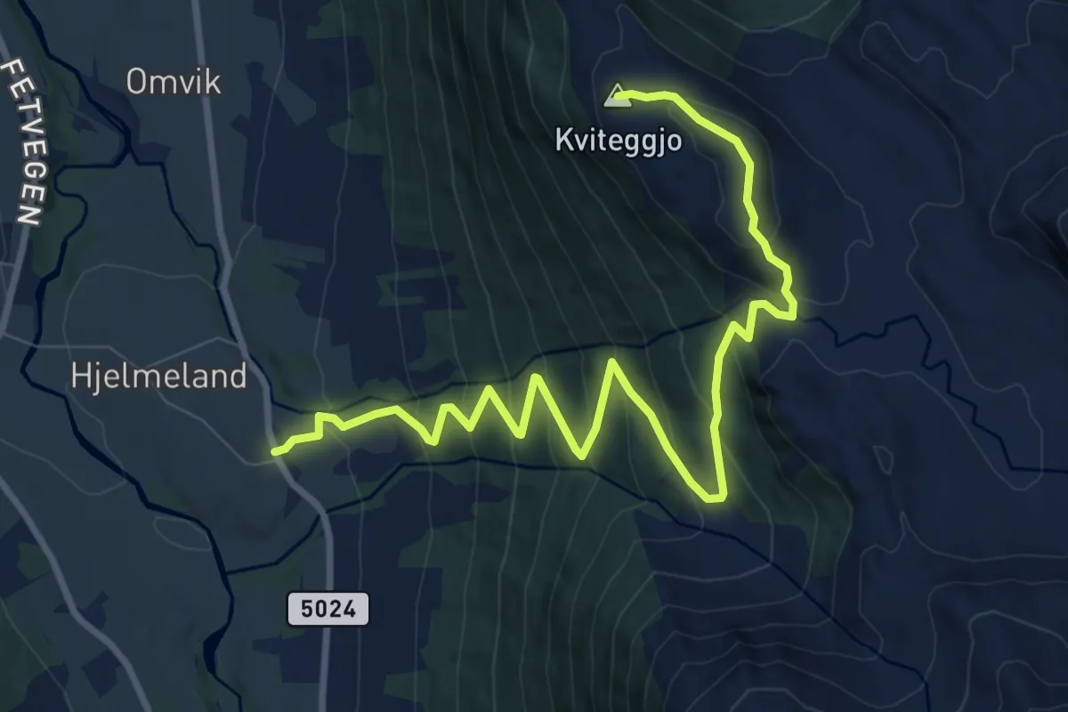
Medium · Summit
Tveito – Kviteggjo
8.1 km · ↑ 628 m · 3 h 16 min
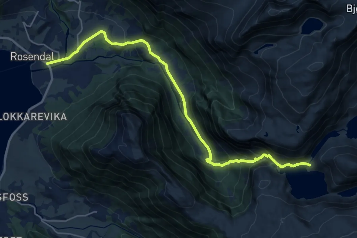
Medium · Trail
Buer – Rosendal
13.3 km · ↑ 636 m · 4 h 31 min
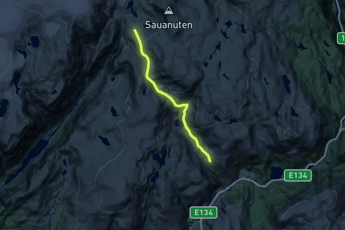
Demanding · Cabin
Bergstød – Sauabrehytta
13.1 km · ↑ 702 m · 4 h 37 min
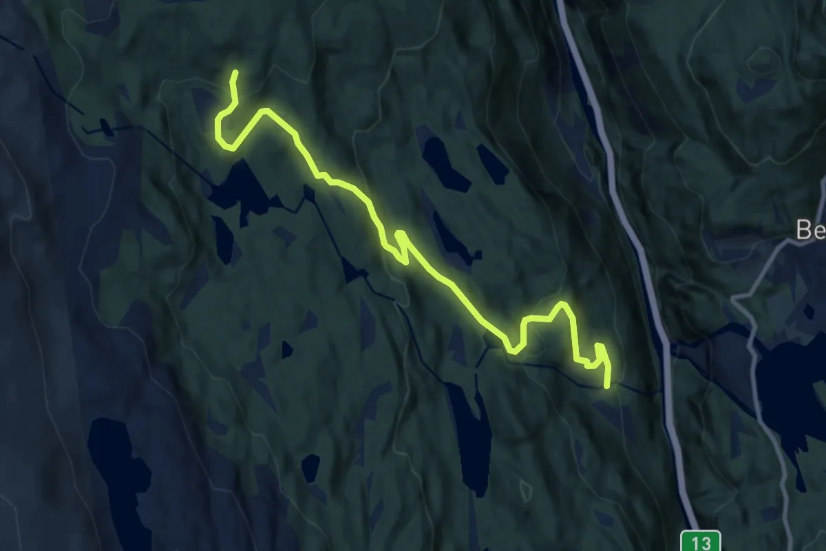
Medium · Trail
Espeland – Sauabrehytta
7.5 km · ↑ 324 m · 2 h 28 min
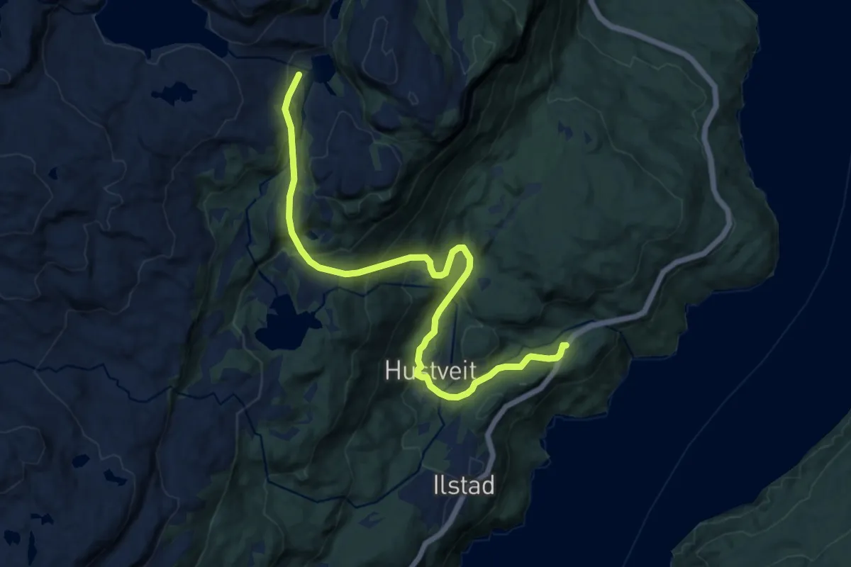
Medium · Trail
Hustveit – Jonestølen
9.1 km · ↑ 567 m · 3 h 23 min
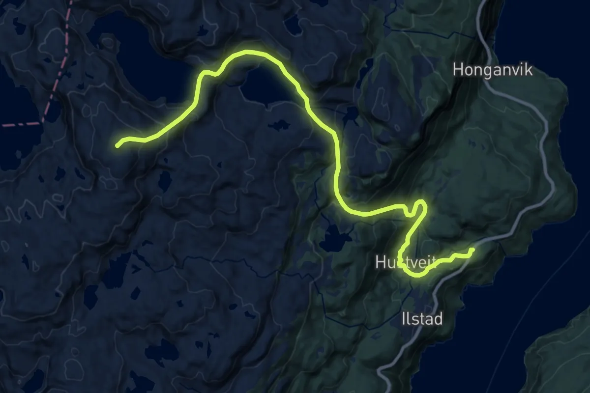
Demanding · Summit
Hustveit – Hustveitsåta
16.6 km · ↑ 1161 m · 6 h 26 min
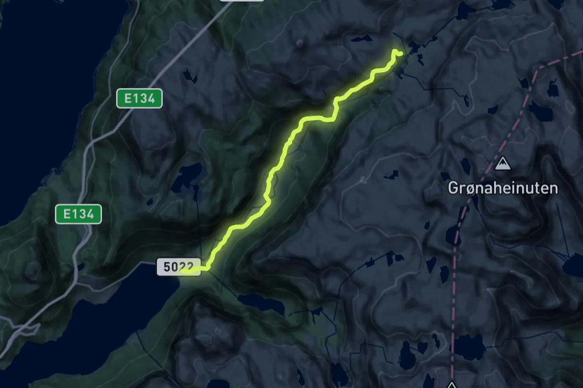
Medium · Cabin
Blomstølen – Frette
16.1 km · ↑ 658 m · 5 h 14 min
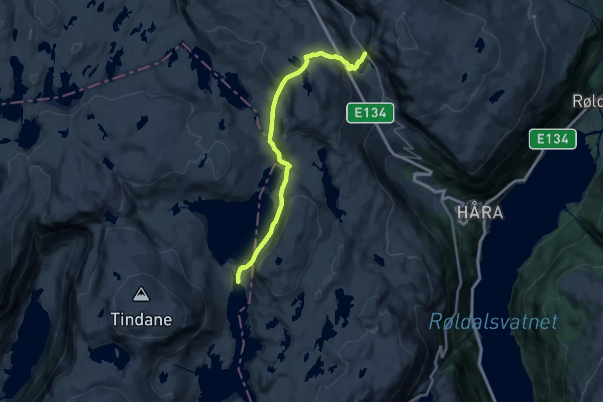
Medium · Cabin
Øvre Sandvatn – Ullshaug
14.8 km · ↑ 711 m · 5 h 2 min
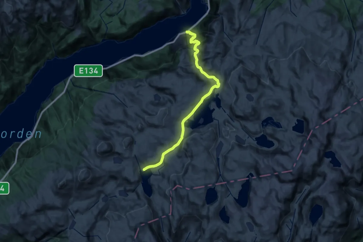
Demanding · Cabin
Langfoss – Sandvasshytta
19.5 km · ↑ 1304 m · 7 h 26 min
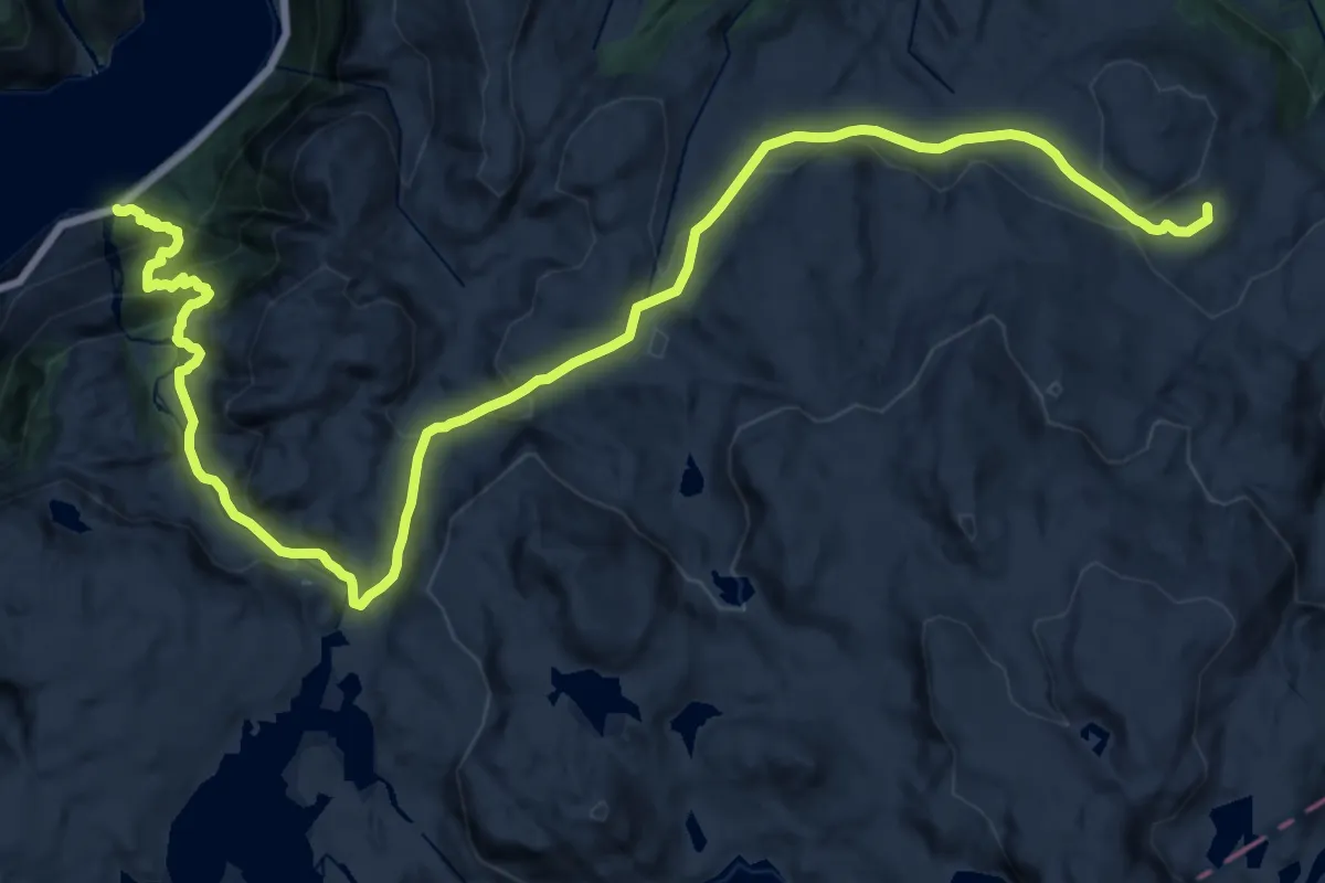
Demanding · Cabin
Langfoss – Simlebu
11.1 km · ↑ 1061 m · 4 h 41 min
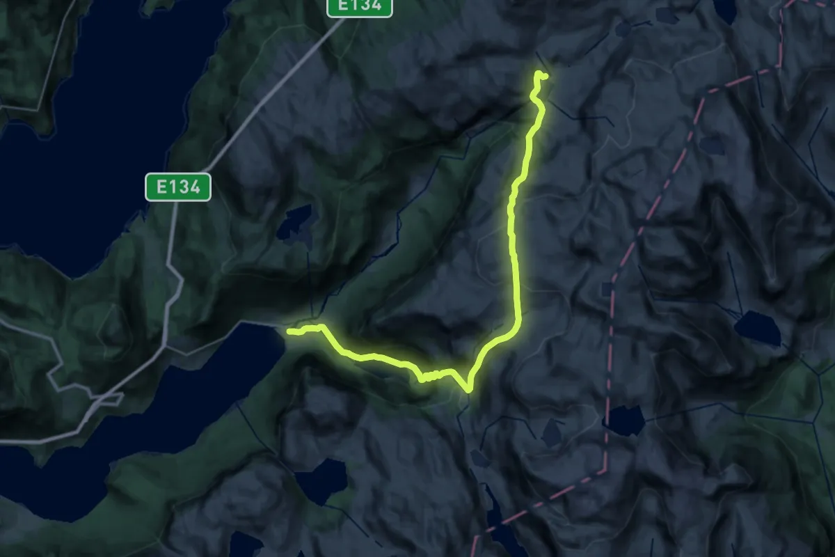
Demanding · Cabin
Blomstølen – Frette
11.1 km · ↑ 1065 m · 4 h 48 min