Trails in Norway
7,452 hiking trails, each with its route, climb, walking time and grade.
All trails, page 129 of 156
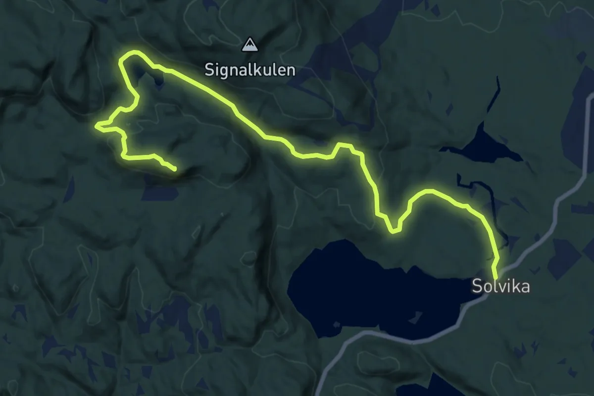
Medium · Summit
Solvika – Blåfjell
11.9 km · ↑ 270 m · 3 h 24 min
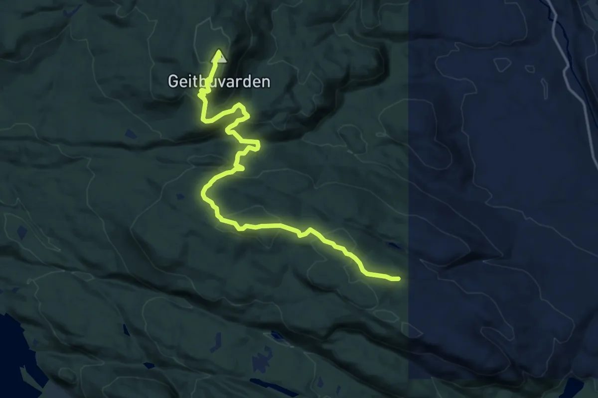
Medium · Summit
Såtaseter – Siljuknatthytta
11.3 km · ↑ 590 m · 3 h 57 min
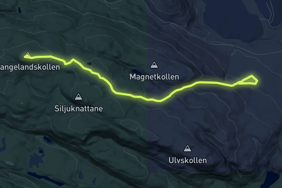
Medium · Summit
Kammerherrens utsikt – Valebøveien
7.8 km · ↑ 383 m · 2 h 40 min
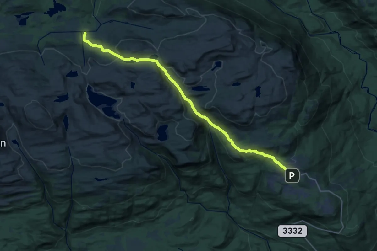
Medium · Cabin
Hollan – Jønnbu / Lufjellstua
14.9 km · ↑ 531 m · 4 h 41 min
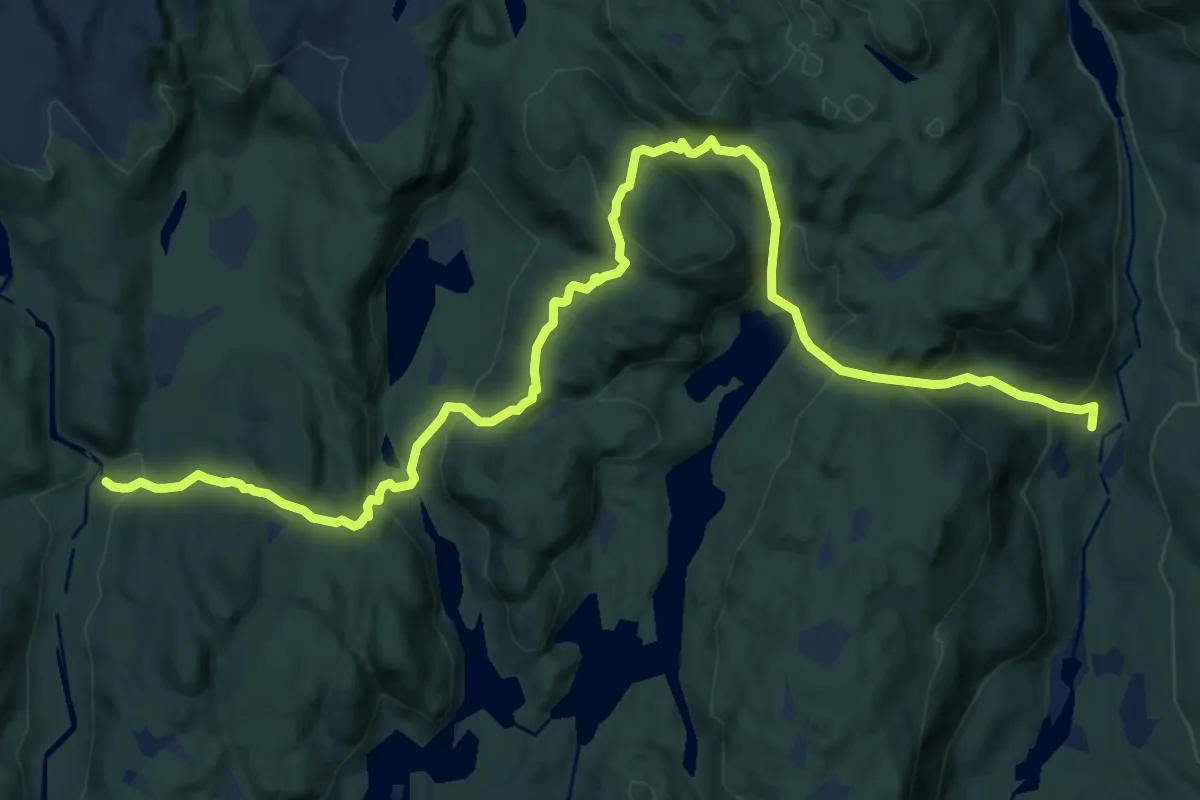
Medium · Cabin
Godal – Sommerseter
11.3 km · ↑ 661 m · 4 h 6 min
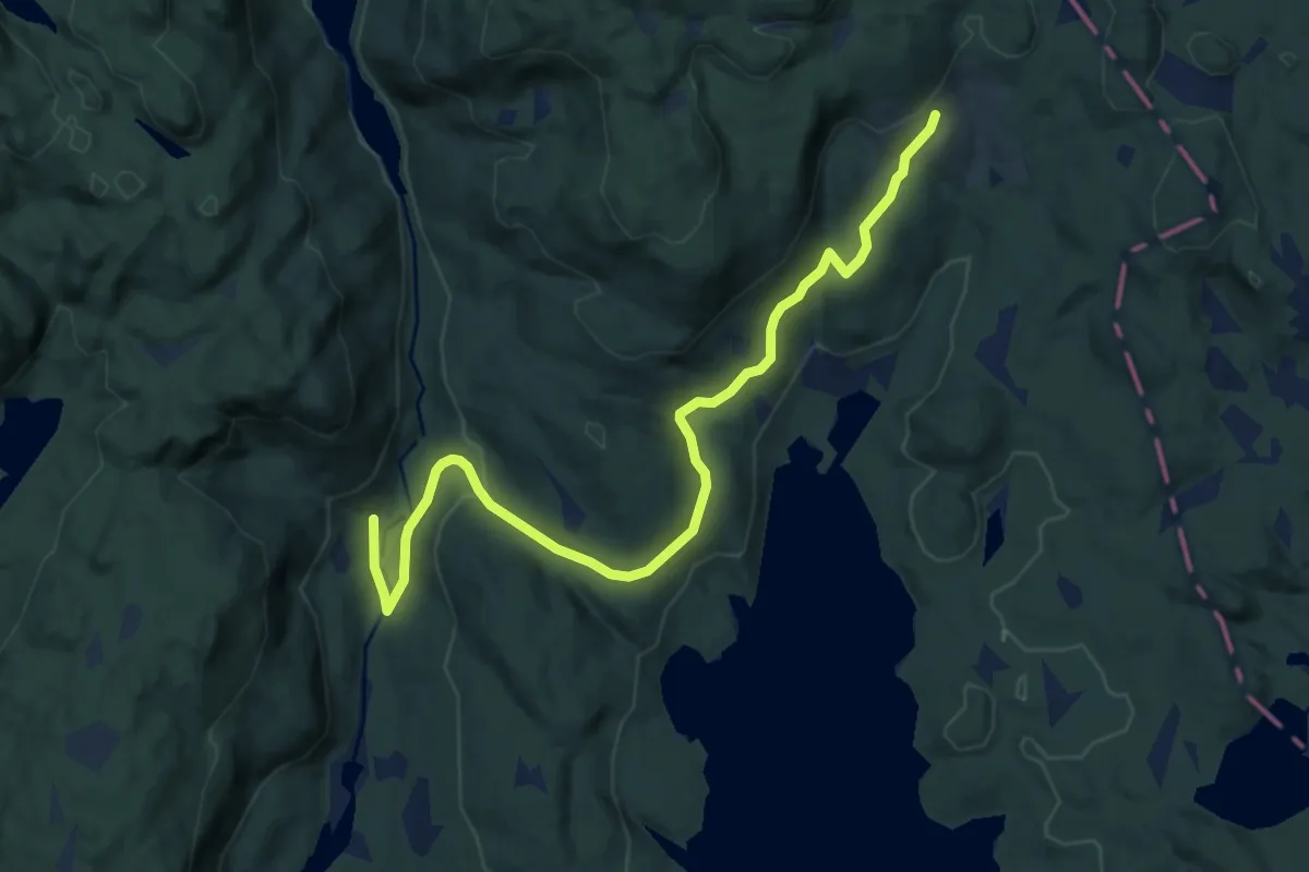
Easy · Cabin
Solum – Godal
7.9 km · ↑ 158 m · 2 h 13 min
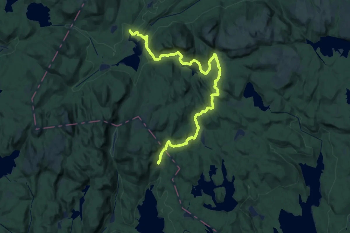
Medium · Cabin
Solum – Ravalsjøen
14.5 km · ↑ 382 m · 4 h 24 min
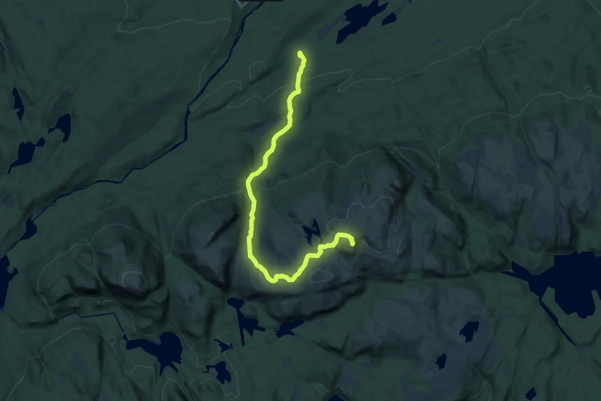
Medium · Summit
Kroksbekk – Styggemannshytta
11.4 km · ↑ 547 m · 3 h 52 min
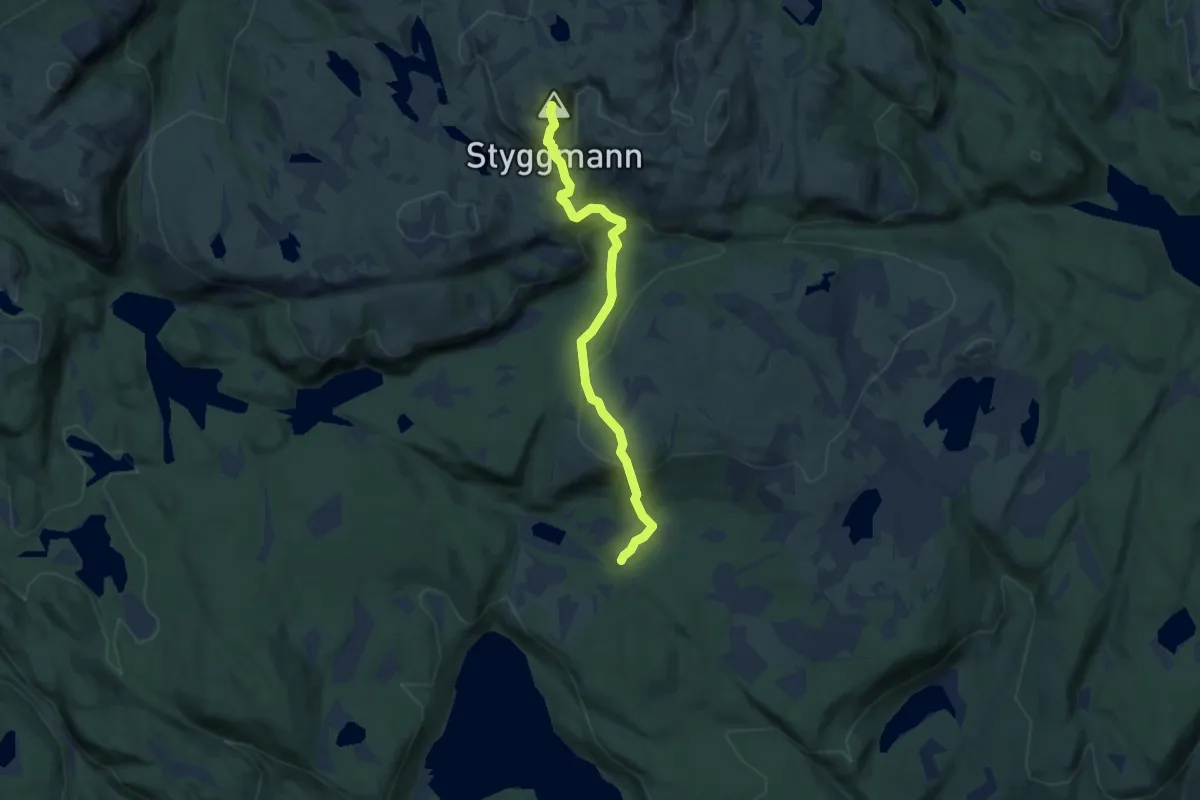
Medium · Summit
Styggemannshytta – Sørmyrsetra
4.8 km · ↑ 370 m · 1 h 56 min
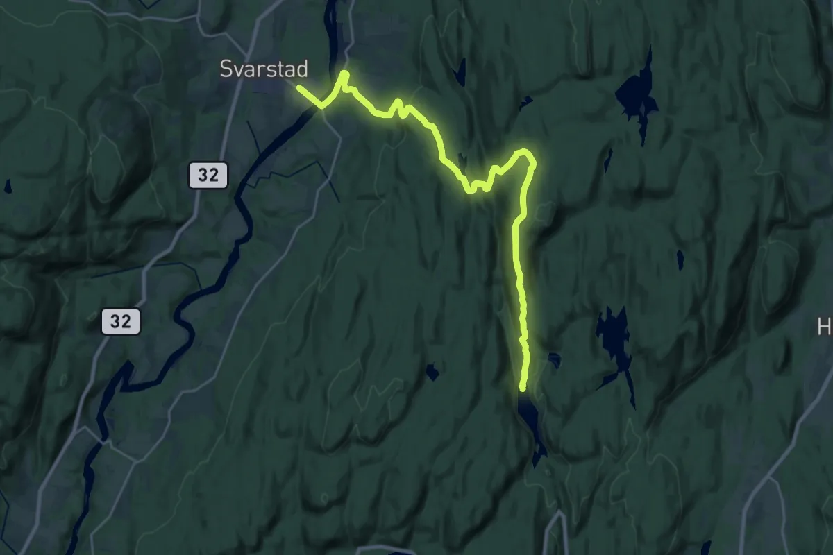
Demanding · Cabin
Trollvannstua – Svarstad
19.4 km · ↑ 629 m · 5 h 57 min
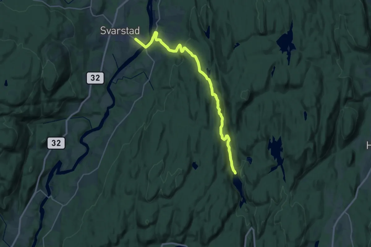
Medium · Cabin
Trollvannstua – Svarstad
16.3 km · ↑ 413 m · 4 h 44 min
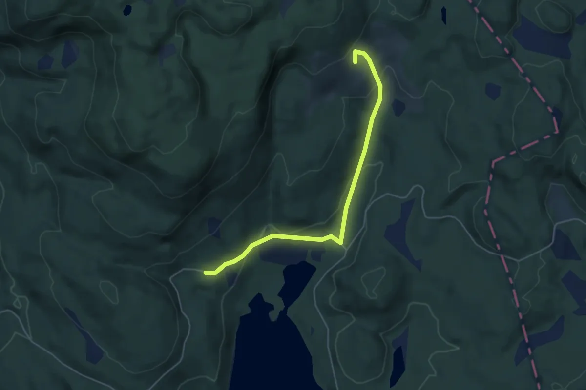
Easy · Cabin
Solum – Økter
3.5 km · ↑ 148 m · 1 h 9 min
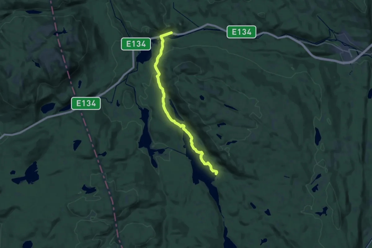
Medium · Cabin
Meheia – Pråmvika
13.0 km · ↑ 333 m · 3 h 48 min
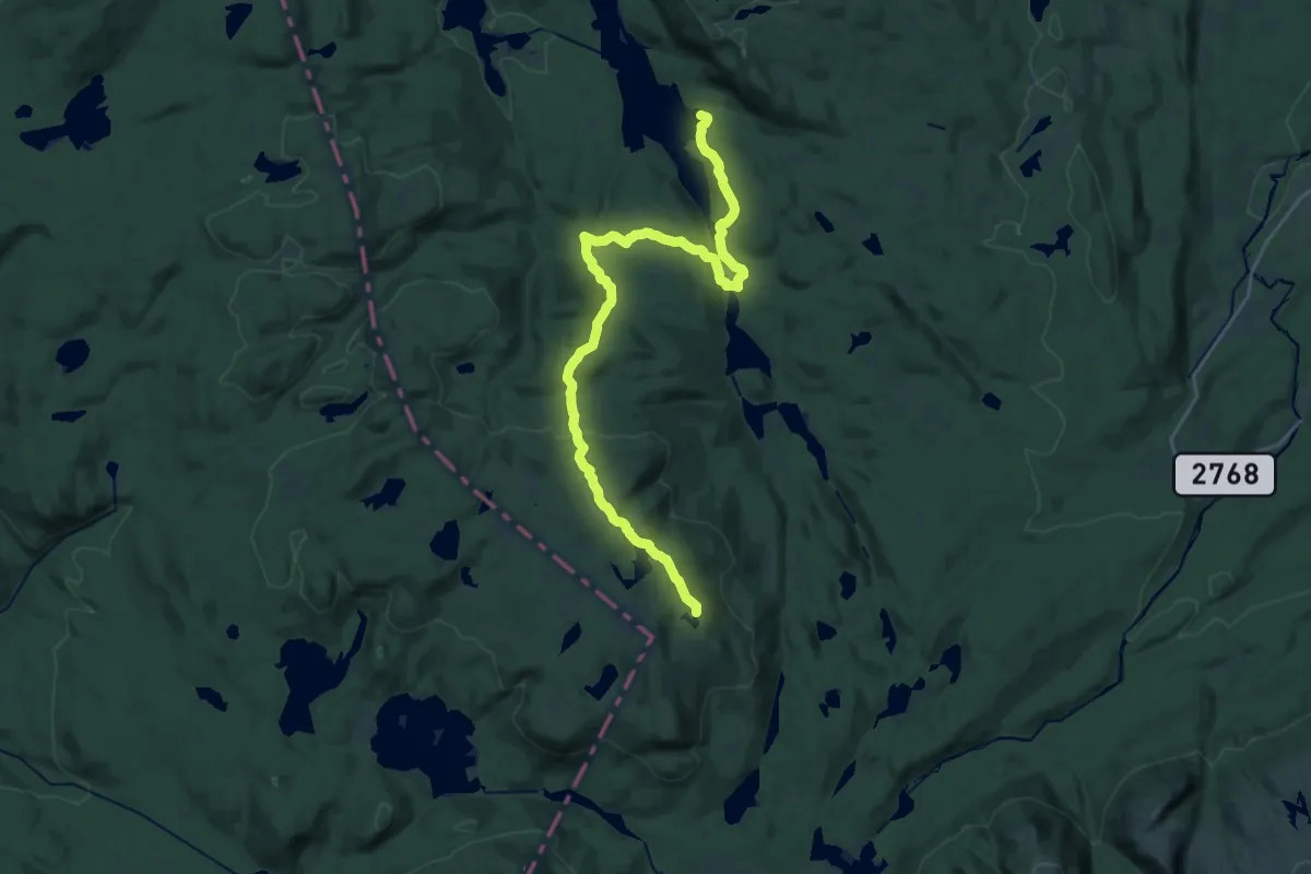
Medium · Cabin
Sveinsbu – Pråmvika
17.9 km · ↑ 615 m · 5 h 33 min
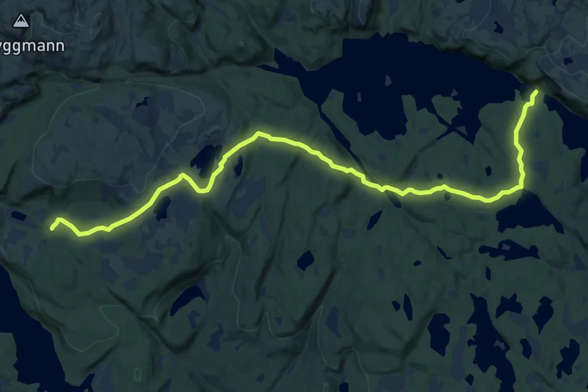
Medium · Cabin
Sørmyrseter – Ivarsbu
12.1 km · ↑ 220 m · 3 h 21 min
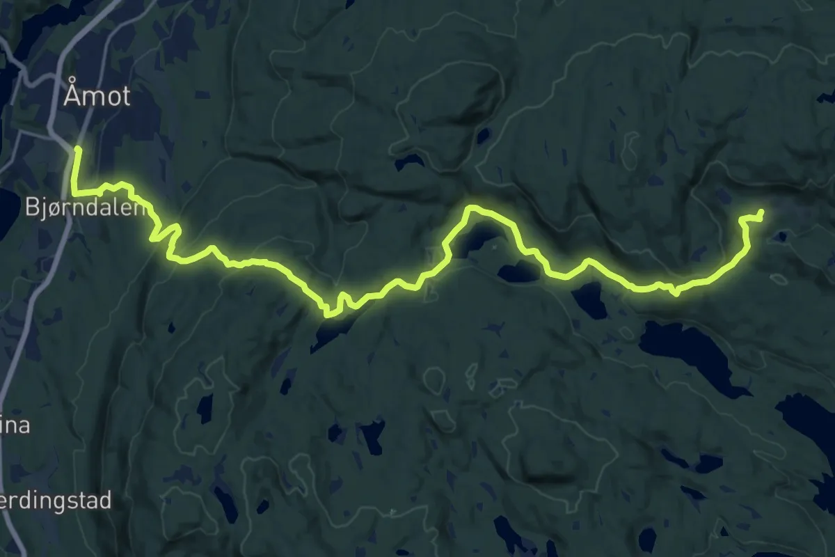
Demanding · Cabin
Åmot – Svarvestolen
19.1 km · ↑ 594 m · 5 h 48 min
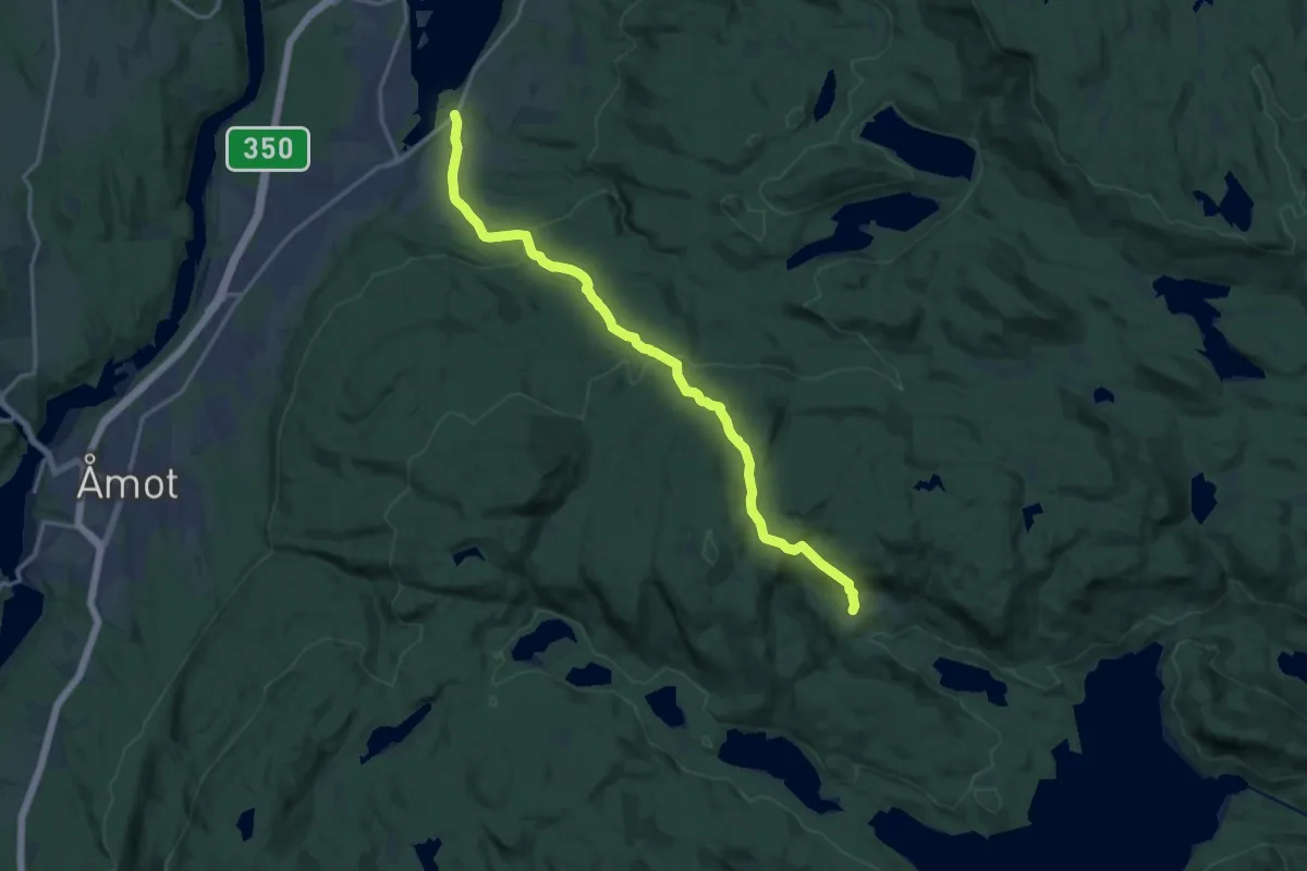
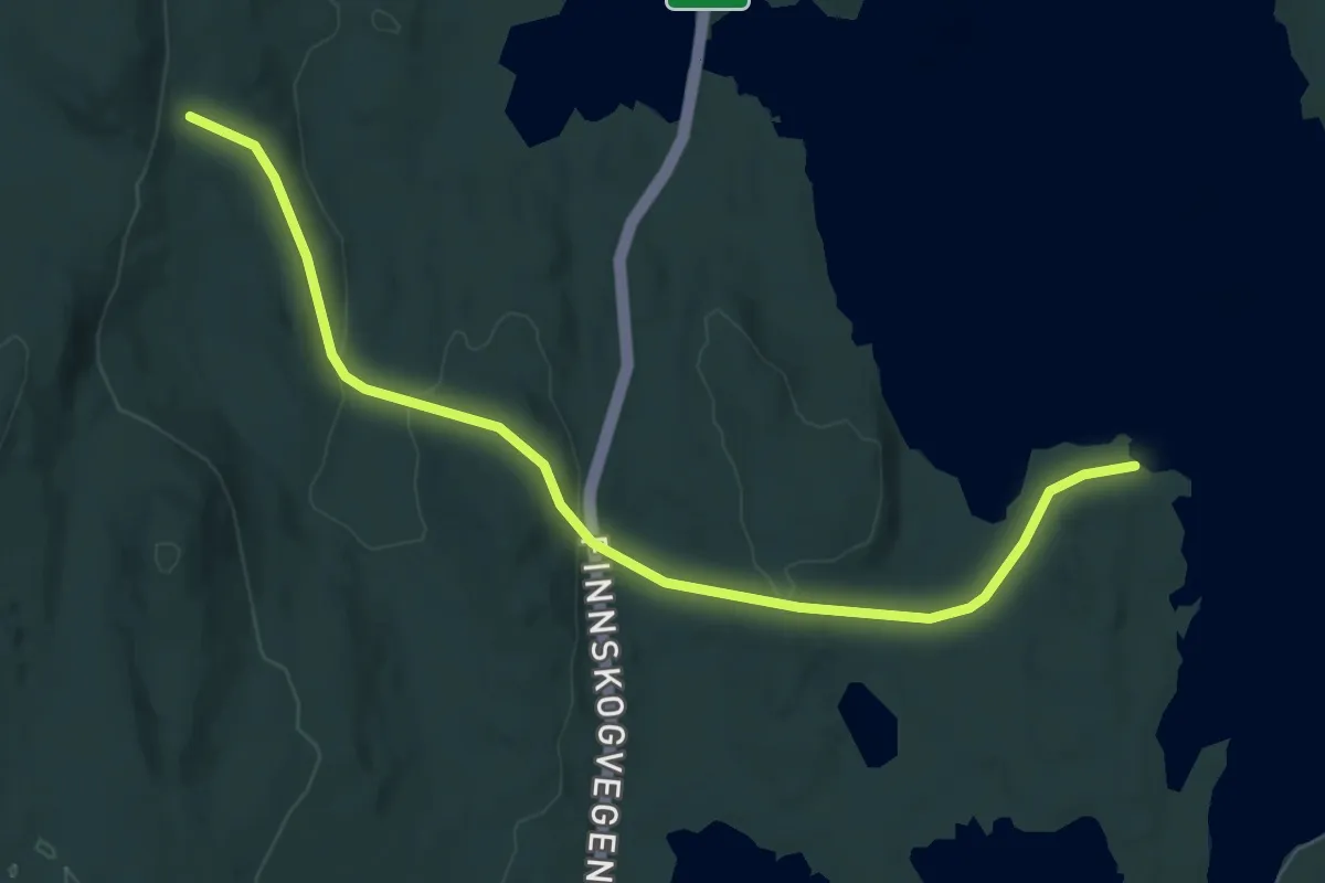
Medium · Cabin
Geithus – Svarvestolen
12.0 km · ↑ 607 m · 4 h 9 min
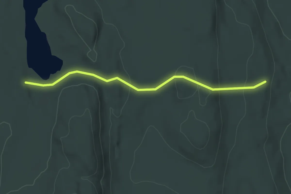
Easy · Trail
Mengen – Flyktningvika / Boksholmen / Møkern
5.8 km · ↑ 141 m · 1 h 40 min
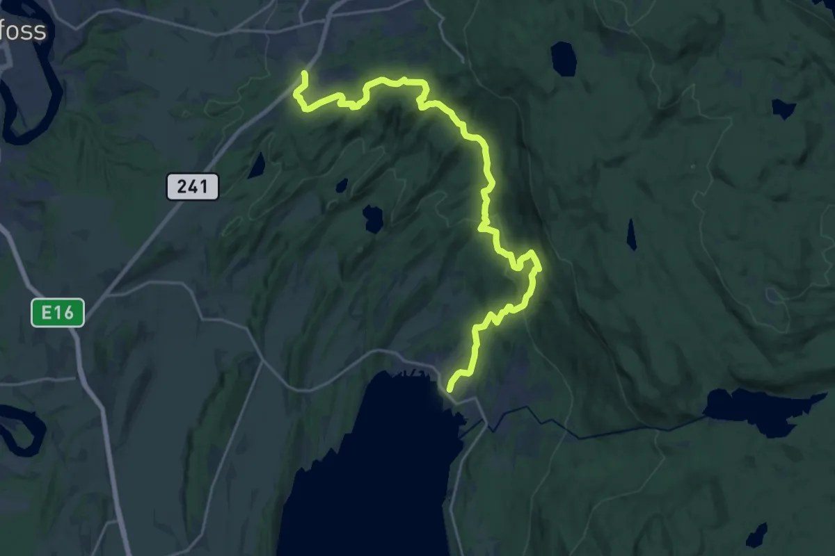
Easy · Trail
Nygårdstjernet – Mengen (nord)
2.8 km · ↑ 90 m · 51 min
Medium · Trail
Åsa – Borger
16.4 km · ↑ 634 m · 5 h 14 min
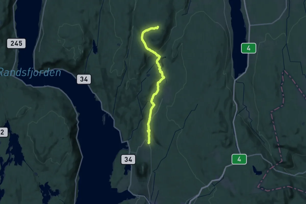
Demanding · Summit
Bleiken stasjon – Kvitingen
26.4 km · ↑ 561 m · 7 h 28 min
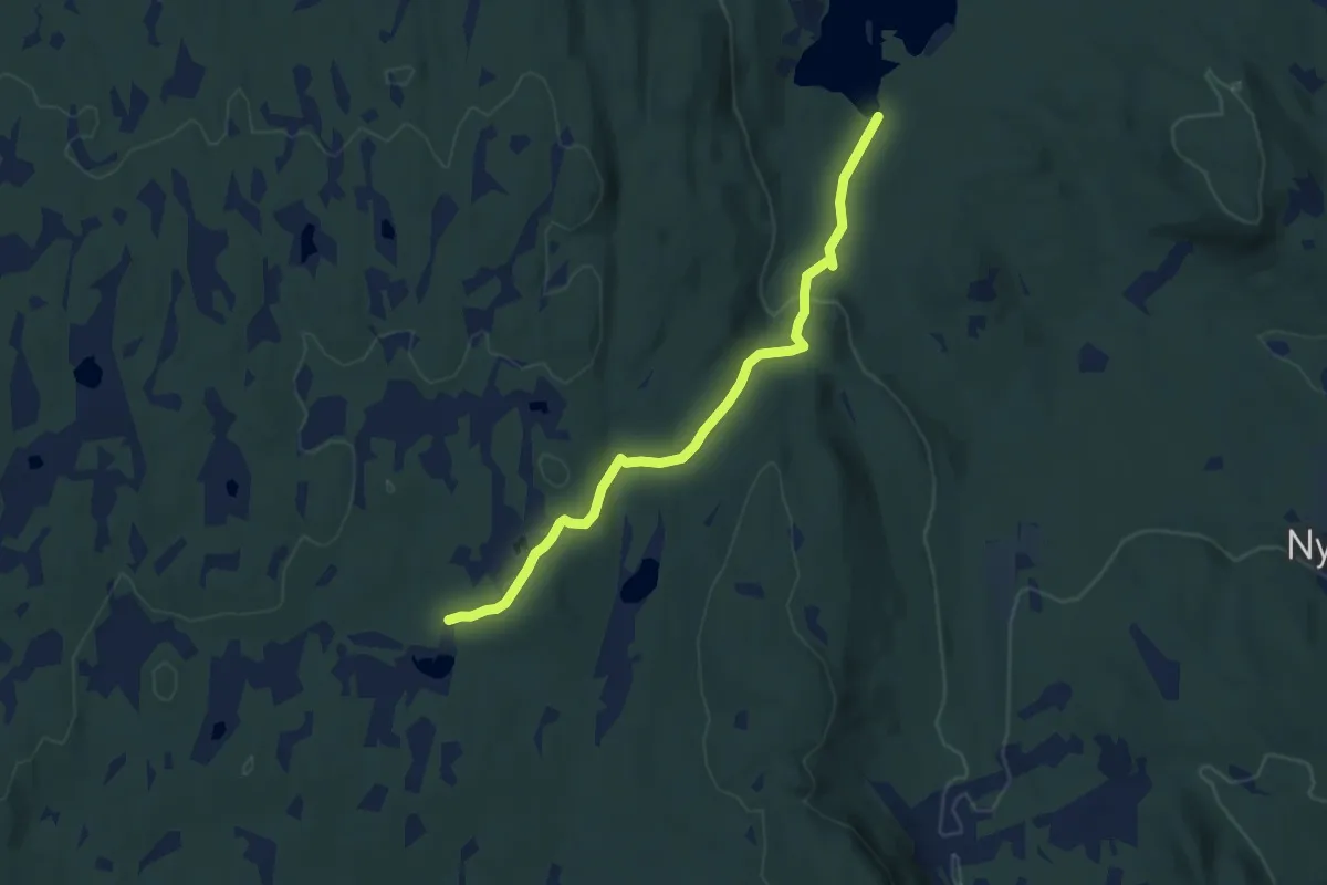
Easy · Cabin
Skumsjøen – Mæhlumsetra
6.7 km · ↑ 196 m · 2 h
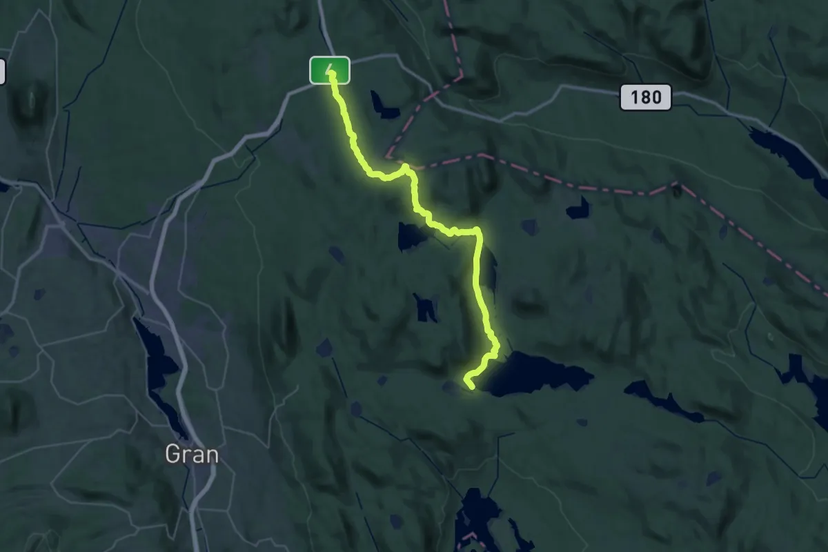
Demanding · Cabin
Kjørestua – Lygnasæter
26.5 km · ↑ 507 m · 7 h 21 min
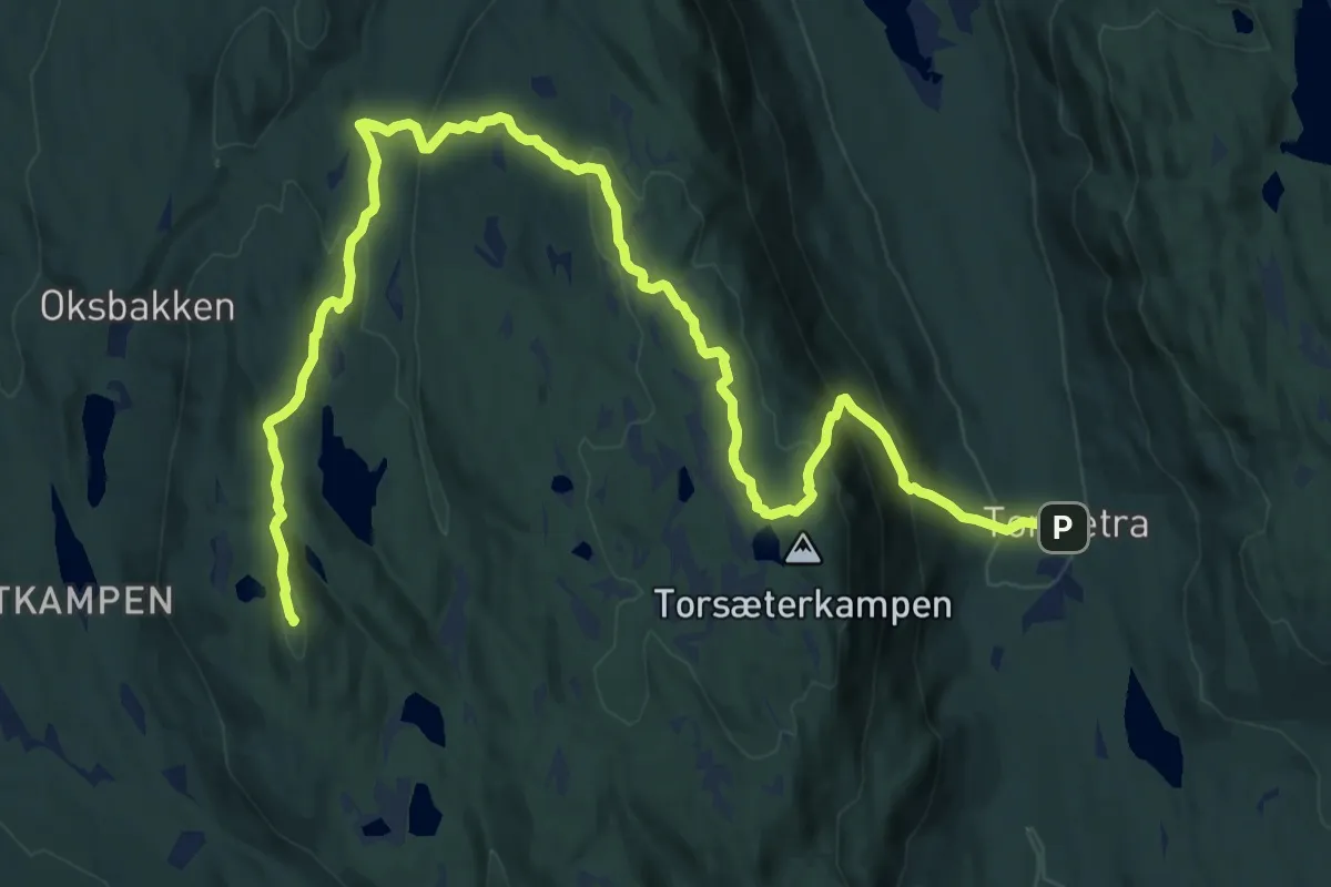
Medium · Summit
Torsætra – Vesterås
15.1 km · ↑ 658 m · 5 h
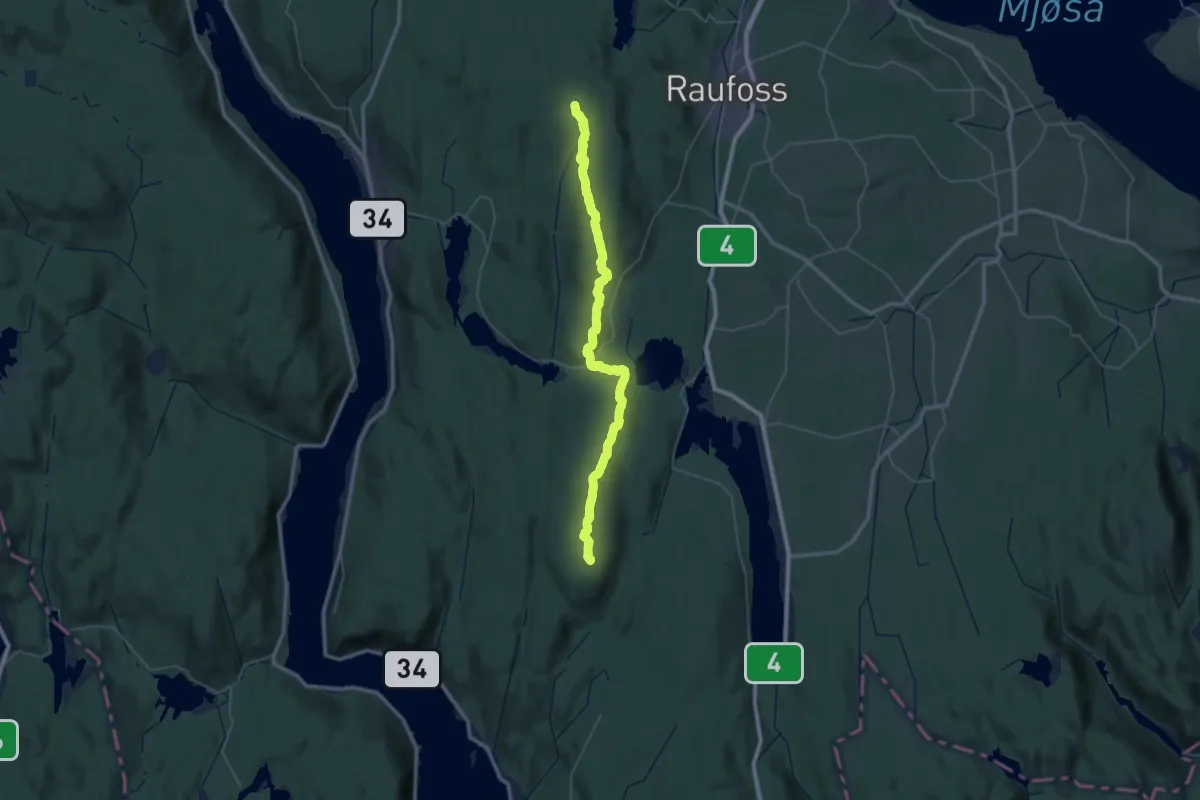
Demanding · Summit
Mæhlumsetra – Kvitingen
43.3 km · ↑ 925 m · 12 h 14 min
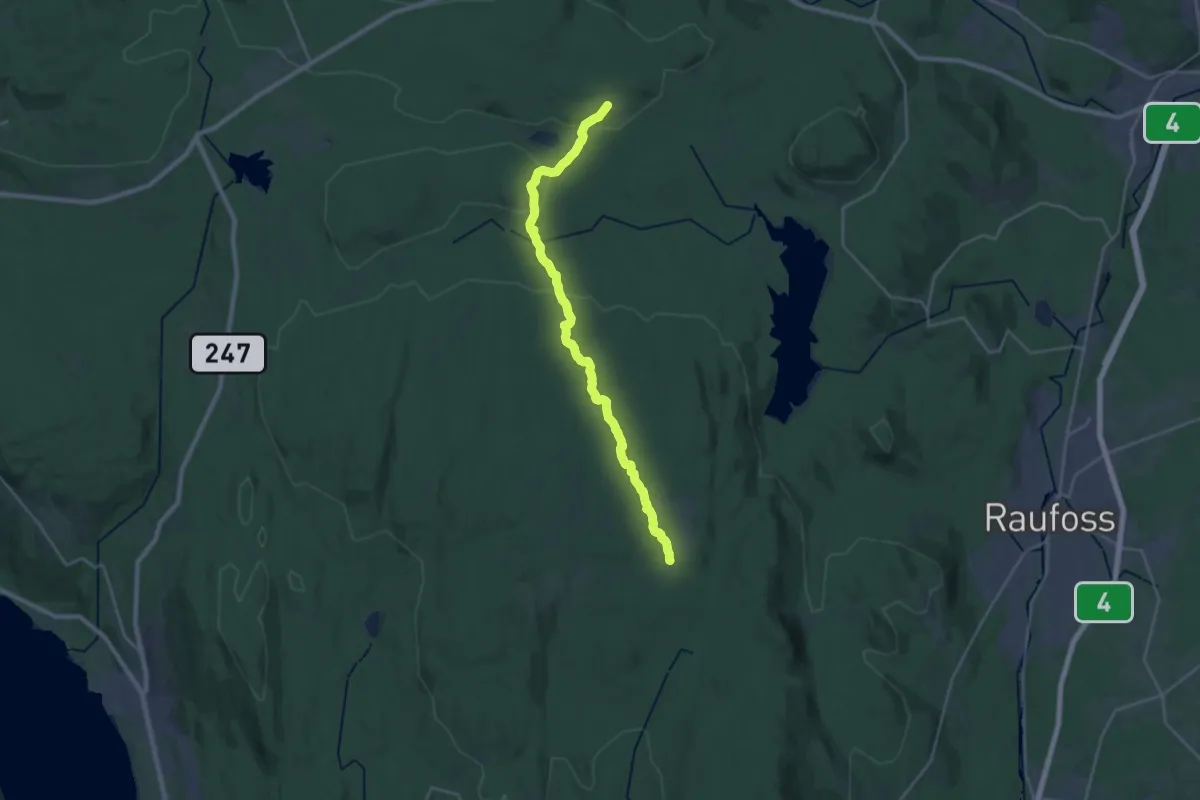
Demanding · Cabin
Mæhlumsetra – Vesterås
18.0 km · ↑ 294 m · 4 h 53 min
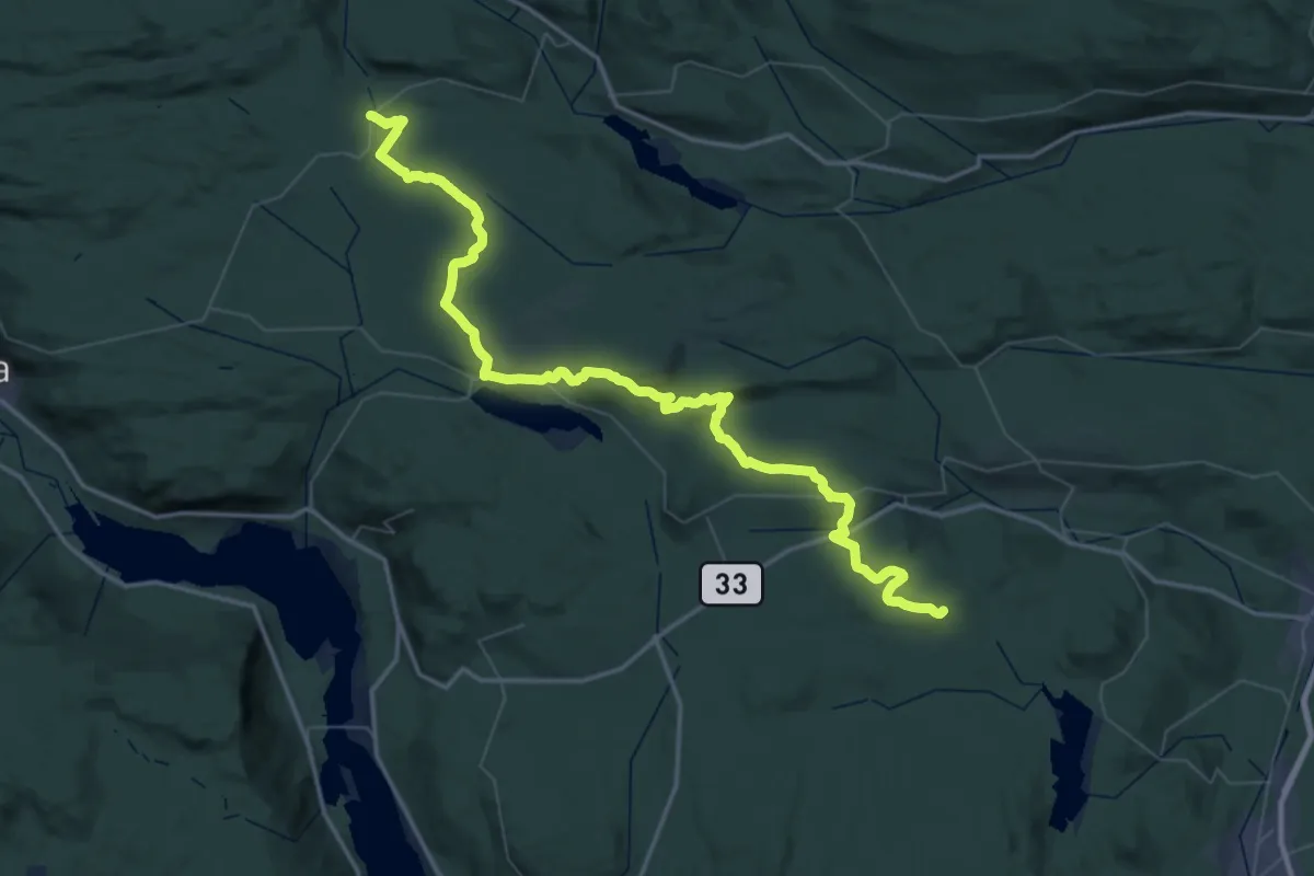
Demanding · Trail
Langvatnet – Vesterås
26.0 km · ↑ 431 m · 7 h 24 min
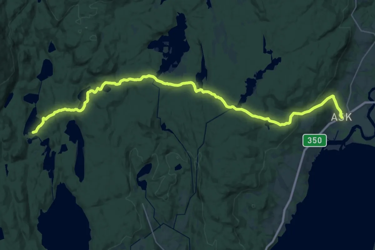
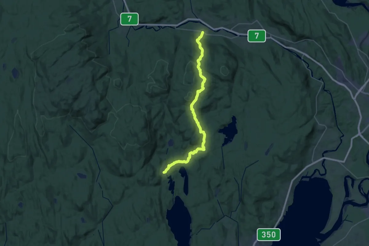
Demanding · Cabin
Ask – Hovinkoia
21.7 km · ↑ 437 m · 6 h 5 min
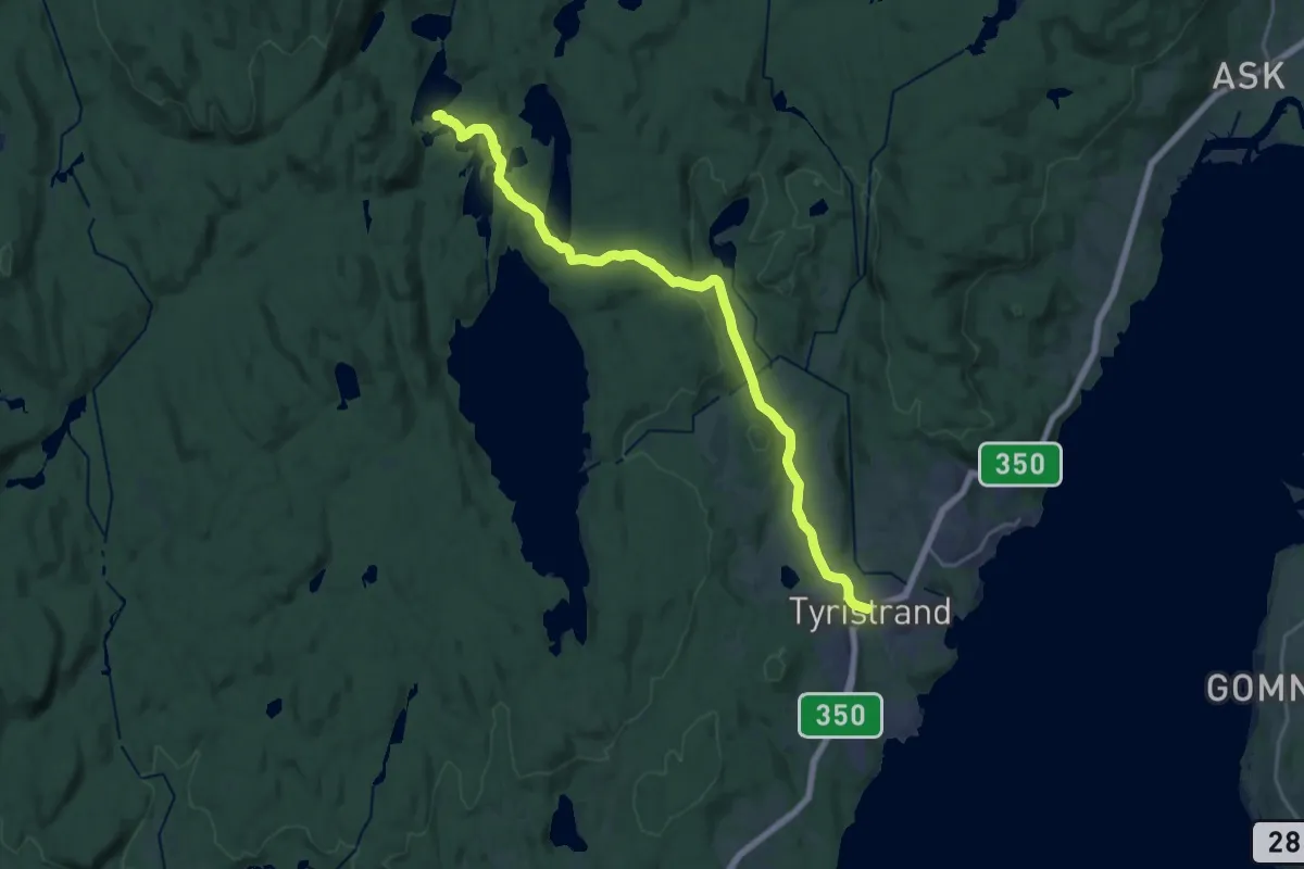
Demanding · Cabin
Veme – Hovinkoia
23.0 km · ↑ 717 m · 6 h 59 min
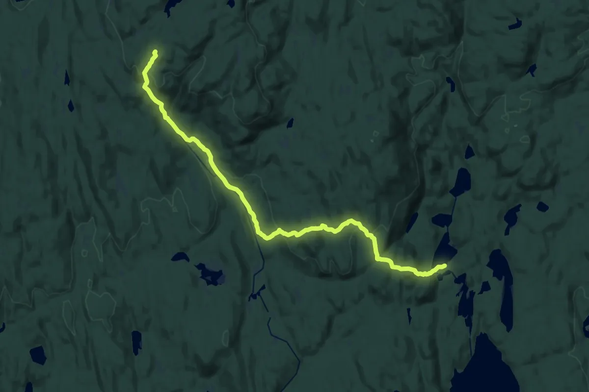
Medium · Cabin
Tyristrand – Hovinkoia
16.3 km · ↑ 240 m · 4 h 22 min
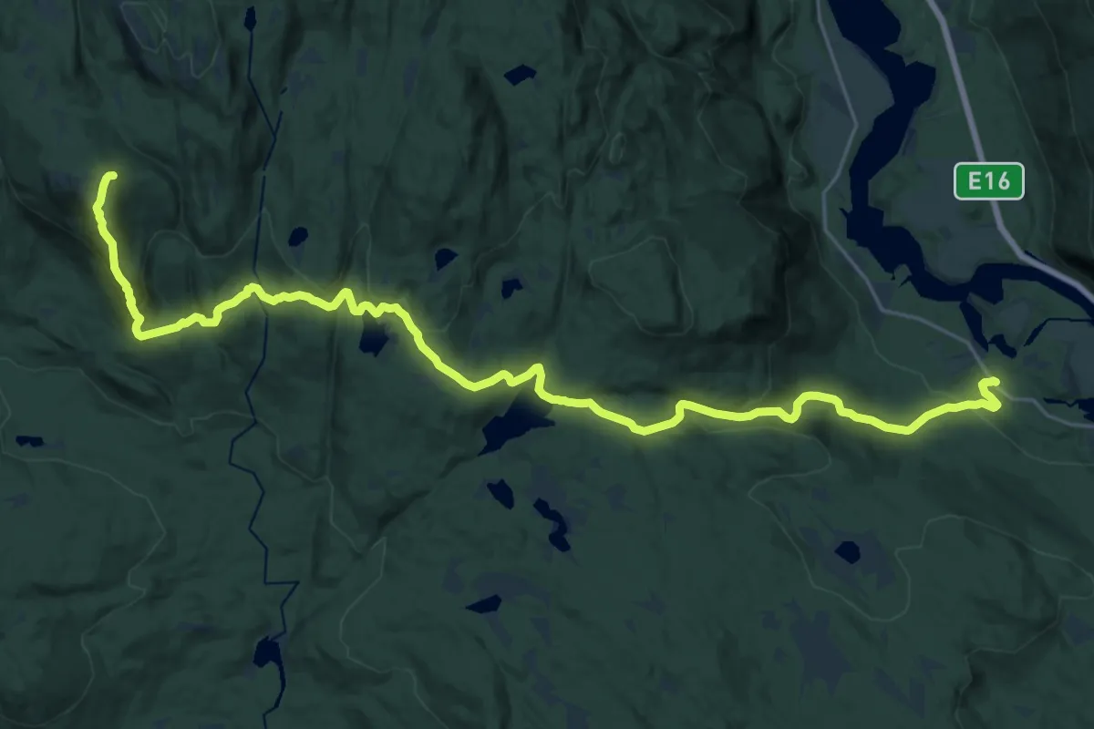
Demanding · Summit
Tyristrand – Grønknutkoia
19.5 km · ↑ 722 m · 6 h 11 min
Demanding · Cabin
Vestre Bergsund – Tjuvenborgkoia
21.7 km · ↑ 948 m · 7 h 11 min
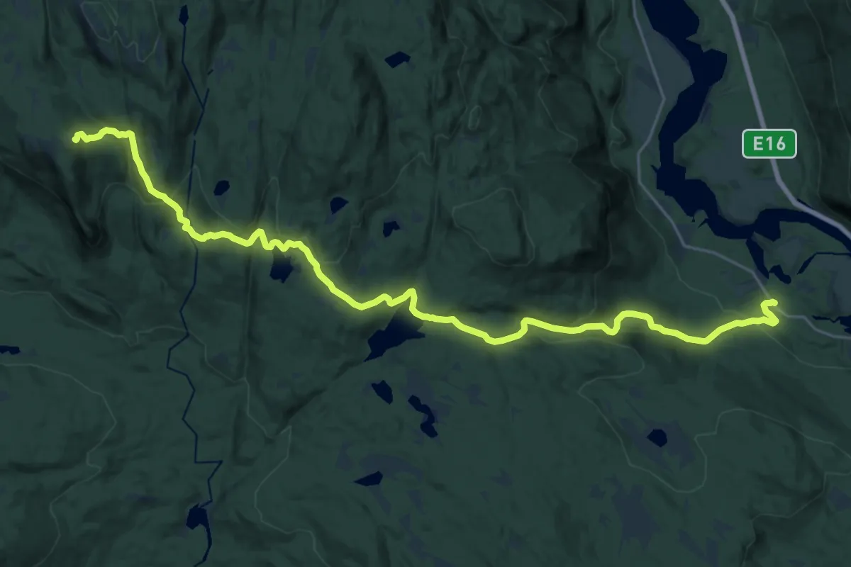
Demanding · Cabin
Vestre Bergsund – Tjuvenborgkoia
20.2 km · ↑ 806 m · 6 h 31 min
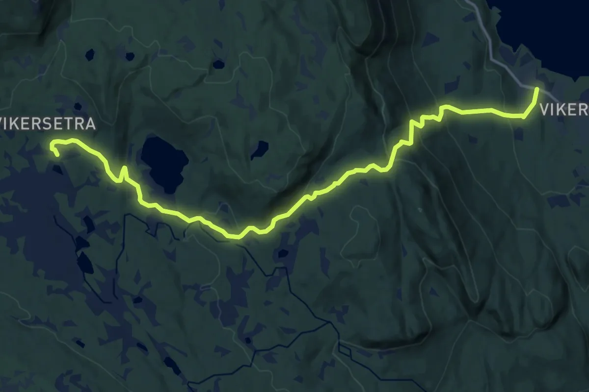
Medium · Cabin
Vikerkoia – Vikerkoia
12.2 km · ↑ 511 m · 4 h
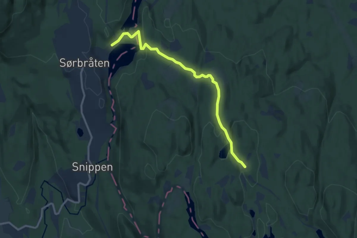
Easy · Cabin
movann – Sinober
5.5 km · ↑ 127 m · 1 h 35 min
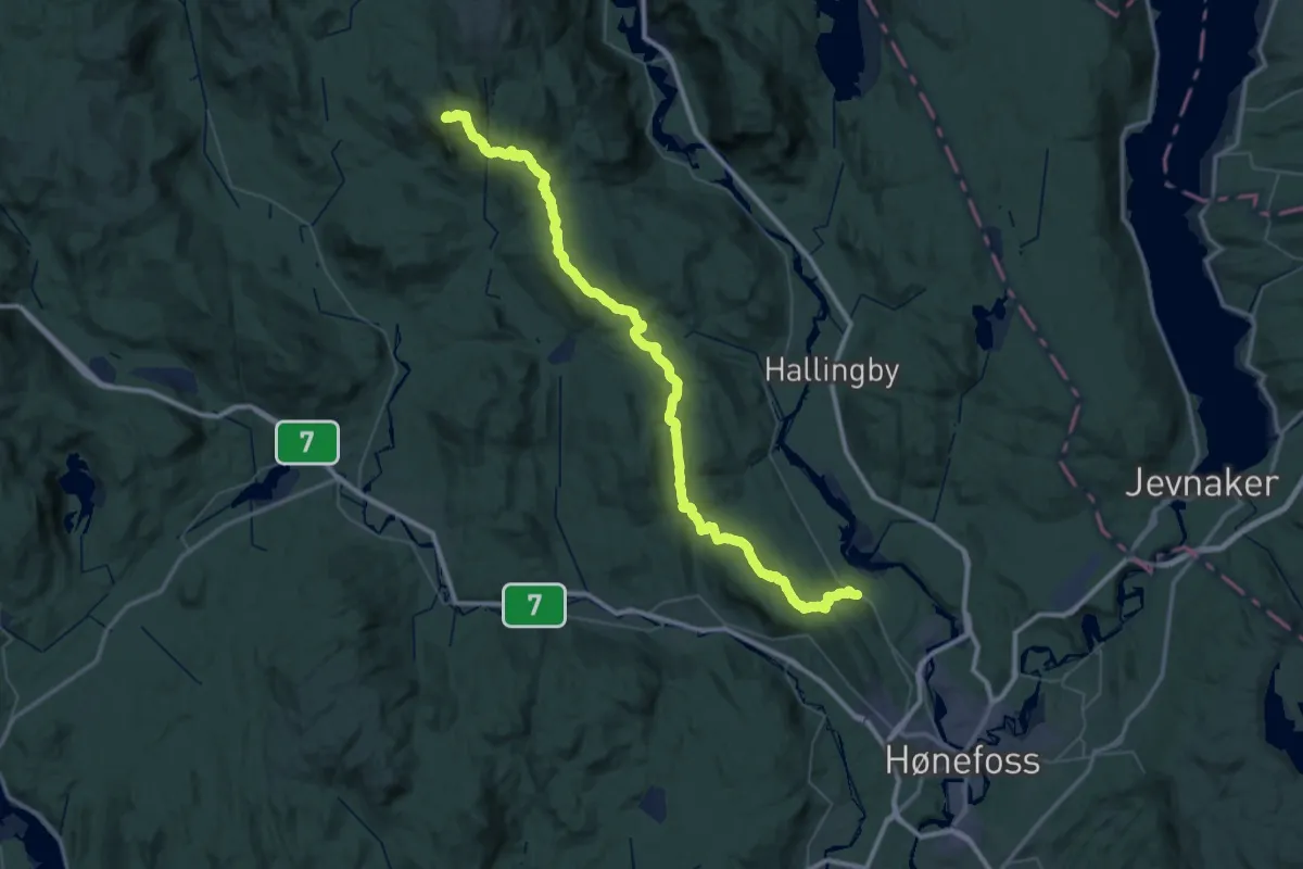
Demanding · Cabin
Hønefoss – Tjuvenborgkoia
24.9 km · ↑ 927 m · 7 h 57 min
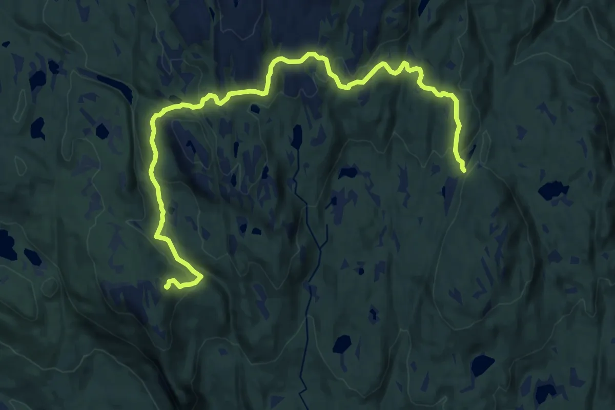
Medium · Cabin
Langtjern – Tjuvenborgkoia
12.9 km · ↑ 484 m · 4 h 5 min
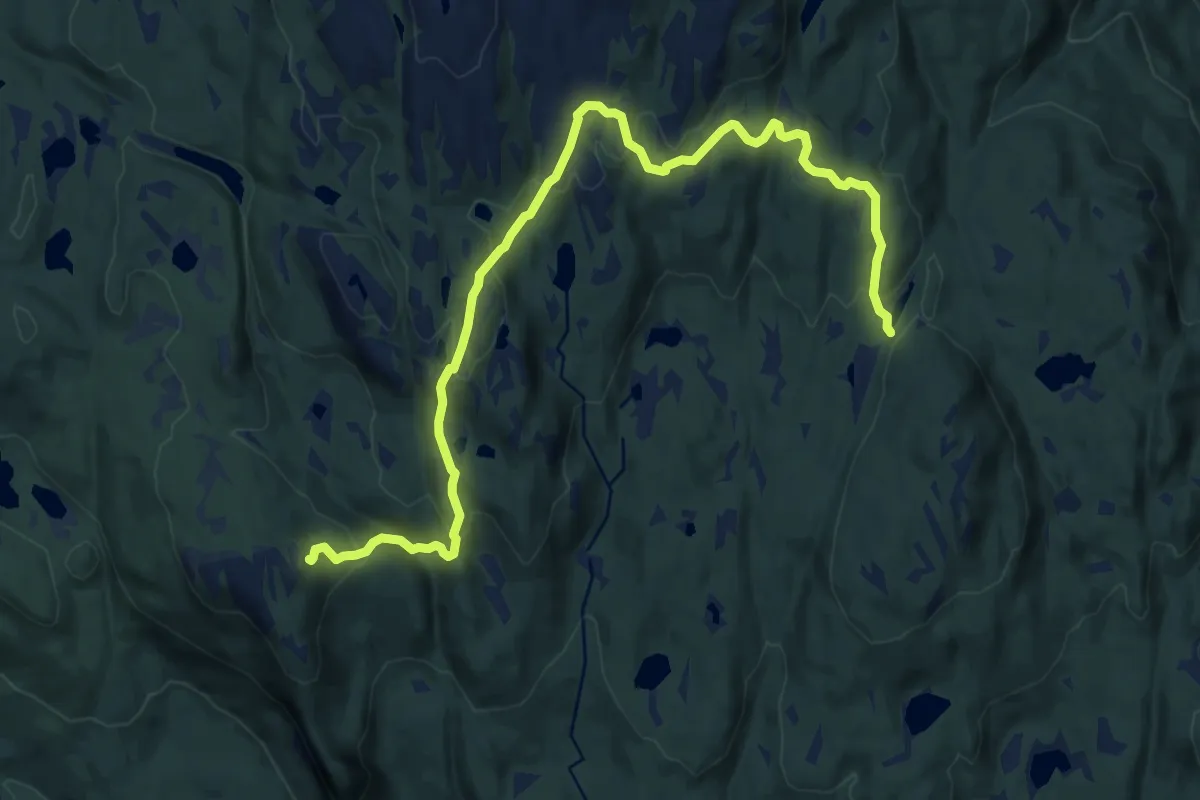
Medium · Cabin
Langtjern – Tjuvenborgkoia
11.3 km · ↑ 501 m · 3 h 45 min
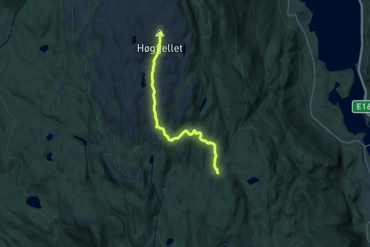
Medium · Summit
Langtjern – Vikerkoia
9.5 km · ↑ 357 m · 3 h 1 min
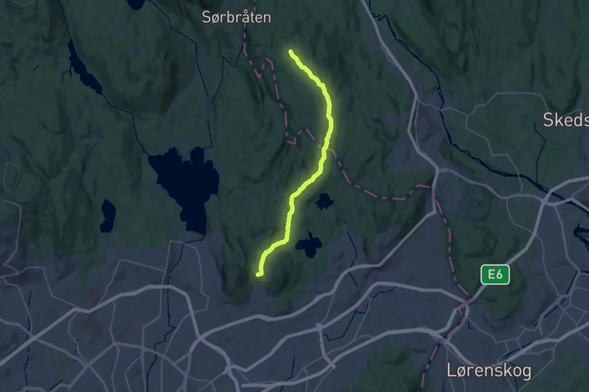
Demanding · Summit
Stig (Årvoll) – Sinober
18.9 km · ↑ 459 m · 5 h 27 min
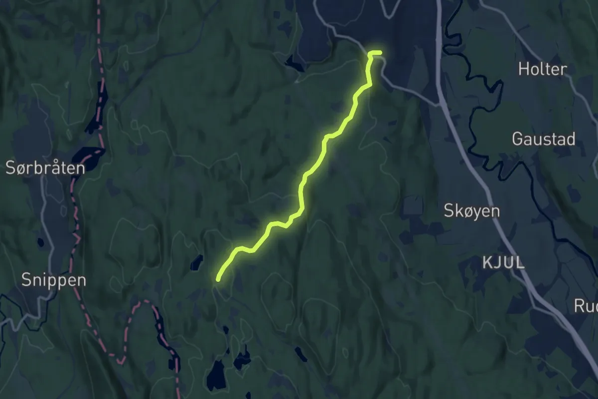
Easy · Cabin
Nittedal (Mostua) – Sinober
6.8 km · ↑ 255 m · 2 h 10 min
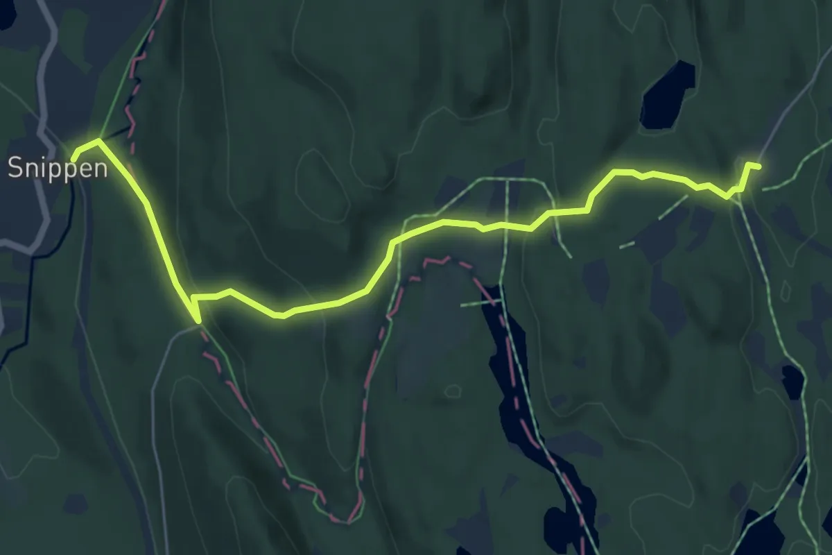
Easy · Cabin
Snippen – Sinober
4.6 km · ↑ 163 m · 1 h 27 min
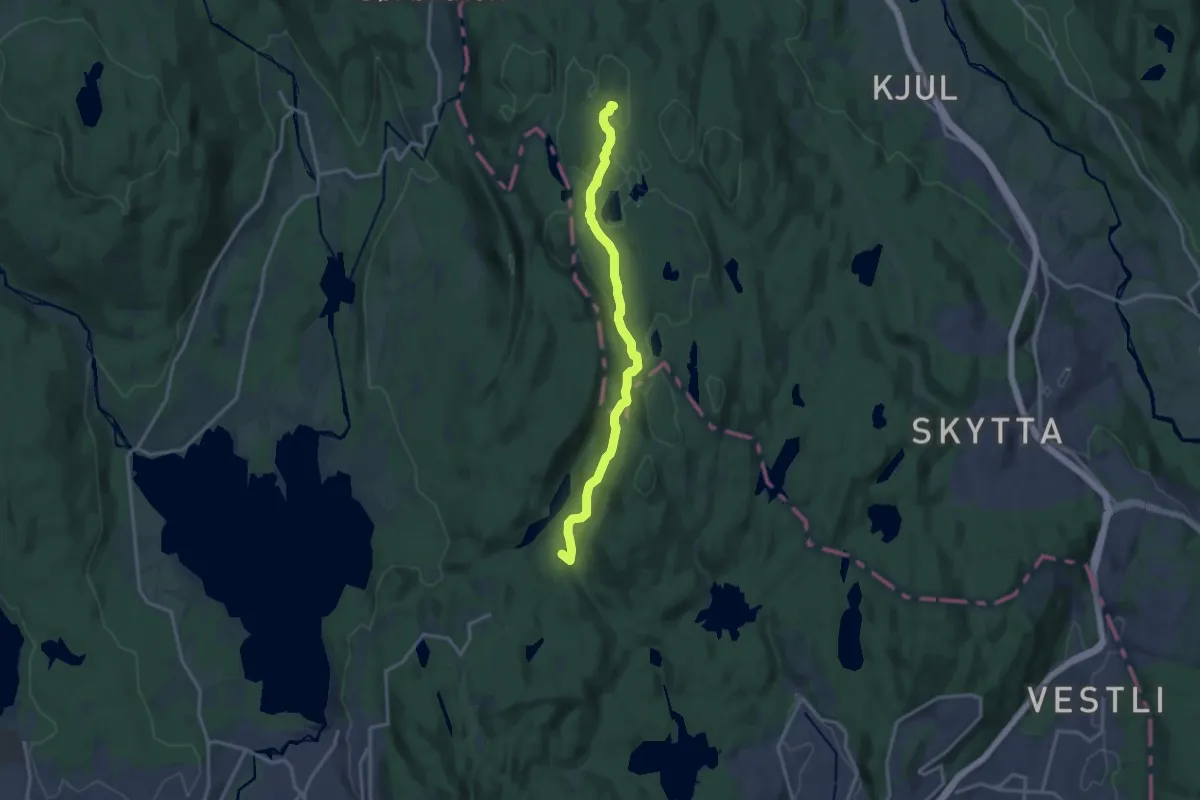
Medium · Summit
Linderudkollen – Sinober
10.7 km · ↑ 257 m · 3 h 5 min
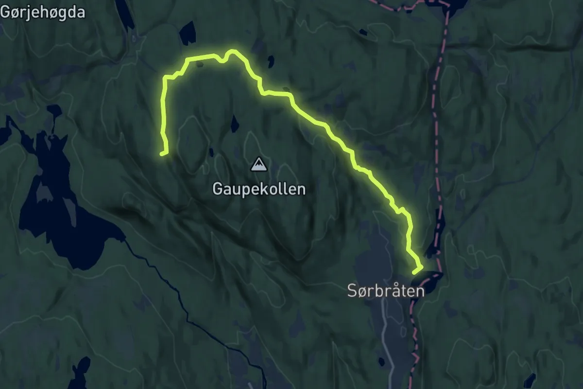
Medium · Summit
Movann – Tomtehytta
11.2 km · ↑ 247 m · 3 h 11 min
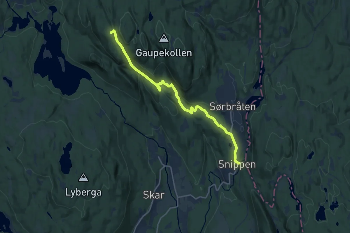
Medium · Summit
Snippen – Tomtehytta
9.7 km · ↑ 364 m · 3 h 5 min
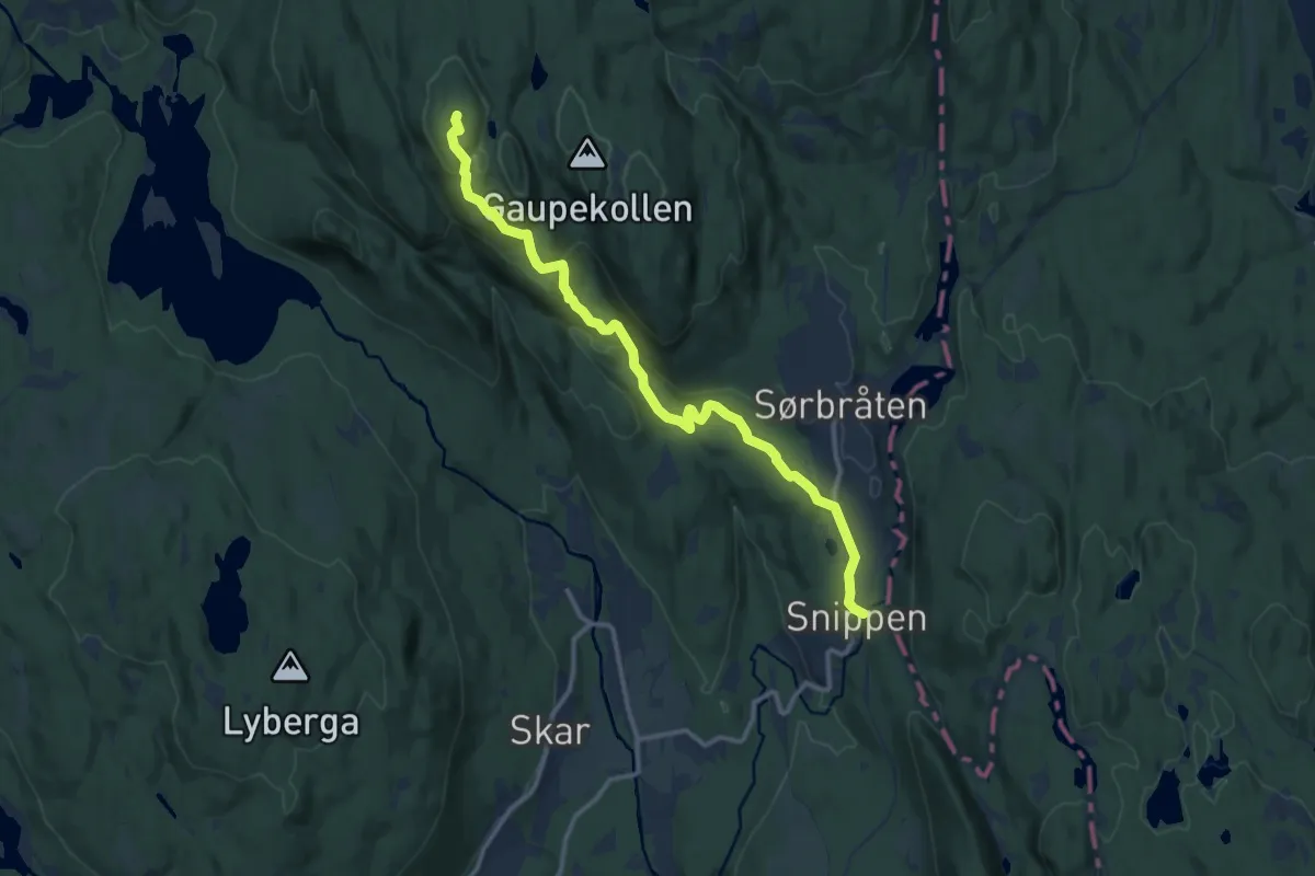
Medium · Summit
Snippen – Tomtehytta
9.0 km · ↑ 348 m · 2 h 53 min
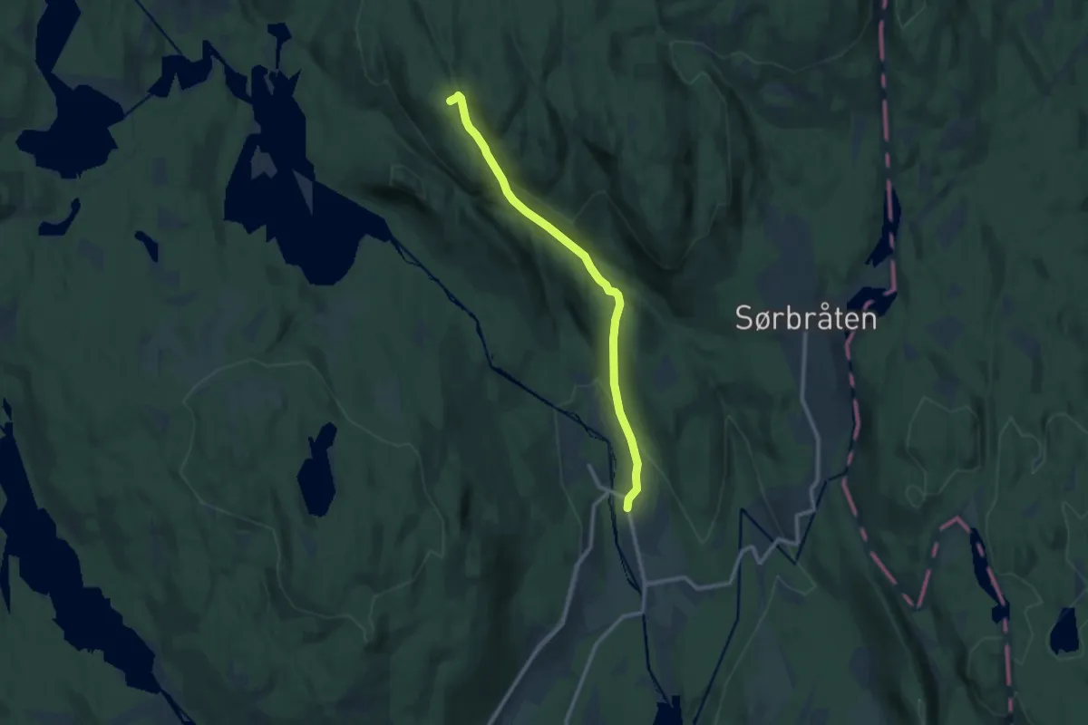
Medium · Summit
Vaggestein / Skar – Tomtehytta
7.0 km · ↑ 320 m · 2 h 20 min
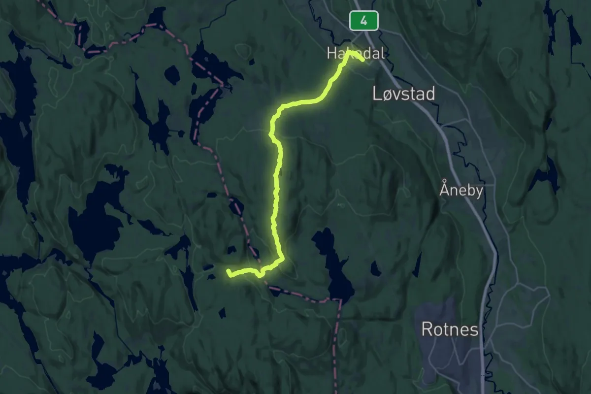
Medium · Summit
Hakadal – Tomtehytta
17.3 km · ↑ 552 m · 5 h 17 min