Trails in Norway
7,452 hiking trails, each with its route, climb, walking time and grade.
All trails, page 130 of 156
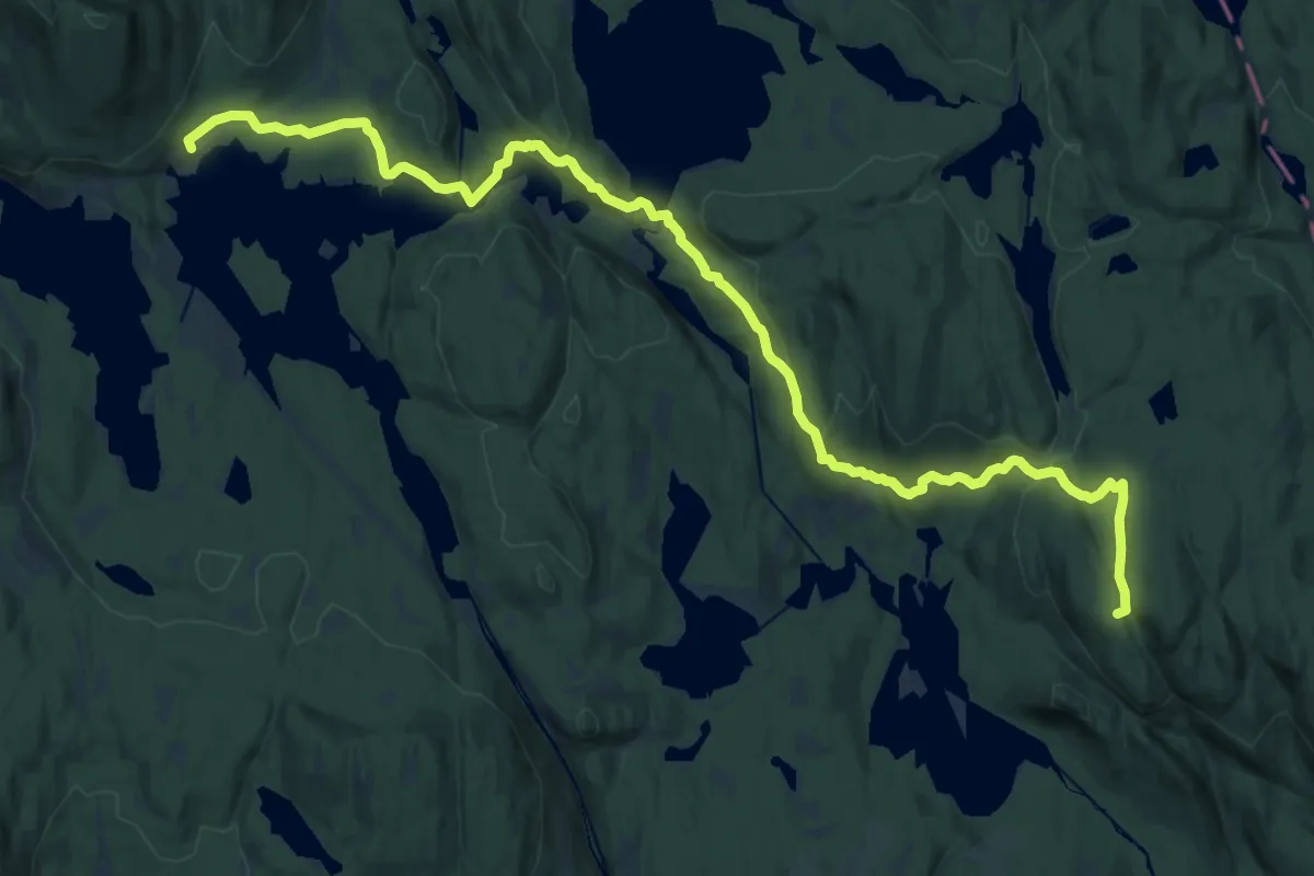
Demanding · Summit
Kikutstua – Tomtehytta
18.4 km · ↑ 551 m · 5 h 32 min
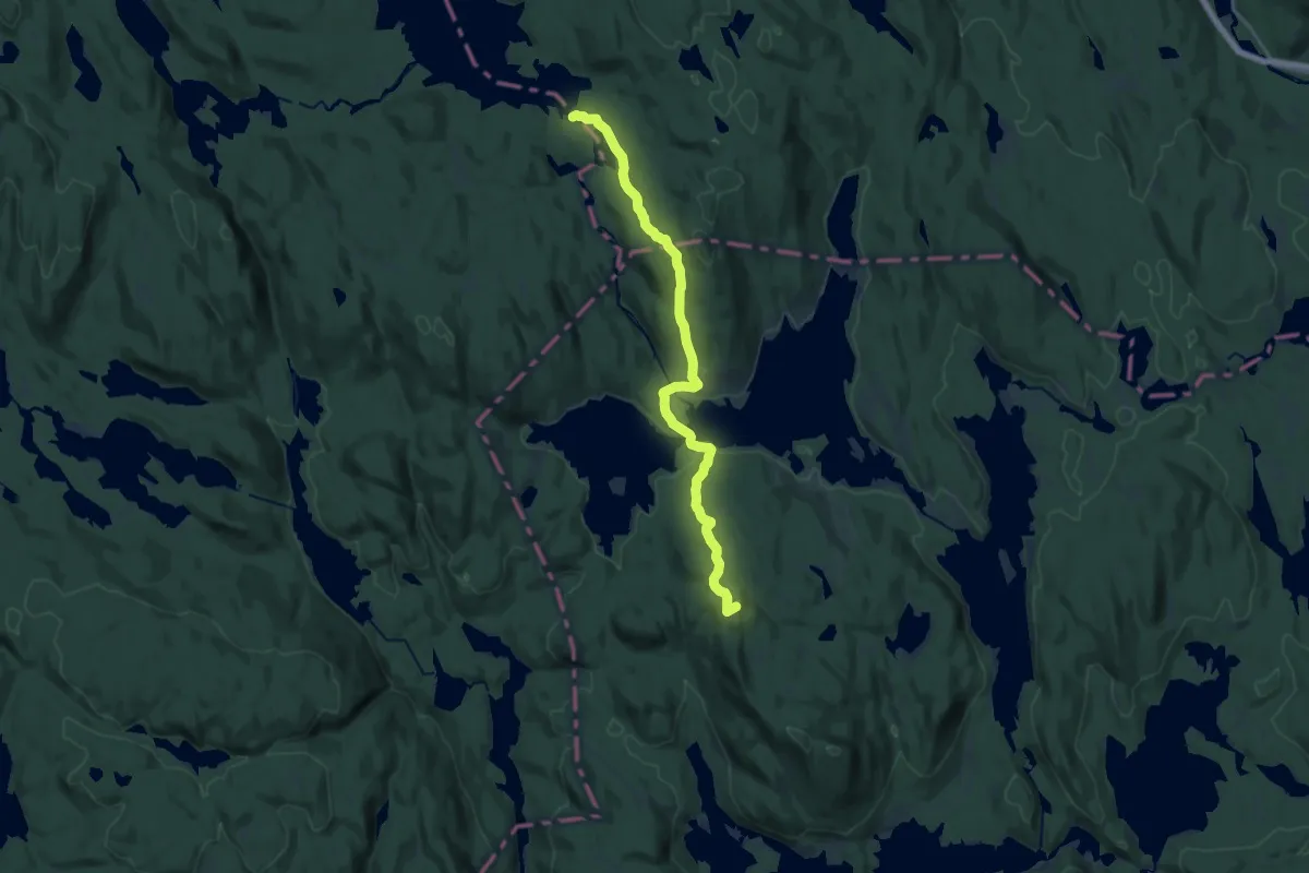
Medium · Summit
Kikutstua – Katnosdammen
14.4 km · ↑ 445 m · 4 h 22 min
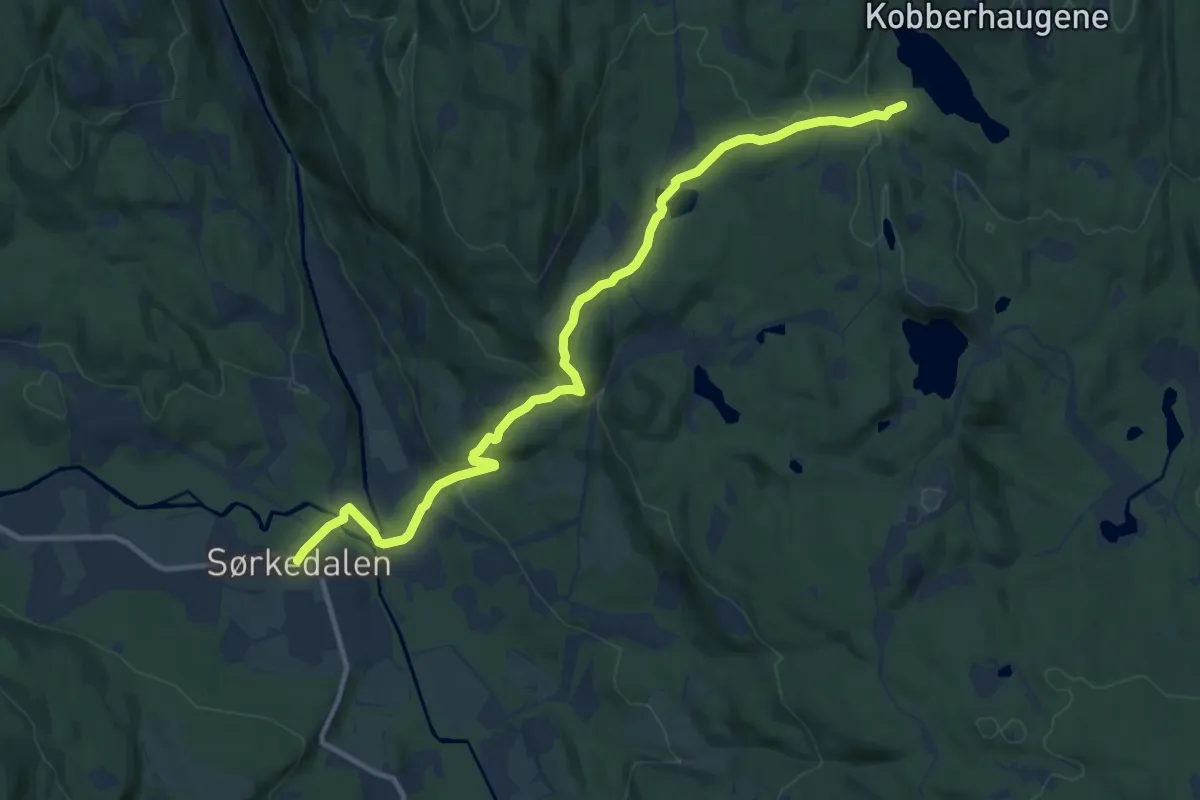
Medium · Trail
Sørkedalen – Kobberhaughytta
9.1 km · ↑ 313 m · 2 h 49 min
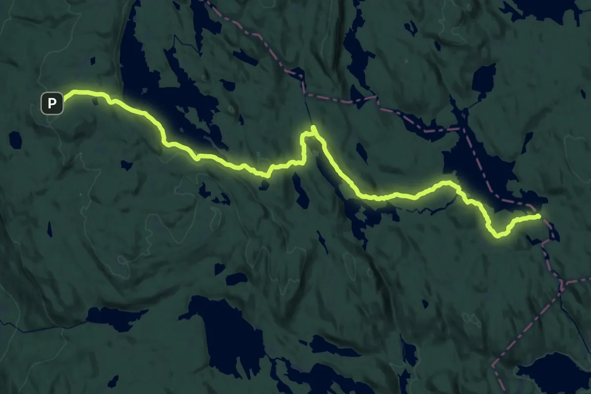
Medium · Cabin
Ringkollen – Katnosdammen
15.4 km · ↑ 230 m · 4 h 24 min
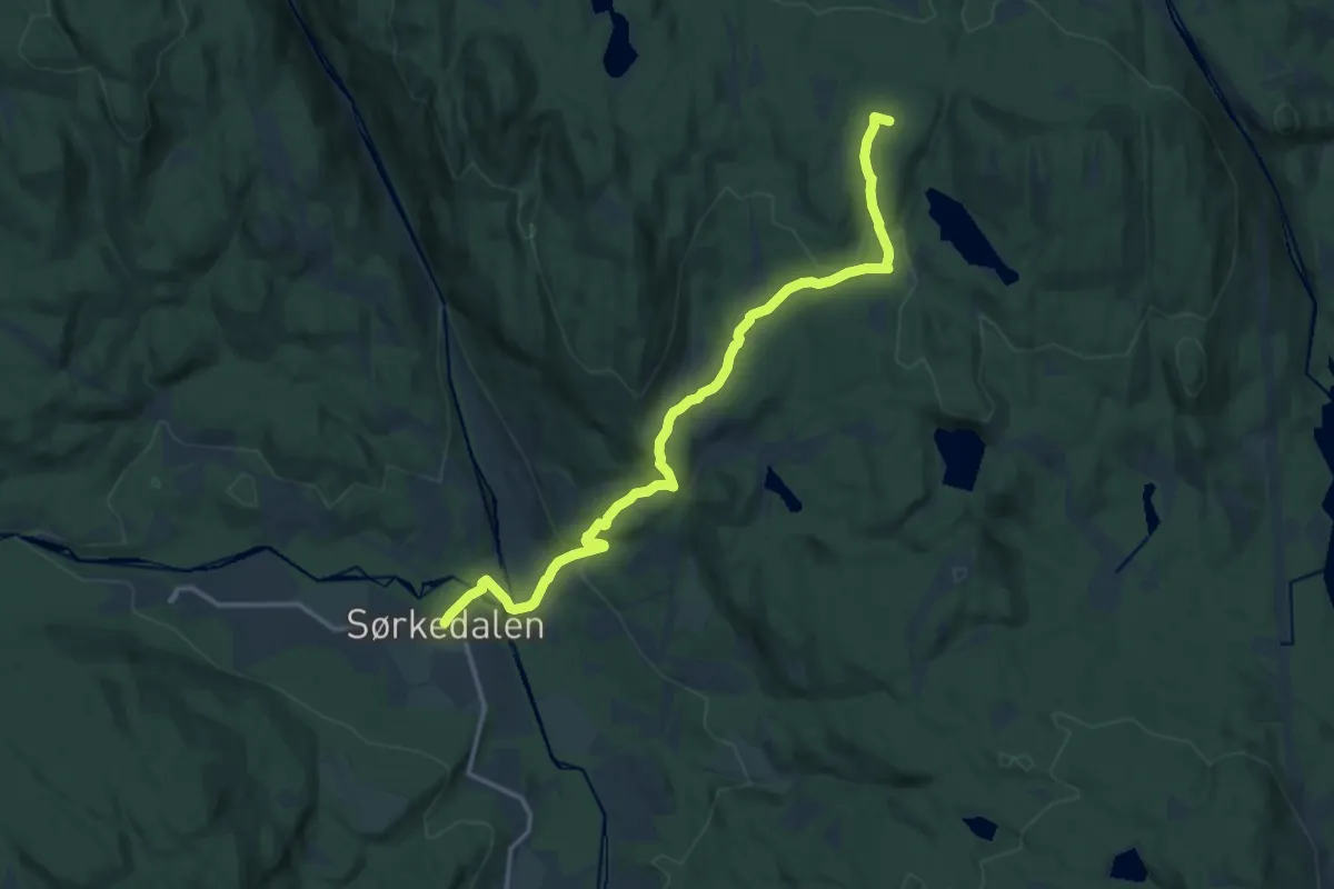
Medium · Summit
Sørkedalen – Kikutstua
10.5 km · ↑ 330 m · 3 h 12 min
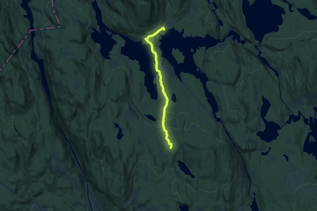
Medium · Summit
Kobberhaughytta – Kikutstua
9.0 km · ↑ 178 m · 2 h 31 min
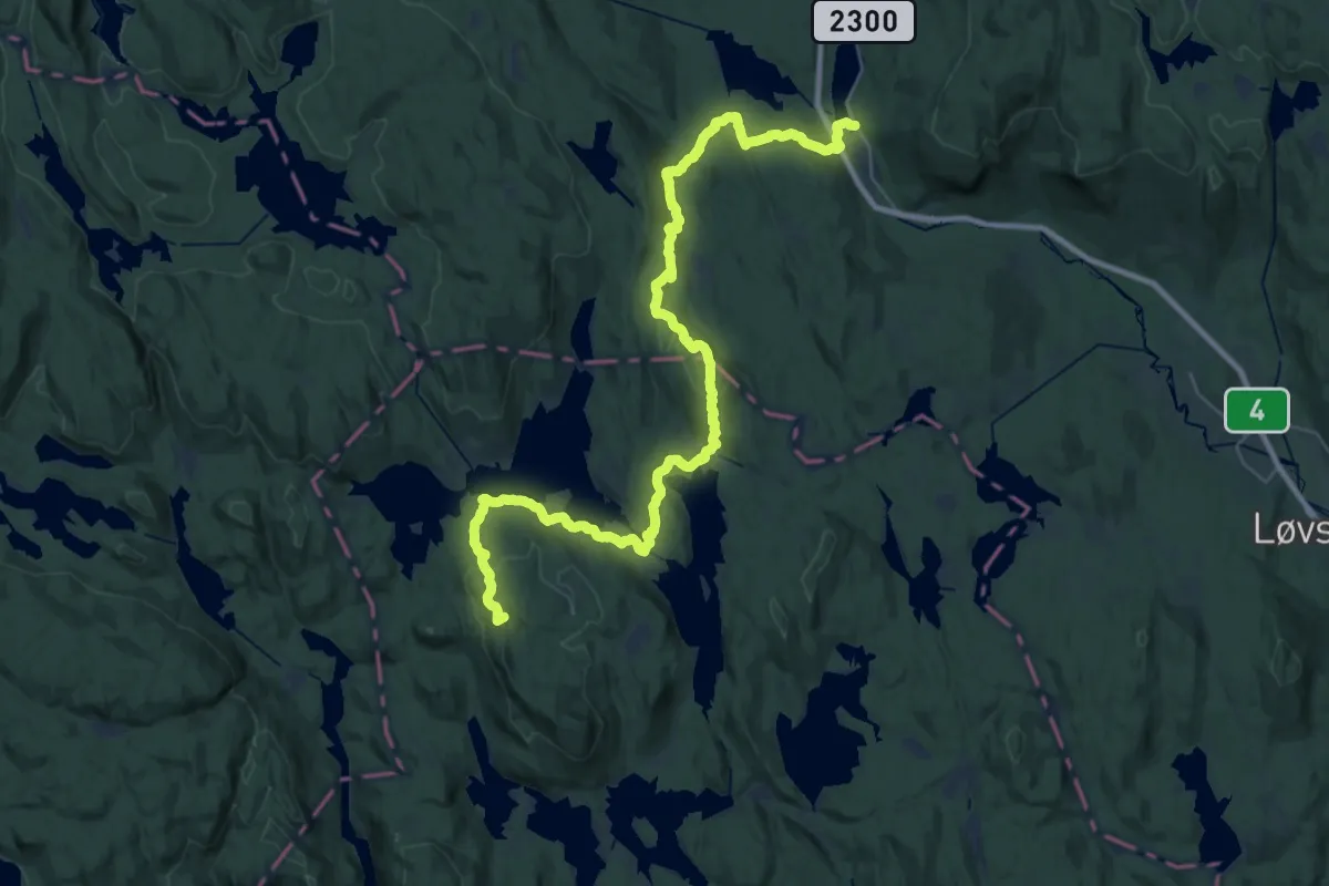
Demanding · Summit
Kikutstua – Stryken
34.5 km · ↑ 950 m · 10 h 13 min
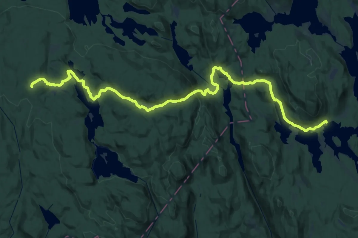
Demanding · Cabin
Kikutstua – Løvlia
19.2 km · ↑ 591 m · 5 h 58 min
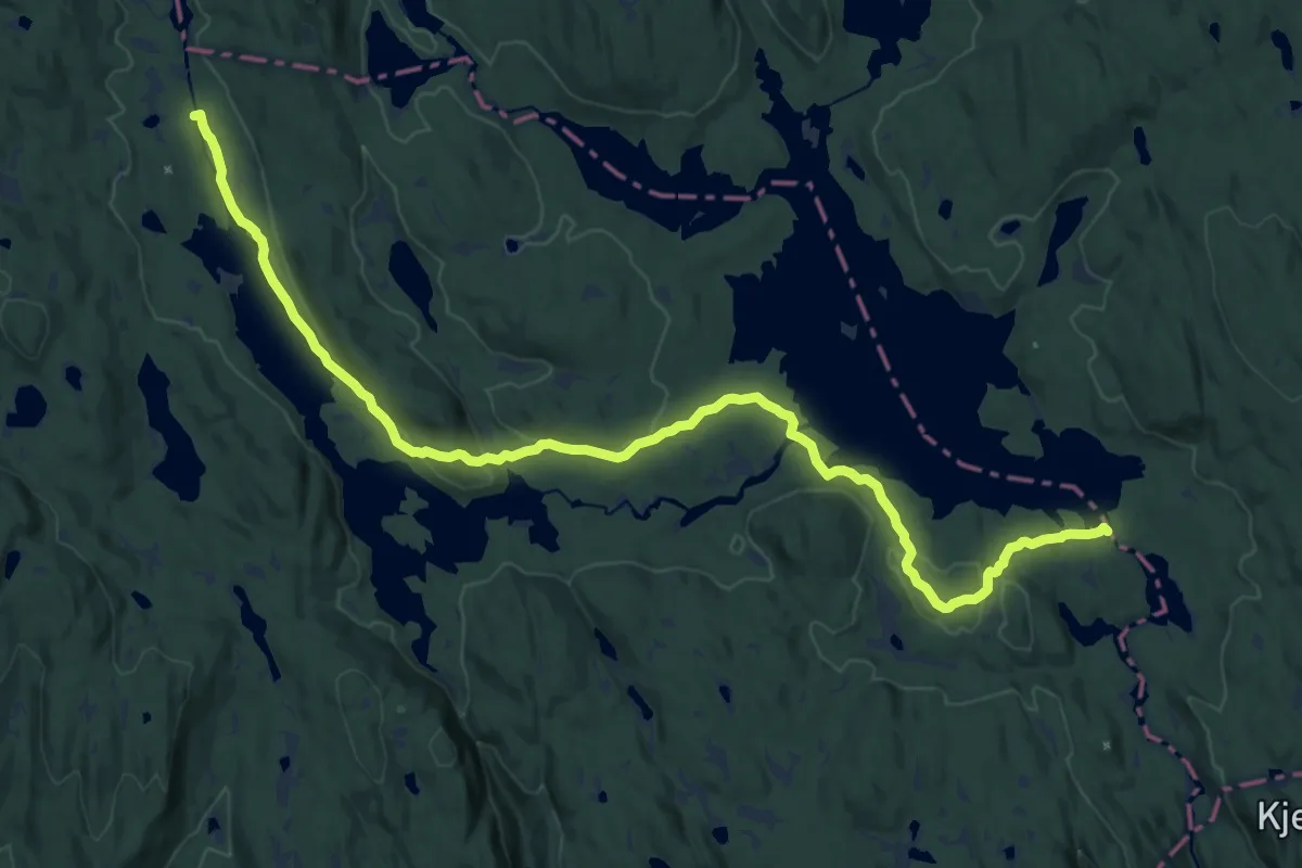
Medium · Cabin
Sinnerdammen – Katnosdammen
15.4 km · ↑ 274 m · 4 h 14 min
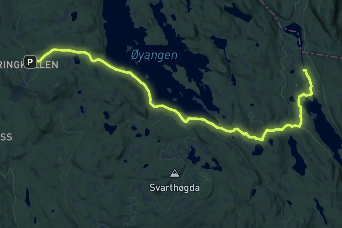
Medium · Cabin
Ringkollen – Sinnerdammen
17.1 km · ↑ 308 m · 4 h 42 min
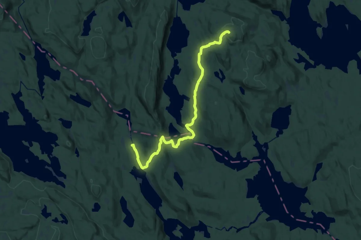
Medium · Summit
Trantjern – Sinnerdammen
13.7 km · ↑ 318 m · 3 h 56 min
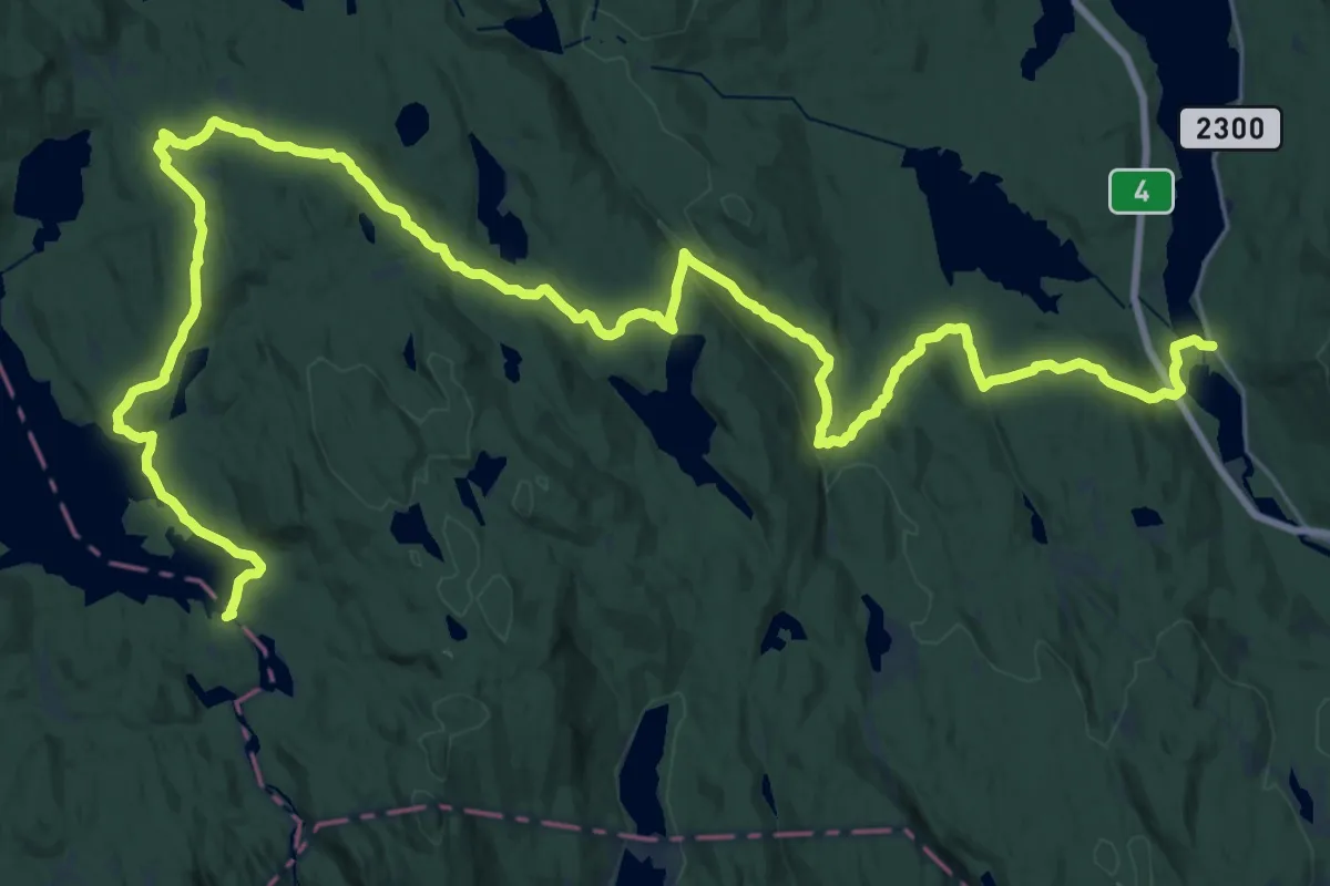
Medium · Cabin
Stryken – Katnosdammen
16.1 km · ↑ 505 m · 5 h
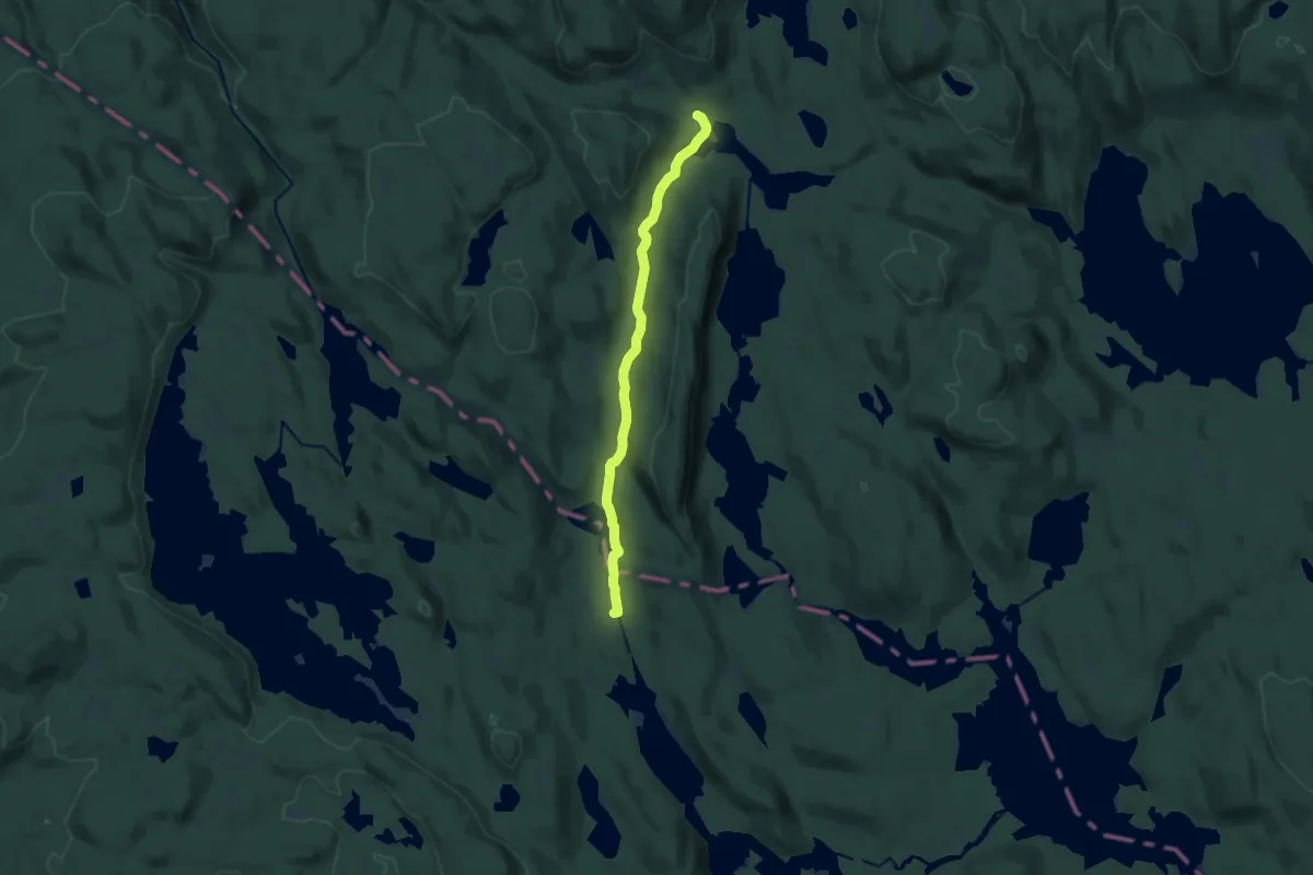
Medium · Cabin
Tverrsjøstallen – Sinnerdammen
10.0 km · ↑ 102 m · 2 h 35 min
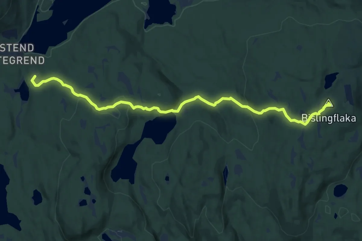
Medium · Summit
Trantjern – Bislingen
9.4 km · ↑ 303 m · 2 h 53 min
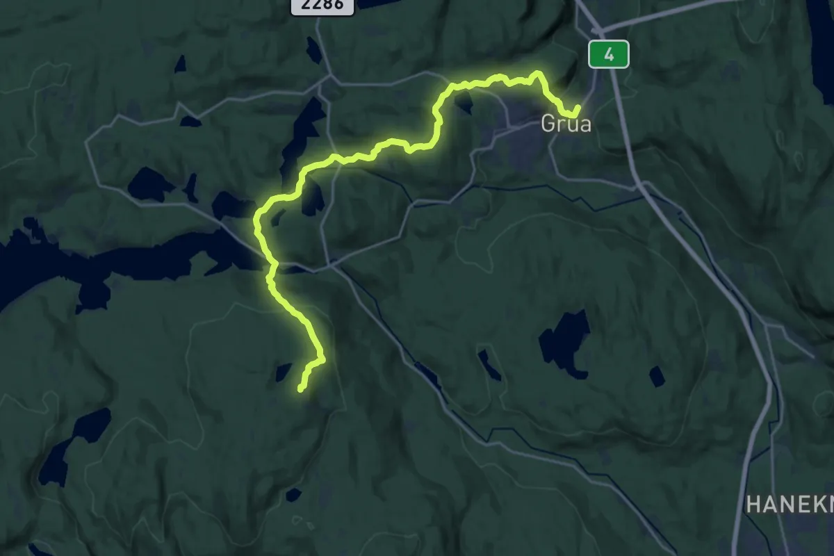
Medium · Trail
Bislingen – Grua
15.8 km · ↑ 519 m · 4 h 51 min
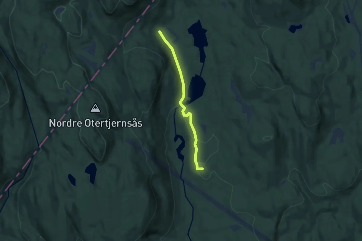
Easy · Summit
Skansebakken – Smedmyrkoia
3.6 km · ↑ 48 m · 58 min
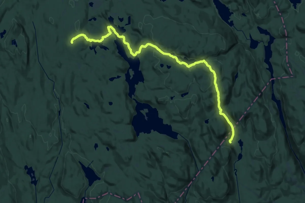
Demanding · Cabin
Løvlia – Smedmyrkoia
24.6 km · ↑ 706 m · 7 h 20 min
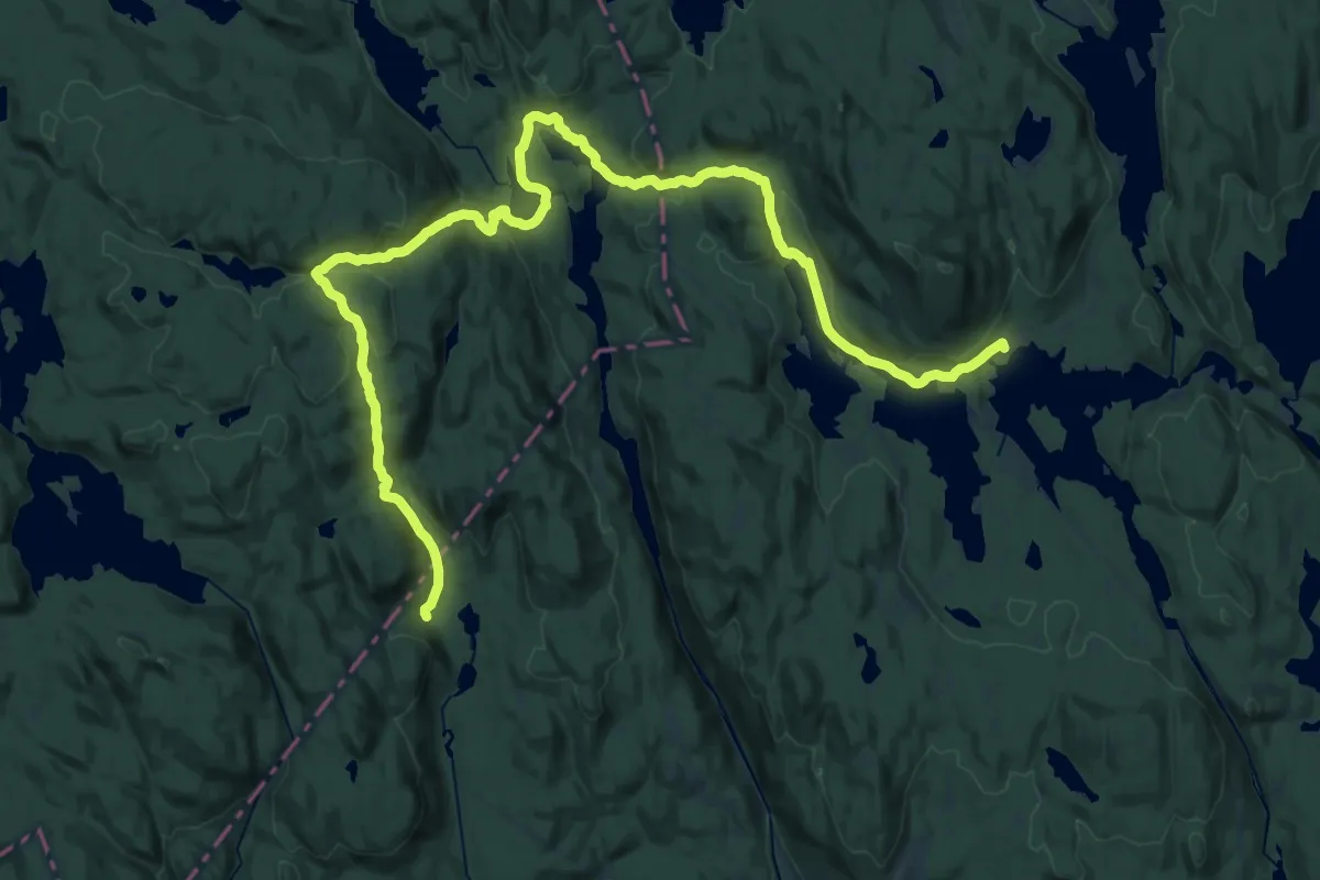
Medium · Cabin
Kikutstua – Smedmyrkoia
15.1 km · ↑ 450 m · 4 h 45 min
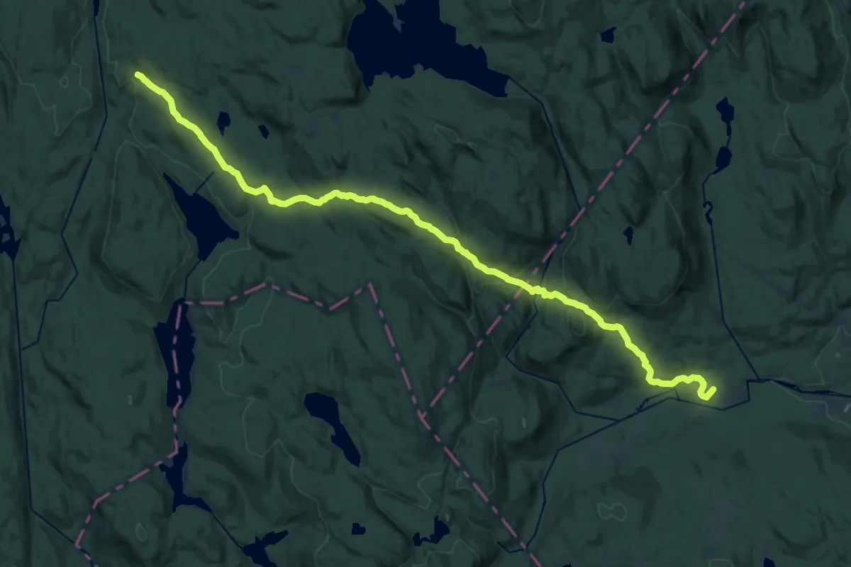
Demanding · Summit
Skansebakken – Presthytta
19.0 km · ↑ 712 m · 6 h 1 min
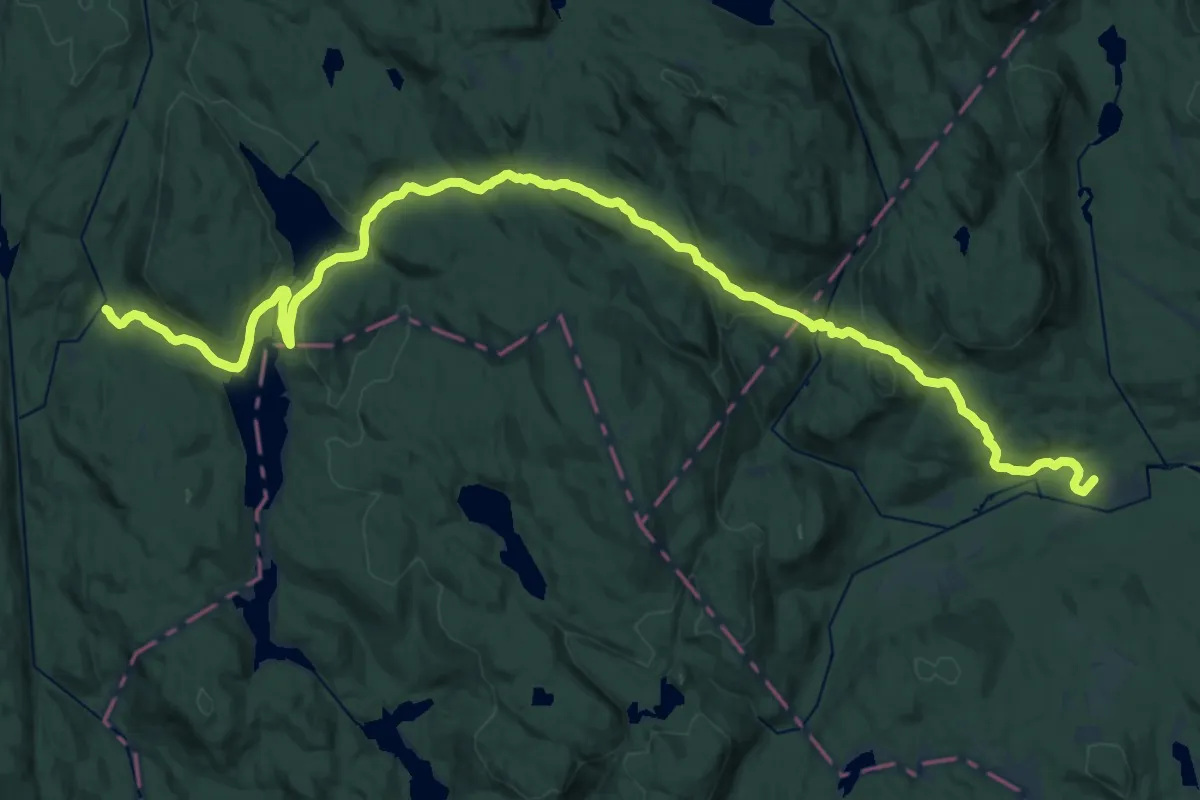
Demanding · Summit
Skansebakken – Myrsetra
22.6 km · ↑ 688 m · 6 h 50 min
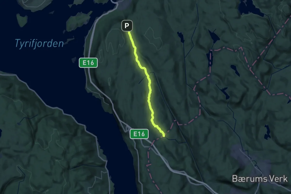
Demanding · Cabin
Kleivstua – Mustadkroken
20.4 km · ↑ 387 m · 5 h 39 min
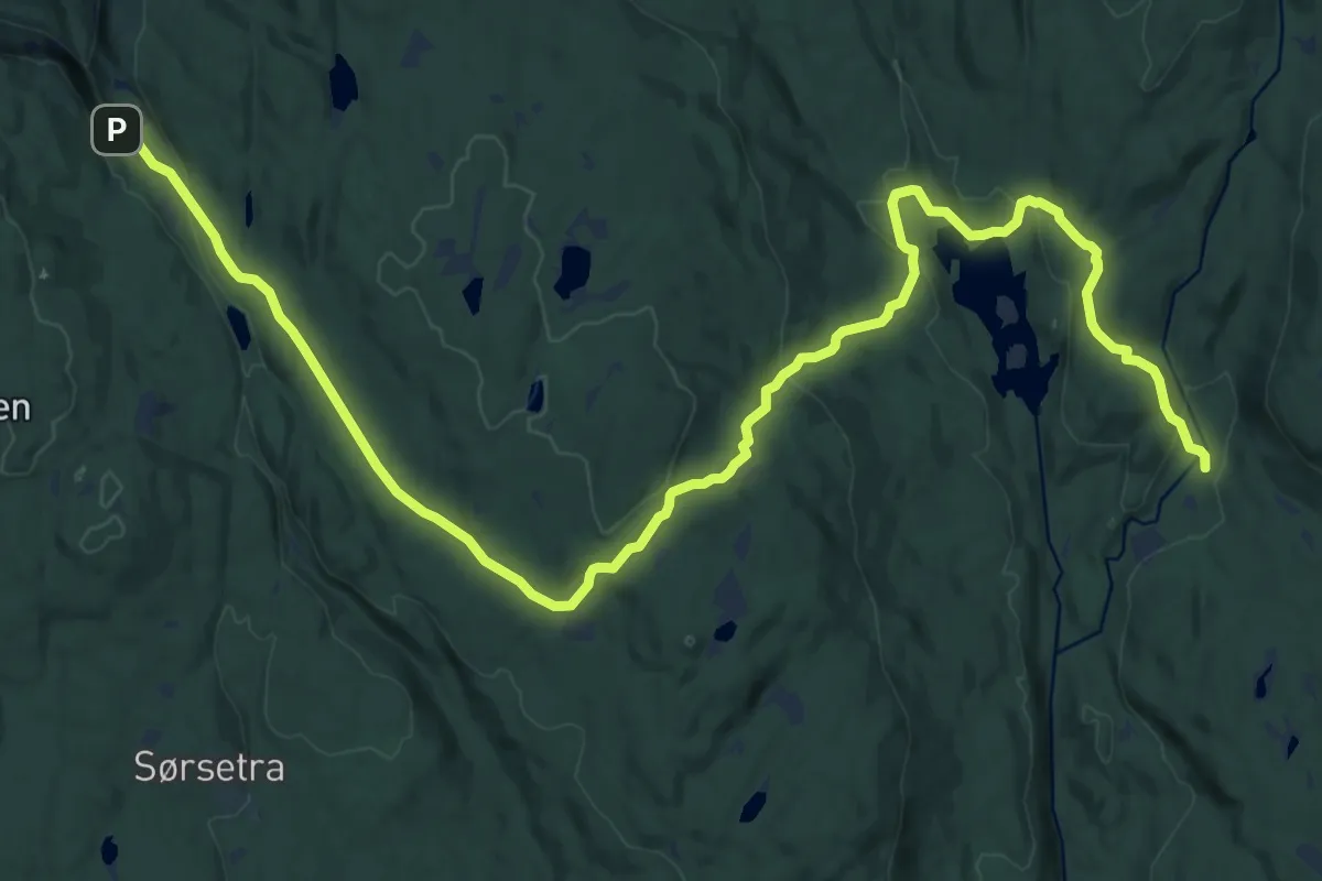
Medium · Cabin
Kleivstua – Myrsetra
17.7 km · ↑ 494 m · 5 h 15 min
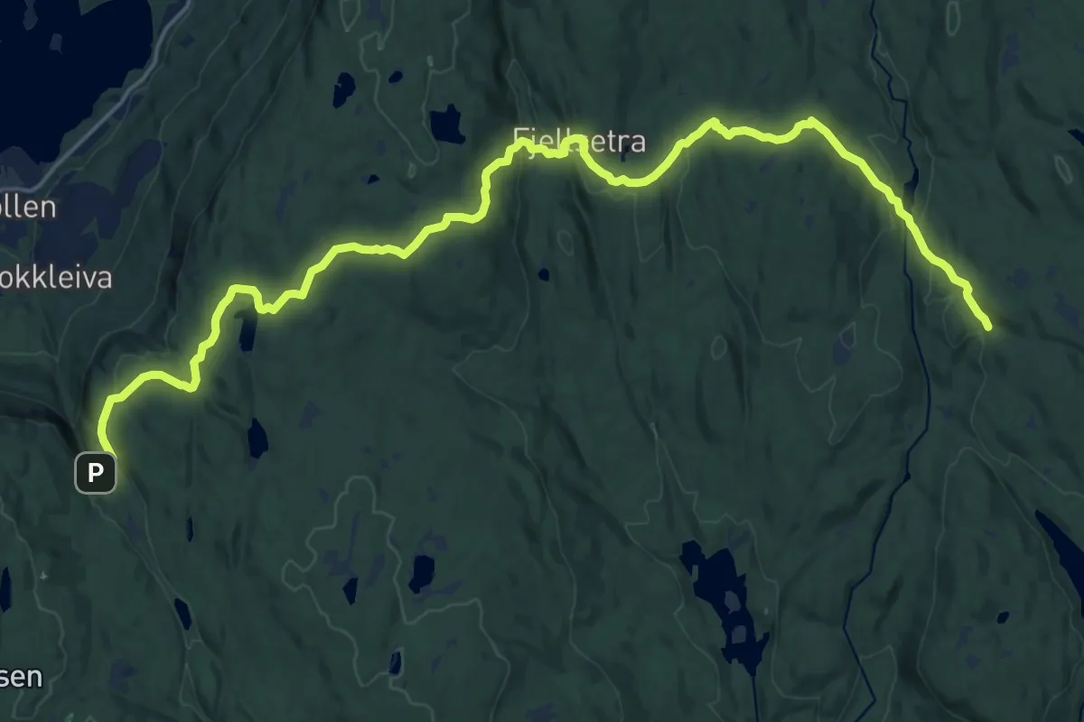
Demanding · Cabin
Kleivstua – Presthytta
18.5 km · ↑ 522 m · 5 h 30 min
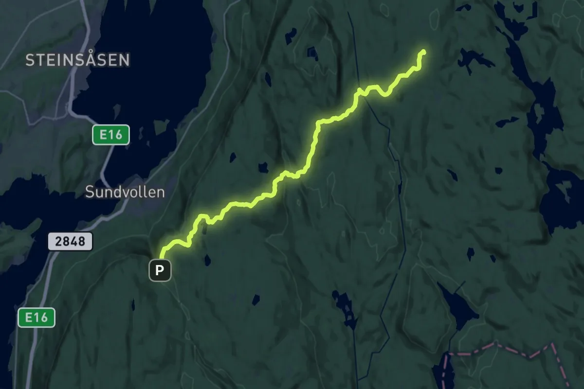
Demanding · Cabin
Kleivstua – Løvlia
20.5 km · ↑ 552 m · 6 h 2 min
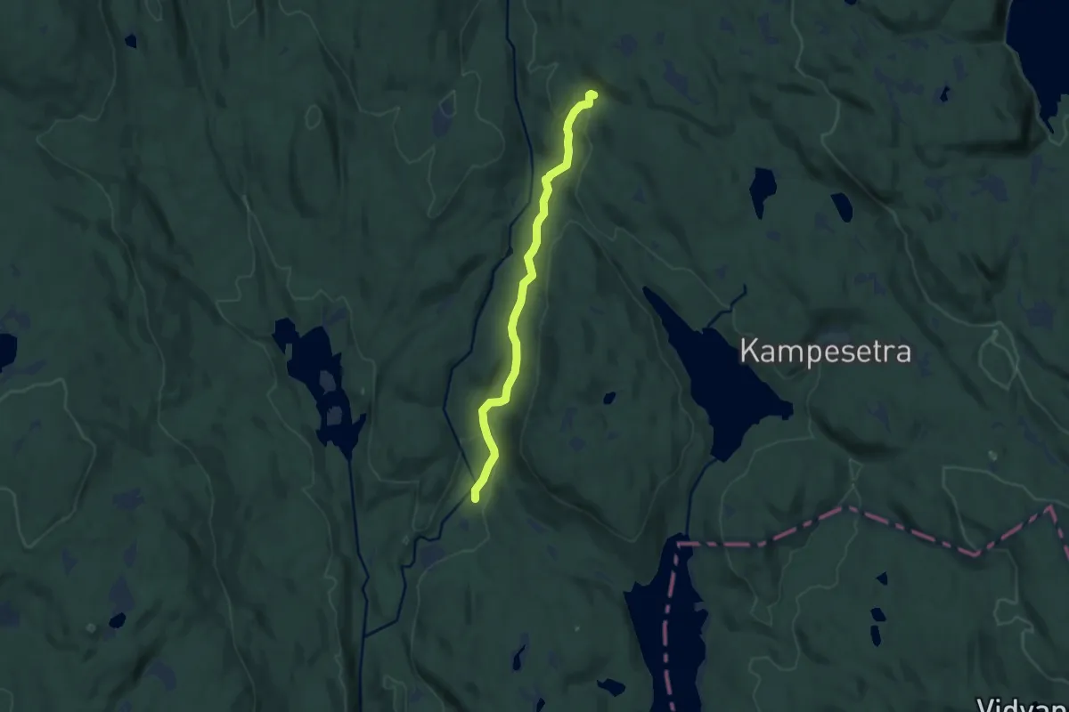
Easy · Cabin
Myrseter – Presthytta
5.9 km · ↑ 167 m · 1 h 46 min
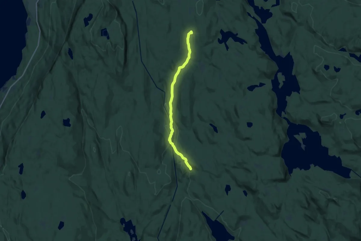
Medium · Cabin
Løvlia – Presthytta
9.0 km · ↑ 247 m · 2 h 39 min
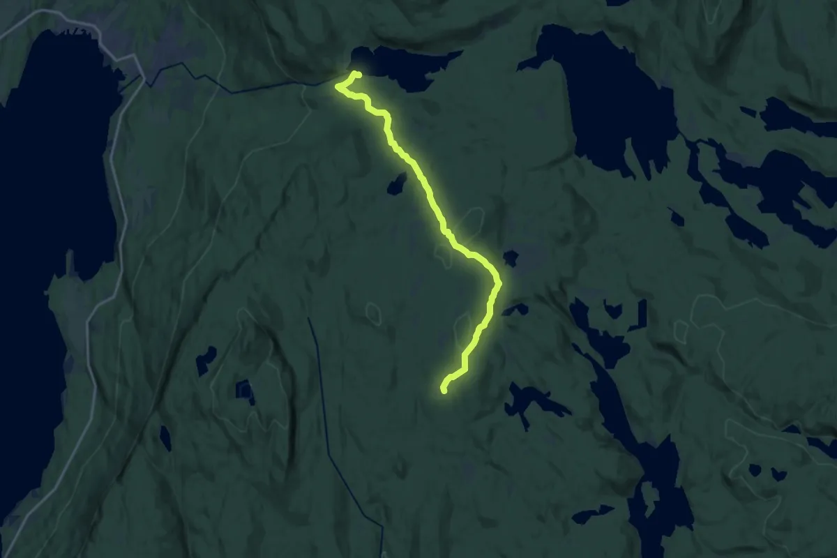
Medium · Cabin
Løvlia – Damtjern
11.0 km · ↑ 336 m · 3 h 19 min
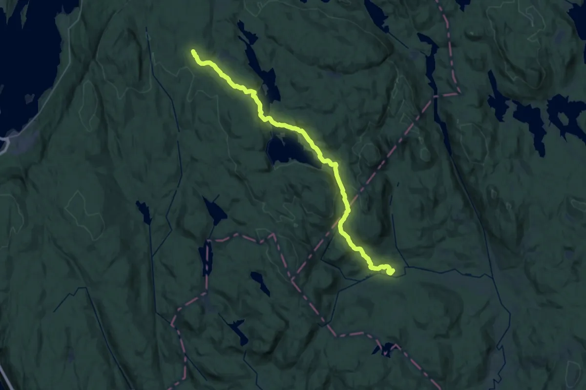
Demanding · Summit
Løvlia – Skansebakken
26.1 km · ↑ 657 m · 7 h 35 min
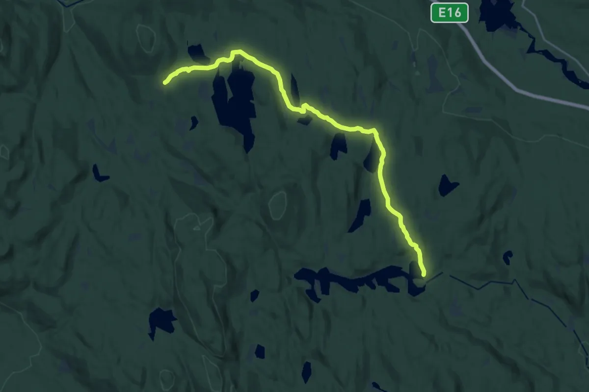
Medium · Cabin
Råbjørnhytta – Snellingen
12.9 km · ↑ 246 m · 3 h 35 min
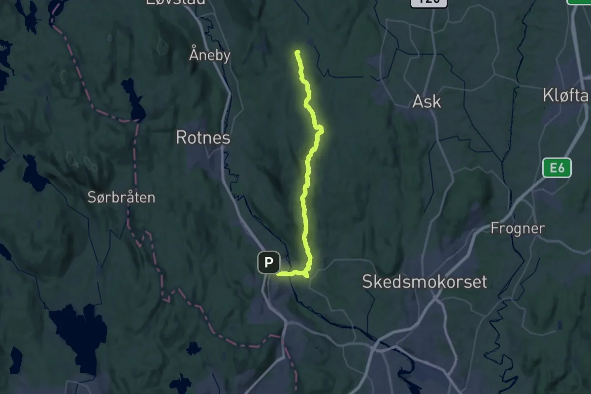
Demanding · Cabin
Slattum – Spikertjernhytta
25.2 km · ↑ 601 m · 7 h 15 min
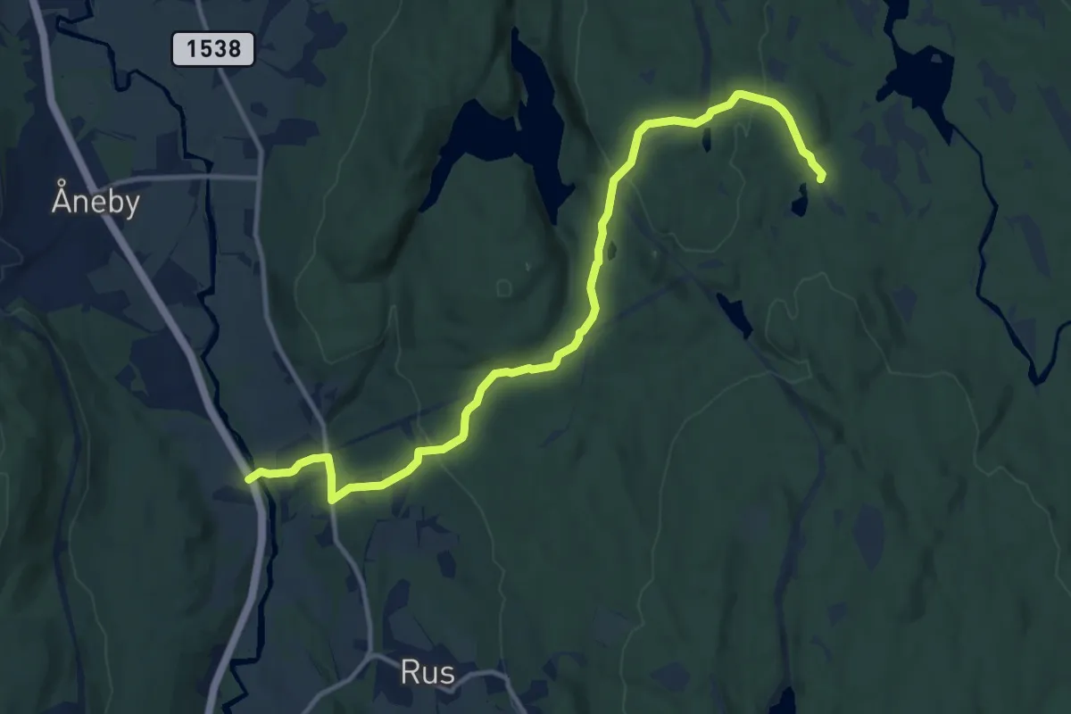
Medium · Cabin
Nord-Strøm – Spikertjernhytta
9.4 km · ↑ 247 m · 2 h 45 min
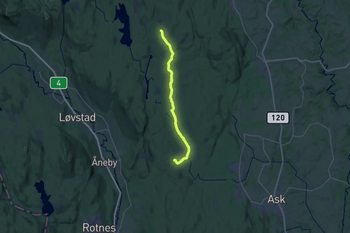
Medium · Cabin
Bekkestua – Spikertjernhytta
16.7 km · ↑ 156 m · 4 h 17 min
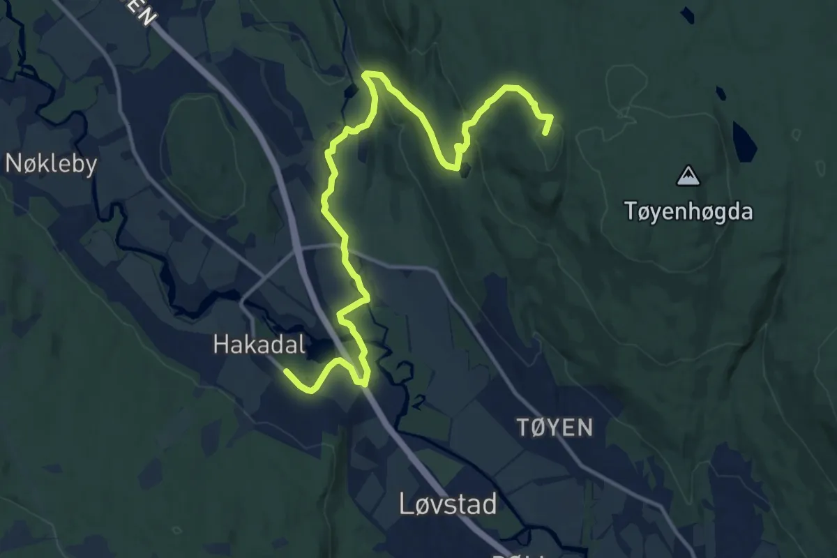
Medium · Summit
Bekkestua – Hakadal
10.4 km · ↑ 299 m · 3 h 6 min
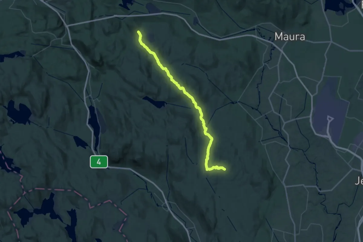
Demanding · Cabin
Bekkestua – Snellingen
18.1 km · ↑ 452 m · 5 h 25 min
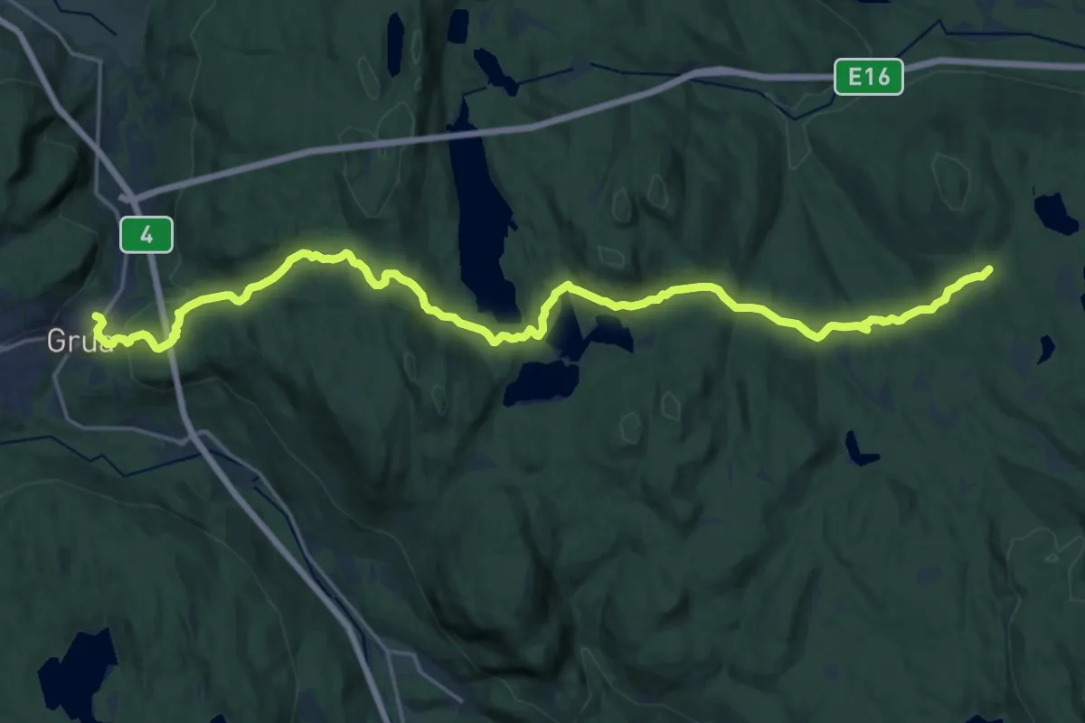
Medium · Cabin
Bruvoll – Snellingen
17.4 km · ↑ 593 m · 5 h 23 min
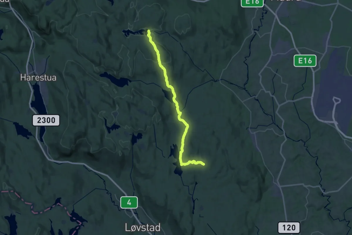
Demanding · Cabin
Bekkestua – Råbjørnhytta
26.1 km · ↑ 550 m · 7 h 21 min
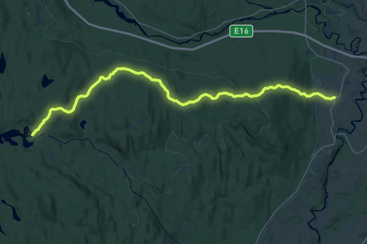
Demanding · Cabin
Råbjørnhytta – Øvre Økri
18.7 km · ↑ 484 m · 5 h 29 min
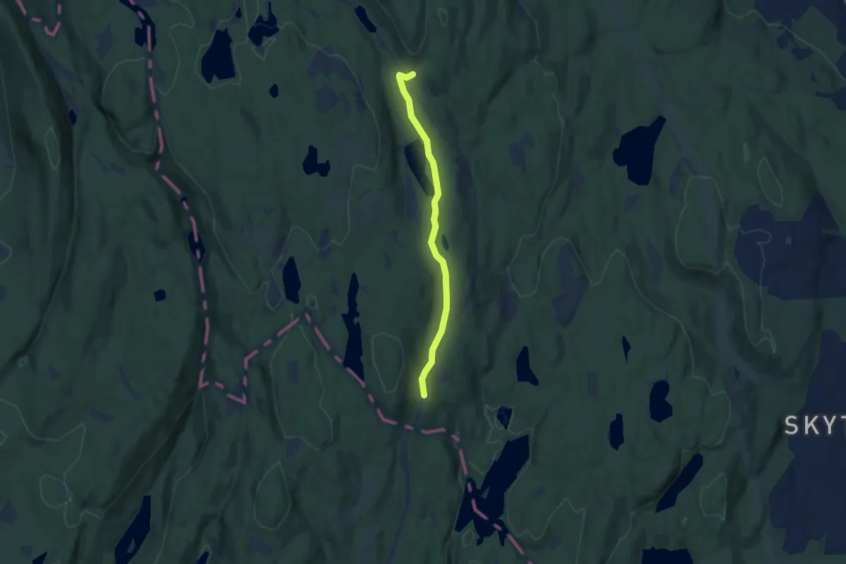
Easy · Trail
Lilloseter – Sørskogen
4.3 km · ↑ 55 m · 1 h 8 min
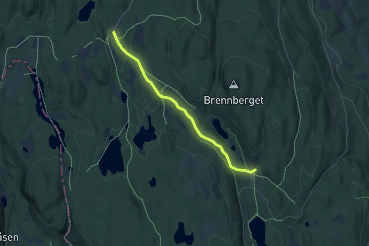
Easy · Cabin
Sinober – Sørskogen
3.5 km · ↑ 50 m · 56 min
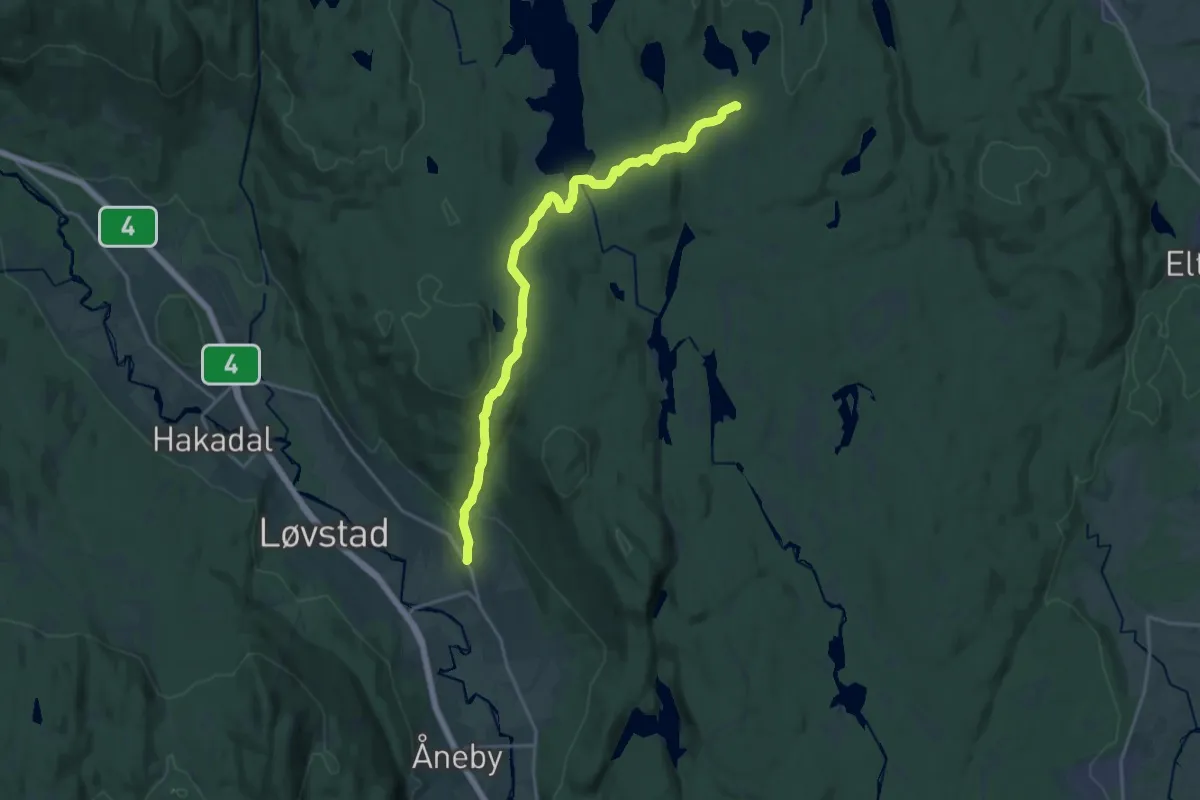
Medium · Cabin
Bekkestua – Glitre
14.1 km · ↑ 367 m · 4 h 8 min
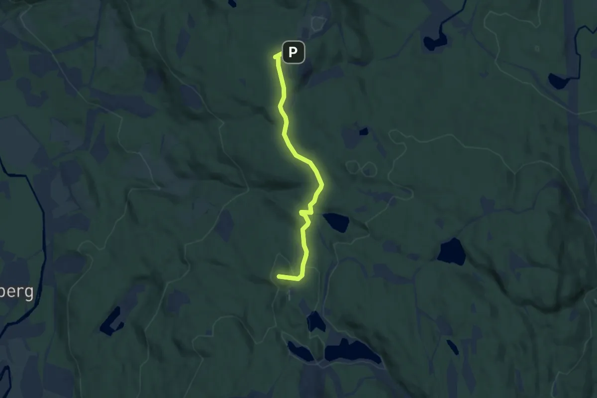
Easy · Summit
Tryvannstua – Nordmarkskapellet
4.6 km · ↑ 127 m · 1 h 21 min
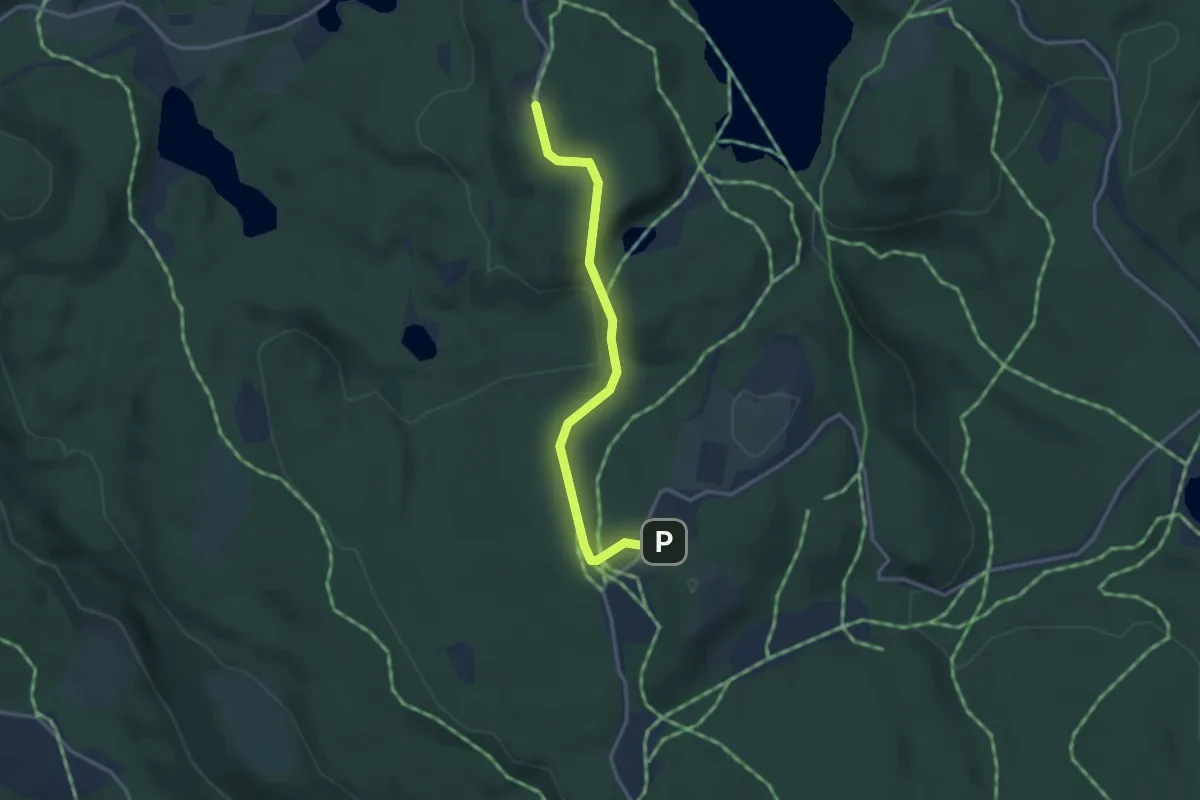
Easy · Trail
Studenterhytta – Nordmarkskapellet
2.3 km · ↑ 76 m · 42 min
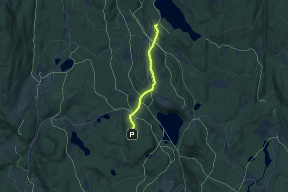
Easy · Trail
Studenterhytta – Kobberhaughytta
2.9 km · ↑ 67 m · 50 min
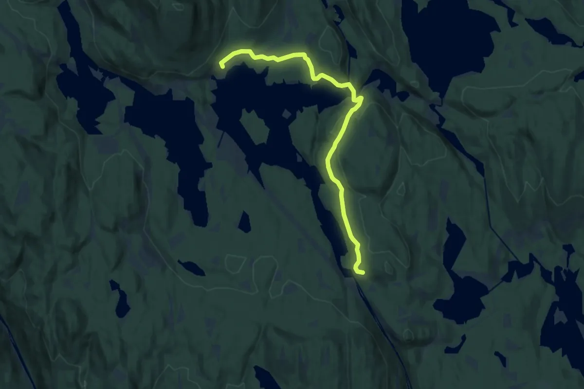
Medium · Trail
Bjørnholt – Kikutstua
10.5 km · ↑ 198 m · 2 h 55 min
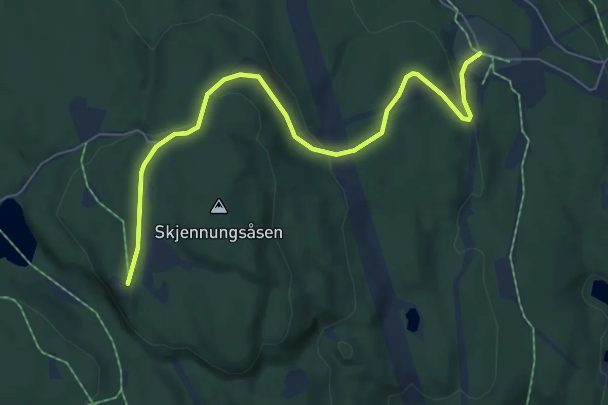
Easy · Trail
Ullevålseter – Skjennungstua
4.2 km · ↑ 132 m · 1 h 17 min
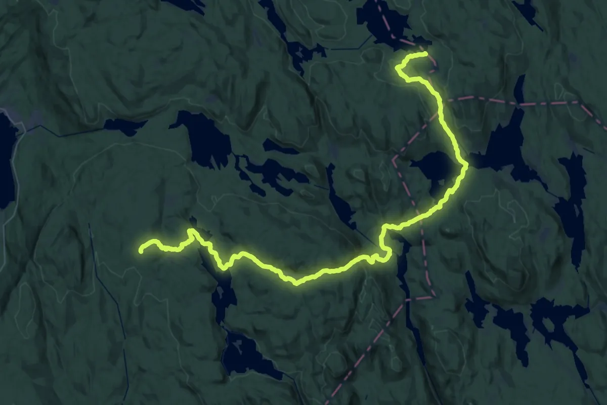
Demanding · Cabin
Katnosdammen – Løvlia
21.7 km · ↑ 578 m · 6 h 38 min
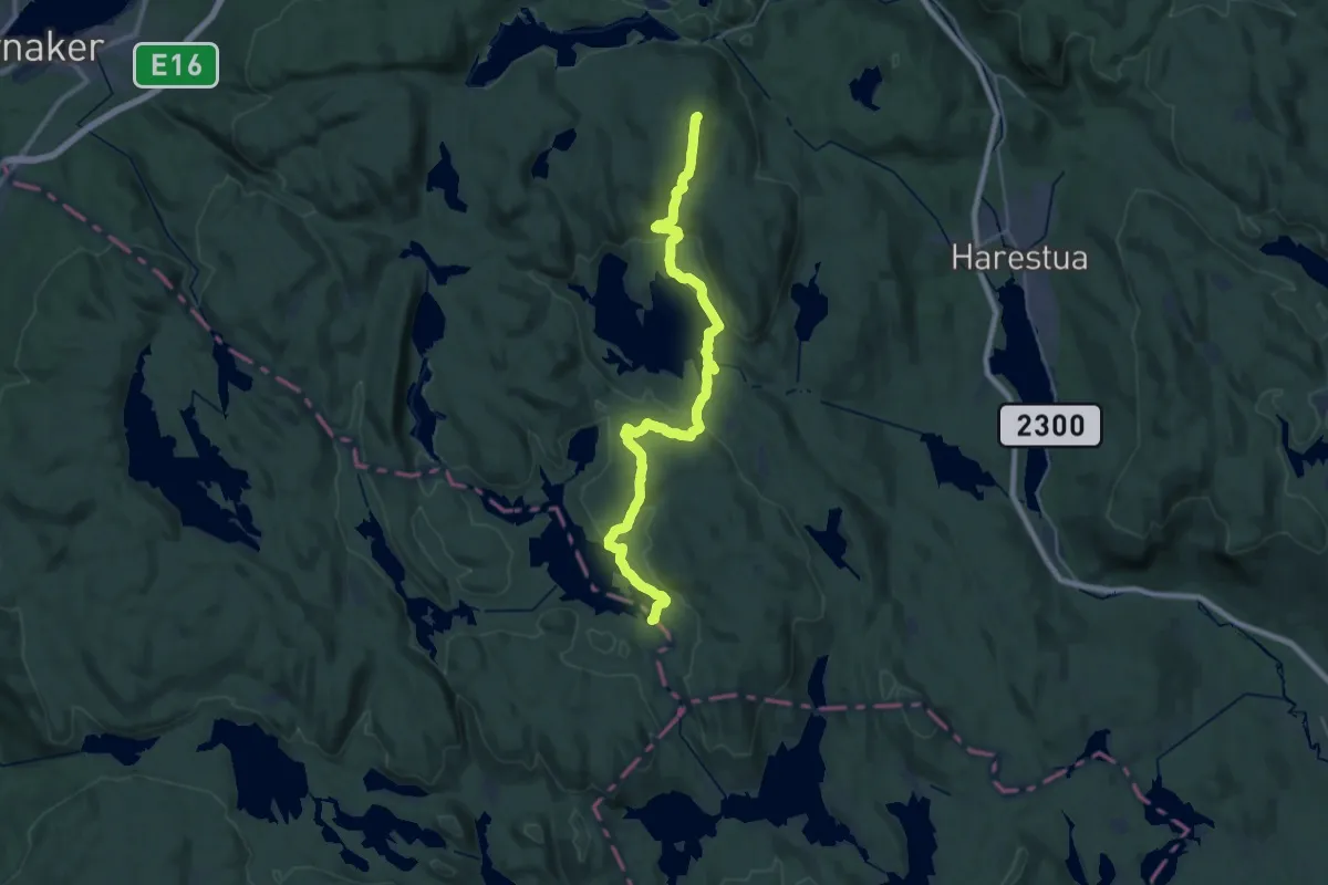
Demanding · Cabin
Bislingen – Katnosdammen
27.1 km · ↑ 587 m · 7 h 41 min
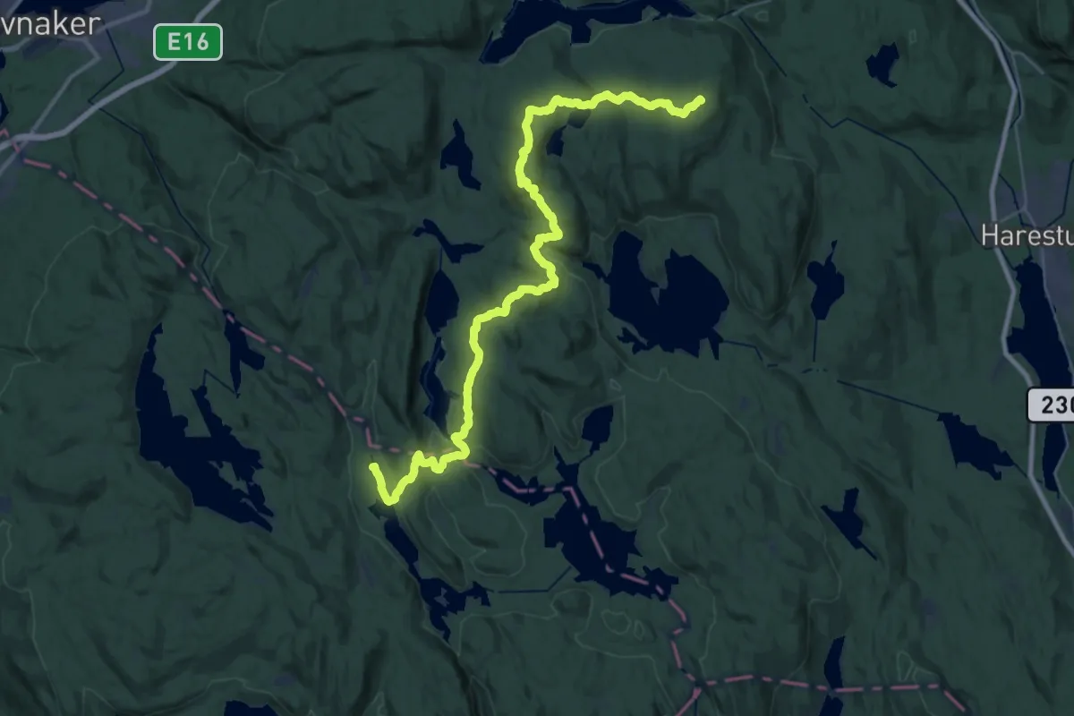
Demanding · Summit
Sinnerdammen – Bislingen
31.3 km · ↑ 901 m · 9 h 21 min