Trails in Norway
7,452 hiking trails, each with its route, climb, walking time and grade.
All trails, page 131 of 156
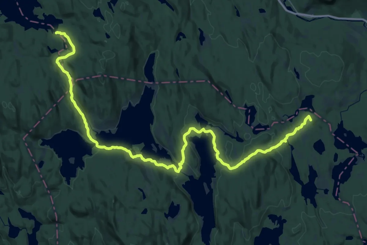
Demanding · Summit
Elnes – Katnosdammen
31.0 km · ↑ 508 m · 8 h 25 min
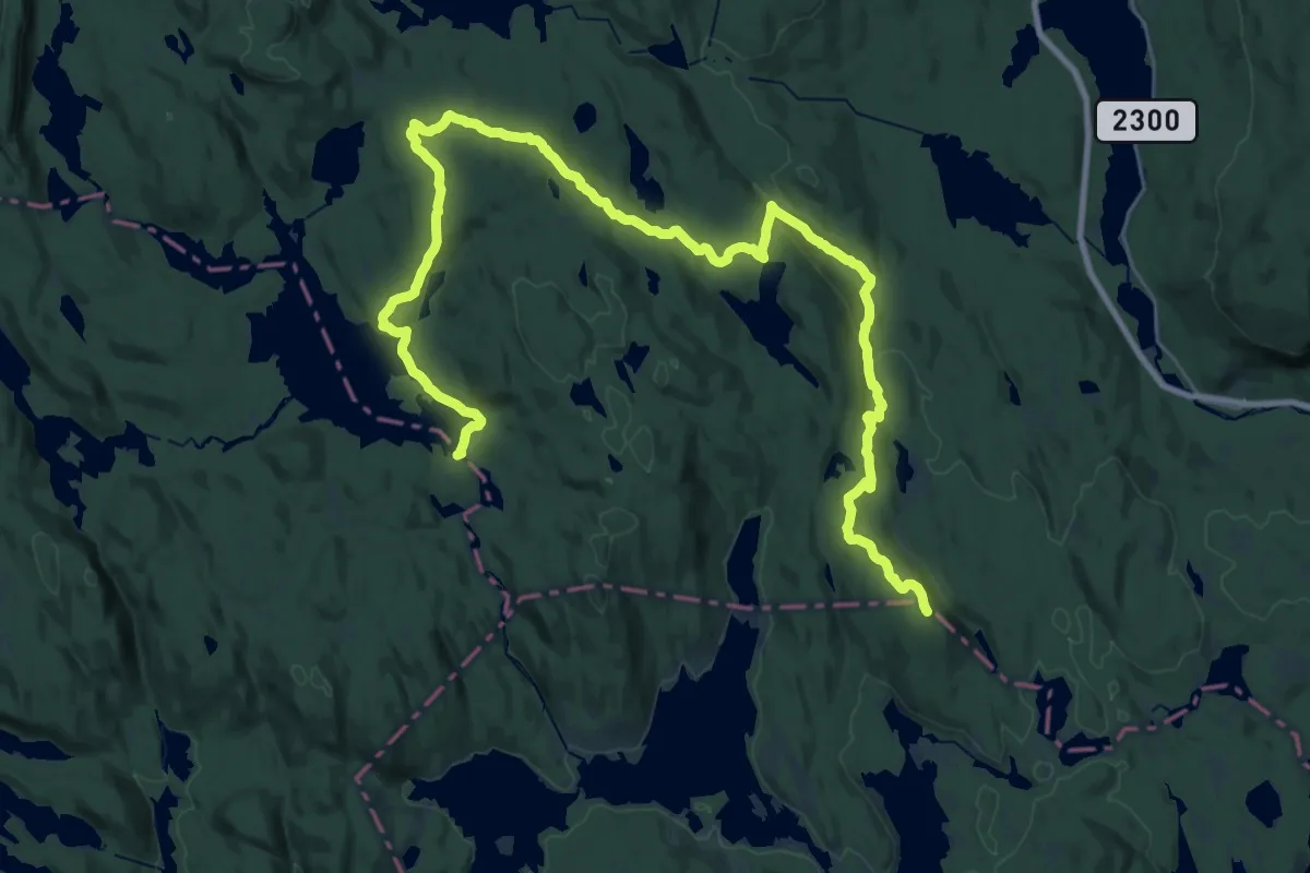
Demanding · Summit
Elnes – Katnosdammen
31.7 km · ↑ 764 m · 9 h 8 min
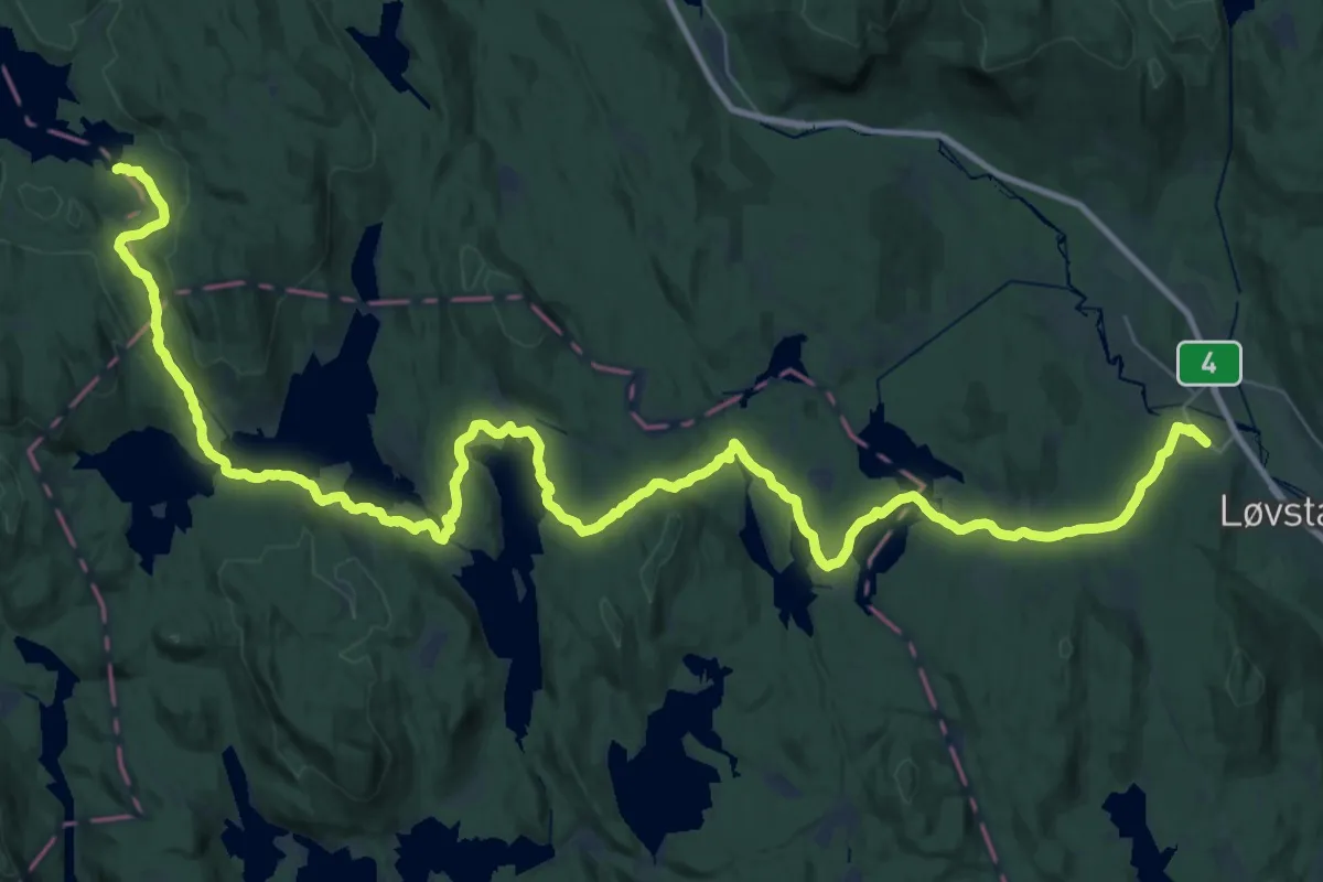
Demanding · Cabin
Hakadal – Katnosdammen
22.4 km · ↑ 493 m · 6 h 31 min
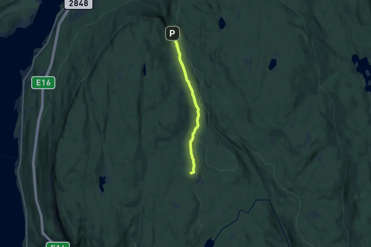
Easy · Trail
Kleivstua – Jørgenhytta
7.1 km · ↑ 160 m · 2 h 2 min
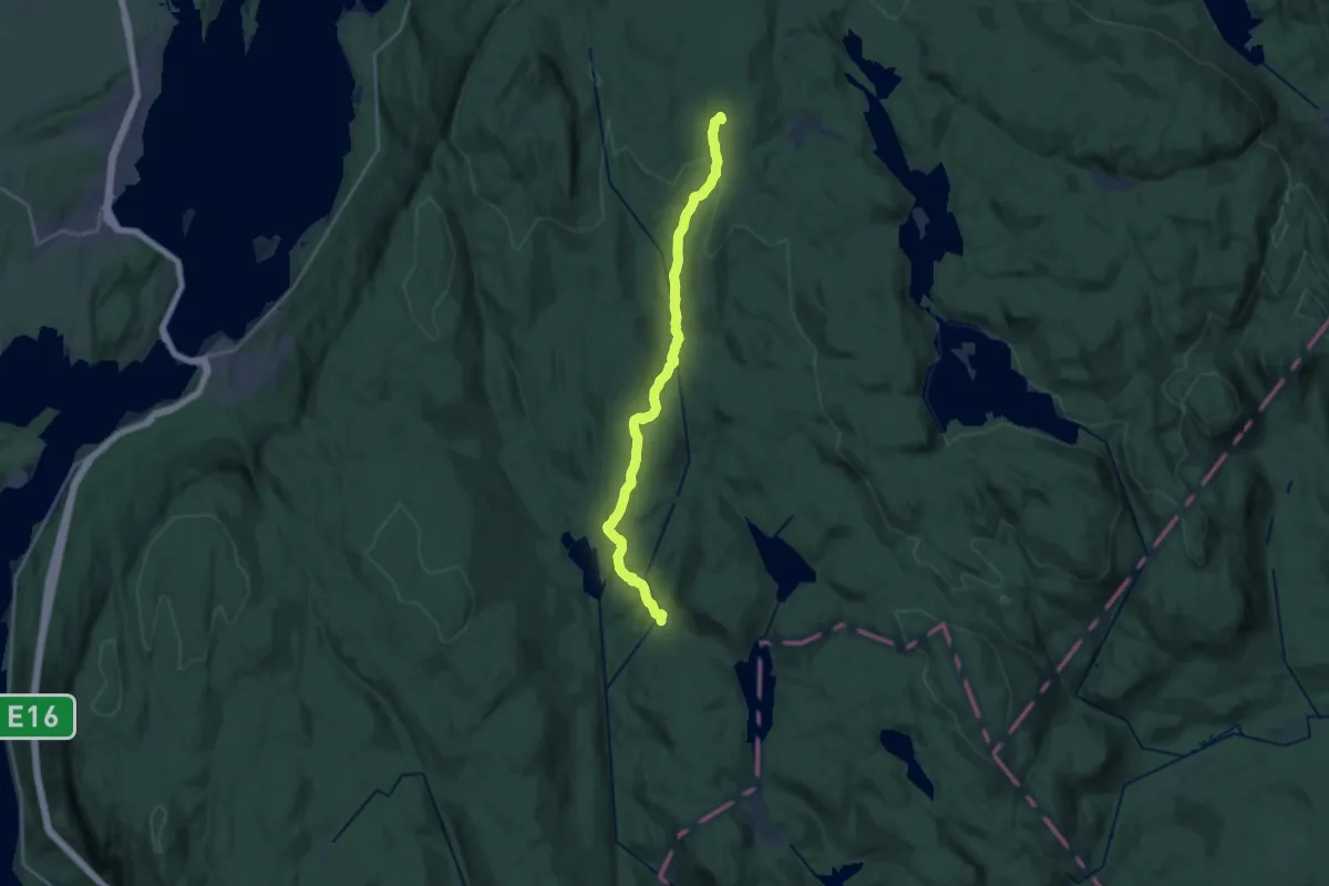
Medium · Cabin
Løvlia – Myrsetra
15.2 km · ↑ 394 m · 4 h 27 min
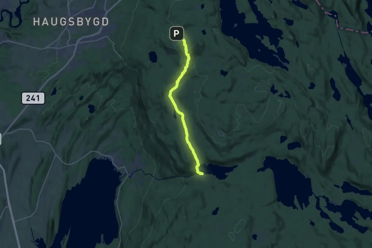
Medium · Trail
Ringkollen – Damtjern
12.1 km · ↑ 370 m · 3 h 40 min
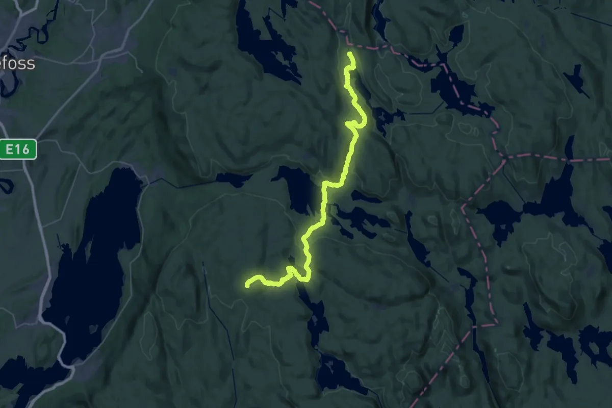
Medium · Cabin
Sinnerdammen – Løvlia
15.1 km · ↑ 308 m · 4 h 24 min
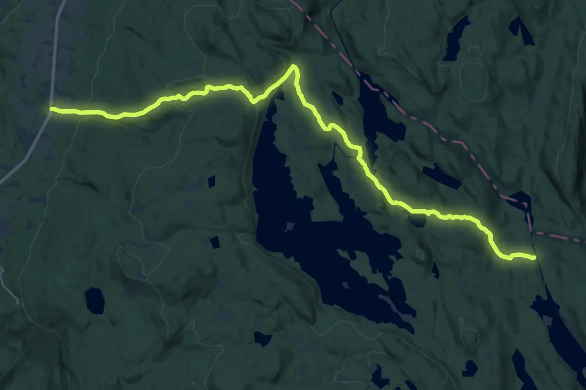
Demanding · Cabin
Sinnerdammen – Smedbøle
19.6 km · ↑ 623 m · 5 h 58 min
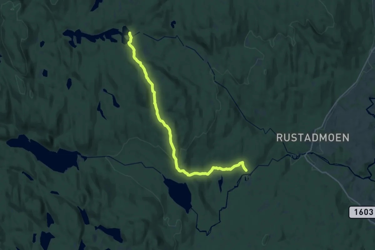
Medium · Cabin
Sjonken – Råbjørnhytta
13.7 km · ↑ 367 m · 4 h 2 min
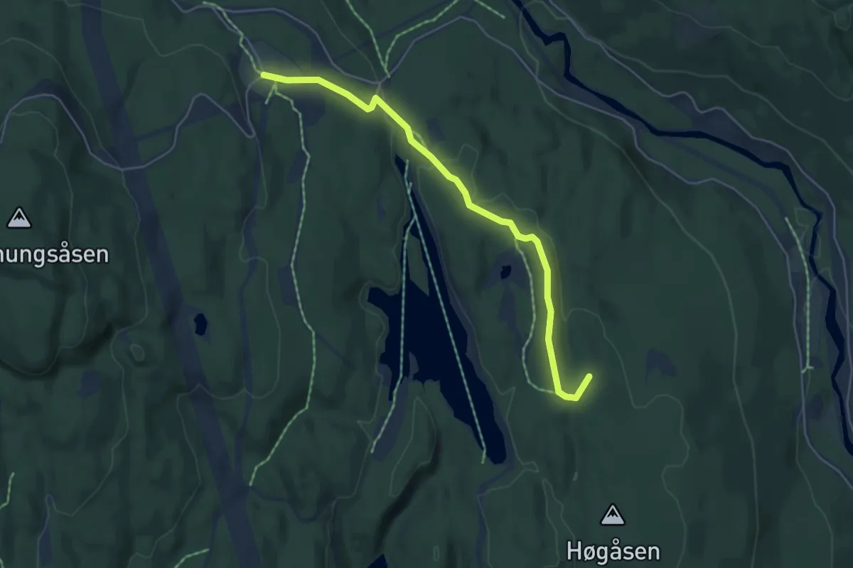
Easy · Summit
Sognsvann – Ullevålseter
3.7 km · ↑ 58 m · 1 h
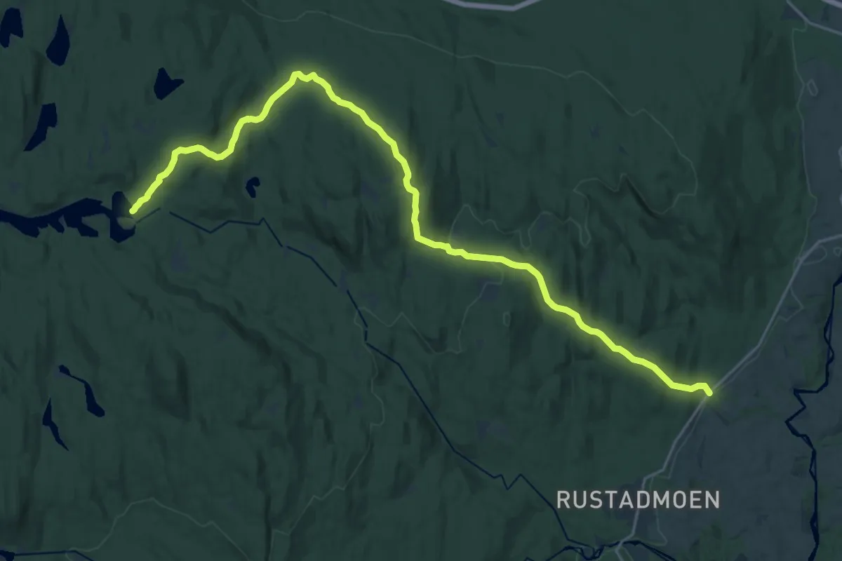
Medium · Cabin
Råbjørnhytta – Eskerud
17.3 km · ↑ 529 m · 5 h 14 min
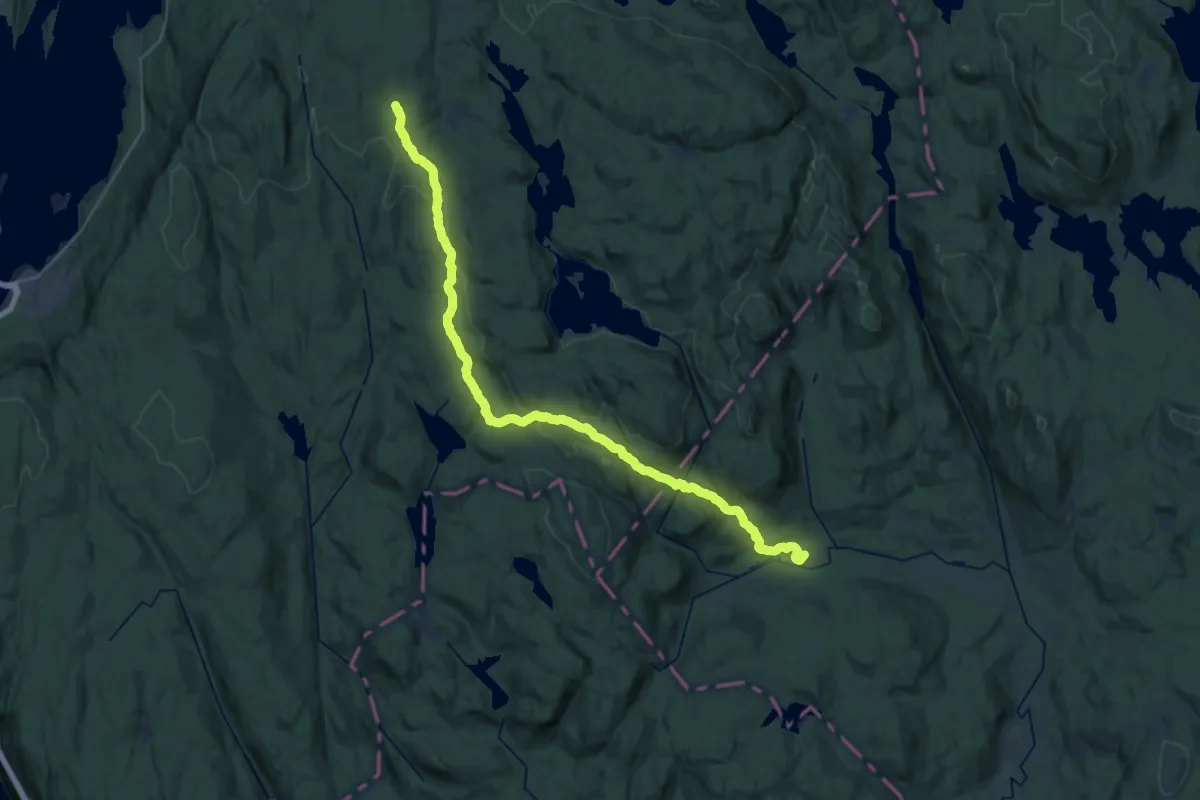
Demanding · Summit
Skansebakken – Løvlia
26.5 km · ↑ 793 m · 7 h 58 min
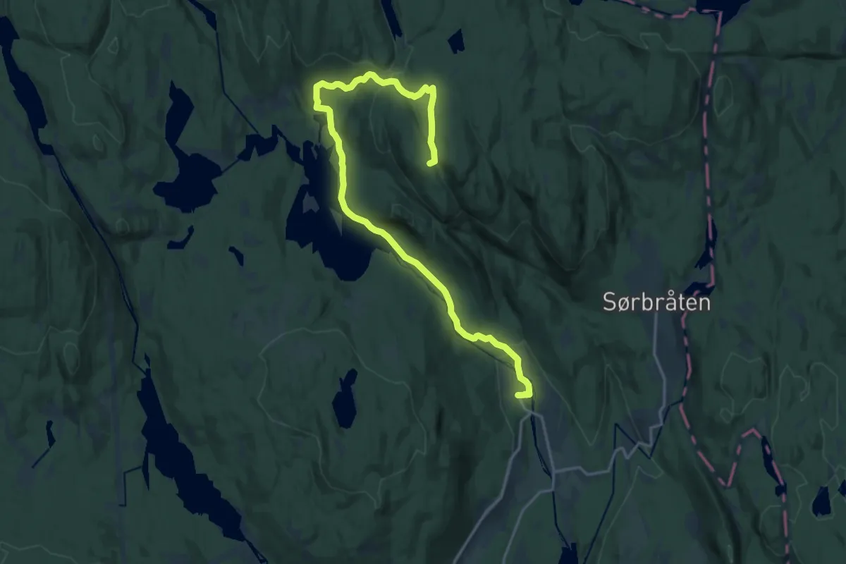
Medium · Summit
Skar – Tomtehytta
14.4 km · ↑ 386 m · 4 h 14 min
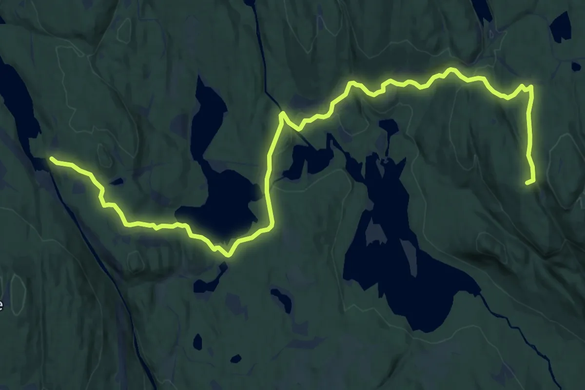
Medium · Summit
Bjørnholt – Tomtehytta
14.4 km · ↑ 368 m · 4 h 11 min
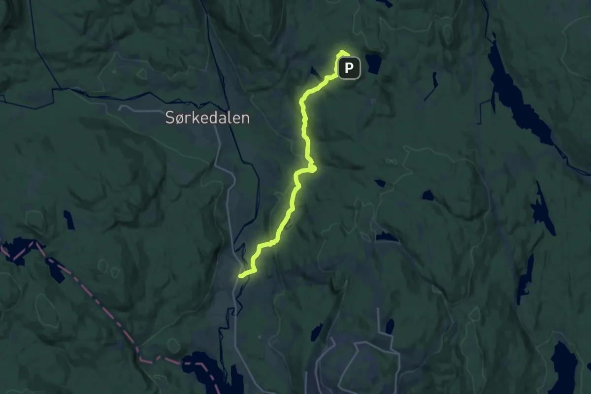
Medium · Trail
Bakk – Studenterhytta
11.9 km · ↑ 332 m · 3 h 32 min
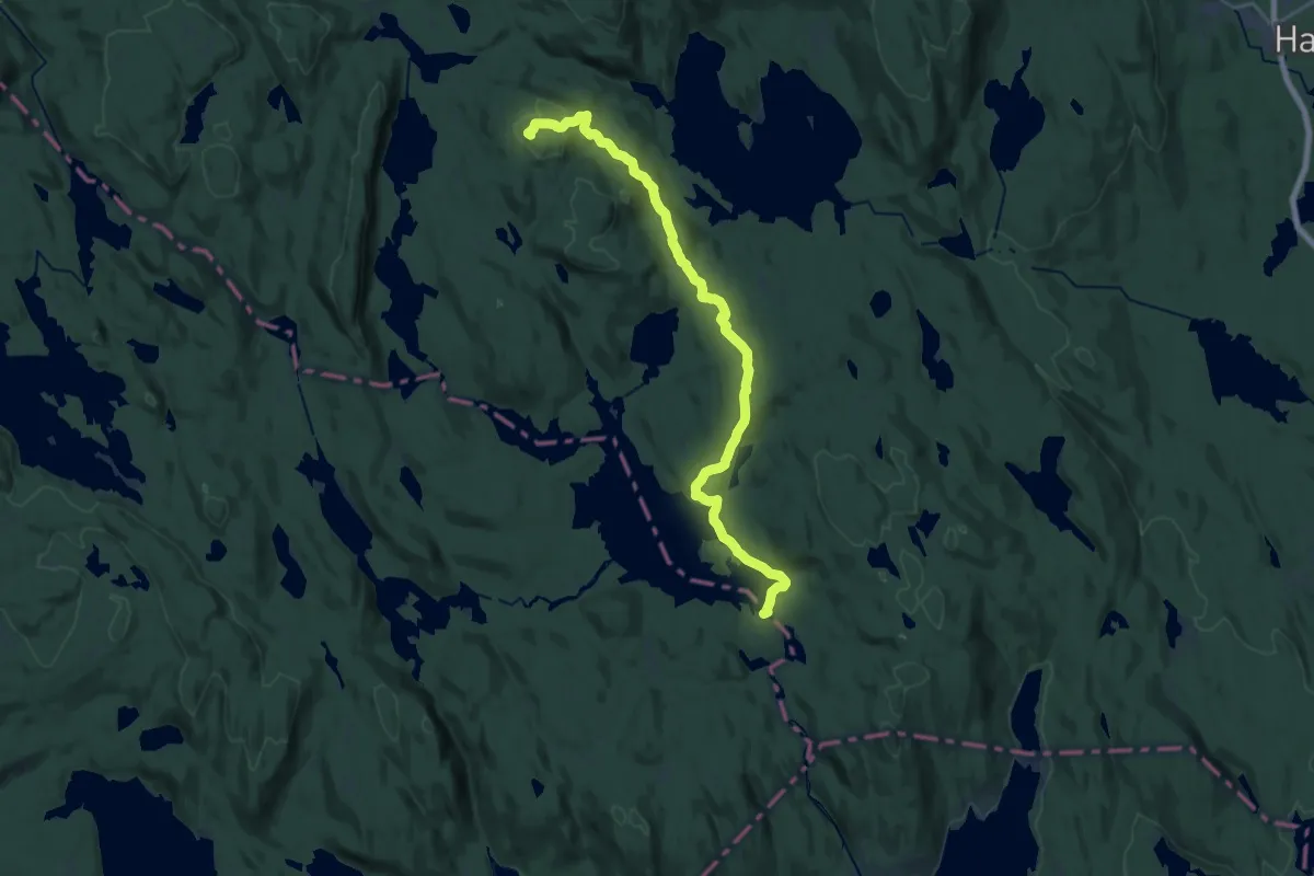
Medium · Summit
Tverrsjøstallen – Katnosdammen
17.2 km · ↑ 415 m · 4 h 57 min
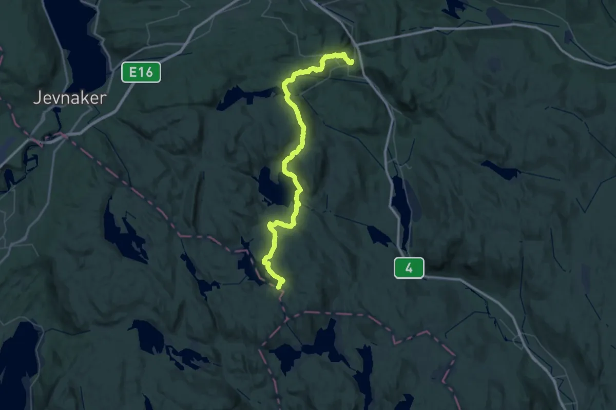
Demanding · Cabin
Mylla/Grua – Katnosdammen
21.2 km · ↑ 559 m · 6 h 28 min
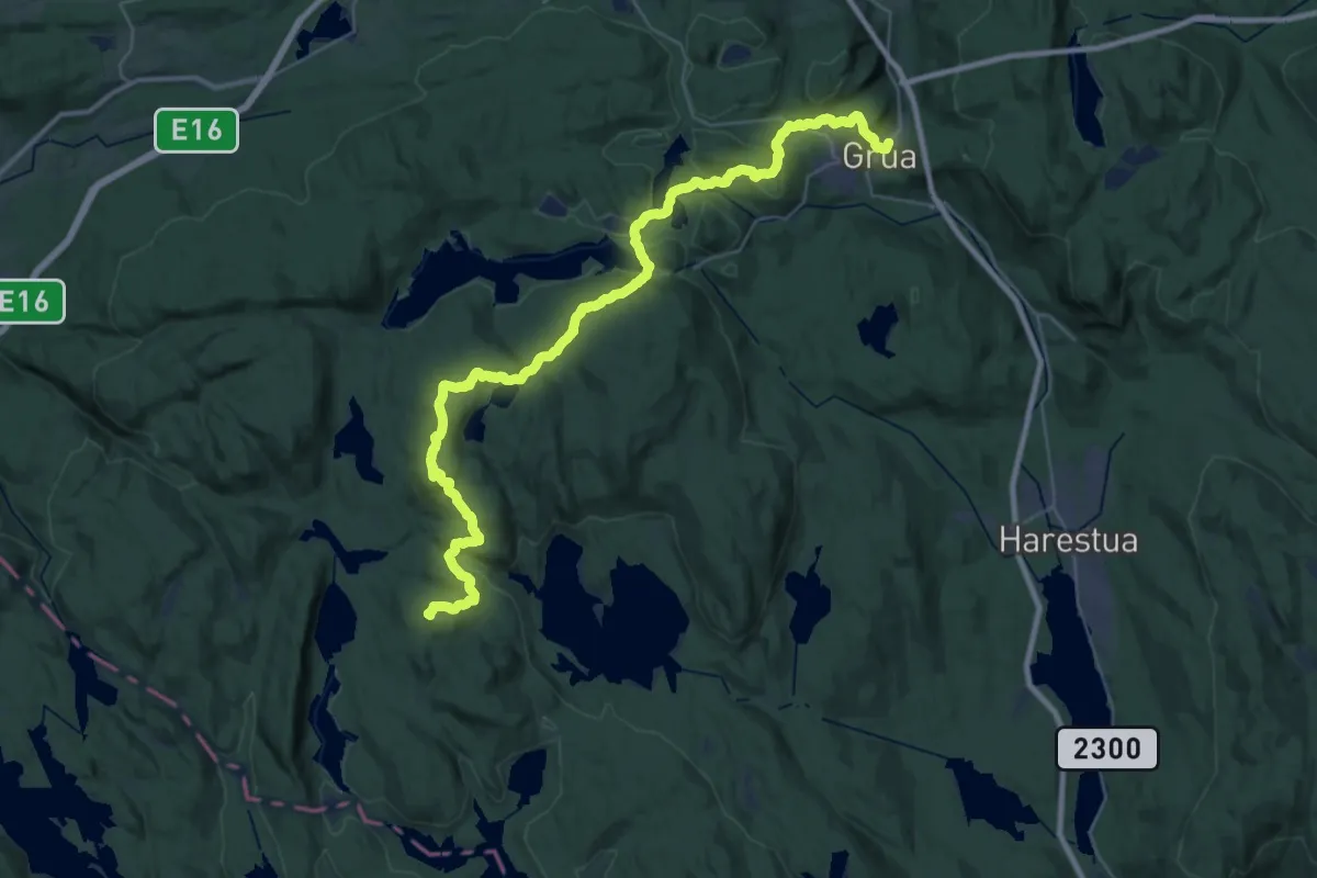
Demanding · Summit
Sinnerdammen – Grua
30.4 km · ↑ 962 m · 9 h 15 min
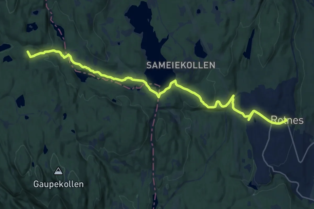
Medium · Summit
Nittedal (Mostua) – Tomtehytta
15.2 km · ↑ 290 m · 4 h 13 min
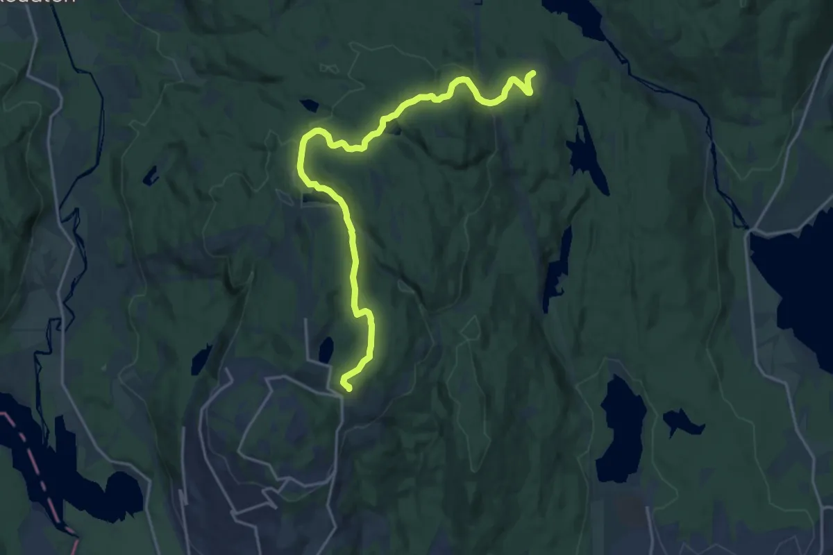
Medium · Trail
Ullevålseter – Skjennungstua
13.6 km · ↑ 301 m · 3 h 52 min
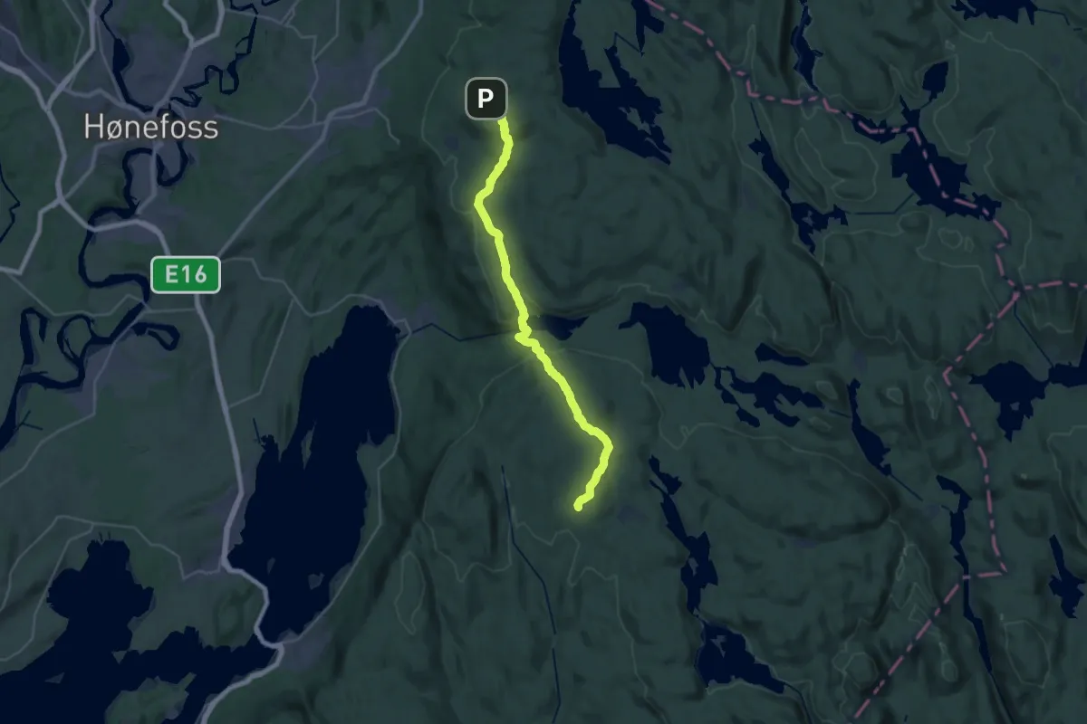
Demanding · Cabin
Ringkollkapellet – Løvlia
23.4 km · ↑ 722 m · 7 h 6 min
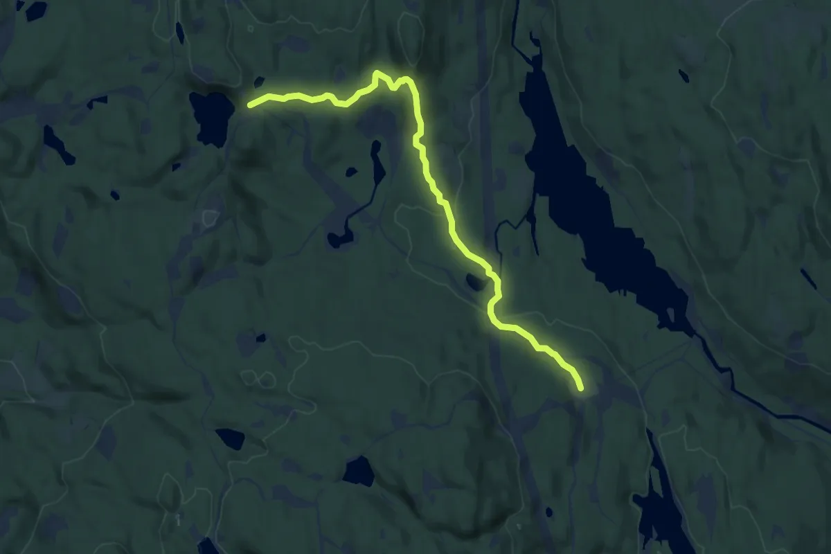
Medium · Trail
Studenterhytta – Ullevålseter
8.1 km · ↑ 196 m · 2 h 20 min
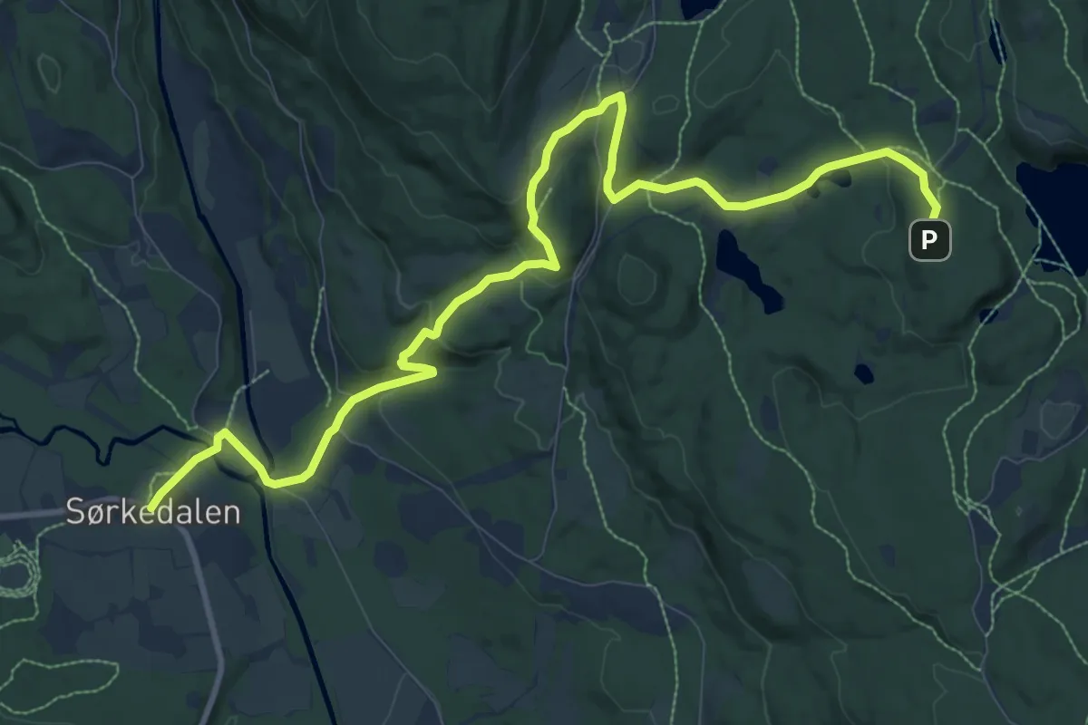
Medium · Trail
Sørkedalen – Studenterhytta
9.1 km · ↑ 317 m · 2 h 50 min
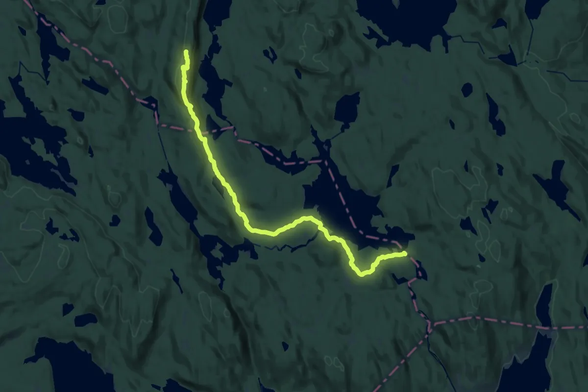
Demanding · Summit
Tverrsjøstallen – Katnosdammen
18.3 km · ↑ 417 m · 5 h 13 min
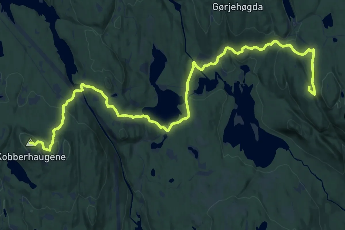
Demanding · Summit
Kobberhaughytta – Tomtehytta
18.6 km · ↑ 573 m · 5 h 39 min
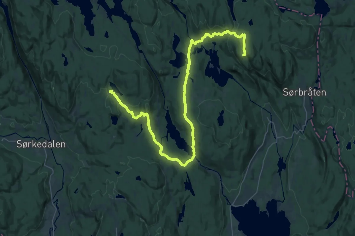
Demanding · Summit
Kobberhaughytta – Tomtehytta
29.4 km · ↑ 799 m · 8 h 41 min
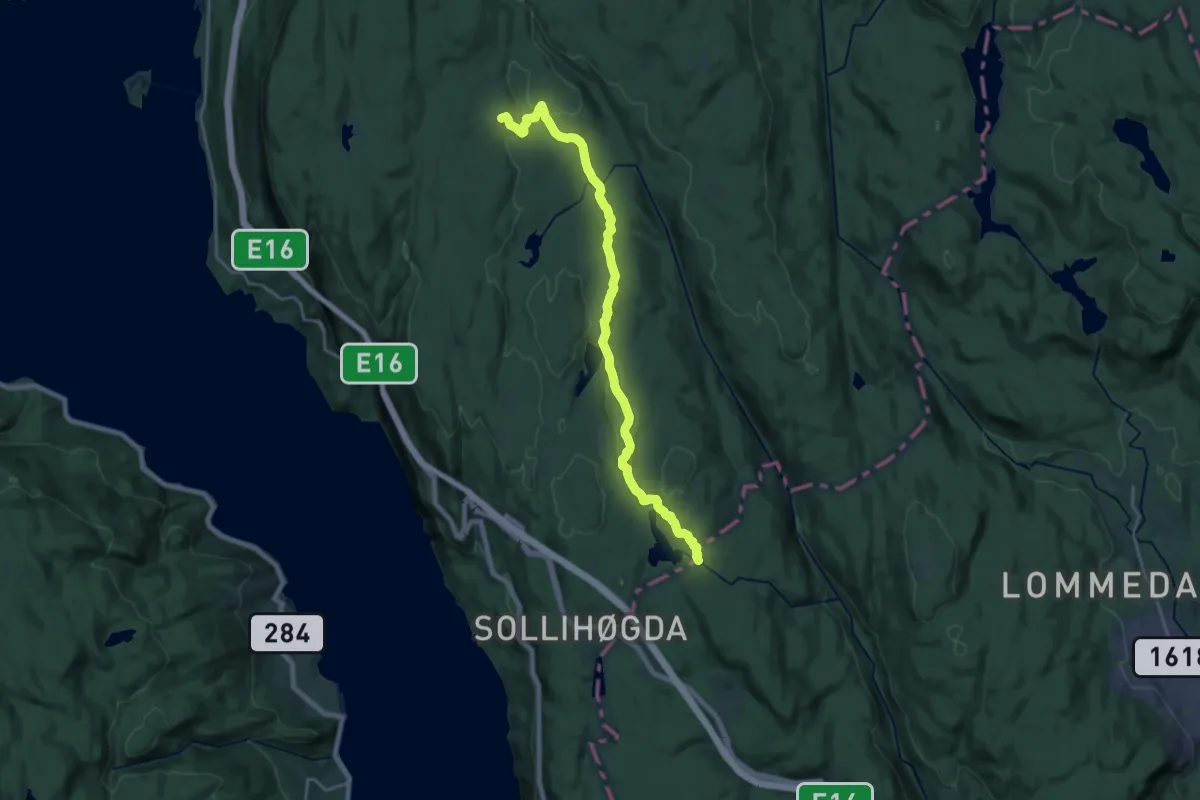
Medium · Cabin
Sørsetra – Mustadkroken
15.2 km · ↑ 293 m · 4 h 14 min
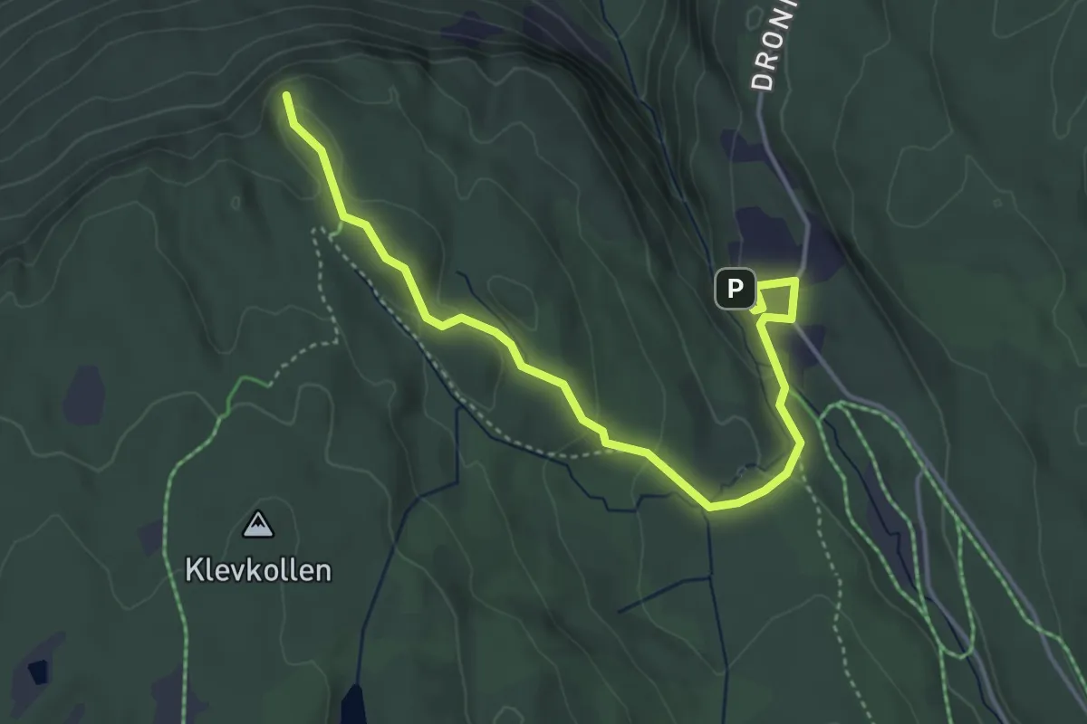
Easy · Trail
Kleivstua – Kongens Utsikt
3.5 km · ↑ 135 m · 1 h 7 min
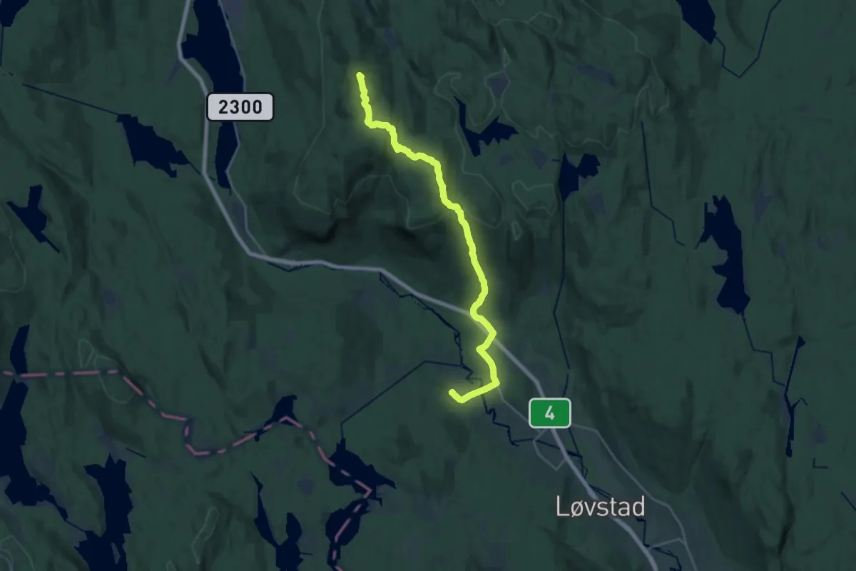
Medium · Summit
Harestua – Nittedal jordstasjon
17.8 km · ↑ 601 m · 5 h 31 min
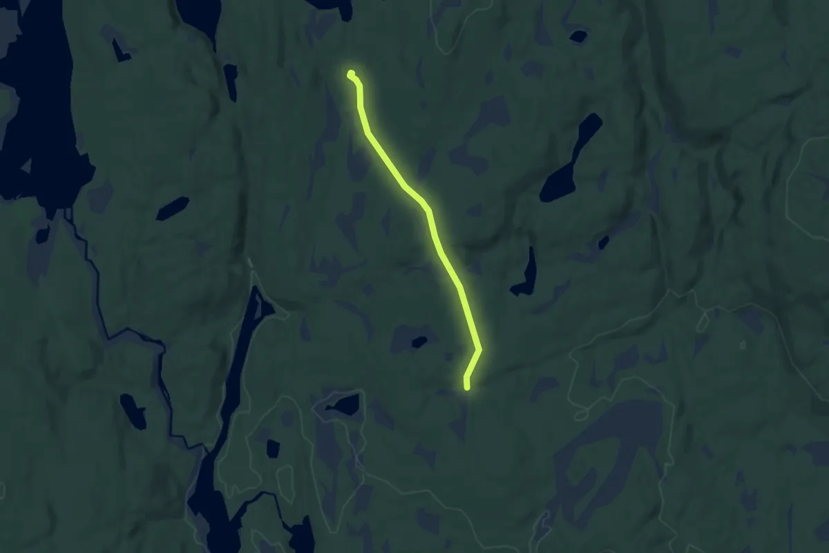
Easy · Cabin
Grøsåkervangen – Bekkestua
4.2 km · ↑ 58 m · 1 h 7 min
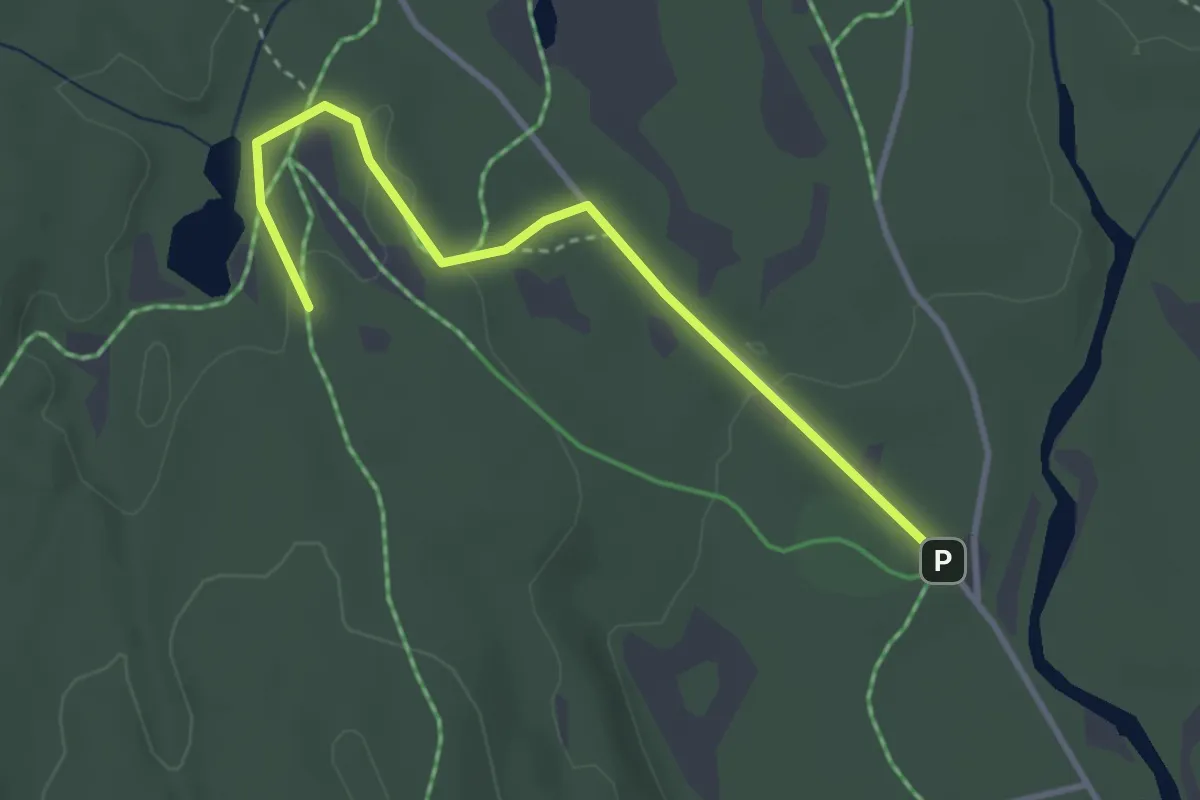
Easy · Trail
Gjermåa – Spikertjernhytta
2.4 km · ↑ 27 m · 38 min
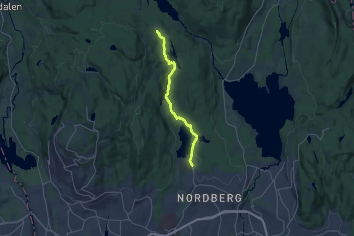
Medium · Trail
Sognsvann – Ullevålseter
11.6 km · ↑ 165 m · 3 h 6 min
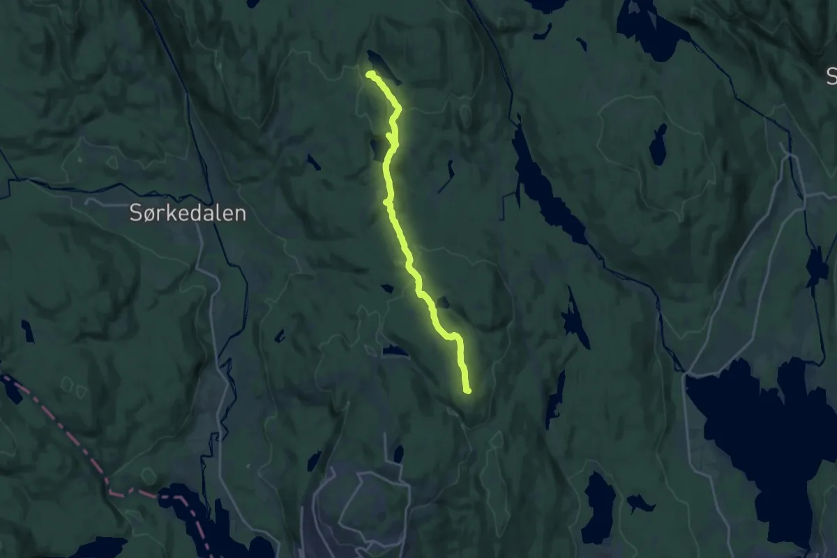
Medium · Summit
Frognerseteren – Kobberhaughytta
12.7 km · ↑ 319 m · 3 h 41 min
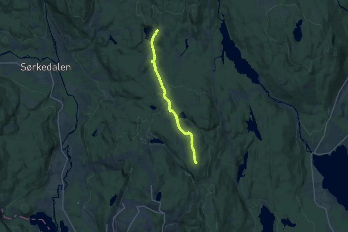
Medium · Summit
Frognerseteren – Studenterhytta
9.2 km · ↑ 207 m · 2 h 37 min
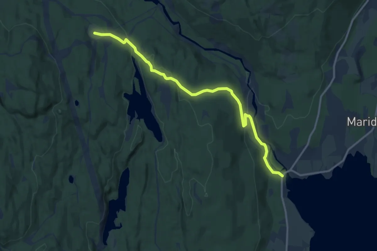
Easy · Trail
Hammeren – Ullevålseter
7.2 km · ↑ 202 m · 2 h 8 min
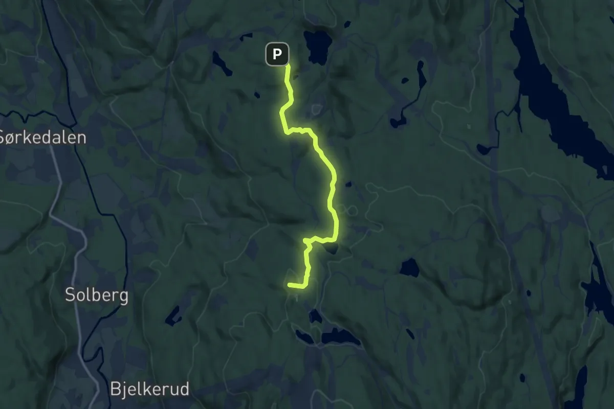
Easy · Summit
Tryvannstua – Studenterhytta
7.2 km · ↑ 211 m · 2 h 9 min
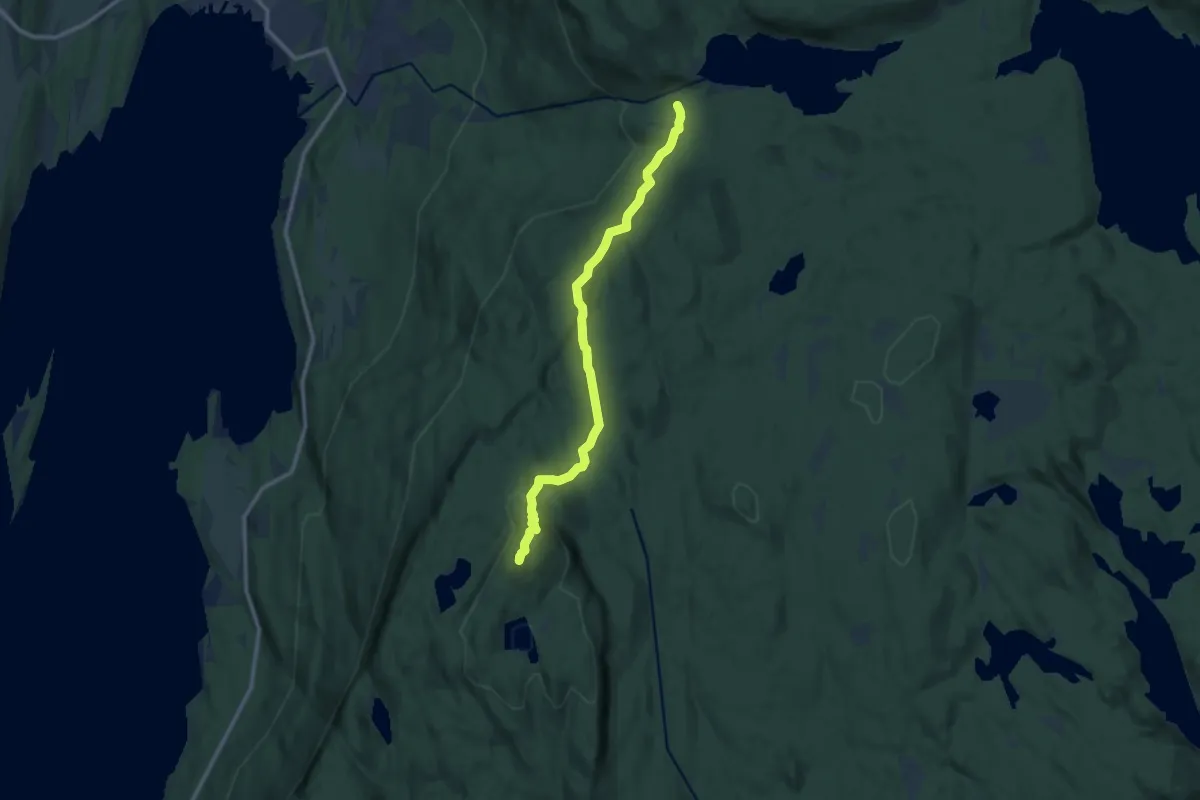
Medium · Summit
Stubbdal – Gyrihaugen
8.0 km · ↑ 360 m · 2 h 41 min
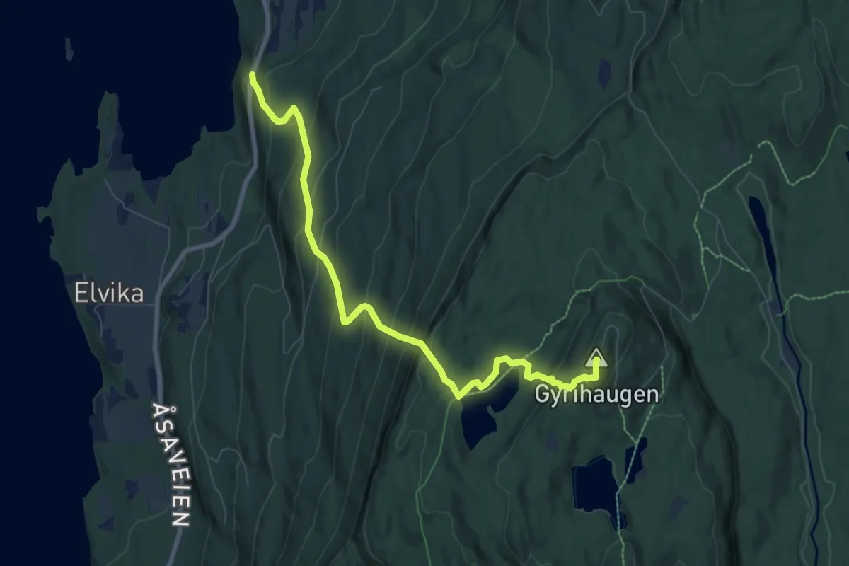
Medium · Summit
Bergeløkka – Gyrihaugen
6.0 km · ↑ 554 m · 2 h 37 min
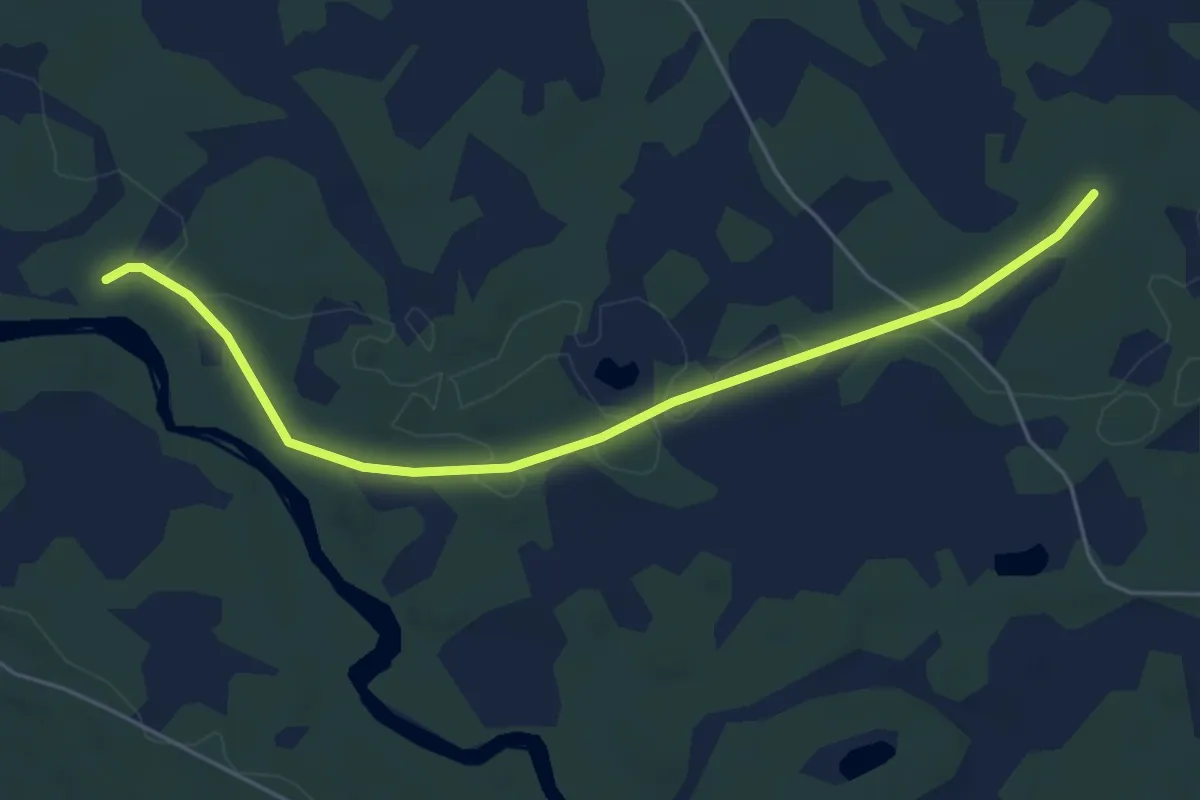
Easy · Cabin
Renosdammen – Steintjennkoia
4.0 km · ↑ 23 m · 59 min
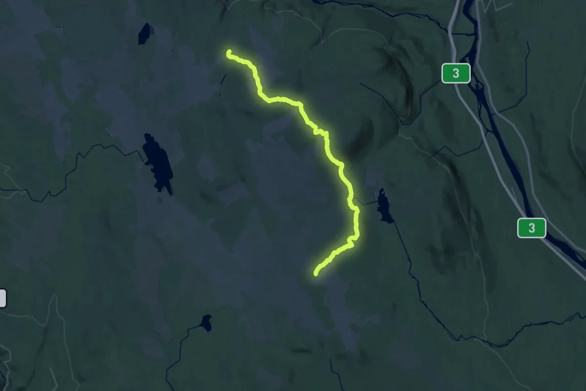
Medium · Cabin
Målia – Sandfløten
14.8 km · ↑ 277 m · 4 h 22 min
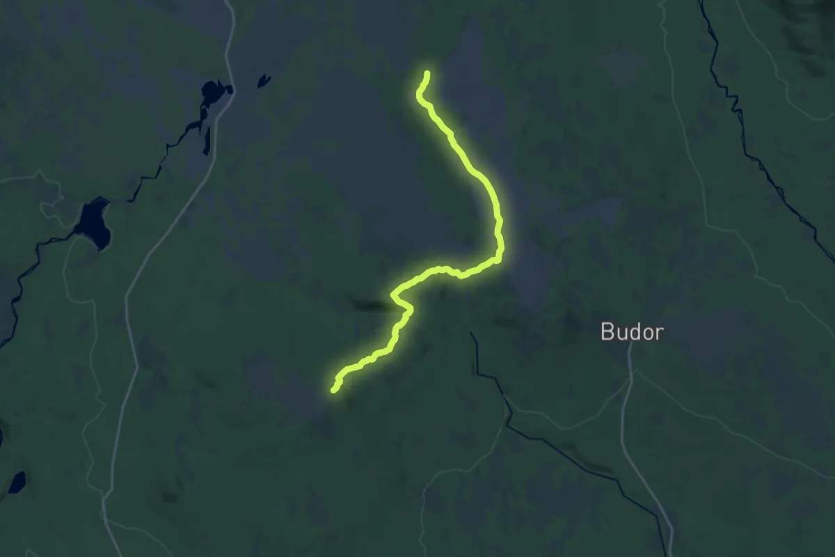
Medium · Summit
Vollkoia – Målia
14.0 km · ↑ 335 m · 4 h 2 min
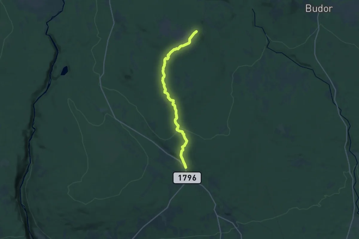
Medium · Summit
Gåsbu – Målia
12.2 km · ↑ 247 m · 3 h 25 min
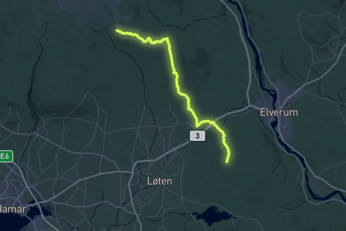
Demanding · Summit
Svartskogkoia – Målia
47.5 km · ↑ 769 m · 12 h 52 min
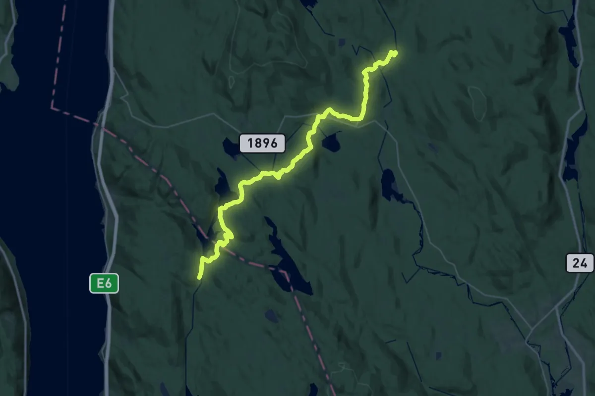
Demanding · Cabin
Lysjøen – Gammelsaga
26.6 km · ↑ 596 m · 7 h 35 min
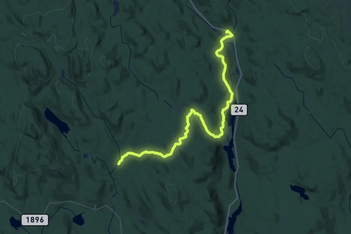
Medium · Cabin
Malungen – Gammelsaga
14.8 km · ↑ 357 m · 4 h 27 min
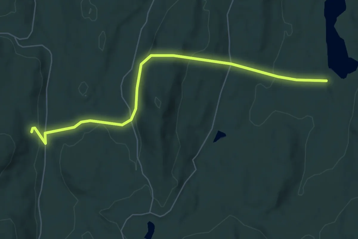
Easy · Trail
Nygårdstjernet – Bendikstorpet
4.7 km · ↑ 155 m · 1 h 26 min
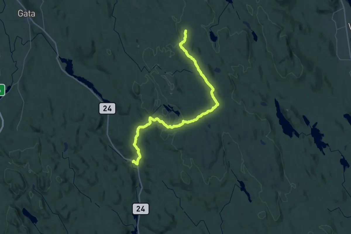
Demanding · Cabin
Malungen – Tingstadkoia
19.8 km · ↑ 514 m · 5 h 55 min
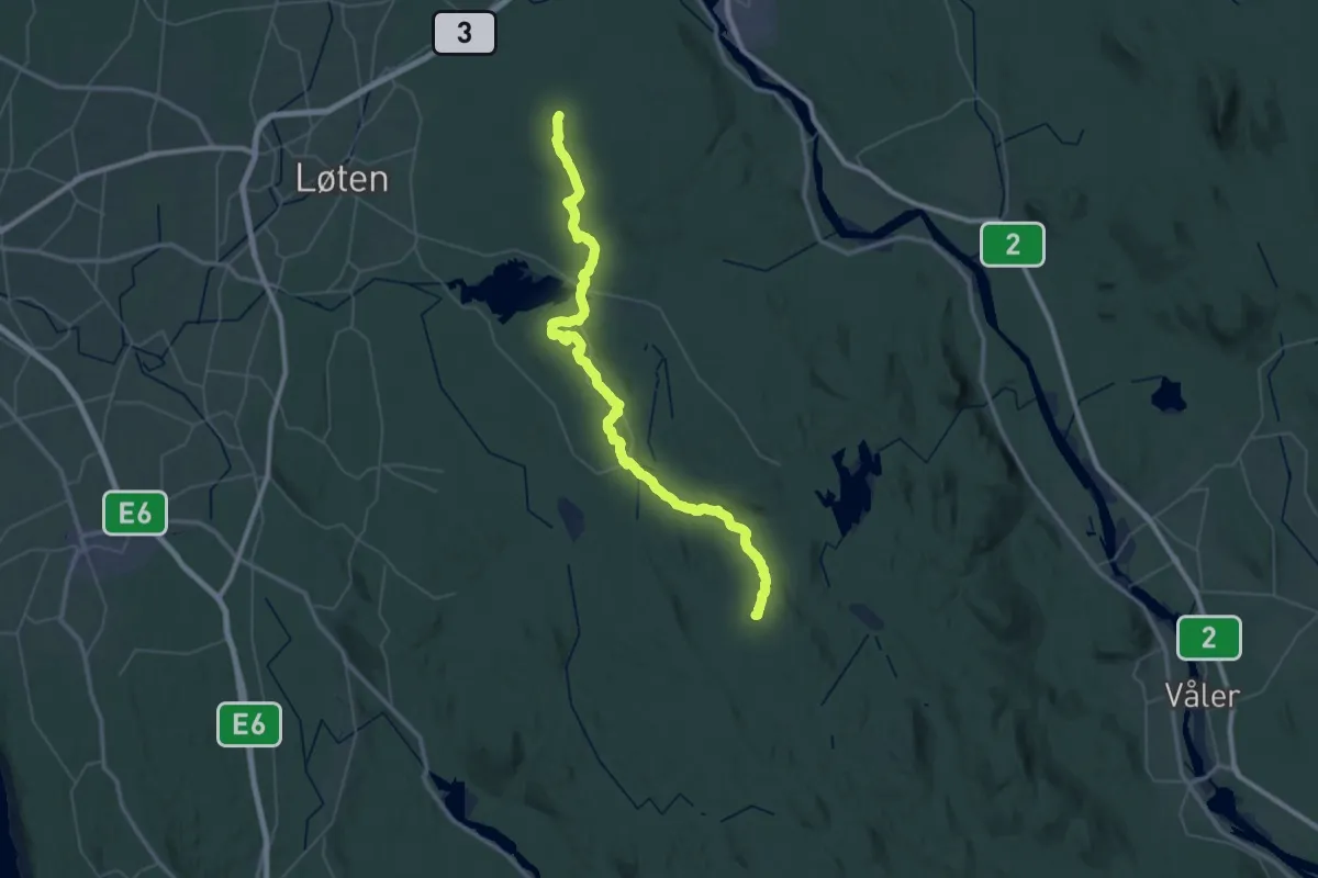
Demanding · Summit
Svartskogkoia – Tingstadkoia
45.4 km · ↑ 762 m · 12 h 23 min