Trails in Norway
7,452 hiking trails, each with its route, climb, walking time and grade.
All trails, page 132 of 156
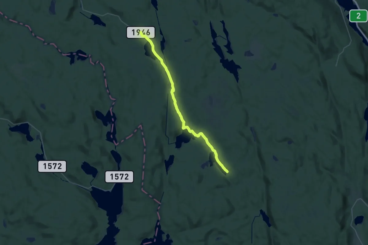
Demanding · Trail
Børli – Steineia
22.2 km · ↑ 230 m · 5 h 44 min
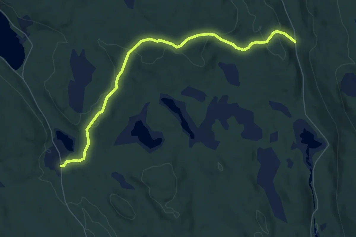
Easy · Trail
Løvlia – Løvlia
5.2 km · ↑ 139 m · 1 h 31 min
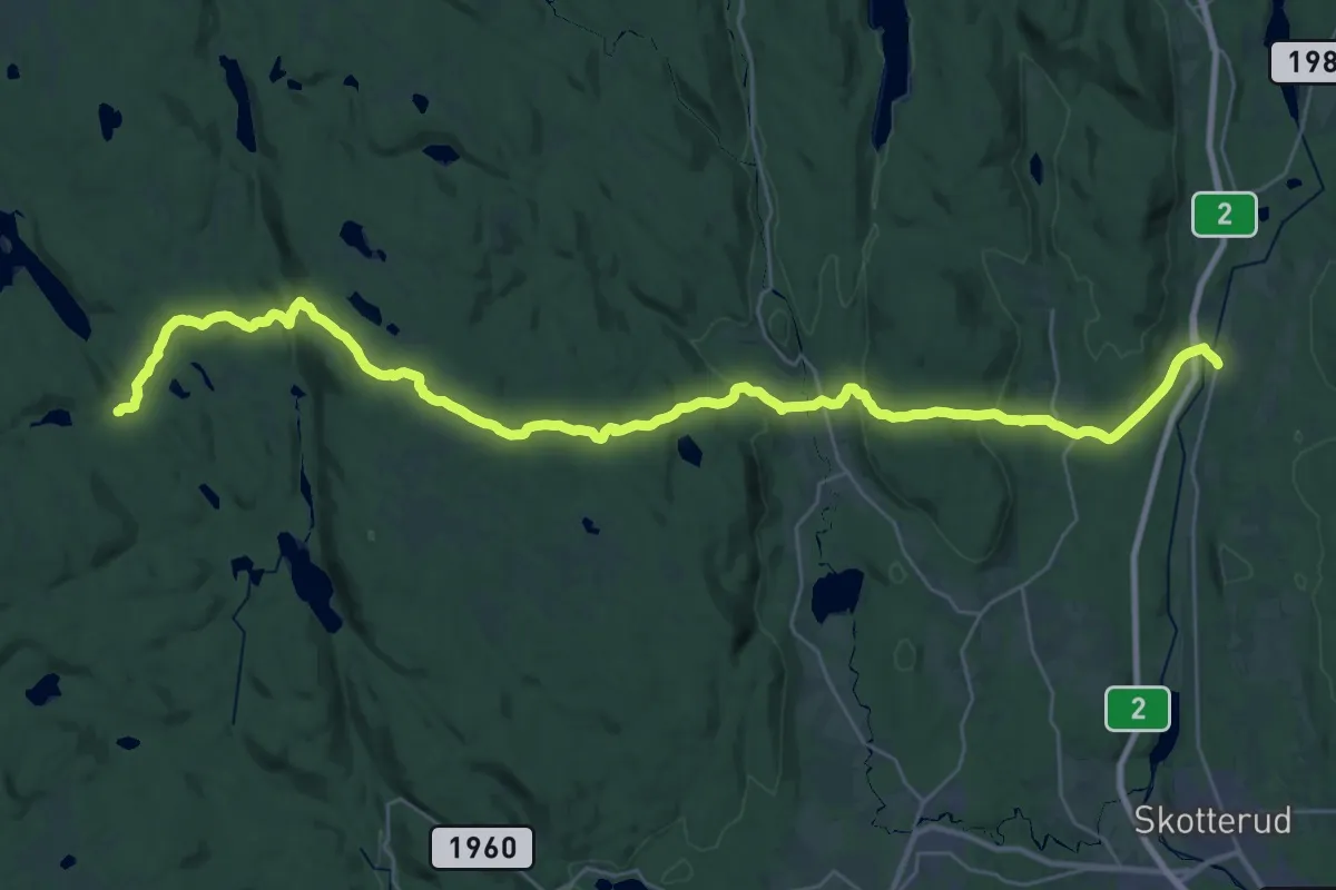
Medium · Trail
Løvlia – Matrand
14.6 km · ↑ 309 m · 4 h 23 min
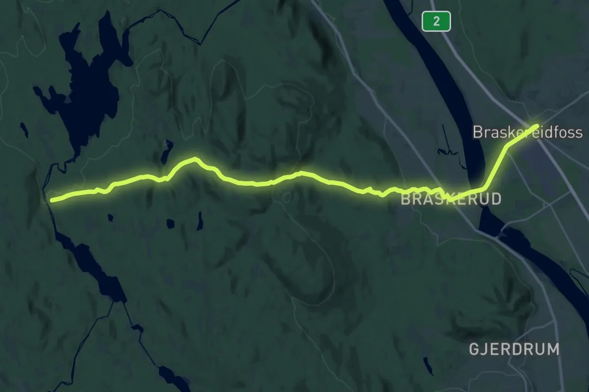
Demanding · Trail
Torpsætra – Braskeriedfoss (Lund)
24.2 km · ↑ 542 m · 6 h 53 min
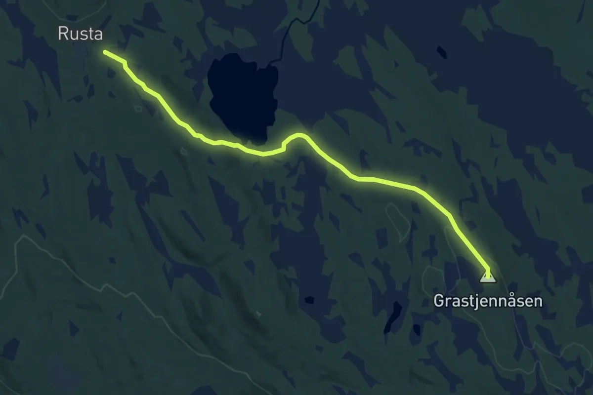
Medium · Summit
Rogstadkoia – Rusta
8.1 km · ↑ 149 m · 2 h 14 min
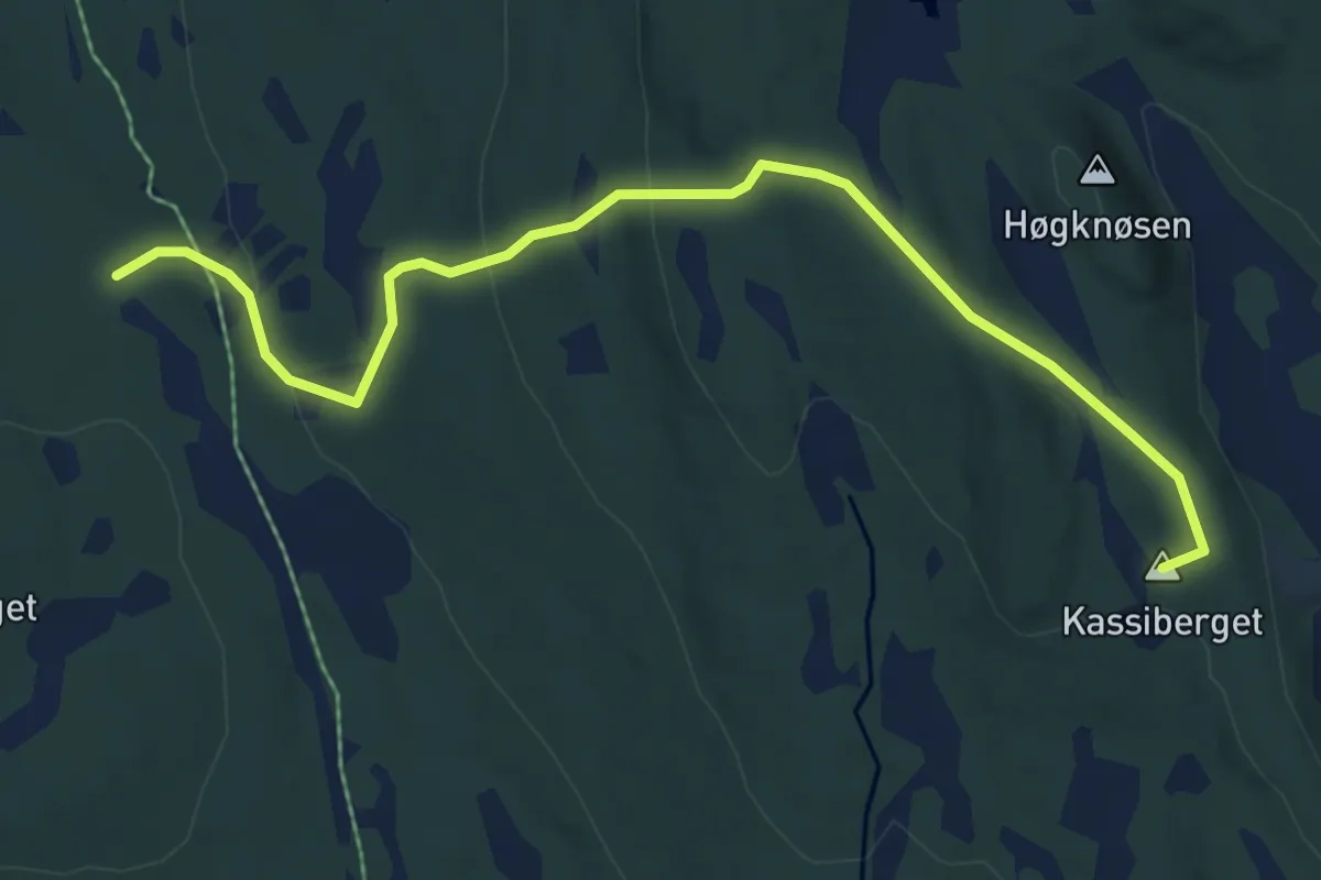
Easy · Summit
Bergesætra – Rusta
5.0 km · ↑ 182 m · 1 h 34 min
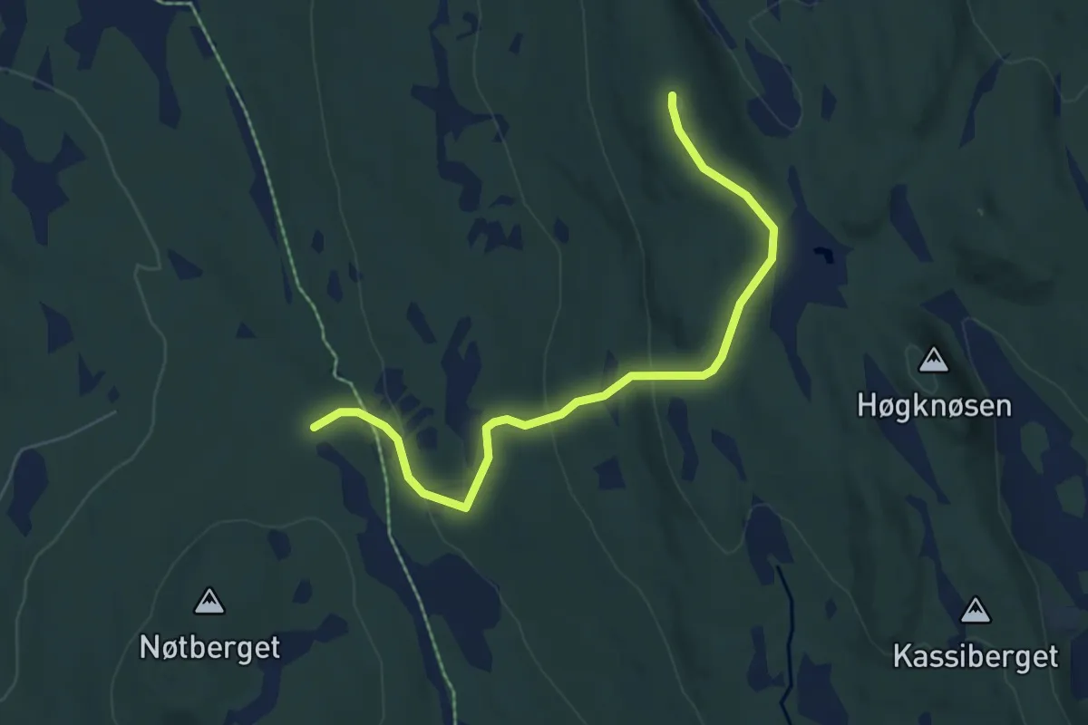
Easy · Summit
Bergesætra – Skaftet
4.5 km · ↑ 186 m · 1 h 27 min
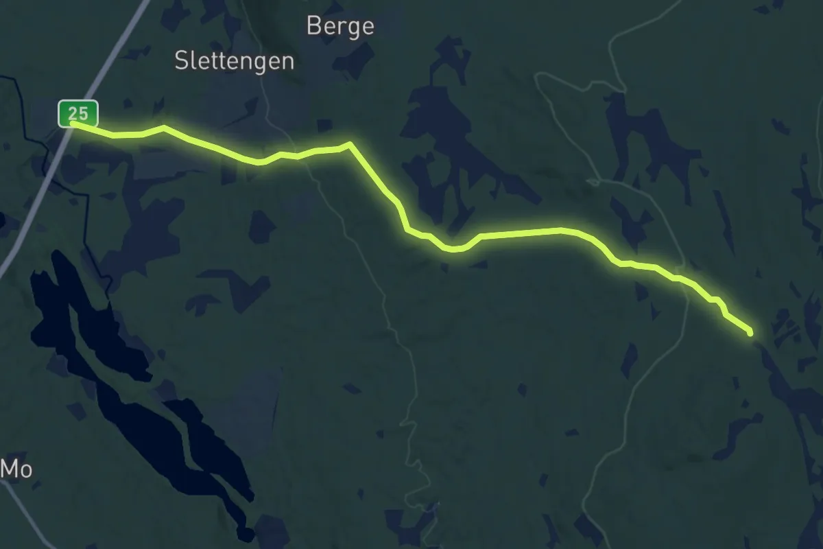
Medium · Trail
Bergesætra – Berge
9.6 km · ↑ 206 m · 2 h 42 min
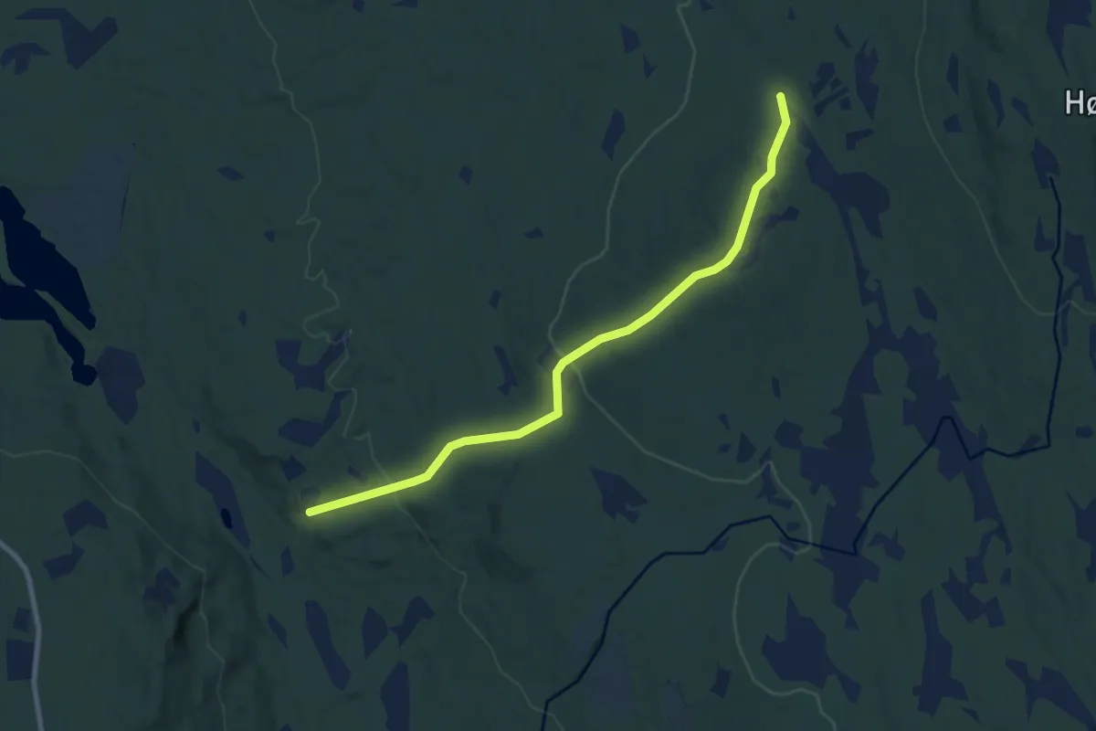
Easy · Trail
Bergesætra – Sørli
6.2 km · ↑ 223 m · 1 h 57 min
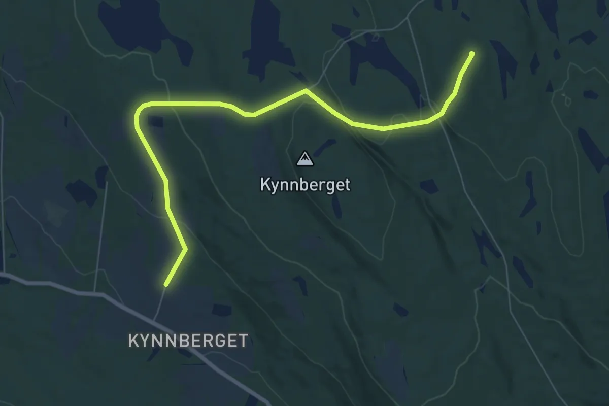
Easy · Summit
Rustad – Kynnberget
5.4 km · ↑ 180 m · 1 h 40 min
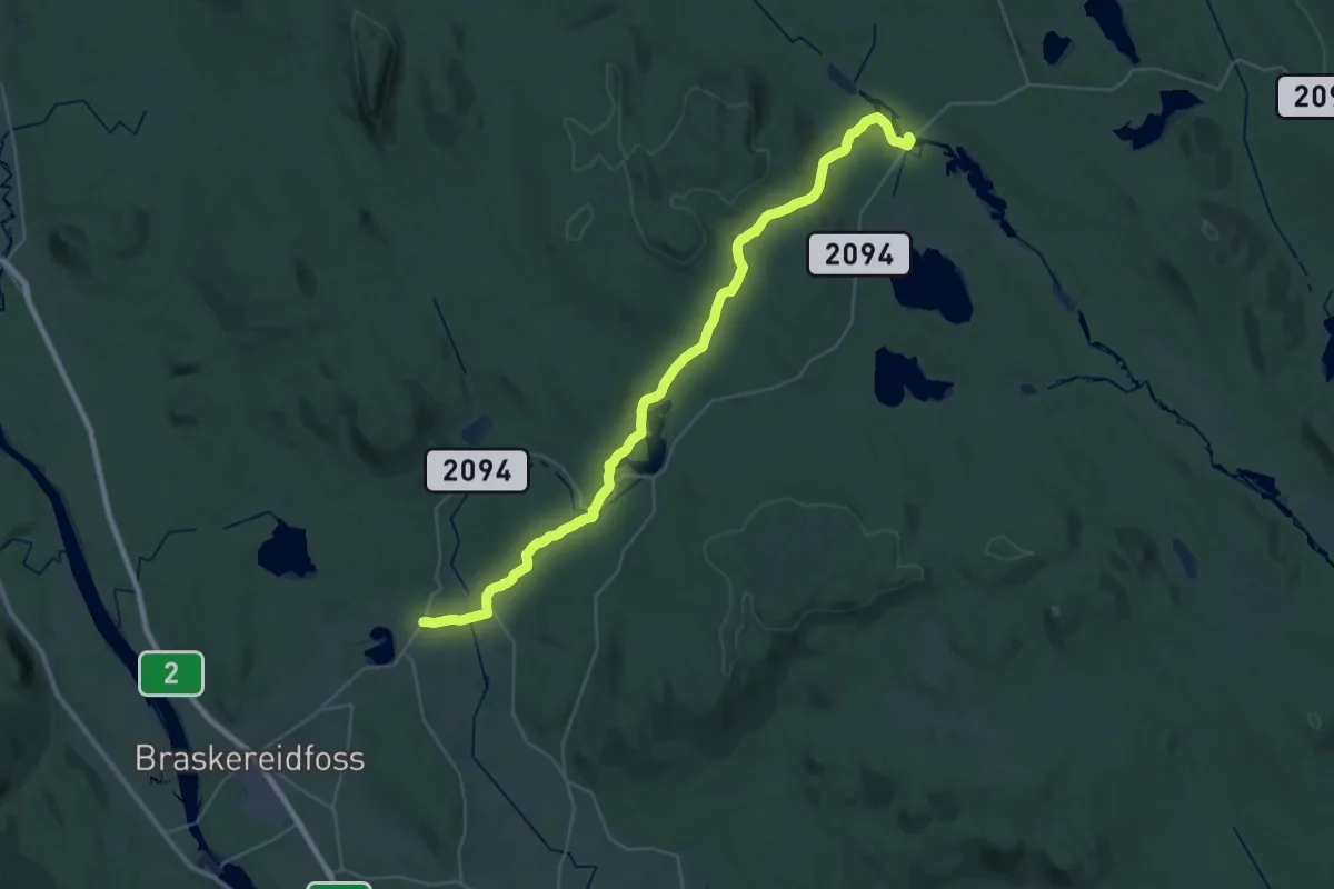
Medium · Trail
Knøsen – Holstad
15.4 km · ↑ 326 m · 4 h 31 min
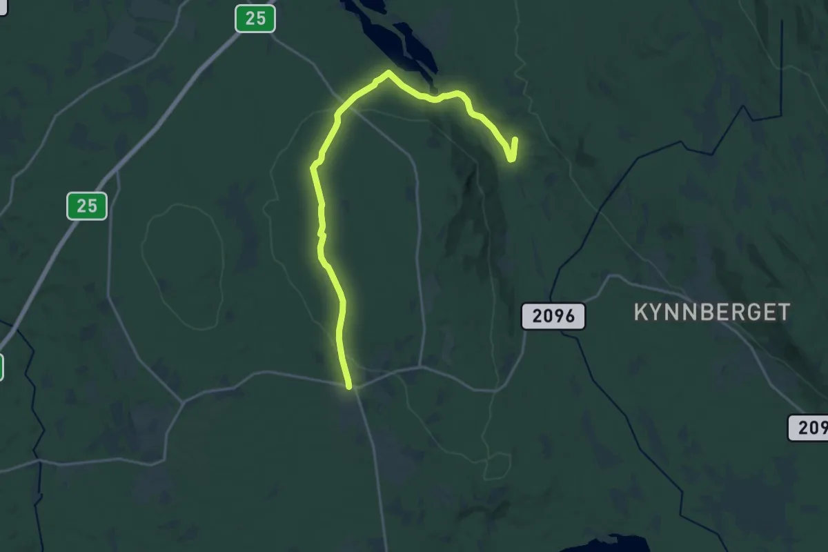
Medium · Trail
Sætre – Bergesjøen
13.4 km · ↑ 173 m · 3 h 33 min
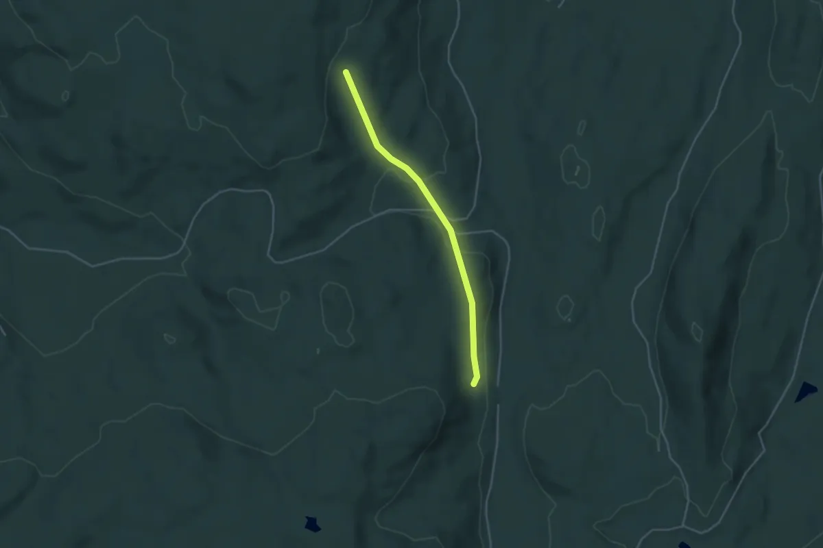
Easy · Trail
Vais – Bendikstorpet
2.5 km · ↑ 73 m · 45 min
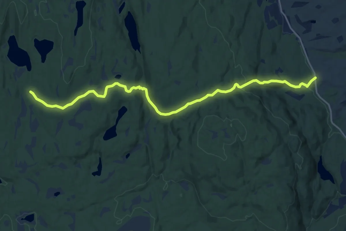
Medium · Cabin
Bekkestua – Trugstadholtet
10.7 km · ↑ 271 m · 3 h 7 min
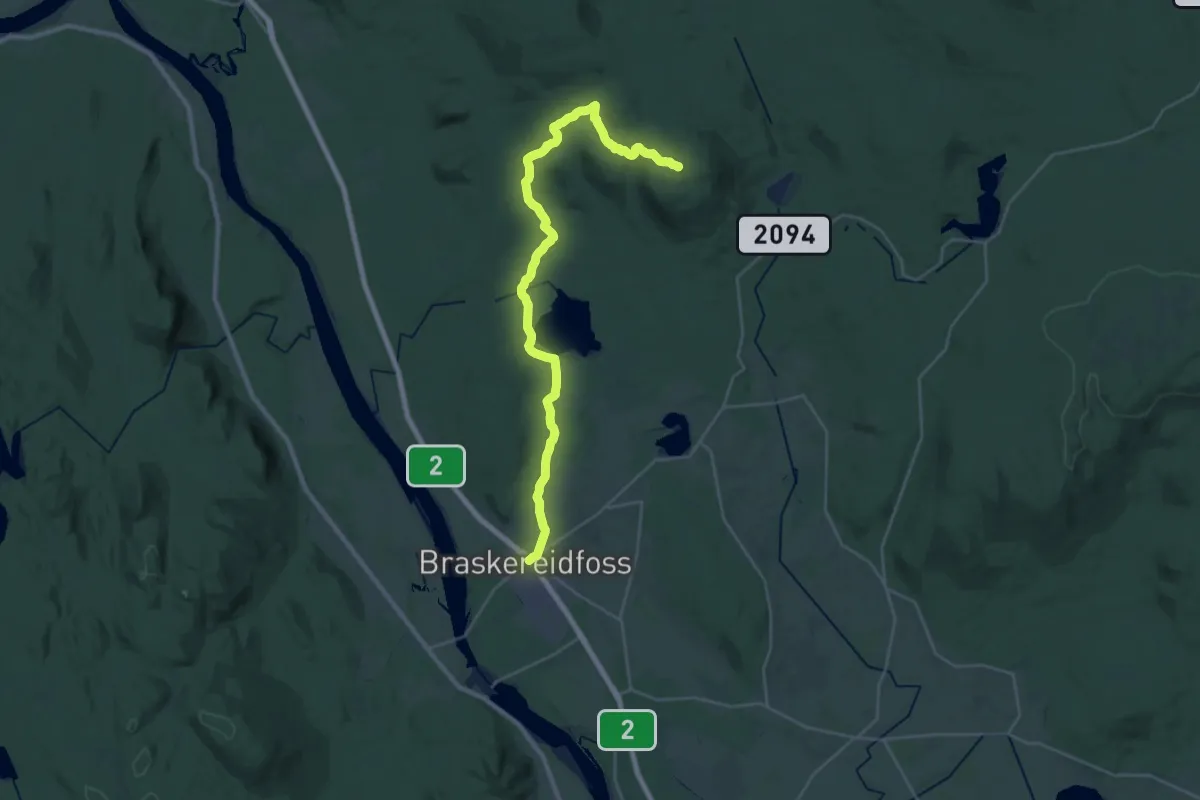
Demanding · Summit
Sørsåsen – Braskeriedfoss
22.9 km · ↑ 386 m · 6 h 14 min
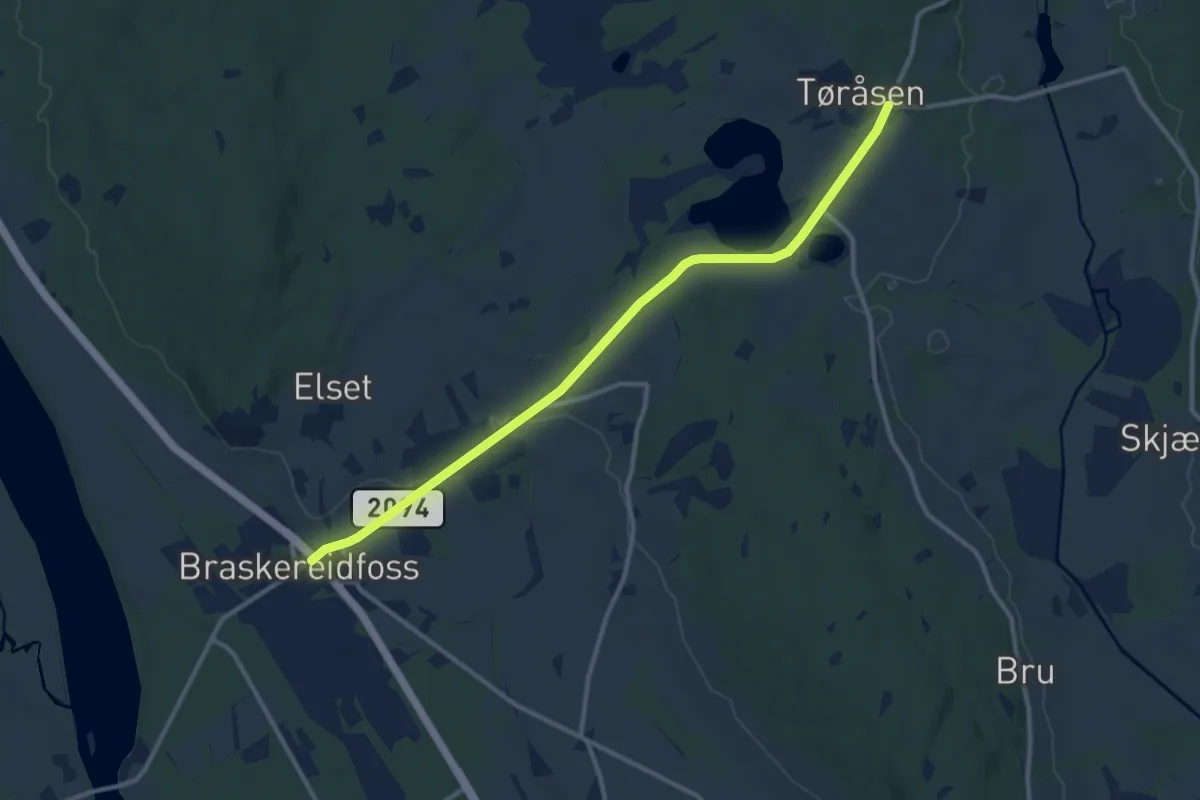
Medium · Trail
Tørråsen – Braskeriedfoss
8.4 km · ↑ 57 m · 2 h 7 min
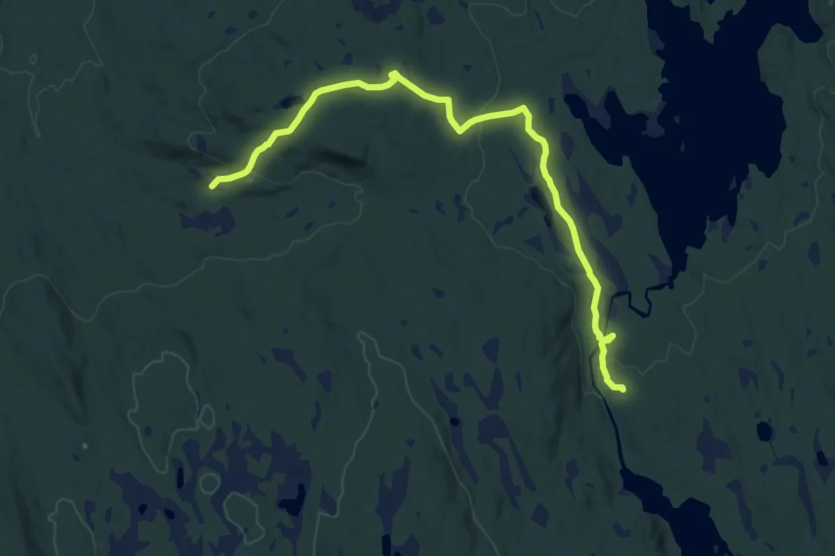
Medium · Trail
Torpsætra – Stensåsen
12.1 km · ↑ 230 m · 3 h 22 min
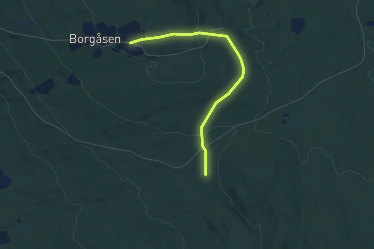
Easy · Trail
Folkefritt – Borgåsen
4.1 km · ↑ 109 m · 1 h 12 min
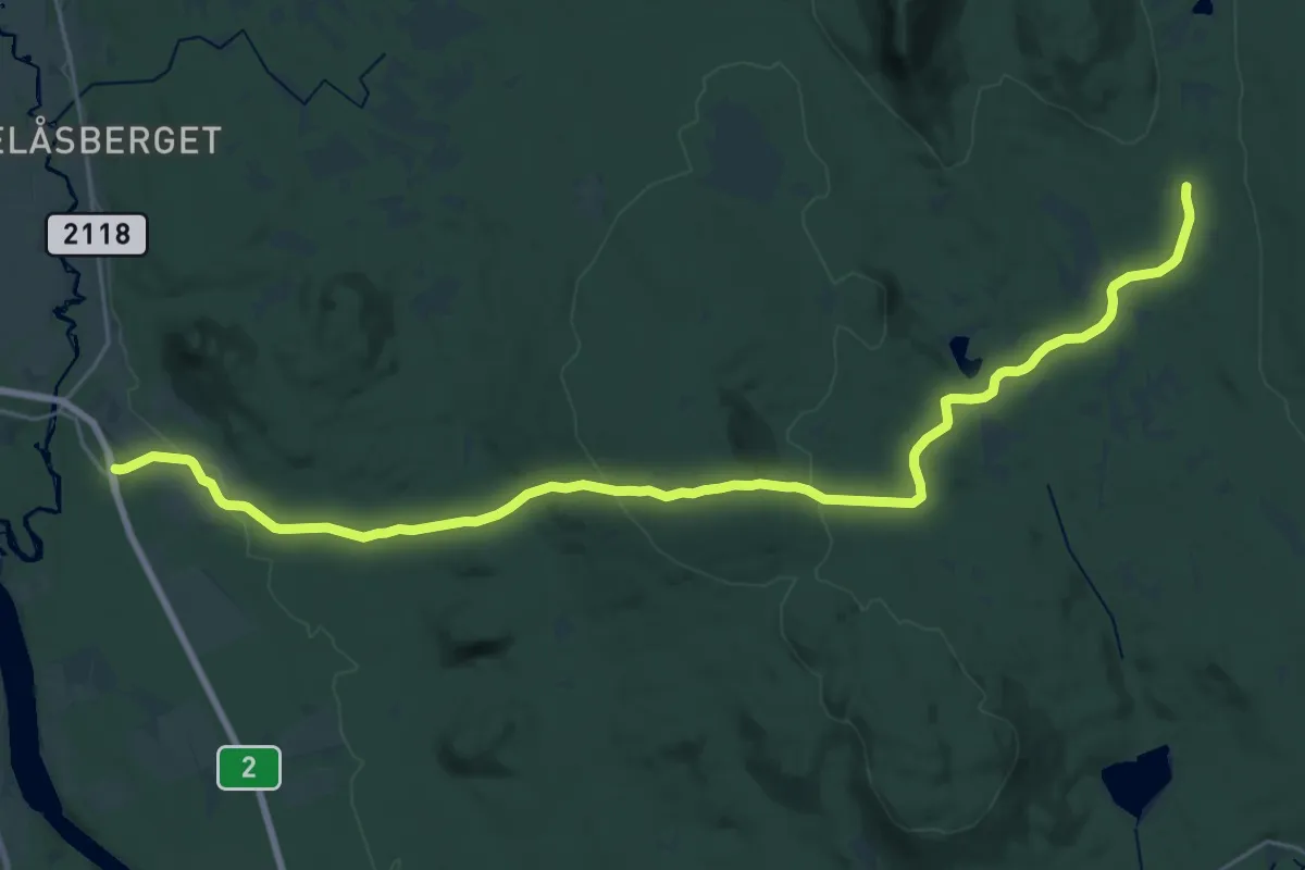
Demanding · Trail
Myrvoll – Borgåsen
21.9 km · ↑ 488 m · 6 h 14 min
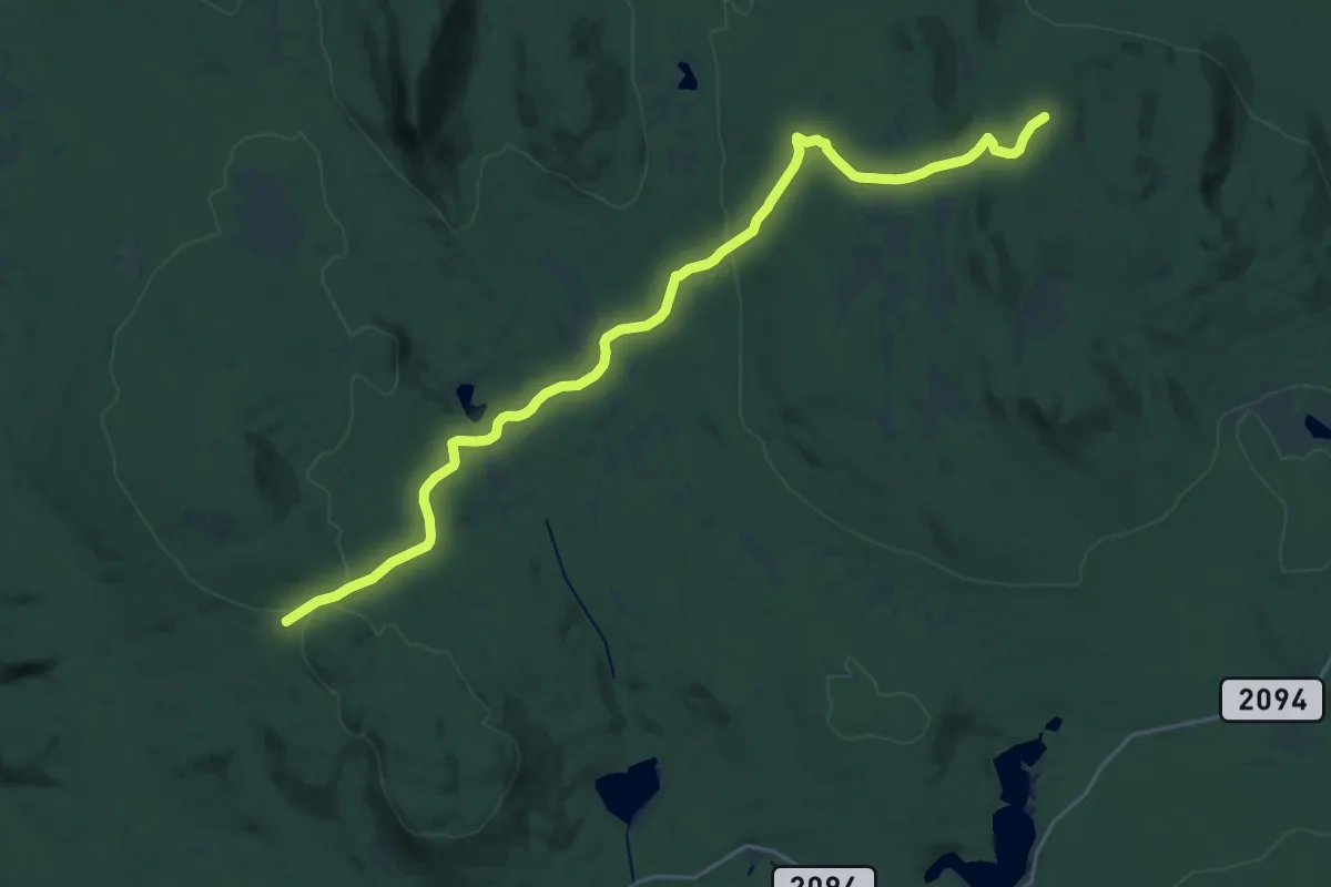
Demanding · Cabin
Nord-Flatåsen – Borgåsen
19.5 km · ↑ 346 m · 5 h 21 min
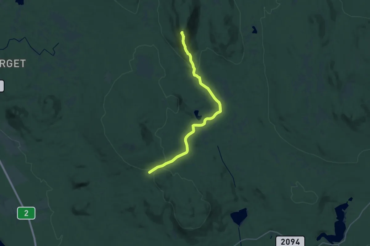
Medium · Summit
Storhovsætra – Borgåsen
13.7 km · ↑ 352 m · 4 h
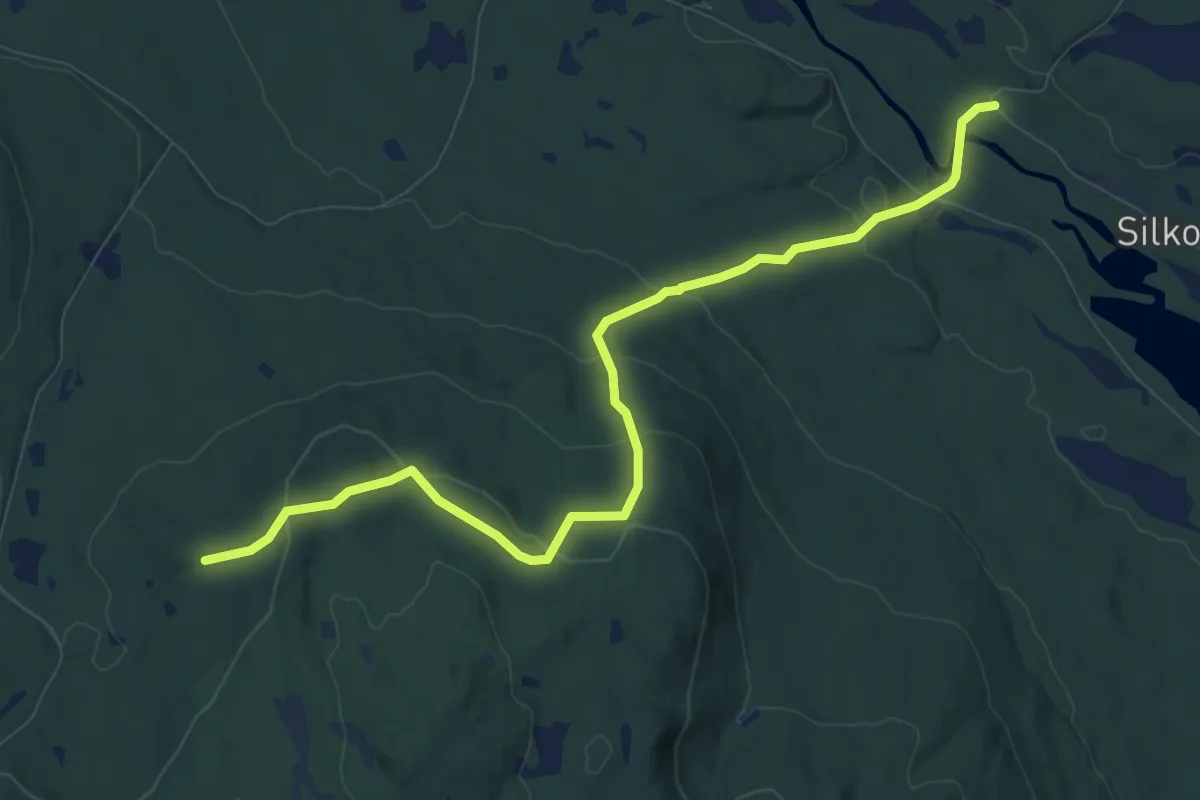
Medium · Cabin
Rundkjølbrakka – Brattlund
7.4 km · ↑ 357 m · 2 h 31 min
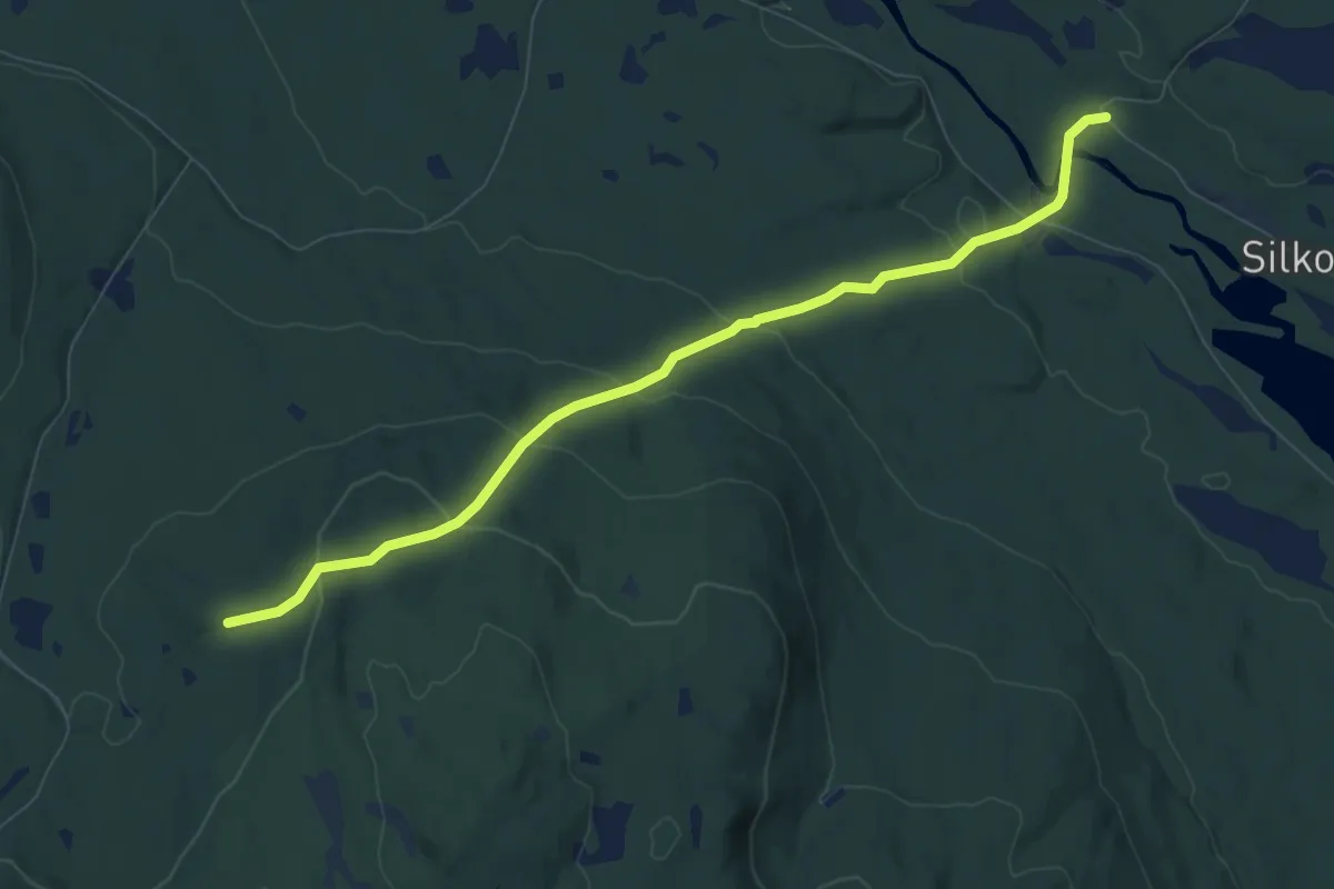
Easy · Cabin
Rundkjølbrakka – Brattlund
6.0 km · ↑ 310 m · 2 h 5 min
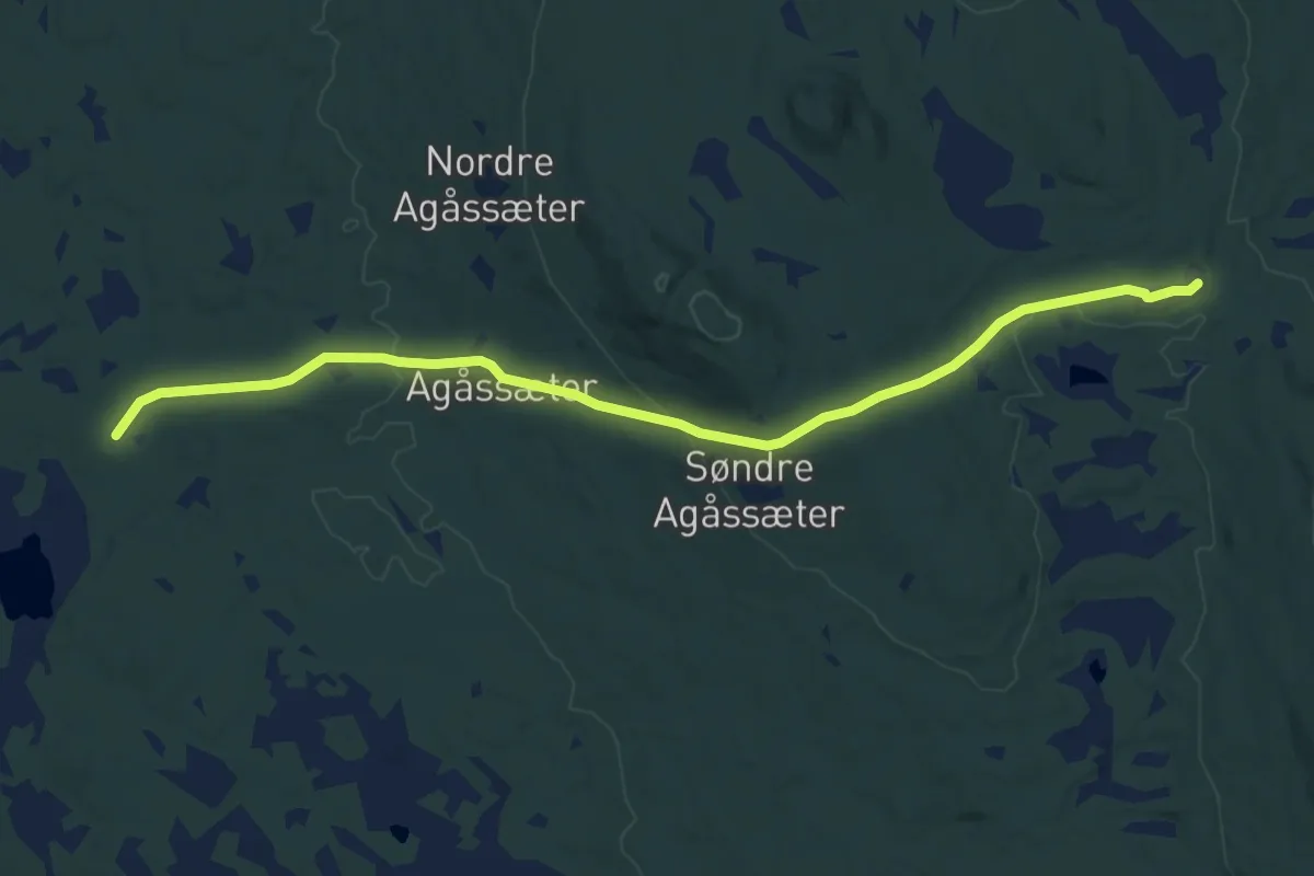
Medium · Trail
Storhovsætra – Okstjennet
9.3 km · ↑ 264 m · 2 h 46 min
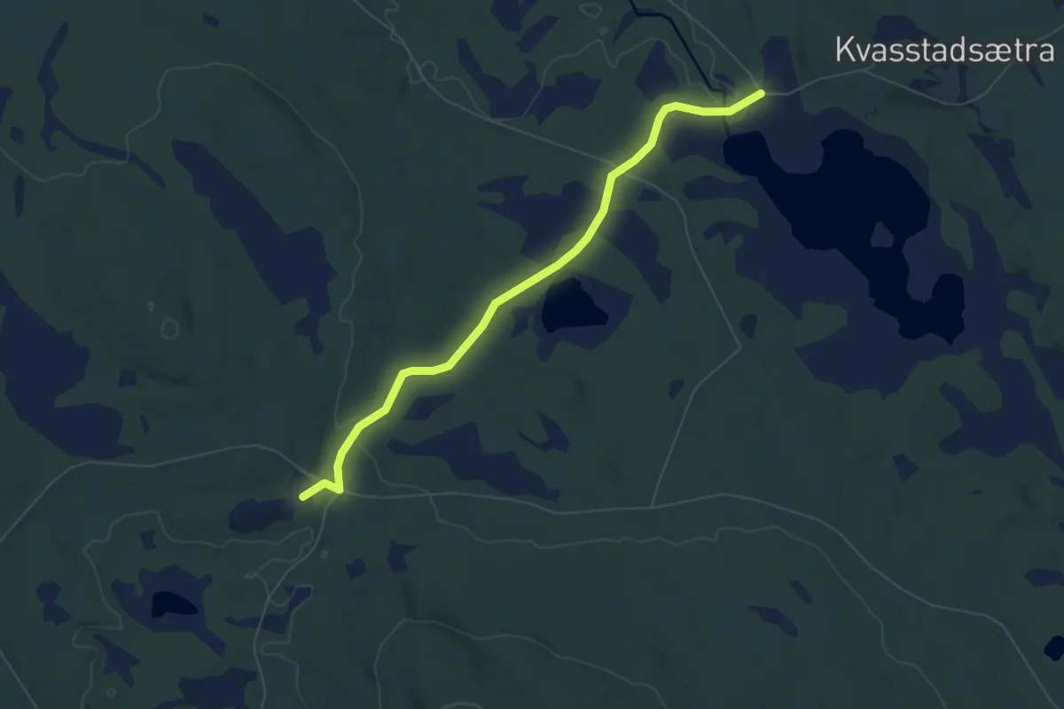
Easy · Trail
Storhovsætra – Kvasstadsætra
4.6 km · ↑ 59 m · 1 h 13 min
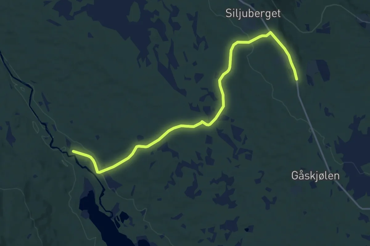
Medium · Trail
Osvang – Siljubergsvollen
10.7 km · ↑ 152 m · 2 h 52 min
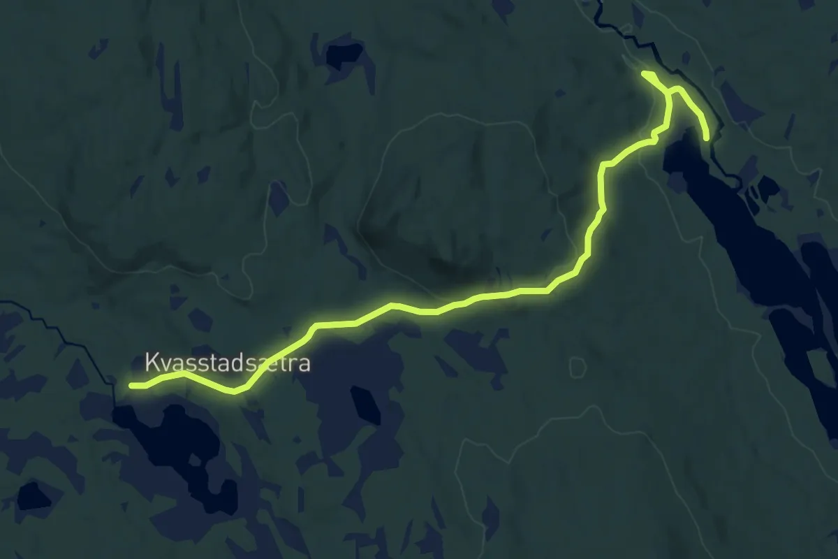
Medium · Trail
Osvang – Kvasstadsætra
11.2 km · ↑ 166 m · 3 h
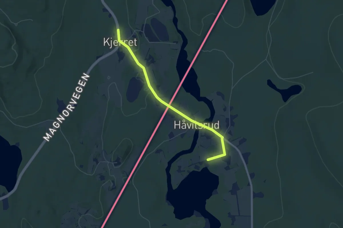
Easy · Cabin
Sandberget Sør – Holmsjøen sørøst
4.2 km · ↑ 32 m · 1 h 4 min
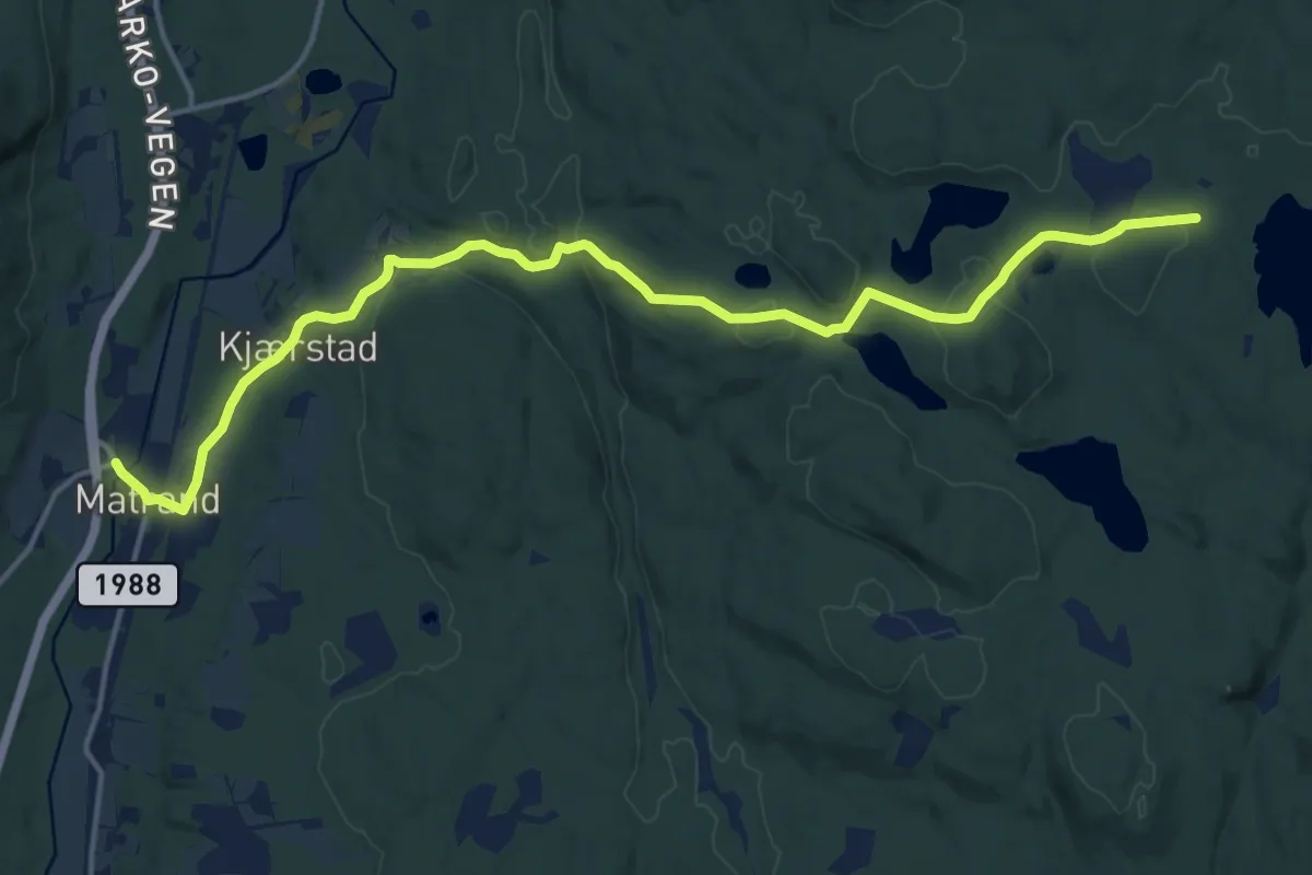
Medium · Trail
Keisarmyra – Matrand
12.5 km · ↑ 308 m · 3 h 37 min
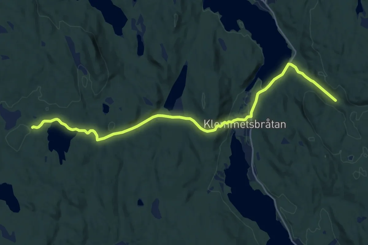
Medium · Trail
Keisarmyra – Kuberget / Sandberget
13.4 km · ↑ 292 m · 3 h 48 min
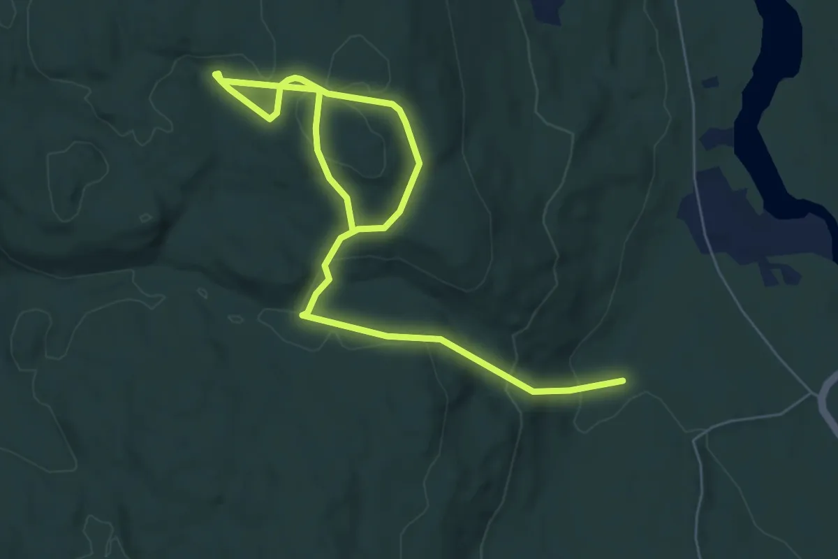
Easy · Trail
Sandberget Sør – Kuberget
6.6 km · ↑ 221 m · 2 h 2 min
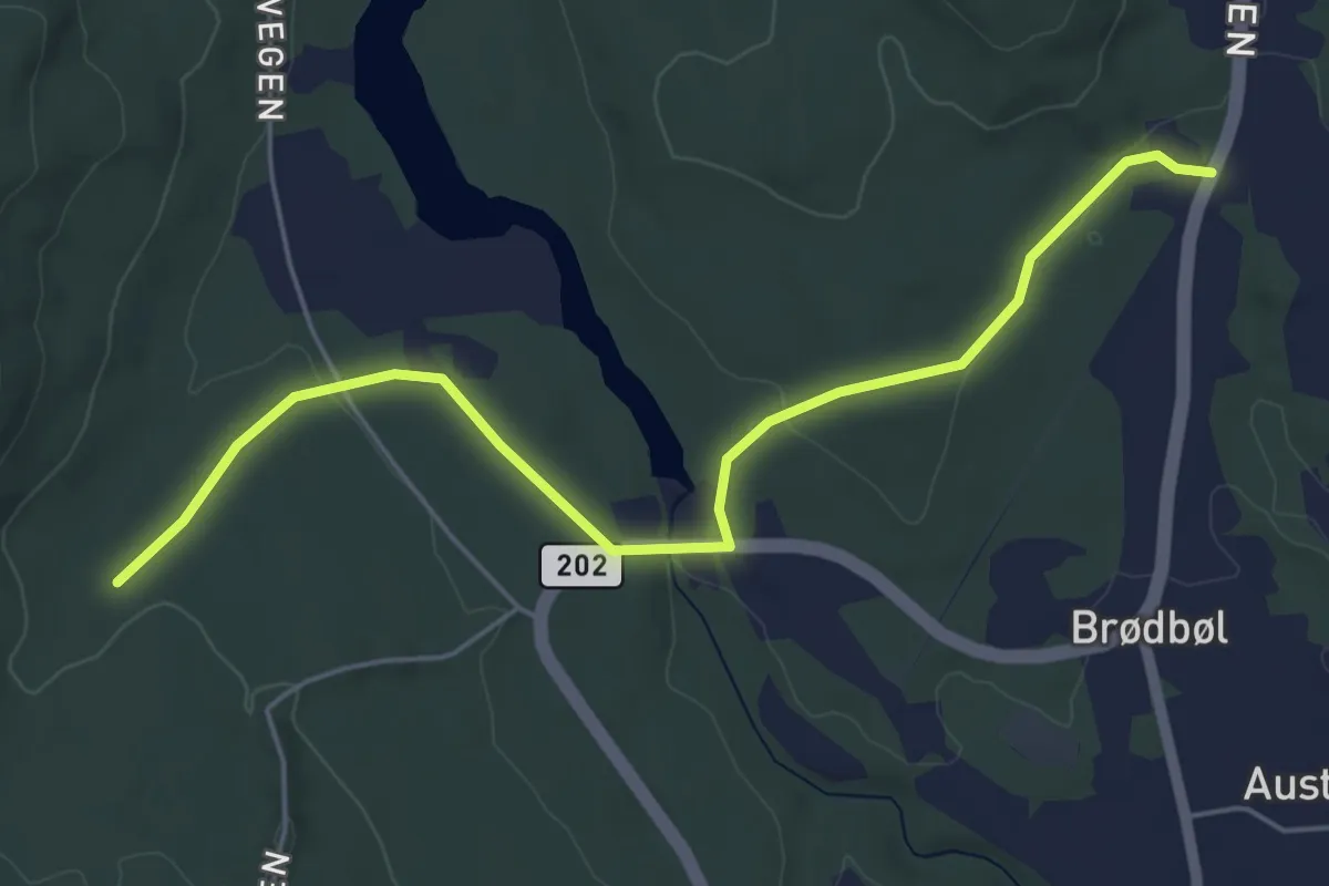
Easy · Trail
Brødbøl – Sandberget Sør
4.1 km · ↑ 69 m · 1 h 7 min
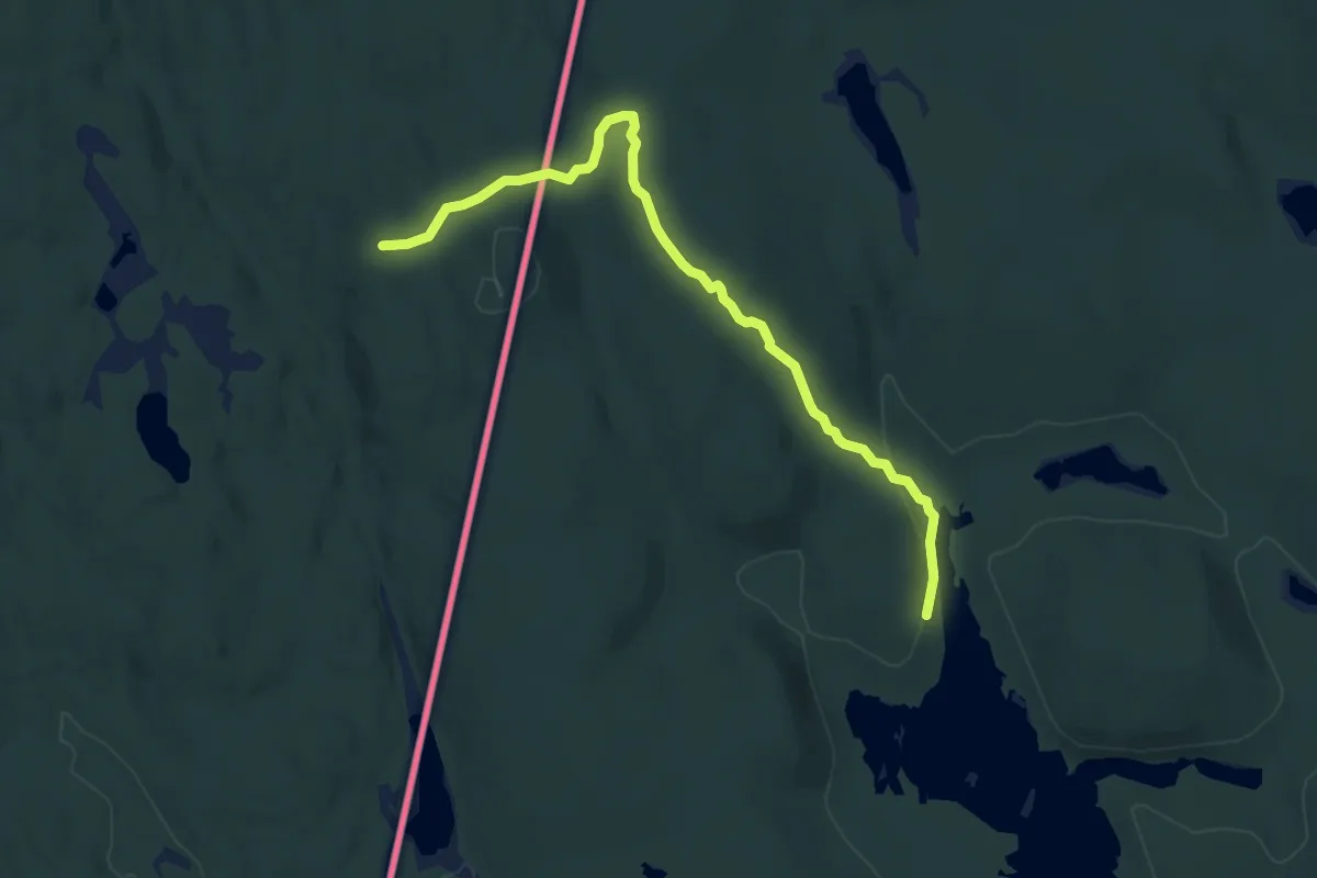
Medium · Cabin
Lebiko – Lomstorp
8.4 km · ↑ 152 m · 2 h 19 min
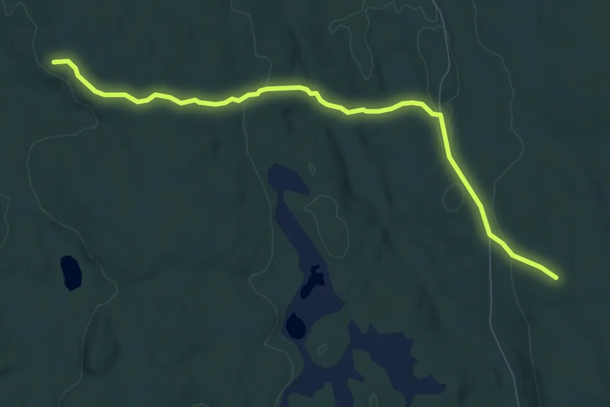
Medium · Cabin
Lebiko – Kvåho/Sørli
5.9 km · ↑ 120 m · 1 h 39 min
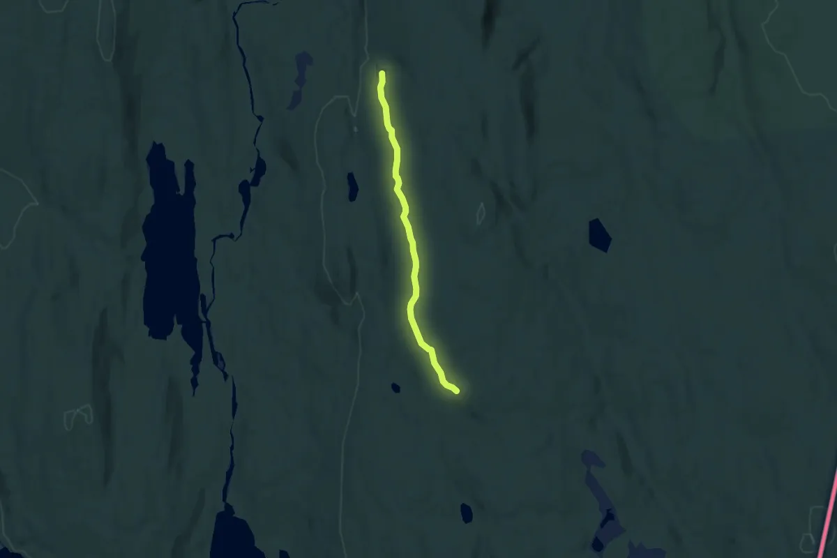
Medium · Cabin
Abborhøgda – Kvåho/Sørli
5.5 km · ↑ 95 m · 1 h 30 min
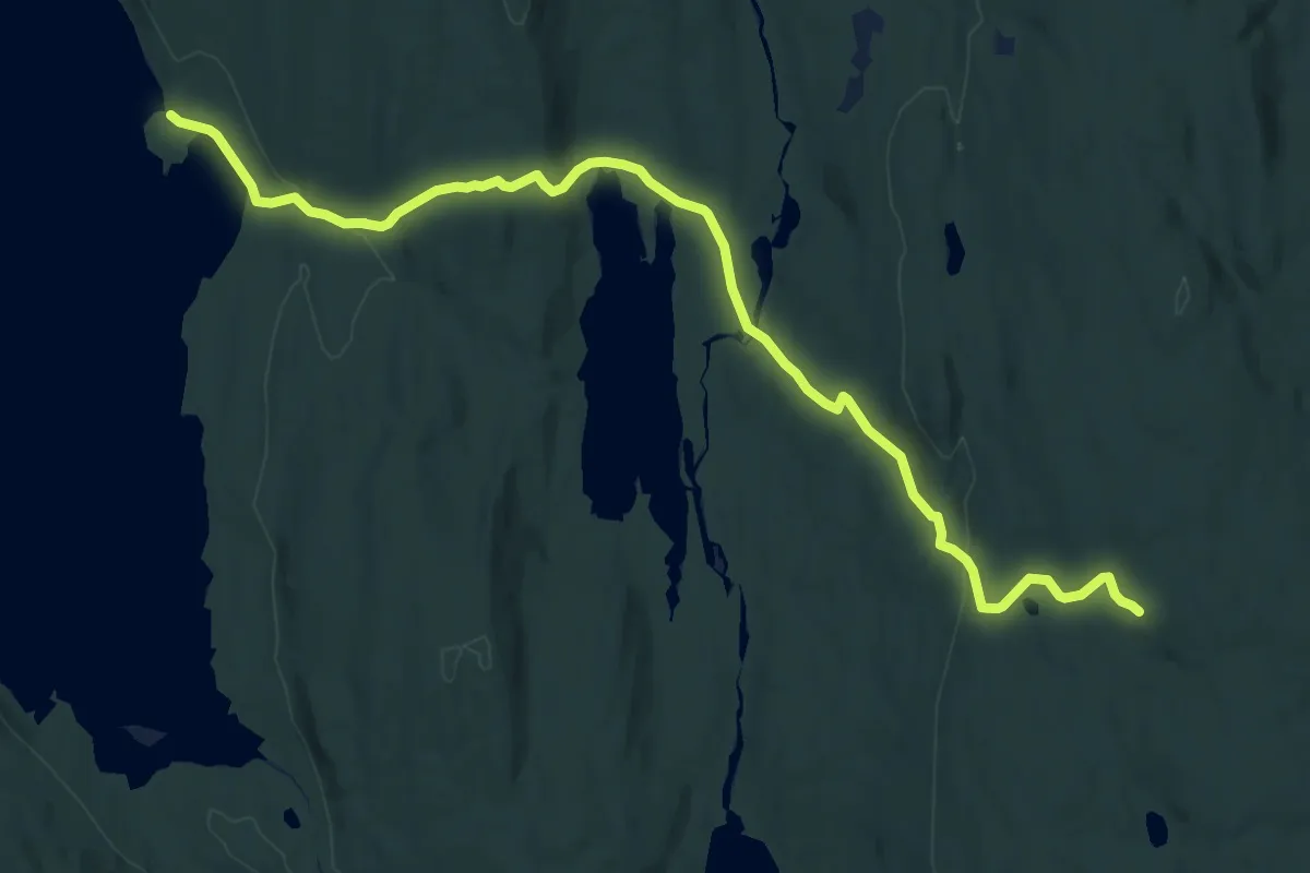
Medium · Cabin
Otertjernet – Tråssholmen
12.2 km · ↑ 279 m · 3 h 30 min
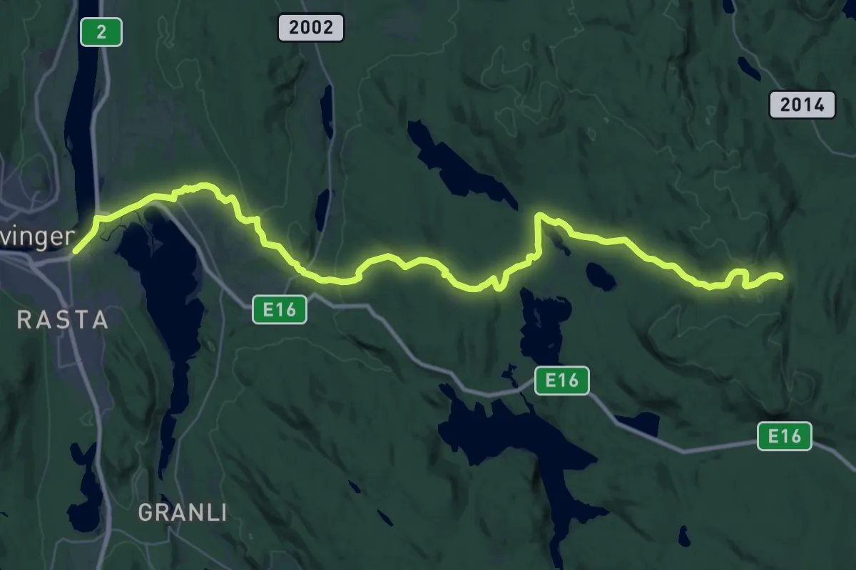
Medium · Trail
Bendiktstorpet (nord) – Nordsenga (Kongsvinger)
16.5 km · ↑ 405 m · 4 h 54 min
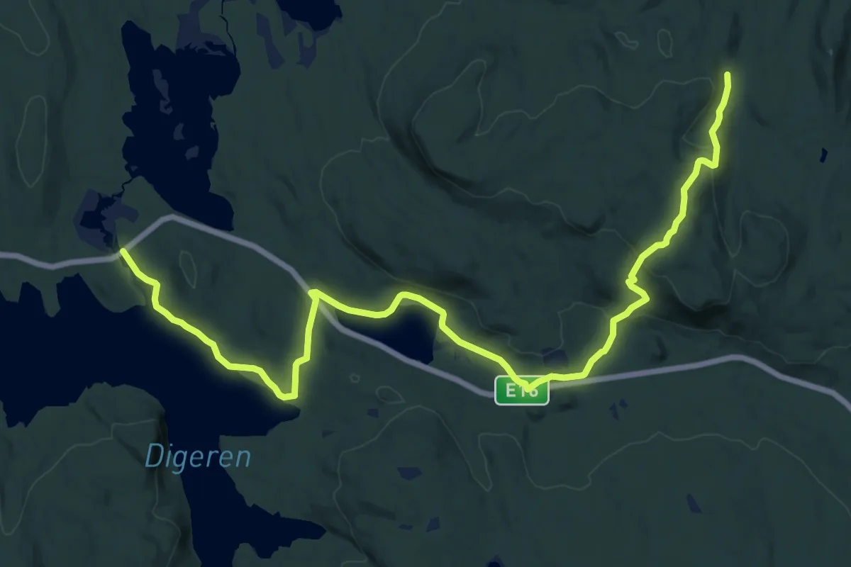
Medium · Trail
Bendiktstorpet – Mortåa
16.7 km · ↑ 321 m · 4 h 39 min
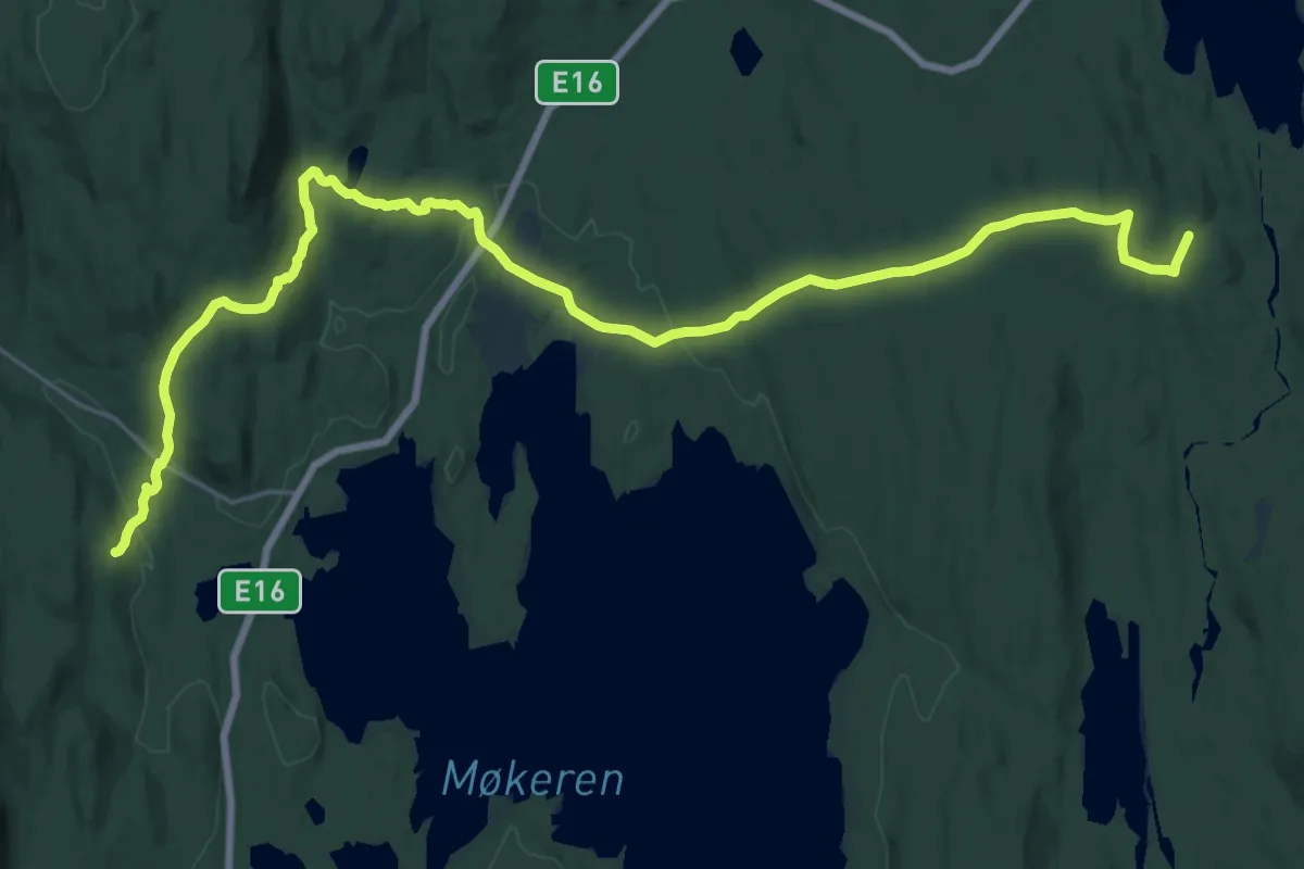
Demanding · Trail
Mengen nord – Åranstorpet
22.3 km · ↑ 496 m · 6 h 20 min
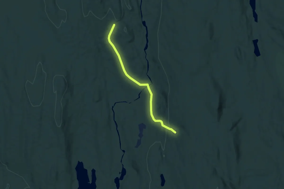
Easy · Cabin
Abborhøgda – Åranstorpet
5.3 km · ↑ 122 m · 1 h 31 min
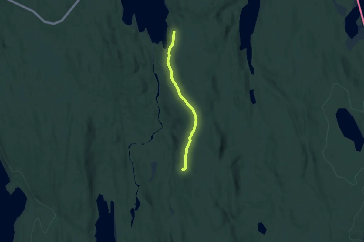
Medium · Cabin
Abborhøgda – Viker (nord)
6.6 km · ↑ 155 m · 1 h 54 min
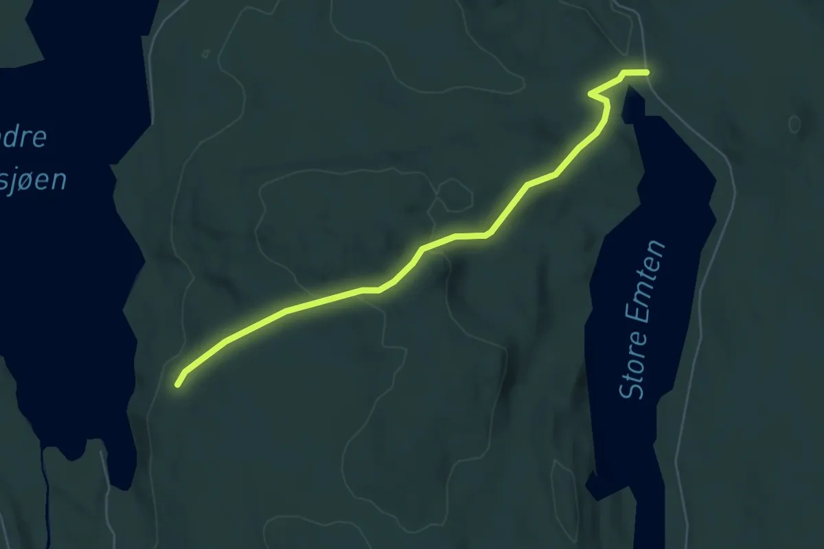
Easy · Trail
Emten – Viker (nord)
4.3 km · ↑ 118 m · 1 h 17 min
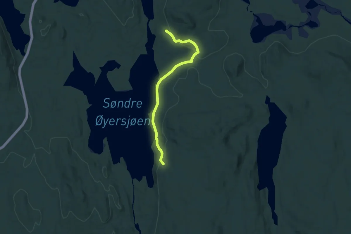
Medium · Trail
Bolneset – Viker (nord)
5.5 km · ↑ 89 m · 1 h 30 min
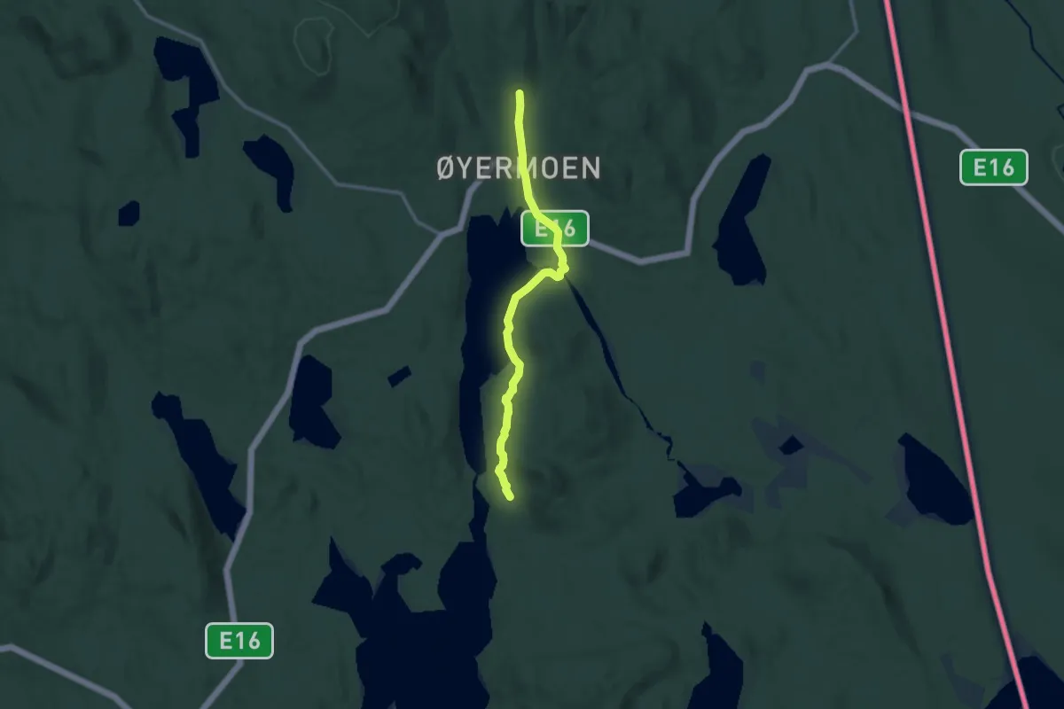
Medium · Cabin
Bolneset – Øyermoen
7.4 km · ↑ 109 m · 1 h 59 min
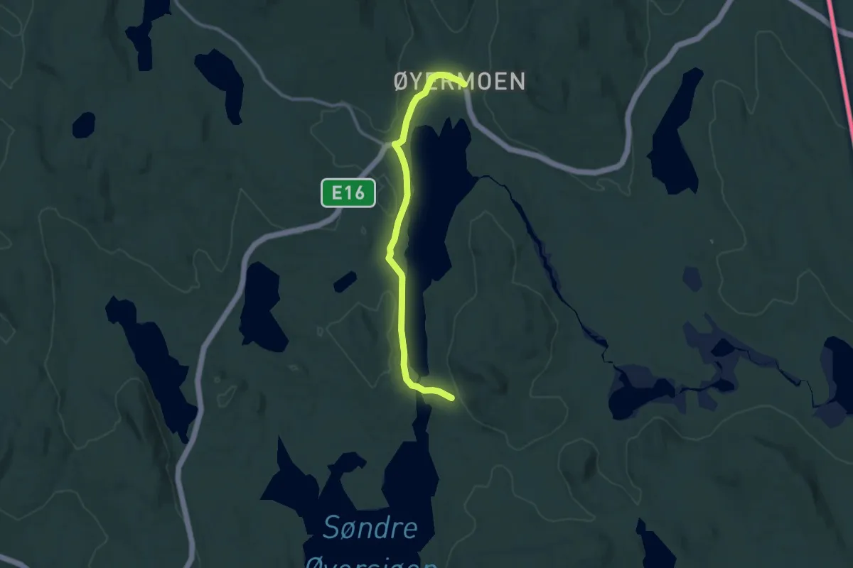
Easy · Trail
Bolneset – Øyermoen
6.7 km · ↑ 62 m · 1 h 43 min
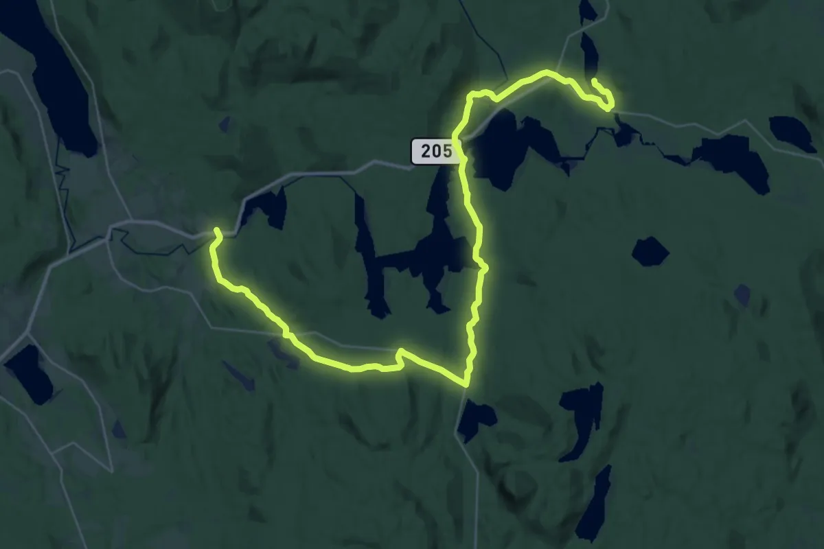
Medium · Trail
Hofoss – Lundersæter
16.7 km · ↑ 253 m · 4 h 45 min
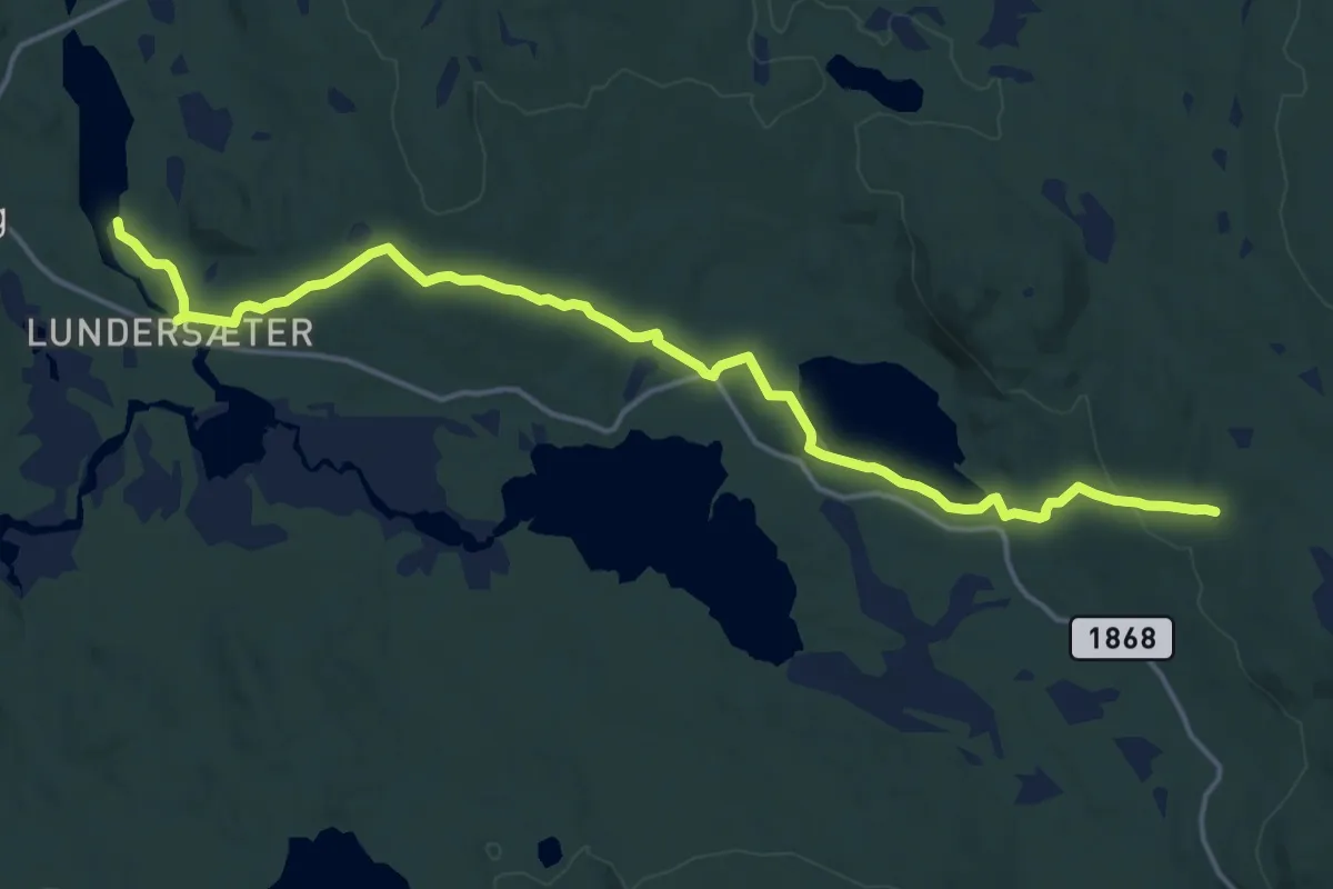
Medium · Trail
Eikesæter – Lundersæter
13.3 km · ↑ 203 m · 3 h 35 min
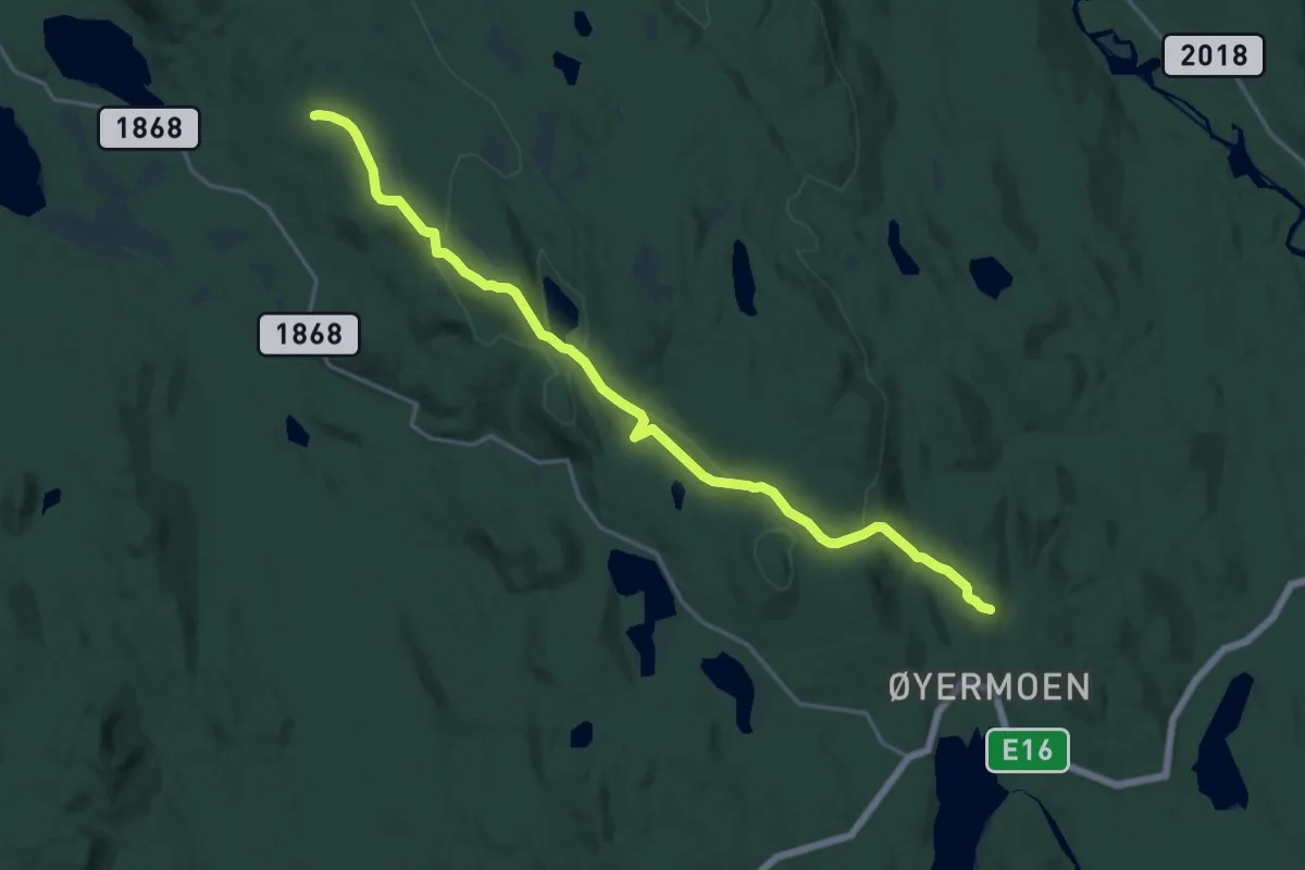
Medium · Cabin
Eikesæter – Nedre Øieren gård
14.0 km · ↑ 413 m · 4 h 12 min