Trails in Norway
7,453 hiking trails, each with its route, climb, walking time and grade.
All trails, page 150 of 156
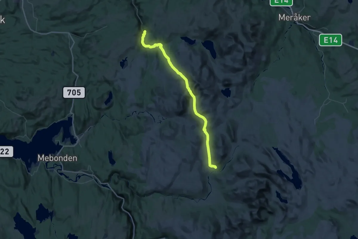
Demanding · Cabin
Schulzhytta – Sunndal
27.6 km · ↑ 1041 m · 8 h 58 min
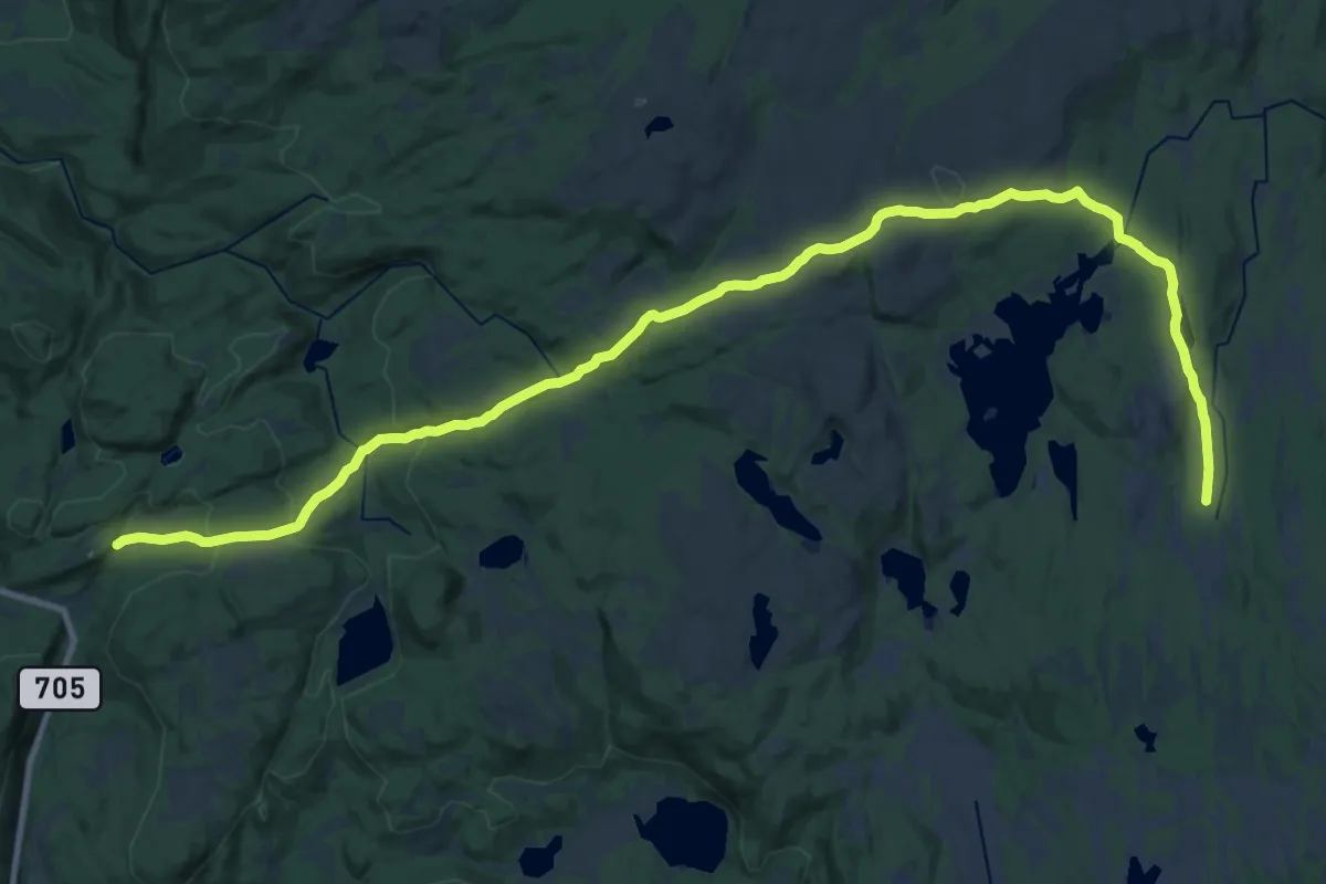
Demanding · Cabin
Vinsmyra – Kvitfjellhytta
20.9 km · ↑ 602 m · 6 h 14 min
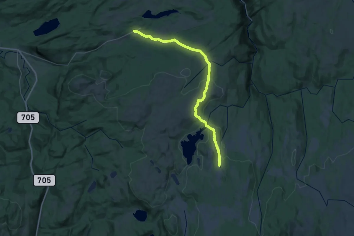
Demanding · Cabin
Ytteråsen – Kvitfjellhytta
19.8 km · ↑ 446 m · 5 h 38 min
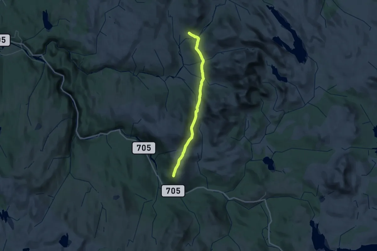
Medium · Cabin
Græslihytta – Schulzhytta
17.8 km · ↑ 548 m · 5 h 39 min
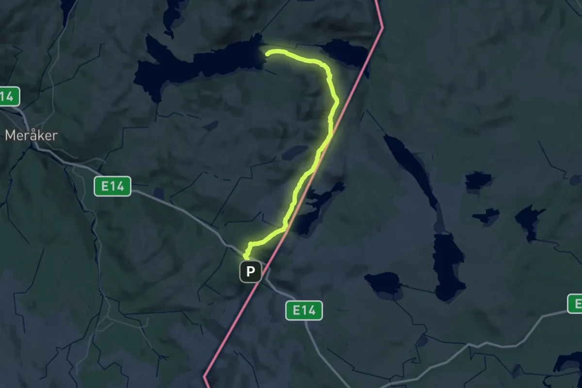
Demanding · Cabin
Teveltunet – Angeltjørnhytta
21.6 km · ↑ 501 m · 6 h 27 min
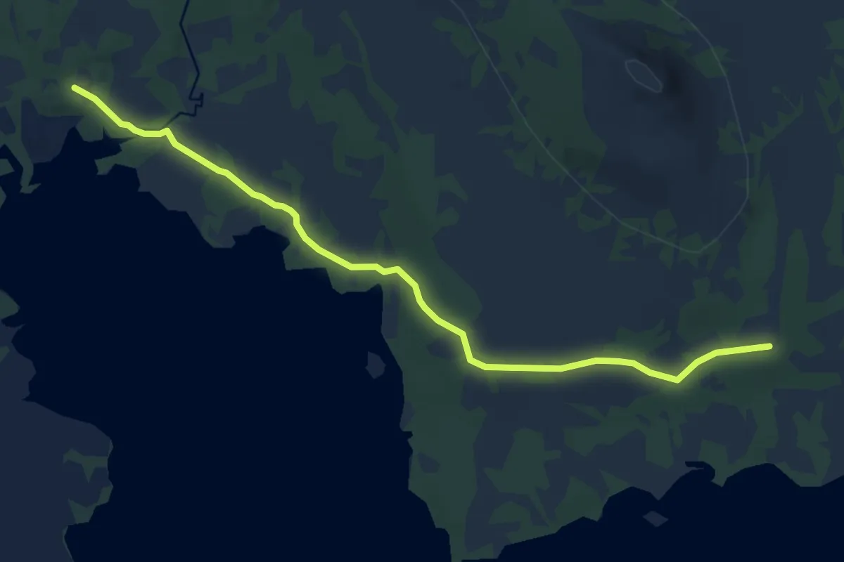
Easy · Cabin
Storerikvollen – Sankåvollen
7.6 km · ↑ 63 m · 1 h 56 min
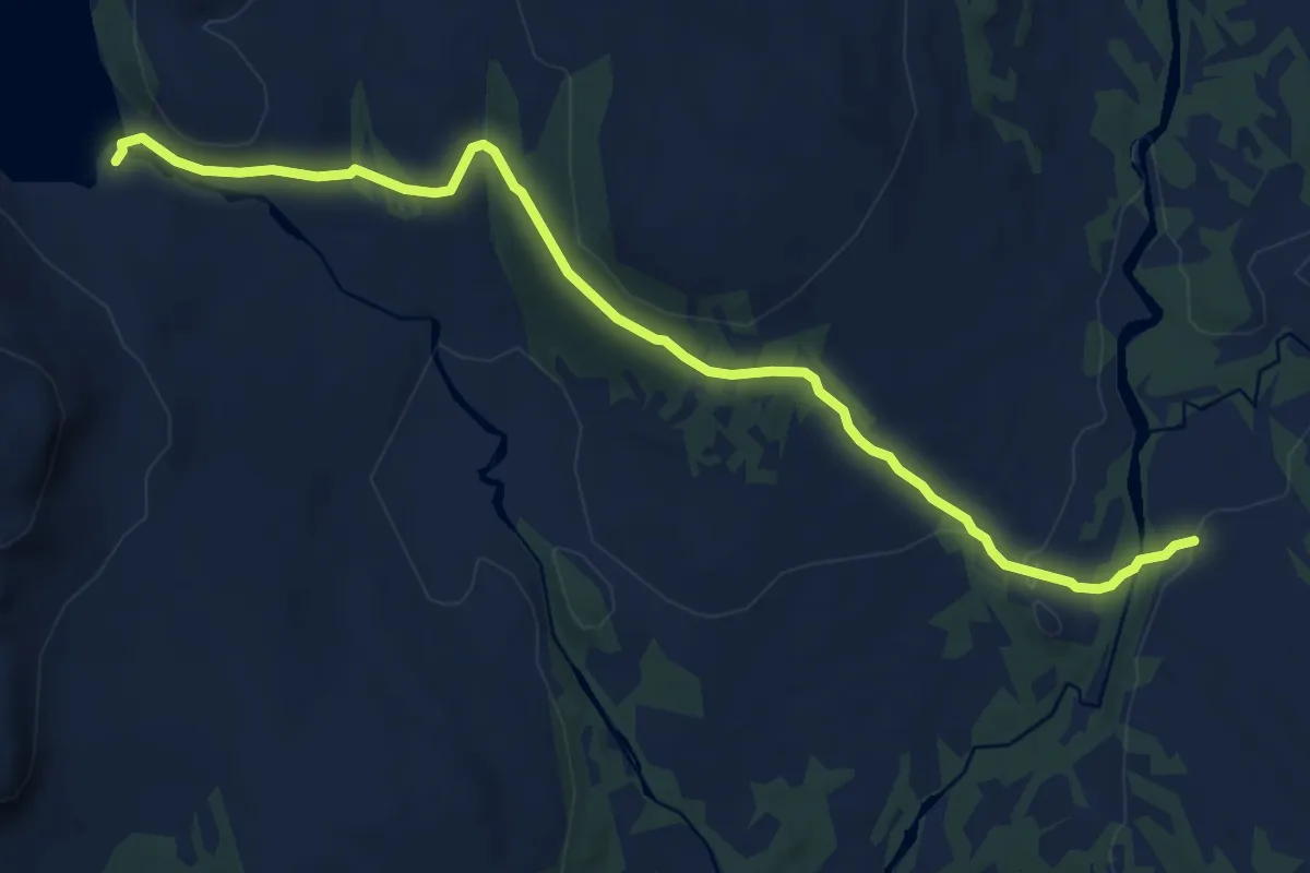
Medium · Cabin
Ramsjøhytta – Skarpdalen
8.1 km · ↑ 151 m · 2 h 15 min
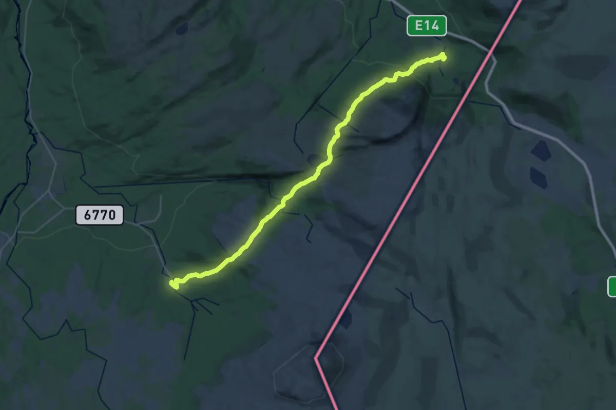
Demanding · Cabin
Teveltunet – Kluksdal
20.0 km · ↑ 711 m · 6 h 16 min
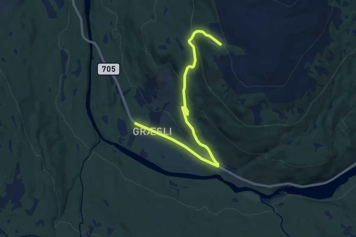
Medium · Cabin
Græslihytta – Gressli
8.2 km · ↑ 309 m · 2 h 36 min
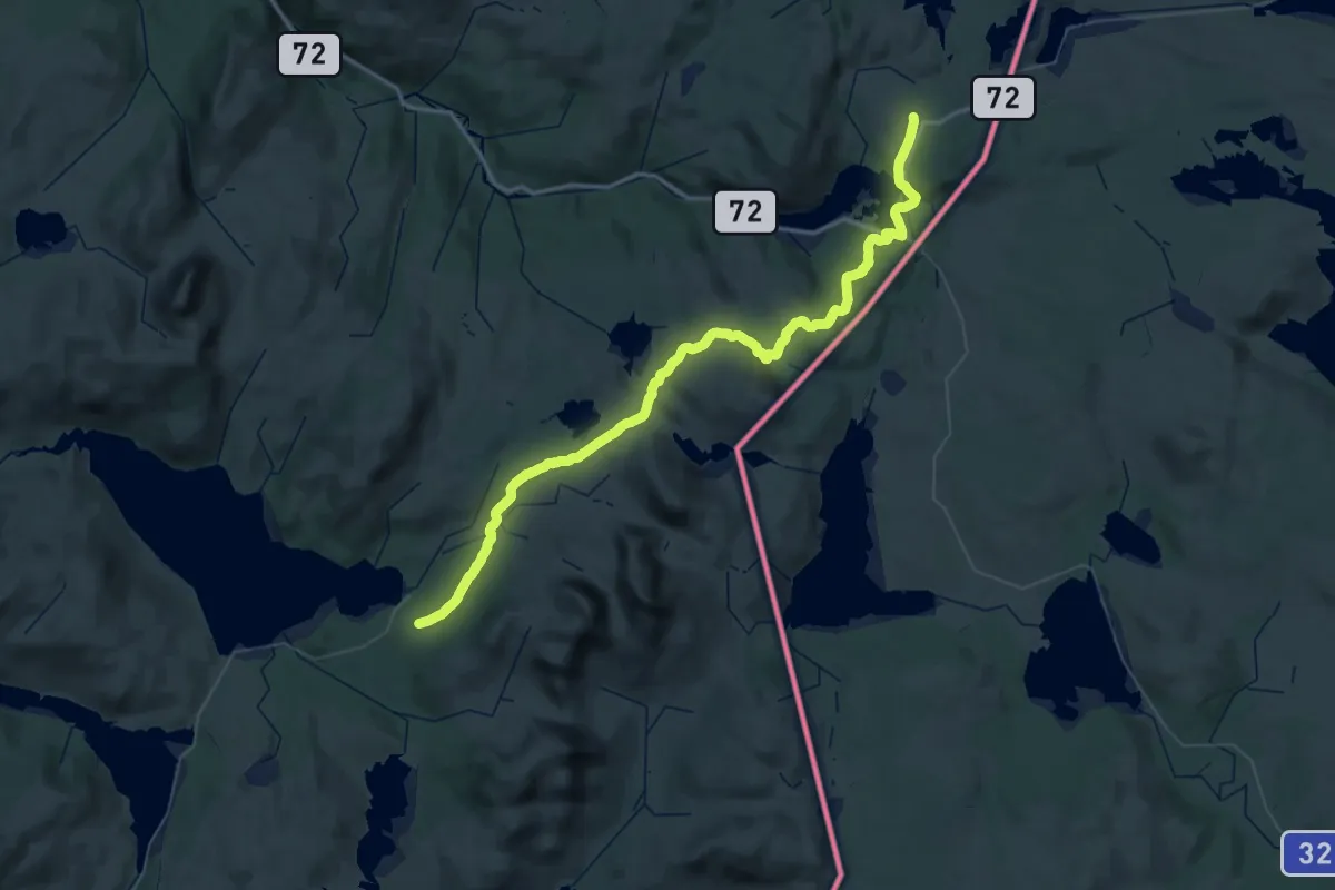
Demanding · Trail
Ferslia – Bellingstua
27.1 km · ↑ 543 m · 7 h 57 min
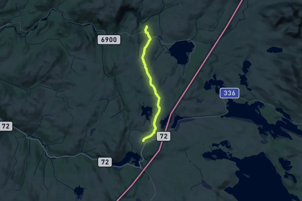
Medium · Cabin
Bringsåsen – Bellingstua
17.9 km · ↑ 270 m · 5 h 8 min
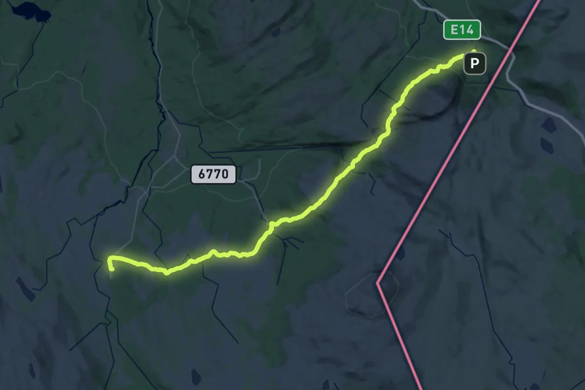
Medium · Cabin
Bjørneggen – Teveltunet
17.2 km · ↑ 520 m · 5 h 21 min
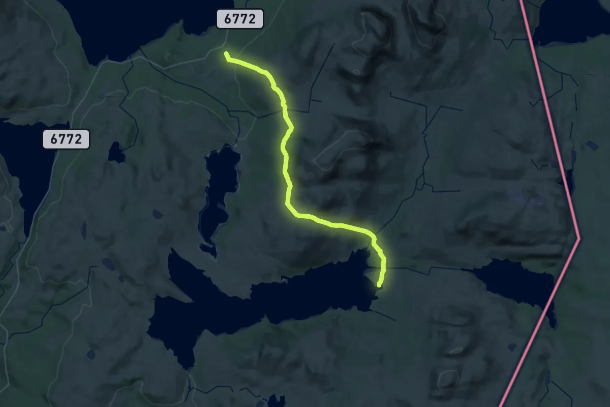
Medium · Cabin
Ferslia – Angeltjørnhytta
13.0 km · ↑ 436 m · 4 h 13 min
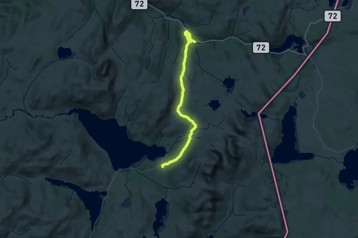
Demanding · Cabin
Ferslia – Sul
20.1 km · ↑ 487 m · 5 h 59 min
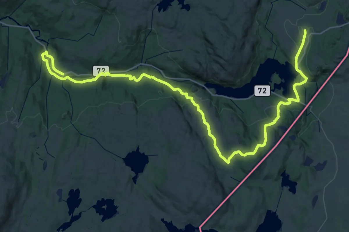
Demanding · Trail
Sul – Bellingstua
25.9 km · ↑ 658 m · 7 h 47 min
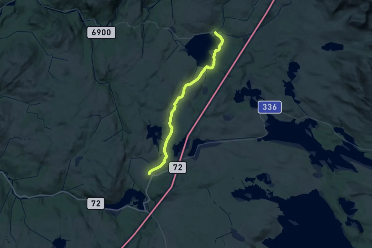
Medium · Trail
Veresvatnet (Sveet) – Bellingstua
17.4 km · ↑ 270 m · 4 h 51 min
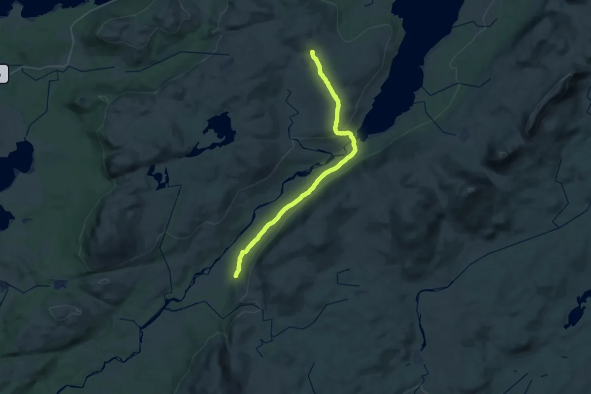
Demanding · Cabin
Lågvassbu – Skjæarkedalshytta
21.0 km · ↑ 376 m · 5 h 47 min
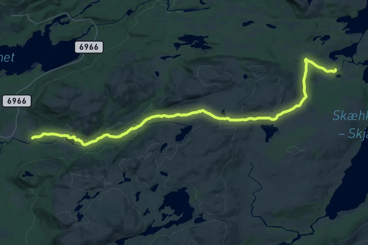
Demanding · Cabin
Litl-Gaulstad – Sætertjønnhytta
24.3 km · ↑ 546 m · 6 h 55 min
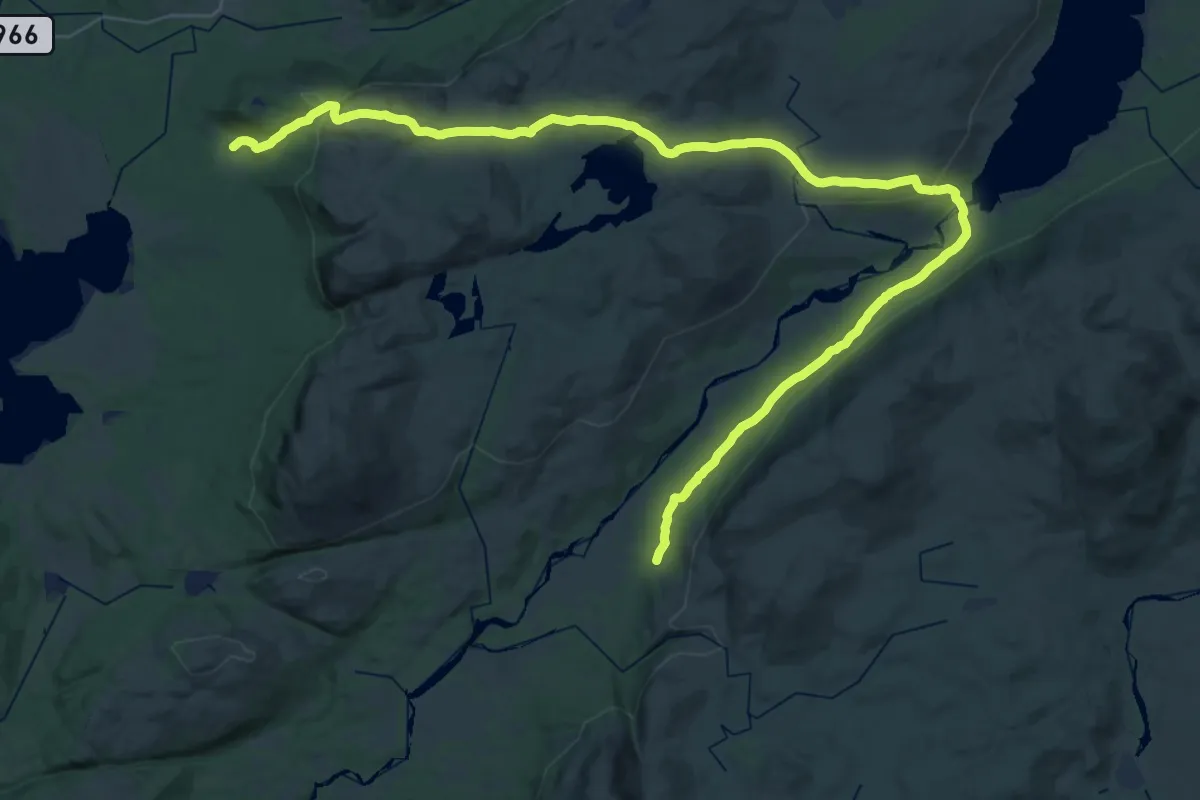
Medium · Cabin
Mokk – Skjæarkedalshytta
17.6 km · ↑ 496 m · 5 h 27 min
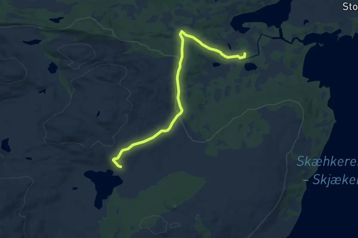
Easy · Cabin
Lågvassbu – Setertjønnhytta
7.7 km · ↑ 176 m · 2 h 11 min
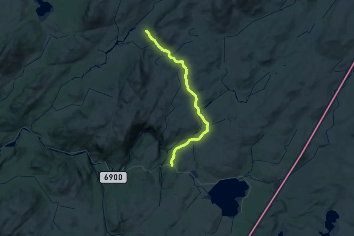
Medium · Cabin
Bringsåsen – Skjæarkedalshytta
15.8 km · ↑ 415 m · 4 h 49 min
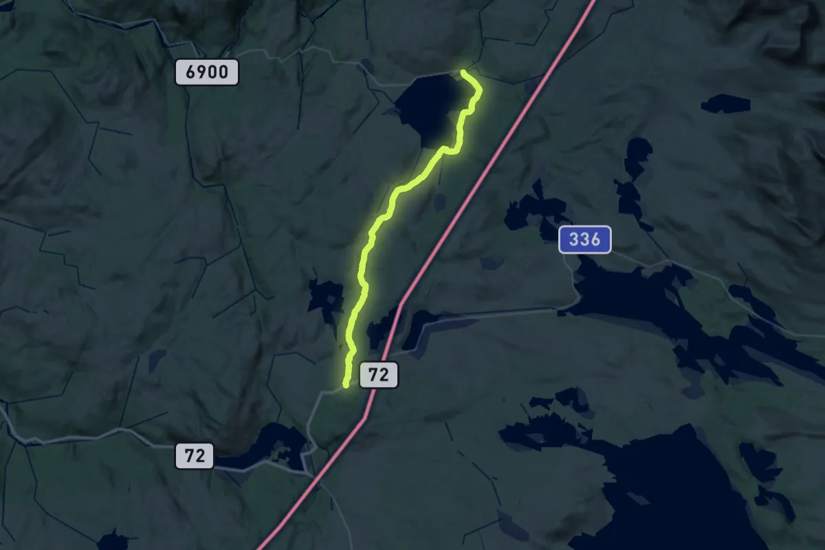
Medium · Trail
Veresvatnet (Sveet) – Breivatnet
16.5 km · ↑ 131 m · 4 h 29 min
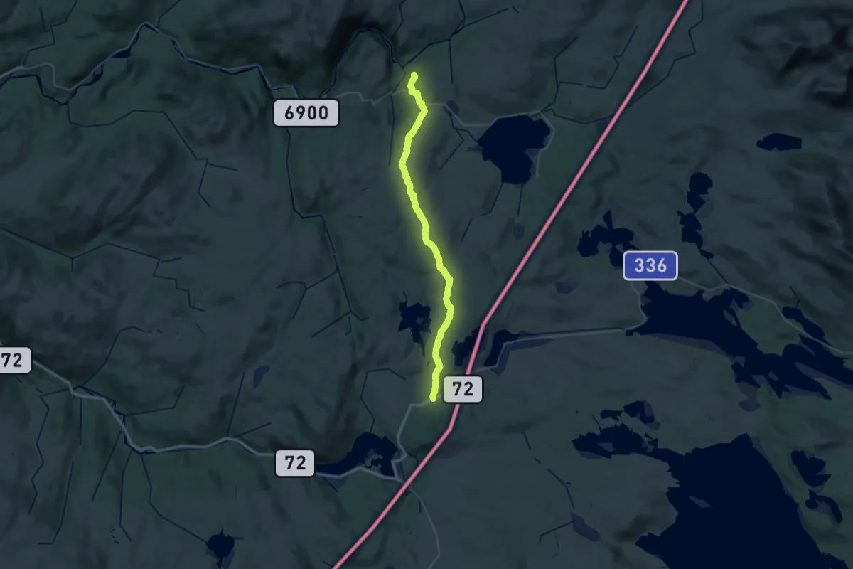
Medium · Cabin
Bringsåsen – Breivatnet
17.0 km · ↑ 268 m · 4 h 55 min
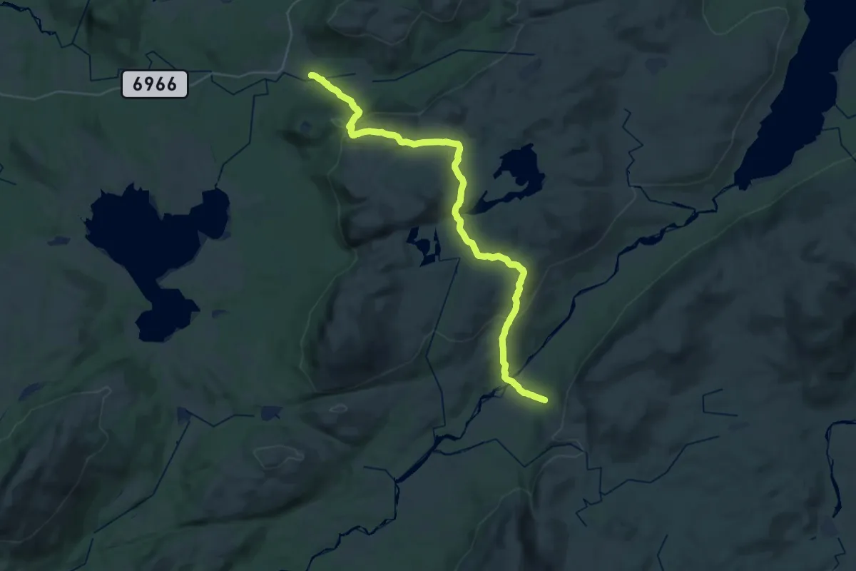
Demanding · Cabin
Litl-Gaulstad – Skjæarkedalshytta
24.2 km · ↑ 838 m · 7 h 31 min
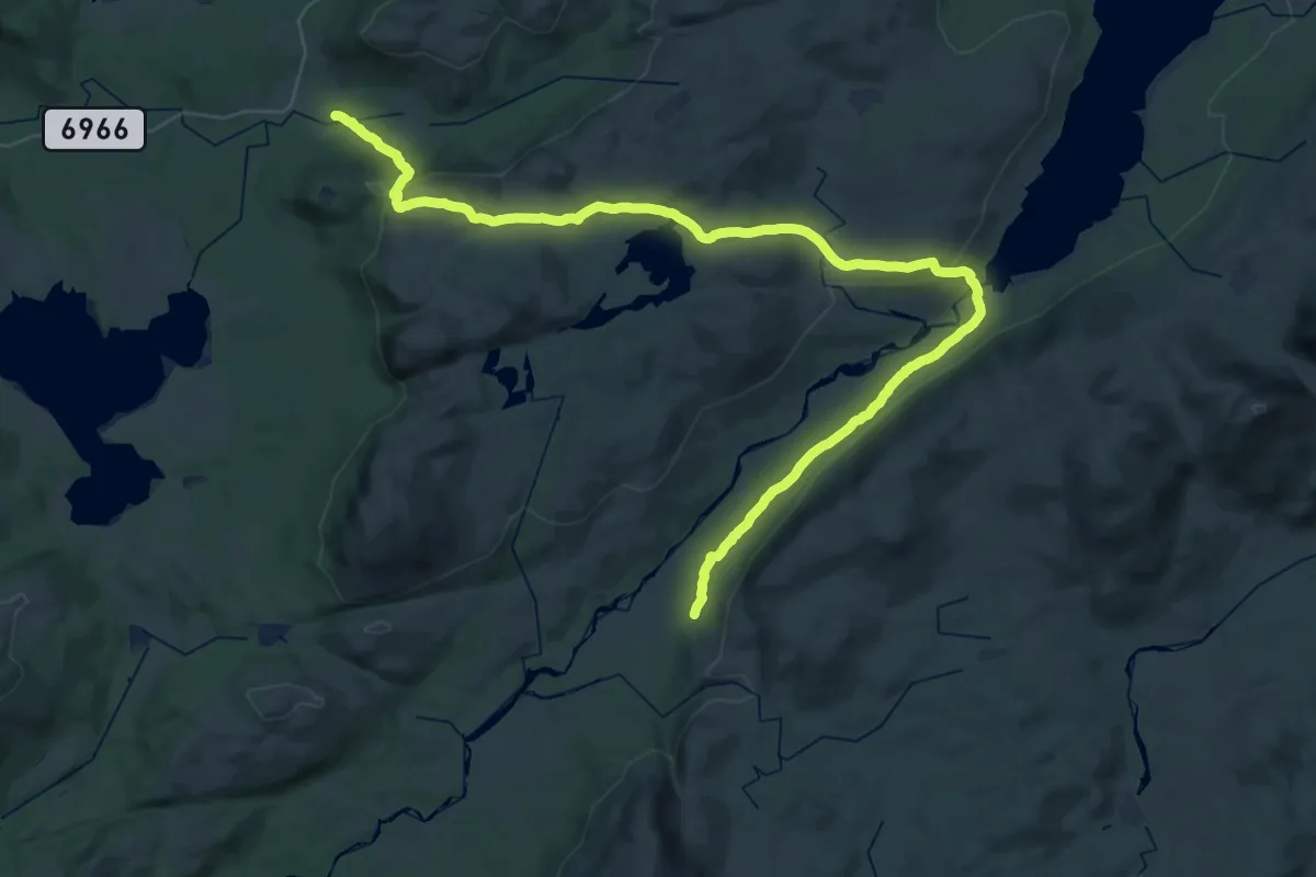
Medium · Cabin
Litl-Gaulstad – Skjæarkedalshytta
17.9 km · ↑ 524 m · 5 h 34 min
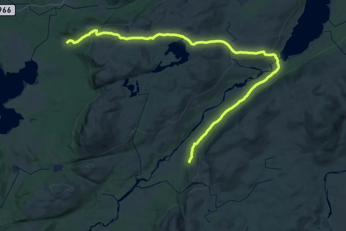
Medium · Cabin
Mokk – Skjæarkedalshytta
17.6 km · ↑ 496 m · 5 h 27 min
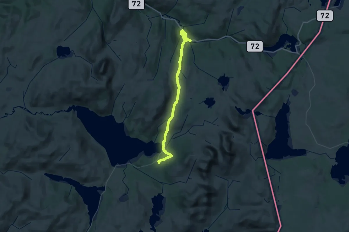
Demanding · Cabin
Ferslia – Sul
19.1 km · ↑ 569 m · 5 h 55 min
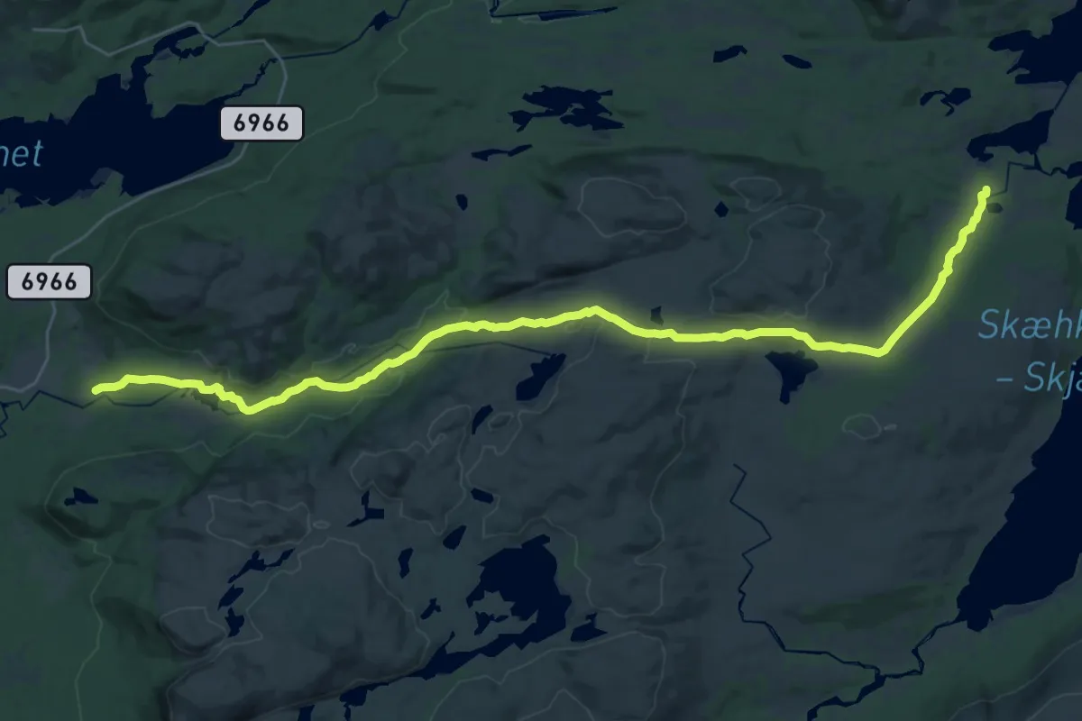
Demanding · Cabin
Litl-Gaulstad – Sætertjønnhytta
23.2 km · ↑ 546 m · 6 h 39 min
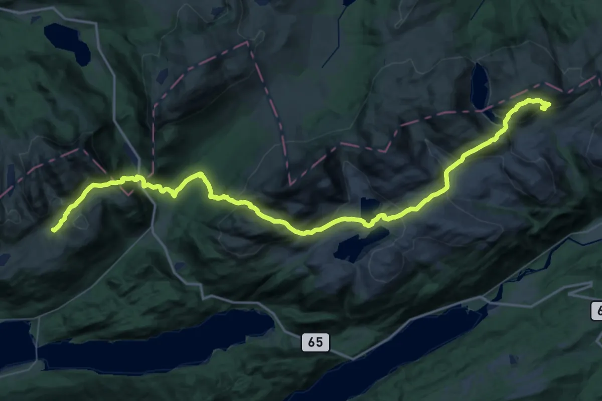
Demanding · Cabin
Tverrlihytta – Jutulbu
16.2 km · ↑ 910 m · 6 h 4 min
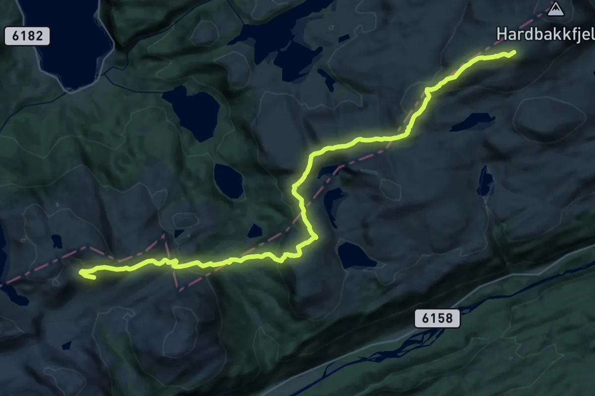
Demanding · Cabin
Tverrlihytta – Hardbakkhytta
21.6 km · ↑ 1182 m · 7 h 39 min
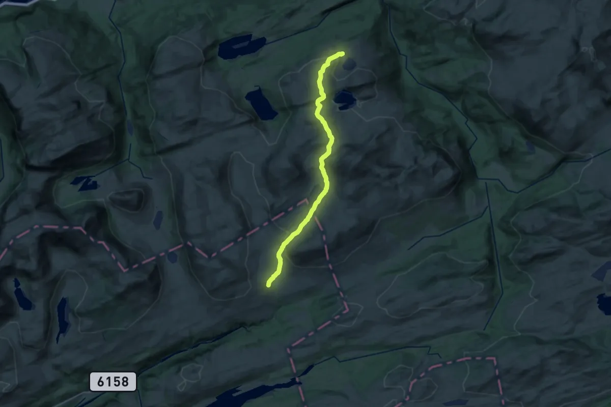
Medium · Cabin
Grytbakksetra – Storlisætra
17.3 km · ↑ 453 m · 5 h 4 min
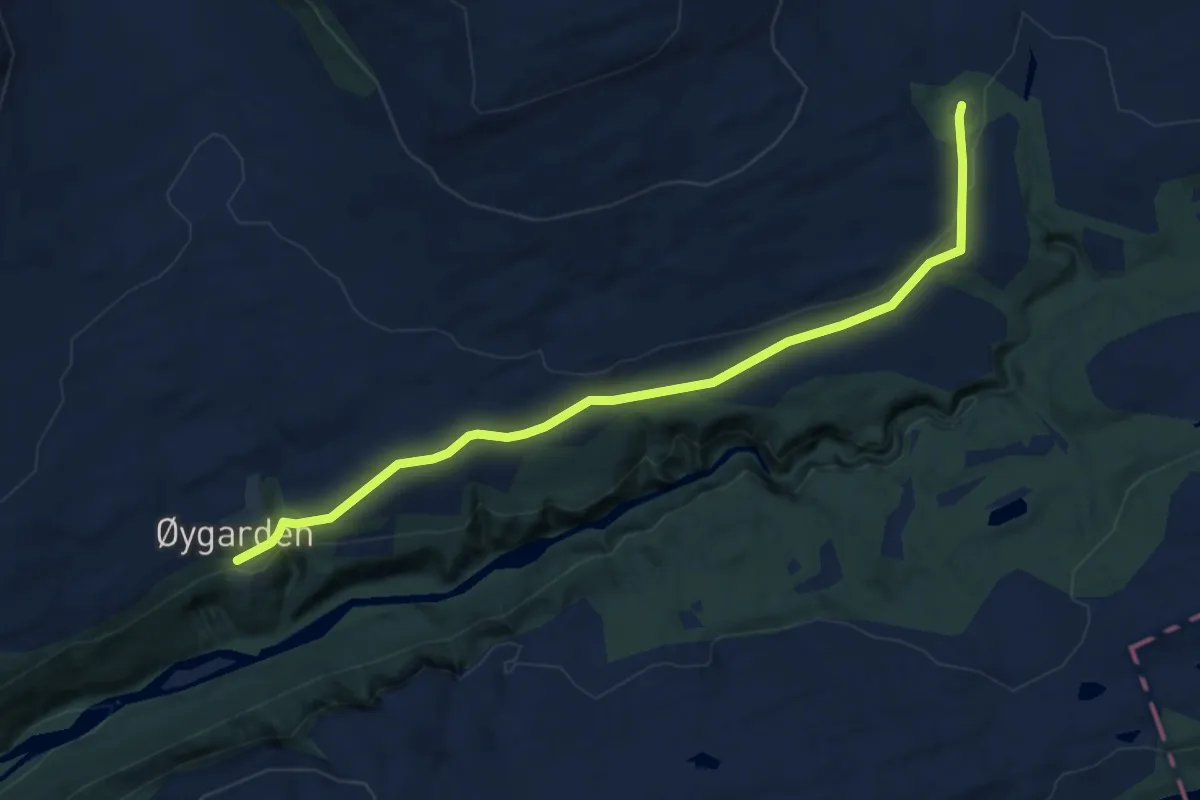
Easy · Cabin
Grytbakksetra – Øygarden
6.6 km · ↑ 151 m · 1 h 53 min
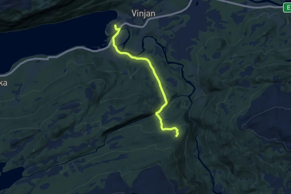
Easy · Cabin
Storlisetra – Vinjeøra
7.3 km · ↑ 255 m · 2 h 16 min
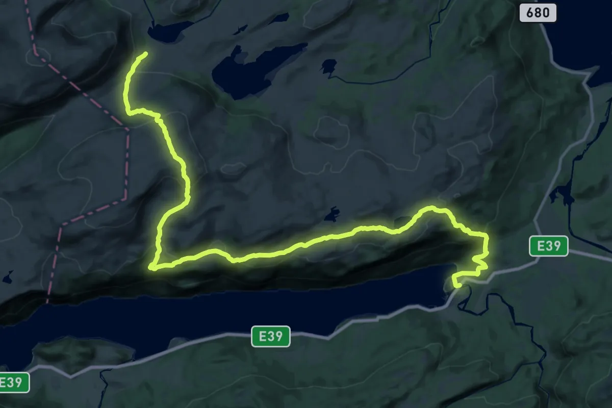
Medium · Trail
Sollia – Vinjeøra
14.3 km · ↑ 565 m · 4 h 59 min
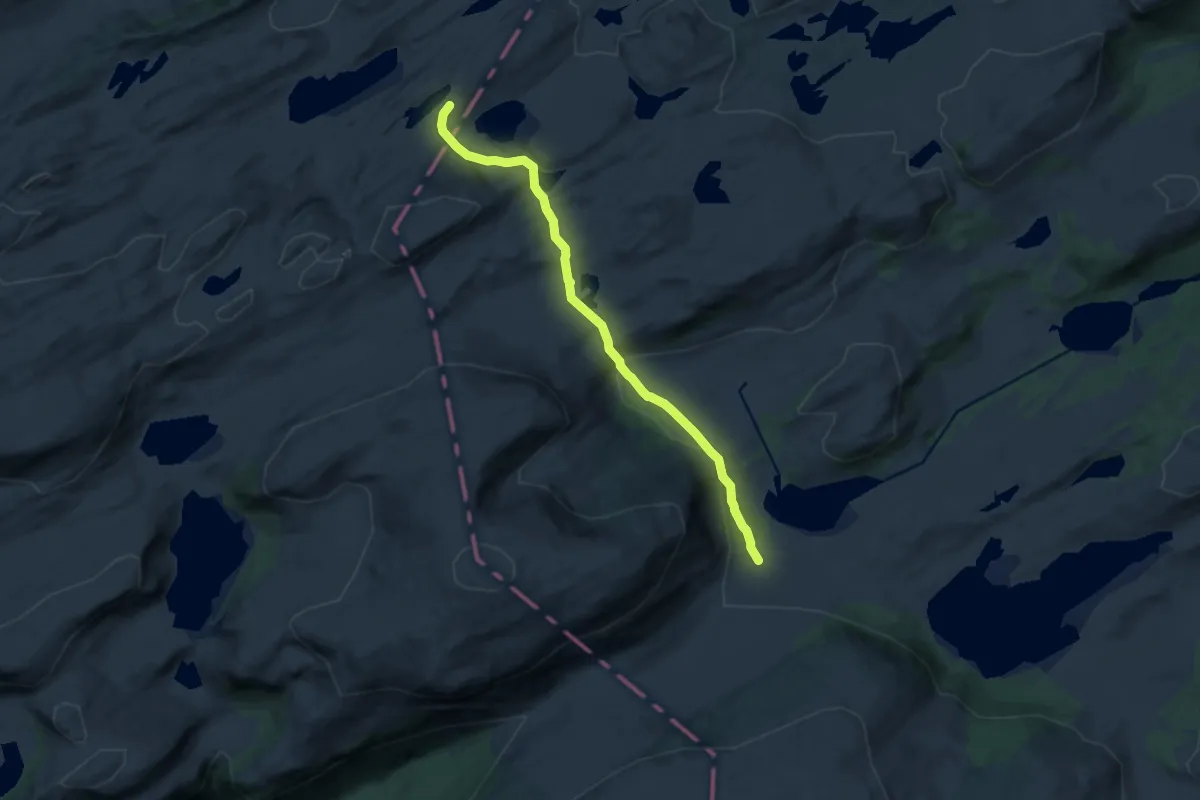
Medium · Cabin
Sollia – Storfiskhytta
9.0 km · ↑ 235 m · 2 h 38 min
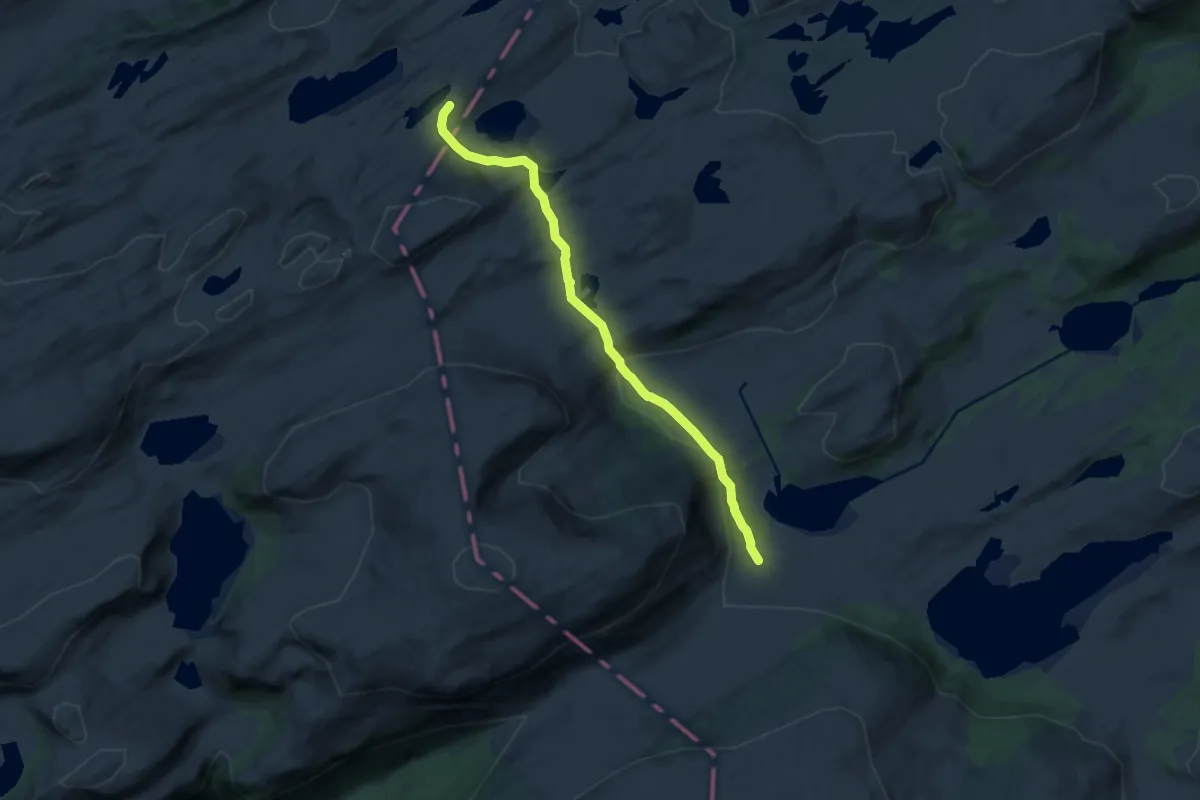
Medium · Cabin
Storfiskytta – Vinjeøra
9.0 km · ↑ 235 m · 2 h 38 min
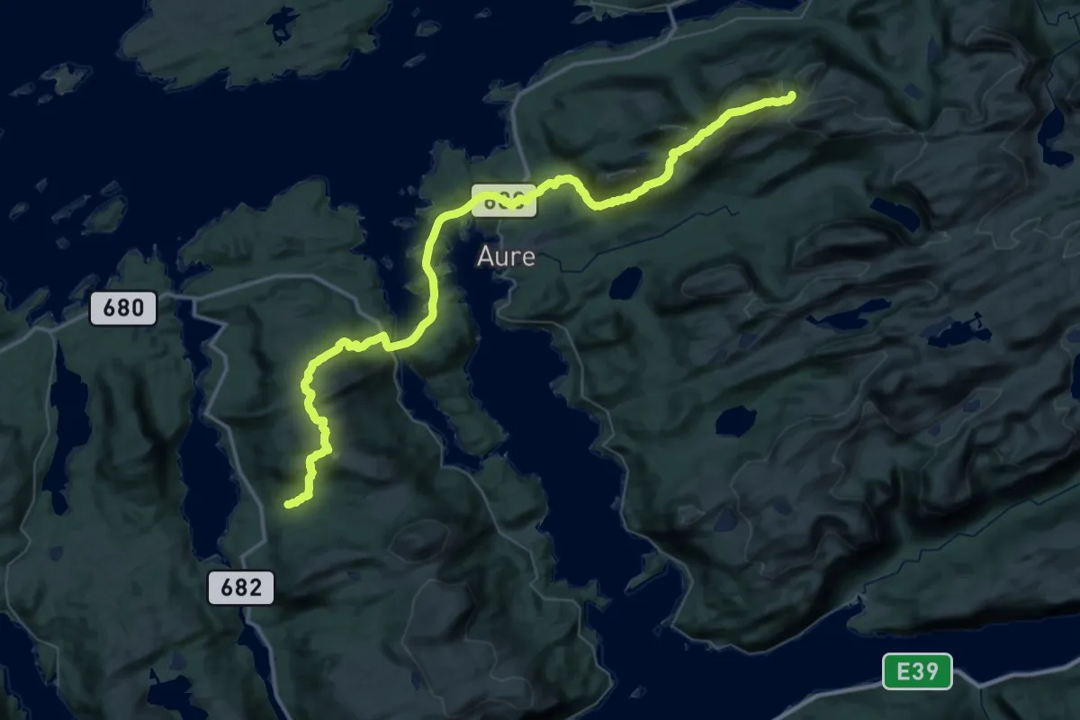
Demanding · Cabin
Rovangen – Nersetra
20.2 km · ↑ 822 m · 6 h 58 min
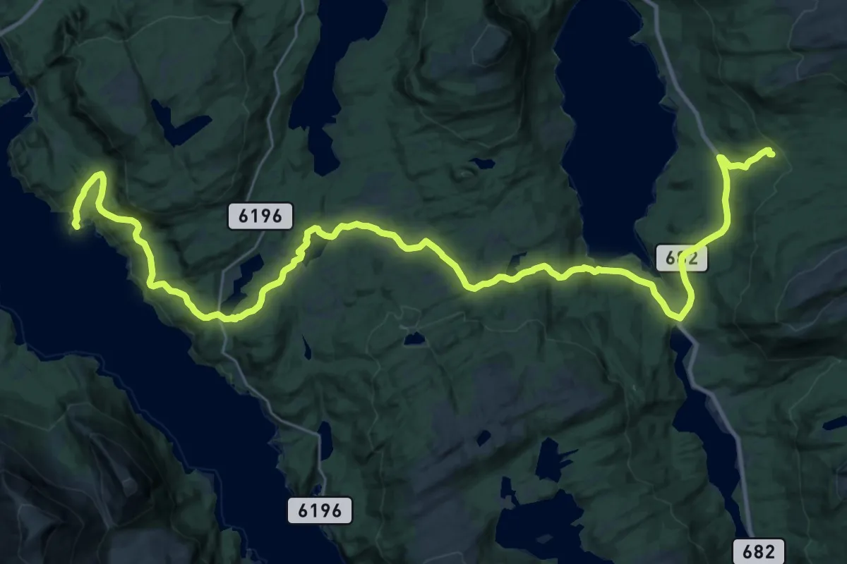
Demanding · Cabin
Imarbu – Nersetra
26.2 km · ↑ 732 m · 7 h 46 min
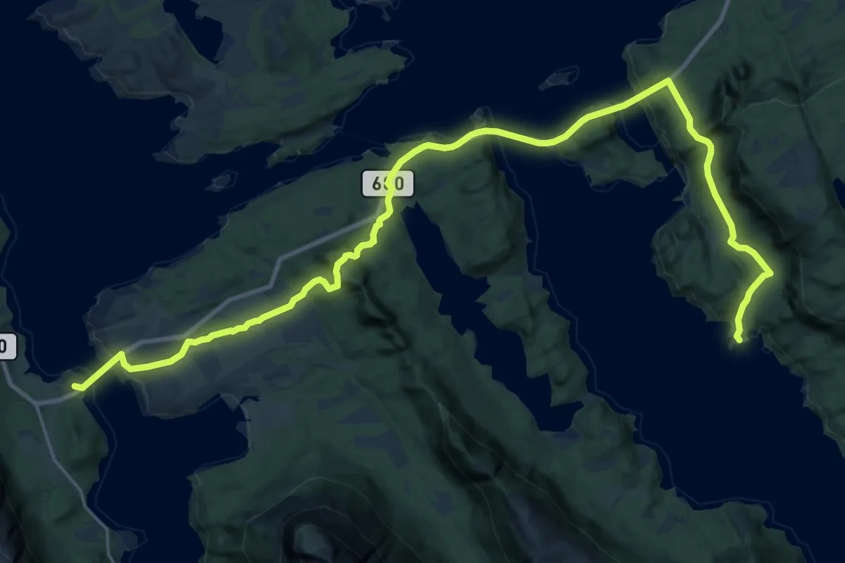
Demanding · Summit
Imarbu – Gullsteinvollen
19.7 km · ↑ 672 m · 6 h 7 min
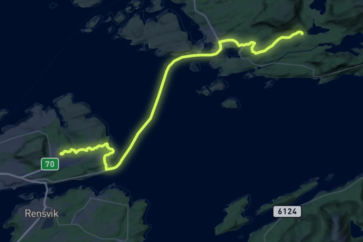
Demanding · Summit
Trollstua – Kristiansund Lufthavn
30.6 km · ↑ 417 m · 8 h 8 min
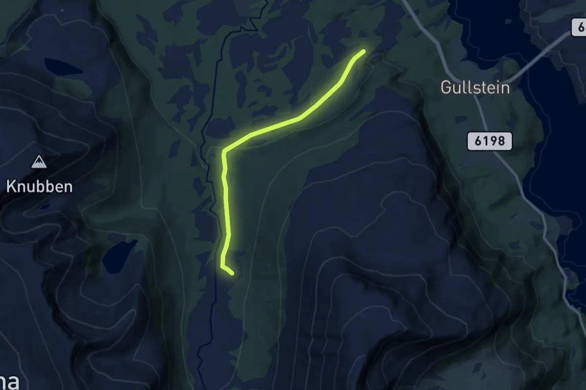
Easy · Cabin
Leira – Gullsteinvollen
5.6 km · ↑ 100 m · 1 h 32 min
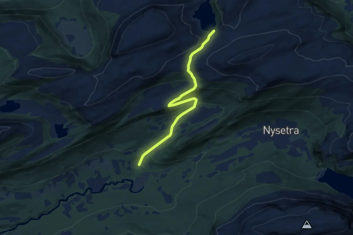
Medium · Cabin
Aurdalen – Rovangen
7.3 km · ↑ 356 m · 2 h 29 min
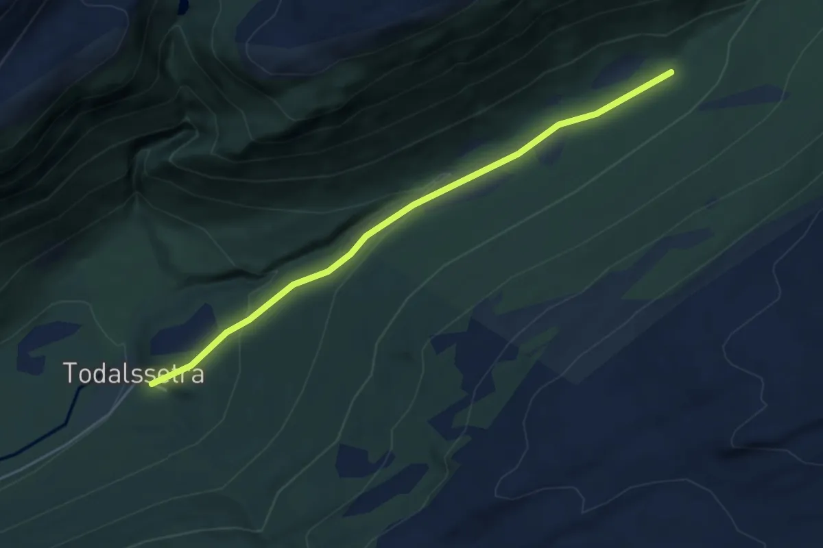
Easy · Trail
Todalssetra – Sollia
3.0 km · ↑ 113 m · 58 min
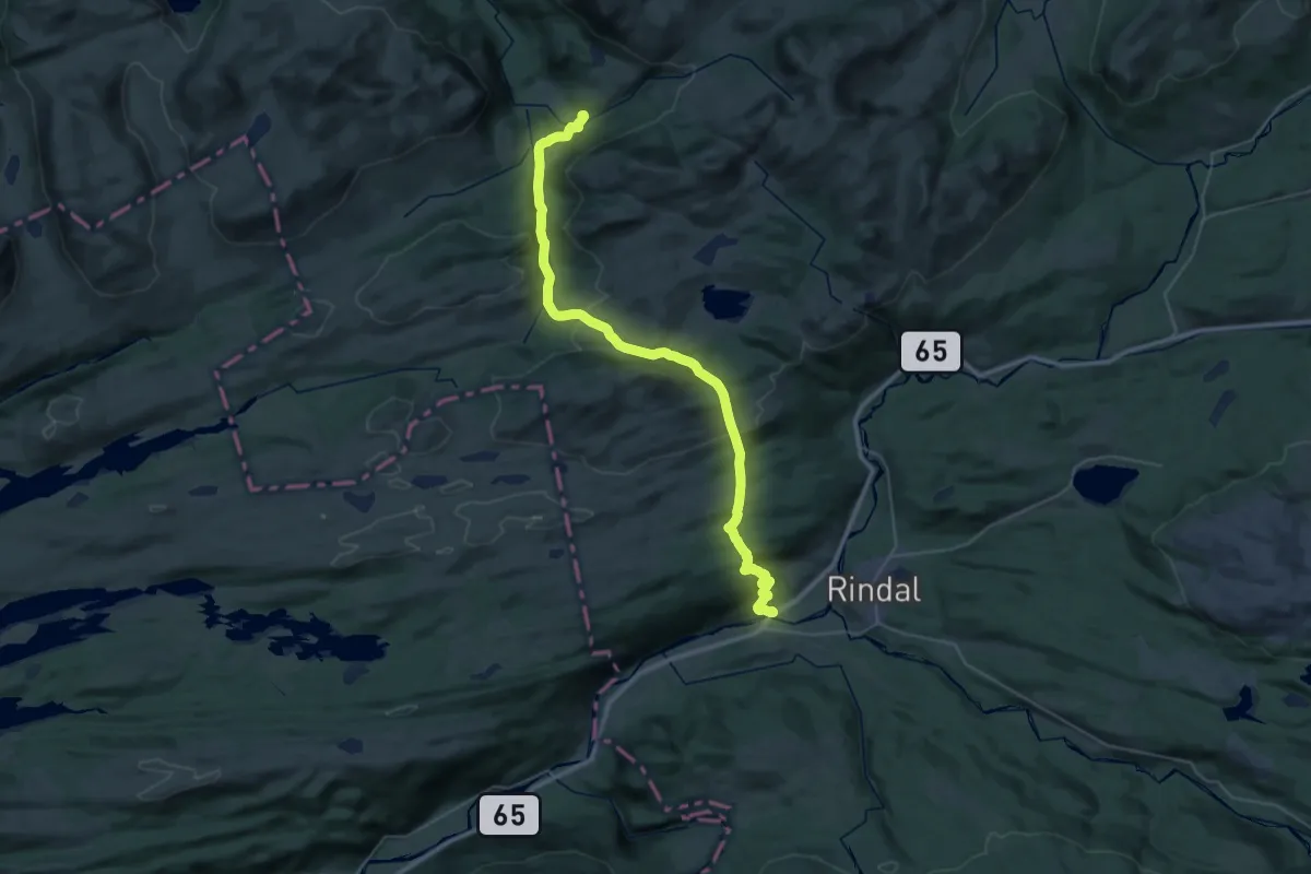
Medium · Cabin
Kårøyan – Rindal
14.0 km · ↑ 680 m · 4 h 52 min
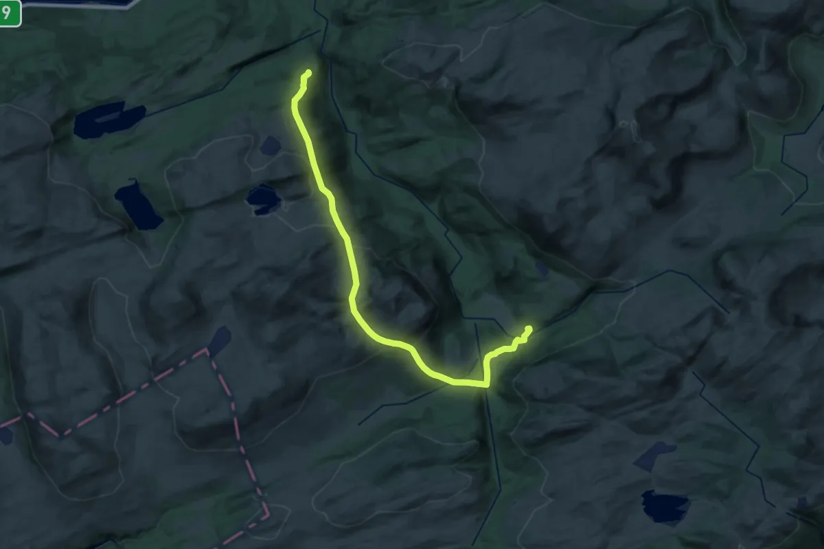
Demanding · Cabin
Storlisetra – Kårøyan
20.5 km · ↑ 1019 m · 7 h 3 min
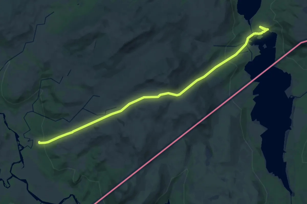
Demanding · Cabin
Gaundalen fjellgård – Holden Fjellgård
25.5 km · ↑ 749 m · 7 h 38 min
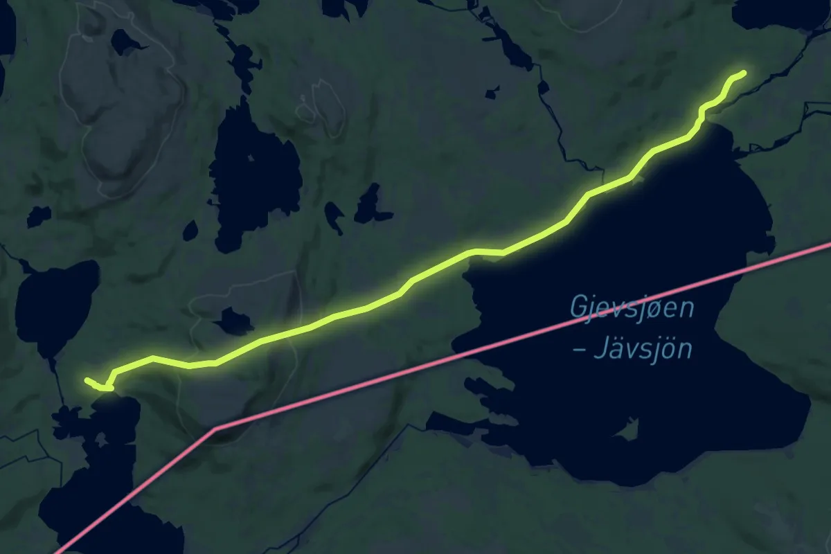
Demanding · Cabin
Grevsjøen – Holden Fjellgård
22.5 km · ↑ 429 m · 6 h 14 min
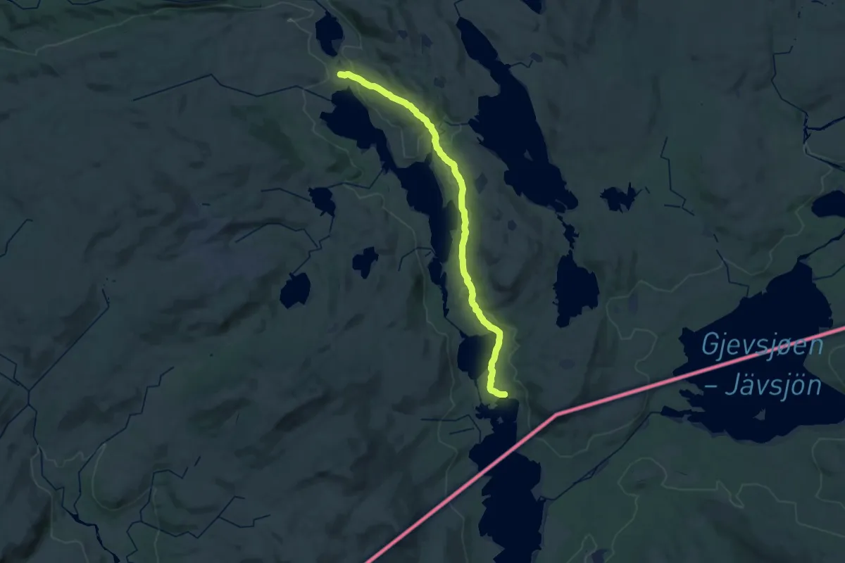
Demanding · Cabin
Grønningen – Holden Fjellgård
24.7 km · ↑ 505 m · 6 h 56 min