Trails in Norway
7,453 hiking trails, each with its route, climb, walking time and grade.
All trails, page 151 of 156
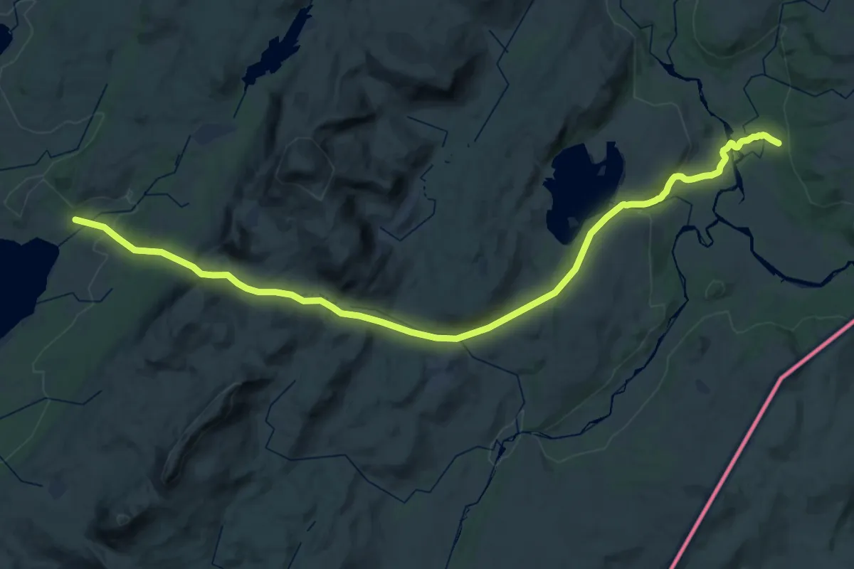
Medium · Cabin
Gaundalen fjellgård – Setertjønnhytta
16.9 km · ↑ 443 m · 5 h 11 min
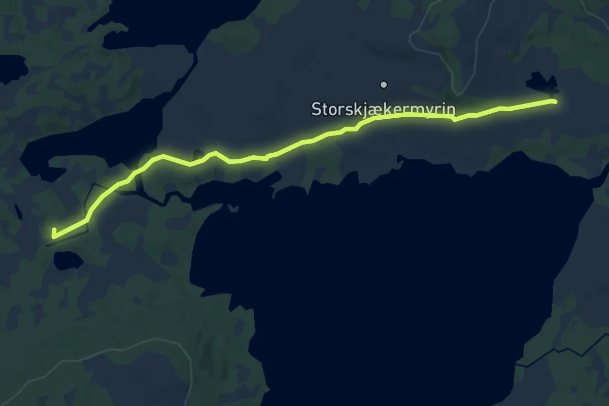
Easy · Cabin
Gomolia – Sætertjønnhytta
7.1 km · ↑ 47 m · 1 h 47 min
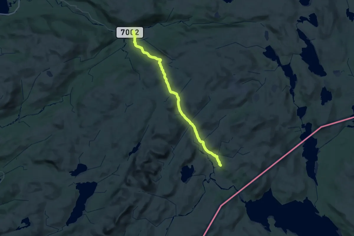
Demanding · Cabin
Kjevlia – Gaundalen fjellgård
21.3 km · ↑ 593 m · 6 h 29 min
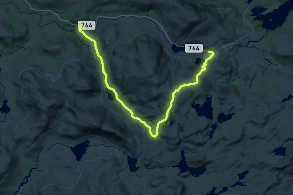
Demanding · Trail
Fredrikhaugen – Skorovatn
20.1 km · ↑ 609 m · 6 h 17 min
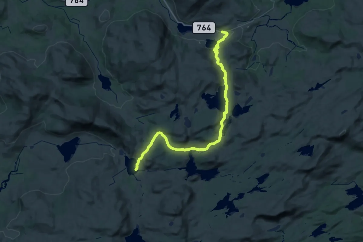
Medium · Trail
Skorovatn – Mettivasshytta
16.0 km · ↑ 365 m · 4 h 45 min
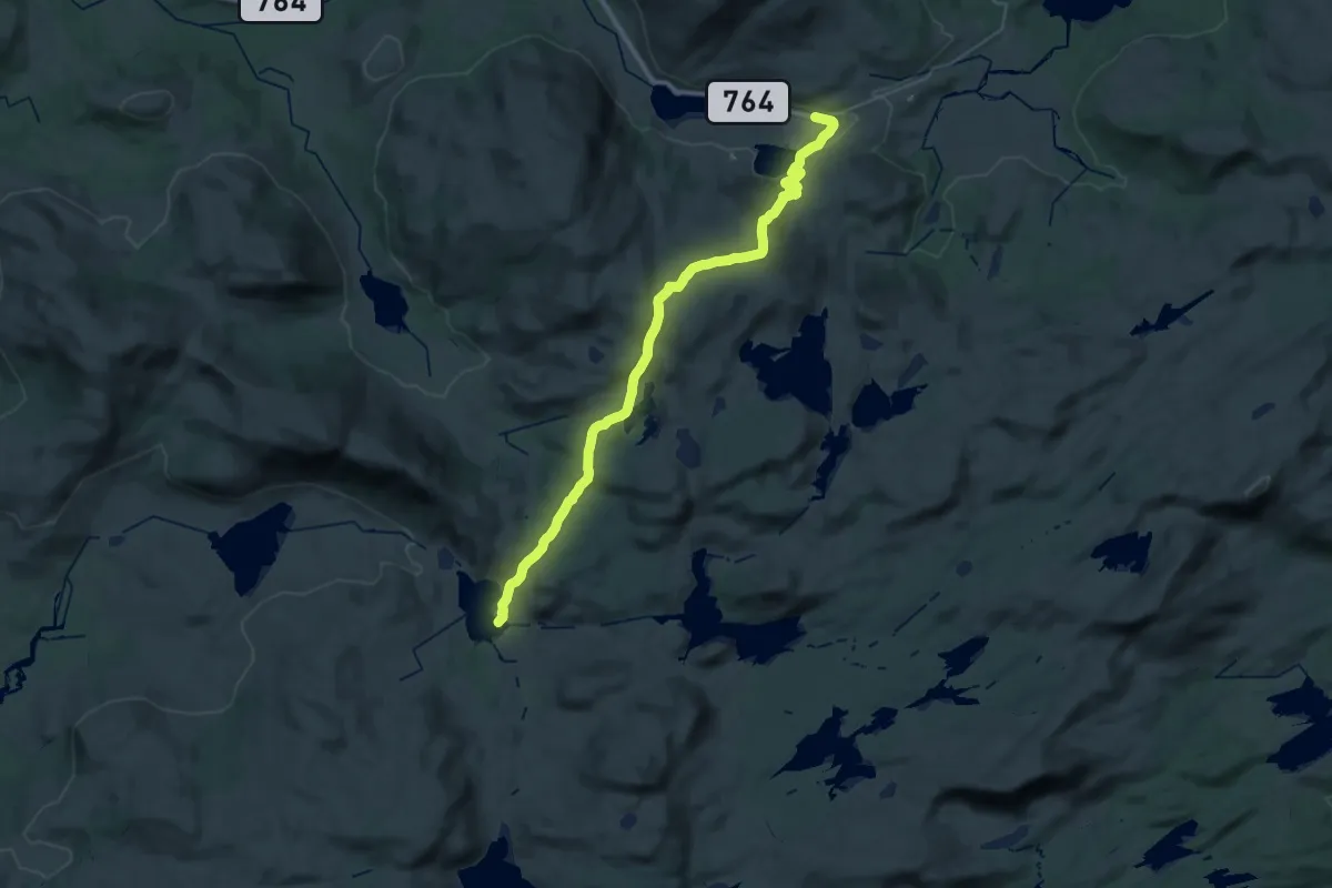
Demanding · Trail
Skorovatn – Mettivasshytta
24.4 km · ↑ 736 m · 7 h 22 min
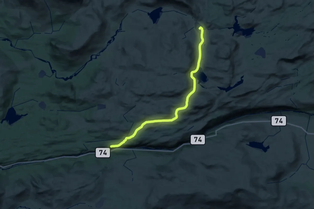
Medium · Trail
Berg – Mettivasshytta
17.1 km · ↑ 535 m · 5 h 21 min
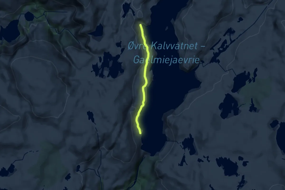
Easy · Trail
Holmvatnet – Kalvkruvatnet
7.7 km · ↑ 159 m · 2 h 10 min
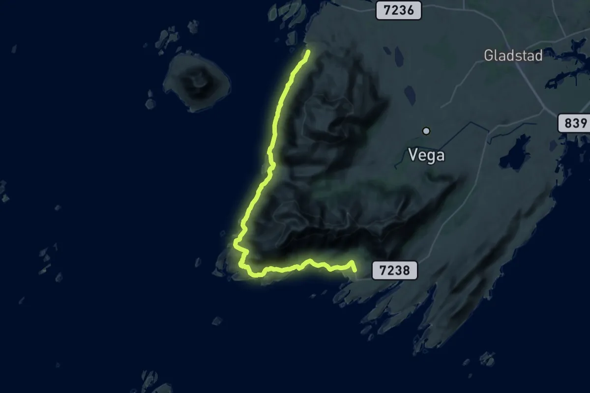
Demanding · Trail
Sundsvoll – Eidem
26.3 km · ↑ 469 m · 7 h 14 min
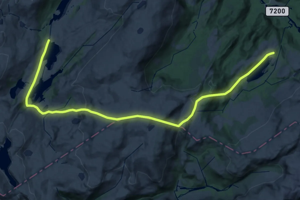
Medium · Trail
Terråk – Fuglstad
16.2 km · ↑ 691 m · 5 h 34 min
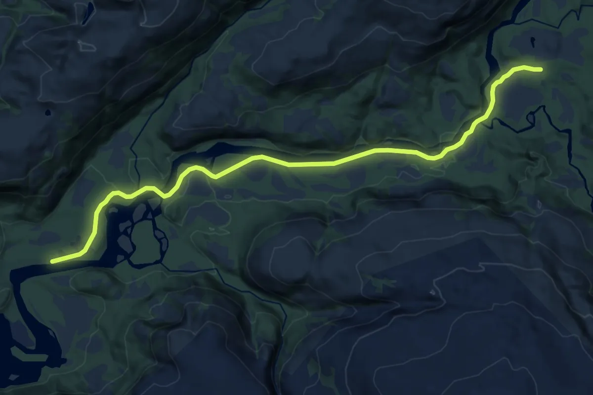
Medium · Trail
Åbjørvatnet – Kalvkruvatnet
11.5 km · ↑ 66 m · 2 h 52 min
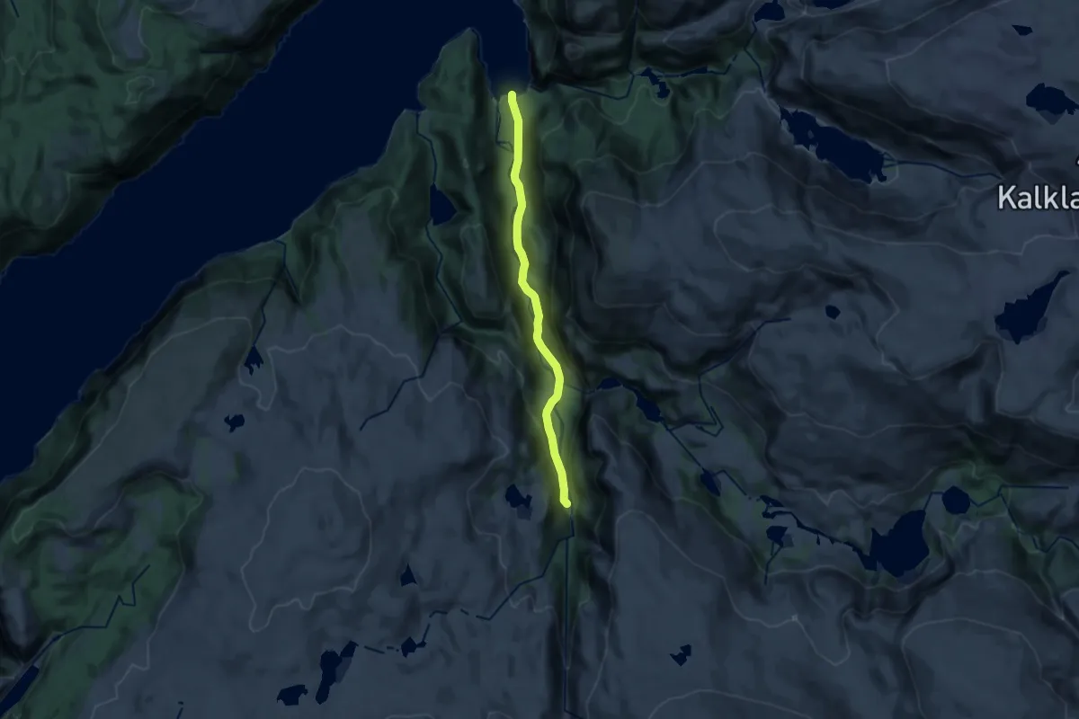
Medium · Trail
Kollsvikbogen – Kalvkruvatnet
9.9 km · ↑ 175 m · 2 h 43 min
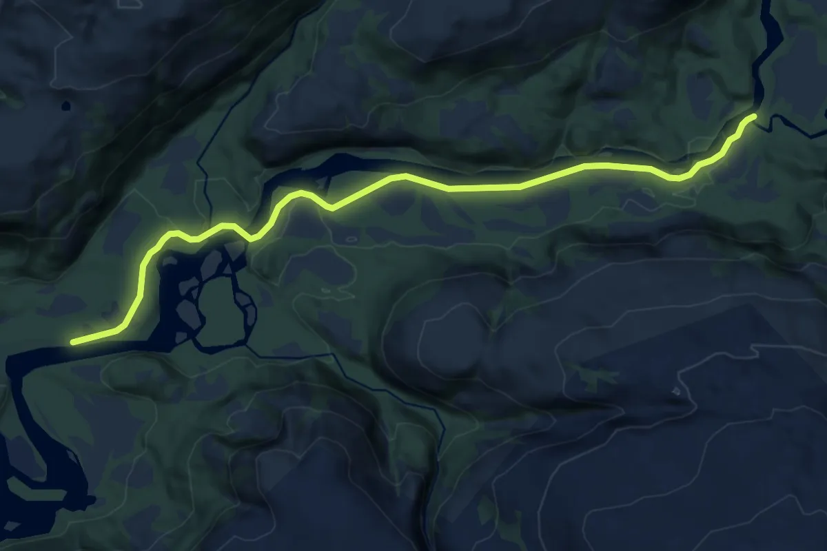
Medium · Trail
Åbjøra – Kongsmoen
9.8 km · ↑ 36 m · 2 h 23 min
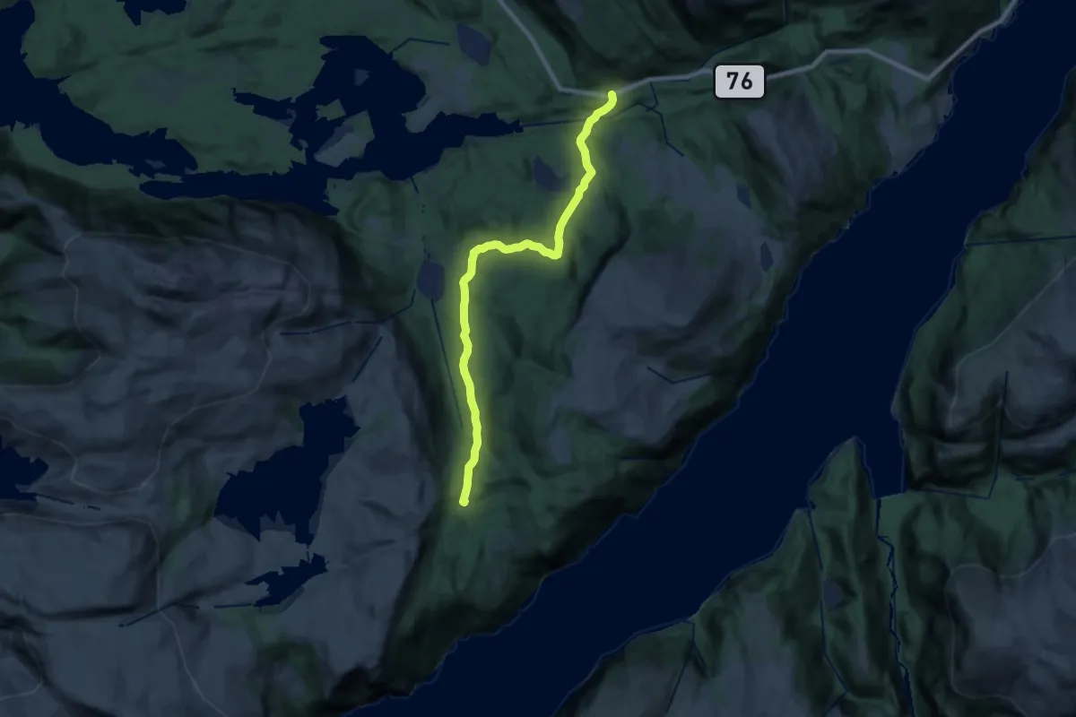
Medium · Trail
Reppå – Hongbarstad
14.3 km · ↑ 316 m · 4 h 3 min
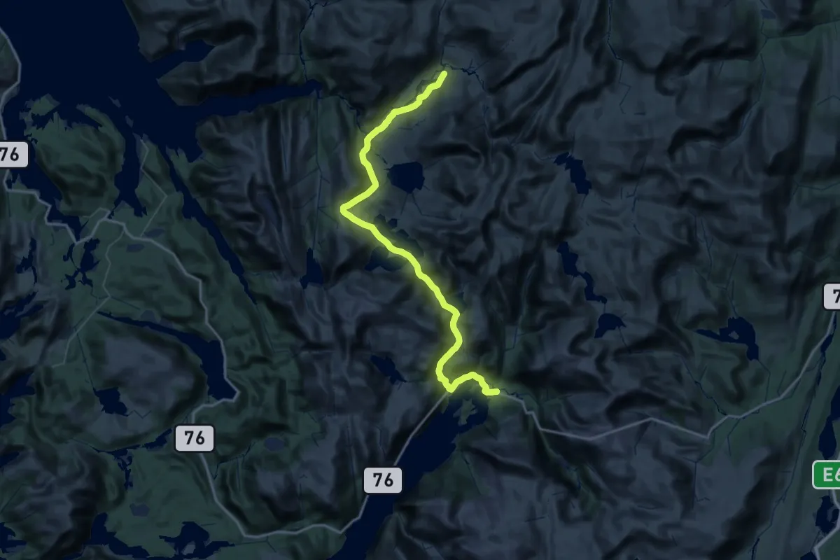
Demanding · Trail
Lomsdalen – Tosbotn
25.9 km · ↑ 817 m · 8 h 19 min
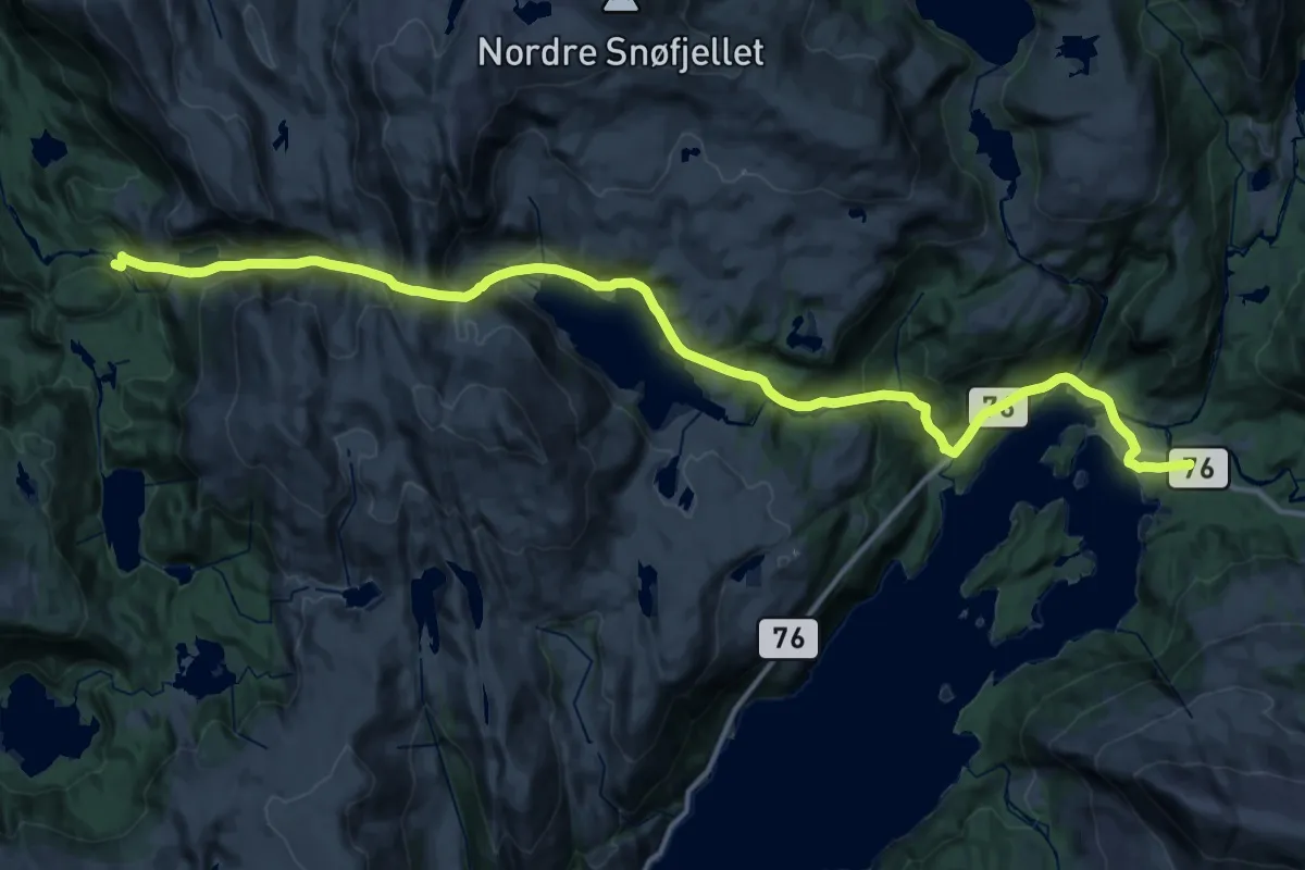
Medium · Trail
Sausvatn – Tosbotn
12.5 km · ↑ 700 m · 4 h 43 min
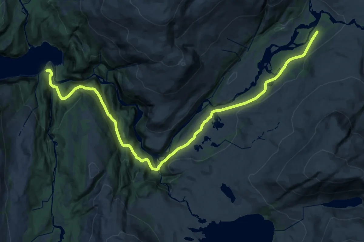
Demanding · Trail
Børiøyra / Børjøra – Lomsdalen
19.8 km · ↑ 548 m · 5 h 52 min
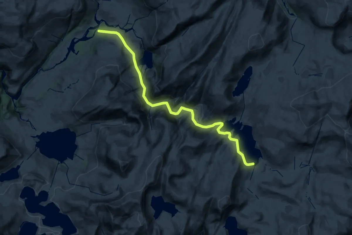
Demanding · Trail
Lomsdalen – Elgviddvatnet
23.7 km · ↑ 1031 m · 7 h 50 min
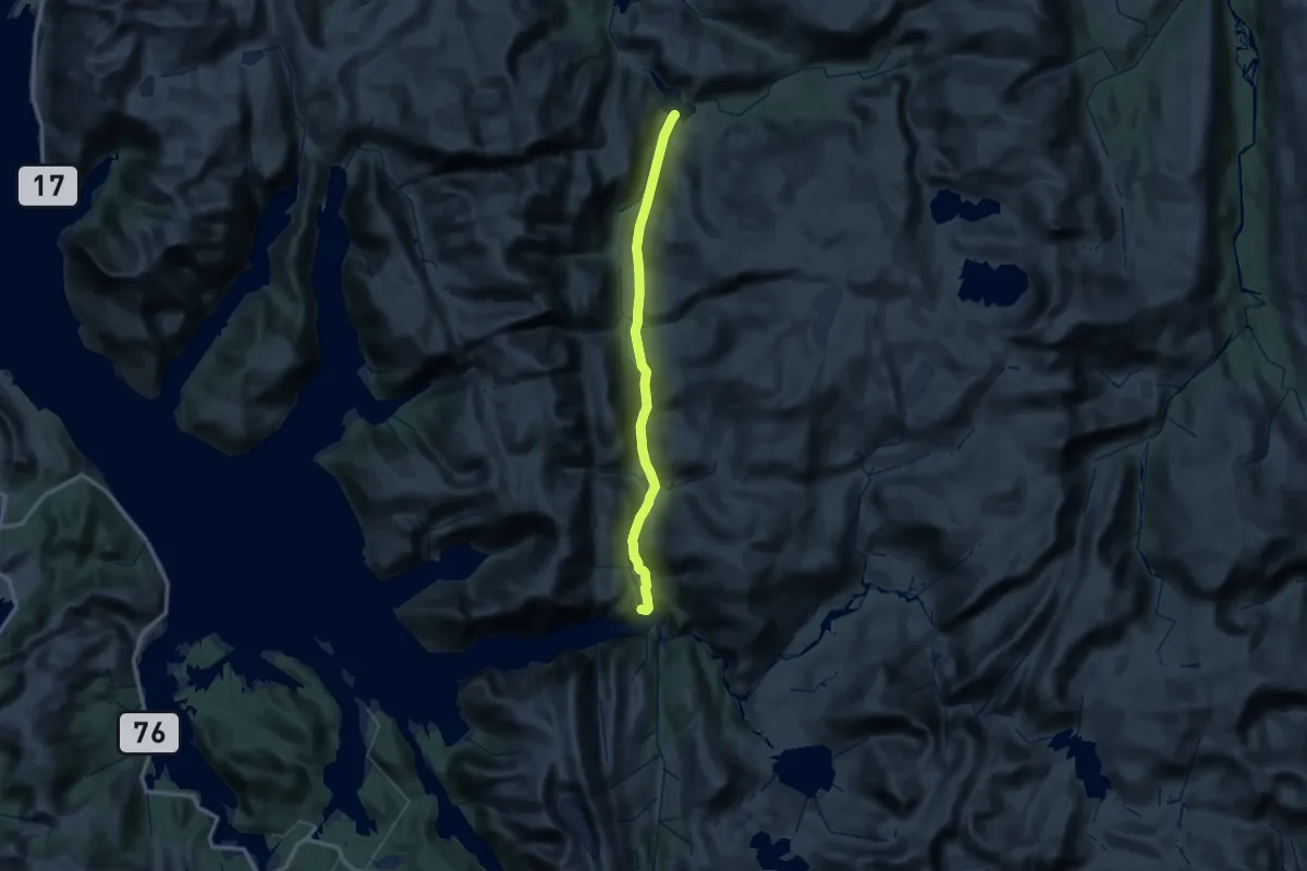
Medium · Trail
Aursletta – Storbørja
15.9 km · ↑ 594 m · 5 h 15 min
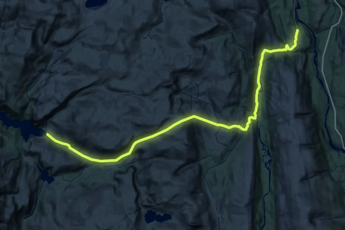
Demanding · Trail
Austerfjorden – Eiterådalen
28.7 km · ↑ 1190 m · 9 h 44 min
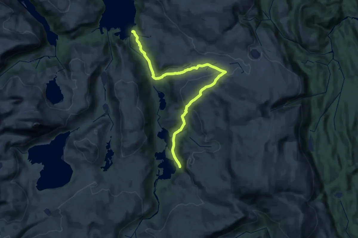
Demanding · Trail
Hundåla – Sørvassdalen
25.6 km · ↑ 875 m · 7 h 57 min
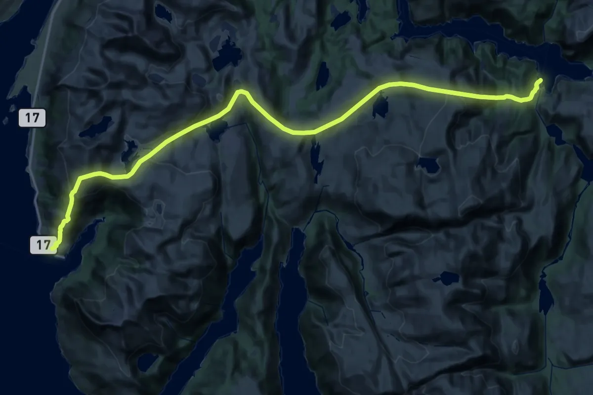
Demanding · Trail
Andalsvågen – Aursletta
21.3 km · ↑ 1355 m · 8 h 16 min
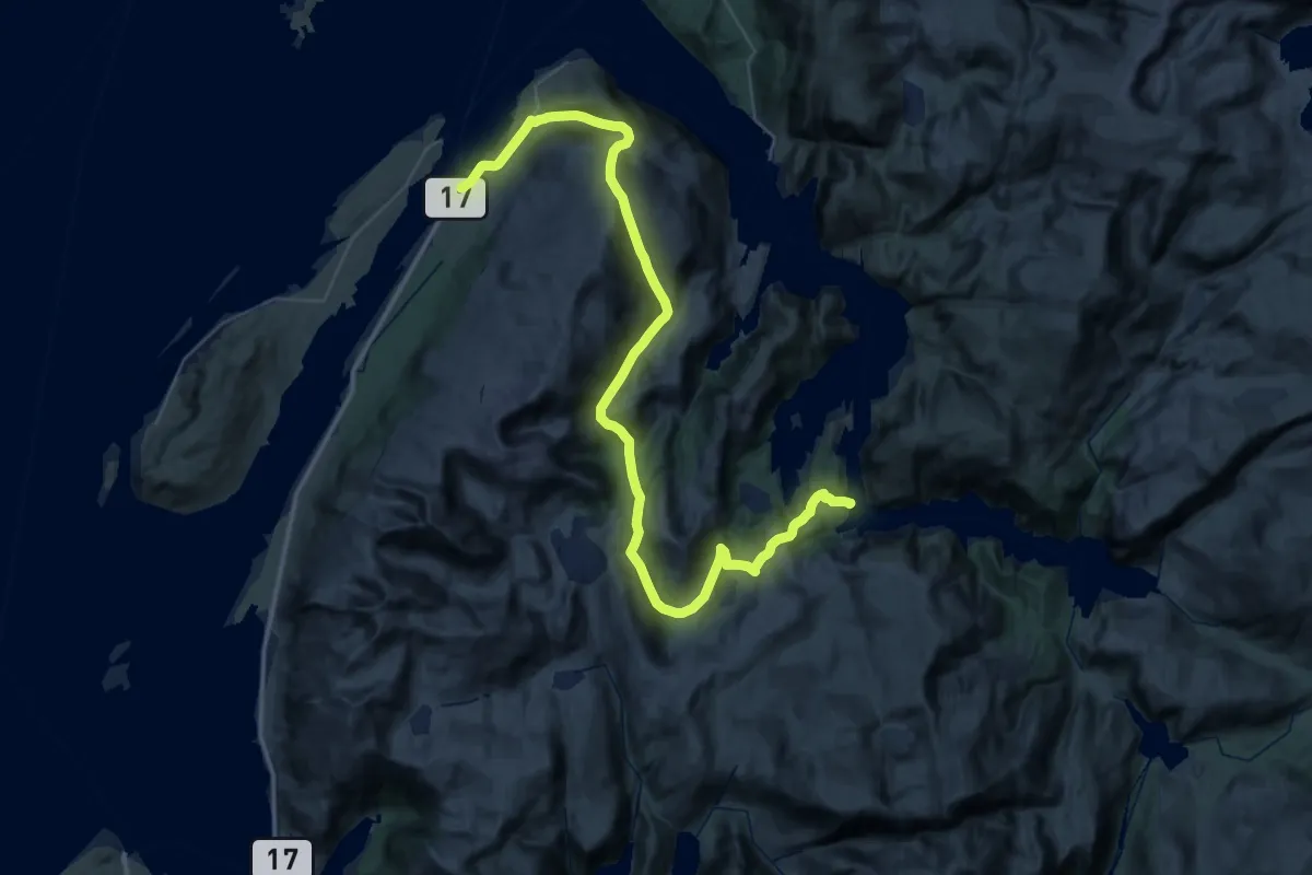
Demanding · Trail
Forvika – Ausa
22.4 km · ↑ 1116 m · 8 h 1 min
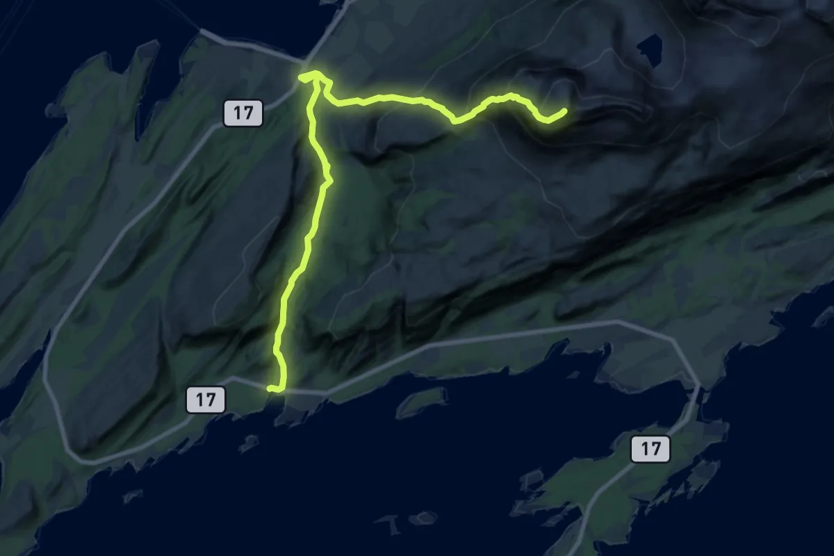
Demanding · Summit
Søvikskardet – Breitinden
12.9 km · ↑ 1045 m · 5 h 18 min
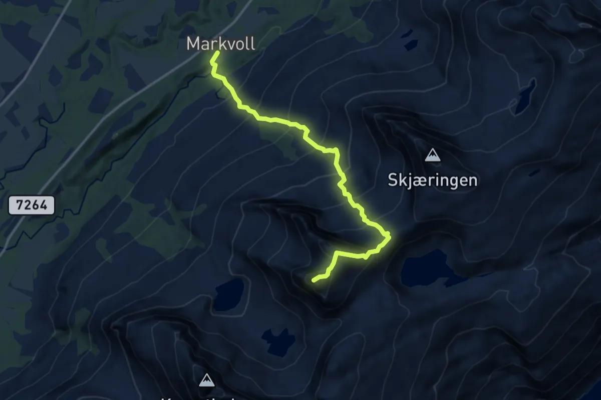
Demanding · Summit
Markvoll – Tvillingan
7.1 km · ↑ 916 m · 3 h 40 min
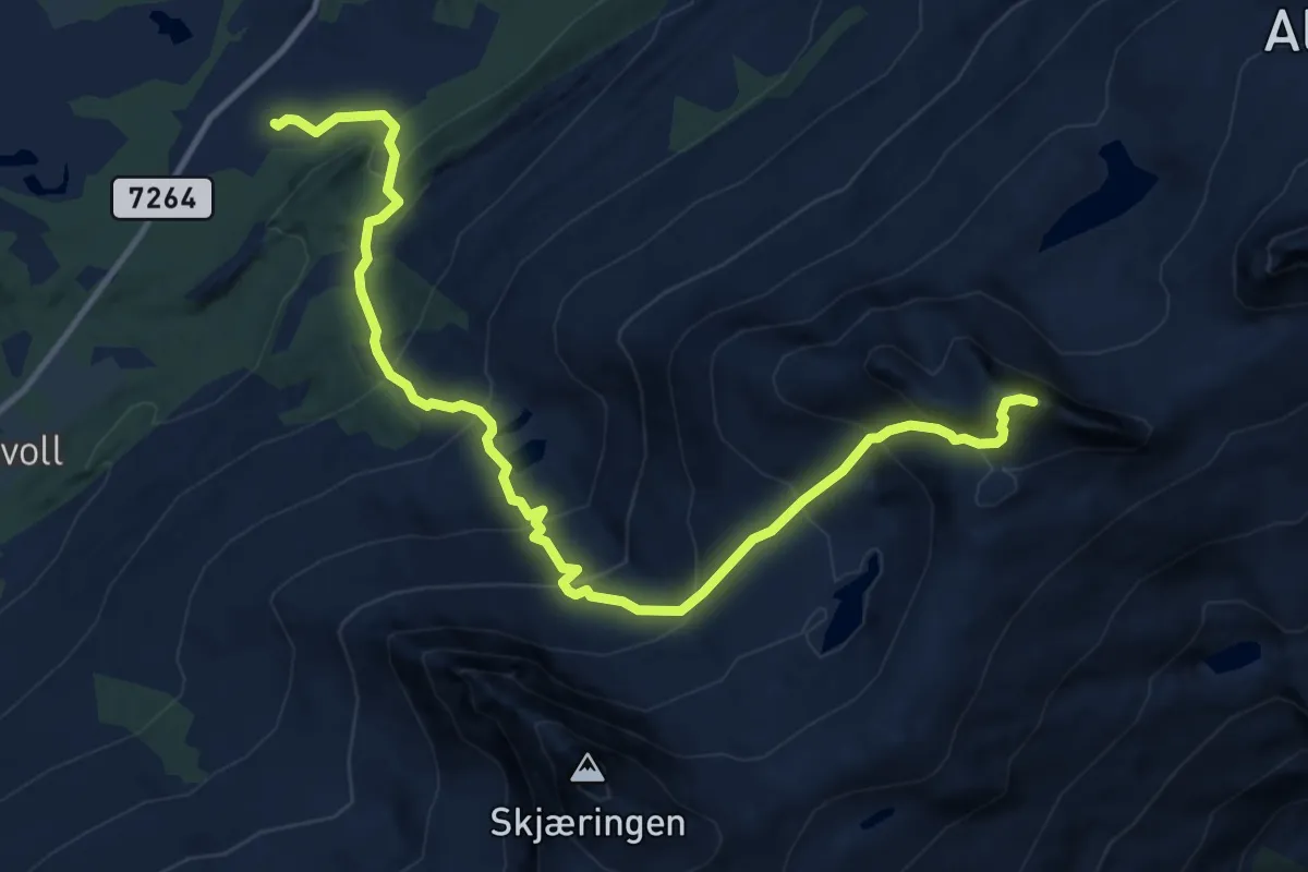
Demanding · Summit
Breidmo – Grytfoten
8.4 km · ↑ 938 m · 4 h 1 min
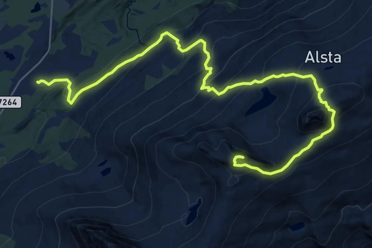
Demanding · Summit
Breidmo – Grytfoten
13.8 km · ↑ 1209 m · 5 h 53 min
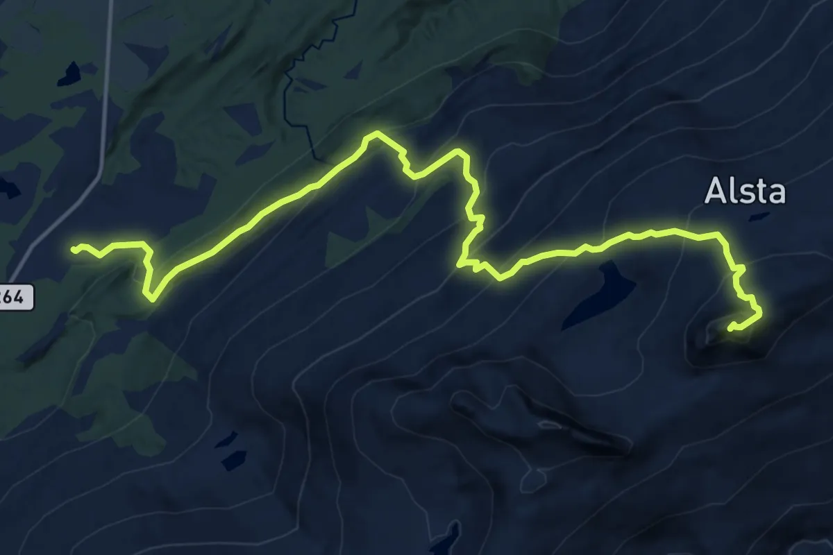
Demanding · Summit
Breidmo – Botnkrona
10.7 km · ↑ 979 m · 4 h 39 min
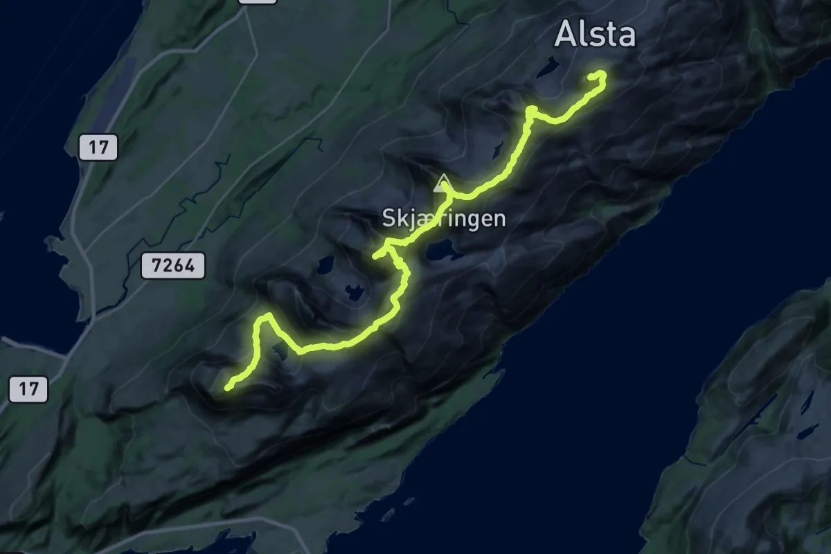
Demanding · Summit
Botnkrona – Breitinden
22.9 km · ↑ 2498 m · 10 h 50 min
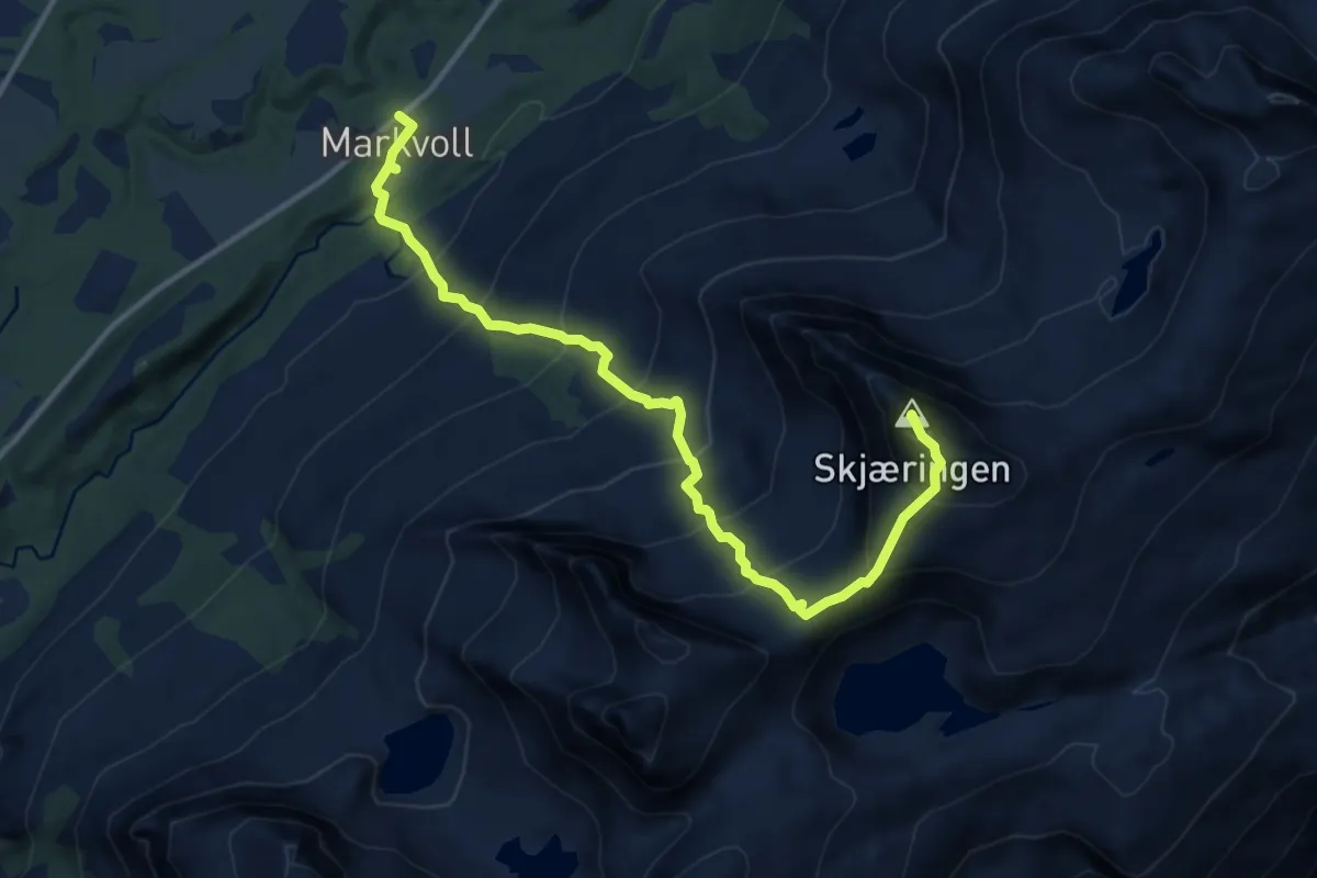
Demanding · Summit
Markvoll – Skjerdingen
7.9 km · ↑ 964 m · 3 h 57 min
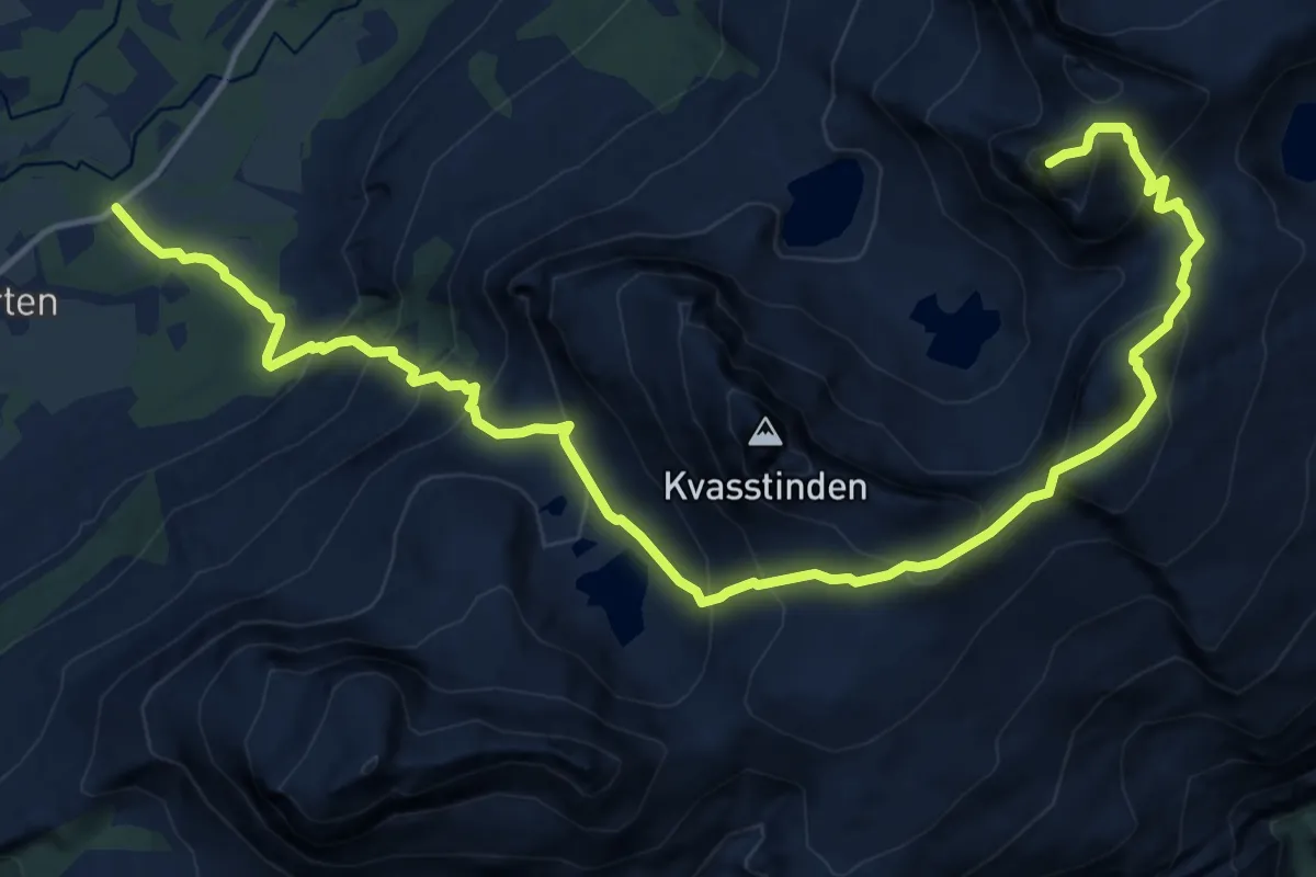
Demanding · Summit
Søvik – Tvillingan
12.2 km · ↑ 1277 m · 5 h 39 min
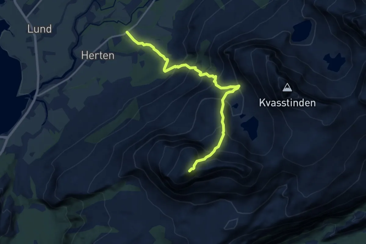
Demanding · Summit
Søvik – Breitinden
7.2 km · ↑ 925 m · 3 h 42 min
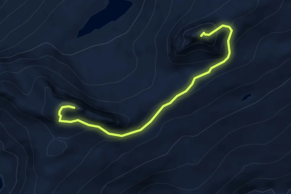
Medium · Summit
Botnkrona – Grytfoten
3.8 km · ↑ 402 m · 1 h 47 min
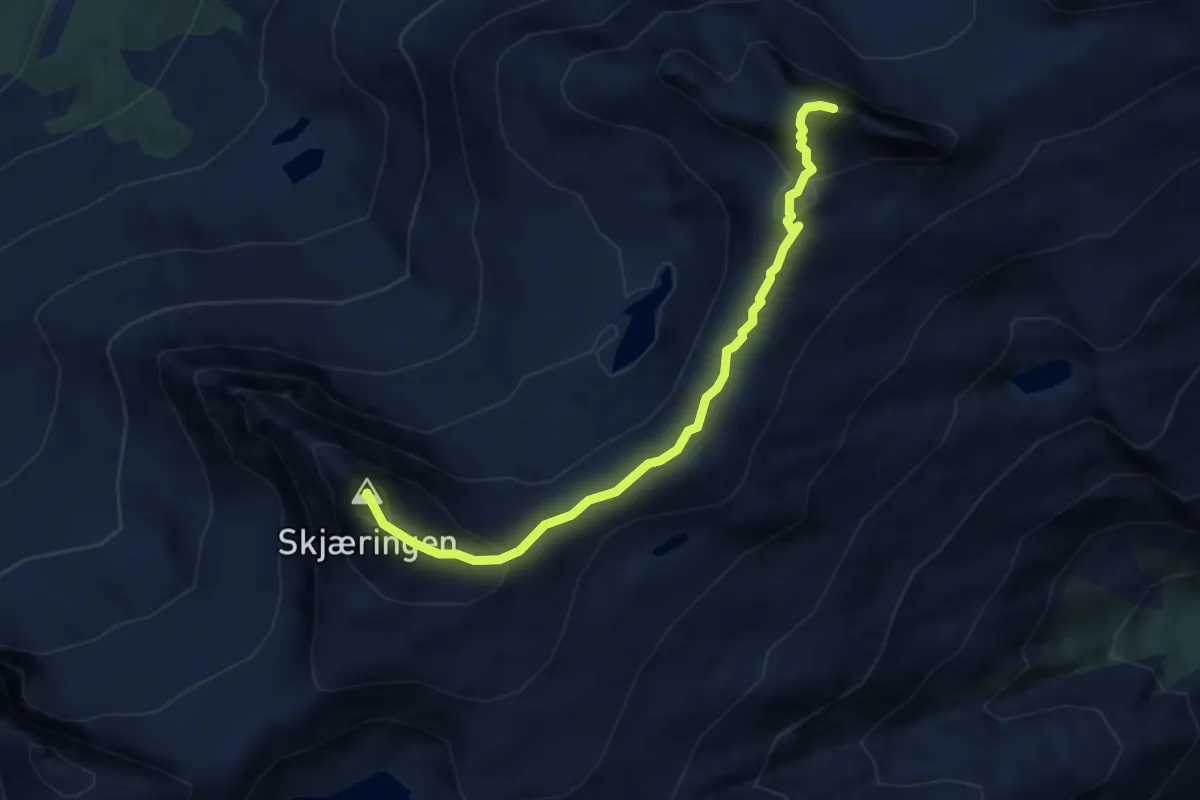
Medium · Summit
Skjerdingen – Grytfoten
4.8 km · ↑ 392 m · 1 h 59 min
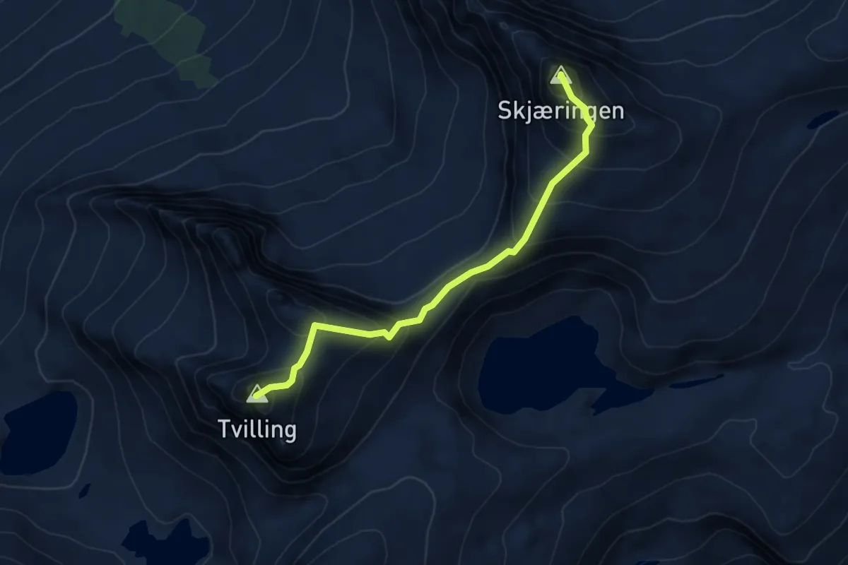
Medium · Summit
Skjerdingen – Tvillingan
3.7 km · ↑ 487 m · 1 h 56 min
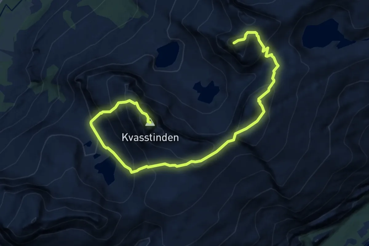
Demanding · Summit
Kvasstindan – Tvillingan
9.7 km · ↑ 1311 m · 5 h 8 min
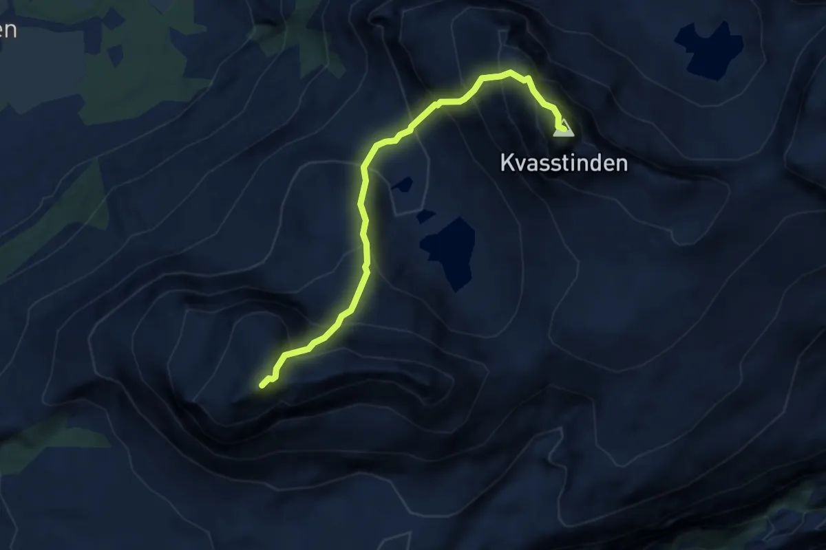
Demanding · Summit
Kvasstindan – Breitinden
4.7 km · ↑ 952 m · 3 h 10 min
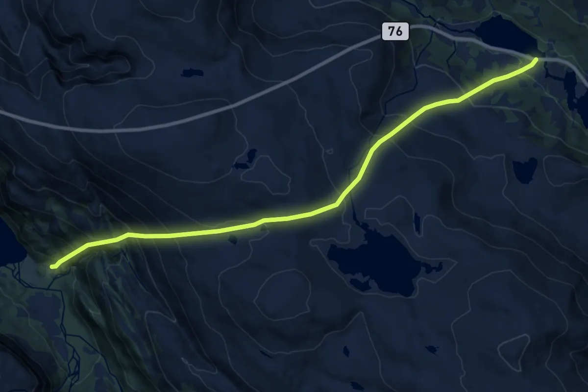
Demanding · Trail
Holmvatnet – Tosenfjellet
11.2 km · ↑ 1164 m · 5 h 11 min
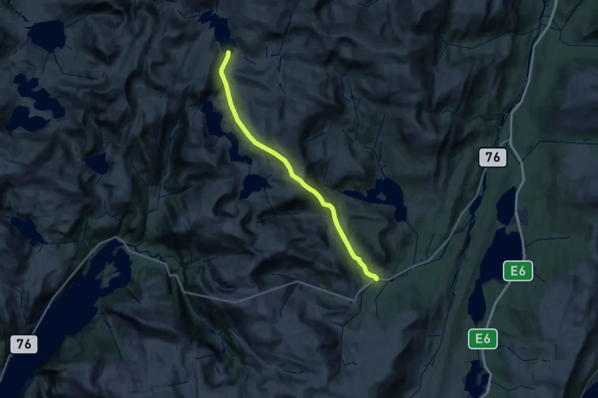
Medium · Trail
Tosenveien – Elgviddvatnet
14.4 km · ↑ 515 m · 4 h 53 min
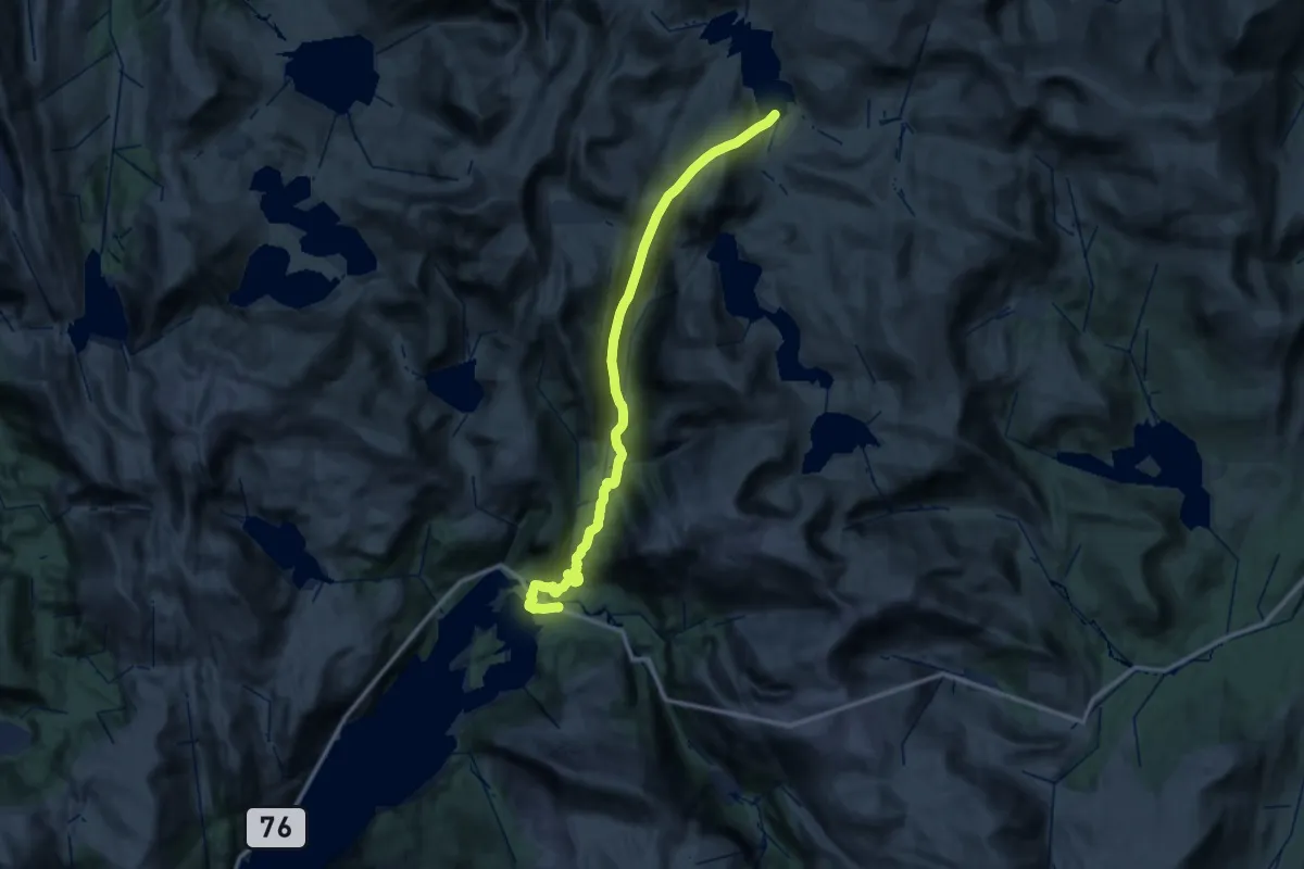
Demanding · Trail
Tosbotn – Elgviddvatnet
13.7 km · ↑ 1041 m · 5 h 24 min
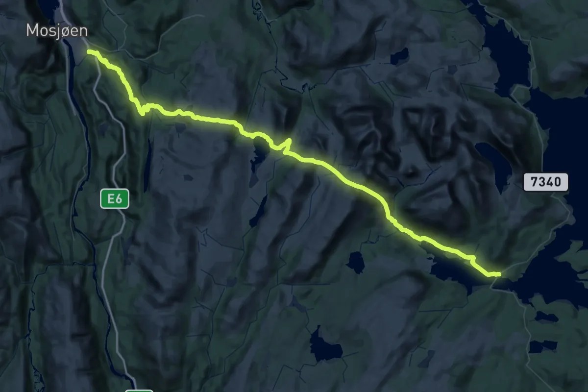
Demanding · Trail
Mosjøen – Røssvatnet
38.7 km · ↑ 1598 m · 12 h 57 min
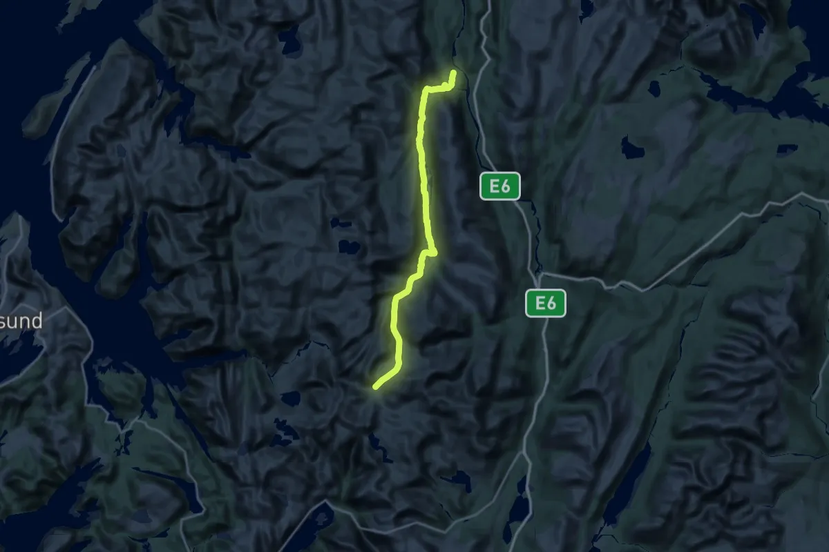
Demanding · Trail
Beiterådalen – Elgviddvatnet
37.4 km · ↑ 534 m · 10 h 46 min
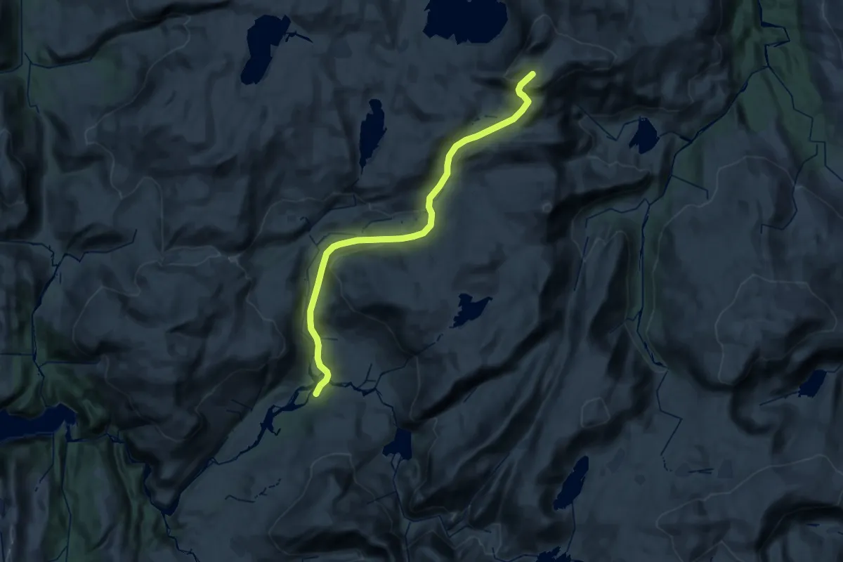
Medium · Trail
Lomsdalen – Visttindan
12.1 km · ↑ 126 m · 3 h 44 min
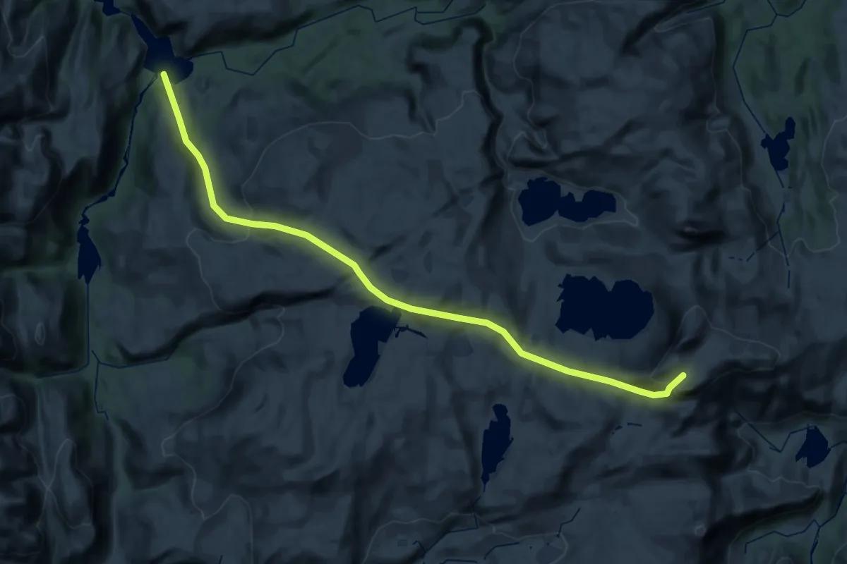
Medium · Trail
Aursletta – Visttindan
14.7 km · ↑ 294 m · 4 h 49 min
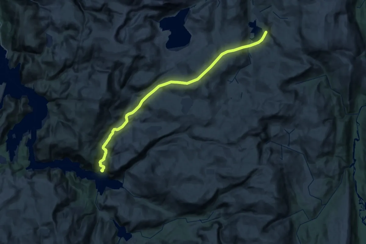
Medium · Trail
Bønnåa – Sørvassdalen
17.6 km · ↑ 689 m · 6 h 3 min
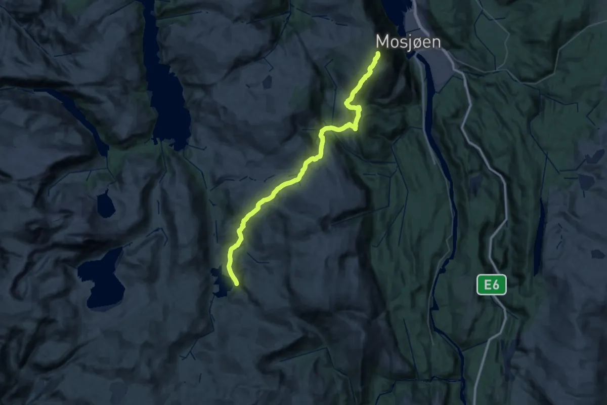
Demanding · Summit
Mosjøen – Sørvassdalen
33.0 km · ↑ 1483 m · 11 h 1 min
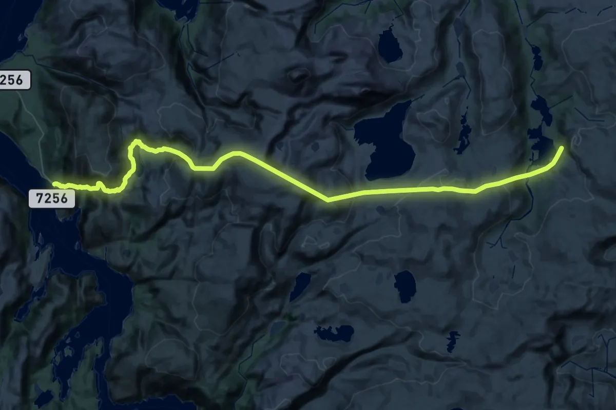
Demanding · Trail
Visthus – Sørvassdalen
22.1 km · ↑ 1440 m · 8 h 30 min
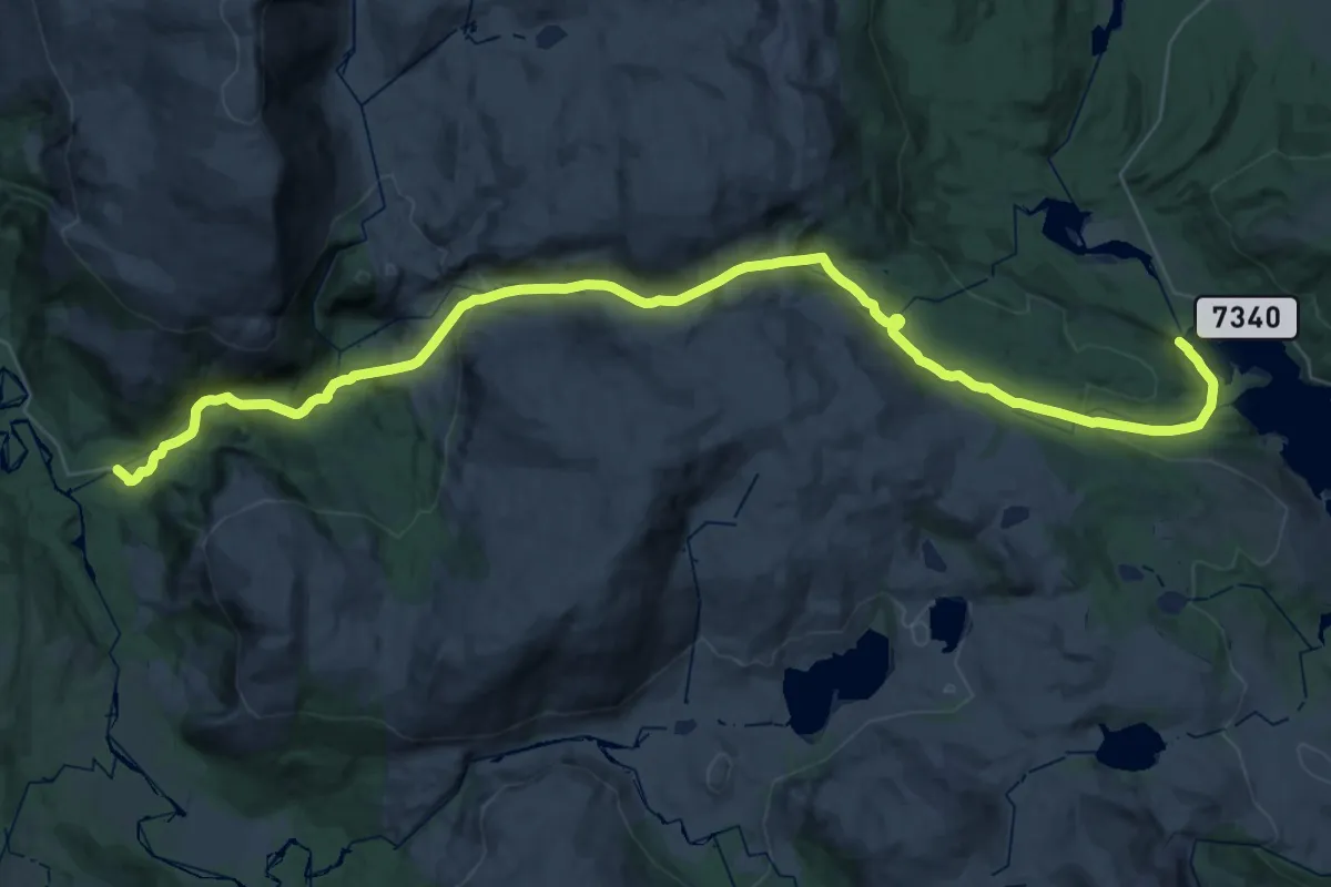
Medium · Trail
Almdalen – Tustervatnet
16.1 km · ↑ 660 m · 5 h 19 min