Trails in Norway
7,452 hiking trails, each with its route, climb, walking time and grade.
All trails, page 58 of 156
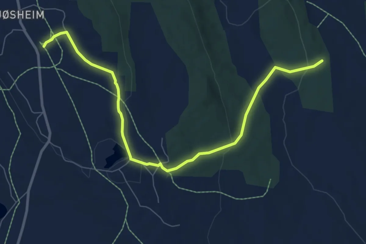
Medium · Trail
Ljøsheim mot Åkersætra
5.6 km · ↑ 138 m · 1 h 37 min
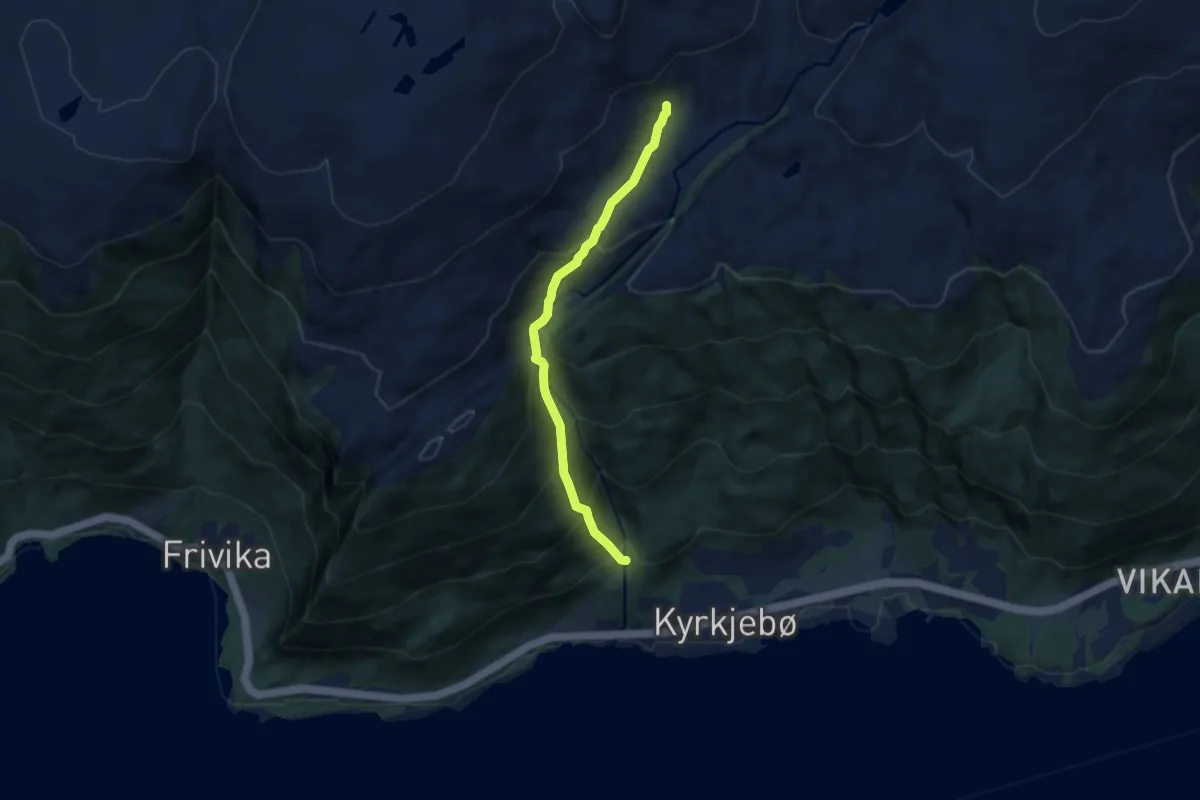
Demanding · Trail
Ljotebøstølen - Kyrkjebøstølen
4.5 km · ↑ 458 m · 2 h 3 min
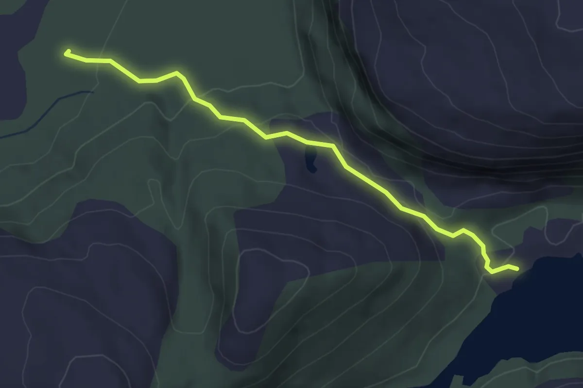
Easy · Trail
Llakselvatnet
2.0 km · ↑ 75 m · 38 min
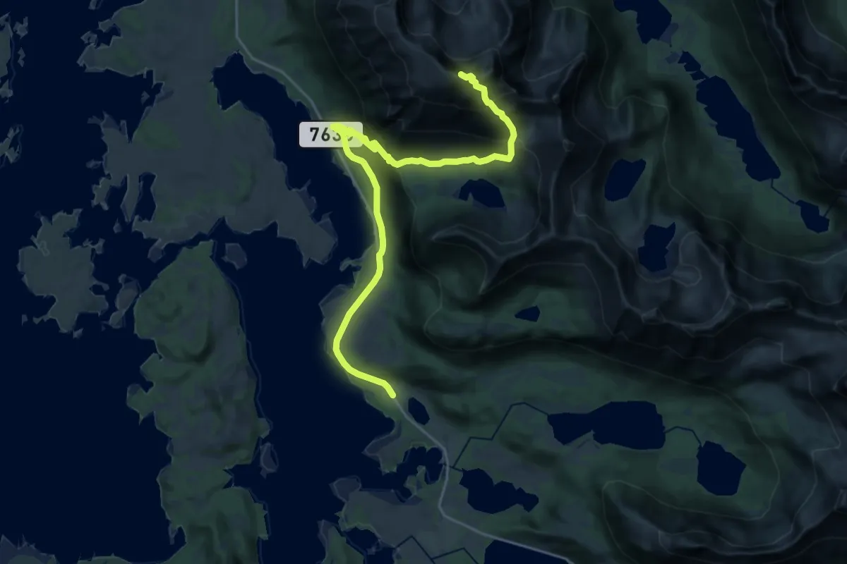
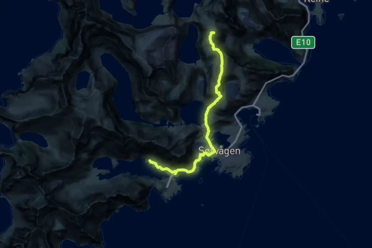
Demanding · Summit
LLC - Stage 1
12.8 km · ↑ 830 m · 4 h 50 min
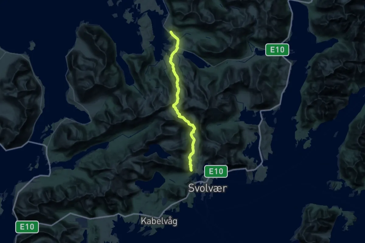
Expert · Summit
LLC - Stage 10
14.8 km · ↑ 699 m · 5 h
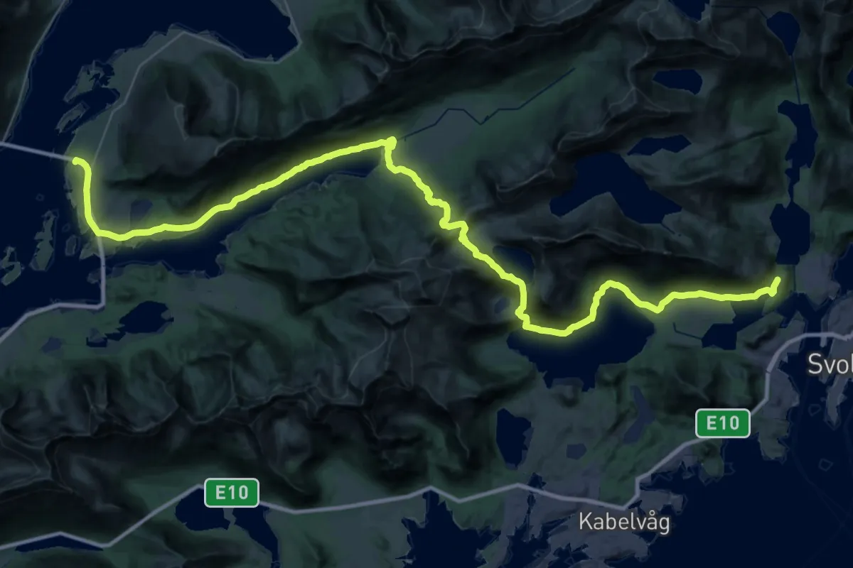
Expert · Trail
LLC - Stage 2
12.7 km · ↑ 602 m · 4 h 31 min
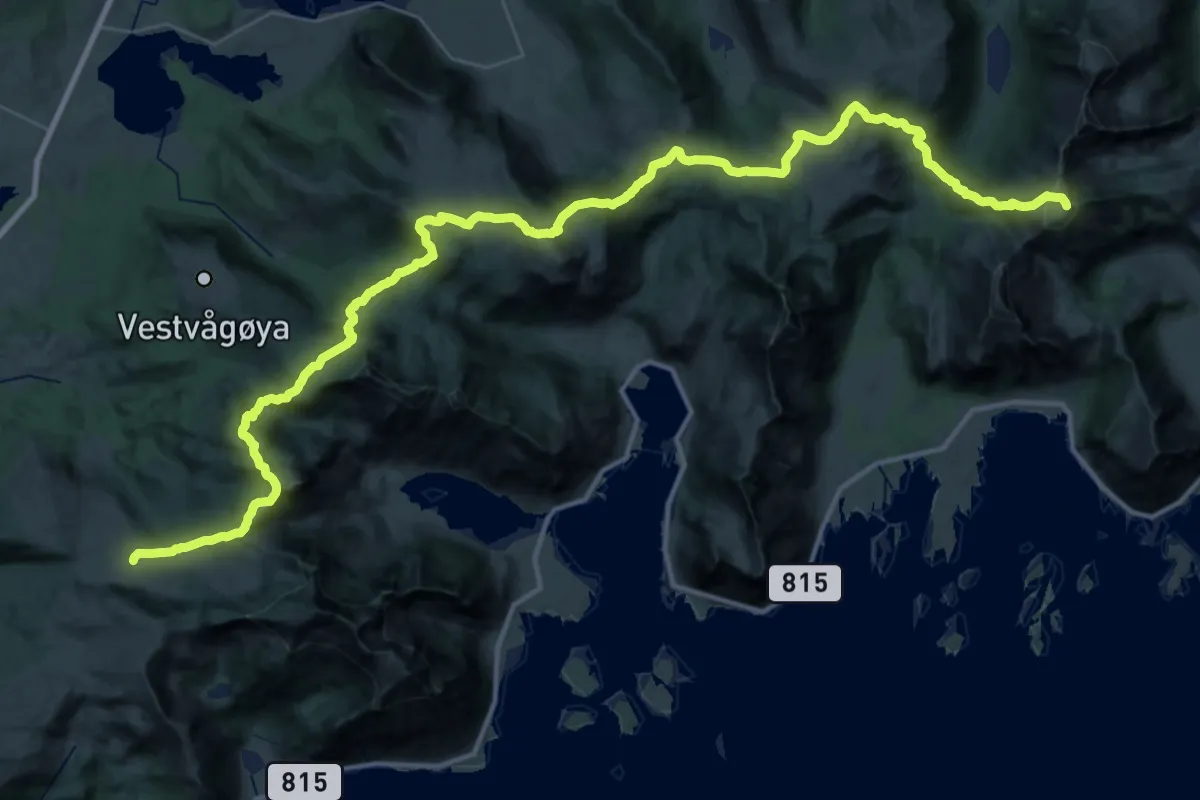
Expert · Trail
LLC - Stage 3
15.9 km · ↑ 583 m · 5 h 13 min
Demanding · Summit
LLC - Stage 4
30.1 km · ↑ 1826 m · 11 h 4 min
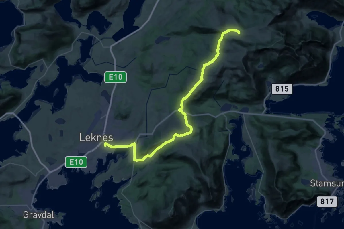
Demanding · Cabin
LLC - Stage 5
22.2 km · ↑ 572 m · 6 h 30 min
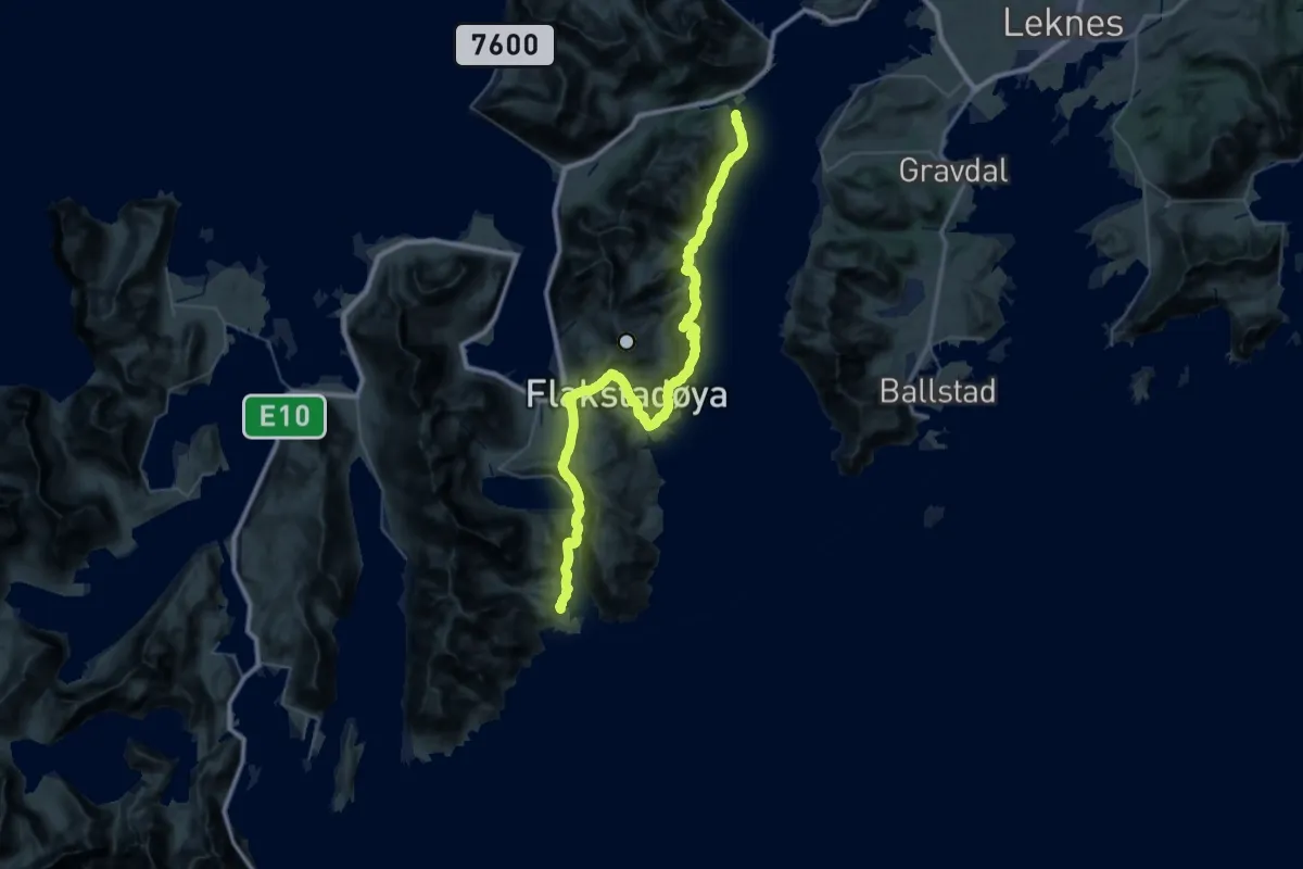
Expert · Trail
LLC - Stage 6
16.7 km · ↑ 747 m · 5 h 48 min
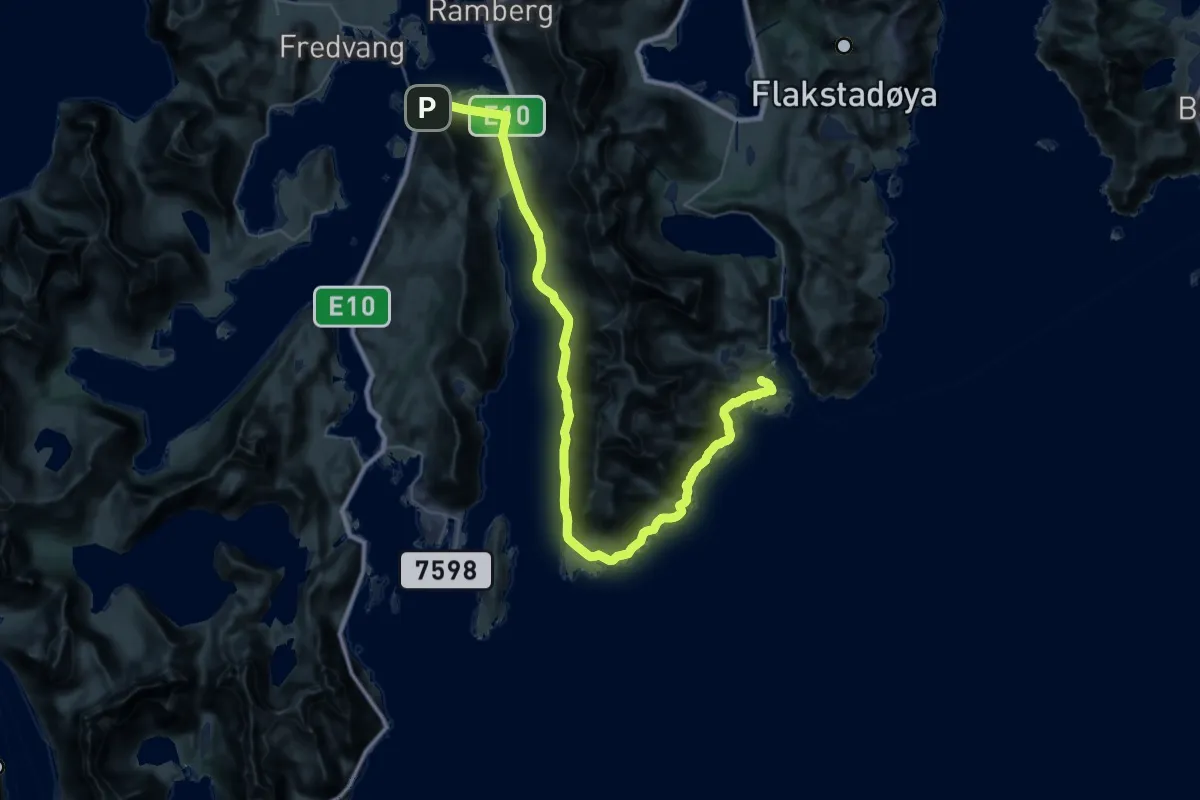
Demanding · Trail
LLC - Stage 7
15.4 km · ↑ 268 m · 4 h 27 min
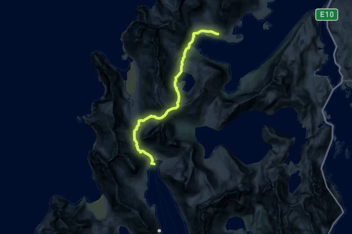
Expert · Cabin
LLC - Stage 9
16.2 km · ↑ 1197 m · 6 h 26 min
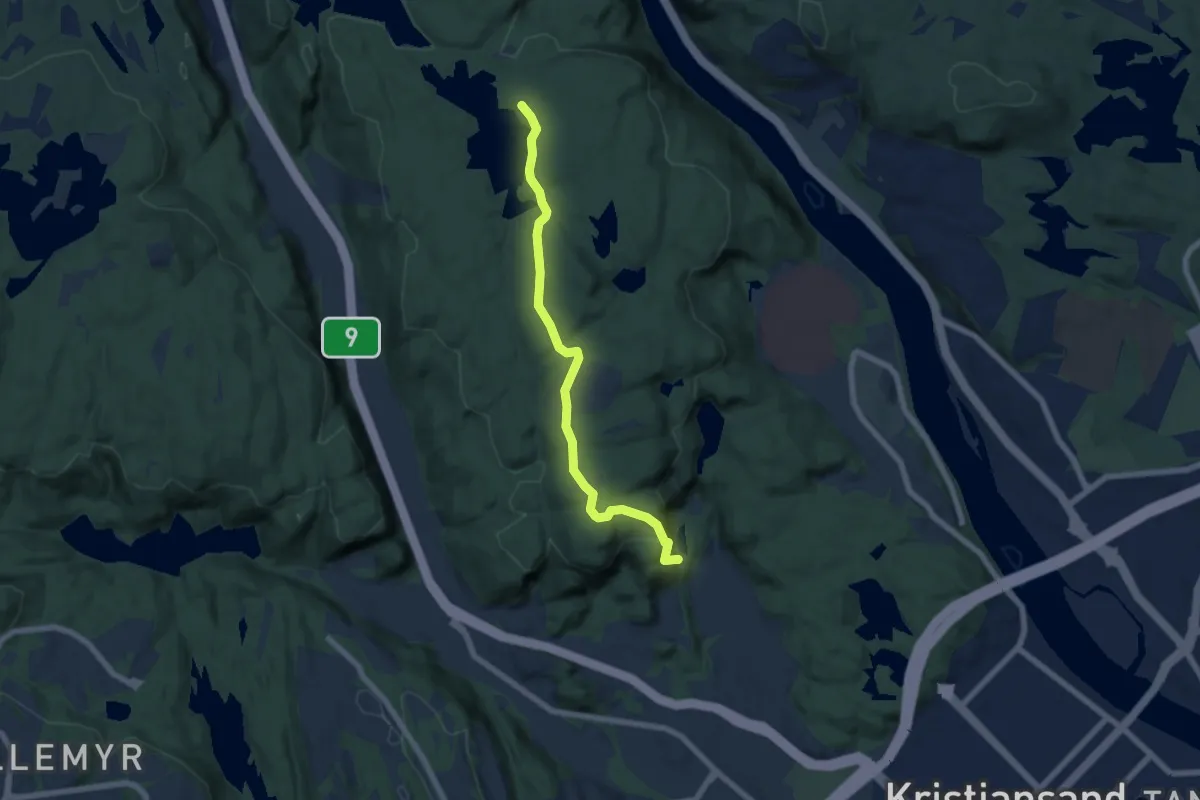
Demanding · Trail
Lochnes løype
4.8 km · ↑ 183 m · 1 h 32 min
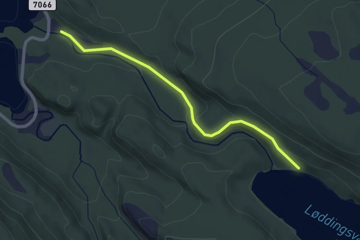
Easy · Trail
Løddingsvatnet
2.6 km · ↑ 85 m · 48 min
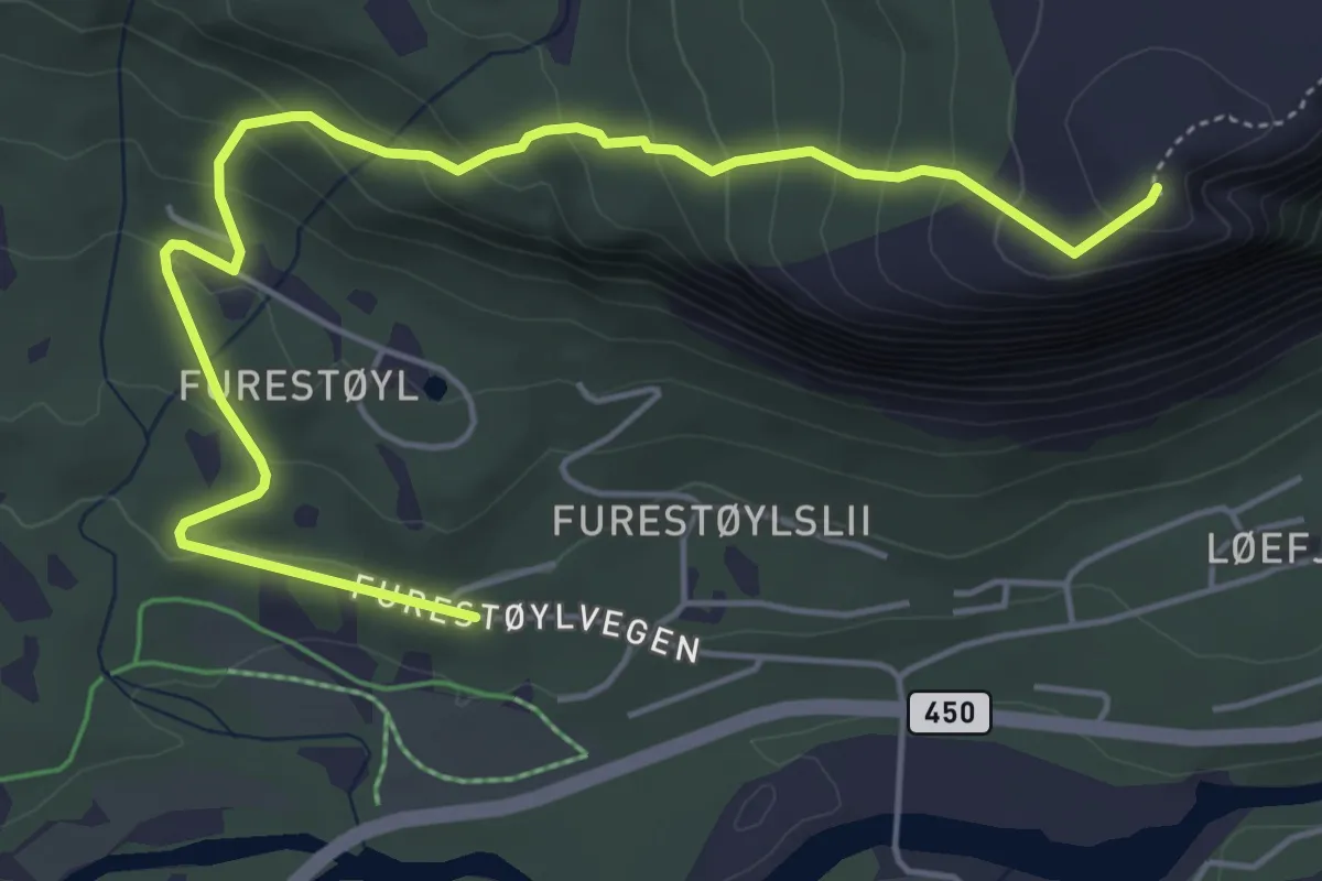
Medium · Trail
Løefjell
4.5 km · ↑ 330 m · 1 h 47 min
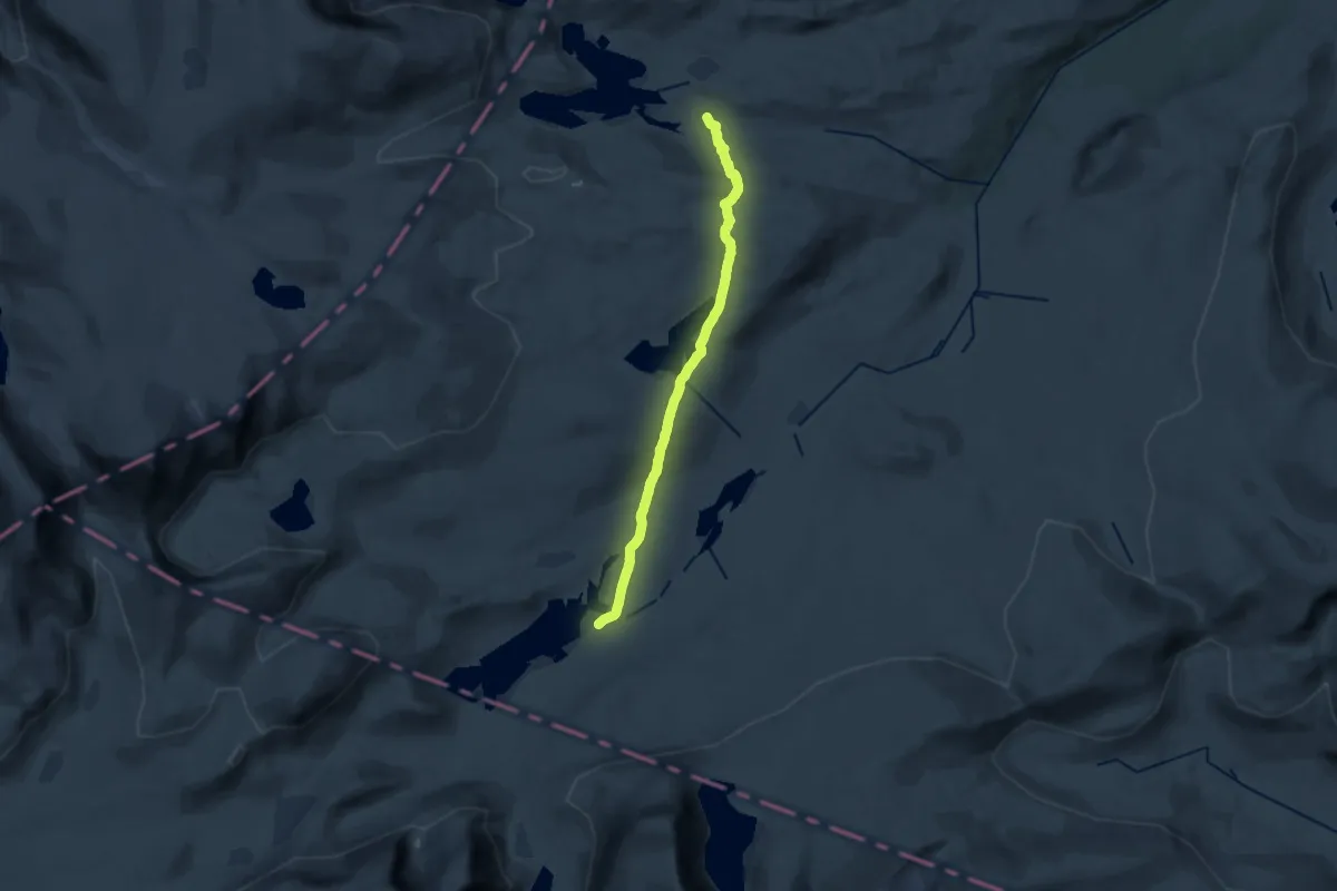
Medium · Trail
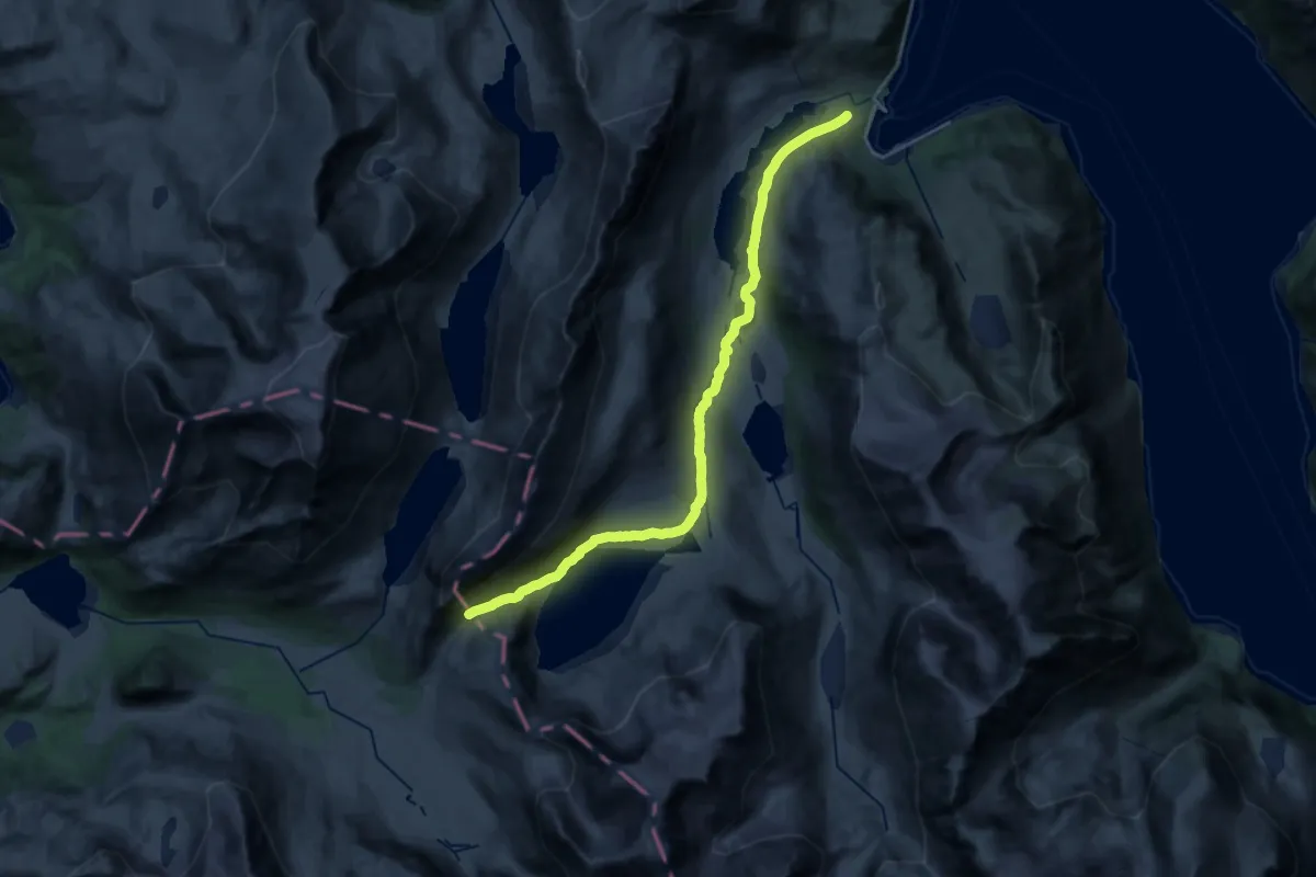
Loennechenbua
14.5 km · ↑ 284 m · 4 h 3 min
Medium · Trail
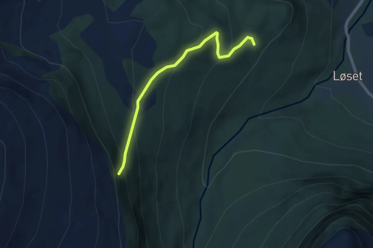
Loftvannet - Moders Liv
14.1 km · ↑ 325 m · 4 h 1 min
Medium · Trail
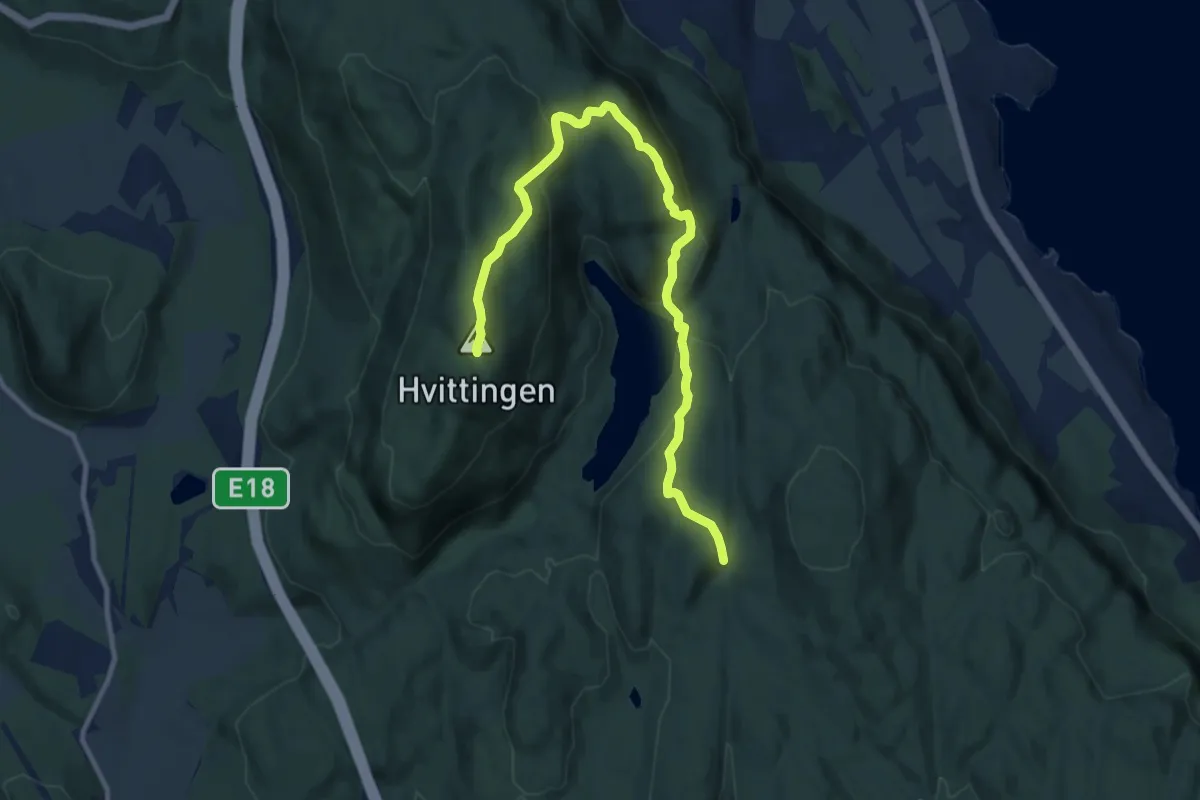
Løkedalen-Verket
2.6 km · ↑ 208 m · 1 h 3 min
Medium · Trail
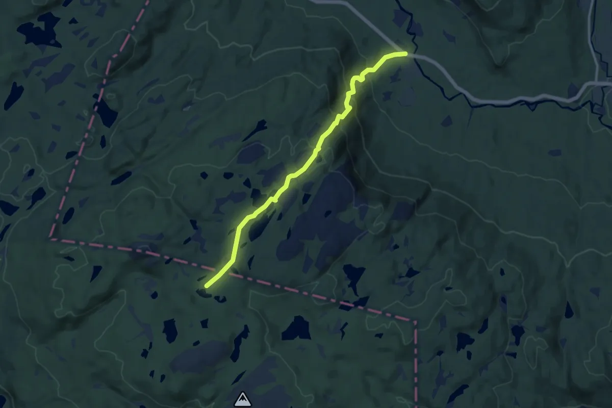
Løkenseter - Hvittingen
8.3 km · ↑ 311 m · 2 h 37 min
Medium · Cabin
Løkja-Selsli
7.6 km · ↑ 418 m · 2 h 43 min
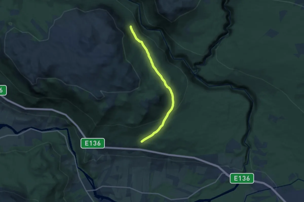
Medium · Trail
Lokkarhaugen - Øvre Baklivegen
7.2 km · ↑ 252 m · 2 h 15 min
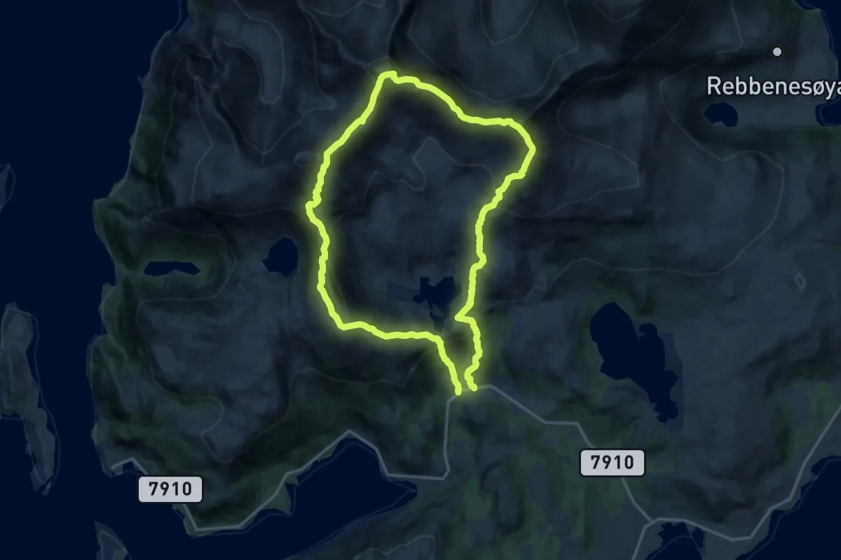
Demanding · Trail
Løkstind, Helvetestind og Stortind
14.5 km · ↑ 1498 m · 6 h 40 min
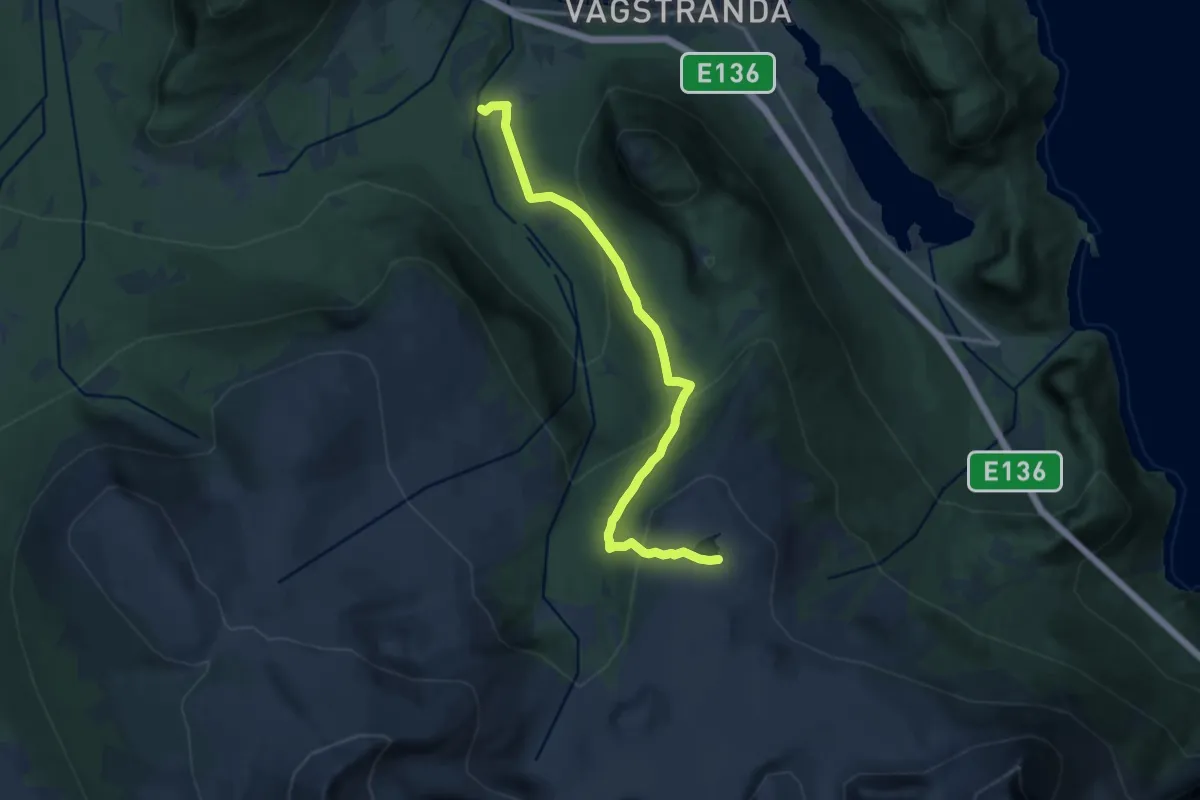
Medium · Trail
Lomtjønna
9.2 km · ↑ 549 m · 3 h 21 min
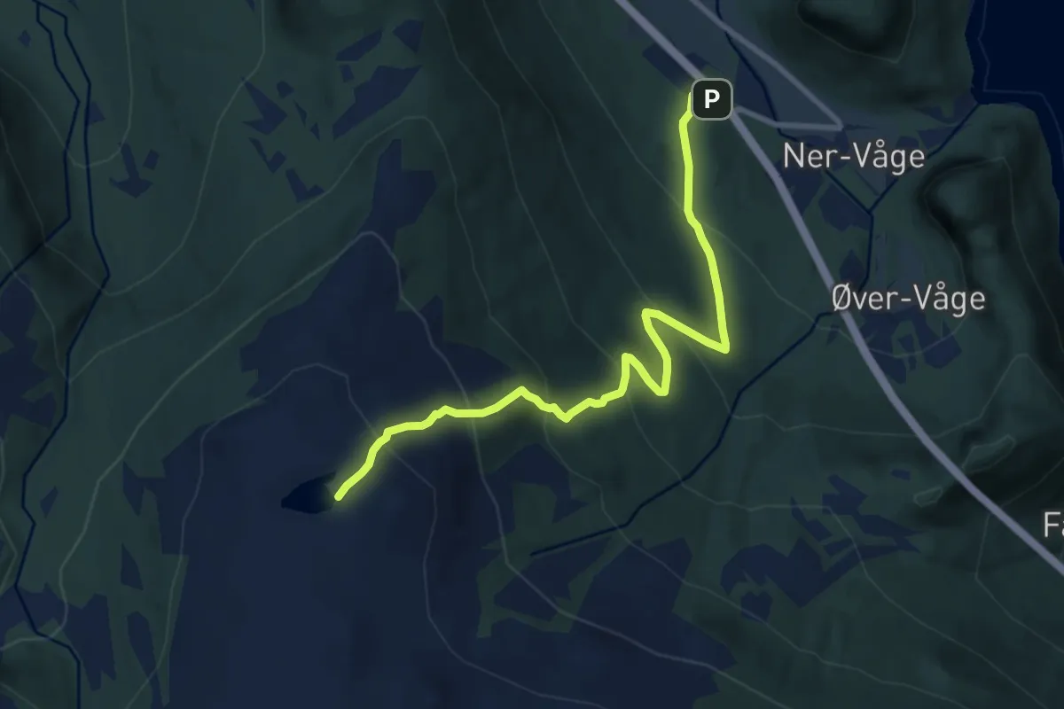
Medium · Trail
Lomtjønna via Nervågsetra
6.5 km · ↑ 614 m · 2 h 52 min
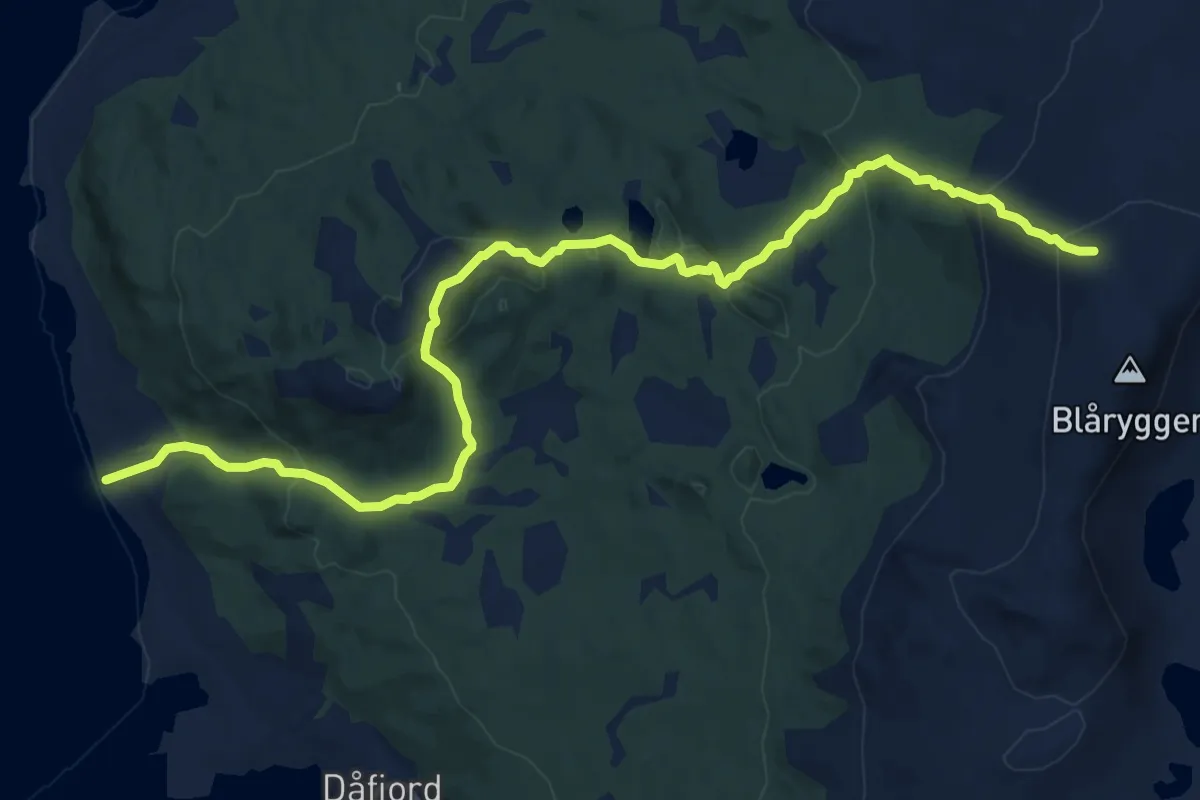
Medium · Trail
Lomvasshaugen-Blåryggen
8.5 km · ↑ 542 m · 3 h 10 min
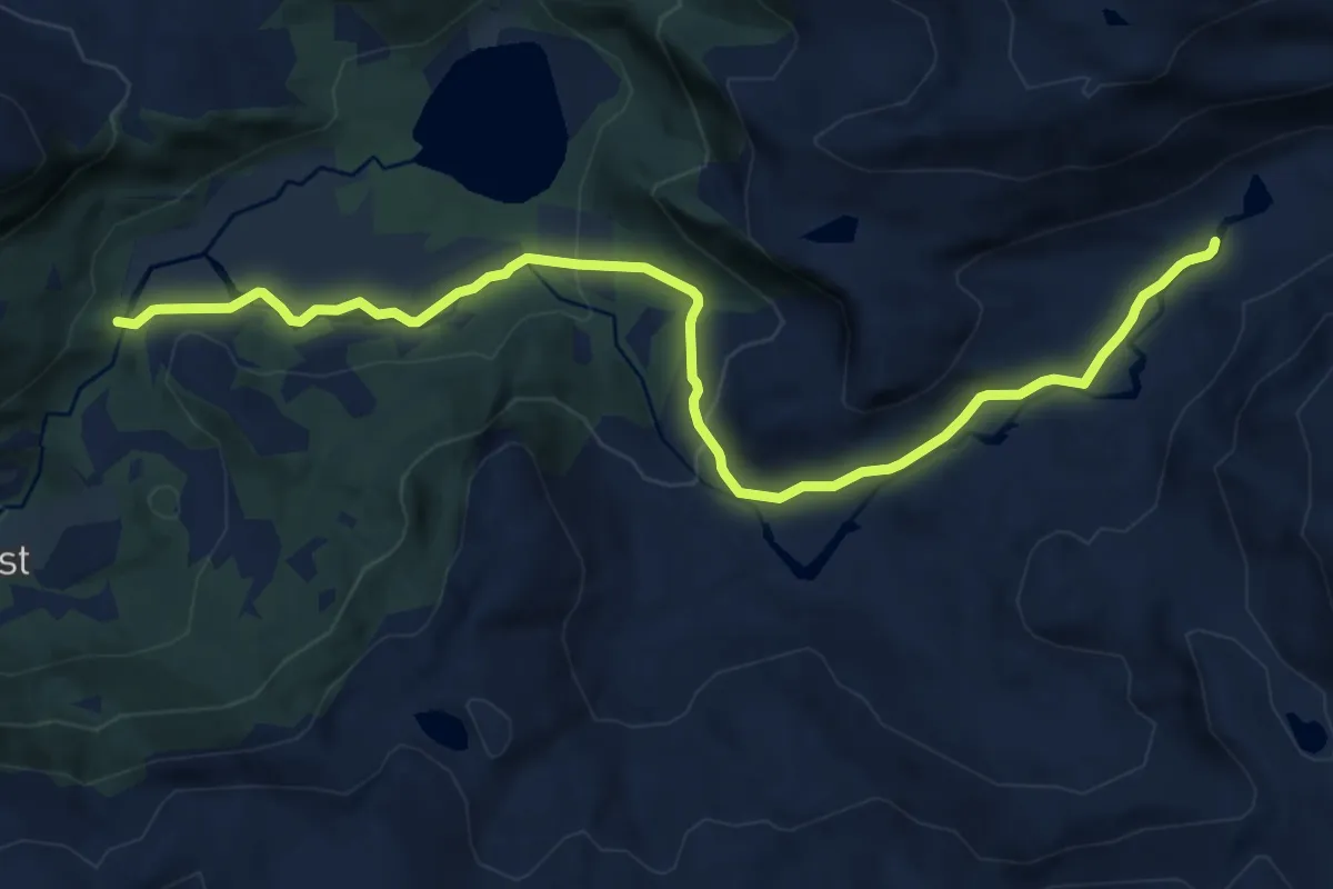
Medium · Trail
Lonebrua ? Grimsetstølen
8.6 km · ↑ 191 m · 2 h 27 min
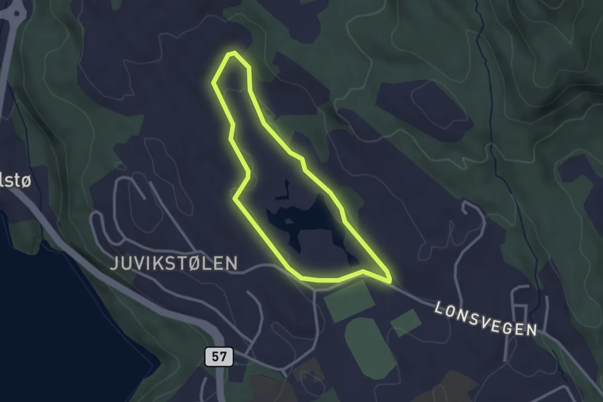
Easy · Trail
Lonena rundt
1.7 km · ↑ 9 m · 27 min
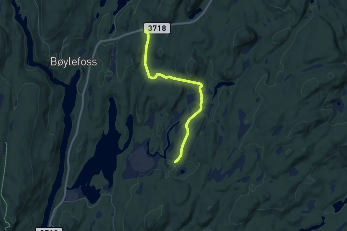
Easy · Trail
Lonene - Skottkjerra
4.2 km · ↑ 69 m · 1 h 8 min
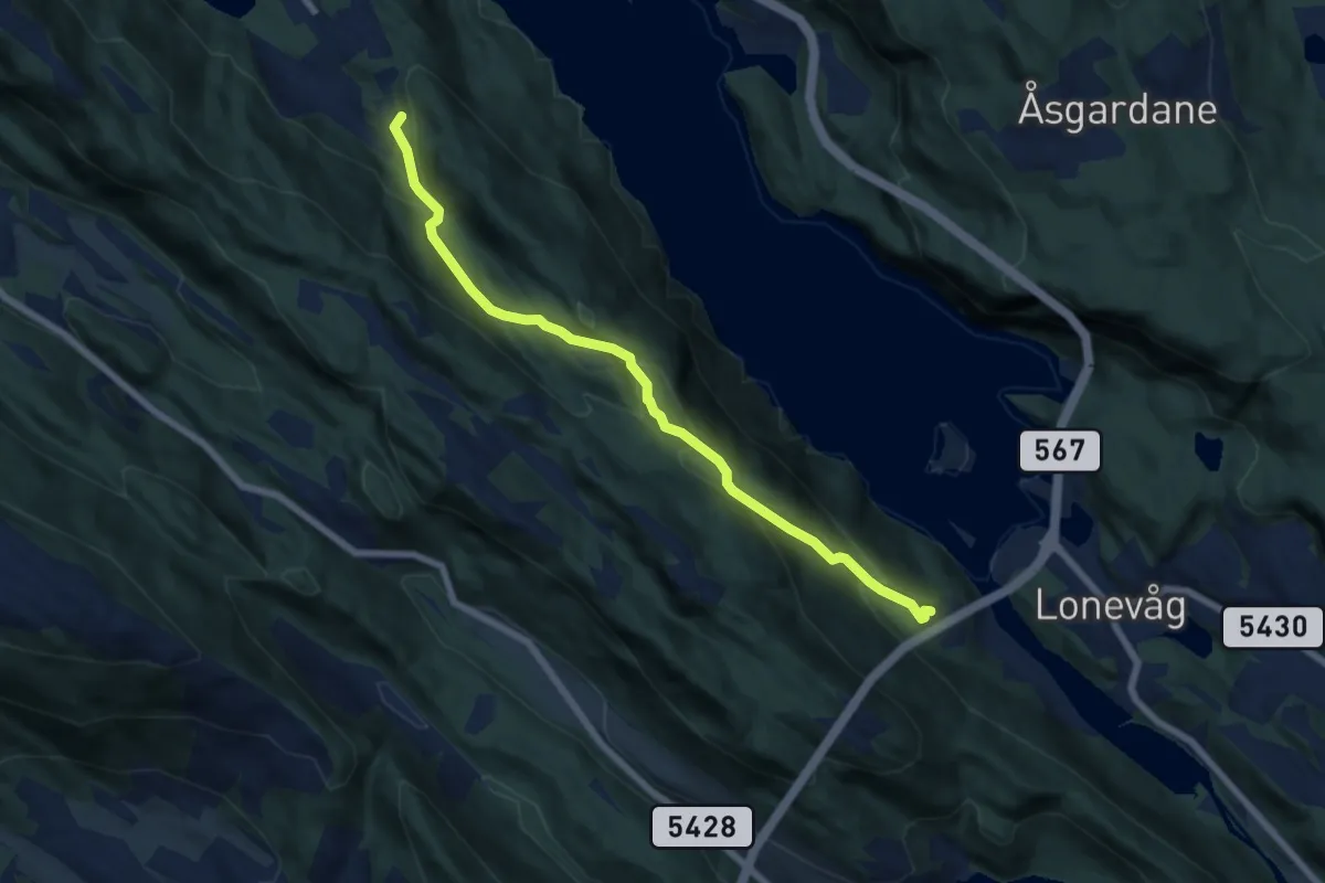
Easy · Trail
Lonevåg - Fugledalen
4.9 km · ↑ 289 m · 1 h 47 min
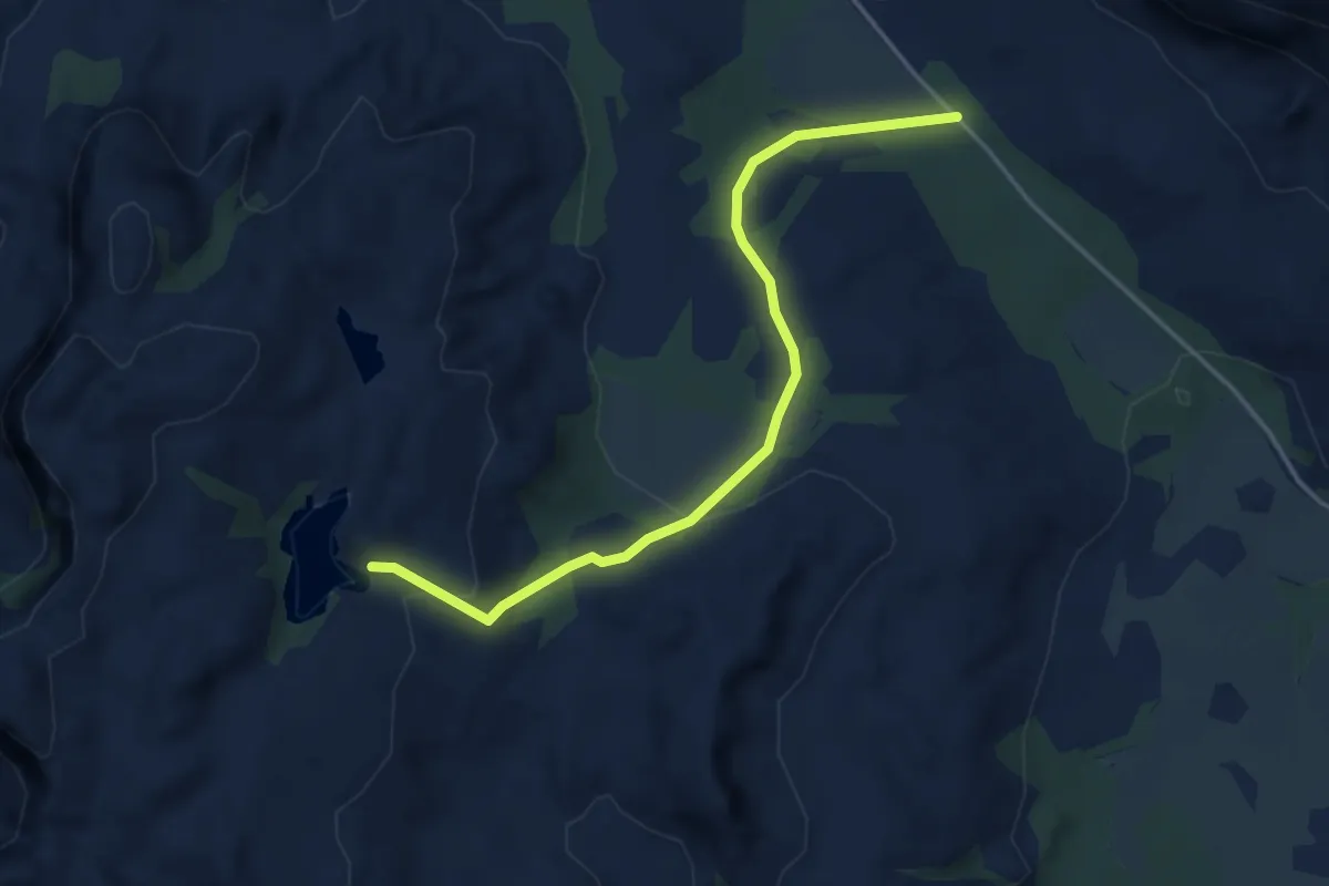
Medium · Trail
Longvatnet
2.5 km · ↑ 88 m · 46 min
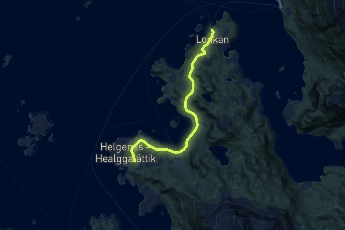
Easy · Trail
Lonkan-Helgenes
6.6 km · ↑ 116 m · 1 h 49 min
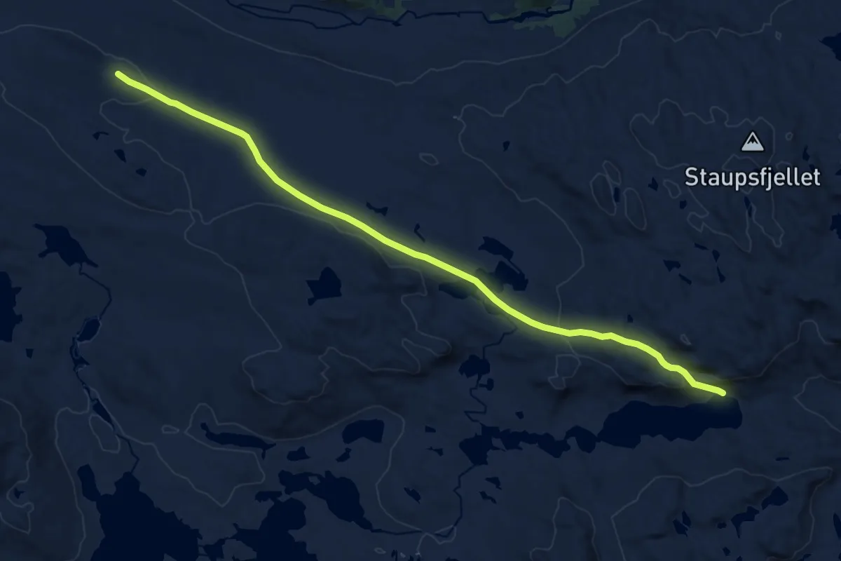
Medium · Trail
Lonntjønnvegen
12.3 km · ↑ 293 m · 3 h 32 min
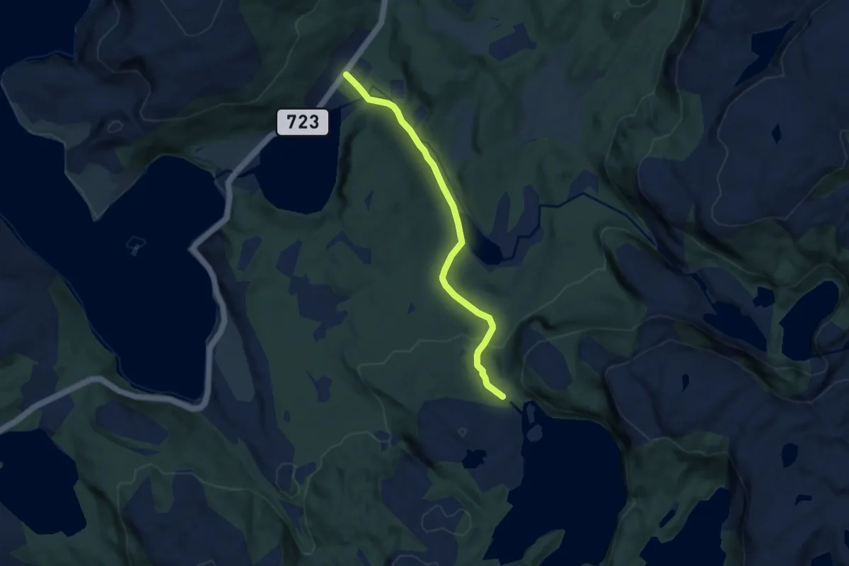
Easy · Trail
Lonvatnet
4.2 km · ↑ 161 m · 1 h 20 min
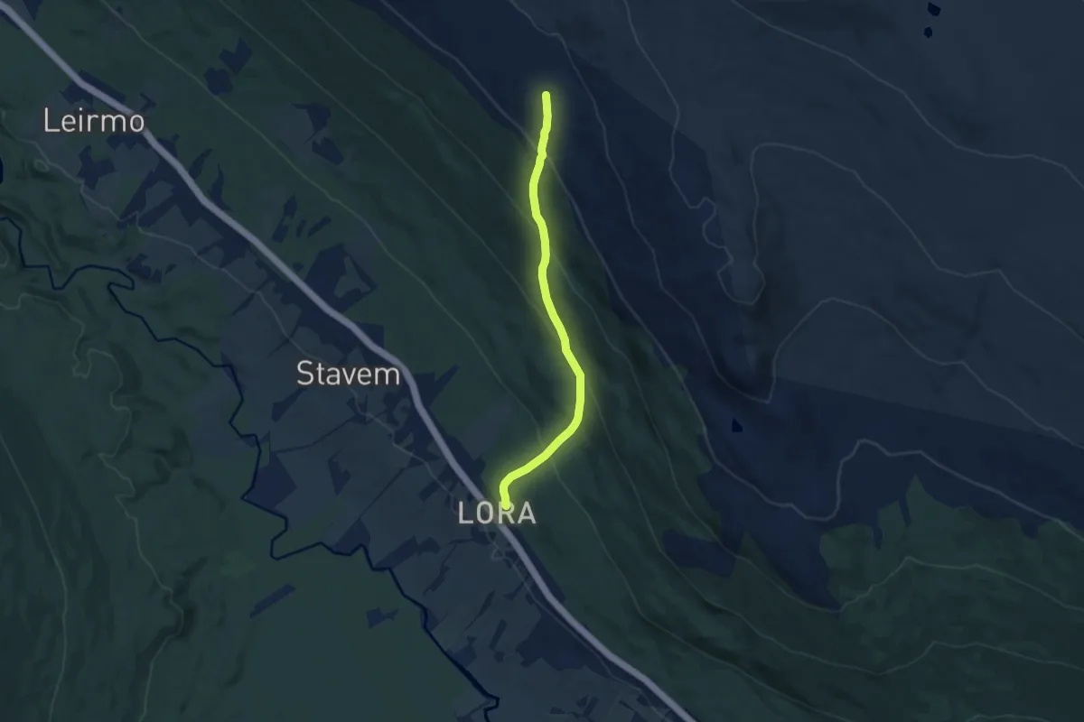
Medium · Trail
Lora stasjon - Gåsbu
5.8 km · ↑ 423 m · 2 h 18 min
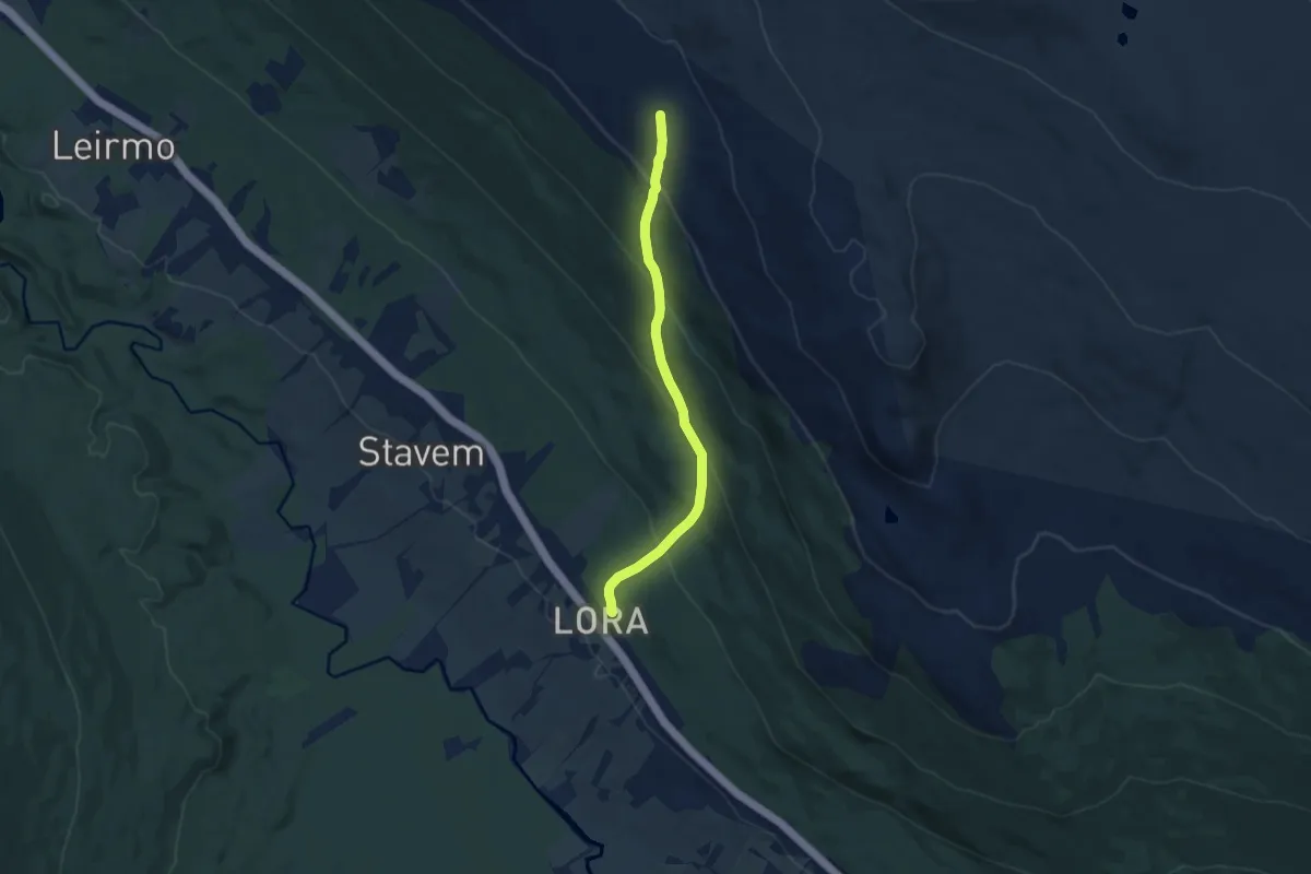
Easy · Trail
Lora stasjon - Sveavarden
5.8 km · ↑ 423 m · 2 h 18 min
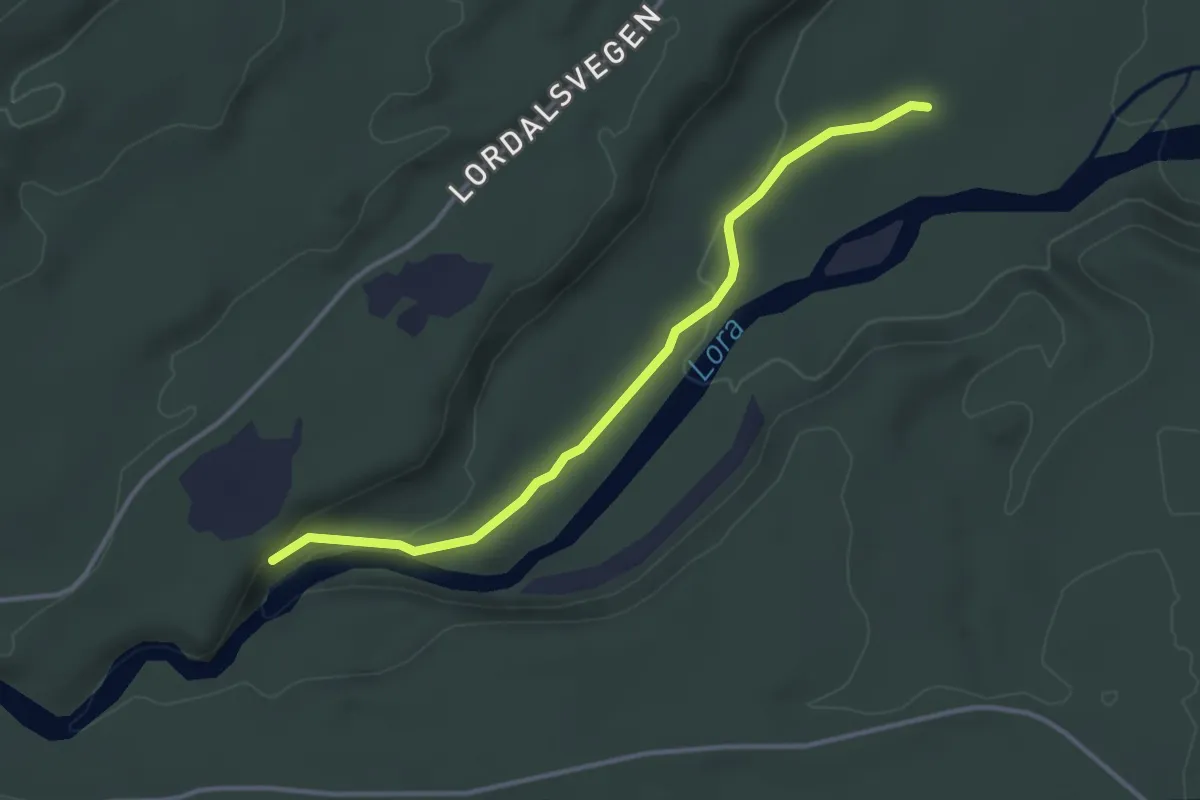
Easy · Trail
Lorkverna kulturstigen
2.4 km · ↑ 42 m · 39 min
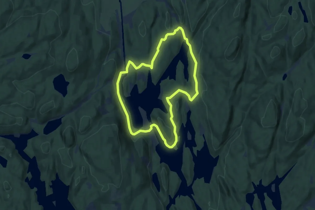
Easy · Trail
Losbyrunden, lille
5.1 km · ↑ 71 m · 1 h 25 min
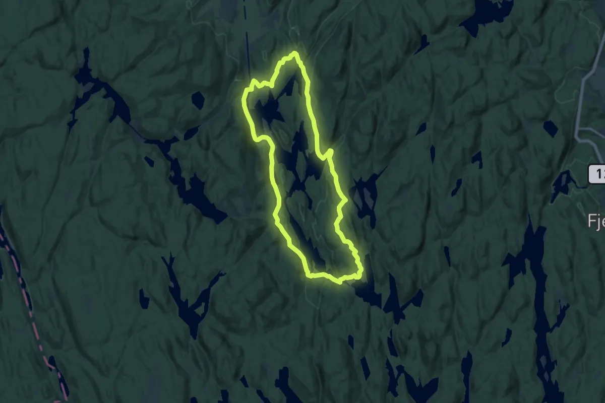
Medium · Trail
Losbyrunden, store
10.2 km · ↑ 141 m · 2 h 51 min
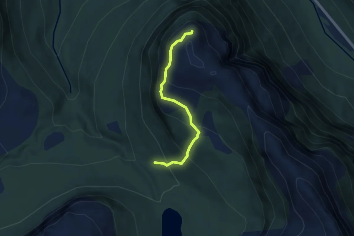
Medium · Trail
Løsetdalen-Løsethornet
2.2 km · ↑ 215 m · 59 min
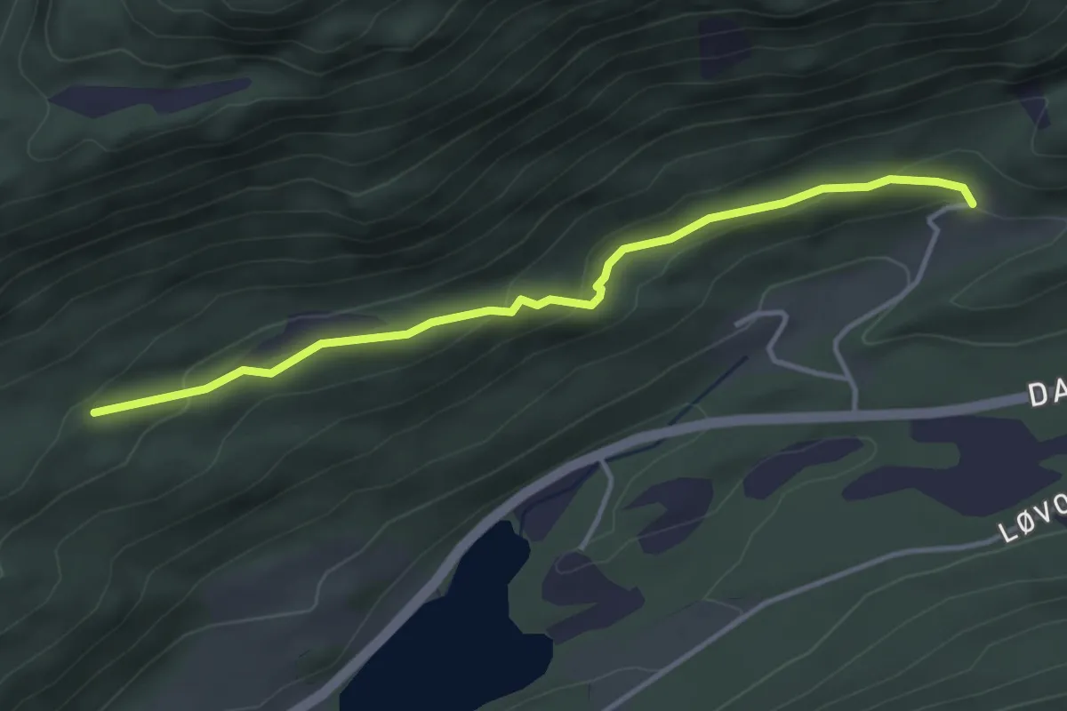
Easy · Trail
Løsetgjerdet-Almeskard
2.5 km · ↑ 100 m · 49 min
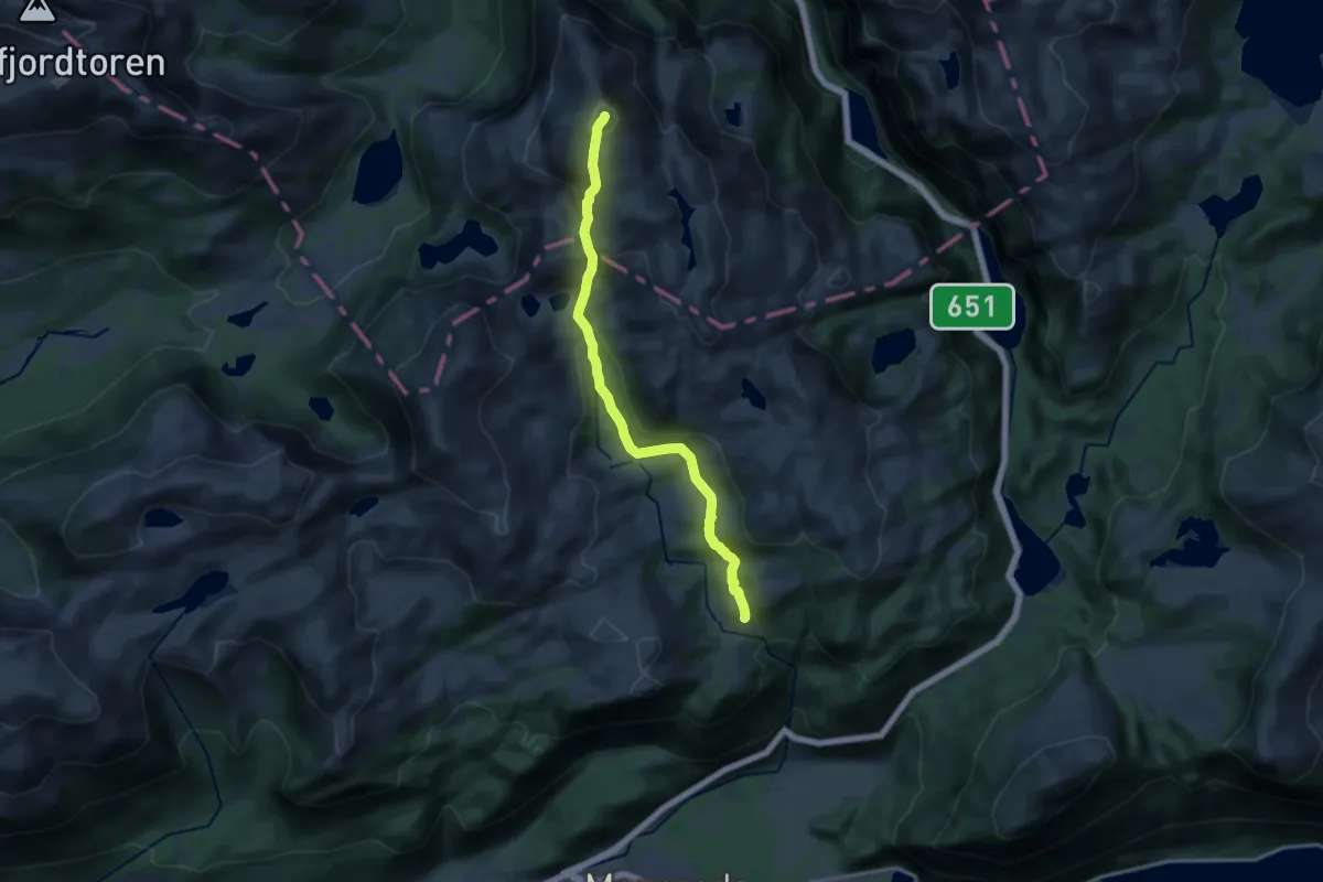
Expert · Trail
Løsethornet
10.5 km · ↑ 621 m · 3 h 49 min
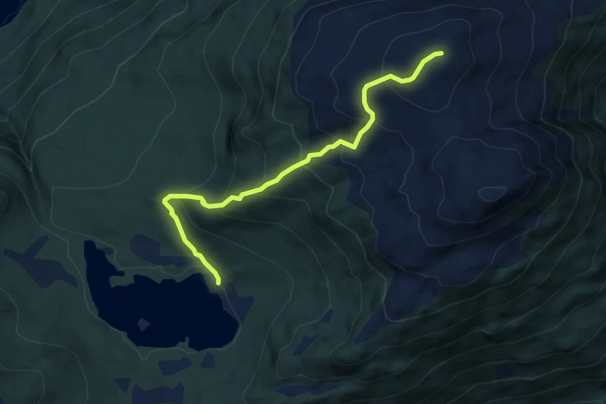
Medium · Trail
Løsetsætra-Jogardshornet
3.7 km · ↑ 374 m · 1 h 42 min
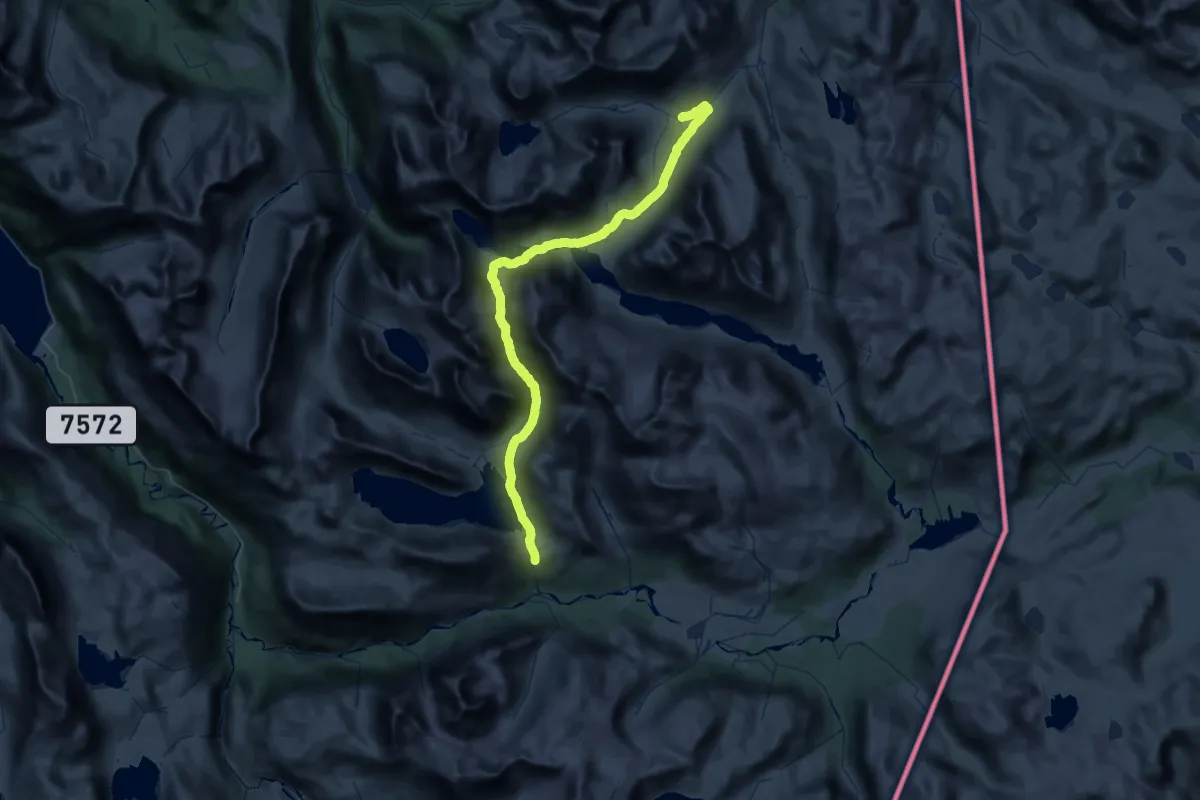
Expert · Cabin
Losistua - Hunddalshytta
21.2 km · ↑ 559 m · 6 h 29 min
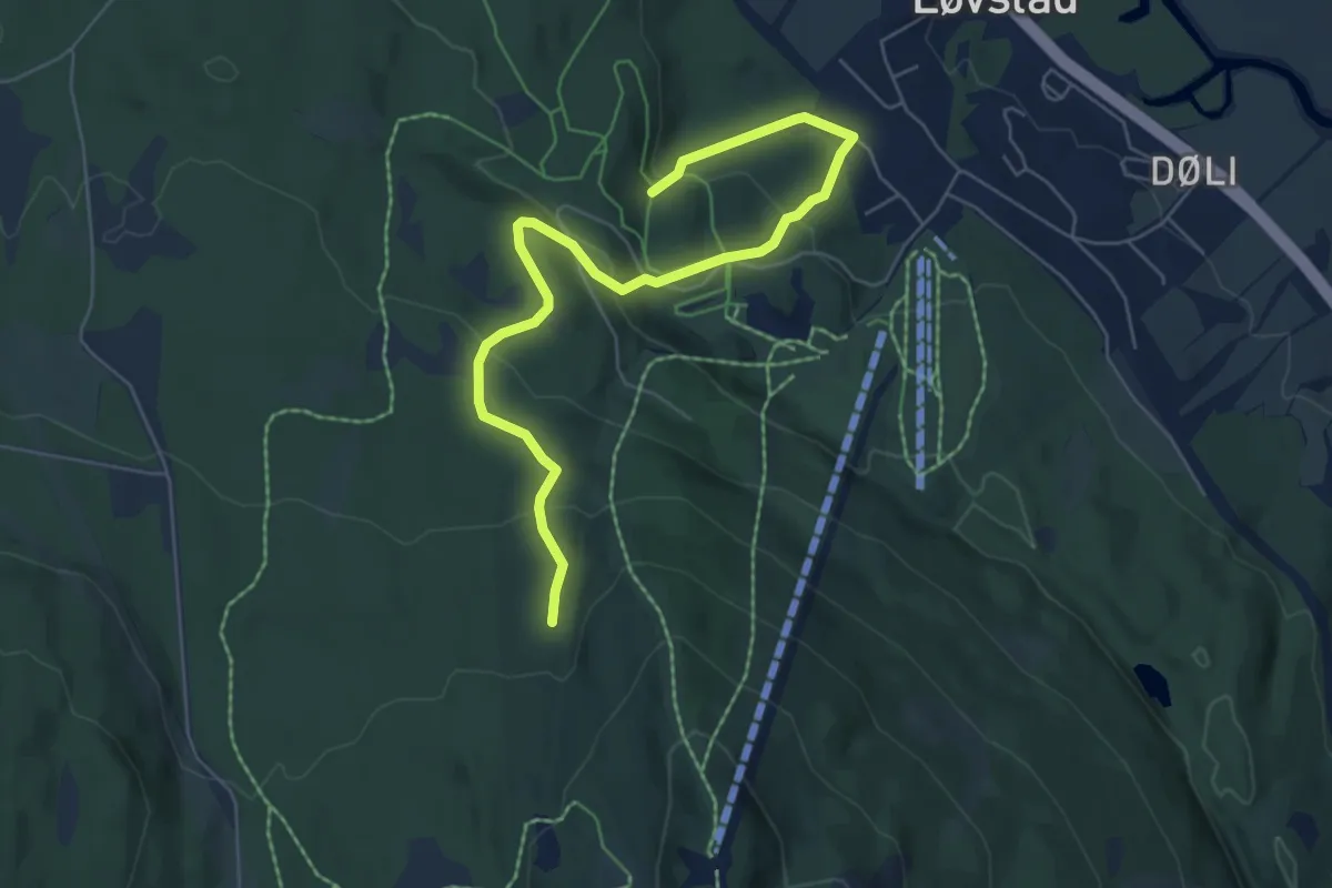
Easy · Trail
Løstad driftsveier
5.1 km · ↑ 246 m · 1 h 44 min
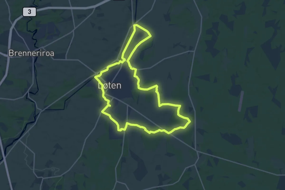
Medium · Trail
Løtenrunden
10.9 km · ↑ 35 m · 2 h 48 min
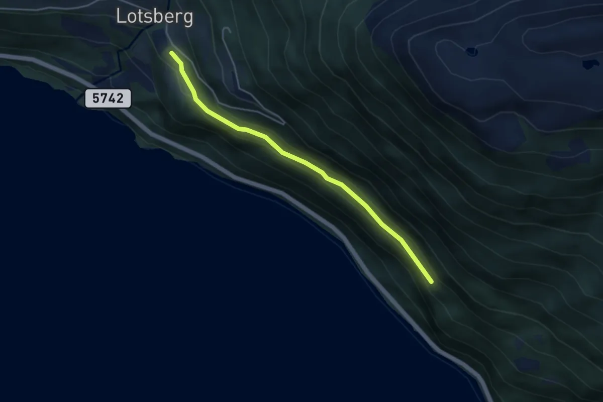
Easy · Trail
Lotsberg - Ytre Åŋsane
2.7 km · ↑ 77 m · 49 min
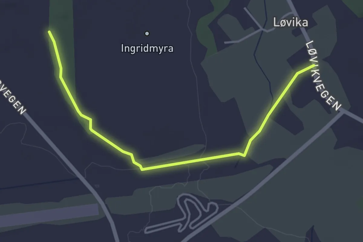
Easy · Trail
Løvikremma-Løvik kystfort
2.7 km · ↑ 17 m · 40 min
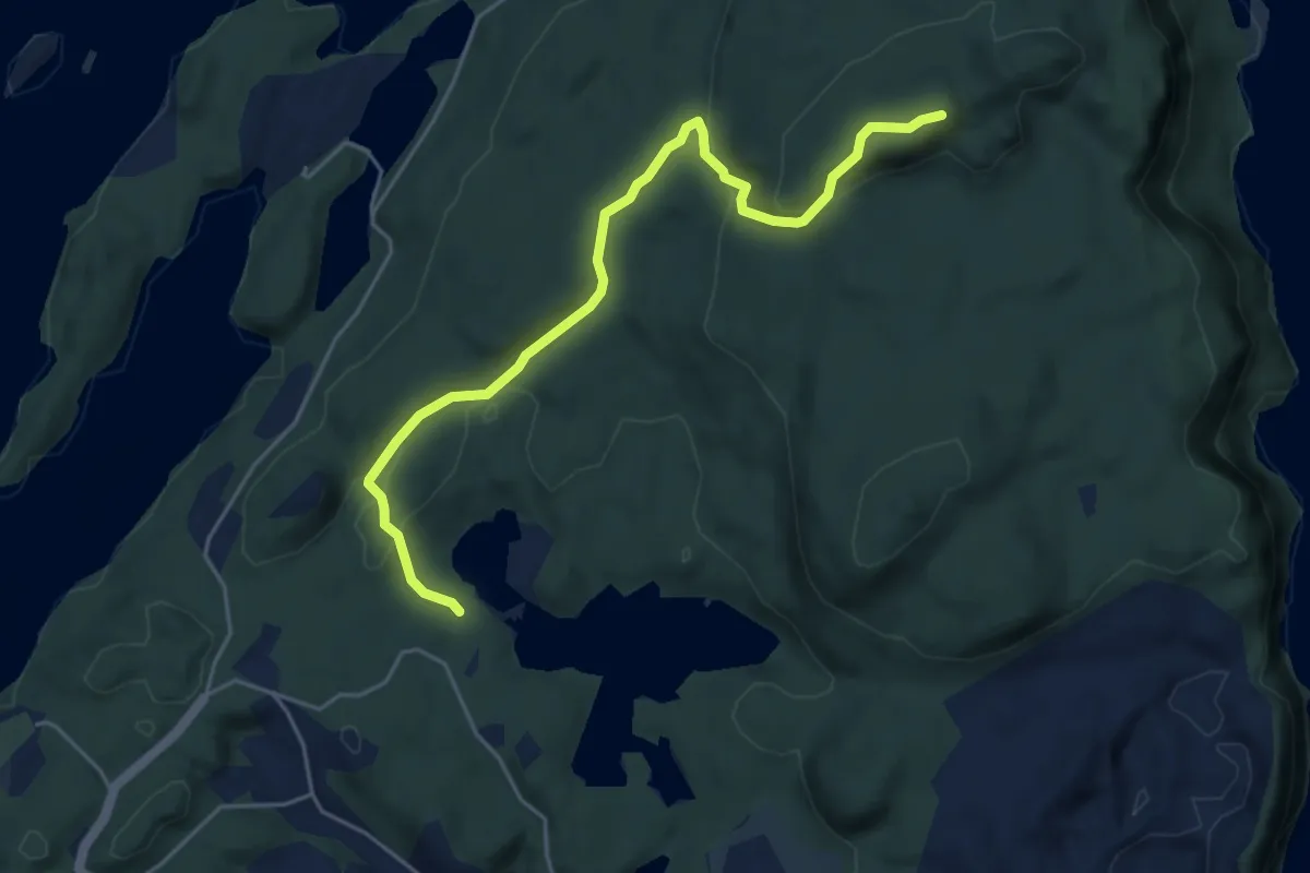
Easy · Trail
Lovisenbergkollen
3.8 km · ↑ 152 m · 1 h 14 min