Trails in Norway
7,452 hiking trails, each with its route, climb, walking time and grade.
All trails, page 59 of 156
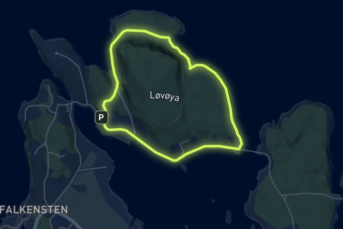
Demanding · Trail
Løvøya rundt
6.0 km · ↑ 120 m · 1 h 40 min
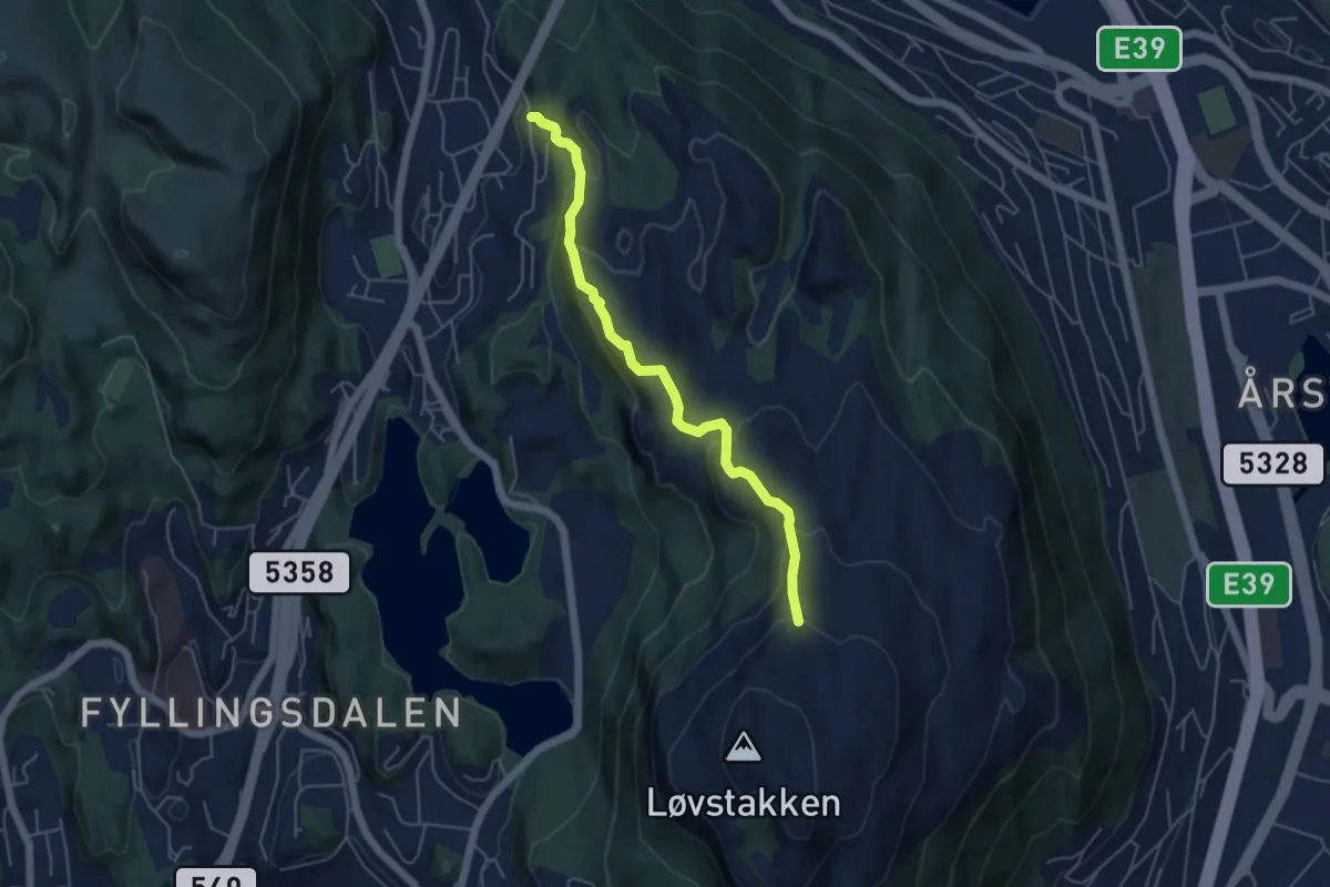
Easy · Trail
Løvstakken fra Melkeplassen
3.5 km · ↑ 270 m · 1 h 25 min
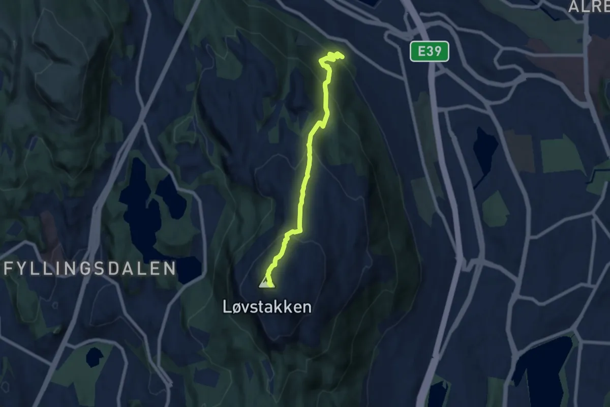
Medium · Trail
Løvstakken via Skillingsbollen
4.2 km · ↑ 382 m · 1 h 49 min
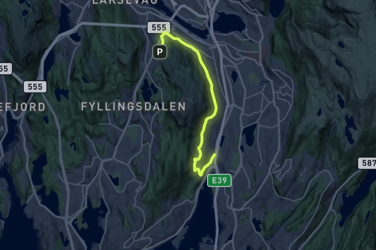
Easy · Trail
Løvstien
12.5 km · ↑ 375 m · 3 h 46 min
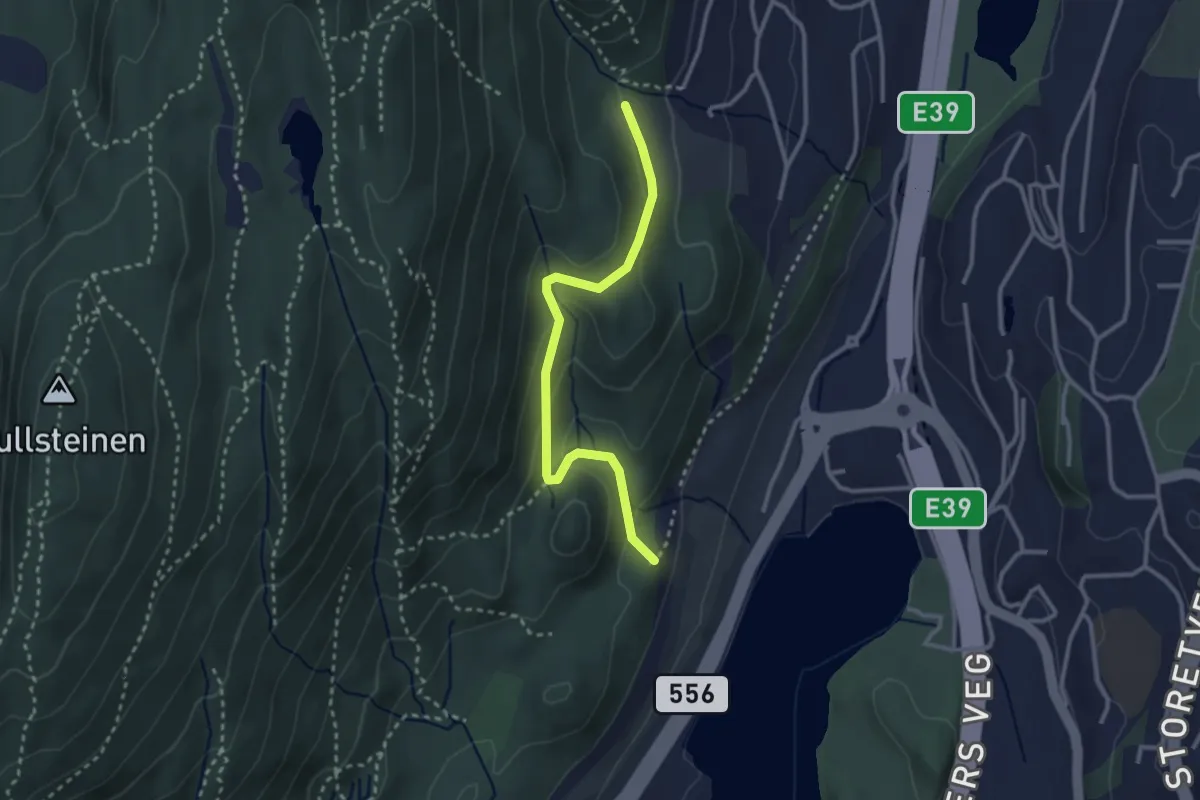
Easy · Trail
Løvstien sør
2.0 km · ↑ 98 m · 42 min
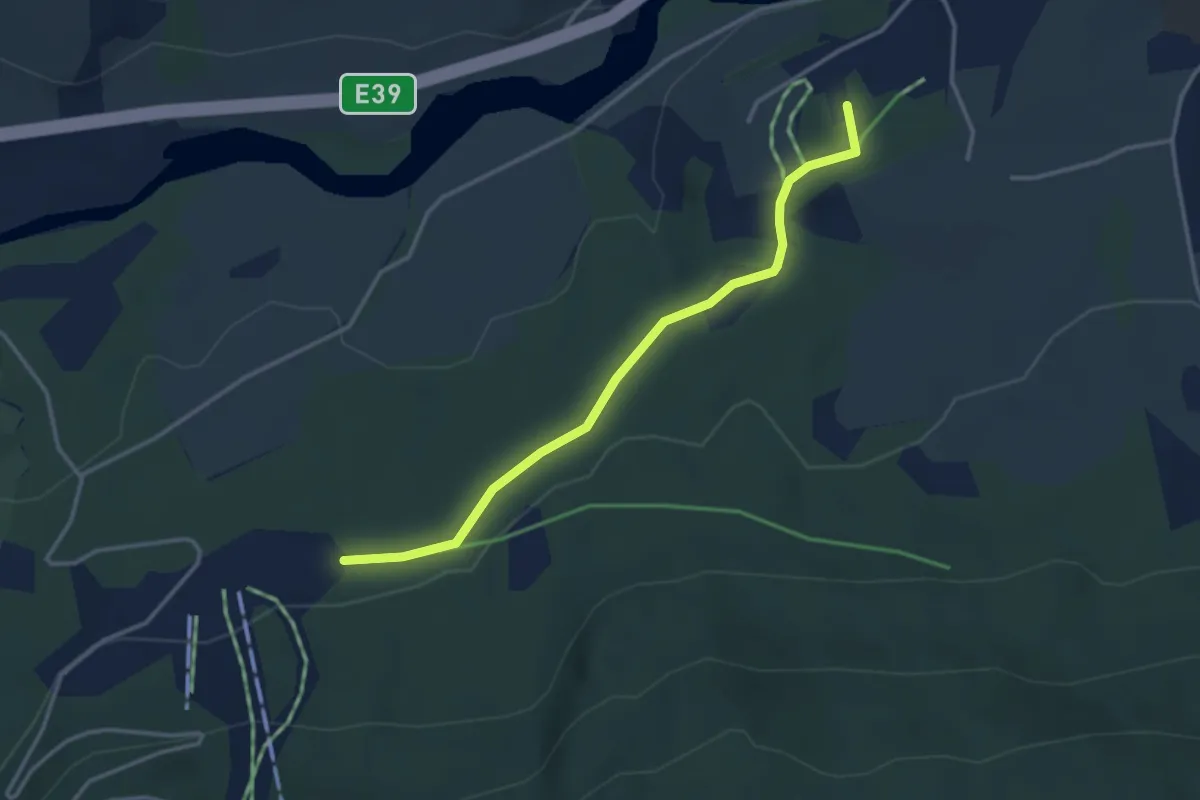
Easy · Trail
Løype frå Vassenden skule til Bjørkelia
2.4 km · ↑ 44 m · 39 min
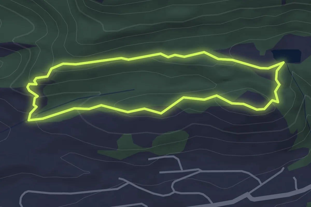
Easy · Trail
Løypingåsen
2.3 km · ↑ 94 m · 46 min
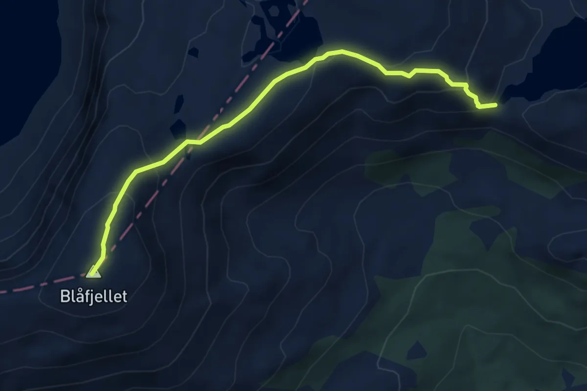
Medium · Trail
Løysingevatn- blåfjellet
4.2 km · ↑ 251 m · 1 h 33 min
Medium · Trail
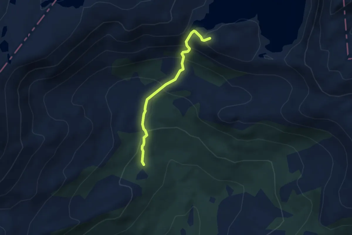
Løysingvatna
2.5 km · ↑ 228 m · 1 h 5 min
Easy · Trail
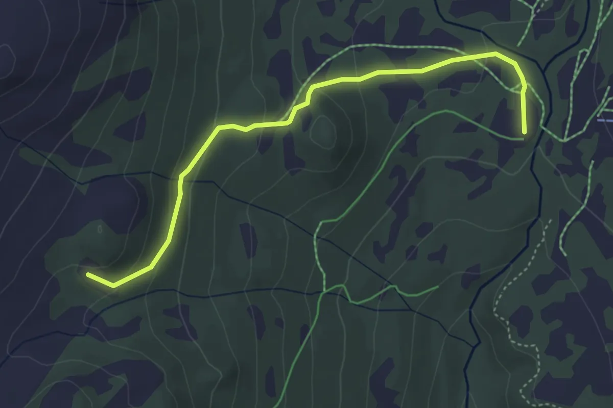
Løytnantstølen
3.0 km · ↑ 146 m · 1 h 1 min
Medium · Trail
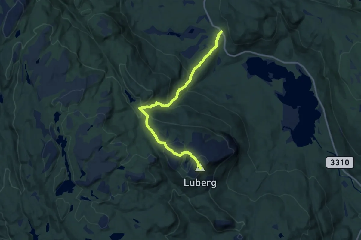
Luberg
6.8 km · ↑ 398 m · 2 h 28 min
Medium · Trail
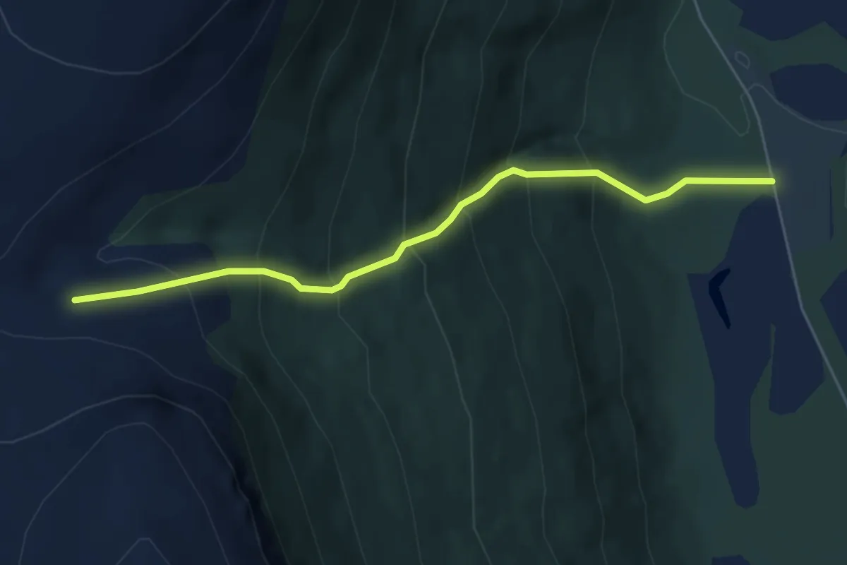
Luhppuráigi
2.7 km · ↑ 379 m · 1 h 28 min
Easy · Trail
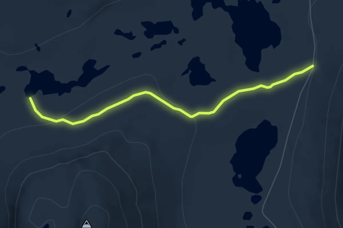
Luka
4.3 km · ↑ 73 m · 1 h 10 min
Demanding · Cabin
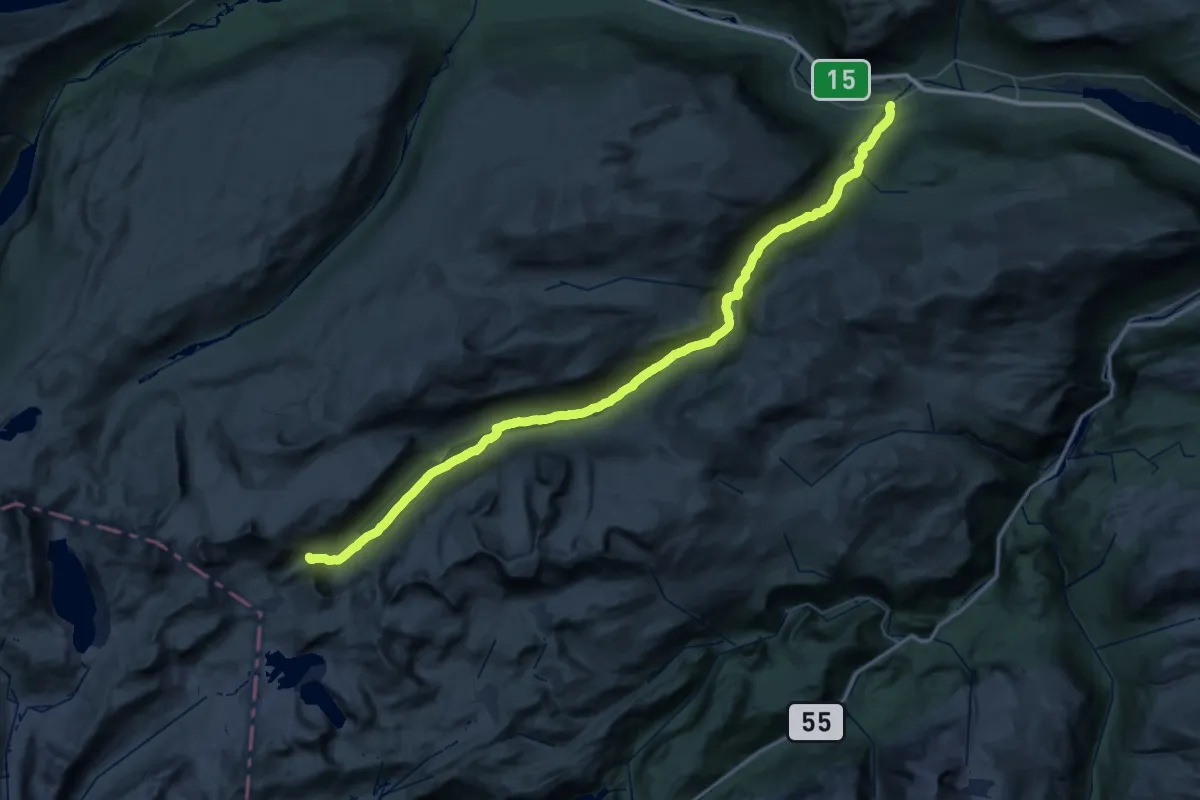
Lundadalen - Trulsbu
27.3 km · ↑ 938 m · 8 h 26 min
Medium · Trail
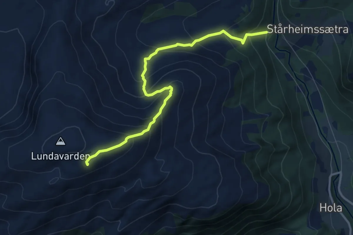
Lundavarden
6.0 km · ↑ 527 m · 2 h 33 min
Easy · Trail
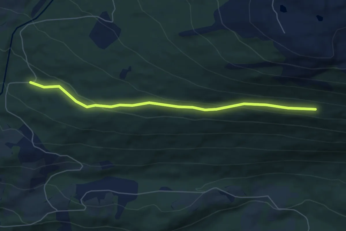
Lundavegen (Blåhøvegen - Grevskaftbana)
4.0 km · ↑ 103 m · 1 h 10 min
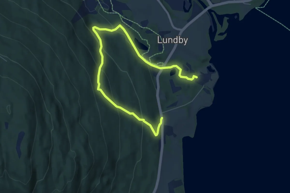
Medium · Trail
Lundbylia
6.0 km · ↑ 282 m · 2 h 1 min
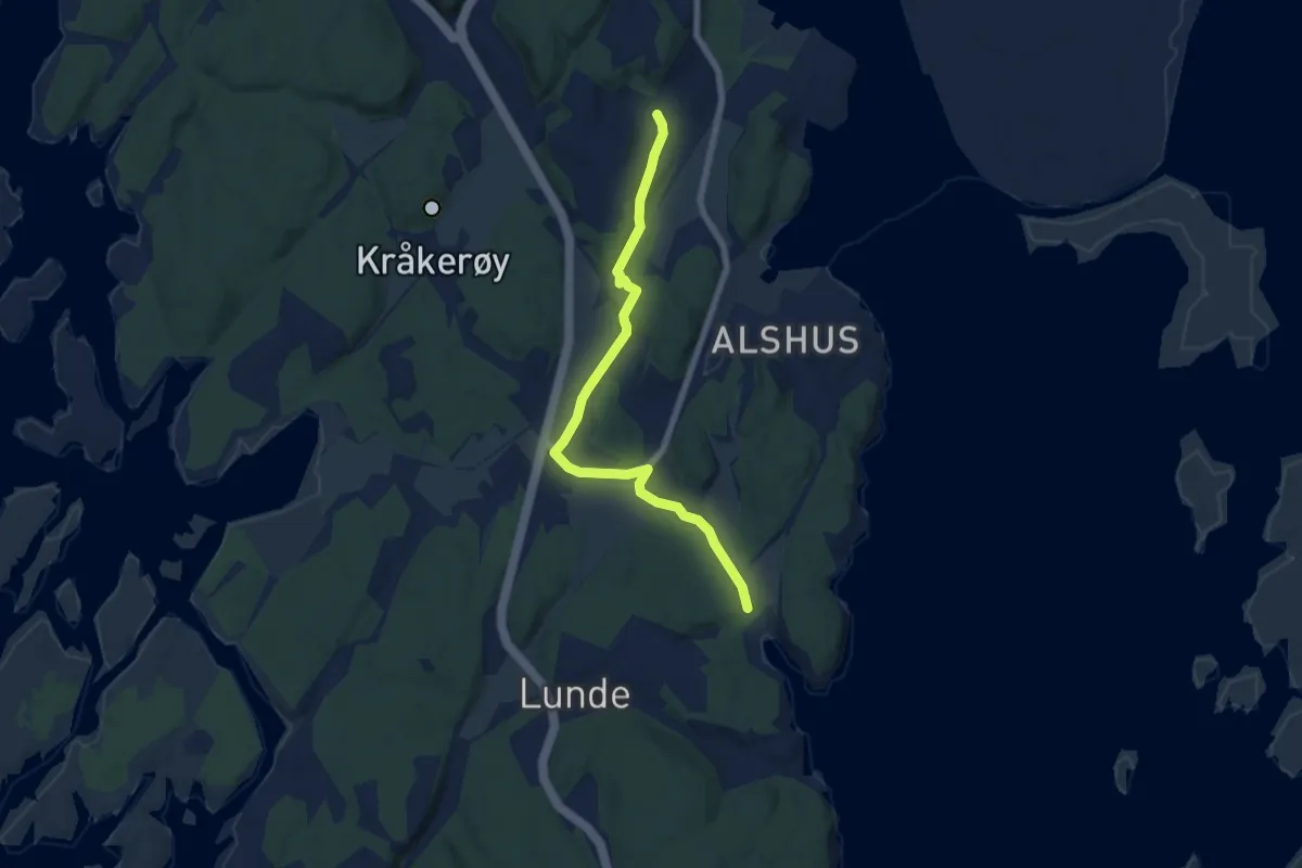
Easy · Trail
Lunde - Buskogen
5.0 km · ↑ 36 m · 1 h 15 min
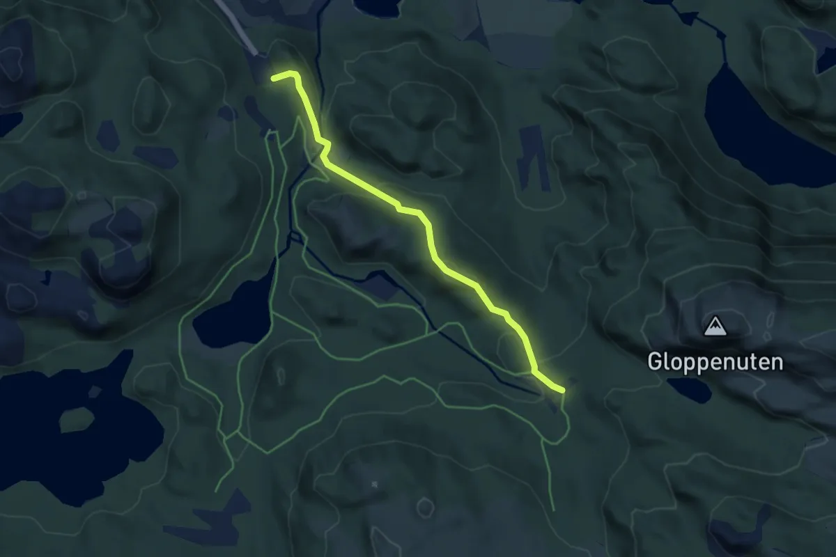
Medium · Trail
Lundefjell nord
3.3 km · ↑ 124 m · 1 h 3 min
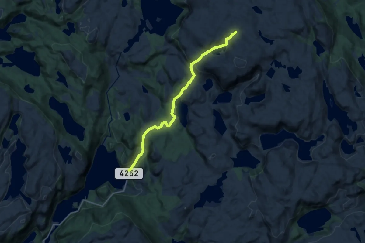
Medium · Trail
Lunden Solliknuten
9.3 km · ↑ 416 m · 3 h 6 min
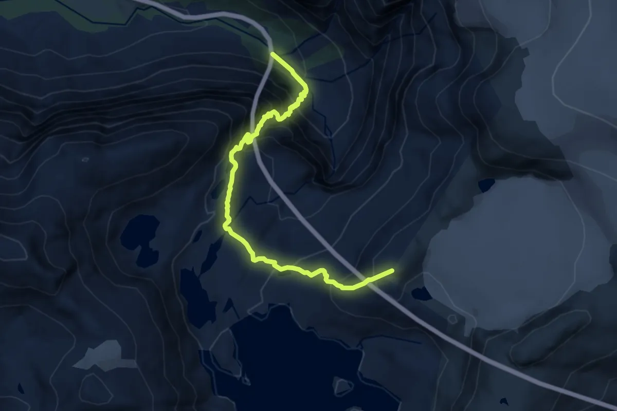
Demanding · Trail
Lundeskaret - Marabreen
8.0 km · ↑ 984 m · 4 h 2 min
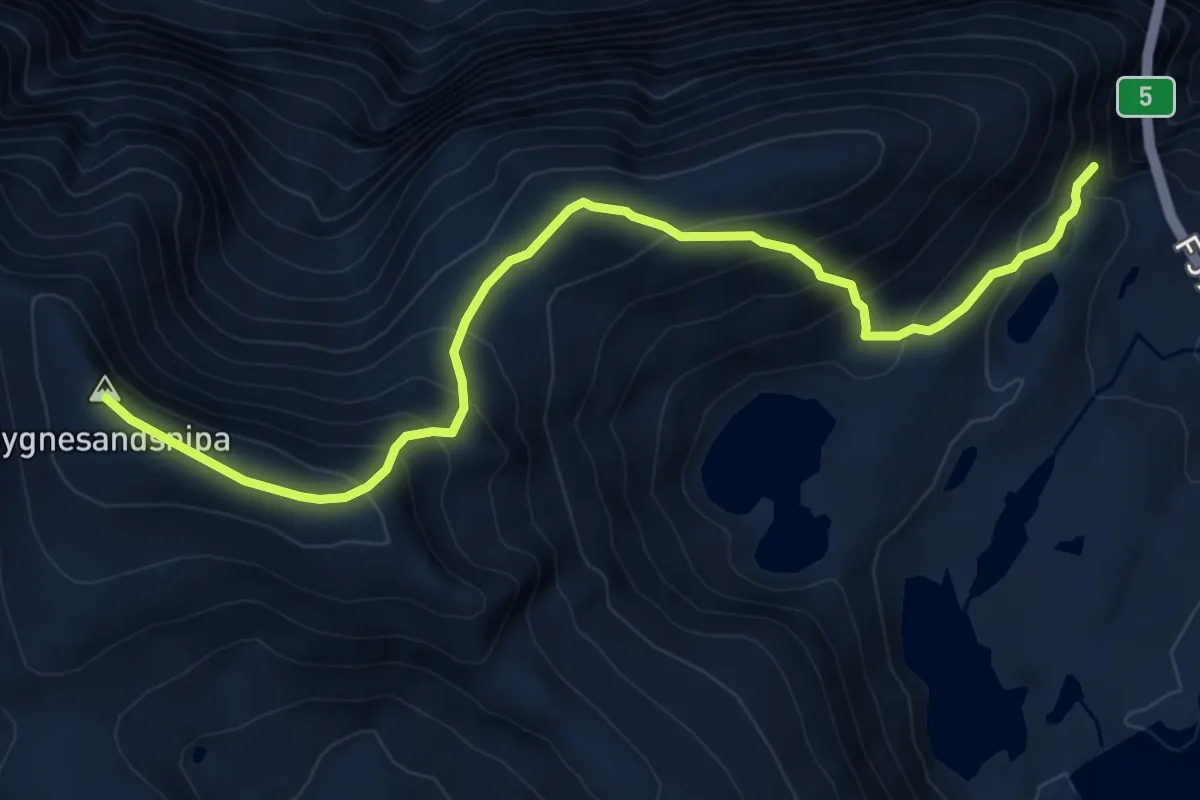
Medium · Trail
Lundeskaret - Søgnesandsnipa
6.5 km · ↑ 678 m · 3 h
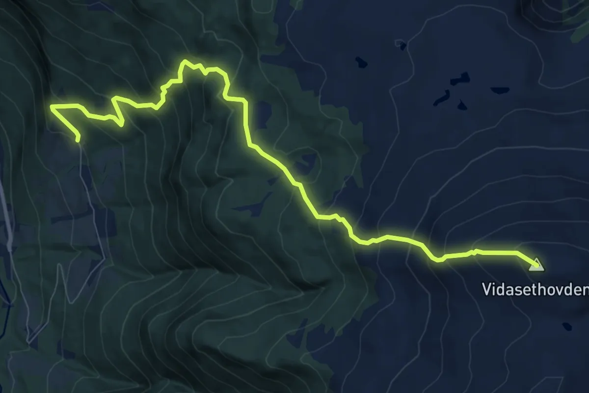
Demanding · Summit
Lunde-Vidasethovden
7.6 km · ↑ 815 m · 3 h 34 min
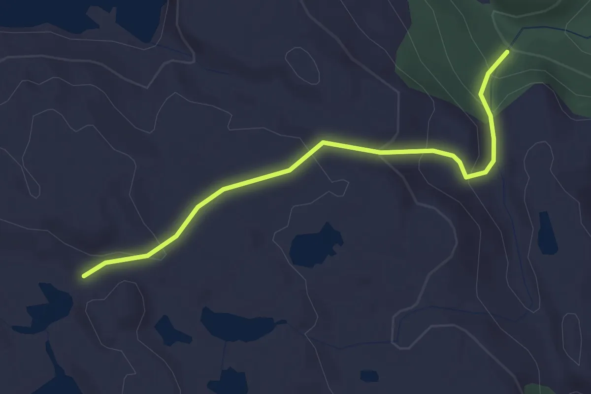
Easy · Trail
Lundheim Ørnaskaret
2.1 km · ↑ 138 m · 47 min
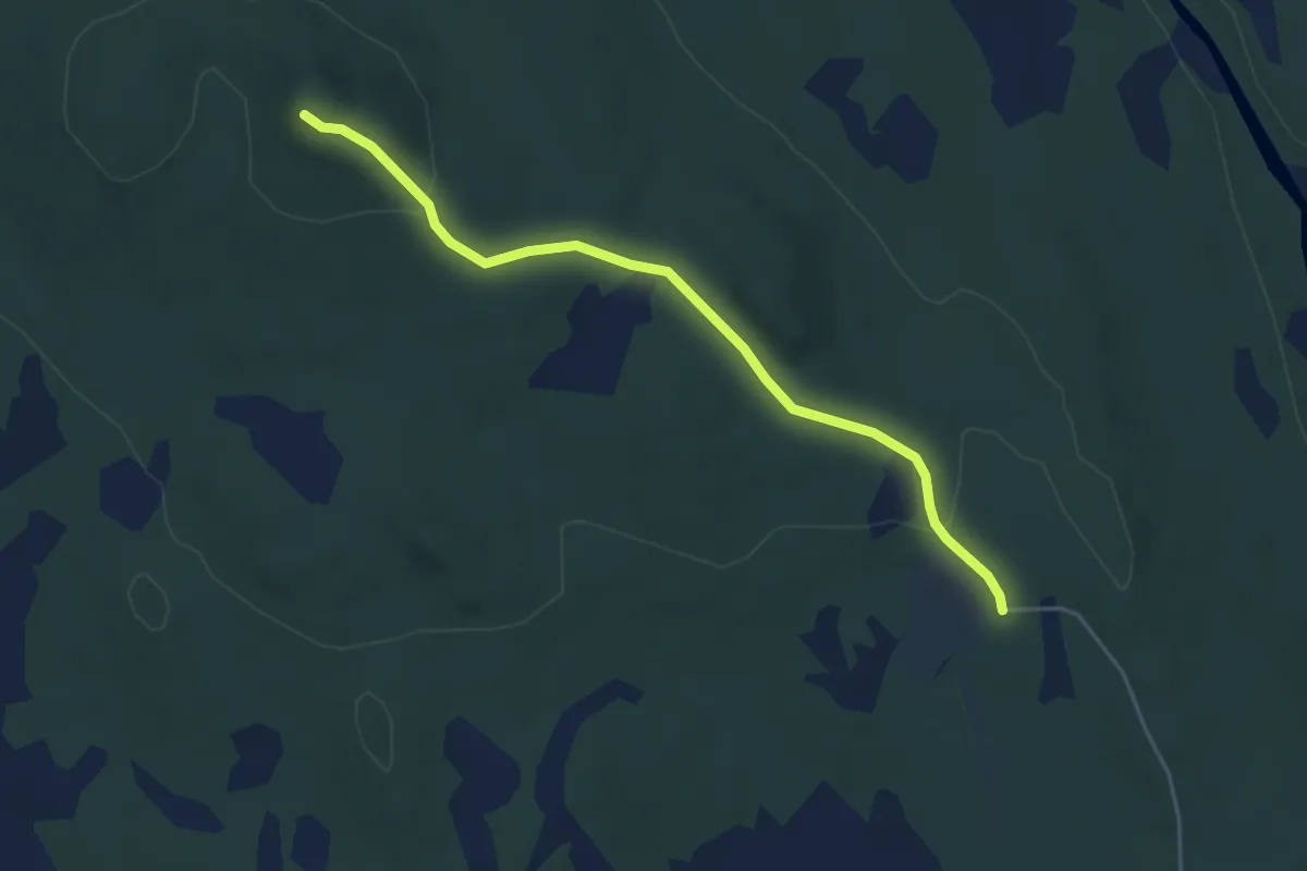
Easy · Trail
Lundkvassberget, Trysil
3.3 km · ↑ 94 m · 59 min
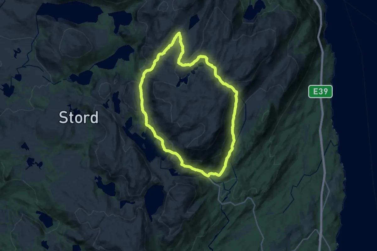
Demanding · Trail
Lundseter-Tysevatnet-Sørlileitet-Kvelve-Lundseter
21.5 km · ↑ 1314 m · 7 h 56 min
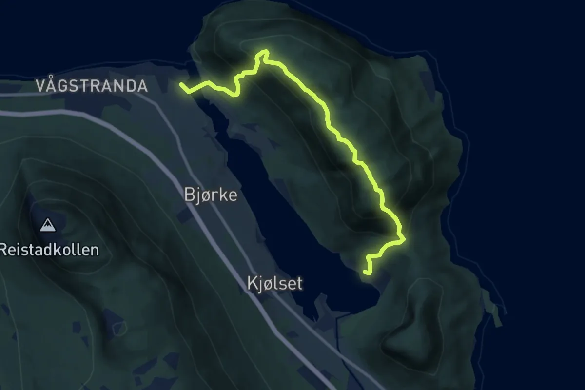
Medium · Trail
Lundsfjellet
6.0 km · ↑ 642 m · 2 h 49 min
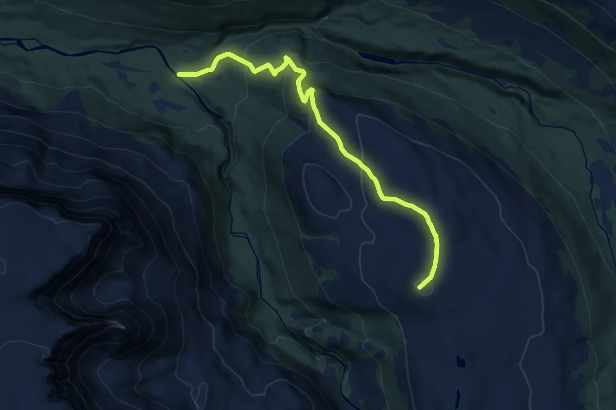
Medium · Trail
Luovosskáidi
7.9 km · ↑ 475 m · 2 h 54 min
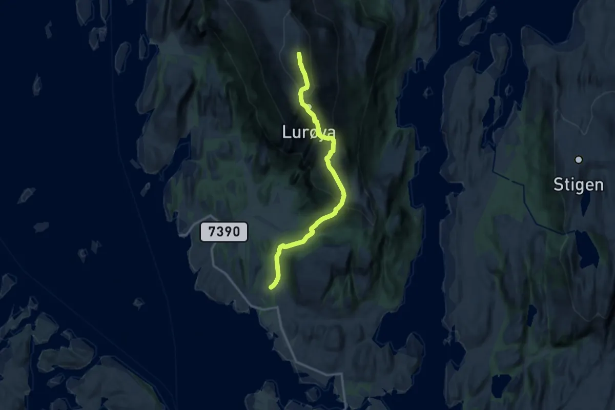
Medium · Trail
Lurøyfjellet
6.5 km · ↑ 665 m · 2 h 59 min
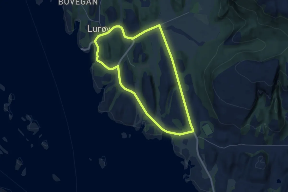
Easy · Trail
Lurøysjyen rundt
6.4 km · ↑ 45 m · 1 h 37 min
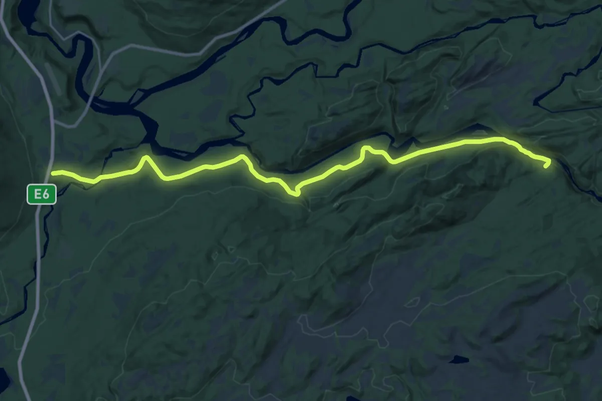
Medium · Trail
Lurudalen
16.6 km · ↑ 243 m · 4 h 26 min
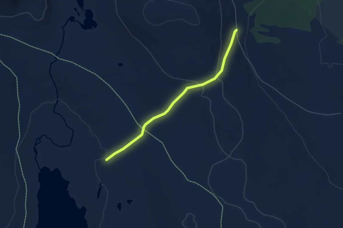
Easy · Trail
Luvhøa-Blakksjøen, Engerdal
3.5 km · ↑ 79 m · 1 h
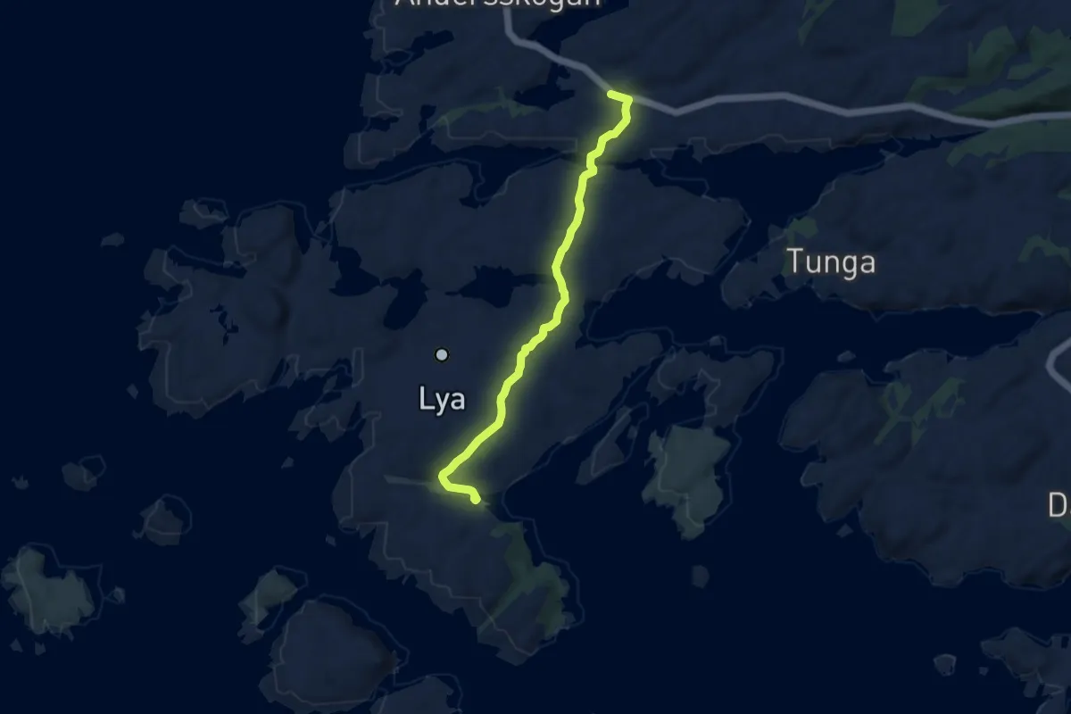
Easy · Trail
Lya
5.1 km · ↑ 76 m · 1 h 22 min
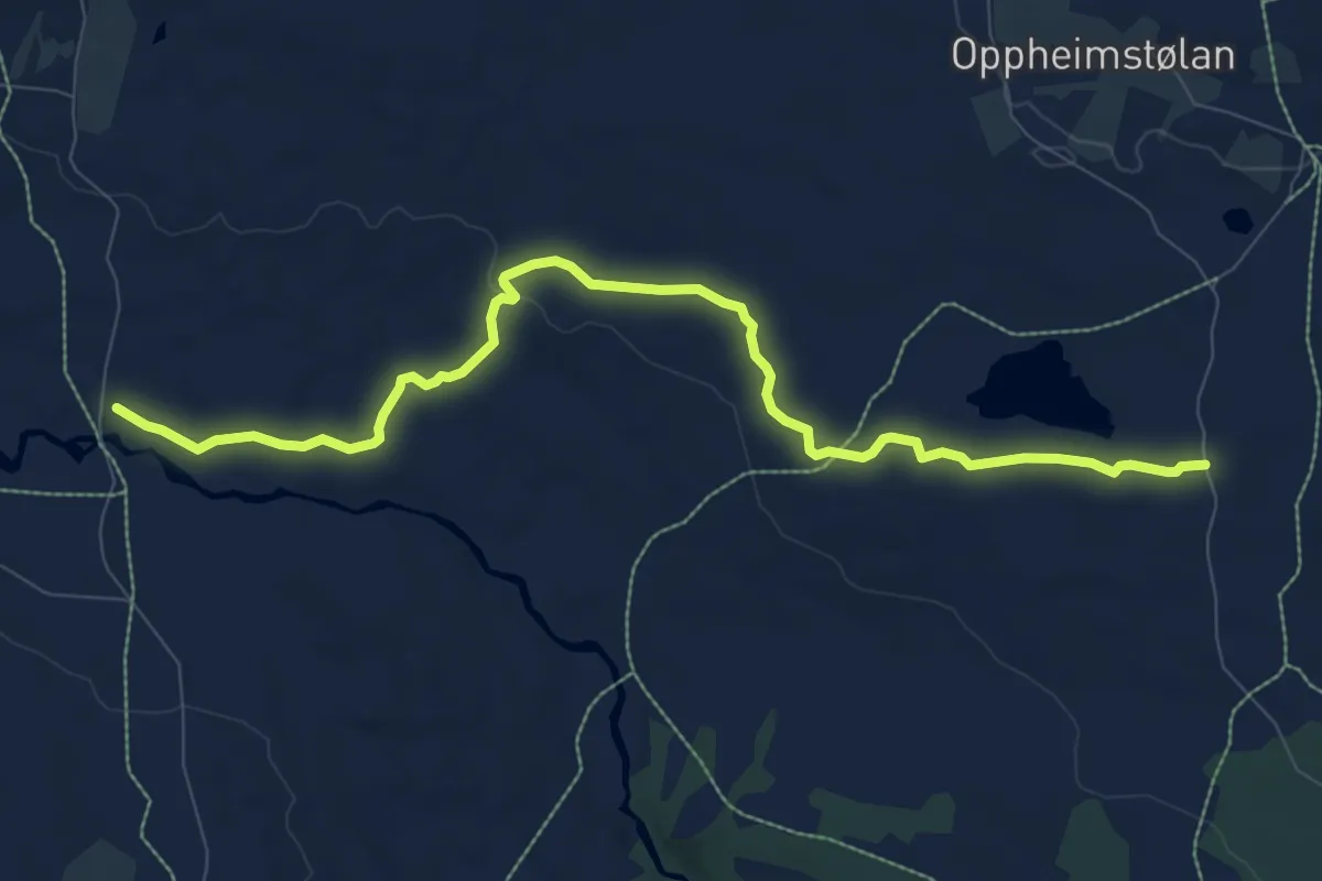
Easy · Trail
Lya tur og sykkelstig
7.1 km · ↑ 73 m · 1 h 49 min
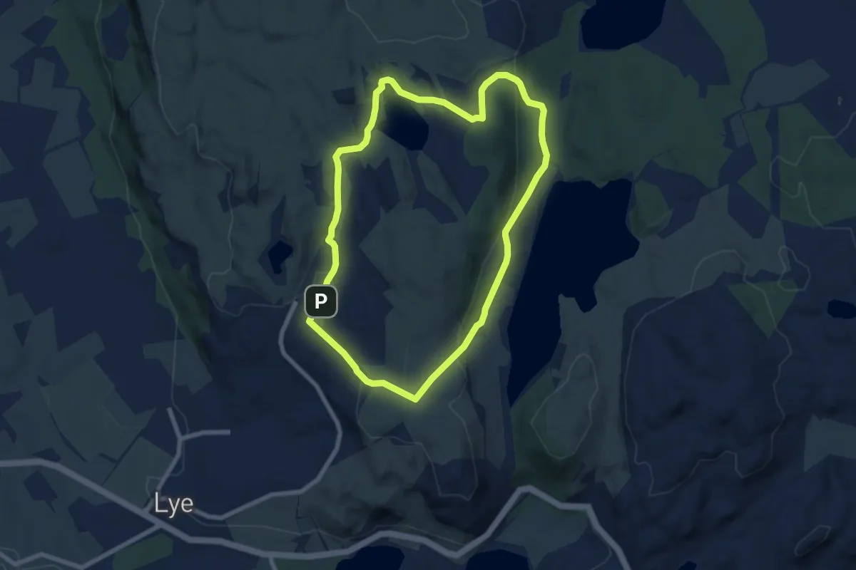
Medium · Trail
Lyefjellet rundt
10.0 km · ↑ 190 m · 2 h 46 min
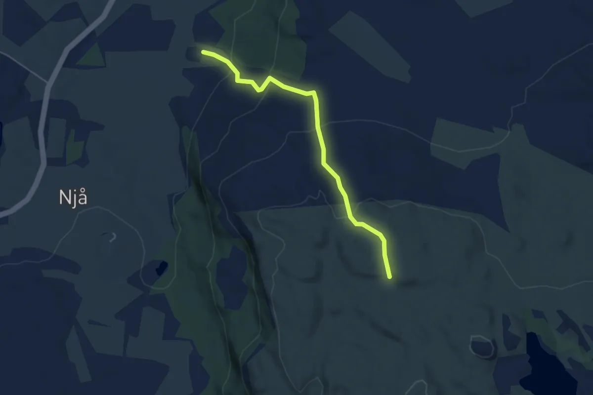
Easy · Trail
LyefjellTilSletteig
3.3 km · ↑ 186 m · 1 h 10 min
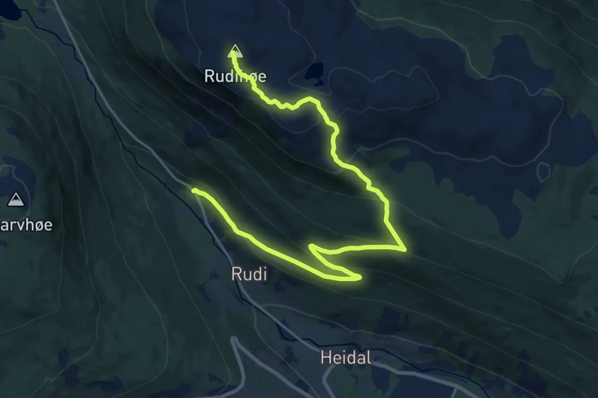
Medium · Trail
Lykkja til Rudihøe
12.6 km · ↑ 605 m · 4 h 16 min
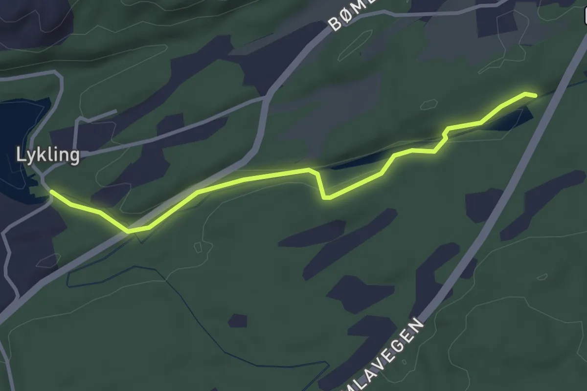
Easy · Trail
Lyklingelva
2.2 km · ↑ 22 m · 34 min
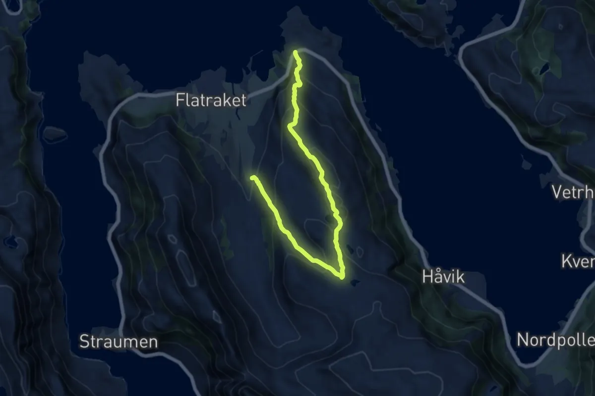
Medium · Trail
Lynghaughornet
8.4 km · ↑ 611 m · 3 h 18 min
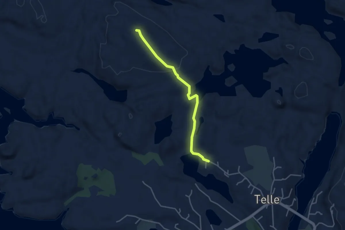
Medium · Trail
Lynghovdo
2.3 km · ↑ 63 m · 41 min
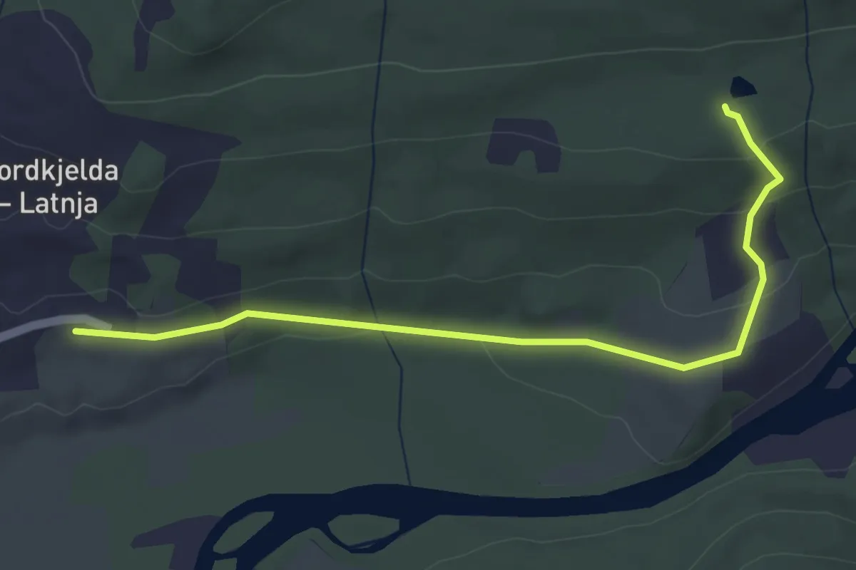
Easy · Trail
Lyngmoen-Hesjehaugen
2.4 km · ↑ 74 m · 44 min
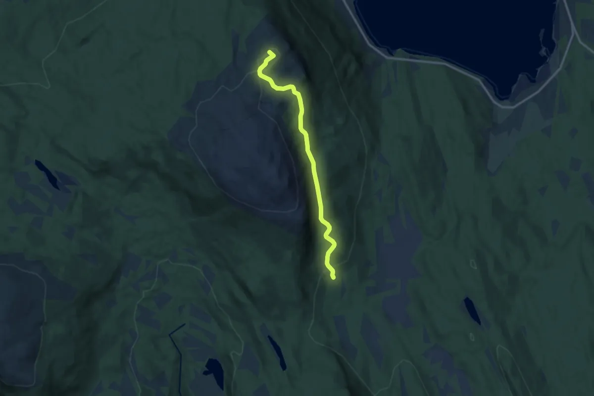
Easy · Trail
Lyngmo-Klubban
5.5 km · ↑ 216 m · 1 h 47 min
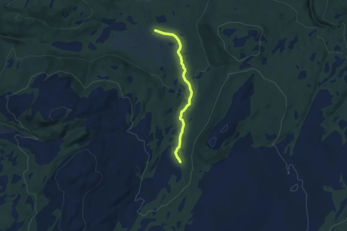
Easy · Trail
Lyngsvollen
5.1 km · ↑ 135 m · 1 h 30 min
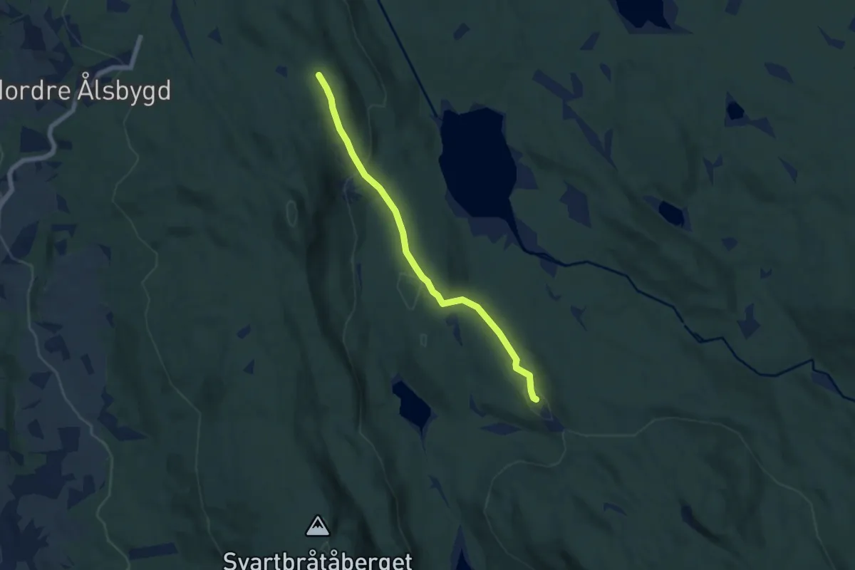
Easy · Trail
Lynnabakka parkering - Skjerva
3.8 km · ↑ 138 m · 1 h 12 min
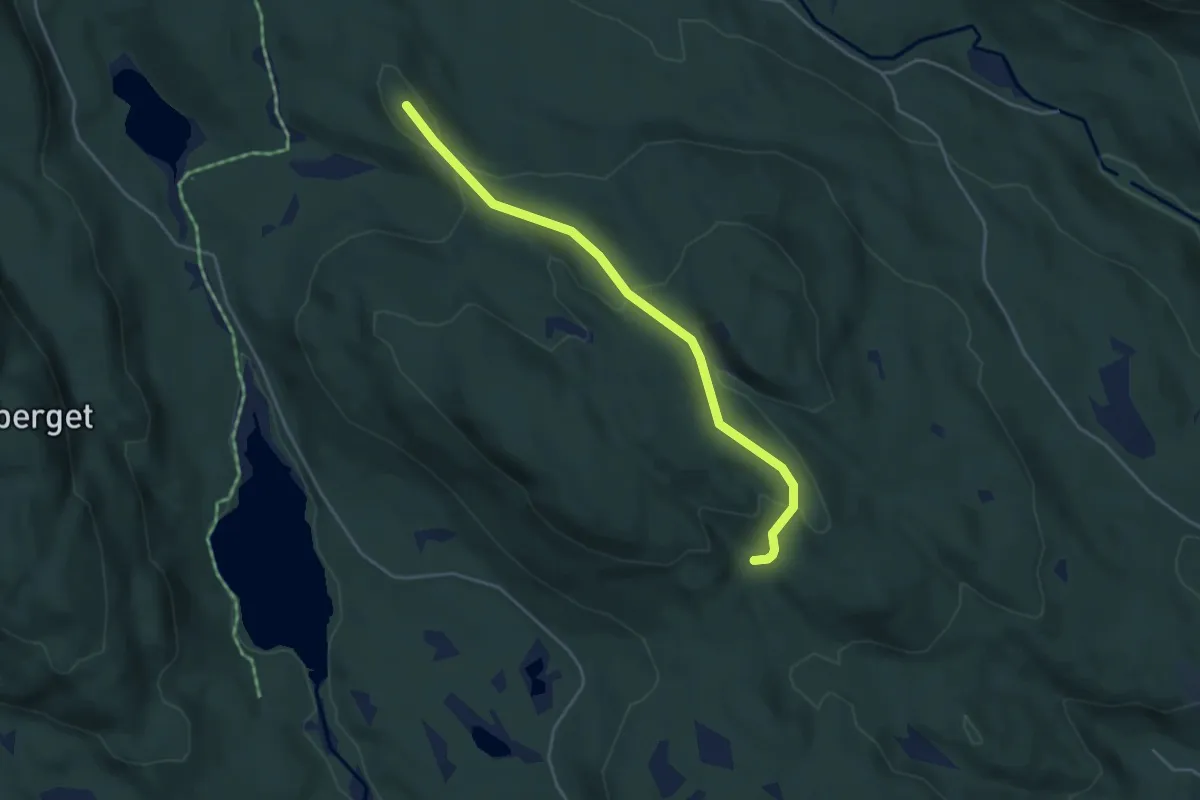
Easy · Trail
Lynnabakka parkering - Skjerva
3.0 km · ↑ 113 m · 57 min
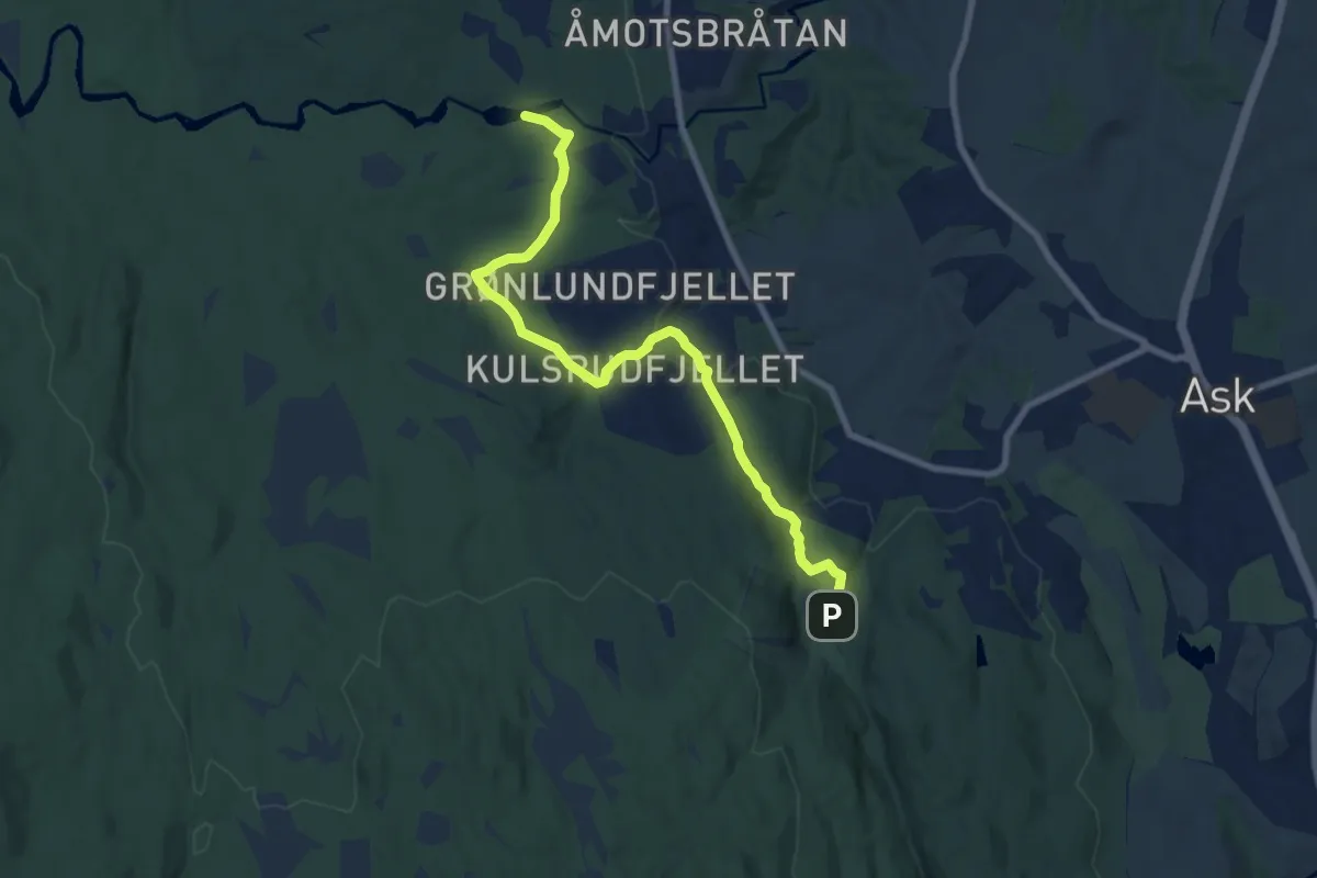
Easy · Trail
Lysdammen-Kniplia
6.2 km · ↑ 150 m · 1 h 48 min
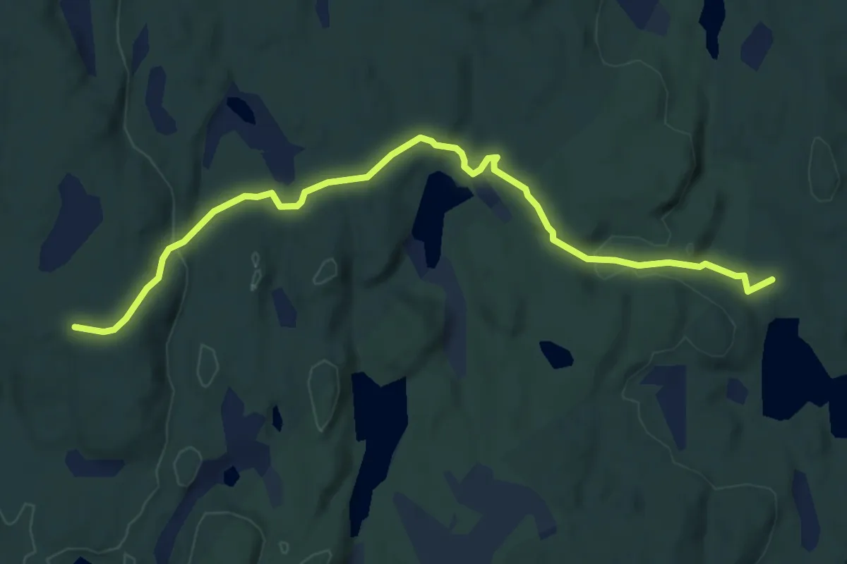
Easy · Trail
Lysholm til Nordre Stange varde
4.5 km · ↑ 107 m · 1 h 18 min
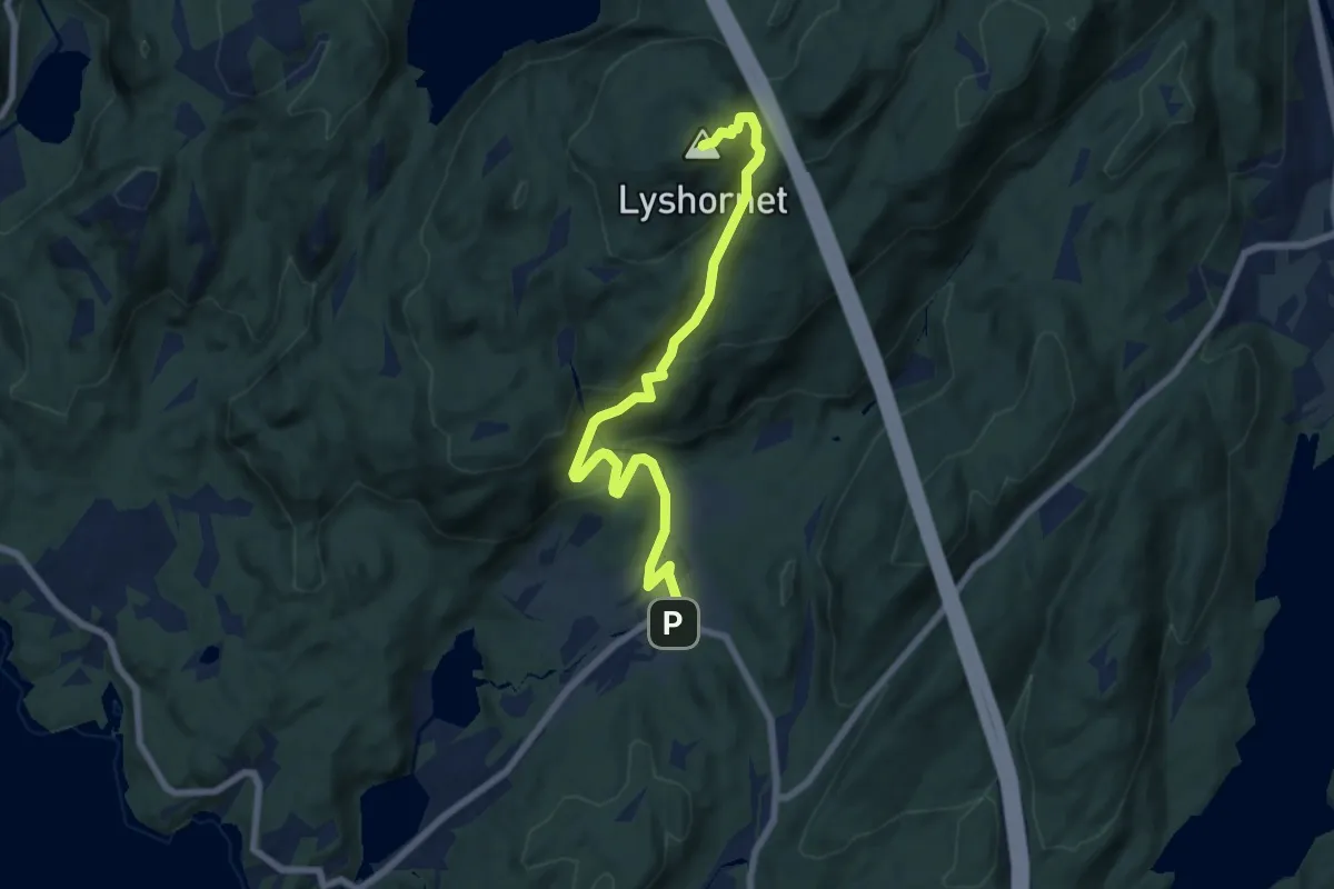
Medium · Summit
Lyshornet
5.5 km · ↑ 363 m · 2 h 5 min