Trails in Norway
7,452 hiking trails, each with its route, climb, walking time and grade.
All trails, page 60 of 156
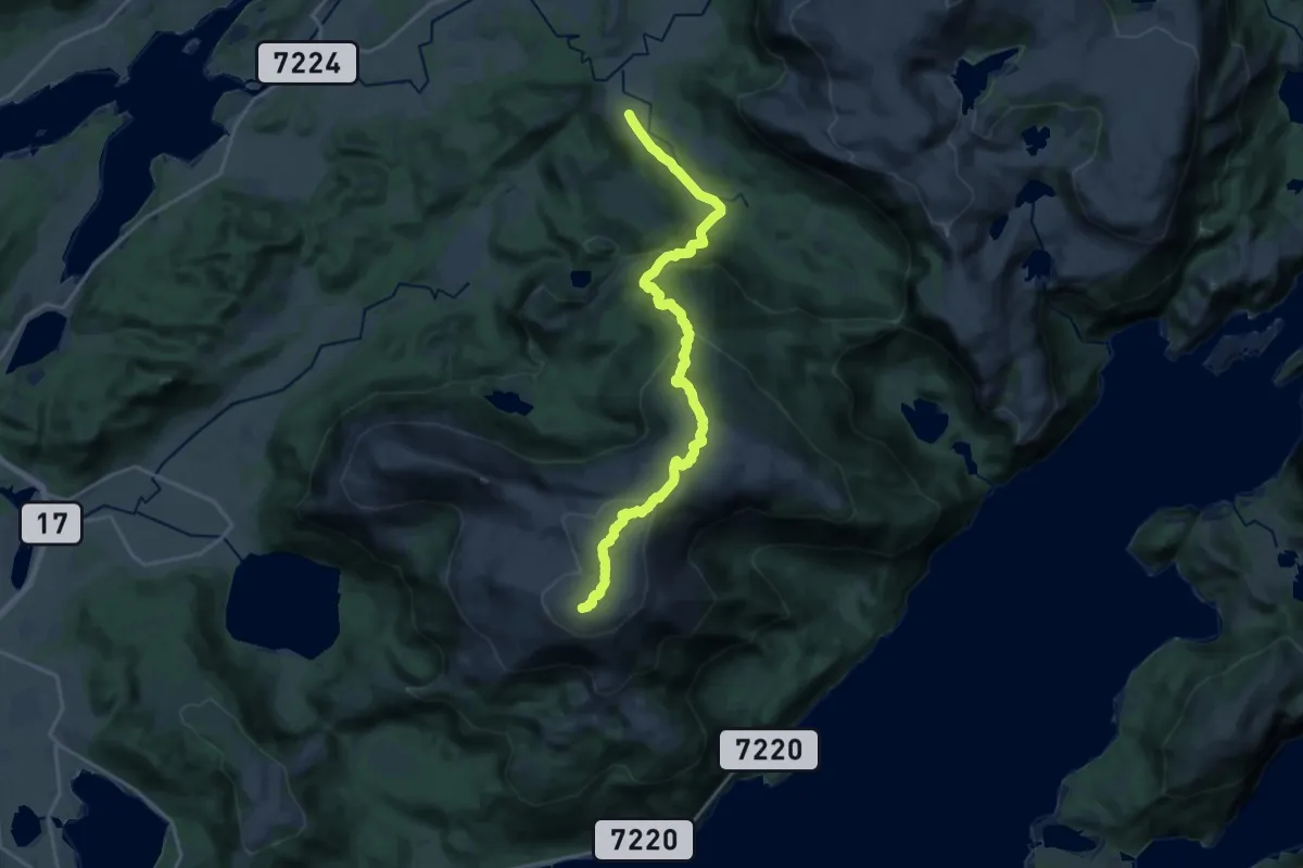
Medium · Trail
Lysingen
12.3 km · ↑ 622 m · 4 h 15 min
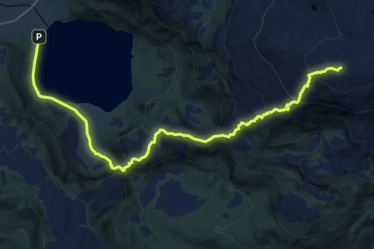
Demanding · Trail
Lysingen fra Holandsvatnet
9.8 km · ↑ 632 m · 3 h 40 min
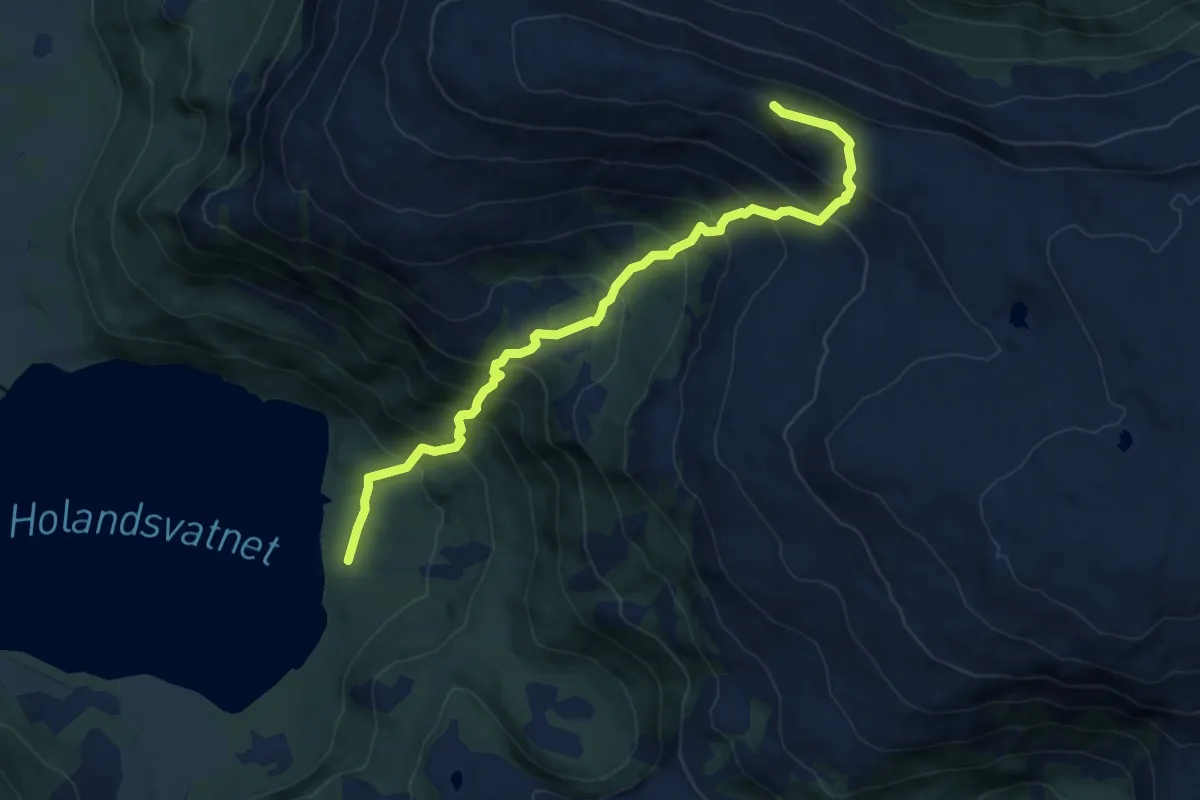
Demanding · Trail
Lysingshesten
4.6 km · ↑ 593 m · 2 h 22 min
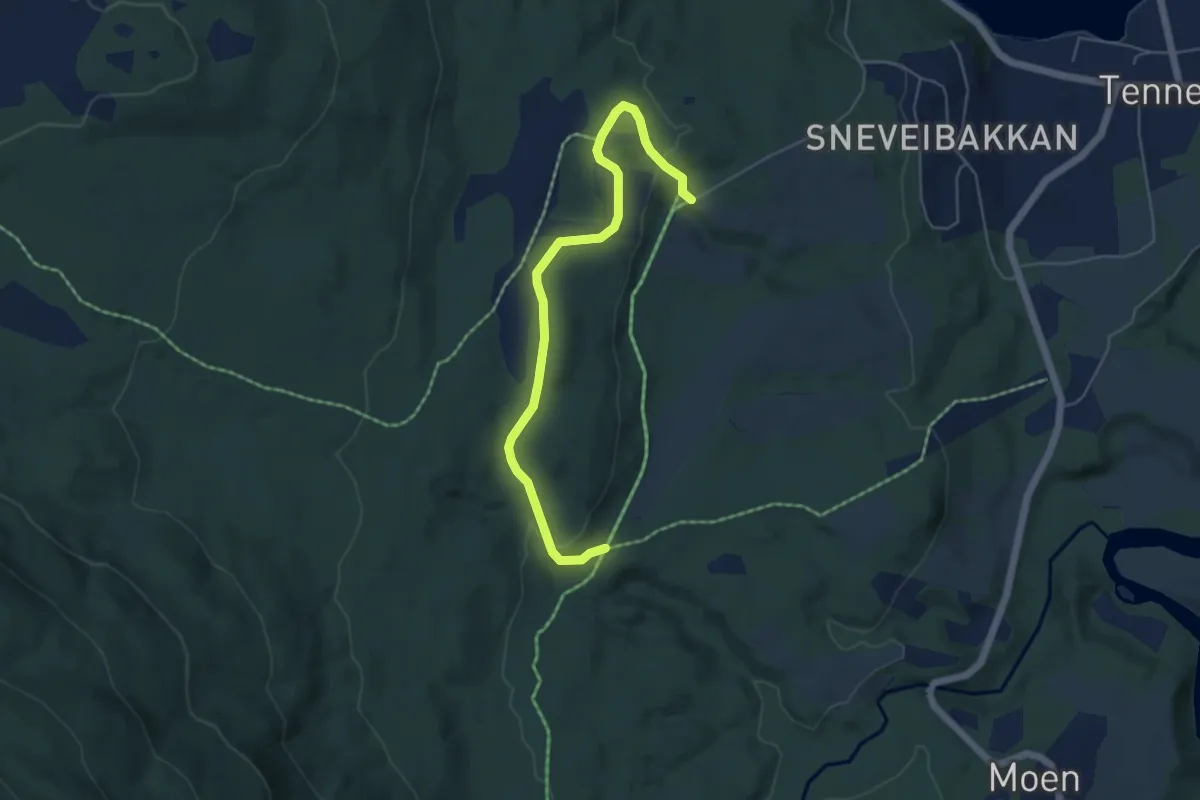
Easy · Trail
Lysløypa
2.9 km · ↑ 93 m · 53 min
Easy · Trail
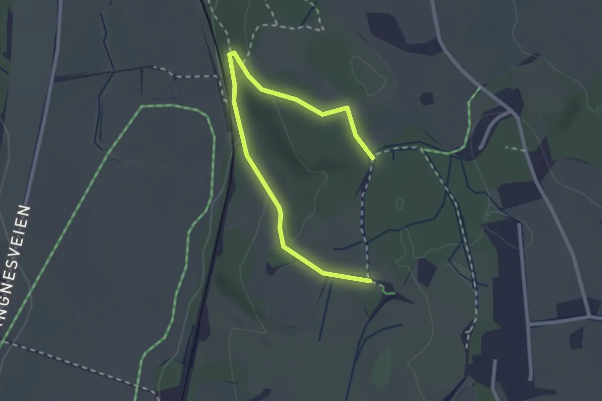
Lysløypa Askim
2.0 km · ↑ 65 m · 37 min
Easy · Trail
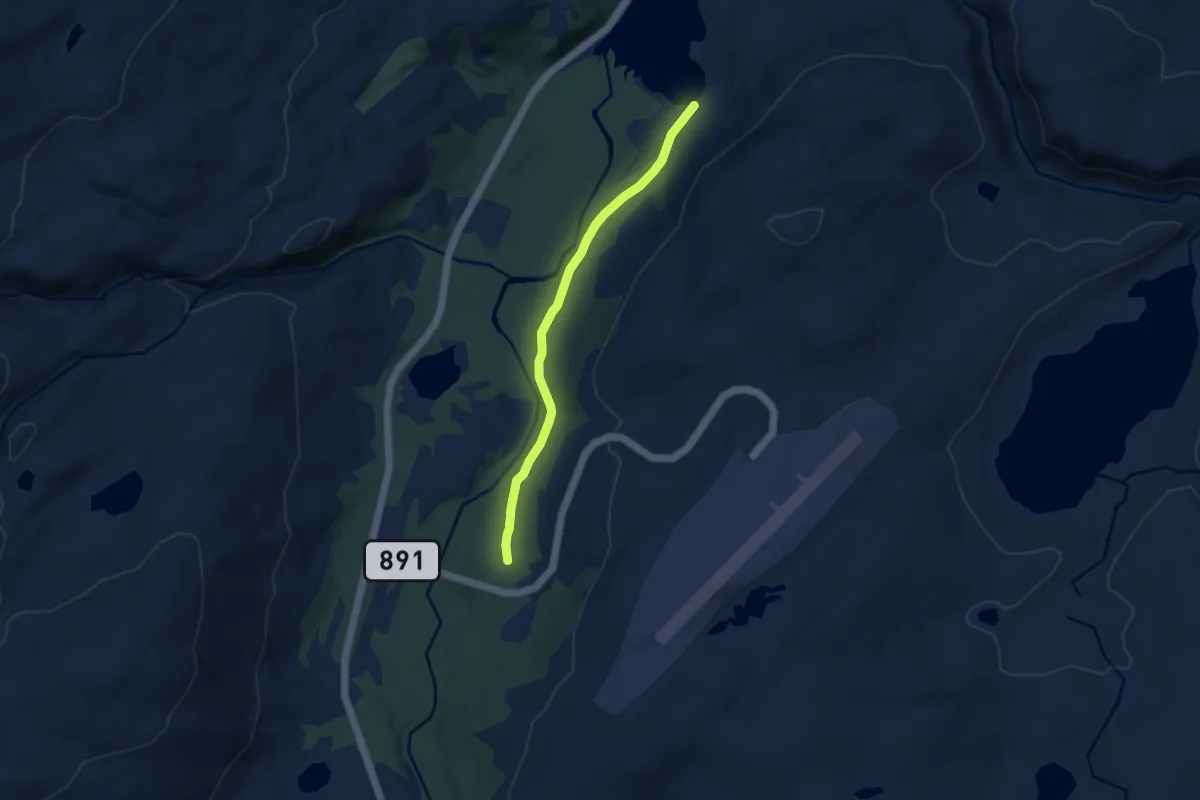
Lysløypa i Båtsfjorddalen
3.6 km · ↑ 34 m · 56 min
Easy · Trail
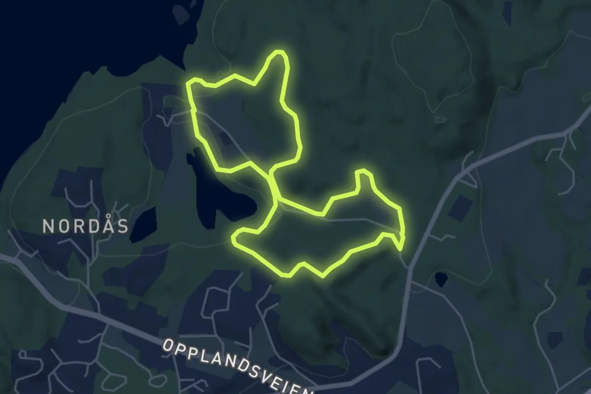
Lysløype Dømmesmoen
7.3 km · ↑ 102 m · 1 h 57 min
Medium · Trail
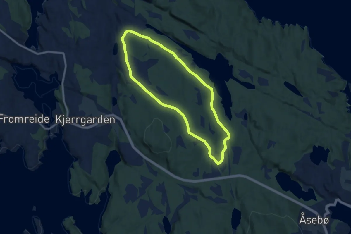
Lysløypen ved Siglingavatnet
8.5 km · ↑ 191 m · 2 h 25 min
Easy · Trail
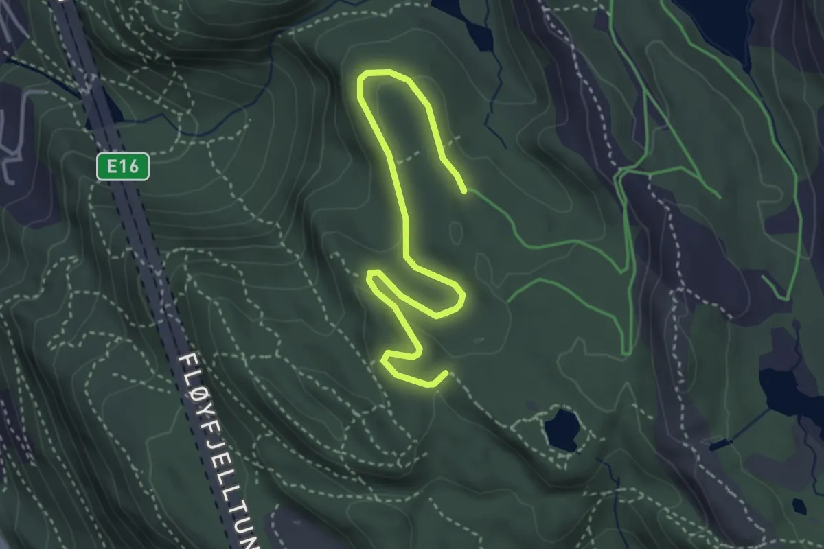
Lysløype vest
2.8 km · ↑ 57 m · 47 min
Easy · Trail
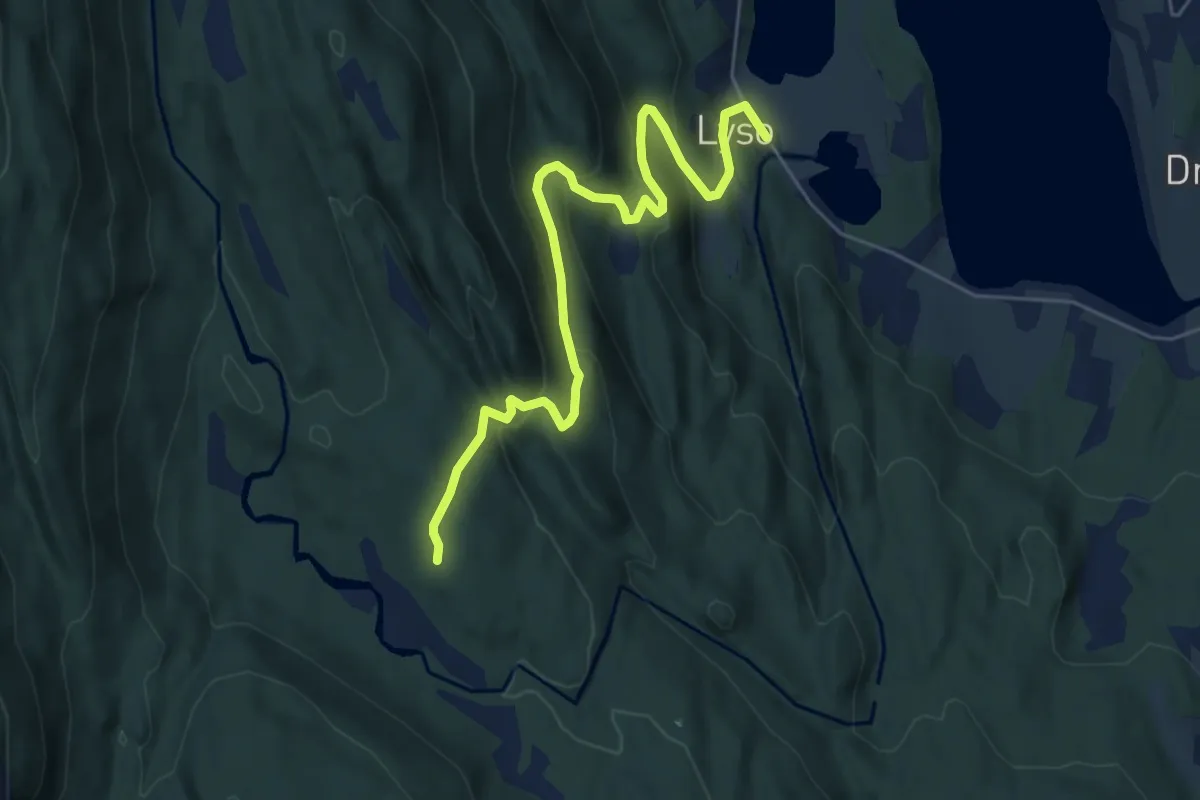
Lyso - Rambasete
4.6 km · ↑ 296 m · 1 h 43 min
Medium · Trail
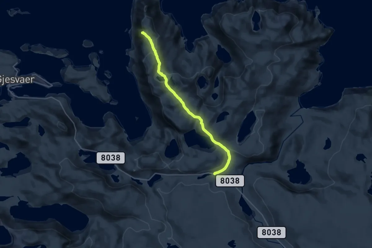
Lysøynæringen
8.4 km · ↑ 313 m · 2 h 40 min
Easy · Trail
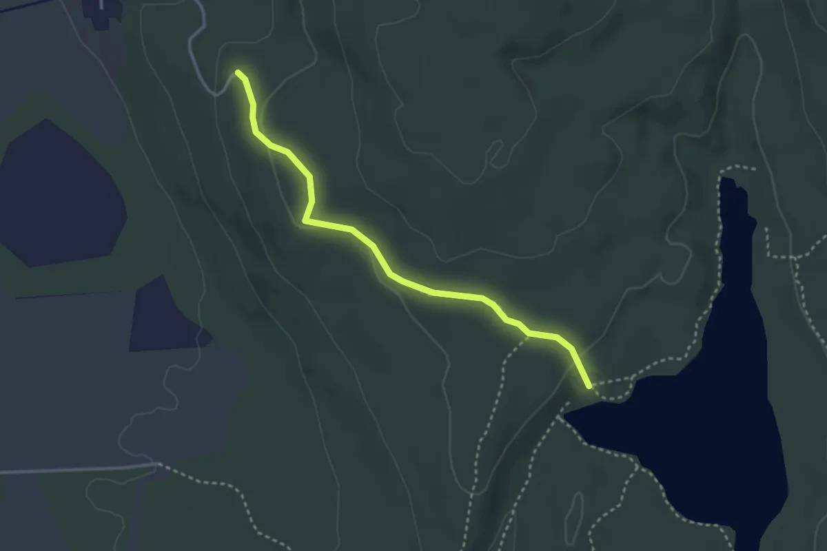
Lystadgrenda - Karterud
2.3 km · ↑ 41 m · 38 min
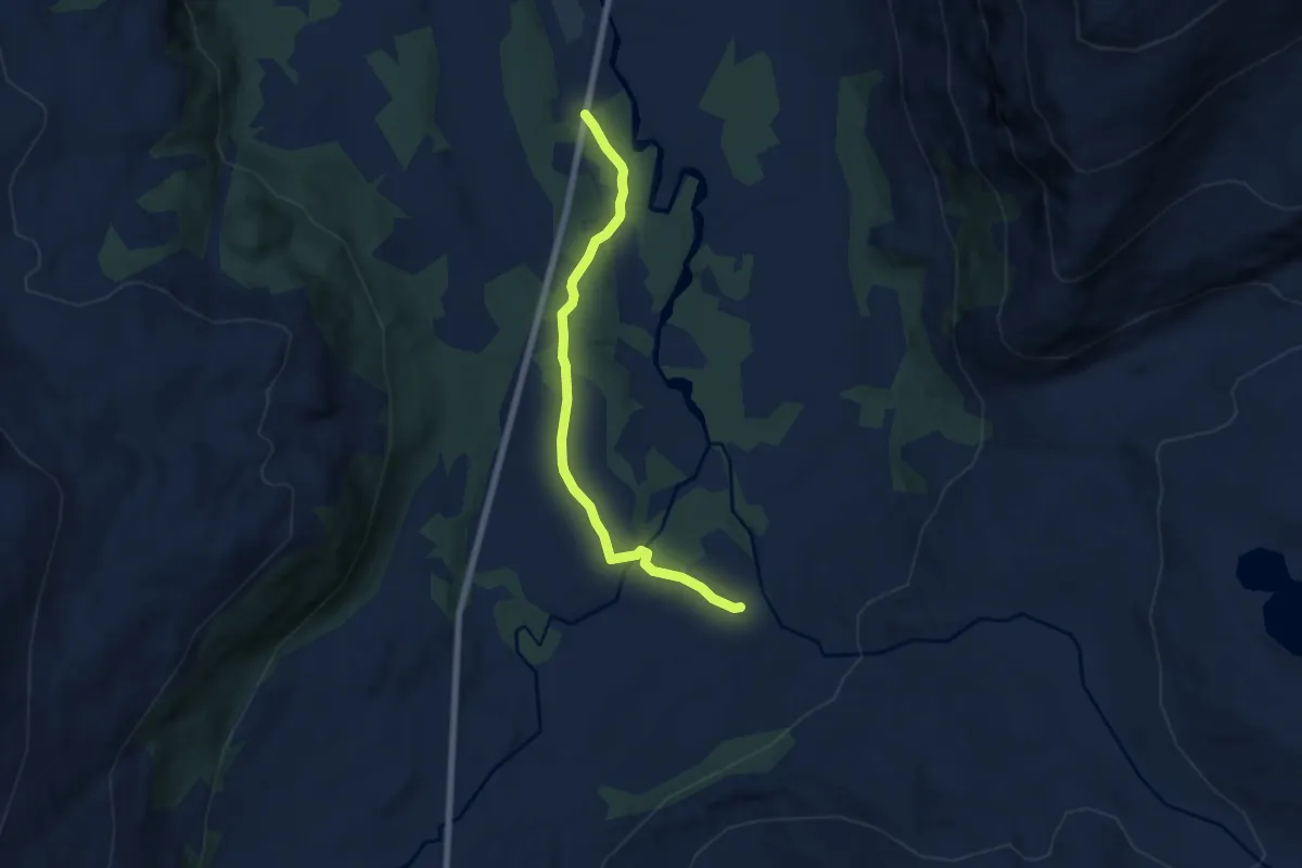
Easy · Trail
Lysverkveien
3.2 km · ↑ 37 m · 51 min
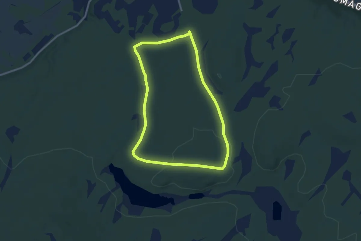
Easy · Trail
Máđiijávri
7.0 km · ↑ 99 m · 1 h 52 min
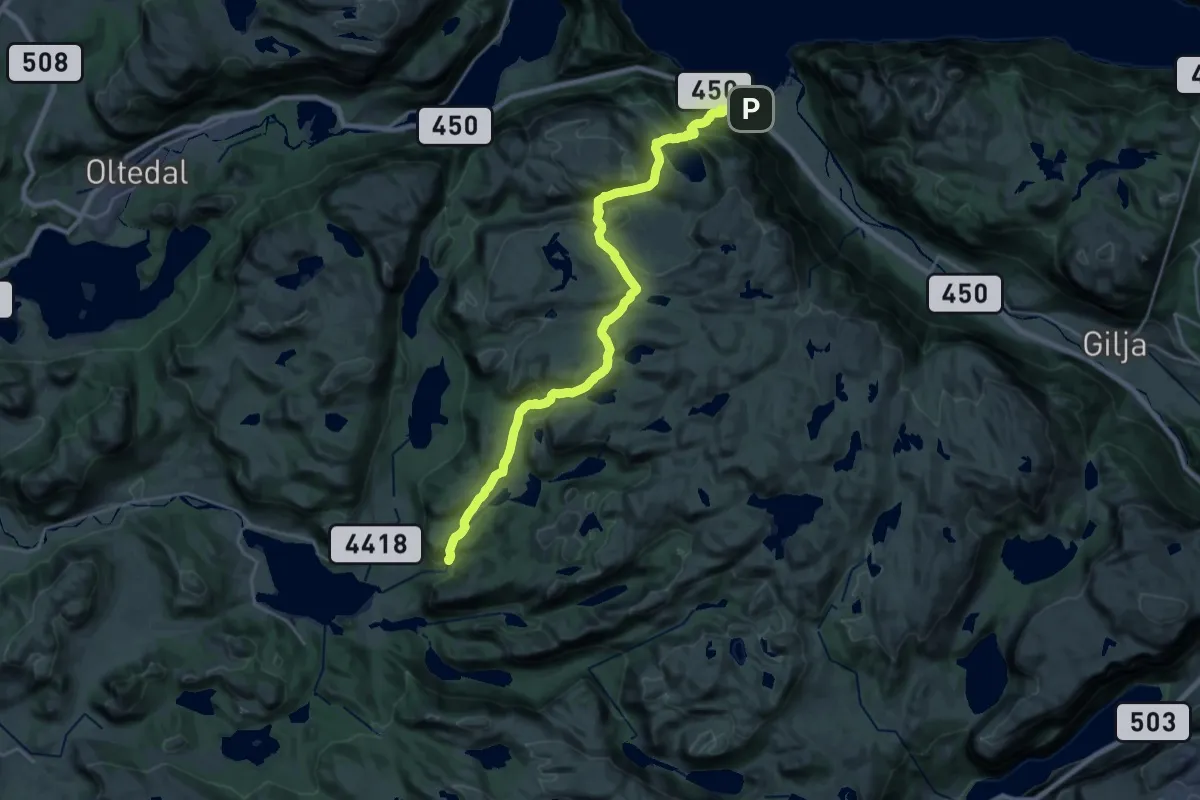
Demanding · Trail
Madland - Dirdal
18.5 km · ↑ 1125 m · 6 h 49 min
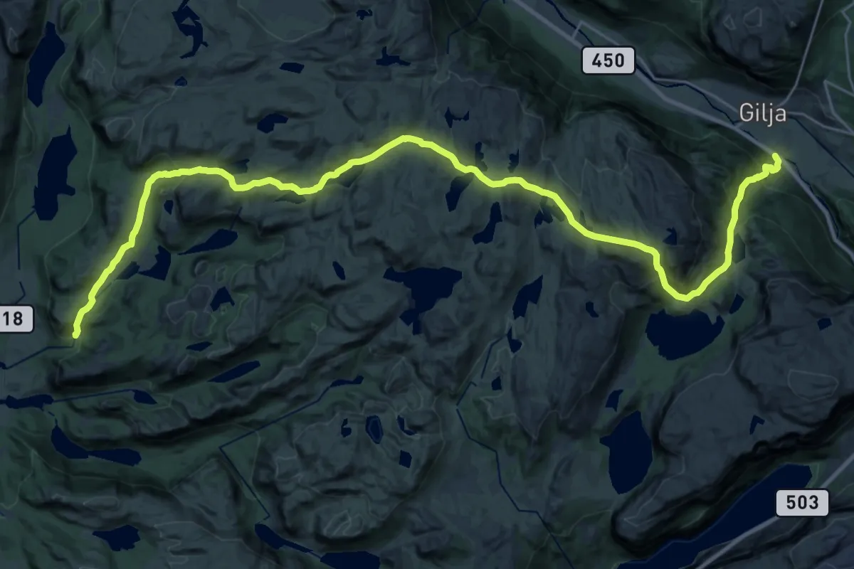
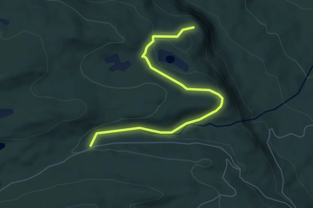
Medium · Trail
Madland - Gilja
13.0 km · ↑ 442 m · 4 h 22 min
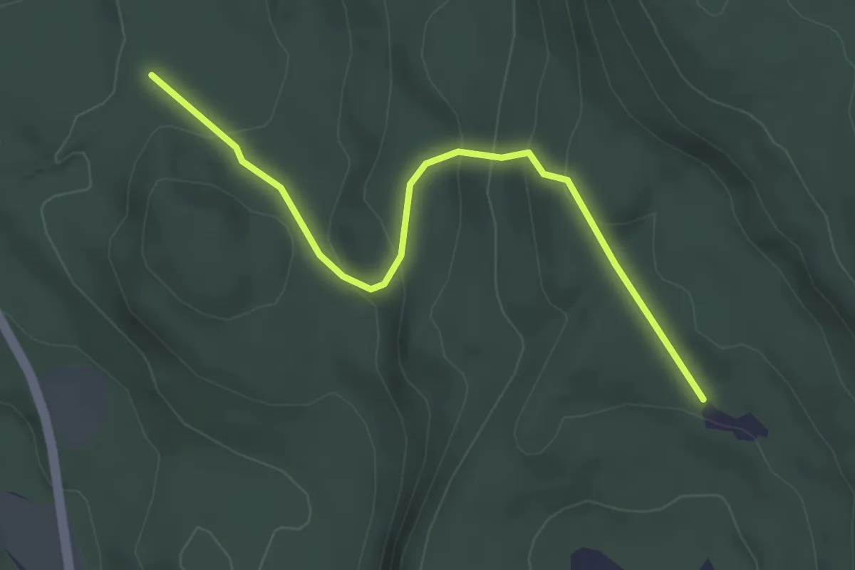
Easy · Trail
Mælumslivegen - Skjellungskampen
4.4 km · ↑ 111 m · 1 h 17 min
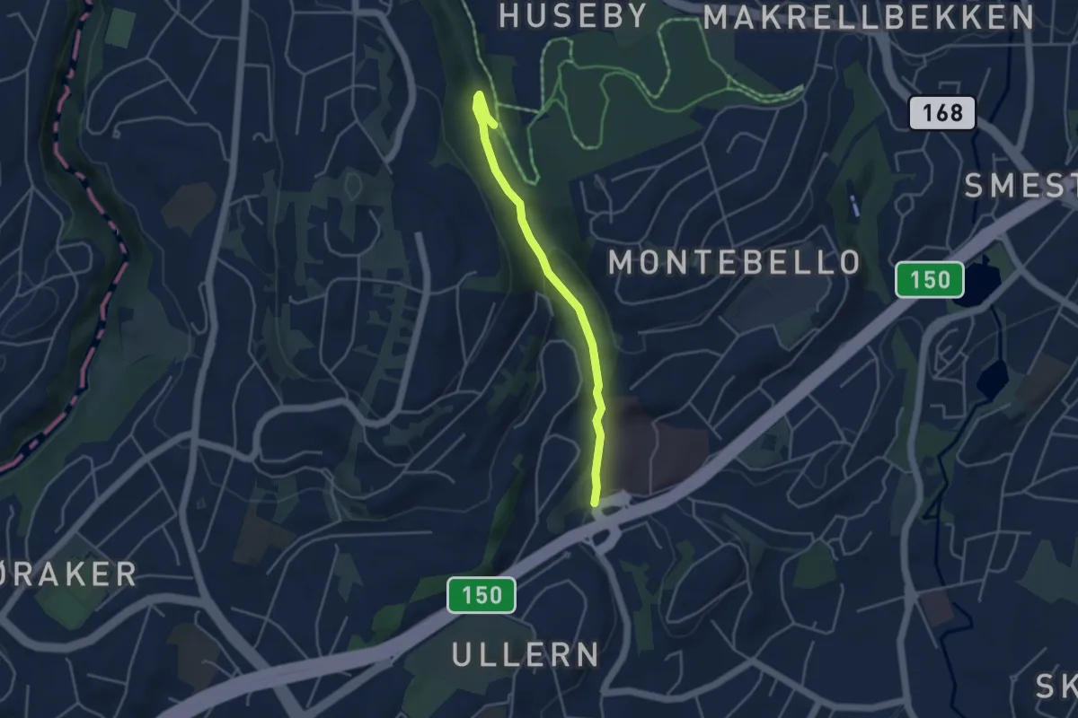
Easy · Trail
Mærkessæterveien - Hamran
2.3 km · ↑ 145 m · 51 min
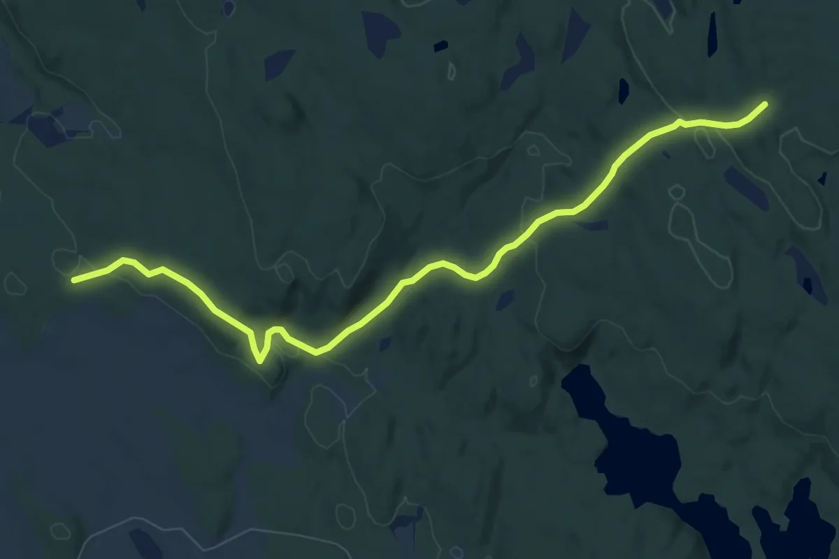
Medium · Trail
Maerradalsbekken-langs
2.8 km · ↑ 93 m · 51 min
Easy · Trail
Mærrakleiva
6.7 km · ↑ 158 m · 1 h 56 min
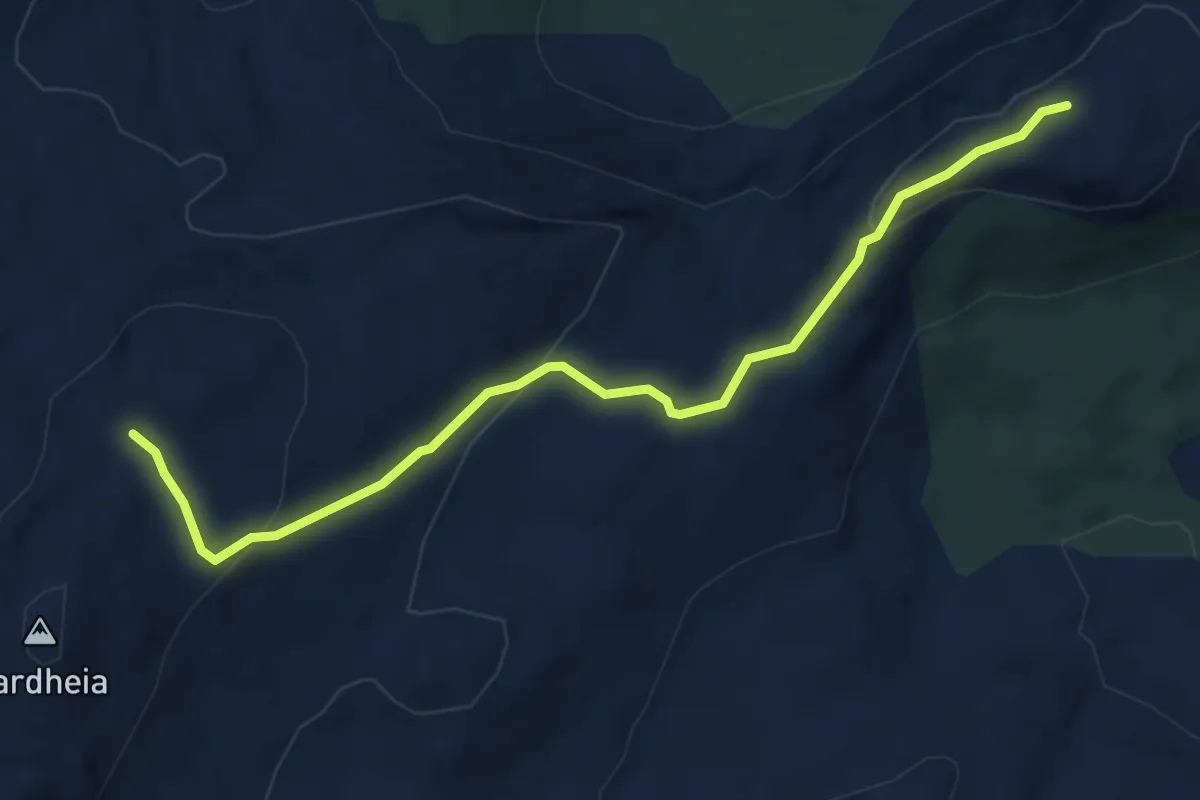
Medium · Trail
Maistua til DNT hovedløype / Vardheia
3.0 km · ↑ 123 m · 58 min
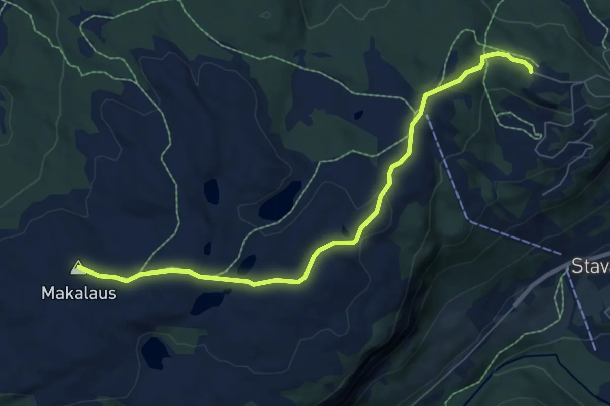
Easy · Summit
Makalaus
5.0 km · ↑ 134 m · 1 h 29 min
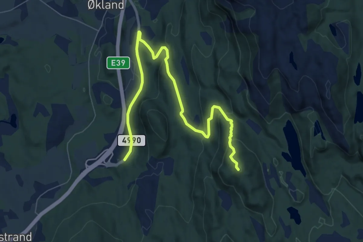
Easy · Trail
Målefjellet
5.9 km · ↑ 245 m · 1 h 55 min
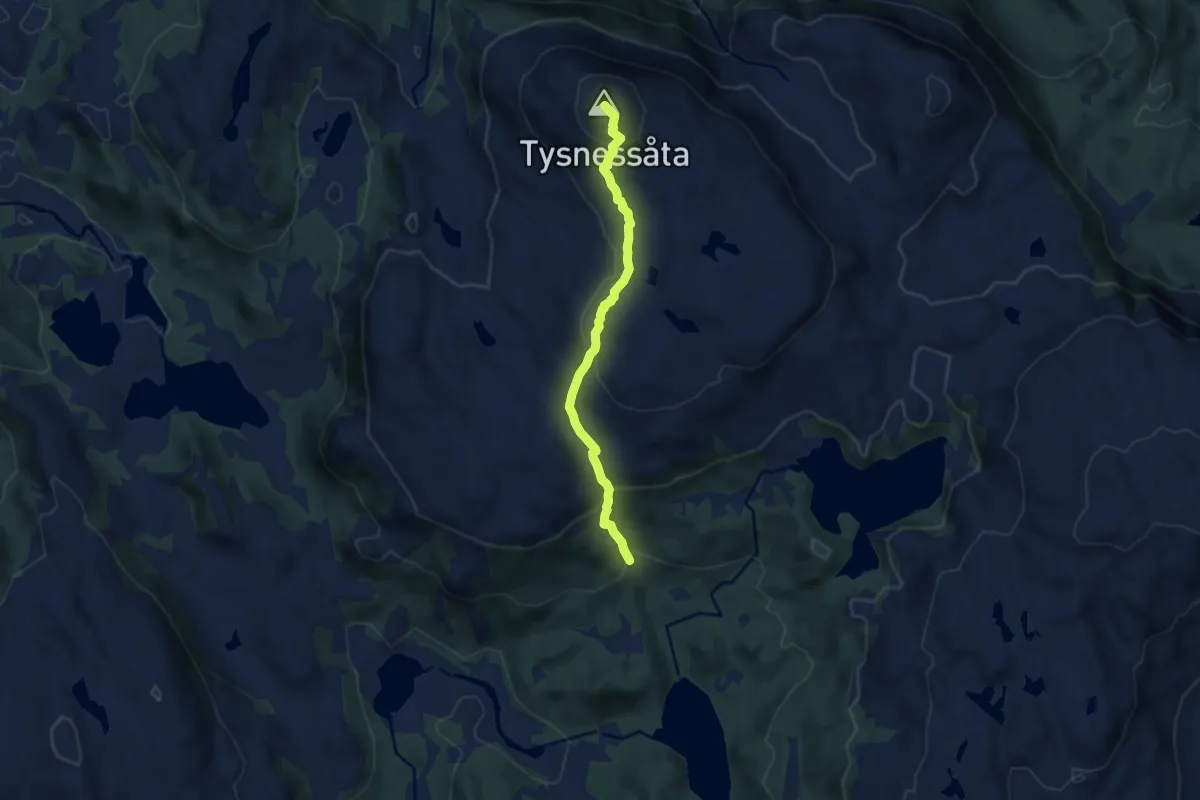
Medium · Trail
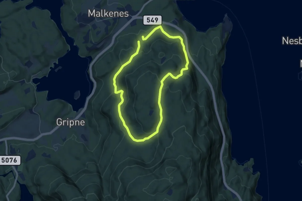
Malkenesdalen - Tysnessåto
5.0 km · ↑ 352 m · 1 h 56 min
Easy · Trail
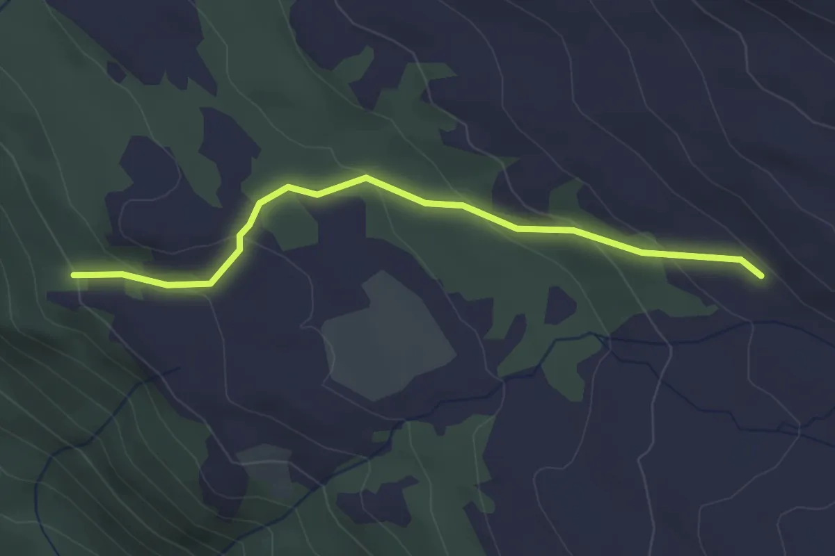
Malkenes-Malkenesvarden-Steinåsen
7.8 km · ↑ 384 m · 2 h 40 min
Medium · Trail
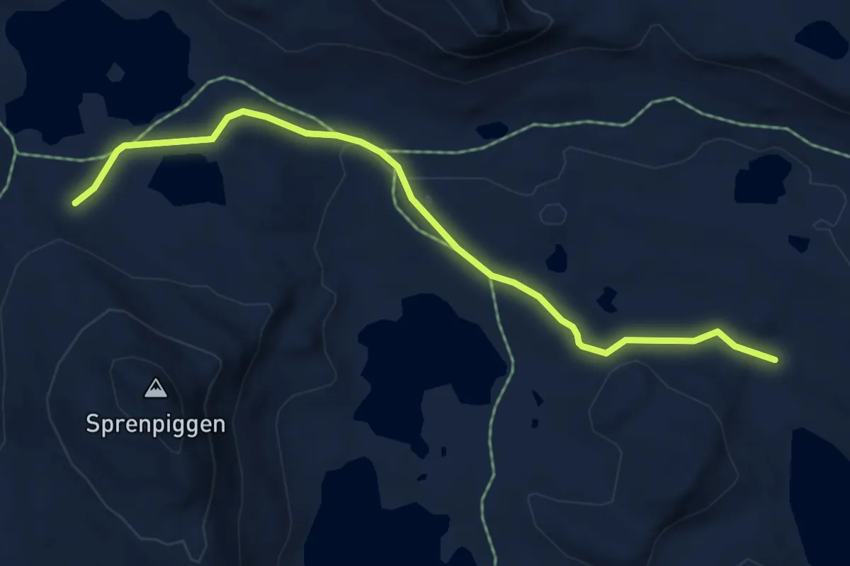
Malmvegen
2.2 km · ↑ 136 m · 49 min
Medium · Trail
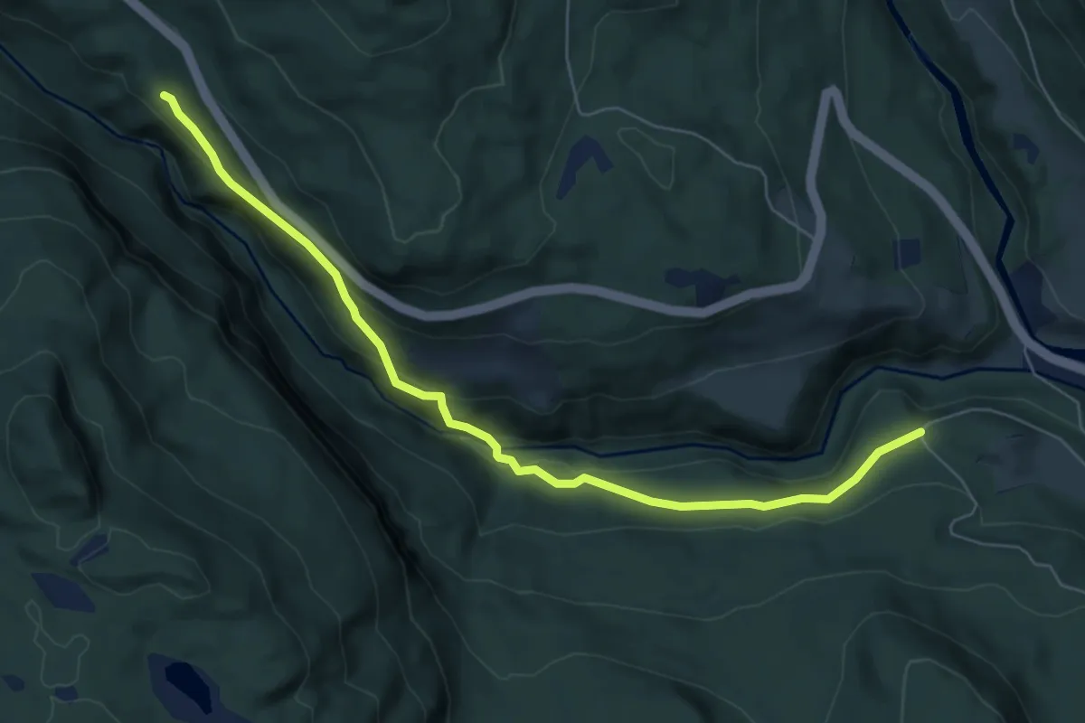
Malmvegen
4.0 km · ↑ 62 m · 1 h 5 min
Easy · Trail
Malmvegen
4.8 km · ↑ 169 m · 1 h 30 min
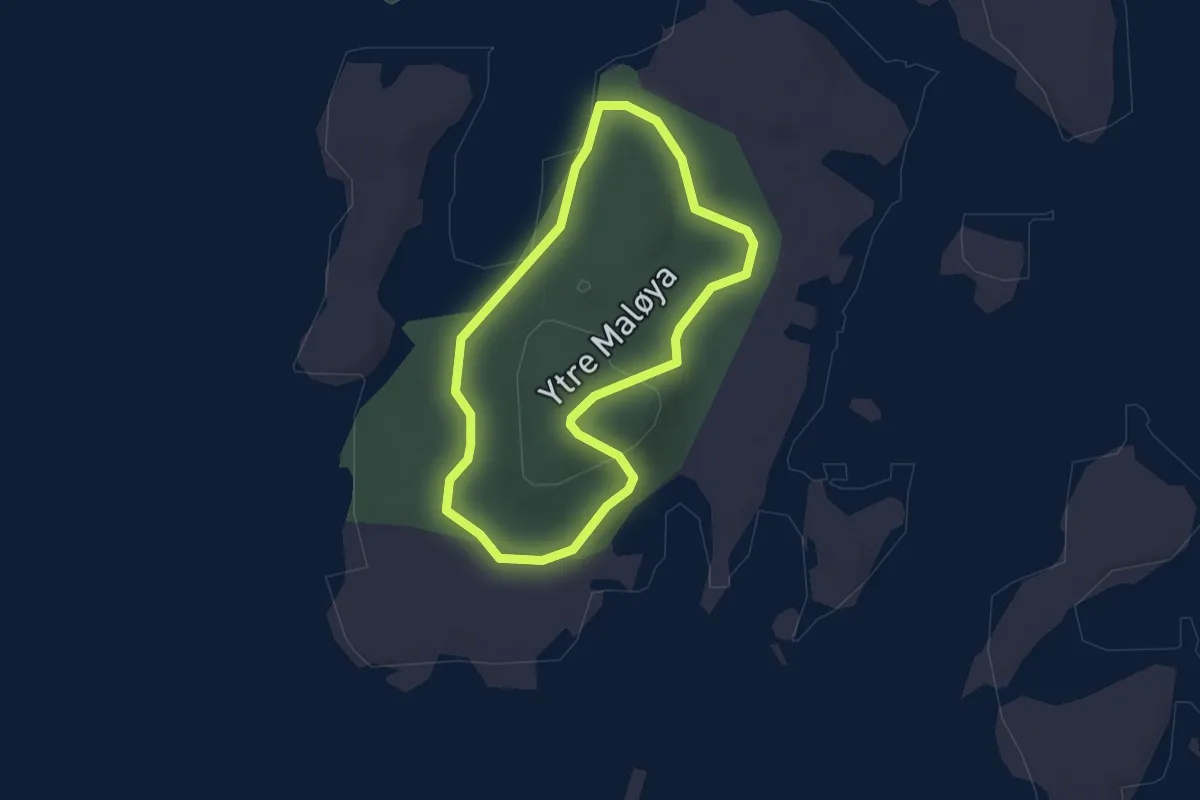
Easy · Trail
Maløya rundt
2.7 km · ↑ 49 m · 44 min
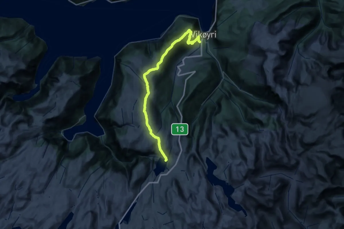
Demanding · Cabin
Målsete-Bøeggi-Vik aktivitetspark
18.3 km · ↑ 1305 m · 6 h 58 min
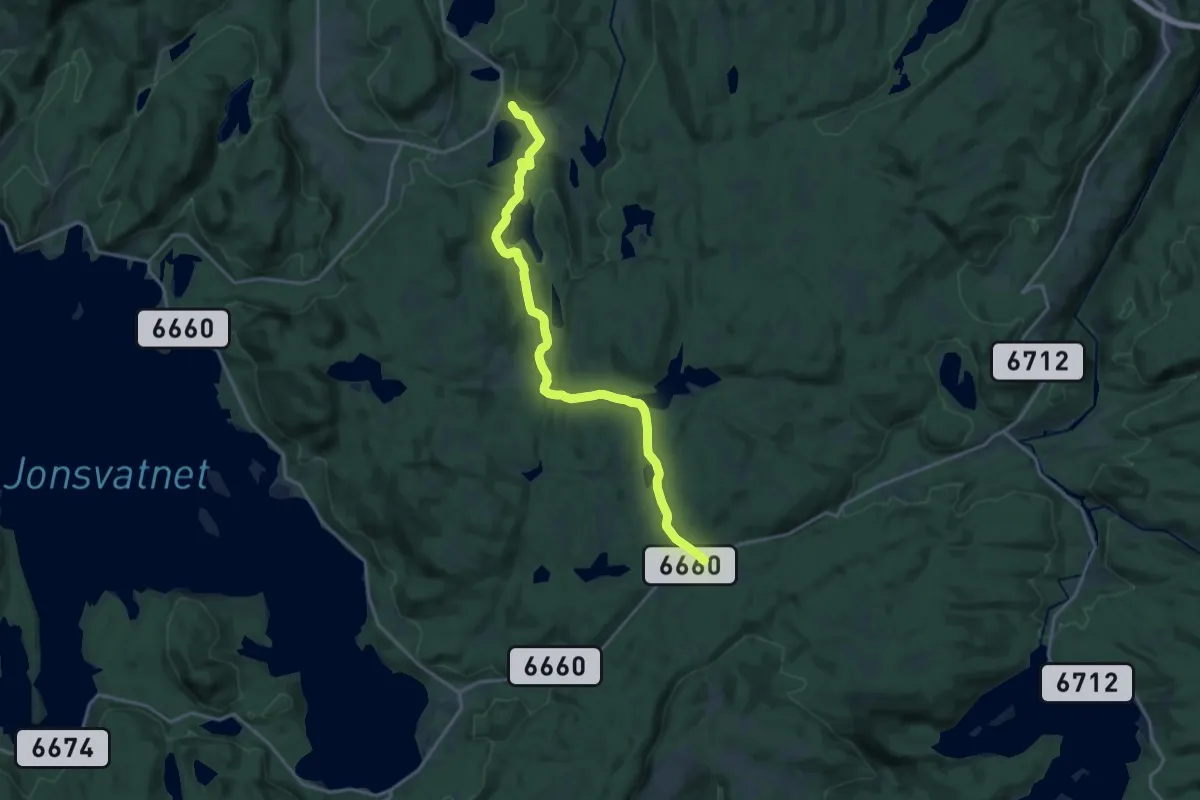
Medium · Trail
Malvikmarka
12.3 km · ↑ 225 m · 3 h 24 min
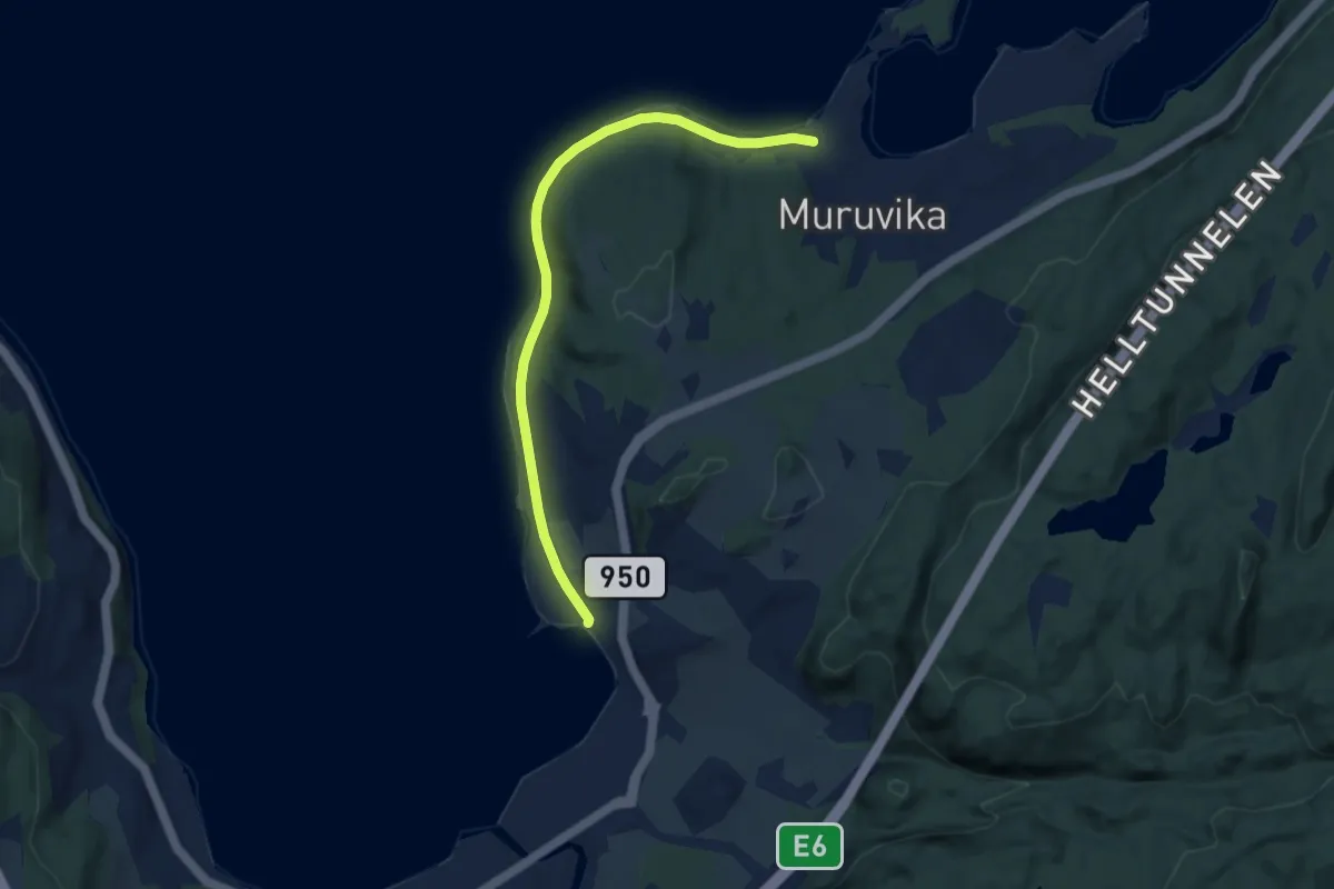
Easy · Trail
Malvikstien
4.9 km · ↑ 26 m · 1 h 13 min
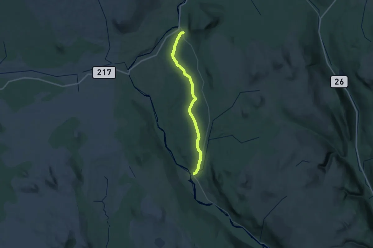
Demanding · Trail
Månaveien, Engerdal
26.1 km · ↑ 400 m · 7 h 2 min
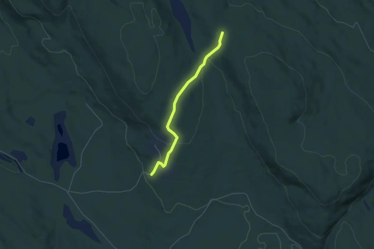
Easy · Trail
Mangsethøgda N - Tronbølsætervegen
3.0 km · ↑ 122 m · 59 min
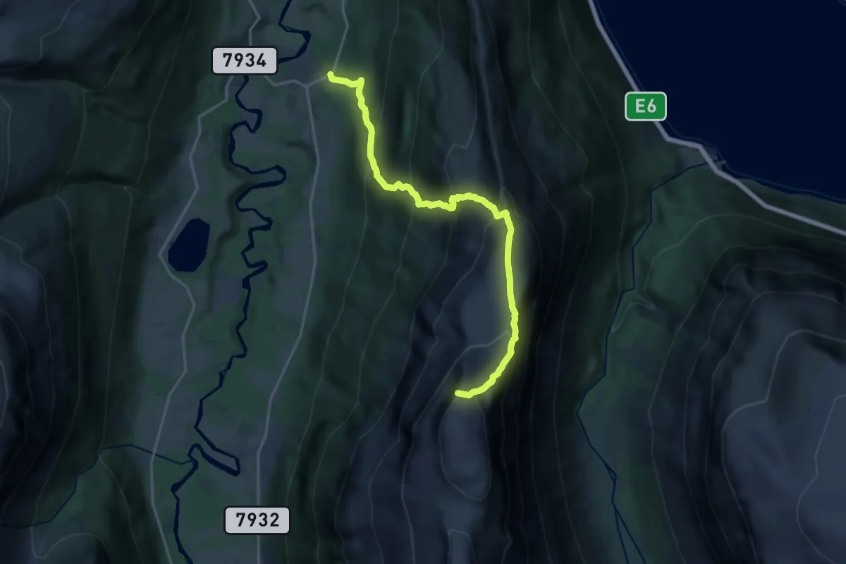
Demanding · Trail
Manndalen-Storhaugen
9.7 km · ↑ 1184 m · 4 h 51 min
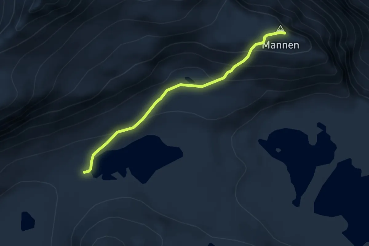
Easy · Trail
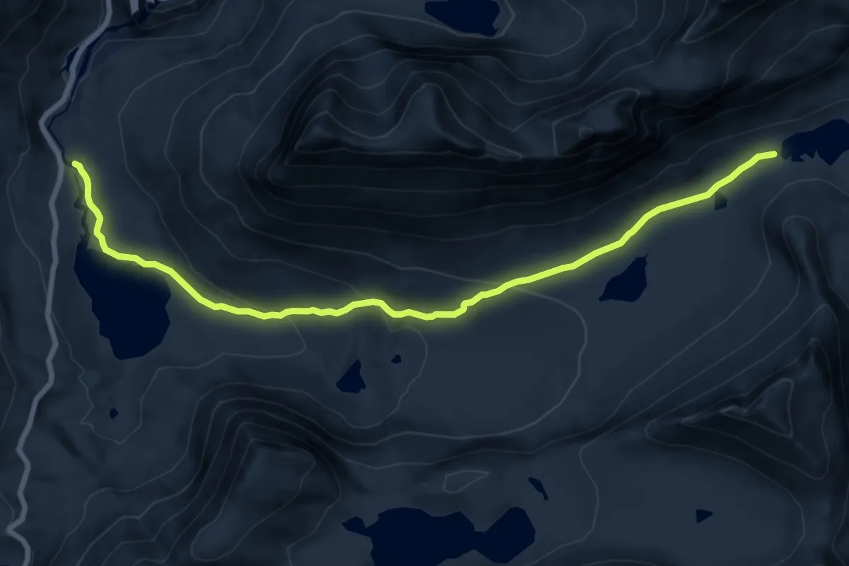
Mannen
3.2 km · ↑ 209 m · 1 h 12 min
Medium · Trail
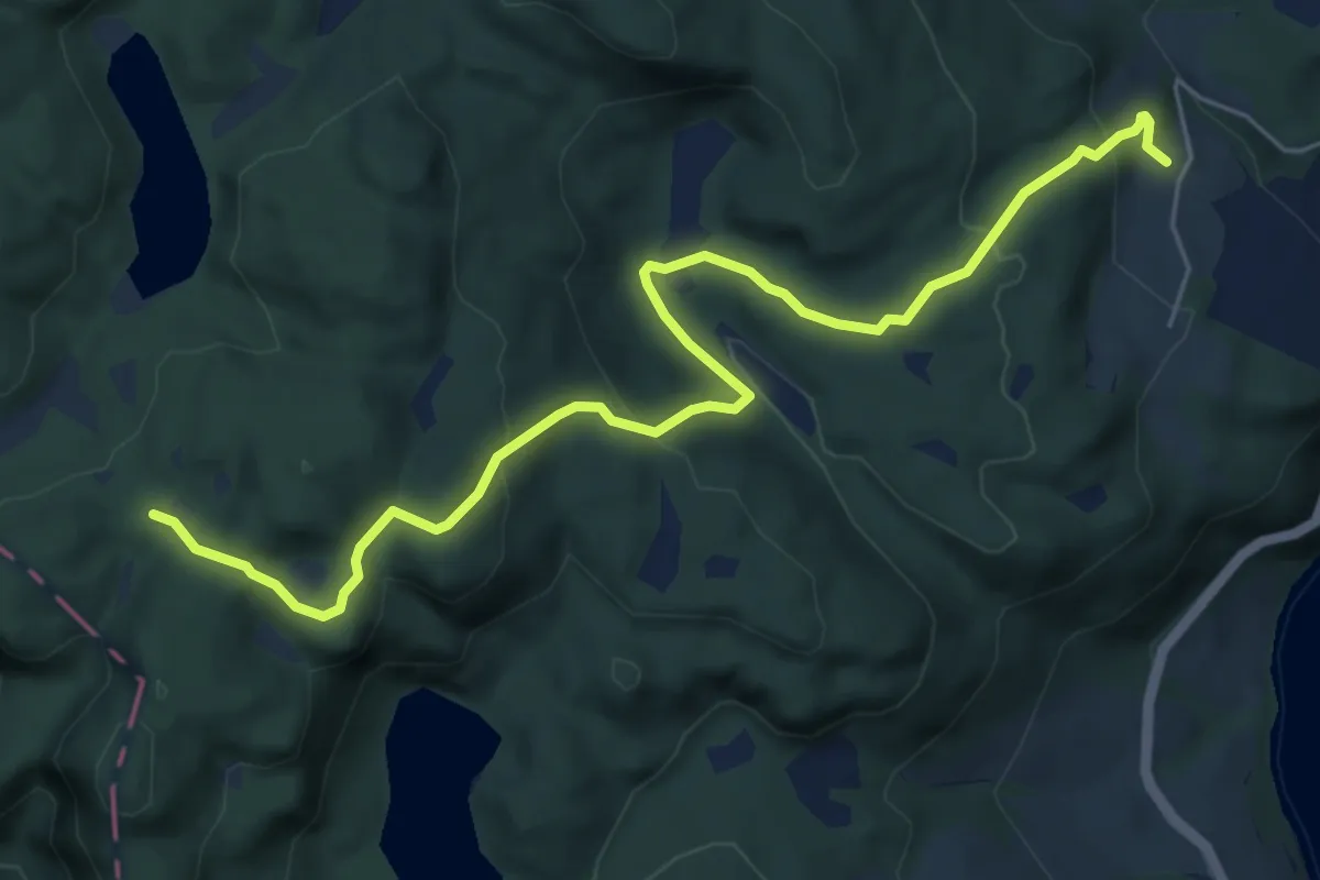
Mannen
10.7 km · ↑ 328 m · 3 h 14 min
Easy · Trail
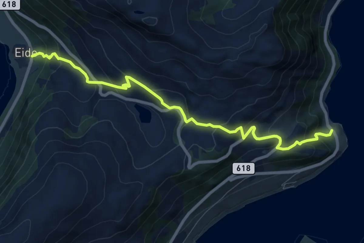
Manneveien Konstali - Litlhei
5.1 km · ↑ 257 m · 1 h 46 min
Medium · Trail
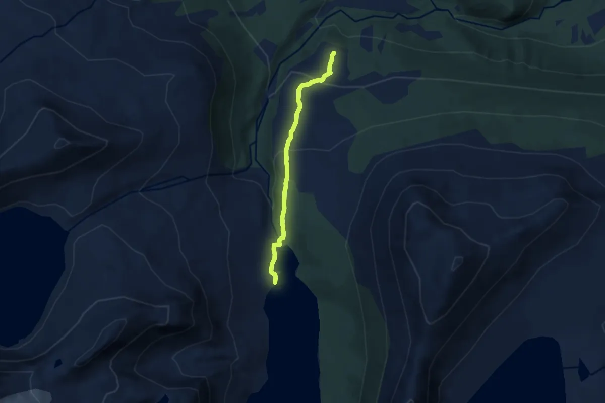
Mannseidet
7.0 km · ↑ 538 m · 2 h 49 min
Easy · Trail
Månvassetra og Månvatnet
4.0 km · ↑ 217 m · 1 h 25 min
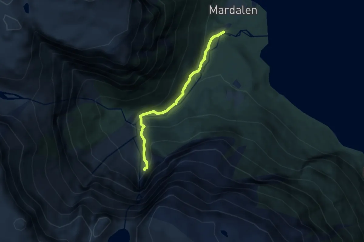
Easy · Trail
Mardalsfossen
4.0 km · ↑ 242 m · 1 h 28 min
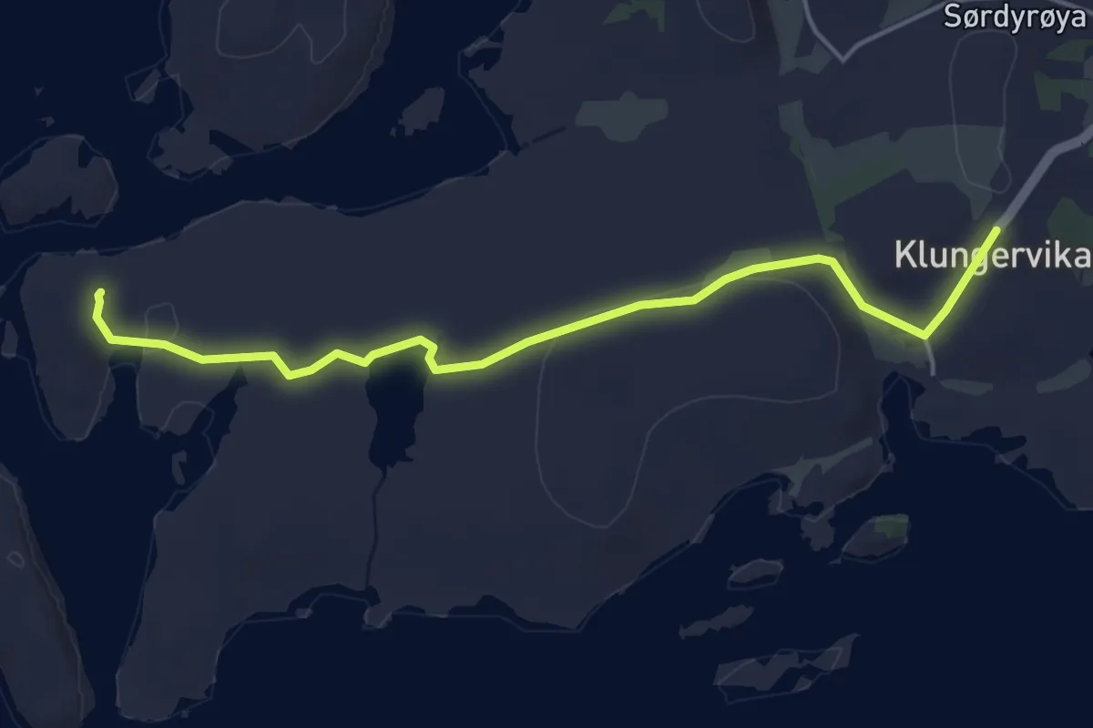
Easy · Trail
Marenstua
3.0 km · ↑ 38 m · 48 min
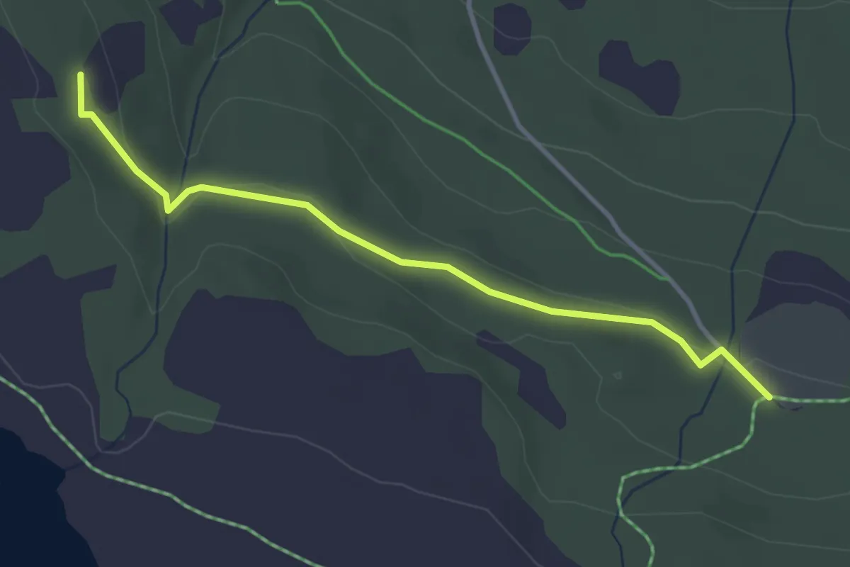
Easy · Trail
Maribusetra-Jentfjellet
2.4 km · ↑ 45 m · 40 min
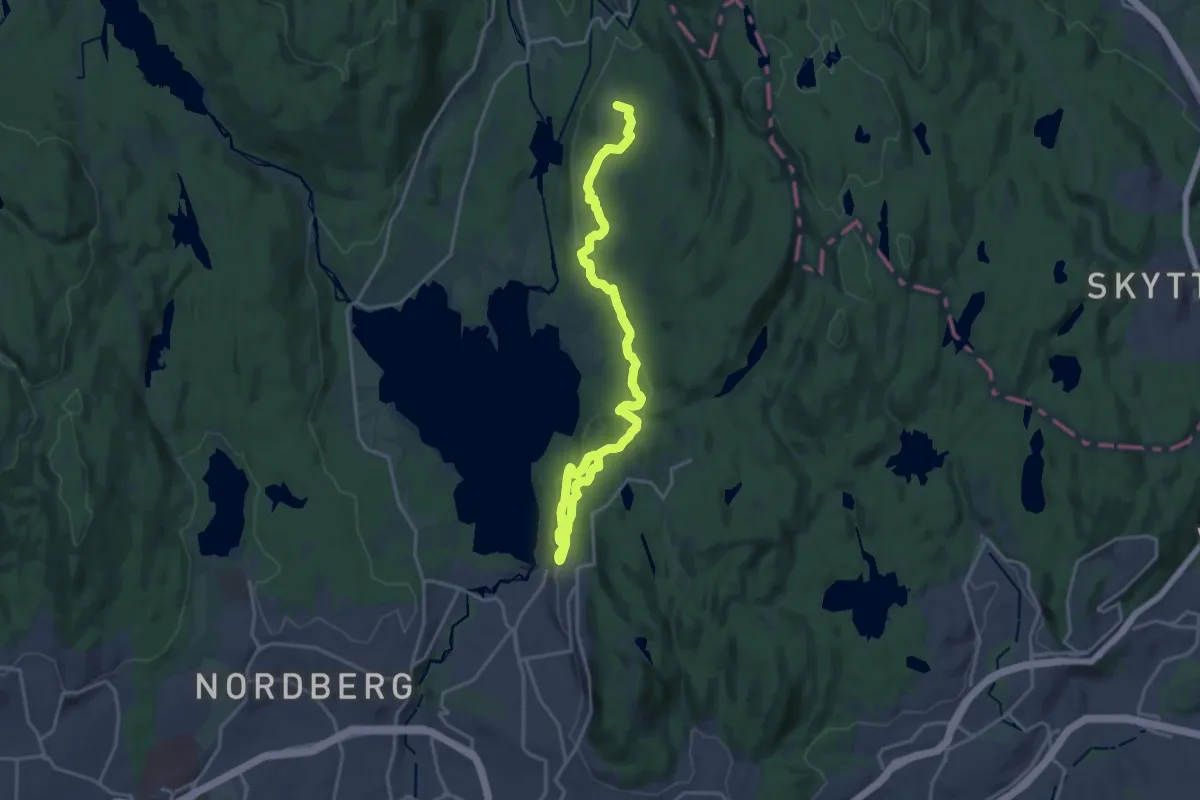
Medium · Summit
Maridalsrunden
16.0 km · ↑ 295 m · 4 h 25 min
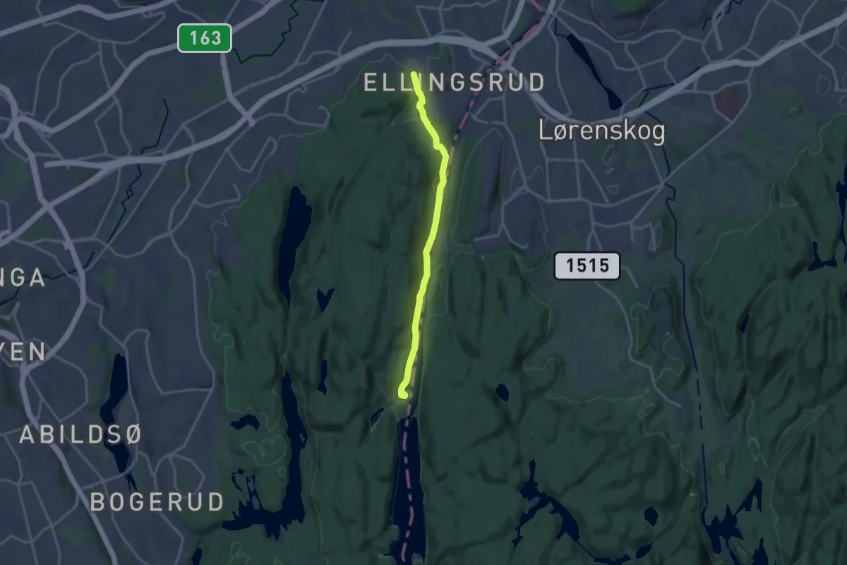
Medium · Summit
Mariholtet-Ellingsrud
10.6 km · ↑ 177 m · 2 h 53 min
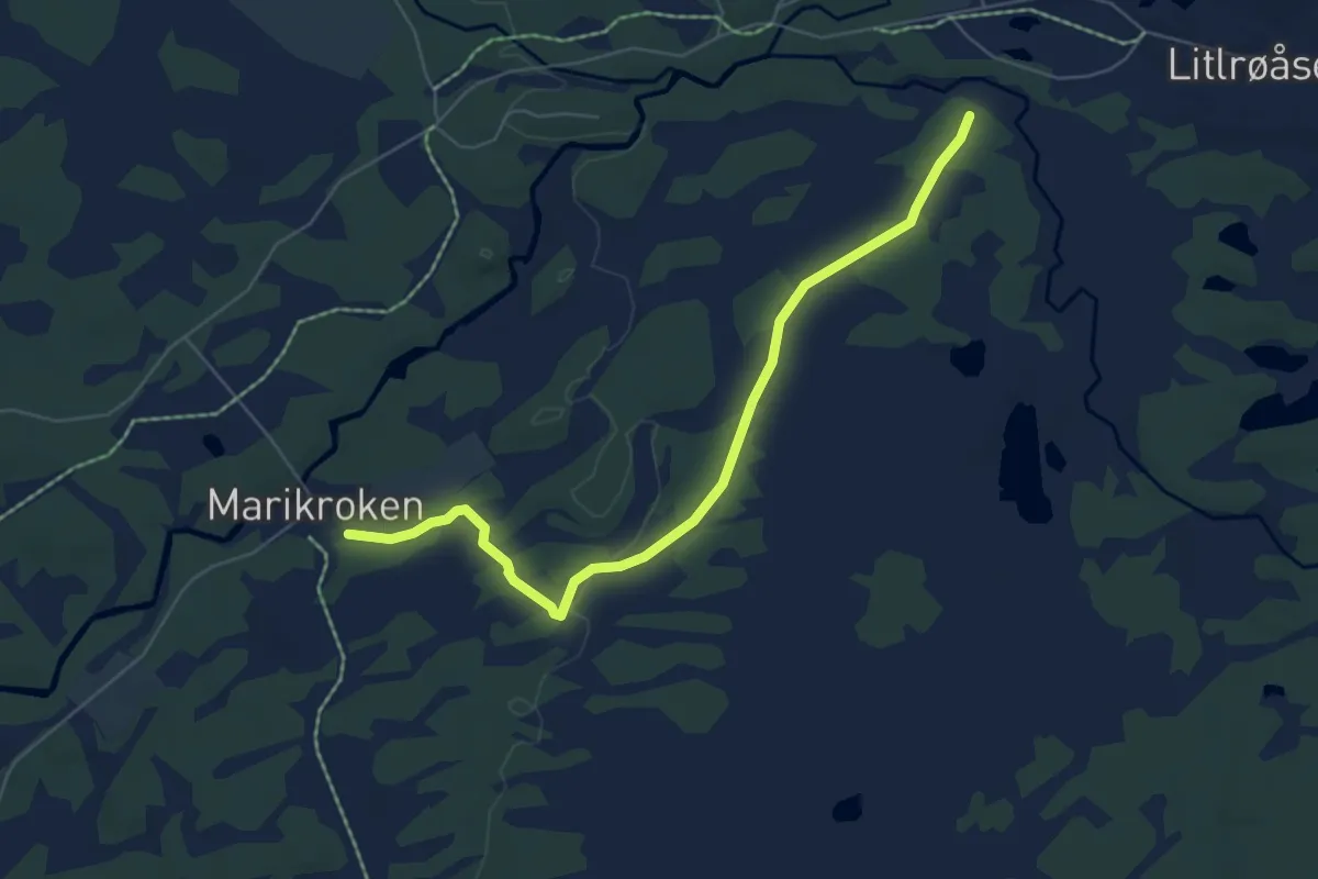
Easy · Trail
Marikroken-Røseterstien
4.2 km · ↑ 30 m · 1 h 4 min
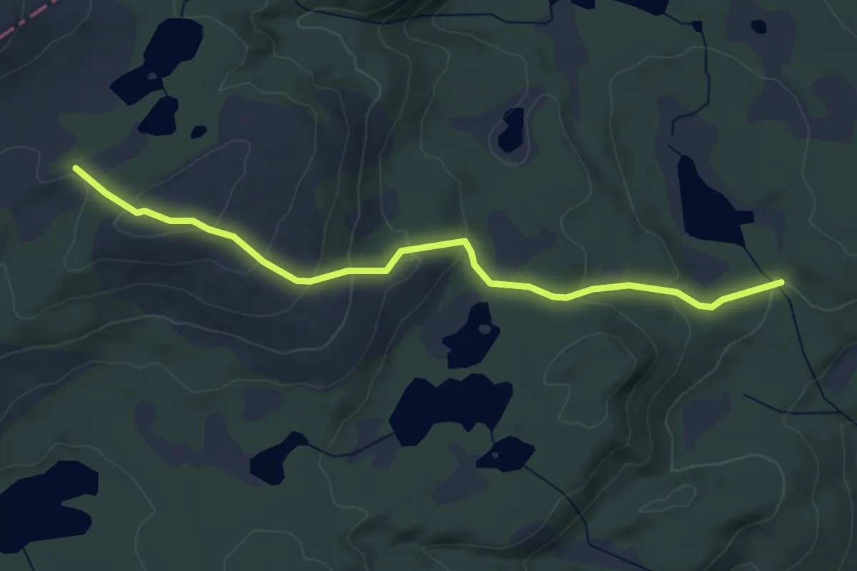
Easy · Trail
Marisheia
3.5 km · ↑ 188 m · 1 h 14 min
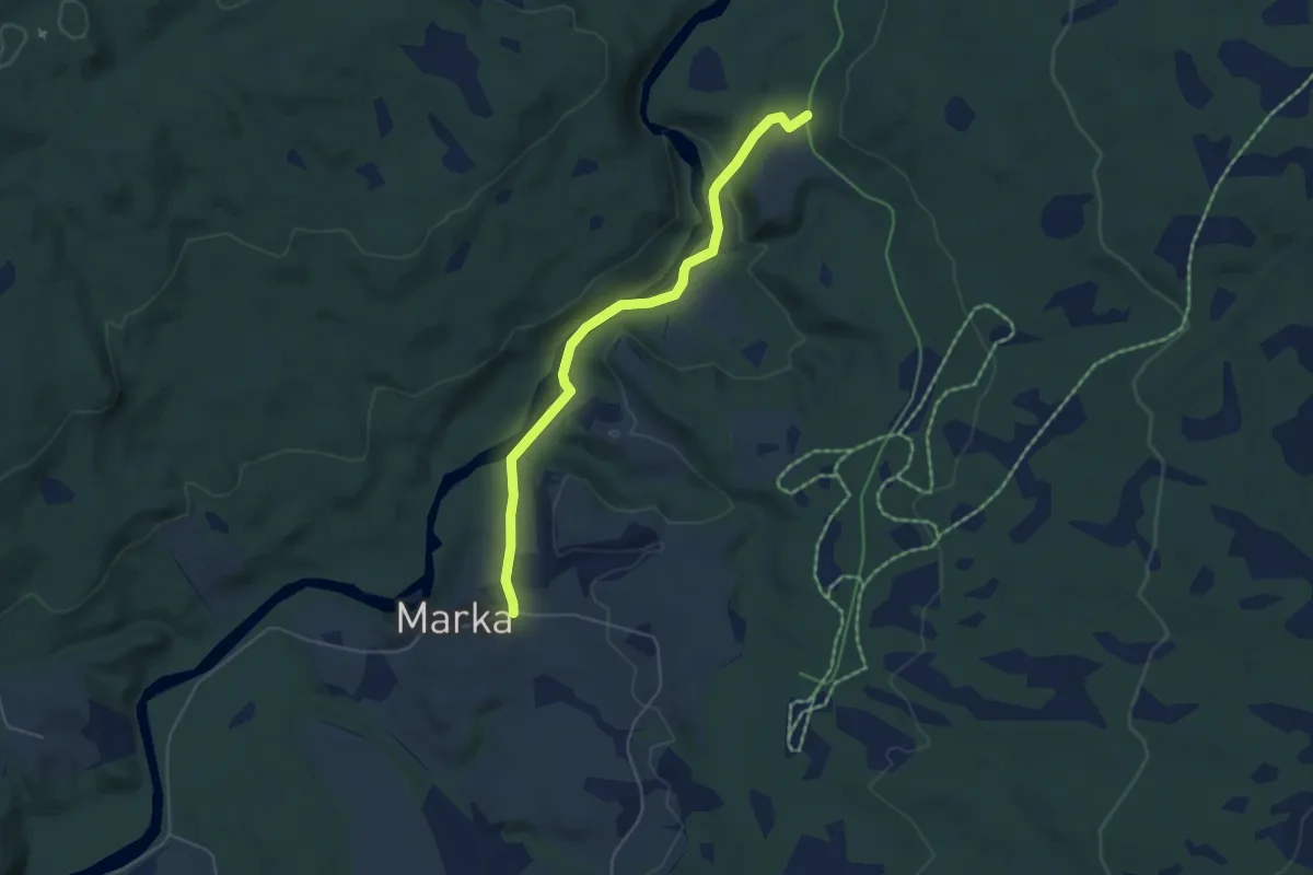
Easy · Trail
Marka-Almenningsveien
3.1 km · ↑ 67 m · 53 min