Trails in Norway
7,452 hiking trails, each with its route, climb, walking time and grade.
All trails, page 70 of 156
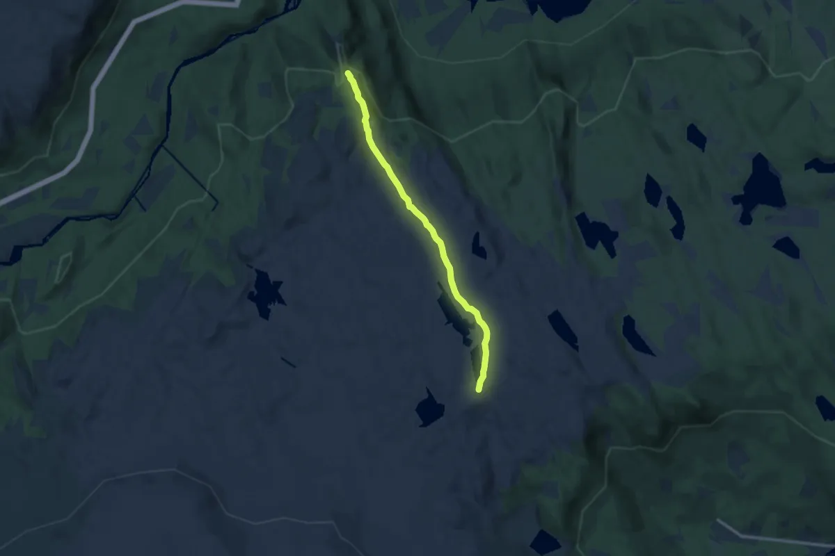
Medium · Trail
Nystølhovda mot Birgithovda
6.7 km · ↑ 153 m · 1 h 55 min
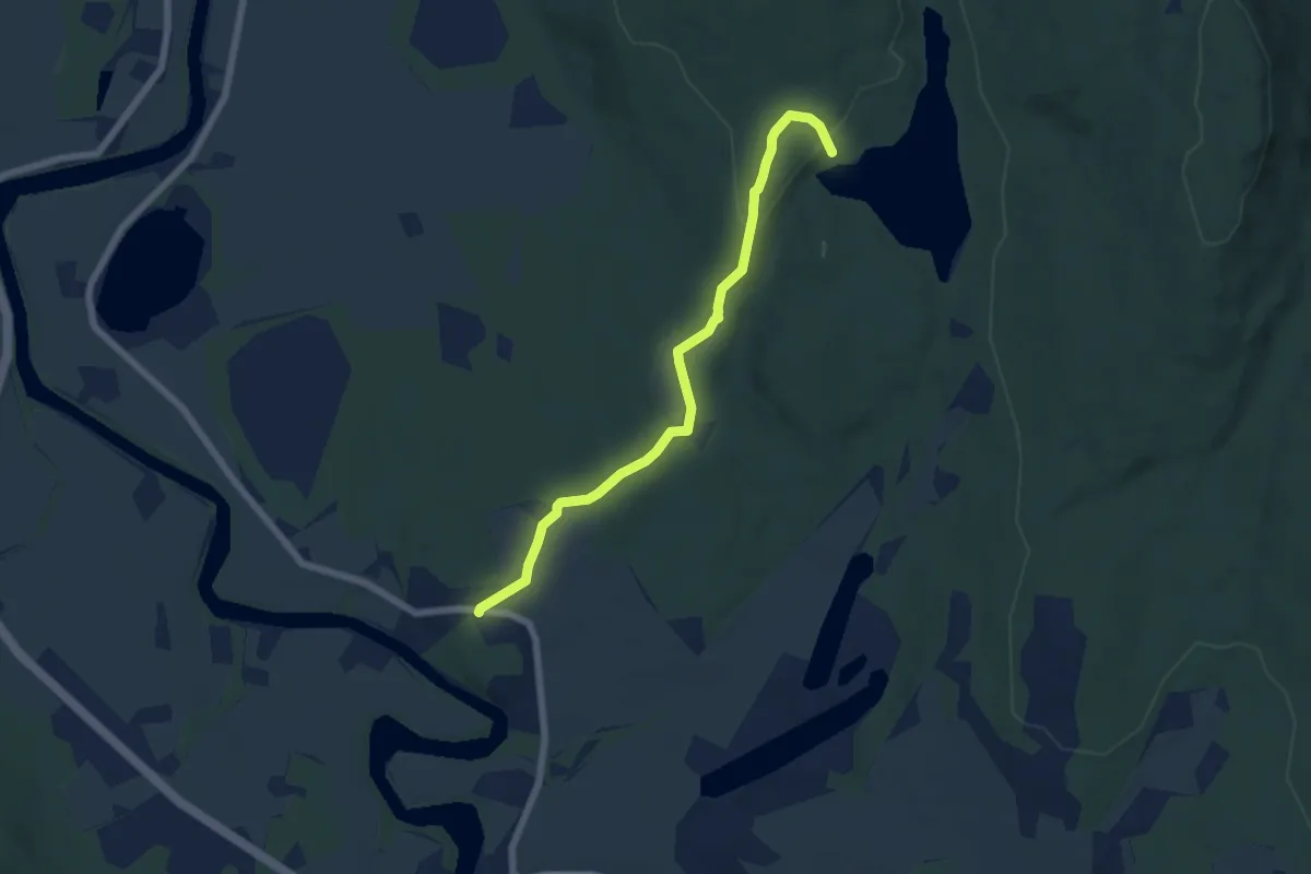
Easy · Cabin
Odalstunet
4.5 km · ↑ 70 m · 1 h 12 min
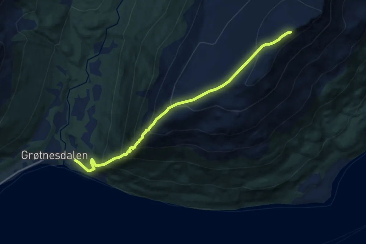
Medium · Trail
Oddekollen
5.4 km · ↑ 626 m · 2 h 38 min
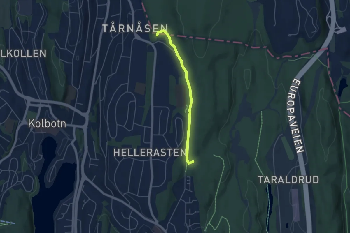
Easy · Trail
Ødegården, Tårnåsen skole, Gimleveien, Kongeveien
2.8 km · ↑ 19 m · 43 min
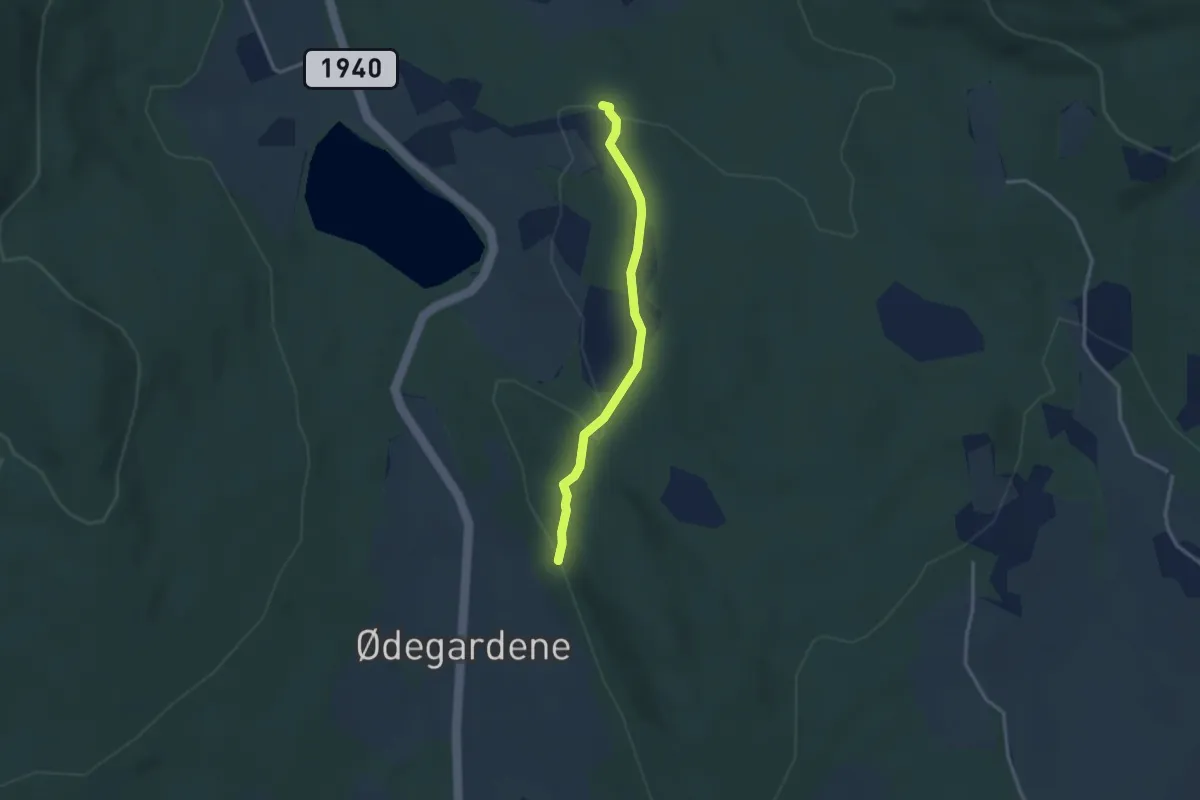
Easy · Trail
Ødegard - Gledalen
2.0 km · ↑ 49 m · 34 min
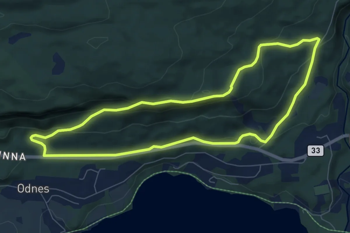
Medium · Trail
Odnesberget
10.0 km · ↑ 307 m · 3 h 1 min
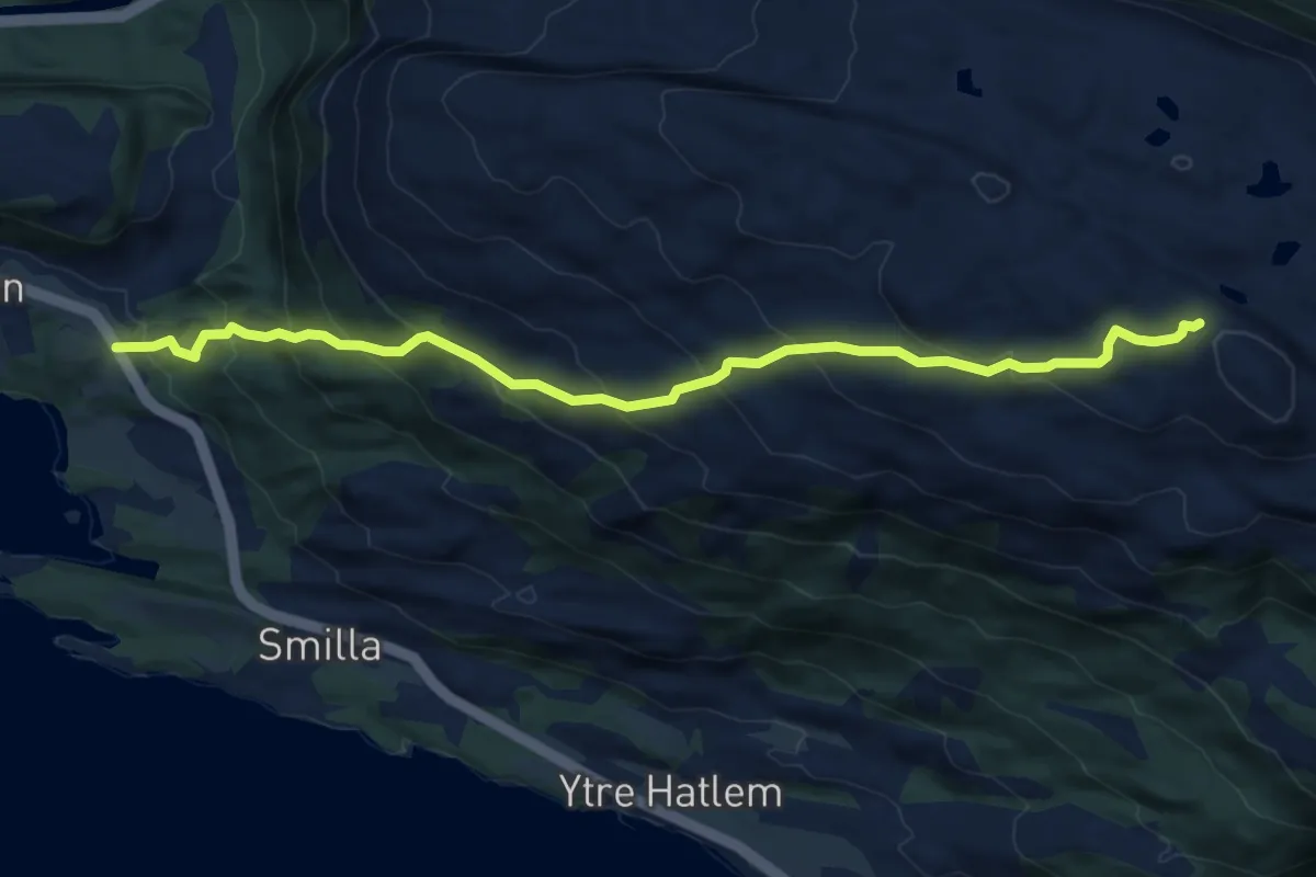
Demanding · Trail
Øen kapell - Torgersletta
5.2 km · ↑ 444 m · 2 h 11 min
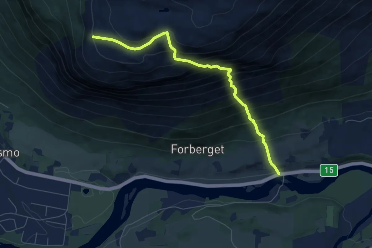
Expert · Trail
Ofossen-Bispberget
4.5 km · ↑ 705 m · 2 h 35 min
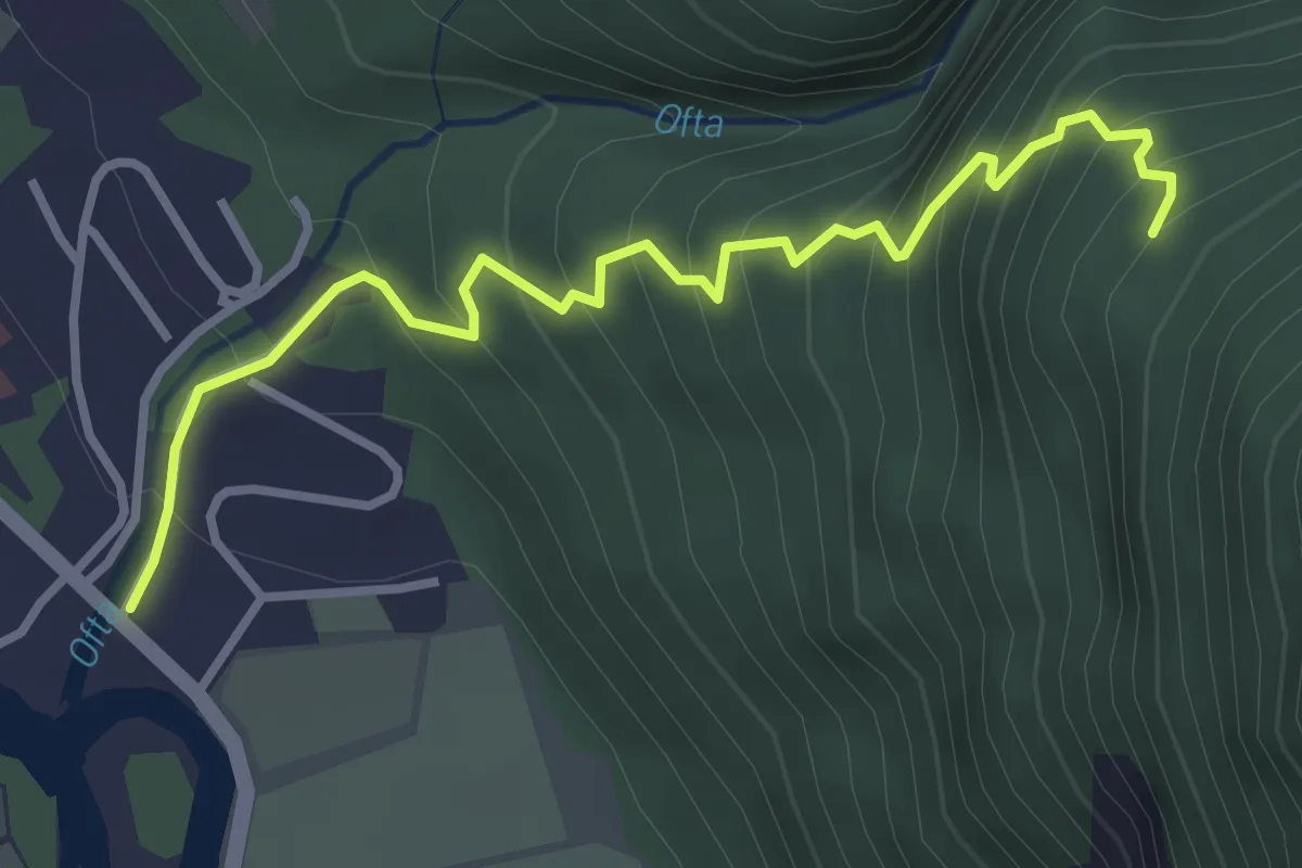
Medium · Trail
Ofta - Løberg
2.5 km · ↑ 358 m · 1 h 22 min
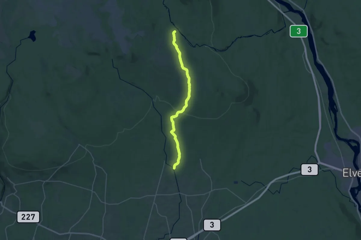
Demanding · Trail
Øisæterstien
21.6 km · ↑ 403 m · 5 h 59 min
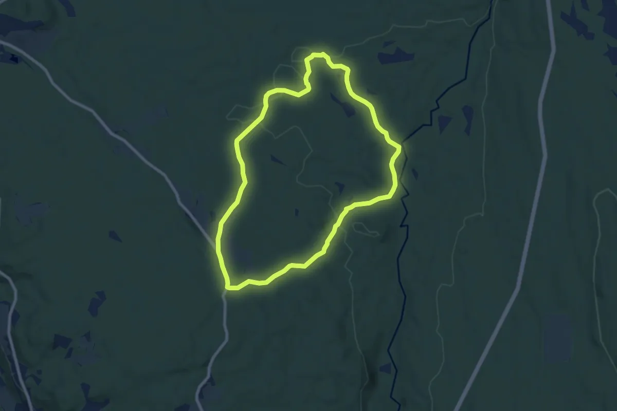
Medium · Trail
Øistadsætra
10.8 km · ↑ 183 m · 2 h 57 min
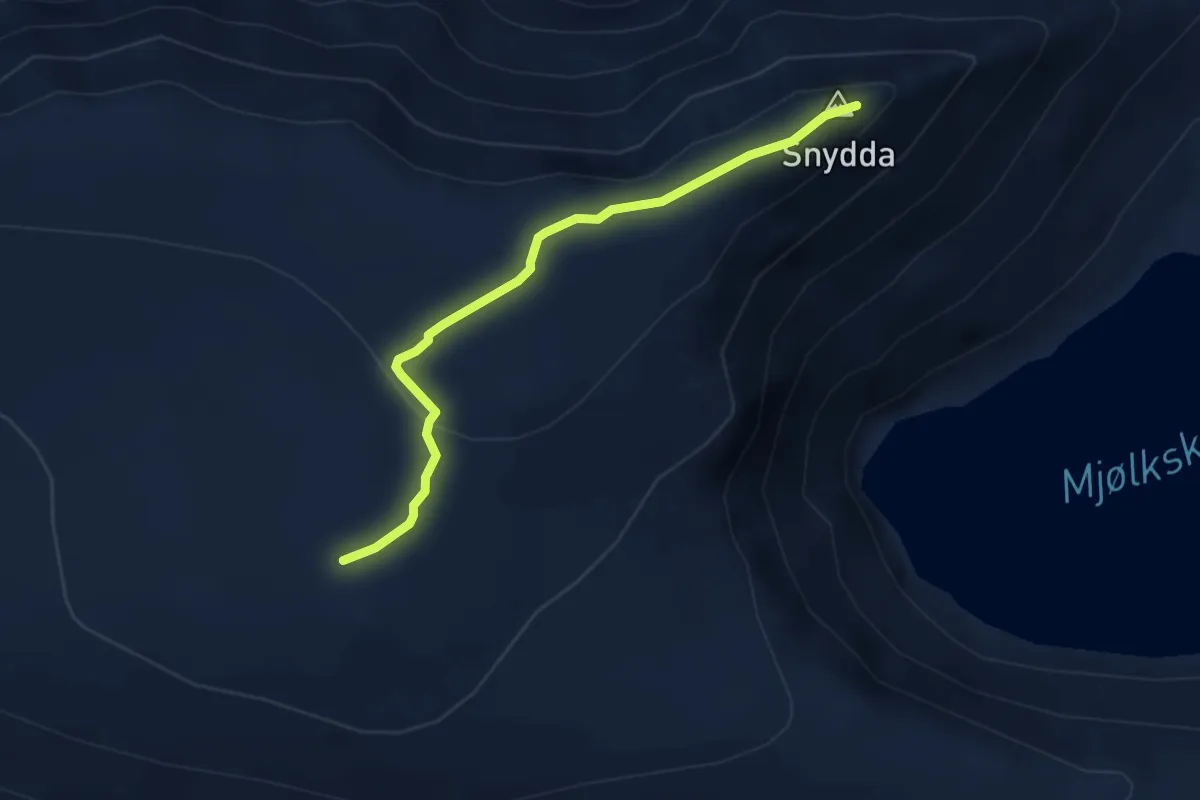
Easy · Trail
Okla - Snyddaeggen
2.5 km · ↑ 53 m · 42 min
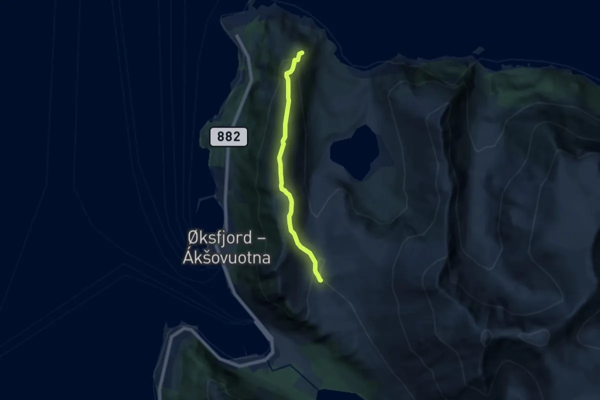
Medium · Trail
Øksfjordfjellet/Stuibmehárji
4.8 km · ↑ 387 m · 1 h 58 min
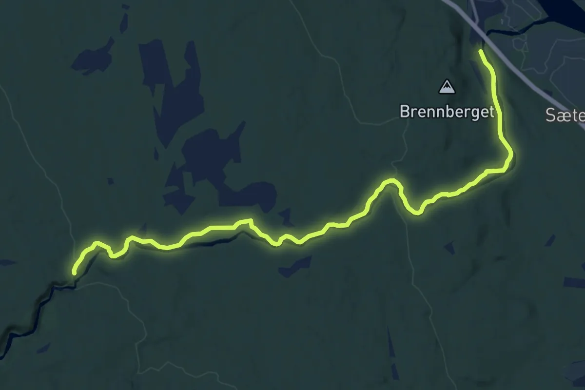
Medium · Trail
Øksna-Korpreiret
10.6 km · ↑ 195 m · 2 h 55 min
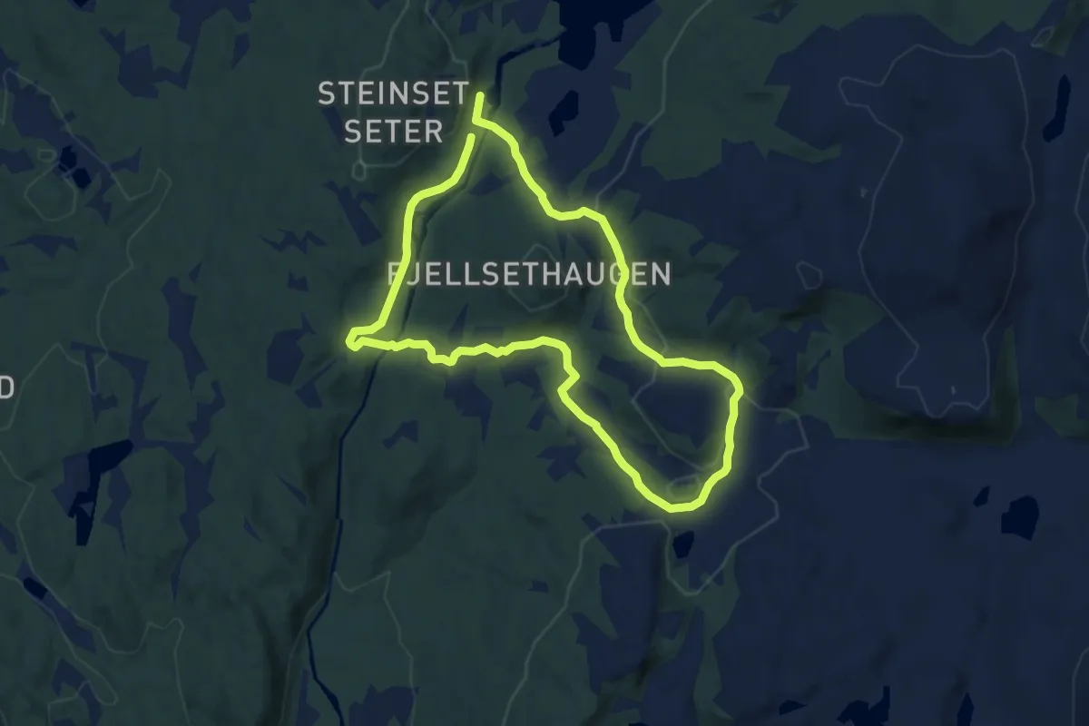
Easy · Trail
Økteroset-Steinset-Kupa-Fjellset-Økteroset
10.1 km · ↑ 171 m · 2 h 45 min
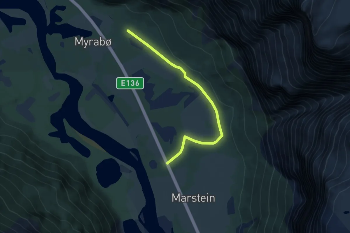
Easy · Trail
Olaskarsgrova
3.9 km · ↑ 50 m · 1 h 2 min
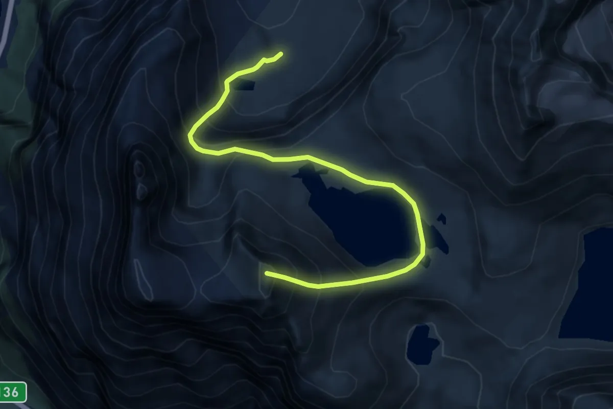
Demanding · Trail
Olaskarvatnet
7.7 km · ↑ 823 m · 3 h 36 min
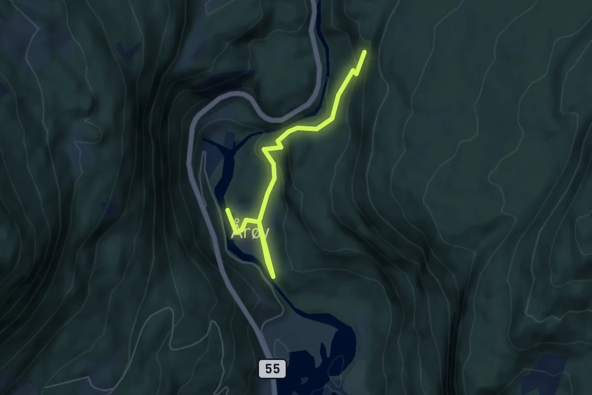
Easy · Trail
Olavskjelda
4.0 km · ↑ 170 m · 1 h 19 min
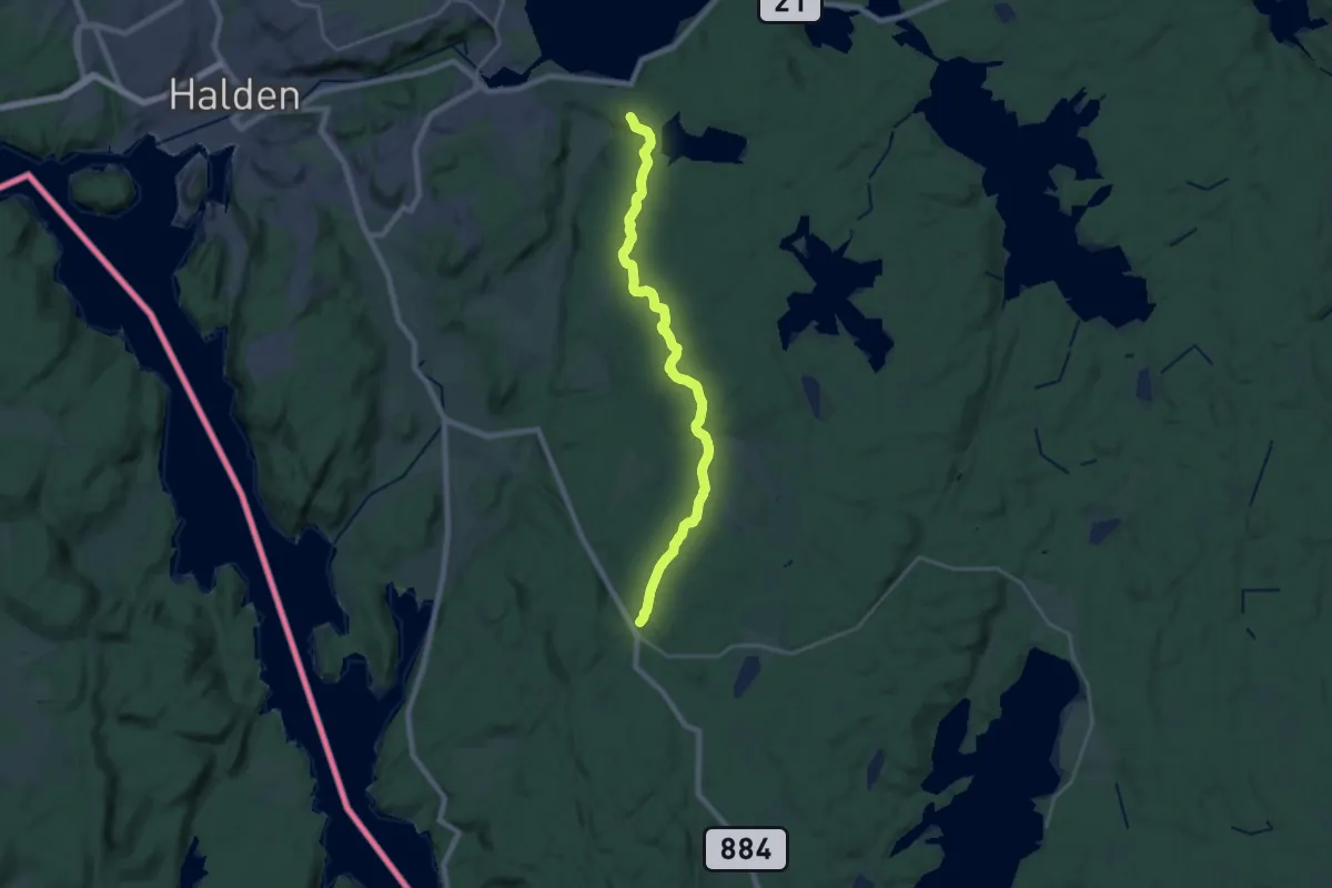
Medium · Trail
Olavsleden
16.2 km · ↑ 198 m · 4 h 15 min
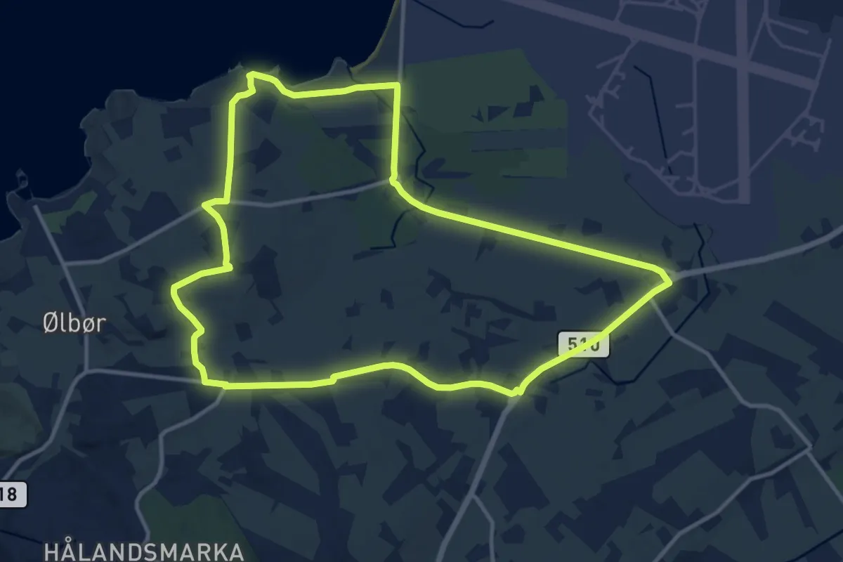
Easy · Trail
Ølbergturen
17.4 km · ↑ 148 m · 4 h 26 min
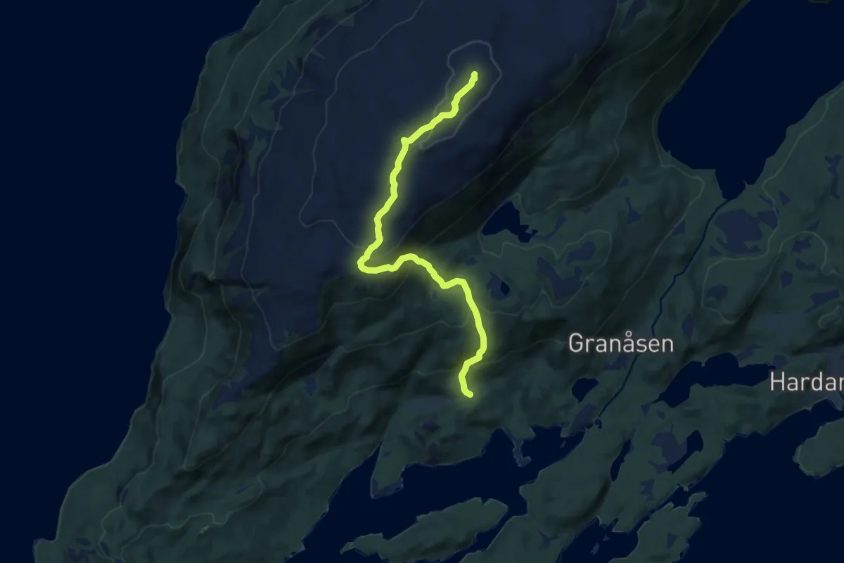
Medium · Trail
Olderbakkfjellet
7.0 km · ↑ 473 m · 2 h 41 min
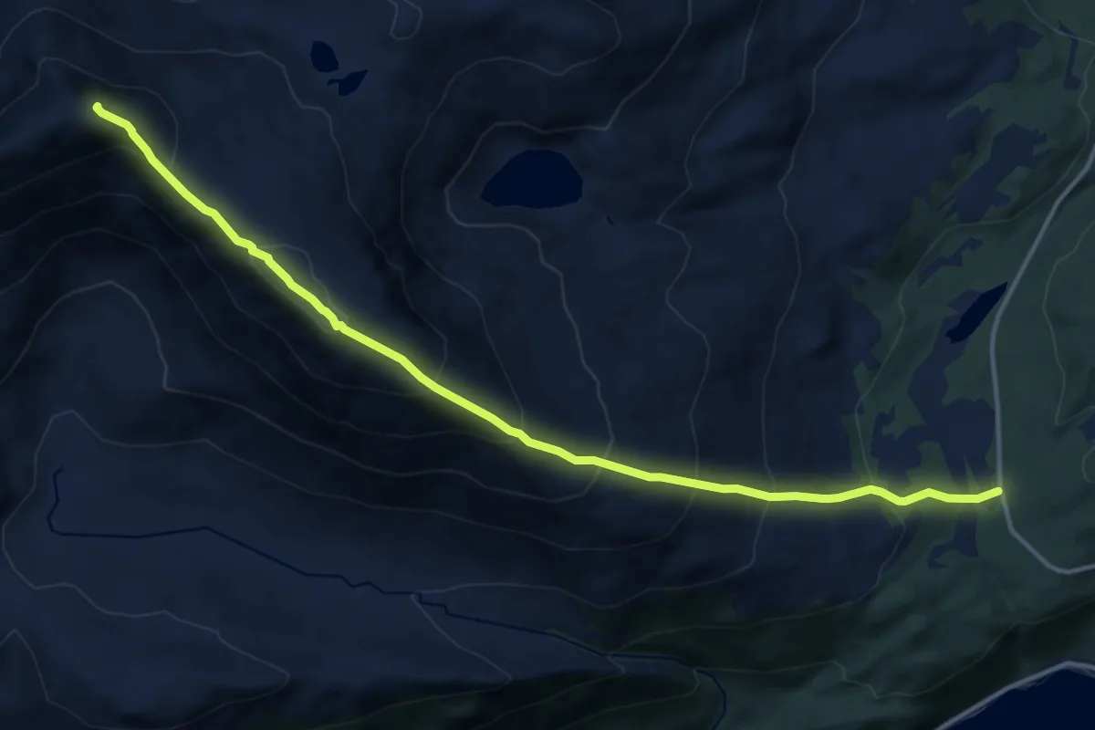
Demanding · Trail
Olderbakkfjellet
7.5 km · ↑ 763 m · 3 h 26 min
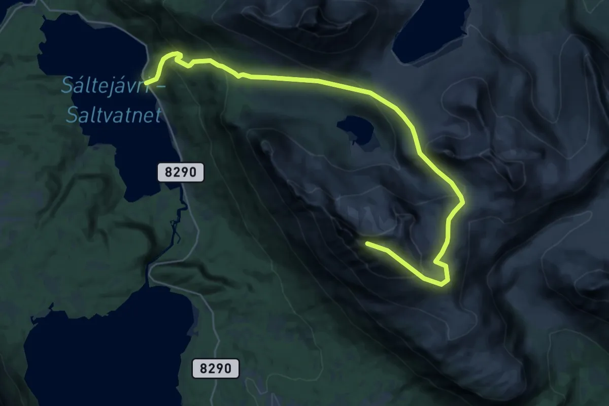
Expert · Trail
Olderdalen - Revtind
17.4 km · ↑ 1240 m · 6 h 48 min
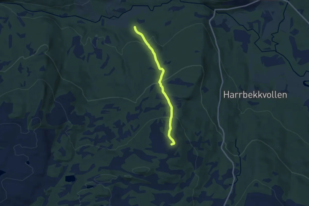
Easy · Trail
Oldernes til Nonsfjellet
4.6 km · ↑ 304 m · 1 h 44 min
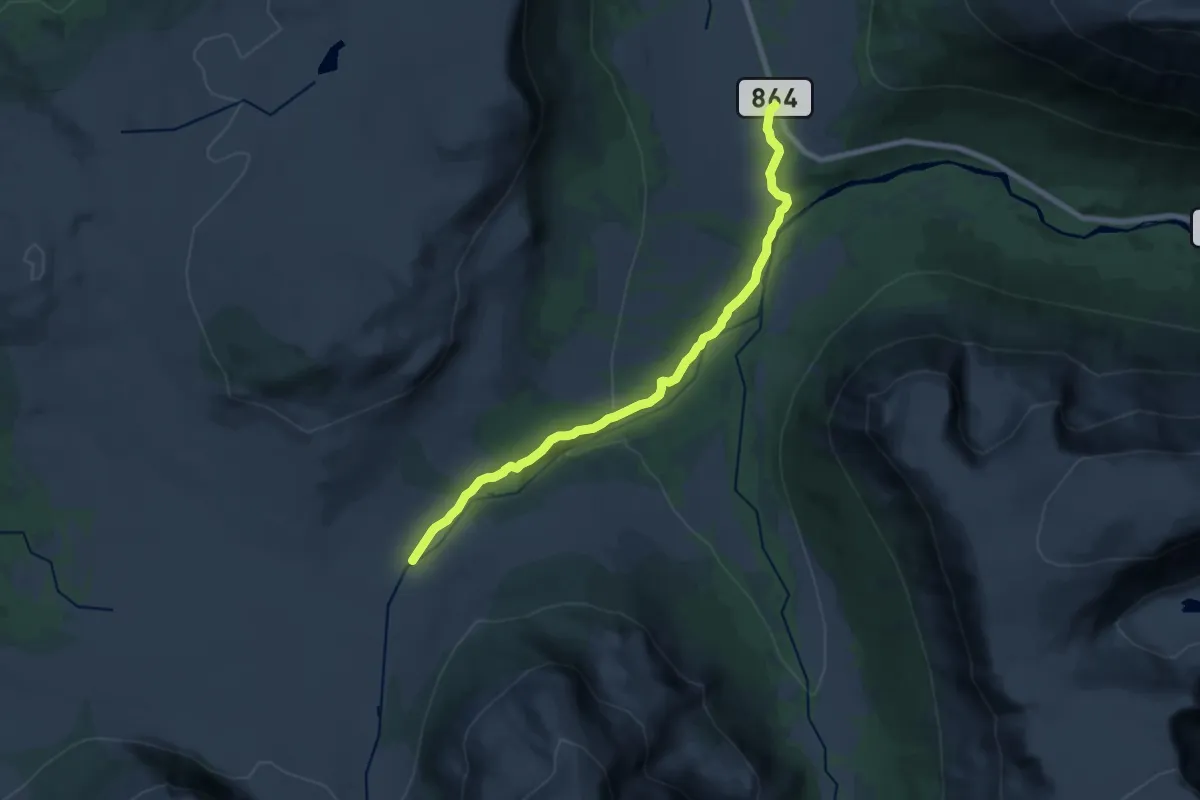
Medium · Cabin
Oldervikdalen-Trollvassbu
9.7 km · ↑ 227 m · 2 h 47 min
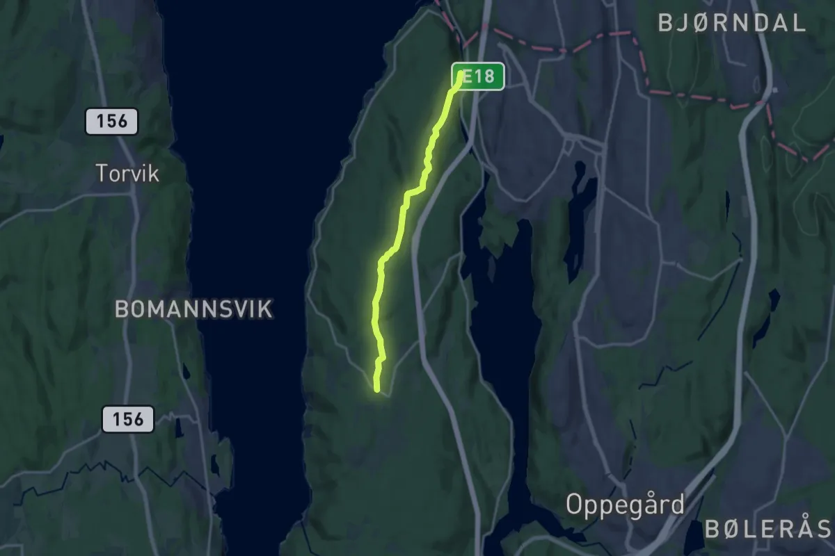
Medium · Trail
Oldtidsveien over Hvitebjørn og Svartskog (tur)
9.7 km · ↑ 209 m · 2 h 44 min
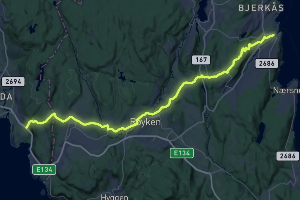
Medium · Trail
Oldtidsveien Slemmestad–Lier
14.7 km · ↑ 452 m · 4 h 40 min
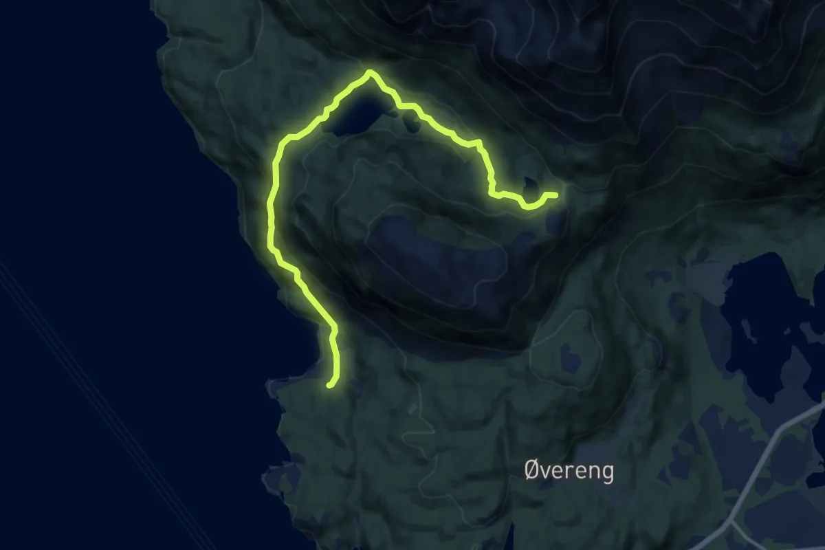
Easy · Trail
Olebu Salen
7.4 km · ↑ 349 m · 2 h 30 min
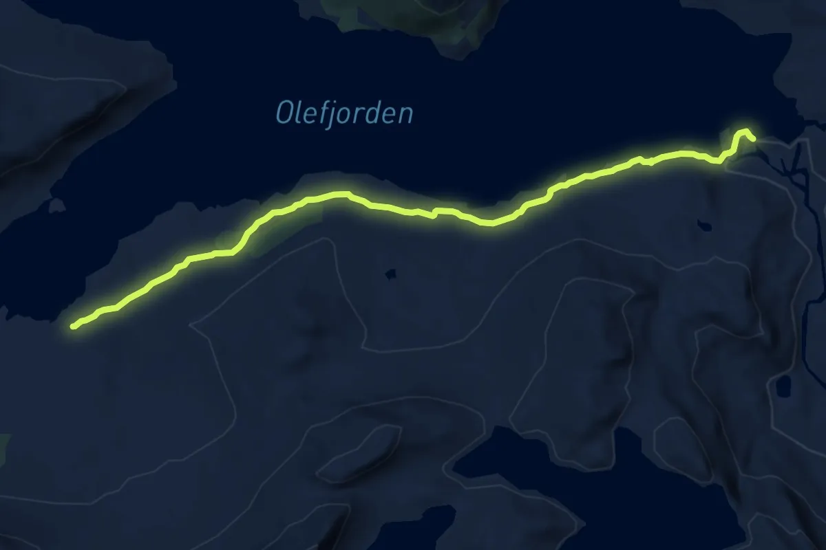
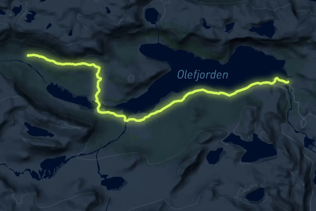
Medium · Trail
Ole-Kvithaug
10.0 km · ↑ 128 m · 2 h 38 min
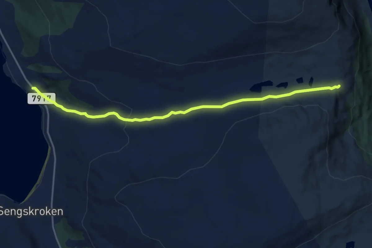
Demanding · Cabin
Ole-Yksendalsbu
23.7 km · ↑ 411 m · 6 h 30 min
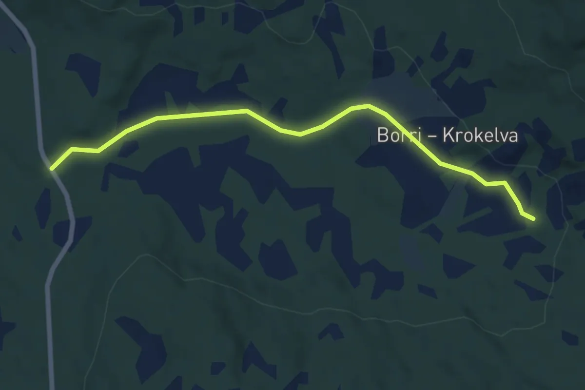
Easy · Trail
Olkelv-Olkeidet
6.3 km · ↑ 166 m · 1 h 51 min
Demanding · Trail
Ol'Krok-veien
2.7 km · ↑ 29 m · 42 min
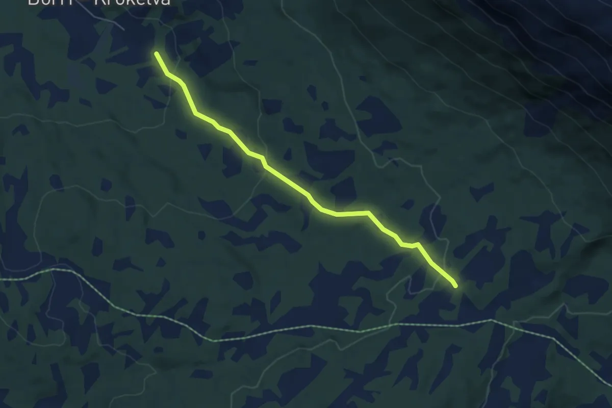
Demanding · Trail
Ol'Krok-veien
2.9 km · ↑ 116 m · 56 min
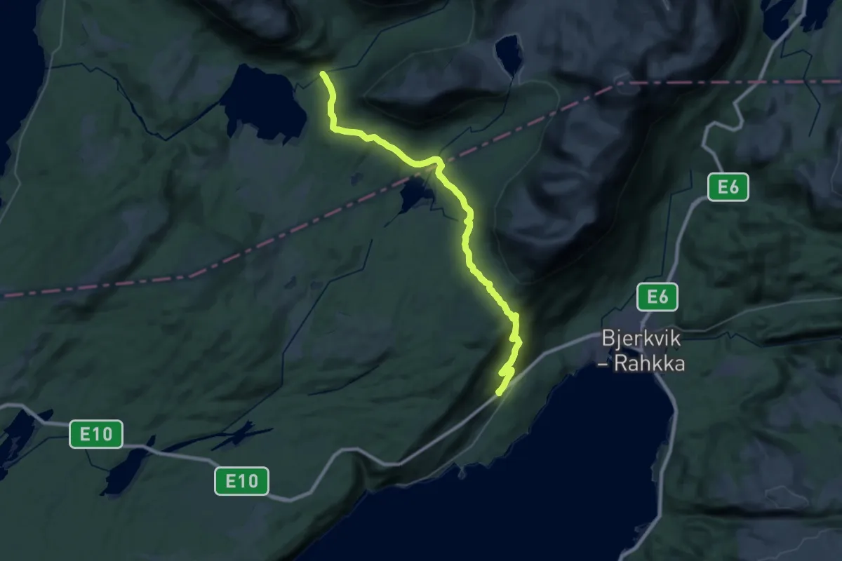
Demanding · Trail
Ol'Krok-veien
19.4 km · ↑ 806 m · 6 h 20 min
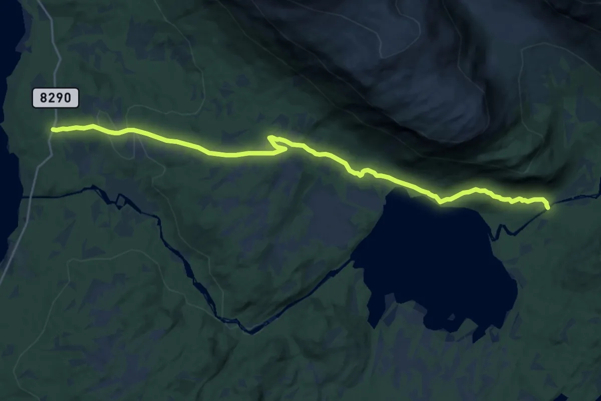
Demanding · Trail
Ol'Krok-veien
12.1 km · ↑ 244 m · 3 h 23 min
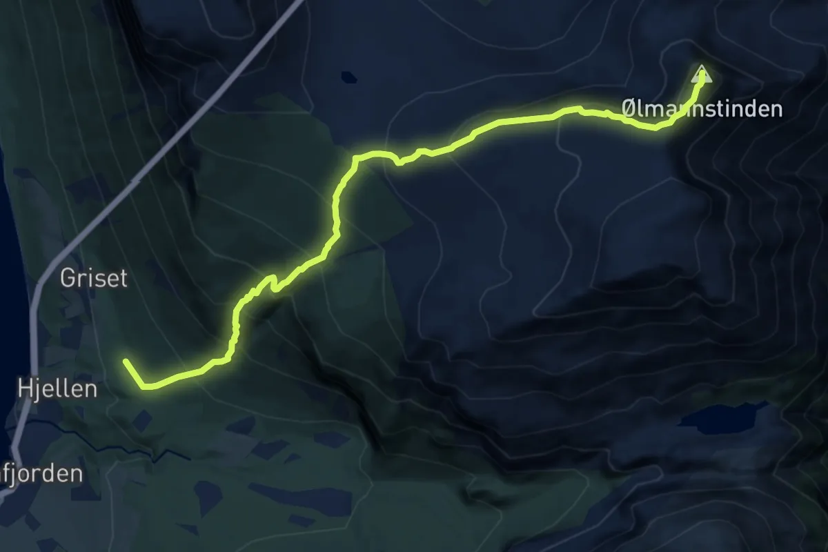
Demanding · Trail
Ølmannstinden
8.6 km · ↑ 1035 m · 4 h 16 min
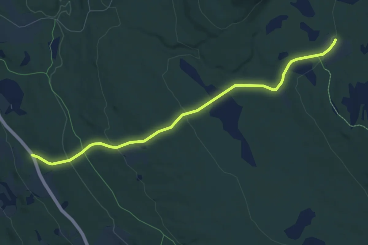
Easy · Trail
Olsbakken-Eggasetra
5.5 km · ↑ 188 m · 1 h 43 min
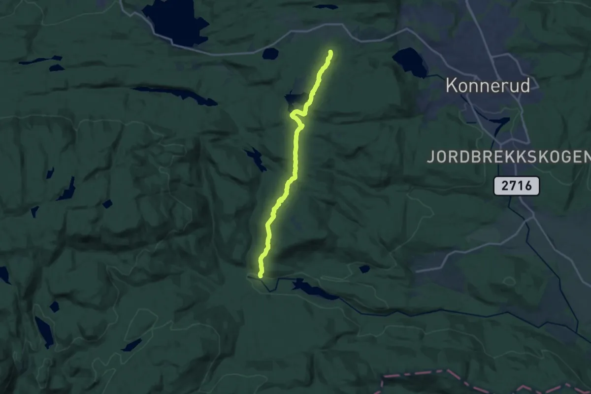
Medium · Trail
Olsrud/Dalen på Konnerud til Heia
10.0 km · ↑ 279 m · 2 h 57 min
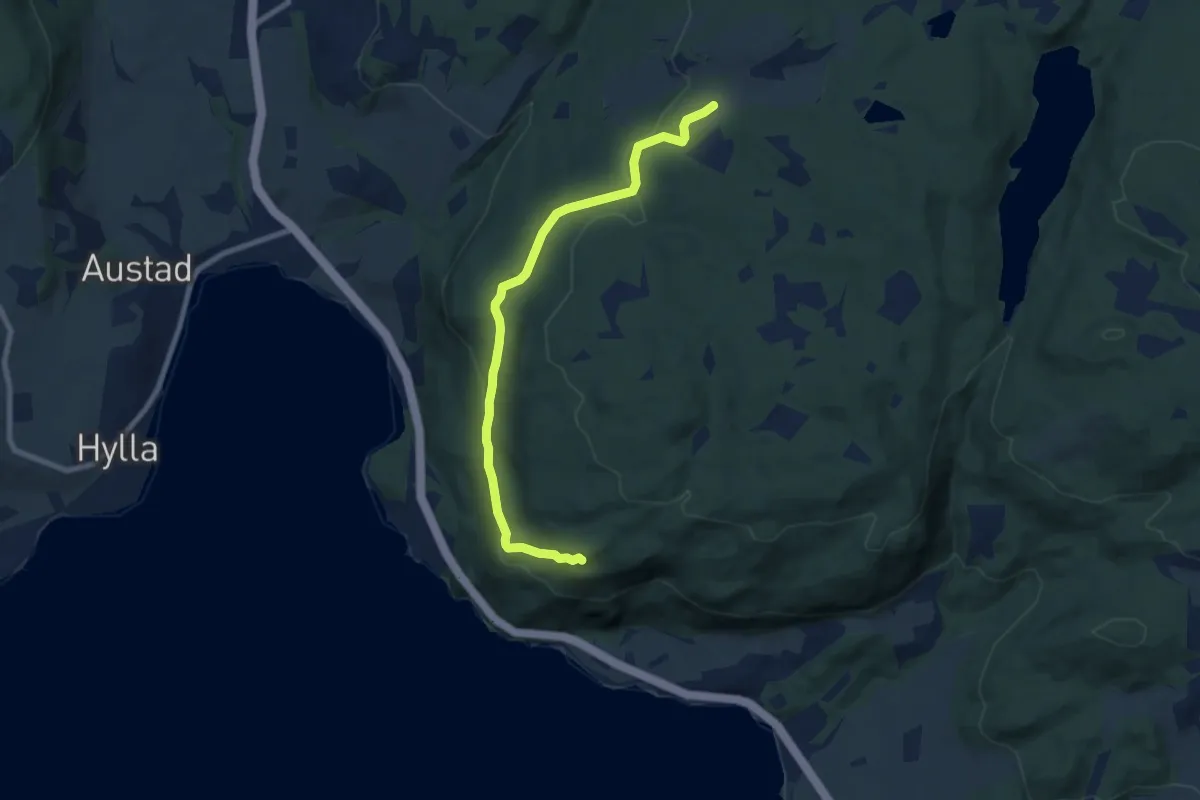
Medium · Trail
Olsstolen
5.1 km · ↑ 174 m · 1 h 36 min
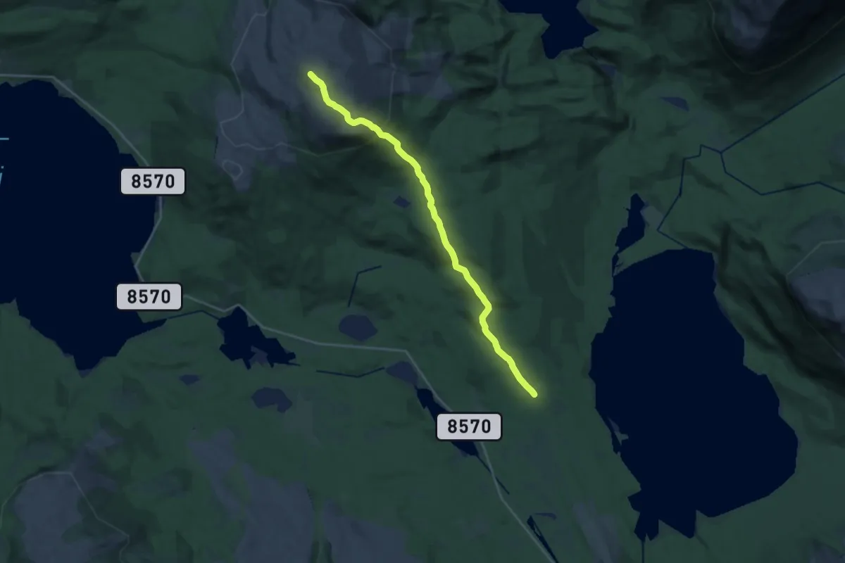
Medium · Trail
Omasvárri - Fjellfrøsvatnet
11.2 km · ↑ 516 m · 3 h 46 min
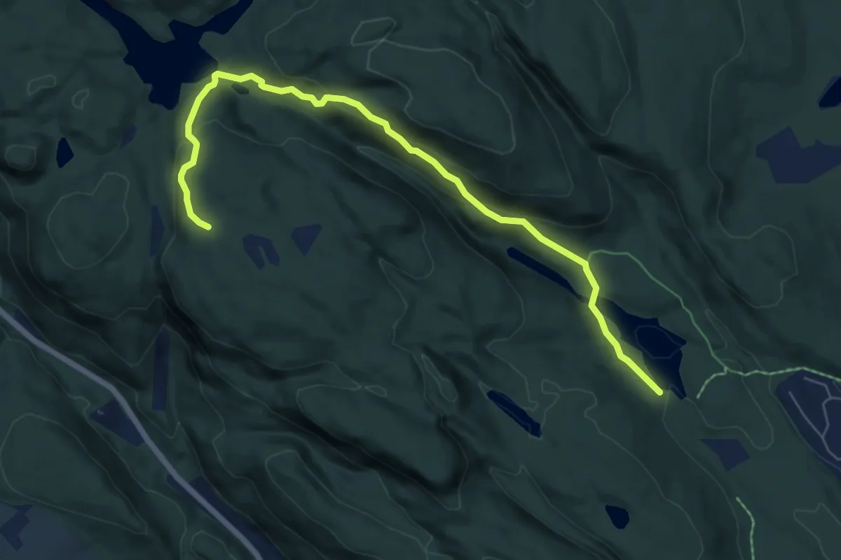
Medium · Trail
Omdalsmyr - Tvittingen - Åletjenn
5.2 km · ↑ 238 m · 1 h 45 min
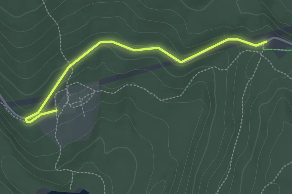
Easy · Trail
Omlegging Liggern
2.0 km · ↑ 54 m · 35 min
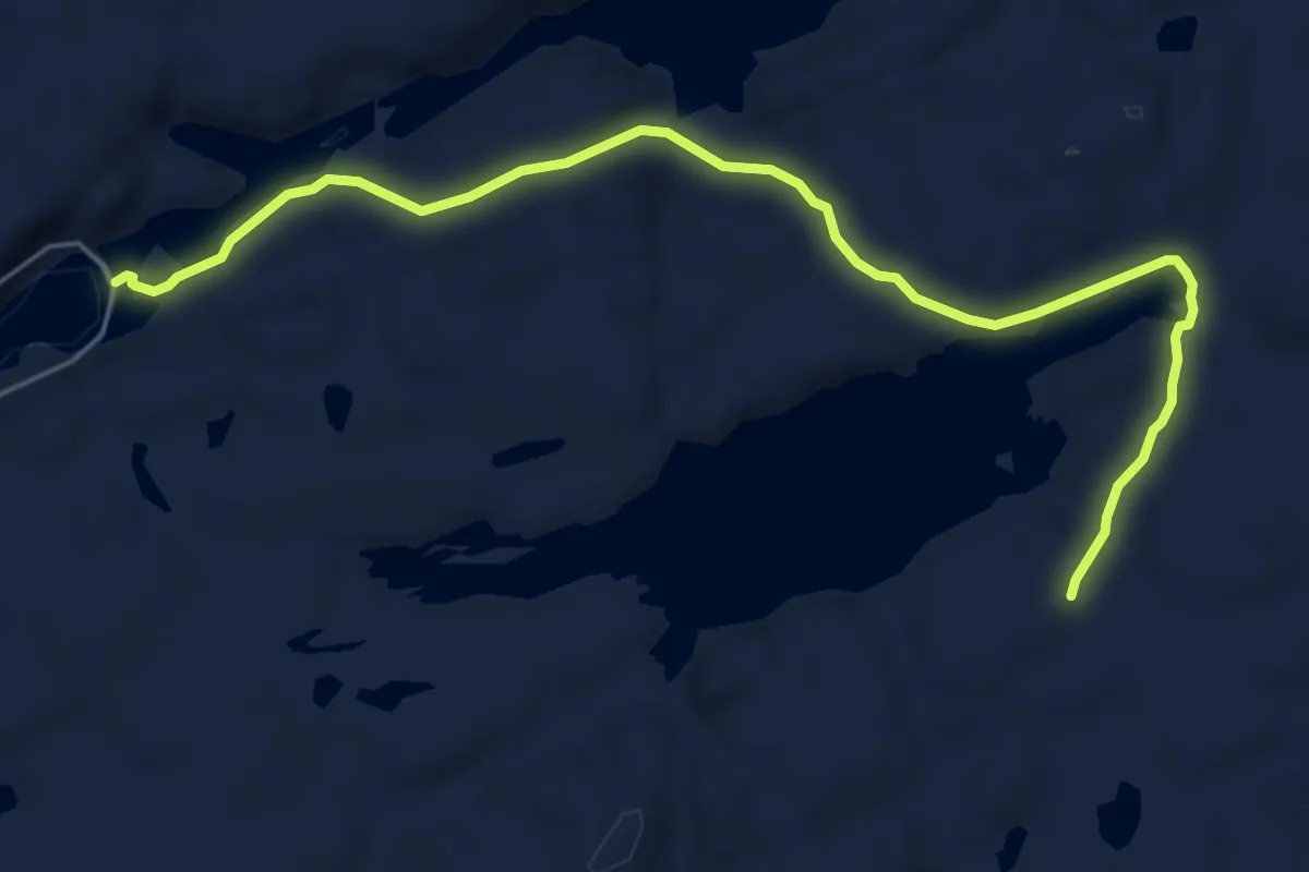
Easy · Trail
Omnan fra Veisfjorden
4.2 km · ↑ 83 m · 1 h 10 min
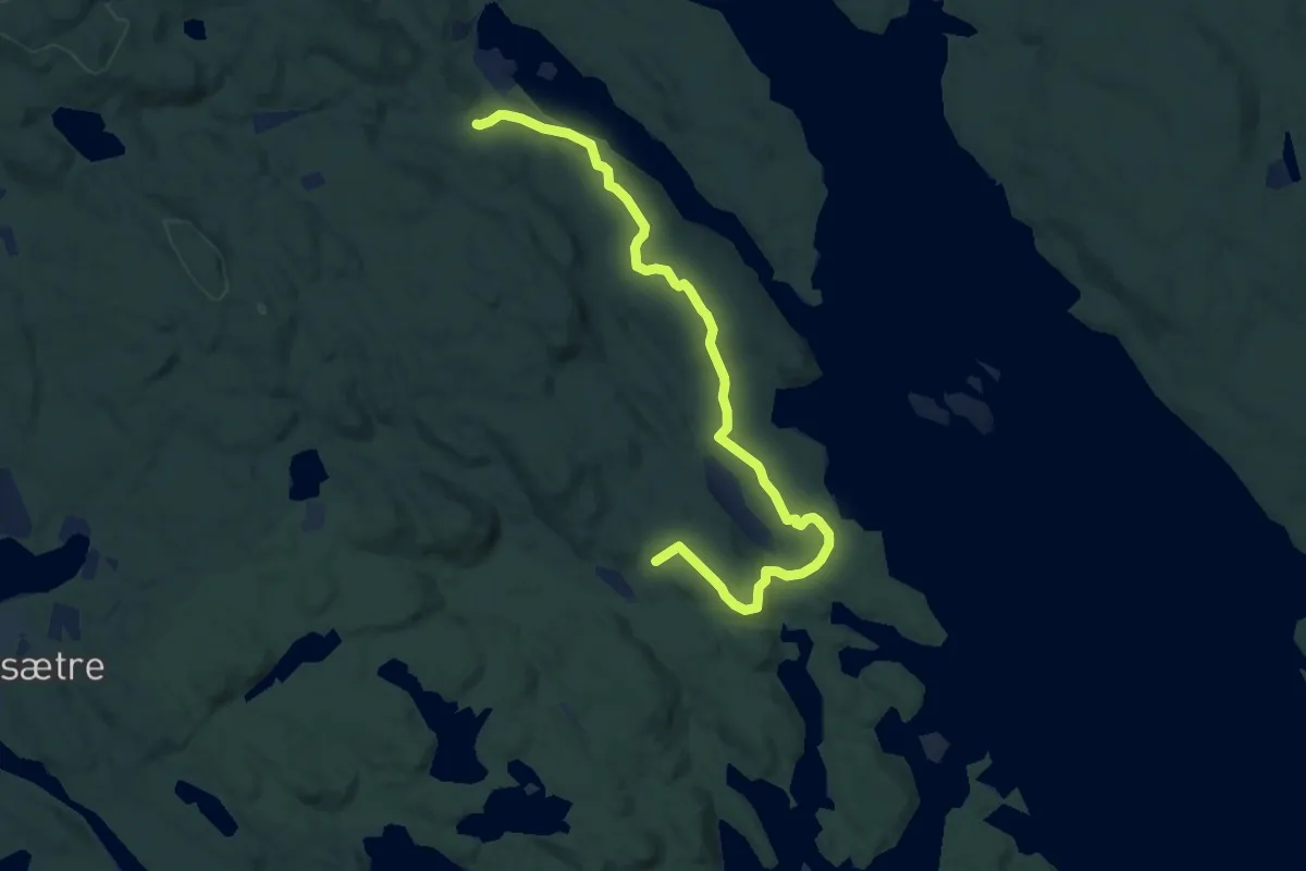
Easy · Trail
Omvik
6.8 km · ↑ 123 m · 1 h 53 min
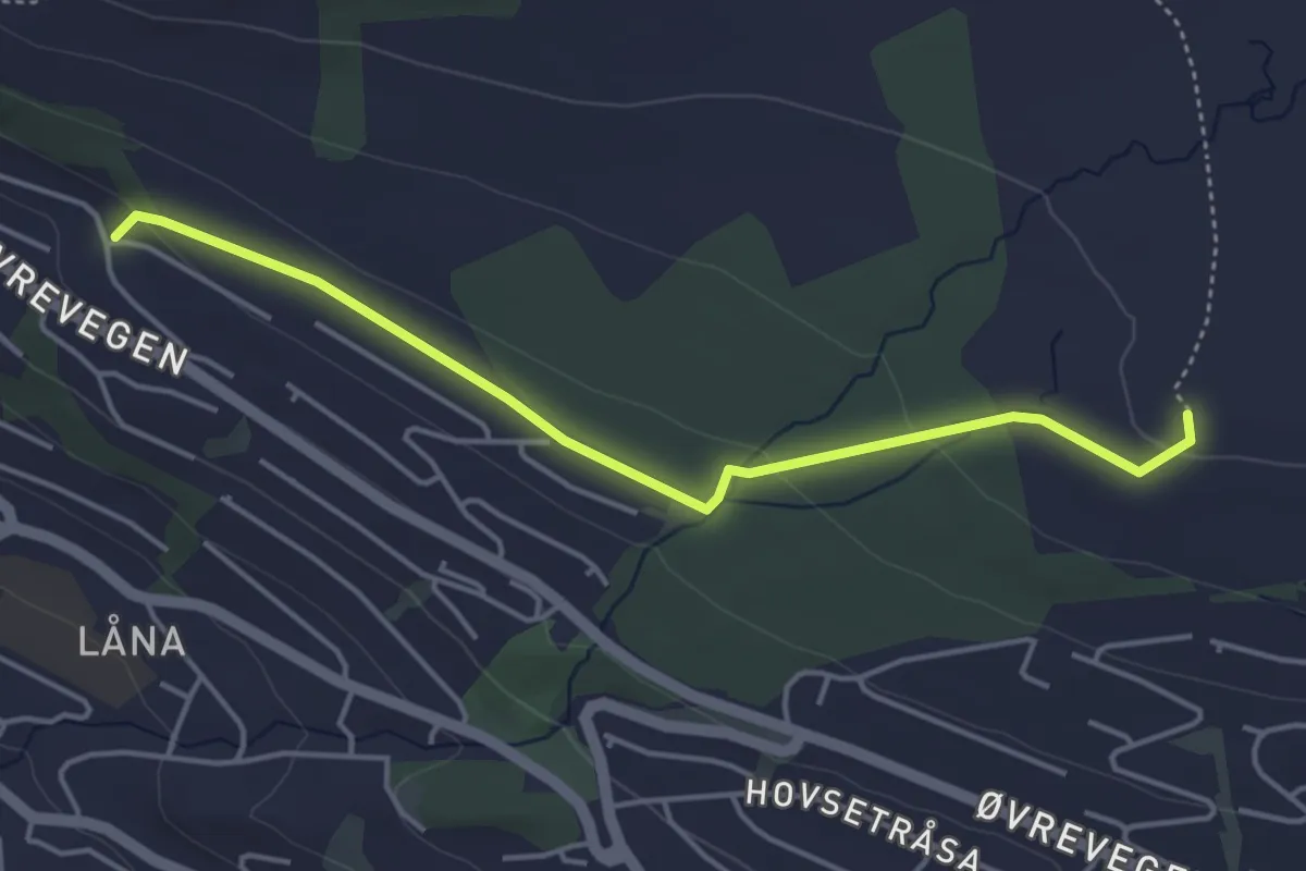
Easy · Trail
Onglasætra?Gamleeidet
3.0 km · ↑ 69 m · 51 min
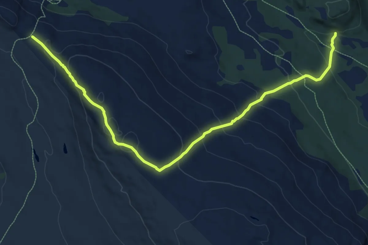
Medium · Trail
Ongsjøfjellet
8.8 km · ↑ 514 m · 3 h 11 min
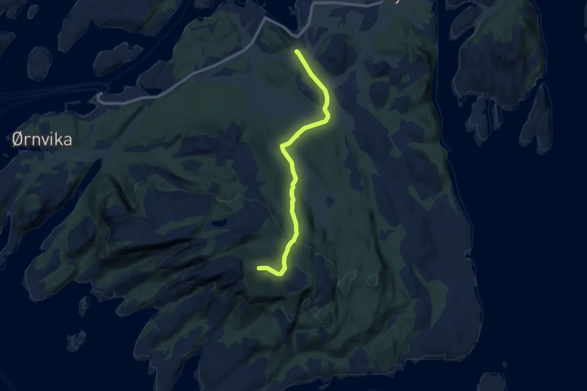
Easy · Trail
Onøyfjellet
4.3 km · ↑ 174 m · 1 h 23 min
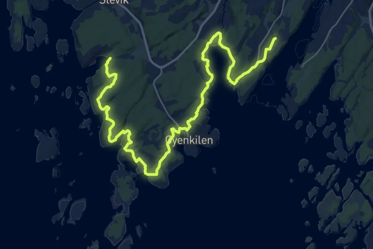
Demanding · Trail
Onsøystien
21.2 km · ↑ 282 m · 5 h 37 min