Trails in Norway
7,452 hiking trails, each with its route, climb, walking time and grade.
All trails, page 71 of 156
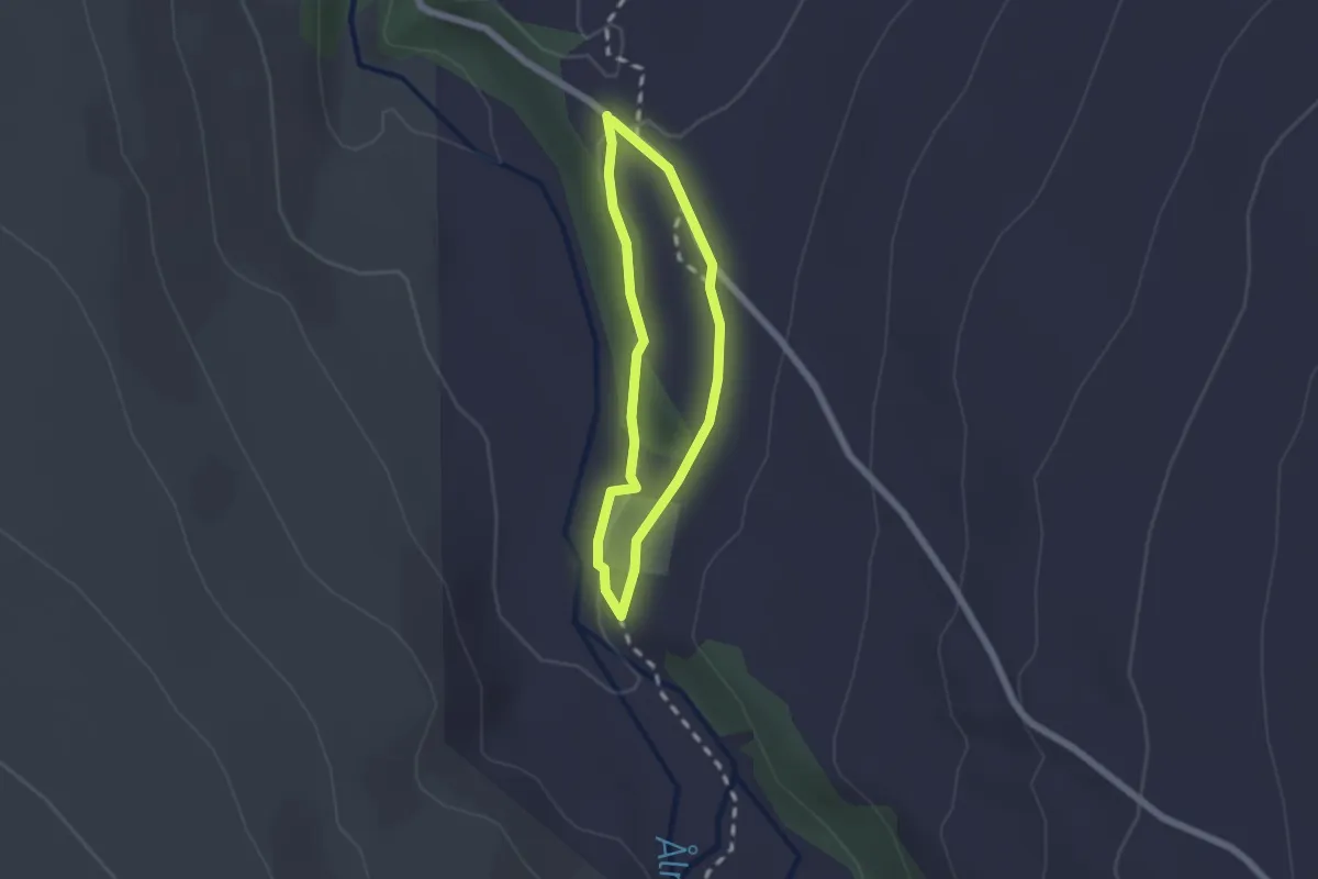
Easy · Trail
Oppdal - Orkelsjøhytta
2.1 km · ↑ 23 m · 32 min
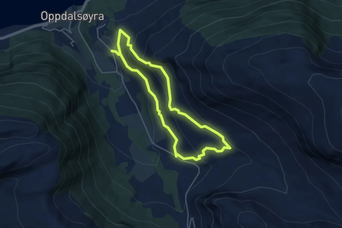
Easy · Trail
Oppdalsøyra
2.4 km · ↑ 192 m · 1 h 1 min
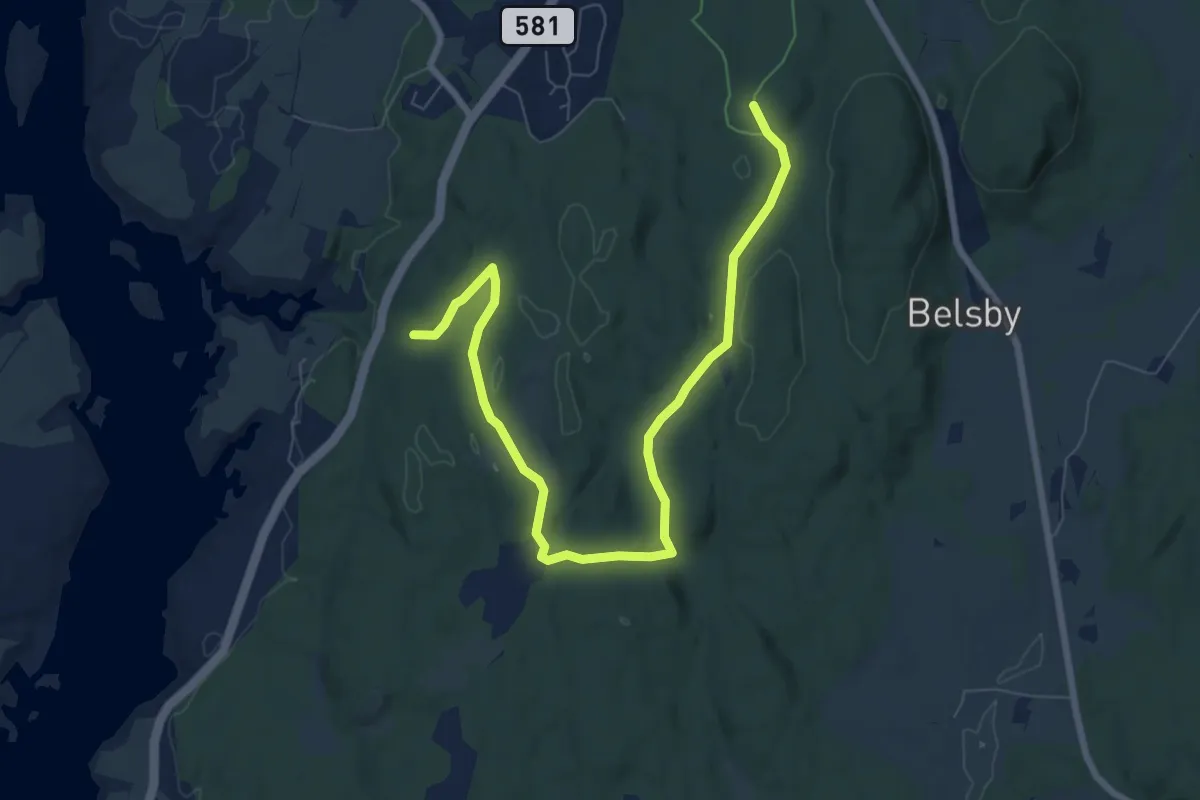
Easy · Trail
Orange trail near Varteig
6.7 km · ↑ 82 m · 1 h 45 min
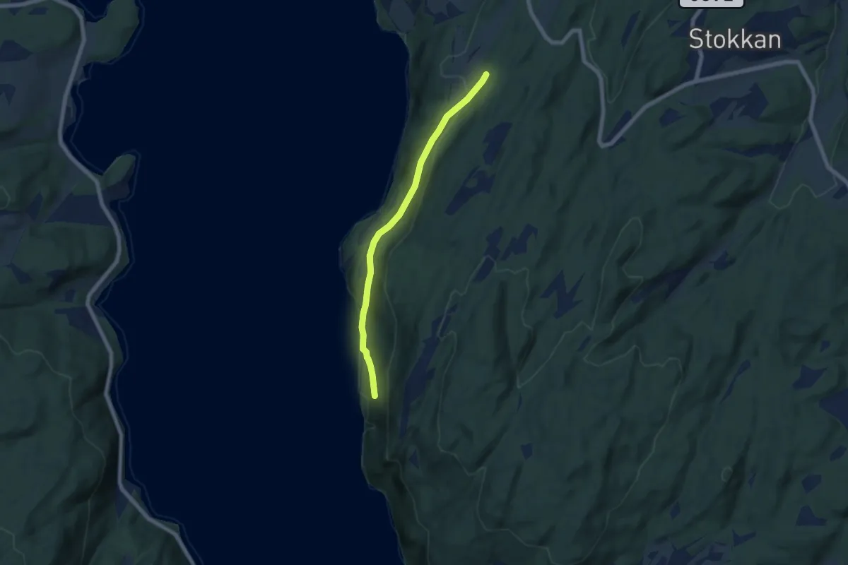
Demanding · Trail
Ørdalsstiene
3.7 km · ↑ 171 m · 1 h 14 min
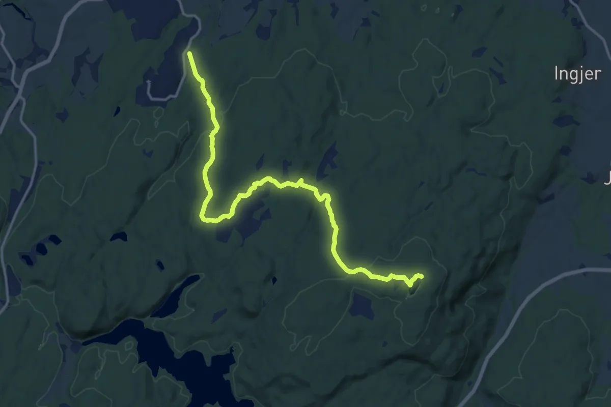
Medium · Trail
Orderud - Igletjern
10.6 km · ↑ 195 m · 2 h 56 min
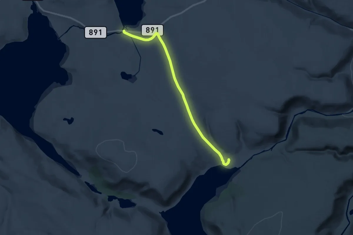
Medium · Trail
Ordo
10.5 km · ↑ 200 m · 2 h 54 min
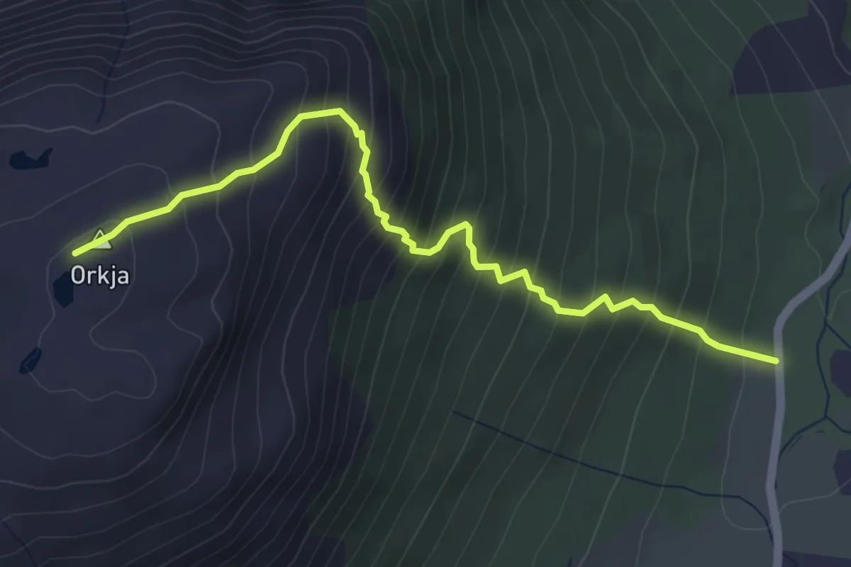
Medium · Trail
Orkja
3.1 km · ↑ 490 m · 1 h 48 min
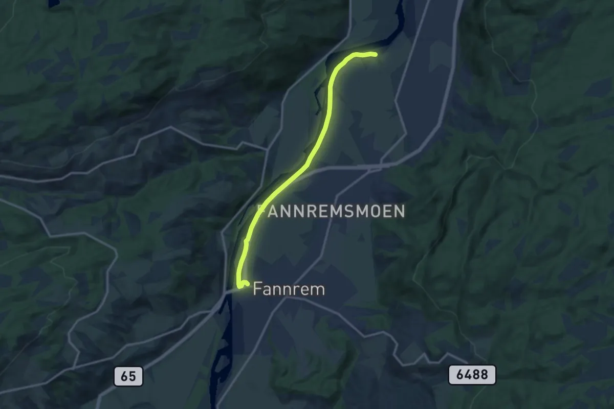
Easy · Trail
Orklaparken
7.0 km · ↑ 8 m · 1 h 41 min
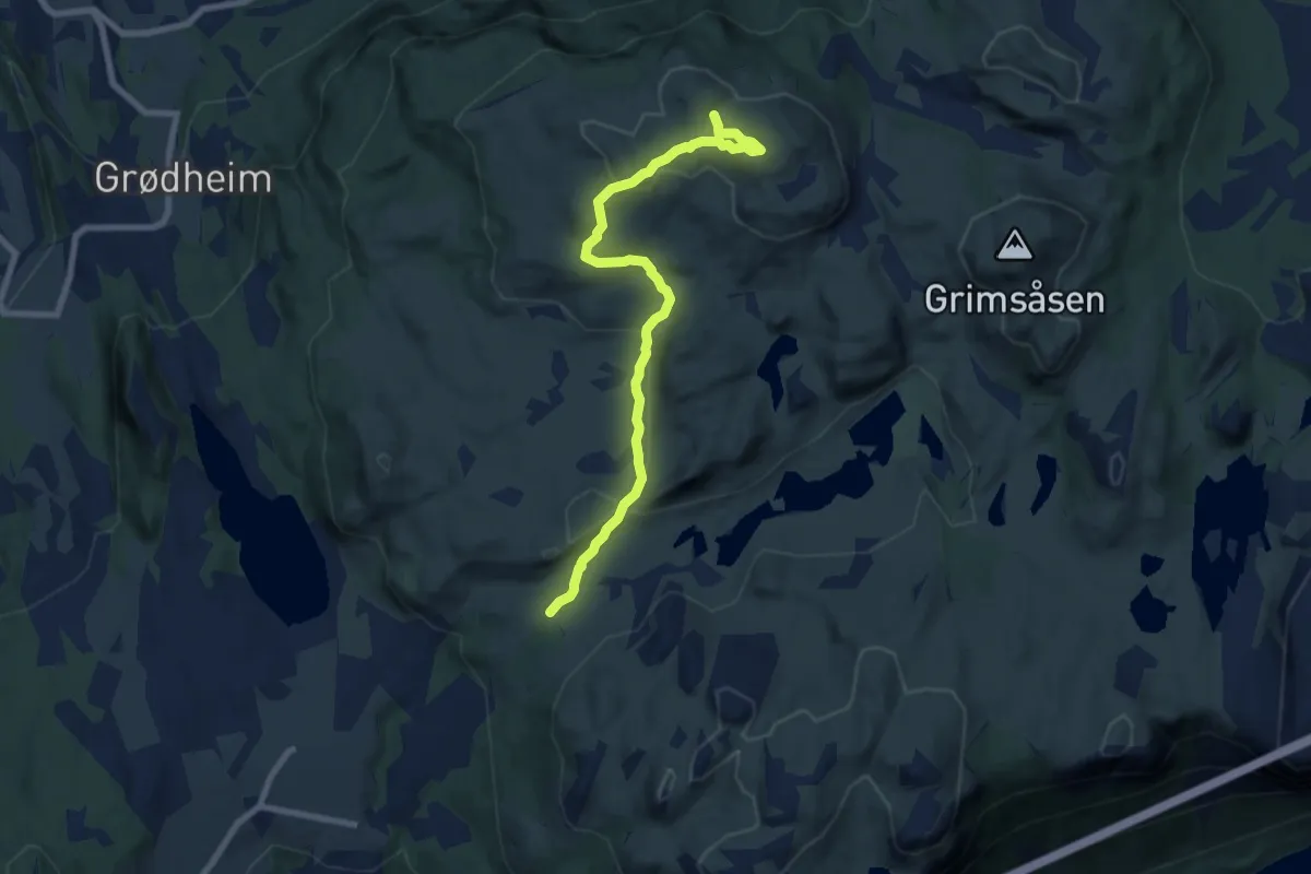
Easy · Trail
Ormakammen
5.9 km · ↑ 232 m · 1 h 54 min
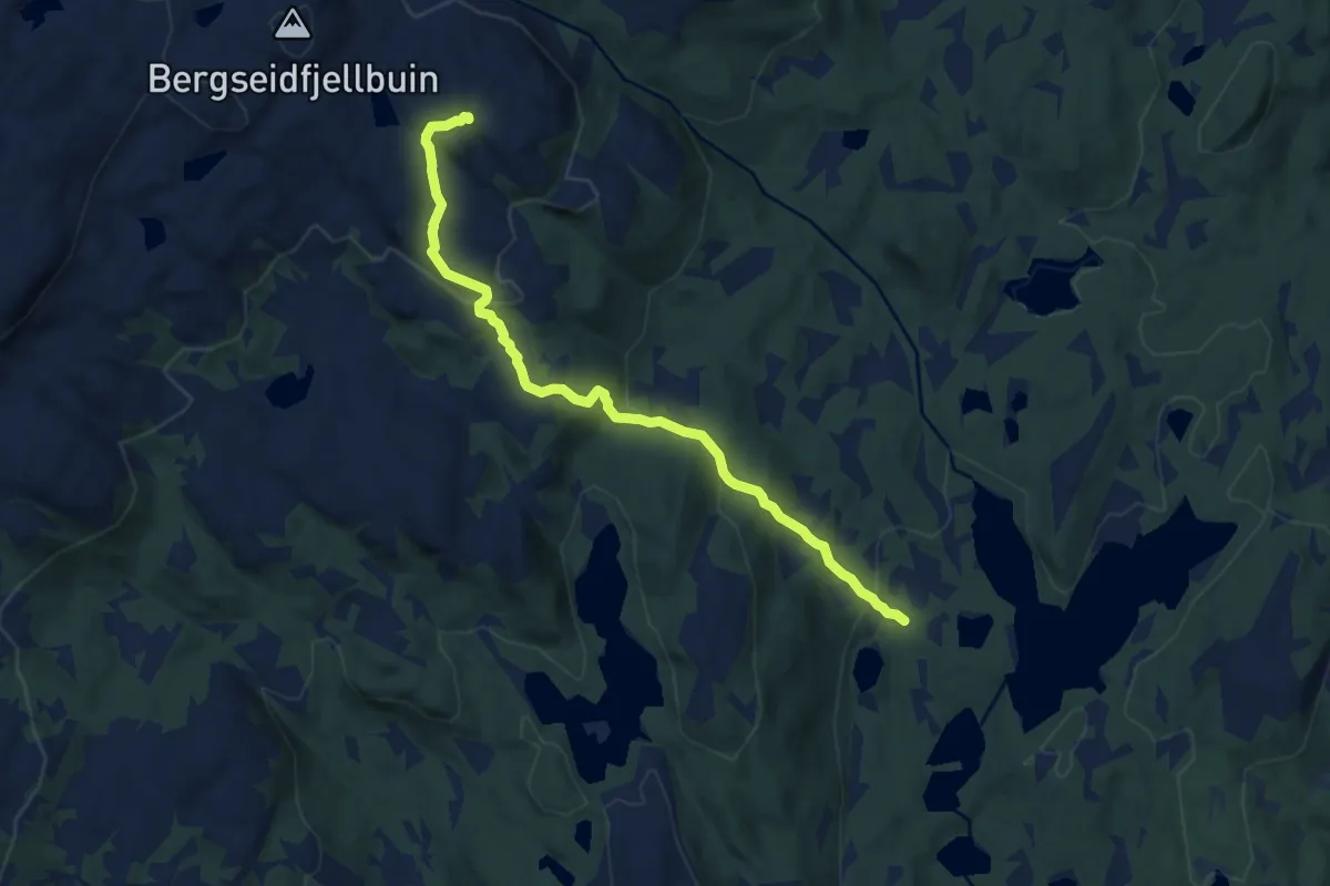
Demanding · Trail
Ormehogg
6.0 km · ↑ 270 m · 1 h 59 min
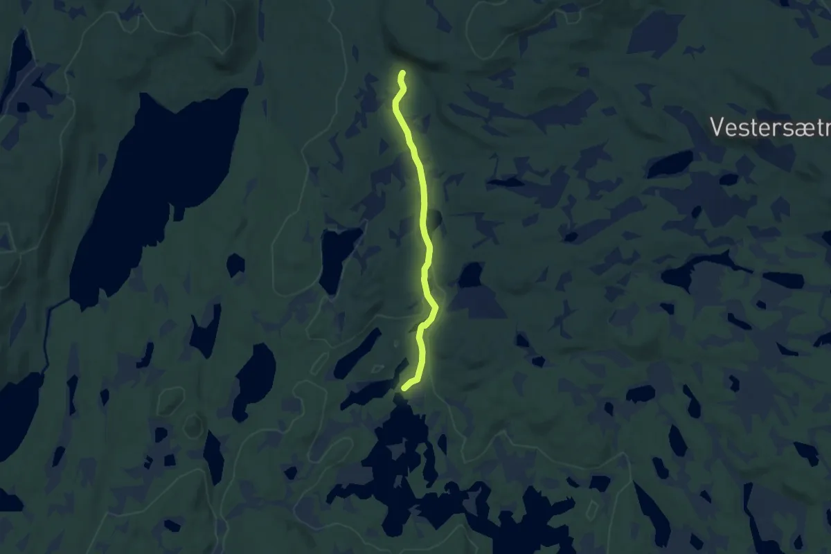
Easy · Trail
Ormhøgda - Holmvasshytta
4.2 km · ↑ 41 m · 1 h 5 min
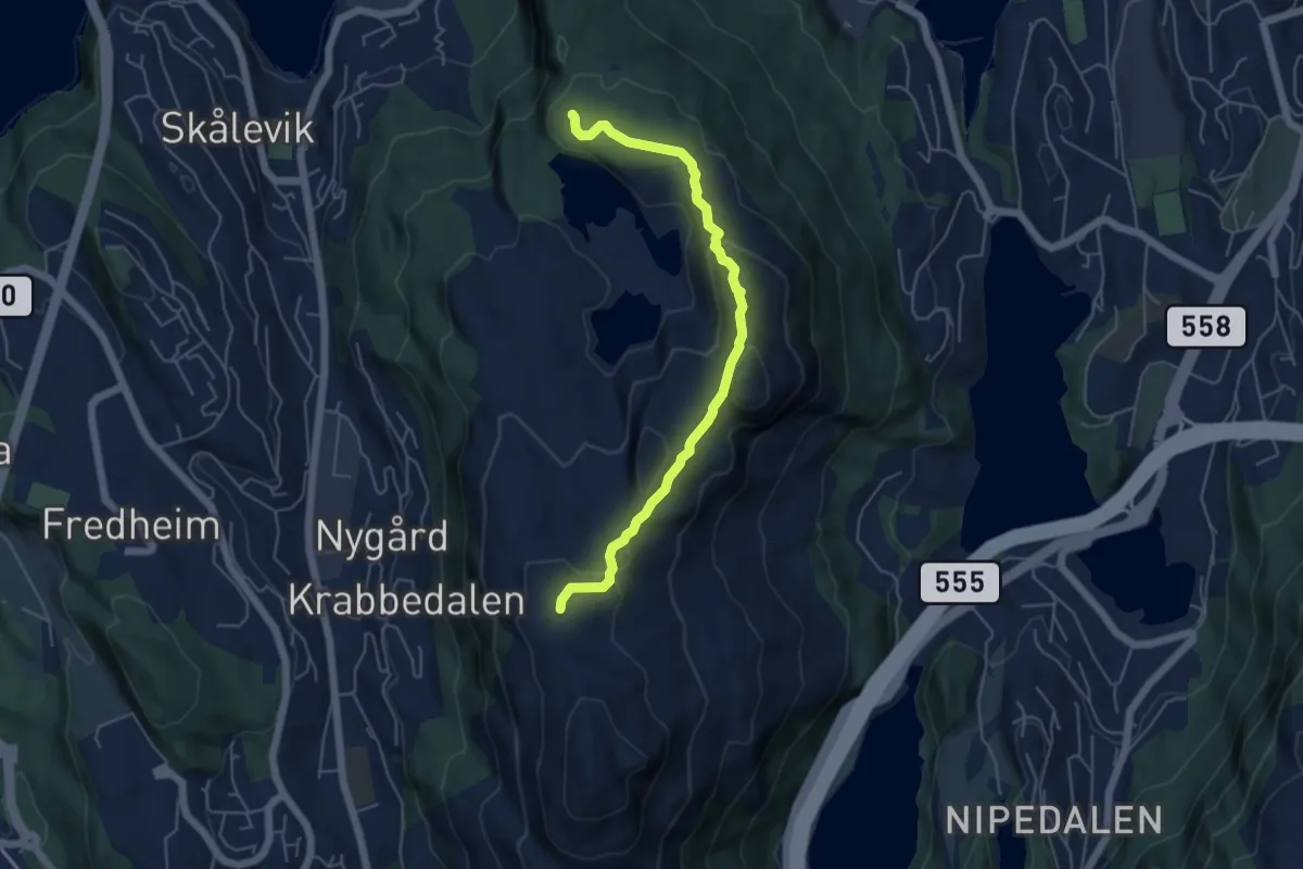
Easy · Trail
Ørnafjellet
3.7 km · ↑ 141 m · 1 h 11 min
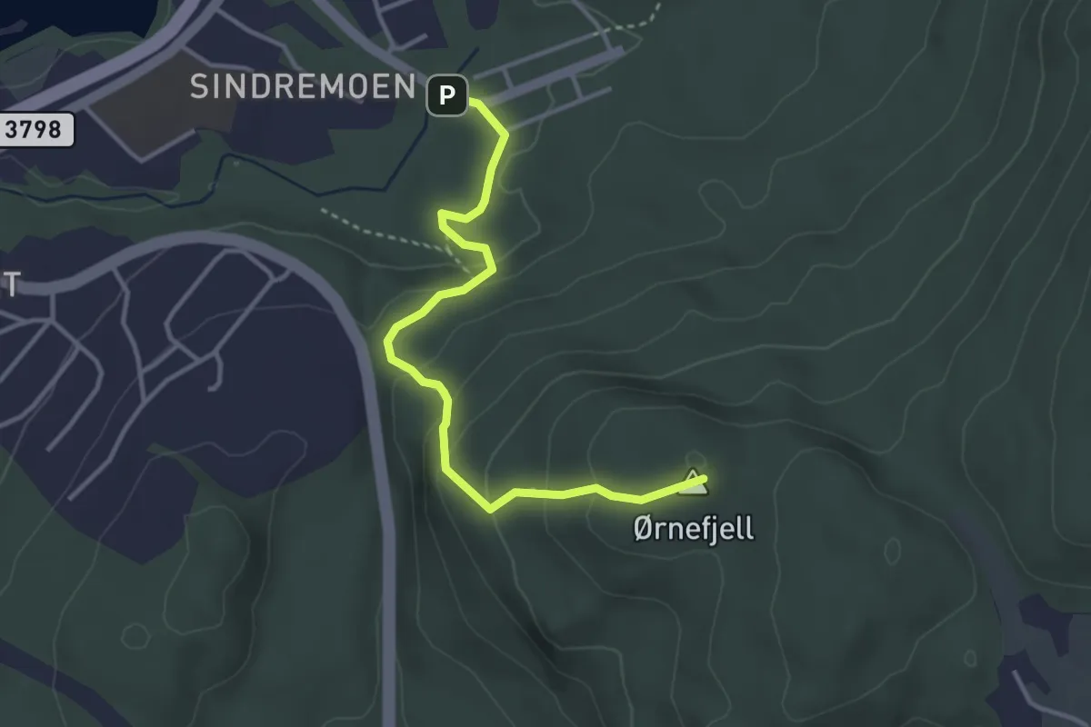
Easy · Trail
Ørnefjell
2.7 km · ↑ 175 m · 1 h 1 min
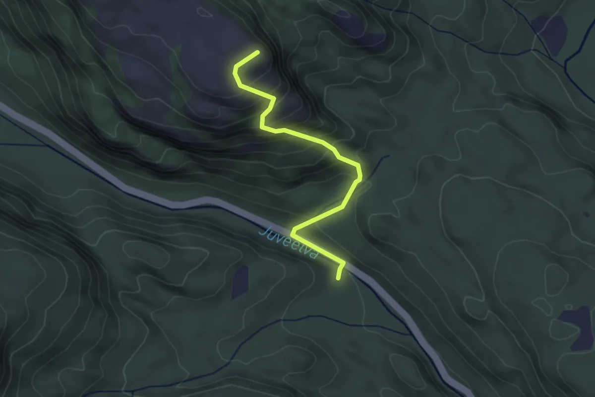
Medium · Trail
Ørnefjell
2.3 km · ↑ 232 m · 1 h 3 min
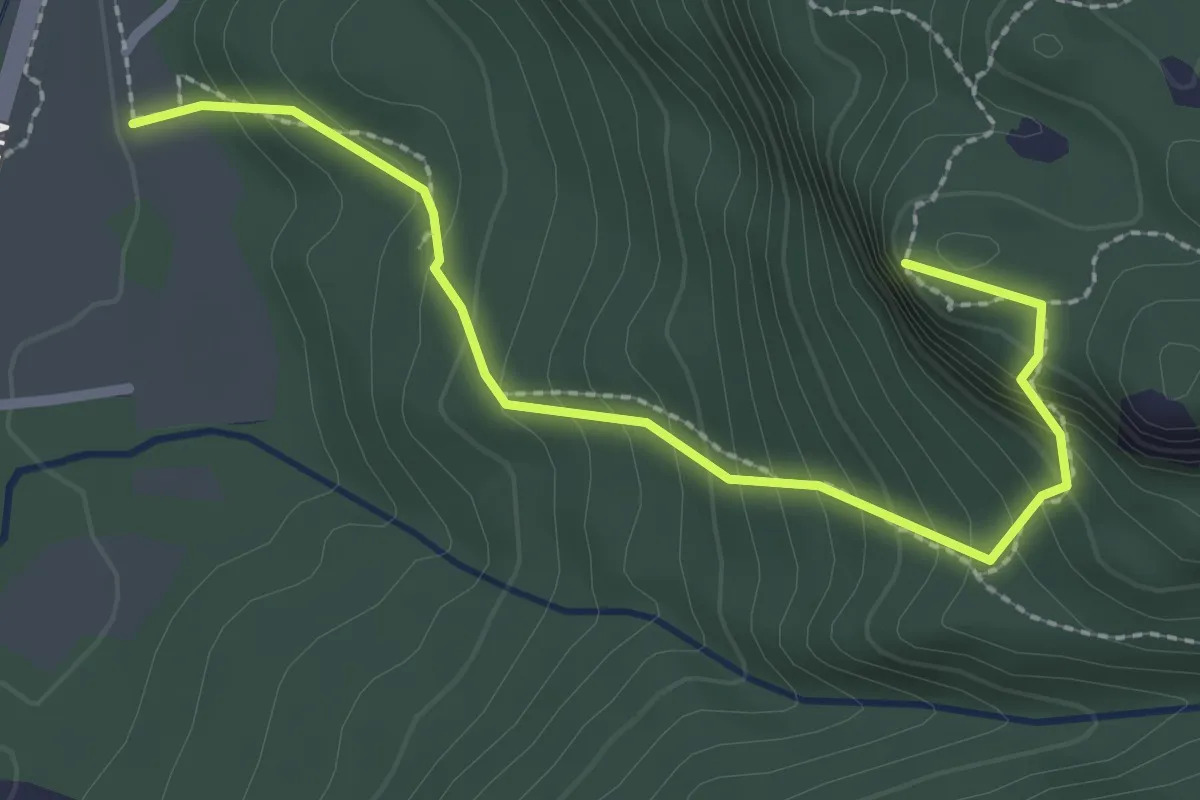
Easy · Trail
Ørneknipen
2.0 km · ↑ 280 m · 1 h 5 min
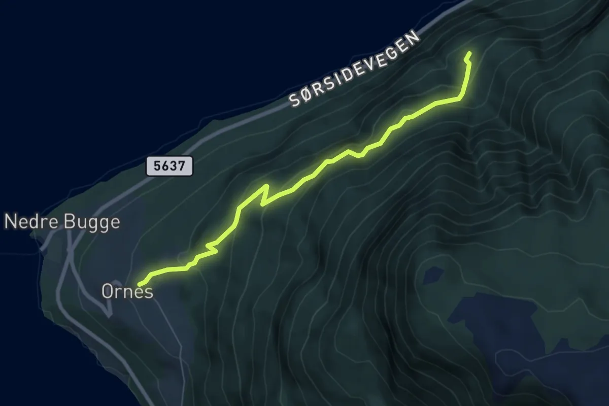
Medium · Trail
Orneskroken
4.6 km · ↑ 320 m · 1 h 47 min
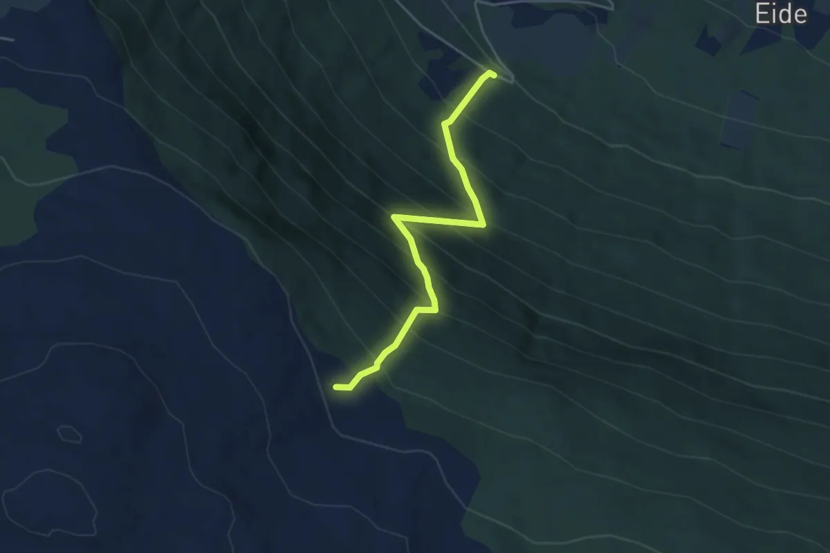
Medium · Trail
Orrhaugen-Liasætre
2.8 km · ↑ 475 m · 1 h 42 min
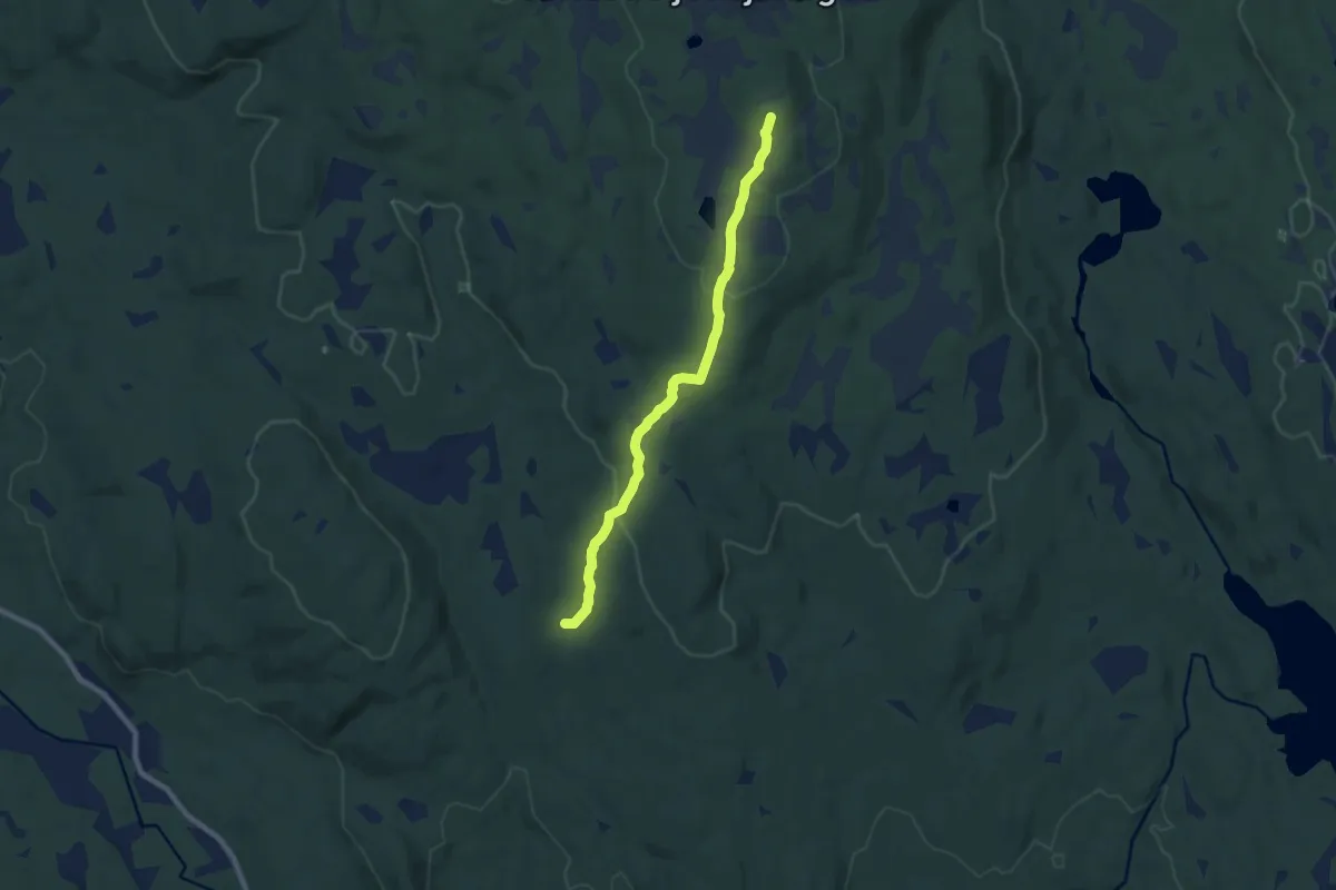
Easy · Trail
Orrkjølen
5.6 km · ↑ 195 m · 1 h 45 min
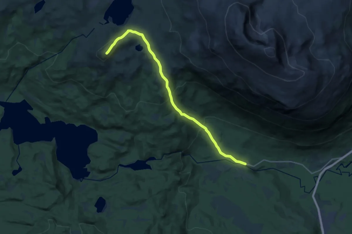
Medium · Trail
Orta
8.9 km · ↑ 518 m · 3 h 13 min
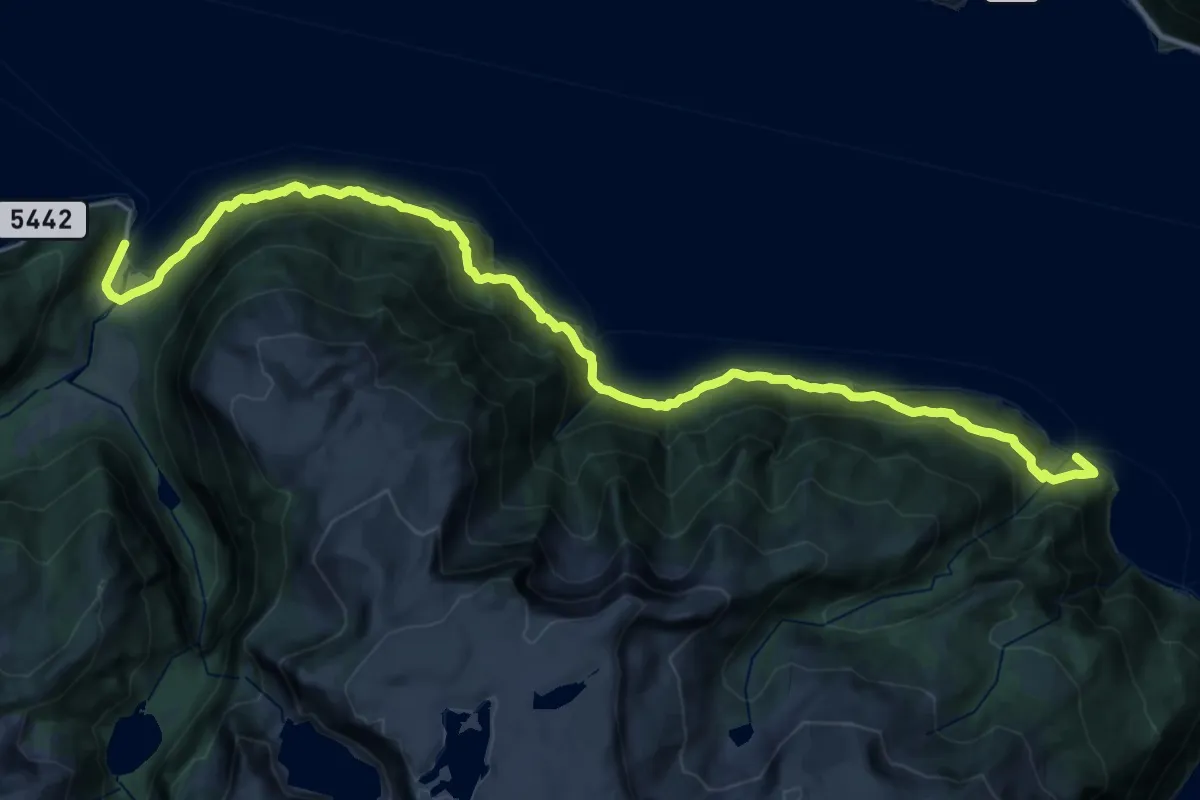
Demanding · Trail
Ortnevik-Sylvarnes
24.2 km · ↑ 927 m · 7 h 44 min
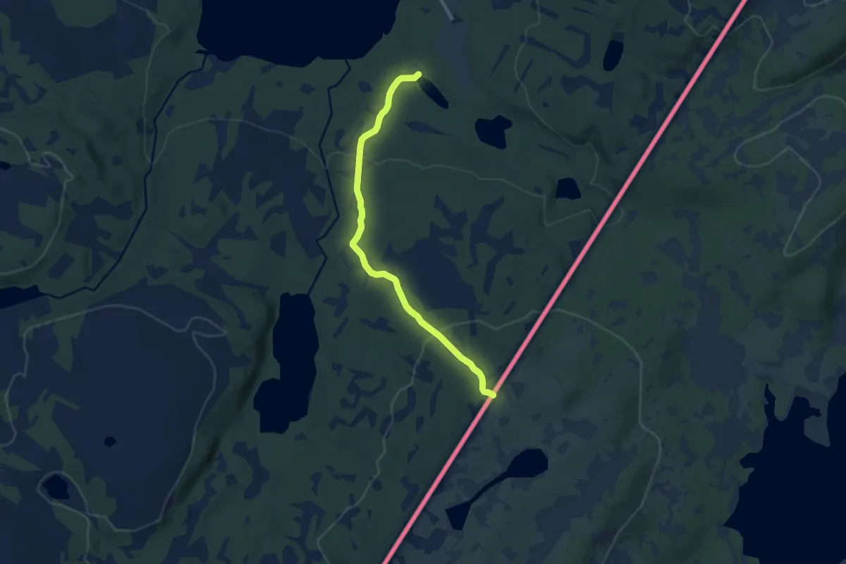
Easy · Trail
Ørvillhøgda
5.5 km · ↑ 200 m · 1 h 44 min
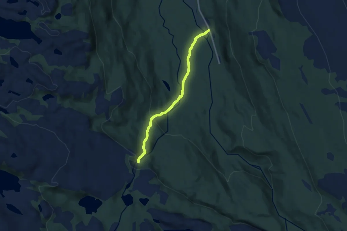
Easy · Trail
Orvvosfossen
3.9 km · ↑ 158 m · 1 h 16 min
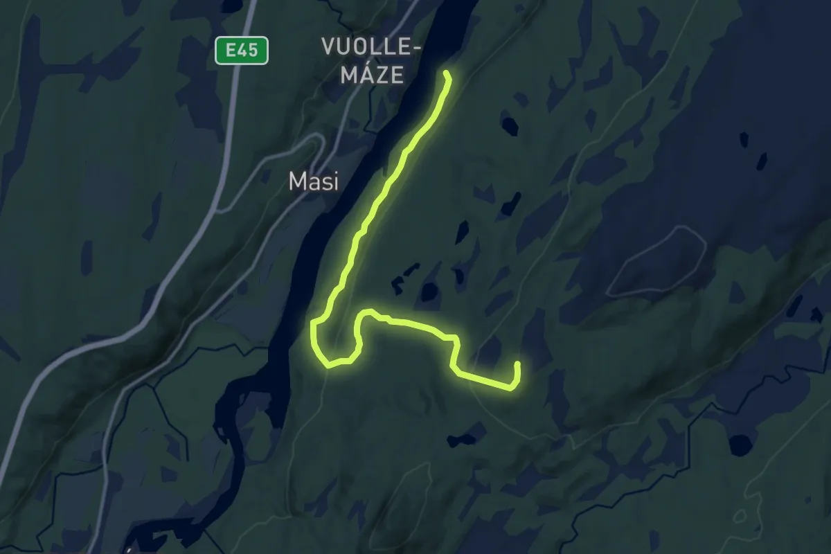
Easy · Trail
Orvvošvárri
6.7 km · ↑ 193 m · 2 h
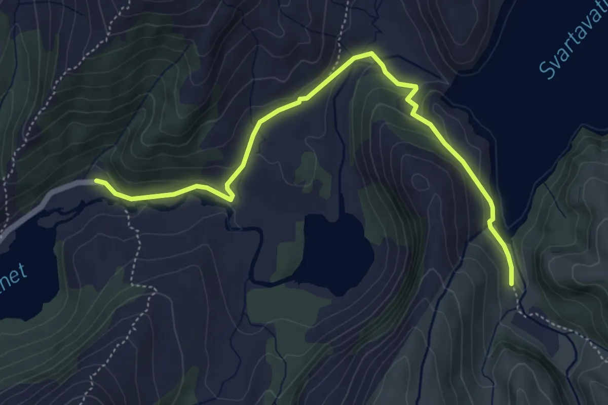
Easy · Trail
Osavatnet til demningen
3.8 km · ↑ 162 m · 1 h 15 min
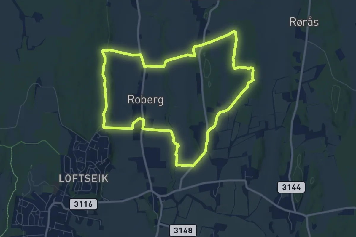
Medium · Trail
Oseberg-runden
12.1 km · ↑ 165 m · 3 h 13 min
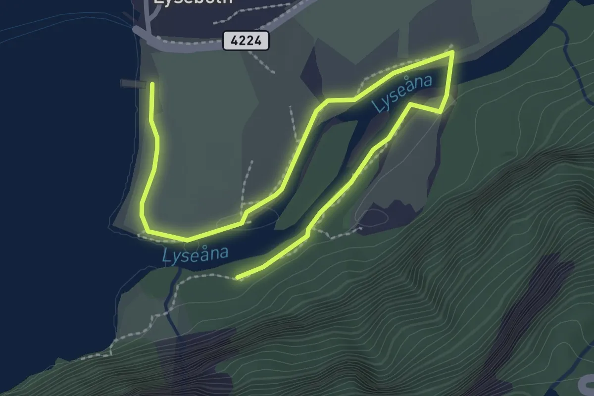
Easy · Trail
Osen - Salomonsfossen
2.6 km · ↑ 4 m · 38 min
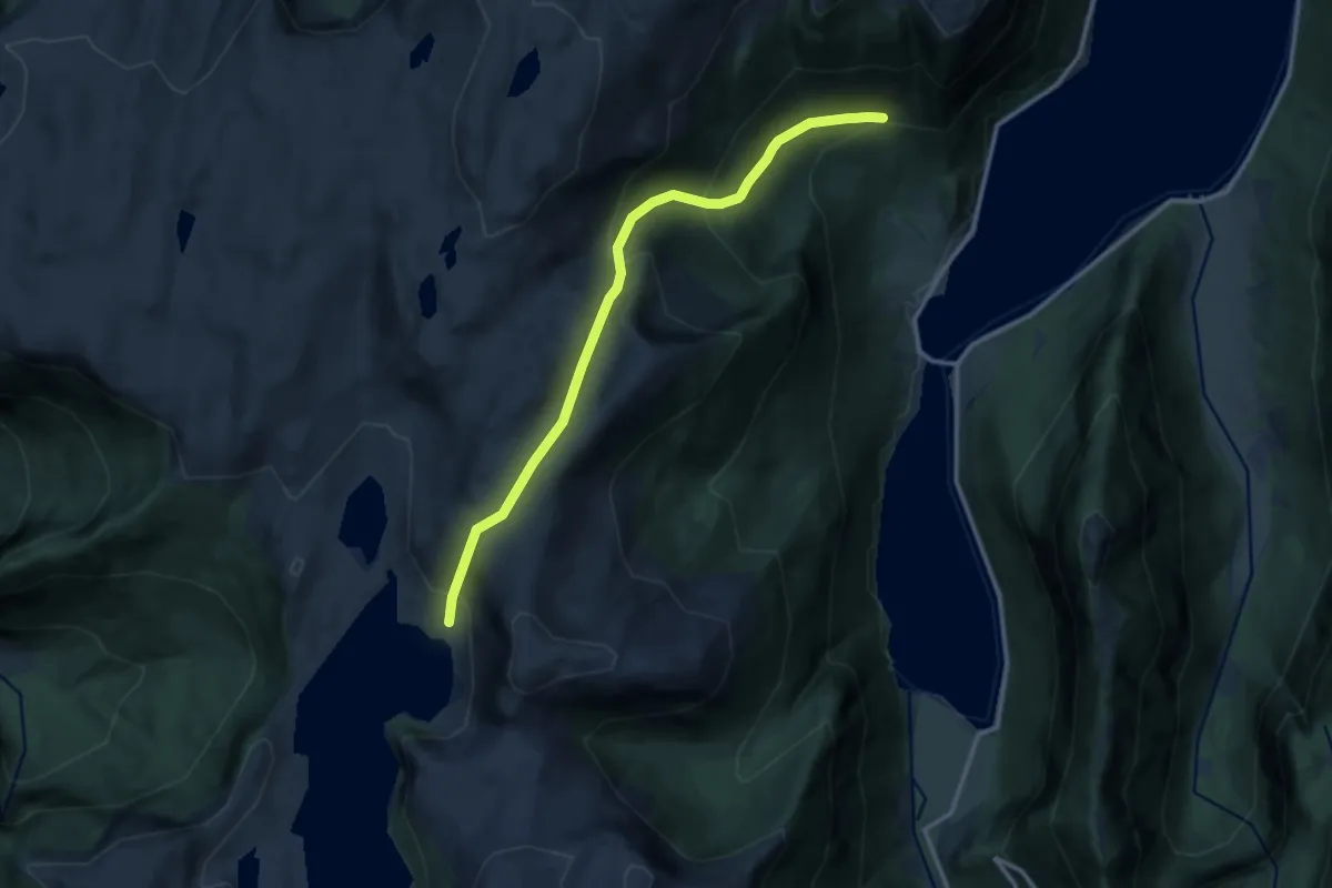
Medium · Trail
Osland til Oslandsstølen
8.5 km · ↑ 727 m · 3 h 34 min
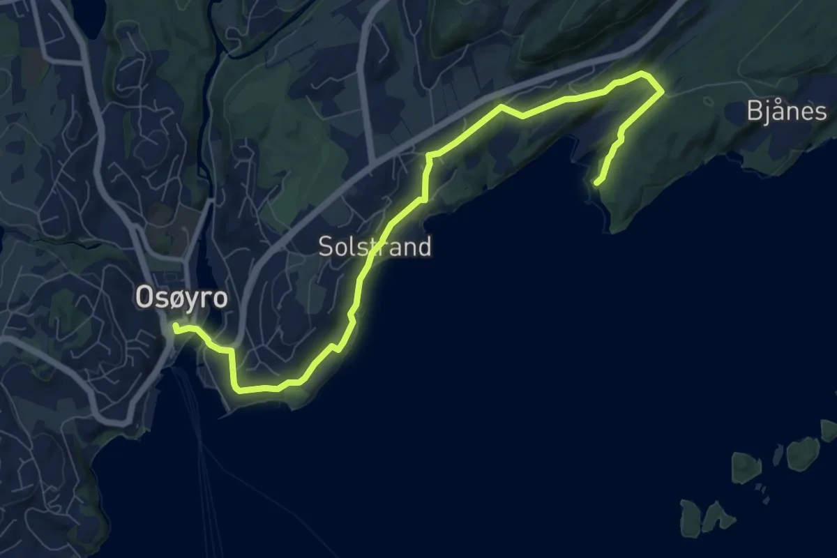
Easy · Trail
Osøyro - Smievågen
7.2 km · ↑ 121 m · 1 h 58 min
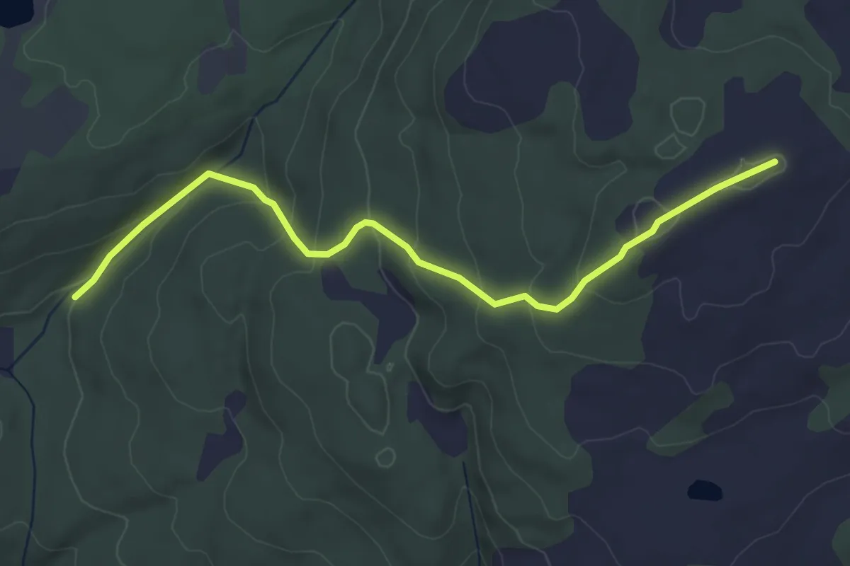
Easy · Trail
Ospesneisa
3.5 km · ↑ 197 m · 1 h 15 min
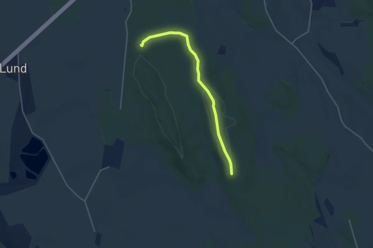
Easy · Trail
Østby
2.2 km · ↑ 4 m · 32 min
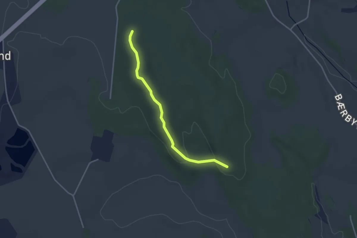
Easy · Trail
Østby
2.0 km · ↑ 39 m · 34 min
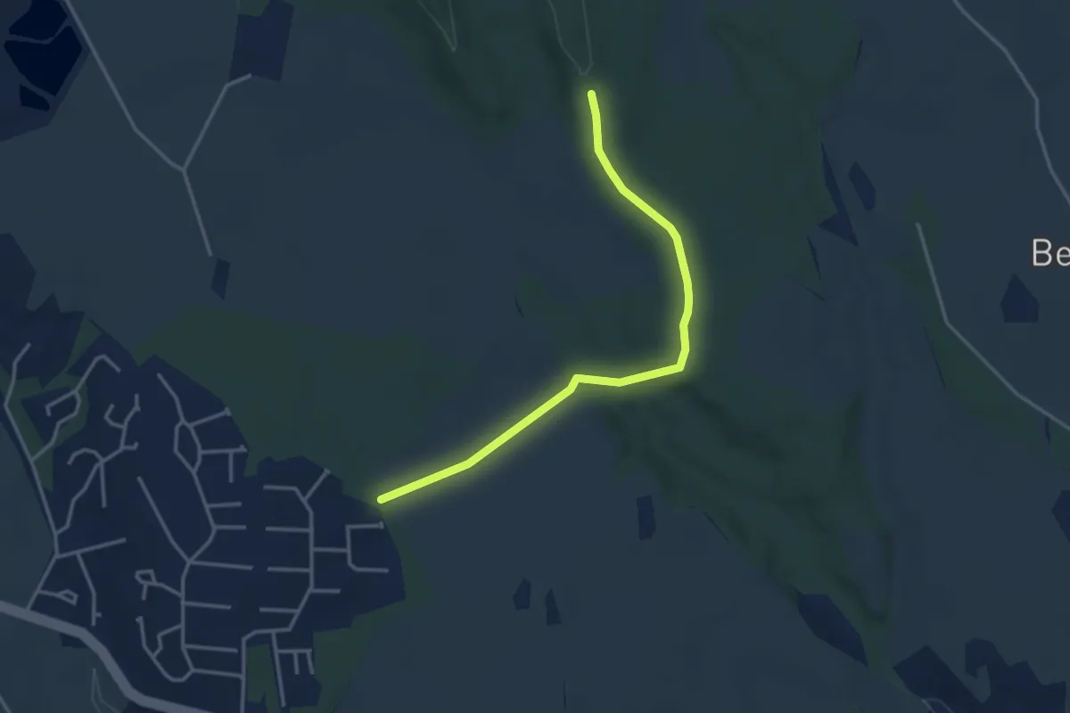
Easy · Trail
Østby
2.6 km · ↑ 33 m · 41 min
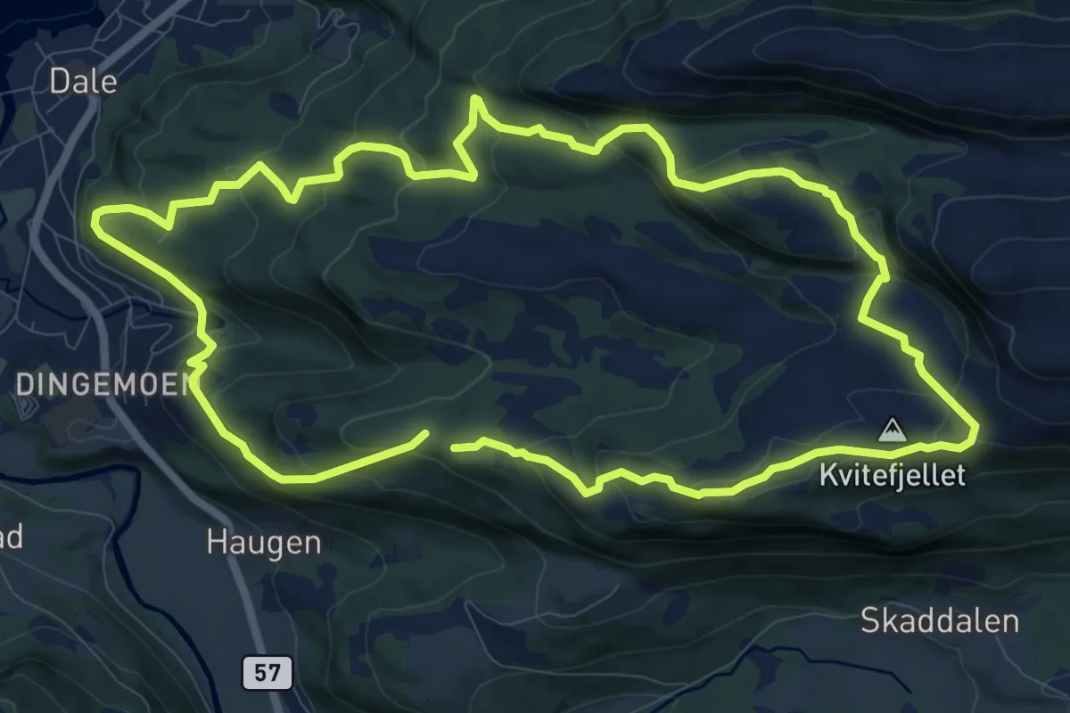
Medium · Summit
Østenstad–Grønholten rundt
7.9 km · ↑ 397 m · 2 h 50 min
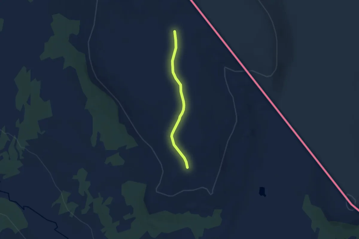
Easy · Trail
Østerfjellet
3.7 km · ↑ 26 m · 56 min
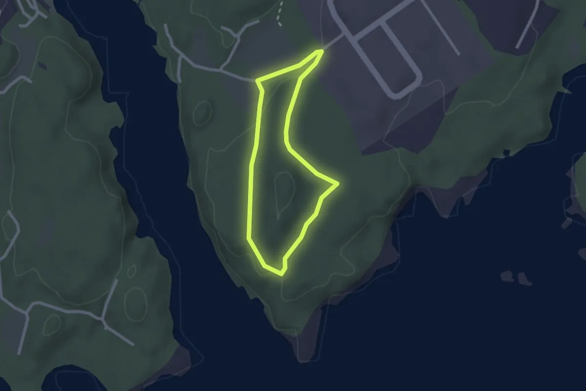
Easy · Trail
Østerskogen
2.9 km · ↑ 35 m · 46 min
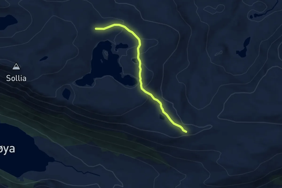
Easy · Trail
Øst for Holmevatnet
3.7 km · ↑ 95 m · 1 h 4 min
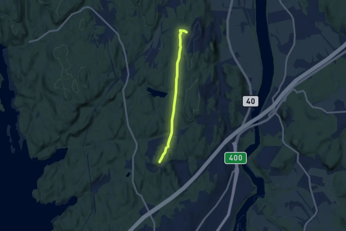
Easy · Trail
Østløypa Larvik - Lauvesetra
4.0 km · ↑ 63 m · 1 h 5 min
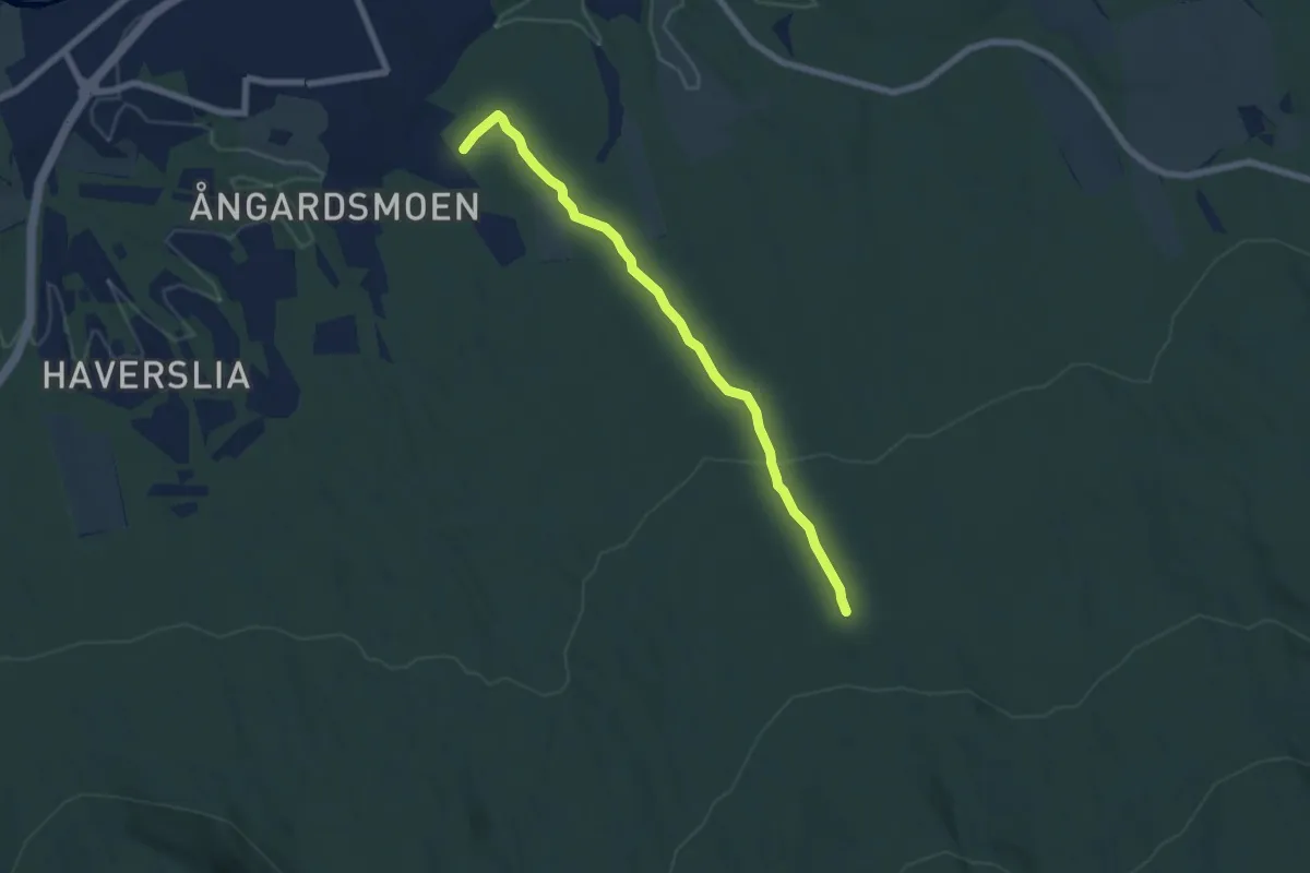
Medium · Trail
Østrabbveien
4.4 km · ↑ 157 m · 1 h 23 min
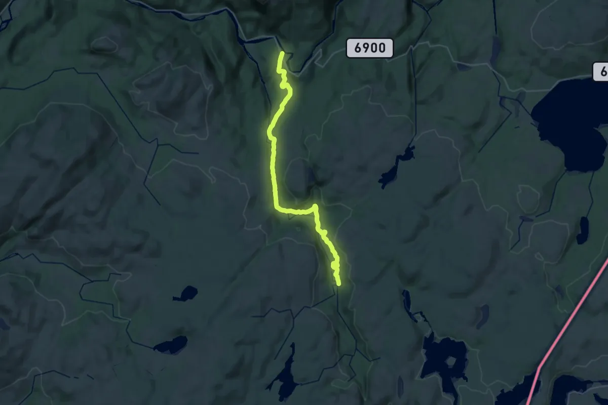
Demanding · Trail
Østre Juldalsvollen
21.4 km · ↑ 472 m · 6 h 5 min
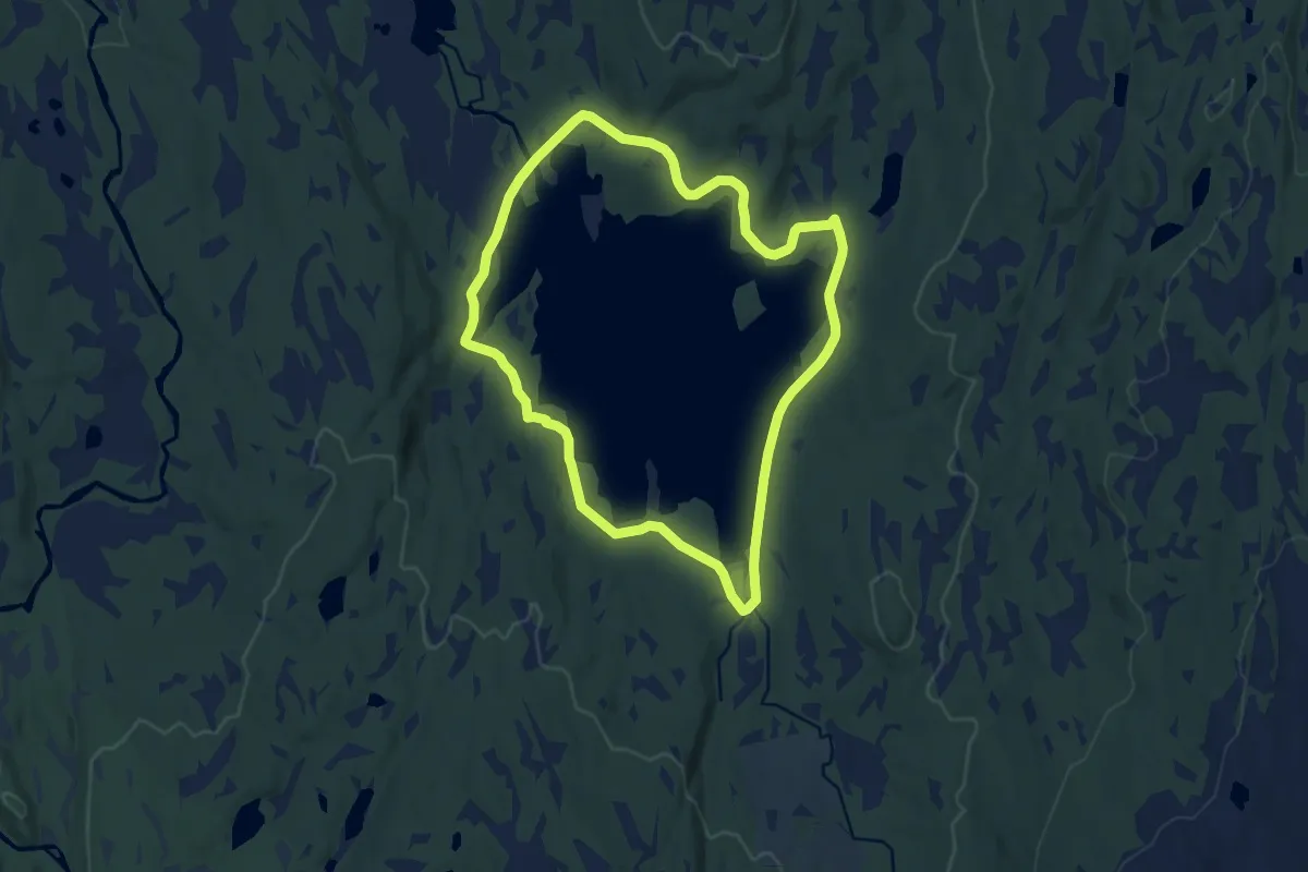
Medium · Trail
Østrungen rundt
14.0 km · ↑ 144 m · 3 h 38 min
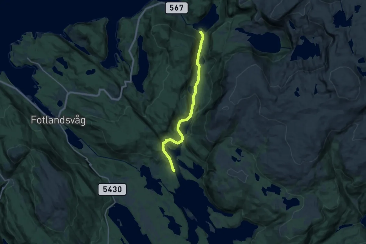
Medium · Trail
Osvatnet - Gangstø
10.1 km · ↑ 296 m · 3 h 1 min
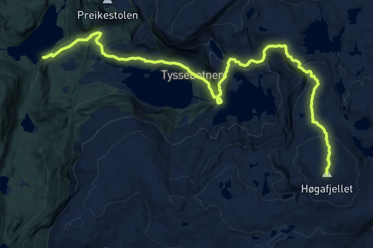
Demanding · Trail
Osvatnet - Høgafjellet
14.2 km · ↑ 959 m · 5 h 26 min
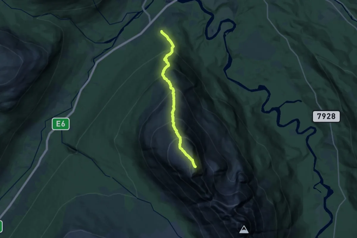
Expert · Trail
Oteraksla
7.3 km · ↑ 1136 m · 4 h 11 min
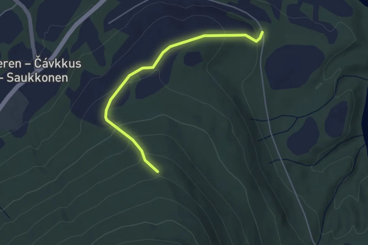
Easy · Trail
Oterbakken / Fallstokkbakken
2.0 km · ↑ 116 m · 43 min
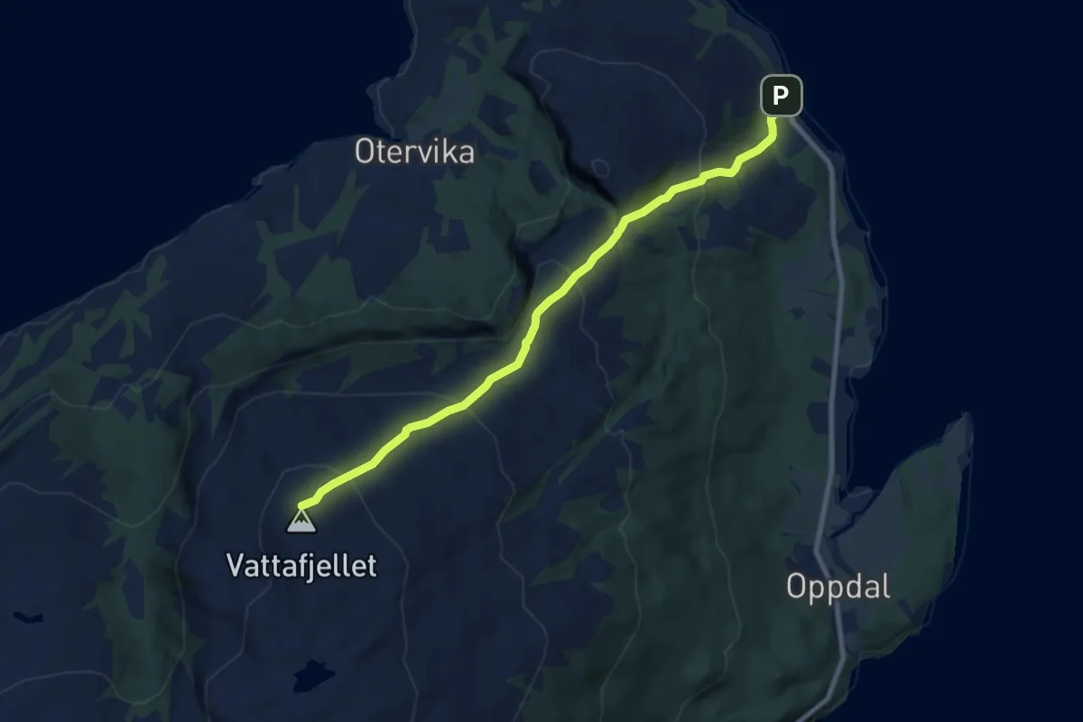
Medium · Trail
Otervikfjellet, Kjella
5.2 km · ↑ 429 m · 2 h 10 min
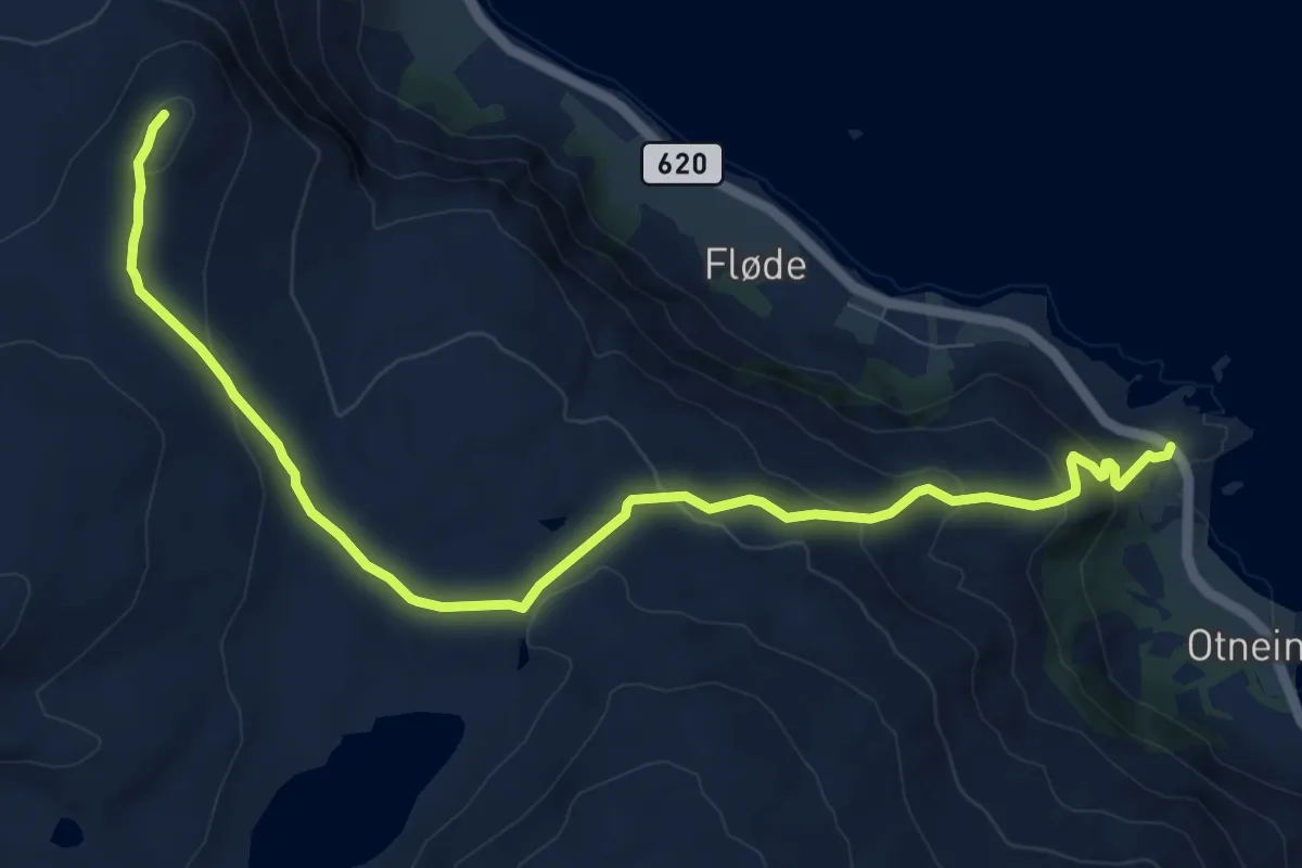
Medium · Trail
Otnes - Flødevatnet - Lundabrekkhornet
7.3 km · ↑ 395 m · 2 h 35 min
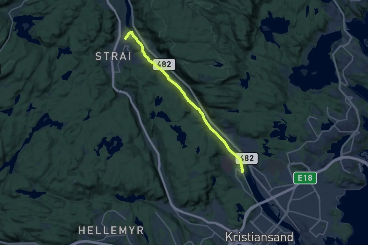
Medium · Trail
Otra Elvepart
10.4 km · ↑ 79 m · 2 h 38 min
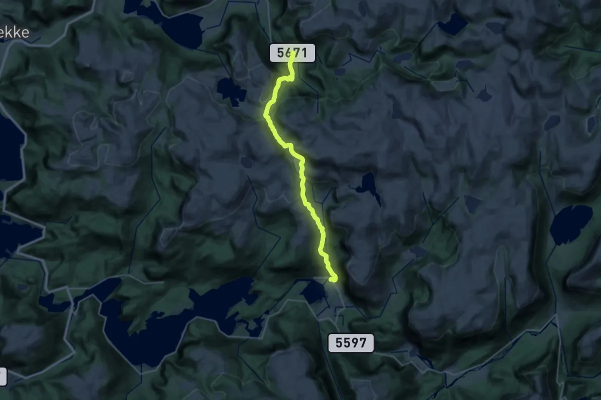
Demanding · Trail
Otresmettet Huseklepp - Herstad (f14a)
16.2 km · ↑ 812 m · 5 h 35 min