Trails in Norway
7,452 hiking trails, each with its route, climb, walking time and grade.
All trails, page 72 of 156
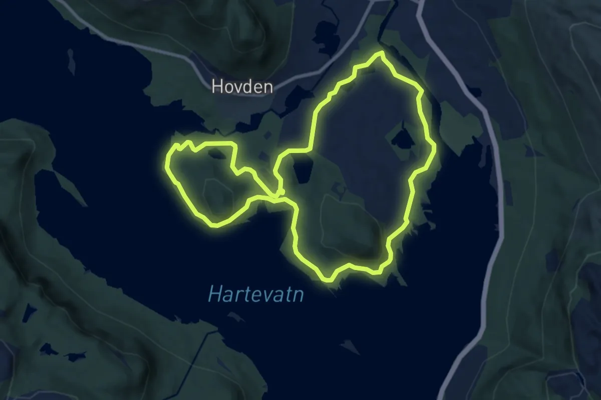
Easy · Trail
Otrosåsen og Røyrvikåsen
6.4 km · ↑ 54 m · 1 h 43 min
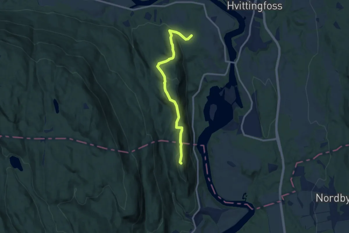
Easy · Trail
Otterstadborgen
5.5 km · ↑ 195 m · 1 h 43 min
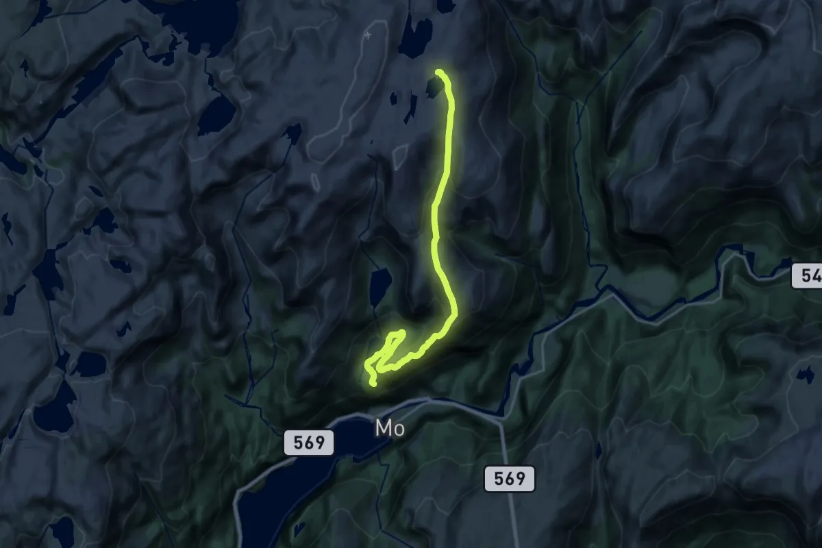
Demanding · Trail
Otterstad-Skavlabu
14.2 km · ↑ 823 m · 5 h 8 min
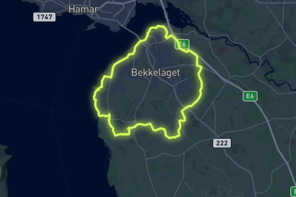
Medium · Trail
Ottestadstien
15.1 km · ↑ 136 m · 4 h 4 min
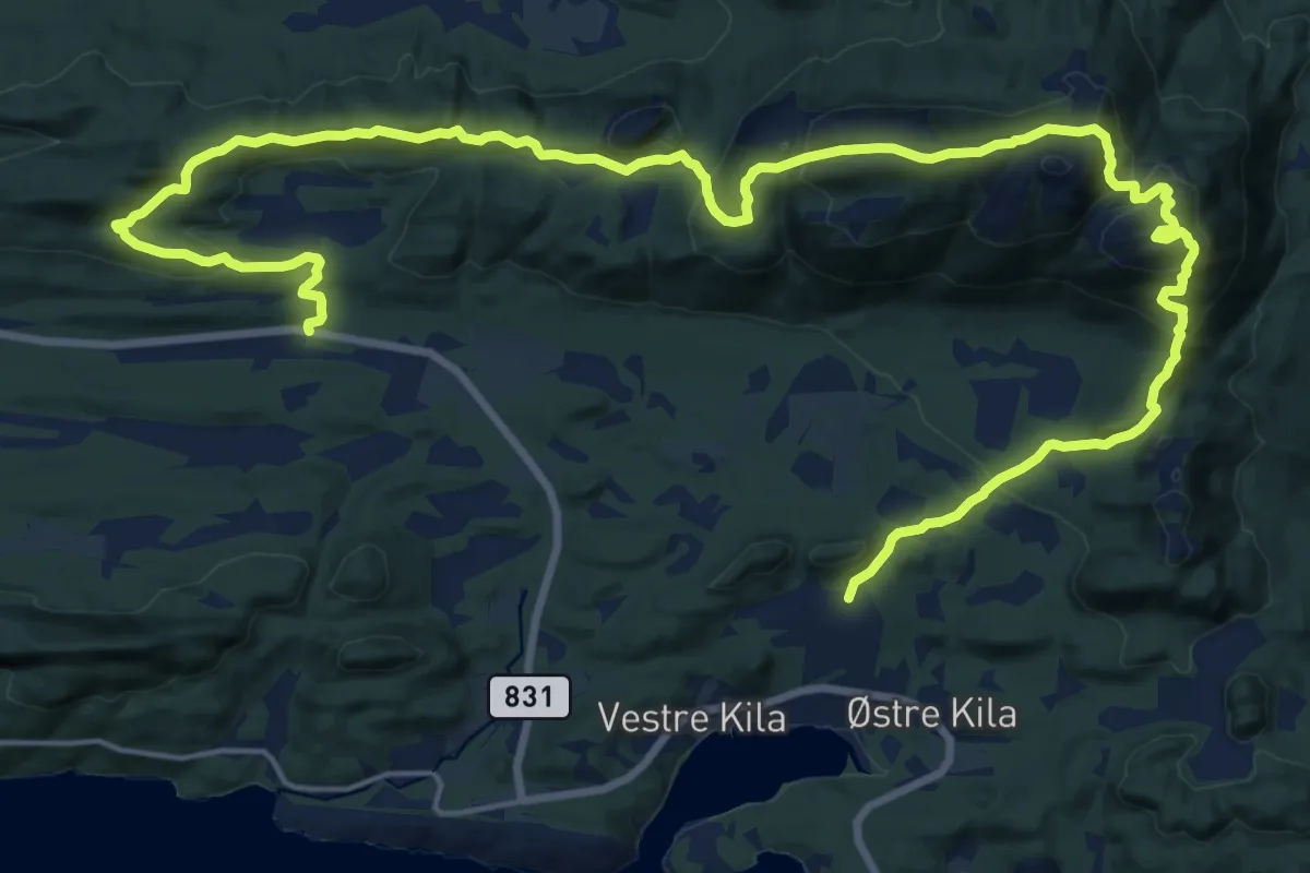
Demanding · Trail
Over Blåsfjellet
17.0 km · ↑ 830 m · 5 h 49 min
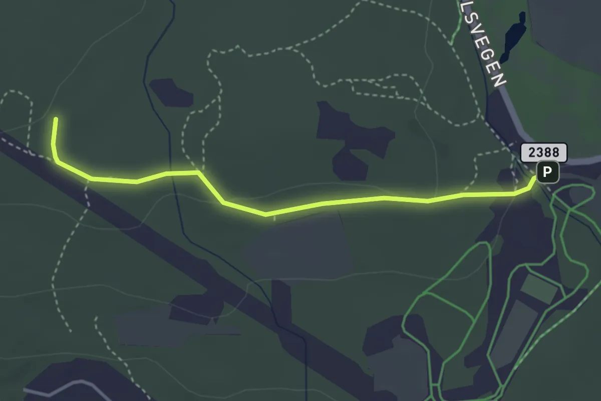
Easy · Cabin
Øverby-Fogdehytta
2.4 km · ↑ 36 m · 39 min
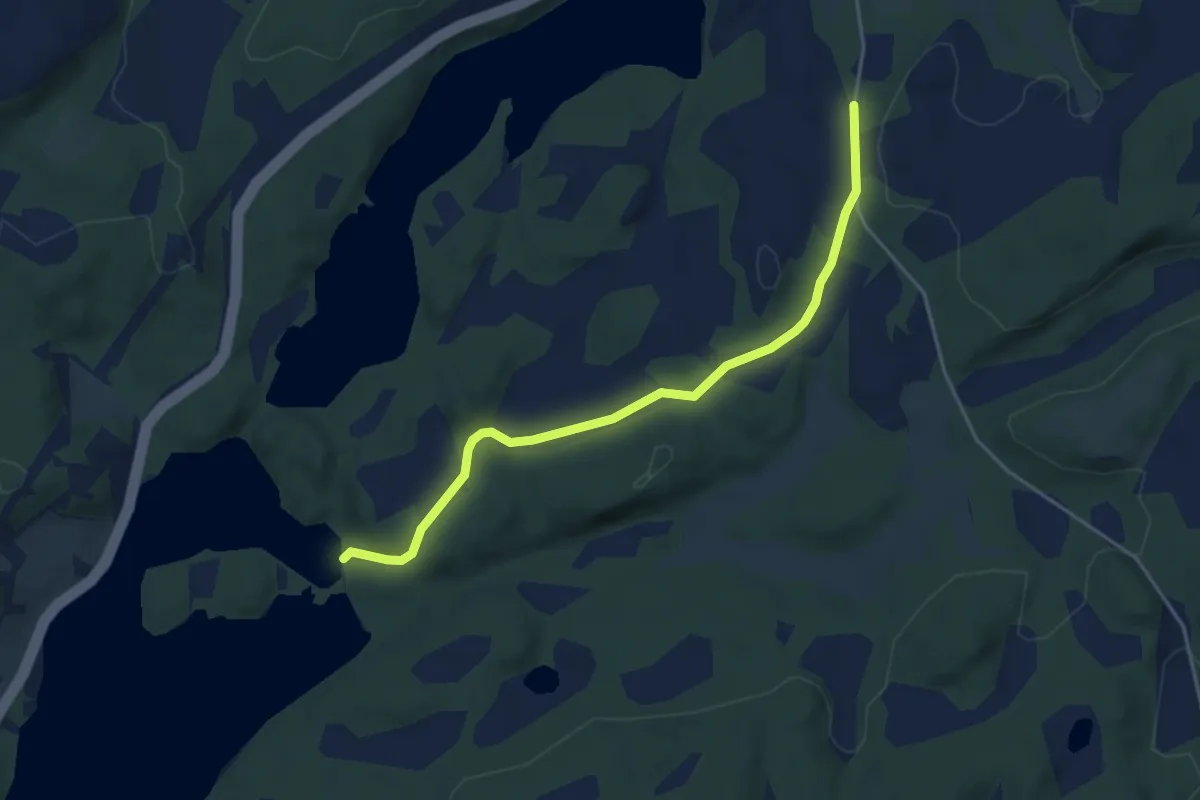
Easy · Trail
Øverdalsvatnet
2.9 km · ↑ 44 m · 46 min
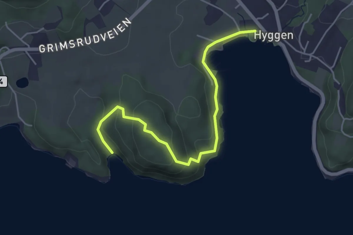
Easy · Trail
Over Helgåsen til Fagervik
3.2 km · ↑ 140 m · 1 h 4 min
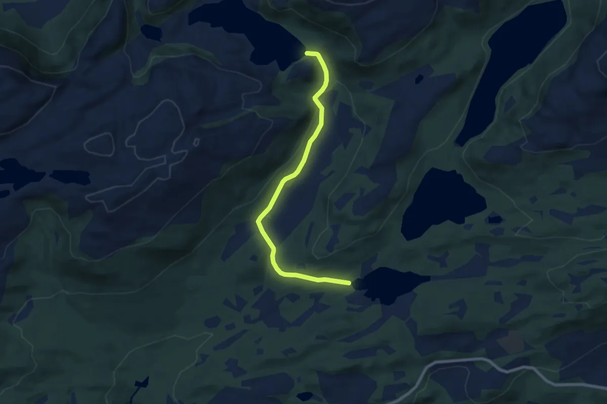
Easy · Trail
Øverlandsvatnet_Moldevatnet
4.9 km · ↑ 107 m · 1 h 24 min
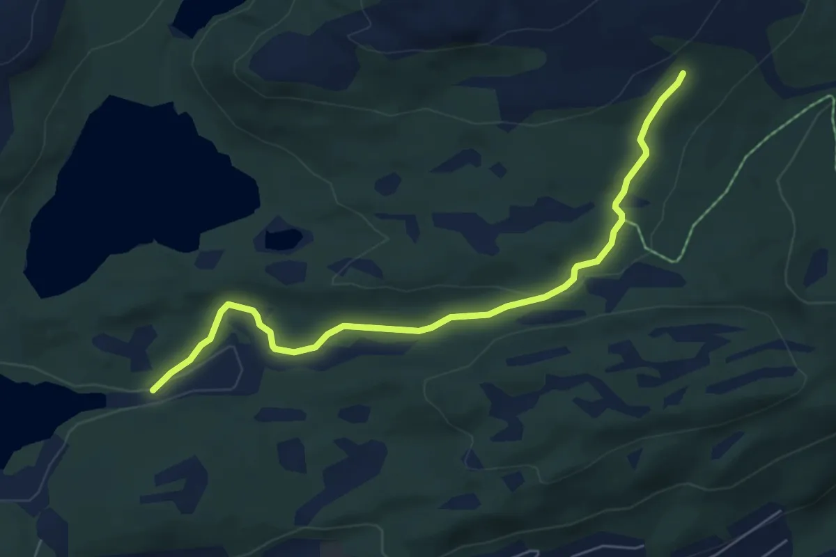
Easy · Trail
Øverlandsvatnet_Tustenveien
4.1 km · ↑ 80 m · 1 h 8 min
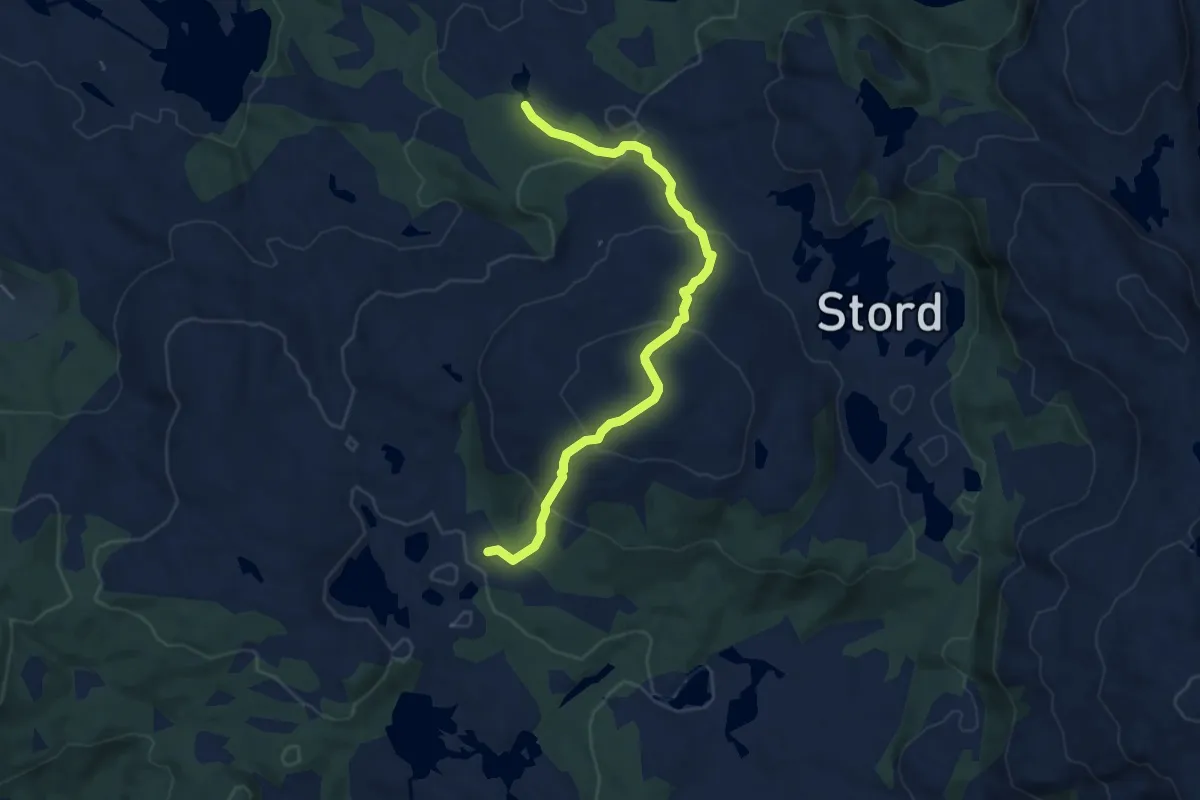
Easy · Trail
Over Sæterbøfjellet
3.9 km · ↑ 274 m · 1 h 30 min
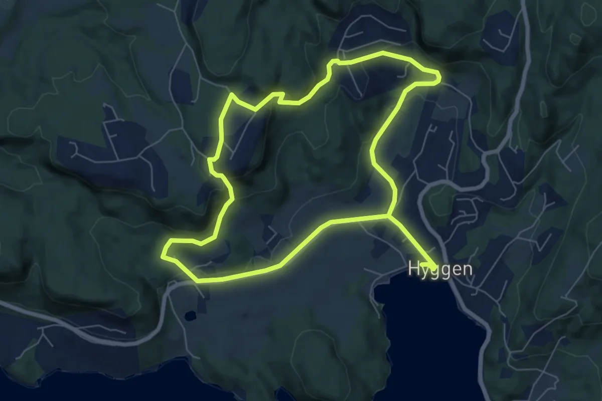
Medium · Trail
Ovnerud Rundt
9.3 km · ↑ 332 m · 2 h 54 min
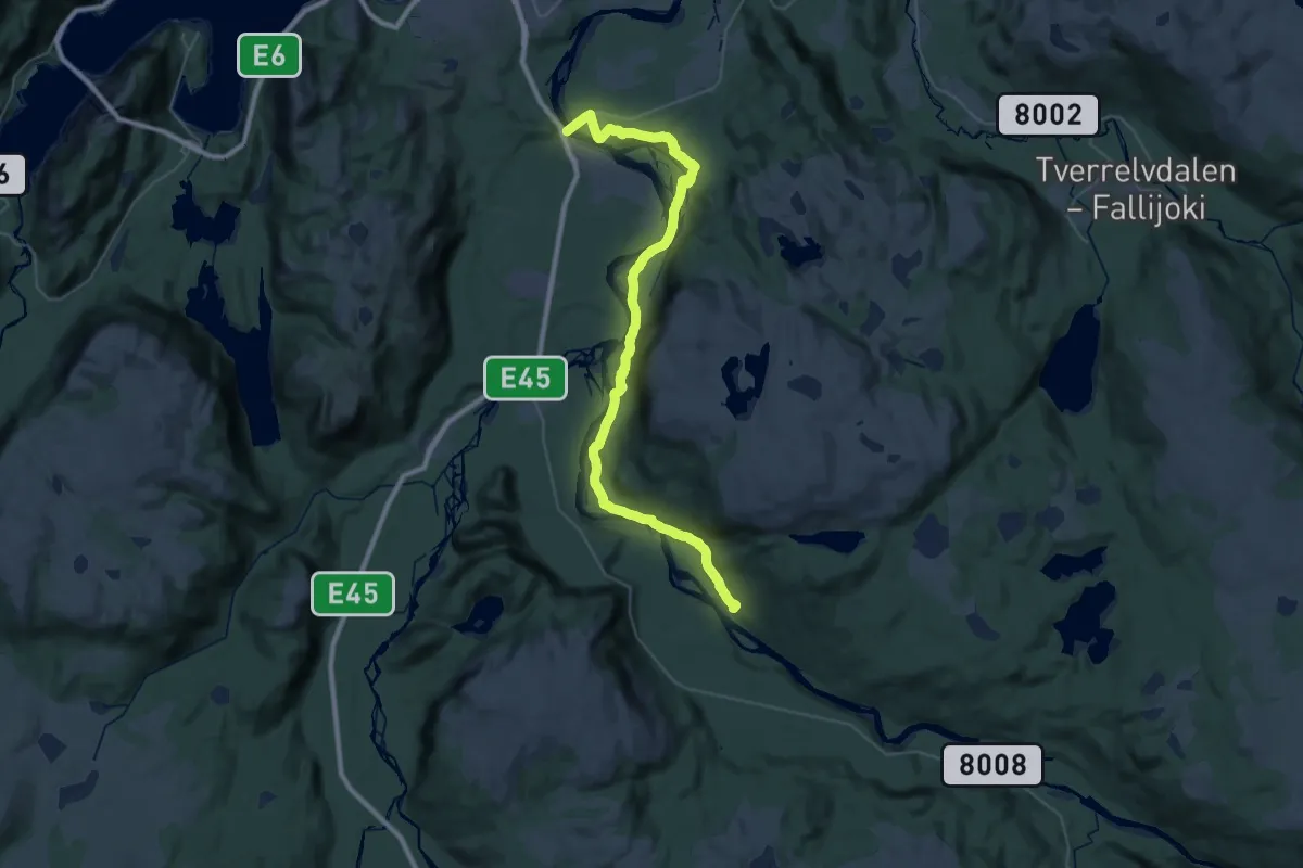
Demanding · Trail
Øvre Alta - Sorrisniva
24.2 km · ↑ 184 m · 6 h 7 min
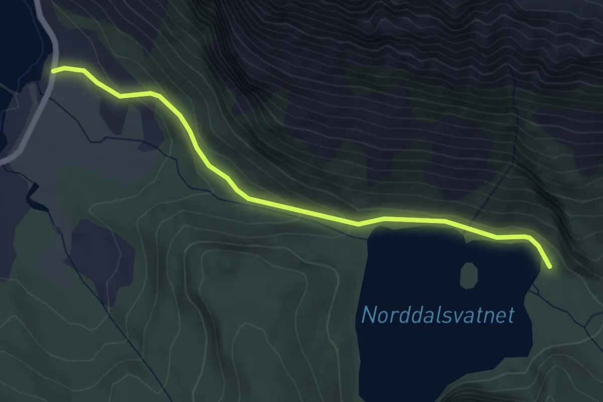
Medium · Trail
Øvrebotten -Norddalsvatnet
3.0 km · ↑ 92 m · 55 min
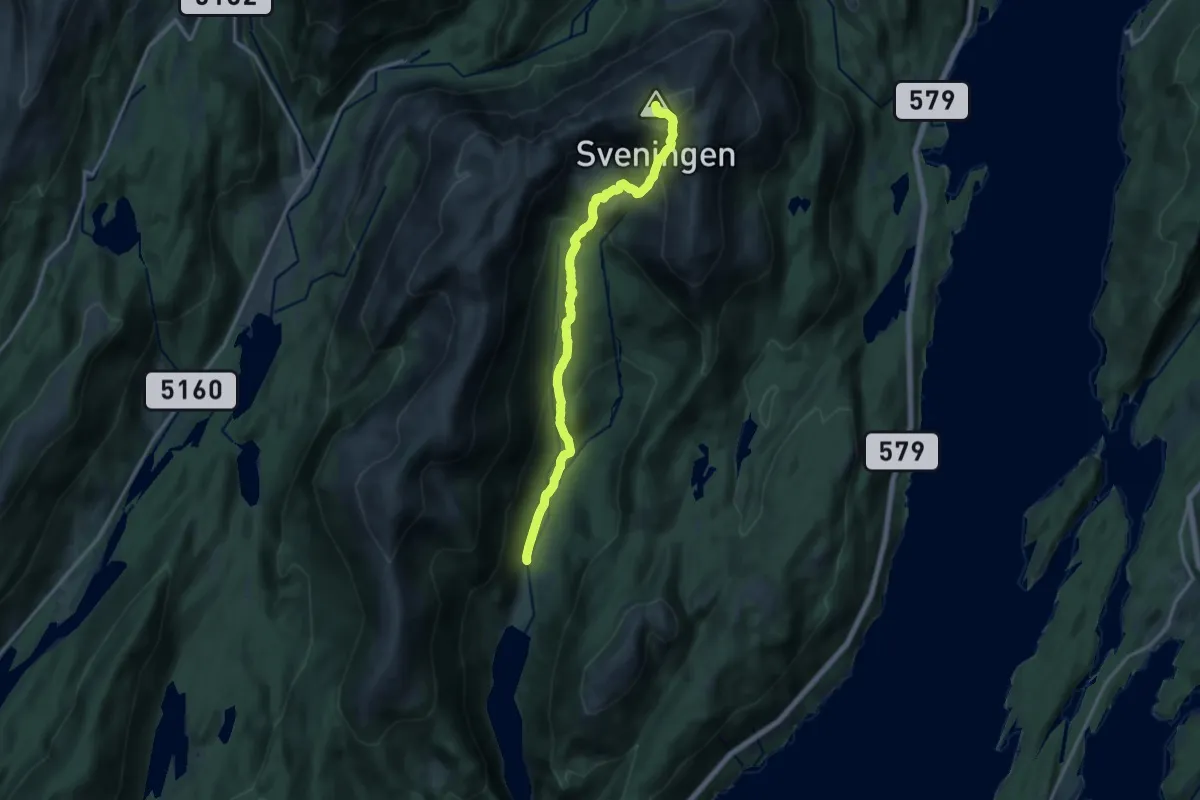
Demanding · Trail
Øvredalen-Sveningen
10.6 km · ↑ 791 m · 4 h 13 min
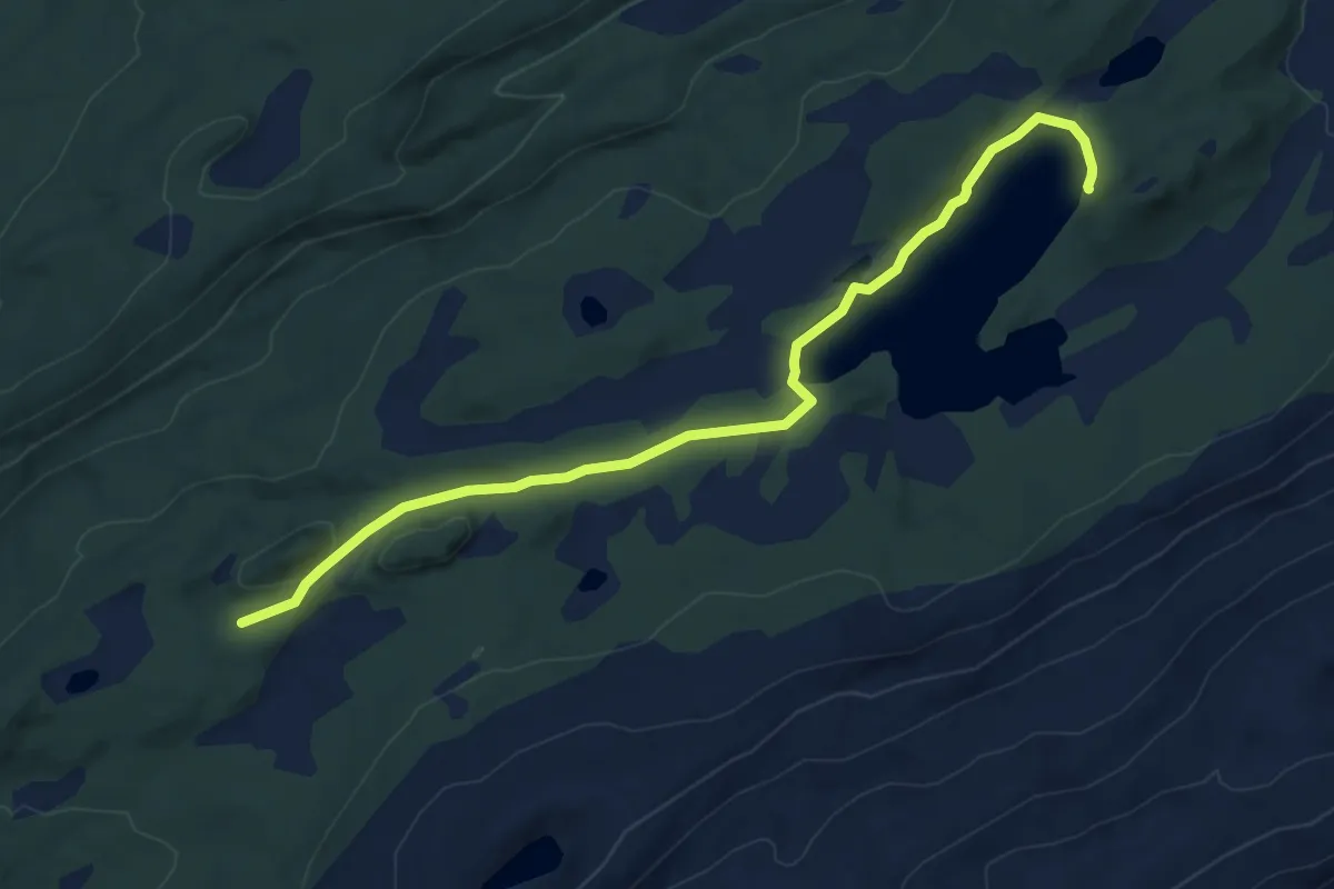
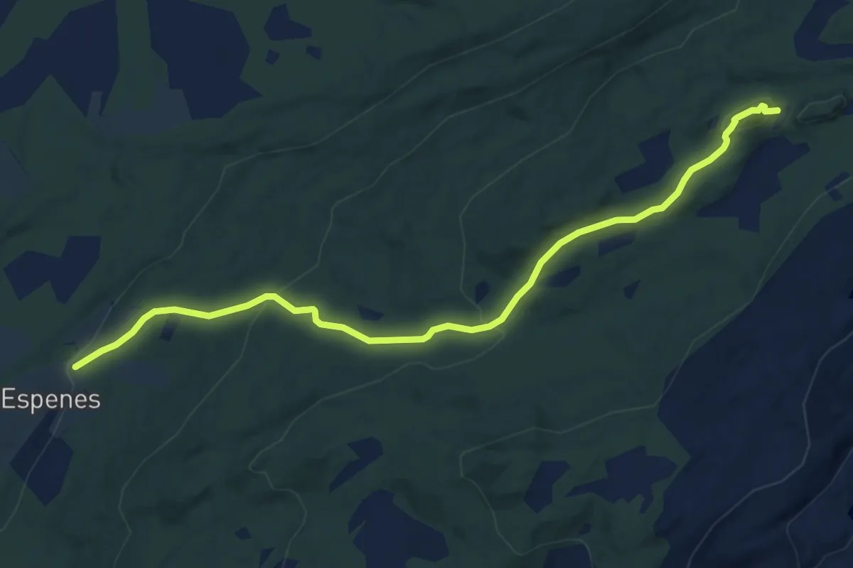
Easy · Trail
Øvre Espenes - Børingsvatnet
4.2 km · ↑ 56 m · 1 h 7 min
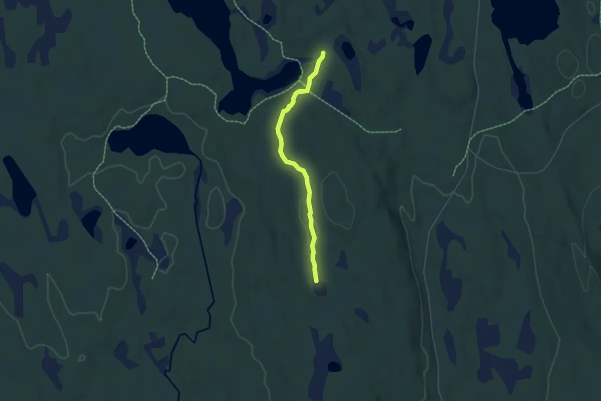
Easy · Trail
Øvre Espenes - Vardtuva
5.8 km · ↑ 323 m · 2 h 5 min
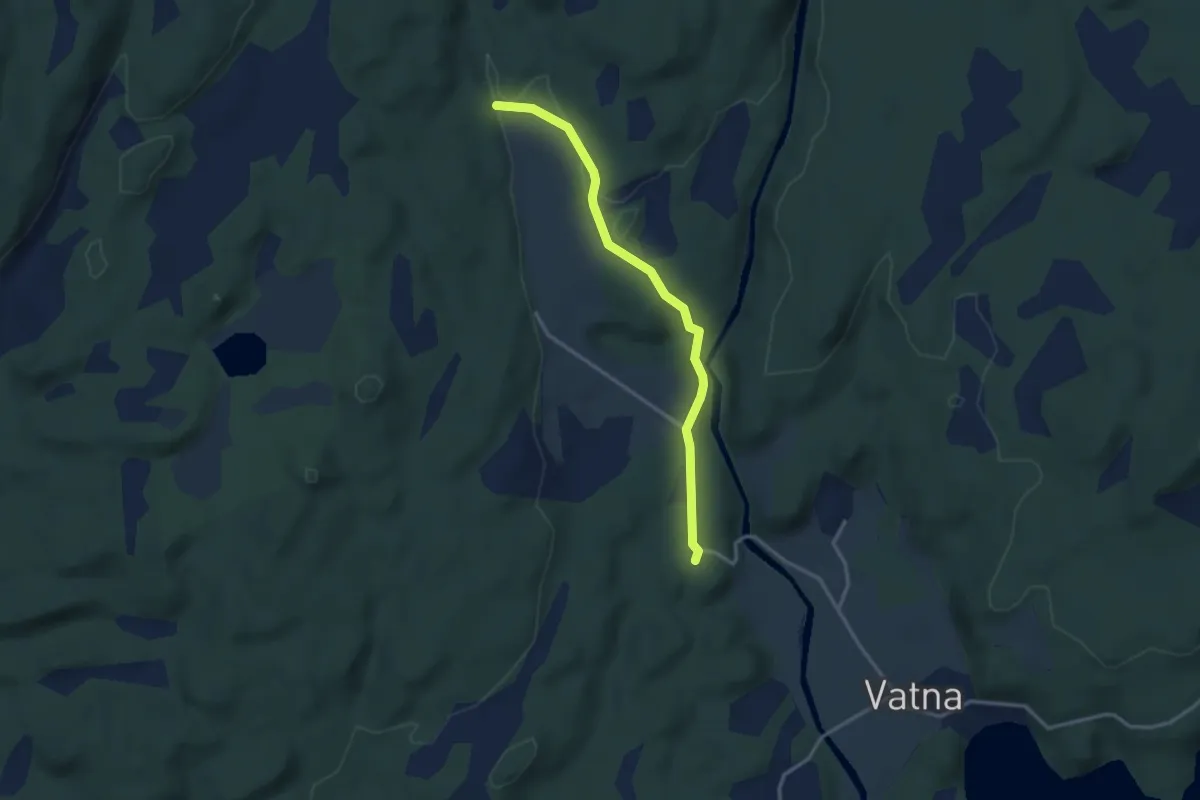
Medium · Trail
Øvre Kolbusætra
3.1 km · ↑ 46 m · 49 min
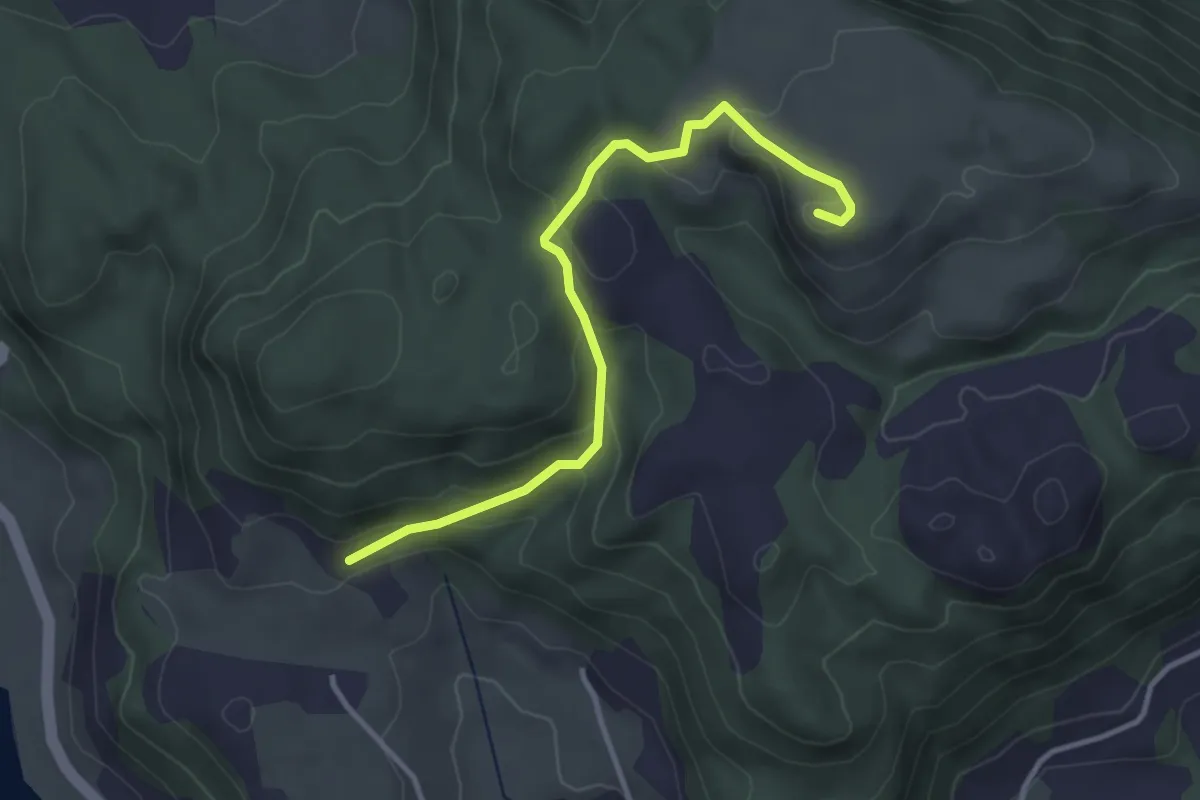
Easy · Trail
Øvre Økland-Isdal-Stova-Øvre Økland
2.2 km · ↑ 34 m · 35 min
Easy · Trail
Øvre Sagstad - Krossfjellet
2.4 km · ↑ 124 m · 51 min
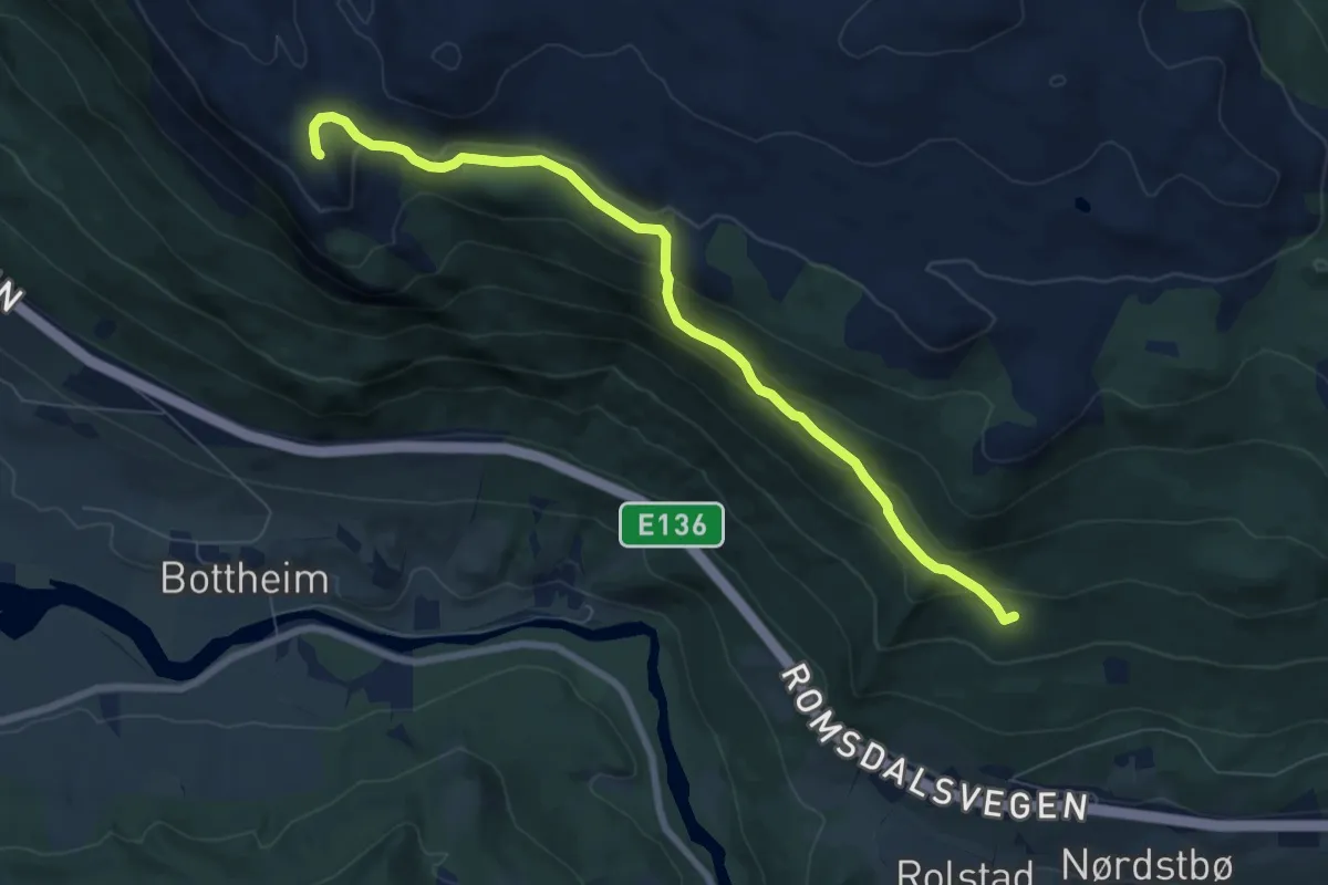
Medium · Trail
Øvre Skardråket - Bottberget
5.3 km · ↑ 282 m · 1 h 52 min
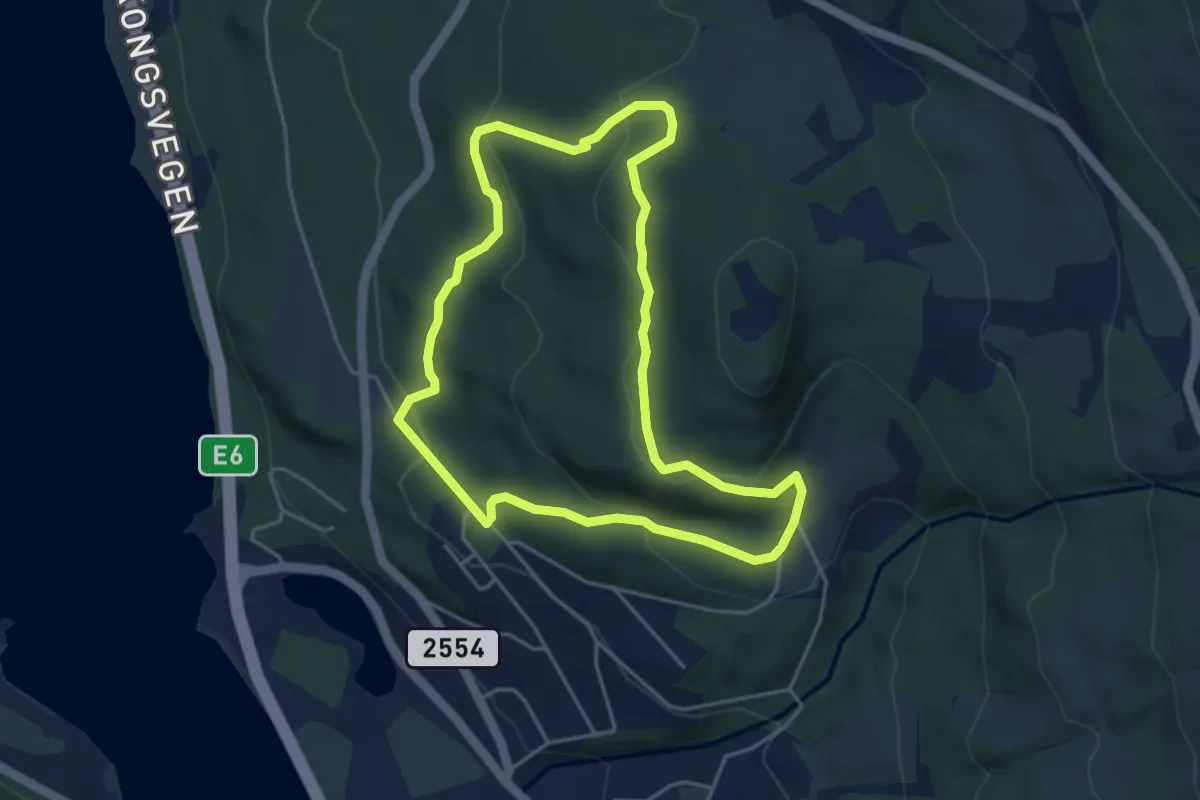
Medium · Trail
Øvre Stavsrunden
5.9 km · ↑ 254 m · 1 h 56 min
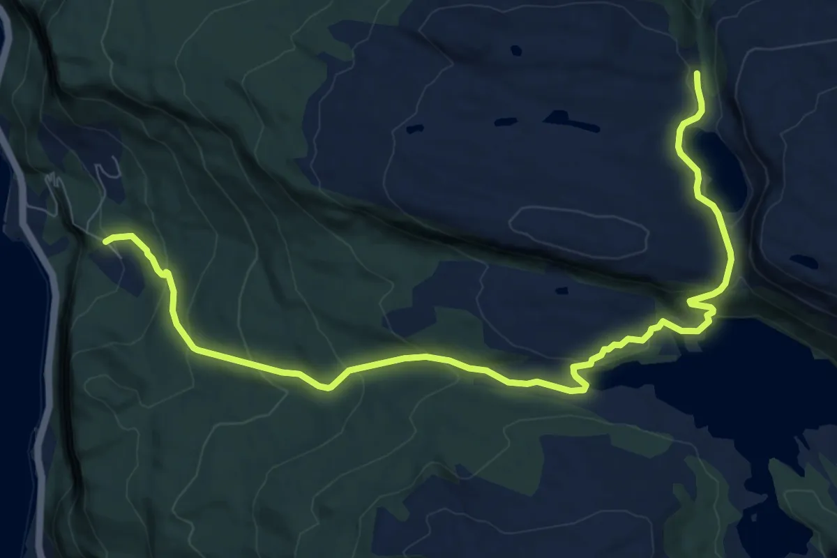
Medium · Trail
Øvre Tveit til Krakelivatnet
7.6 km · ↑ 393 m · 2 h 39 min
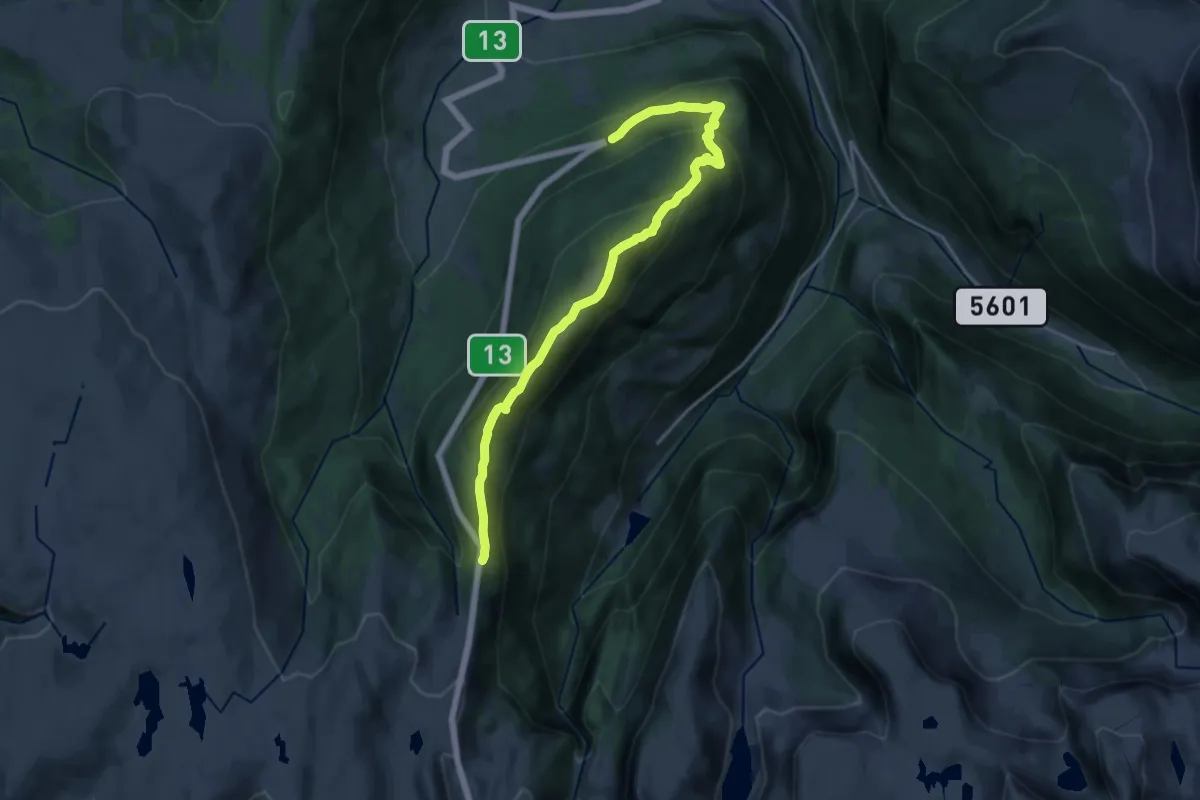
Medium · Trail
Ovriseggi
14.2 km · ↑ 717 m · 4 h 54 min
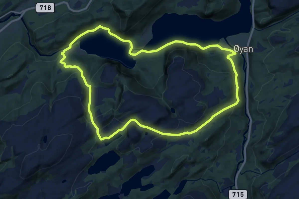
Medium · Trail
Øyan - Osen - Lakrillan
17.8 km · ↑ 594 m · 5 h 30 min
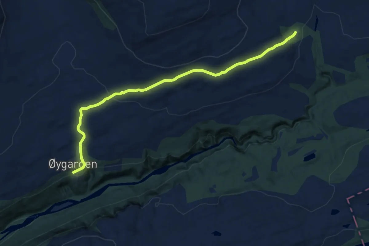
Easy · Cabin
Øydegard-Grytbakksetra
7.0 km · ↑ 231 m · 2 h 10 min
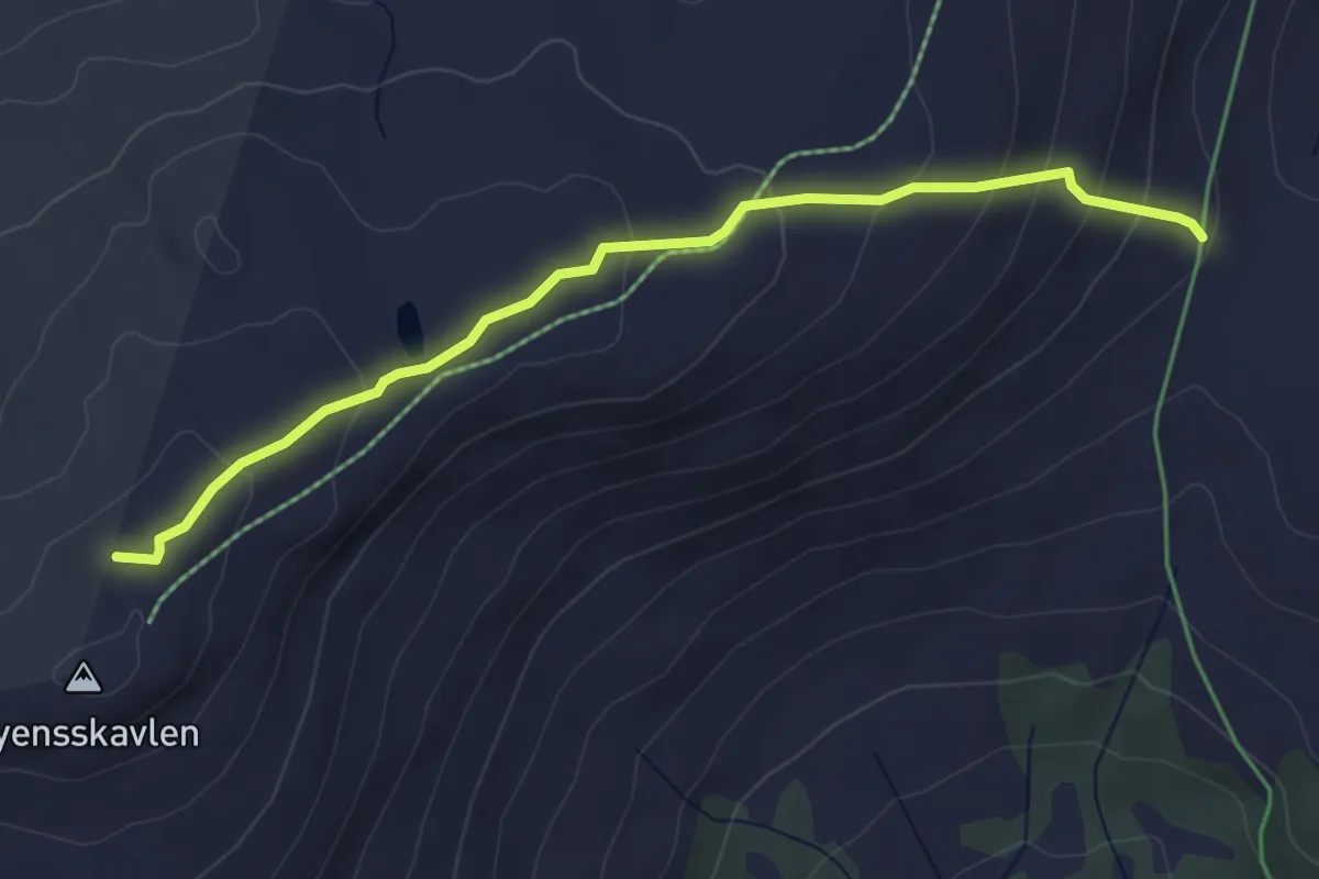
Demanding · Trail
Øyensskavlen
2.9 km · ↑ 188 m · 1 h 5 min
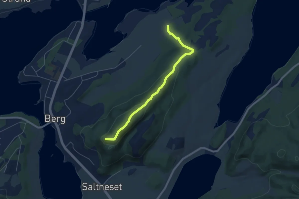
Easy · Trail
Øyfjellet
3.0 km · ↑ 127 m · 59 min
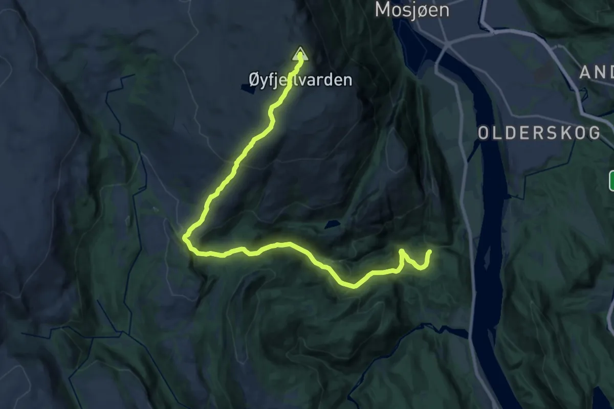
Medium · Trail
Øyfjellvarden via Øydalen
14.3 km · ↑ 785 m · 5 h 4 min
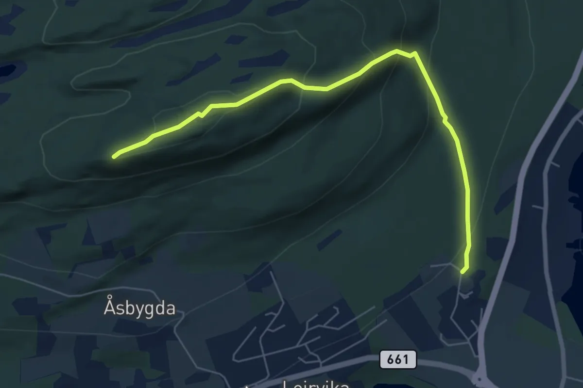
Demanding · Trail
Øygarden - Åsnakken
4.2 km · ↑ 274 m · 1 h 35 min
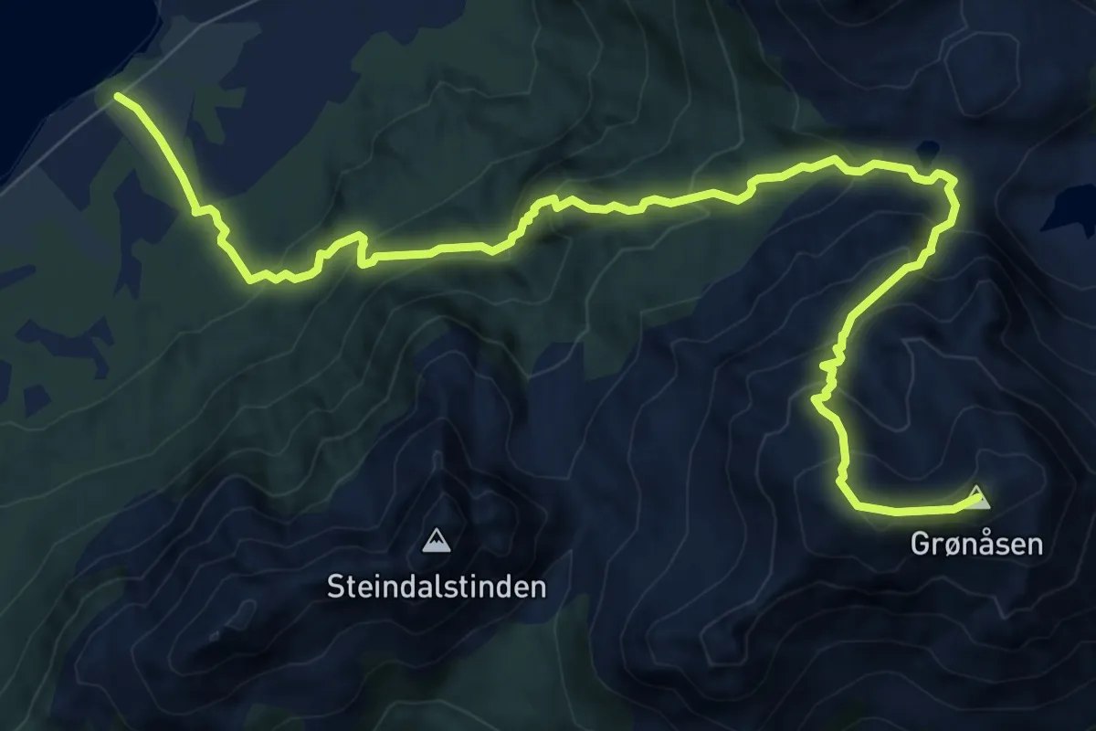
Medium · Trail
Øyhell-Grønåsen
6.4 km · ↑ 610 m · 2 h 50 min
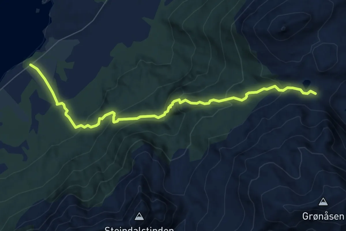
Easy · Trail
Øyhell - Hamntindskaret
4.2 km · ↑ 313 m · 1 h 41 min
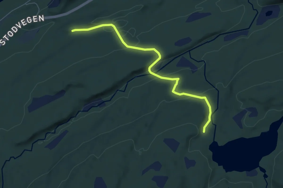
Medium · Trail
Øyingenstien
3.8 km · ↑ 134 m · 1 h 12 min
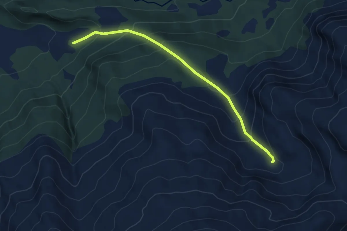
Medium · Trail
Øyjorda - Lonene
4.6 km · ↑ 388 m · 1 h 56 min
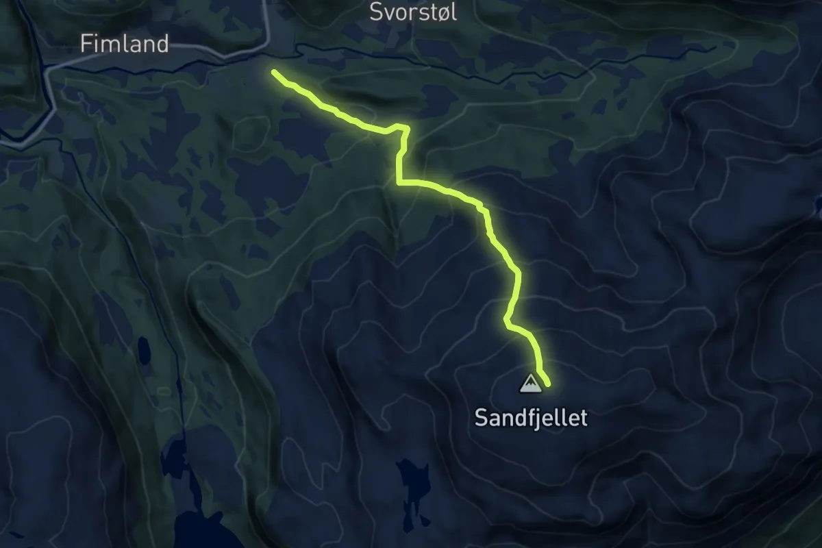
Demanding · Trail
Øyjorda - Sandfjellet
7.9 km · ↑ 895 m · 3 h 48 min
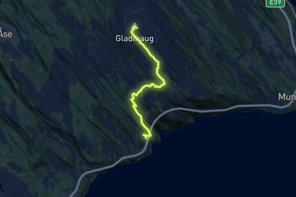
Medium · Trail
Øyjord-Gladihaug
5.7 km · ↑ 415 m · 2 h 15 min
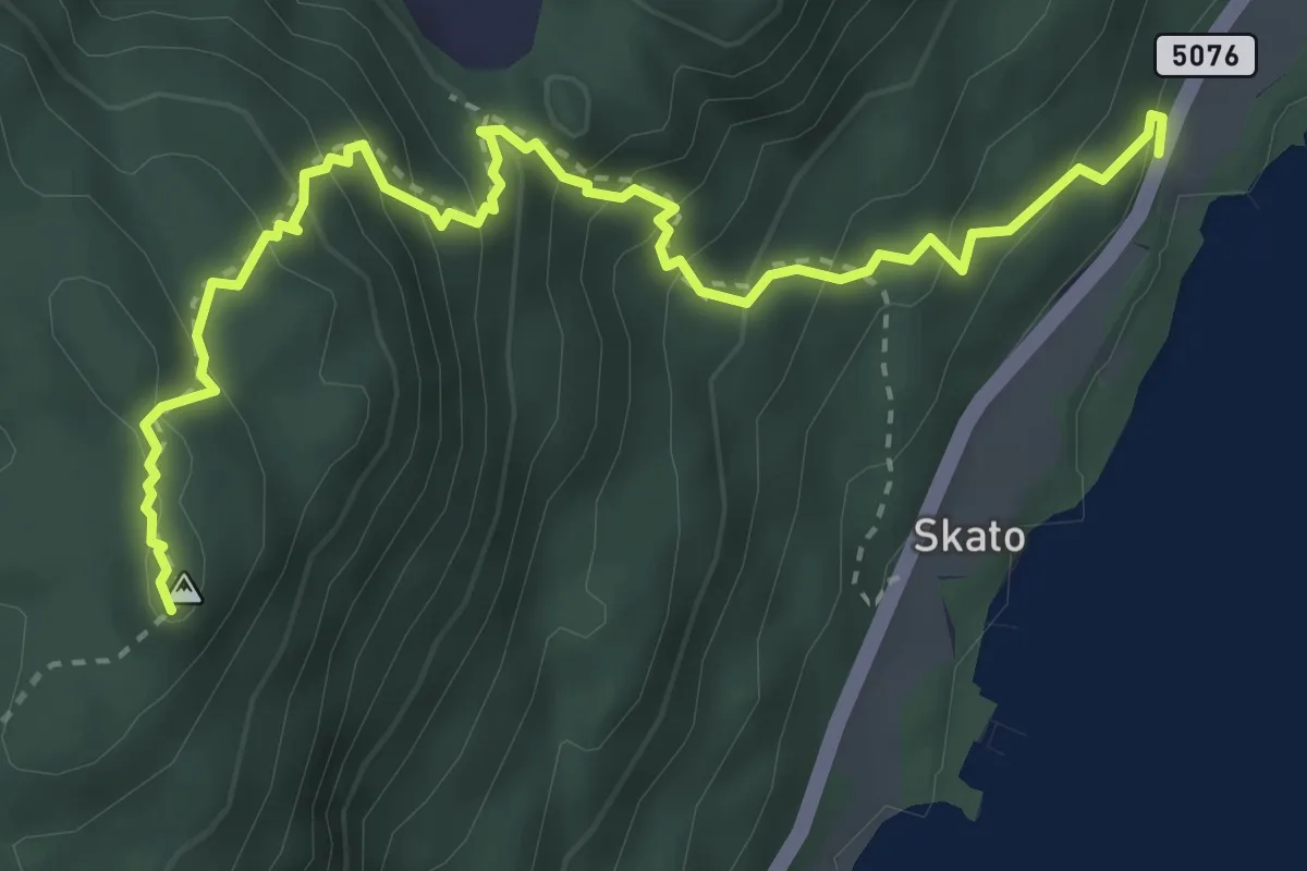
Medium · Trail
Øykjafjell
3.0 km · ↑ 340 m · 1 h 26 min
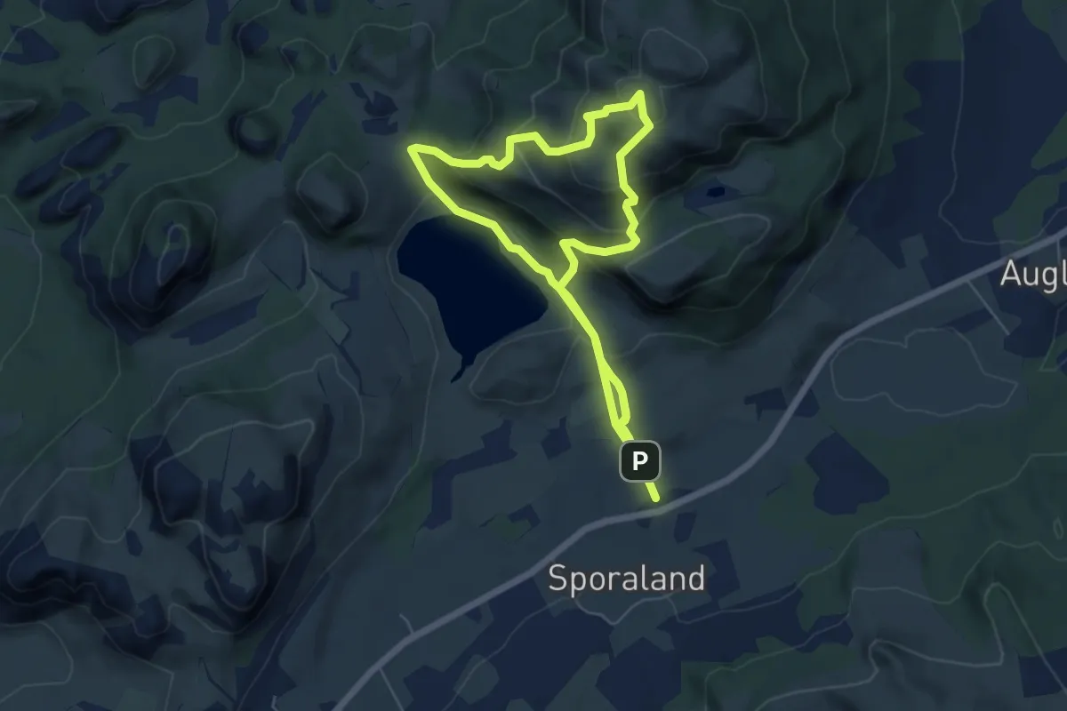
Easy · Summit
Øykjafjellet
4.3 km · ↑ 272 m · 1 h 39 min
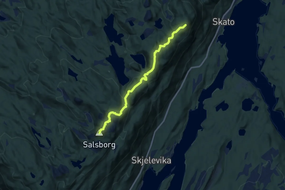
Medium · Trail
Øykjafjell - Salsborg
5.4 km · ↑ 344 m · 2 h 2 min
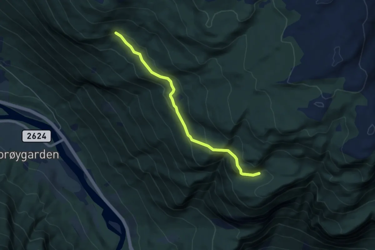
Easy · Trail
Øykjeholet, fra Espesætervegen
3.5 km · ↑ 192 m · 1 h 15 min
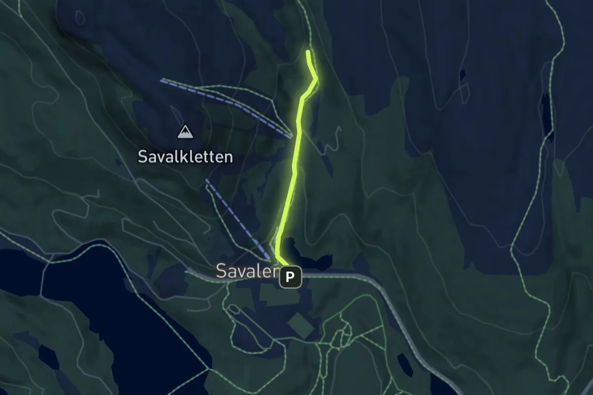
Easy · Trail
Øykjeklettjønna
2.2 km · ↑ 55 m · 38 min
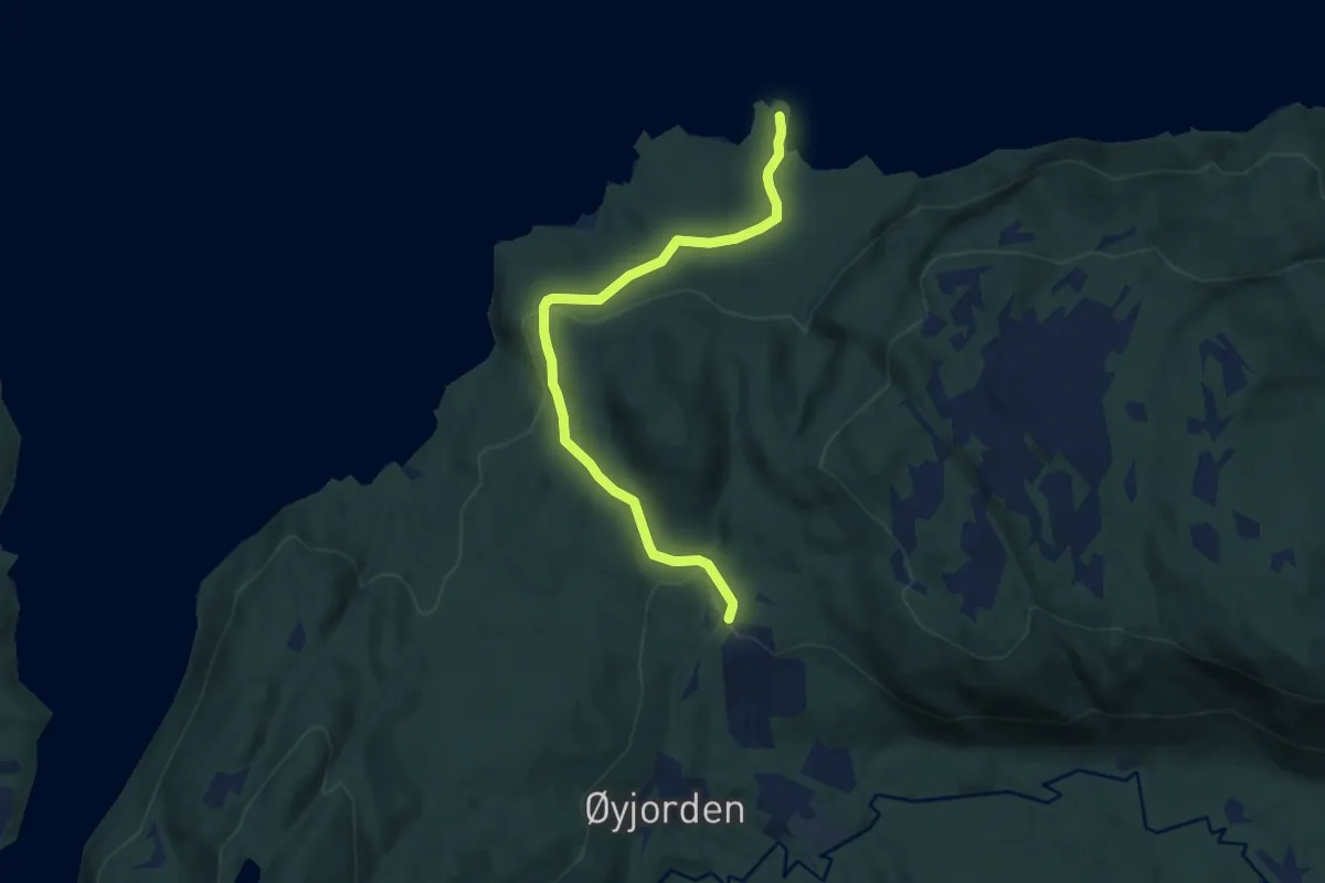
Easy · Trail
Øyorden til Langvatnet
4.6 km · ↑ 92 m · 1 h 17 min
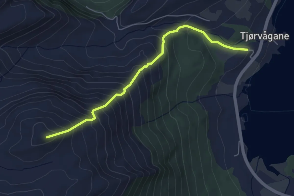
Medium · Trail
Øyrahornet
3.1 km · ↑ 386 m · 1 h 34 min
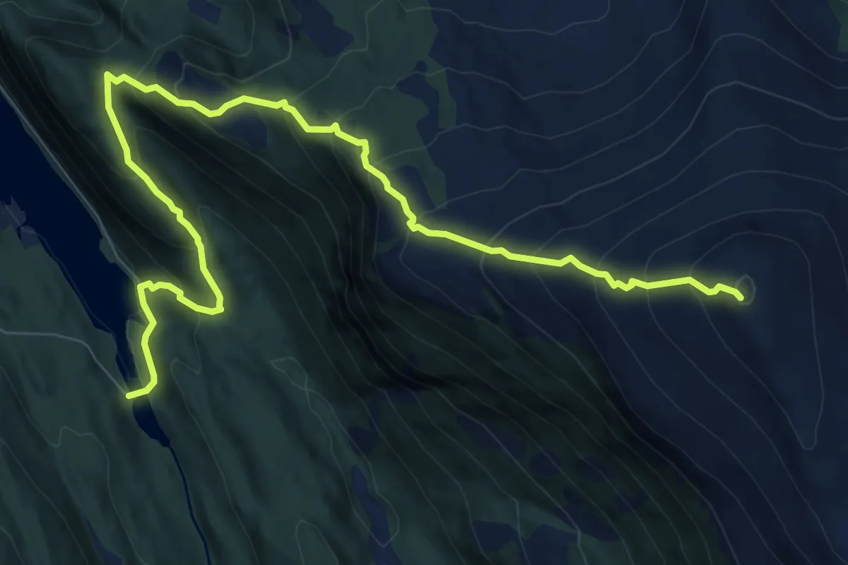
Medium · Trail
Øyrtinden
7.0 km · ↑ 757 m · 3 h 17 min
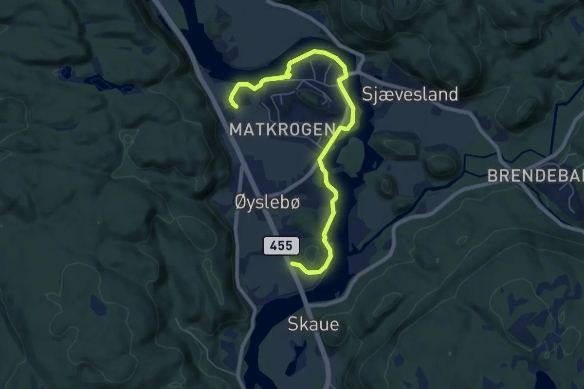
Easy · Trail
Øyslebø
4.7 km · ↑ 28 m · 1 h 11 min
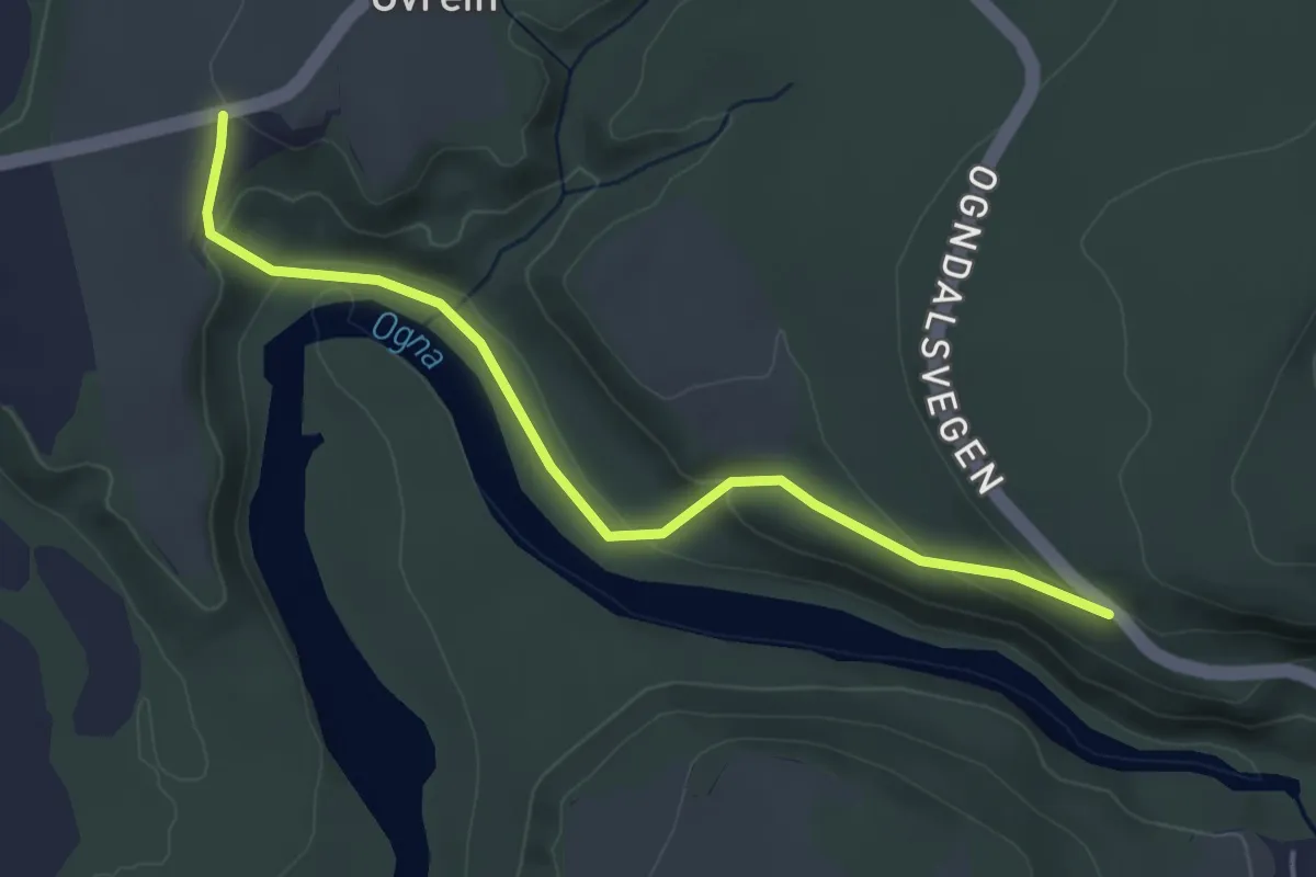
Easy · Trail
Øysterenget
2.8 km · ↑ 96 m · 53 min
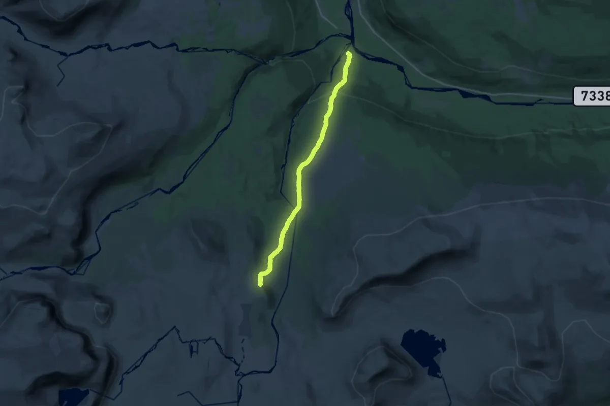
Medium · Trail
Øyum - Legdvatnet
12.0 km · ↑ 464 m · 3 h 51 min
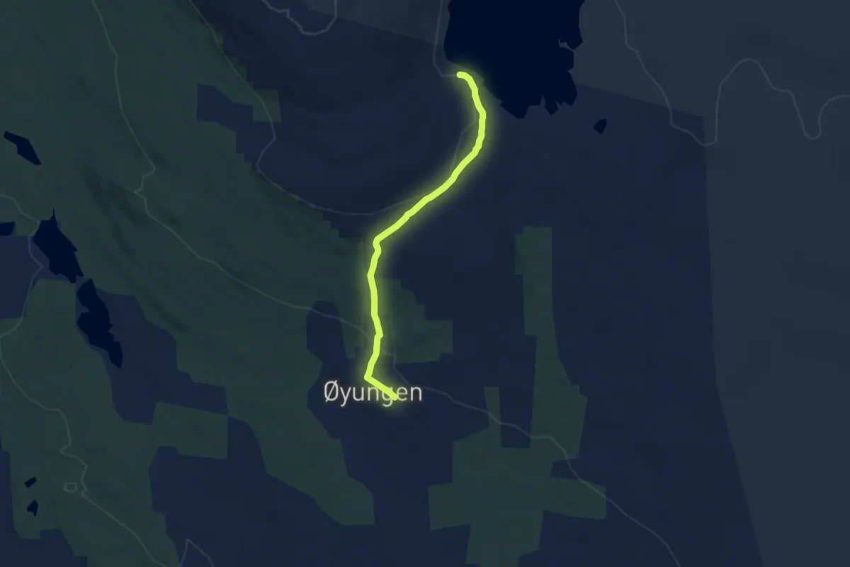
Medium · Cabin
Øyungen seter - Øyungshytta
4.9 km · ↑ 120 m · 1 h 26 min